Trails near Emmen
599 hikes starting within 15 km, nearest first.
Nearest first, page 13 of 13
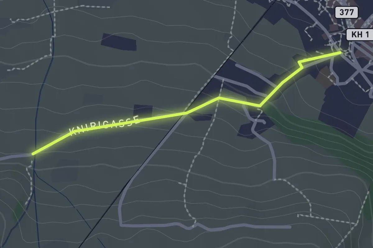
Easy · Trail
Stans Dorfplatz – Christenmatt
2.0 km · ↑ 76 m · 39 min · 15 km away
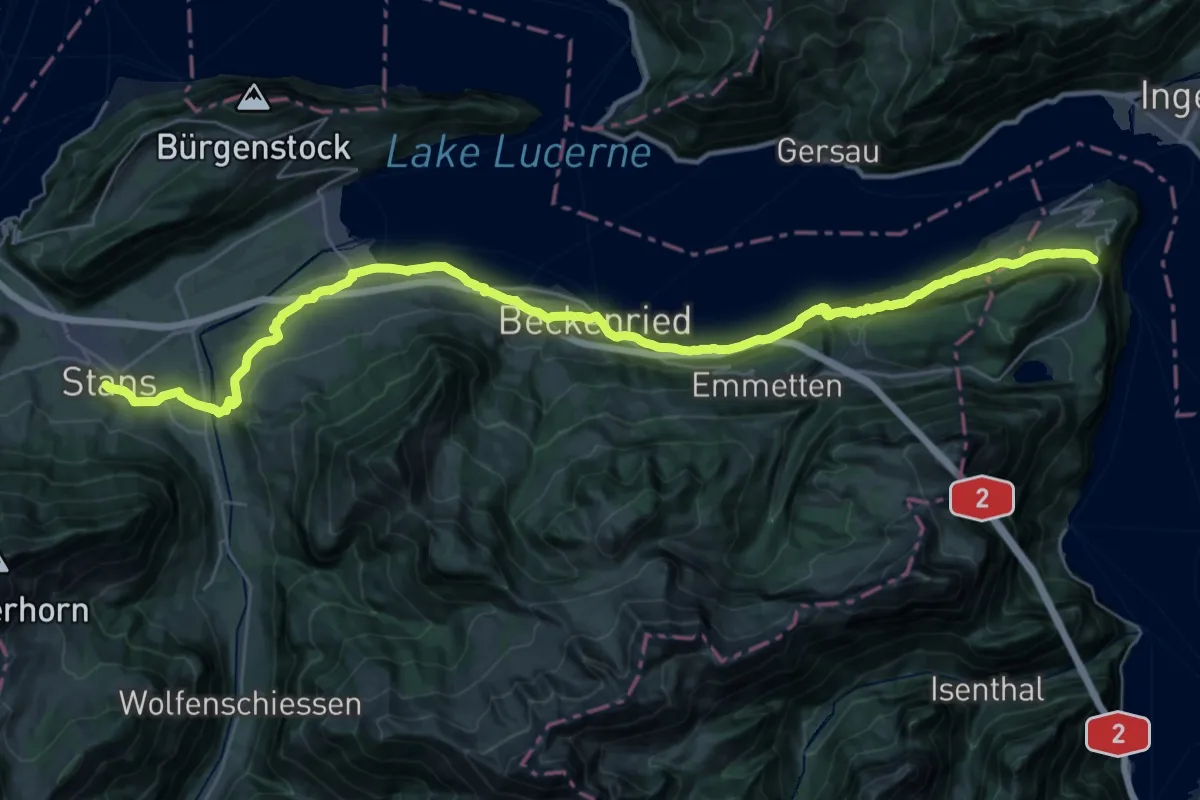
Demanding · Trail
Trans Swiss Trail
20.3 km · ↑ 860 m · 6 h 46 min · 15 km away
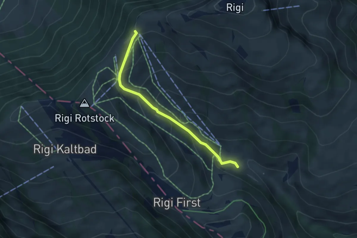
Easy · Trail
Rigi-Staffel – Rigi Klösterli
3.5 km · ↑ 265 m · 1 h 24 min · 15 km away
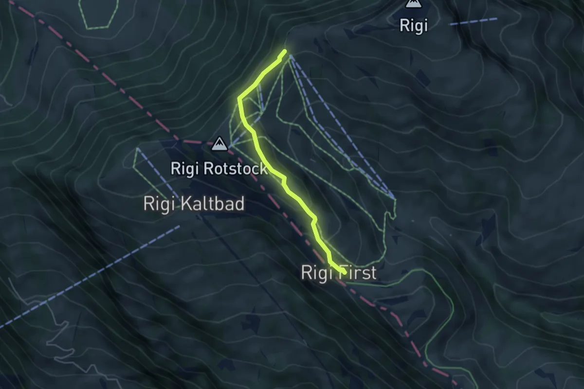
Easy · Trail
Rigi Staffel – Rigi First
3.7 km · ↑ 186 m · 1 h 17 min · 15 km away
Easy · Summit
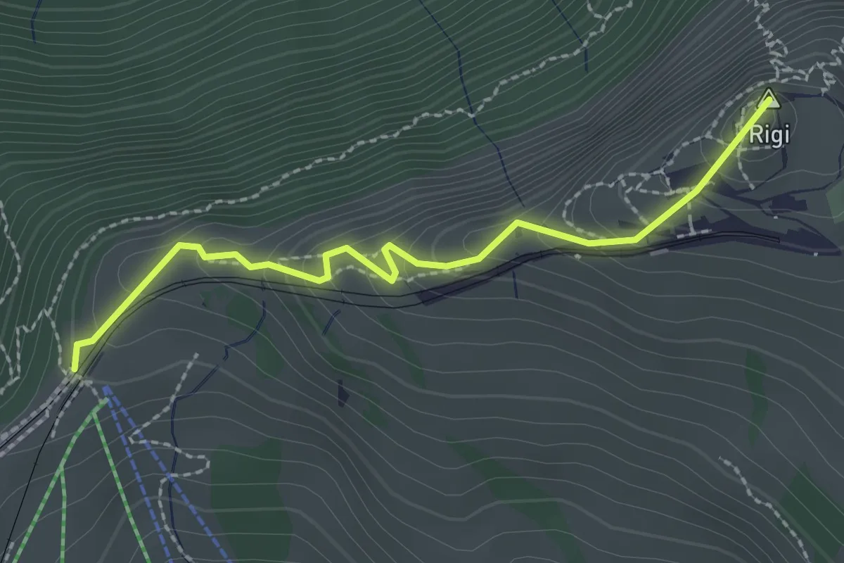
Rigi Staffel – Rigi Kulm
2.3 km · ↑ 160 m · 53 min · 15 km away
Medium · Trail
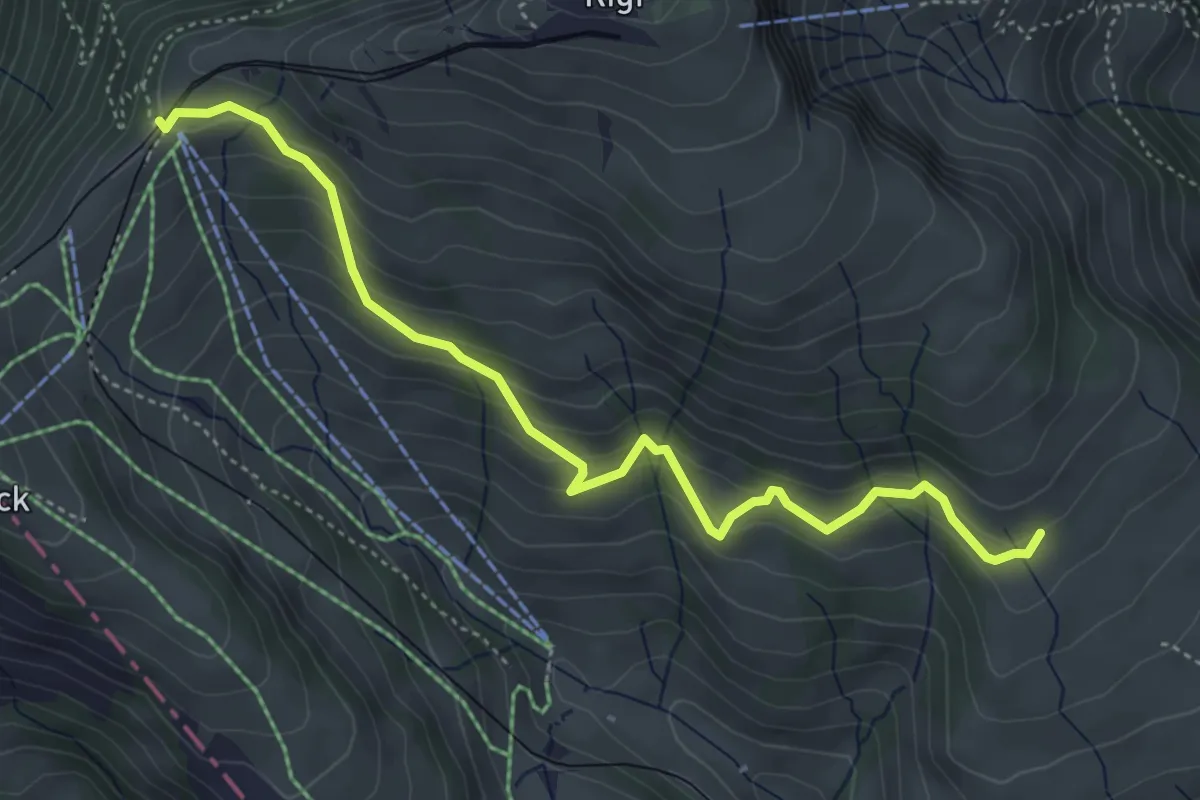
Schwändi – Rigi Staffel
4.8 km · ↑ 349 m · 1 h 54 min · 15 km away
Demanding · Trail
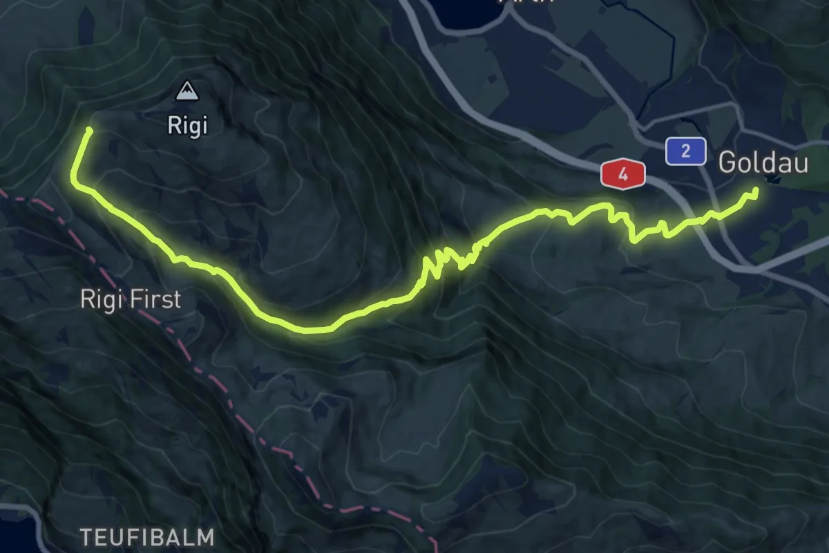
Schwyzer Höhenweg - Etappe 2
17.8 km · ↑ 1122 m · 6 h 38 min · 15 km away
Medium · Trail
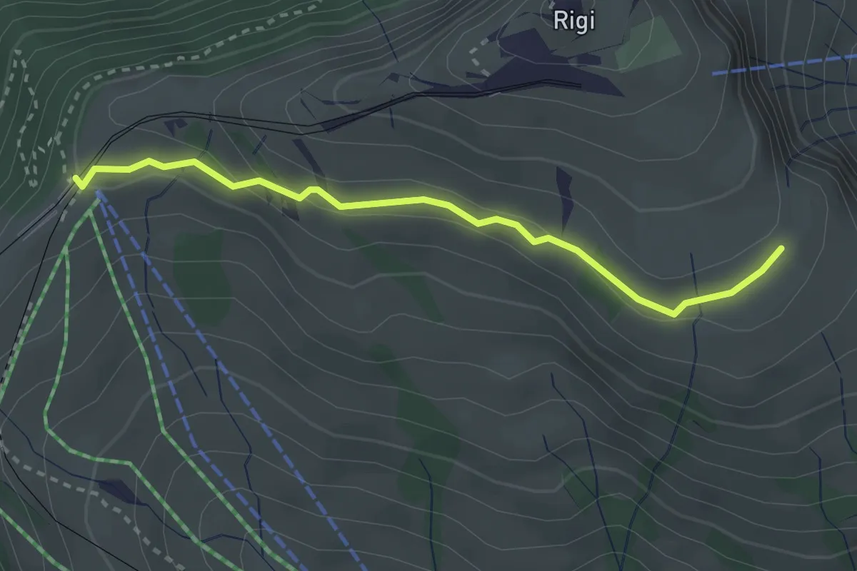
Kulmhutte-Rigi Staffel
2.7 km · ↑ 93 m · 51 min · 15 km away
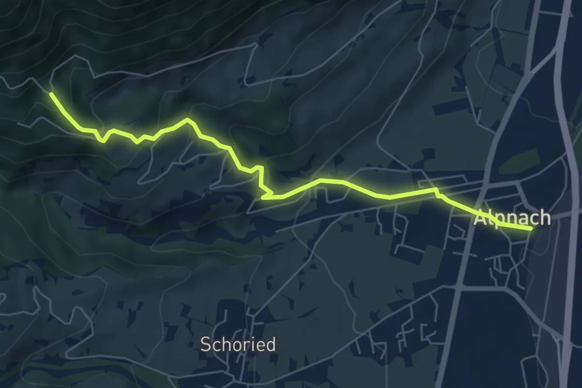
Medium · Trail
Alpnach Dorf - Winterhalten
6.1 km · ↑ 372 m · 2 h 15 min · 15 km away
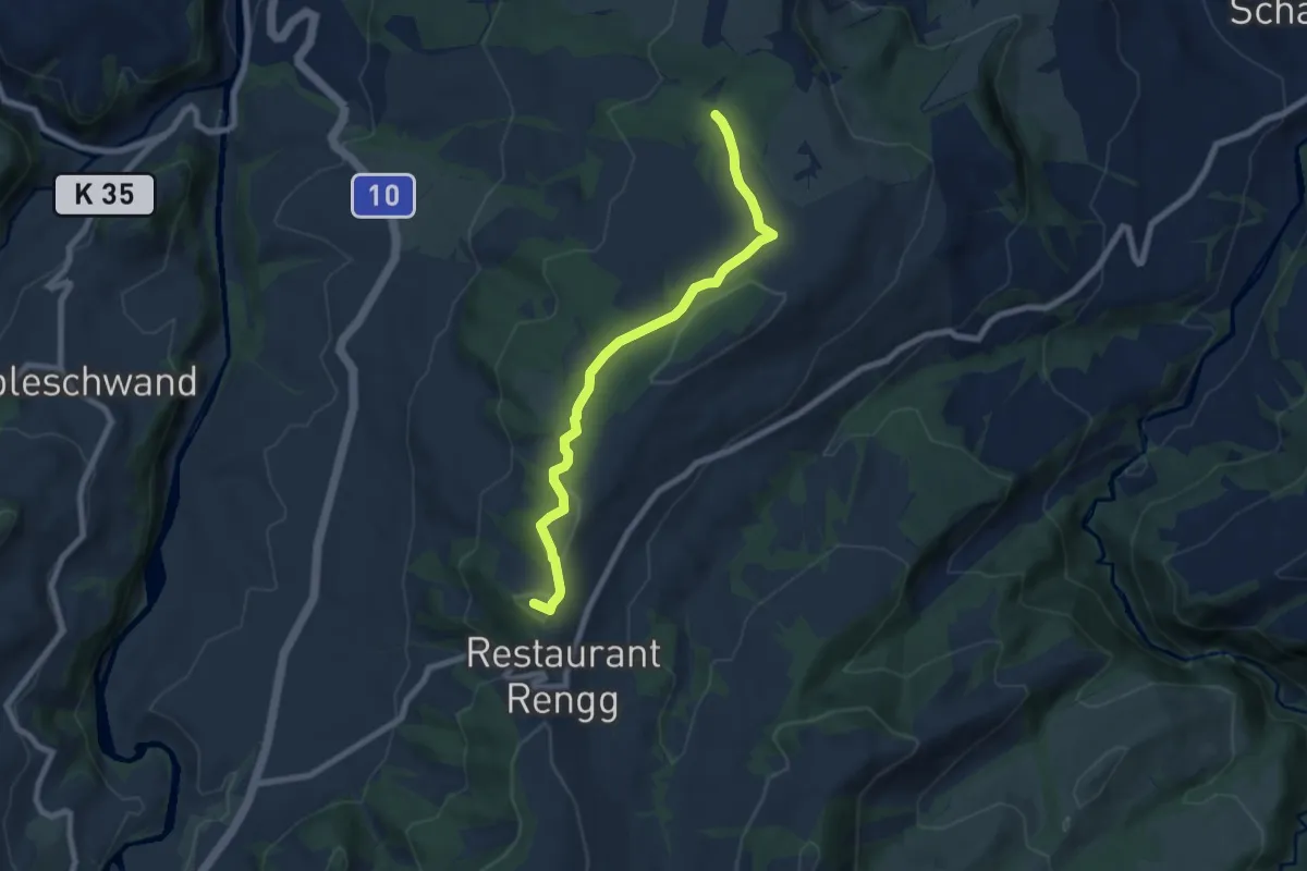
Easy · Summit
Chlosterwald - Rengg
7.1 km · ↑ 191 m · 2 h 6 min · 15 km away
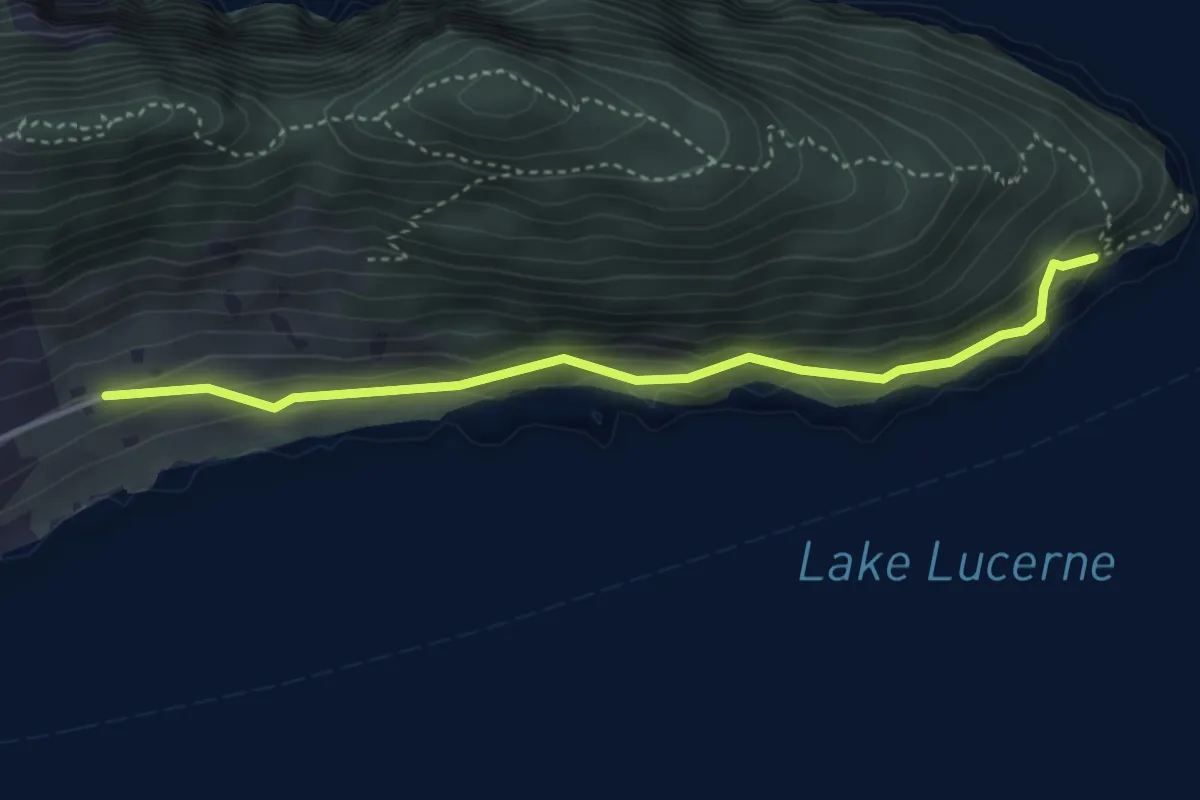
Easy · Trail
Oberlee - Unter Nas
3.7 km · ↑ 223 m · 1 h 21 min · 15 km away
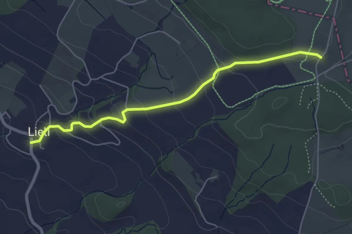
Easy · Trail
Oberillau – Lieli
4.5 km · ↑ 184 m · 1 h 28 min · 15 km away
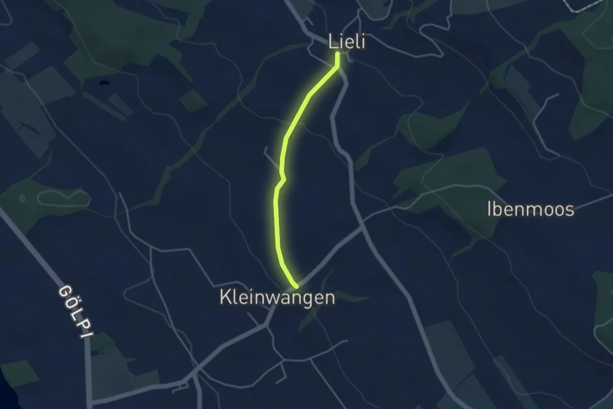
Easy · Trail
Kleinwangen – Lieli
2.9 km · ↑ 87 m · 52 min · 15 km away
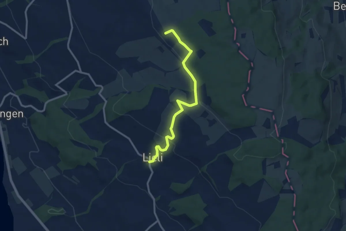
Easy · Trail
Lieli – Sulzerberg
6.8 km · ↑ 237 m · 2 h 8 min · 15 km away
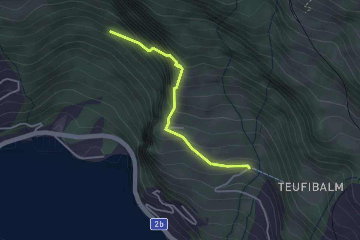
Medium · Trail
Orefad – Langwilen
2.7 km · ↑ 329 m · 1 h 21 min · 15 km away
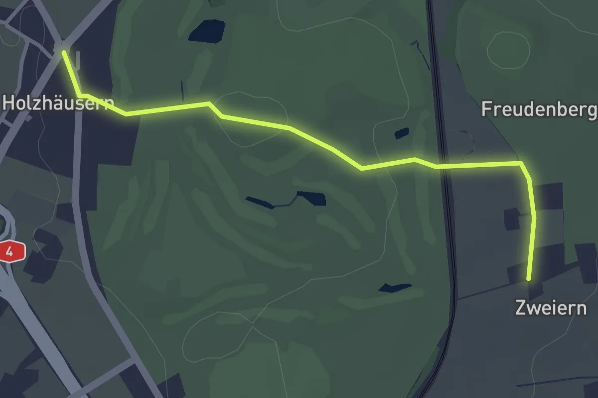
Easy · Trail
Holzhäusern - Zwijeren
3.1 km · ↑ 45 m · 49 min · 15 km away
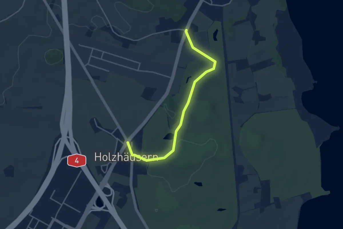
Easy · Trail
Langrüti - Holzhäusern
3.5 km · ↑ 28 m · 54 min · 15 km away
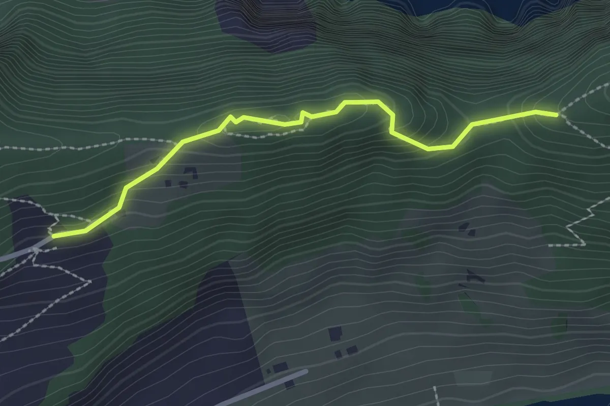
Medium · Trail
St. Jost – Schartigrat
2.3 km · ↑ 177 m · 55 min · 15 km away
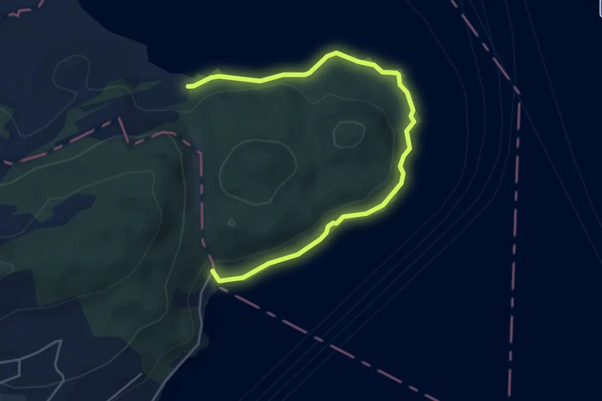
Easy · Trail
Seeuferweg
5.0 km · ↑ 110 m · 1 h 26 min · 15 km away
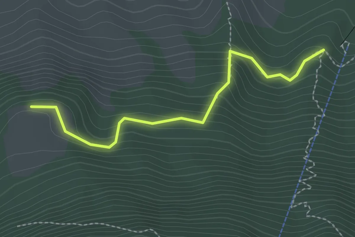
Easy · Trail
Äbnetboden – Wasserplatten
2.2 km · ↑ 189 m · 56 min · 15 km away
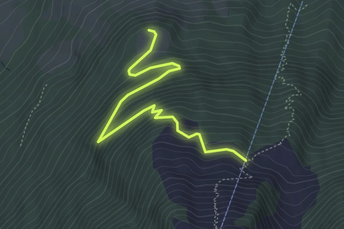
Medium · Trail
Äbnetboden – Bluematt
4.9 km · ↑ 390 m · 2 h 1 min · 15 km away
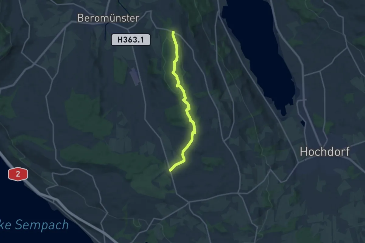
Medium · Trail
Waldhaus – Gormund
11.5 km · ↑ 144 m · 3 h 2 min · 15 km away
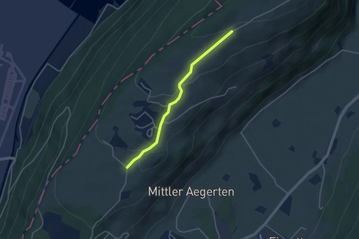
Easy · Trail
Grossitz – Gruebli
2.8 km · ↑ 109 m · 55 min · 15 km away