Trails near Fribourg
252 hikes starting within 15 km, nearest first.
Nearest first, page 1 of 6
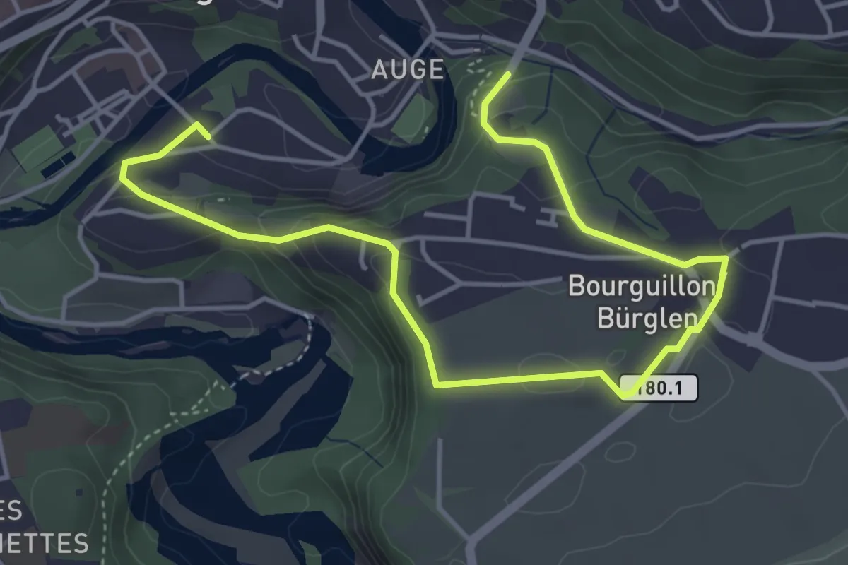
Easy · Trail
Freiburg - Bourguillon
5.5 km · ↑ 258 m · 1 h 51 min · under 1 km away
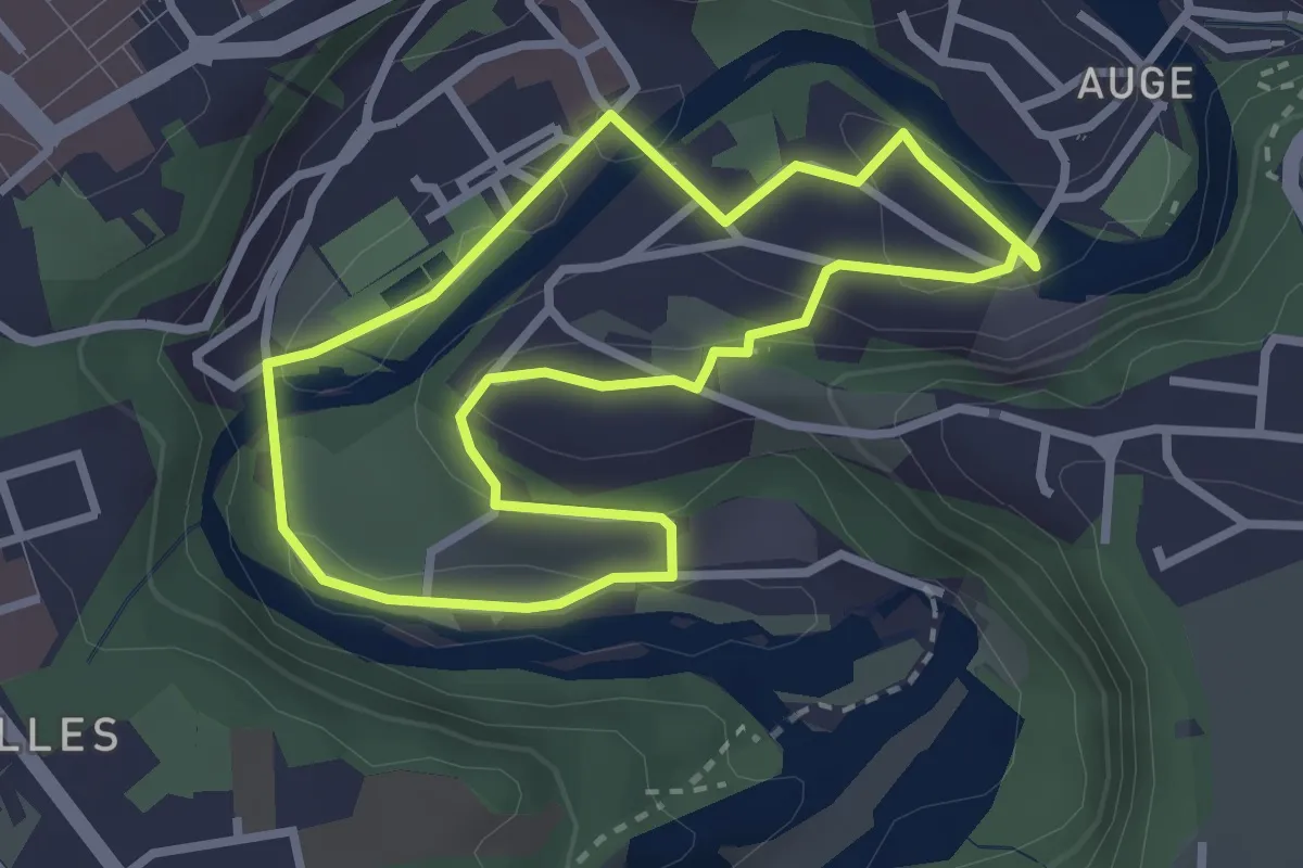
Easy · Trail
Tour en Basse-Ville
2.7 km · ↑ 99 m · 53 min · under 1 km away
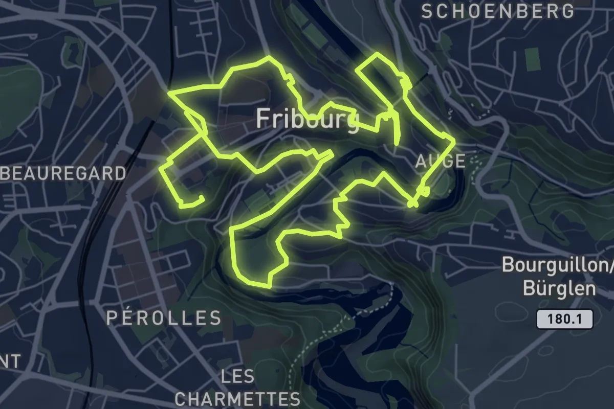
Medium · Trail
Golf Urbain Fribourg
13.8 km · ↑ 472 m · 4 h 17 min · 1 km away
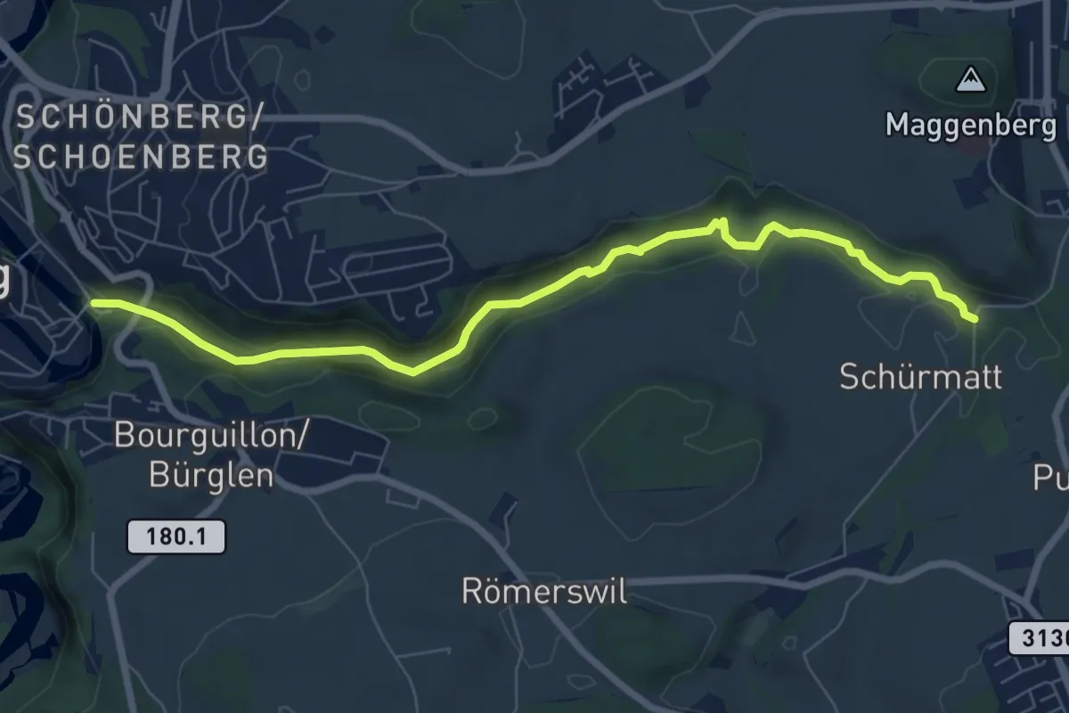
Easy · Trail
Freiburg/Fribourg - Balm/La Palme – Ameismüli
7.7 km · ↑ 250 m · 2 h 21 min · 1 km away
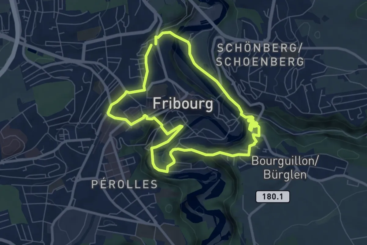
Easy · Trail
Circuit des fortifications
6.3 km · ↑ 286 m · 2 h 11 min · 1 km away
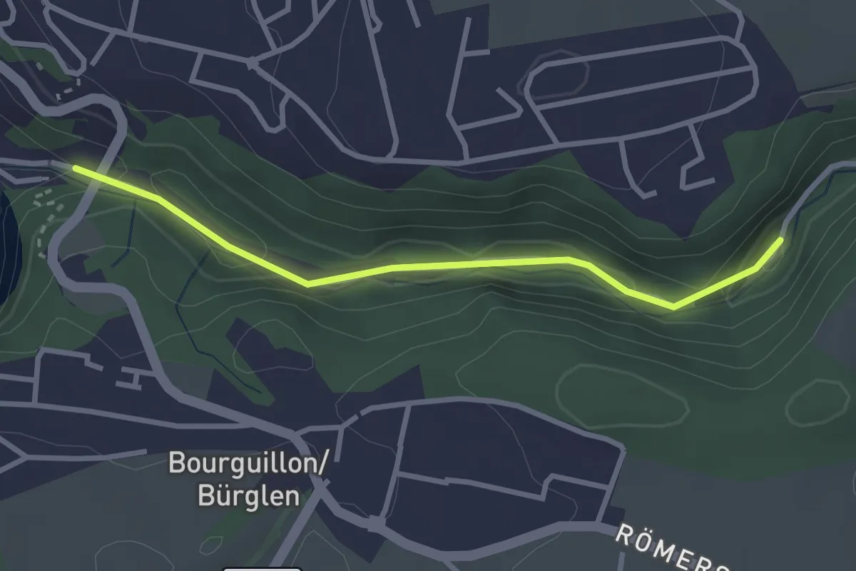
Easy · Trail
Fribourg, vieux moulins
2.7 km · ↑ 158 m · 59 min · 1 km away
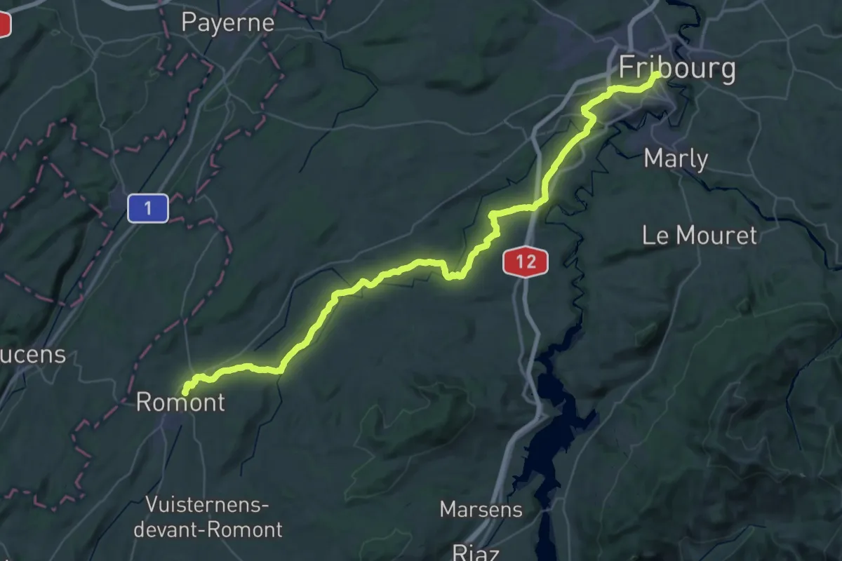
Demanding · Trail
ViaJacobi
27.3 km · ↑ 563 m · 7 h 59 min · 1 km away
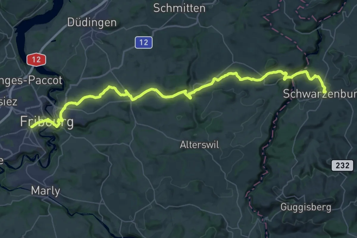
Demanding · Trail
ViaJacobi
20.7 km · ↑ 527 m · 6 h 14 min · 1 km away
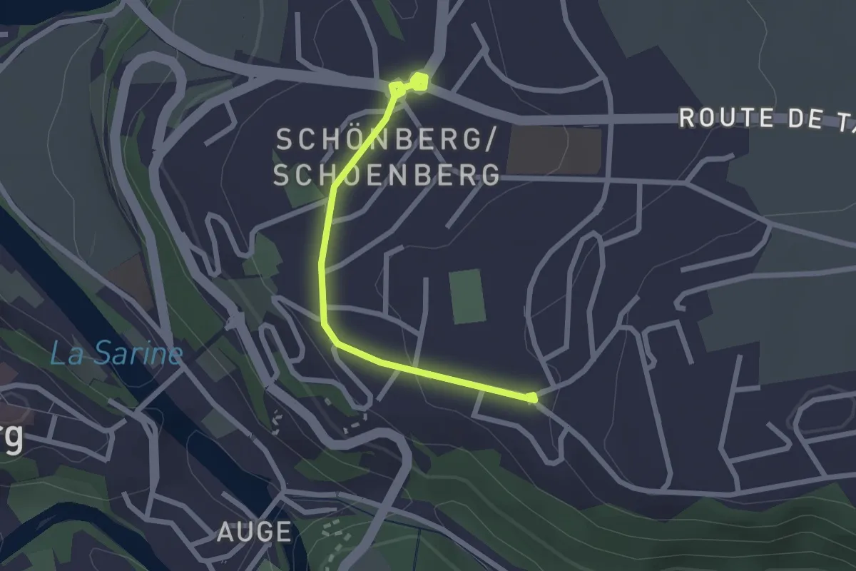
Easy · Trail
Freiburg St. Barthelemy - Schönberg
2.2 km · ↑ 31 m · 35 min · 1 km away
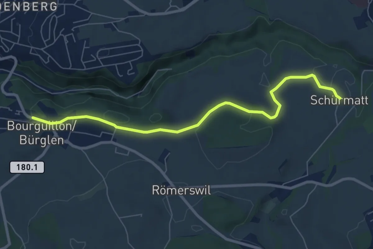
Easy · Trail
Bourguillon – Schürmatt
6.6 km · ↑ 162 m · 1 h 55 min · 1 km away
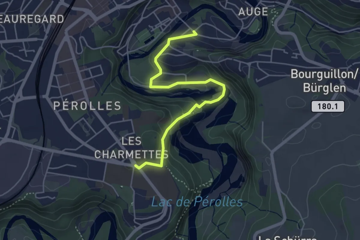
Easy · Trail
Les Charmettes - Freiburg
4.4 km · ↑ 212 m · 1 h 30 min · 1 km away
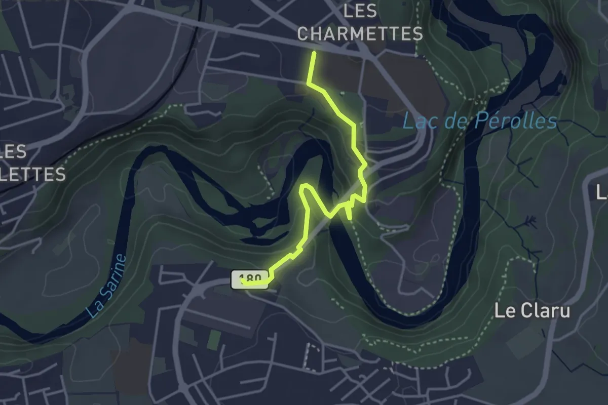
Easy · Trail
Marly Les Rittes - Les Charmettes
3.4 km · ↑ 213 m · 1 h 16 min · 1 km away
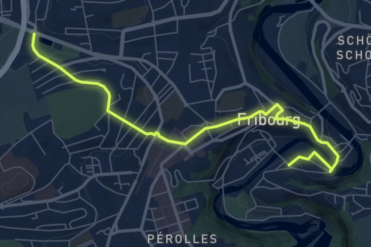
Easy · Trail
Parc du Jura - Planche Sup.
7.0 km · ↑ 214 m · 2 h 6 min · 2 km away
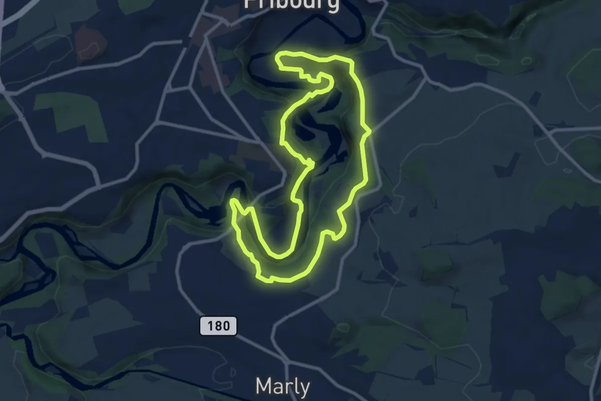
Medium · Trail
Tour du Lac / See-Rundweg
8.0 km · ↑ 438 m · 2 h 57 min · 2 km away
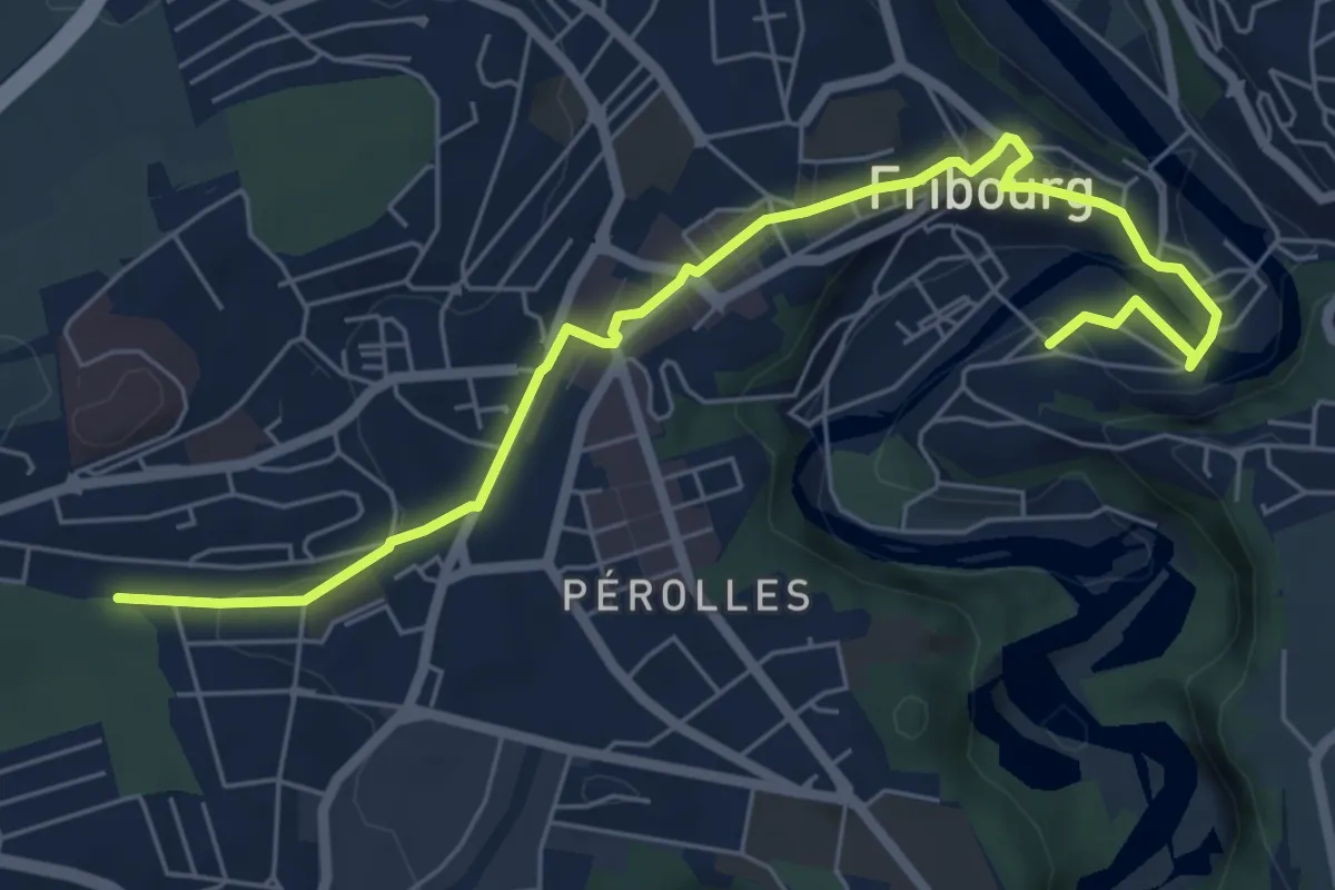
Easy · Trail
Cormanon - Planche Sup.
7.2 km · ↑ 166 m · 2 h 3 min · 2 km away
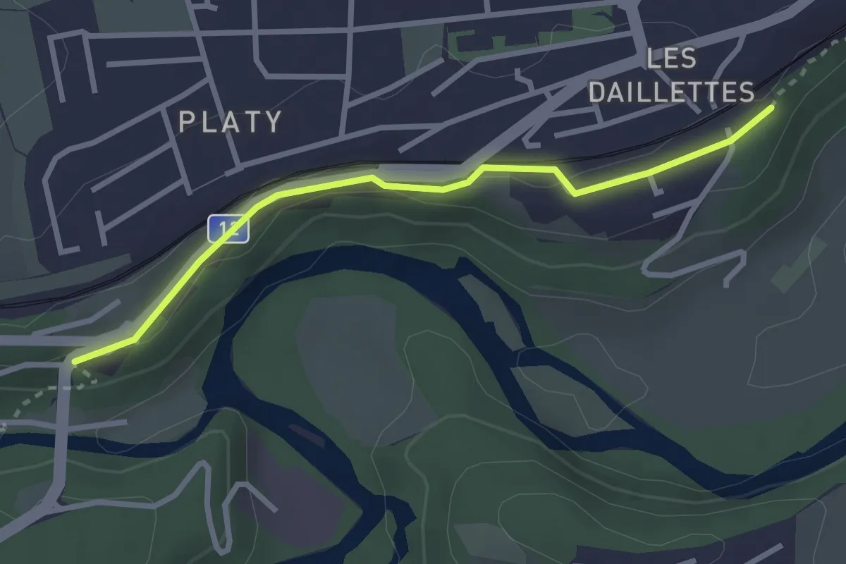
Easy · Trail
Villars-sur-Glâne Pont de la Glâne - Villars-sur-Gâne Planafaye
2.7 km · ↑ 41 m · 43 min · 2 km away
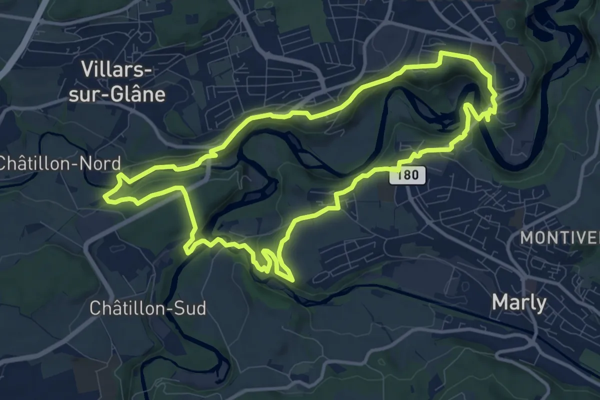
Medium · Trail
Tour des trois rivières
10.2 km · ↑ 328 m · 3 h 16 min · 2 km away
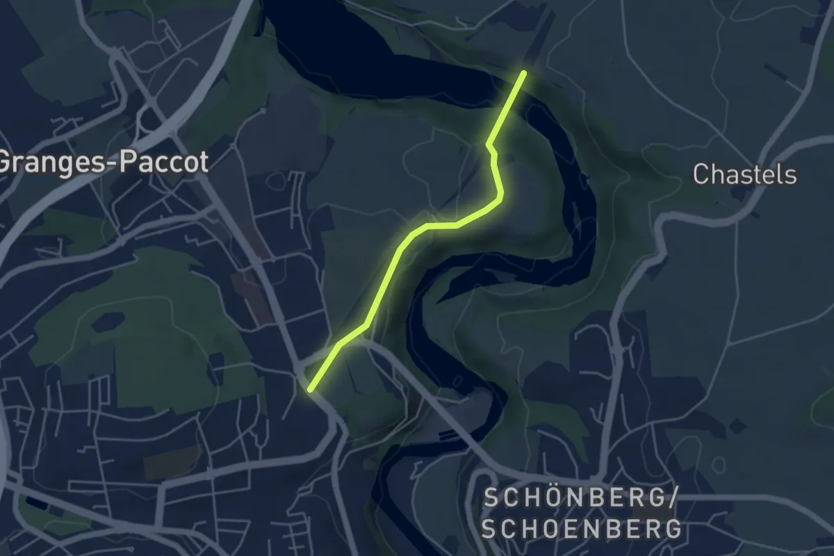
Easy · Trail
La Poya - Grandfey
3.7 km · ↑ 130 m · 1 h 9 min · 2 km away
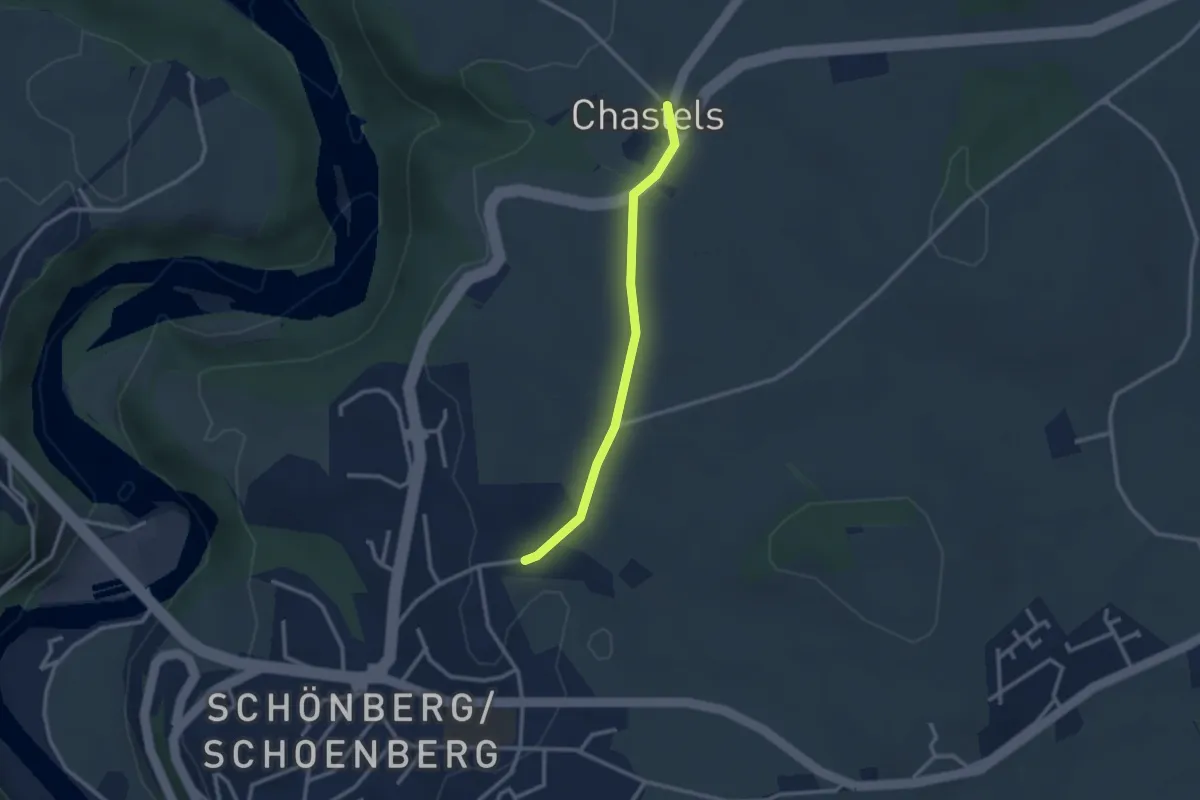
Easy · Trail
Uebewil - Kastels
2.4 km · ↑ 43 m · 40 min · 3 km away
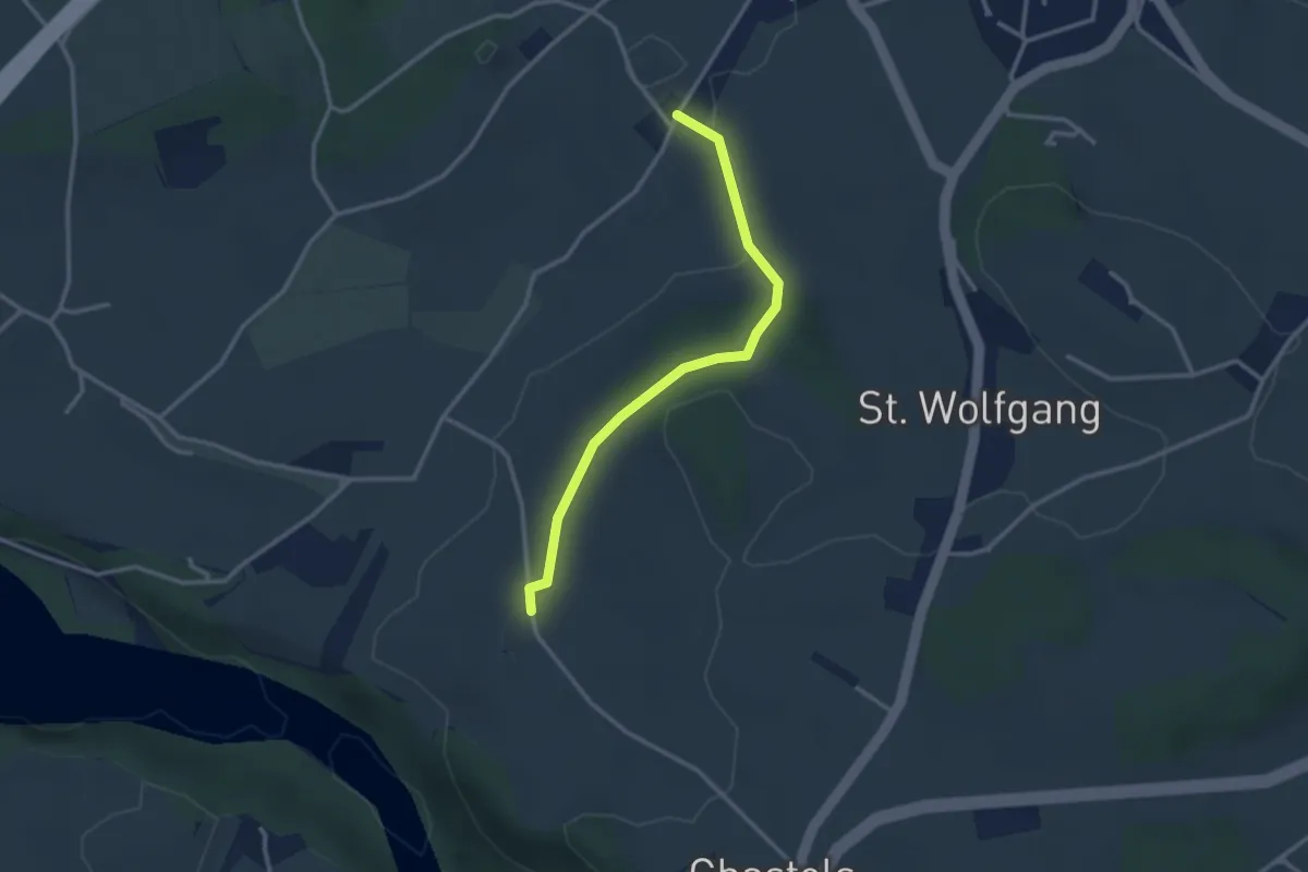
Easy · Trail
Balliswil - Garmiswil
2.8 km · ↑ 73 m · 50 min · 3 km away
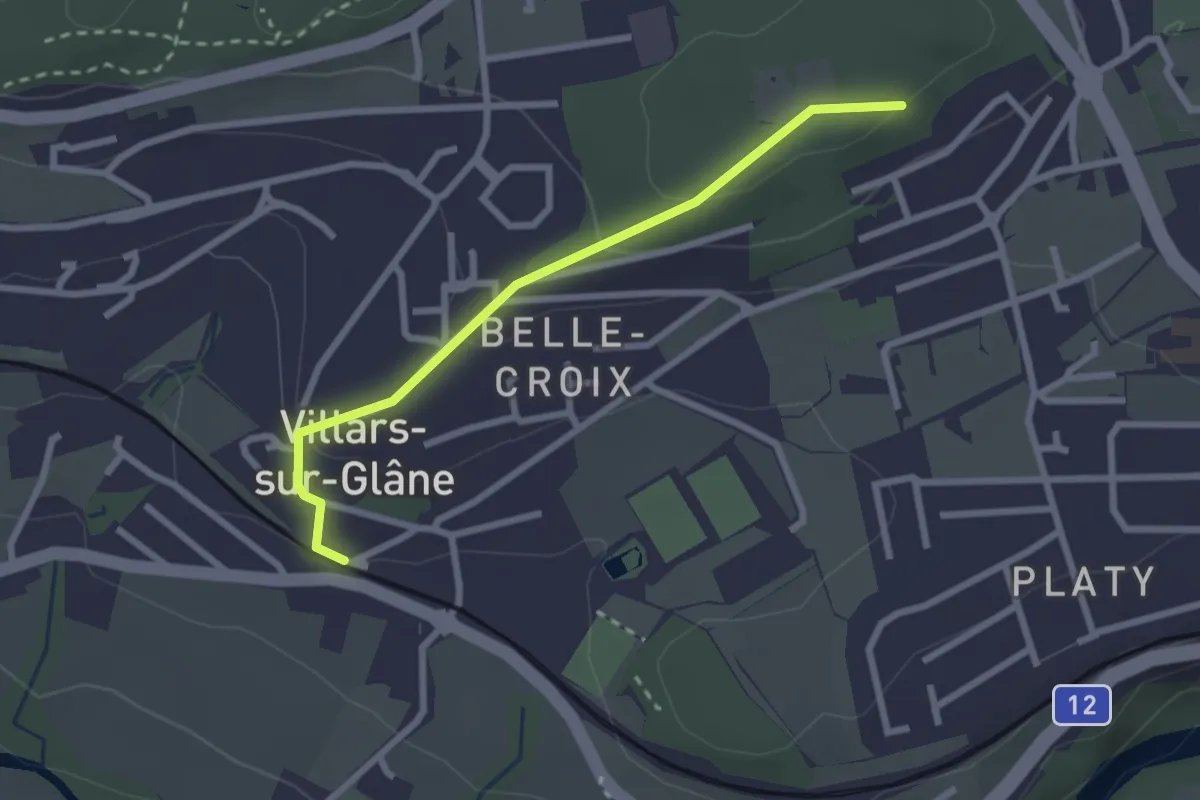
Easy · Trail
Villars-sur-Glâne Bois de Belle-Croix - Villars-sur-Glâne
2.5 km · ↑ 89 m · 47 min · 3 km away
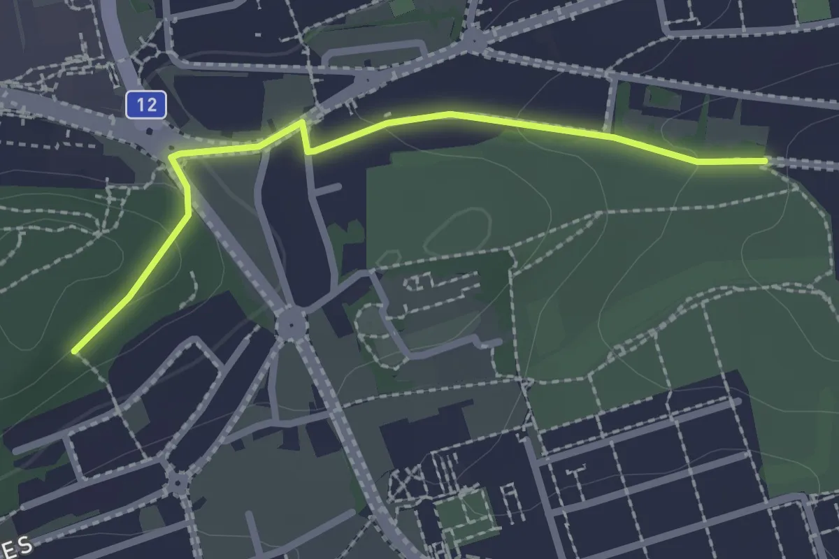
Easy · Trail
Villars-sur-Glâne Grand-Pré - Villars-sur-Glâne Bois de Belle-Croix
2.2 km · ↑ 57 m · 38 min · 3 km away
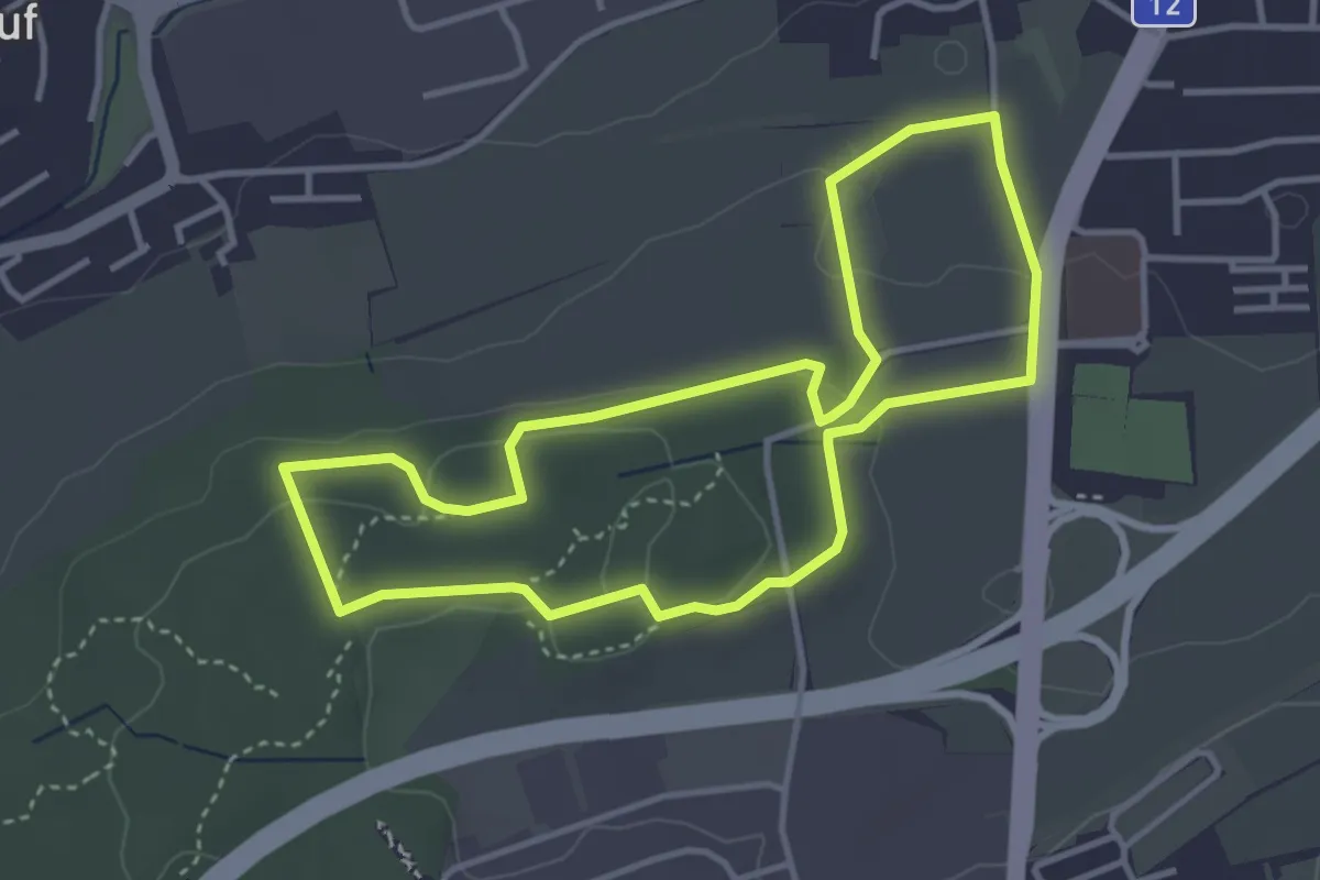
Easy · Trail
Sentier - découverte Givisiez (à pied)
3.6 km · ↑ 83 m · 1 h 5 min · 3 km away
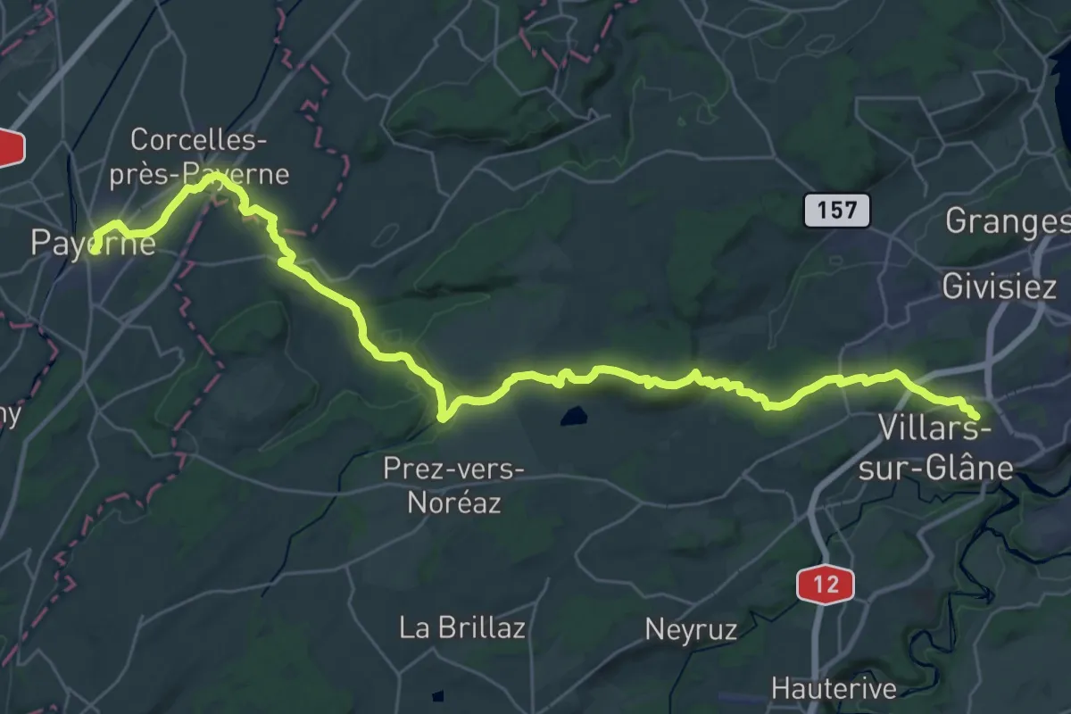
Demanding · Trail
ViaJacobi - Fribourg (Villars-sur-Glâne)–Payerne
19.8 km · ↑ 246 m · 5 h 37 min · 3 km away
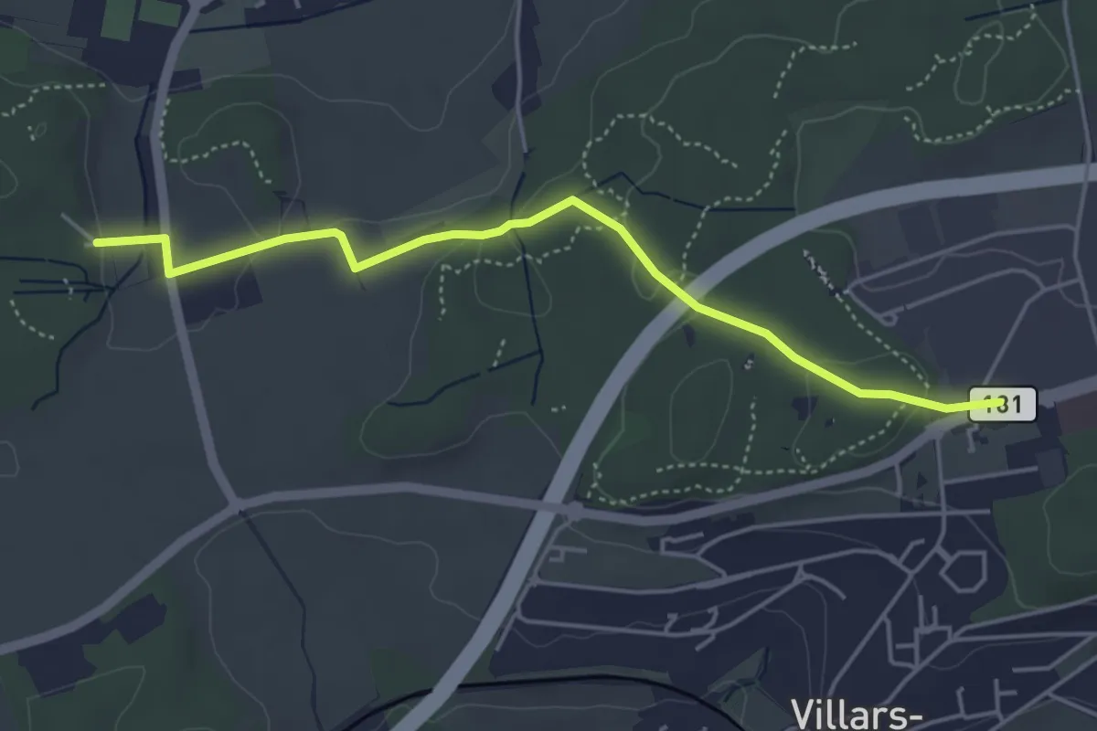
Easy · Trail
Villars-sur-Glâne Moncor - Corminboeuf Village Suisse
4.6 km · ↑ 101 m · 1 h 18 min · 3 km away
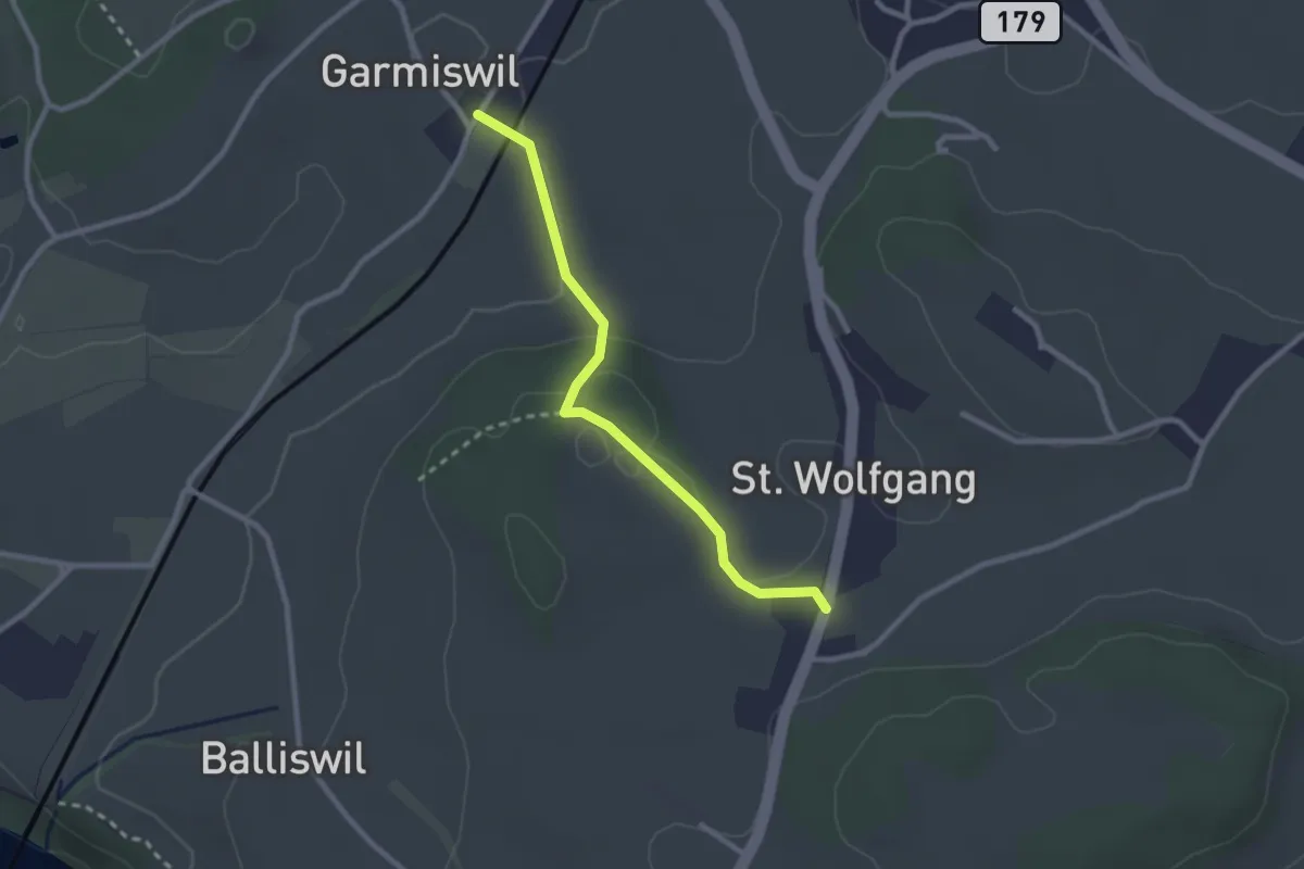
Easy · Trail
Garmiswil - St. Wolfgang
2.5 km · ↑ 67 m · 44 min · 3 km away
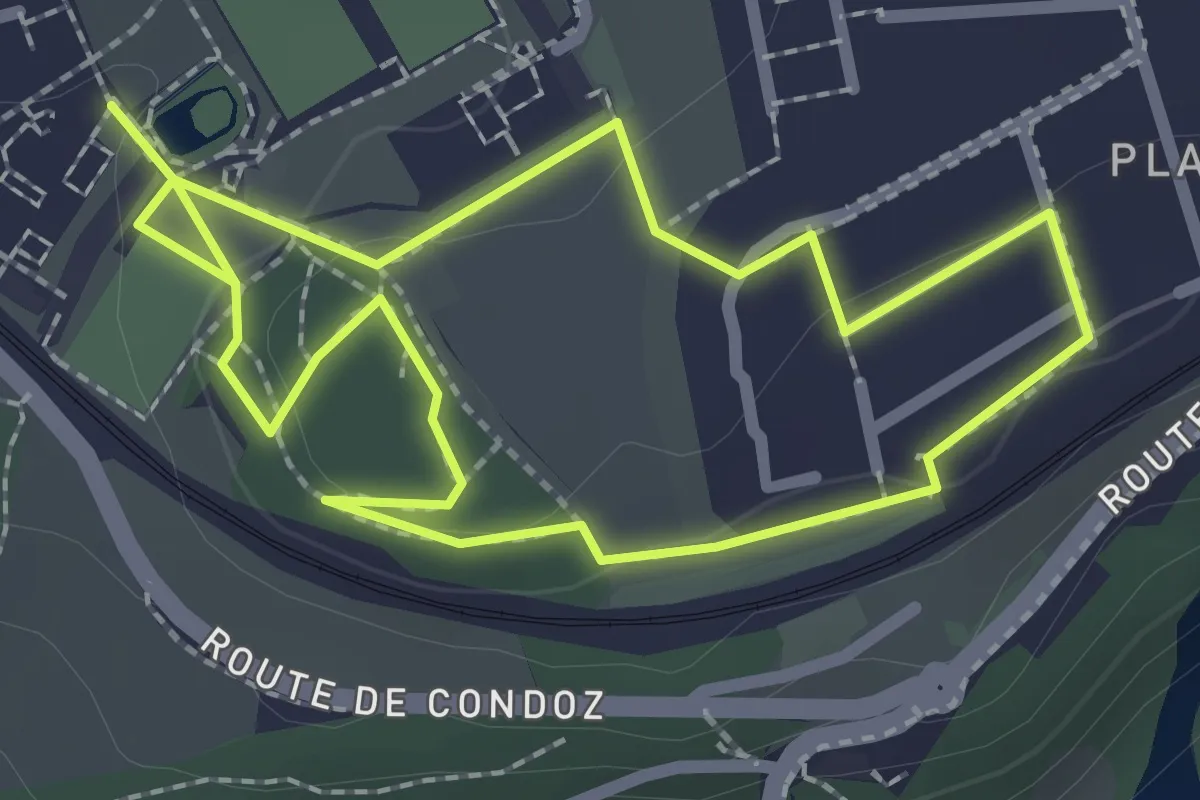
Easy · Trail
Sentier de la biodiversité - Nasti & Yuki
2.1 km · ↑ 34 m · 37 min · 4 km away
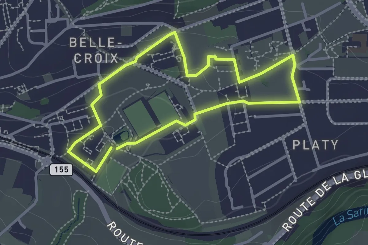
Easy · Trail
Sentier de la biodiversité - Faune & flore
2.3 km · ↑ 46 m · 41 min · 4 km away
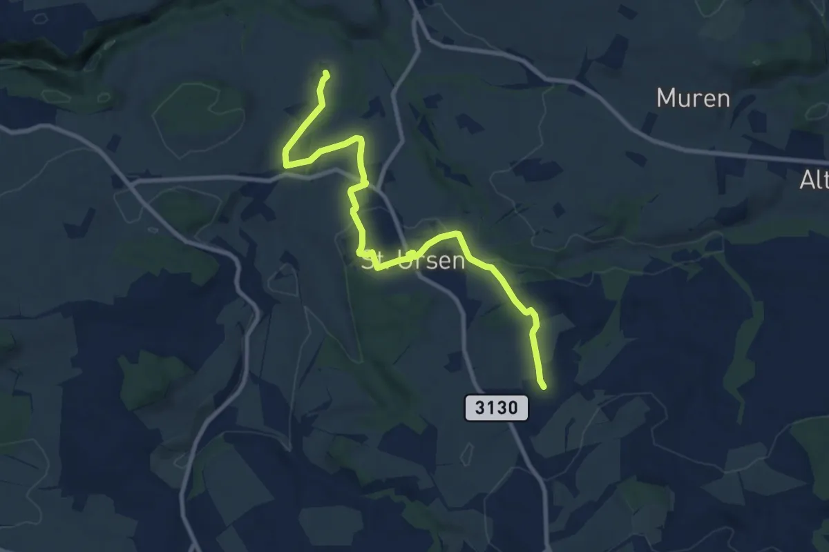
Medium · Trail
Schürmatt – Etiwil
9.4 km · ↑ 207 m · 2 h 41 min · 4 km away
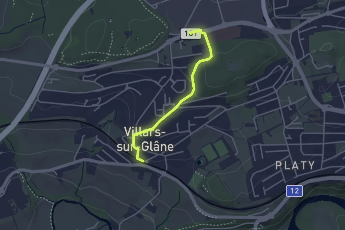
Easy · Trail
Villars-sur-Glâne - Villars-sur-Glâne Moncor
2.7 km · ↑ 76 m · 48 min · 4 km away
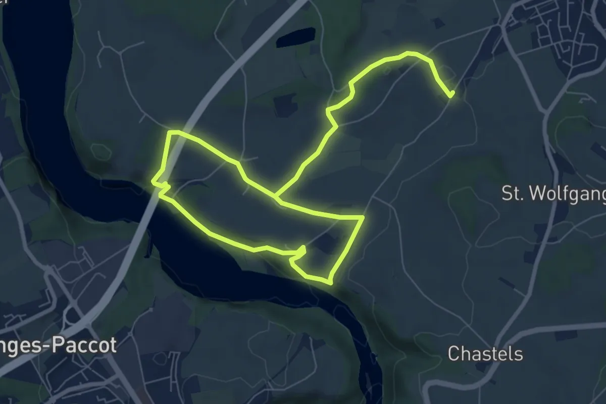
Medium · Trail
Grandfey - Garmiswil und Magdalena Einsiedelei
11.3 km · ↑ 211 m · 3 h 8 min · 4 km away
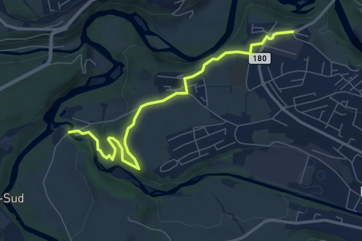
Easy · Trail
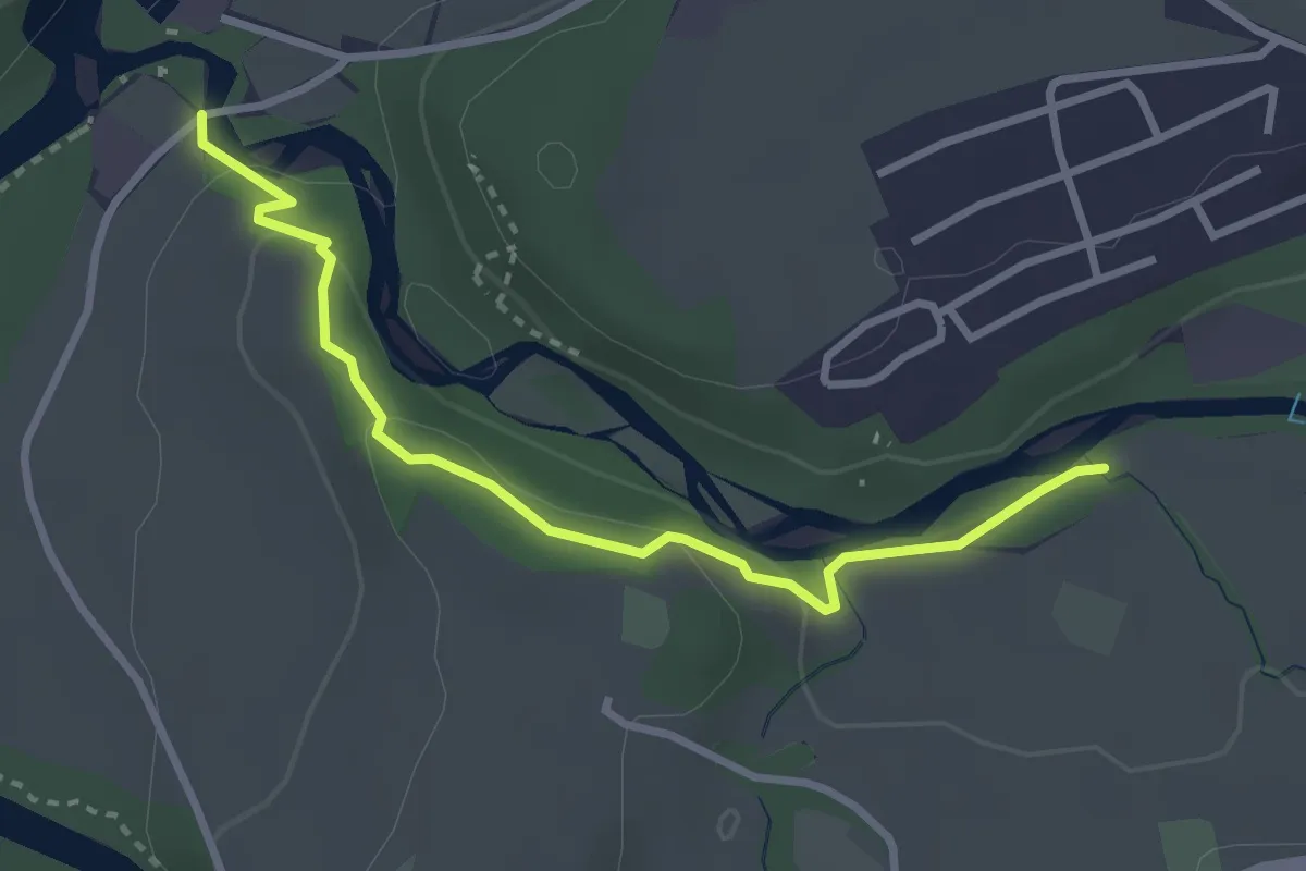
Marly Au Port - Marly Les Rittes
6.4 km · ↑ 204 m · 1 h 57 min · 4 km away
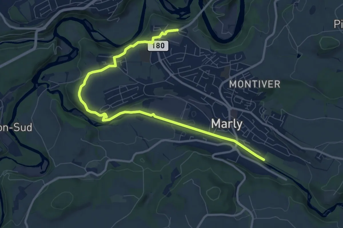
Easy · Trail
Marly Au Port - Marly la Vernaie
3.1 km · ↑ 99 m · 57 min · 4 km away
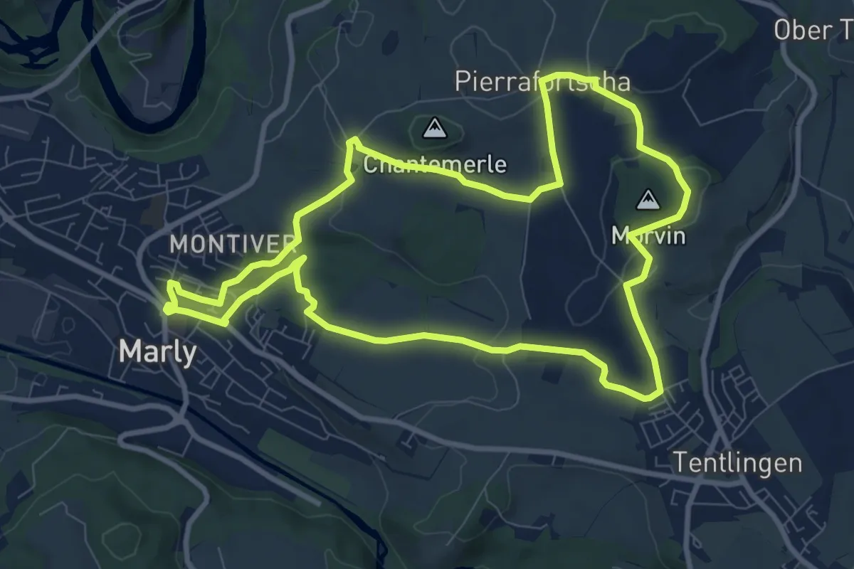
Medium · Trail
Marly Les Rittes - Marly la Vernaie
9.8 km · ↑ 175 m · 2 h 41 min · 4 km away
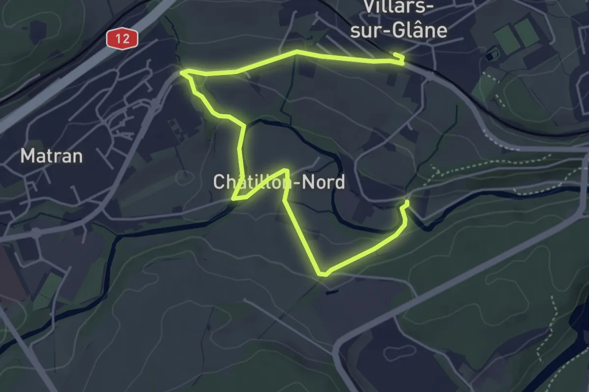
Medium · Trail
Circuit 3 Marly - Villars-sur-Marly - Pierrafortscha
8.9 km · ↑ 172 m · 2 h 36 min · 4 km away
Easy · Trail
Villars-sur-Glâne Ste. Appoline - Villars-sur-Glâne
5.8 km · ↑ 115 m · 1 h 37 min · 4 km away
Easy · Trail
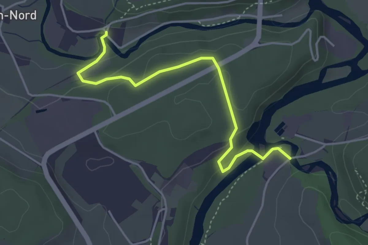
Marly Au Port - Villars-sur-Glâne Ste. Appoline
4.0 km · ↑ 121 m · 1 h 12 min · 4 km away
Medium · Trail
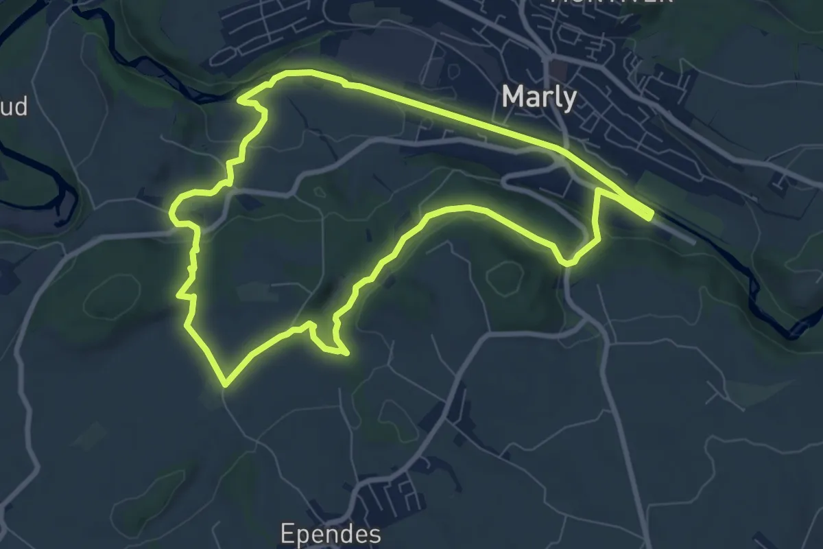
Sentier planétaire Marly
8.0 km · ↑ 156 m · 2 h 20 min · 4 km away
Medium · Trail
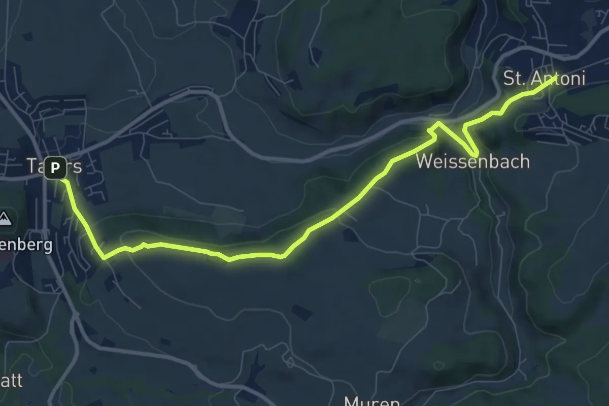
Tafers - St. Antoni
9.6 km · ↑ 363 m · 3 h 3 min · 4 km away
Easy · Trail
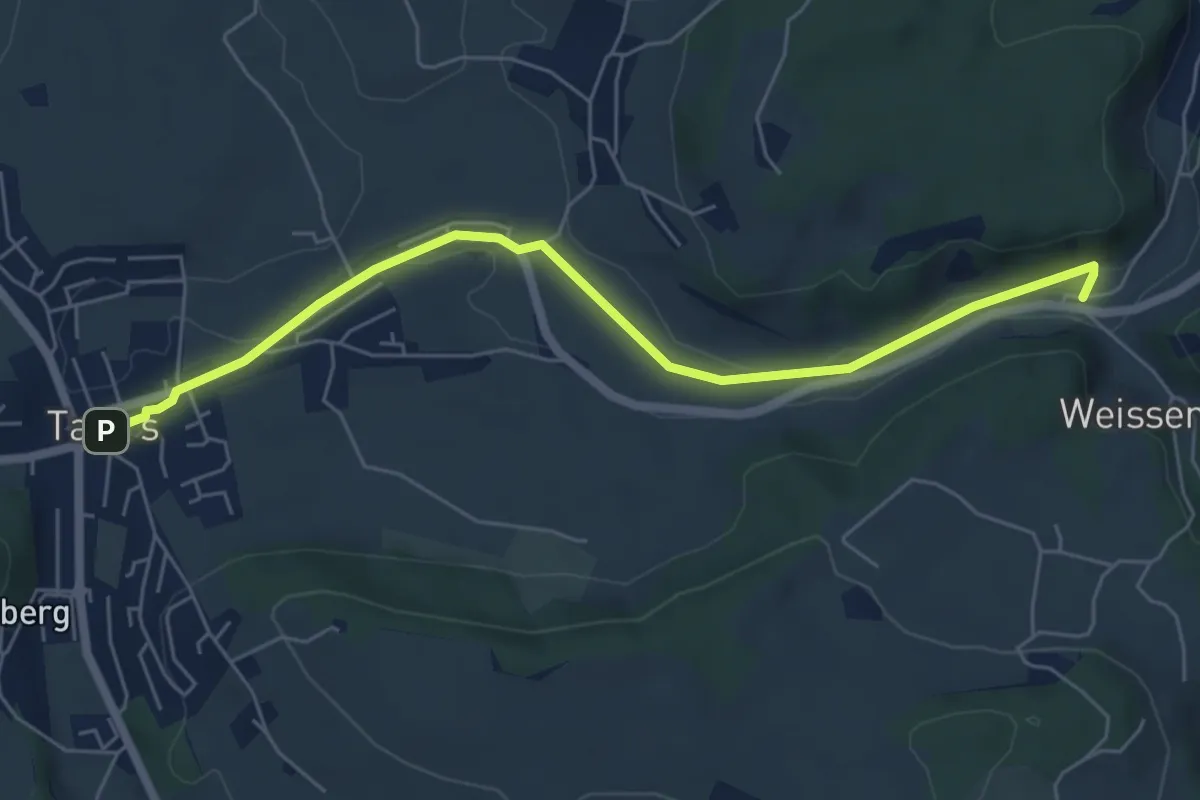
Tafers - Weissenbach / Bus
6.2 km · ↑ 35 m · 1 h 32 min · 4 km away
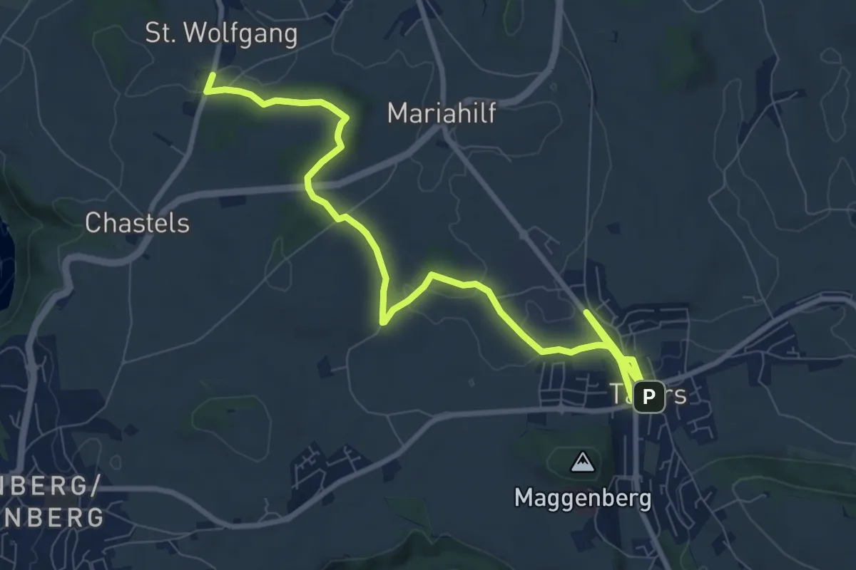
Medium · Trail
St. Wolfgang - Tafers
10.6 km · ↑ 110 m · 2 h 44 min · 4 km away
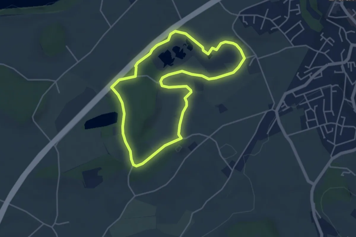
Easy · Trail
Naturhistorischer Pfad
3.8 km · ↑ 21 m · 1 h · 4 km away
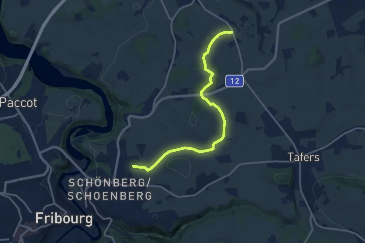
Medium · Trail
Jetschwil - Uebewil
8.8 km · ↑ 125 m · 2 h 21 min · 4 km away
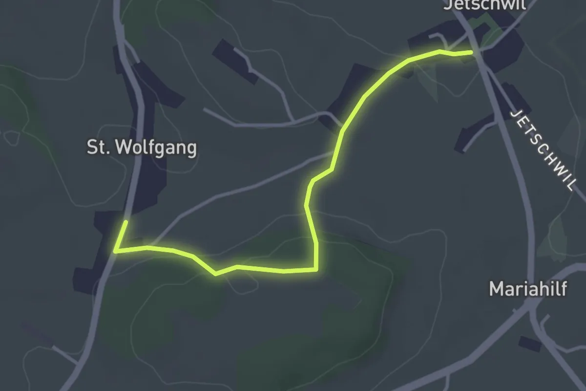
Easy · Trail
St. Wolfgang - Jetschwil
3.3 km · ↑ 75 m · 57 min · 4 km away
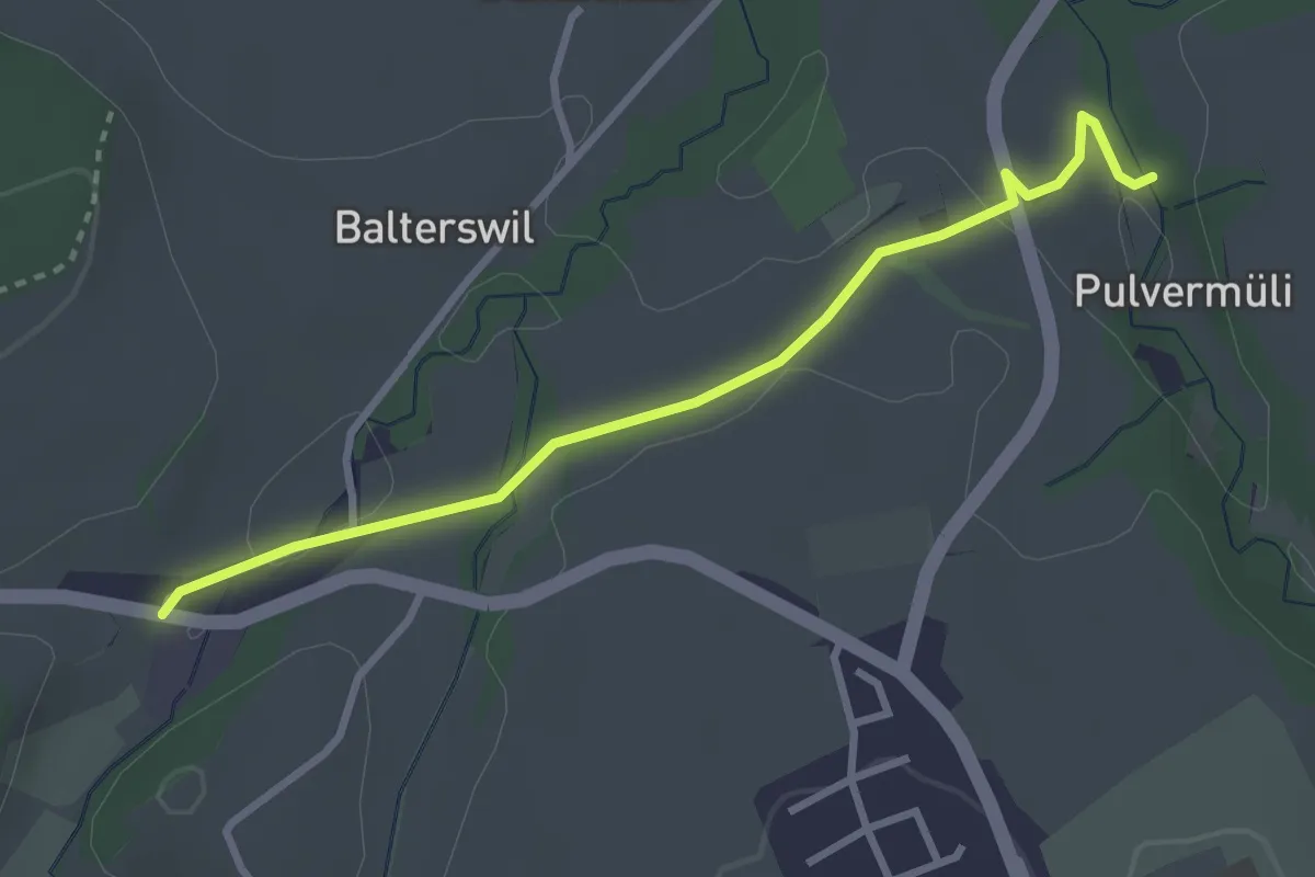
Easy · Trail
Pulvermüli – Tasberg
3.1 km · ↑ 65 m · 52 min · 4 km away
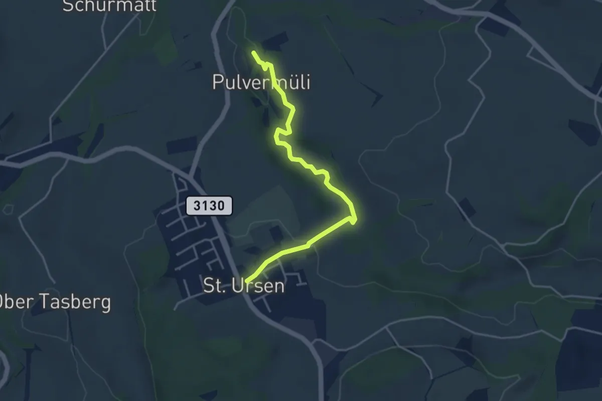
Easy · Trail
Pulvermüli – St. Urban
3.7 km · ↑ 73 m · 1 h 2 min · 4 km away
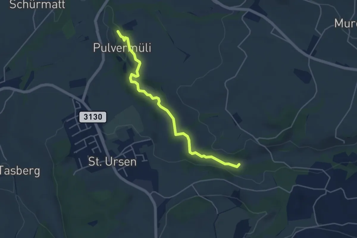
Easy · Trail
Pulvermüli – Poffetsmüli
4.1 km · ↑ 70 m · 1 h 7 min · 4 km away
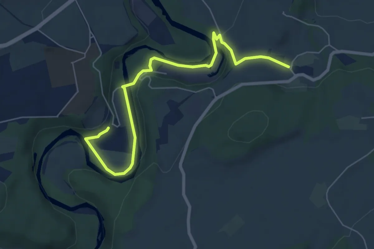
Easy · Trail
Hauterive - Chésalles
6.2 km · ↑ 138 m · 1 h 46 min · 5 km away