Trails near Fribourg
252 hikes starting within 15 km, nearest first.
Nearest first, page 2 of 6
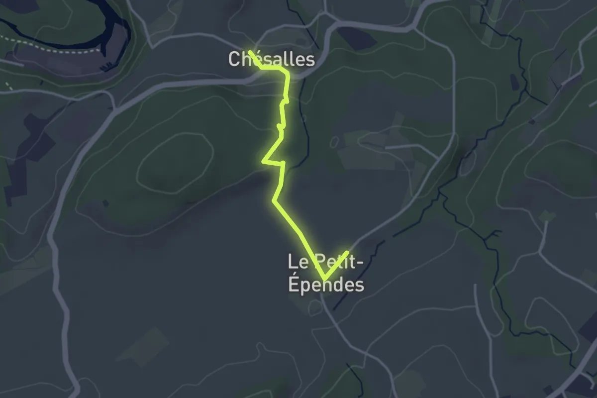
Easy · Trail
Petit Ependes Observatoire - Chésalles
2.7 km · ↑ 70 m · 47 min · 5 km away
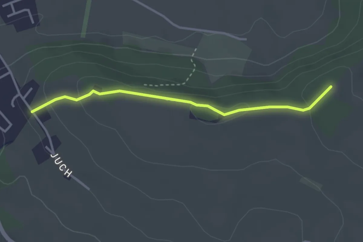
Easy · Trail
Pfaffenhölzli - Juch
2.8 km · ↑ 85 m · 51 min · 5 km away
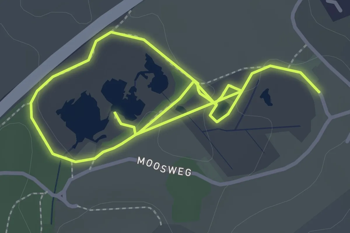
Easy · Trail
Botanischer Pfad
2.0 km · ↑ 13 m · 32 min · 5 km away
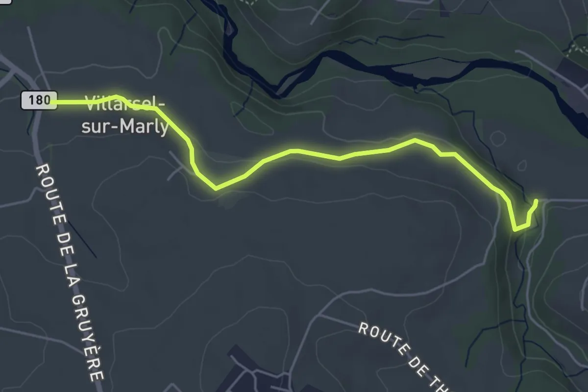
Easy · Trail
Brädelen, Nesslerabach - Villarsel-sur-Marly
4.9 km · ↑ 110 m · 1 h 24 min · 5 km away
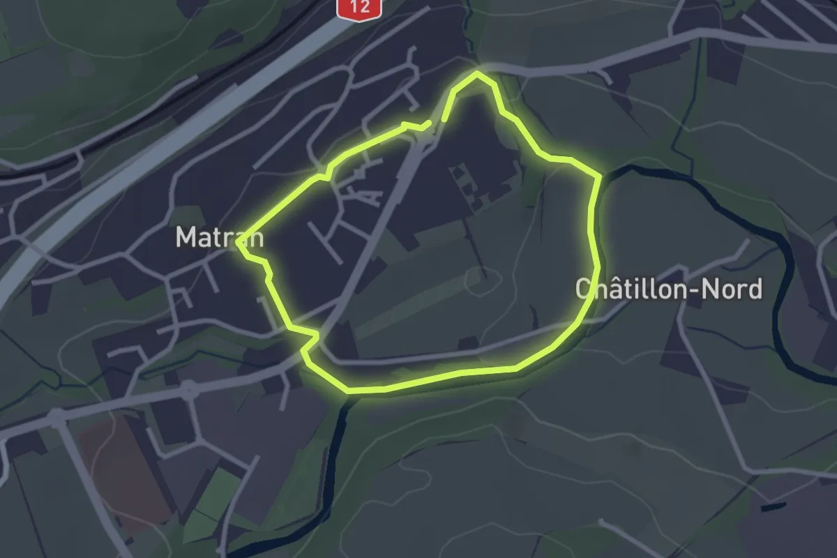
Easy · Trail
Matran - Sentier bleu🔵
2.3 km · ↑ 27 m · 38 min · 5 km away
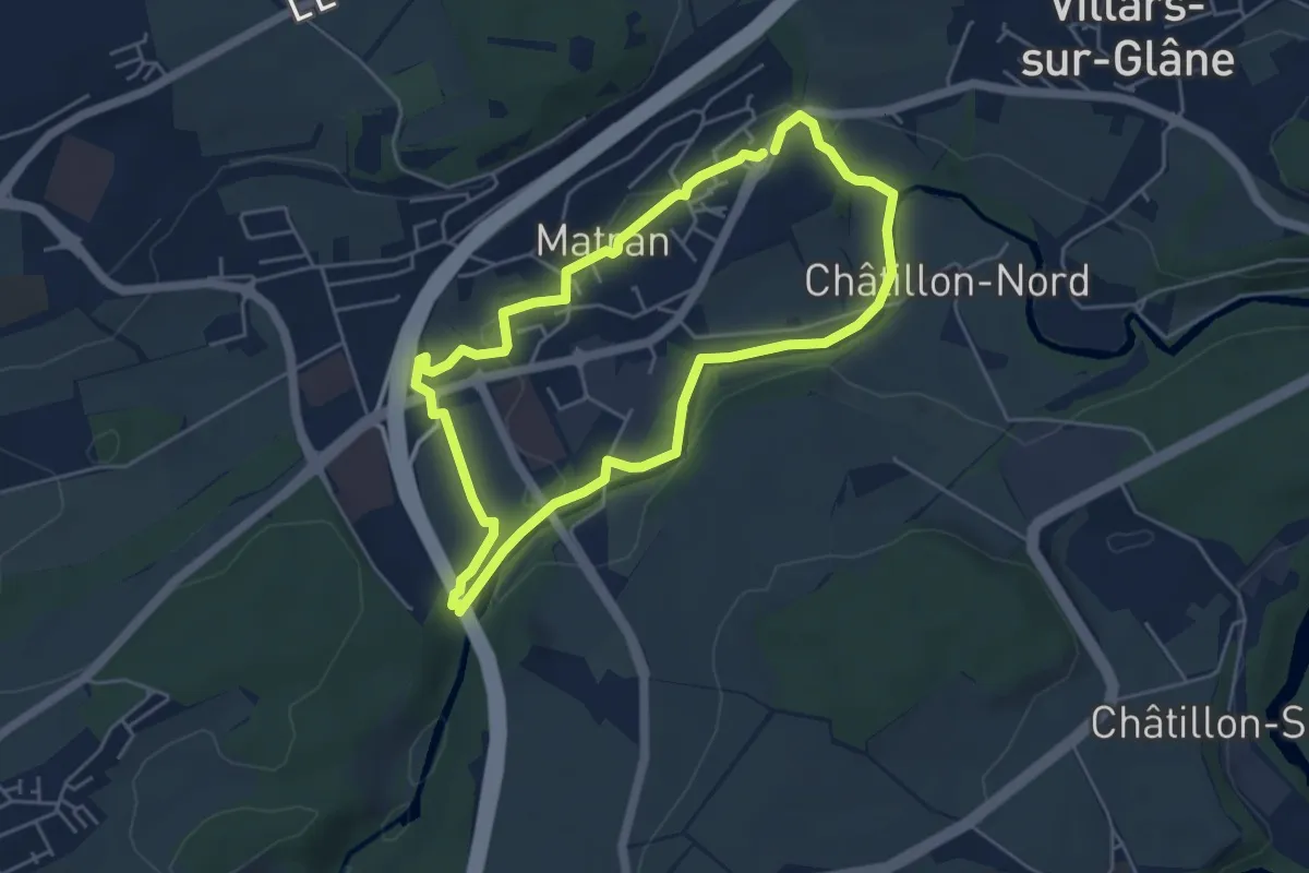
Easy · Trail
Matran - Sentier rouge🔴
4.6 km · ↑ 68 m · 1 h 17 min · 5 km away
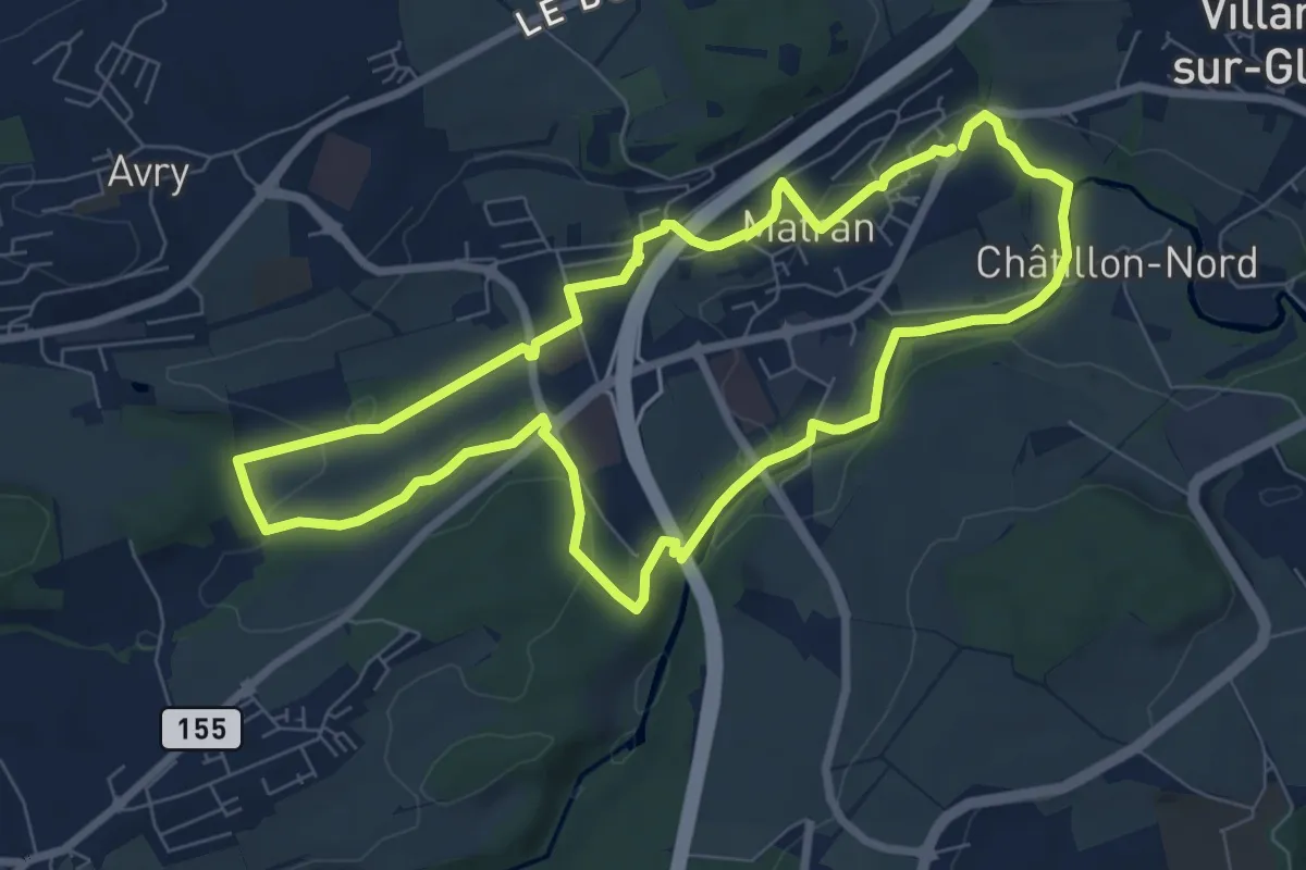
Easy · Trail
Matran - Sentier vert🟢
7.5 km · ↑ 161 m · 2 h 13 min · 5 km away
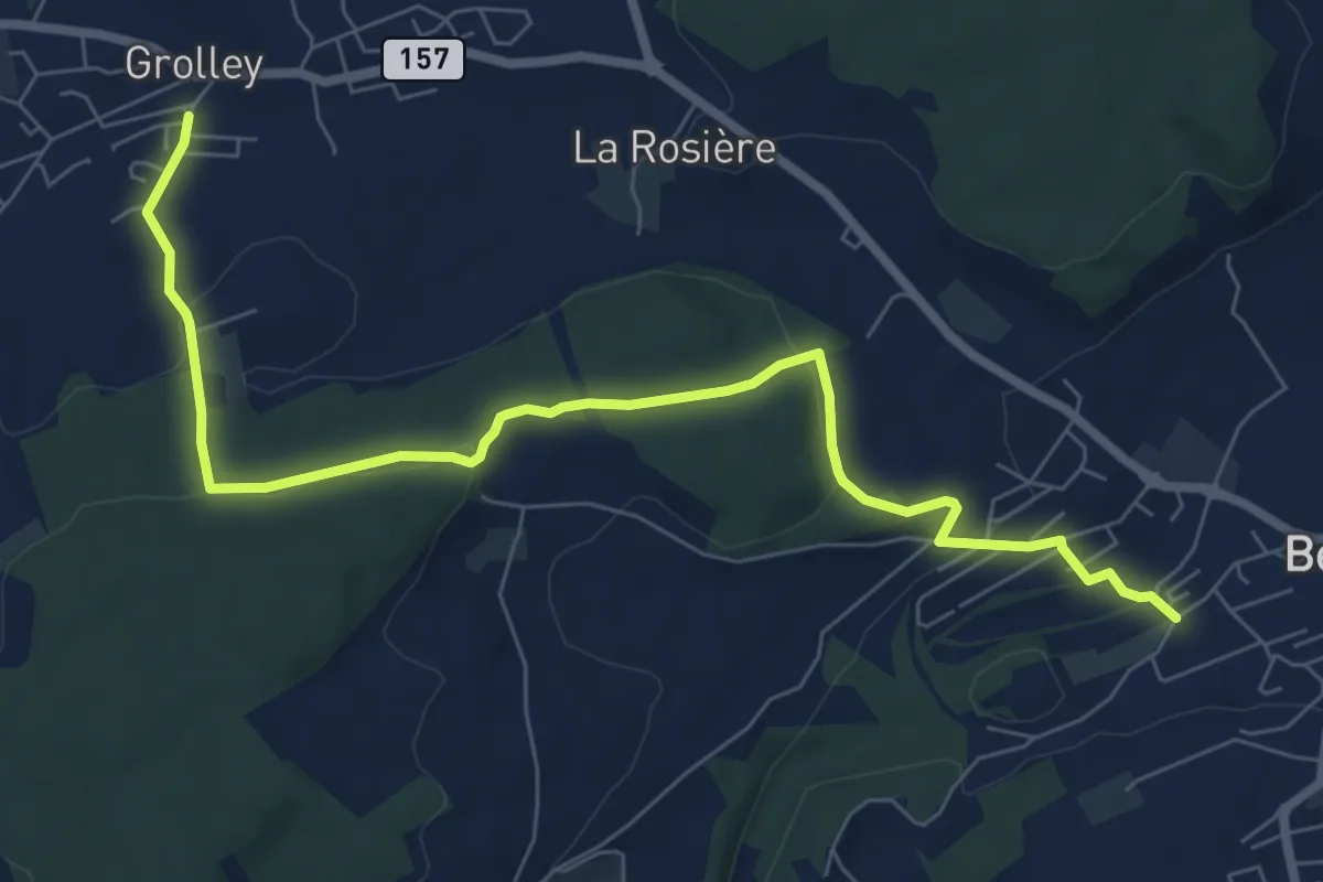
Medium · Trail
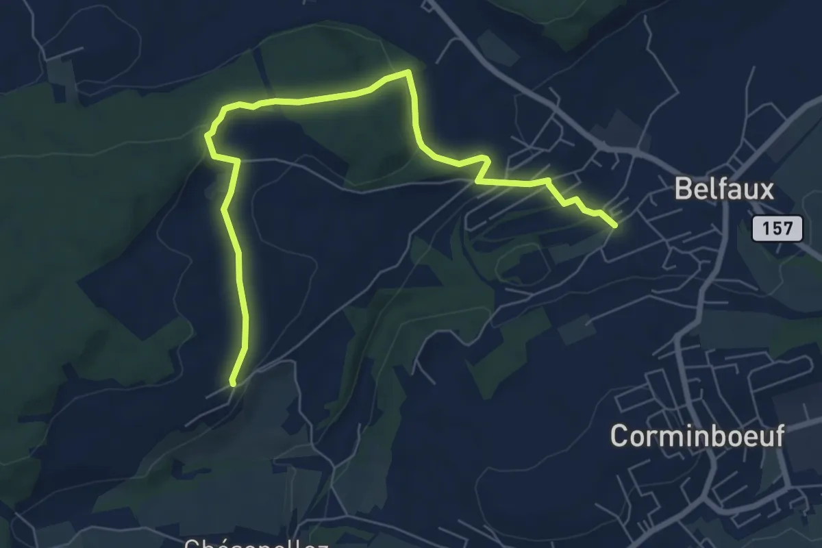
Grolley - Belfaux rte de Chésopelloz
8.4 km · ↑ 258 m · 2 h 33 min · 5 km away
Easy · Trail
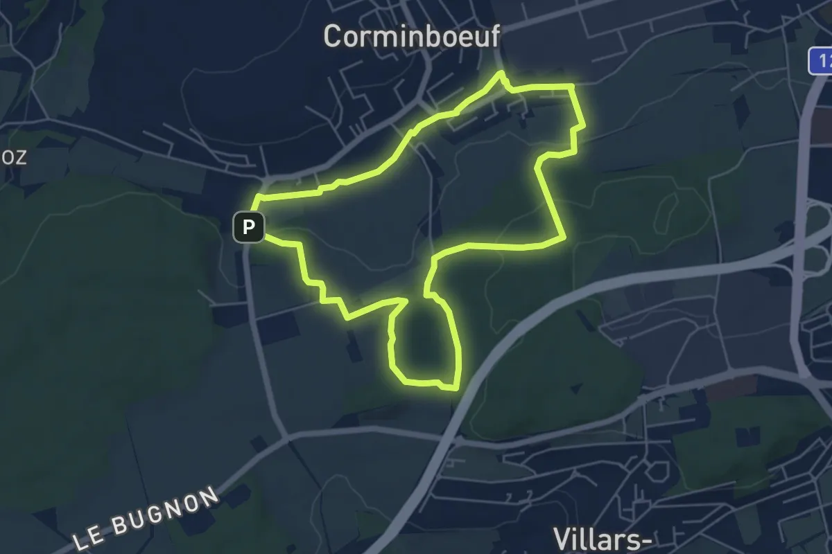
Belfaux rte de Chésopelloz - Autafond
7.5 km · ↑ 213 m · 2 h 14 min · 5 km away
Easy · Trail
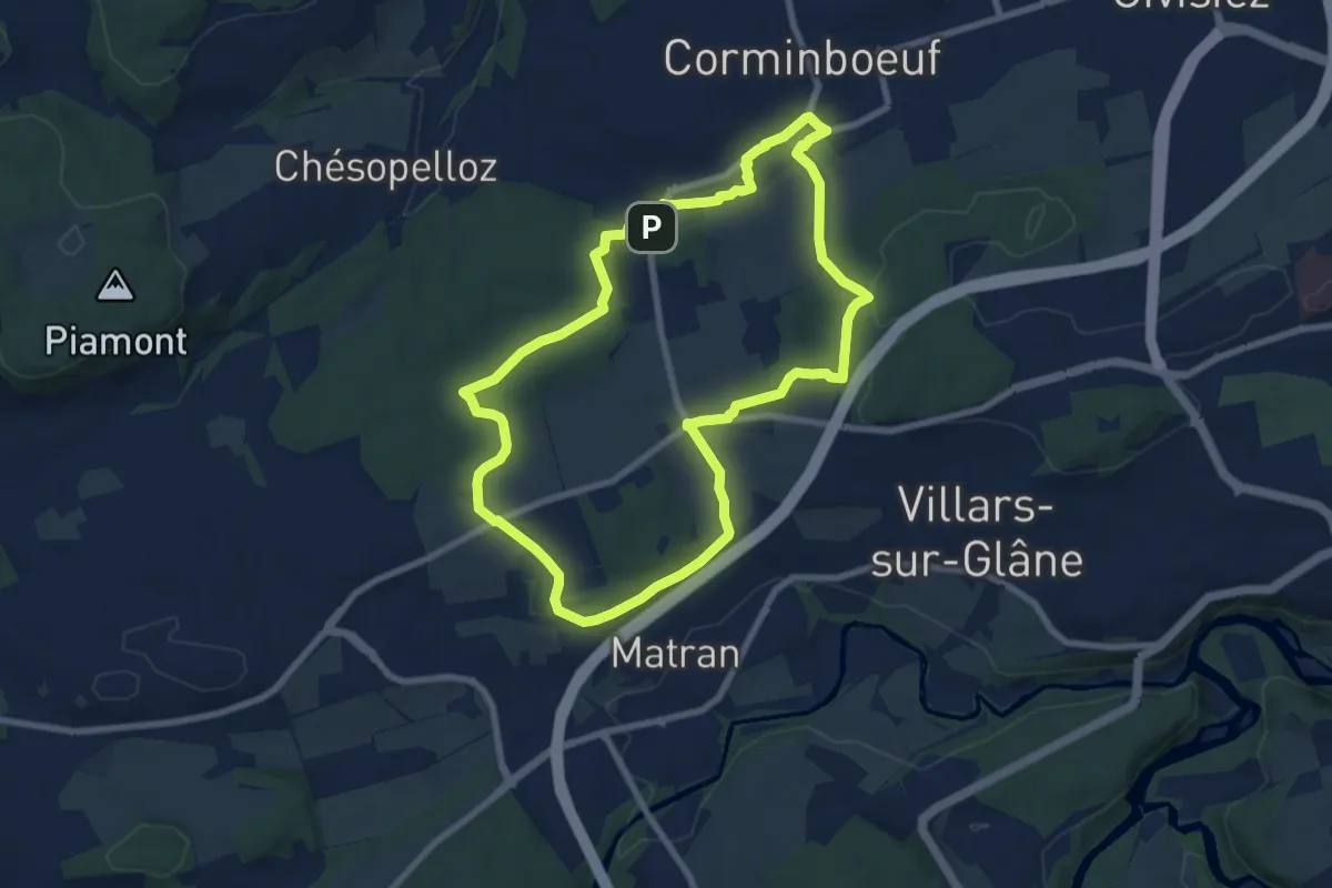
Dragon rouge 🐉 - Faune et flore (1h10m) - Corminboeuf
5.4 km · ↑ 109 m · 1 h 35 min · 5 km away
Easy · Trail
Dragon gris 🐉 - Histoire et de patrimoine (1h40m) - Corminboeuf
7.9 km · ↑ 131 m · 2 h 16 min · 5 km away
Easy · Trail
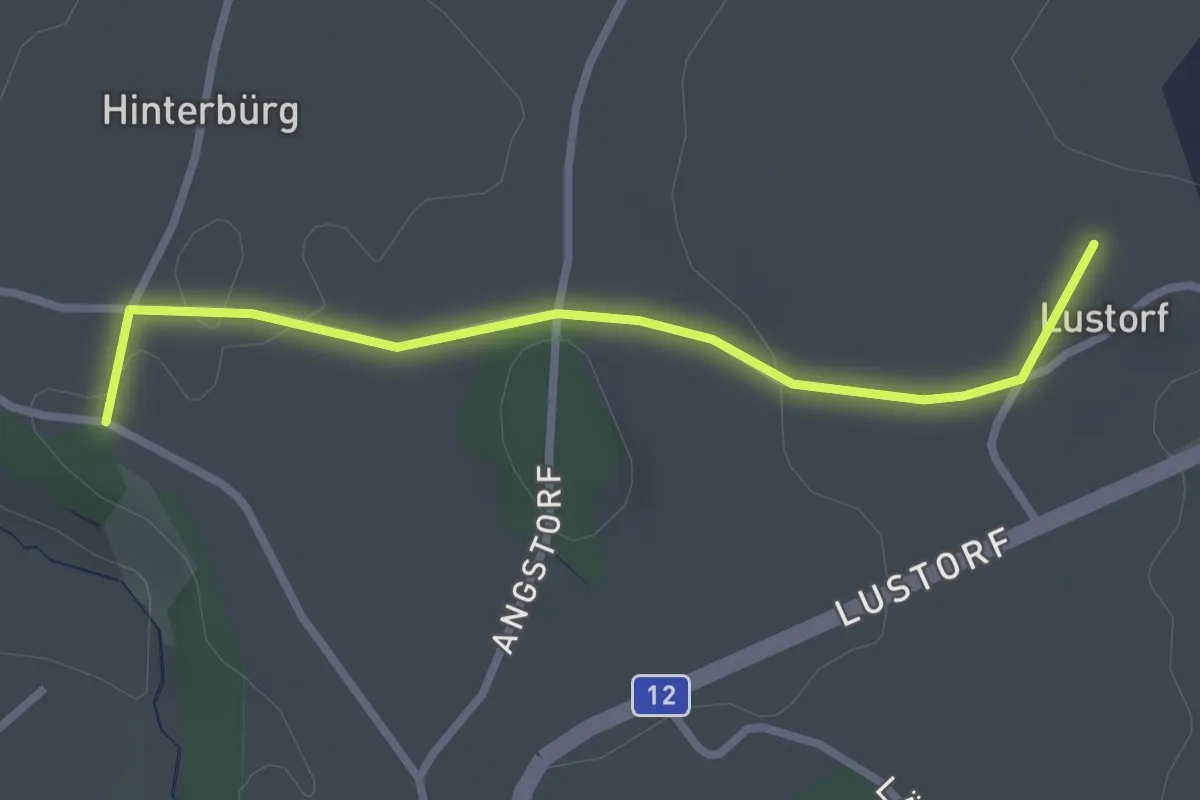
Lustorf - Zelgli
2.7 km · ↑ 33 m · 42 min · 5 km away
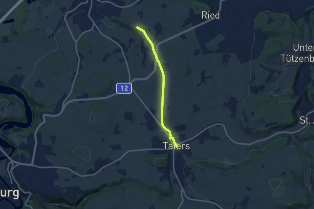
Easy · Trail
Zelgli - Tafers
6.3 km · ↑ 64 m · 1 h 38 min · 5 km away
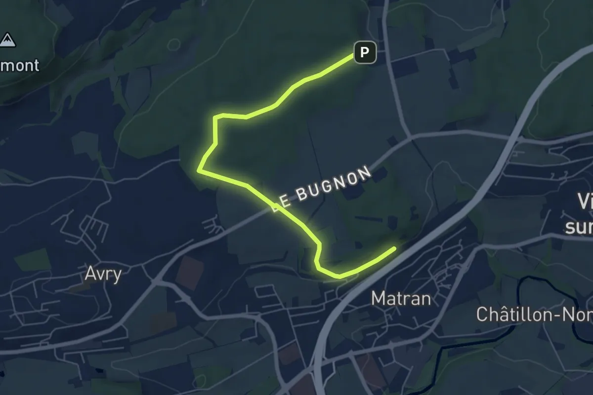
Easy · Trail
Village suisse - Matran
6.5 km · ↑ 79 m · 1 h 42 min · 5 km away
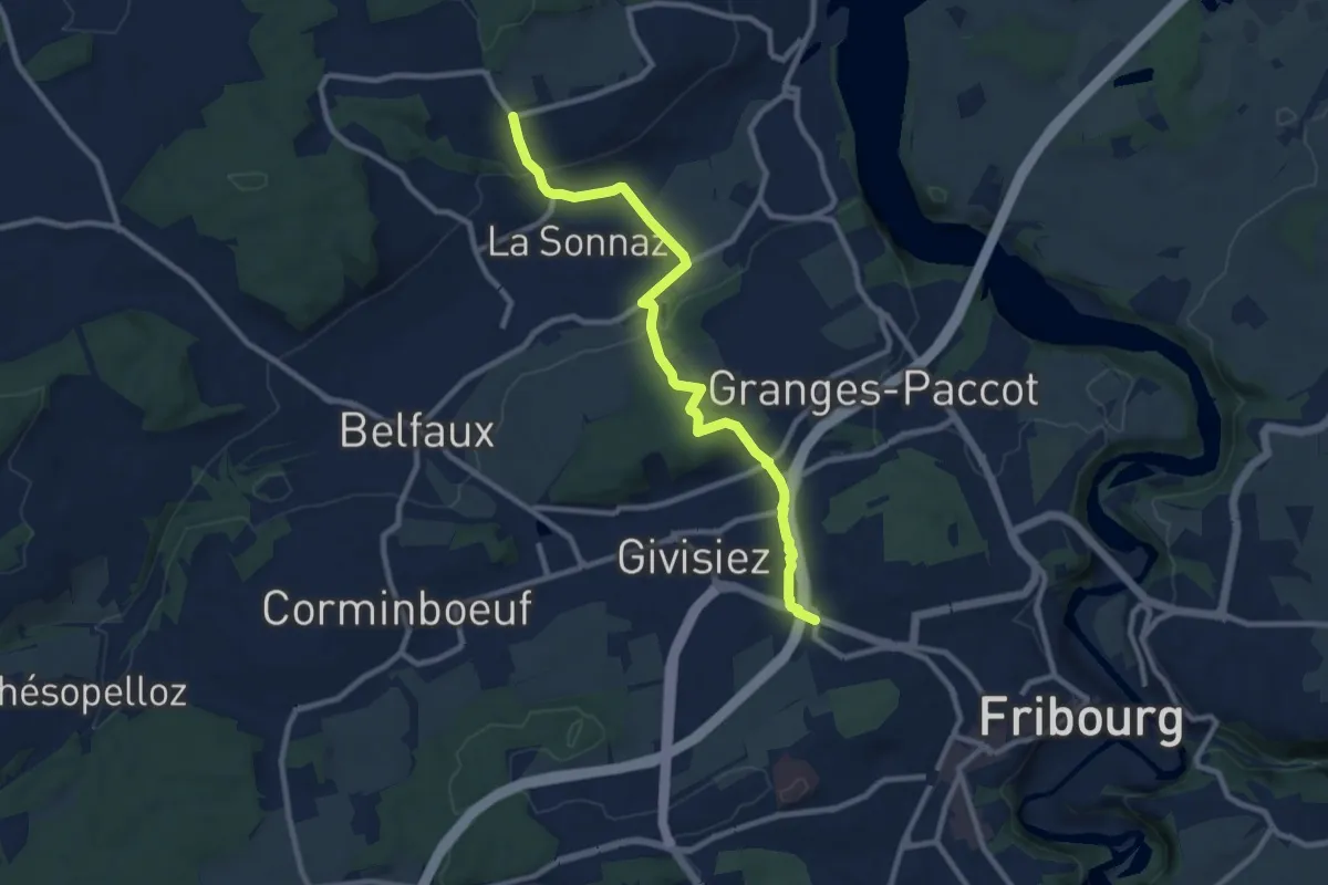
Medium · Trail
Fribourg (Jura) - La Corbaz
9.7 km · ↑ 324 m · 3 h · 5 km away
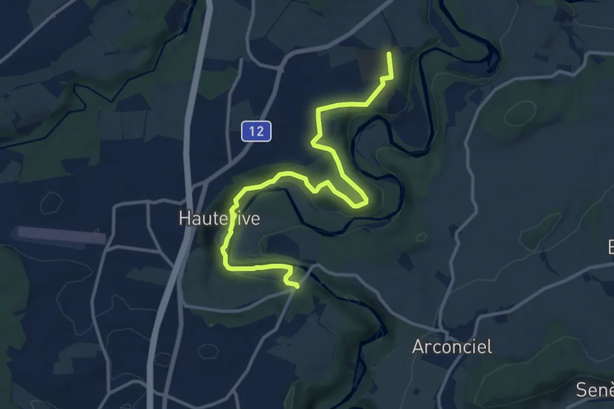
Medium · Trail
Grangeneuve - La Tuffière
10.4 km · ↑ 233 m · 2 h 57 min · 5 km away
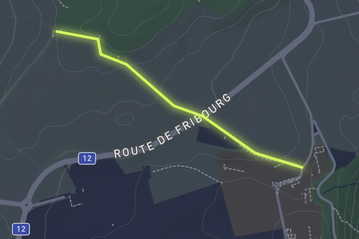
Easy · Trail
Monterban - Grangeneuve
2.1 km · ↑ 46 m · 36 min · 5 km away
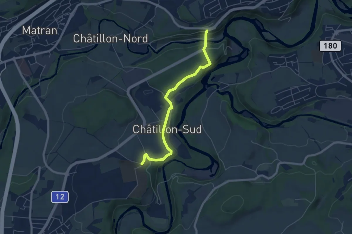
Easy · Trail
Grangeneuve - Villars-sur-Glâne Pont de la Glâne
5.3 km · ↑ 145 m · 1 h 34 min · 5 km away
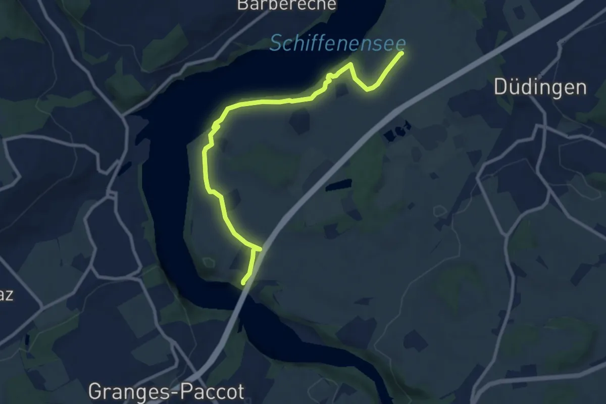
Medium · Trail
Ottisberg - Magdalena-Einsiedelei
8.5 km · ↑ 197 m · 2 h 26 min · 5 km away
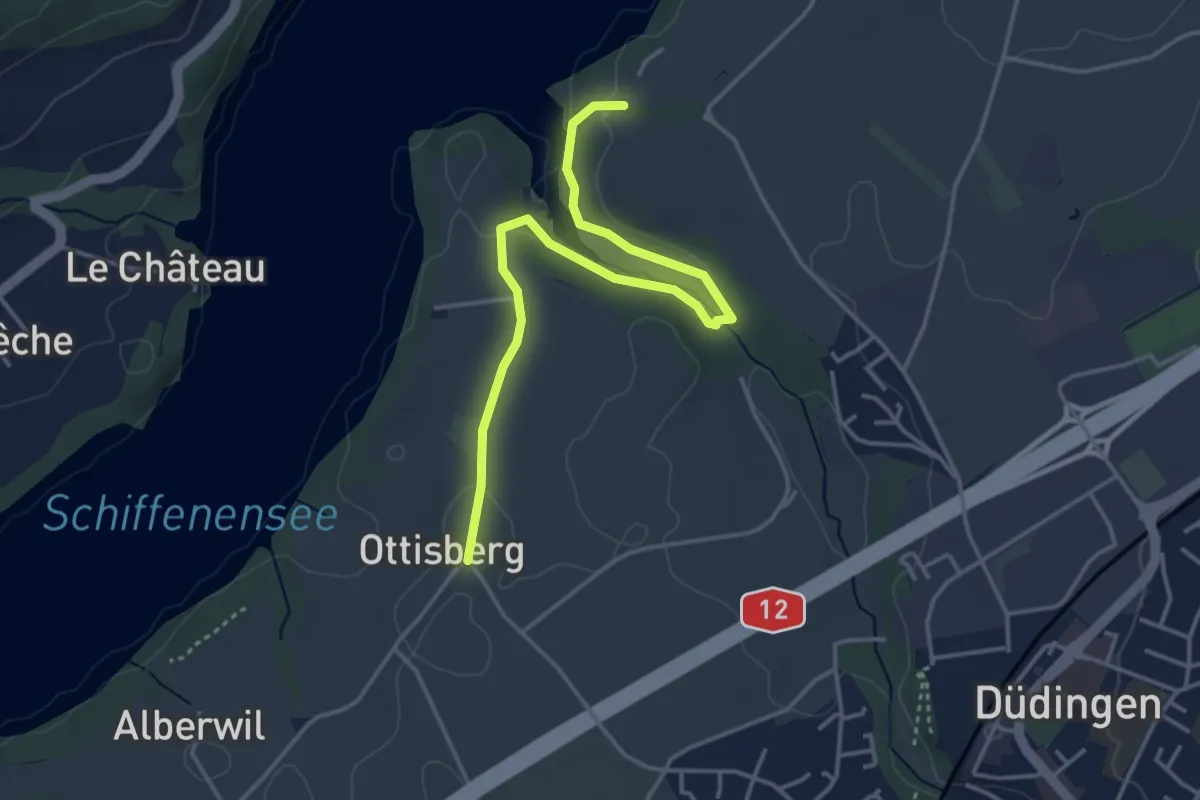
Easy · Trail
Ottisberg - Felliwil
4.2 km · ↑ 118 m · 1 h 15 min · 5 km away
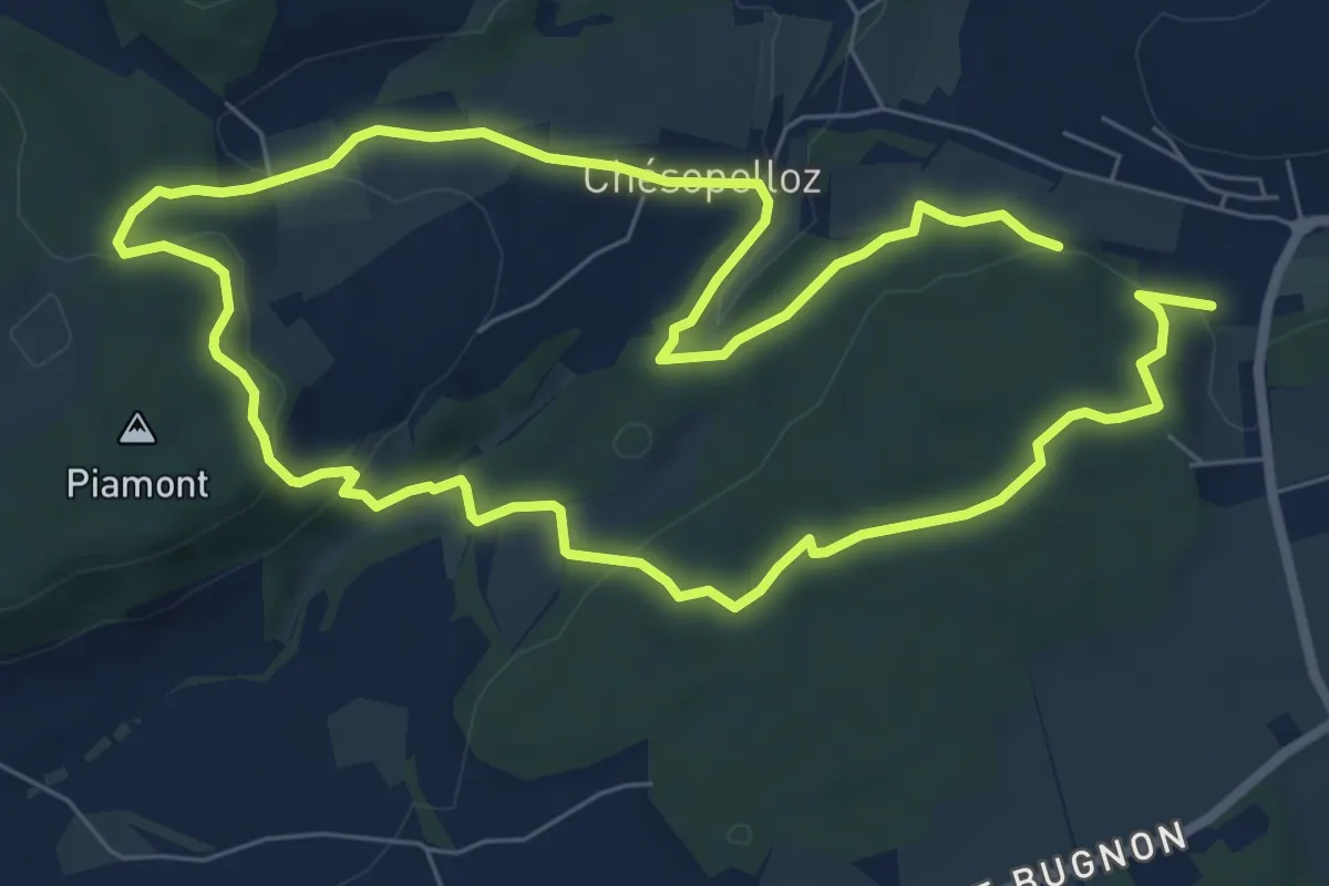
Easy · Trail
Dragon bleu 🐉 - Au fil de l'eau (1h10m ou 2h) - Corminboeuf
7.0 km · ↑ 191 m · 2 h 9 min · 5 km away
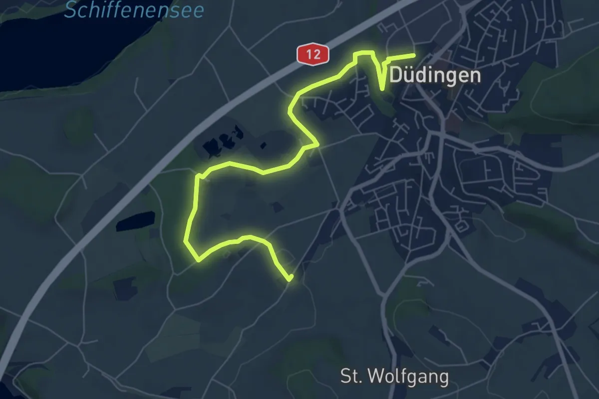
Easy · Trail
Düdingen - Garmiswil
7.6 km · ↑ 83 m · 1 h 58 min · 5 km away
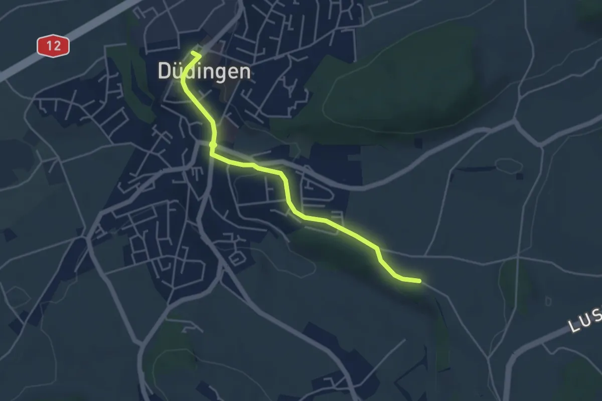
Easy · Trail
Düdingen Station - Zelgli
4.1 km · ↑ 69 m · 1 h 6 min · 5 km away
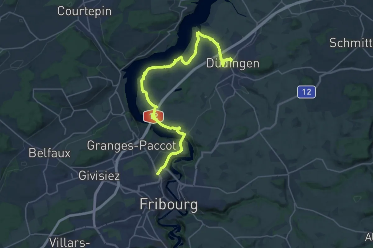
Demanding · Trail
Sinn- und Klangweg / Sentier des sens et des sons
21.4 km · ↑ 495 m · 6 h 7 min · 5 km away
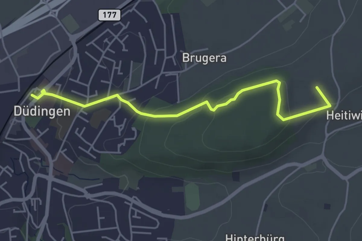
Easy · Summit
Düdingen Station - Heitiwil
4.5 km · ↑ 118 m · 1 h 19 min · 5 km away
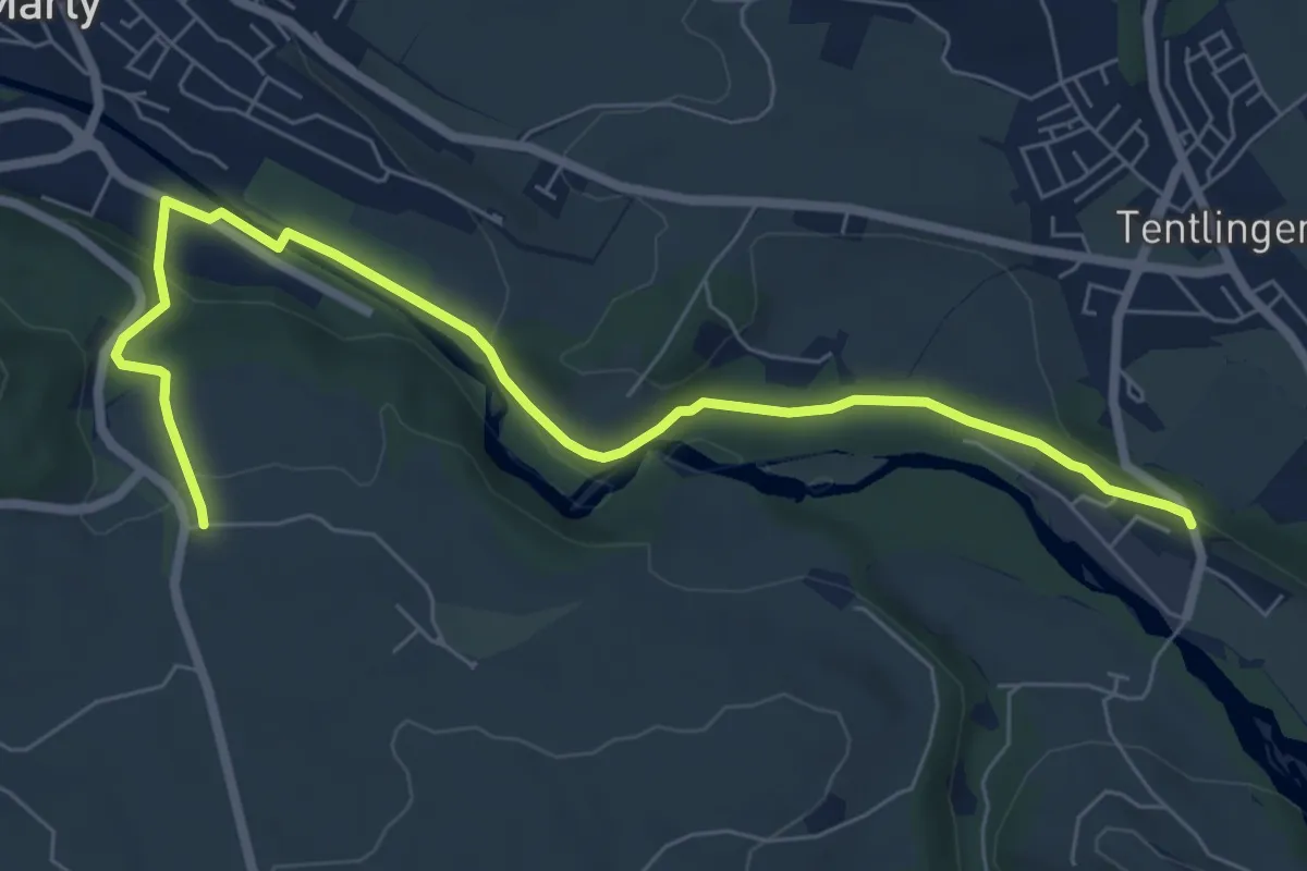
Easy · Trail
Villarsel-sur-Marly - Stersmühle
7.8 km · ↑ 182 m · 2 h 14 min · 5 km away
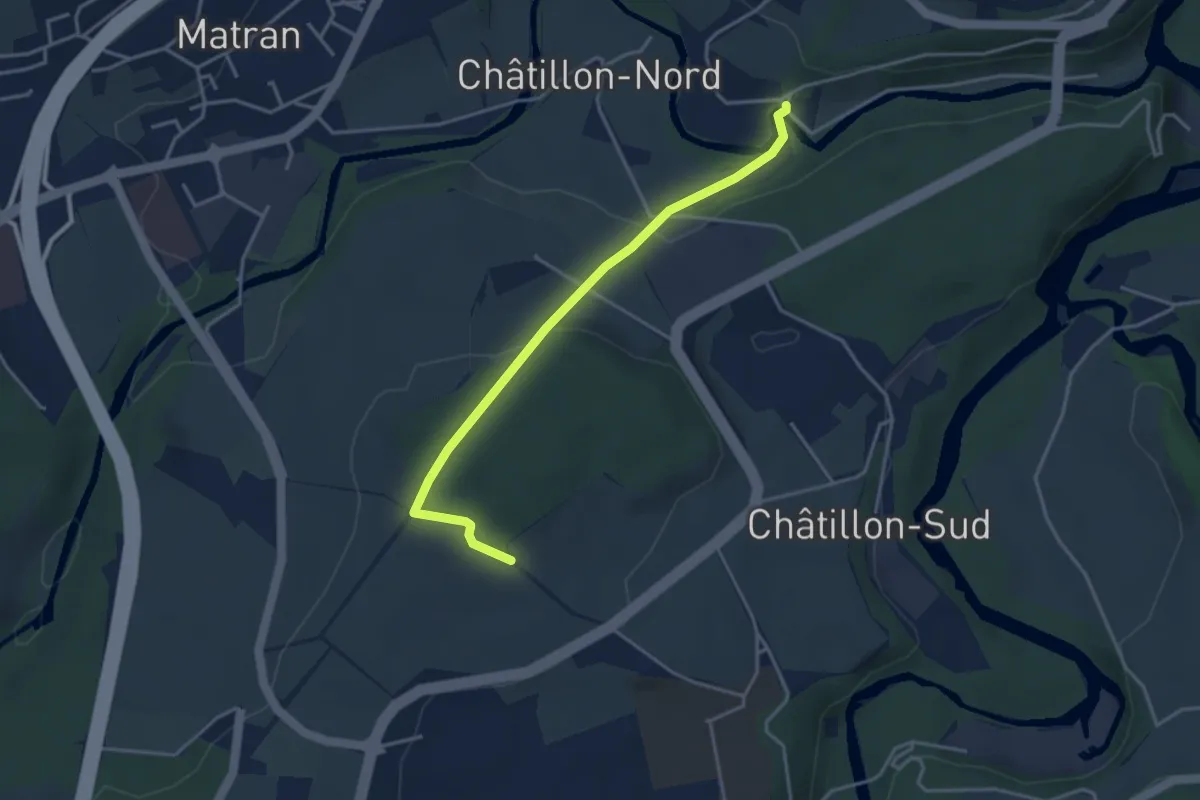
Easy · Trail
Villars-sur-Glâne Ste. Appoline - Monterban
3.7 km · ↑ 134 m · 1 h 10 min · 5 km away
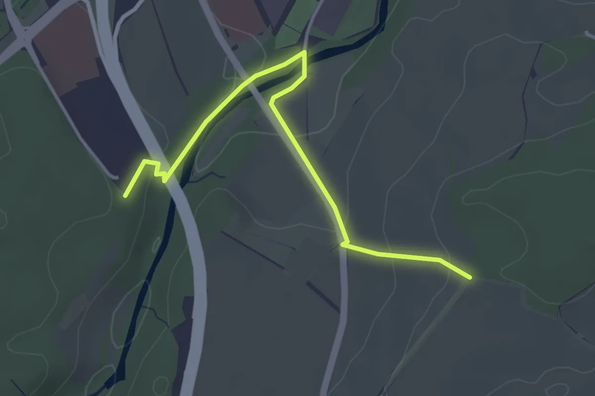
Easy · Trail
Matran Centre commercial - Monterban
3.6 km · ↑ 118 m · 1 h 6 min · 6 km away
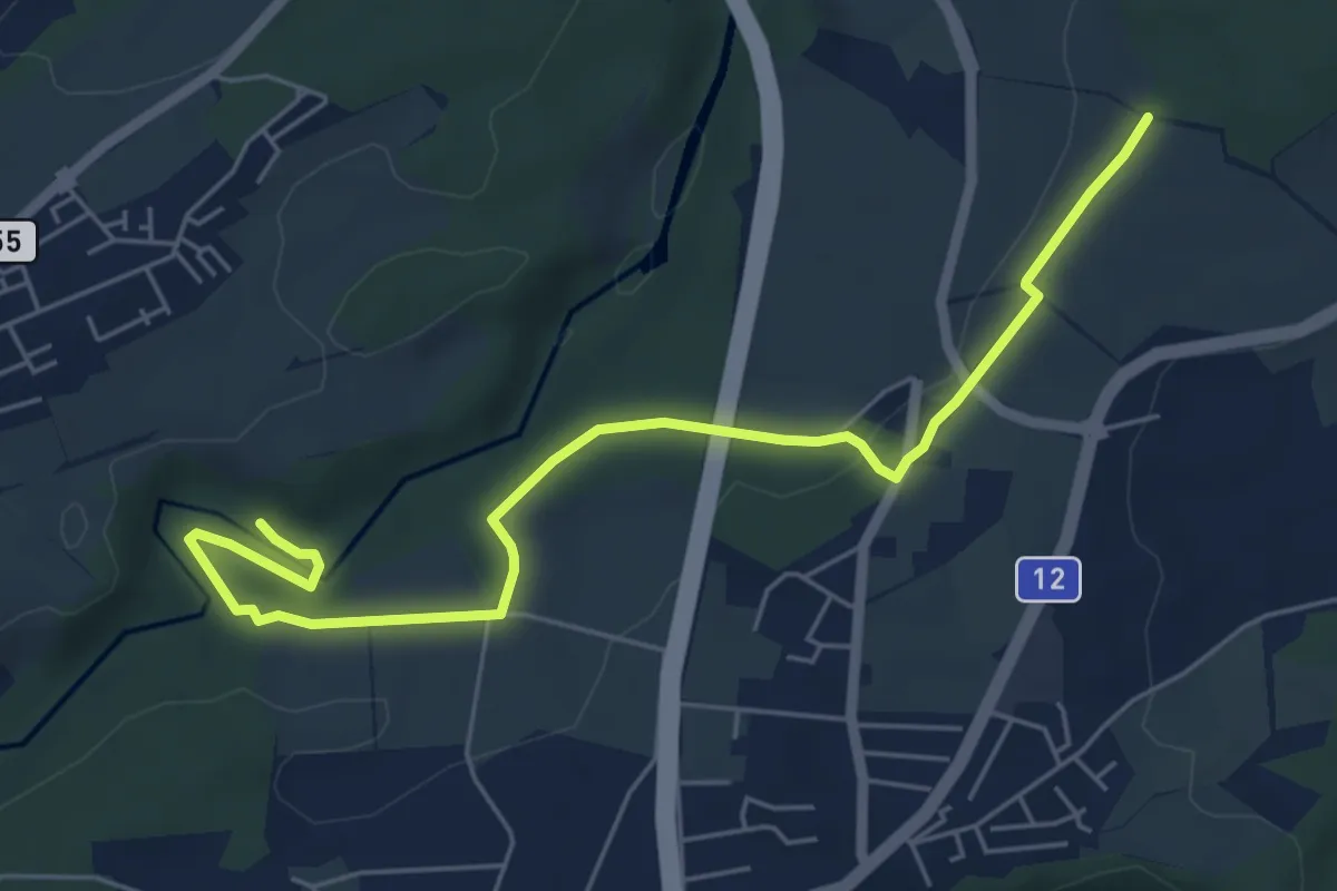
Easy · Trail
Monterban - La Glâne
6.5 km · ↑ 96 m · 1 h 45 min · 6 km away
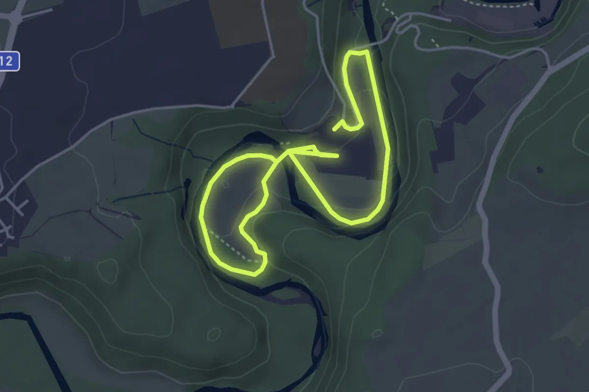
Easy · Trail
Boucle Hauterive-La Souche / Les découvertes de Saribelle
3.2 km · ↑ 59 m · 57 min · 6 km away
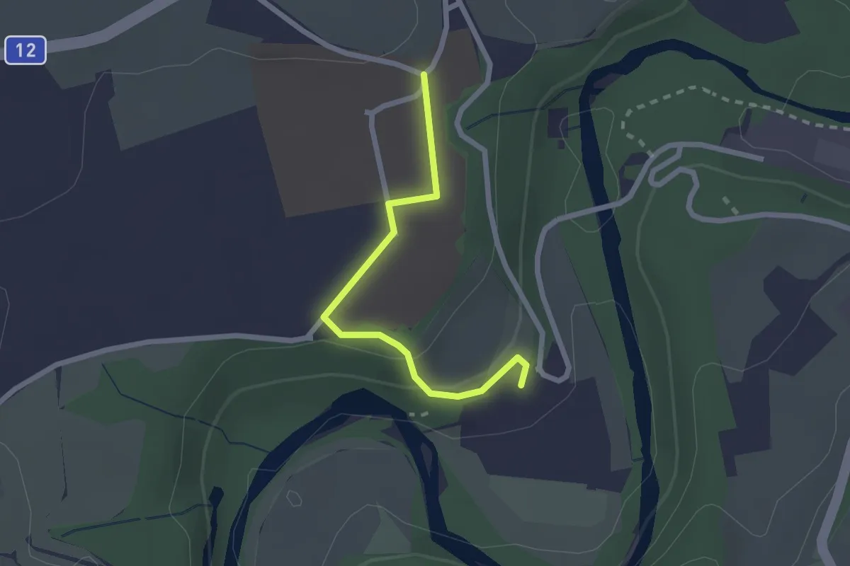
Easy · Trail
Hauterive - Grangeneuve
2.1 km · ↑ 44 m · 35 min · 6 km away
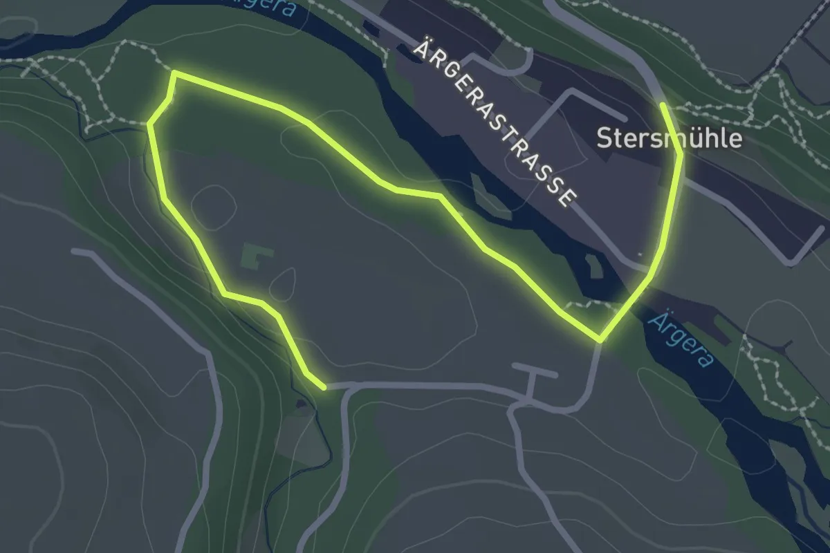
Easy · Trail
Stersmühle - Brädelen, Nesslerabach
3.3 km · ↑ 48 m · 53 min · 6 km away
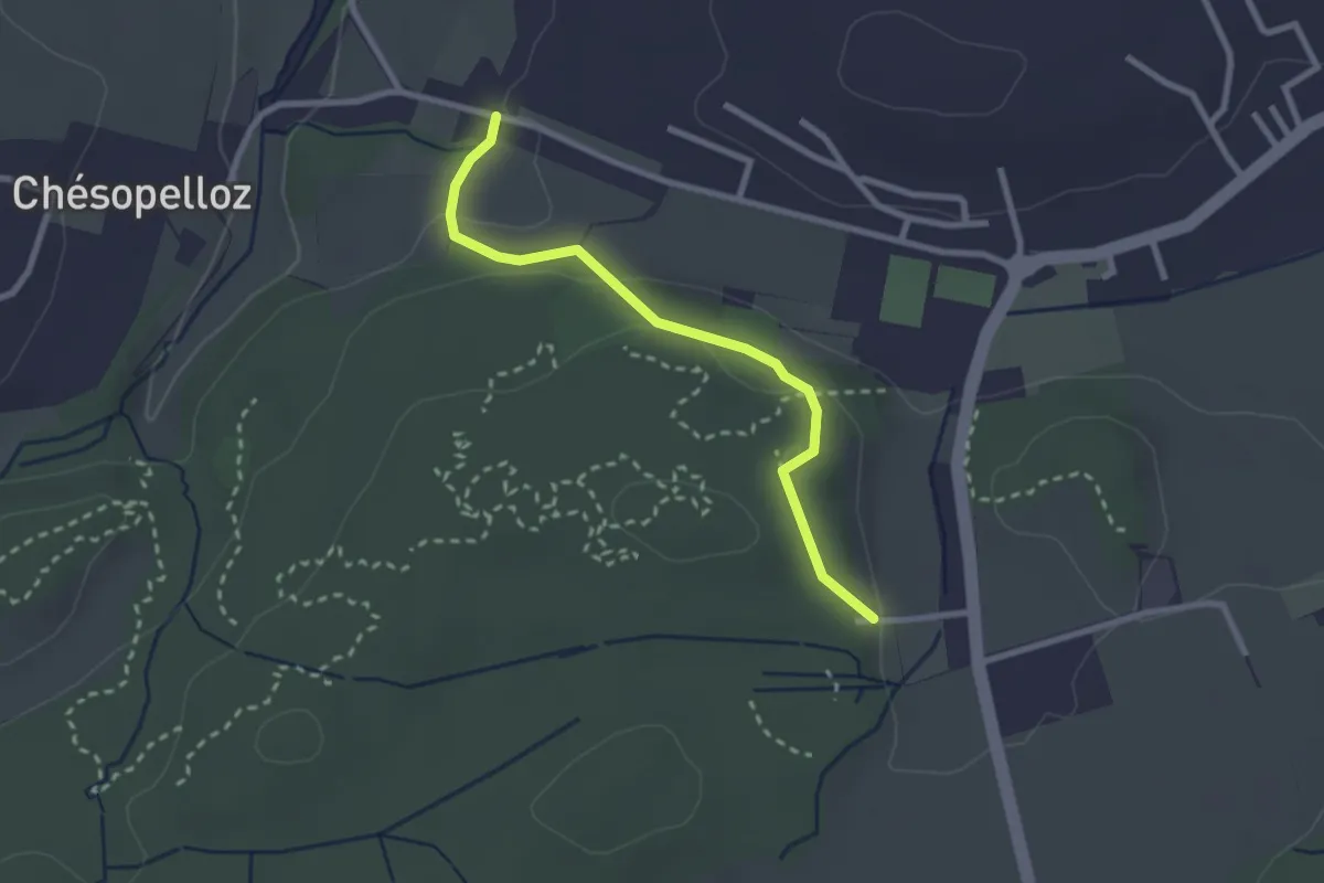
Easy · Trail
Corminboeuf Village Suisse - Chésopelloz
2.5 km · ↑ 69 m · 44 min · 6 km away
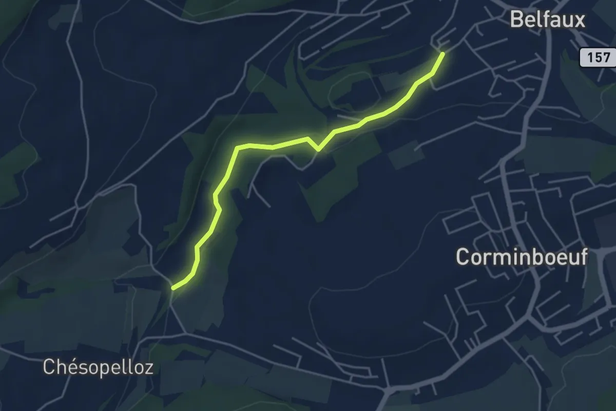
Easy · Trail
Le Moulin - Belfaux rte de Chésopelloz
3.9 km · ↑ 83 m · 1 h 6 min · 6 km away
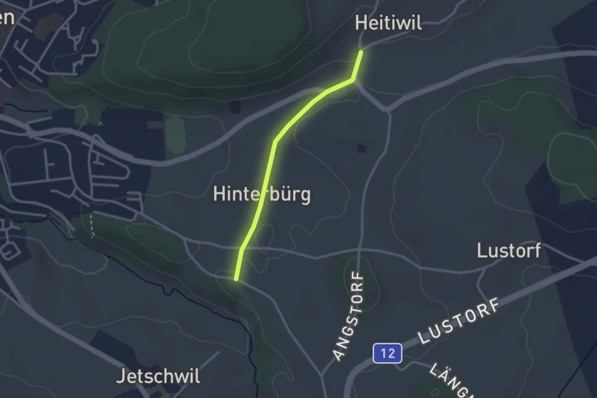
Easy · Trail
Heitiwil - Zelgli
2.2 km · ↑ 22 m · 35 min · 6 km away
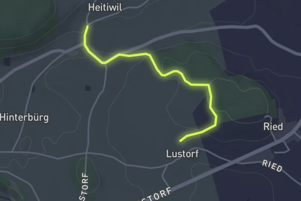
Easy · Trail
Heitiwil - Lustorf
3.2 km · ↑ 78 m · 56 min · 6 km away
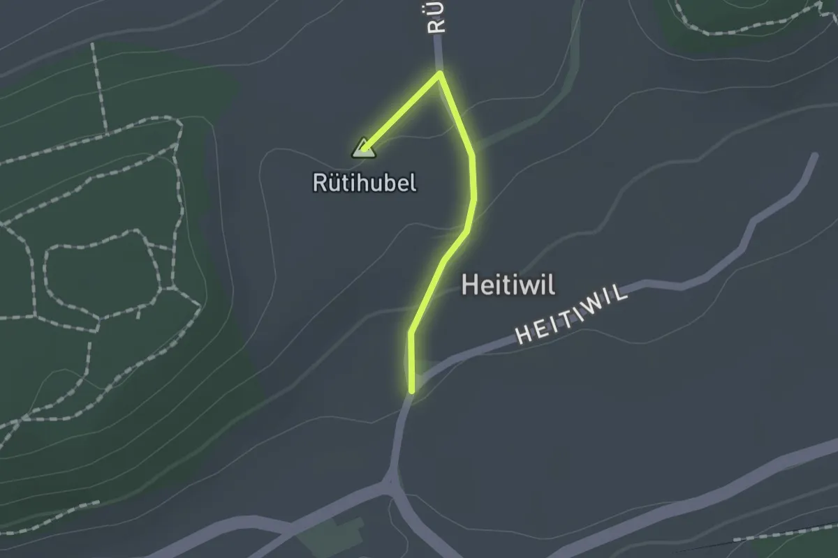
Easy · Summit
Heitiwil - Galmis
1.0 km · ↑ 27 m · 18 min · 6 km away
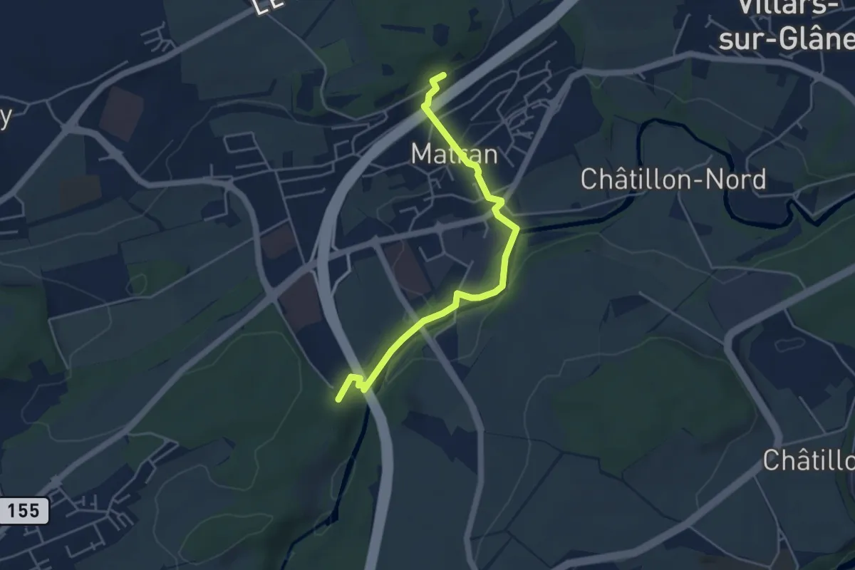
Easy · Trail
Matran Gare - Bois des Morts
4.4 km · ↑ 126 m · 1 h 19 min · 6 km away
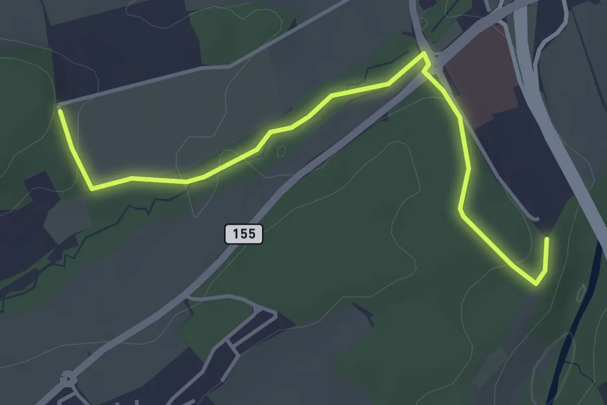
Easy · Trail
Matran Centre commercial - Matran Bois de Chavagny
4.0 km · ↑ 89 m · 1 h 8 min · 6 km away
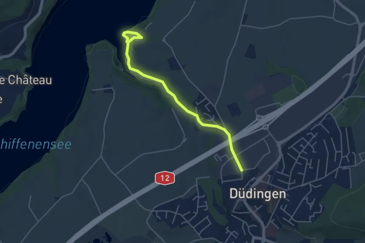
Easy · Trail
Düdingen - Felliwil
3.9 km · ↑ 90 m · 1 h 8 min · 6 km away
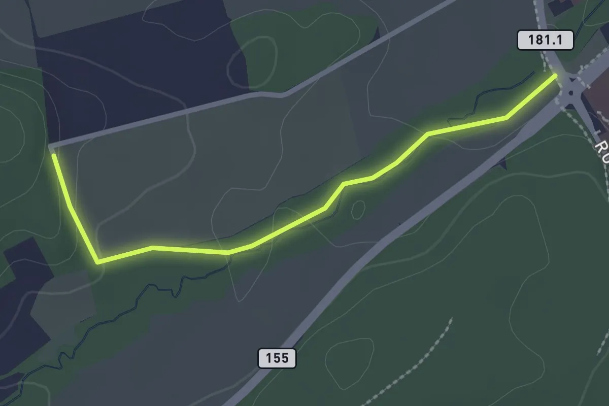
Easy · Trail
Sentier des Sculptures
2.3 km · ↑ 49 m · 39 min · 6 km away
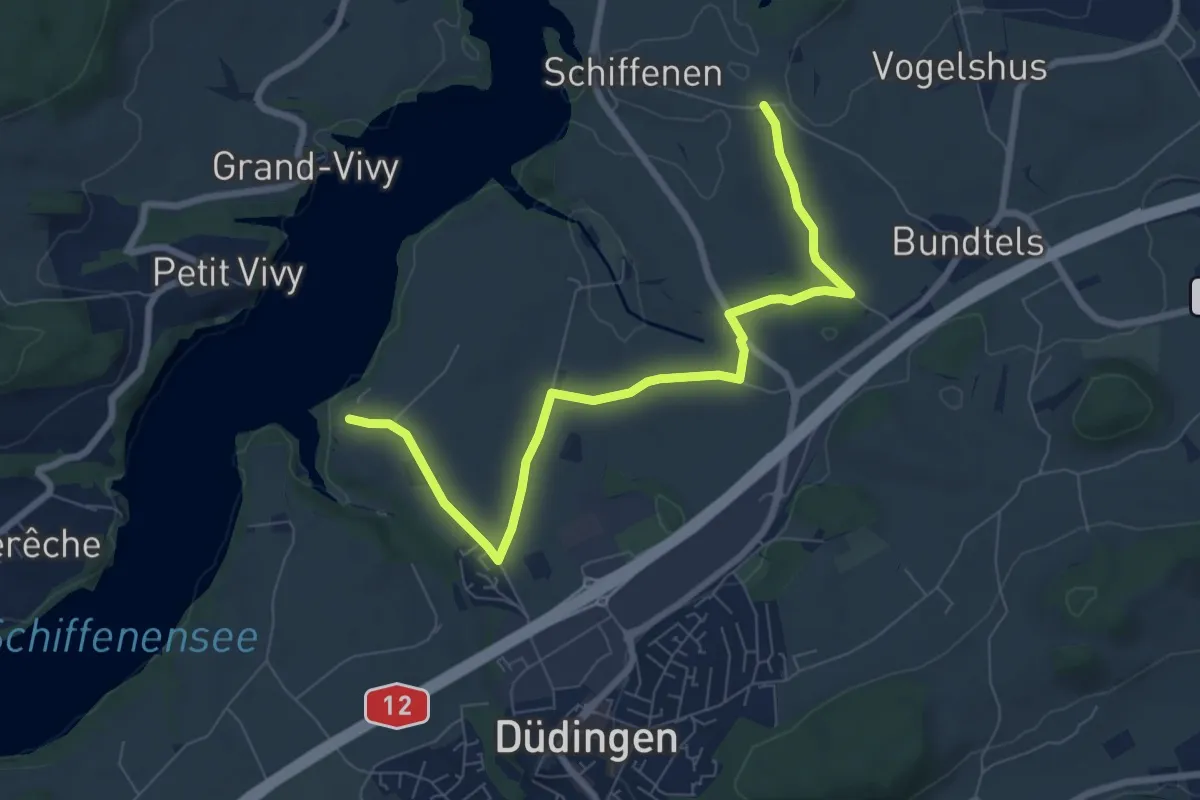
Medium · Trail
Felliwil - Schlattli
8.1 km · ↑ 82 m · 2 h 6 min · 6 km away
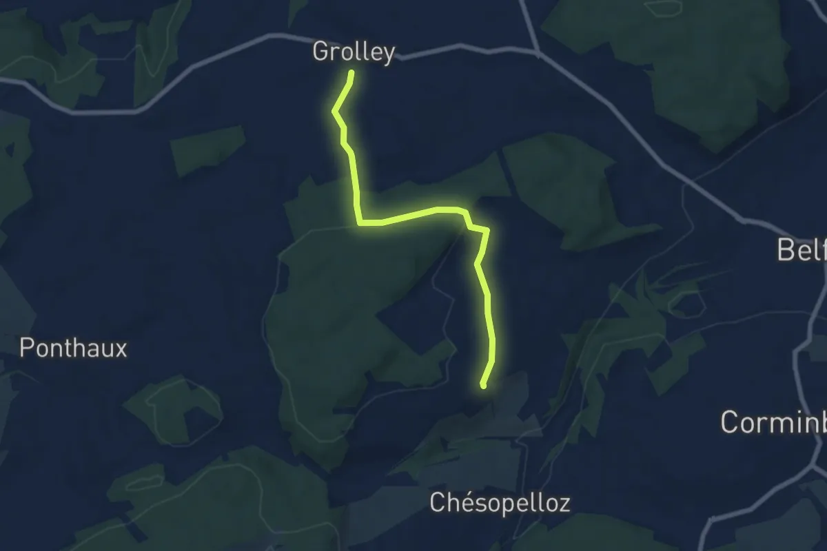
Easy · Trail
Grolley - Autafond
5.9 km · ↑ 162 m · 1 h 45 min · 6 km away
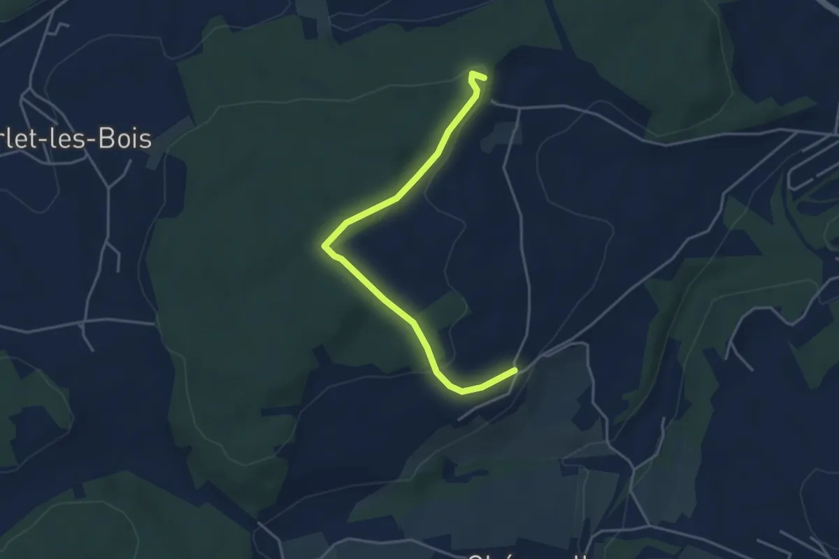
Easy · Trail
Circuit de Belfaux
3.9 km · ↑ 107 m · 1 h 10 min · 6 km away
Easy · Trail
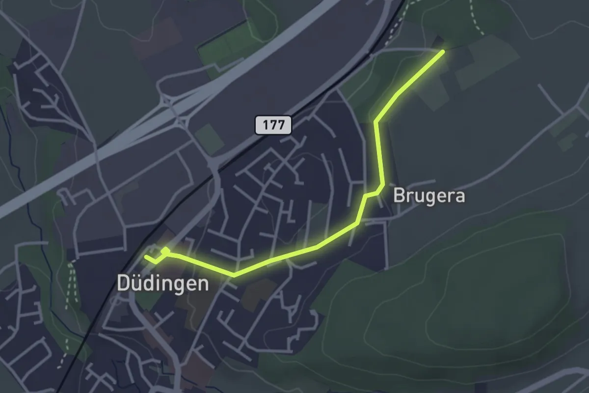
Düdingen Station - Schüracher
3.1 km · ↑ 23 m · 48 min · 7 km away
Easy · Trail
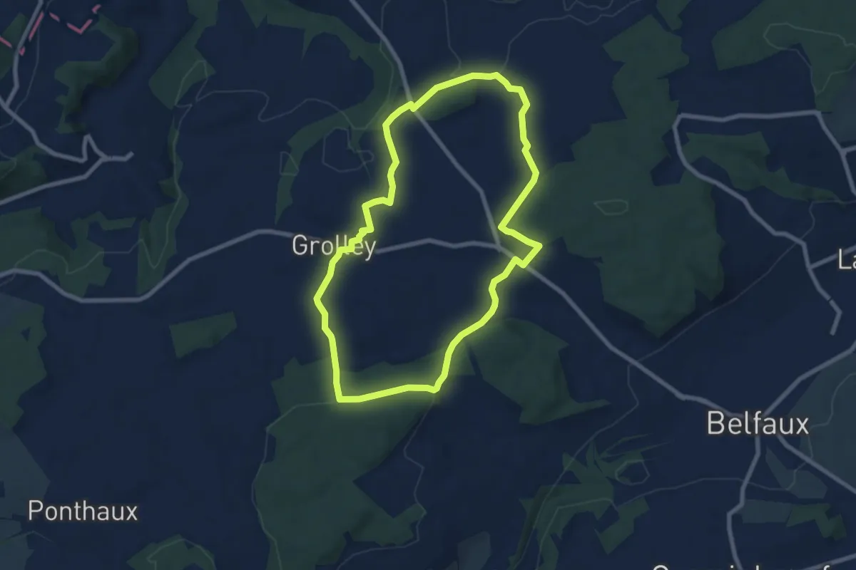
Circuit pédestre 2 de Grolley
7.1 km · ↑ 165 m · 2 h 9 min · 7 km away
Easy · Trail
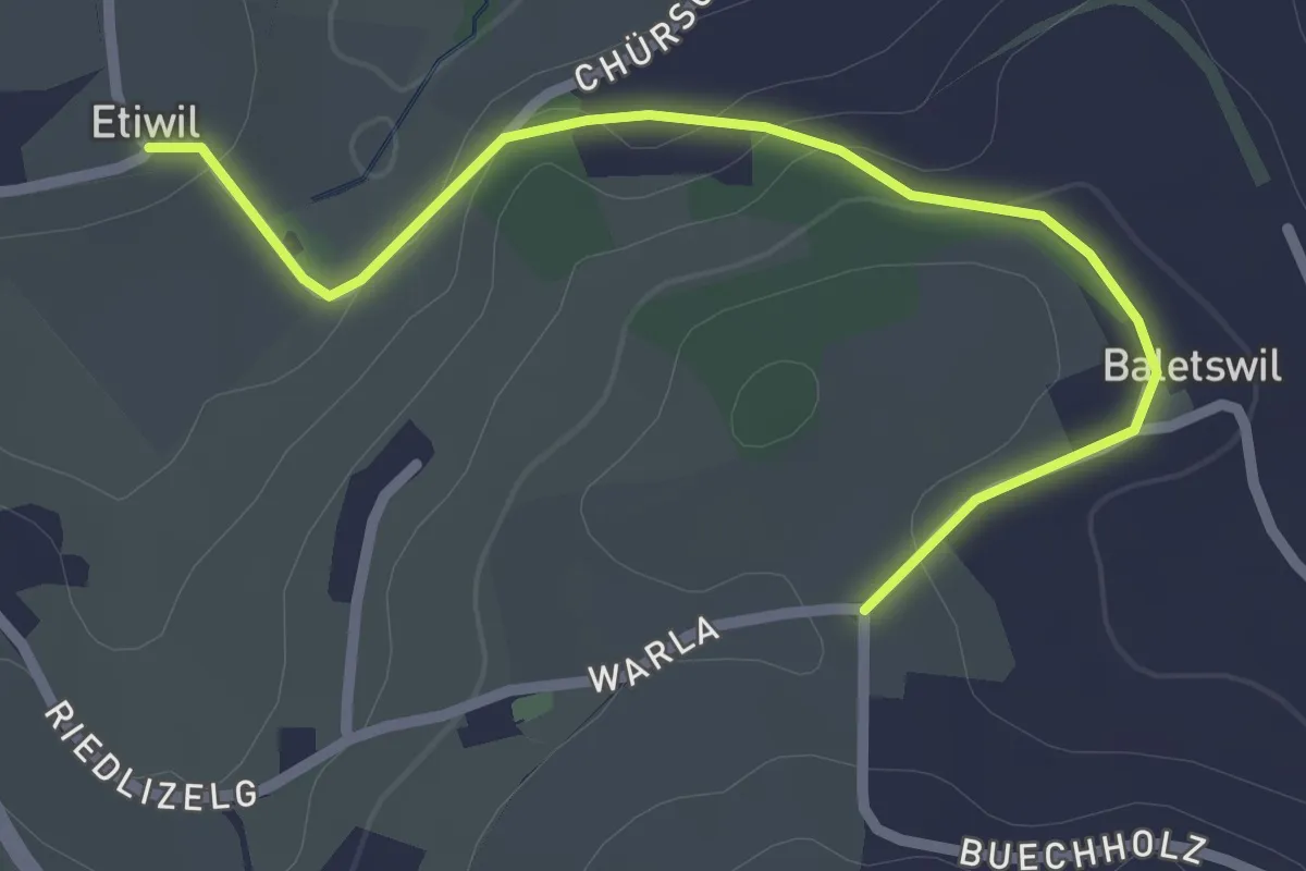
Etiwil - Baletswil
2.7 km · ↑ 57 m · 45 min · 7 km away
Easy · Trail
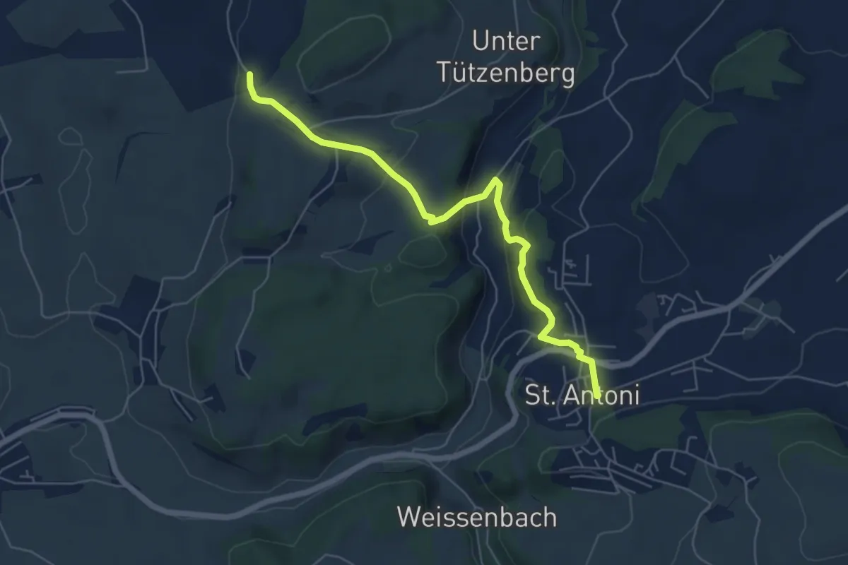
St. Antoni - Wiler
5.8 km · ↑ 279 m · 1 h 59 min · 7 km away