Trails near Fribourg
252 hikes starting within 15 km, nearest first.
Nearest first, page 3 of 6
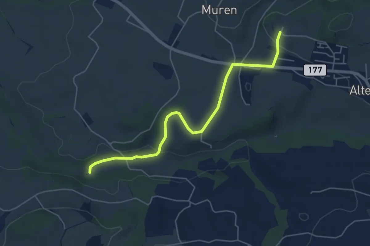
Easy · Trail
Poffetsmüli – Beniwil
4.6 km · ↑ 67 m · 1 h 14 min · 7 km away
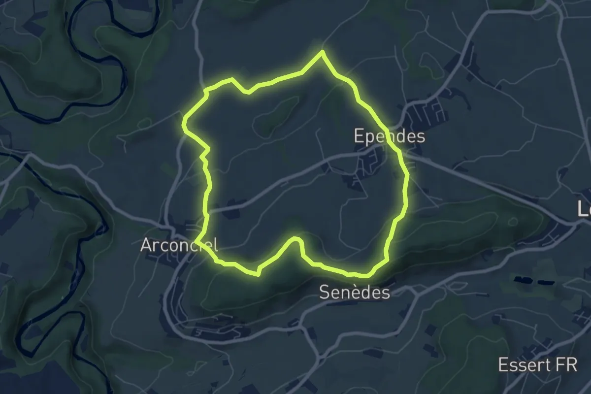
Easy · Trail
Circuit Arconciel - Ependes - Petit-Ependes
6.8 km · ↑ 201 m · 2 h 8 min · 7 km away
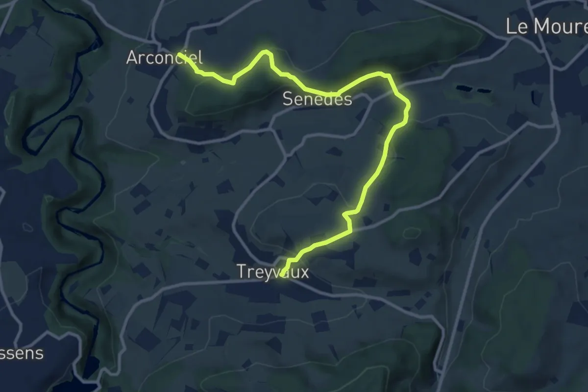
Medium · Trail
Arconciel - Treyvaux
10.4 km · ↑ 366 m · 3 h 15 min · 7 km away
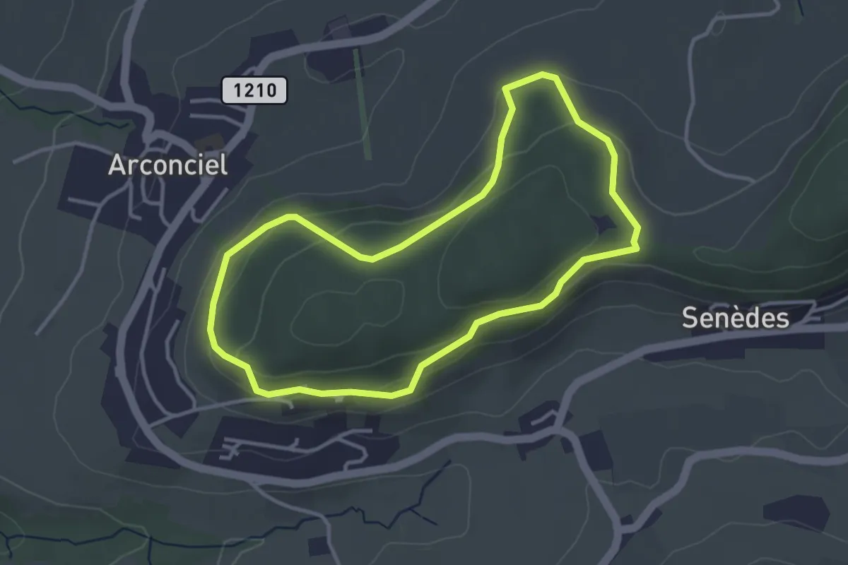
Easy · Trail
Sentier panoramique de Monternau
3.3 km · ↑ 101 m · 1 h 2 min · 7 km away
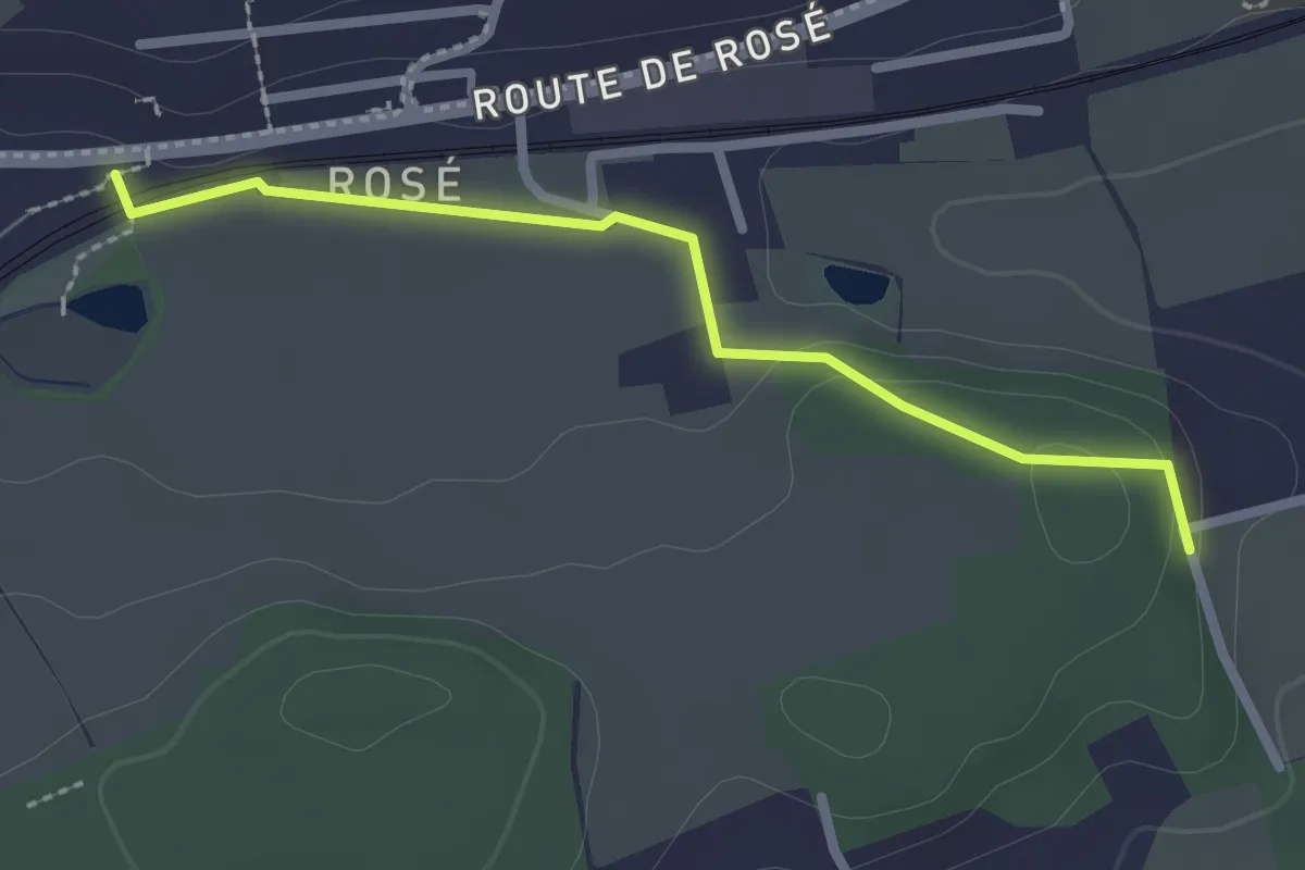
Easy · Trail
Matran Bois de Chavigny - Rosé
2.3 km · ↑ 20 m · 36 min · 7 km away
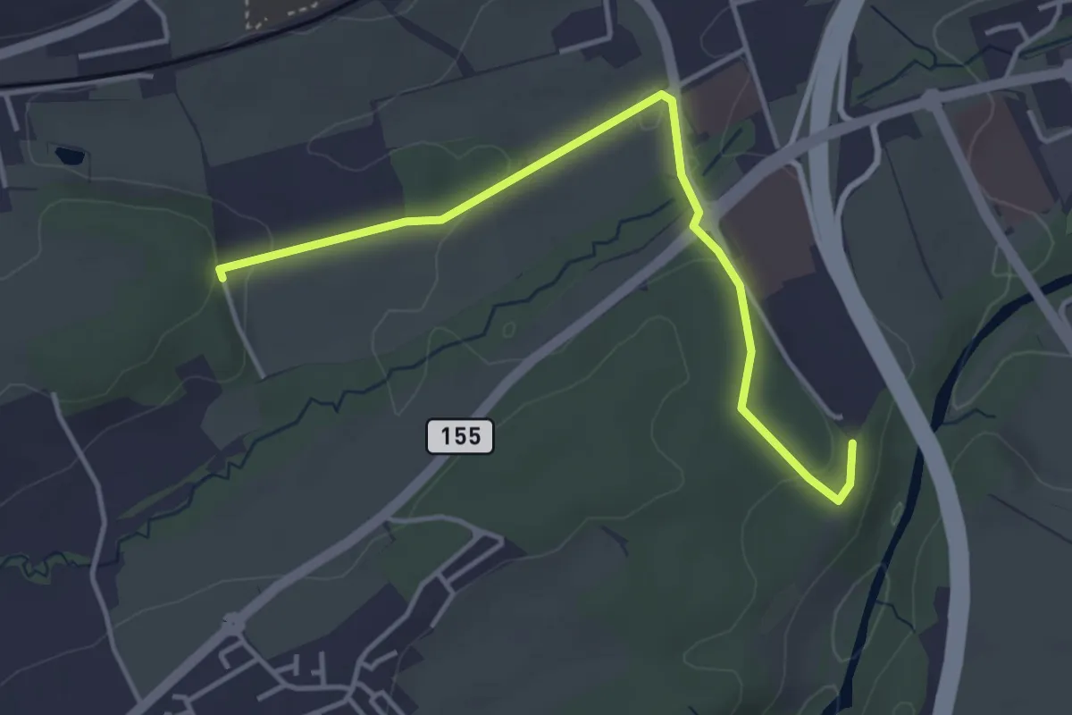
Easy · Trail
Matran Bois de Chavagny - Matran Centre commercial
4.1 km · ↑ 108 m · 1 h 12 min · 7 km away
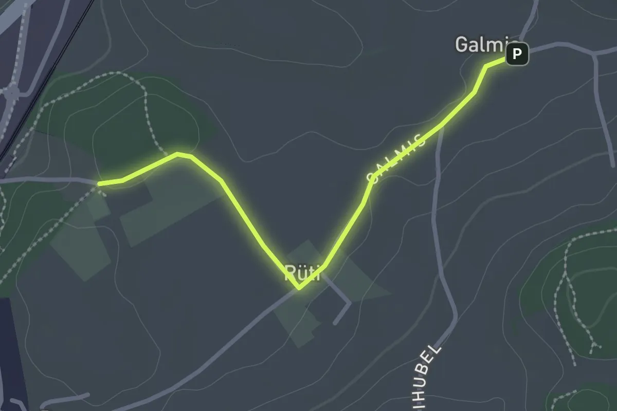
Easy · Trail
Schüracher - Galmis
2.5 km · ↑ 24 m · 39 min · 7 km away
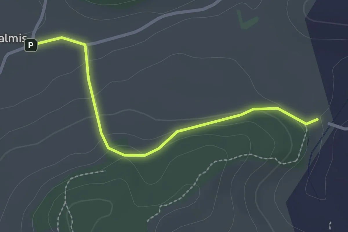
Easy · Trail
Galmis - Bethlehem
2.3 km · ↑ 91 m · 44 min · 7 km away
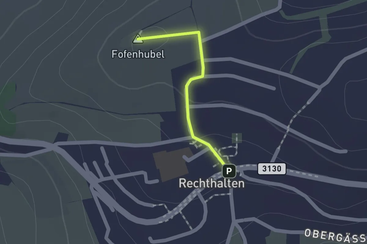
Easy · Summit
Rechthalten - Baletswil
1.1 km · ↑ 19 m · 18 min · 7 km away
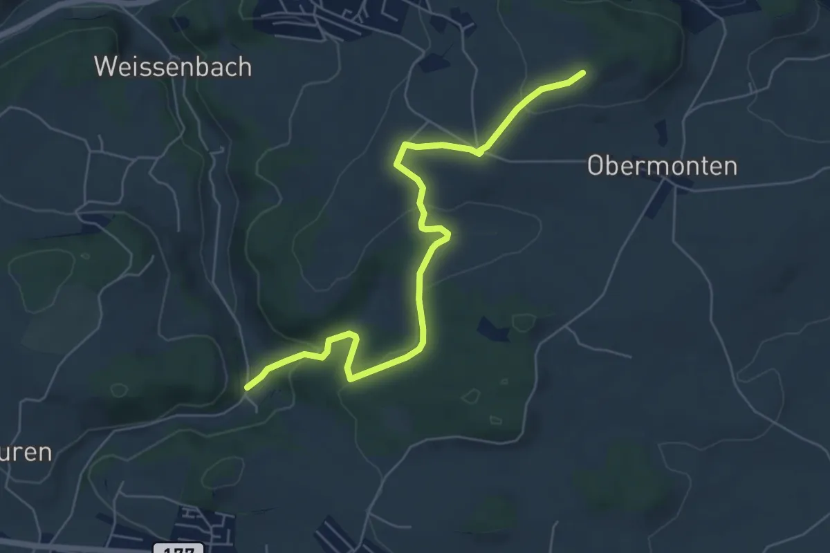
Easy · Trail
Chutz - Seligraben
6.2 km · ↑ 186 m · 1 h 52 min · 7 km away
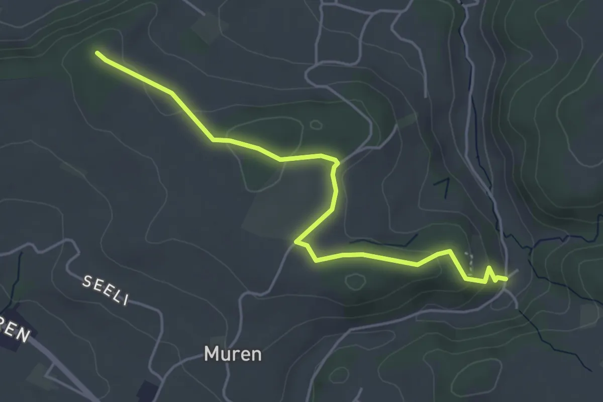
Easy · Trail
Seligraben - Pfaffenhölzli
4.7 km · ↑ 126 m · 1 h 23 min · 7 km away
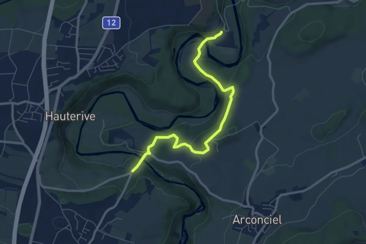
Easy · Trail
La Tuffière - Hauterive
6.5 km · ↑ 232 m · 2 h 2 min · 7 km away
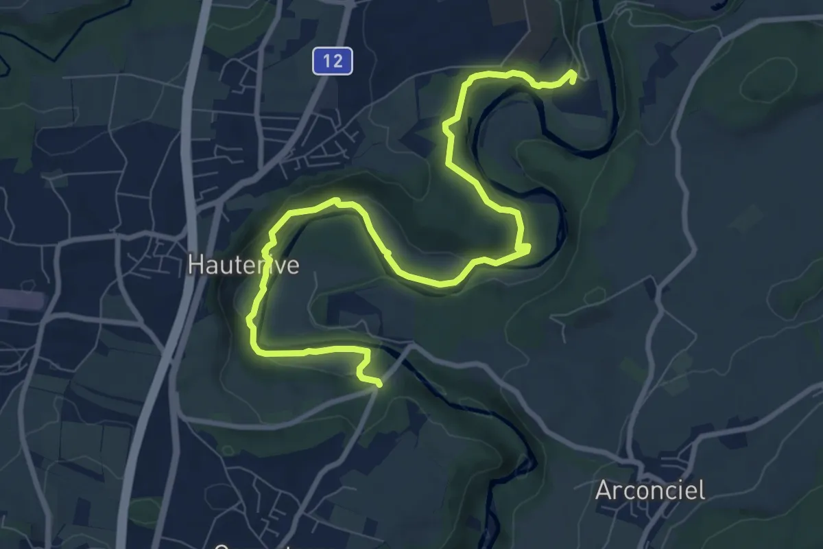
Medium · Trail
Hauterive - La Tuffière
10.3 km · ↑ 261 m · 3 h · 7 km away
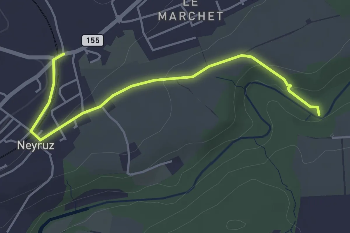
Easy · Trail
Neyruz - La Glâne
3.9 km · ↑ 79 m · 1 h 5 min · 7 km away
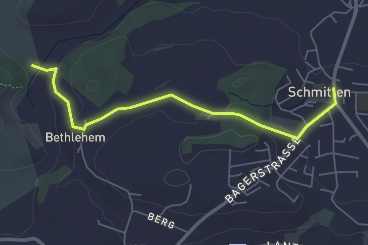
Easy · Trail
Bethlehem - Schmitten
4.6 km · ↑ 91 m · 1 h 17 min · 8 km away
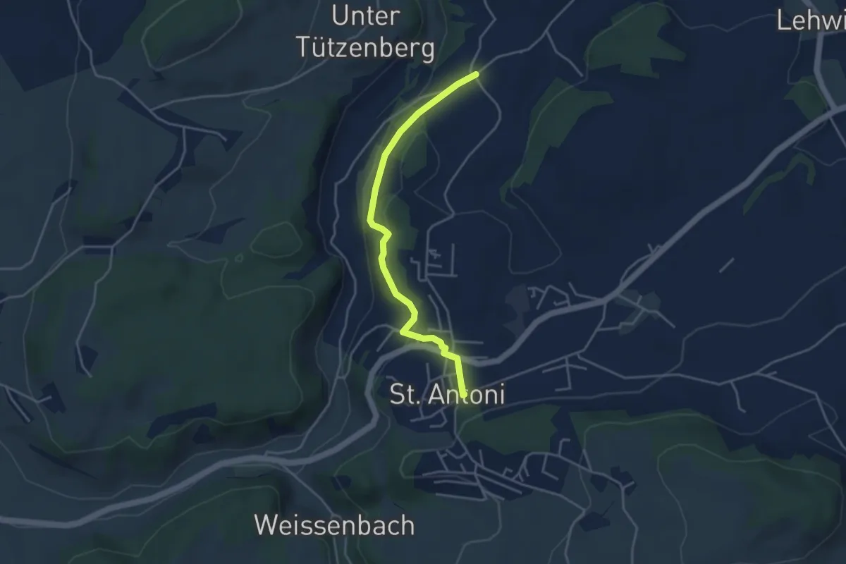
Easy · Trail
St. Antoni - Meinzishaus
3.8 km · ↑ 154 m · 1 h 14 min · 8 km away
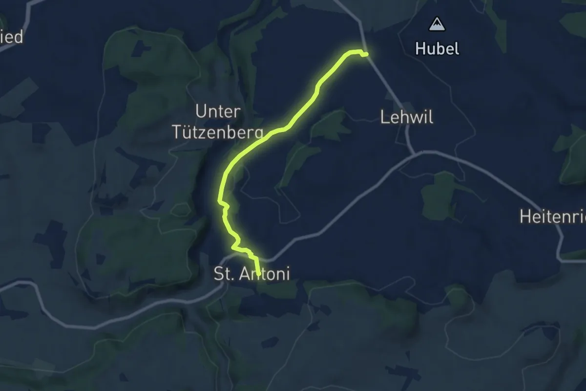
Easy · Trail
St. Antoni - Niedermuhren
6.8 km · ↑ 177 m · 1 h 59 min · 8 km away
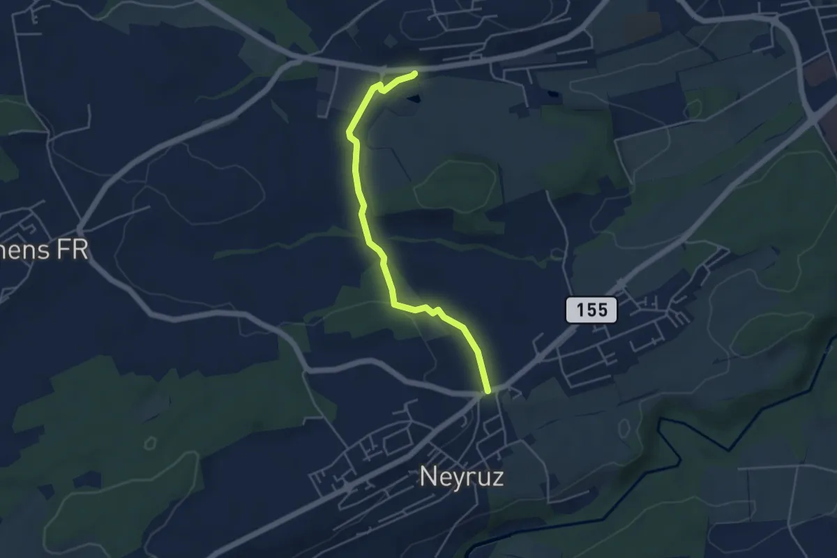
Easy · Trail
Rosé - Neyruz
4.2 km · ↑ 80 m · 1 h 10 min · 8 km away
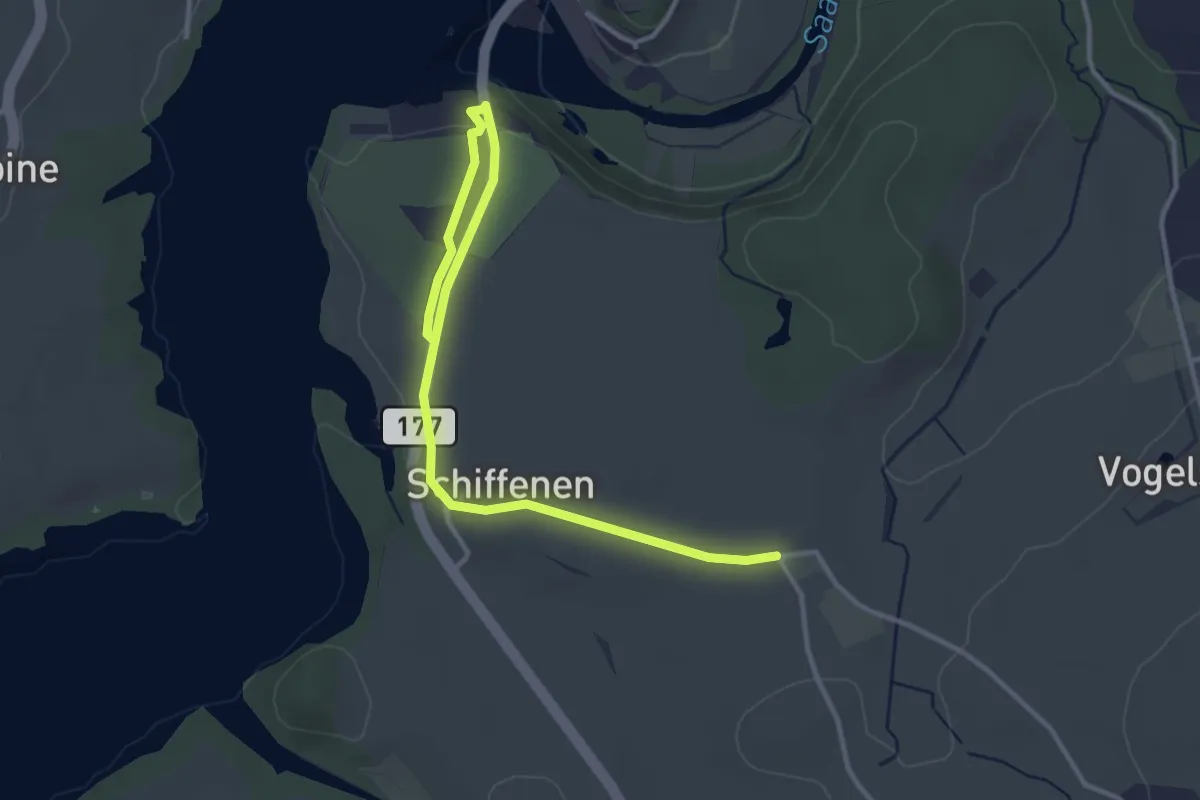
Easy · Trail
Schlattli - Schiffenen / Camping
4.0 km · ↑ 37 m · 1 h 1 min · 8 km away
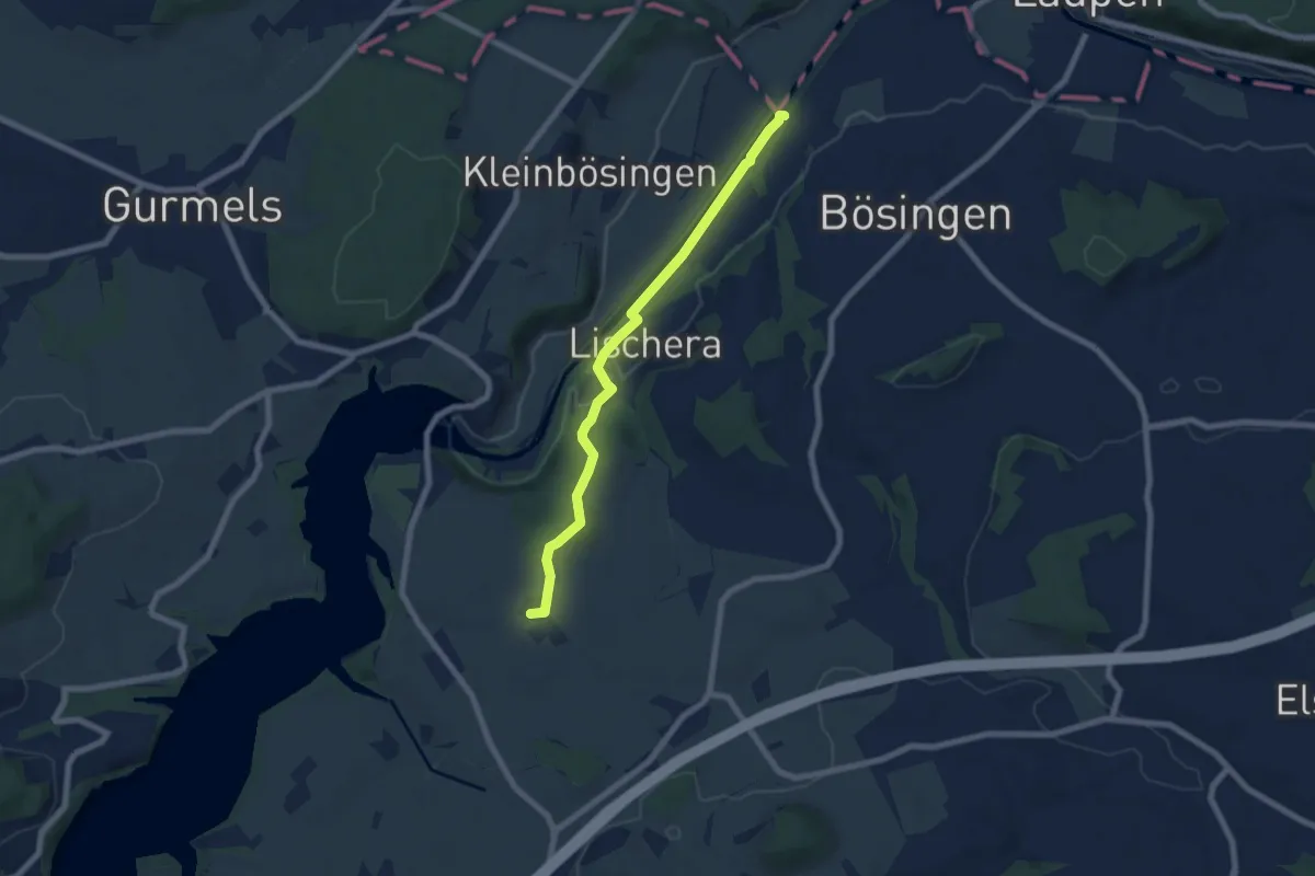
Easy · Trail
Auriedsteg – Schlattli
6.8 km · ↑ 99 m · 1 h 49 min · 8 km away
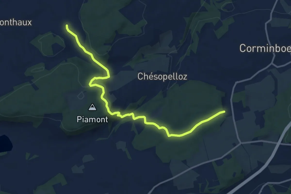
Medium · Trail
Nierlet-les-Bois Pré de Chêne - Corminboeuf Village Suisse
10.2 km · ↑ 295 m · 3 h 3 min · 8 km away
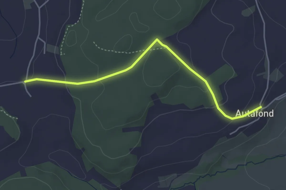
Easy · Trail
Autafond - Nierlet-les-Bois Pré de Chêne
4.1 km · ↑ 123 m · 1 h 13 min · 8 km away
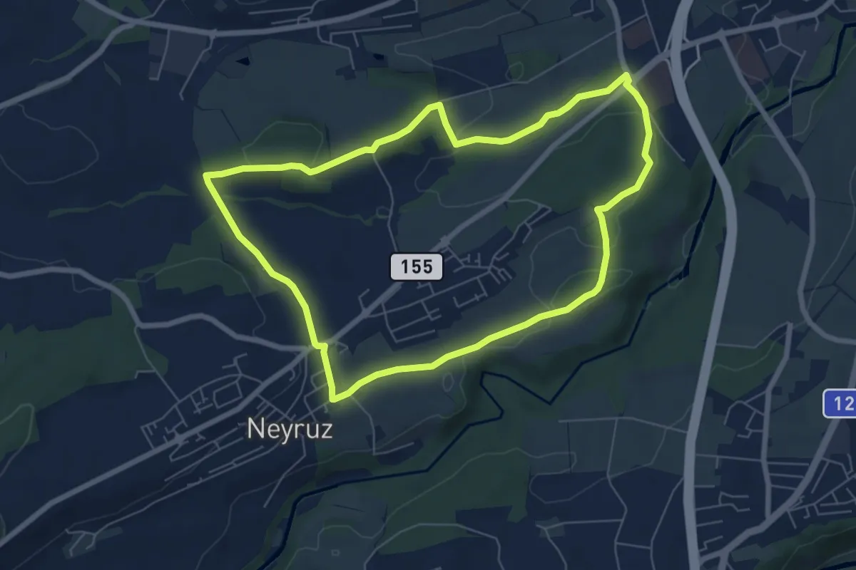
Easy · Trail
Neyruz - Sentier jaune🟡
6.5 km · ↑ 107 m · 1 h 52 min · 8 km away
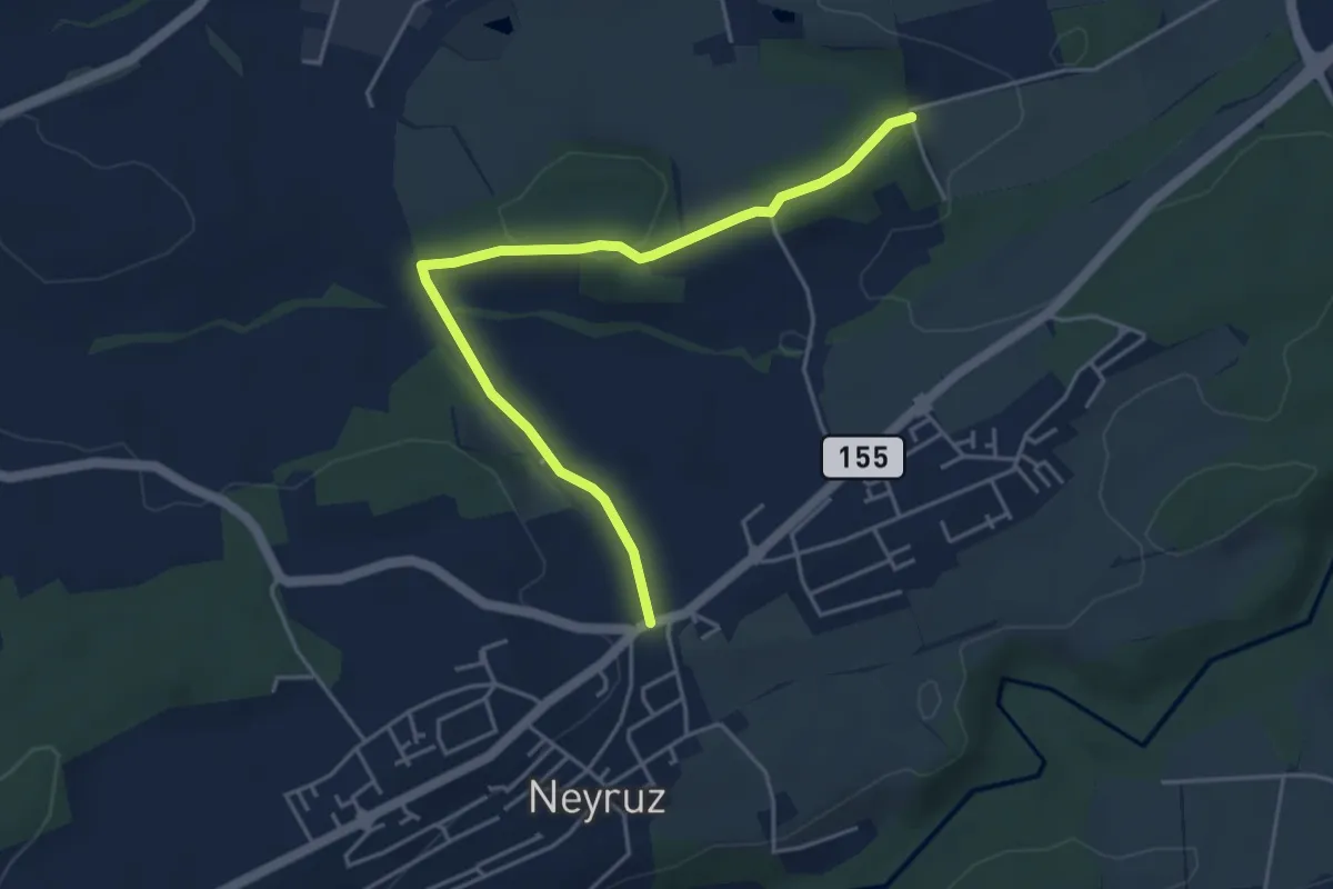
Easy · Trail
Neyruz - Matran Bois de Chavigny
4.6 km · ↑ 97 m · 1 h 18 min · 8 km away
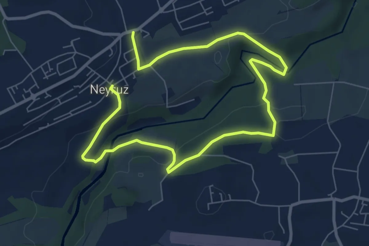
Medium · Trail
Neyruz - Sentier Rouge🔴
9.6 km · ↑ 260 m · 2 h 50 min · 9 km away
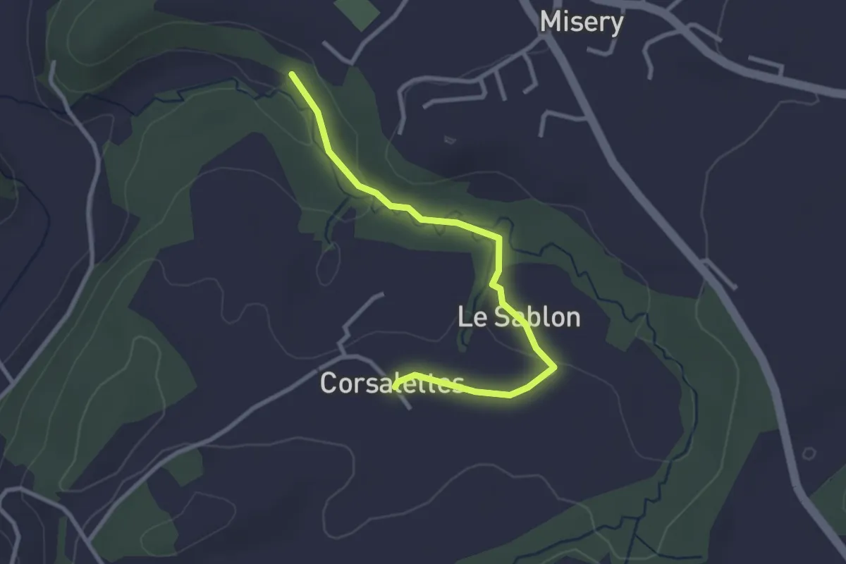
Easy · Trail
Le Grabou Cne de Misery - Corsalettes
2.9 km · ↑ 45 m · 46 min · 9 km away
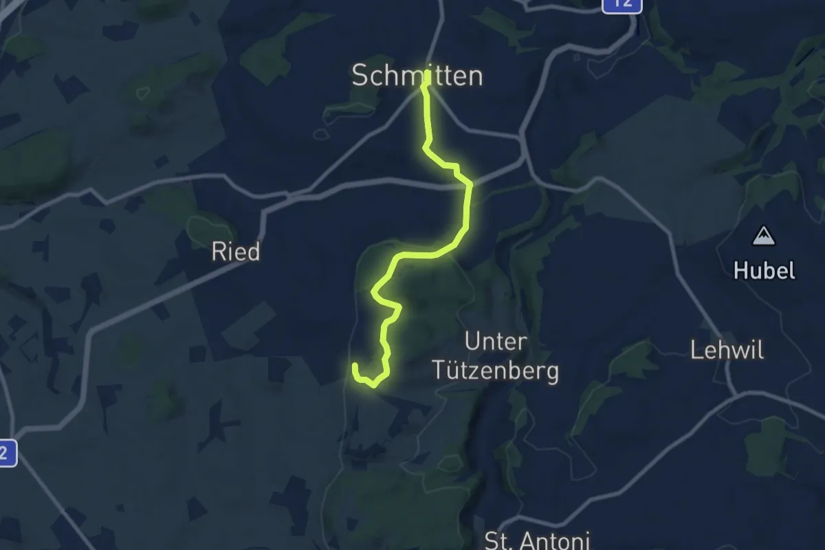
Easy · Trail
Schmitten - Wiler
7.8 km · ↑ 267 m · 2 h 25 min · 9 km away
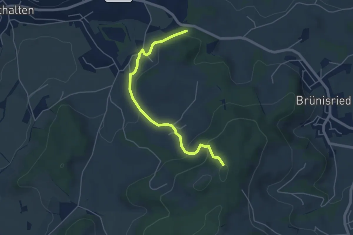
Easy · Trail
Buechenchäppeli - Brügi
4.5 km · ↑ 172 m · 1 h 25 min · 9 km away
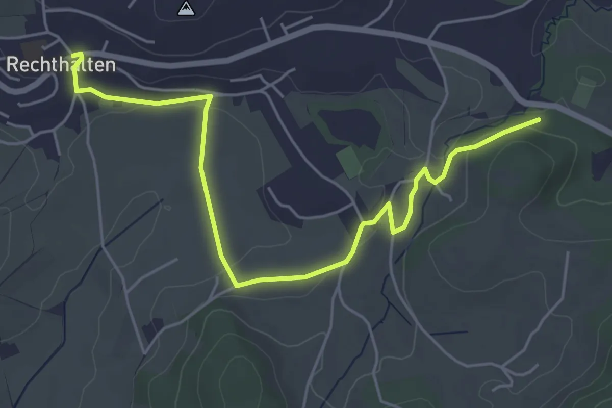
Easy · Trail
Rechthalten - Brügi
5.7 km · ↑ 92 m · 1 h 33 min · 9 km away
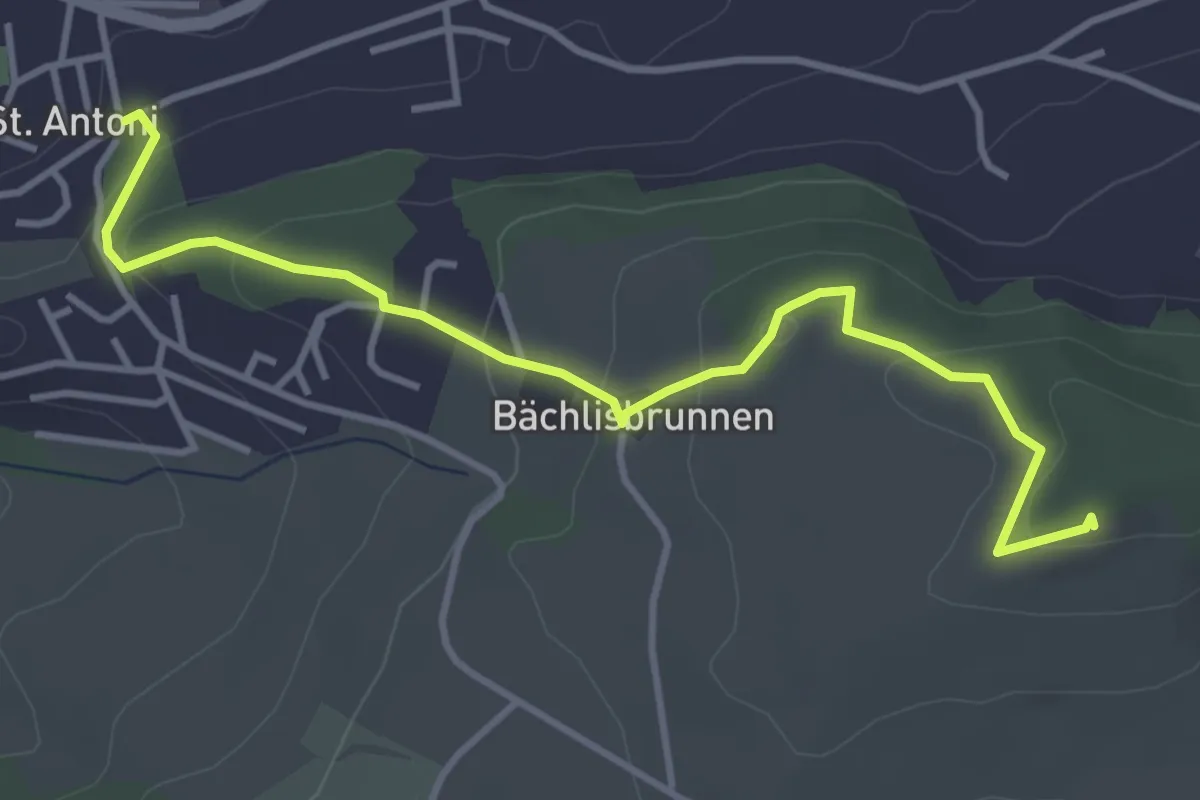
Easy · Trail
St. Antoni - Chutz
4.3 km · ↑ 154 m · 1 h 20 min · 9 km away
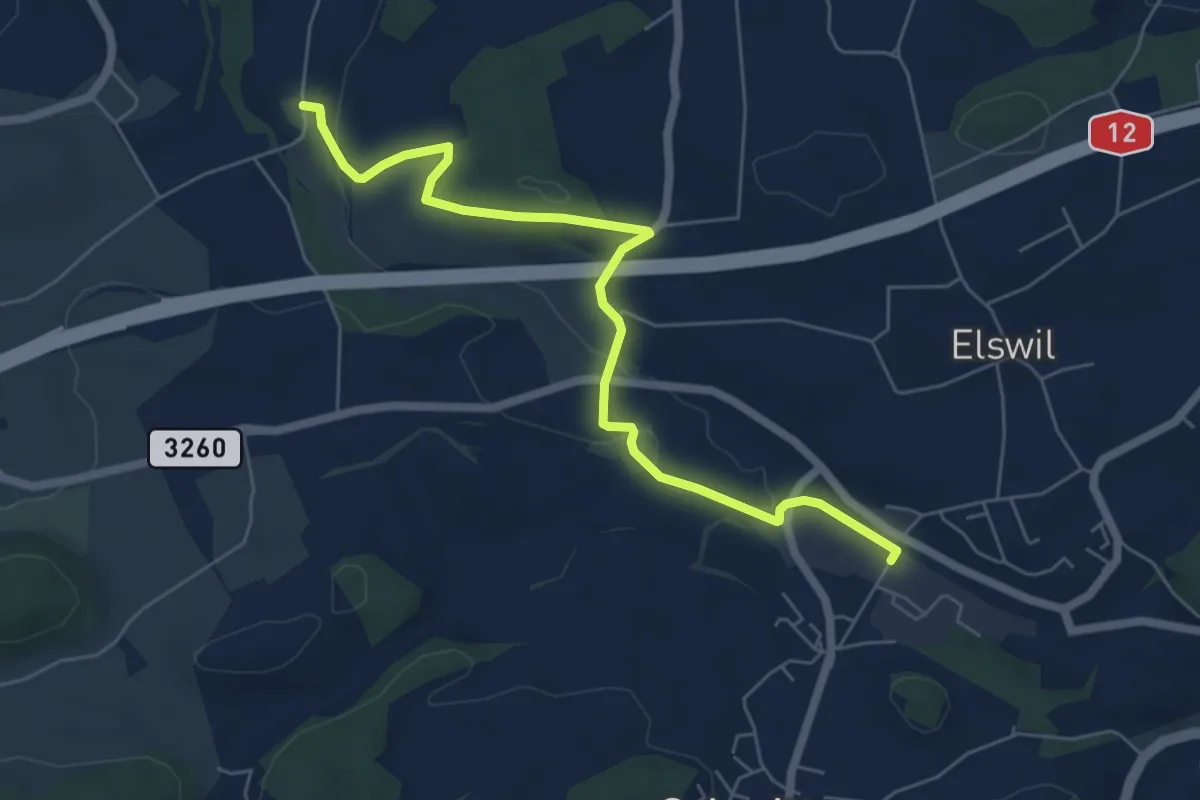
Easy · Trail
Schmitten Station - Richterswil
6.4 km · ↑ 98 m · 1 h 44 min · 9 km away
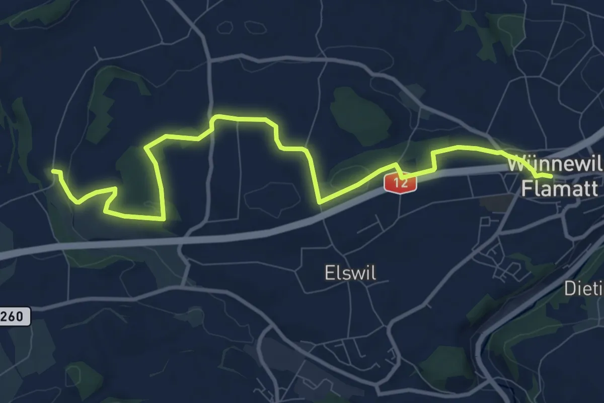
Medium · Trail
Wünnewil - Richterswil
10.8 km · ↑ 181 m · 2 h 57 min · 9 km away
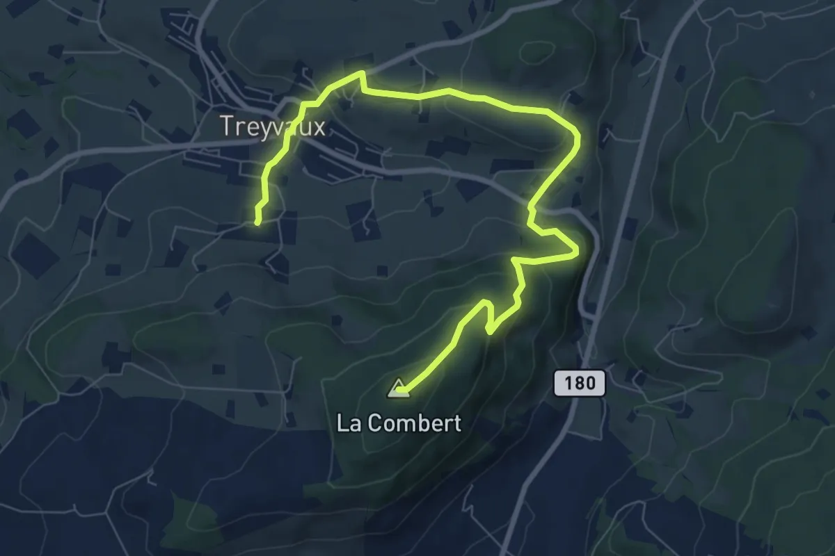
Medium · Summit
Circuit de la Combert par le sommet
9.4 km · ↑ 427 m · 3 h 8 min · 9 km away
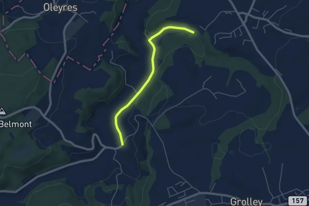
Easy · Trail
Chandon - Le Grabou Cne de Misery
4.0 km · ↑ 70 m · 1 h 5 min · 9 km away
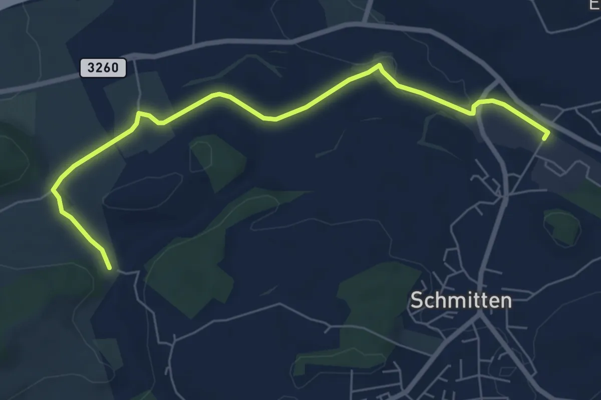
Easy · Trail
Bethlehem - Schmitten Station
6.5 km · ↑ 61 m · 1 h 41 min · 9 km away
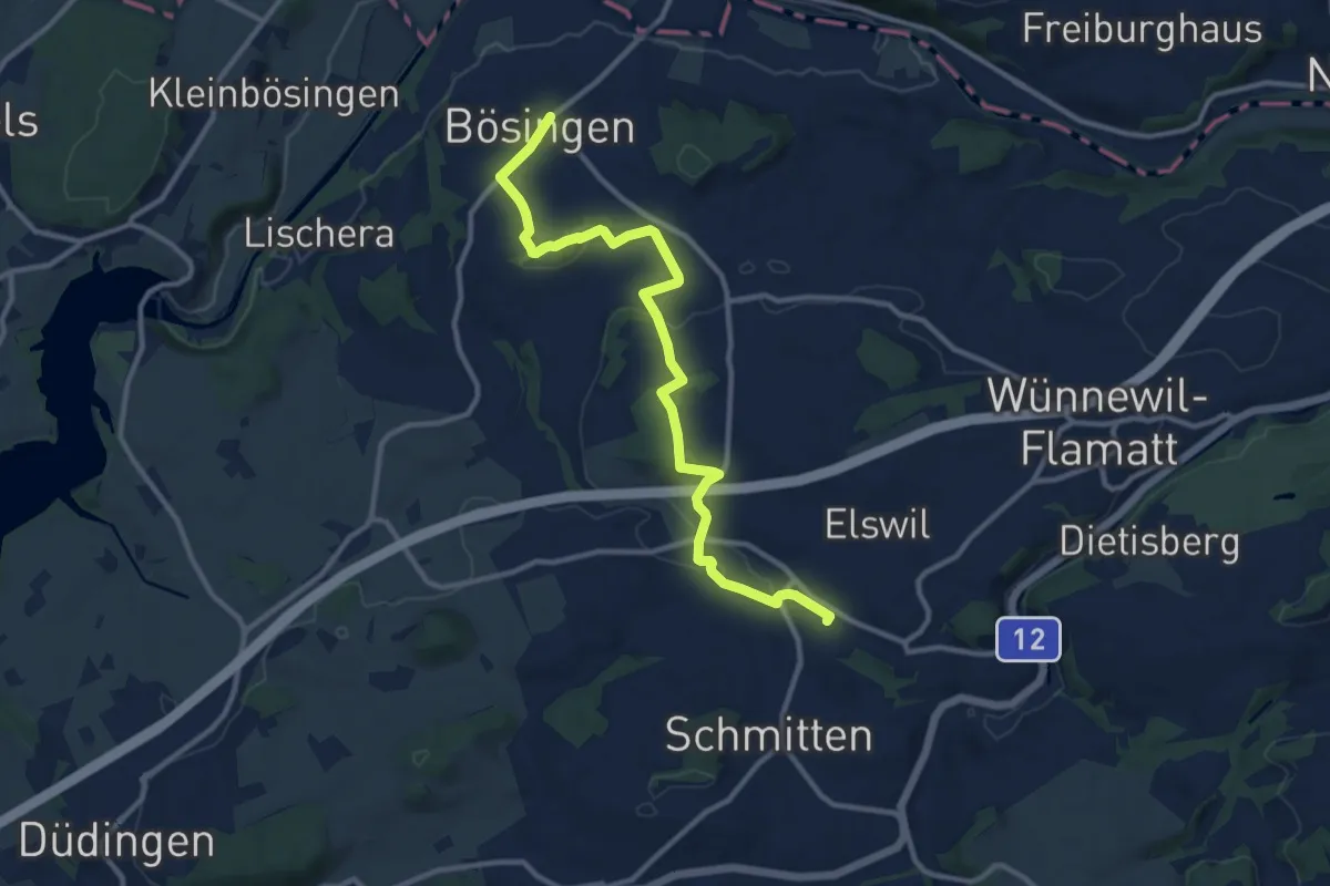
Medium · Trail
Bösingen - Schmitten Station
12.0 km · ↑ 208 m · 3 h 17 min · 9 km away
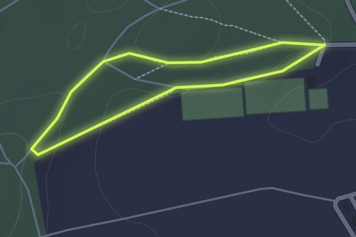
Easy · Trail
Nyruz - Sentier botanique
1.2 km · ↑ 10 m · 19 min · 9 km away
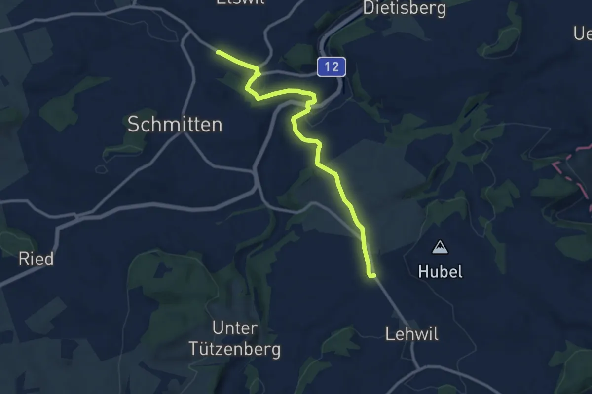
Medium · Trail
Schmitten Station - Niedermuhren
8.3 km · ↑ 157 m · 2 h 18 min · 10 km away
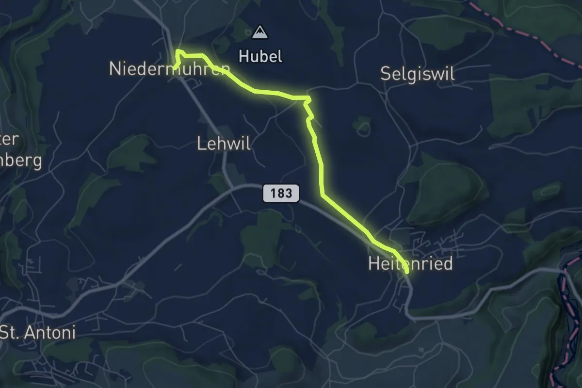
Easy · Trail
Niedermuhren - Heitenried
6.6 km · ↑ 140 m · 1 h 52 min · 10 km away
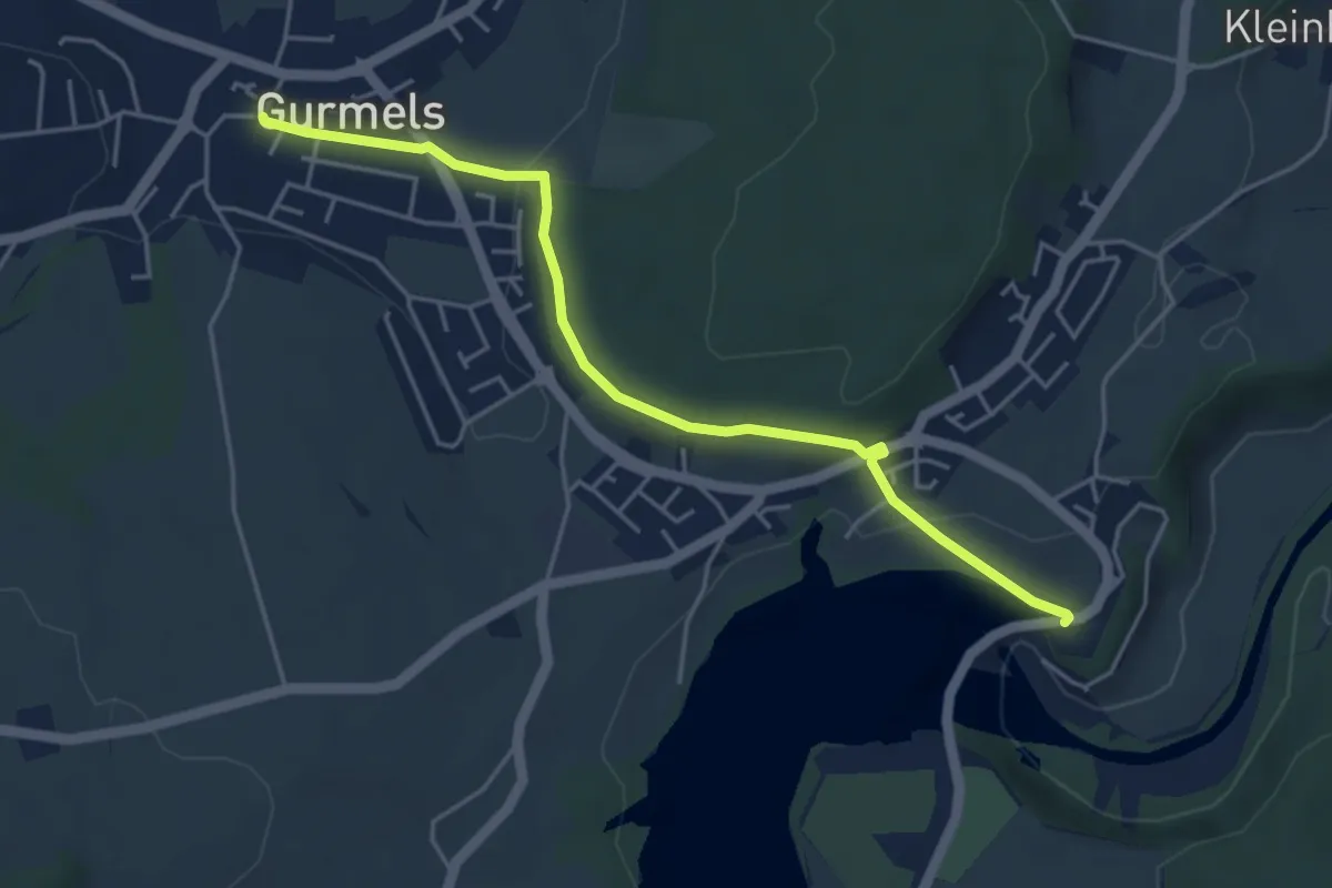
Easy · Trail
Schiffenen / Staumauer – Gurmels
4.7 km · ↑ 84 m · 1 h 17 min · 10 km away
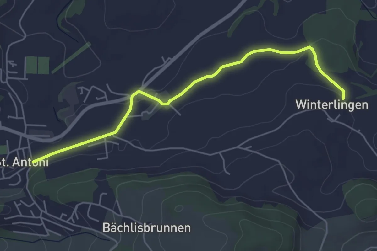
Easy · Trail
St. Antoni - Winterlingen
4.9 km · ↑ 62 m · 1 h 17 min · 10 km away
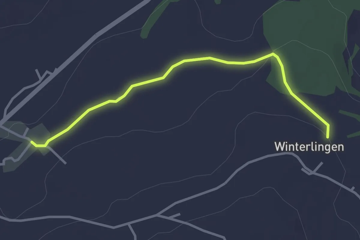
Easy · Trail
Winterlingen - Niedermonten
2.9 km · ↑ 43 m · 47 min · 10 km away
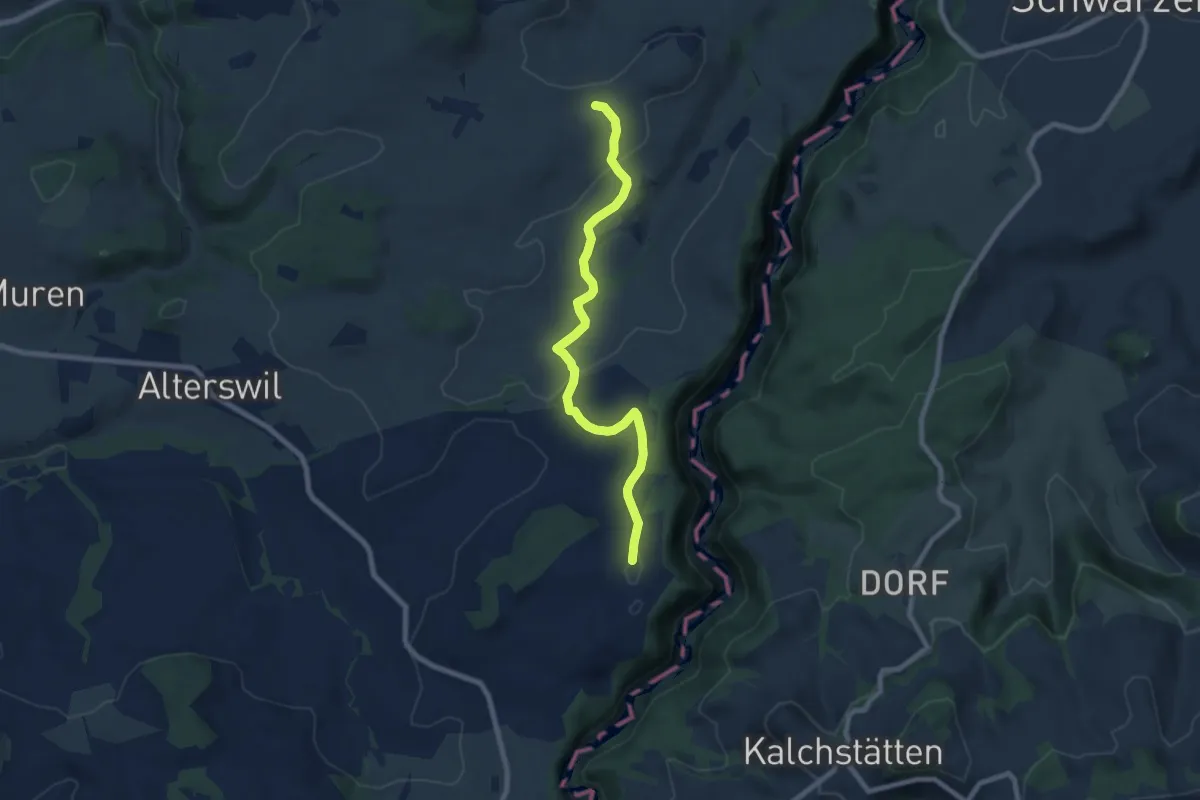
Easy · Trail
Ober Maggenberg - Melisried
8.0 km · ↑ 165 m · 2 h 14 min · 10 km away
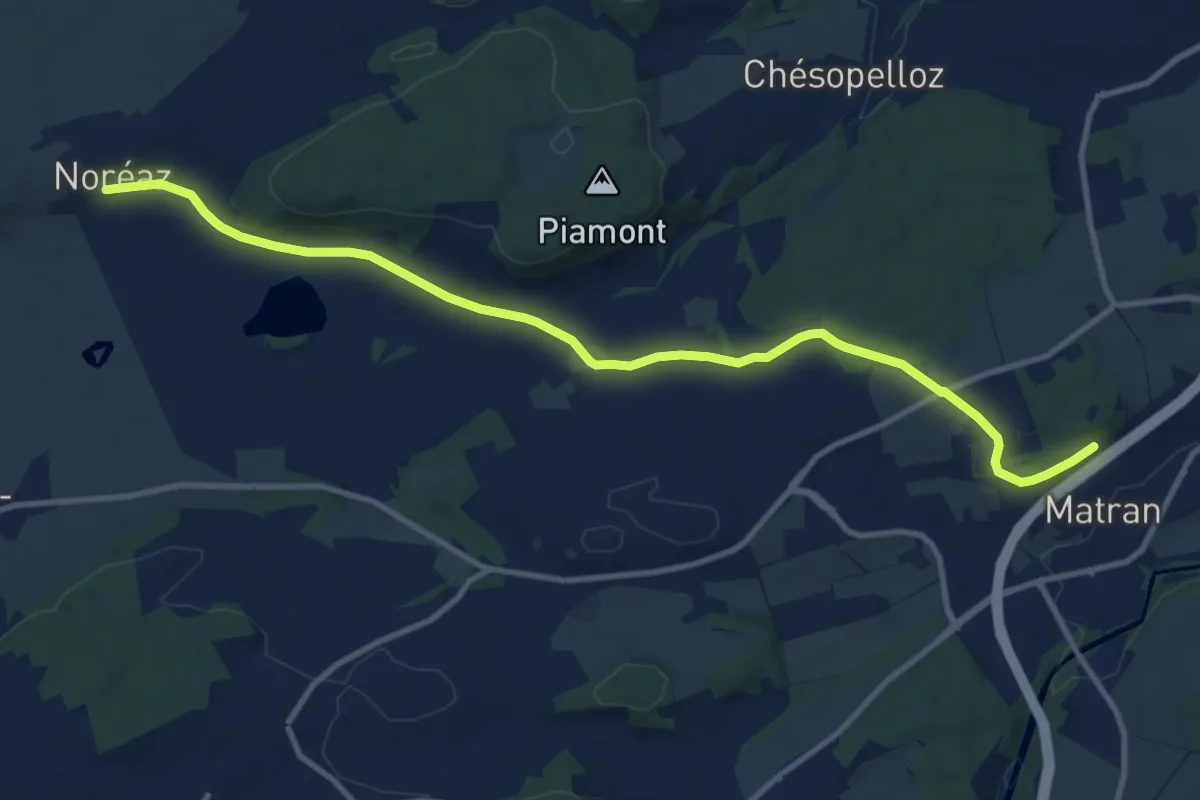
Medium · Trail
Noréaz - Matran
12.0 km · ↑ 177 m · 3 h 13 min · 10 km away
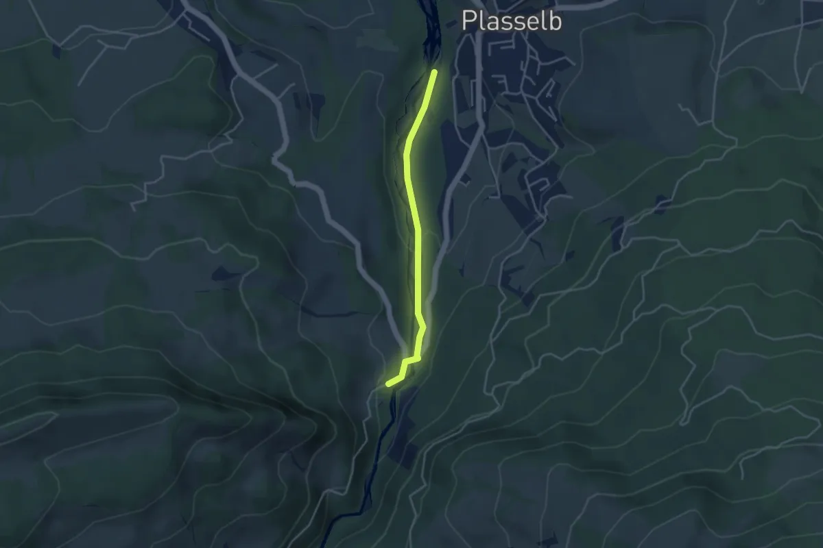
Easy · Trail
Plasselb Ärgerabrücke – Roggeli
3.3 km · ↑ 87 m · 57 min · 10 km away
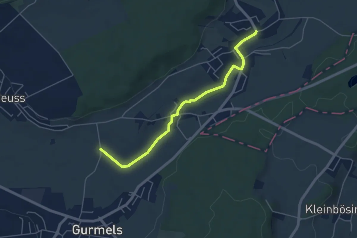
Easy · Trail
Liebistorf – Biberenächer
4.4 km · ↑ 25 m · 1 h 6 min · 10 km away
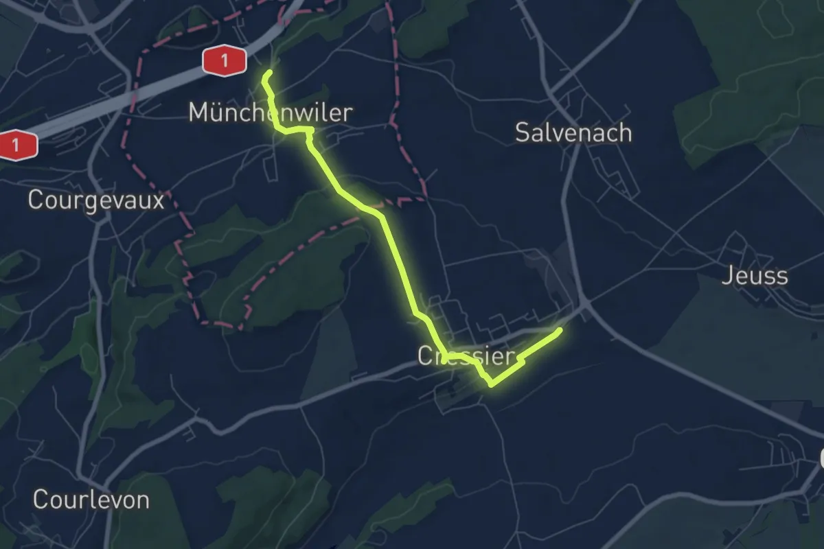
Easy · Trail
Cressier – Münchenwiler Chliholz
6.8 km · ↑ 153 m · 1 h 56 min · 11 km away
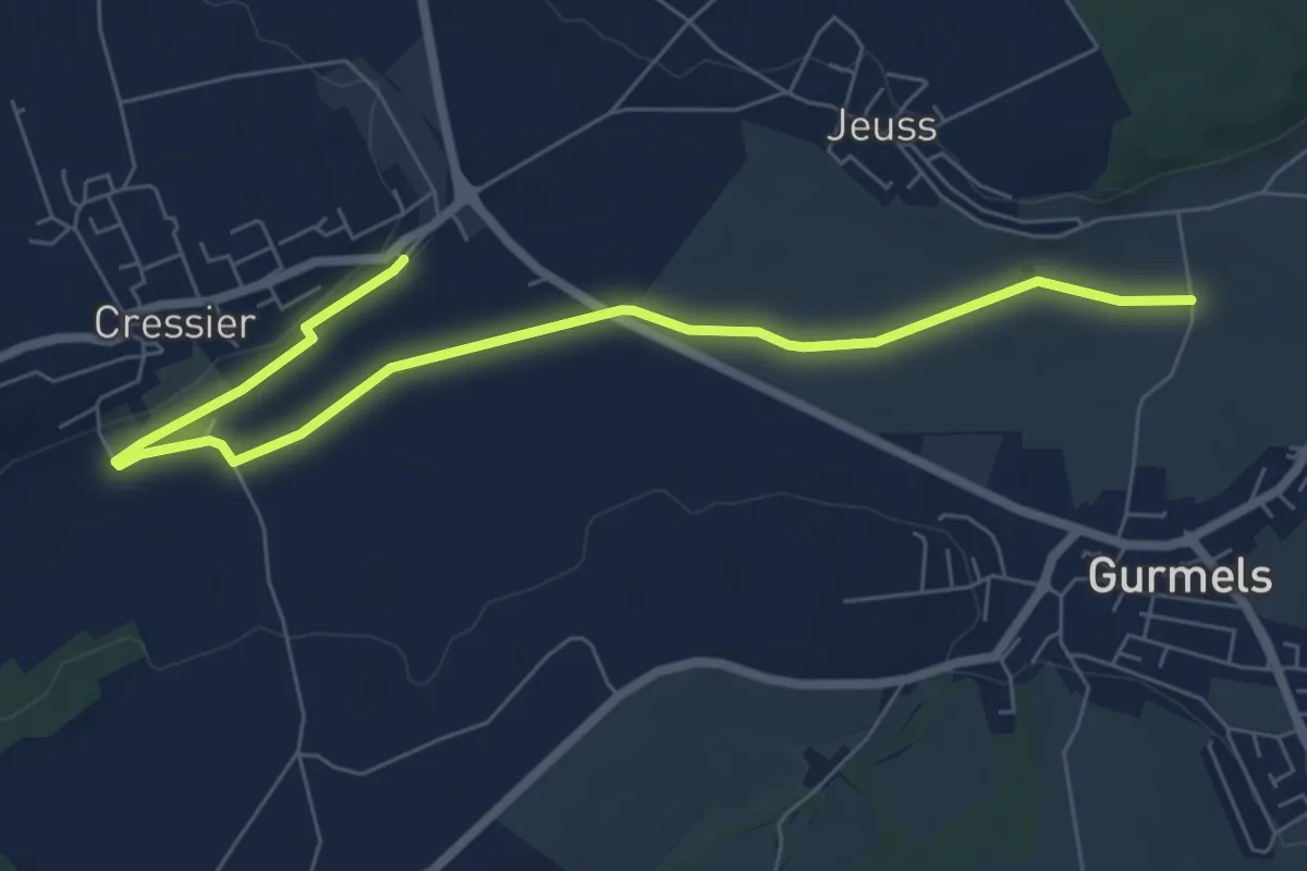
Easy · Trail
Bieberenächer – Cressier
7.8 km · ↑ 21 m · 1 h 53 min · 11 km away