Trails near Fribourg
252 hikes starting within 15 km, nearest first.
Nearest first, page 4 of 6
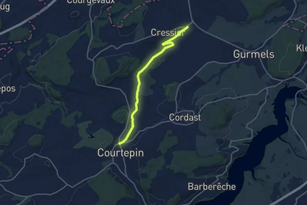
Medium · Trail
Courtepin-gare – Cressier
10.2 km · ↑ 70 m · 2 h 34 min · 11 km away
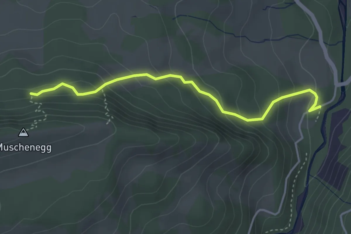
Easy · Trail
Roggeli – Burgerwald
3.6 km · ↑ 266 m · 1 h 25 min · 11 km away
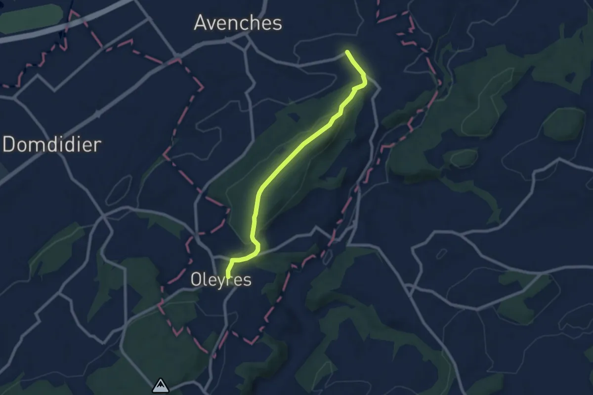
Easy · Trail
Donatyre – Oleyres
6.8 km · ↑ 223 m · 2 h 5 min · 11 km away
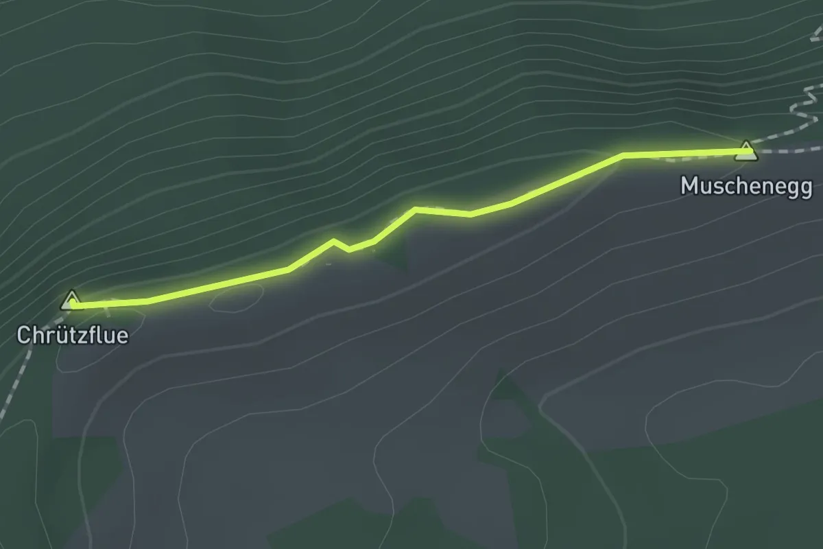
Easy · Summit
Muschenegg – Oberi Gigera
1.4 km · ↑ 42 m · 25 min · 11 km away
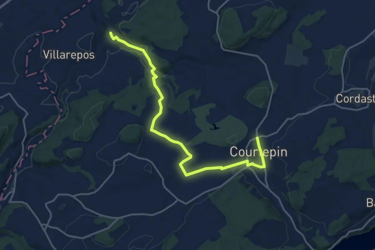
Medium · Trail
Chandossel - Courtepin Nord
13.2 km · ↑ 195 m · 3 h 32 min · 11 km away
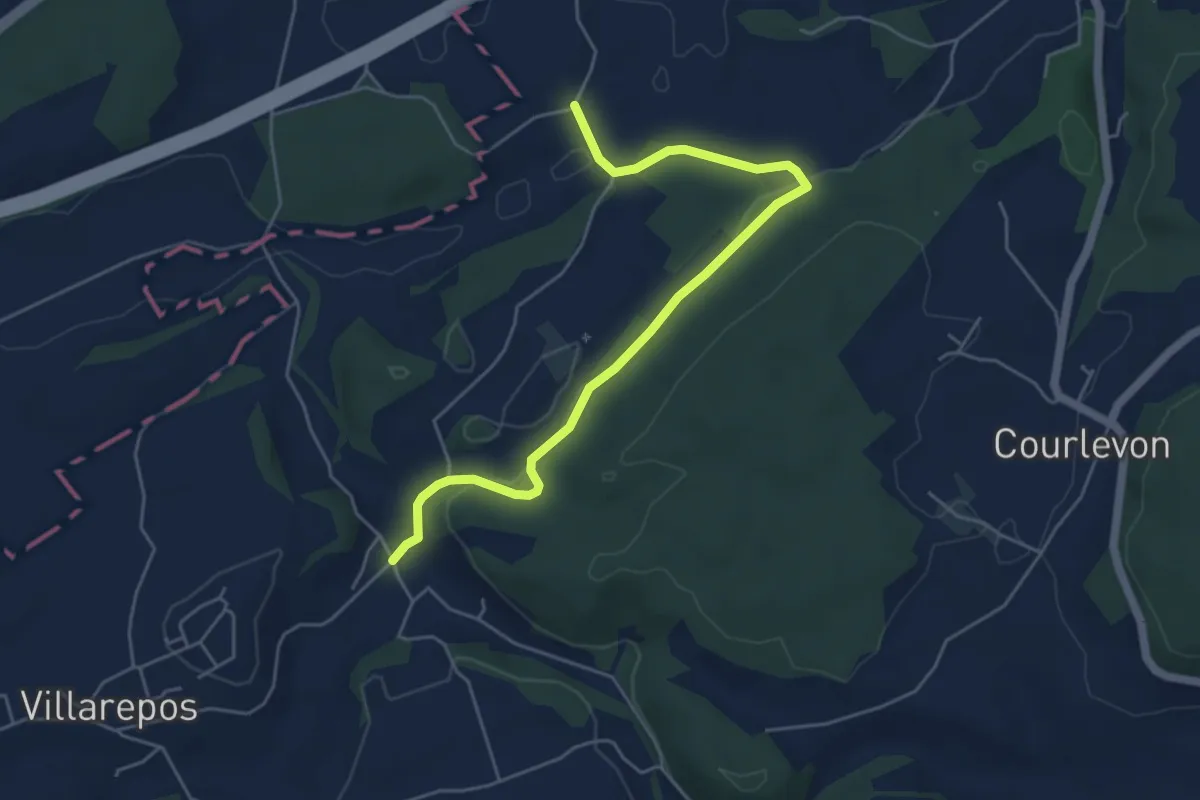
Easy · Trail
Chandossel - Clavaleyer
5.4 km · ↑ 180 m · 1 h 40 min · 11 km away
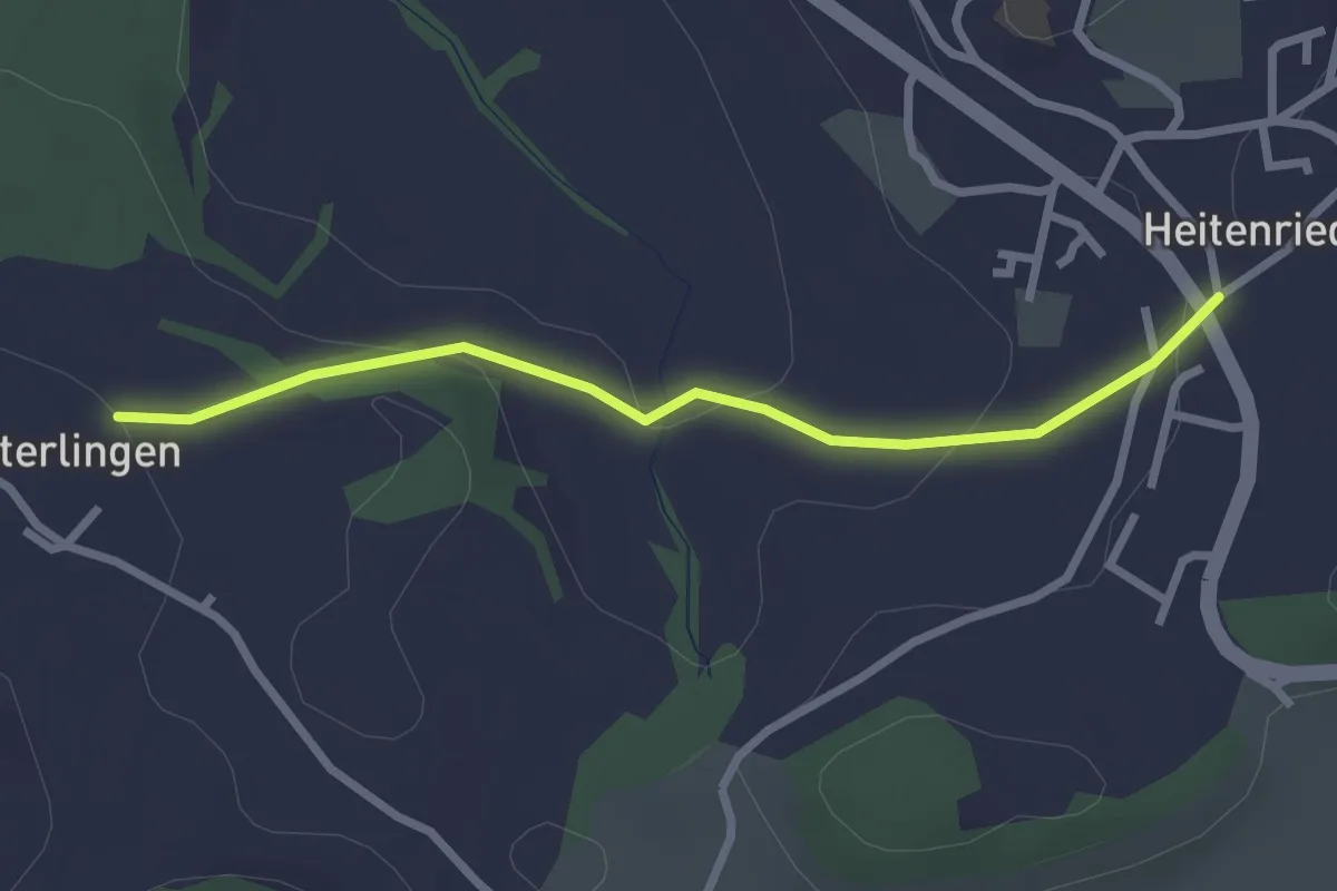
Easy · Trail
Heitenried - Winterlingen
2.5 km · ↑ 71 m · 45 min · 11 km away
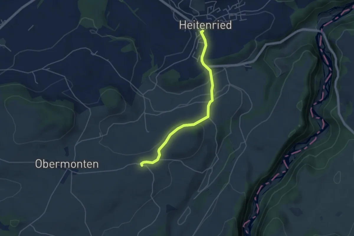
Easy · Trail
Melisried - Heitenried
4.2 km · ↑ 102 m · 1 h 13 min · 11 km away
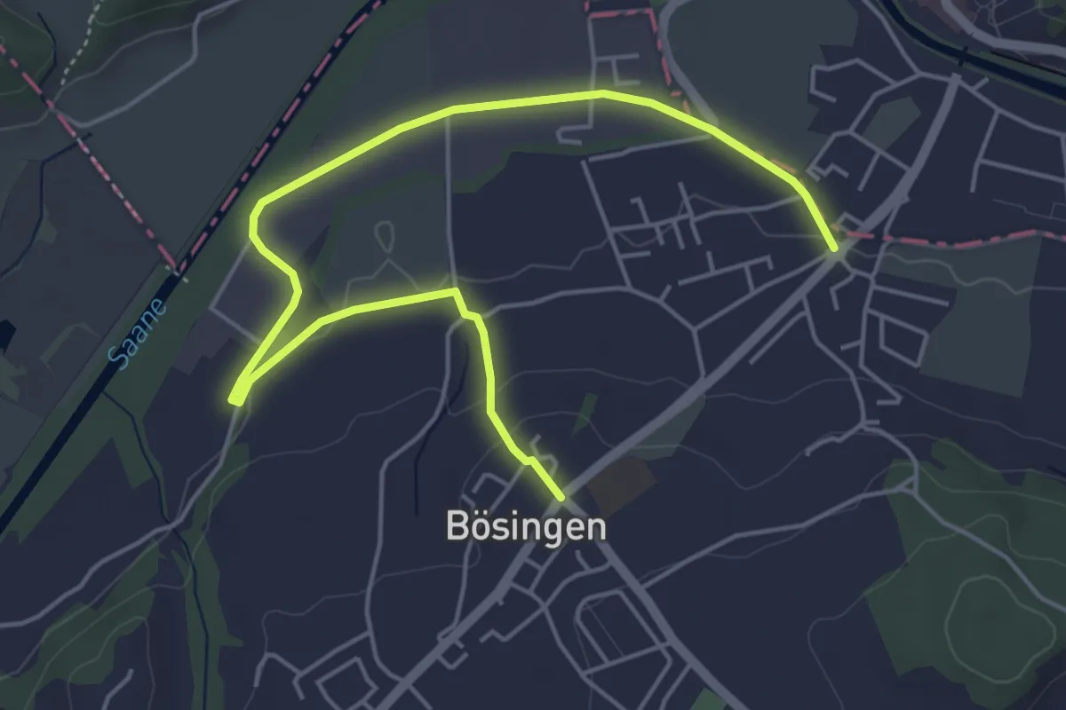
Easy · Trail
Bösingen - Auriedsteg
6.0 km · ↑ 80 m · 1 h 36 min · 11 km away
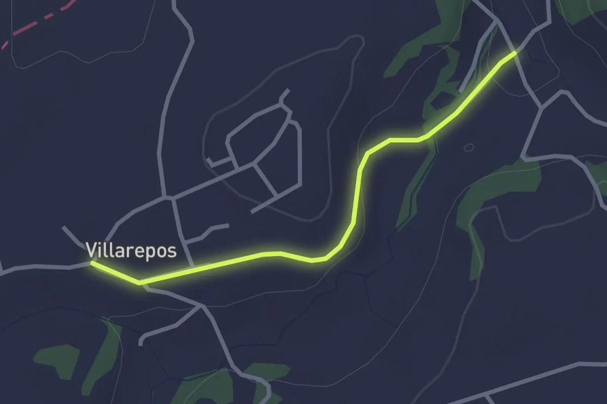
Easy · Trail
Villarepos - Chandossel
2.4 km · ↑ 29 m · 37 min · 11 km away
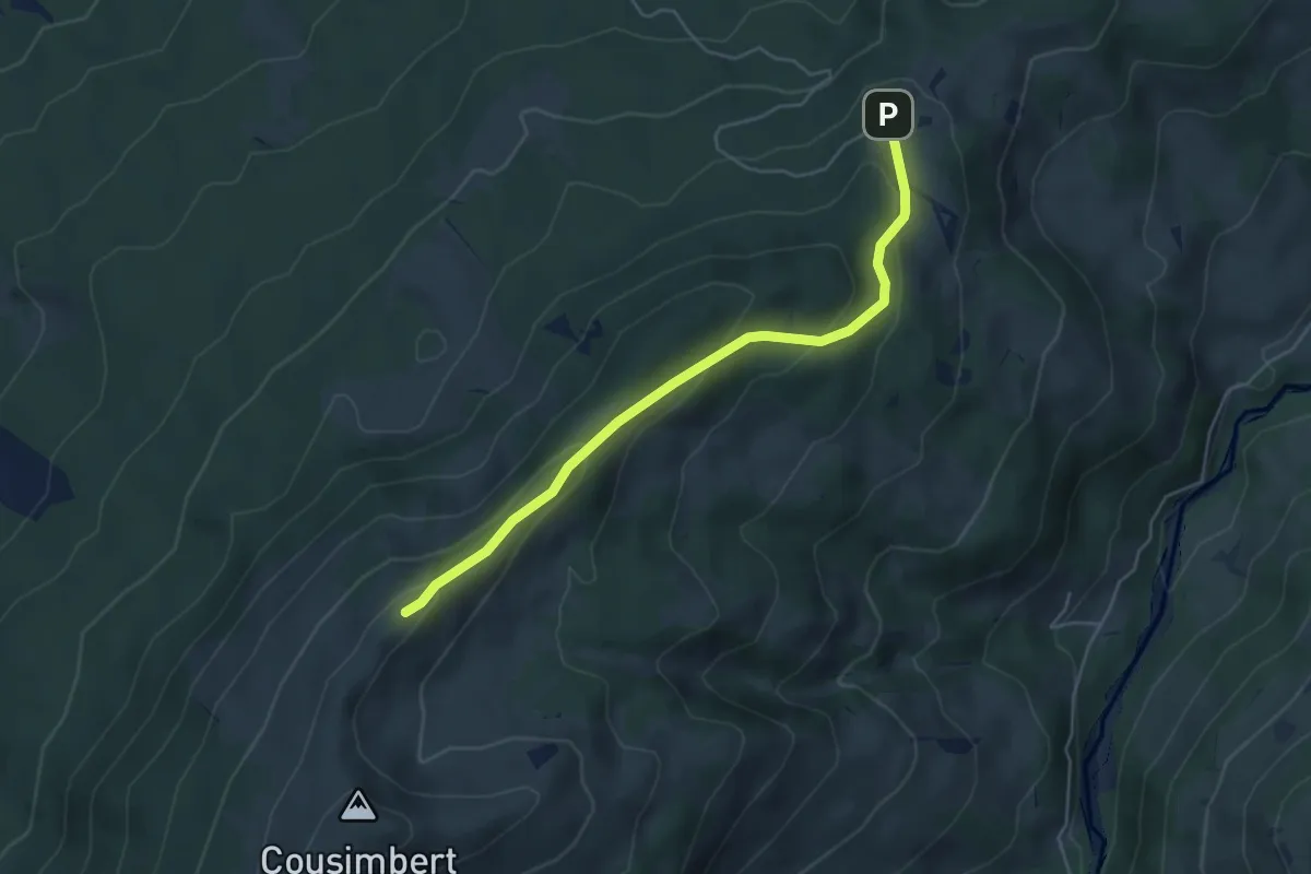
Easy · Cabin
Crau – Gros Cousimbert Käsenberg
4.9 km · ↑ 227 m · 1 h 39 min · 11 km away
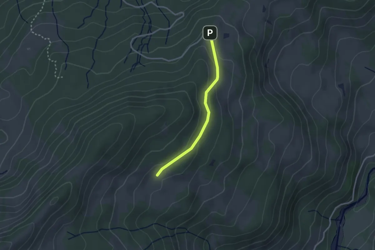
Easy · Cabin
Crau – Wusta
2.3 km · ↑ 68 m · 41 min · 11 km away
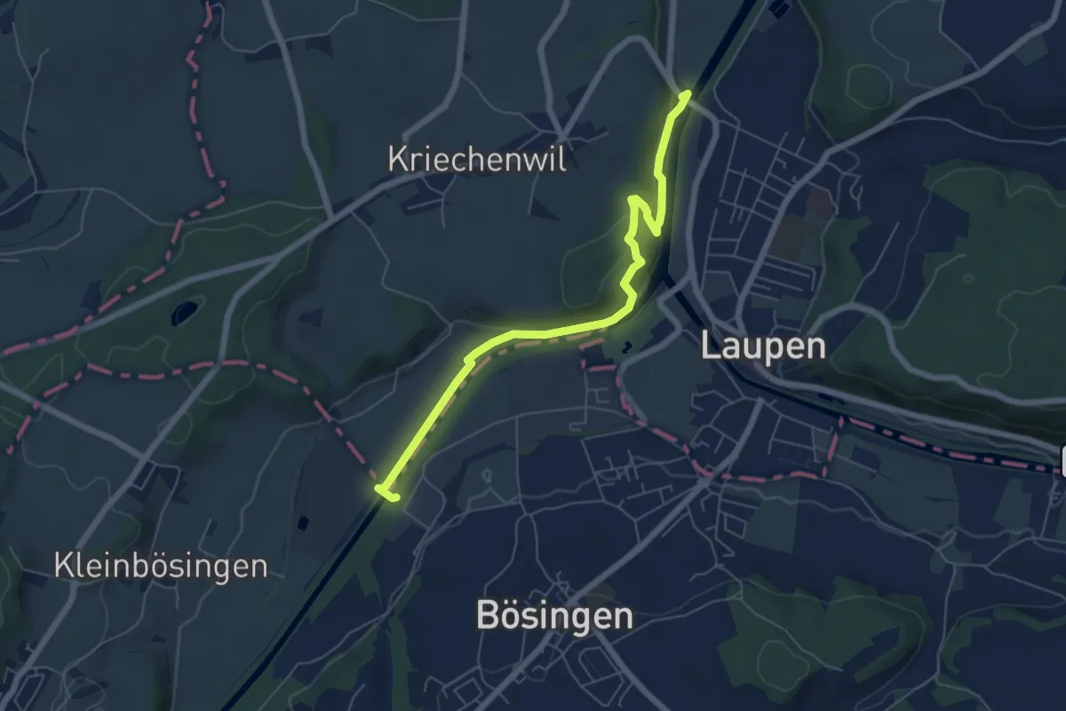
Easy · Trail
Saanebrücke – Auriedsteg
6.1 km · ↑ 177 m · 1 h 50 min · 11 km away
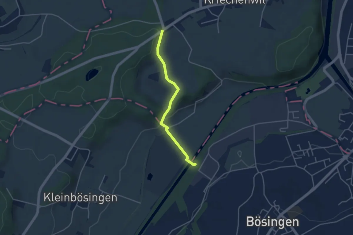
Easy · Trail
Röseli – Auriedsteg
3.0 km · ↑ 63 m · 51 min · 11 km away
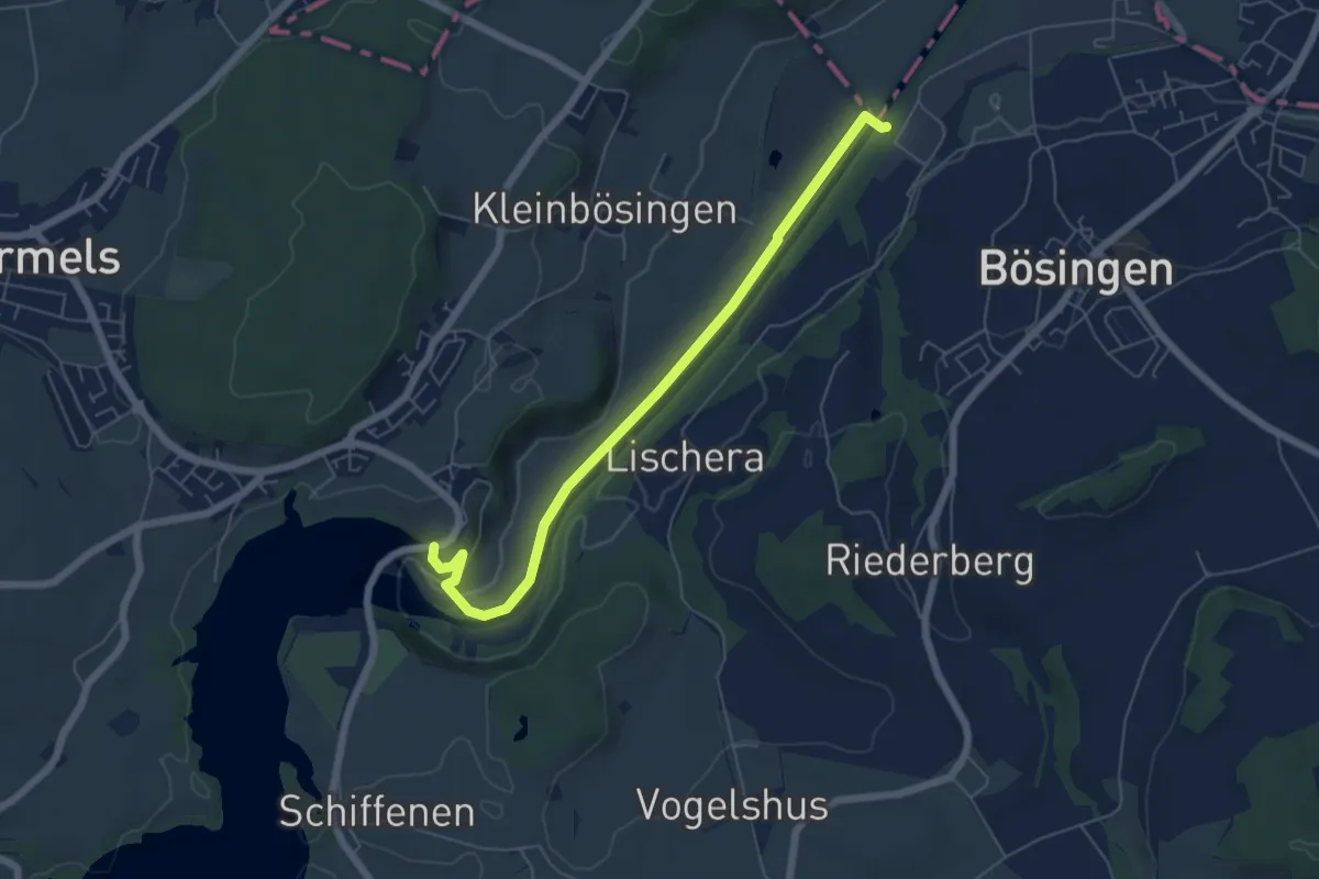
Easy · Trail
Schiffenen / Staumauer - Auriedsteg
6.0 km · ↑ 66 m · 1 h 34 min · 11 km away
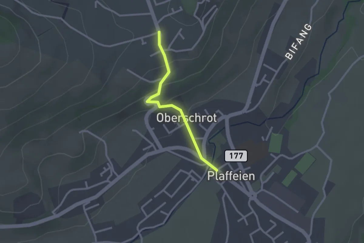
Easy · Trail
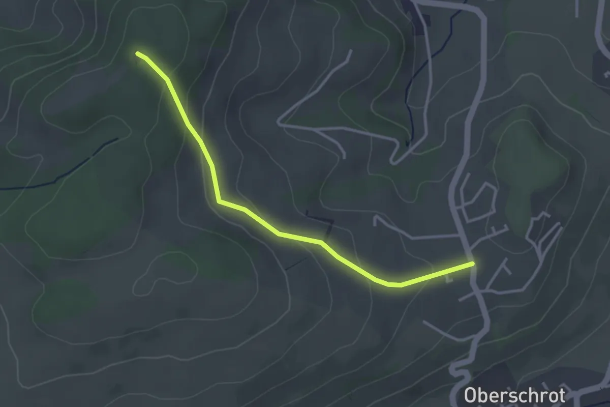
Plaffeien – Berg
2.0 km · ↑ 82 m · 40 min · 11 km away
Easy · Trail
Berg - Buechenchäppeli
3.1 km · ↑ 115 m · 1 h · 11 km away
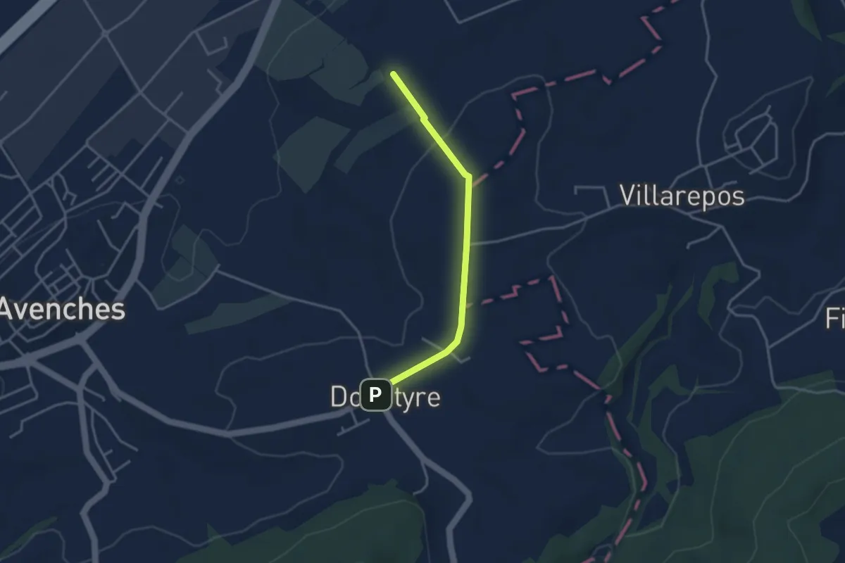
Easy · Trail
La Porte de l'Est - Donatyre
3.1 km · ↑ 36 m · 48 min · 11 km away
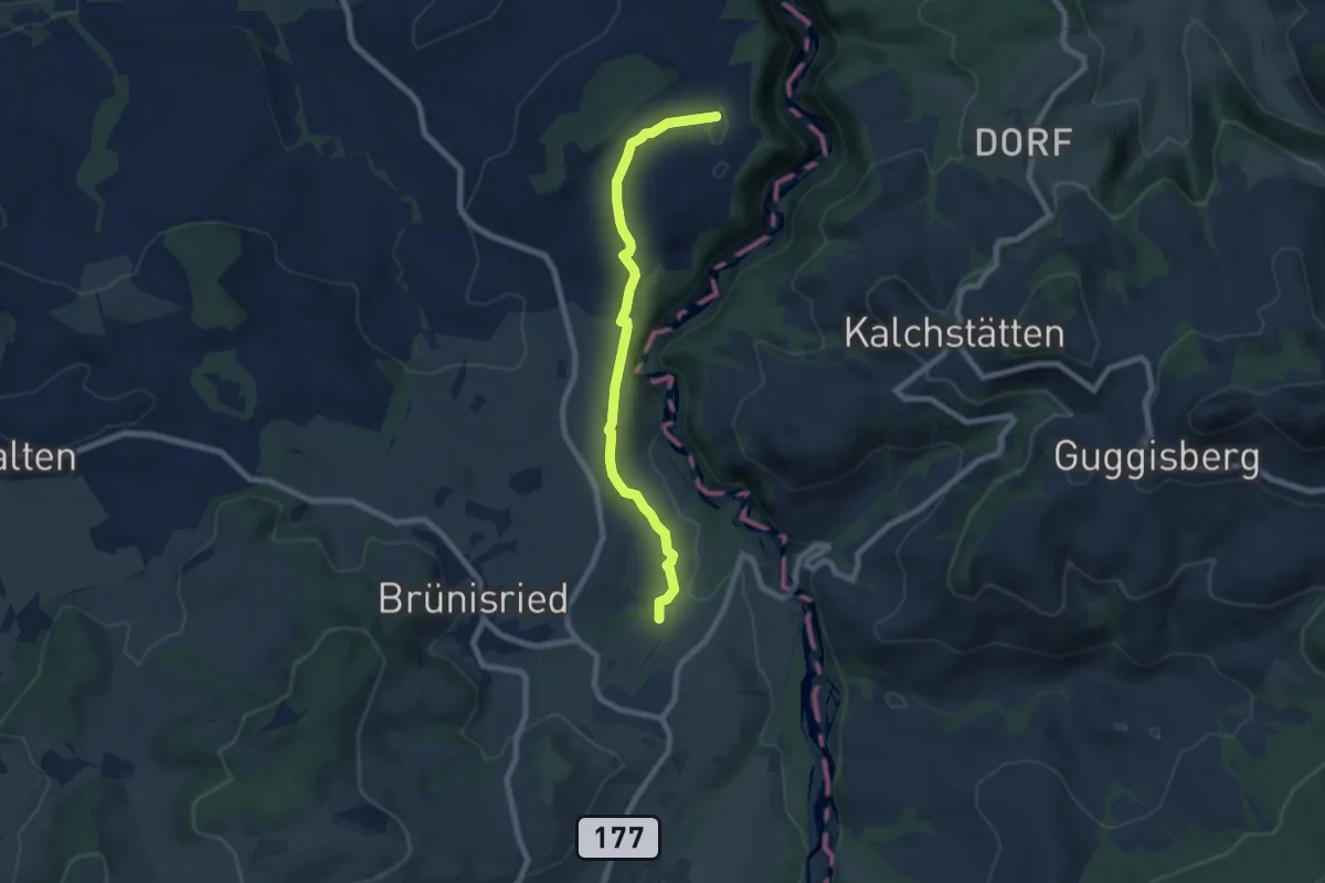
Easy · Trail
Brand - Ober Maggenberg
7.2 km · ↑ 135 m · 2 h · 11 km away
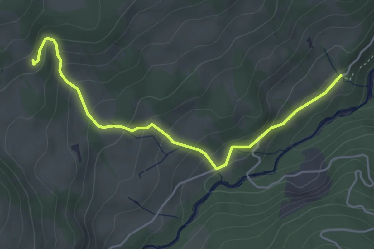
Easy · Trail
Obere Gigera - Hitusvorsass
4.3 km · ↑ 254 m · 1 h 34 min · 11 km away
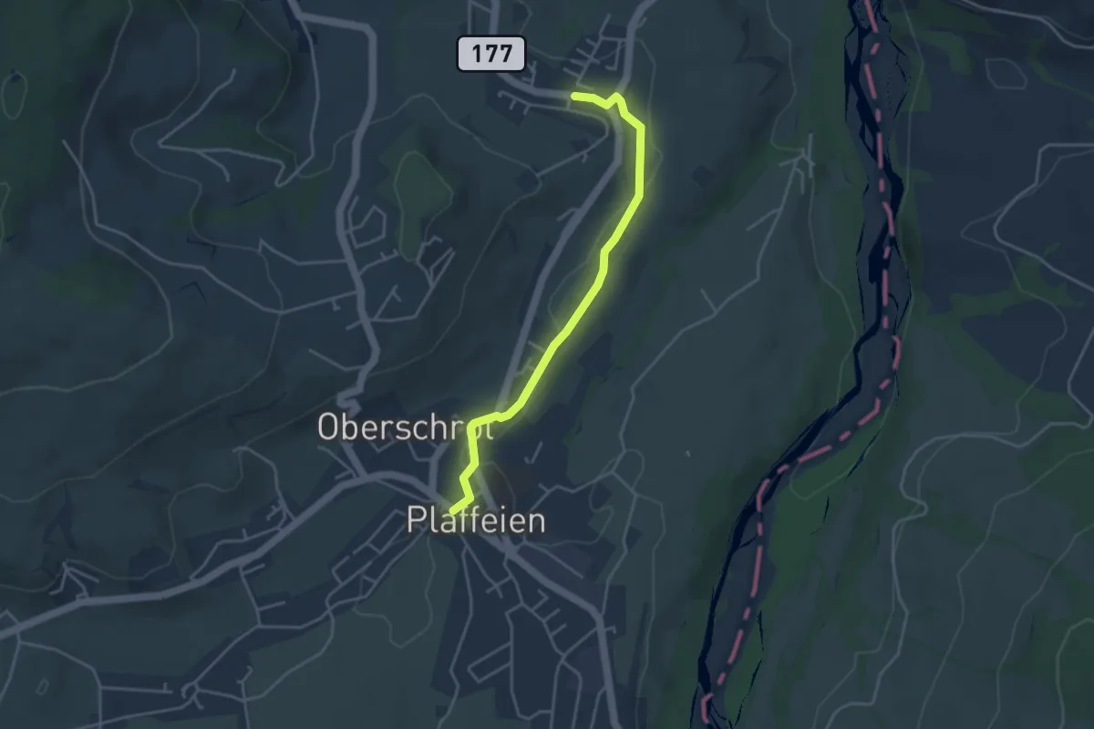
Easy · Trail
Plaffeien – Zumholz
3.7 km · ↑ 41 m · 58 min · 11 km away
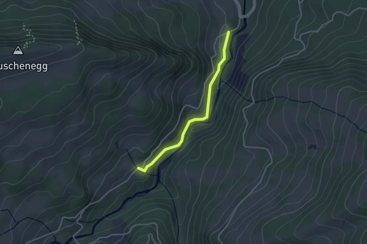
Easy · Trail
Roggeli – Hitusvorsass
2.6 km · ↑ 78 m · 47 min · 11 km away
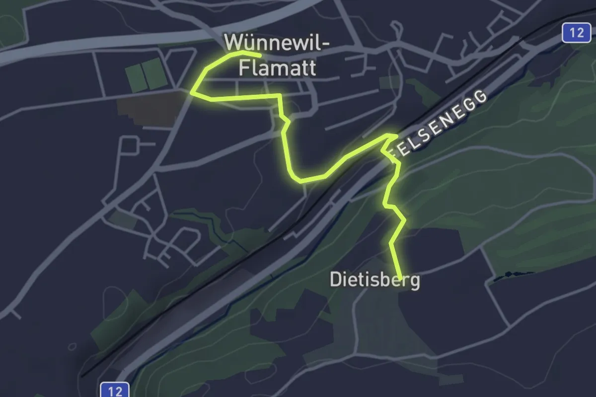
Easy · Trail
Sensler Bauernpfad Wünnewil
3.9 km · ↑ 98 m · 1 h 8 min · 11 km away
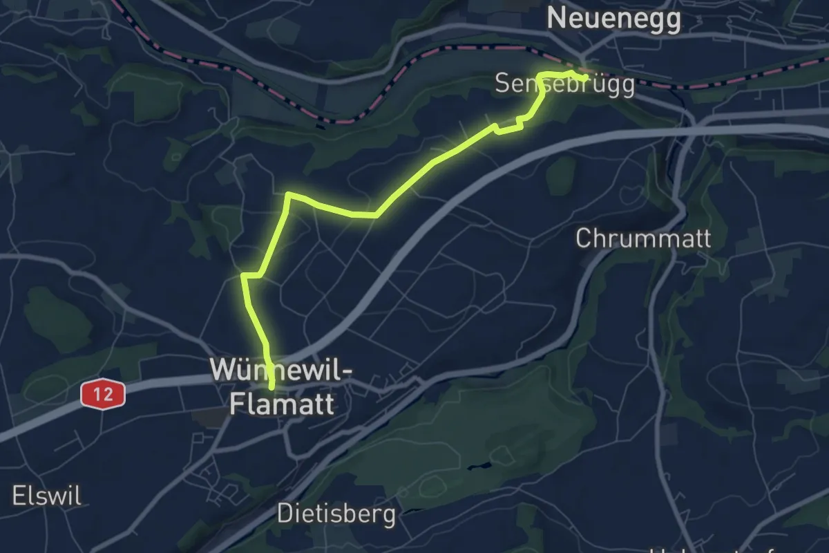
Easy · Trail
Sensebrücke – Wünnewil
7.6 km · ↑ 193 m · 2 h 12 min · 12 km away
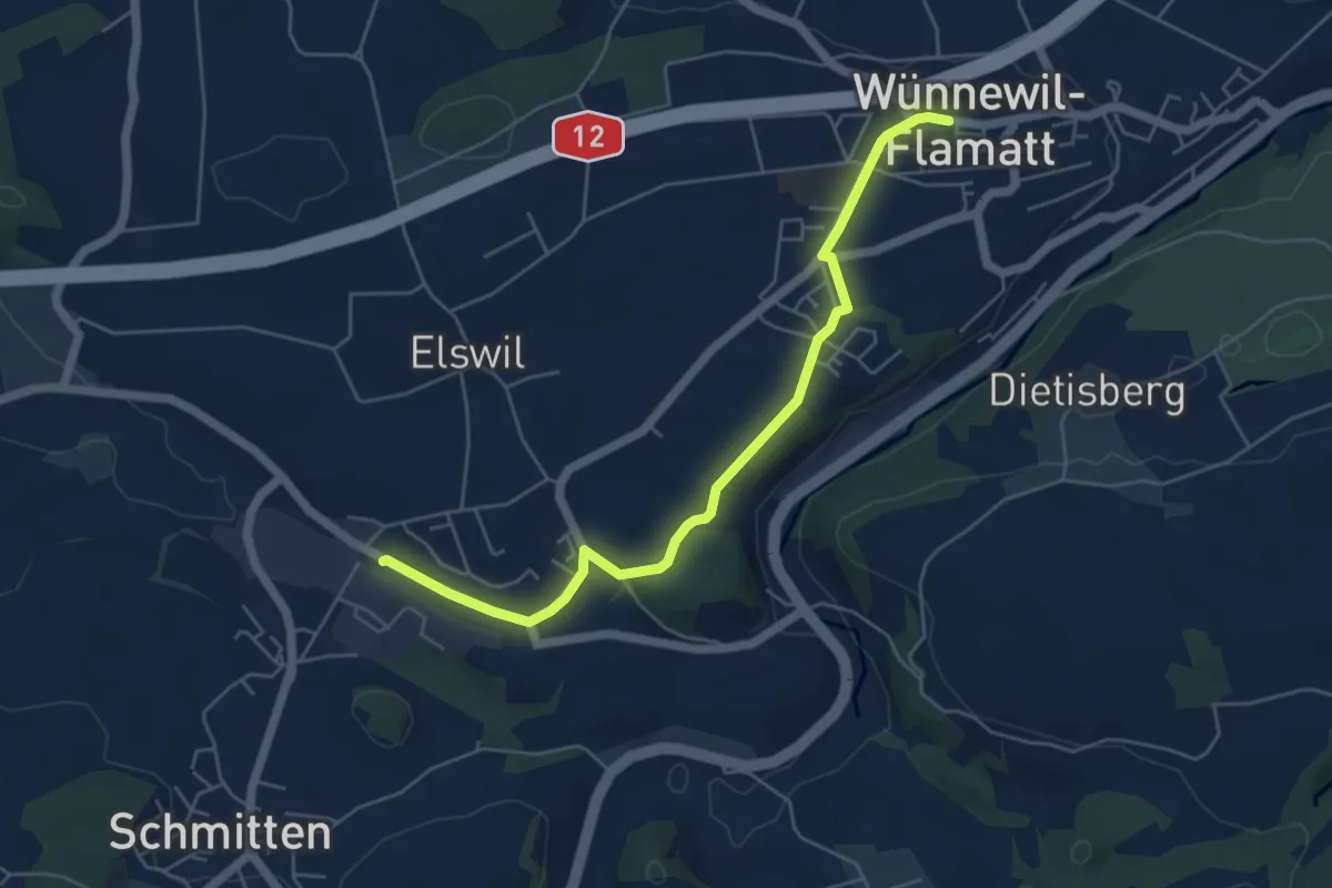
Easy · Trail
Wünnewil - Schmitten Station
5.5 km · ↑ 83 m · 1 h 29 min · 12 km away
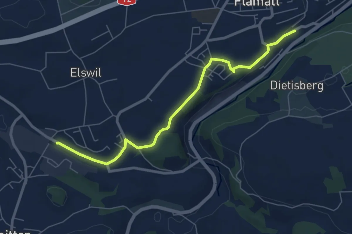
Easy · Trail
Wünnewil SBB - Schmitten Station
5.8 km · ↑ 104 m · 1 h 35 min · 12 km away
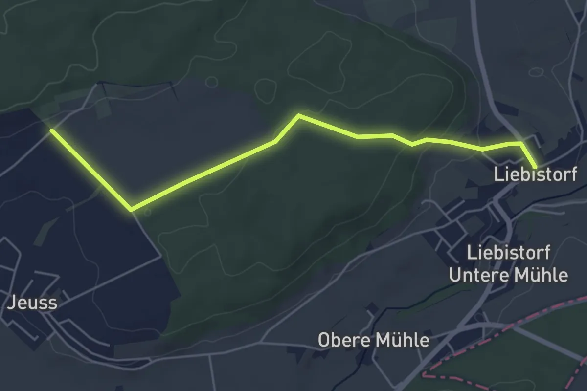
Easy · Trail
Galmguet – Liebistorf
4.8 km · ↑ 104 m · 1 h 22 min · 12 km away
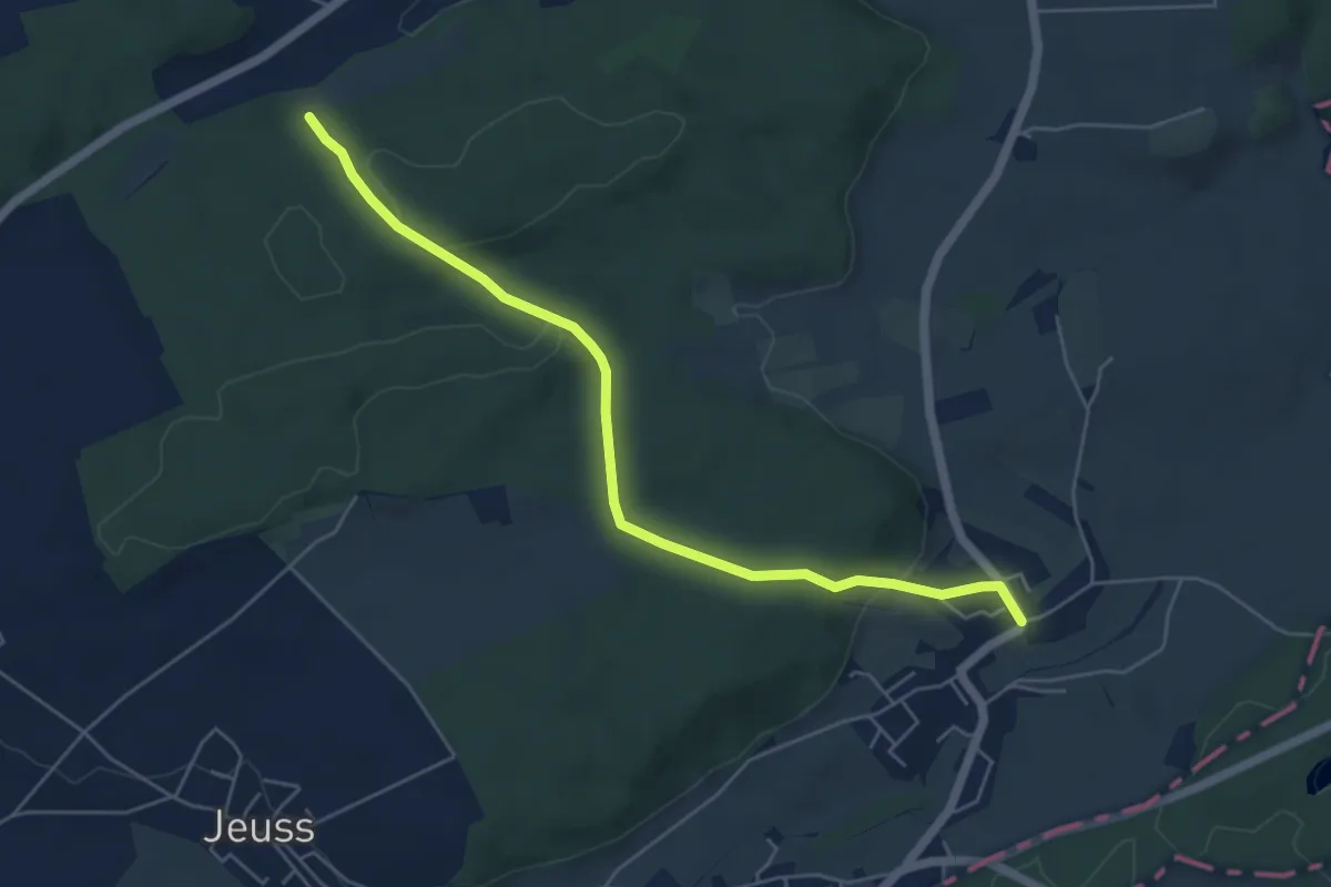
Easy · Trail
Galmacher – Liebistorf
5.6 km · ↑ 134 m · 1 h 37 min · 12 km away
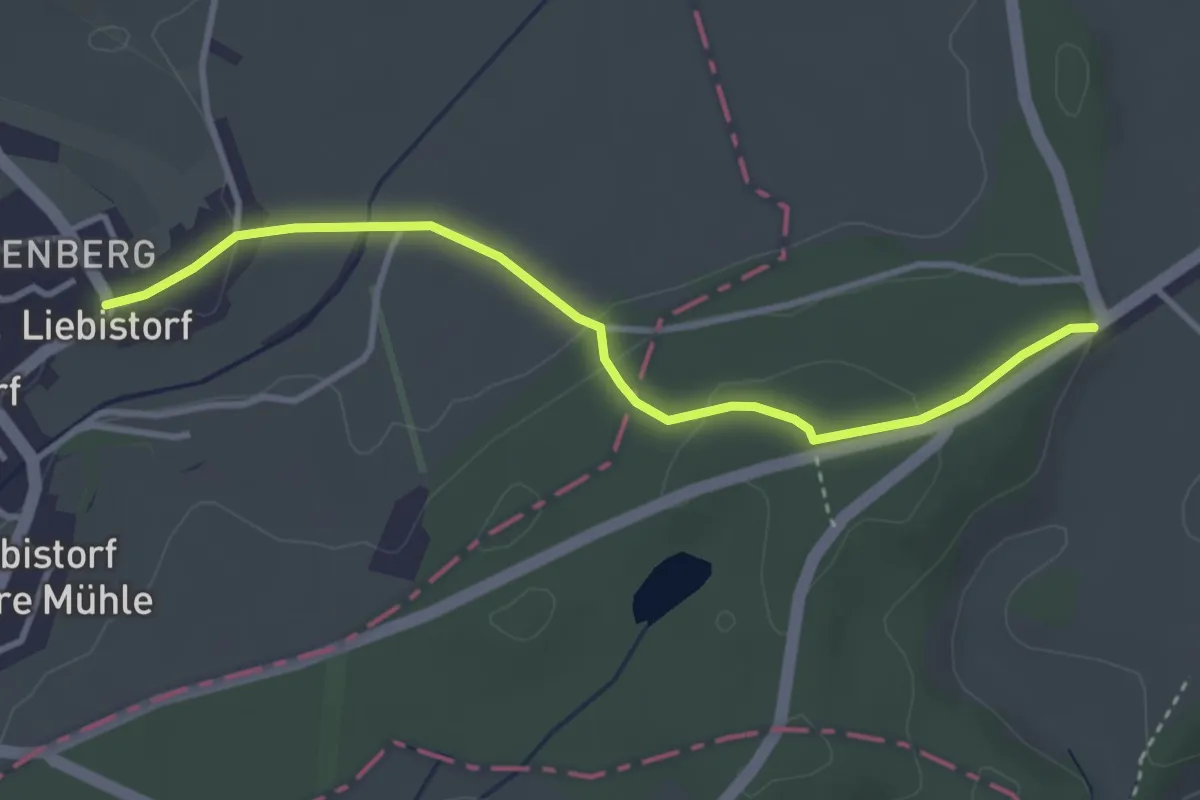
Easy · Trail
Liebistorf – Röseli
3.5 km · ↑ 95 m · 1 h 2 min · 12 km away
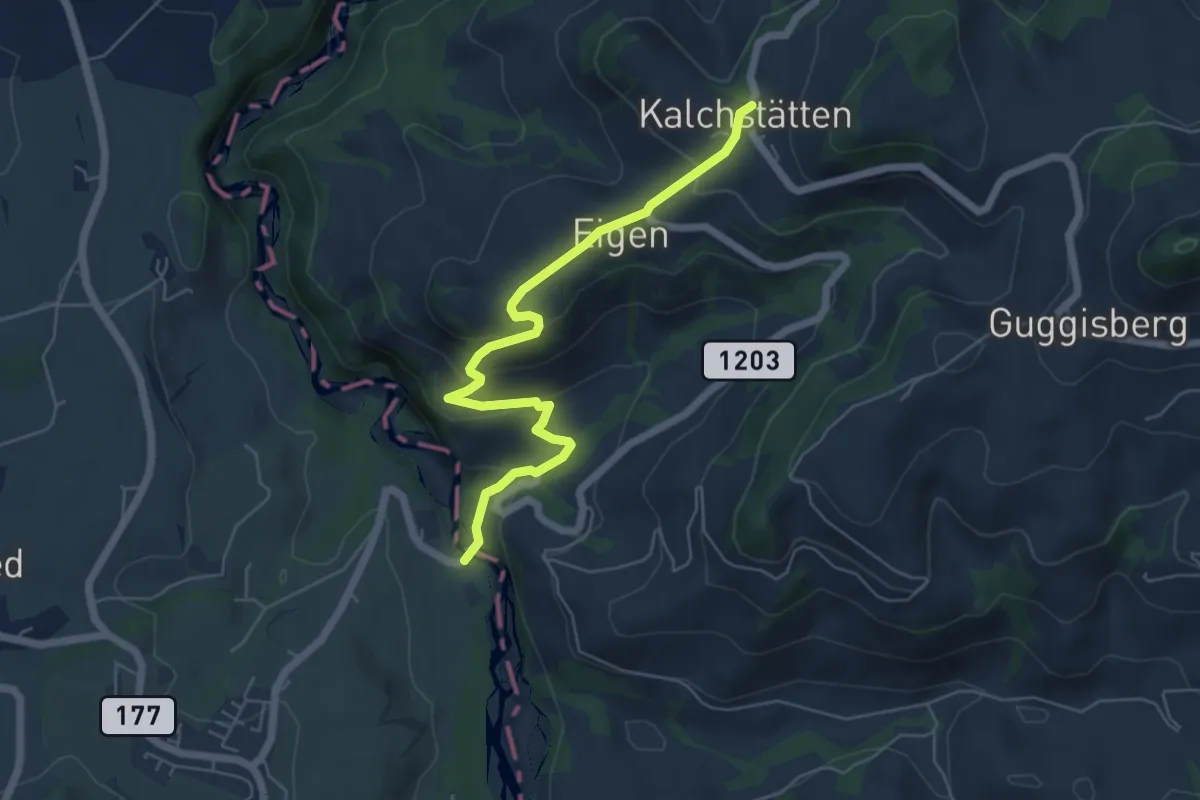
Easy · Trail
Guggersbachbrücke – Kalchstätten
5.8 km · ↑ 268 m · 1 h 57 min · 12 km away
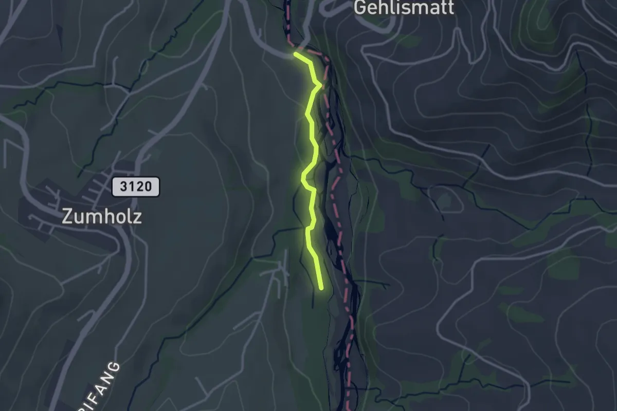
Easy · Trail
Guggersbachbrücke – Füllmattli
2.2 km · ↑ 22 m · 34 min · 12 km away
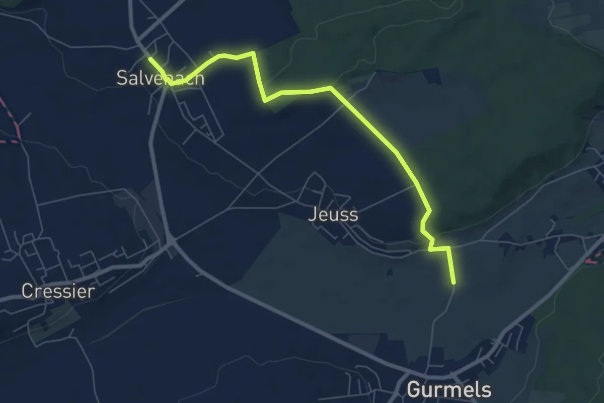
Easy · Trail
Salvenach – Bieberenächer
6.6 km · ↑ 131 m · 1 h 50 min · 12 km away
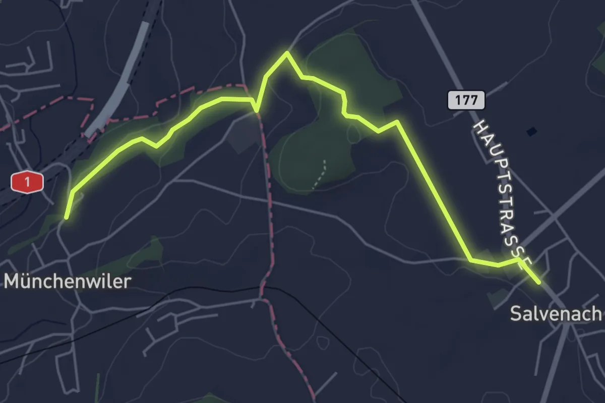
Easy · Trail
Münchenwiler Chliholz – Salvenach
5.6 km · ↑ 110 m · 1 h 33 min · 12 km away
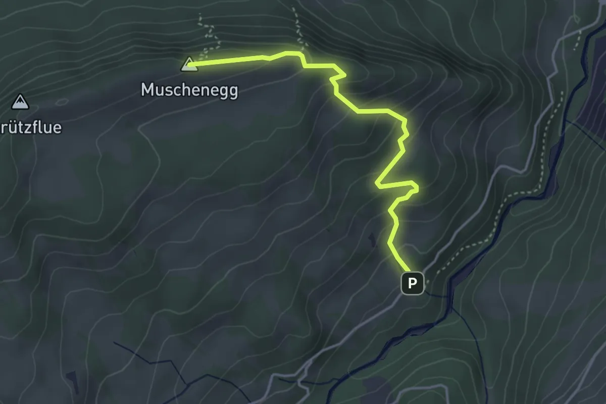
Easy · Summit
Hitusvorsass – Muschenegg
3.9 km · ↑ 263 m · 1 h 29 min · 12 km away
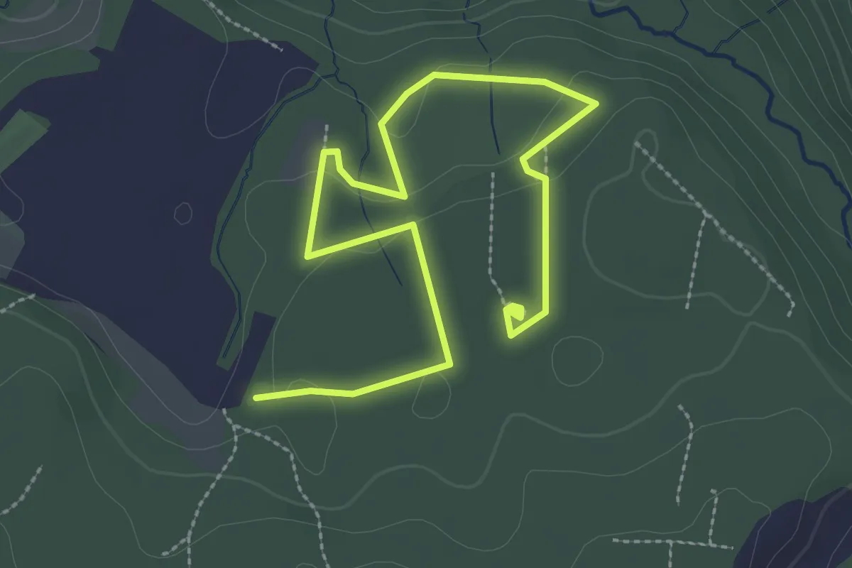
Easy · Trail
Sentier mycologique Chanéaz
3.8 km · ↑ 65 m · 1 h 3 min · 12 km away
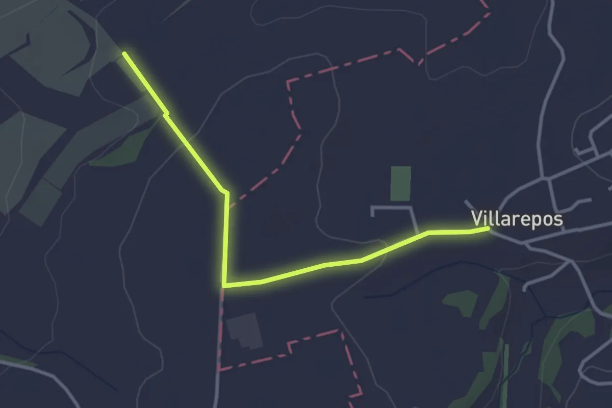
Easy · Trail
Villarepos - La Porte de l'Est
3.1 km · ↑ 54 m · 51 min · 12 km away
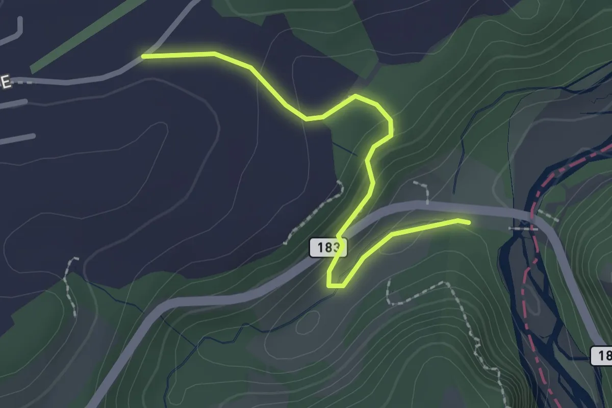
Easy · Trail
Allmend - Sodbachbrücke
2.2 km · ↑ 88 m · 42 min · 12 km away
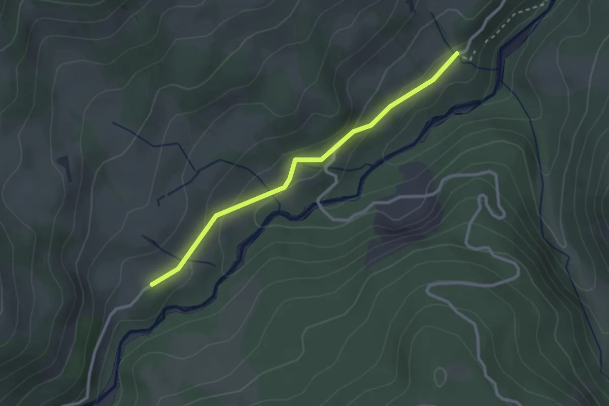
Easy · Trail
Hitusvorsass - fixme
2.6 km · ↑ 88 m · 48 min · 12 km away
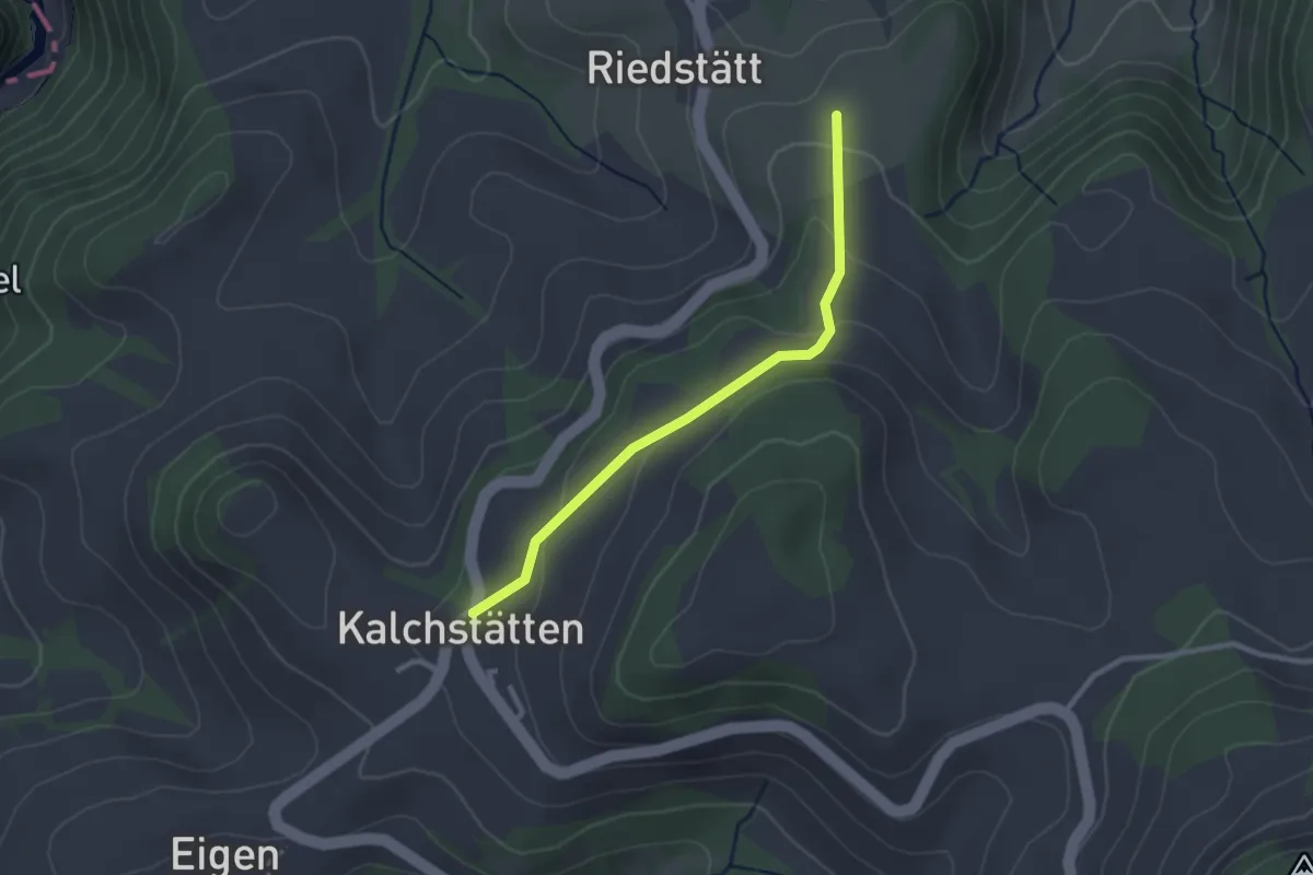
Easy · Trail
Steinern – Kalchstätten
2.5 km · ↑ 113 m · 50 min · 12 km away
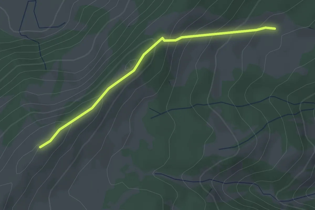
Easy · Cabin
Gros Cousimbert Käsenberg – Wusta
2.7 km · ↑ 180 m · 1 h 2 min · 12 km away
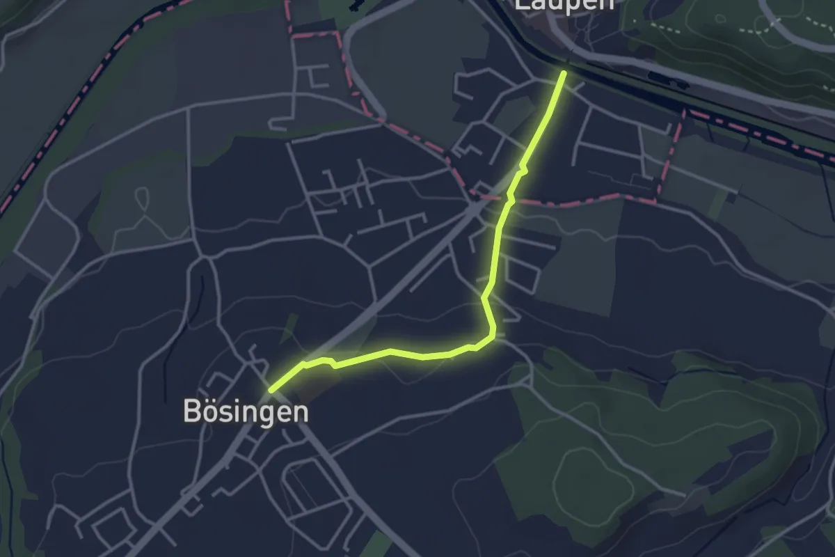
Easy · Trail
Bösingen - Laupen
3.1 km · ↑ 59 m · 51 min · 12 km away
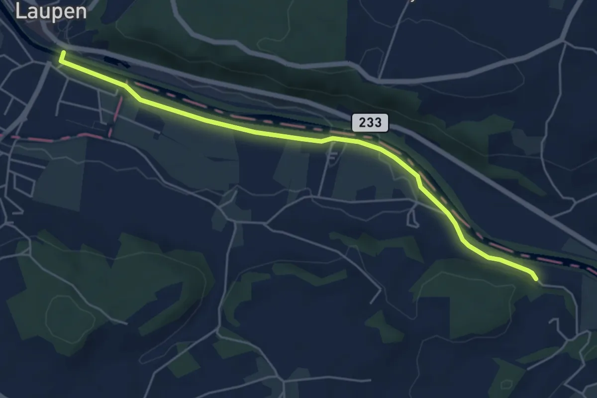
Easy · Trail
Laupen – Noflenau
5.2 km · ↑ 29 m · 1 h 17 min · 12 km away
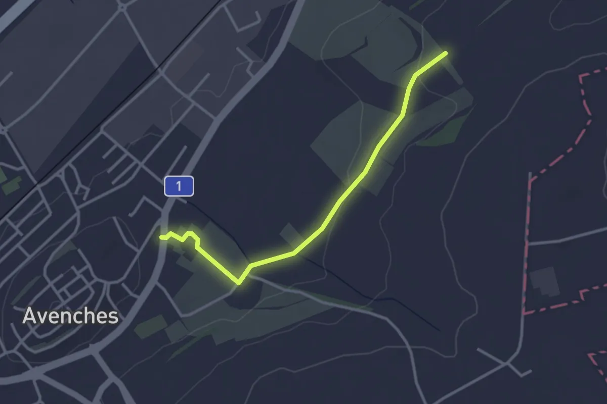
Easy · Trail
La Porte de l'Est - Le Cigognier
3.0 km · ↑ 37 m · 47 min · 12 km away
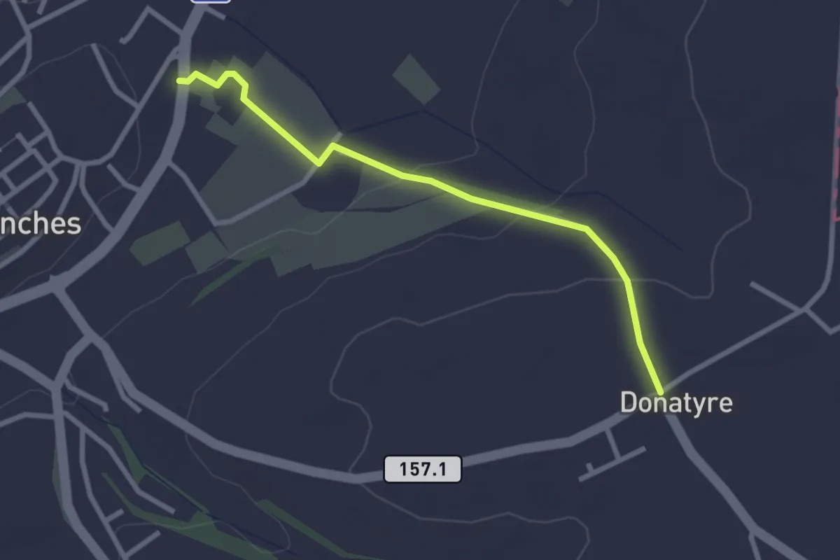
Easy · Trail
Avenches - Donatyre
2.6 km · ↑ 58 m · 44 min · 12 km away
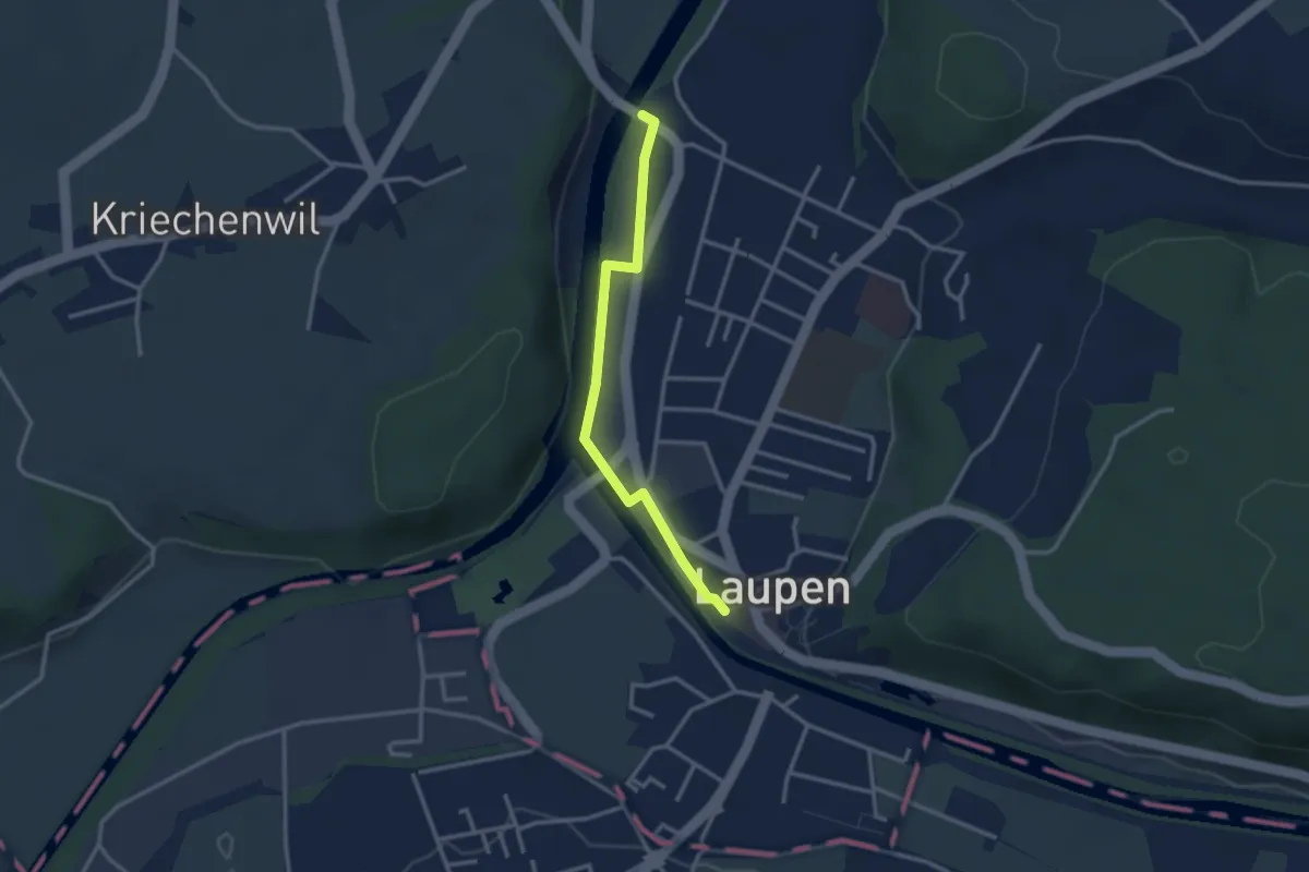
Easy · Trail
Saanebrücke – Laupen
2.8 km · ↑ 15 m · 41 min · 12 km away
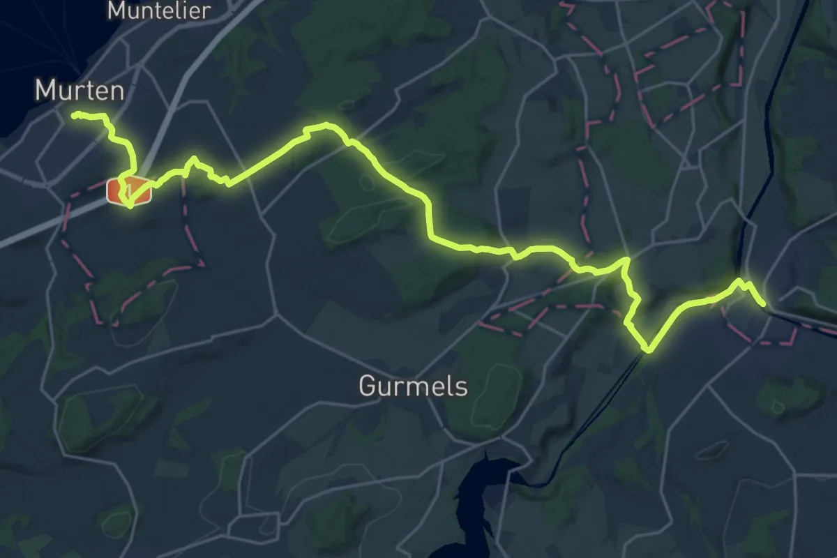
Medium · Trail
Trans Swiss Trail
14.5 km · ↑ 259 m · 4 h 13 min · 12 km away
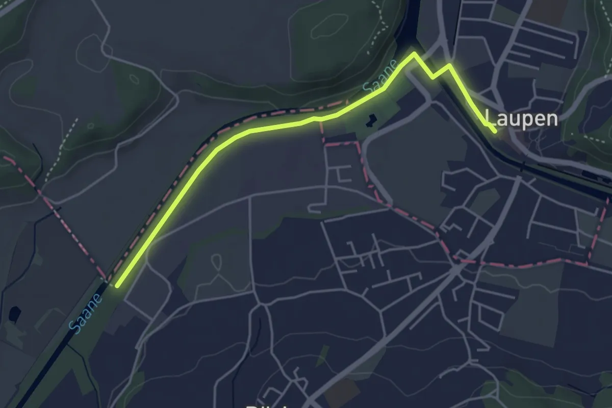
Easy · Trail
Auriedstäg – Laupen
4.3 km · ↑ 26 m · 1 h 4 min · 12 km away
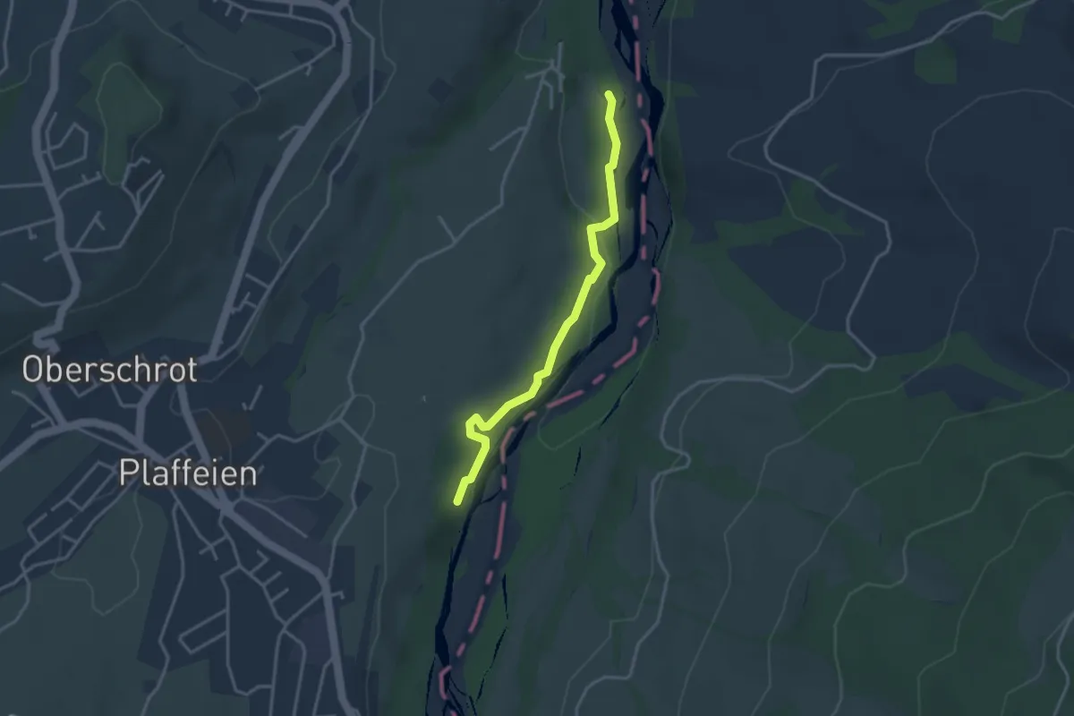
Easy · Trail
Füllmattli – Lätti
3.2 km · ↑ 83 m · 56 min · 12 km away