Trails near Fribourg
252 hikes starting within 15 km, nearest first.
Nearest first, page 5 of 6
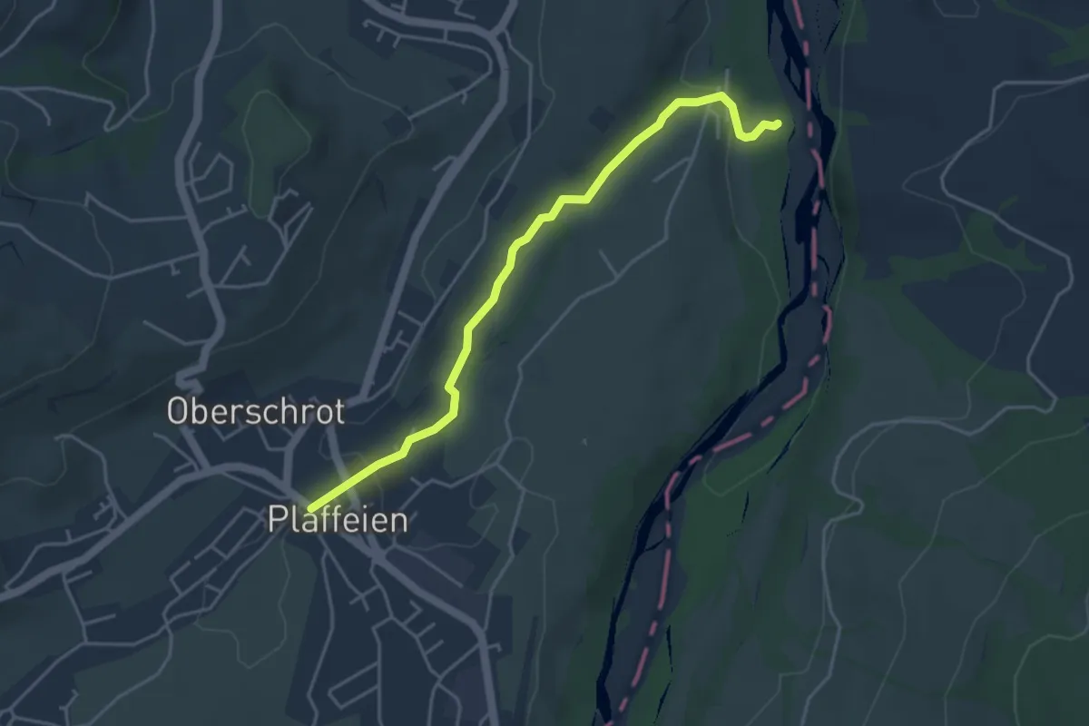
Easy · Trail
Füllmattli – Plaffeien
4.2 km · ↑ 76 m · 1 h 9 min · 12 km away
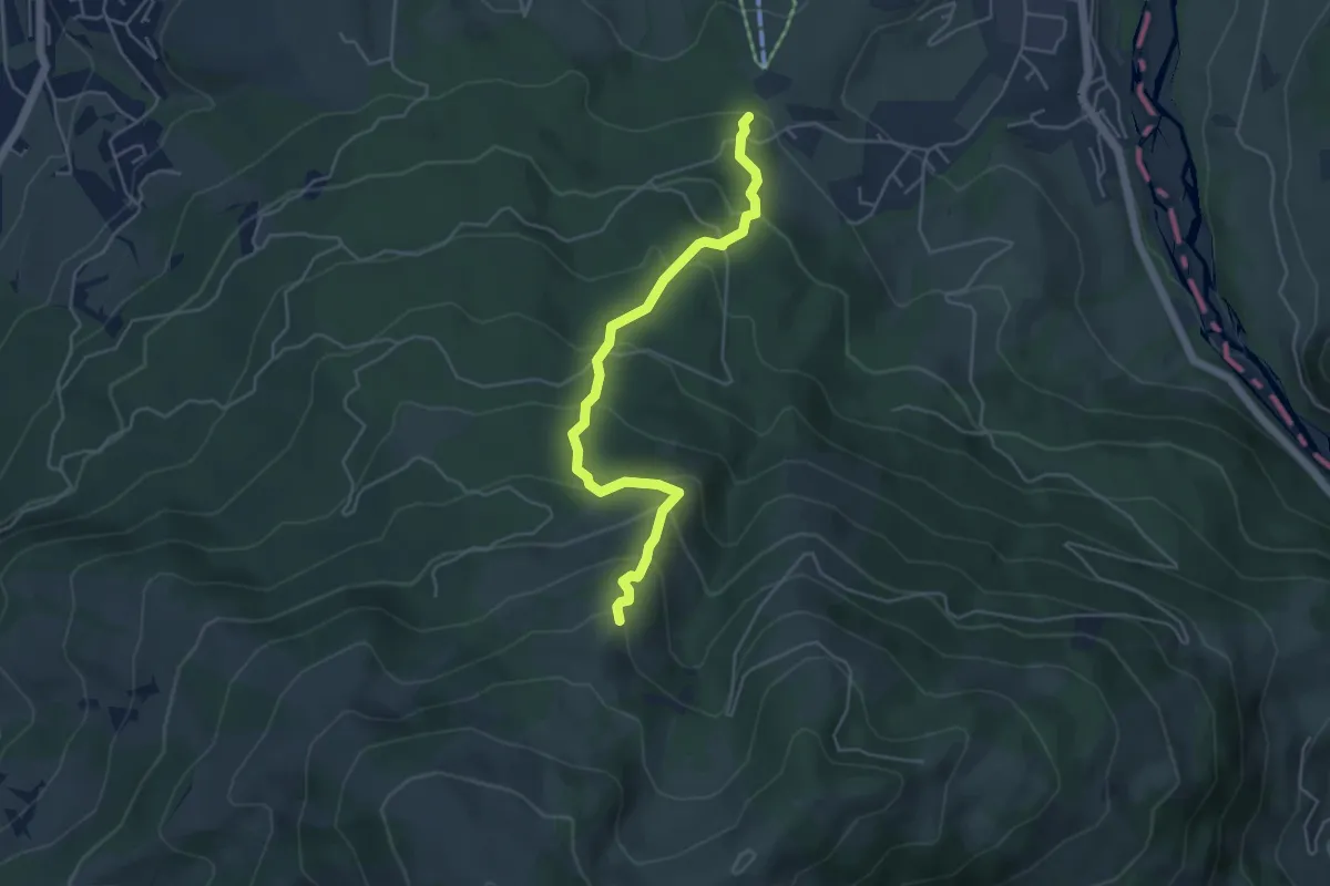
Medium · Trail
Hapfere - Lehmas Bärgli
4.8 km · ↑ 402 m · 2 h · 12 km away
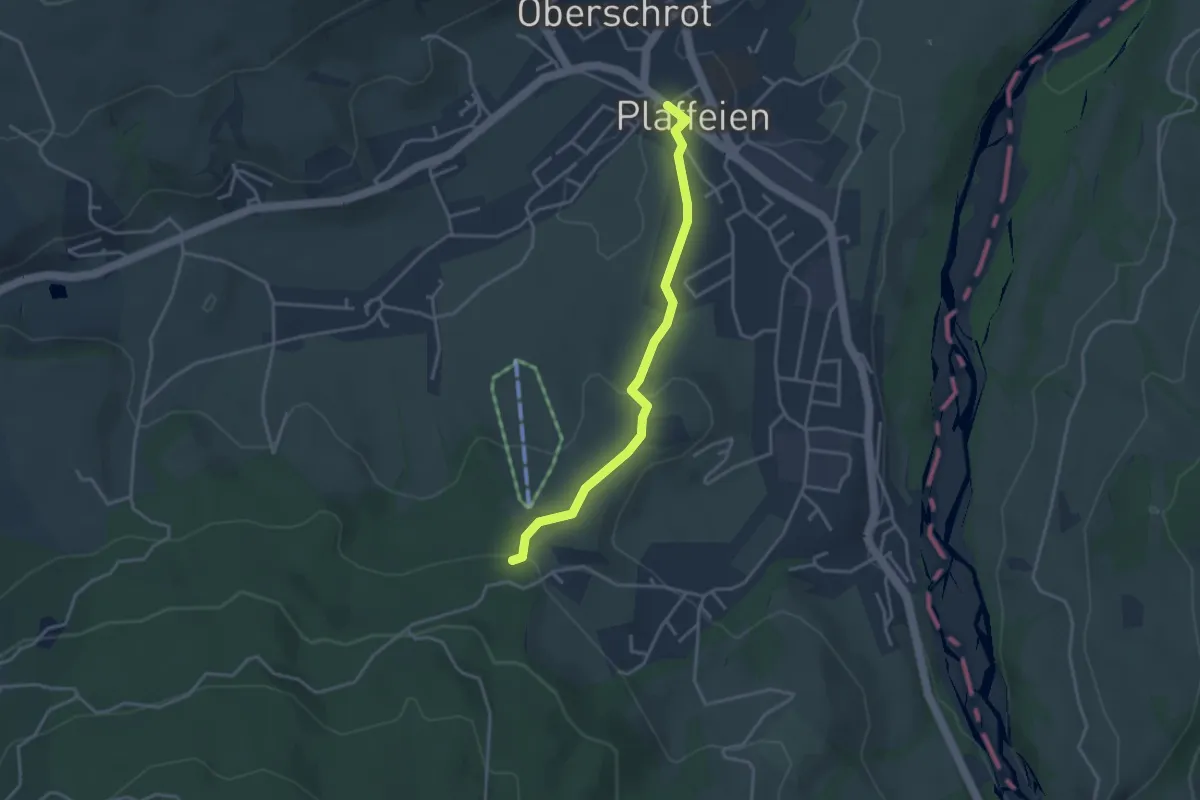
Easy · Trail
Plaffeien – Hapfere
3.4 km · ↑ 90 m · 1 h · 12 km away
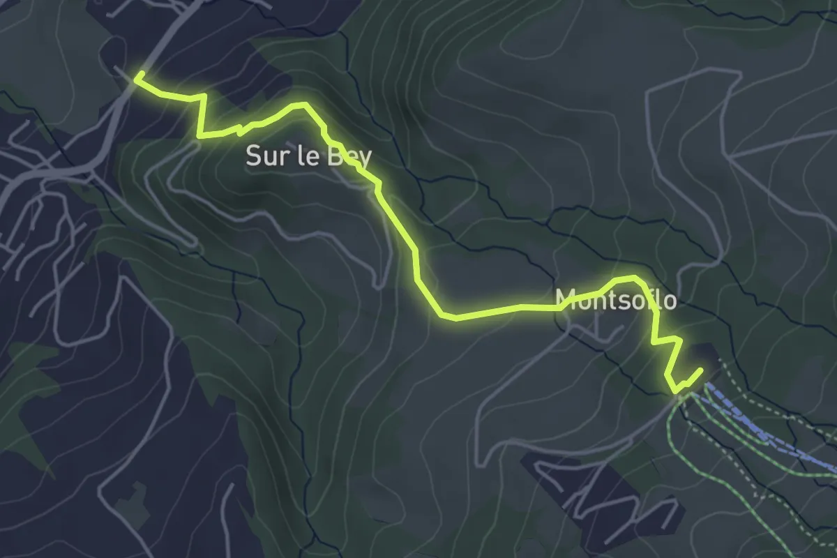
Easy · Trail
Le Brand – La Roche Eglise
4.9 km · ↑ 303 m · 1 h 48 min · 13 km away
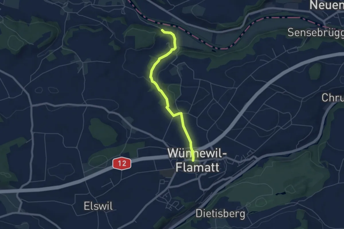
Easy · Trail
Noflenau – Wünnewil
5.1 km · ↑ 108 m · 1 h 27 min · 13 km away
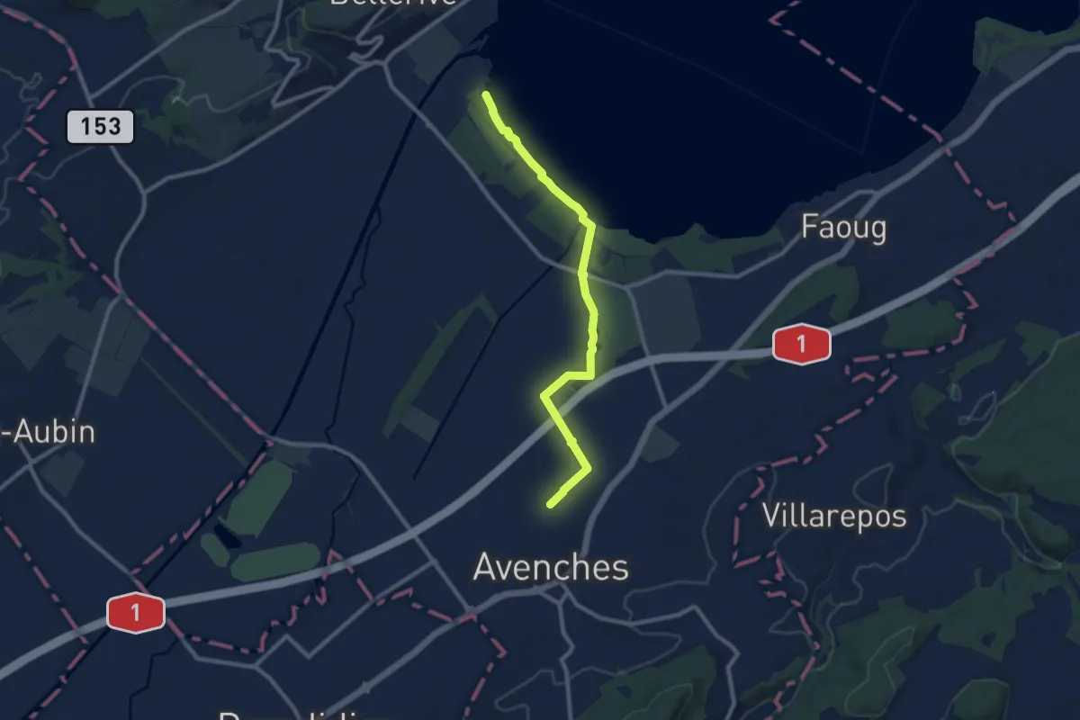
Medium · Trail
Avenches - fixme
9.1 km · ↑ 17 m · 2 h 11 min · 13 km away
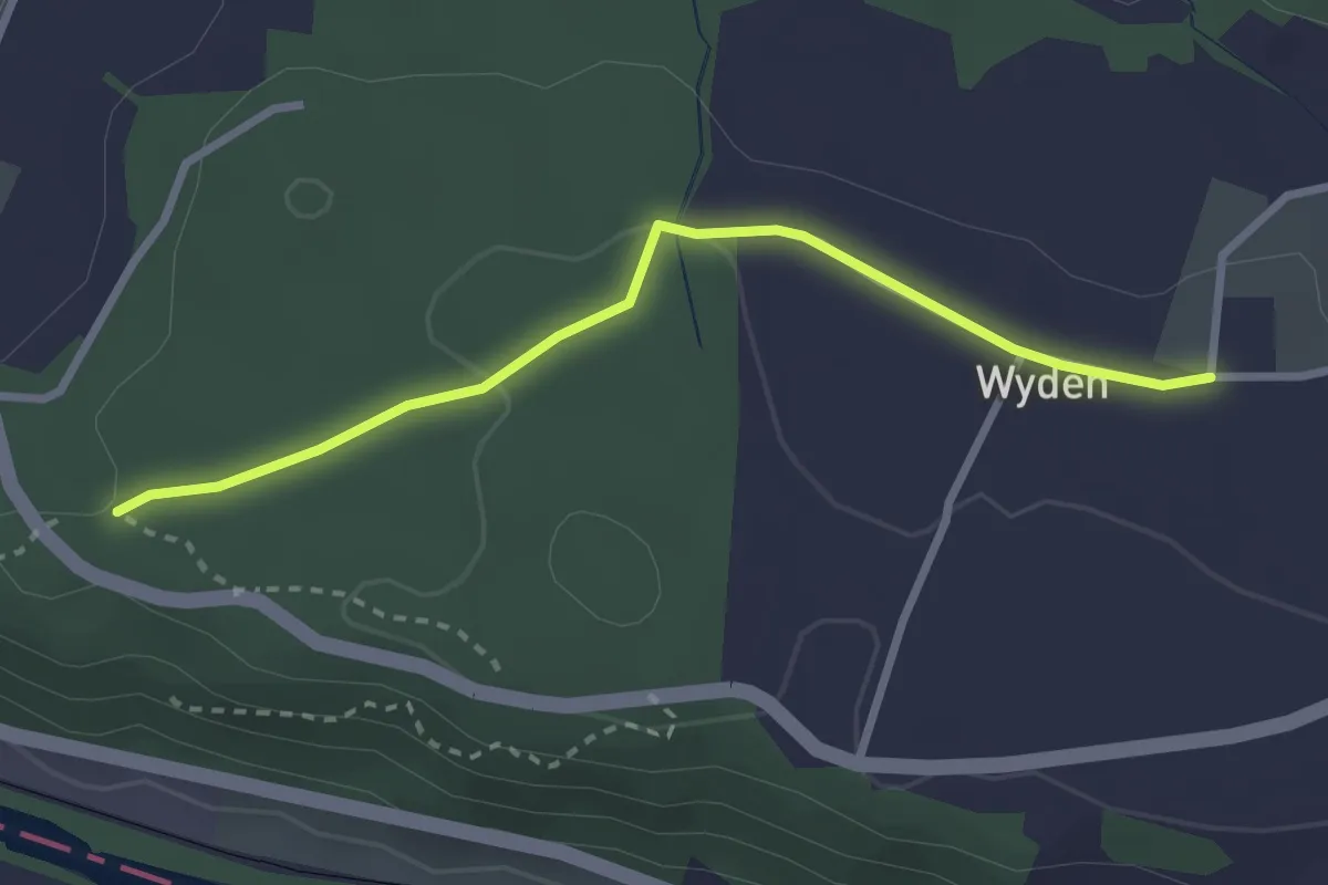
Easy · Trail
Laupen Spannstud - Wyden
2.7 km · ↑ 47 m · 45 min · 13 km away
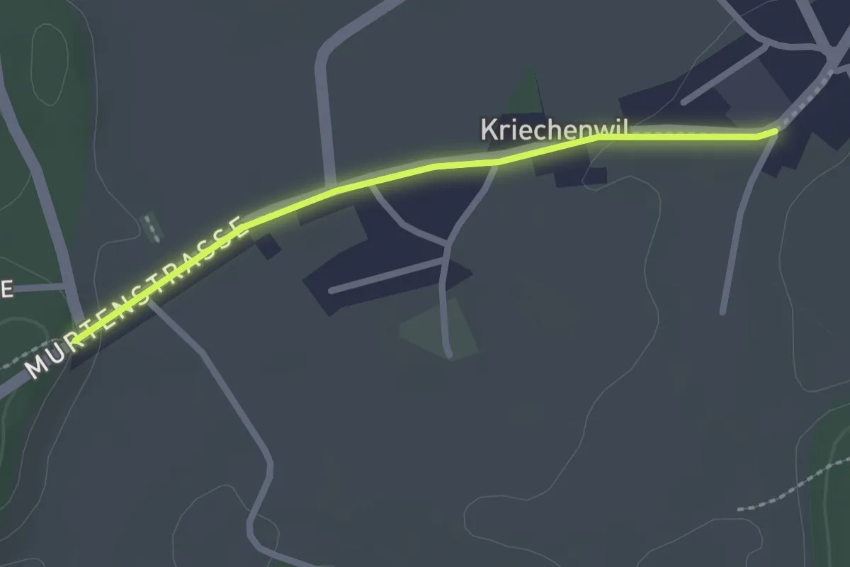
Easy · Trail
Kriechenwil – Röseli
2.1 km · ↑ 18 m · 32 min · 13 km away
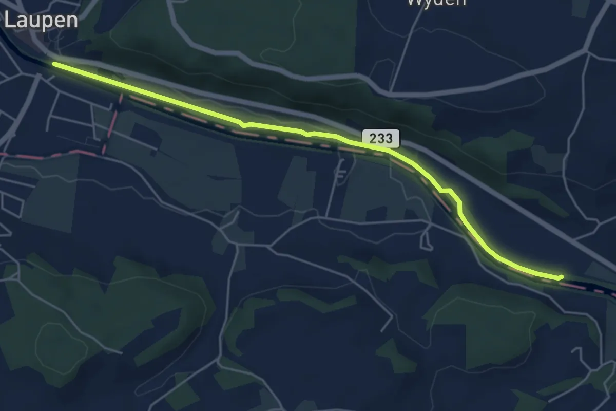
Easy · Trail
Laupen – Riedliau
5.0 km · ↑ 17 m · 1 h 14 min · 13 km away
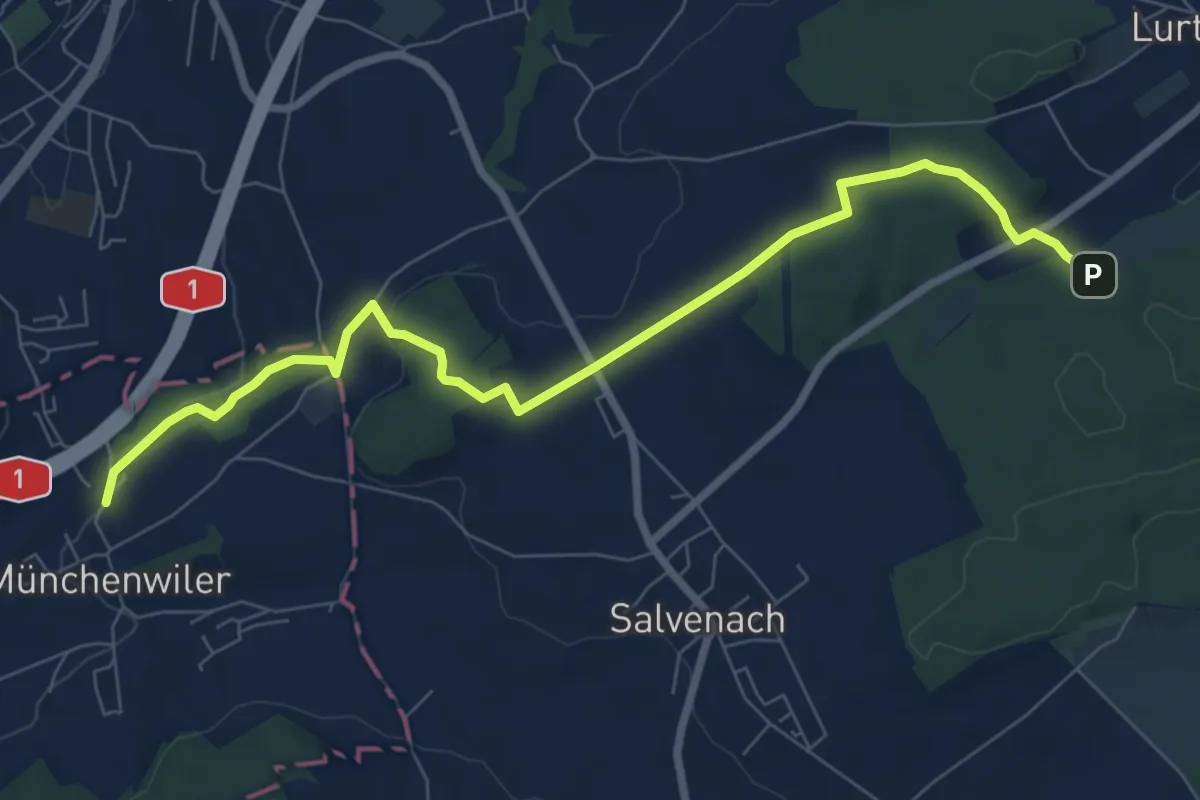
Medium · Trail
Münchenwiler Chliholz – Galmacher
8.6 km · ↑ 189 m · 2 h 26 min · 13 km away
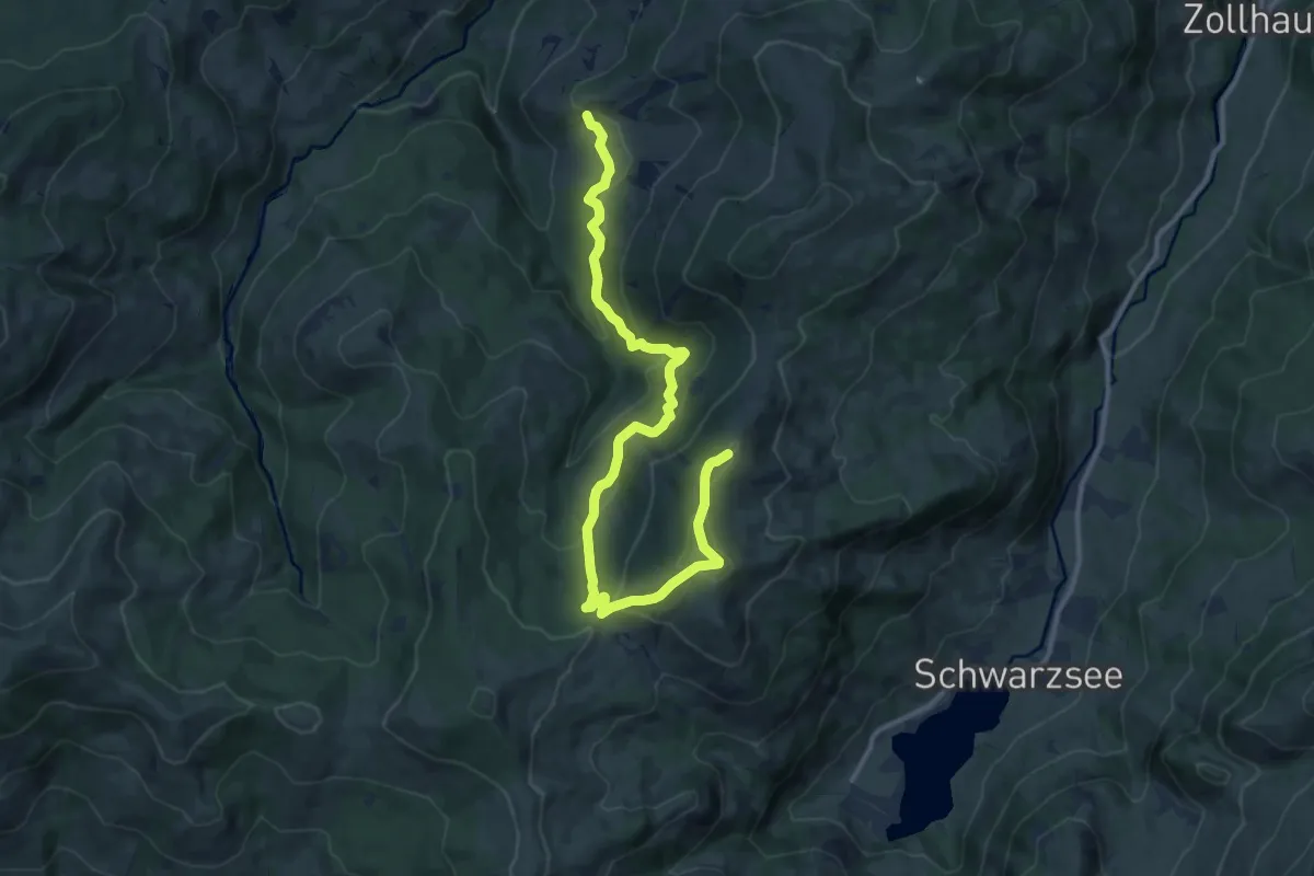
Medium · Trail
Falli-Hölli - Fuchses Schwyberg
13.5 km · ↑ 640 m · 4 h 34 min · 13 km away
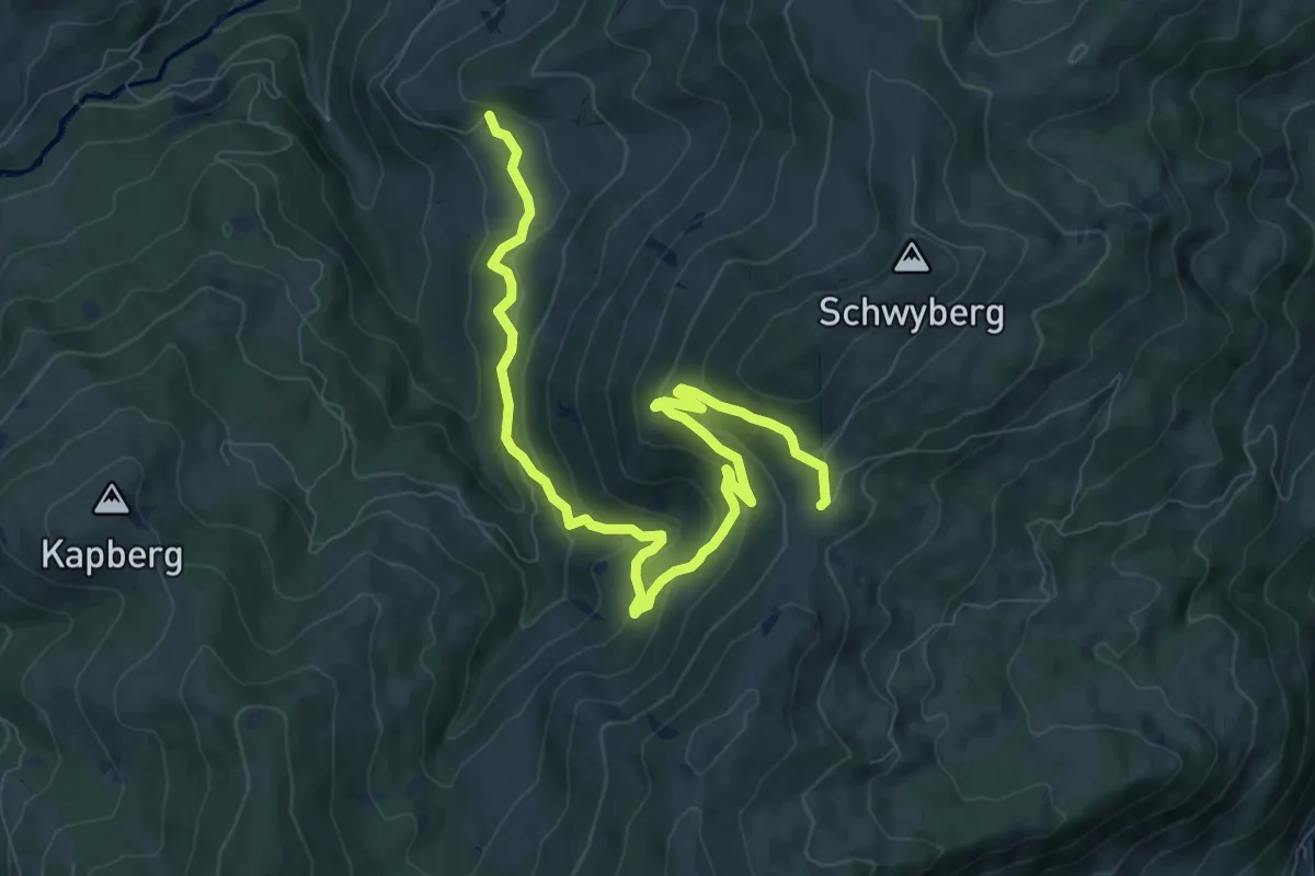
Medium · Trail
Hapferen Schwyberg - Falli-Hölli
10.8 km · ↑ 556 m · 3 h 45 min · 13 km away
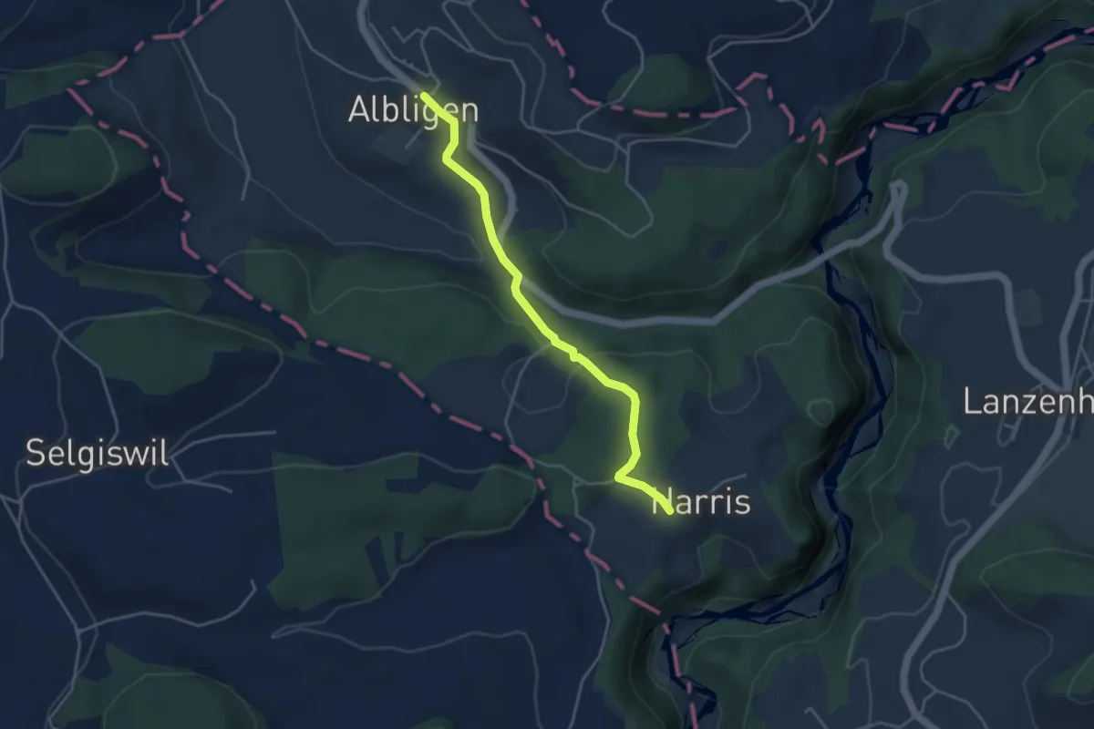
Easy · Trail
Albligen - Harris
3.9 km · ↑ 121 m · 1 h 11 min · 13 km away
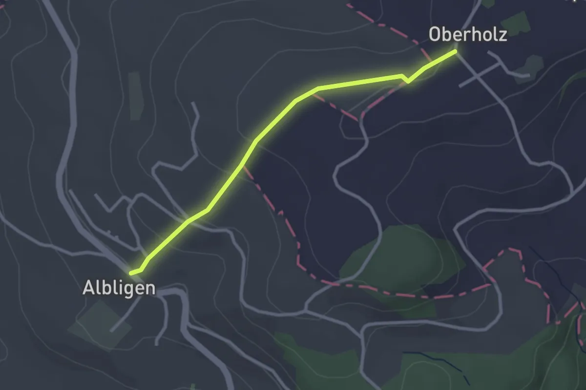
Easy · Trail
Albligen - Sommerauhöchi
2.6 km · ↑ 95 m · 49 min · 13 km away
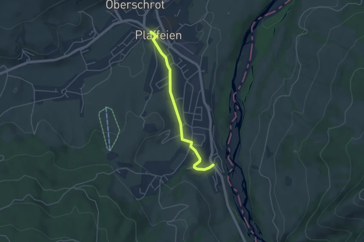
Easy · Trail
Rufenen – Plaffeien
3.7 km · ↑ 27 m · 55 min · 13 km away
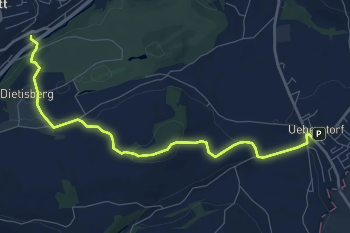
Easy · Trail
Wünnewil SBB - Ueberstorf
7.1 km · ↑ 225 m · 2 h 9 min · 13 km away
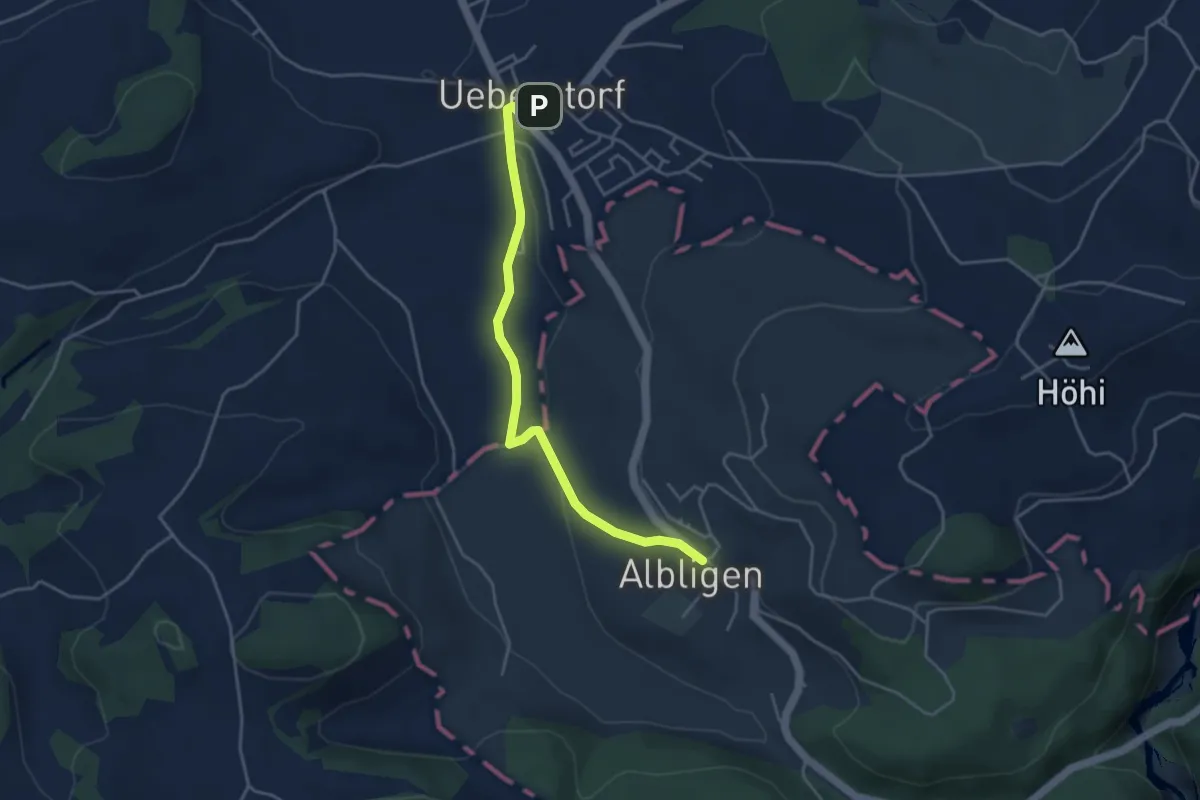
Easy · Trail
Ueberstorf - Albligen
4.1 km · ↑ 81 m · 1 h 9 min · 13 km away
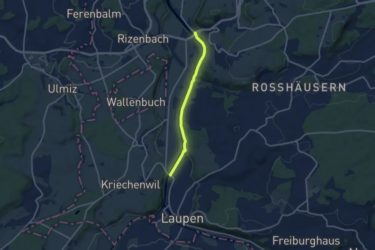
Easy · Trail
Saanebrücke – Gümmenen
7.8 km · ↑ 78 m · 2 h · 13 km away
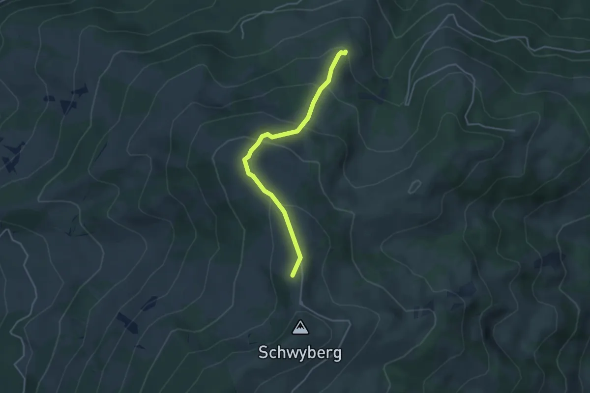
Easy · Summit
Lehmas Bärgli - Gross Schwyberg
3.4 km · ↑ 236 m · 1 h 19 min · 13 km away
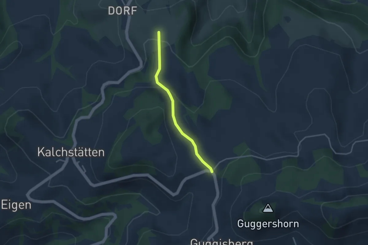
Easy · Trail
Steinern – Im Sand
2.5 km · ↑ 91 m · 47 min · 13 km away
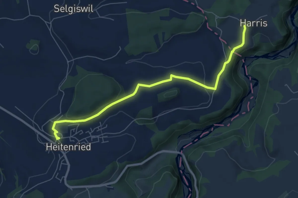
Easy · Trail
Heitenried – Harris
6.5 km · ↑ 116 m · 1 h 48 min · 13 km away
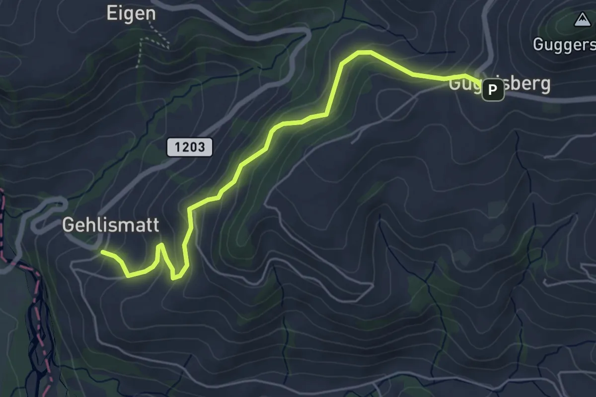
Medium · Trail
Guggisberg – Gelismatt
5.2 km · ↑ 332 m · 1 h 56 min · 13 km away
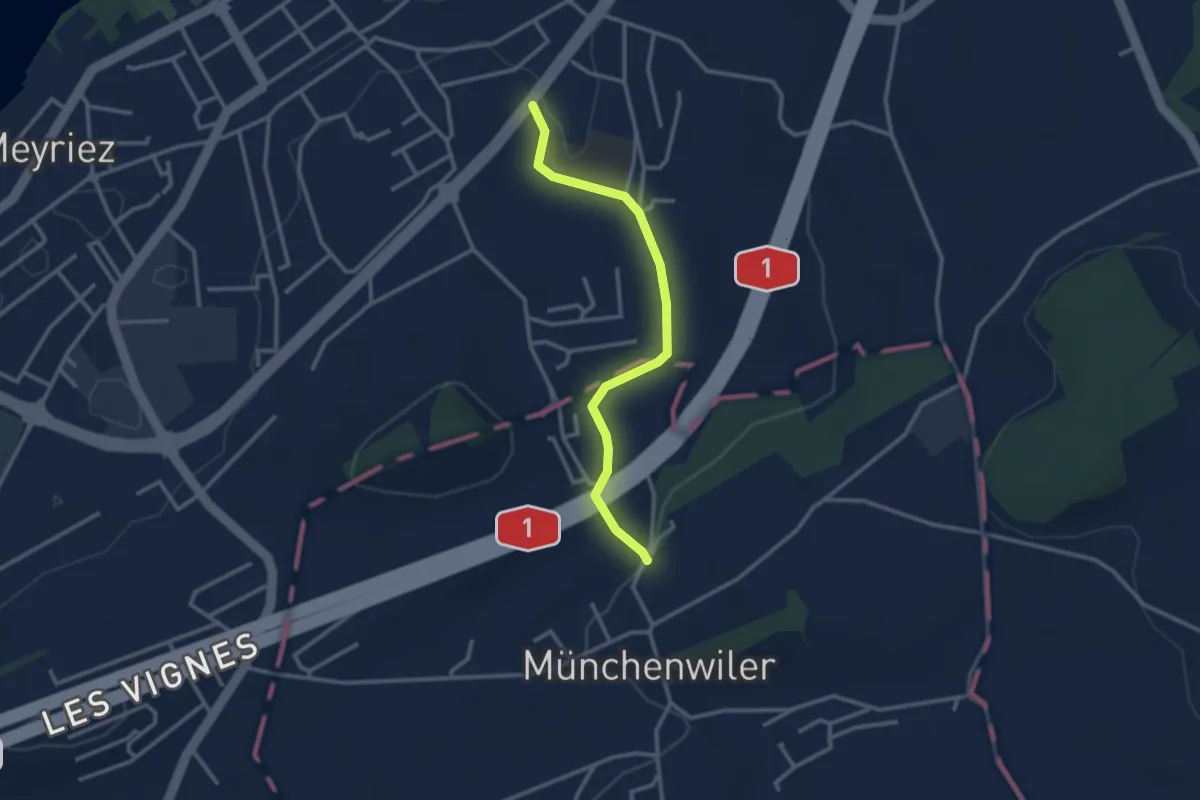
Easy · Trail
Prehl Murten – Münchenwiler Chliholz
2.8 km · ↑ 45 m · 46 min · 14 km away
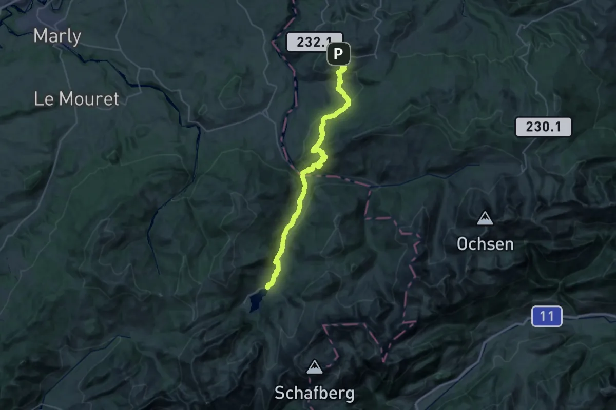
Medium · Trail
Alpenpanorama-Weg
15.9 km · ↑ 690 m · 5 h 30 min · 14 km away
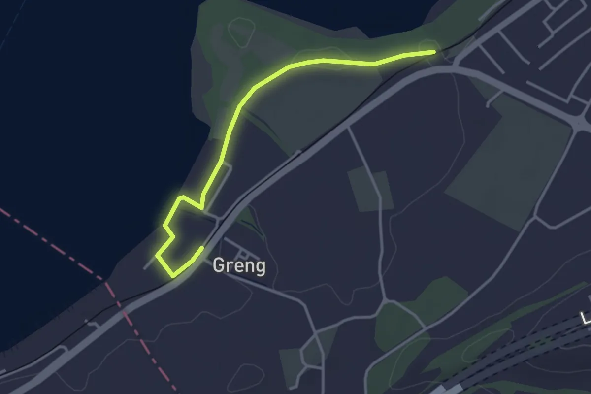
Easy · Trail
Schlacht-Denkmal - fixme
3.4 km · ↑ 13 m · 50 min · 14 km away
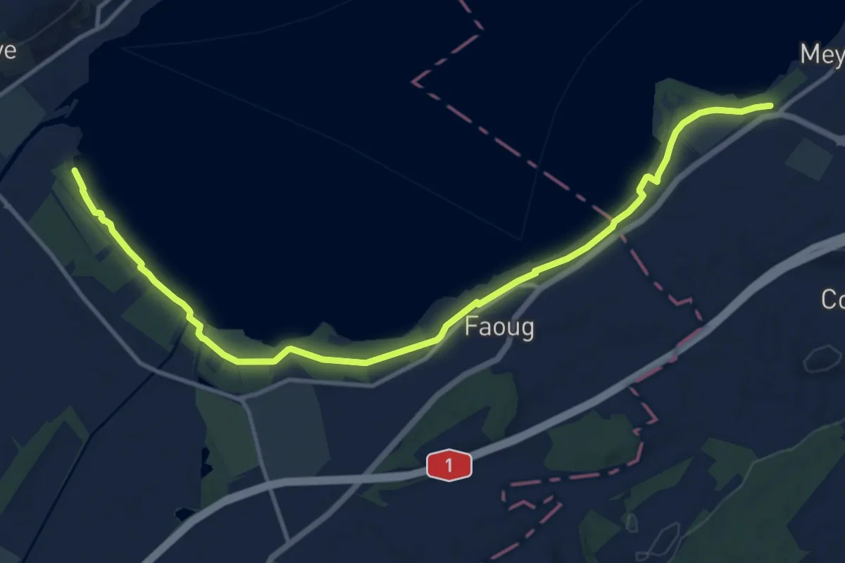
Medium · Trail
Schlacht-Denkmal - fixme
13.4 km · ↑ 31 m · 3 h 14 min · 14 km away
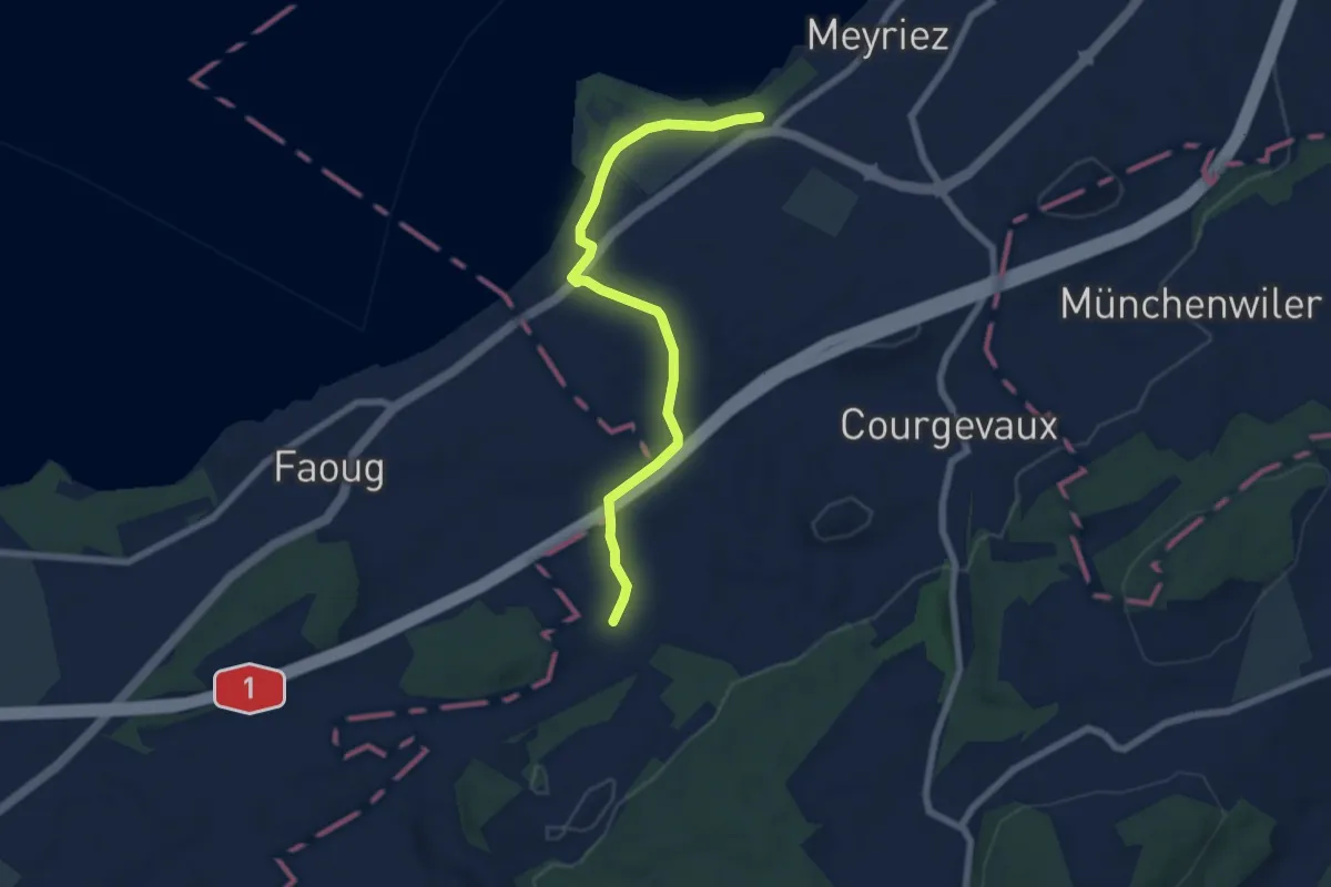
Easy · Trail
resSchlacht-Denkmal - Clavaleyer
6.8 km · ↑ 27 m · 1 h 40 min · 14 km away
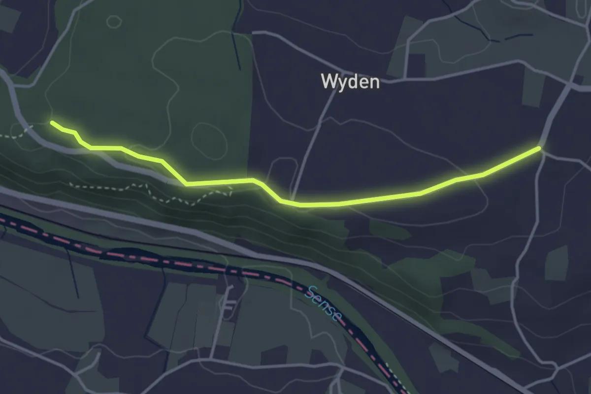
Easy · Trail
Laupen Spannstud - Sandgrube
3.6 km · ↑ 61 m · 59 min · 14 km away
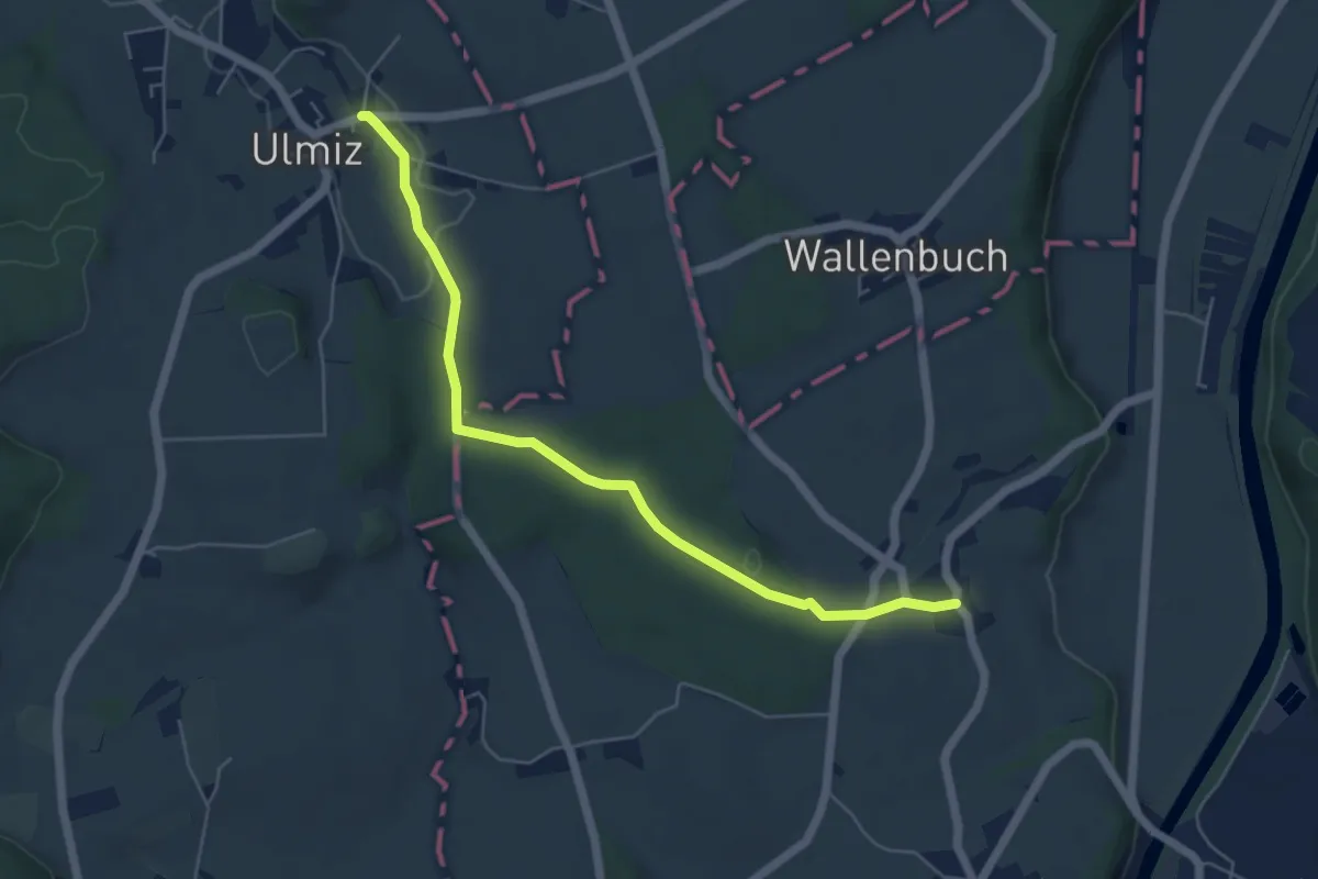
Easy · Trail
Ulmiz – Gammen
5.6 km · ↑ 74 m · 1 h 29 min · 14 km away
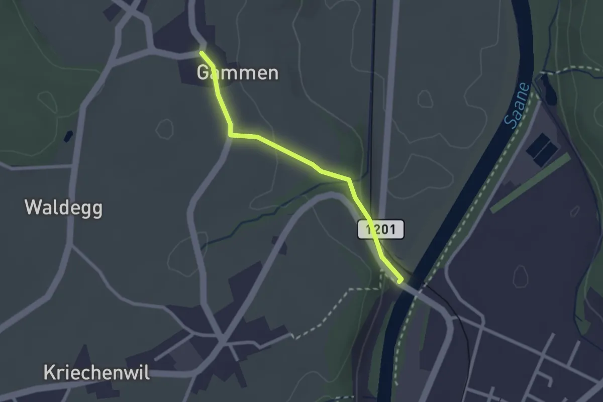
Easy · Trail
Gammen – Saanebrücke
2.0 km · ↑ 42 m · 34 min · 14 km away
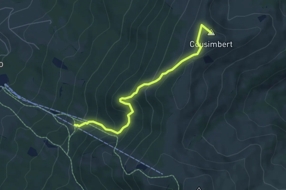
Medium · Summit
Gros Cousimbert Käsenberg – La Tschaka
5.2 km · ↑ 453 m · 2 h 13 min · 14 km away
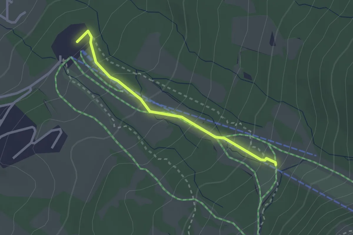
Easy · Trail
Le Brand – La Tschaka
2.1 km · ↑ 188 m · 55 min · 14 km away
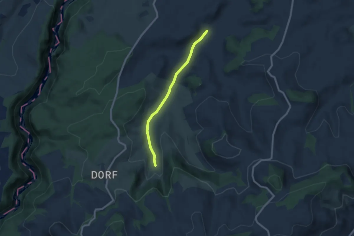
Easy · Trail
Schönenboden – Spüelibach
5.1 km · ↑ 73 m · 1 h 22 min · 14 km away
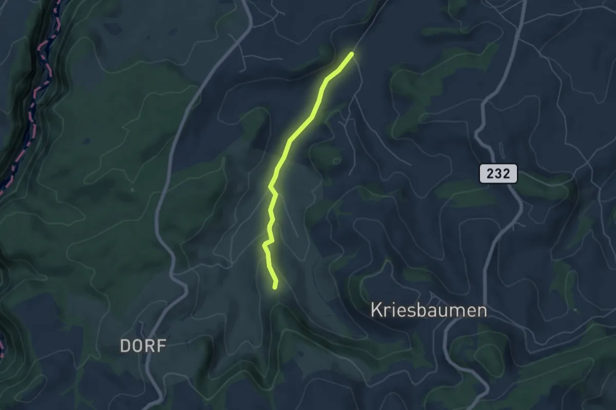
Easy · Trail
Schönenboden – Pfad
4.4 km · ↑ 111 m · 1 h 16 min · 14 km away
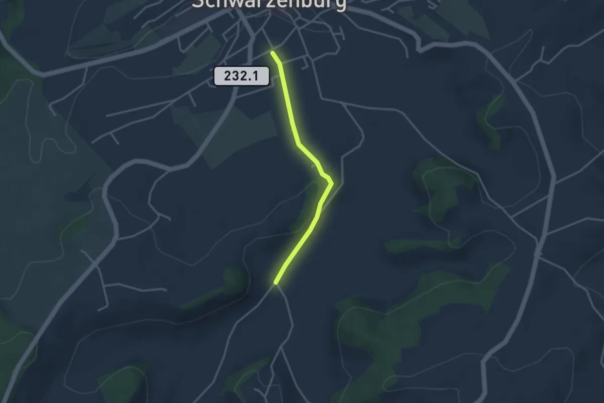
Easy · Trail
Schwarzenburg/Schloss – Schönenboden
2.7 km · ↑ 23 m · 41 min · 14 km away
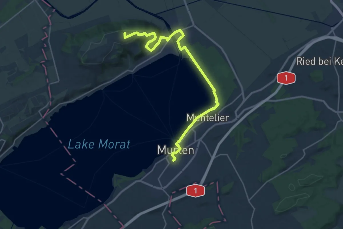
Demanding · Summit
Trans Swiss Trail
19.1 km · ↑ 313 m · 5 h 11 min · 14 km away
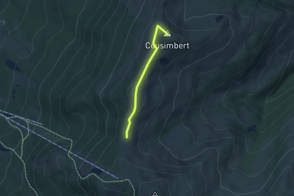
Easy · Summit
Gros Cousimbert Käsenberg – Supillette
2.9 km · ↑ 141 m · 1 h · 14 km away
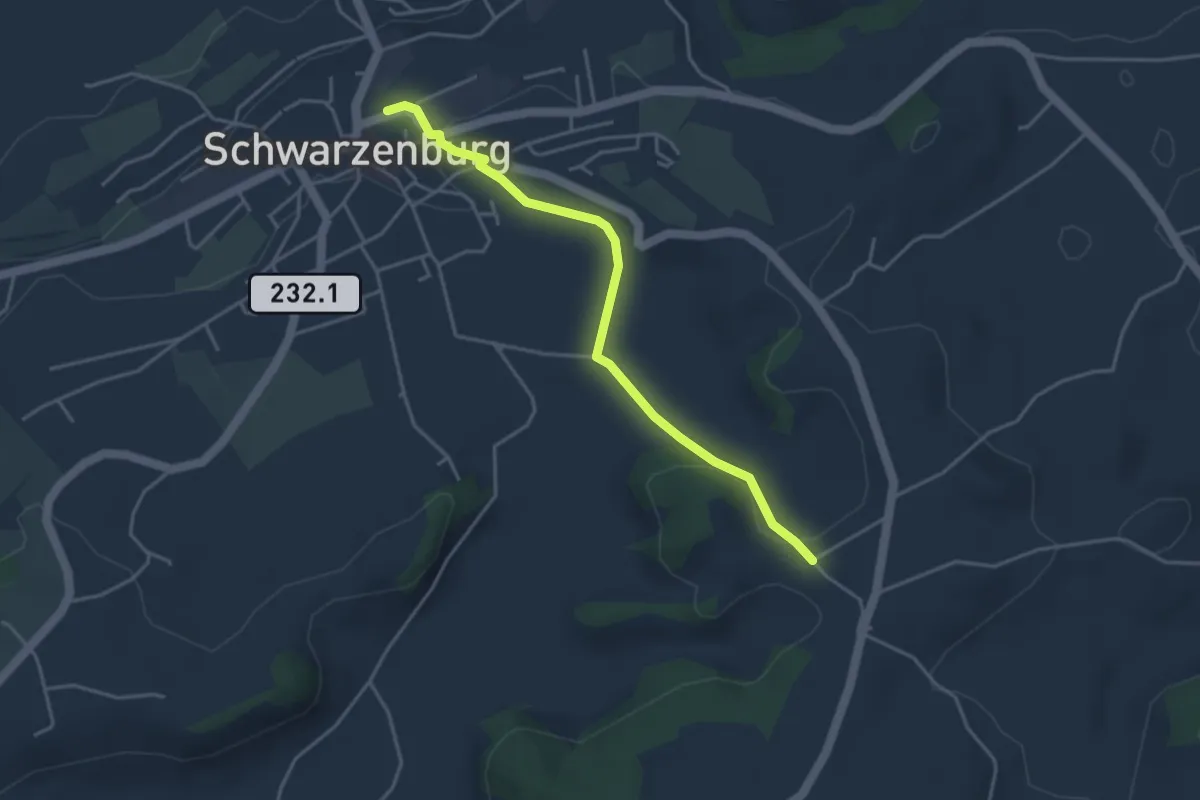
Easy · Trail
Schwarzenburg – Stiersacker
3.9 km · ↑ 79 m · 1 h 5 min · 14 km away
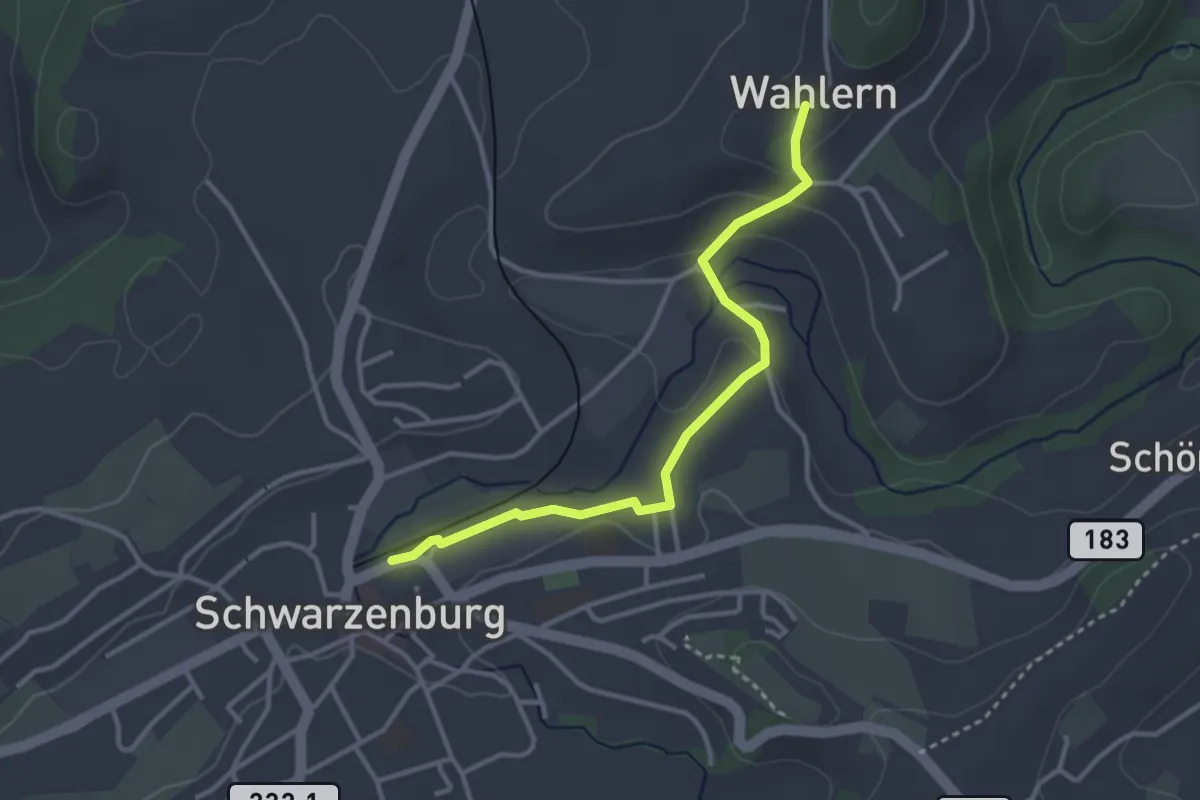
Easy · Trail
Wahlern – Schwarzenburg
3.2 km · ↑ 67 m · 55 min · 14 km away
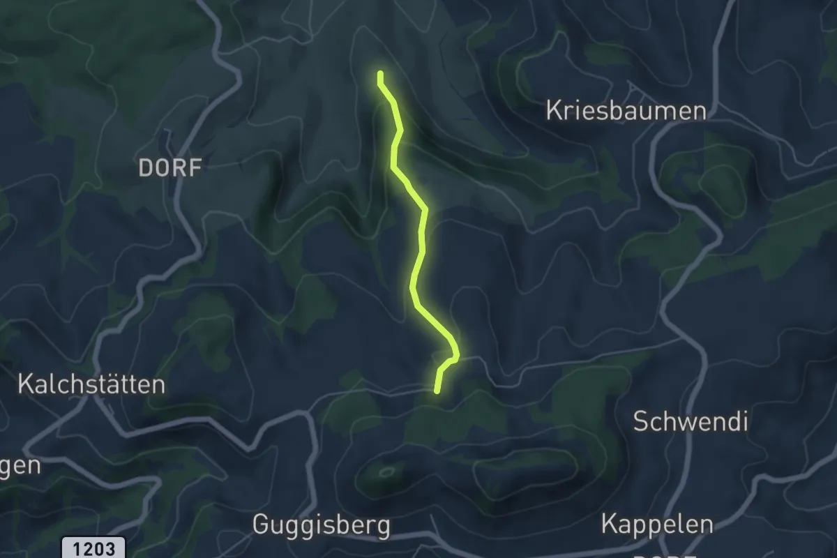
Easy · Trail
Pfad – Walenhaus
3.6 km · ↑ 193 m · 1 h 17 min · 14 km away
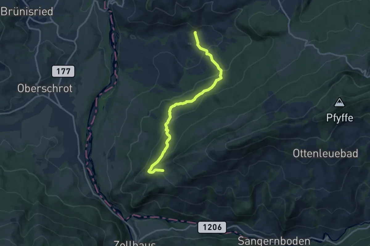
Medium · Trail
Laubbach - Brönnti Egg
9.7 km · ↑ 480 m · 3 h 20 min · 14 km away
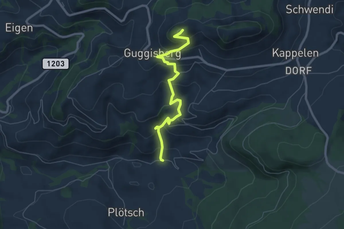
Medium · Summit
Guggershorn – Laubbach
5.6 km · ↑ 381 m · 2 h 9 min · 14 km away
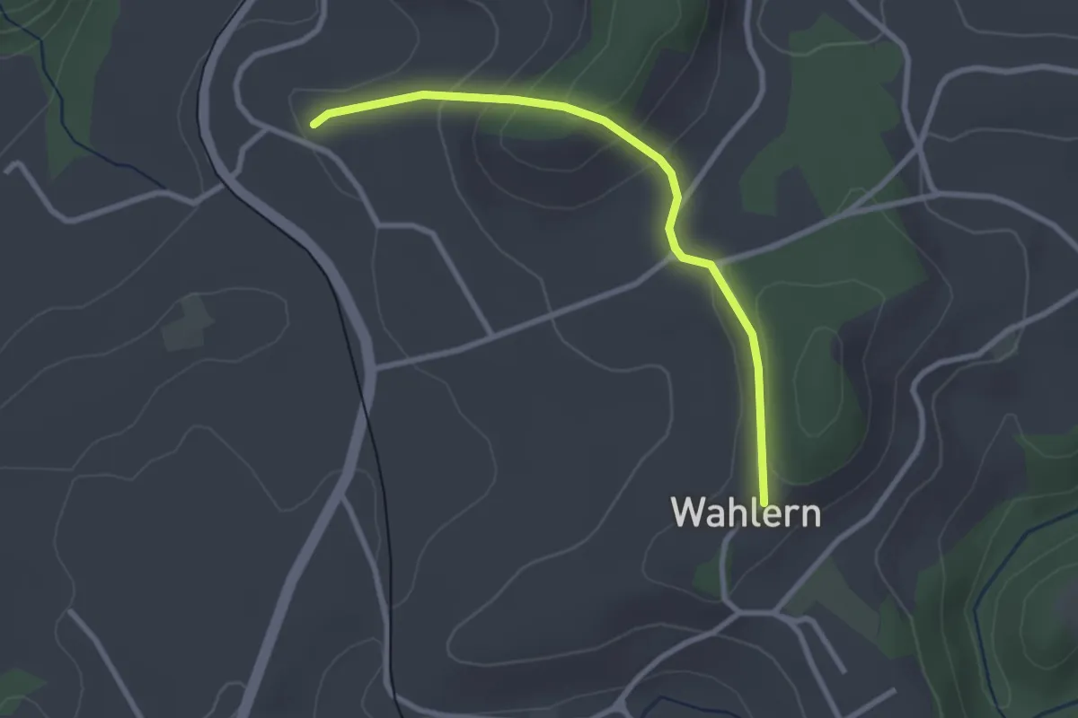
Easy · Trail
Steinhaus – Wahlern
2.6 km · ↑ 138 m · 55 min · 14 km away
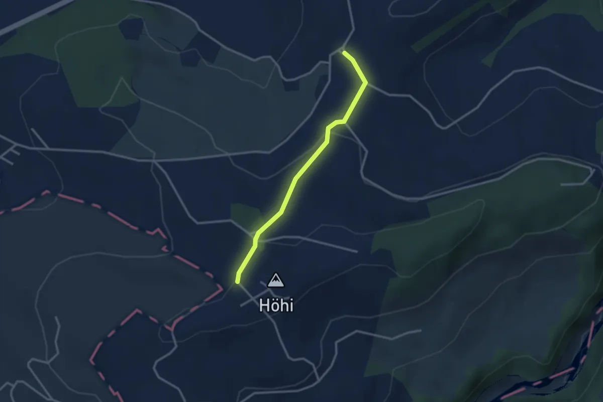
Easy · Trail
Sommerauhöchi – Obermettlen
2.5 km · ↑ 63 m · 44 min · 14 km away
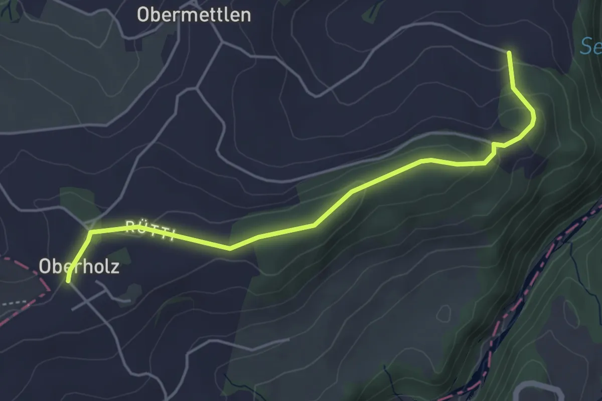
Easy · Trail
Burlingen - Summerauhöchi
4.6 km · ↑ 160 m · 1 h 26 min · 14 km away
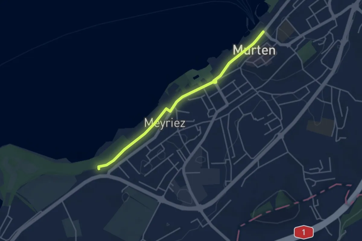
Easy · Trail
Schlacht-Denkmal
3.8 km · ↑ 9 m · 54 min · 14 km away
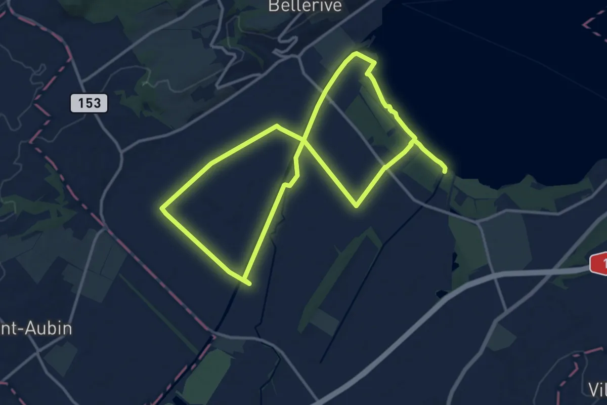
Demanding · Trail
Sentier Au fil de l'eau
20.8 km · ↑ 26 m · 4 h 58 min · 14 km away
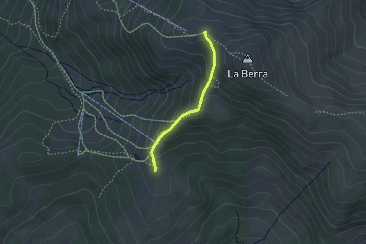
Easy · Cabin
La Berra Chalet – Gîte d'Allières
2.3 km · ↑ 146 m · 51 min · 14 km away