Trails near Goldau
649 hikes starting within 15 km, nearest first.
Nearest first, page 11 of 14
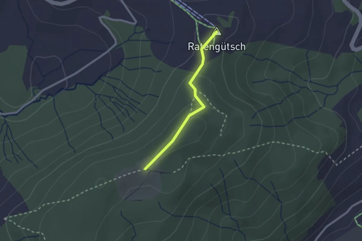
Easy · Summit
Raten – St. Jost
1.7 km · ↑ 56 m · 31 min · 13 km away
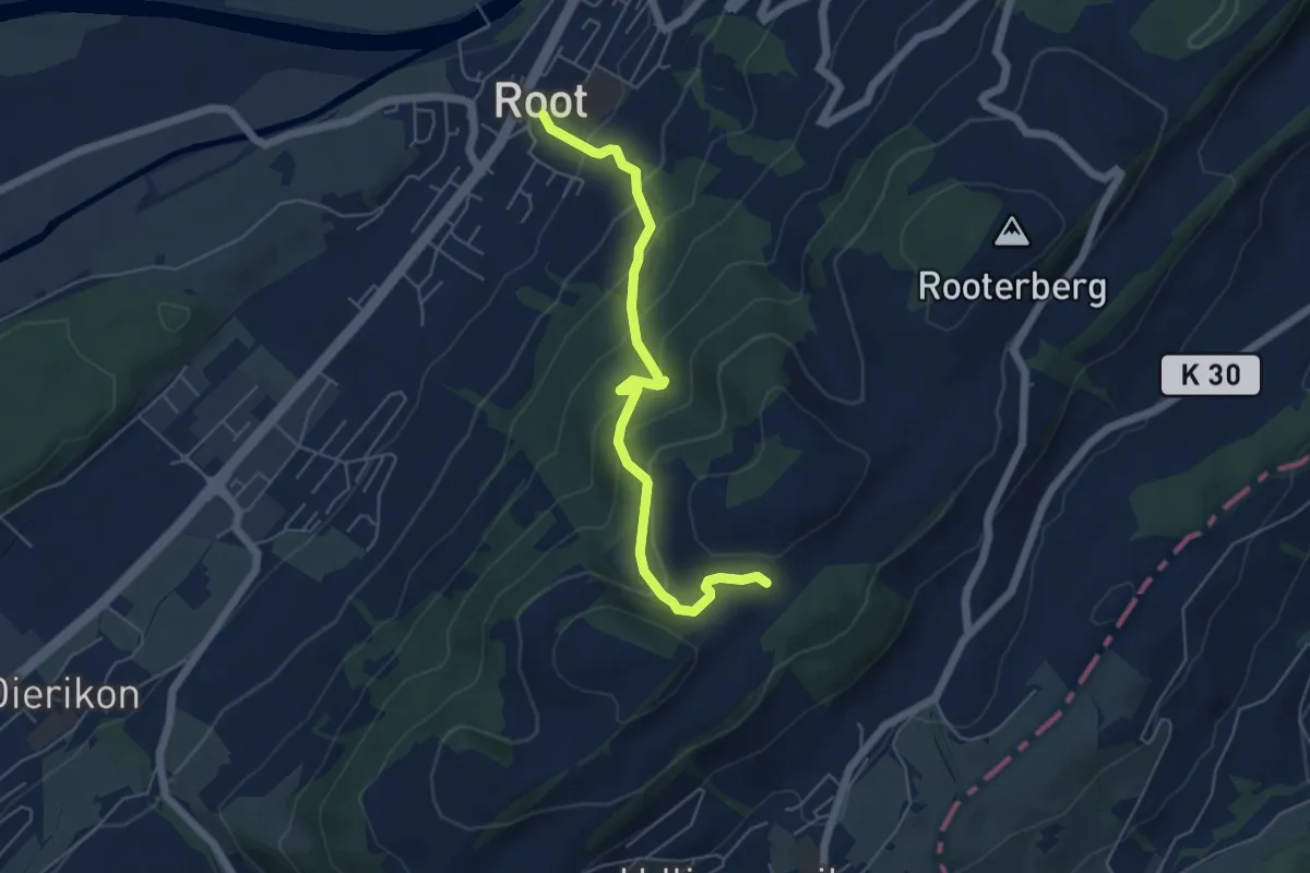
Medium · Trail
Fusterli - Root
5.4 km · ↑ 410 m · 2 h 10 min · 13 km away
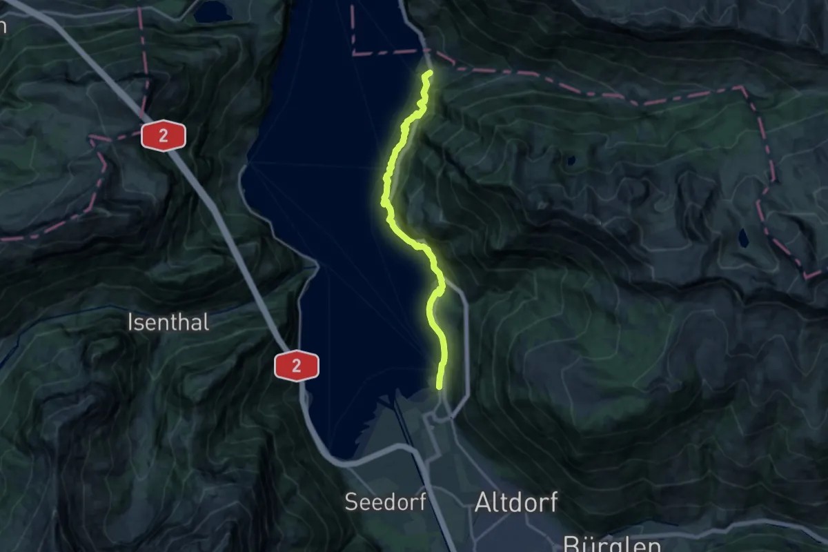
Demanding · Trail
Weg der Schweiz
14.8 km · ↑ 1346 m · 6 h 24 min · 13 km away
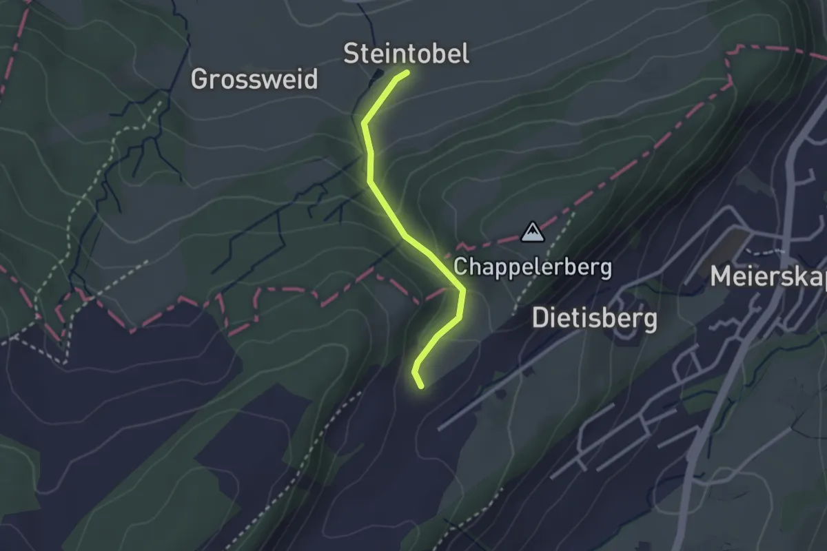
Easy · Trail
Steintobel - Obertal
2.0 km · ↑ 124 m · 45 min · 13 km away
Easy · Trail
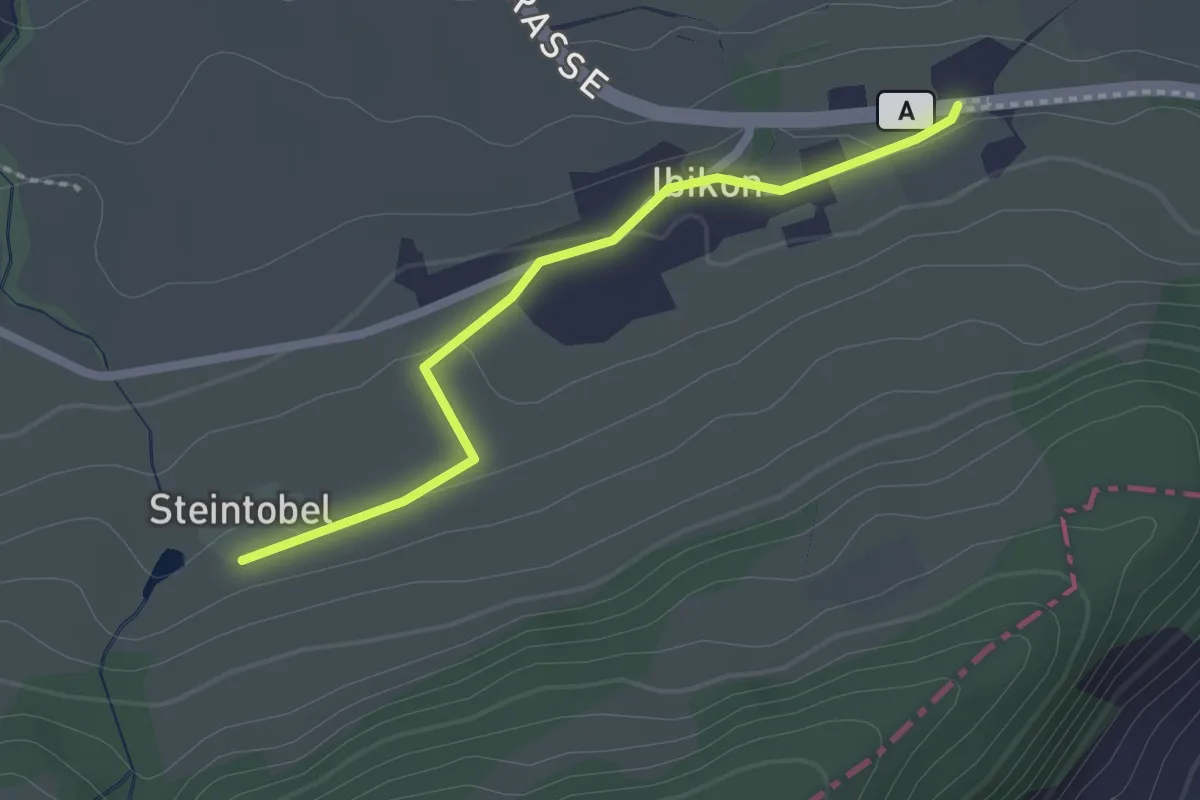
Ibikon - Steintobel
2.0 km · ↑ 38 m · 34 min · 13 km away
Easy · Trail
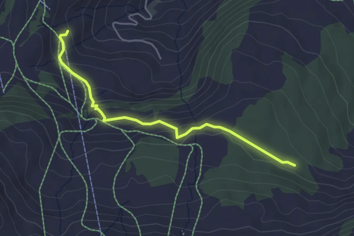
Loch – Brunnerboden
3.8 km · ↑ 158 m · 1 h 14 min · 13 km away
Medium · Trail
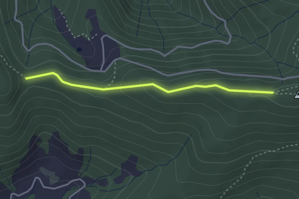
Muetegg – Mangelhöhe
2.7 km · ↑ 96 m · 50 min · 13 km away
Easy · Trail
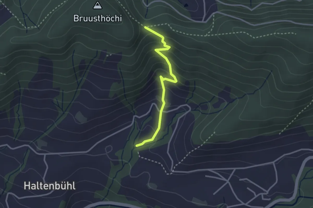
Mangelihöhe – Chefibach
2.6 km · ↑ 212 m · 1 h 4 min · 13 km away
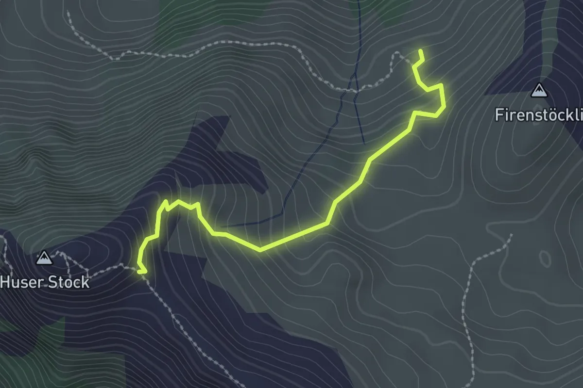
Easy · Trail
Underbäch – Huser Stock
2.4 km · ↑ 274 m · 1 h 9 min · 13 km away
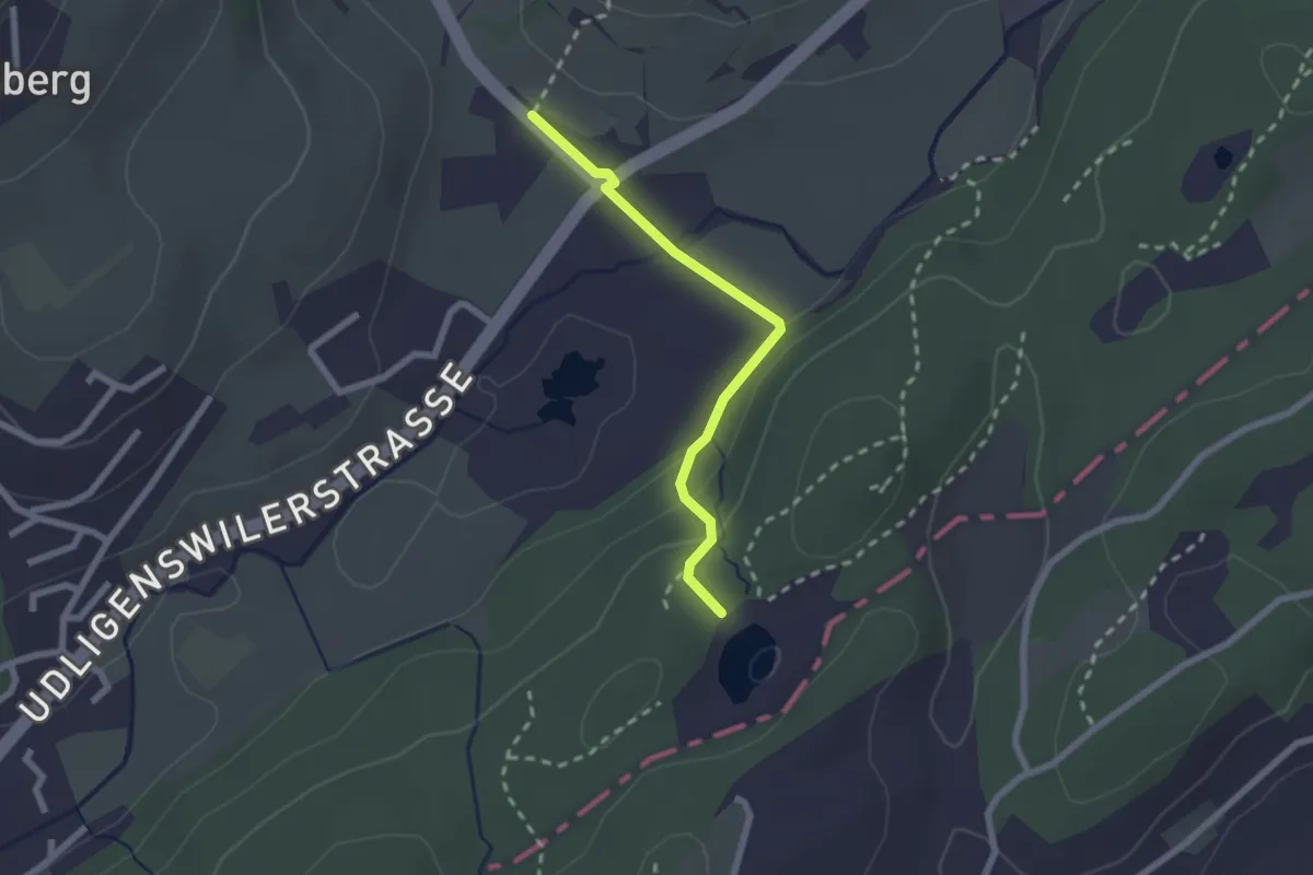
Easy · Trail
Wagenmoos – Stegmatt
2.1 km · ↑ 72 m · 38 min · 13 km away
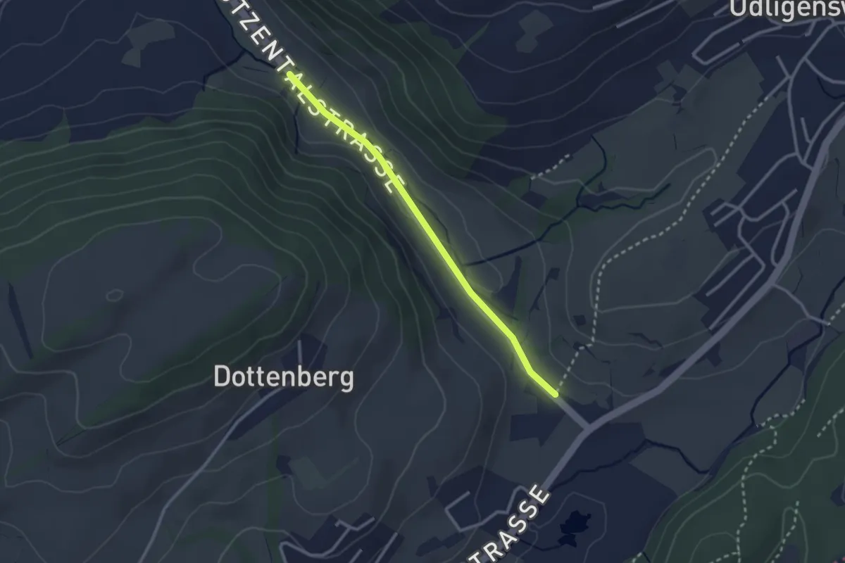
Easy · Trail
Stegmatt – Götzental
2.5 km · ↑ 22 m · 38 min · 13 km away
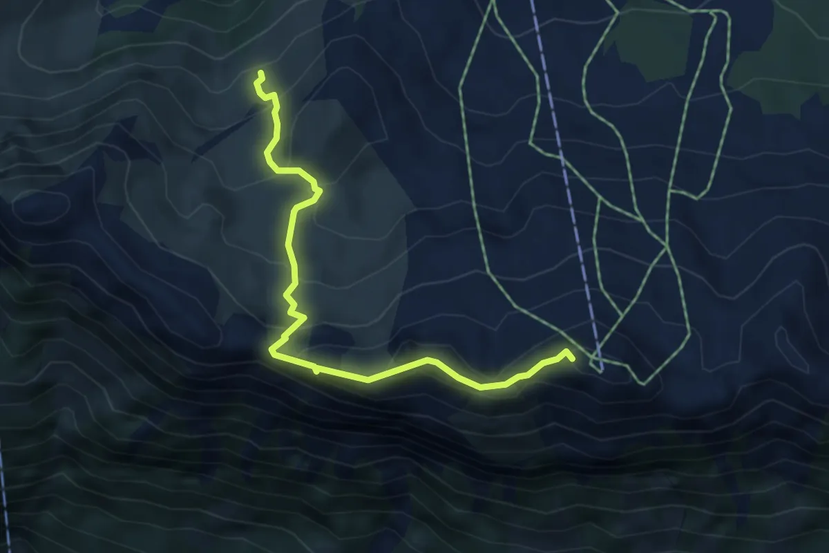
Medium · Summit
Klingenstock – Underbäch
4.8 km · ↑ 381 m · 1 h 57 min · 13 km away
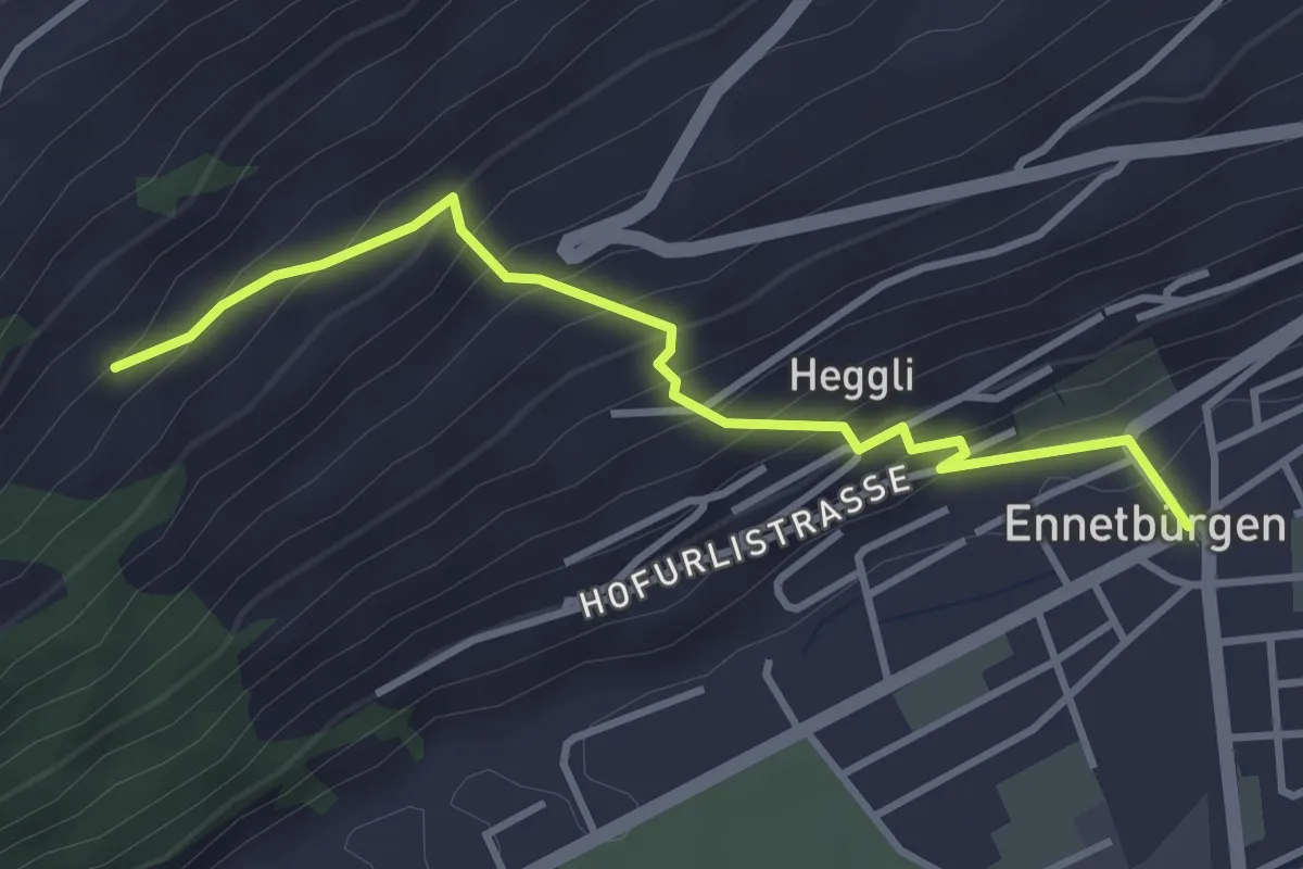
Medium · Trail
Ennetbürgen Post – Holzen
3.4 km · ↑ 321 m · 1 h 30 min · 13 km away
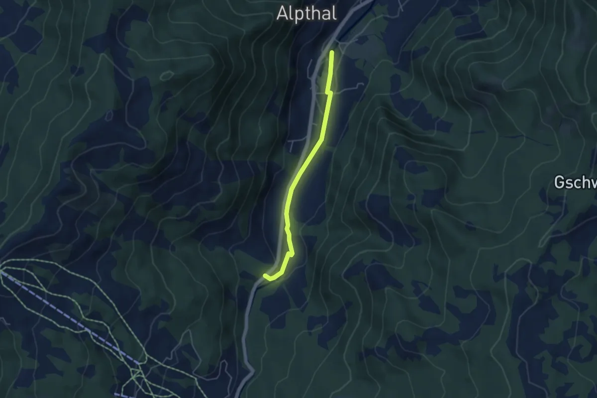
Easy · Trail
Alpthal – Stei
4.0 km · ↑ 79 m · 1 h 7 min · 13 km away
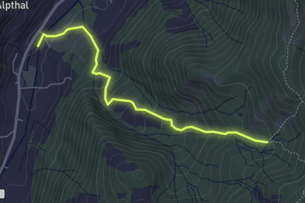
Medium · Trail
Butzi – Alpthal
5.0 km · ↑ 410 m · 2 h 4 min · 13 km away
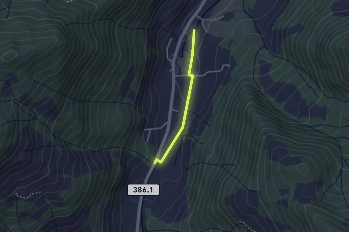
Easy · Trail
Alpthal – Malosen
2.1 km · ↑ 39 m · 35 min · 13 km away
Easy · Trail
Zweite Altmatt - Dritte Altmatt
4.1 km · ↑ 32 m · 1 h 3 min · 13 km away
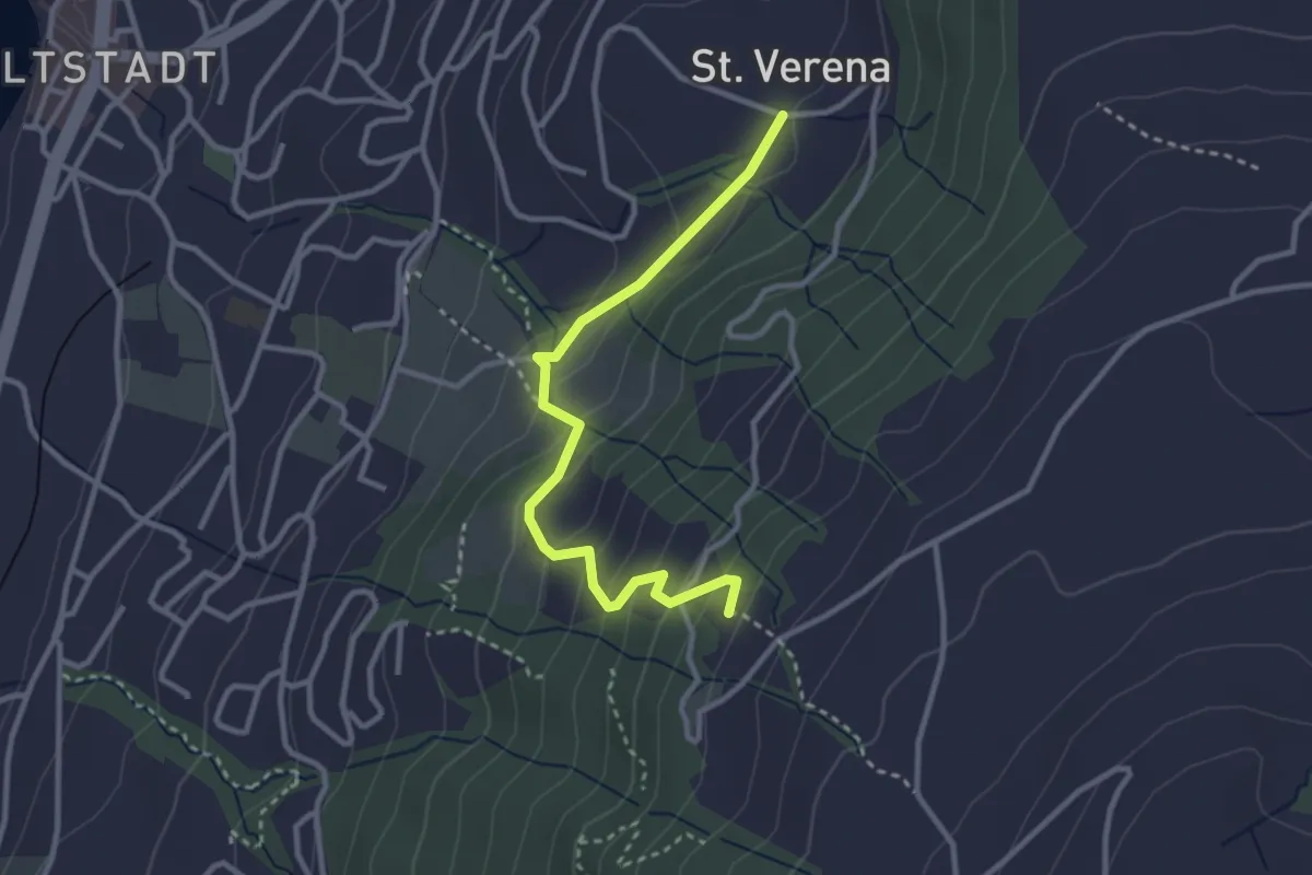
Easy · Trail
St. Verena – Blasenberg
3.1 km · ↑ 219 m · 1 h 12 min · 13 km away
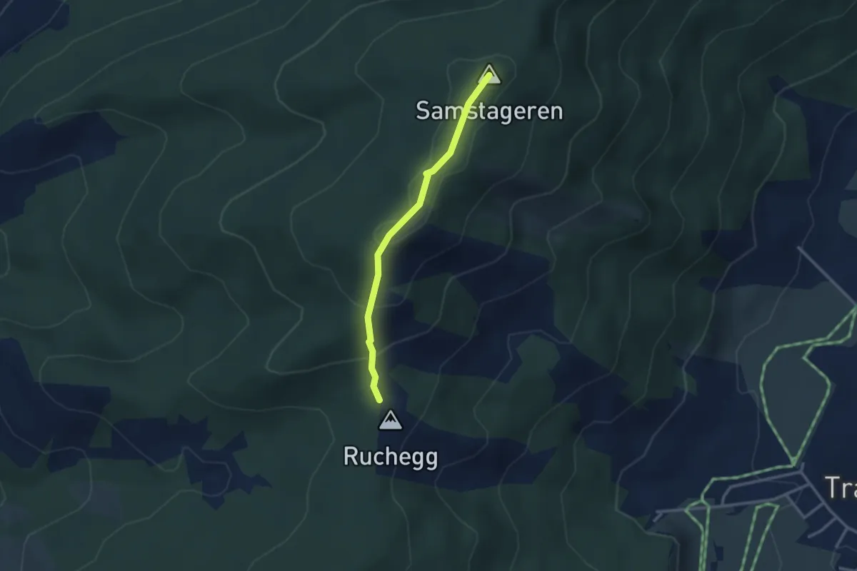
Easy · Summit
Ruchegg – Windwurf
2.5 km · ↑ 145 m · 54 min · 13 km away
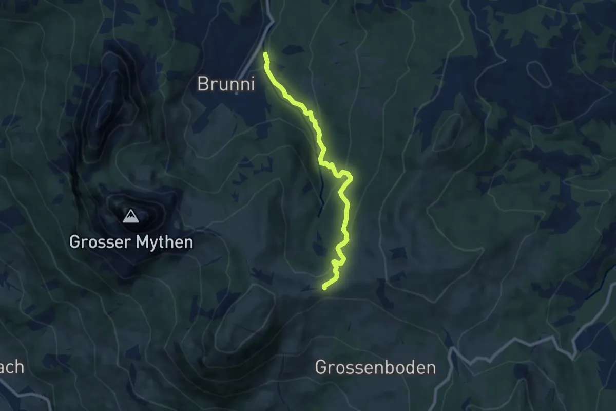
Medium · Trail
Brunni - Muesliegg
6.8 km · ↑ 354 m · 2 h 23 min · 13 km away
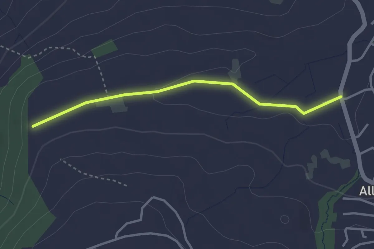
Easy · Trail
Steren - Allenwinden
2.7 km · ↑ 25 m · 41 min · 13 km away
Easy · Trail
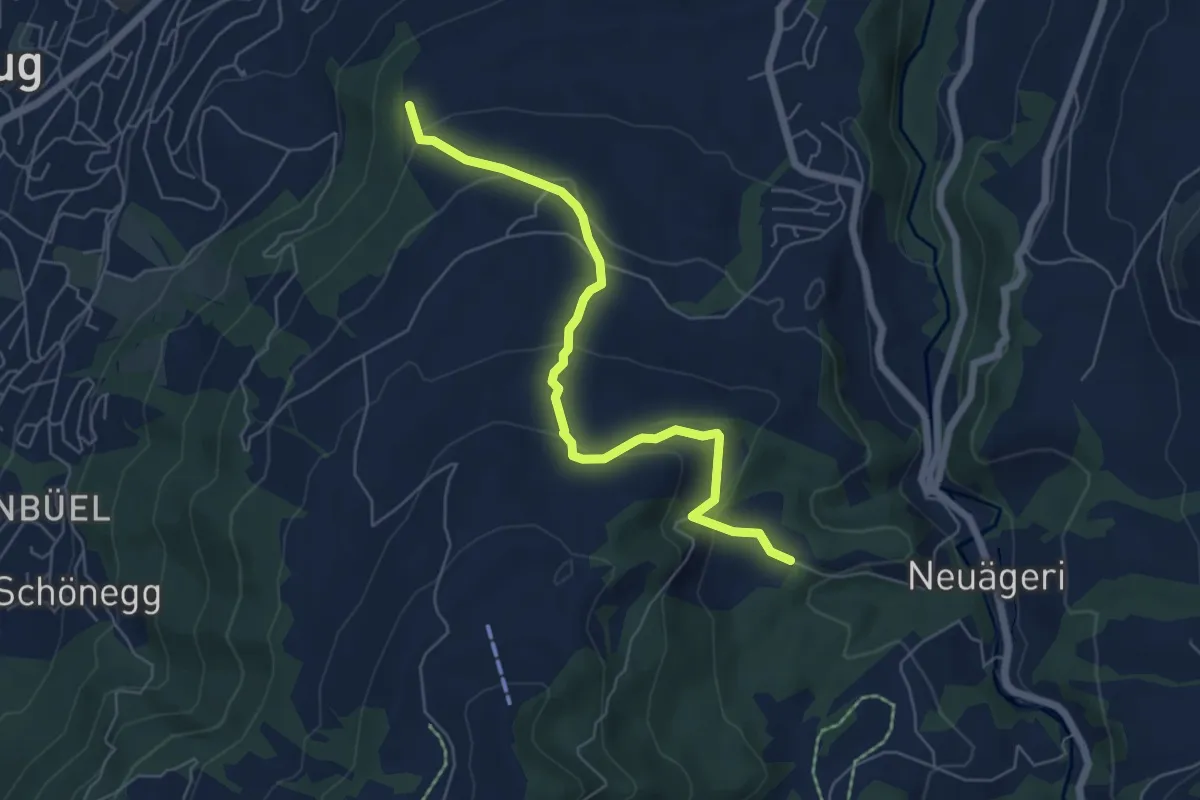
Steren-Unter Brunegg
6.0 km · ↑ 296 m · 2 h 3 min · 13 km away
Easy · Trail
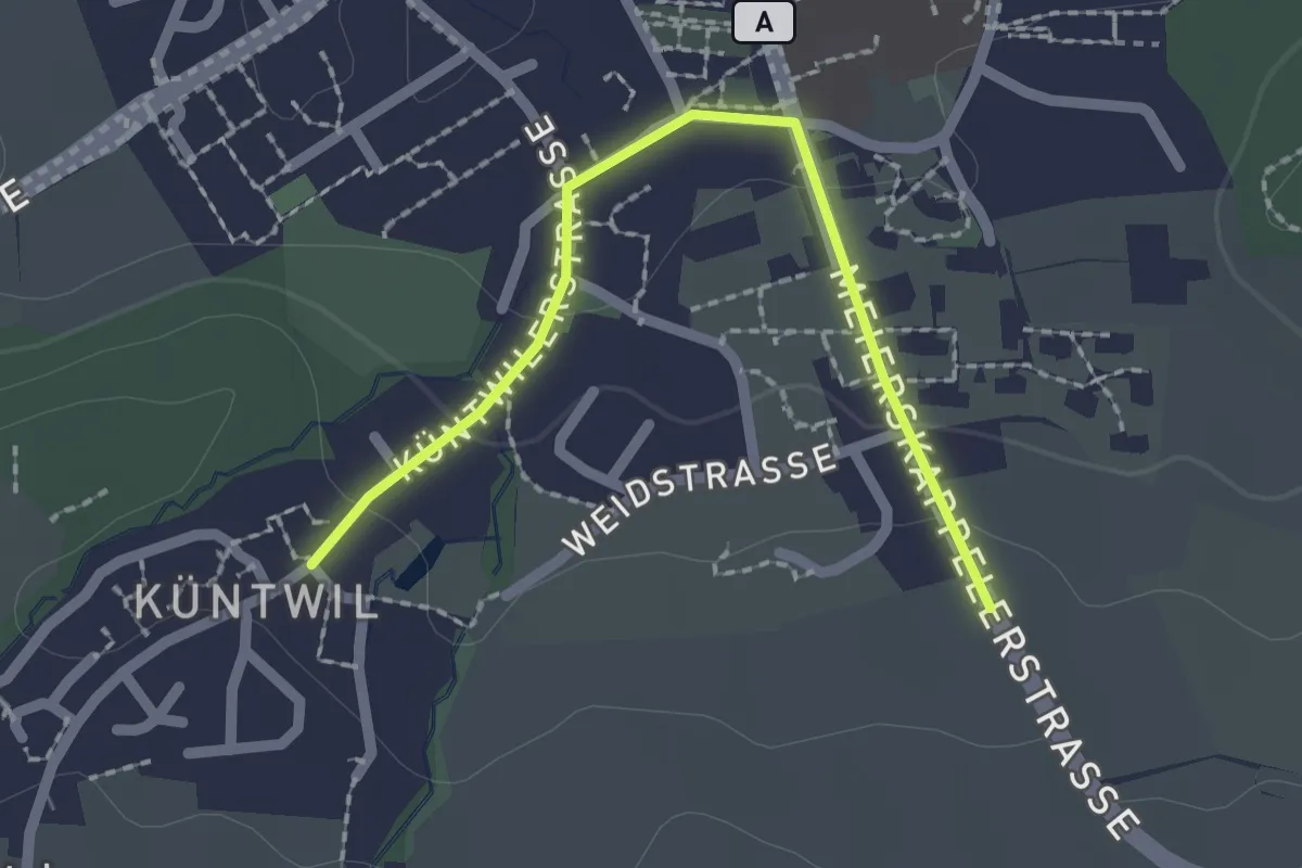
Rotkreuz - Chüntwil
2.1 km · ↑ 52 m · 36 min · 13 km away
Easy · Trail
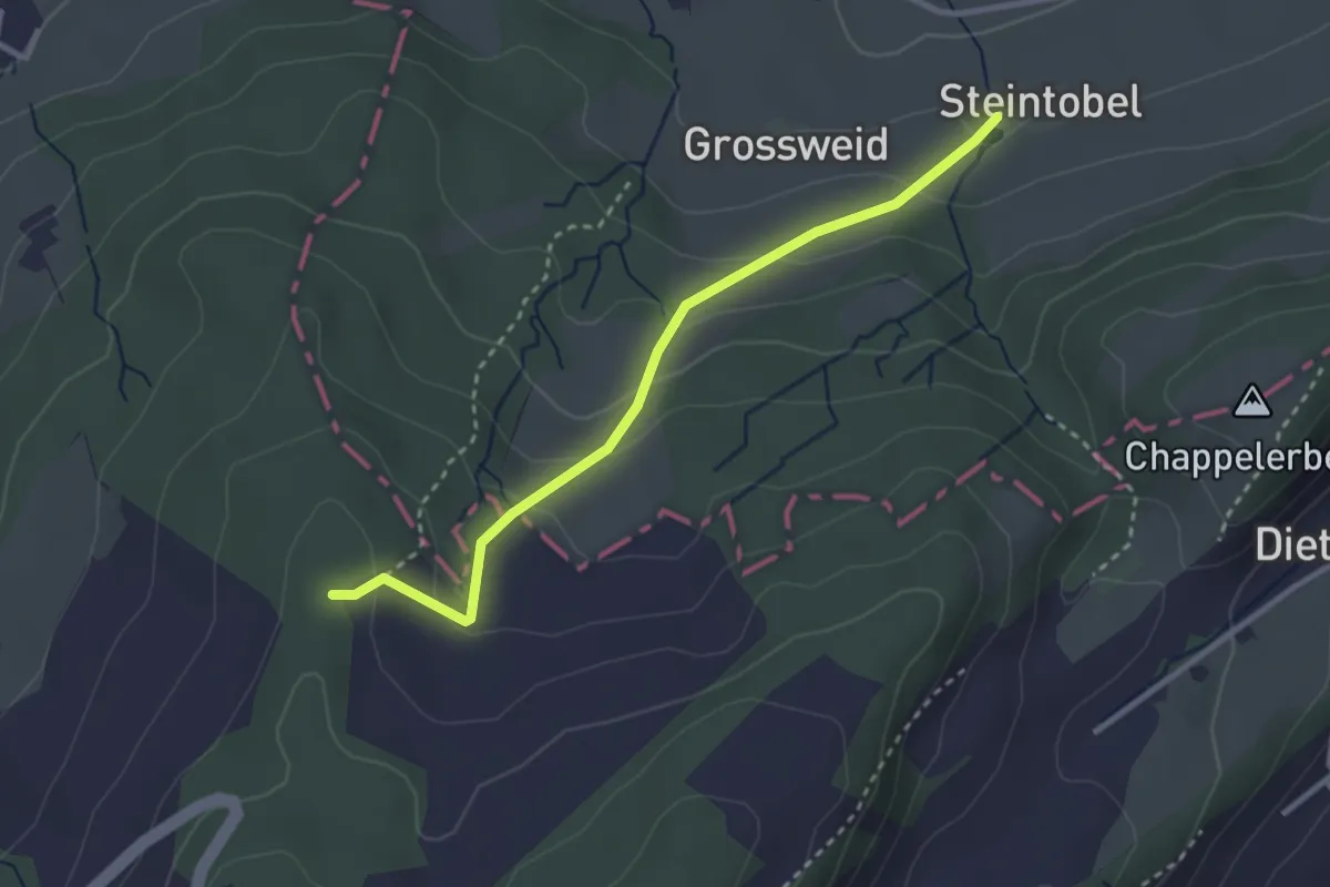
Steintobel - Mittler Sonderi
2.9 km · ↑ 164 m · 1 h 3 min · 13 km away
Medium · Trail
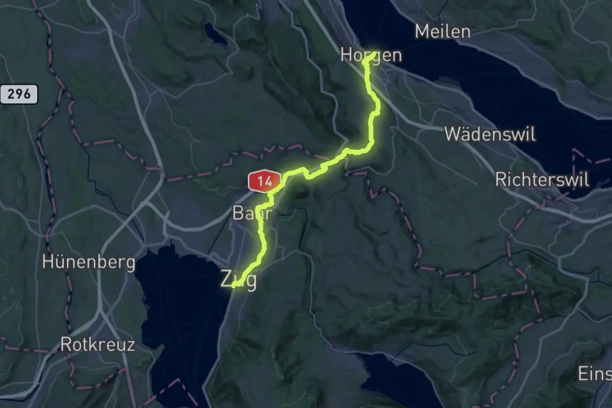
Saumweg
17.4 km · ↑ 376 m · 5 h 10 min · 13 km away
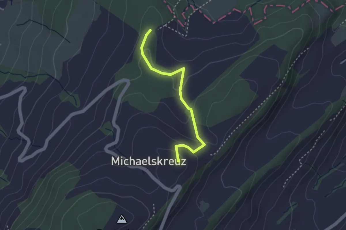
Easy · Summit
Mittler Sonderi - Michaelskreuz
2.7 km · ↑ 120 m · 54 min · 13 km away
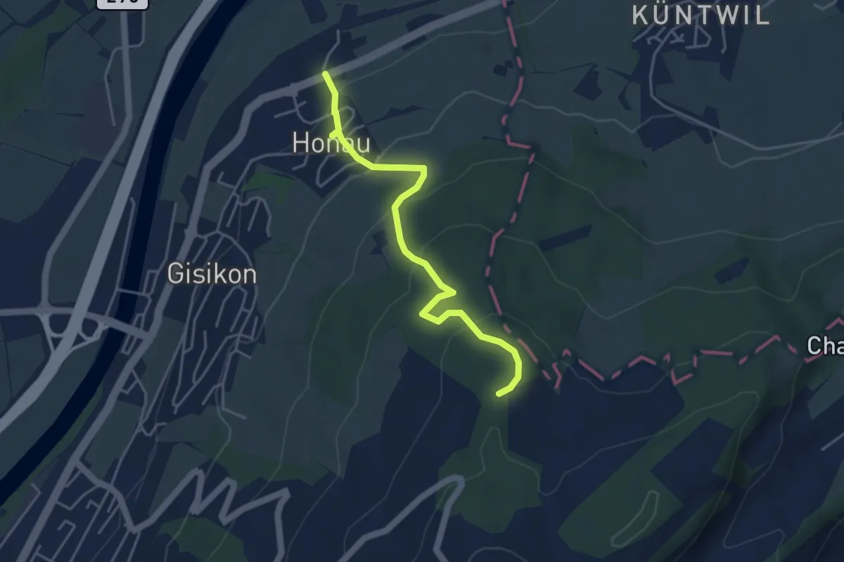
Easy · Trail
Honau - Mittler Sonderi
4.1 km · ↑ 241 m · 1 h 29 min · 13 km away
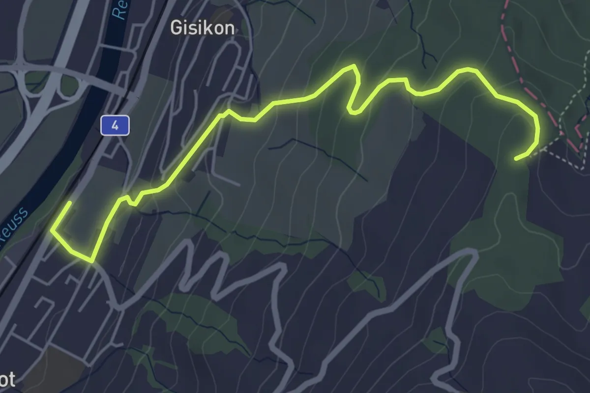
Easy · Trail
Gisikon Root - Mittler Sonderi
5.5 km · ↑ 258 m · 1 h 51 min · 13 km away
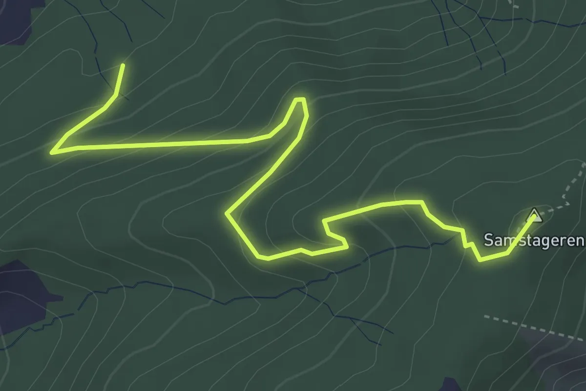
Medium · Summit
Cholholz – Windwurf
5.0 km · ↑ 321 m · 1 h 53 min · 13 km away
Easy · Trail
Wildenburg - Schönegg - fixme
2.1 km · ↑ 121 m · 45 min · 13 km away
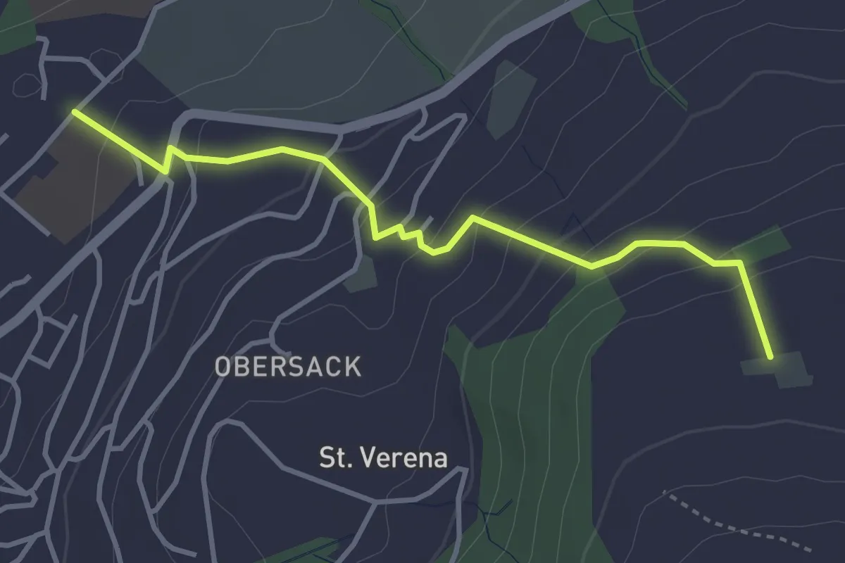
Easy · Trail
Loreto - Wildenburg
3.4 km · ↑ 225 m · 1 h 17 min · 13 km away
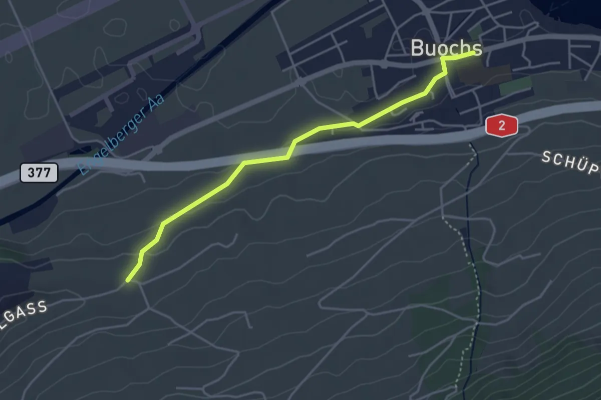
Easy · Trail
Buochs – Ännerberg
3.8 km · ↑ 68 m · 1 h 3 min · 13 km away
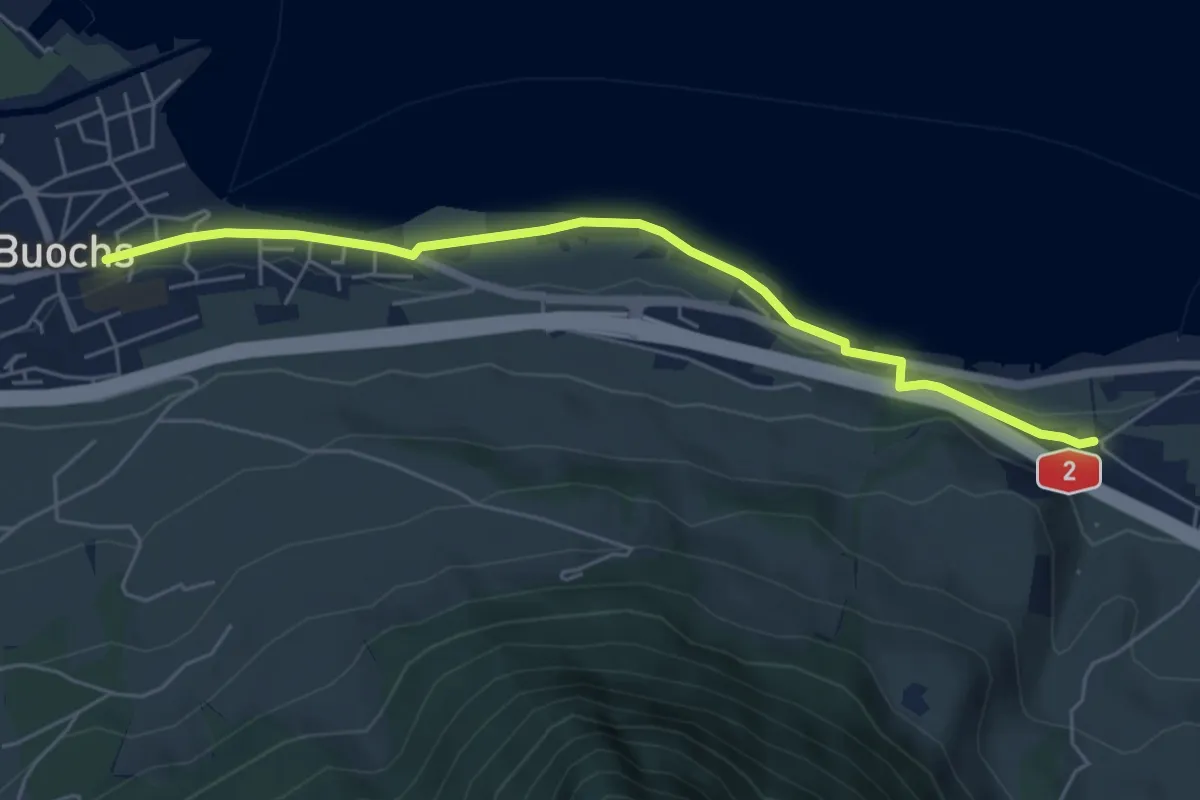
Easy · Trail
Ridli – Buochs
5.7 km · ↑ 53 m · 1 h 28 min · 13 km away
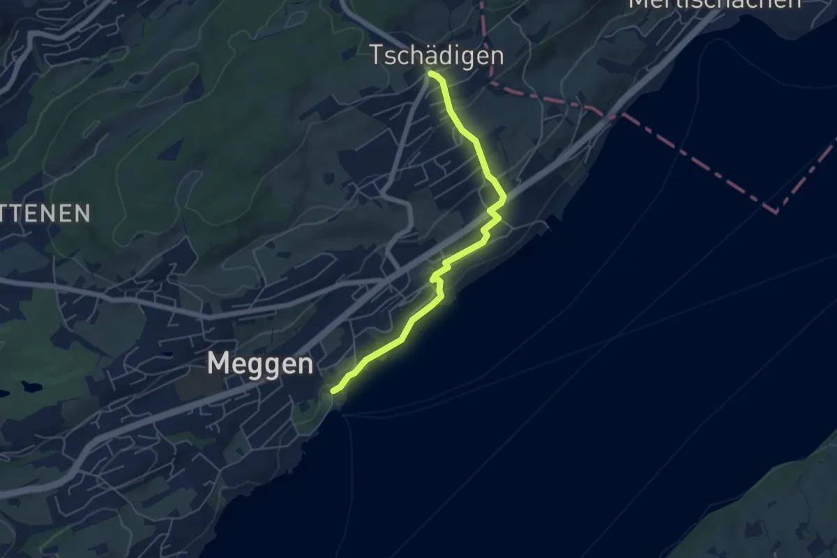
Easy · Trail
Meggen (Schiff) - Tschädigen
5.1 km · ↑ 156 m · 1 h 32 min · 13 km away
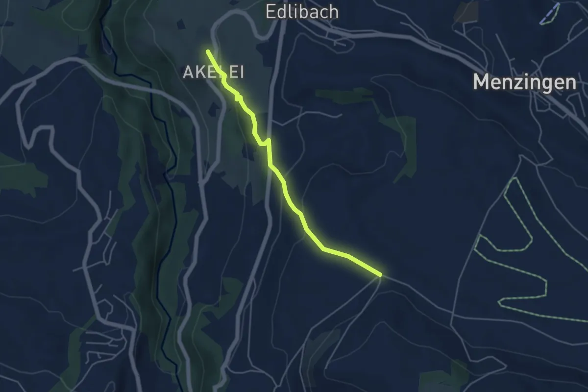
Easy · Trail
Bolzli - Wulfligen
4.0 km · ↑ 150 m · 1 h 16 min · 13 km away
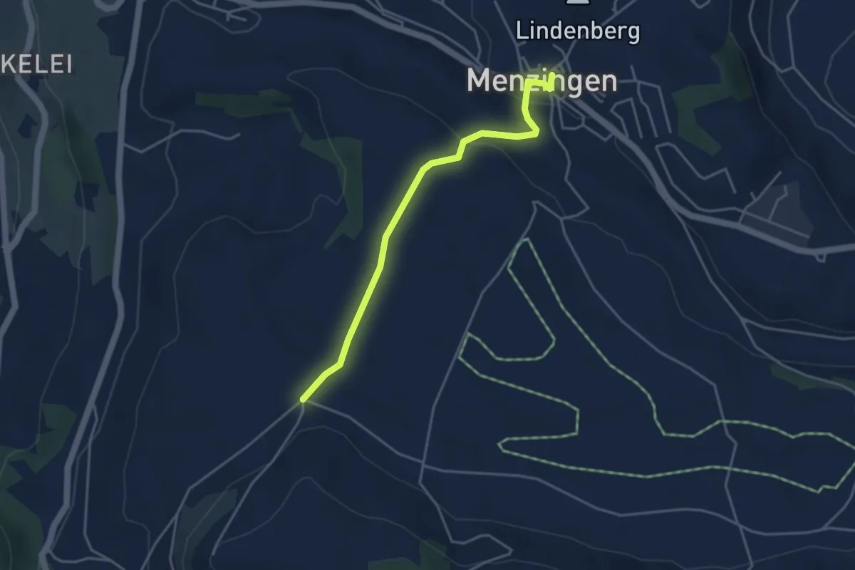
Easy · Trail
Menzingen - Bolzli
3.7 km · ↑ 70 m · 1 h 2 min · 13 km away
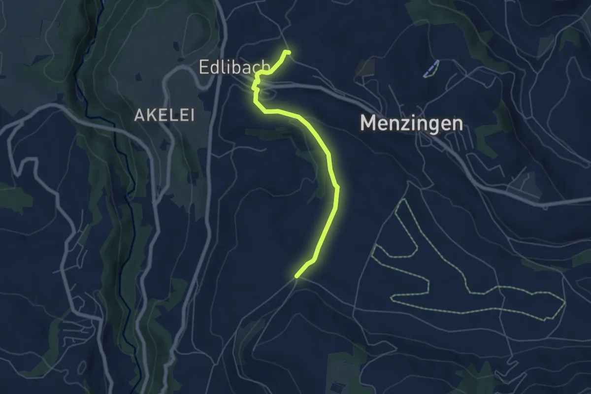
Easy · Trail
Edlibach – Bolzli
4.9 km · ↑ 91 m · 1 h 22 min · 13 km away
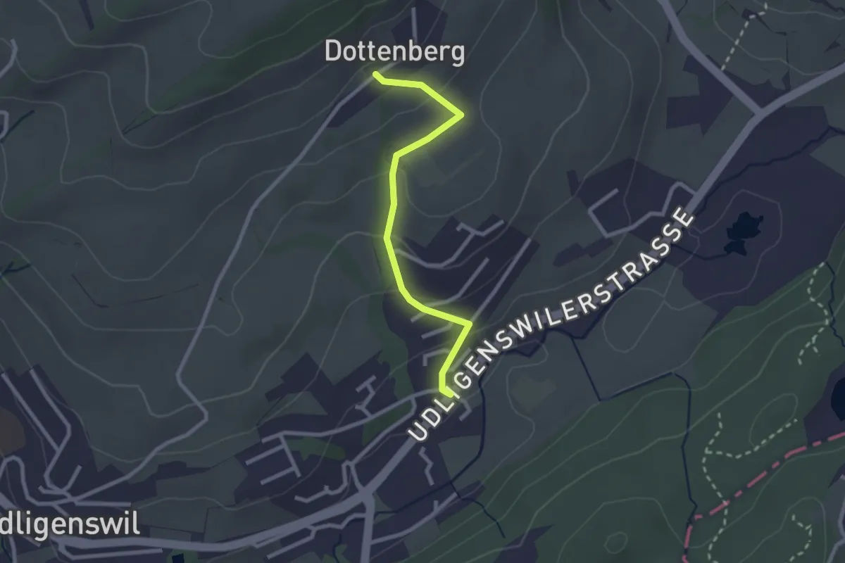
Easy · Trail
Chli Äbnet – Dottenberg
2.3 km · ↑ 110 m · 48 min · 13 km away
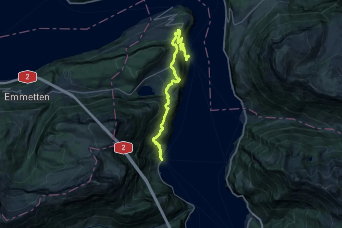
Demanding · Trail
Weg der Schweiz
18.4 km · ↑ 1243 m · 7 h 2 min · 13 km away
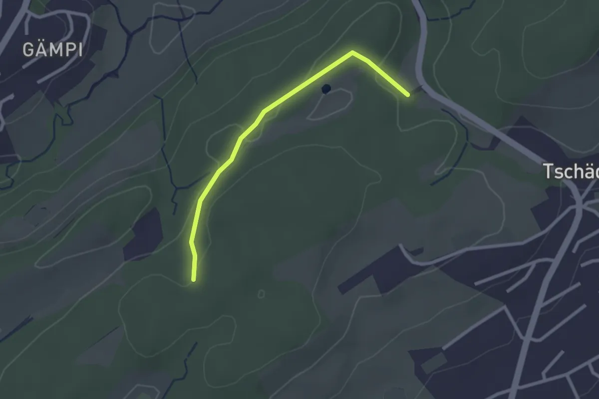
Easy · Trail
Längeried - Meggerwald
2.2 km · ↑ 37 m · 36 min · 13 km away
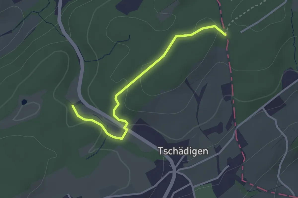
Easy · Trail
Gränzetürli - Längeried
2.7 km · ↑ 71 m · 47 min · 13 km away
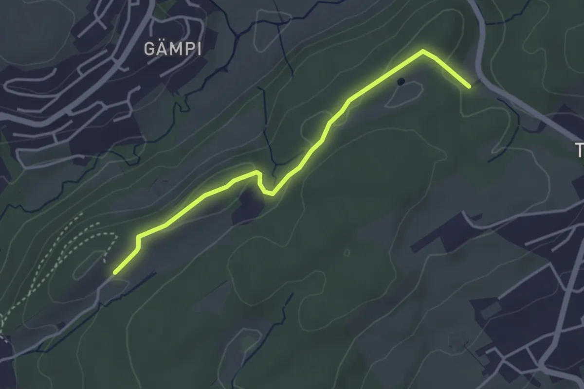
Easy · Trail
Längeried - Mülegg
3.5 km · ↑ 61 m · 58 min · 13 km away
Easy · Trail
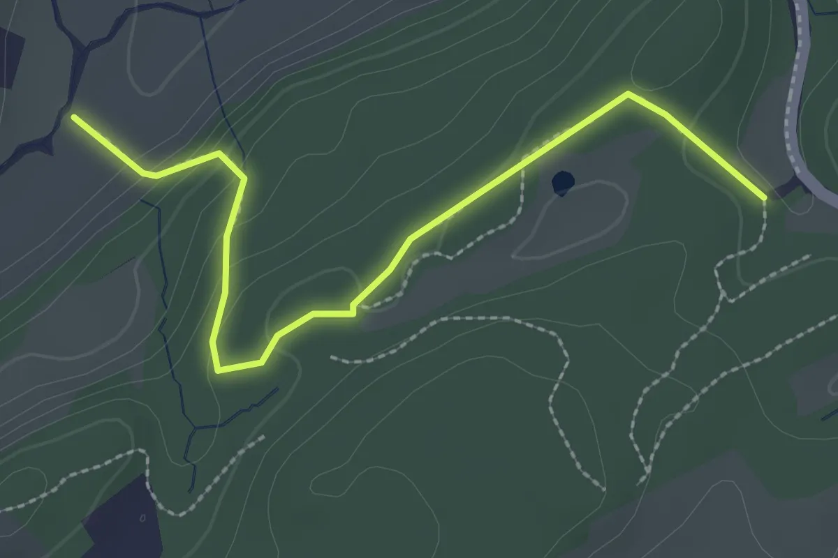
Längeried - Risiboden
2.7 km · ↑ 114 m · 53 min · 13 km away
Demanding · Trail
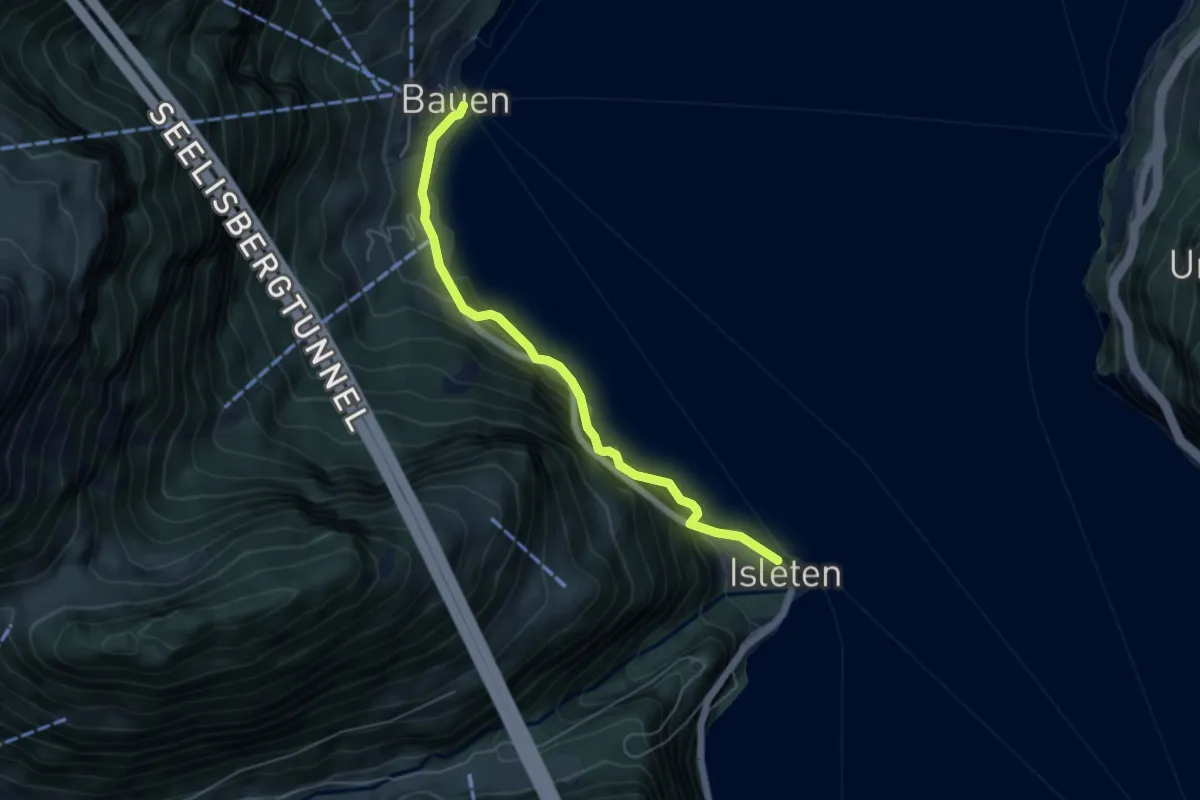
Isleten Schiff-Bauen
5.1 km · ↑ 884 m · 3 h 7 min · 13 km away
Medium · Summit
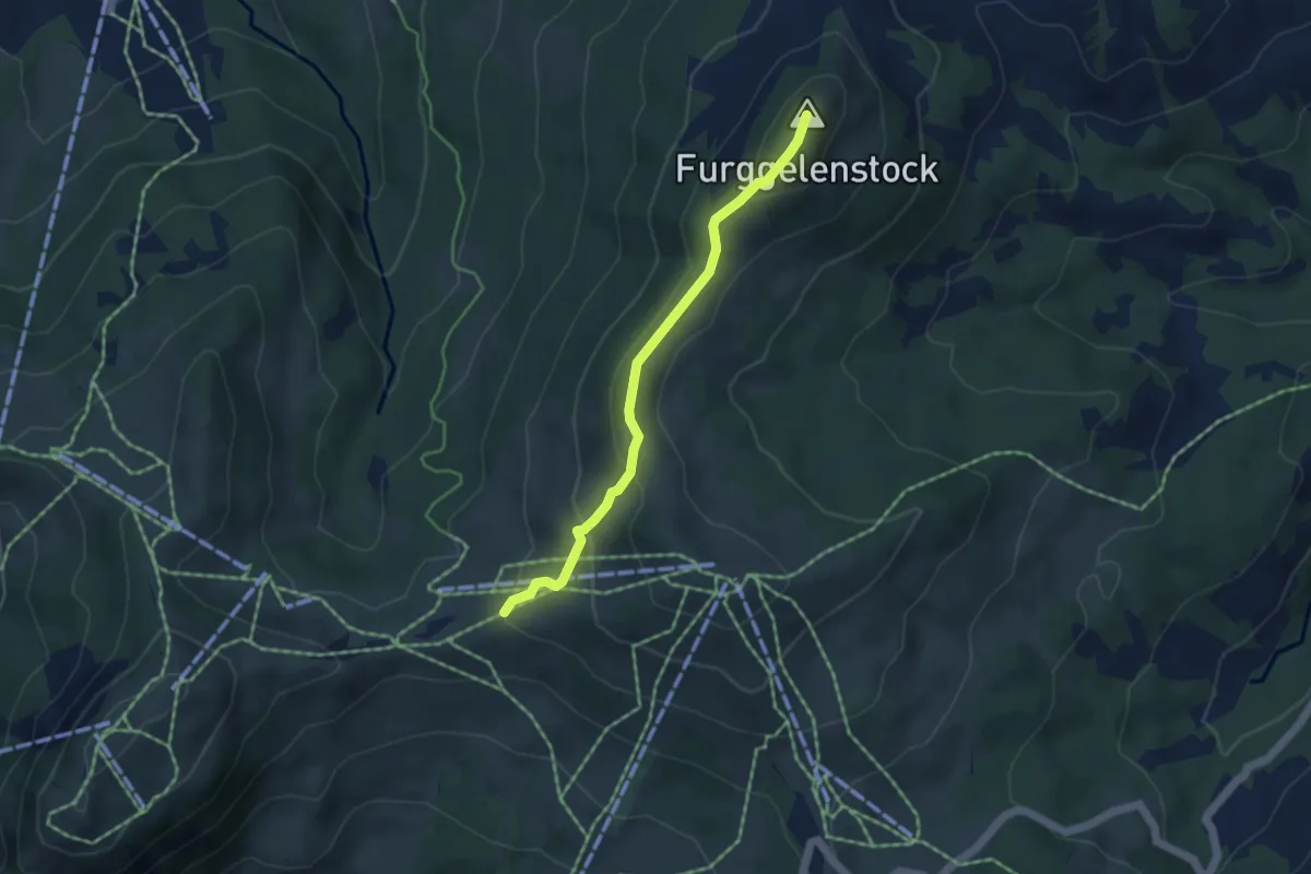
Furggelen - Zwäcken
4.1 km · ↑ 231 m · 1 h 29 min · 13 km away
Easy · Trail
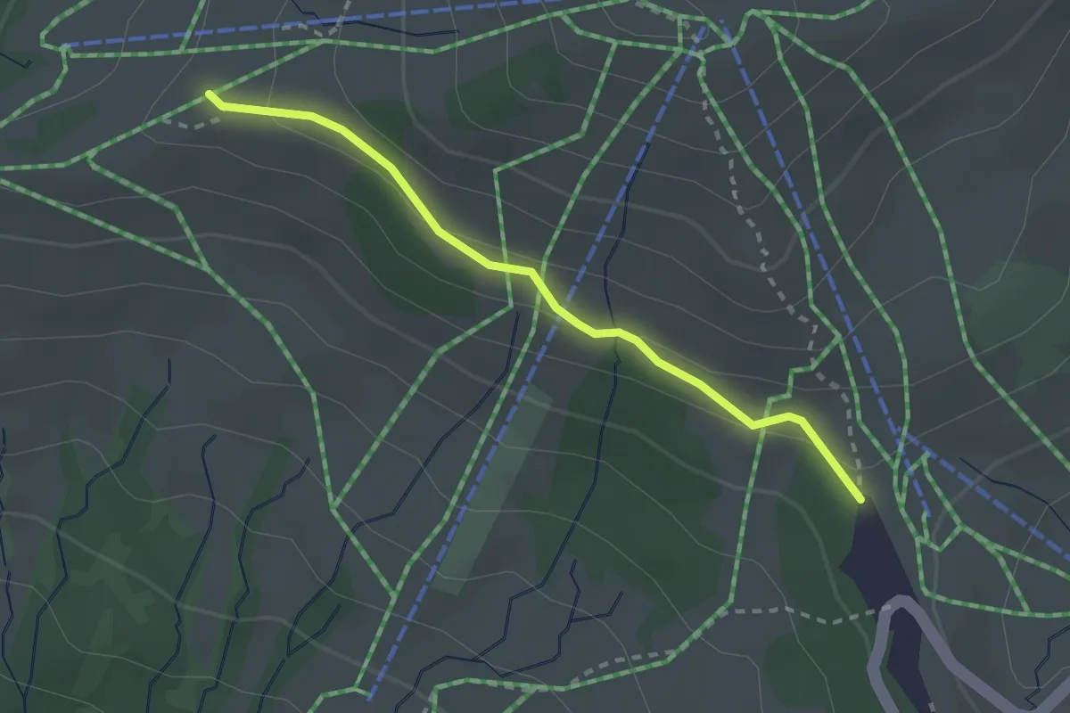
Ibergeregg - Zwäcken
2.4 km · ↑ 75 m · 43 min · 13 km away
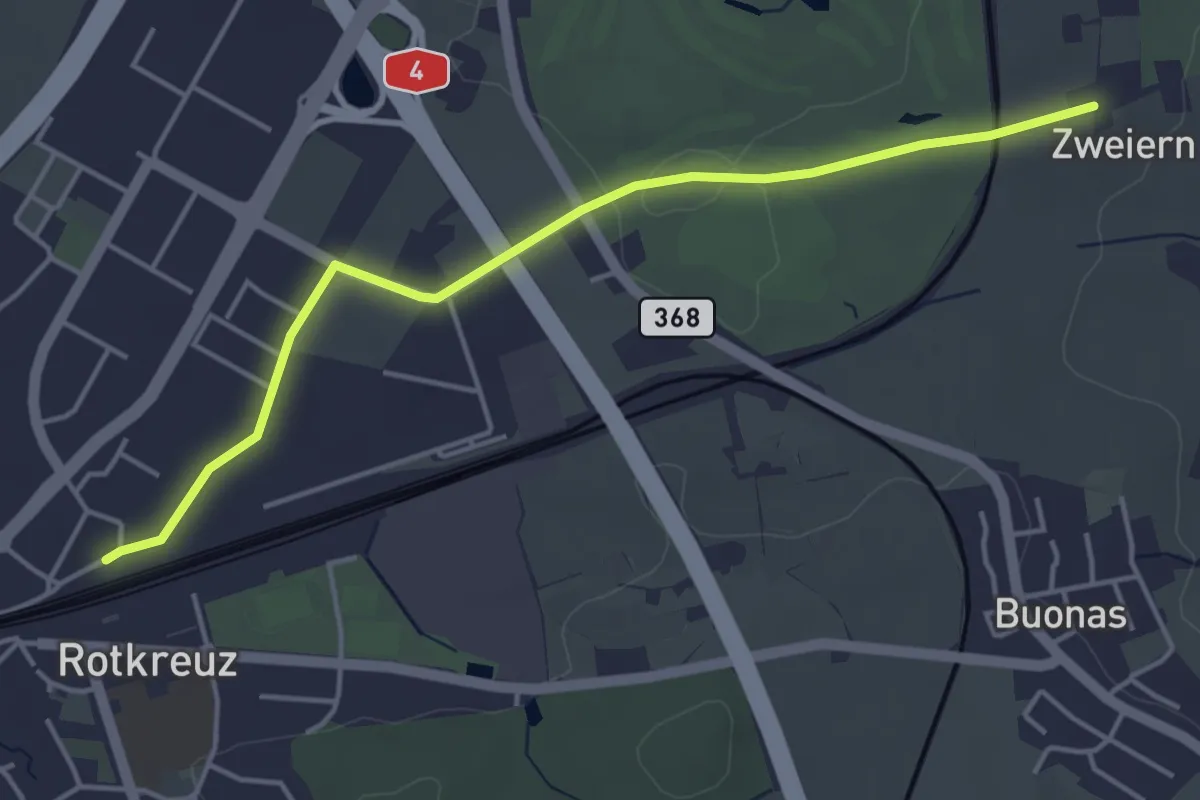
Easy · Trail
Rotkreuz - Zwijeren
4.5 km · ↑ 17 m · 1 h 6 min · 13 km away
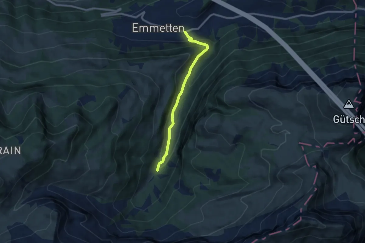
Medium · Trail
Cholstrasse - Emmetten
5.7 km · ↑ 371 m · 2 h 9 min · 13 km away