Trails near Goldau
649 hikes starting within 15 km, nearest first.
Nearest first, page 12 of 14
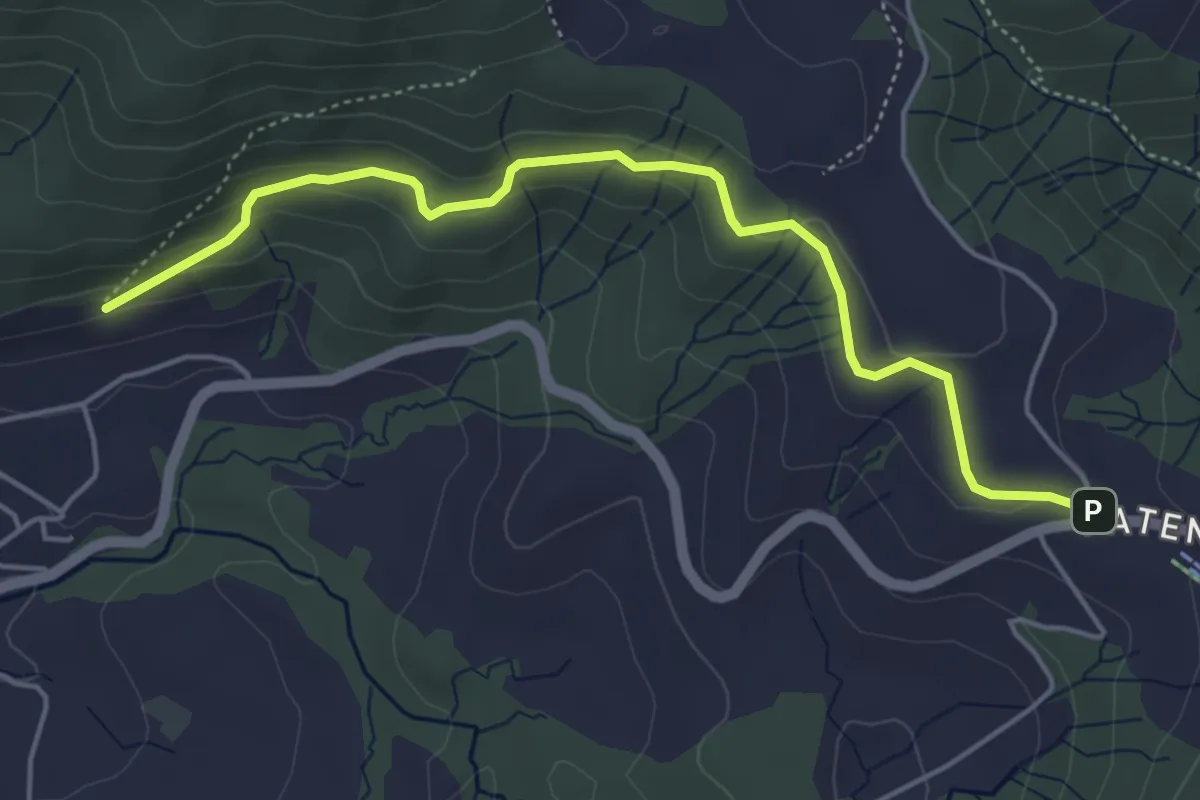
Easy · Trail
Gireggwald – Raten
5.0 km · ↑ 194 m · 1 h 36 min · 13 km away
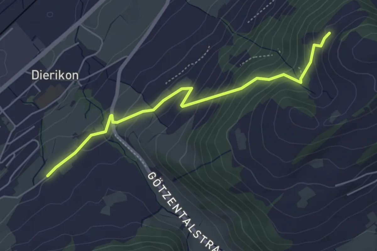
Easy · Trail
Hinter Charen - Spächten
4.8 km · ↑ 297 m · 1 h 46 min · 13 km away
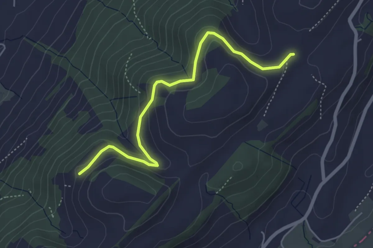
Easy · Trail
Schiffmannshof - Hinter Charen
4.6 km · ↑ 147 m · 1 h 25 min · 13 km away
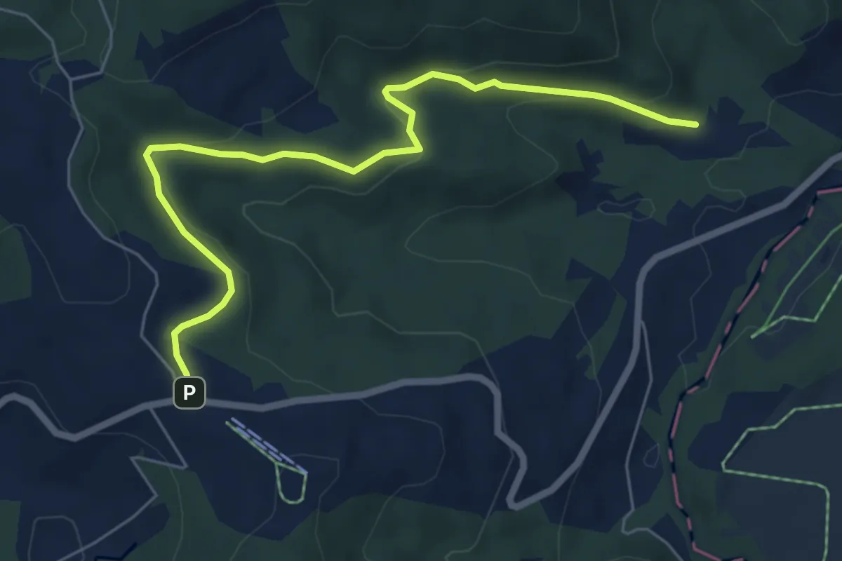
Easy · Trail
Breitried – Raten
6.3 km · ↑ 173 m · 1 h 52 min · 13 km away
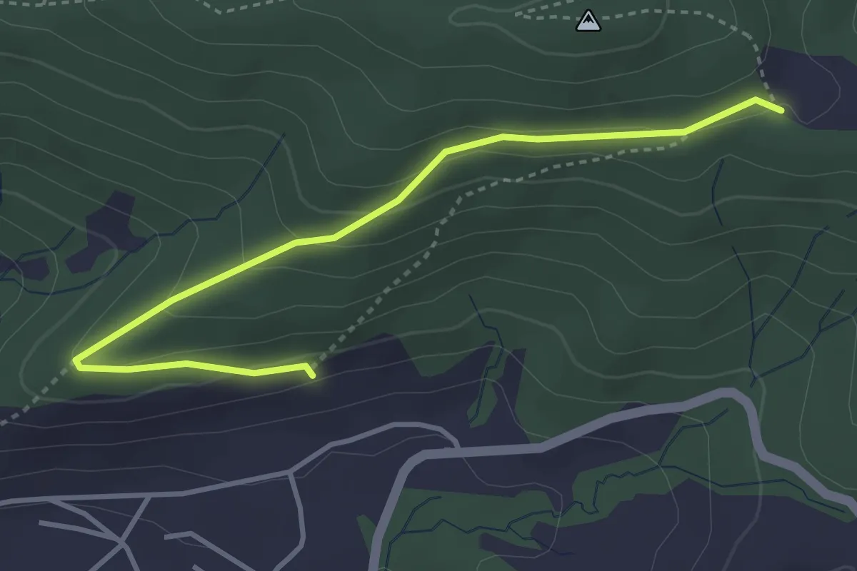
Easy · Trail
Gireggwald - Abschwändi
3.8 km · ↑ 159 m · 1 h 15 min · 13 km away
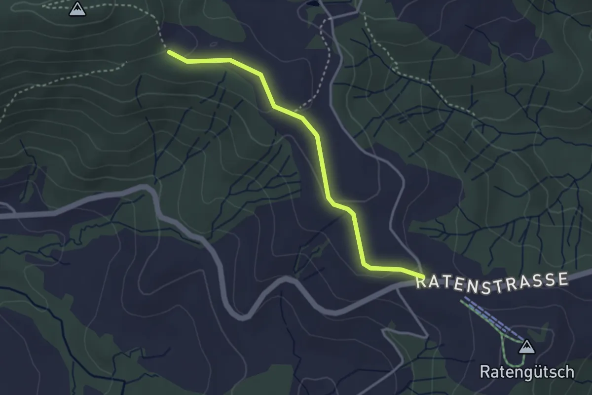
Easy · Trail
Raten – Abschwändi
3.0 km · ↑ 65 m · 52 min · 13 km away
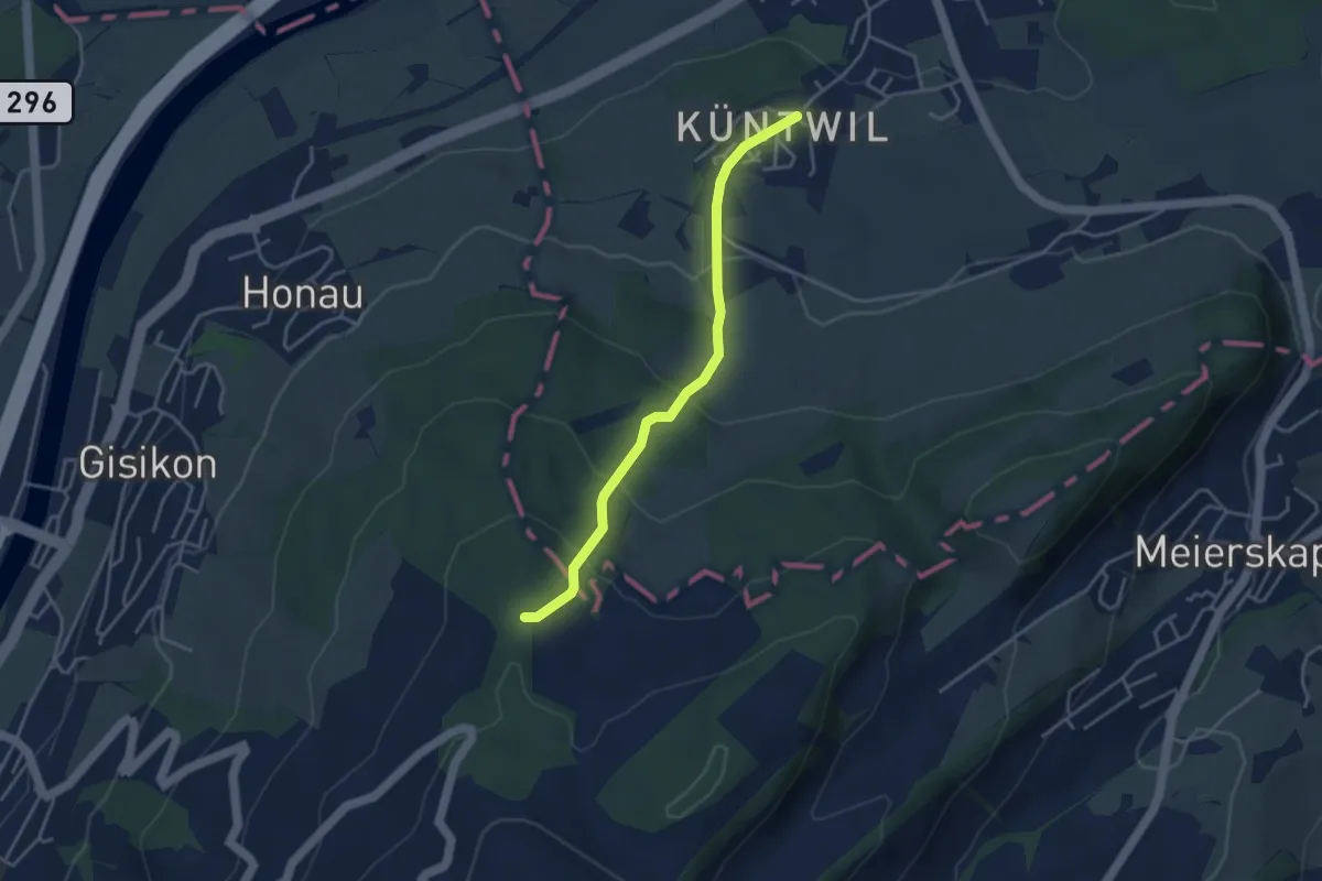
Easy · Trail
Chünten - Mittler Sonderi
3.7 km · ↑ 221 m · 1 h 21 min · 13 km away
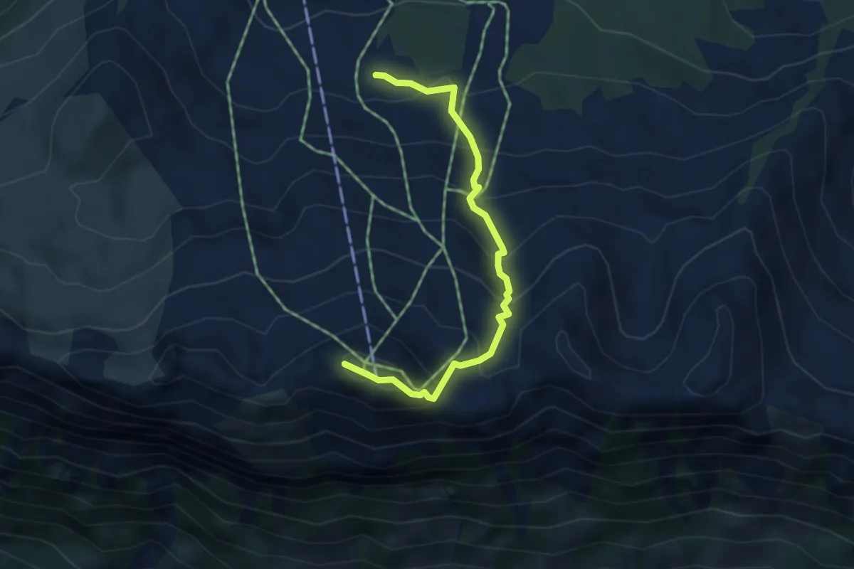
Medium · Summit
Metzg – Klingenstock
3.7 km · ↑ 379 m · 1 h 42 min · 13 km away
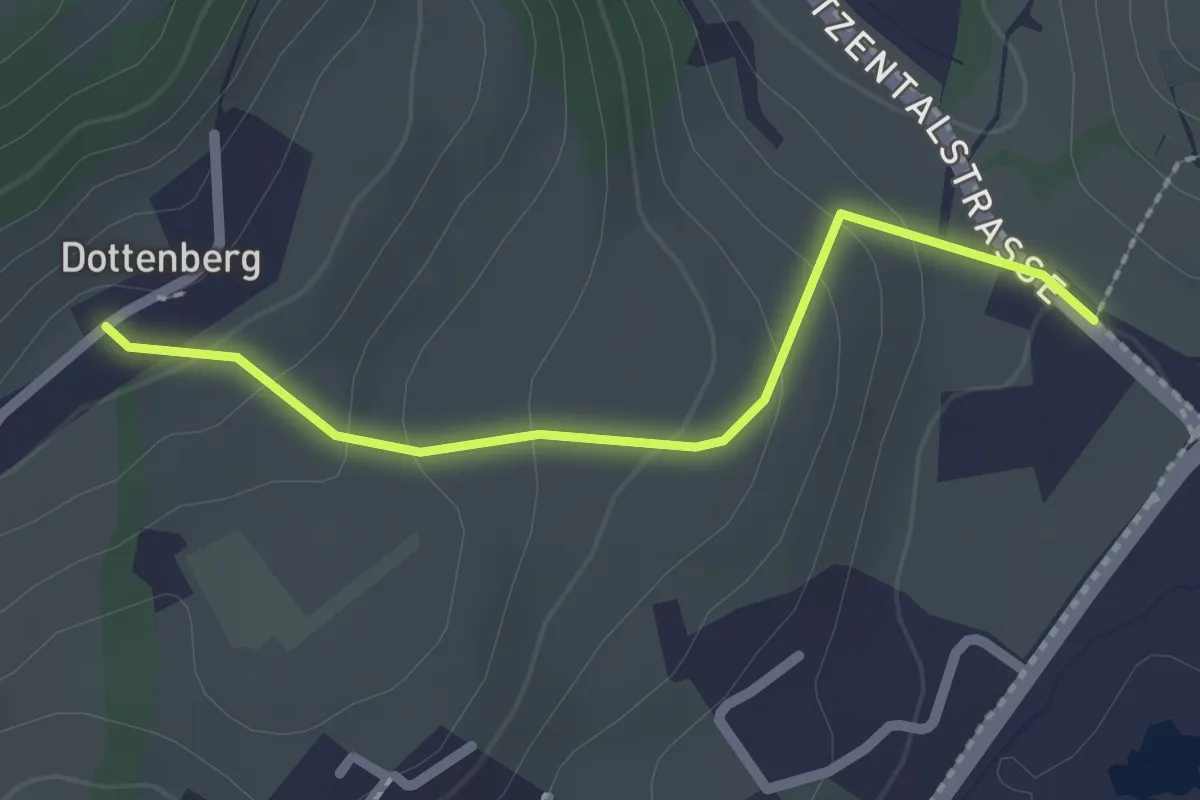
Easy · Trail
Dottenberg – Stegmatt
2.1 km · ↑ 108 m · 43 min · 13 km away
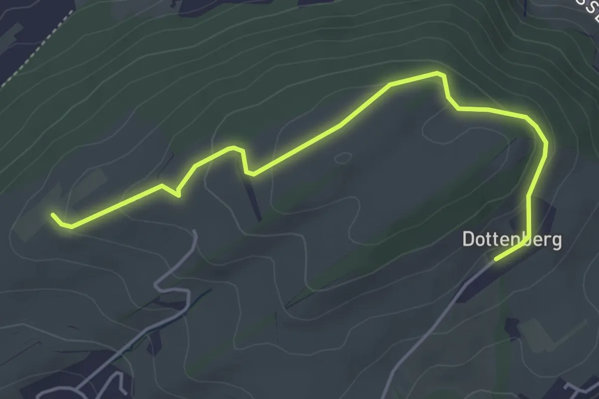
Easy · Trail
Ober Äbrüti – Dottenberg
4.5 km · ↑ 134 m · 1 h 21 min · 13 km away
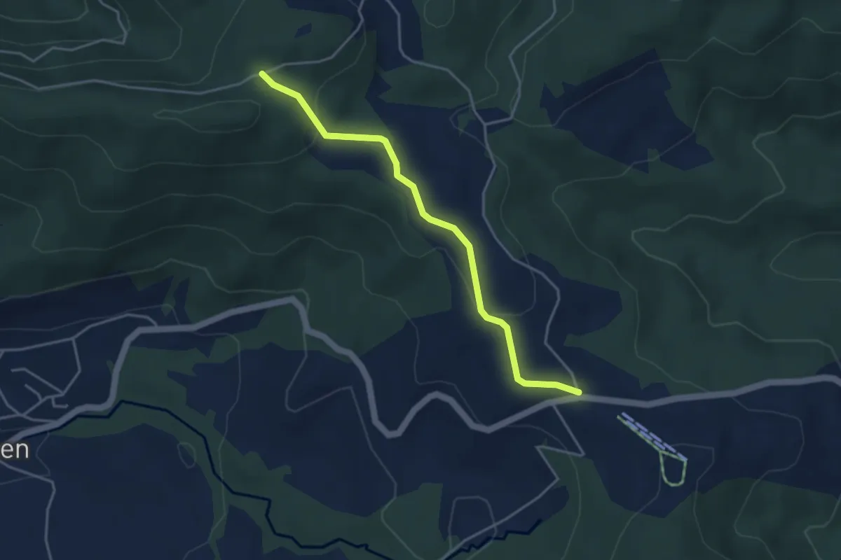
Easy · Trail
Charenboden – Raten
3.8 km · ↑ 100 m · 1 h 7 min · 13 km away
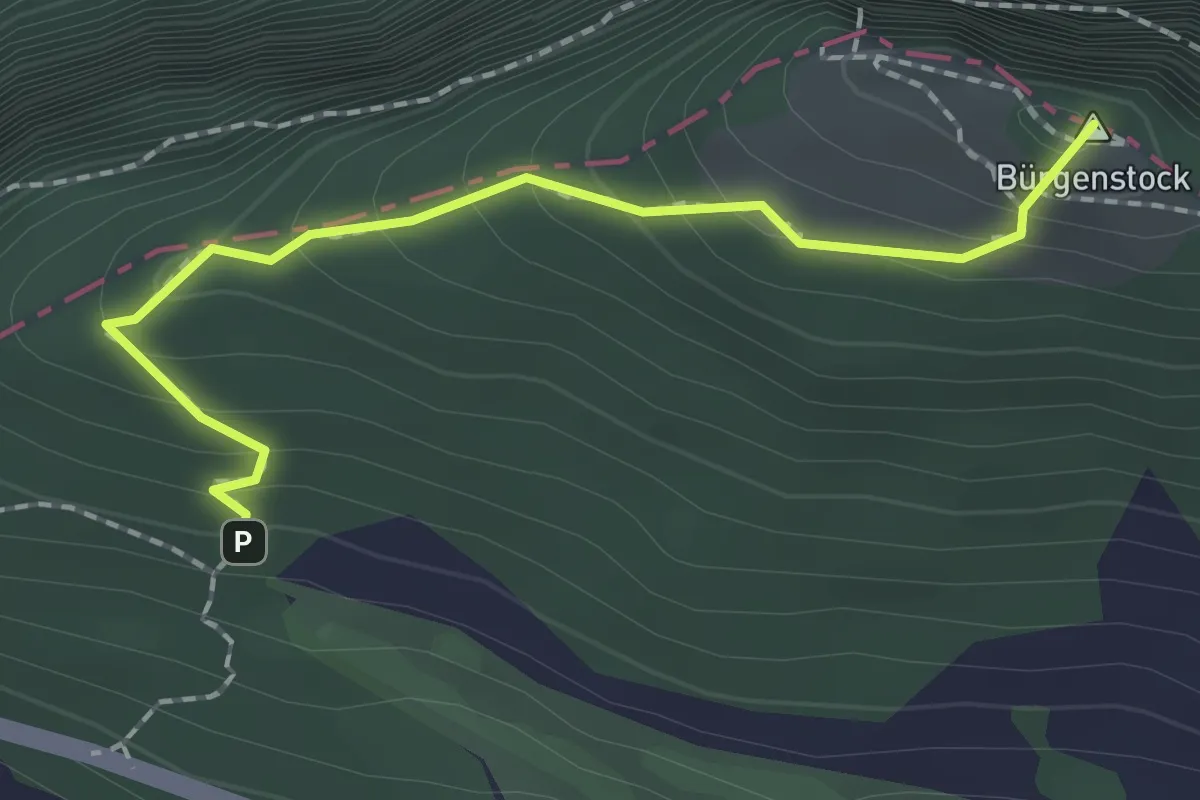
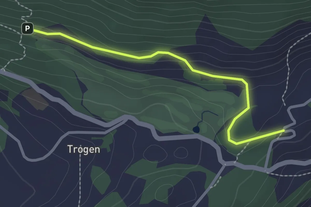
Medium · Summit
Hametschwand - Hauwald
1.9 km · ↑ 182 m · 50 min · 13 km away
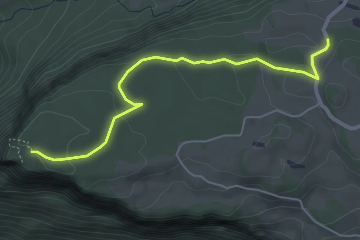
Easy · Trail
Honegg - Hauwald
2.3 km · ↑ 82 m · 44 min · 13 km away
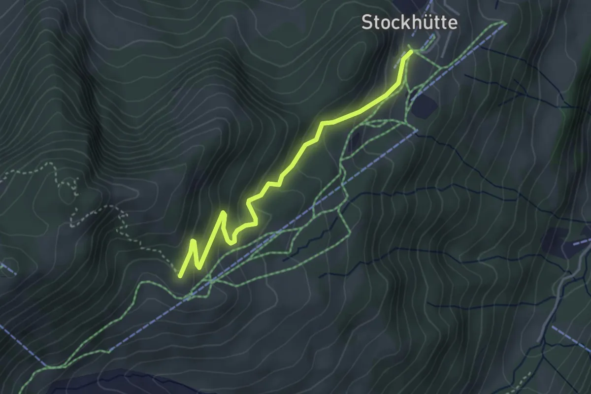
Easy · Trail
Fallenflue – Gründel
4.2 km · ↑ 108 m · 1 h 14 min · 13 km away
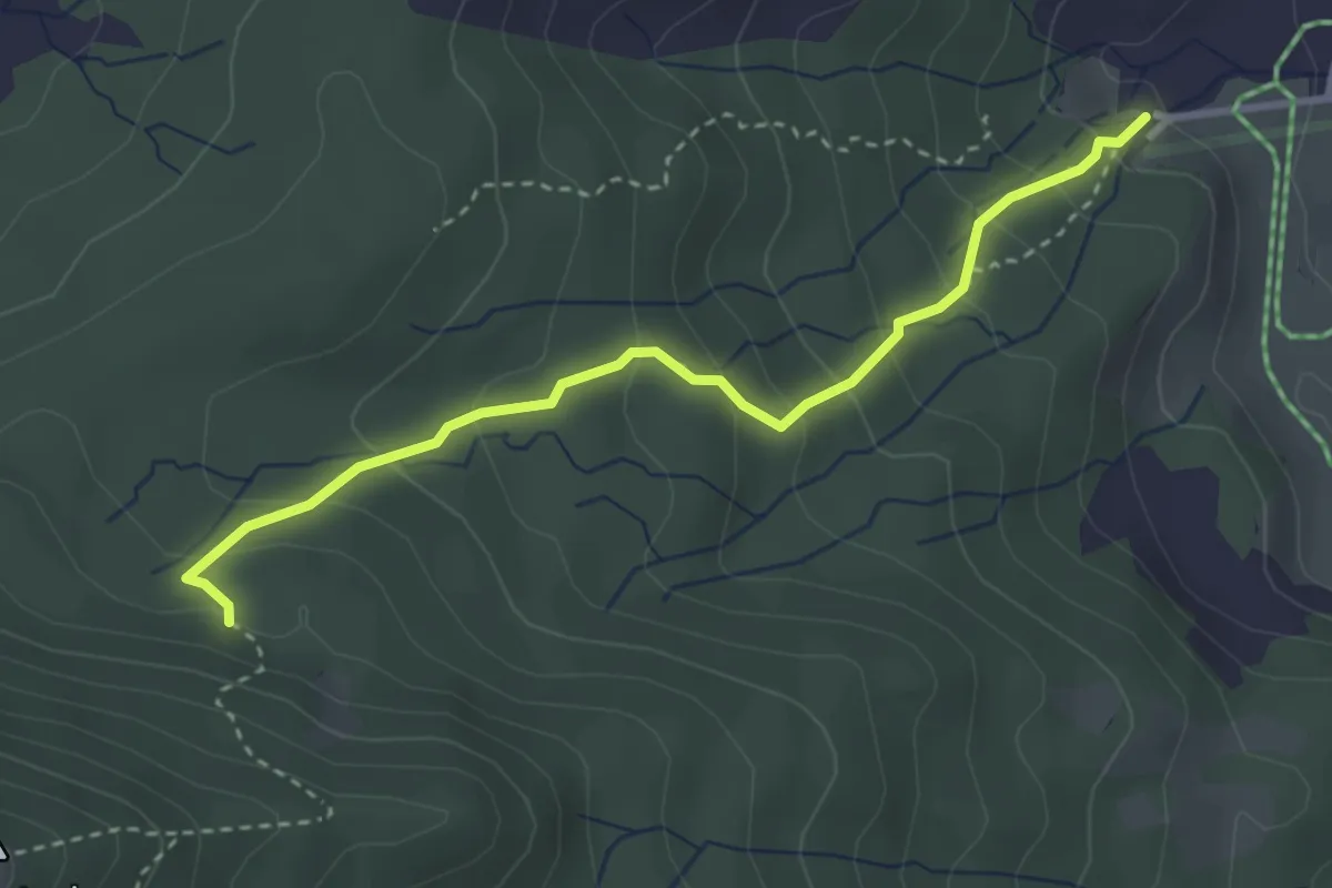
Easy · Trail
Stockhütte - Twäregg
3.7 km · ↑ 268 m · 1 h 27 min · 14 km away
Medium · Trail
Steinschlag – Trachslau
3.2 km · ↑ 271 m · 1 h 21 min · 14 km away
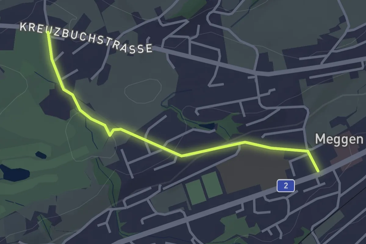
Easy · Trail
Meggen - Buchmatt
2.8 km · ↑ 52 m · 47 min · 14 km away
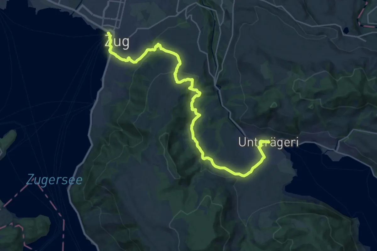
Demanding · Trail
Alpenpanorama-Weg
24.5 km · ↑ 796 m · 7 h 30 min · 14 km away
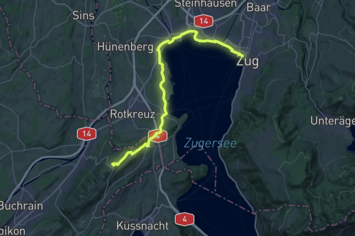
Demanding · Summit
Alpenpanorama-Weg
31.0 km · ↑ 452 m · 8 h 17 min · 14 km away
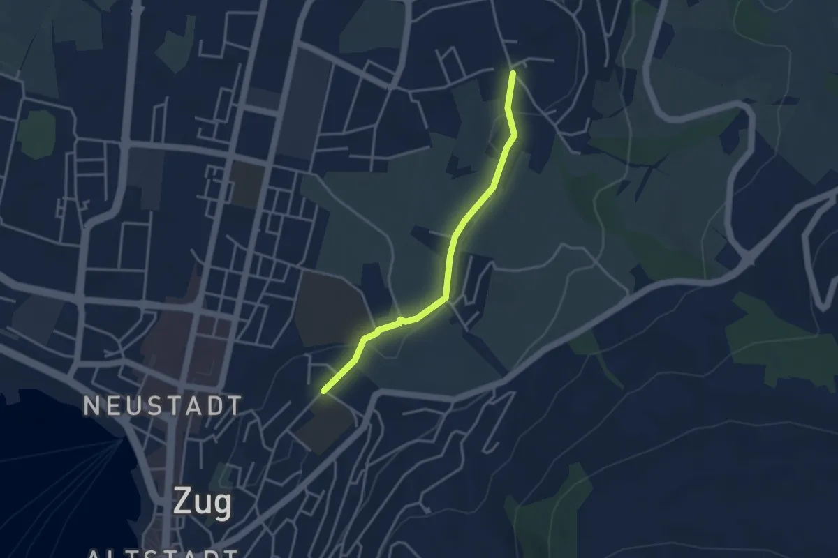
Easy · Trail
Inwil – Loreto
3.1 km · ↑ 32 m · 48 min · 14 km away
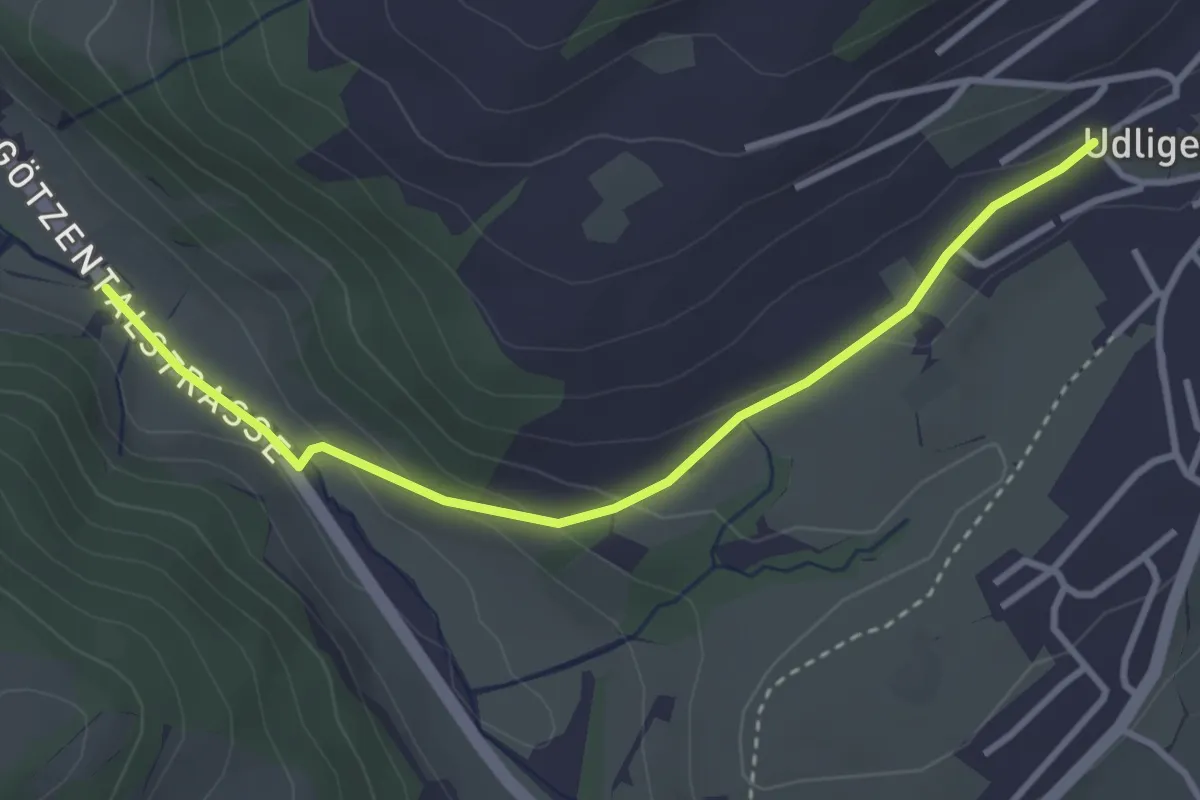
Easy · Trail
Udligenswil - Götzetal
3.4 km · ↑ 106 m · 1 h 2 min · 14 km away
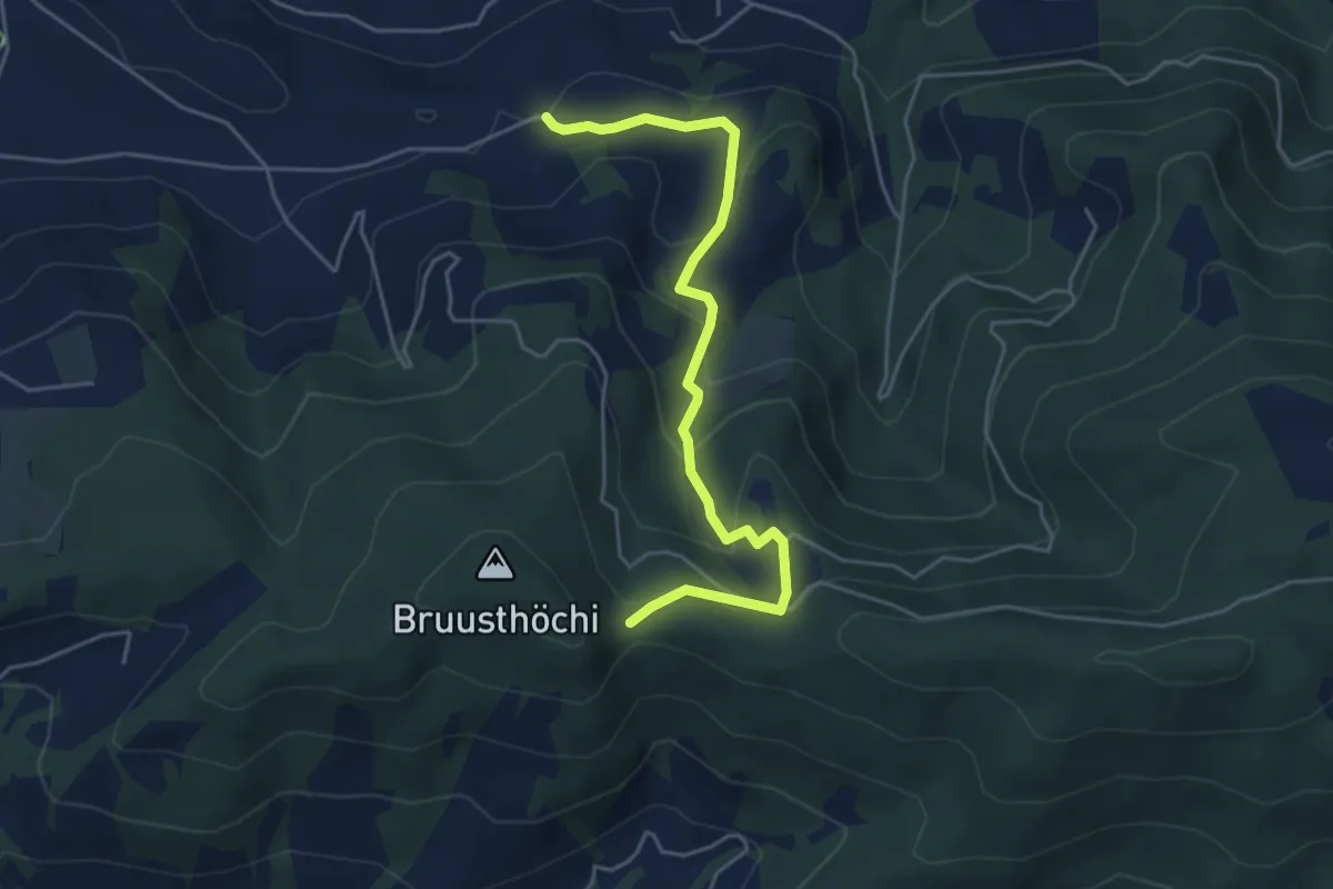
Easy · Trail
Mangelhöhe - Usser Black
4.9 km · ↑ 294 m · 1 h 48 min · 14 km away
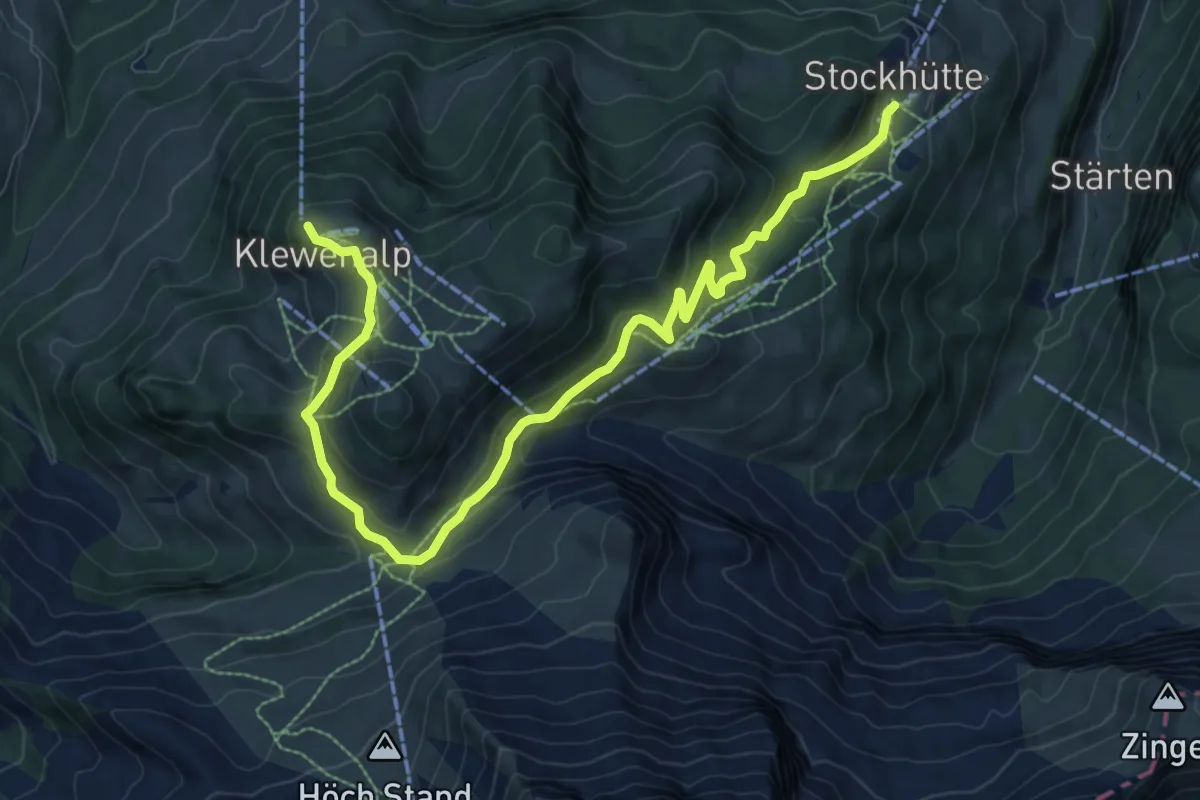
Medium · Trail
Goldi-Gwundernasenweg
10.7 km · ↑ 489 m · 3 h 34 min · 14 km away
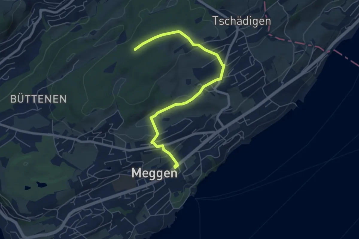
Easy · Trail
Meggen Schulhaus - Meggerwald
6.3 km · ↑ 176 m · 1 h 52 min · 14 km away
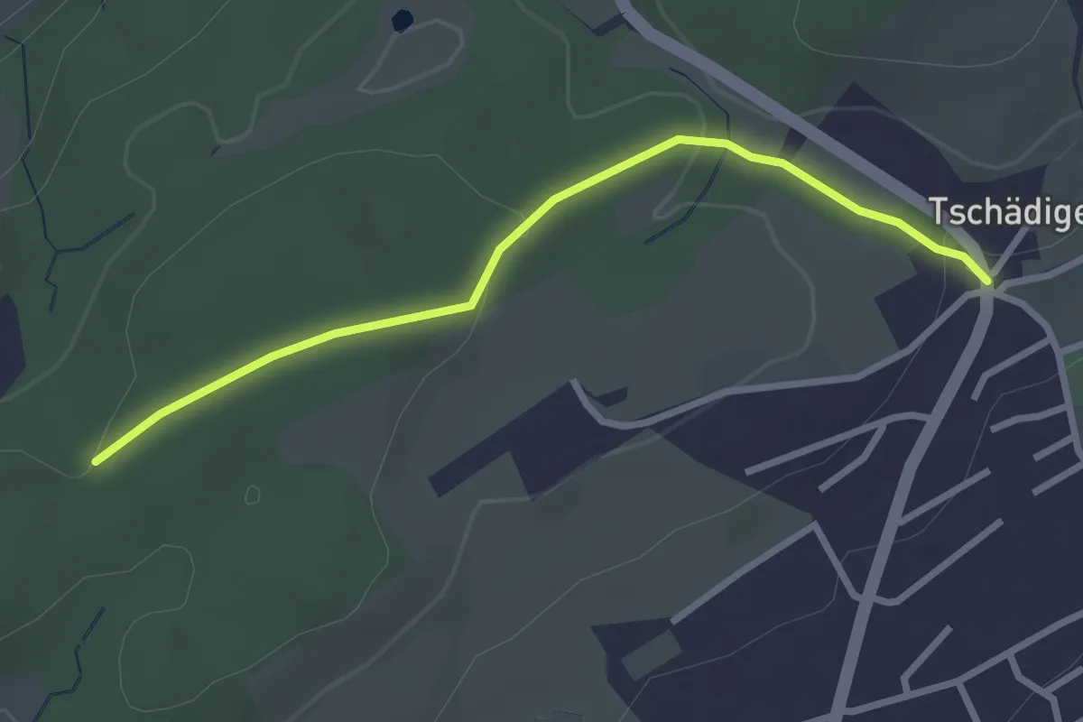
Easy · Trail
Meggerwald - Tschädigen
2.7 km · ↑ 61 m · 46 min · 14 km away
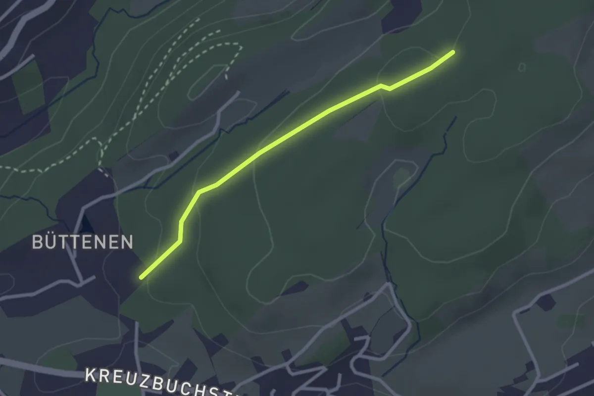
Easy · Trail
Büttenen - Meggerwald
2.4 km · ↑ 73 m · 43 min · 14 km away
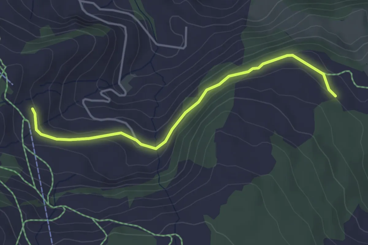
Easy · Trail
Brunnerboden – Rinderchruteren
3.8 km · ↑ 114 m · 1 h 9 min · 14 km away
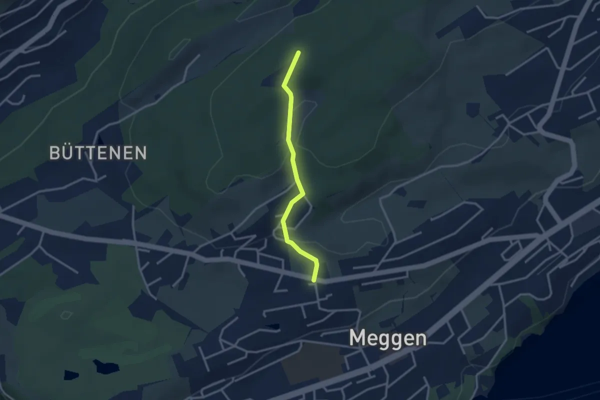
Easy · Trail
Scheidegg - Meggen Zentrum
2.4 km · ↑ 87 m · 45 min · 14 km away
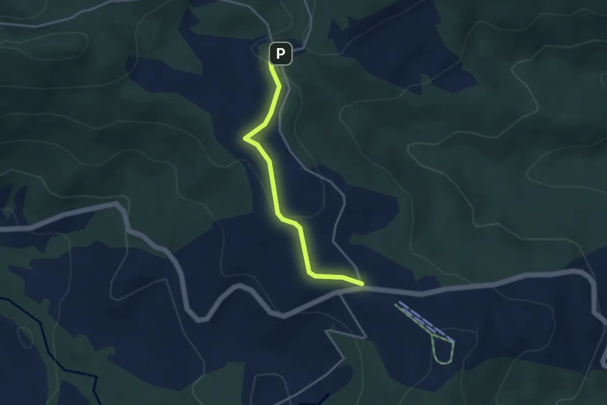
Easy · Trail
Raten – Chlausenchappeli
2.8 km · ↑ 63 m · 48 min · 14 km away
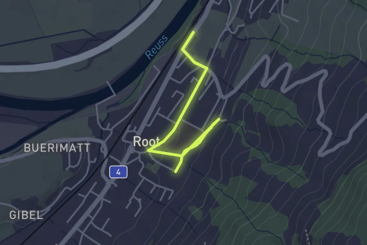
Easy · Trail
Gisikon Root Station - Root
3.5 km · ↑ 73 m · 59 min · 14 km away
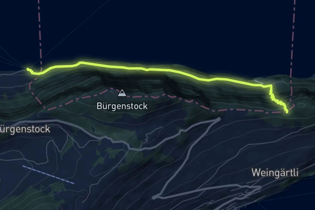
Demanding · Trail
Schlüsselhorn - Untermatt? / Kehrsiten? - fixme
7.9 km · ↑ 821 m · 3 h 38 min · 14 km away
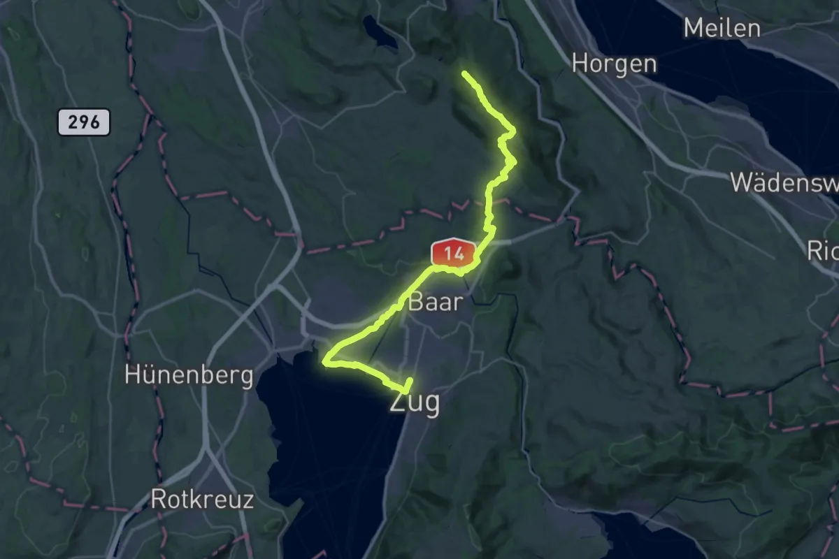
Demanding · Summit
Zürich-Zugerland-Panoramaweg - Etappe 2
35.3 km · ↑ 671 m · 9 h 47 min · 14 km away
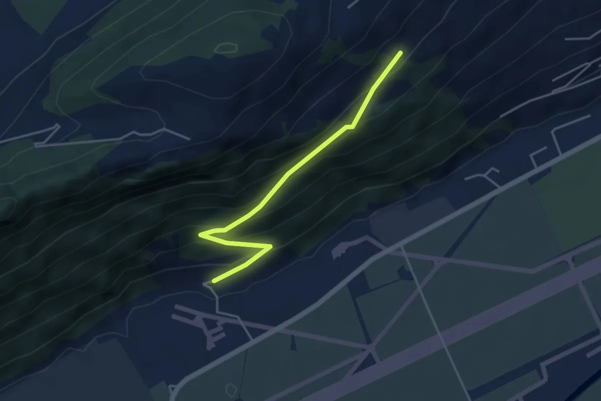
Easy · Trail
Ätschenried – Pilatuswerke
3.7 km · ↑ 296 m · 1 h 31 min · 14 km away
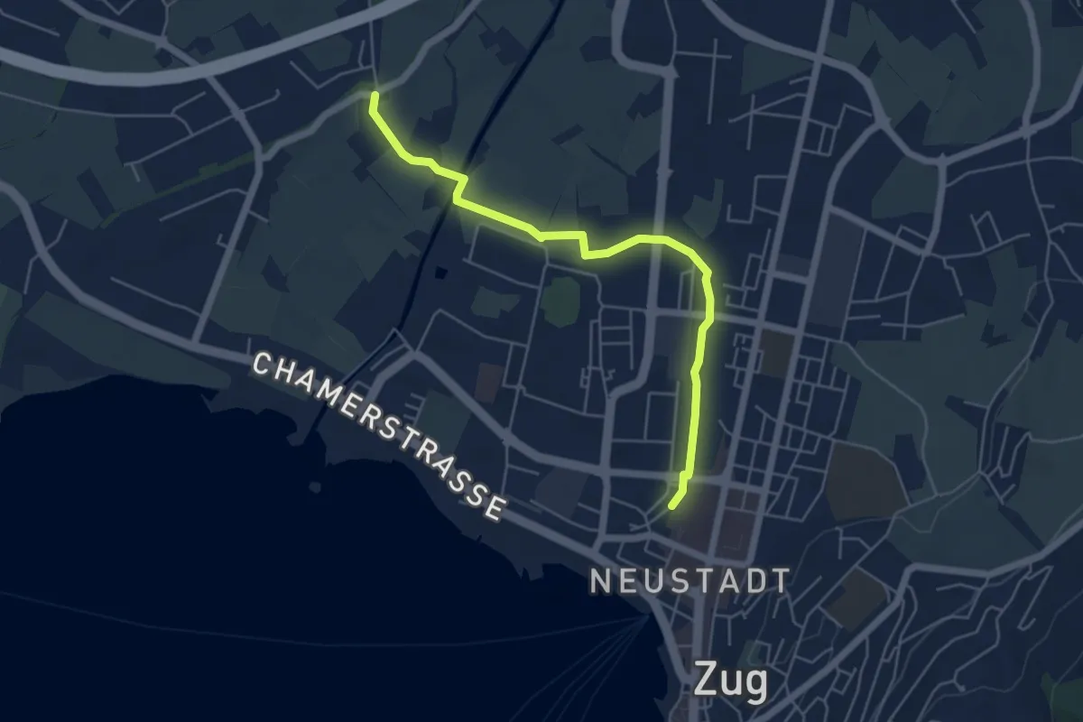
Easy · Trail
Zug Bahnhof - Chollermühli
5.2 km · ↑ 0 m · 1 h 13 min · 14 km away
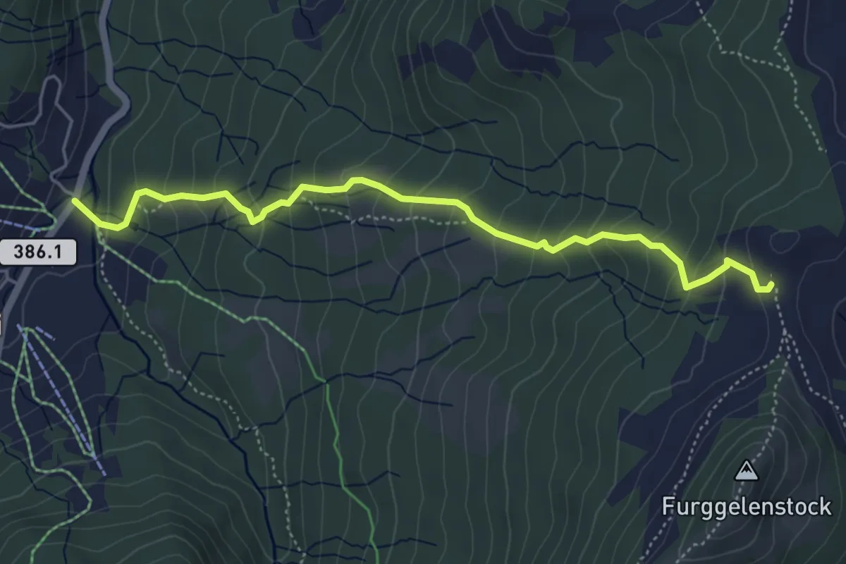
Medium · Trail
Brunni – Furggelen
5.1 km · ↑ 431 m · 2 h 8 min · 14 km away
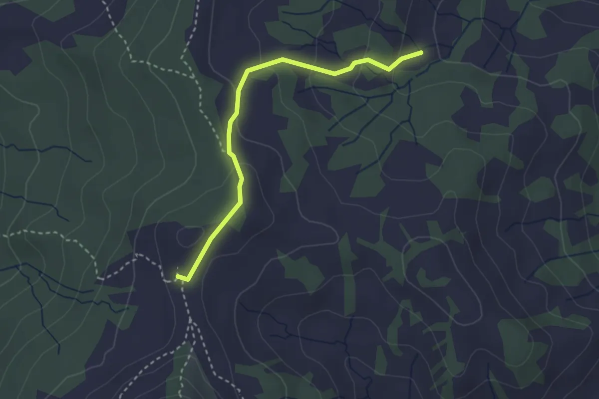
Medium · Trail
Furggelen - Surnnentobel
2.8 km · ↑ 133 m · 57 min · 14 km away
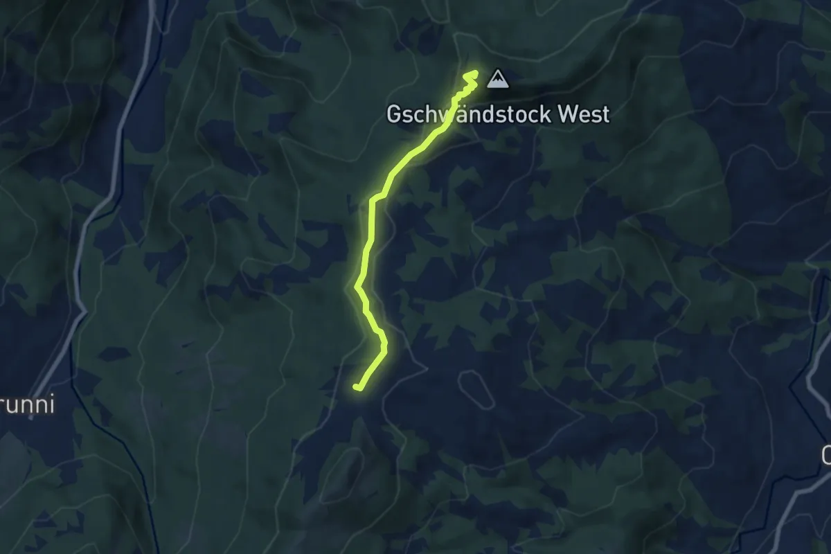
Medium · Summit
Butziflue – Furggelen
5.8 km · ↑ 202 m · 1 h 48 min · 14 km away
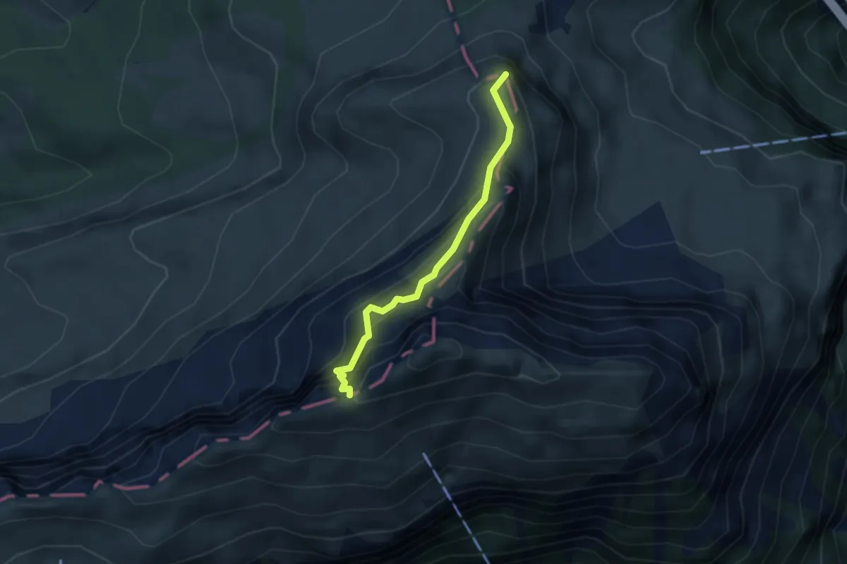
Expert · Summit
Fulberg - Schwiren
2.9 km · ↑ 389 m · 1 h 32 min · 14 km away
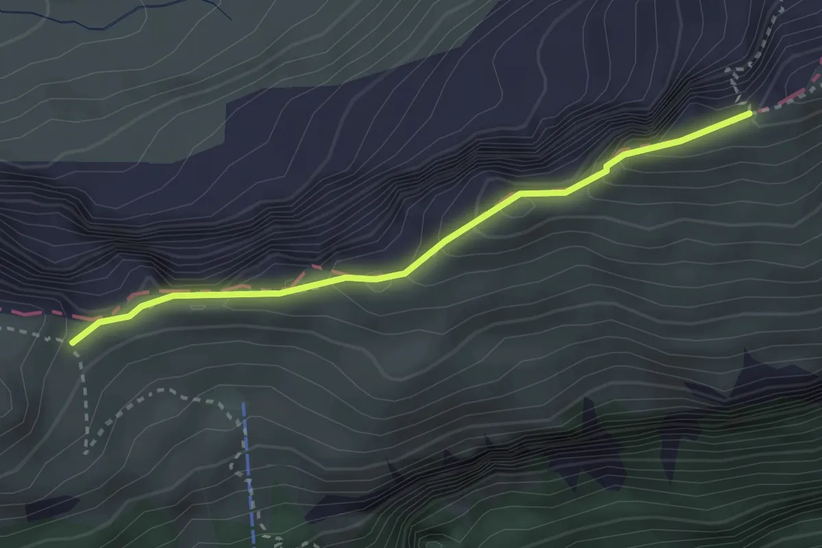
Demanding · Trail
Schwiren - Inner Baberg
2.8 km · ↑ 301 m · 1 h 19 min · 14 km away
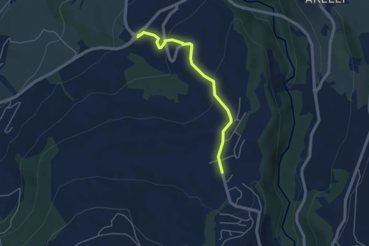
Easy · Trail
Talacher - Grüt Allenwinden
3.4 km · ↑ 114 m · 1 h 3 min · 14 km away
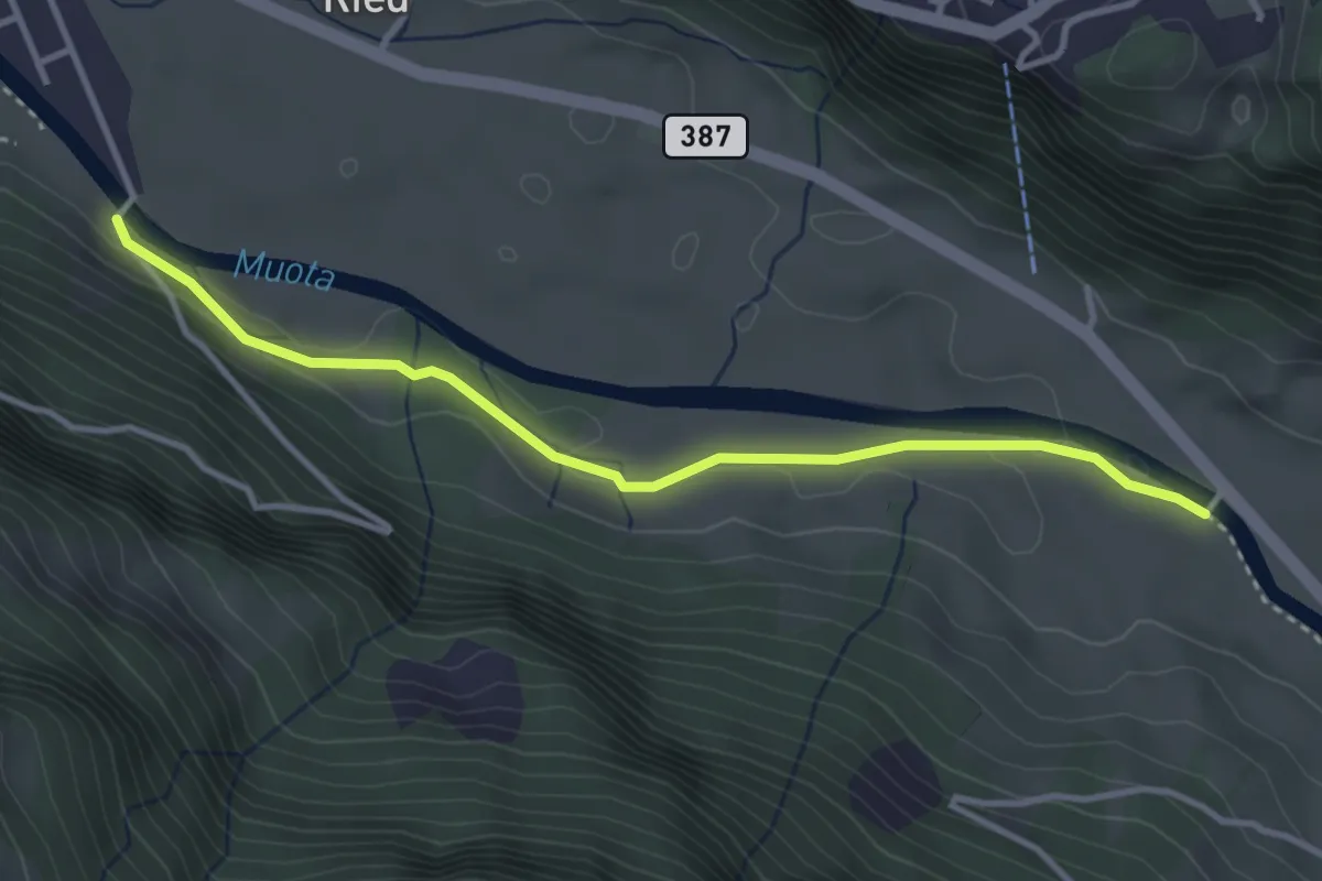
Easy · Trail
Vordere Brügg - Bläckerli
3.5 km · ↑ 34 m · 55 min · 14 km away
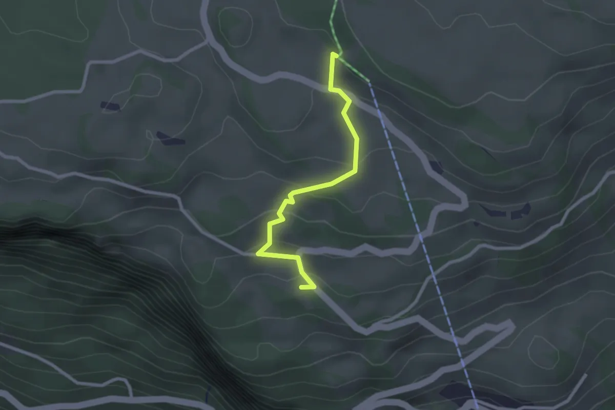
Easy · Trail
Wart – St. Karl
2.2 km · ↑ 112 m · 46 min · 14 km away
Easy · Trail
Greit Höhe - Bellevue
2.4 km · ↑ 180 m · 58 min · 14 km away
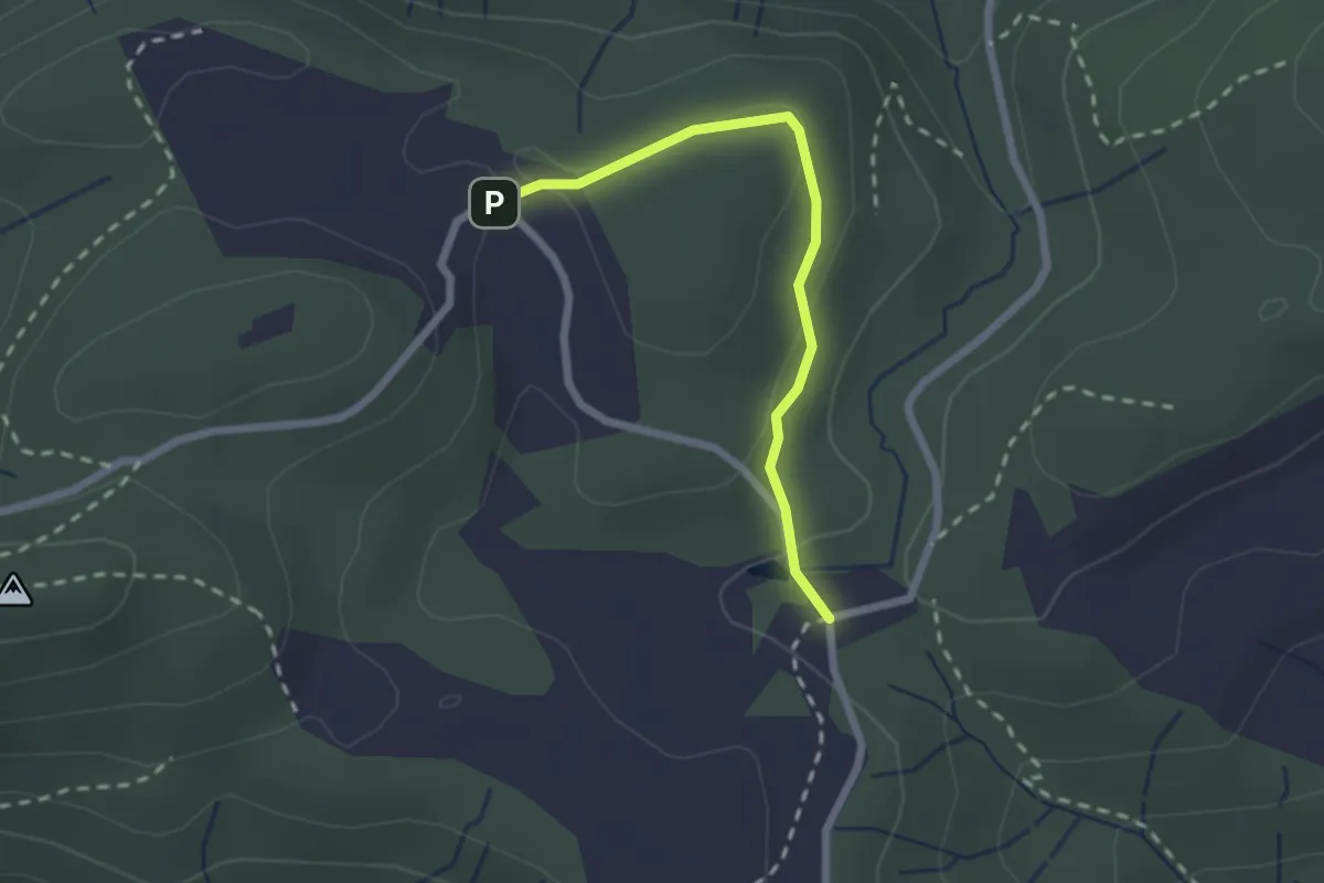
Easy · Trail
Chlausenchappeli – Gottschalkenberg
2.1 km · ↑ 47 m · 35 min · 14 km away
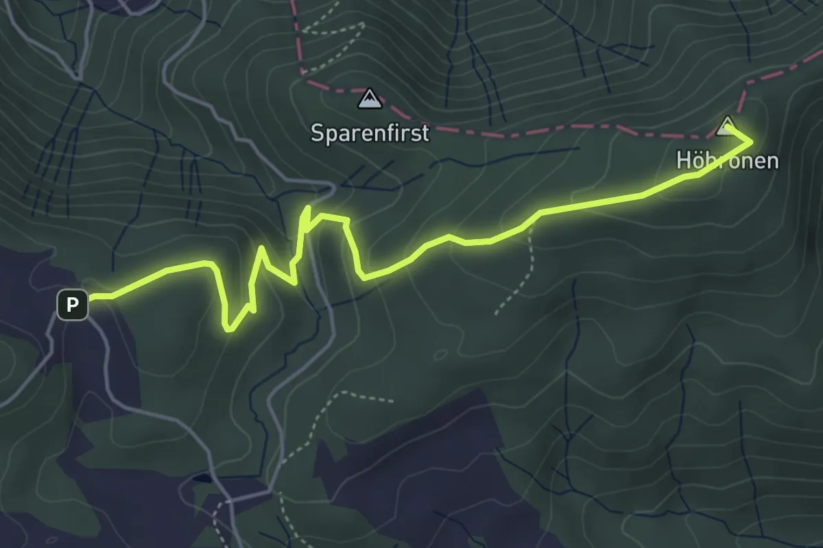
Easy · Summit
Höhboden – Gottschalkenberg
5.3 km · ↑ 249 m · 1 h 47 min · 14 km away
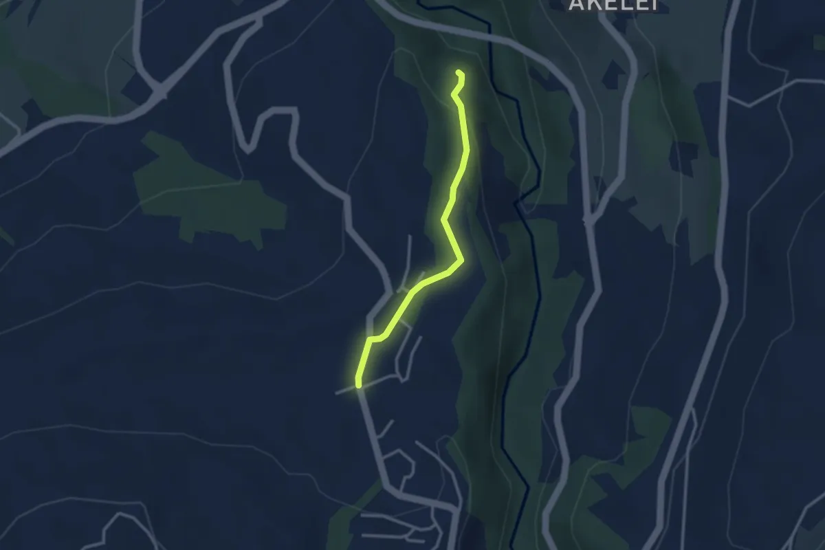
Easy · Trail
Allenwinden - Wildenburg
2.4 km · ↑ 50 m · 41 min · 14 km away
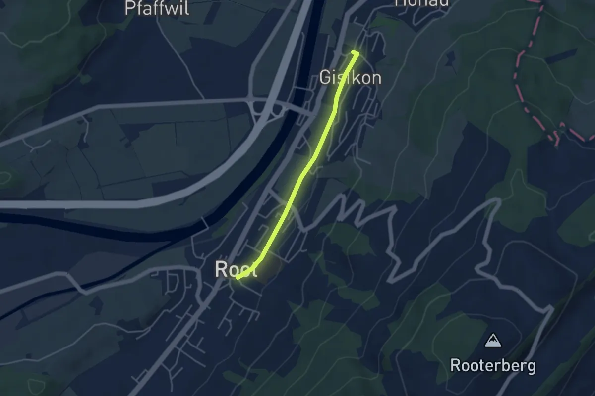
Easy · Trail
Gisikon - Root
3.3 km · ↑ 28 m · 51 min · 14 km away
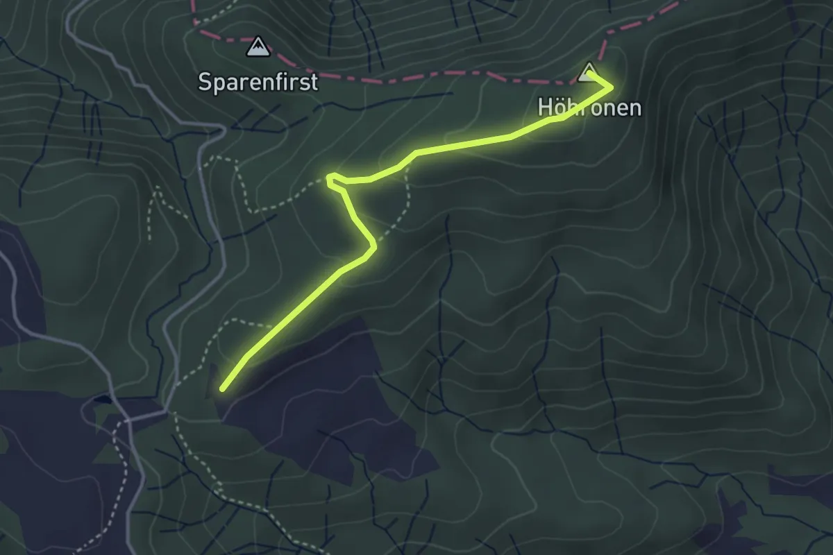
Easy · Summit
Höhboden – Langenegg
3.5 km · ↑ 125 m · 1 h 5 min · 14 km away