Trails near Horw
608 hikes starting within 15 km, nearest first.
Nearest first, page 12 of 13
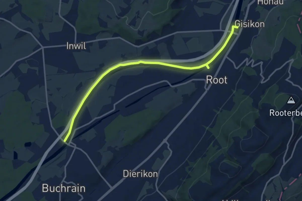
Medium · Trail
Perlenbrücke - Gisikon
10.6 km · ↑ 17 m · 2 h 33 min · 14 km away
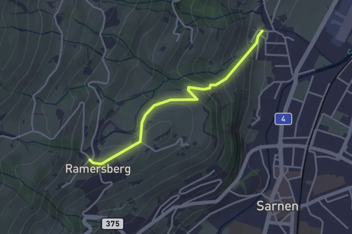
Easy · Trail
Ramserberg – Bitzighofen
2.9 km · ↑ 179 m · 1 h 5 min · 14 km away
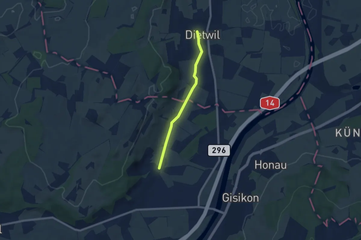
Easy · Trail
Dietwil - Pfaffwil
4.5 km · ↑ 44 m · 1 h 9 min · 14 km away
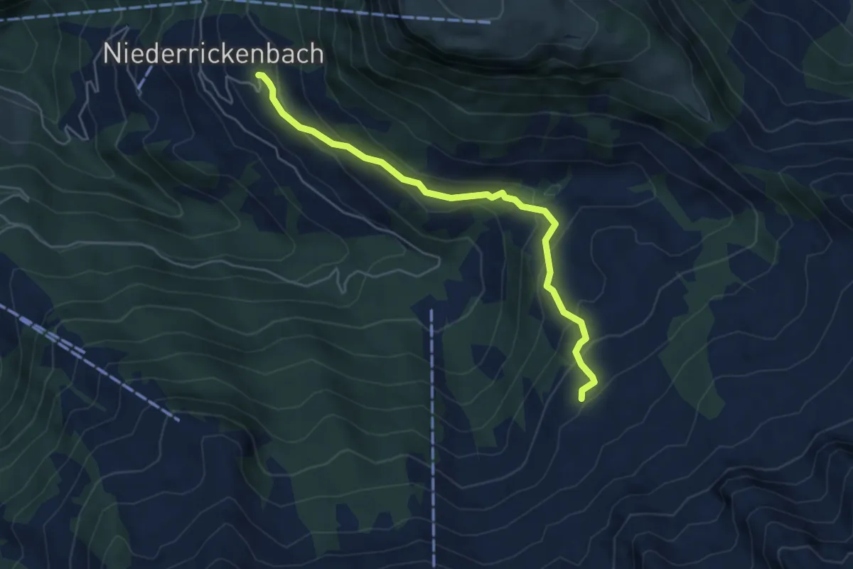
Easy · Trail
Steinrüti – Chrüzhütte
4.9 km · ↑ 306 m · 1 h 49 min · 14 km away
Easy · Trail
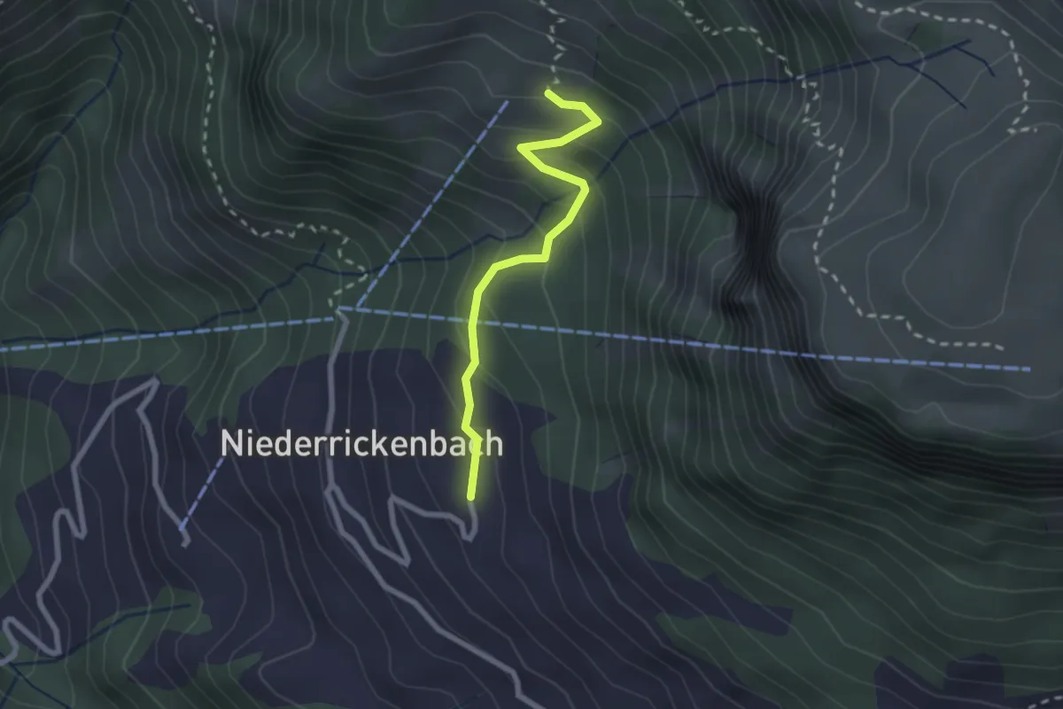
Steinrüti – Bleiki
2.1 km · ↑ 154 m · 50 min · 14 km away
Easy · Trail
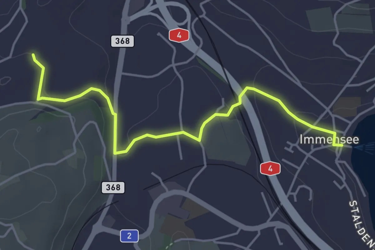
Immensee – St. Martin
4.3 km · ↑ 109 m · 1 h 16 min · 14 km away
Medium · Trail
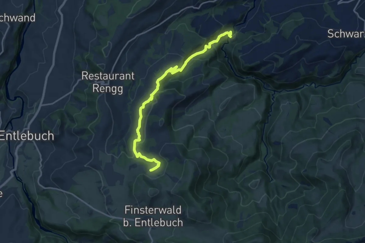
Munistein -Dietenwart Gräben
12.5 km · ↑ 585 m · 4 h 13 min · 14 km away
Medium · Trail
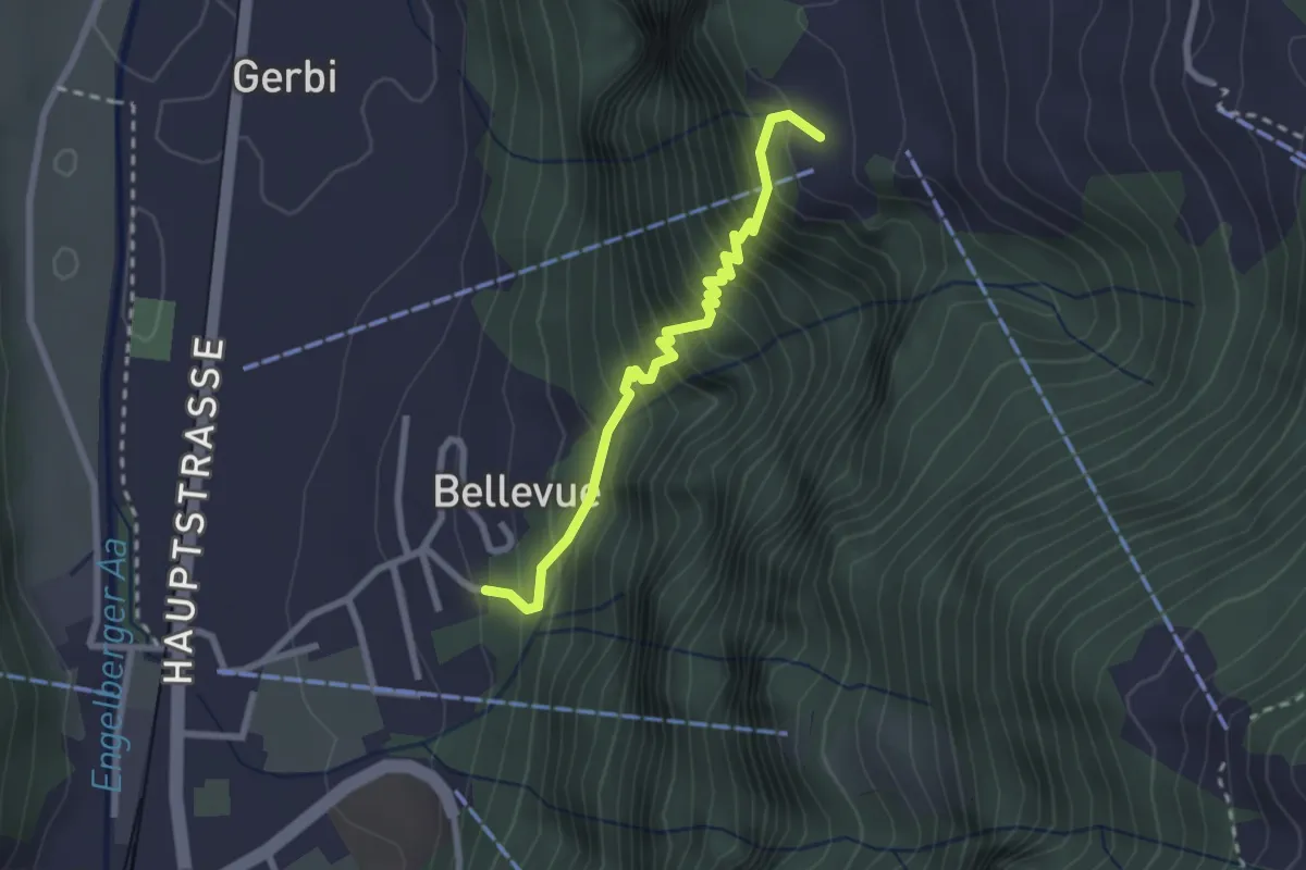
Wolfenschiessen - Grunggis
2.4 km · ↑ 367 m · 1 h 22 min · 14 km away
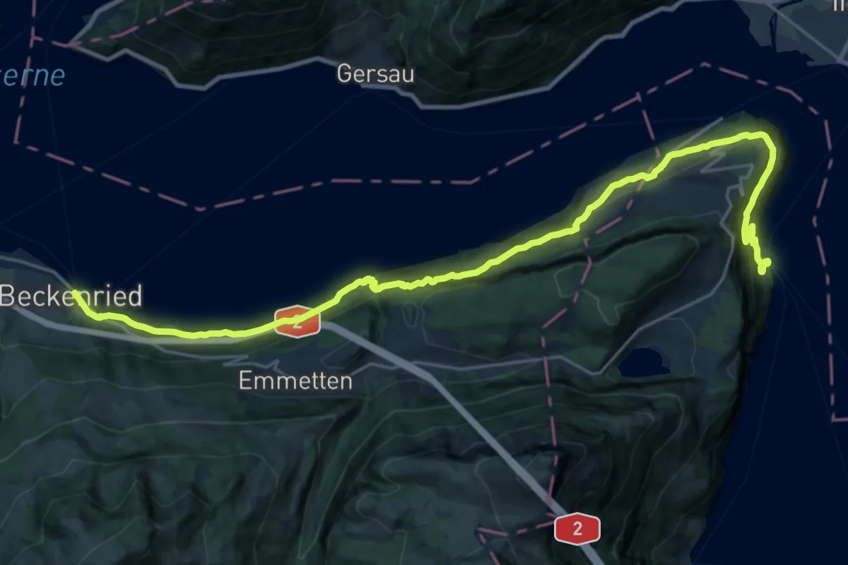
Medium · Trail
Waldstätterweg - Etappe 7
13.2 km · ↑ 769 m · 4 h 58 min · 14 km away
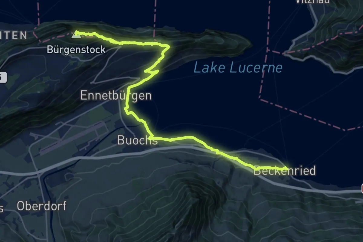
Demanding · Summit
Waldstätterweg - Etappe 6
23.1 km · ↑ 1185 m · 8 h 2 min · 14 km away
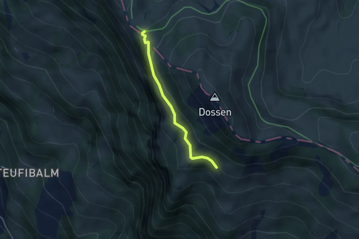
Easy · Trail
Oberstafel – Unterstetten
2.6 km · ↑ 152 m · 56 min · 14 km away
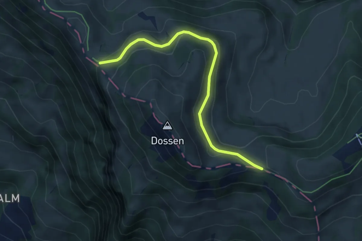
Easy · Trail
Hinder Dossen – Unterstetten
4.5 km · ↑ 128 m · 1 h 21 min · 14 km away
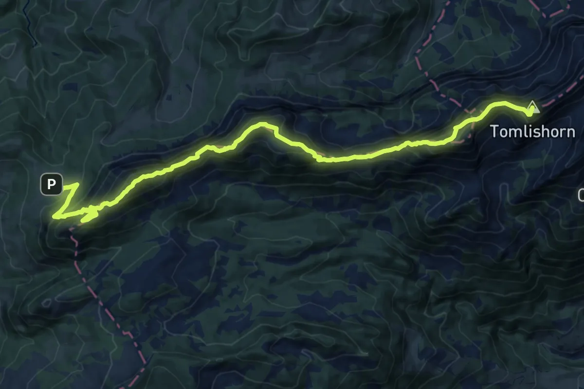
Demanding · Summit
PIlatus Kulm – Risete
20.8 km · ↑ 2055 m · 9 h 22 min · 14 km away
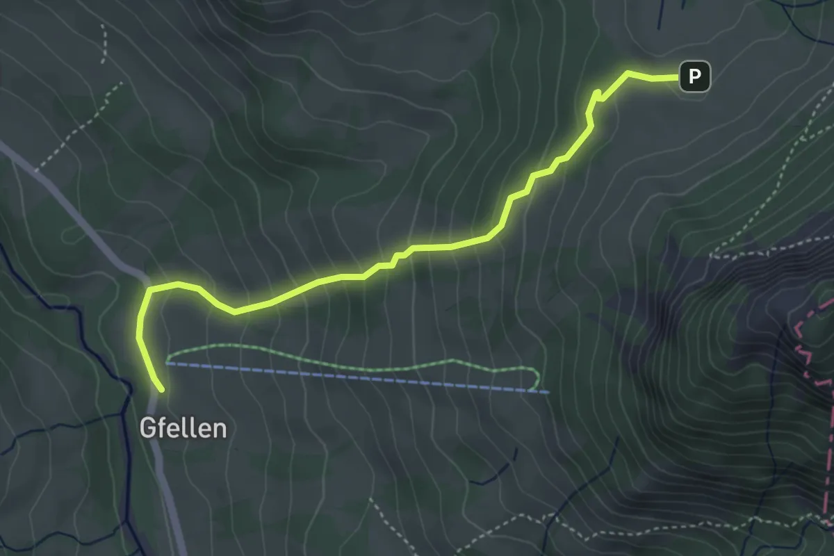
Medium · Trail
Gfellen - Risete
4.3 km · ↑ 327 m · 1 h 43 min · 14 km away
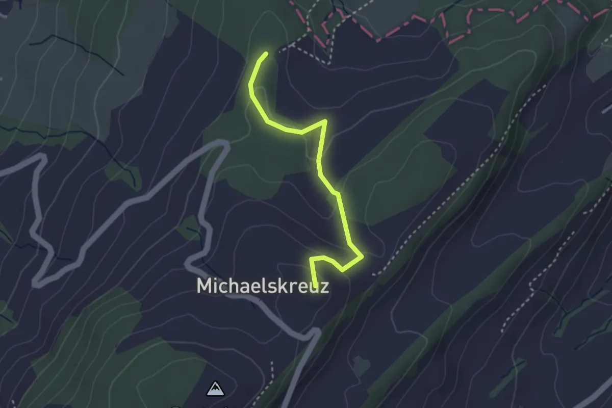
Easy · Summit
Mittler Sonderi - Michaelskreuz
2.7 km · ↑ 120 m · 54 min · 14 km away
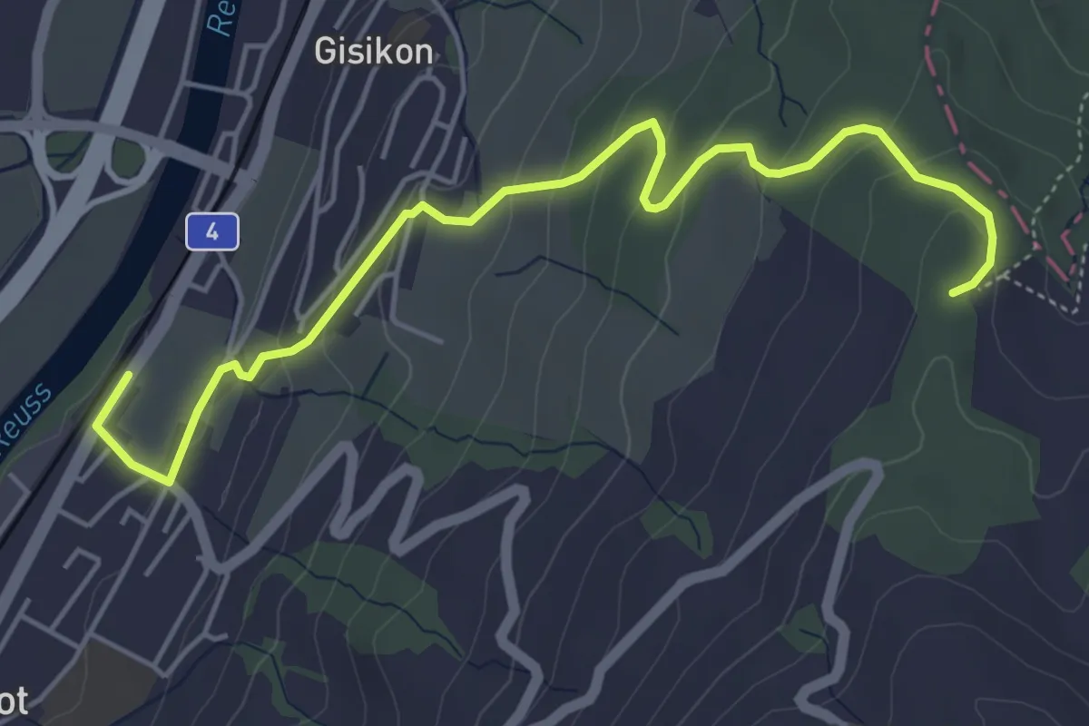
Easy · Trail
Gisikon Root - Mittler Sonderi
5.5 km · ↑ 258 m · 1 h 51 min · 14 km away
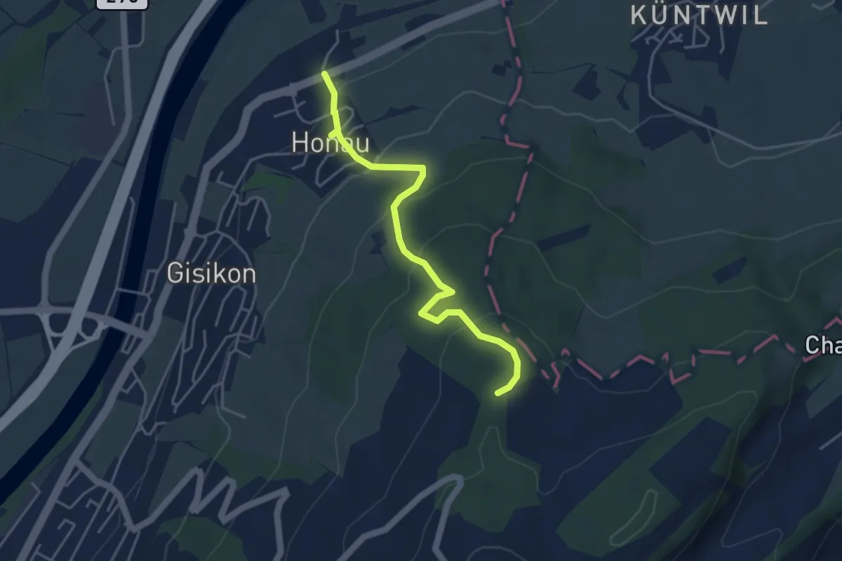
Easy · Trail
Honau - Mittler Sonderi
4.1 km · ↑ 241 m · 1 h 29 min · 14 km away
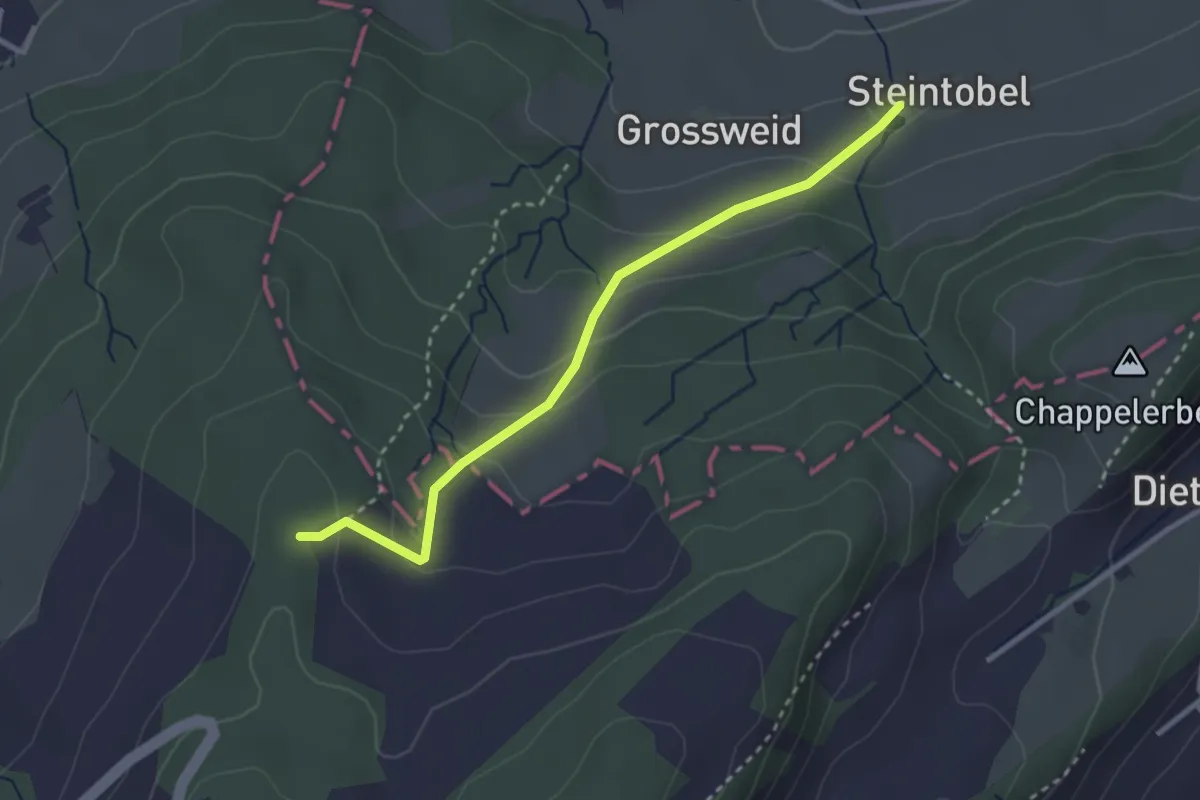
Easy · Trail
Steintobel - Mittler Sonderi
2.9 km · ↑ 164 m · 1 h 3 min · 14 km away
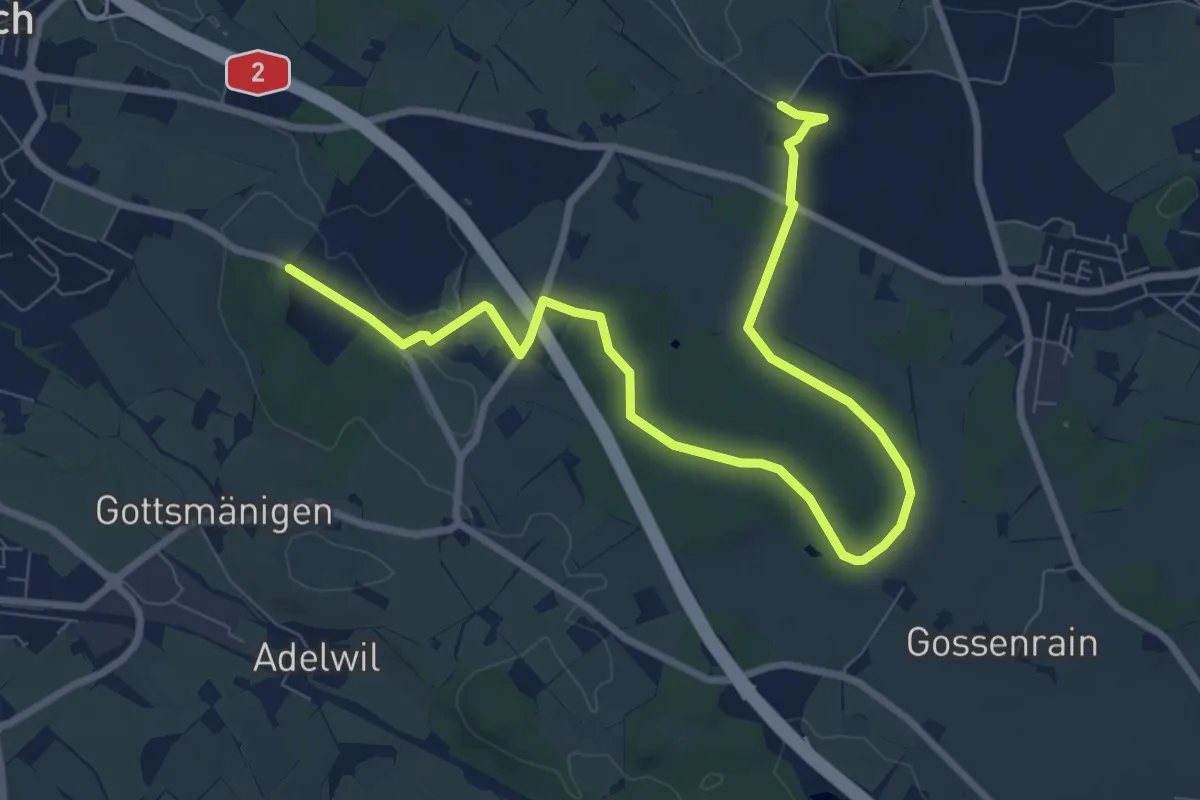
Medium · Trail
Allment - Sonnhalde
10.4 km · ↑ 115 m · 2 h 43 min · 14 km away
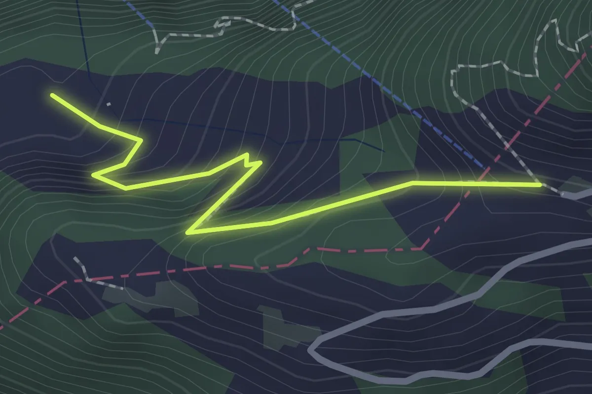
Easy · Trail
Ober Urmi – Wissifluh
2.0 km · ↑ 236 m · 59 min · 14 km away
Easy · Trail
Wilistatt - Sempach Station
4.7 km · ↑ 107 m · 1 h 20 min · 14 km away
Easy · Trail
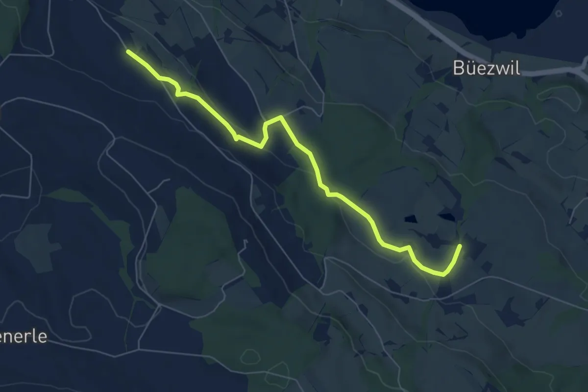
Huprächtigen – Wilistatt
6.5 km · ↑ 141 m · 1 h 50 min · 14 km away
Easy · Trail
Wilistatt - Neuenkirch
4.5 km · ↑ 67 m · 1 h 13 min · 14 km away
Easy · Trail
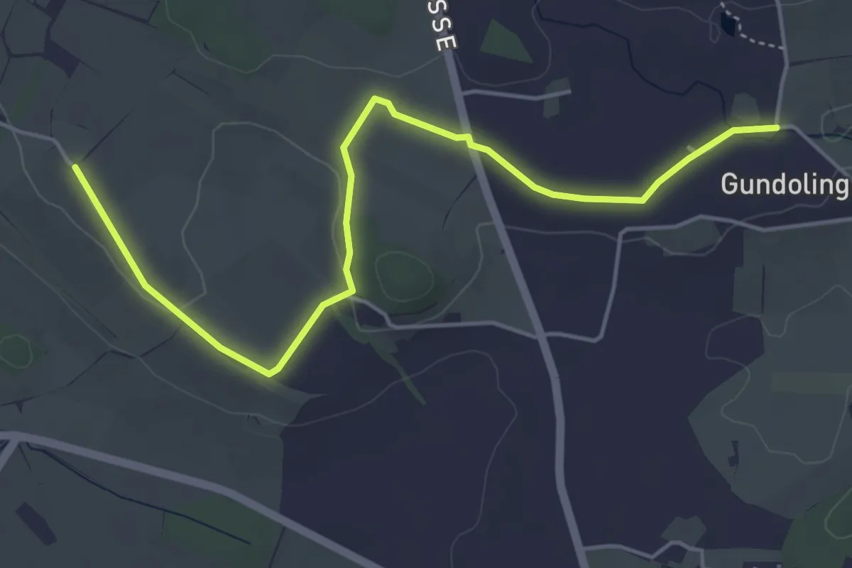
St.Anna - Gundolinge
5.3 km · ↑ 39 m · 1 h 20 min · 14 km away
Easy · Trail
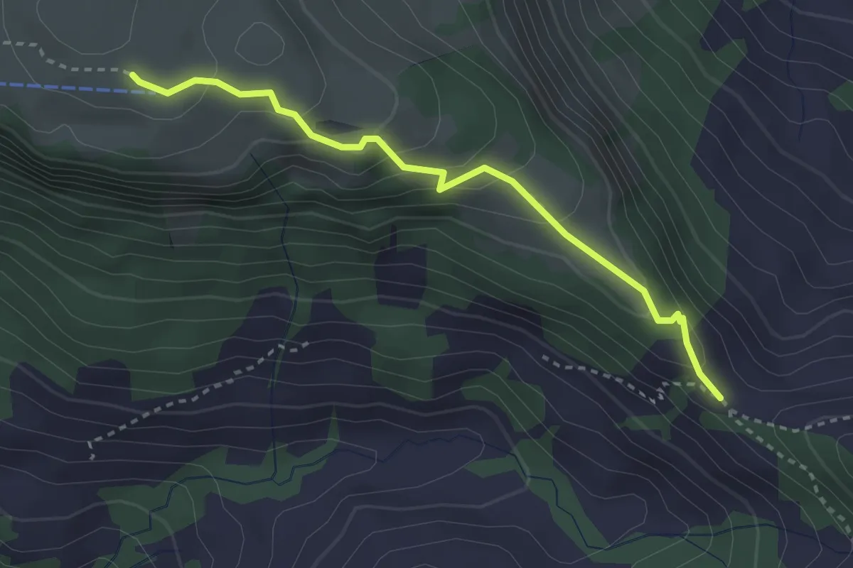
Musenalp - Bärenfallen
3.0 km · ↑ 181 m · 1 h 6 min · 14 km away
Demanding · Trail
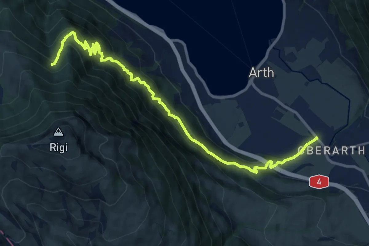
Oberarth – Stock
12.8 km · ↑ 1156 m · 5 h 31 min · 14 km away
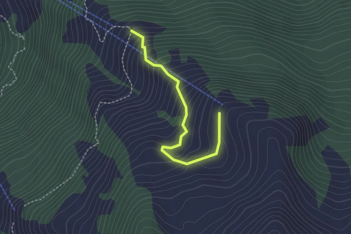
Easy · Trail
Obrist Hüttli – Mittlist Hüttli
2.0 km · ↑ 188 m · 53 min · 14 km away
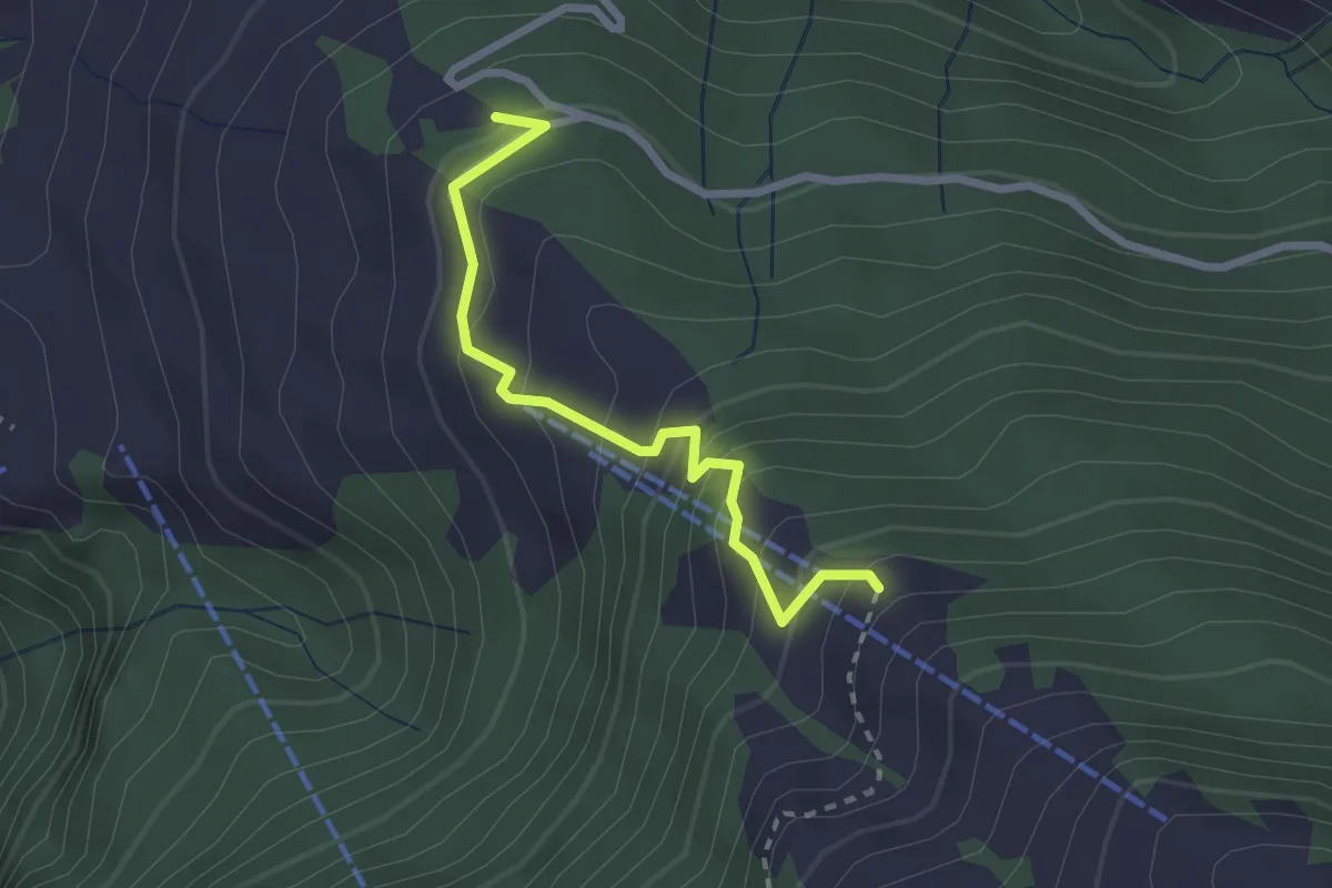
Medium · Trail
Wasenegg – Mittlist Hütti
2.4 km · ↑ 237 m · 1 h 5 min · 14 km away
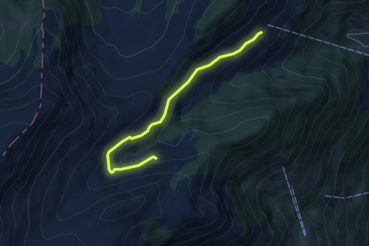
Easy · Trail
Oberalp – Staffel
4.3 km · ↑ 222 m · 1 h 29 min · 14 km away
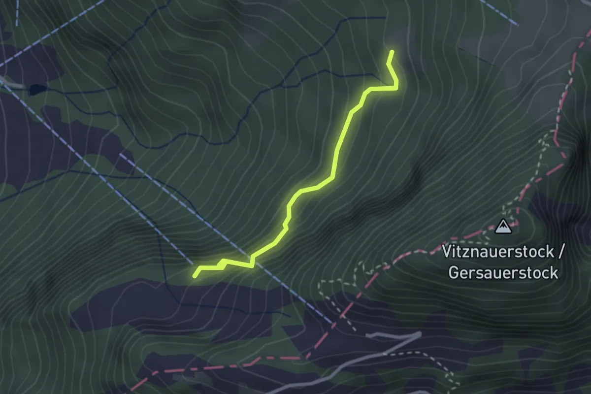
Demanding · Trail
Wissifluh – Bärgli
2.2 km · ↑ 207 m · 59 min · 14 km away
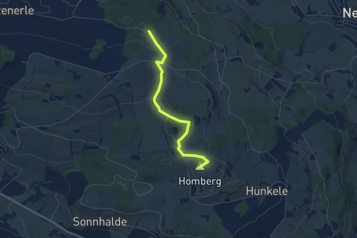
Easy · Summit
Hellbühl Kirche – Obersäliwald
5.5 km · ↑ 125 m · 1 h 35 min · 14 km away
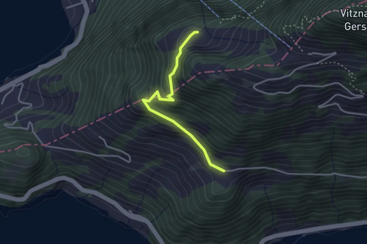
Easy · Trail
Ober Rängg – Wissifluh
2.7 km · ↑ 230 m · 1 h 9 min · 14 km away
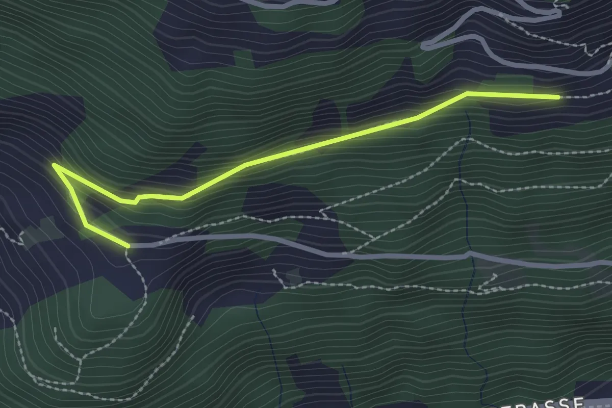
Easy · Trail
Nider Urmi – Ober Rängg
2.4 km · ↑ 153 m · 54 min · 14 km away
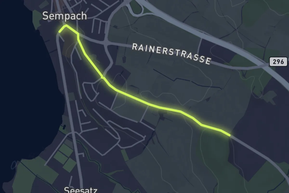
Easy · Trail
Allmend – Sempach
3.3 km · ↑ 51 m · 54 min · 14 km away
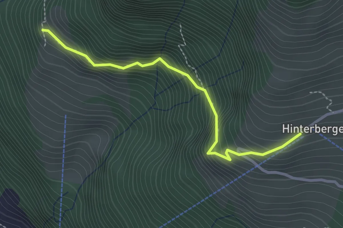
Medium · Trail
Gebetschwil – Hinterbergen 🚠
2.5 km · ↑ 291 m · 1 h 13 min · 14 km away
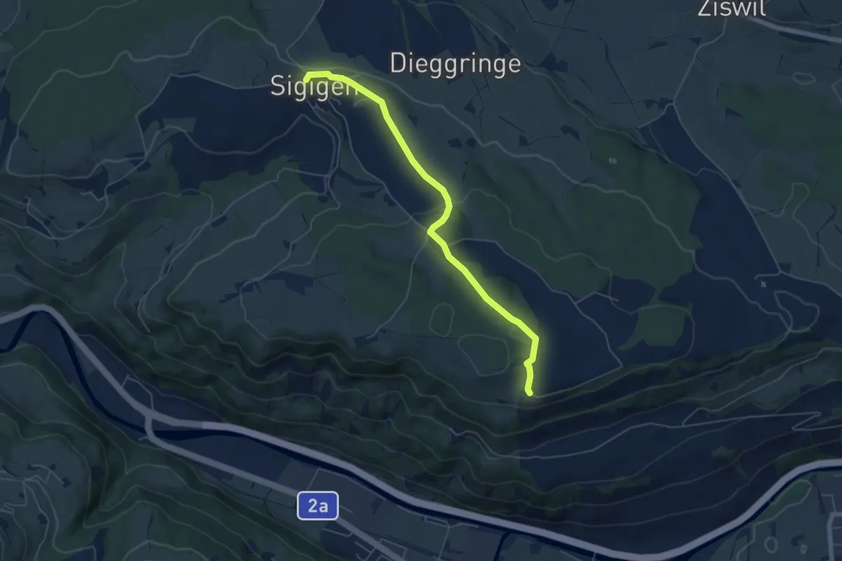
Easy · Trail
Sigigen - Tschäpperslehn
5.6 km · ↑ 120 m · 1 h 35 min · 14 km away
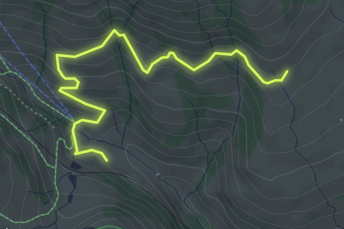
Medium · Trail
Schwändi – Rigi Klösterli
4.5 km · ↑ 328 m · 1 h 47 min · 14 km away
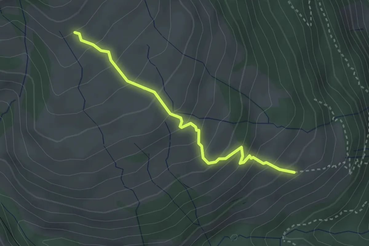
Medium · Trail
Schwändi – Resti
2.8 km · ↑ 289 m · 1 h 18 min · 14 km away
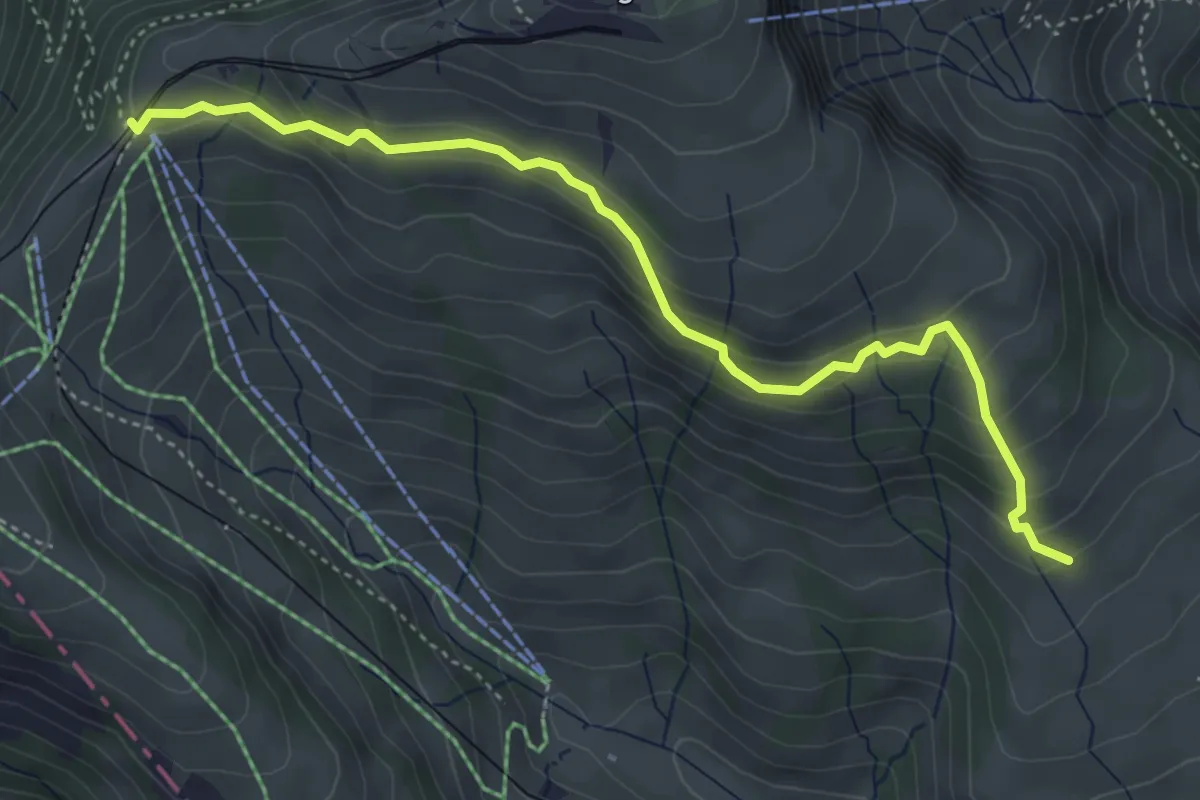
Medium · Trail
Schwändi – Rigi Staffel
4.6 km · ↑ 296 m · 1 h 43 min · 14 km away
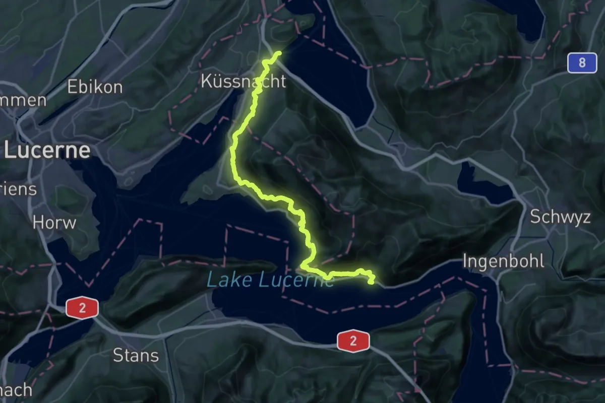
Demanding · Trail
Rigi Lehnenweg
22.4 km · ↑ 1180 m · 8 h 10 min · 14 km away
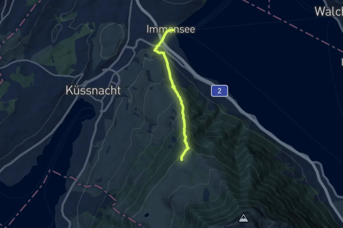
Medium · Trail
Immensee – Seebodenalp
7.5 km · ↑ 603 m · 3 h 5 min · 14 km away
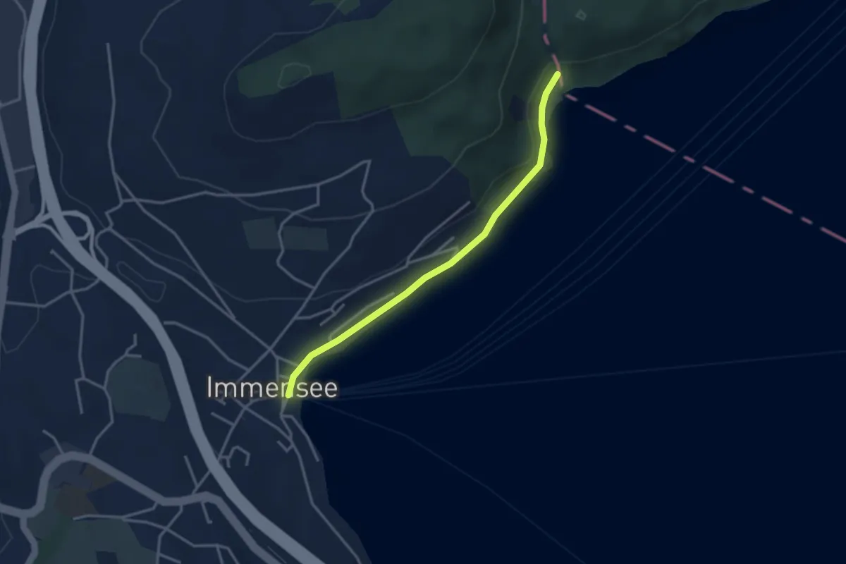
Easy · Trail
Baumgarten – Immensee
3.1 km · ↑ 36 m · 49 min · 14 km away
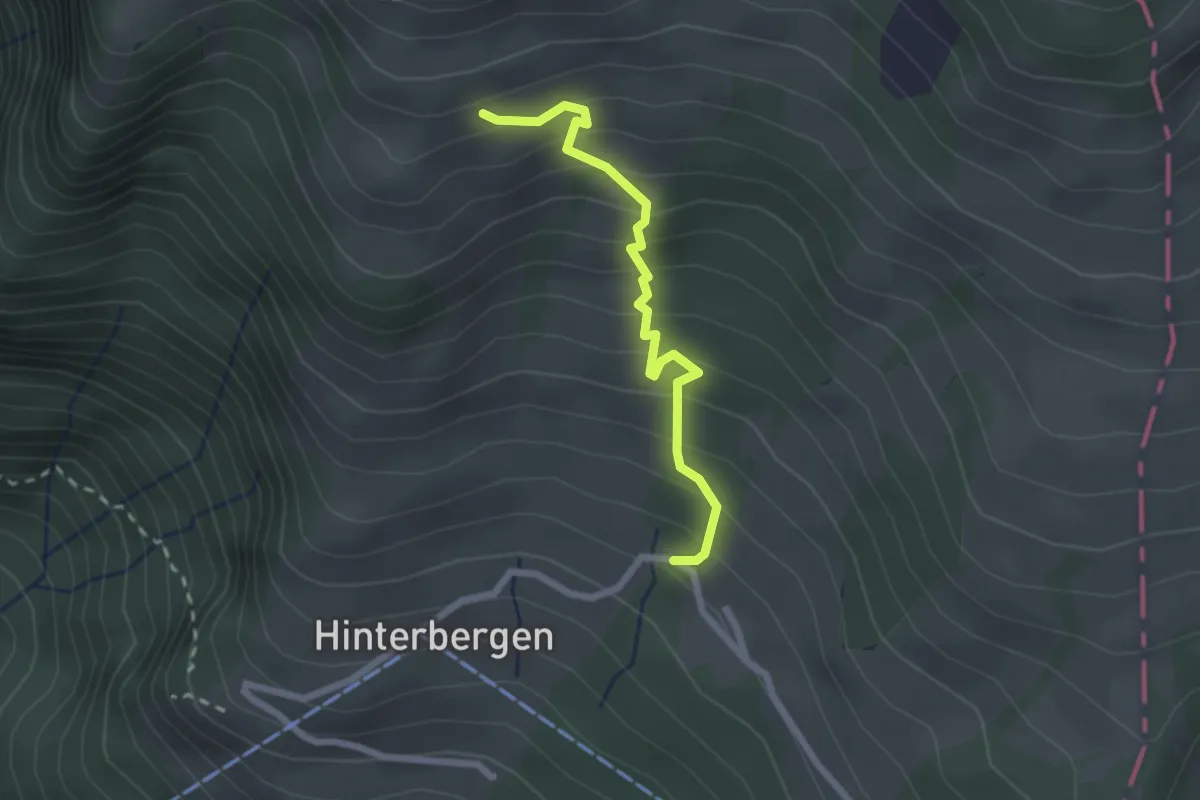
Easy · Trail
Hinterbergen – Glätti
2.2 km · ↑ 267 m · 1 h 5 min · 14 km away
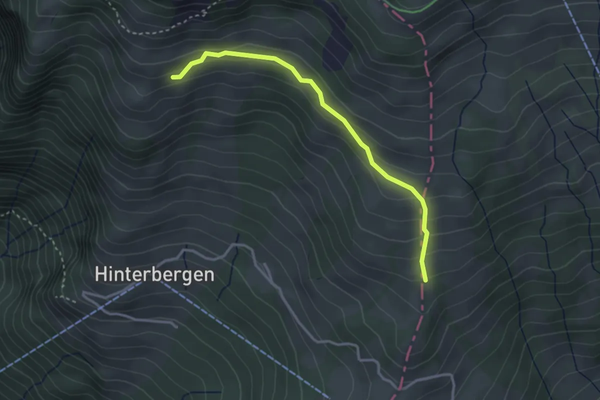
Easy · Trail
Gletti – Pfäng
3.0 km · ↑ 157 m · 1 h 2 min · 14 km away
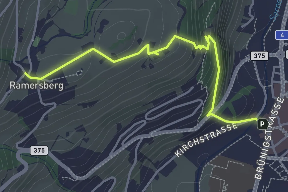
Easy · Trail
Ramserberg – Sarnen Dorfplatz
3.4 km · ↑ 192 m · 1 h 12 min · 14 km away
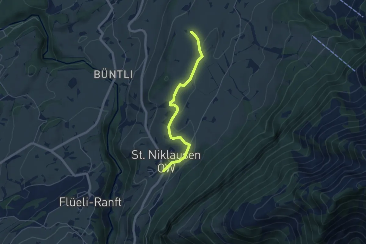
Easy · Trail
St. Niklausen – Eggli
4.5 km · ↑ 63 m · 1 h 12 min · 15 km away
Easy · Trail
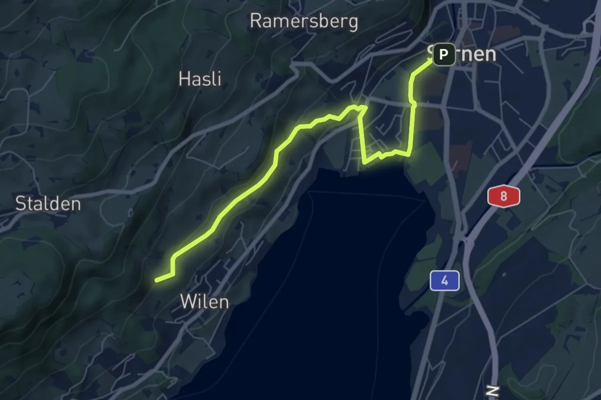
Sarnen - Giglen/Wilen
6.7 km · ↑ 176 m · 1 h 58 min · 15 km away
Easy · Trail
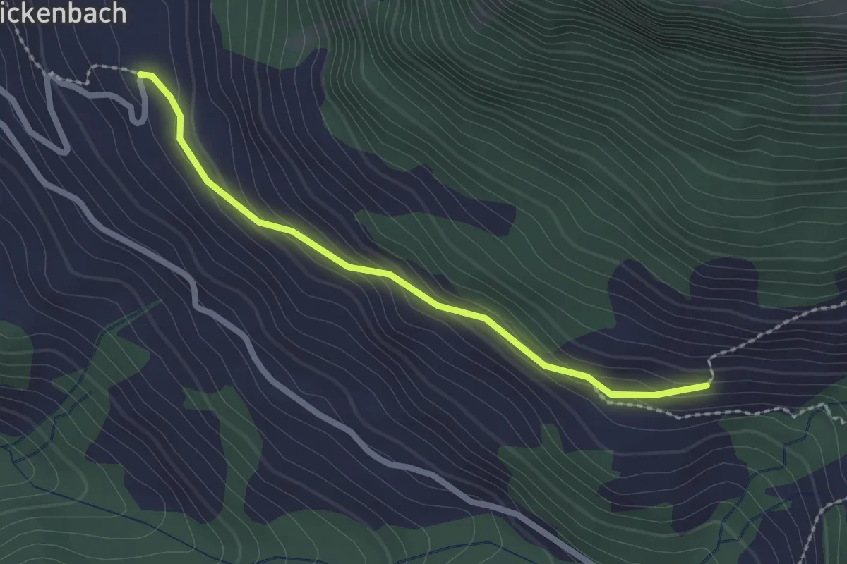
Steinrüti – Ahorn
2.1 km · ↑ 118 m · 45 min · 15 km away