Trails near Horw
608 hikes starting within 15 km, nearest first.
Nearest first, page 13 of 13
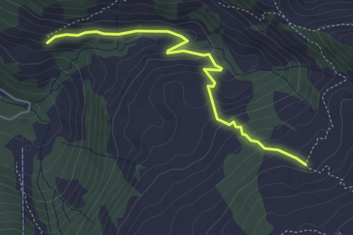
Easy · Trail
Ahorn - Morschfeld
4.2 km · ↑ 240 m · 1 h 31 min · 15 km away
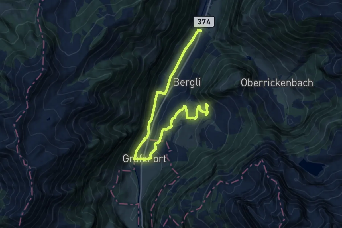
Medium · Trail
Kapellenweg
7.9 km · ↑ 394 m · 2 h 39 min · 15 km away
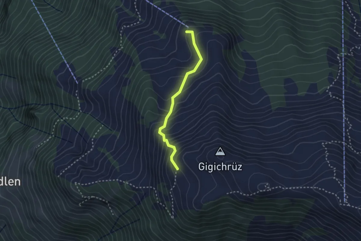
Medium · Trail
Gigi – Obrist Hüttli
2.4 km · ↑ 258 m · 1 h 8 min · 15 km away
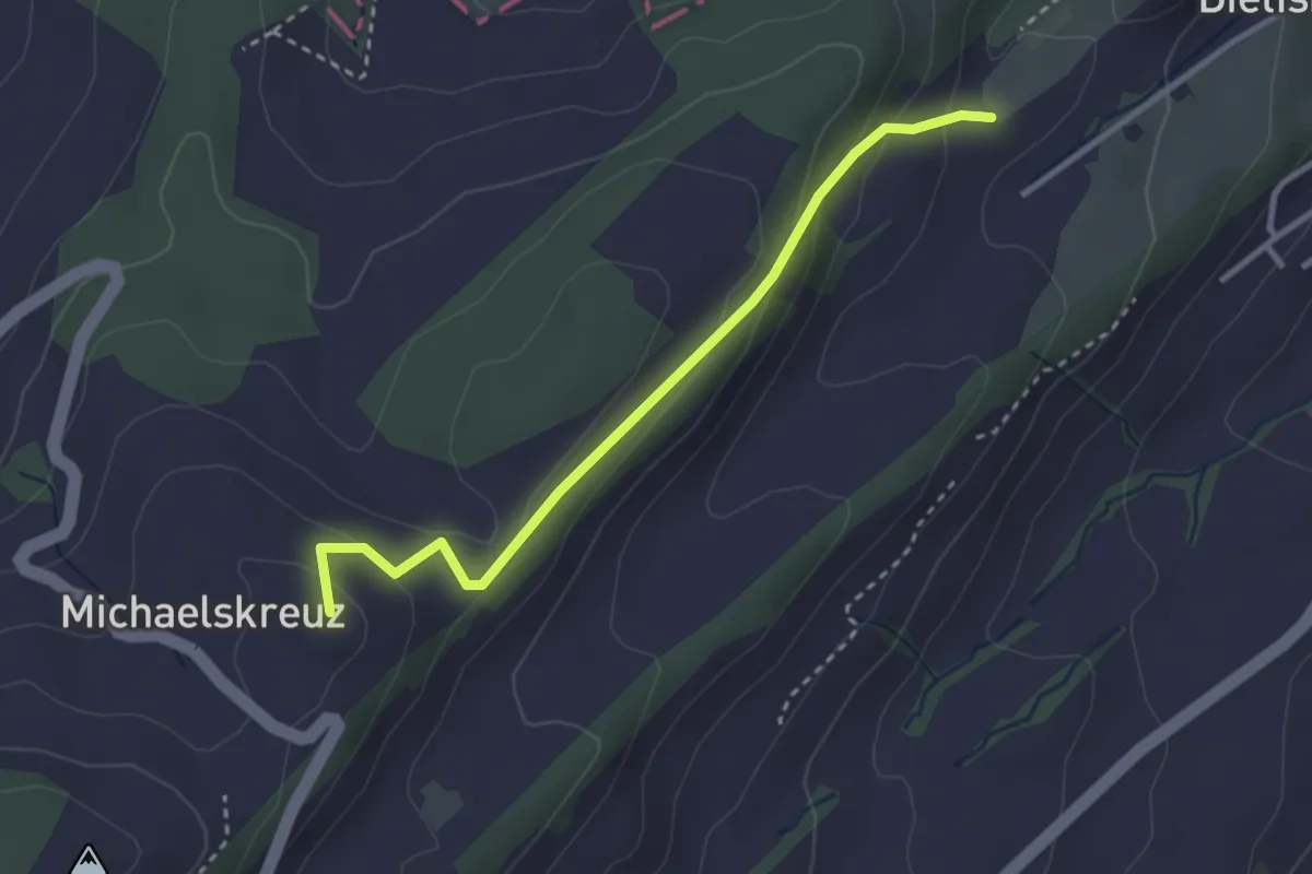
Easy · Summit
Obertal-Michaelskreuz
3.0 km · ↑ 147 m · 1 h 1 min · 15 km away
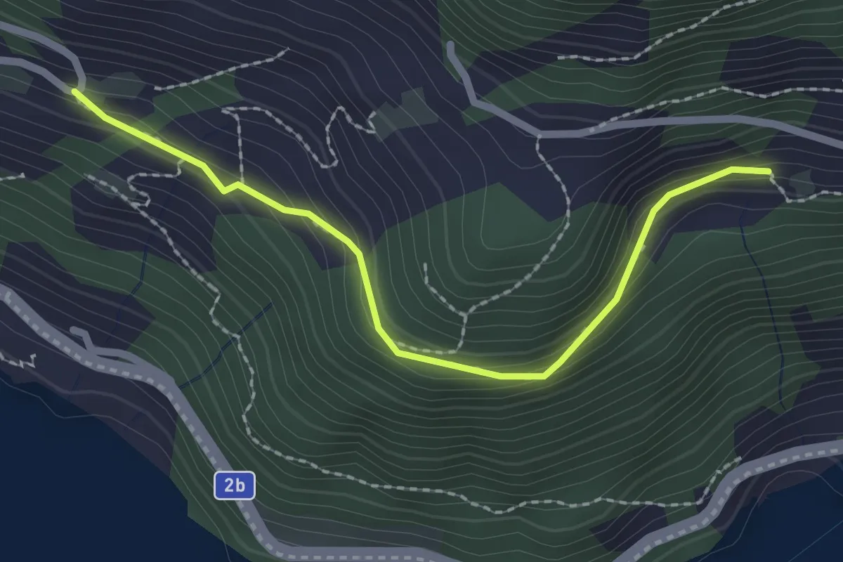
Easy · Trail
Unter Rängg – Äbnet
2.2 km · ↑ 123 m · 47 min · 15 km away
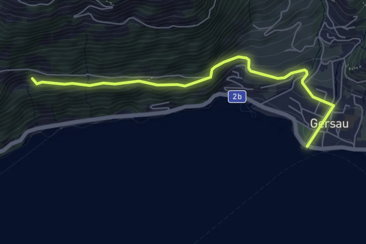
Medium · Trail
Gersau – Unter Rängg
5.4 km · ↑ 331 m · 2 h · 15 km away
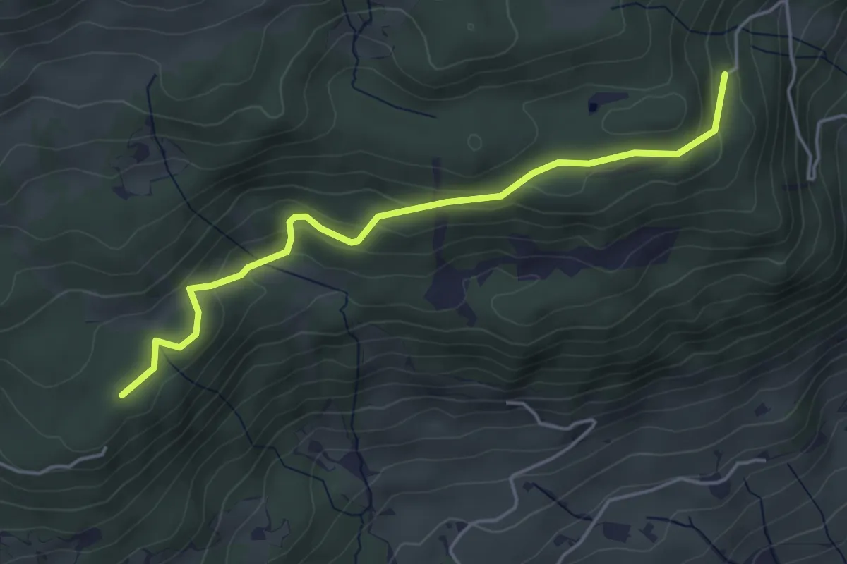
Easy · Trail
Stillenbach – Schnellengrat
4.6 km · ↑ 176 m · 1 h 28 min · 15 km away
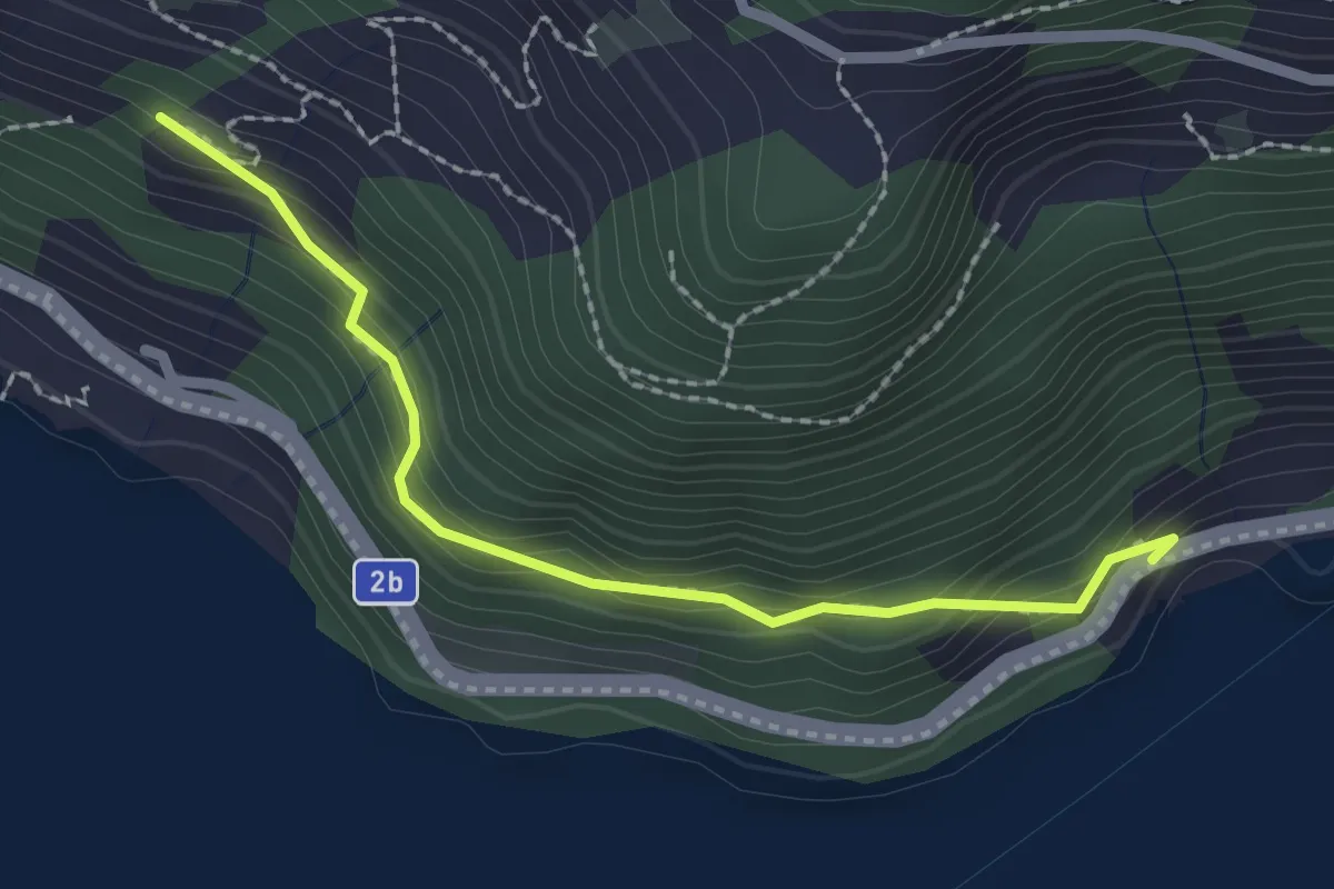
Easy · Trail
Forst – Furt
2.2 km · ↑ 219 m · 59 min · 15 km away
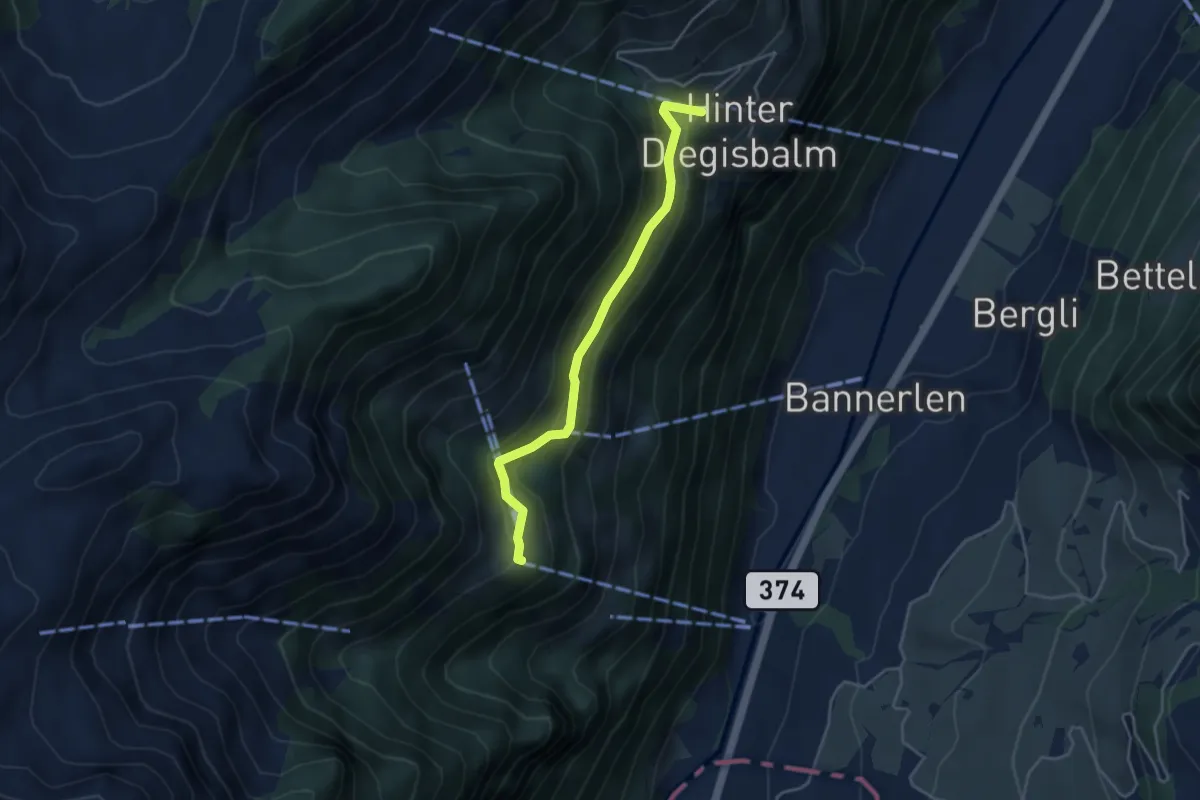
Easy · Trail
Büelen - Diegischbalm
3.9 km · ↑ 233 m · 1 h 25 min · 15 km away
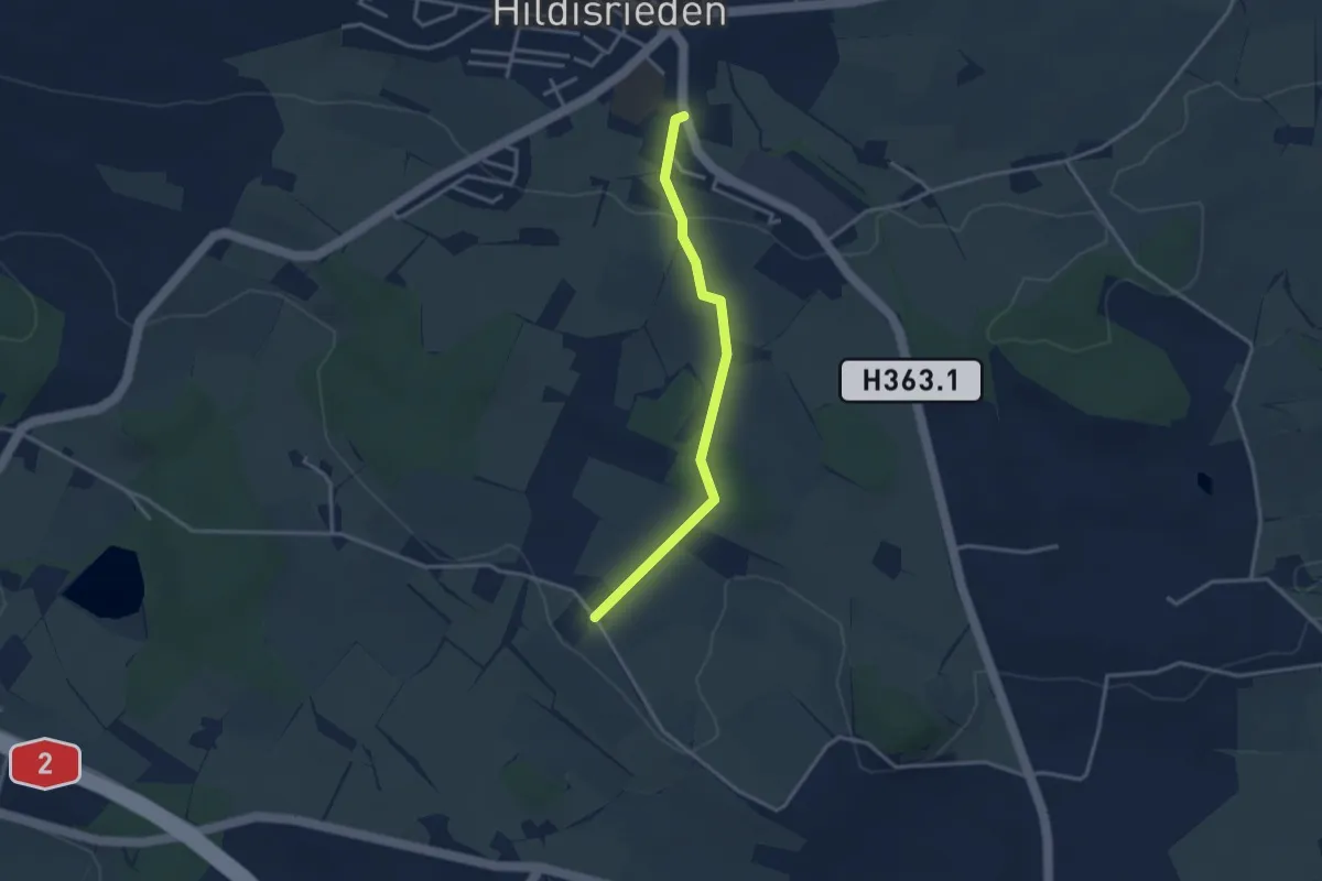
Easy · Trail
St. Anna - Hildisrieden
3.1 km · ↑ 72 m · 53 min · 15 km away
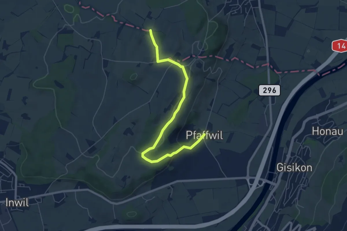
Easy · Trail
Pfaffwil - Sulzberg
6.5 km · ↑ 159 m · 1 h 53 min · 15 km away
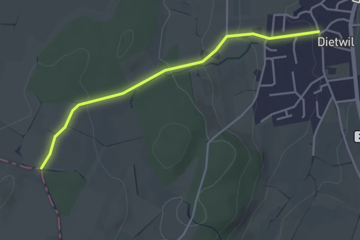
Easy · Trail
Dietwil - Sulzberg
3.1 km · ↑ 96 m · 57 min · 15 km away
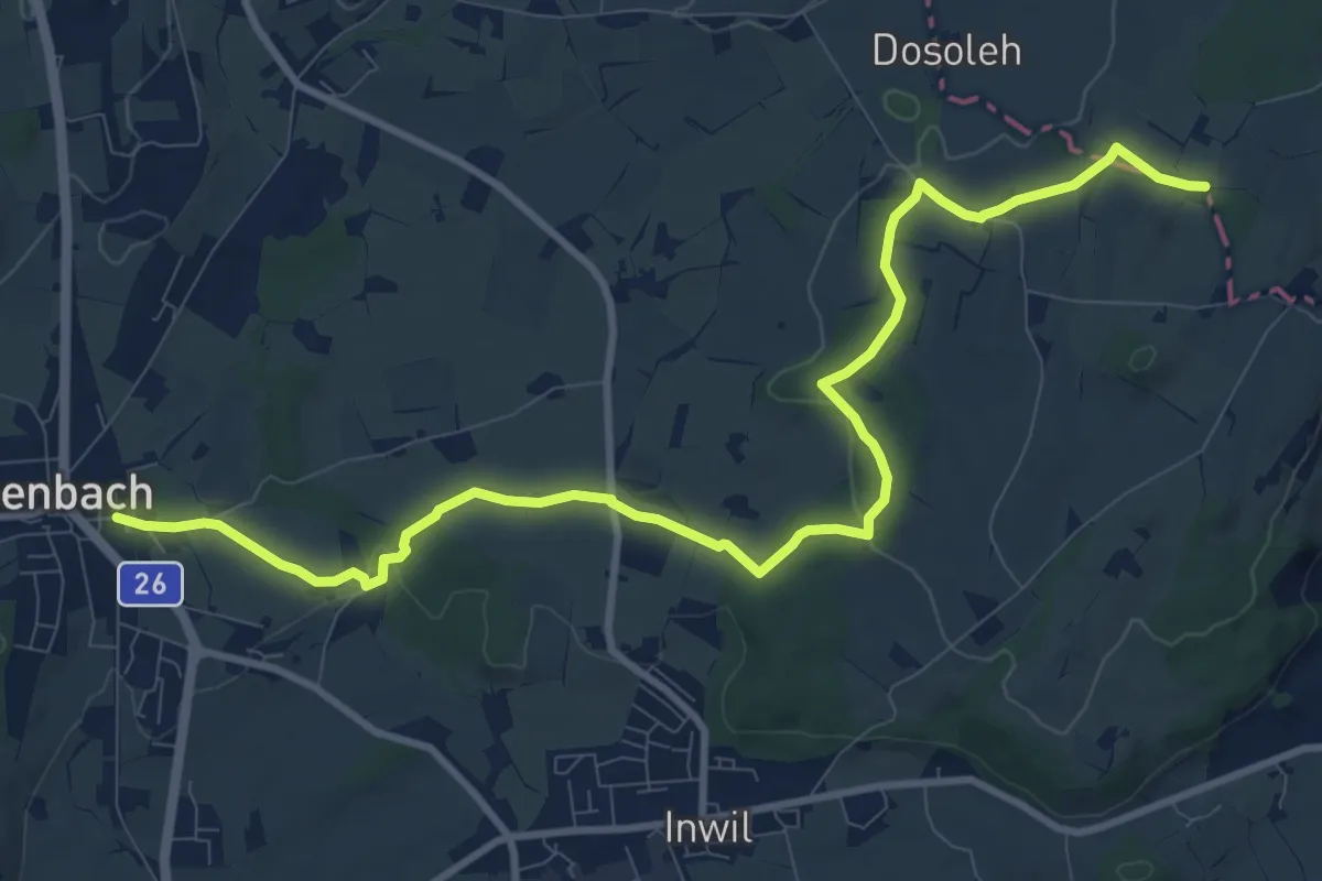
Medium · Trail
Eschenbach - Sulzberg
11.9 km · ↑ 153 m · 3 h 9 min · 15 km away
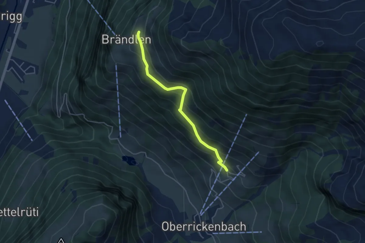
Medium · Trail
Brändlen Startplatz – Schiltli
3.7 km · ↑ 291 m · 1 h 31 min · 15 km away
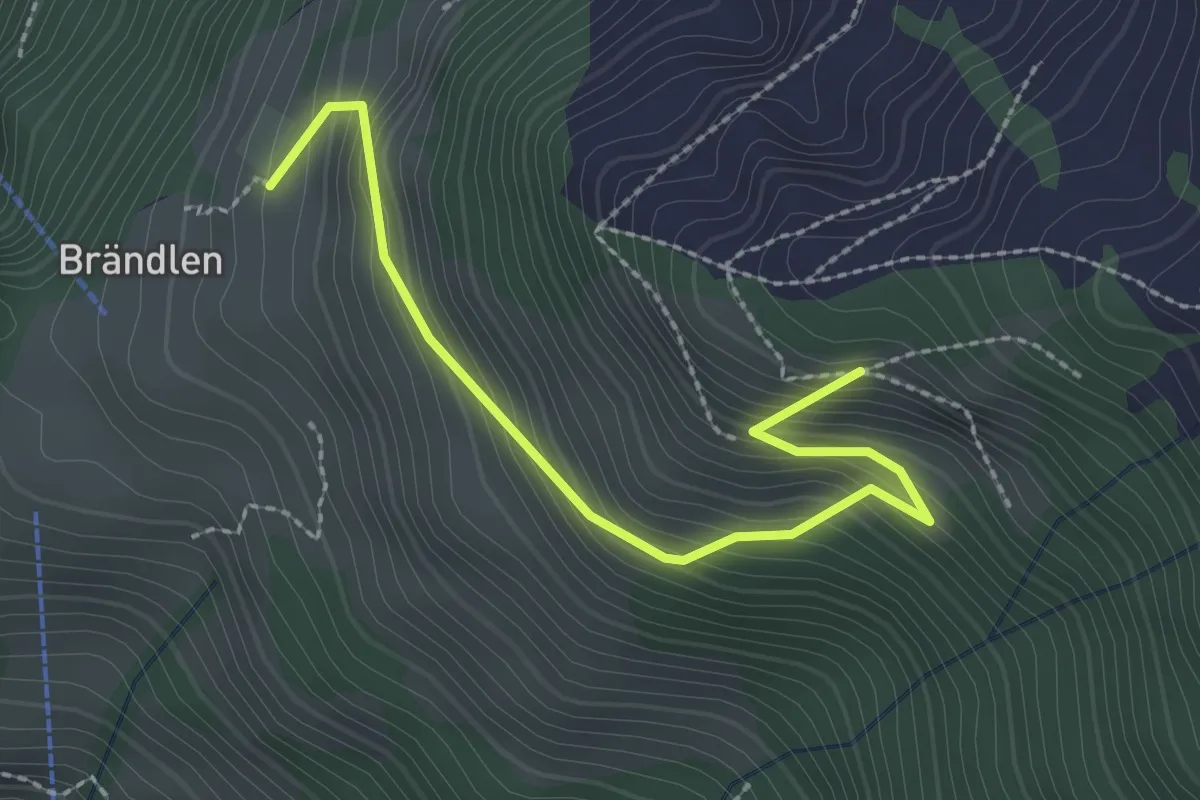
Medium · Trail
Brändeln Startplatz – Luthensak
2.5 km · ↑ 289 m · 1 h 13 min · 15 km away
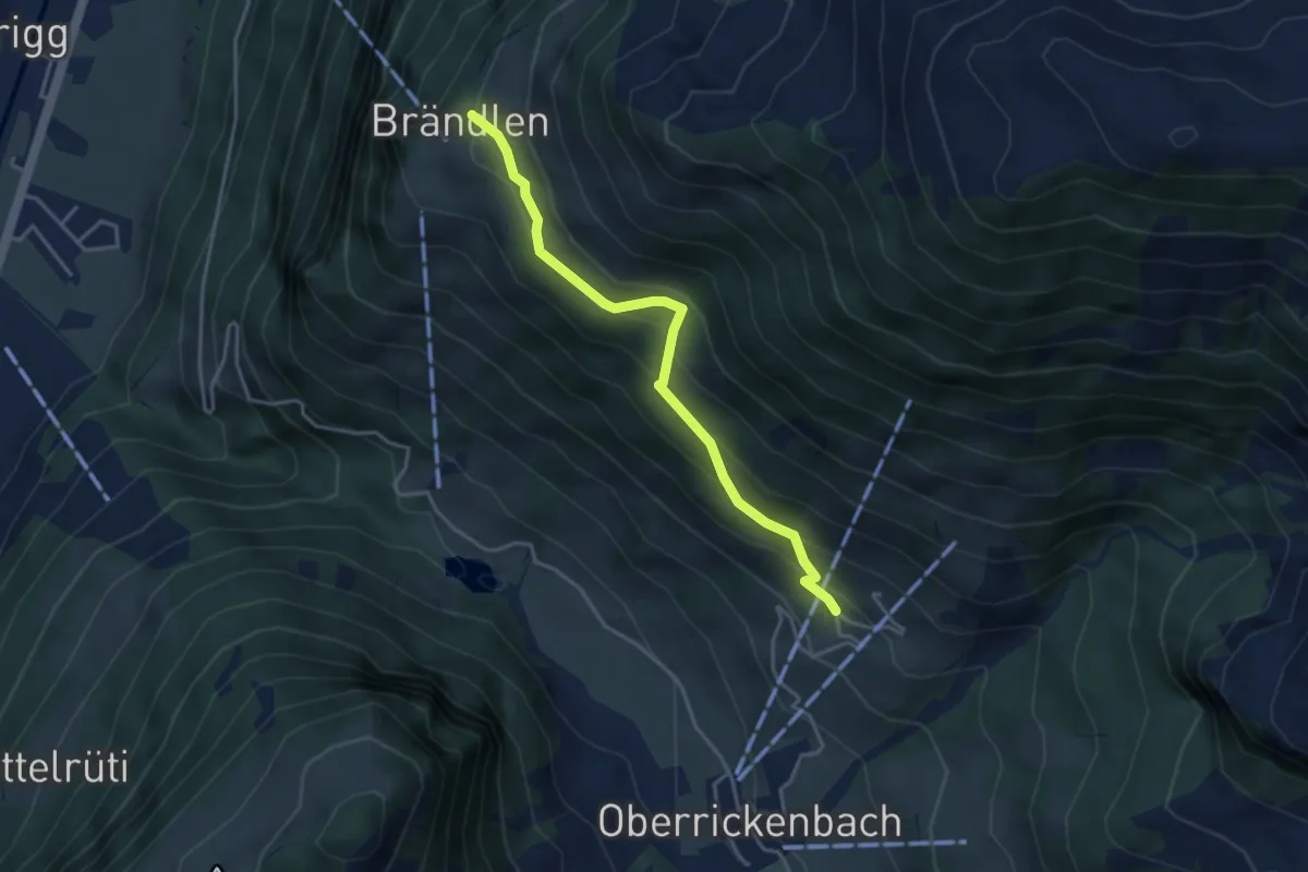
Medium · Trail
Schiltli – Brändlen
3.7 km · ↑ 285 m · 1 h 30 min · 15 km away
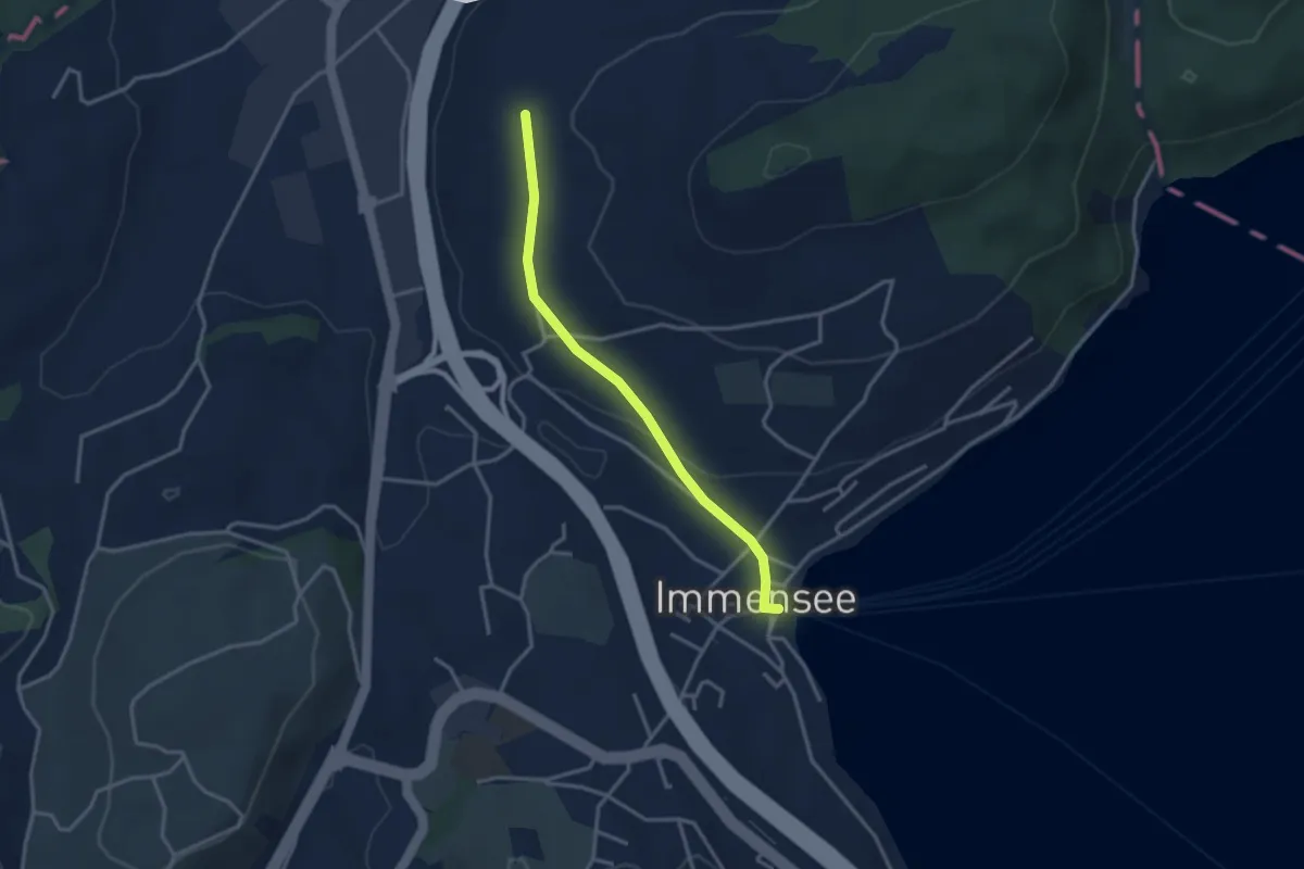
Easy · Trail
Hinter Chiemen – Immensee
3.0 km · ↑ 73 m · 52 min · 15 km away
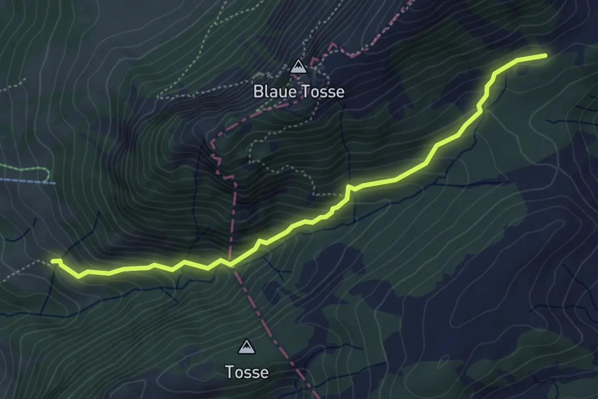
Medium · Trail
Mittlist Hütten - Rickmettlen
5.2 km · ↑ 460 m · 2 h 14 min · 15 km away
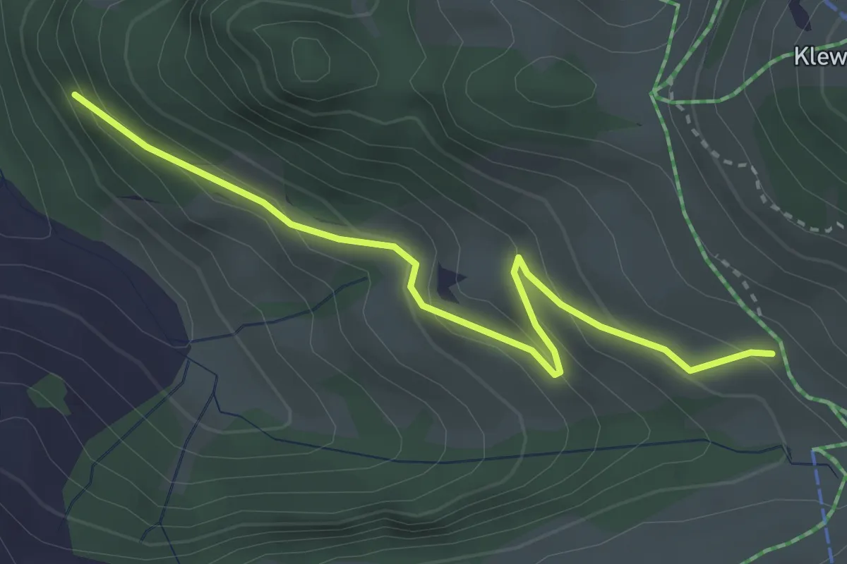
Easy · Trail
Tannibüel – Unter Bachscheiti
3.3 km · ↑ 230 m · 1 h 17 min · 15 km away
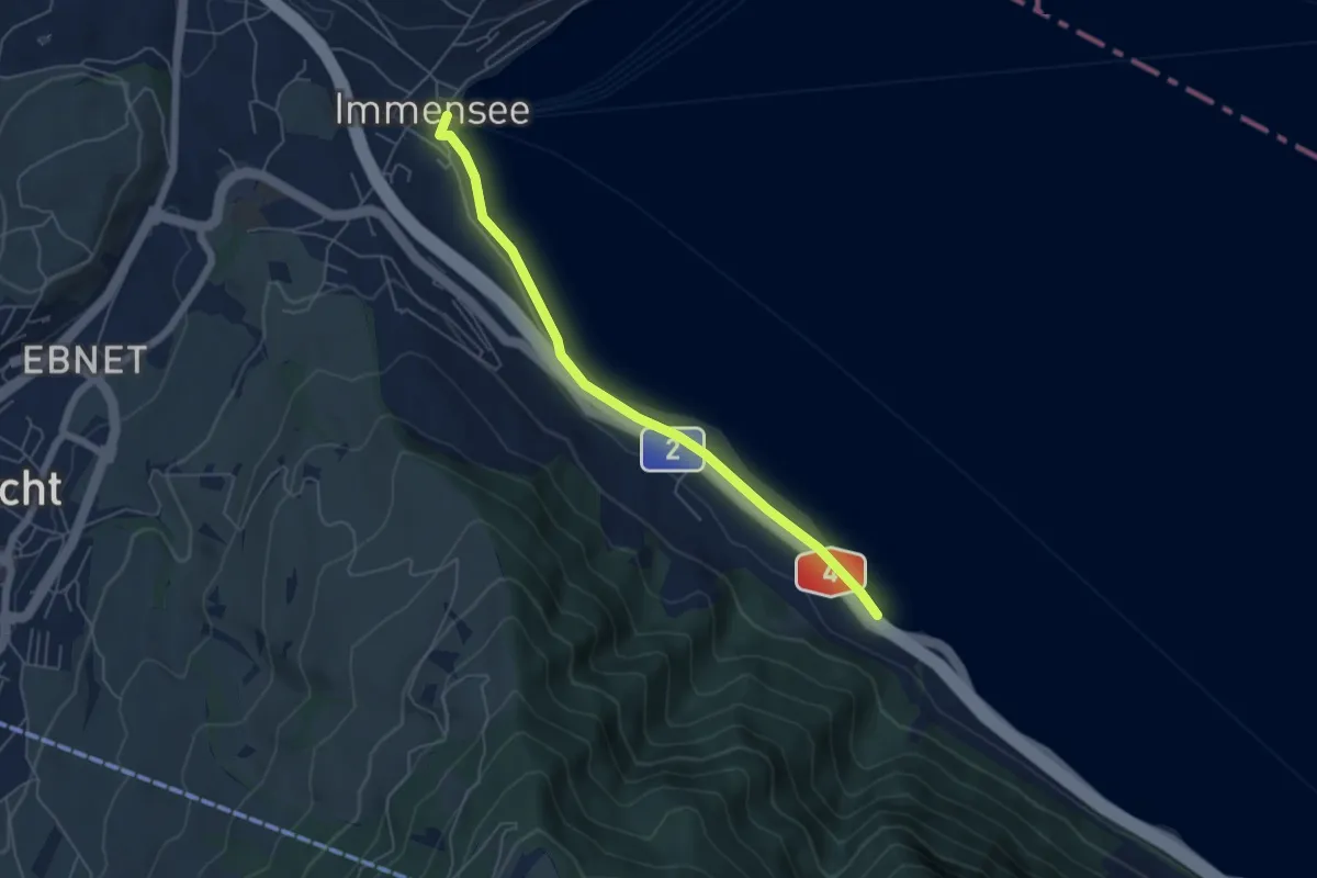
Easy · Trail
Immensee – Fischchratten
5.3 km · ↑ 58 m · 1 h 22 min · 15 km away
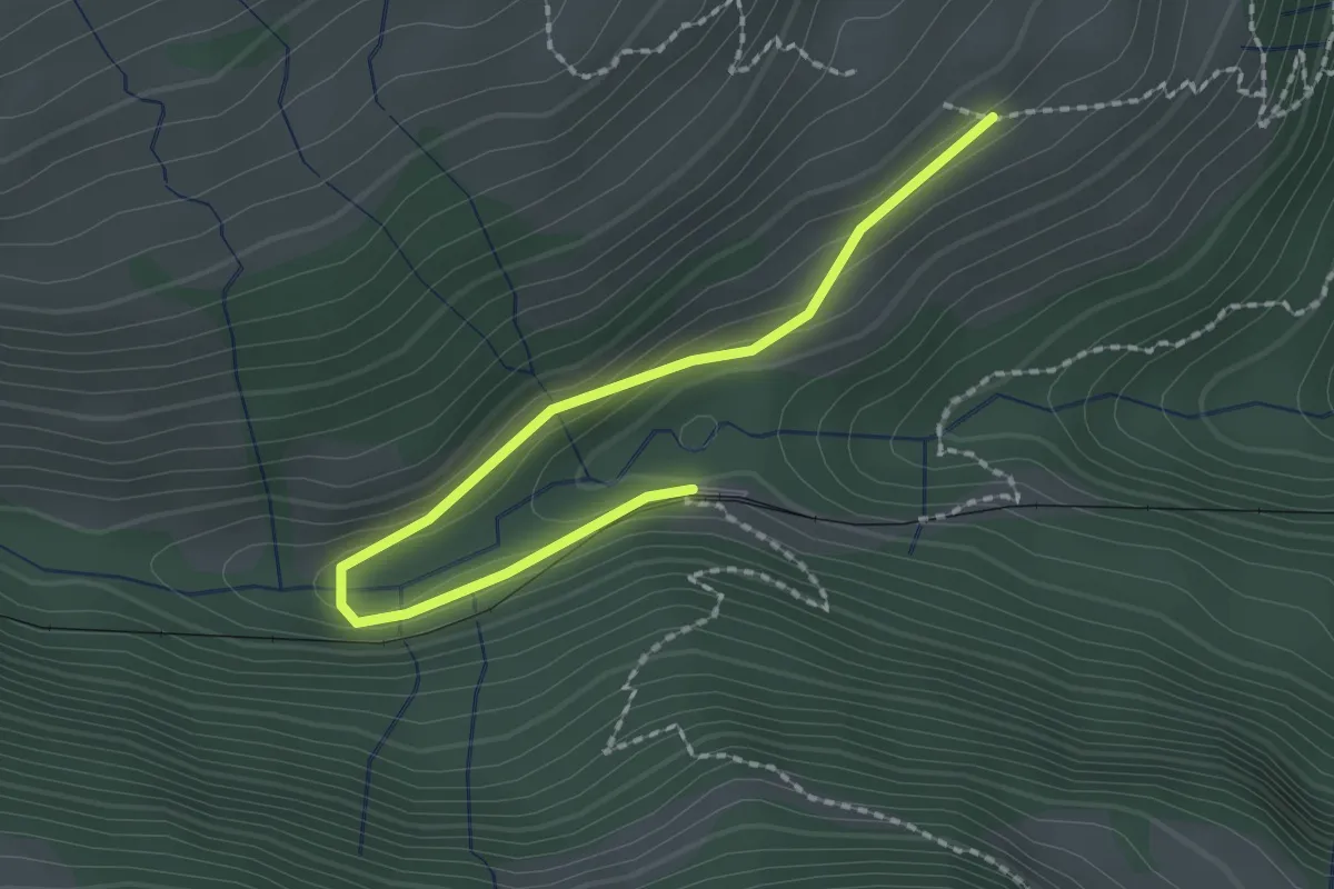
Easy · Trail
Resti-Fruttli
2.2 km · ↑ 97 m · 44 min · 15 km away
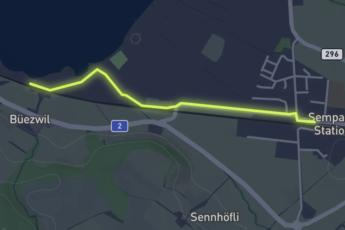
Easy · Trail
Büezwil – Sempach Station
2.8 km · ↑ 4 m · 40 min · 15 km away
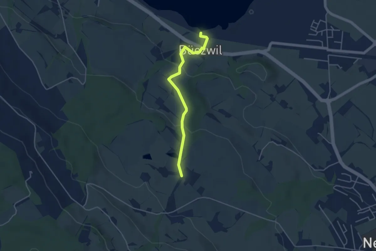
Easy · Trail
Schloss Wartensee – Wilistatt
3.5 km · ↑ 113 m · 1 h 4 min · 15 km away
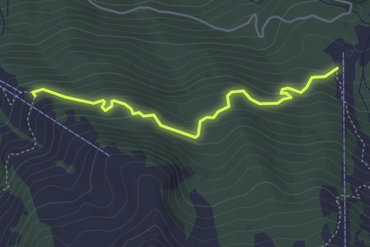
Medium · Trail
Alpboden – Mittlist Hütti
3.8 km · ↑ 339 m · 1 h 38 min · 15 km away
Medium · Trail
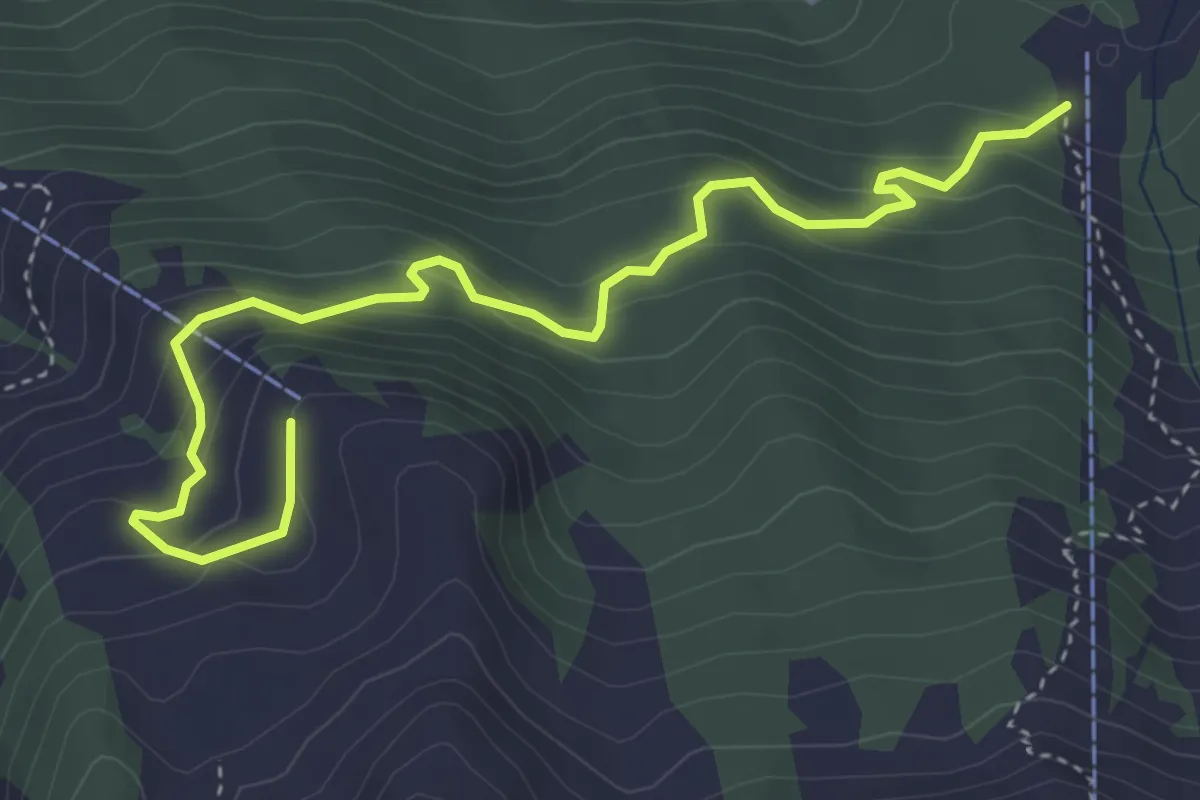
Alpboden – Oberist Hütti
4.8 km · ↑ 423 m · 2 h 2 min · 15 km away
Easy · Trail
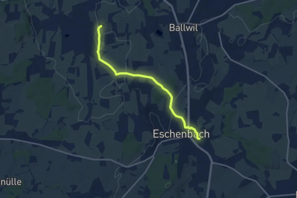
Urswil – Eschenbach
7.3 km · ↑ 120 m · 1 h 59 min · 15 km away
Easy · Trail
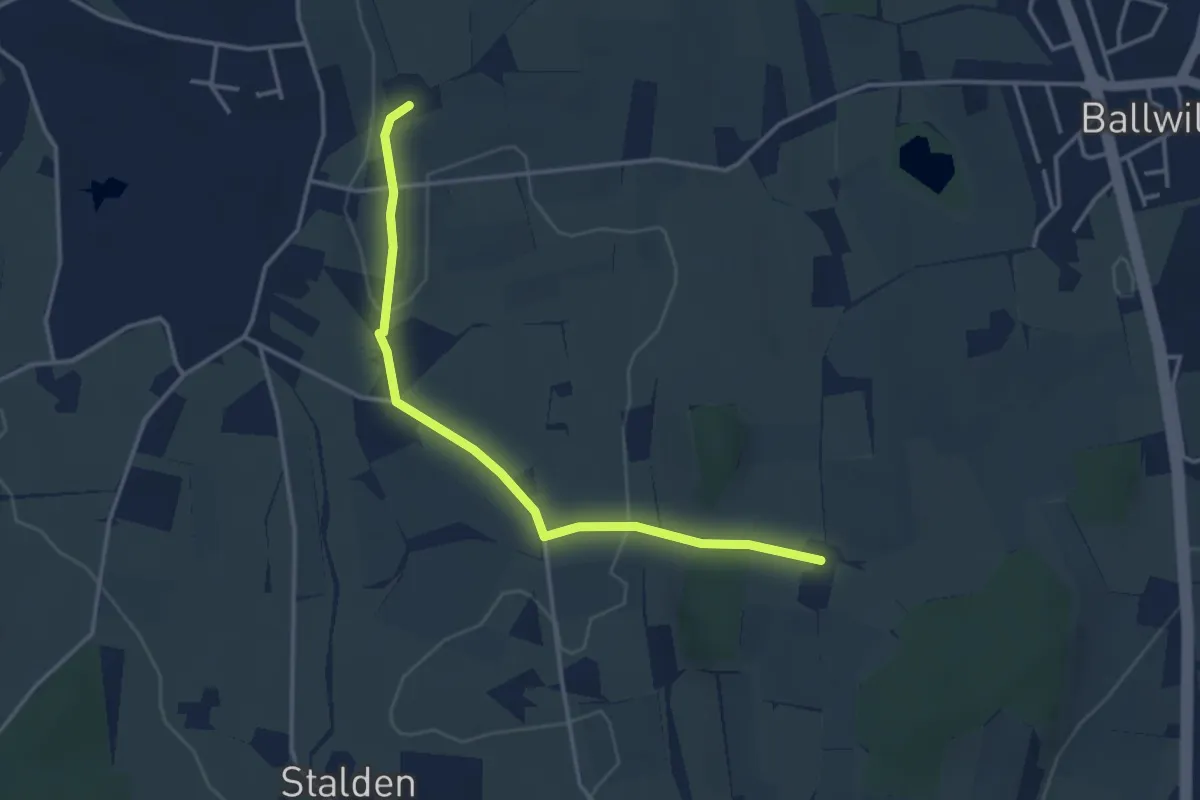
Räckebrunne – Urswil
3.6 km · ↑ 48 m · 57 min · 15 km away
Easy · Trail
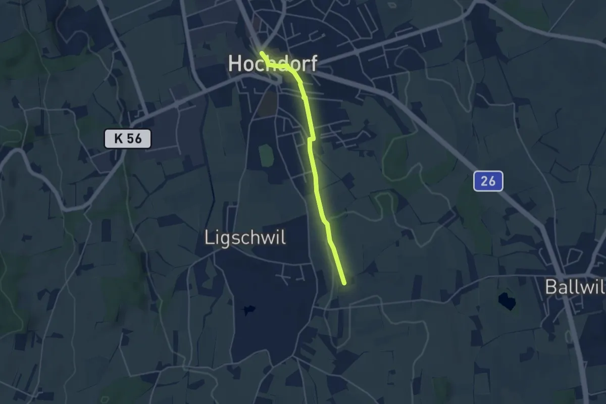
Hochdorf – Urswil
3.8 km · ↑ 27 m · 58 min · 15 km away
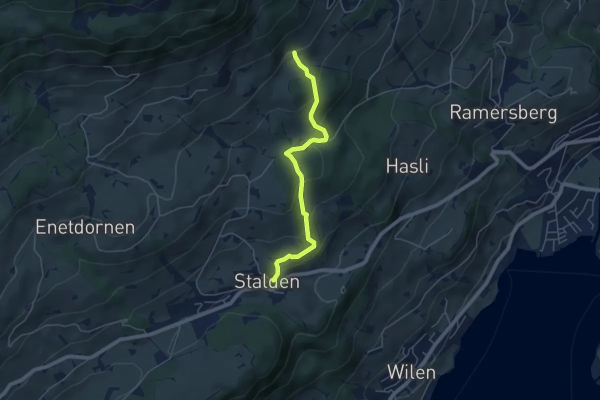
Easy · Trail
Stalden – Schalf
4.3 km · ↑ 246 m · 1 h 33 min · 15 km away
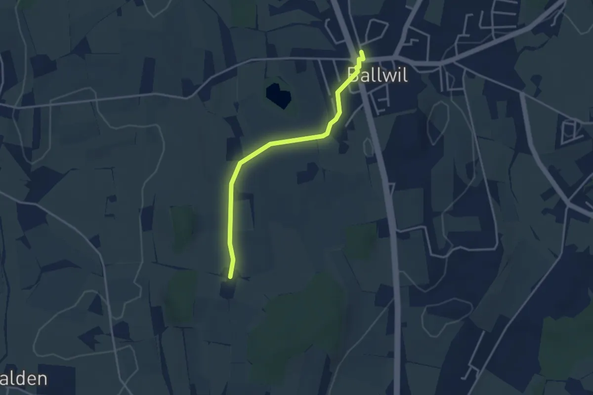
Easy · Trail
Räckebrunne – Ballwil
3.1 km · ↑ 18 m · 46 min · 15 km away
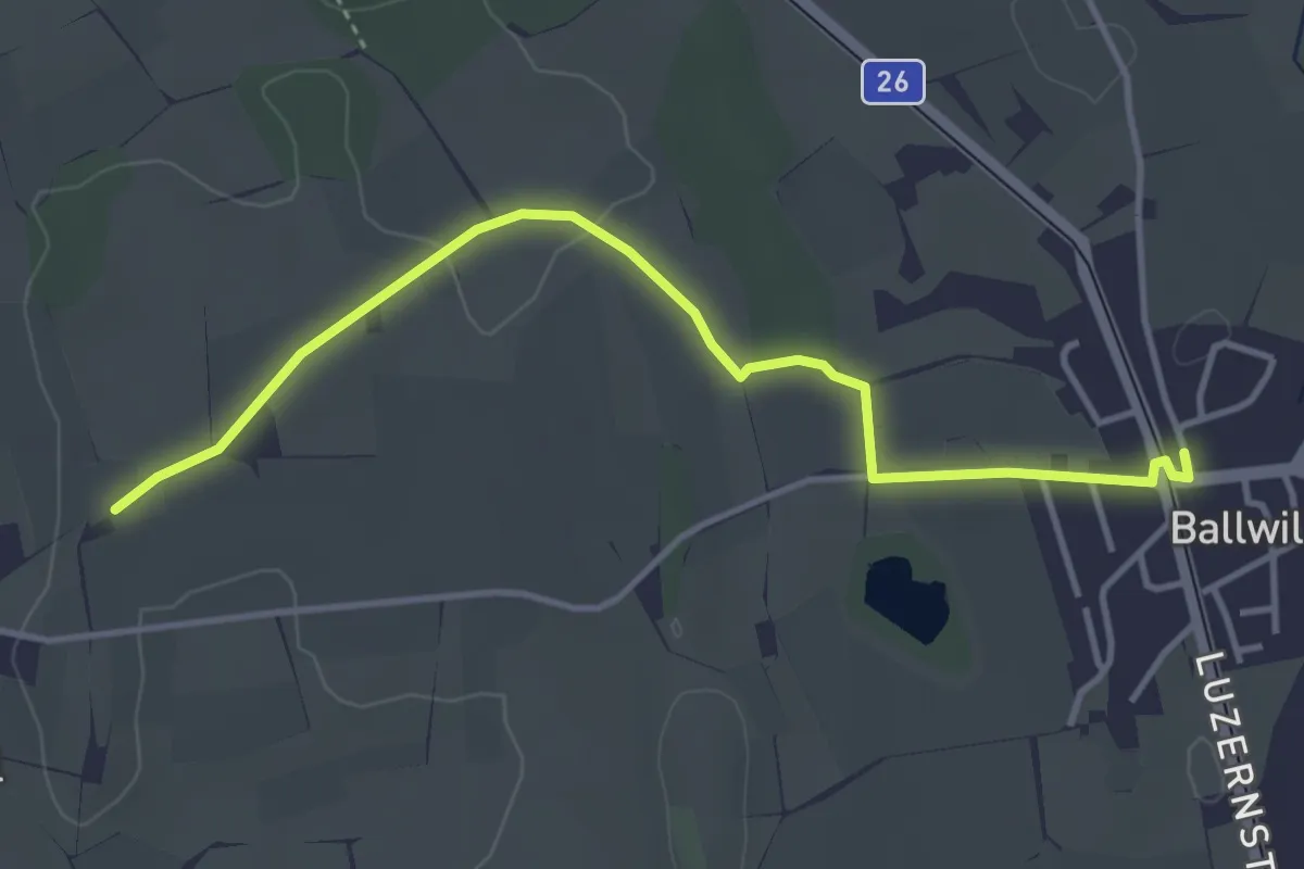
Easy · Trail
Urswil – Ballwil
4.1 km · ↑ 27 m · 1 h 2 min · 15 km away
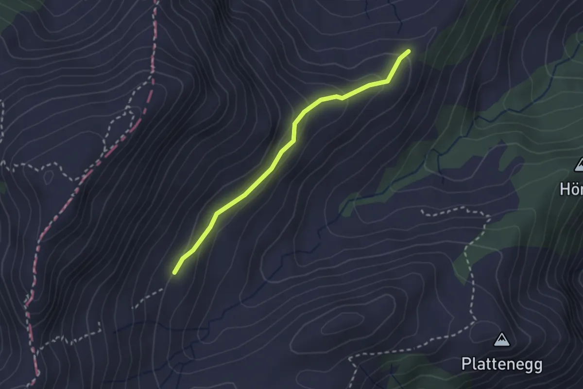
Easy · Trail
Schellenfluehütte – Miserengrat
2.3 km · ↑ 131 m · 49 min · 15 km away