Trails near Illnau
619 hikes starting within 15 km, nearest first.
Nearest first, page 13 of 13
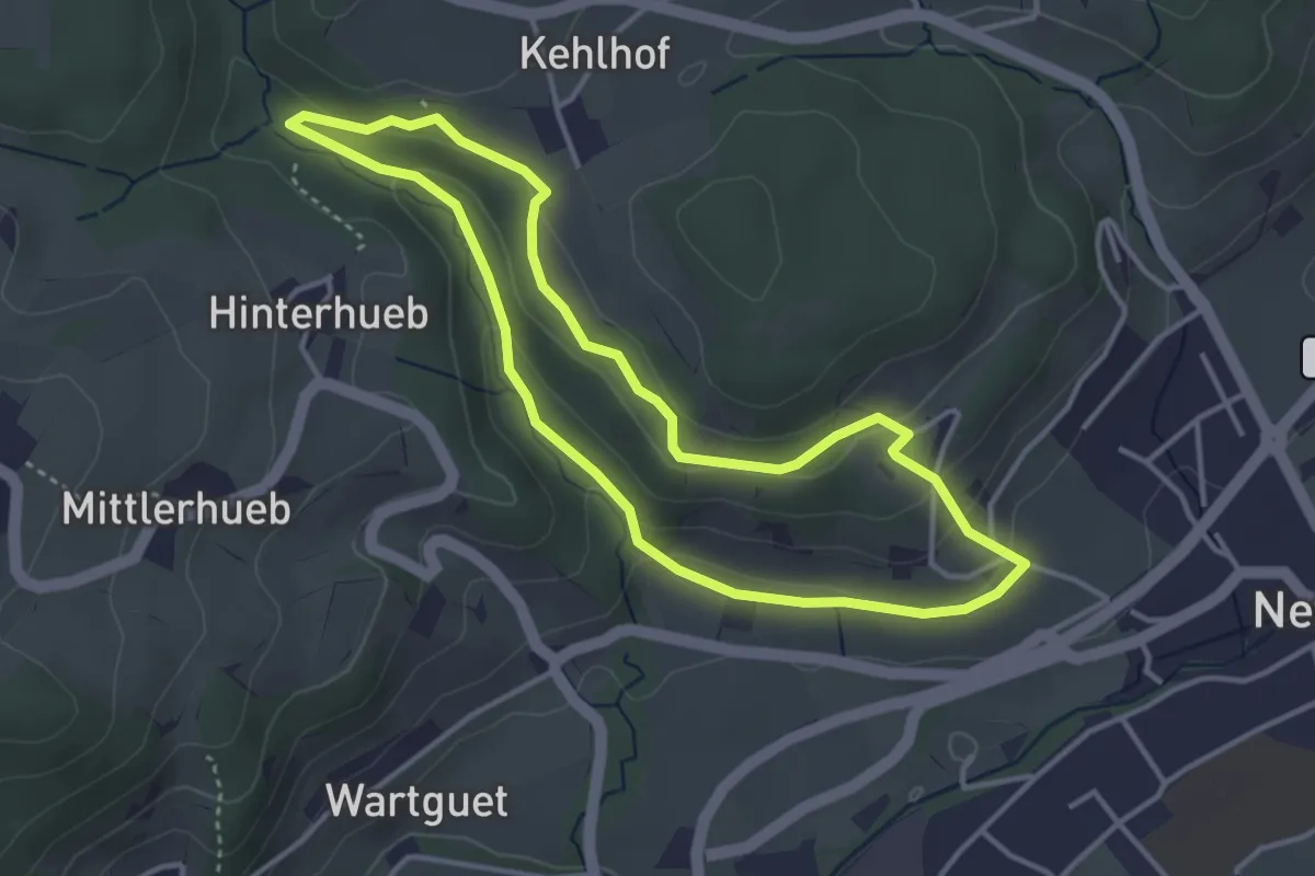
Easy · Trail
Naturerlebnispfad
3.5 km · ↑ 115 m · 1 h 8 min · 14 km away
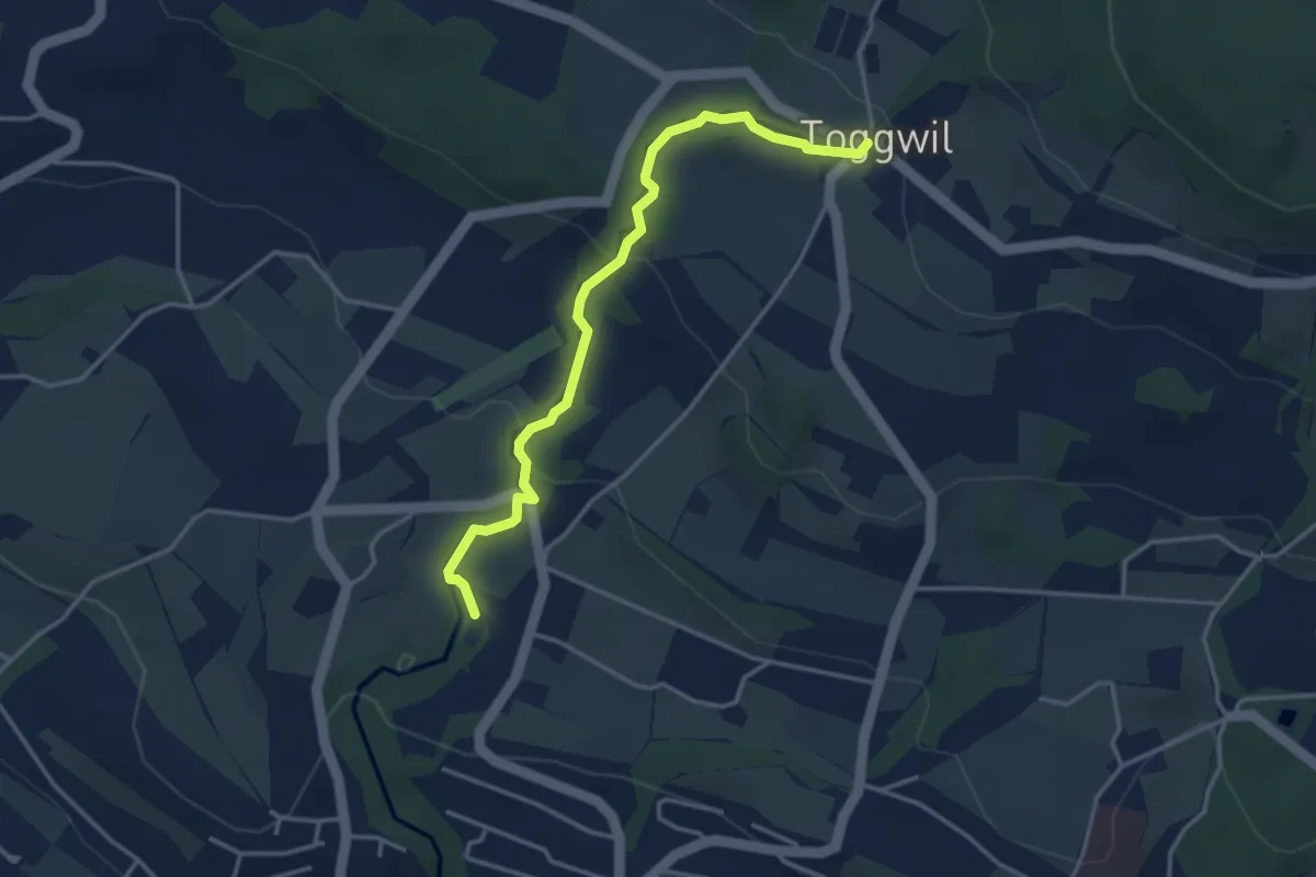
Easy · Trail
Toggwil – Rne. Friedberg
3.7 km · ↑ 134 m · 1 h 9 min · 14 km away
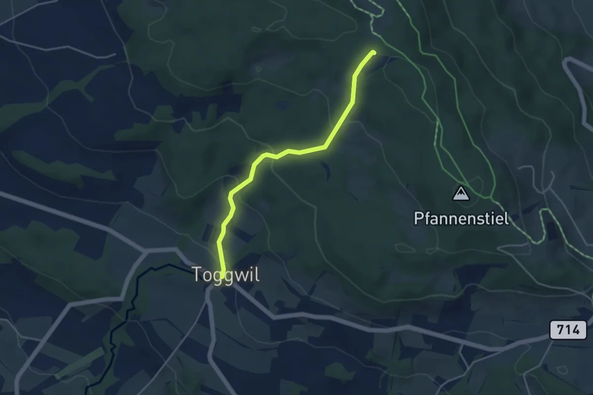
Easy · Trail
Toggwil – Guldener Höchi
3.5 km · ↑ 195 m · 1 h 15 min · 14 km away
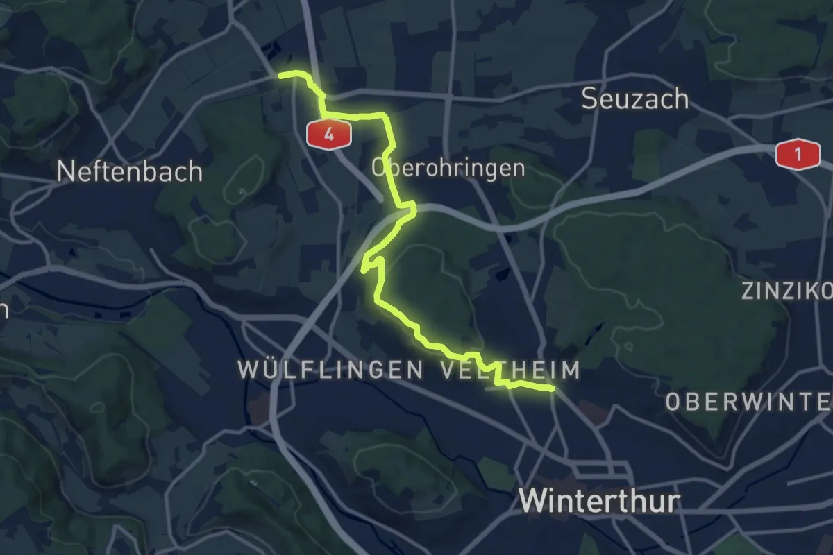
Medium · Trail
Winterthur Veltheim – Riet
12.4 km · ↑ 235 m · 3 h 27 min · 14 km away
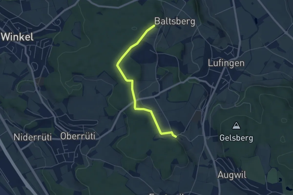
Easy · Trail
Hinter Marchlen – Husacher
4.8 km · ↑ 86 m · 1 h 19 min · 15 km away
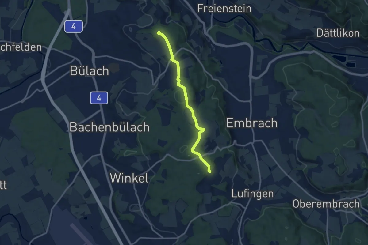
Medium · Summit
Petersboden – Husacher
8.7 km · ↑ 241 m · 2 h 35 min · 15 km away
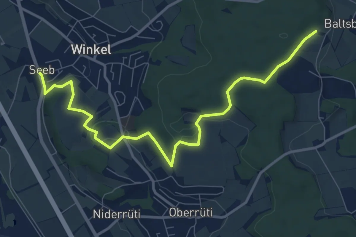
Medium · Trail
Husacher – Winkel Seeb
8.5 km · ↑ 220 m · 2 h 30 min · 15 km away
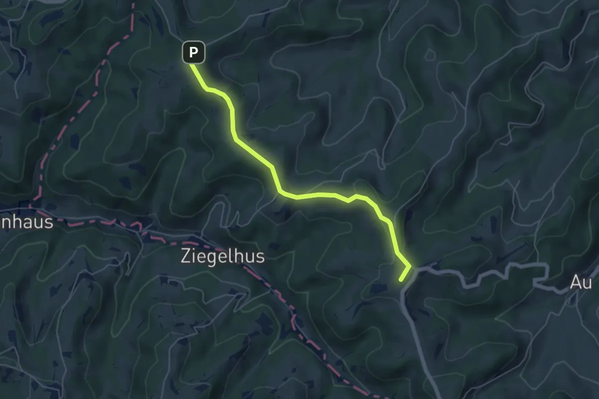
Easy · Summit
Sädelegg-Rotbühl
5.0 km · ↑ 103 m · 1 h 24 min · 15 km away
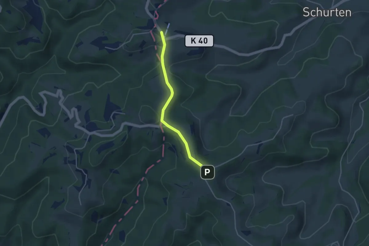
Easy · Trail
Sitzberg - Sädelegg
3.1 km · ↑ 64 m · 53 min · 15 km away
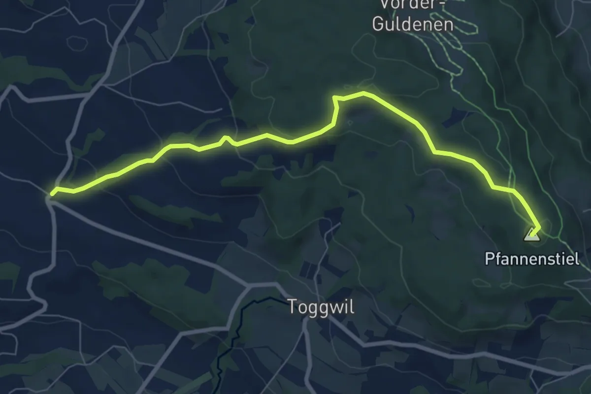
Easy · Summit
Wetzwil – Pfannenstiel Hochwacht
7.6 km · ↑ 294 m · 2 h 26 min · 15 km away
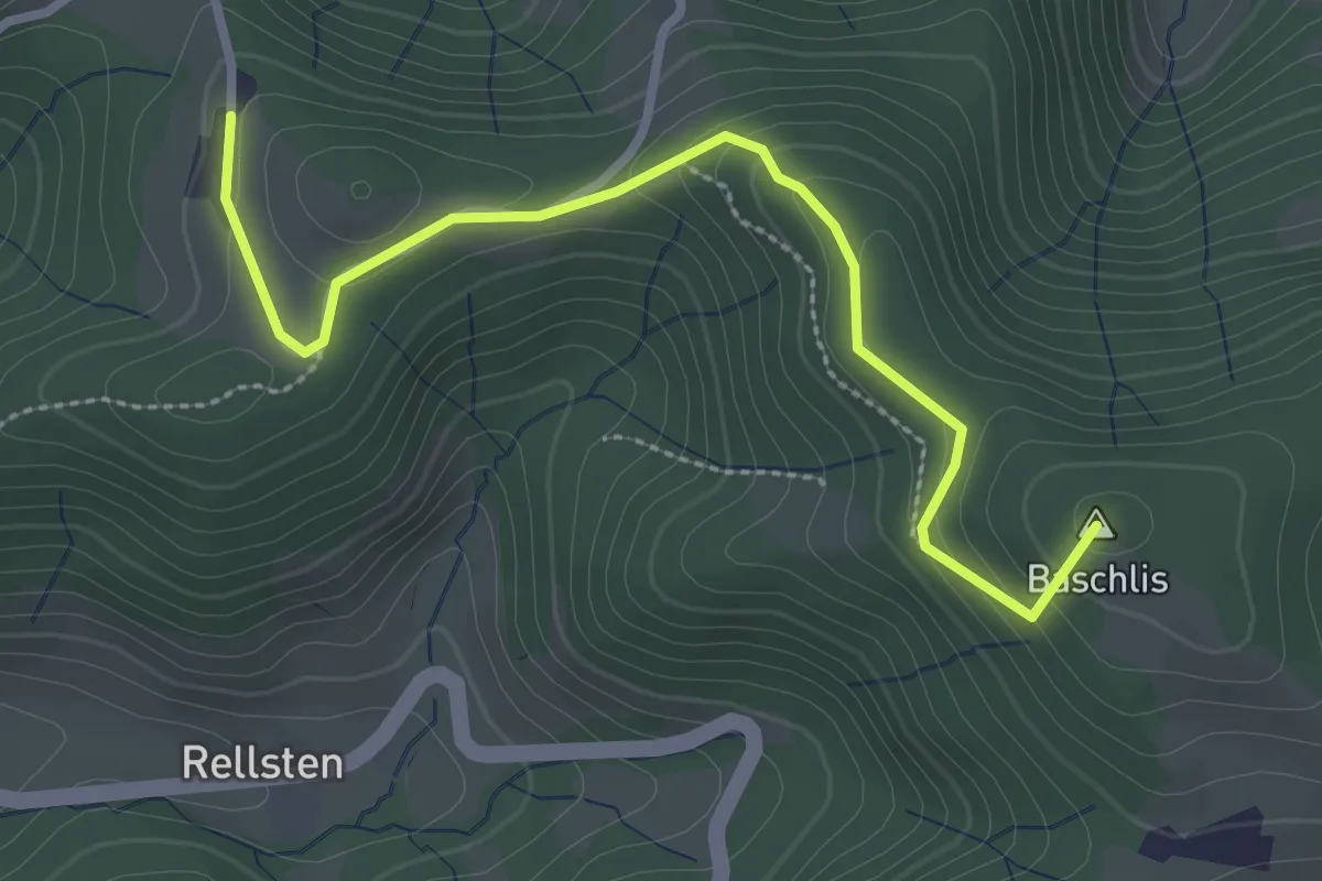
Easy · Summit
Ghöchweid - Sunnenhof
2.9 km · ↑ 139 m · 1 h · 15 km away
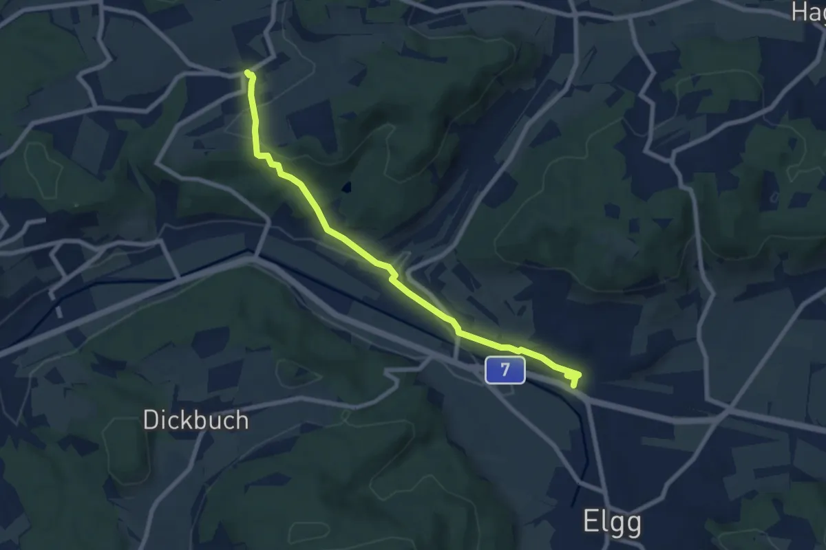
Easy · Trail
Zünikon – Bahnhof Elgg
7.0 km · ↑ 175 m · 2 h 2 min · 15 km away
Easy · Trail
Zünikon – Fulau
2.3 km · ↑ 24 m · 35 min · 15 km away
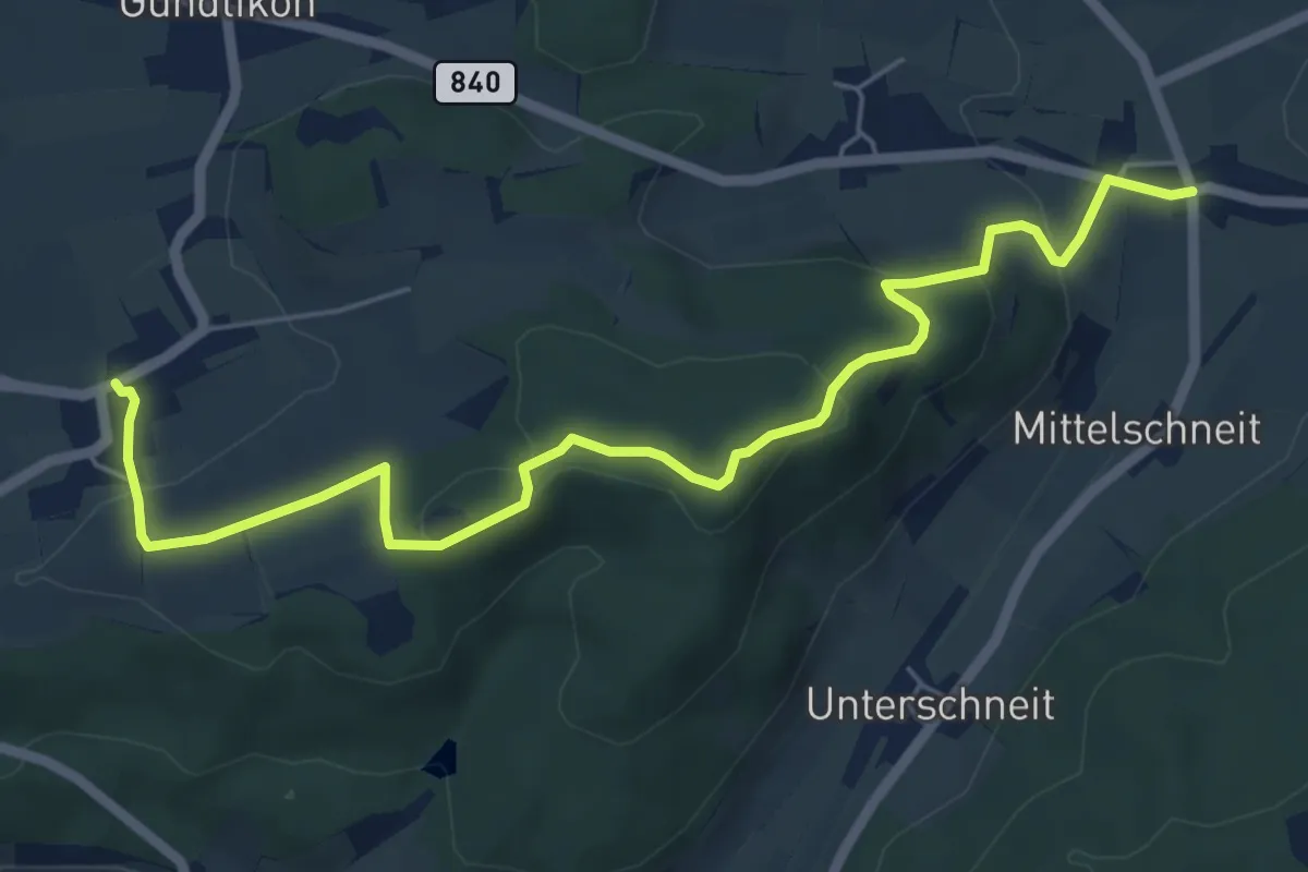
Easy · Trail
Oberschneit – Zünikon
6.7 km · ↑ 208 m · 2 h 2 min · 15 km away
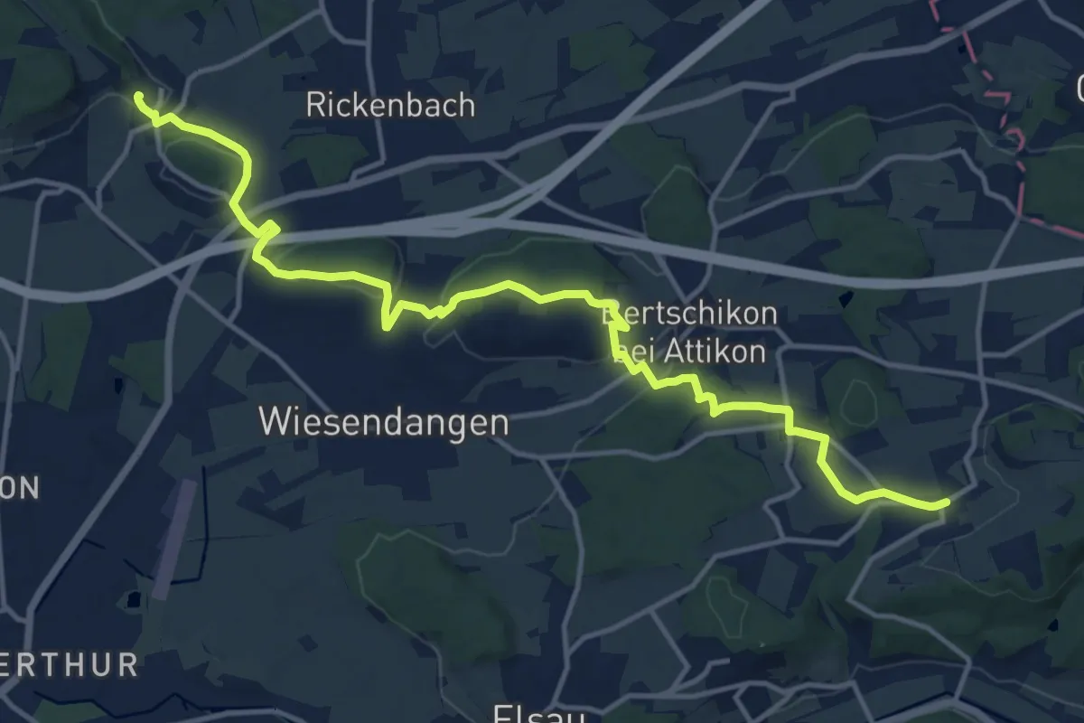
Medium · Trail
Mörsburg – Zünikon
15.6 km · ↑ 339 m · 4 h 25 min · 15 km away
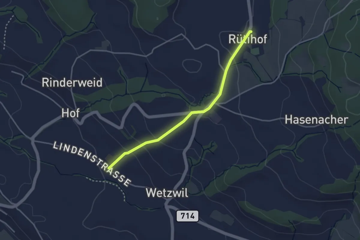
Easy · Trail
Wetzwil Kirche – Rütihof
2.9 km · ↑ 99 m · 55 min · 15 km away
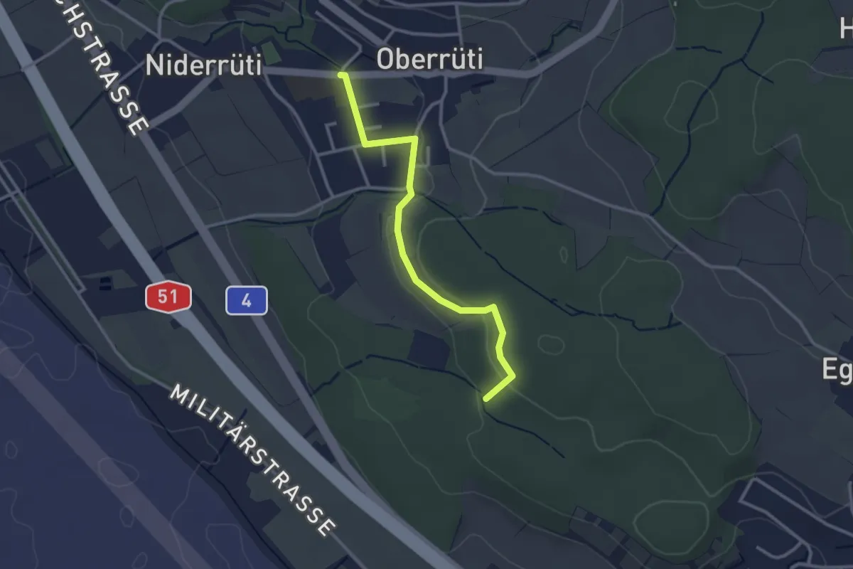
Easy · Trail
Oberrüti – Homberg
2.8 km · ↑ 50 m · 46 min · 15 km away
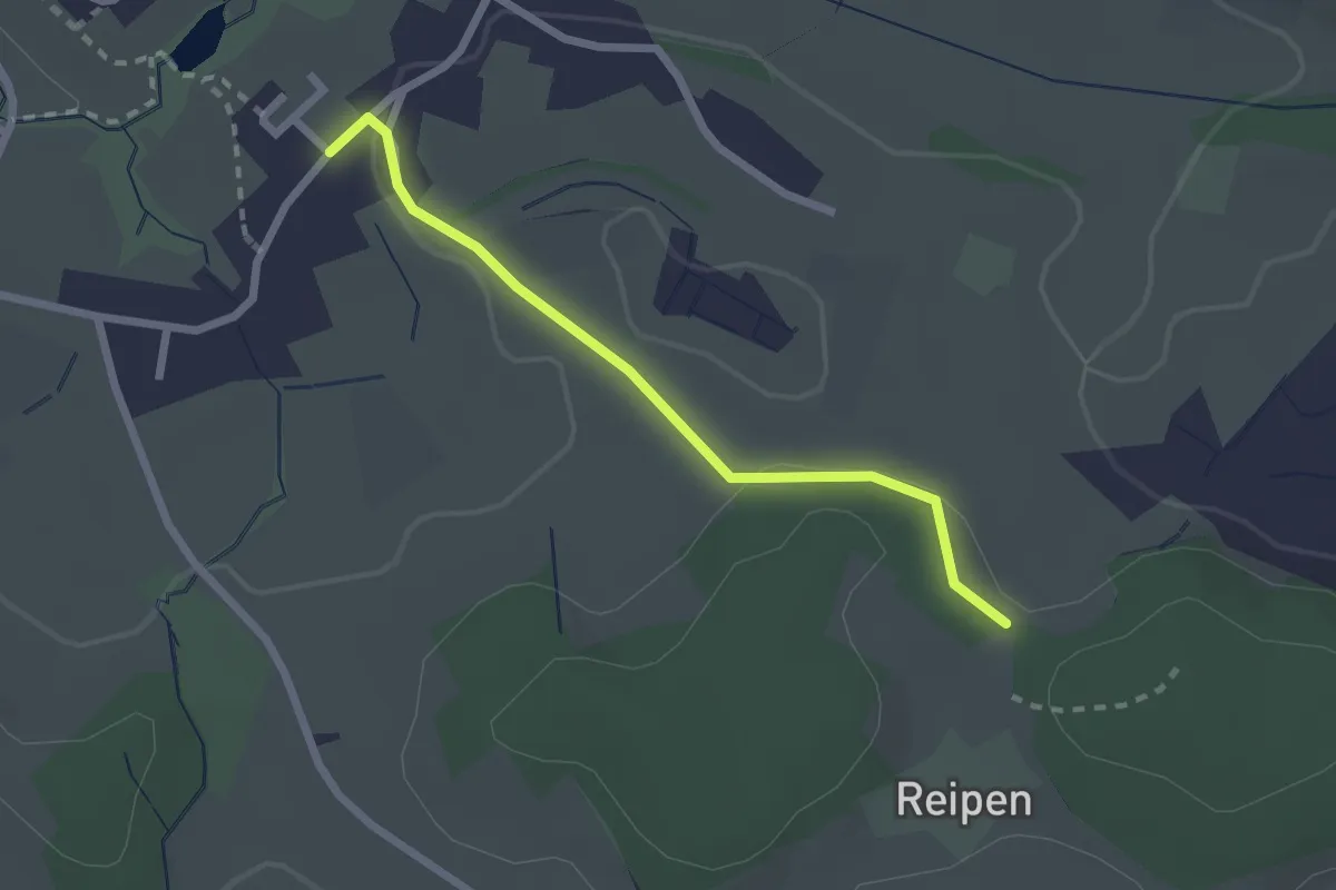
Easy · Trail
Reipen - Itzikon
2.1 km · ↑ 32 m · 35 min · 15 km away
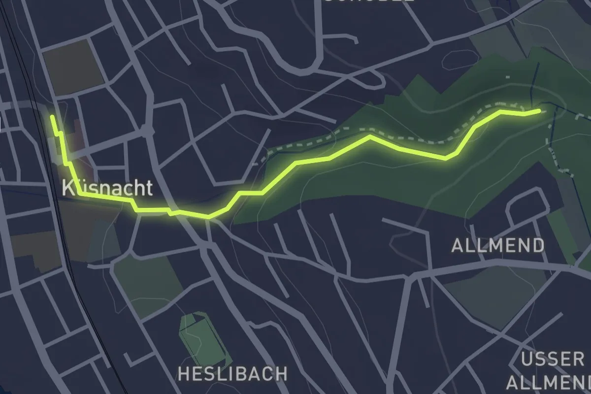
Easy · Trail
Küsnacht – Küsnacht Dorfbach
2.9 km · ↑ 92 m · 53 min · 15 km away
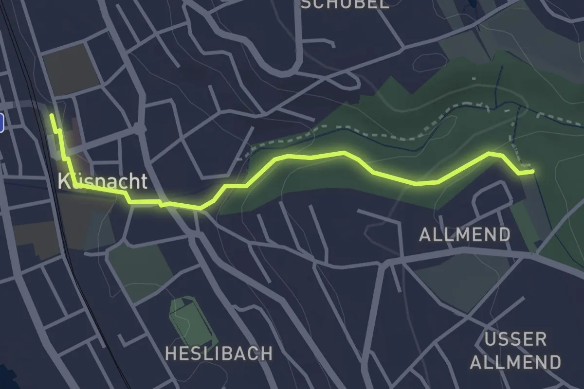
Easy · Trail
Küsnacht – Küsnachter Tobel
3.1 km · ↑ 106 m · 57 min · 15 km away
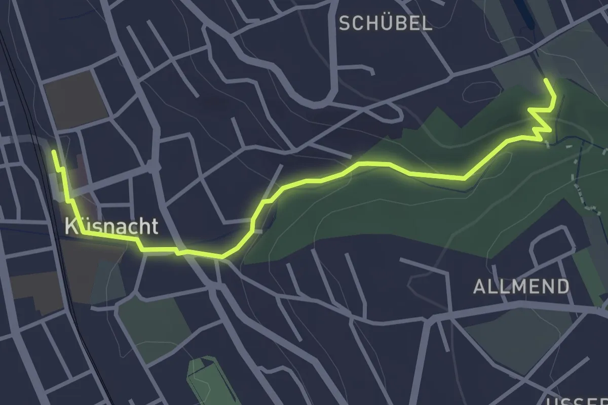
Easy · Trail
Küsnacht – Schübelweiher
3.3 km · ↑ 95 m · 1 h · 15 km away
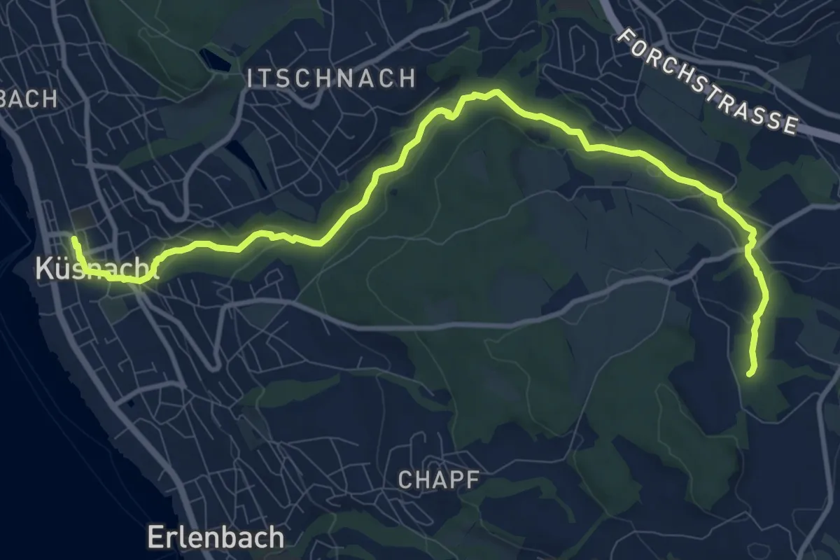
Medium · Trail
Erlenbach Küsnacht Tobelweg
11.9 km · ↑ 300 m · 3 h 27 min · 15 km away
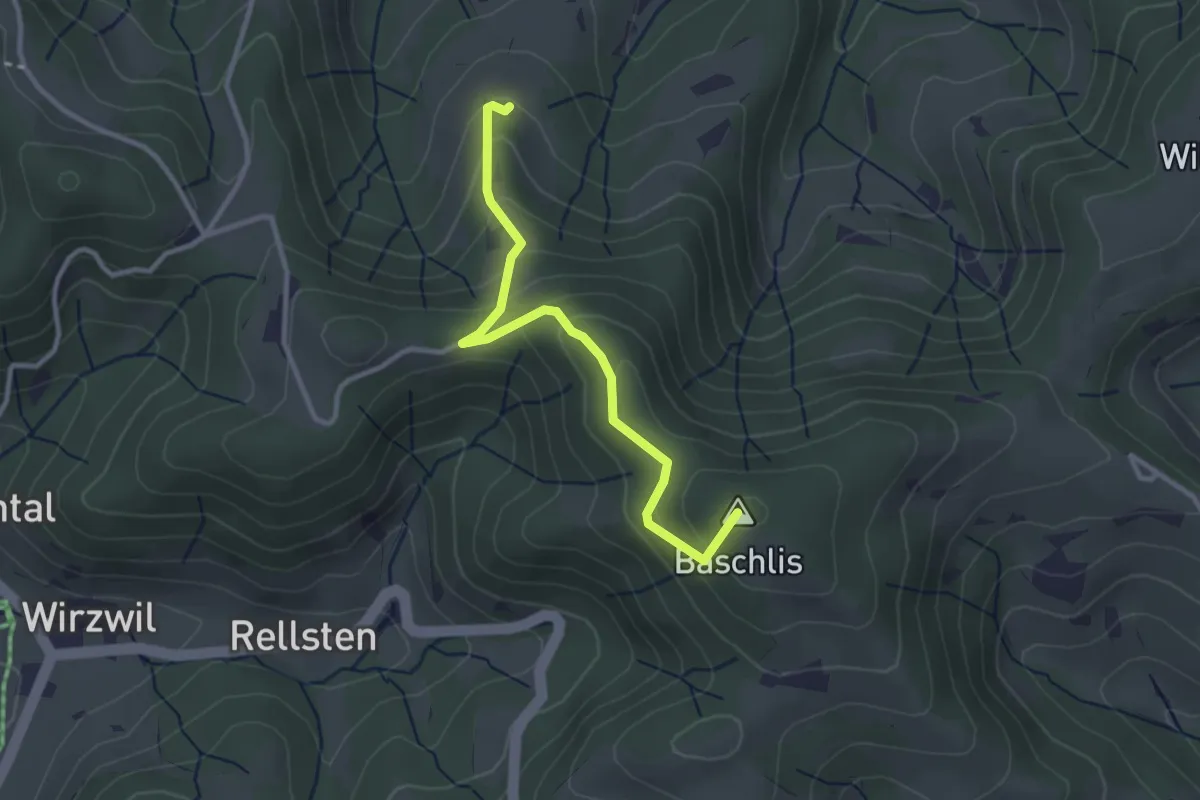
Easy · Summit
Ghöchweid - Unterlaupetswil - fixme
2.9 km · ↑ 185 m · 1 h 5 min · 15 km away
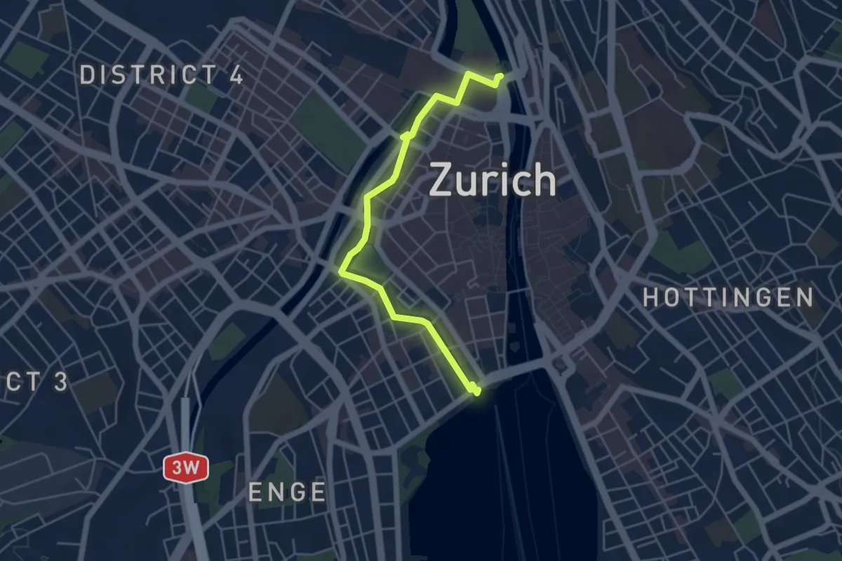
Easy · Trail
Bürkliplatz – Zürich HB
4.7 km · ↑ 24 m · 1 h 10 min · 15 km away
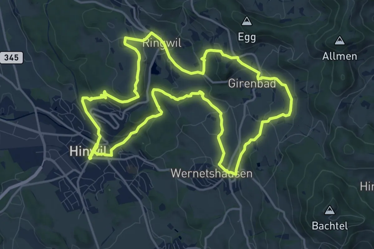
Medium · Trail
Rundweg 3-Wachten
11.9 km · ↑ 331 m · 3 h 41 min · 15 km away
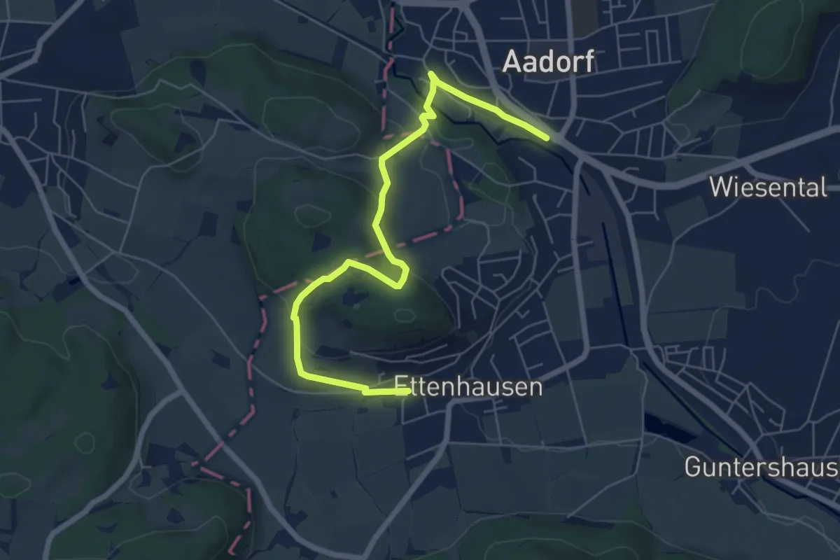
Easy · Trail
Ettenhausen - Aadorf
6.6 km · ↑ 239 m · 2 h 4 min · 15 km away
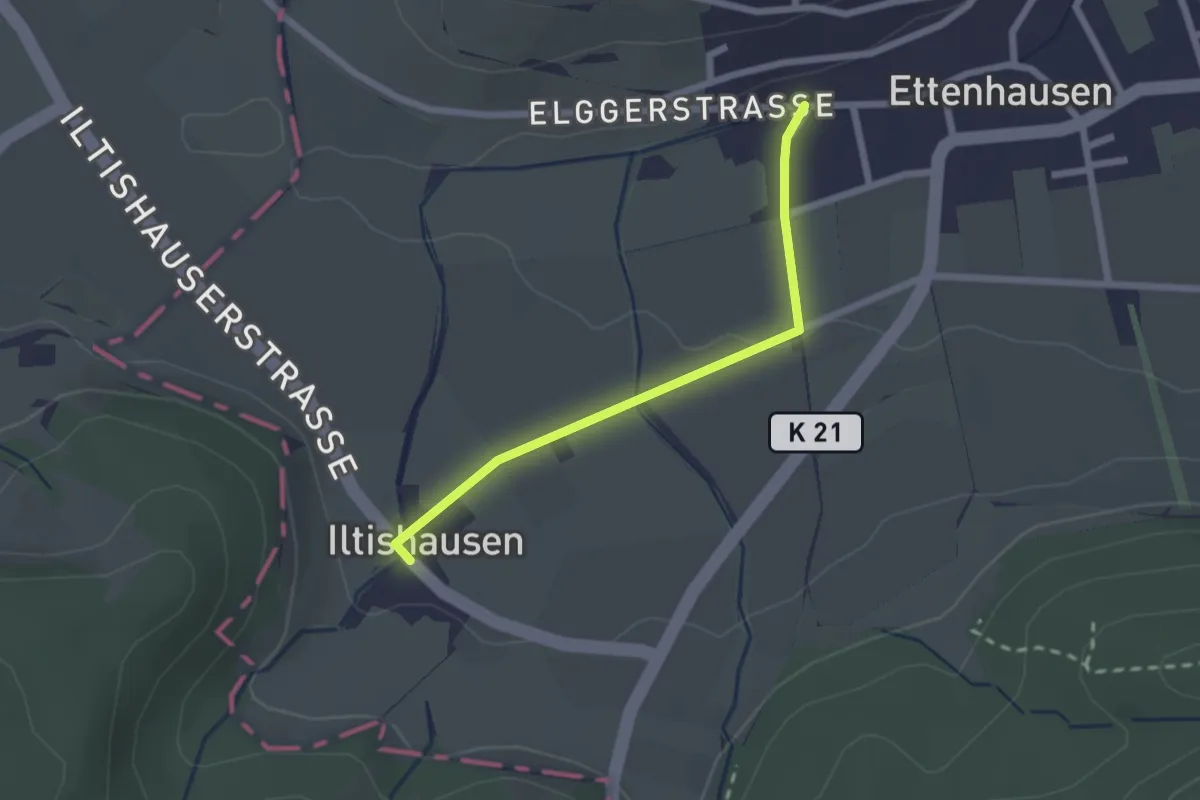
Easy · Trail
Illtishusen - Ettenhausen
2.0 km · ↑ 27 m · 32 min · 15 km away
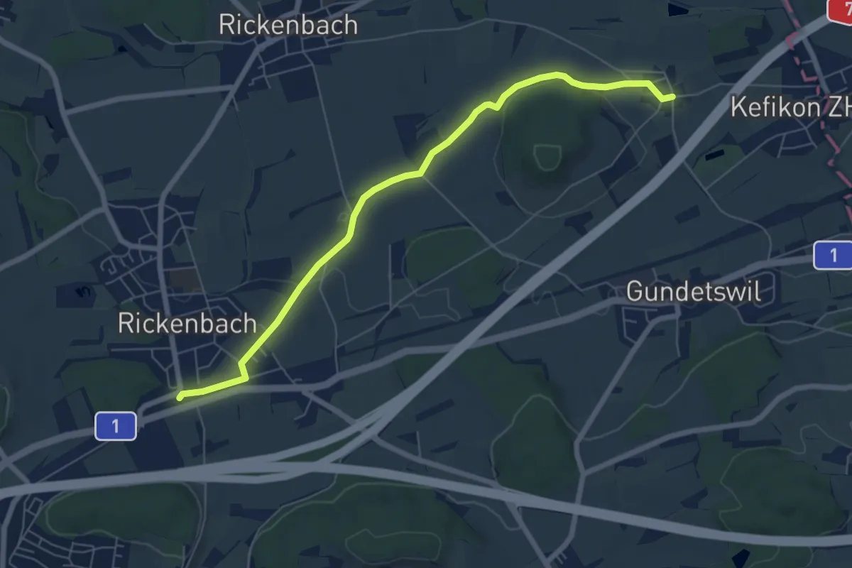
Easy · Trail
Bahnhof Rickenbach-Attikon – Menzengrüt
6.7 km · ↑ 71 m · 1 h 44 min · 15 km away
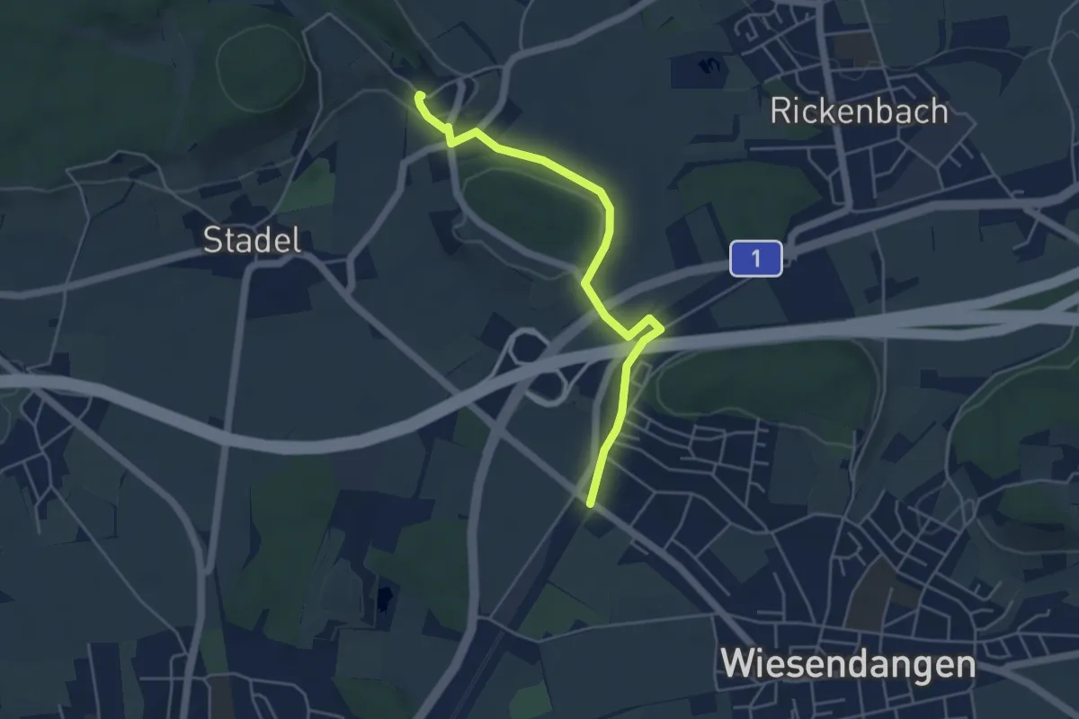
Easy · Trail
Bahnhof Wiesendangen – Mörsburg
4.5 km · ↑ 75 m · 1 h 14 min · 15 km away
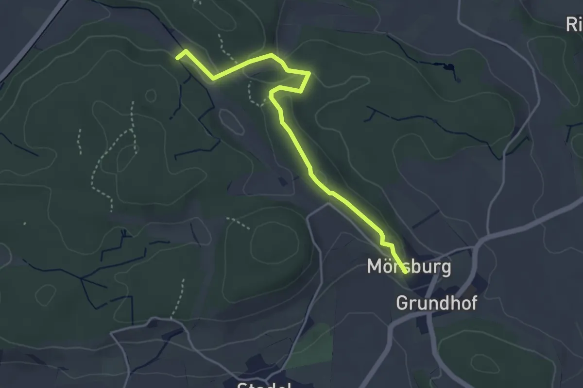
Easy · Trail
Mörsburg – Eschberg
3.8 km · ↑ 92 m · 1 h 5 min · 15 km away
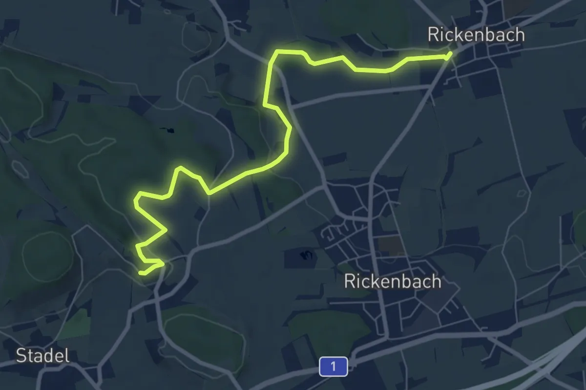
Easy · Trail
Mörsburg – Rickenbach
7.8 km · ↑ 145 m · 2 h 9 min · 15 km away
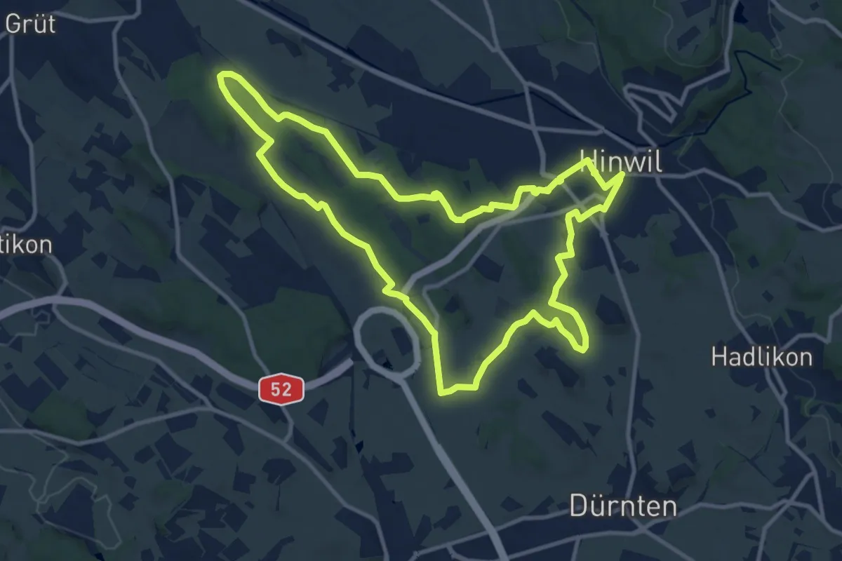
Medium · Trail
Rundweg 7-Riede
11.0 km · ↑ 92 m · 2 h 58 min · 15 km away
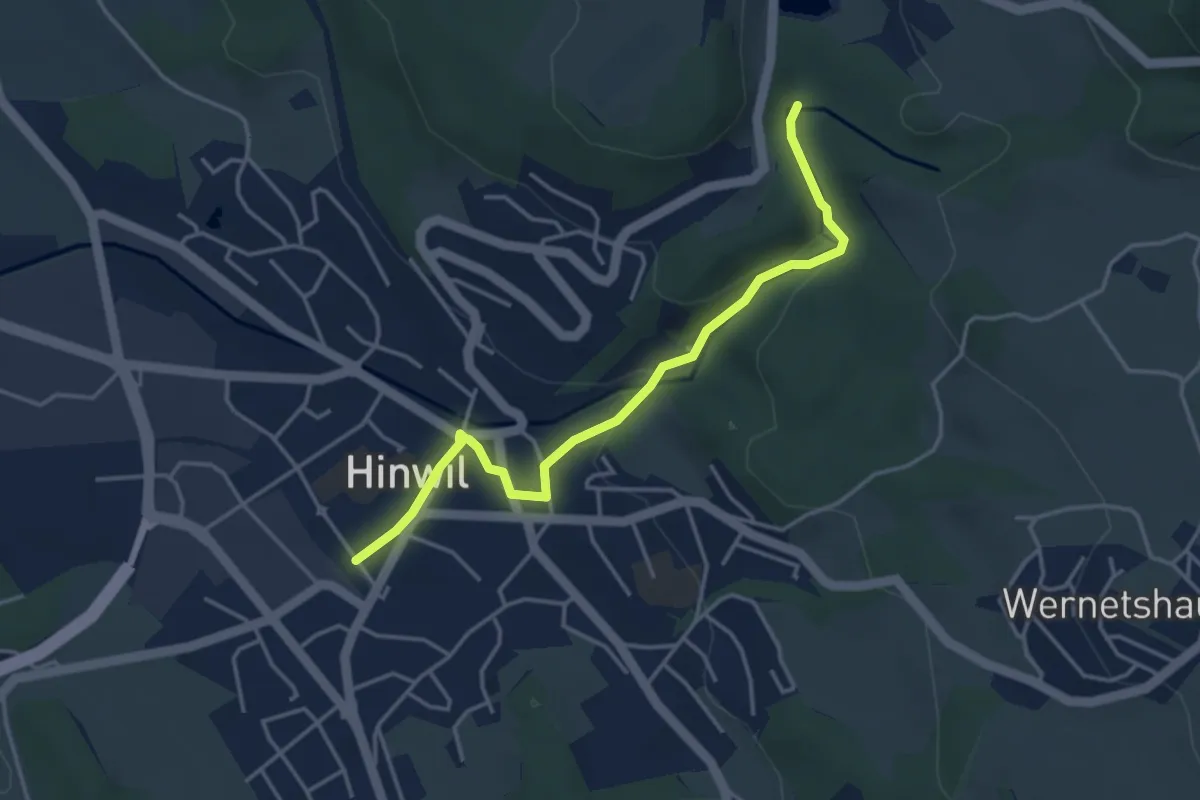
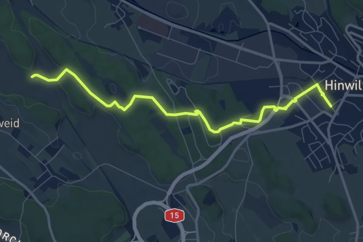
Easy · Trail
Hinwil – Wildbach
4.0 km · ↑ 105 m · 1 h 10 min · 15 km away
Easy · Trail
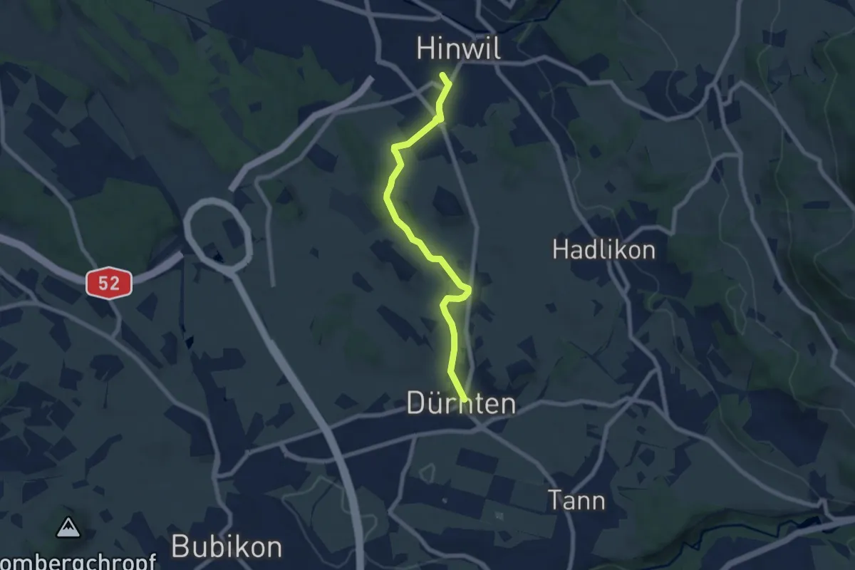
Hinwil - Ambitzgiried
7.9 km · ↑ 66 m · 2 h · 15 km away
Easy · Trail
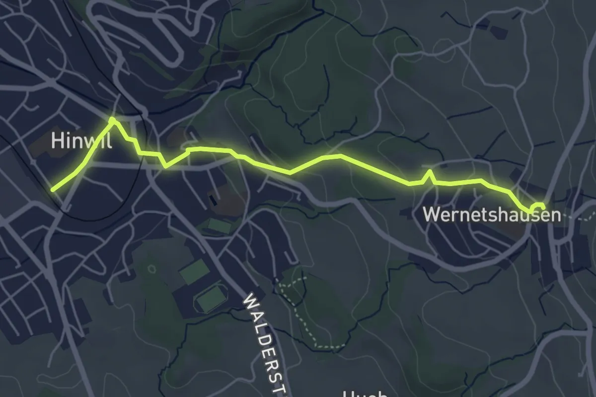
Dürnten - Hinwil
6.3 km · ↑ 59 m · 1 h 37 min · 15 km away
Easy · Trail
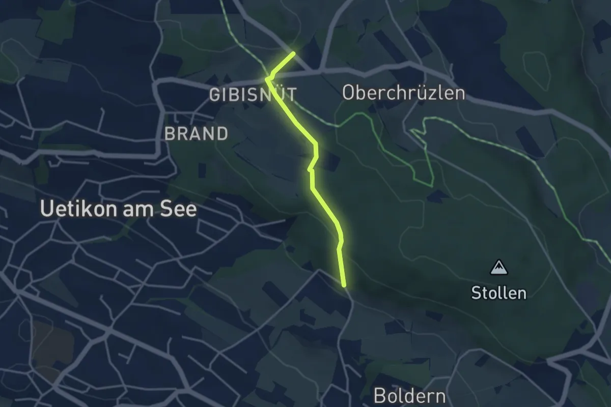
Hinwil – Wernetshausen
5.0 km · ↑ 157 m · 1 h 31 min · 15 km away
Easy · Trail
Gibisnüd – Appisberg
2.6 km · ↑ 81 m · 47 min · 15 km away
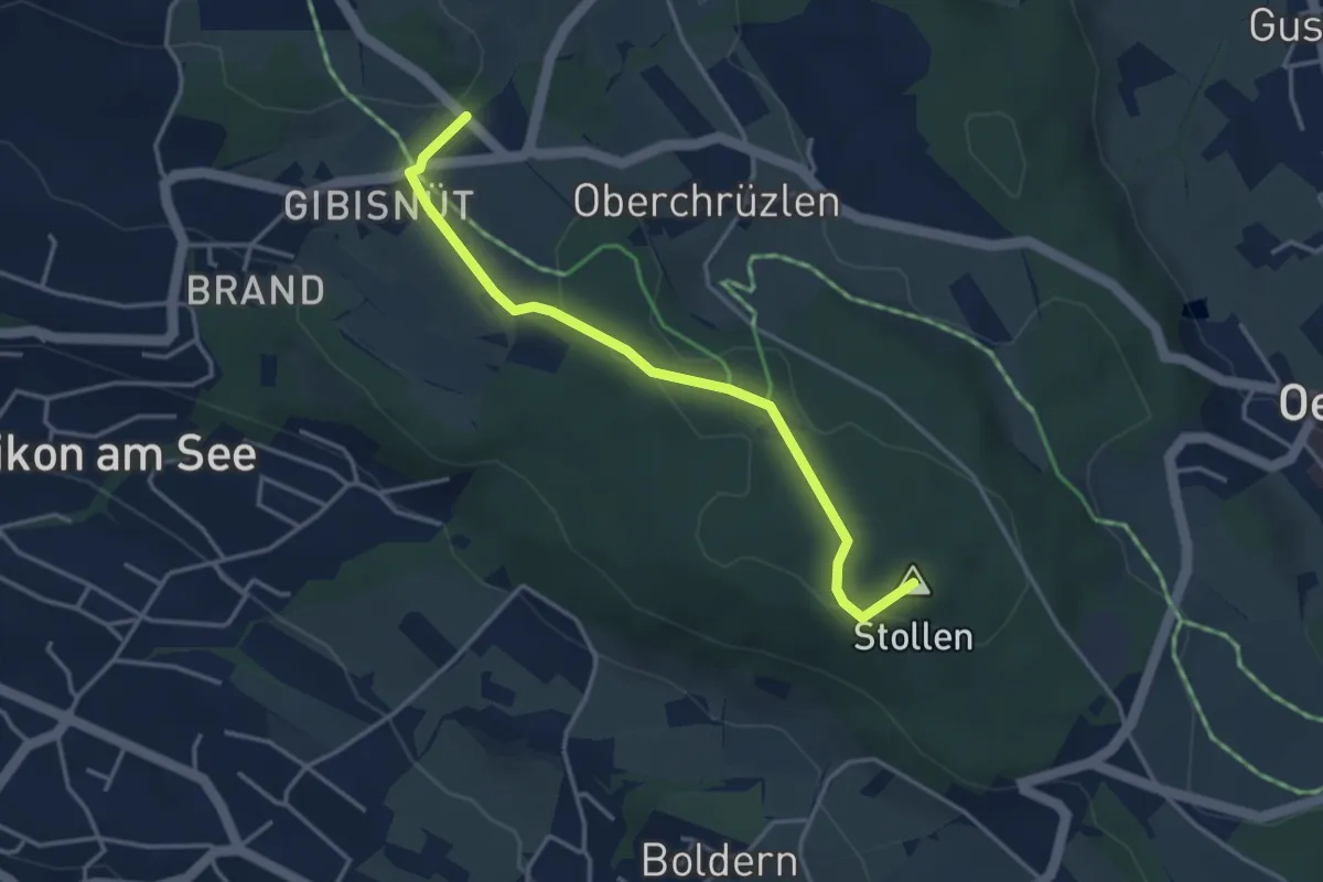
Easy · Summit
Stäfnertürli – Gibisnüd
3.6 km · ↑ 54 m · 59 min · 15 km away
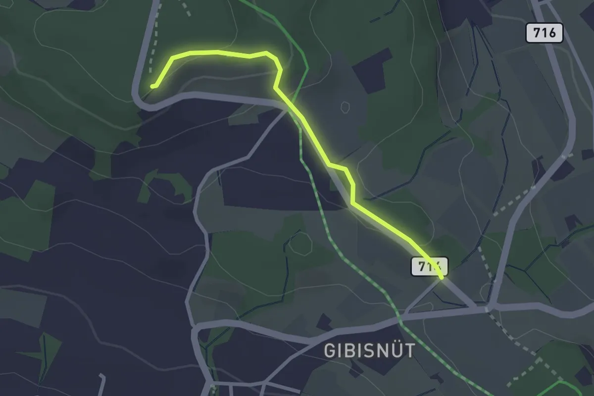
Easy · Trail
Buechholz – Gibisnüd
2.3 km · ↑ 76 m · 42 min · 15 km away
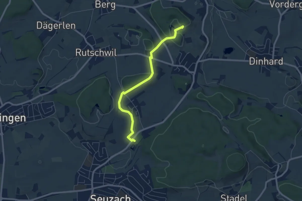
Easy · Trail
Weier Seuzach – Gurisee
5.6 km · ↑ 85 m · 1 h 31 min · 15 km away
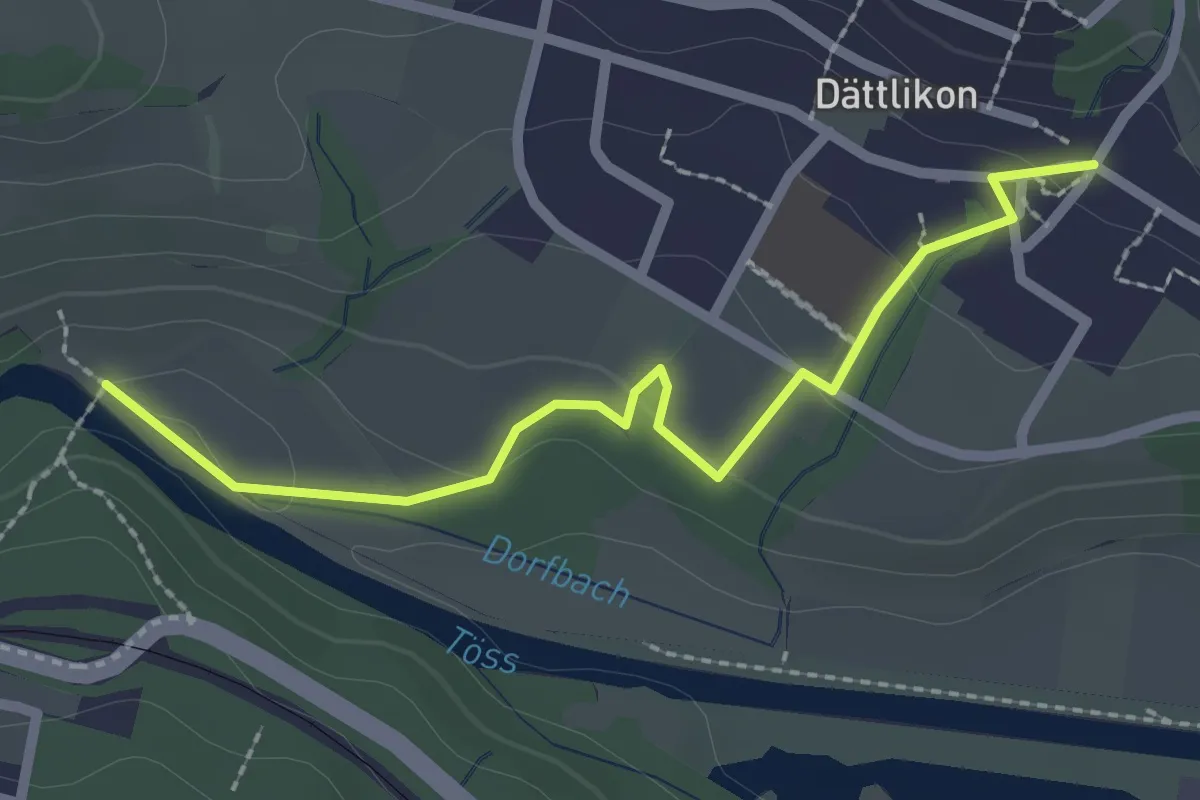
Easy · Trail
Blindensteg - Dättlikon
2.4 km · ↑ 61 m · 41 min · 15 km away
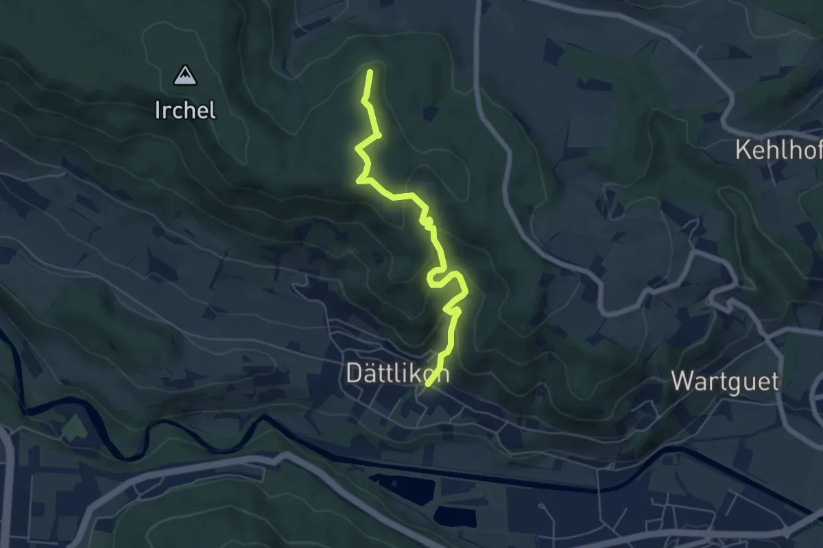
Medium · Trail
Heerenbänkli Irchelturm – Dättlikon
5.3 km · ↑ 324 m · 1 h 58 min · 15 km away
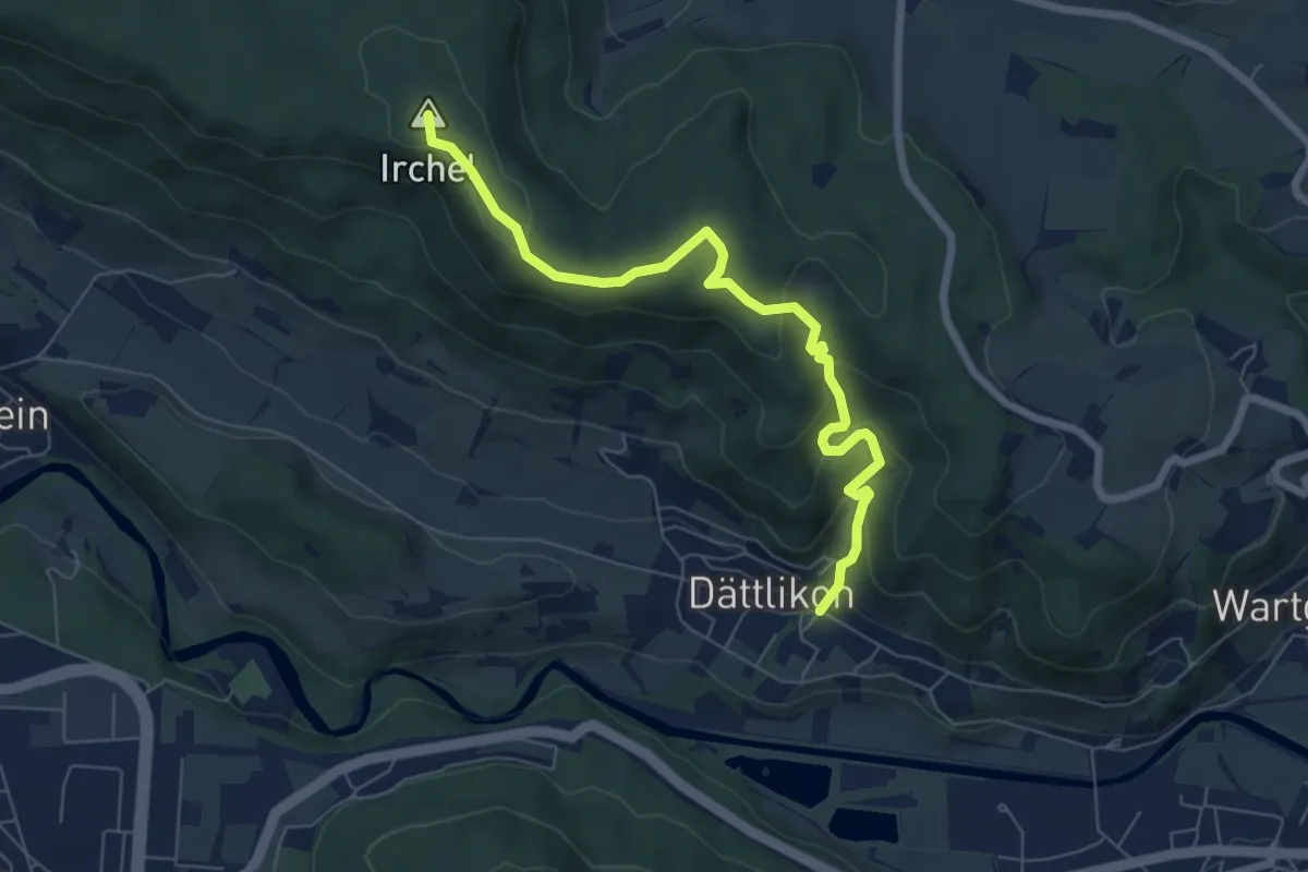
Medium · Summit
Dättlikon - Schartenflue
6.9 km · ↑ 334 m · 2 h 22 min · 15 km away