Trails near Illnau
619 hikes starting within 15 km, nearest first.
Nearest first, page 12 of 13
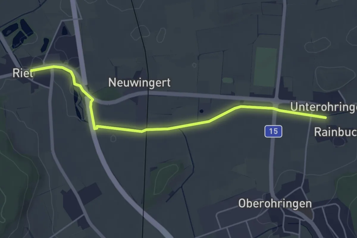
Easy · Trail
Riet – Unterohringen
4.7 km · ↑ 12 m · 1 h 8 min · 14 km away
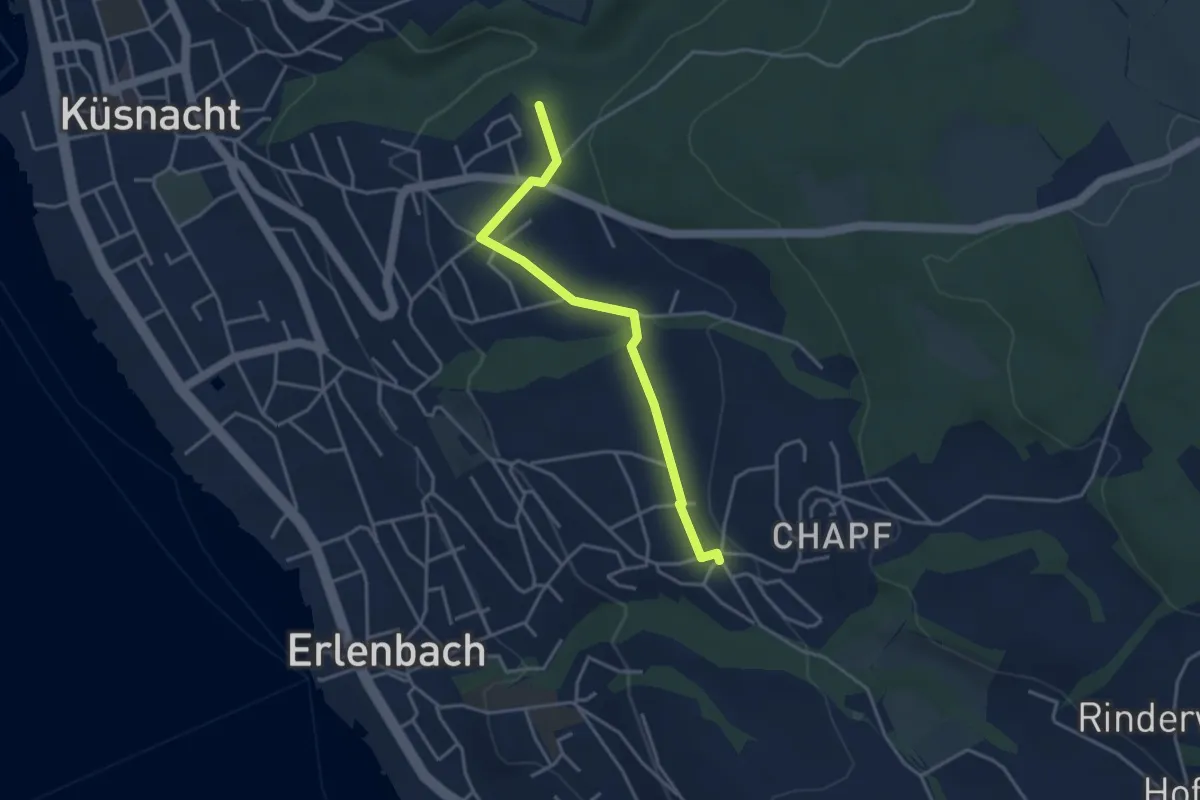
Easy · Trail
Küsnachter Tobel – Erlenbach Allmend
3.6 km · ↑ 47 m · 58 min · 14 km away
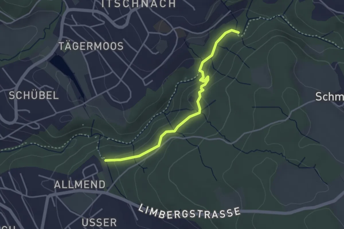
Easy · Trail
Küsnachter Tobel – Johannisburg
3.3 km · ↑ 108 m · 1 h · 14 km away
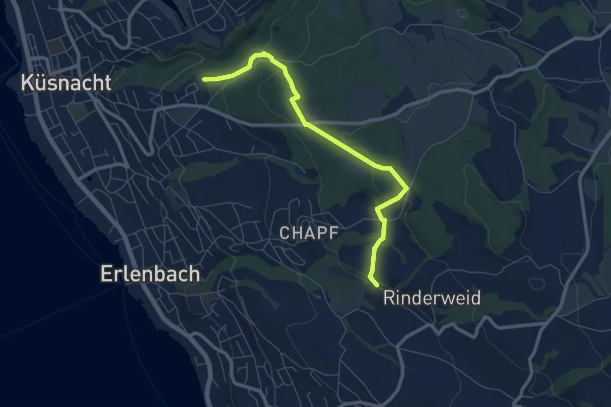
Easy · Trail
Küsnachter Tobel – Blüemlisalp
6.6 km · ↑ 227 m · 2 h 3 min · 14 km away
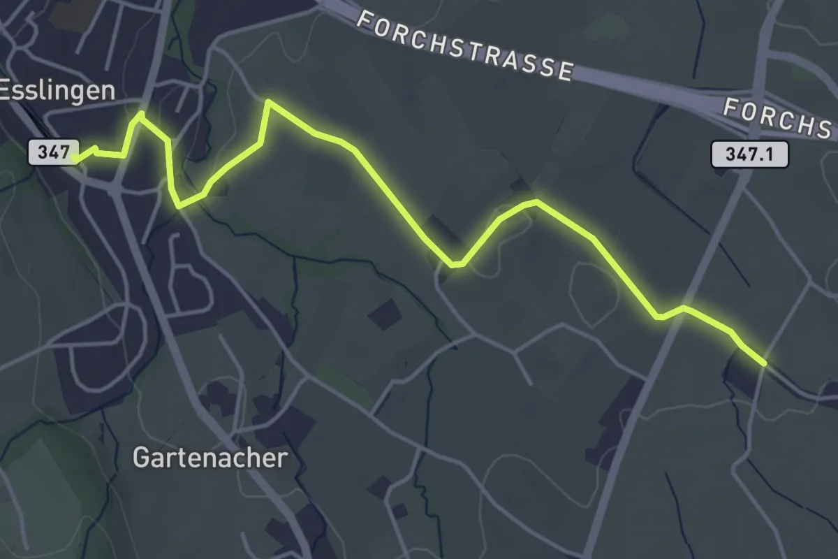
Easy · Trail
Esslingen – Summerau
4.9 km · ↑ 21 m · 1 h 13 min · 14 km away
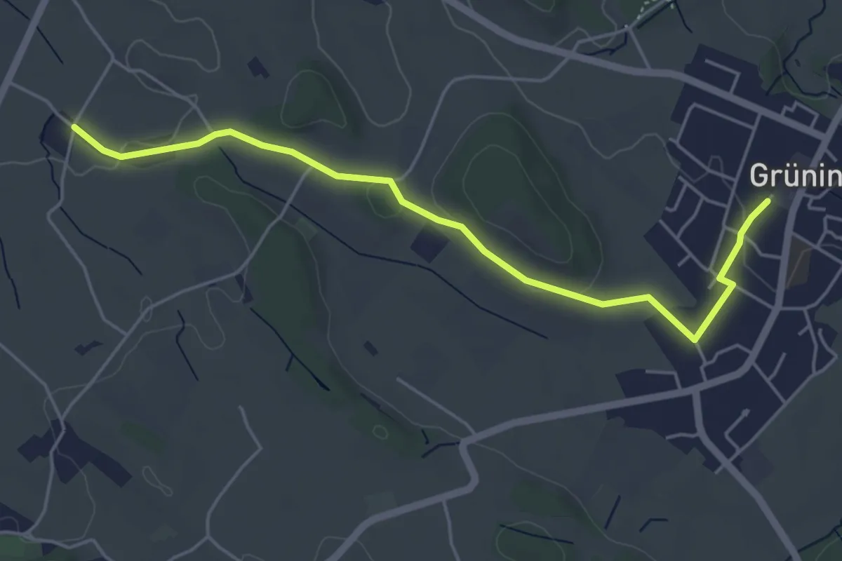
Easy · Trail
Summerau - Grüningen
5.1 km · ↑ 55 m · 1 h 19 min · 14 km away
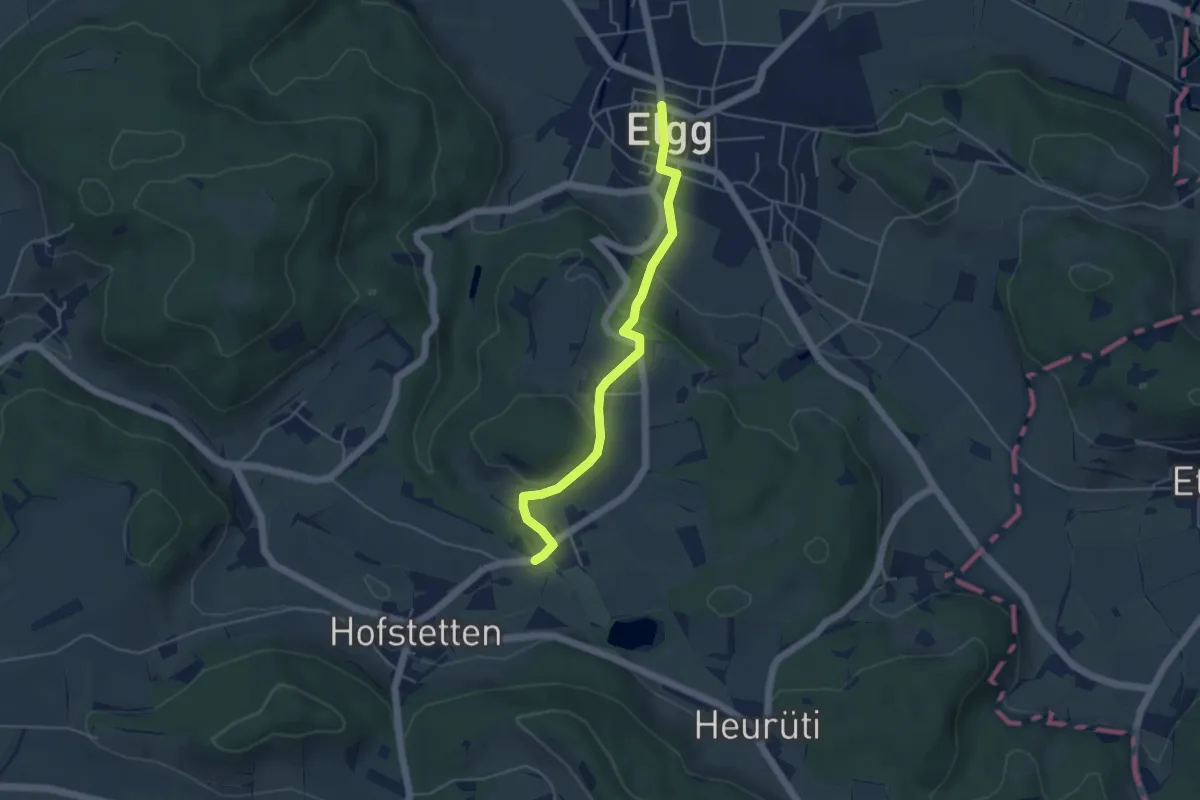
Easy · Trail
Guwilmühle – Elgg
4.4 km · ↑ 165 m · 1 h 24 min · 14 km away
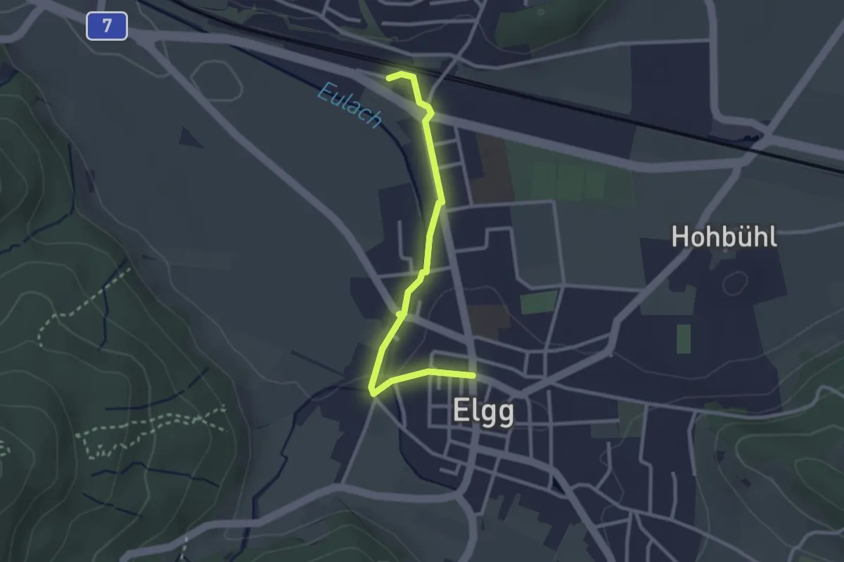
Easy · Trail
Elgg – Elgg
2.6 km · ↑ 28 m · 41 min · 14 km away
Easy · Trail
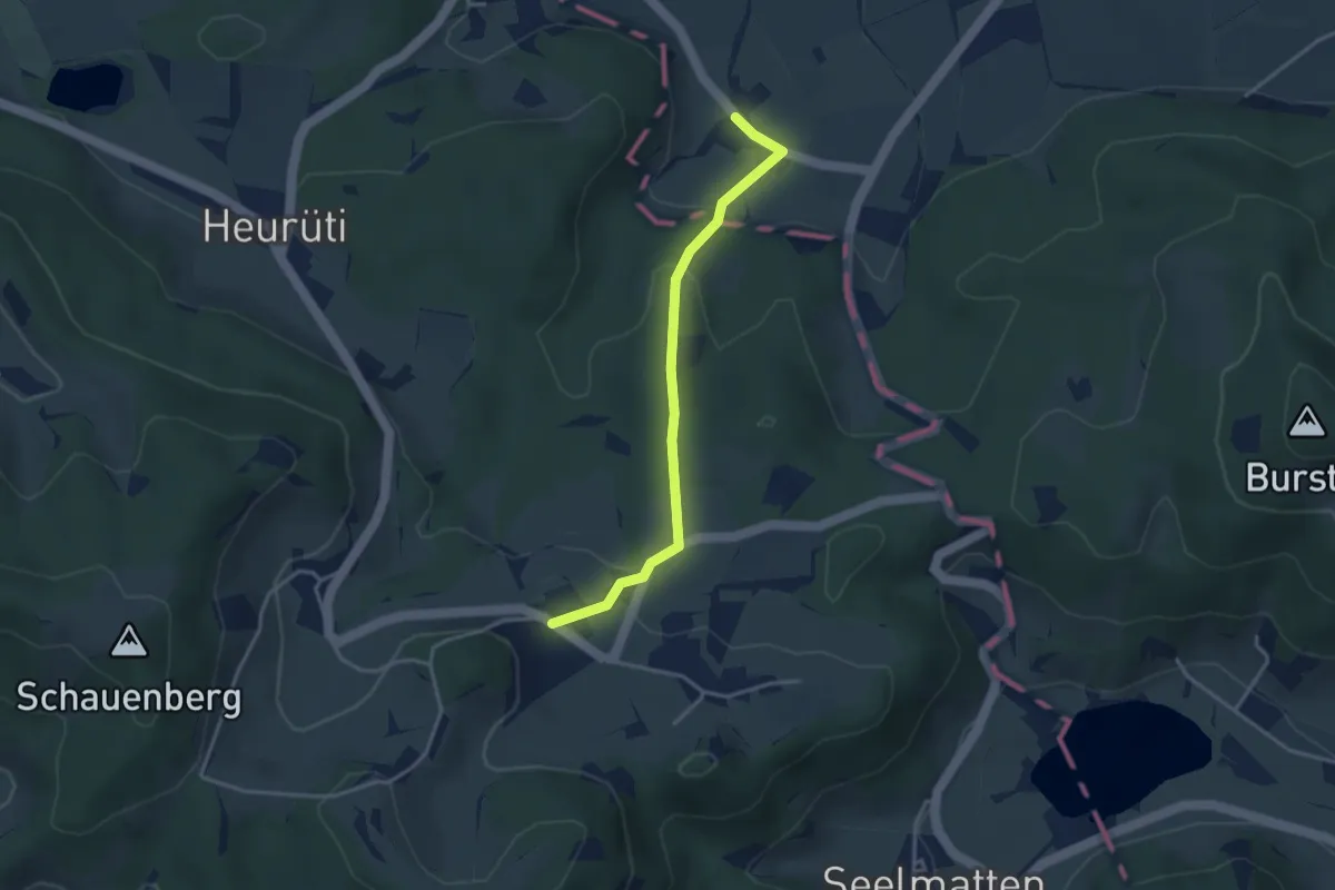
Tiefenstein - Illtishusen
3.3 km · ↑ 141 m · 1 h 5 min · 14 km away
Easy · Trail
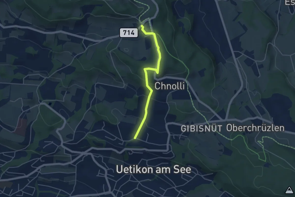
Uetikon Brand - Vorderpfannenstiel
3.9 km · ↑ 168 m · 1 h 17 min · 14 km away
Easy · Trail
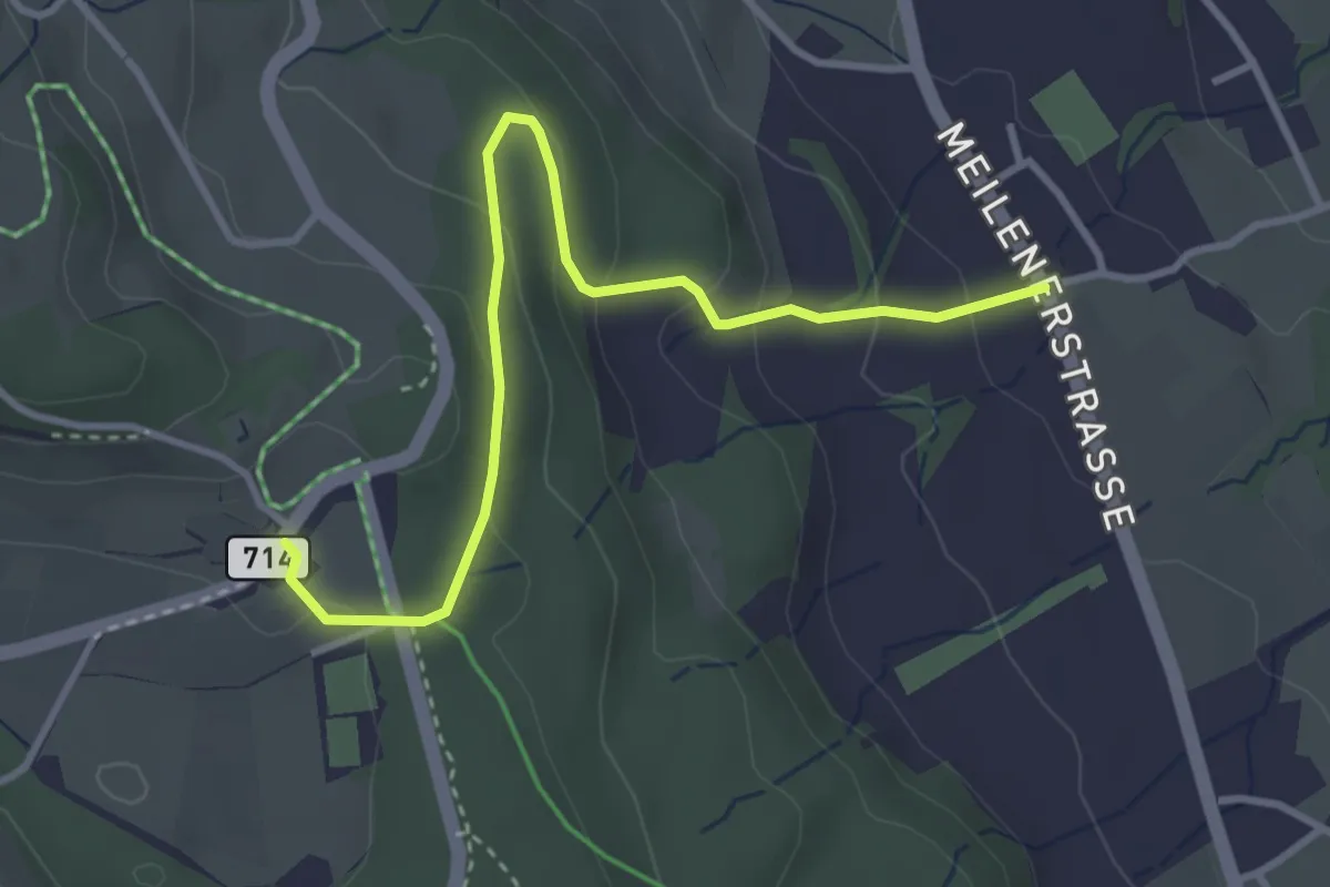
Vorderpfannenstiel - Innervollikon
3.7 km · ↑ 177 m · 1 h 15 min · 14 km away
Easy · Trail
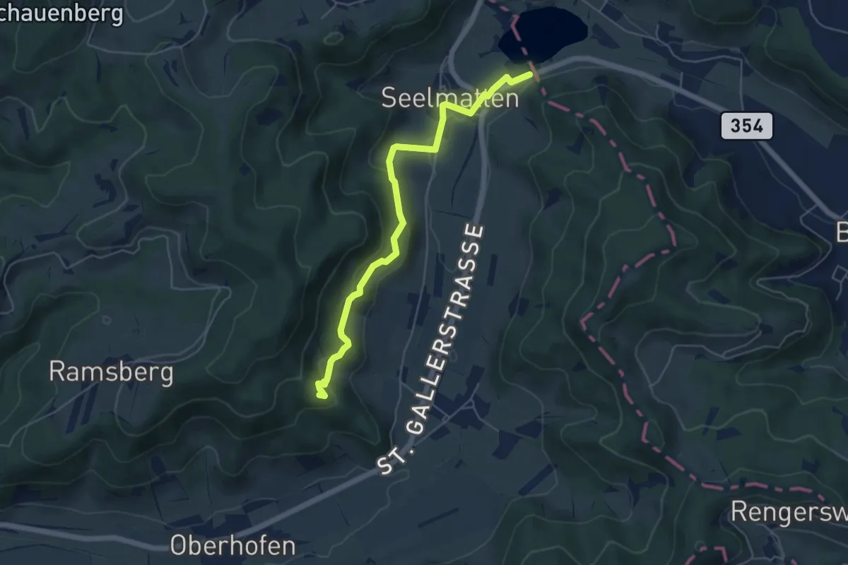
Bichelsee Strandbad – Buechenegg
5.2 km · ↑ 160 m · 1 h 34 min · 14 km away
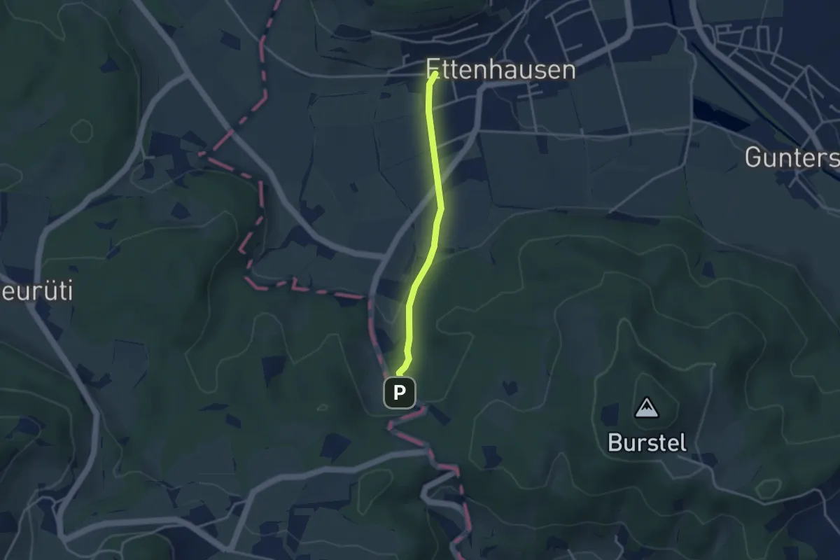
Easy · Trail
Ettenhausen - Rüetschberg - fixme
2.8 km · ↑ 81 m · 50 min · 14 km away
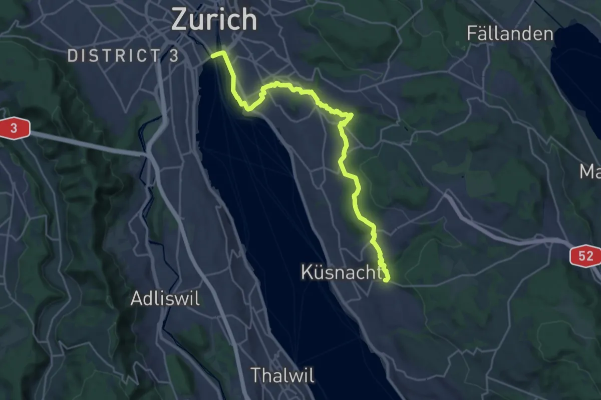
Demanding · Trail
Zürichsee Rundweg - Etappe 10
21.9 km · ↑ 333 m · 5 h 53 min · 14 km away
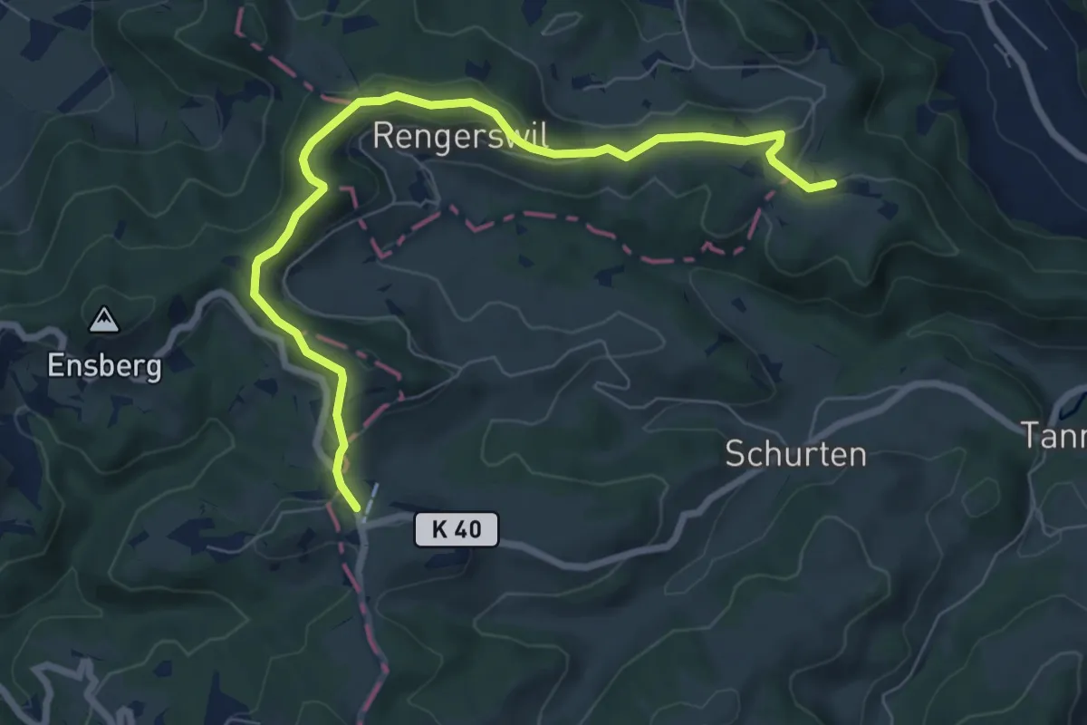
Easy · Trail
Niederwies - Sitzberg
7.6 km · ↑ 213 m · 2 h 16 min · 14 km away
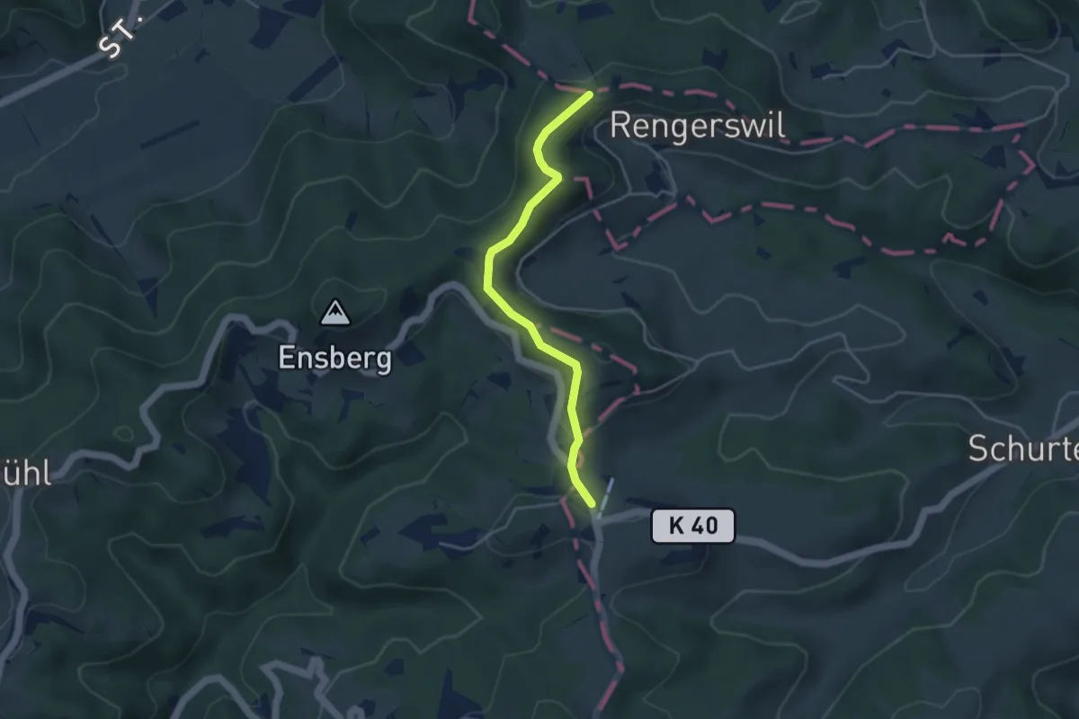
Easy · Trail
Sitzberg - Wolfsgrueb
3.7 km · ↑ 123 m · 1 h 8 min · 14 km away
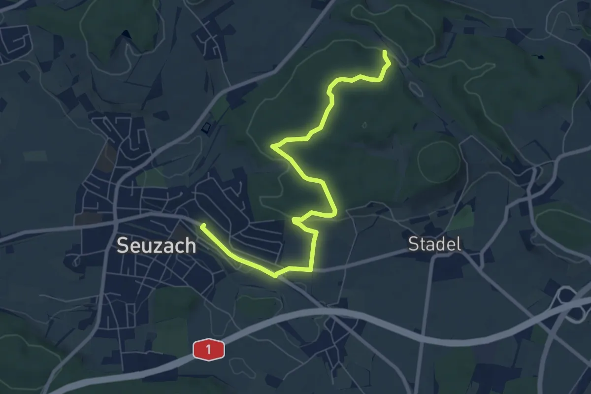
Easy · Trail
Eschberg – Bahnhof Seuzach
7.7 km · ↑ 157 m · 2 h 9 min · 14 km away
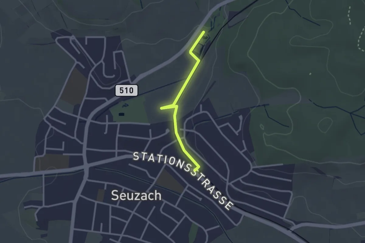
Easy · Trail
Bahnhof Seuzach – Weier Seuzach
2.2 km · ↑ 9 m · 33 min · 14 km away
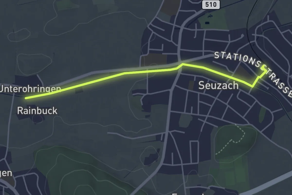
Easy · Trail
Unterohringen – Bahnhof Seuzach
4.1 km · ↑ 22 m · 1 h 1 min · 14 km away
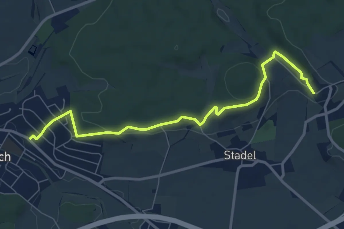
Easy · Trail
Bahnhof Seuzach – Mörsburg
6.5 km · ↑ 163 m · 1 h 54 min · 14 km away
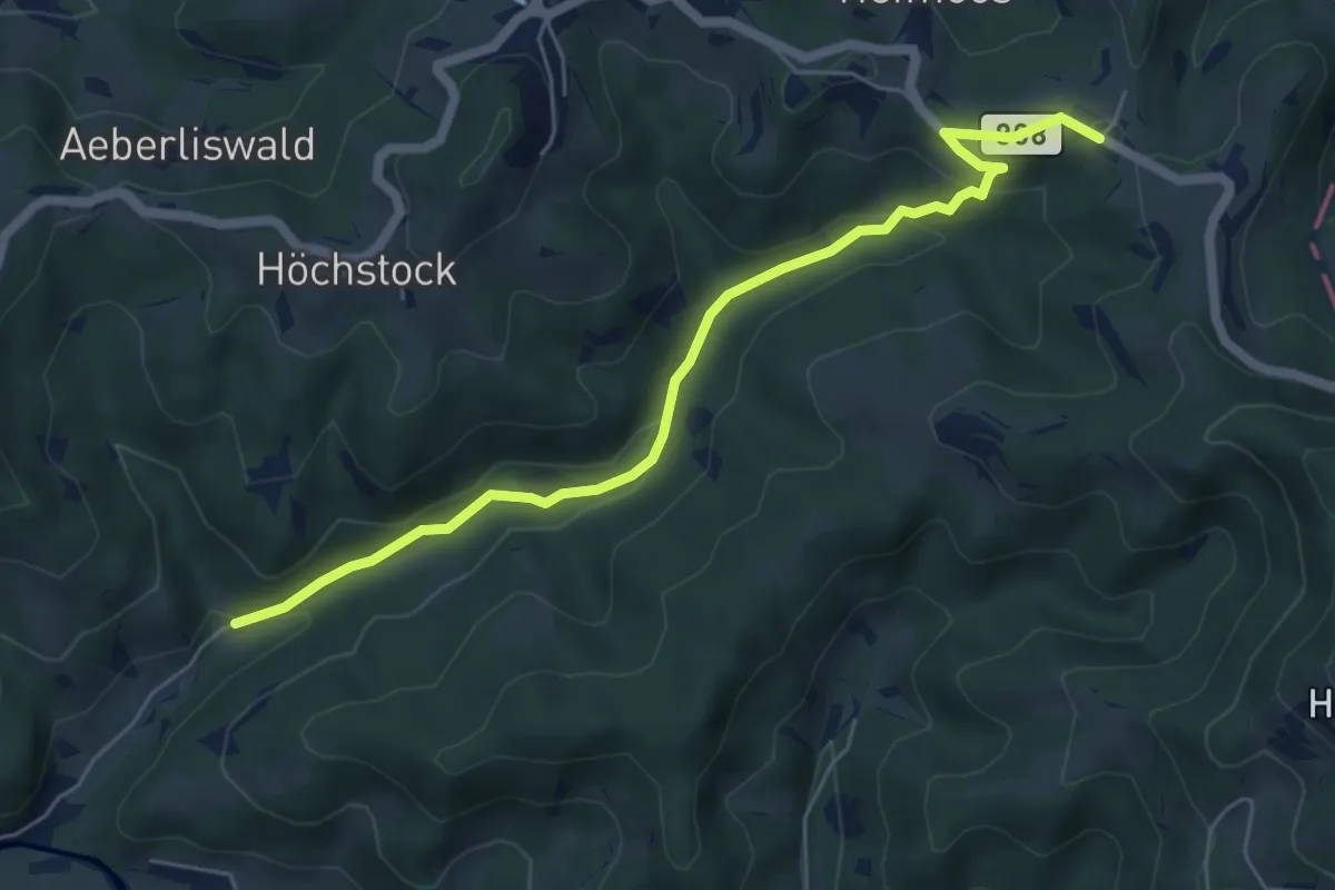
Easy · Trail
Gfell - Akau
5.9 km · ↑ 199 m · 1 h 49 min · 14 km away
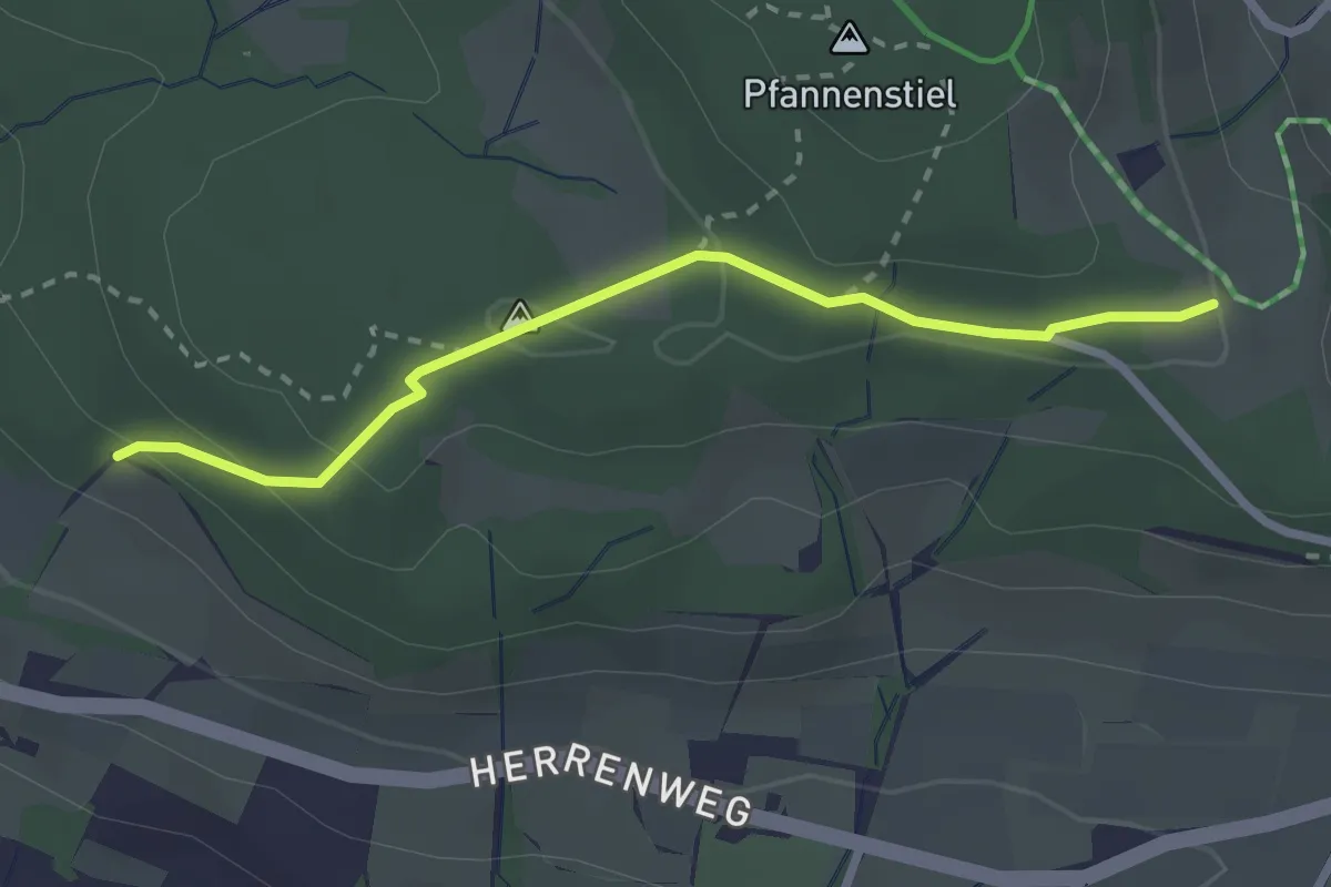
Easy · Trail
Eichhalden – Pfannenstiel Hochwacht
2.5 km · ↑ 87 m · 47 min · 14 km away
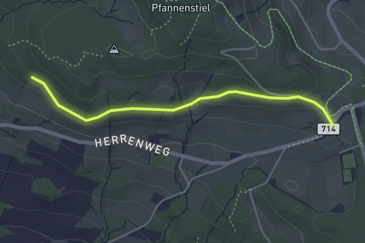
Easy · Trail
Eichhalden – Vorderpfannenstiel
3.4 km · ↑ 100 m · 1 h 1 min · 14 km away
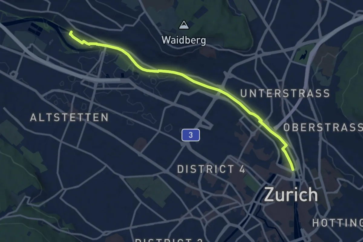
Easy · Pilgrim path
Hugenotten- und Waldenserweg
5.4 km · ↑ 28 m · 1 h 24 min · 14 km away
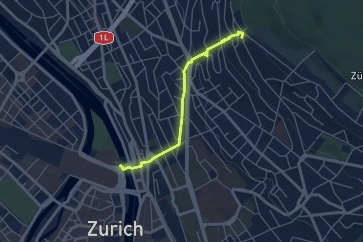
Easy · Pilgrim path
Hugenotten- und Waldenserweg
1.8 km · ↑ 189 m · 46 min · 14 km away
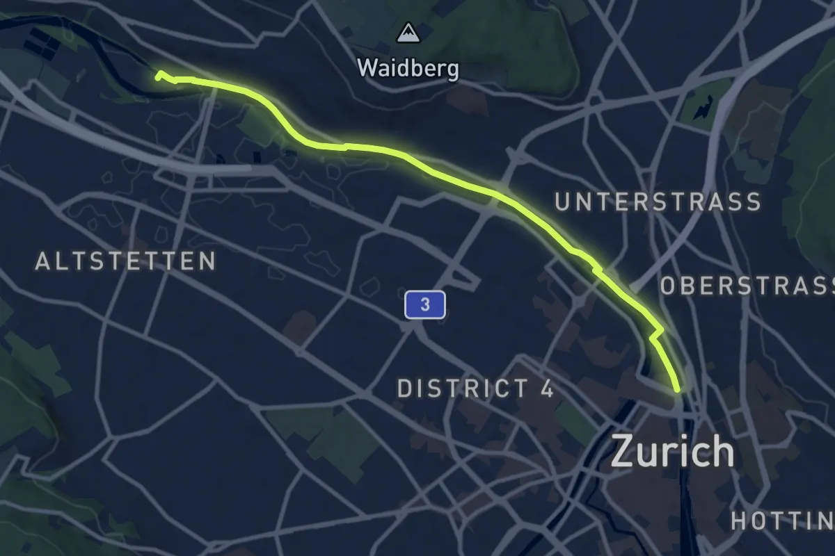
Medium · Trail
Zürich HB – Werdinsel
10.1 km · ↑ 48 m · 2 h 29 min · 14 km away
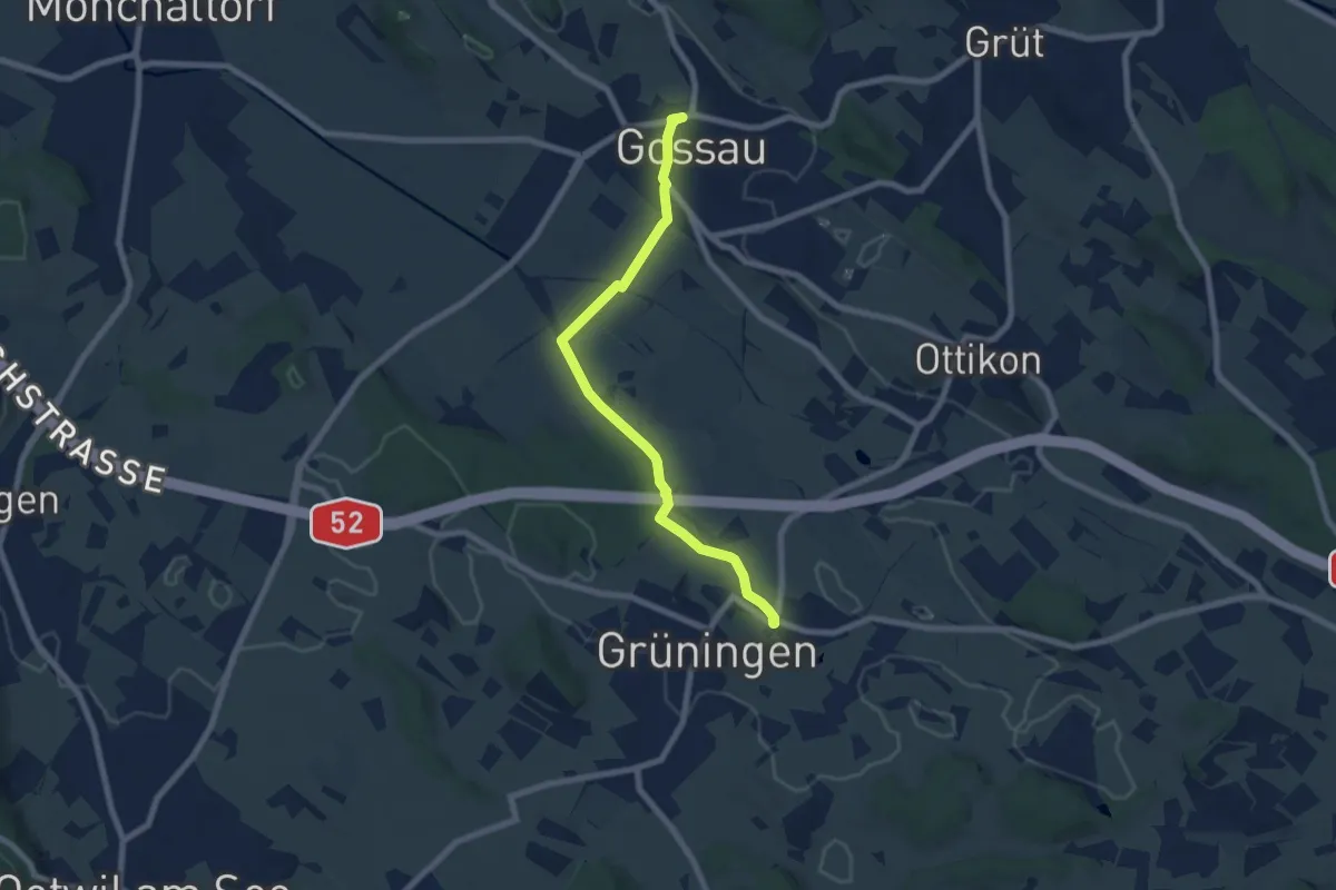
Easy · Trail
Grüningen Haufland – Gossau (Bus)
7.3 km · ↑ 78 m · 1 h 53 min · 14 km away
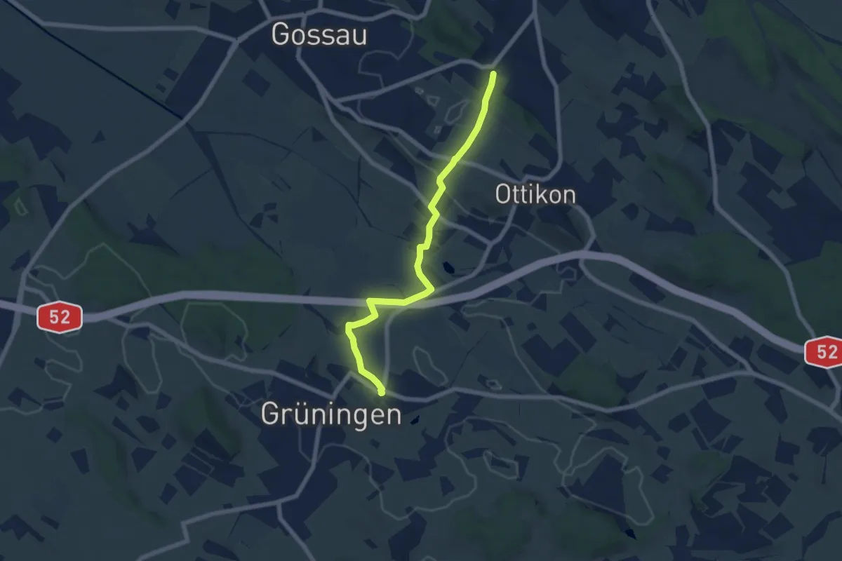
Easy · Trail
Berghof – Grüningen Haufland
6.2 km · ↑ 92 m · 1 h 40 min · 14 km away
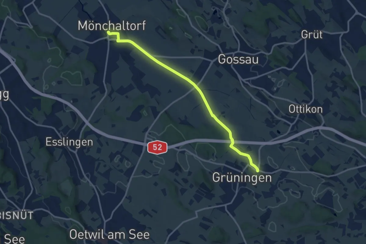
Medium · Trail
Grüningen Haufland – Mönchaltorf
10.2 km · ↑ 55 m · 2 h 31 min · 14 km away
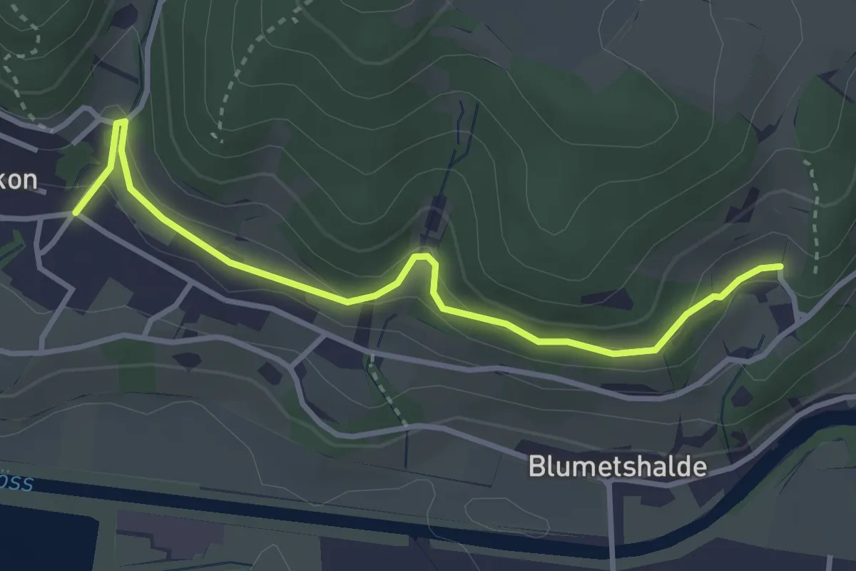
Easy · Trail
Talguet – Dättlikon
3.3 km · ↑ 163 m · 1 h 9 min · 14 km away
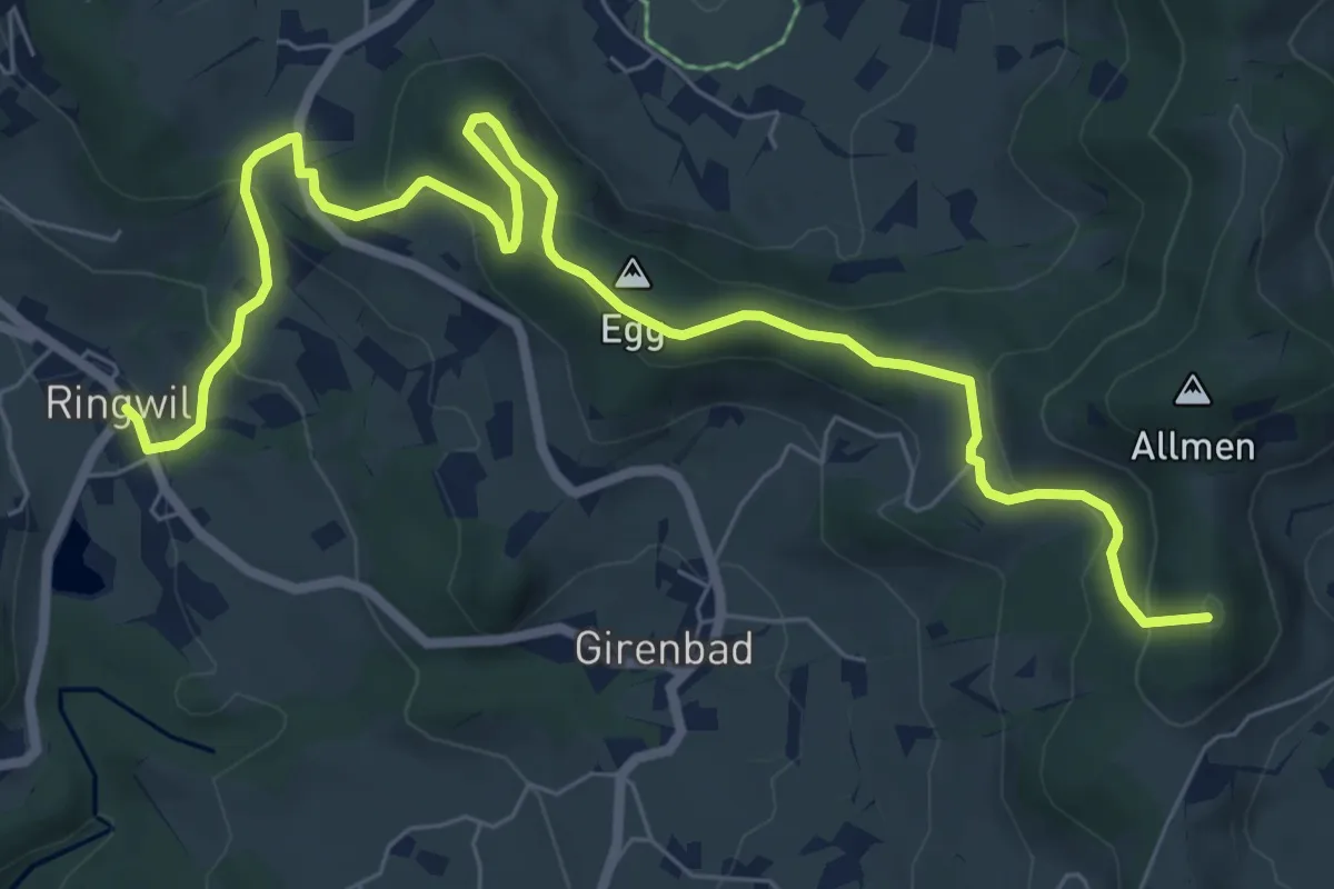
Medium · Summit
Schufelberger Egg - Ringwil
9.0 km · ↑ 376 m · 2 h 57 min · 14 km away
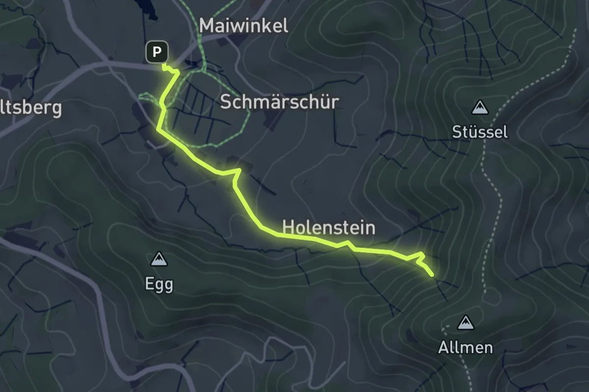
Easy · Trail
Stockrüti - Täuferhöhle
3.8 km · ↑ 180 m · 1 h 17 min · 14 km away
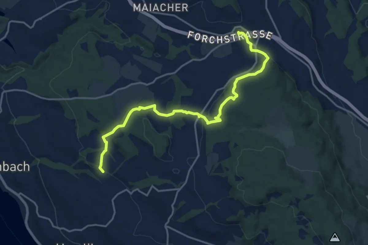
Medium · Trail
Blüemlisalp – Forch
11.9 km · ↑ 335 m · 3 h 33 min · 14 km away
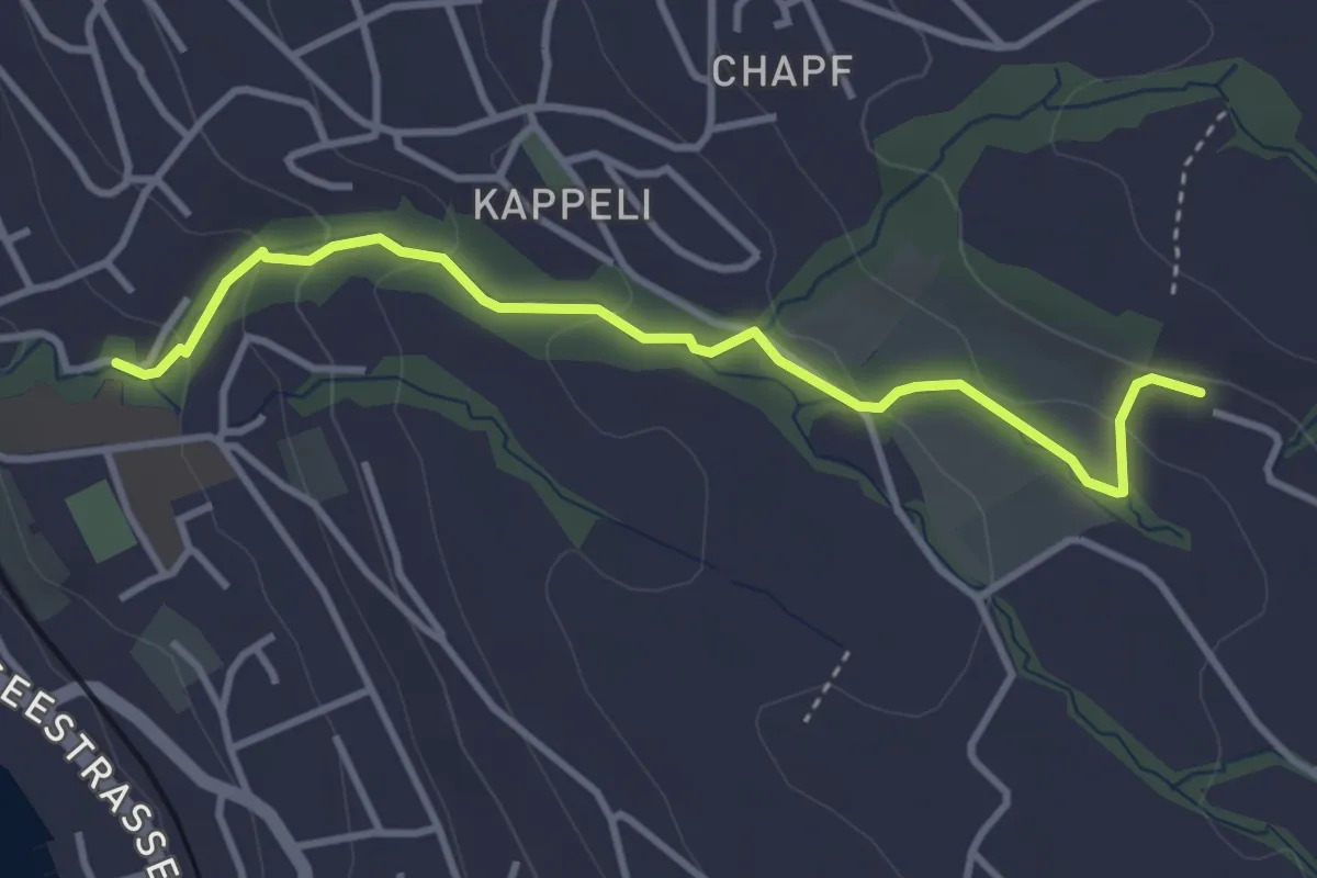
Easy · Trail
Erlenbach Dorfbach - Blüemlisalp
3.6 km · ↑ 147 m · 1 h 10 min · 14 km away
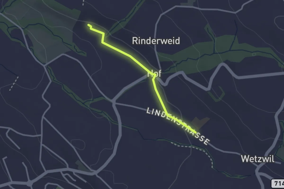
Easy · Trail
Blüemlisalp - Wetzwil Kirche
2.2 km · ↑ 15 m · 33 min · 14 km away
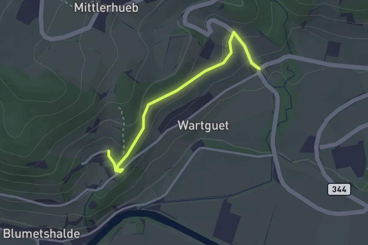
Easy · Trail
Museum – Talguet
2.3 km · ↑ 162 m · 54 min · 14 km away
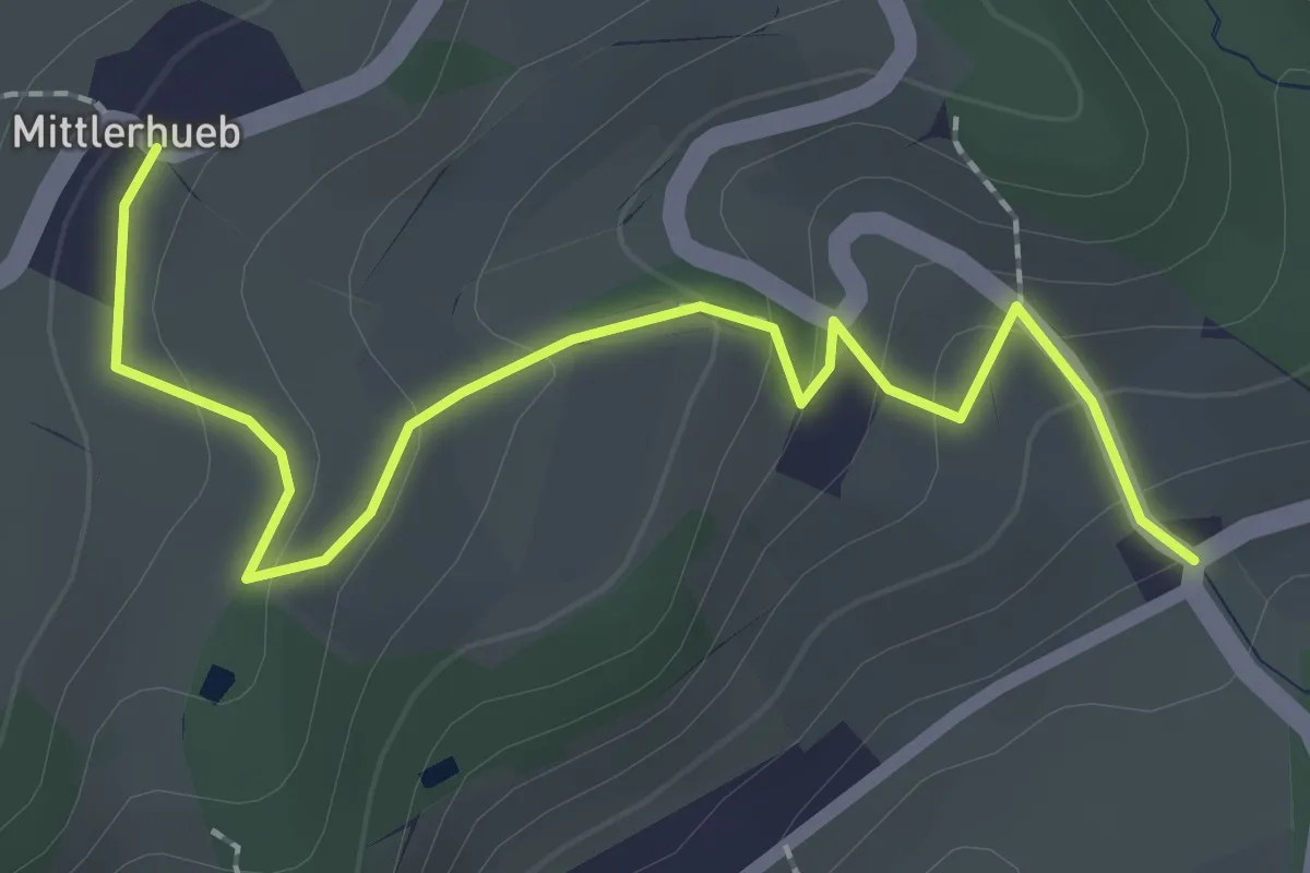
Easy · Trail
Mittlerhueb – Museum
2.4 km · ↑ 133 m · 51 min · 14 km away
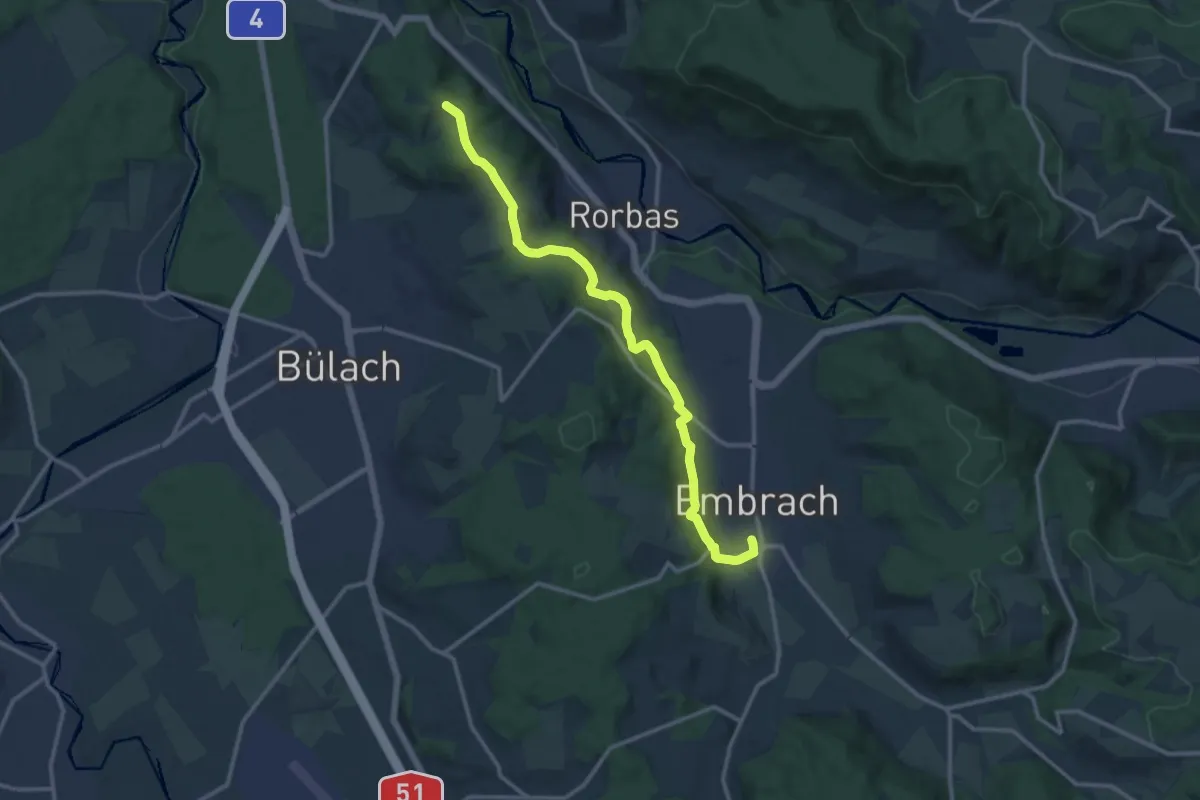
Medium · Trail
Embrach Oberdorf – Petersboden
12.8 km · ↑ 424 m · 3 h 57 min · 14 km away
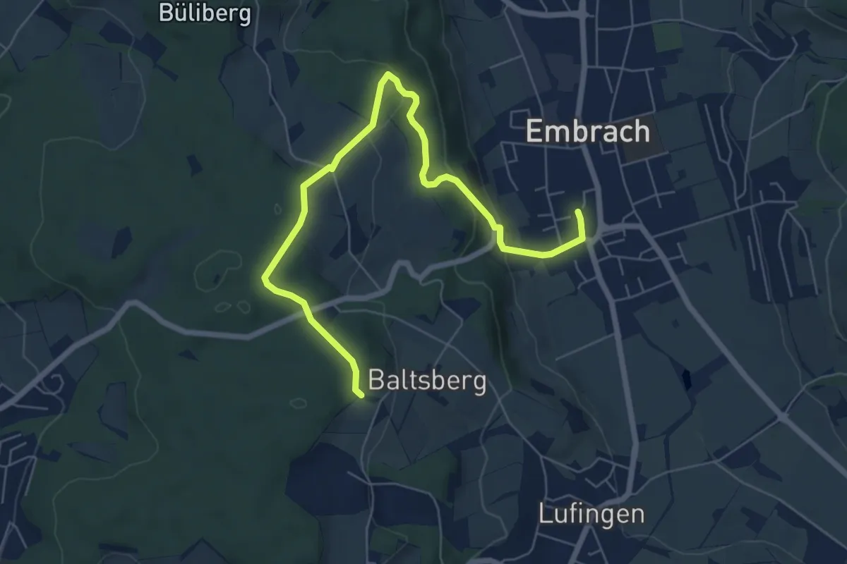
Easy · Trail
Husacher – Embrach Oberdorf
7.1 km · ↑ 221 m · 2 h 10 min · 14 km away
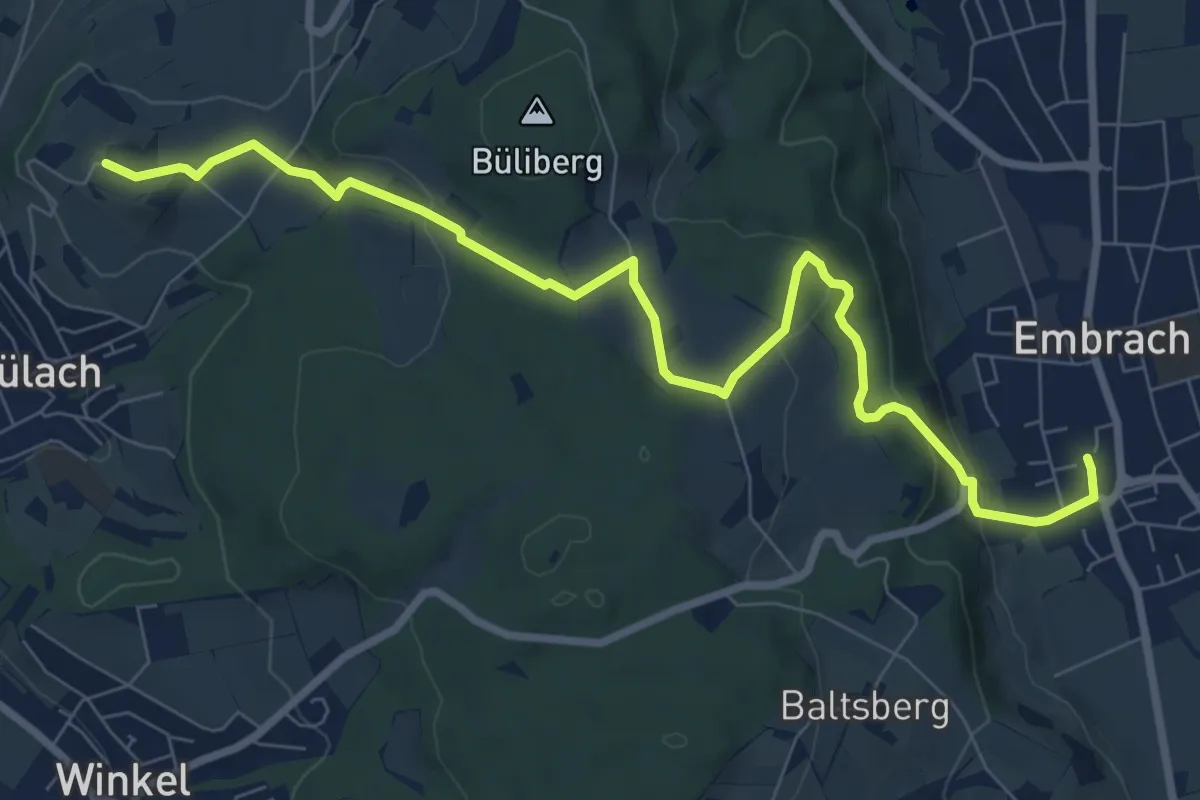
Medium · Trail
Embrach Oberdorf – Brueder
9.3 km · ↑ 247 m · 2 h 44 min · 14 km away
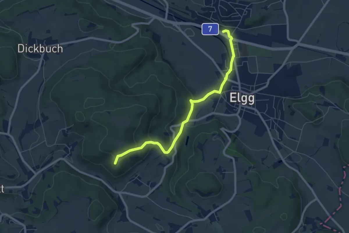
Easy · Summit
Elgg – Guegenhard
6.3 km · ↑ 236 m · 2 h · 14 km away
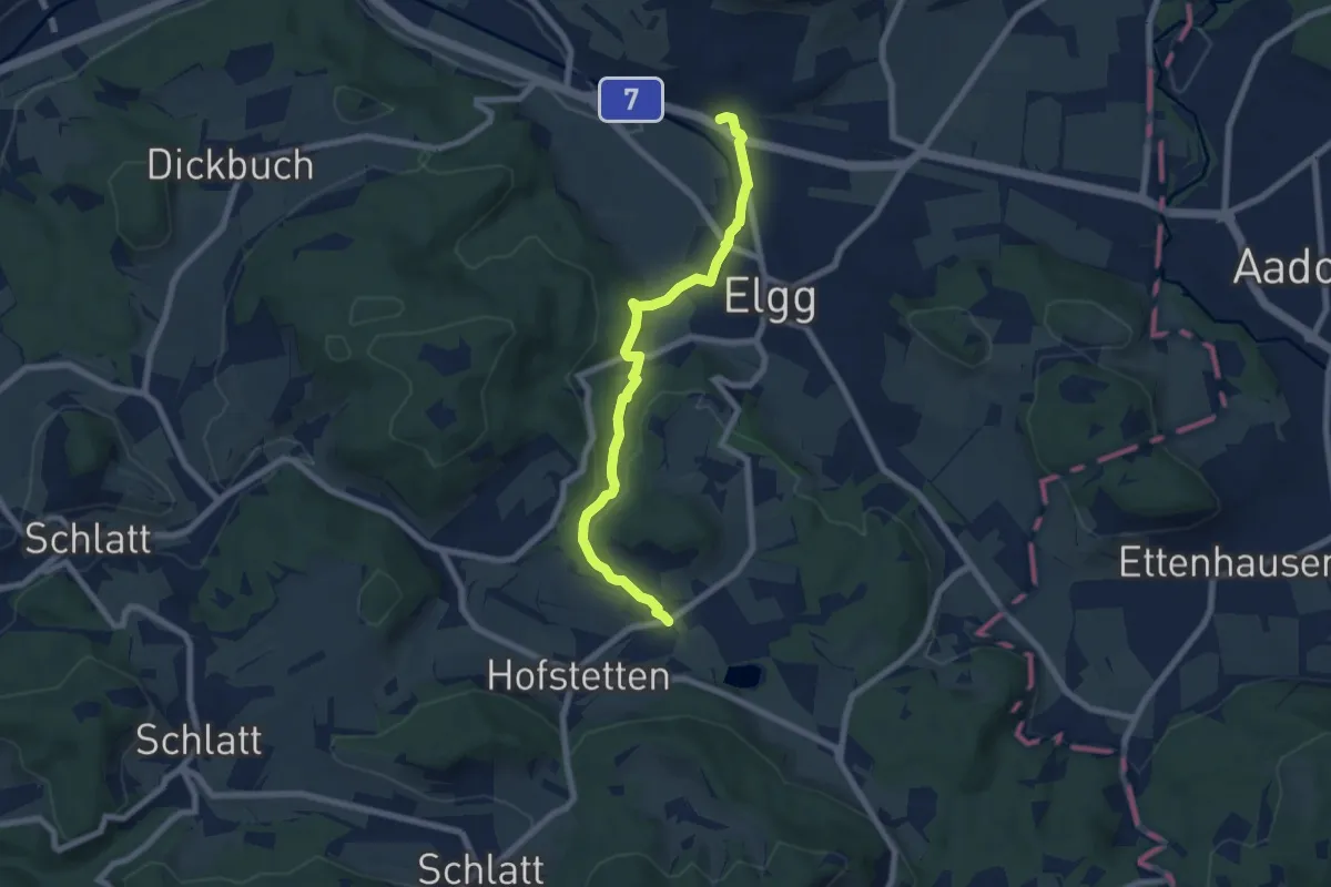
Easy · Trail
Elgg – Guwilmühle
7.0 km · ↑ 149 m · 1 h 59 min · 14 km away
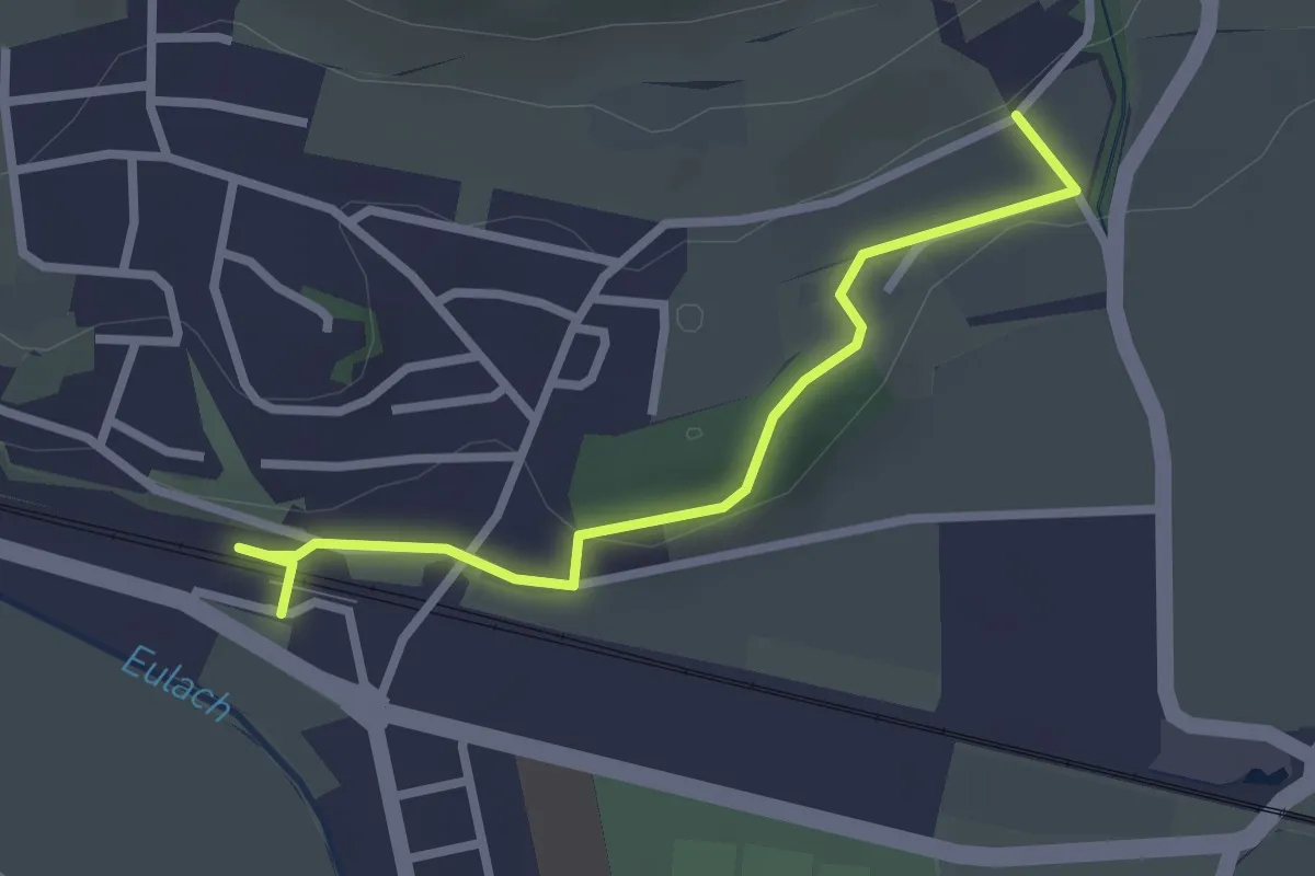
Easy · Trail
Elgg – Giessenthal
2.6 km · ↑ 50 m · 43 min · 14 km away
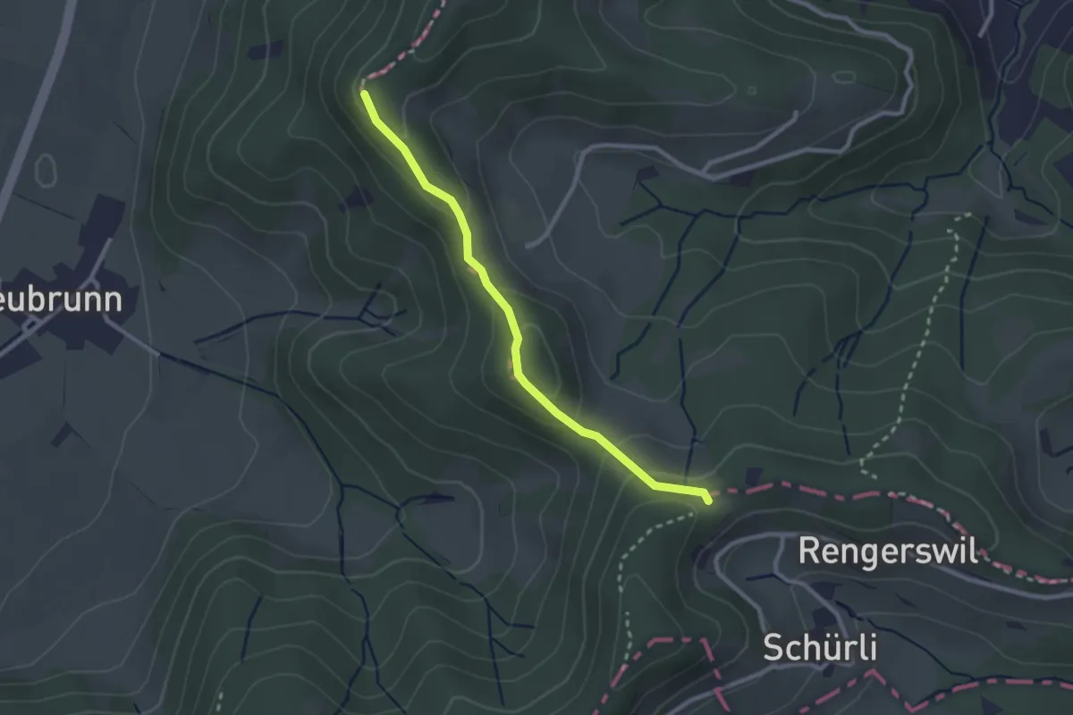
Easy · Trail
Wolfsgrueb-Chabishaupt
2.4 km · ↑ 102 m · 47 min · 14 km away
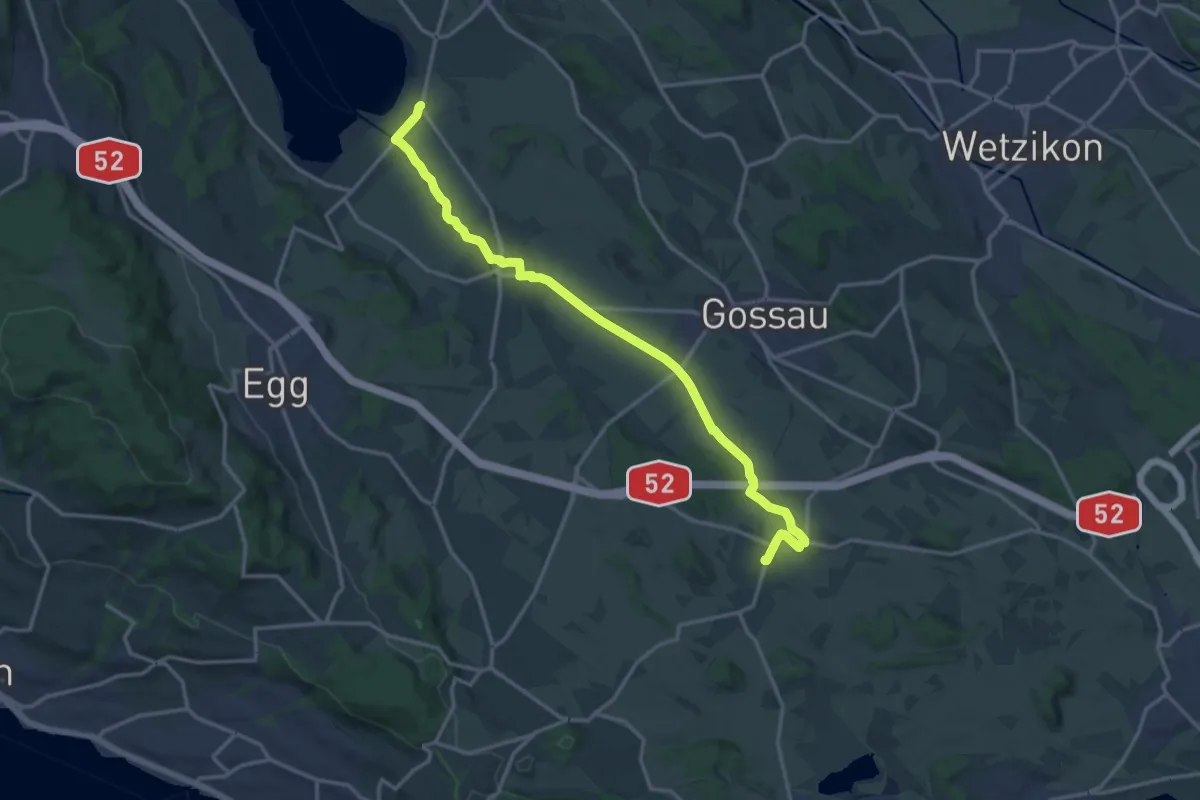
Medium · Trail
Grüningen-Greifensee-Weg
16.3 km · ↑ 76 m · 4 h 1 min · 14 km away
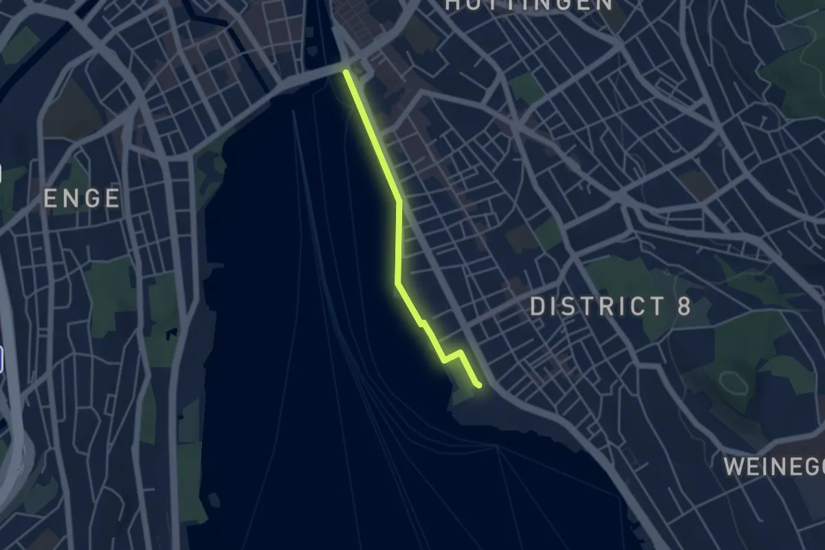
Easy · Trail
Zürichhorn - Bellvue
3.3 km · ↑ 4 m · 47 min · 14 km away
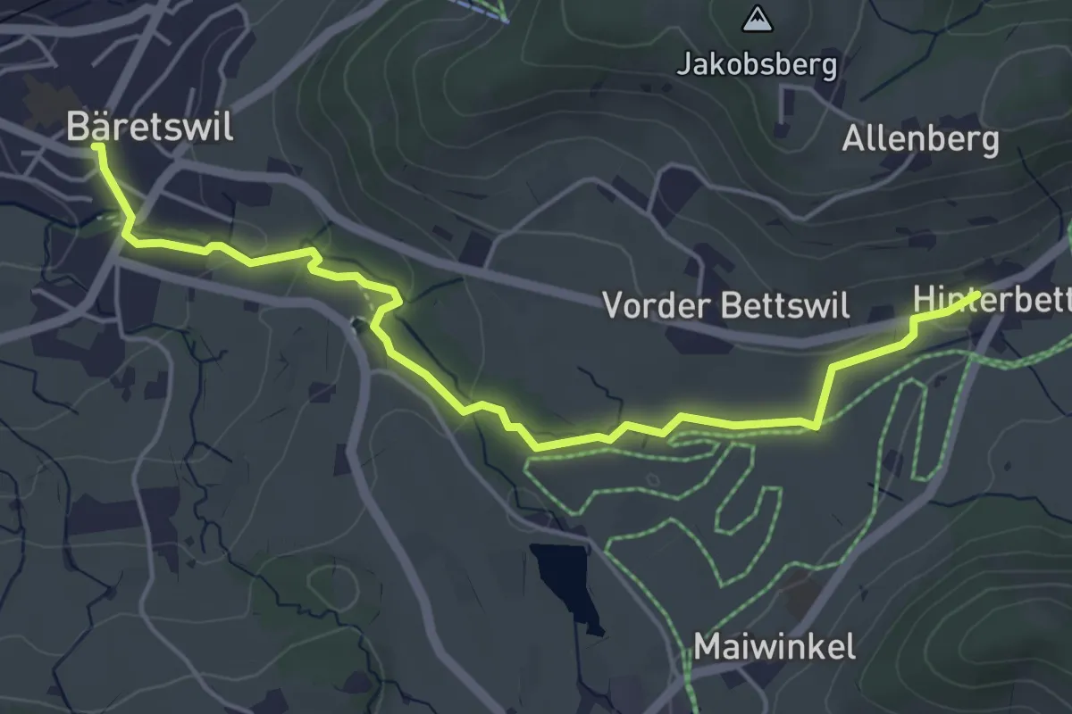
Easy · Trail
Bettswil – Bäretswil
5.1 km · ↑ 115 m · 1 h 27 min · 14 km away
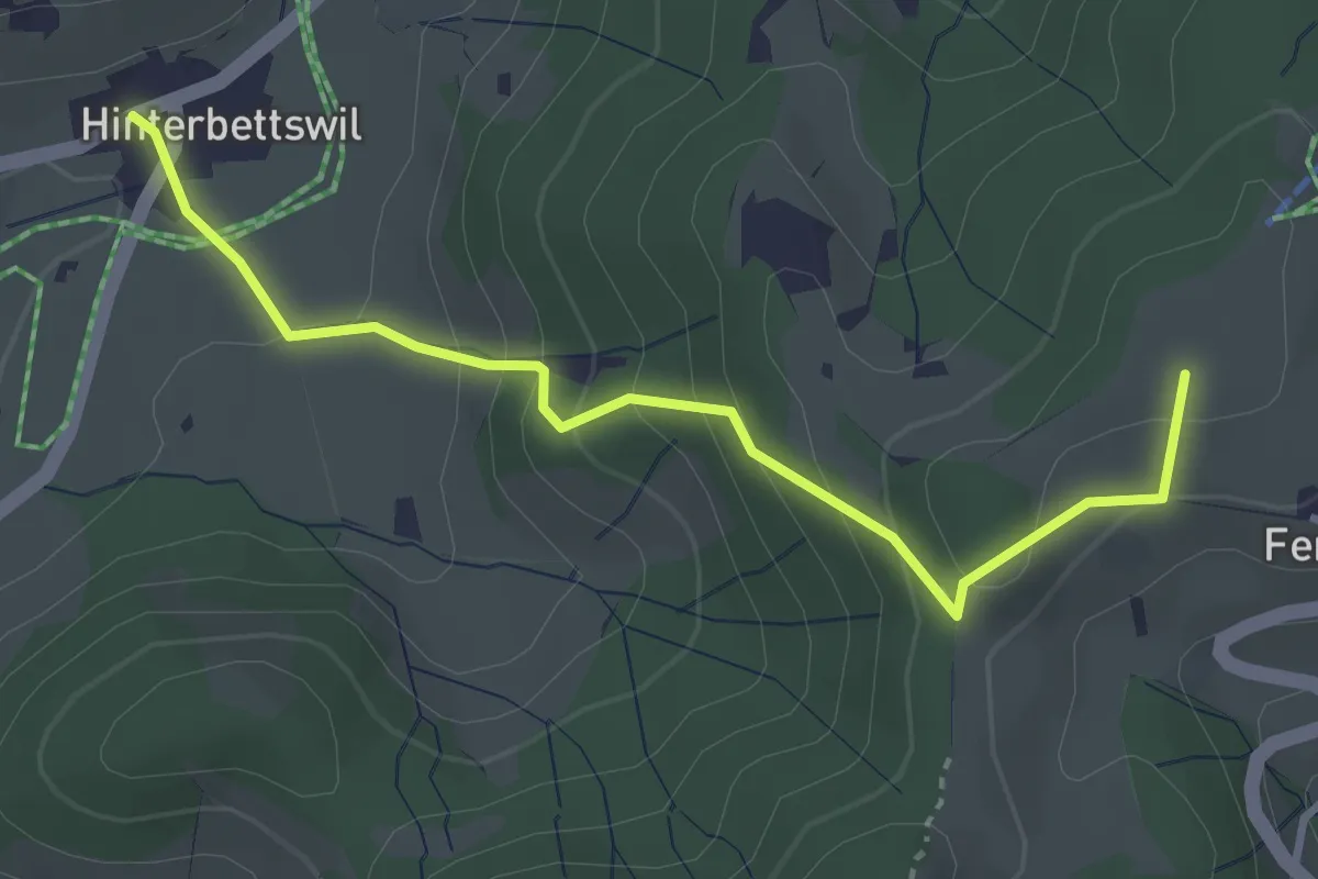
Easy · Summit
Bettswil - Fehrenwaltsberg
3.4 km · ↑ 246 m · 1 h 21 min · 14 km away