Trails near Illnau
619 hikes starting within 15 km, nearest first.
Nearest first, page 11 of 13
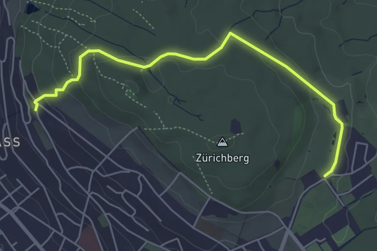
Easy · Trail
Familien-Wanderweg Rigiblick - Zoo
5.0 km · ↑ 133 m · 1 h 28 min · 13 km away
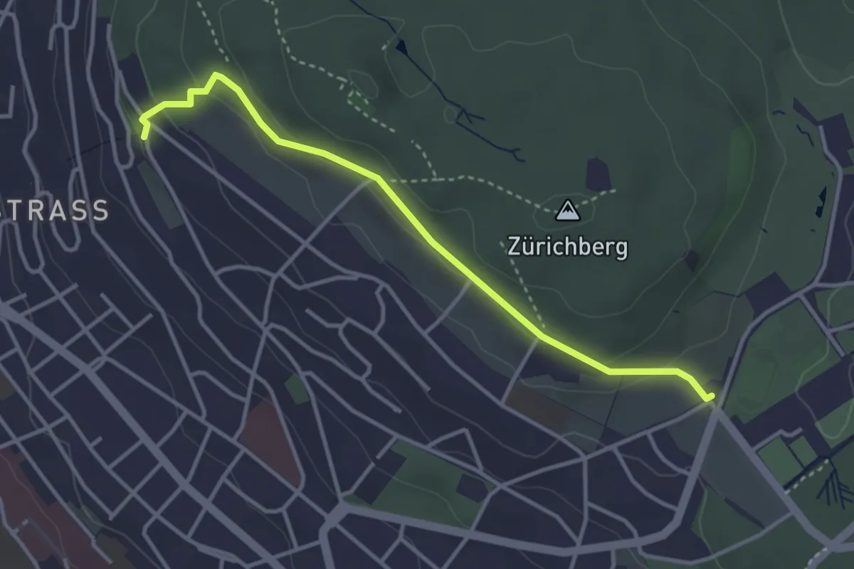
Easy · Trail
Rigiblick – Fluntern
3.5 km · ↑ 136 m · 1 h 7 min · 13 km away
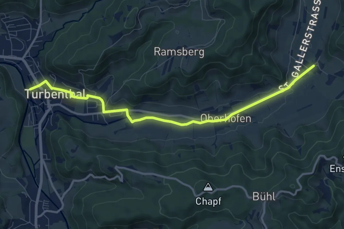
Medium · Trail
Neubrunn – Turbenthal
8.9 km · ↑ 77 m · 2 h 17 min · 13 km away
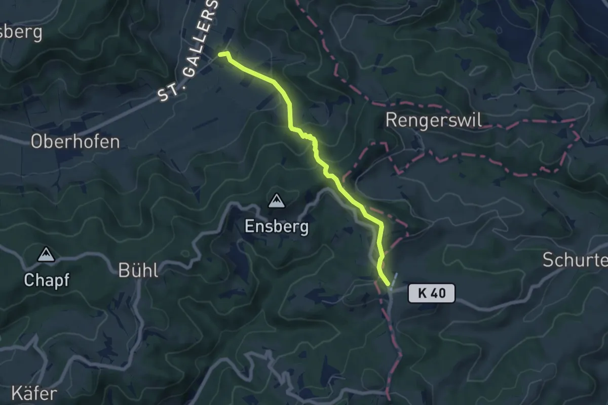
Easy · Trail
Sitzberg – Neubrunn
5.3 km · ↑ 278 m · 1 h 52 min · 13 km away
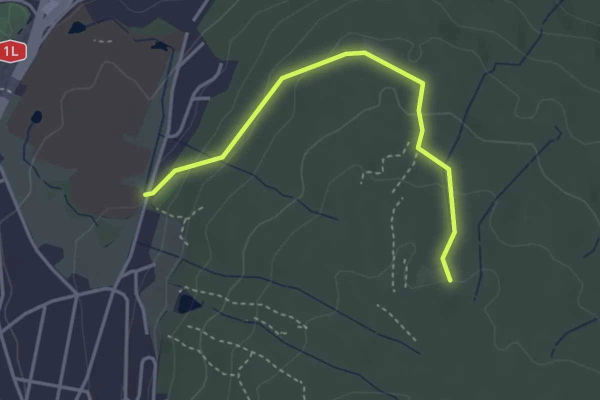
Easy · Trail
Waldhüsli - Strickhof
3.2 km · ↑ 114 m · 1 h · 13 km away
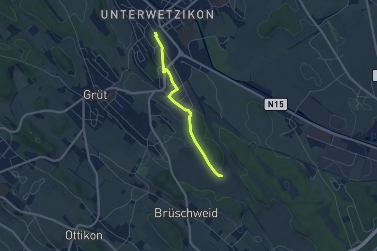
Easy · Trail
Ambitzgiried - Wetzikon
4.4 km · ↑ 38 m · 1 h 7 min · 13 km away
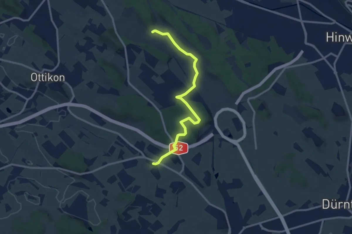
Easy · Trail
Herschmettlen – Ambitzgiried
7.1 km · ↑ 100 m · 1 h 53 min · 13 km away
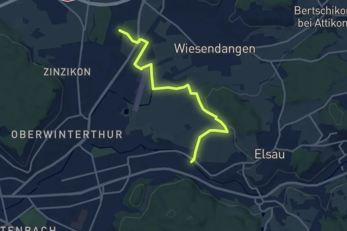
Medium · Trail
Rümikon – Riethof
9.2 km · ↑ 92 m · 2 h 22 min · 13 km away
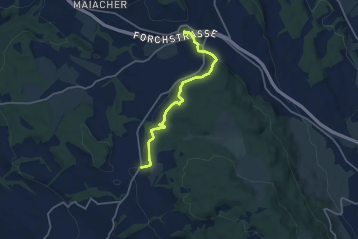
Easy · Trail
Rütihof – Forch
7.2 km · ↑ 229 m · 2 h 12 min · 13 km away
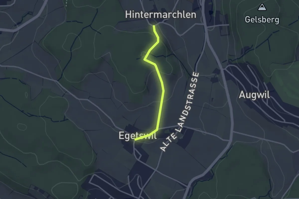
Easy · Trail
Egetswil – Hinter Marchlen
2.3 km · ↑ 70 m · 42 min · 13 km away
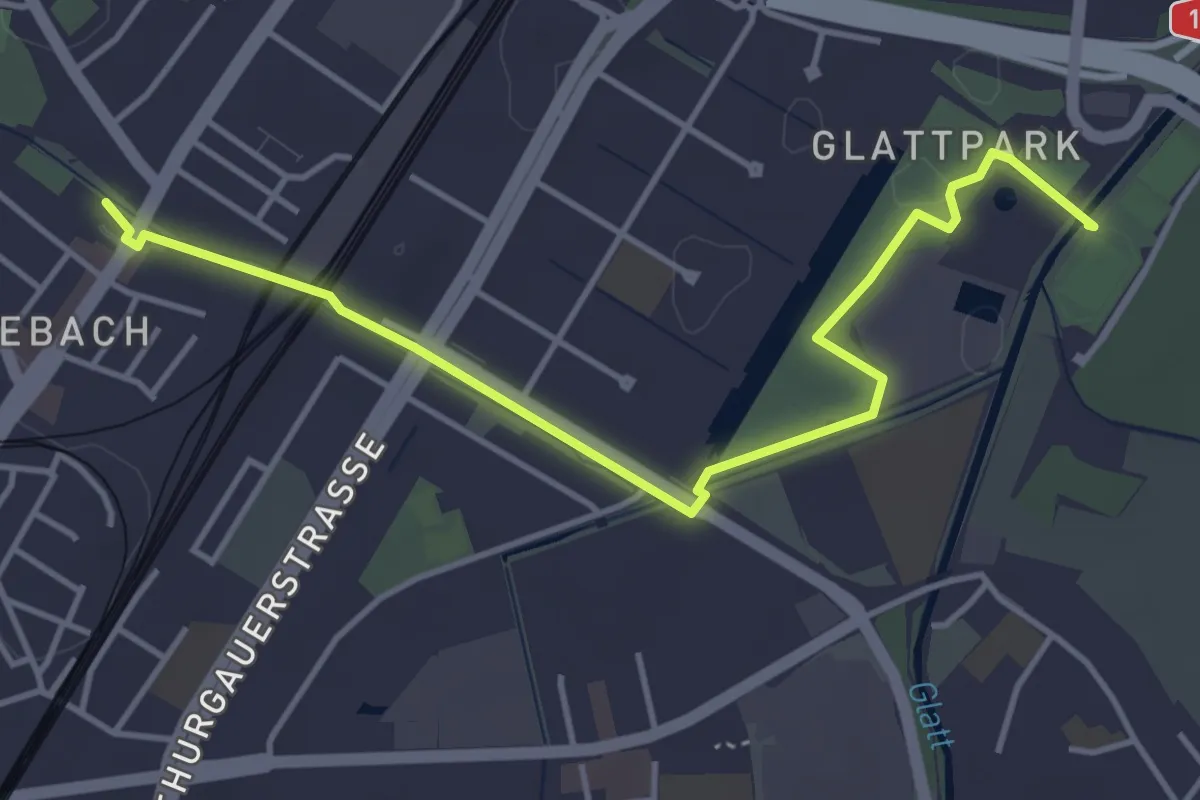
Easy · Trail
Seebach – Auholz
4.6 km · ↑ 9 m · 1 h 6 min · 13 km away
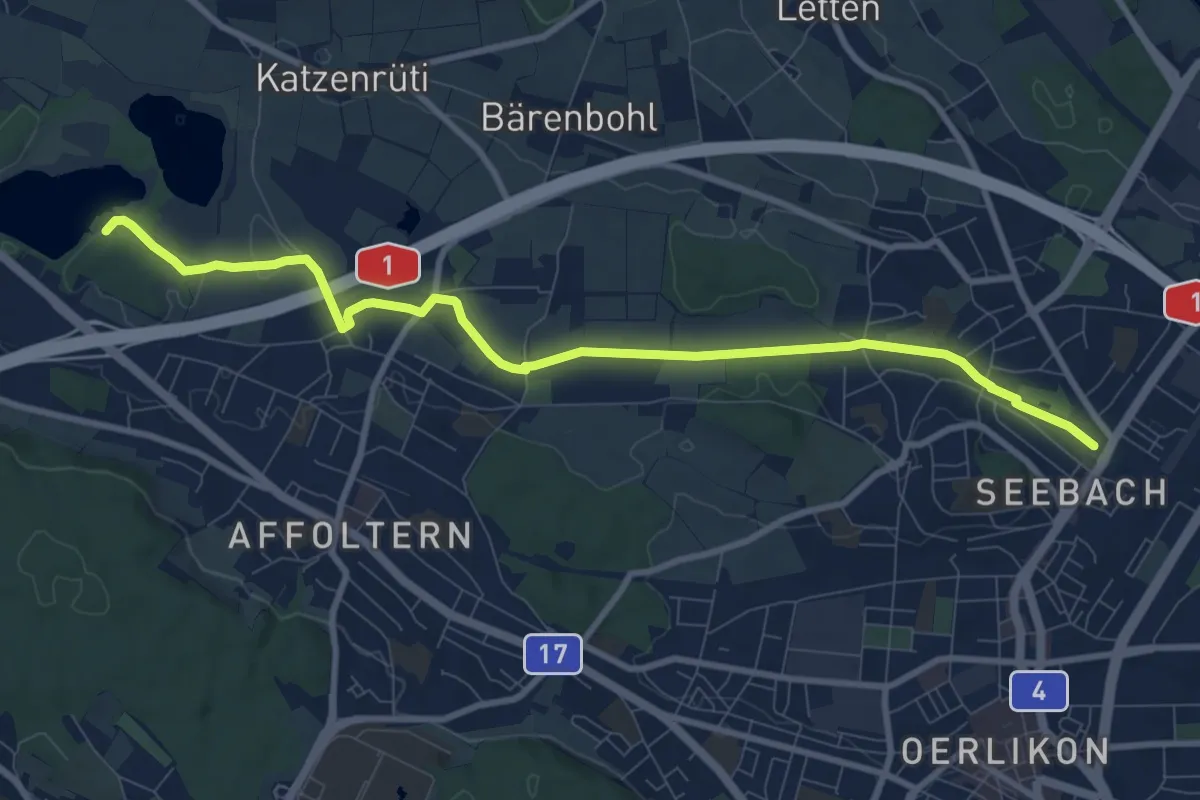
Medium · Trail
Seebach – Chatzensee Strandbad
9.9 km · ↑ 74 m · 2 h 30 min · 13 km away
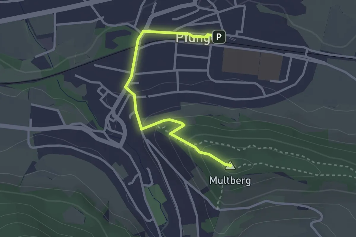
Easy · Summit
Multberg – Pfungen
2.7 km · ↑ 132 m · 56 min · 13 km away
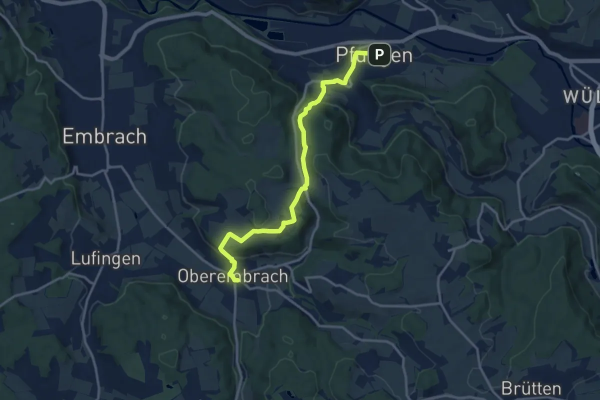
Medium · Trail
Pfungen – Oberembrach
10.8 km · ↑ 363 m · 3 h 20 min · 13 km away
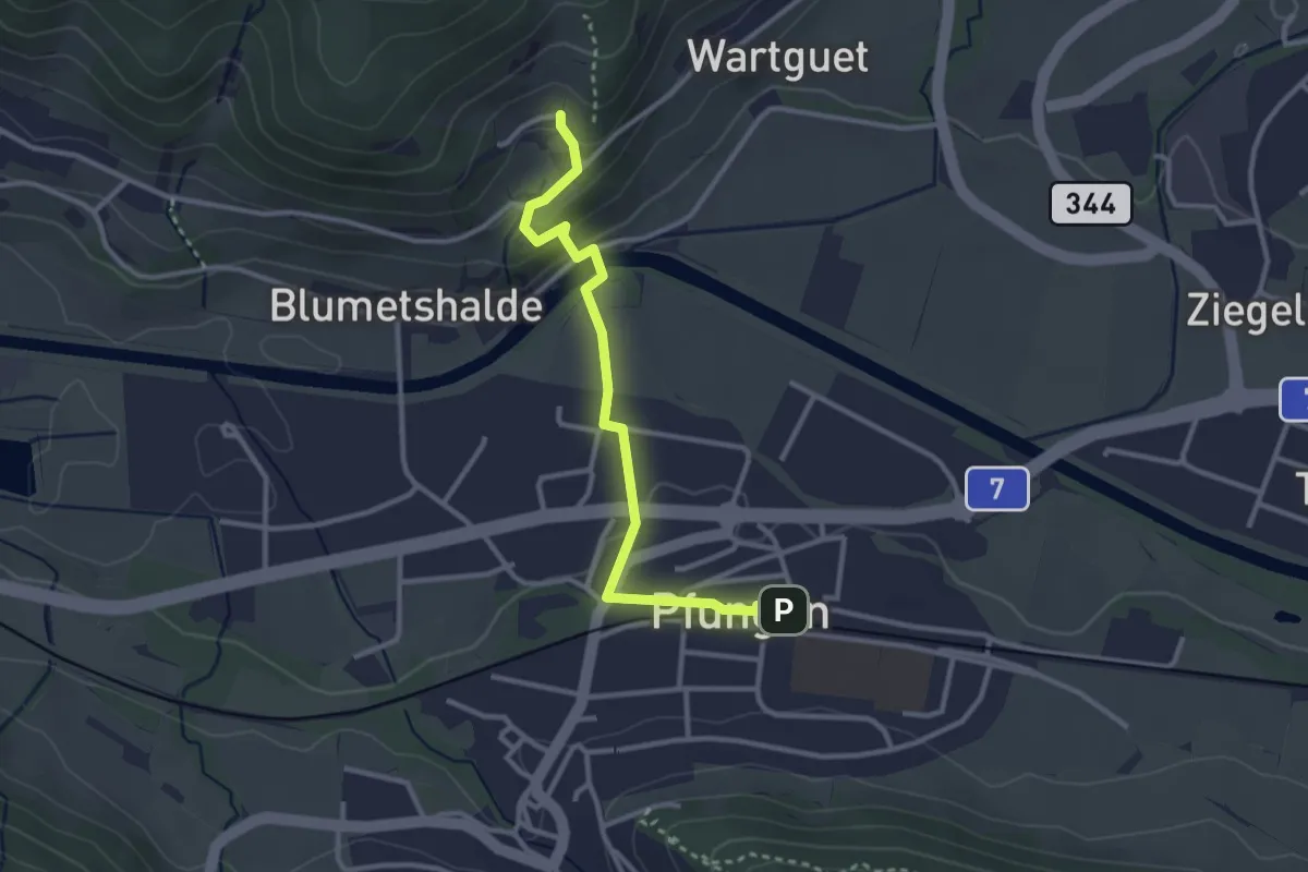
Easy · Trail
Pfungen – Talguet
3.0 km · ↑ 89 m · 54 min · 13 km away
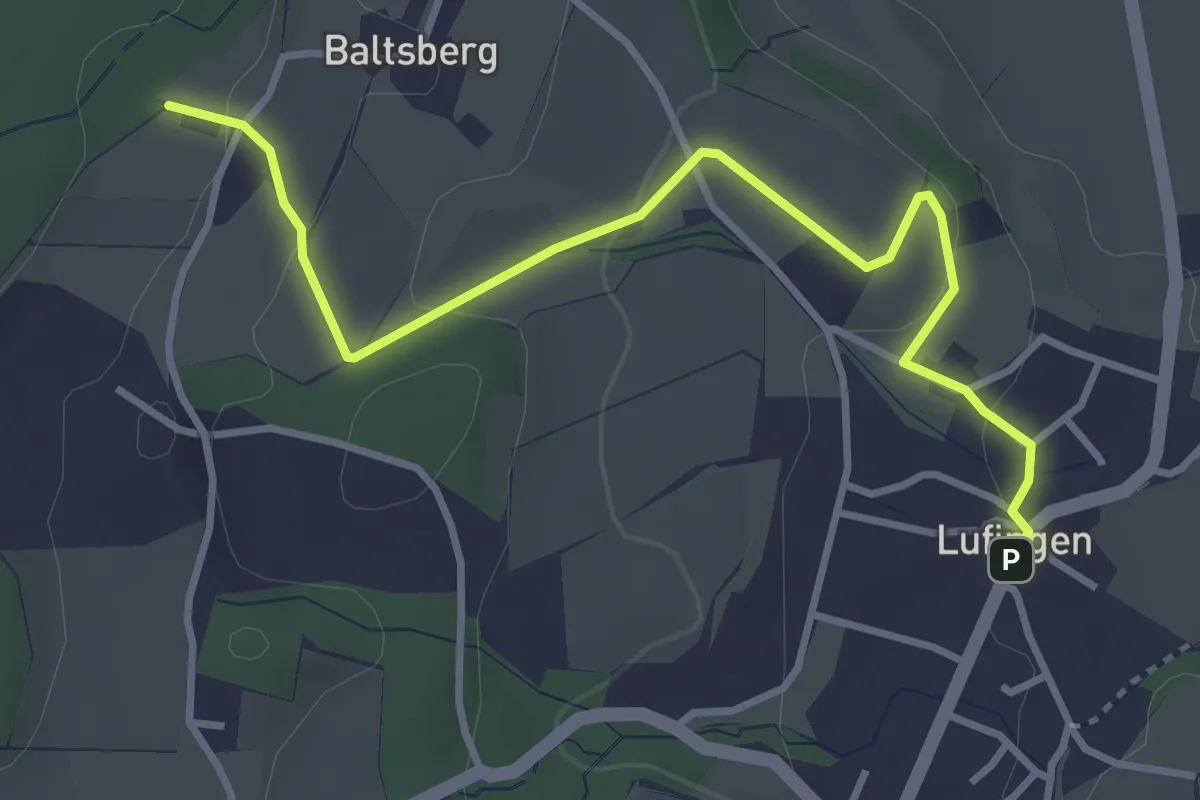
Easy · Trail
Lufingen – Husacher
3.8 km · ↑ 127 m · 1 h 10 min · 13 km away
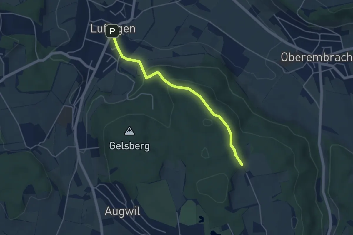
Easy · Trail
Hinterbänikon - Lufingen
3.8 km · ↑ 138 m · 1 h 11 min · 13 km away
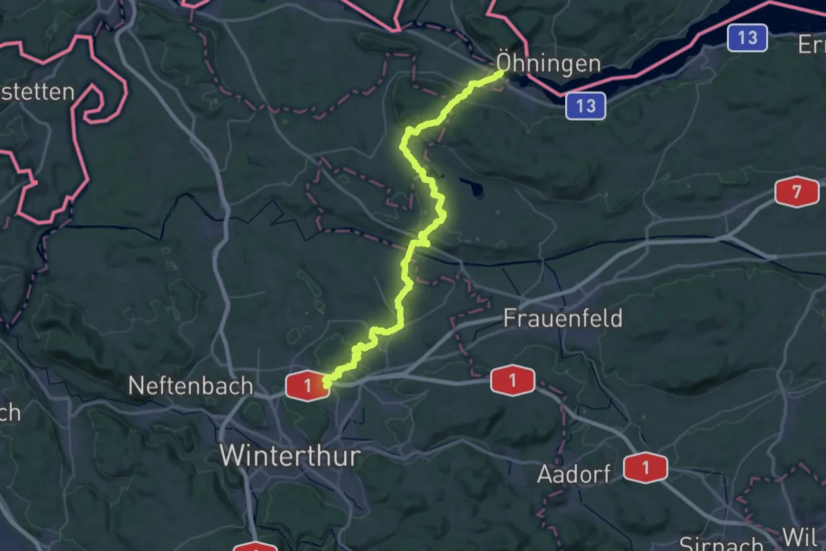
Demanding · Pilgrim path
Hugenotten- und Waldenserweg
25.7 km · ↑ 493 m · 7 h 31 min · 13 km away
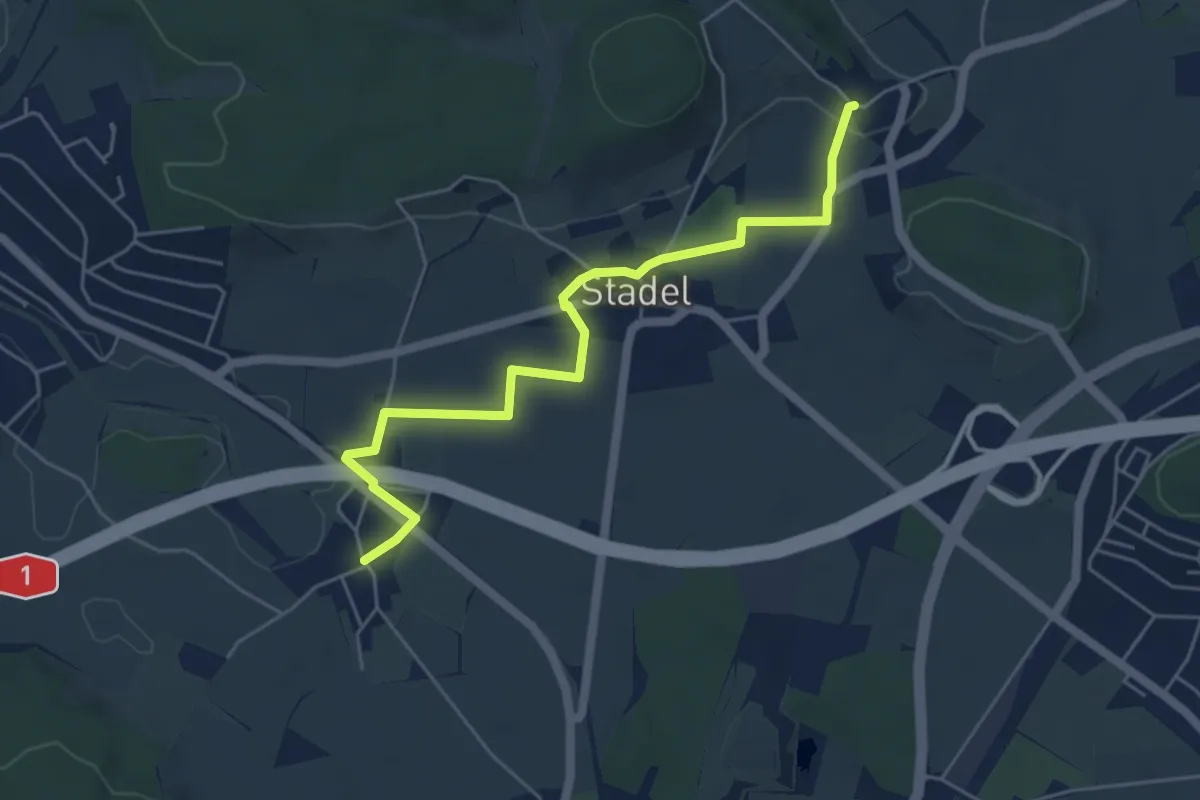
Easy · Trail
Reutlingen – Mörsburg
5.4 km · ↑ 59 m · 1 h 24 min · 13 km away
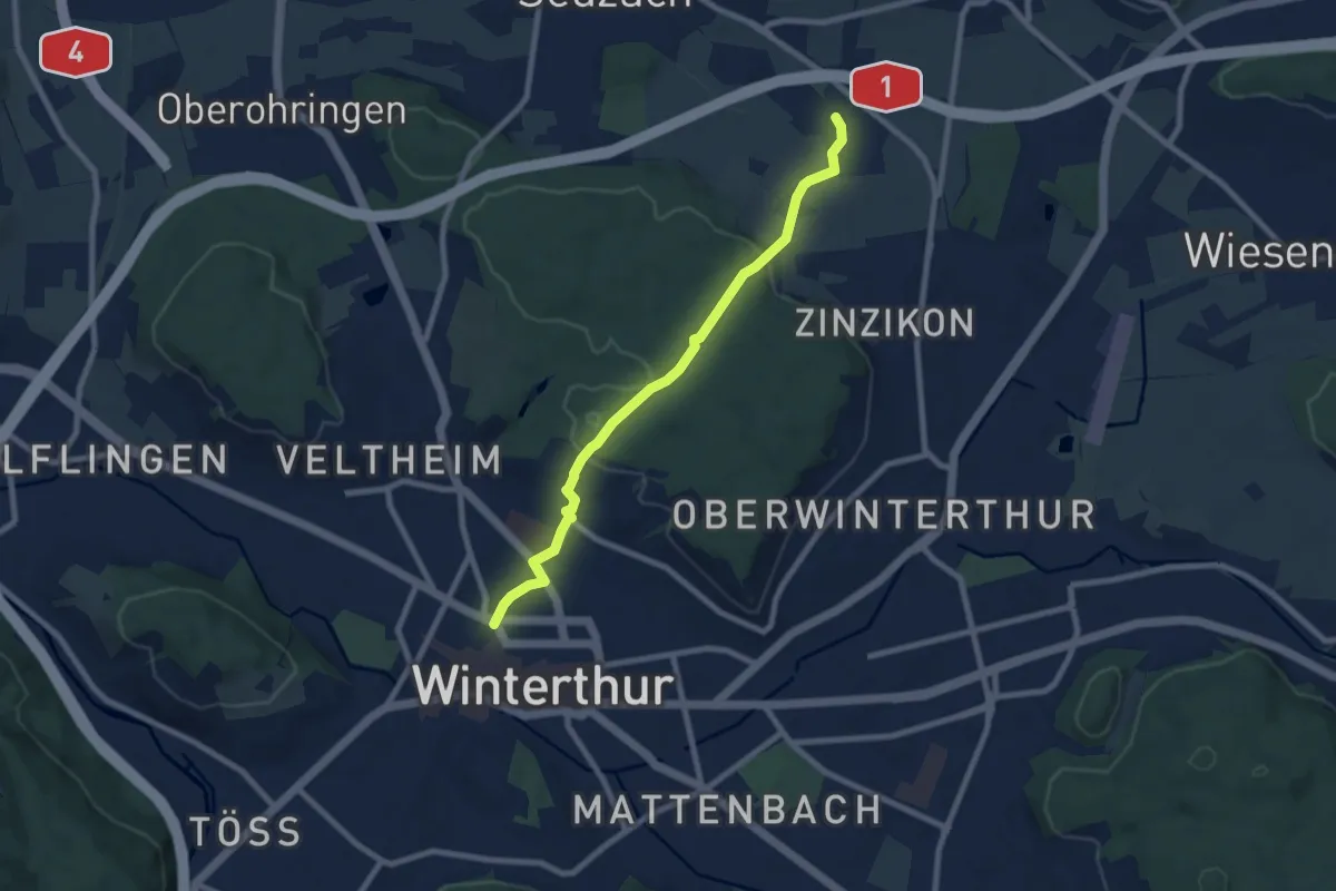
Easy · Pilgrim path
Hugenotten- und Waldenserweg
3.9 km · ↑ 82 m · 1 h 9 min · 13 km away
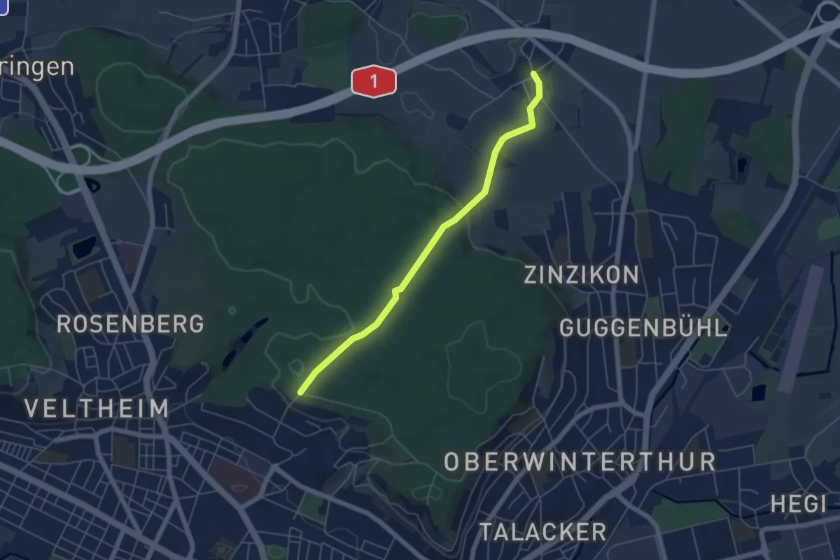
Easy · Trail
Römerholz – Reutlingen
4.9 km · ↑ 111 m · 1 h 24 min · 13 km away
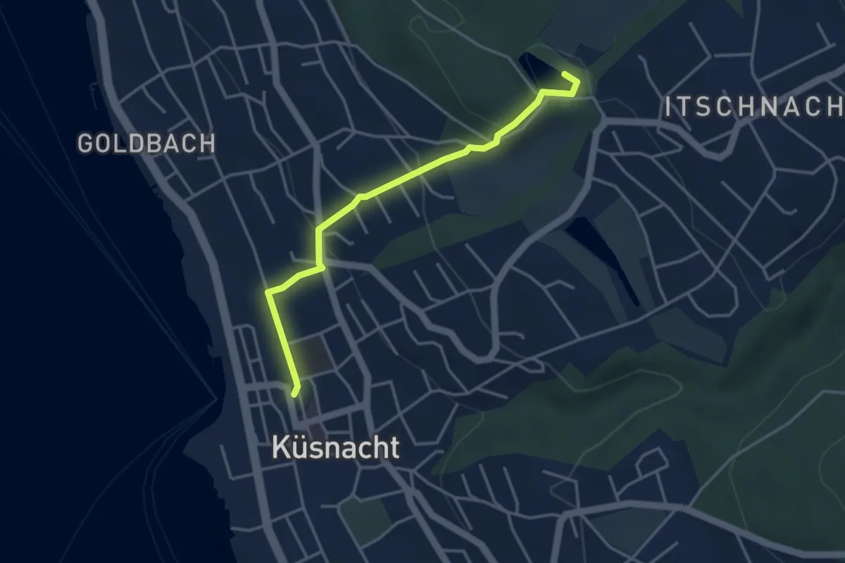
Easy · Trail
Küsnacht – Rumensee
3.4 km · ↑ 127 m · 1 h 5 min · 13 km away
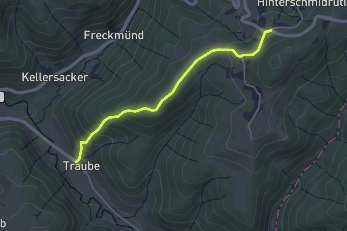
Easy · Trail
Schmidrüti – Truben
3.4 km · ↑ 192 m · 1 h 13 min · 13 km away
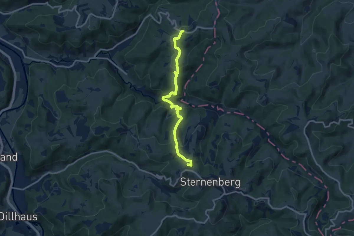
Medium · Summit
Schmidrüti – Sternenberg
8.1 km · ↑ 407 m · 2 h 48 min · 13 km away
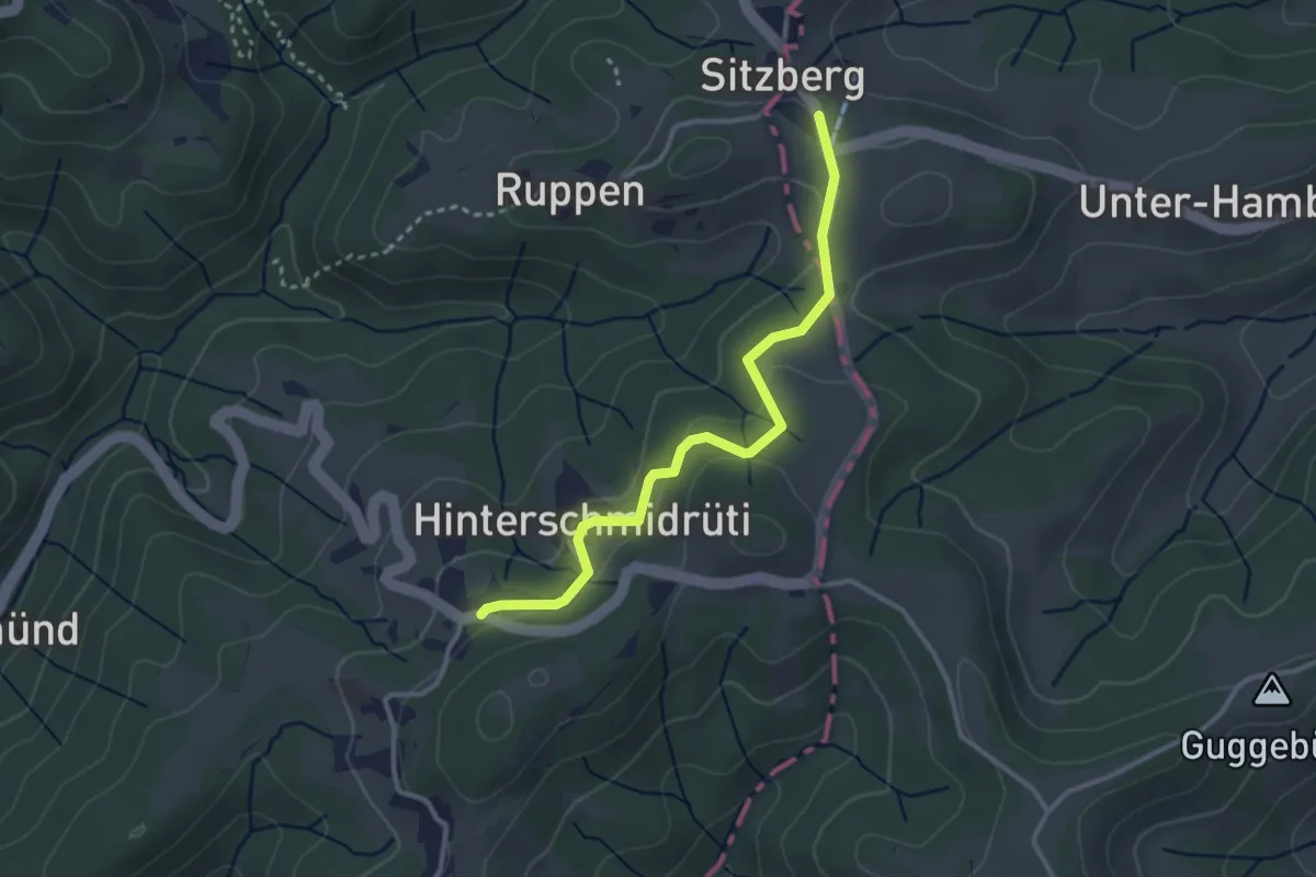
Easy · Trail
Sitzberg – Schmidrüti
3.1 km · ↑ 95 m · 56 min · 13 km away
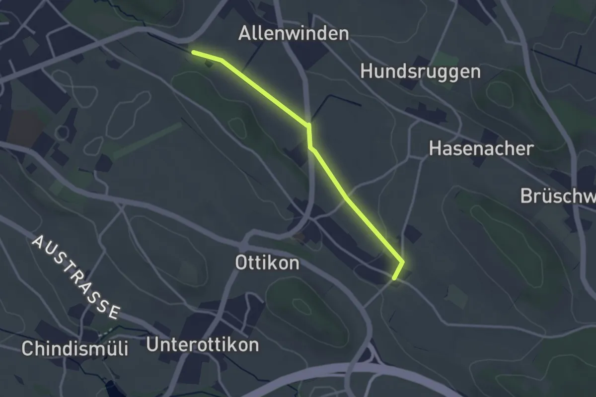
Easy · Trail
Berghof - Oberottikon
2.6 km · ↑ 9 m · 38 min · 13 km away
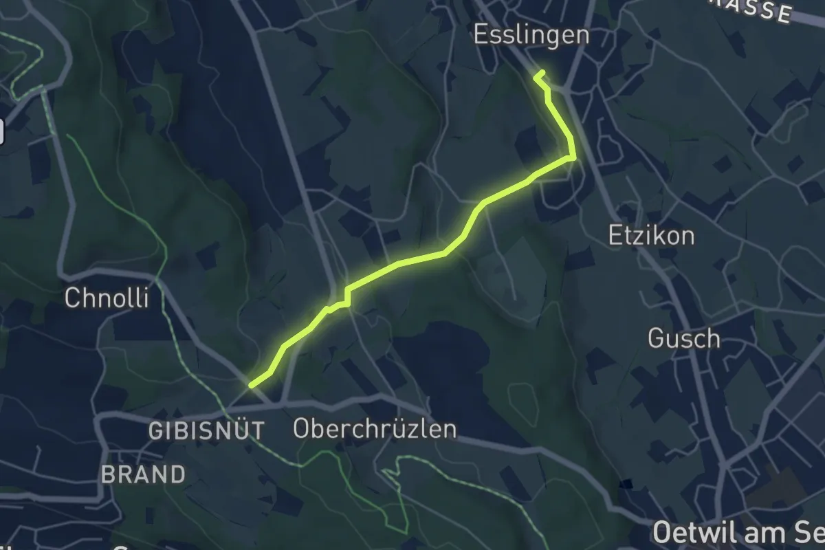
Easy · Trail
Esslingen – Gibisnüd
4.3 km · ↑ 161 m · 1 h 22 min · 14 km away
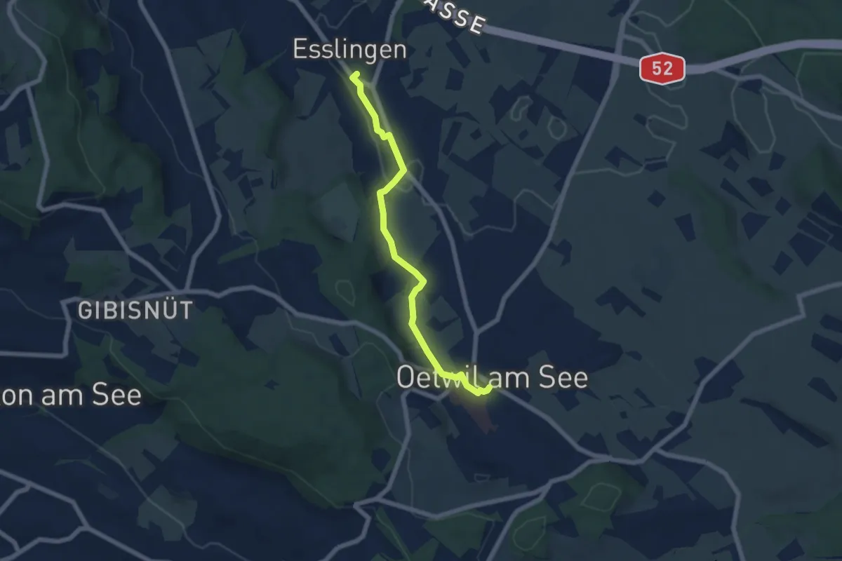
Easy · Trail
Esslingen – Oetwil
5.4 km · ↑ 60 m · 1 h 24 min · 14 km away
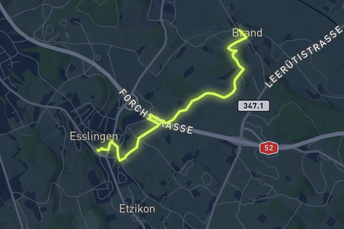
Easy · Trail
Brand – Esslingen
7.1 km · ↑ 77 m · 1 h 50 min · 14 km away
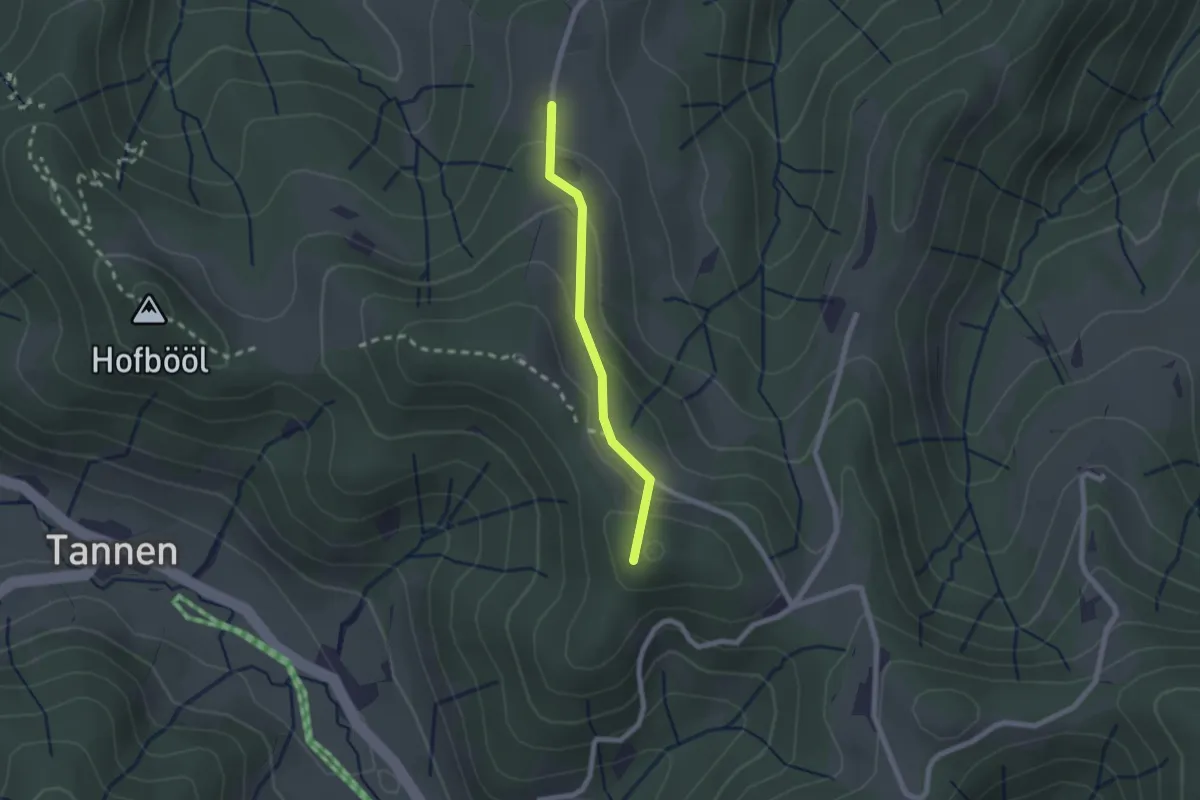
Easy · Summit
Sunnenhof - Ober Wolfsberg
1.8 km · ↑ 91 m · 37 min · 14 km away
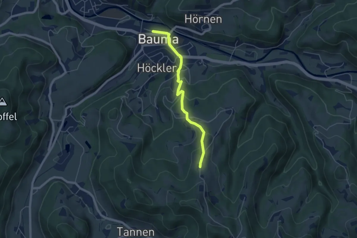
Easy · Trail
Ober Wolfsberg - Bauma Bhf.
4.5 km · ↑ 232 m · 1 h 33 min · 14 km away
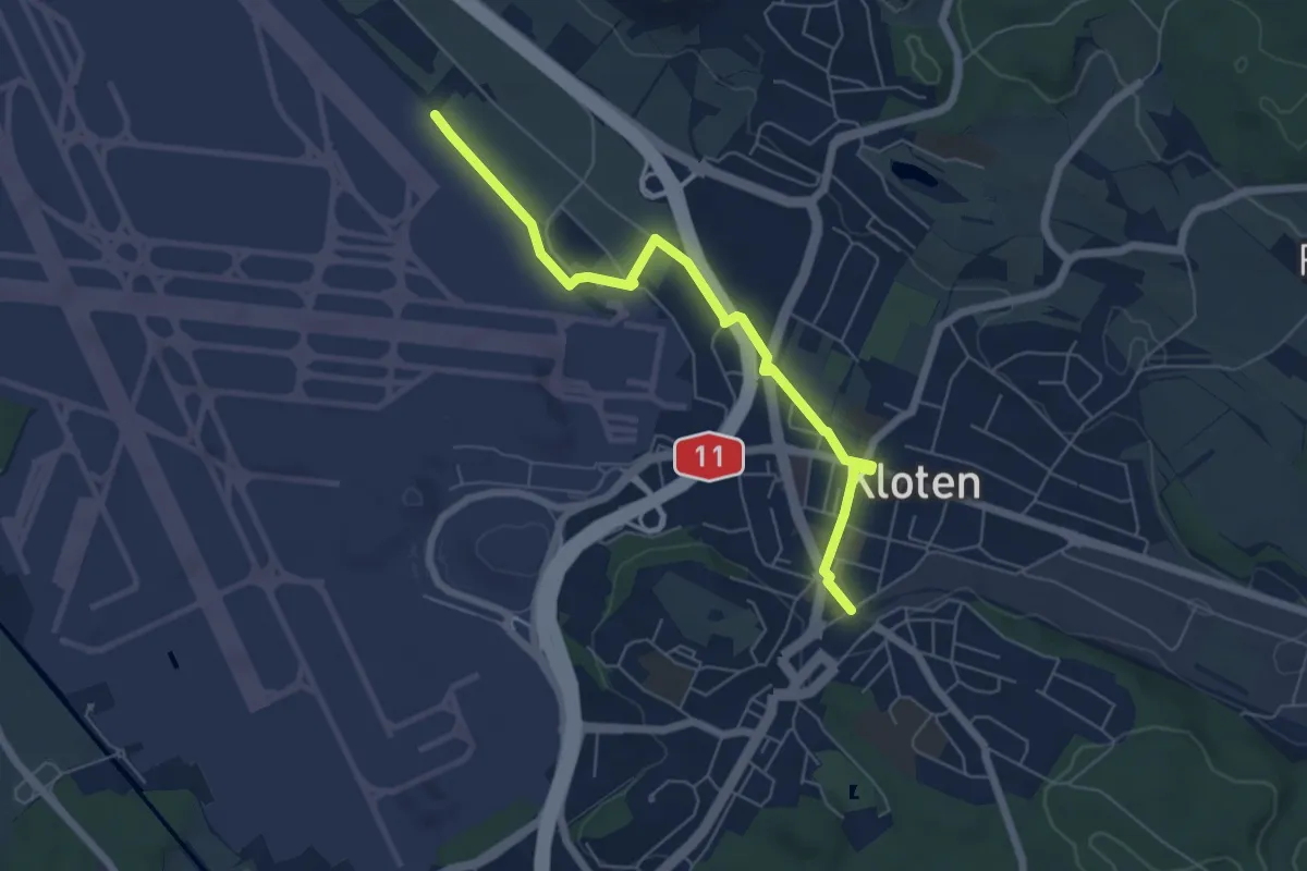
Easy · Trail
Himmelbach - Kloten
5.9 km · ↑ 18 m · 1 h 26 min · 14 km away
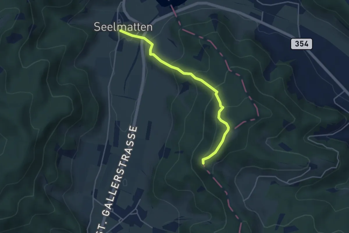
Easy · Trail
Chabishaupt - Seelmatten
3.6 km · ↑ 251 m · 1 h 24 min · 14 km away
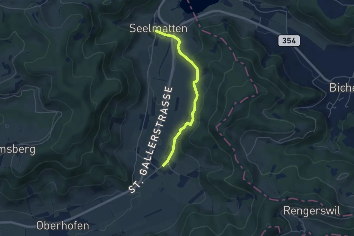
Easy · Trail
Seelmatten – Neubrunn
4.1 km · ↑ 143 m · 1 h 16 min · 14 km away
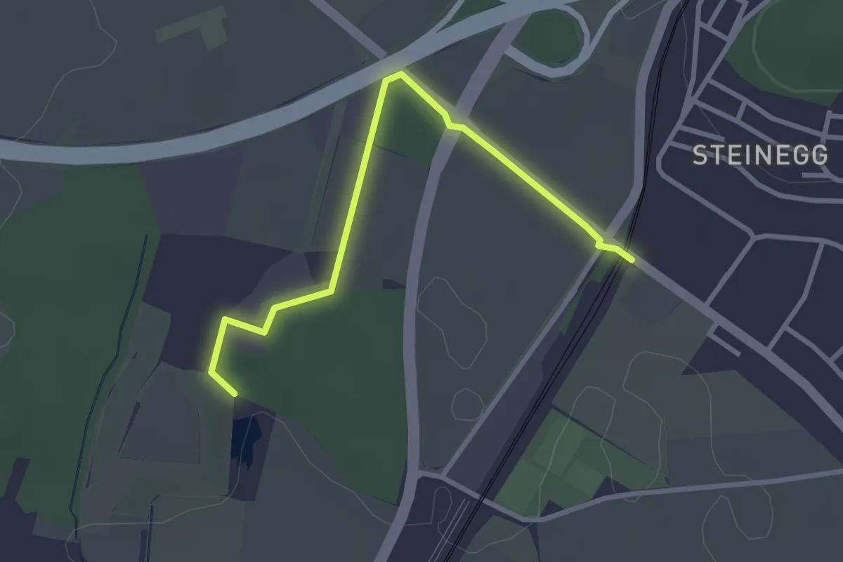
Easy · Trail
Riethof – Bahnhof Wiesendangen
2.8 km · ↑ 13 m · 42 min · 14 km away
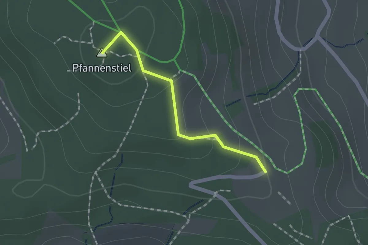
Easy · Summit
Guldener Höchi – Pfannenstiel Hochwacht
1.2 km · ↑ 50 m · 23 min · 14 km away
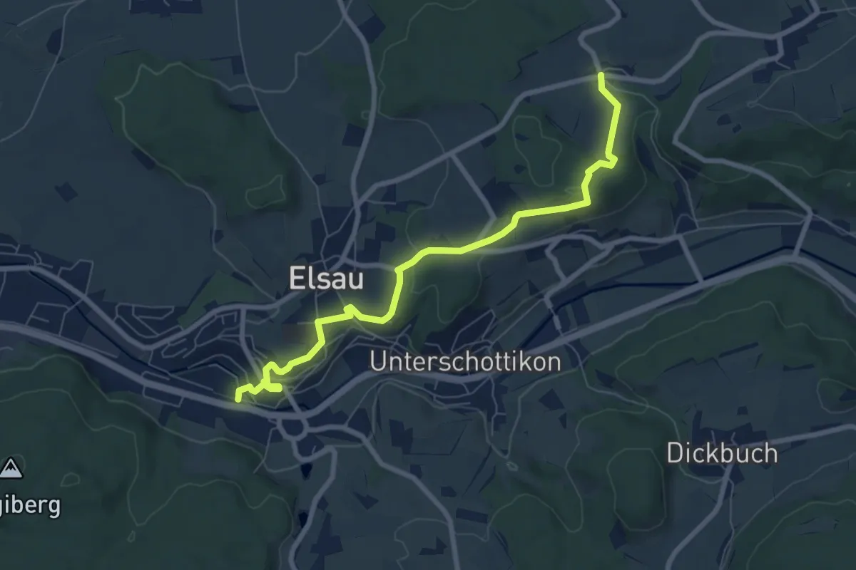
Easy · Trail
Räterschen Bhf. – Fulau
7.6 km · ↑ 170 m · 2 h 9 min · 14 km away
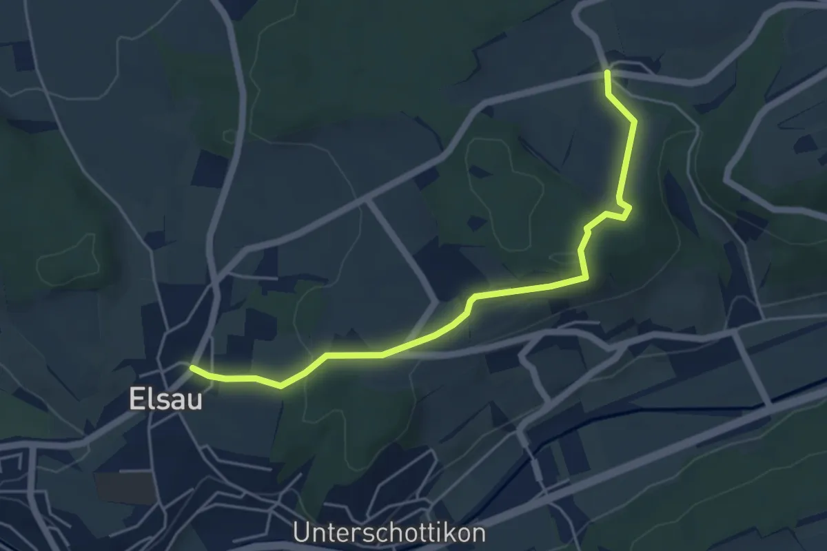
Easy · Trail
Fulau – Elsau
4.7 km · ↑ 120 m · 1 h 22 min · 14 km away
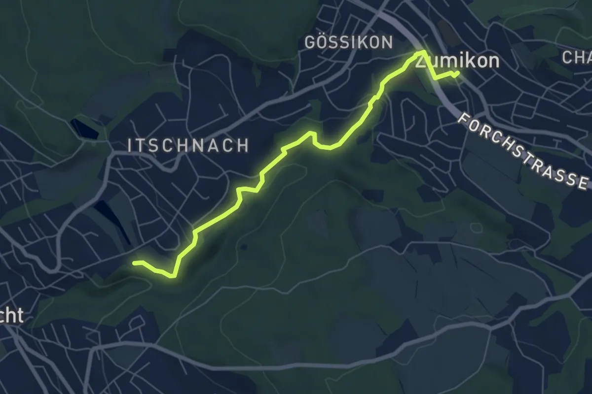
Easy · Trail
Schübelweiher - Zumikon
6.3 km · ↑ 177 m · 1 h 53 min · 14 km away
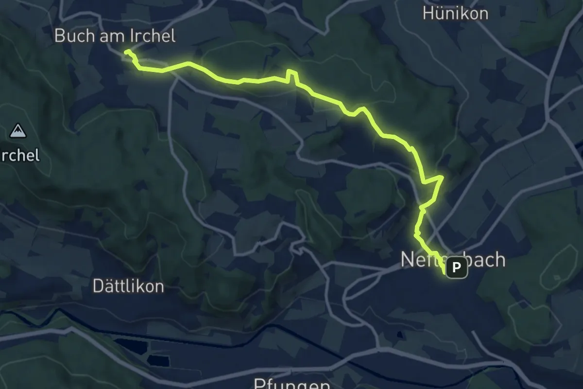
Medium · Trail
Neftenbach – Ober Buch am Irchel
11.5 km · ↑ 341 m · 3 h 28 min · 14 km away
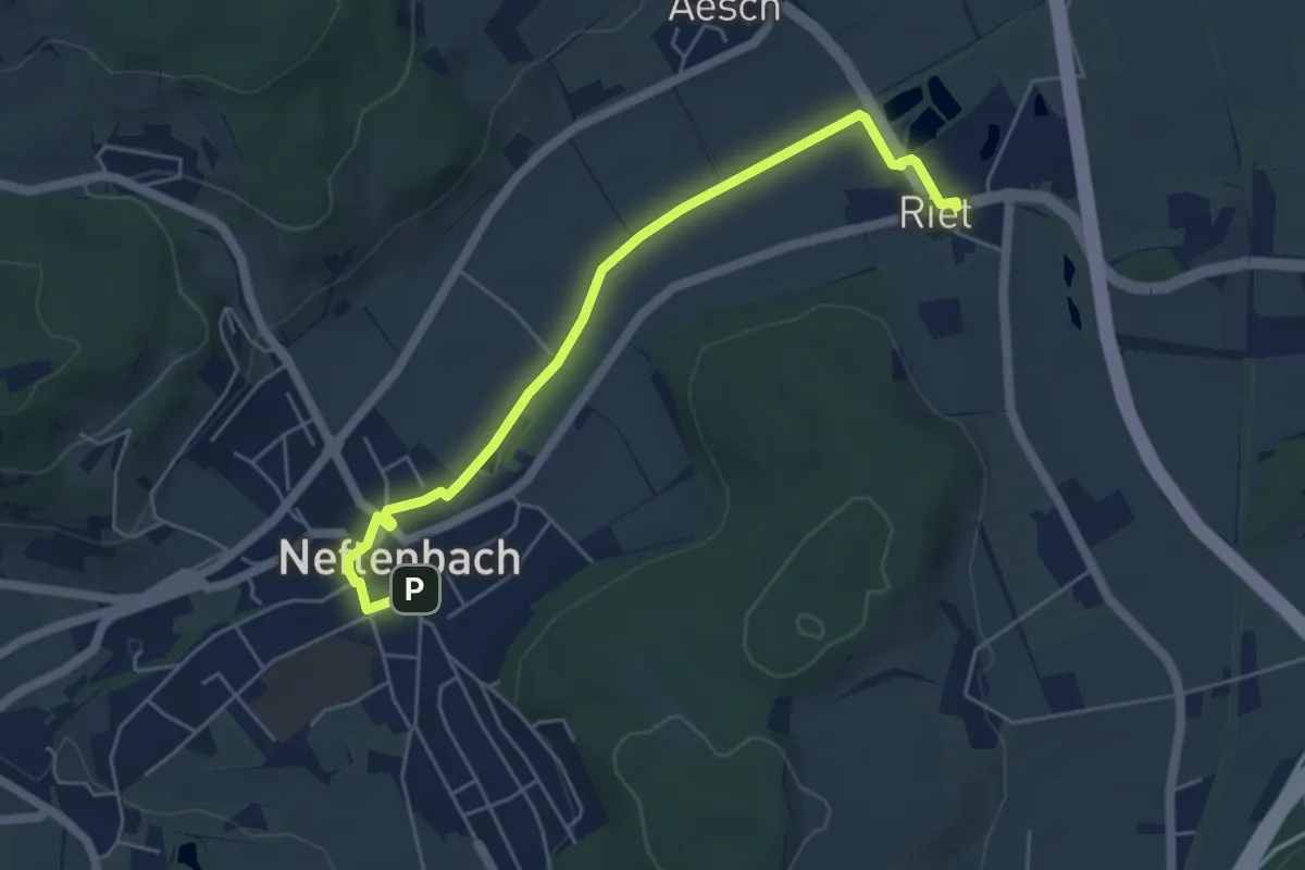
Easy · Trail
Riet – Neftenbach
5.3 km · ↑ 9 m · 1 h 16 min · 14 km away
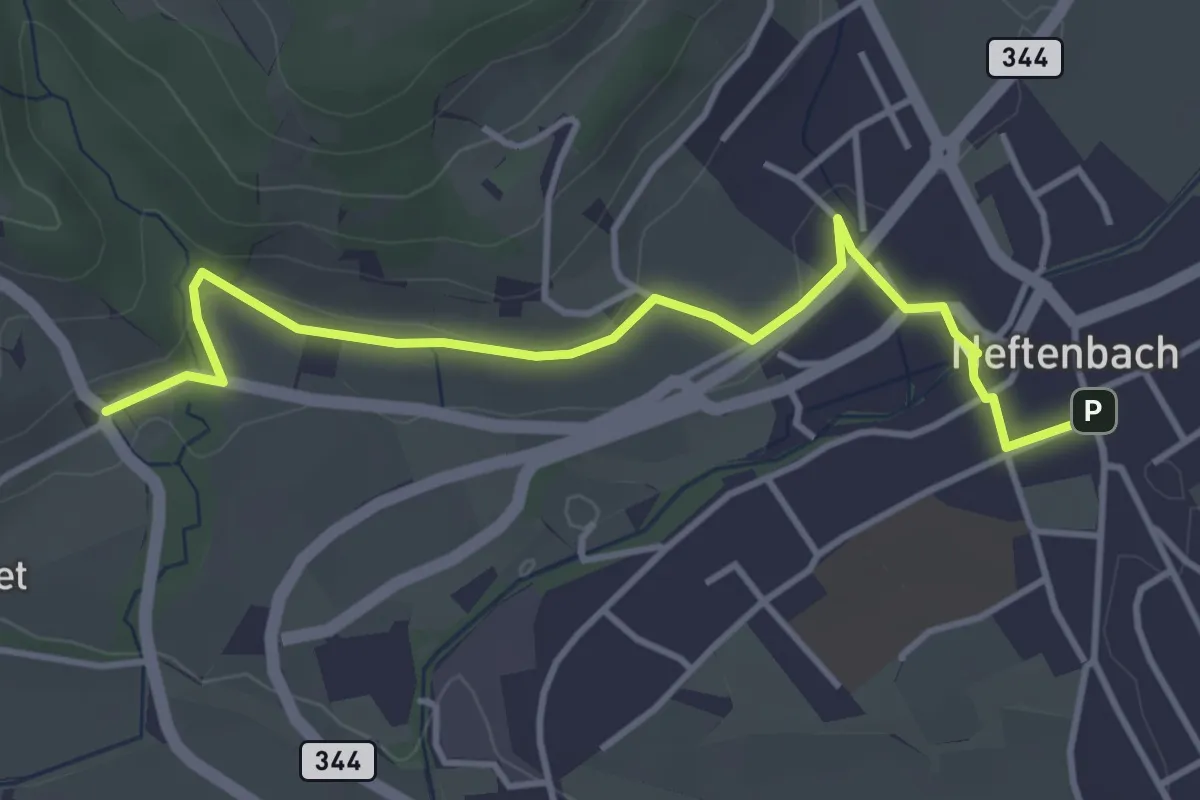
Easy · Trail
Museum – Neftenbach
4.1 km · ↑ 94 m · 1 h 11 min · 14 km away
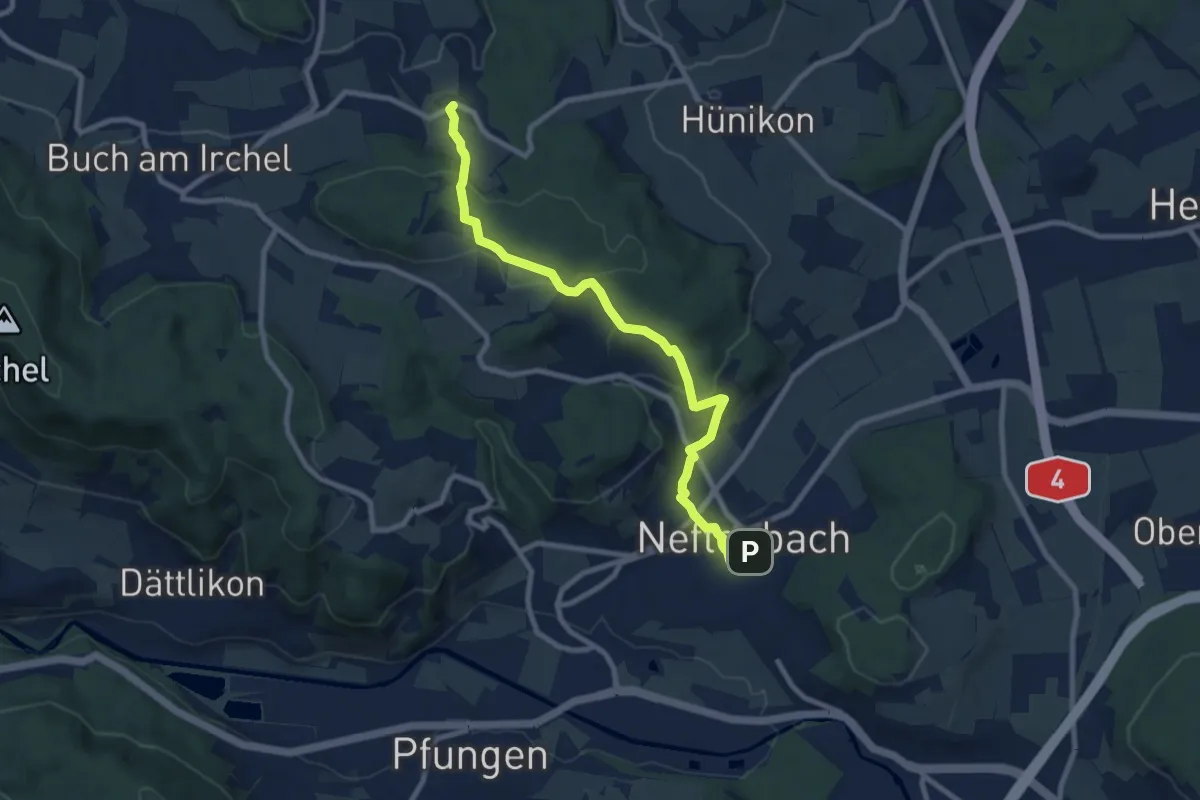
Medium · Trail
Neftenbach - Desibach
9.0 km · ↑ 299 m · 2 h 46 min · 14 km away
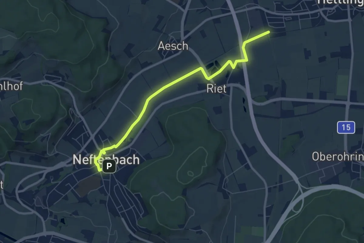
Easy · Trail
Neftenbach – Bahnhof Hettlingen
7.3 km · ↑ 22 m · 1 h 47 min · 14 km away
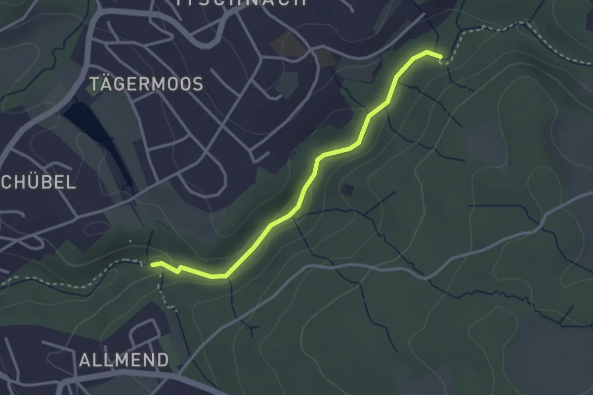
Easy · Trail
Küsnacht Dorfbach – Johannisburg
2.8 km · ↑ 68 m · 48 min · 14 km away
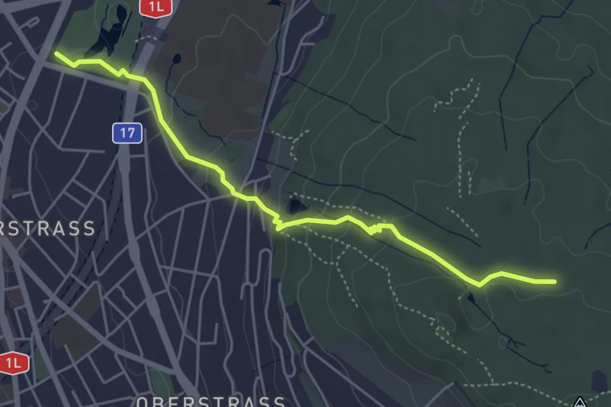
Easy · Trail
Milchbuck – Zürichberg
4.7 km · ↑ 173 m · 1 h 29 min · 14 km away
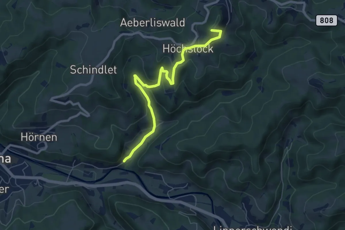
Easy · Summit
Tüfenbach - Sternenberg
6.2 km · ↑ 309 m · 2 h 8 min · 14 km away
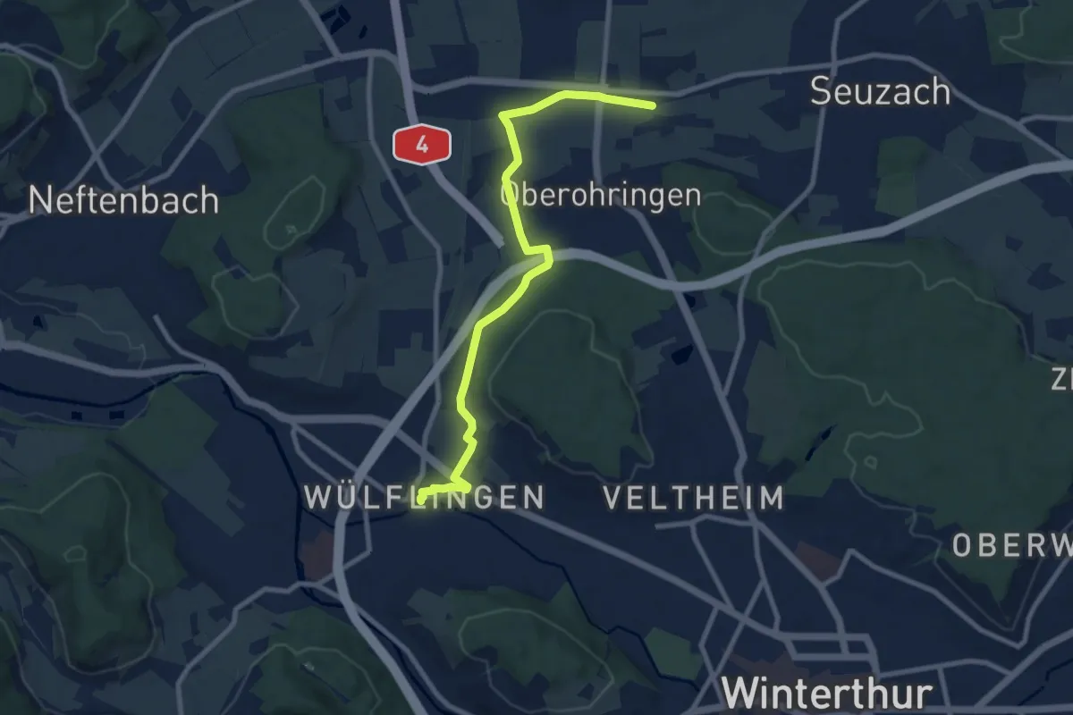
Medium · Trail
Unterohringen - Winterthur Wülflingen
8.8 km · ↑ 86 m · 2 h 16 min · 14 km away