Trails near Illnau
619 hikes starting within 15 km, nearest first.
Nearest first, page 10 of 13
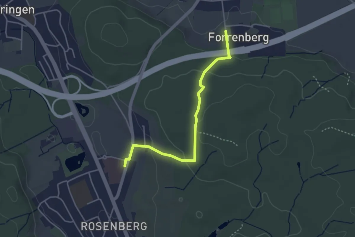
Easy · Trail
Forrenberg – Bushaltestelle Rosenberg
3.3 km · ↑ 106 m · 1 h 1 min · 12 km away
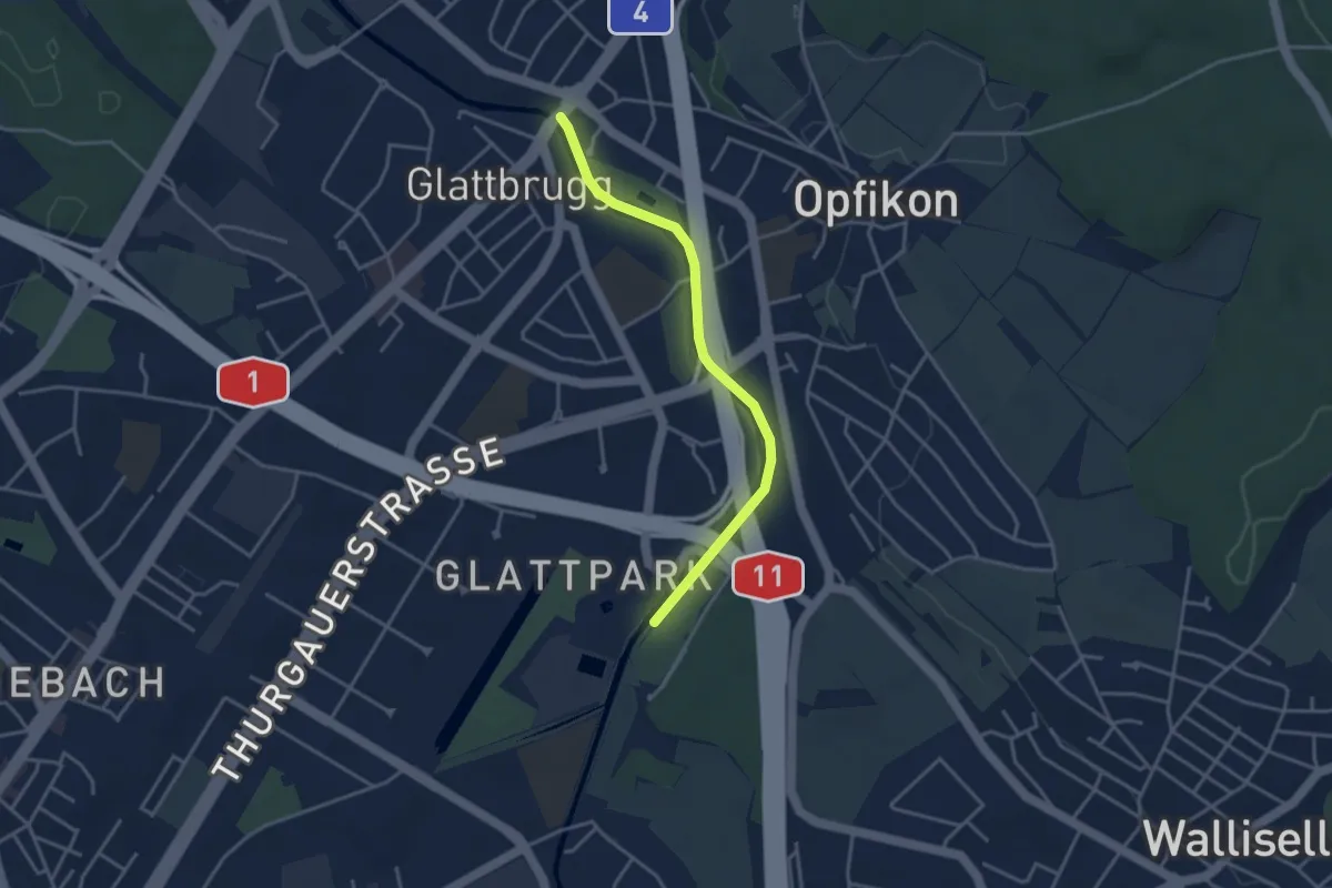
Easy · Trail
Auholz - Glattbrugg
3.5 km · ↑ 0 m · 49 min · 12 km away
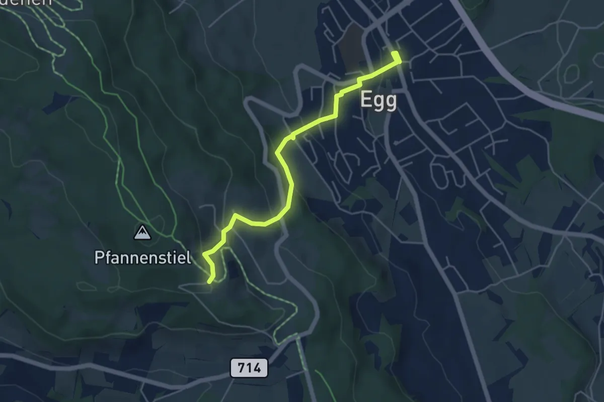
Easy · Trail
Egg – Pfannenstiel Hochwacht
4.4 km · ↑ 256 m · 1 h 36 min · 12 km away
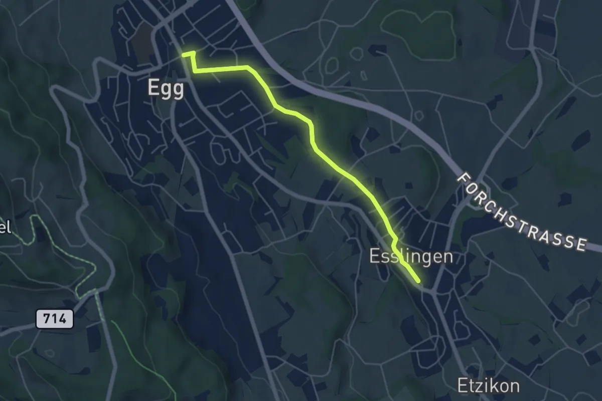
Easy · Trail
Egg – Esslingen
4.8 km · ↑ 66 m · 1 h 17 min · 12 km away
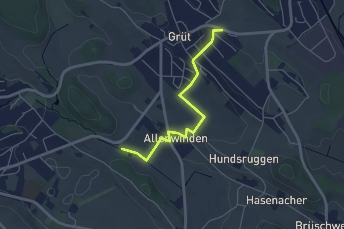
Easy · Trail
Grüt - Berghof
3.7 km · ↑ 60 m · 1 h 1 min · 12 km away
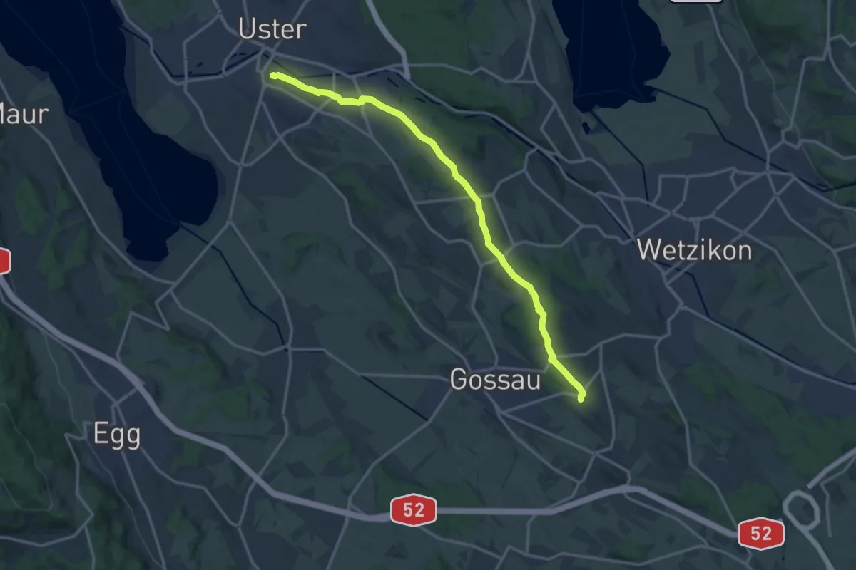
Medium · Trail
Berghof – Schloss Uster
14.5 km · ↑ 237 m · 3 h 56 min · 12 km away
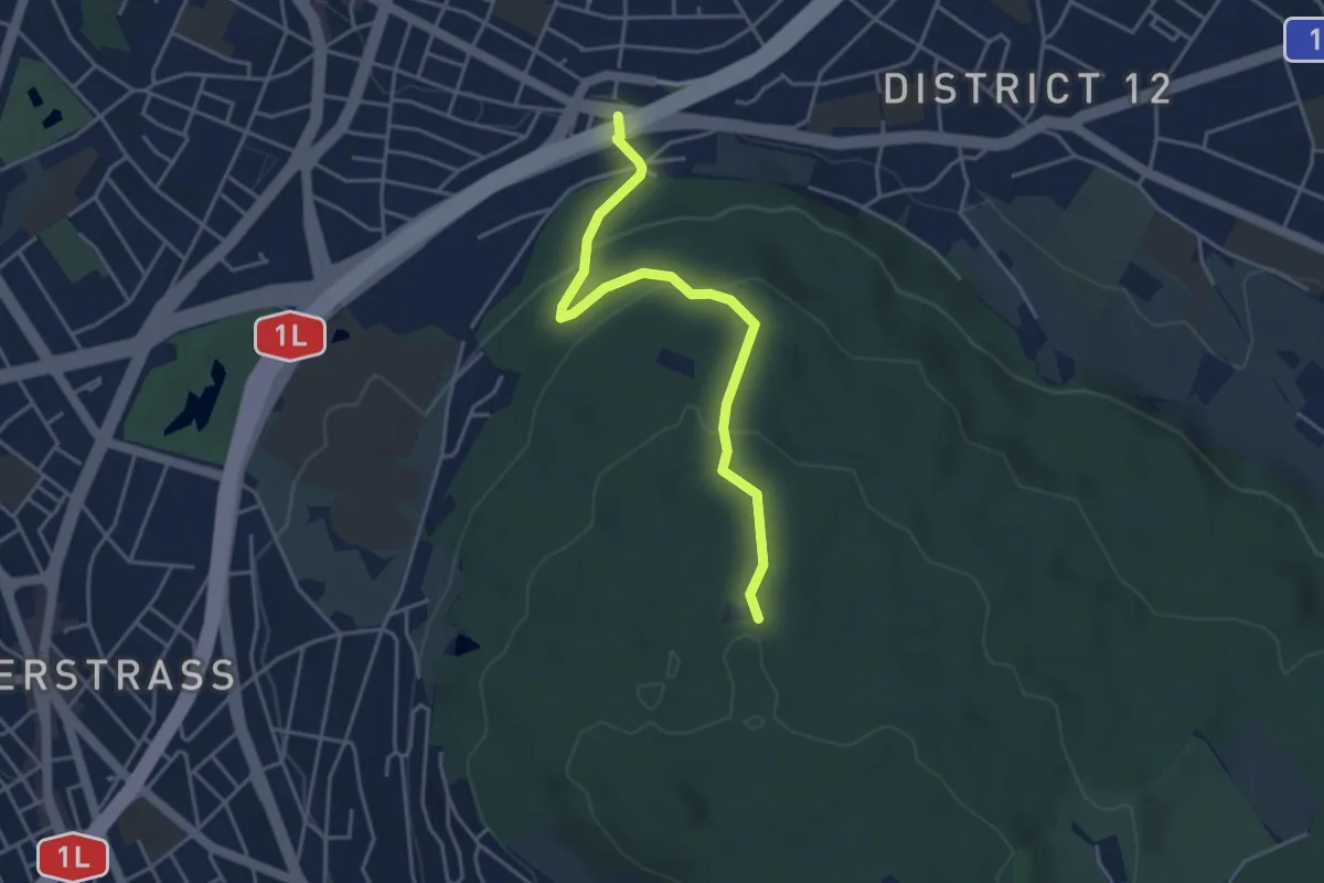
Easy · Trail
Waldgarten - Waldhüsli
4.0 km · ↑ 186 m · 1 h 21 min · 12 km away
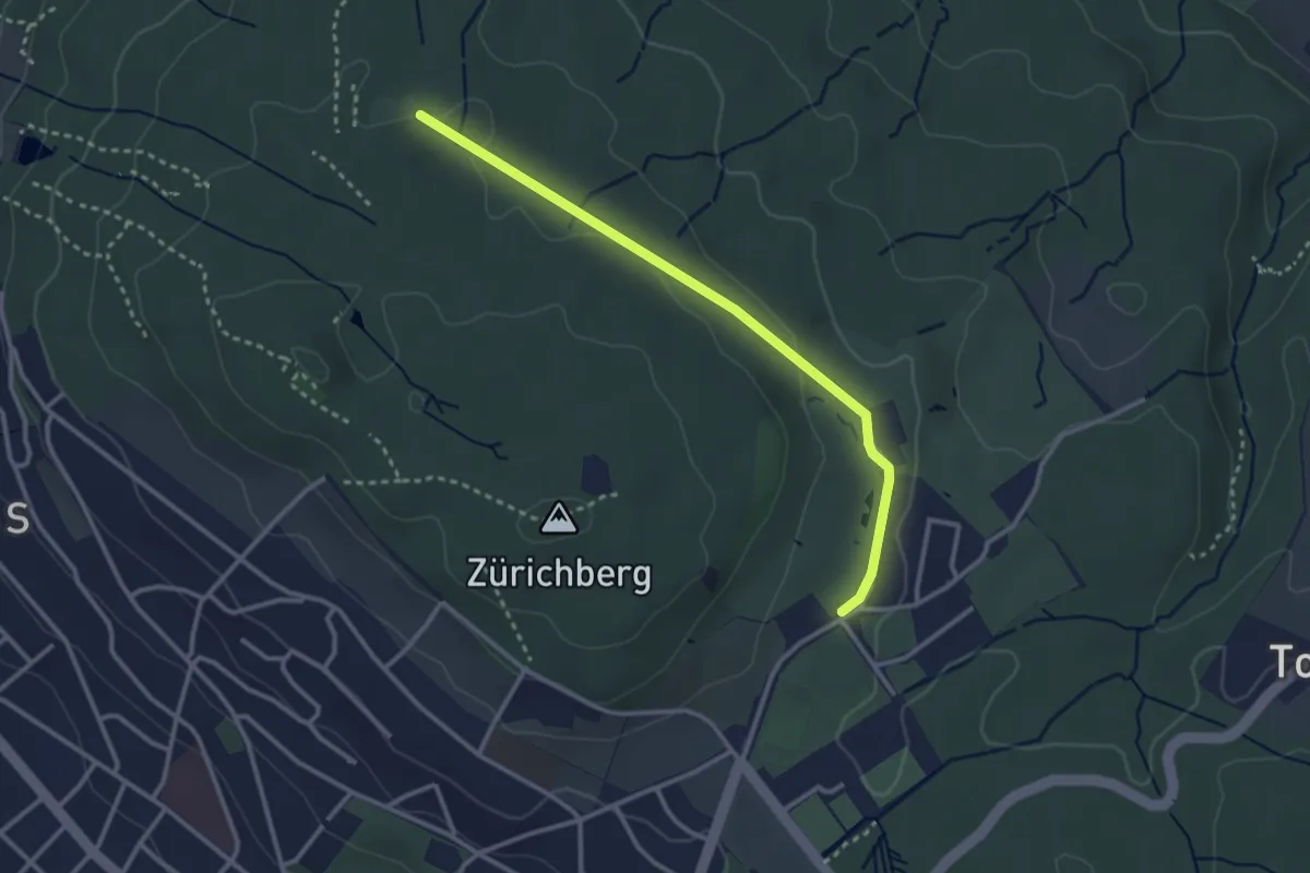
Easy · Trail
Waldhüsli – Zoo
2.9 km · ↑ 32 m · 46 min · 12 km away
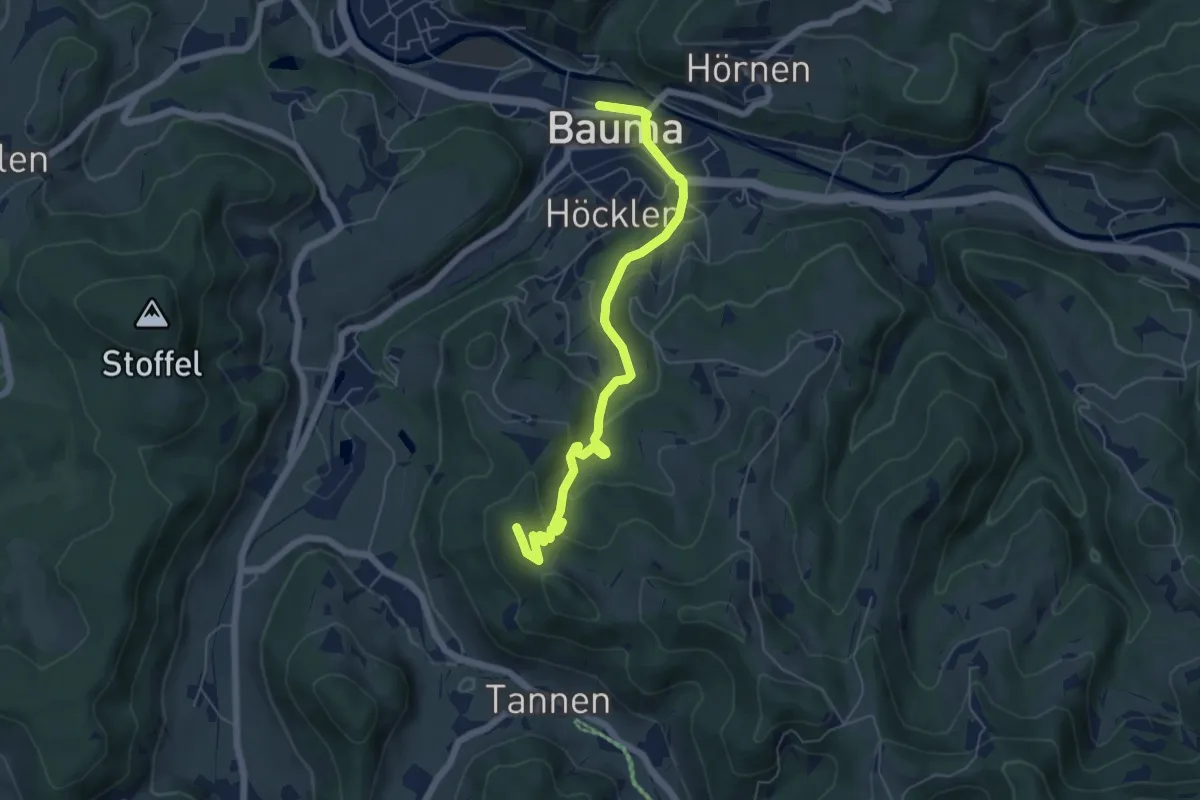
Easy · Summit
Bauma - Hohenegg
6.0 km · ↑ 310 m · 2 h 5 min · 12 km away
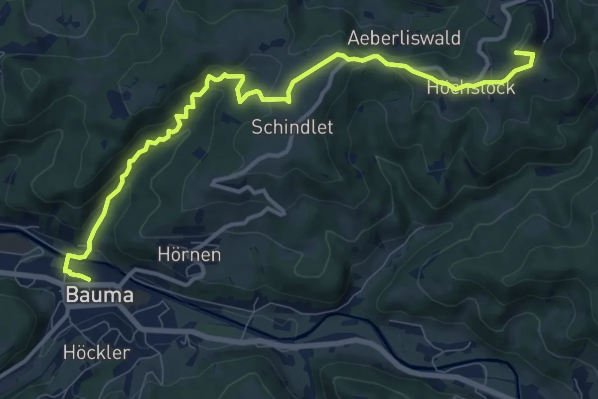
Medium · Summit
Bauma Bhf. - Sternenberg
9.2 km · ↑ 478 m · 3 h 13 min · 12 km away
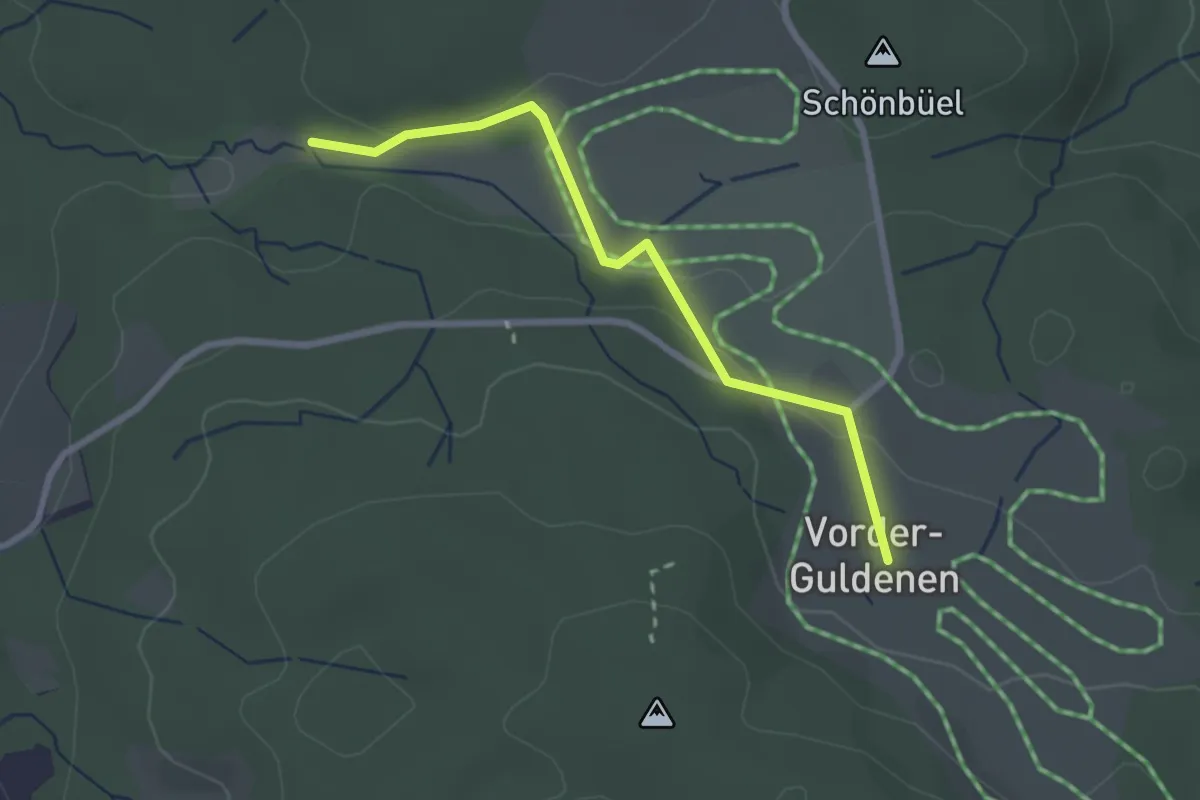
Easy · Trail
Vorderguldenen – Chüelenmorgen
2.5 km · ↑ 70 m · 44 min · 12 km away
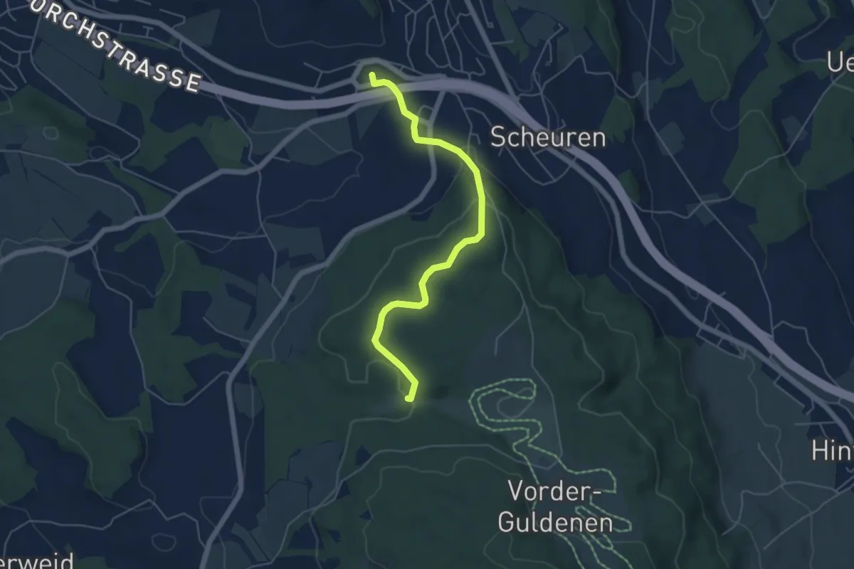
Easy · Trail
Forch – Chüelenmorgen
5.1 km · ↑ 152 m · 1 h 33 min · 12 km away
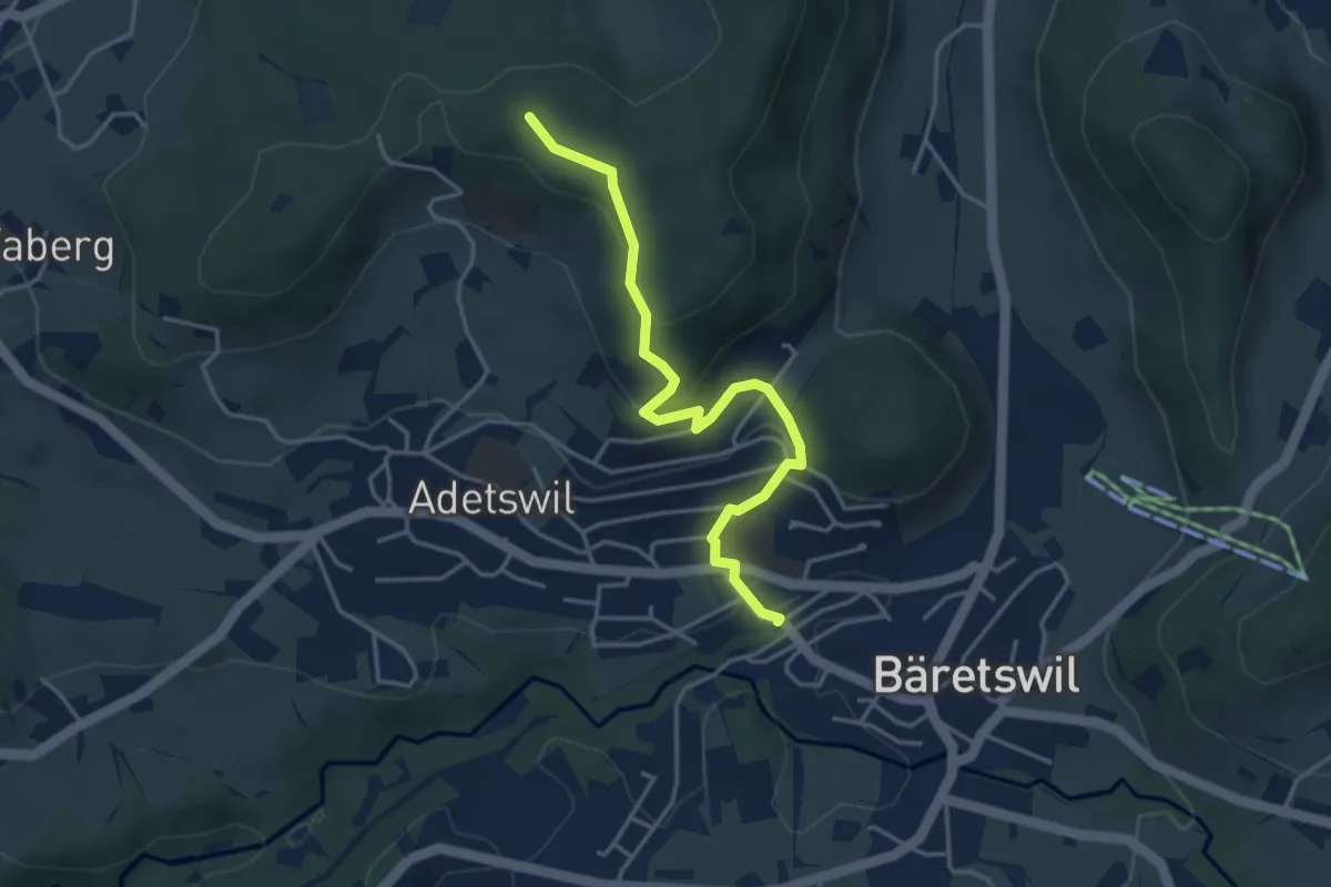
Easy · Trail
Bäretswil Station – Türli
4.0 km · ↑ 165 m · 1 h 18 min · 12 km away
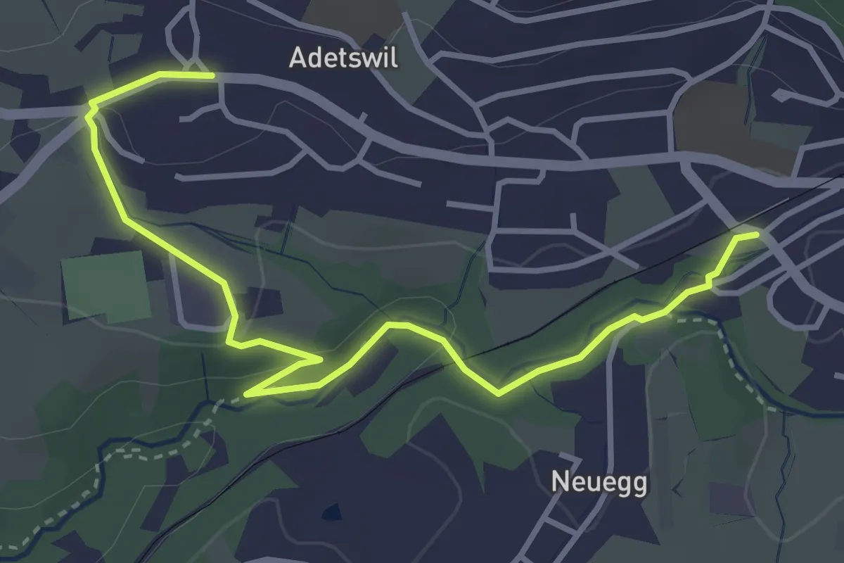
Easy · Trail
Bäretswil Station – Adetswil
3.9 km · ↑ 73 m · 1 h 4 min · 12 km away
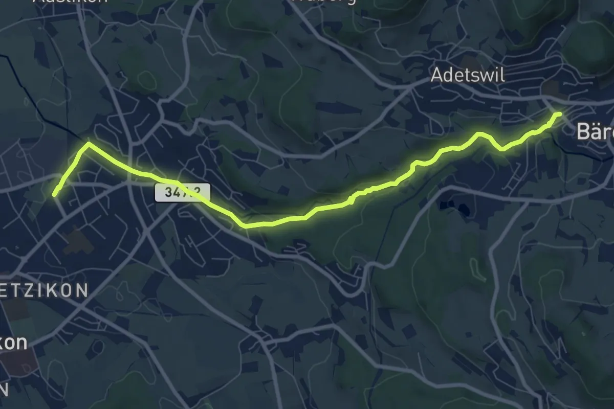
Medium · Trail
Kempten – Bäretswil Station
8.7 km · ↑ 162 m · 2 h 25 min · 12 km away
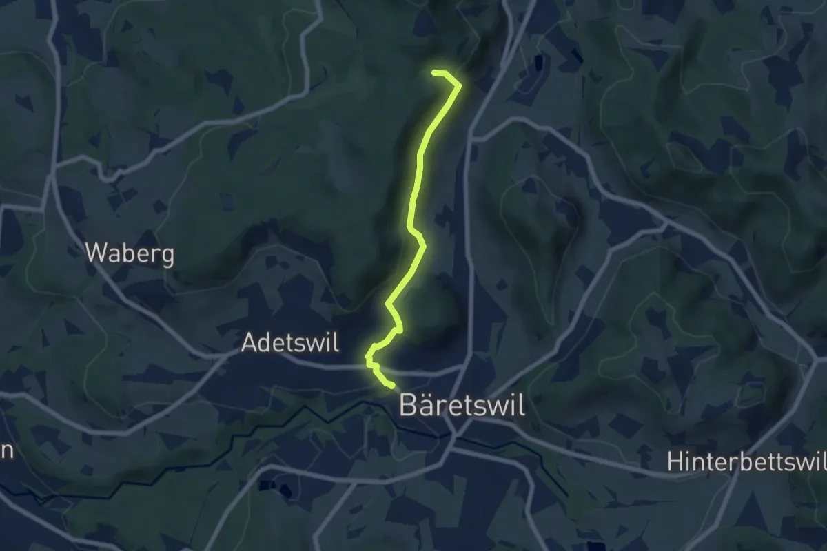
Easy · Trail
Bäretswil Station – Hofschür
5.0 km · ↑ 197 m · 1 h 37 min · 12 km away
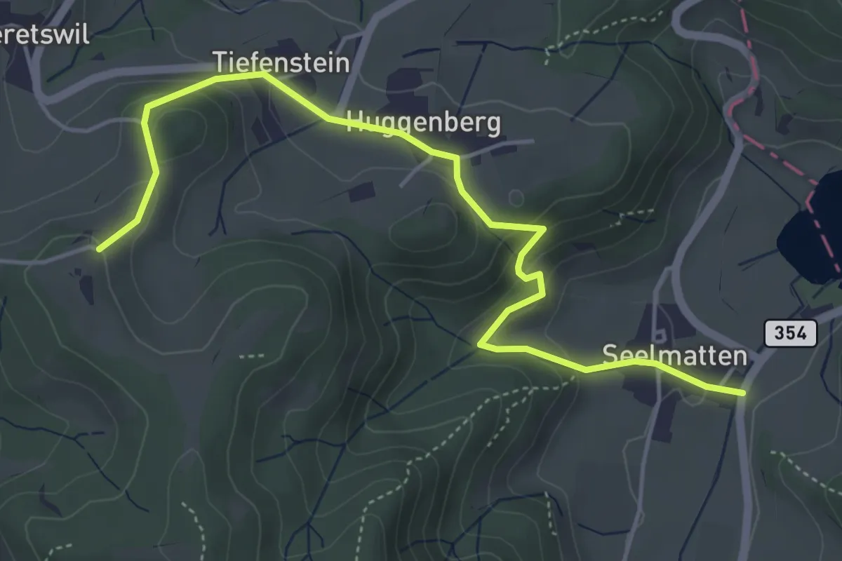
Easy · Trail
Seelmatten – Hüttstall
5.2 km · ↑ 227 m · 1 h 44 min · 12 km away
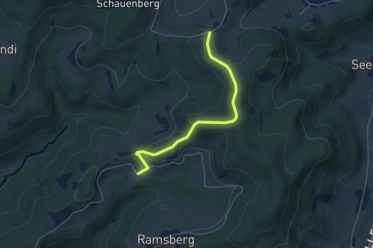
Easy · Trail
Hüttstall – Schnurrberg
3.9 km · ↑ 147 m · 1 h 14 min · 12 km away
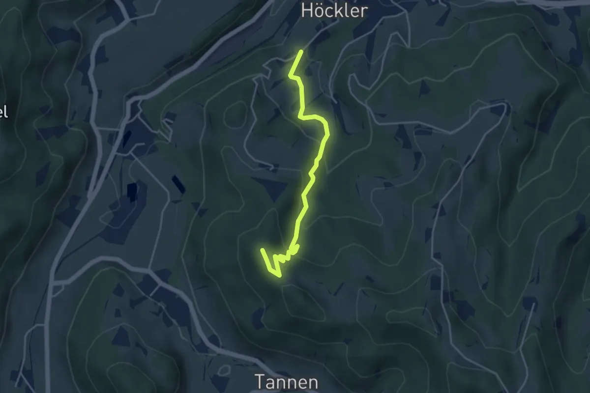
Easy · Summit
Silisegg - Hohenegg
3.7 km · ↑ 261 m · 1 h 26 min · 12 km away
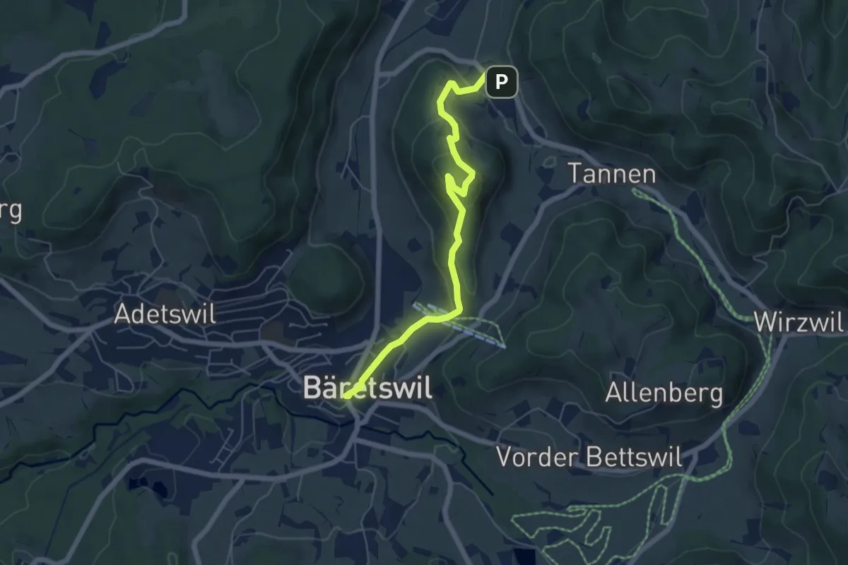
Easy · Trail
Bäretswil - Greifenberg - Hinterburg
5.6 km · ↑ 293 m · 1 h 58 min · 12 km away
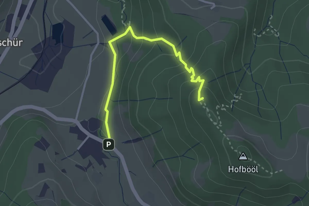
Easy · Summit
Hinterburg - Hohenegg
2.7 km · ↑ 174 m · 1 h 1 min · 13 km away
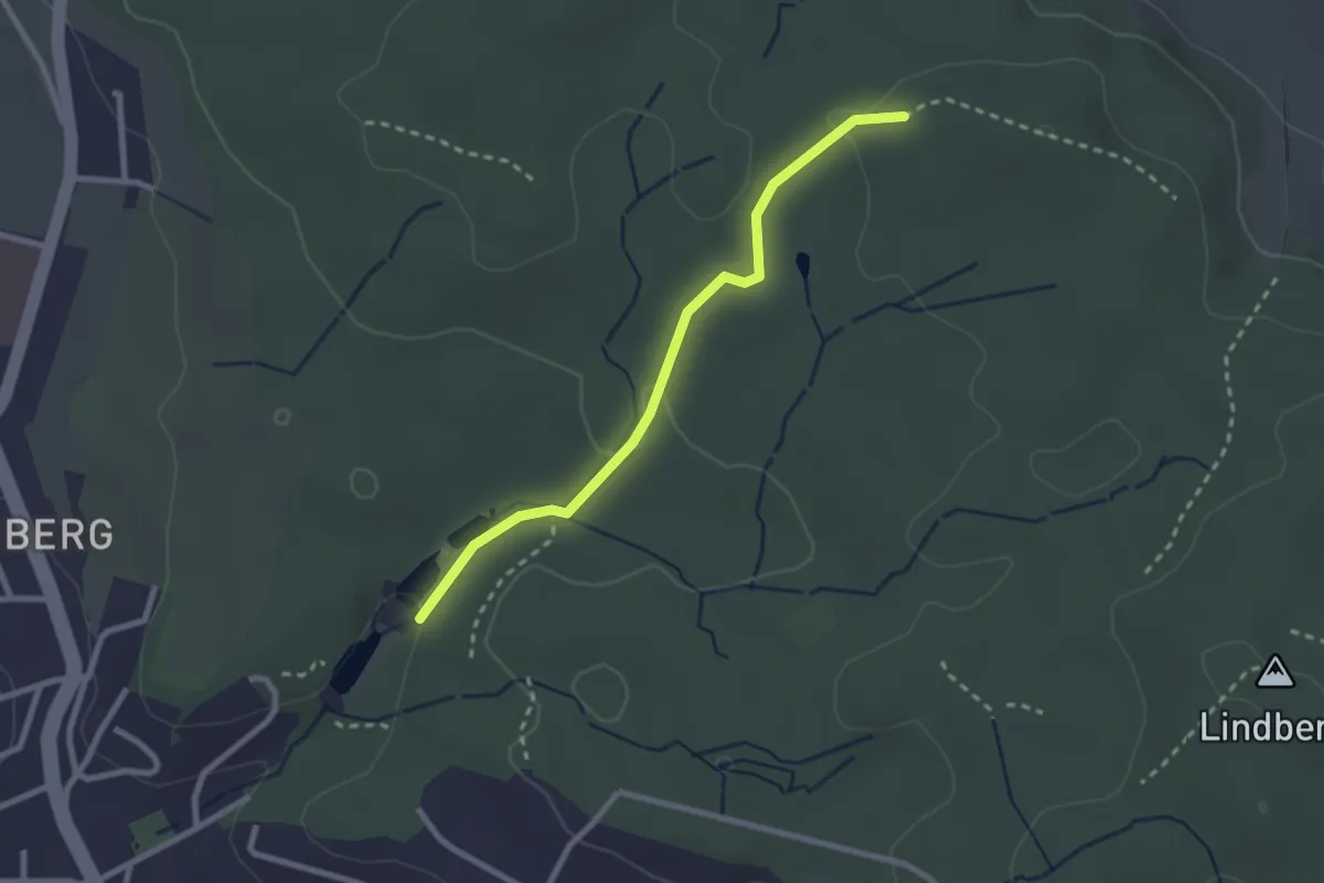
Easy · Trail
Walcheweier – Erlen
2.4 km · ↑ 42 m · 40 min · 13 km away
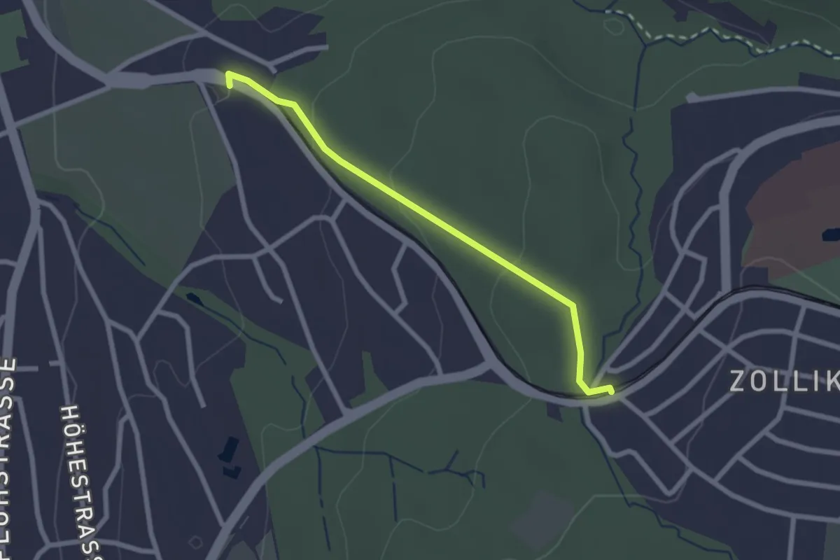
Easy · Trail
Rehalp – Waldburg
2.2 km · ↑ 64 m · 39 min · 13 km away
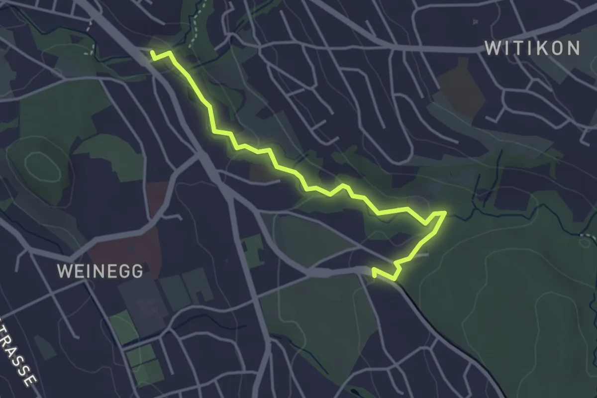
Easy · Trail
Burgwis – Rehalp
3.8 km · ↑ 69 m · 1 h 3 min · 13 km away
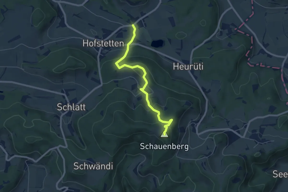
Easy · Summit
Schauenberg – Guwilmühle
5.5 km · ↑ 296 m · 1 h 56 min · 13 km away
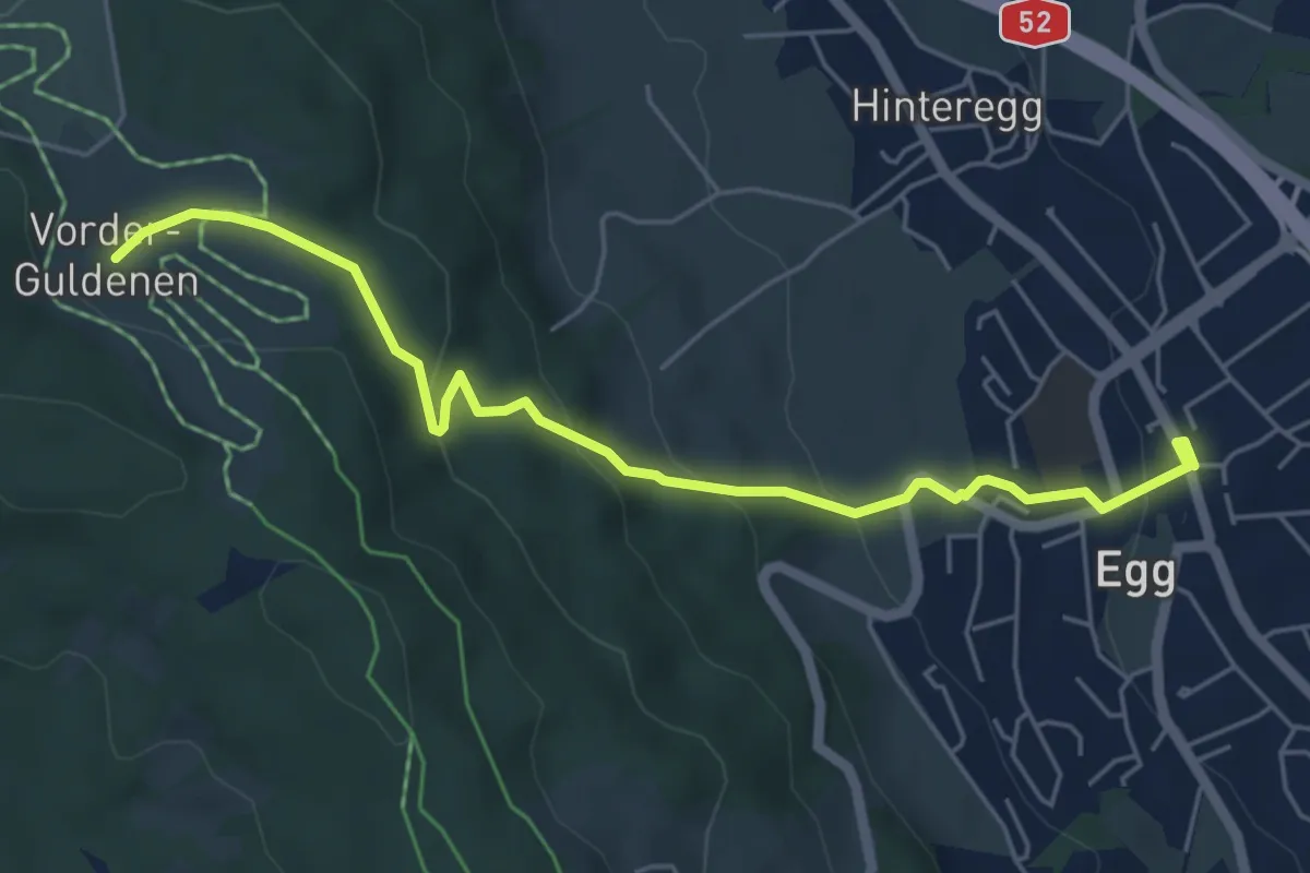
Easy · Trail
Egg – Vorderguldenen
5.6 km · ↑ 246 m · 1 h 52 min · 13 km away
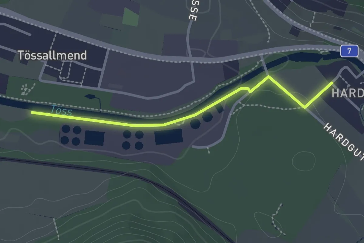
Easy · Trail
Hardau – Tiefster Punkt
2.4 km · ↑ 21 m · 37 min · 13 km away
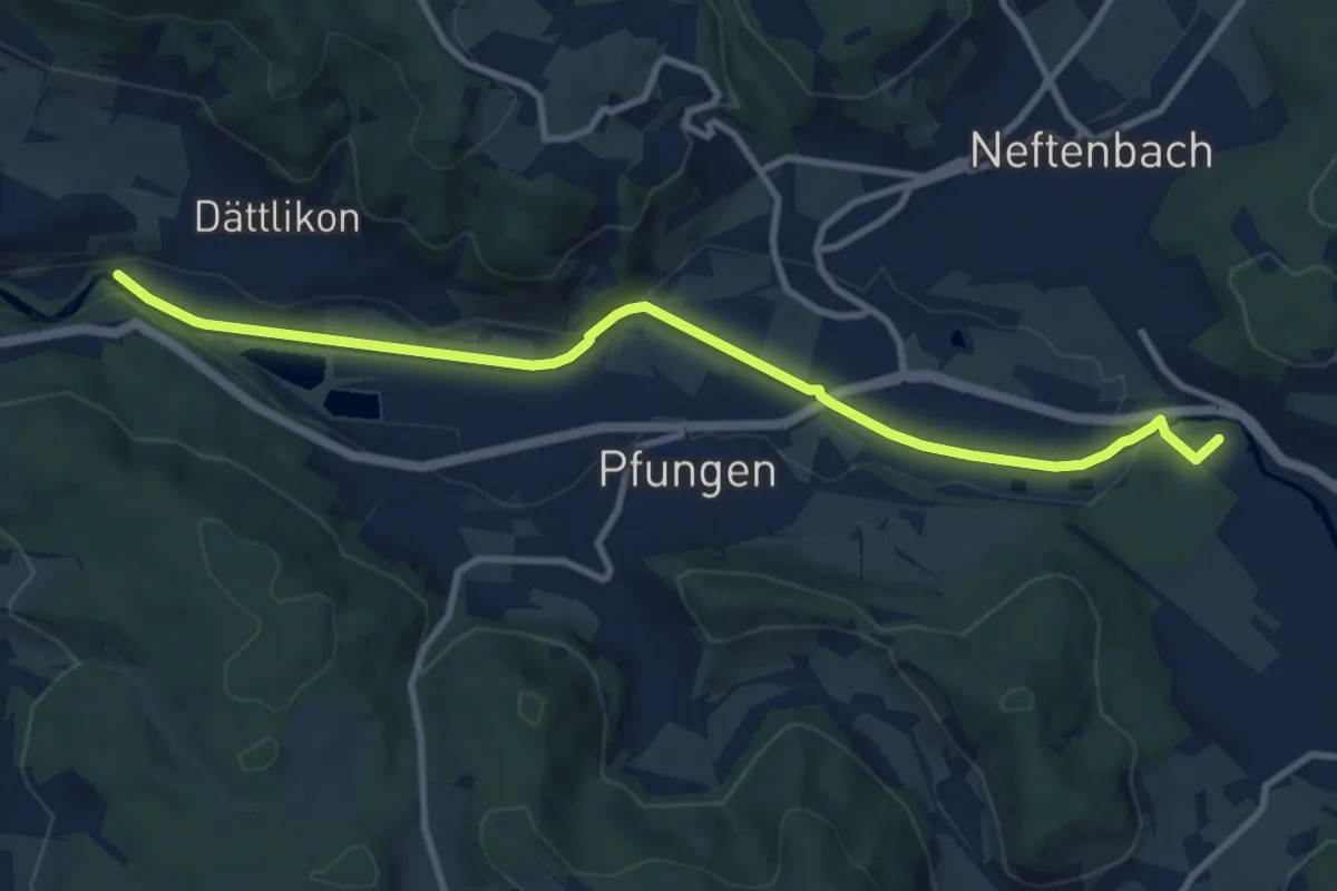
Medium · Trail
Hardau – Blindensteg
10.2 km · ↑ 81 m · 2 h 35 min · 13 km away
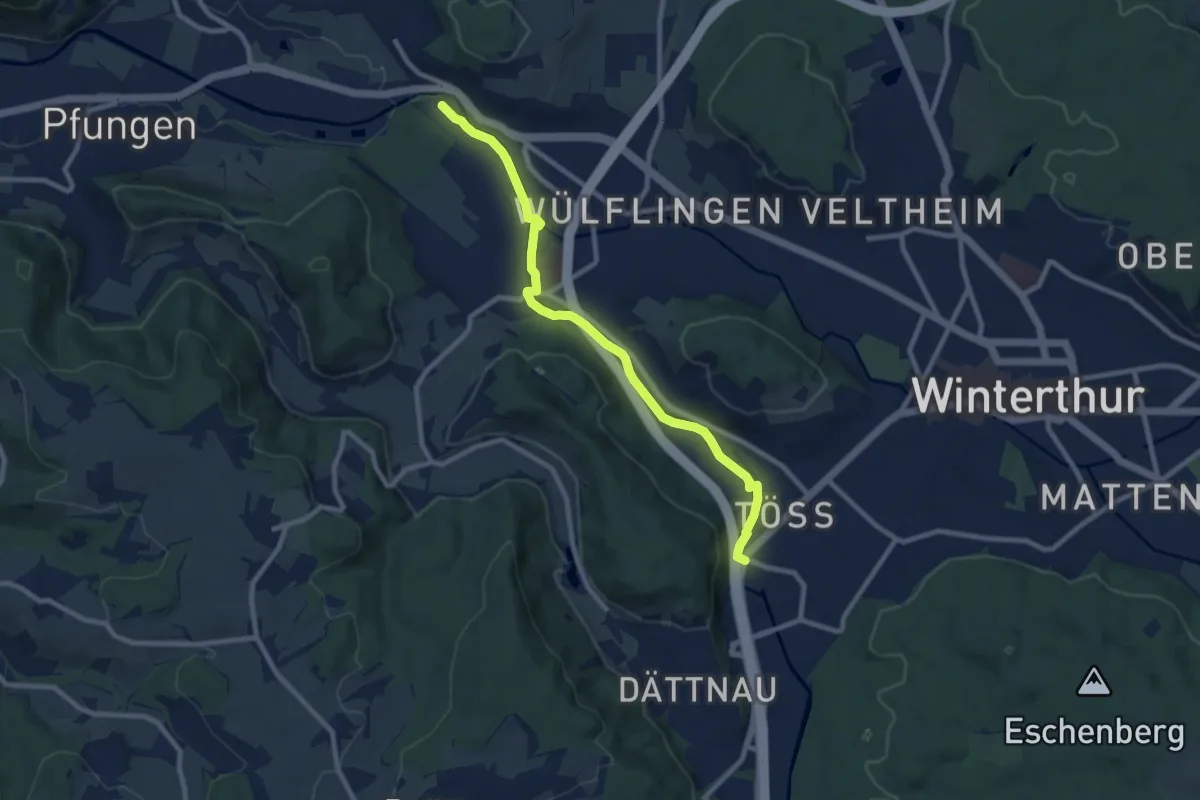
Medium · Trail
Winterthur Töss – Hardau
9.1 km · ↑ 51 m · 2 h 15 min · 13 km away
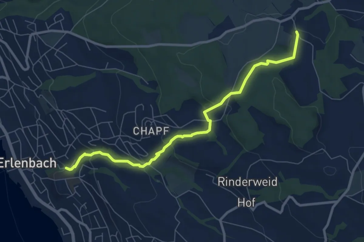
Easy · Trail
Limberg - Erlenbach Dorfbach
7.0 km · ↑ 273 m · 2 h 15 min · 13 km away
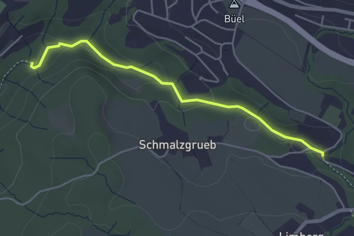
Easy · Trail
Johannisburg – Tobelmüli
3.7 km · ↑ 87 m · 1 h 4 min · 13 km away
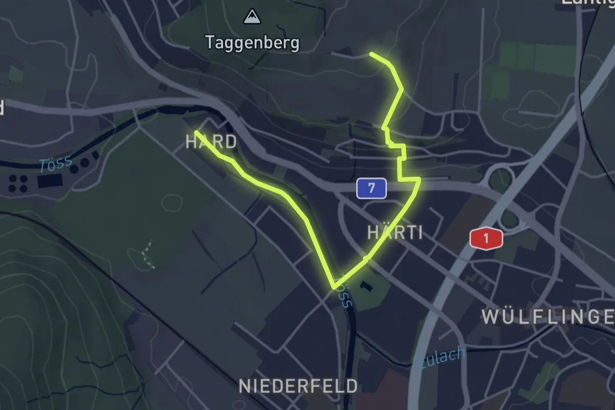
Easy · Trail
Taggenberg – Hardau
4.3 km · ↑ 80 m · 1 h 11 min · 13 km away
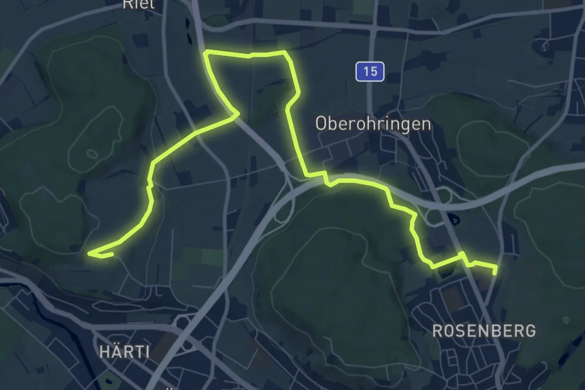
Medium · Trail
Bushaltestelle Rosenberg – Taggenberg
11.7 km · ↑ 126 m · 3 h 2 min · 13 km away
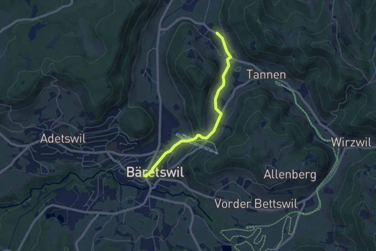
Easy · Trail
Bäretswil - Rüetswil - Hinterburg
4.8 km · ↑ 135 m · 1 h 25 min · 13 km away
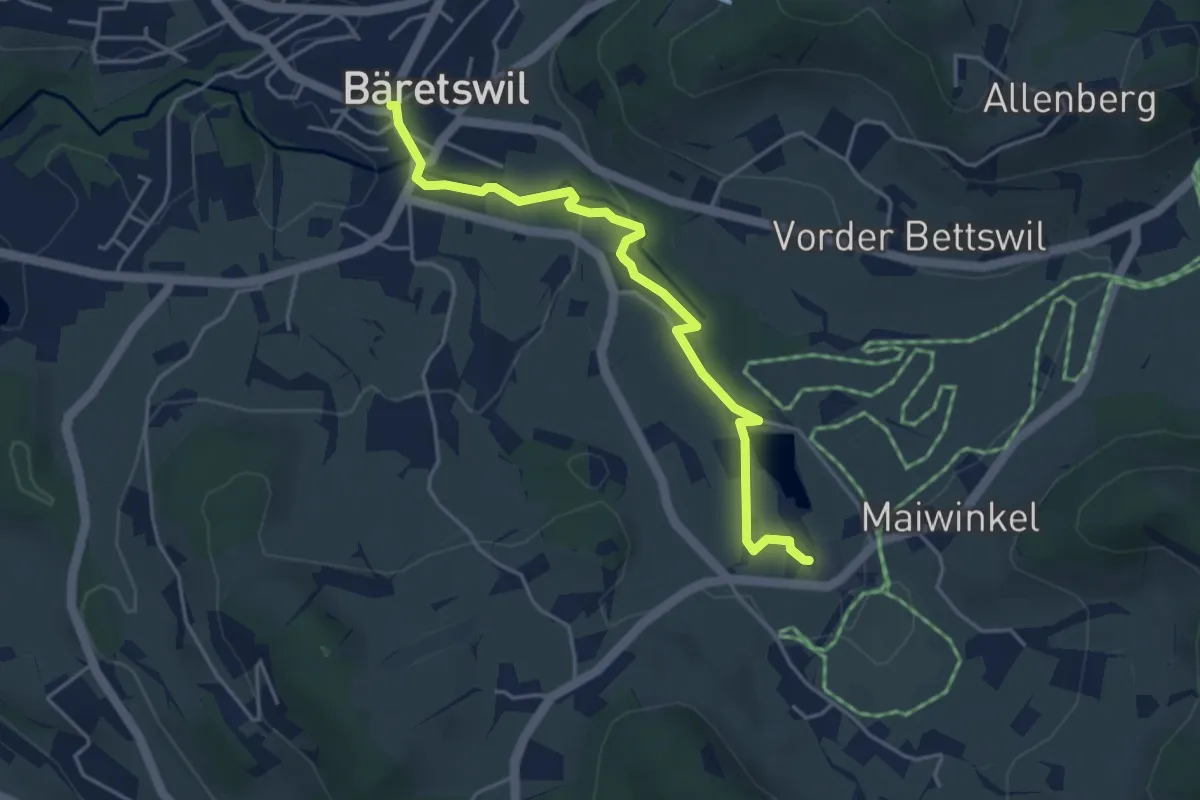
Easy · Trail
Bäretswil – Stockrüti
4.3 km · ↑ 85 m · 1 h 12 min · 13 km away
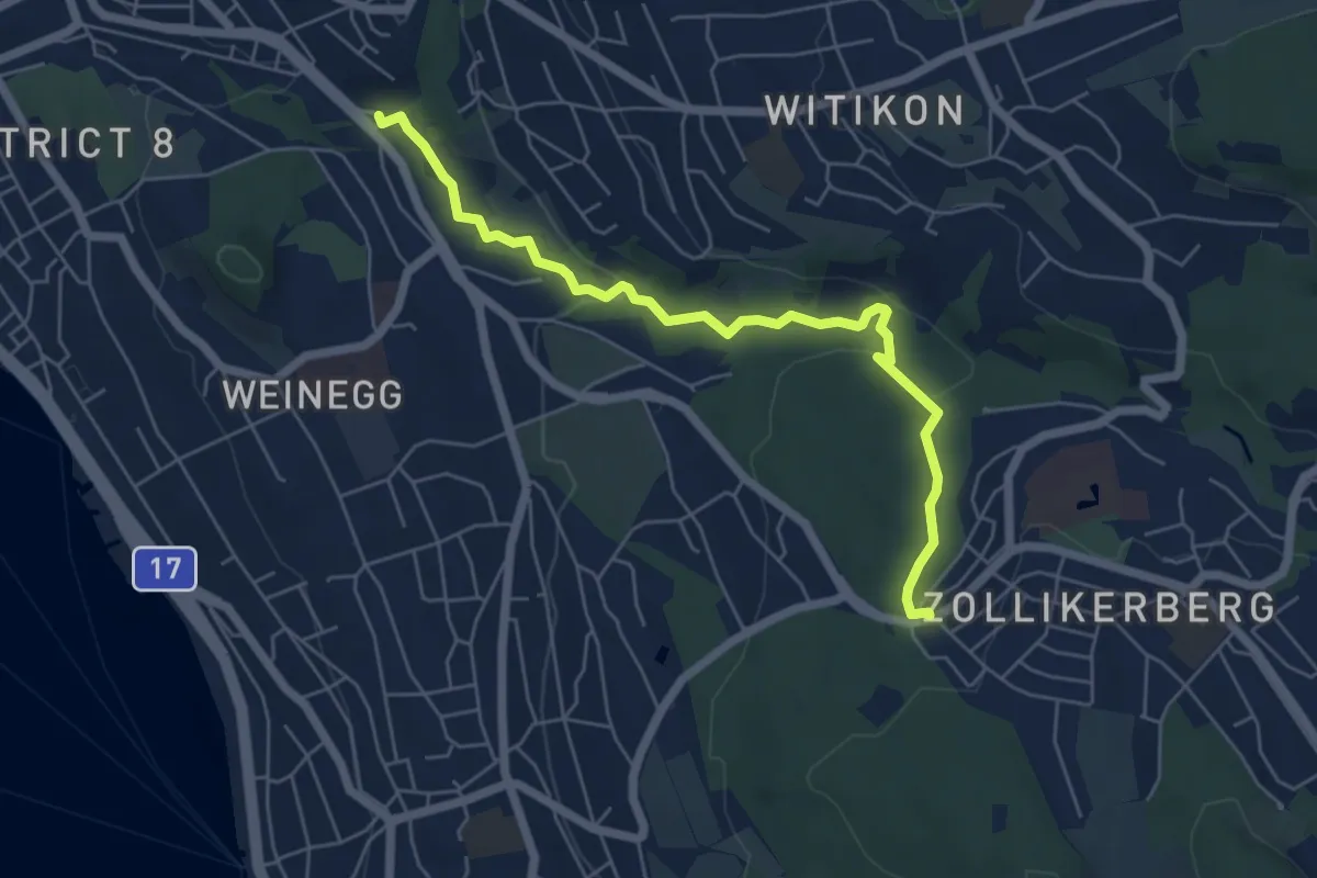
Easy · Trail
Burgwis - Waldburg
6.0 km · ↑ 128 m · 1 h 41 min · 13 km away
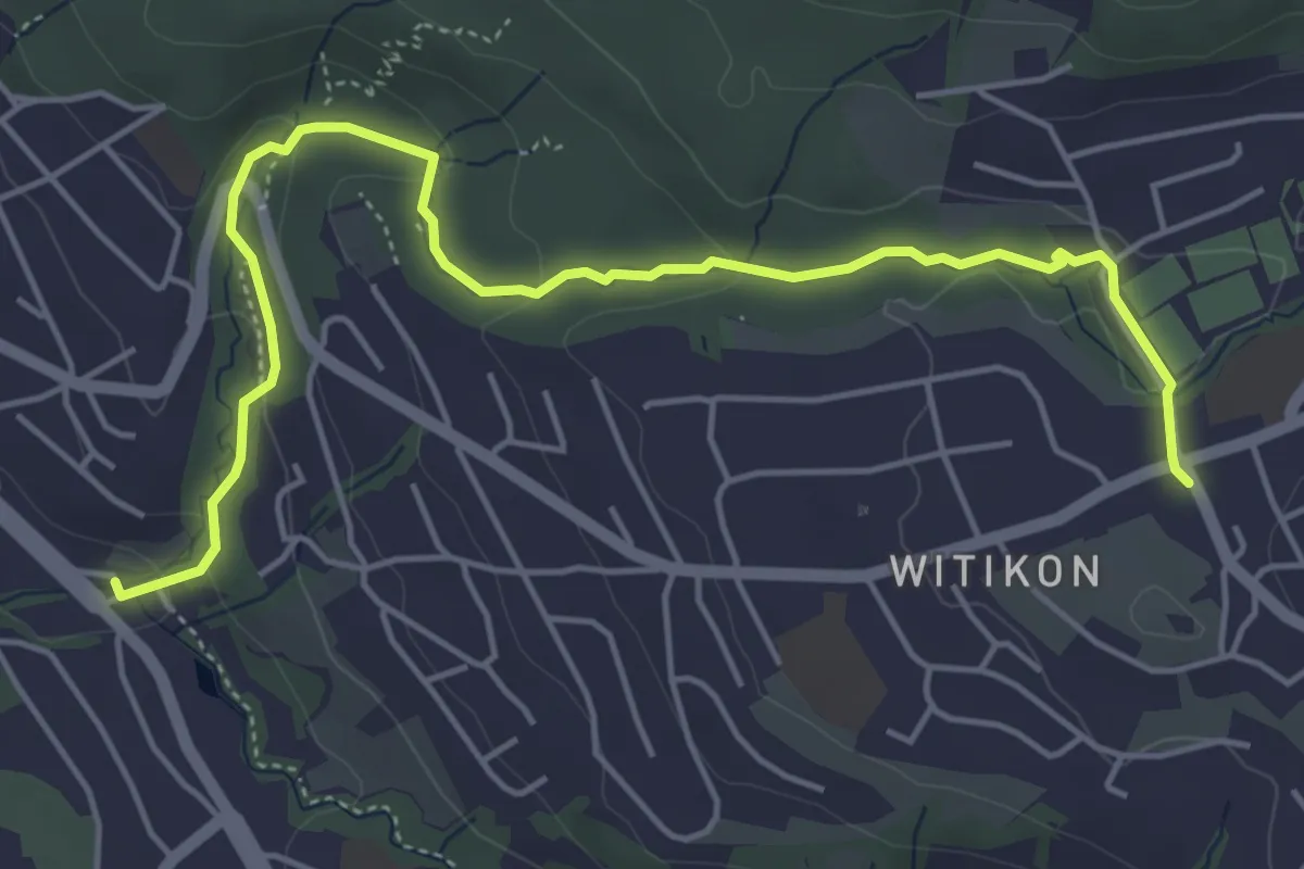
Easy · Trail
Burgwis - Witikon
5.8 km · ↑ 143 m · 1 h 40 min · 13 km away
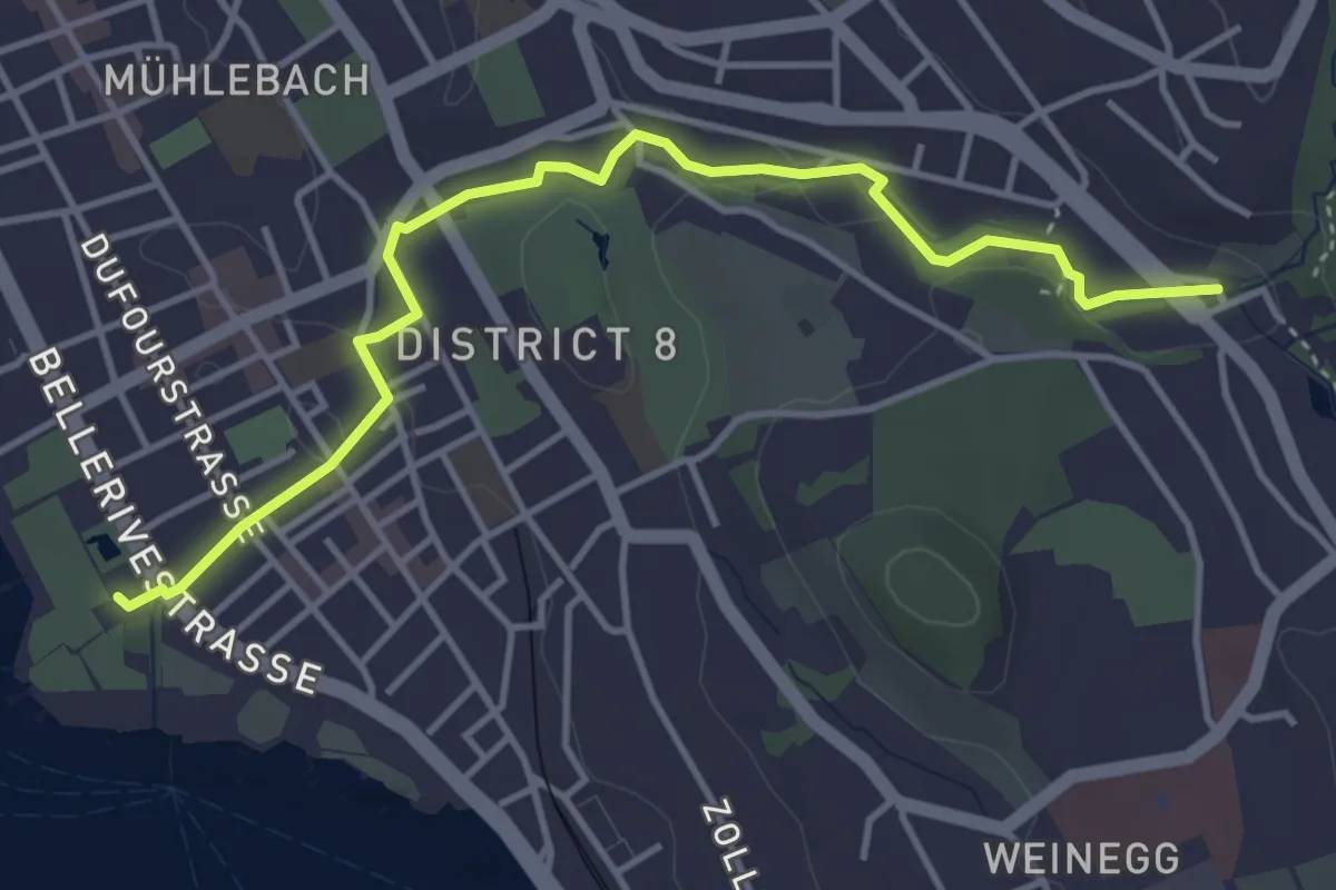
Easy · Trail
Burgwis - Zürichhorn
4.4 km · ↑ 49 m · 1 h 8 min · 13 km away
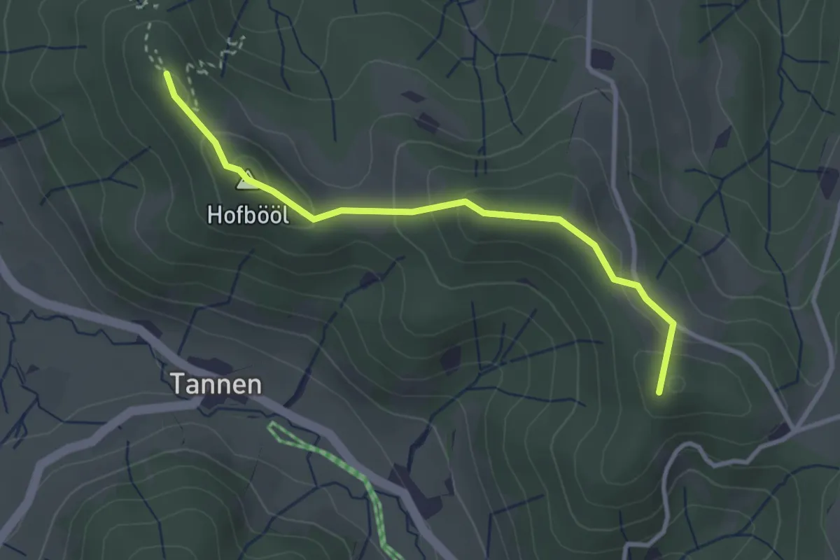
Easy · Summit
Hohenegg - Sunnenhof
2.9 km · ↑ 153 m · 1 h 2 min · 13 km away
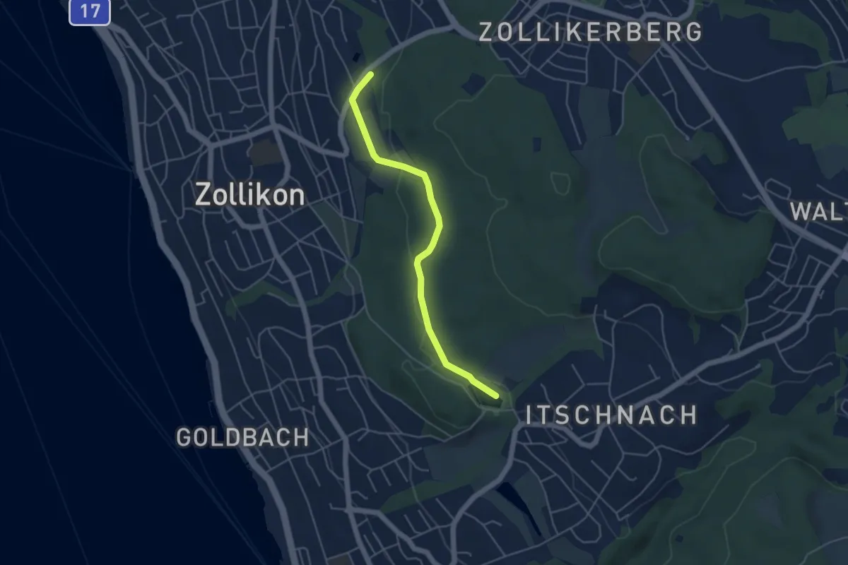
Easy · Trail
Zollikon – Allmend
4.3 km · ↑ 77 m · 1 h 11 min · 13 km away
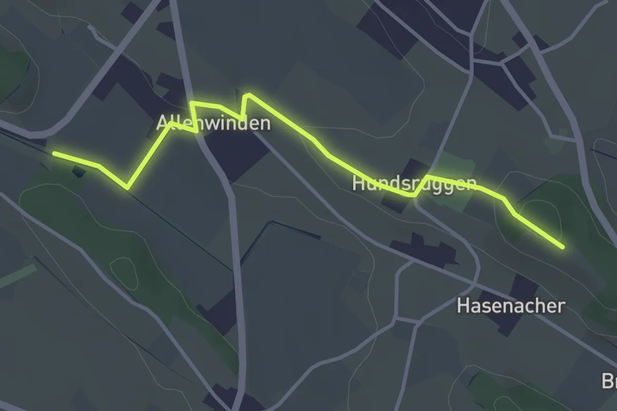
Easy · Trail
Alt Hellberg - Berghof
3.4 km · ↑ 63 m · 56 min · 13 km away
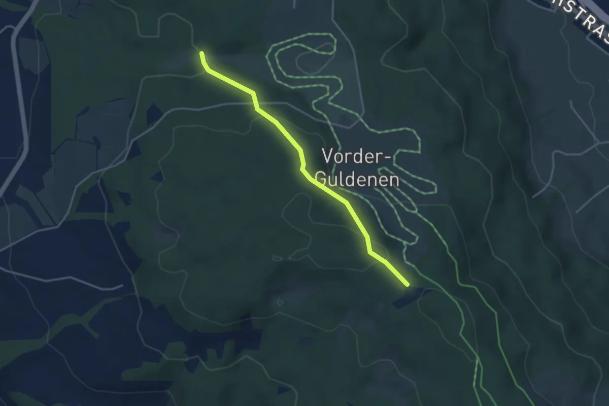
Easy · Trail
Chüelenmorgen – Guldener Höchi
3.3 km · ↑ 119 m · 1 h 2 min · 13 km away
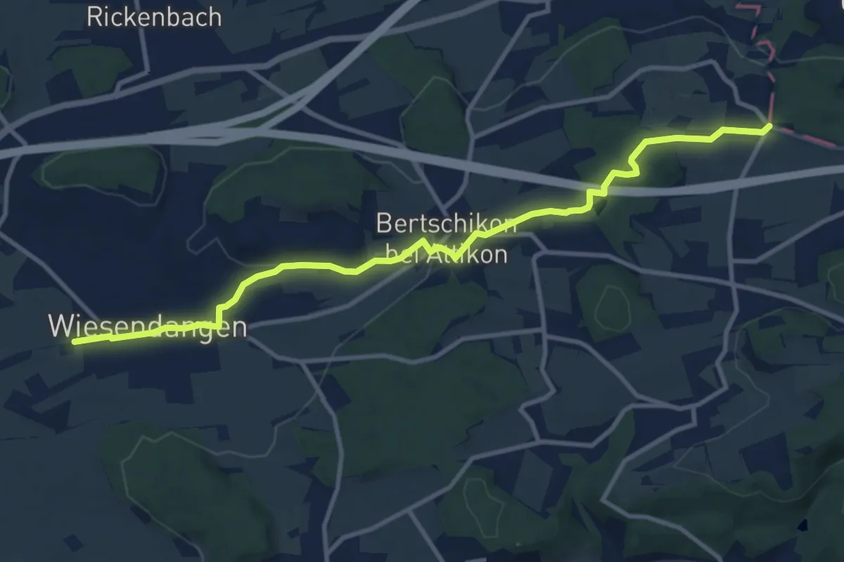
Medium · Trail
Weidhof - Brüelacker
10.5 km · ↑ 146 m · 2 h 48 min · 13 km away
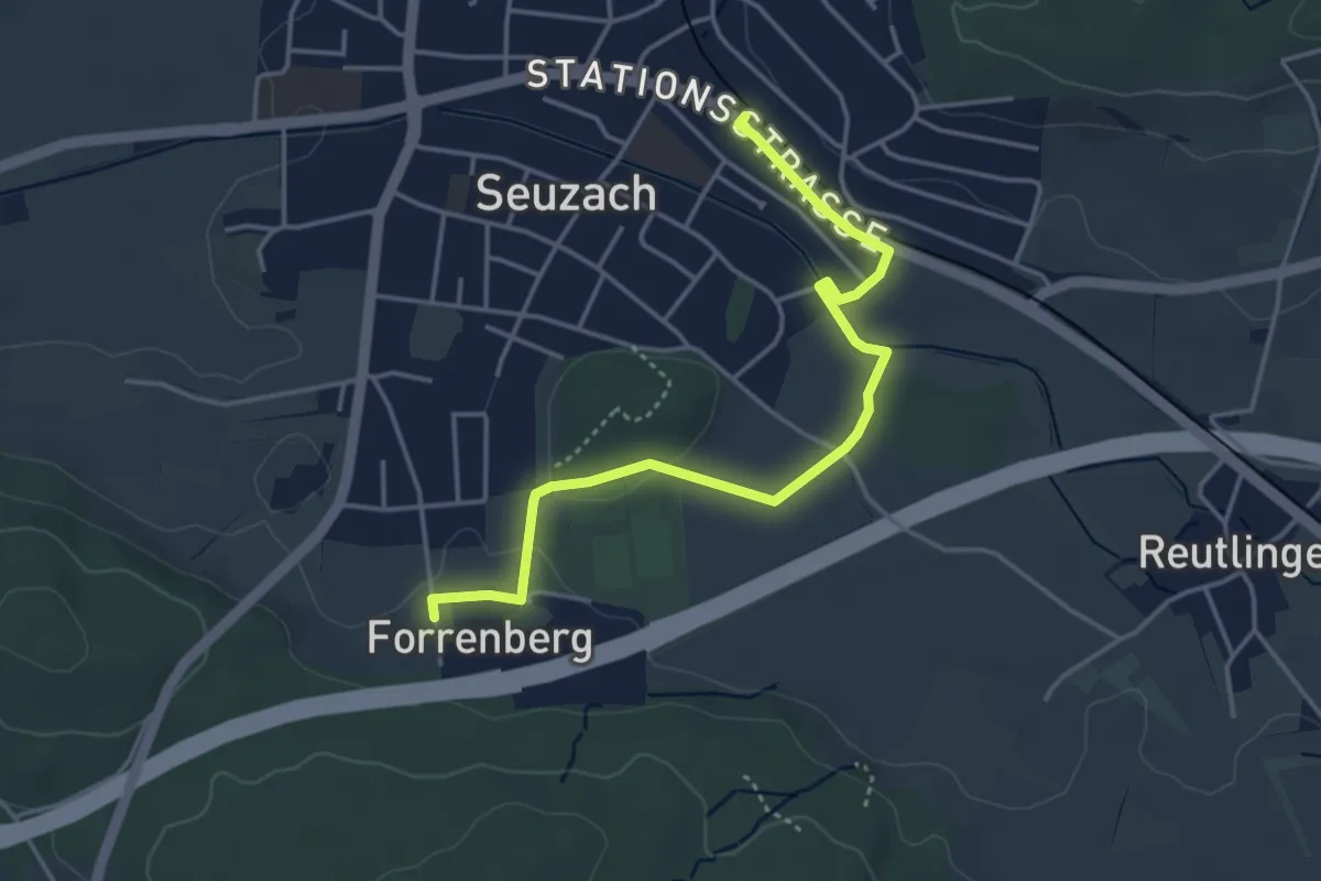
Easy · Trail
Bahnhof Seuzach – Forrenberg
4.2 km · ↑ 32 m · 1 h 3 min · 13 km away
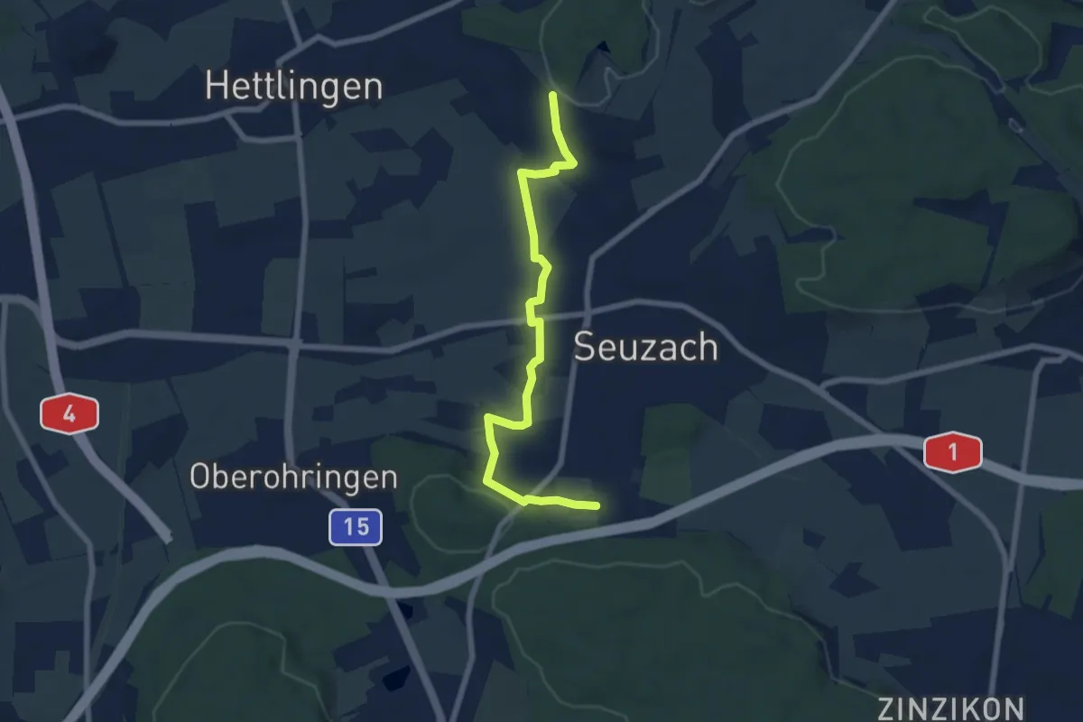
Easy · Trail
Forrenberg – Heimenstein
6.6 km · ↑ 118 m · 1 h 50 min · 13 km away
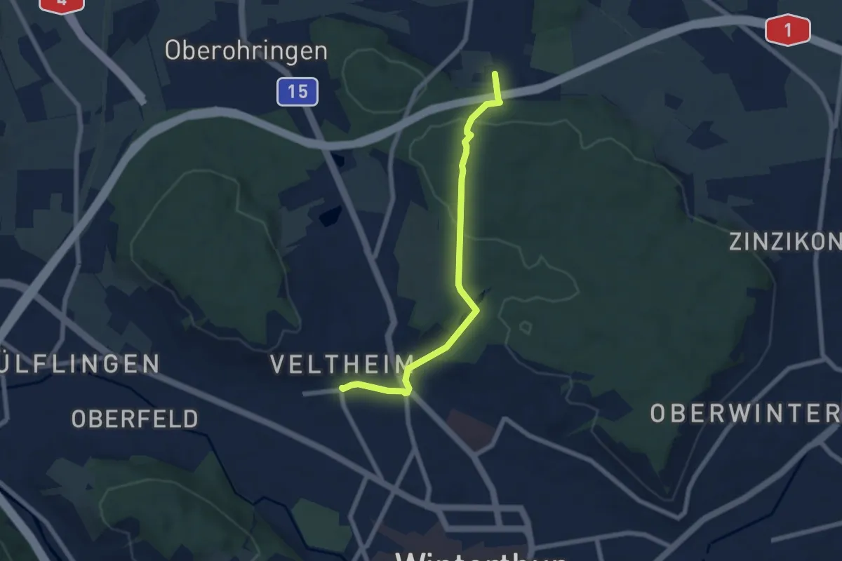
Easy · Trail
Forrenberg – Winterthur Veltheim
5.7 km · ↑ 132 m · 1 h 38 min · 13 km away
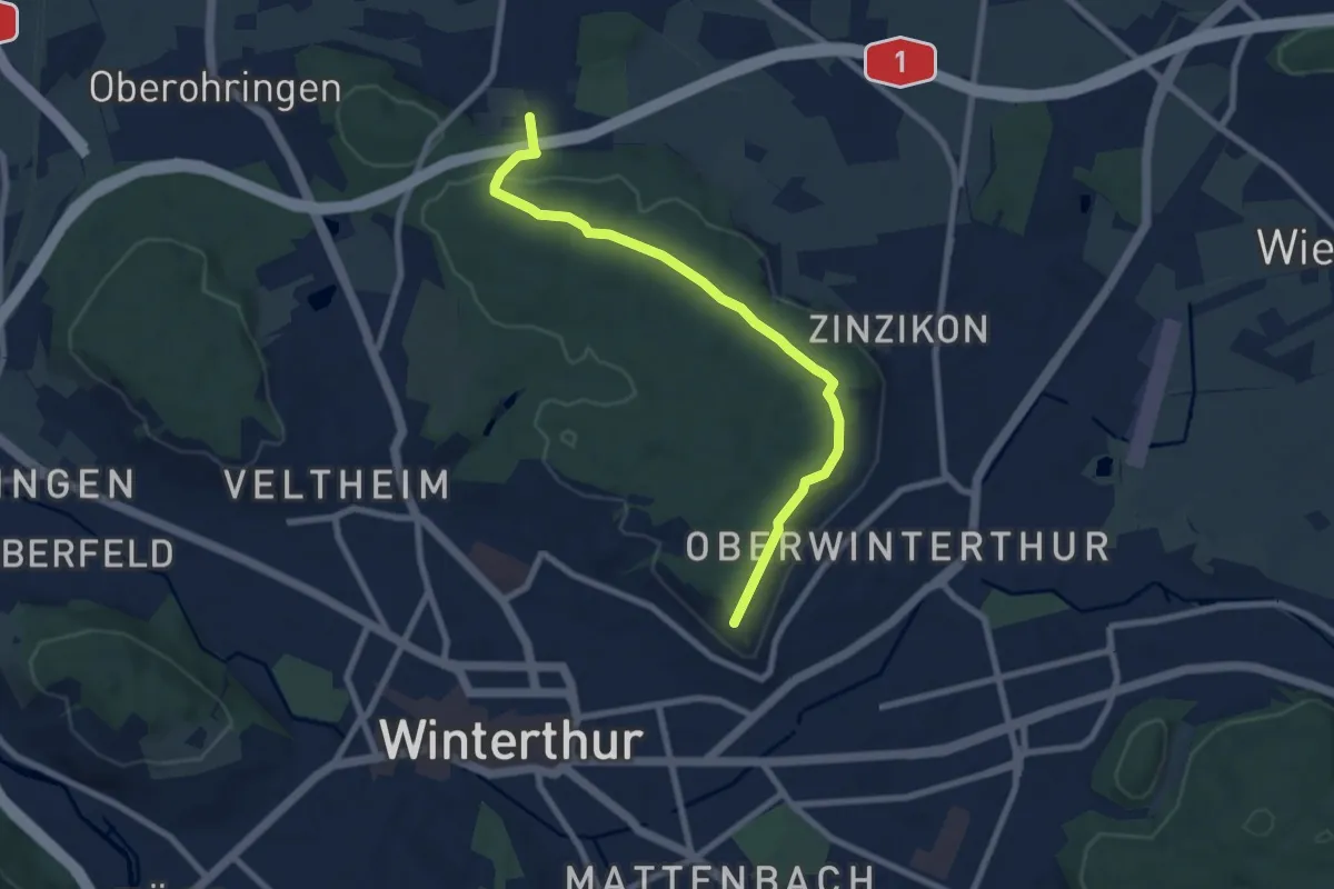
Easy · Trail
Forrenberg – Bäumli
7.8 km · ↑ 170 m · 2 h 12 min · 13 km away
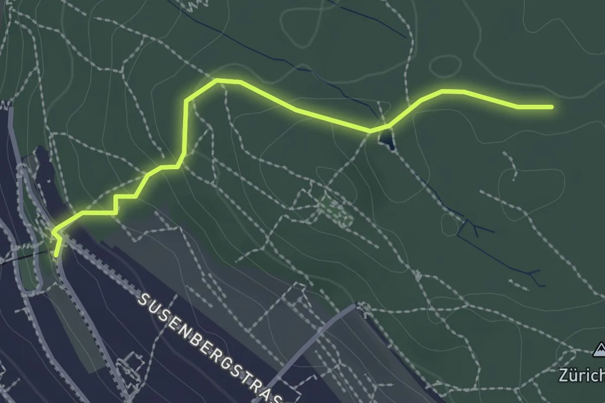
Easy · Trail
Rigiblick – Zürichberg
2.4 km · ↑ 76 m · 44 min · 13 km away