Trails near Illnau
619 hikes starting within 15 km, nearest first.
Nearest first, page 9 of 13
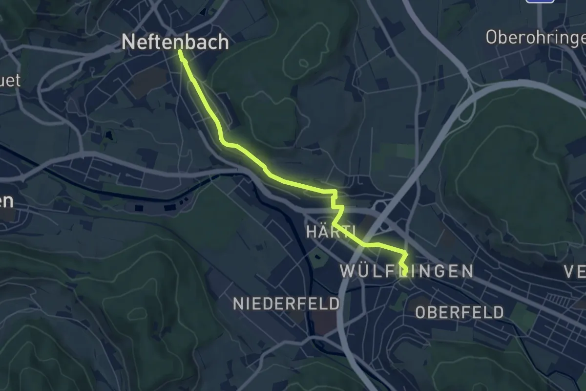
Easy · Trail
Winterthur Wülflingen – Neftenbach
6.5 km · ↑ 105 m · 1 h 45 min · 12 km away
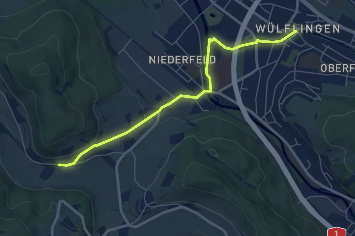
Easy · Trail
Winterthur Wülflingen – Weiertal
5.8 km · ↑ 104 m · 1 h 35 min · 12 km away
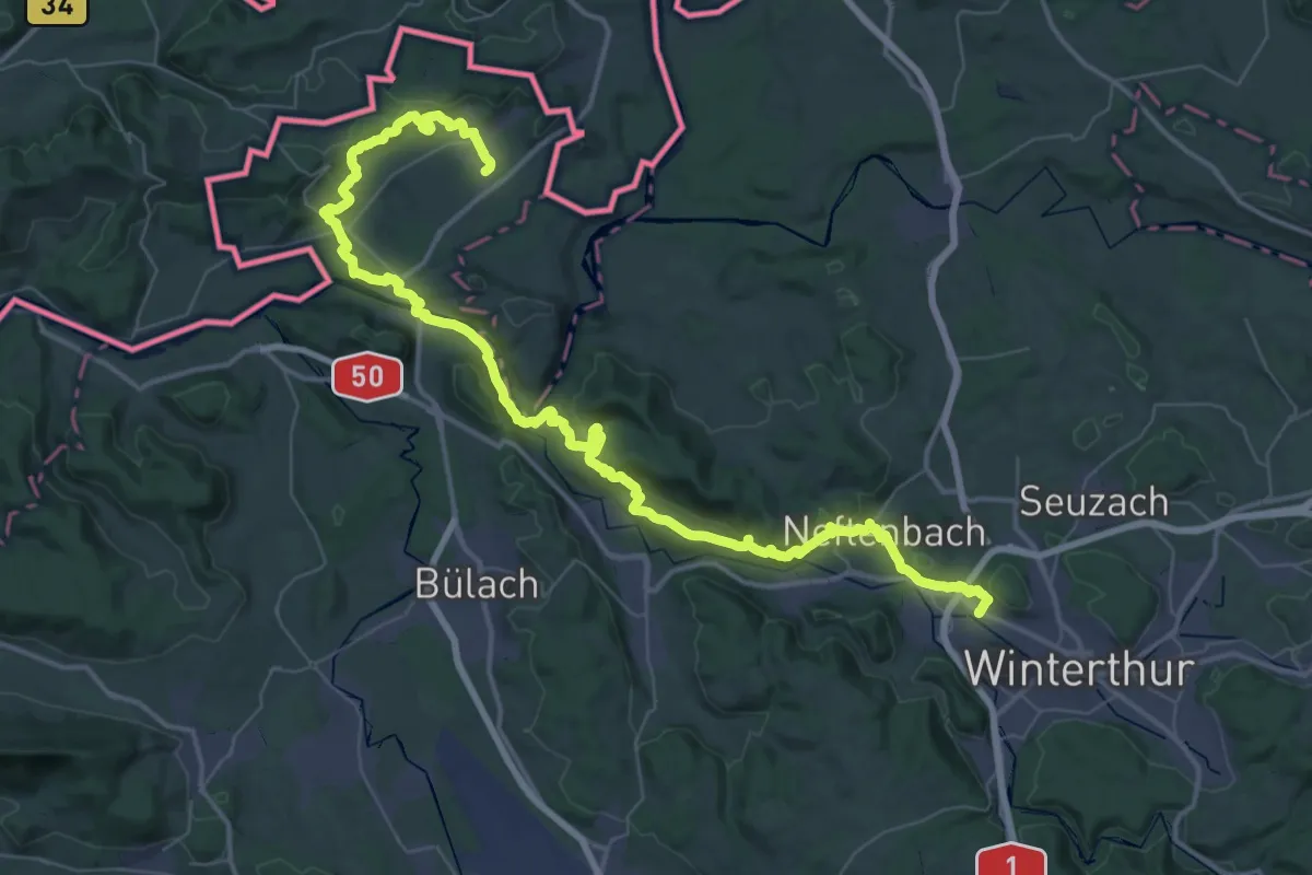
Demanding · Trail
Lebendiger Weinweg
32.9 km · ↑ 837 m · 10 h 3 min · 12 km away
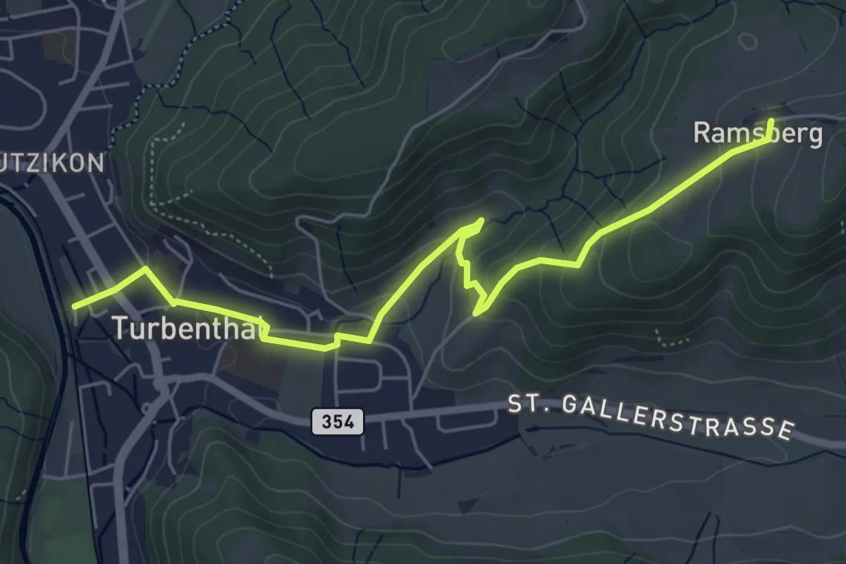
Easy · Trail
Ramsberg – Turbenthal
5.9 km · ↑ 214 m · 1 h 52 min · 12 km away
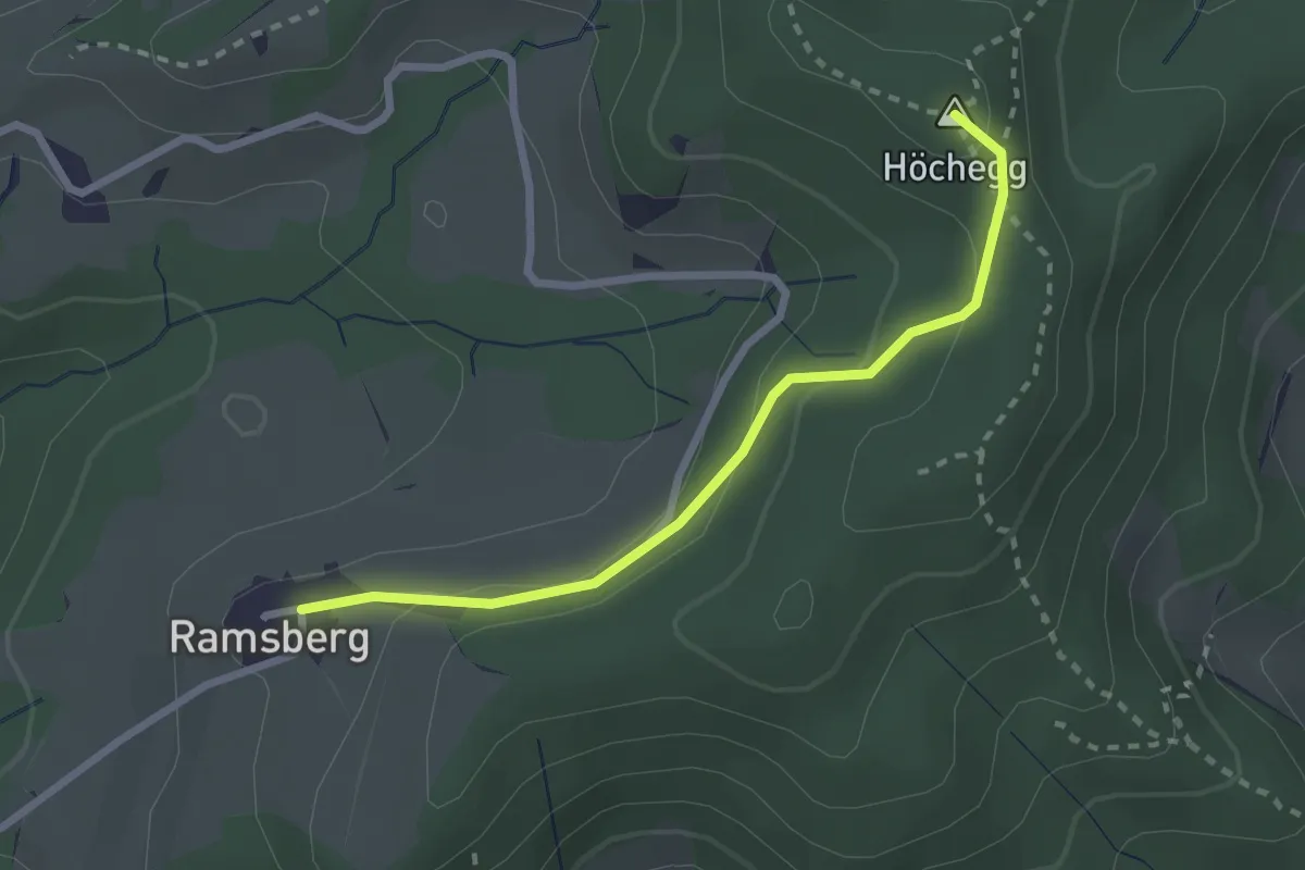
Easy · Summit
Seelmatten – Ramsberg
2.4 km · ↑ 101 m · 47 min · 12 km away
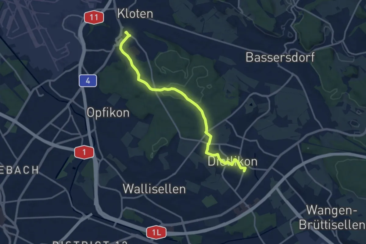
Medium · Trail
Dietlikon – Kloten
10.9 km · ↑ 129 m · 2 h 52 min · 12 km away
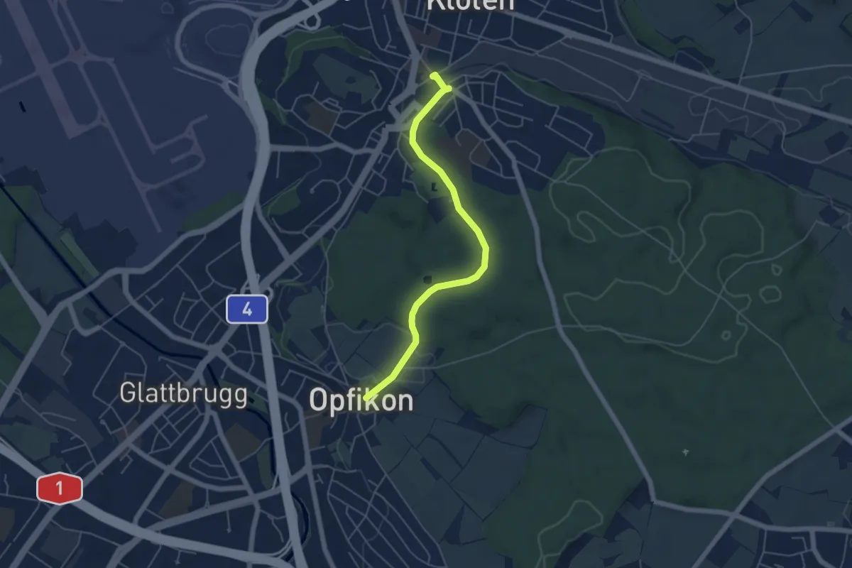
Easy · Trail
Kloten – Opfikon
4.9 km · ↑ 63 m · 1 h 18 min · 12 km away
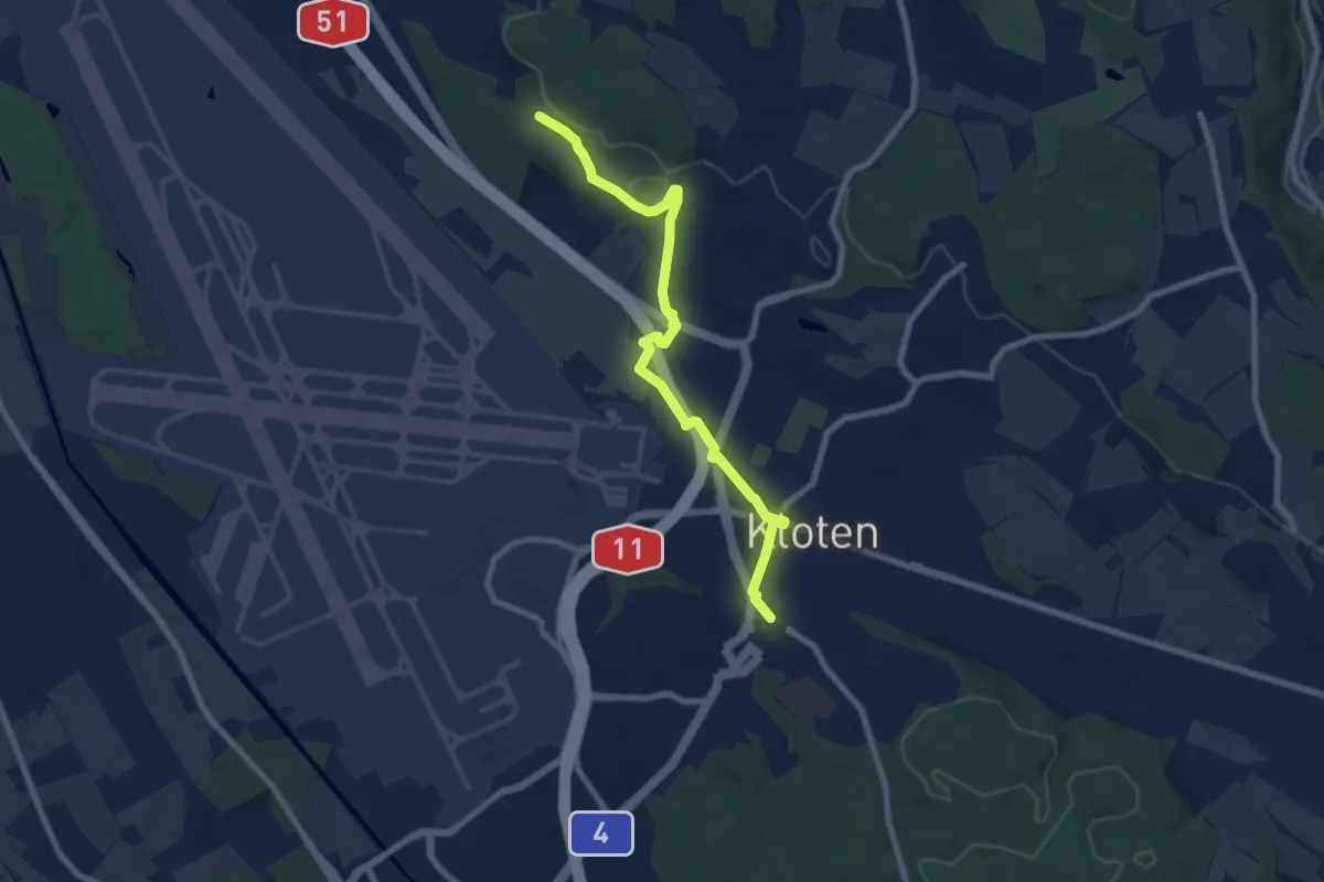
Easy · Trail
Kloten – Homberg
7.8 km · ↑ 89 m · 2 h 2 min · 12 km away
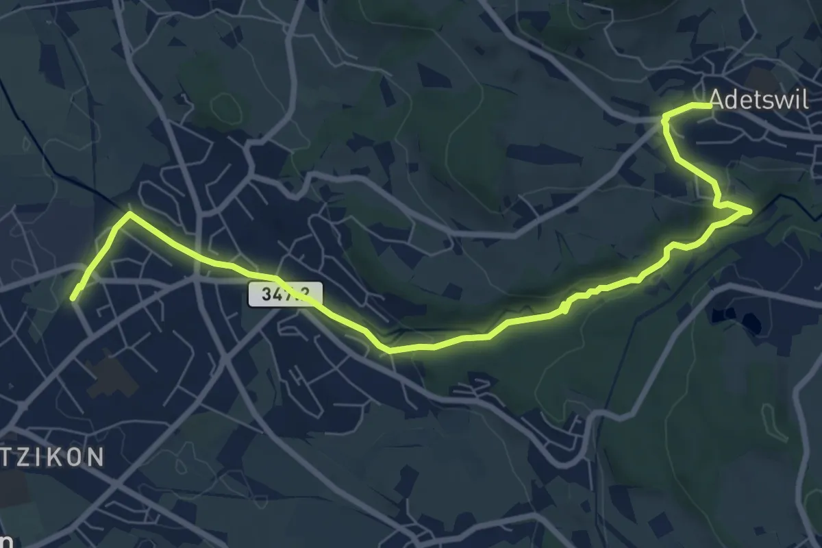
Medium · Trail
Kempten - Adetswil
8.7 km · ↑ 194 m · 2 h 28 min · 12 km away
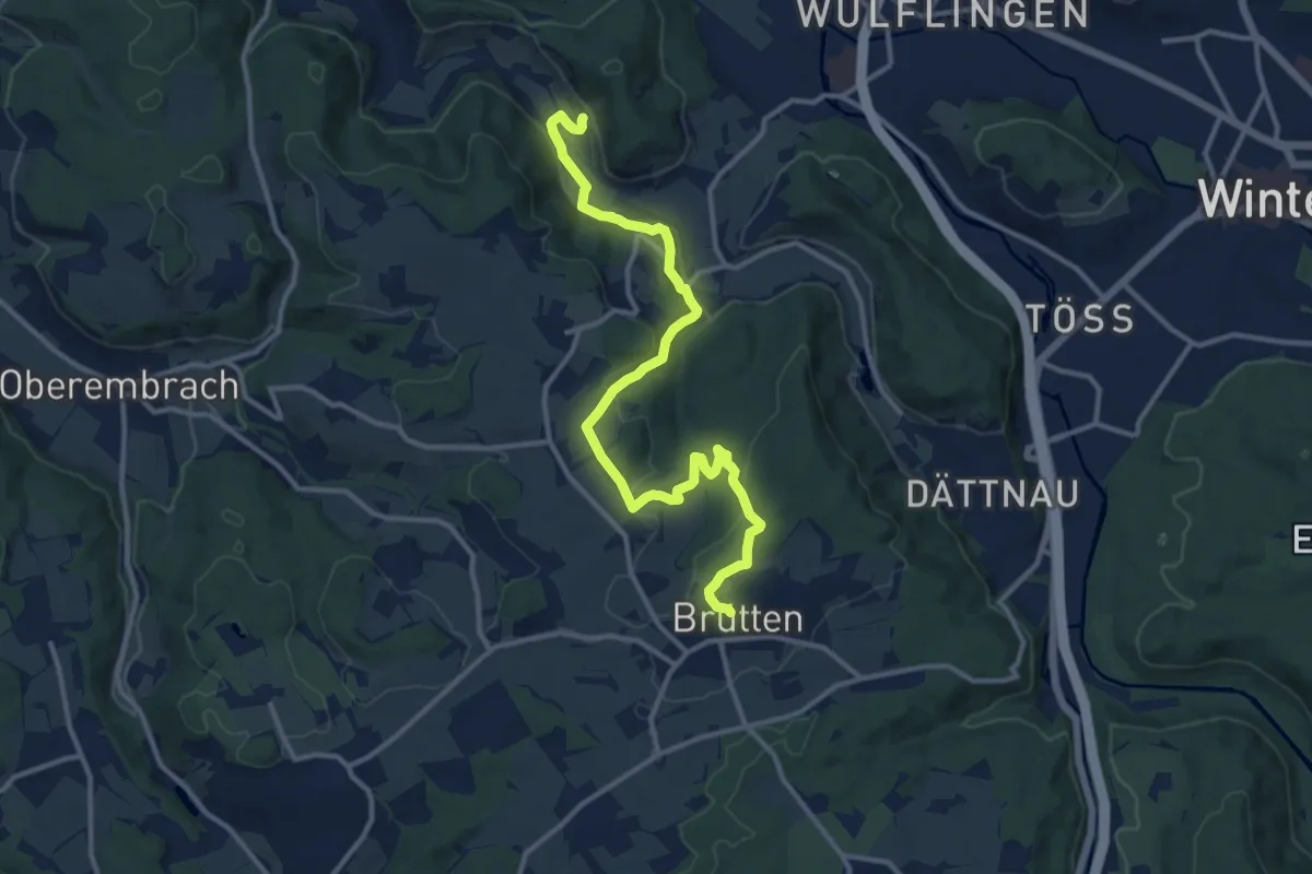
Medium · Trail
Vorder Rumstal – Brütten
13.4 km · ↑ 396 m · 4 h 1 min · 12 km away
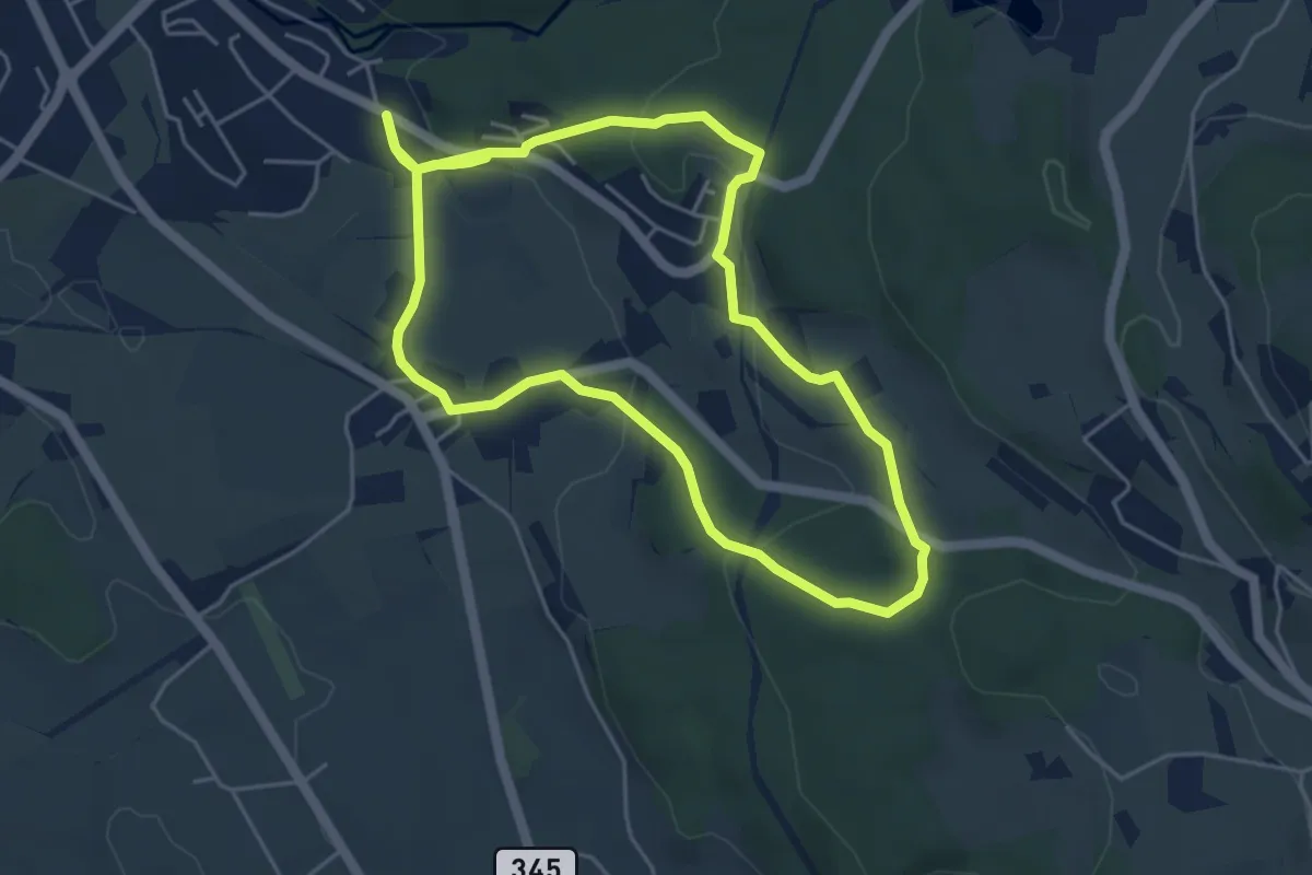
Easy · Trail
Rundweg Emmetschloo
4.6 km · ↑ 157 m · 1 h 29 min · 12 km away
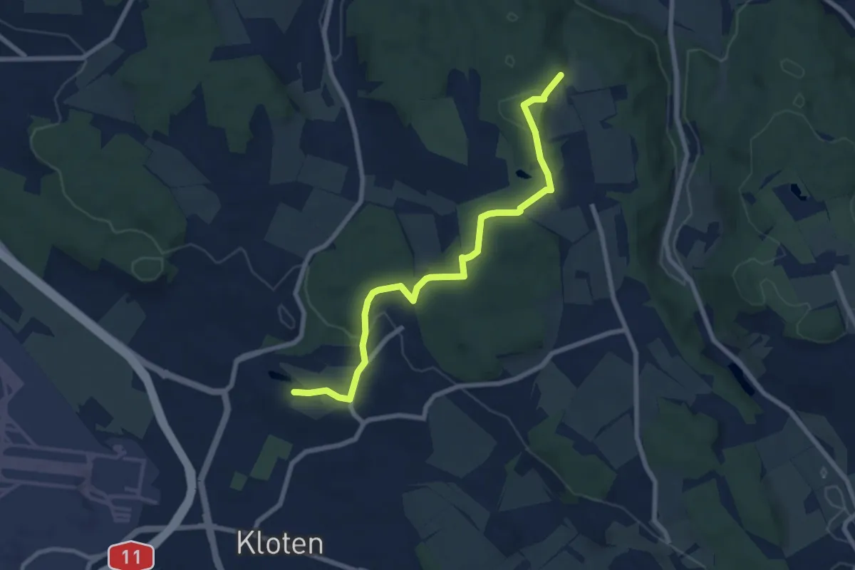
Easy · Trail
Nägelimoos - Hinterbänikon
7.2 km · ↑ 165 m · 2 h 4 min · 12 km away
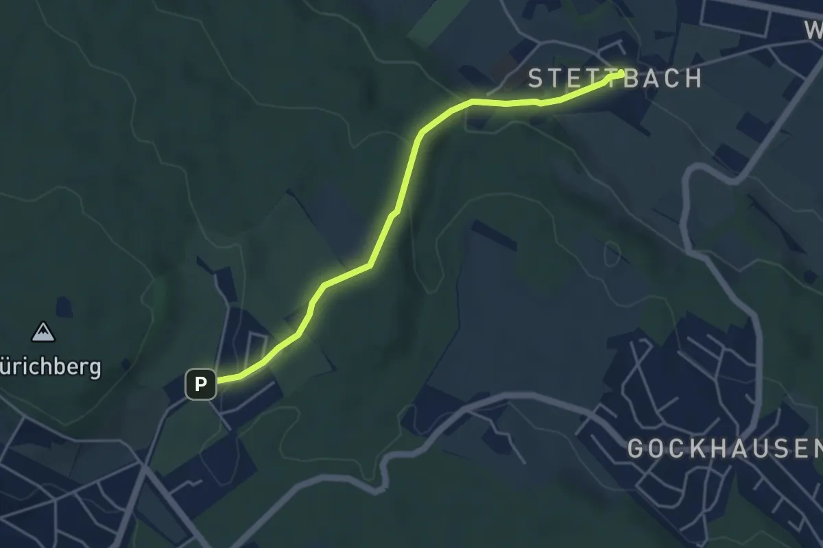
Easy · Trail
Stettbach – Zoo
4.1 km · ↑ 155 m · 1 h 18 min · 12 km away
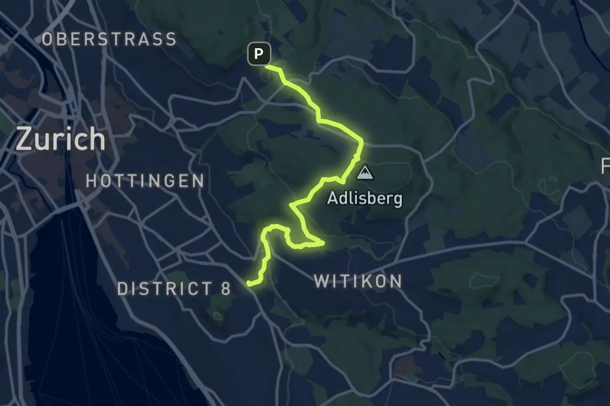
Medium · Trail
Familien-Wanderweg Zoo - Burgwies
11.5 km · ↑ 337 m · 3 h 27 min · 12 km away
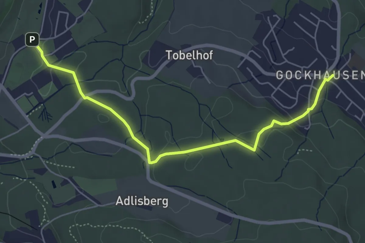
Easy · Trail
Gockhausen – Zoo
5.3 km · ↑ 117 m · 1 h 31 min · 12 km away
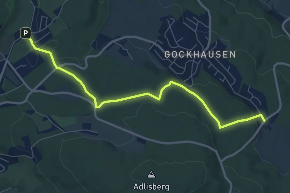
Easy · Trail
Zoo – Geeren
6.7 km · ↑ 122 m · 1 h 51 min · 12 km away
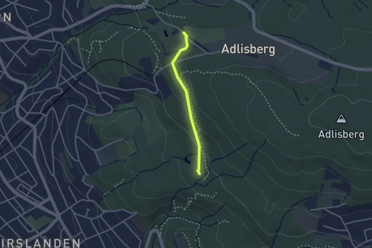
Easy · Trail
Degenried - Dolder
2.1 km · ↑ 69 m · 39 min · 12 km away
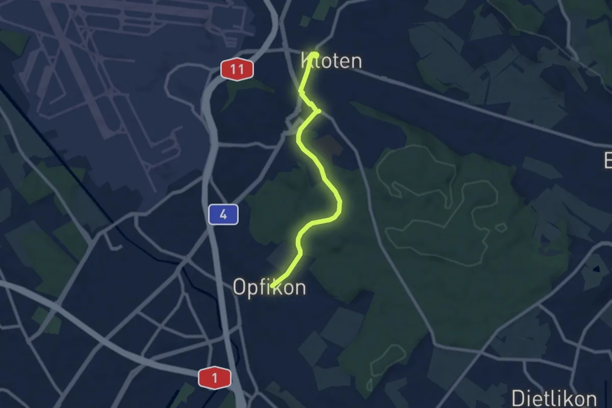
Easy · Pilgrim path
Hugenotten- und Waldenserweg
3.1 km · ↑ 39 m · 51 min · 12 km away
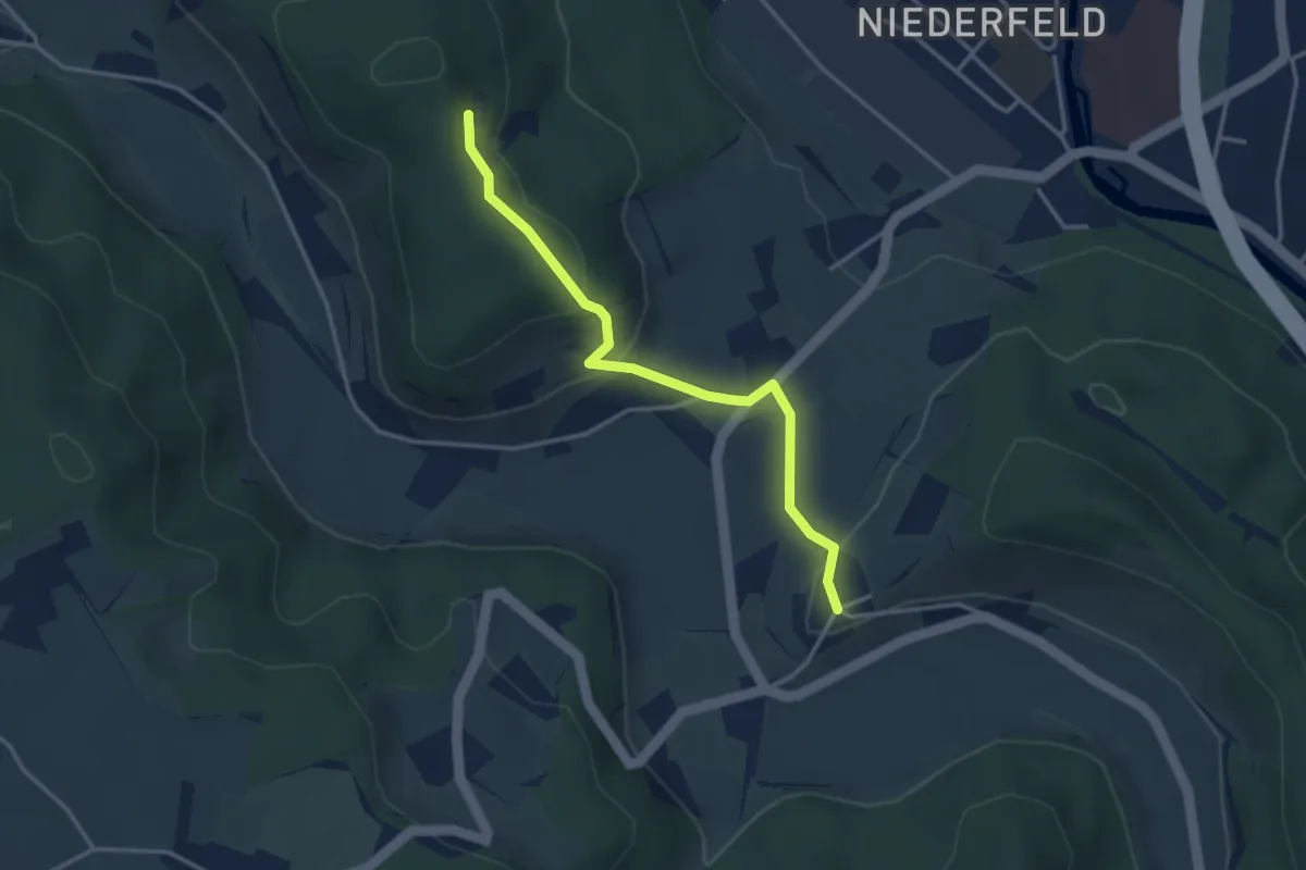
Easy · Trail
Neuburg - Berenberg Kloster
3.3 km · ↑ 140 m · 1 h 6 min · 12 km away
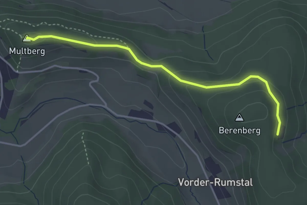
Easy · Summit
Berenberg Kloster - Multberg
3.5 km · ↑ 114 m · 1 h 4 min · 12 km away
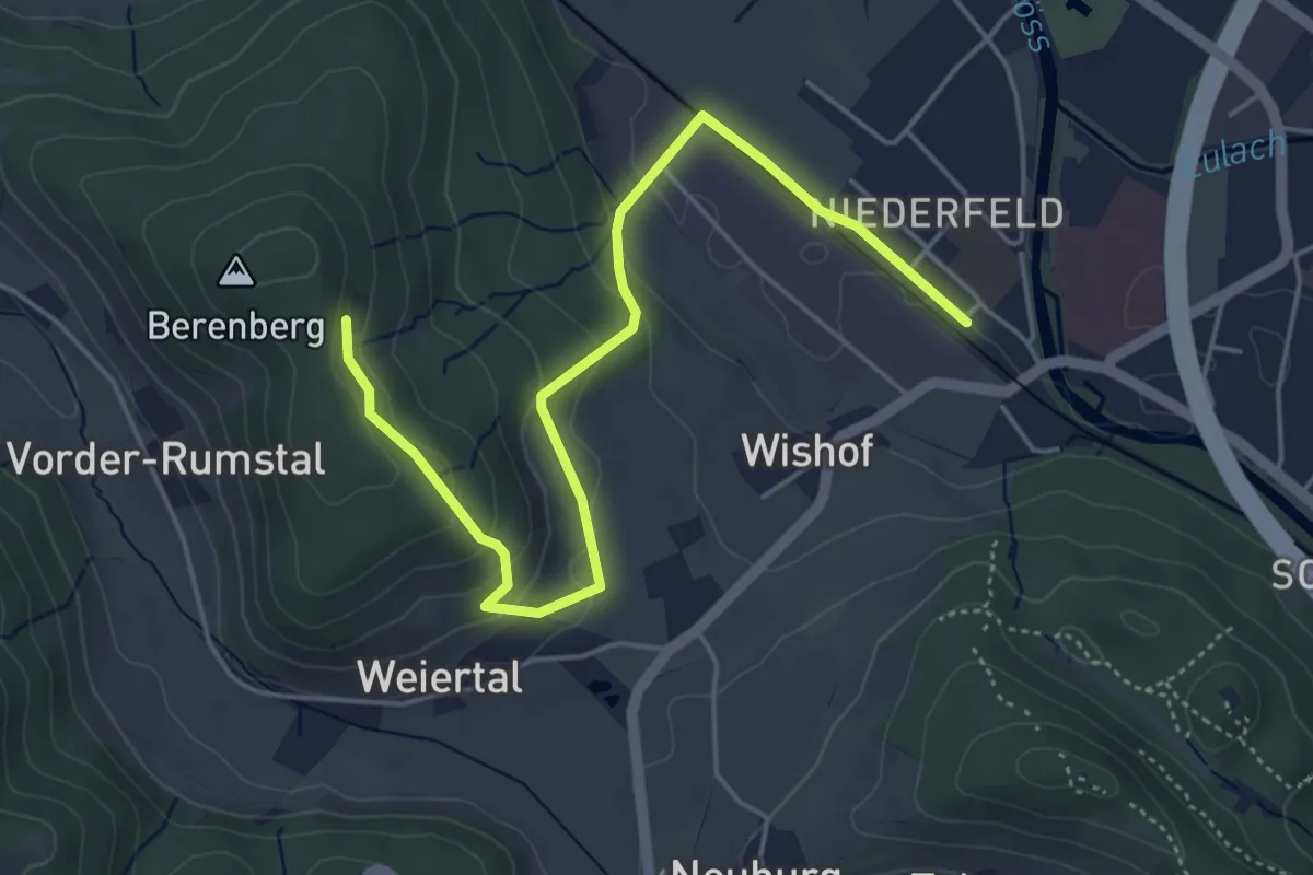
Easy · Trail
Winterthur Wülflingen – Berenberg Kloster
5.3 km · ↑ 199 m · 1 h 40 min · 12 km away
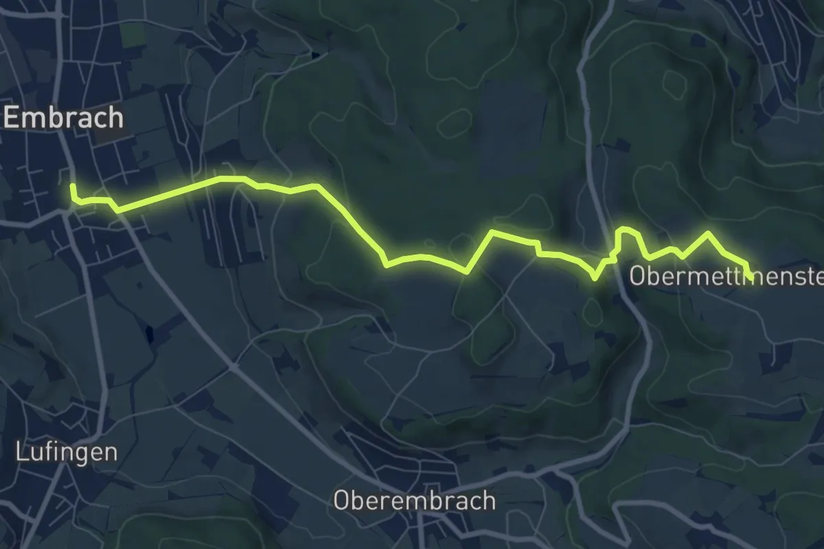
Medium · Trail
Ober Mettmenstetten – Embrach Oberdorf Bus
9.1 km · ↑ 300 m · 2 h 48 min · 12 km away
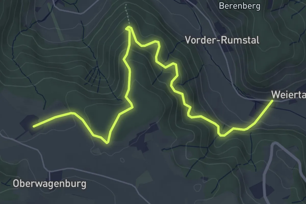
Medium · Trail
Weiertal - Ober Mettmenstetten
7.3 km · ↑ 420 m · 2 h 38 min · 12 km away
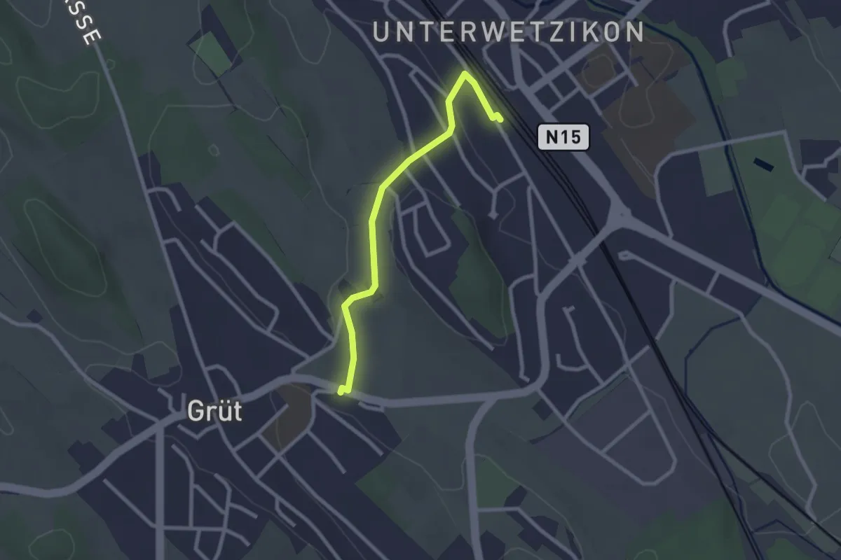
Easy · Trail
Wetzikon - Grüt
2.3 km · ↑ 22 m · 35 min · 12 km away
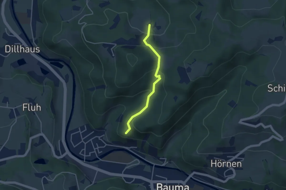
Easy · Trail
Ruine Altlandenberg – Chämmerli
2.8 km · ↑ 173 m · 1 h 2 min · 12 km away
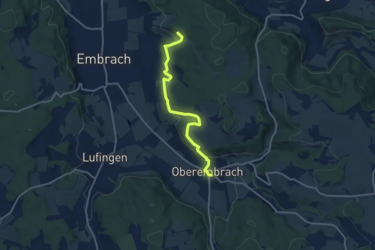
Easy · Trail
Oberembrach – Warpel
7.9 km · ↑ 234 m · 2 h 22 min · 12 km away
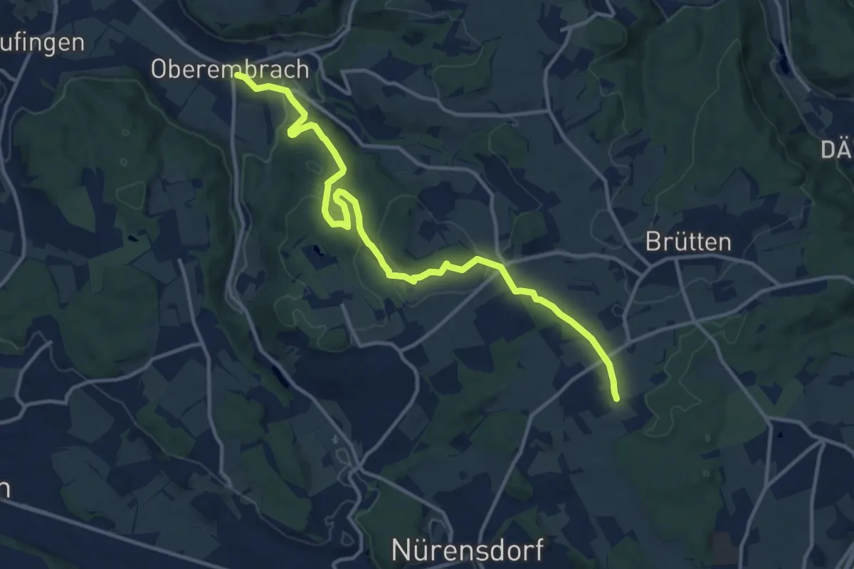
Medium · Trail
Oberembrach – Breite
13.6 km · ↑ 238 m · 3 h 44 min · 12 km away
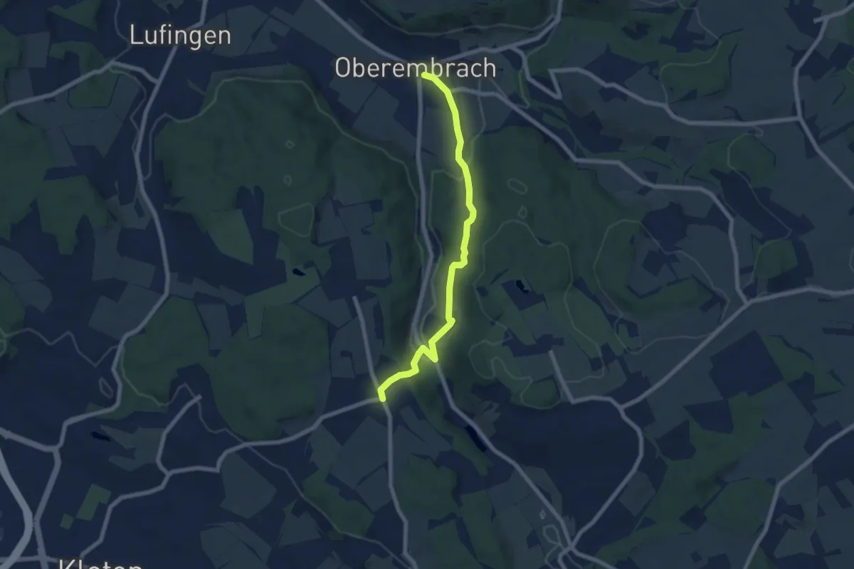
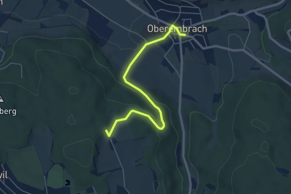
Easy · Trail
Oberembrach – Gerlisberg
6.5 km · ↑ 212 m · 1 h 59 min · 12 km away
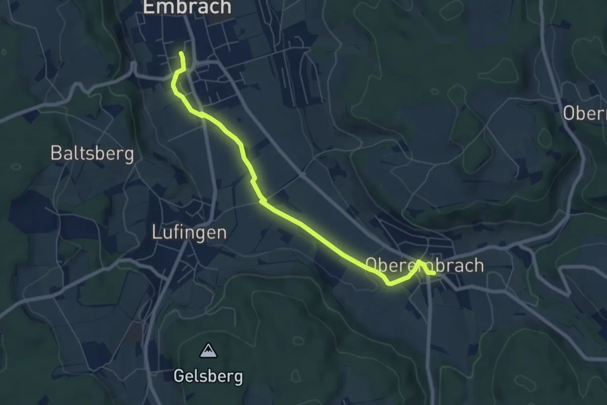
Easy · Trail
Hinterbänikon – Oberembrach
4.5 km · ↑ 136 m · 1 h 21 min · 12 km away
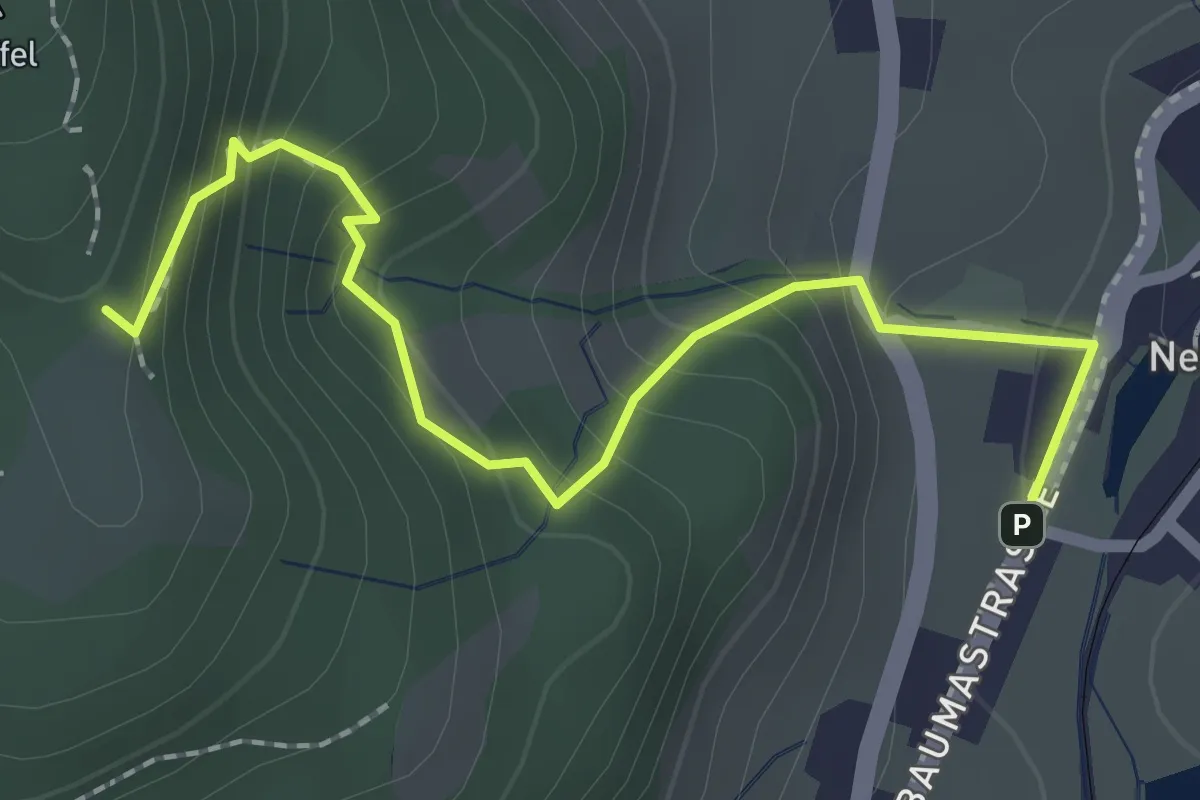
Easy · Trail
Embrach Oberdorf – Oberembrach
6.4 km · ↑ 34 m · 1 h 35 min · 12 km away
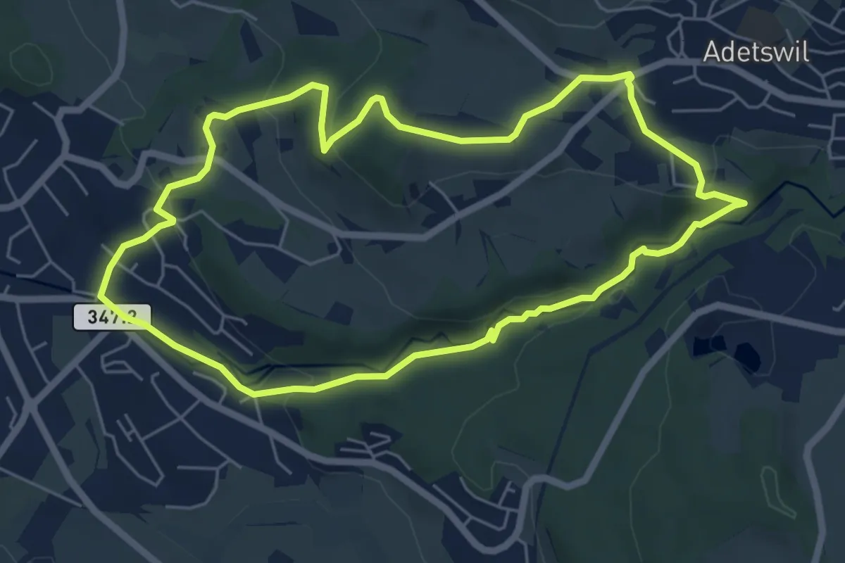
Demanding · Trail
Lättenweid - Neuthal (Bus)
2.3 km · ↑ 197 m · 59 min · 12 km away
Easy · Trail
Rundweg Burgholz
5.5 km · ↑ 170 m · 1 h 45 min · 12 km away
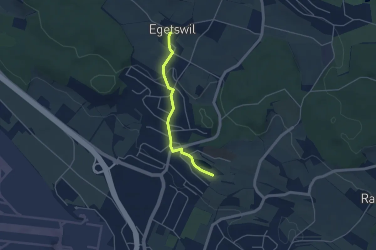
Easy · Trail
Nägelimoos – Egetswil
3.1 km · ↑ 61 m · 52 min · 12 km away
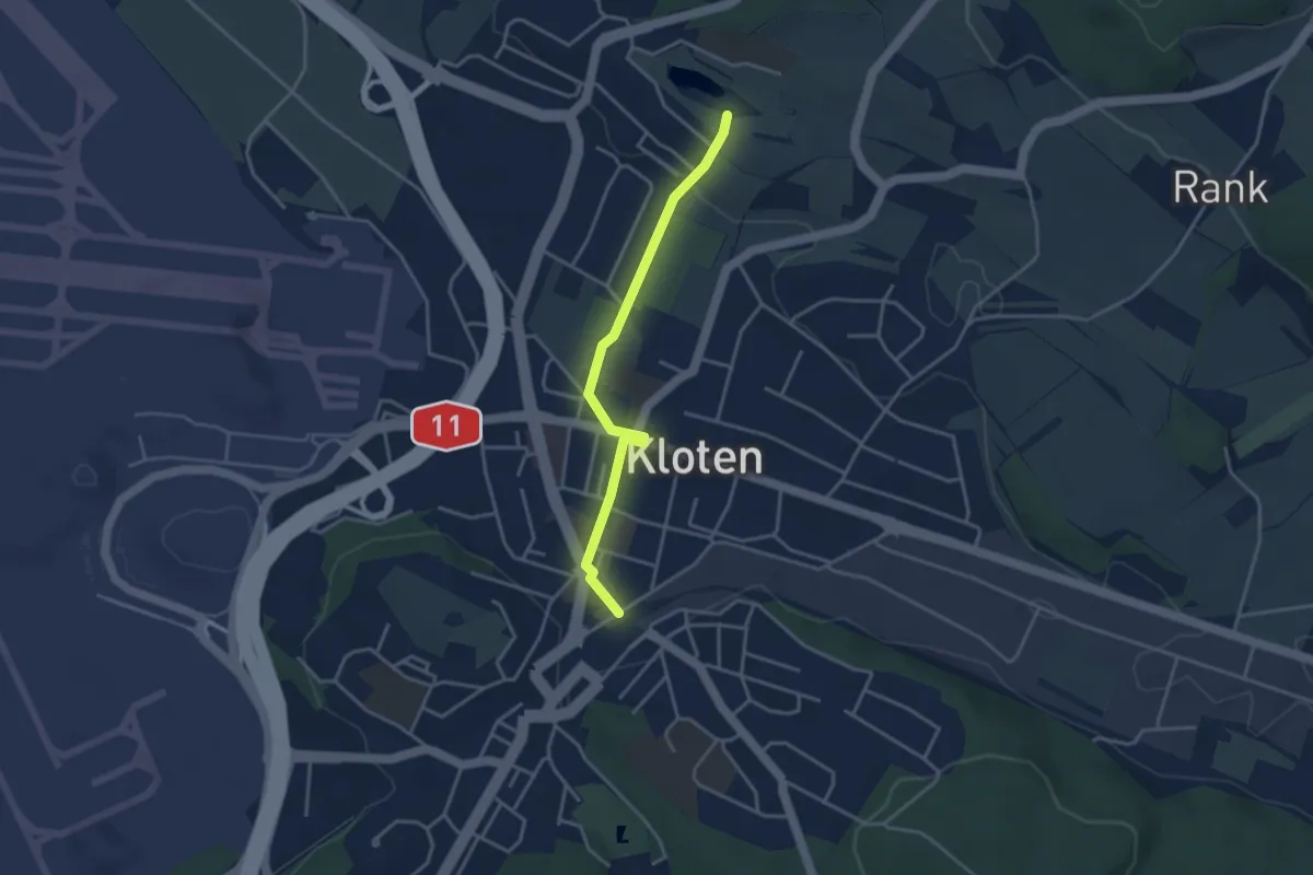
Easy · Trail
Kloten – Nägelimoos
3.4 km · ↑ 30 m · 52 min · 12 km away
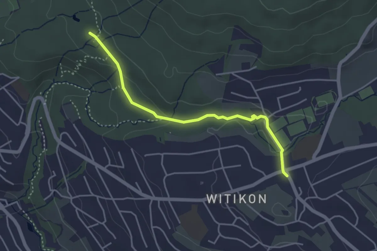
Easy · Trail
Witikon - Degenried
3.5 km · ↑ 57 m · 57 min · 12 km away
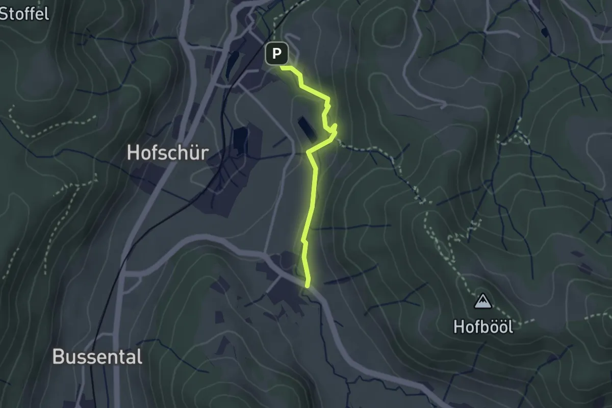
Easy · Trail
Hinterburg - Neuthal
2.2 km · ↑ 69 m · 41 min · 12 km away
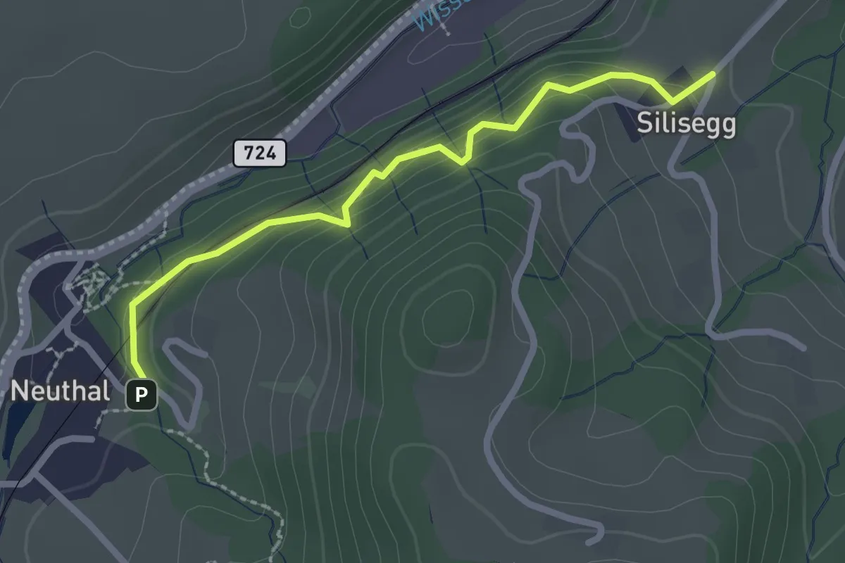
Easy · Trail
Neuthal - Silisegg
2.2 km · ↑ 126 m · 48 min · 12 km away
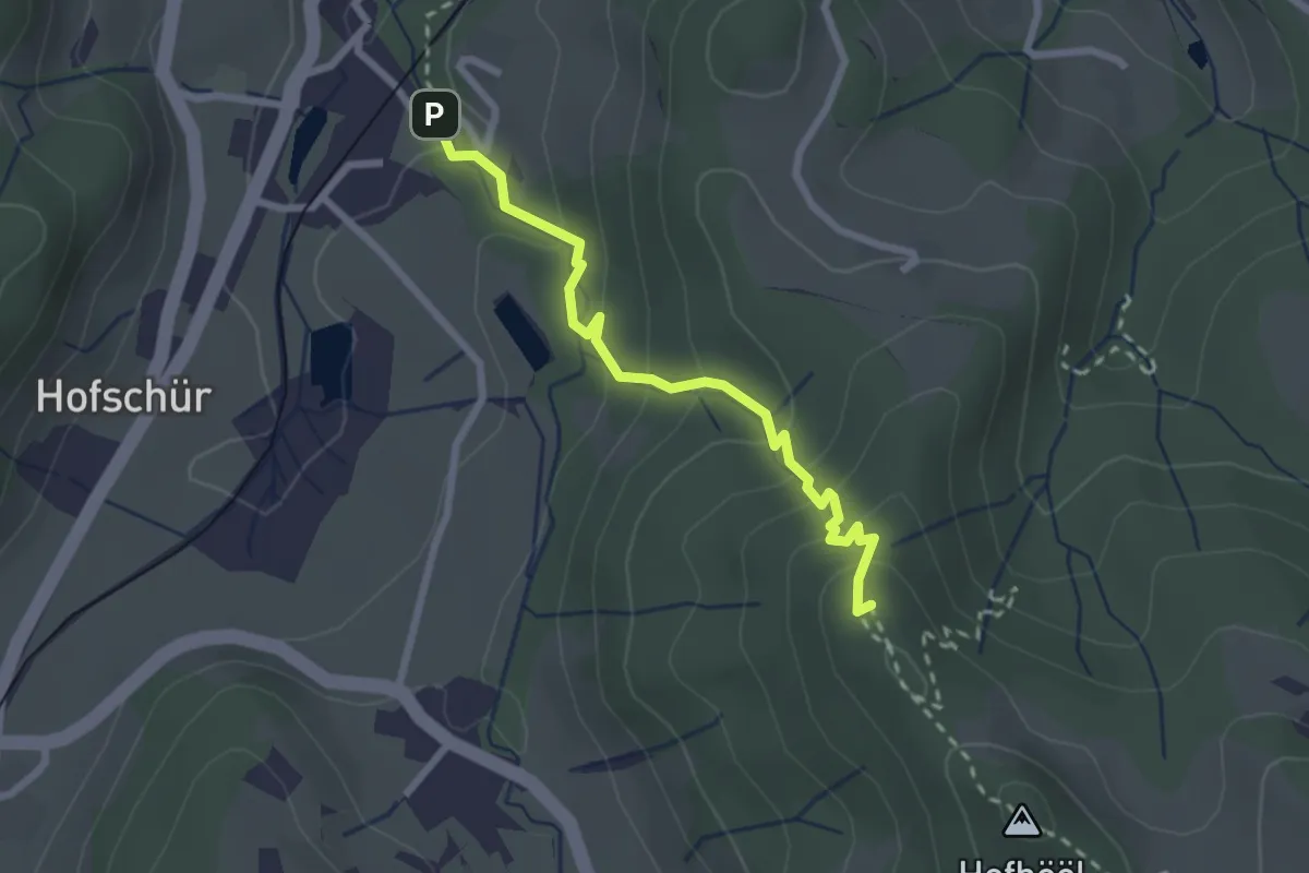
Easy · Summit
Hohenegg - Neuthal
2.4 km · ↑ 187 m · 59 min · 12 km away
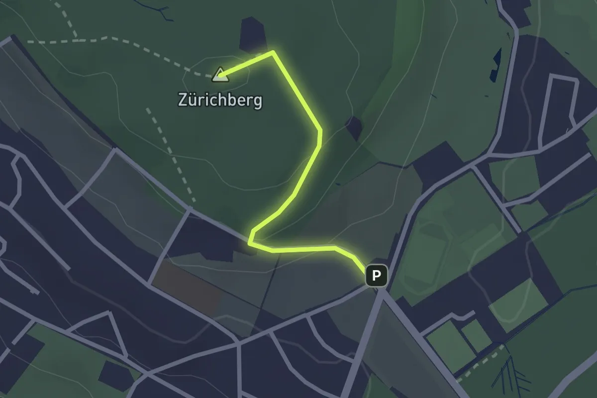
Easy · Summit
Zürichberg – Fluntern
1.9 km · ↑ 70 m · 35 min · 12 km away
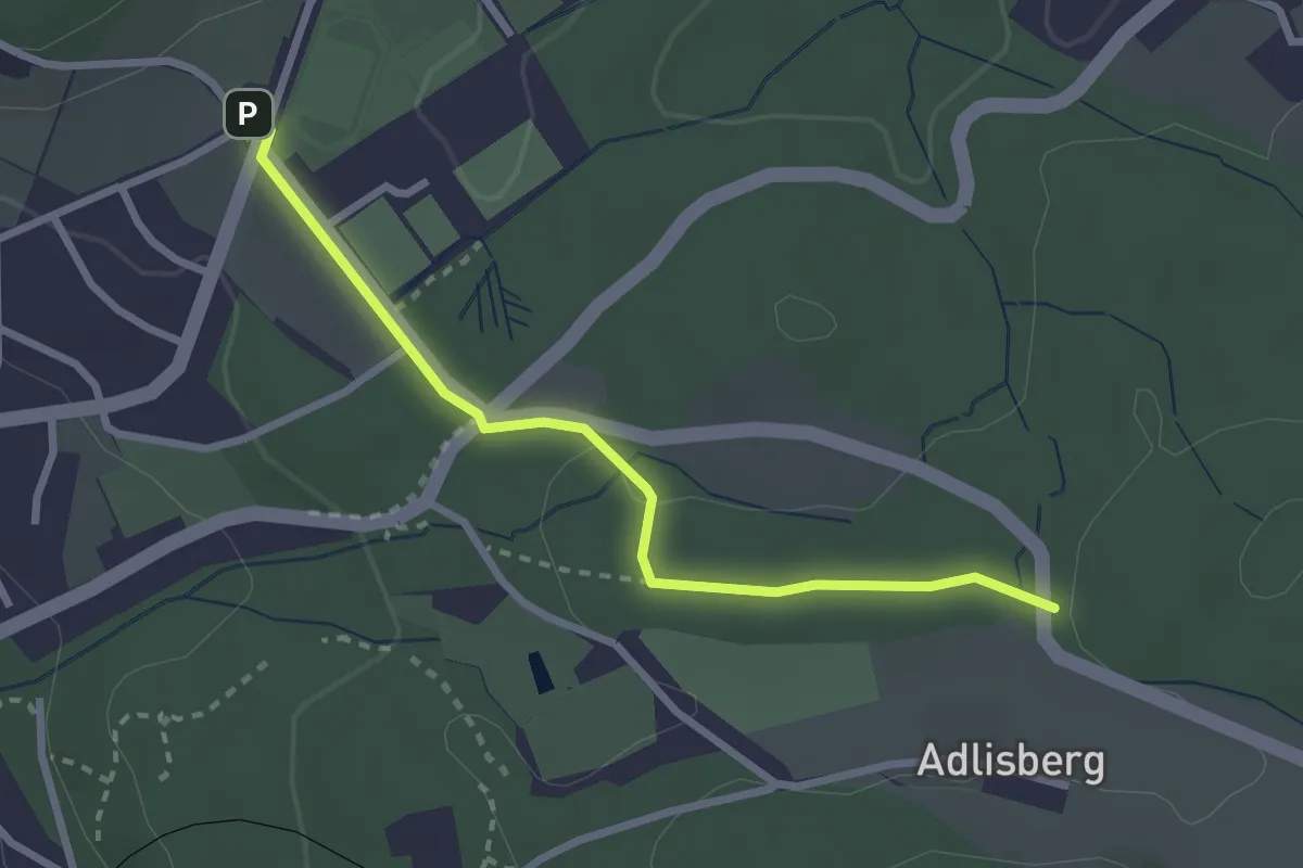
Easy · Trail
Fluntern – Vorderadlisberg
2.6 km · ↑ 37 m · 42 min · 12 km away
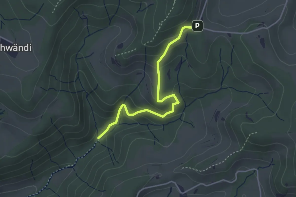
Easy · Trail
Hutziker Tobel – Tannenweid
3.3 km · ↑ 210 m · 1 h 14 min · 12 km away
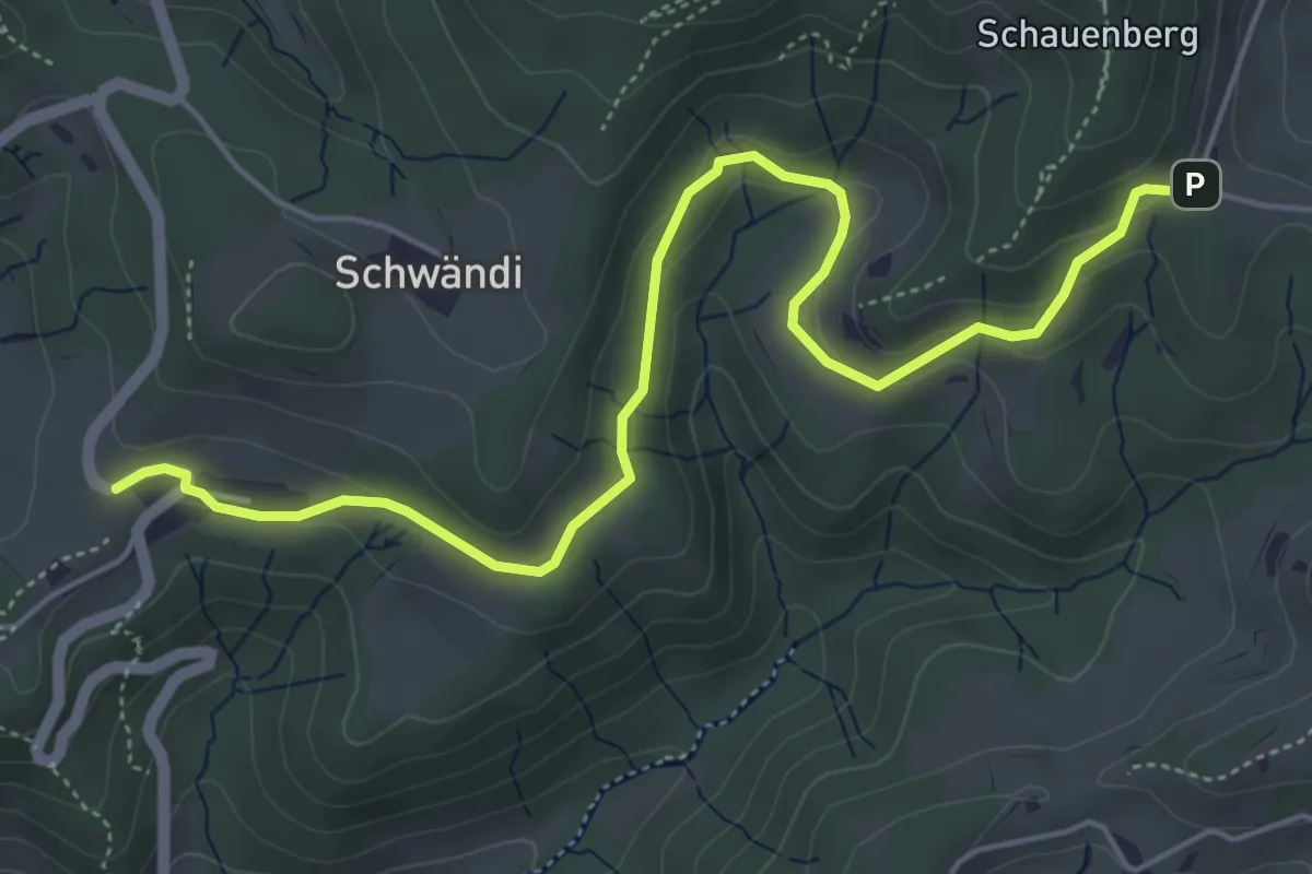
Easy · Trail
Girenbad – Tannenweid
5.9 km · ↑ 189 m · 1 h 48 min · 12 km away
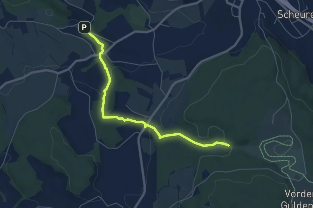
Easy · Trail
Tobelmüli – Chüelenmorgen
5.3 km · ↑ 157 m · 1 h 35 min · 12 km away
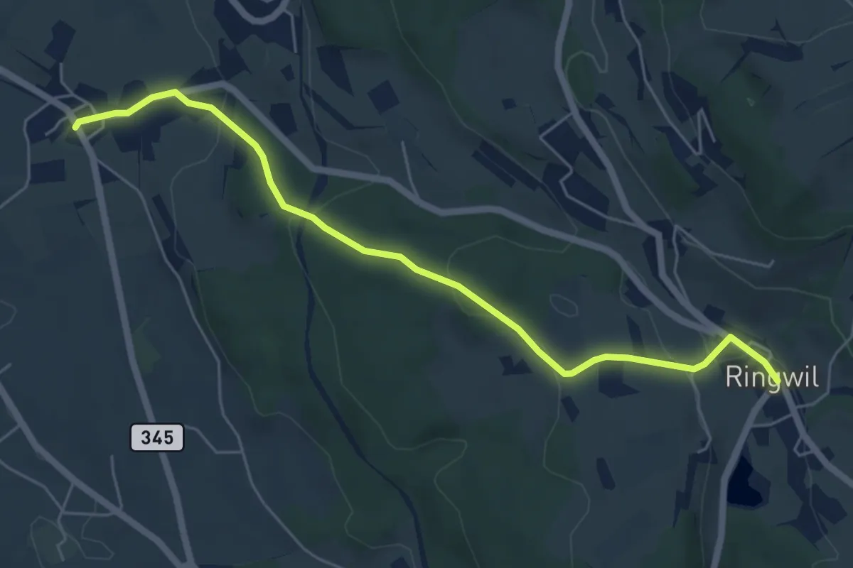
Easy · Trail
Ringwil – Ettenhausen
5.7 km · ↑ 174 m · 1 h 44 min · 12 km away
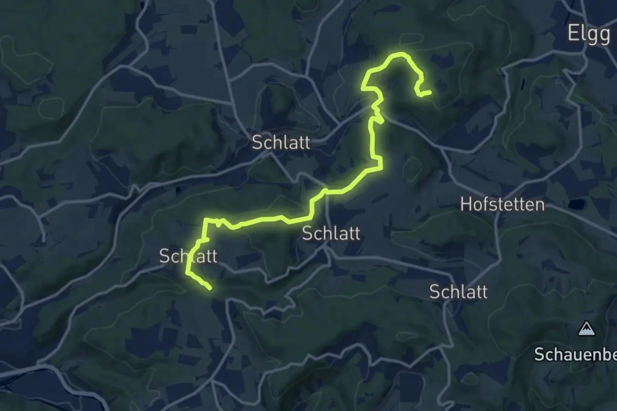
Medium · Trail
Guegenhard – Rörlitobel
12.4 km · ↑ 456 m · 3 h 54 min · 12 km away
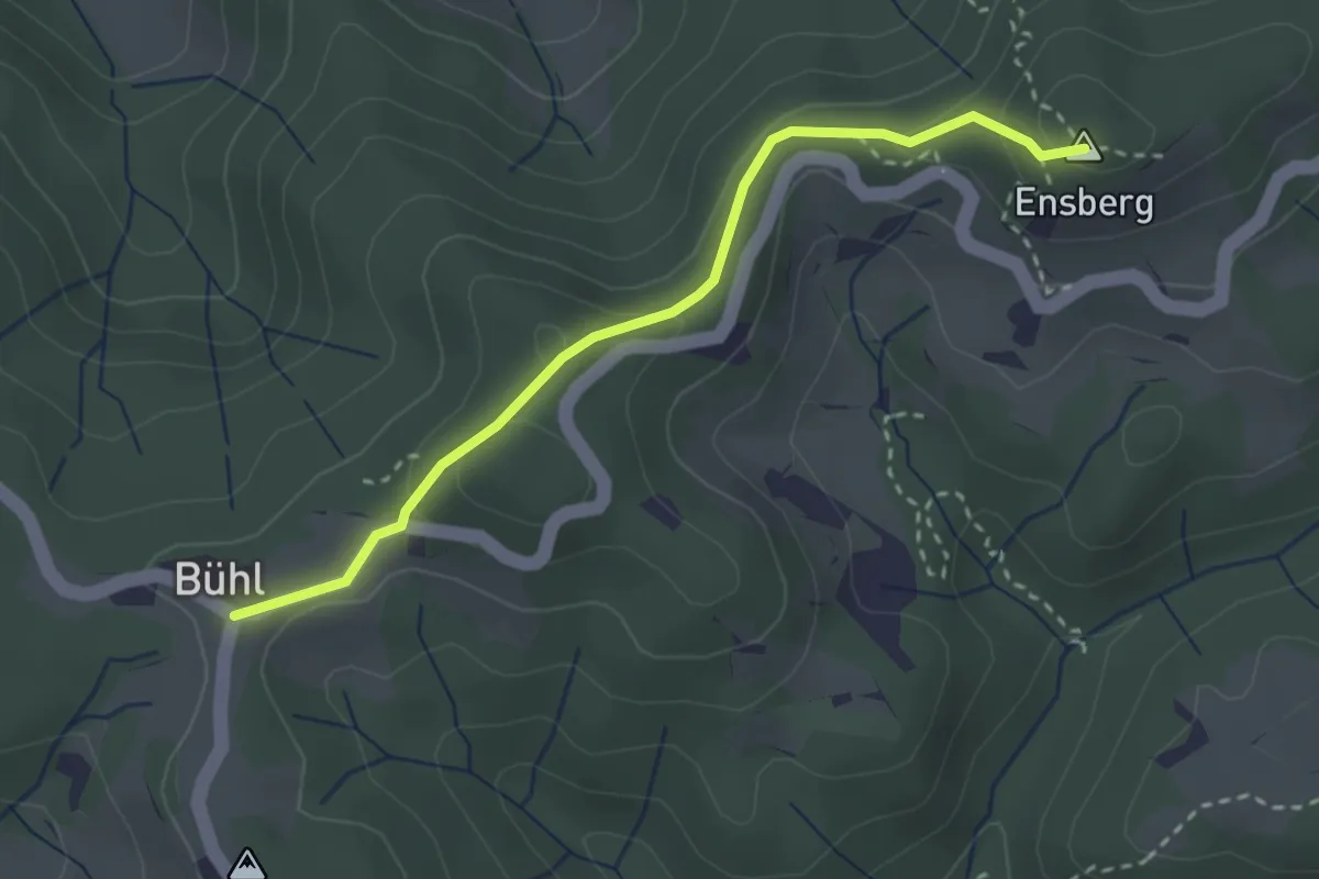
Easy · Summit
Sitzberg – Büel
2.8 km · ↑ 127 m · 57 min · 12 km away
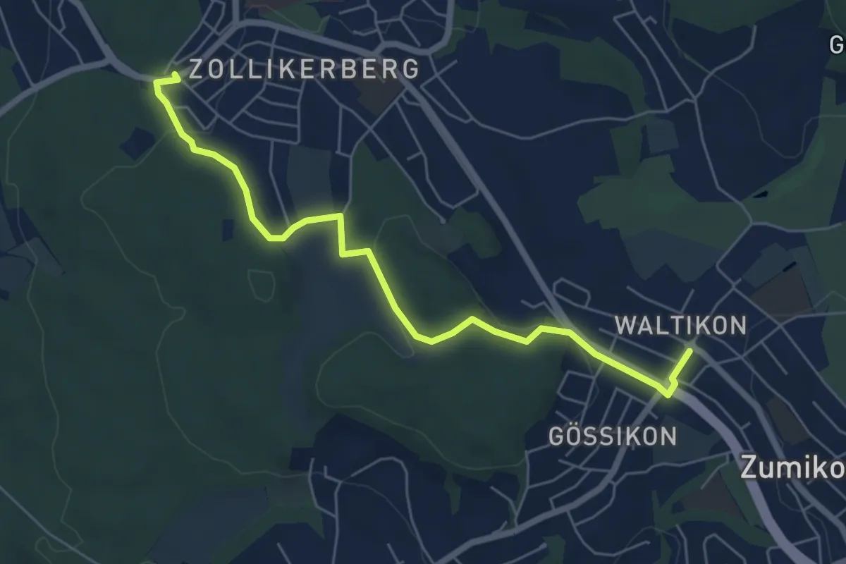
Easy · Trail
Waldburg Station - Waltikon
6.0 km · ↑ 127 m · 1 h 42 min · 12 km away
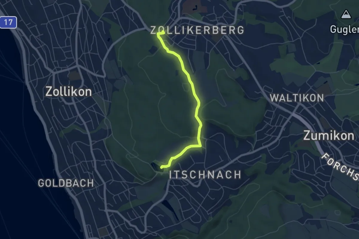
Easy · Trail
Waldburg – Rumensee
5.2 km · ↑ 163 m · 1 h 35 min · 12 km away