Trails near Interlaken
391 hikes starting within 15 km, nearest first.
Nearest first, page 1 of 9
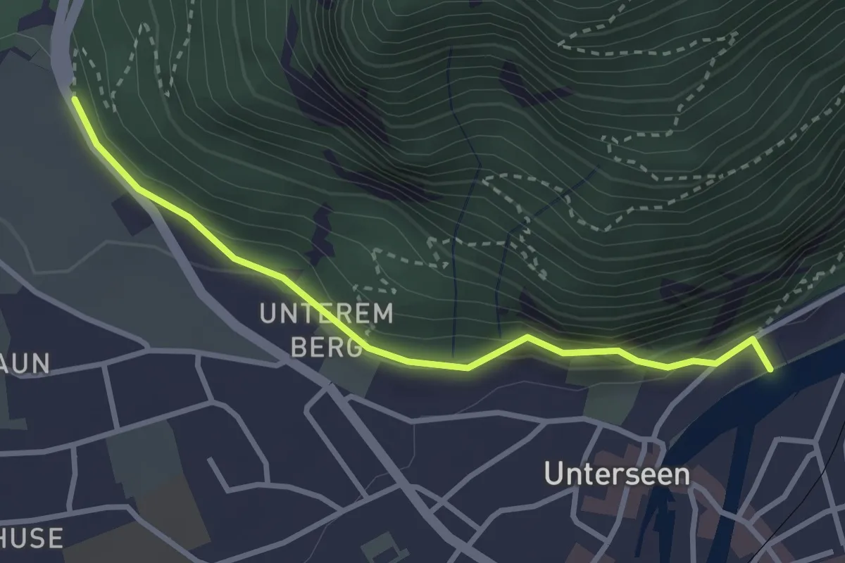
Easy · Trail
Golden Promenade - St. Niklausen
2.9 km · ↑ 97 m · 54 min · 1 km away
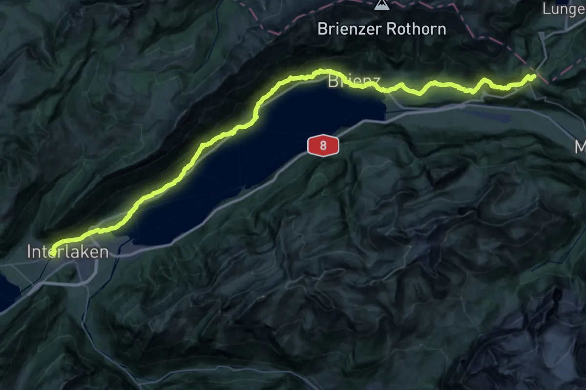
Demanding · Trail
ViaJacobi
29.3 km · ↑ 1433 m · 10 h 12 min · 1 km away
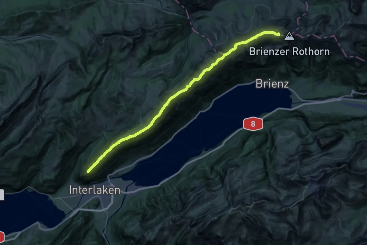
Expert · Summit
Brienzergratweg
38.2 km · ↑ 2887 m · 15 h 16 min · 1 km away
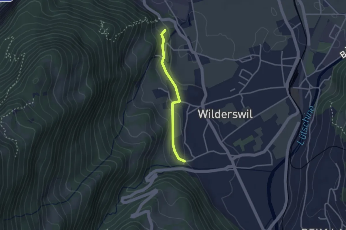
Easy · Trail
Ruine Unspannen - Mühle
2.2 km · ↑ 50 m · 37 min · 3 km away
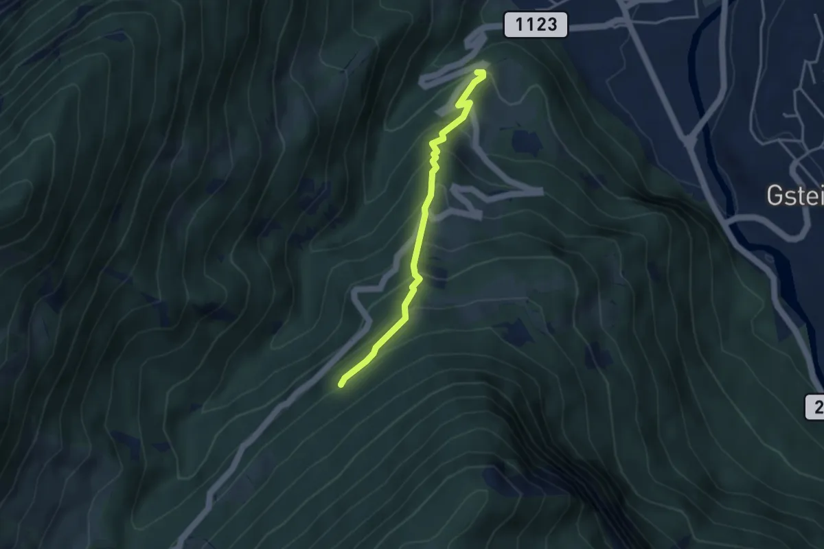
Medium · Trail
Ried - Saxetwald
3.2 km · ↑ 350 m · 1 h 31 min · 3 km away
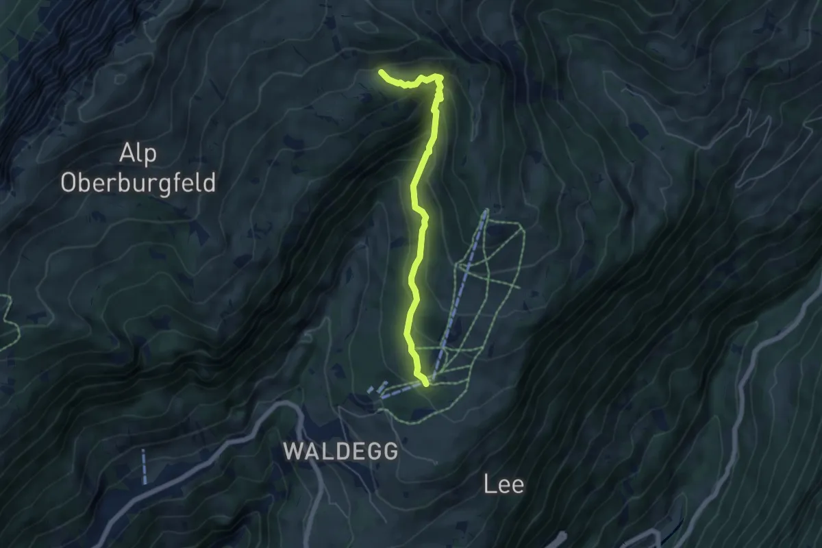
Medium · Trail
Chüematte – Grosse Stall
4.9 km · ↑ 377 m · 1 h 59 min · 4 km away
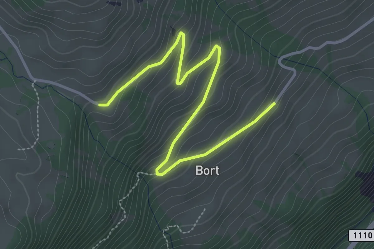
Easy · Trail
Büelbach – Bort
3.4 km · ↑ 167 m · 1 h 10 min · 4 km away
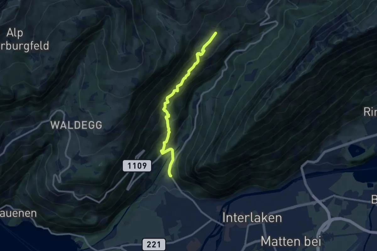
Medium · Trail
Bort – St. Niklausan
7.9 km · ↑ 603 m · 3 h 11 min · 4 km away
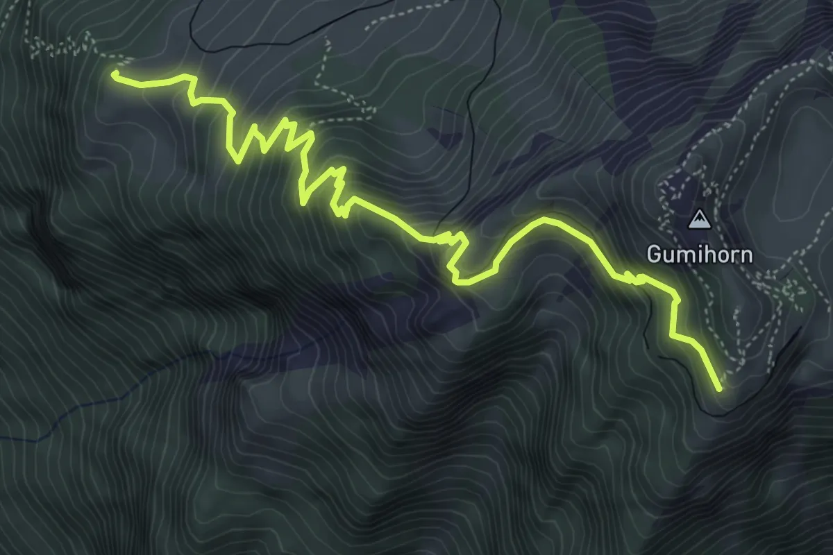
Medium · Trail
Schönegg – Schynige Platte
6.4 km · ↑ 613 m · 2 h 50 min · 4 km away
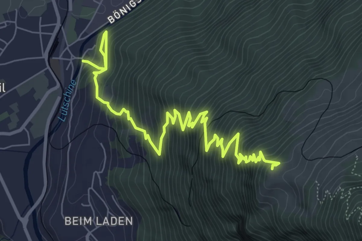
Demanding · Trail
Wildeswil – Schönegg
8.8 km · ↑ 1032 m · 4 h 18 min · 4 km away
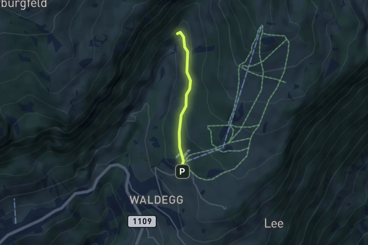
Easy · Trail
Beatenberg Station – Rischere
2.5 km · ↑ 113 m · 50 min · 4 km away
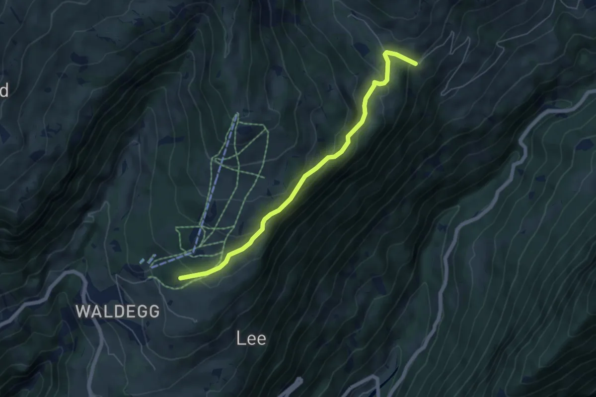
Easy · Trail
Büelbach – Spycherwald
5.4 km · ↑ 275 m · 1 h 53 min · 4 km away
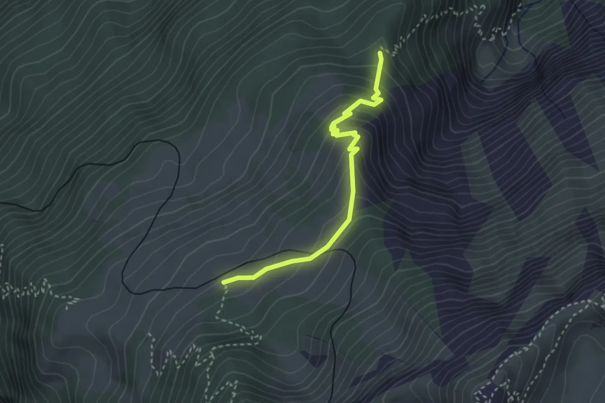
Medium · Trail
Rotmoos – Breitlauenen
3.0 km · ↑ 274 m · 1 h 17 min · 4 km away
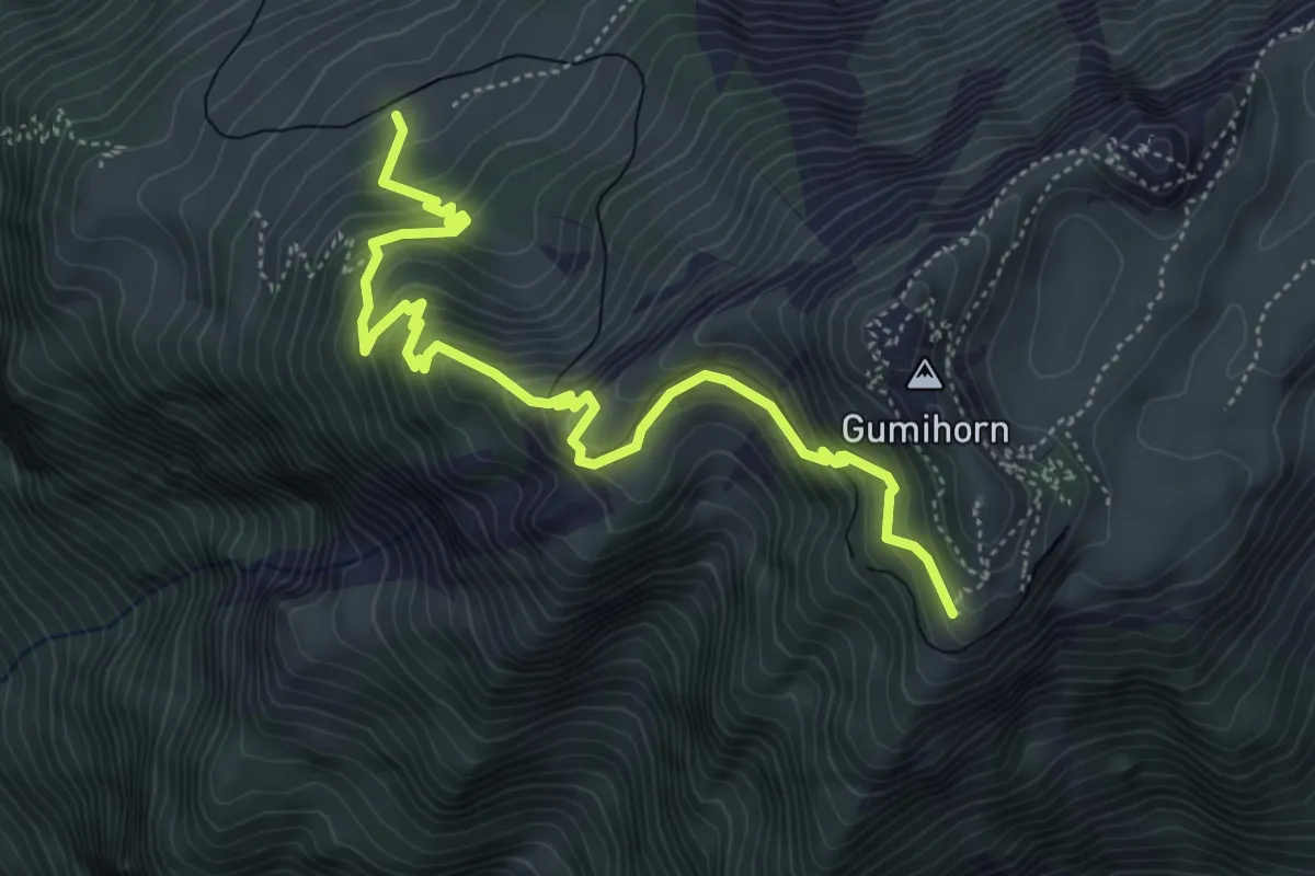
Medium · Trail
Breitlauenen – Schynige Platte
5.6 km · ↑ 529 m · 2 h 28 min · 4 km away
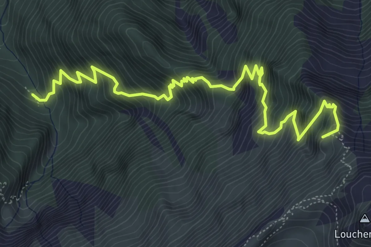
Demanding · Summit
Bannwald – Louchera Grätli
7.9 km · ↑ 1138 m · 4 h 20 min · 4 km away
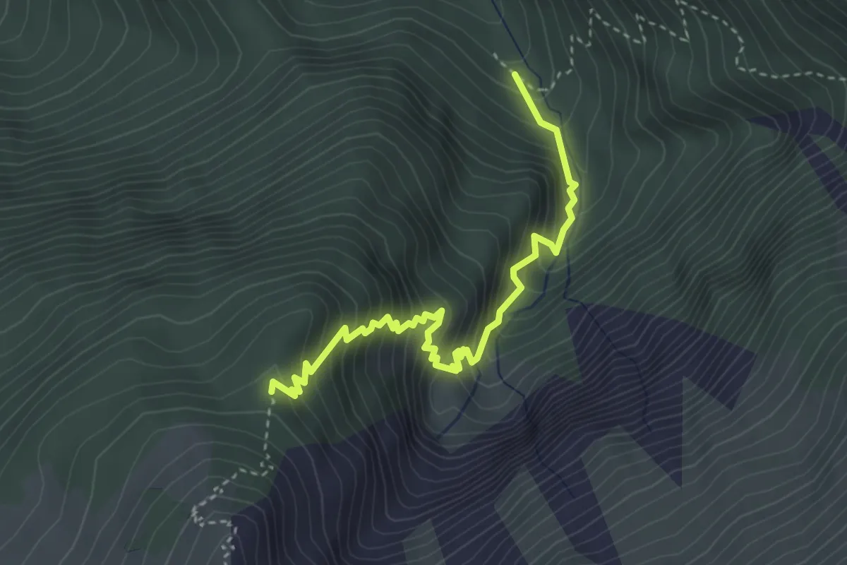
Demanding · Trail
Bannwald – Rotmoos
3.8 km · ↑ 513 m · 2 h · 4 km away
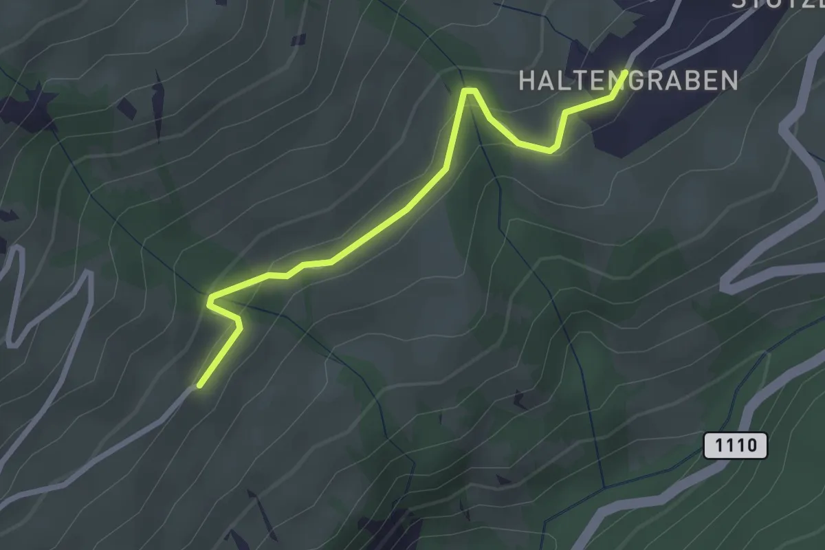
Easy · Trail
Habkern/Haltengraben – Bort
2.4 km · ↑ 99 m · 47 min · 4 km away
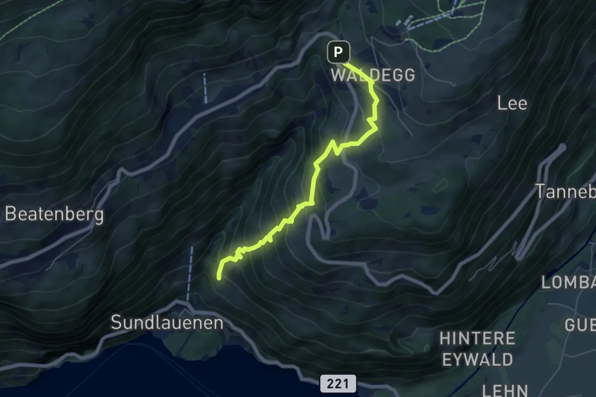
Medium · Trail
Ruchenbühl – Beatenberg Waldegg
5.6 km · ↑ 516 m · 2 h 27 min · 4 km away
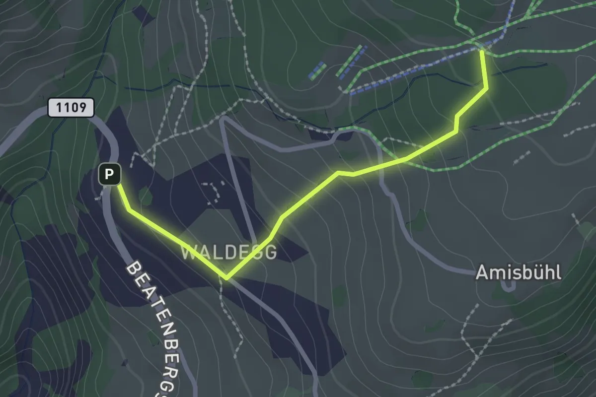
Easy · Trail
Spycherwald – Waldegg
2.2 km · ↑ 158 m · 51 min · 4 km away
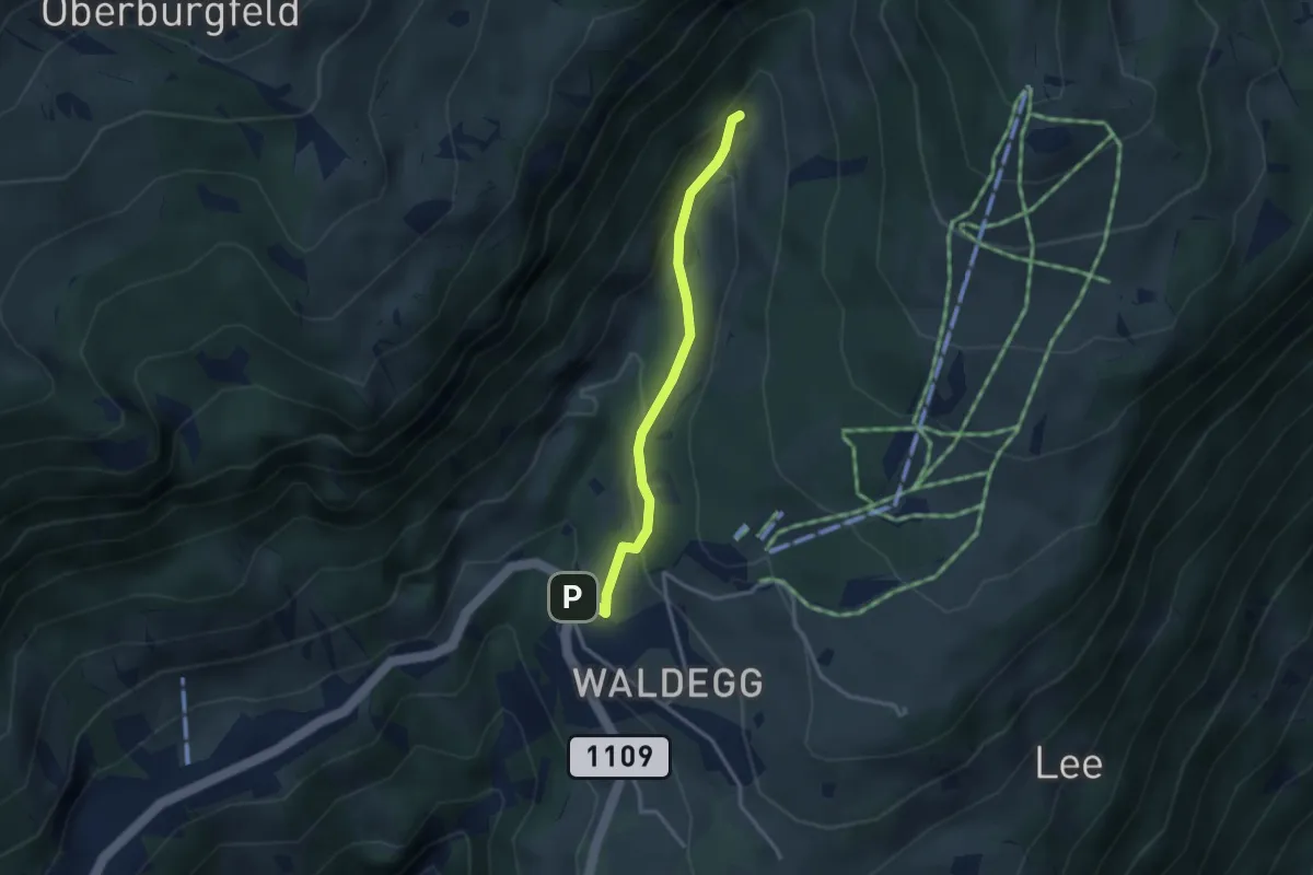
Easy · Trail
Beatenberg Waldegg – Rischere
2.9 km · ↑ 134 m · 58 min · 4 km away
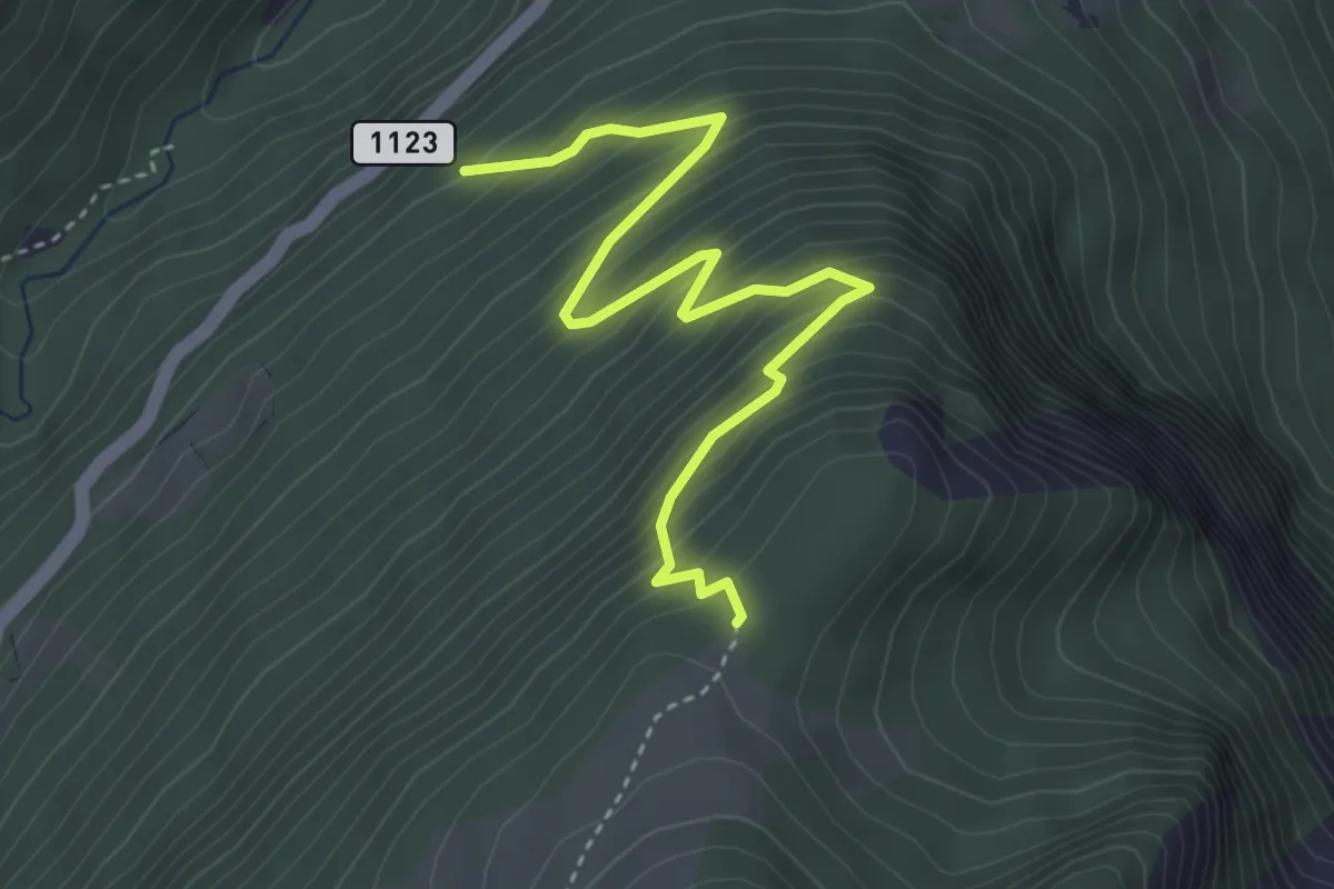
Medium · Trail
Saxetwald - Schwarzhore
4.1 km · ↑ 502 m · 2 h 4 min · 4 km away
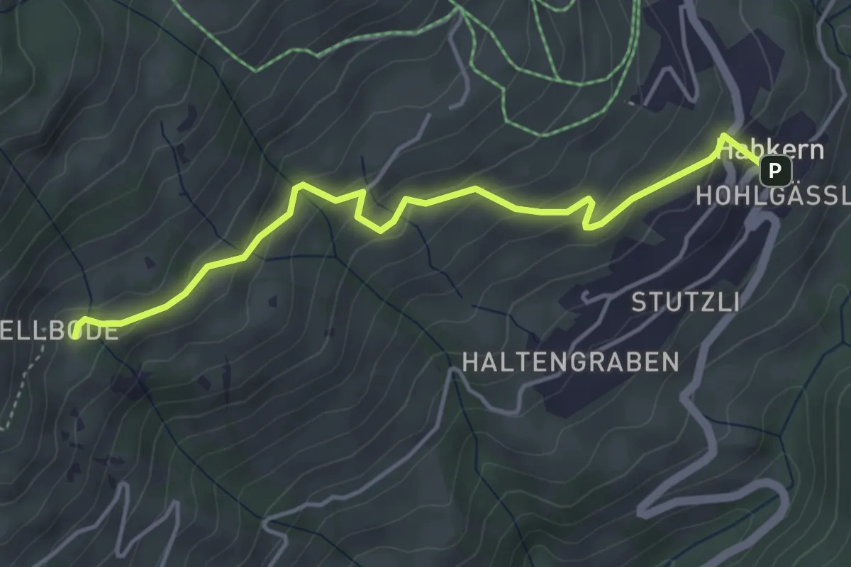
Easy · Trail
Hellboden – Habkern
4.3 km · ↑ 252 m · 1 h 33 min · 5 km away
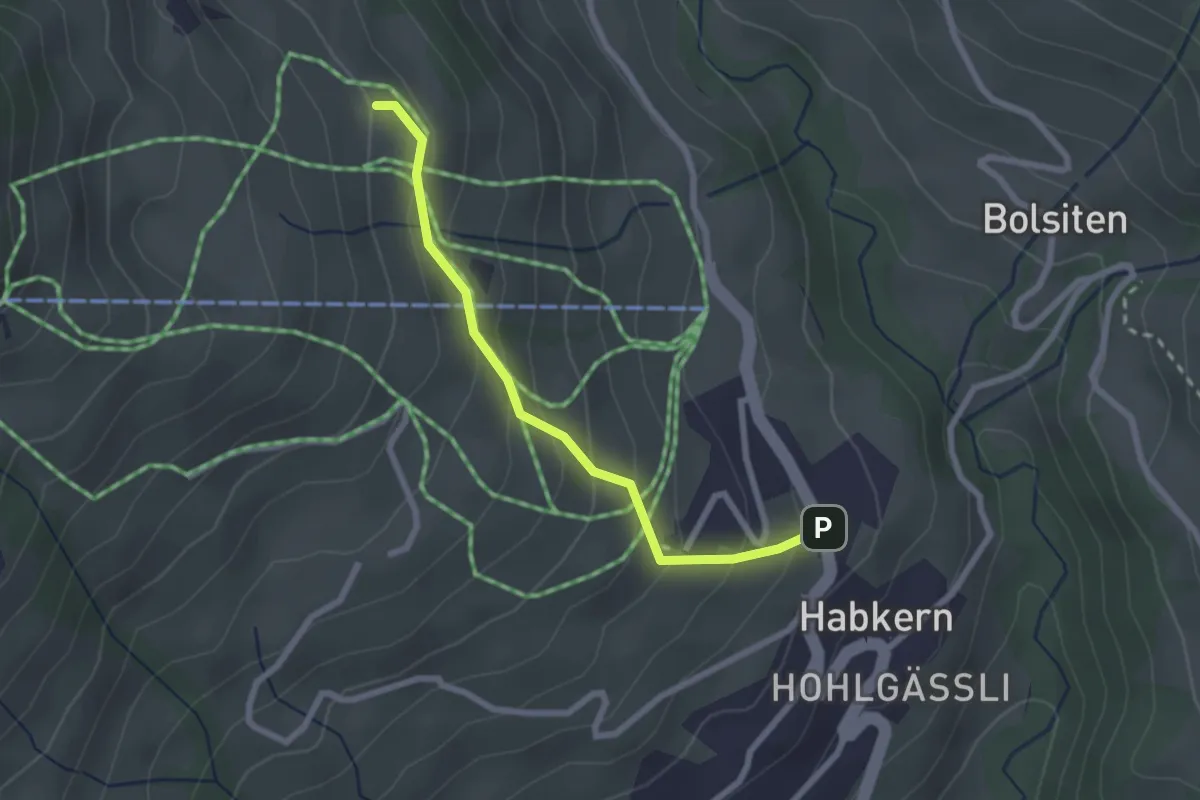
Easy · Cabin
Läger – Habkern
2.3 km · ↑ 196 m · 58 min · 5 km away
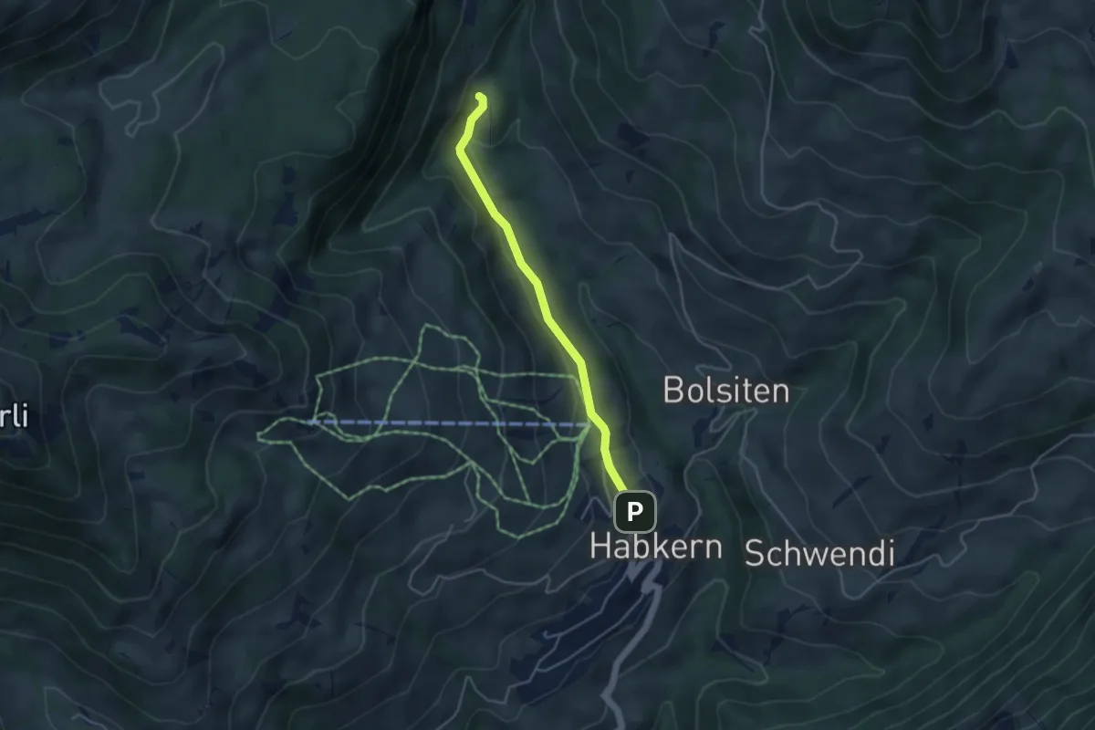
Easy · Trail
Blossmoos – Habkern
3.7 km · ↑ 105 m · 1 h 6 min · 5 km away
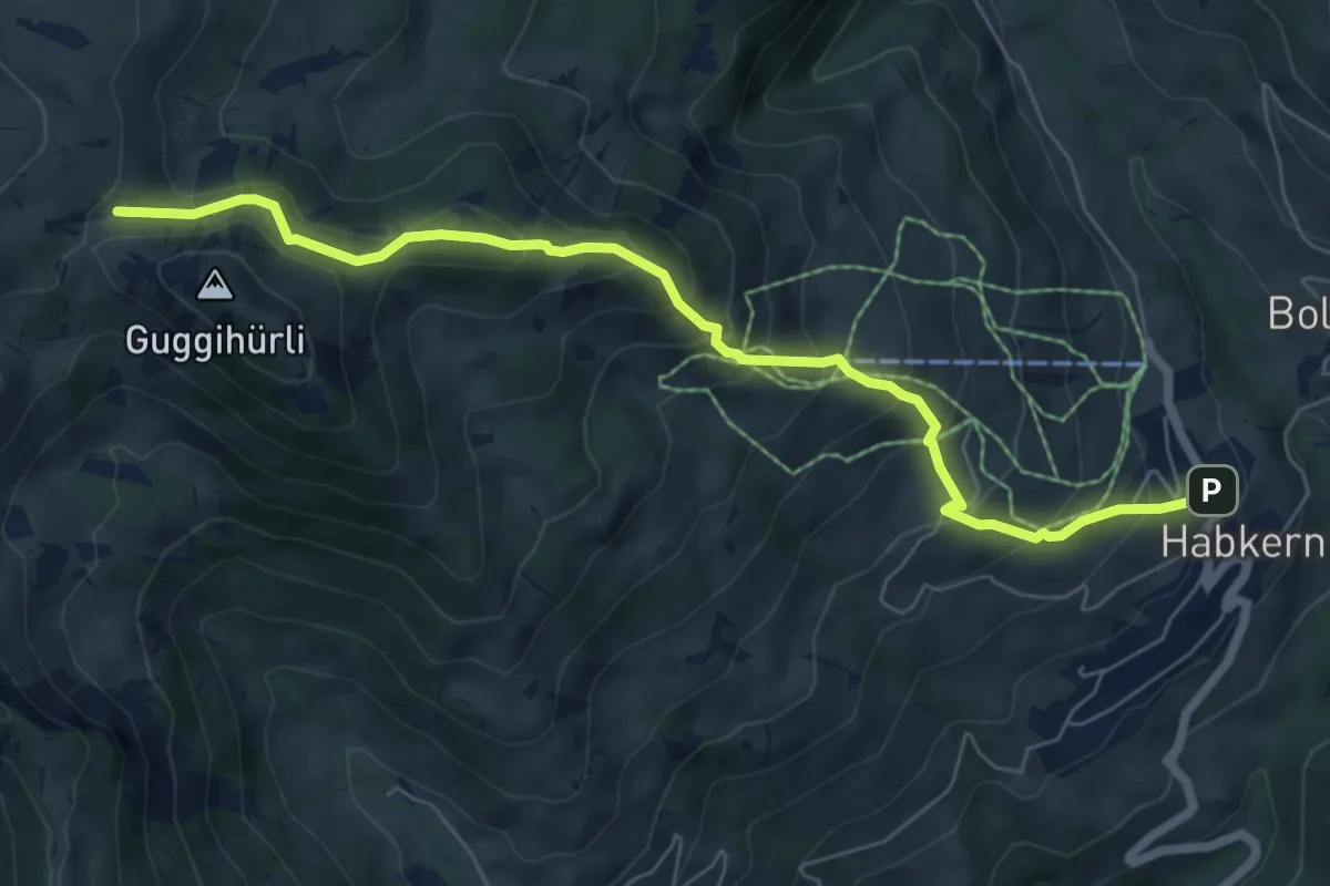
Medium · Trail
Habkern – Bäreney
7.1 km · ↑ 659 m · 3 h 6 min · 5 km away
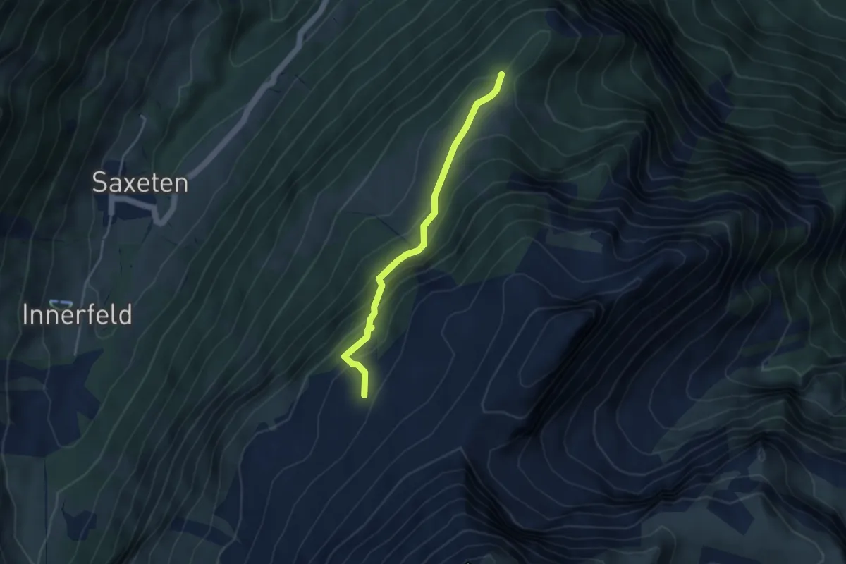
Medium · Trail
Schwarzhore - Bällen
3.5 km · ↑ 310 m · 1 h 30 min · 5 km away
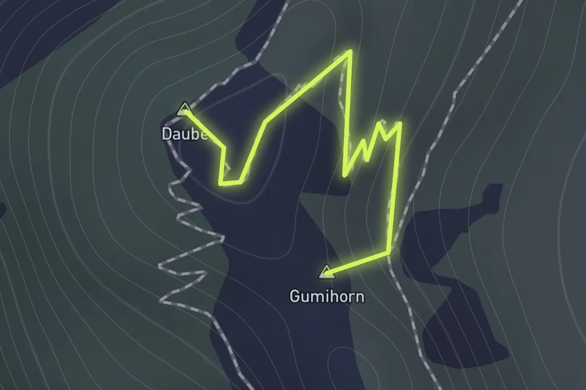
Medium · Summit
Schynige Platte – Daube
1.0 km · ↑ 39 m · 19 min · 5 km away
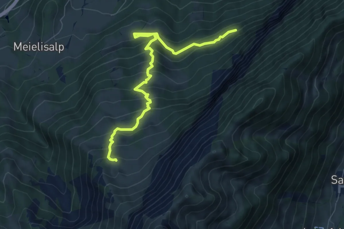
Medium · Trail
Weberweid - Leissigbärgli
7.7 km · ↑ 672 m · 3 h 17 min · 5 km away
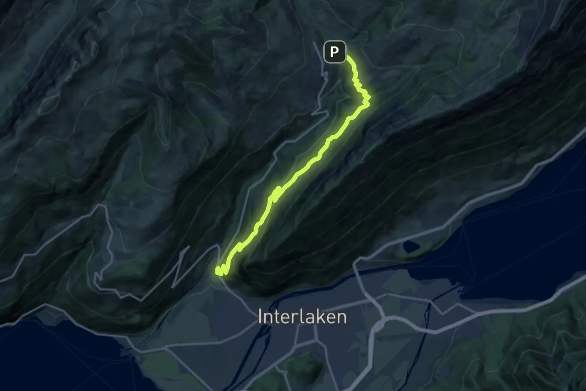
Demanding · Trail
Mettlen – Schwendi
14.4 km · ↑ 816 m · 5 h 11 min · 5 km away
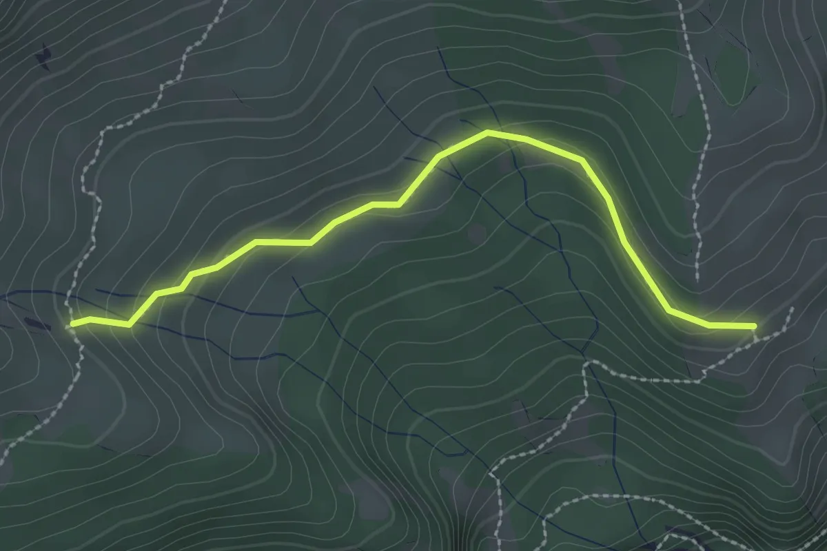
Easy · Trail
Unterburgfeld – Häliloch
2.5 km · ↑ 108 m · 50 min · 5 km away
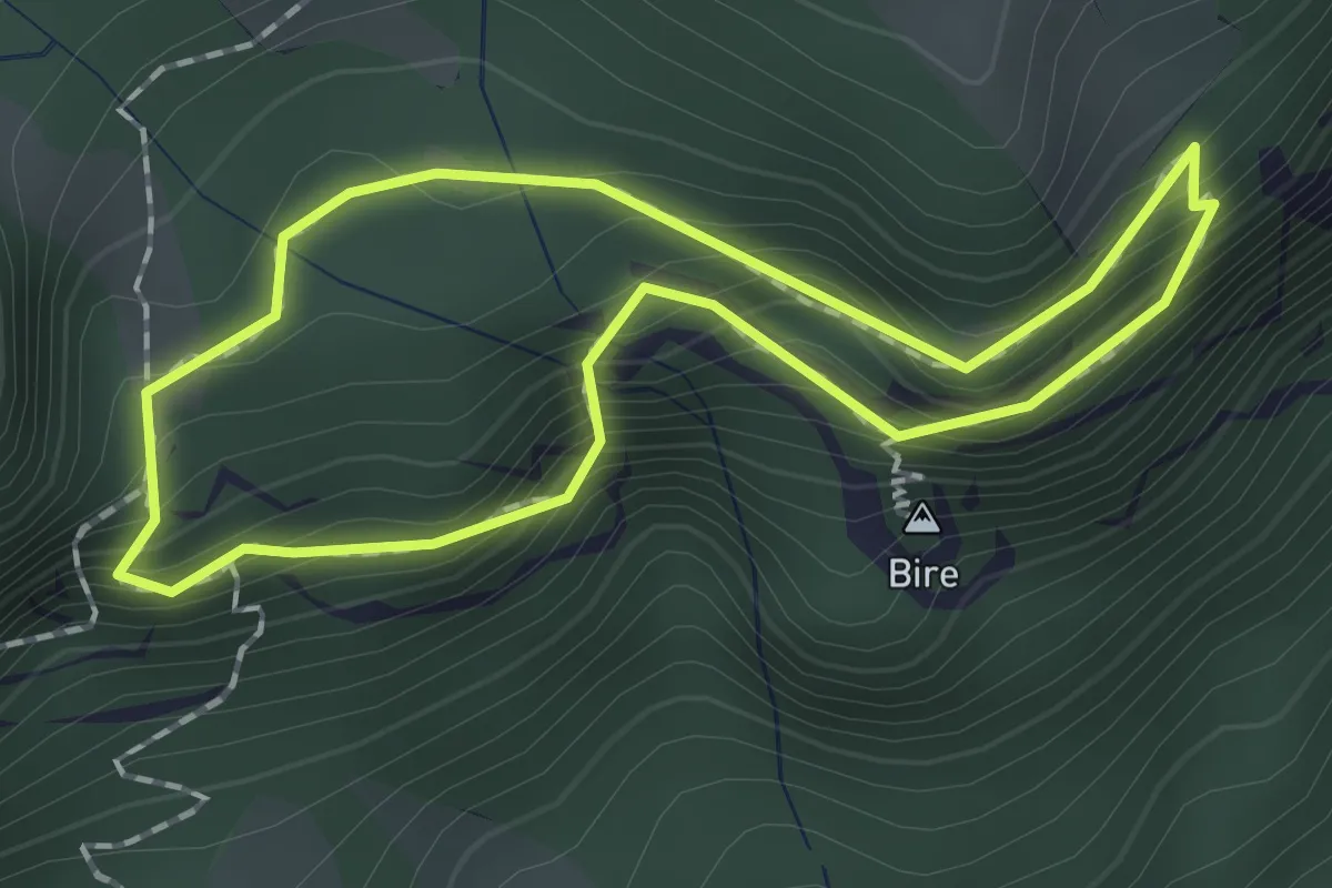
Demanding · Summit
Bireflue – Bire
1.5 km · ↑ 169 m · 45 min · 5 km away
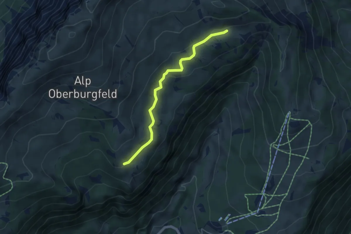
Easy · Trail
Chüematte – Unterburgfeld
4.1 km · ↑ 99 m · 1 h 11 min · 5 km away
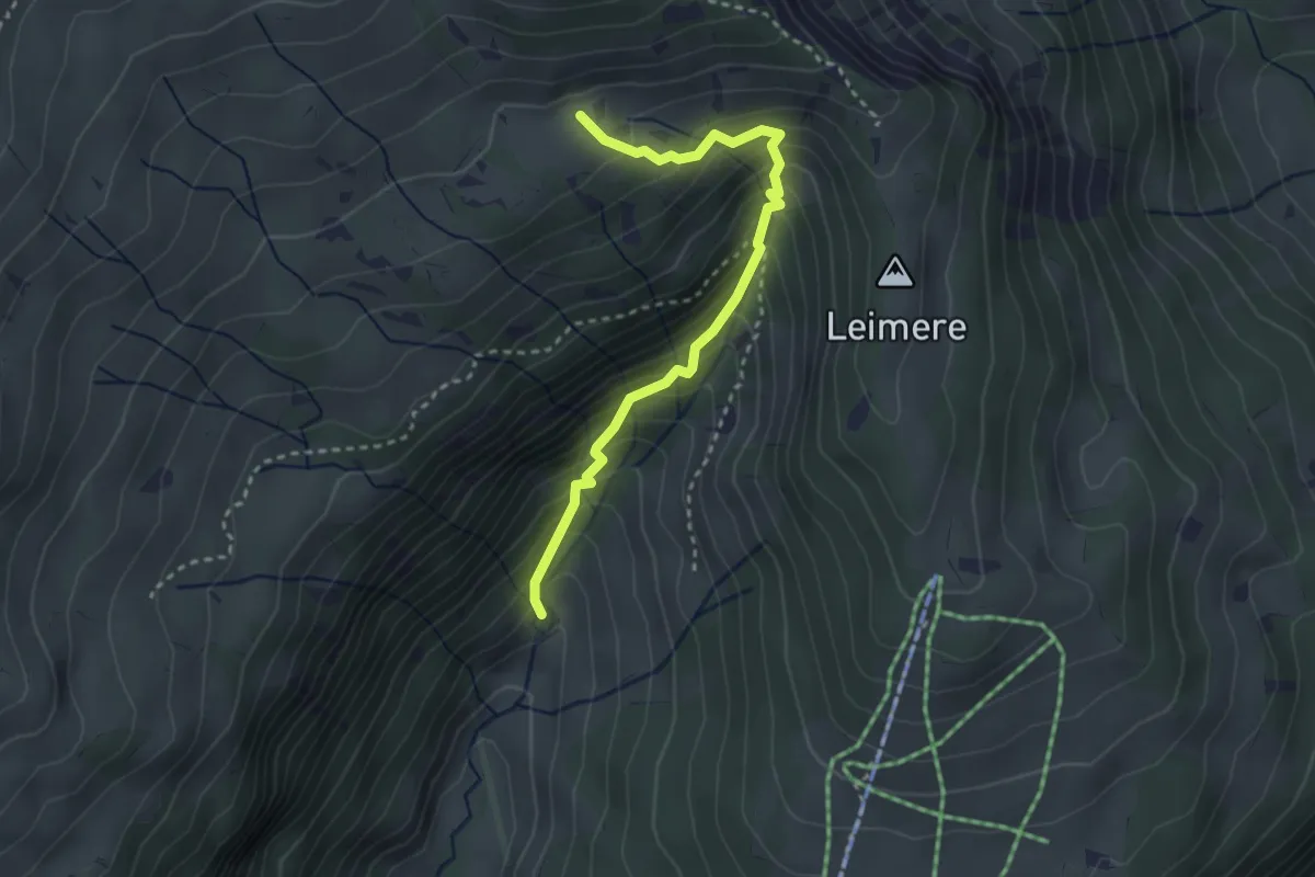
Medium · Trail
Rischeren – Chüematte
3.1 km · ↑ 363 m · 1 h 31 min · 5 km away
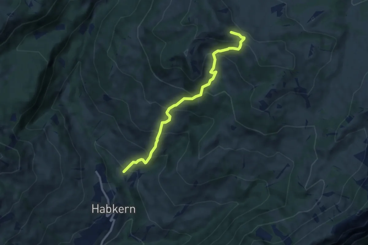
Medium · Trail
Bolsiten – Bohl / Läger
6.9 km · ↑ 637 m · 3 h · 5 km away
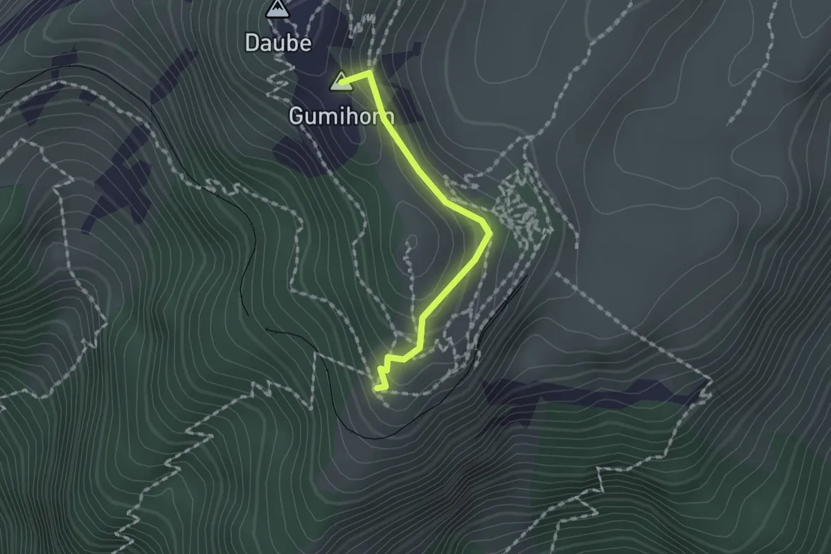
Medium · Summit
Schynige Platte – Grat
1.3 km · ↑ 103 m · 32 min · 5 km away
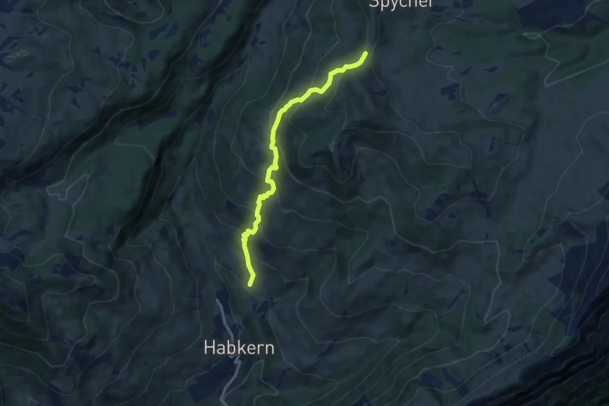
Medium · Trail
Bohl/Widegg – Bolsiten
7.5 km · ↑ 591 m · 3 h 3 min · 5 km away
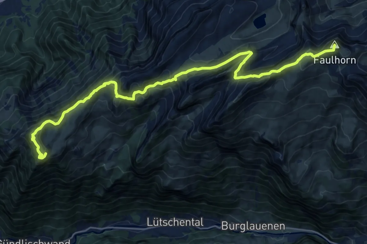
Demanding · Summit
ViaBerna Etappe 15
22.1 km · ↑ 1395 m · 8 h 14 min · 5 km away
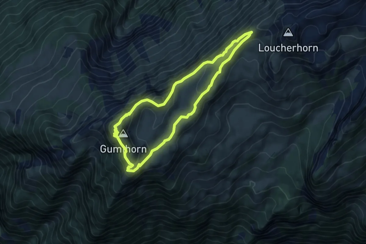
Medium · Summit
Panoramaweg Schynige Platte
5.5 km · ↑ 278 m · 1 h 59 min · 6 km away
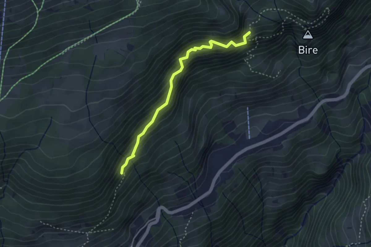
Medium · Trail
Fitzligraben – Bireflue
3.2 km · ↑ 525 m · 1 h 54 min · 6 km away
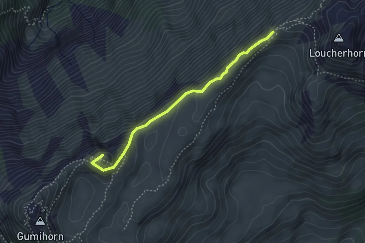
Medium · Summit
Lauchera Grätli – Grat
3.5 km · ↑ 187 m · 1 h 13 min · 6 km away
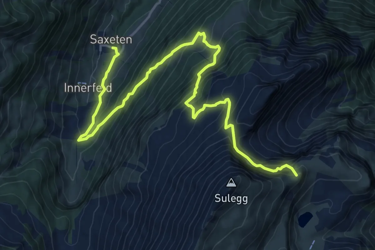
Demanding · Summit
ViaBerna Etappe 13
14.1 km · ↑ 1347 m · 6 h 15 min · 6 km away
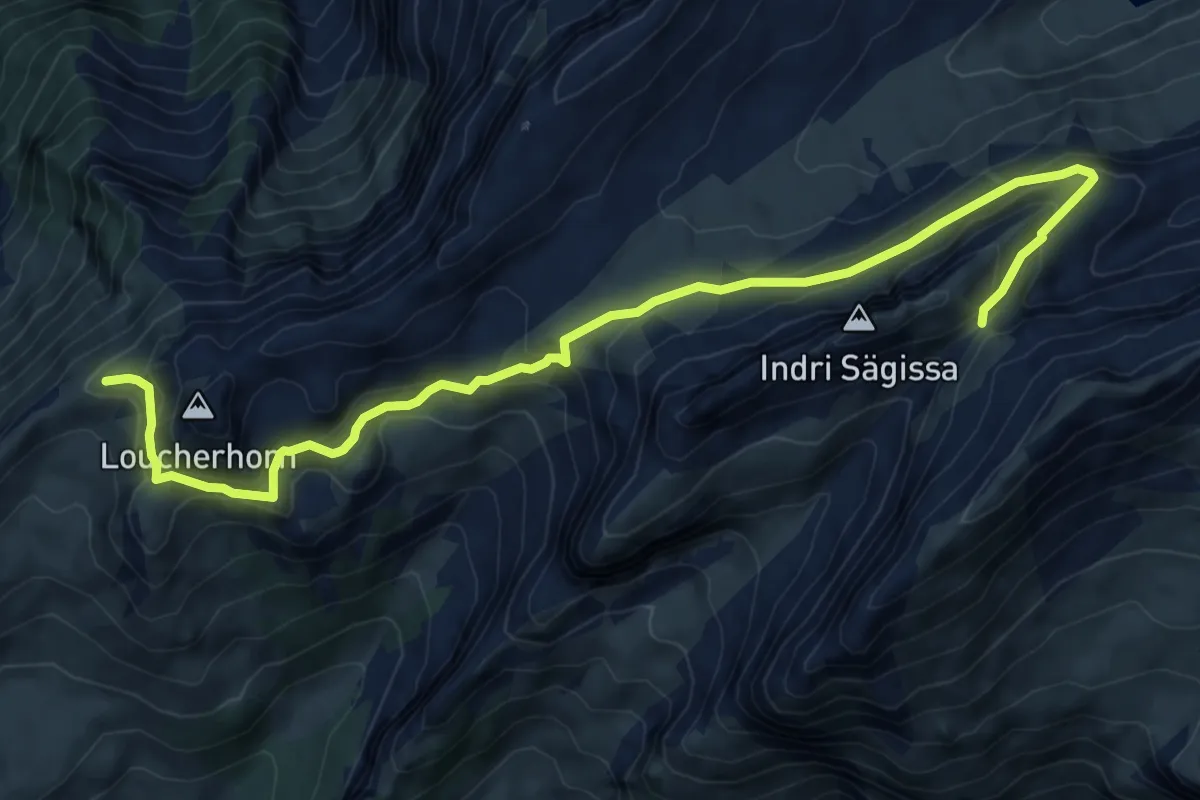
Medium · Cabin
Männdlenen – Lauchera Grätli
9.5 km · ↑ 488 m · 3 h 19 min · 6 km away
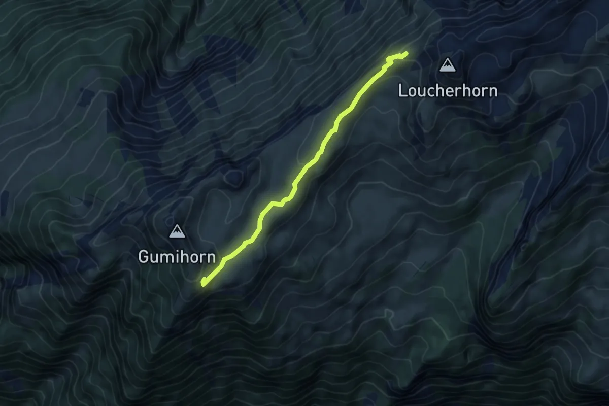
Medium · Trail
Schynige Platte – Lauchera Grätli
5.0 km · ↑ 171 m · 1 h 33 min · 6 km away
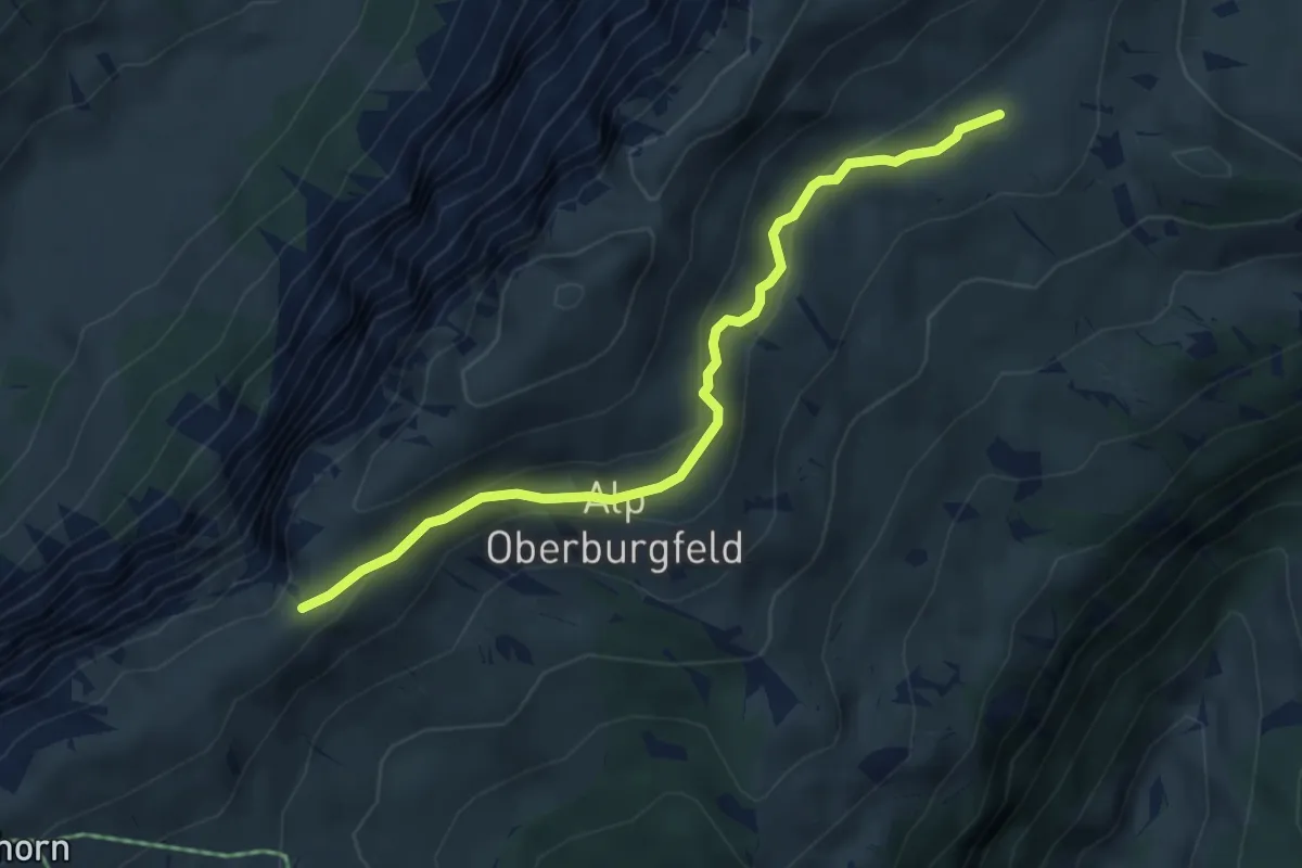
Medium · Trail
Hohseil – Oberberg
4.7 km · ↑ 186 m · 1 h 30 min · 6 km away
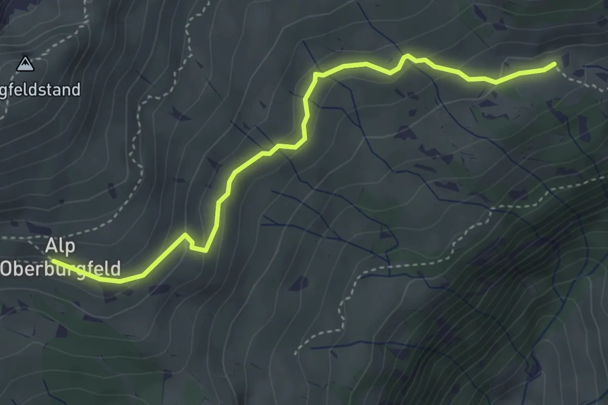
Medium · Trail
Chüematte – Oberburgfeld
4.0 km · ↑ 173 m · 1 h 20 min · 6 km away
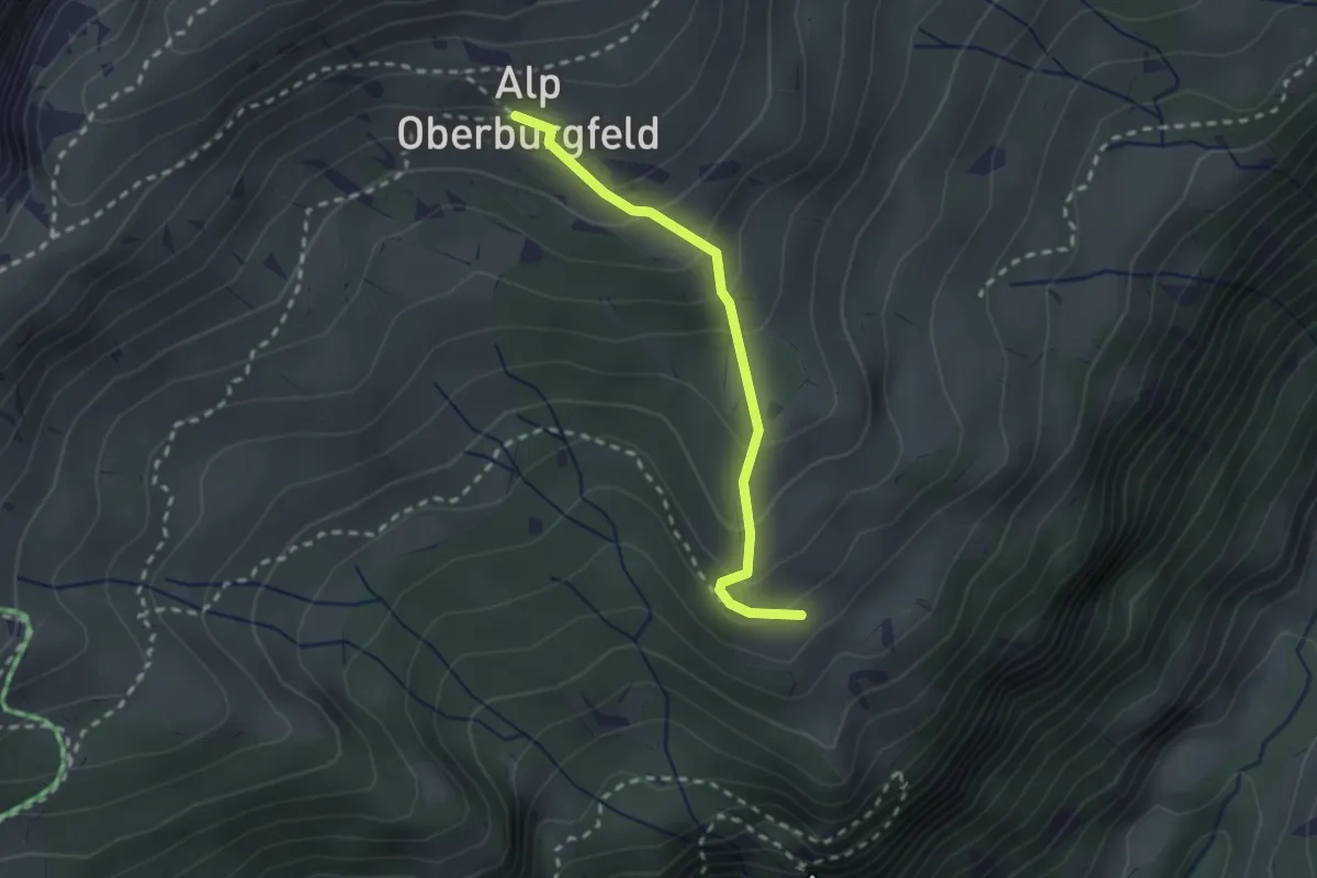
Medium · Trail
Oberburgfeld – Unterburgfeld
2.2 km · ↑ 185 m · 55 min · 6 km away
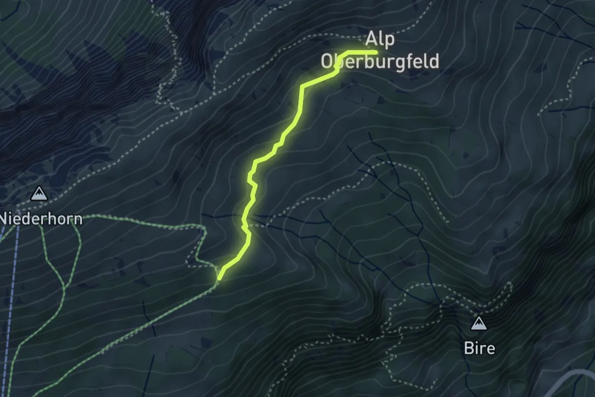
Medium · Trail
Oberburgfeld – Häliloch
2.9 km · ↑ 138 m · 59 min · 6 km away
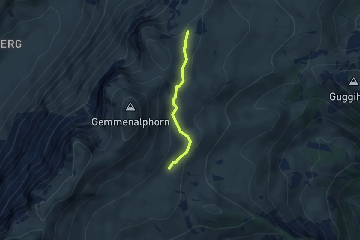
Medium · Trail
Gemmenalp/Oberberg – Kühstand
2.5 km · ↑ 85 m · 46 min · 6 km away