Trails near Interlaken
391 hikes starting within 15 km, nearest first.
Nearest first, page 2 of 9
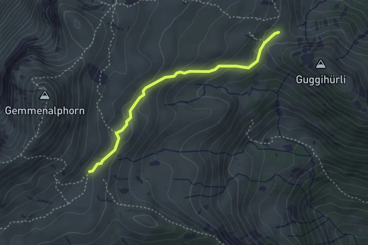
Medium · Trail
Gemmenalp/Oberberg – Bärenei
3.3 km · ↑ 183 m · 1 h 11 min · 6 km away
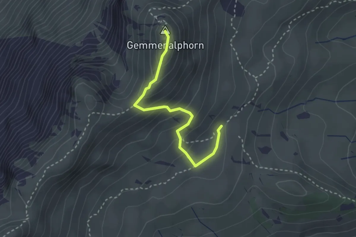
Medium · Summit
Gemmenalp/Oberberg – Gemmenalphorn
2.6 km · ↑ 171 m · 59 min · 6 km away
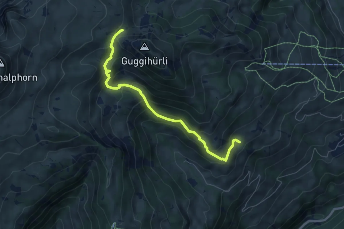
Medium · Trail
Bäreney – Hellbode
6.1 km · ↑ 478 m · 2 h 28 min · 6 km away
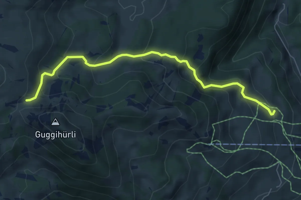
Medium · Cabin
Läger – Bäreney
5.8 km · ↑ 431 m · 2 h 18 min · 6 km away
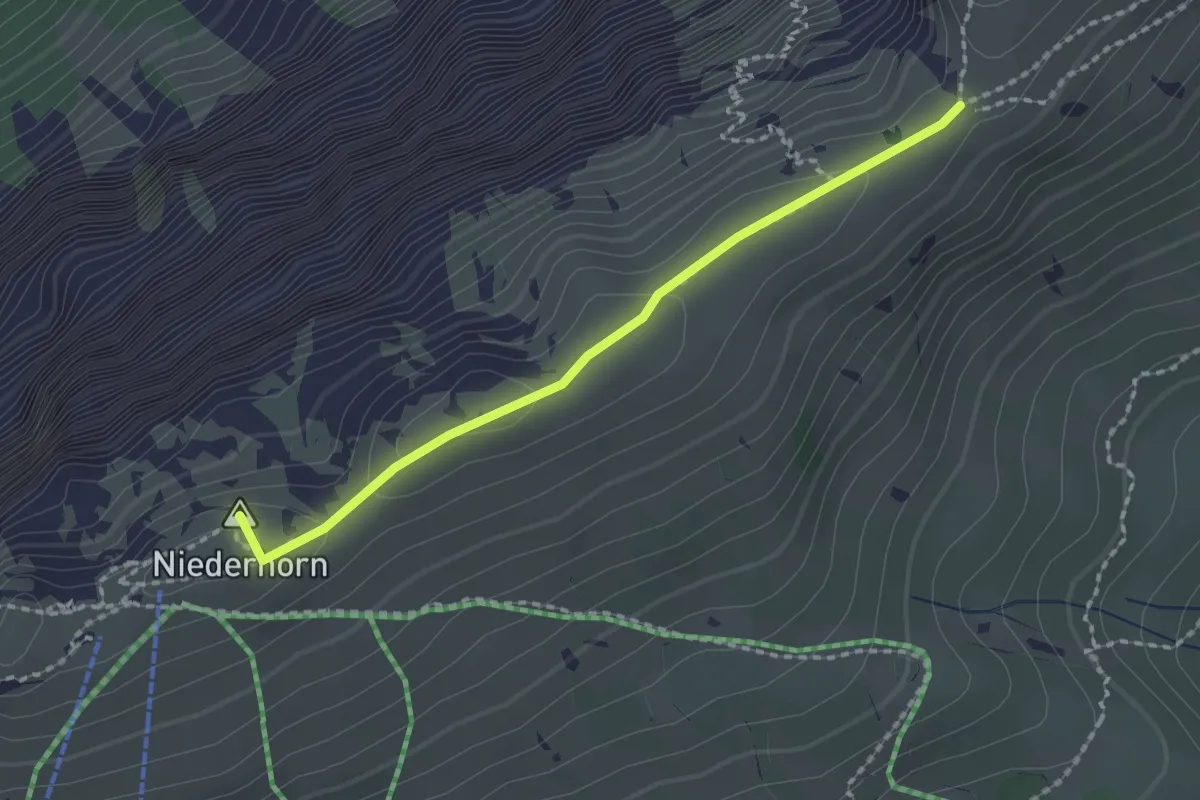
Medium · Summit
Niederhorn – Hohseil
1.9 km · ↑ 32 m · 31 min · 6 km away
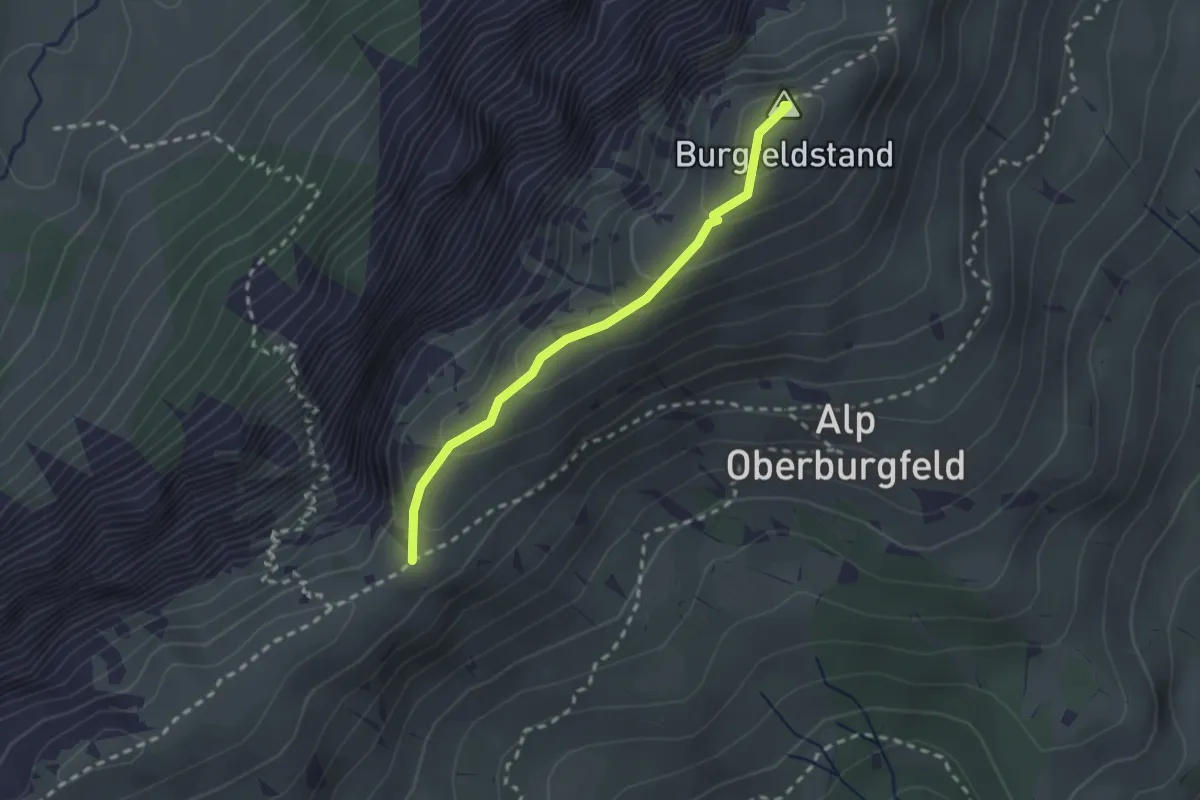
Medium · Summit
Hohseil – Burgfeldstand
2.2 km · ↑ 128 m · 47 min · 6 km away
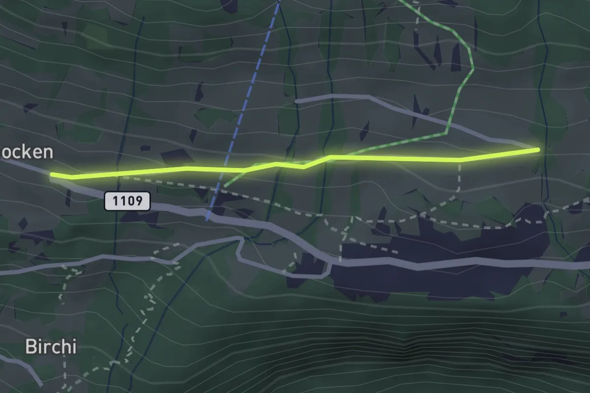
Easy · Trail
Riedboden – Schmocken
2.2 km · ↑ 72 m · 41 min · 6 km away
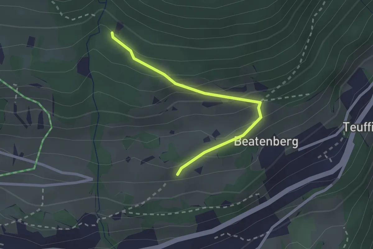
Easy · Trail
Chüelauigrabe – Rossi
2.0 km · ↑ 159 m · 50 min · 6 km away
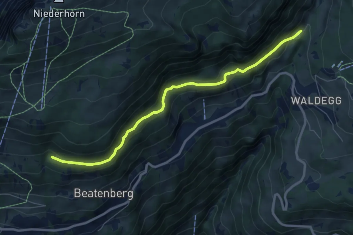
Easy · Trail
Chüelauigrabe – Spirewald
6.7 km · ↑ 262 m · 2 h 8 min · 6 km away
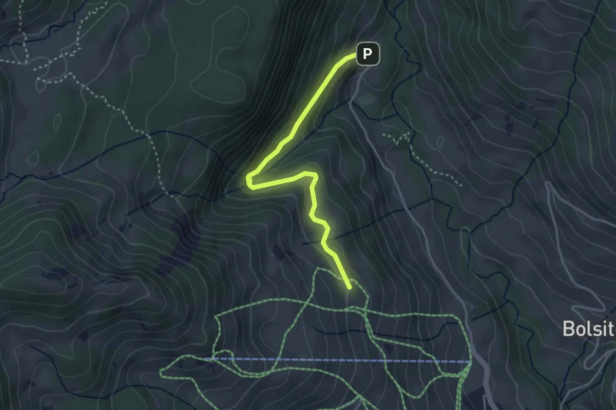
Easy · Cabin
Blossmoos – Läger
3.4 km · ↑ 180 m · 1 h 11 min · 6 km away
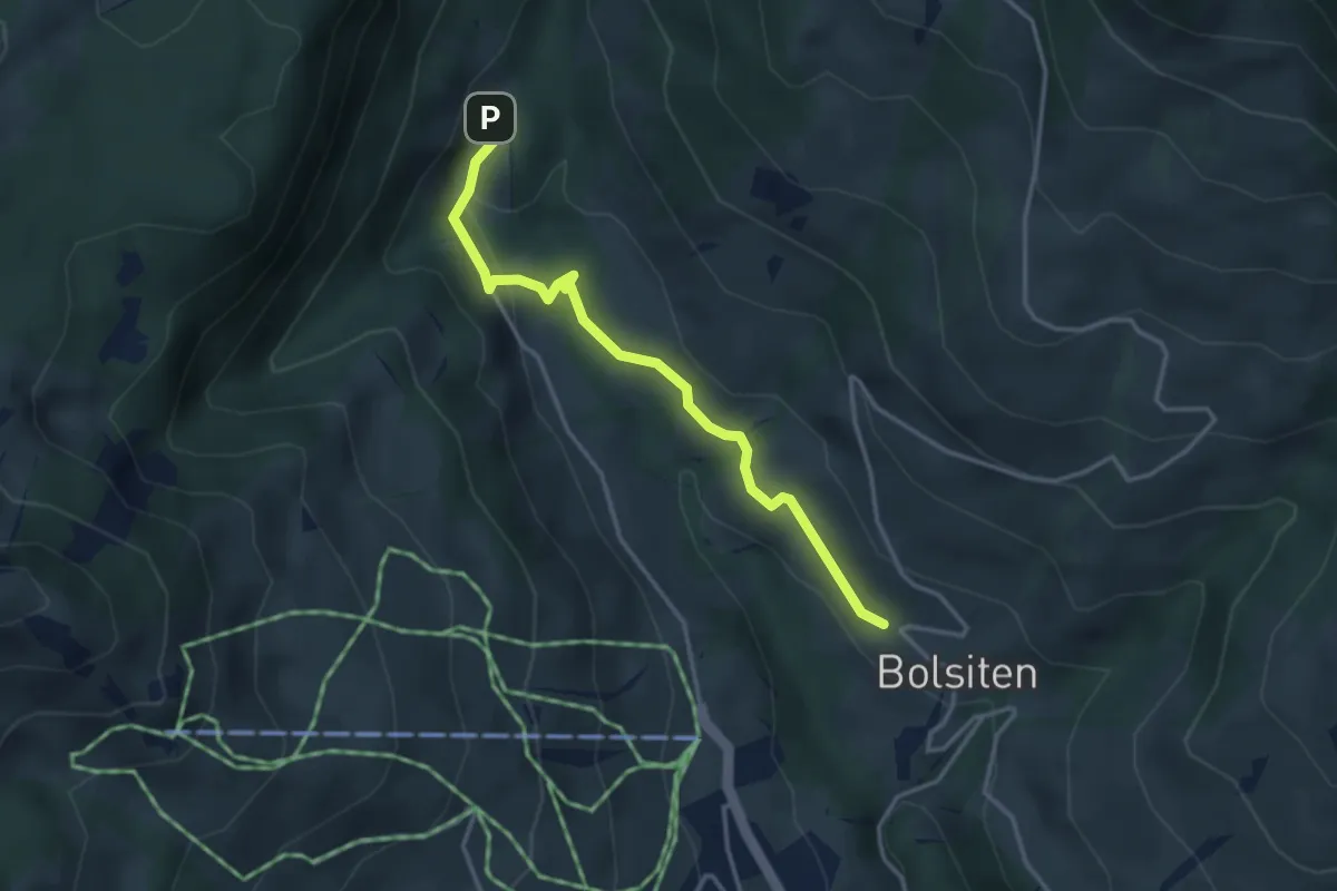
Easy · Trail
Bolsiten – Blossmoos
3.4 km · ↑ 99 m · 1 h 1 min · 6 km away
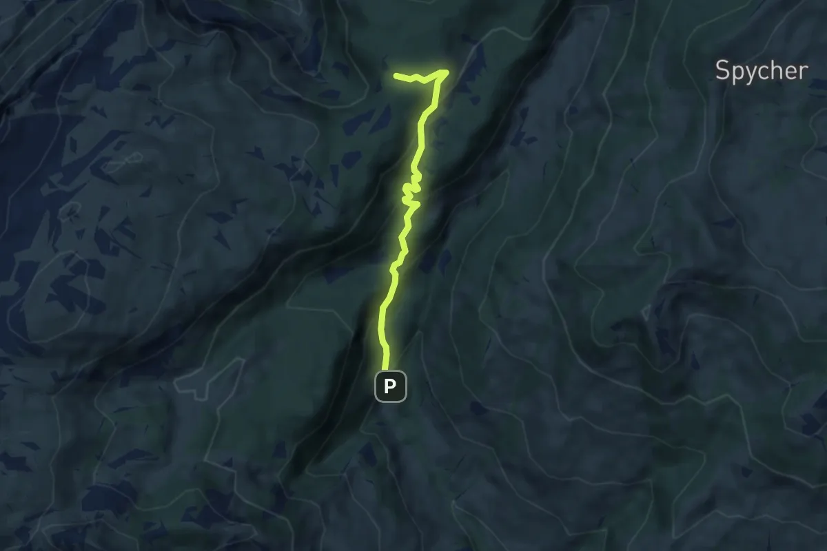
Medium · Trail
Grünenbergpass – Blossmoos
5.9 km · ↑ 419 m · 2 h 18 min · 6 km away
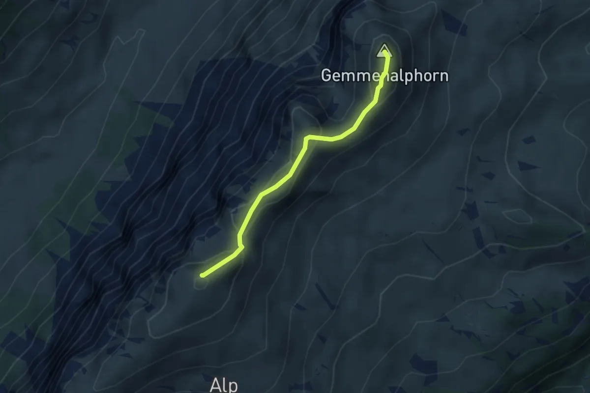
Medium · Summit
Burgfeldstand – Gemmenalphorn
3.0 km · ↑ 130 m · 1 h · 7 km away
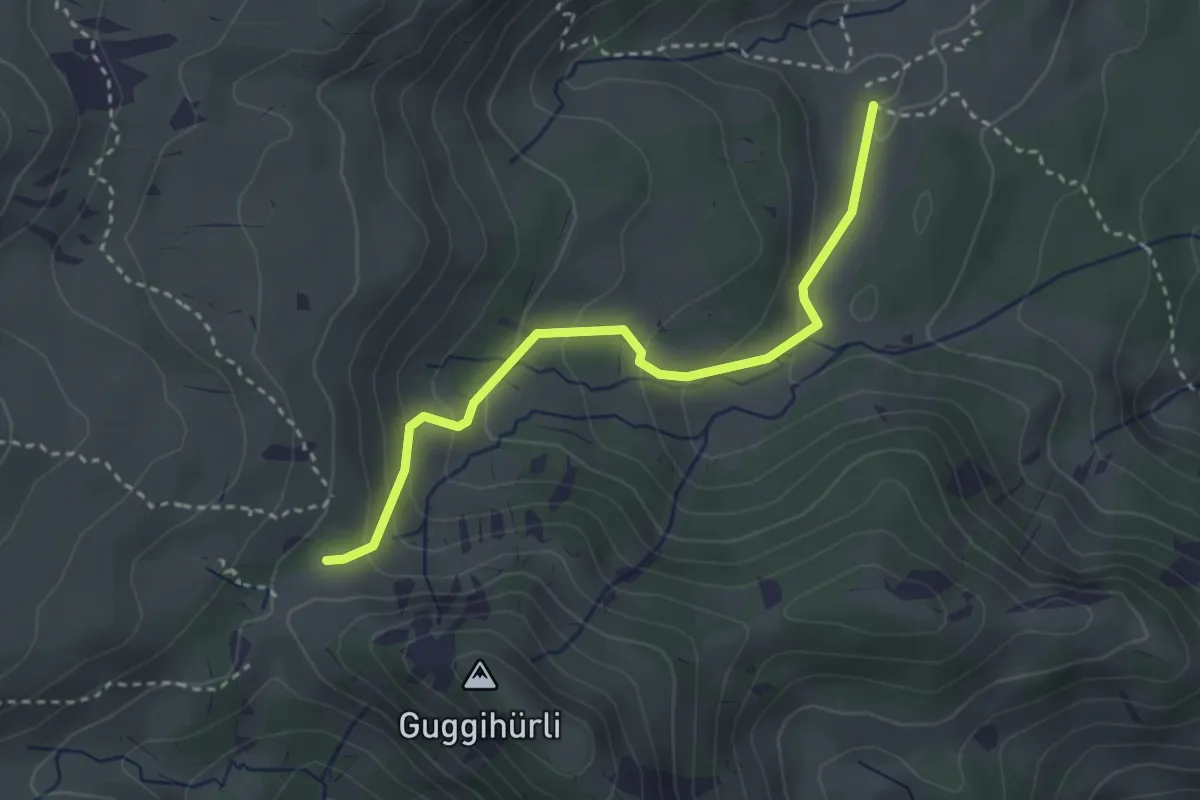
Easy · Trail
Bäreney – Chromatte
3.1 km · ↑ 200 m · 1 h 10 min · 7 km away
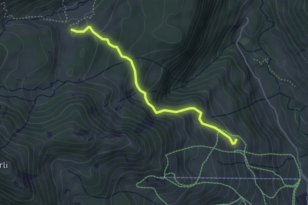
Medium · Cabin
Läger – Chromatte
3.8 km · ↑ 227 m · 1 h 23 min · 7 km away
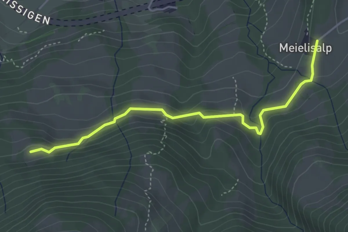
Easy · Trail
Meielisalp – Chüngstuel
4.1 km · ↑ 151 m · 1 h 17 min · 7 km away
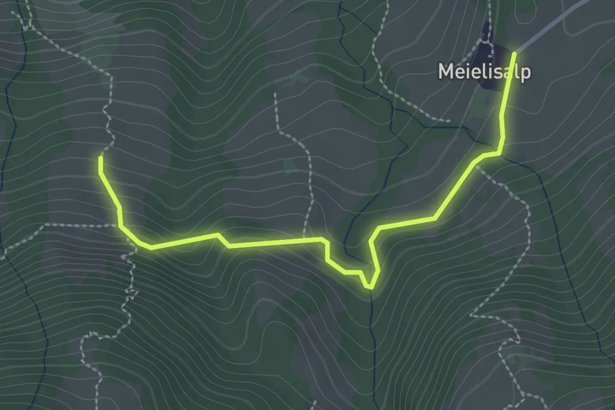
Easy · Trail
Äbnitweid – Meielisalp
2.9 km · ↑ 138 m · 58 min · 7 km away
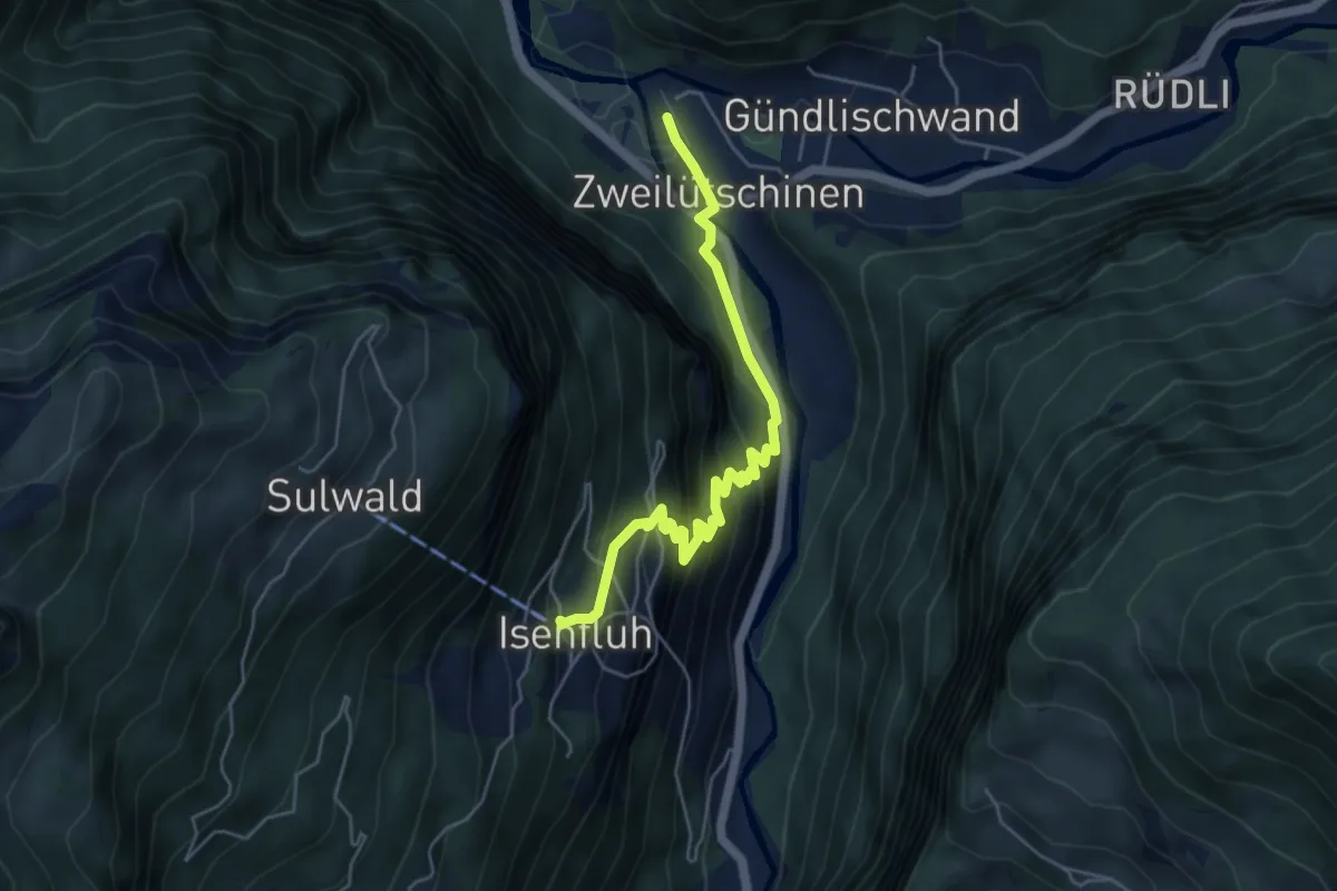
Medium · Trail
Zweilütschinen - Isenfluh
5.2 km · ↑ 477 m · 2 h 15 min · 7 km away
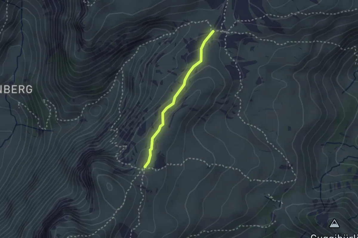
Medium · Trail
Kühstand – Seefeld / Oberberg
2.1 km · ↑ 104 m · 44 min · 7 km away
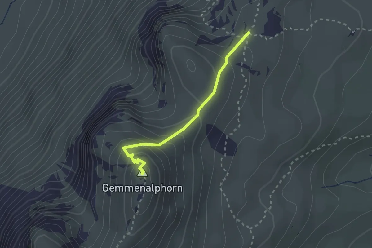
Medium · Summit
Gemmenalphorn – Kühstand
2.0 km · ↑ 158 m · 48 min · 7 km away
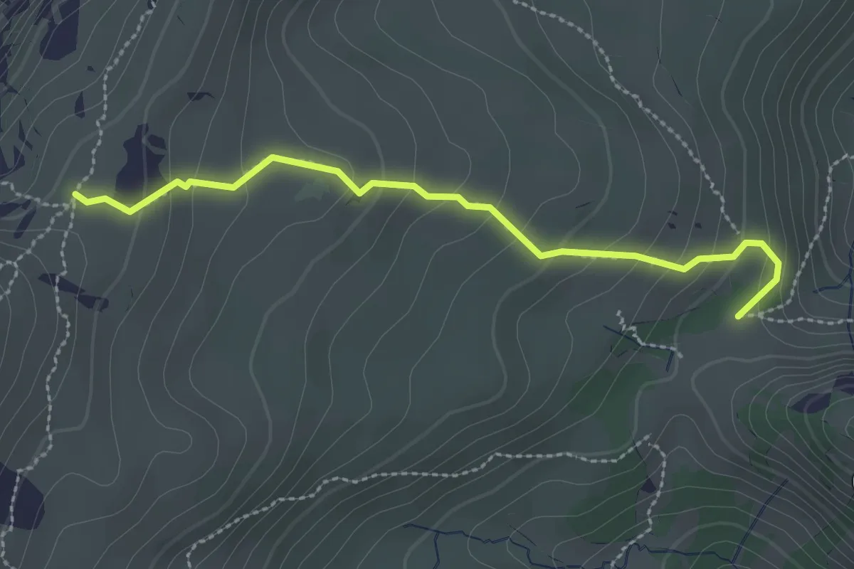
Medium · Trail
Kühstand – Bäreney
2.6 km · ↑ 193 m · 1 h 2 min · 7 km away
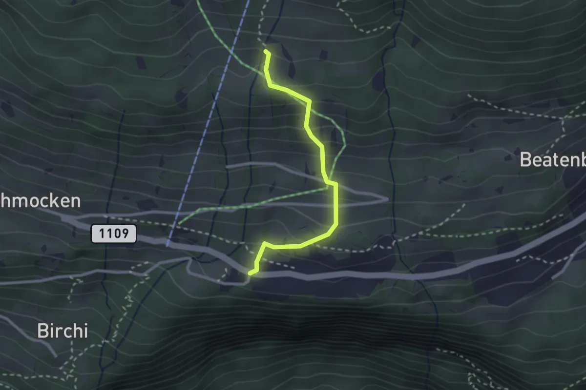
Medium · Trail
Boden – Beatenberg Altersheim
2.2 km · ↑ 251 m · 1 h 4 min · 7 km away
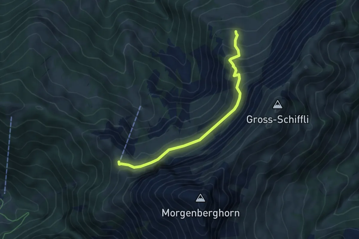
Demanding · Cabin
Leissigbärgli - Brunii
5.2 km · ↑ 386 m · 2 h 4 min · 7 km away
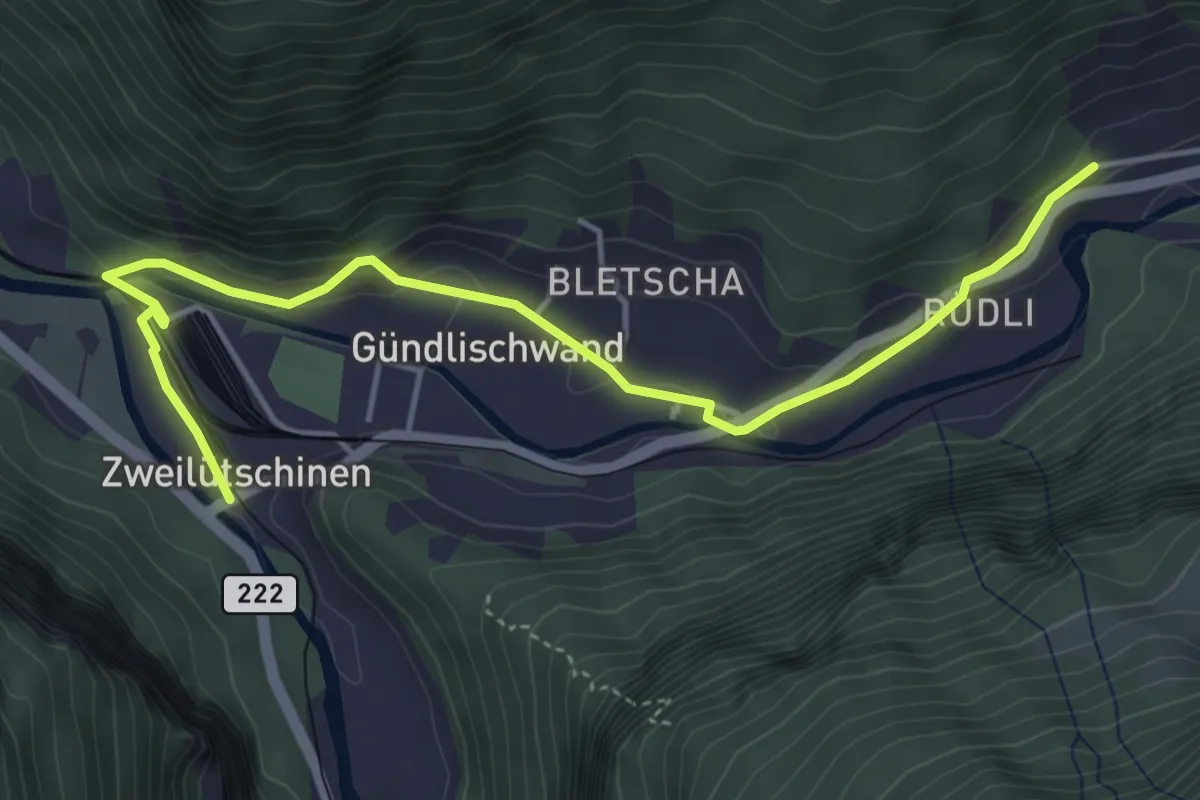
Easy · Trail
Zweilütschinen – Schynige Platte
5.0 km · ↑ 112 m · 1 h 26 min · 7 km away
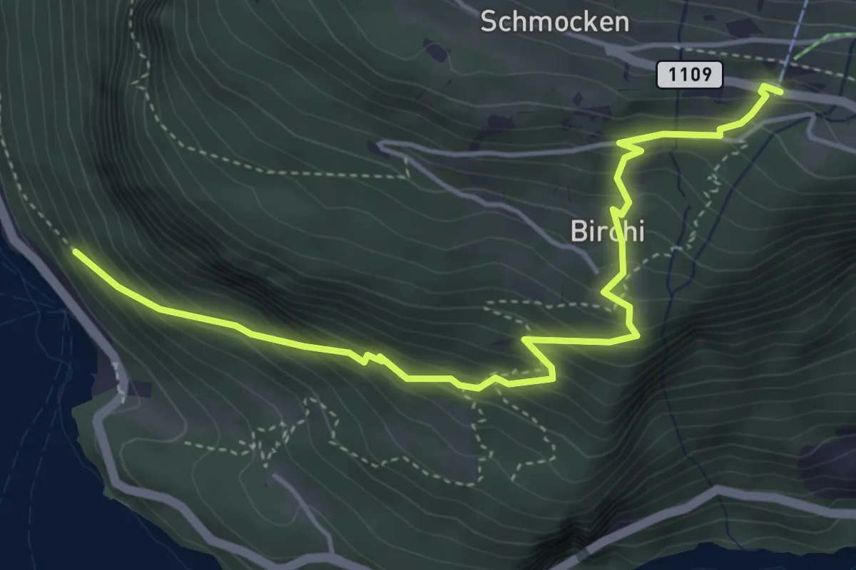
Medium · Trail
Fischbalme - Beatenberg
4.9 km · ↑ 503 m · 2 h 14 min · 7 km away
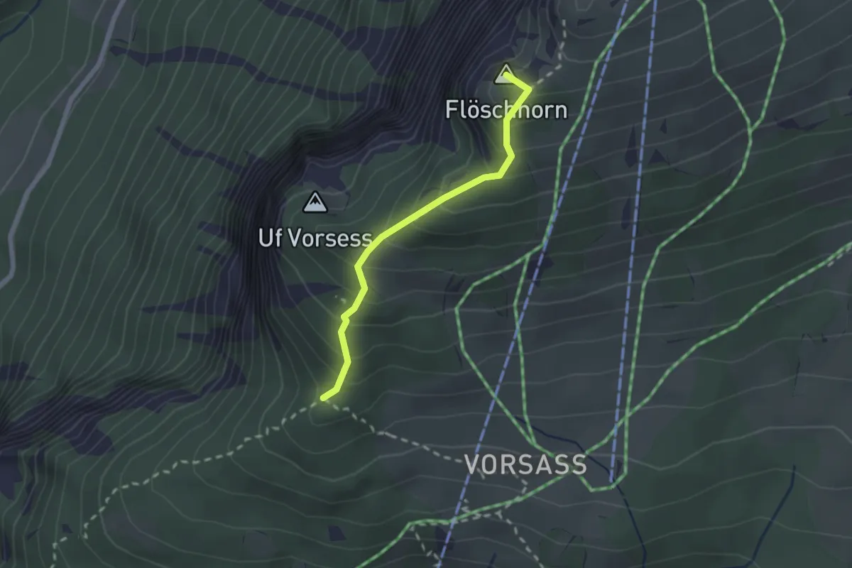
Medium · Summit
Vorsass Türli – Niederhorn
1.9 km · ↑ 217 m · 55 min · 7 km away
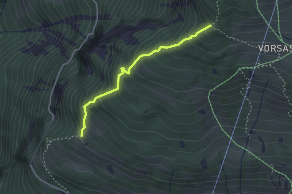
Medium · Trail
Habernlegi - Vorsass Türli
2.6 km · ↑ 332 m · 1 h 19 min · 7 km away
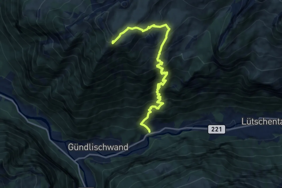
Demanding · Trail
Zweilütschinen – Schynige Platte
10.7 km · ↑ 1367 m · 5 h 30 min · 7 km away
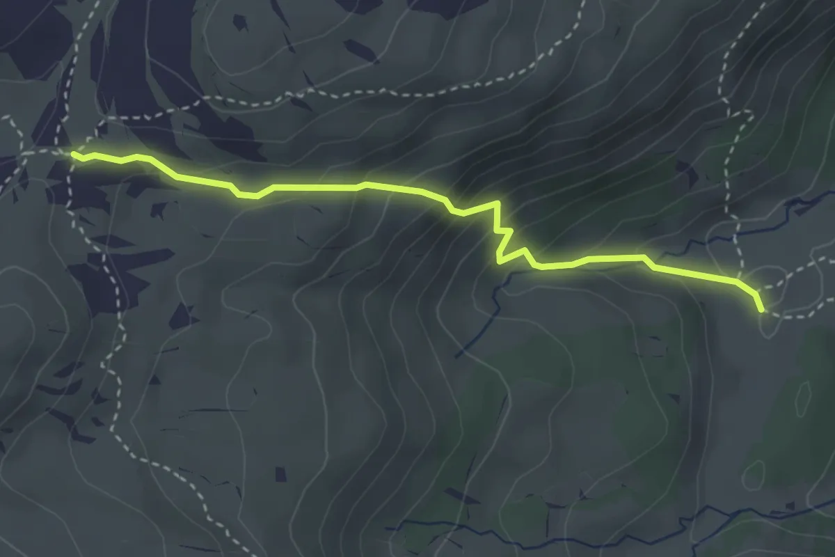
Medium · Trail
Oberberg – Chromatte
3.3 km · ↑ 263 m · 1 h 21 min · 7 km away
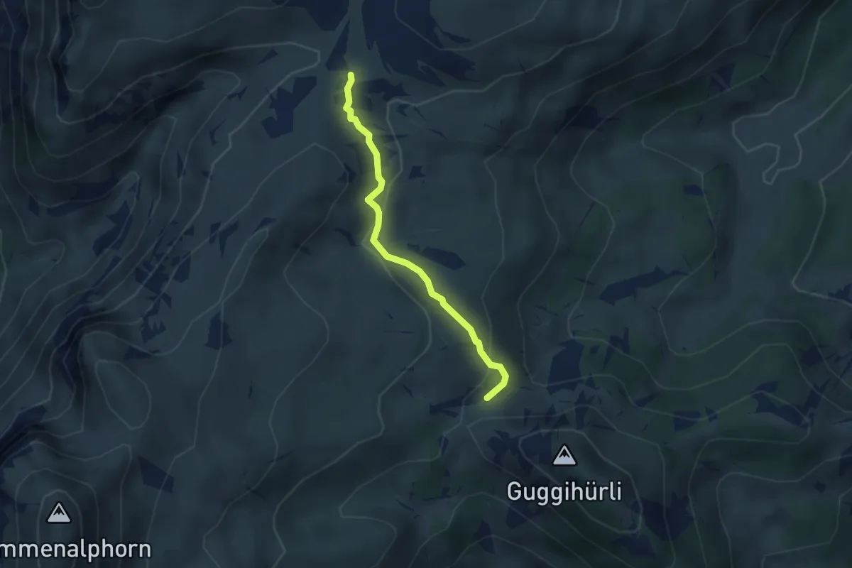
Medium · Trail
Oberberg – Bäreney
2.8 km · ↑ 117 m · 55 min · 7 km away
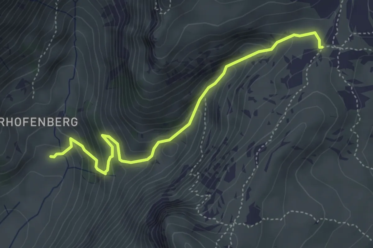
Medium · Trail
Seefeld / Oberberg – Hinterstberg
4.5 km · ↑ 455 m · 2 h 3 min · 7 km away
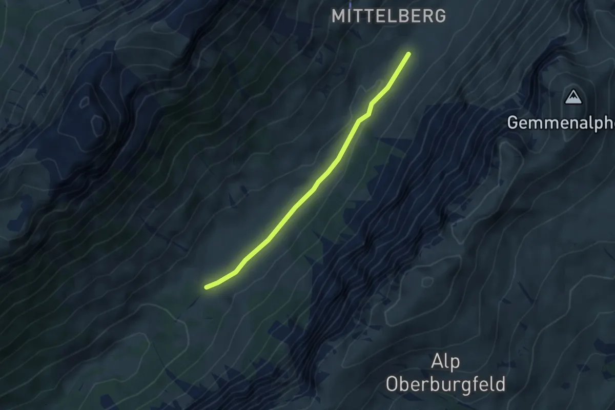
Easy · Trail
Püfel – Gross Mittelberg
3.7 km · ↑ 54 m · 59 min · 7 km away
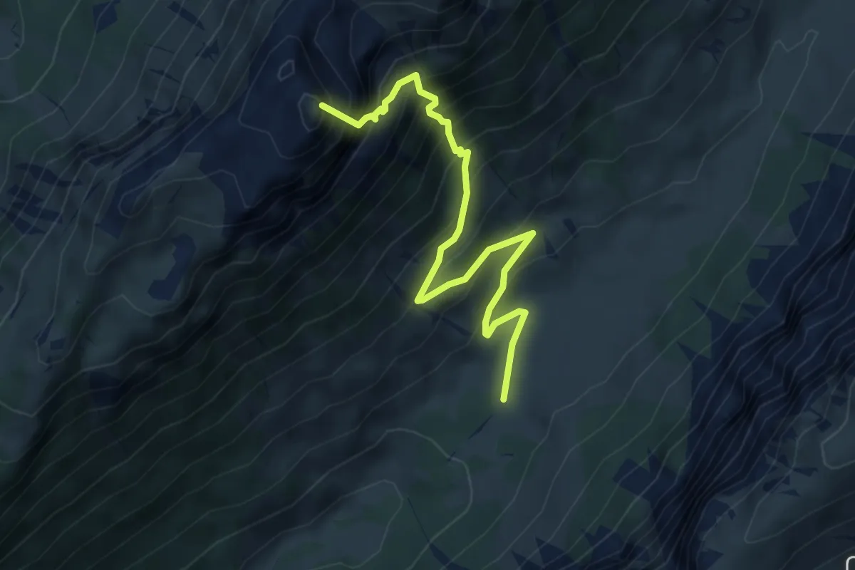
Demanding · Summit
Püfel – Schafloch
5.3 km · ↑ 679 m · 2 h 44 min · 7 km away
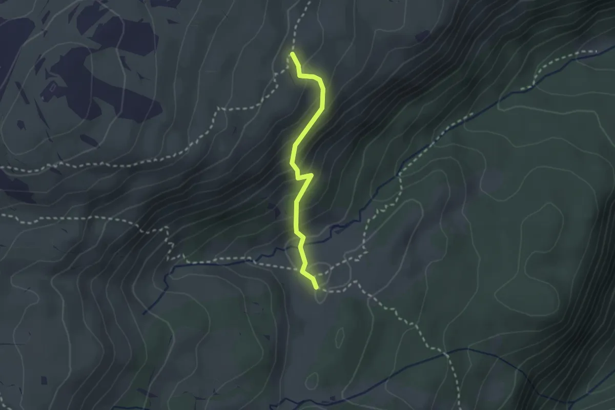
Medium · Trail
Vorderes Seefeld – Chromatte
2.1 km · ↑ 191 m · 54 min · 7 km away
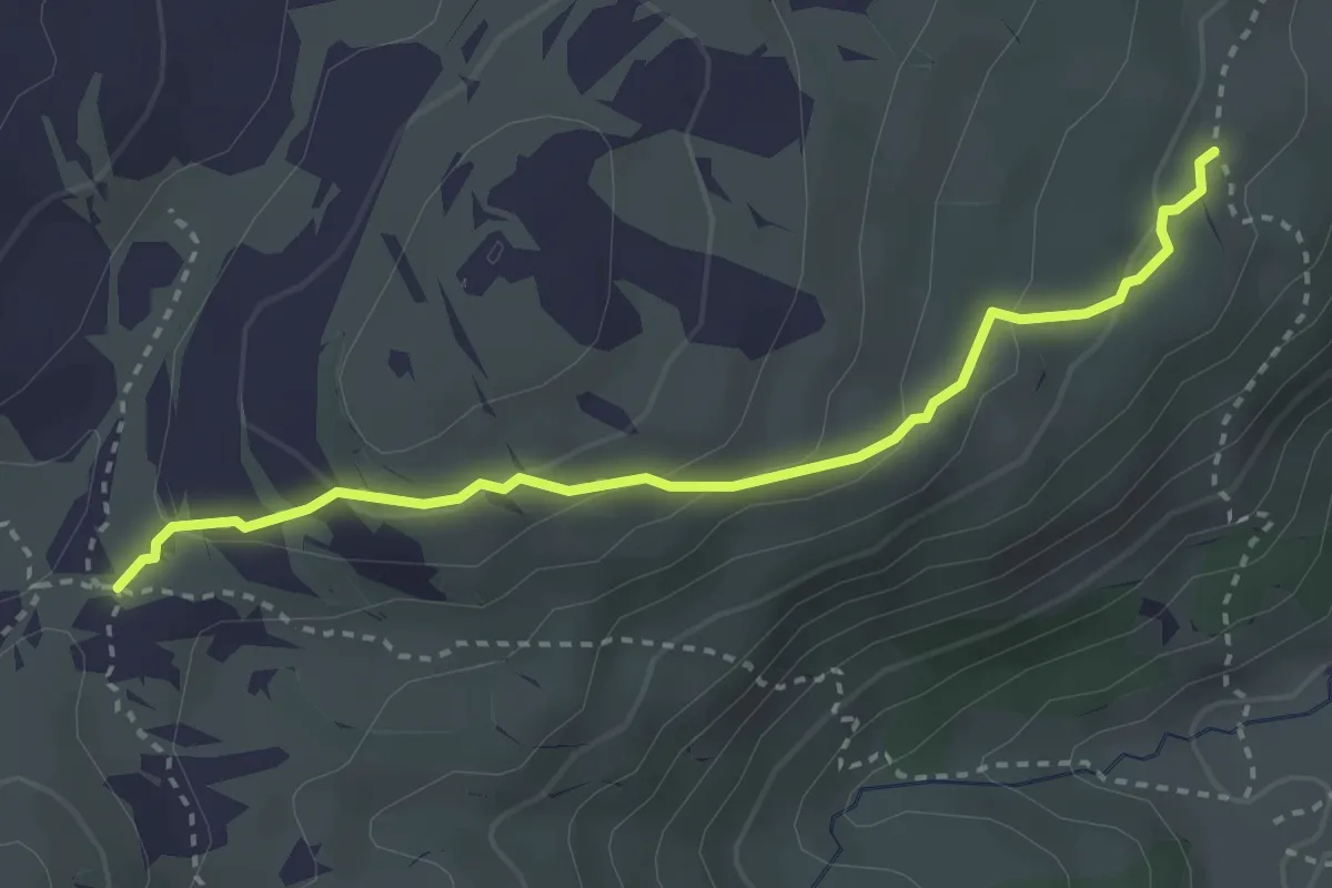
Medium · Trail
Oberberg – Vorderes Seefeld
3.2 km · ↑ 142 m · 1 h 4 min · 7 km away
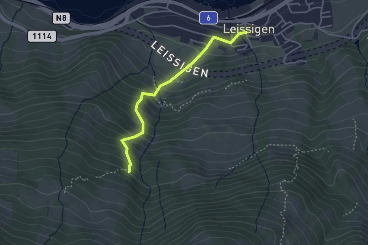
Easy · Trail
Rügger – Leissigen
3.0 km · ↑ 313 m · 1 h 23 min · 7 km away
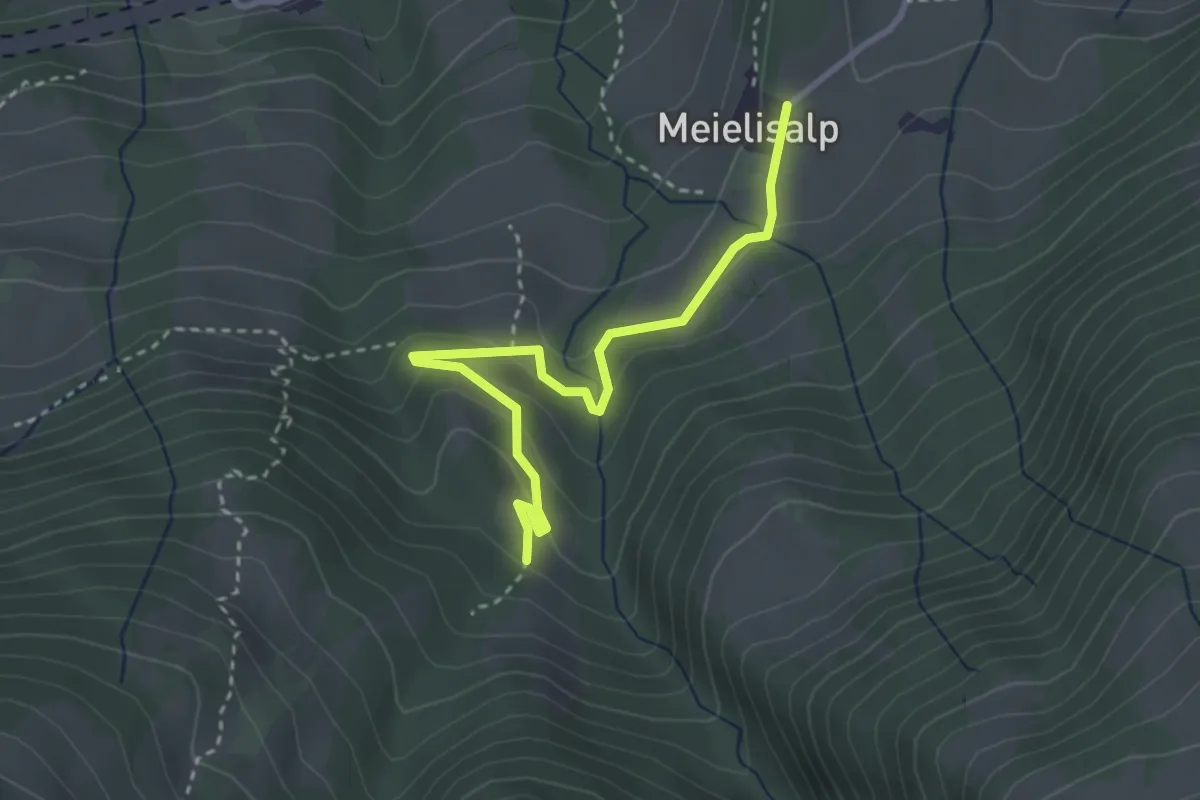
Easy · Trail
Meilisalp – Speicheralmi
3.2 km · ↑ 137 m · 1 h 3 min · 7 km away
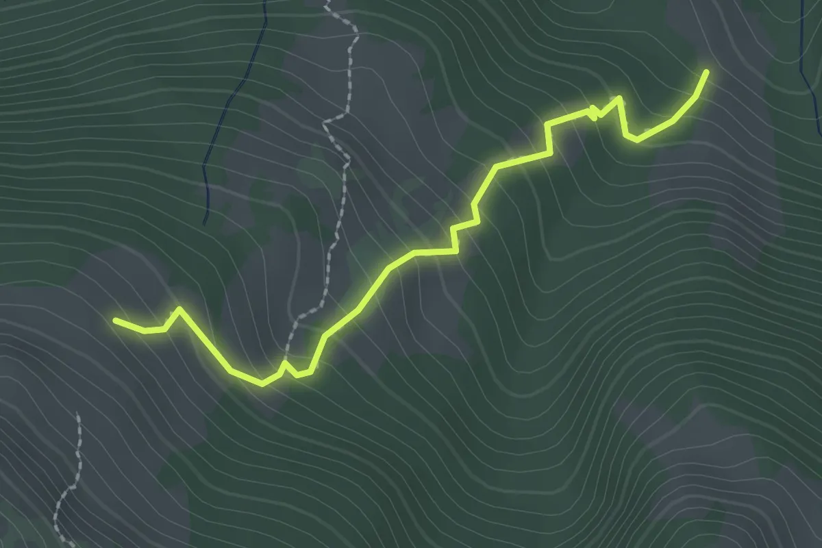
Medium · Trail
Spicheralmi – Unteres Horn
2.3 km · ↑ 273 m · 1 h 8 min · 7 km away
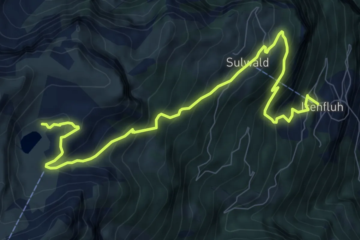
Demanding · Trail
Isenfluh – Lobhorn Hütte
10.3 km · ↑ 904 m · 4 h 23 min · 7 km away
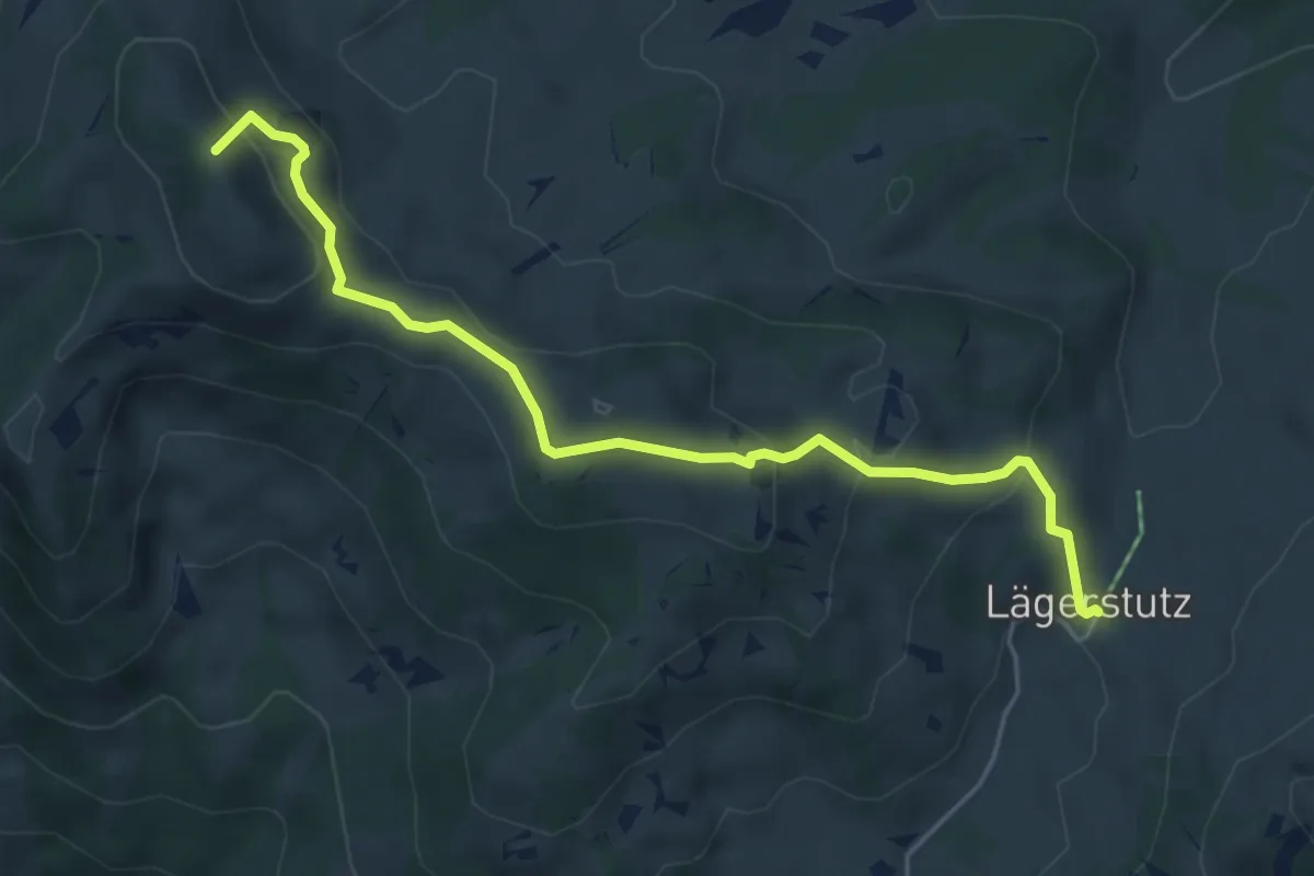
Medium · Summit
Bohl/Widegg – Lombachalp
5.3 km · ↑ 305 m · 1 h 54 min · 8 km away
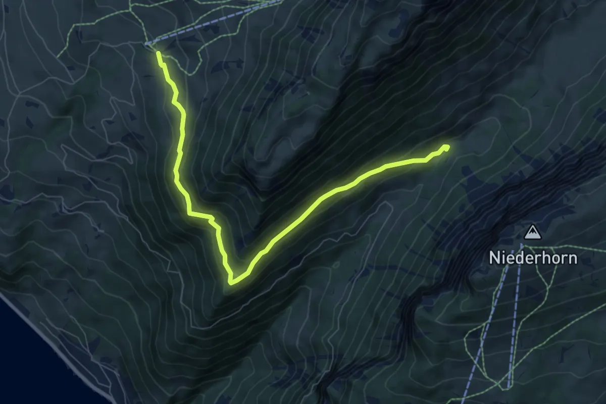
Medium · Trail
Justistal – Wilerallmi
8.1 km · ↑ 405 m · 2 h 48 min · 8 km away
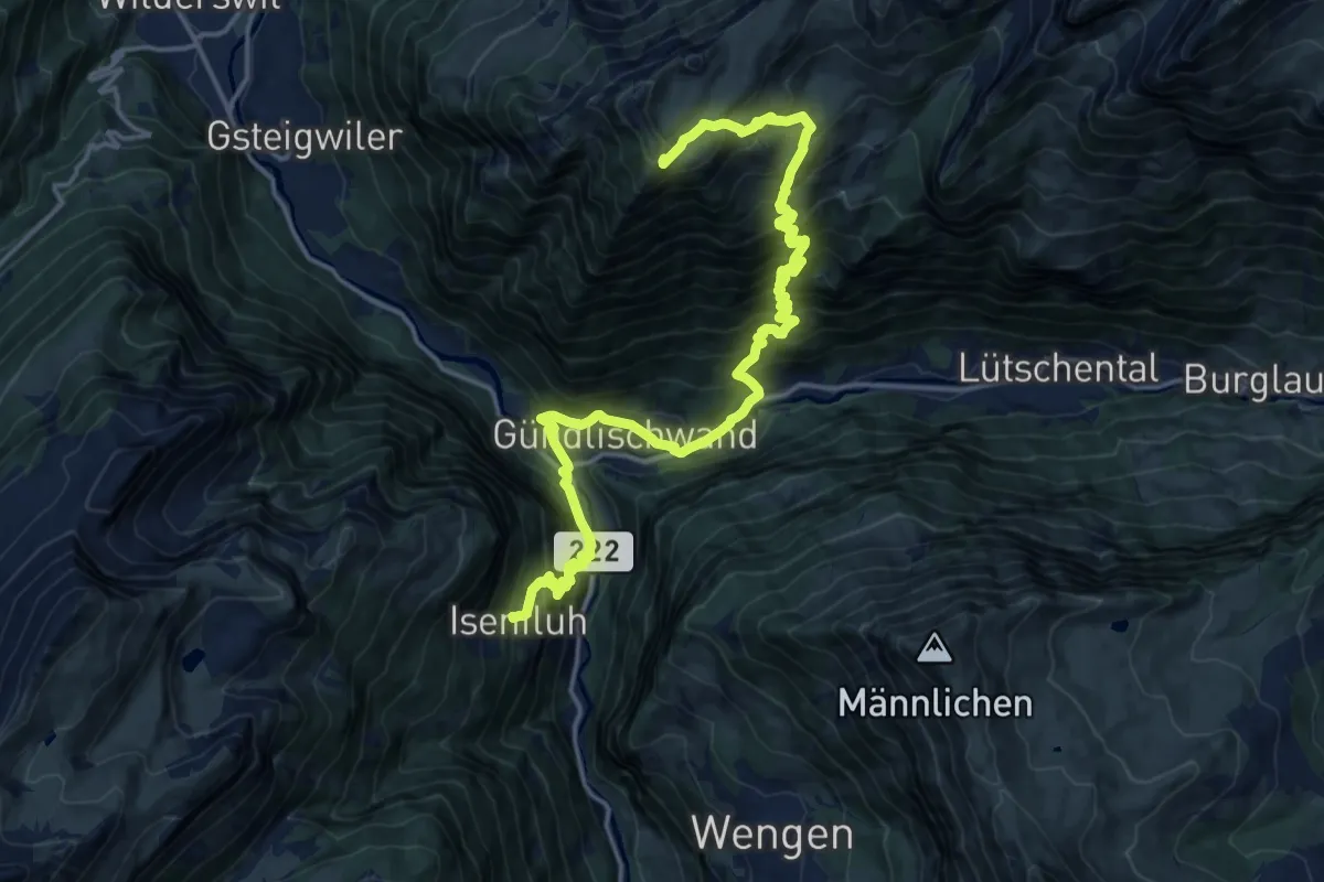
Demanding · Trail
ViaBerna Etappe 14
10.2 km · ↑ 1427 m · 5 h 12 min · 8 km away
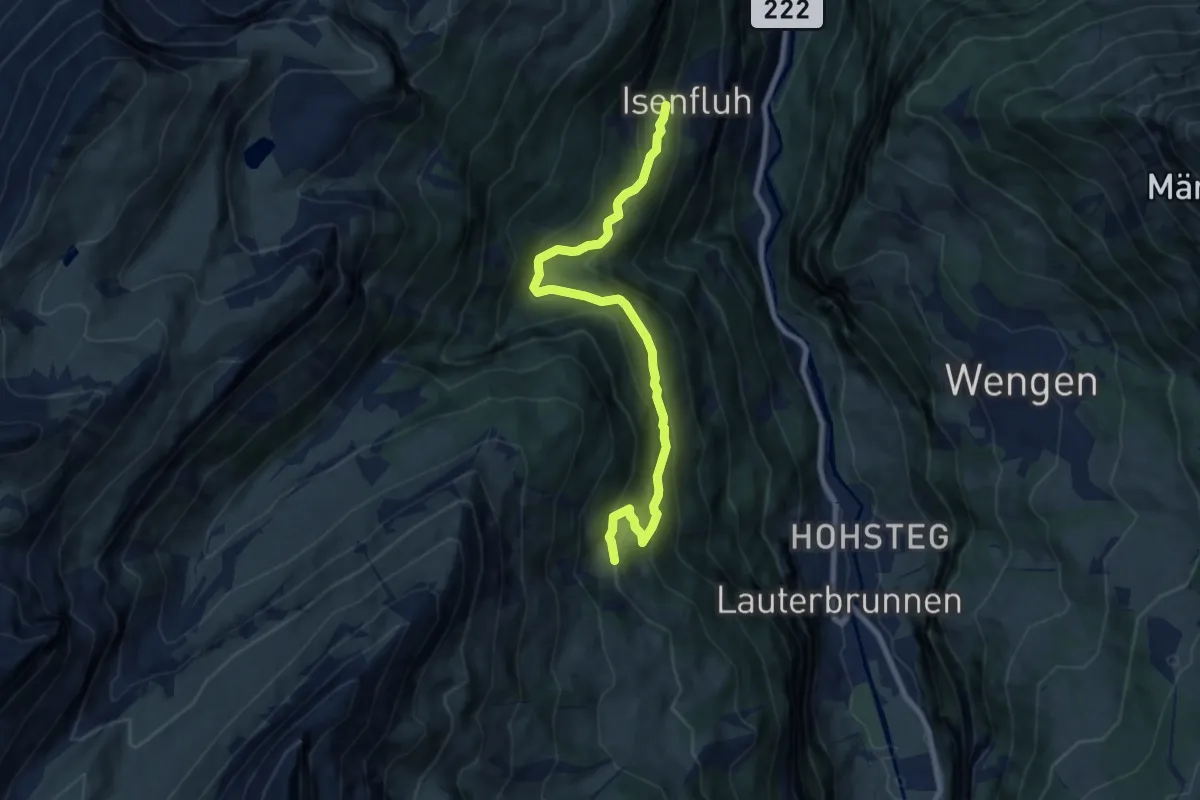
Medium · Trail
Grütschalp – Isenfluh
8.4 km · ↑ 587 m · 3 h 15 min · 8 km away
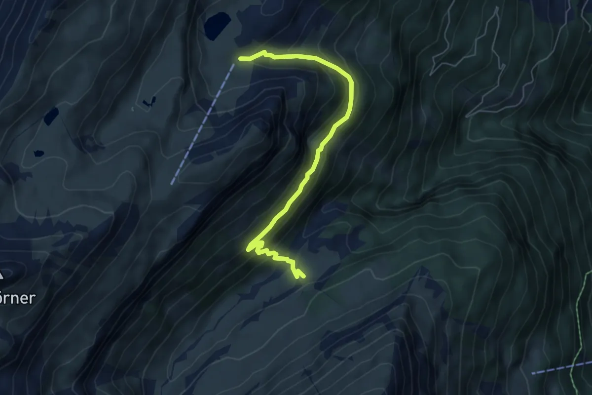
Expert · Trail
Suls - Floschwald/Sausmatten
5.8 km · ↑ 385 m · 2 h 11 min · 8 km away
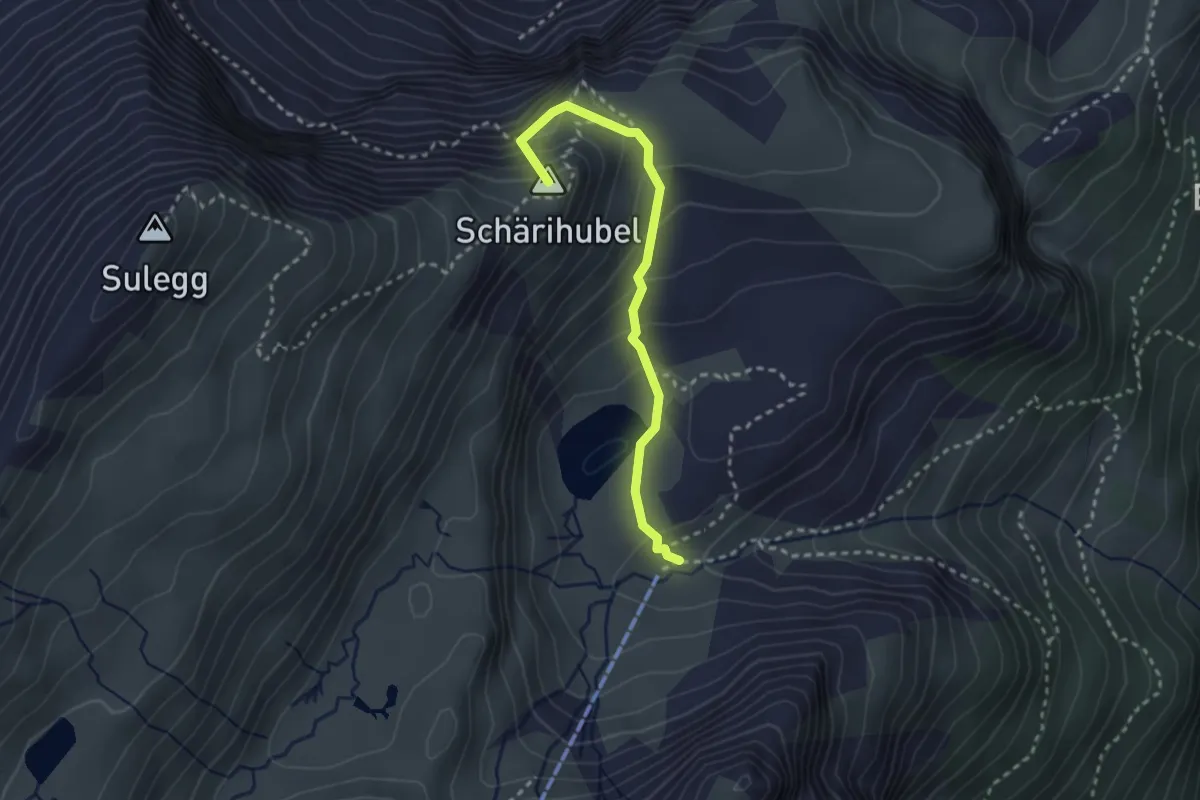
Medium · Summit
Bällefurgge - Suls
2.7 km · ↑ 277 m · 1 h 14 min · 8 km away
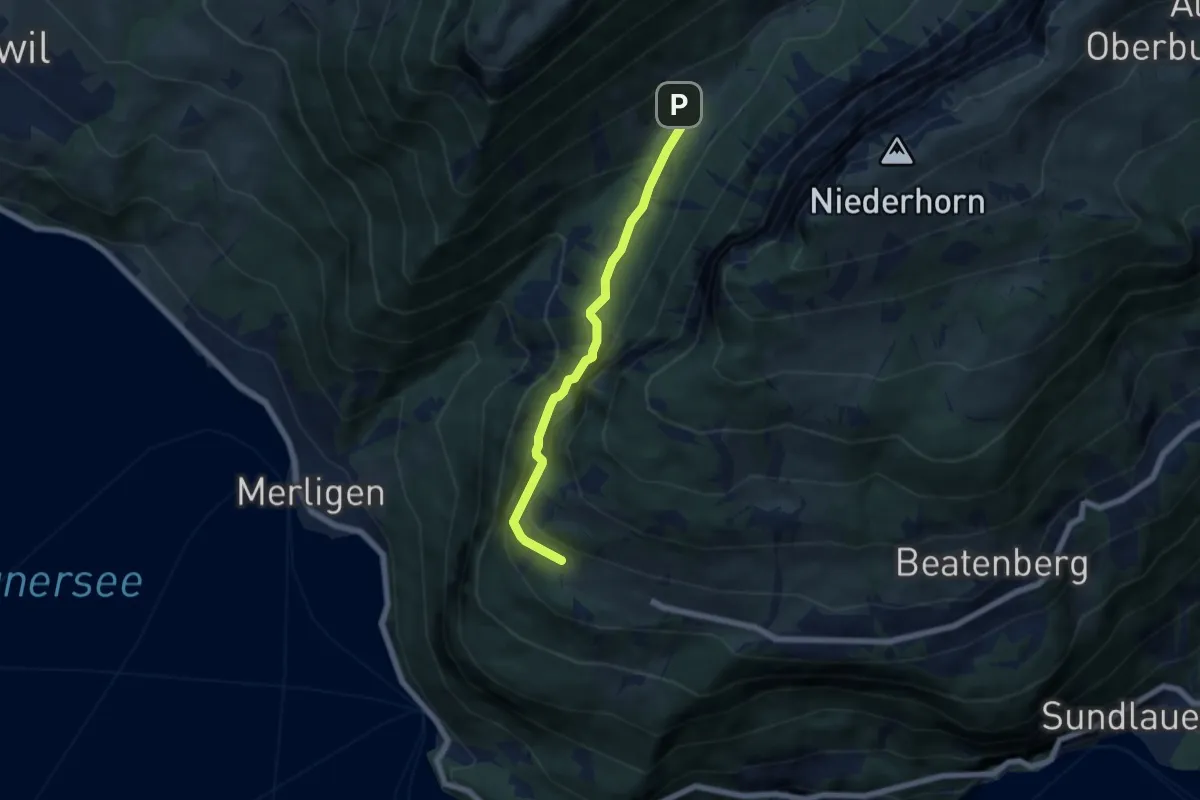
Medium · Trail
Waldbrand – Justistal/Grön
5.4 km · ↑ 337 m · 2 h 1 min · 8 km away
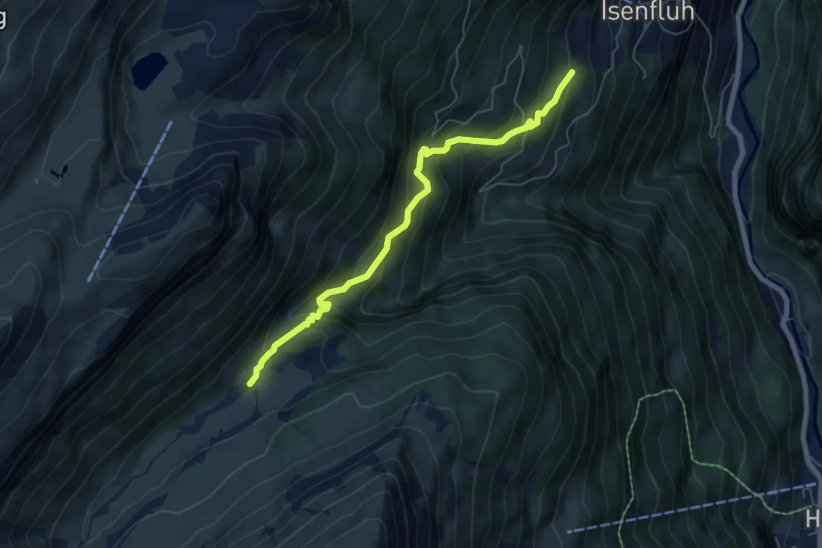
Medium · Trail
Isenfluh – Floschwald
5.5 km · ↑ 507 m · 2 h 25 min · 8 km away
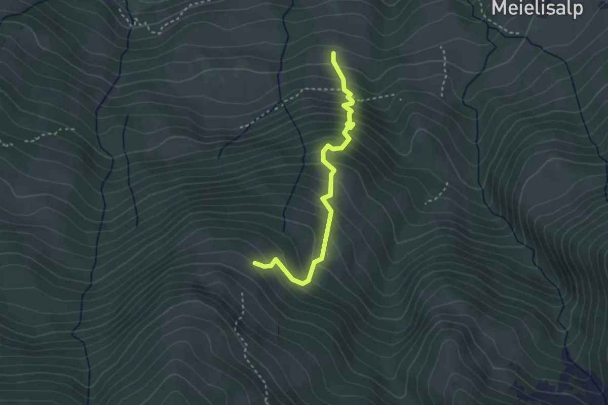
Medium · Trail
Äbnitweid – Unteres Horn
2.9 km · ↑ 387 m · 1 h 32 min · 8 km away