Trails near Interlaken
391 hikes starting within 15 km, nearest first.
Nearest first, page 5 of 9
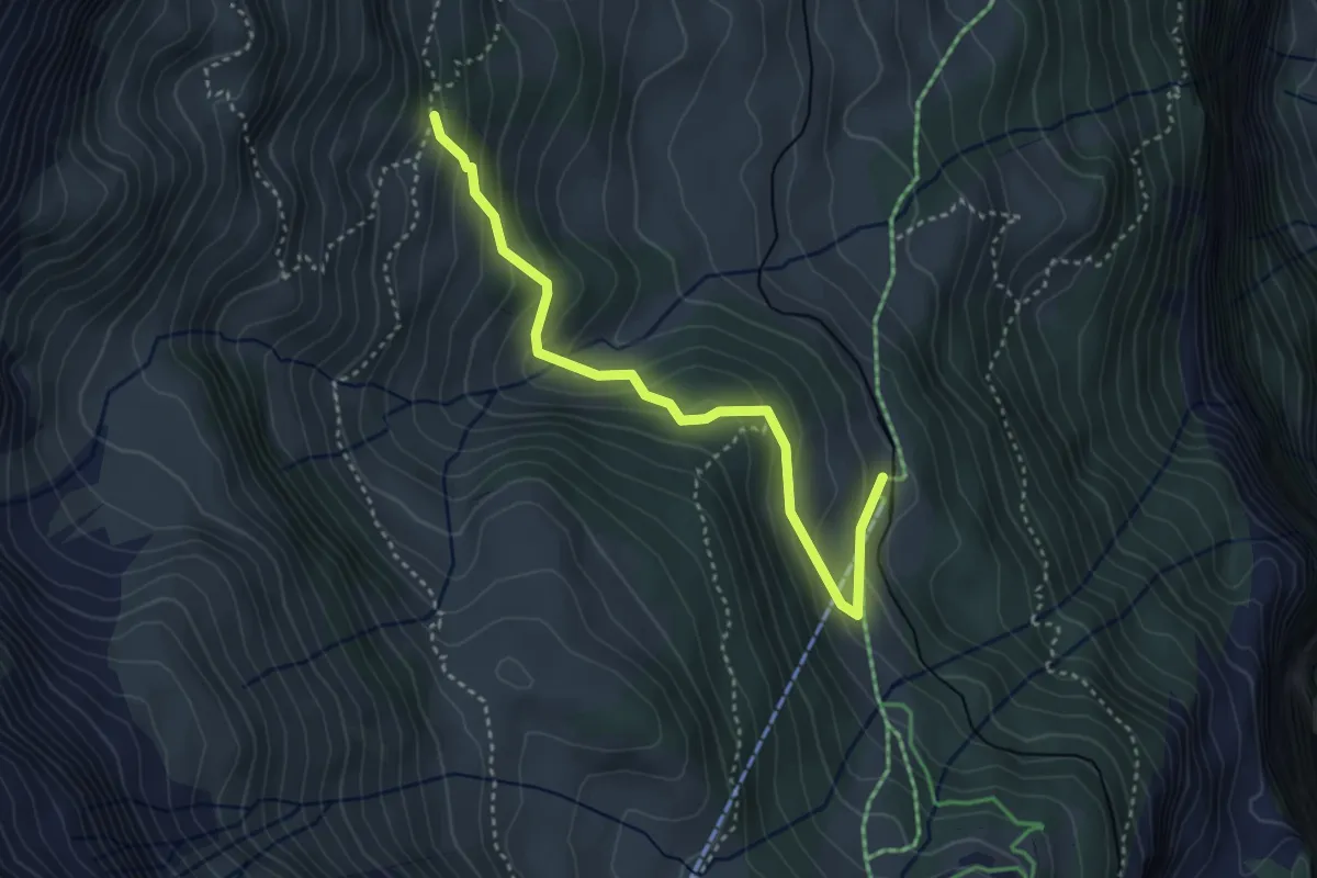
Medium · Trail
Pletschenalp – Winteregg
3.6 km · ↑ 270 m · 1 h 26 min · 11 km away
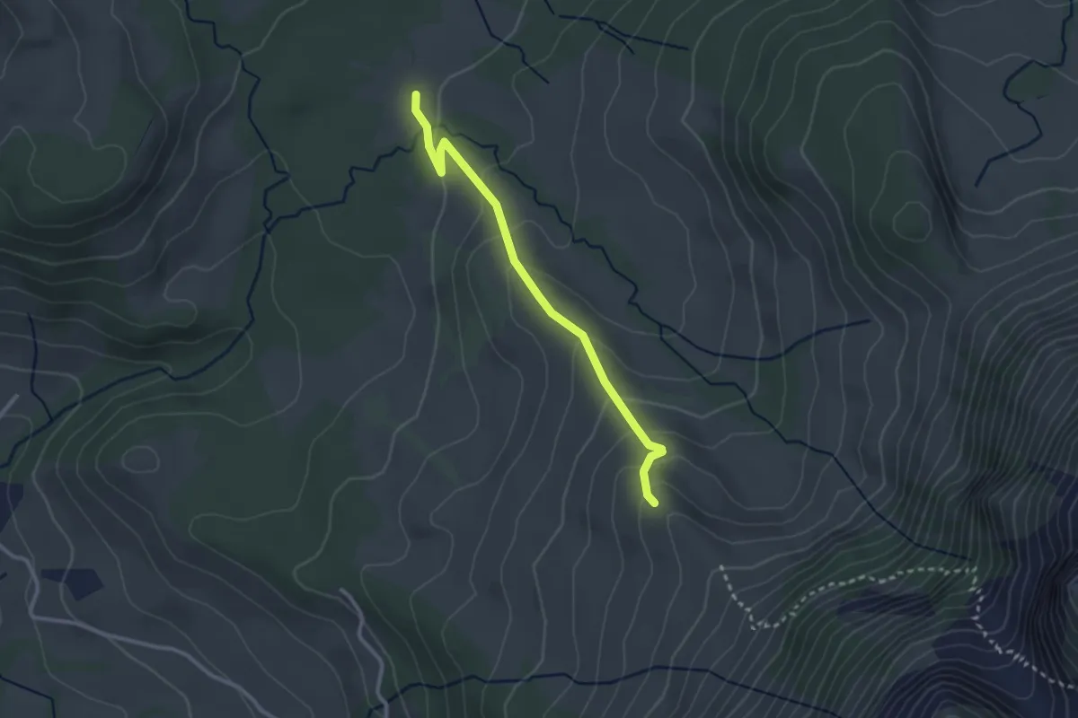
Easy · Trail
Rotmoos – Ober Breitwang
2.7 km · ↑ 165 m · 59 min · 11 km away
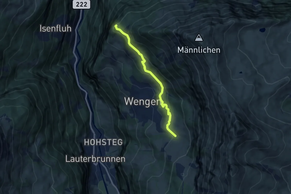
Medium · Summit
In Gasen – Leiterhorn
6.8 km · ↑ 311 m · 2 h 16 min · 11 km away
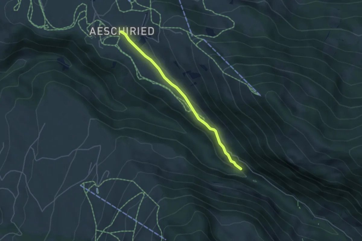
Easy · Trail
Staldenweid – Aeschiried
3.9 km · ↑ 75 m · 1 h 5 min · 11 km away
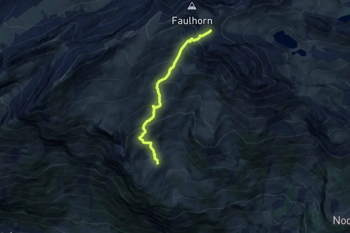
Medium · Trail
Bussalp – Gassenboden
7.0 km · ↑ 751 m · 3 h 17 min · 11 km away
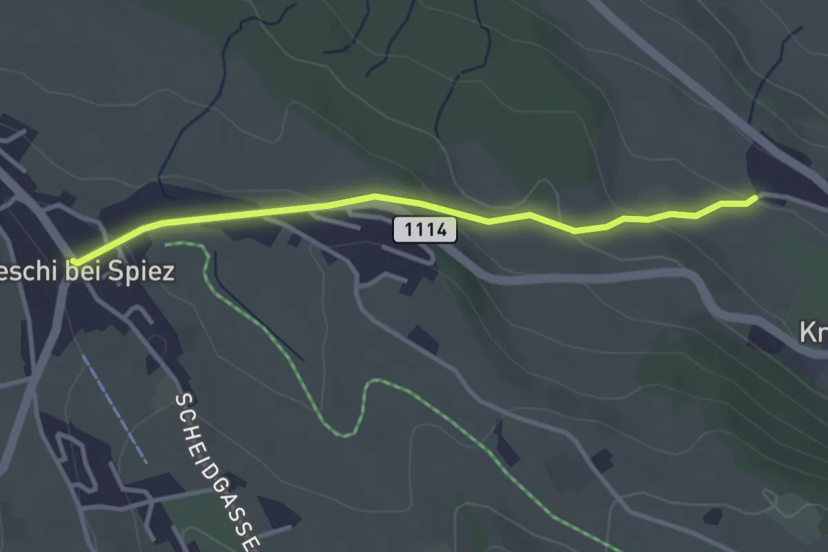
Easy · Trail
Aeschi – Stuhlegg
3.0 km · ↑ 104 m · 57 min · 11 km away
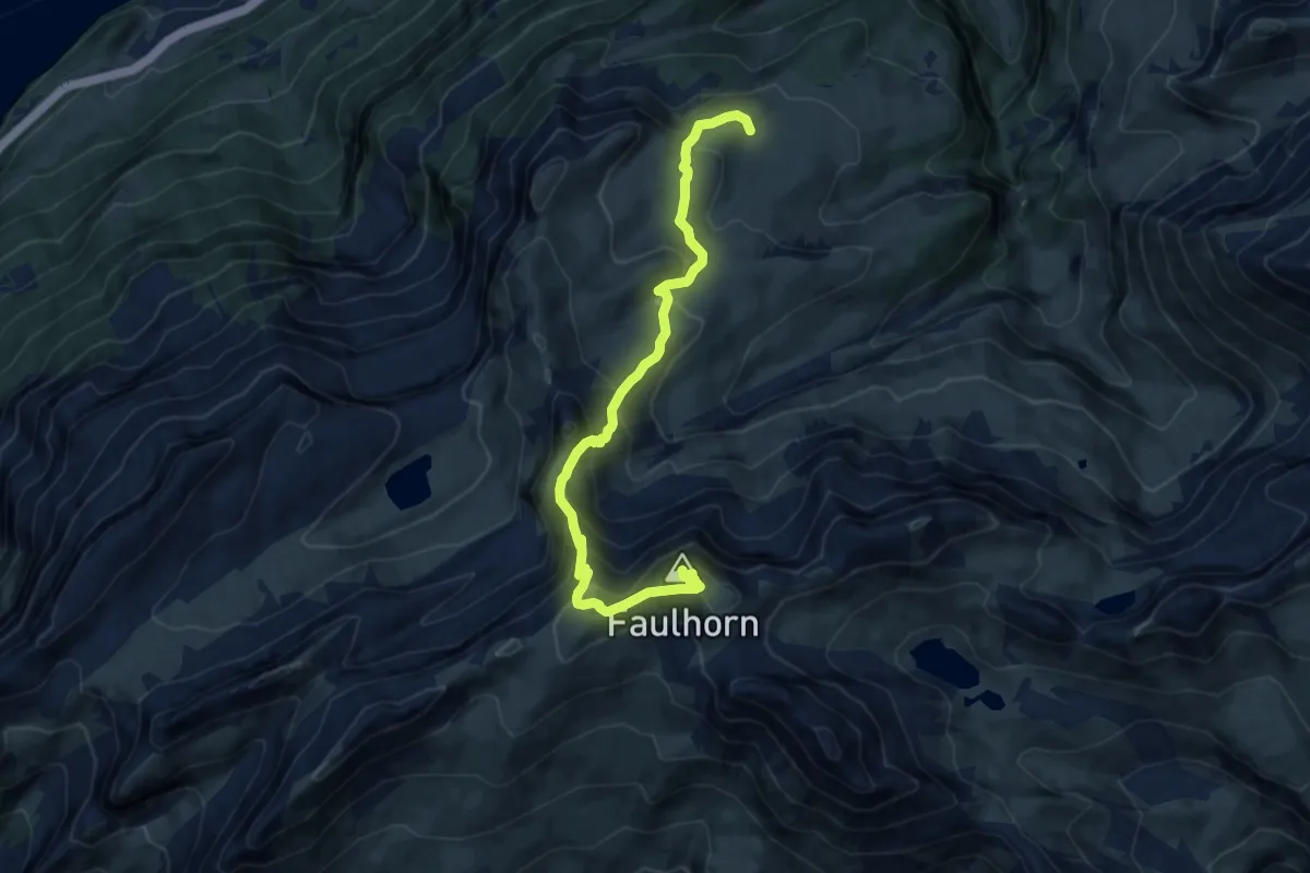
Demanding · Summit
Gstepf – Faulhorn
11.0 km · ↑ 836 m · 4 h 25 min · 11 km away
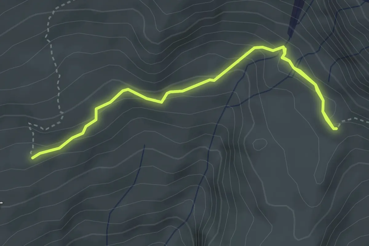
Medium · Trail
Feld – Bussalp/Oberläger
4.0 km · ↑ 216 m · 1 h 25 min · 11 km away
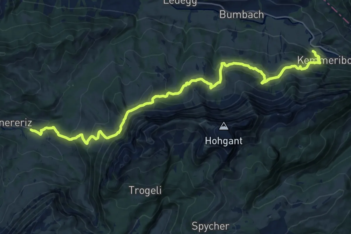
Medium · Trail
Innereriz – Kemmeribodenbad
11.4 km · ↑ 645 m · 4 h 17 min · 11 km away
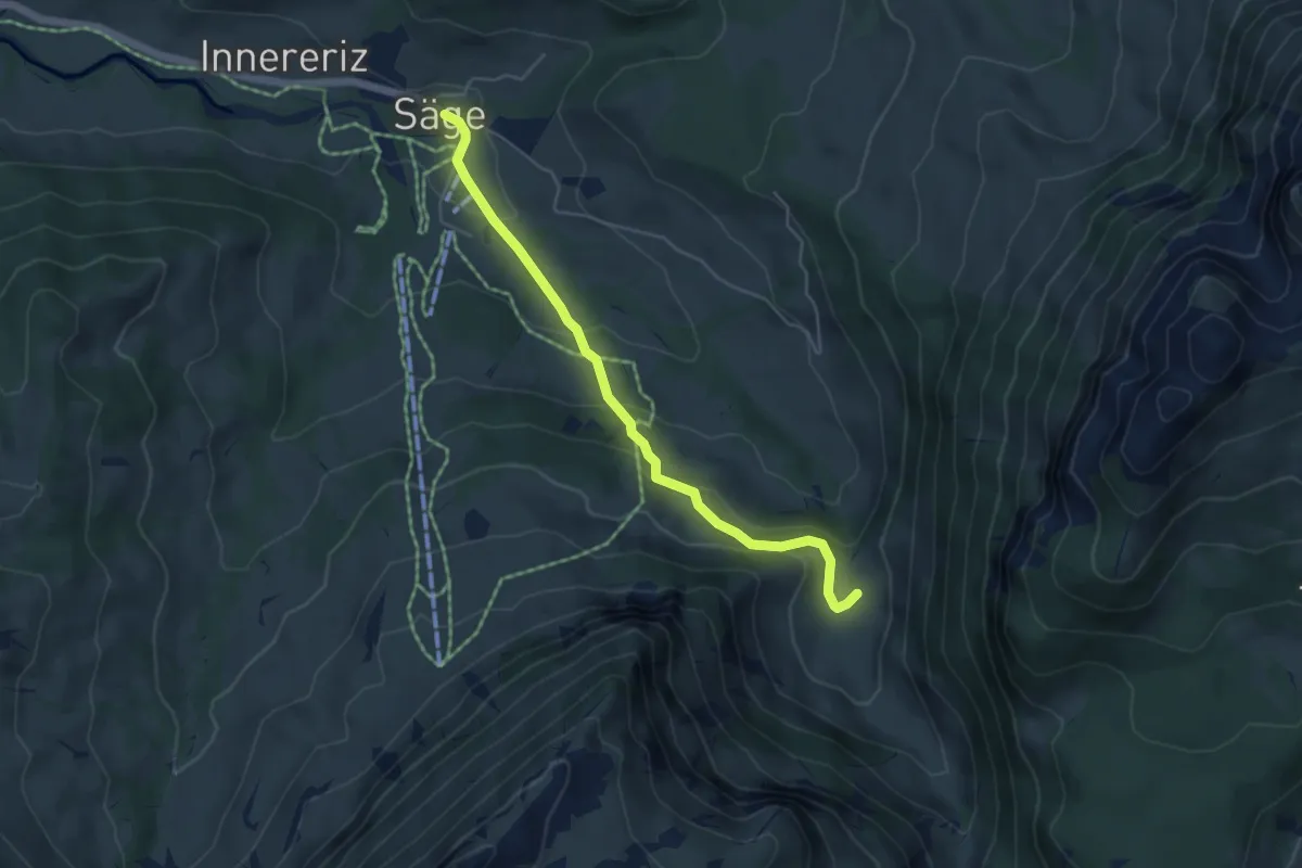
Easy · Trail
Fall – Innereriz
4.8 km · ↑ 223 m · 1 h 37 min · 11 km away
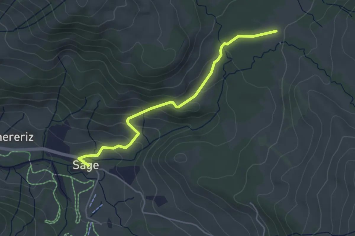
Easy · Trail
Rotmoos – Innereriz / Säge
4.0 km · ↑ 156 m · 1 h 17 min · 11 km away
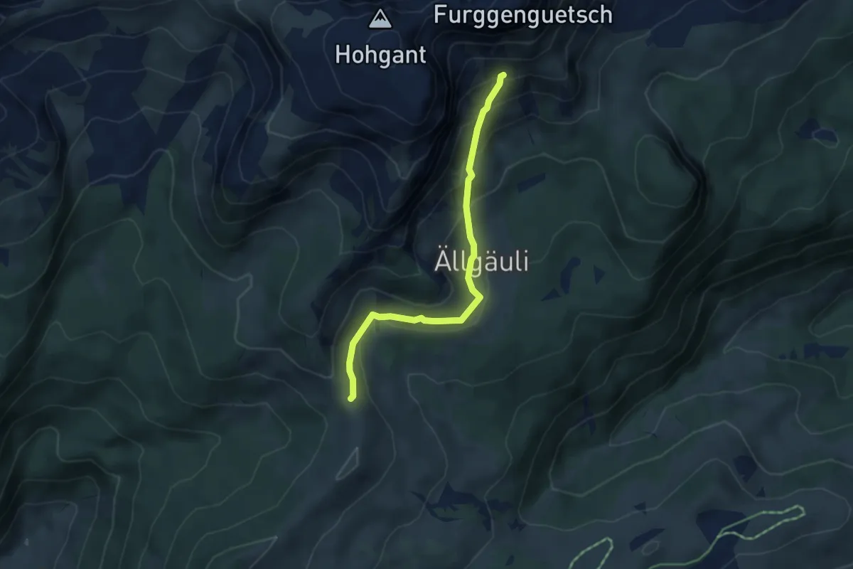
Medium · Trail
Stand / Wehri – Aellgäuli
4.1 km · ↑ 251 m · 1 h 31 min · 11 km away
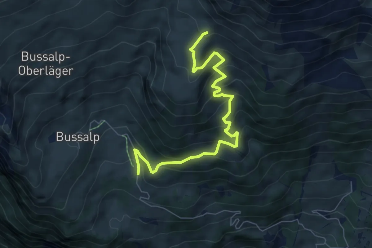
Medium · Trail
Holzmatten – Feld
6.9 km · ↑ 505 m · 2 h 44 min · 11 km away
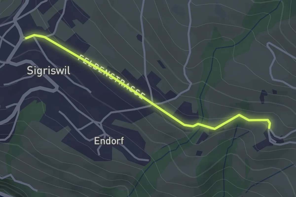
Easy · Trail
Sigriswil / Gewölb – Wiler
2.9 km · ↑ 66 m · 49 min · 12 km away
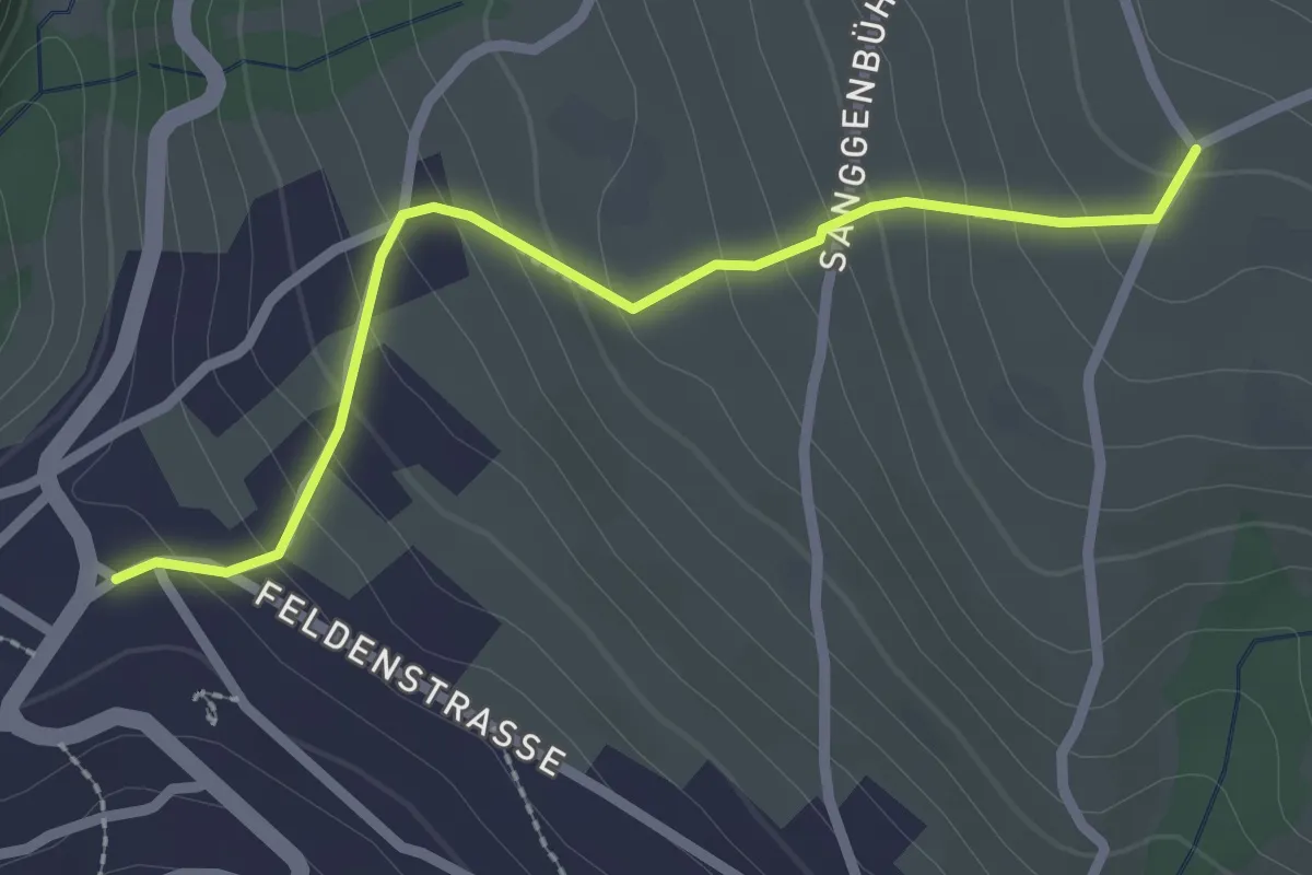
Easy · Trail
Zälg – Sigriswil / Gewölb
2.4 km · ↑ 195 m · 1 h · 12 km away
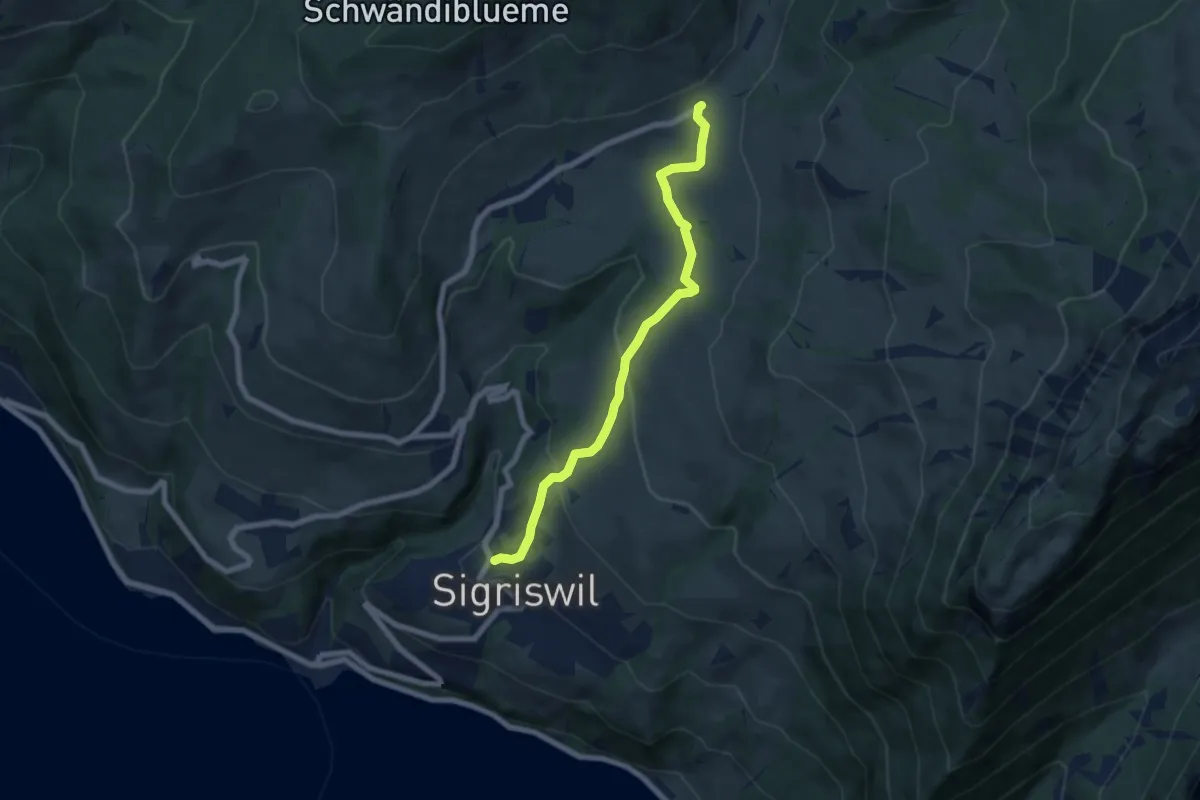
Medium · Trail
Sigriswil / Gewölb – Schwanden / Sagi
6.6 km · ↑ 327 m · 2 h 16 min · 12 km away
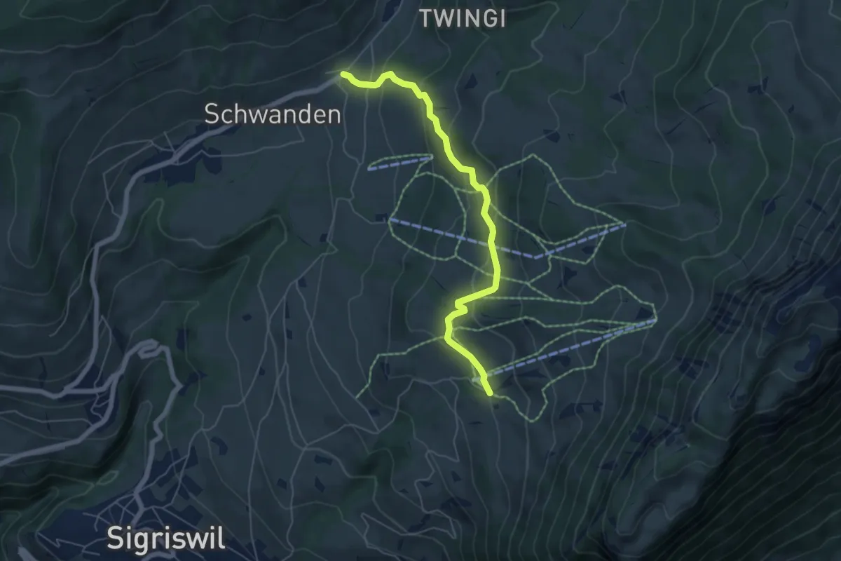
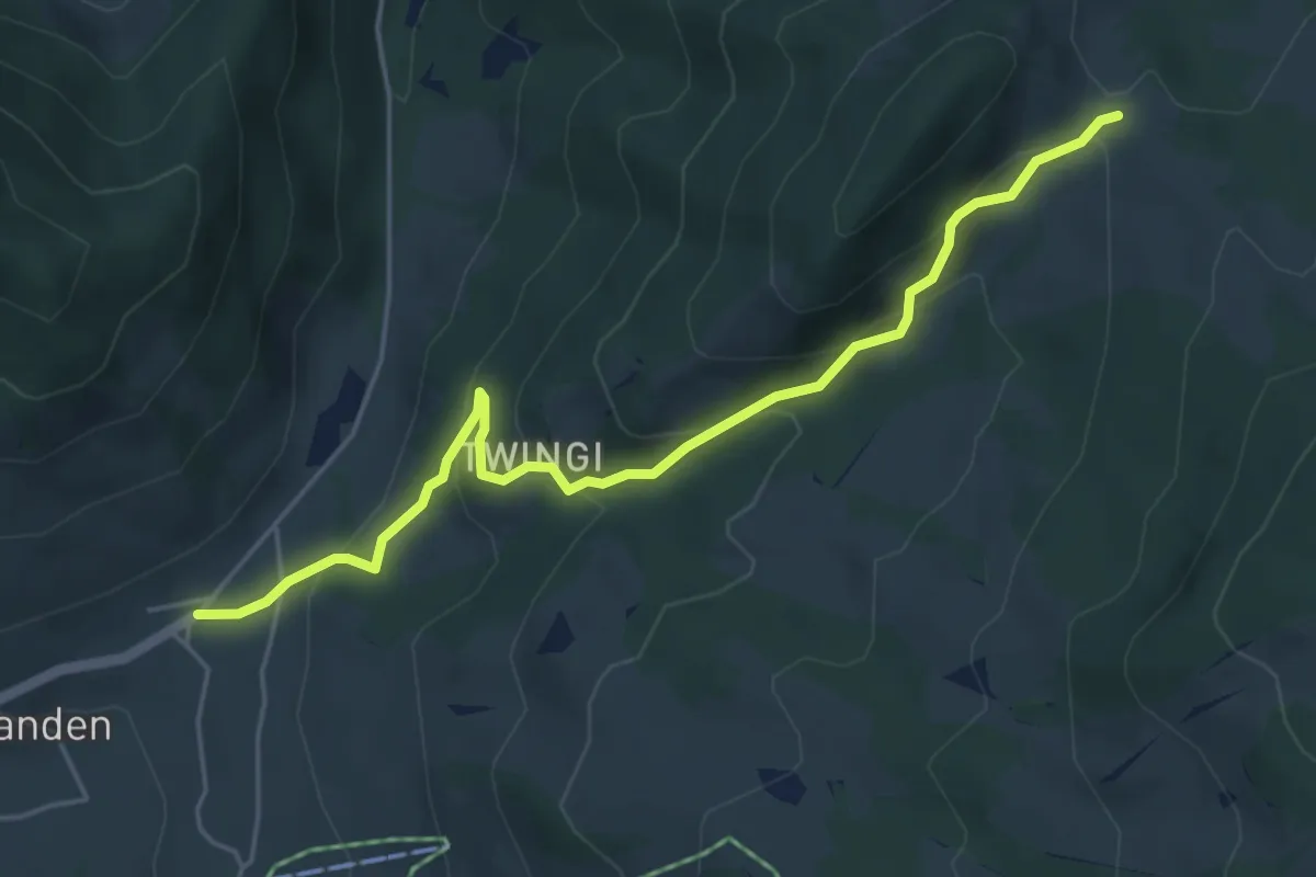
Easy · Trail
Wilerallmi – Schwanden Sagi
5.5 km · ↑ 261 m · 1 h 52 min · 12 km away
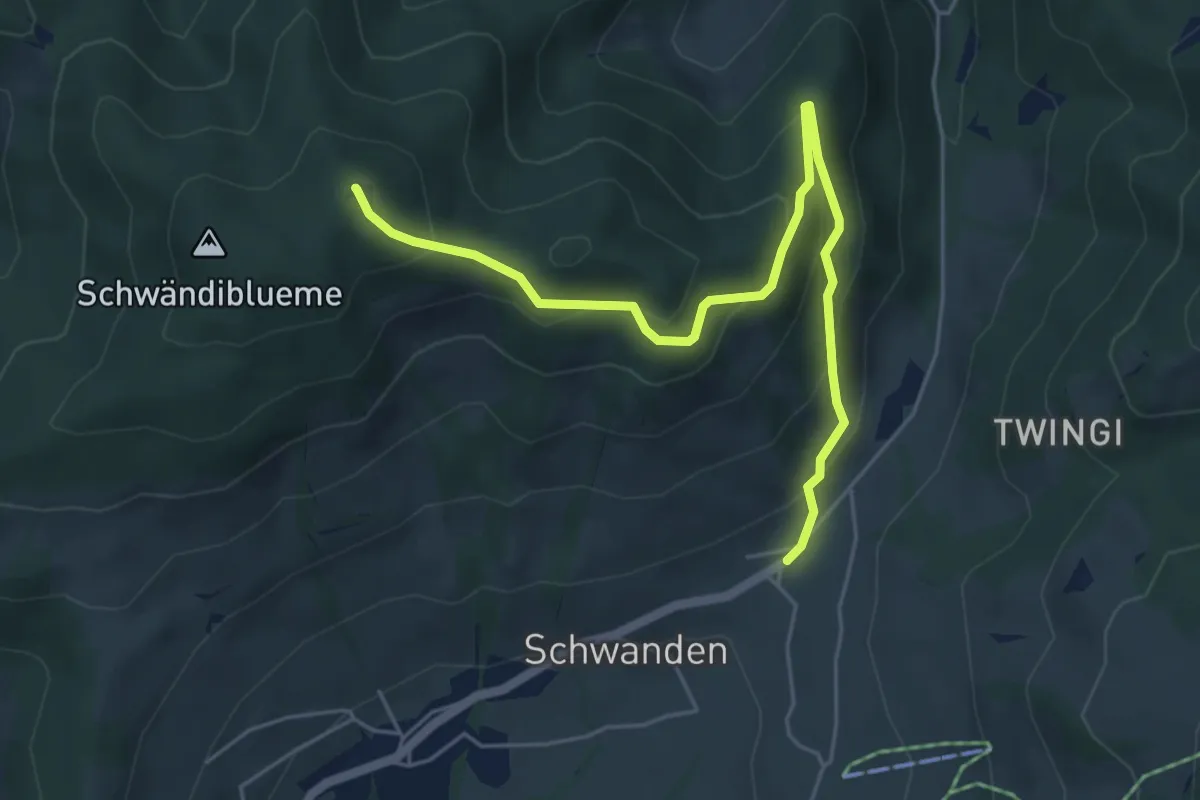
Easy · Trail
Schwanden Sagi – Dünzenegg
5.3 km · ↑ 282 m · 1 h 52 min · 12 km away
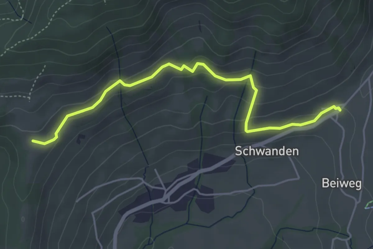
Medium · Summit
Blueme – Schwanden Sagi
5.9 km · ↑ 341 m · 2 h 8 min · 12 km away
Easy · Trail
Margelsattel – Schwanden / Sagi
4.7 km · ↑ 195 m · 1 h 32 min · 12 km away
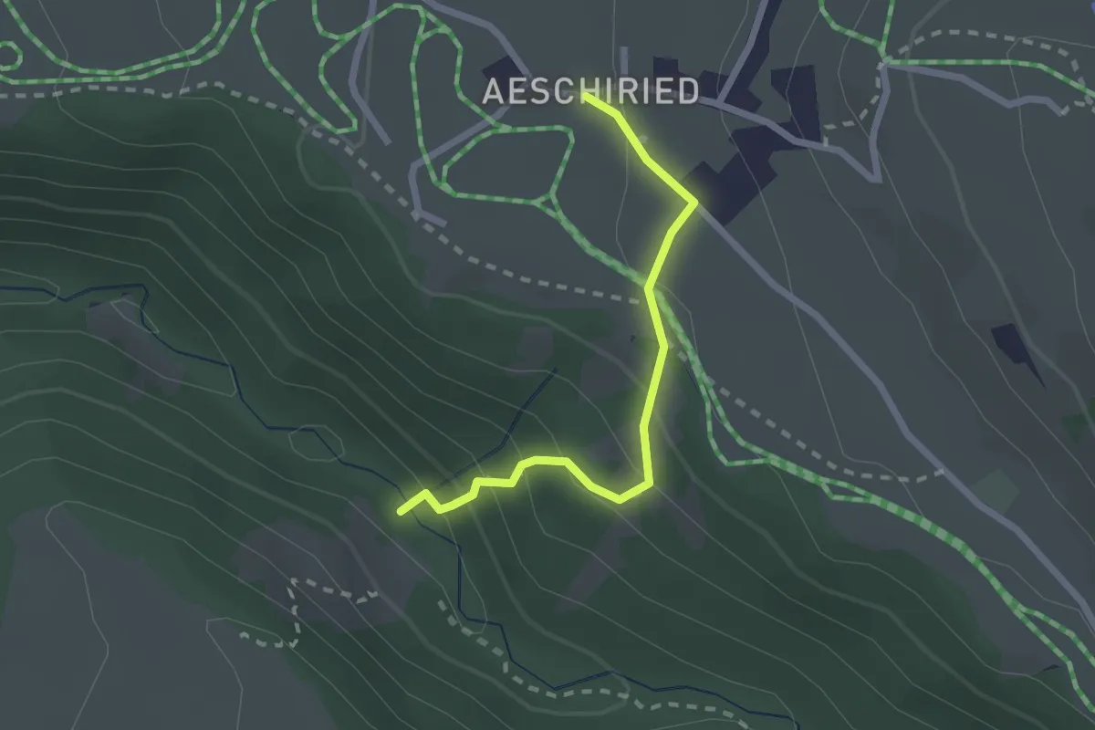
Medium · Trail
Stächgrabe – Aeschiried
2.0 km · ↑ 158 m · 49 min · 12 km away
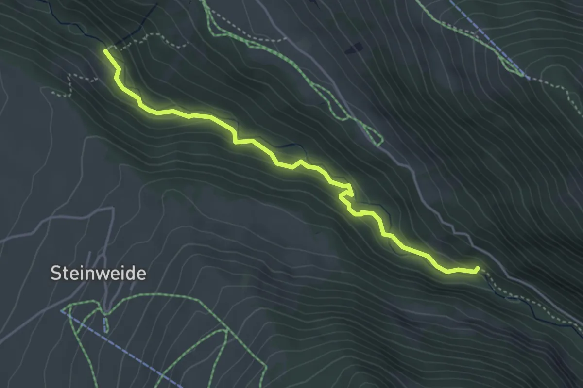
Medium · Trail
Staldenweid – Stächgrabe
4.1 km · ↑ 168 m · 1 h 20 min · 12 km away
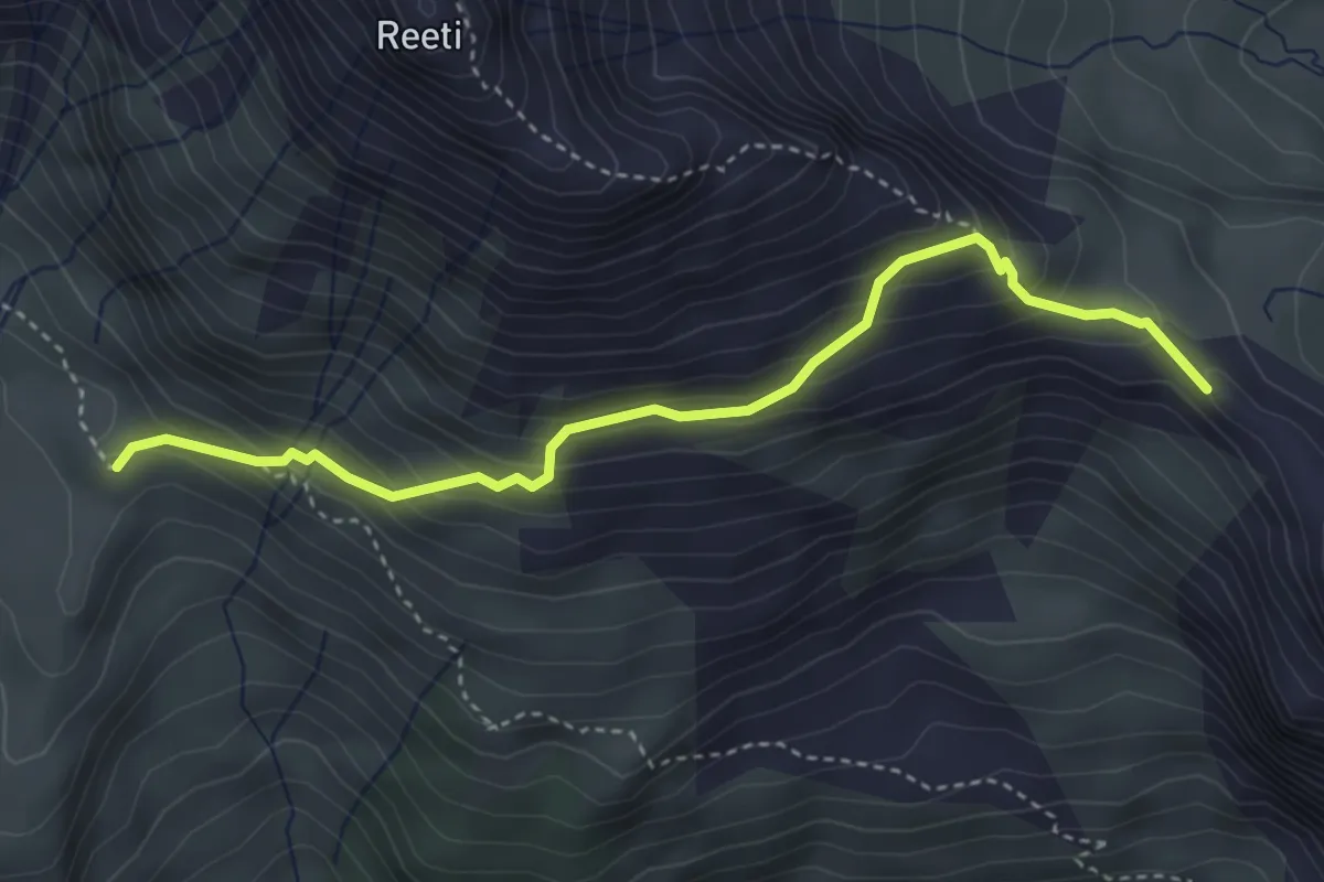
Medium · Summit
Hireleni – Feld
3.9 km · ↑ 358 m · 1 h 41 min · 12 km away
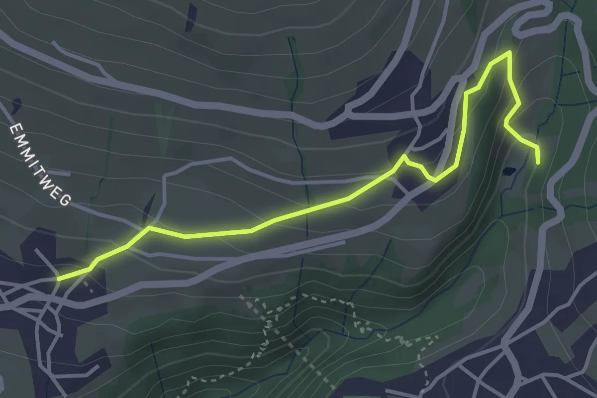
Easy · Trail
Grabemüli – Aeschlen
3.6 km · ↑ 216 m · 1 h 19 min · 12 km away
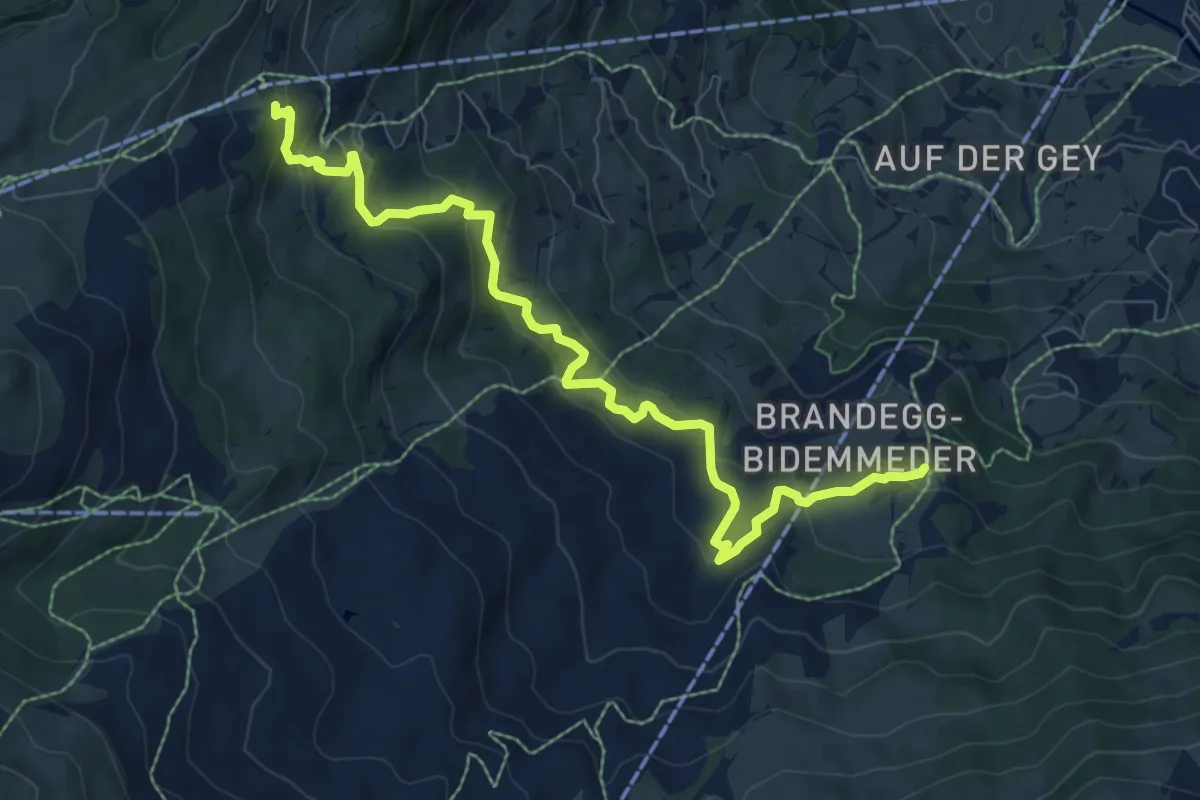
Medium · Trail
Brandegg – Hohlenstein
8.8 km · ↑ 521 m · 3 h 13 min · 12 km away
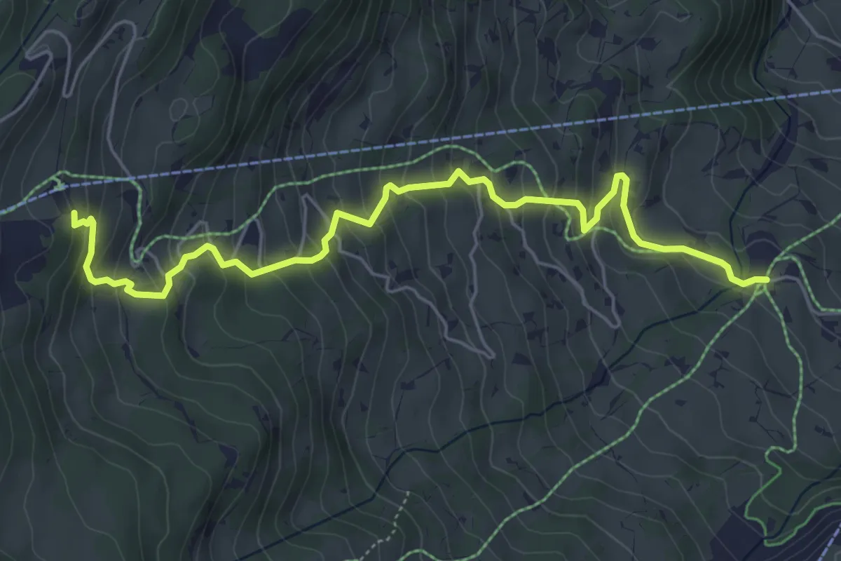
Medium · Trail
Aspen – Holenstein
6.1 km · ↑ 508 m · 2 h 32 min · 12 km away
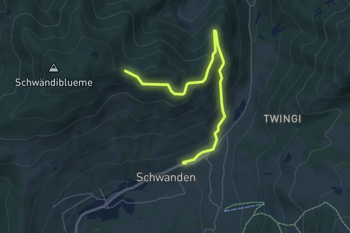
Easy · Trail
Planetenweg Sirius
5.9 km · ↑ 297 m · 2 h 2 min · 12 km away
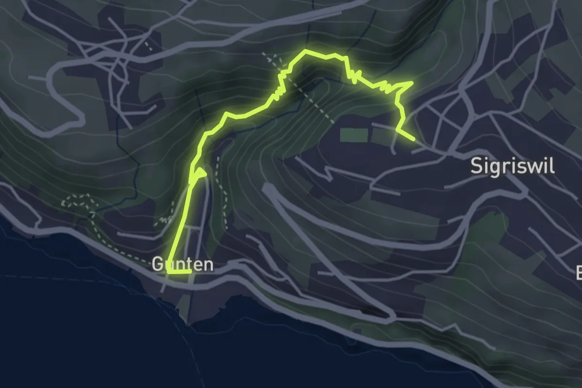
Easy · Trail
Gunten – Sigriswil
4.2 km · ↑ 303 m · 1 h 38 min · 12 km away
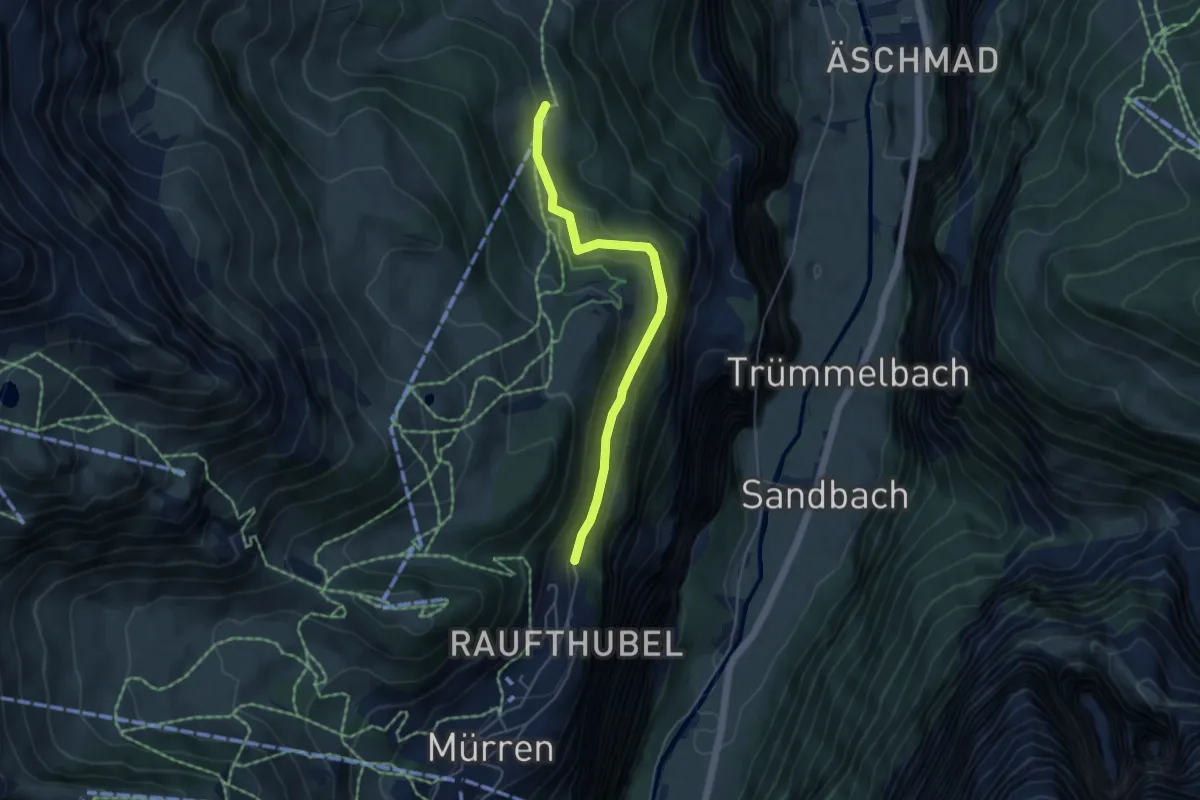
Easy · Trail
Wintereggalp – Winteregg
4.5 km · ↑ 188 m · 1 h 28 min · 12 km away
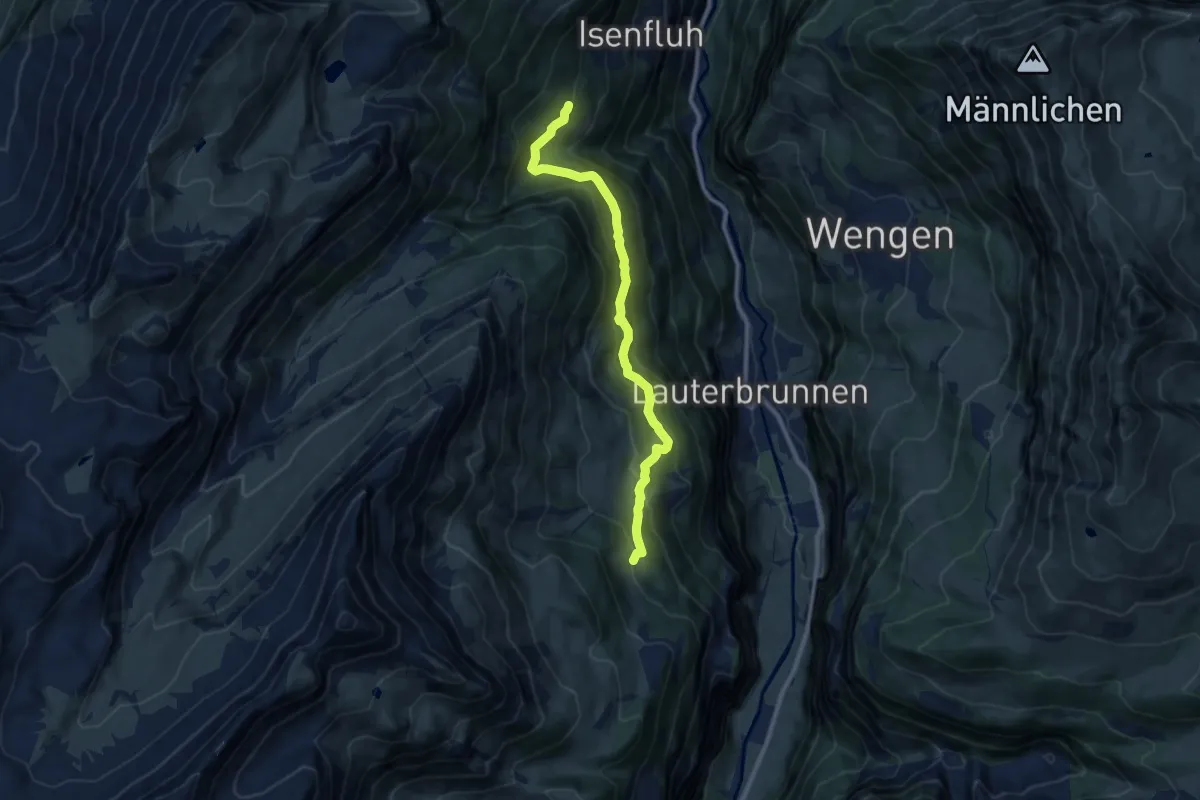
Medium · Trail
Winteregg – Bockstett
9.6 km · ↑ 681 m · 3 h 45 min · 12 km away
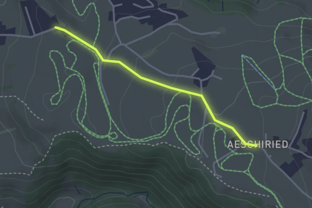
Easy · Trail
Aeschiried – Wachthubel
2.7 km · ↑ 85 m · 49 min · 12 km away
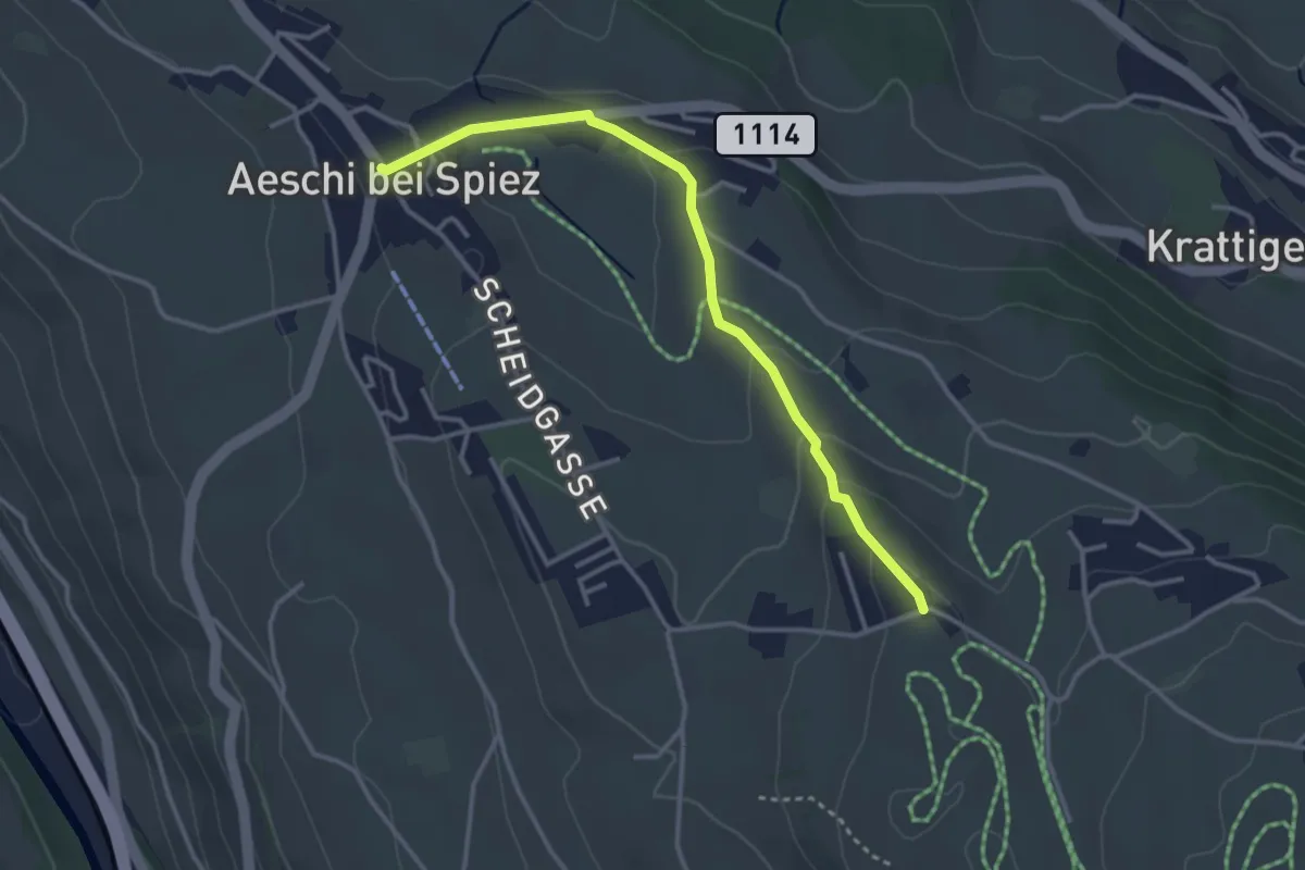
Easy · Trail
Wachthubel – Aeschi
3.4 km · ↑ 99 m · 1 h 1 min · 12 km away
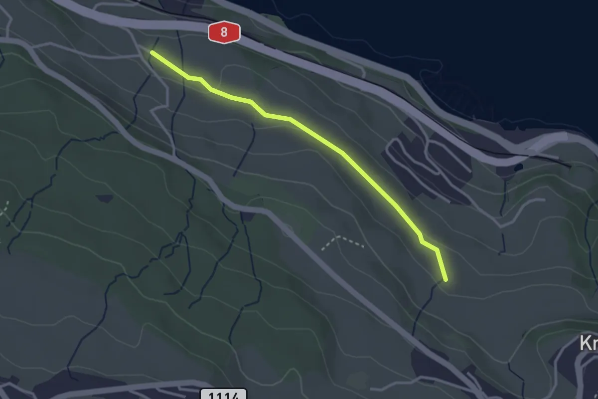
Easy · Trail
Schüpfgasse – Allmend
2.9 km · ↑ 45 m · 46 min · 12 km away
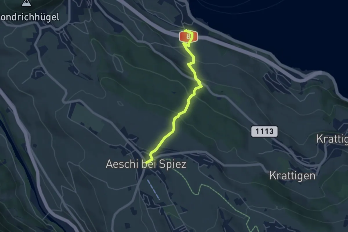
Easy · Trail
Aeschi – Faulensee
4.3 km · ↑ 261 m · 1 h 35 min · 12 km away
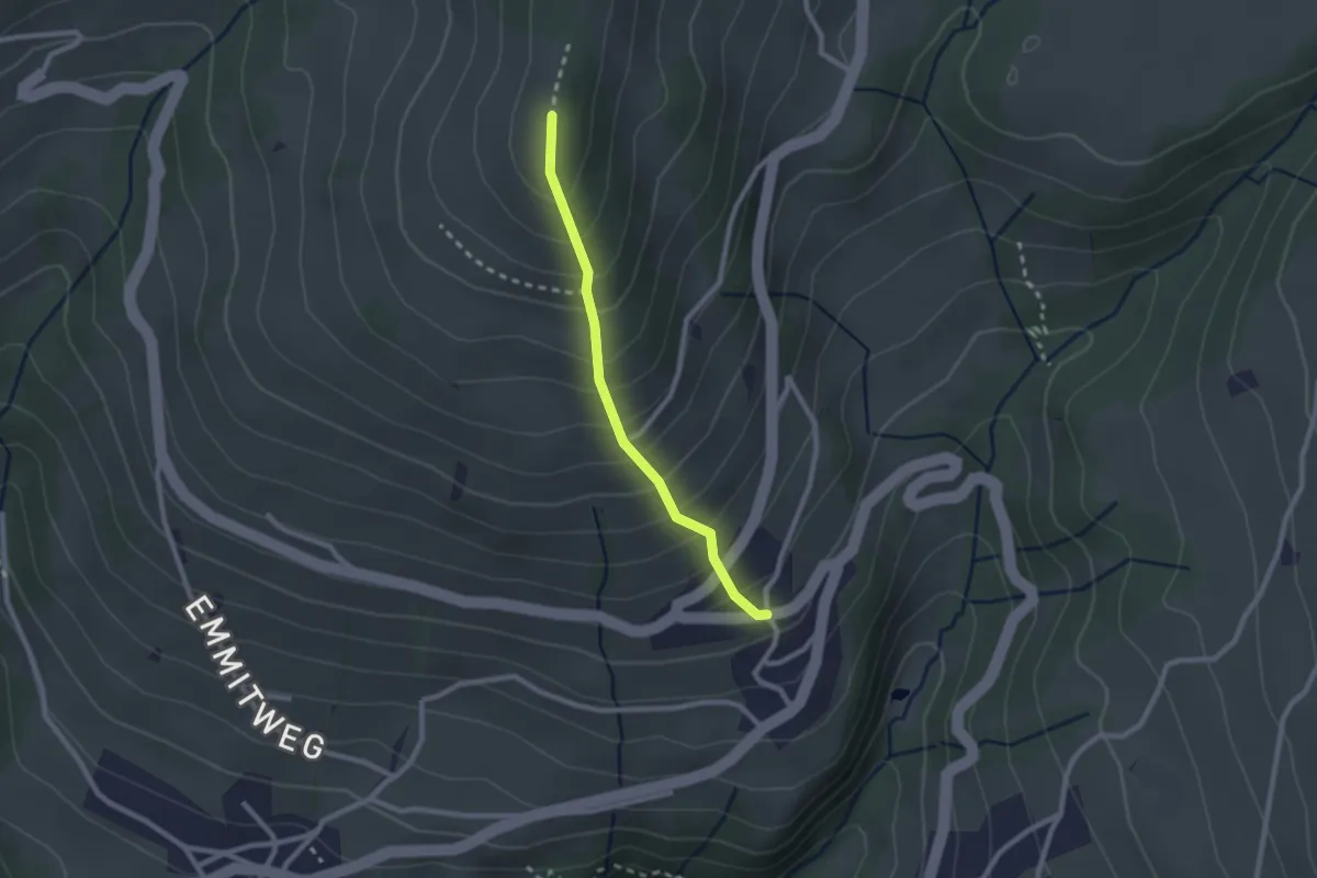
Easy · Trail
Margel – Tschingel
2.1 km · ↑ 261 m · 1 h 4 min · 12 km away
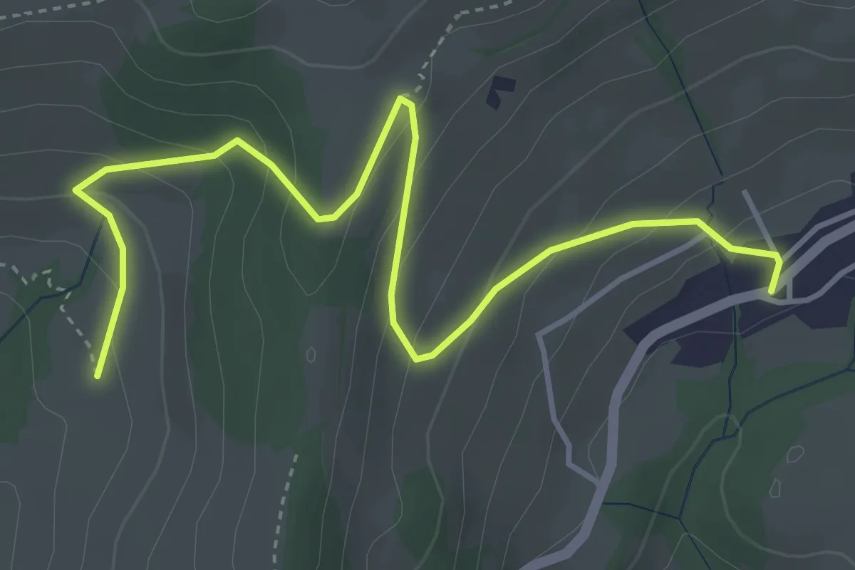
Easy · Trail
Aeschlenallmi – Schwanden
4.6 km · ↑ 279 m · 1 h 42 min · 12 km away
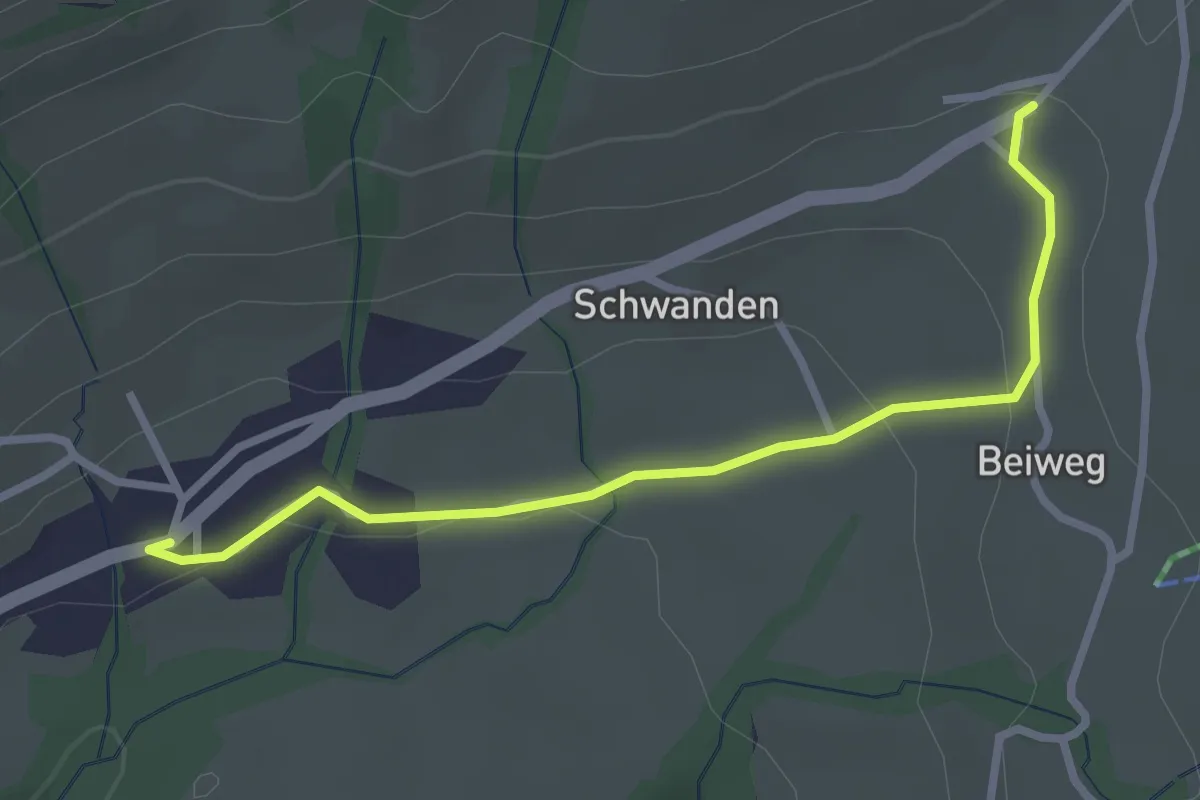
Easy · Trail
Schwanden / Sagi – Schwanden
2.8 km · ↑ 71 m · 49 min · 12 km away
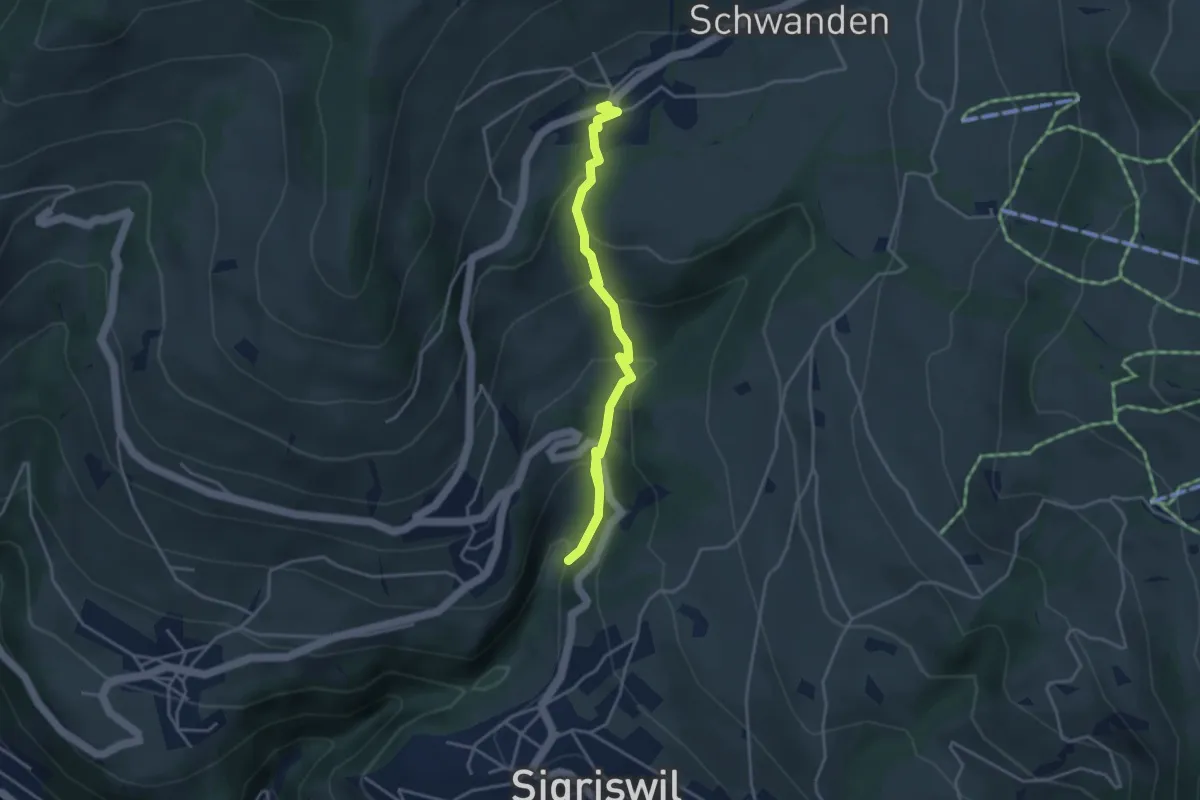
Easy · Trail
Grabemüli – Schwanden
4.0 km · ↑ 251 m · 1 h 29 min · 12 km away
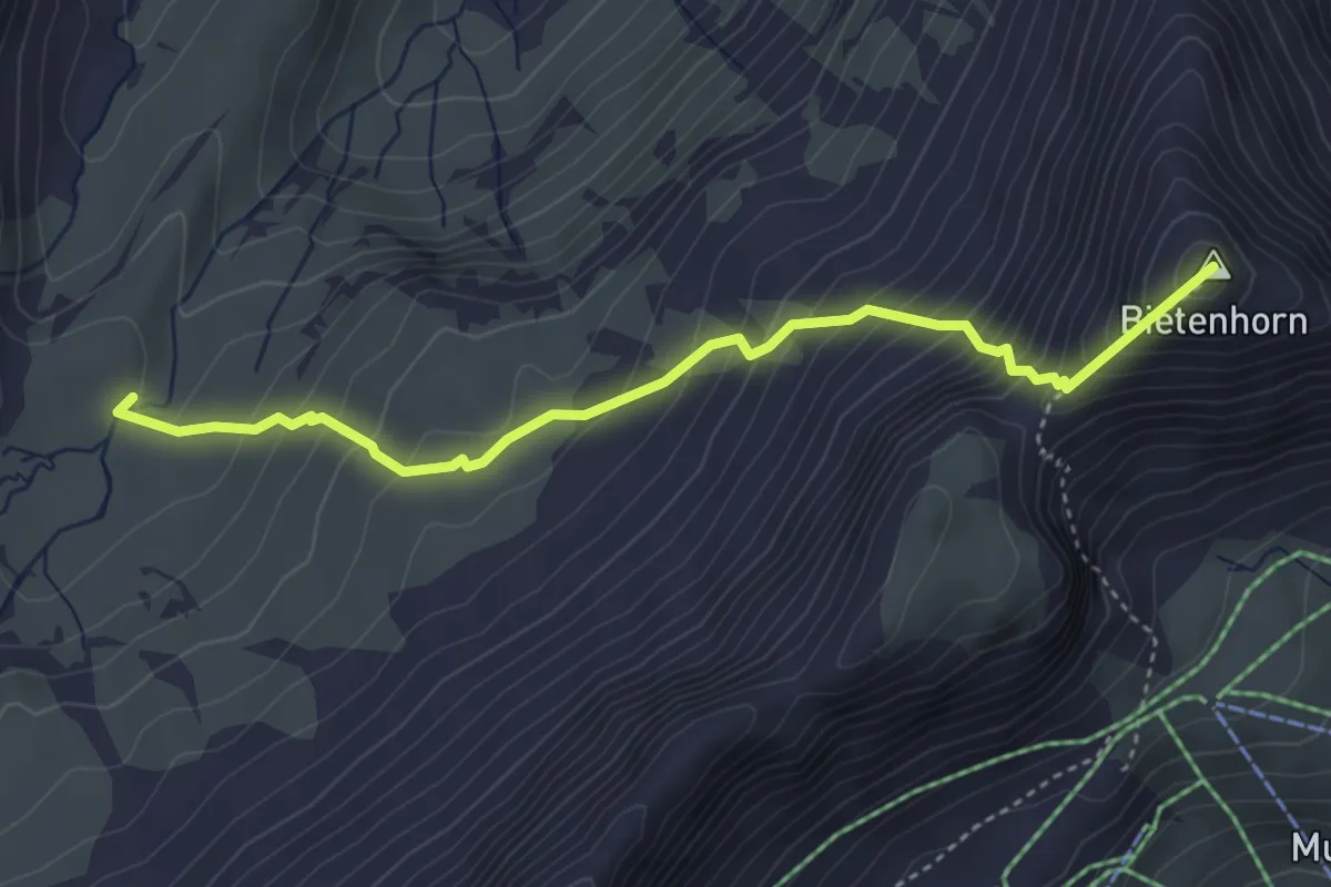
Expert · Summit
Schilthornhütte – Maettenberg
4.1 km · ↑ 494 m · 2 h 2 min · 12 km away
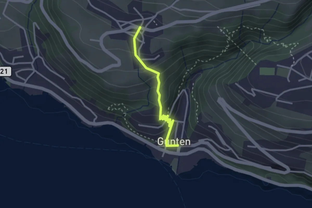
Easy · Trail
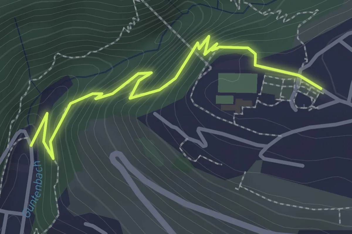
Gunten – Aeschlen
2.3 km · ↑ 192 m · 58 min · 12 km away
Easy · Trail
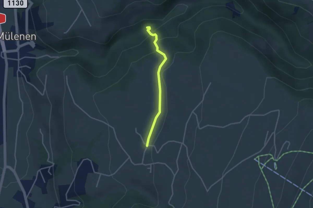
Gunten – Sigriswil
2.7 km · ↑ 186 m · 1 h 3 min · 12 km away
Medium · Trail
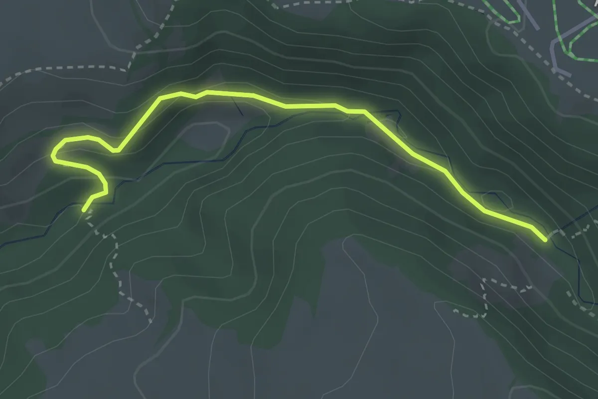
Suldgrabe – Faltschen
2.3 km · ↑ 111 m · 48 min · 13 km away
Medium · Trail
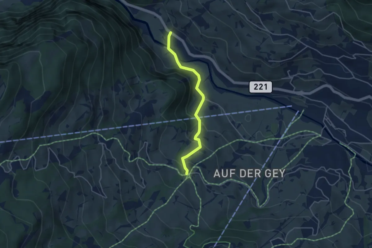
Stächgrabe – Suldgrabe
3.2 km · ↑ 175 m · 1 h 8 min · 13 km away
Easy · Trail
Schwendi – Aspen
3.4 km · ↑ 189 m · 1 h 13 min · 13 km away
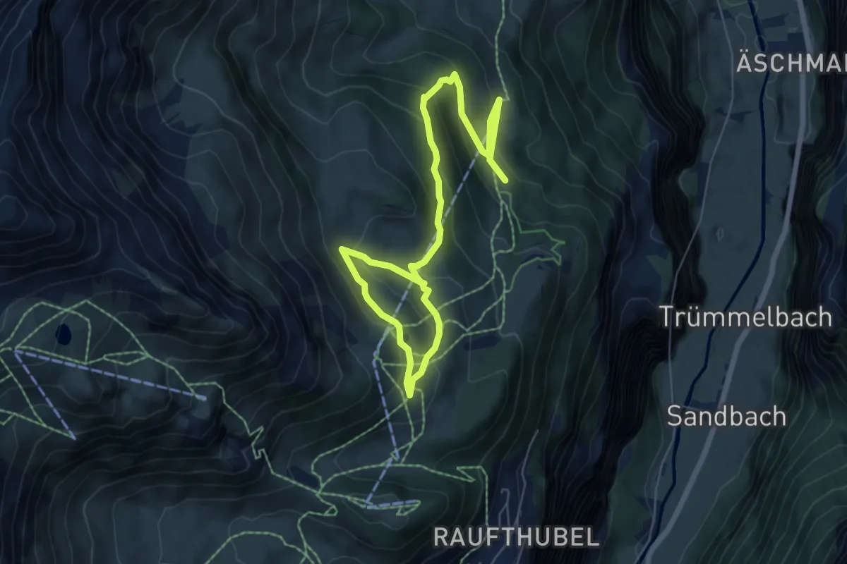
Medium · Trail
Winteregg – Allmihubel
8.6 km · ↑ 414 m · 2 h 56 min · 13 km away
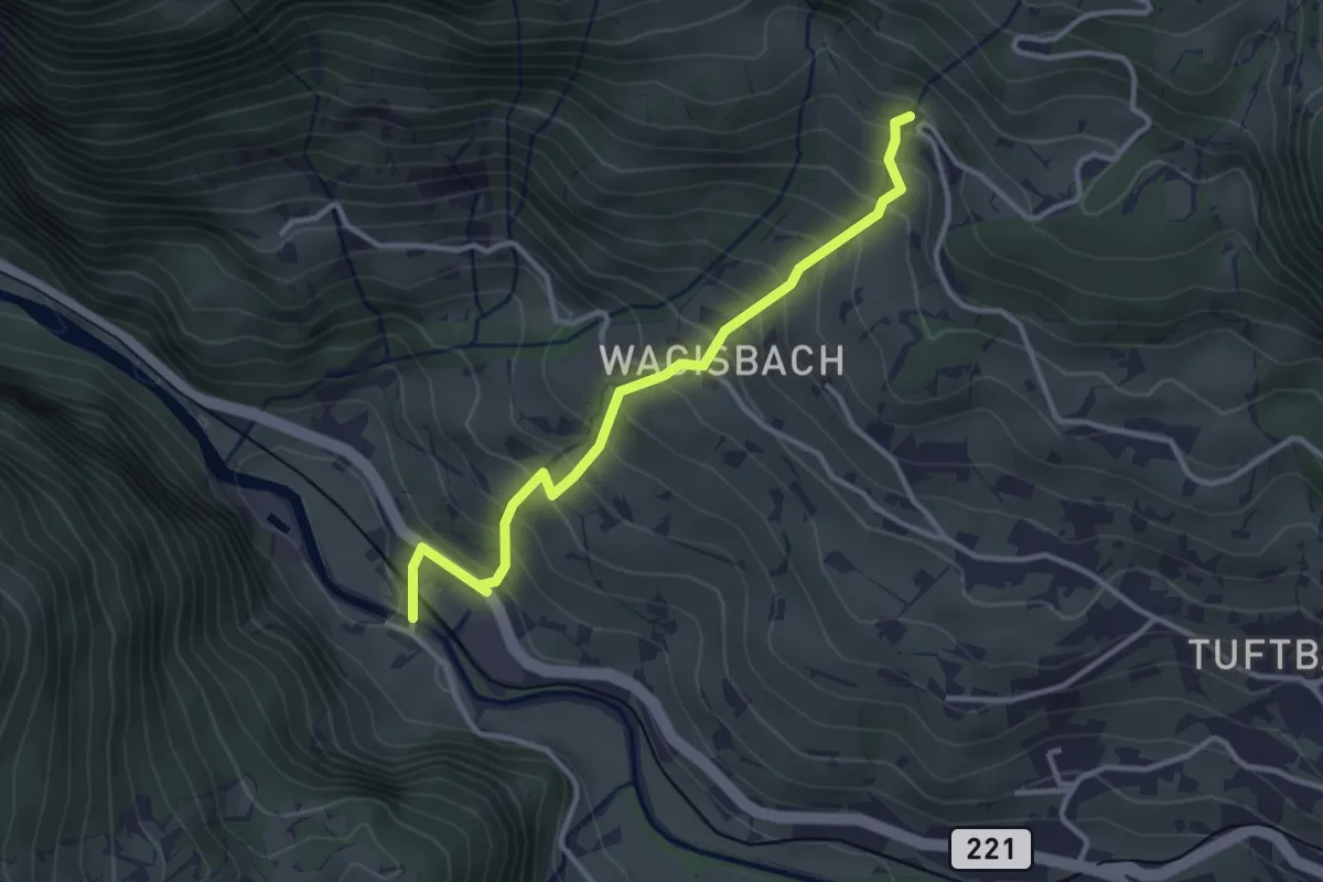
Medium · Trail
Schwendi – Weidli
3.2 km · ↑ 334 m · 1 h 28 min · 13 km away
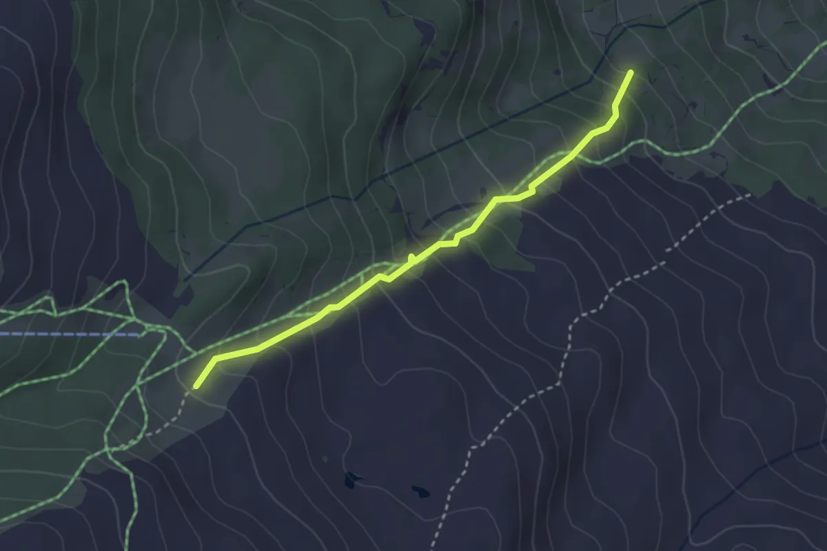
Medium · Trail
Brand – Obren Brand
2.9 km · ↑ 329 m · 1 h 24 min · 13 km away
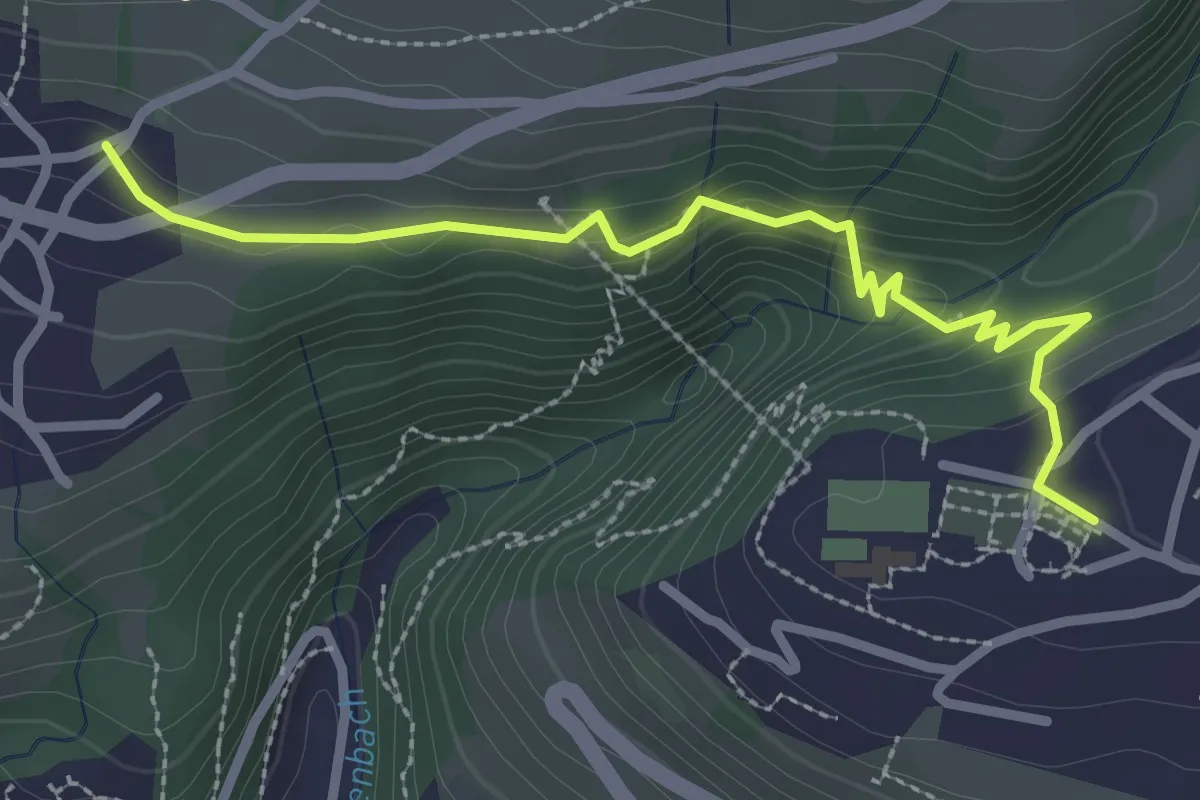
Easy · Trail
Sigriswil – Aeschlen
2.9 km · ↑ 148 m · 1 h · 13 km away