Trails near Interlaken
391 hikes starting within 15 km, nearest first.
Nearest first, page 6 of 9
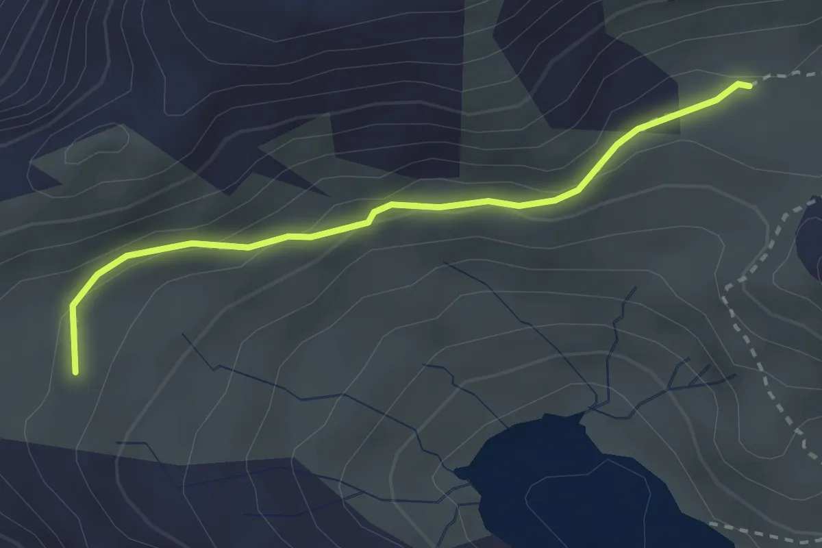
Medium · Trail
Burgihütte – Tierwang
2.6 km · ↑ 81 m · 48 min · 13 km away
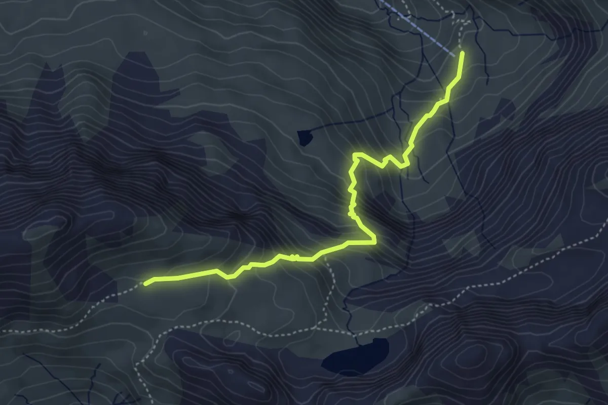
Demanding · Cabin
Oberberg – Tierwang
4.5 km · ↑ 540 m · 2 h 14 min · 13 km away
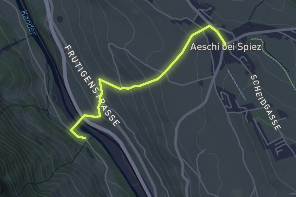
Easy · Trail
Heustrich – Aeschi
3.9 km · ↑ 194 m · 1 h 21 min · 13 km away
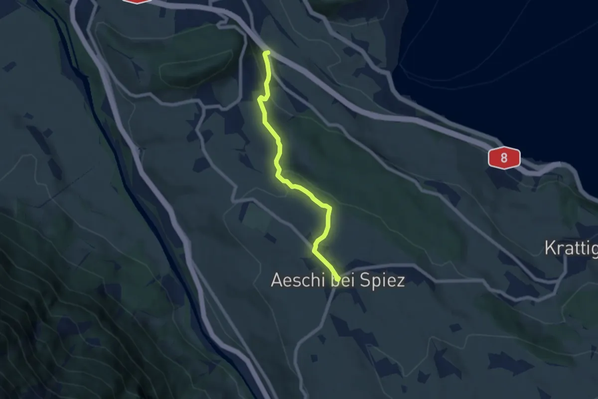
Easy · Trail
Salzbrunnen – Aeschi
5.4 km · ↑ 215 m · 1 h 44 min · 13 km away
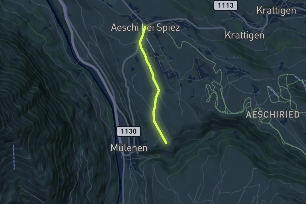
Easy · Trail
Suldhalte – Aeschi
4.3 km · ↑ 46 m · 1 h 6 min · 13 km away
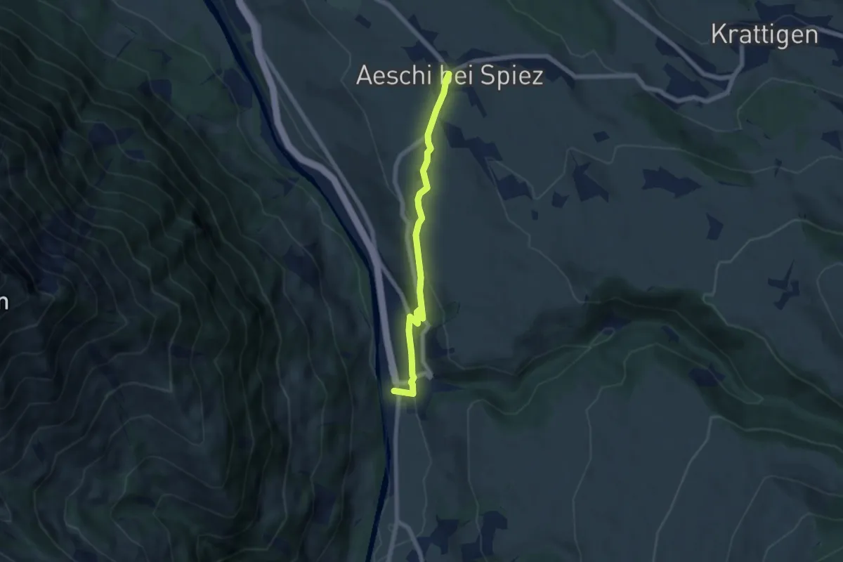
Easy · Trail
Aeschi – Mülenen
5.5 km · ↑ 166 m · 1 h 39 min · 13 km away
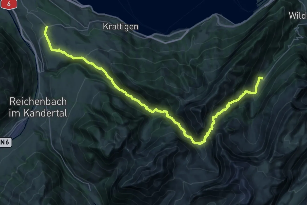
Demanding · Trail
ViaBerna Etappe 12
16.7 km · ↑ 1124 m · 6 h 29 min · 13 km away
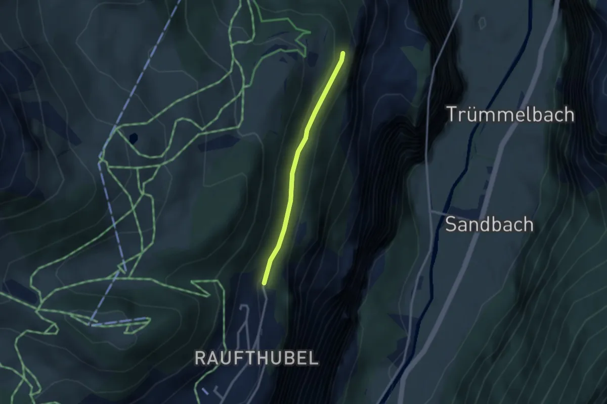
Easy · Trail
Mürren/Aegertenbach – Wintereggalp
2.2 km · ↑ 81 m · 41 min · 13 km away
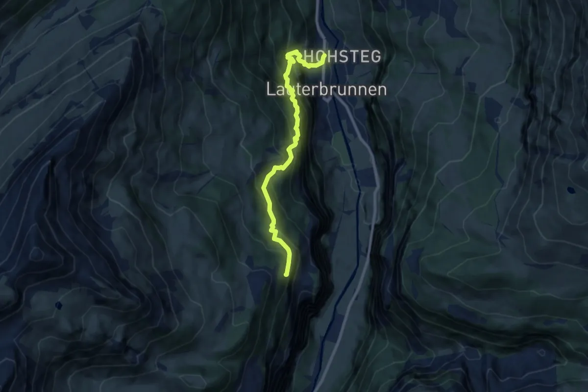
Demanding · Trail
Lauterbrunnen – Wintereggalp
7.6 km · ↑ 1108 m · 4 h 12 min · 13 km away
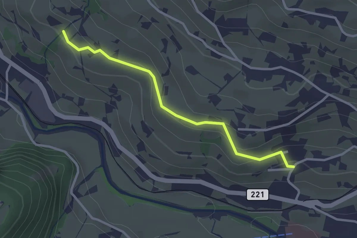
Easy · Trail
Wychel – Bachsbort
2.5 km · ↑ 110 m · 50 min · 13 km away
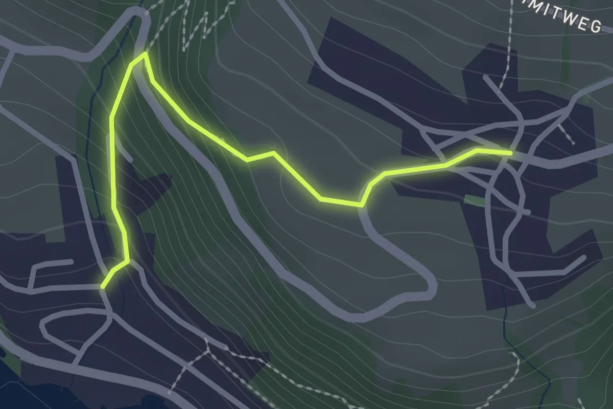
Easy · Trail
Aeschlen – Oertli
2.3 km · ↑ 180 m · 56 min · 13 km away
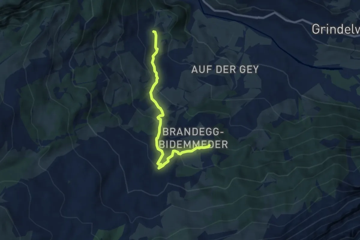
Medium · Trail
Schwendi – Brandegg
6.6 km · ↑ 373 m · 2 h 22 min · 13 km away
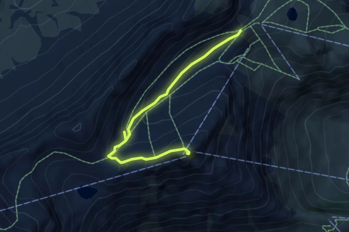
Medium · Summit
Schilthornhütte – Birg
4.6 km · ↑ 254 m · 1 h 38 min · 13 km away
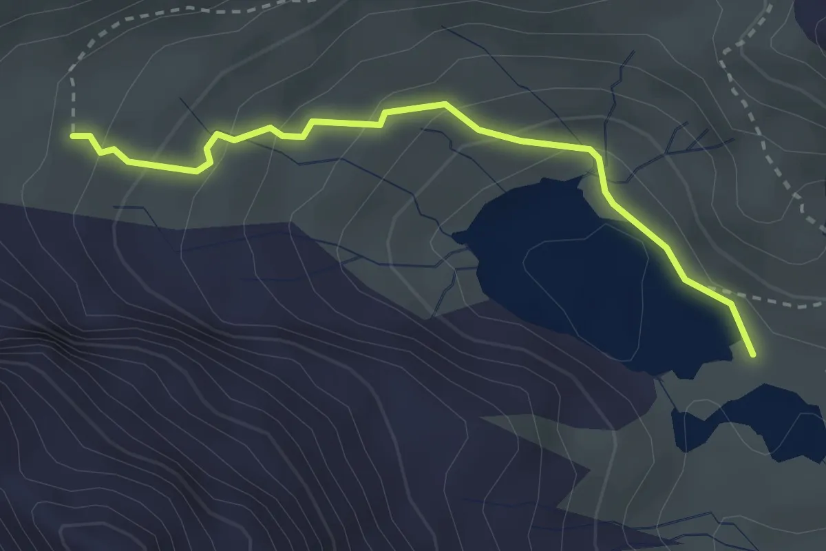
Medium · Trail
Bachsee – Burgihütte
2.8 km · ↑ 166 m · 1 h 1 min · 13 km away
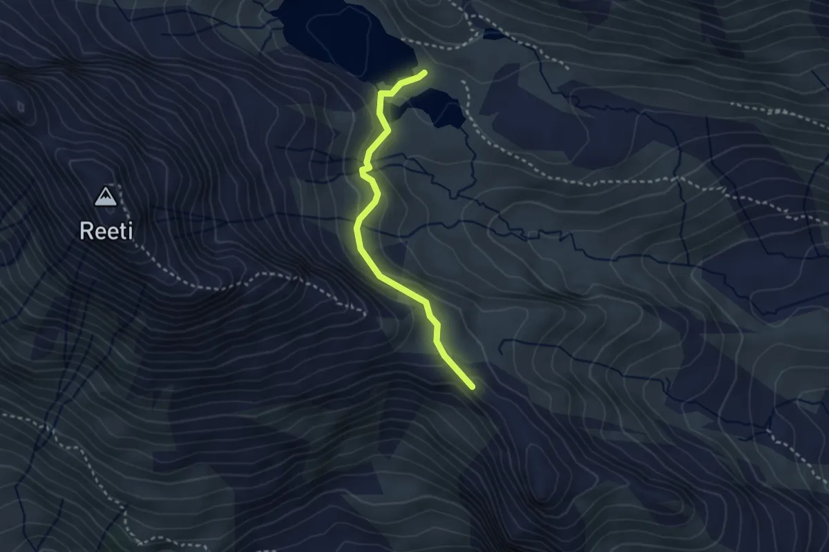
Easy · Summit
Bachsee – Hireleni
2.6 km · ↑ 129 m · 54 min · 13 km away
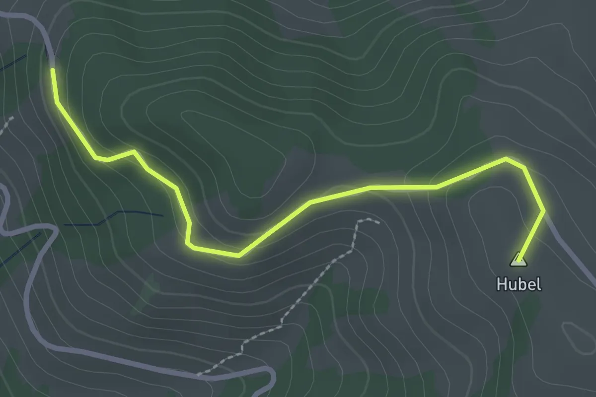
Easy · Summit
Hubel – Reust
2.5 km · ↑ 109 m · 50 min · 13 km away
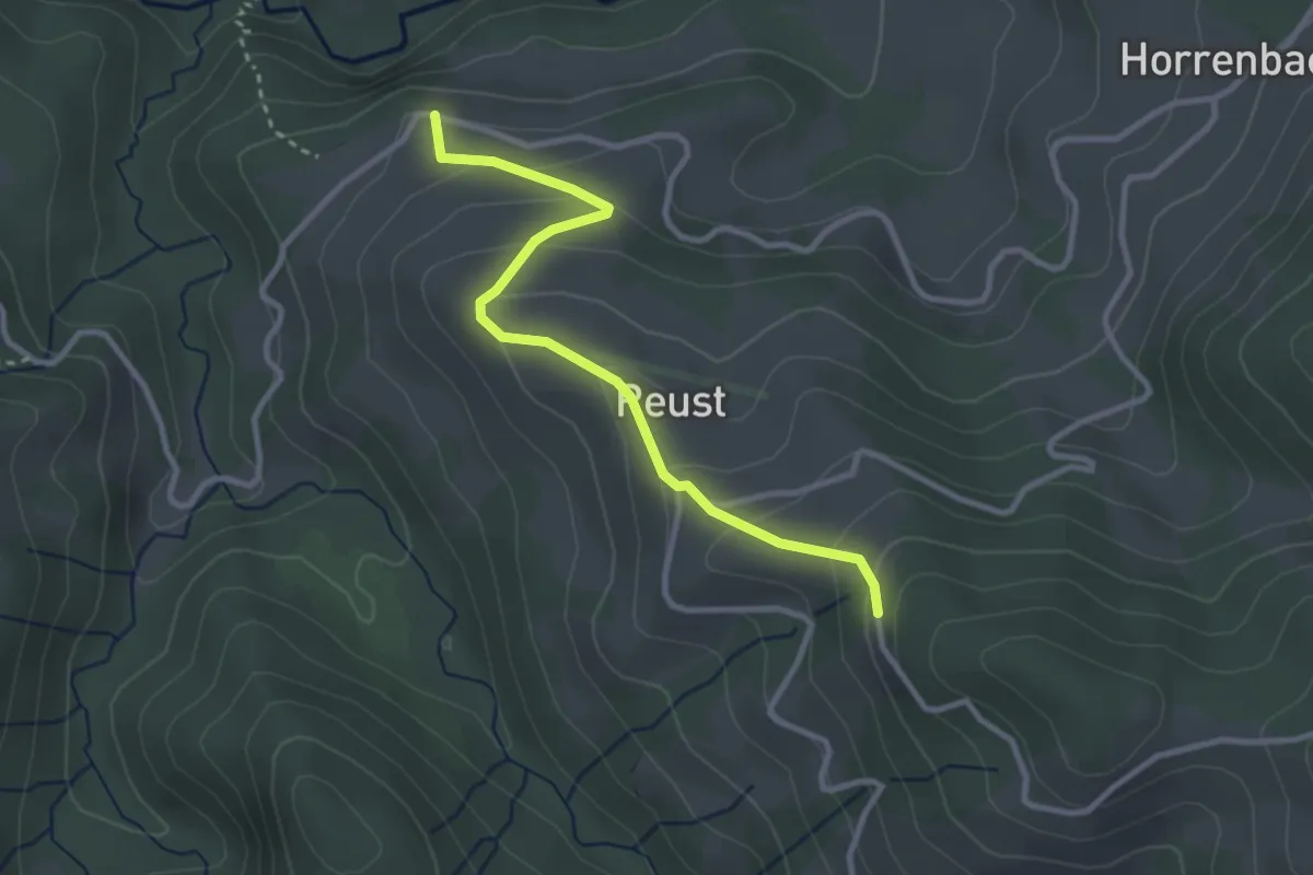
Easy · Trail
Cheistli – Reust
3.0 km · ↑ 191 m · 1 h 7 min · 13 km away
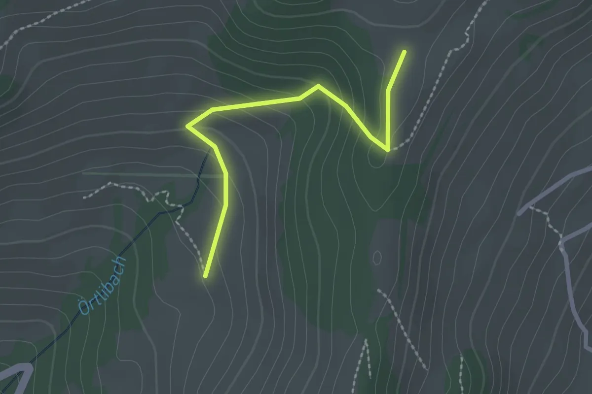
Easy · Trail
Margelsattel – Aeschlenallmi
2.1 km · ↑ 120 m · 45 min · 13 km away
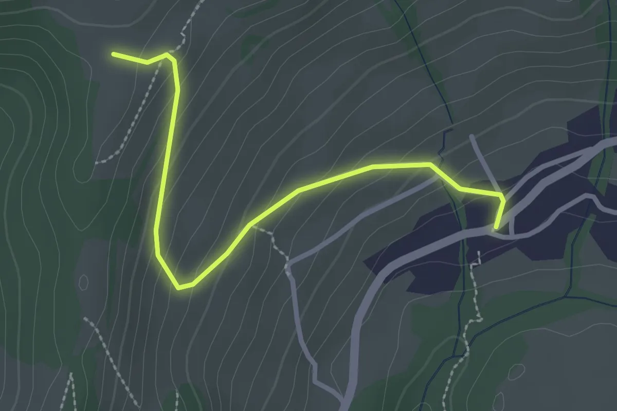
Easy · Trail
Schwanden – Margelsattel
2.6 km · ↑ 163 m · 59 min · 13 km away
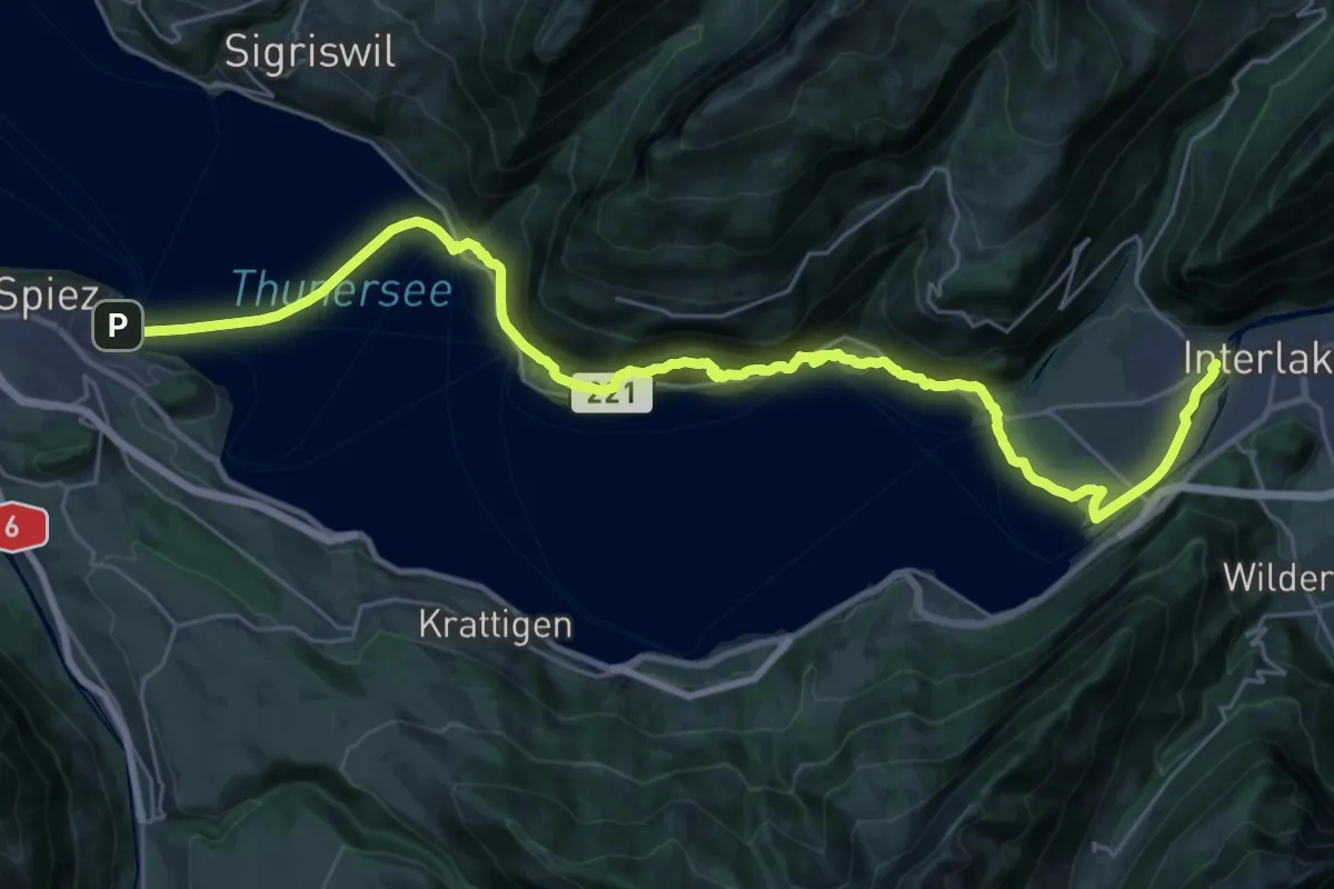
Medium · Trail
ViaJacobi
17.1 km · ↑ 649 m · 5 h 40 min · 13 km away
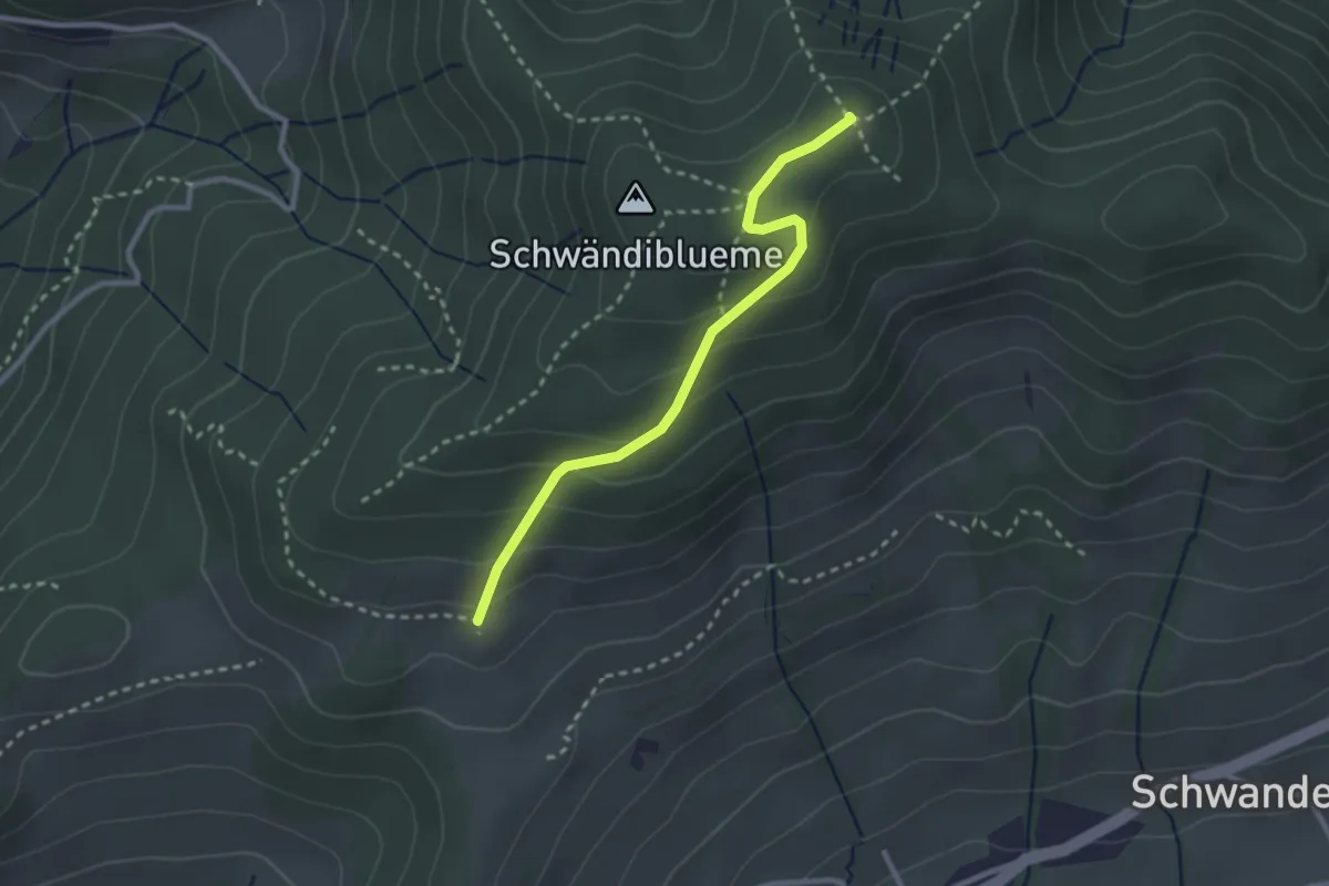
Easy · Summit
Blueme – Tschingelallmi
2.6 km · ↑ 168 m · 59 min · 13 km away
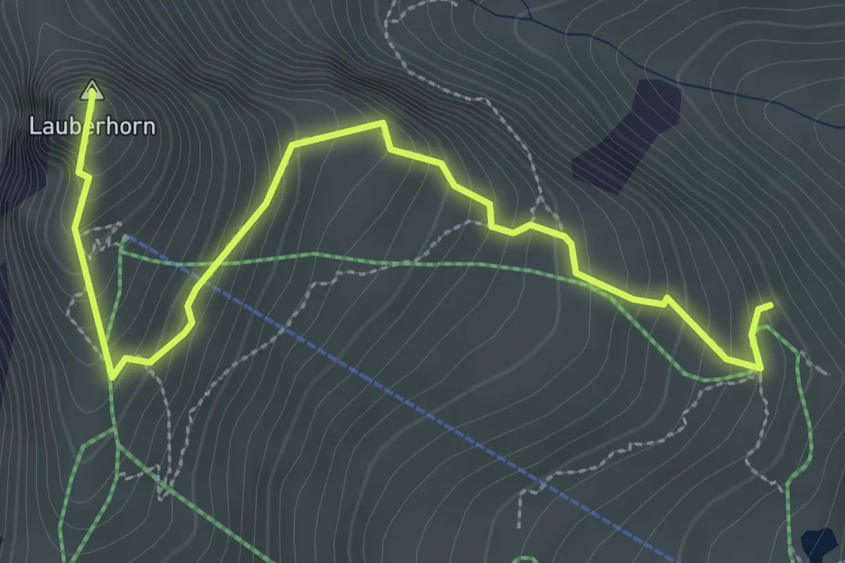
Demanding · Summit
Rotstecki – Lauberhorn
3.5 km · ↑ 310 m · 1 h 29 min · 13 km away
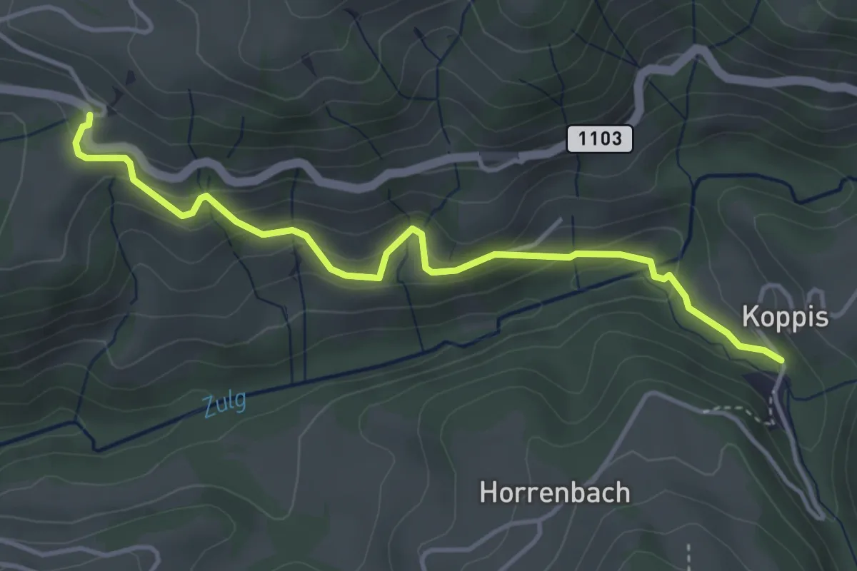
Easy · Trail
Losenegg – Horrenbachmüli
4.1 km · ↑ 271 m · 1 h 34 min · 13 km away
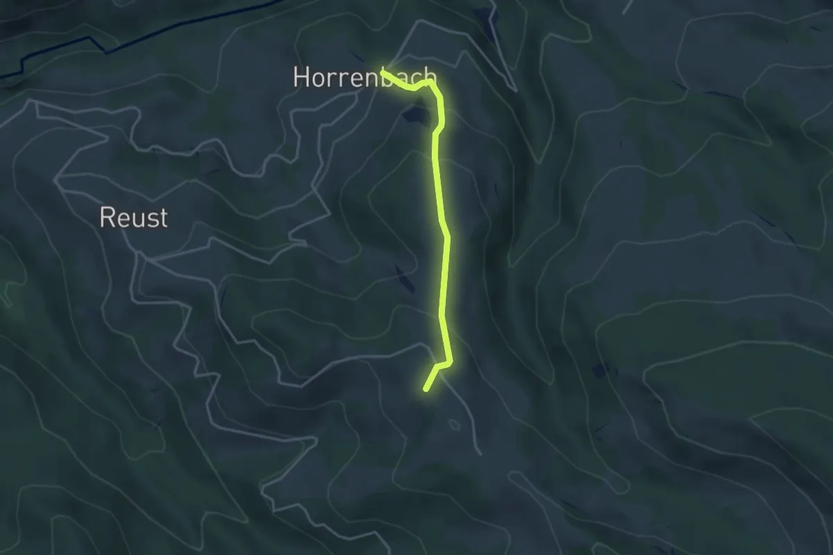
Easy · Summit
Horrenbach – Hubel
2.9 km · ↑ 197 m · 1 h 7 min · 13 km away
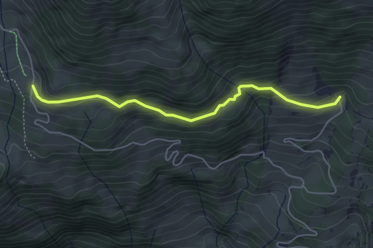
Easy · Trail
Rasthysi - fixme
4.2 km · ↑ 218 m · 1 h 28 min · 13 km away
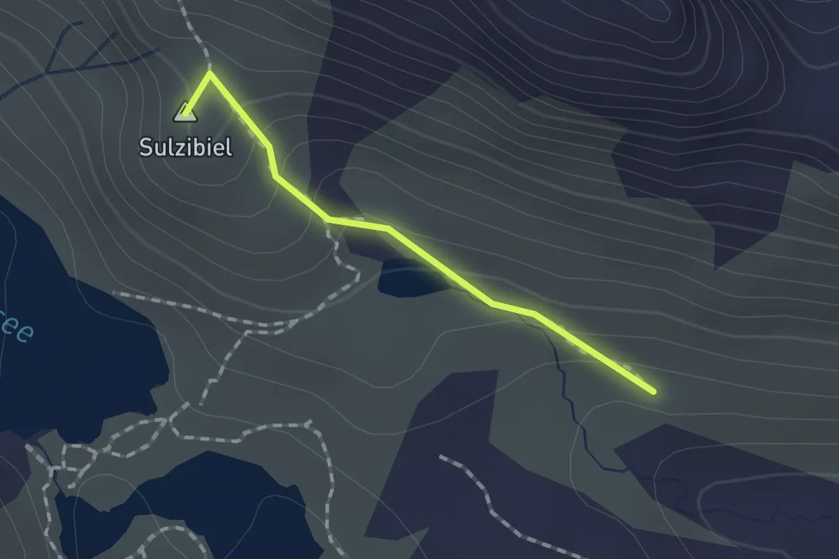
Medium · Summit
Hagelseeli – Pkt 2276
1.2 km · ↑ 83 m · 28 min · 13 km away
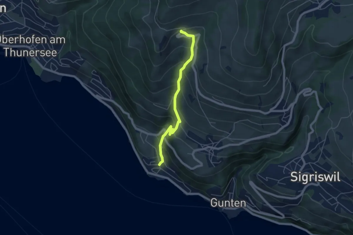
Medium · Trail
Ringoldswil – Oertli
4.6 km · ↑ 439 m · 2 h 2 min · 13 km away
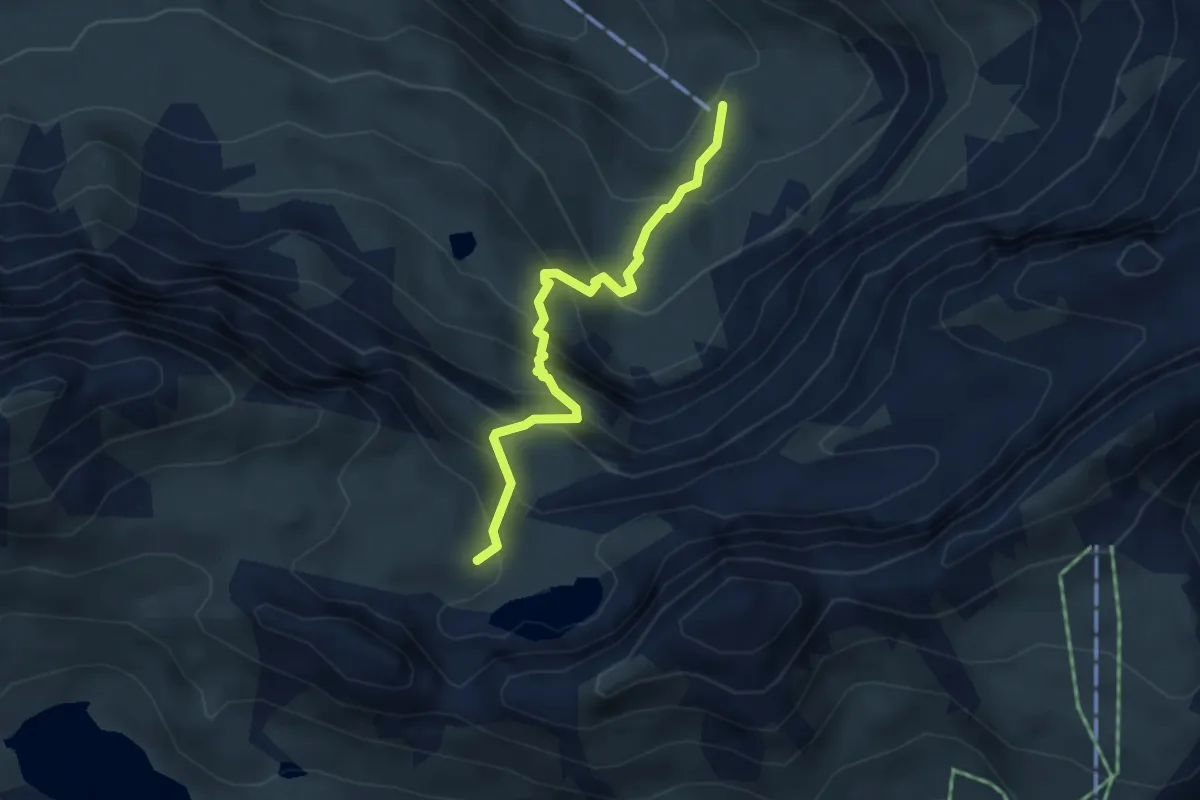
Demanding · Cabin
Oberberg – Hagelseeli
3.6 km · ↑ 452 m · 1 h 50 min · 13 km away
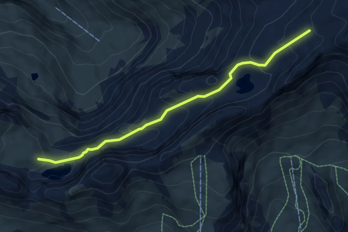
Medium · Trail
Hagelseeli – Hinterbirg
5.9 km · ↑ 405 m · 2 h 17 min · 13 km away
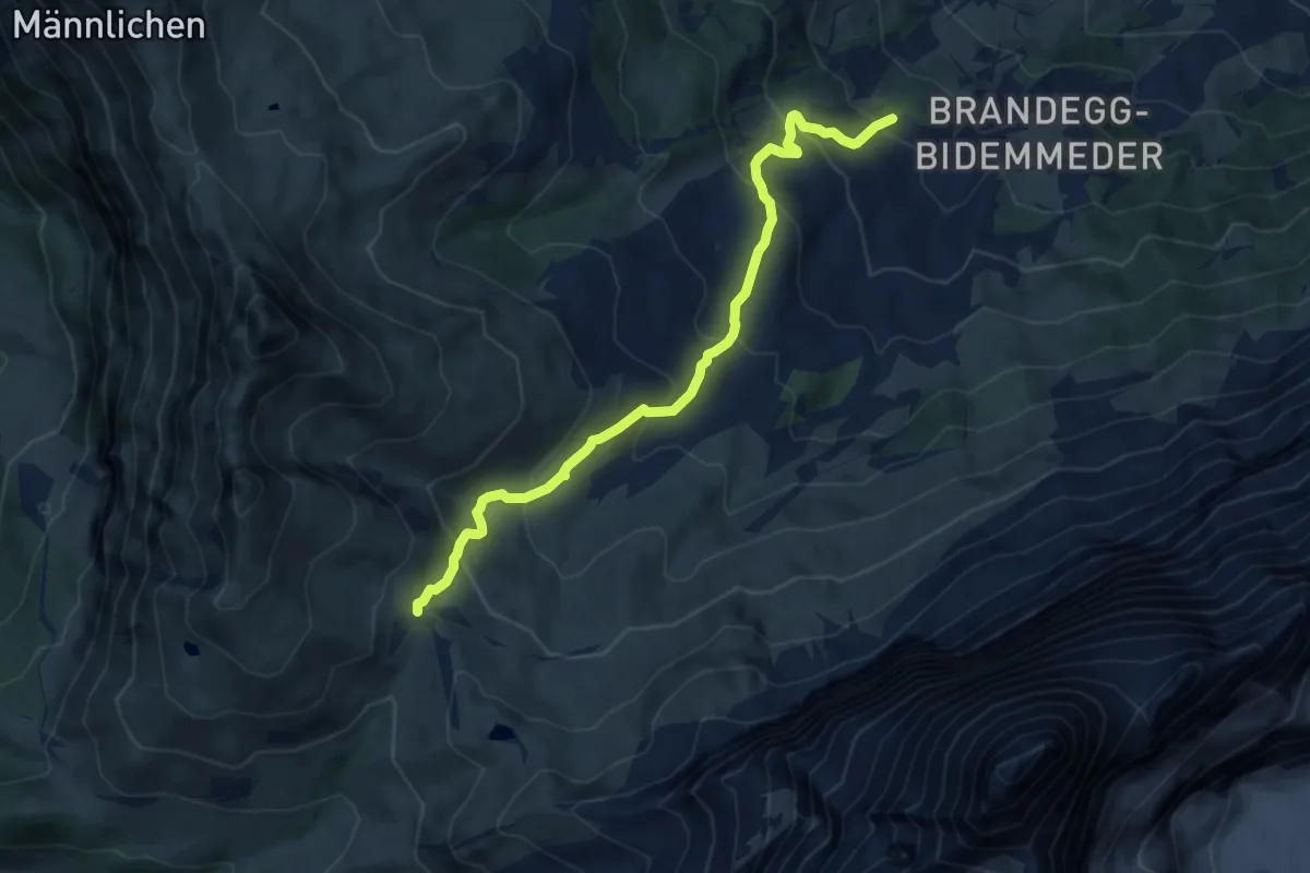
Demanding · Trail
Brand – Kleine Scheidegg
10.0 km · ↑ 683 m · 3 h 51 min · 13 km away
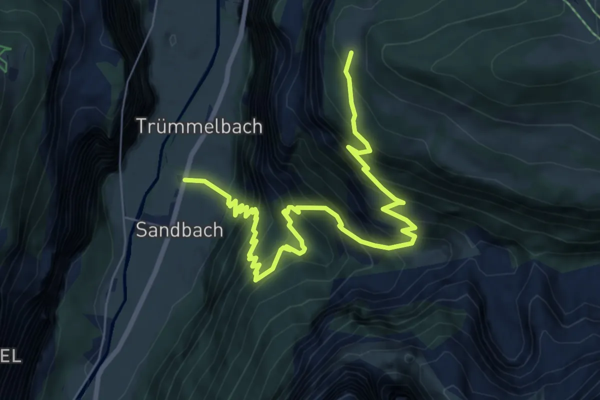
Demanding · Trail
Sandbach – Stalden
7.8 km · ↑ 972 m · 3 h 58 min · 13 km away
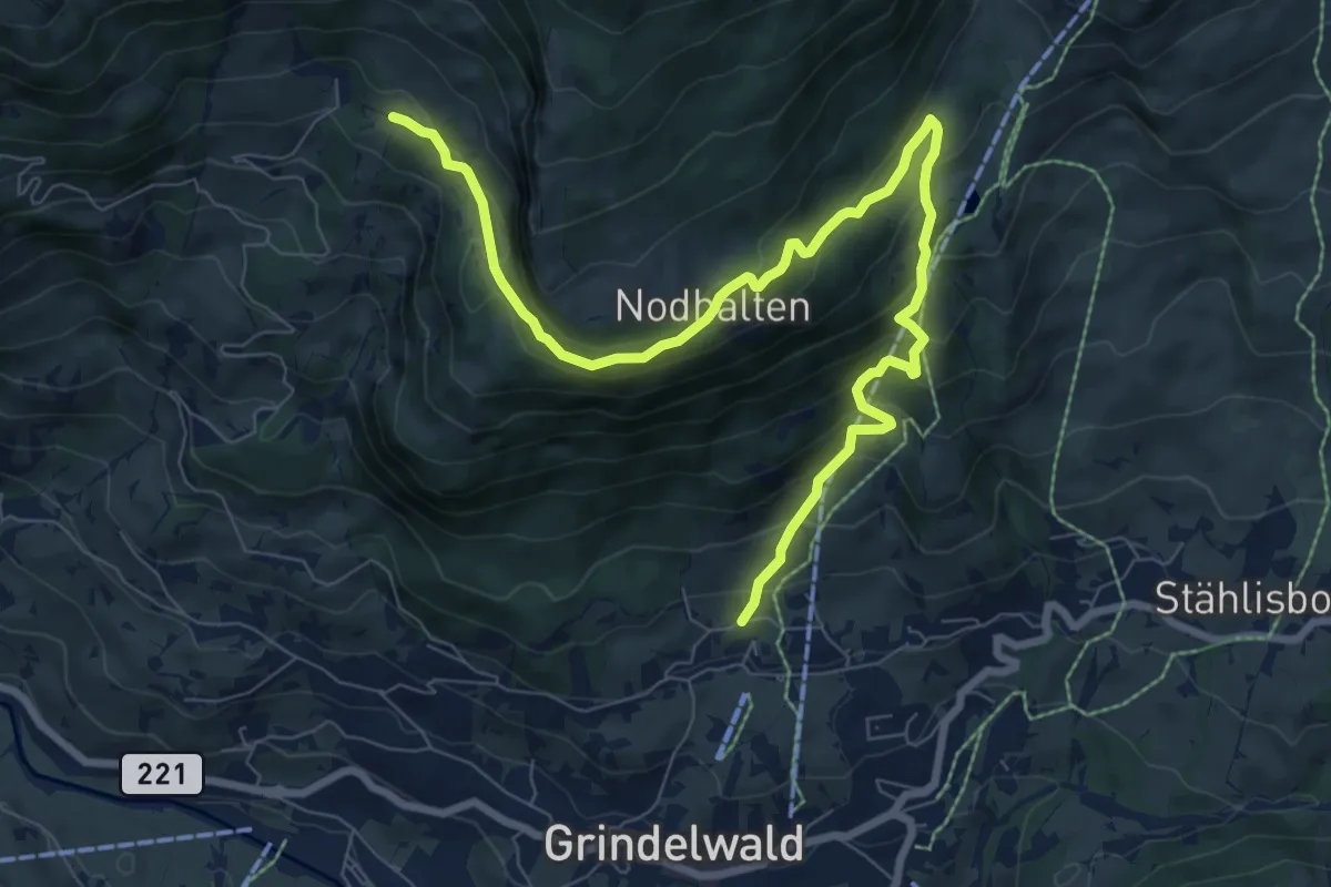
Medium · Trail
Holewang - fixme
9.9 km · ↑ 599 m · 3 h 38 min · 13 km away
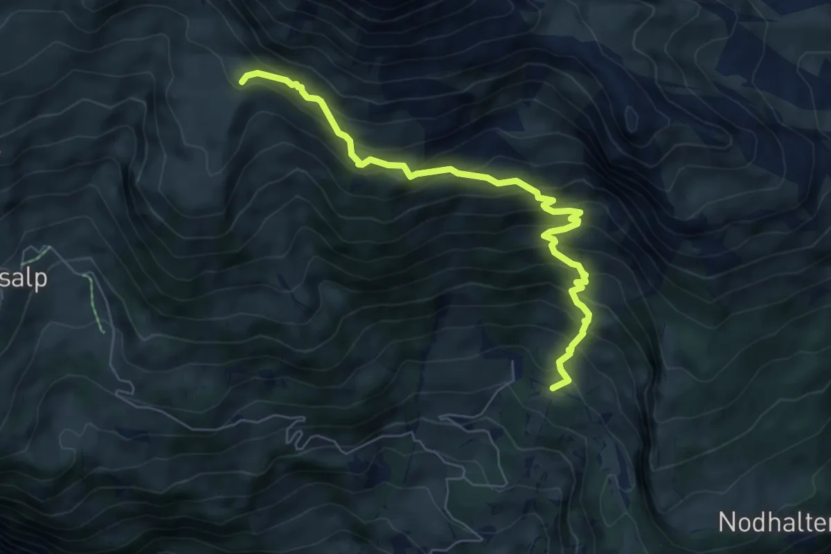
Medium · Trail
Holewang – Feld
6.8 km · ↑ 706 m · 3 h 8 min · 13 km away
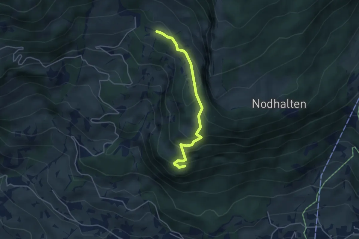
Easy · Trail
Holewang - fixme
3.4 km · ↑ 215 m · 1 h 16 min · 13 km away
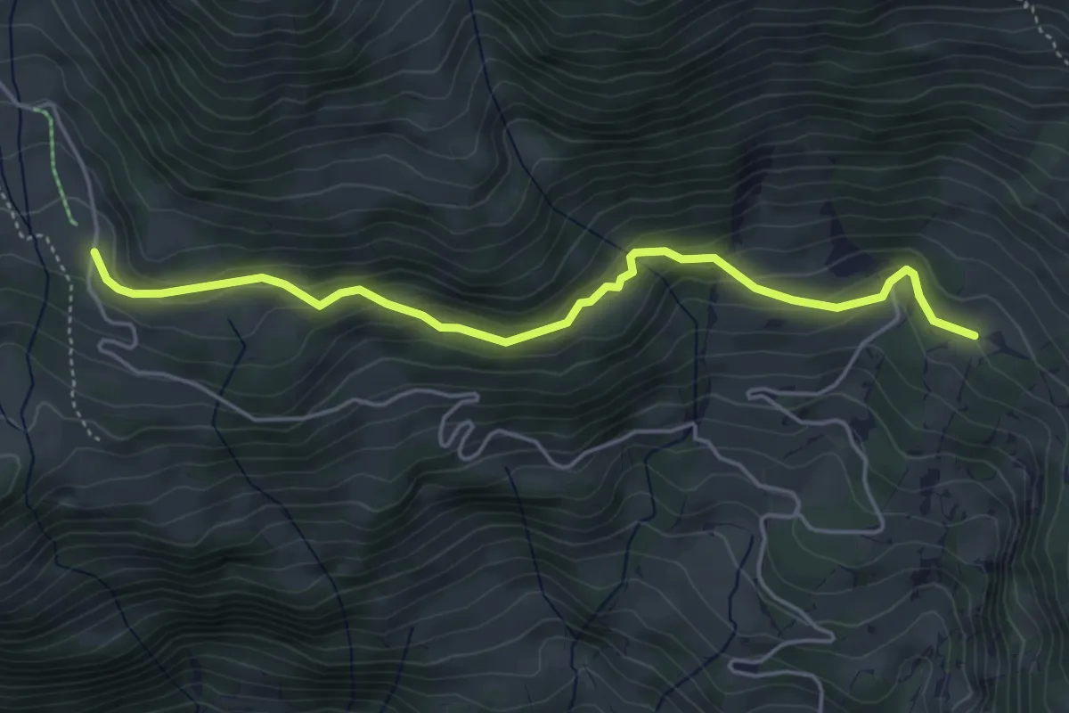
Easy · Trail
Rasthysi - Holewang
4.8 km · ↑ 252 m · 1 h 41 min · 13 km away
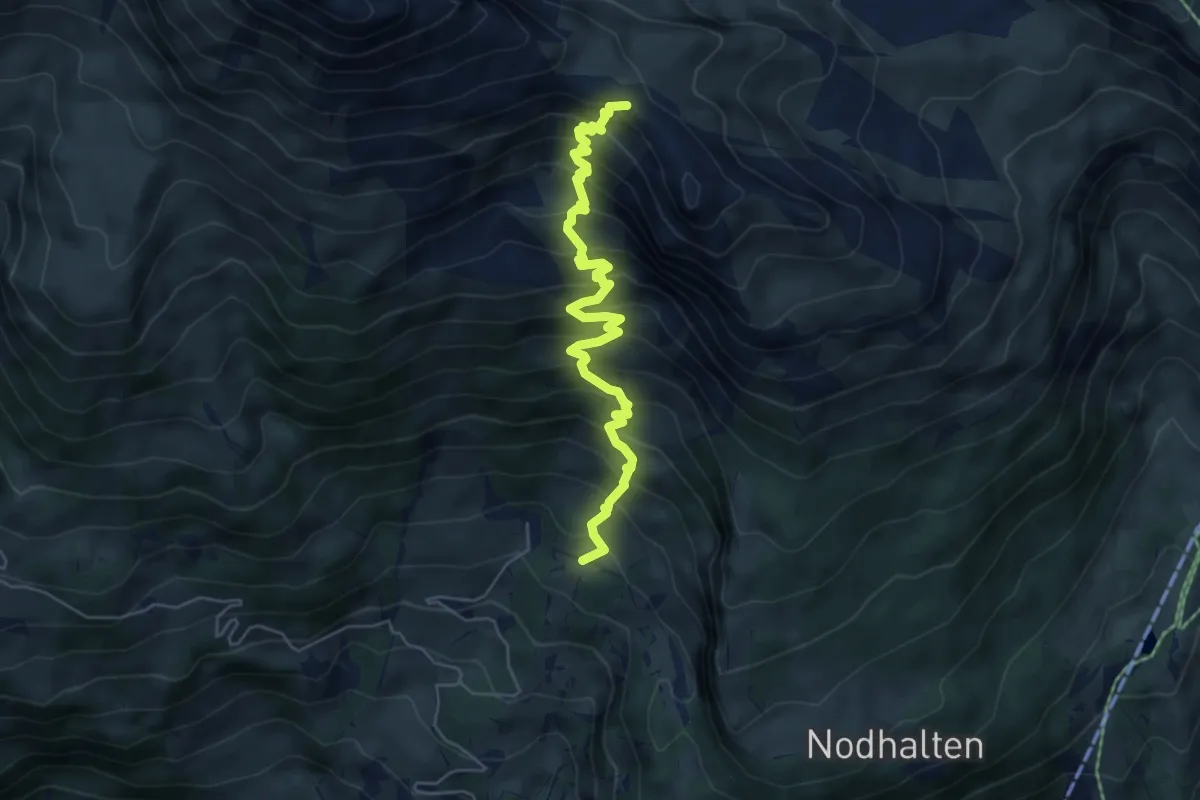
Medium · Summit
Hollenweg – Bachsee
5.8 km · ↑ 715 m · 2 h 55 min · 13 km away
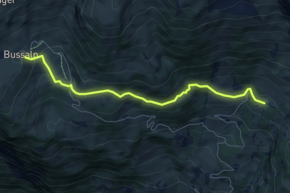
Medium · Trail
Holewang – Bussalp
6.2 km · ↑ 368 m · 2 h 15 min · 13 km away
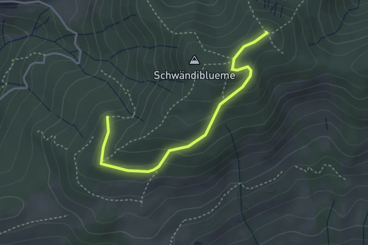
Easy · Summit
Hinterport – Blueme
3.3 km · ↑ 158 m · 1 h 7 min · 13 km away
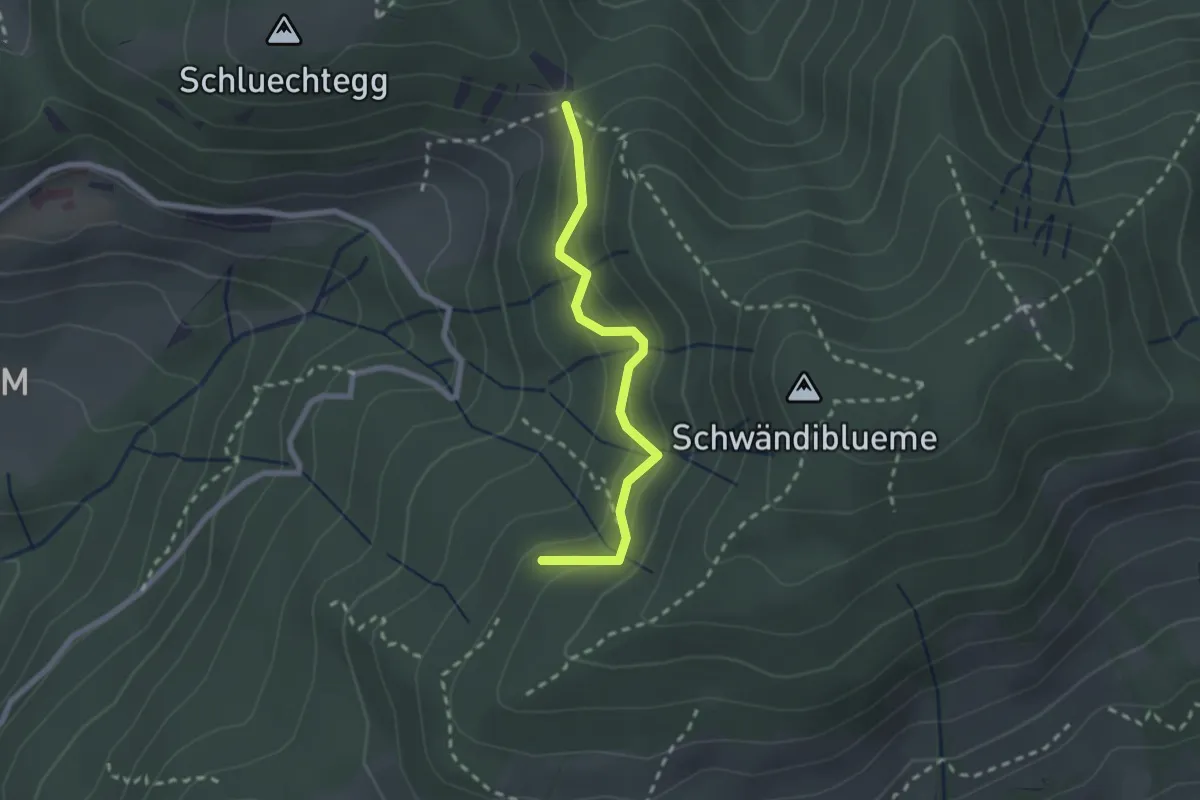
Easy · Trail
Wolfgrube – Hinderport
2.2 km · ↑ 170 m · 53 min · 13 km away
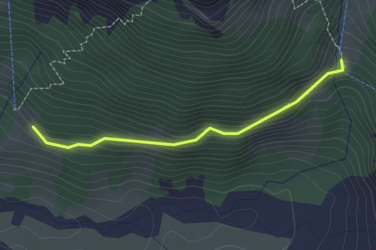
Easy · Trail
Glütschnessli - Gruenerli
2.0 km · ↑ 113 m · 43 min · 13 km away
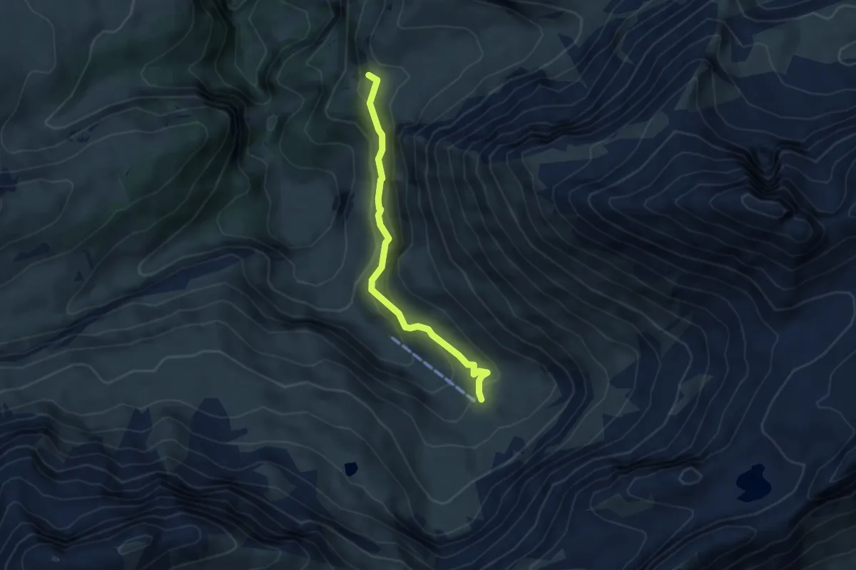
Medium · Cabin
Lütschentälti – Oberberg
4.1 km · ↑ 293 m · 1 h 36 min · 13 km away
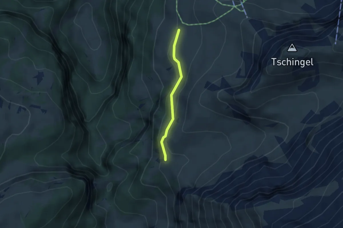
Easy · Trail
Chüemad – Lütschentälti
2.3 km · ↑ 126 m · 49 min · 13 km away
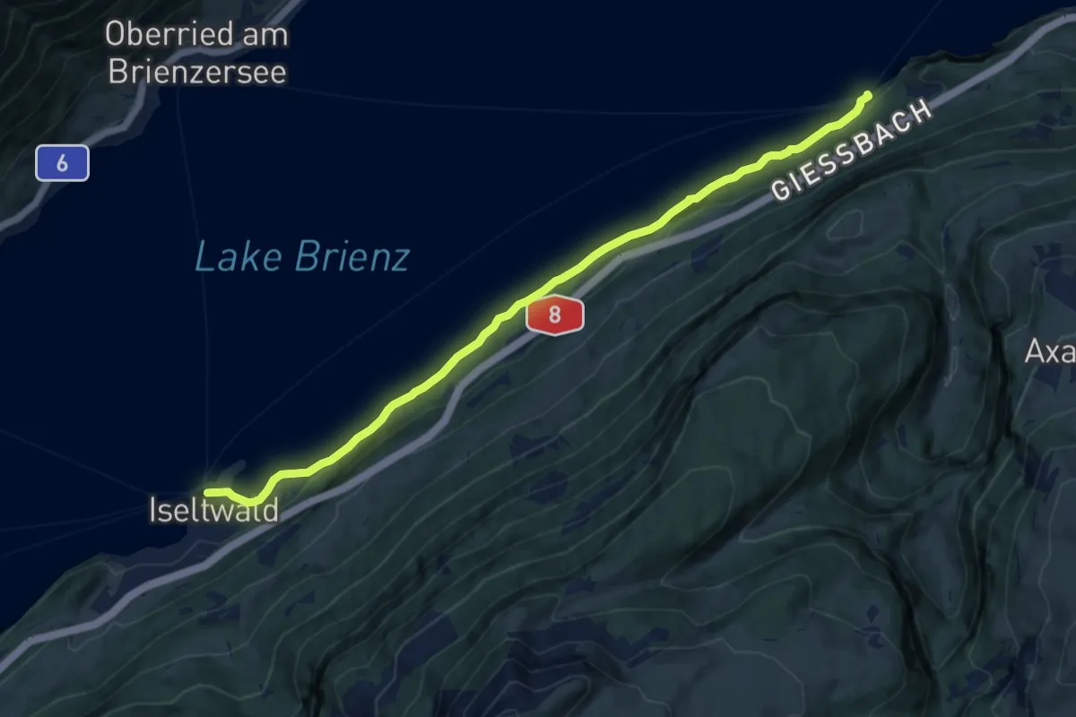
Medium · Trail
Iseltwald - Giessbach (Uferweg)
10.6 km · ↑ 352 m · 3 h 16 min · 13 km away
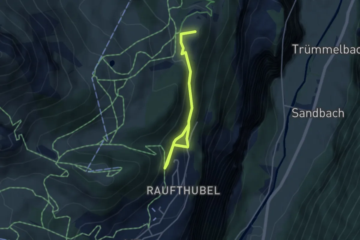
Medium · Summit
Murren – Oberberg
3.4 km · ↑ 209 m · 1 h 16 min · 13 km away
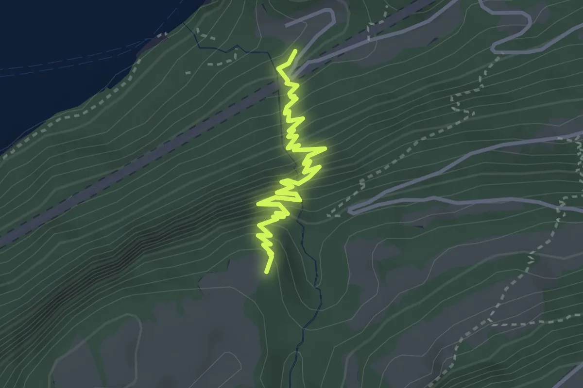
Medium · Trail
Giessbach – Schweibenalp
3.2 km · ↑ 445 m · 1 h 43 min · 13 km away
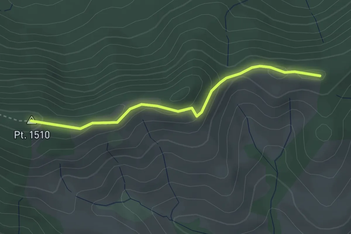
Easy · Summit
Honegg – Bürkeliegg
3.0 km · ↑ 90 m · 54 min · 14 km away
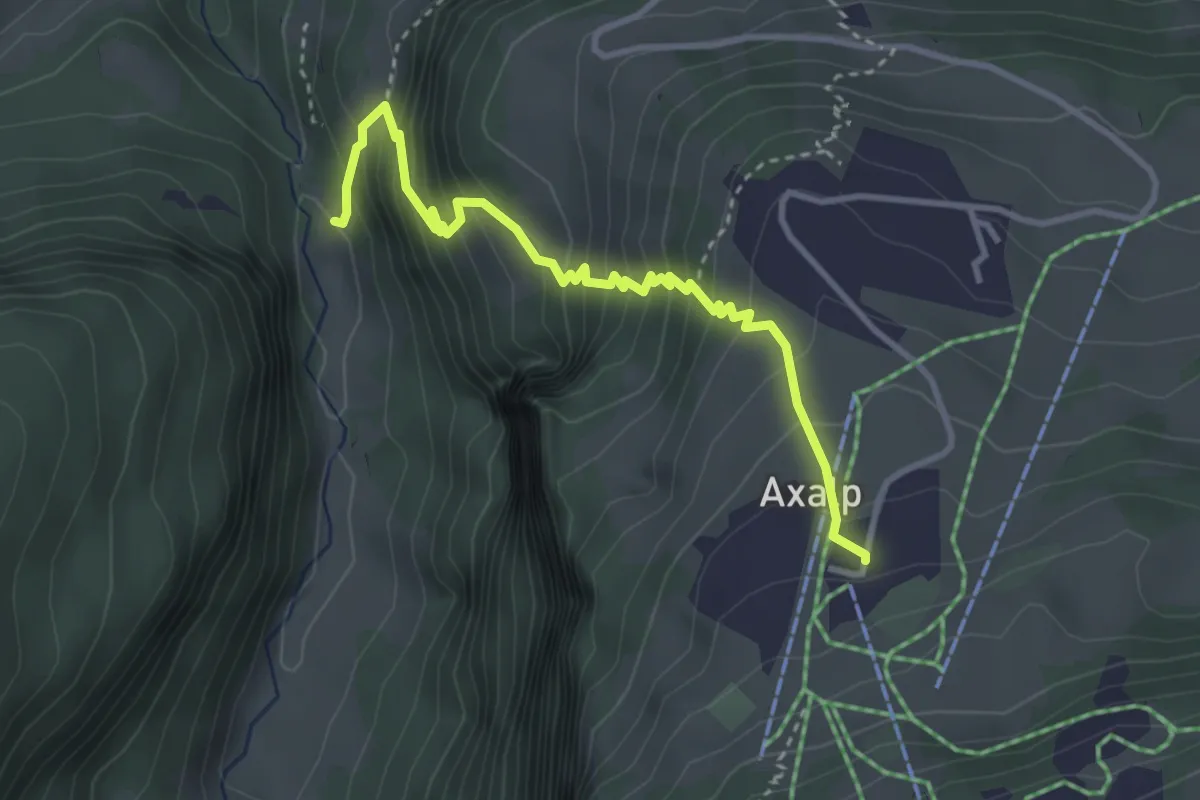
Demanding · Trail
Kurhaus / Axalp – Giessbachtal
3.6 km · ↑ 429 m · 1 h 46 min · 14 km away
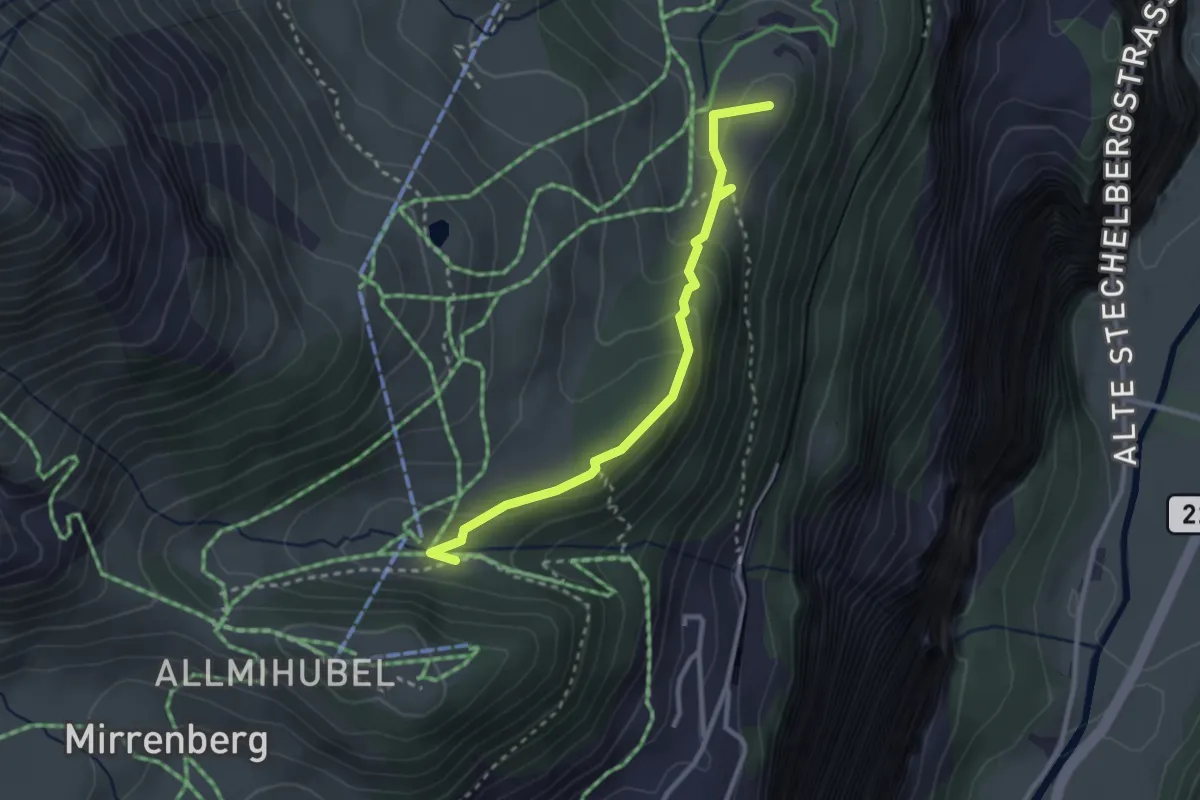
Medium · Summit
Allmiboden – Winteregg
2.8 km · ↑ 136 m · 57 min · 14 km away