Trails near Interlaken
391 hikes starting within 15 km, nearest first.
Nearest first, page 7 of 9
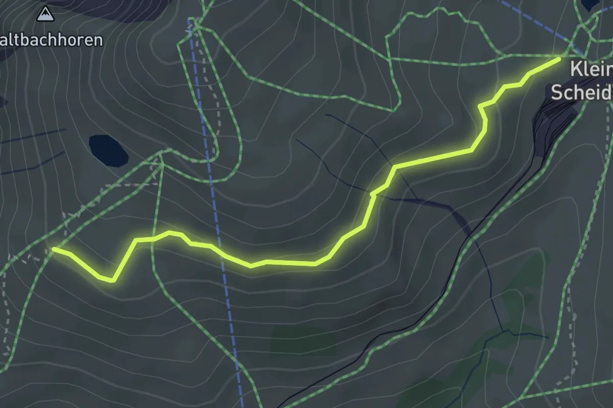
Medium · Trail
Kleine Scheidegg – Rinderhitta
3.5 km · ↑ 156 m · 1 h 10 min · 14 km away
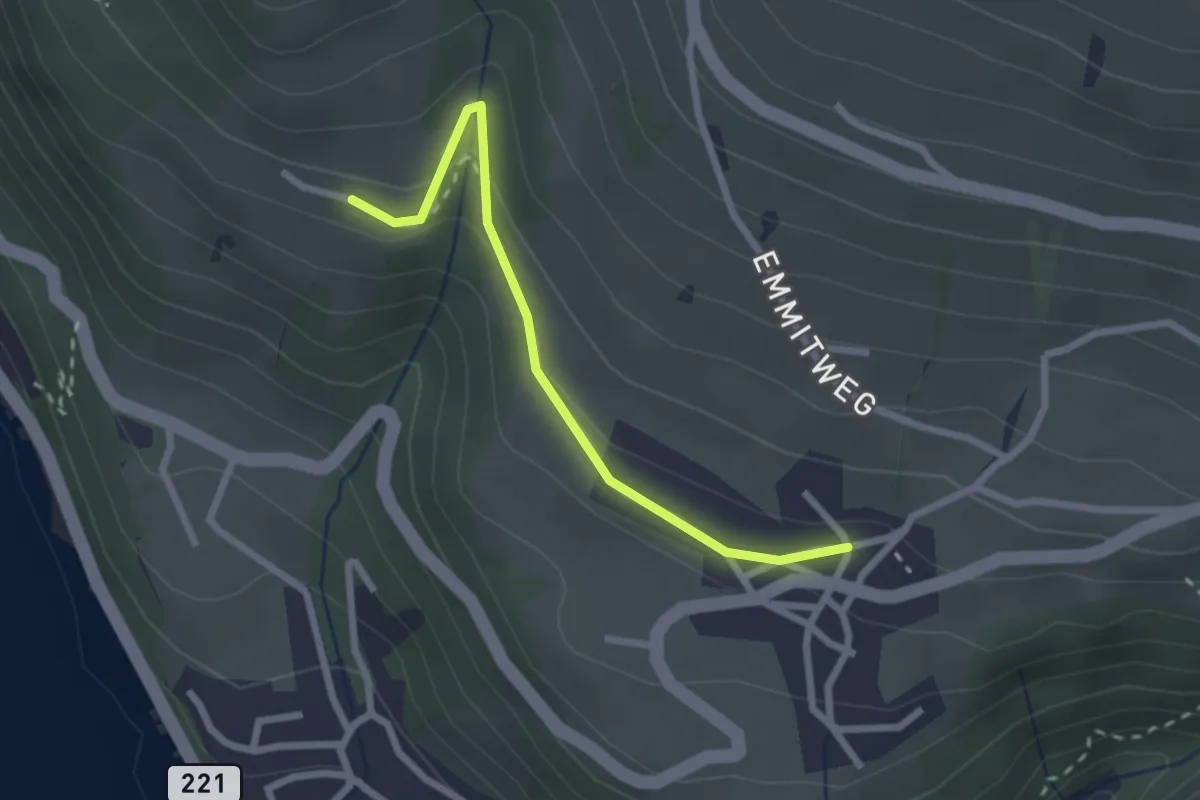
Easy · Trail
Erizbüel – Aeschlen
2.4 km · ↑ 86 m · 45 min · 14 km away
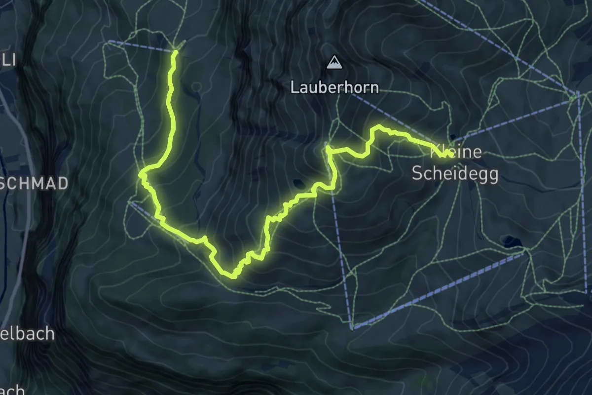
Demanding · Trail
Lauberhorn Trail
12.0 km · ↑ 1127 m · 5 h 16 min · 14 km away
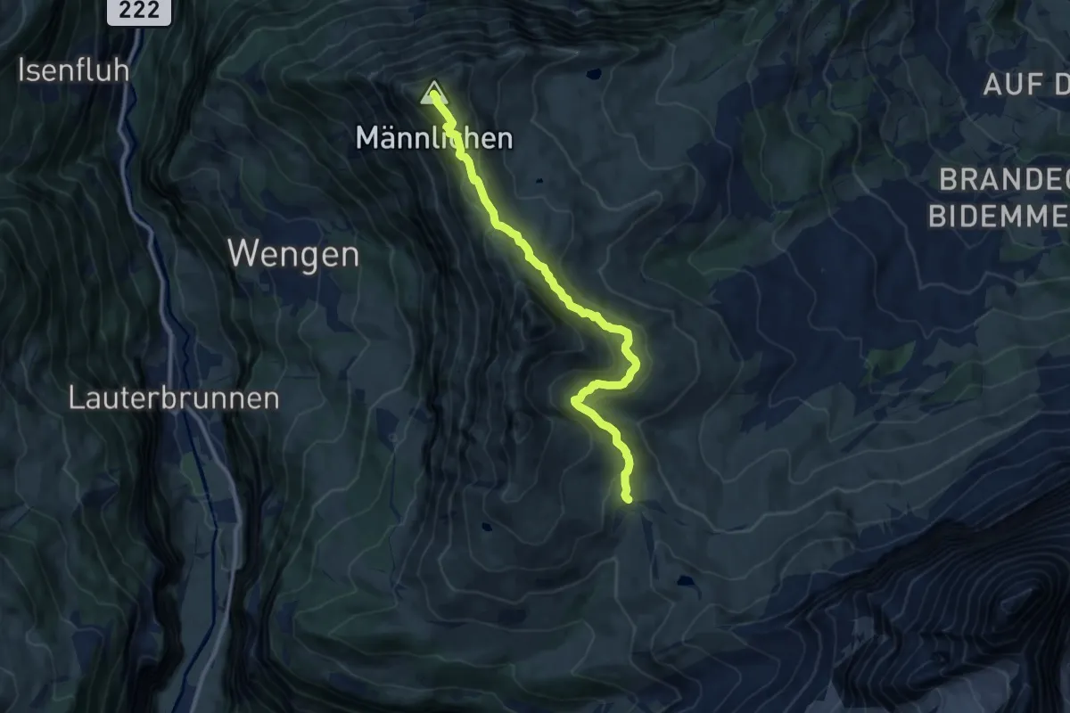
Medium · Summit
Kleine Scheidegg – Männlichen
10.6 km · ↑ 527 m · 3 h 39 min · 14 km away
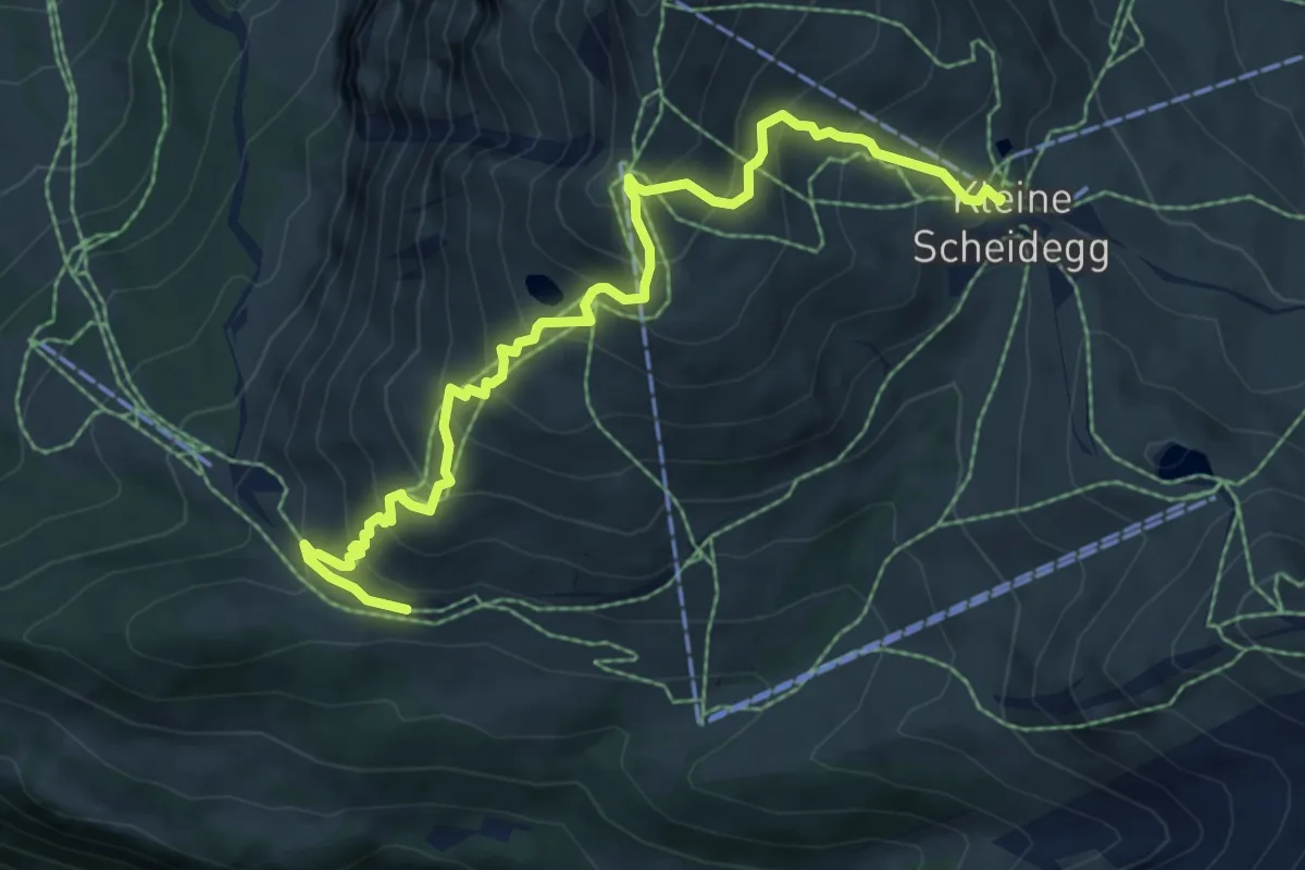
Medium · Trail
Kleine Scheidegg – Wengernalp
7.8 km · ↑ 764 m · 3 h 29 min · 14 km away
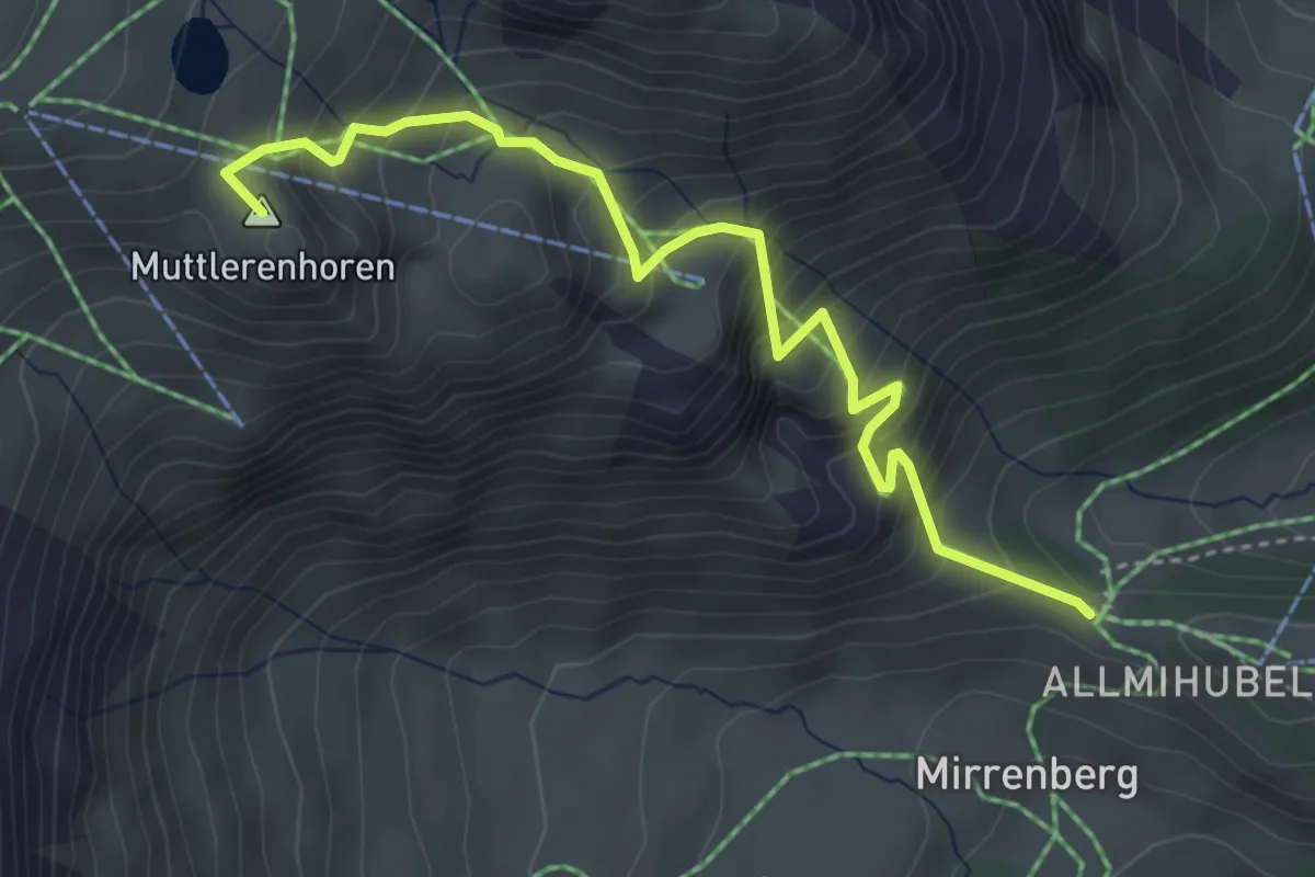
Medium · Summit
Höhlücke – Schilthornhütte
4.2 km · ↑ 499 m · 2 h 4 min · 14 km away
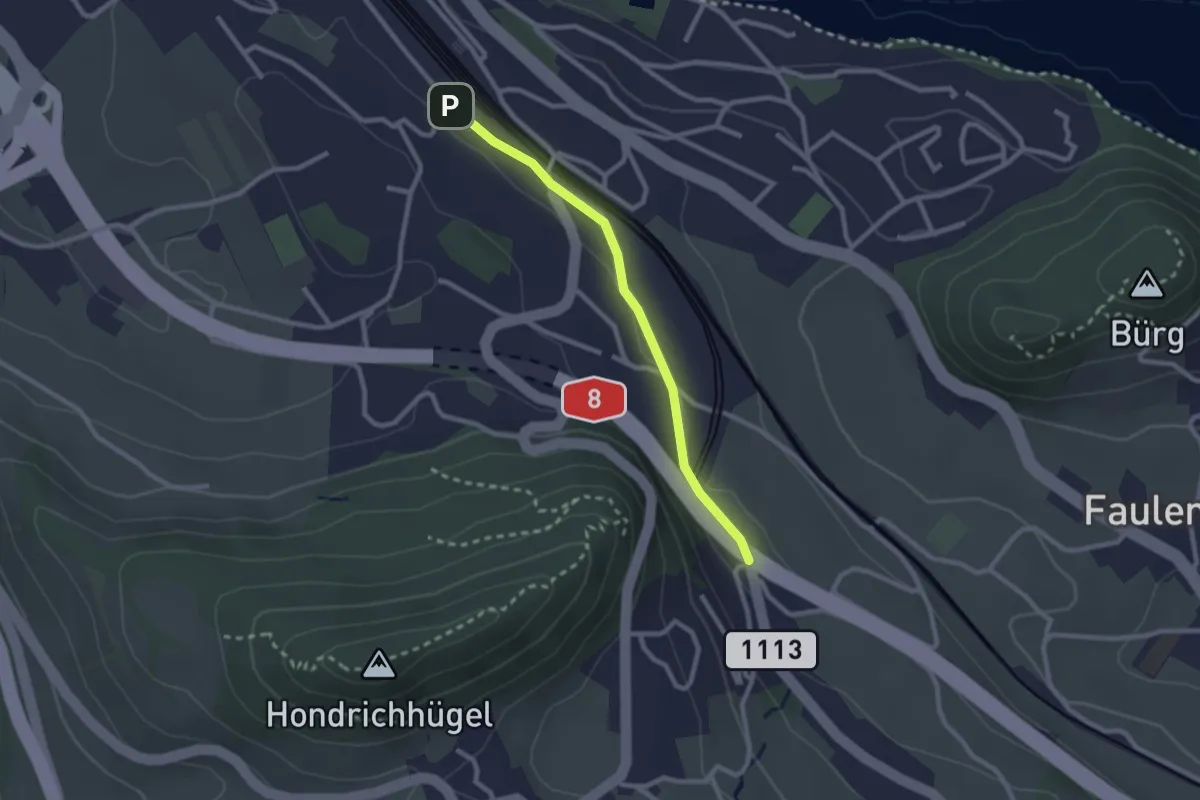
Easy · Trail
Spiez/Bahnhof – Salzbrunnen
2.3 km · ↑ 36 m · 37 min · 14 km away
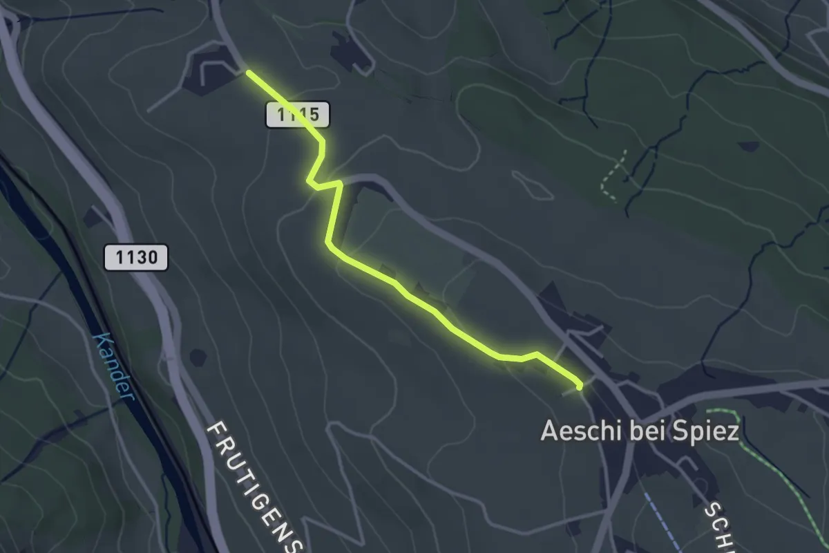
Easy · Trail
Aeschi – Bühlen
3.1 km · ↑ 73 m · 54 min · 14 km away
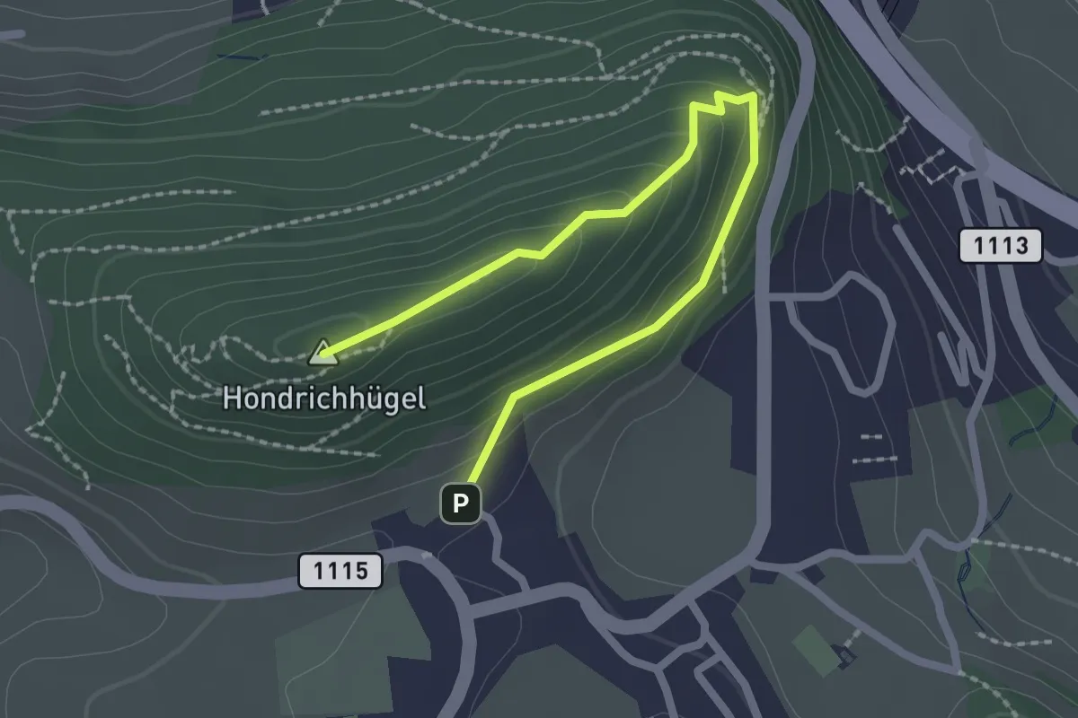
Easy · Summit
Hondrichhügel – Hondrich
2.5 km · ↑ 138 m · 53 min · 14 km away
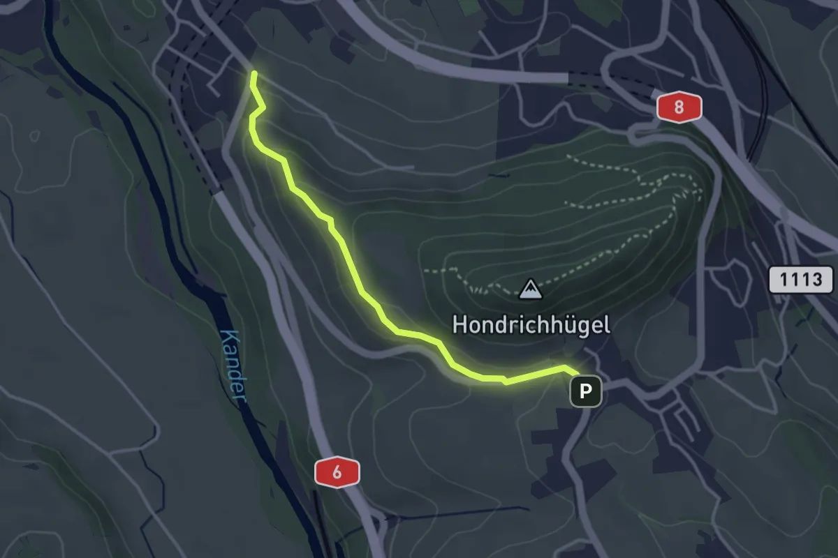
Easy · Trail
Hondrich – Spiezwiler
3.2 km · ↑ 101 m · 58 min · 14 km away
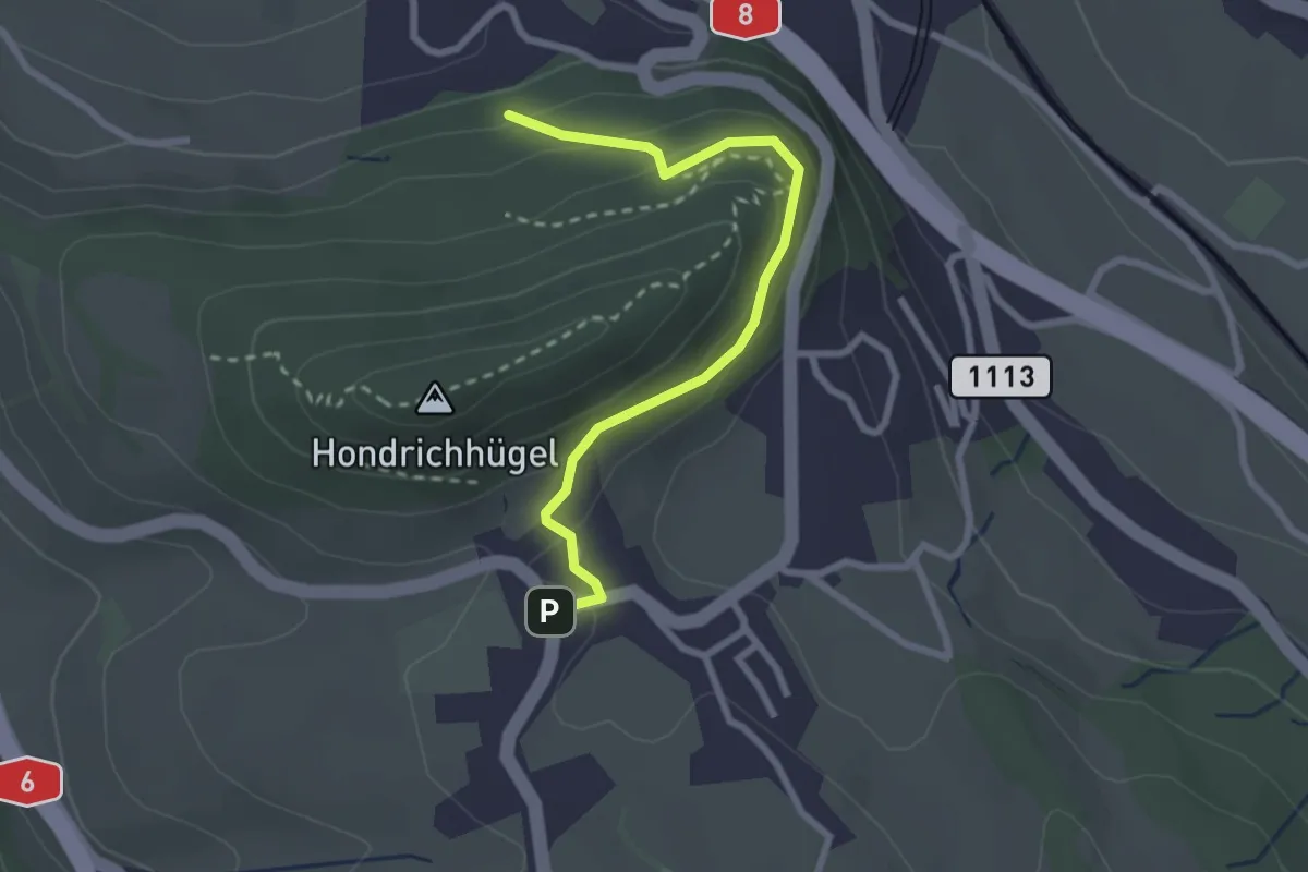
Easy · Trail
Hondrichwald – Hondrich
2.6 km · ↑ 195 m · 1 h 3 min · 14 km away
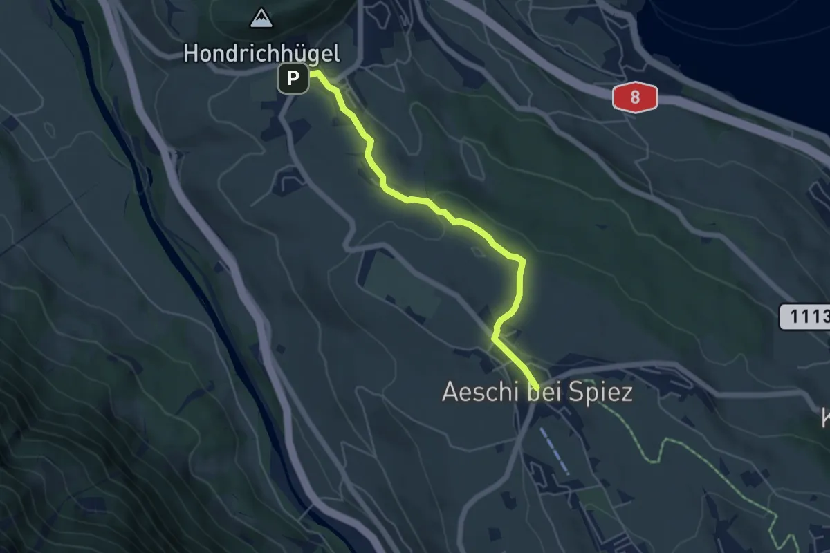
Easy · Trail
Hondrich – Aeschi
4.8 km · ↑ 118 m · 1 h 23 min · 14 km away
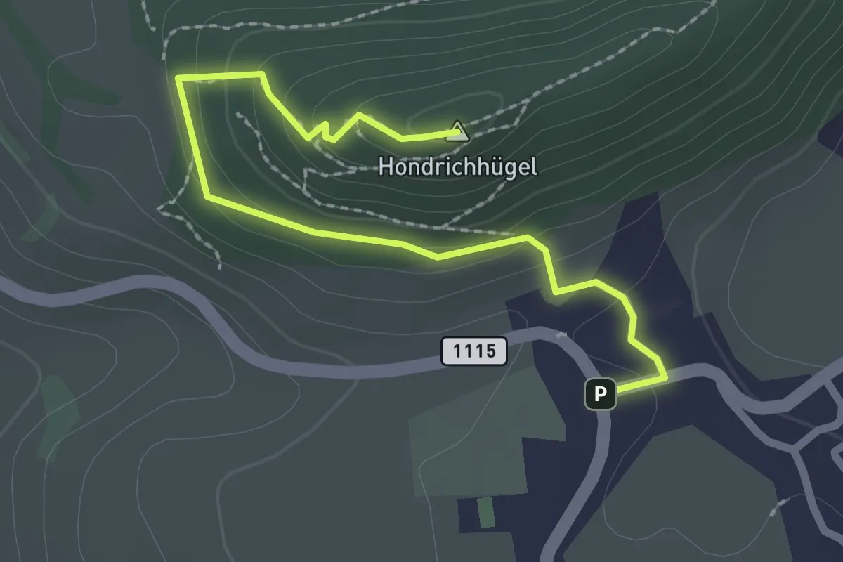
Easy · Summit
Hondrich – Hondrichhügel
2.5 km · ↑ 124 m · 51 min · 14 km away
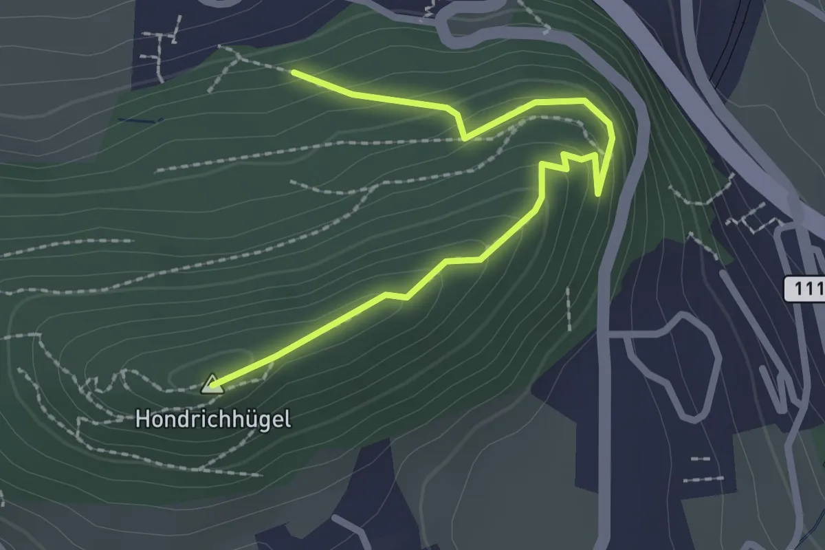
Easy · Summit
Hondrichwald – Hondrichhügel
2.5 km · ↑ 210 m · 1 h 2 min · 14 km away
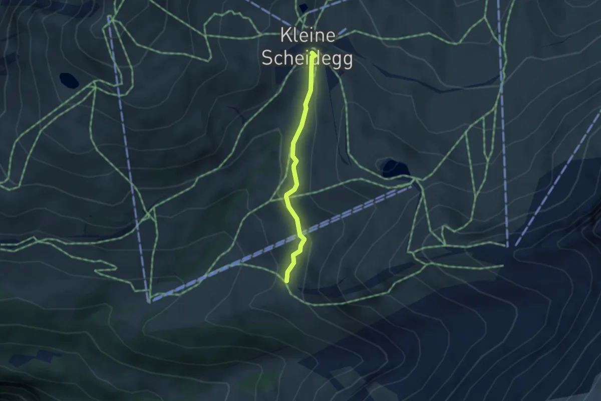
Easy · Trail
Kleine Scheidegg-Haaregg
2.7 km · ↑ 104 m · 52 min · 14 km away
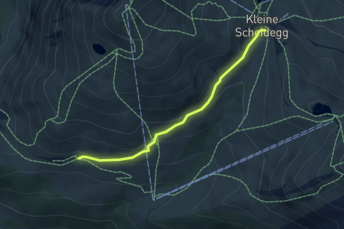
Easy · Trail
Kleine Scheidegg - Wengernalp
3.9 km · ↑ 163 m · 1 h 17 min · 14 km away
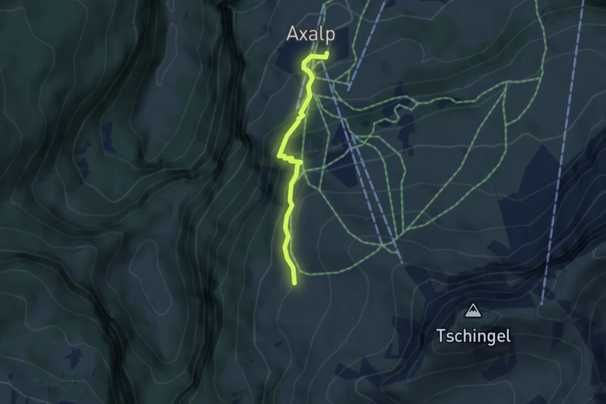
Demanding · Trail
Axalp – Chüemad
3.1 km · ↑ 266 m · 1 h 19 min · 14 km away
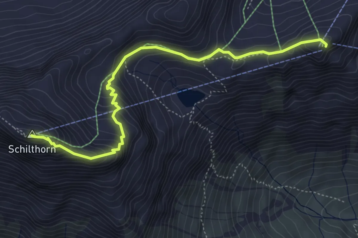
Medium · Summit
Birg – Schilthorn
5.2 km · ↑ 407 m · 2 h 7 min · 14 km away
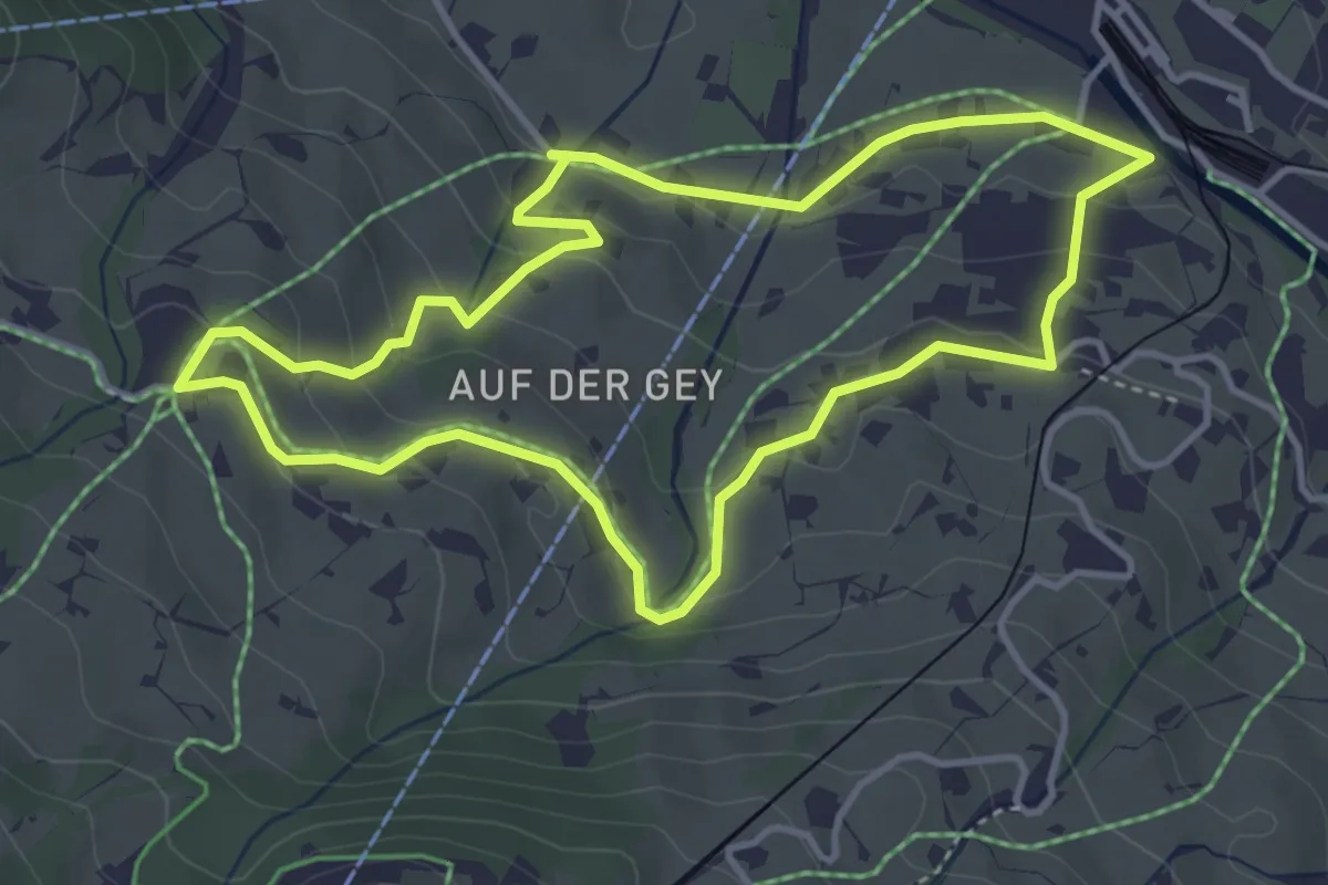
Easy · Trail
Grindelwald Grund – Aspen
3.9 km · ↑ 162 m · 1 h 19 min · 14 km away
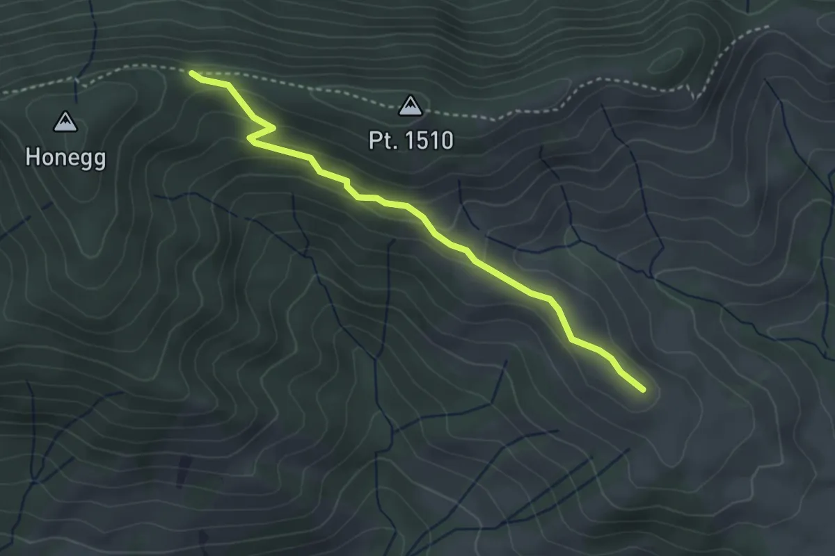
Easy · Trail
Honegg – Grossi Honegg
3.3 km · ↑ 132 m · 1 h 4 min · 14 km away
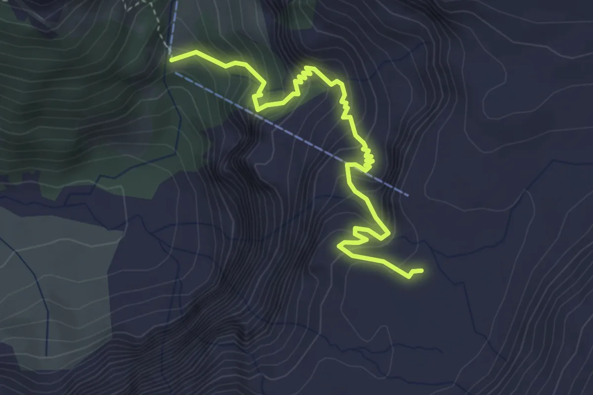
Medium · Trail
Glütschnessli – Alpwirtschaft Hohkien
4.1 km · ↑ 486 m · 2 h 1 min · 14 km away
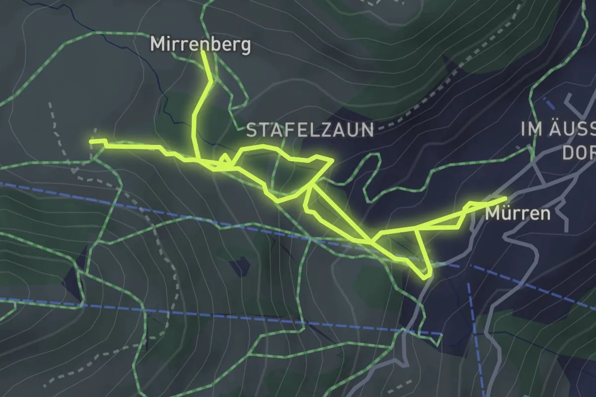
Medium · Trail
Im Suppen – Mirrenberg
5.5 km · ↑ 419 m · 2 h 12 min · 14 km away
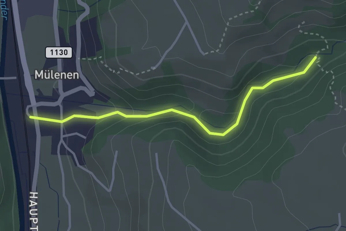
Easy · Trail
Suldgrabe – Mülenen
2.9 km · ↑ 103 m · 54 min · 14 km away
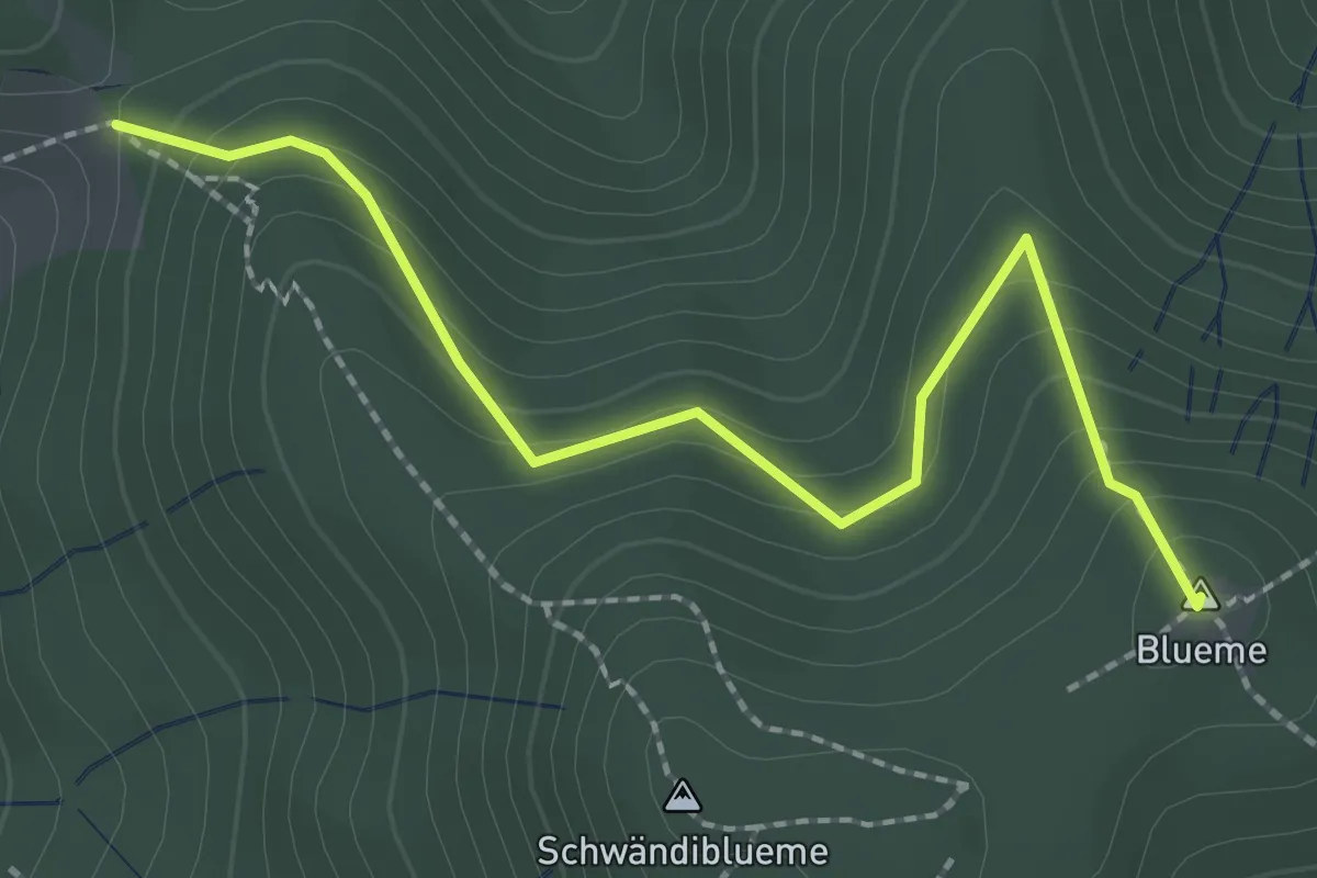
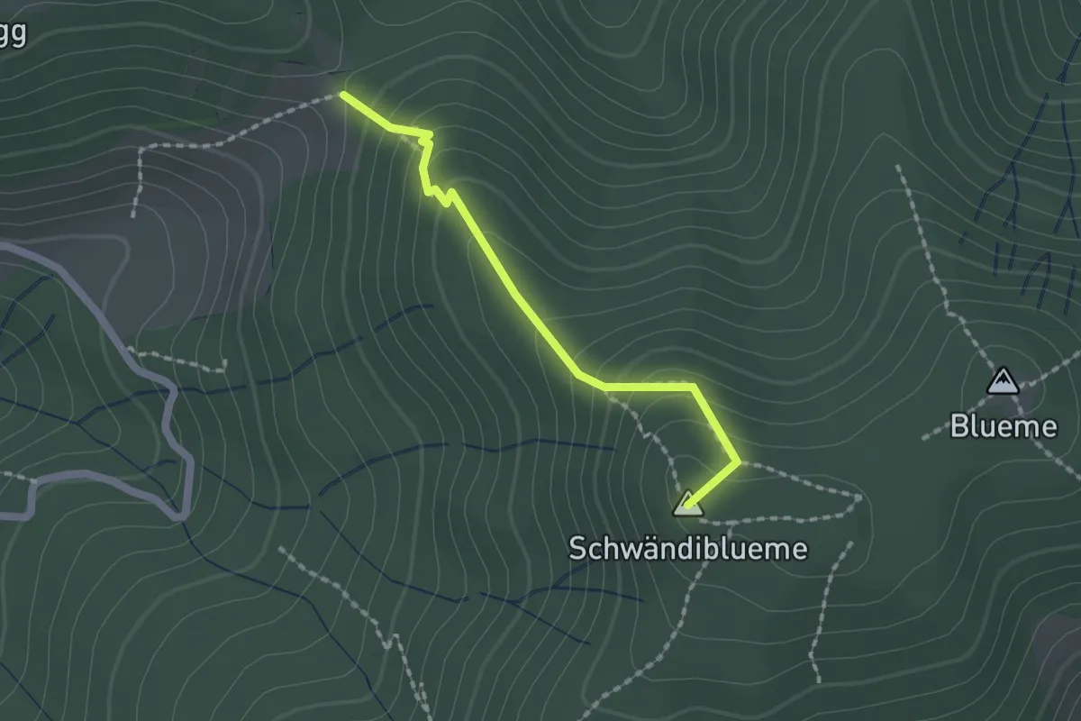
Easy · Summit
Wolfgrube – Blueme
2.4 km · ↑ 171 m · 57 min · 14 km away
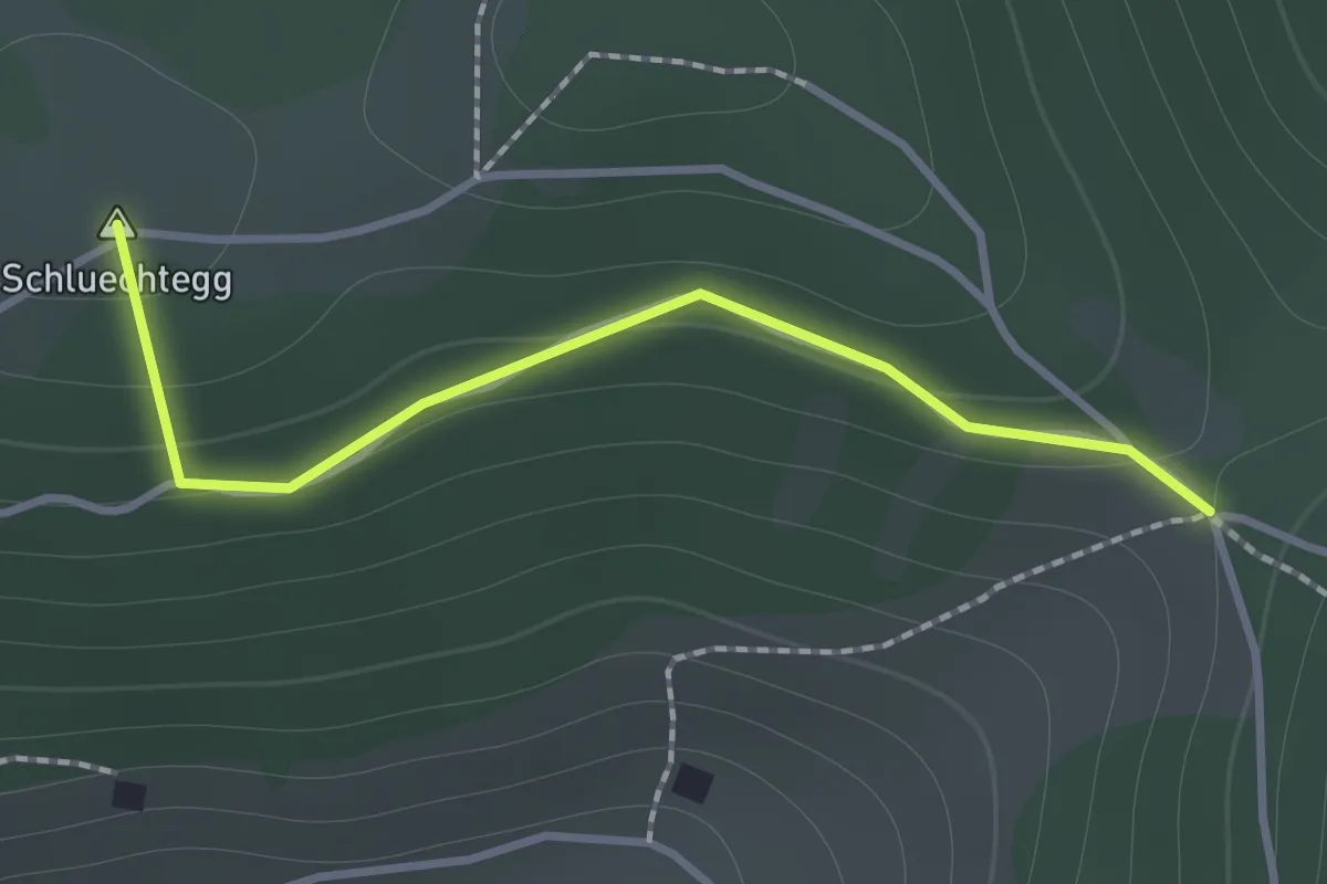
Easy · Summit
Wolfgrube – Blume / Aussichtsturm
1.6 km · ↑ 138 m · 41 min · 14 km away
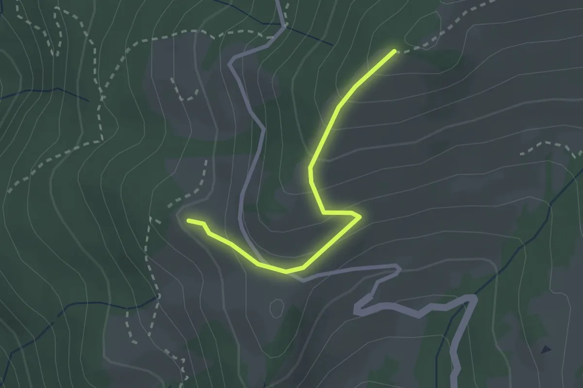
Easy · Summit
Gründungsahorn – Wolfsgrube
1.2 km · ↑ 47 m · 23 min · 14 km away
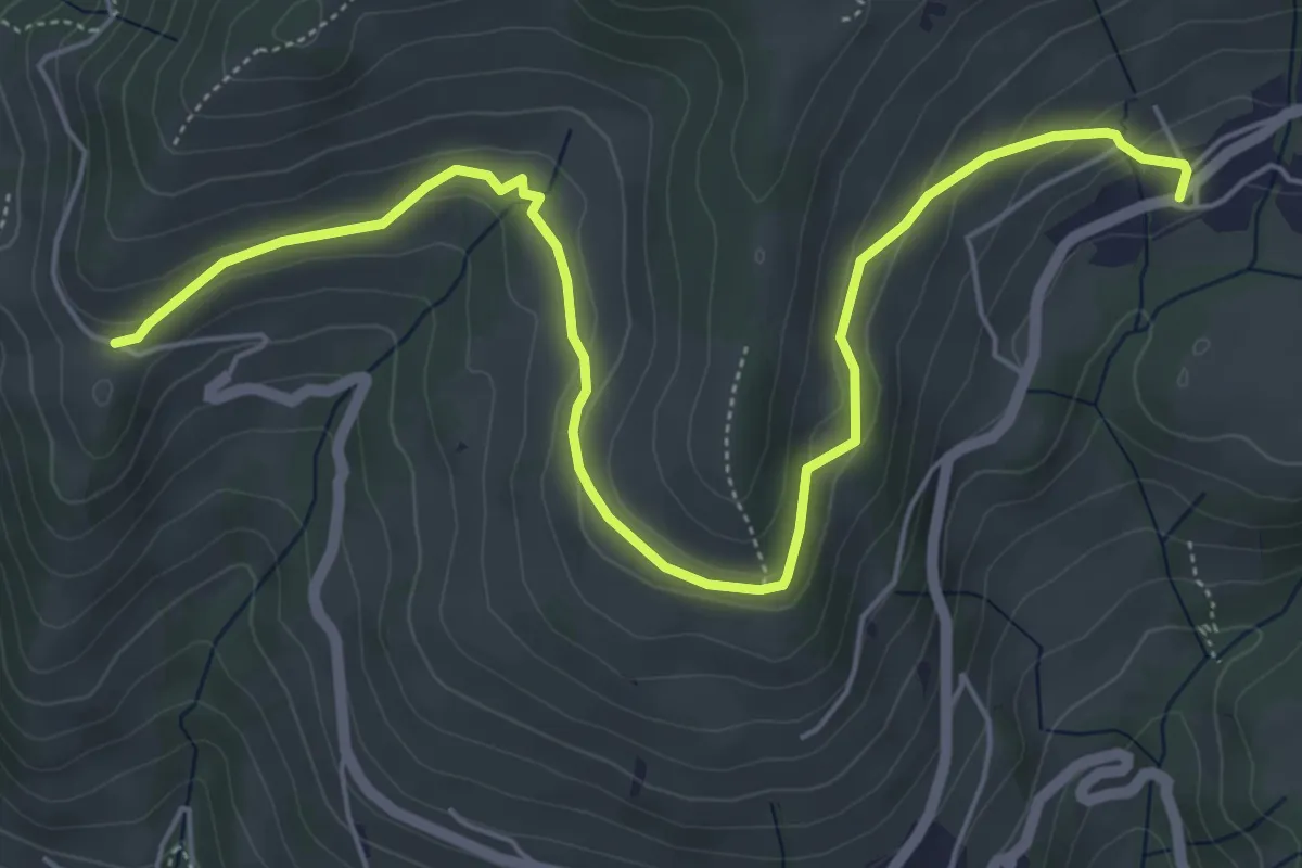
Easy · Trail
Niesenbänkli – Chrinde
2.1 km · ↑ 179 m · 54 min · 14 km away
Easy · Trail
Schwanden – Chrinde
6.7 km · ↑ 225 m · 2 h 4 min · 14 km away
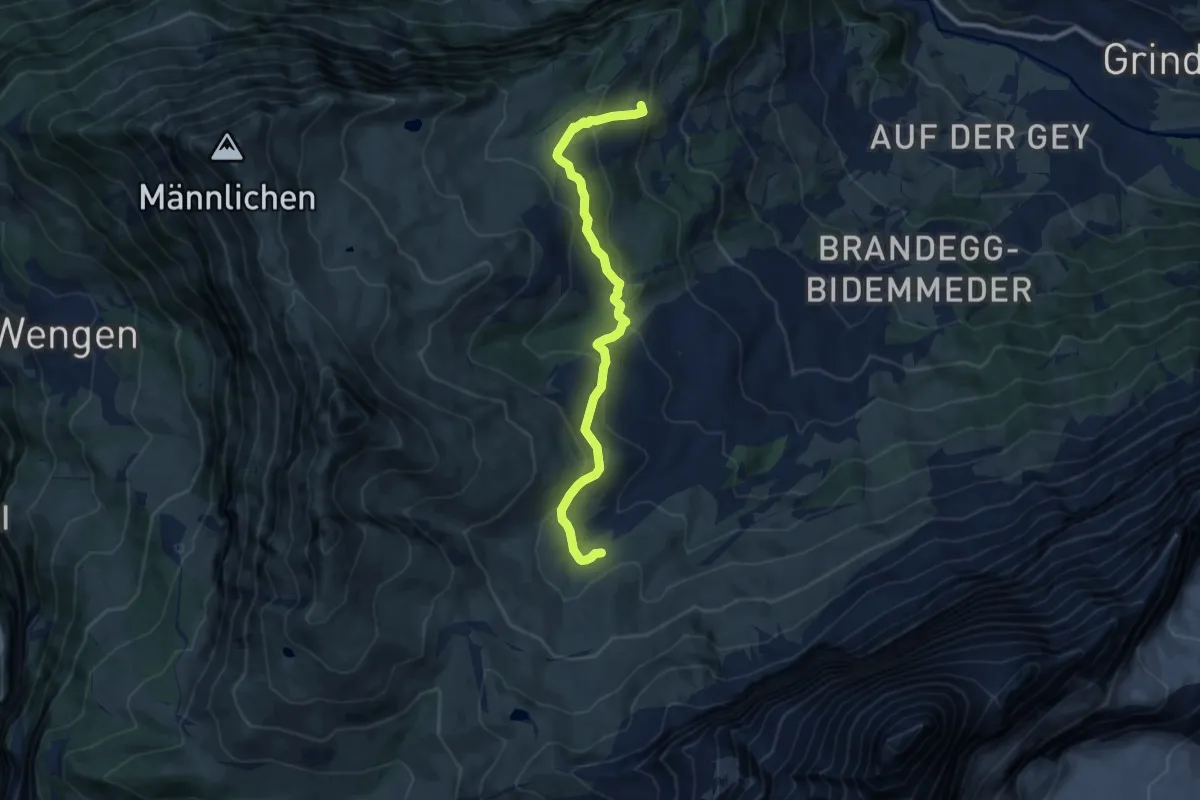
Medium · Trail
Arvengarten – Hohlenstein
9.5 km · ↑ 462 m · 3 h 15 min · 14 km away
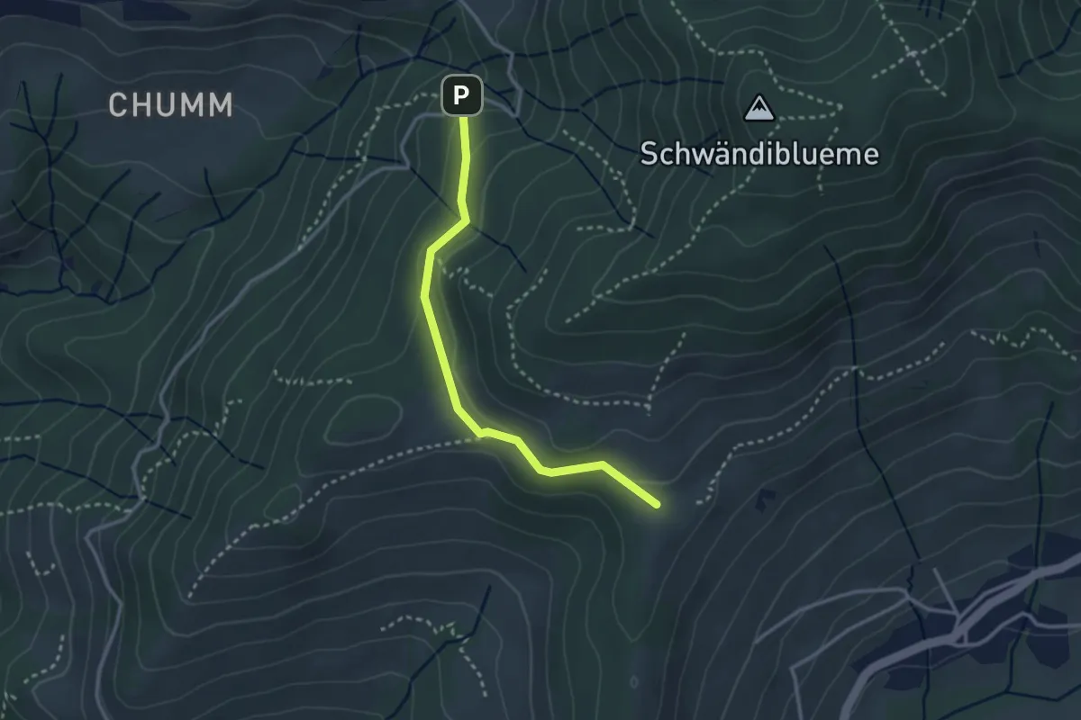
Easy · Trail
Margelsattel – Schwendi REHA Zentrum
2.8 km · ↑ 111 m · 54 min · 14 km away
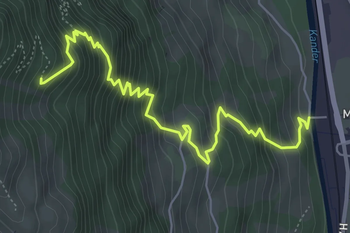
Medium · Trail
Mülenen – Rölleren
5.8 km · ↑ 727 m · 2 h 56 min · 14 km away
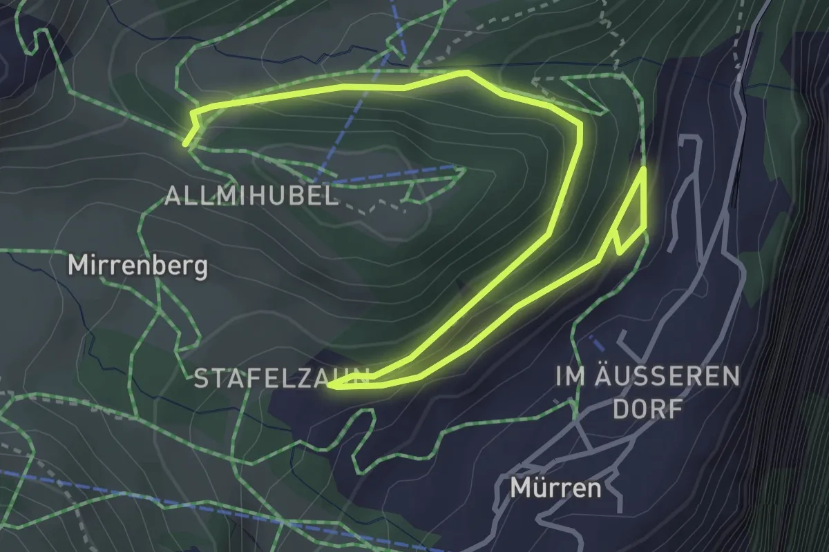
Medium · Trail
Höhlücke – Murren
4.9 km · ↑ 220 m · 1 h 39 min · 14 km away
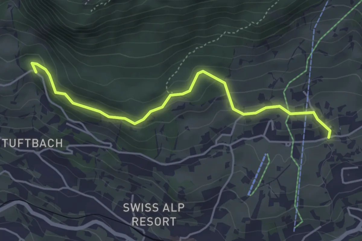
Easy · Trail
Grindelwald, Steinbillen – Steessi-Brünneli
4.2 km · ↑ 213 m · 1 h 27 min · 14 km away
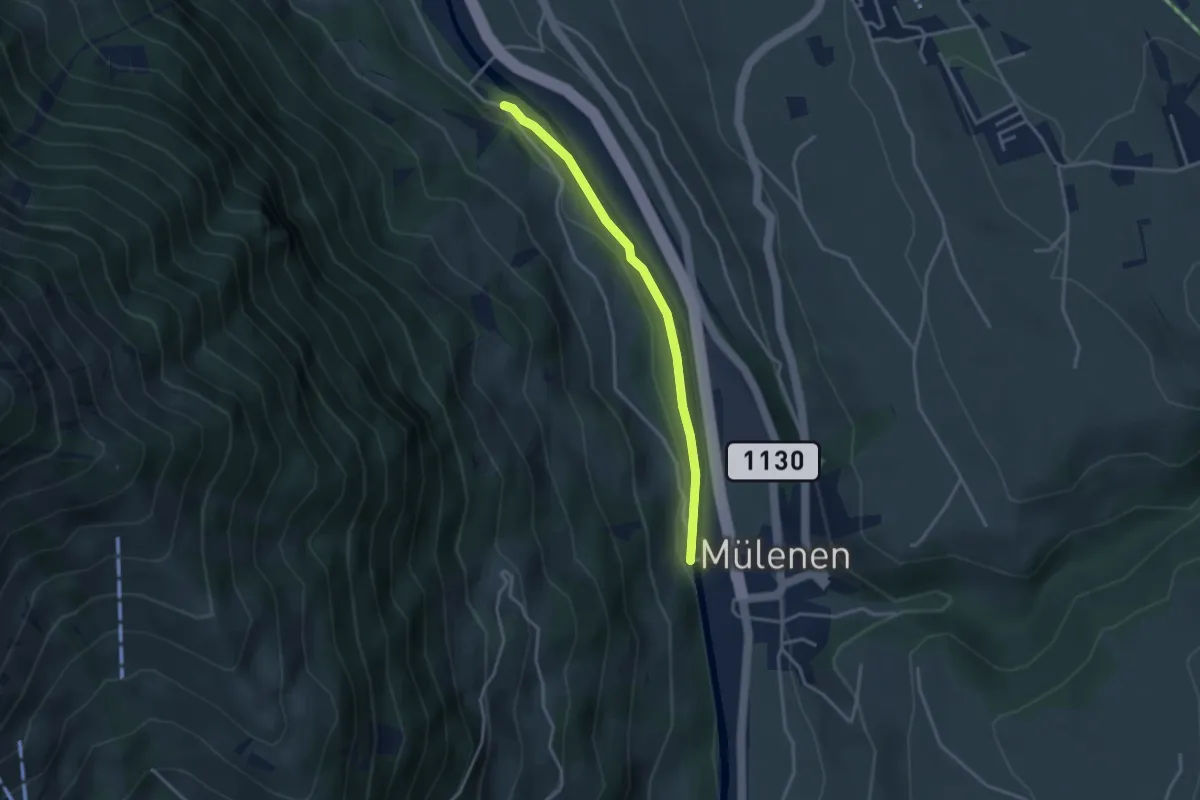
Easy · Trail
Mülenen – Heustrich
3.1 km · ↑ 9 m · 45 min · 14 km away
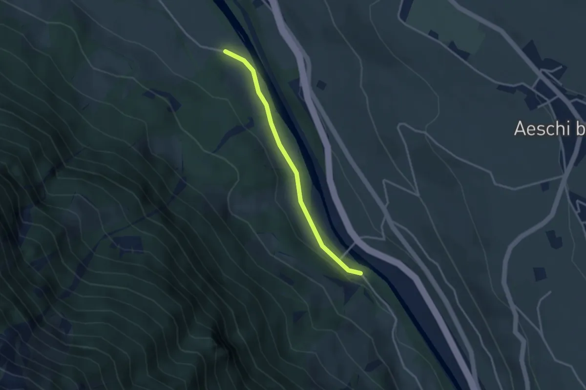
Easy · Trail
Heustrich – Rossweid
2.7 km · ↑ 38 m · 43 min · 14 km away
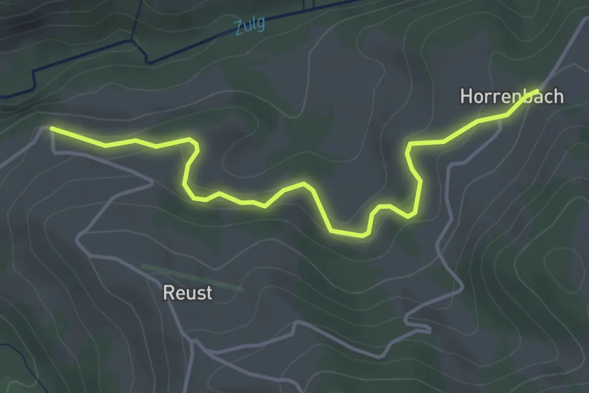
Easy · Trail
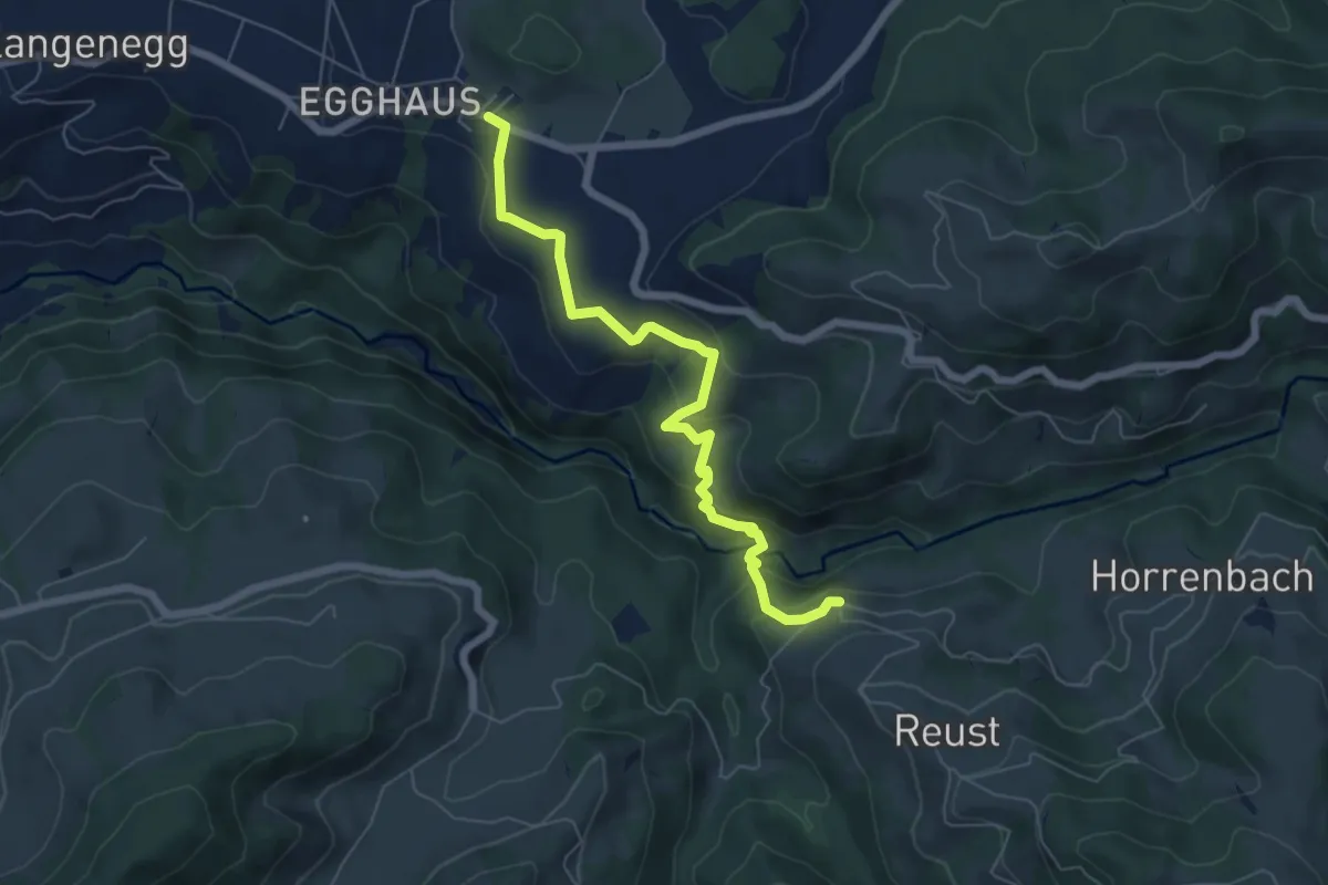
Cheistli – Horrenbach
3.9 km · ↑ 198 m · 1 h 22 min · 14 km away
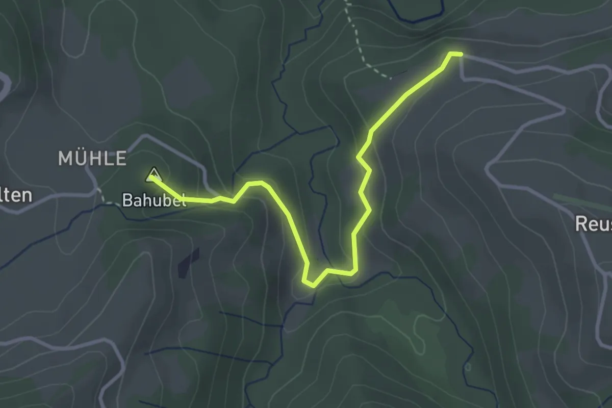
Medium · Trail
Schwarzenegg – Cheistli
6.4 km · ↑ 291 m · 2 h 9 min · 14 km away
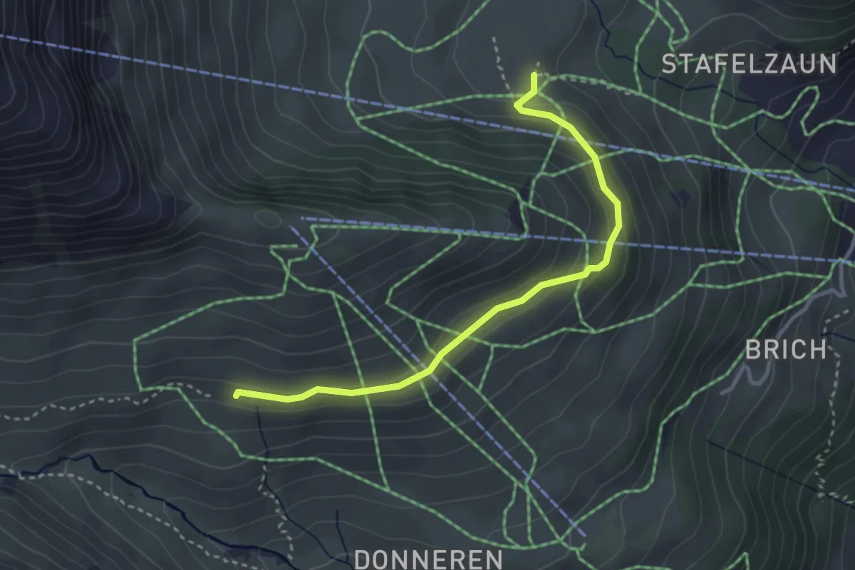
Easy · Summit
Cheistli – Teuffenthal
3.1 km · ↑ 164 m · 1 h 5 min · 14 km away
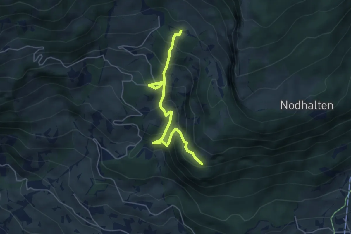
Medium · Trail
Im Suppen – Schiltalp
3.3 km · ↑ 122 m · 1 h 2 min · 14 km away
Medium · Trail
Holewang – Allfluh
4.3 km · ↑ 466 m · 2 h 1 min · 14 km away
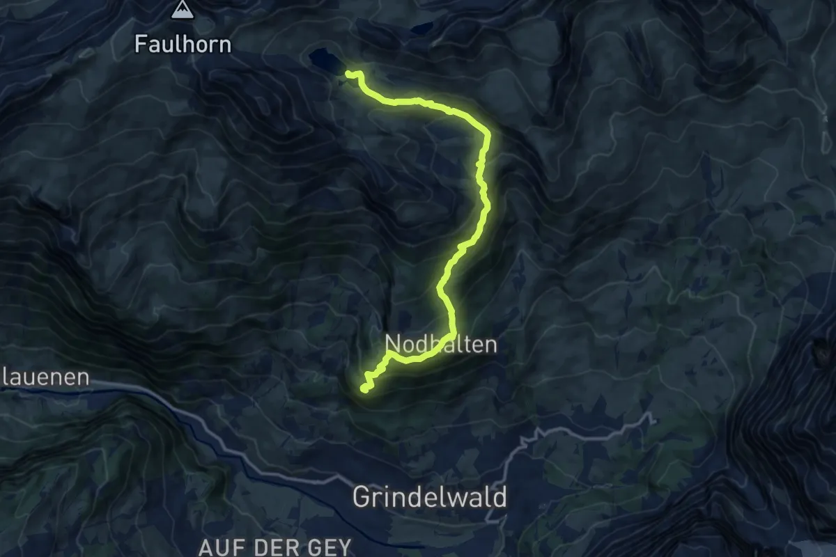
Demanding · Trail
Aellfluh – Bachalpsee
12.8 km · ↑ 887 m · 4 h 56 min · 14 km away
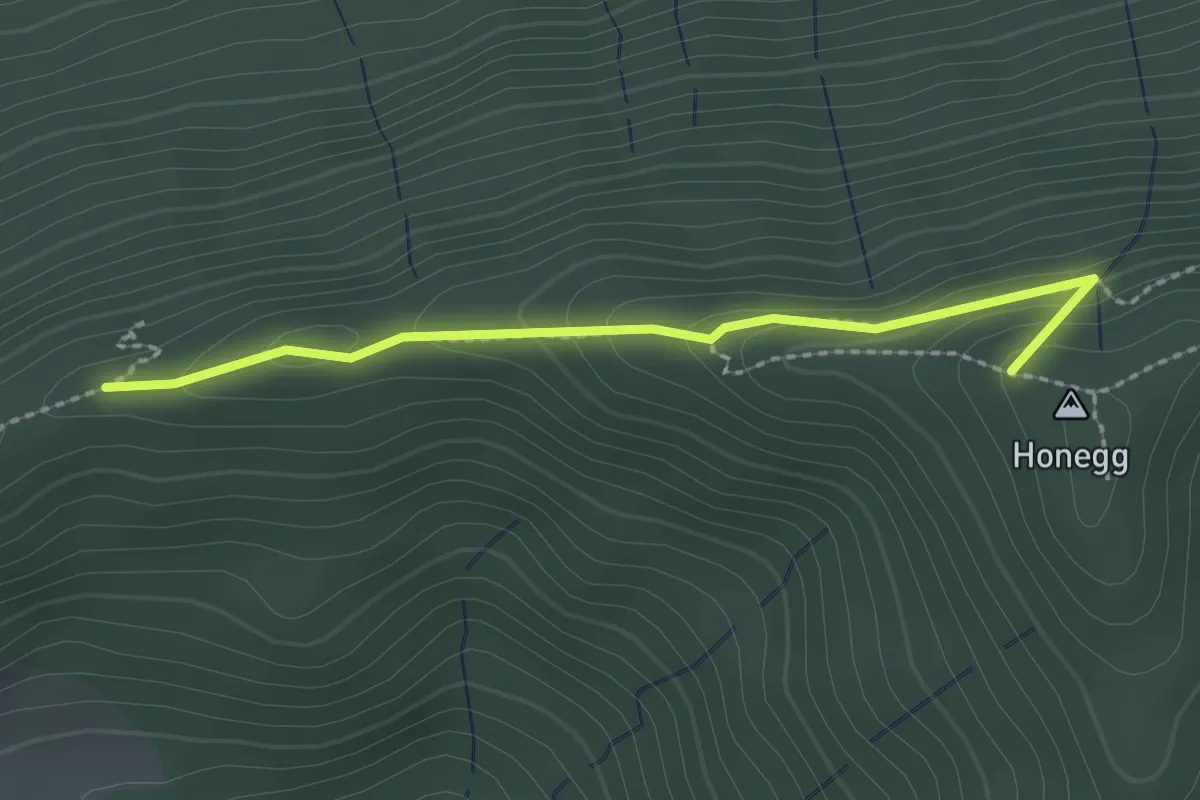
Easy · Summit
Schafegg – Honegg
2.2 km · ↑ 104 m · 44 min · 14 km away
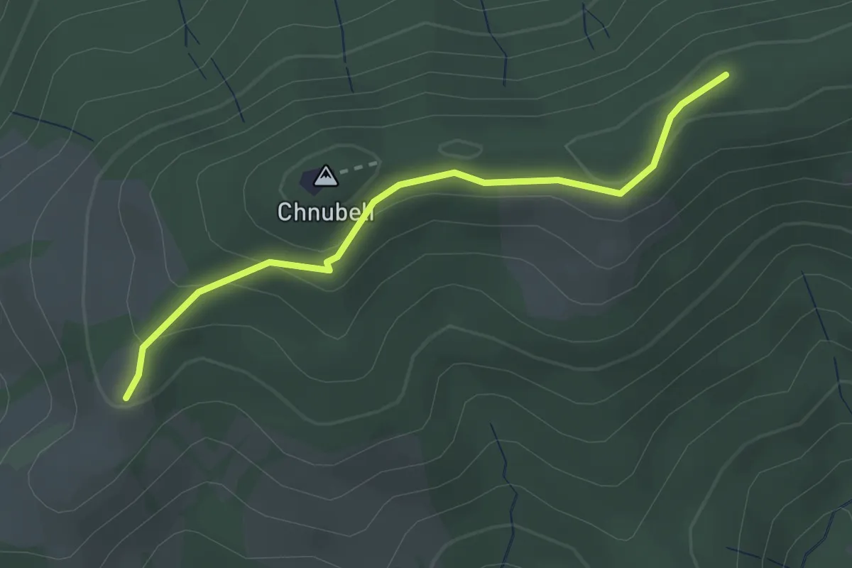
Easy · Summit
Fallenstutz – Chnubelegg
2.5 km · ↑ 133 m · 53 min · 14 km away
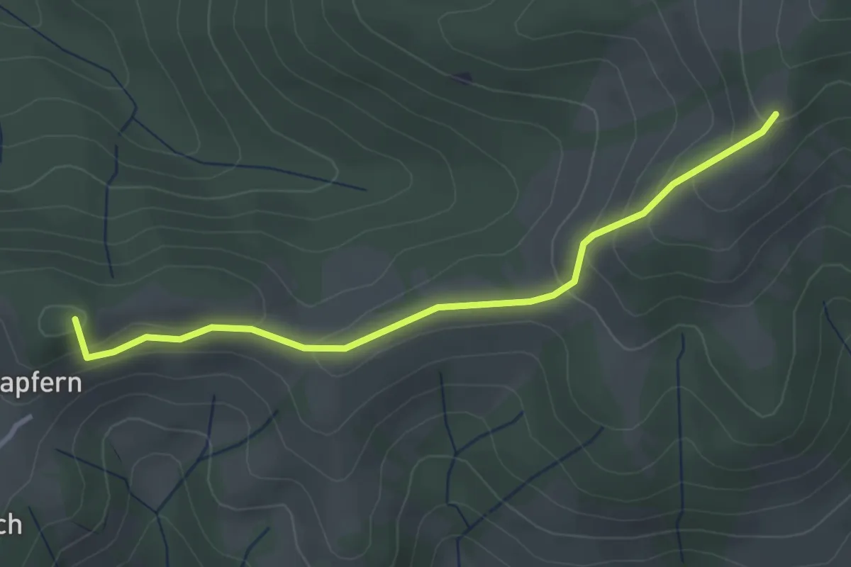
Easy · Summit
Fallenstutz – Kürze
3.2 km · ↑ 143 m · 1 h 4 min · 14 km away
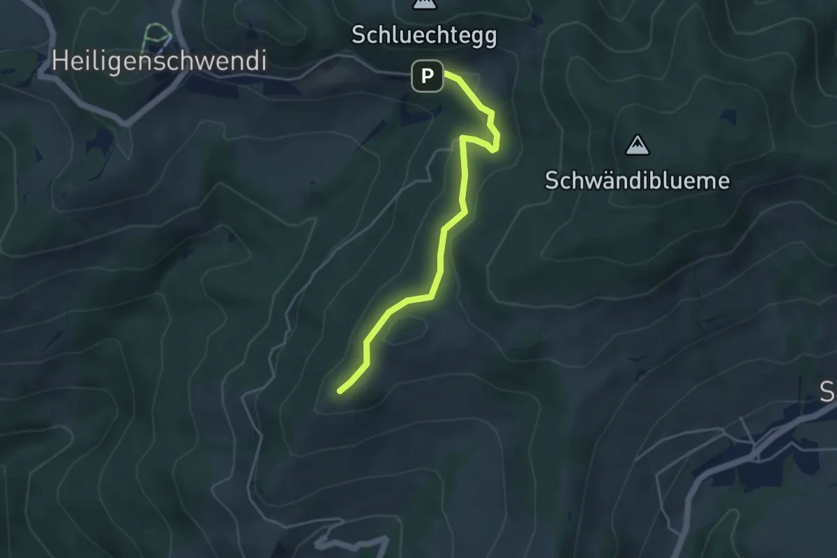
Easy · Trail
Niesenbänkli – Weide
3.9 km · ↑ 140 m · 1 h 13 min · 14 km away
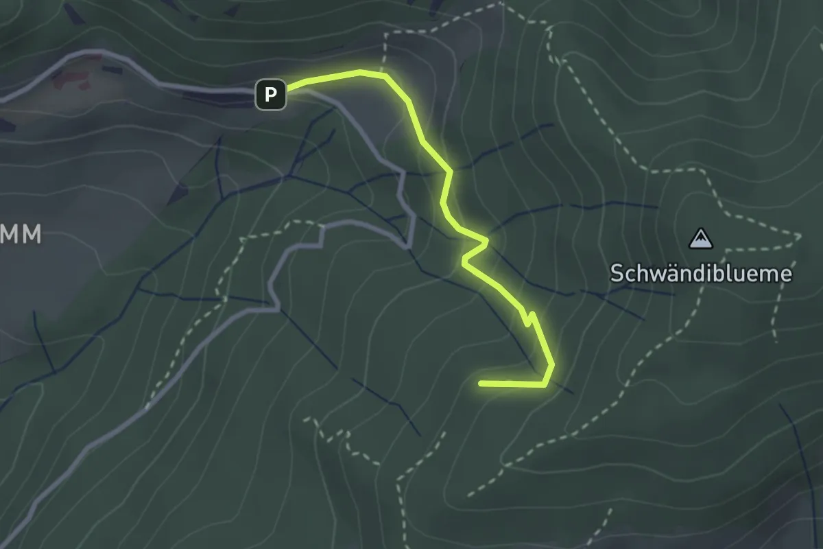
Easy · Trail
Hinderport – Weide
2.4 km · ↑ 184 m · 58 min · 14 km away
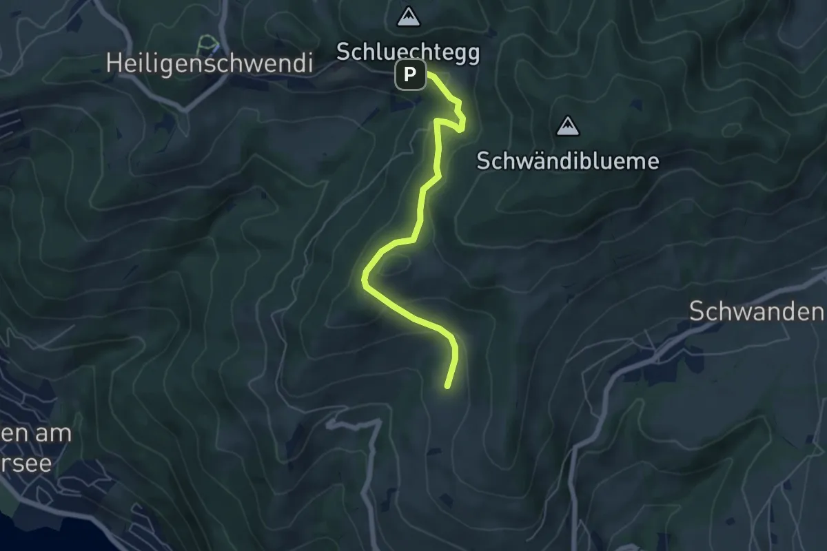
Easy · Trail
Aeschlenallmi – Weide
5.2 km · ↑ 251 m · 1 h 46 min · 14 km away
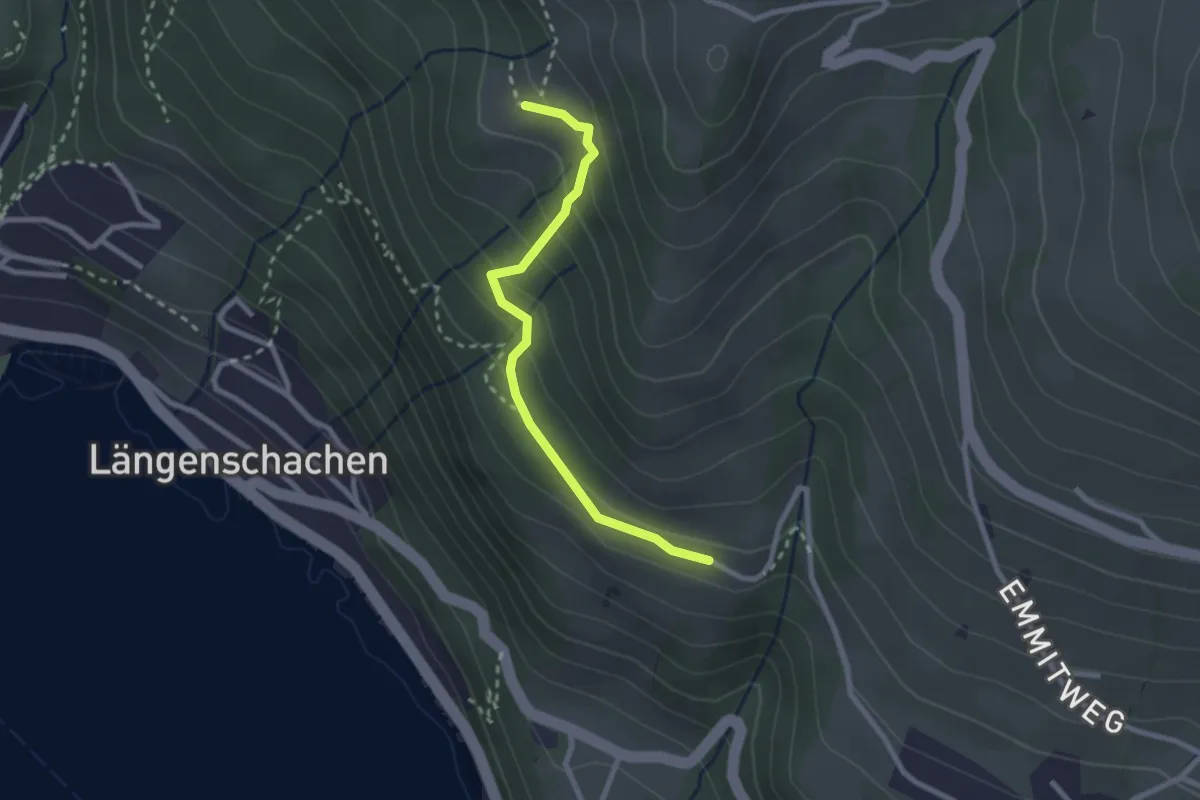
Easy · Trail
Chieni – Erizbüel
2.4 km · ↑ 167 m · 56 min · 14 km away