Trails near Ittigen
486 hikes starting within 15 km, nearest first.
Nearest first, page 10 of 11
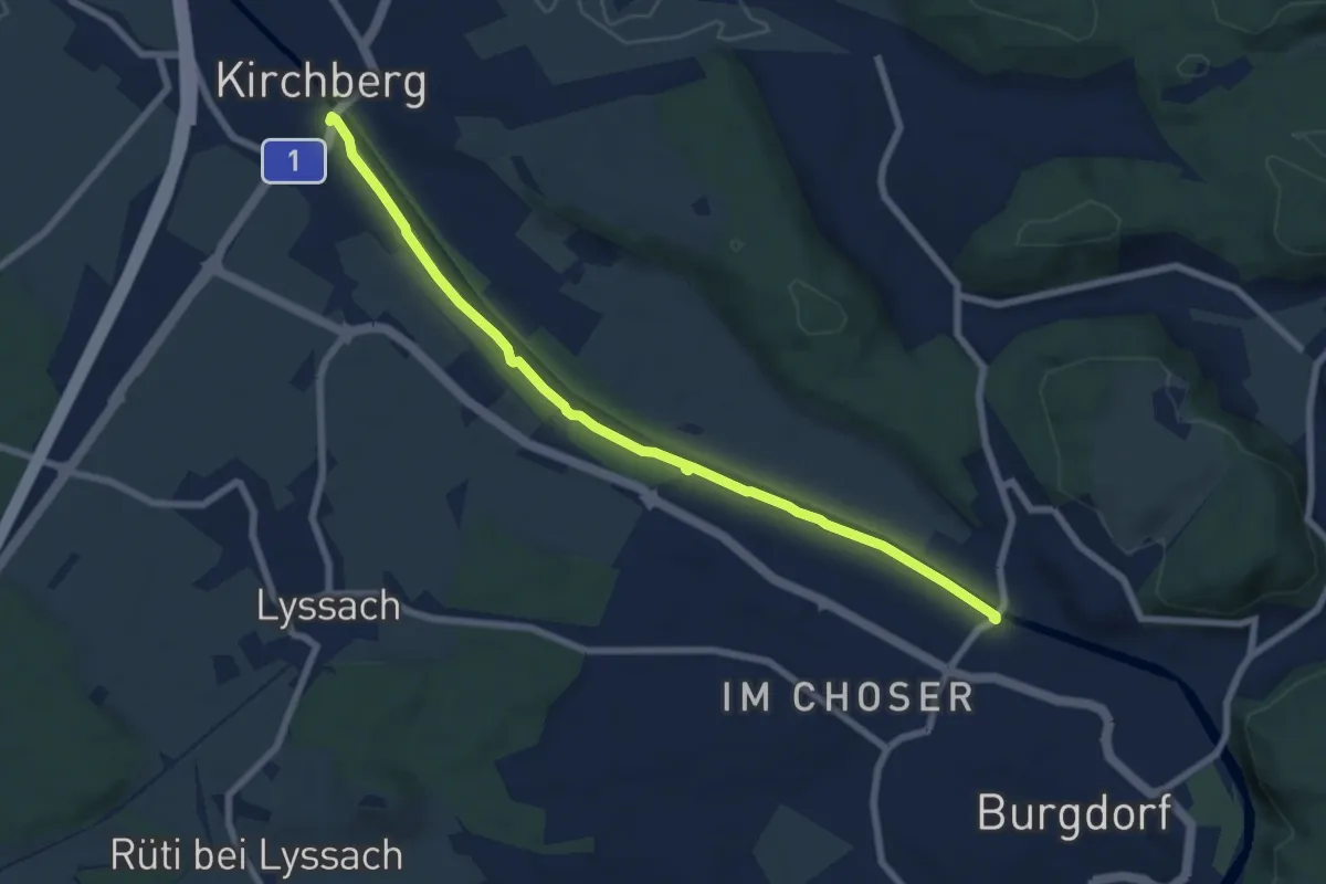
Easy · Trail
Alchenflüh – Eybrügg
7.6 km · ↑ 18 m · 1 h 50 min · 14 km away
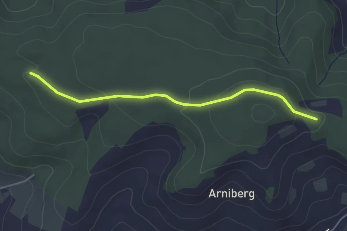
Easy · Trail
Spittelwald – Spränzel
3.4 km · ↑ 78 m · 58 min · 14 km away
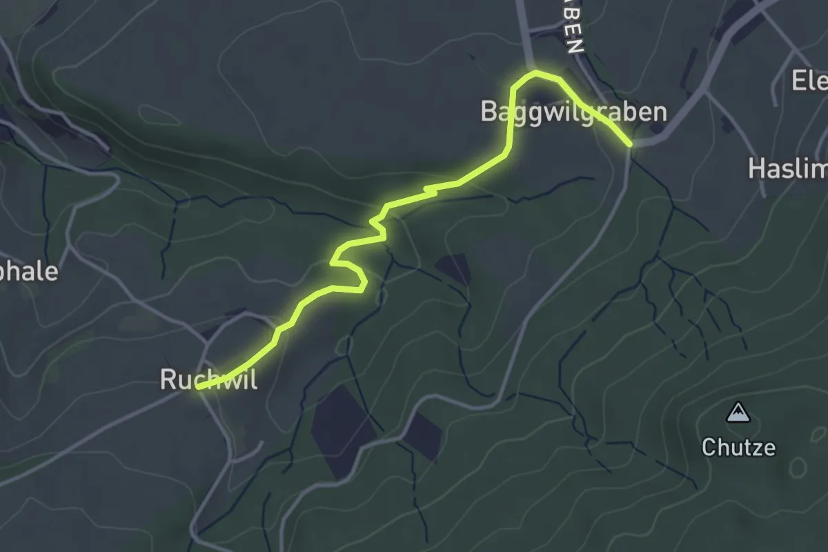
Easy · Trail
Baggwilgraben – Ruchwil
3.7 km · ↑ 98 m · 1 h 5 min · 14 km away
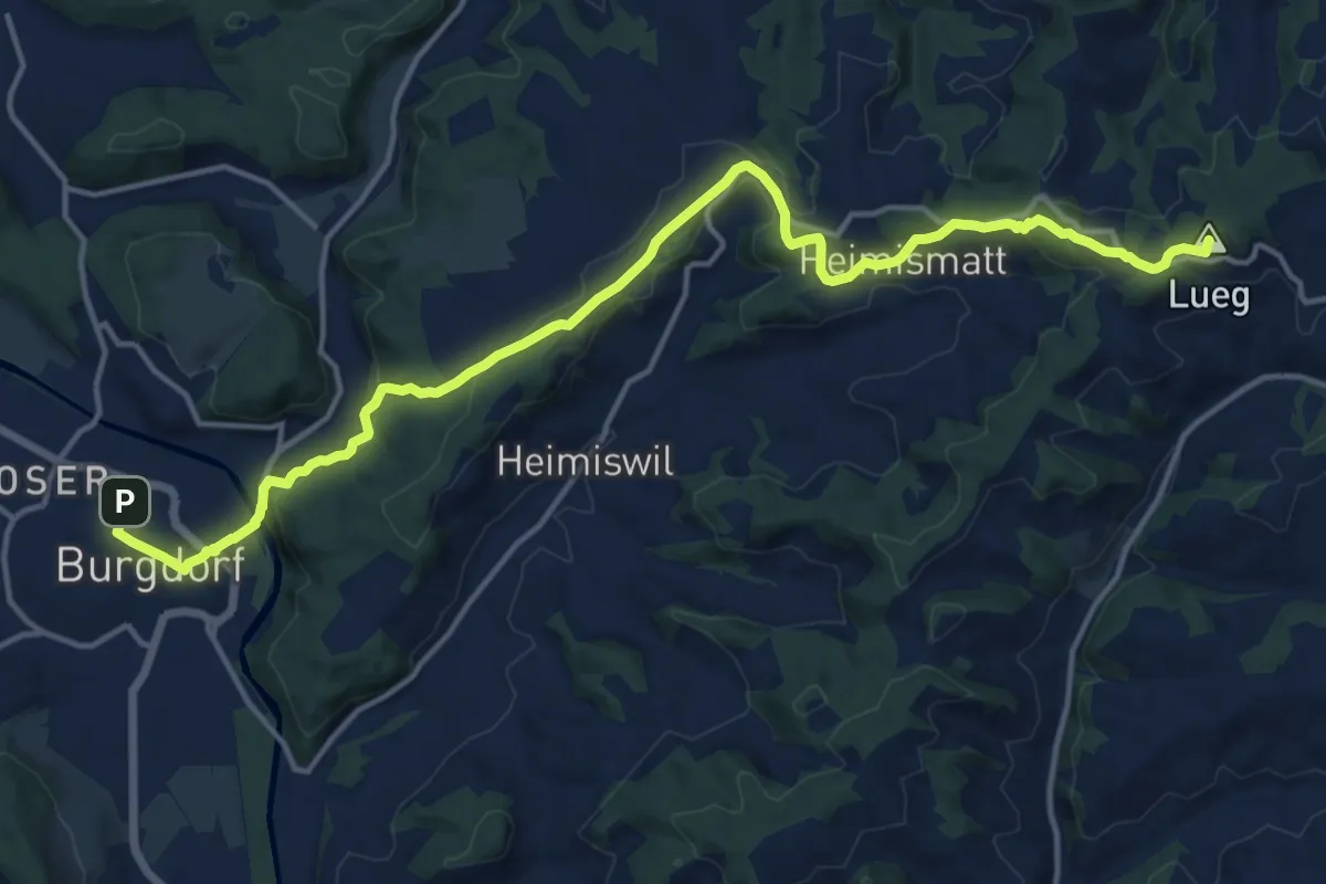
Medium · Summit
ViaJacobi
17.5 km · ↑ 541 m · 5 h 18 min · 14 km away
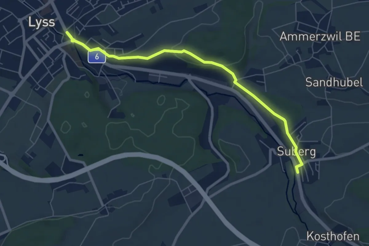
Easy · Trail
Lyss – Suberg
6.6 km · ↑ 175 m · 1 h 56 min · 14 km away
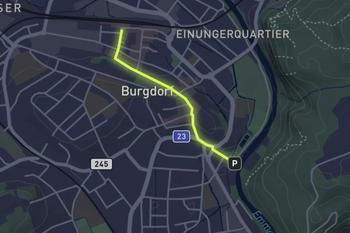
Easy · Trail
Burgdorf / Bahnhof - Waldeggbrügg
2.4 km · ↑ 43 m · 39 min · 14 km away
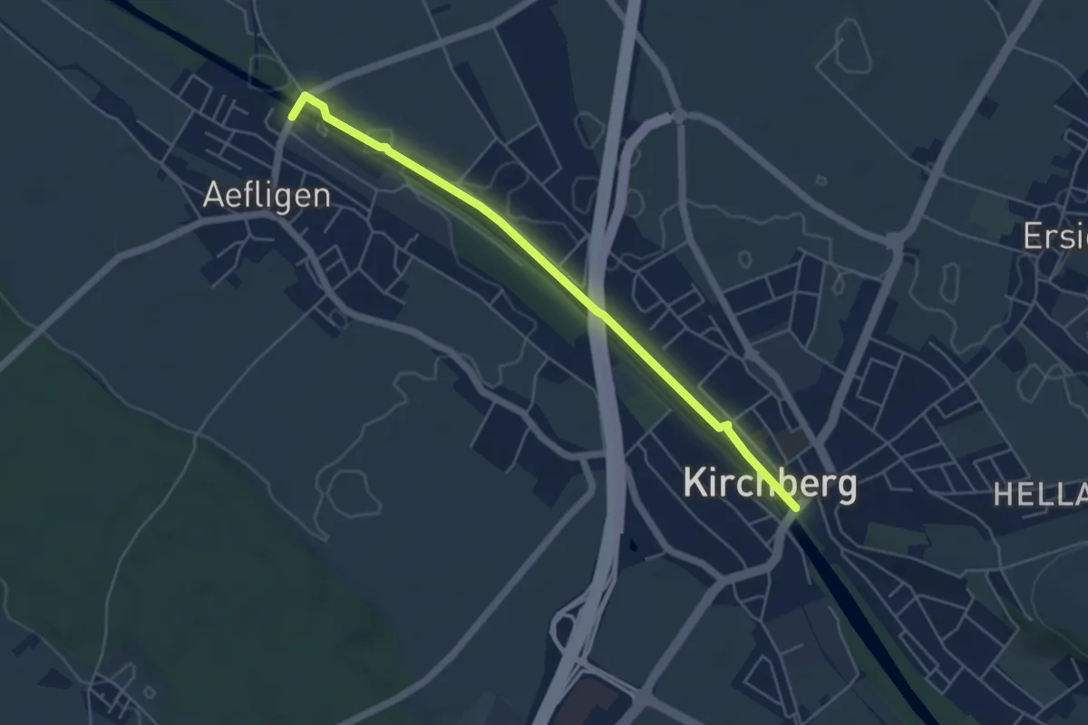
Easy · Trail
Aefligen – Kirchberg
5.0 km · ↑ 13 m · 1 h 12 min · 14 km away
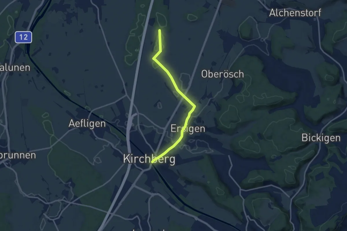
Medium · Trail
Loon – Kirchberg
10.0 km · ↑ 65 m · 2 h 29 min · 14 km away
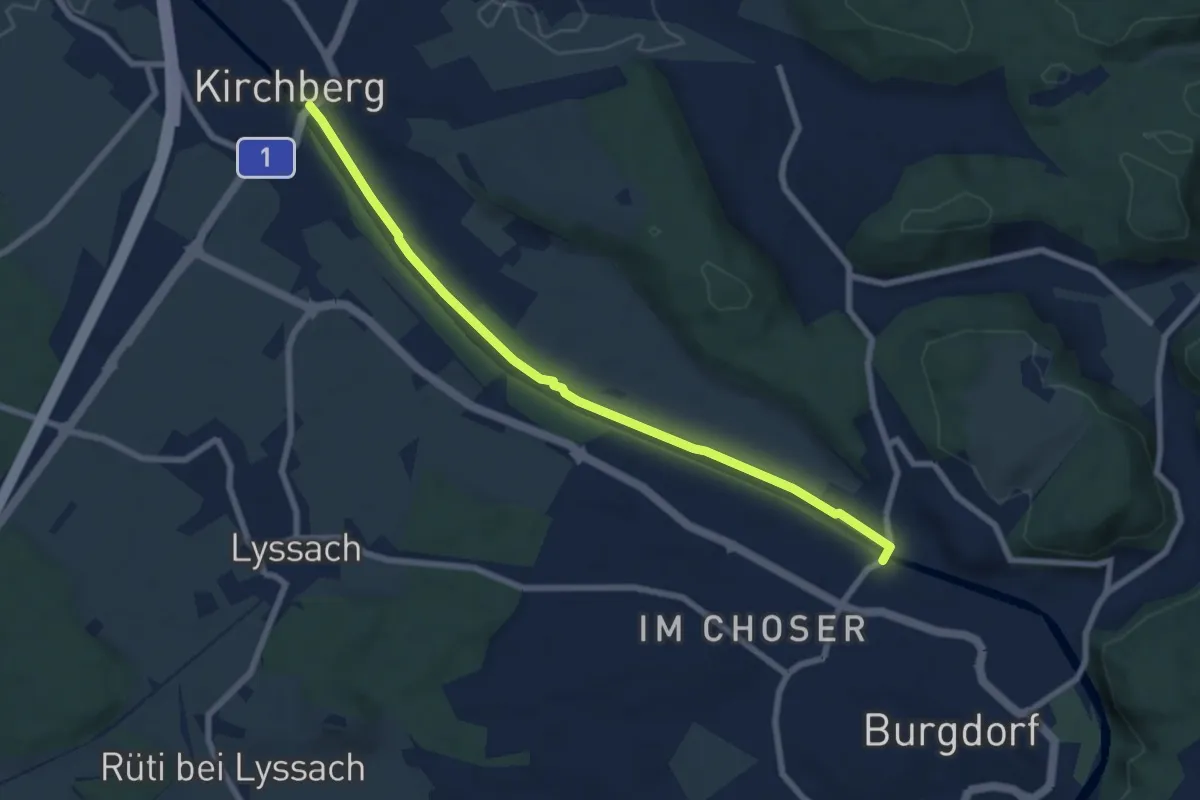
Easy · Trail
Kirchberg – Eybrügg
7.5 km · ↑ 21 m · 1 h 48 min · 14 km away
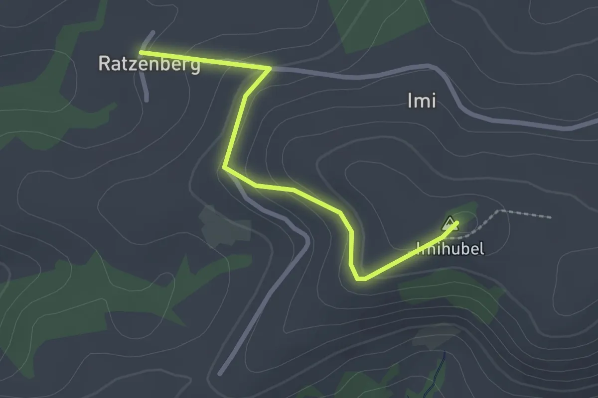
Easy · Summit
Ratzenberg - Imihubel
2.2 km · ↑ 97 m · 44 min · 14 km away
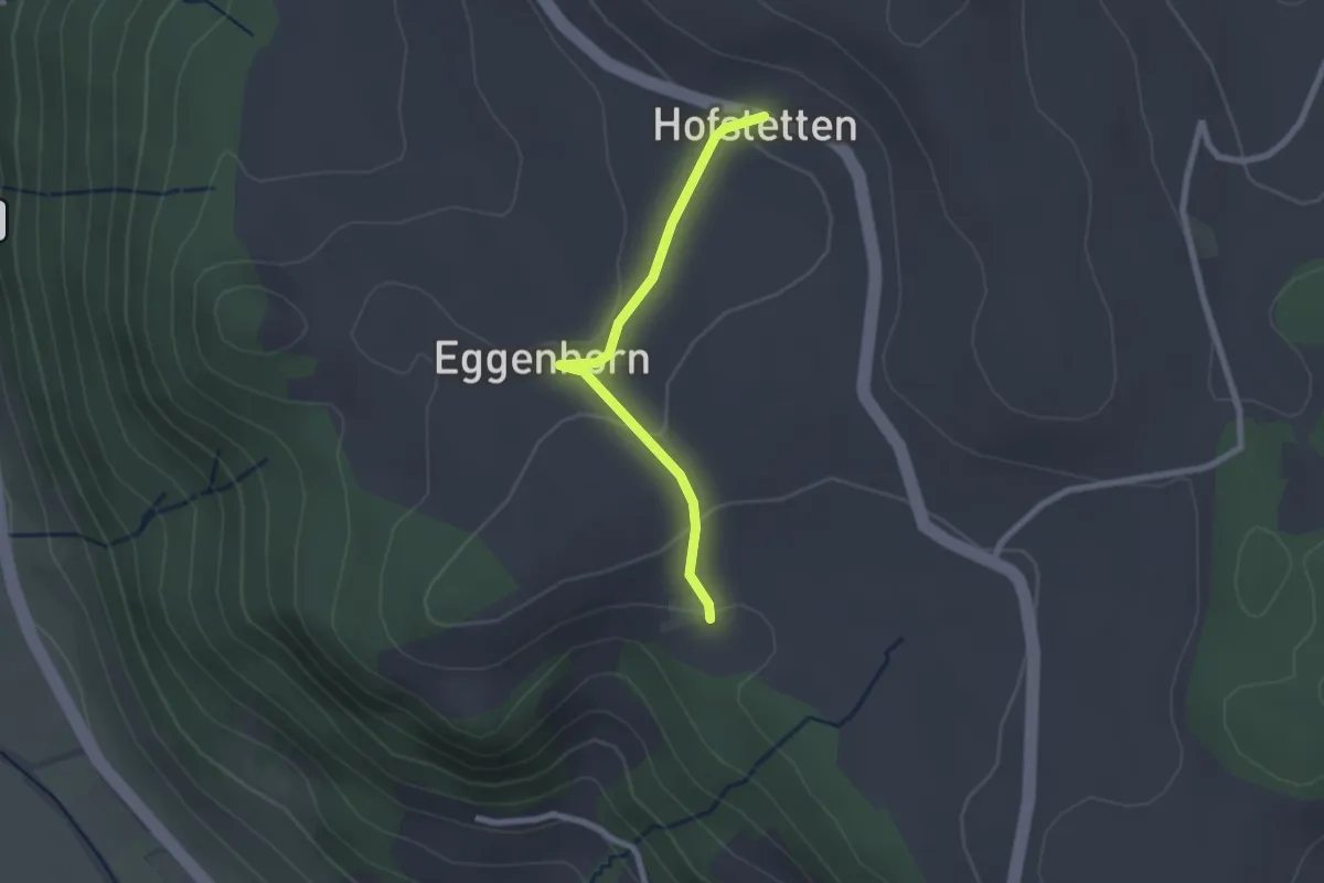
Easy · Trail
Schlatt - Hostete
2.1 km · ↑ 67 m · 38 min · 14 km away
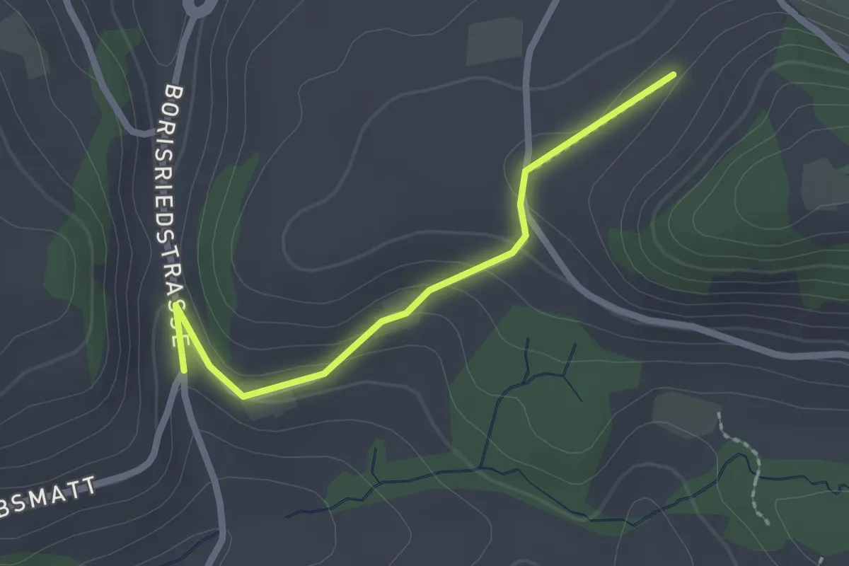
Easy · Trail
Oberbalm/Kirchweg – Schlatt
2.1 km · ↑ 73 m · 39 min · 14 km away
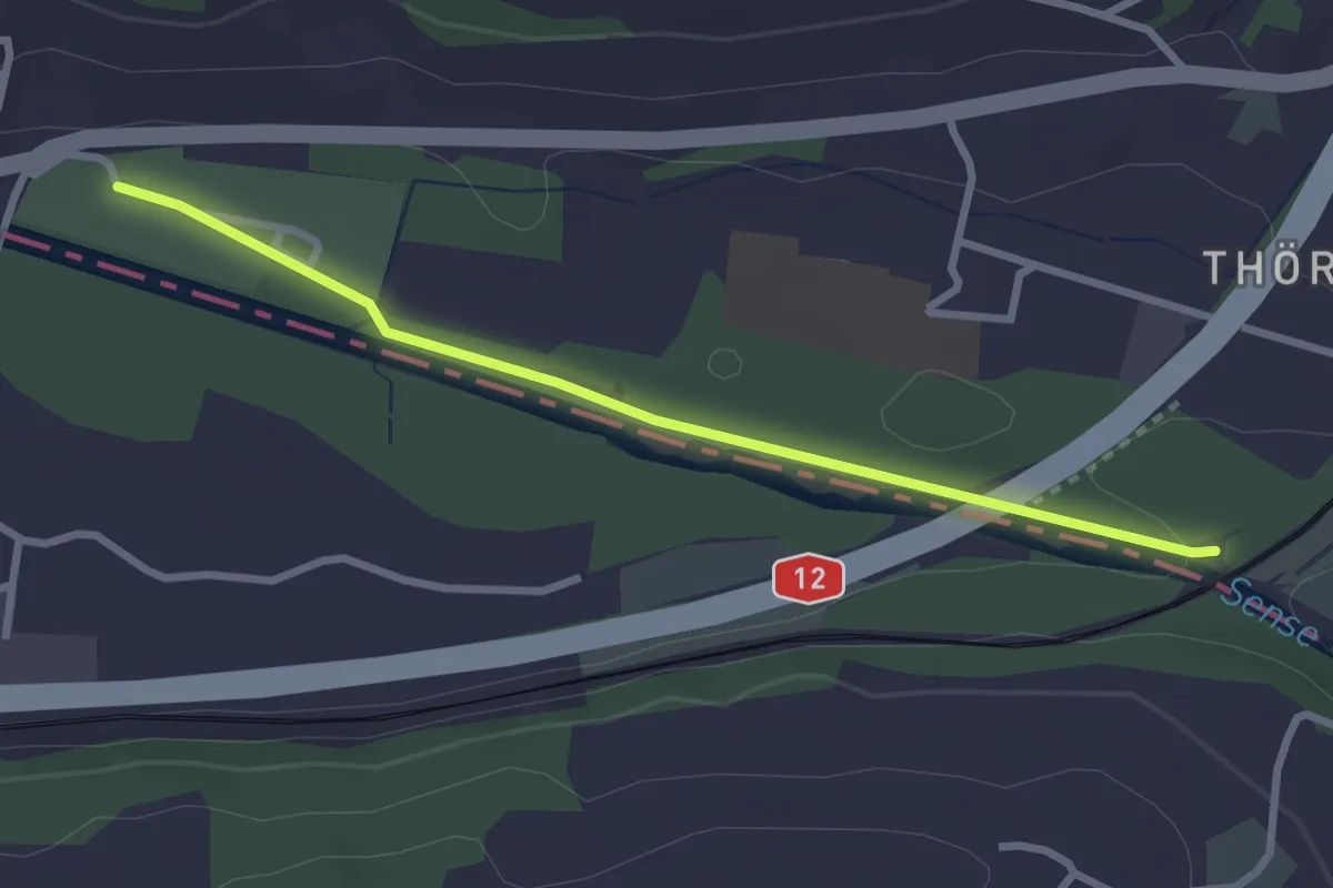
Easy · Trail
Steinerne Brücke – Thörishaus Au
2.8 km · ↑ 22 m · 42 min · 14 km away
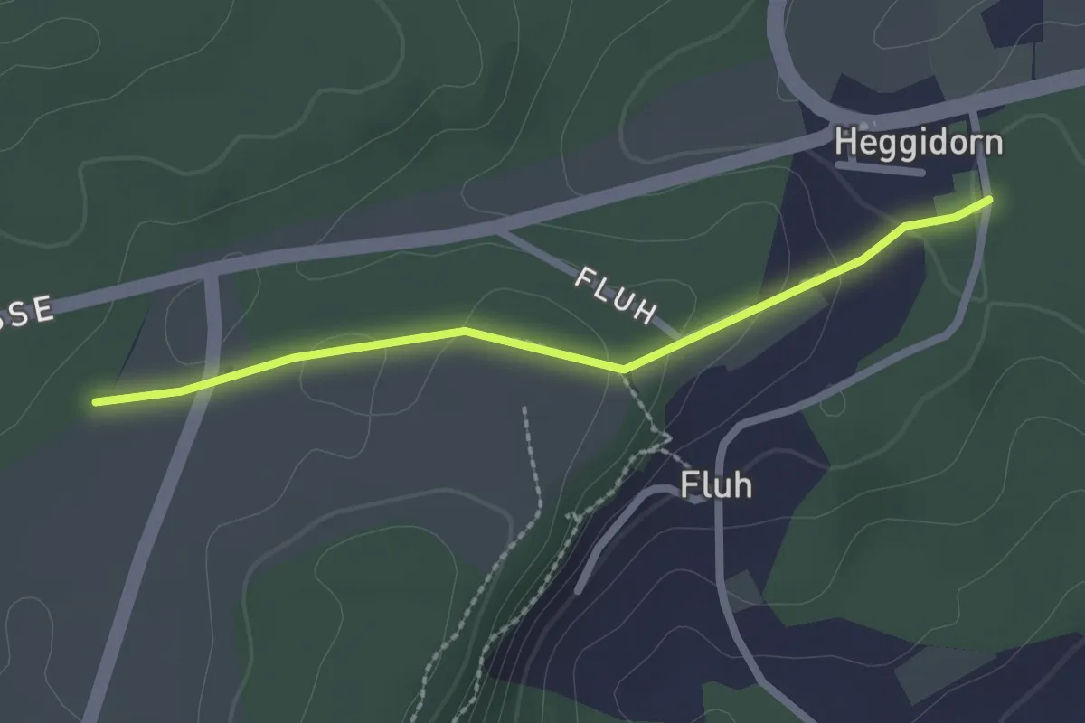
Easy · Trail
Obere Ledi - Heggidorn
2.1 km · ↑ 53 m · 37 min · 14 km away
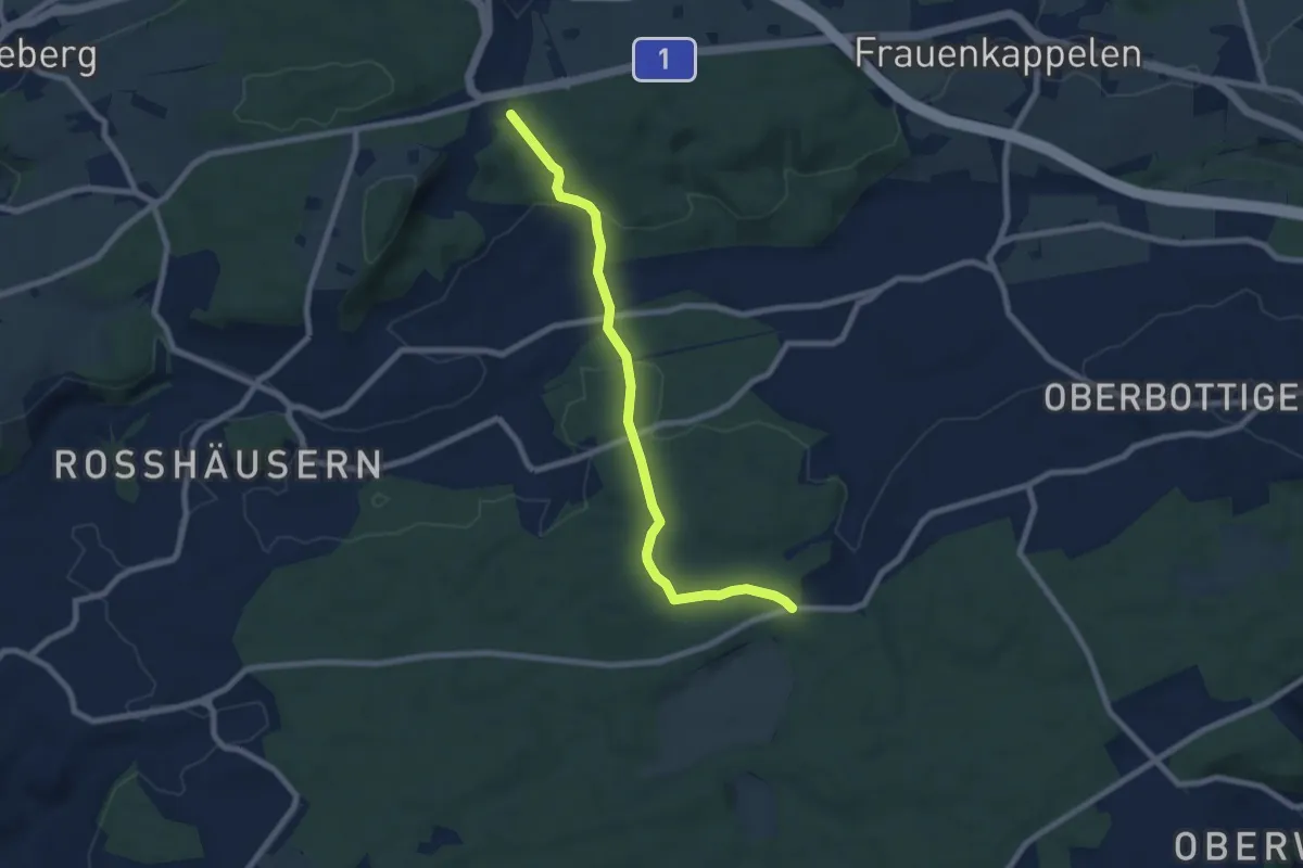
Easy · Trail
Heggidorn - Fuessacher
7.7 km · ↑ 218 m · 2 h 17 min · 14 km away
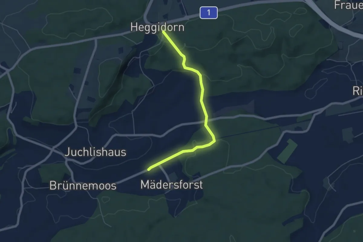
Easy · Trail
Rosshäusern/Station - Heggidorn
5.3 km · ↑ 157 m · 1 h 35 min · 14 km away
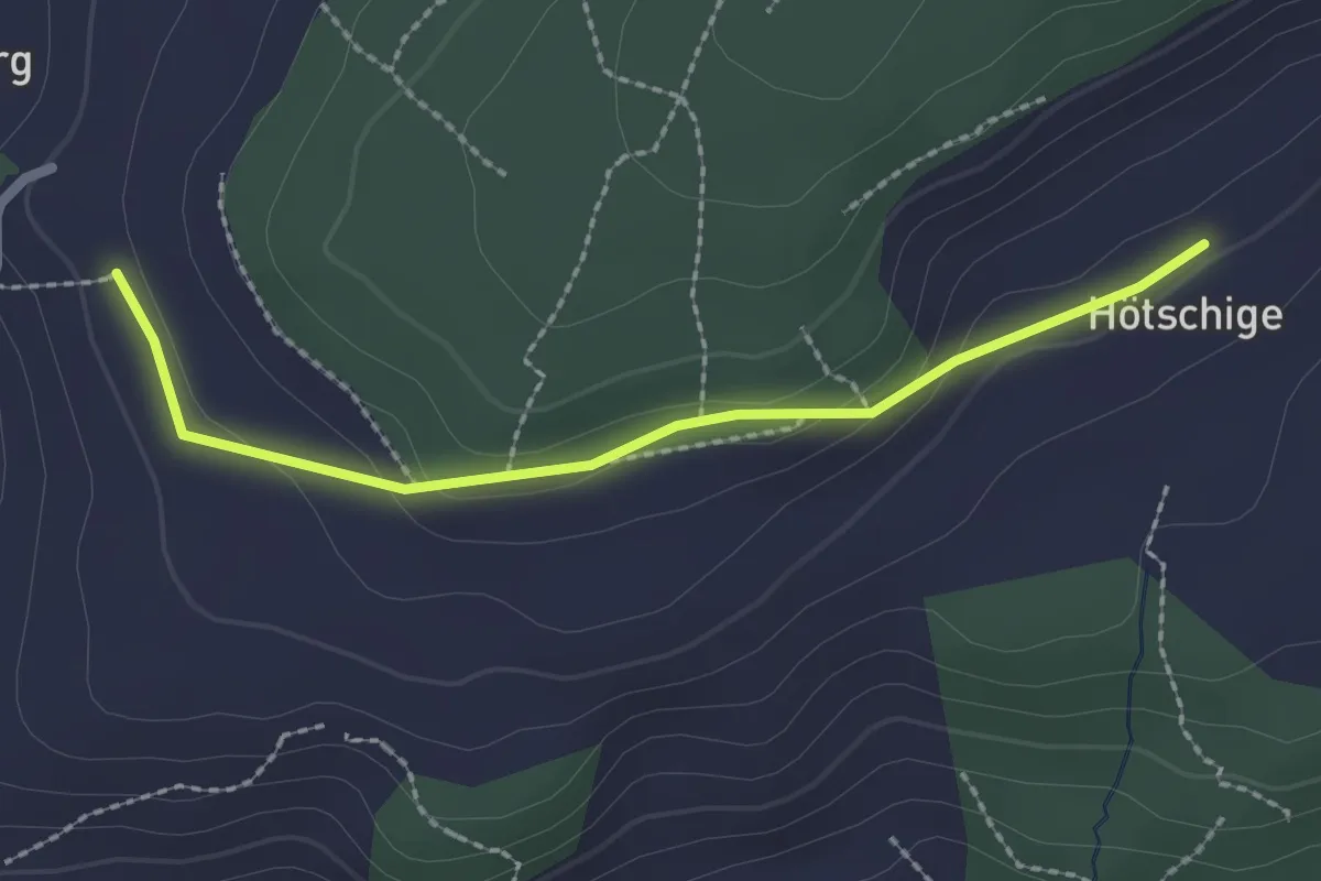
Easy · Trail
Ballenbüel – Ober Hötschige
2.2 km · ↑ 55 m · 38 min · 14 km away
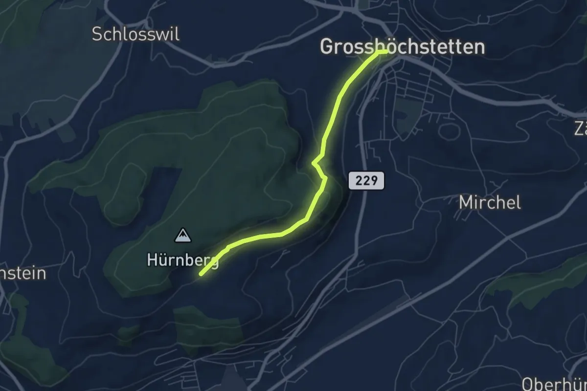
Easy · Trail
Ober Hötschige - Marktplatz
5.7 km · ↑ 176 m · 1 h 44 min · 14 km away
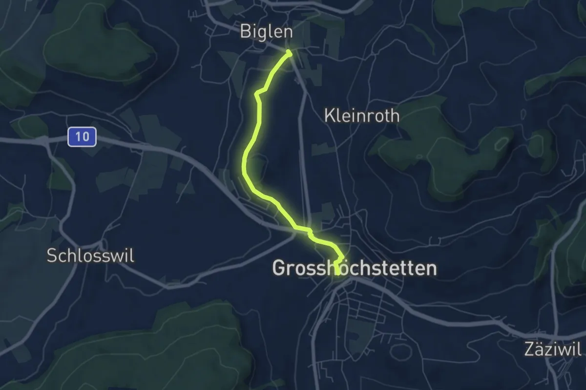
Easy · Trail
Biglen – Grosshöchstetten Marktplatz
5.3 km · ↑ 84 m · 1 h 26 min · 14 km away
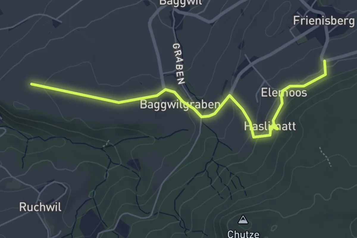
Easy · Trail
Klosterwege Frienisberg
5.5 km · ↑ 145 m · 1 h 37 min · 14 km away
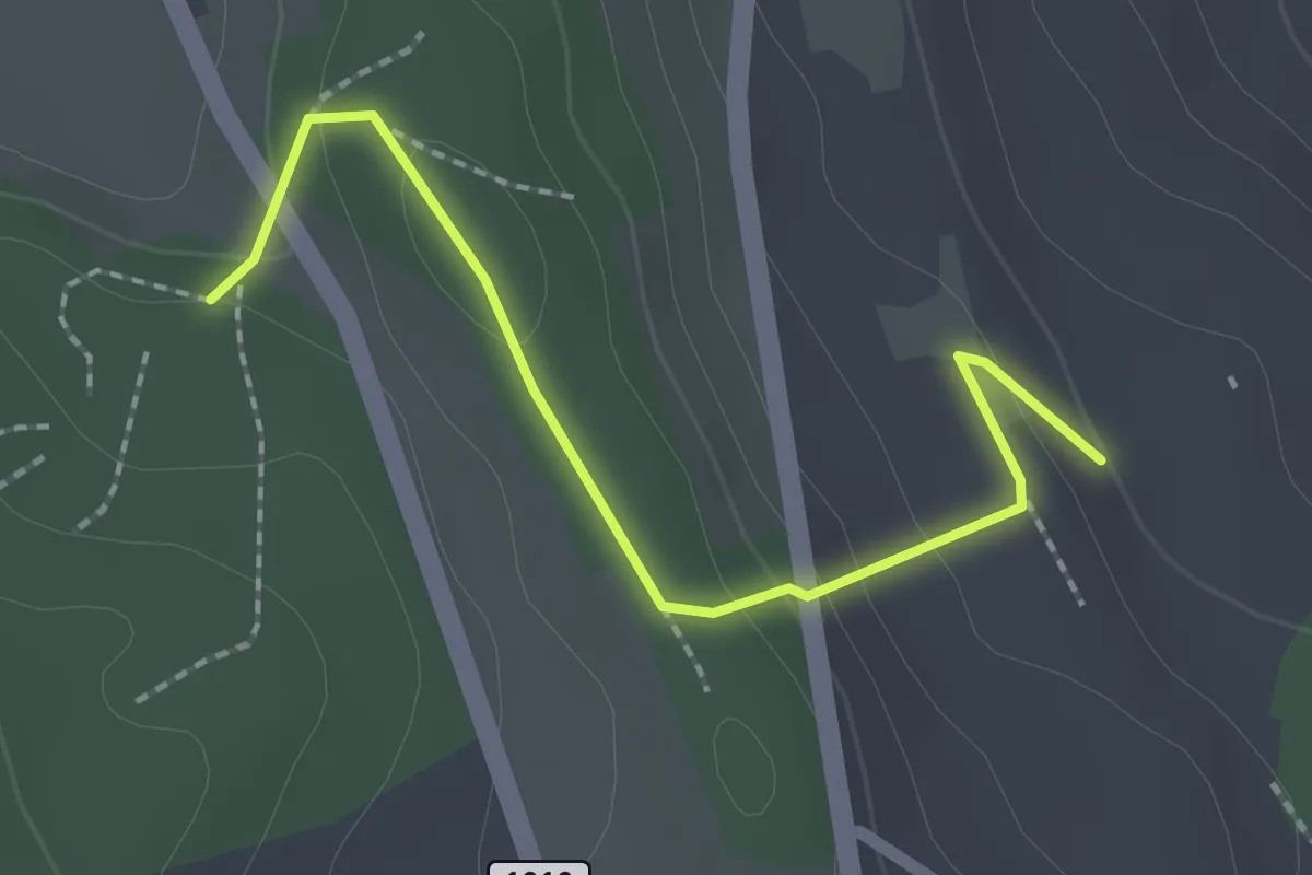
Easy · Trail
Rattenholz - Oberfeld
2.1 km · ↑ 70 m · 39 min · 14 km away
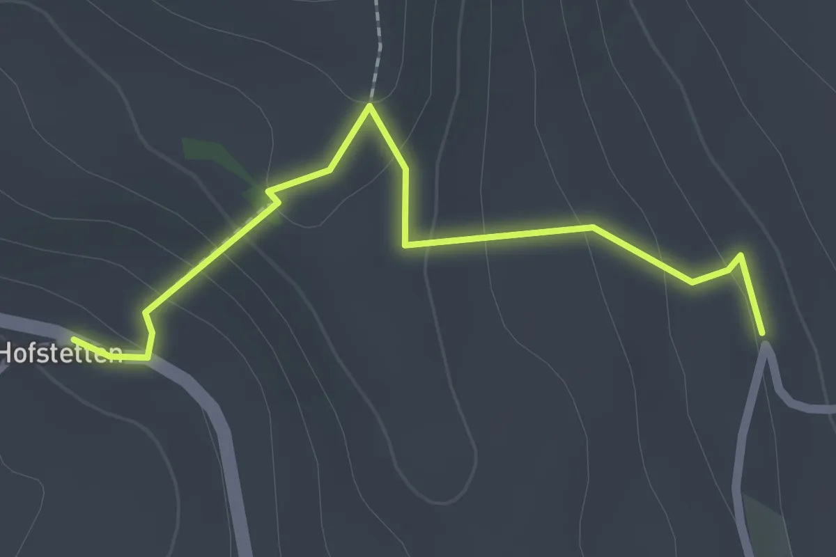
Easy · Trail
Hostete - Simmlere
2.1 km · ↑ 121 m · 45 min · 14 km away
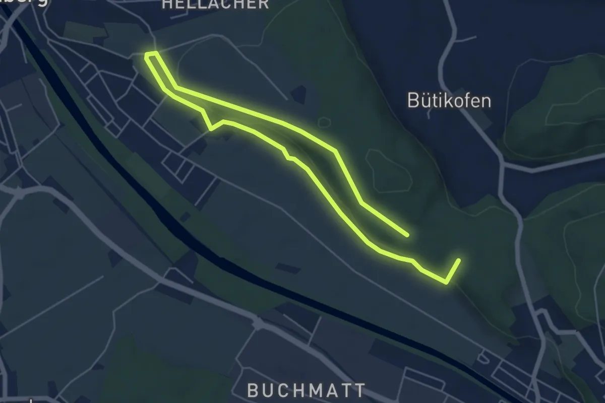
Medium · Summit
Hüntu – Eybrügg
8.2 km · ↑ 178 m · 2 h 20 min · 14 km away
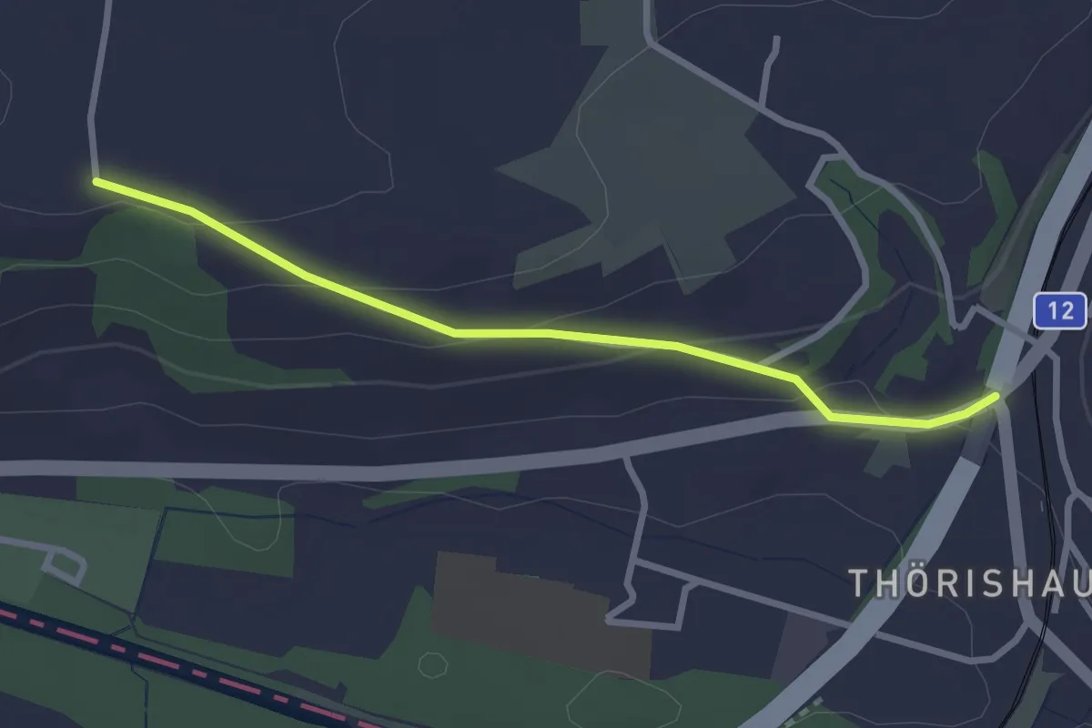
Easy · Trail
Ufem Shoren - Thörishaus
2.6 km · ↑ 85 m · 49 min · 14 km away
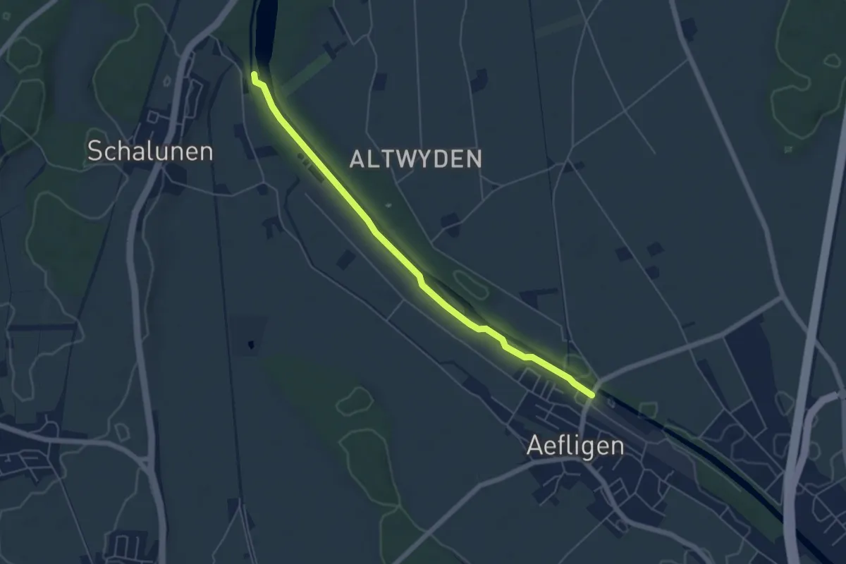
Easy · Trail
Alp – Aefligen
5.4 km · ↑ 17 m · 1 h 19 min · 14 km away
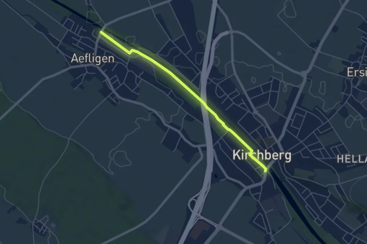
Easy · Trail
Aefligen – Alchenflüh
4.9 km · ↑ 13 m · 1 h 11 min · 14 km away
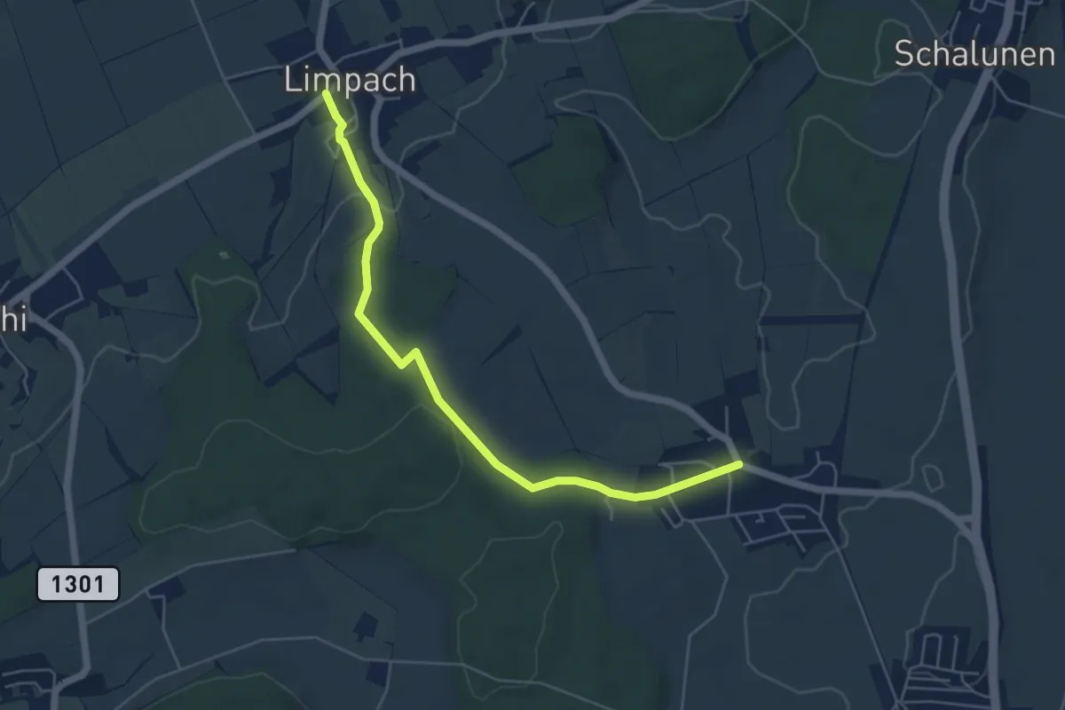
Easy · Trail
Unterramsern – Büren zum Hof
5.4 km · ↑ 114 m · 1 h 32 min · 14 km away
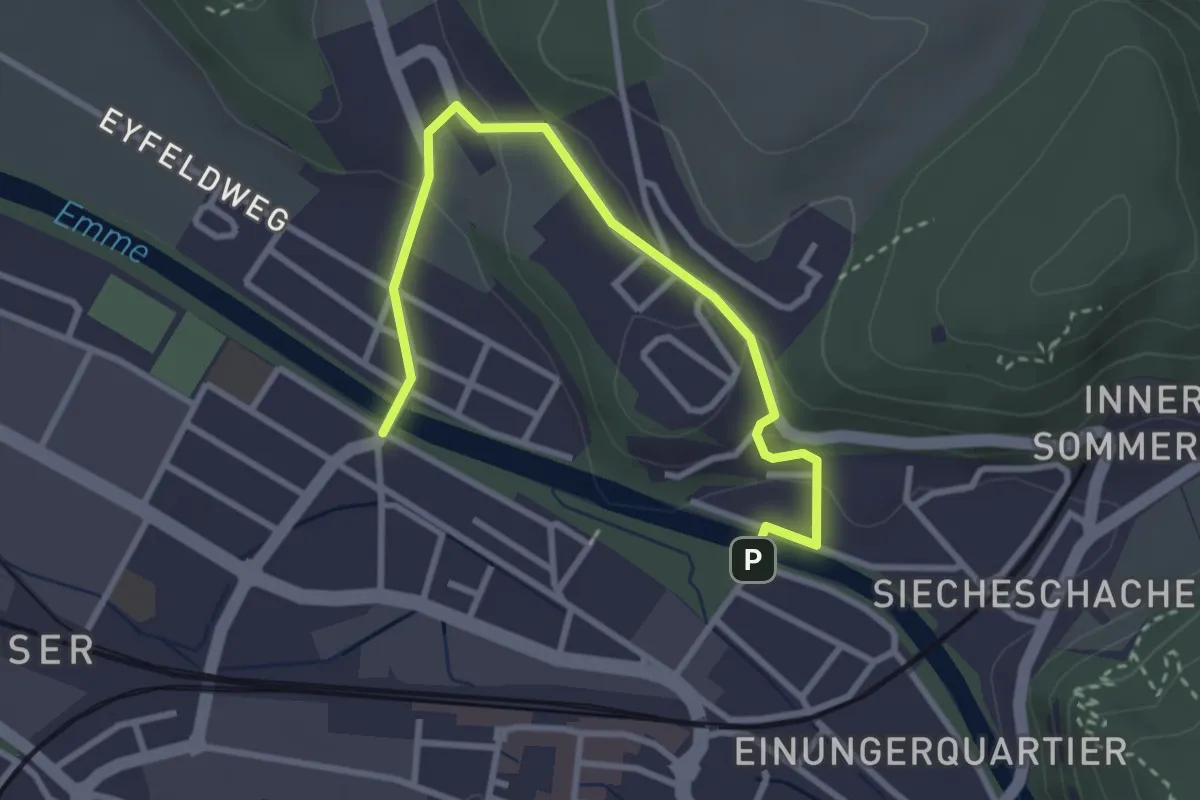
Easy · Trail
Typonsteg – Eybrügg
3.4 km · ↑ 102 m · 1 h 1 min · 14 km away
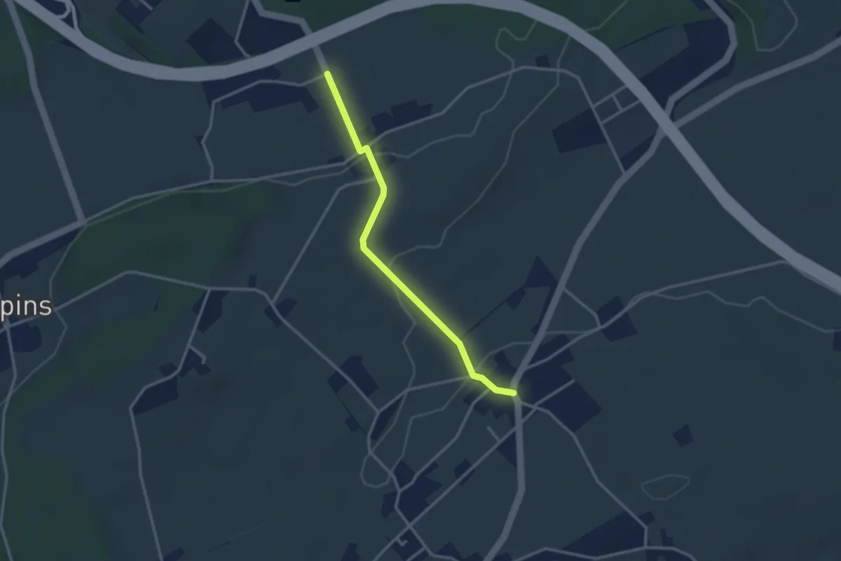
Easy · Trail
Eigenacher – Wiler
2.8 km · ↑ 56 m · 46 min · 14 km away
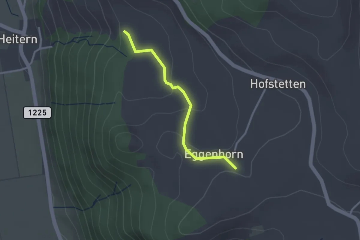
Easy · Trail
Schlatt - Chieffere
2.3 km · ↑ 73 m · 41 min · 15 km away
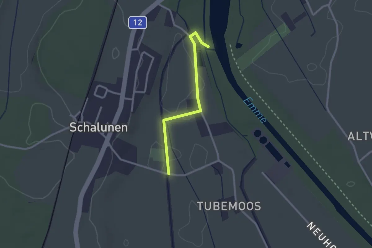
Easy · Trail
Alp – Urtene-Brücke
2.1 km · ↑ 4 m · 30 min · 15 km away
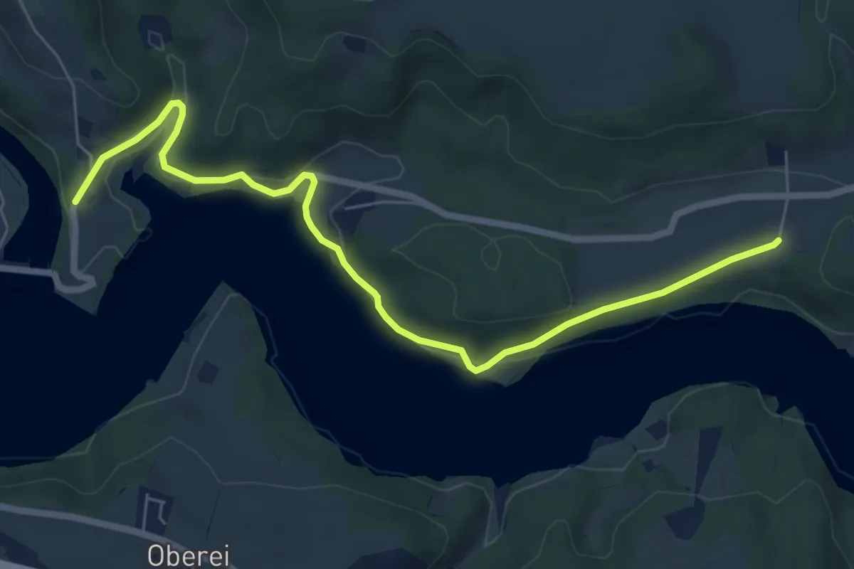
Easy · Trail
Steinisweg - Wickacker
7.0 km · ↑ 177 m · 2 h 2 min · 15 km away
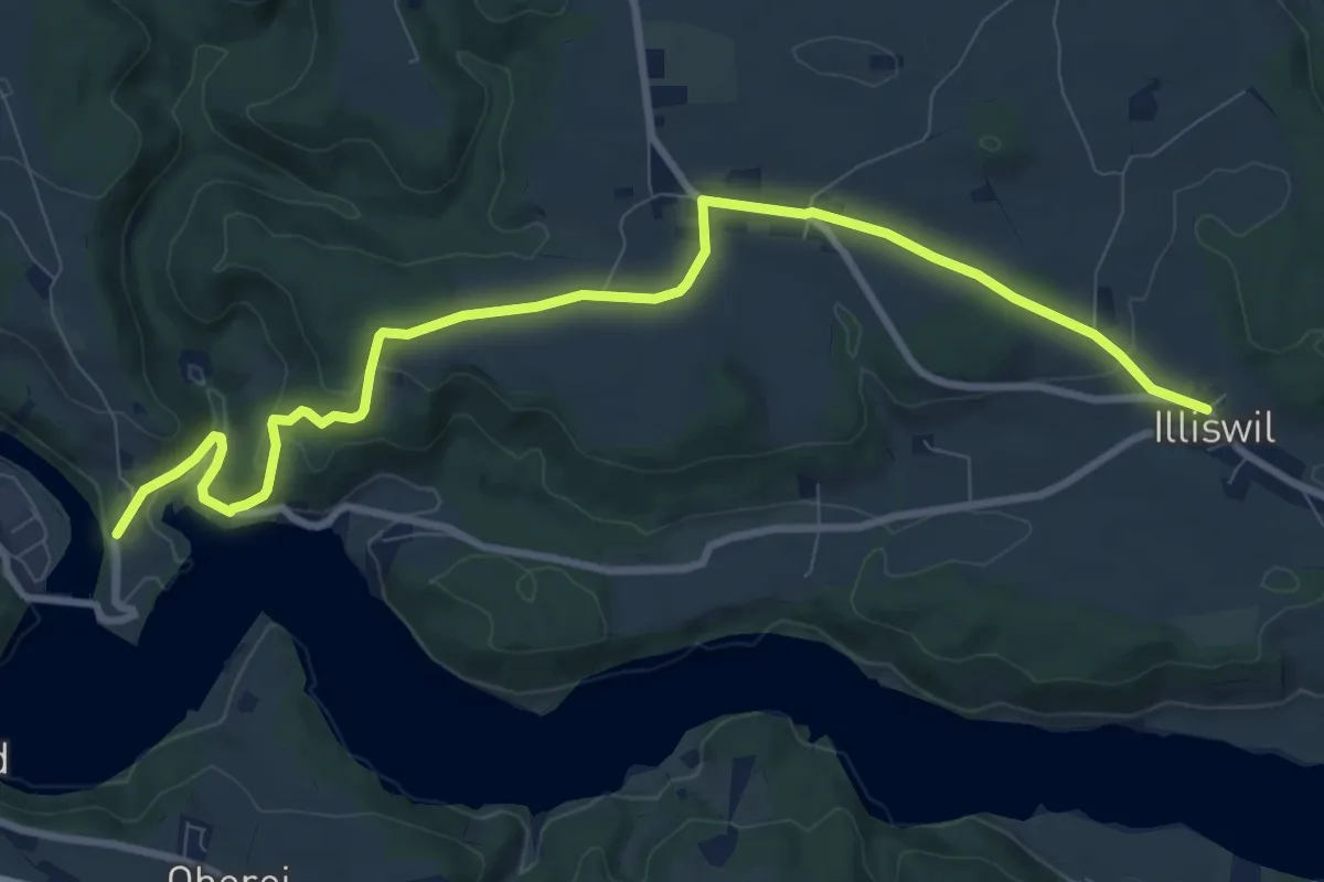
Medium · Trail
Illiswil - Wickacher
10.7 km · ↑ 277 m · 3 h 7 min · 15 km away
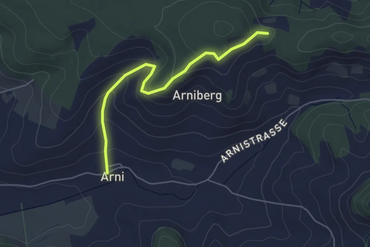
Easy · Trail
Spränzel – Arni
4.2 km · ↑ 213 m · 1 h 28 min · 15 km away
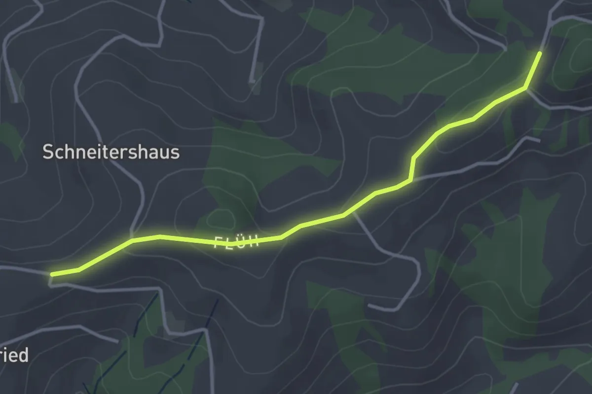
Easy · Trail
Borisried/Schulhaus - Tschuggen
3.5 km · ↑ 88 m · 1 h · 15 km away
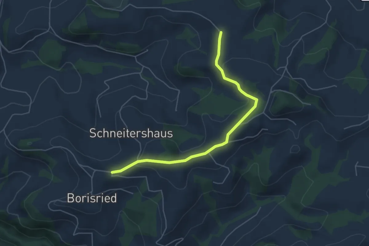
Easy · Trail
Gassershus - Borisried/Schulhaus
5.0 km · ↑ 129 m · 1 h 27 min · 15 km away
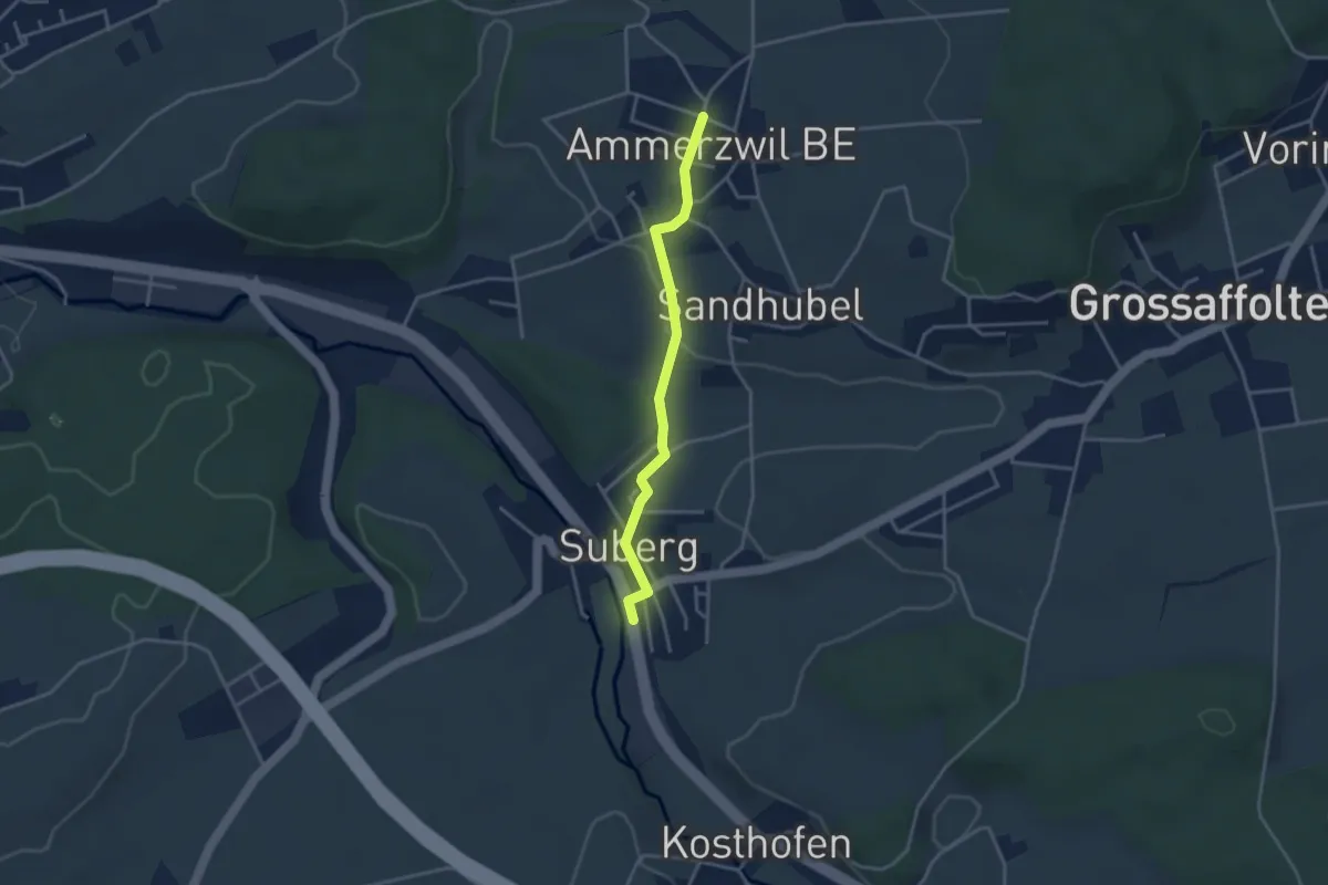
Easy · Trail
Ammerzwil BE – Suberg
3.2 km · ↑ 63 m · 54 min · 15 km away
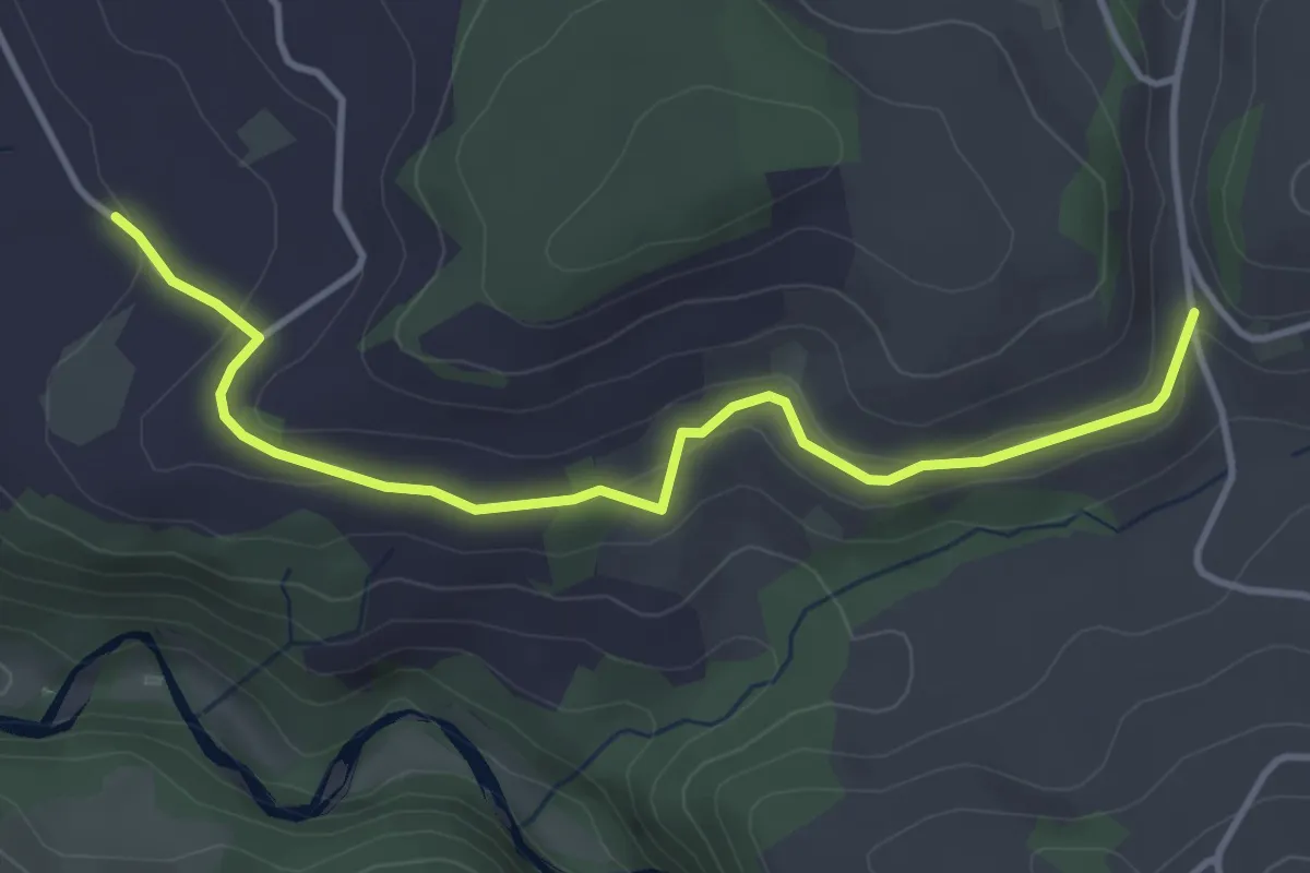
Easy · Trail
Schlatt - Längacher
4.1 km · ↑ 92 m · 1 h 10 min · 15 km away
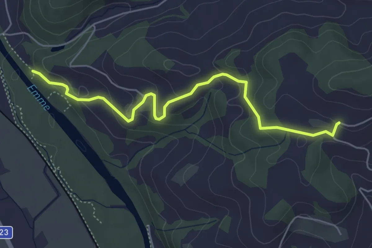
Easy · Trail
Schallenberg – Oberburg
5.0 km · ↑ 212 m · 1 h 39 min · 15 km away
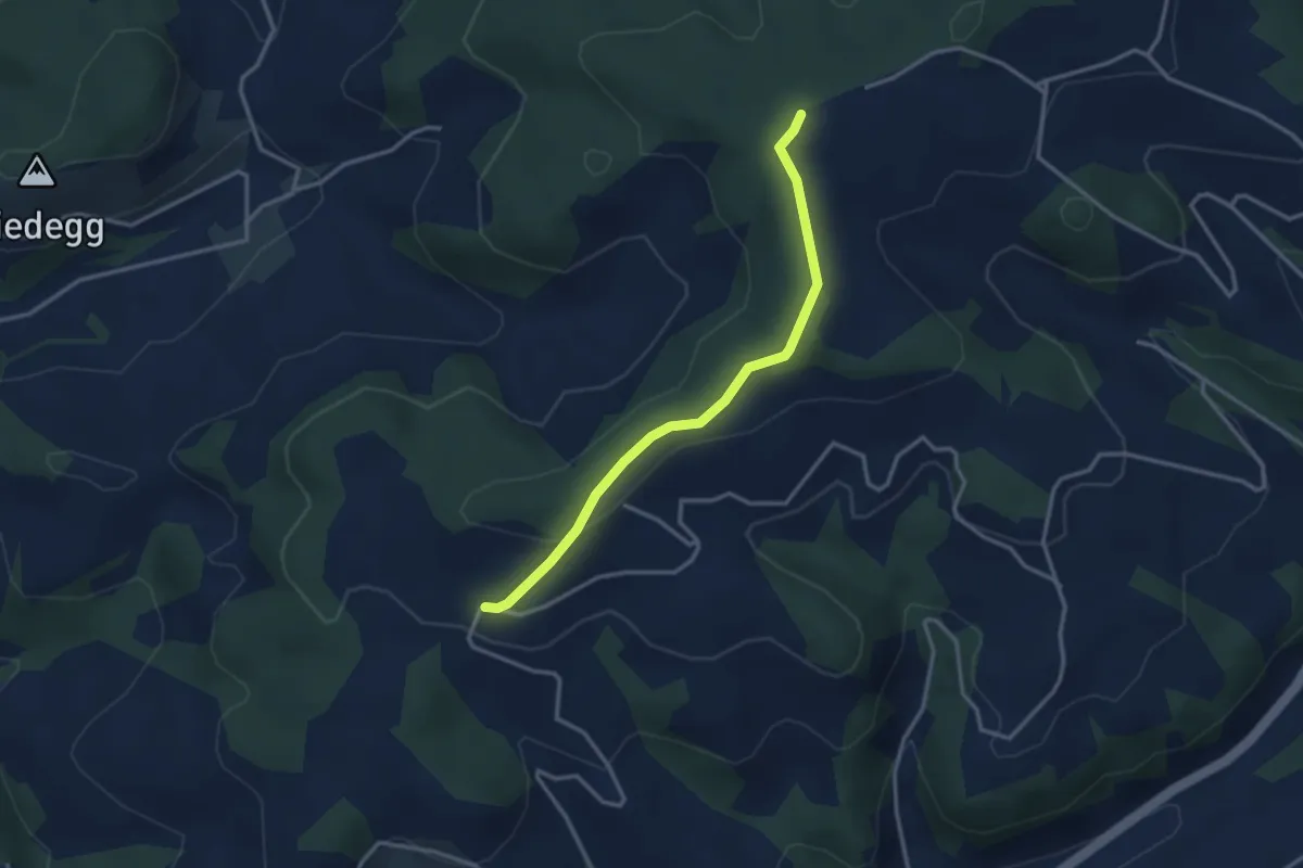
Easy · Trail
Rachisberg – Schallenberg
3.1 km · ↑ 85 m · 55 min · 15 km away
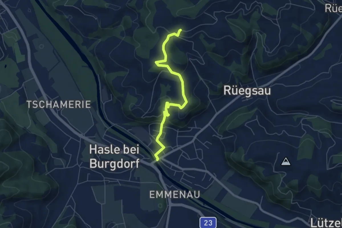
Easy · Trail
Schallenberg – Rüegsauschachen
5.7 km · ↑ 220 m · 1 h 49 min · 15 km away
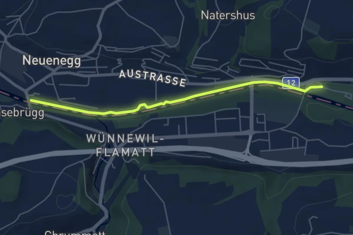
Easy · Trail
Sensebrücke – Steinige Brücke
4.7 km · ↑ 26 m · 1 h 11 min · 15 km away
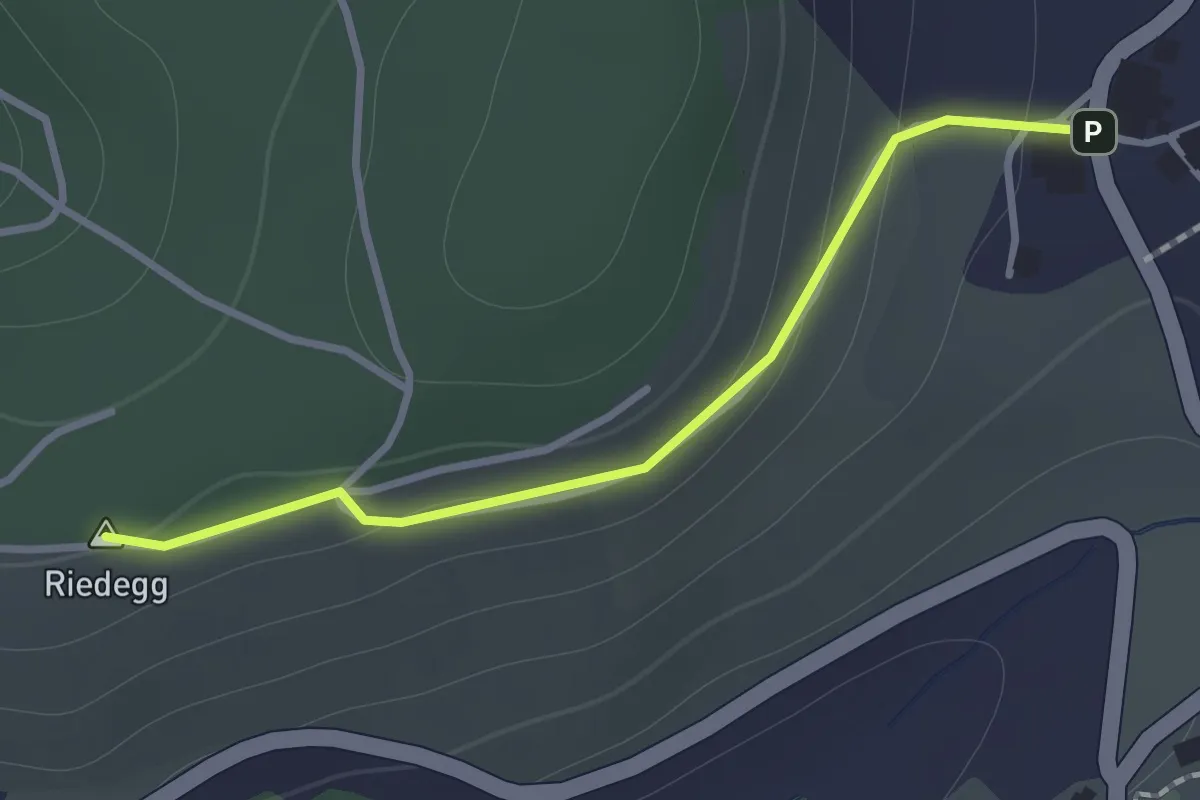
Easy · Summit
Brachacker – Bättwil
1.1 km · ↑ 42 m · 21 min · 15 km away
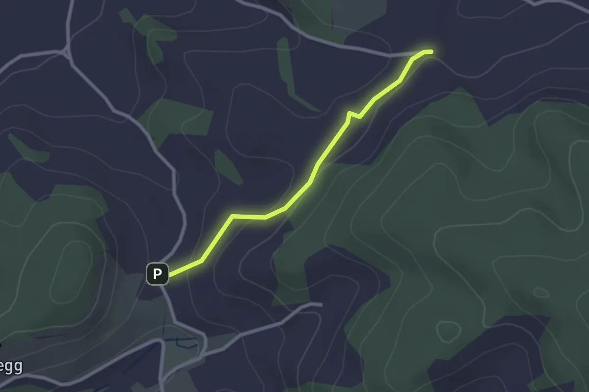
Easy · Trail
Brachacher - fixme
2.1 km · ↑ 55 m · 38 min · 15 km away
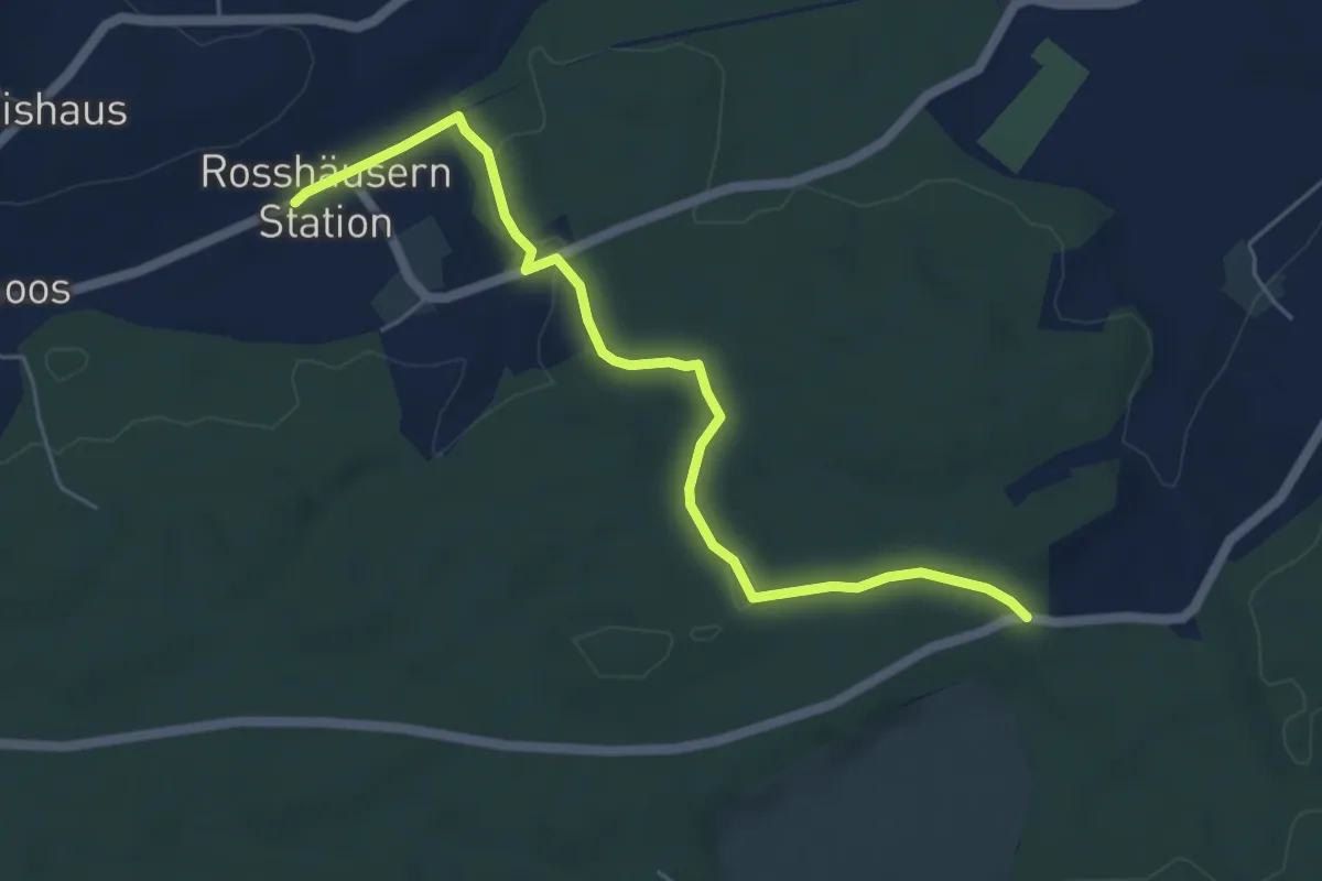
Easy · Trail
Fuessacher - Rosshäusern/Station
5.6 km · ↑ 125 m · 1 h 36 min · 15 km away
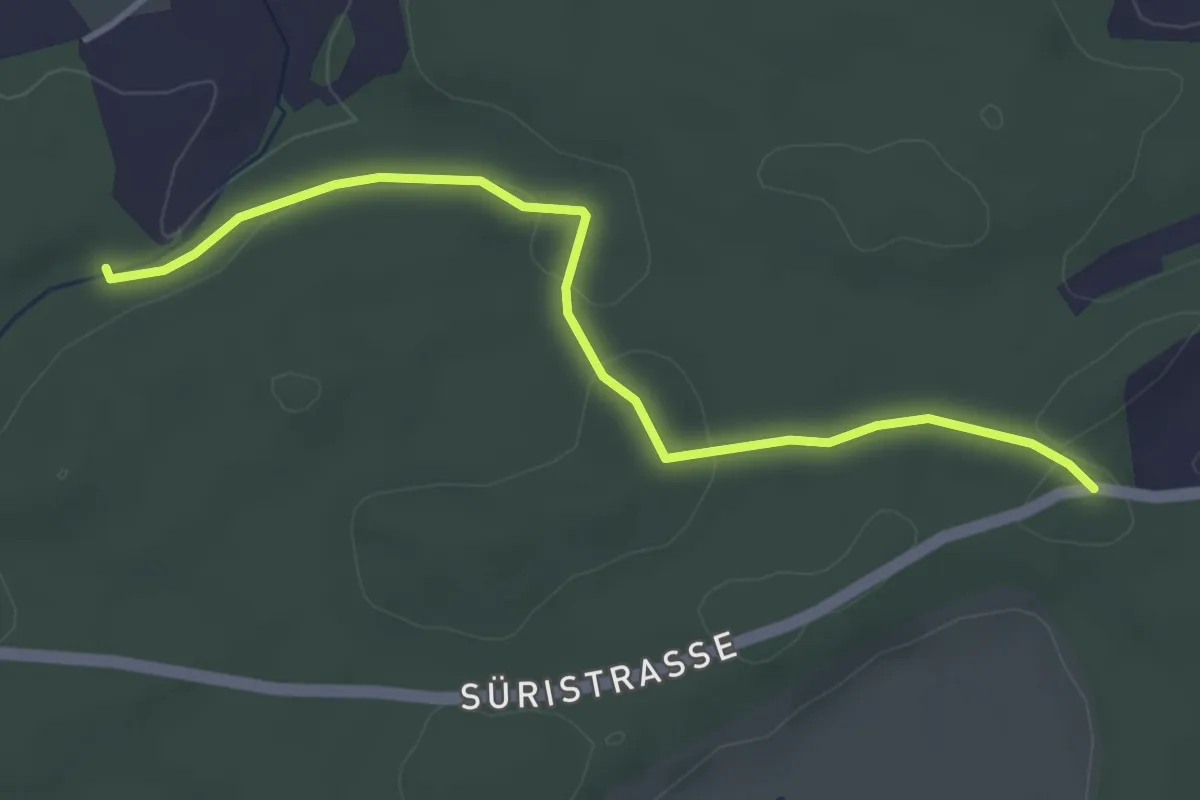
Easy · Trail
Fuessacher - Hollerengraben
3.9 km · ↑ 60 m · 1 h 3 min · 15 km away
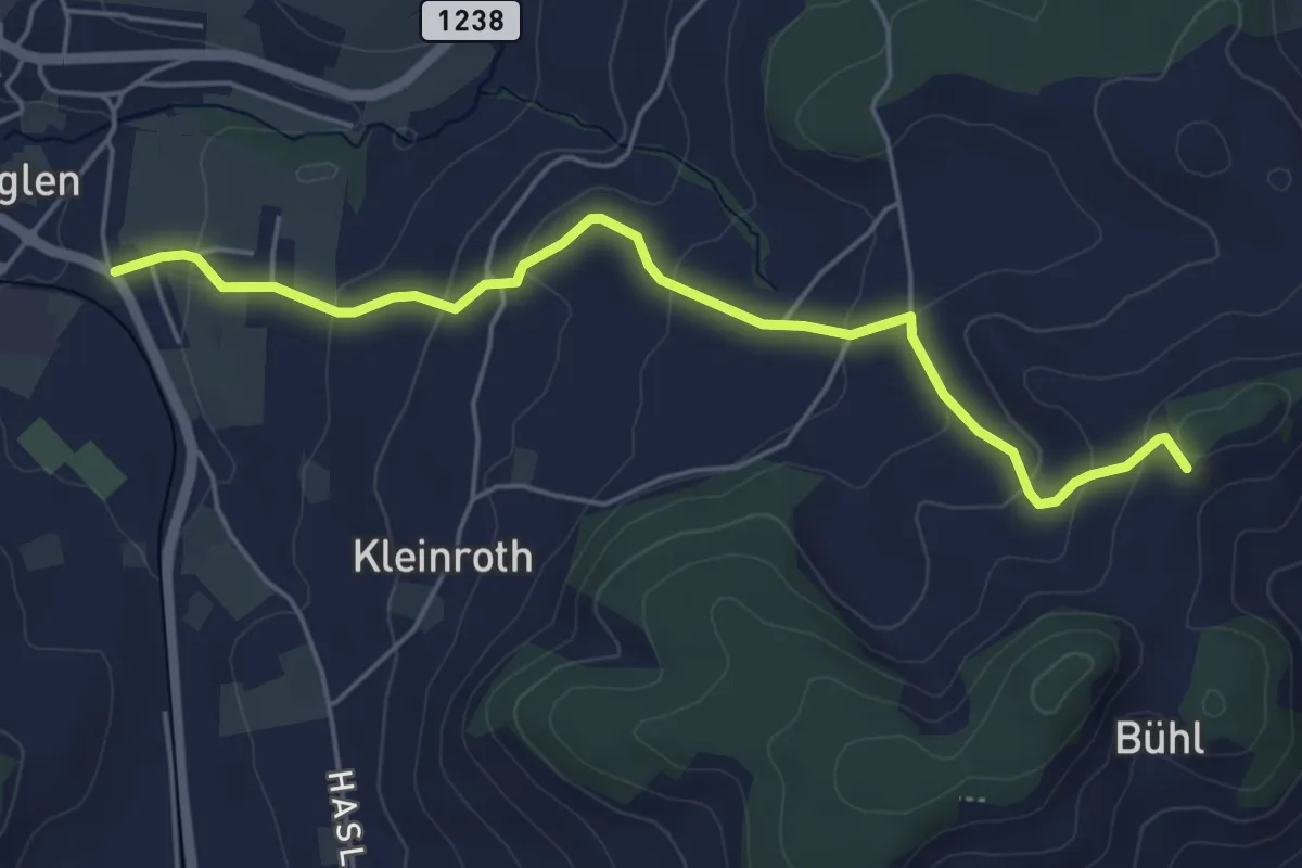
Easy · Trail
Chrutberg – Biglen
5.2 km · ↑ 200 m · 1 h 40 min · 15 km away
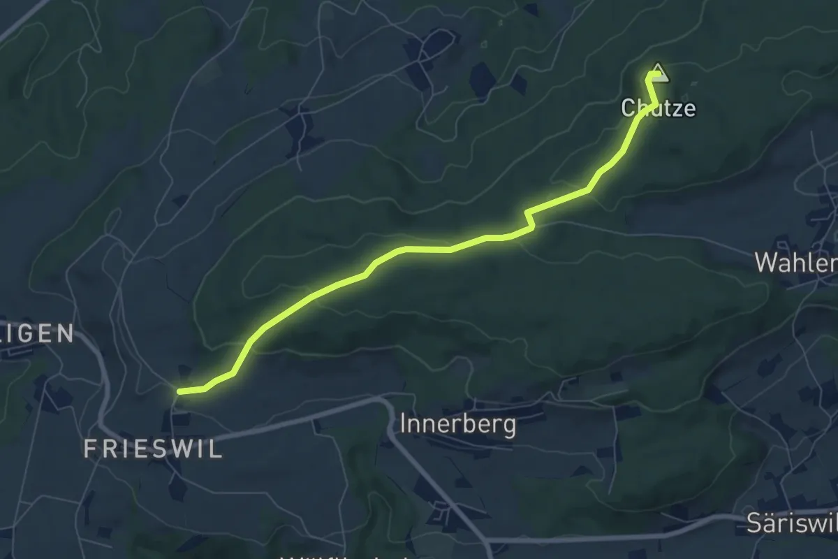
Easy · Summit
Gummen – Chutzenturm
7.5 km · ↑ 205 m · 2 h 13 min · 15 km away