Trails near Ittigen
486 hikes starting within 15 km, nearest first.
Nearest first, page 9 of 11
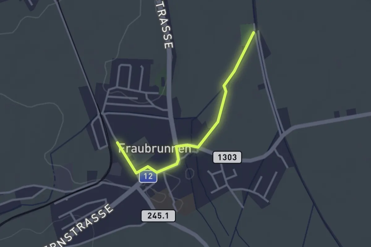
Easy · Trail
Fraubrunnen – Fraubrunnen Schwimmbad
2.6 km · ↑ 9 m · 38 min · 13 km away
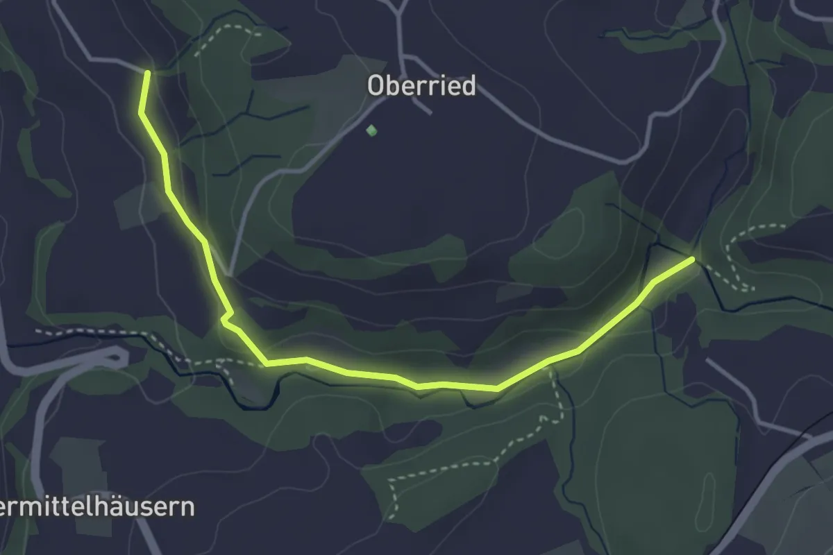
Easy · Trail
Grabenmüli - Grafenried
3.7 km · ↑ 75 m · 1 h 2 min · 13 km away
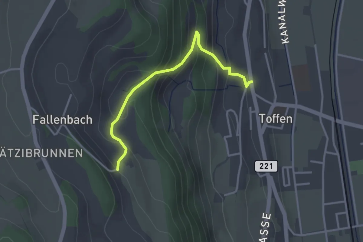
Easy · Trail
Obertoffen - Toffen/Dorf
2.8 km · ↑ 197 m · 1 h 6 min · 13 km away
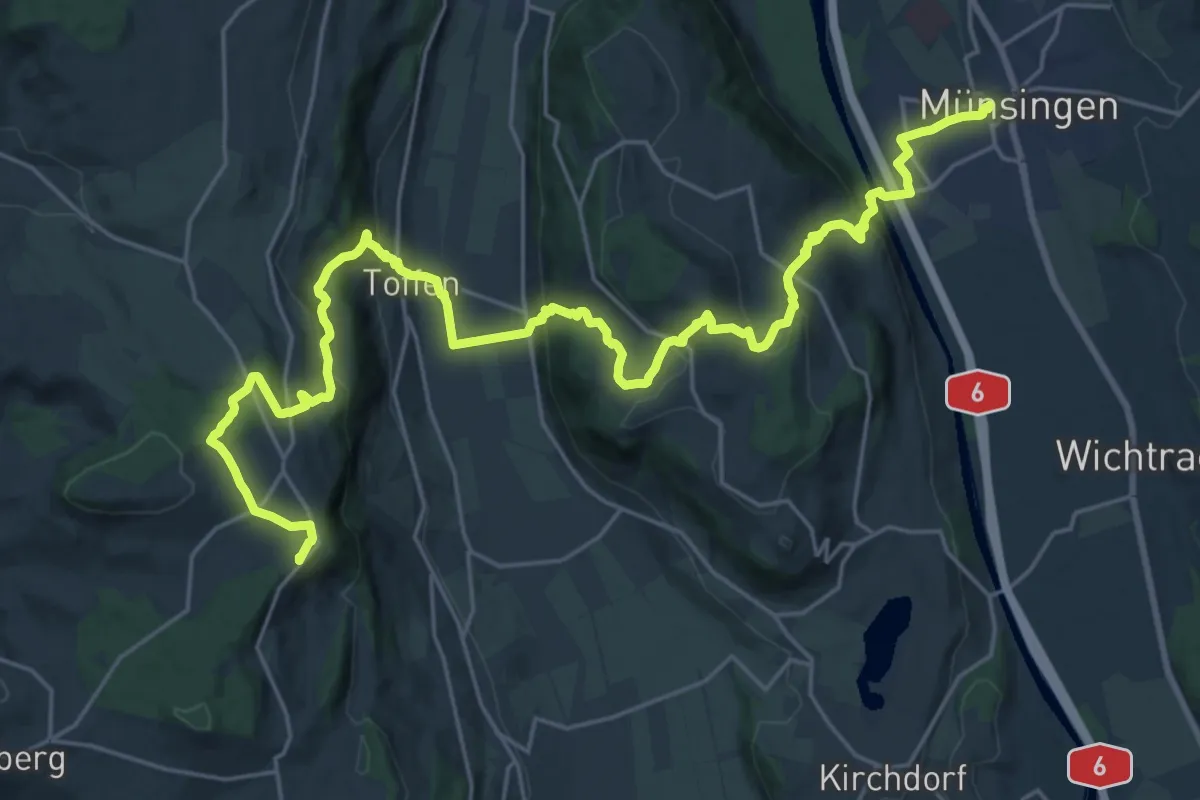
Demanding · Summit
Alpenpanorama-Weg
30.3 km · ↑ 1232 m · 9 h 50 min · 13 km away
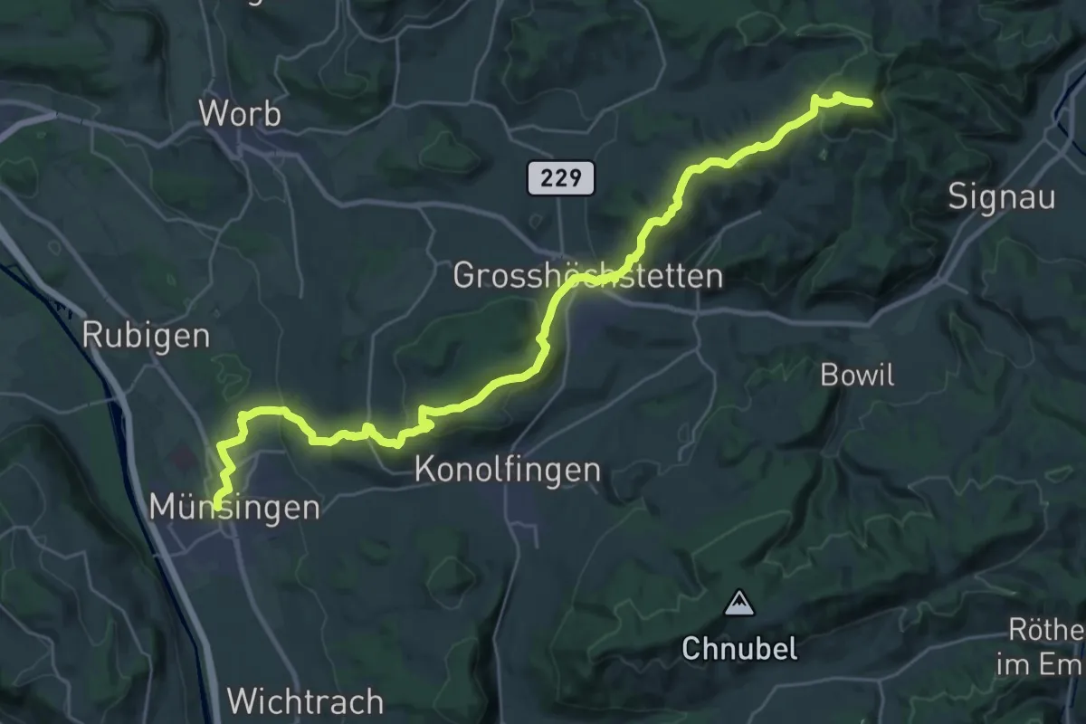
Demanding · Summit
Alpenpanorama-Weg
33.3 km · ↑ 1120 m · 10 h 17 min · 13 km away
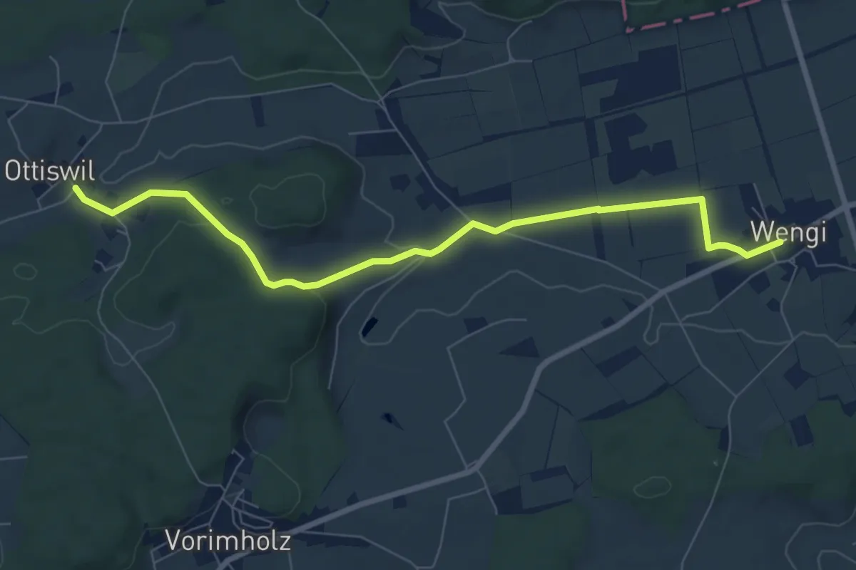
Easy · Trail
Wengi – Ottiswil
7.8 km · ↑ 148 m · 2 h 10 min · 13 km away
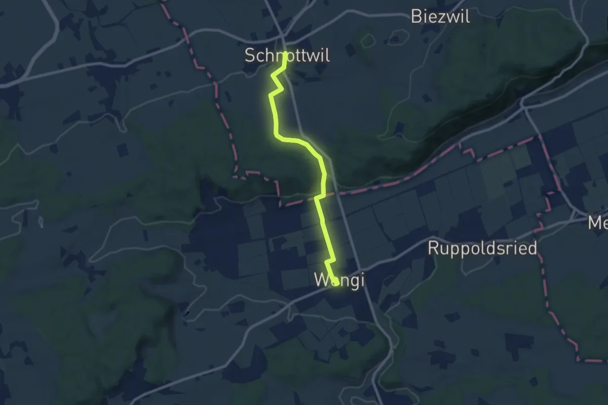
Easy · Trail
Schnottwil – Wengi
7.5 km · ↑ 141 m · 2 h 5 min · 13 km away
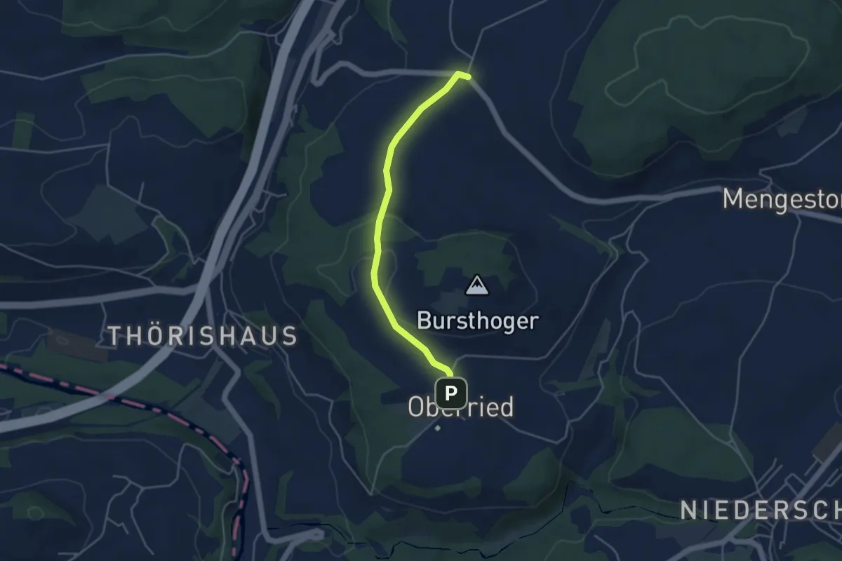
Easy · Trail
Oberried - Liebewil
3.8 km · ↑ 62 m · 1 h 2 min · 13 km away
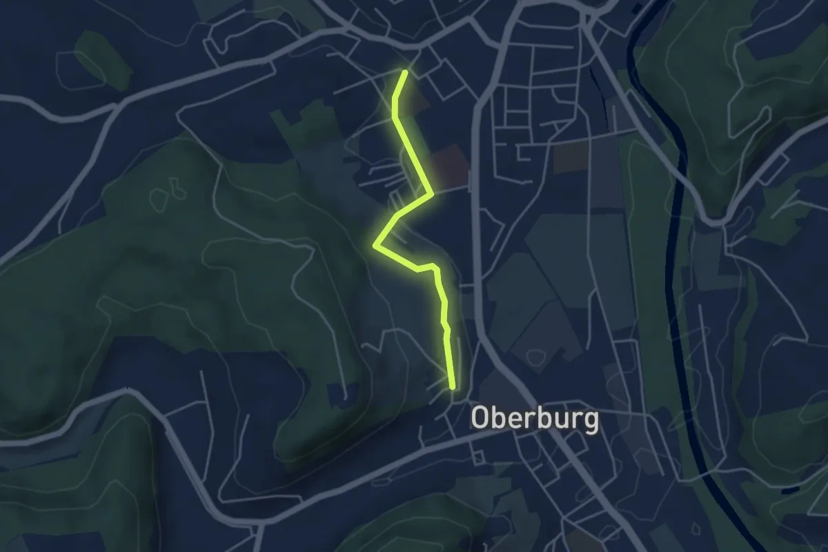
Easy · Trail
Oberburg/Kirche – Burgdorf/Steinhof
3.3 km · ↑ 59 m · 55 min · 13 km away
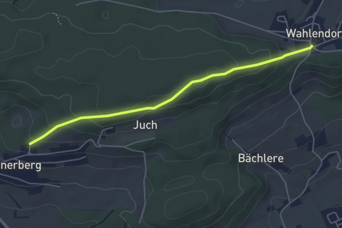
Easy · Trail
Wahlendorf Usserdorf – Innerberg Mösli
4.3 km · ↑ 155 m · 1 h 22 min · 13 km away
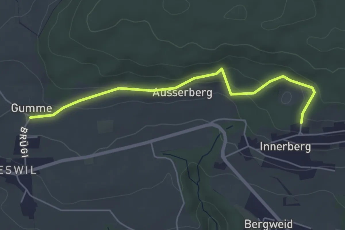
Easy · Trail
Gummen – Innerberg Mösli
4.6 km · ↑ 174 m · 1 h 27 min · 13 km away
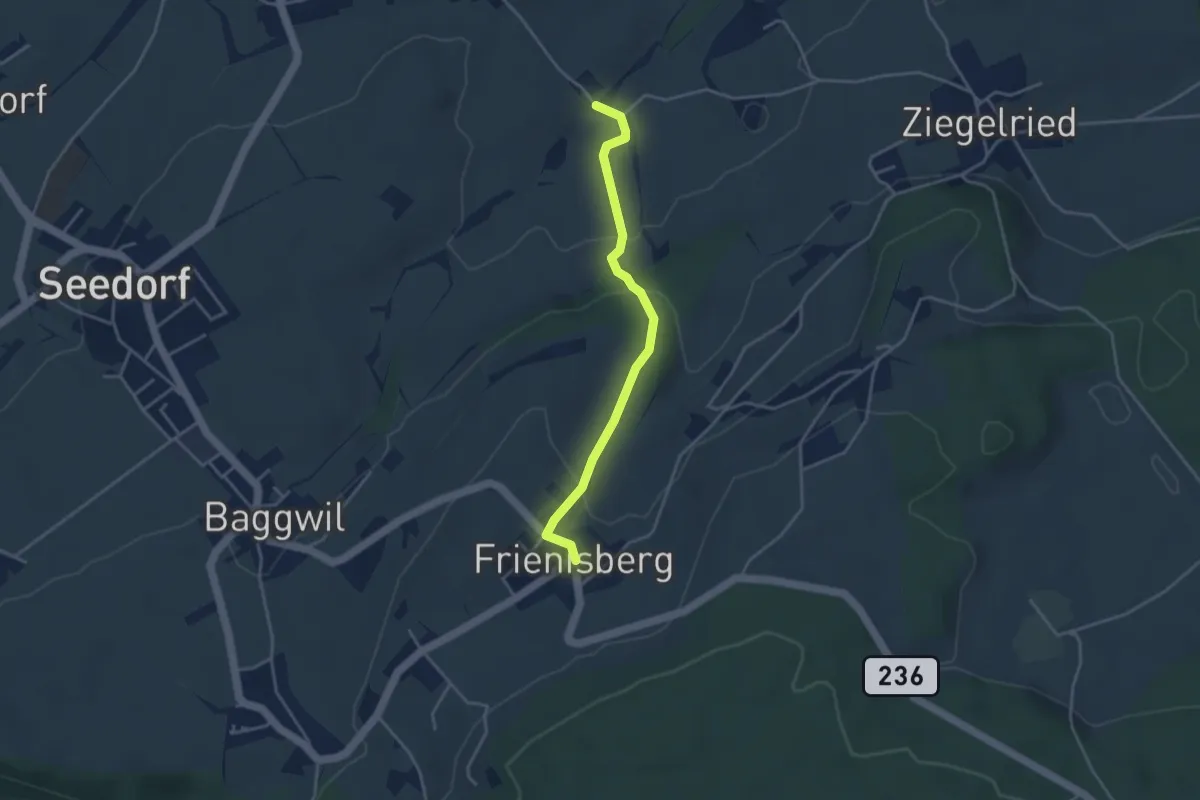
Easy · Trail
Allenwil - Frieniswil
3.6 km · ↑ 149 m · 1 h 10 min · 13 km away
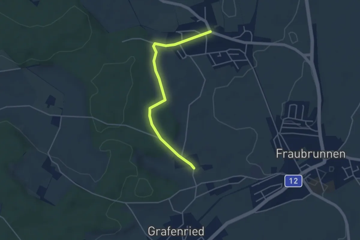
Easy · Trail
Büren zum Hof – Binel
3.7 km · ↑ 61 m · 1 h 1 min · 13 km away
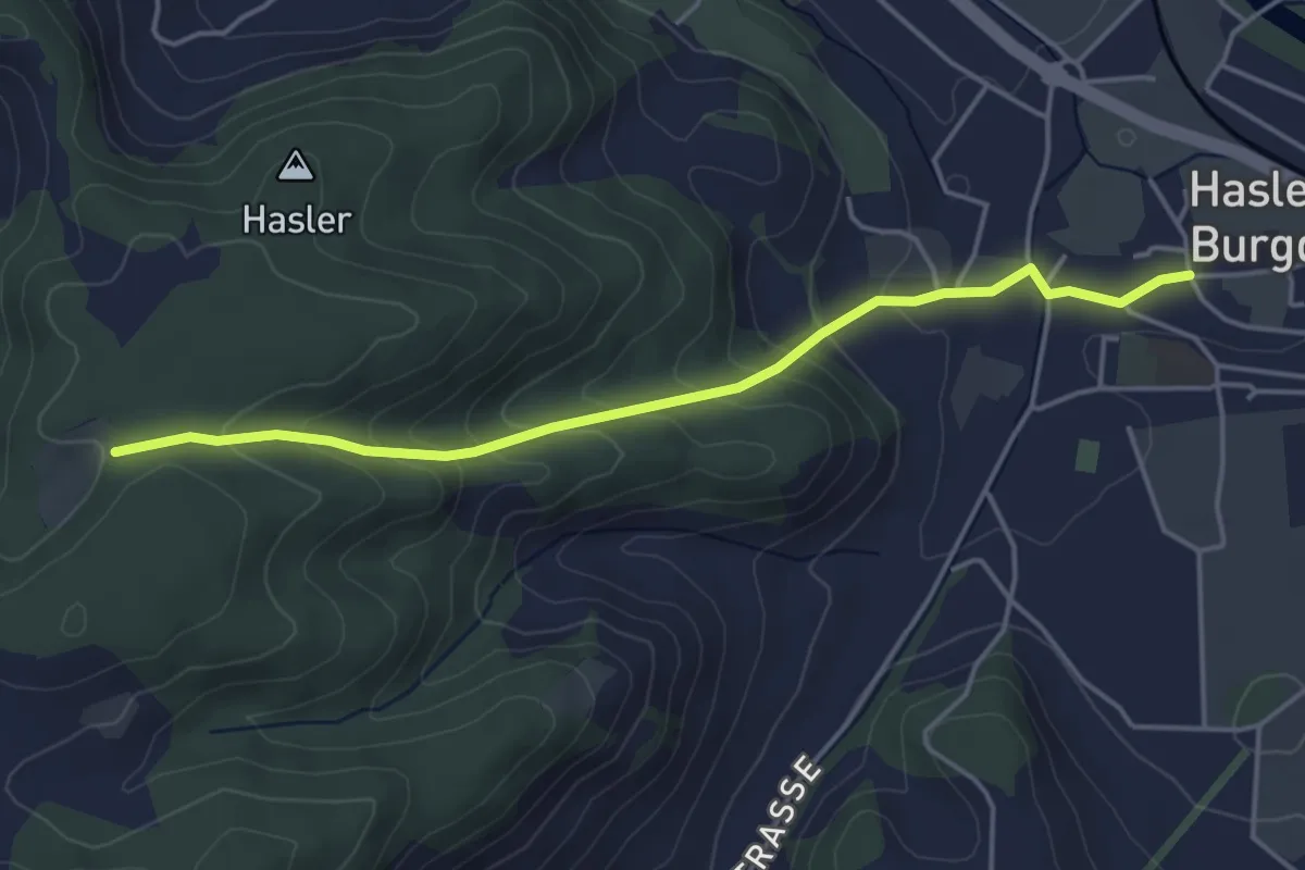
Easy · Trail
Bärgli – Hasle-Rüegsau
4.4 km · ↑ 246 m · 1 h 34 min · 13 km away
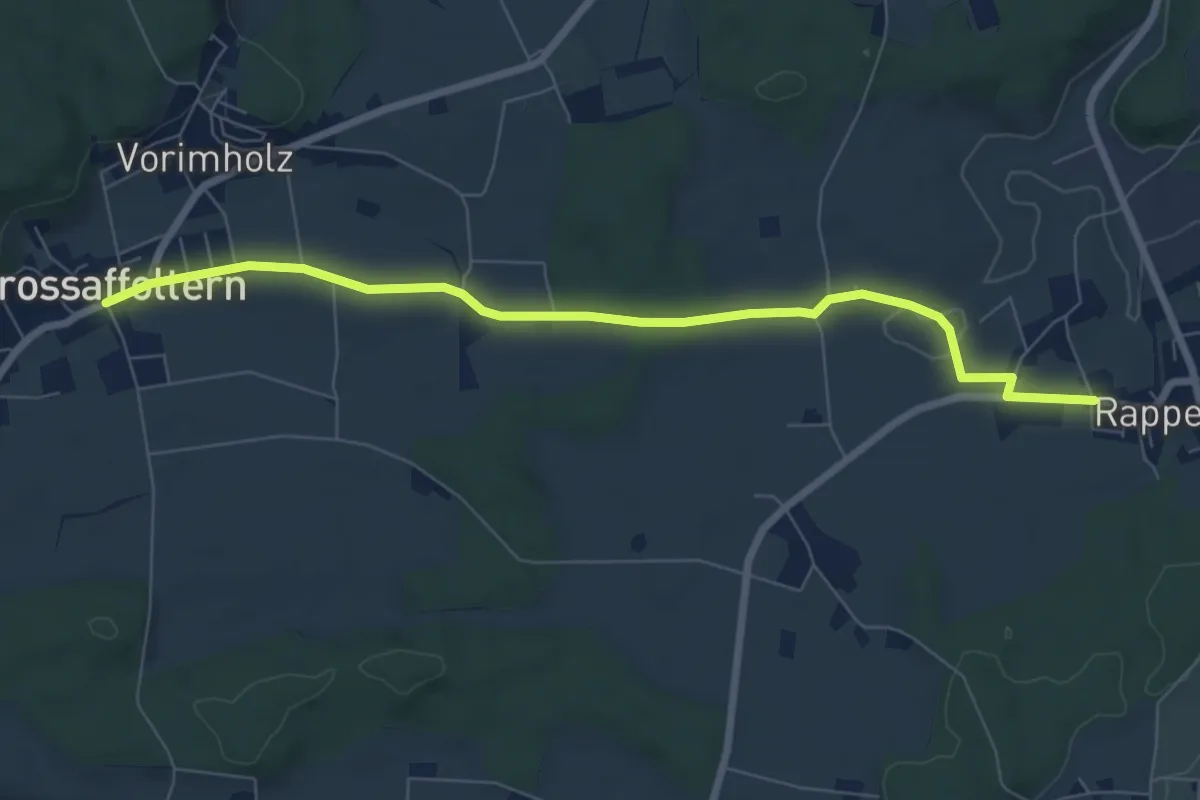
Easy · Trail
Grossaffoltern – Rapperswil
7.5 km · ↑ 71 m · 1 h 55 min · 13 km away
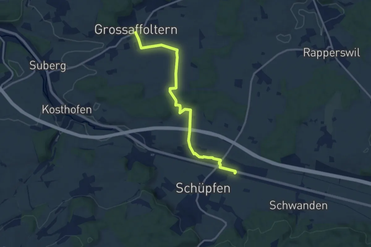
Medium · Trail
Grossaffoltern – Schüpfen / Station
9.2 km · ↑ 95 m · 2 h 23 min · 13 km away
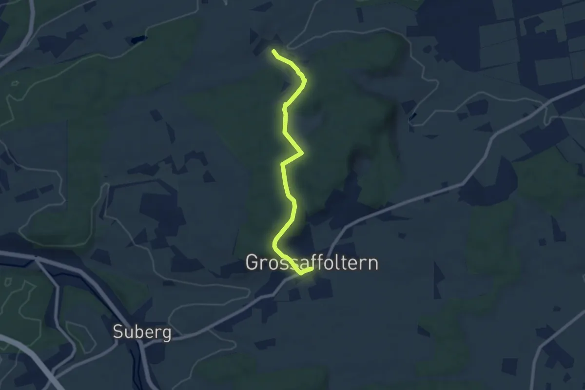
Easy · Trail
Ottiswil – Grossaffoltern
5.8 km · ↑ 166 m · 1 h 44 min · 13 km away
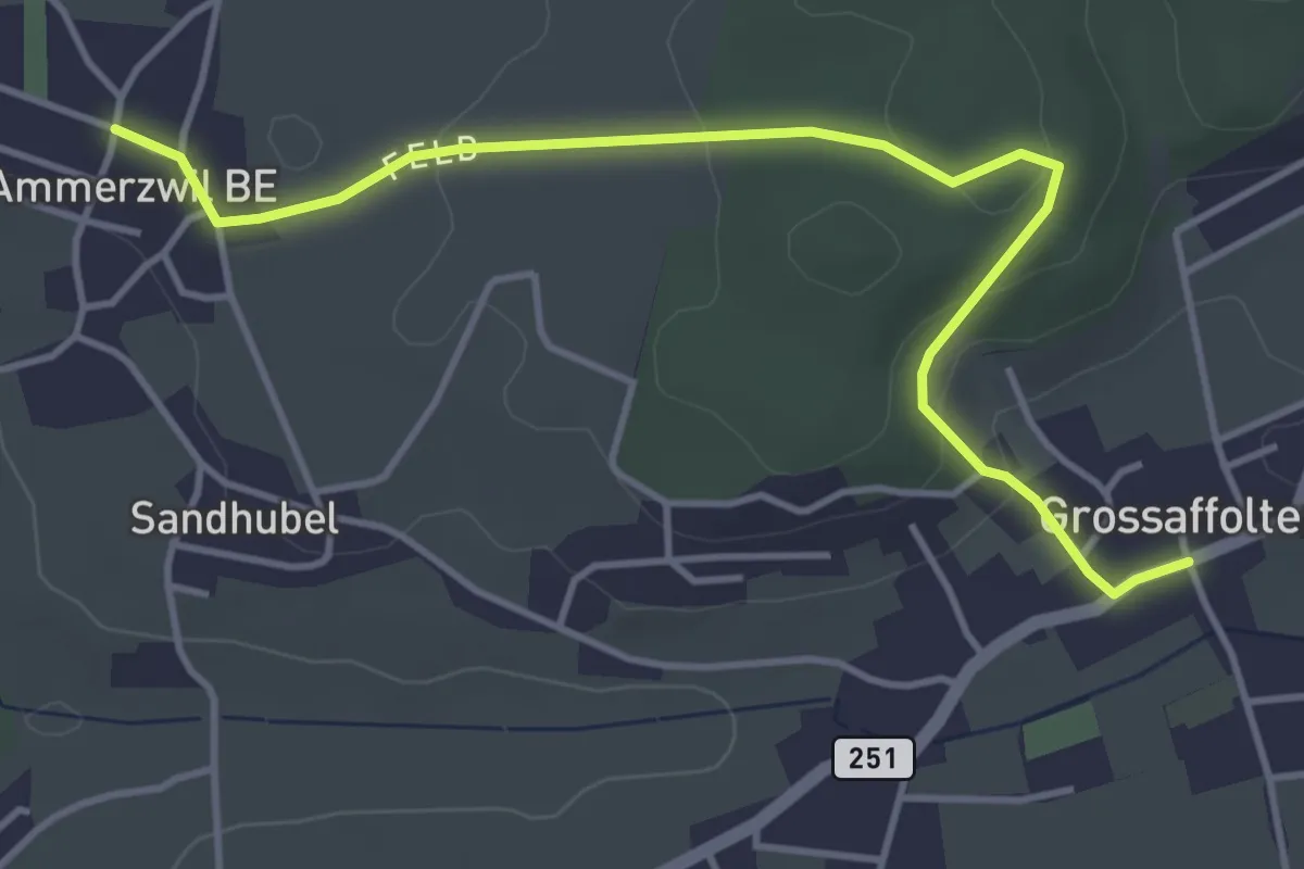
Easy · Trail
Ammerzwil BE – Grossaffoltern
4.5 km · ↑ 114 m · 1 h 19 min · 13 km away
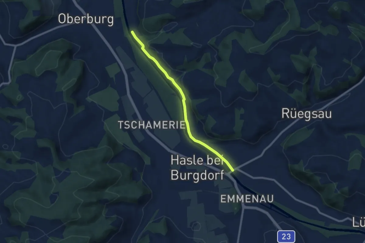
Easy · Trail
Rügsauschachen – Lochbachbrügg
5.8 km · ↑ 47 m · 1 h 29 min · 13 km away
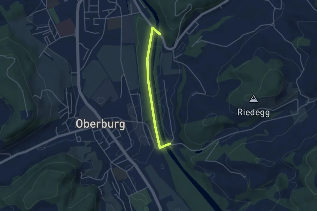
Easy · Trail
Heimiswilbrügg - Lochbachbrügg
3.1 km · ↑ 18 m · 46 min · 13 km away
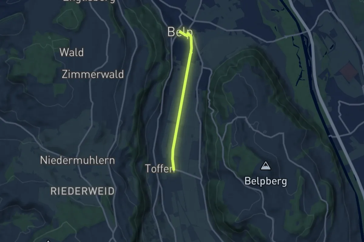
Easy · Trail
Toffen – Belp
7.3 km · ↑ 4 m · 1 h 44 min · 13 km away
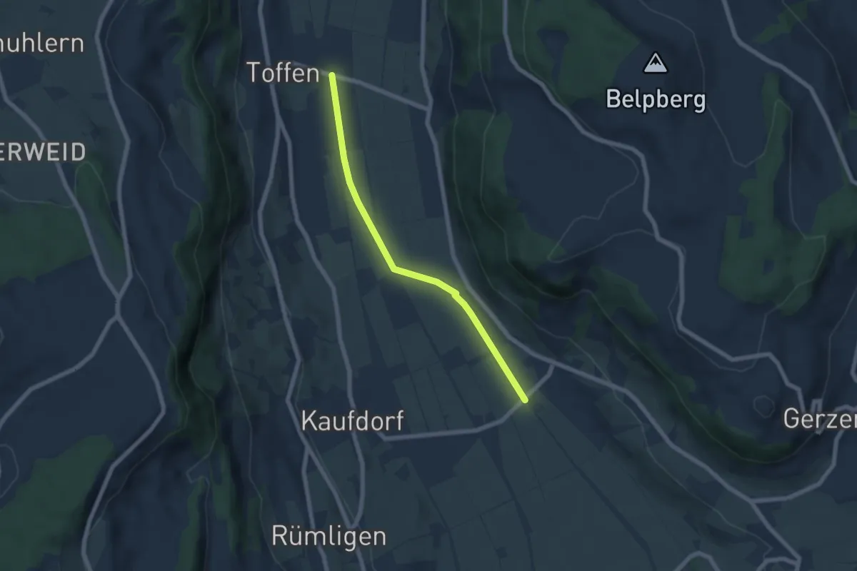
Easy · Trail
Gelterfingen - Toffen/Station
5.6 km · ↑ 4 m · 1 h 19 min · 13 km away
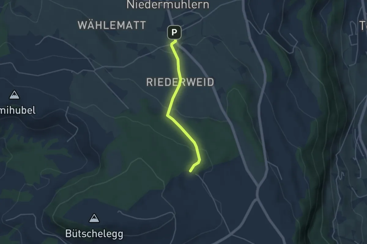
Easy · Trail
Niedermuhlern – Buechweid
3.1 km · ↑ 123 m · 1 h · 13 km away
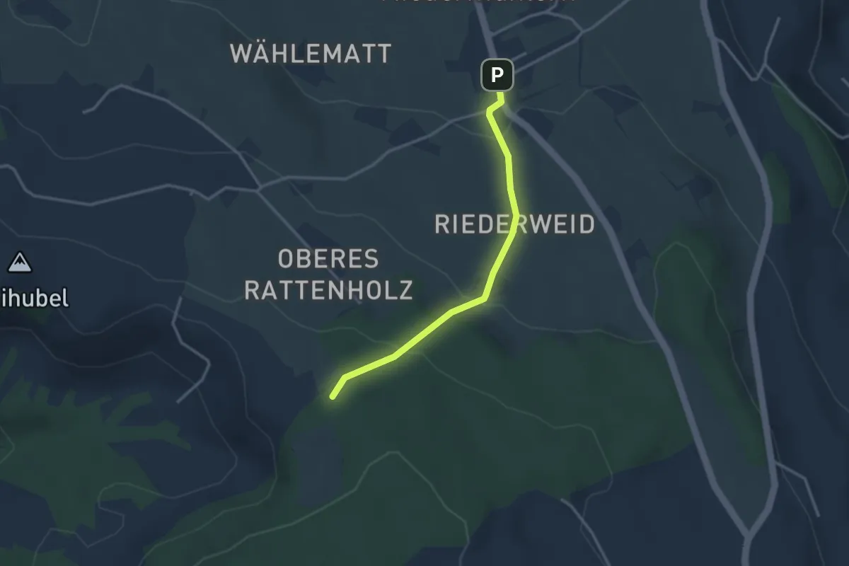
Easy · Trail
Seitenberg – Niedermuhlern
2.8 km · ↑ 141 m · 57 min · 13 km away
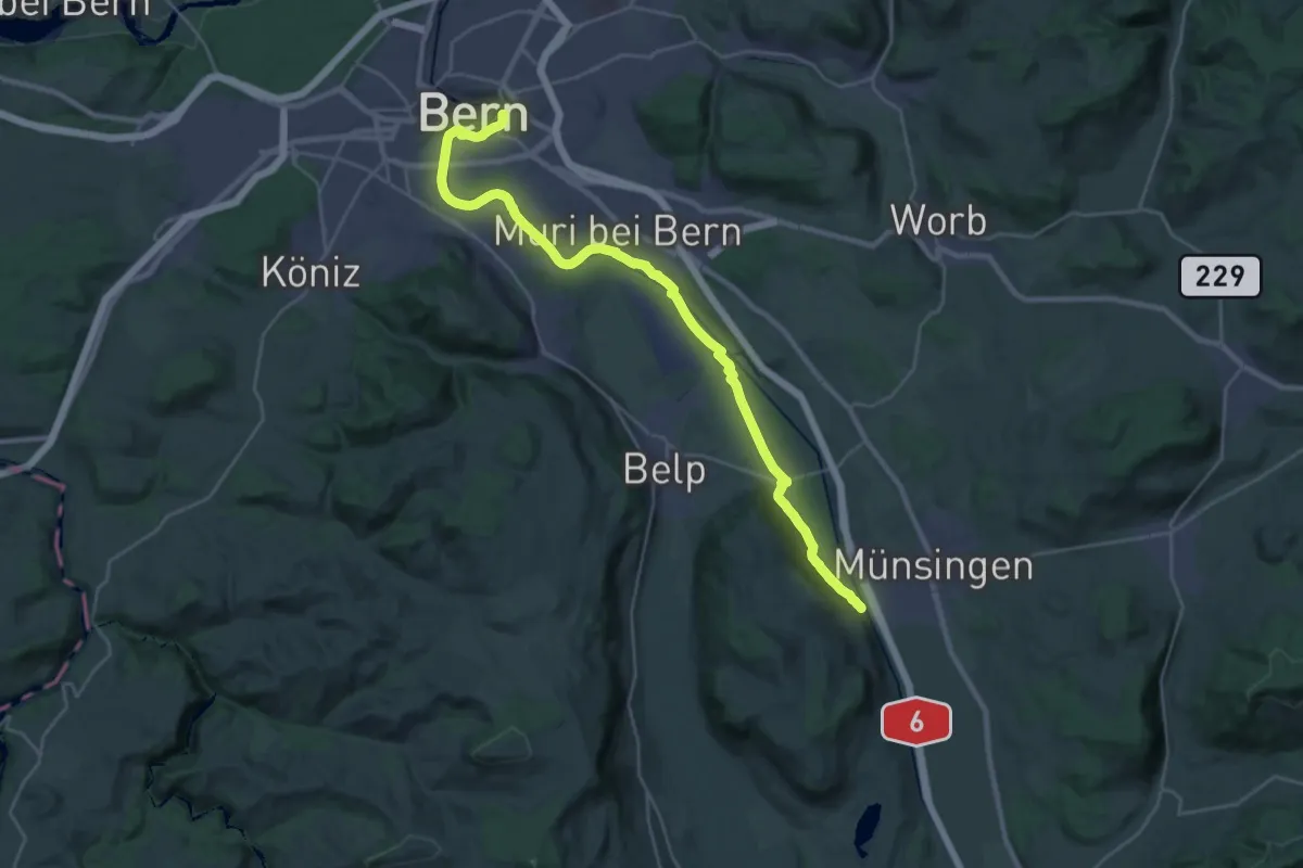
Demanding · Trail
ViaBerna Etappe 9
30.2 km · ↑ 349 m · 7 h 54 min · 13 km away
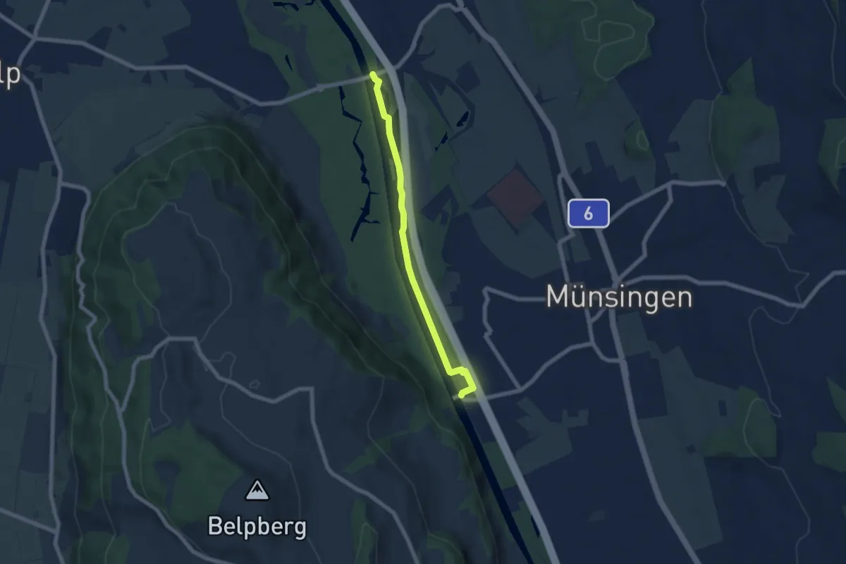
Easy · Trail
Hunzigenbrügg – Jabergbrücke
5.7 km · ↑ 18 m · 1 h 24 min · 13 km away
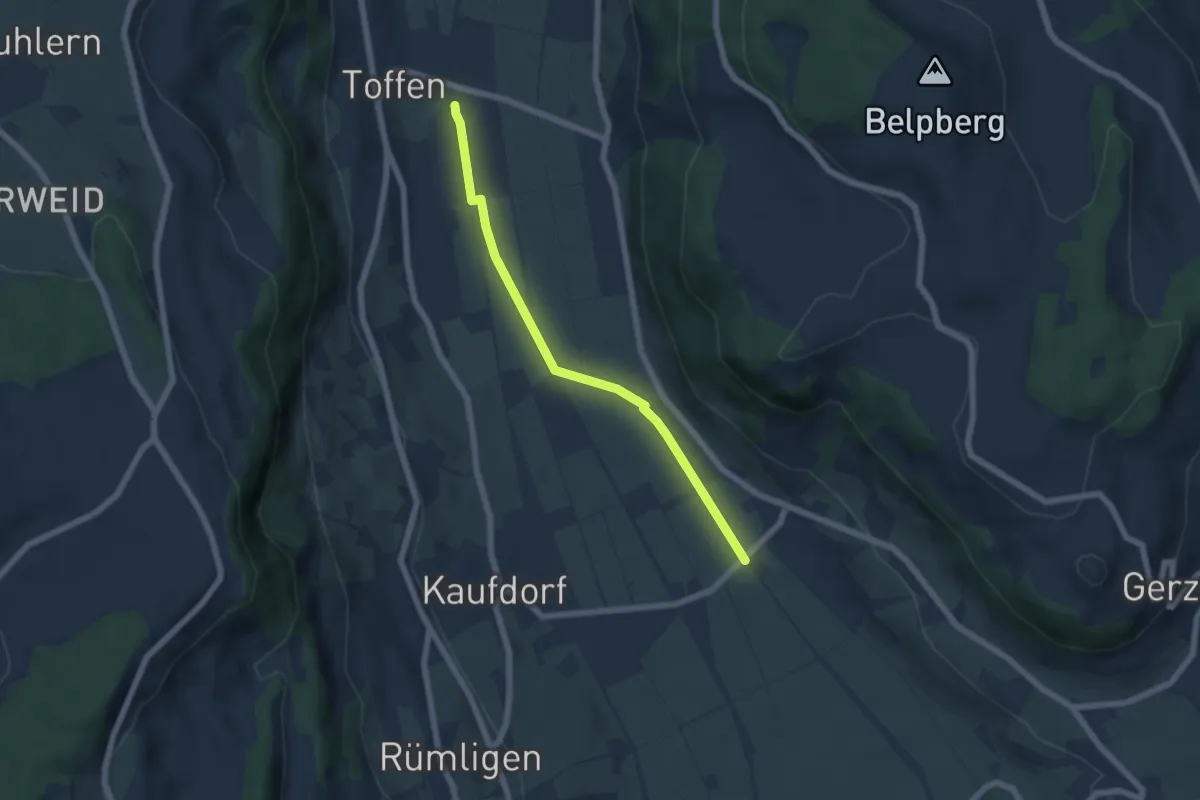
Easy · Trail
Toffen/Station - Gelterfingen
5.5 km · ↑ 4 m · 1 h 19 min · 13 km away
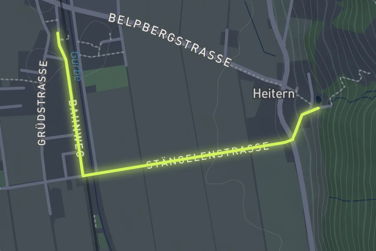
Easy · Trail
Toffen/Station – Heitern
2.6 km · ↑ 38 m · 41 min · 13 km away
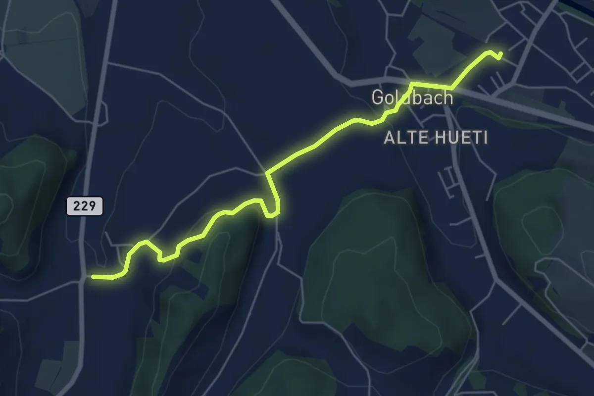
Easy · Trail
Schafhausen – Lützelflüh
5.6 km · ↑ 167 m · 1 h 40 min · 13 km away
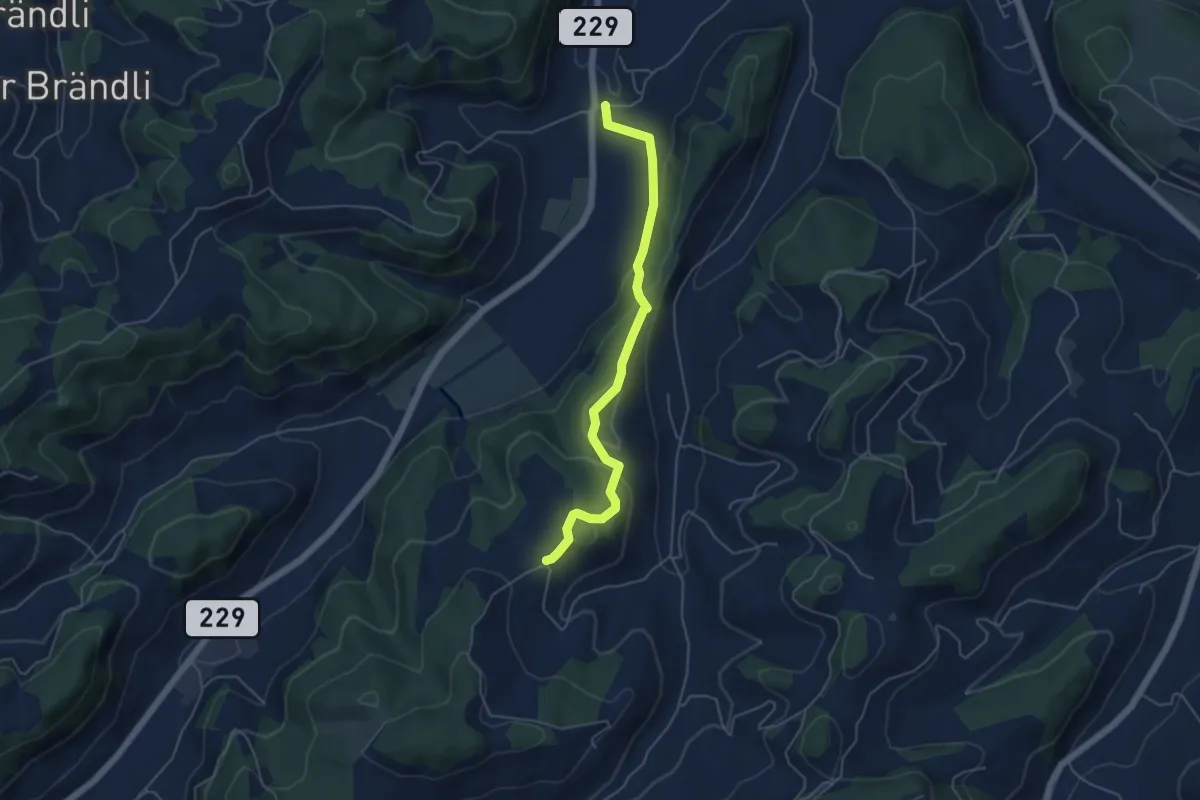
Easy · Trail
Bütschwil – Schafhausen
4.9 km · ↑ 199 m · 1 h 36 min · 13 km away
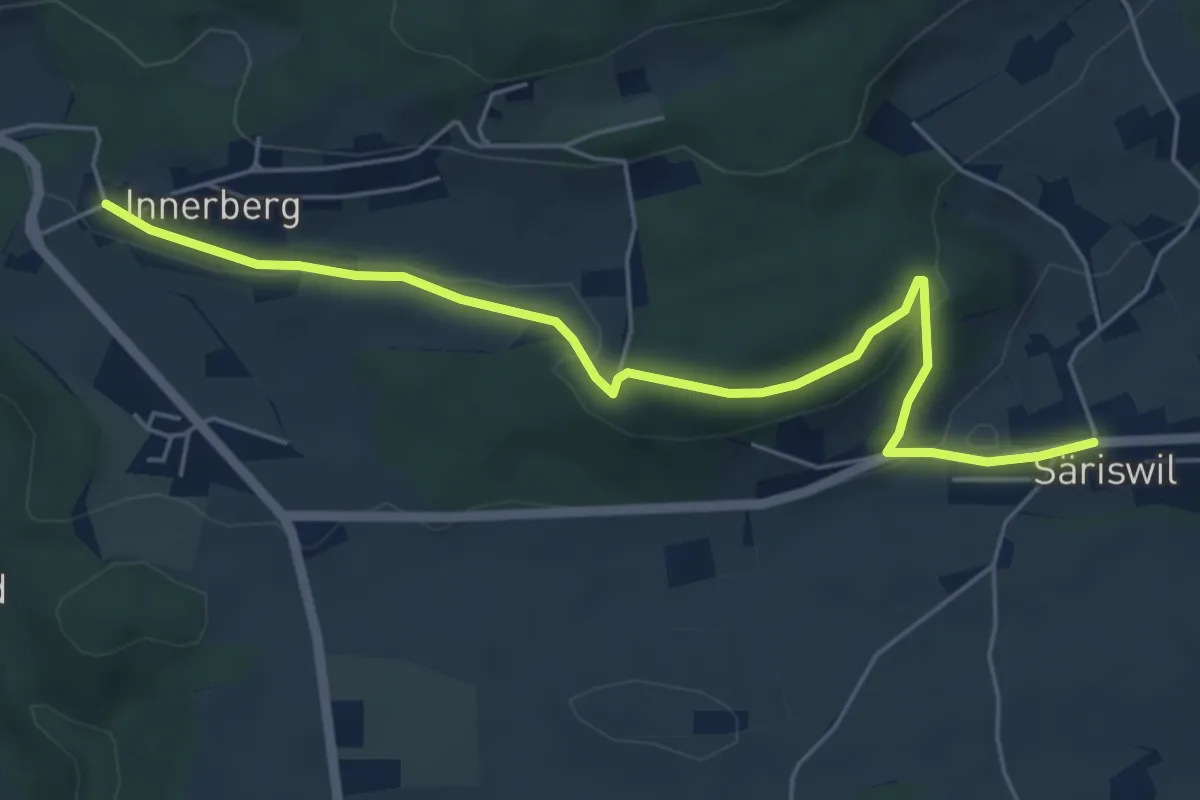
Easy · Trail
Innerberg – Säriswil
5.8 km · ↑ 147 m · 1 h 42 min · 13 km away
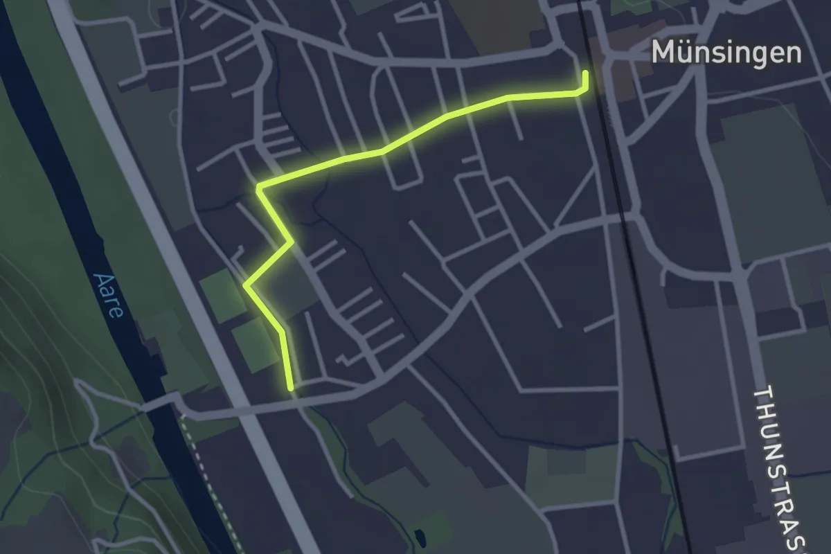
Easy · Trail
Aeussere Giesse - Münsingen/Bahnhof
2.7 km · ↑ 4 m · 39 min · 13 km away
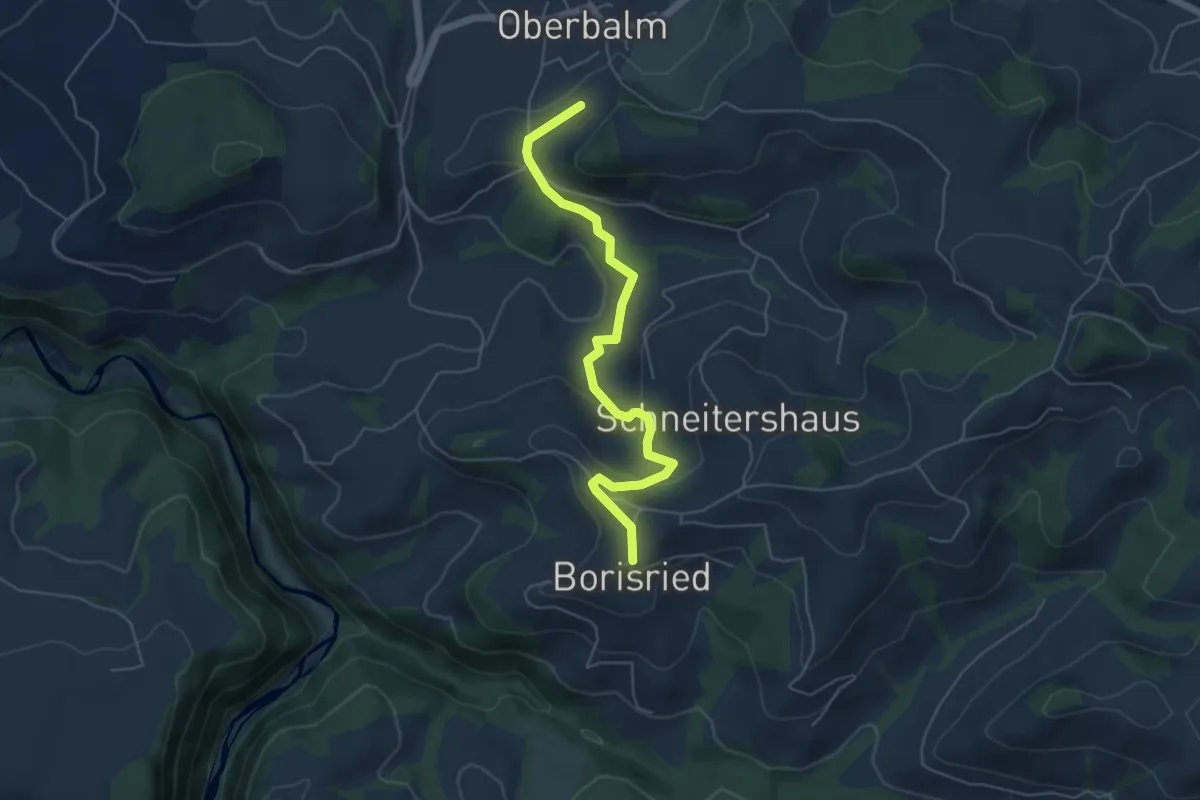
Easy · Trail
Boriswil – Oberbalm/Kirchweg
5.5 km · ↑ 195 m · 1 h 43 min · 14 km away
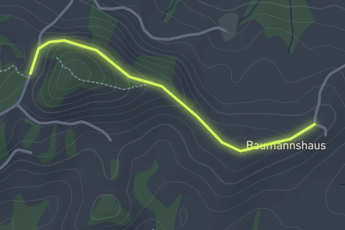
Easy · Trail
Tschuggen - Bumishus
2.3 km · ↑ 64 m · 41 min · 14 km away
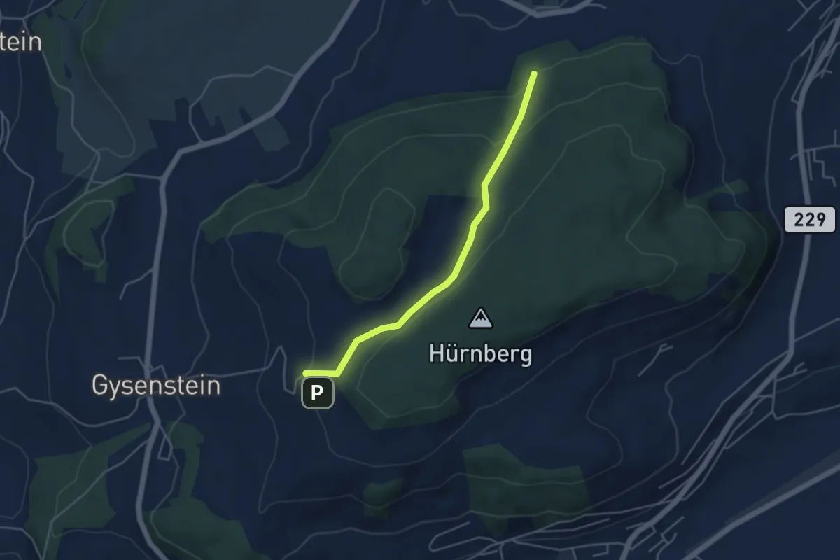
Easy · Trail
Ballenbühl – Schattacherwald
4.2 km · ↑ 130 m · 1 h 17 min · 14 km away
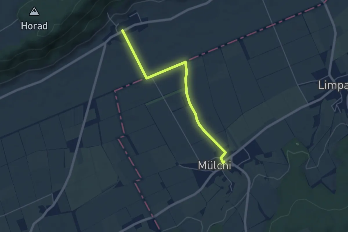
Easy · Trail
Oberramsern – Mülchi
4.8 km · ↑ 22 m · 1 h 10 min · 14 km away
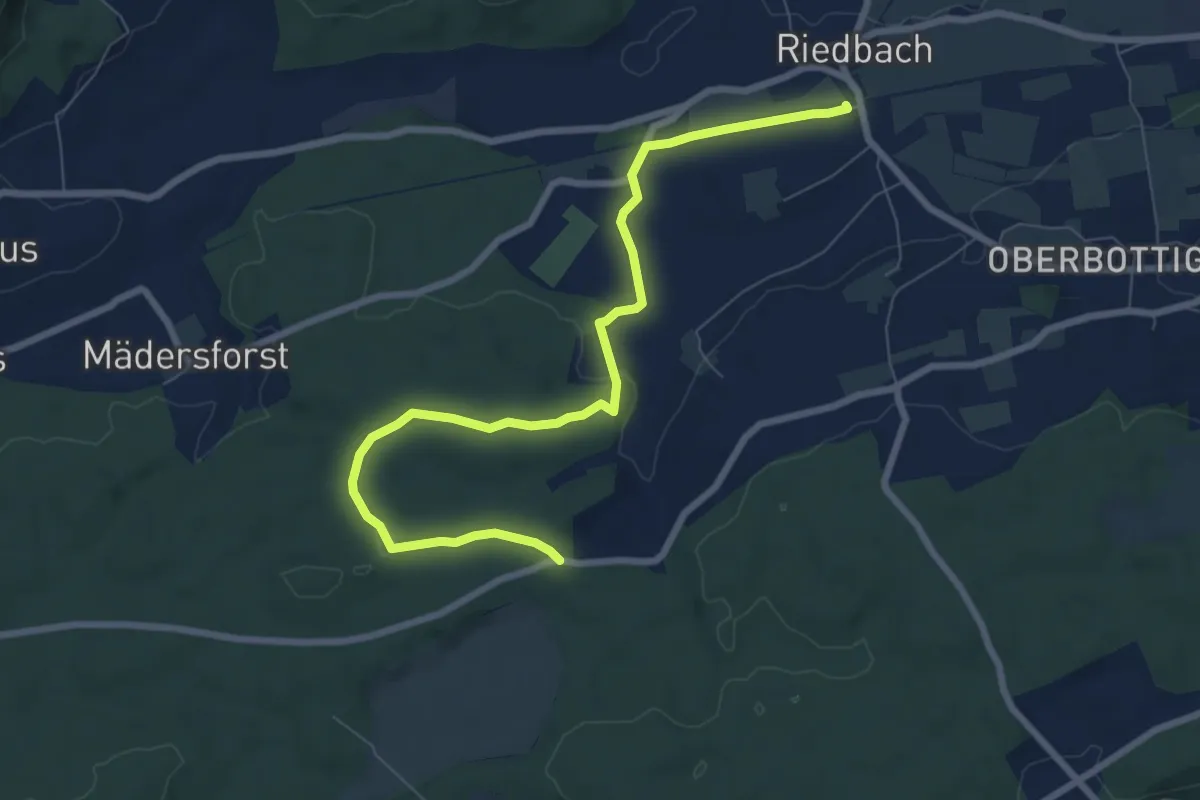
Medium · Trail
Riedbach/Station - Fuessacher
8.6 km · ↑ 147 m · 2 h 21 min · 14 km away
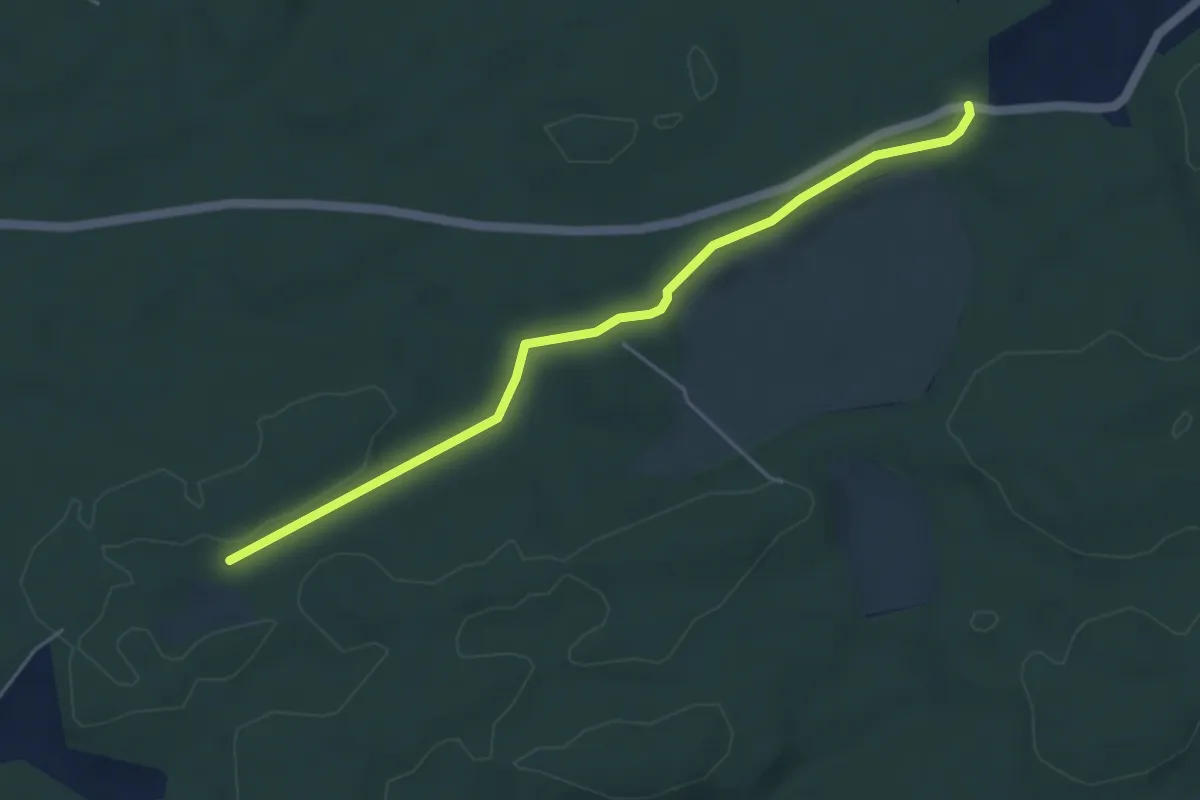
Easy · Trail
Mösli - Fuessacher
4.8 km · ↑ 53 m · 1 h 14 min · 14 km away
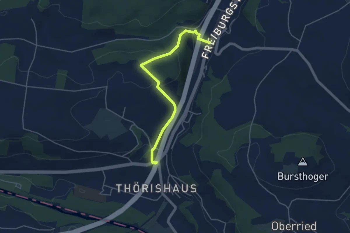
Easy · Trail
Thörishaus/Station - Thörishaus
4.0 km · ↑ 138 m · 1 h 15 min · 14 km away
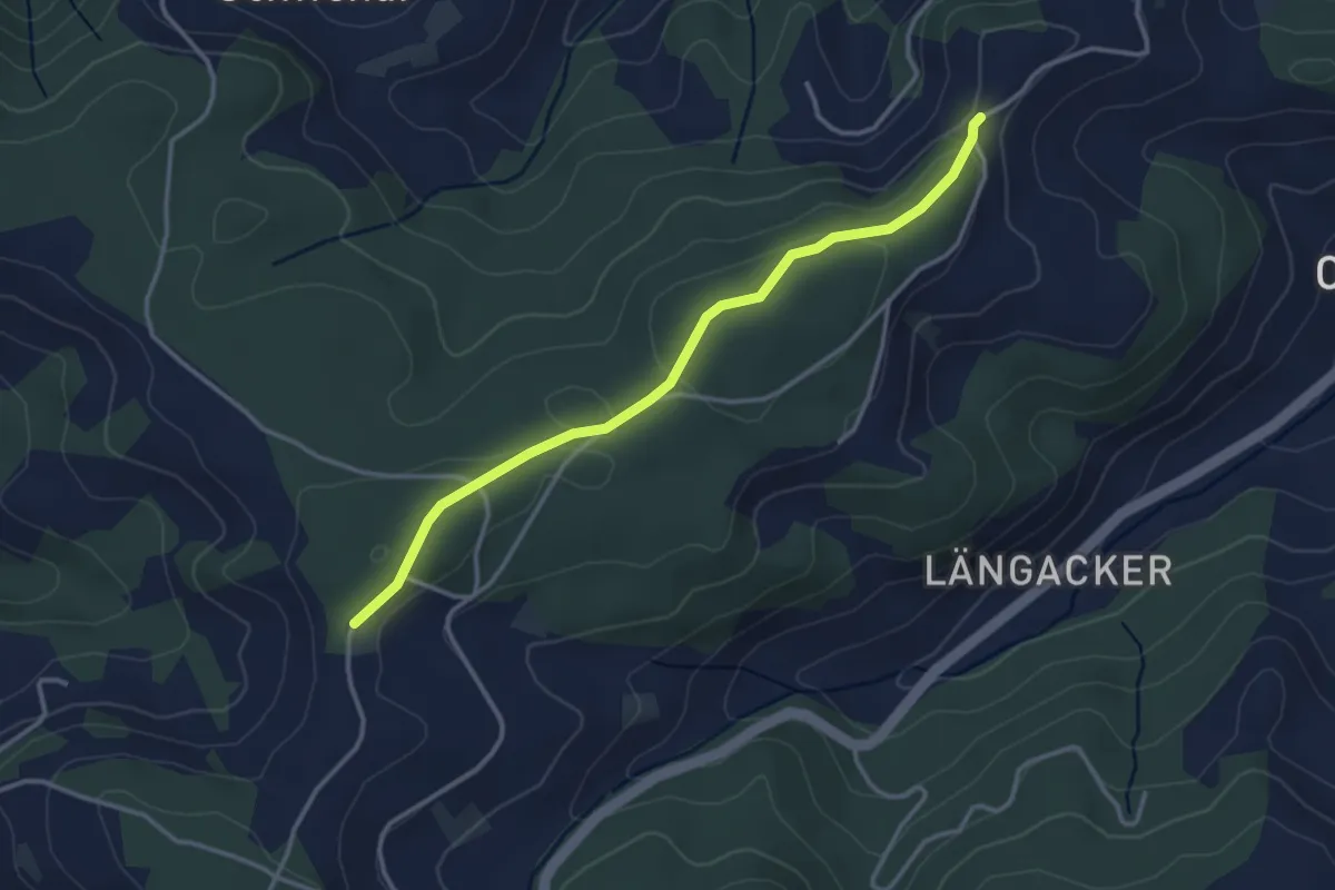
Easy · Trail
Hammegg – Aspiegg
3.3 km · ↑ 79 m · 57 min · 14 km away
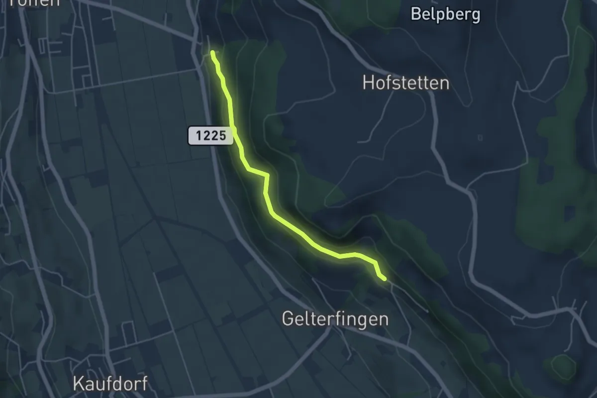
Easy · Trail
Heitern - Chramburg
4.0 km · ↑ 198 m · 1 h 23 min · 14 km away
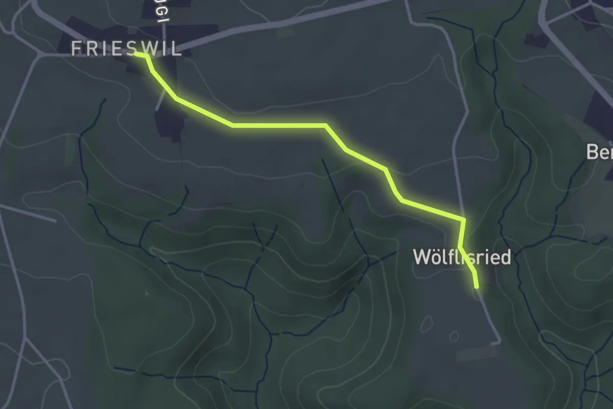
Easy · Trail
Wölflisried – Frieswil
3.1 km · ↑ 53 m · 51 min · 14 km away
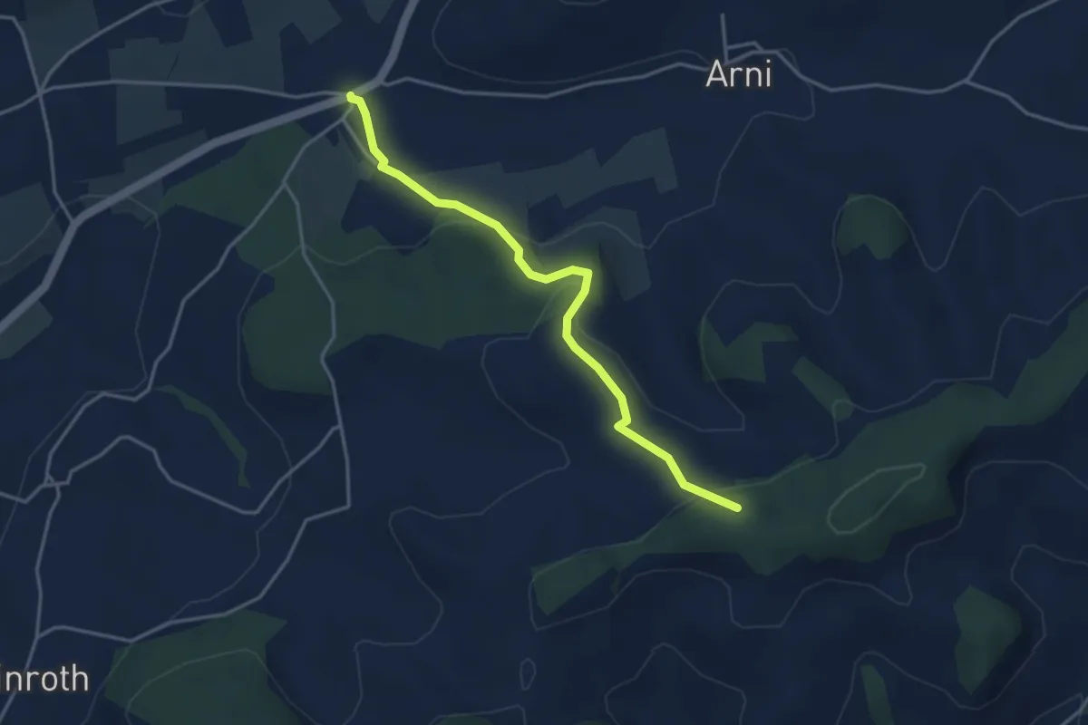
Easy · Trail
Arnisäge – Chapfwald
3.7 km · ↑ 134 m · 1 h 11 min · 14 km away
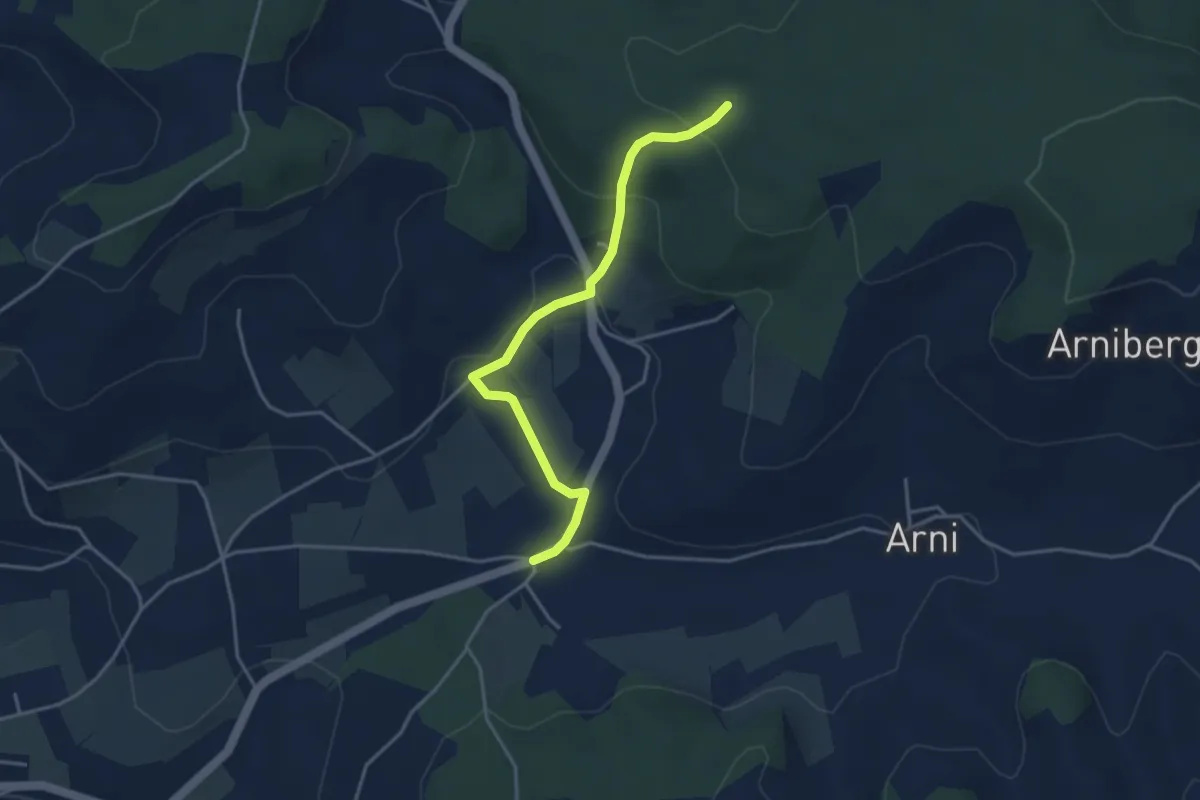
Easy · Trail
Spittelwald – Arnisäge
3.8 km · ↑ 146 m · 1 h 13 min · 14 km away
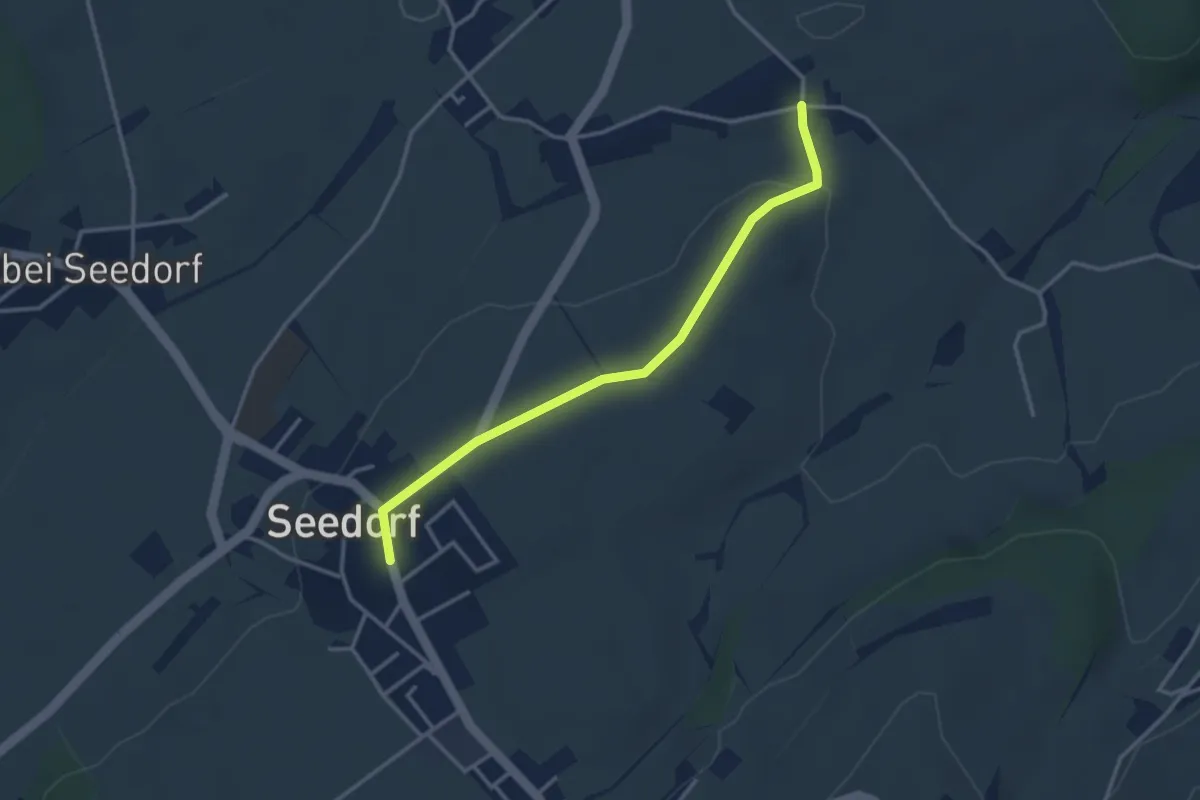
Easy · Trail
Grissenberg – Seedorf
3.3 km · ↑ 38 m · 51 min · 14 km away
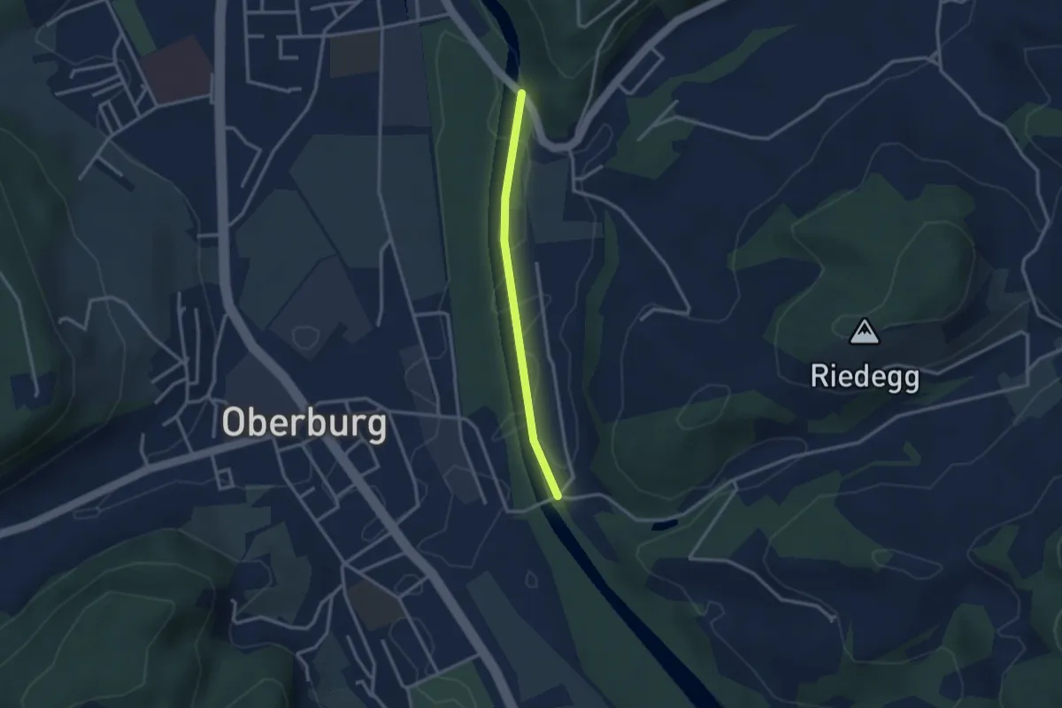
Easy · Trail
Heimiswilbrügg - Lochbachbrügg
2.4 km · ↑ 4 m · 35 min · 14 km away
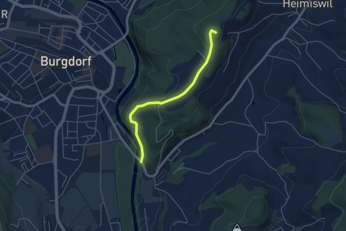
Easy · Summit
Heimiswilbrügg – Oberi Rüügle
4.0 km · ↑ 194 m · 1 h 21 min · 14 km away
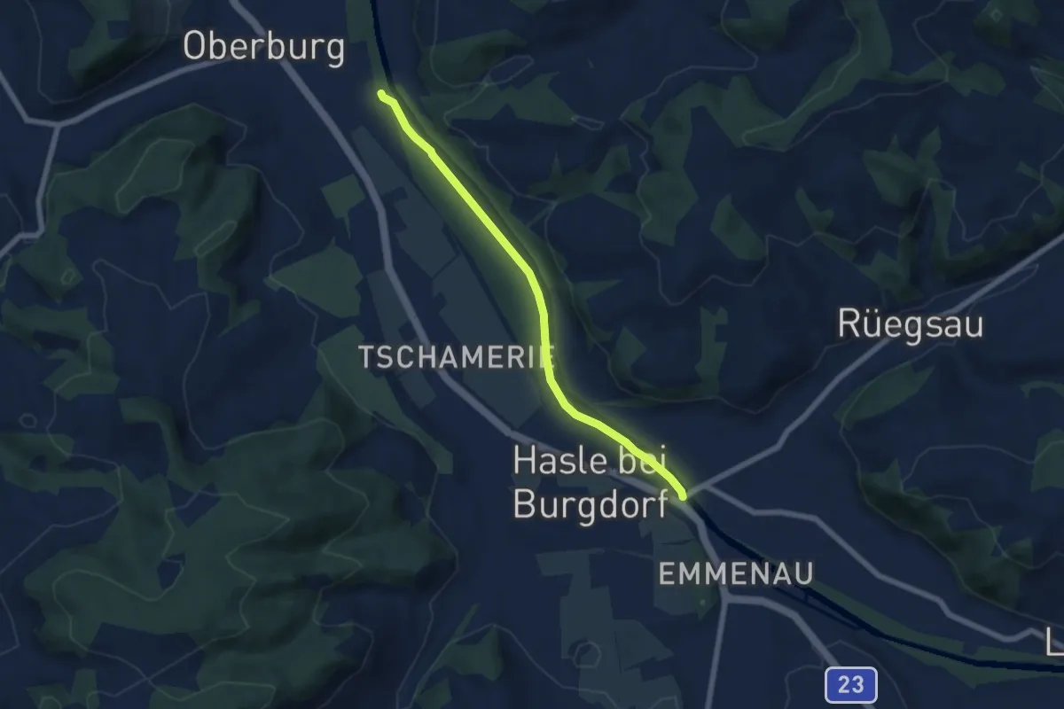
Easy · Trail
Hasle - Rüegsau
5.8 km · ↑ 13 m · 1 h 24 min · 14 km away