Trails near Ittigen
486 hikes starting within 15 km, nearest first.
Nearest first, page 8 of 11
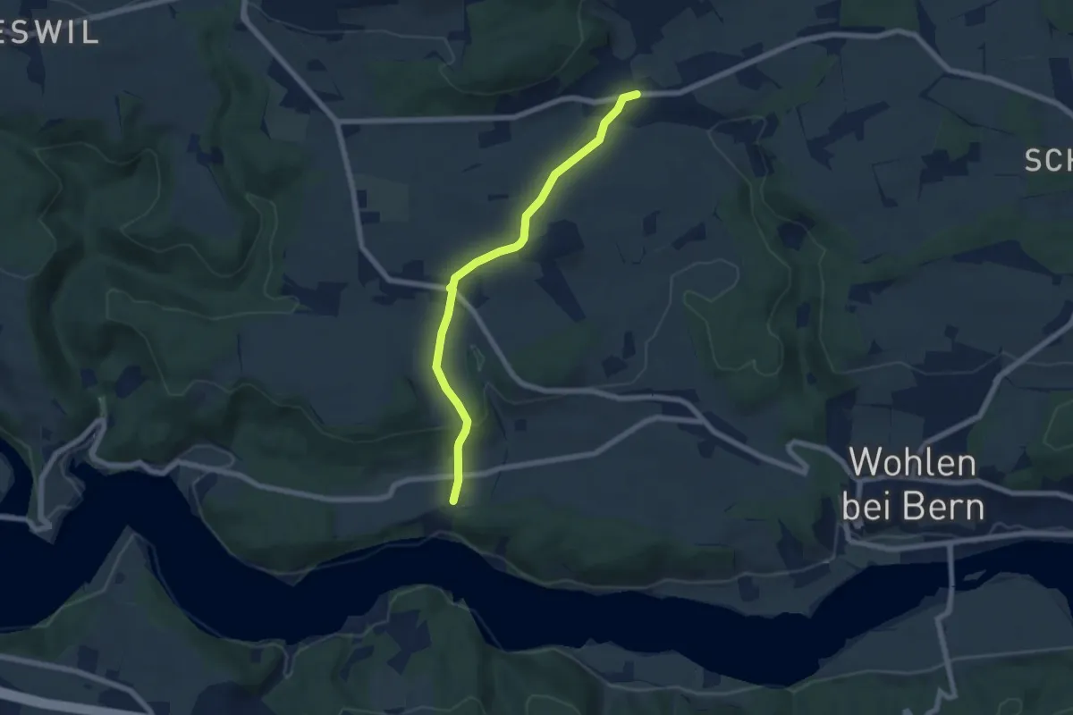
Easy · Trail
Säriswil – Steinisweg
6.1 km · ↑ 114 m · 1 h 42 min · 12 km away
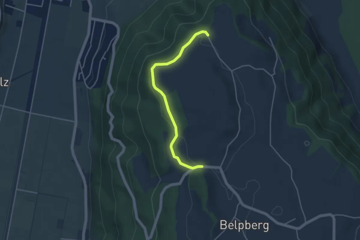
Easy · Trail
Hoburg - Weid
3.3 km · ↑ 114 m · 1 h 2 min · 12 km away
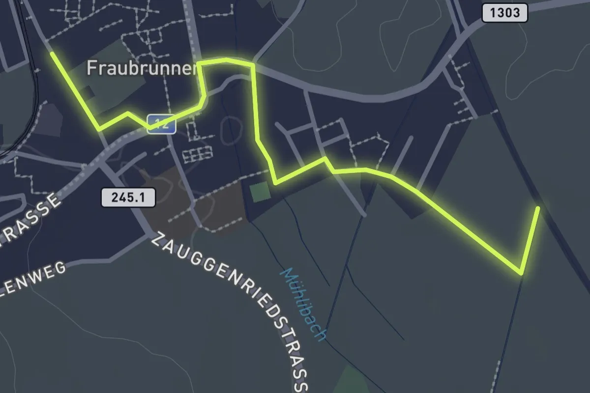
Easy · Trail
Fraubrunnen – Fraubrunnenmoos
3.2 km · ↑ 4 m · 47 min · 12 km away
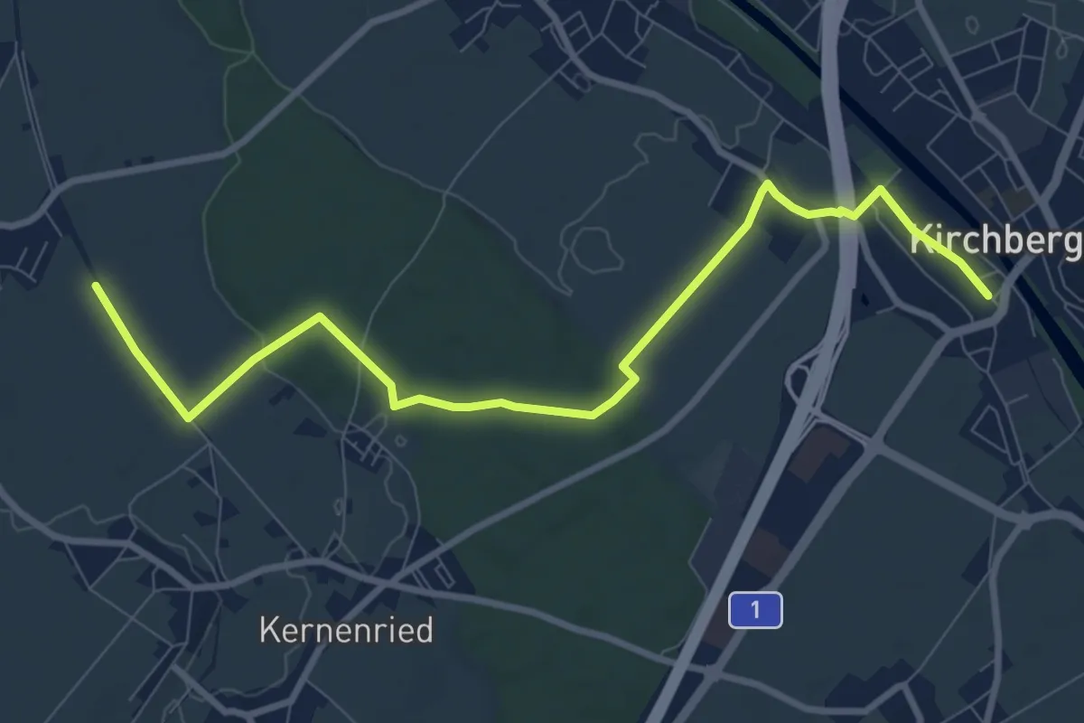
Medium · Trail
Alchenflüh – Fraubrunnenmoos
9.6 km · ↑ 57 m · 2 h 23 min · 12 km away
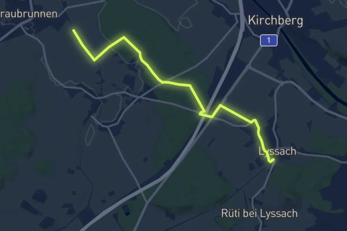
Medium · Trail
Fraubrunnenmoos – Lyssach Station
10.7 km · ↑ 61 m · 2 h 39 min · 12 km away
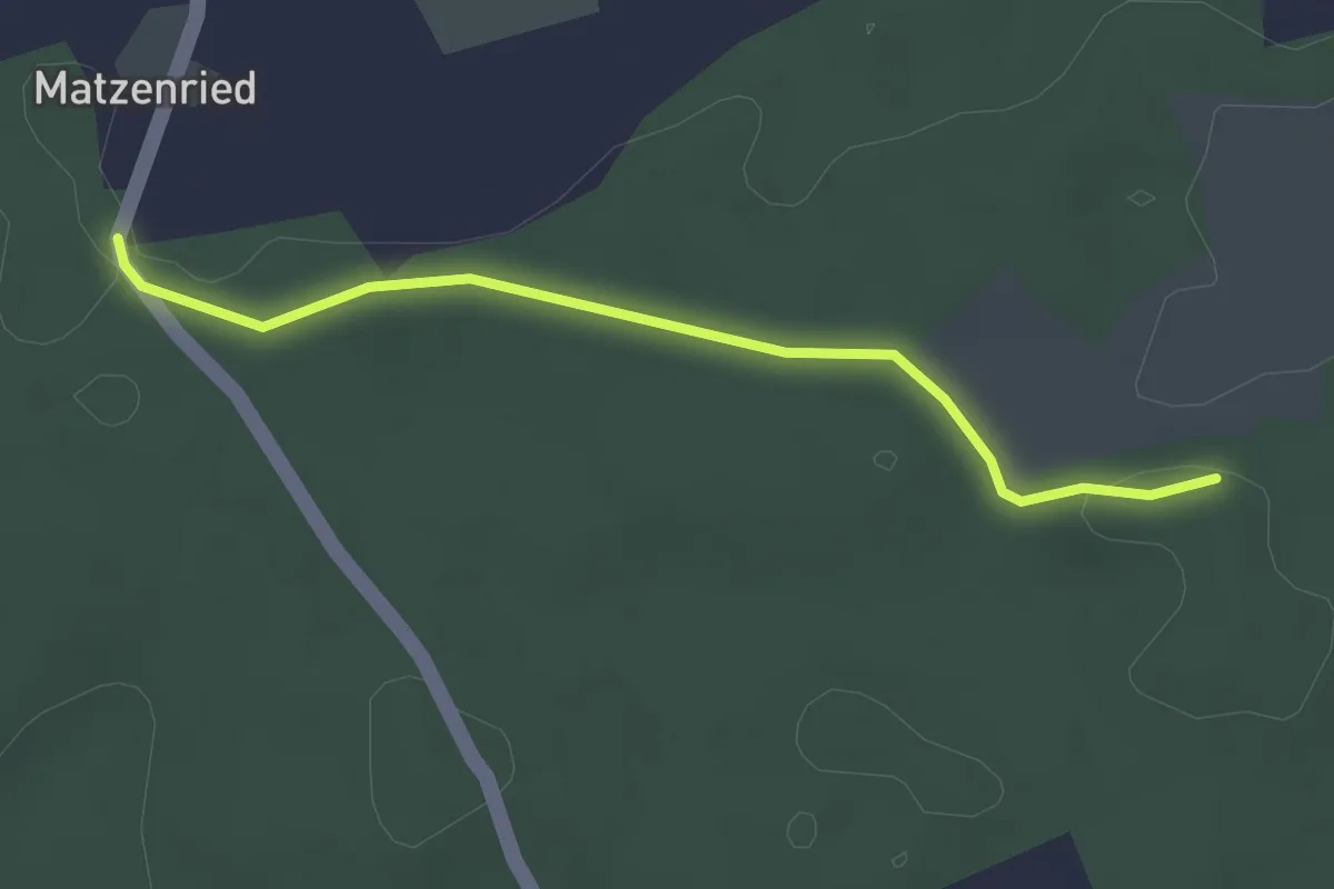
Easy · Trail
Holzeggen - Ried
2.6 km · ↑ 19 m · 39 min · 12 km away
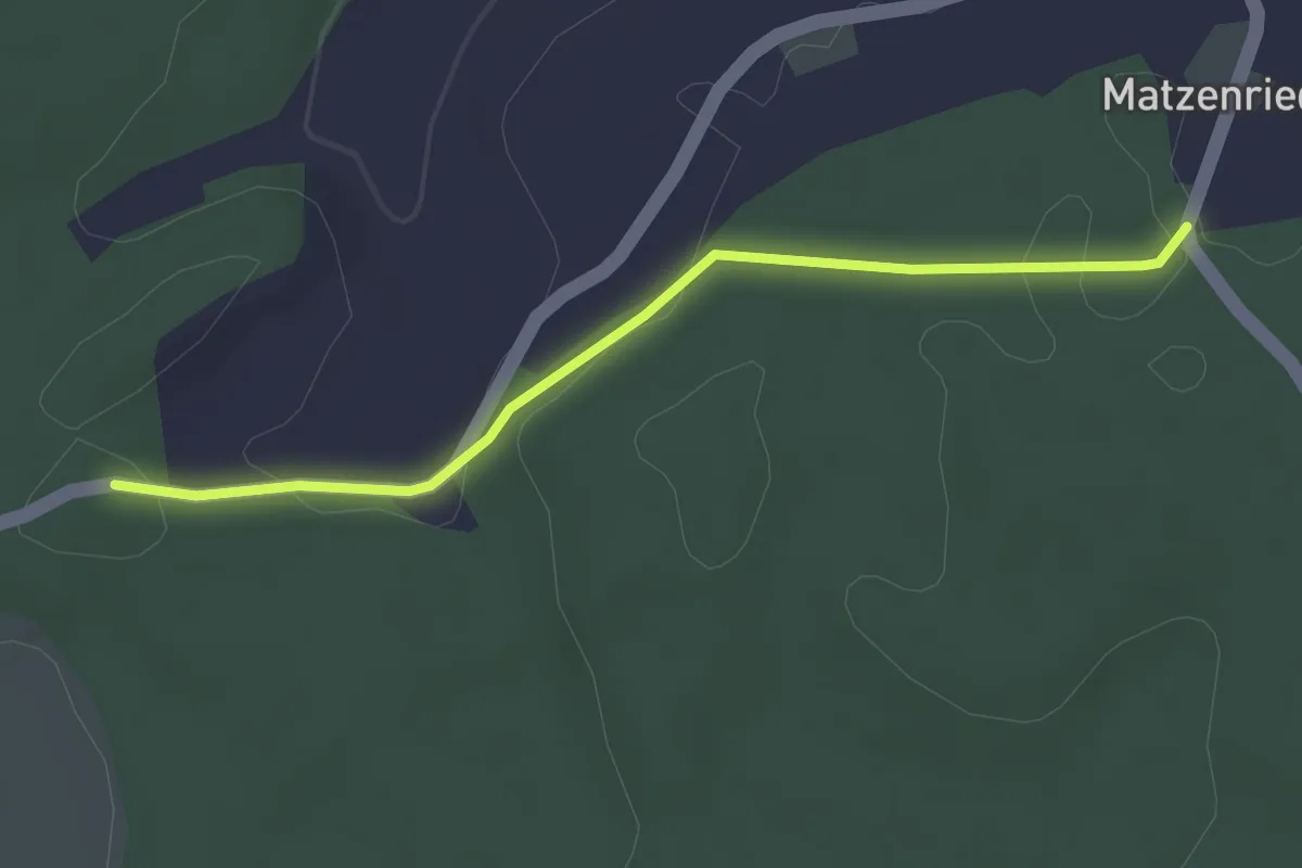
Easy · Trail
Holzeggen - Fuessacher
2.8 km · ↑ 63 m · 48 min · 12 km away
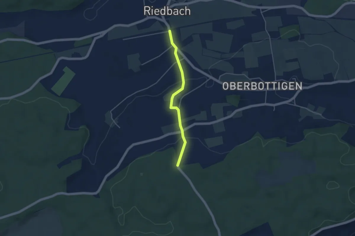
Easy · Trail
Riedbach/Station - Holzeggen
3.3 km · ↑ 93 m · 59 min · 12 km away
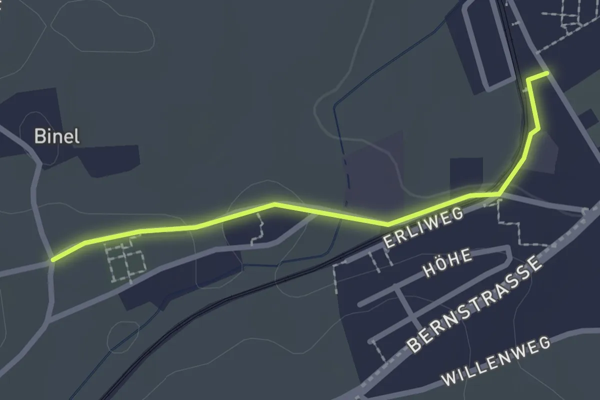
Easy · Trail
Fraubrunnen – Binel
2.0 km · ↑ 19 m · 31 min · 12 km away
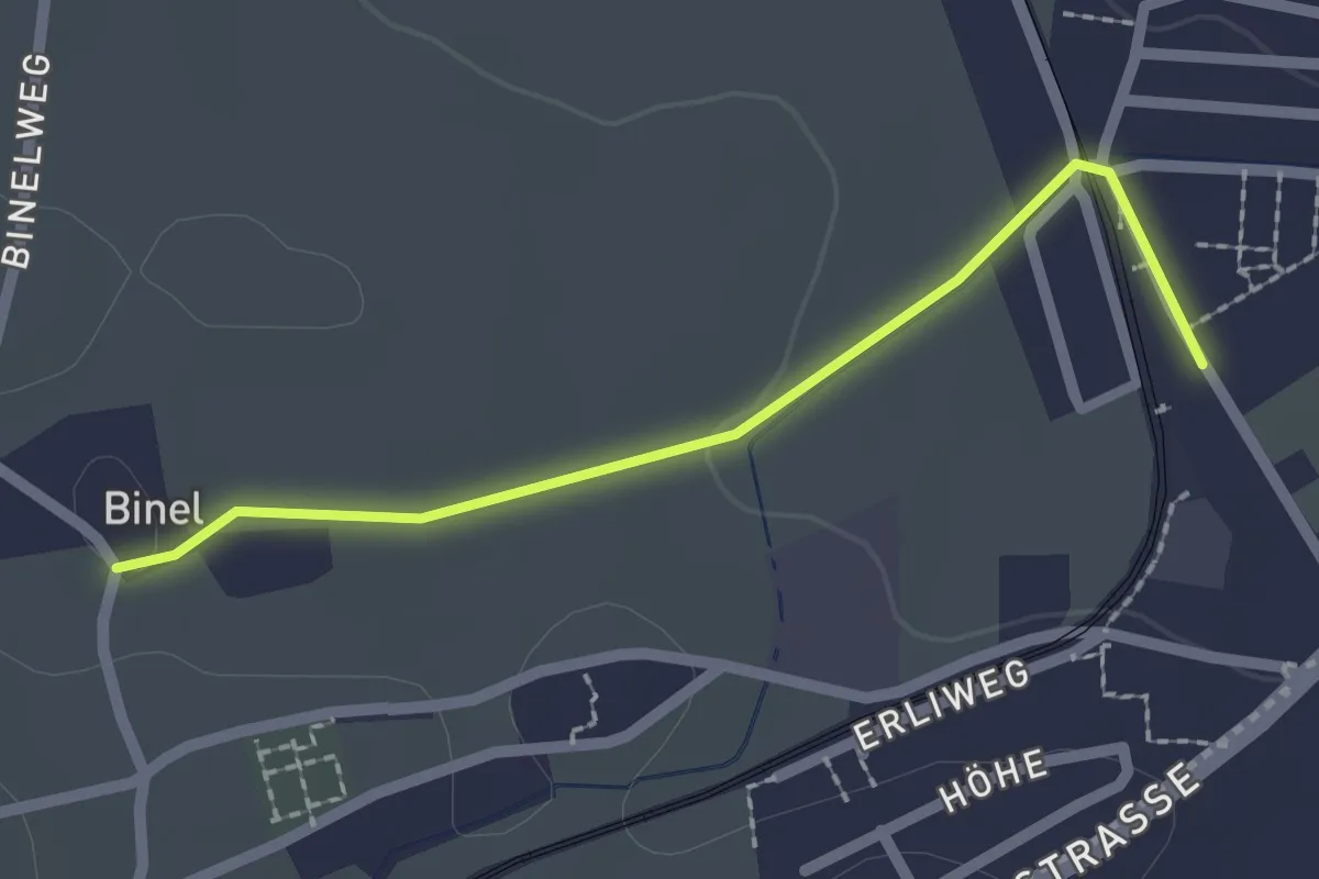
Easy · Trail
Fraubrunnen – Binel
2.0 km · ↑ 13 m · 30 min · 12 km away
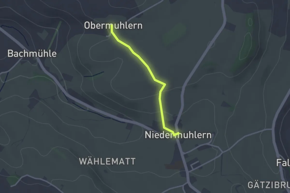
Easy · Trail
Obermuhlern – Niedermuhlern
2.2 km · ↑ 44 m · 37 min · 12 km away
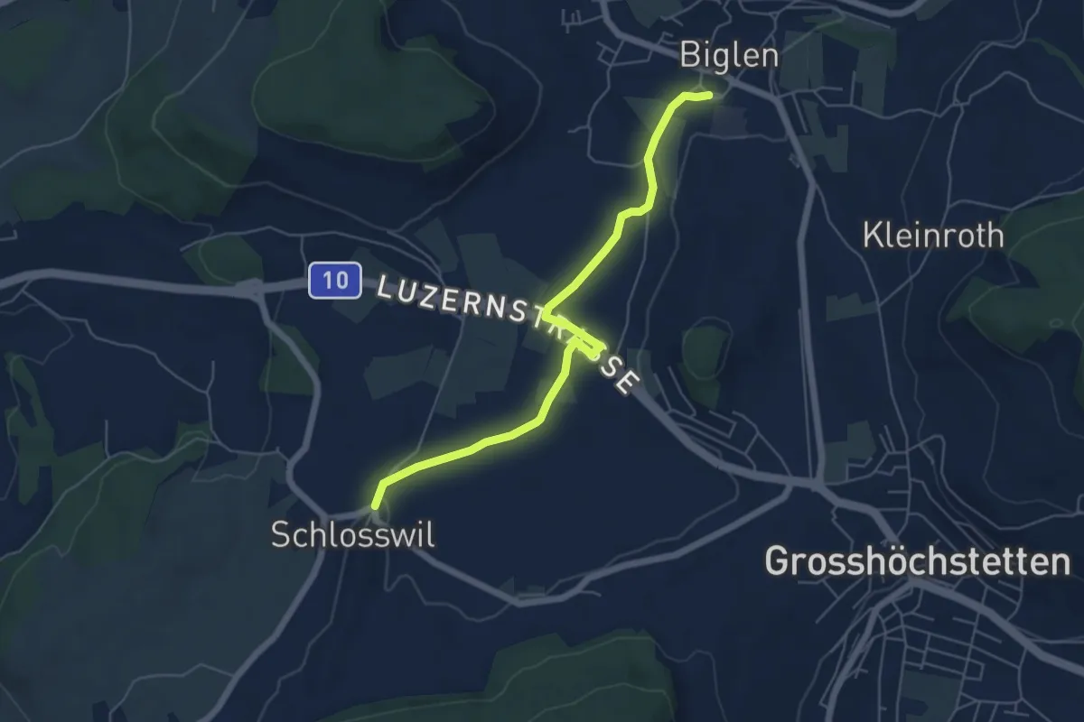
Easy · Trail
Schlosswil – Biglen
5.6 km · ↑ 36 m · 1 h 25 min · 12 km away
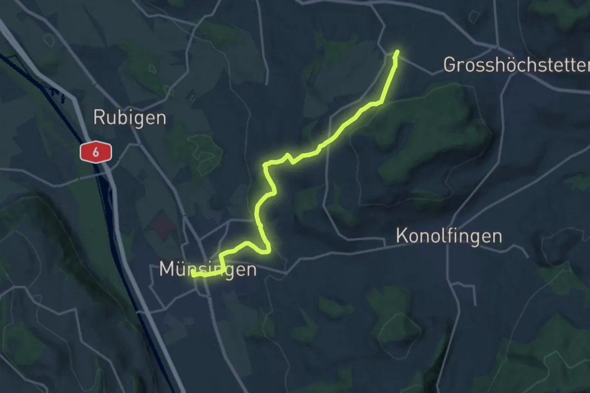
Medium · Trail
Münsingen – Schlosswil
14.9 km · ↑ 320 m · 4 h 12 min · 12 km away
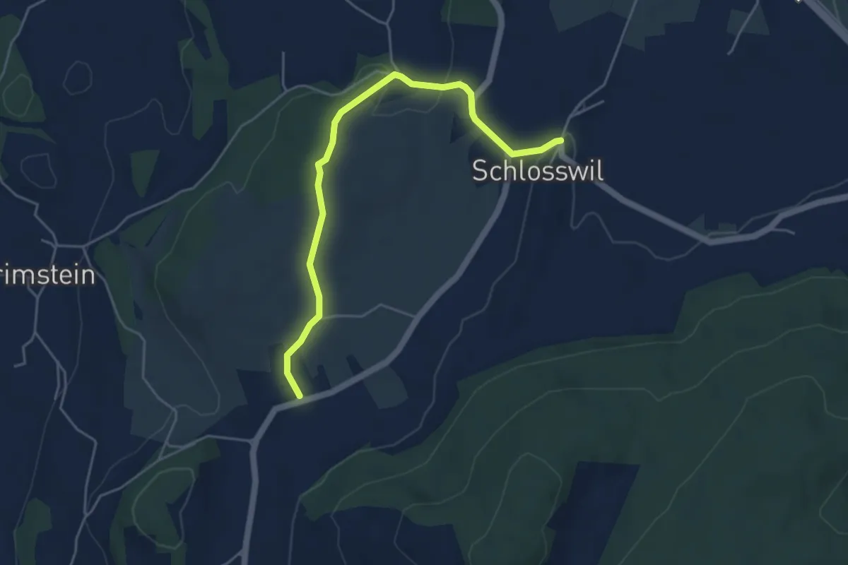
Easy · Trail
Herolfingen – Schlosswil
4.7 km · ↑ 105 m · 1 h 20 min · 12 km away
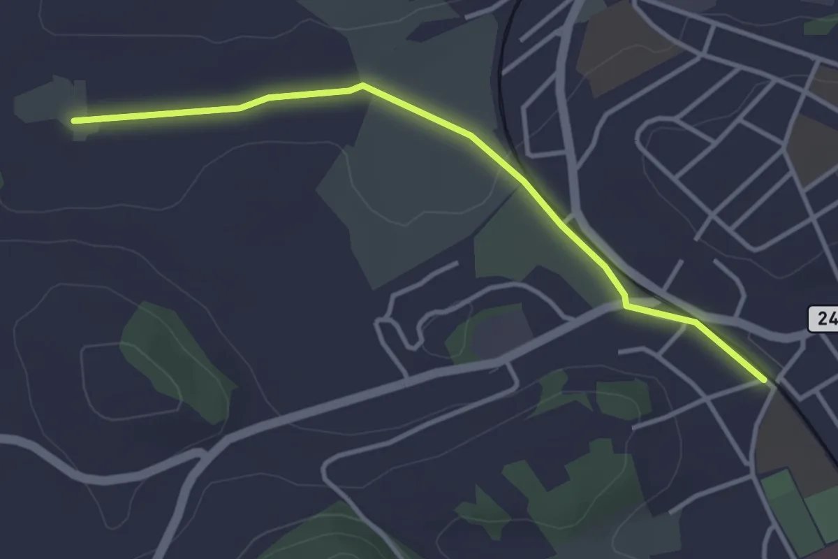
Easy · Trail
Meienmoos – Burgdorf/Steinhof
3.4 km · ↑ 13 m · 50 min · 12 km away
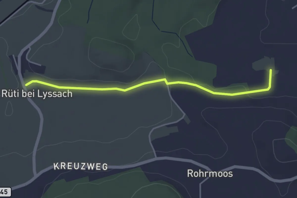
Easy · Trail
Rüti bei Lyssach – Meienmoos
3.7 km · ↑ 28 m · 56 min · 12 km away
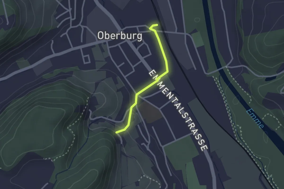
Easy · Trail
Leimern – Oberburg
2.0 km · ↑ 46 m · 35 min · 12 km away
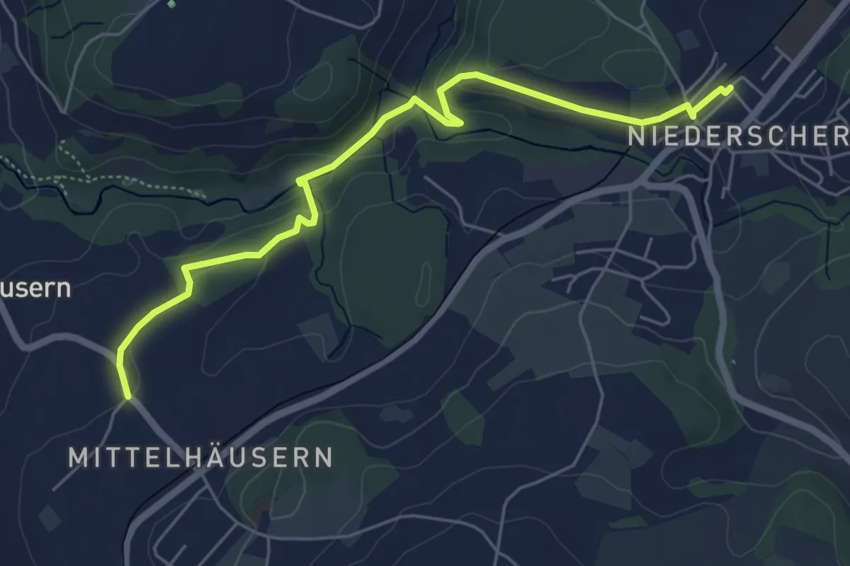
Easy · Trail
Mittelhäusern - Niederscherli
5.7 km · ↑ 165 m · 1 h 42 min · 13 km away
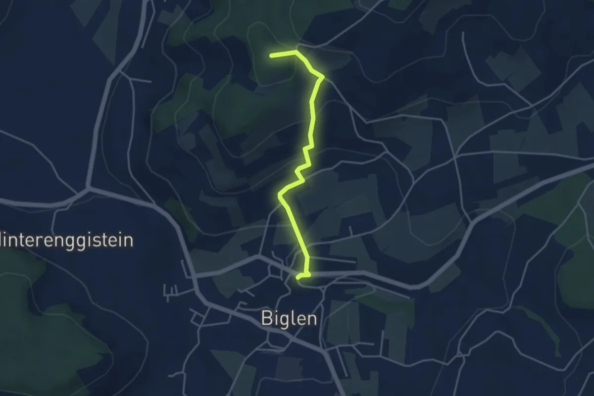
Easy · Summit
Biglen – Adlisberg
3.4 km · ↑ 169 m · 1 h 10 min · 13 km away
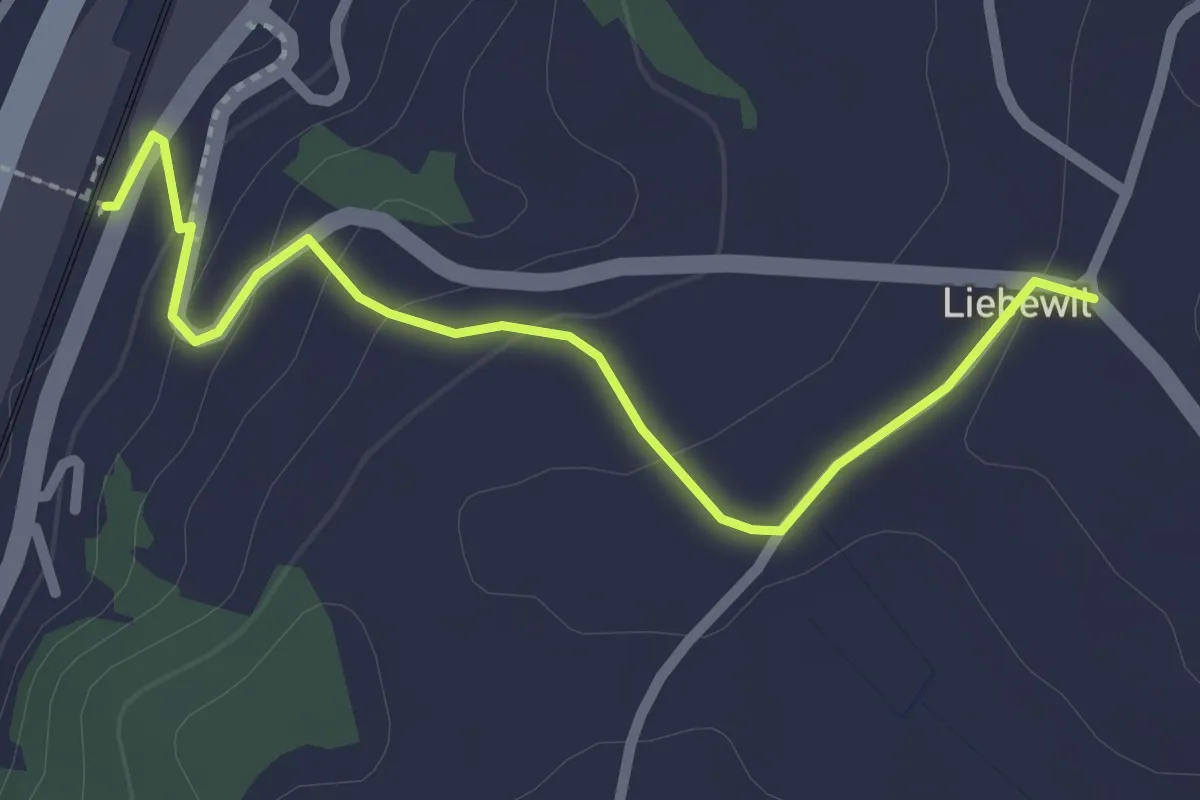
Easy · Trail
Liebewil - Thörishaus Station
2.5 km · ↑ 82 m · 46 min · 13 km away
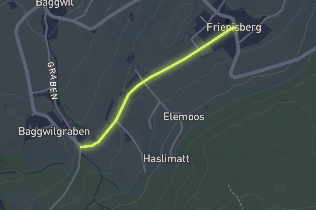
Easy · Trail
Frieniswil – Baggwilgraben
2.2 km · ↑ 37 m · 36 min · 13 km away
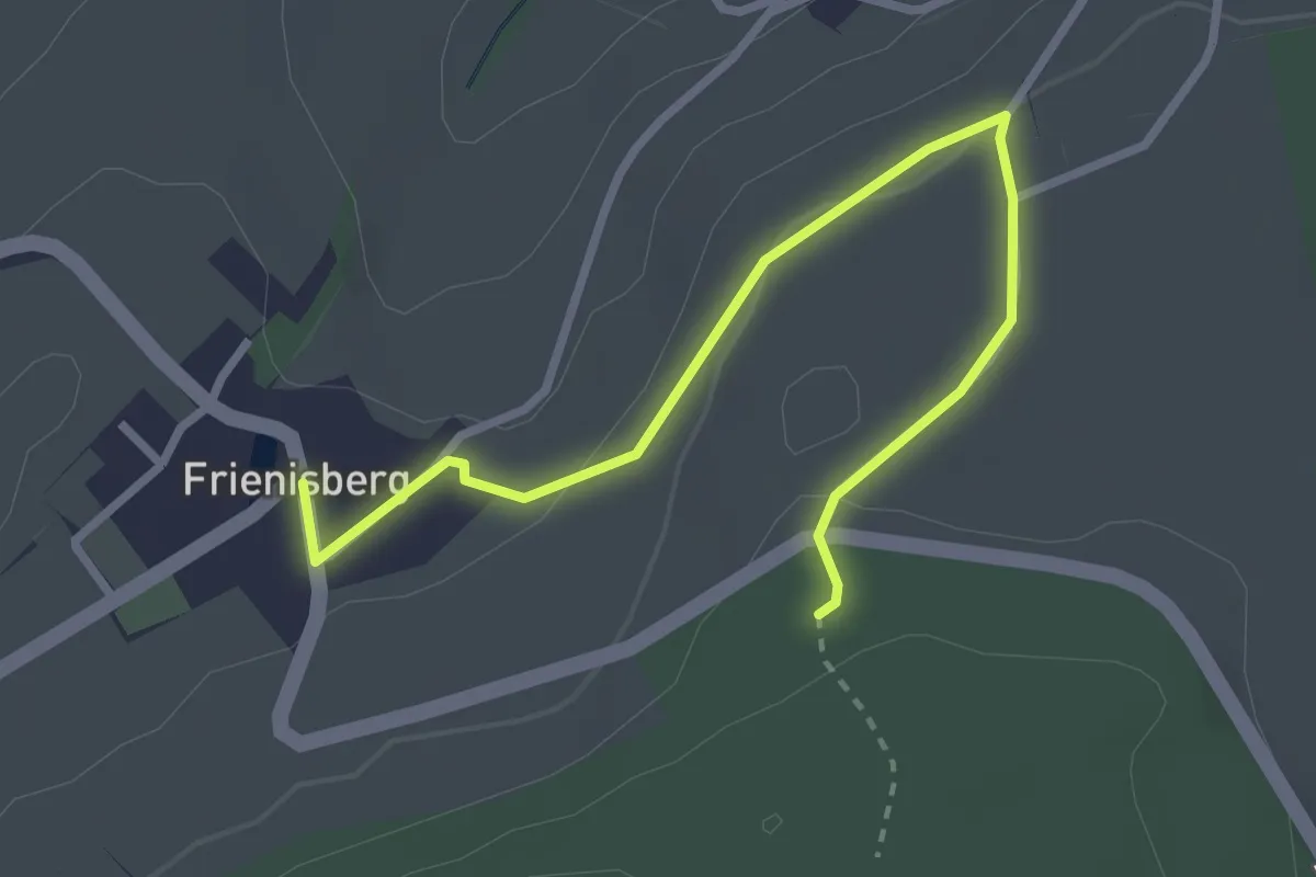
Easy · Trail
Frienisberg – Frienisberger
3.2 km · ↑ 74 m · 56 min · 13 km away
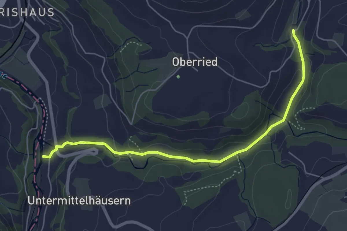
Easy · Trail
Sensematt – Grabenmüli
5.1 km · ↑ 116 m · 1 h 27 min · 13 km away
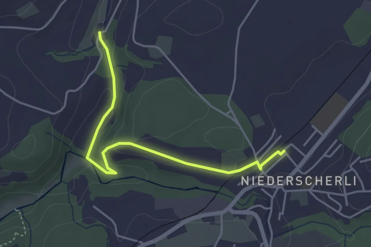
Easy · Trail
Niederscherli - Grabenmüli
3.9 km · ↑ 88 m · 1 h 7 min · 13 km away
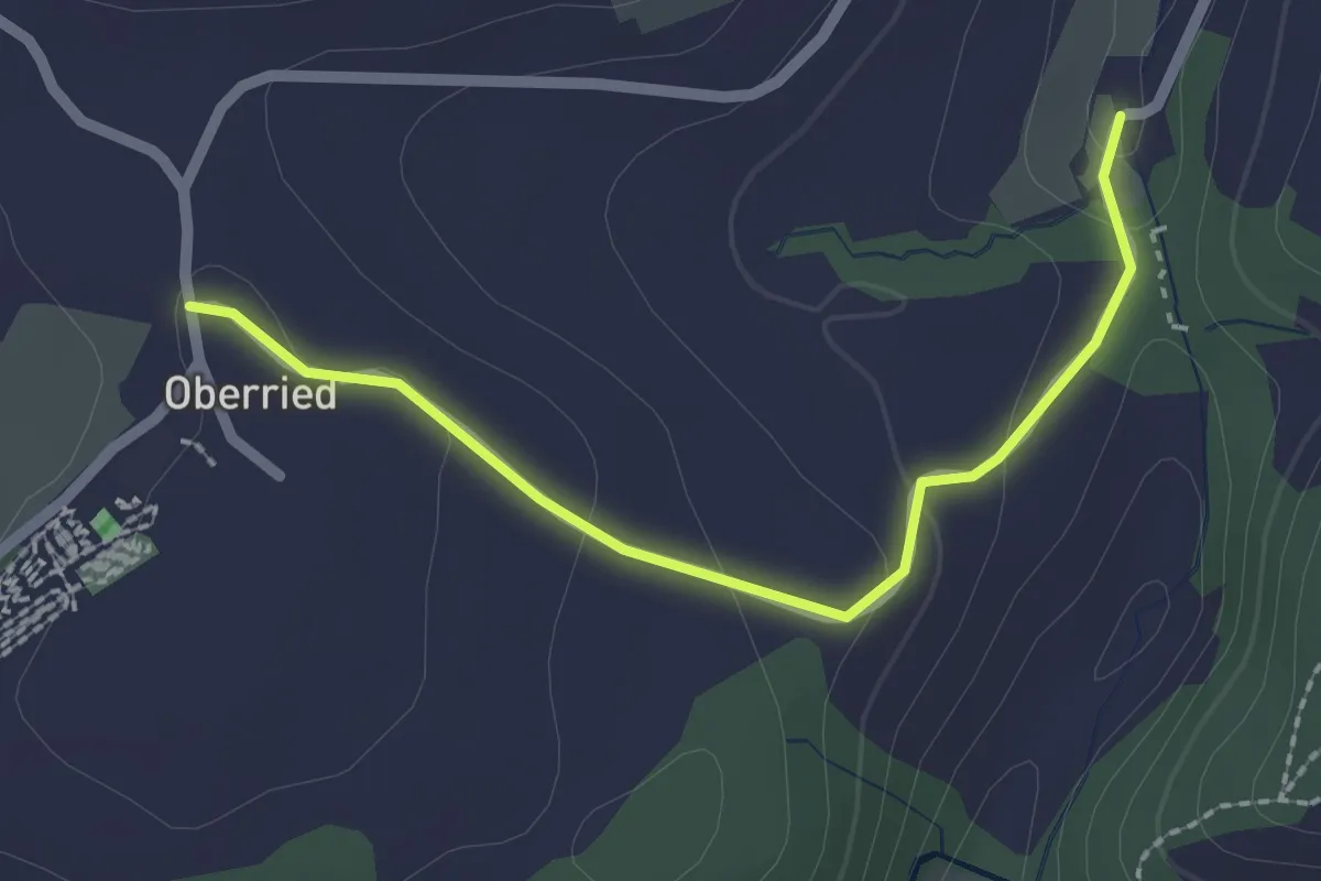
Easy · Trail
Oberried - Grabenmüli
2.2 km · ↑ 64 m · 39 min · 13 km away
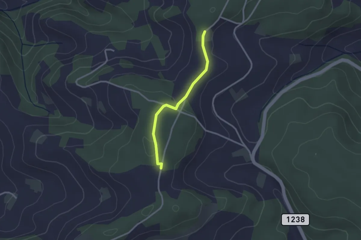
Easy · Trail
Neunhaupt – Hammegg
2.1 km · ↑ 27 m · 33 min · 13 km away
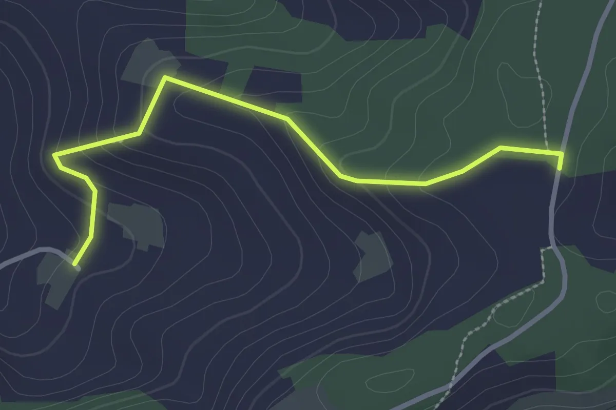
Easy · Trail
Neunhaupt – Golpisberg
2.7 km · ↑ 131 m · 56 min · 13 km away
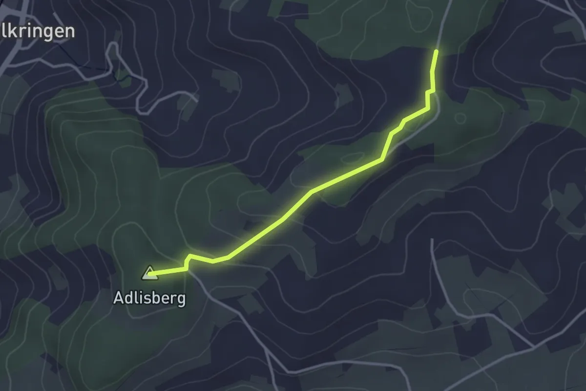
Easy · Summit
Adlisberg – Neunhaupt
3.0 km · ↑ 91 m · 55 min · 13 km away
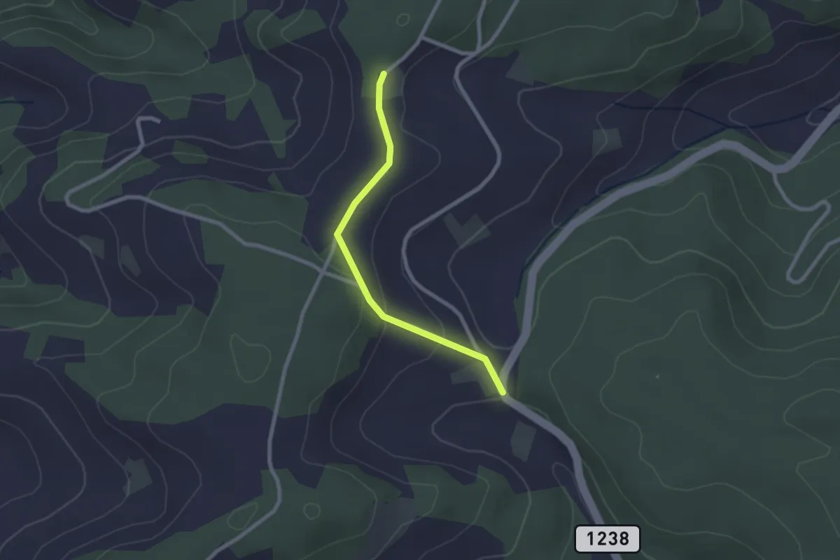
Easy · Trail
Hammegg – Tanne
2.1 km · ↑ 63 m · 38 min · 13 km away
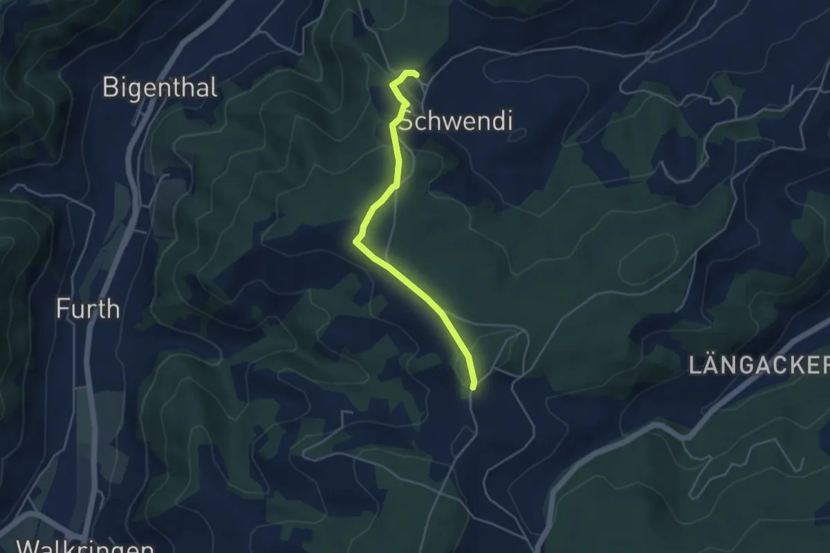
Easy · Trail
Hammwegg – Vorder Schwändi
3.8 km · ↑ 123 m · 1 h 10 min · 13 km away
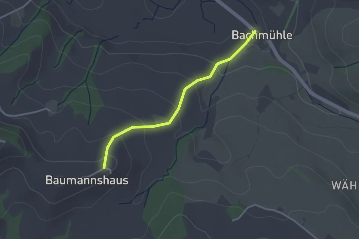
Easy · Trail
Bachmühle - Bumishus
2.4 km · ↑ 124 m · 51 min · 13 km away
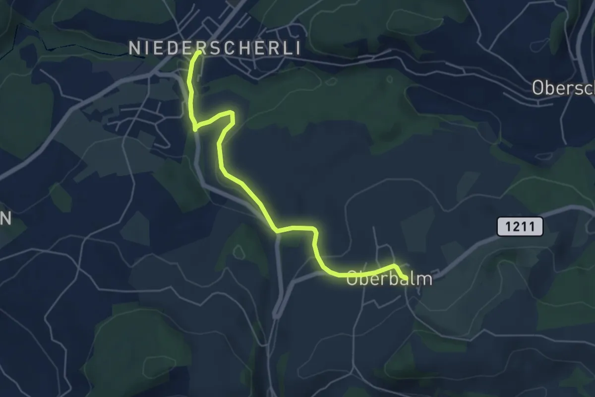
Easy · Trail
Niederscherli – Oberbalm
5.1 km · ↑ 142 m · 1 h 30 min · 13 km away
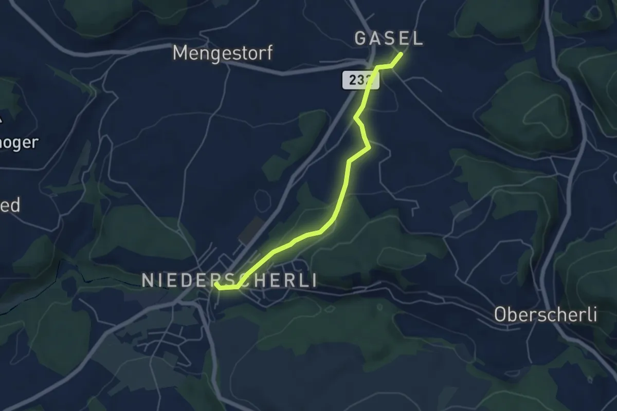
Easy · Trail
Niederscherli – Gasel
4.6 km · ↑ 143 m · 1 h 24 min · 13 km away
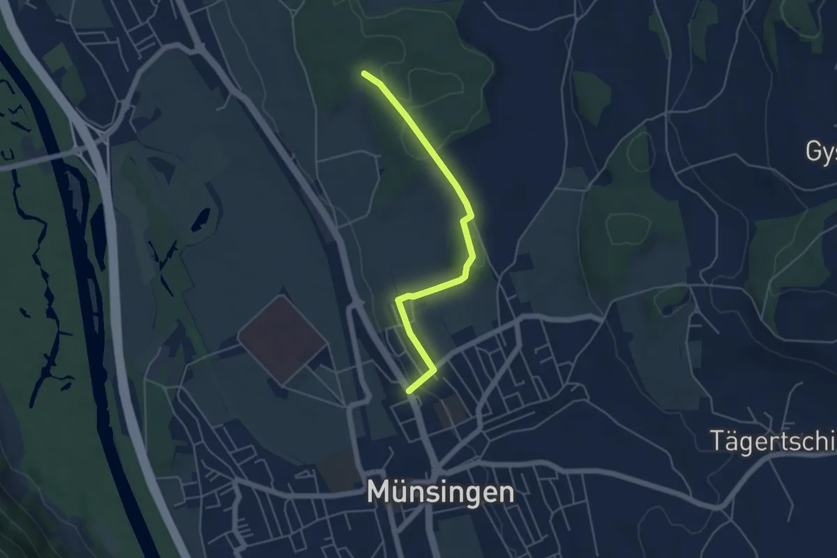
Easy · Trail
Münsingen – Schwandwald
4.4 km · ↑ 75 m · 1 h 12 min · 13 km away
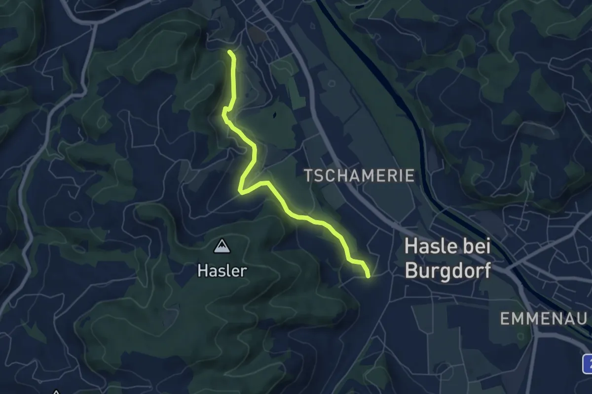
Easy · Trail
Hasle-Rüegsau – Oberburg
5.7 km · ↑ 200 m · 1 h 47 min · 13 km away
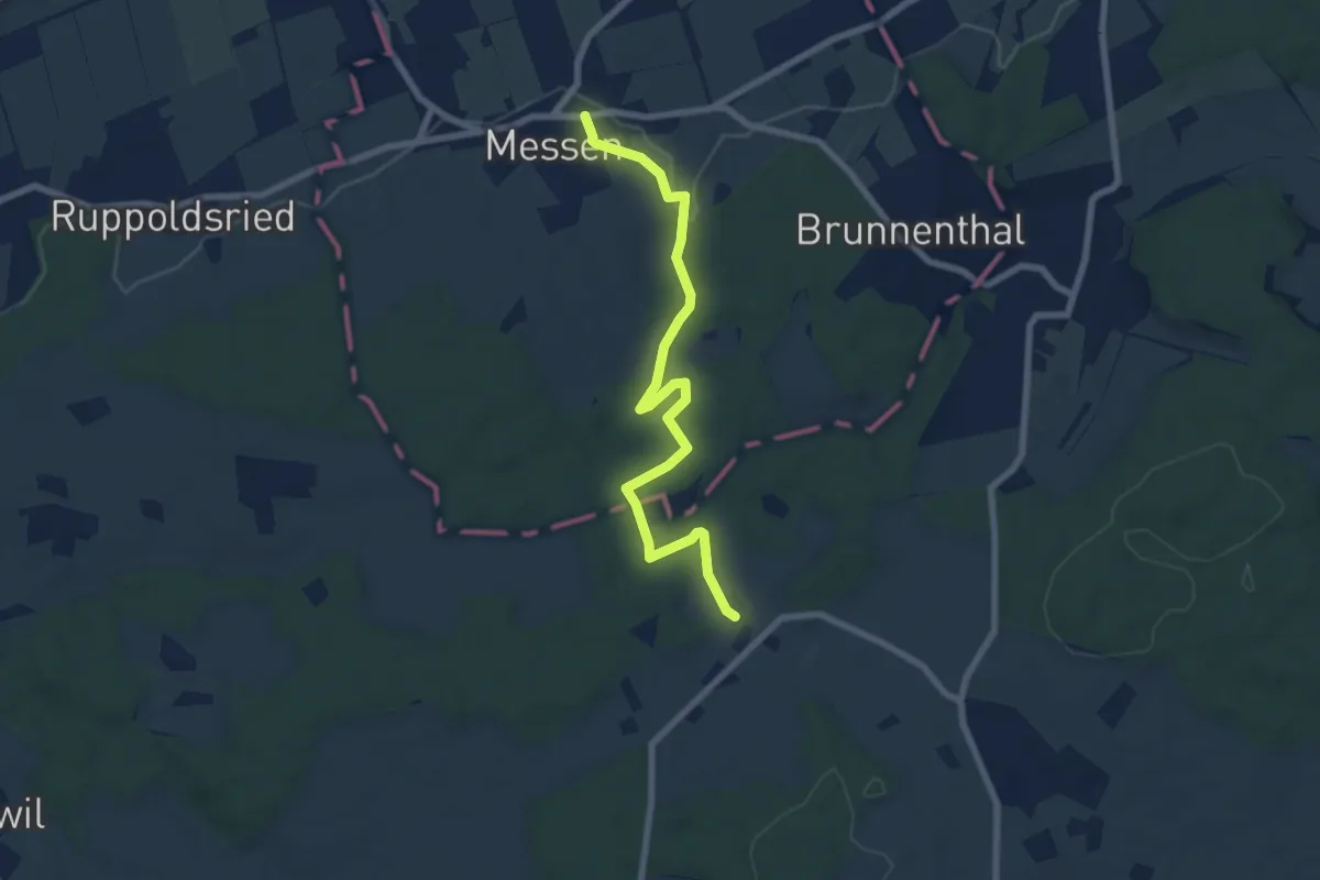
Easy · Trail
Messen Kirche – Scheunen
7.4 km · ↑ 139 m · 2 h 3 min · 13 km away
Easy · Trail
Messen Junkholz - Messen Post
4.1 km · ↑ 71 m · 1 h 8 min · 13 km away
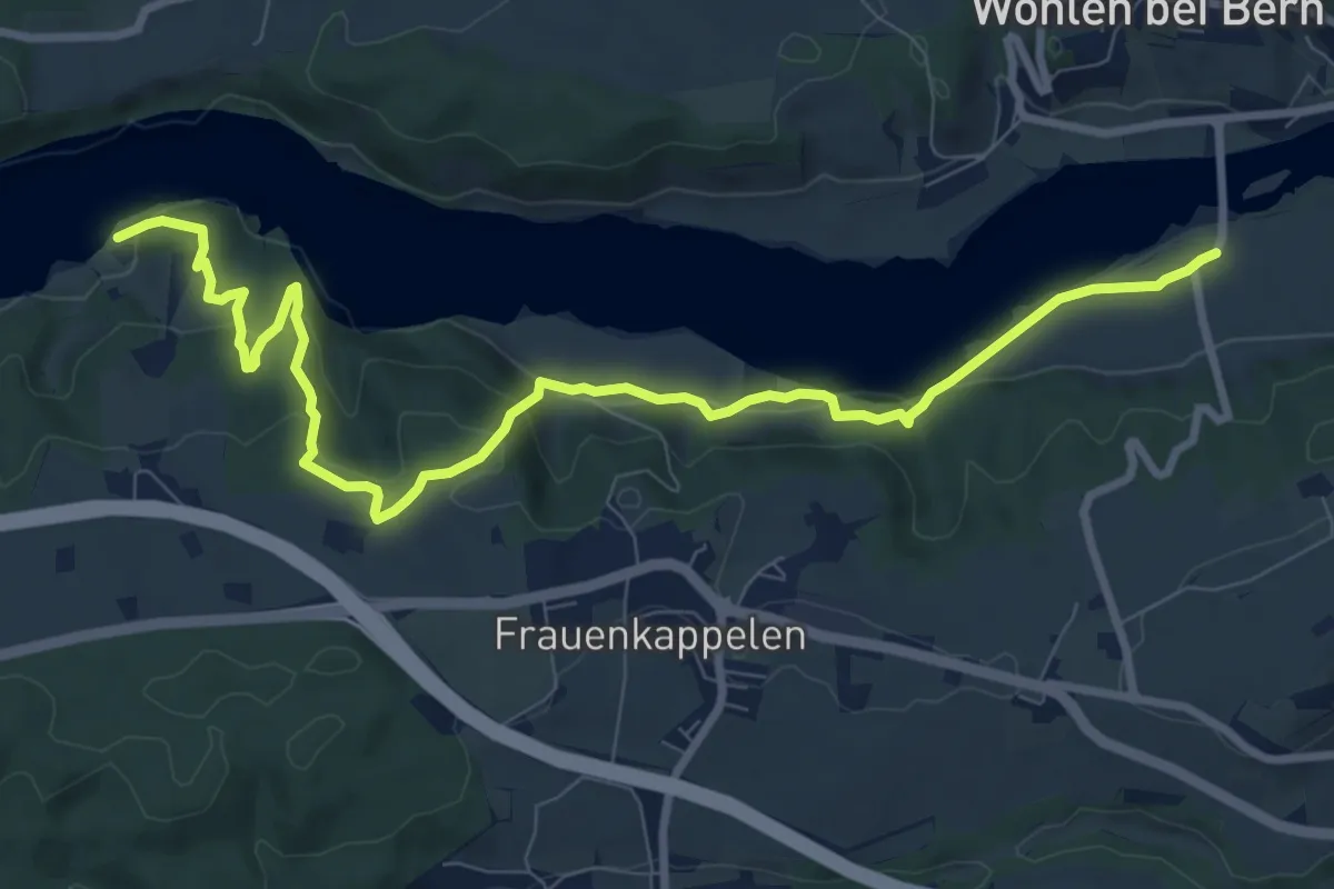
Medium · Trail
Jaggisbachau - Wohlei
10.4 km · ↑ 490 m · 3 h 32 min · 13 km away
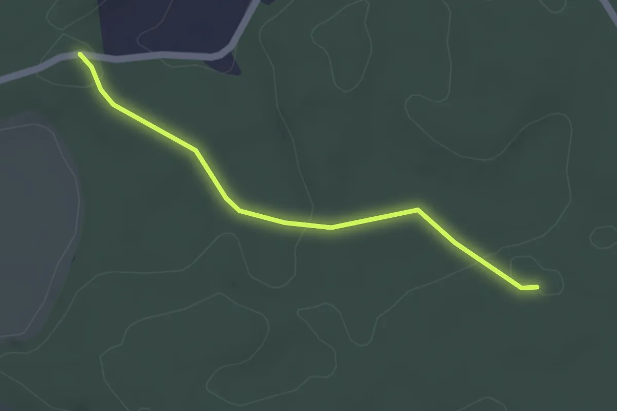
Easy · Trail
Fuessacher - Bruucheren
3.0 km · ↑ 40 m · 48 min · 13 km away
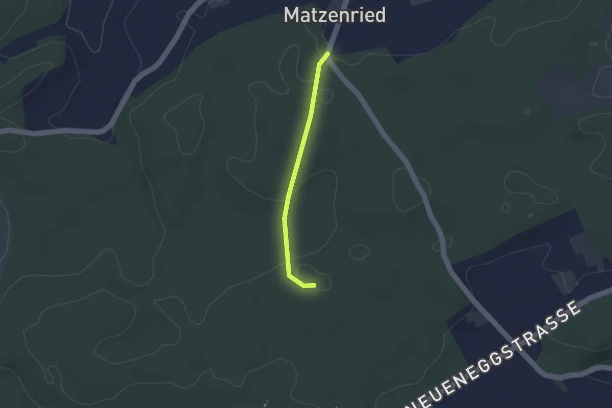
Easy · Trail
Holzeggen - Bruucheren
2.1 km · ↑ 39 m · 35 min · 13 km away
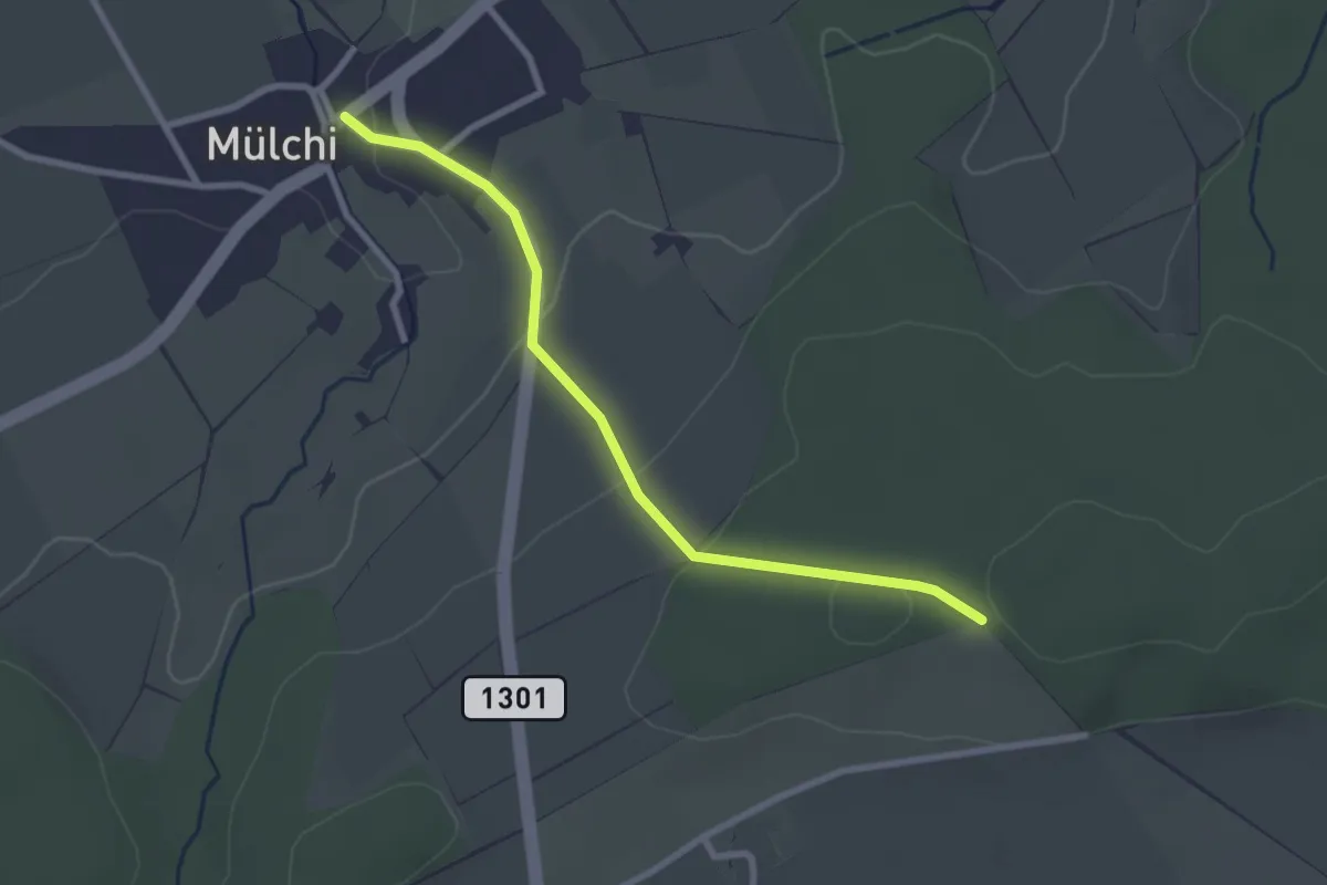
Easy · Trail
Mülchi – Schöniberg
2.6 km · ↑ 85 m · 49 min · 13 km away
Easy · Trail
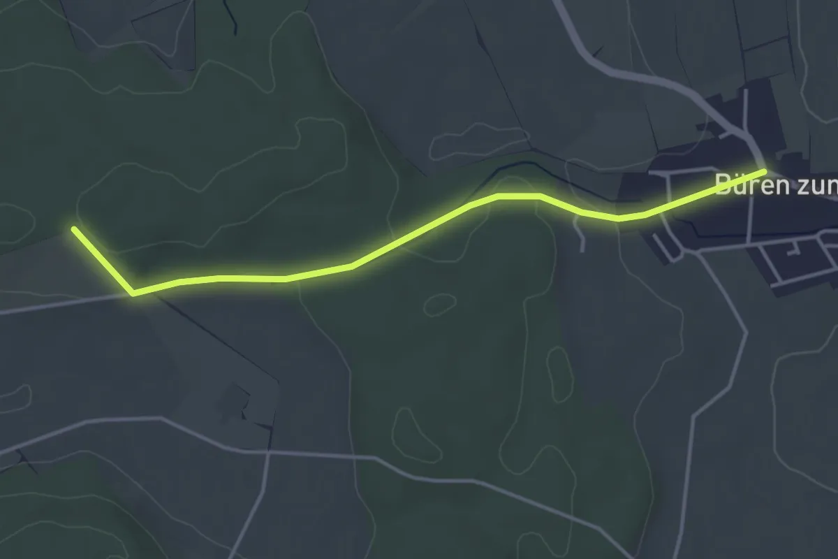
Schöniberg – Büren zum Hof
3.9 km · ↑ 59 m · 1 h 4 min · 13 km away
Easy · Trail
Messen Junkholz - Ruppoldsried
3.7 km · ↑ 89 m · 1 h 4 min · 13 km away
Easy · Trail
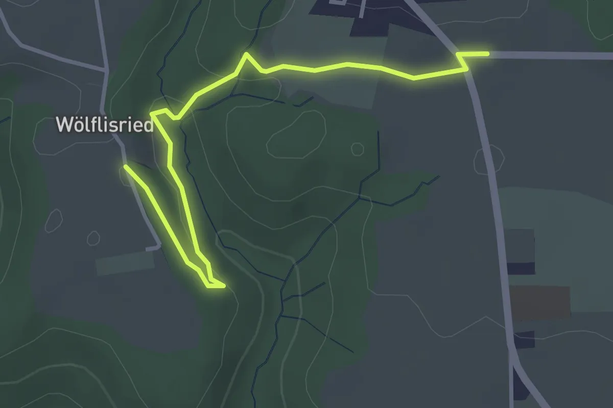
Weiermatt – Wölfisried
3.5 km · ↑ 81 m · 1 h · 13 km away
Easy · Trail
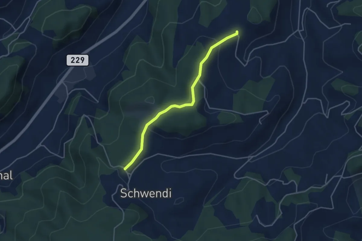
Vorder Schwändi – Bütschwil
3.4 km · ↑ 106 m · 1 h 2 min · 13 km away
Easy · Trail
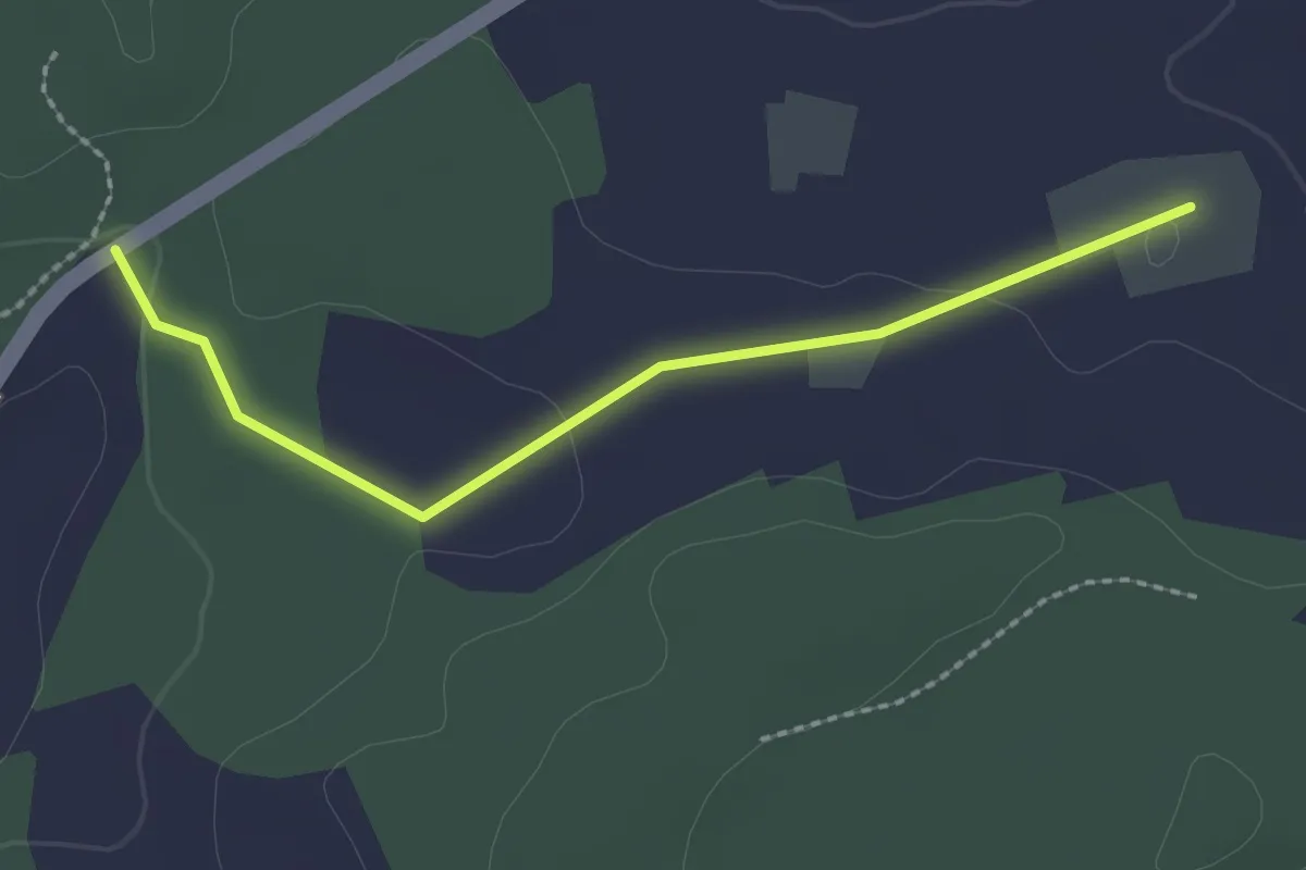
Bim Stundstei - Oberwangenhubel
2.2 km · ↑ 22 m · 34 min · 13 km away
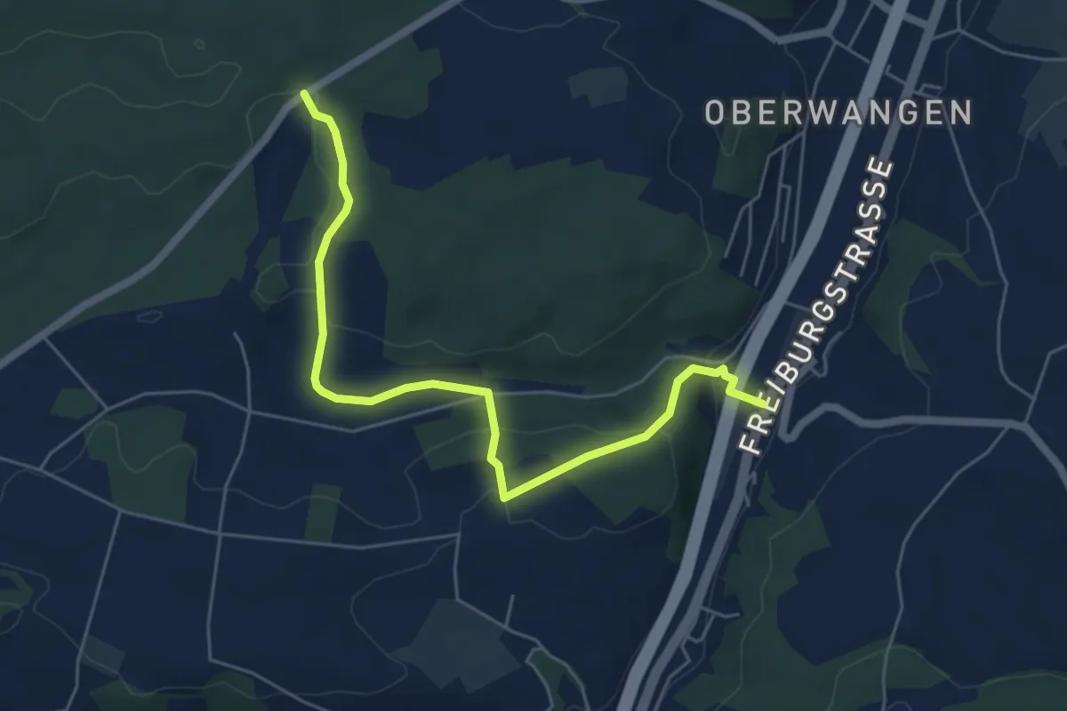
Easy · Trail
Bim Stundstei - Thörishaus Station
5.9 km · ↑ 146 m · 1 h 42 min · 13 km away
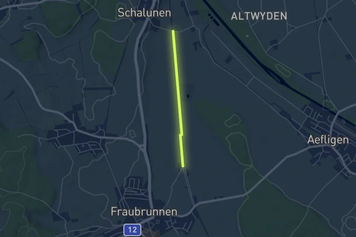
Easy · Trail
Urtene-Brücke – Fraubrunnen Schwimmbad
3.6 km · ↑ 4 m · 51 min · 13 km away