Trails near Ittigen
486 hikes starting within 15 km, nearest first.
Nearest first, page 2 of 11
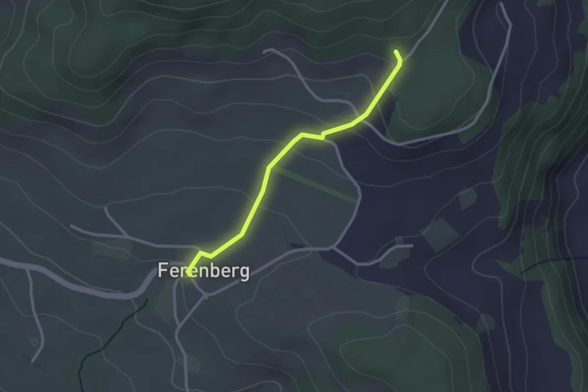
Easy · Trail
Cholegruebe – Ferenberg
2.4 km · ↑ 106 m · 48 min · 5 km away
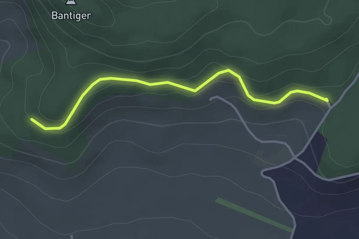
Easy · Trail
Chatzenstyg – Cholegruebe
2.8 km · ↑ 80 m · 51 min · 5 km away
Easy · Trail
Wasebode – Holzmatt
2.2 km · ↑ 19 m · 33 min · 5 km away
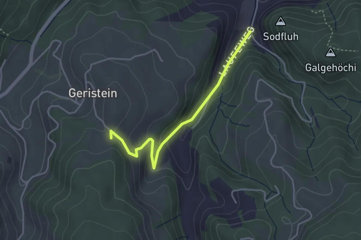
Easy · Trail
Laufe – Geristein
3.2 km · ↑ 163 m · 1 h 7 min · 5 km away
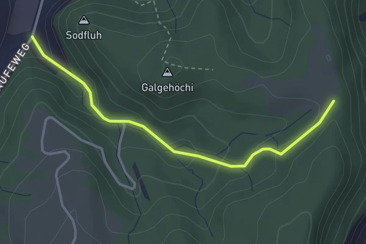
Easy · Trail
Chlosteralp – Laufe
2.7 km · ↑ 148 m · 58 min · 5 km away
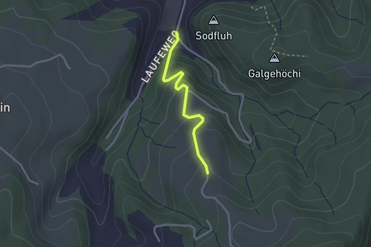
Easy · Trail
Laufe – Vordere Jucke
2.1 km · ↑ 151 m · 49 min · 5 km away
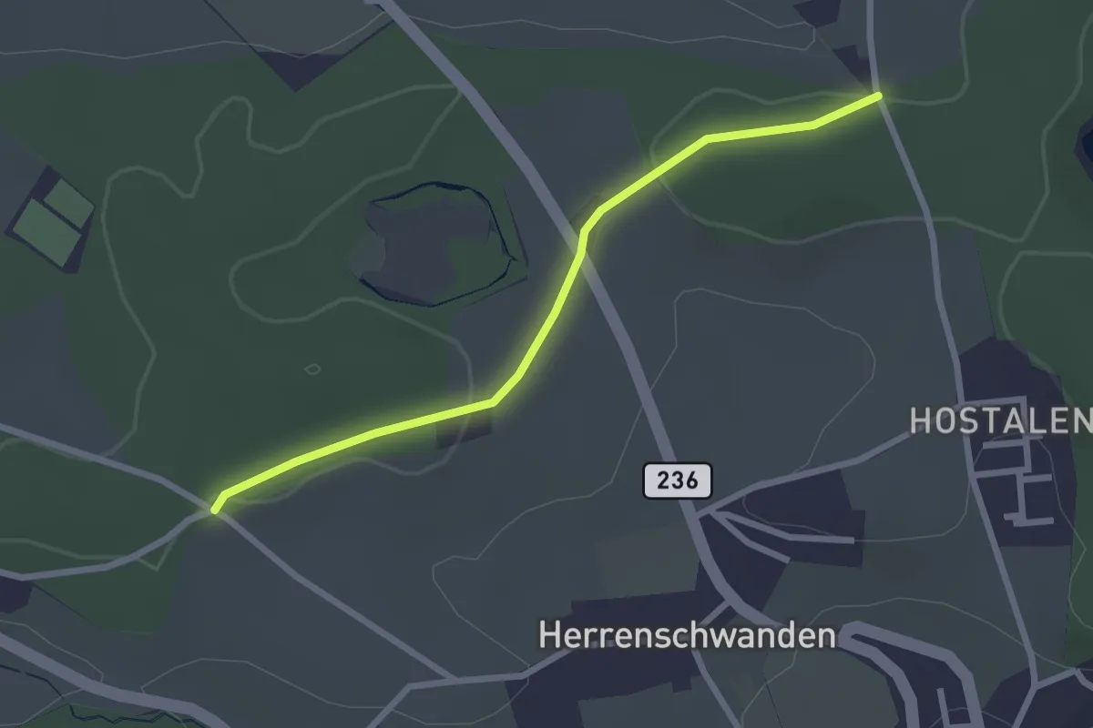
Easy · Trail
Burrishus – Lörwald
2.4 km · ↑ 34 m · 39 min · 5 km away
Easy · Trail
Schönbühl SBB – Holzmatt
2.4 km · ↑ 13 m · 35 min · 5 km away
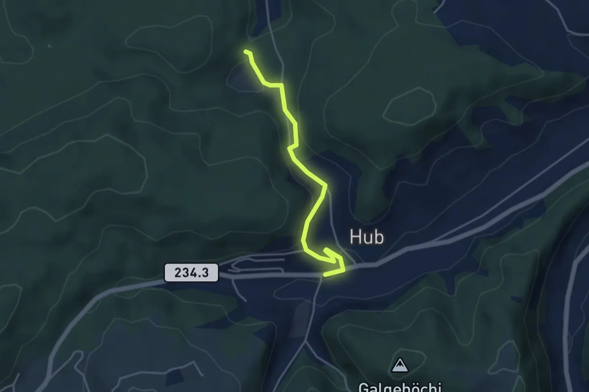
Easy · Trail
Wannetal – Hueb
3.5 km · ↑ 169 m · 1 h 11 min · 5 km away
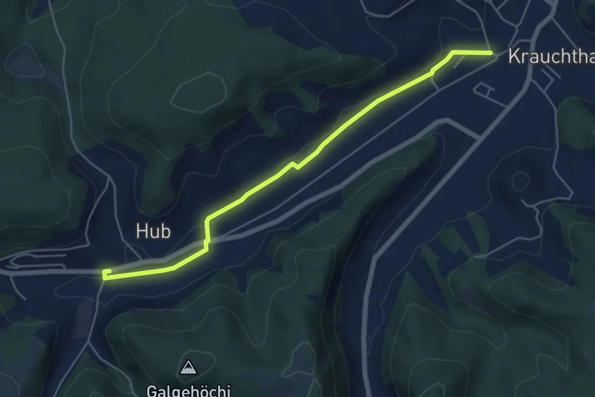
Easy · Trail
Sandhole – Hueb
4.7 km · ↑ 50 m · 1 h 14 min · 5 km away
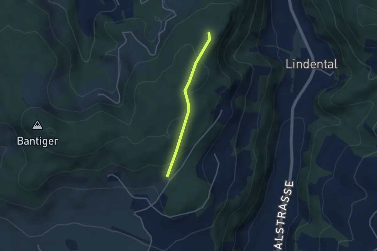
Easy · Trail
Mühlestein – Cholegruebe
2.4 km · ↑ 114 m · 49 min · 5 km away
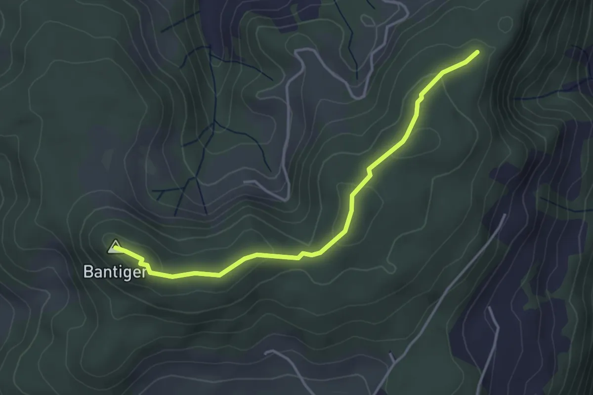
Easy · Summit
Mühlestein – Bantiger
3.7 km · ↑ 89 m · 1 h 4 min · 5 km away
Easy · Trail
Wasebode – Wannetal
3.7 km · ↑ 69 m · 1 h 1 min · 5 km away
Easy · Trail
Wannetal – Mattstettenberg
3.0 km · ↑ 175 m · 1 h 6 min · 5 km away
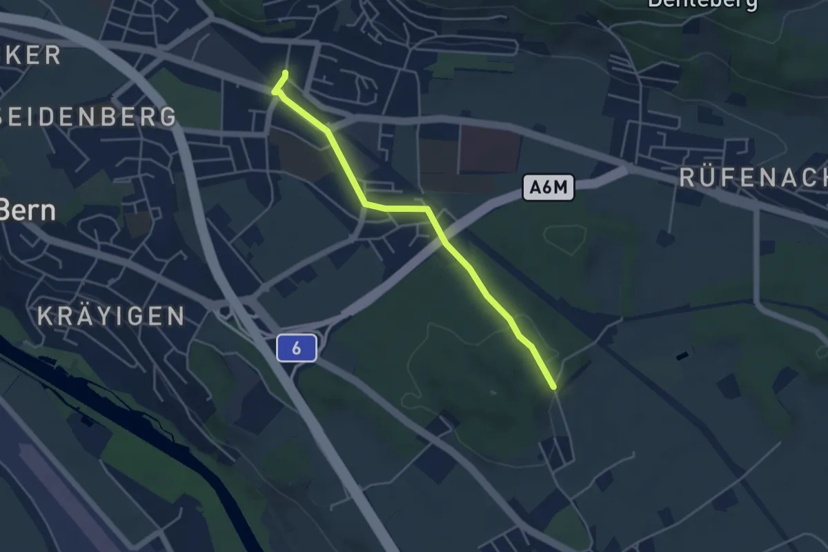
Easy · Trail
Hüenwald – Gümligen
4.0 km · ↑ 36 m · 1 h 2 min · 5 km away
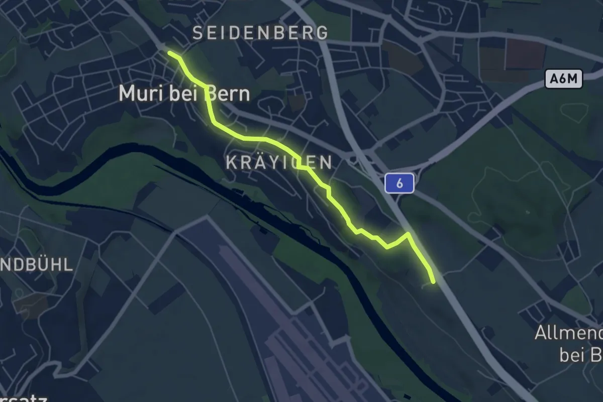
Easy · Trail
Muri – Vorder Märchligen
5.4 km · ↑ 49 m · 1 h 24 min · 5 km away
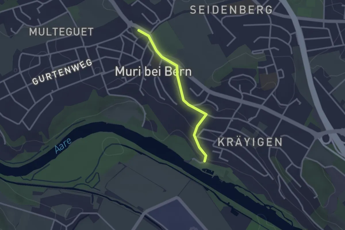
Easy · Trail
Muribad - Muri
2.3 km · ↑ 43 m · 38 min · 5 km away
Easy · Trail
Münchenbuchsee – Bäreried
3.4 km · ↑ 45 m · 54 min · 6 km away
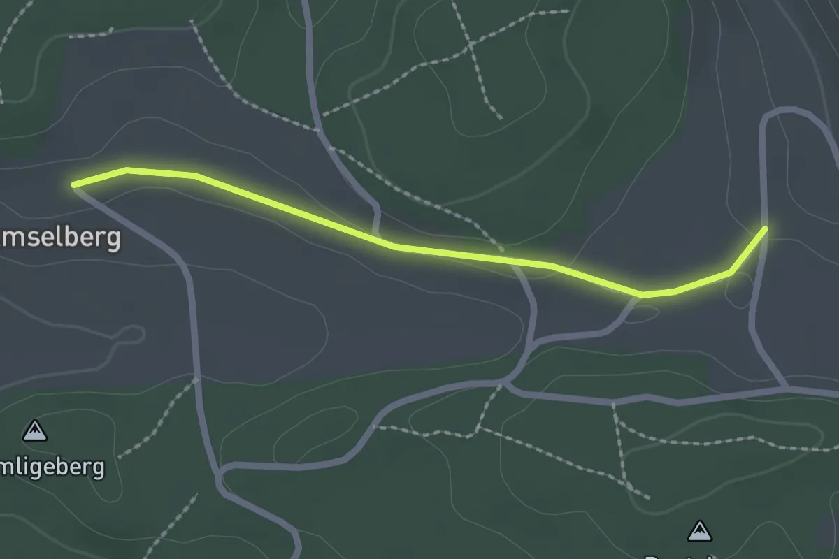
Easy · Trail
Dentenberg/Käserei – Amsleberg
2.0 km · ↑ 17 m · 31 min · 6 km away
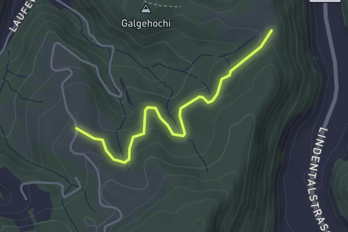
Easy · Trail
Chlosteralp – Vorder Jucke
3.2 km · ↑ 193 m · 1 h 11 min · 6 km away
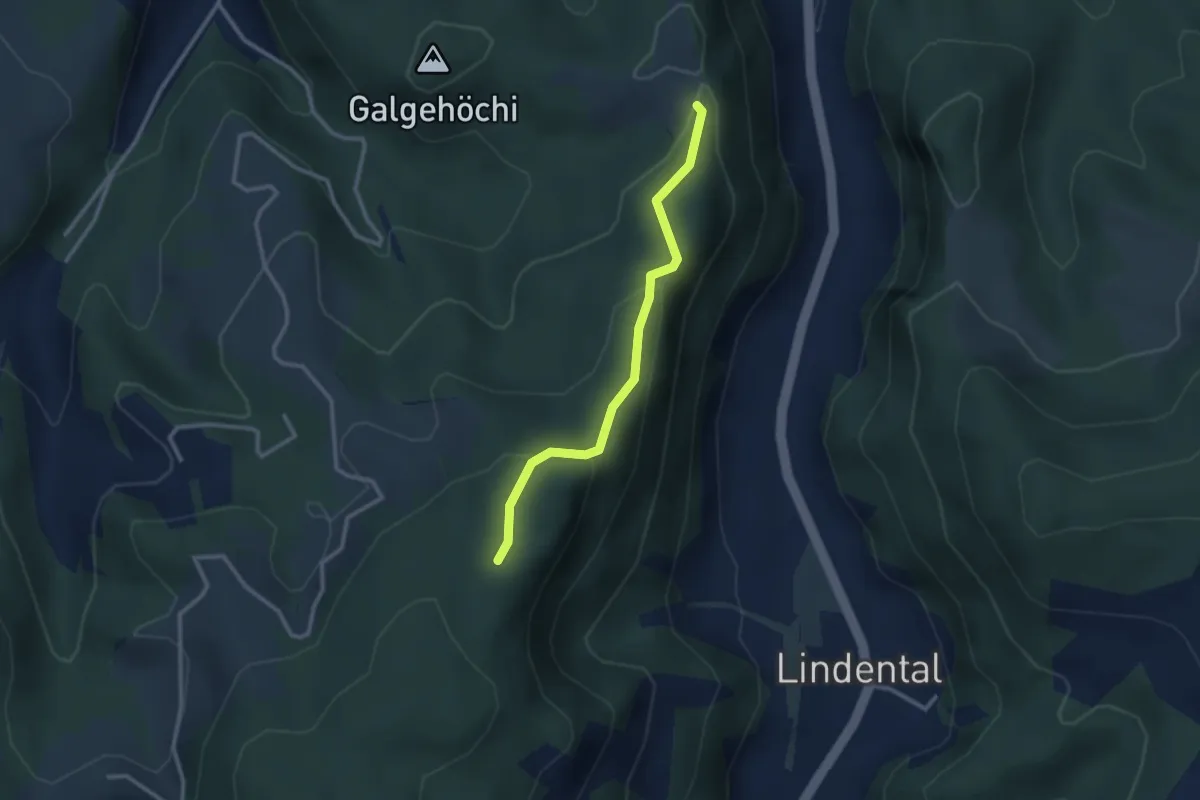
Easy · Trail
Chlosteralp – Mühlestein
2.6 km · ↑ 138 m · 54 min · 6 km away
Easy · Trail
Mattstetten – Urtenen
2.2 km · ↑ 13 m · 32 min · 6 km away
Easy · Trail
Bäriswil – Wannetal
3.2 km · ↑ 64 m · 54 min · 6 km away
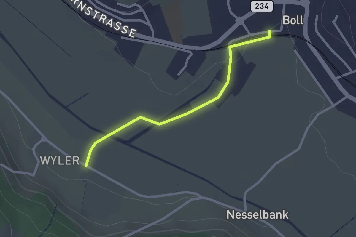
Easy · Trail
Boll - Wiler
2.1 km · ↑ 8 m · 31 min · 6 km away
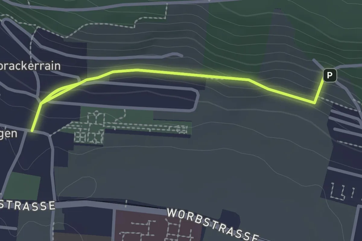
Easy · Trail
Gümligen/Kirche – Scheieholz
2.7 km · ↑ 103 m · 51 min · 6 km away
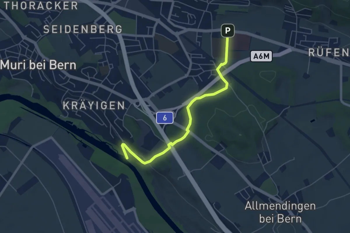
Easy · Trail
Gümligen Siloah – Auguetbrügg
5.5 km · ↑ 100 m · 1 h 31 min · 6 km away
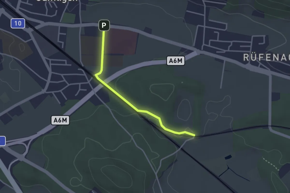
Easy · Trail
Gümligen Siloah – Rüti
2.7 km · ↑ 18 m · 41 min · 6 km away
Easy · Trail
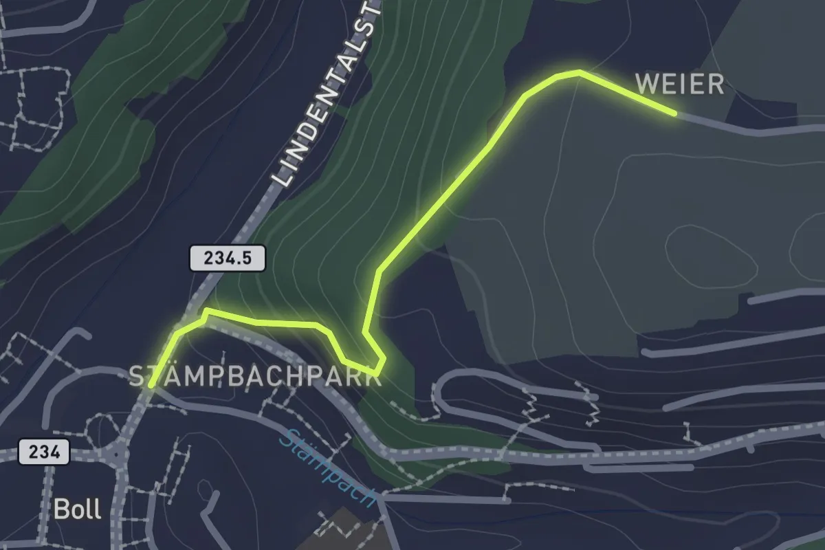
Boll - Weier
2.0 km · ↑ 113 m · 43 min · 6 km away
Easy · Trail
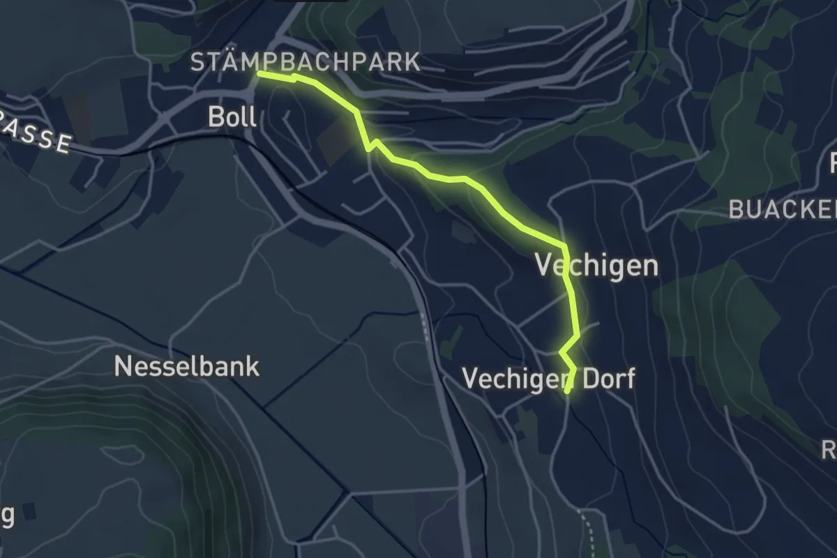
Boll – Vechigen
3.4 km · ↑ 74 m · 57 min · 6 km away
Easy · Trail
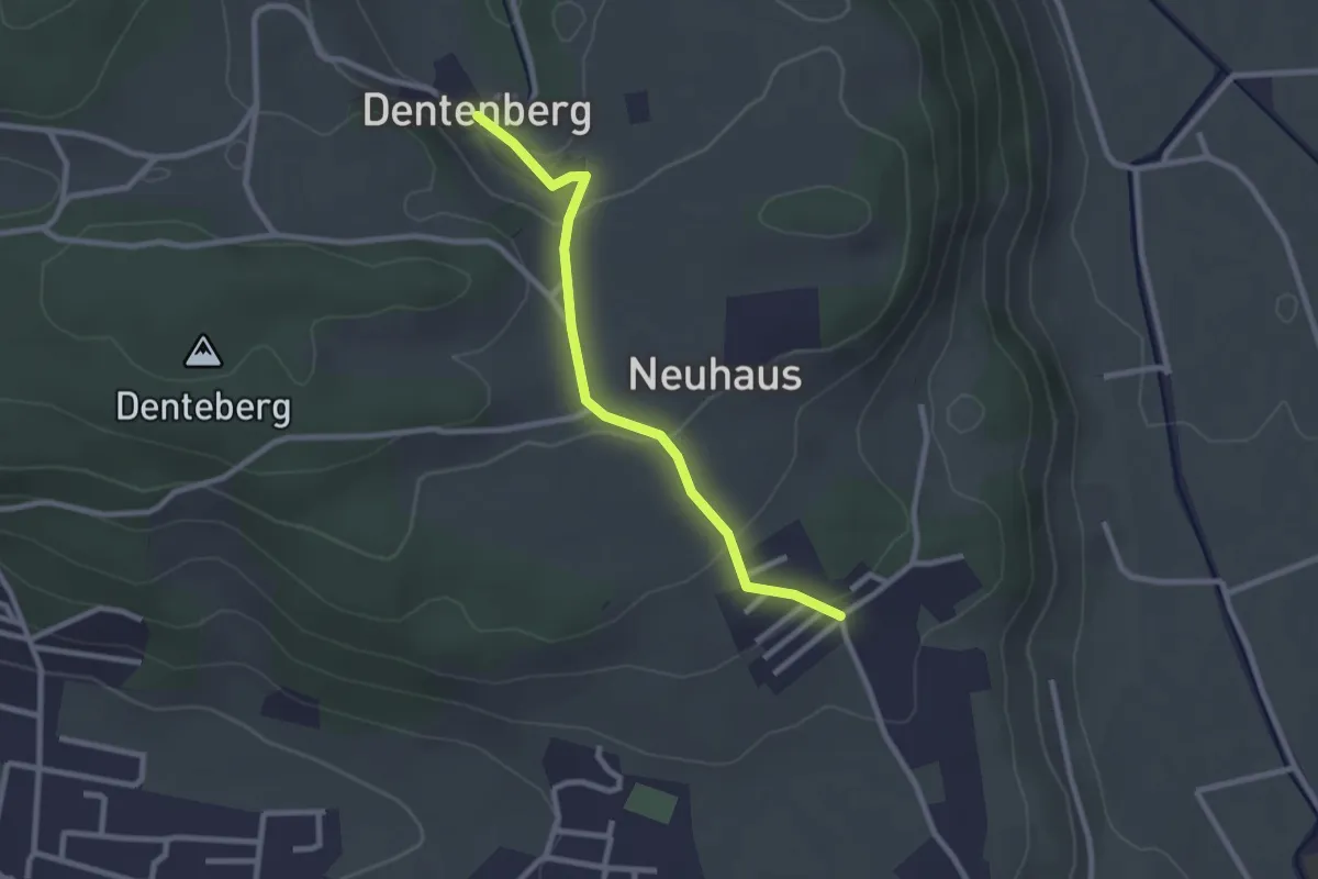
Neuhus – Dentenberg
2.4 km · ↑ 80 m · 45 min · 6 km away
Easy · Trail
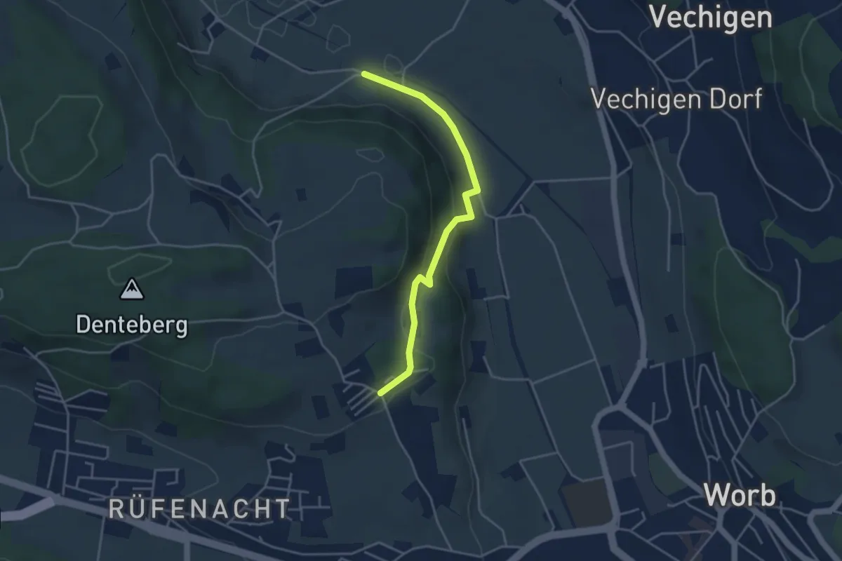
Nesselbank - Neuhus
3.8 km · ↑ 126 m · 1 h 10 min · 6 km away
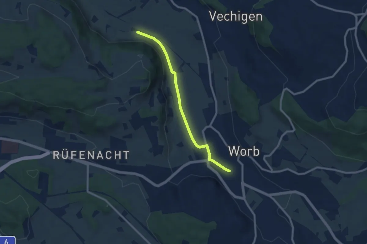
Easy · Trail
Nesselbank - Worb Sternen
5.6 km · ↑ 31 m · 1 h 24 min · 6 km away
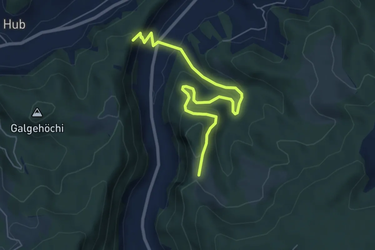
Medium · Trail
Fluehüsli – Vordere Geisme
5.6 km · ↑ 361 m · 2 h 6 min · 6 km away
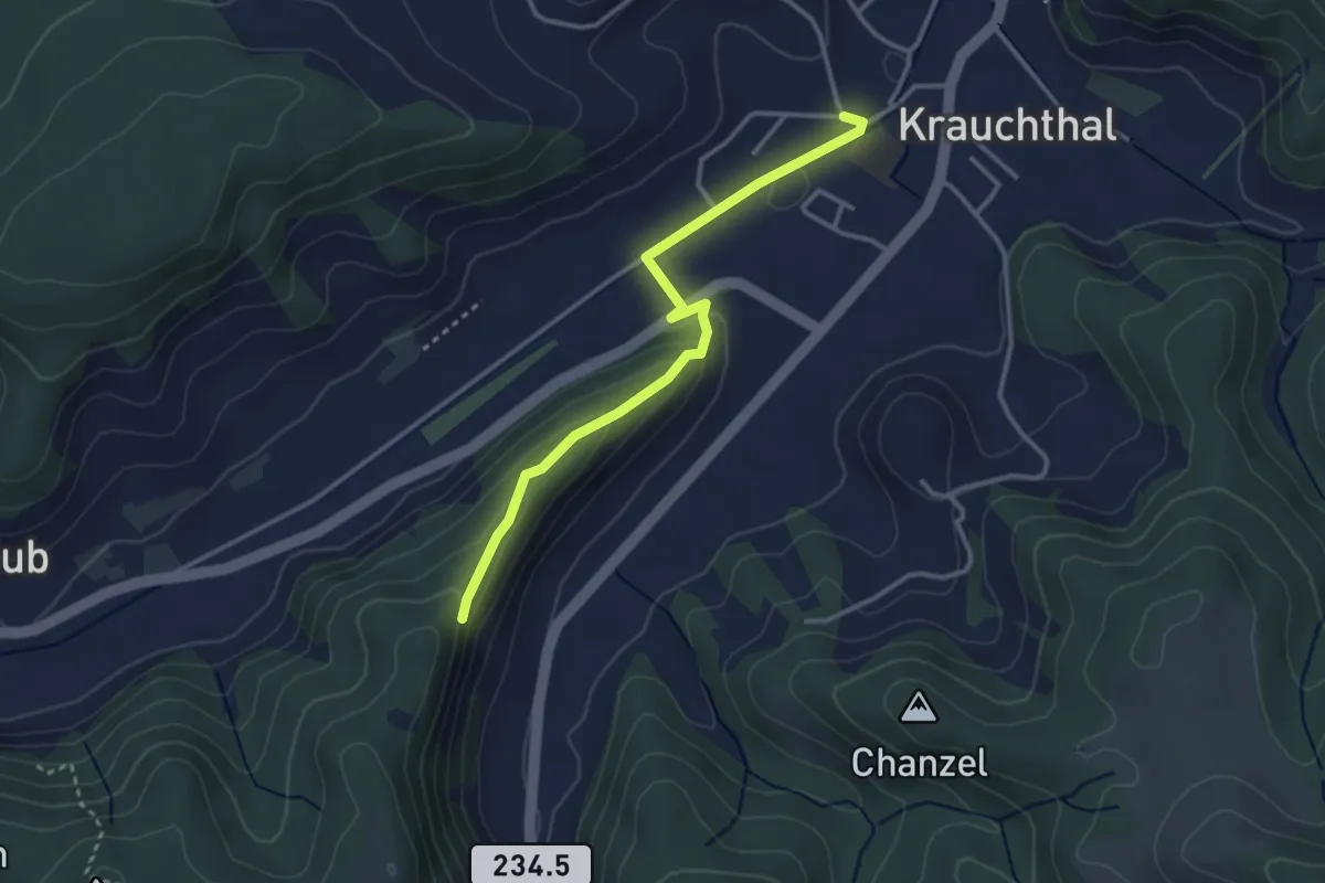
Easy · Trail
Sandhole – Fluehüsli
3.2 km · ↑ 113 m · 1 h · 6 km away
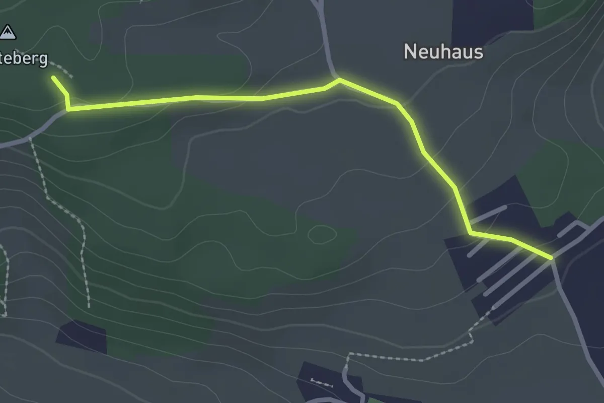
Easy · Trail
Neuhus – Denteberg
2.4 km · ↑ 76 m · 44 min · 6 km away
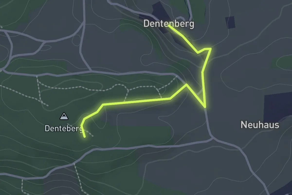
Easy · Trail
Dentenberg – Dentenberg
2.4 km · ↑ 69 m · 43 min · 6 km away
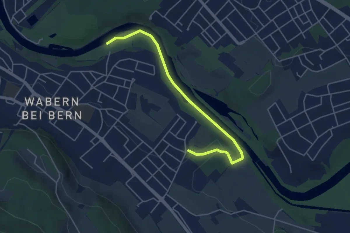
Easy · Trail
Nesslerenhölzli - Eichholz
4.1 km · ↑ 64 m · 1 h 7 min · 6 km away
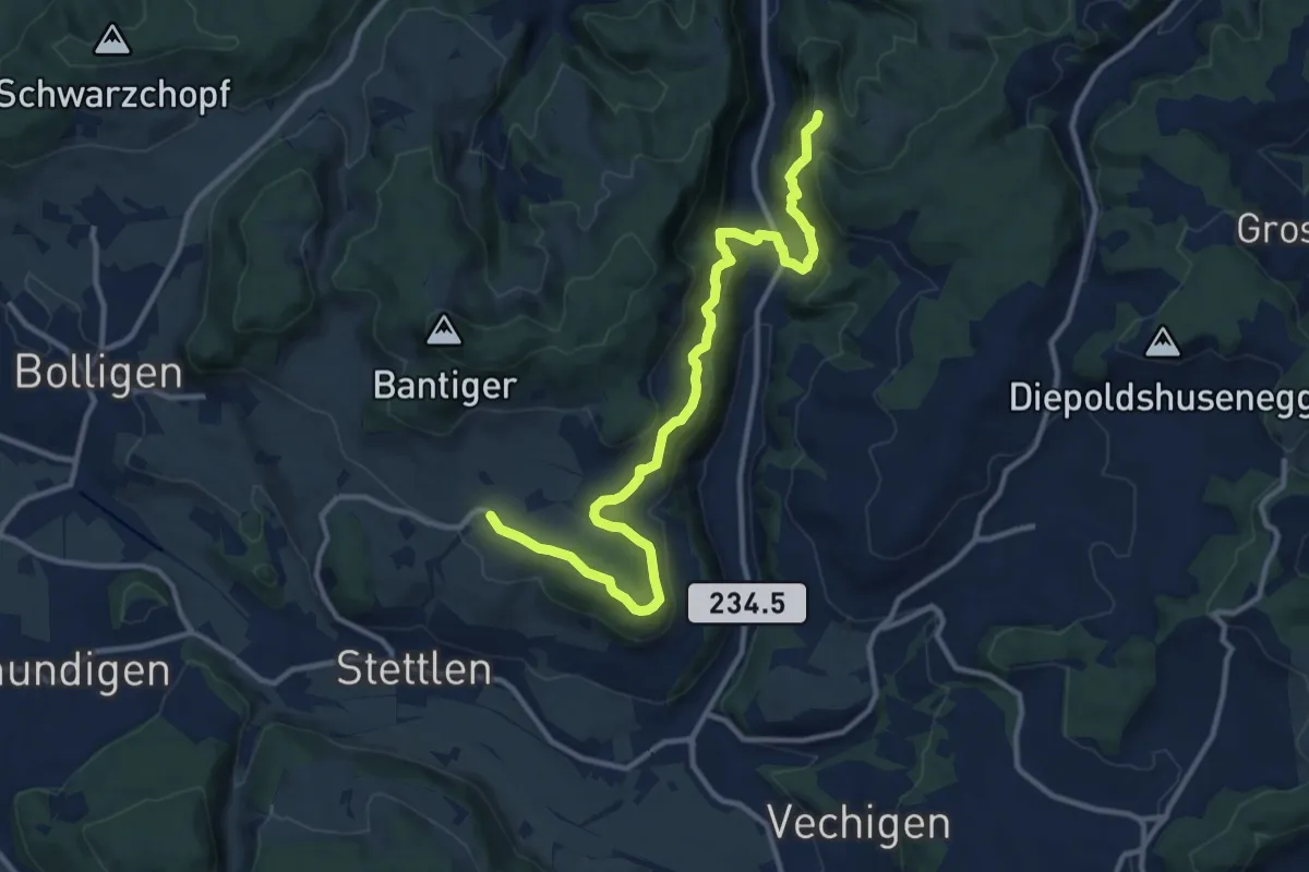
Medium · Trail
Vordere Geisme – Ferenberg
12.7 km · ↑ 592 m · 4 h 17 min · 6 km away
Easy · Trail
Jetzikofen – Buchsacher
3.8 km · ↑ 119 m · 1 h 9 min · 6 km away
Easy · Trail
Schüpberg – Buchsacher
5.4 km · ↑ 117 m · 1 h 32 min · 6 km away
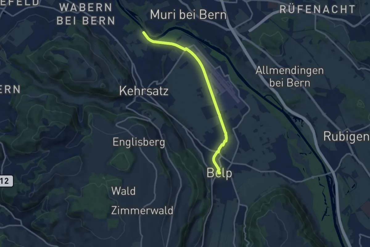
Medium · Trail
Bodenacherfähre - Belp
10.6 km · ↑ 22 m · 2 h 33 min · 6 km away
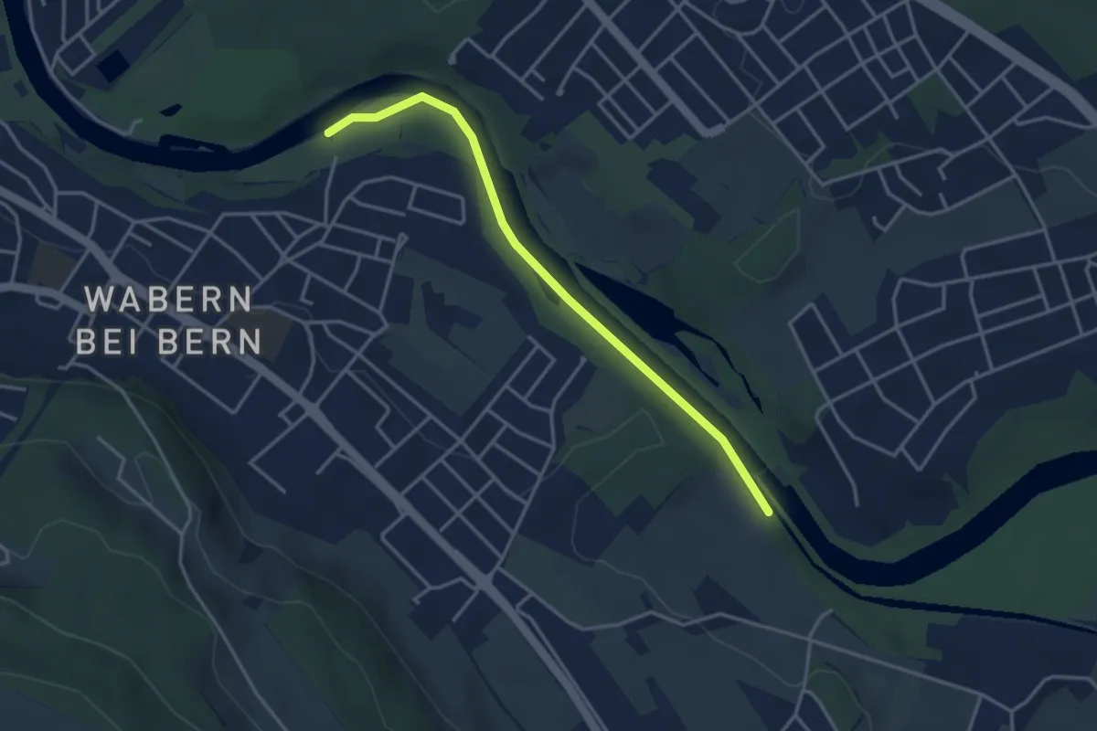
Easy · Trail
Bodenacherfähre - Eicholz
3.5 km · ↑ 25 m · 53 min · 6 km away
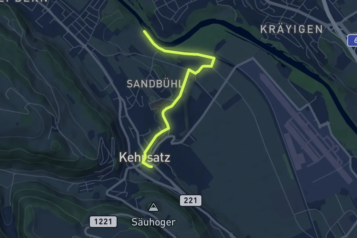
Easy · Trail
Bodenacherfähre - Kehrsatz
6.1 km · ↑ 89 m · 1 h 37 min · 6 km away
Easy · Trail
Hindelbank / Station – Mattstetten
7.3 km · ↑ 48 m · 1 h 49 min · 6 km away
Easy · Trail
Chriegsholz – Bäriswil
2.1 km · ↑ 67 m · 39 min · 6 km away
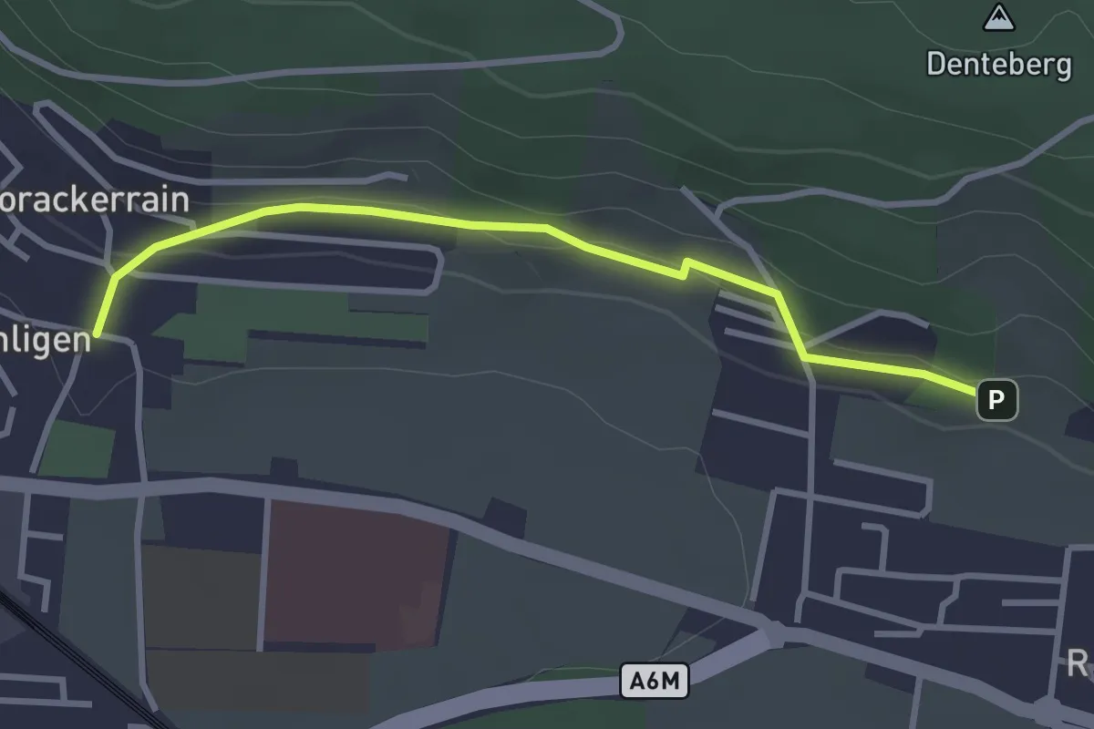
Easy · Trail
Sunnedörfli – Gümligen/Kirche
3.0 km · ↑ 80 m · 53 min · 6 km away
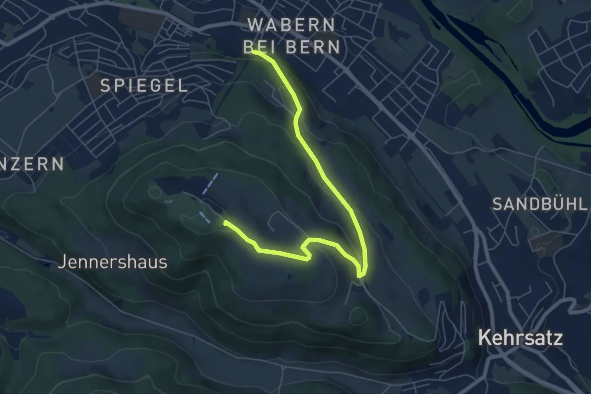
Easy · Summit
Spazierweg
6.4 km · ↑ 268 m · 2 h 5 min · 6 km away
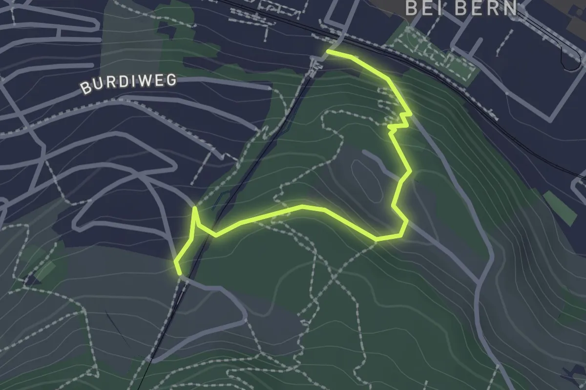
Easy · Trail
Wabern/Gurtenbahn – Grüneboden
2.3 km · ↑ 129 m · 49 min · 6 km away