Trails near Ittigen
486 hikes starting within 15 km, nearest first.
Nearest first, page 3 of 11
Easy · Trail
Chriegsholz – Längenberg
2.5 km · ↑ 70 m · 45 min · 6 km away
Demanding · Trail
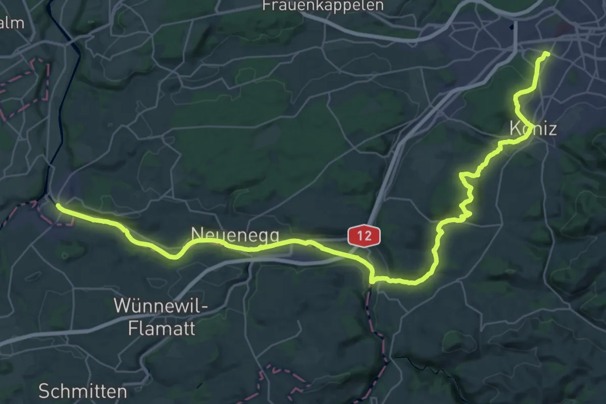
Trans Swiss Trail
21.7 km · ↑ 317 m · 6 h 9 min · 6 km away
Easy · Trail
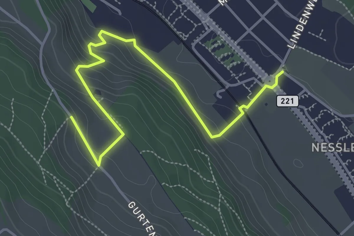
Chli-Wabern – Bergweid
3.8 km · ↑ 169 m · 1 h 15 min · 6 km away
Easy · Trail
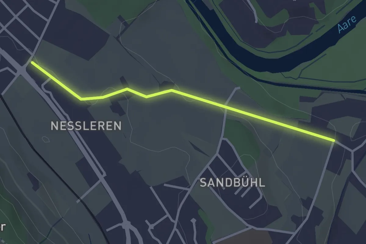
Chli Wabern – Unter Selhofen
2.8 km · ↑ 36 m · 44 min · 6 km away
Easy · Trail
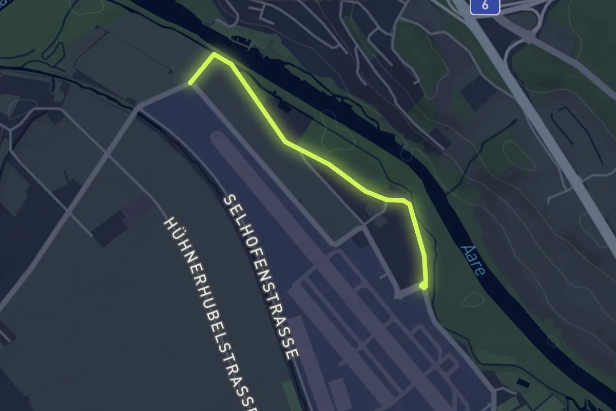
Flugplatz Bern Belp - Kehrsatz - fixme
3.2 km · ↑ 5 m · 46 min · 6 km away
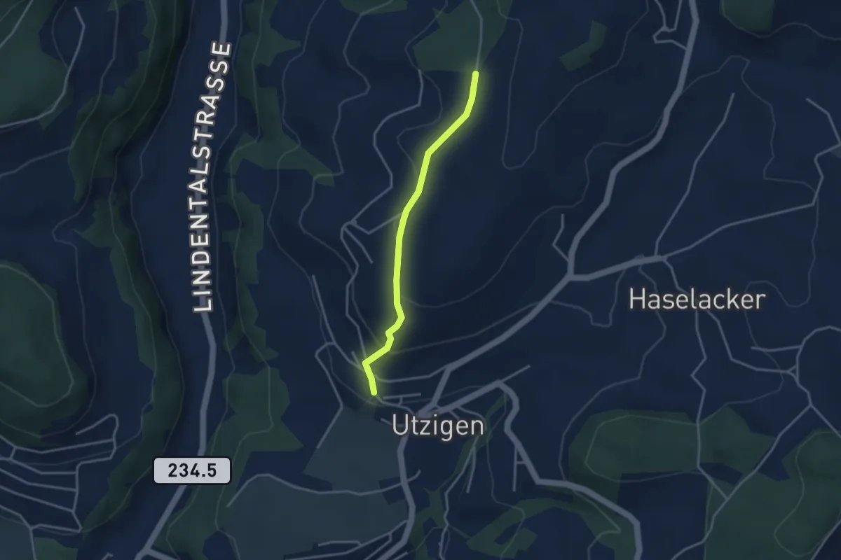
Easy · Trail
Utzigenwull – Utzigen/Schloss
3.0 km · ↑ 121 m · 58 min · 6 km away
Easy · Trail
Bäreried – Schüpberg
6.0 km · ↑ 129 m · 1 h 41 min · 6 km away
Easy · Trail
Schwanden – Bäreried
6.0 km · ↑ 226 m · 1 h 54 min · 6 km away
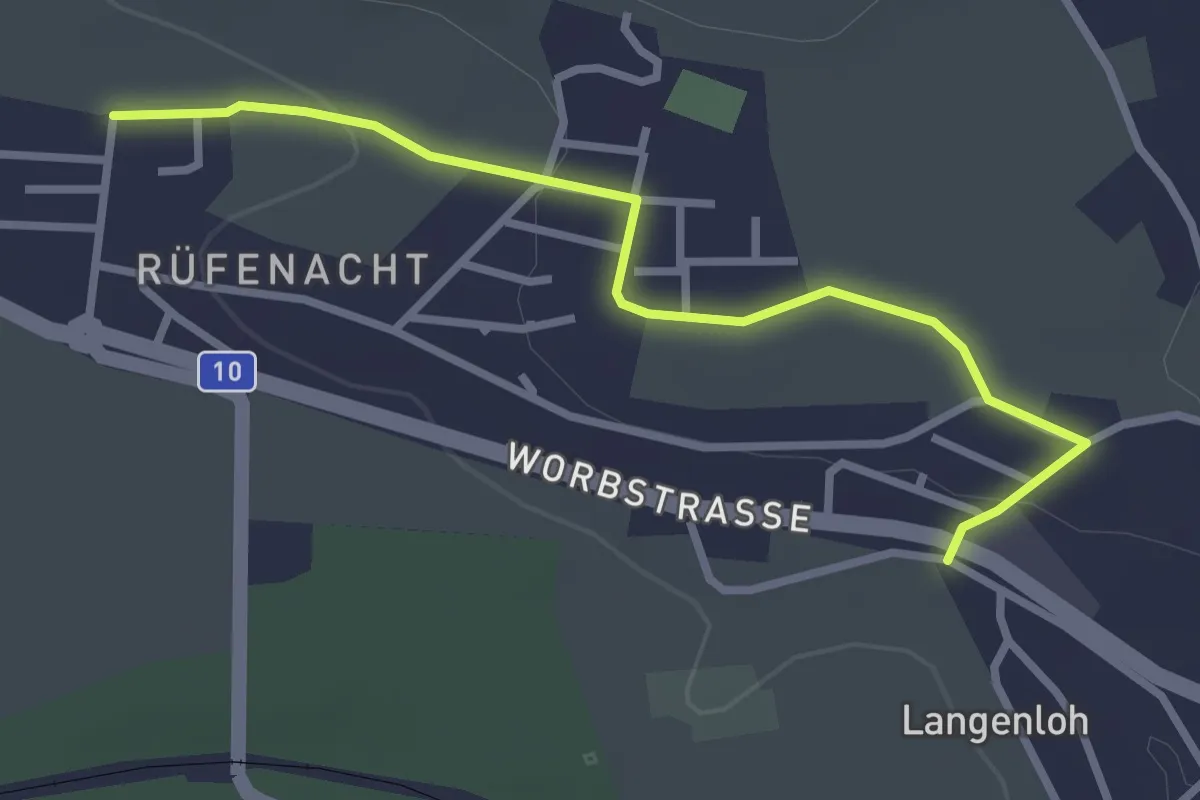
Easy · Trail
Langenloh – Rüfenacht
3.0 km · ↑ 57 m · 50 min · 6 km away
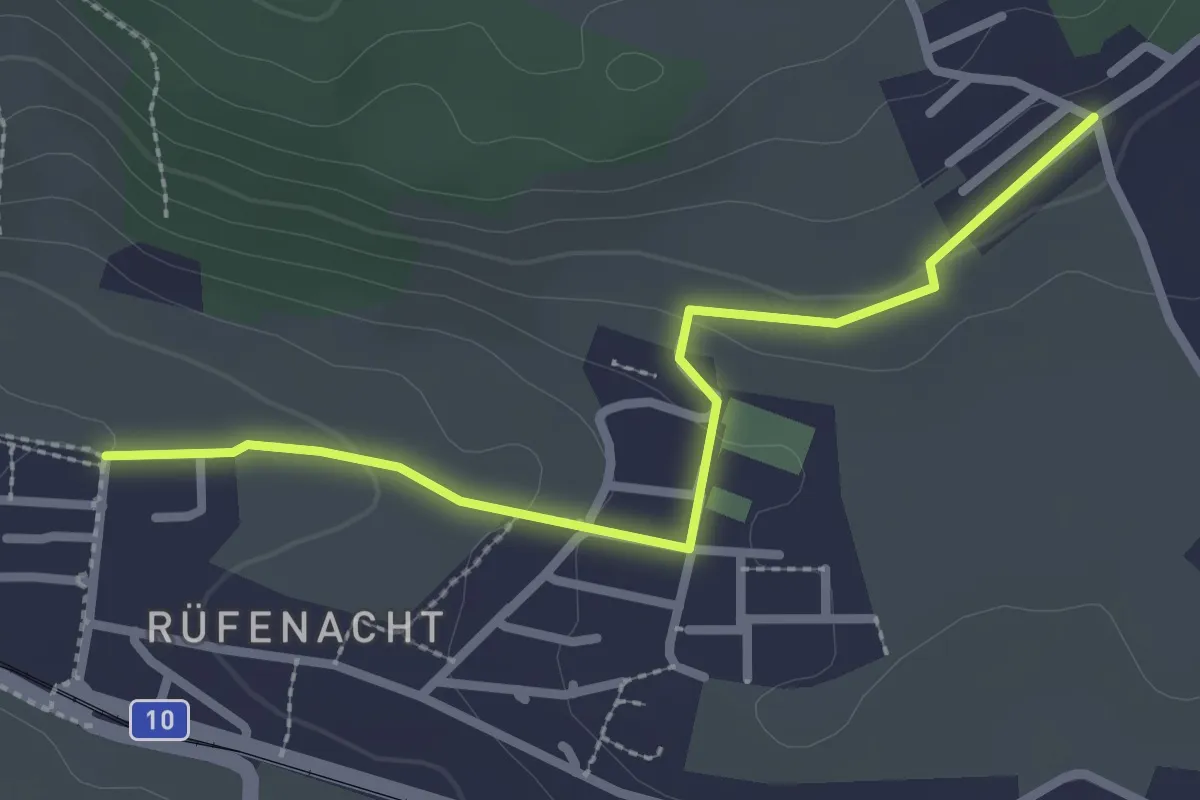
Easy · Trail
Neuhus – Rüfenacht
2.7 km · ↑ 67 m · 46 min · 6 km away
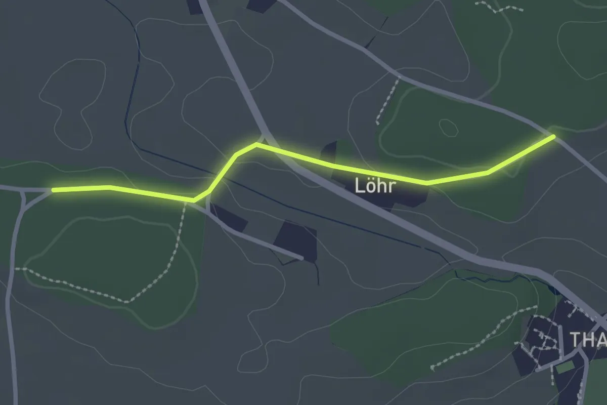
Easy · Trail
Buechwald – Lörwald
2.3 km · ↑ 29 m · 36 min · 7 km away
Easy · Trail
Hindelbank / Dorf – Schachen
5.9 km · ↑ 140 m · 1 h 42 min · 7 km away
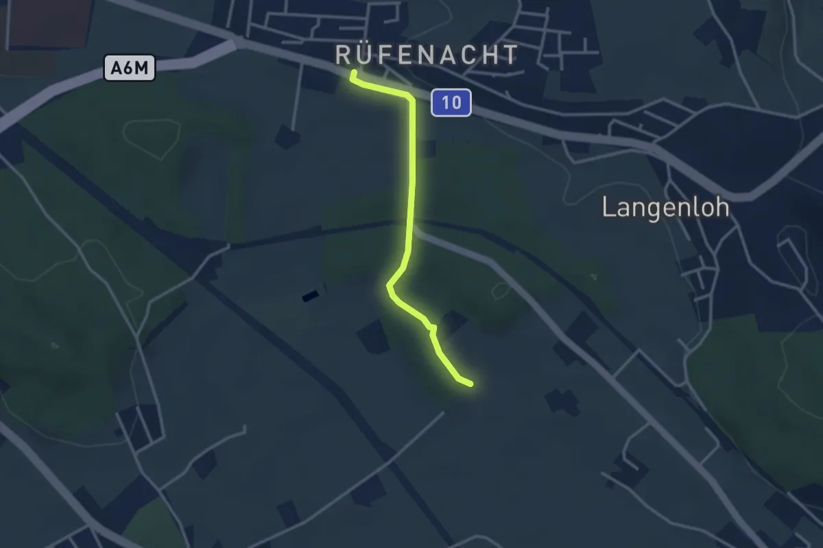
Easy · Trail
Rüfenacht – Chli Hüenliwald
2.6 km · ↑ 20 m · 40 min · 7 km away
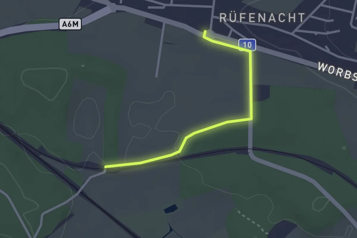
Easy · Trail
Rüti – Rüfenacht
2.3 km · ↑ 14 m · 35 min · 7 km away
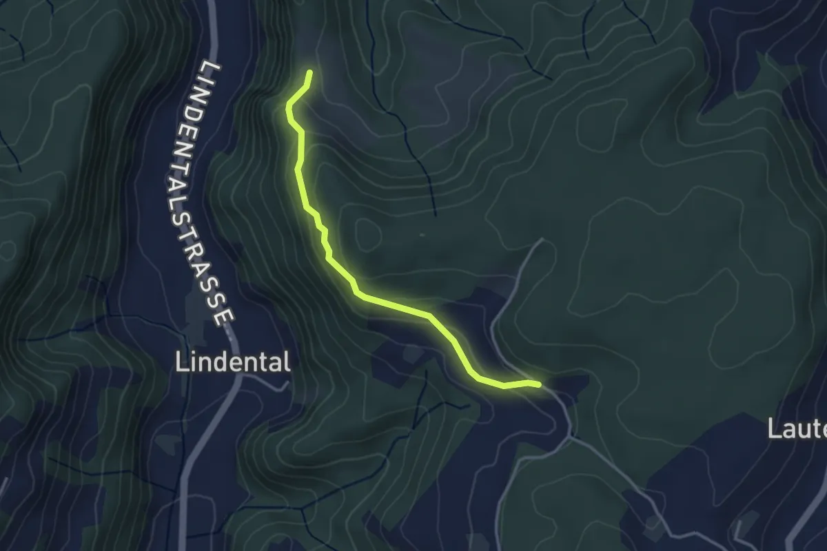
Easy · Trail
Vordere Geisme – Sonnenrain
3.0 km · ↑ 144 m · 1 h 1 min · 7 km away
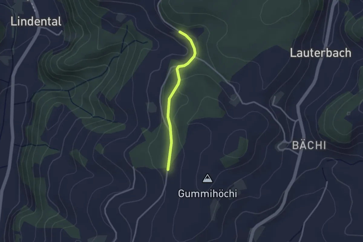
Easy · Trail
Sunnerain – Utzigenwull
2.1 km · ↑ 23 m · 33 min · 7 km away
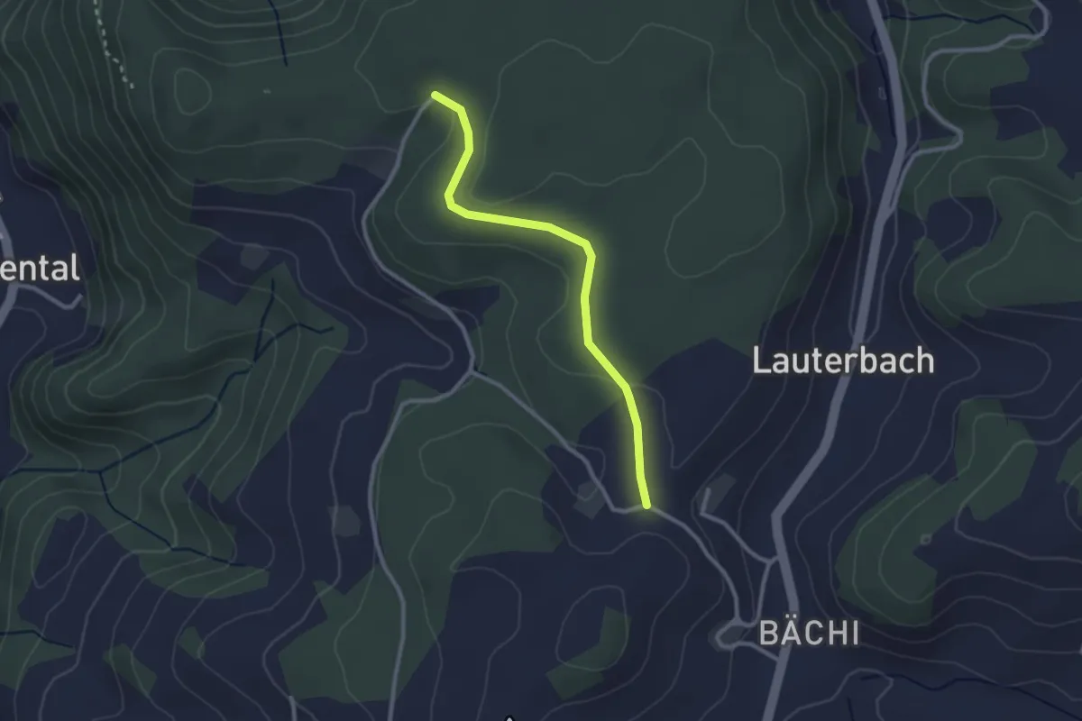
Easy · Trail
Aebnit/Klosterweg – Rötelismatt
2.5 km · ↑ 32 m · 40 min · 7 km away
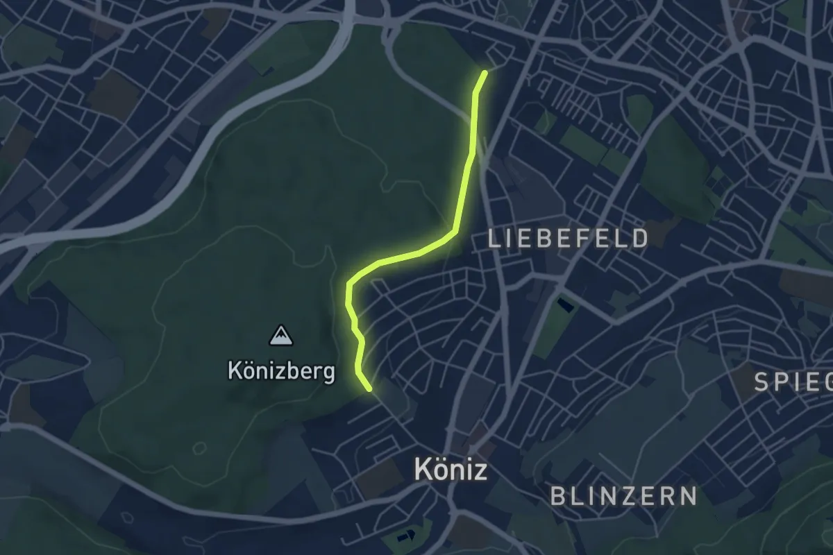
Easy · Trail
Köniz/Ober Buchsee - Fischermätteli
3.8 km · ↑ 89 m · 1 h 5 min · 7 km away
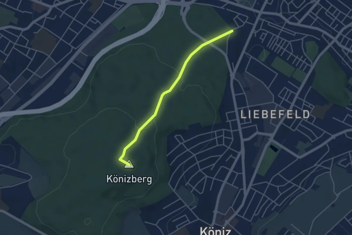
Easy · Summit
Fischermätteli - Könizberg/Stärn
3.5 km · ↑ 126 m · 1 h 7 min · 7 km away
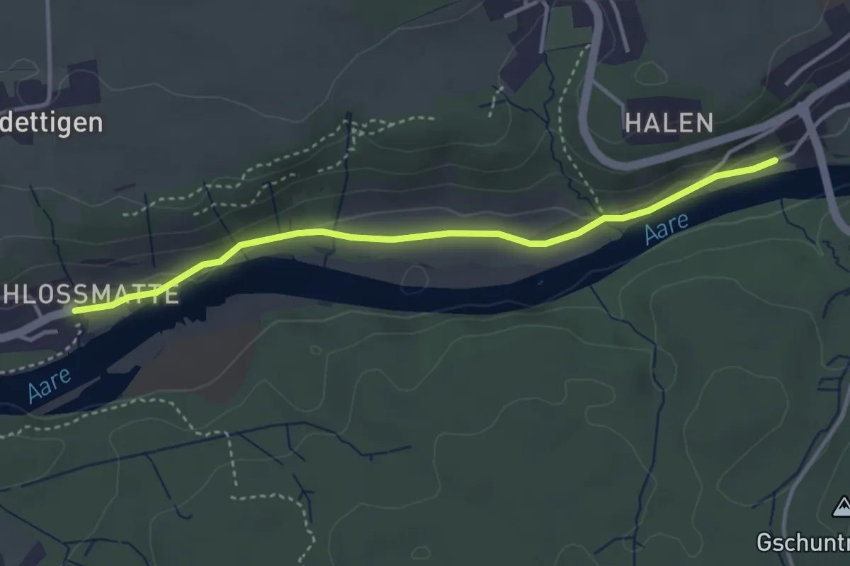
Easy · Trail
Unterdettigen – Halebrügg
3.6 km · ↑ 46 m · 57 min · 7 km away
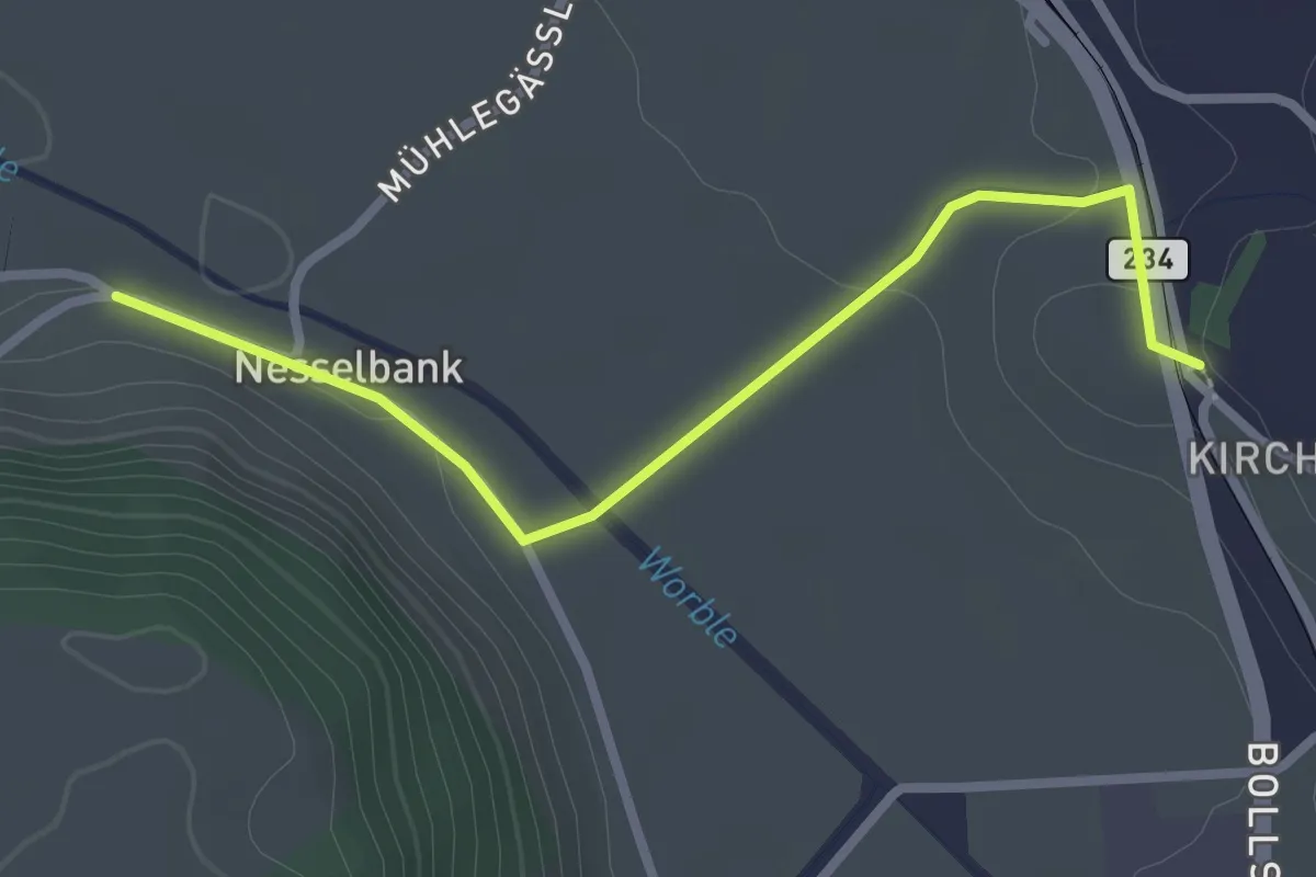
Easy · Trail
Nesselbank - Vechigen Hst.
2.7 km · ↑ 40 m · 43 min · 7 km away
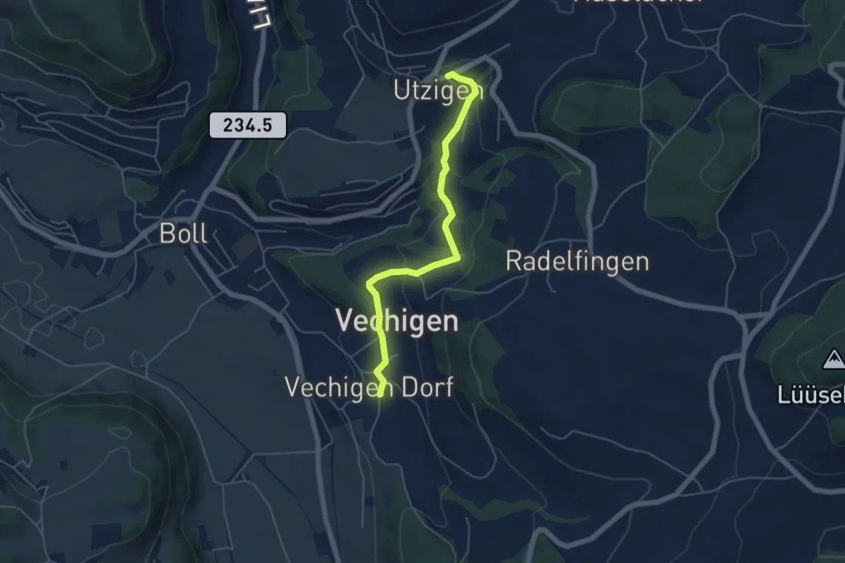
Easy · Trail
Utzigen – Vechigen
4.6 km · ↑ 145 m · 1 h 24 min · 7 km away
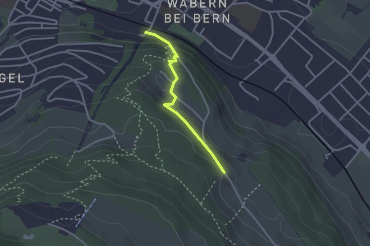
Easy · Trail
Wabern/Gurtenbahn – Bergweid
2.1 km · ↑ 103 m · 43 min · 7 km away
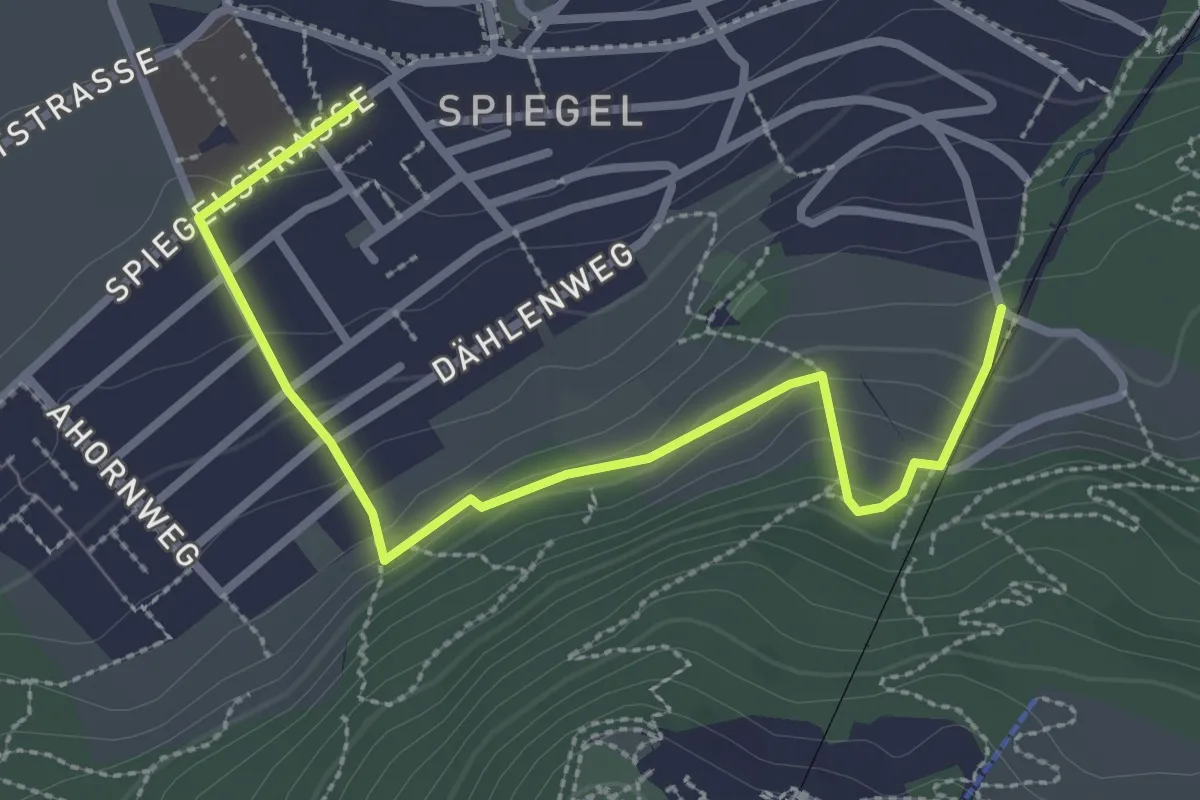
Easy · Trail
Grüenenboden – Spiegel Zentrum
3.1 km · ↑ 154 m · 1 h 4 min · 7 km away
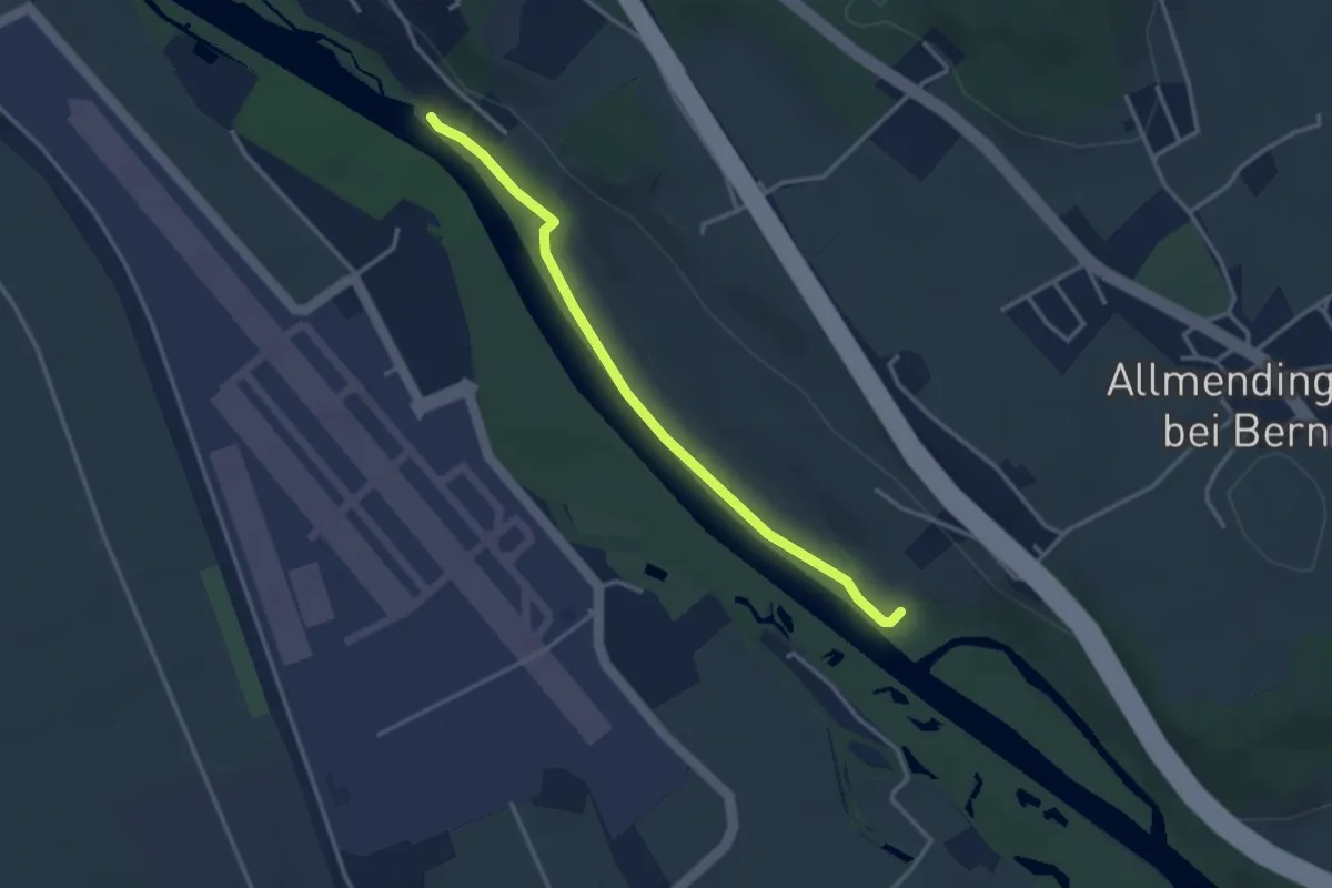
Easy · Trail
Auguetbrügg-Märchligenau
3.2 km · ↑ 35 m · 49 min · 7 km away
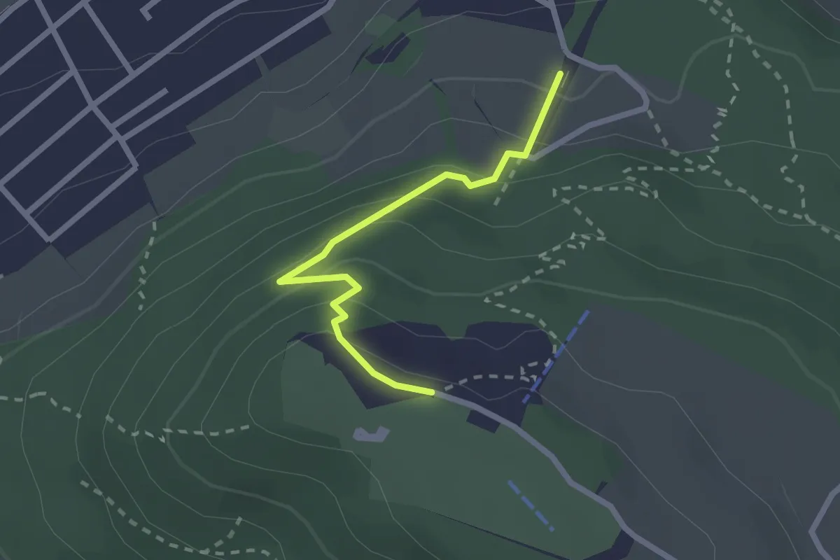
Easy · Trail
Grünenboden – Gurten Kulm
2.1 km · ↑ 138 m · 47 min · 7 km away
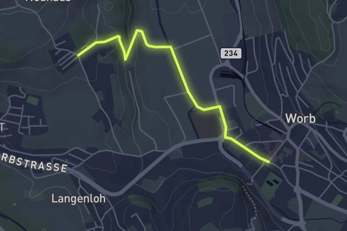
Easy · Trail
Neuhus – Worb Sternen
4.4 km · ↑ 113 m · 1 h 17 min · 7 km away
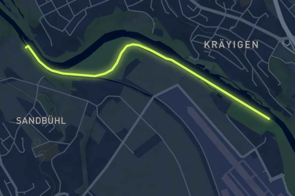
Easy · Trail
Auguetbrügg - Bodenacherfähre
5.3 km · ↑ 29 m · 1 h 18 min · 7 km away
Easy · Trail
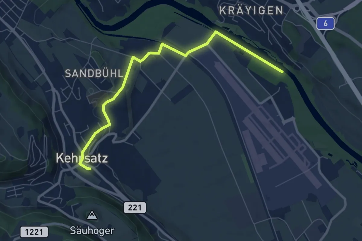
Auguetbrügg - Kehrsatz
7.2 km · ↑ 84 m · 1 h 53 min · 7 km away
Easy · Trail
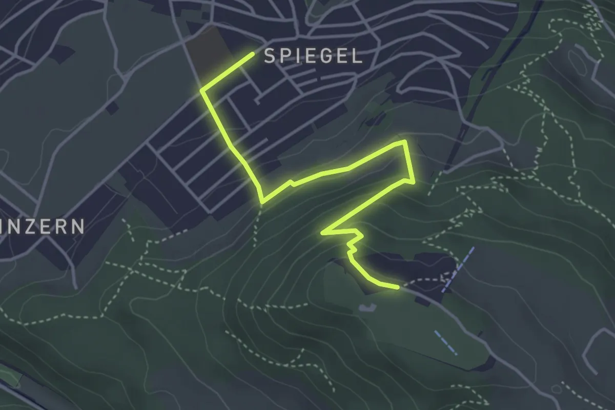
Spiegel Zentrum – Gurten Kulm
4.0 km · ↑ 214 m · 1 h 25 min · 7 km away
Easy · Trail
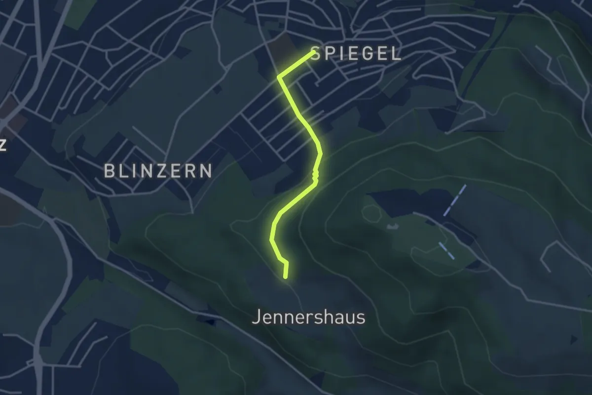
Jennerhus - Spiegel Zentrum
2.6 km · ↑ 112 m · 52 min · 7 km away
Easy · Trail
Längenberg – Sandhole
3.2 km · ↑ 100 m · 59 min · 7 km away
Easy · Trail
Thorberg - Schwändi
3.2 km · ↑ 218 m · 1 h 14 min · 7 km away
Easy · Trail
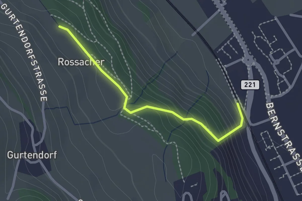
Kehrsatz Nord - Rossacker
2.0 km · ↑ 123 m · 45 min · 7 km away
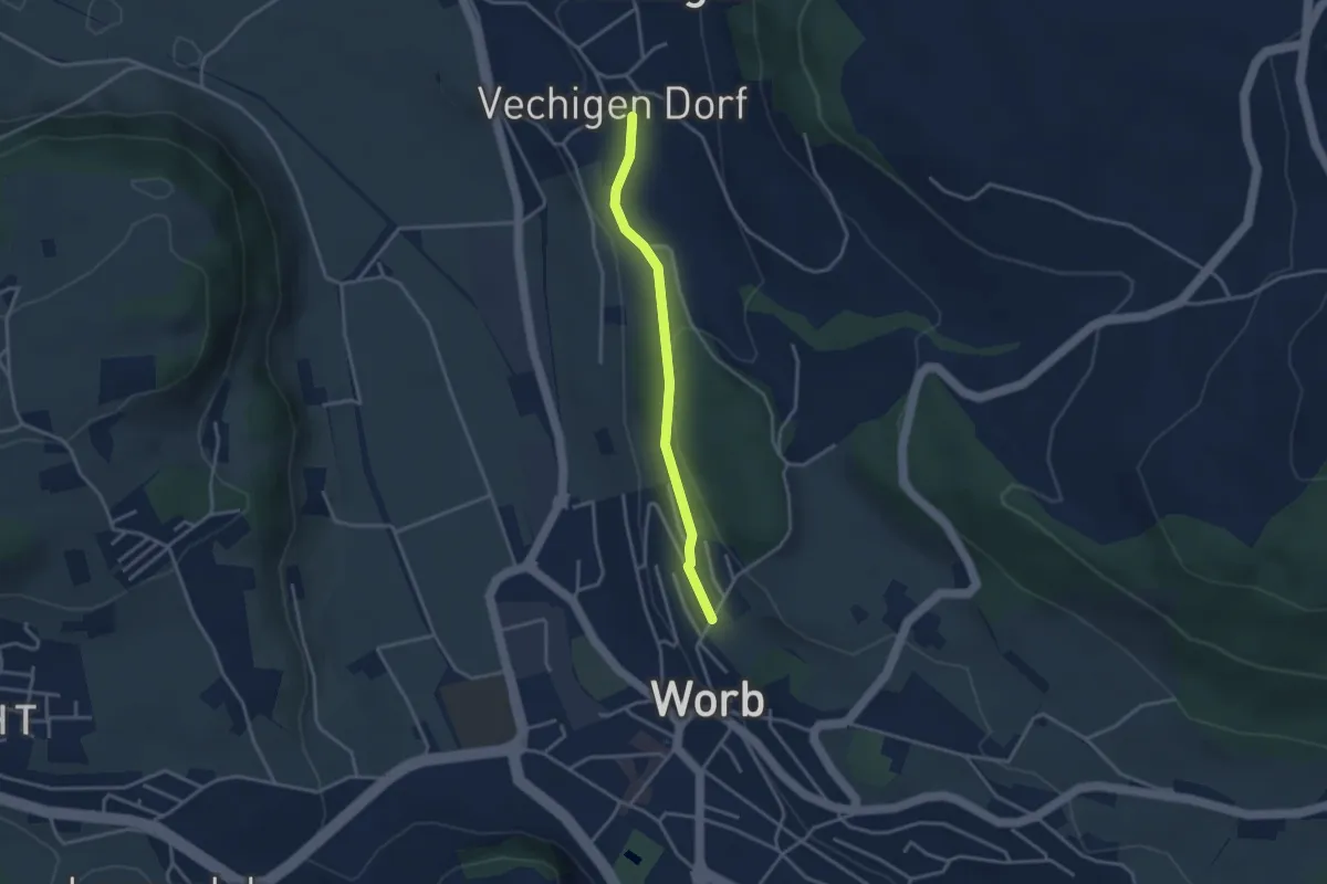
Easy · Trail
Vechingen - Egghalde
3.0 km · ↑ 77 m · 53 min · 7 km away
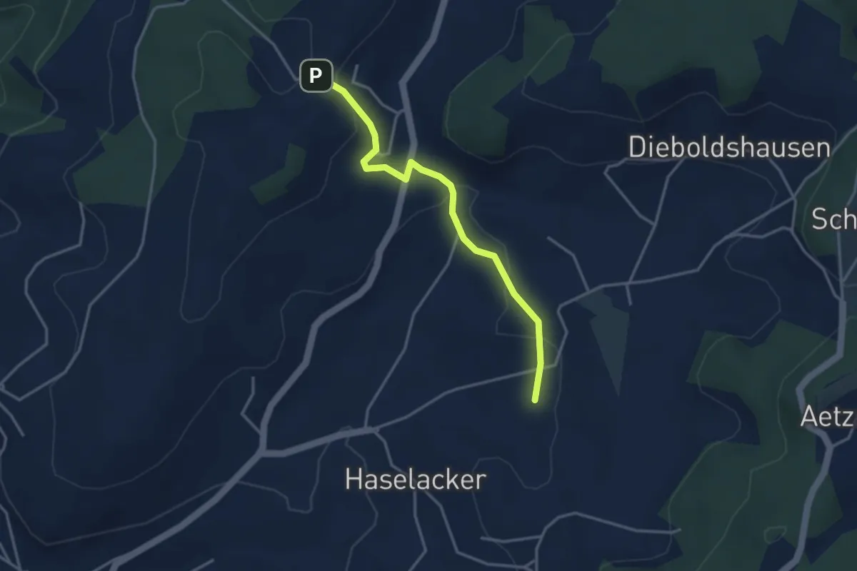
Easy · Trail
Rötelismatt – Sänggi
3.3 km · ↑ 88 m · 58 min · 7 km away
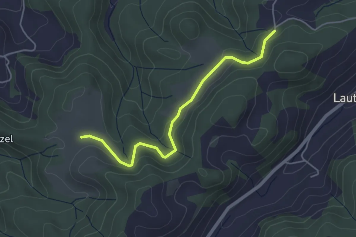
Easy · Trail
Buechwald – Schwändi
3.8 km · ↑ 169 m · 1 h 16 min · 7 km away
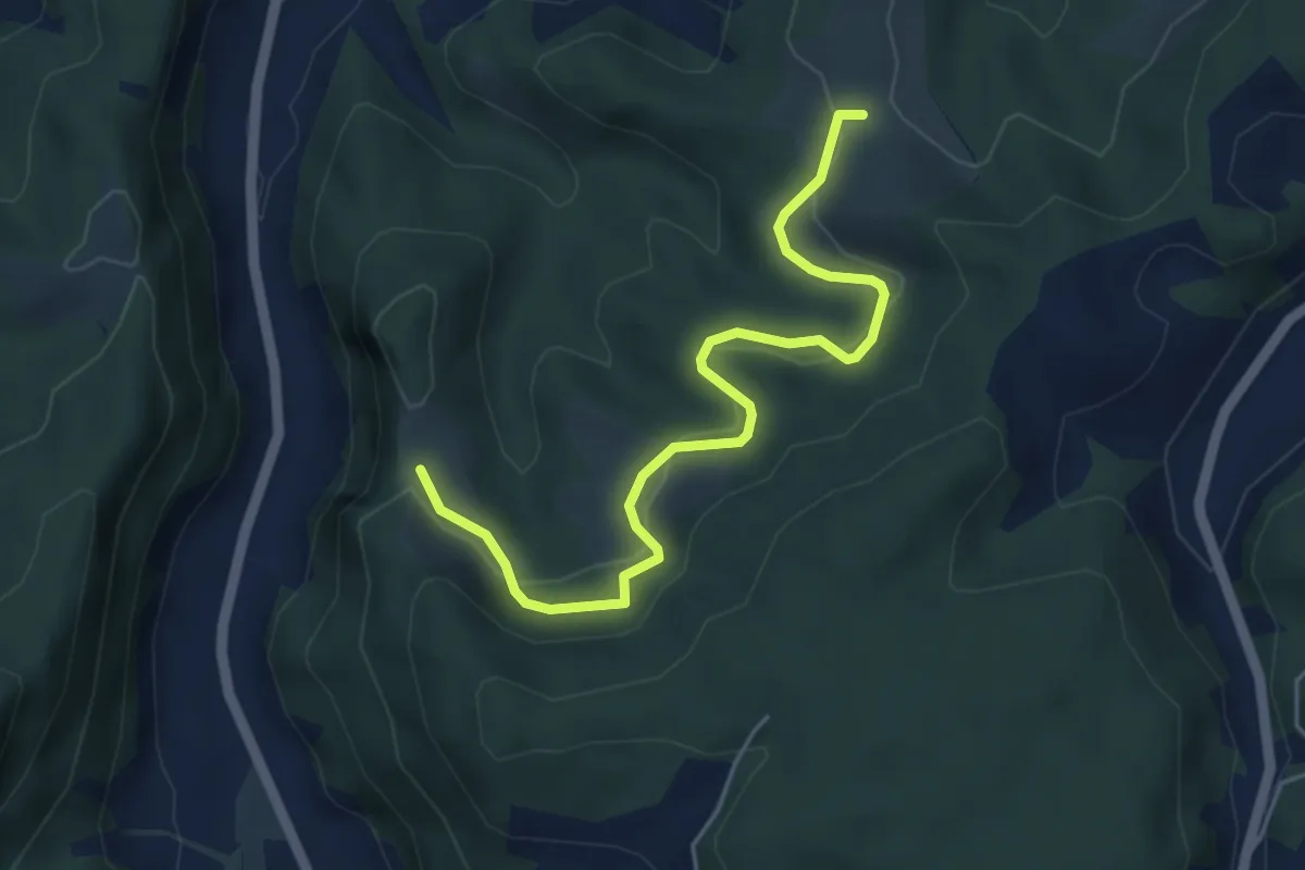
Easy · Trail
Schwändi – Vordere Geisme
5.0 km · ↑ 203 m · 1 h 38 min · 7 km away
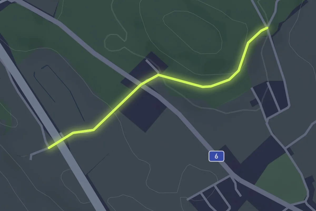
Easy · Trail
Hüenwald – Vorder Märchligen
2.3 km · ↑ 66 m · 41 min · 7 km away
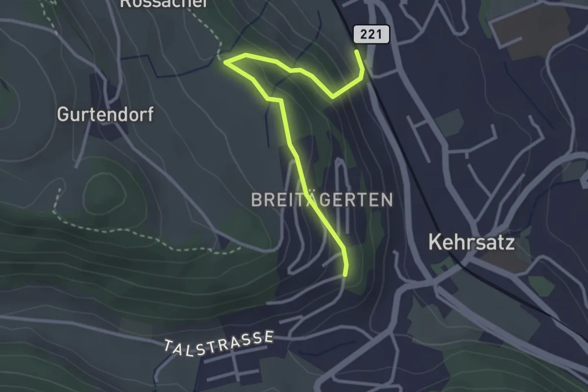
Easy · Trail
Kehrsatz Nord - Breitägerte
2.7 km · ↑ 167 m · 1 h 1 min · 7 km away
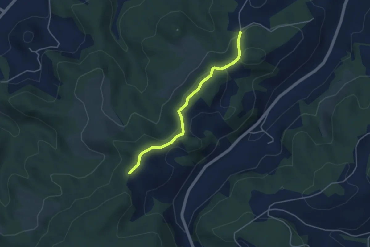
Medium · Trail
Krauchthal – Vordere Geisme
8.1 km · ↑ 340 m · 2 h 39 min · 7 km away
Easy · Trail
Buechwald – Mueleren
3.3 km · ↑ 139 m · 1 h 5 min · 7 km away
Easy · Summit
Krauchthal – ?
4.9 km · ↑ 215 m · 1 h 37 min · 7 km away
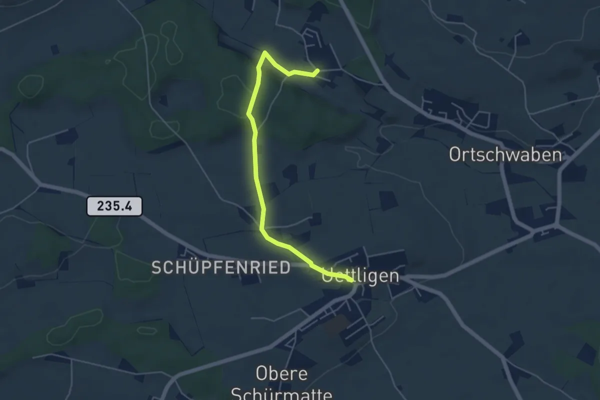
Medium · Trail
Siebenwegeplatz – Krauchthal
11.7 km · ↑ 236 m · 3 h 16 min · 7 km away
Easy · Trail
Uettligen/Linde - Weissenstein
4.6 km · ↑ 64 m · 1 h 13 min · 7 km away
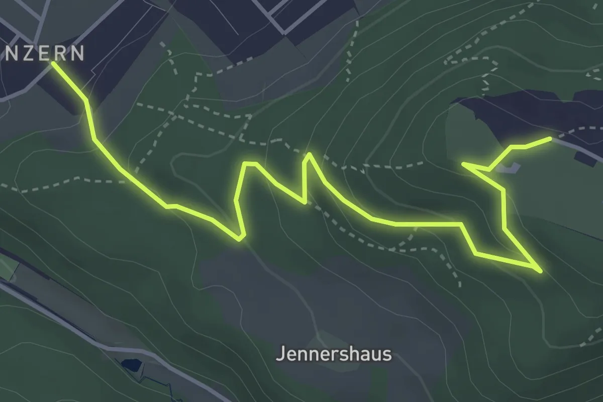
Easy · Trail
Blinzern – Gurten Kulm
4.5 km · ↑ 233 m · 1 h 34 min · 7 km away
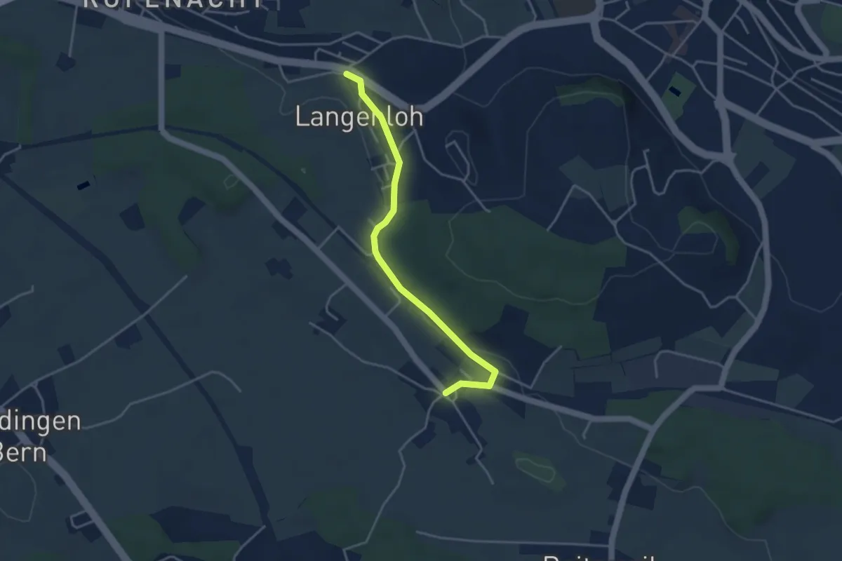
Easy · Trail
Langenloh – Vielbringen
3.7 km · ↑ 53 m · 59 min · 7 km away
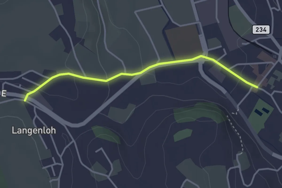
Easy · Trail
Langenloh – Worb Sternen
3.0 km · ↑ 66 m · 52 min · 7 km away