Trails near Jona
534 hikes starting within 15 km, nearest first.
Nearest first, page 10 of 12
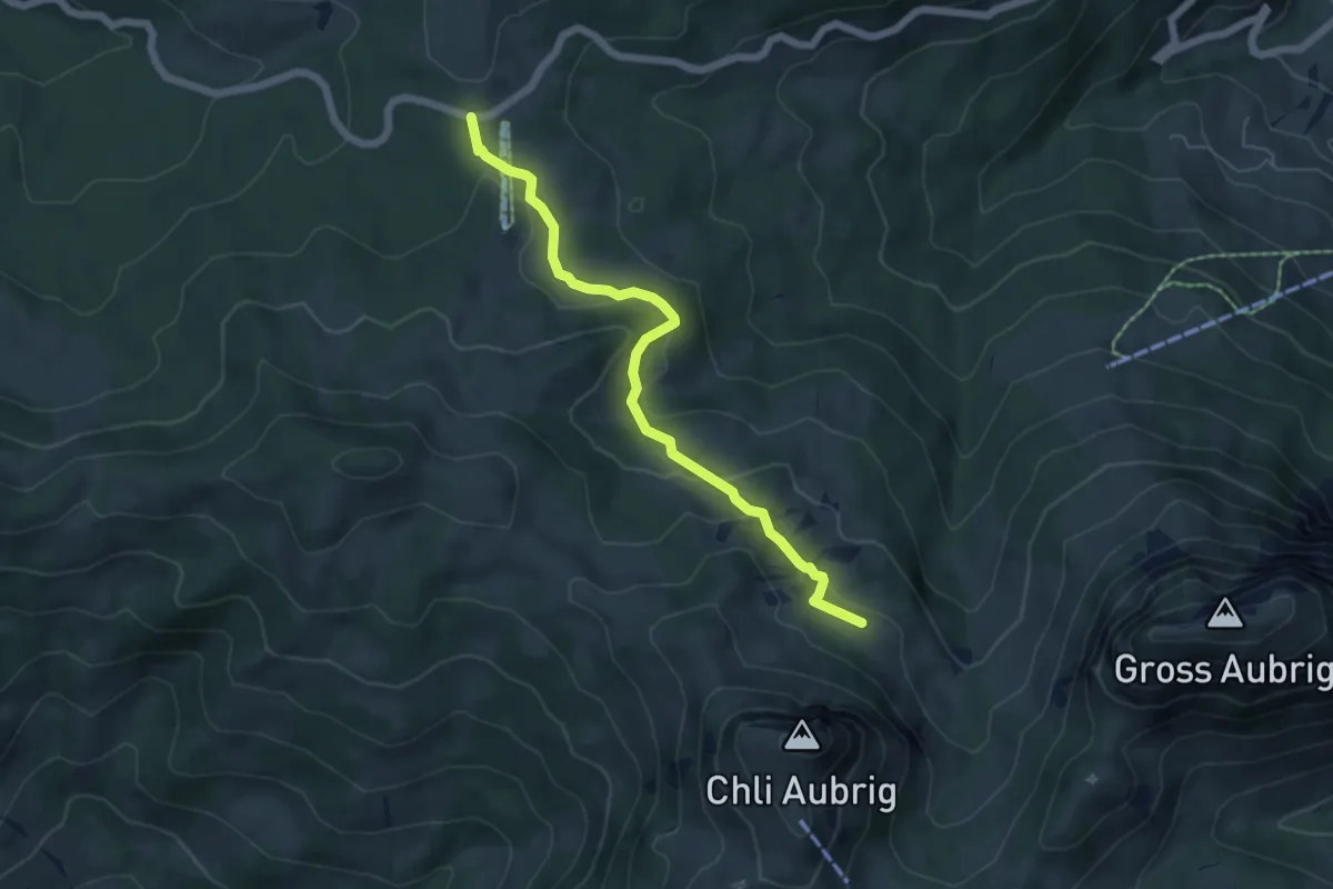
Easy · Trail
Sattelegg - Unter Alten
5.6 km · ↑ 152 m · 1 h 40 min · 13 km away
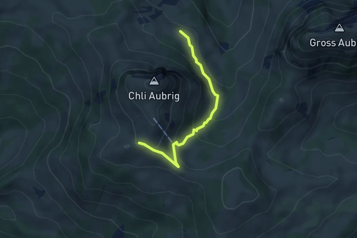
Easy · Trail
Wildegg - Unter Alten
3.7 km · ↑ 253 m · 1 h 25 min · 13 km away
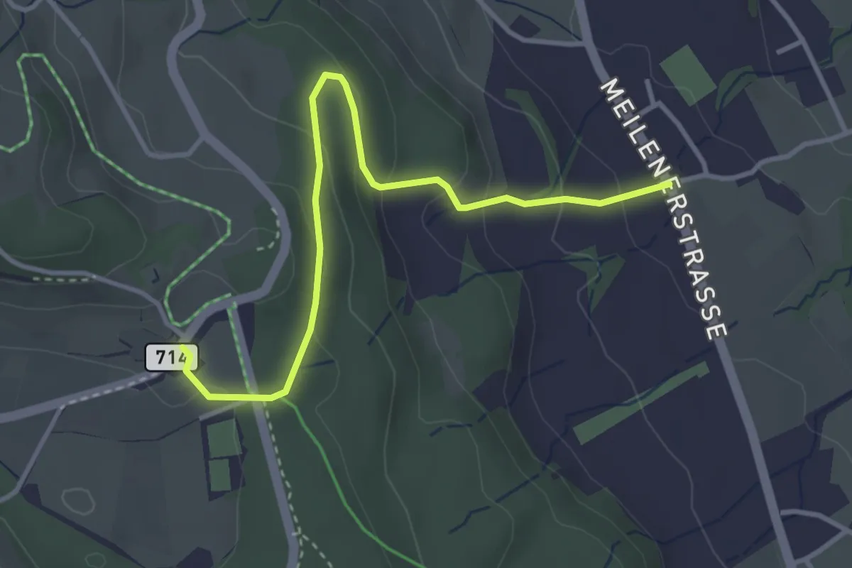
Easy · Trail
Vorderpfannenstiel - Innervollikon
3.7 km · ↑ 177 m · 1 h 15 min · 13 km away
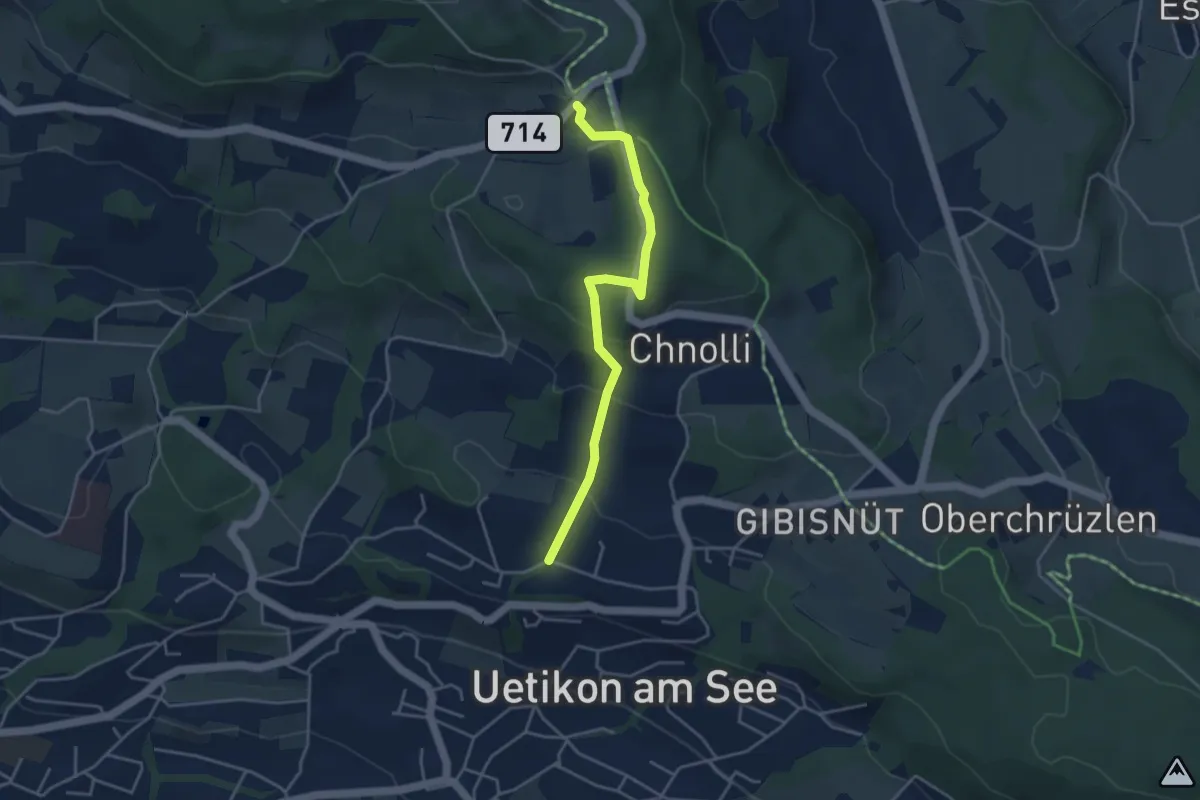
Easy · Trail
Uetikon Brand - Vorderpfannenstiel
3.9 km · ↑ 168 m · 1 h 17 min · 13 km away
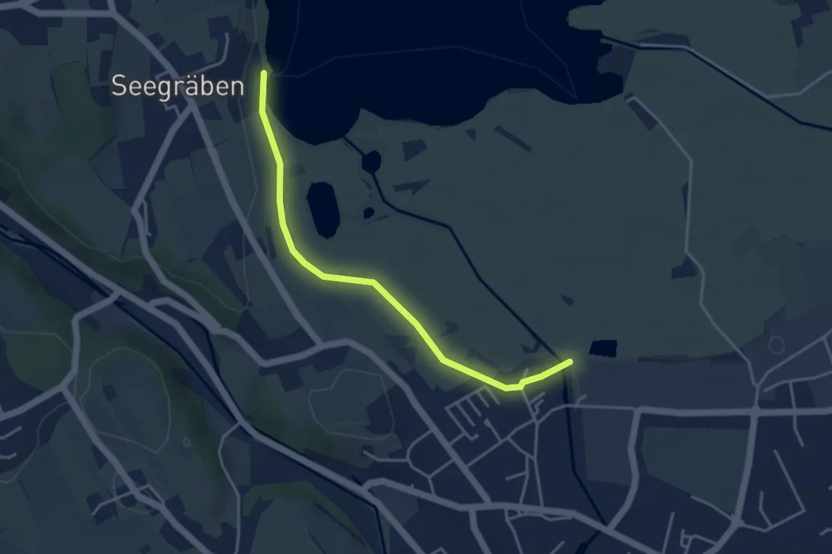
Easy · Trail
Seegräben Landungssteg - Robenhausen
3.5 km · ↑ 4 m · 50 min · 13 km away
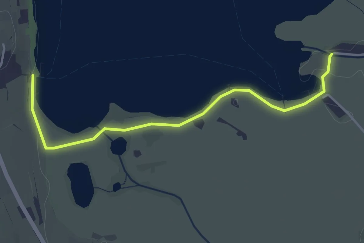
Easy · Trail
Strandbad Auslikon – Seegräben Landungssteg
3.6 km · ↑ 5 m · 51 min · 13 km away
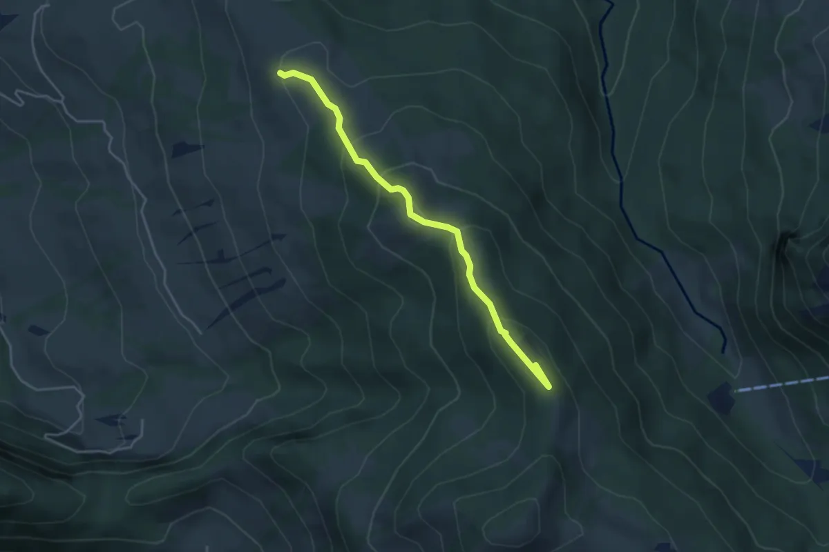
Medium · Summit
Rötstock – Schwarzenegghöchi
3.9 km · ↑ 225 m · 1 h 25 min · 13 km away
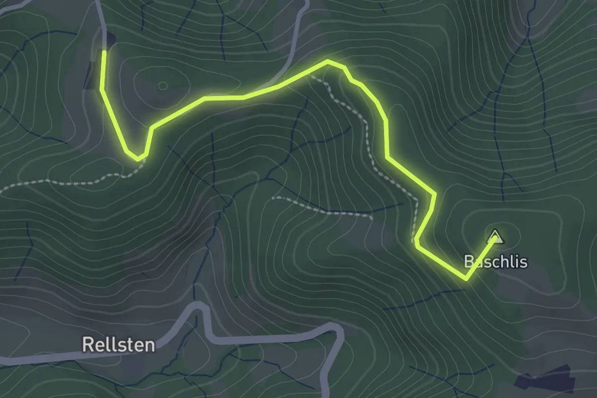
Easy · Summit
Ghöchweid - Sunnenhof
2.9 km · ↑ 139 m · 1 h · 13 km away
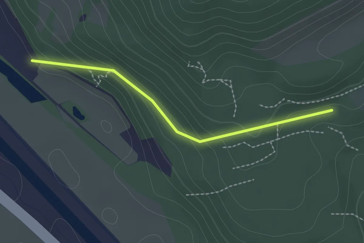
Easy · Trail
Mösli – Nesslenboden
2.0 km · ↑ 90 m · 40 min · 13 km away
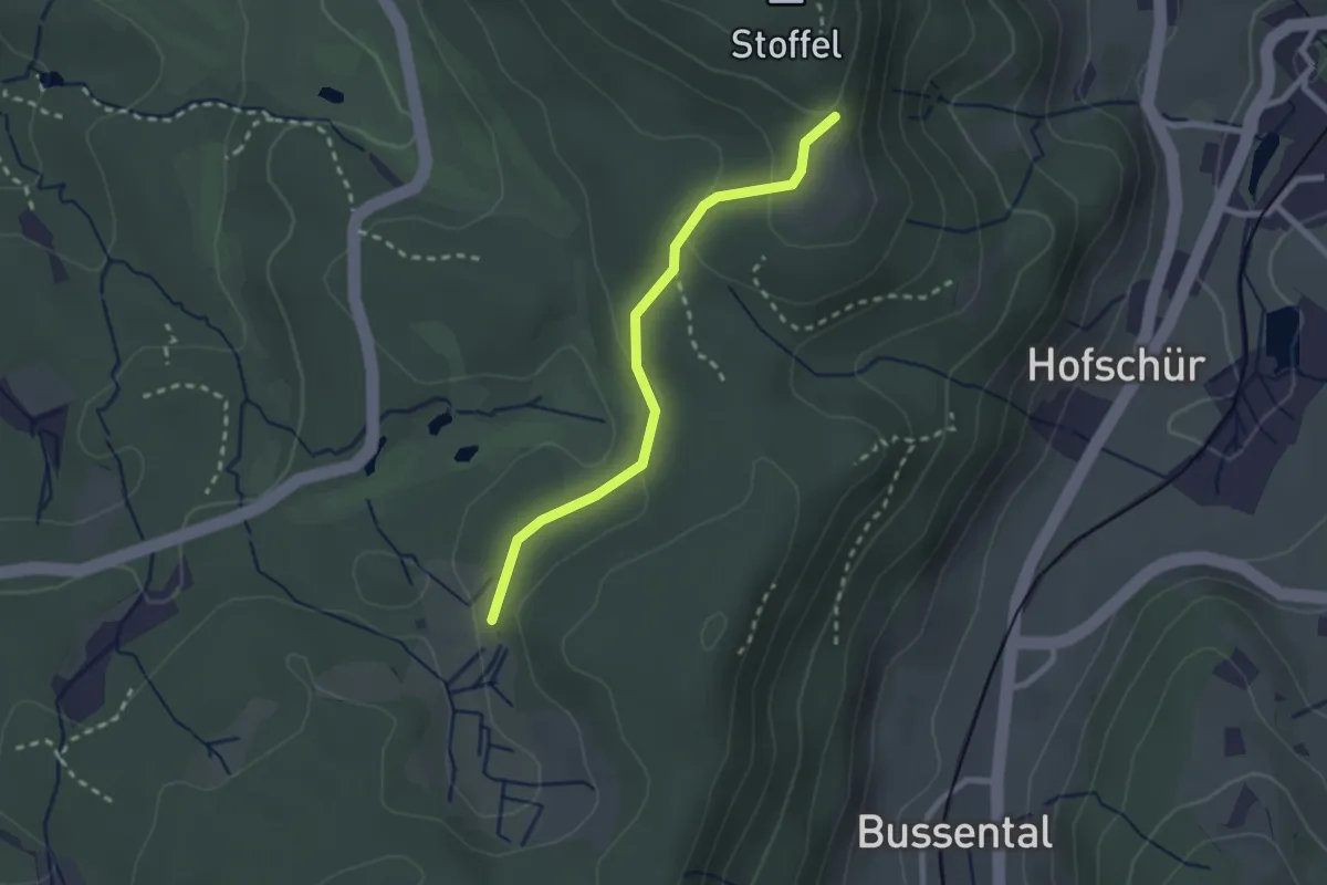
Easy · Trail
Lättenweid - Grabenriet
2.3 km · ↑ 70 m · 41 min · 14 km away
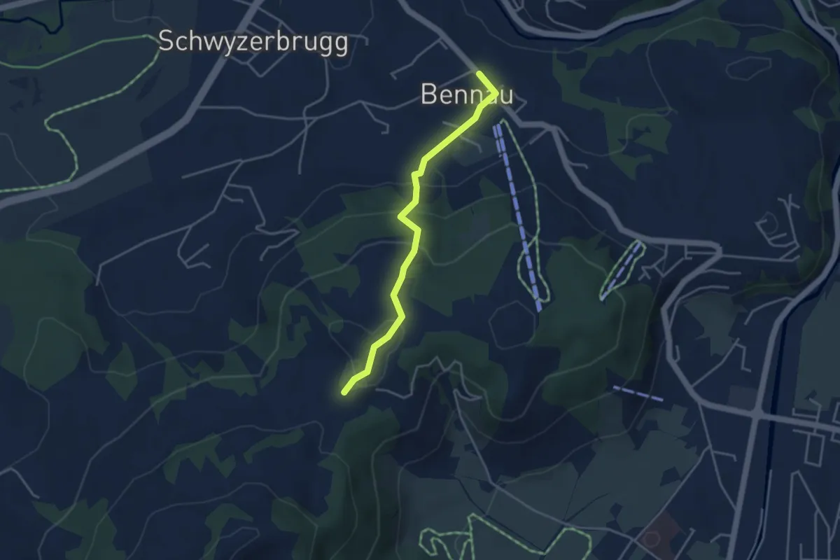
Easy · Trail
Bennau - Chatzenstrick
3.5 km · ↑ 187 m · 1 h 14 min · 14 km away
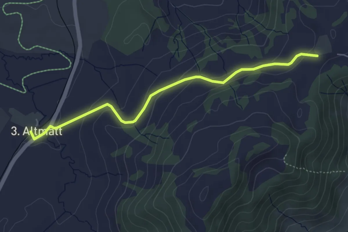
Easy · Trail
Dritte Altmatt - Chatzenstrick
4.6 km · ↑ 141 m · 1 h 24 min · 14 km away
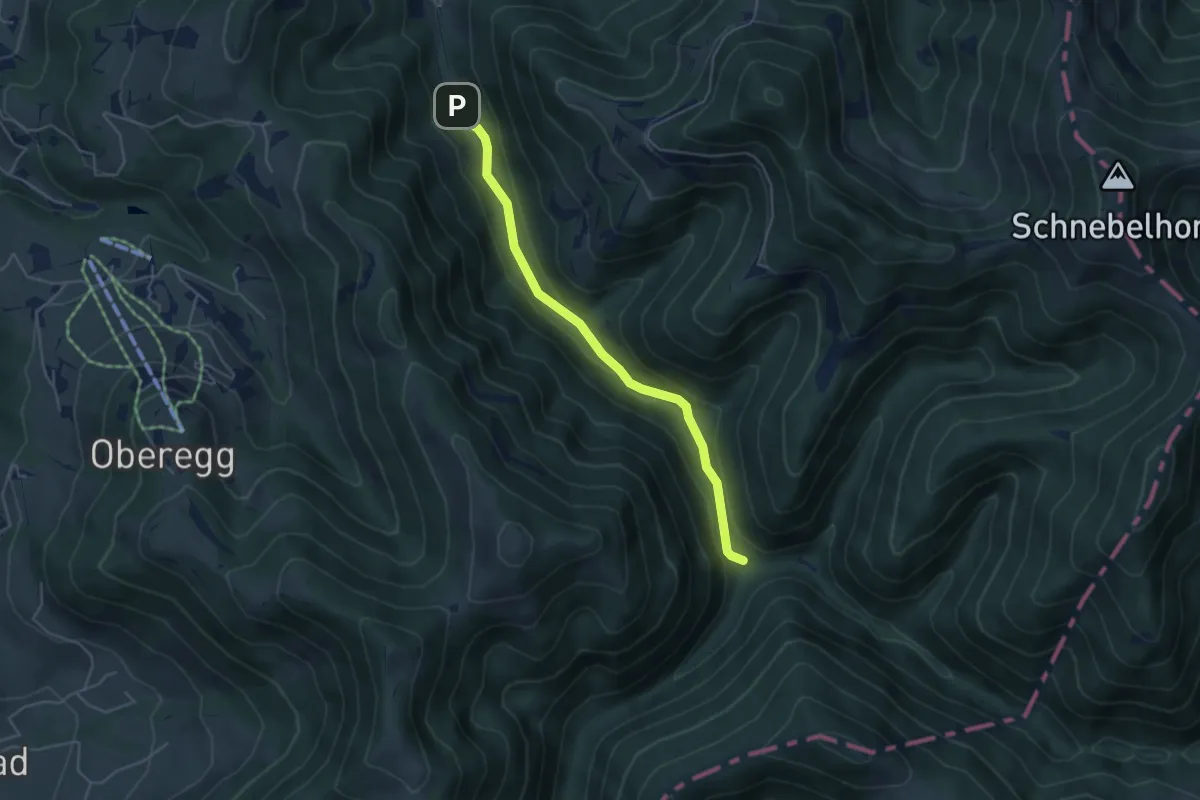
Easy · Trail
Tössscheidi - Buri
4.4 km · ↑ 128 m · 1 h 19 min · 14 km away
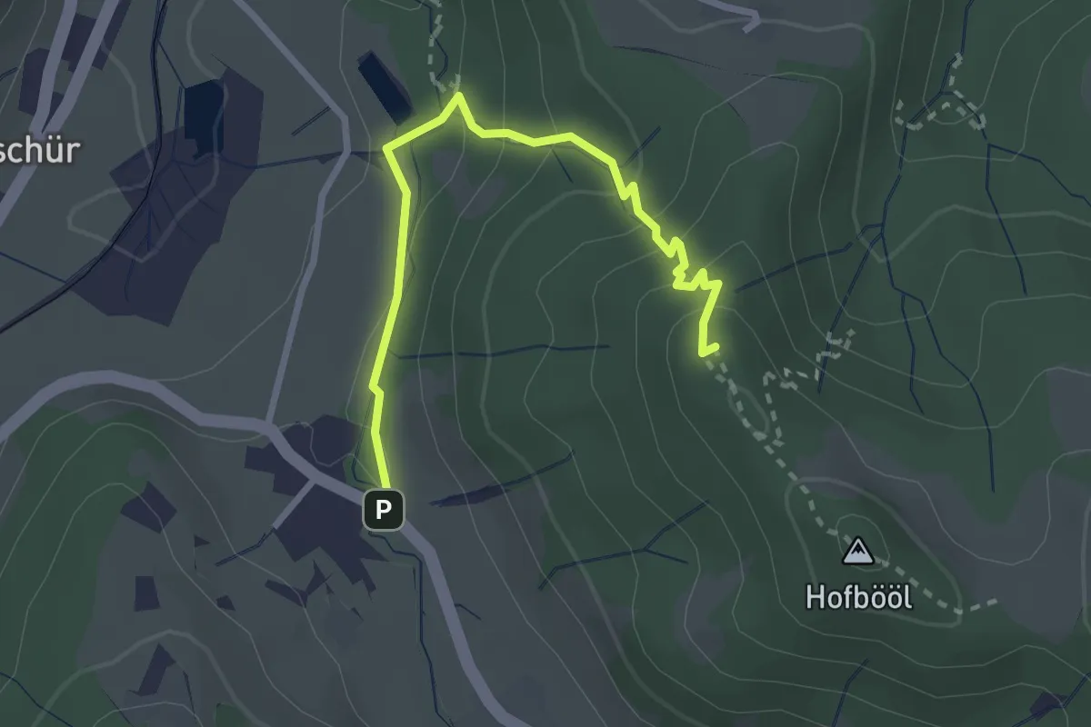
Easy · Summit
Hinterburg - Hohenegg
2.7 km · ↑ 174 m · 1 h 1 min · 14 km away
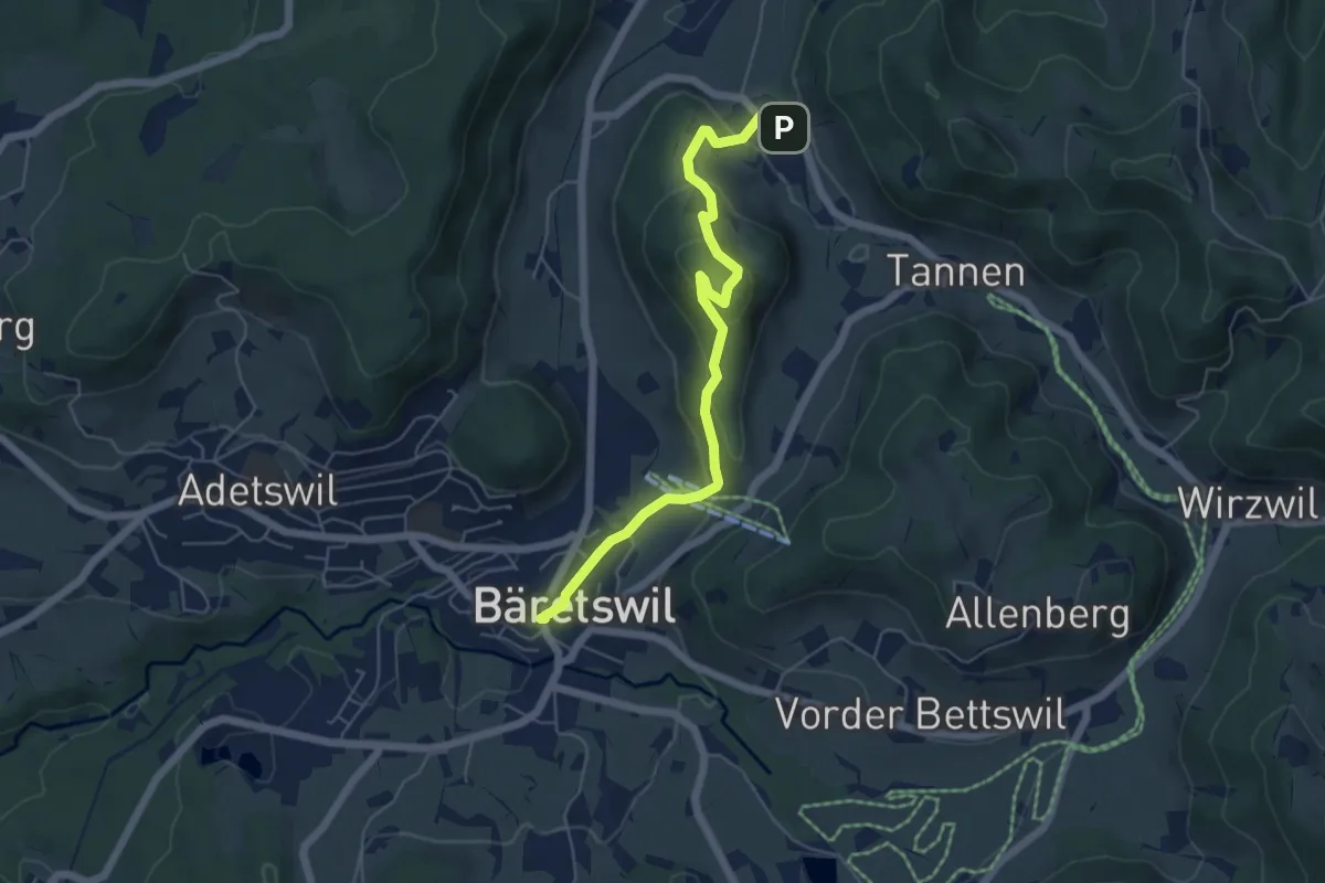
Easy · Trail
Bäretswil - Greifenberg - Hinterburg
5.6 km · ↑ 293 m · 1 h 58 min · 14 km away
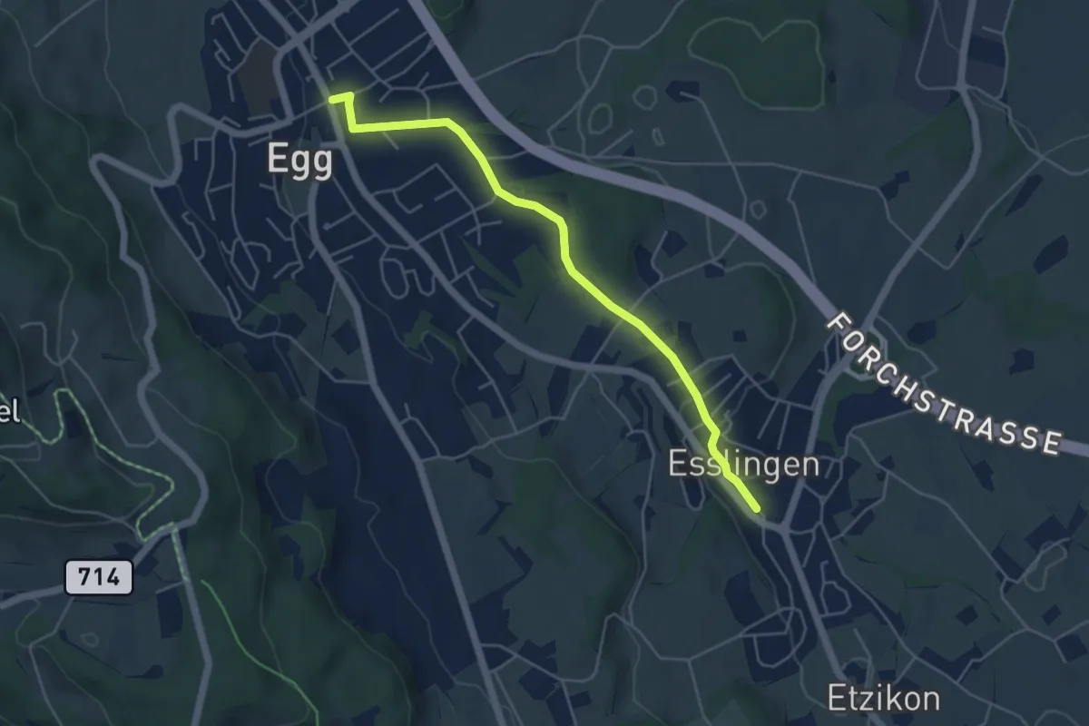
Easy · Trail
Egg – Esslingen
4.8 km · ↑ 66 m · 1 h 17 min · 14 km away
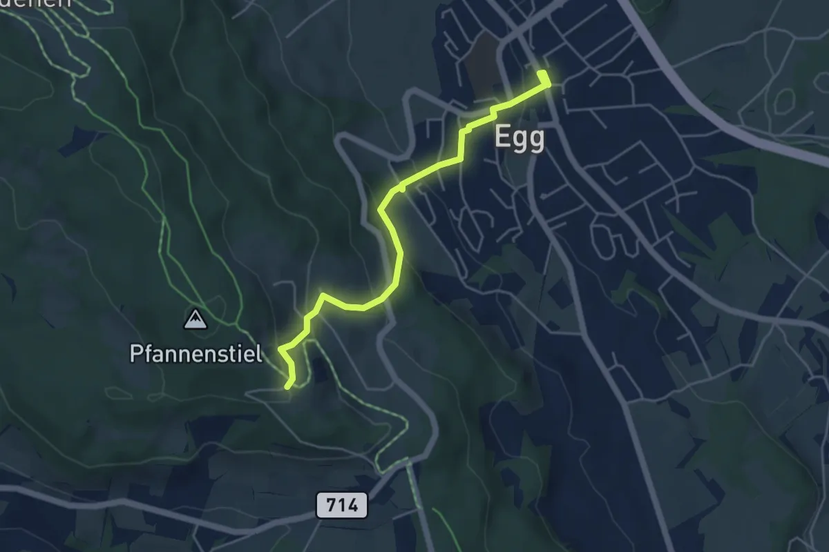
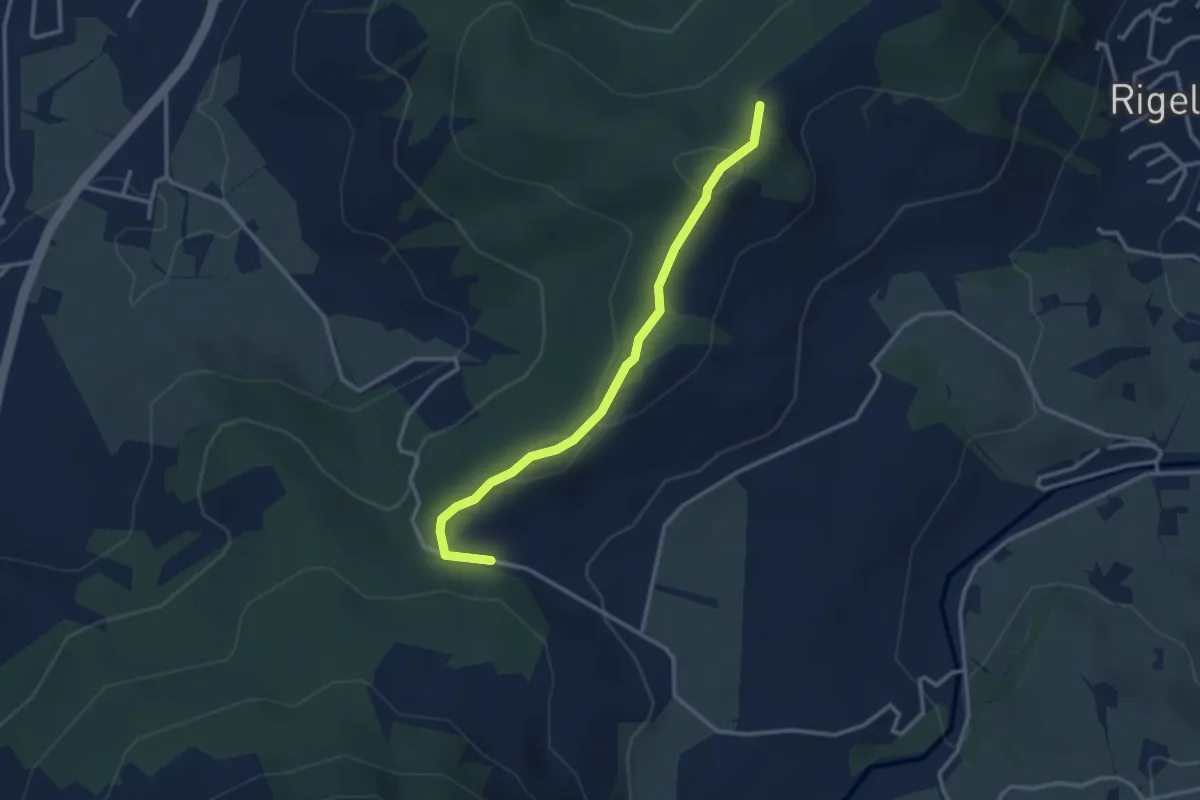
Easy · Trail
Egg – Pfannenstiel Hochwacht
4.4 km · ↑ 256 m · 1 h 36 min · 14 km away
Easy · Trail
Friherrenberg - Chälen
3.0 km · ↑ 117 m · 57 min · 14 km away
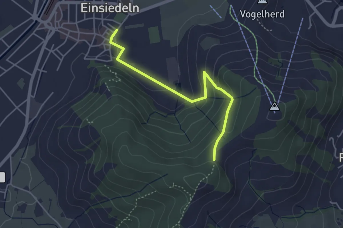
Easy · Trail
Kloster Einsiedeln - Friherrenberg
3.7 km · ↑ 179 m · 1 h 16 min · 14 km away
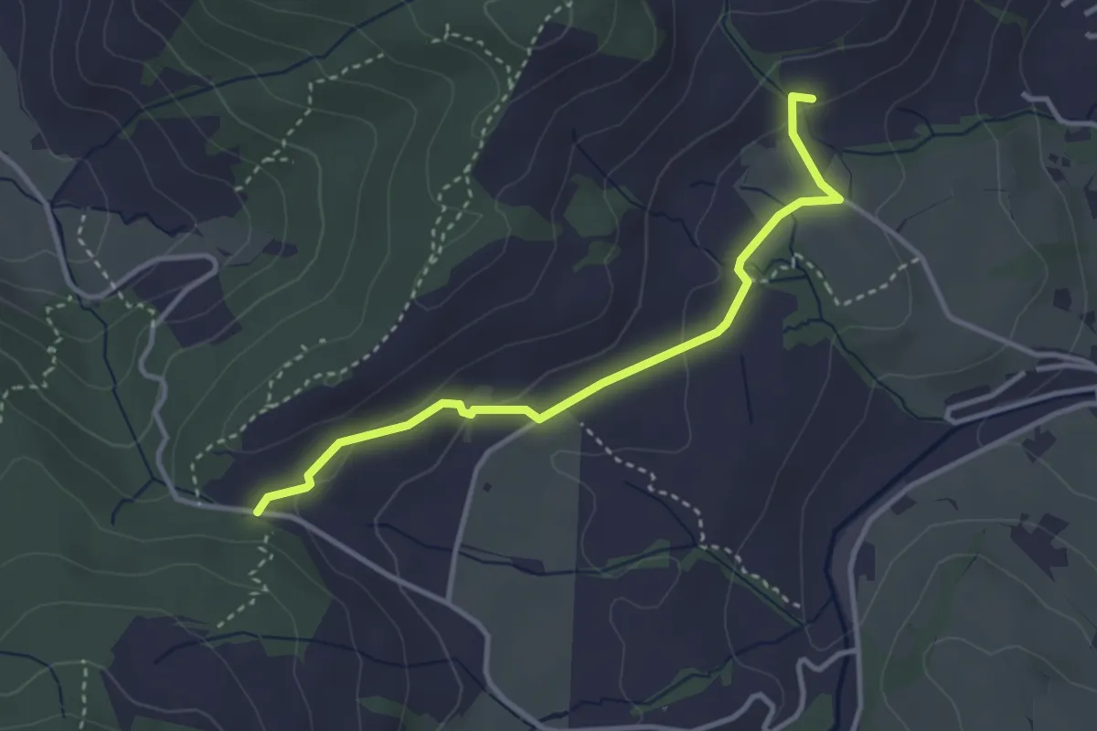
Easy · Trail
Müser - Chälen
3.3 km · ↑ 90 m · 58 min · 14 km away
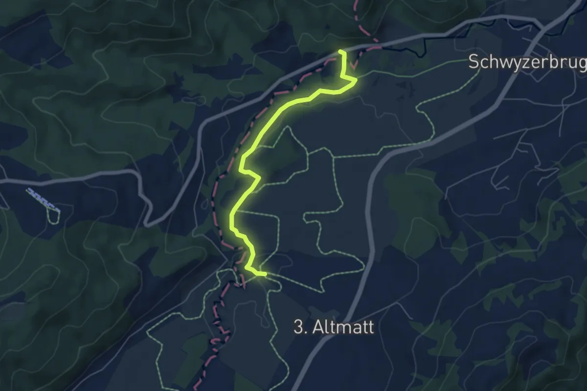
Easy · Trail
Bibersteg - Gutsch-Säge
5.3 km · ↑ 109 m · 1 h 30 min · 14 km away
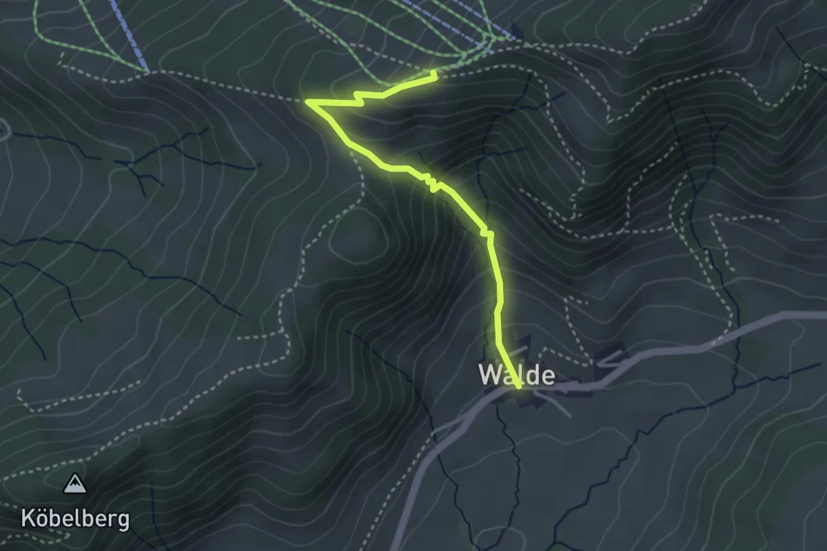
Demanding · Trail
Walde - Obere Ätzmännig
3.2 km · ↑ 301 m · 1 h 24 min · 14 km away
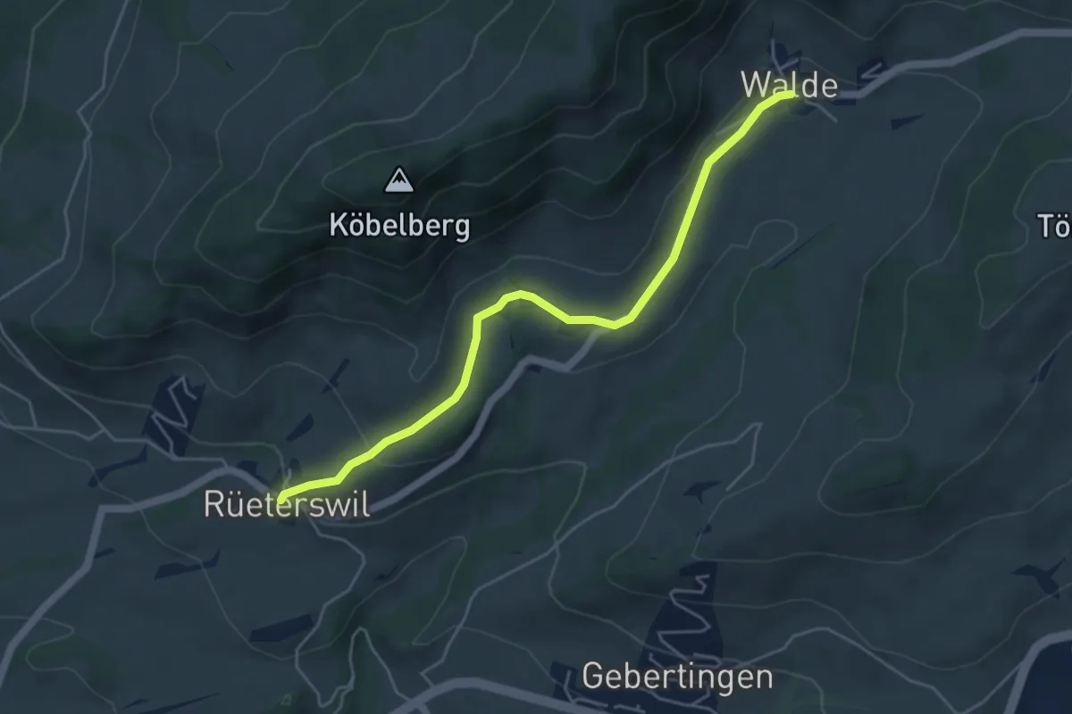
Easy · Trail
Walde - Rüeterswil Kapelle
4.8 km · ↑ 147 m · 1 h 28 min · 14 km away
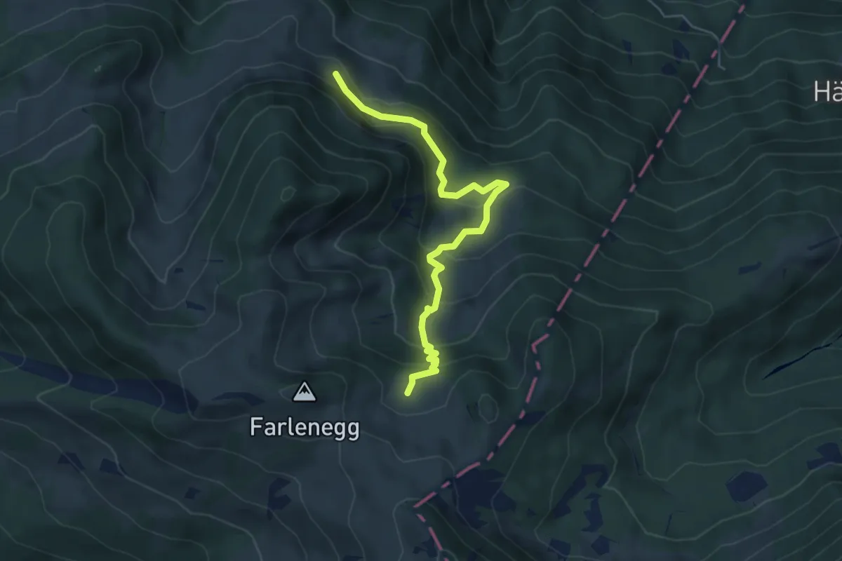
Medium · Trail
Au – Lachen (Alp)
5.2 km · ↑ 374 m · 2 h 2 min · 14 km away
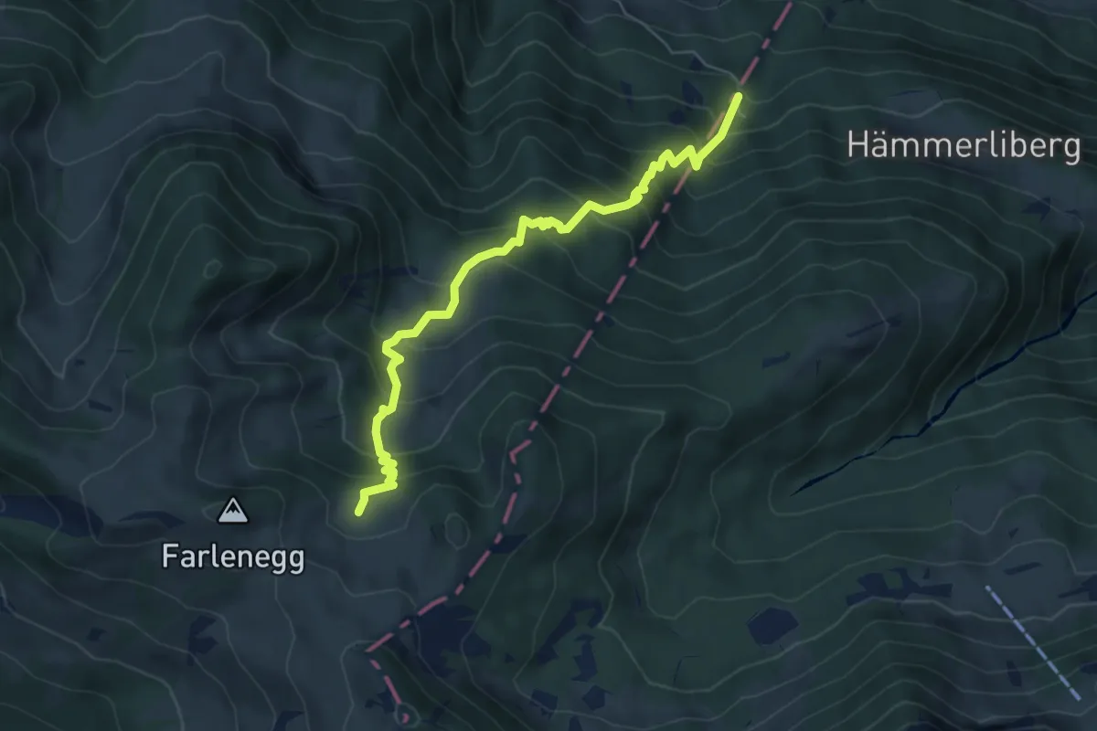
Medium · Trail
Hoggli – Lachen (Alp)
6.0 km · ↑ 668 m · 2 h 52 min · 14 km away
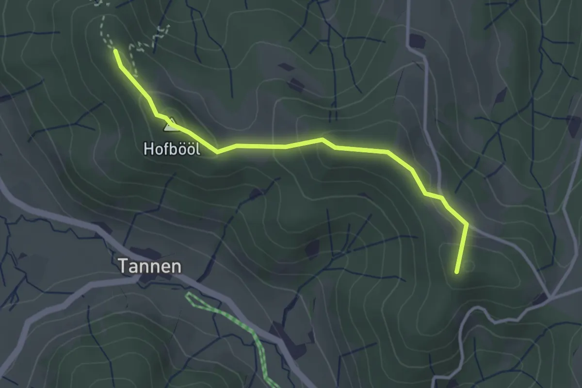
Easy · Summit
Hohenegg - Sunnenhof
2.9 km · ↑ 153 m · 1 h 2 min · 14 km away
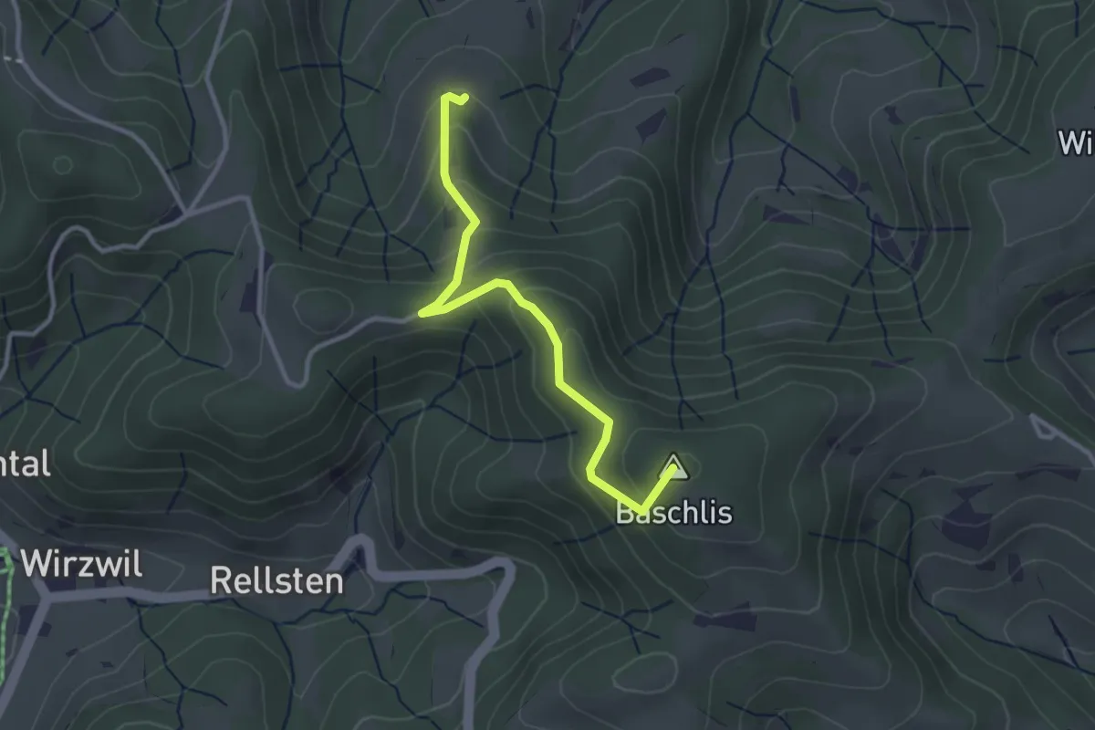
Easy · Summit
Ghöchweid - Unterlaupetswil - fixme
2.9 km · ↑ 185 m · 1 h 5 min · 14 km away
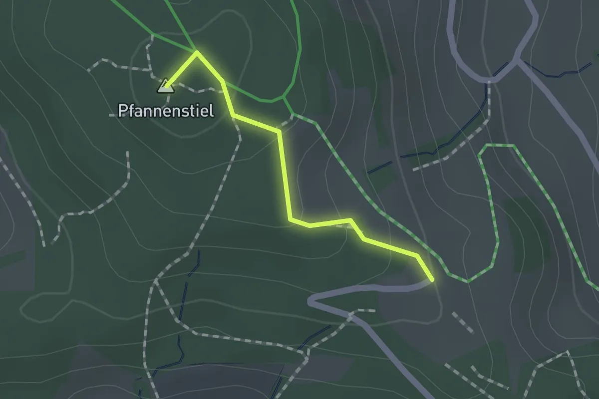
Easy · Summit
Guldener Höchi – Pfannenstiel Hochwacht
1.2 km · ↑ 50 m · 23 min · 14 km away
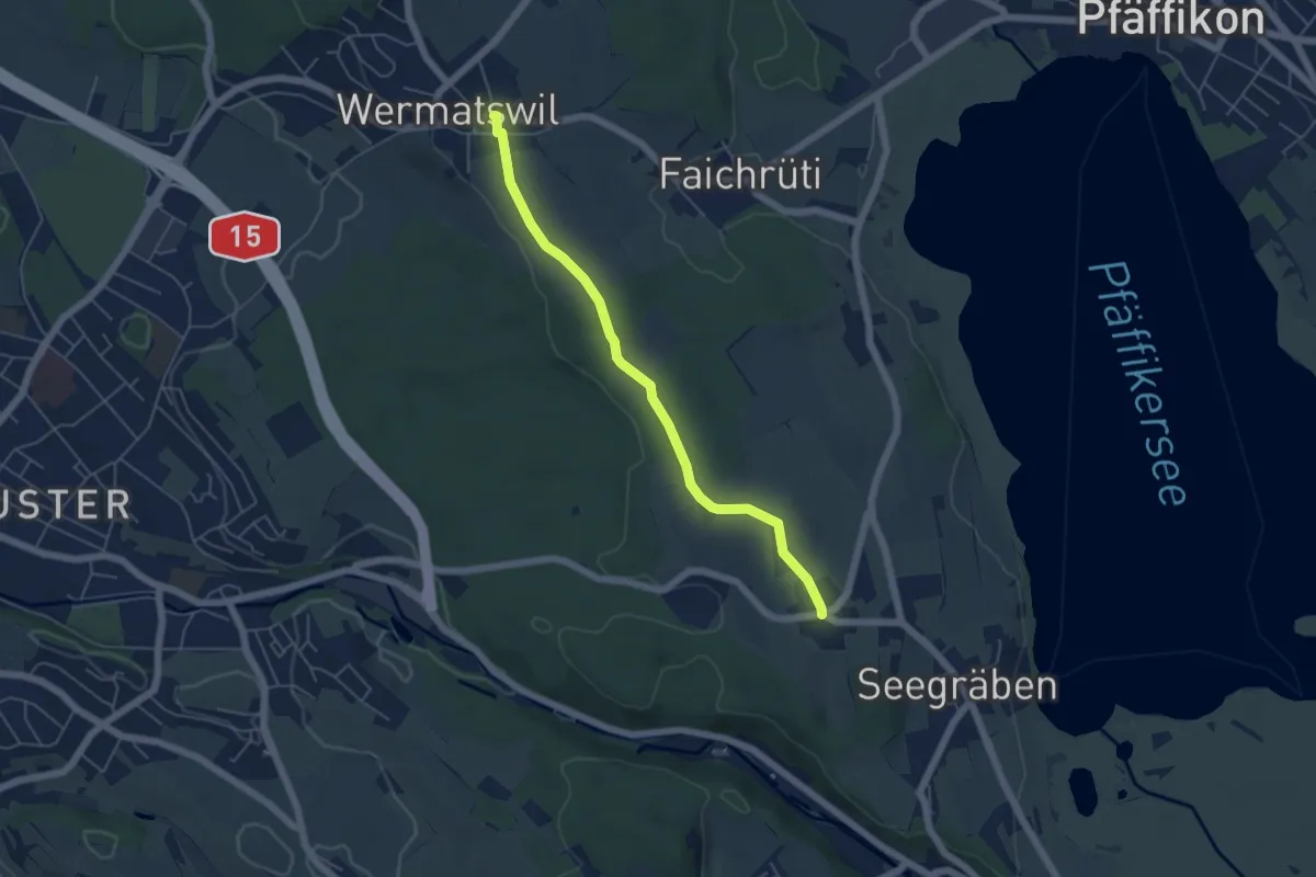
Easy · Trail
Wermatswil – Ottenhusen
5.0 km · ↑ 50 m · 1 h 17 min · 14 km away
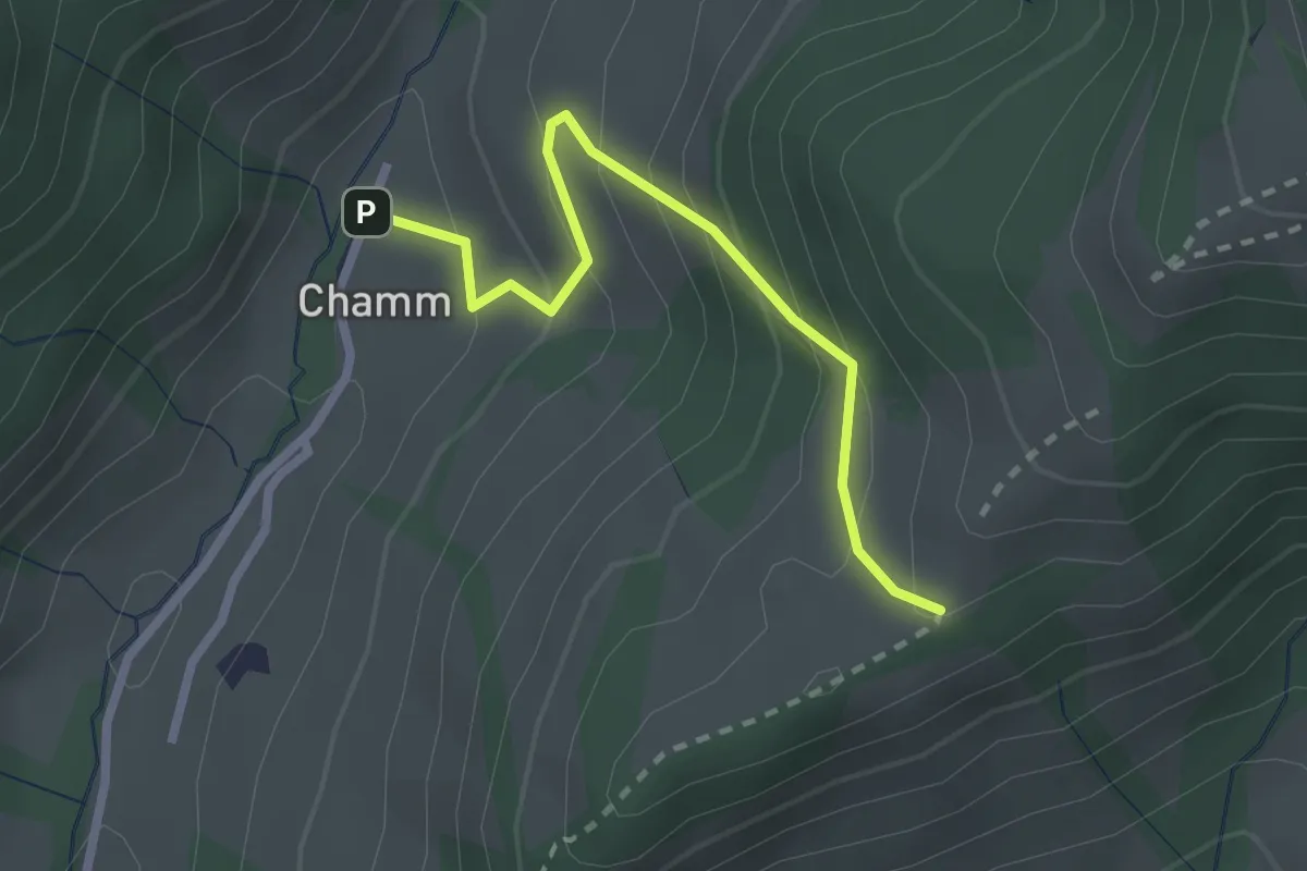
Easy · Trail
Chamm - Oberchamm
2.3 km · ↑ 216 m · 1 h 1 min · 14 km away
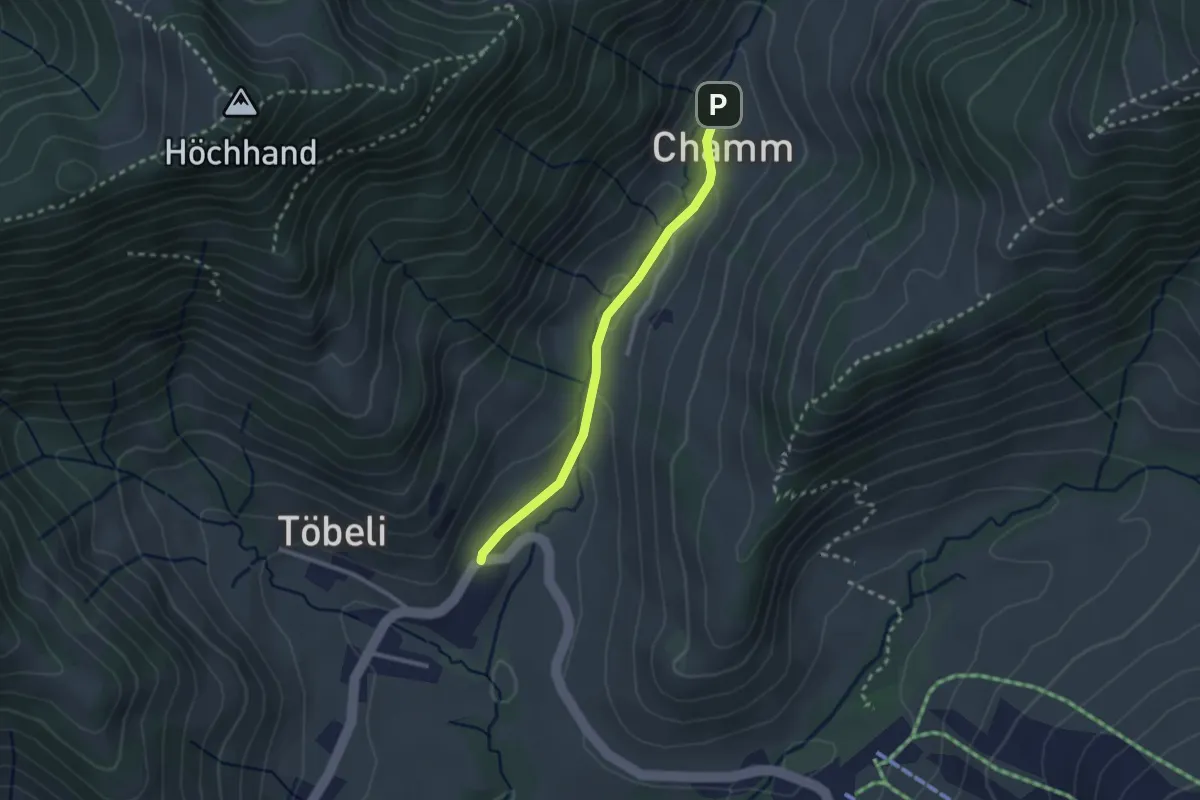
Easy · Trail
Rossfallen-Chamm
2.3 km · ↑ 58 m · 40 min · 14 km away
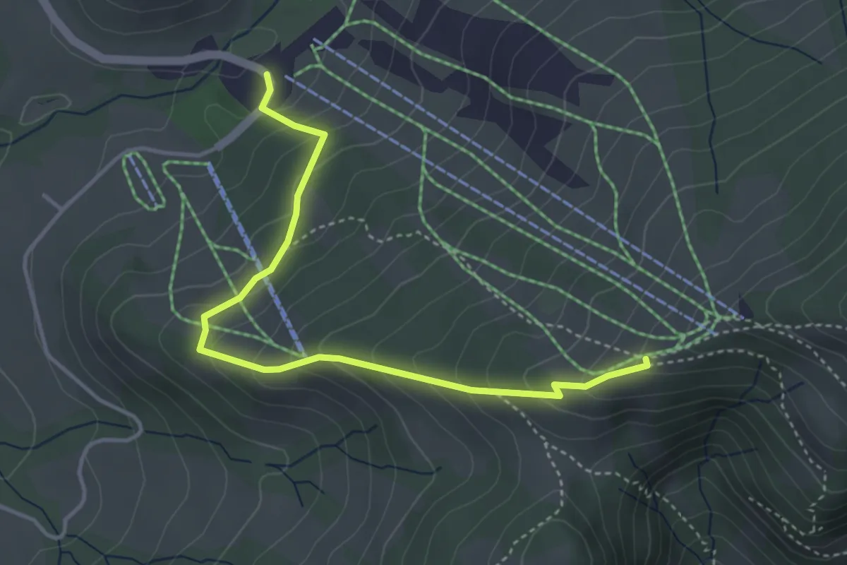
Easy · Cabin
Schutt-Obere Amännig
4.1 km · ↑ 311 m · 1 h 38 min · 14 km away
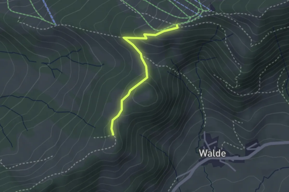
Medium · Trail
Eggli - Obere Amännig
2.5 km · ↑ 110 m · 50 min · 14 km away
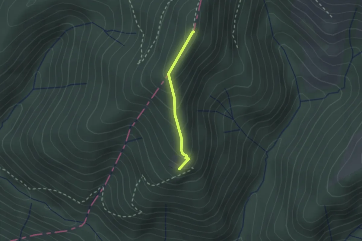
Medium · Summit
Neurüti - Dägelsberger Wiesli
1.4 km · ↑ 134 m · 38 min · 14 km away
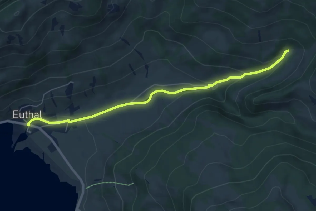
Easy · Trail
Euthal – Chrummflüeli
5.7 km · ↑ 166 m · 1 h 42 min · 14 km away
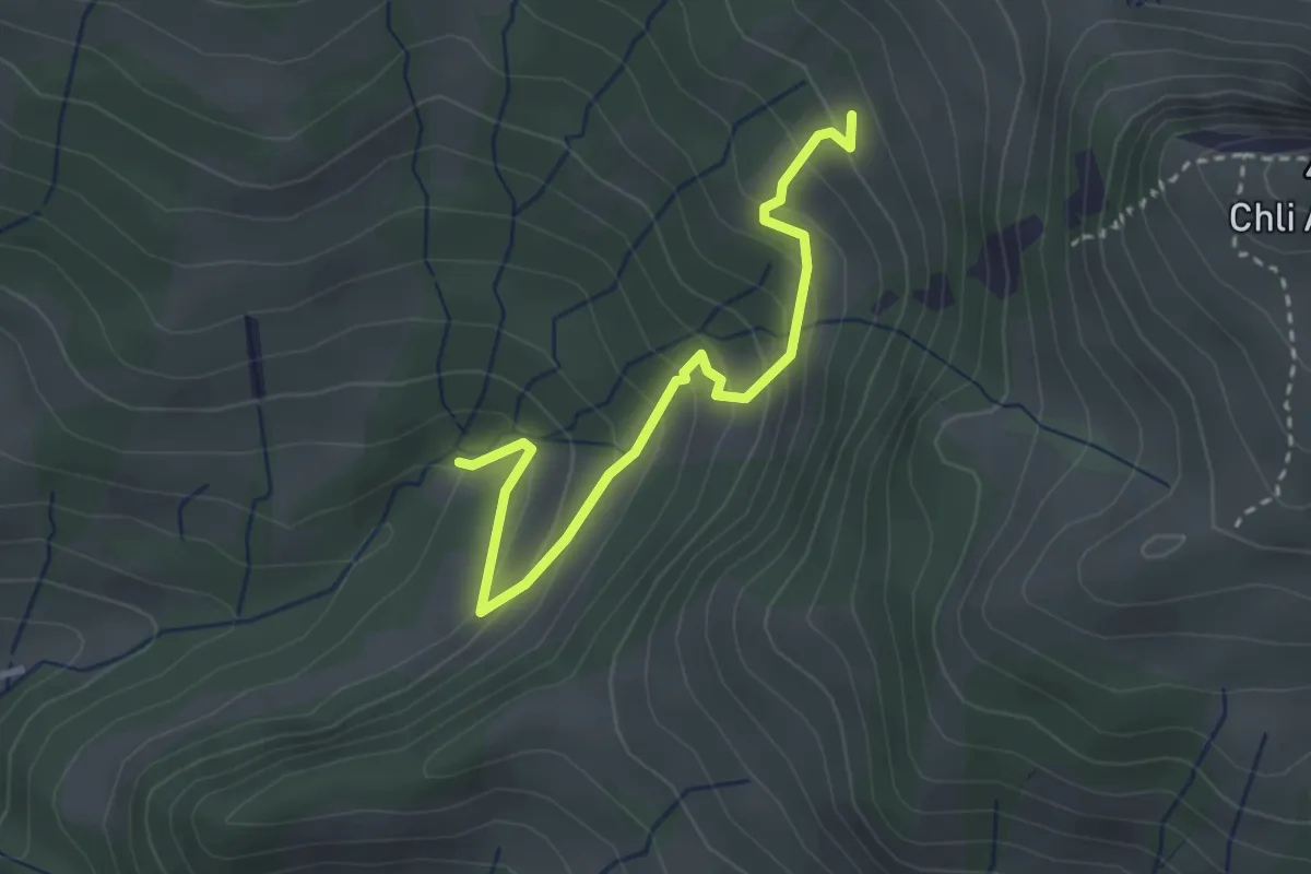
Easy · Trail
Chrummflüeli - Bärlaui
3.0 km · ↑ 268 m · 1 h 17 min · 14 km away
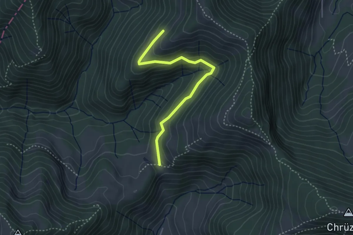
Easy · Trail
Chreuel – Hand
3.5 km · ↑ 197 m · 1 h 15 min · 14 km away
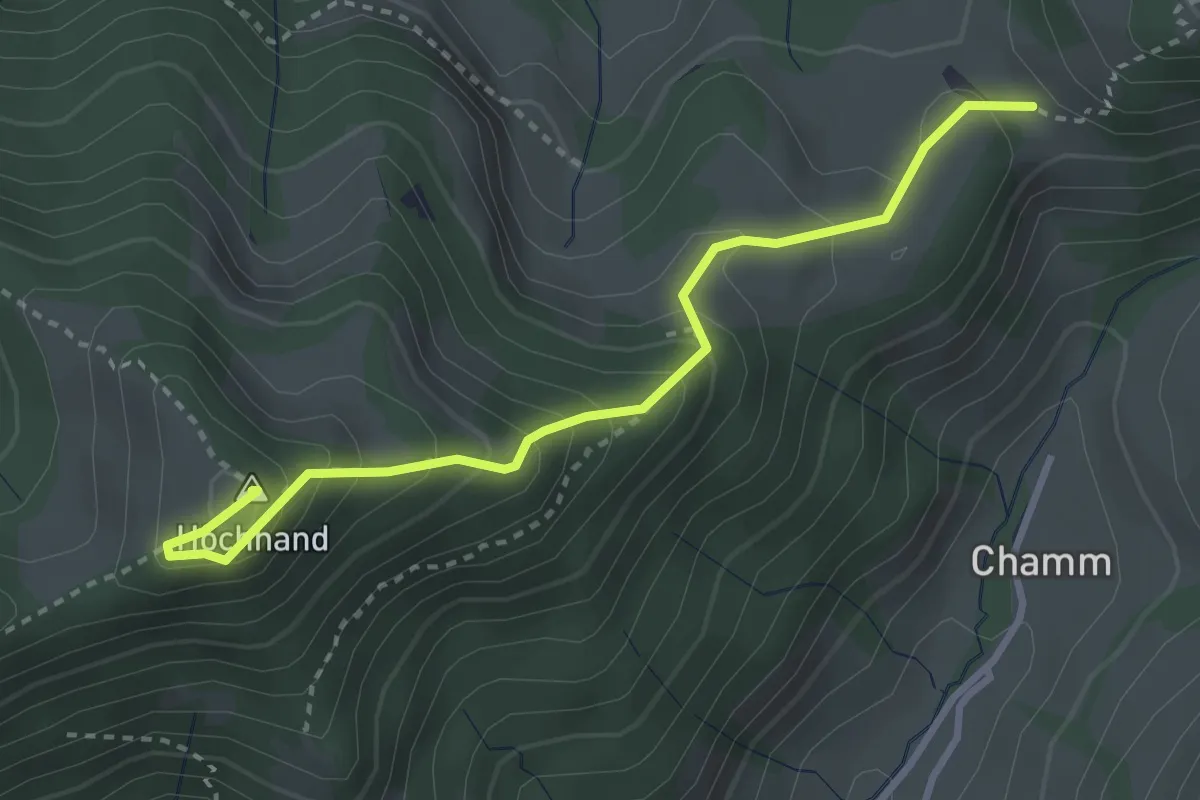
Medium · Summit
Hand – Höchhand
3.3 km · ↑ 296 m · 1 h 24 min · 14 km away
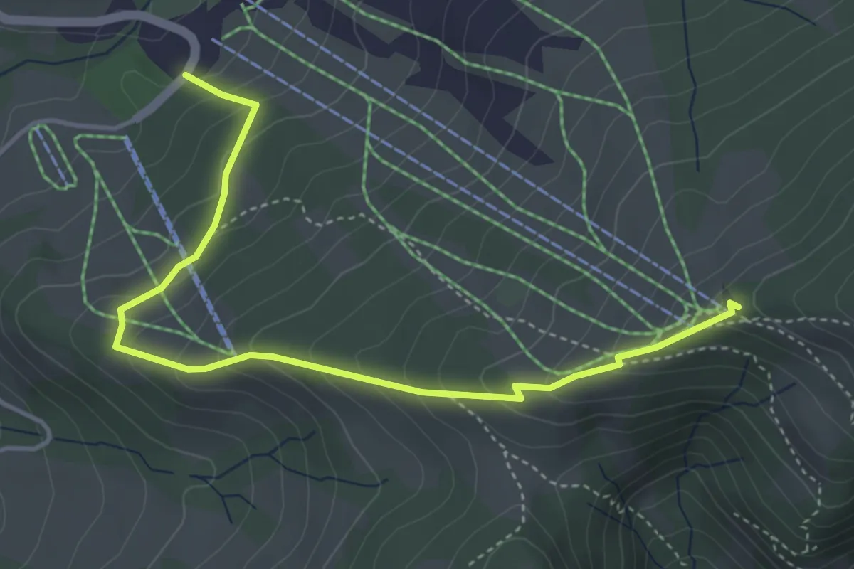
Medium · Cabin
Spatz Männi Erlebnisweg
4.5 km · ↑ 336 m · 1 h 48 min · 14 km away
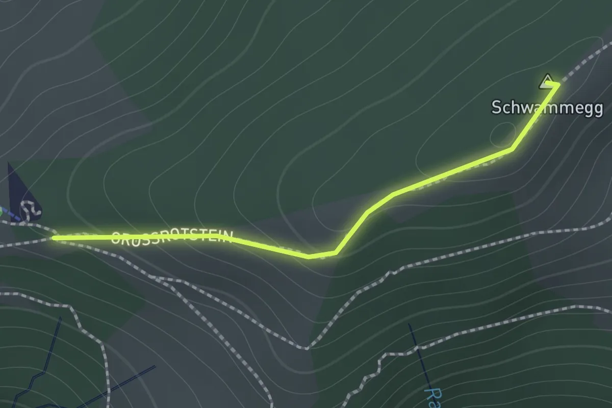
Easy · Summit
Atzmännig Bergstation-Hint. Rotstein
1.2 km · ↑ 91 m · 29 min · 14 km away
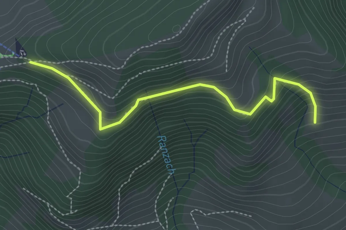
Easy · Trail
Atzmännig Bergstation-Hüttenberg
2.6 km · ↑ 197 m · 1 h 3 min · 14 km away
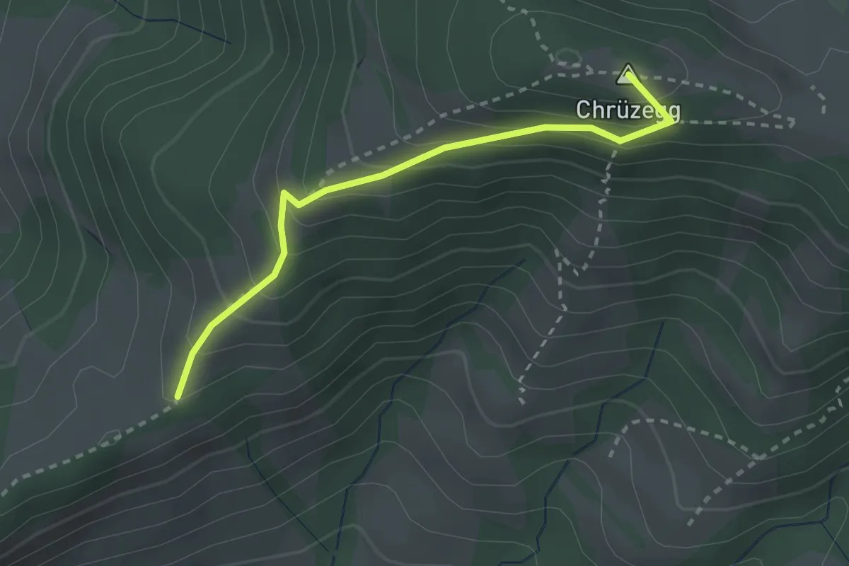
Easy · Summit
Oberchamm - Chrützegg
2.5 km · ↑ 227 m · 1 h 5 min · 14 km away
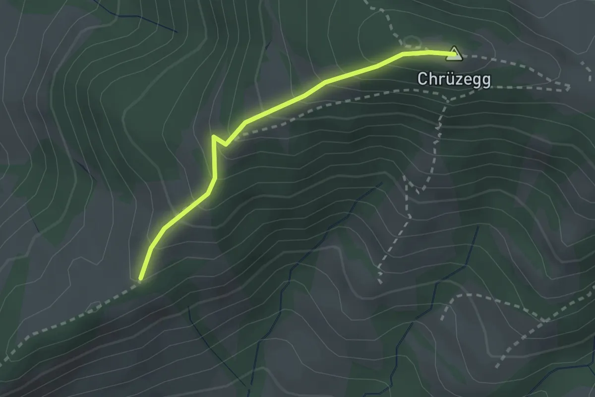
Easy · Summit
Oberchamm - ?
2.2 km · ↑ 225 m · 1 h · 14 km away
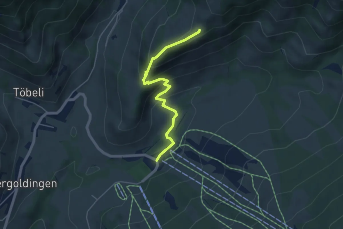
Easy · Cabin
Schutt – Oberchamm
3.9 km · ↑ 245 m · 1 h 27 min · 14 km away
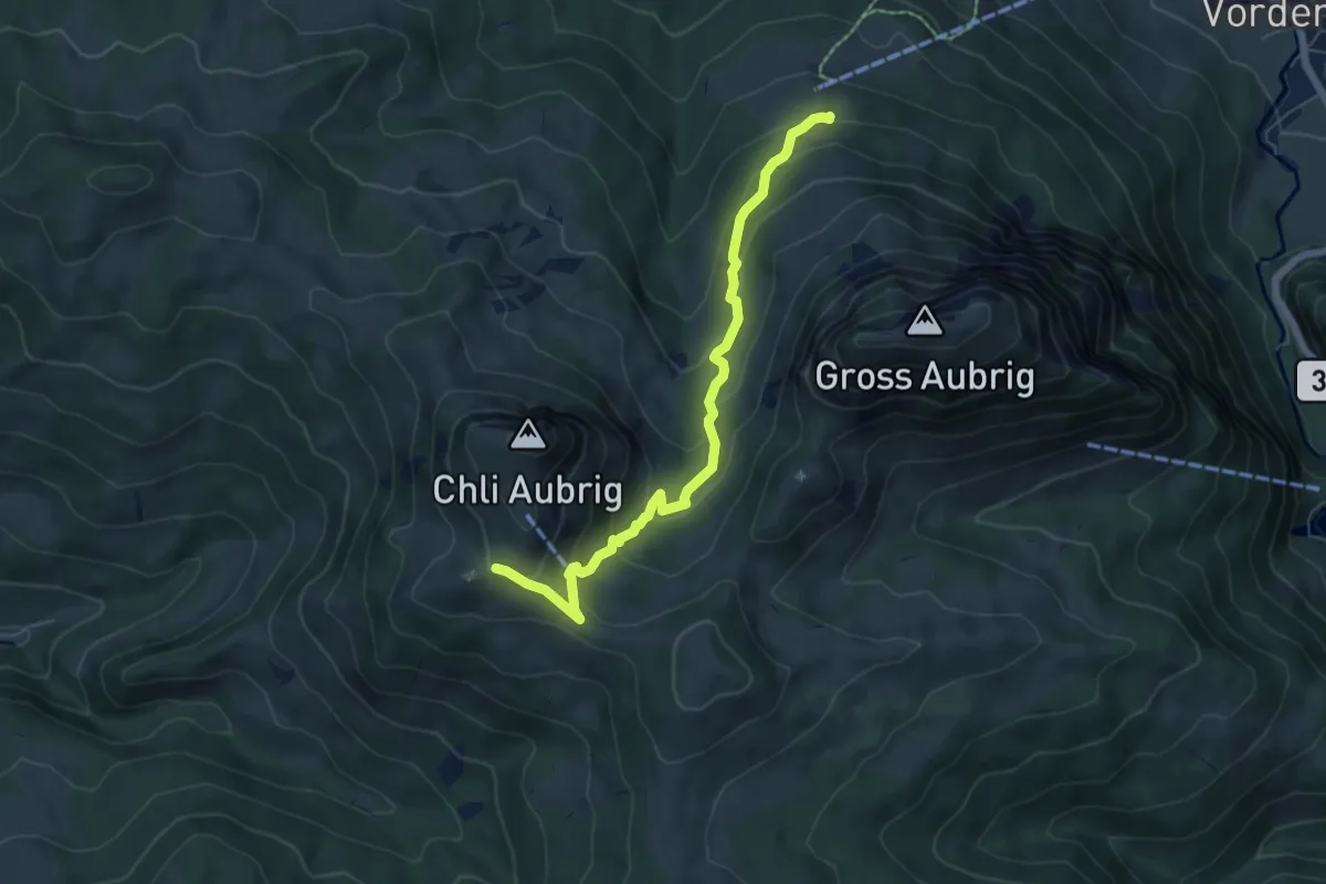
Medium · Trail
Wildegg – Dorlaui
6.1 km · ↑ 374 m · 2 h 15 min · 14 km away
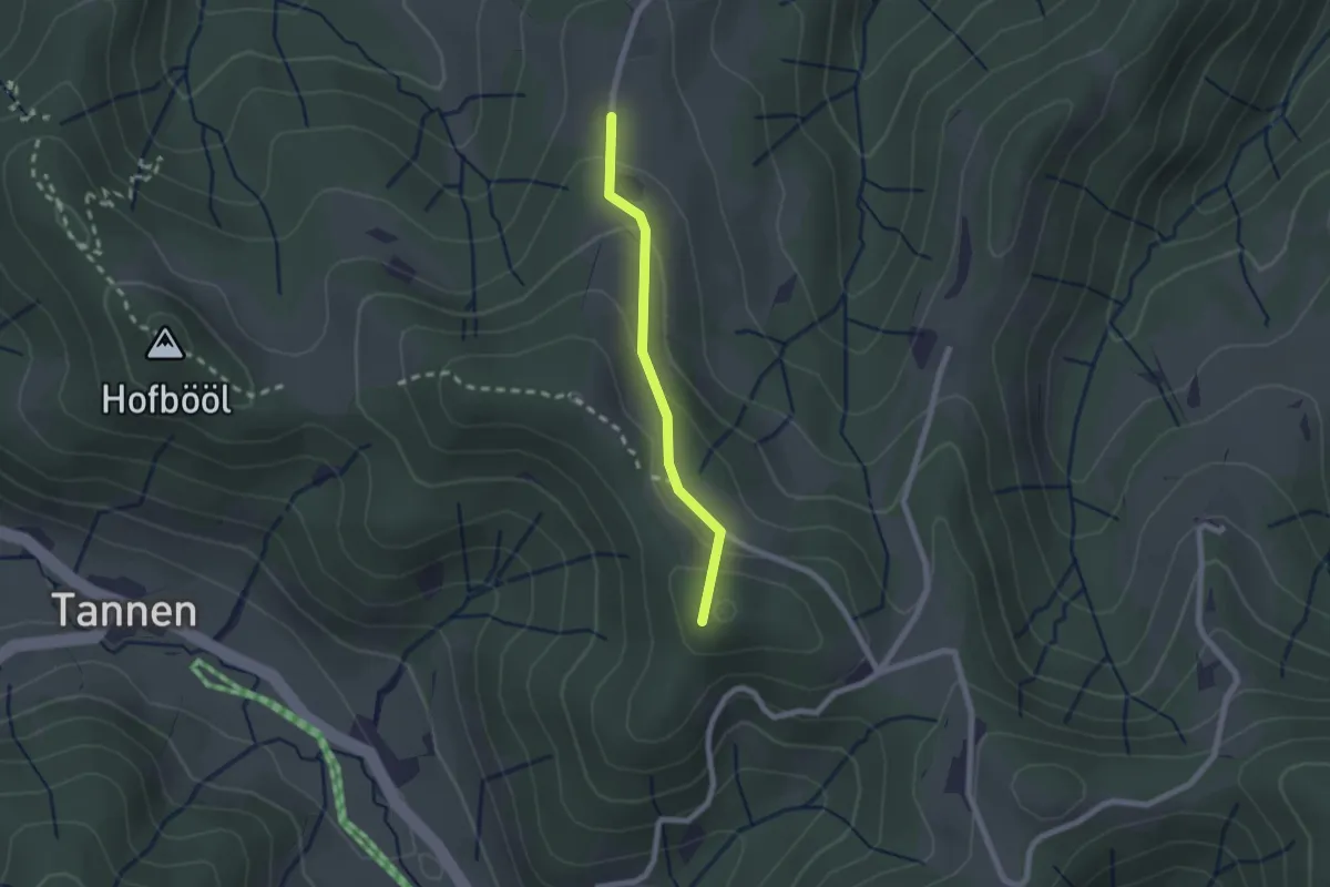
Easy · Summit
Sunnenhof - Ober Wolfsberg
1.8 km · ↑ 91 m · 37 min · 14 km away
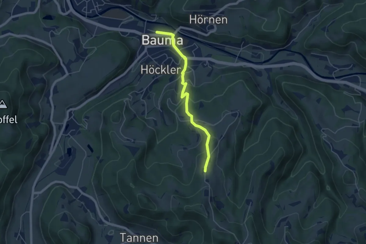
Easy · Trail
Ober Wolfsberg - Bauma Bhf.
4.5 km · ↑ 232 m · 1 h 33 min · 14 km away
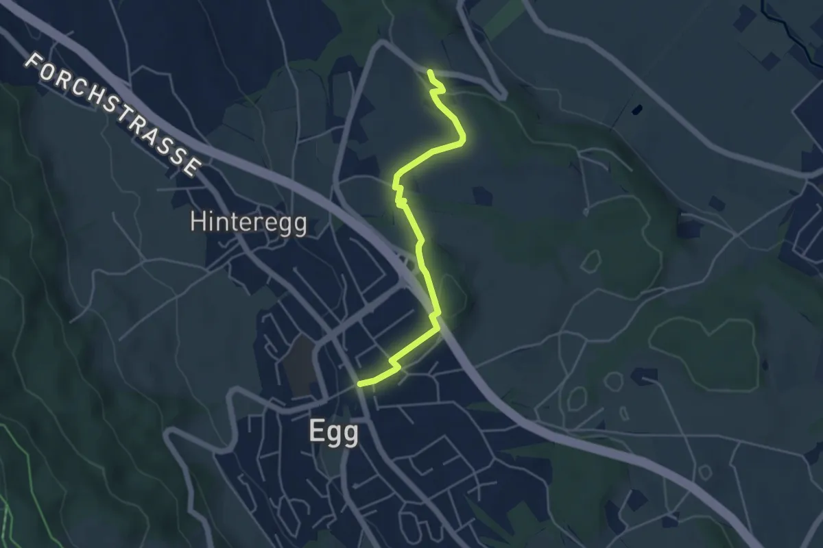
Easy · Trail
Unterhalden – Egg
4.1 km · ↑ 70 m · 1 h 7 min · 14 km away