Trails near Jona
534 hikes starting within 15 km, nearest first.
Nearest first, page 11 of 12
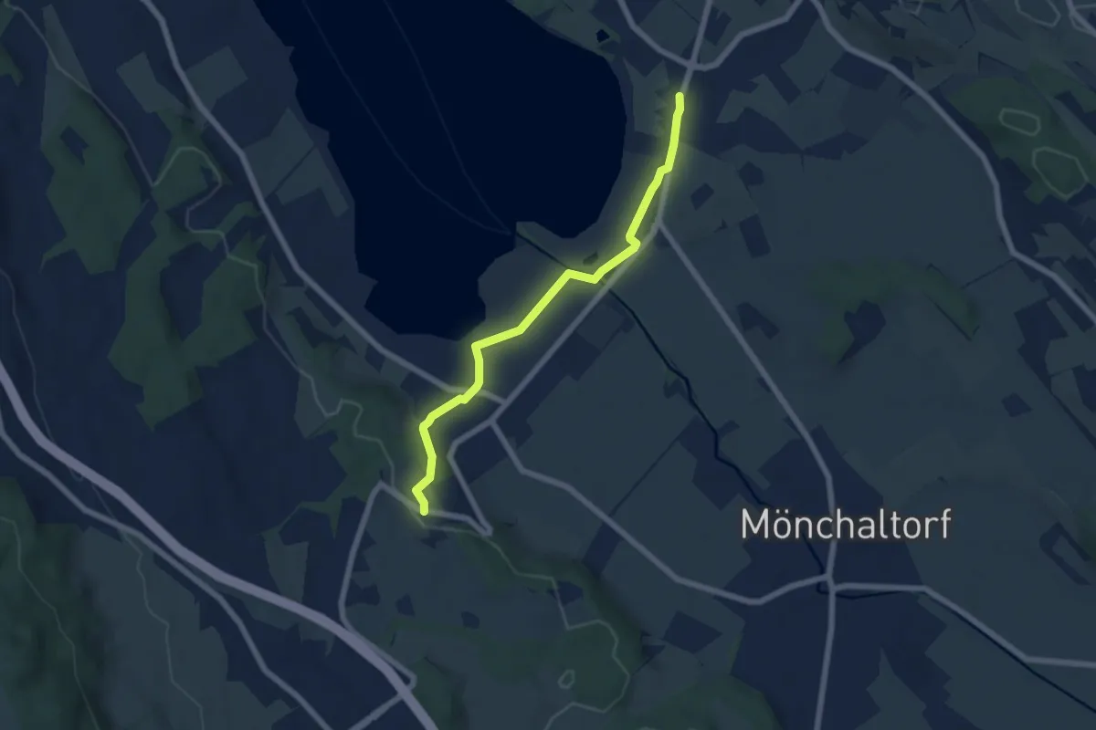
Easy · Trail
Unterhalden - Riedikon
5.8 km · ↑ 64 m · 1 h 30 min · 14 km away
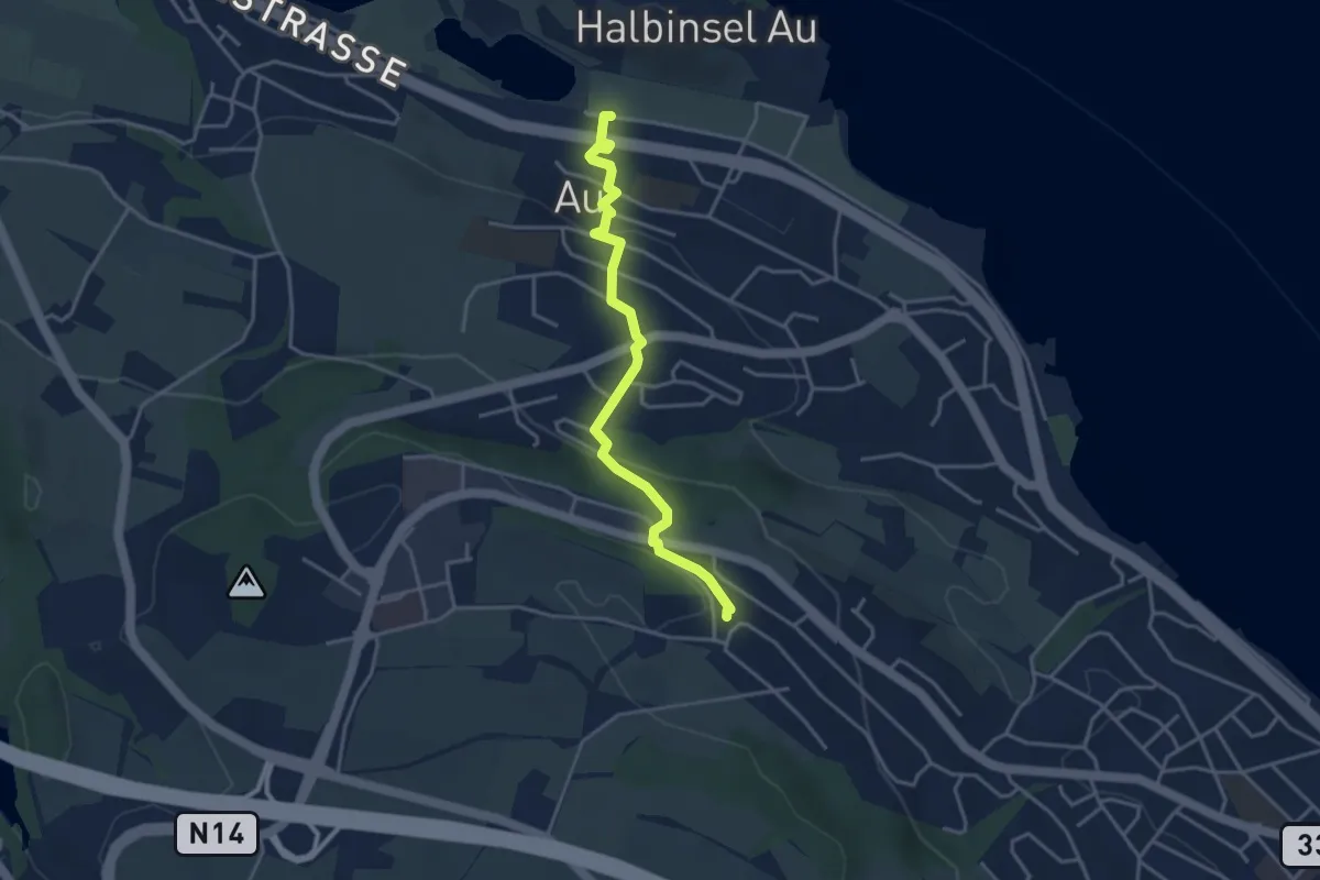
Easy · Trail
Au – Schönegg
3.7 km · ↑ 140 m · 1 h 11 min · 14 km away
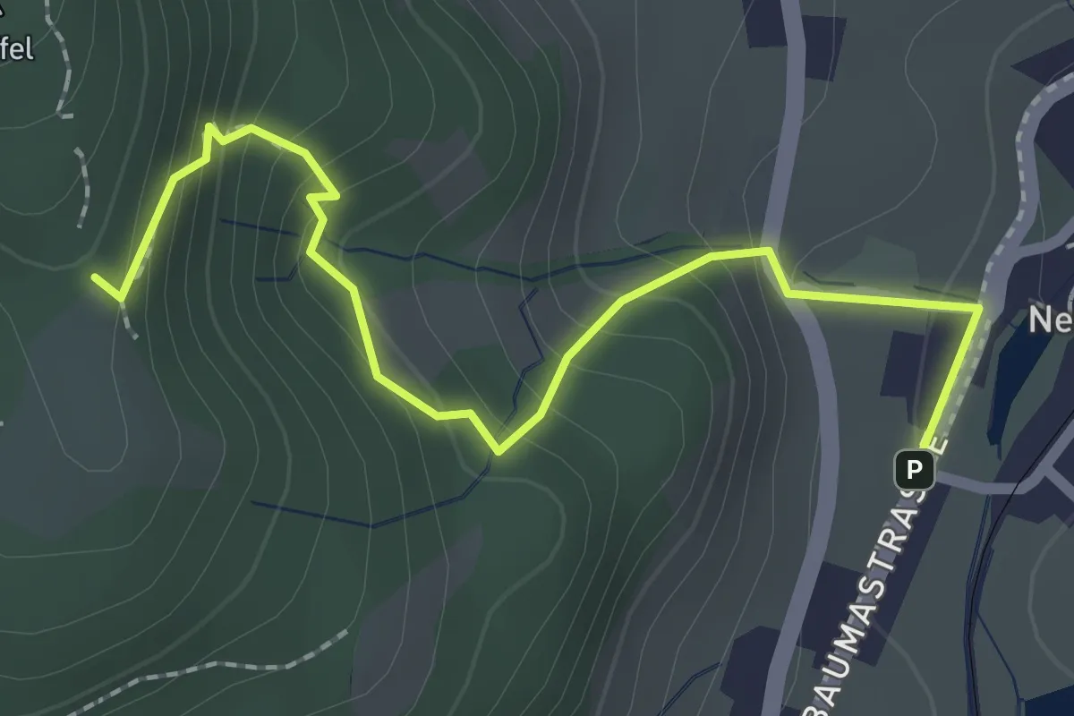
Demanding · Trail
Lättenweid - Neuthal (Bus)
2.3 km · ↑ 197 m · 59 min · 14 km away
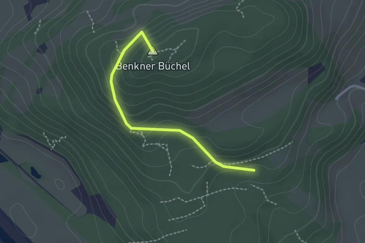
Easy · Summit
Schmitten – Nesslenboden
1.9 km · ↑ 99 m · 40 min · 14 km away
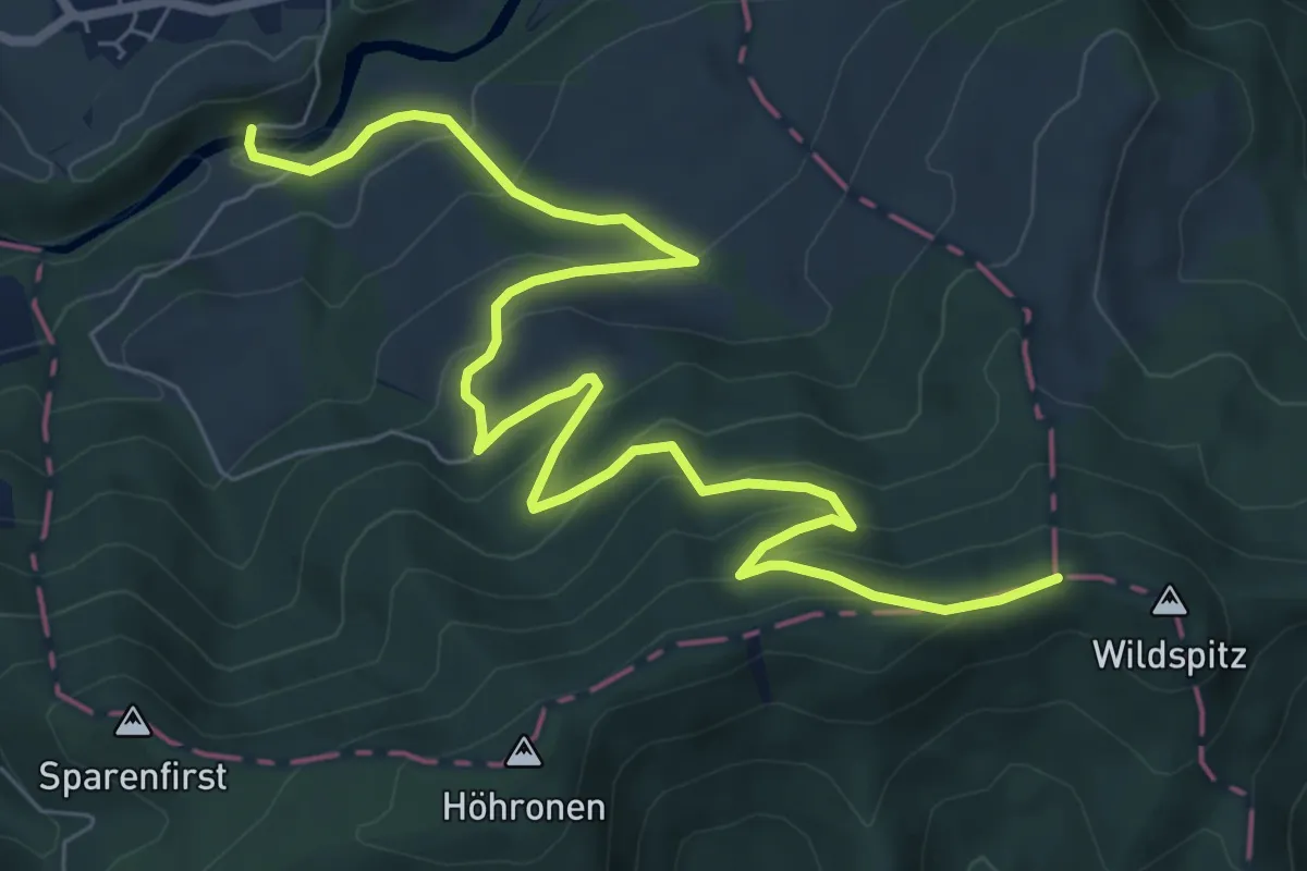
Medium · Trail
Dreiländerstein – Hüttner Brugg
9.6 km · ↑ 564 m · 3 h 29 min · 14 km away
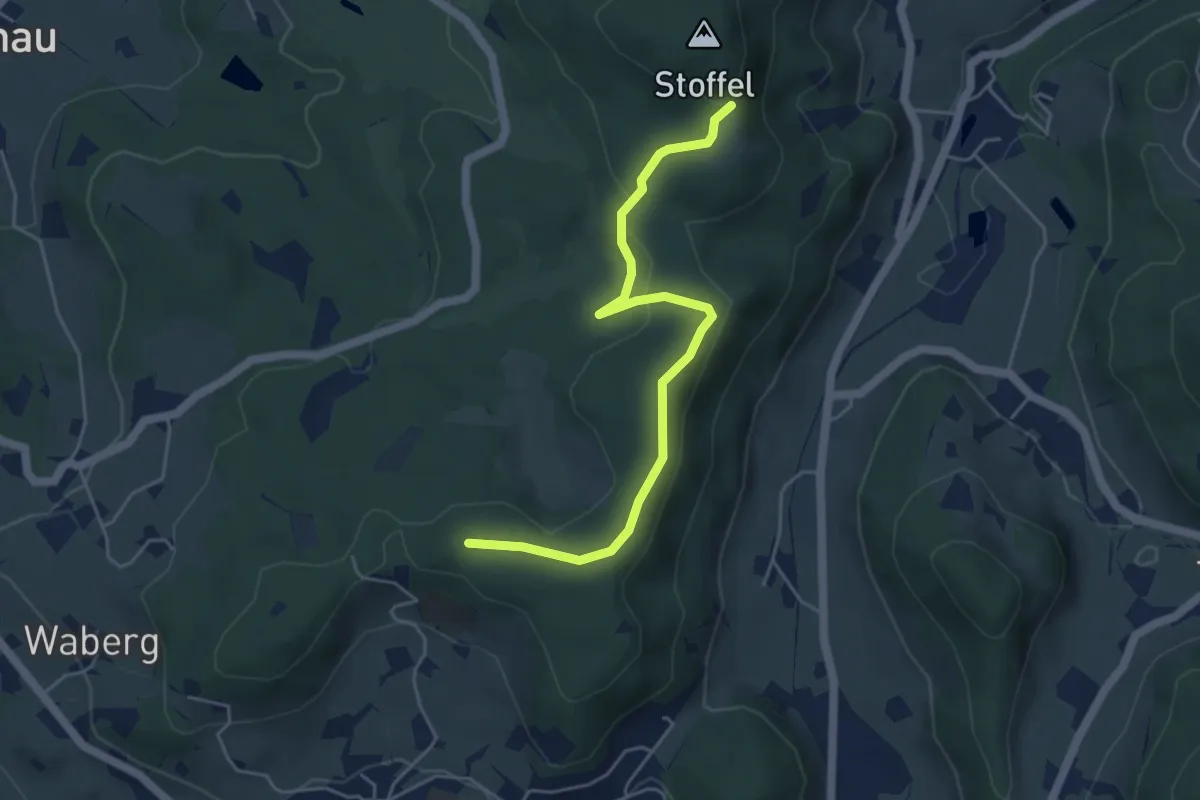
Easy · Trail
Lättenweid - Türli
4.8 km · ↑ 141 m · 1 h 27 min · 14 km away
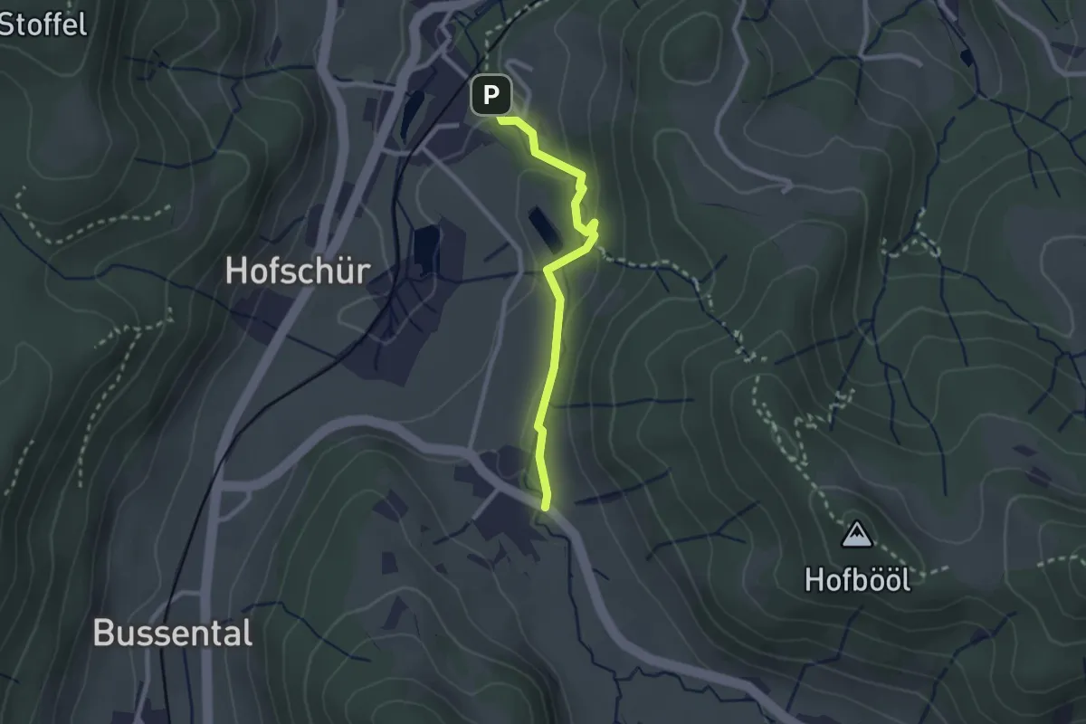
Easy · Trail
Hinterburg - Neuthal
2.2 km · ↑ 69 m · 41 min · 14 km away
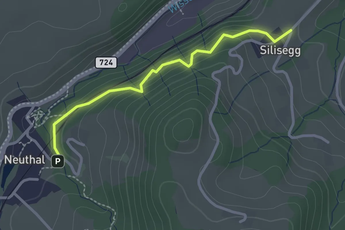
Easy · Trail
Neuthal - Silisegg
2.2 km · ↑ 126 m · 48 min · 14 km away
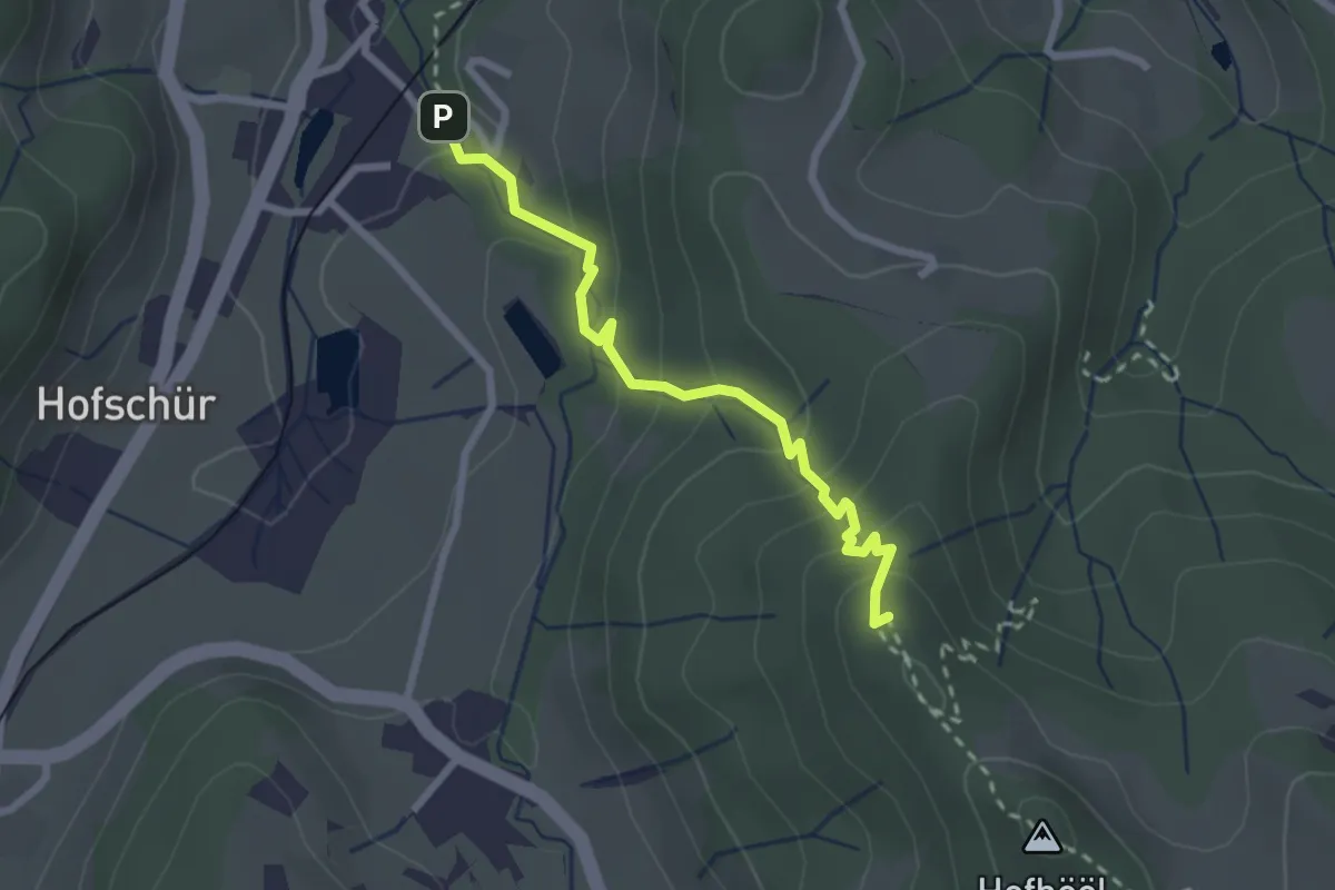
Easy · Summit
Hohenegg - Neuthal
2.4 km · ↑ 187 m · 59 min · 14 km away
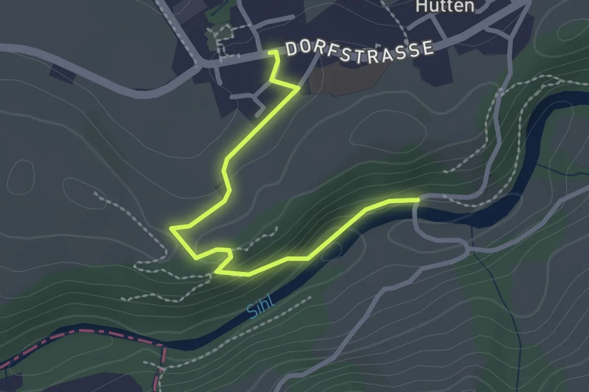
Easy · Trail
Hütten - Hüttner Brugg
2.3 km · ↑ 58 m · 40 min · 14 km away
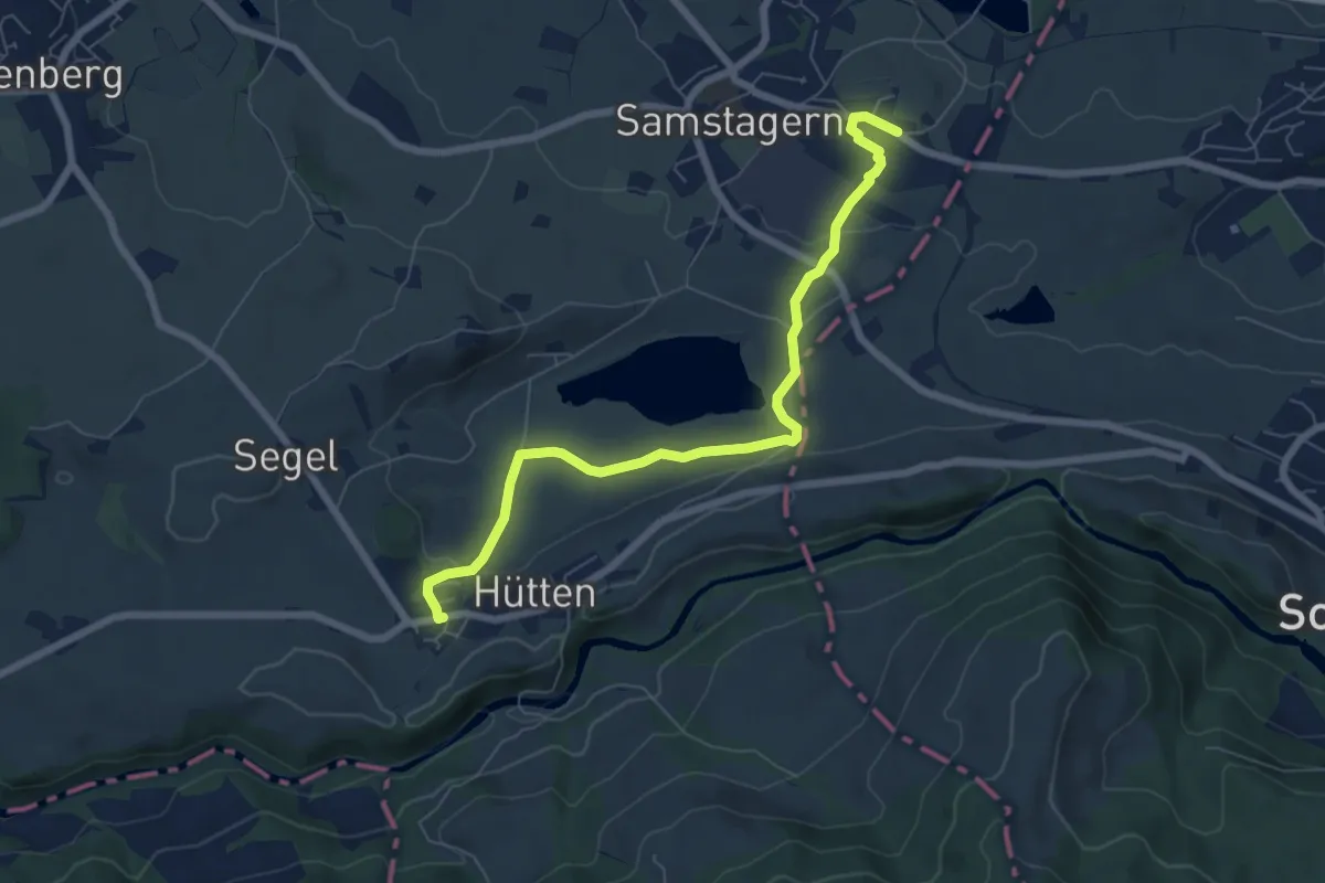
Easy · Trail
Hütten – Samstagern
7.0 km · ↑ 142 m · 1 h 58 min · 14 km away
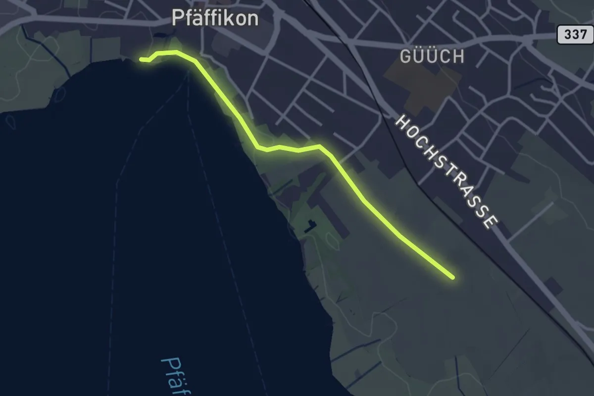
Easy · Trail
Via Natura
3.0 km · ↑ 9 m · 43 min · 15 km away
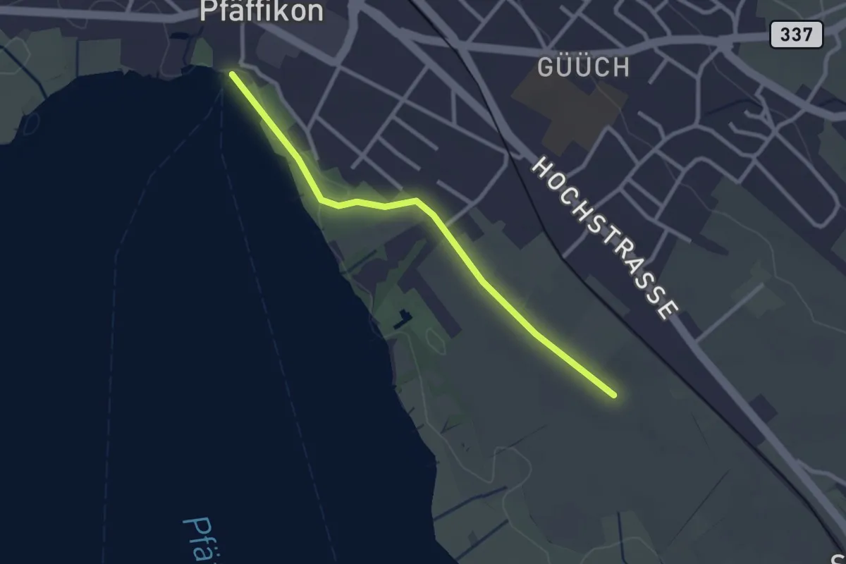
Easy · Pilgrim path
Fryheitsweg
1.3 km · ↑ 0 m · 19 min · 15 km away
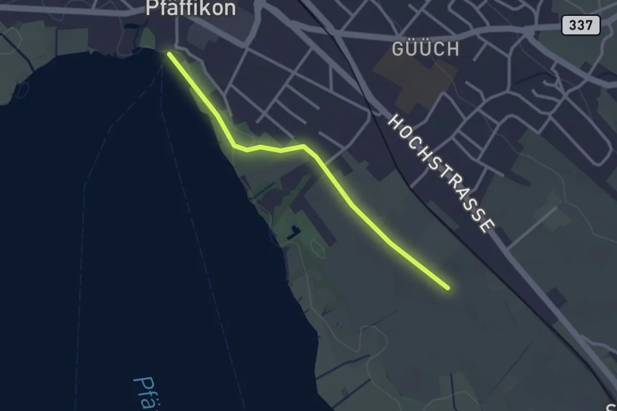
Easy · Trail
Pfäffikersee – Römerkastell
2.6 km · ↑ 9 m · 37 min · 15 km away
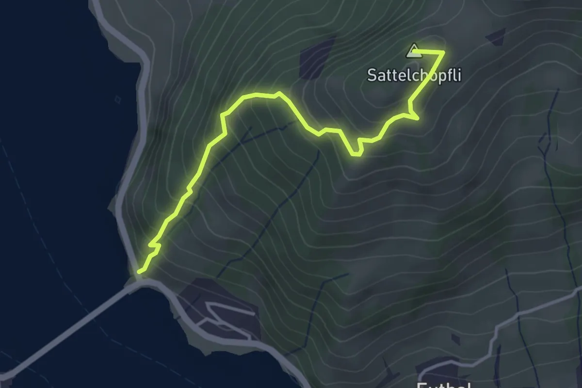
Medium · Summit
Ruestel – Chrähwäldli
3.6 km · ↑ 428 m · 1 h 46 min · 15 km away
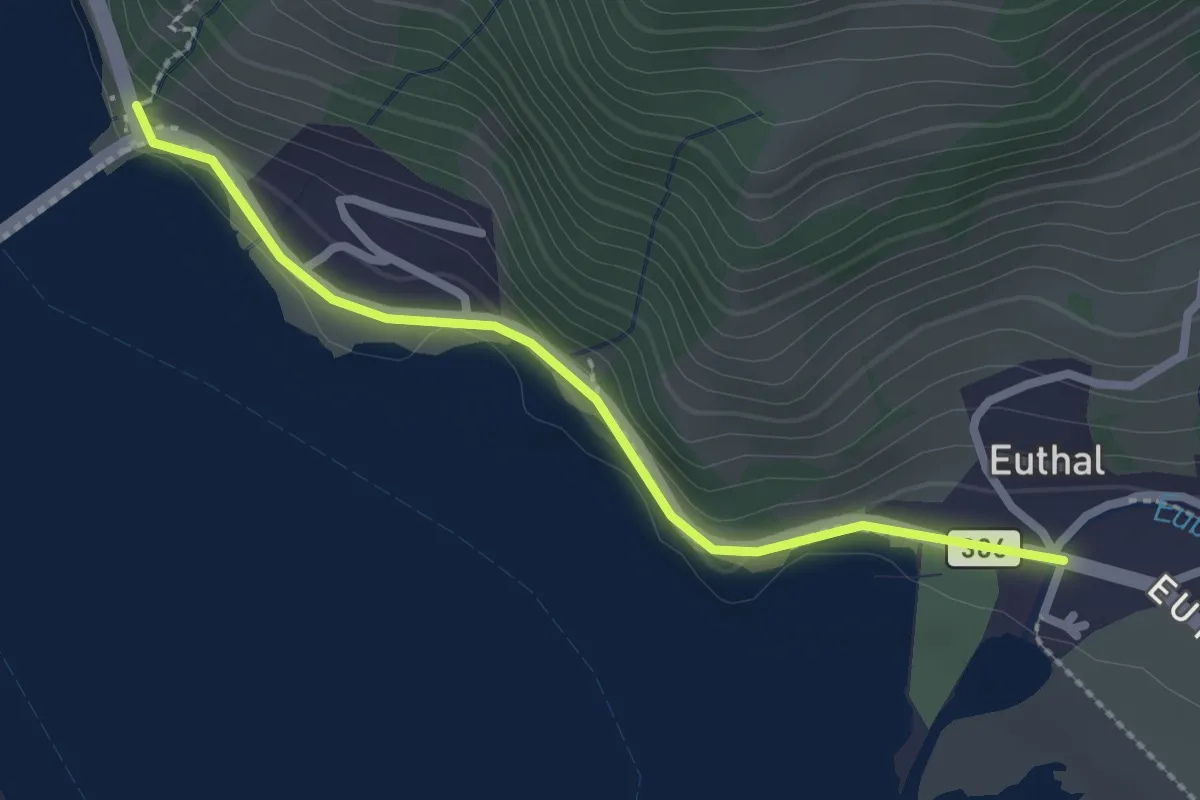
Easy · Trail
Ruestel – Euthal
2.4 km · ↑ 38 m · 38 min · 15 km away
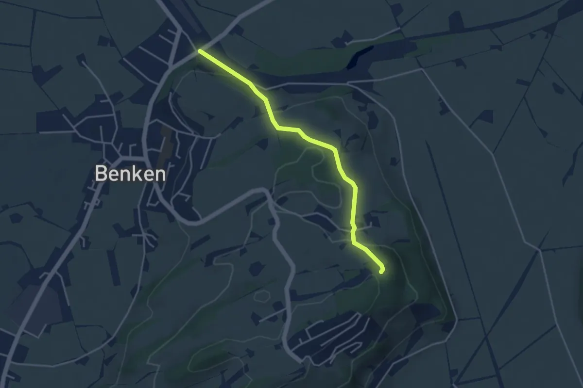
Easy · Trail
Wanderweg Maria Bildstein
3.5 km · ↑ 124 m · 1 h 6 min · 15 km away
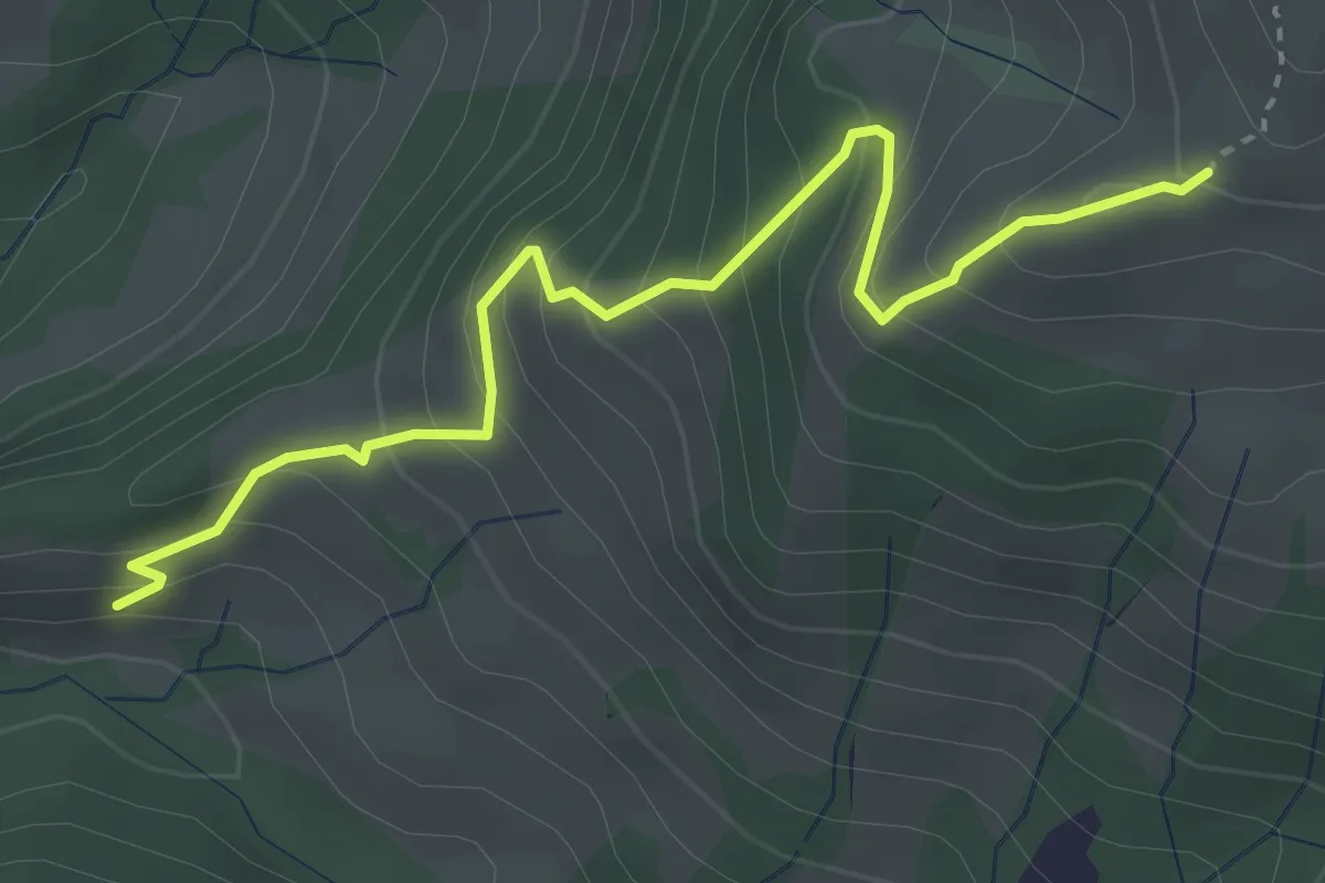
Medium · Trail
Vord. Chrumfluh - Wildegg
3.6 km · ↑ 385 m · 1 h 42 min · 15 km away
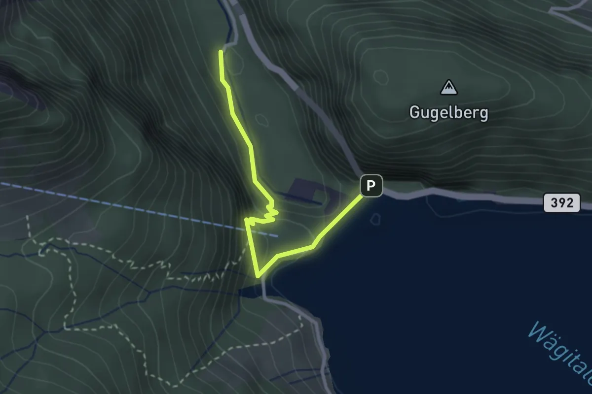
Medium · Trail
Staumauer – Stockerli
2.5 km · ↑ 230 m · 1 h 6 min · 15 km away
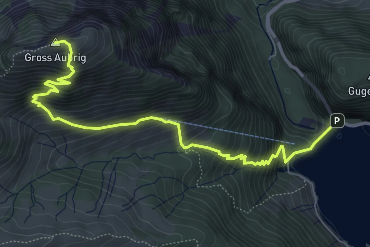
Demanding · Summit
Staumauer – Gross Aubrig
7.1 km · ↑ 782 m · 3 h 22 min · 15 km away
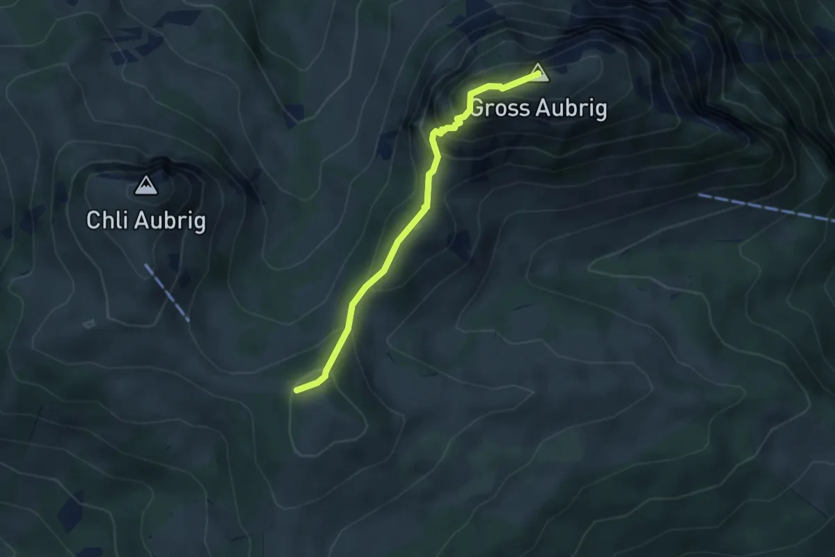
Demanding · Summit
Gross Aubrig – Nüssen
3.5 km · ↑ 375 m · 1 h 39 min · 15 km away
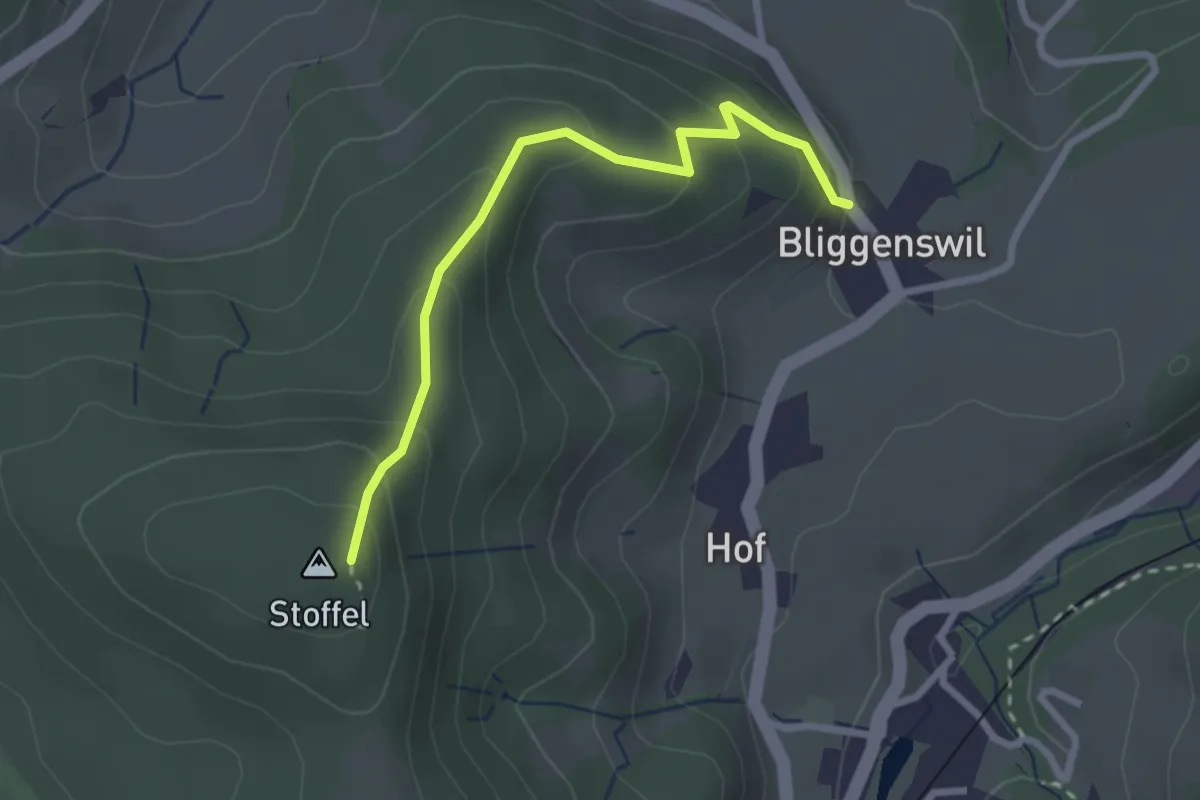
Easy · Trail
Bliggenswil - Stoffel
2.5 km · ↑ 202 m · 1 h 2 min · 15 km away
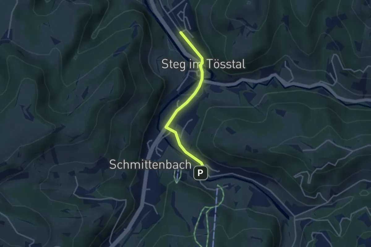
Easy · Trail
Steg Station-Breitenmatt P
2.7 km · ↑ 50 m · 45 min · 15 km away
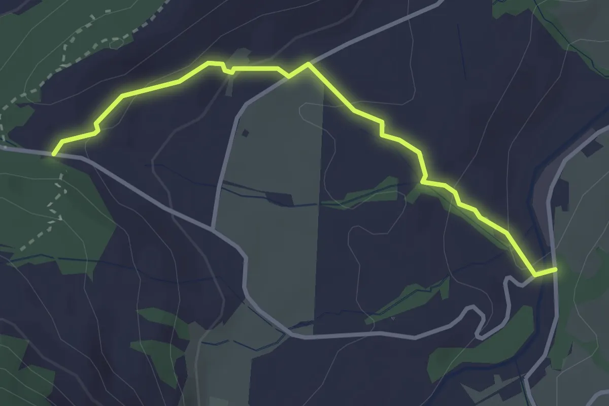
Easy · Trail
Rämpelensäge - Chälen
2.9 km · ↑ 97 m · 54 min · 15 km away
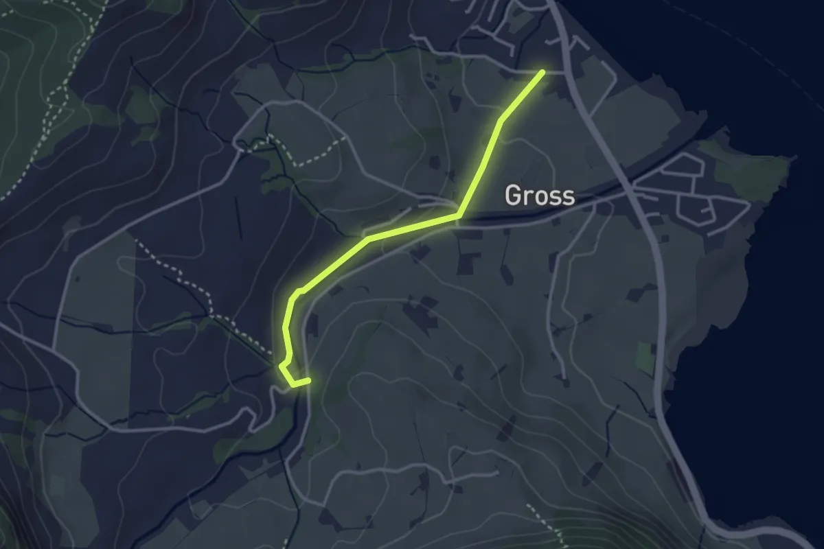
Easy · Trail
Rämpelensäge - Gross
2.8 km · ↑ 50 m · 46 min · 15 km away
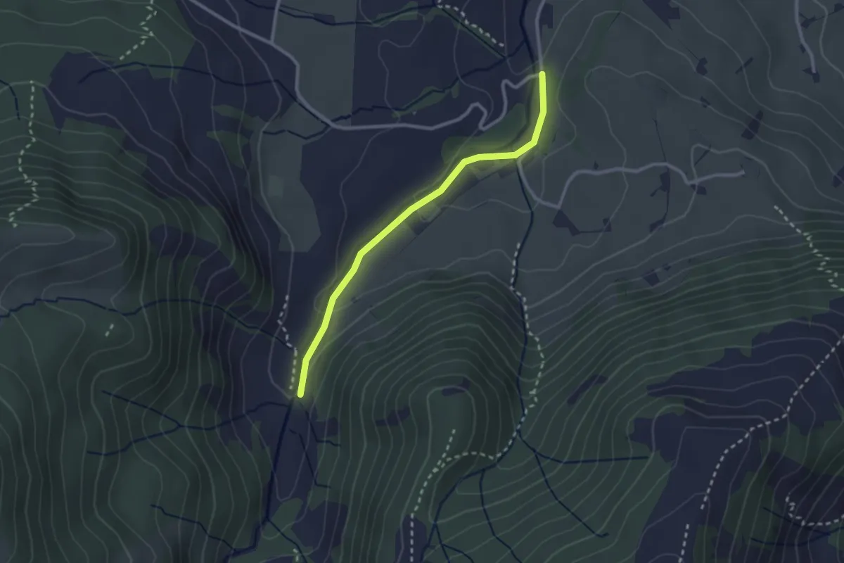
Easy · Trail
Ijenschatten - Rämpelensäge
2.5 km · ↑ 58 m · 43 min · 15 km away
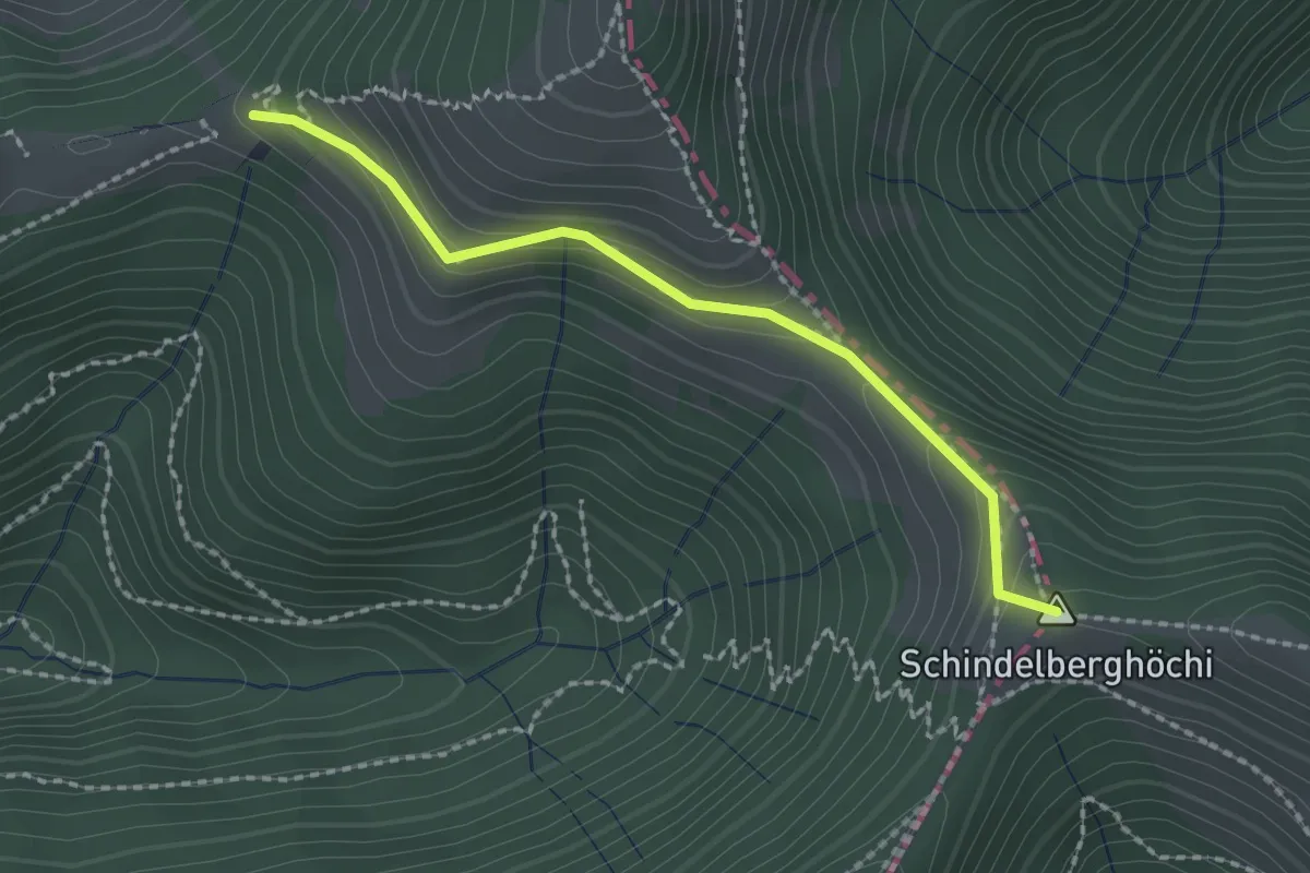
Easy · Summit
Neurüti - Tierhag
2.0 km · ↑ 162 m · 49 min · 15 km away
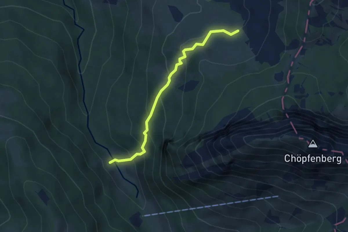
Medium · Trail
Ramseli – Feldrederten
3.8 km · ↑ 257 m · 1 h 28 min · 15 km away
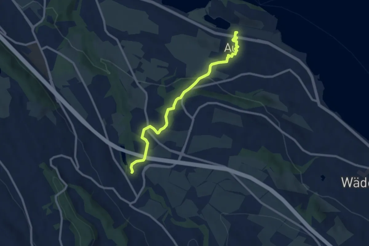
Easy · Trail
Aamüli – Au
6.6 km · ↑ 209 m · 2 h 1 min · 15 km away
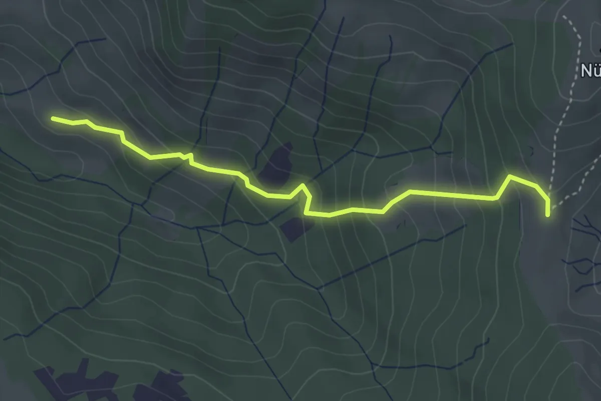
Medium · Trail
Salzäcki – Chilentobel
3.6 km · ↑ 324 m · 1 h 33 min · 15 km away
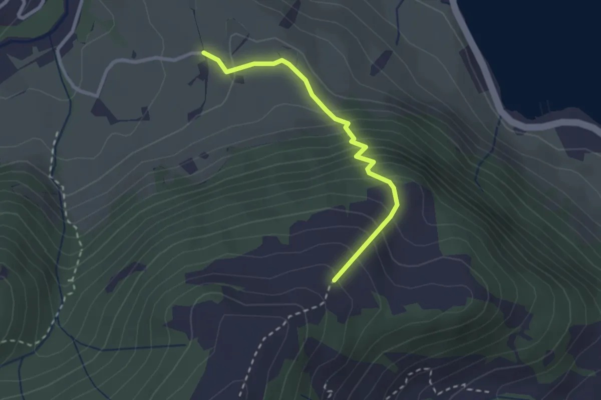
Demanding · Trail
Unter Hummel - Rotmoos
2.3 km · ↑ 271 m · 1 h 8 min · 15 km away
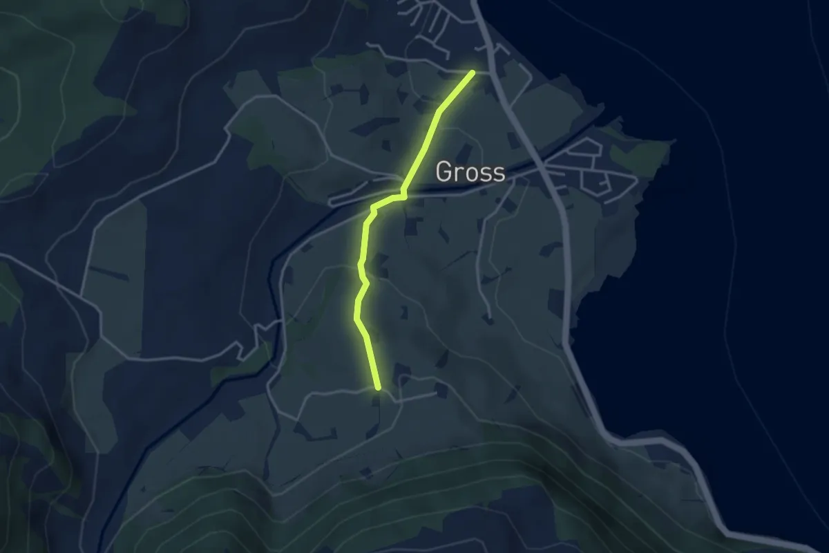
Easy · Trail
Rotmoos - Gross
2.8 km · ↑ 95 m · 51 min · 15 km away
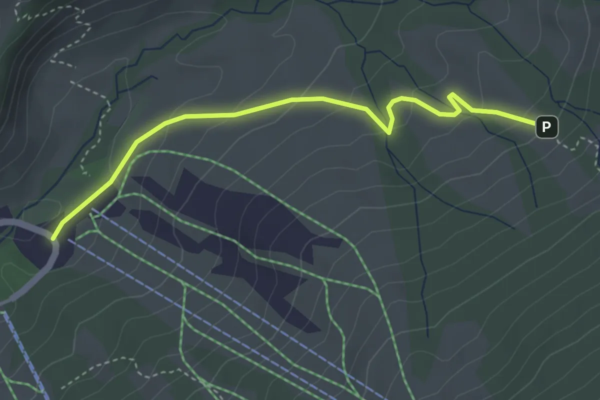
Easy · Cabin
Schutt – Hinter Altschwand
3.6 km · ↑ 187 m · 1 h 16 min · 15 km away
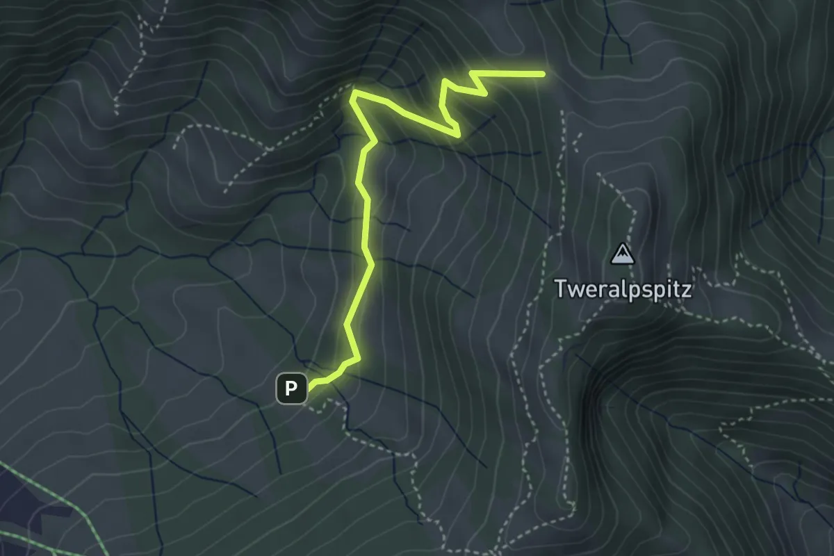
Easy · Trail
Obere Tweralp – Hinter Altschwand
3.6 km · ↑ 298 m · 1 h 30 min · 15 km away
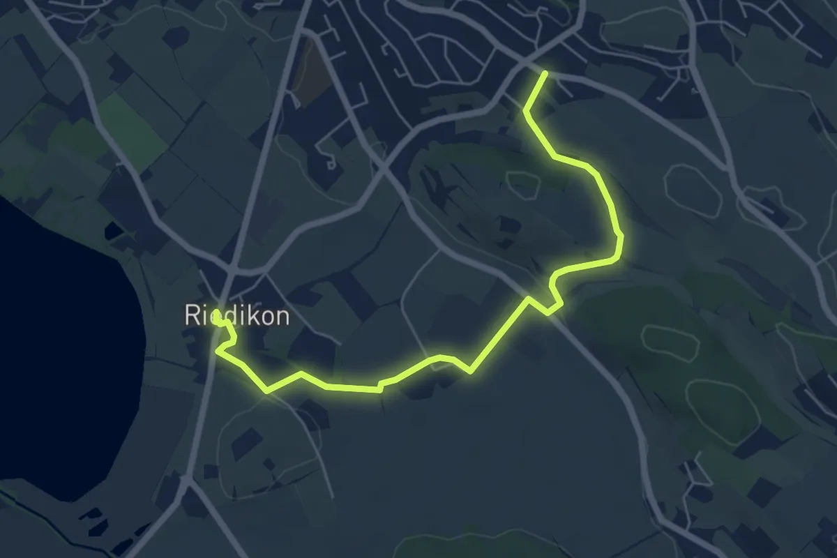
Easy · Trail
Riedikon - Nossikon
6.1 km · ↑ 65 m · 1 h 35 min · 15 km away
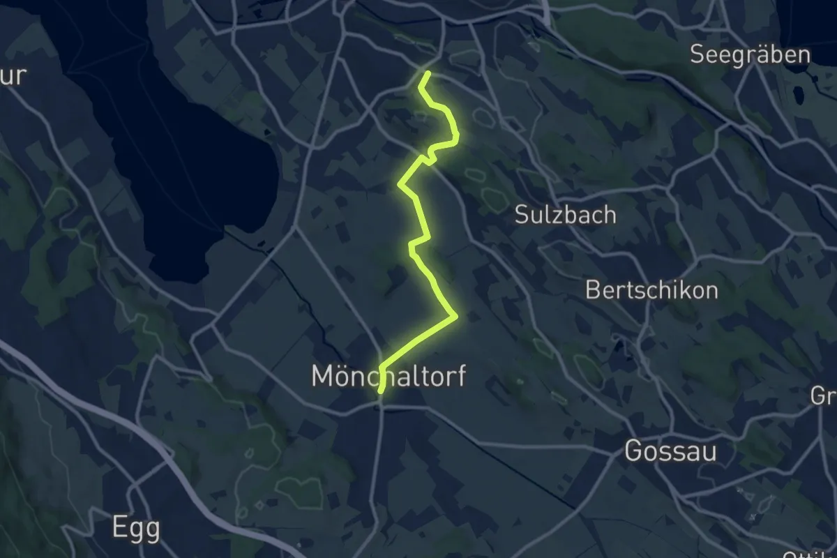
Medium · Trail
Nossikon - Mönchaltorf
9.1 km · ↑ 97 m · 2 h 22 min · 15 km away
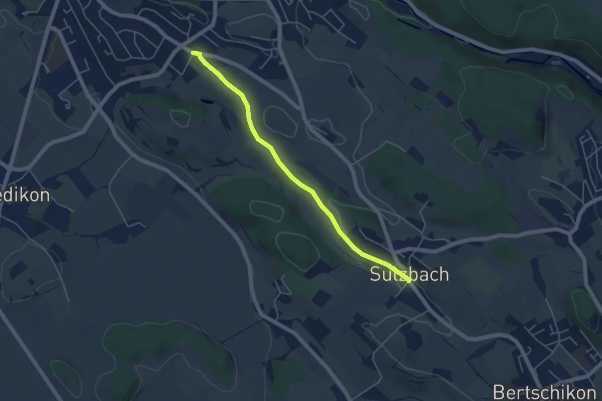
Easy · Trail
Nossikon - Sulzbach
4.2 km · ↑ 31 m · 1 h 4 min · 15 km away
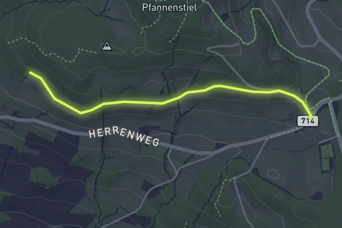
Easy · Trail
Eichhalden – Vorderpfannenstiel
3.4 km · ↑ 100 m · 1 h 1 min · 15 km away
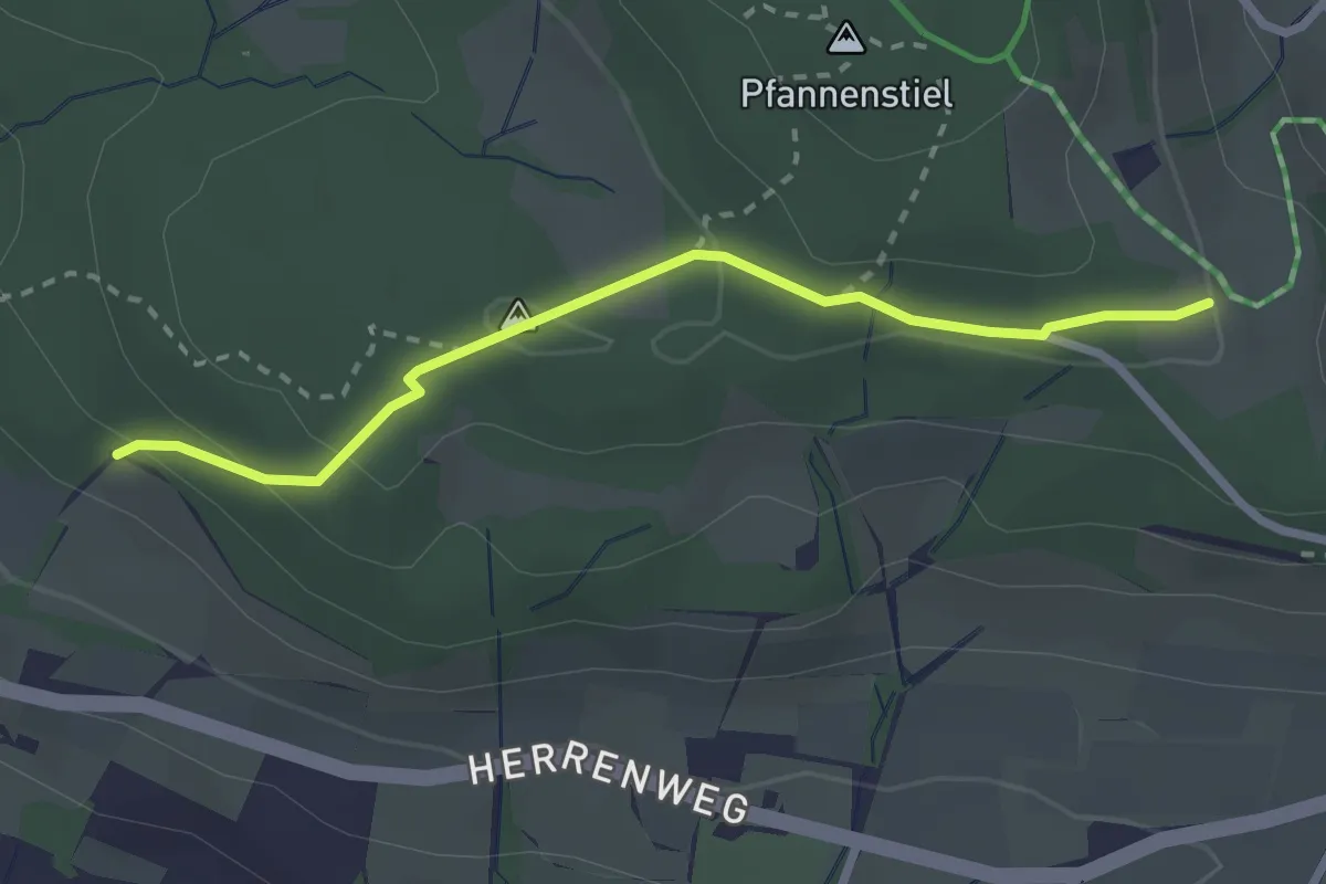
Easy · Trail
Eichhalden – Pfannenstiel Hochwacht
2.5 km · ↑ 87 m · 47 min · 15 km away
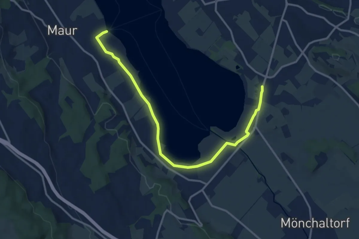
Medium · Trail
Riedikon - Maur Schifflände
9.8 km · ↑ 24 m · 2 h 22 min · 15 km away
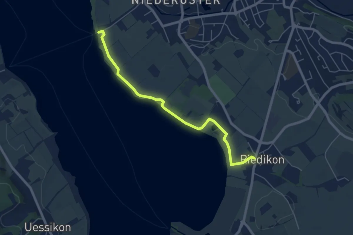
Easy · Trail
Niederuster – Riedikon
5.0 km · ↑ 13 m · 1 h 13 min · 15 km away
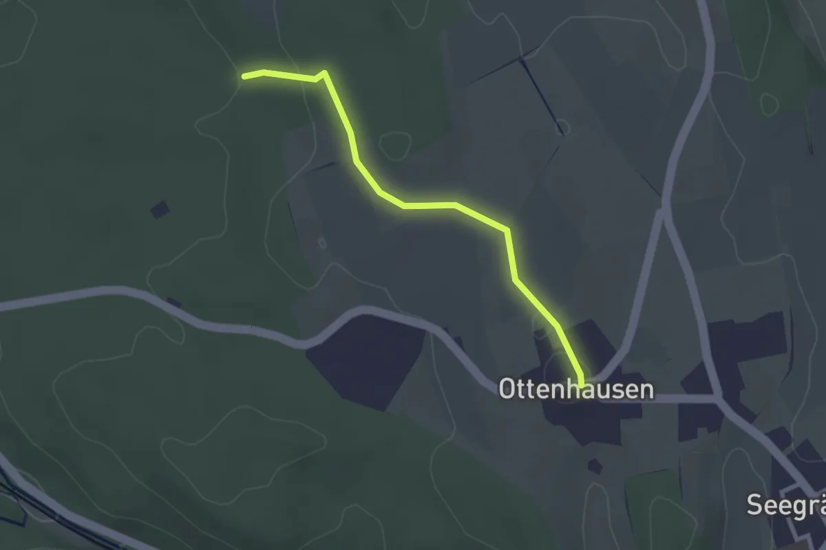
Easy · Trail
Ottenhusen - Römerbrünneli
2.4 km · ↑ 36 m · 39 min · 15 km away
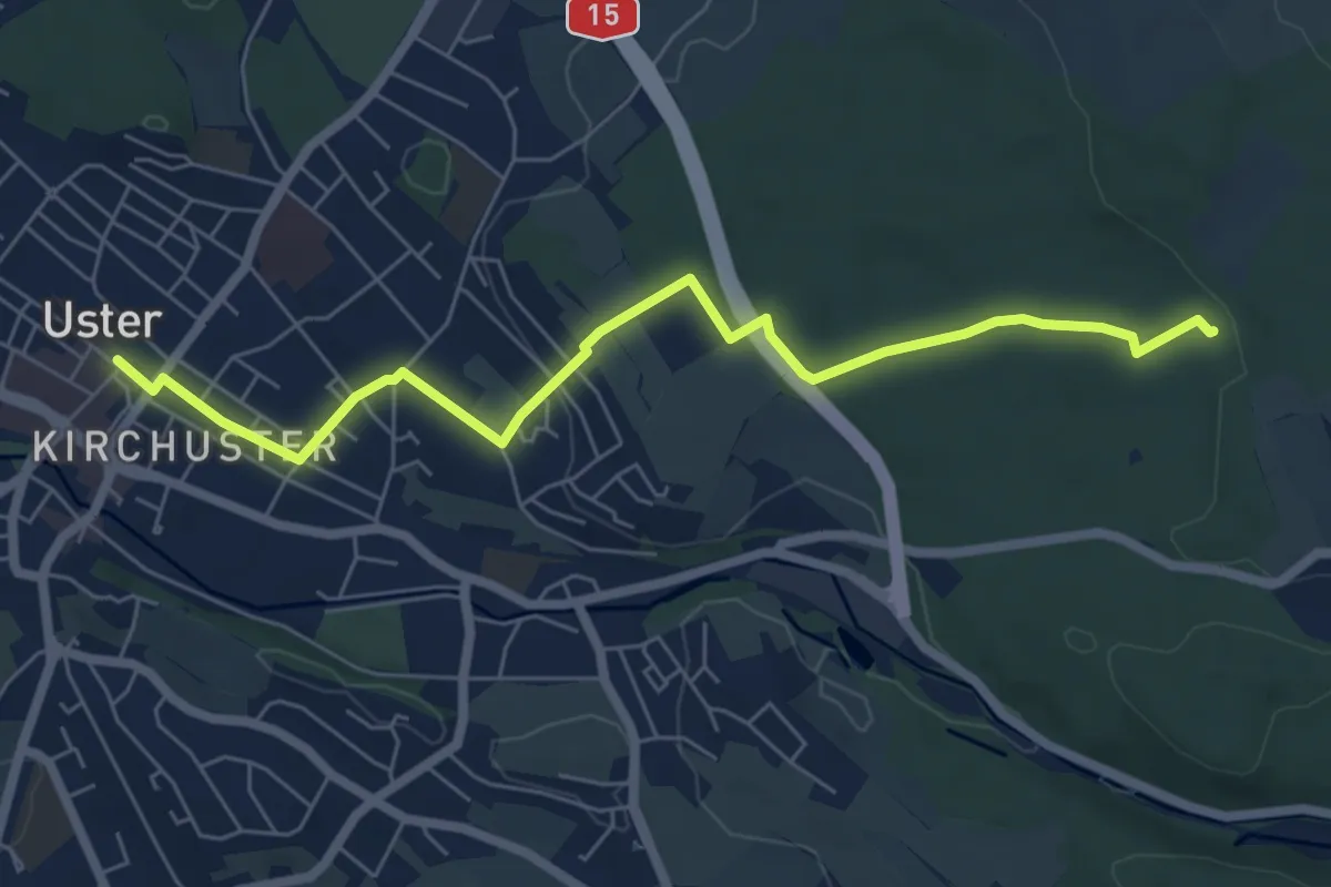
Easy · Trail
Uster - Römerbrünneli
6.7 km · ↑ 94 m · 1 h 47 min · 15 km away
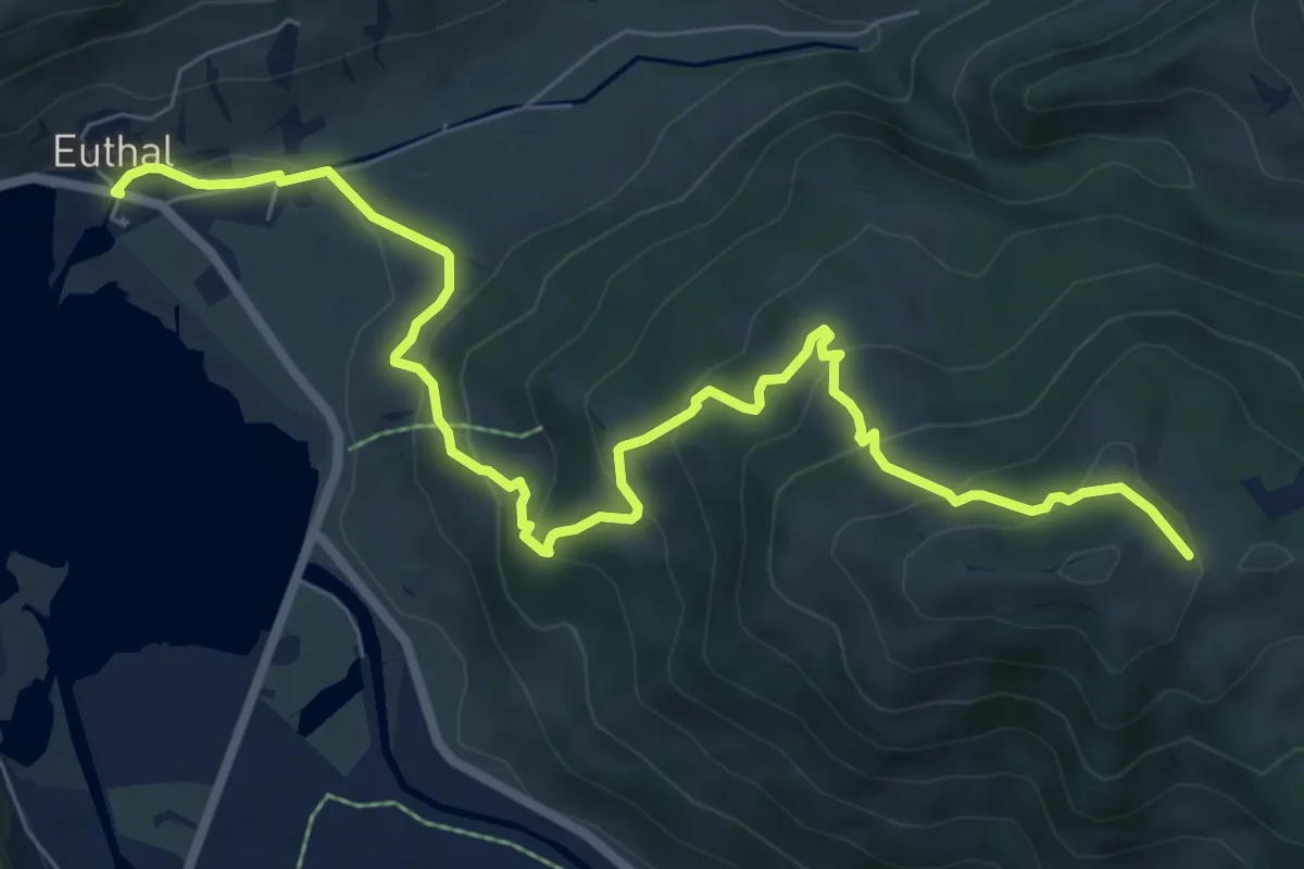
Medium · Trail
Euthal – Wisstannen (Vorder Wisstannenweid)
8.9 km · ↑ 505 m · 3 h 12 min · 15 km away
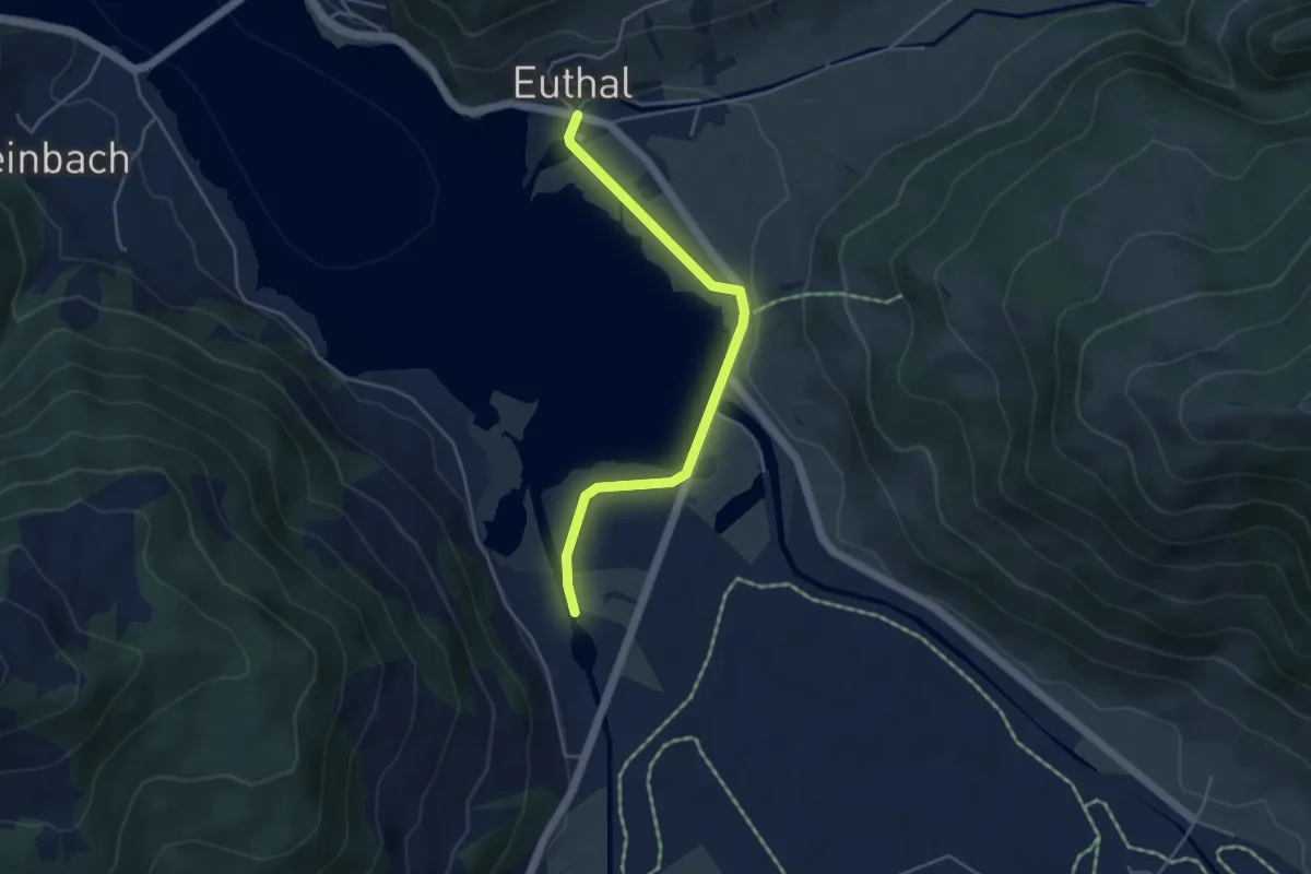
Easy · Trail
Euthal - Minsterbrücke
4.3 km · ↑ 23 m · 1 h 4 min · 15 km away
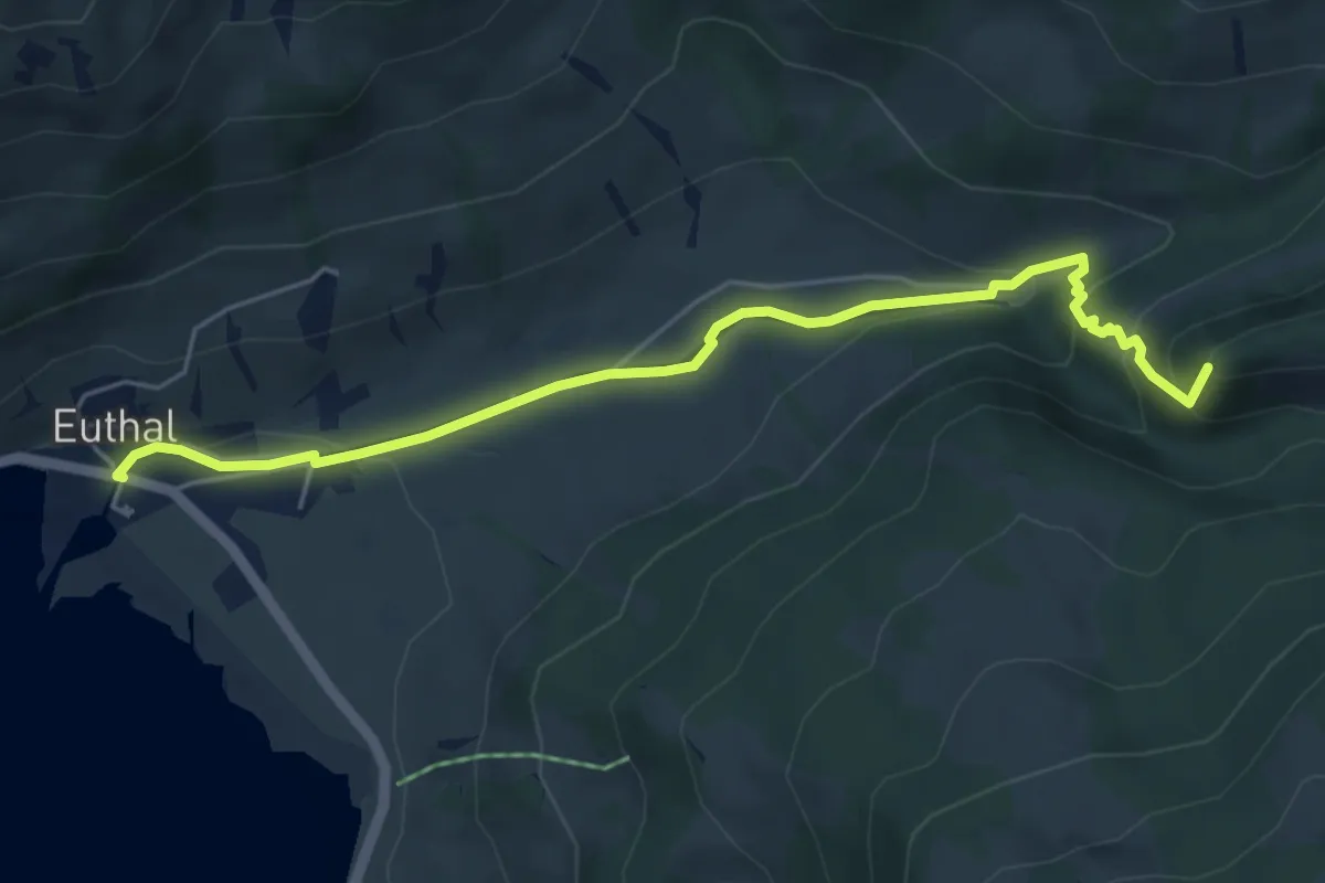
Easy · Summit
Euthal – vord. Chrumfluh
5.5 km · ↑ 233 m · 1 h 48 min · 15 km away
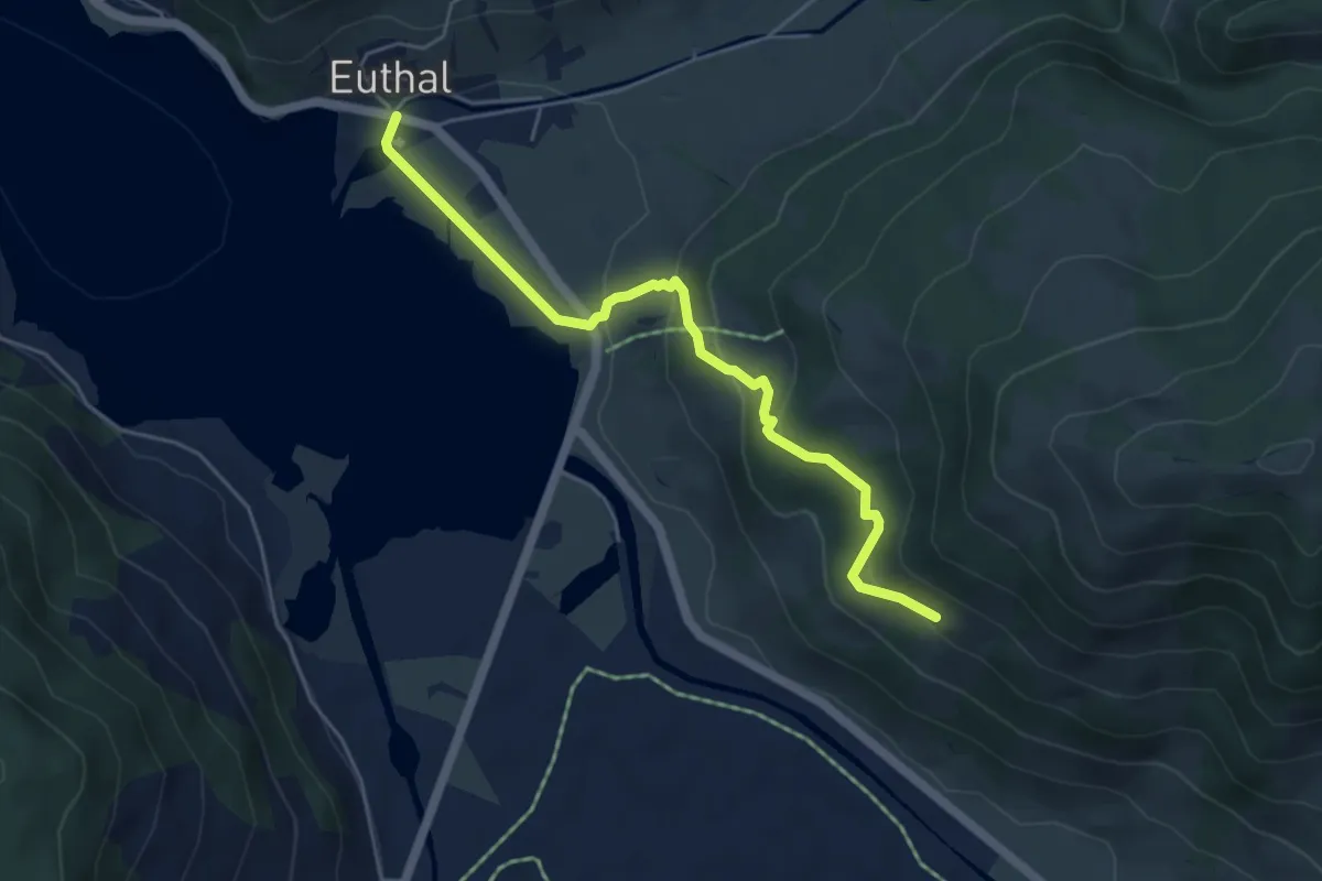
Easy · Trail
Euthal – Bergli
5.0 km · ↑ 277 m · 1 h 48 min · 15 km away
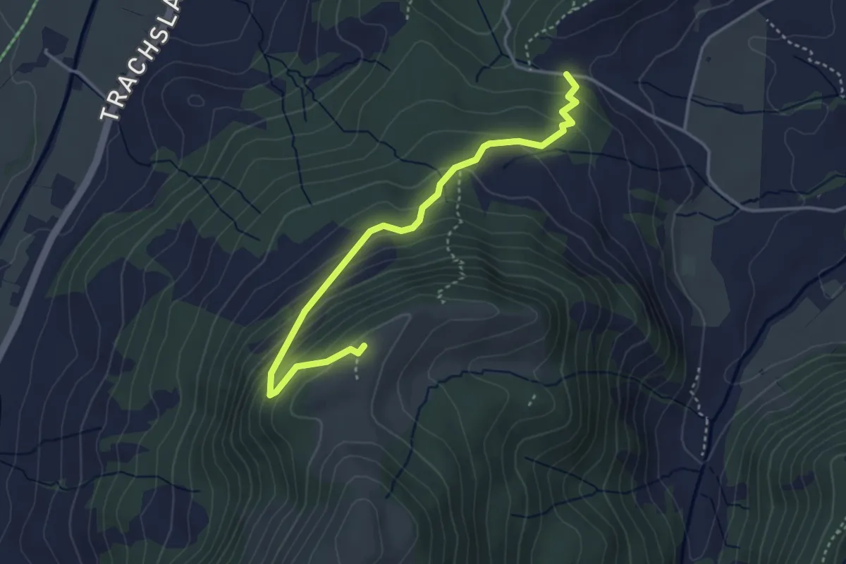
Medium · Summit
Chälen - Ufen Tritt
3.8 km · ↑ 288 m · 1 h 32 min · 15 km away