Trails near Köniz
523 hikes starting within 15 km, nearest first.
Nearest first, page 1 of 11
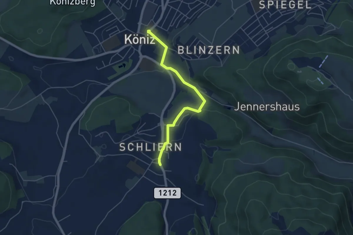
Easy · Trail
Schliern - Köniz
4.8 km · ↑ 145 m · 1 h 27 min · under 1 km away
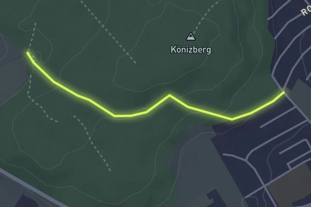
Easy · Trail
Tubentränke - Köniz/Ober Buchsee
2.7 km · ↑ 94 m · 51 min · 1 km away
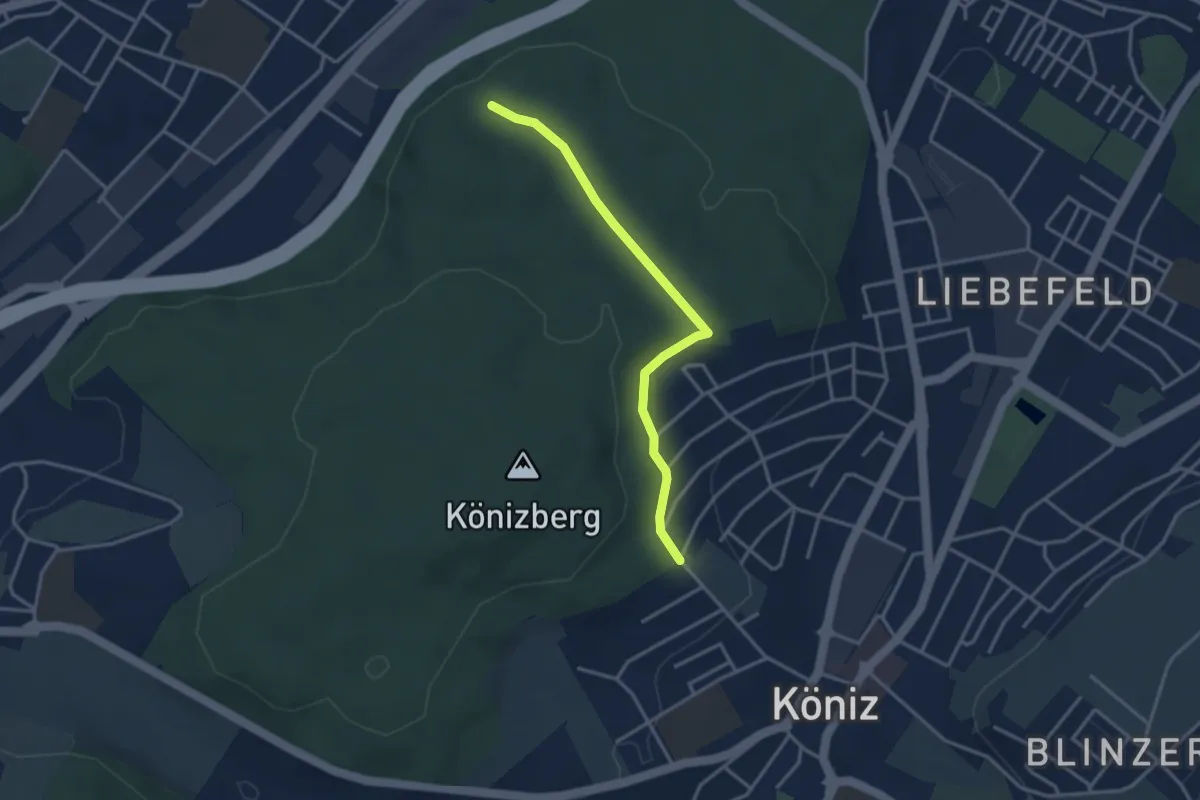
Easy · Trail
Köniz/Ober Buchsee – Pfaffensteig
3.2 km · ↑ 53 m · 52 min · 1 km away
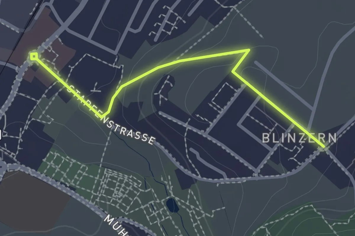
Easy · Trail
Köniz - Blinzeren
2.3 km · ↑ 49 m · 39 min · 1 km away
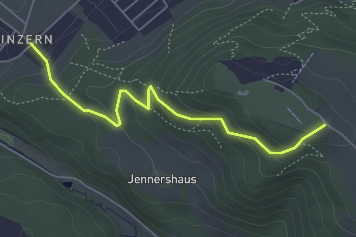
Easy · Summit
Blinzern – Gurten/Ostsignal
4.2 km · ↑ 238 m · 1 h 31 min · 1 km away
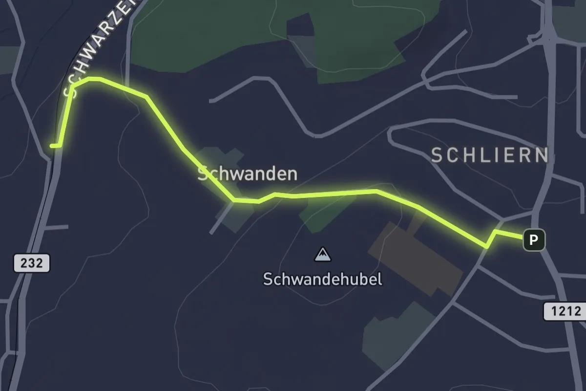
Easy · Trail
Moos - Schliern
2.9 km · ↑ 60 m · 49 min · 2 km away
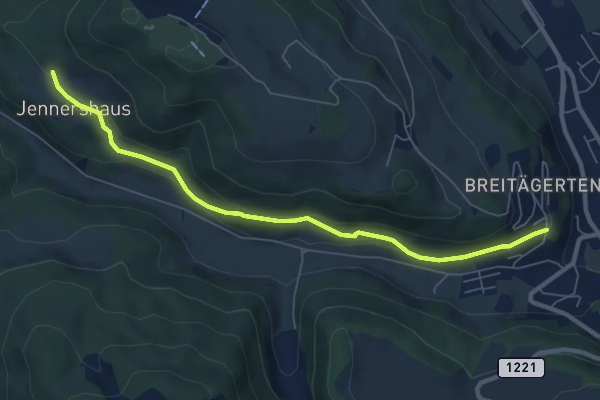
Easy · Trail
Jennershus - Breitägerte
6.0 km · ↑ 206 m · 1 h 52 min · 2 km away
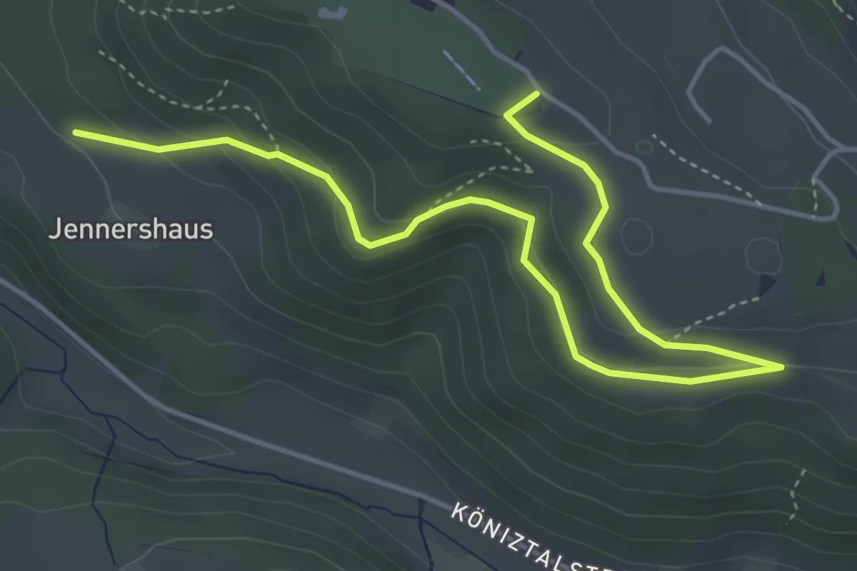
Easy · Summit
Gurten/Ostsignal – Jennershus
5.3 km · ↑ 188 m · 1 h 40 min · 2 km away
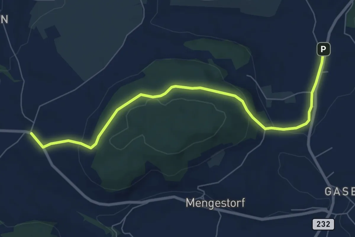
Easy · Trail
Liebewil - Moos
7.0 km · ↑ 194 m · 2 h 4 min · 2 km away
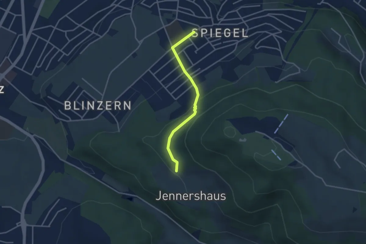
Easy · Trail
Jennerhus - Spiegel Zentrum
2.6 km · ↑ 112 m · 52 min · 2 km away
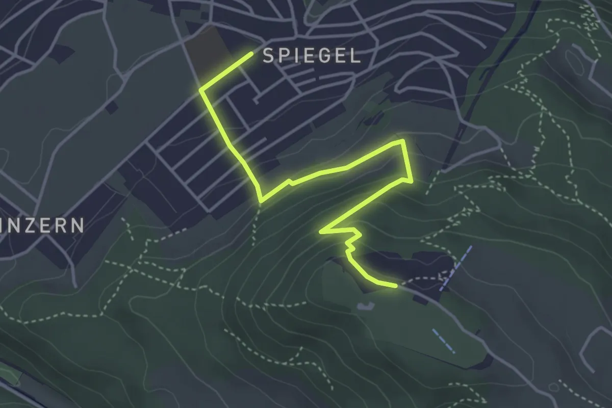
Easy · Trail
Spiegel Zentrum – Gurten Kulm
4.0 km · ↑ 214 m · 1 h 25 min · 2 km away
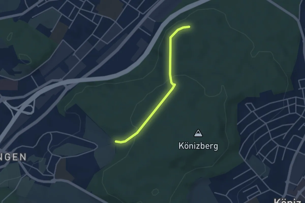
Easy · Trail
Pfaffensteig - Tubentränke
2.9 km · ↑ 88 m · 52 min · 2 km away
Easy · Trail
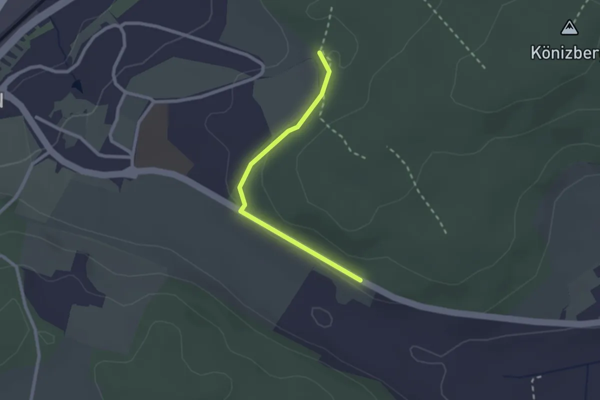
Leen - Tubentränke
2.0 km · ↑ 41 m · 34 min · 2 km away
Easy · Trail
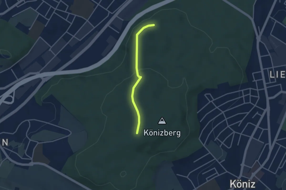
Pfaffensteig - Könizberg/Stärn
2.5 km · ↑ 70 m · 45 min · 2 km away
Easy · Summit
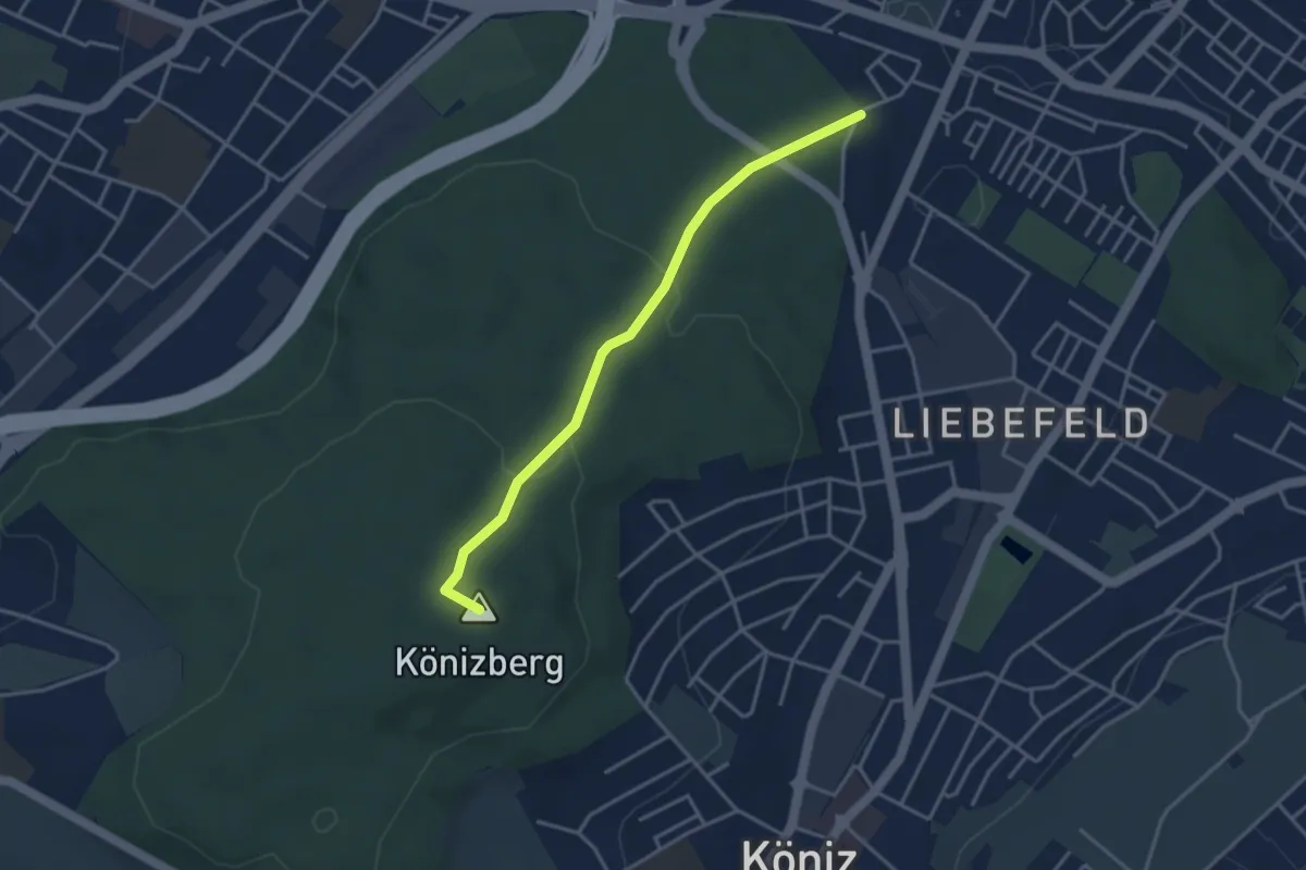
Fischermätteli - Könizberg/Stärn
3.5 km · ↑ 126 m · 1 h 7 min · 2 km away
Easy · Trail
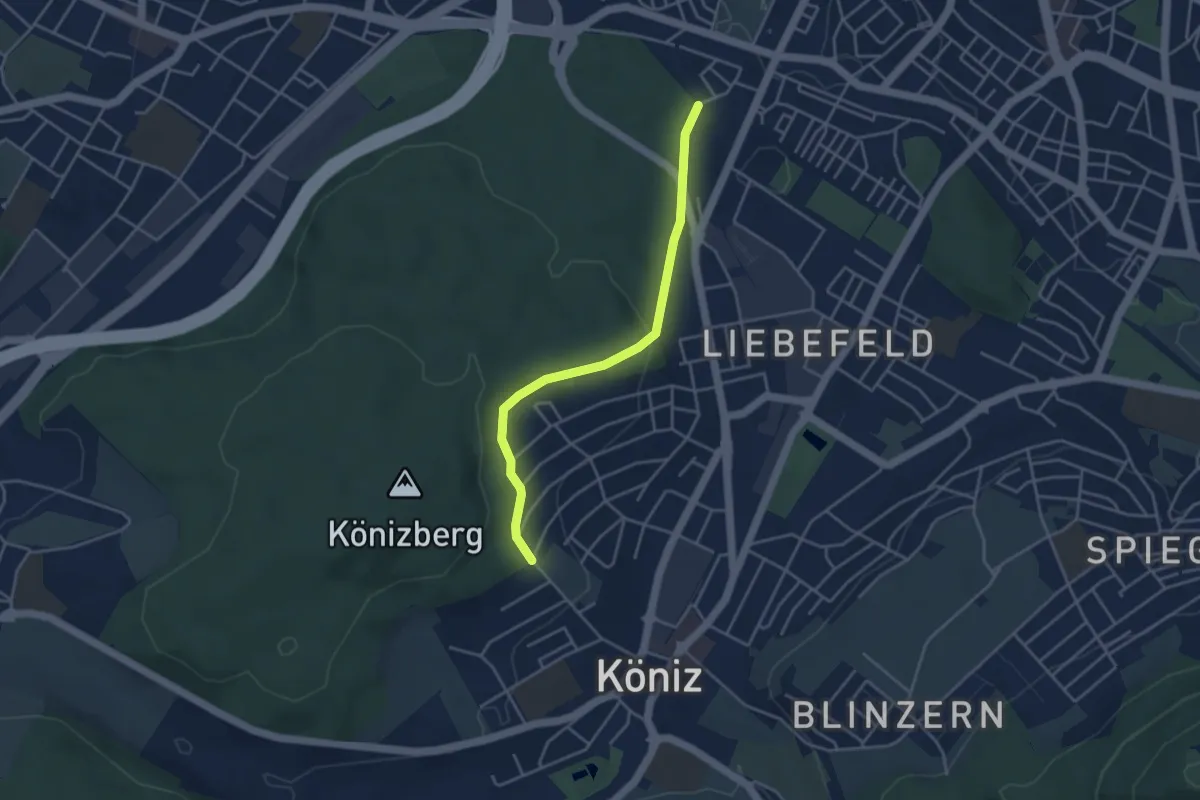
Köniz/Ober Buchsee - Fischermätteli
3.8 km · ↑ 89 m · 1 h 5 min · 2 km away
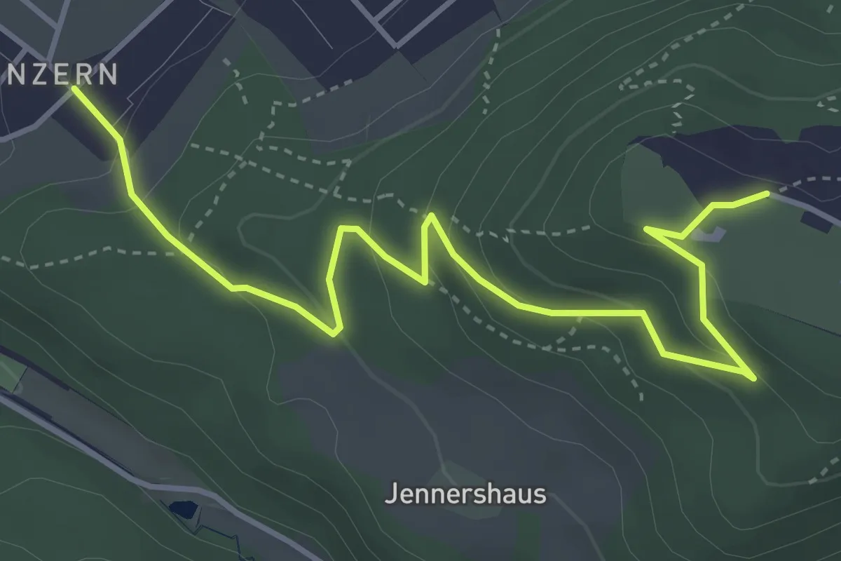
Easy · Trail
Blinzern – Gurten Kulm
4.5 km · ↑ 233 m · 1 h 34 min · 2 km away
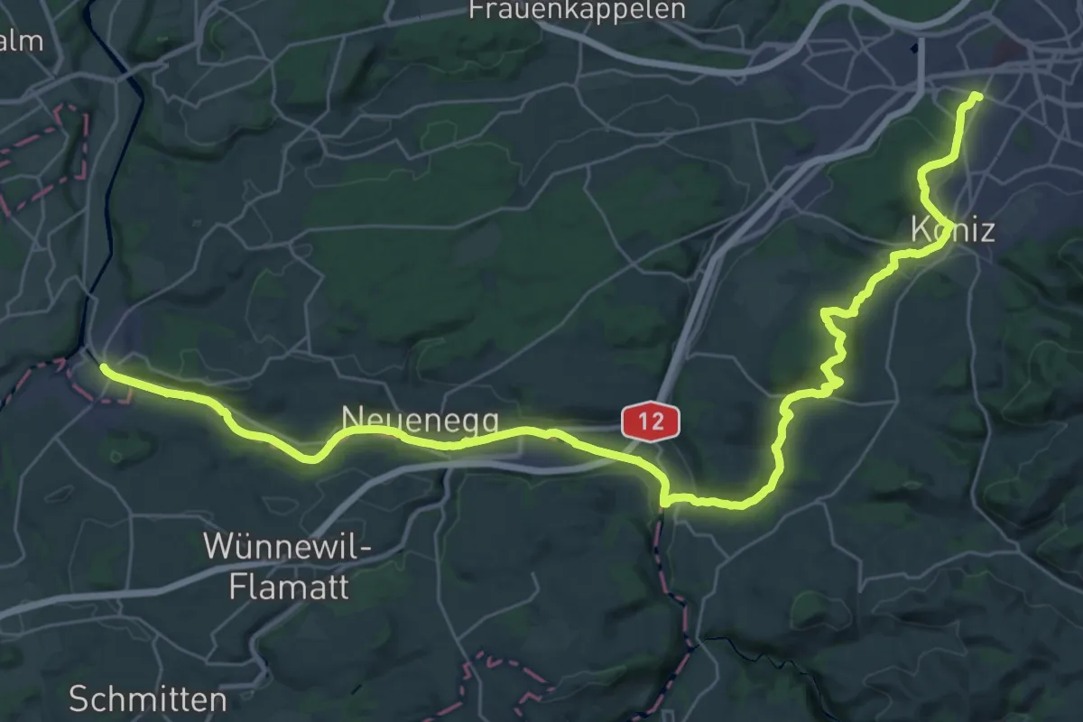
Demanding · Trail
Trans Swiss Trail
21.7 km · ↑ 317 m · 6 h 9 min · 2 km away
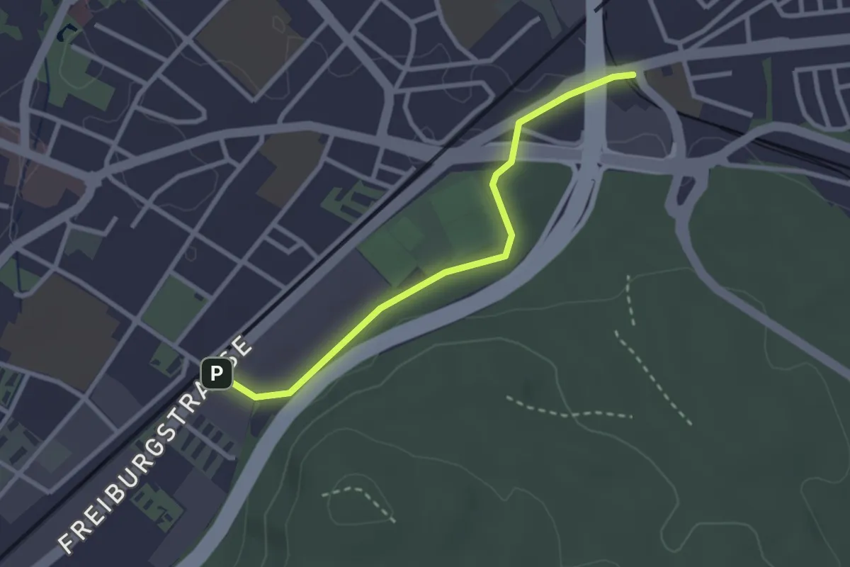
Easy · Trail
Bümpliz Süd - Ausserholigen
2.6 km · ↑ 36 m · 42 min · 2 km away
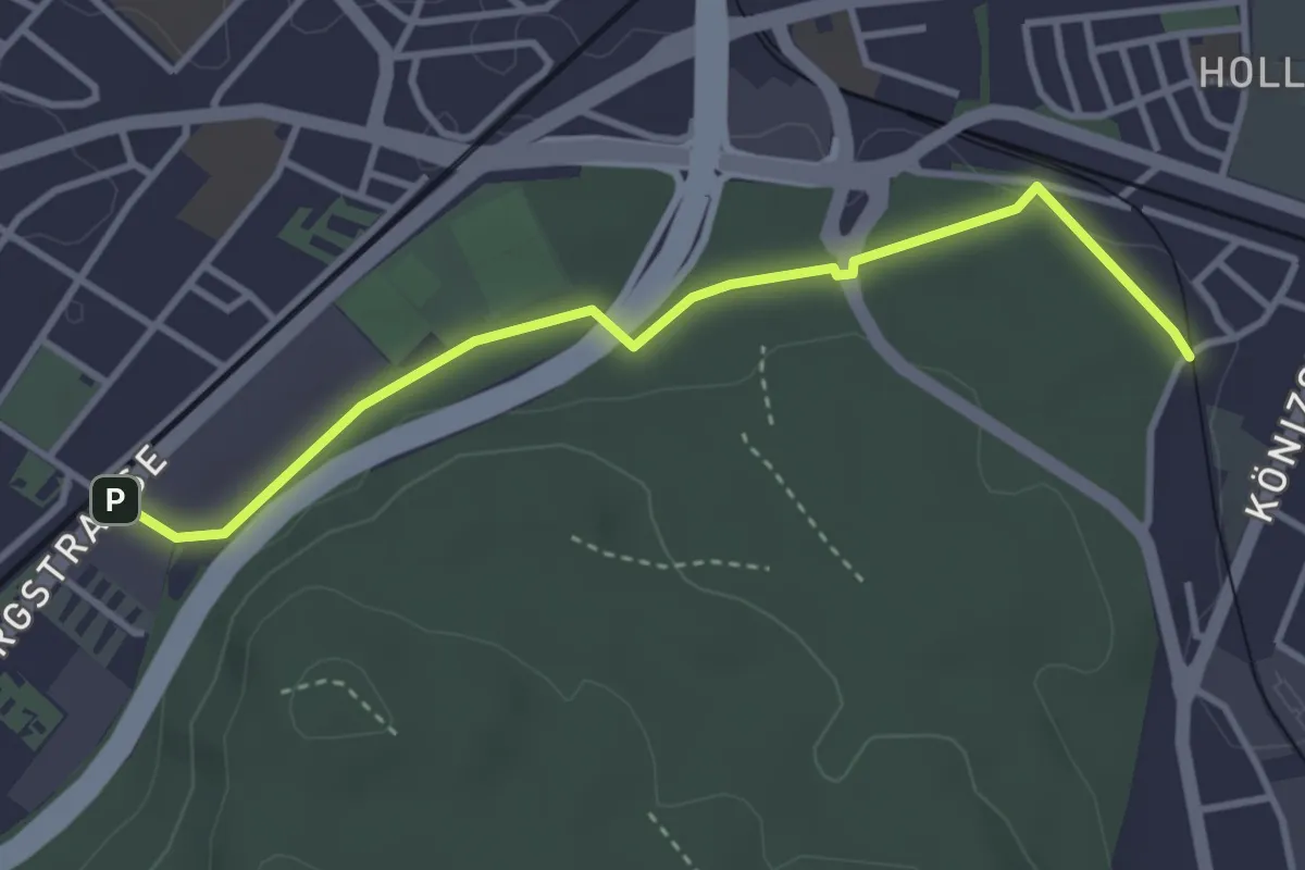
Easy · Trail
Bümpliz Süd - Fischermätteli
3.5 km · ↑ 43 m · 55 min · 2 km away
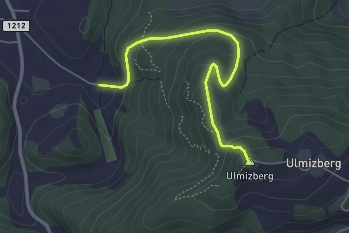
Easy · Summit
Ulmizberg - Platten
4.2 km · ↑ 291 m · 1 h 38 min · 2 km away
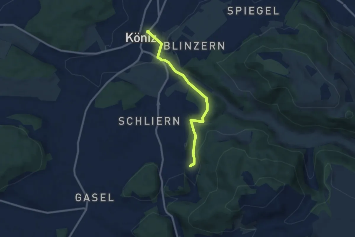
Easy · Trail
Platten - Köniz
5.9 km · ↑ 176 m · 1 h 46 min · 2 km away
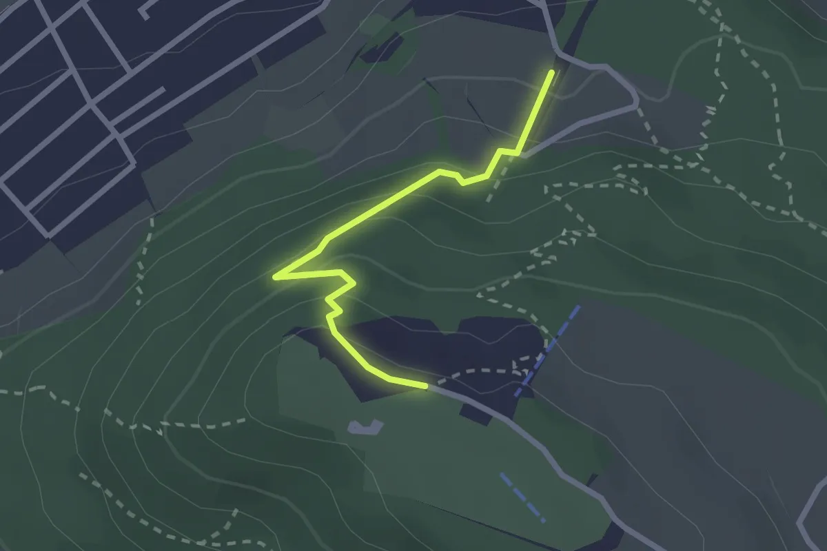
Easy · Trail
Grünenboden – Gurten Kulm
2.1 km · ↑ 138 m · 47 min · 2 km away
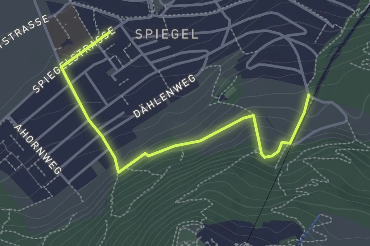
Easy · Trail
Grüenenboden – Spiegel Zentrum
3.1 km · ↑ 154 m · 1 h 4 min · 2 km away
Easy · Trail
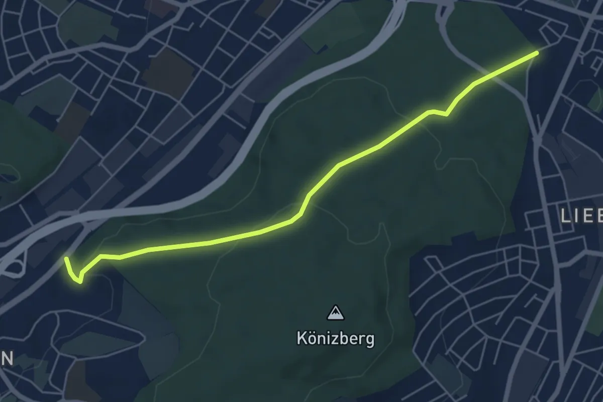
Hohliebe - Fischermätteli
5.5 km · ↑ 169 m · 1 h 39 min · 2 km away
Easy · Trail
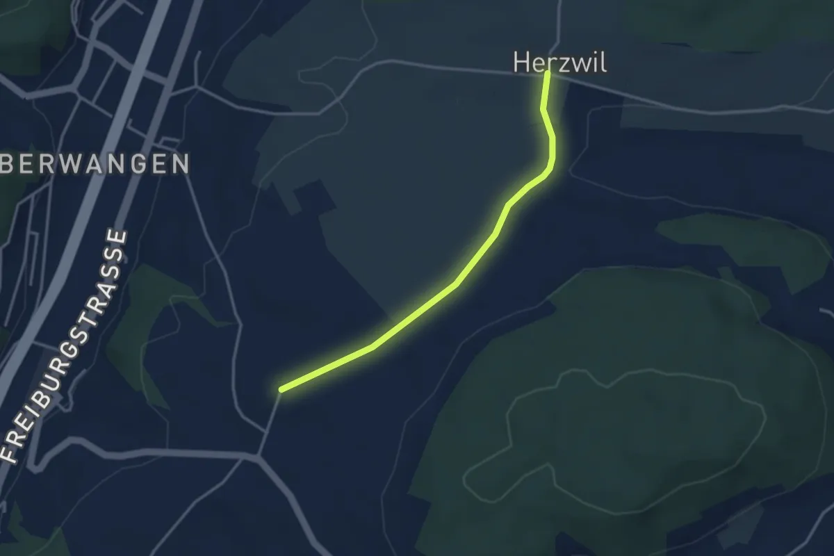
Herzwil - Liebewil/Resevoir
3.0 km · ↑ 31 m · 47 min · 3 km away
Easy · Summit
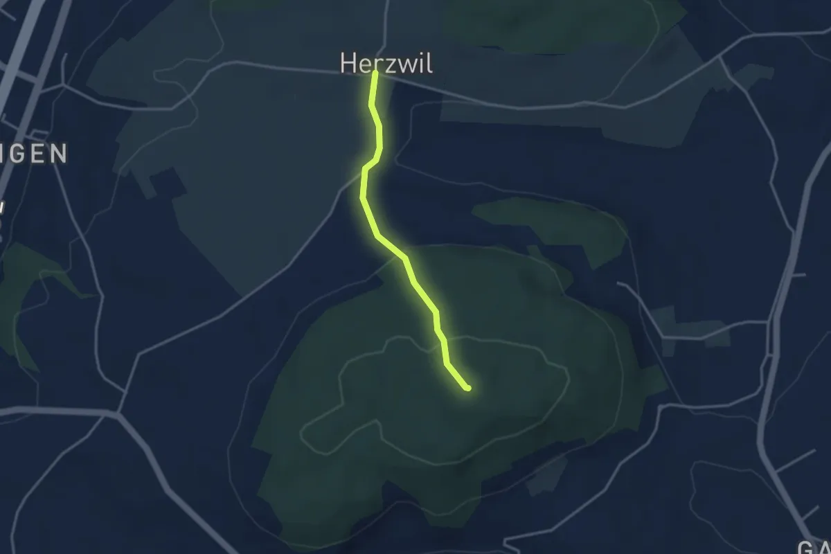
Herzwil - Mängistorfberg
2.7 km · ↑ 113 m · 52 min · 3 km away
Easy · Trail
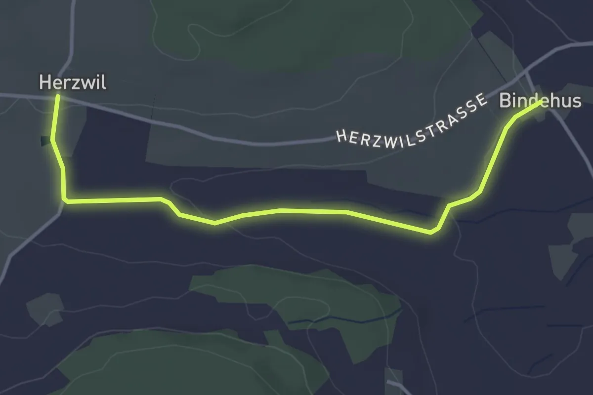
Herzwil - Bindenhaus
3.6 km · ↑ 41 m · 57 min · 3 km away
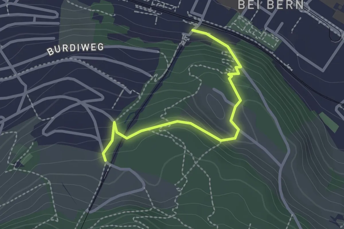
Easy · Trail
Wabern/Gurtenbahn – Grüneboden
2.3 km · ↑ 129 m · 49 min · 3 km away
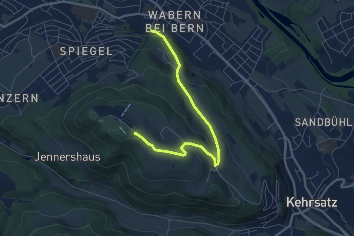
Easy · Summit
Spazierweg
6.4 km · ↑ 268 m · 2 h 5 min · 3 km away
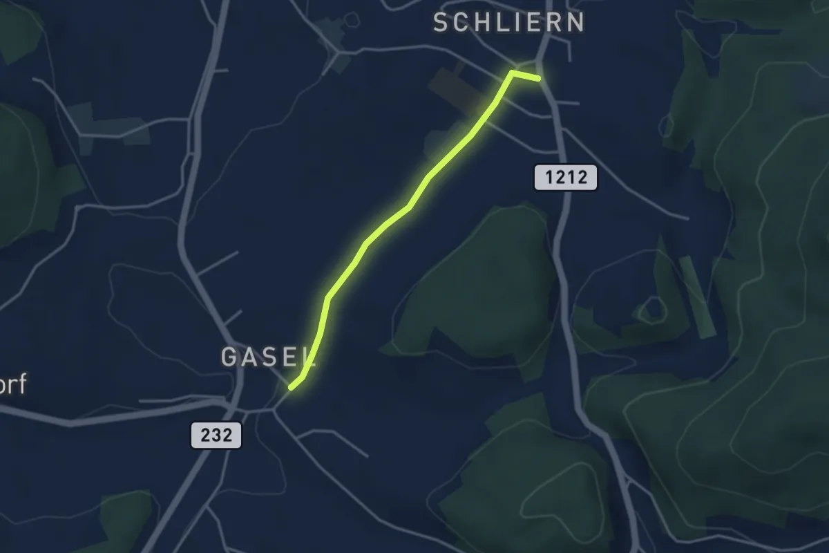
Easy · Trail
Gasel - Schliern
3.0 km · ↑ 41 m · 48 min · 3 km away
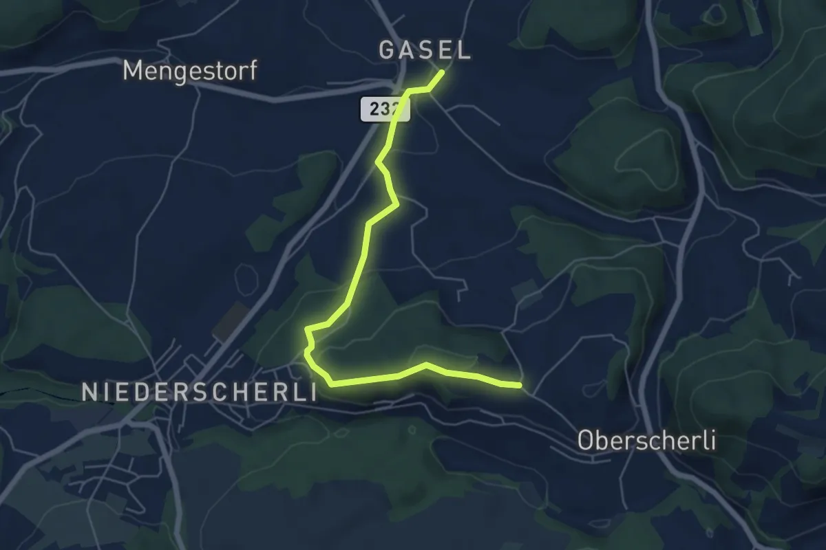
Easy · Trail
Hübeli - Gasel
5.6 km · ↑ 184 m · 1 h 44 min · 3 km away
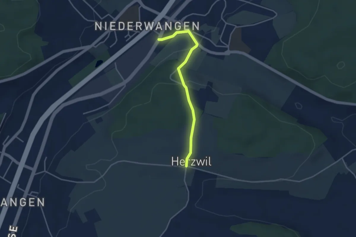
Easy · Trail
Wangen-brüggli - Herzwil
3.0 km · ↑ 112 m · 57 min · 3 km away
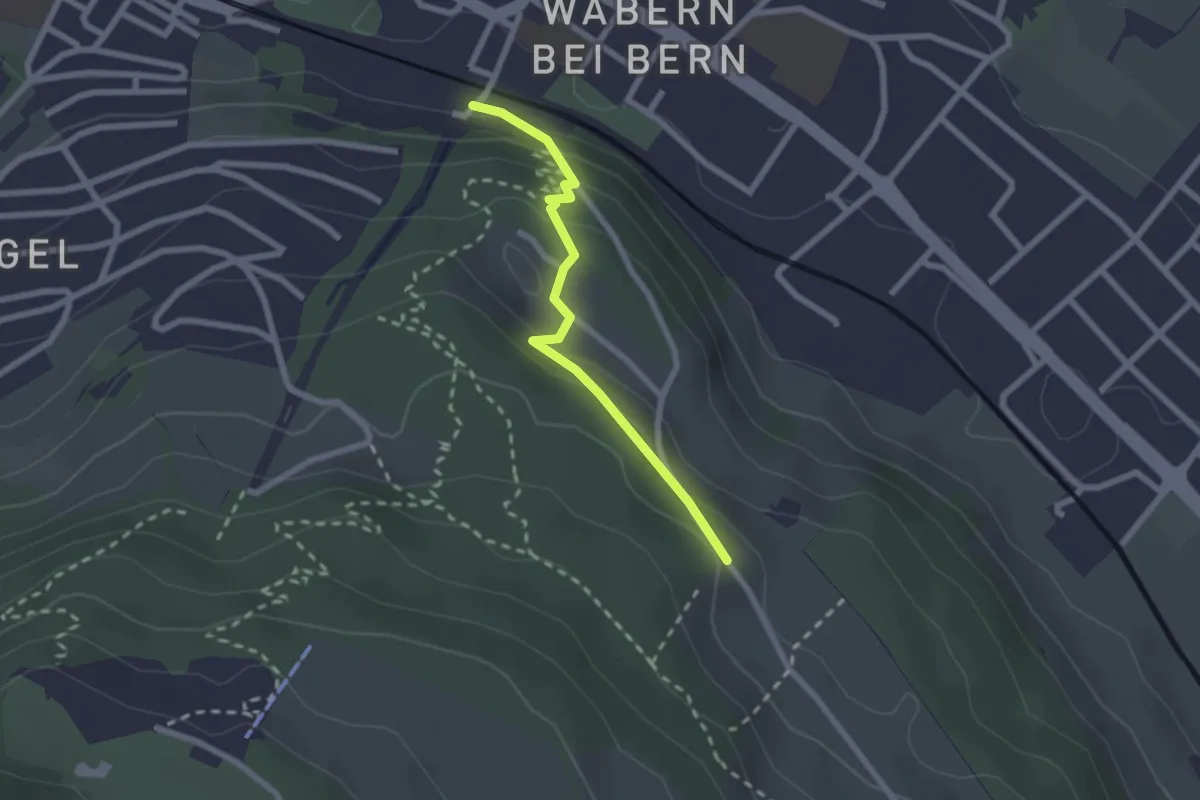
Easy · Trail
Wabern/Gurtenbahn – Bergweid
2.1 km · ↑ 103 m · 43 min · 3 km away
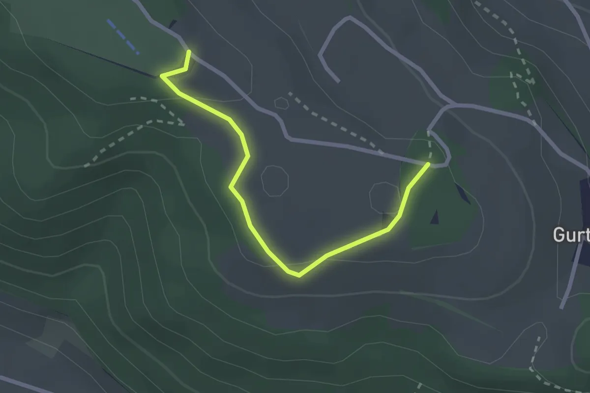
Easy · Summit
Studholz – Gurten/Ostsignal
2.3 km · ↑ 58 m · 39 min · 3 km away
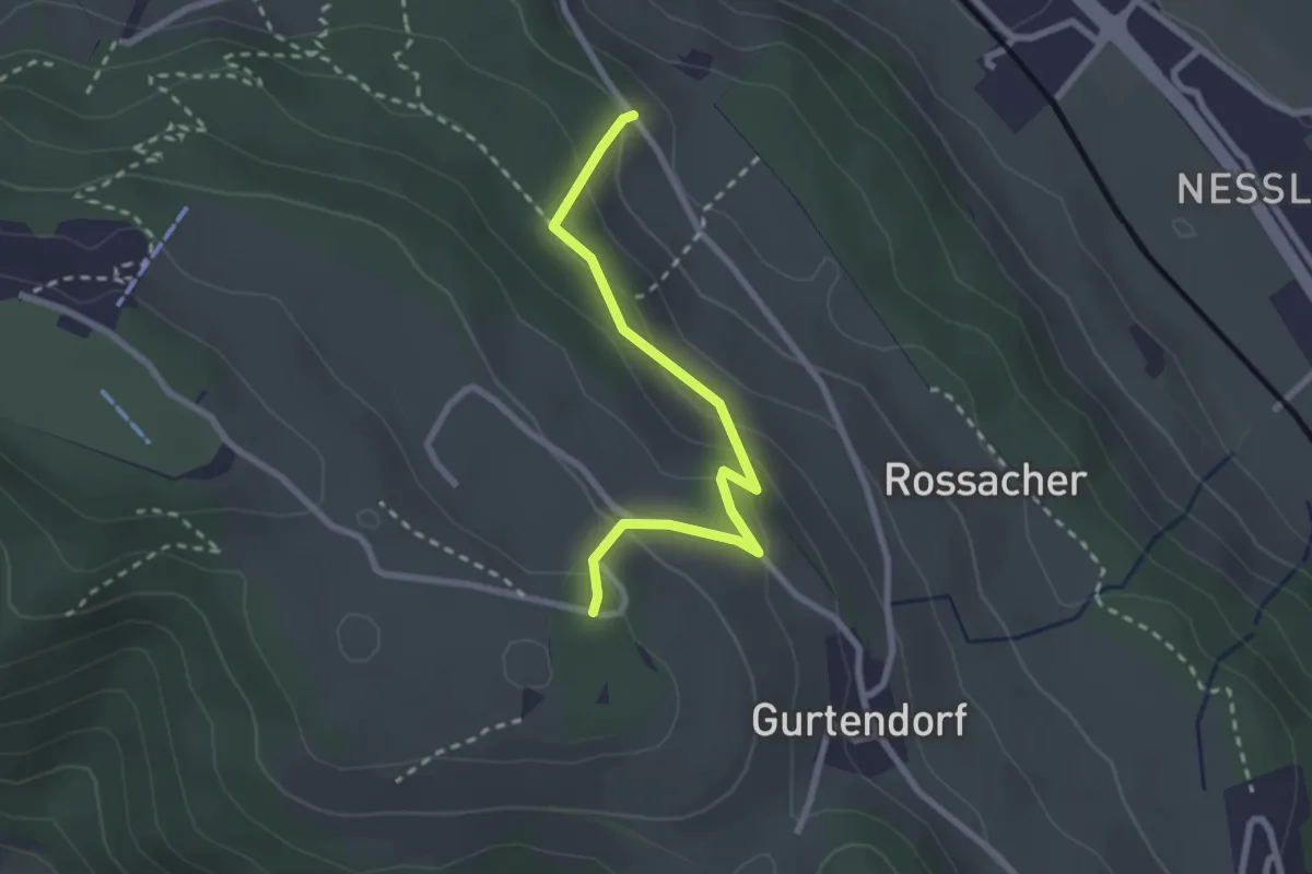
Easy · Trail
Bergweid – Studholz
2.5 km · ↑ 156 m · 56 min · 3 km away
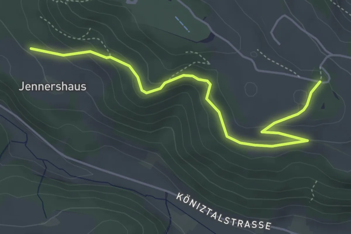
Easy · Trail
Jennershus – Studholz
4.7 km · ↑ 167 m · 1 h 29 min · 3 km away
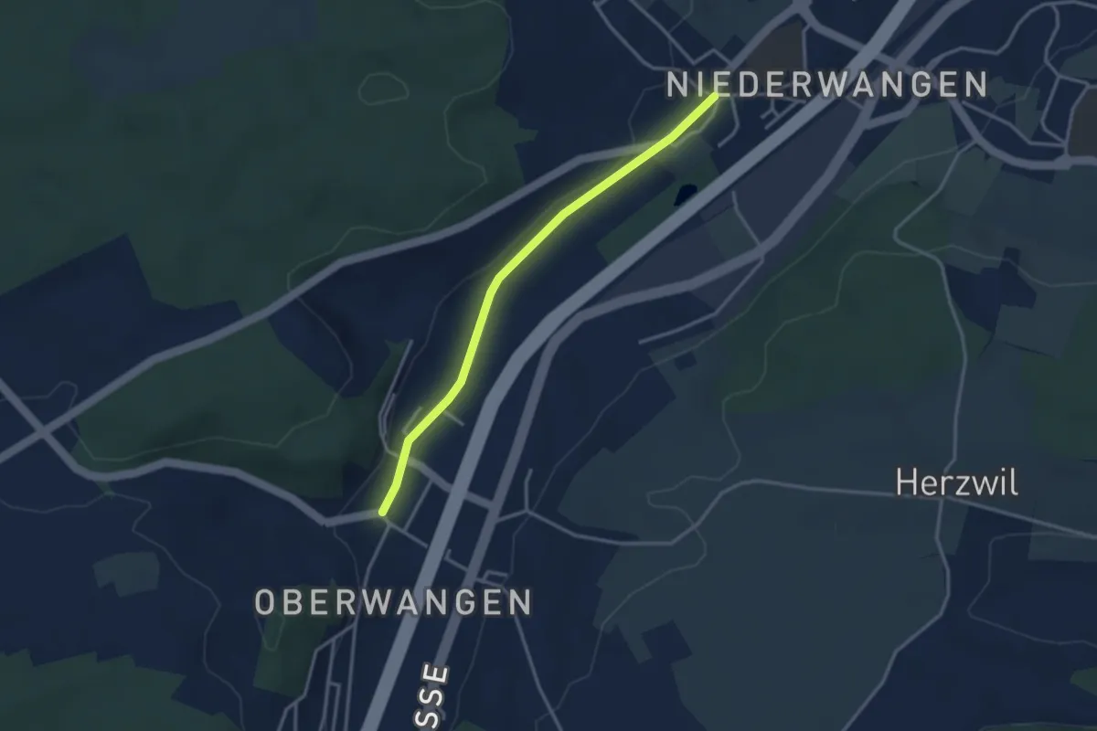
Easy · Trail
Oberwangen - Niederwangen
3.1 km · ↑ 34 m · 48 min · 3 km away
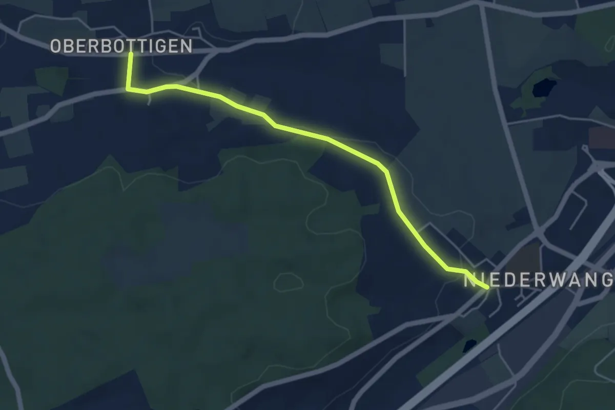
Easy · Trail
Niederwangen - Oberbottigen
4.4 km · ↑ 36 m · 1 h 8 min · 3 km away
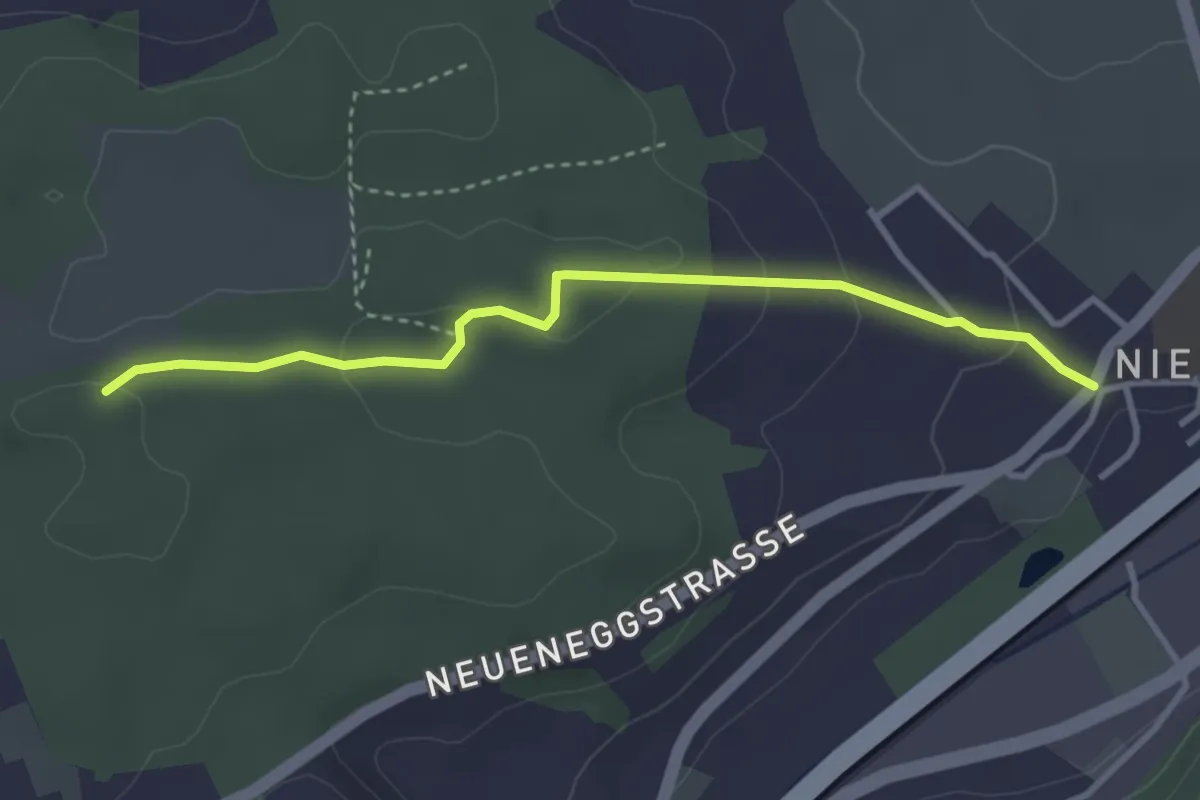
Easy · Trail
Niederwangen - Ried
3.3 km · ↑ 102 m · 1 h 1 min · 3 km away
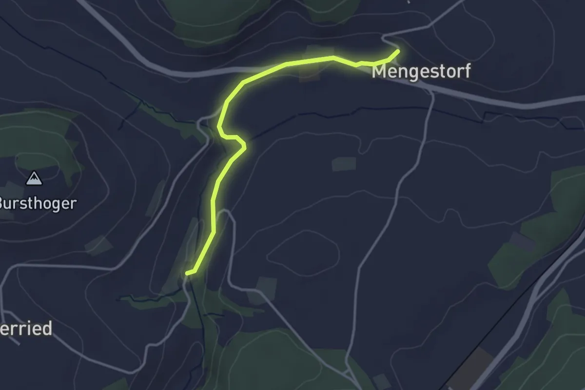
Easy · Trail
Grabenmüli – Mengestorf
3.2 km · ↑ 40 m · 50 min · 3 km away
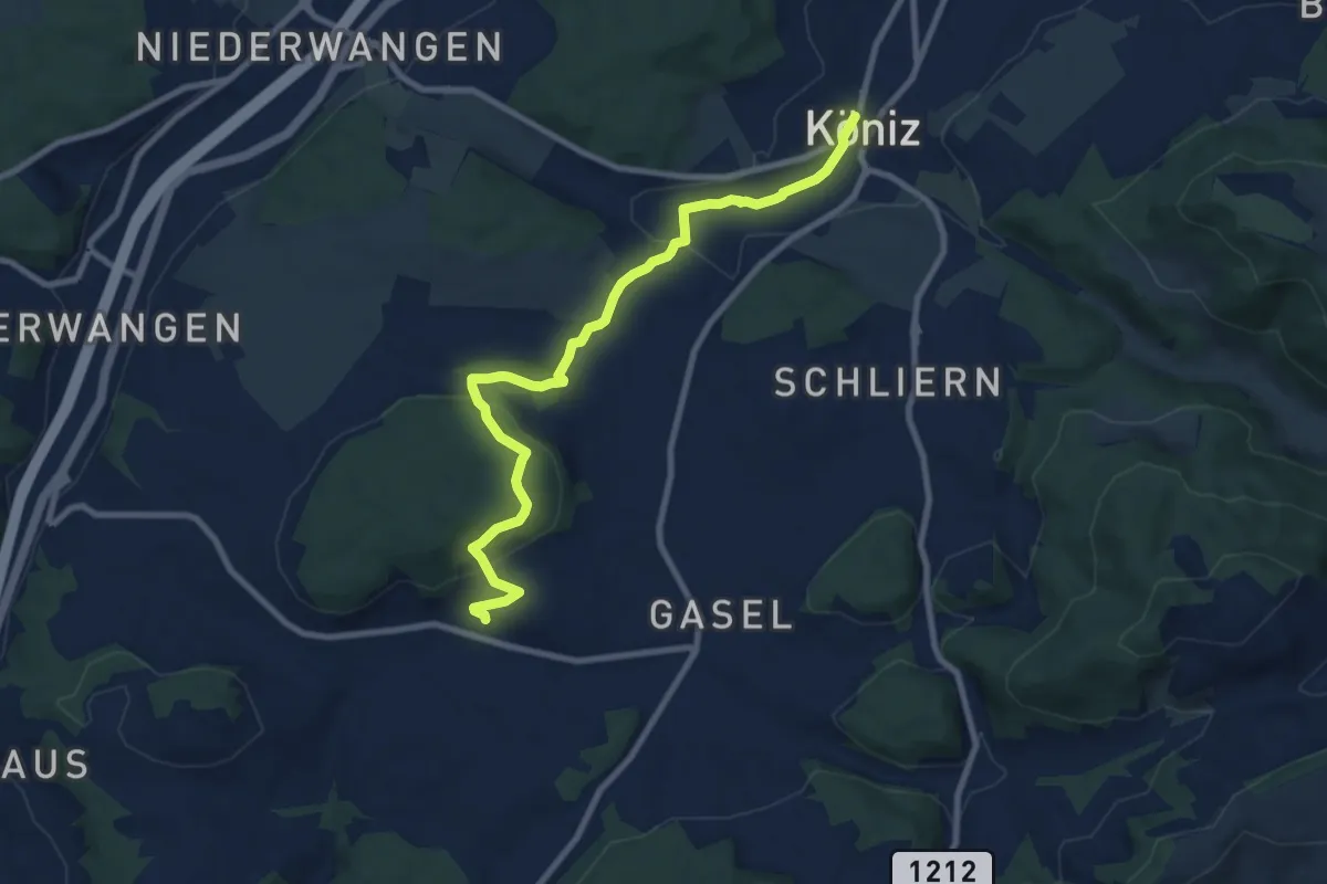
Medium · Trail
Mengestorf – Köniz
9.4 km · ↑ 280 m · 2 h 50 min · 3 km away
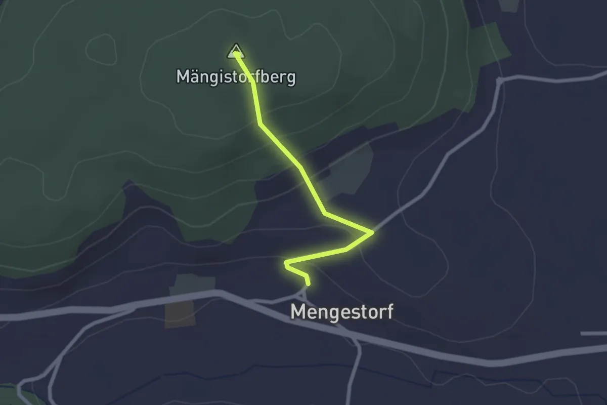
Easy · Summit
Mengestorfberg - Mengestorf
2.0 km · ↑ 124 m · 45 min · 3 km away
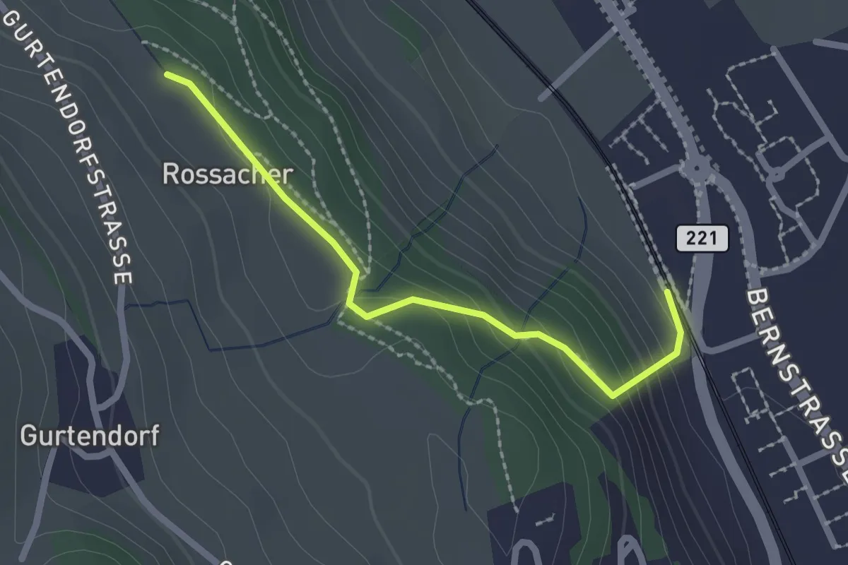
Easy · Trail
Kehrsatz Nord - Rossacker
2.0 km · ↑ 123 m · 45 min · 3 km away
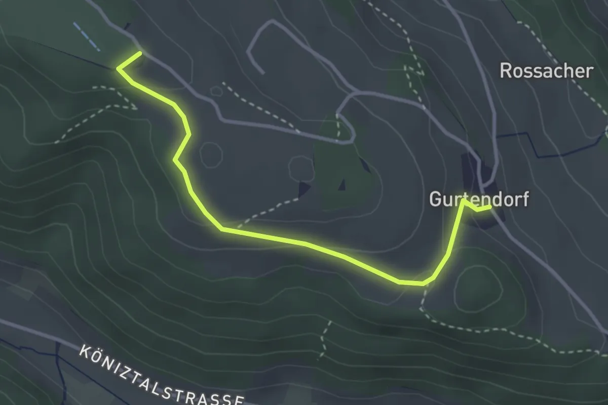
Easy · Summit
Gurten/Ostsignal – Gurtendorf
3.2 km · ↑ 99 m · 58 min · 3 km away
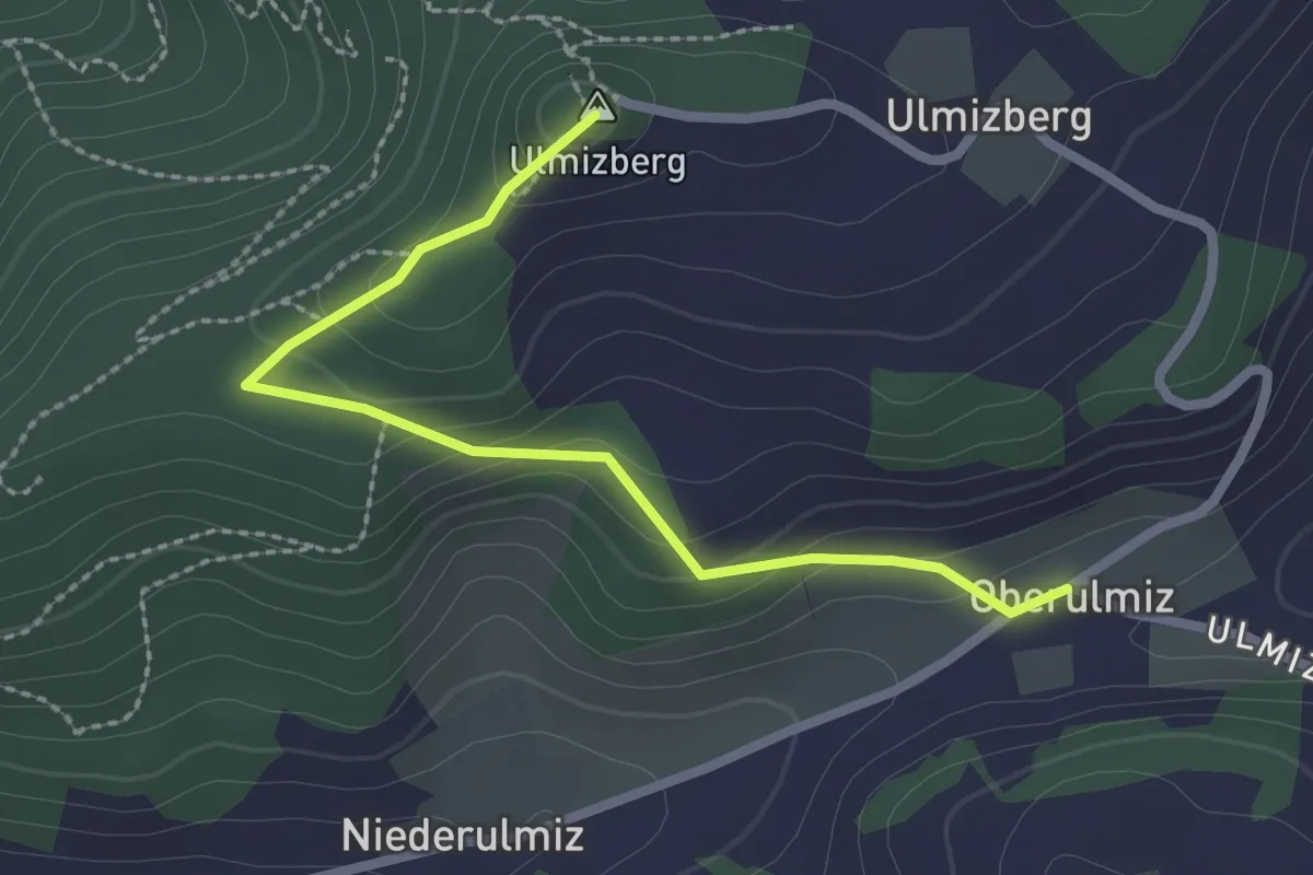
Easy · Summit
Ulmizberg – Oberulmiz
2.5 km · ↑ 118 m · 50 min · 4 km away
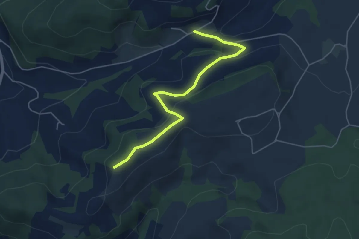
Easy · Trail
Oberulmiz – Zingghöch
4.4 km · ↑ 181 m · 1 h 26 min · 4 km away
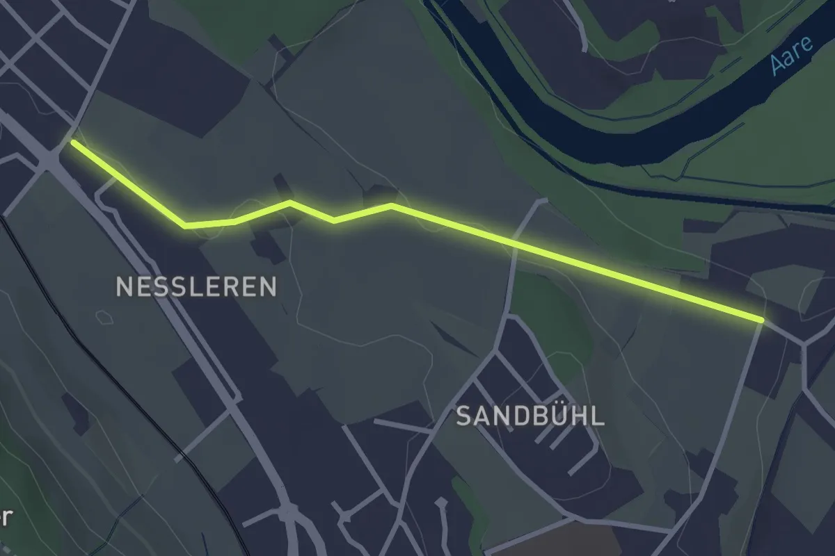
Easy · Trail
Chli Wabern – Unter Selhofen
2.8 km · ↑ 36 m · 44 min · 4 km away