Trails near Köniz
523 hikes starting within 15 km, nearest first.
Nearest first, page 2 of 11
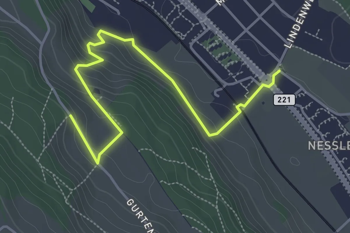
Easy · Trail
Chli-Wabern – Bergweid
3.8 km · ↑ 169 m · 1 h 15 min · 4 km away
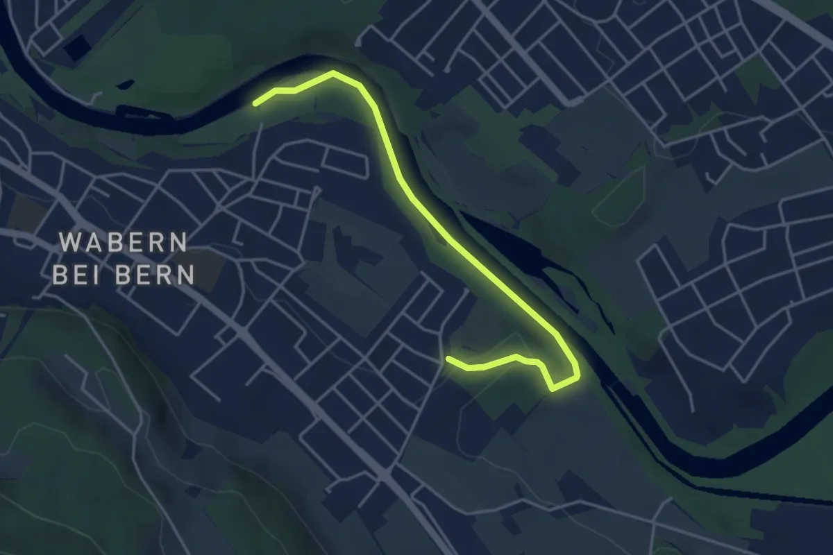
Easy · Trail
Nesslerenhölzli - Eichholz
4.1 km · ↑ 64 m · 1 h 7 min · 4 km away
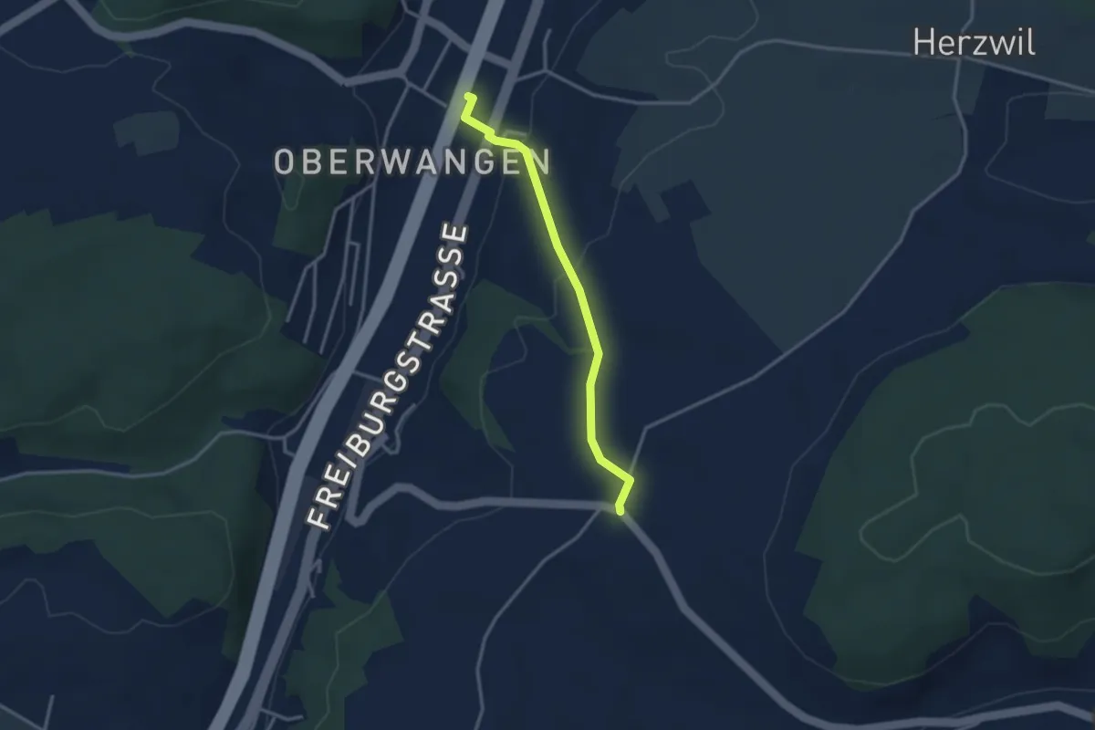
Easy · Trail
Oberwangen Station - Liebewil
2.8 km · ↑ 93 m · 51 min · 4 km away
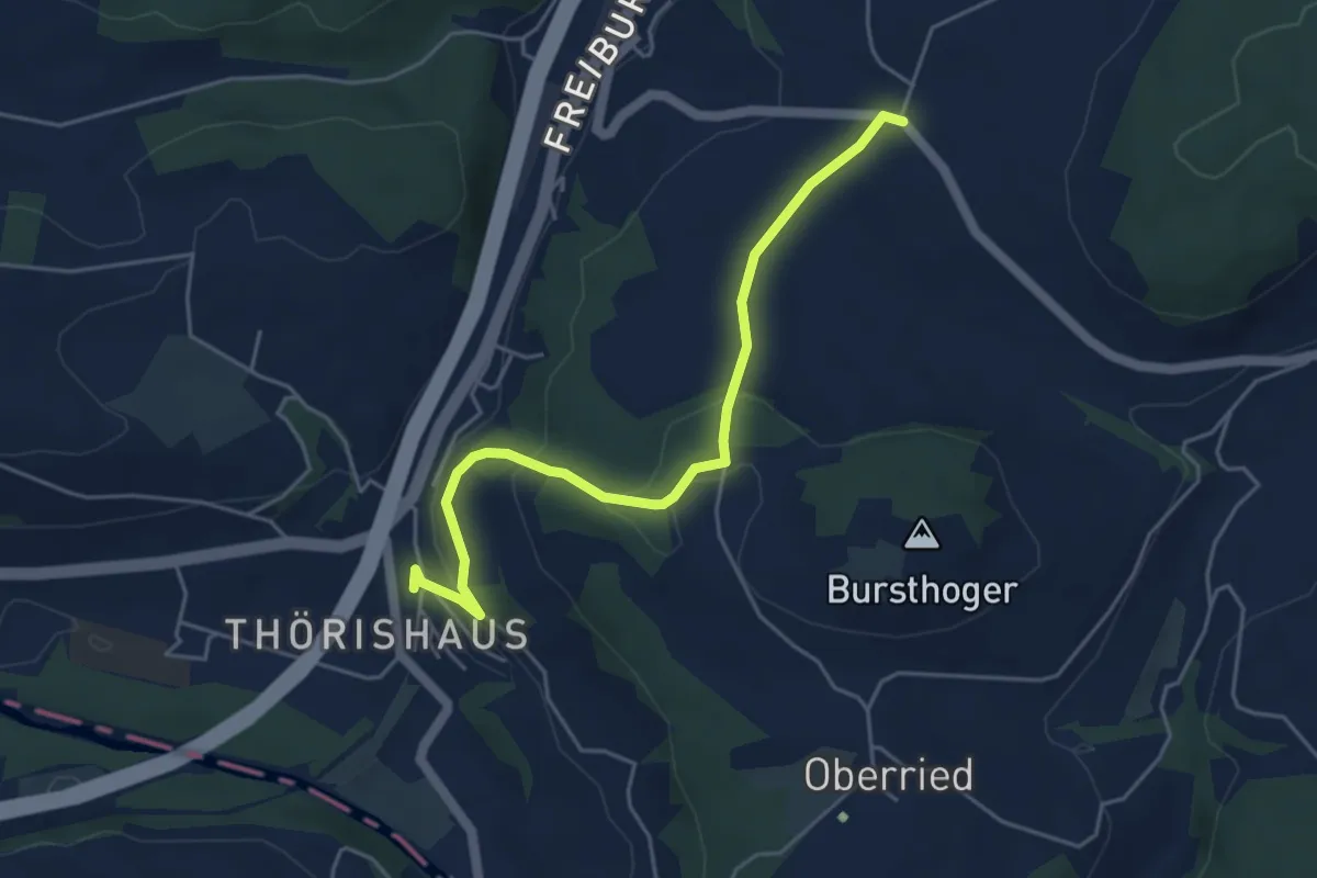
Easy · Trail
Thörishaus - Liebewil
4.9 km · ↑ 176 m · 1 h 32 min · 4 km away
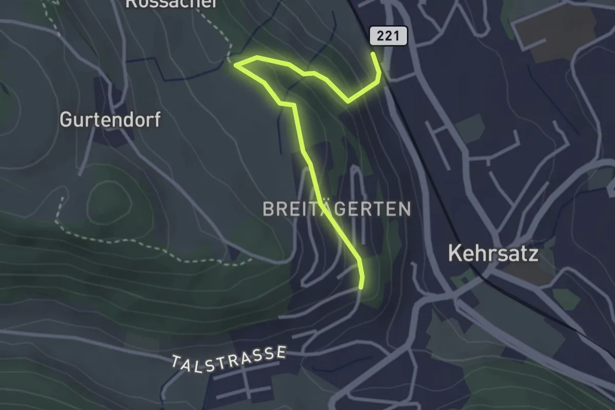
Easy · Trail
Kehrsatz Nord - Breitägerte
2.7 km · ↑ 167 m · 1 h 1 min · 4 km away
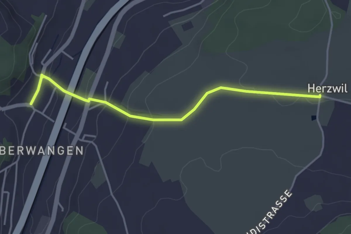
Easy · Trail
Herzwil - Oberwangen
3.7 km · ↑ 93 m · 1 h 4 min · 4 km away
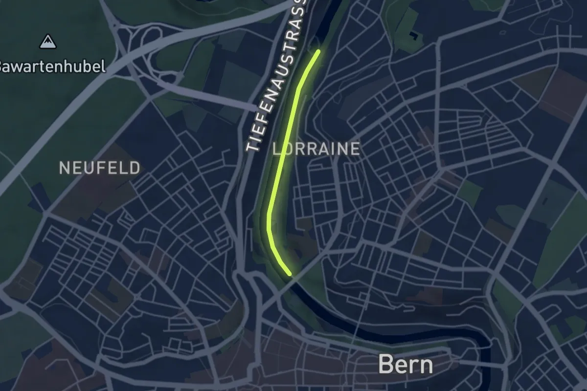
Easy · Trail
Felsenausteg – Lorrainebrücke
2.8 km · ↑ 5 m · 41 min · 4 km away
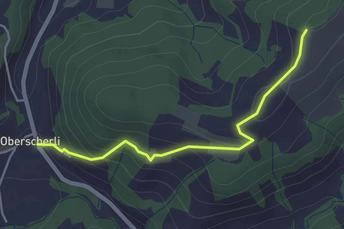
Easy · Trail
Zingghöch – Oberscherli
3.1 km · ↑ 195 m · 1 h 9 min · 4 km away
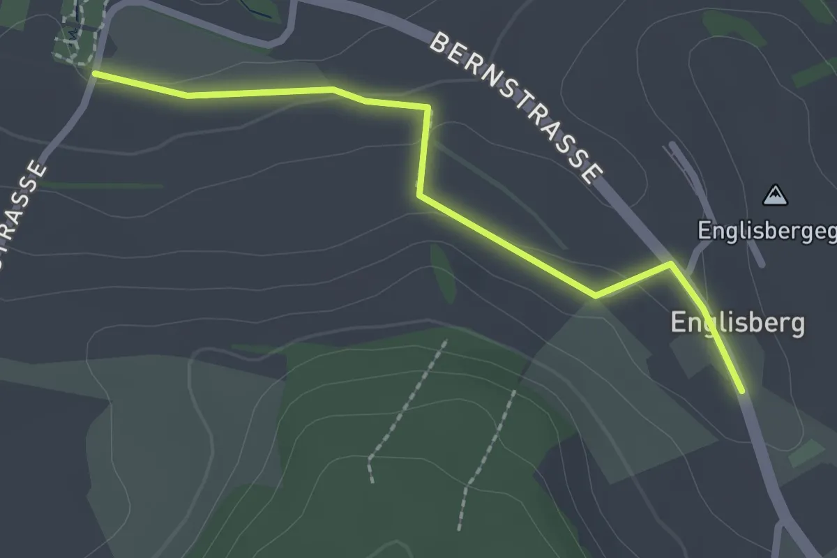
Easy · Trail
Wohnheim Kühlewil - Englisberg
2.1 km · ↑ 42 m · 36 min · 4 km away
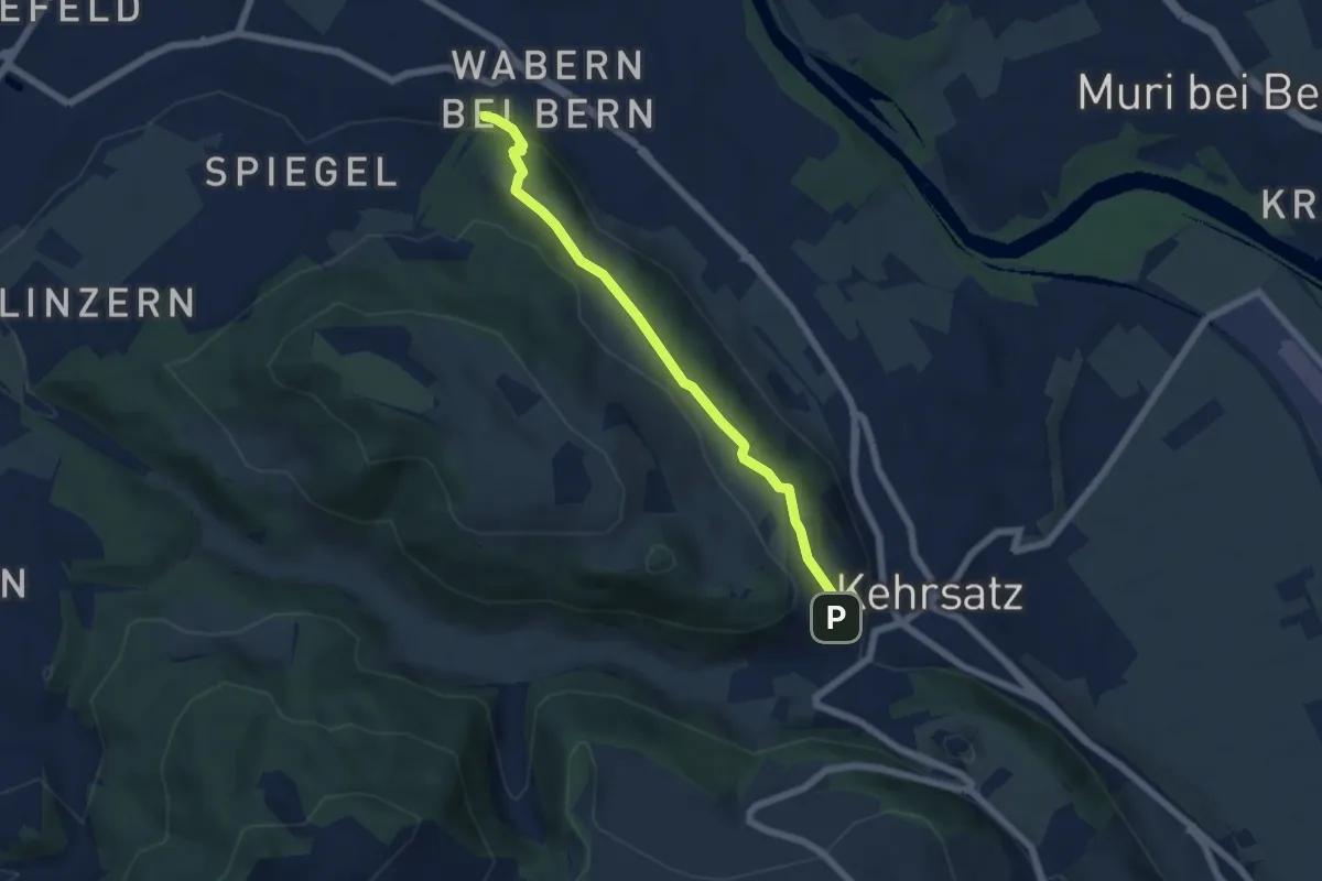
Easy · Trail
Wabern/Gurtenbahn – Breitägerte
5.6 km · ↑ 158 m · 1 h 40 min · 4 km away
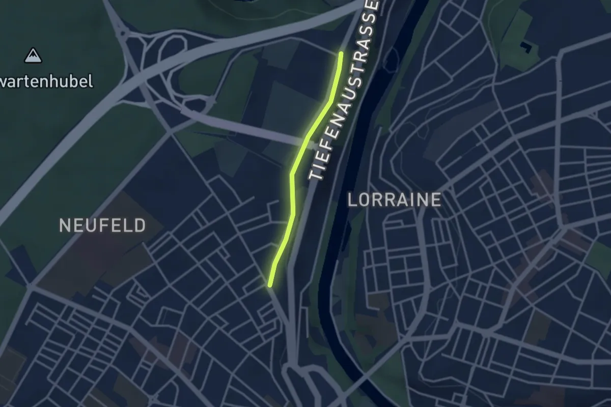
Easy · Trail
Bierhübeli – Äussere Enge
2.2 km · ↑ 9 m · 32 min · 4 km away
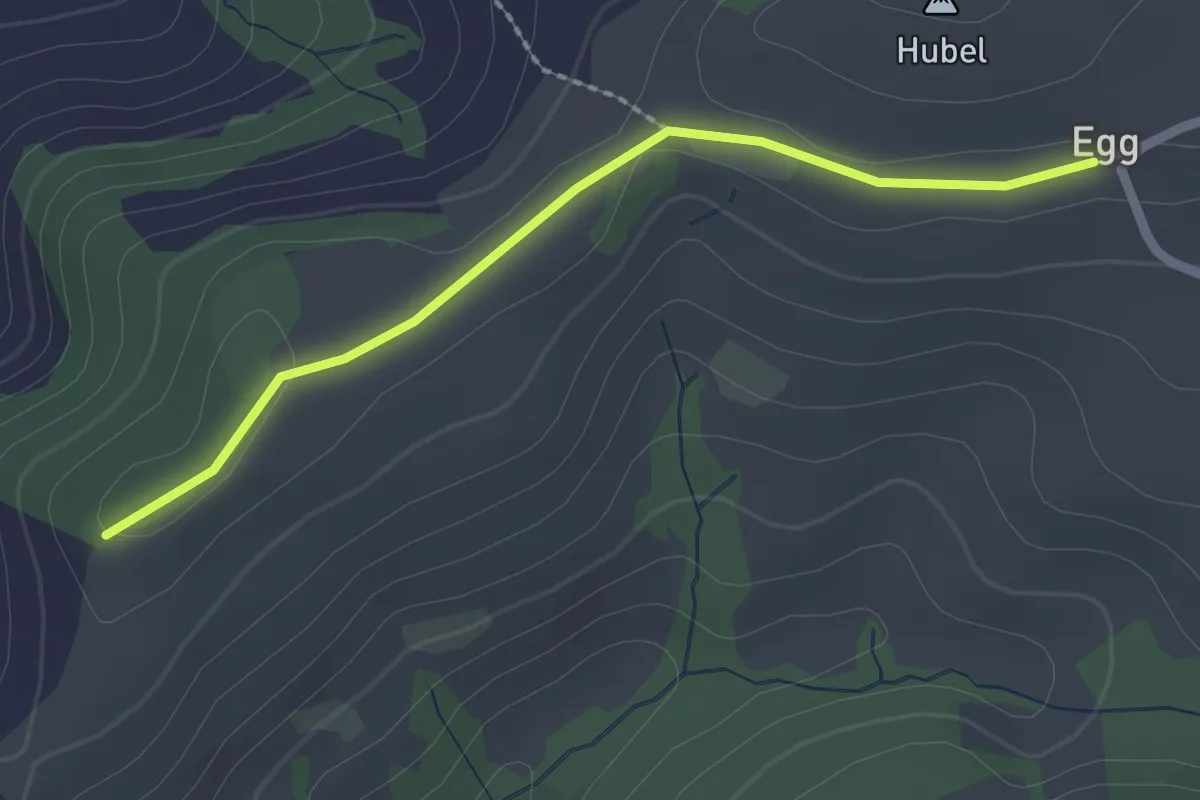
Easy · Trail
Egg – Zingghöch
2.1 km · ↑ 35 m · 34 min · 4 km away
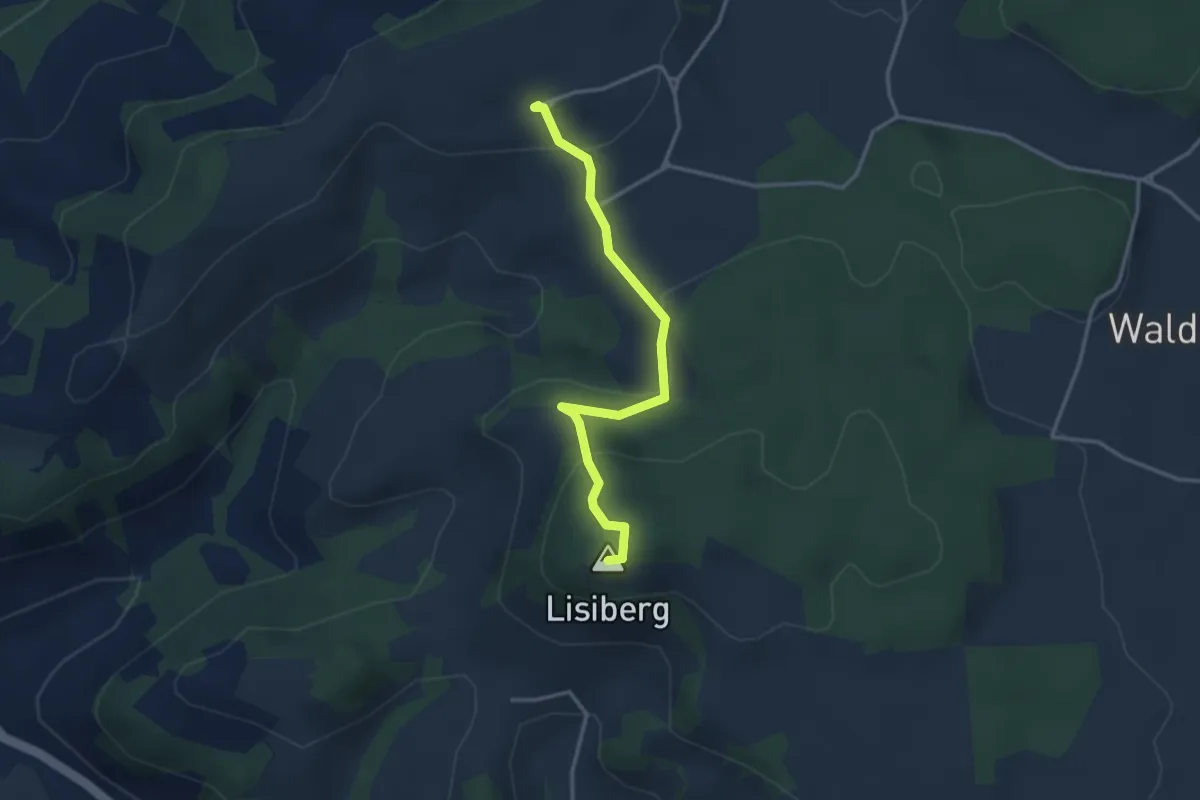
Easy · Summit
Egg - Lisiberg
3.2 km · ↑ 149 m · 1 h 4 min · 4 km away
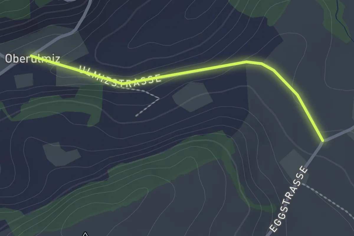
Easy · Trail
Oberulmiz – Kühlewil/Gütsch
2.0 km · ↑ 29 m · 32 min · 4 km away
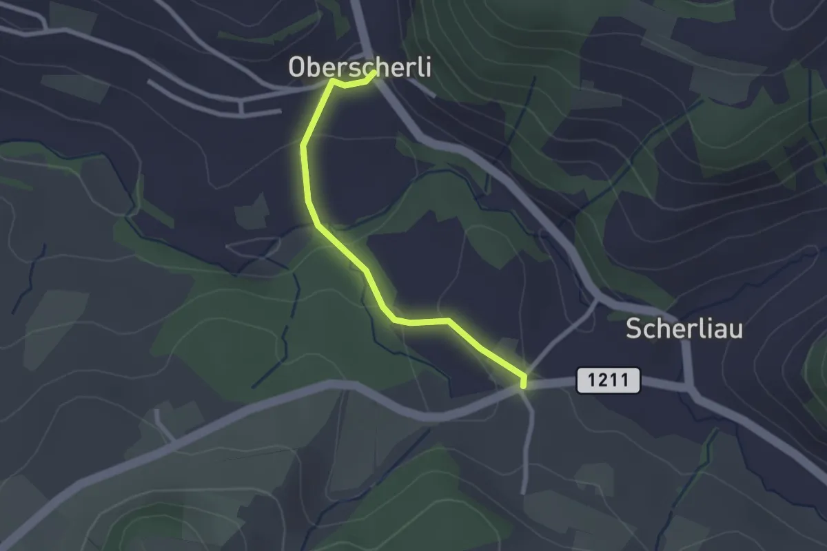
Easy · Trail
Oberscherli – Leiman
2.1 km · ↑ 65 m · 38 min · 4 km away
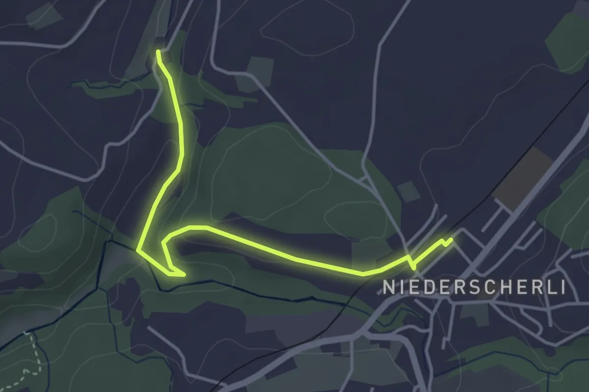
Easy · Trail
Niederscherli - Grabenmüli
3.9 km · ↑ 88 m · 1 h 7 min · 4 km away
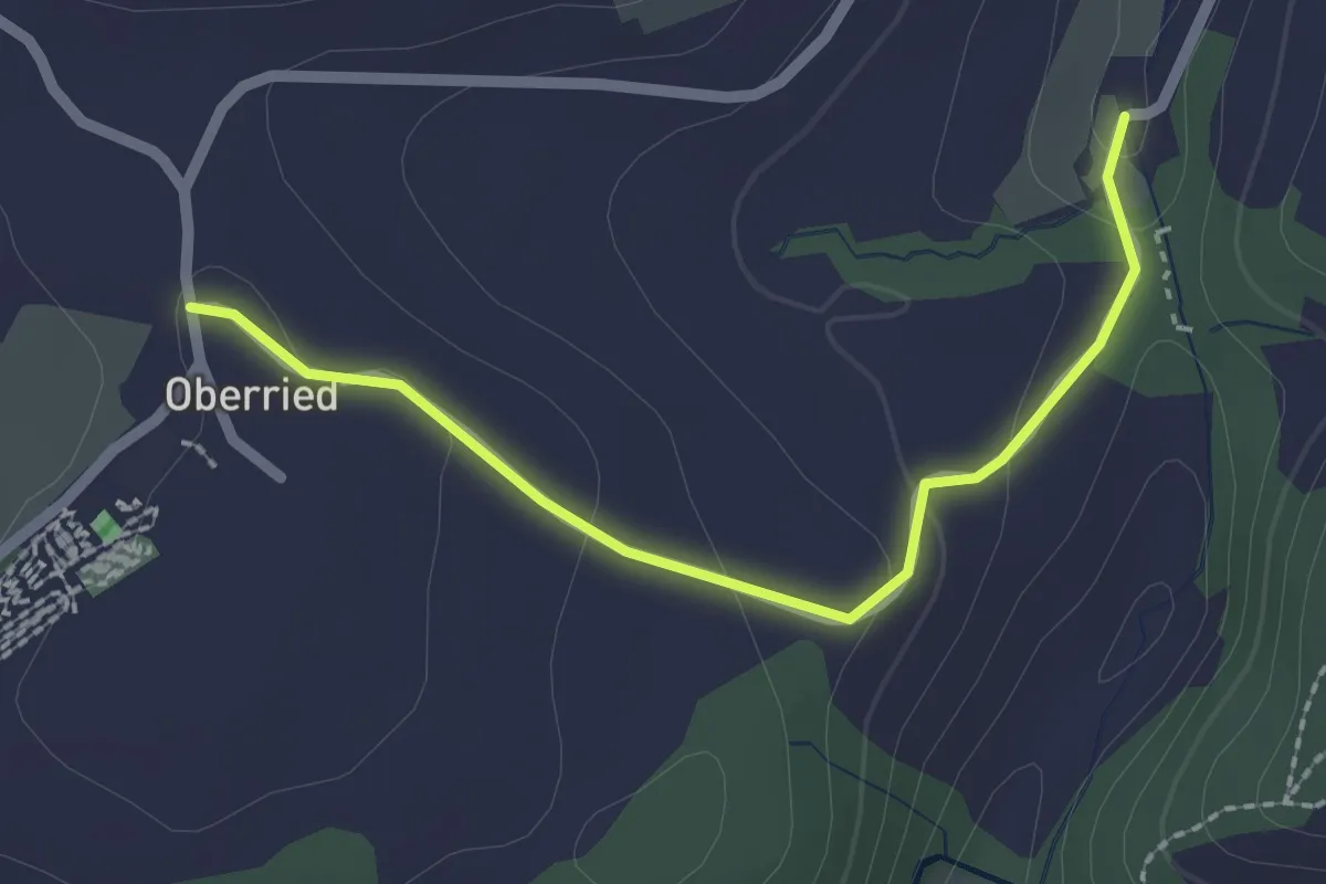
Easy · Trail
Oberried - Grabenmüli
2.2 km · ↑ 64 m · 39 min · 4 km away
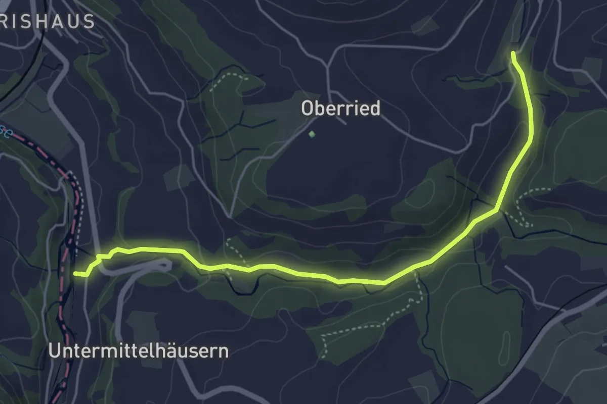
Easy · Trail
Sensematt – Grabenmüli
5.1 km · ↑ 116 m · 1 h 27 min · 4 km away
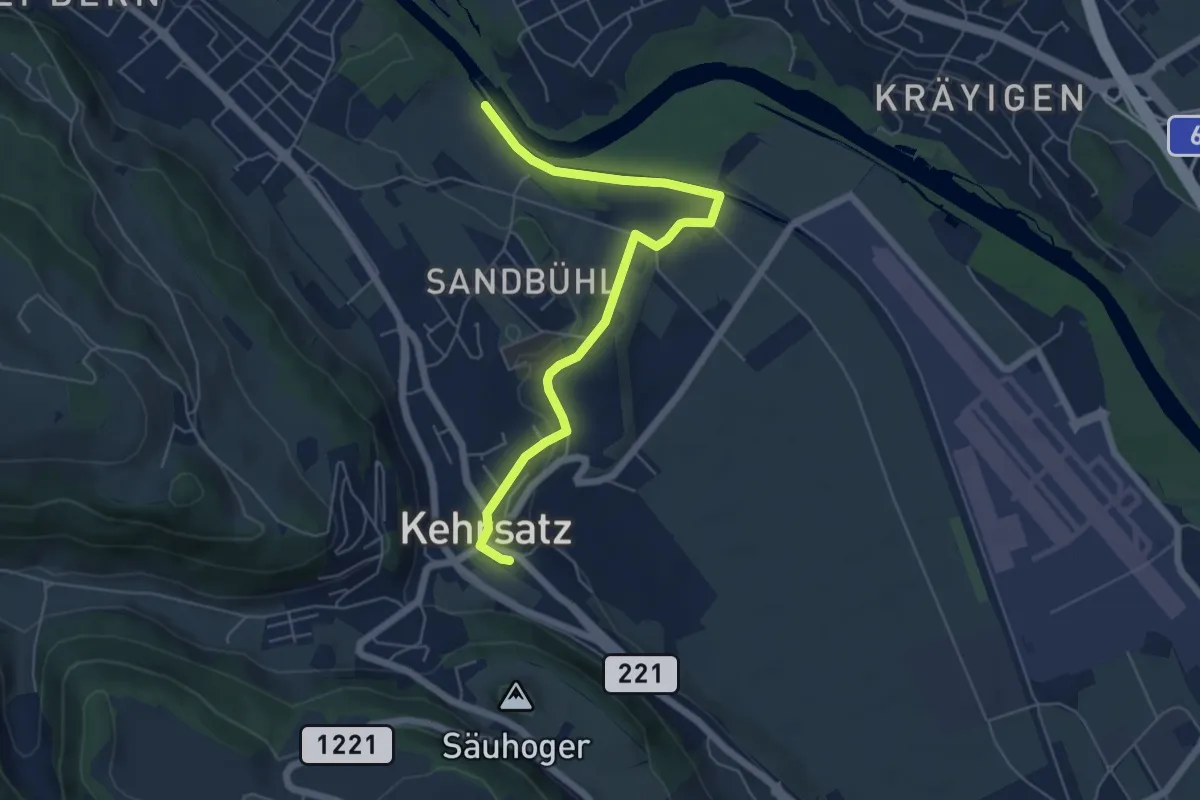
Easy · Trail
Bodenacherfähre - Kehrsatz
6.1 km · ↑ 89 m · 1 h 37 min · 4 km away
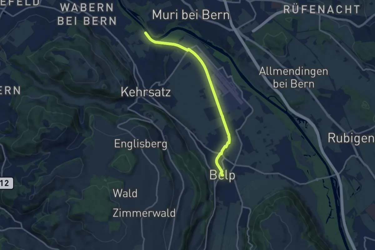
Medium · Trail
Bodenacherfähre - Belp
10.6 km · ↑ 22 m · 2 h 33 min · 4 km away
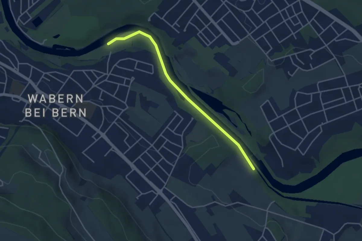
Easy · Trail
Bodenacherfähre - Eicholz
3.5 km · ↑ 25 m · 53 min · 4 km away
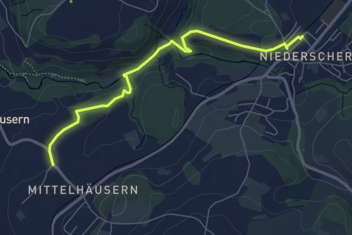
Easy · Trail
Mittelhäusern - Niederscherli
5.7 km · ↑ 165 m · 1 h 42 min · 4 km away
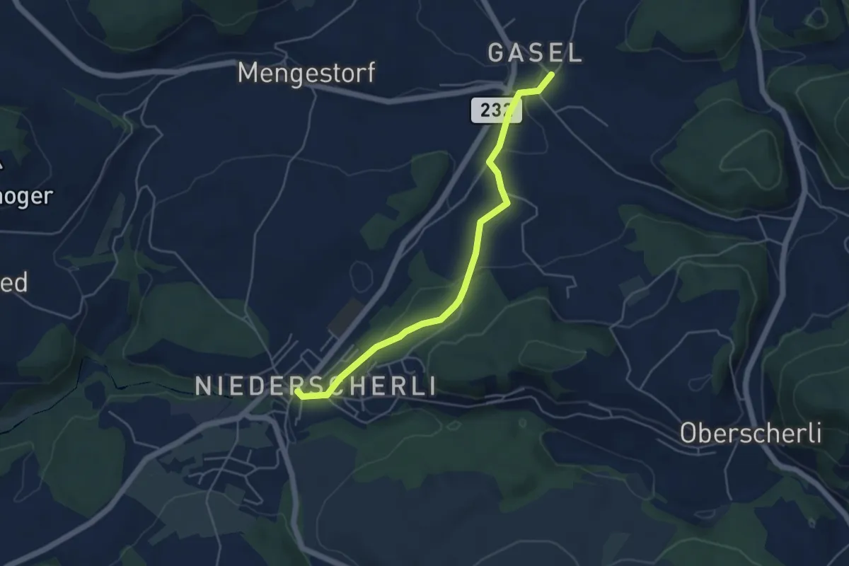
Easy · Trail
Niederscherli – Gasel
4.6 km · ↑ 143 m · 1 h 24 min · 5 km away
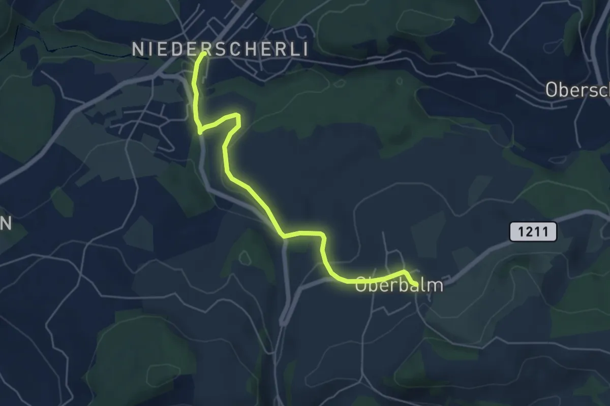
Easy · Trail
Niederscherli – Oberbalm
5.1 km · ↑ 142 m · 1 h 30 min · 5 km away
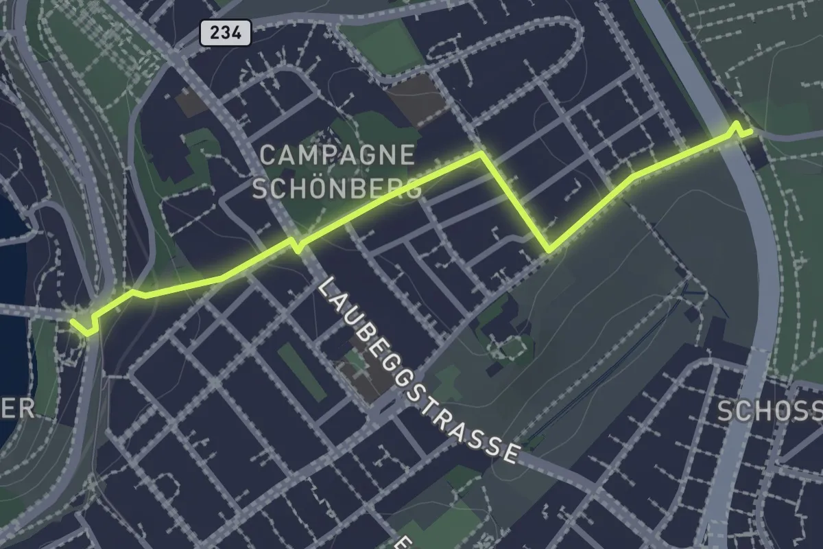
Easy · Trail
Bern/Bärenpark – Zentrum Paul Klee
2.5 km · ↑ 82 m · 46 min · 5 km away
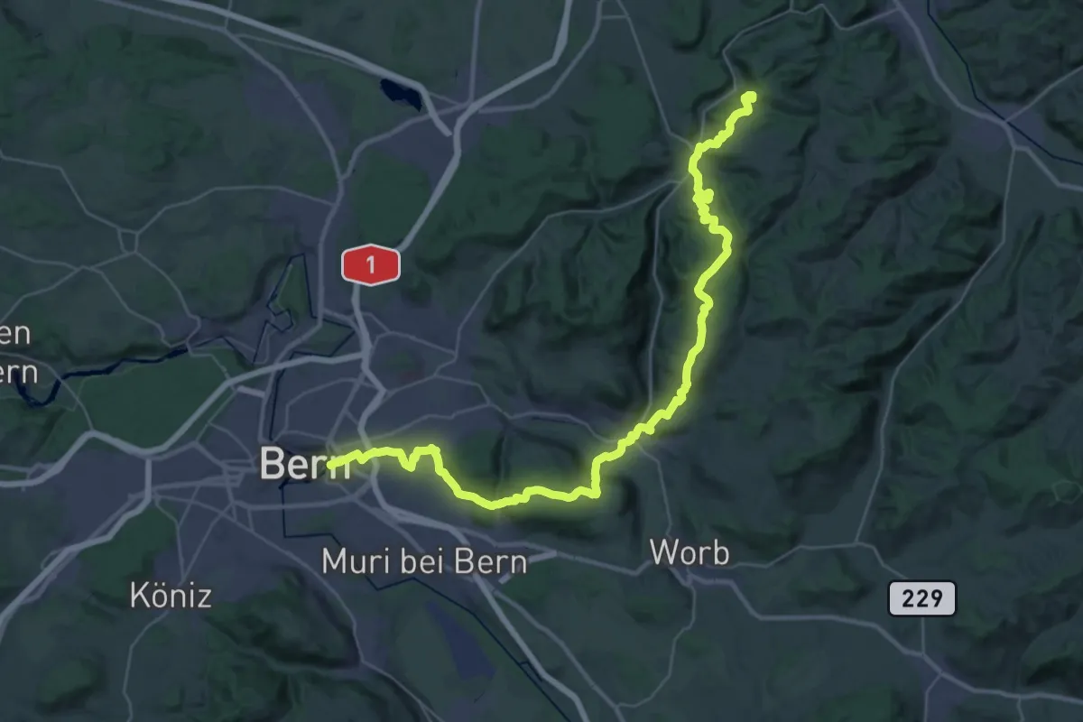
Demanding · Summit
ViaJacobi
42.9 km · ↑ 1593 m · 13 h 35 min · 5 km away
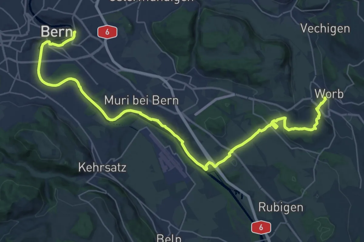
Medium · Trail
Trans Swiss Trail
15.7 km · ↑ 273 m · 4 h 29 min · 5 km away
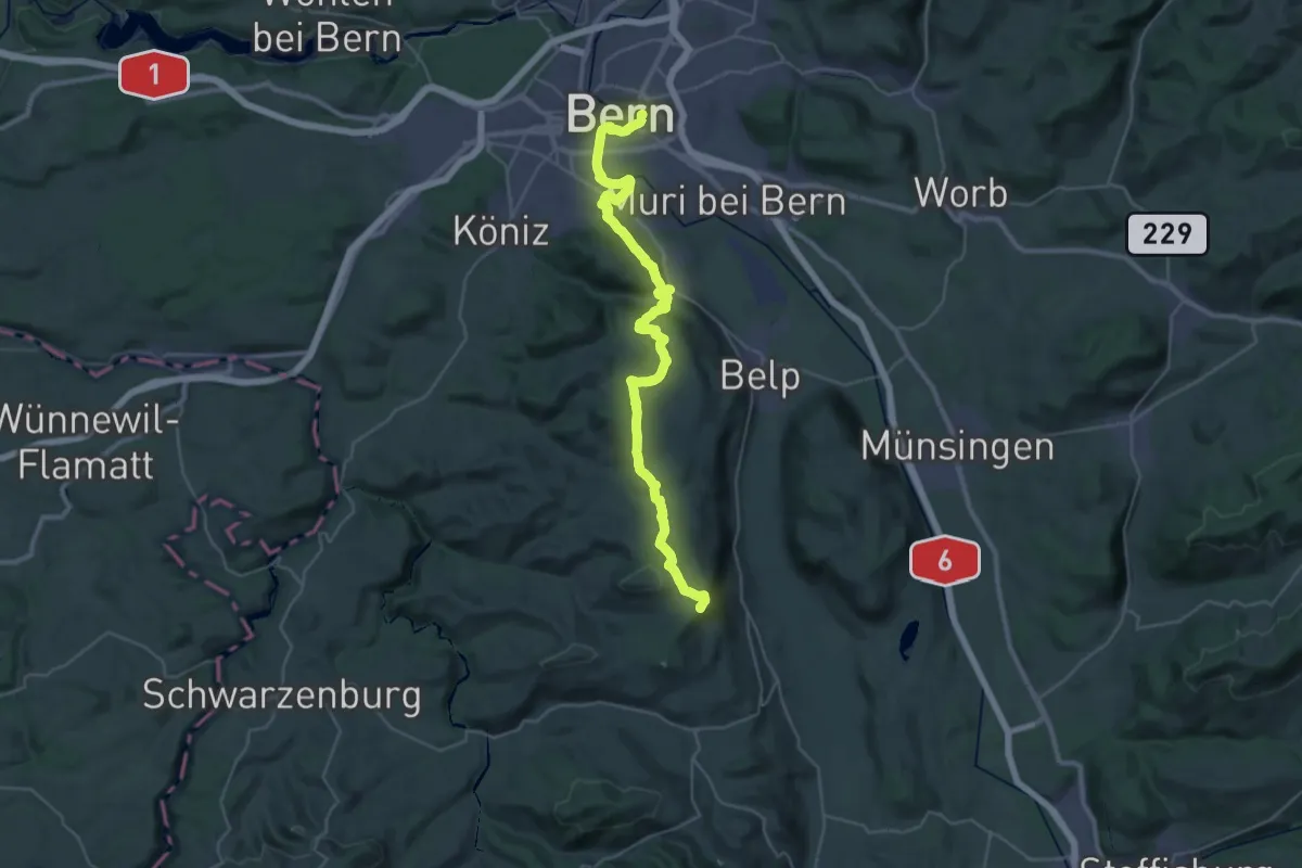
Demanding · Summit
ViaJacobi
38.0 km · ↑ 1072 m · 11 h 18 min · 5 km away
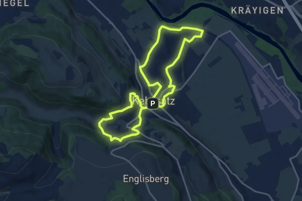
Medium · Trail
Kehrsatzer Rundweg
8.3 km · ↑ 288 m · 2 h 42 min · 5 km away
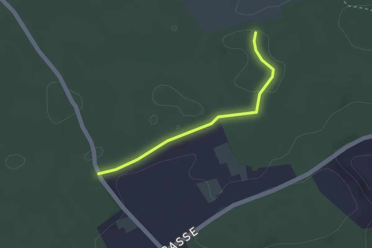
Easy · Trail
Niederwangenhubel - Ried
2.2 km · ↑ 23 m · 35 min · 5 km away
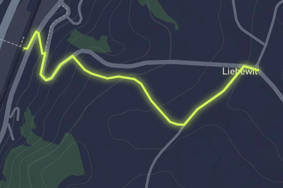
Easy · Trail
Liebewil - Thörishaus Station
2.5 km · ↑ 82 m · 46 min · 5 km away
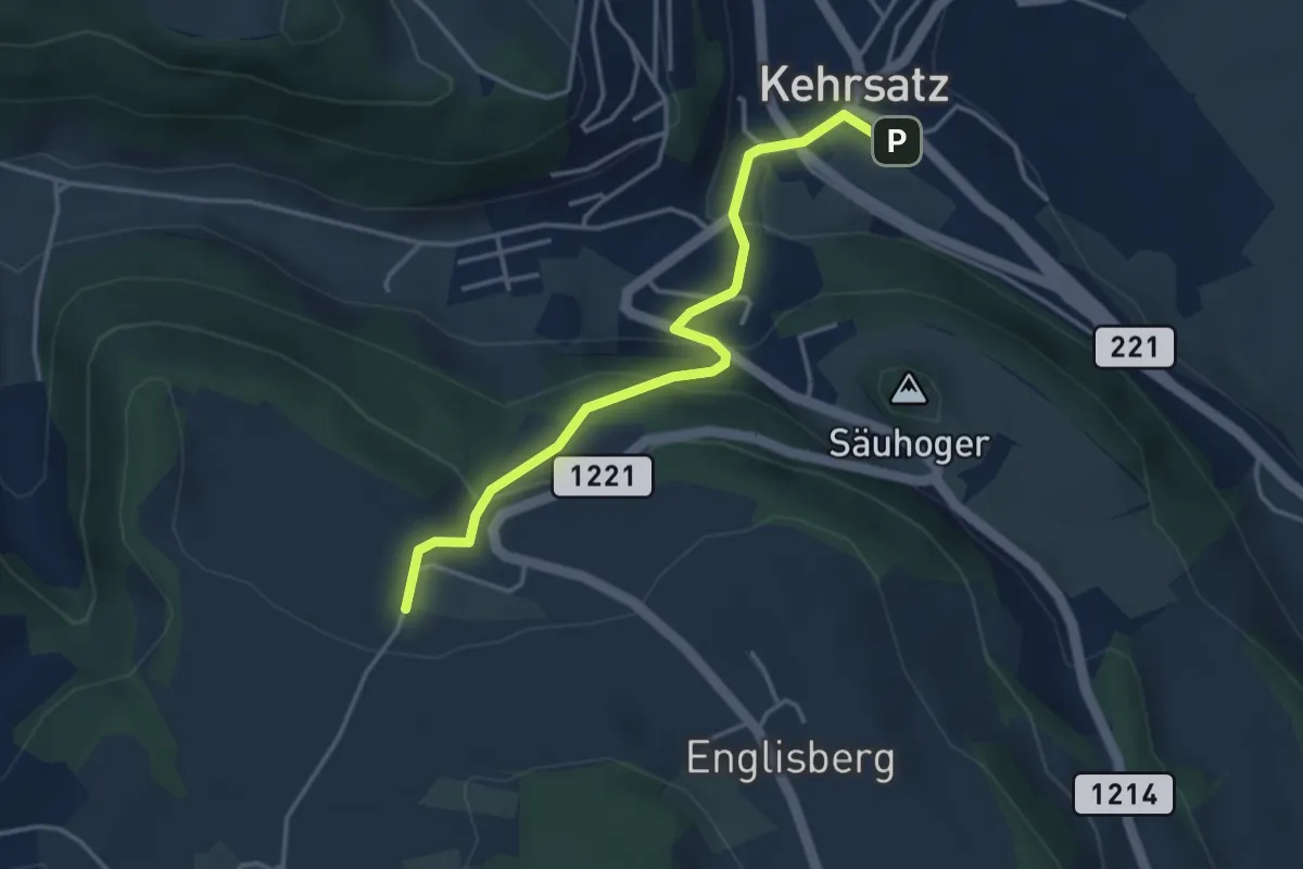
Easy · Trail
Breitägerte - Wohnheim Kühlewil
3.7 km · ↑ 218 m · 1 h 21 min · 5 km away
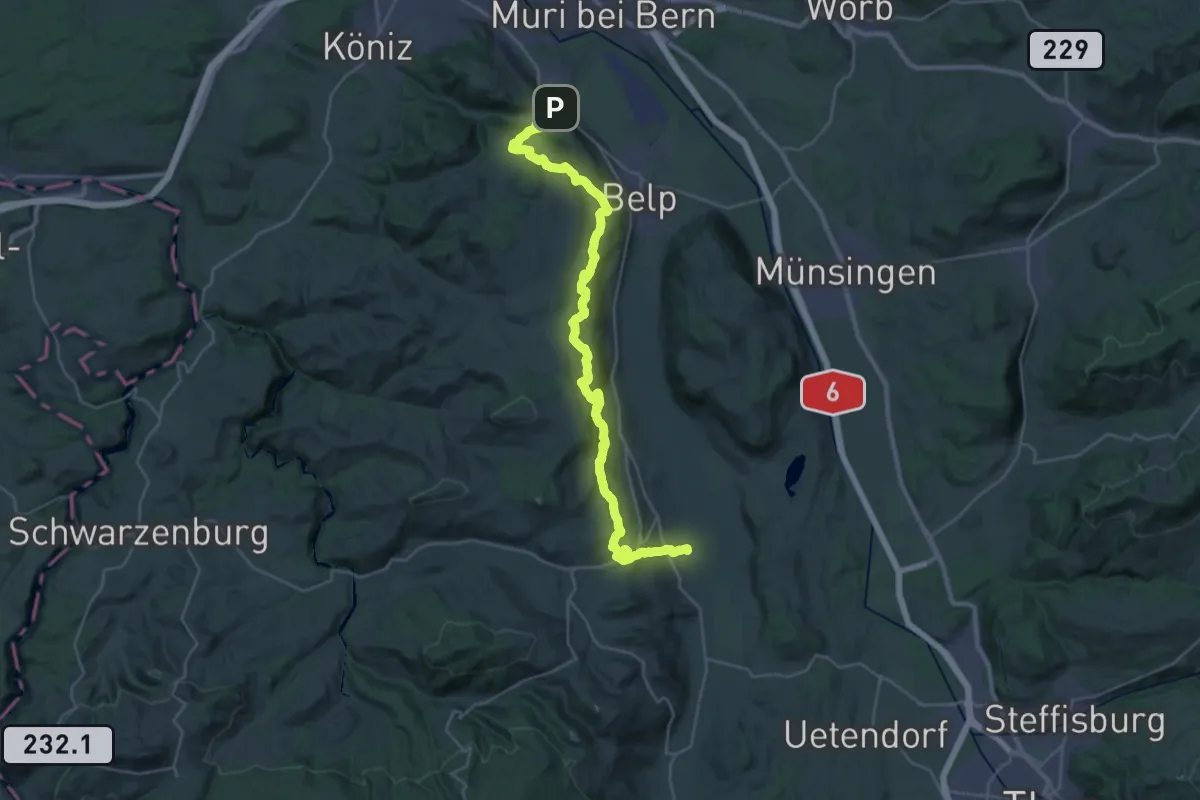
Demanding · Trail
Gürbetaler Höhenweg
18.2 km · ↑ 707 m · 6 h 6 min · 5 km away
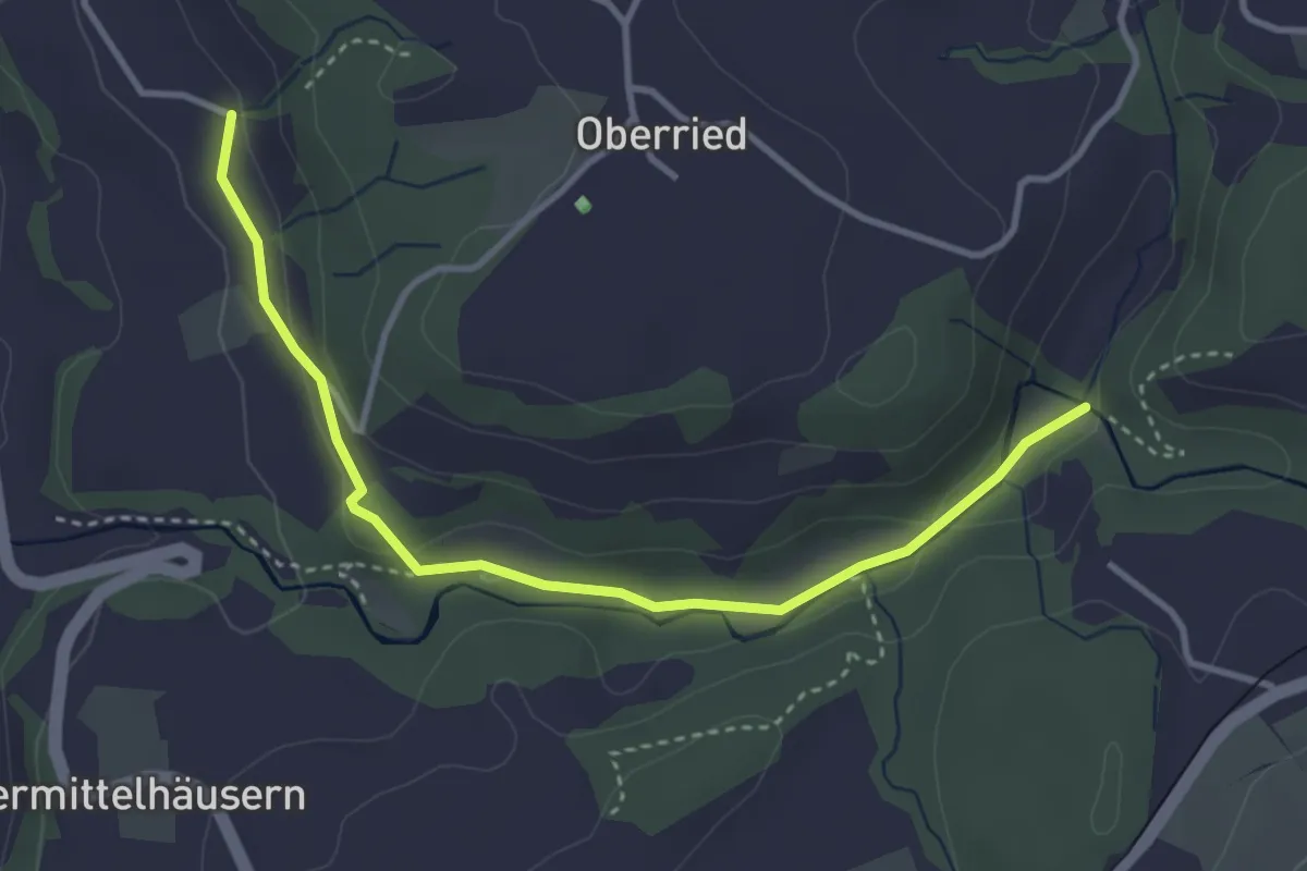
Easy · Trail
Grabenmüli - Grafenried
3.7 km · ↑ 75 m · 1 h 2 min · 5 km away
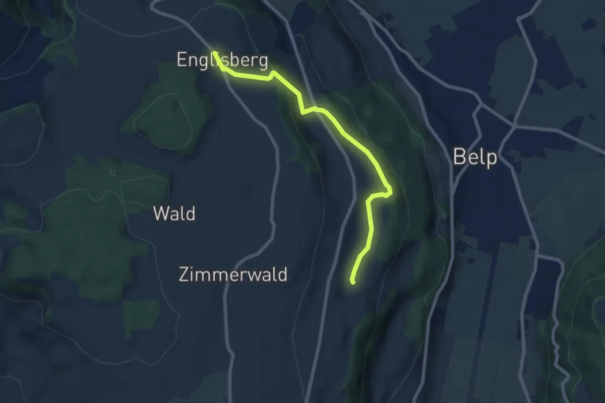
Easy · Trail
Englisberg – Hofmatt
6.5 km · ↑ 186 m · 1 h 56 min · 5 km away
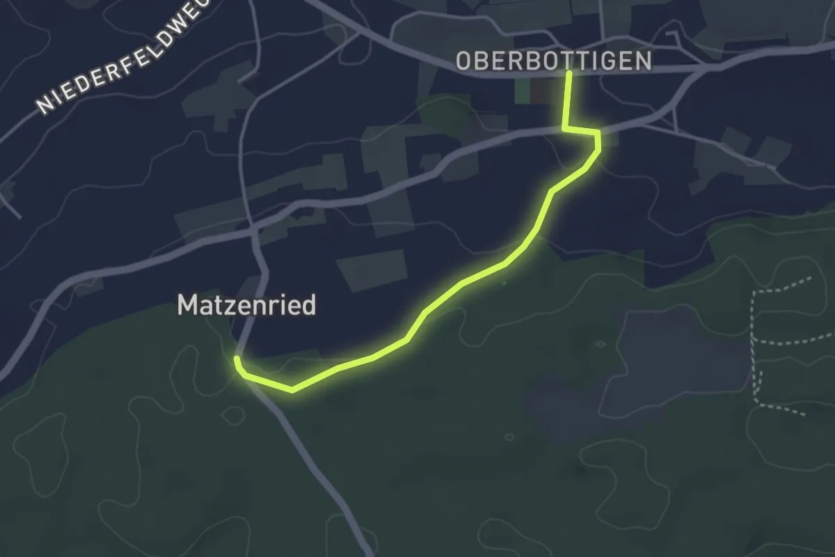
Easy · Trail
Oberbottigen - Holzeggen
3.4 km · ↑ 57 m · 56 min · 5 km away
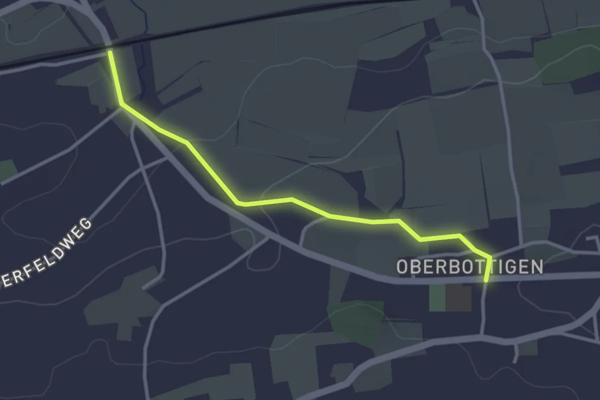
Easy · Trail
Oberbottigen - Riedbach/Station
2.9 km · ↑ 46 m · 47 min · 5 km away
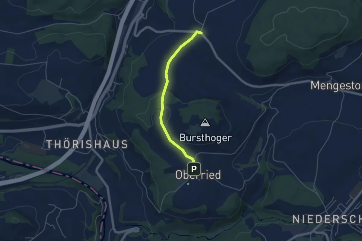
Easy · Trail
Oberried - Liebewil
3.8 km · ↑ 62 m · 1 h 2 min · 5 km away
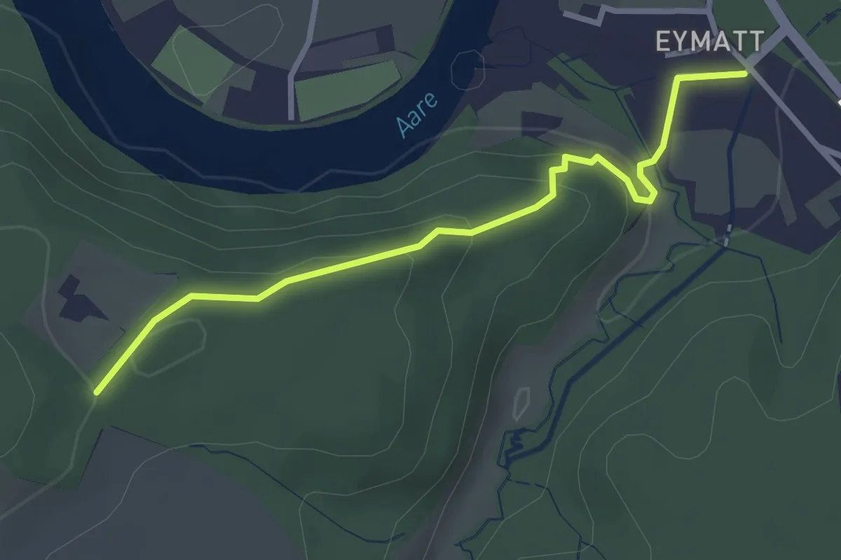
Easy · Trail
Eimatt – Stürleren
2.8 km · ↑ 116 m · 55 min · 5 km away
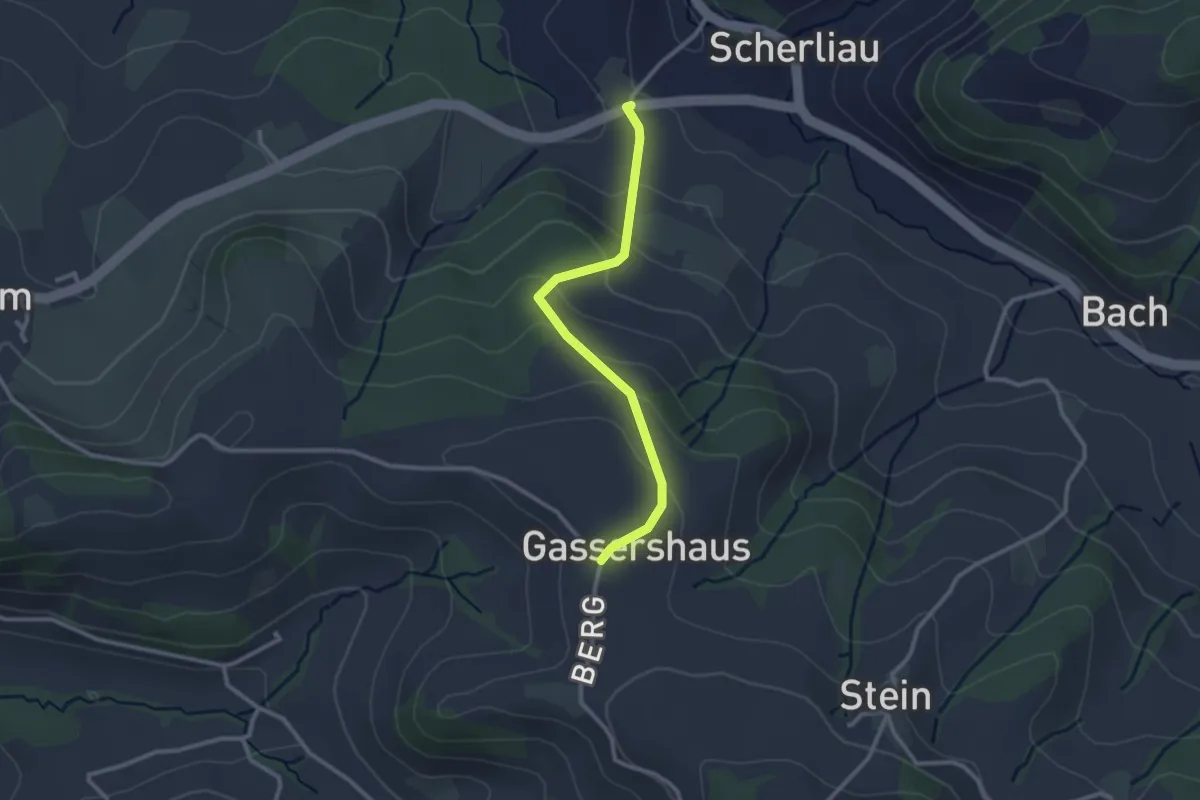
Easy · Trail
Leimen - Gassershus
2.5 km · ↑ 149 m · 55 min · 5 km away
Easy · Trail
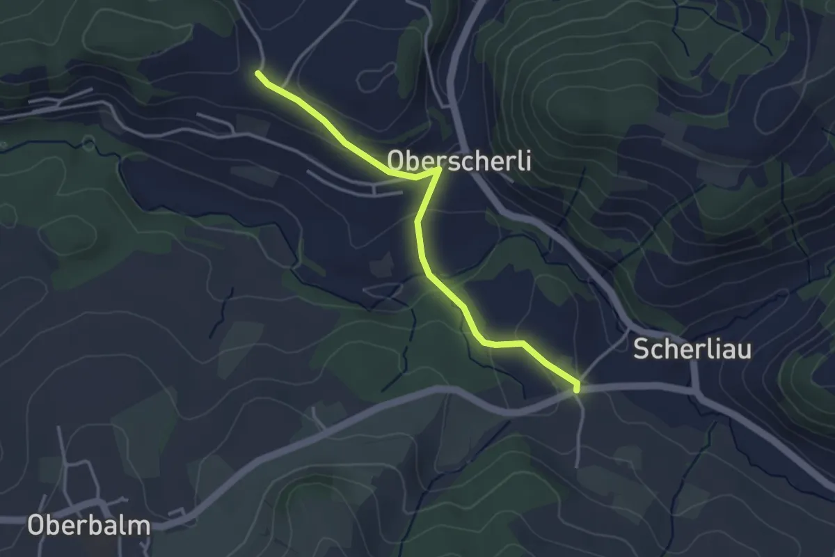
Leimen - Hübeli
3.2 km · ↑ 104 m · 59 min · 5 km away
Medium · Summit
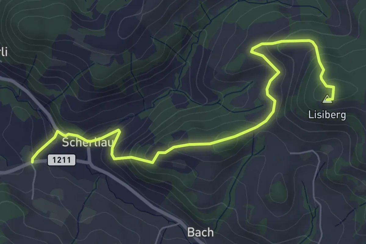
Leimen – Lisiberg
6.7 km · ↑ 367 m · 2 h 23 min · 5 km away
Easy · Trail
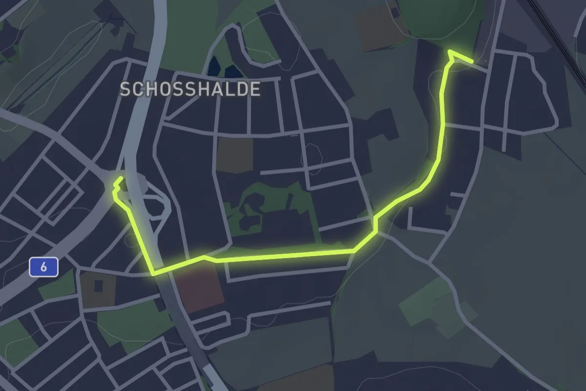
Tiefenmösli – Freudenbergerplatz
2.9 km · ↑ 44 m · 46 min · 5 km away
Easy · Trail
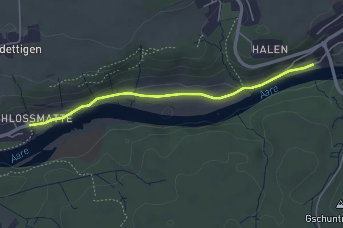
Unterdettigen – Halebrügg
3.6 km · ↑ 46 m · 57 min · 5 km away
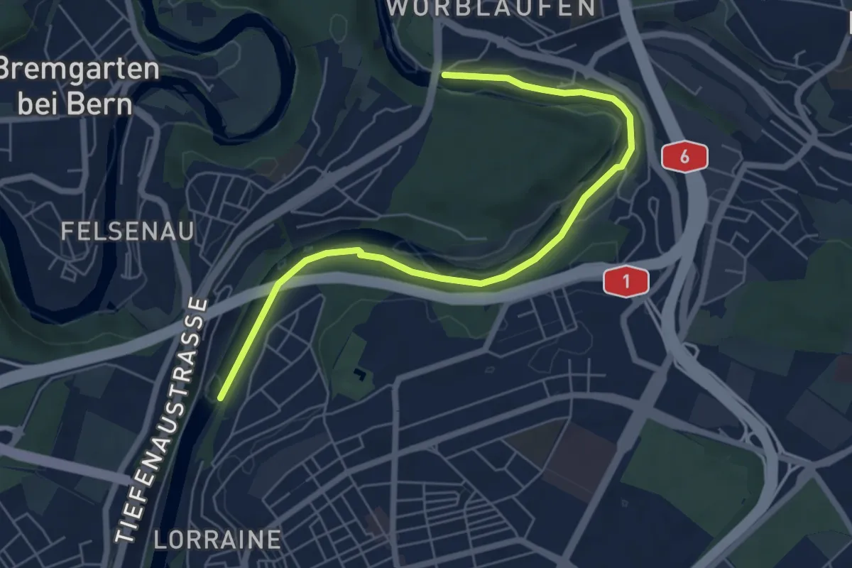
Easy · Trail
Tiefenaubrücke – Felsenausteg
6.4 km · ↑ 56 m · 1 h 38 min · 5 km away
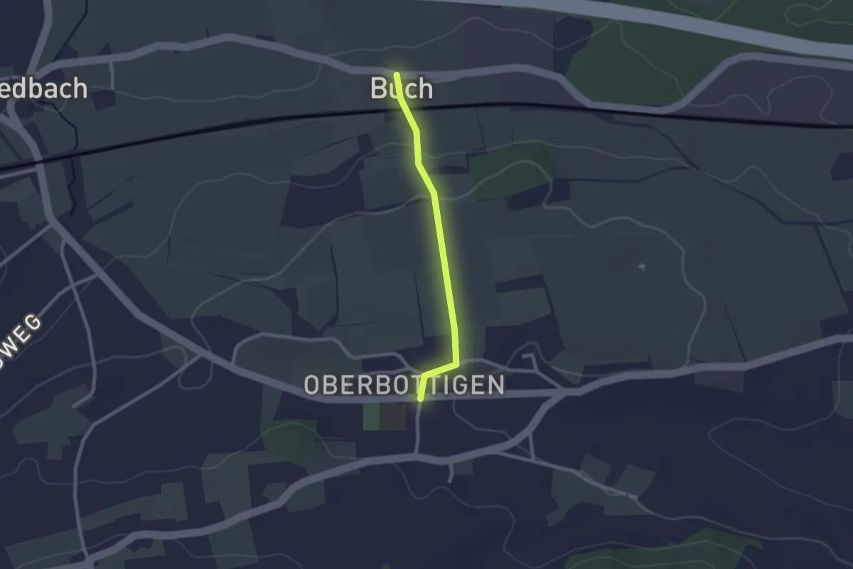
Easy · Trail
Buech - Oberbottigen
2.0 km · ↑ 43 m · 34 min · 5 km away
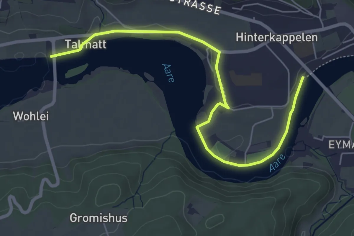
Easy · Trail
Wohleibrügg – Kappelenbrügg
5.9 km · ↑ 60 m · 1 h 31 min · 5 km away
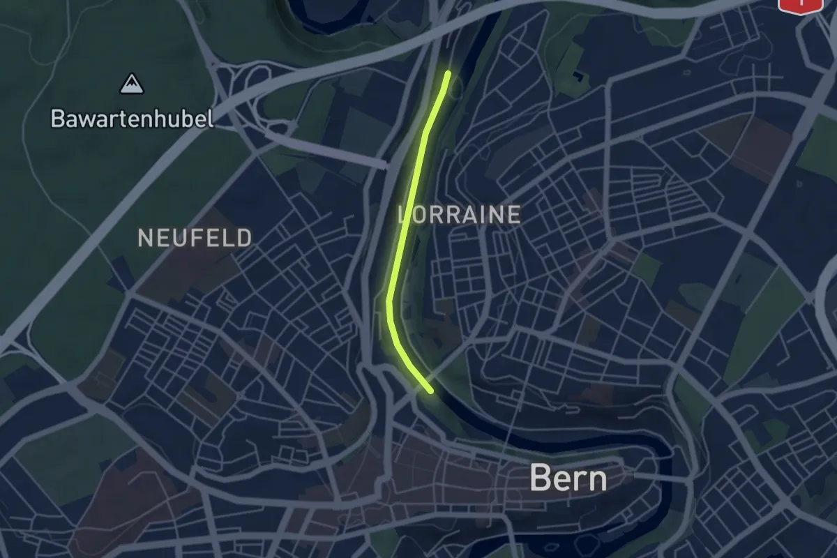
Easy · Trail
Blutturm – Stauwehr Felsenau
3.3 km · ↑ 60 m · 55 min · 5 km away