Trails near Köniz
523 hikes starting within 15 km, nearest first.
Nearest first, page 3 of 11
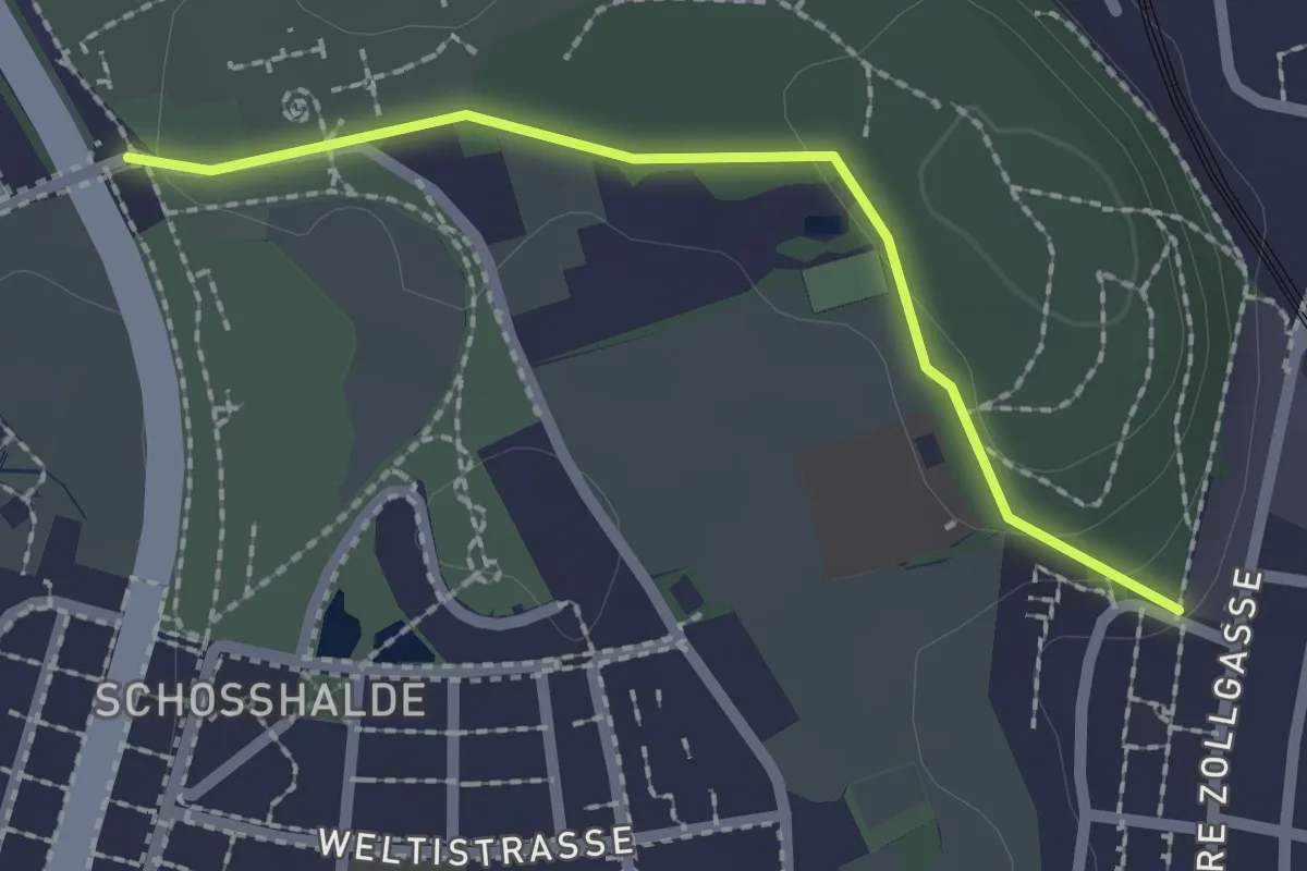
Easy · Trail
Tiefenmösli – Zentrum Paul Klee
2.0 km · ↑ 38 m · 33 min · 6 km away
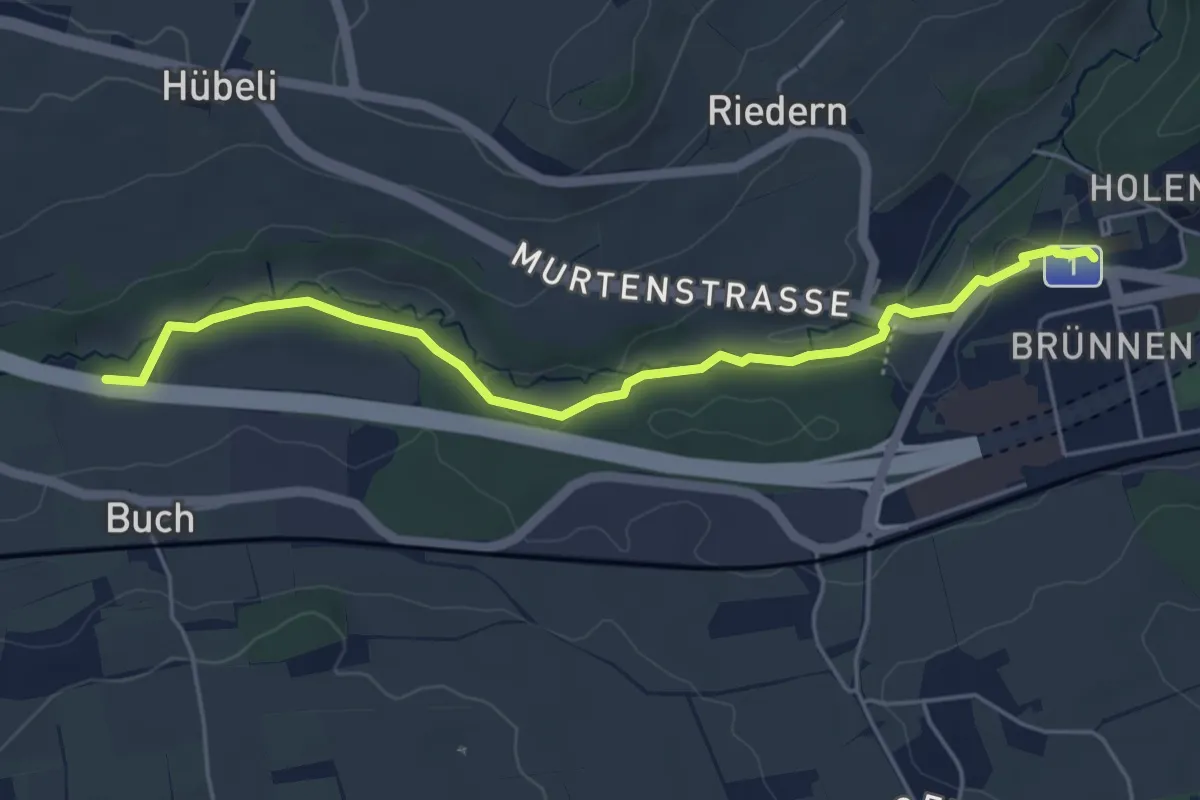
Easy · Trail
Gäbelbach – Autobahnviadukt
5.0 km · ↑ 49 m · 1 h 17 min · 6 km away
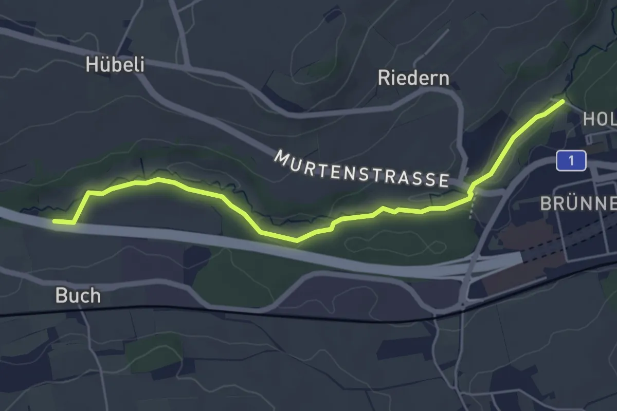
Easy · Trail
Gäbelbachbrücke - Autobahnviadukt
4.9 km · ↑ 37 m · 1 h 15 min · 6 km away
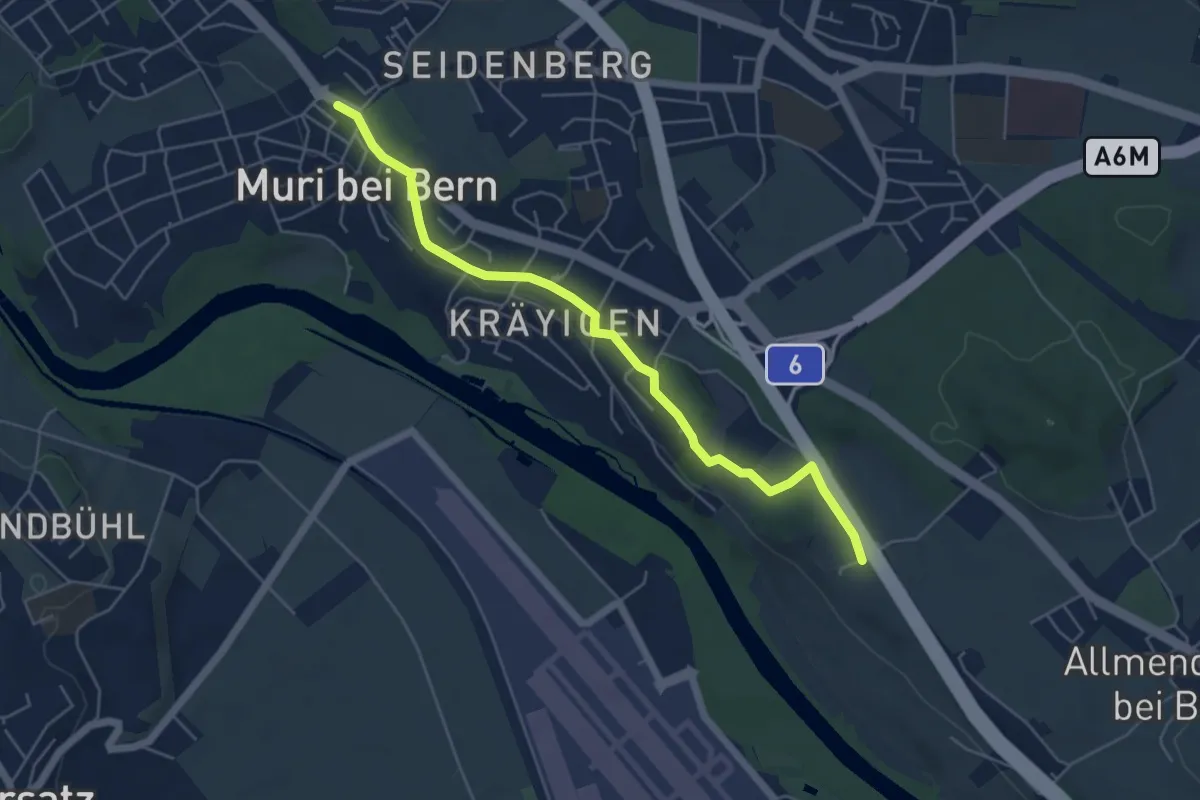
Easy · Trail
Muri – Vorder Märchligen
5.4 km · ↑ 49 m · 1 h 24 min · 6 km away
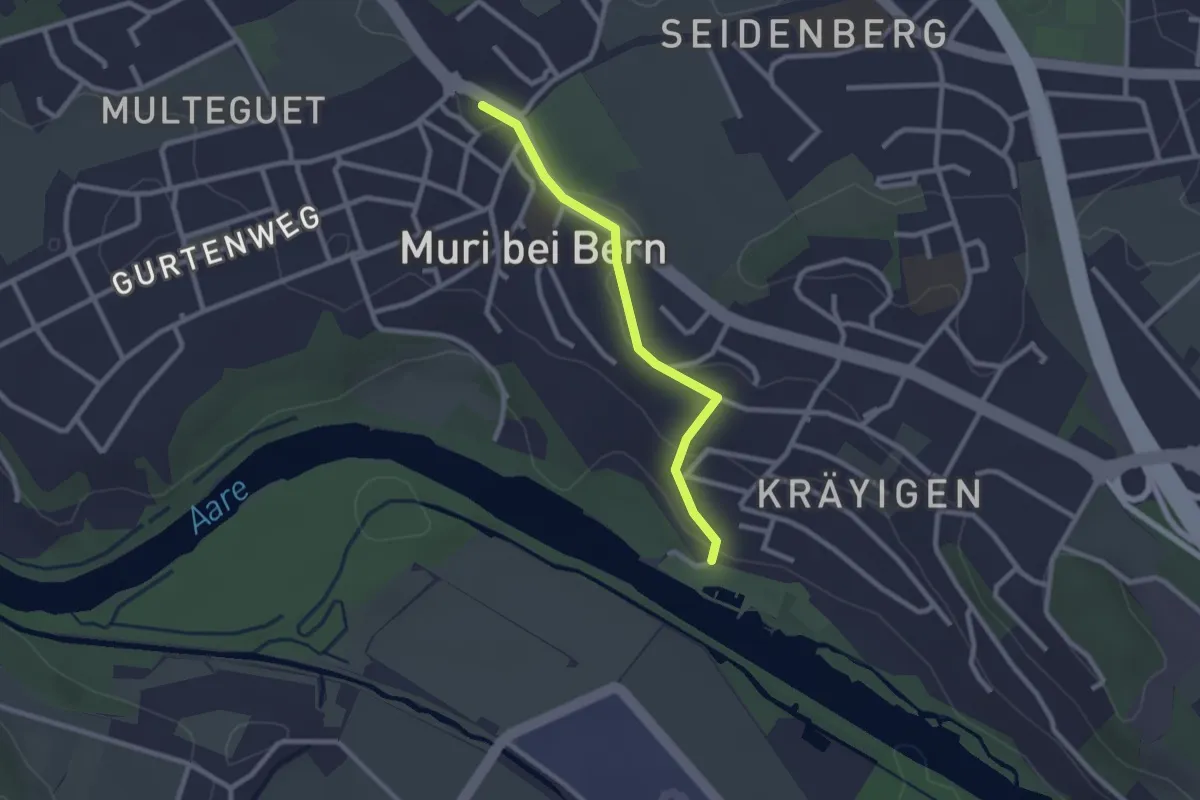
Easy · Trail
Muribad - Muri
2.3 km · ↑ 43 m · 38 min · 6 km away
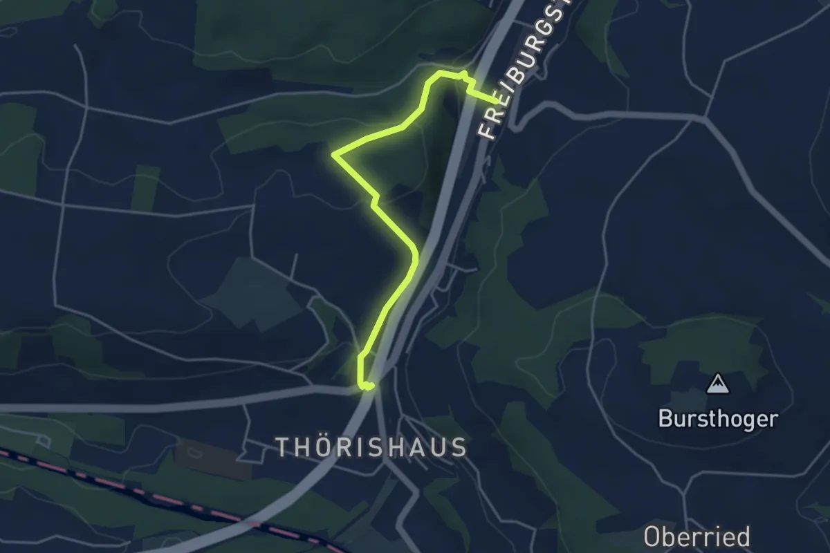
Easy · Trail
Thörishaus/Station - Thörishaus
4.0 km · ↑ 138 m · 1 h 15 min · 6 km away
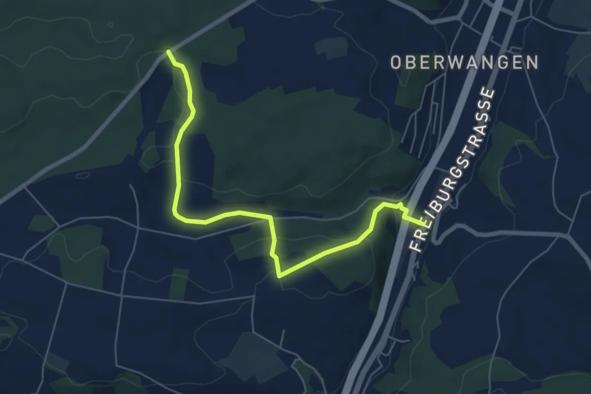
Easy · Trail
Bim Stundstei - Thörishaus Station
5.9 km · ↑ 146 m · 1 h 42 min · 6 km away
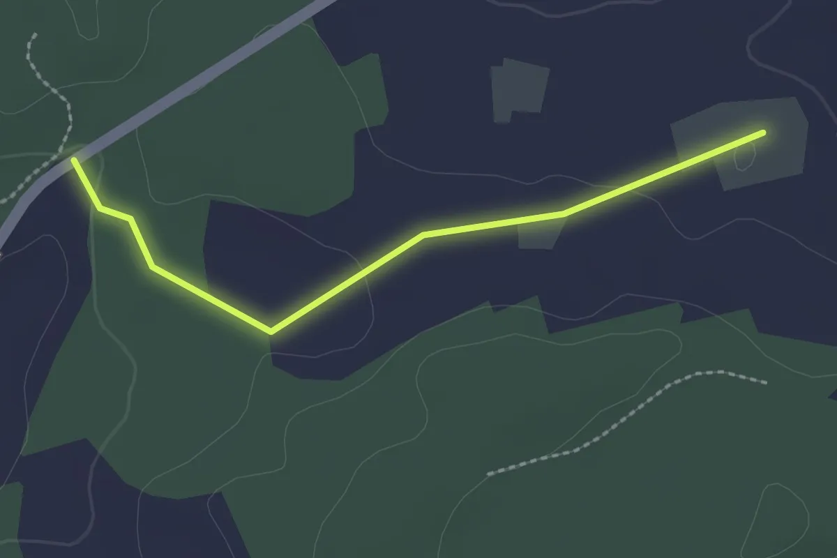
Easy · Trail
Bim Stundstei - Oberwangenhubel
2.2 km · ↑ 22 m · 34 min · 6 km away
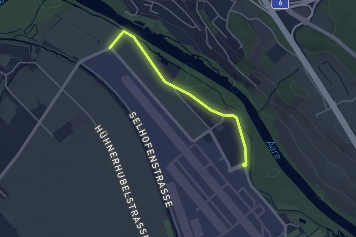
Easy · Trail
Flugplatz Bern Belp - Kehrsatz - fixme
3.2 km · ↑ 5 m · 46 min · 6 km away
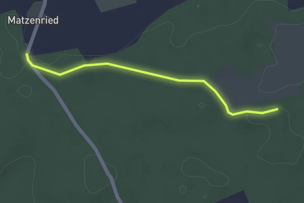
Easy · Trail
Holzeggen - Ried
2.6 km · ↑ 19 m · 39 min · 6 km away
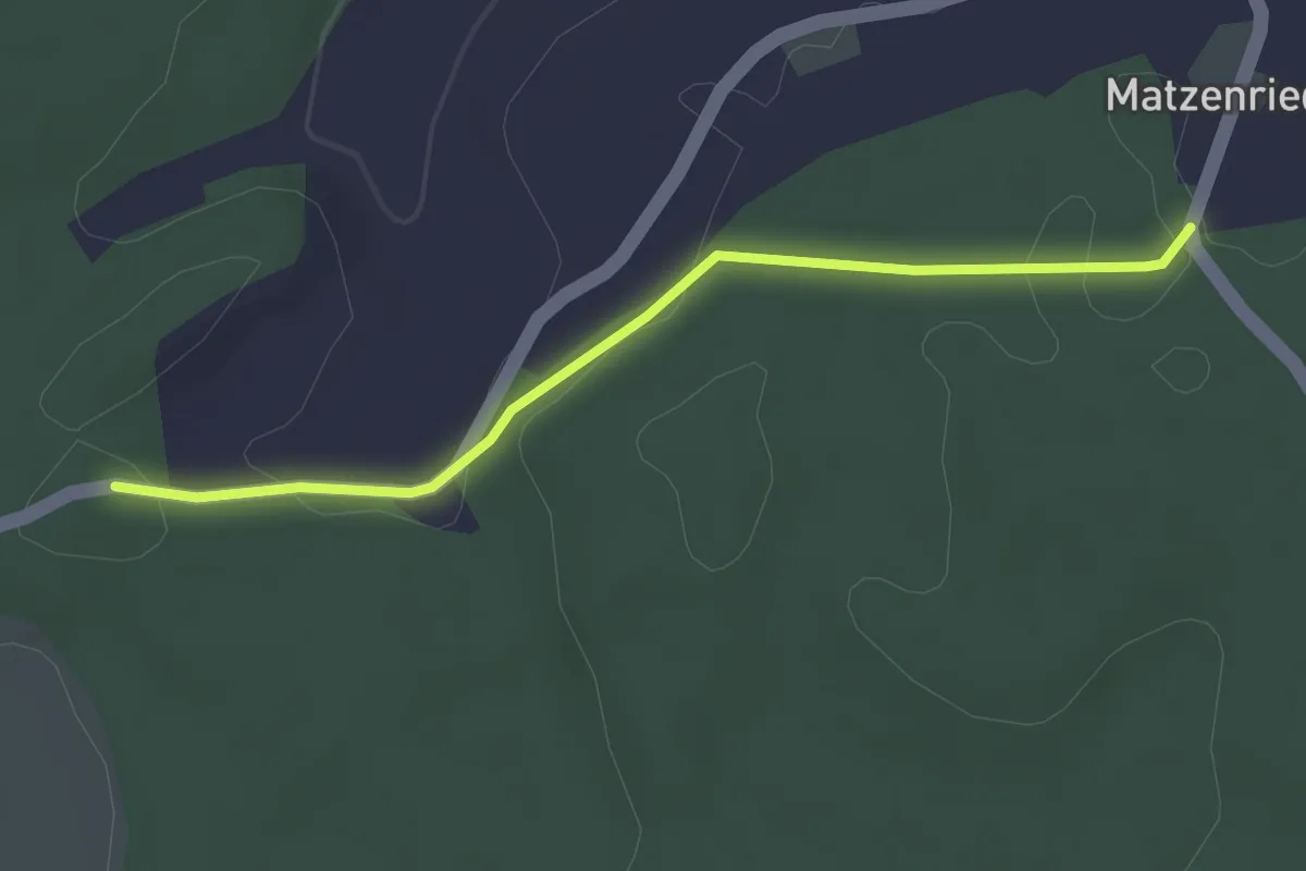
Easy · Trail
Holzeggen - Fuessacher
2.8 km · ↑ 63 m · 48 min · 6 km away
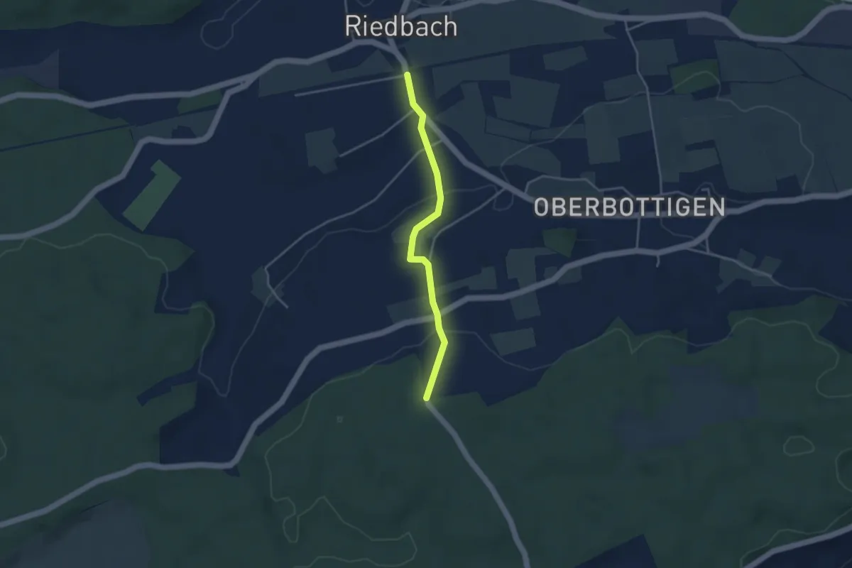
Easy · Trail
Riedbach/Station - Holzeggen
3.3 km · ↑ 93 m · 59 min · 6 km away
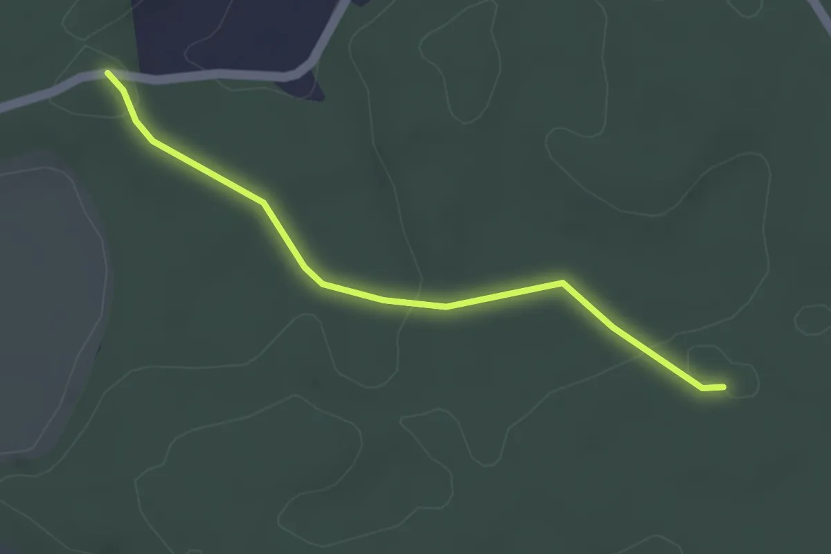
Easy · Trail
Fuessacher - Bruucheren
3.0 km · ↑ 40 m · 48 min · 6 km away
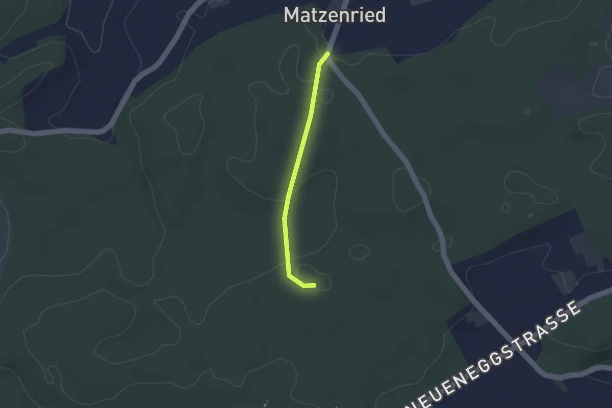
Easy · Trail
Holzeggen - Bruucheren
2.1 km · ↑ 39 m · 35 min · 6 km away
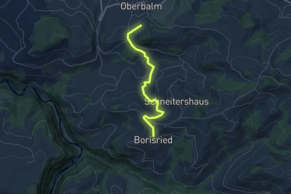
Easy · Trail
Boriswil – Oberbalm/Kirchweg
5.5 km · ↑ 195 m · 1 h 43 min · 6 km away
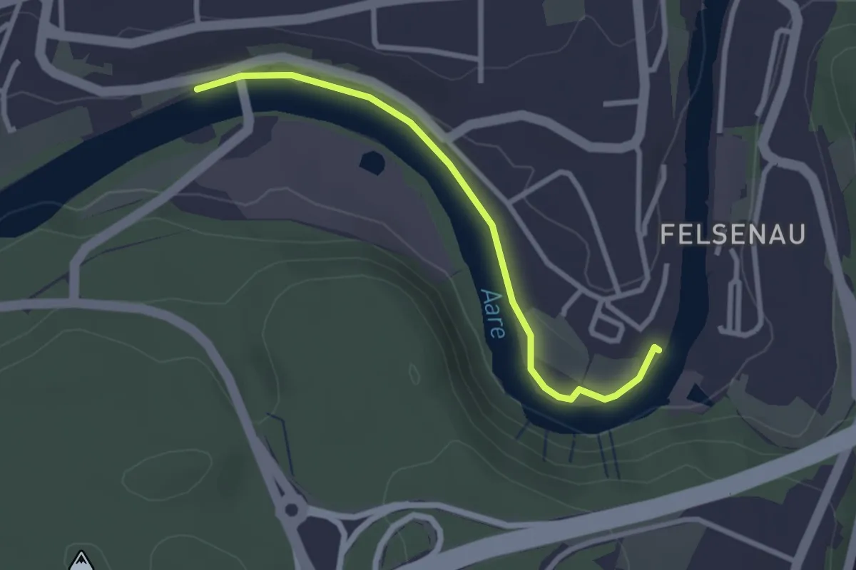
Easy · Trail
Neubrügg – Seftausteg
2.6 km · ↑ 9 m · 38 min · 6 km away
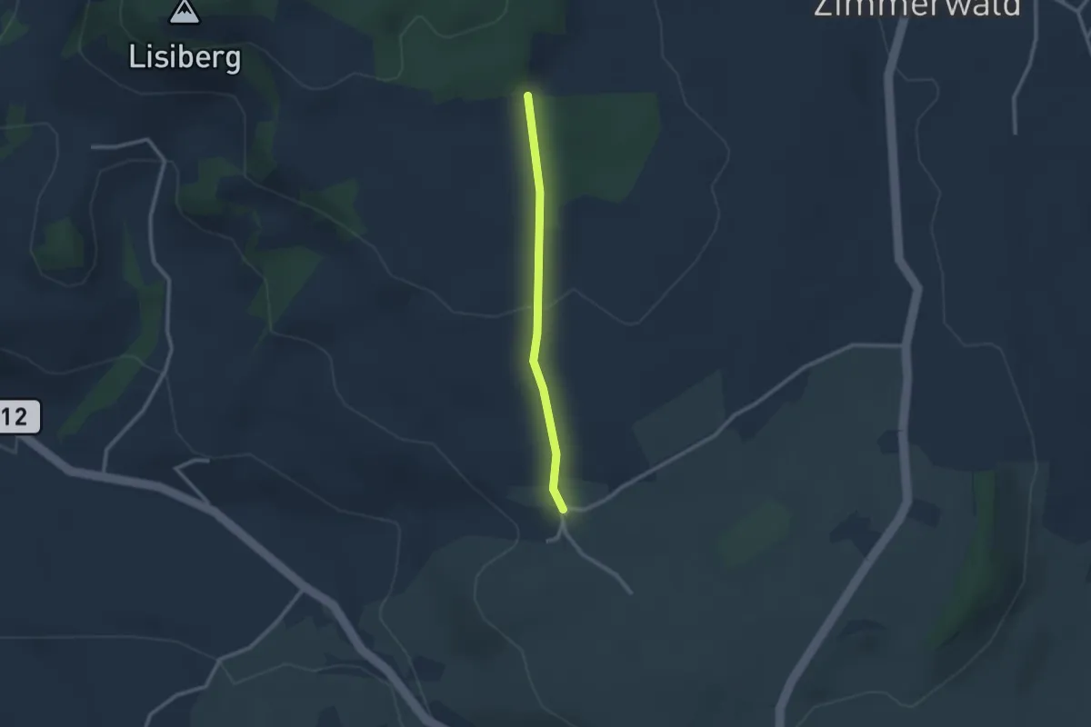
Easy · Trail
Allmid – Obermuhlern
2.1 km · ↑ 62 m · 38 min · 6 km away
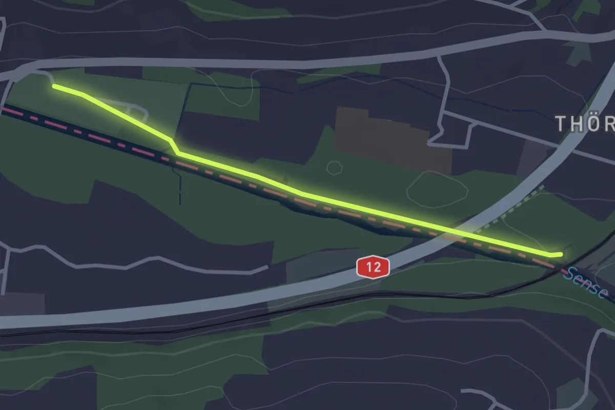
Easy · Trail
Steinerne Brücke – Thörishaus Au
2.8 km · ↑ 22 m · 42 min · 6 km away
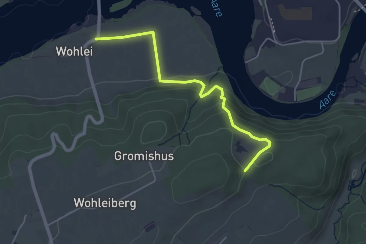
Easy · Trail
Stürleren – Wohlei
3.8 km · ↑ 176 m · 1 h 17 min · 6 km away
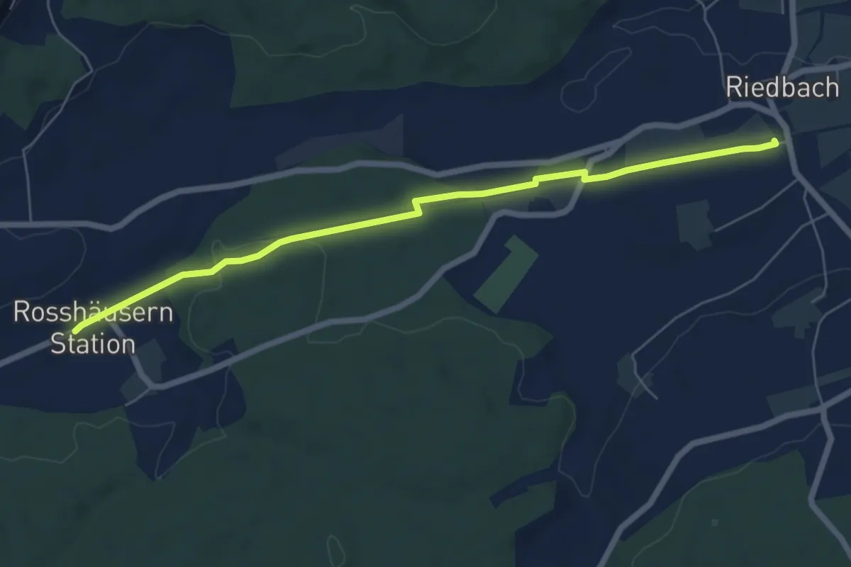
Easy · Trail
Rosshäusern/Station - Riedbach/Station
6.4 km · ↑ 72 m · 1 h 40 min · 6 km away
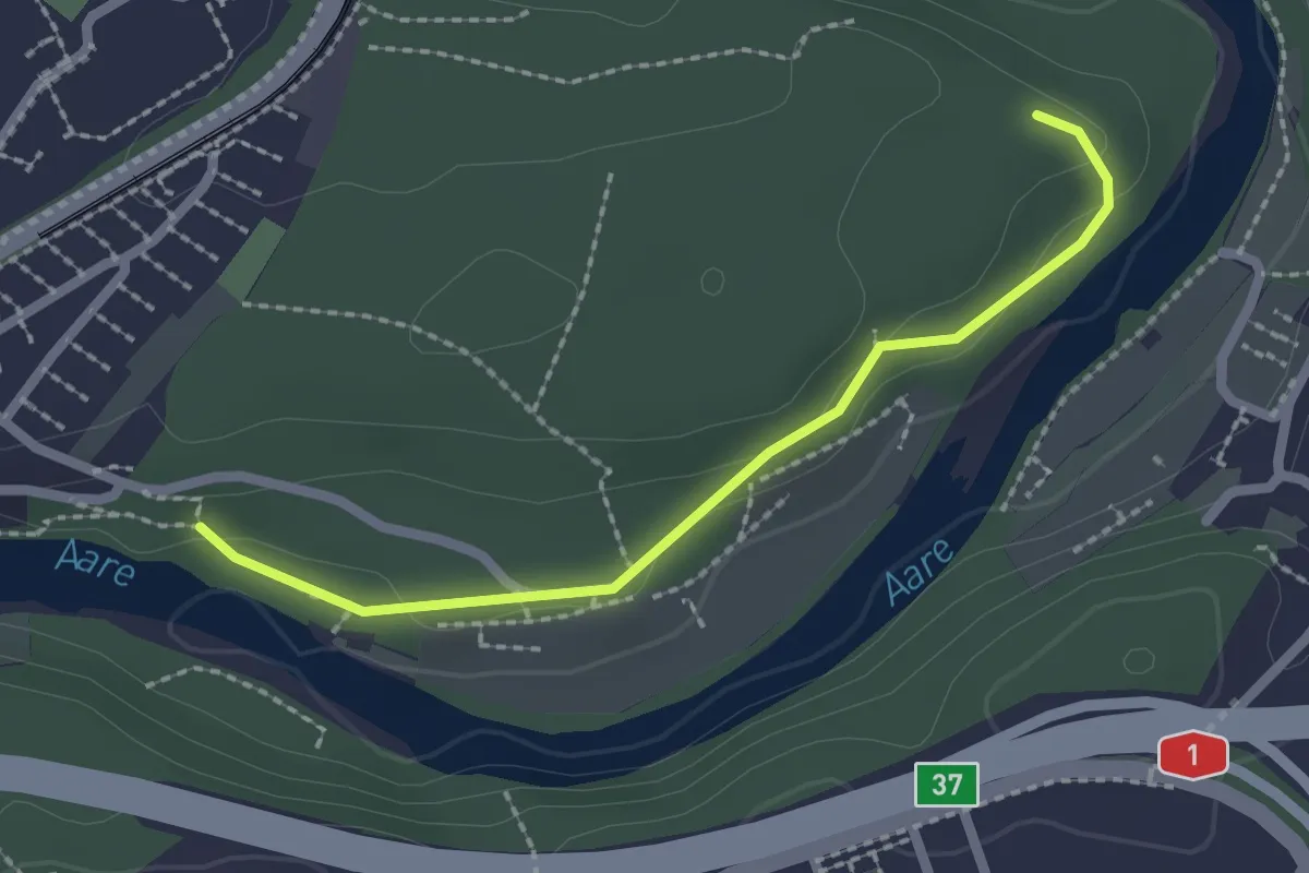
Easy · Trail
Aaregg – Thormeboden
2.1 km · ↑ 30 m · 34 min · 6 km away
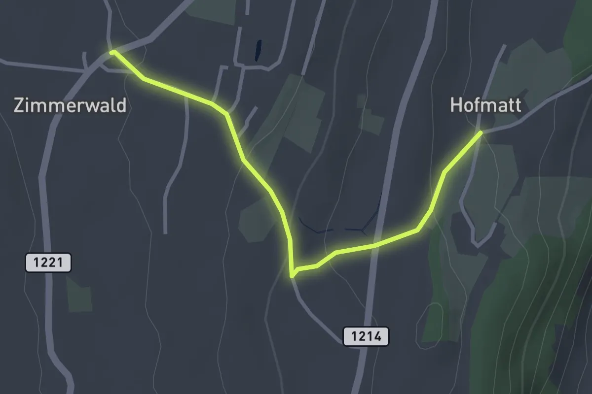
Easy · Trail
Zimmerwald – Hofmatt
2.9 km · ↑ 102 m · 54 min · 6 km away
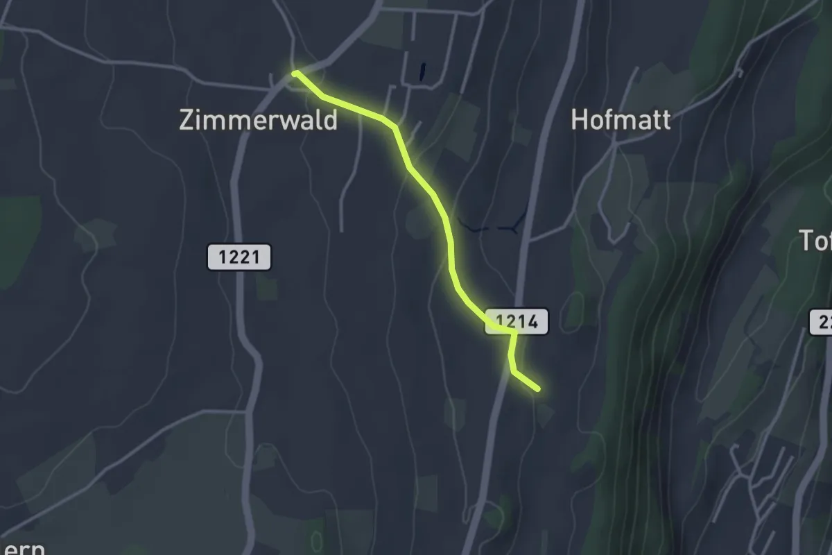
Easy · Trail
Zimmerwald – Rossweid
2.6 km · ↑ 64 m · 45 min · 6 km away
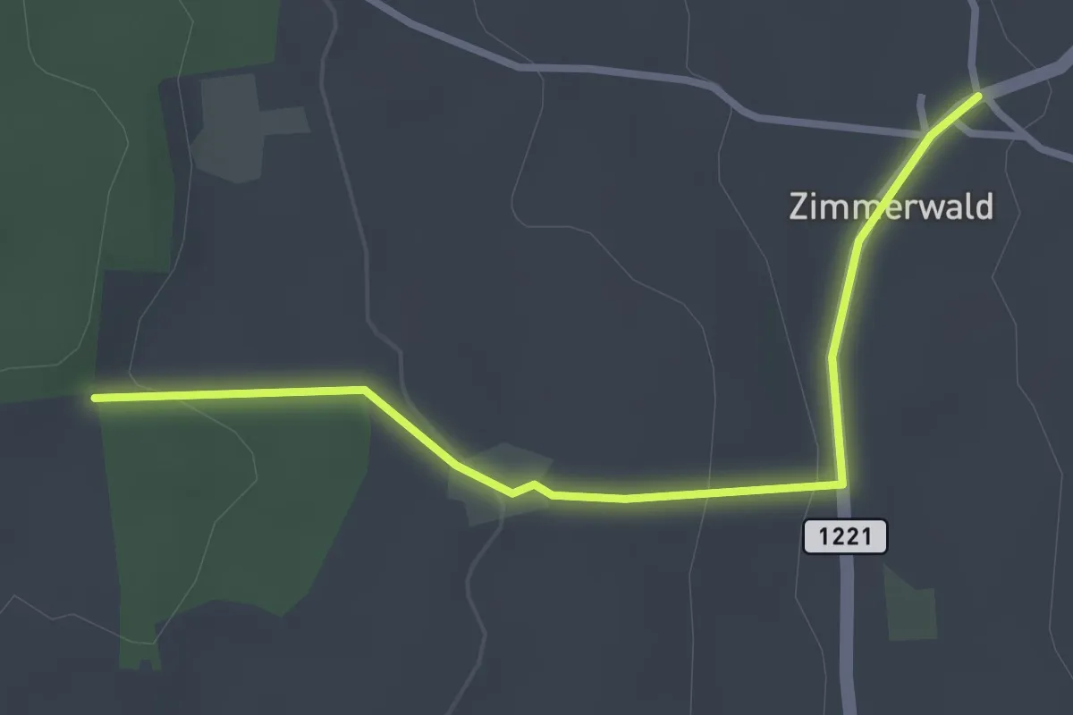
Easy · Trail
Allmid – Zimmerwald
3.0 km · ↑ 84 m · 53 min · 6 km away
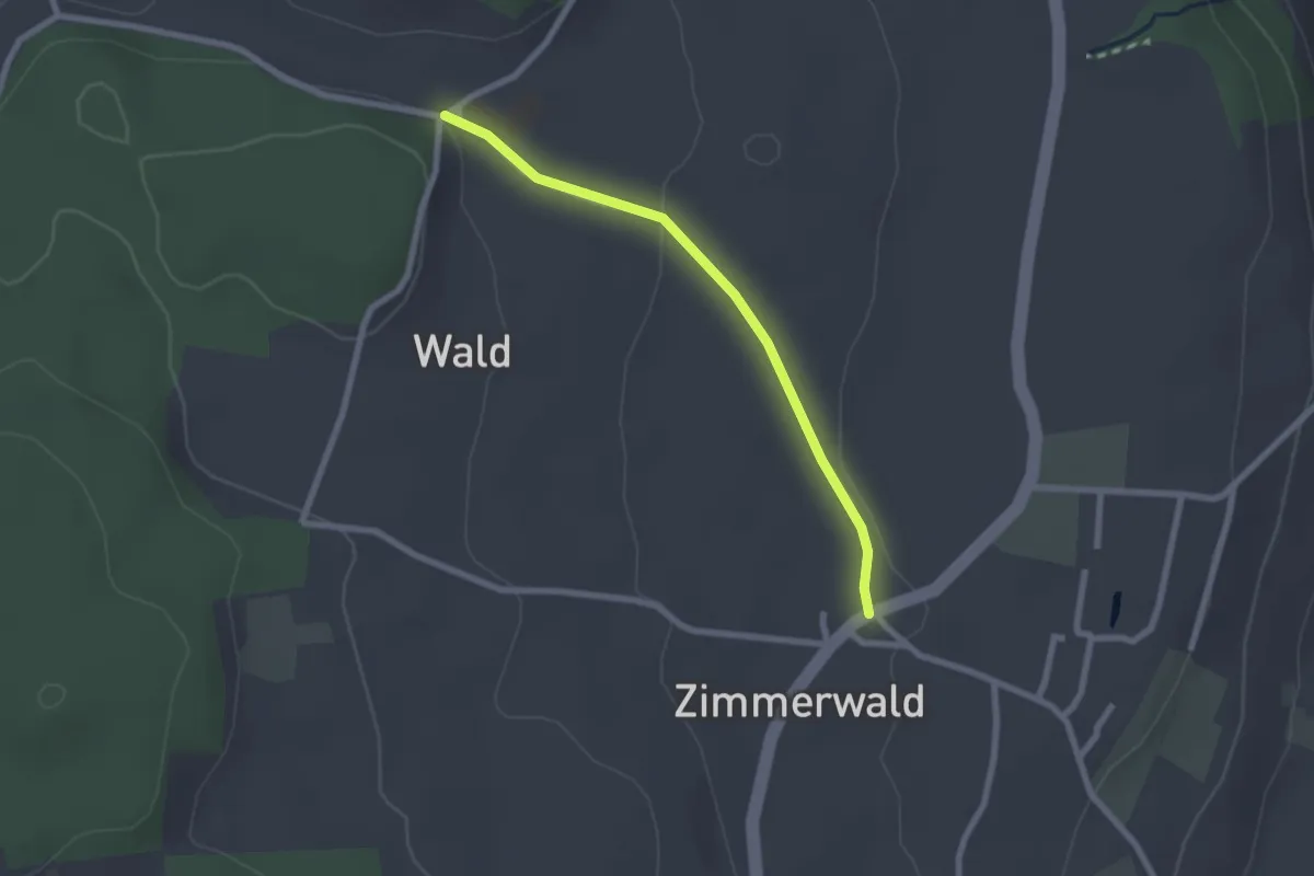
Easy · Trail
Zimmerwald – Undere Wald
2.1 km · ↑ 37 m · 35 min · 6 km away
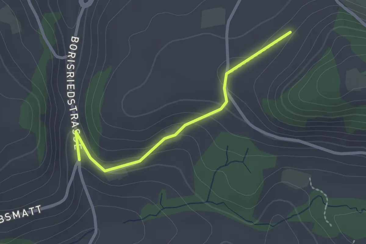
Easy · Trail
Oberbalm/Kirchweg – Schlatt
2.1 km · ↑ 73 m · 39 min · 6 km away
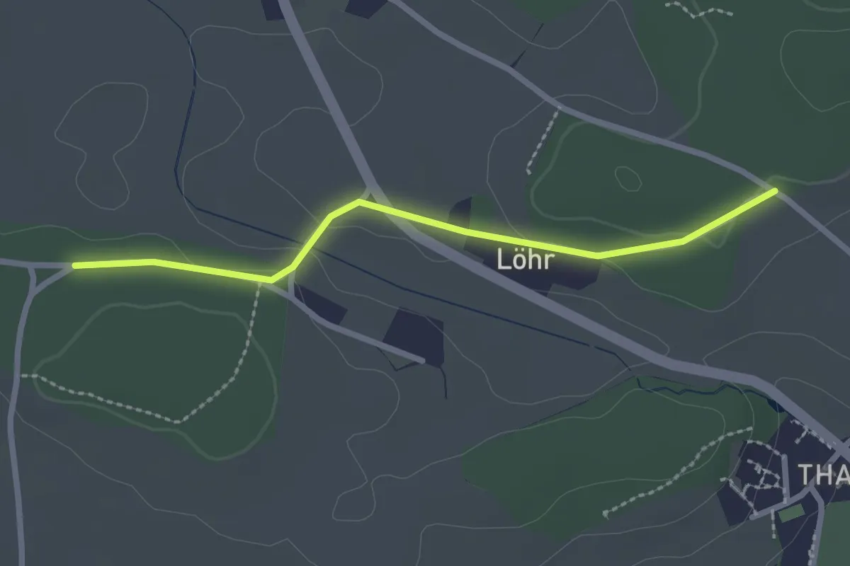
Easy · Trail
Buechwald – Lörwald
2.3 km · ↑ 29 m · 36 min · 6 km away
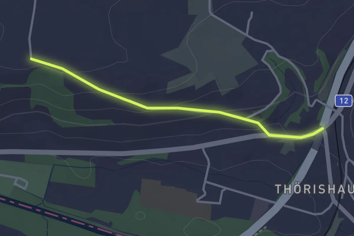
Easy · Trail
Ufem Shoren - Thörishaus
2.6 km · ↑ 85 m · 49 min · 7 km away
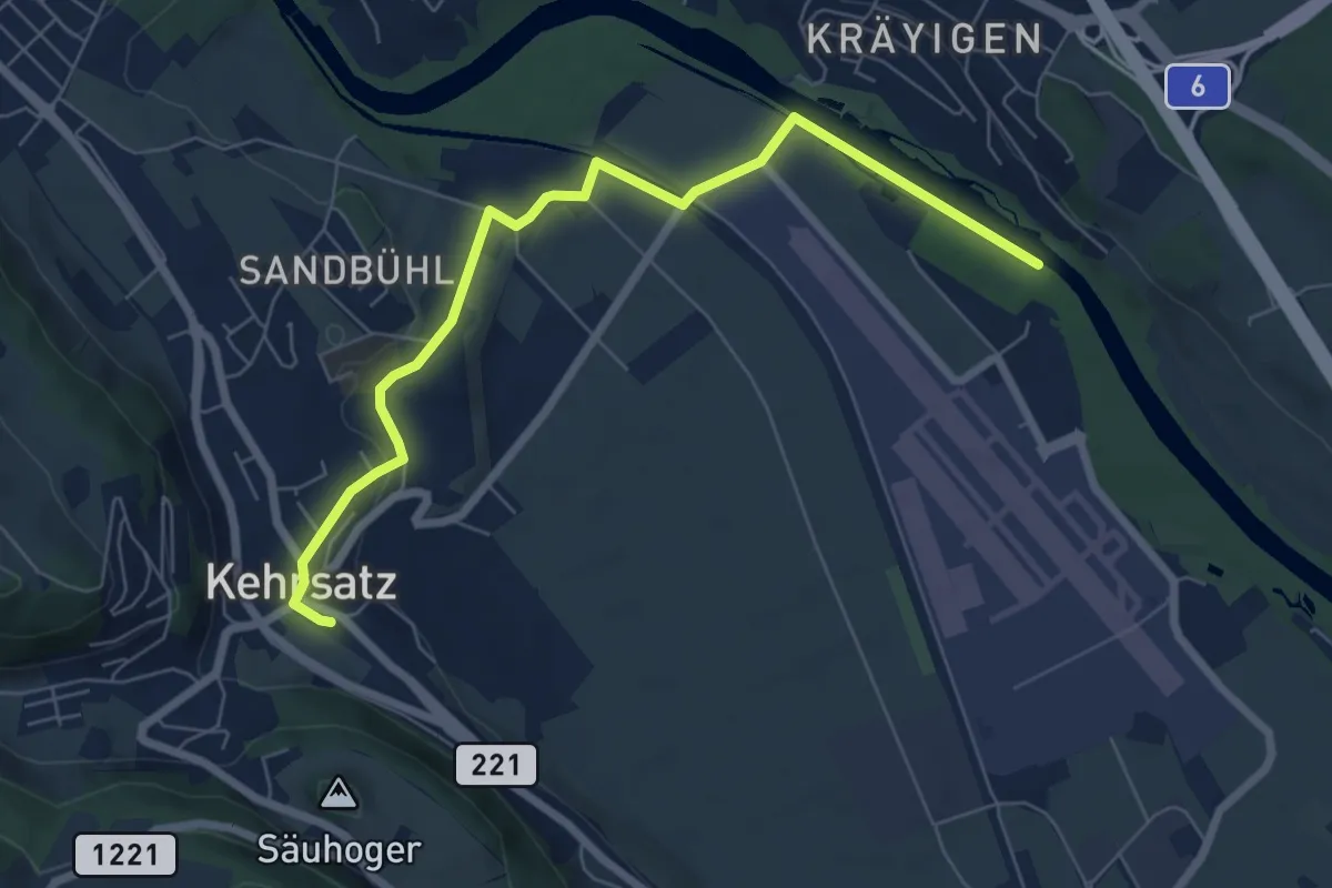
Easy · Trail
Auguetbrügg - Kehrsatz
7.2 km · ↑ 84 m · 1 h 53 min · 7 km away
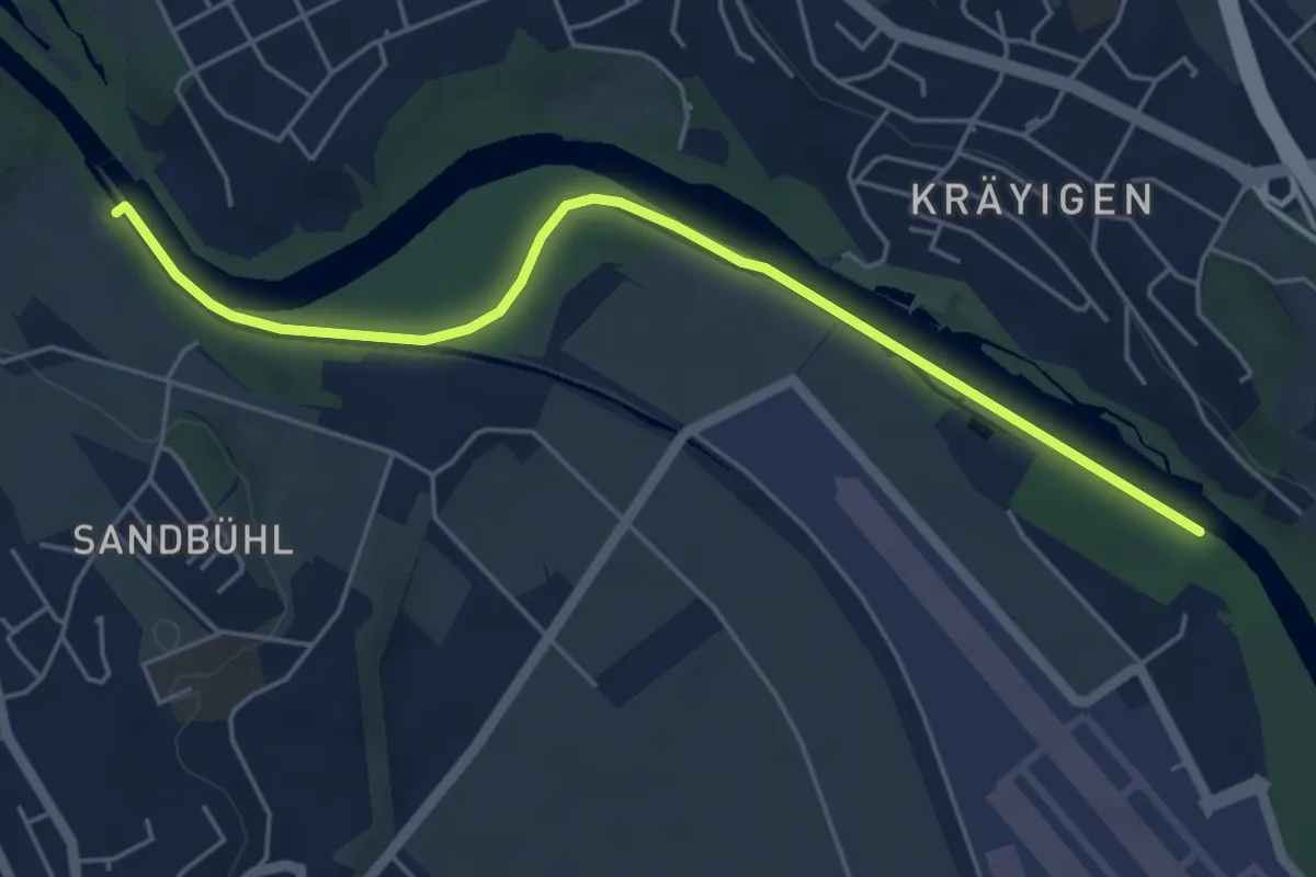
Easy · Trail
Auguetbrügg - Bodenacherfähre
5.3 km · ↑ 29 m · 1 h 18 min · 7 km away
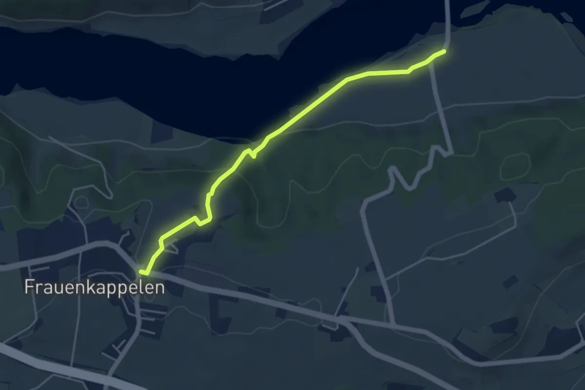
Easy · Trail
Wohlei - Frauenkappelen/Post
4.2 km · ↑ 160 m · 1 h 21 min · 7 km away
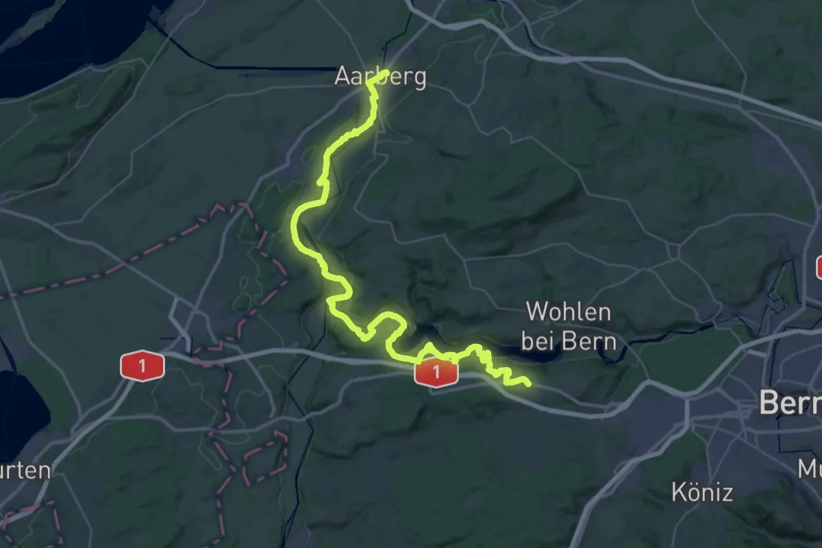
Demanding · Trail
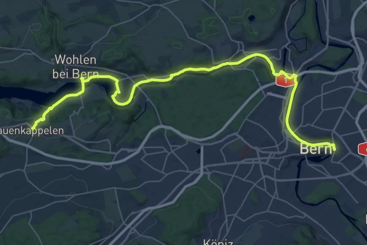
ViaBerna Etappe 7
24.1 km · ↑ 499 m · 7 h 11 min · 7 km away
Medium · Trail
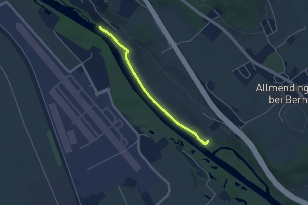
ViaBerna Etappe 8
14.8 km · ↑ 242 m · 4 h 16 min · 7 km away
Easy · Trail
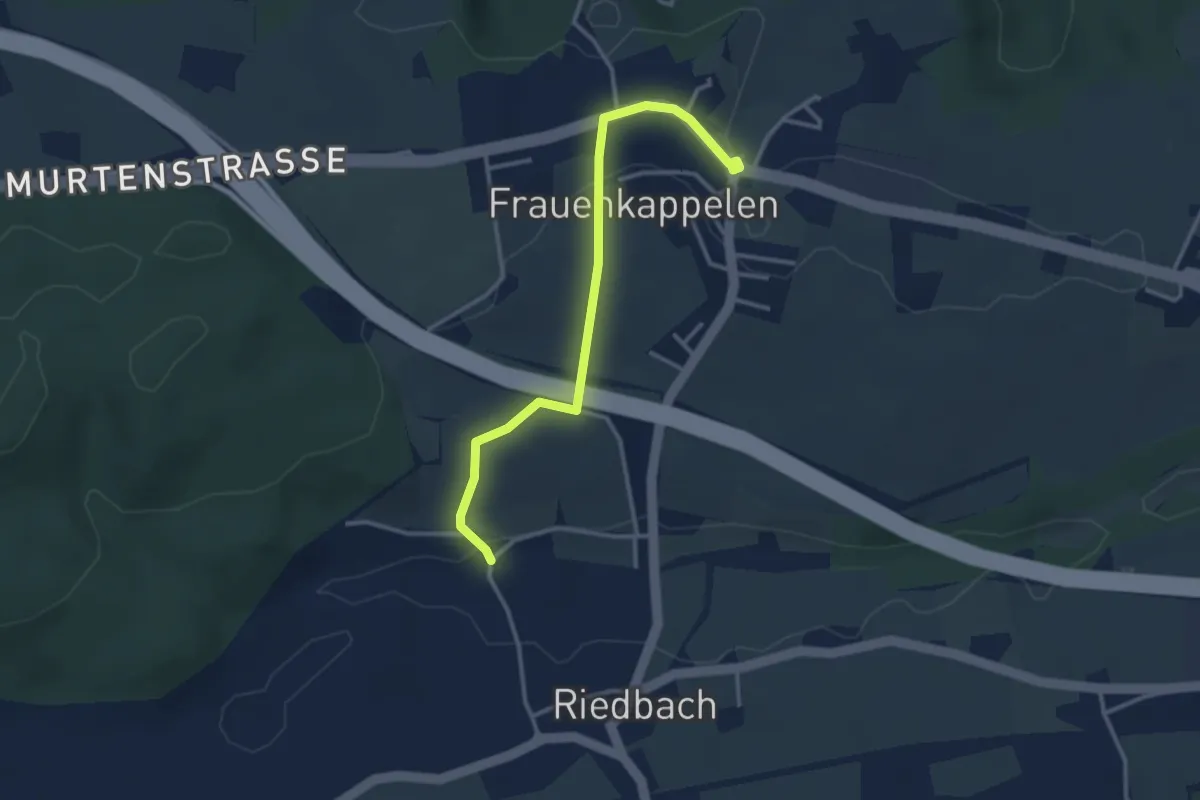
Auguetbrügg-Märchligenau
3.2 km · ↑ 35 m · 49 min · 7 km away
Easy · Trail
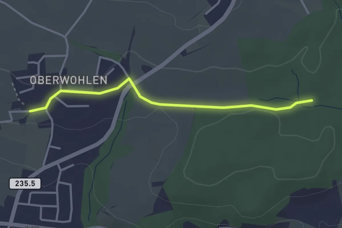
Frauenkappelen/Post - Riedbach/Mühle
3.2 km · ↑ 67 m · 54 min · 7 km away
Easy · Trail
Buechholz – Oberwohlen
2.7 km · ↑ 45 m · 45 min · 7 km away
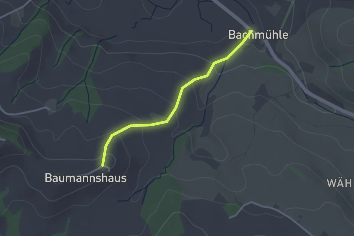
Easy · Trail
Bachmühle - Bumishus
2.4 km · ↑ 124 m · 51 min · 7 km away
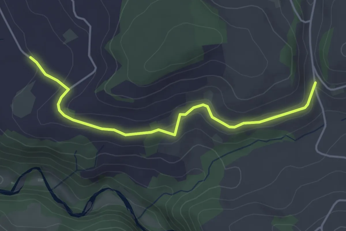
Easy · Trail
Schlatt - Längacher
4.1 km · ↑ 92 m · 1 h 10 min · 7 km away
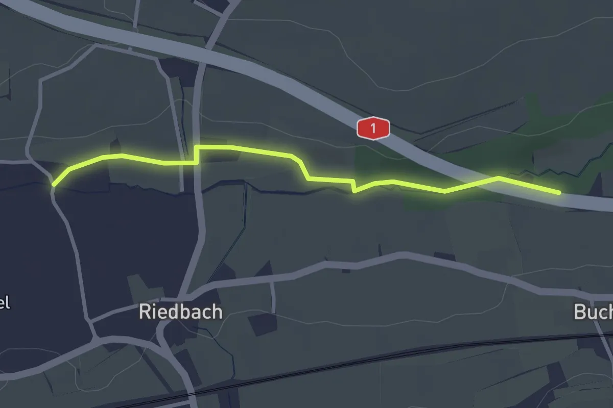
Easy · Trail
Autobahnviadukt - Riedbach/Mühle
2.8 km · ↑ 8 m · 41 min · 7 km away
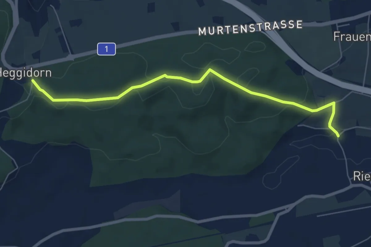
Easy · Trail
Heggidorn - Riedbach/Mühle
5.9 km · ↑ 125 m · 1 h 40 min · 7 km away
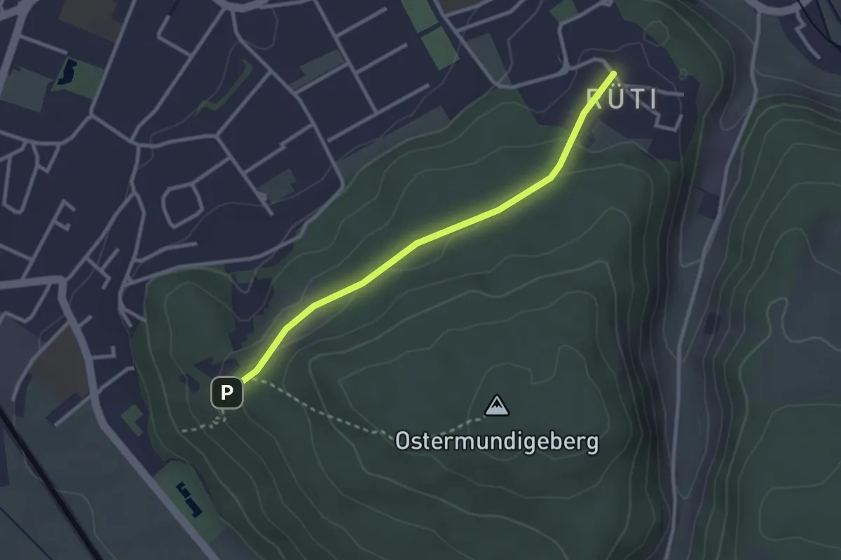
Easy · Trail
Rüti – Steinbrüche
2.7 km · ↑ 63 m · 46 min · 7 km away
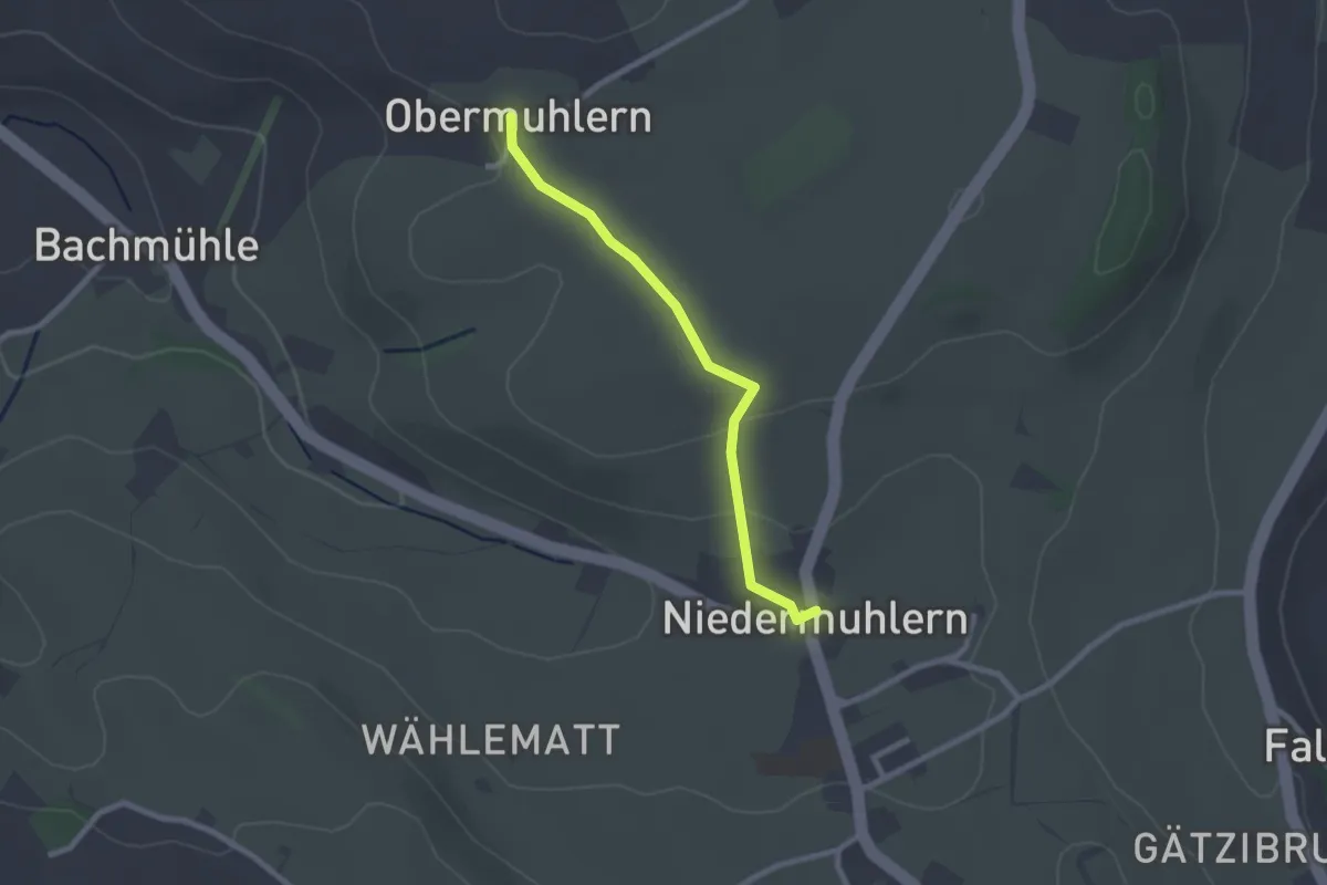
Easy · Trail
Obermuhlern – Niedermuhlern
2.2 km · ↑ 44 m · 37 min · 7 km away
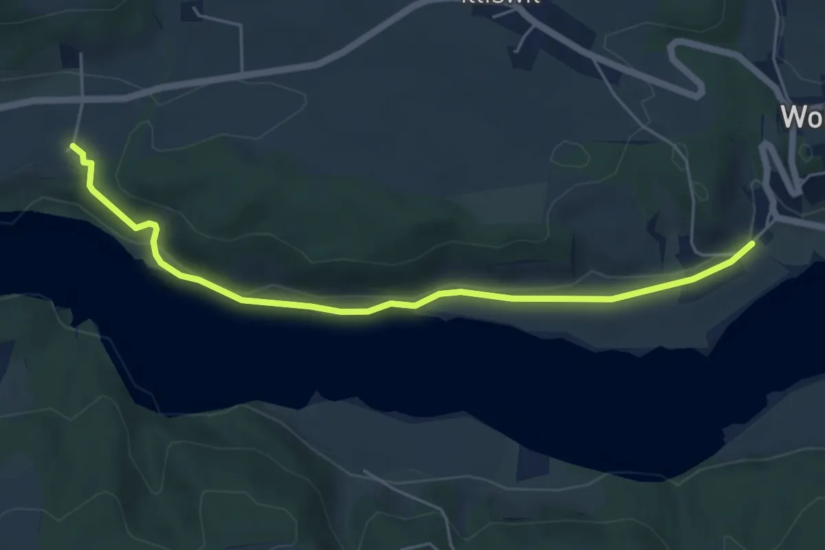
Easy · Trail
Steinisweg - Hofe
5.3 km · ↑ 112 m · 1 h 30 min · 7 km away
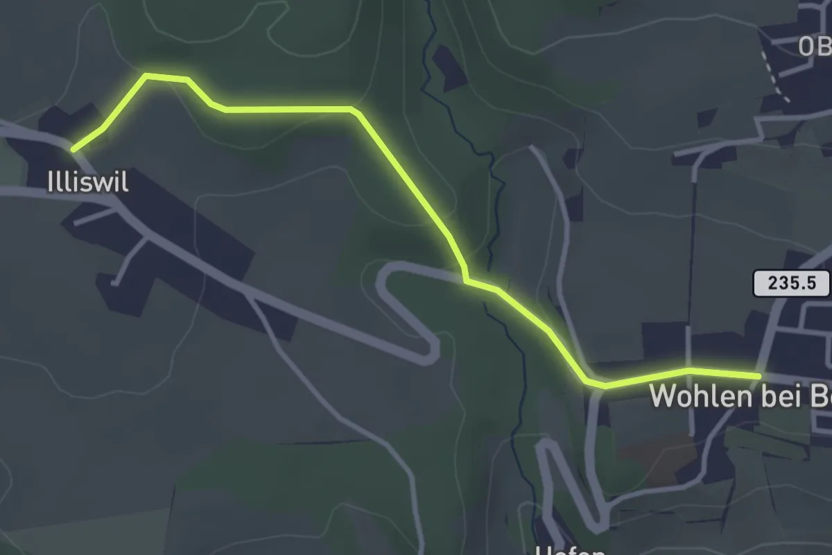
Easy · Trail
Illiswil - Wohlen
3.4 km · ↑ 79 m · 58 min · 7 km away
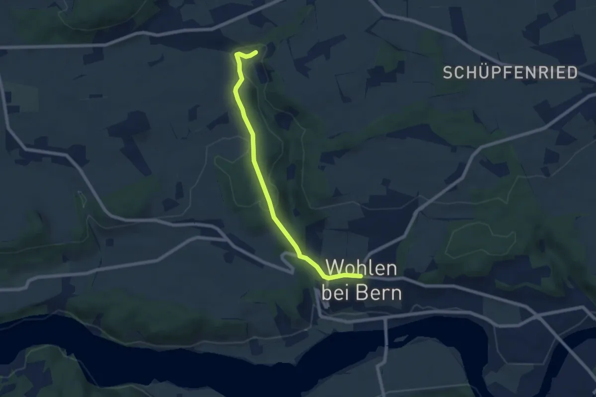
Easy · Trail
Wohlen - Grabenmüli
5.8 km · ↑ 156 m · 1 h 42 min · 7 km away
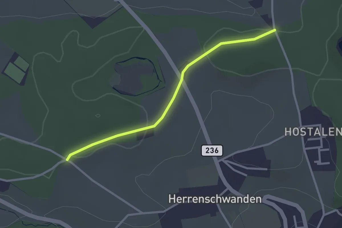
Easy · Trail
Burrishus – Lörwald
2.4 km · ↑ 34 m · 39 min · 7 km away
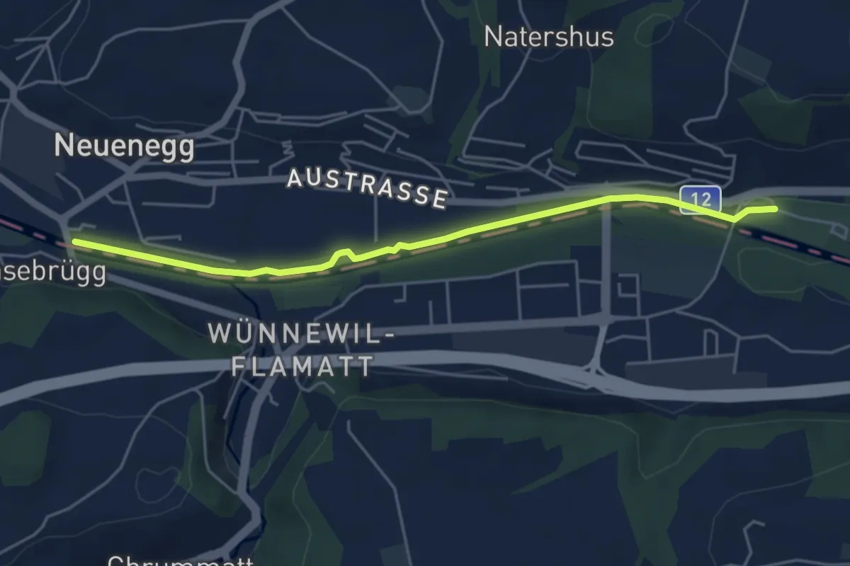
Easy · Trail
Sensebrücke – Steinige Brücke
4.7 km · ↑ 26 m · 1 h 11 min · 7 km away
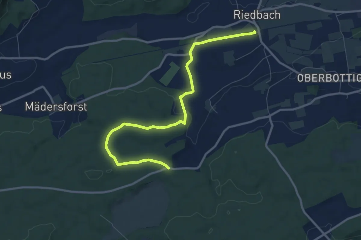
Medium · Trail
Riedbach/Station - Fuessacher
8.6 km · ↑ 147 m · 2 h 21 min · 7 km away