Trails near Köniz
523 hikes starting within 15 km, nearest first.
Nearest first, page 4 of 11
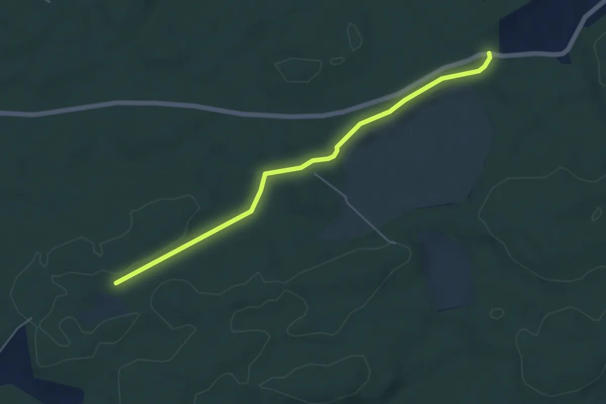
Easy · Trail
Mösli - Fuessacher
4.8 km · ↑ 53 m · 1 h 14 min · 7 km away
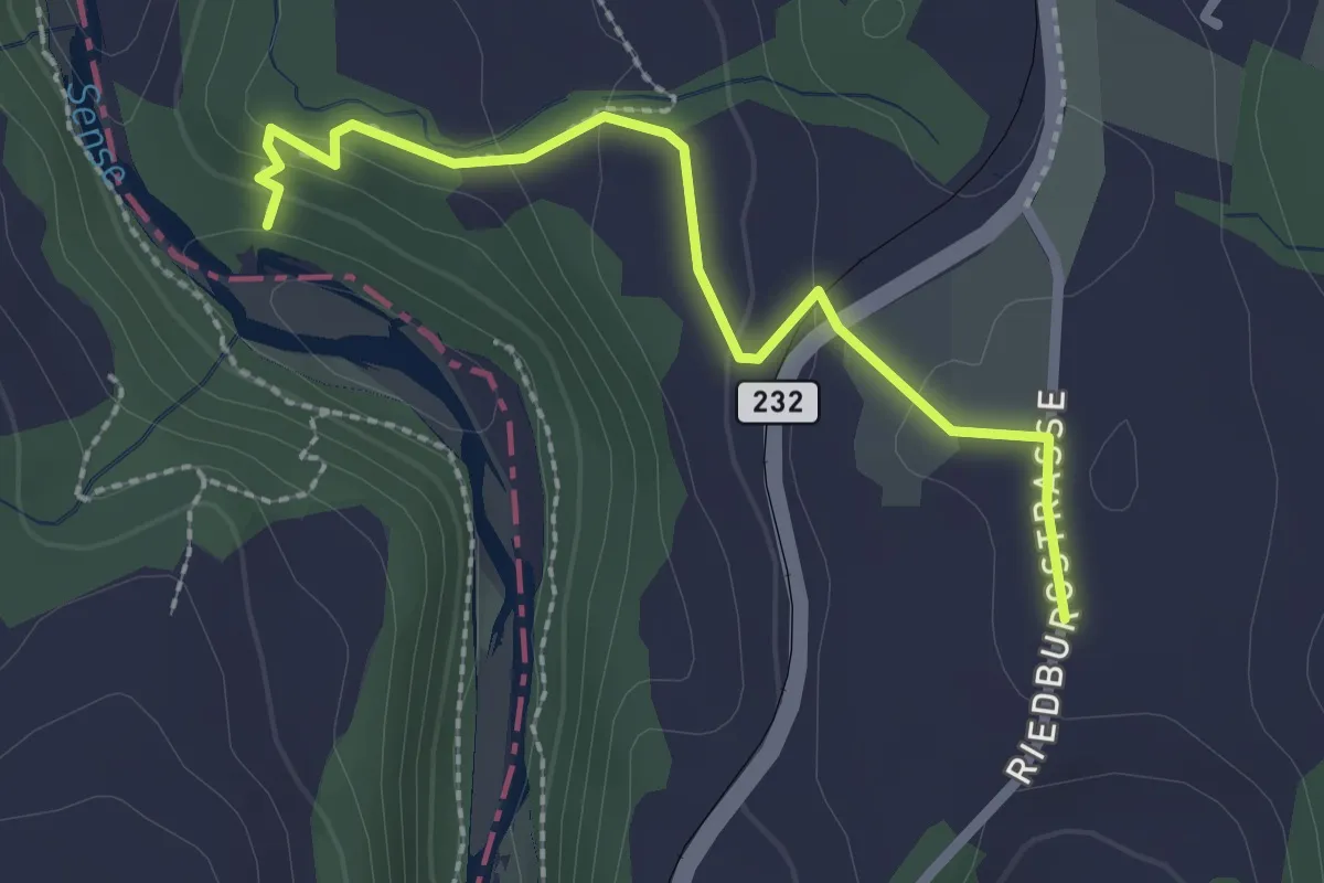
Easy · Trail
Sensegraben (Büffel) - Riedburg
2.4 km · ↑ 75 m · 44 min · 7 km away
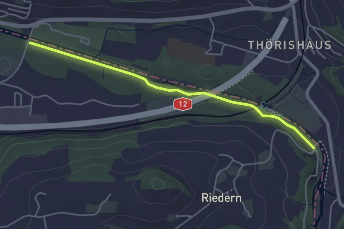
Easy · Trail
Riederenbrücke – Ober Flamatt
3.9 km · ↑ 45 m · 1 h 1 min · 7 km away
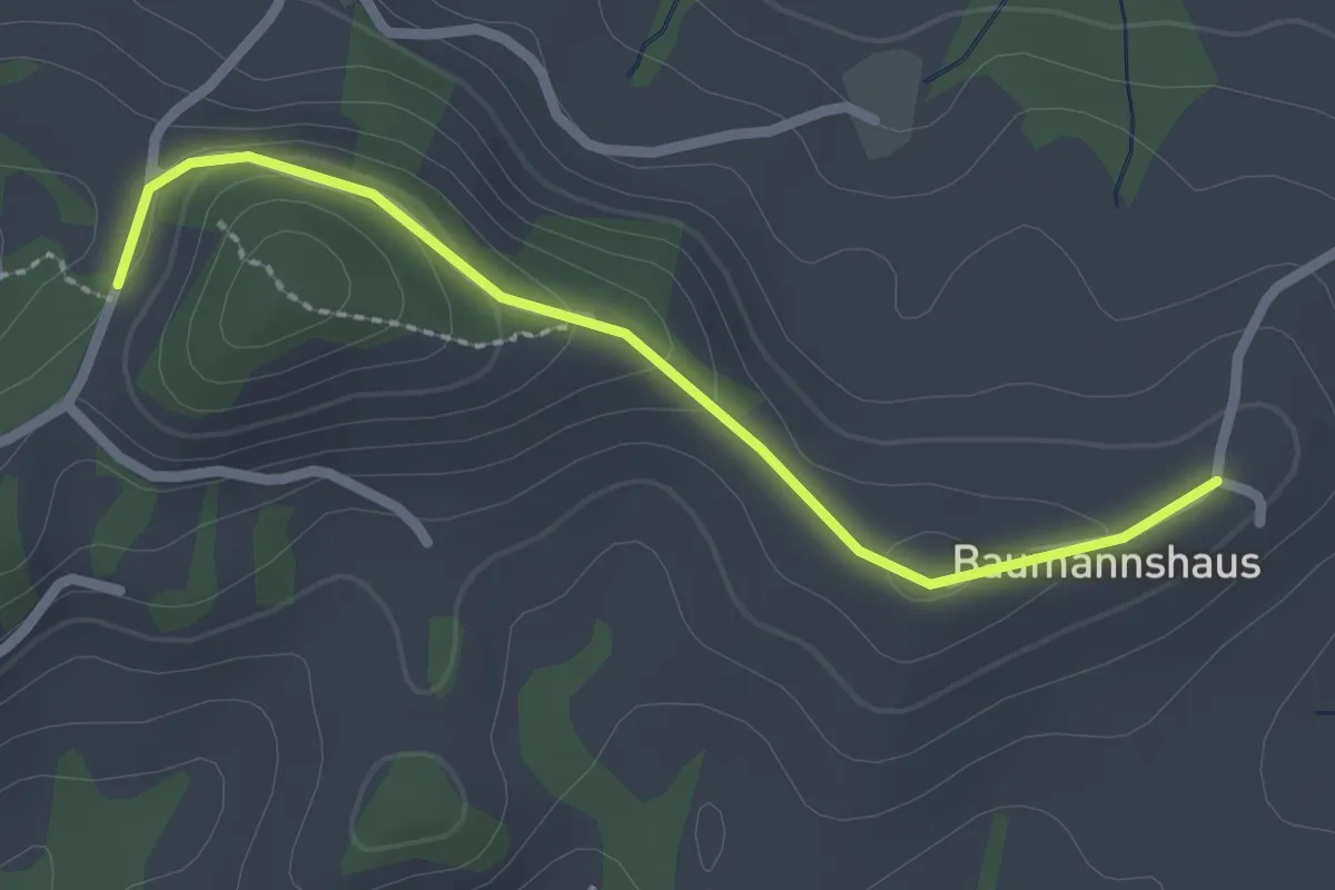
Easy · Trail
Tschuggen - Bumishus
2.3 km · ↑ 64 m · 41 min · 7 km away
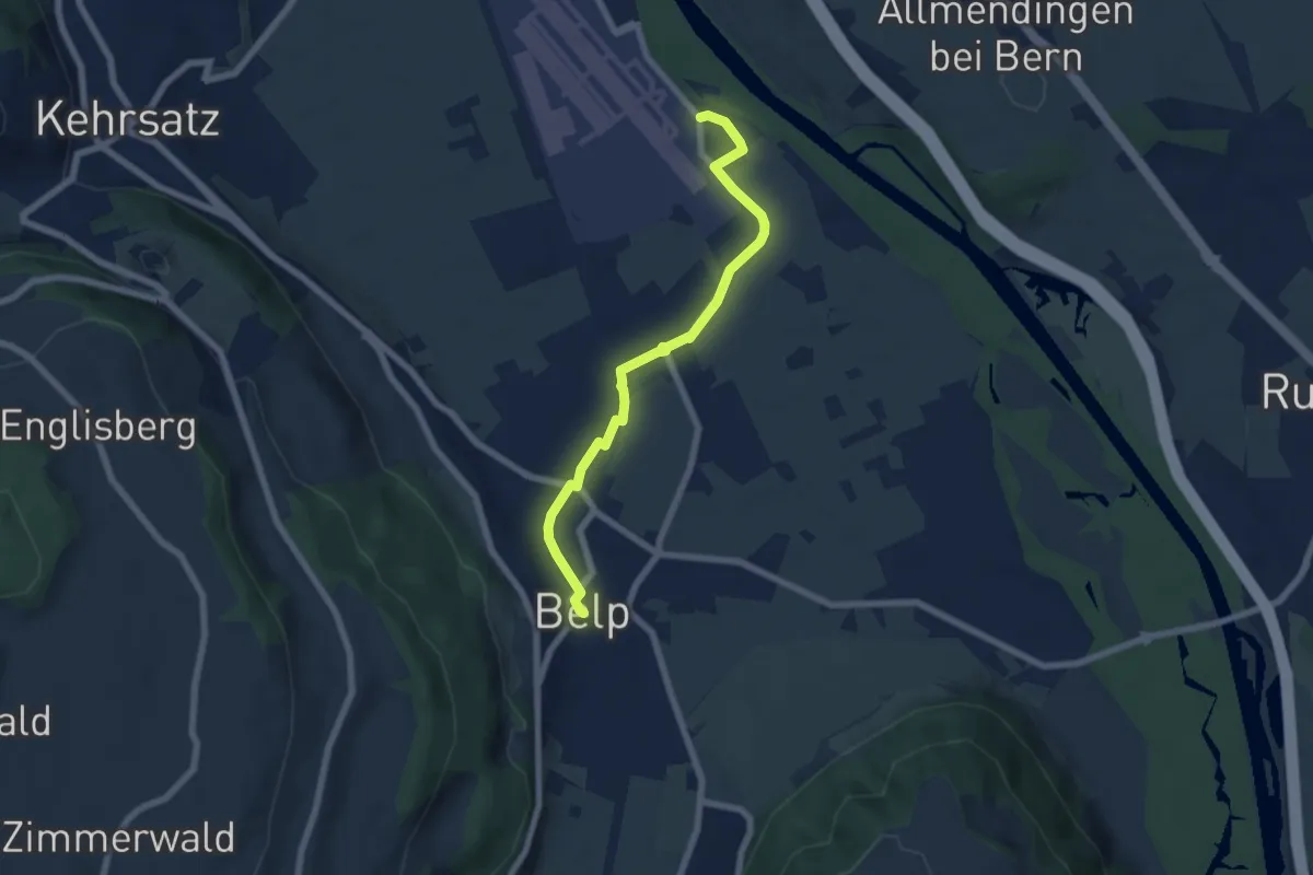
Easy · Trail
Belp – Flugplatz Bern Belp
6.4 km · ↑ 9 m · 1 h 32 min · 7 km away
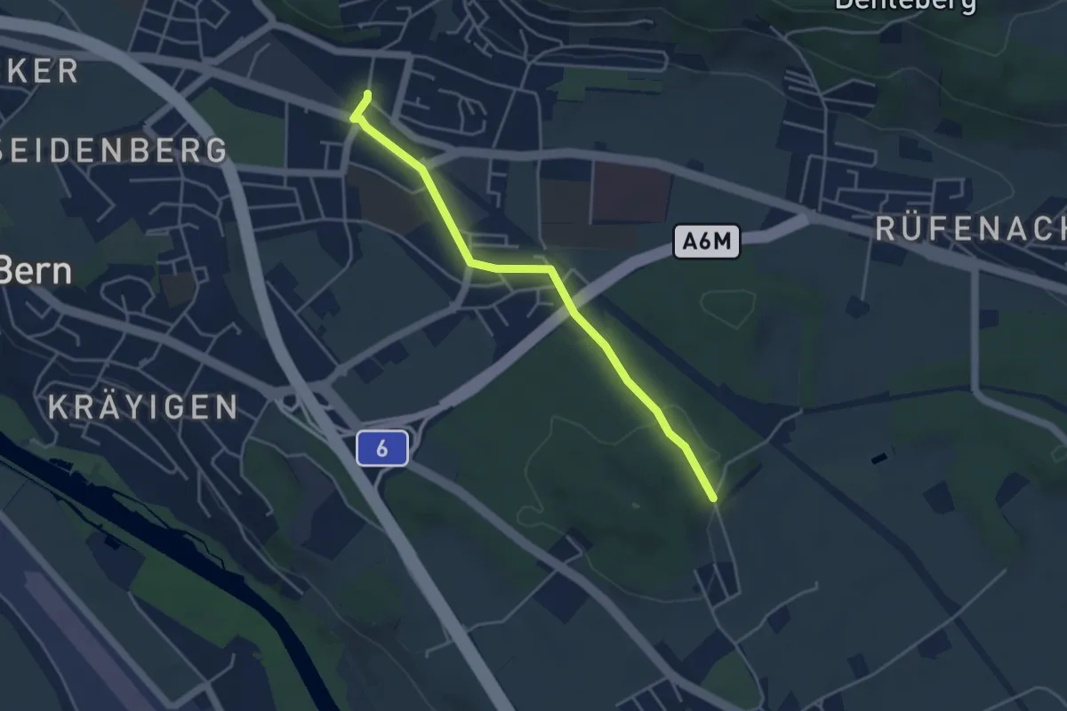
Easy · Trail
Hüenwald – Gümligen
4.0 km · ↑ 36 m · 1 h 2 min · 7 km away
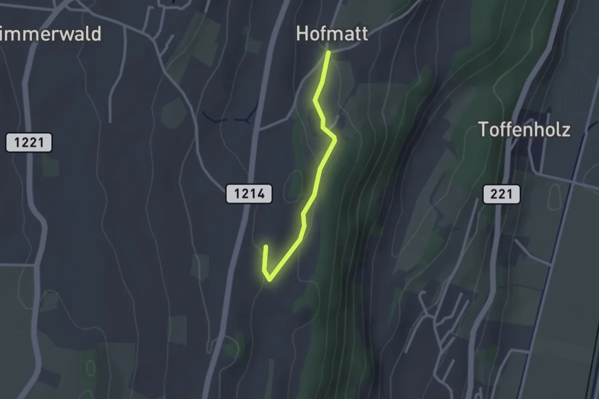
Easy · Trail
Hofmatt – Rossweid
2.1 km · ↑ 34 m · 35 min · 7 km away
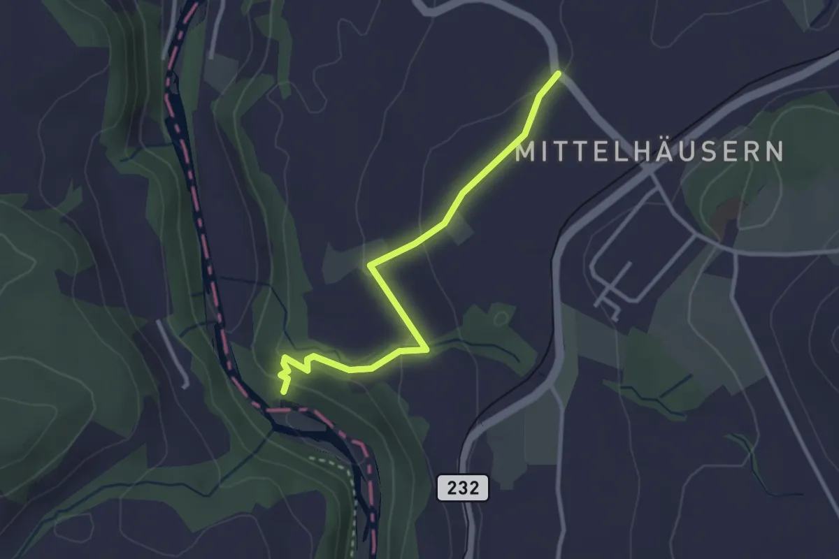
Easy · Trail
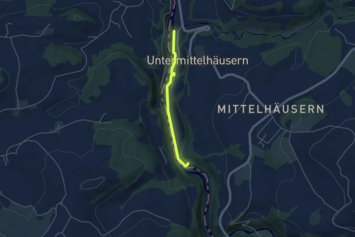
Mittelhäusern – Sensematt
2.8 km · ↑ 94 m · 52 min · 7 km away
Easy · Trail
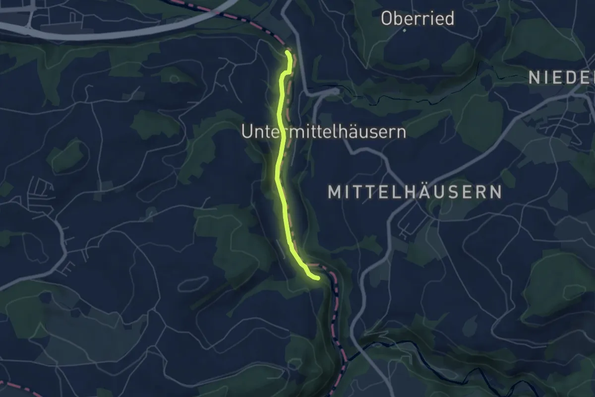
Sensegrabe / Büffel – Sensematt
3.2 km · ↑ 50 m · 52 min · 7 km away
Easy · Trail
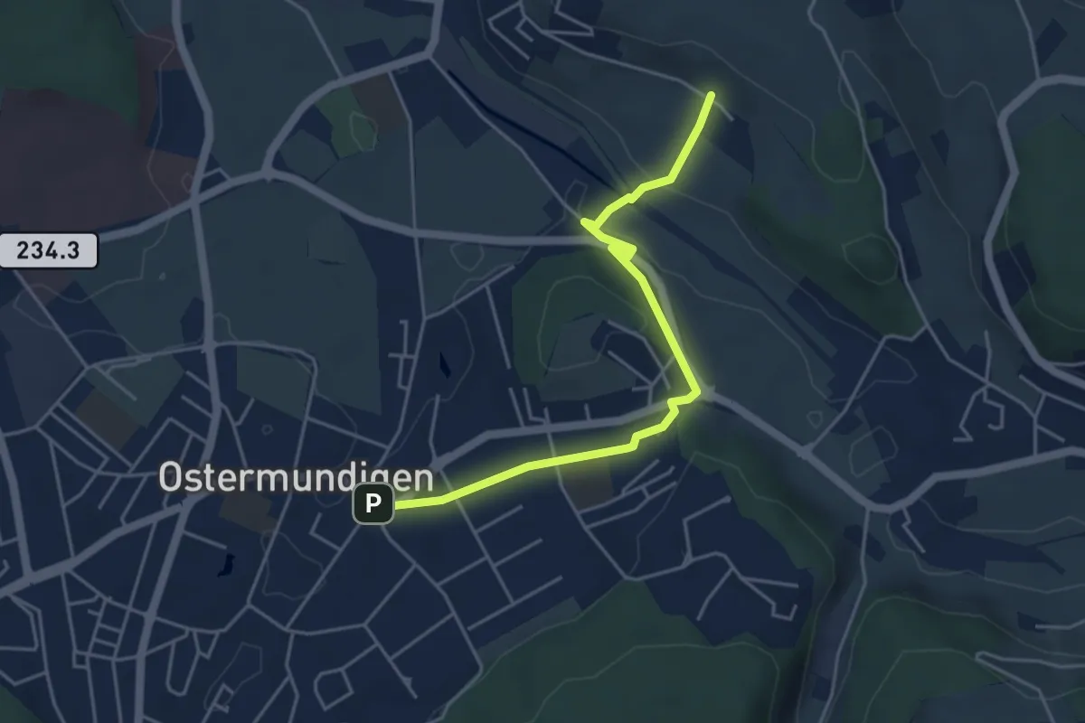
Riederenbrücke – Hangried
4.2 km · ↑ 137 m · 1 h 18 min · 7 km away
Easy · Trail
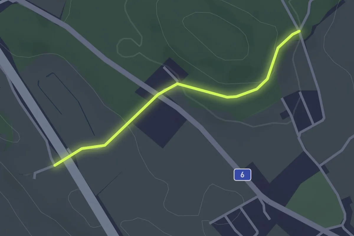
Hüenerbüel – Ostermundigen
4.6 km · ↑ 91 m · 1 h 17 min · 7 km away
Easy · Trail
Hüenwald – Vorder Märchligen
2.3 km · ↑ 66 m · 41 min · 7 km away
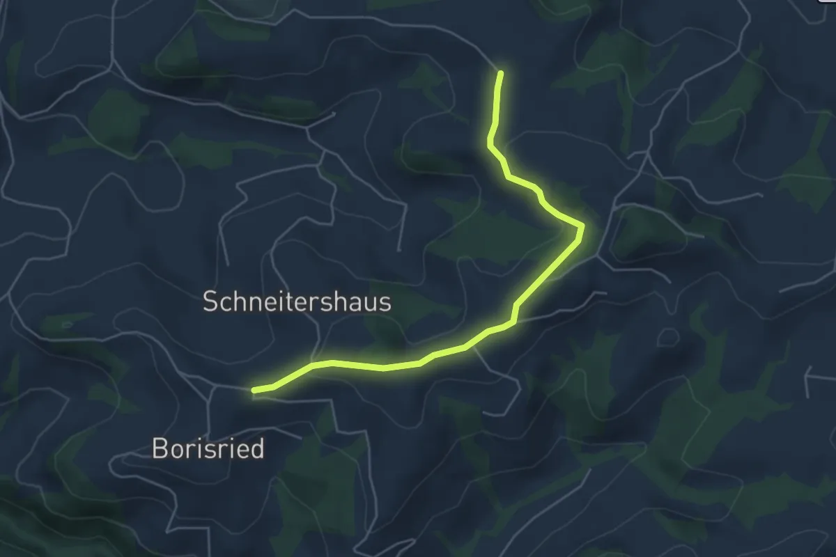
Easy · Trail
Gassershus - Borisried/Schulhaus
5.0 km · ↑ 129 m · 1 h 27 min · 7 km away
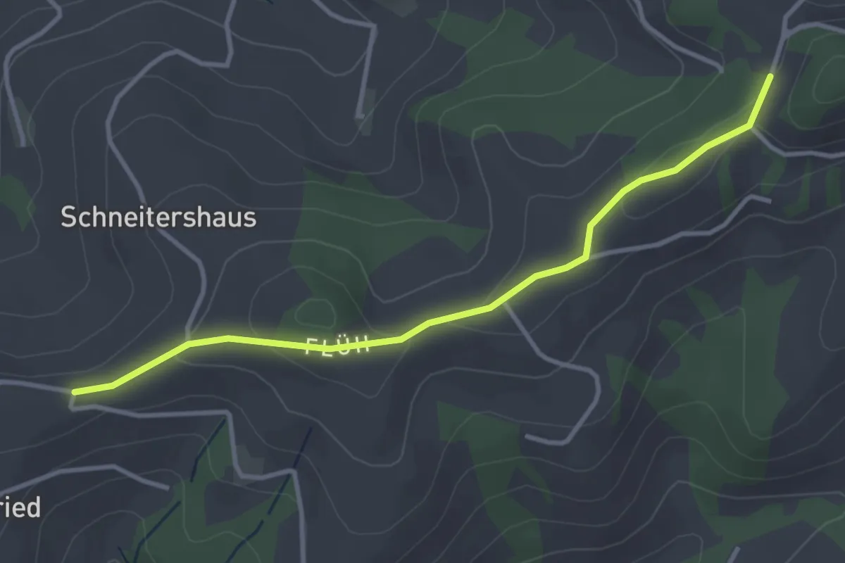
Easy · Trail
Borisried/Schulhaus - Tschuggen
3.5 km · ↑ 88 m · 1 h · 7 km away
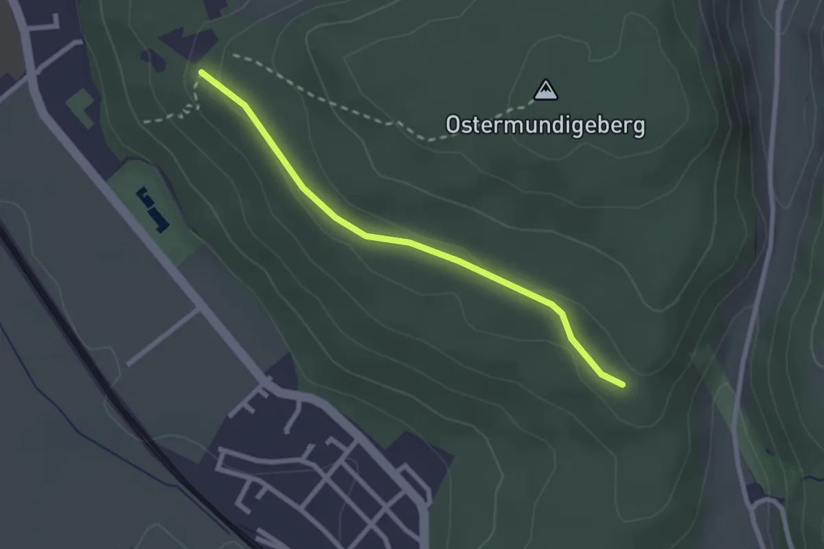
Easy · Trail
Harnischberg – Steinbrüche
2.2 km · ↑ 46 m · 38 min · 7 km away
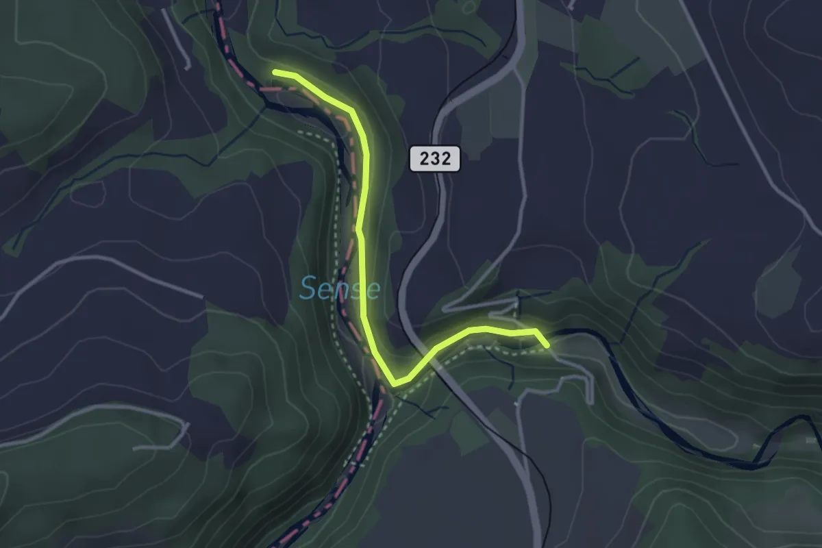
Easy · Trail
Alte Scharzwasserbrücke – Sensegrabe / Büffel
3.0 km · ↑ 52 m · 49 min · 7 km away
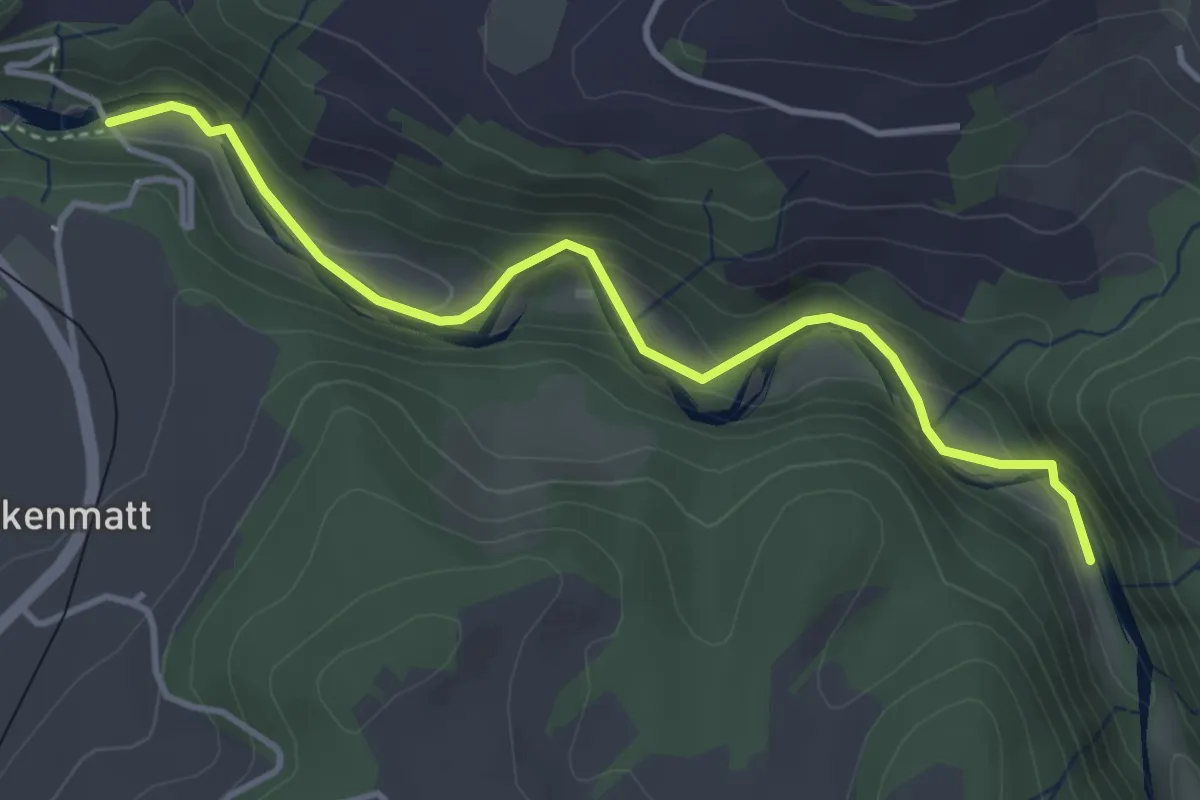
Easy · Trail
Alte Scharzwasserbrücke – Schwarzwassergraben
4.0 km · ↑ 138 m · 1 h 15 min · 7 km away
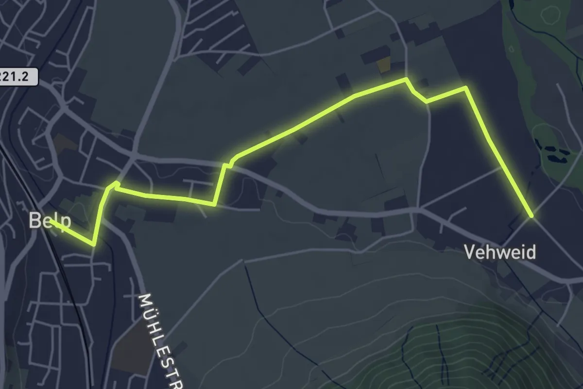
Easy · Trail
Belp – Vehweid
5.7 km · ↑ 9 m · 1 h 21 min · 7 km away
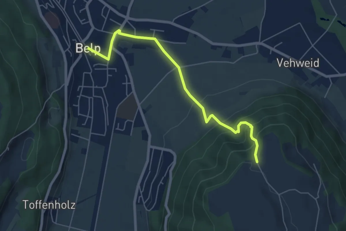
Easy · Trail
Belp – Hoburg
5.3 km · ↑ 310 m · 1 h 55 min · 7 km away
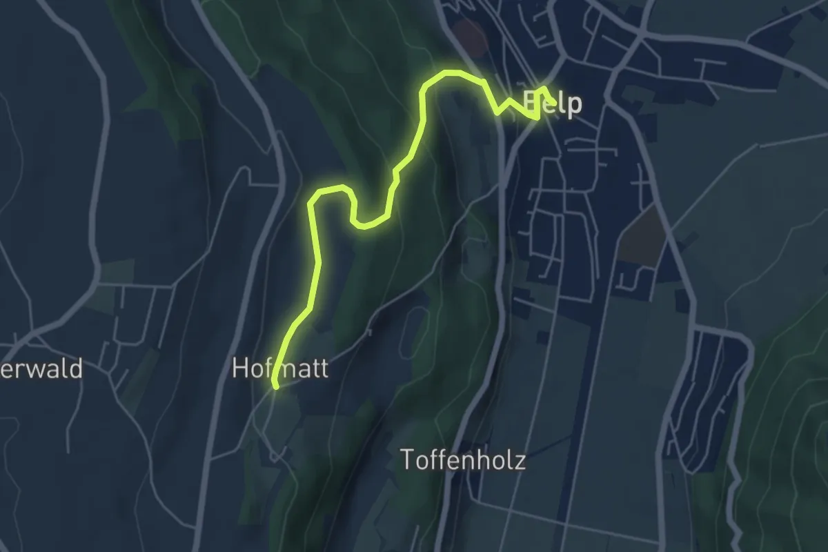
Easy · Trail
Hofmatt – Belp
5.1 km · ↑ 246 m · 1 h 44 min · 7 km away
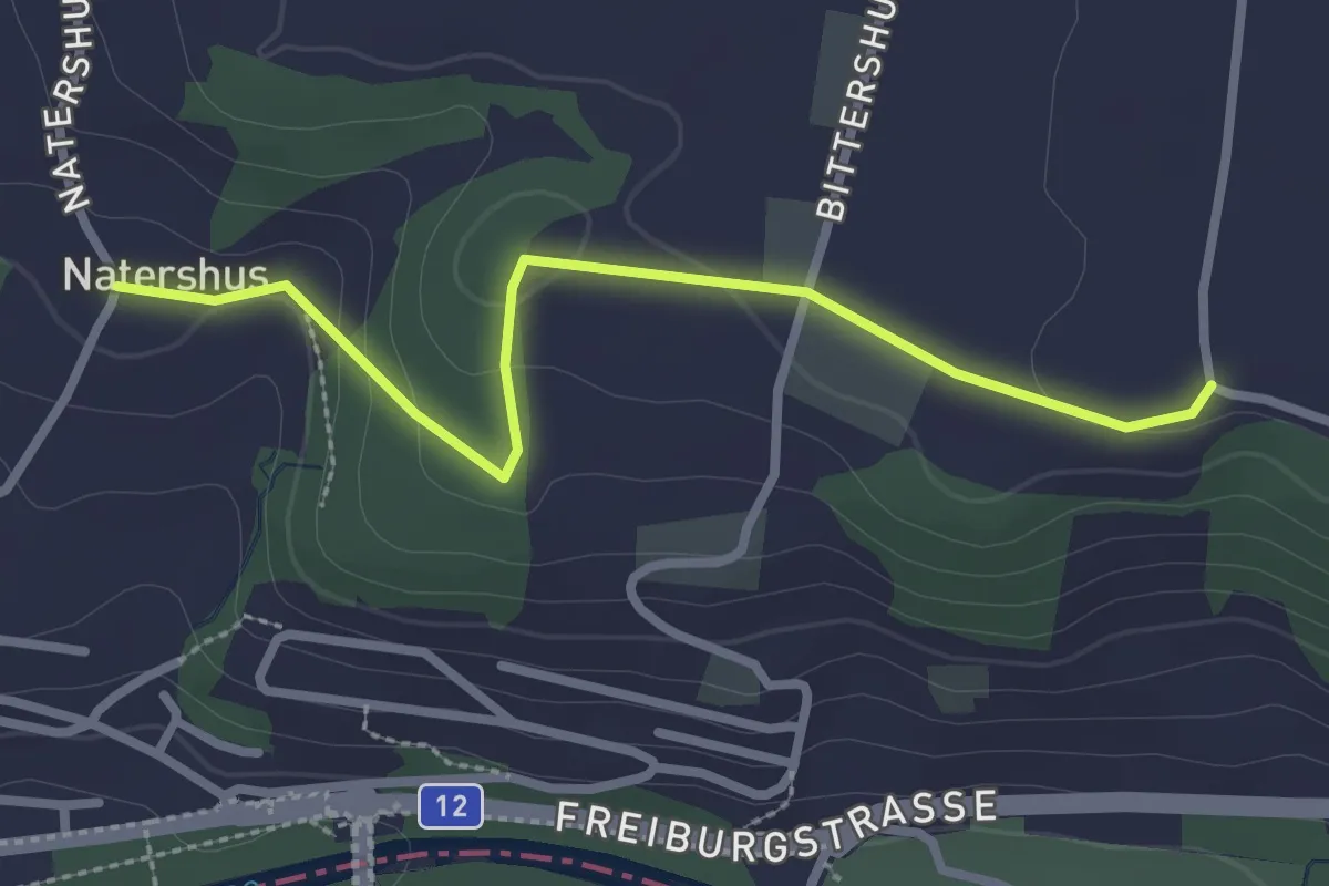
Easy · Trail
Natershus - Ufem Shoren
2.7 km · ↑ 58 m · 46 min · 7 km away
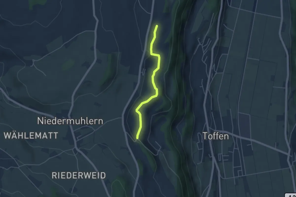
Easy · Trail
Rossweid – Falebach
3.8 km · ↑ 92 m · 1 h 5 min · 8 km away
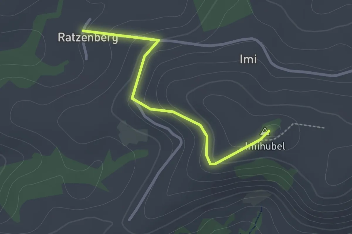
Easy · Summit
Ratzenberg - Imihubel
2.2 km · ↑ 97 m · 44 min · 8 km away
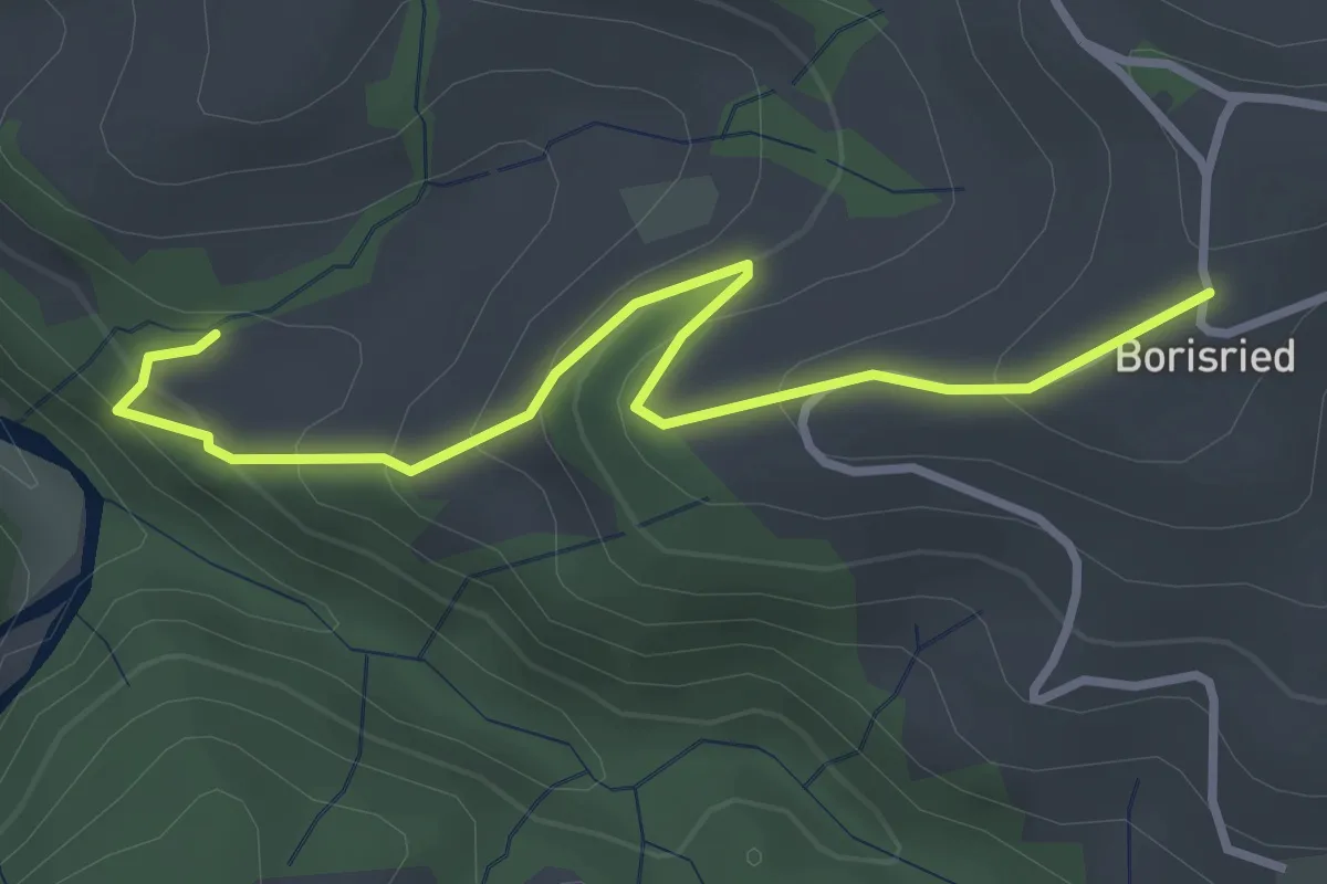
Easy · Trail
Mösli – Borisried
3.4 km · ↑ 227 m · 1 h 17 min · 8 km away
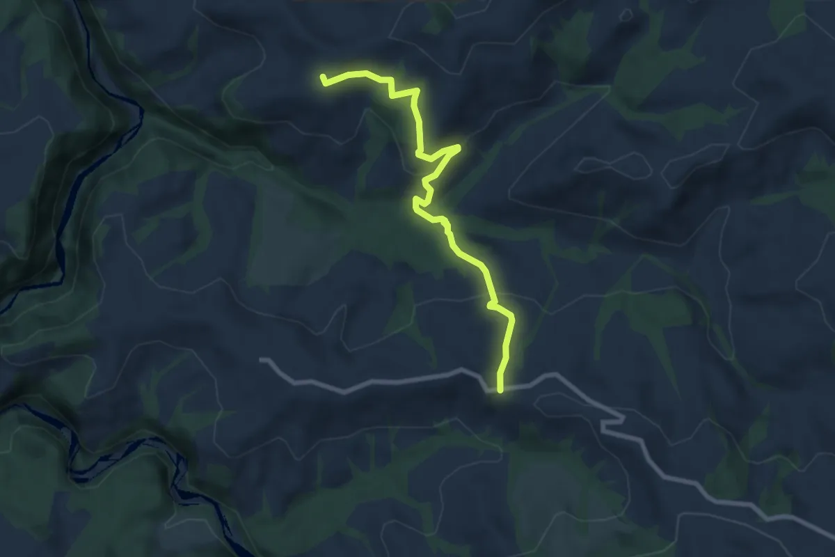
Medium · Trail
Borisried – Vorderfultigen
7.2 km · ↑ 329 m · 2 h 24 min · 8 km away
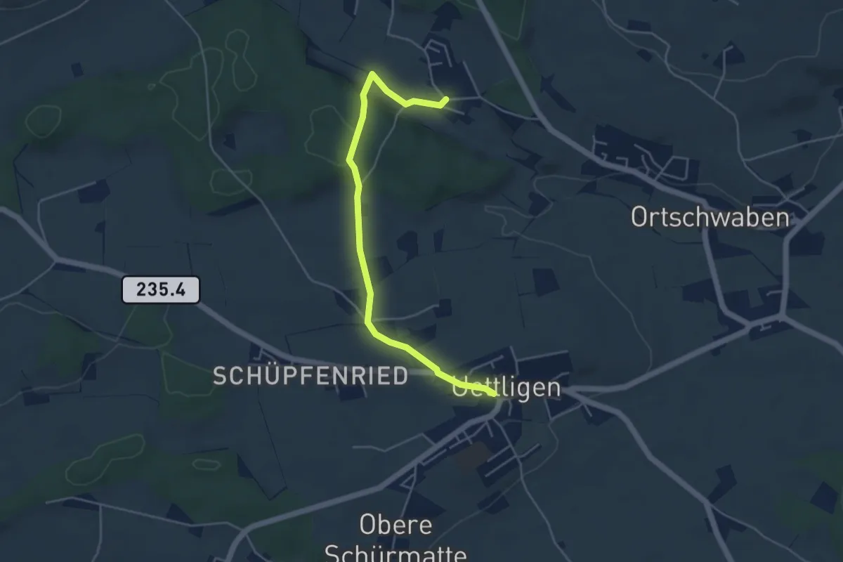
Easy · Trail
Uettligen/Linde - Weissenstein
4.6 km · ↑ 64 m · 1 h 13 min · 8 km away
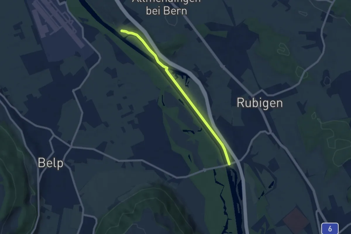
Easy · Trail
Märchligenau - Hunzigebrügg
5.9 km · ↑ 32 m · 1 h 28 min · 8 km away
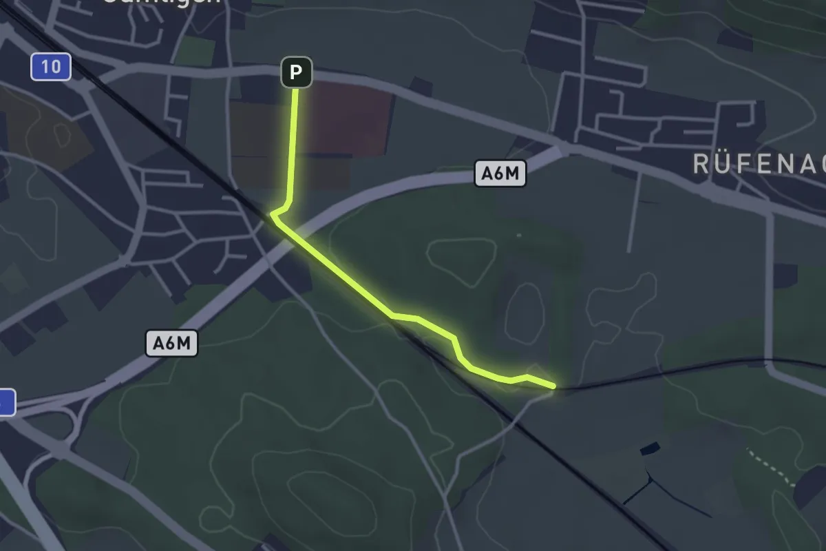
Easy · Trail
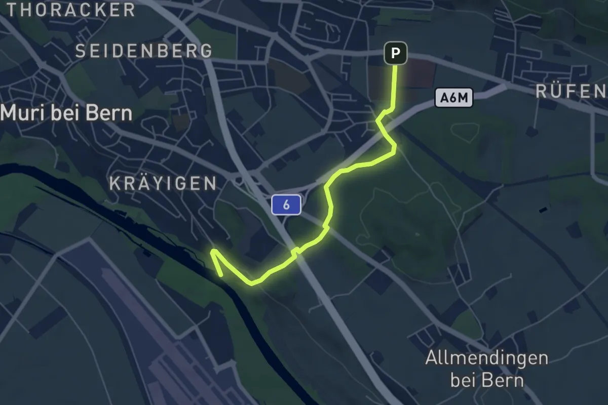
Gümligen Siloah – Rüti
2.7 km · ↑ 18 m · 41 min · 8 km away
Easy · Trail
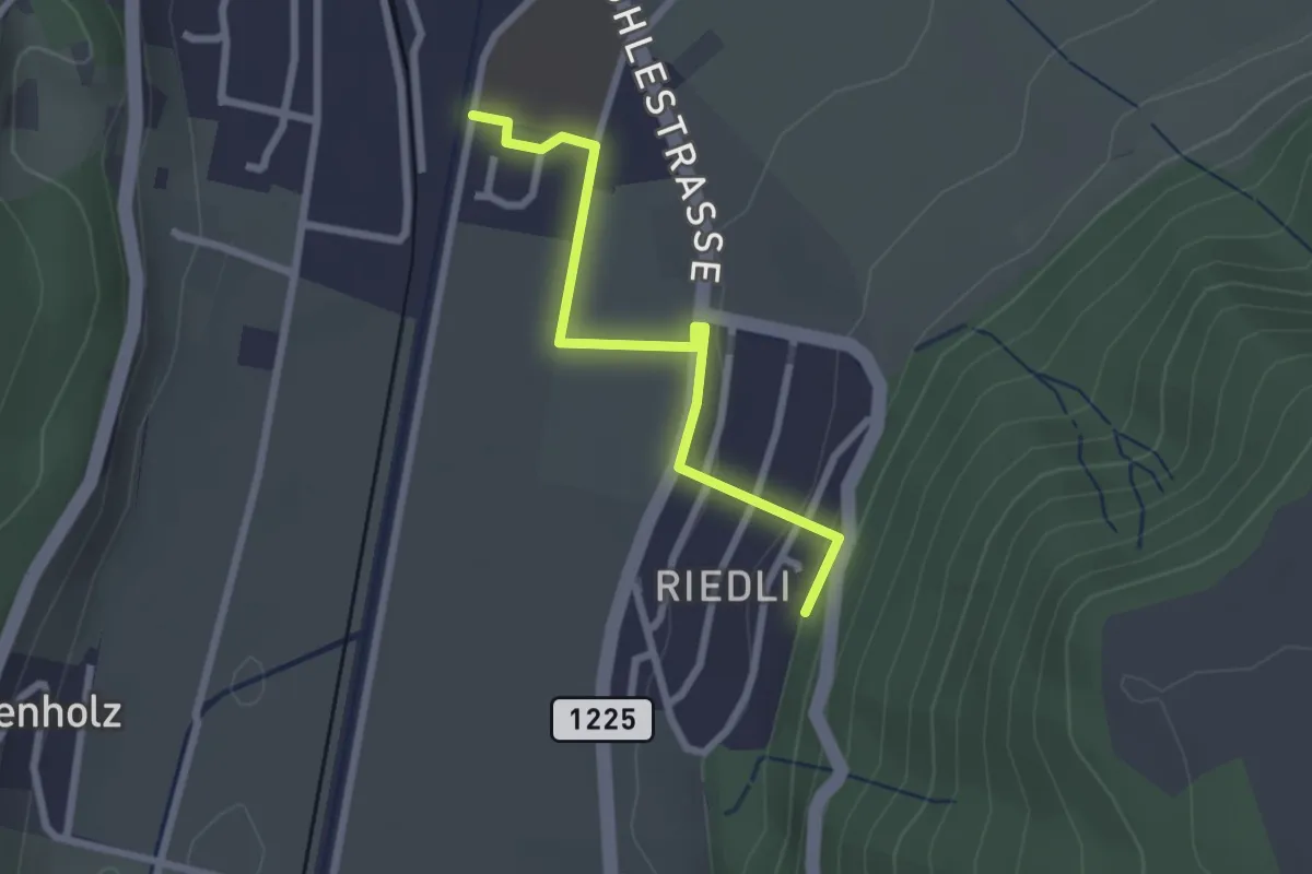
Gümligen Siloah – Auguetbrügg
5.5 km · ↑ 100 m · 1 h 31 min · 8 km away
Easy · Trail
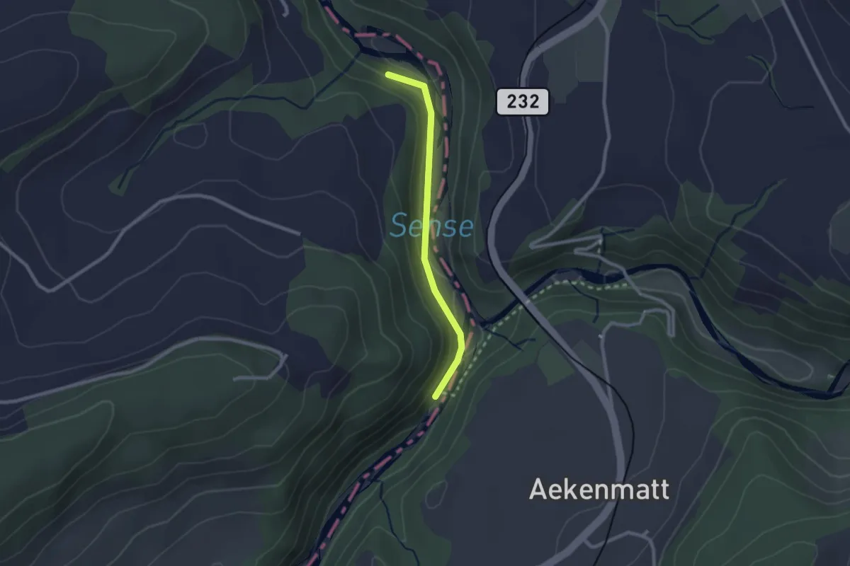
Belp – Riedli
2.4 km · ↑ 63 m · 42 min · 8 km away
Easy · Trail
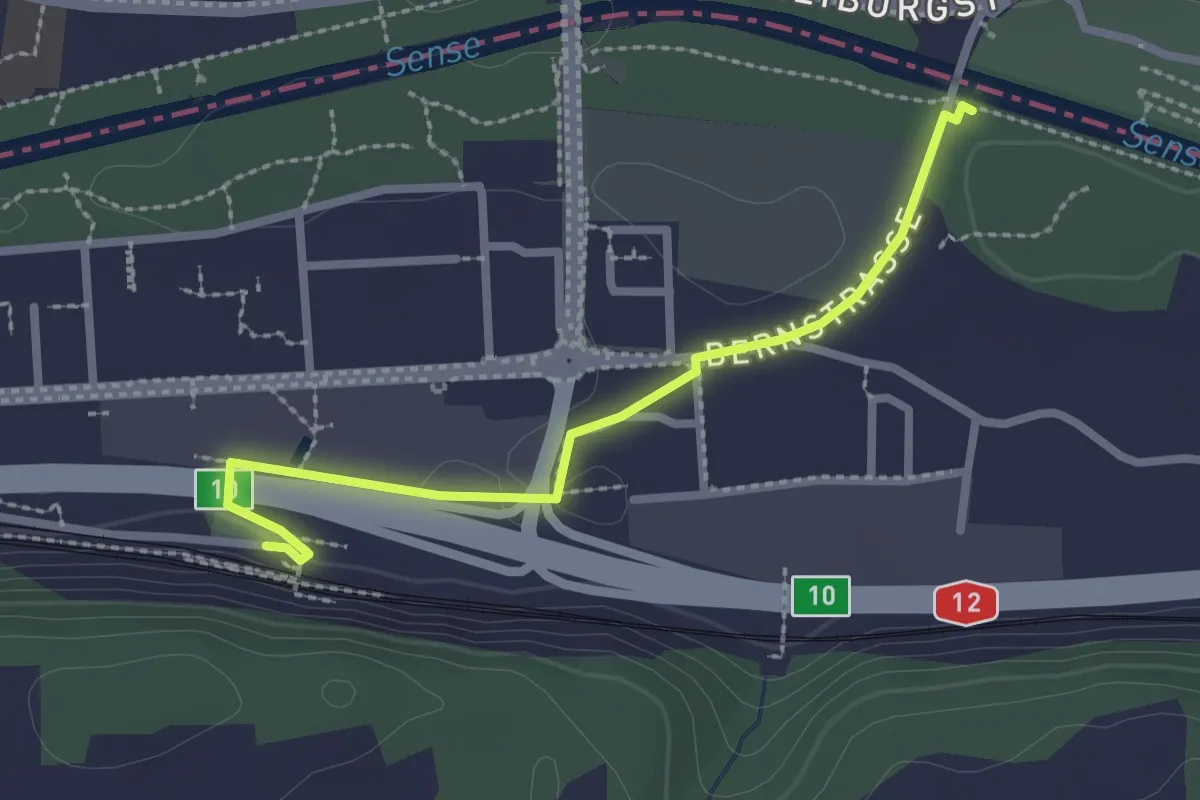
Hangried - Hängebrüggli
2.1 km · ↑ 62 m · 37 min · 8 km away
Easy · Trail
Ober Flamatt – Flamatt / Station
2.5 km · ↑ 21 m · 38 min · 8 km away
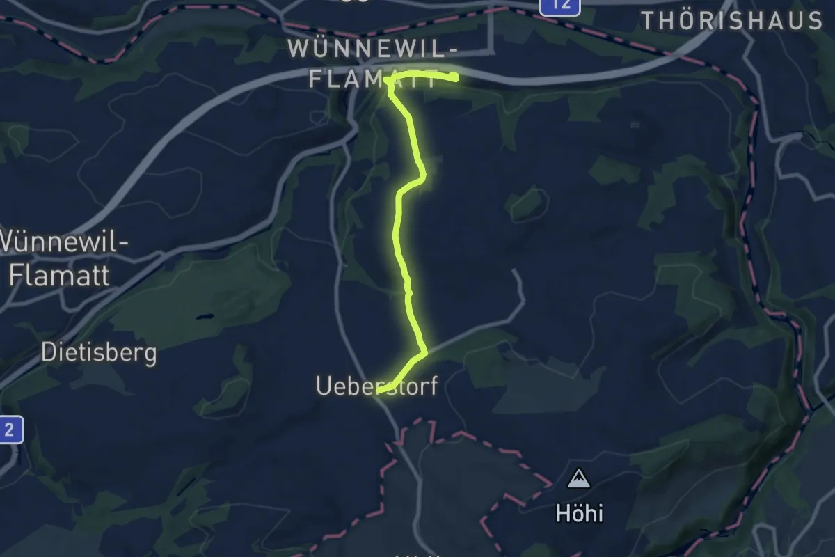
Easy · Trail
Flamatt / Station - Ueberstorf
7.5 km · ↑ 195 m · 2 h 11 min · 8 km away
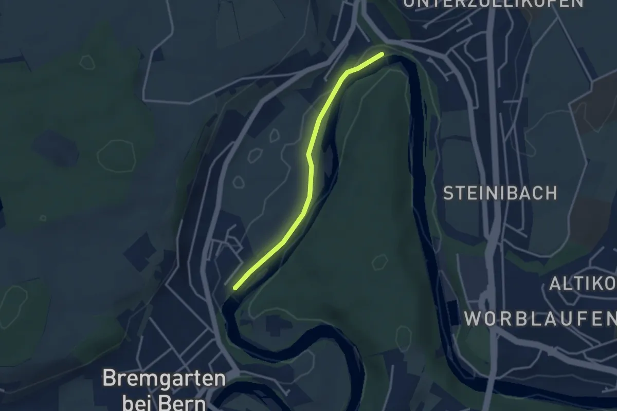
Easy · Trail
Fähre Zehndermätteli – Fähre Reichenbach
2.6 km · ↑ 17 m · 40 min · 8 km away
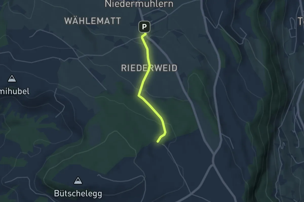
Easy · Trail
Niedermuhlern – Buechweid
3.1 km · ↑ 123 m · 1 h · 8 km away
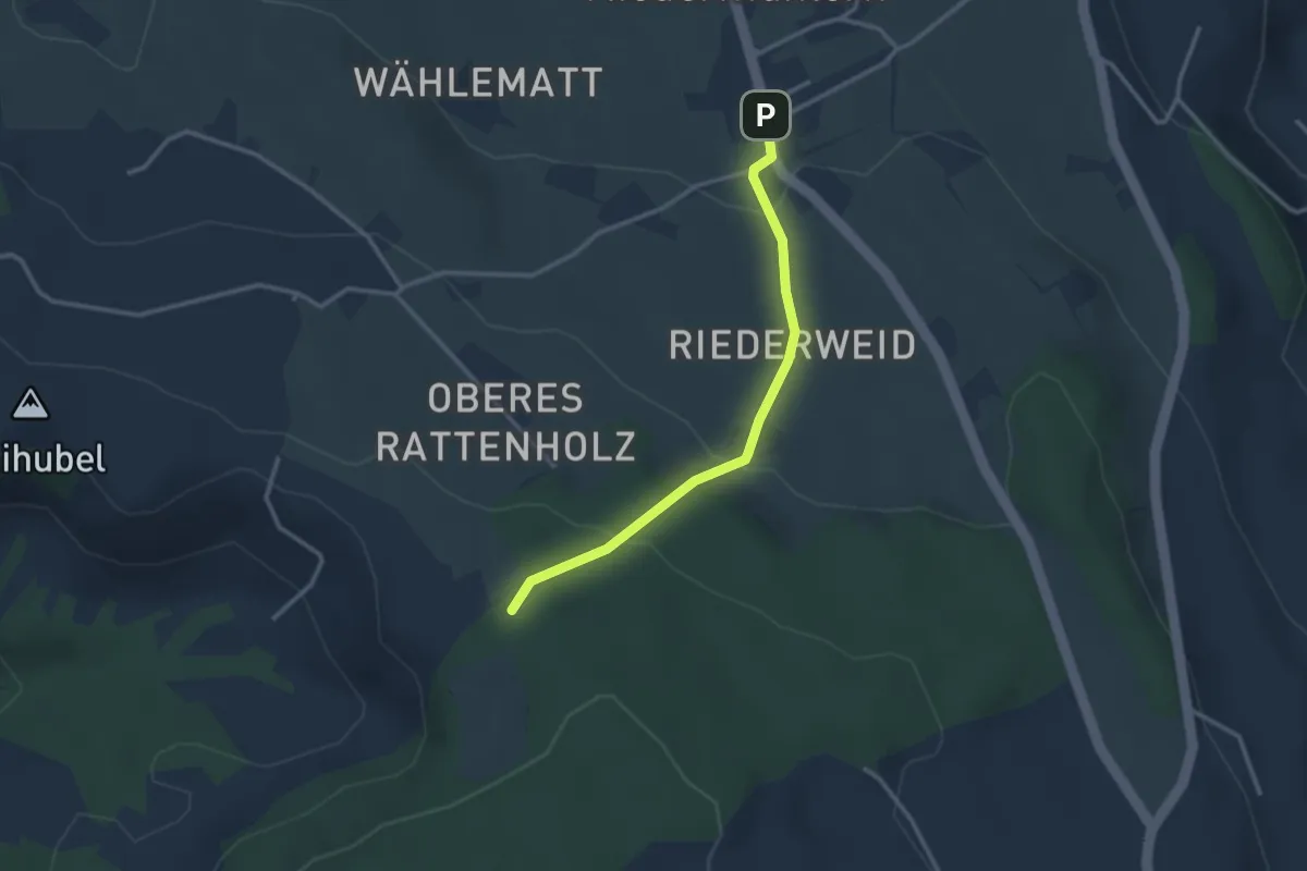
Easy · Trail
Seitenberg – Niedermuhlern
2.8 km · ↑ 141 m · 57 min · 8 km away
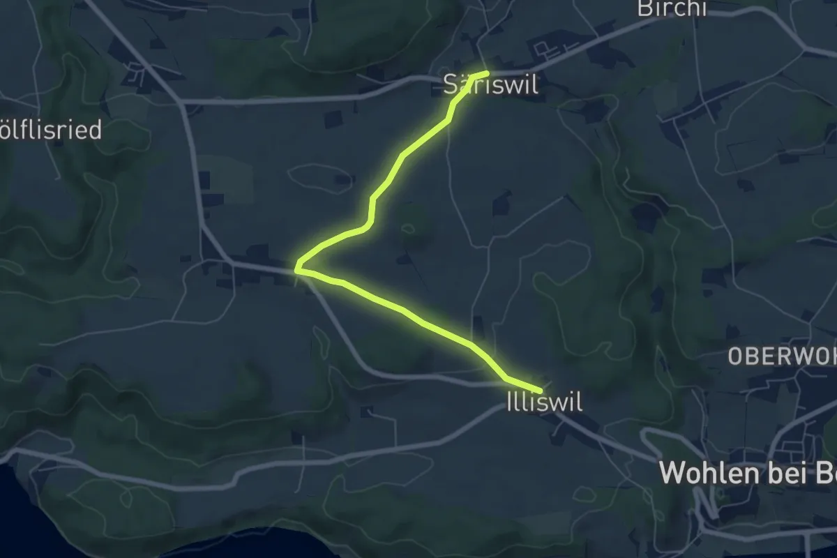
Easy · Trail
Säriswil – Illiswil
6.6 km · ↑ 97 m · 1 h 46 min · 8 km away
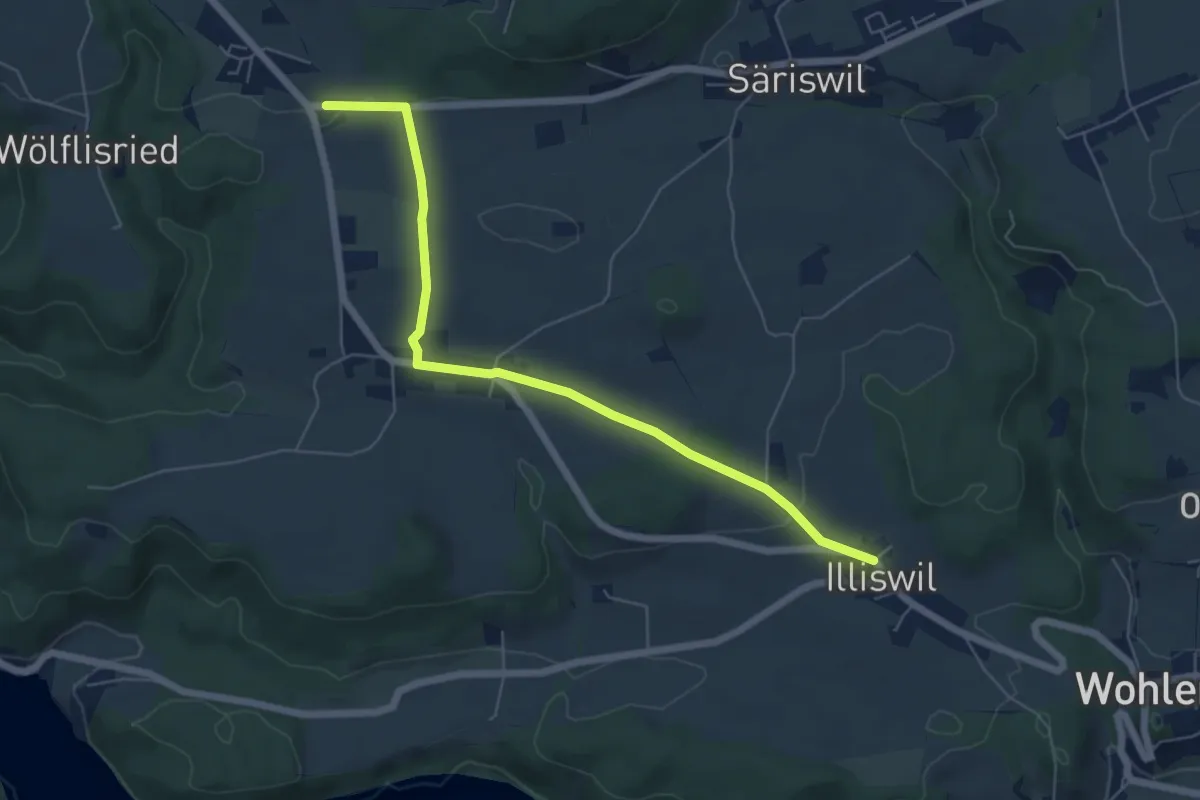
Easy · Trail
Illiswil – Weiermatt
6.3 km · ↑ 110 m · 1 h 44 min · 8 km away
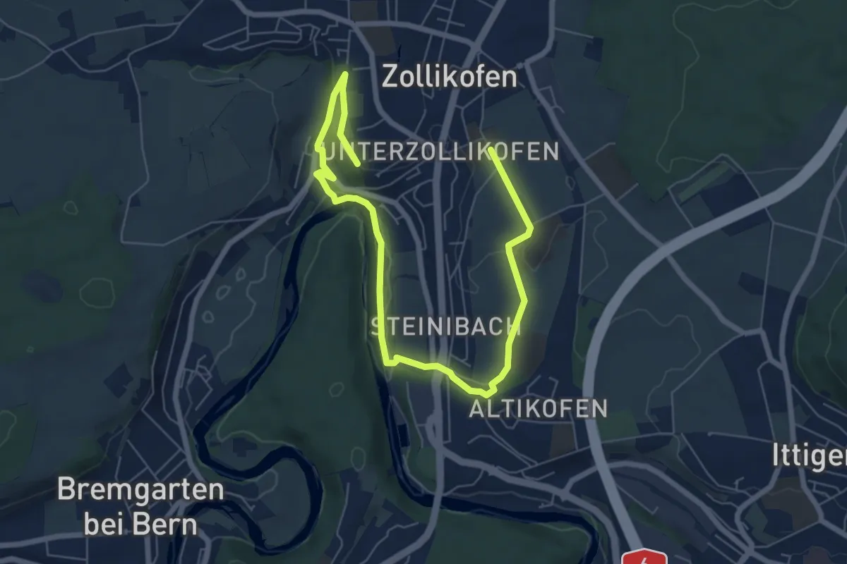
Medium · Trail
Landschaftsweg Zollikofen
8.5 km · ↑ 142 m · 2 h 19 min · 8 km away
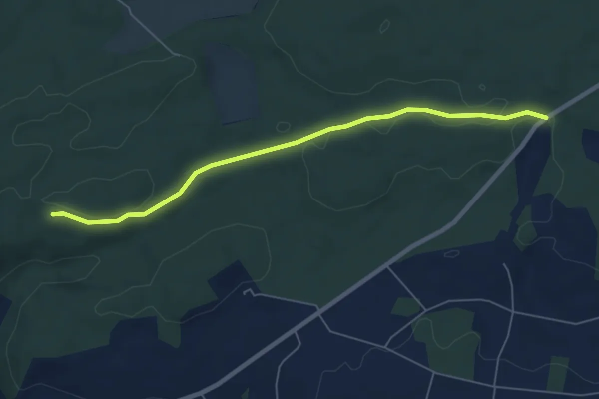
Easy · Trail
Sunnenrain - Bim Stundstei
5.3 km · ↑ 72 m · 1 h 25 min · 8 km away
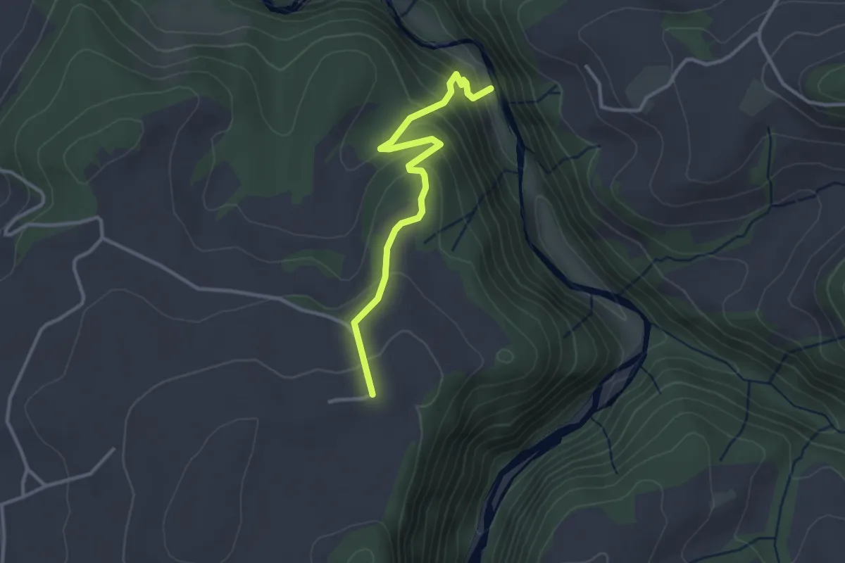
Easy · Trail
Schwarzwassergraben - Nidegg
3.0 km · ↑ 234 m · 1 h 13 min · 8 km away
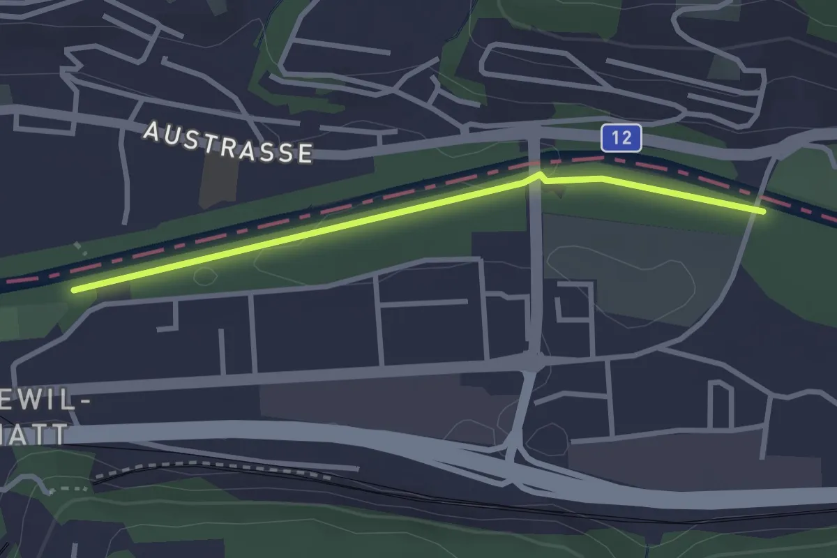
Easy · Trail
Ober Flamatt – Flamatt Sportplatz
2.6 km · ↑ 9 m · 38 min · 8 km away
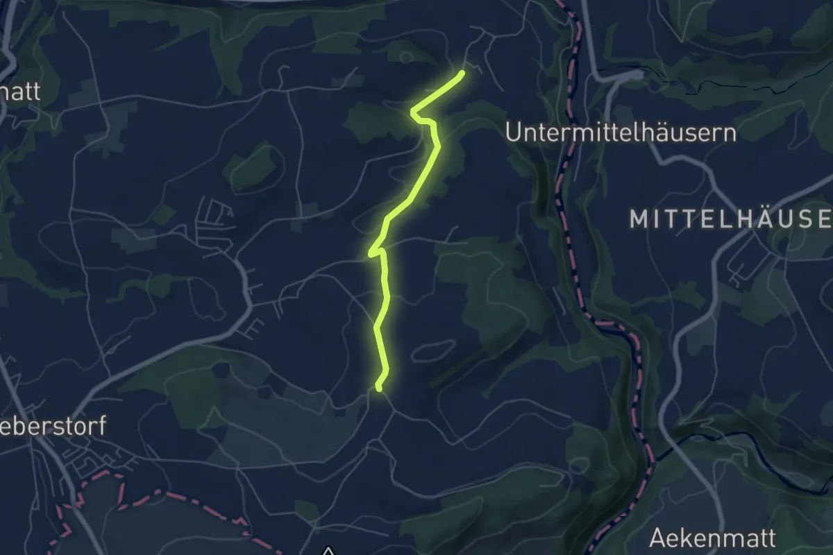
Easy · Trail
Obermettlen – Riederen
4.8 km · ↑ 129 m · 1 h 24 min · 8 km away
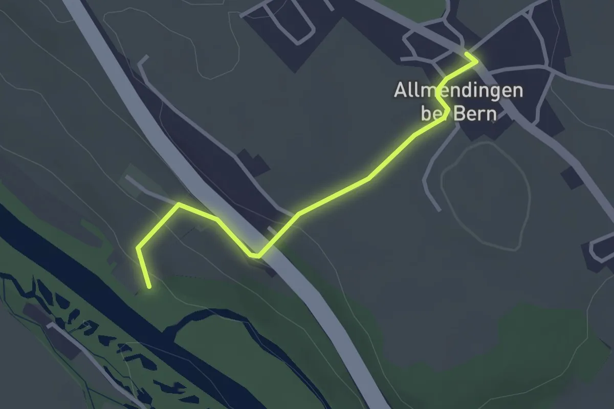
Easy · Trail
Märchligenau-Allmendingen
2.5 km · ↑ 63 m · 44 min · 8 km away
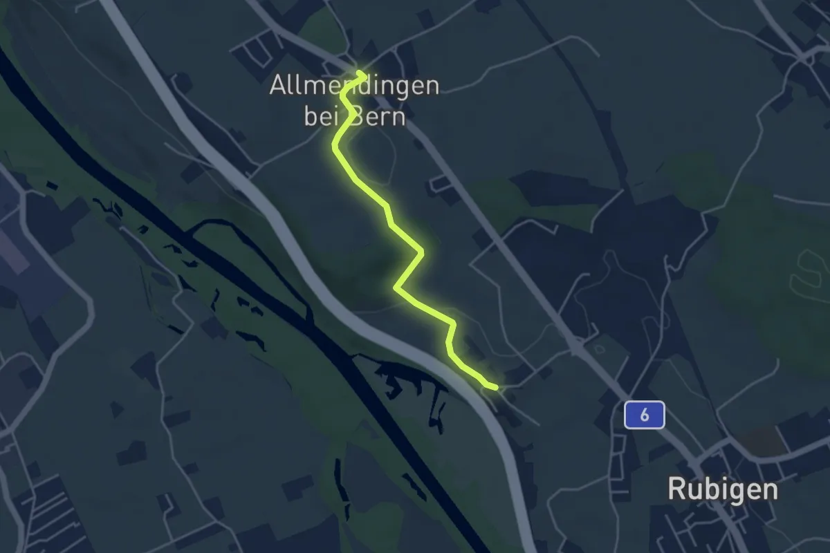
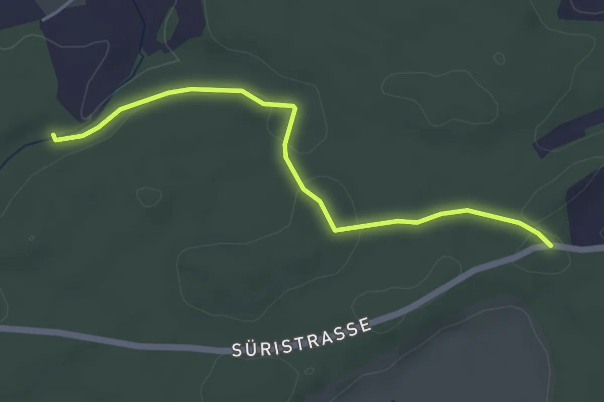
Easy · Trail
Kleinhöchstetten – Allmendingen
3.7 km · ↑ 71 m · 1 h 2 min · 8 km away
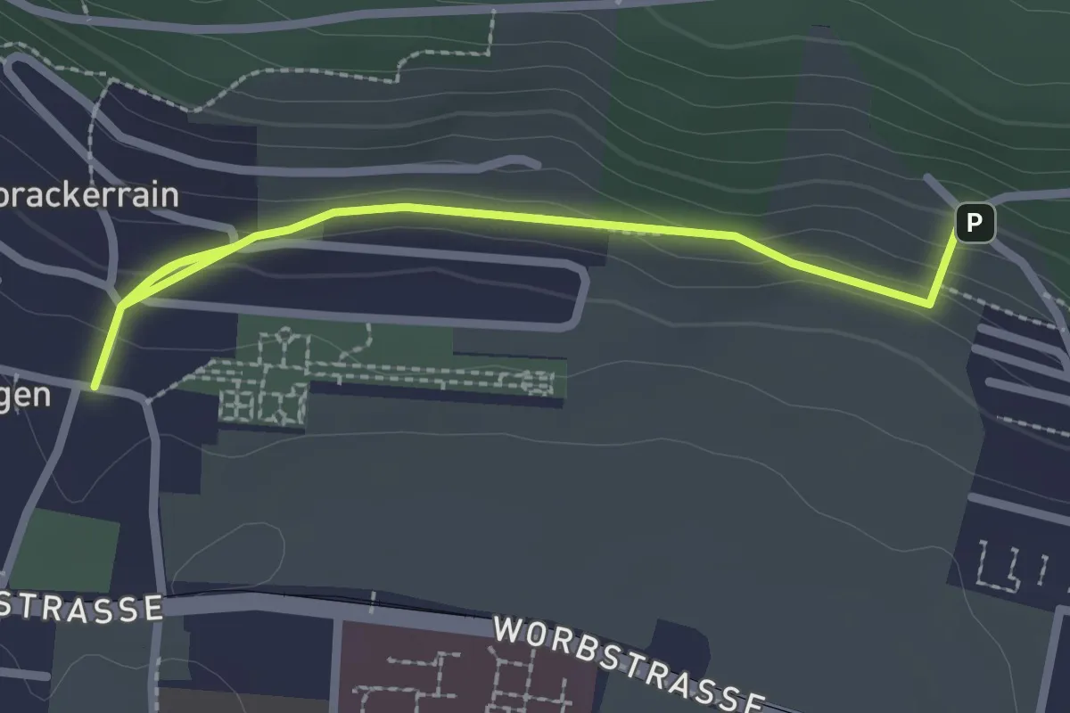
Easy · Trail
Fuessacher - Hollerengraben
3.9 km · ↑ 60 m · 1 h 3 min · 9 km away
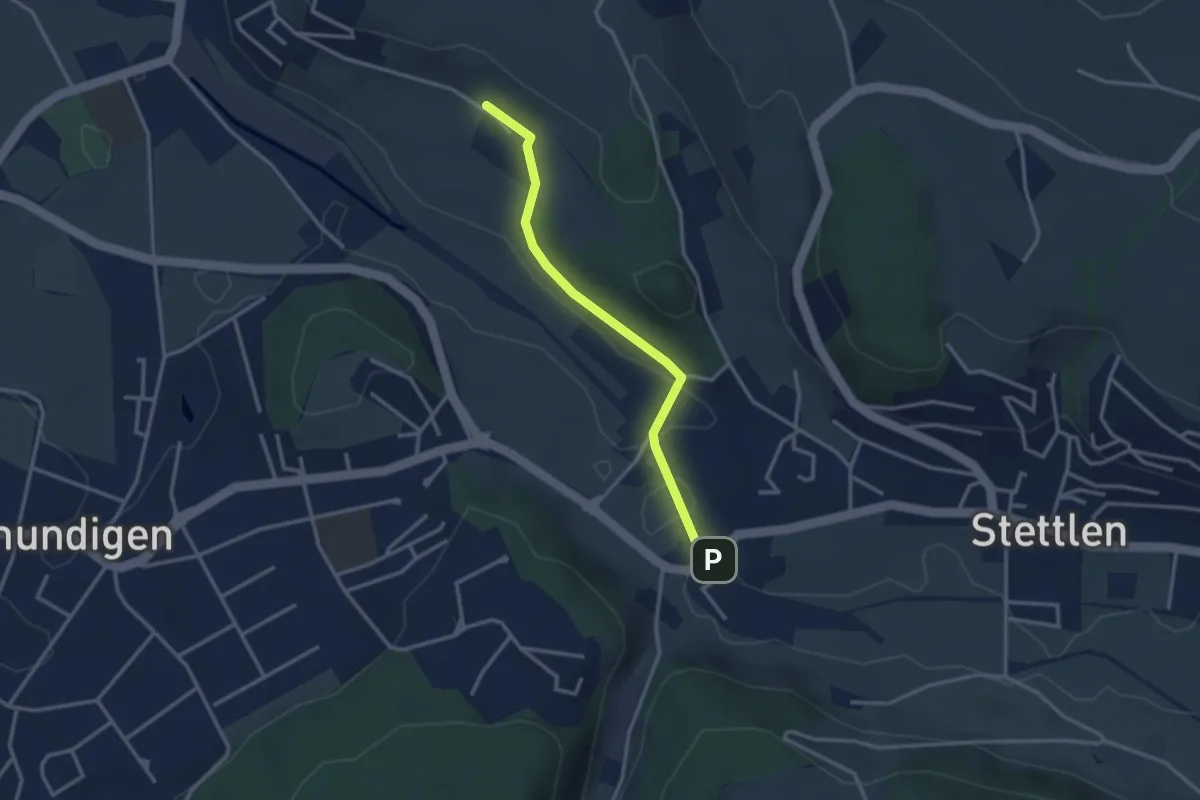
Easy · Trail
Gümligen/Kirche – Scheieholz
2.7 km · ↑ 103 m · 51 min · 9 km away
Easy · Trail
Hüenerbüel – Deisswil
2.9 km · ↑ 33 m · 45 min · 9 km away