Trails near Köniz
523 hikes starting within 15 km, nearest first.
Nearest first, page 5 of 11
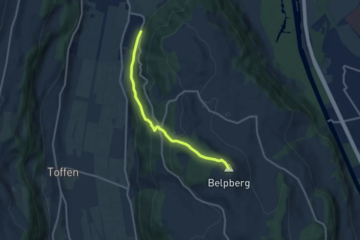
Medium · Summit
Belpberg/Chutze - Riedli
6.2 km · ↑ 336 m · 2 h 12 min · 9 km away
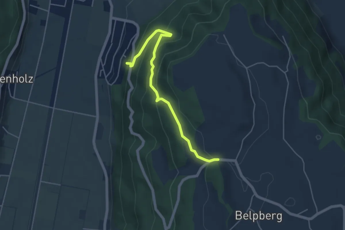
Easy · Trail
Weid - Riedli
4.2 km · ↑ 305 m · 1 h 39 min · 9 km away
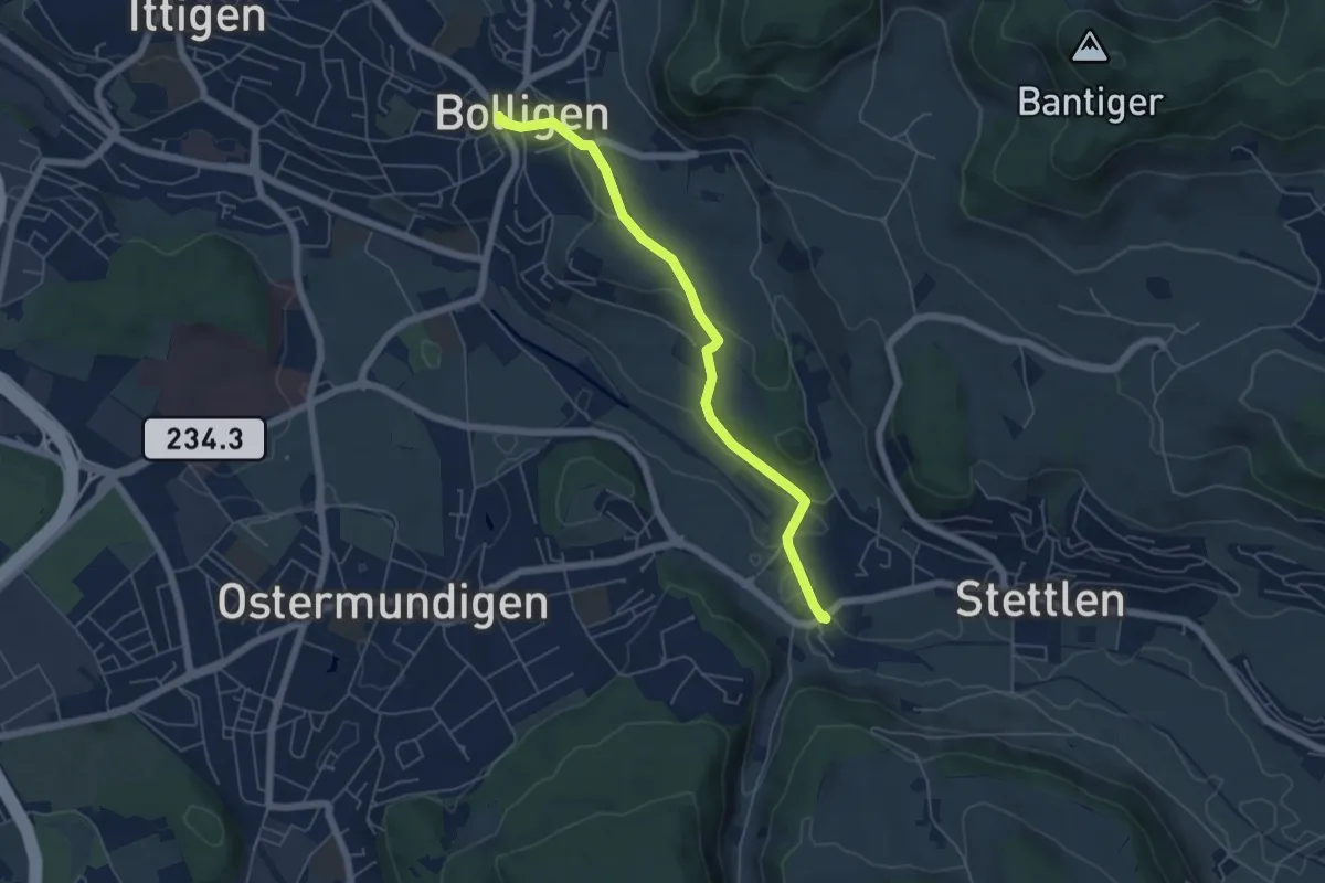
Easy · Trail
Bolligen / Sternen – Deisswil
5.4 km · ↑ 90 m · 1 h 29 min · 9 km away
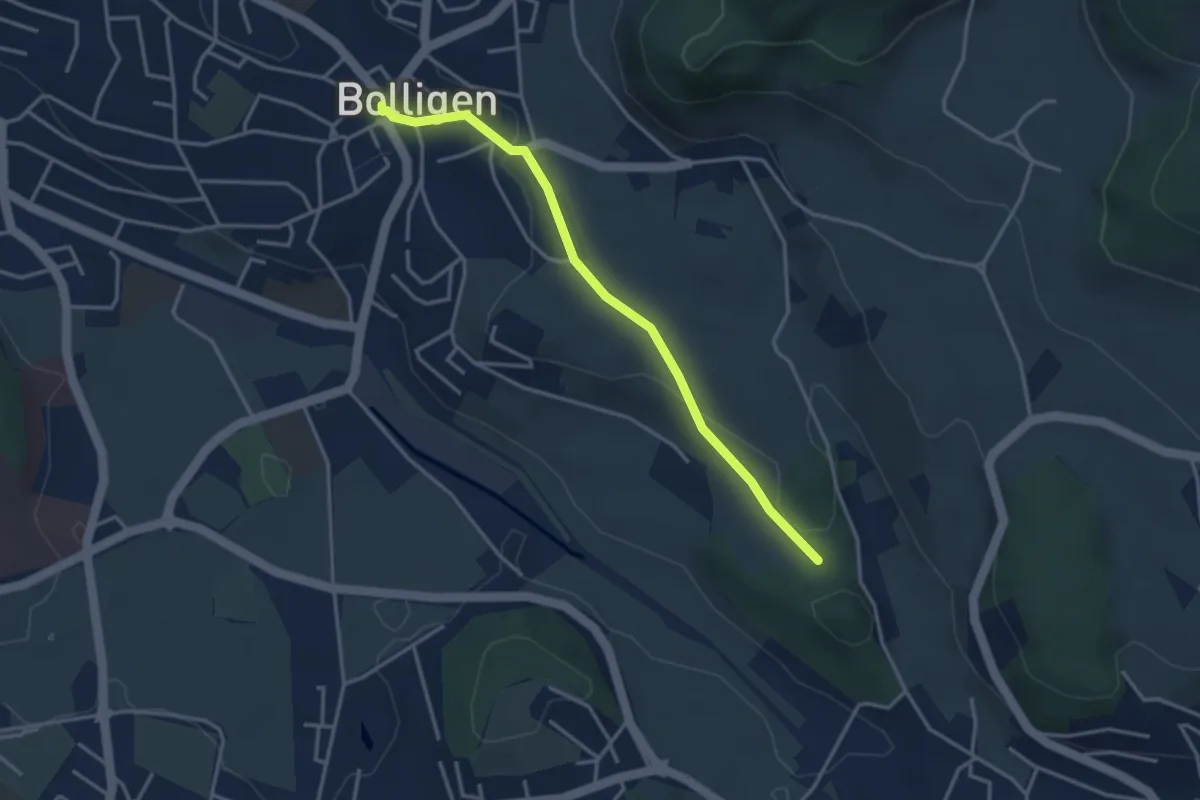
Easy · Trail
Bolligen / Sternen – Schwandiholz
3.4 km · ↑ 53 m · 55 min · 9 km away
Easy · Trail
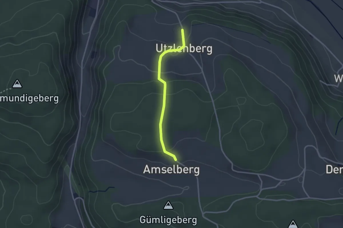
Amslenberg – Utzlenberg
2.3 km · ↑ 104 m · 46 min · 9 km away
Easy · Trail
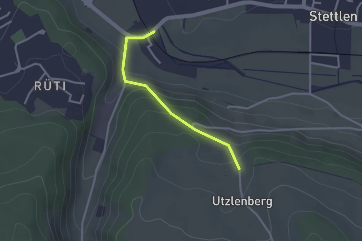
Deisswil – Utzlenberg
2.1 km · ↑ 124 m · 46 min · 9 km away
Easy · Trail
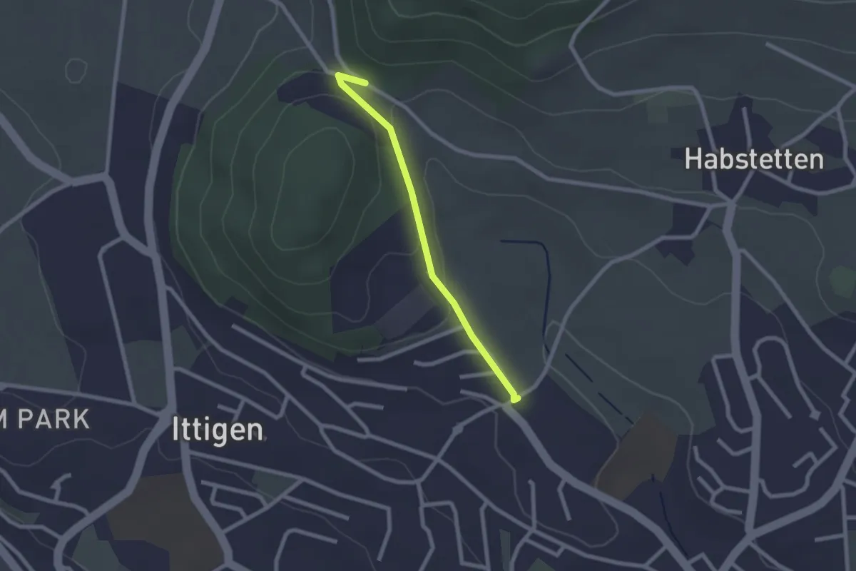
Schlupf – Schnägghubel
2.0 km · ↑ 56 m · 36 min · 9 km away
Easy · Trail
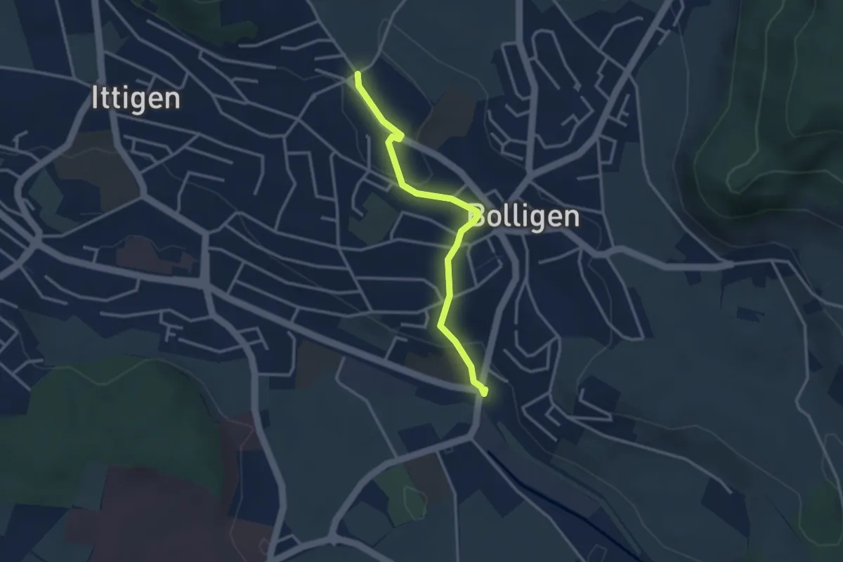
Schnägghubel – Bolligen
2.9 km · ↑ 59 m · 48 min · 9 km away
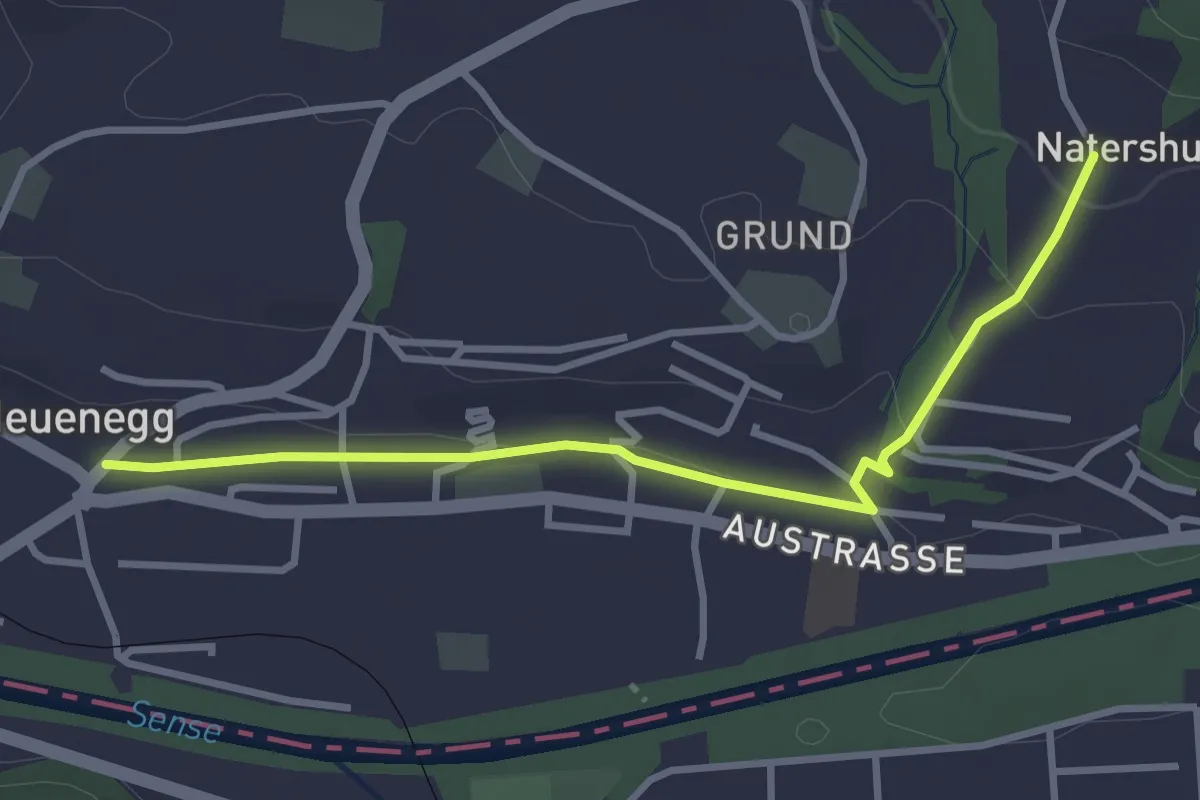
Easy · Trail
Neuenegg - Natershus
3.3 km · ↑ 67 m · 55 min · 9 km away
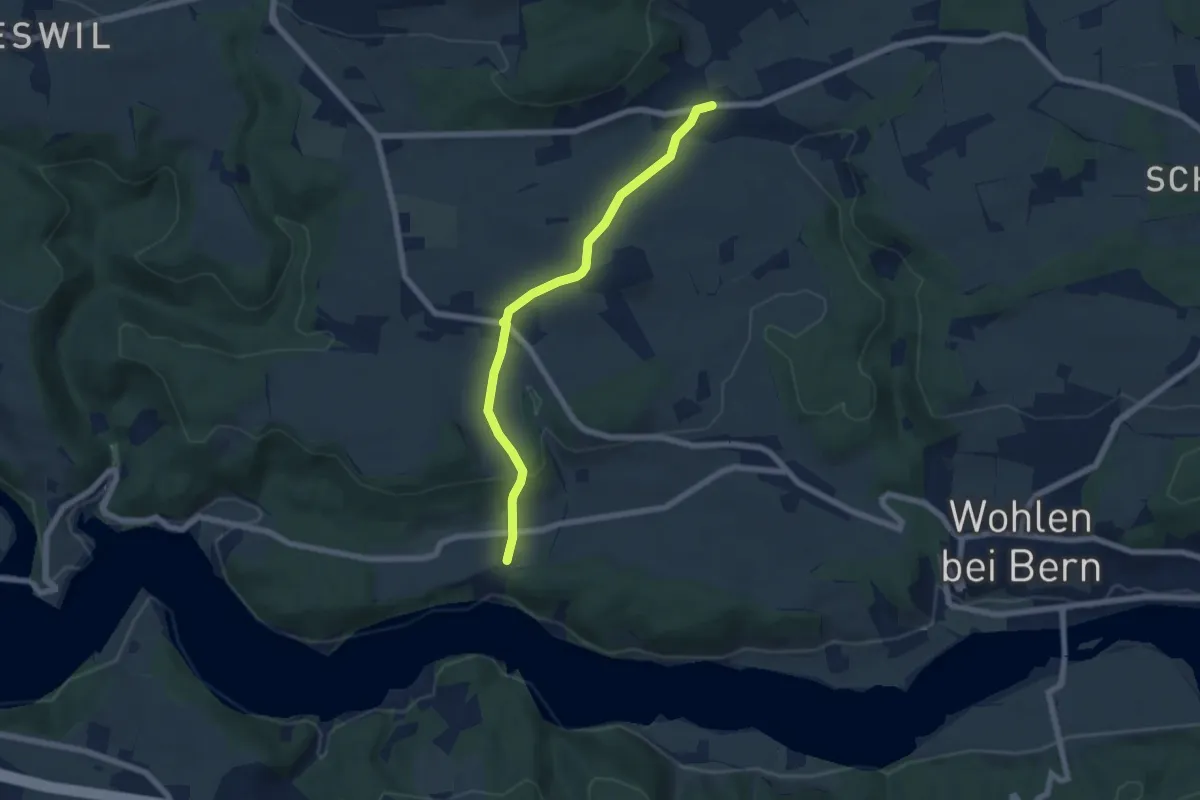
Easy · Trail
Säriswil – Steinisweg
6.1 km · ↑ 114 m · 1 h 42 min · 9 km away
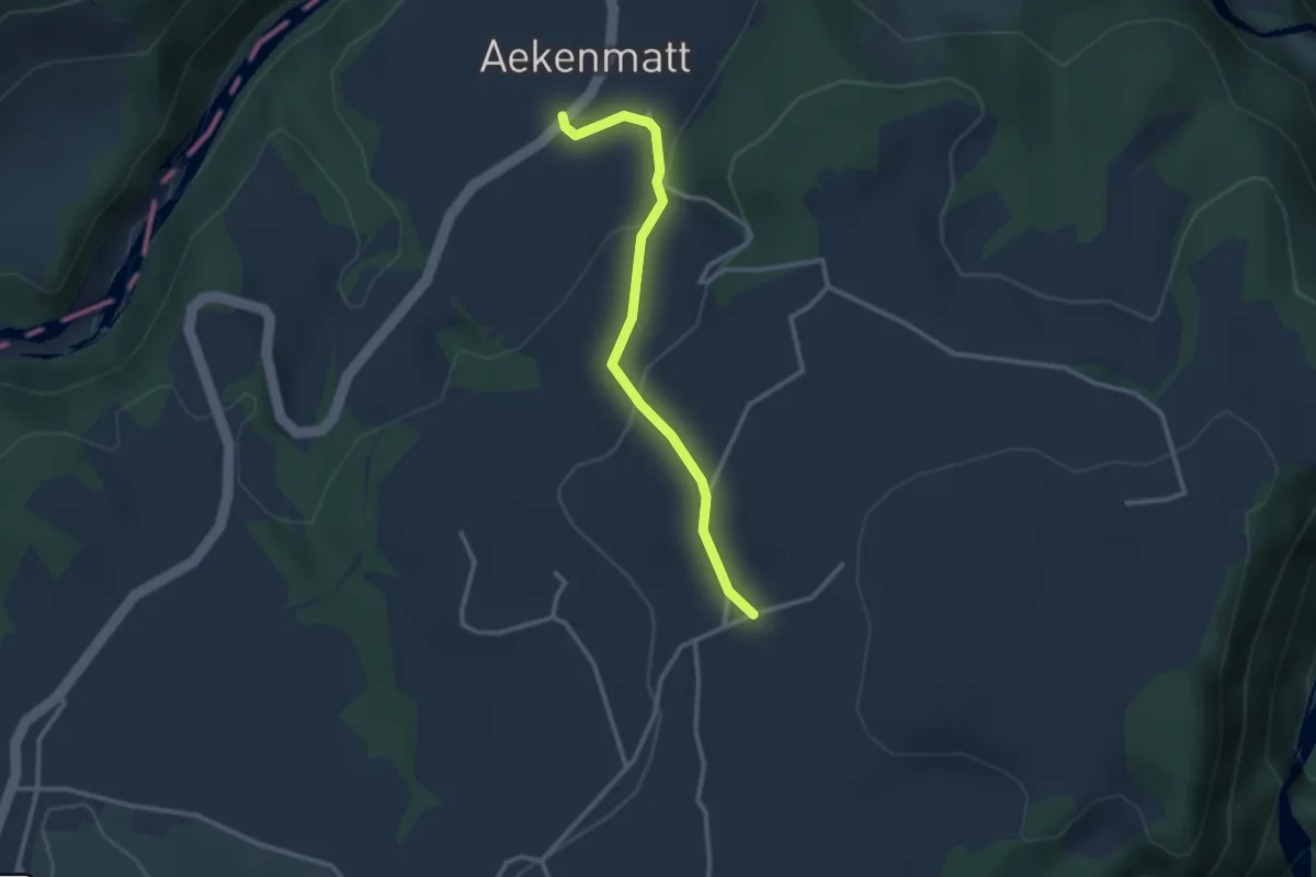
Easy · Trail
Steinenbrünnen – Aeckenmatt
2.7 km · ↑ 121 m · 54 min · 9 km away
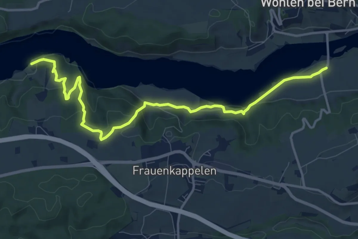
Medium · Trail
Jaggisbachau - Wohlei
10.4 km · ↑ 490 m · 3 h 32 min · 9 km away
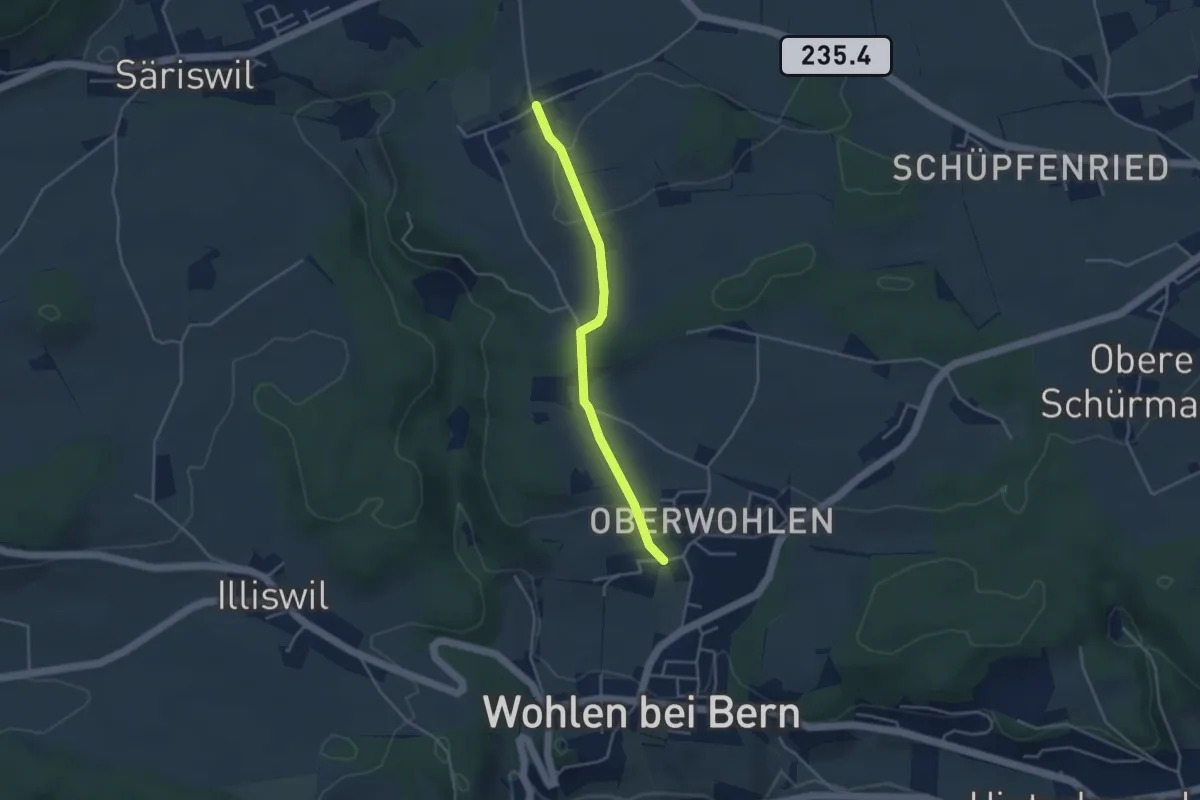
Easy · Trail
Oberwohlen – Möriswil
3.6 km · ↑ 84 m · 1 h 1 min · 9 km away
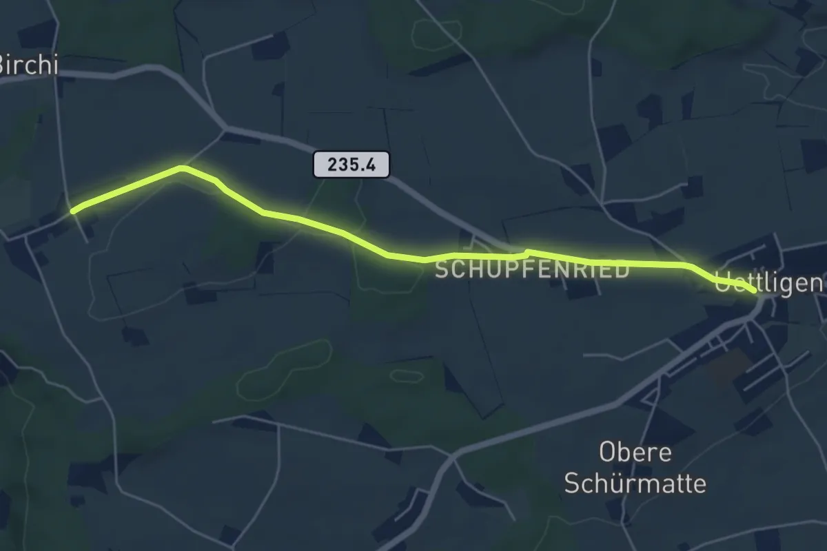
Easy · Trail
Uettligen/Linde - Möriswil
5.5 km · ↑ 46 m · 1 h 24 min · 9 km away
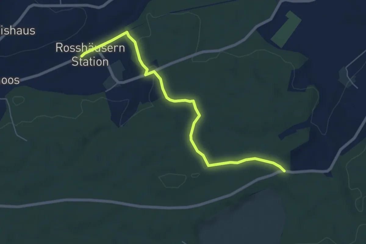
Easy · Trail
Fuessacher - Rosshäusern/Station
5.6 km · ↑ 125 m · 1 h 36 min · 9 km away
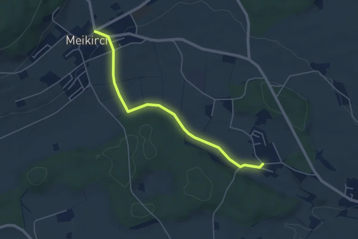
Easy · Trail
Weissenstein – Meikirch
4.2 km · ↑ 47 m · 1 h 5 min · 9 km away
Easy · Trail
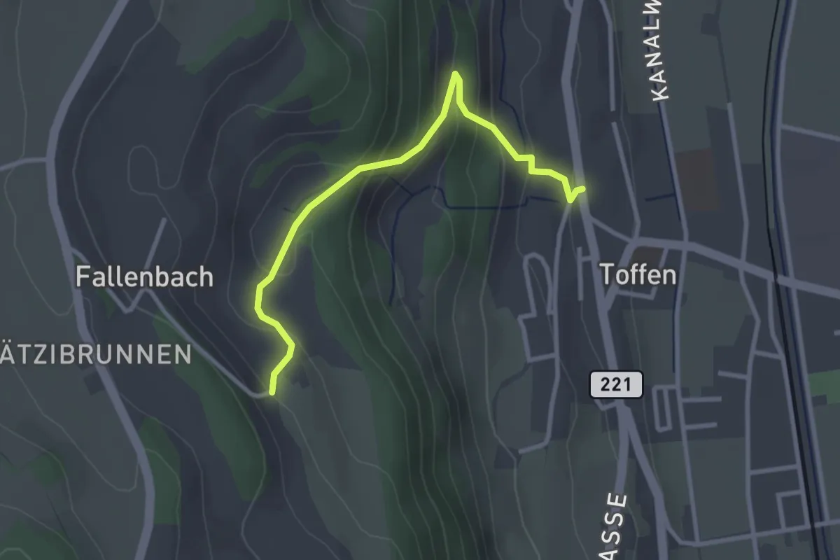
Obertoffen - Toffen/Dorf
2.8 km · ↑ 197 m · 1 h 6 min · 9 km away
Easy · Trail
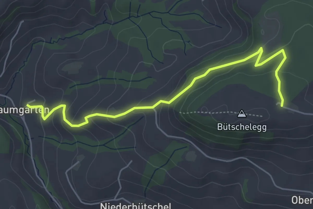
Bütschelegg – Baumgarten
5.4 km · ↑ 263 m · 1 h 50 min · 9 km away
Easy · Trail
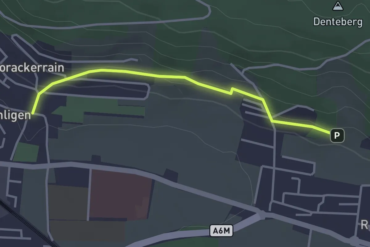
Sunnedörfli – Gümligen/Kirche
3.0 km · ↑ 80 m · 53 min · 9 km away
Easy · Trail
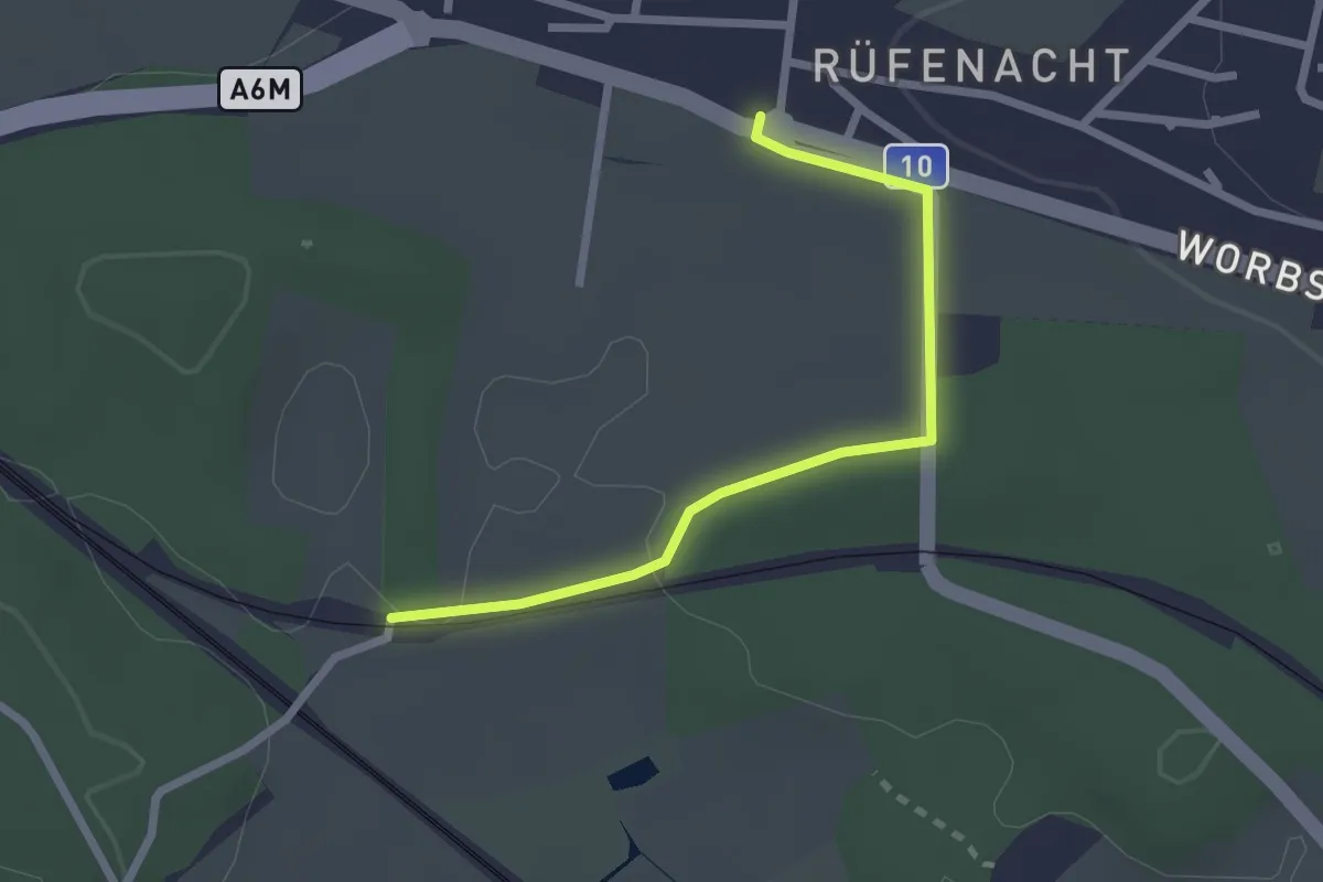
Rüti – Rüfenacht
2.3 km · ↑ 14 m · 35 min · 9 km away
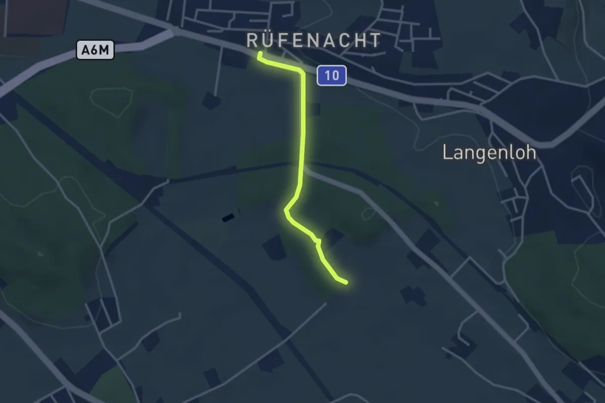
Easy · Trail
Rüfenacht – Chli Hüenliwald
2.6 km · ↑ 20 m · 40 min · 9 km away
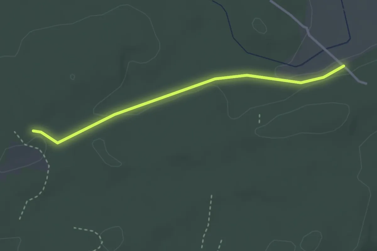
Easy · Trail
Mösli - Heitere
2.9 km · ↑ 18 m · 43 min · 9 km away
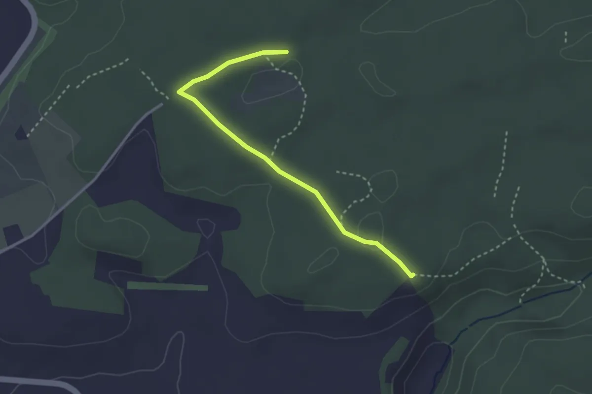
Easy · Trail
Mösli - Tannholzweid
2.9 km · ↑ 35 m · 46 min · 9 km away
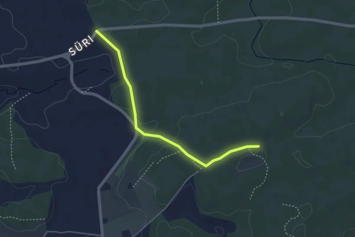
Easy · Trail
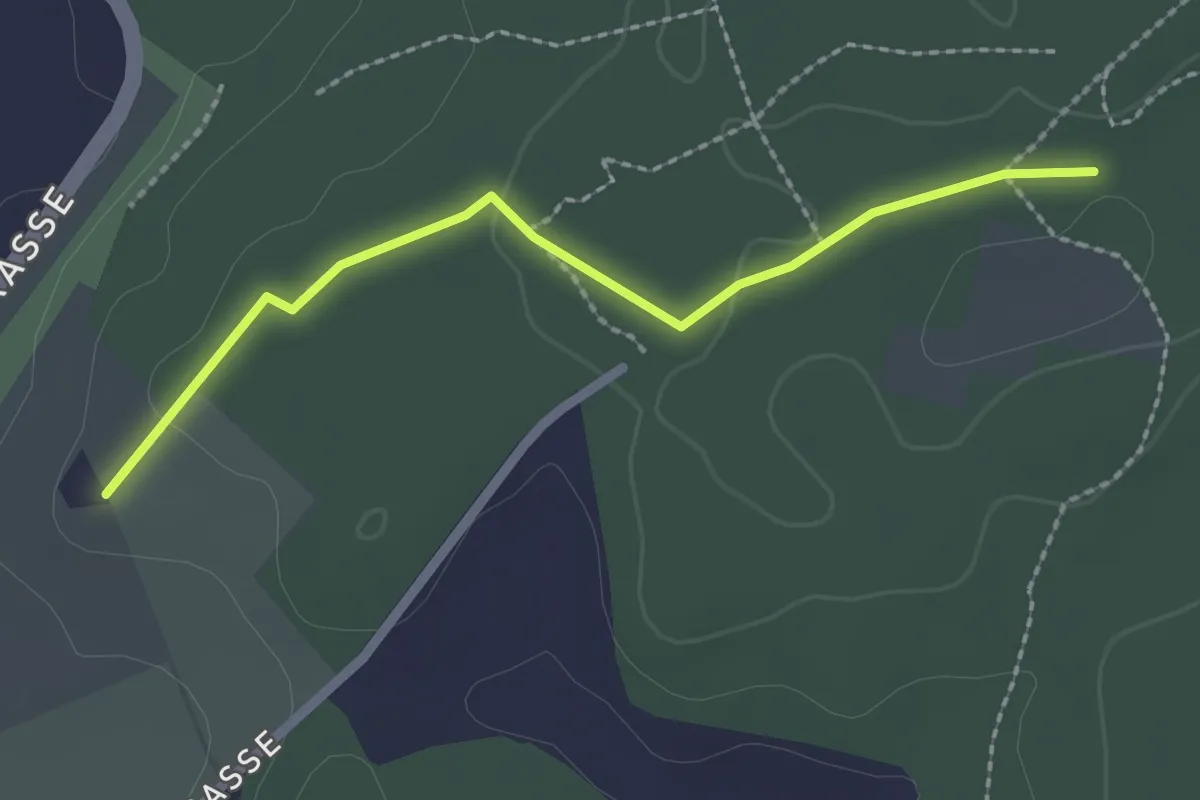
Süri - Mösli
3.6 km · ↑ 74 m · 1 h · 9 km away
Easy · Trail
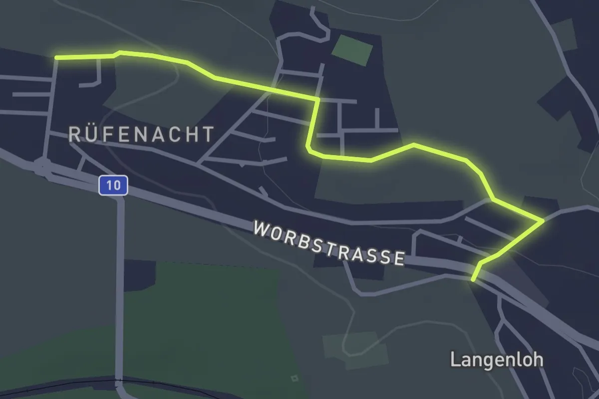
Brambergdenkmal - Mösli
2.2 km · ↑ 27 m · 35 min · 9 km away
Easy · Trail
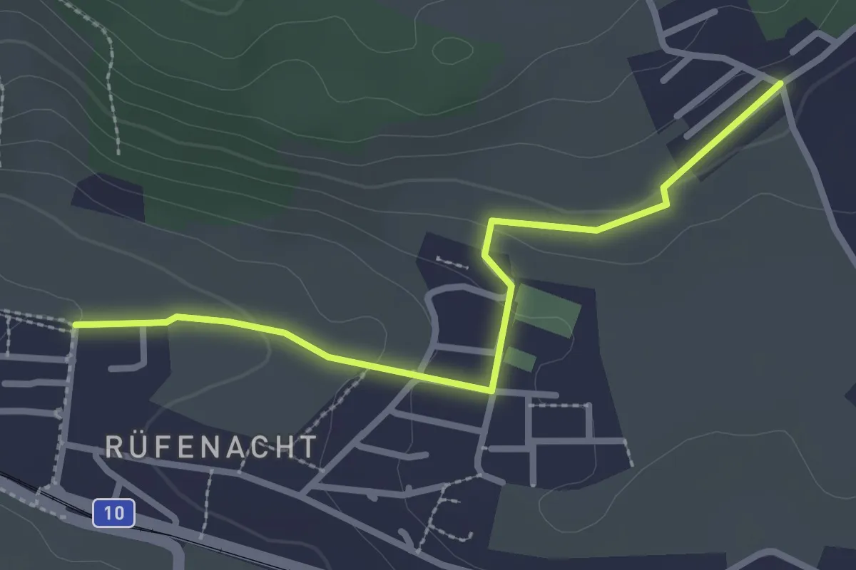
Langenloh – Rüfenacht
3.0 km · ↑ 57 m · 50 min · 9 km away
Easy · Trail
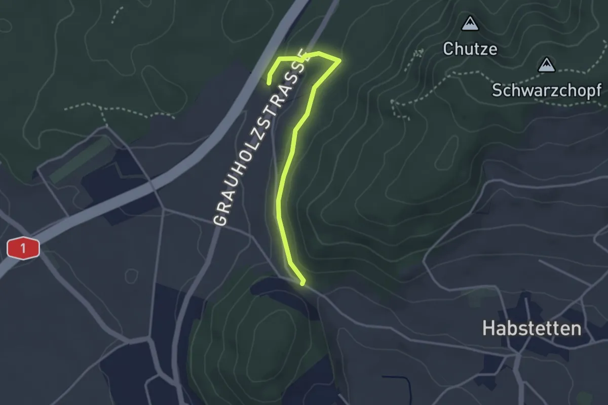
Neuhus – Rüfenacht
2.7 km · ↑ 67 m · 46 min · 9 km away
Easy · Trail
Forsthus – Schlupf
2.8 km · ↑ 40 m · 45 min · 9 km away
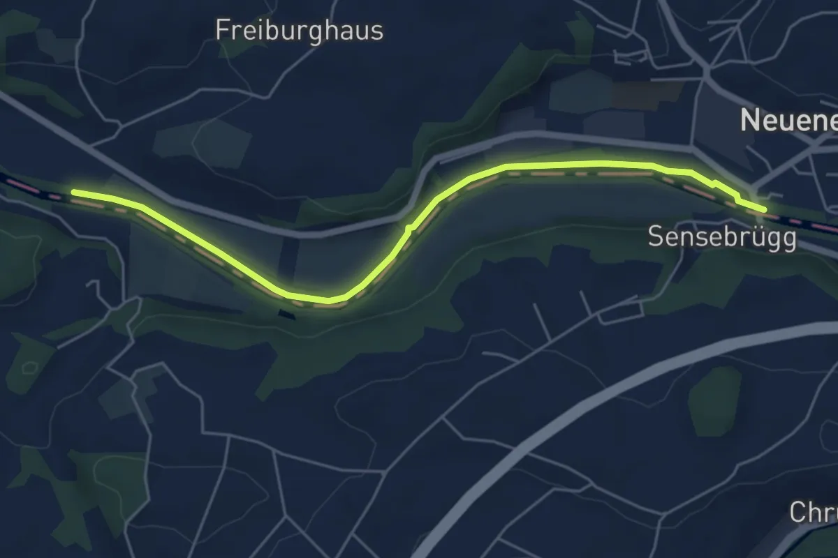
Easy · Trail
Rieldiau – Sensebrücke
5.5 km · ↑ 25 m · 1 h 21 min · 9 km away
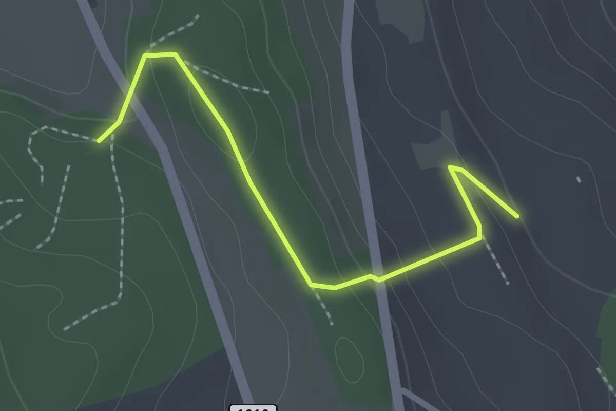
Easy · Trail
Rattenholz - Oberfeld
2.1 km · ↑ 70 m · 39 min · 9 km away
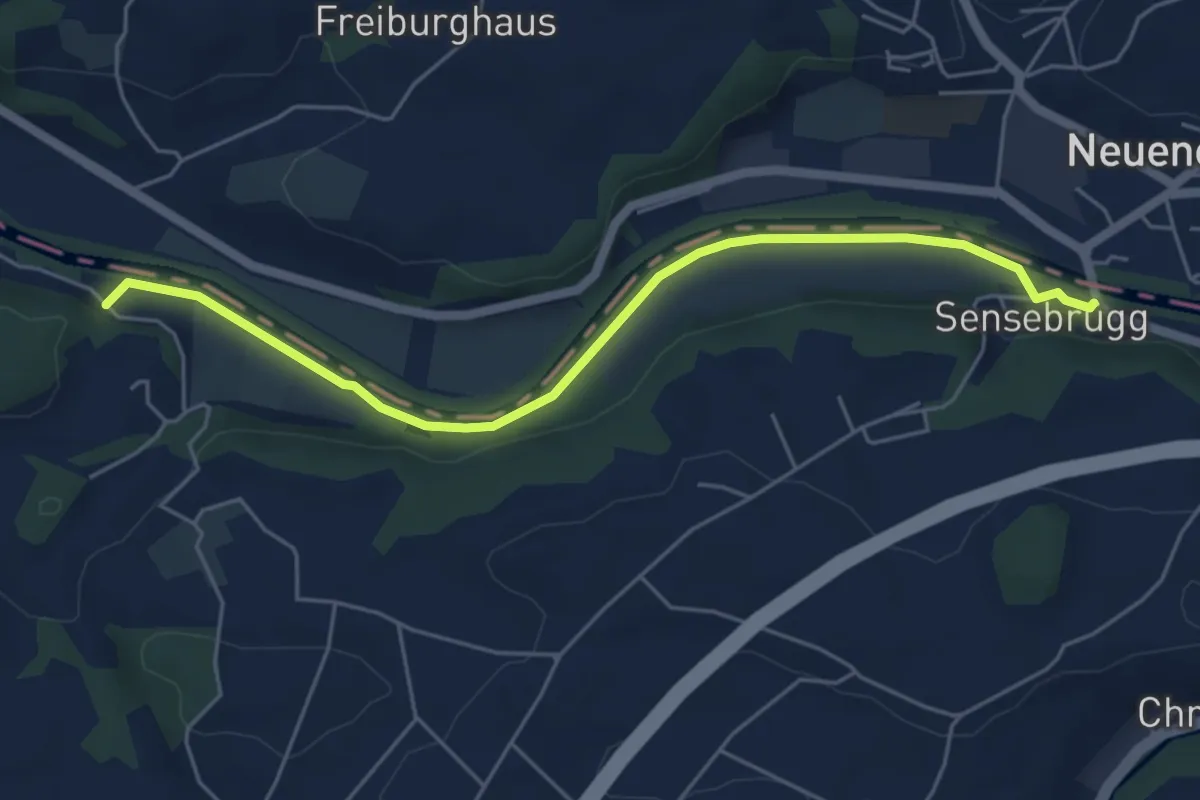
Easy · Trail
Sensebrücke – Noflenau
5.5 km · ↑ 34 m · 1 h 23 min · 9 km away
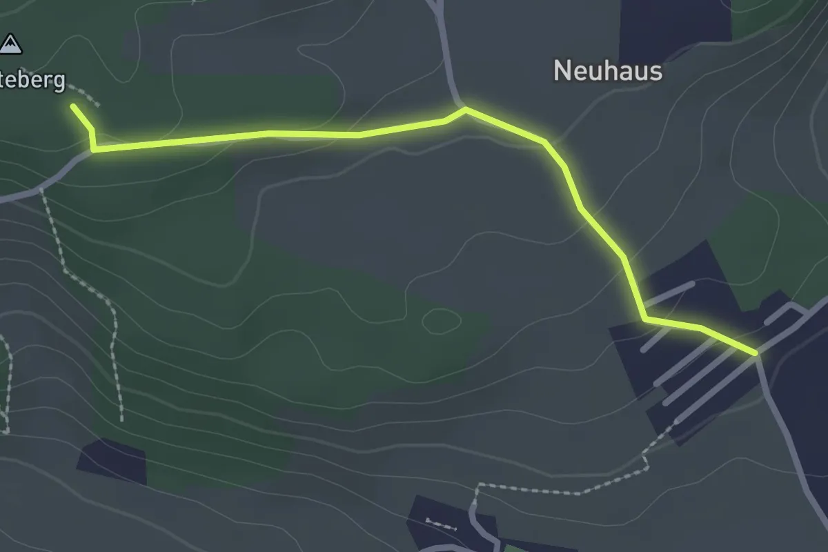
Easy · Trail
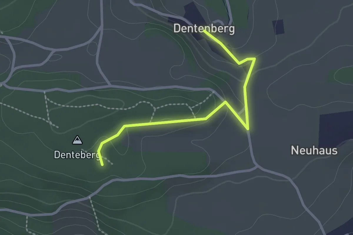
Neuhus – Denteberg
2.4 km · ↑ 76 m · 44 min · 9 km away
Easy · Trail
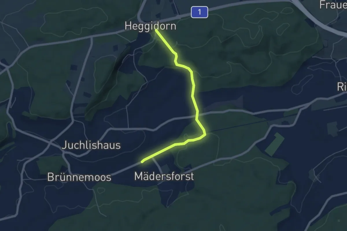
Dentenberg – Dentenberg
2.4 km · ↑ 69 m · 43 min · 9 km away
Easy · Trail
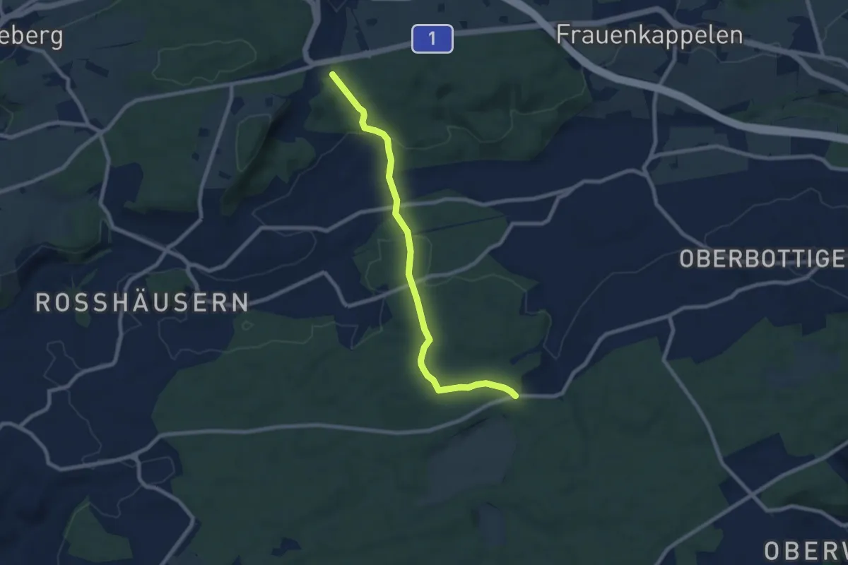
Rosshäusern/Station - Heggidorn
5.3 km · ↑ 157 m · 1 h 35 min · 9 km away
Easy · Trail
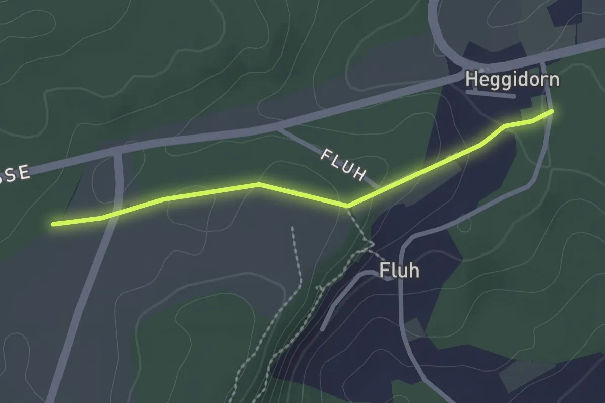
Heggidorn - Fuessacher
7.7 km · ↑ 218 m · 2 h 17 min · 9 km away
Easy · Trail
Obere Ledi - Heggidorn
2.1 km · ↑ 53 m · 37 min · 9 km away
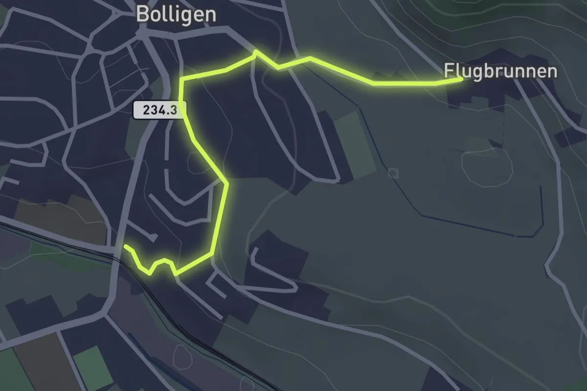
Easy · Trail
Flugbrunnen – Bolligen
2.9 km · ↑ 87 m · 53 min · 9 km away
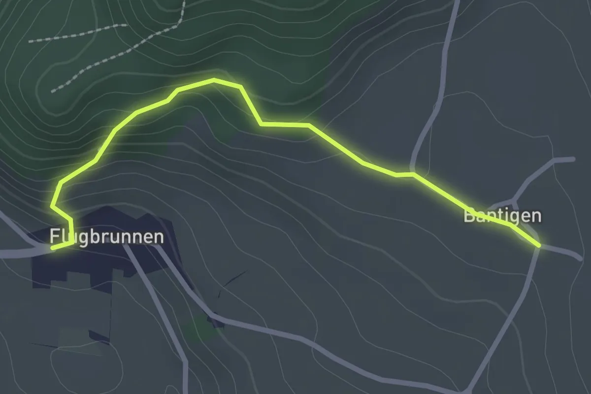
Easy · Trail
Bantigen – Flugbrunnen
2.3 km · ↑ 151 m · 53 min · 9 km away
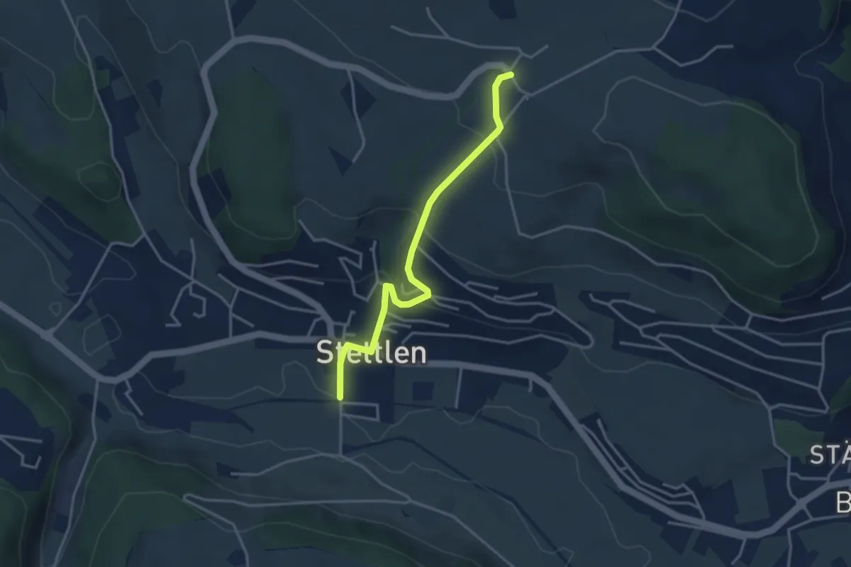
Easy · Trail
Ferenberg – Stettlen
3.4 km · ↑ 179 m · 1 h 11 min · 9 km away
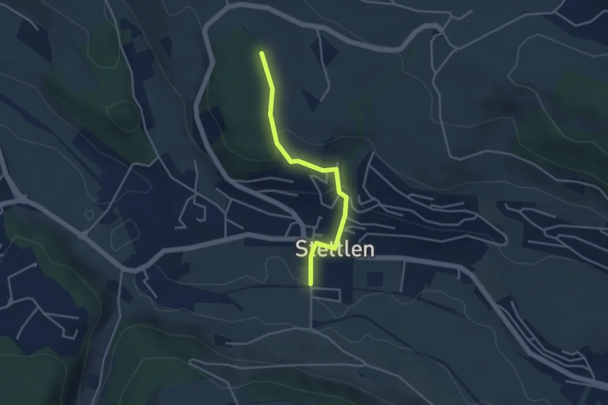
Easy · Trail
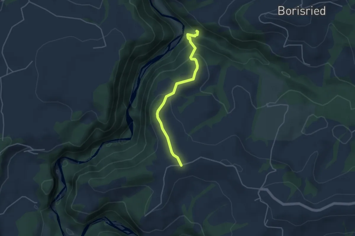
Buechholz – Stettlen
2.8 km · ↑ 115 m · 55 min · 9 km away
Easy · Trail
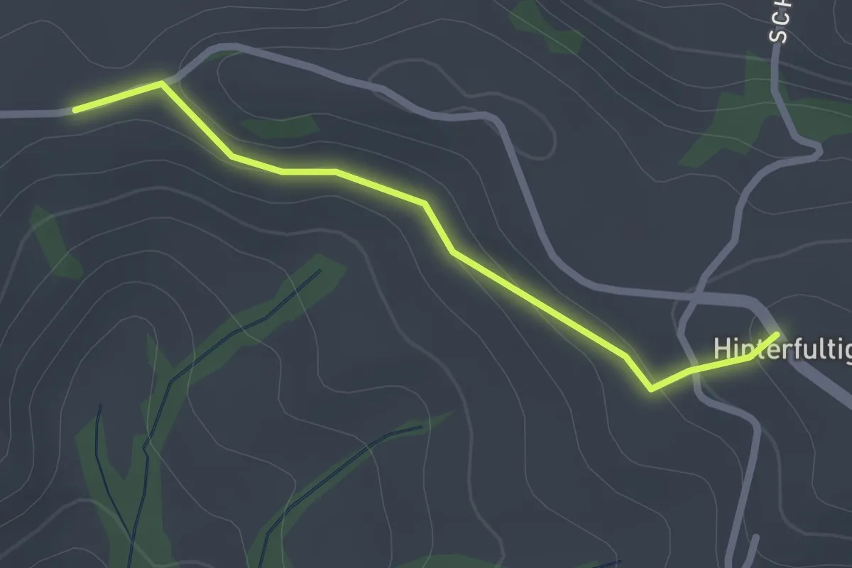
Bütschelbachsteg – Krommen
3.5 km · ↑ 192 m · 1 h 15 min · 9 km away
Easy · Trail
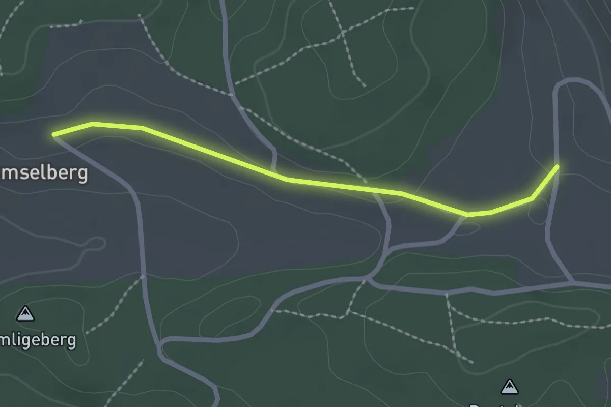
Krommen – Hinterfultigen
2.0 km · ↑ 41 m · 34 min · 9 km away
Easy · Trail
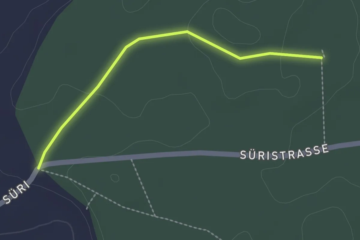
Dentenberg/Käserei – Amsleberg
2.0 km · ↑ 17 m · 31 min · 9 km away
Easy · Trail
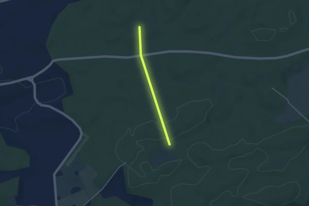
Scharzenbrünnen - Süri
2.2 km · ↑ 26 m · 34 min · 9 km away
Easy · Trail
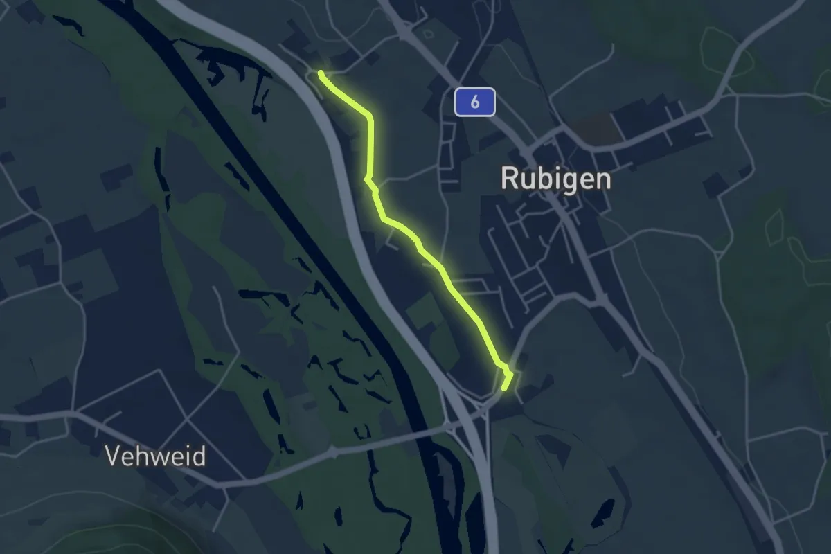
Scharzenbrünnen - Mösli
2.4 km · ↑ 51 m · 41 min · 9 km away
Easy · Trail
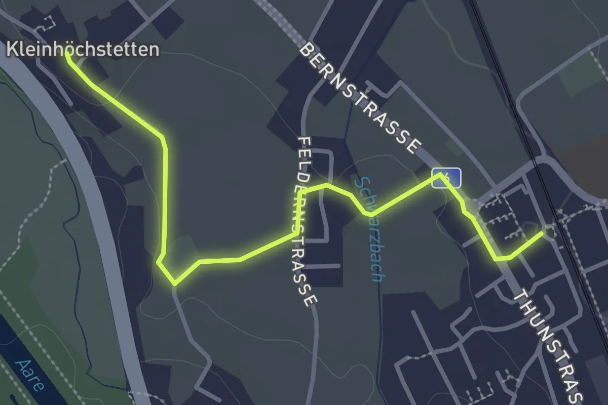
Kleinhöchstetten – Hunziken
3.2 km · ↑ 23 m · 49 min · 9 km away
Easy · Trail
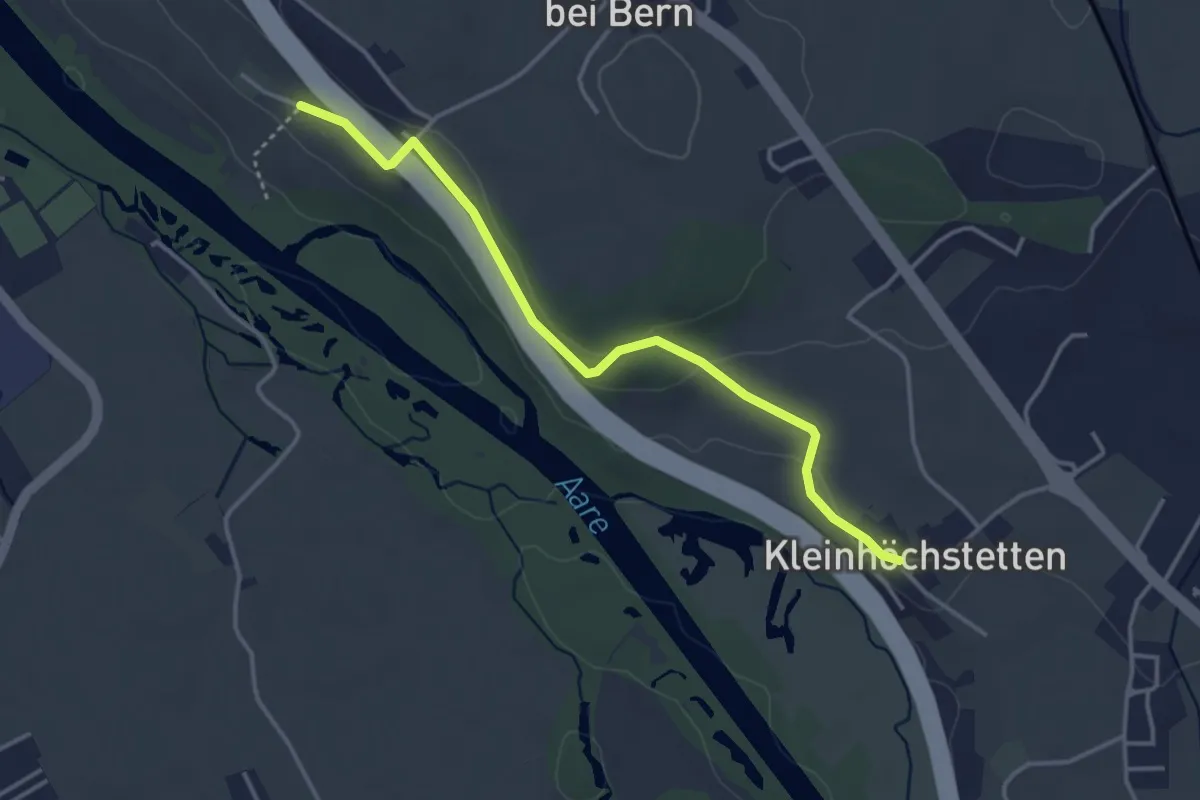
Rubigen - Kleinhöchstetten
3.3 km · ↑ 31 m · 50 min · 9 km away
Easy · Trail
Kleinhöchstetten – Hinter Märchligen
3.7 km · ↑ 92 m · 1 h 5 min · 9 km away