Trails near Köniz
523 hikes starting within 15 km, nearest first.
Nearest first, page 6 of 11
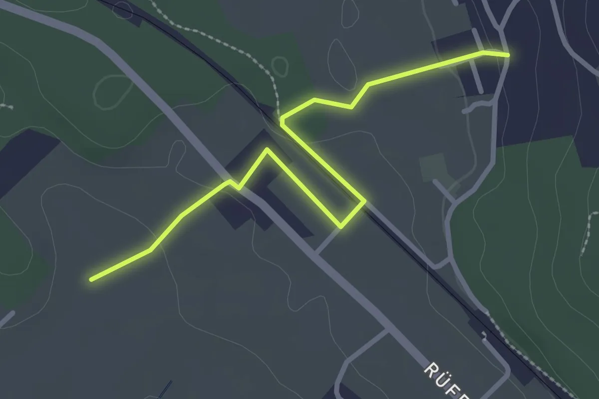
Easy · Trail
Chli Hüenliwald-Murmösli
2.7 km · ↑ 39 m · 43 min · 9 km away
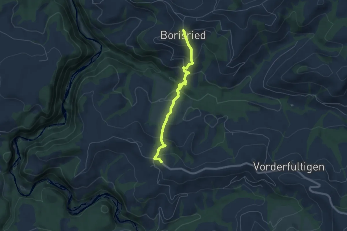
Easy · Trail
Borisried – Hinterfultigen
5.1 km · ↑ 295 m · 1 h 50 min · 9 km away
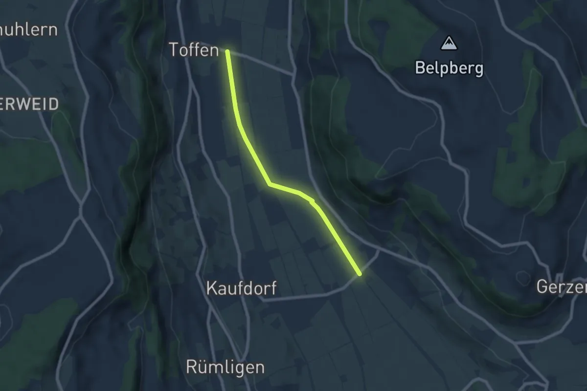
Easy · Trail
Gelterfingen - Toffen/Station
5.6 km · ↑ 4 m · 1 h 19 min · 9 km away
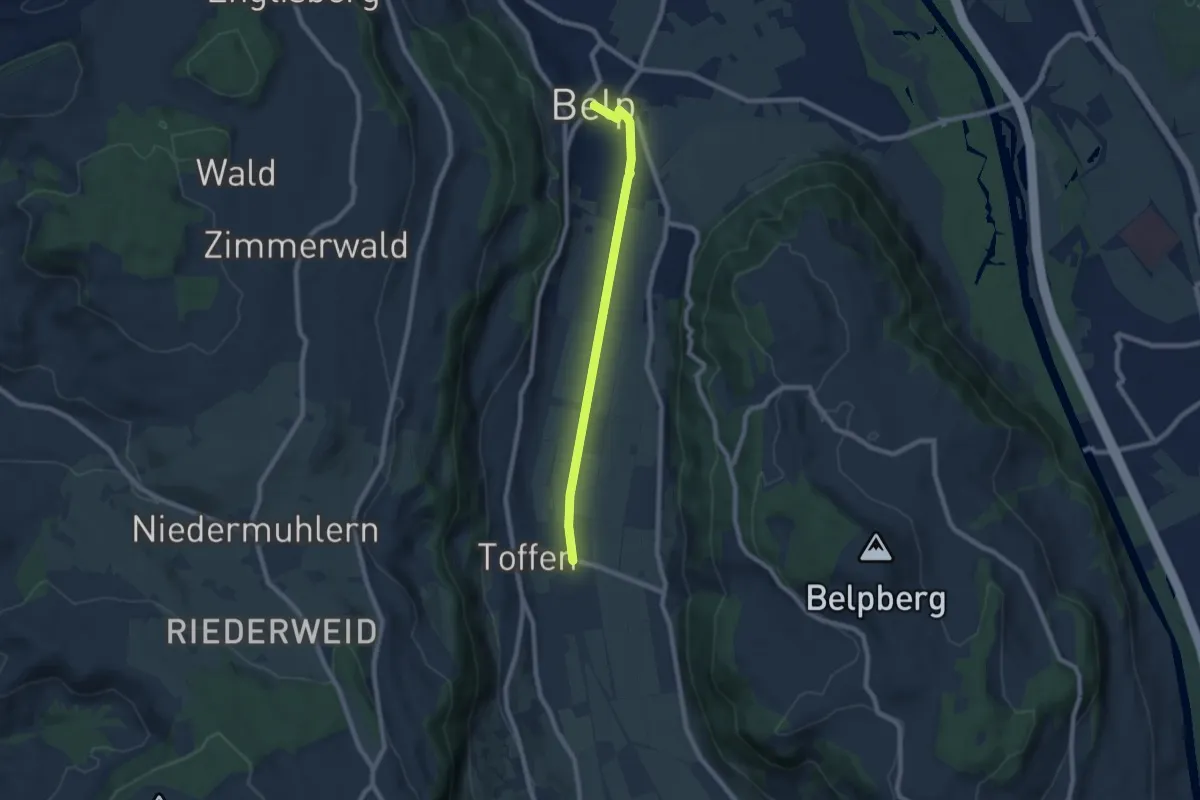
Easy · Trail
Toffen – Belp
7.3 km · ↑ 4 m · 1 h 44 min · 9 km away
Easy · Trail
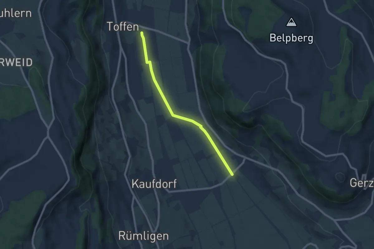
Toffen/Station - Gelterfingen
5.5 km · ↑ 4 m · 1 h 19 min · 9 km away
Easy · Trail
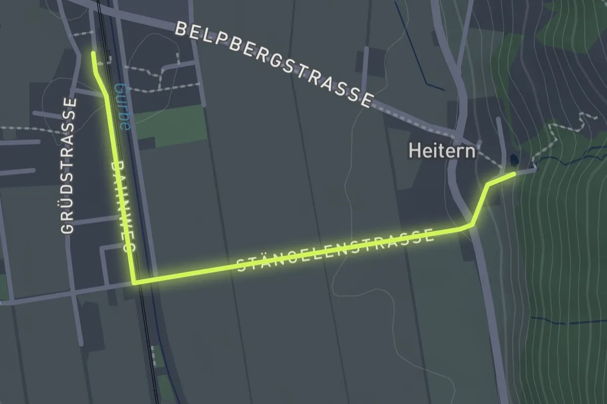
Toffen/Station – Heitern
2.6 km · ↑ 38 m · 41 min · 9 km away
Easy · Trail
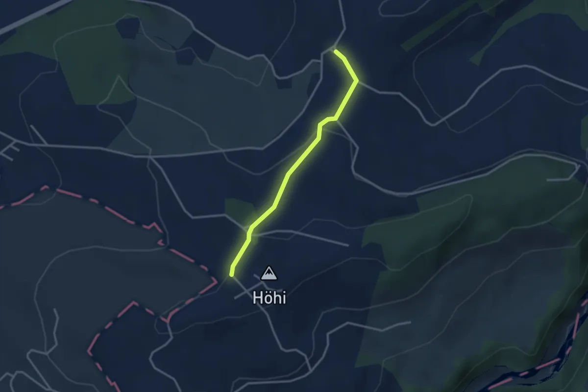
Sommerauhöchi – Obermettlen
2.5 km · ↑ 63 m · 44 min · 9 km away
Easy · Trail
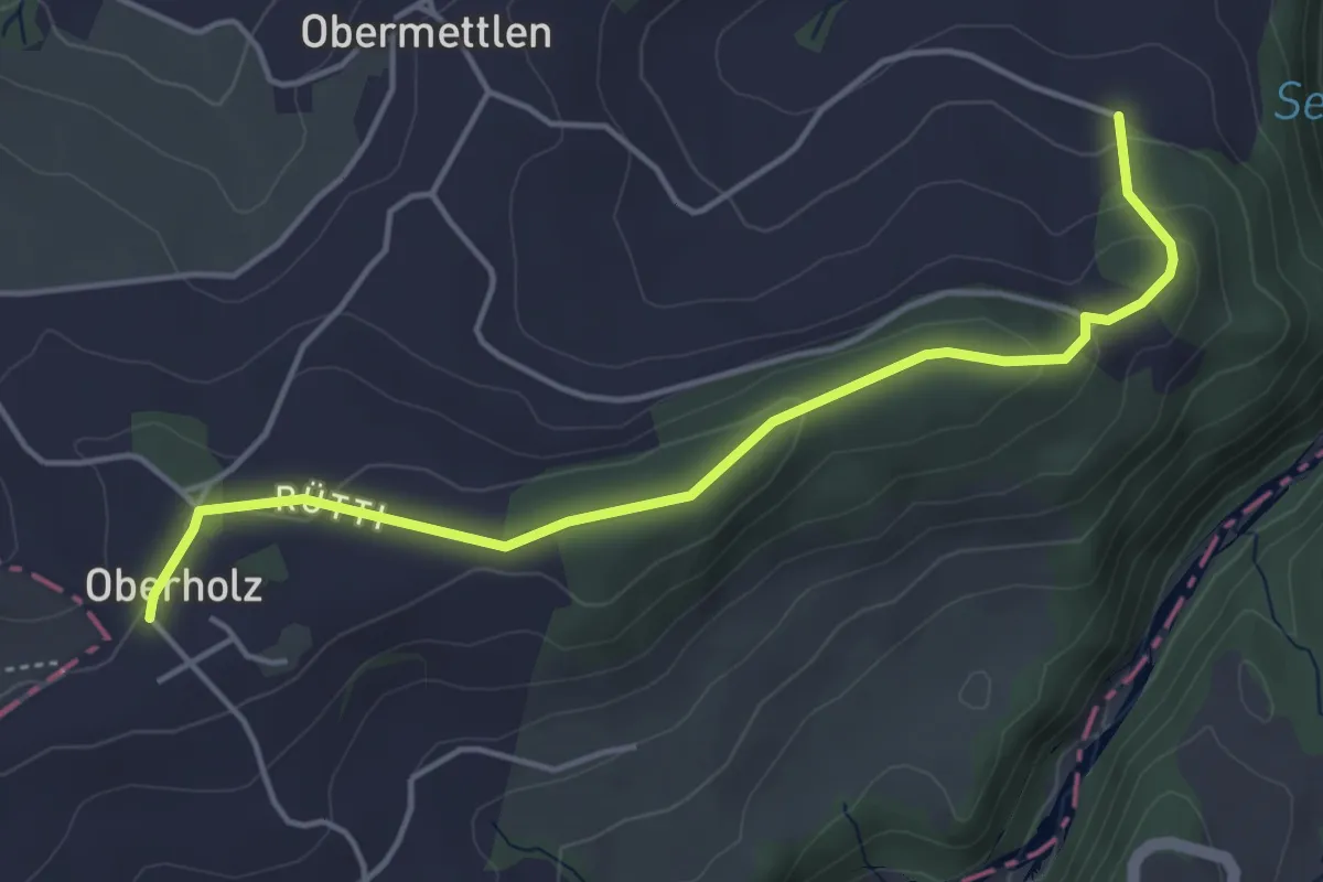
Burlingen - Summerauhöchi
4.6 km · ↑ 160 m · 1 h 26 min · 9 km away
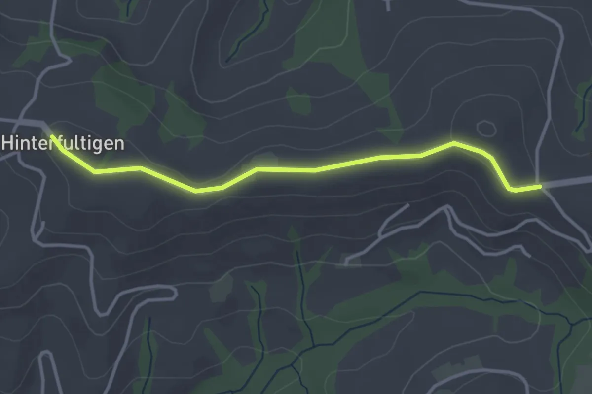
Easy · Trail
Hinterfultigen – Vorderfultigen
3.2 km · ↑ 42 m · 50 min · 10 km away
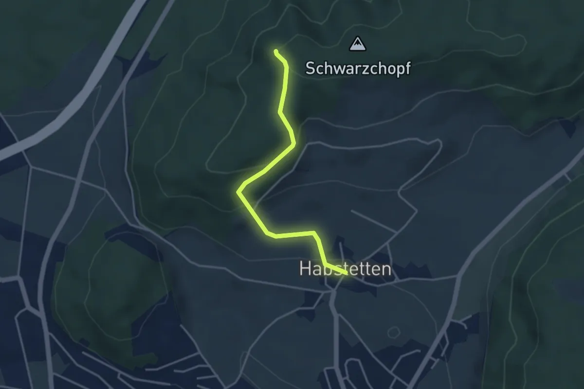
Easy · Trail
Grauholz/Schwarzkopf – Habstetten
3.2 km · ↑ 157 m · 1 h 5 min · 10 km away
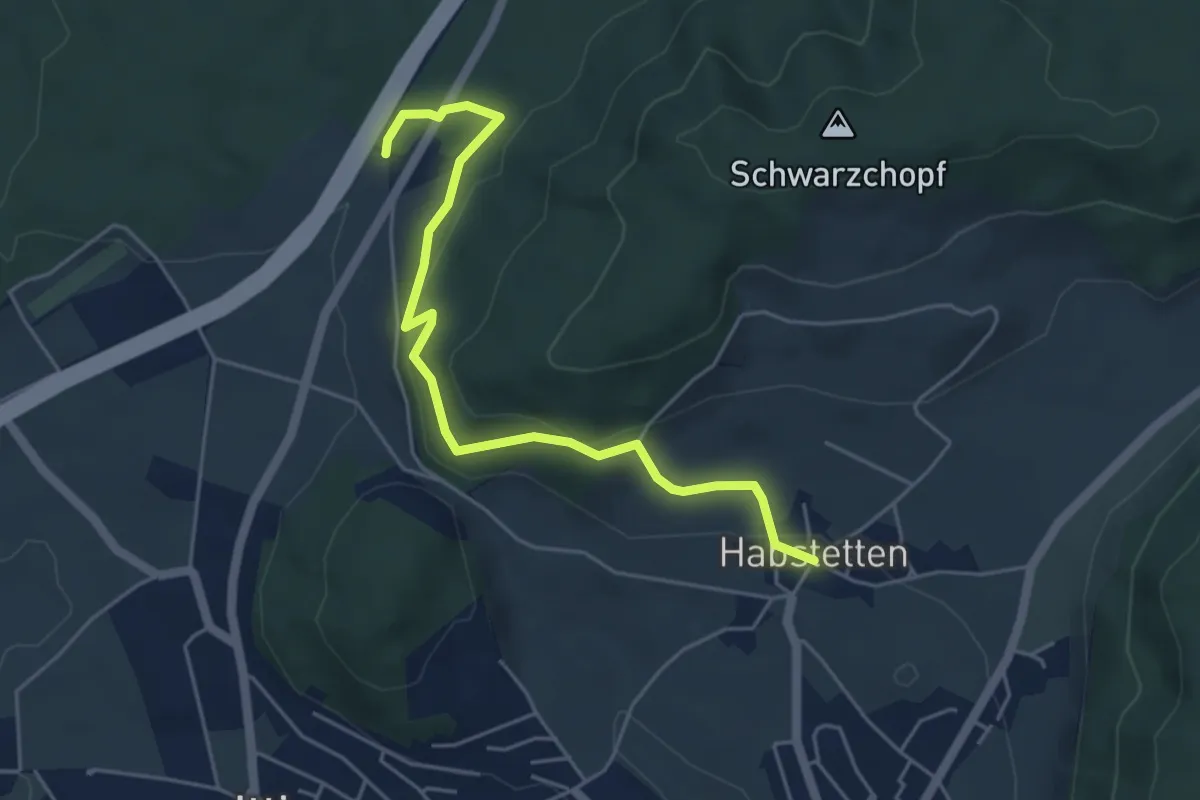
Easy · Trail
Forsthus – Habstetten
5.1 km · ↑ 162 m · 1 h 33 min · 10 km away
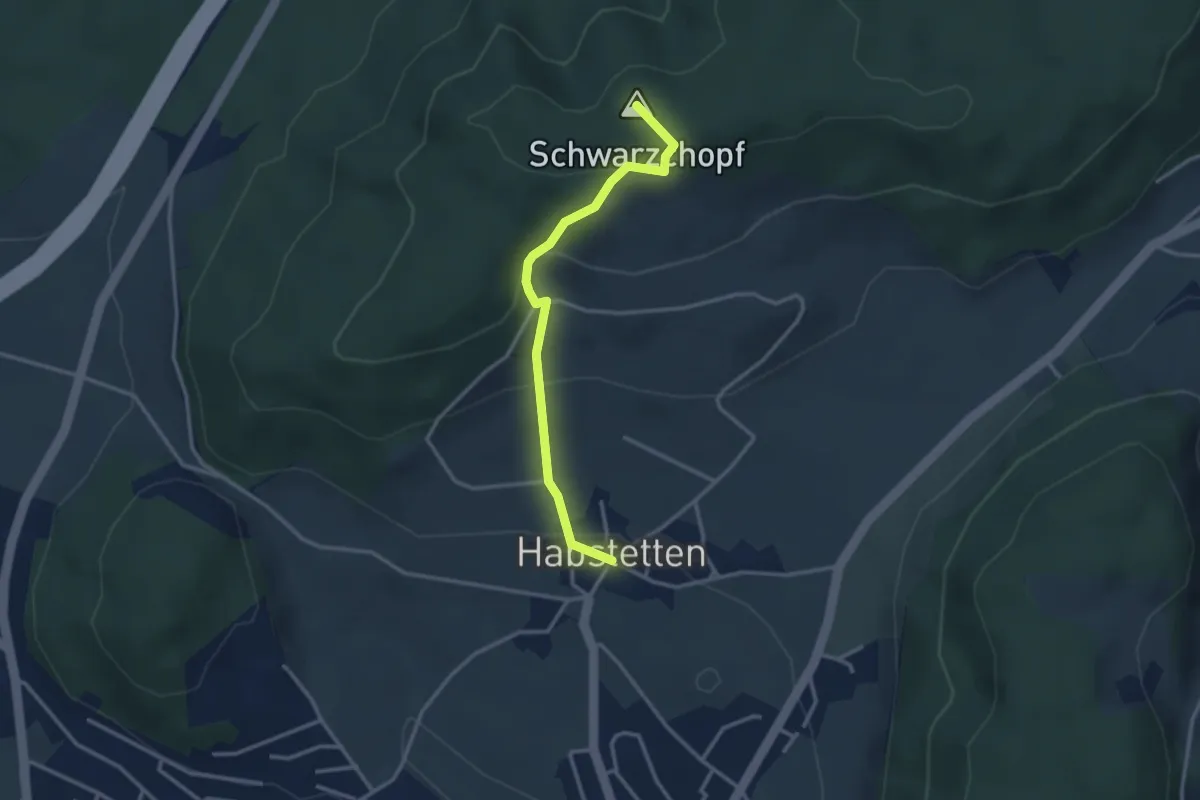
Easy · Summit
Bannholz – Habstetten
3.0 km · ↑ 167 m · 1 h 4 min · 10 km away
Easy · Trail
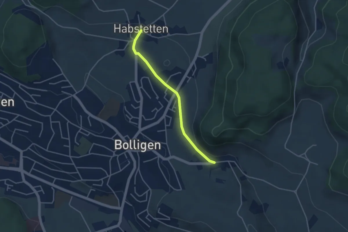
Habstetten – Flugbrunnen
3.0 km · ↑ 34 m · 47 min · 10 km away
Easy · Trail
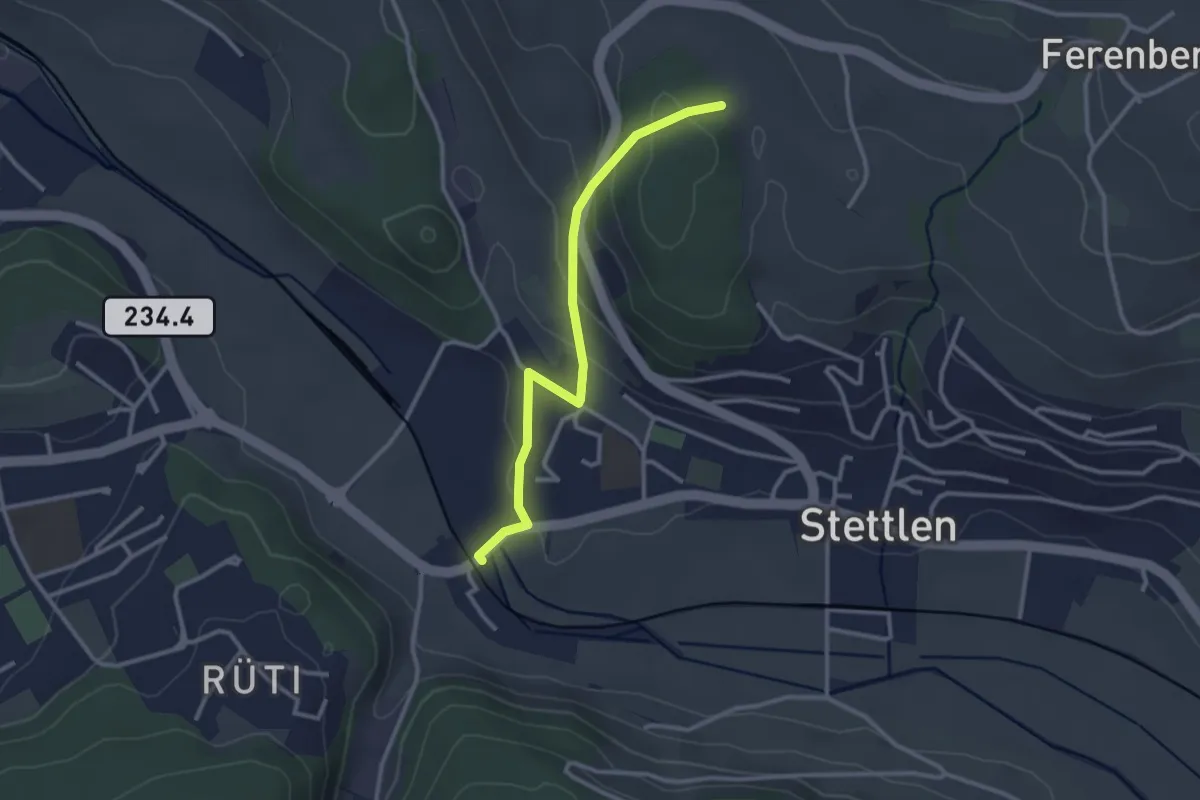
Buechholz – Deisswil
2.8 km · ↑ 135 m · 57 min · 10 km away
Easy · Trail
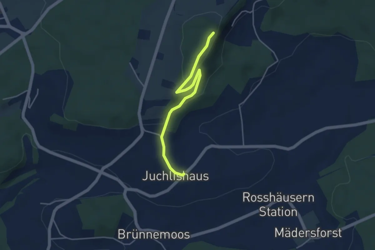
Lediflue - Juchlishus
3.5 km · ↑ 129 m · 1 h 7 min · 10 km away
Easy · Trail
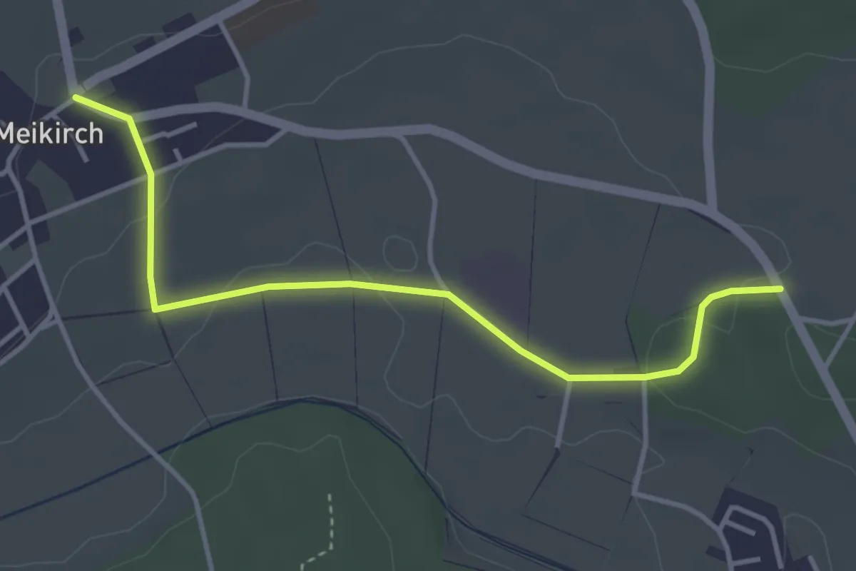
Meikirch – Rüti
3.8 km · ↑ 62 m · 1 h 2 min · 10 km away
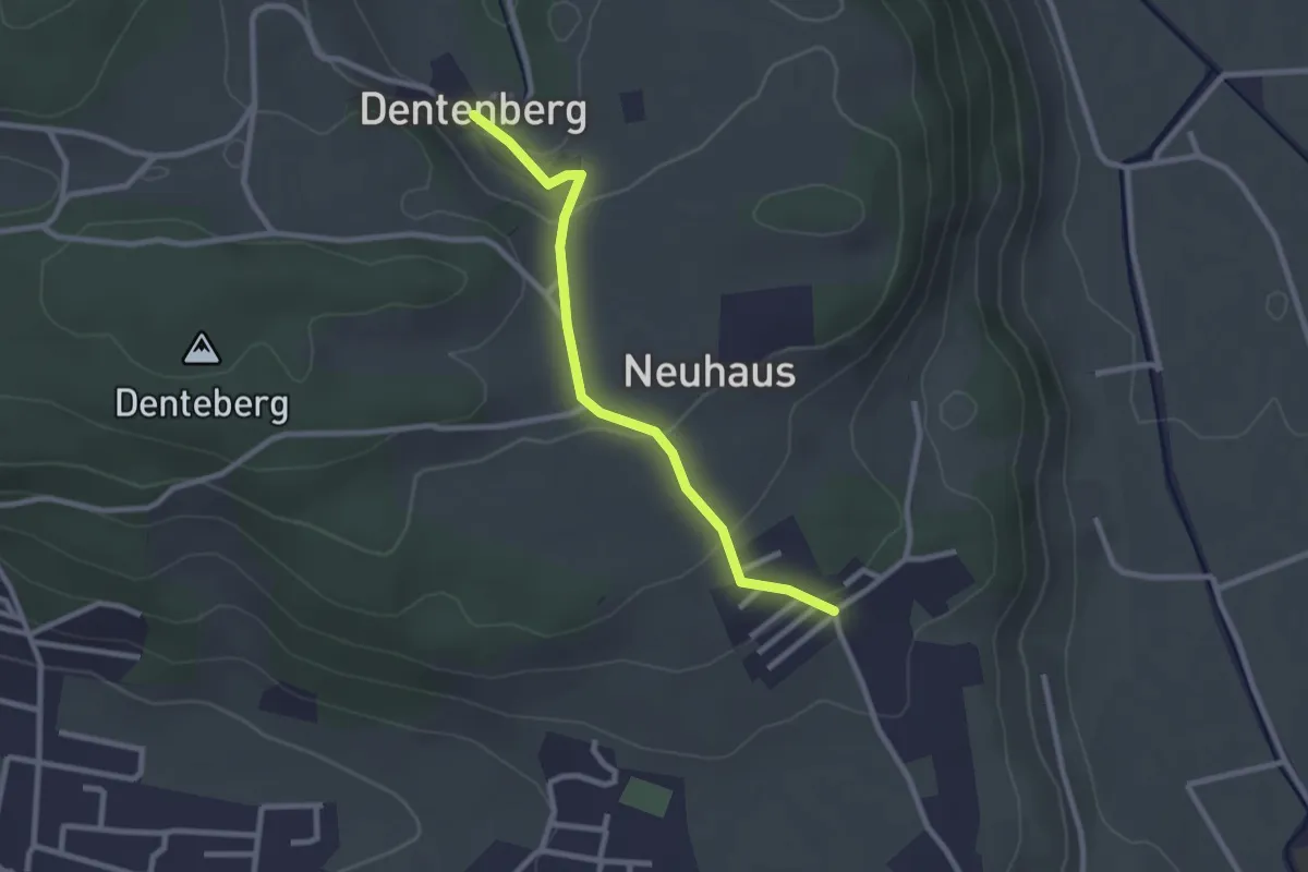
Easy · Trail
Neuhus – Dentenberg
2.4 km · ↑ 80 m · 45 min · 10 km away
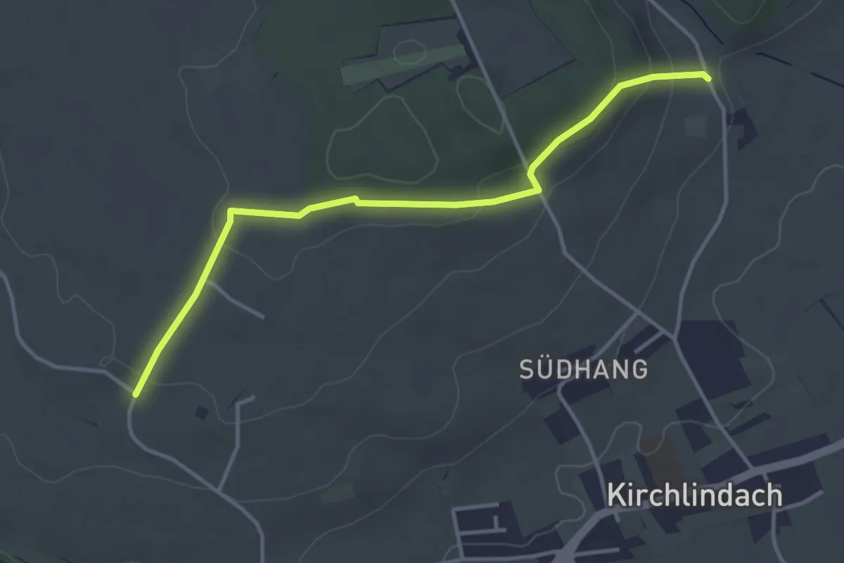
Easy · Trail
Jetzikofen – Buchsacher
3.8 km · ↑ 119 m · 1 h 9 min · 10 km away
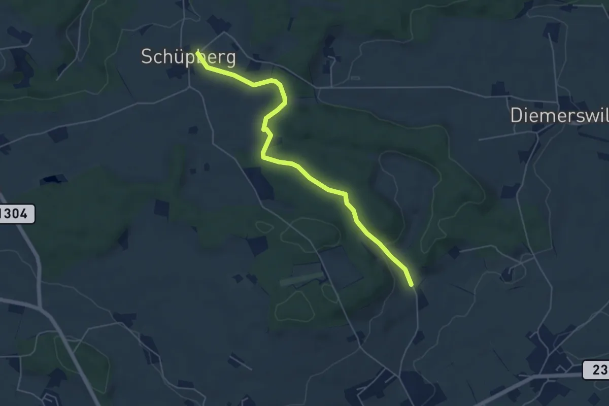
Easy · Trail
Schüpberg – Buchsacher
5.4 km · ↑ 117 m · 1 h 32 min · 10 km away
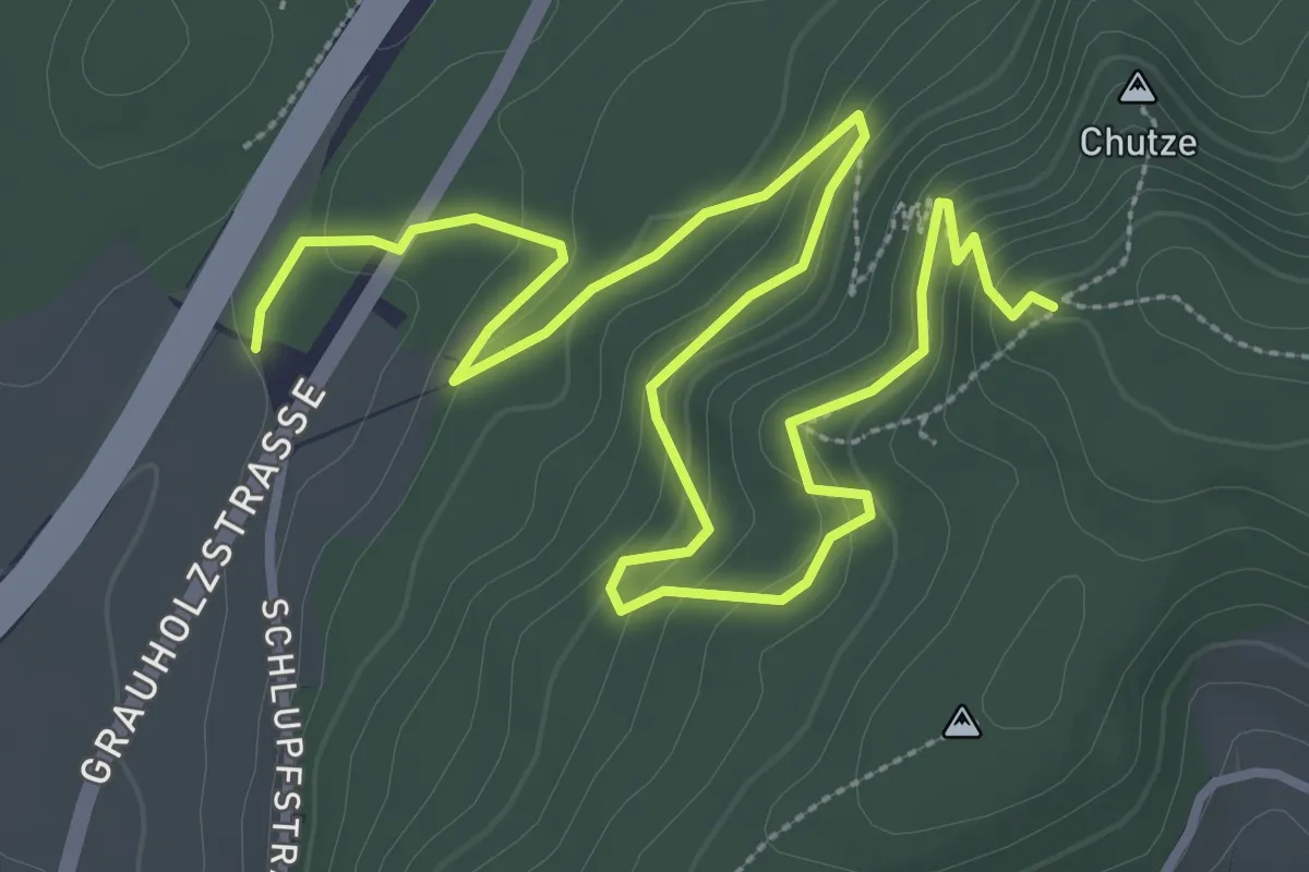
Medium · Trail
Forsthus – Grauholz/Schwarzkopf
5.1 km · ↑ 351 m · 1 h 58 min · 10 km away
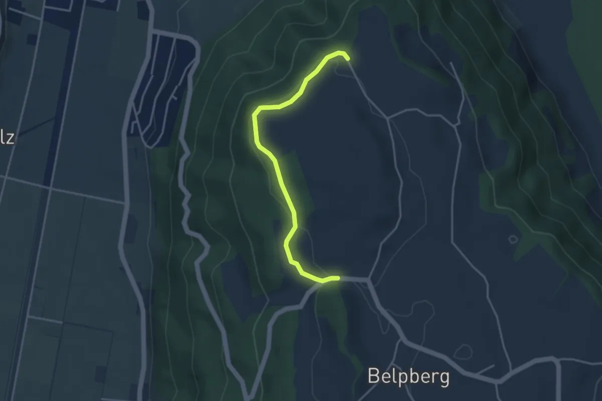
Easy · Trail
Hoburg - Weid
3.3 km · ↑ 114 m · 1 h 2 min · 10 km away
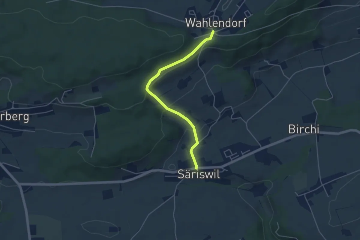
Easy · Trail
Wahlendorf Usserdorf – Säriswil
4.0 km · ↑ 132 m · 1 h 14 min · 10 km away
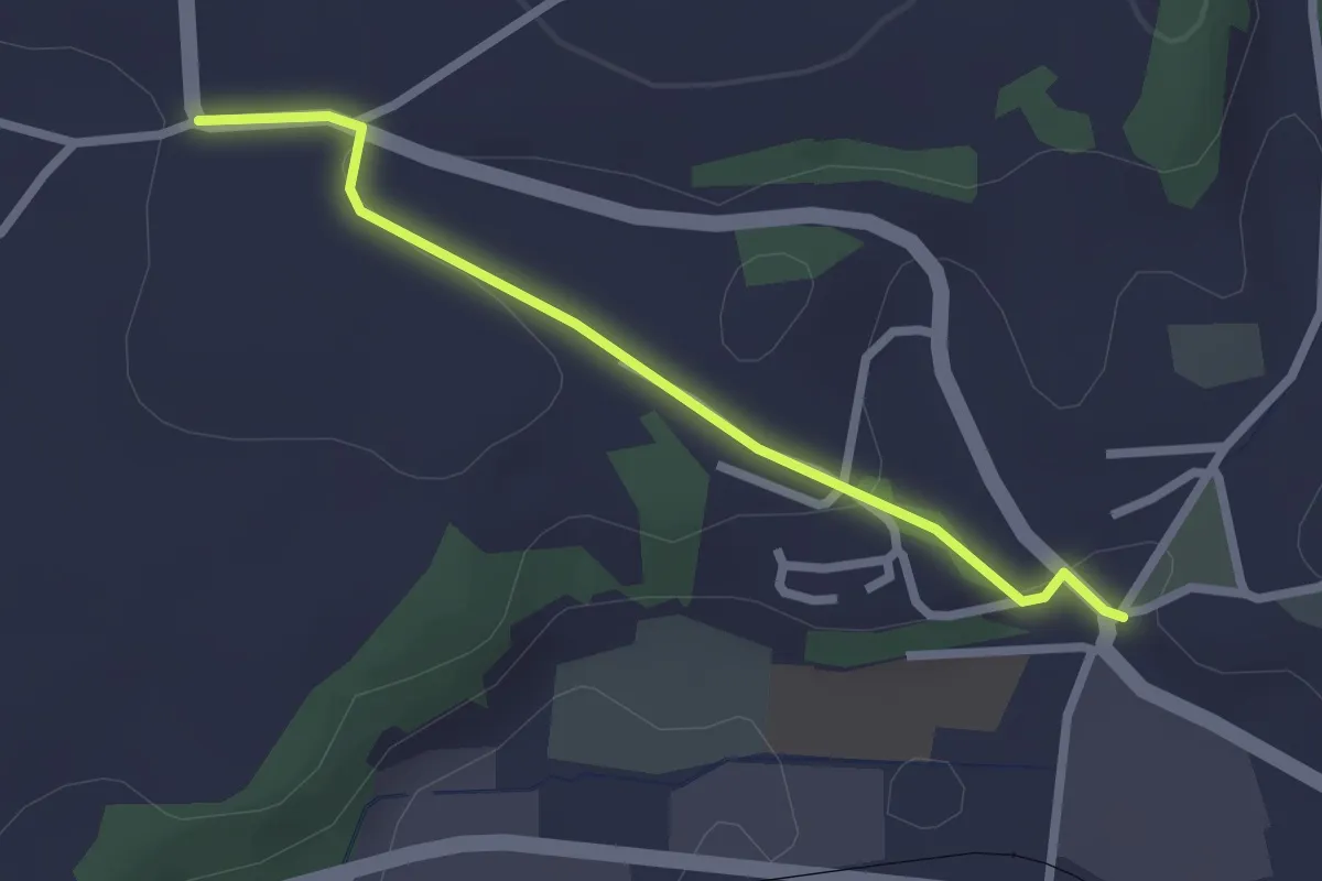
Easy · Trail
Brüggelbach - Neuenegg Kirche
2.3 km · ↑ 42 m · 38 min · 10 km away
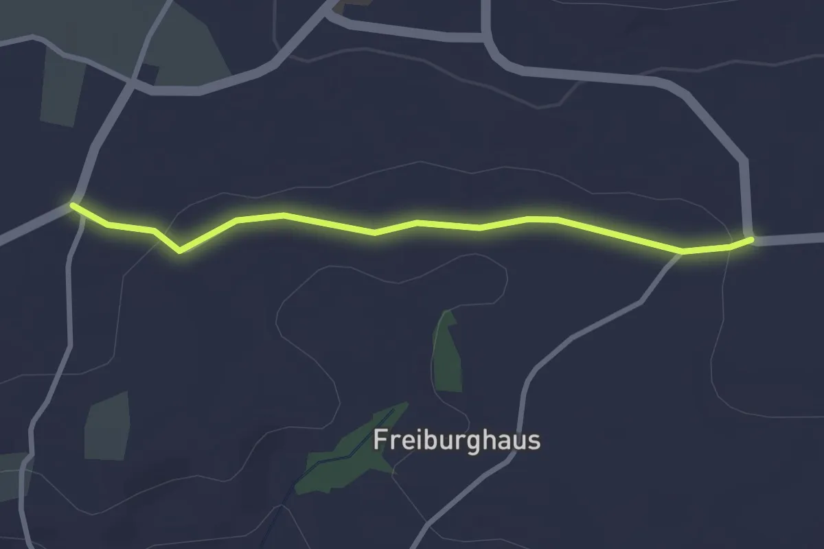
Easy · Trail
Sandgrube - Brüggelbach
2.5 km · ↑ 37 m · 41 min · 10 km away
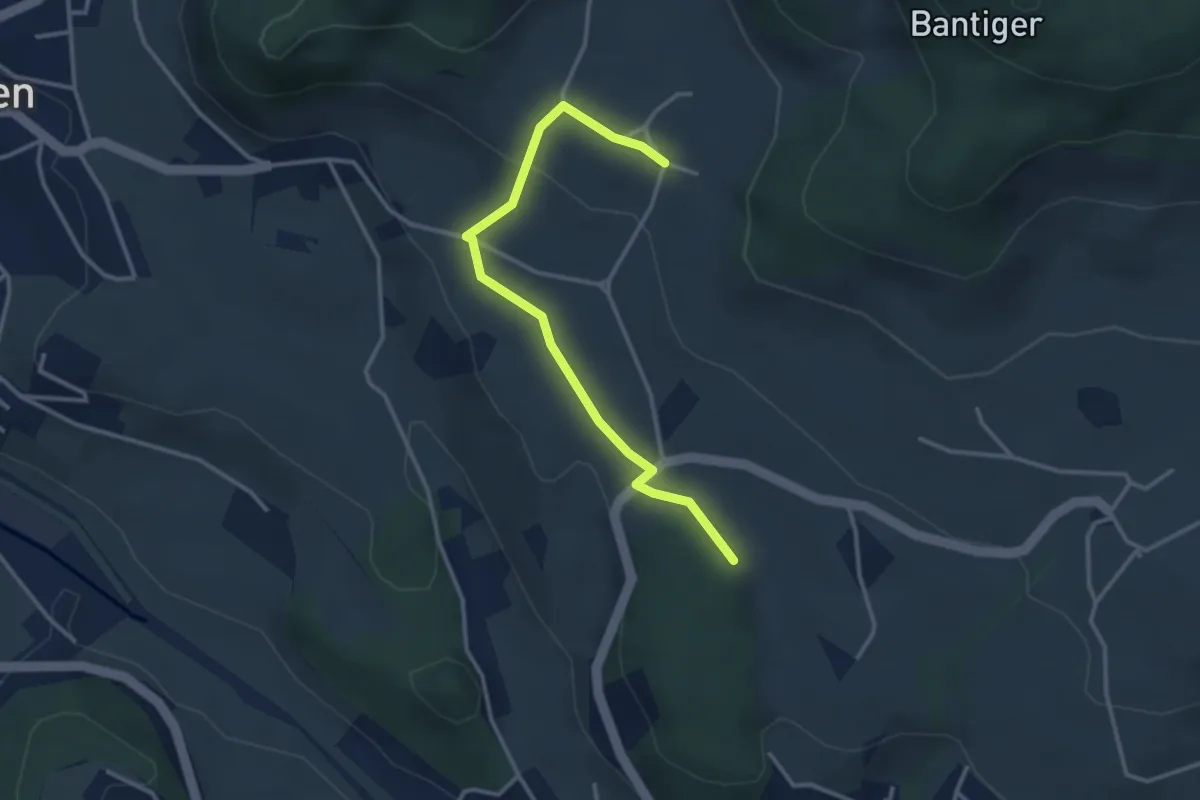
Easy · Trail
Bantigen – Buecholz
3.3 km · ↑ 57 m · 54 min · 10 km away
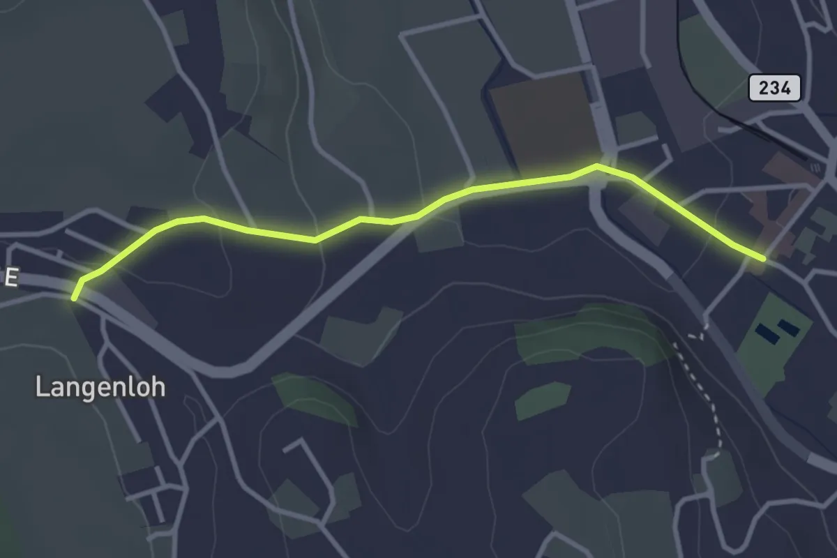
Easy · Trail
Langenloh – Worb Sternen
3.0 km · ↑ 66 m · 52 min · 10 km away
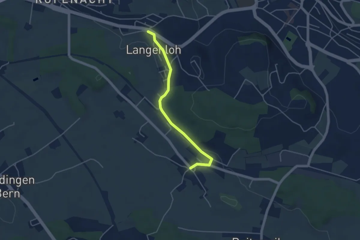
Easy · Trail
Langenloh – Vielbringen
3.7 km · ↑ 53 m · 59 min · 10 km away
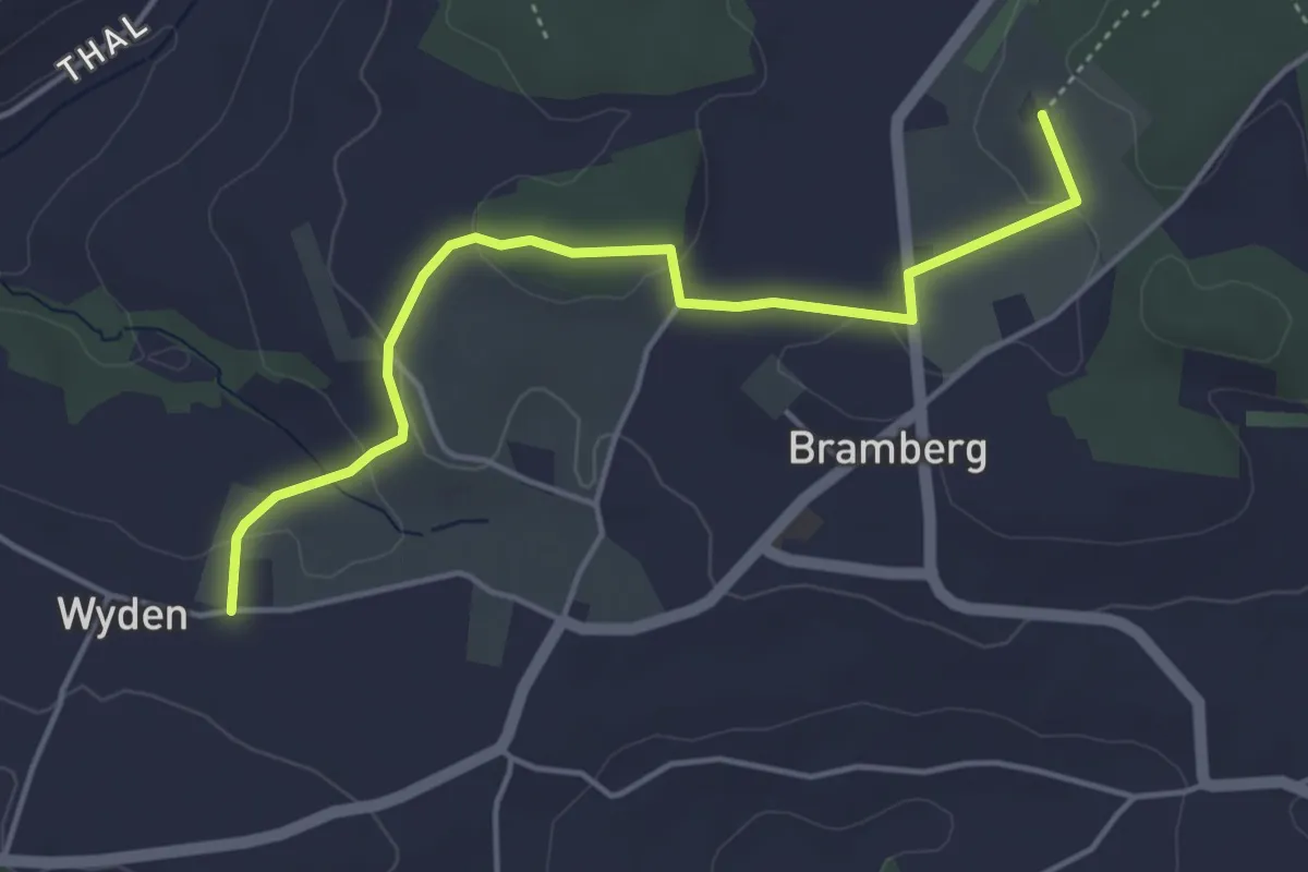
Easy · Trail
Wyden - Brambergdenkmal
4.5 km · ↑ 95 m · 1 h 17 min · 10 km away
Easy · Trail
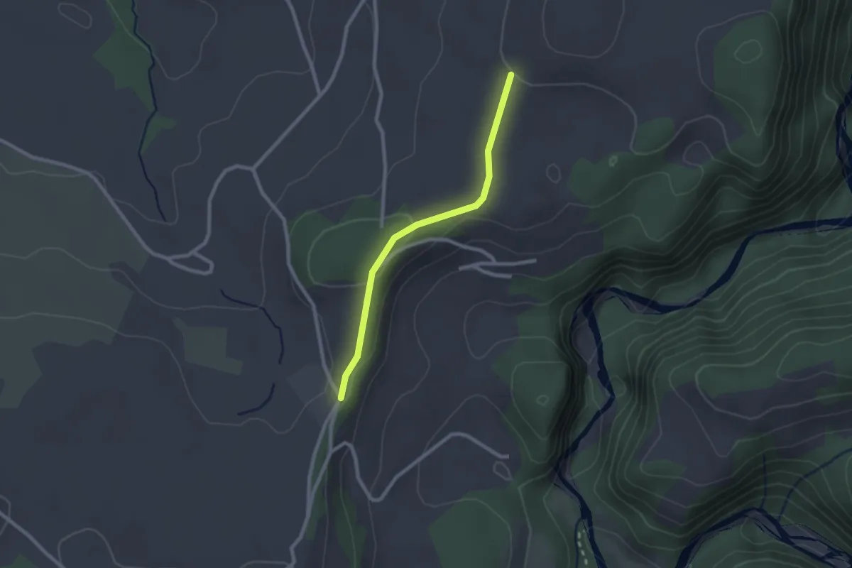
Chrummoos - Ried
2.1 km · ↑ 47 m · 36 min · 10 km away
Easy · Trail
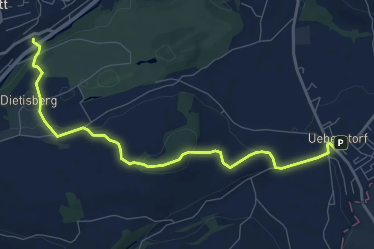
Wünnewil SBB - Ueberstorf
7.1 km · ↑ 225 m · 2 h 9 min · 10 km away
Easy · Trail
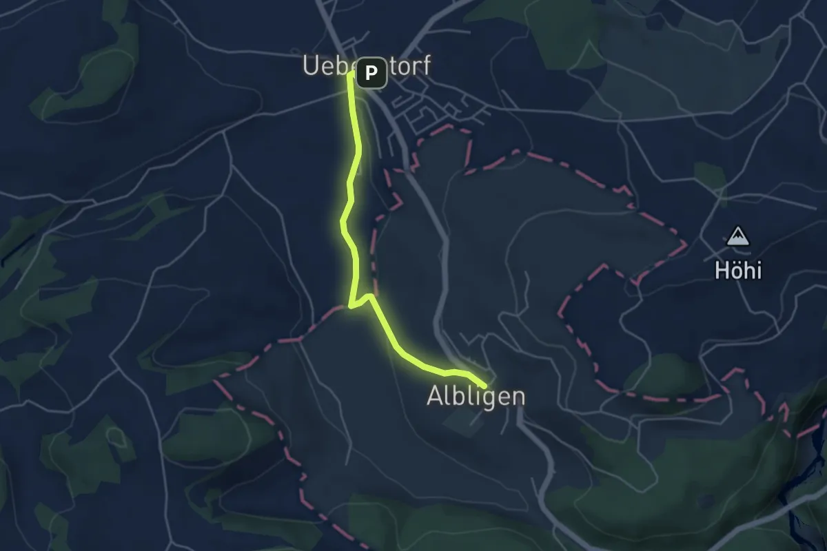
Ueberstorf - Albligen
4.1 km · ↑ 81 m · 1 h 9 min · 10 km away
Easy · Trail
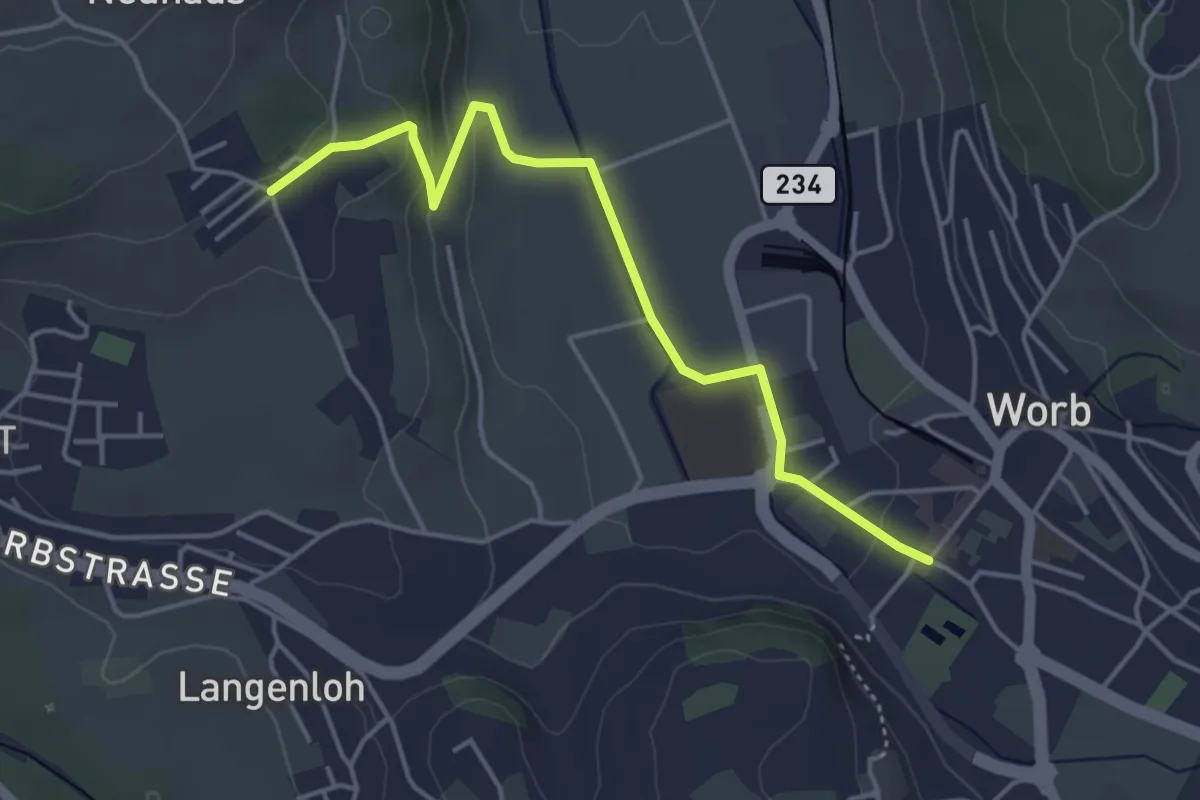
Neuhus – Worb Sternen
4.4 km · ↑ 113 m · 1 h 17 min · 10 km away
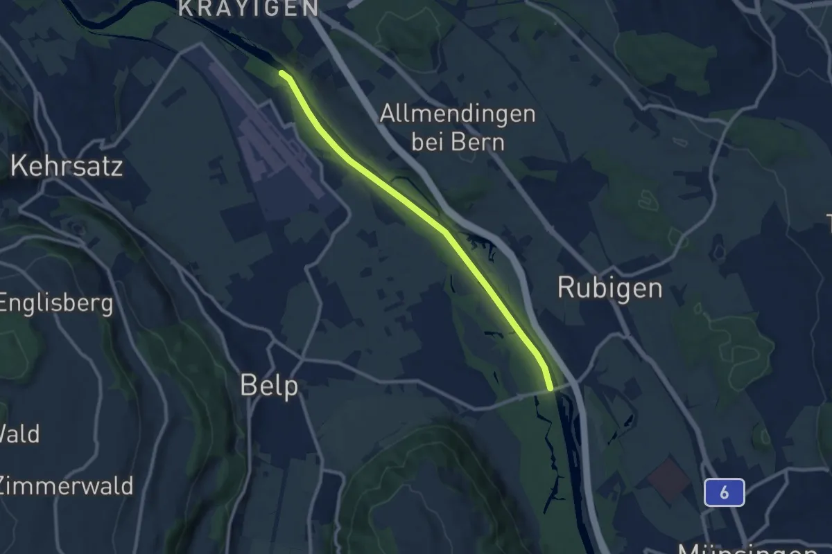
Medium · Trail
Auguetbrügg - Hunzigebrügg
8.7 km · ↑ 8 m · 2 h 4 min · 10 km away
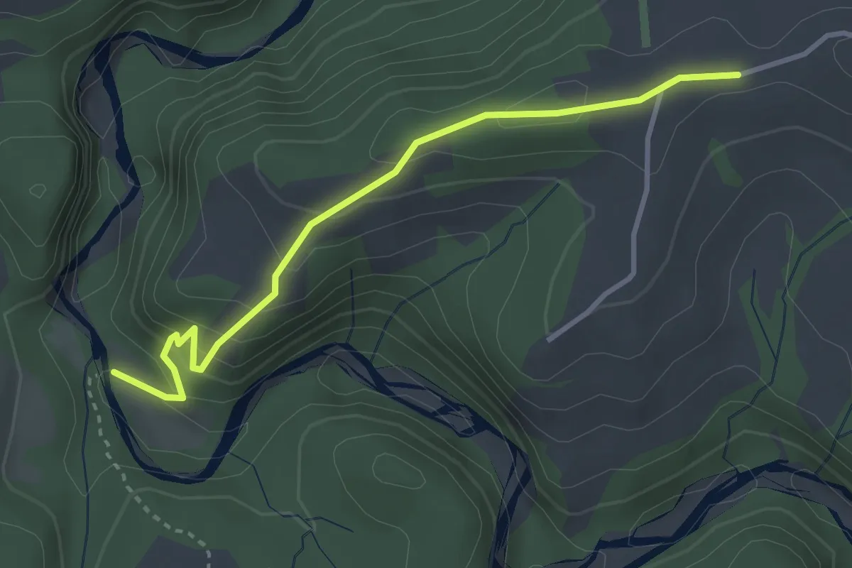
Easy · Trail
Krommen – Schwarzwasser / Steiglenau
3.3 km · ↑ 260 m · 1 h 20 min · 10 km away
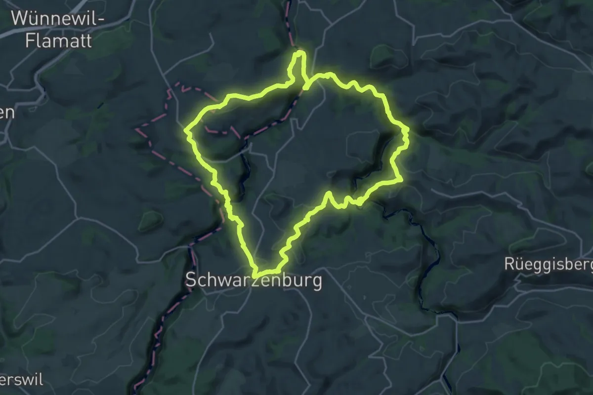
Demanding · Trail
Schwarzwasser Sense Schluchtenweg
21.9 km · ↑ 939 m · 7 h 31 min · 10 km away
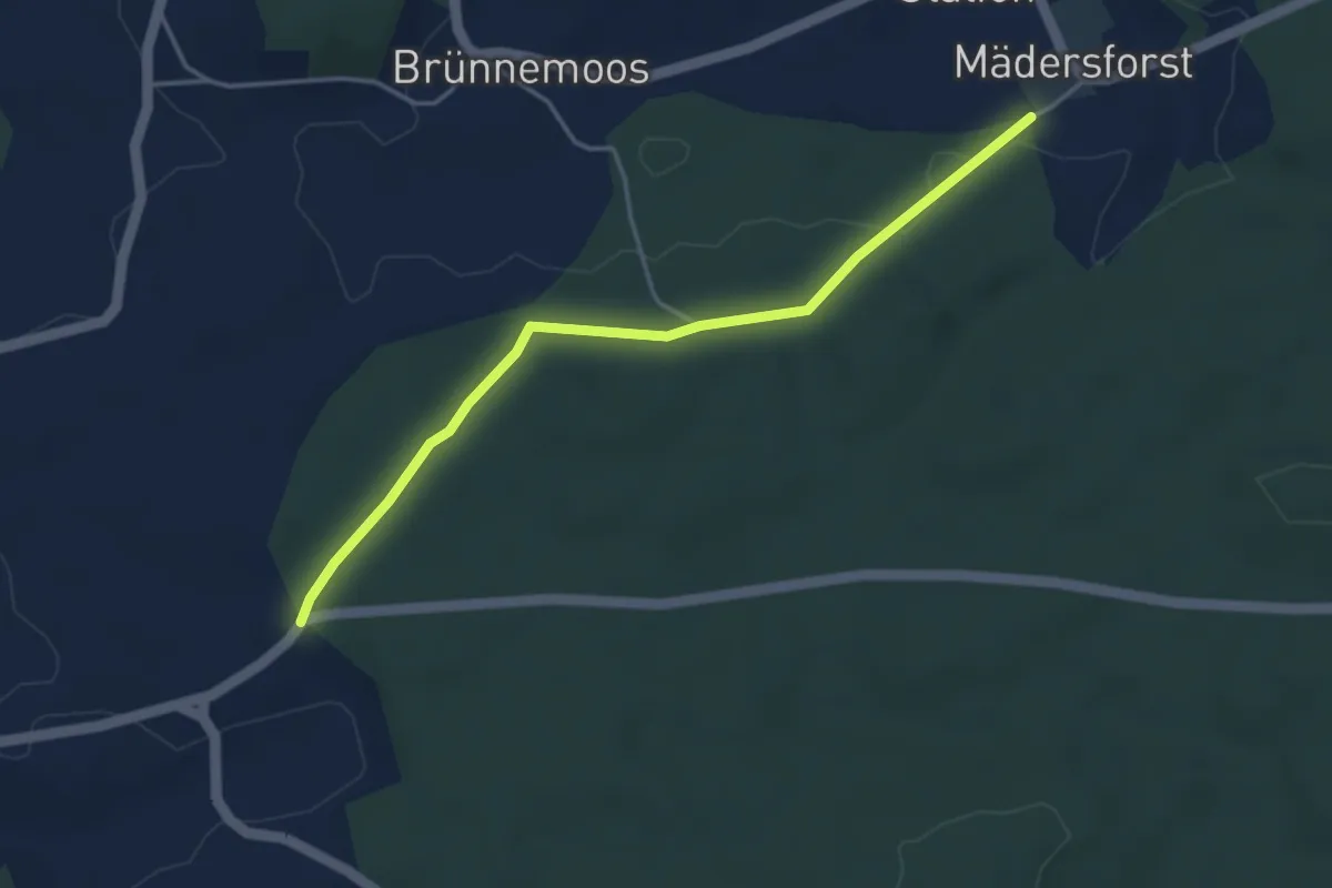
Easy · Trail
Mädersforst-Ischlag - Süri
4.0 km · ↑ 49 m · 1 h 3 min · 10 km away
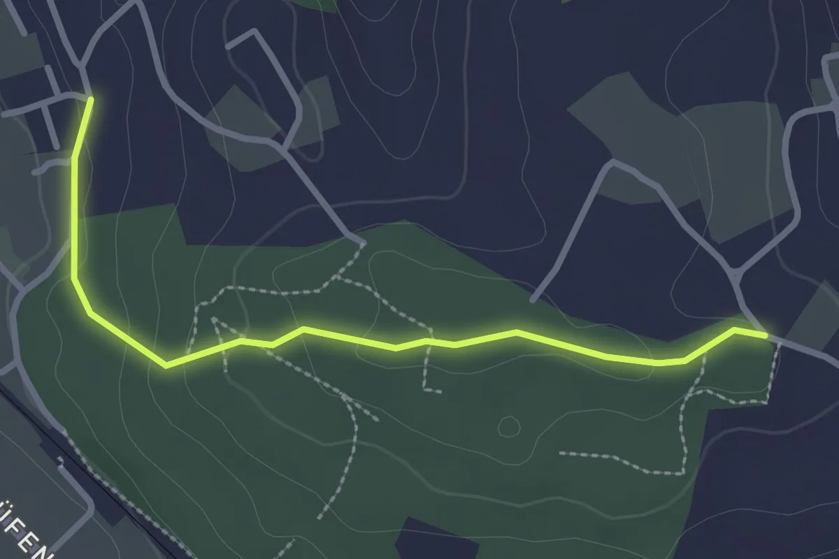
Easy · Trail
Langenloh-Wislen
2.6 km · ↑ 70 m · 46 min · 10 km away
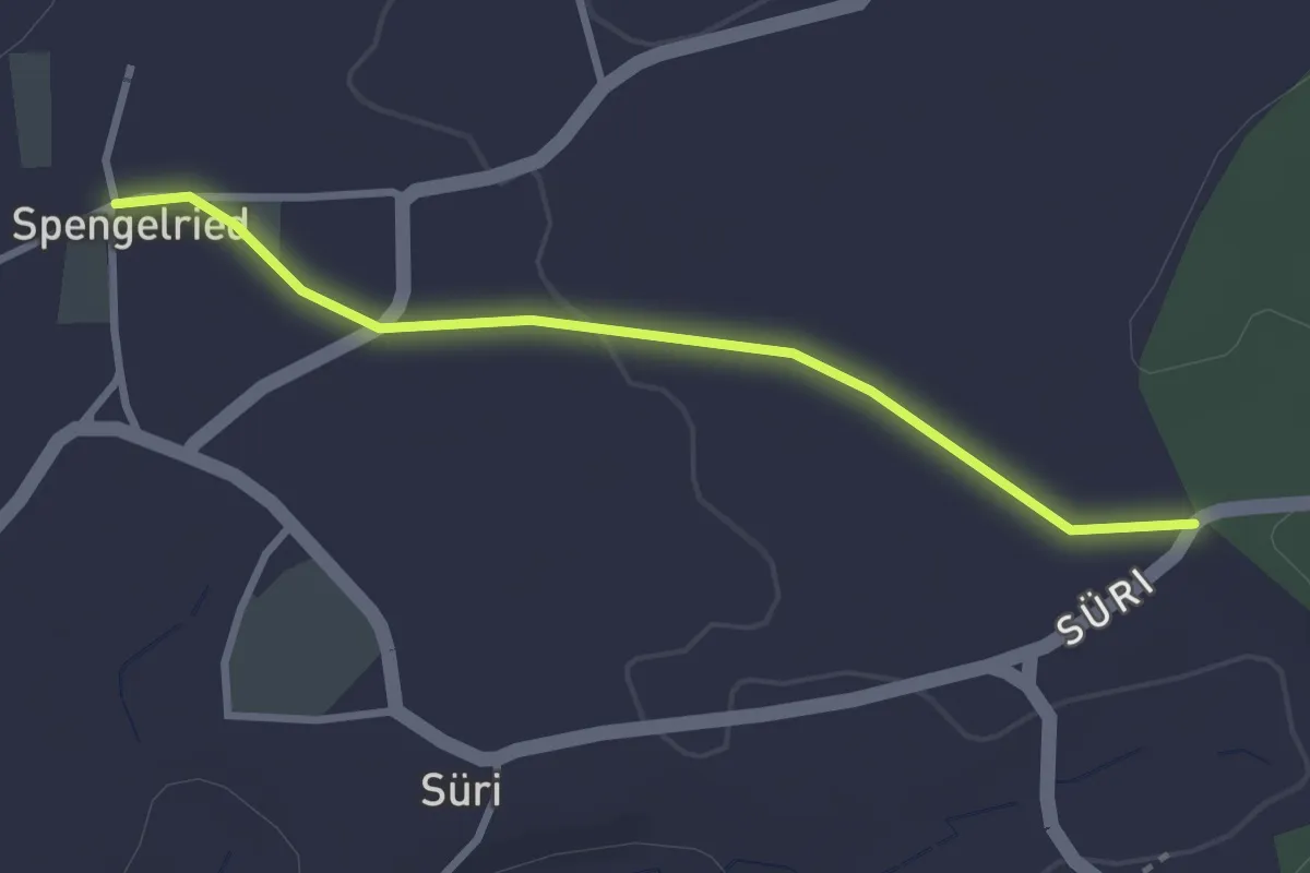
Easy · Trail
Spengelried - Süri
2.8 km · ↑ 22 m · 43 min · 10 km away
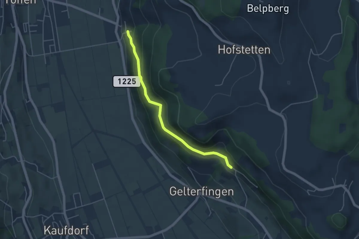
Easy · Trail
Heitern - Chramburg
4.0 km · ↑ 198 m · 1 h 23 min · 10 km away
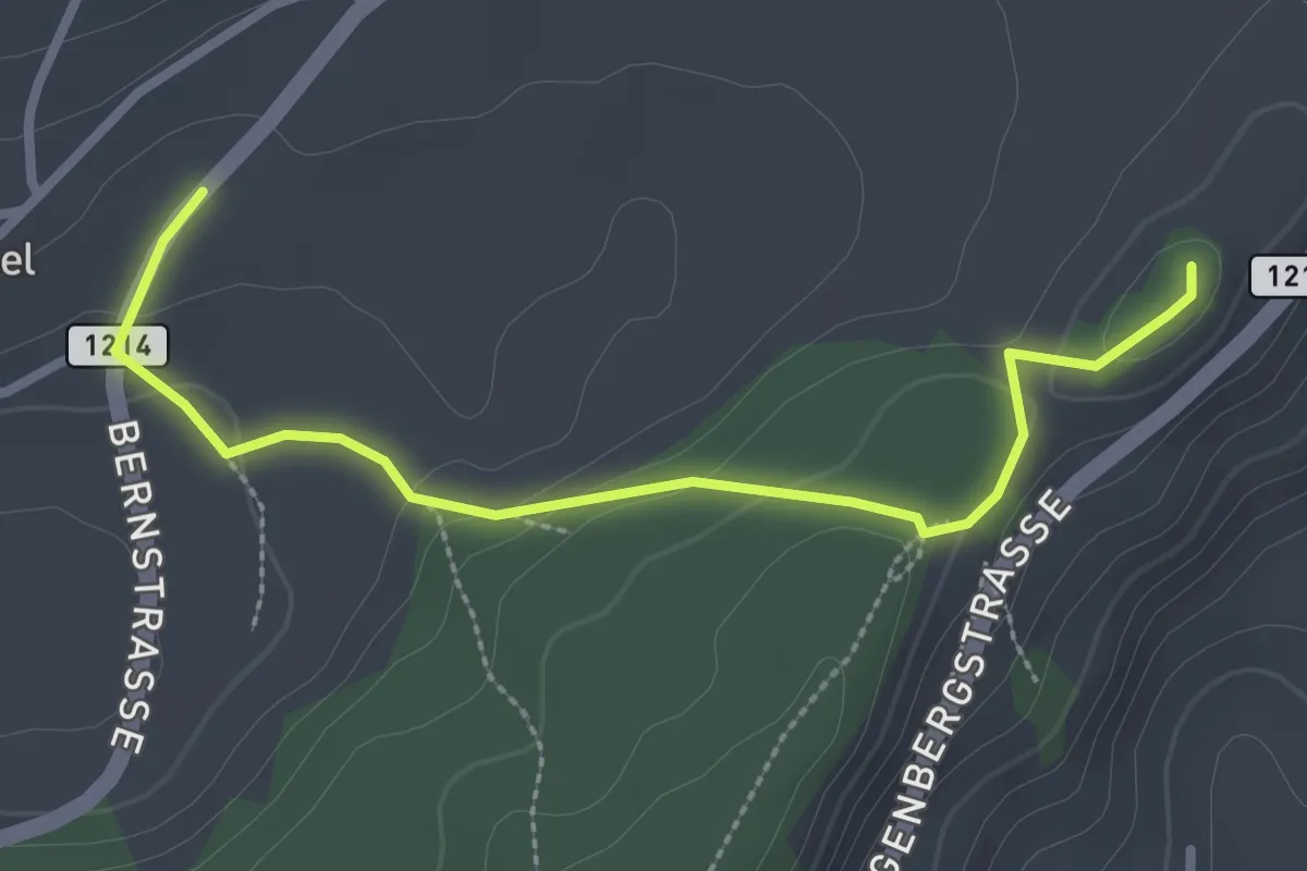
Easy · Summit
Oberbütschel – Tavelgedenkstätte
2.9 km · ↑ 84 m · 52 min · 10 km away
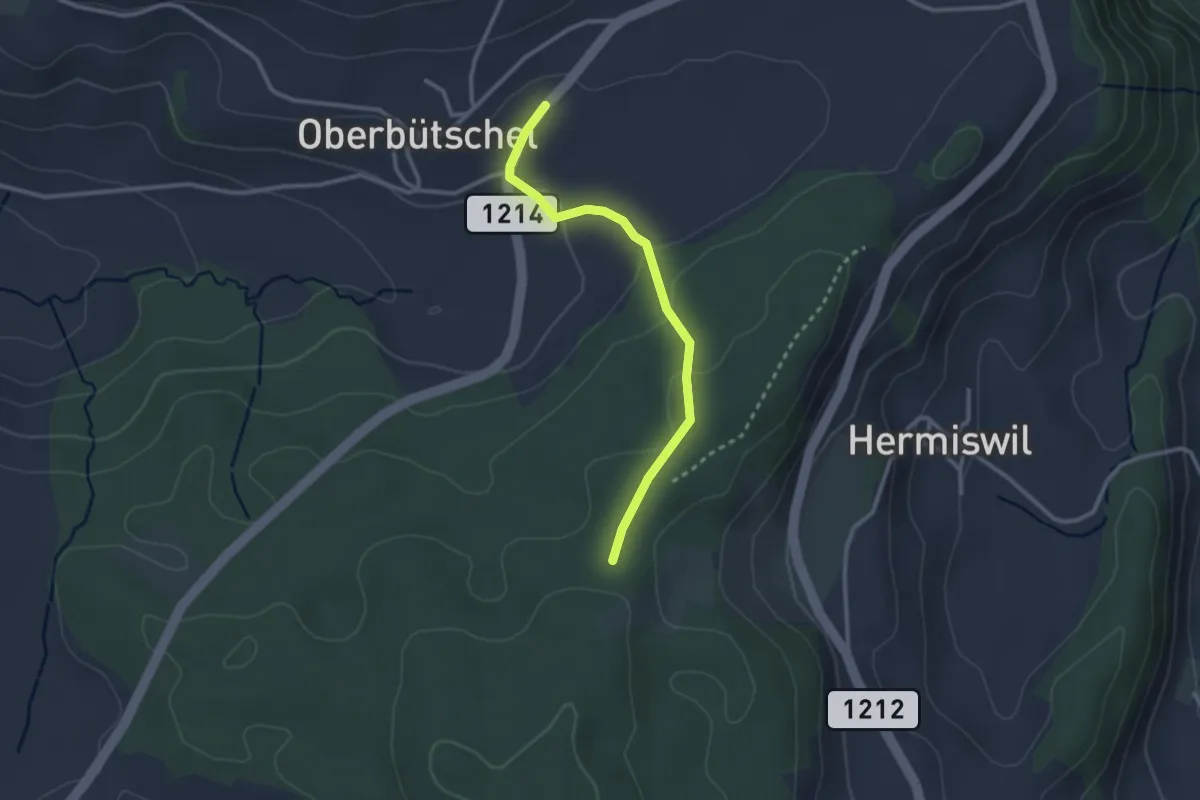
Easy · Trail
Oberbütschel – Taanwald
2.6 km · ↑ 101 m · 50 min · 10 km away
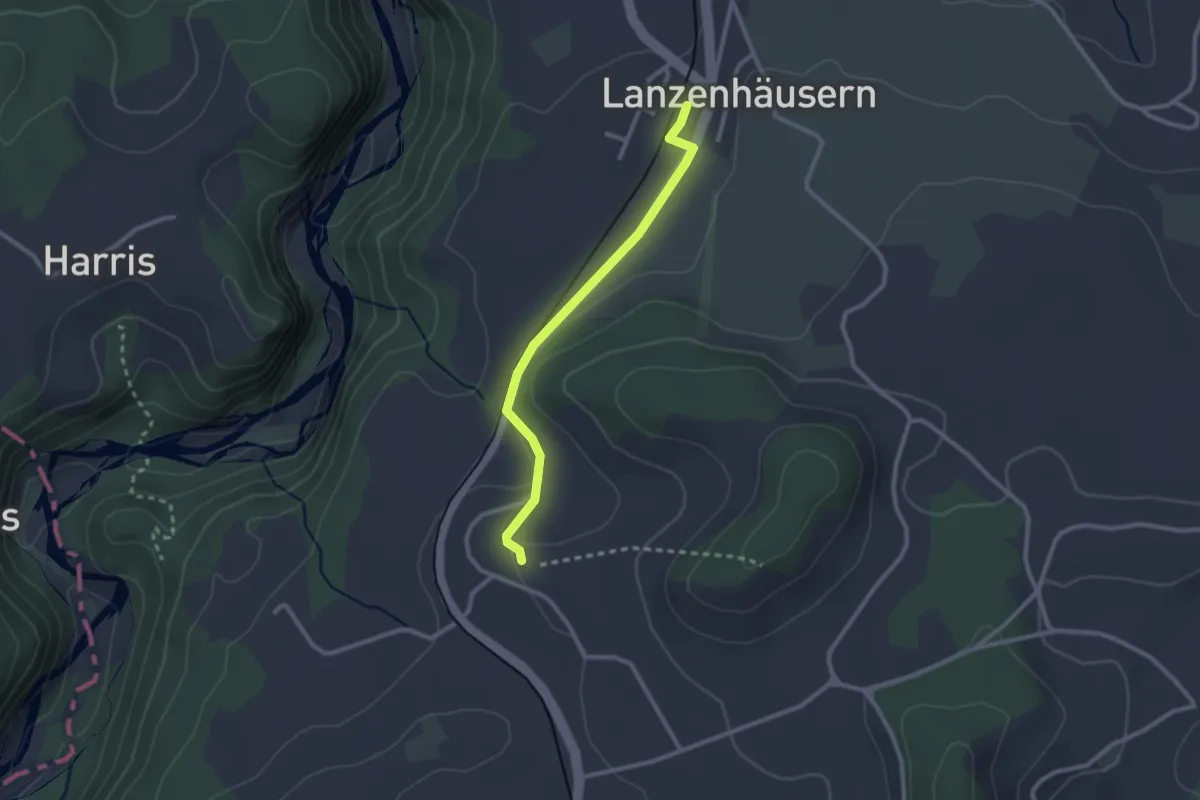
Easy · Trail
Steinhus - Lanzenhäusern
2.4 km · ↑ 30 m · 38 min · 10 km away
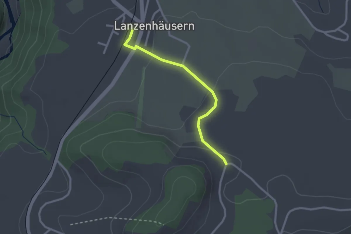
Easy · Trail
Lanzenhäusern - Obereichi
2.1 km · ↑ 58 m · 37 min · 10 km away
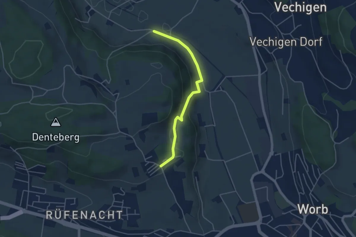
Easy · Trail
Nesselbank - Neuhus
3.8 km · ↑ 126 m · 1 h 10 min · 10 km away
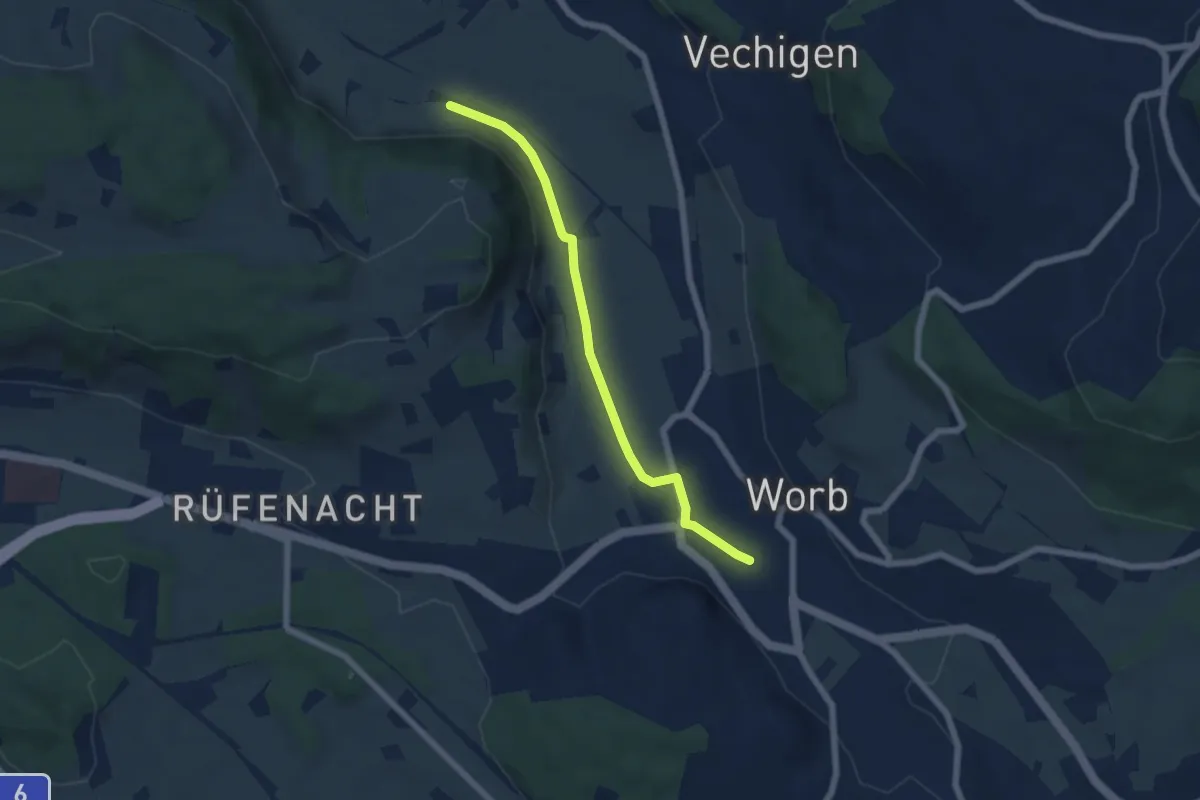
Easy · Trail
Nesselbank - Worb Sternen
5.6 km · ↑ 31 m · 1 h 24 min · 10 km away
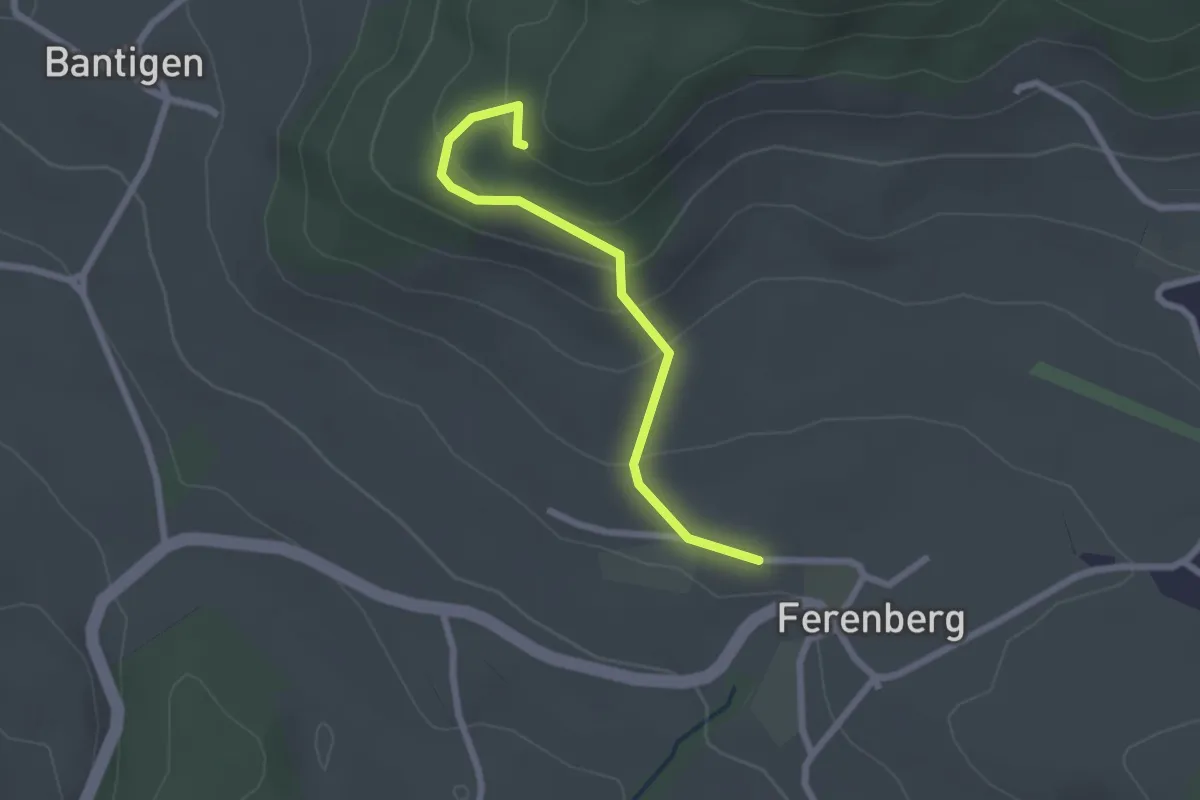
Easy · Trail
Chatzenstyg – Ferenberg
2.2 km · ↑ 131 m · 49 min · 10 km away
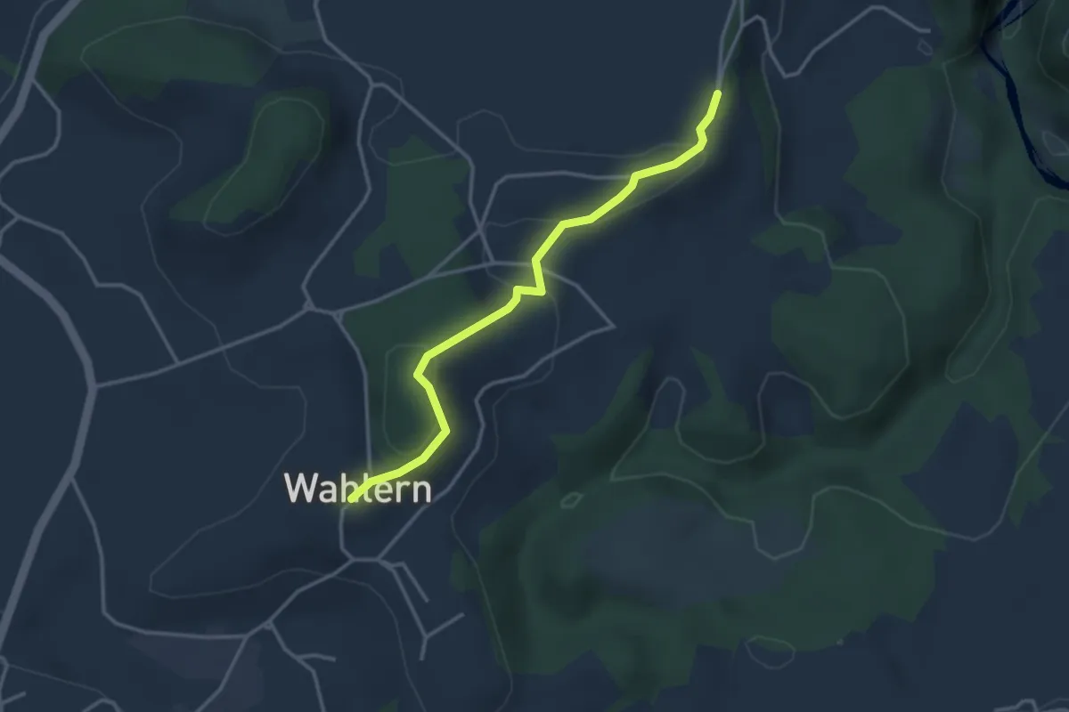
Easy · Trail
Ried - Wahlern
3.2 km · ↑ 103 m · 59 min · 10 km away
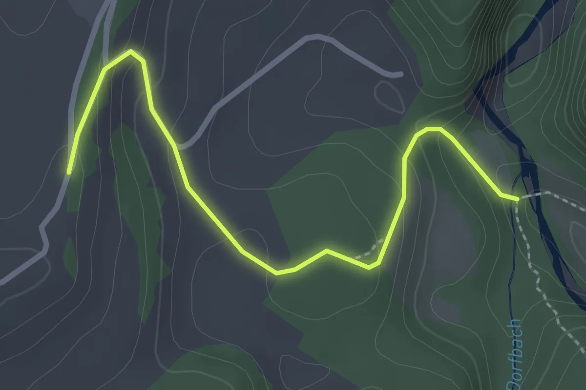
Easy · Trail
Burgbachstäg – Ried
2.5 km · ↑ 129 m · 53 min · 10 km away