Trails near Köniz
523 hikes starting within 15 km, nearest first.
Nearest first, page 7 of 11
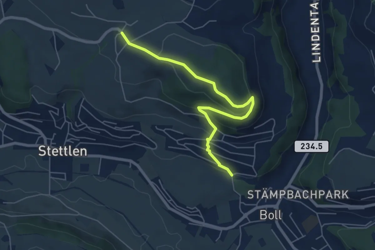
Easy · Trail
Ferenberg – Sinneringen
5.4 km · ↑ 245 m · 1 h 48 min · 10 km away
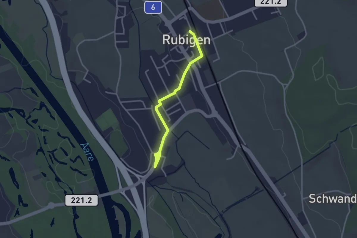
Easy · Trail
Rubigen – Hunziken
2.6 km · ↑ 24 m · 40 min · 10 km away
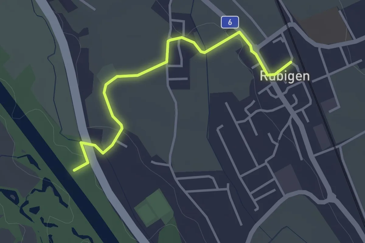
Easy · Trail
Rubigen - ?
3.2 km · ↑ 28 m · 49 min · 10 km away
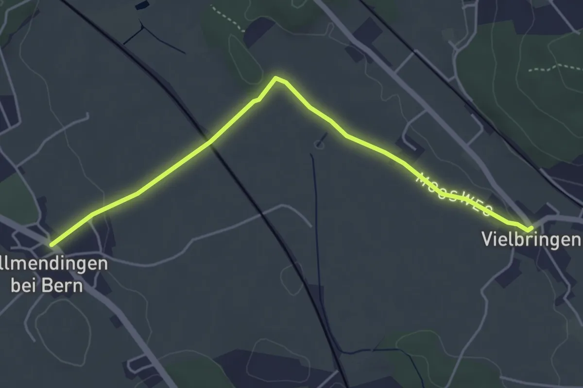
Easy · Trail
Allmendingen – Vielbringen
4.6 km · ↑ 32 m · 1 h 9 min · 10 km away
Easy · Trail
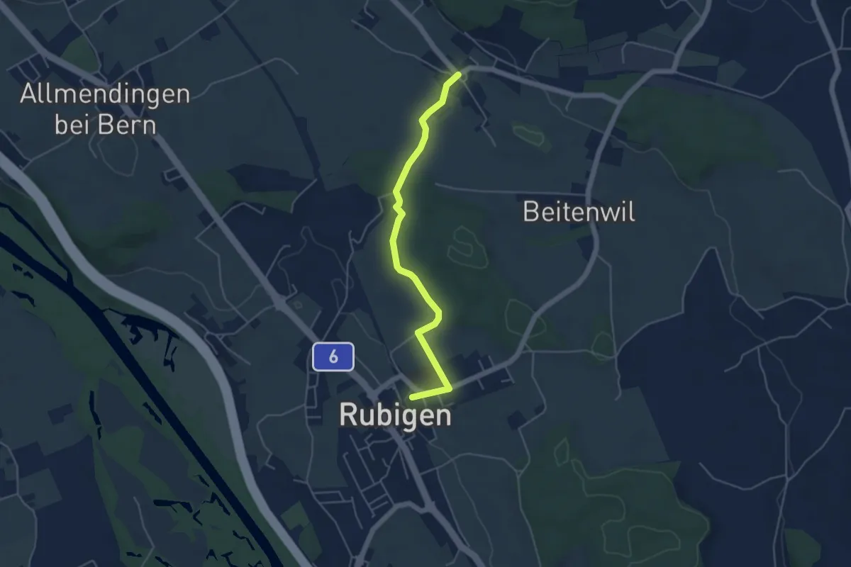
Rubigen – Vielbringen
4.6 km · ↑ 75 m · 1 h 15 min · 10 km away
Easy · Trail
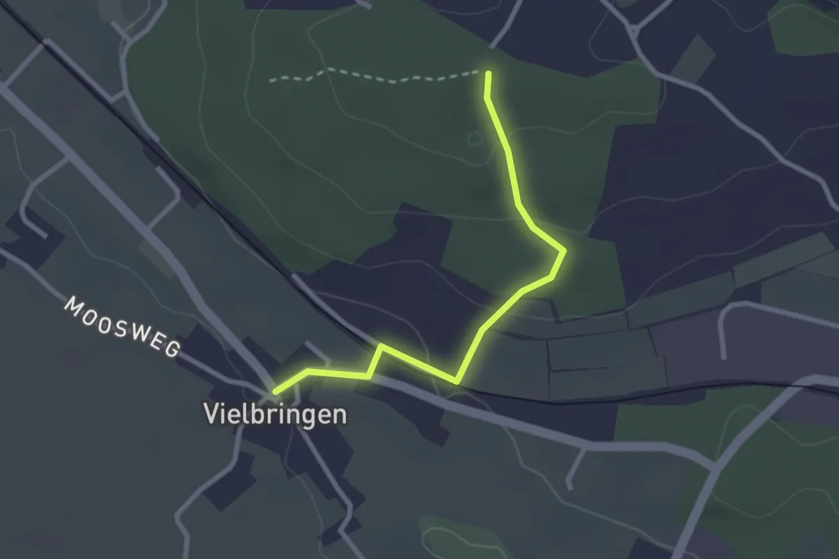
Vielbringen – Wislenwald
2.4 km · ↑ 85 m · 44 min · 10 km away
Easy · Trail
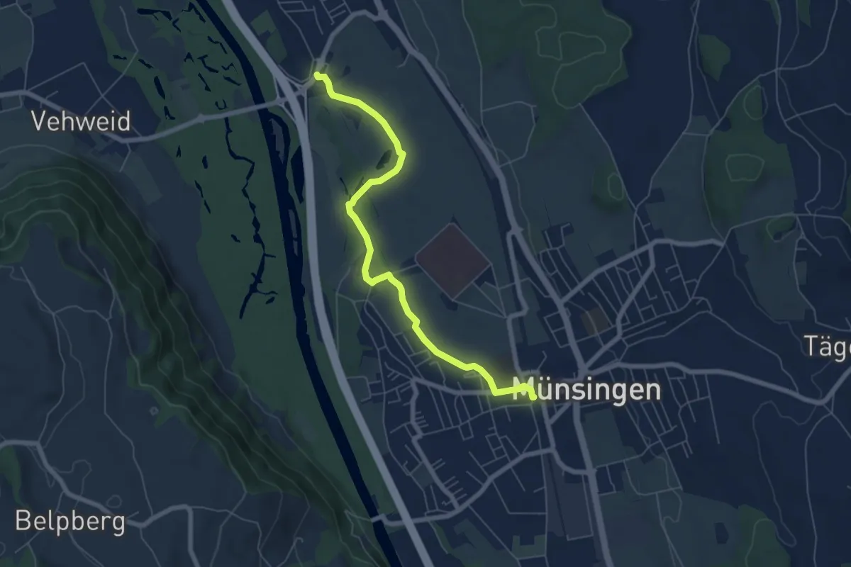
Münsingen – Hunziken
6.4 km · ↑ 21 m · 1 h 34 min · 10 km away
Easy · Trail
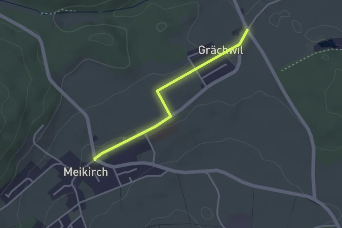
Grächwil – Meikirch
2.6 km · ↑ 33 m · 42 min · 10 km away
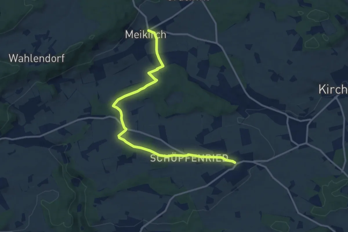
Medium · Trail
Meikirch – Uettligen/Linde
10.5 km · ↑ 119 m · 2 h 44 min · 10 km away
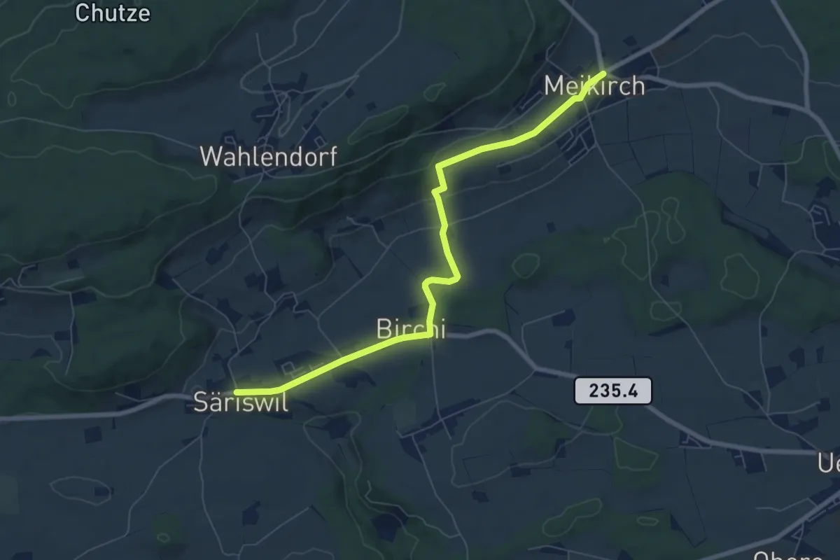
Easy · Trail
Säriswil – Meikirch
7.6 km · ↑ 135 m · 2 h 5 min · 10 km away
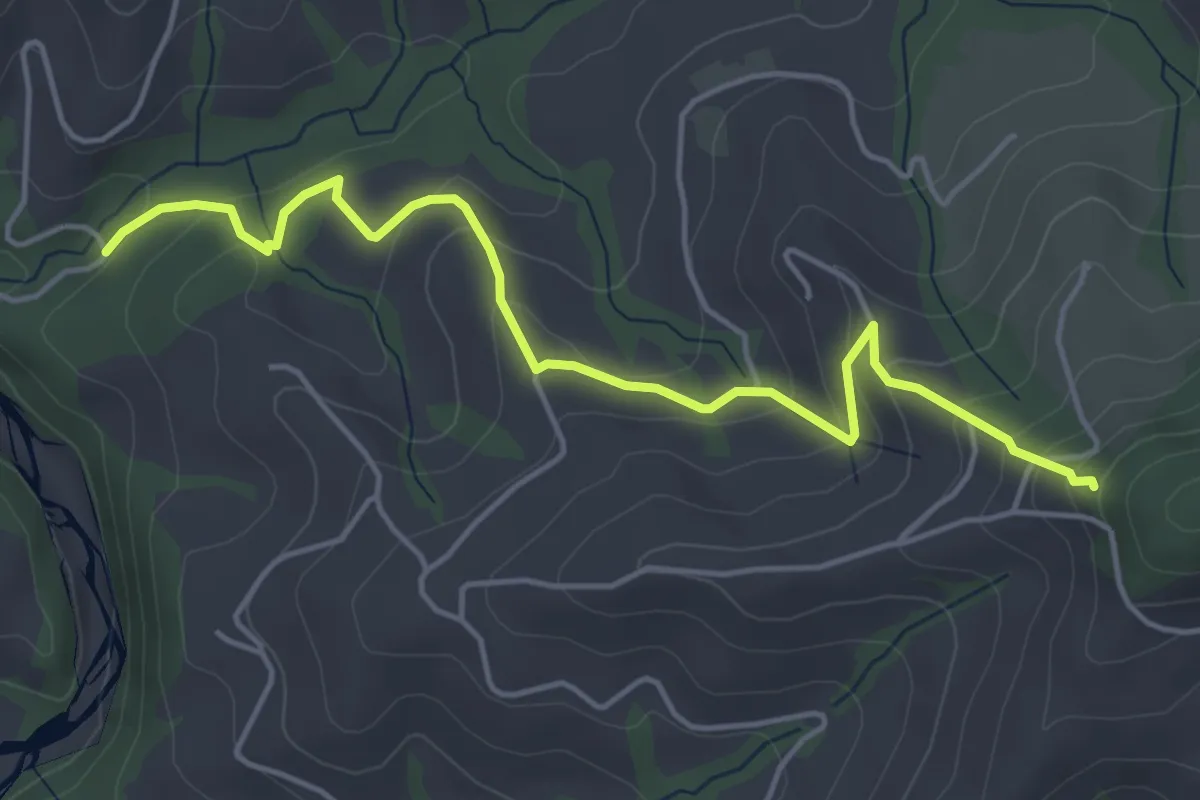
Easy · Trail
Riedstettwald - Schwandbachbrücke
5.0 km · ↑ 264 m · 1 h 45 min · 10 km away
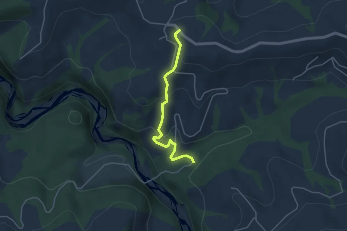
Easy · Trail
Schwandbachbrücke – Hinterfultigen
3.1 km · ↑ 152 m · 1 h 3 min · 10 km away
Easy · Trail
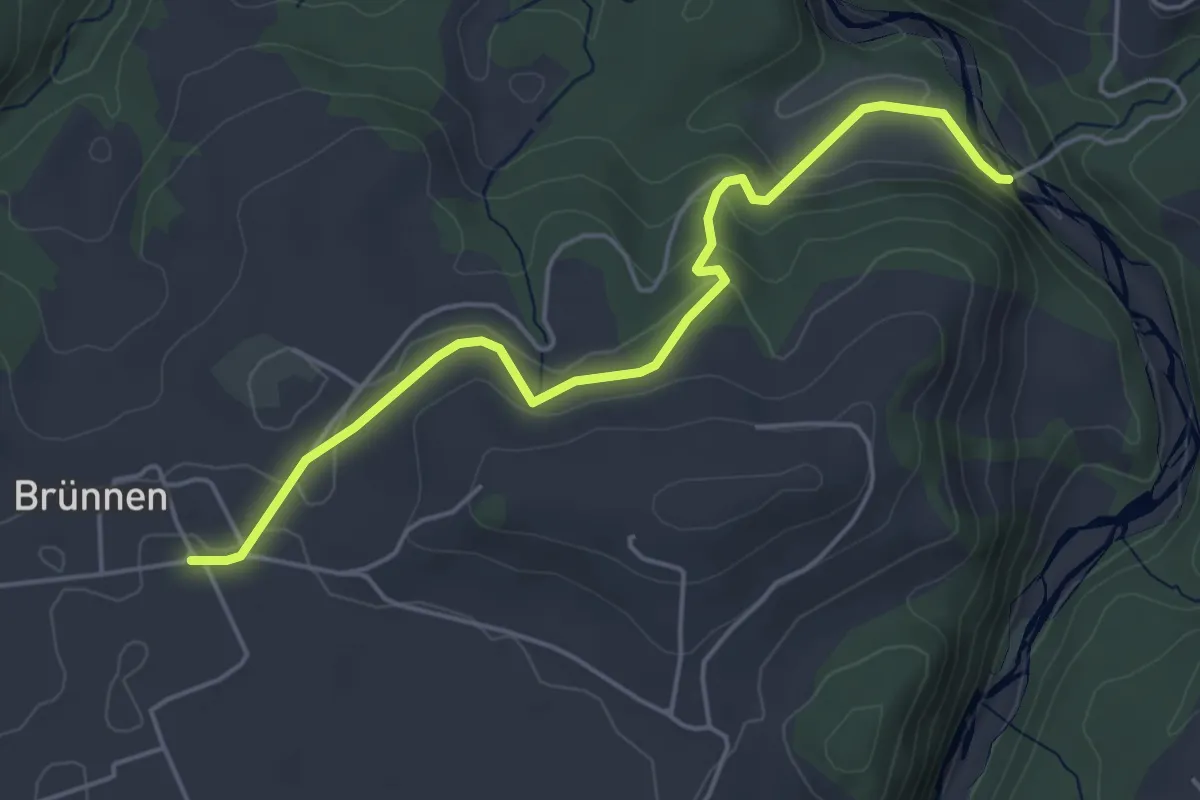
Rossgrabenbrücke – Elisried
4.9 km · ↑ 164 m · 1 h 31 min · 11 km away
Easy · Trail
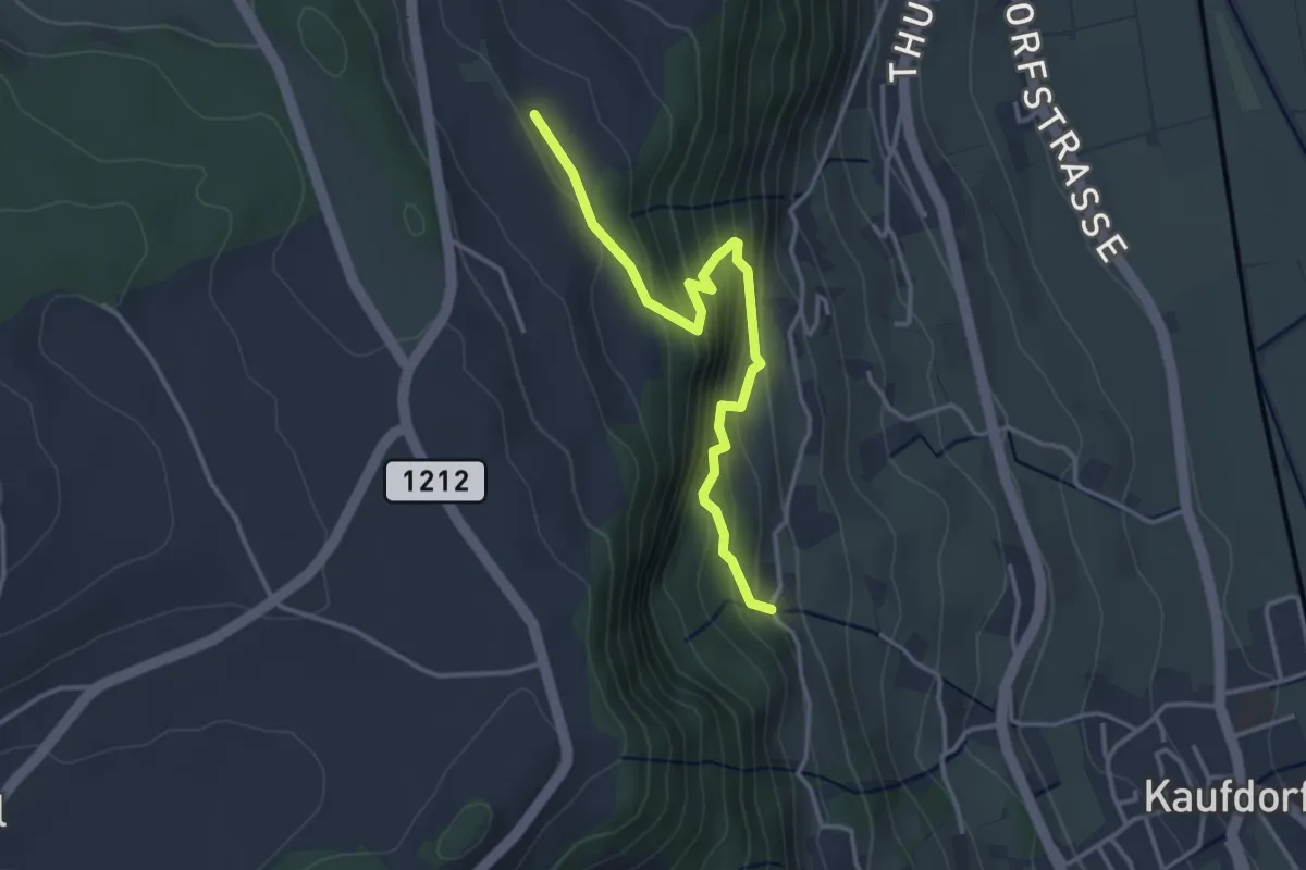
Oberfeld - Gutenbrünnen
3.4 km · ↑ 304 m · 1 h 28 min · 11 km away
Easy · Trail
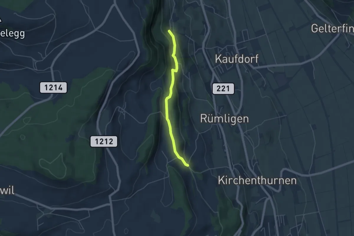
Gutenbrünnen - Uf der Mur
4.0 km · ↑ 157 m · 1 h 18 min · 11 km away
Easy · Trail
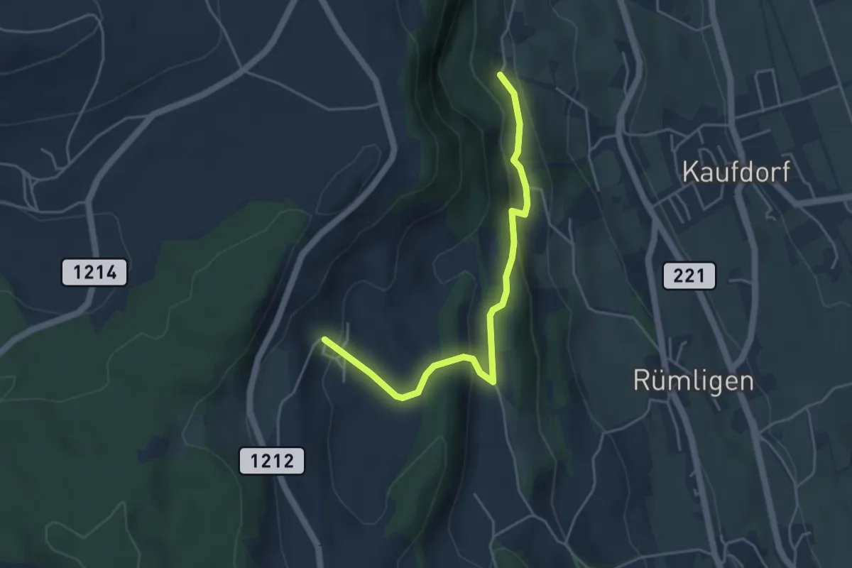
Gutenbrünnen - Hermiswil
4.3 km · ↑ 207 m · 1 h 28 min · 11 km away
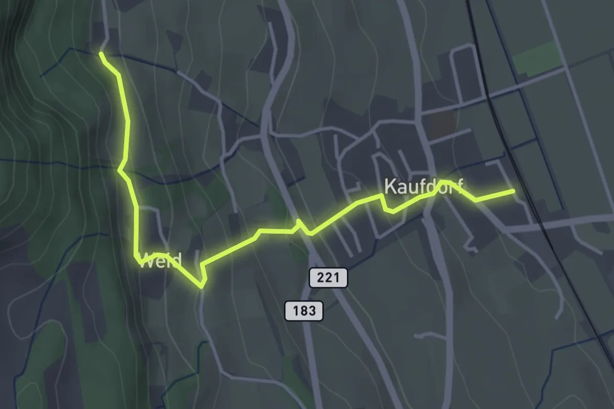
Easy · Trail
Kaufdorf - Gutenbrünnen
3.9 km · ↑ 237 m · 1 h 26 min · 11 km away
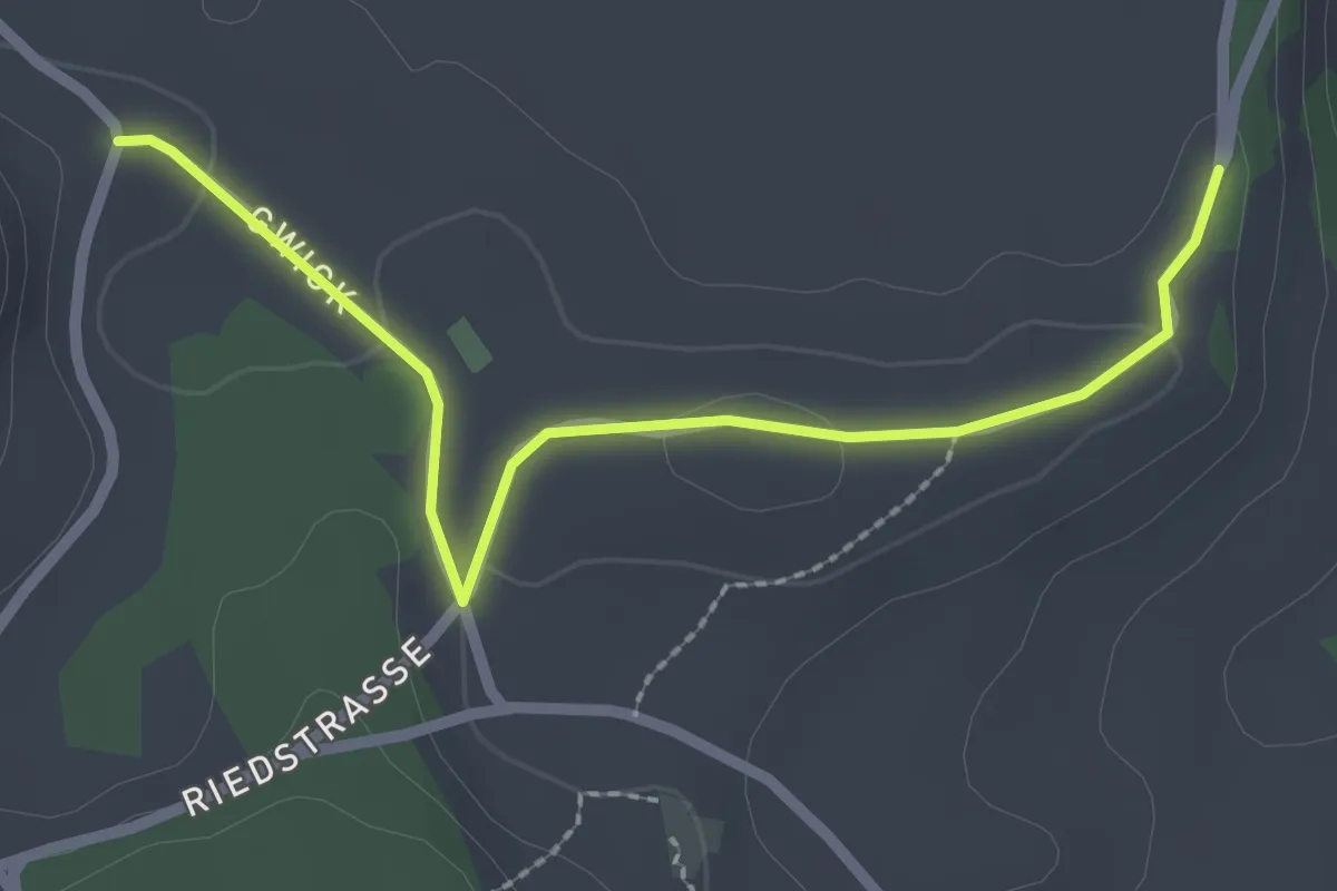
Easy · Trail
Obereichi - Ried
2.6 km · ↑ 29 m · 40 min · 11 km away
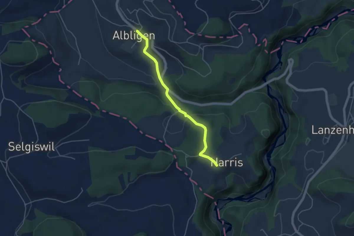
Easy · Trail
Albligen - Harris
3.9 km · ↑ 121 m · 1 h 11 min · 11 km away
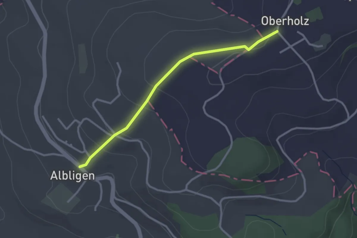
Easy · Trail
Albligen - Sommerauhöchi
2.6 km · ↑ 95 m · 49 min · 11 km away
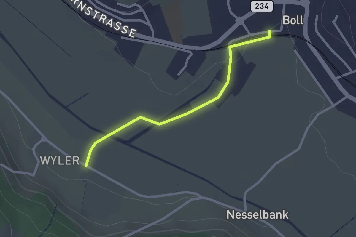
Easy · Trail
Boll - Wiler
2.1 km · ↑ 8 m · 31 min · 11 km away
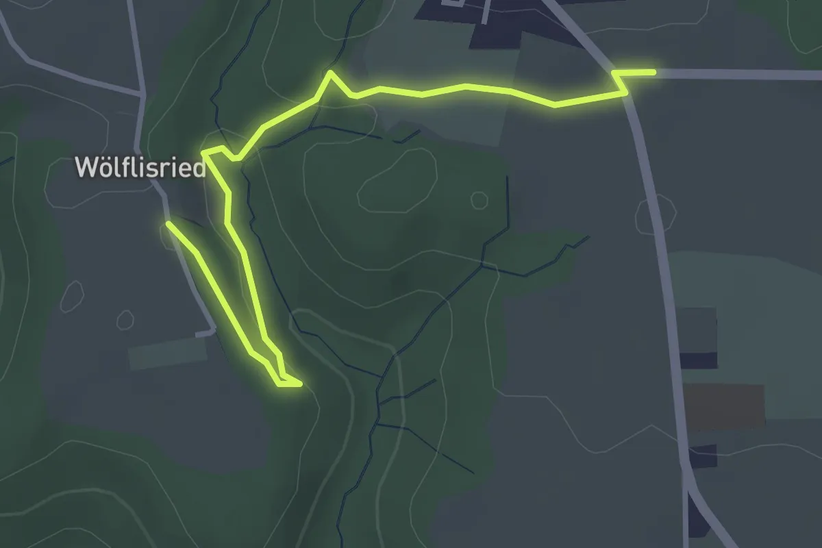
Easy · Trail
Weiermatt – Wölfisried
3.5 km · ↑ 81 m · 1 h · 11 km away
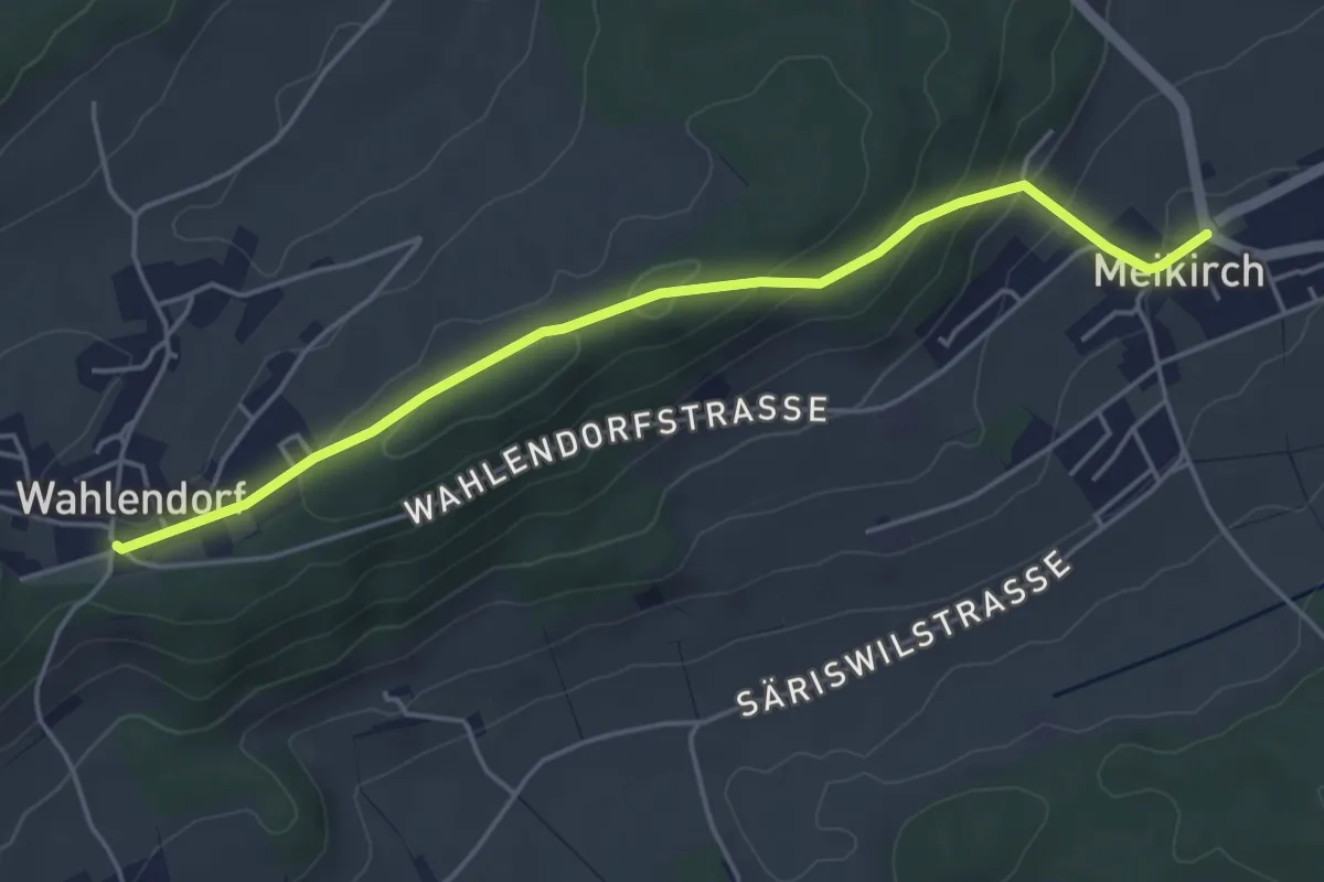
Easy · Trail
Wahlendorf Usserdorf – Meikirch
4.7 km · ↑ 167 m · 1 h 28 min · 11 km away
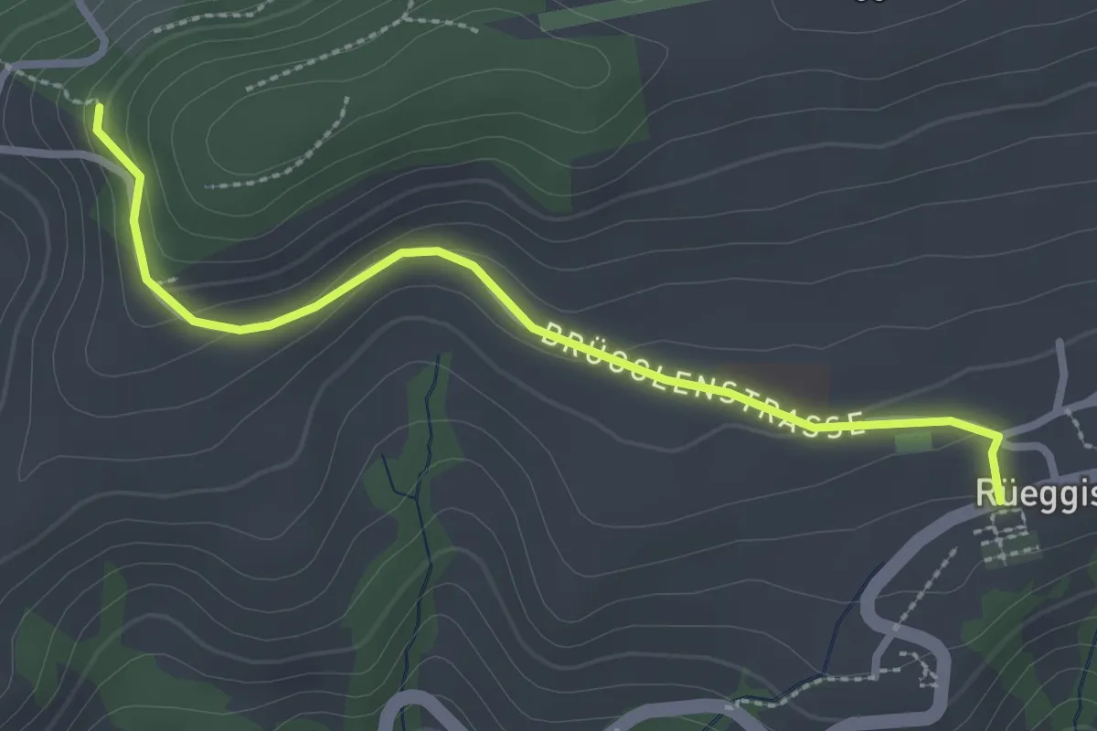
Easy · Trail
Rüeggisberg - Riedstettwald
2.7 km · ↑ 91 m · 50 min · 11 km away
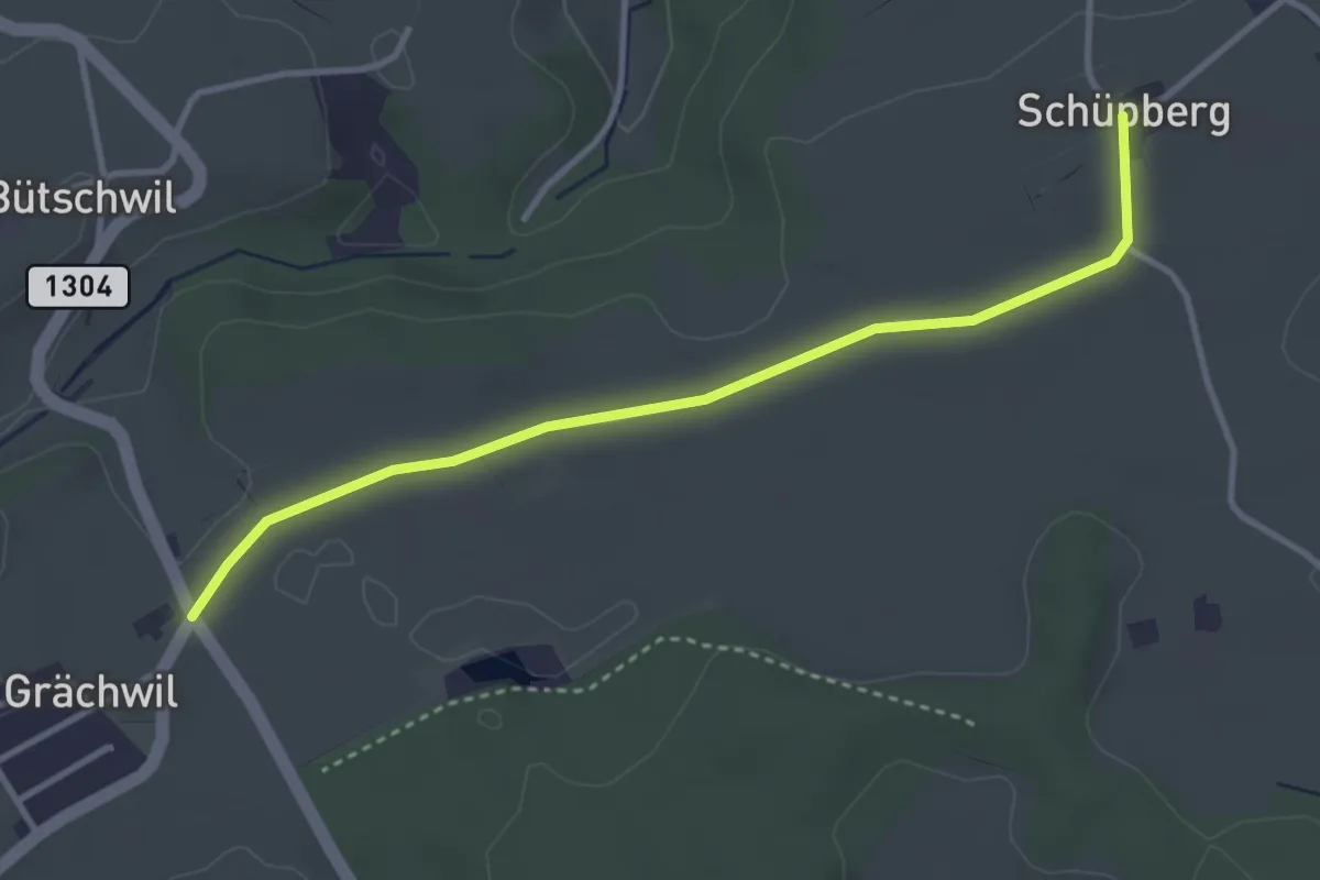
Easy · Trail
Schüpberg – Grächwil
3.5 km · ↑ 17 m · 52 min · 11 km away
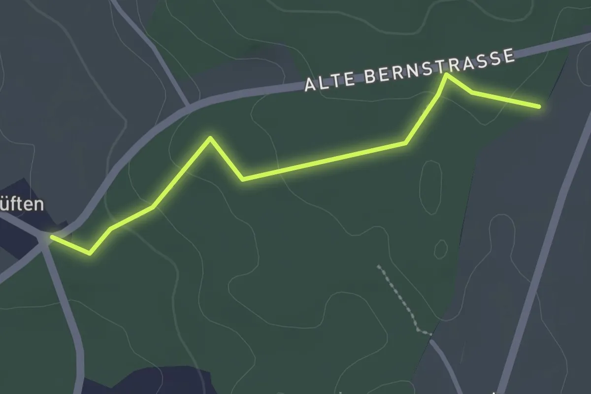
Easy · Trail
Allenlüften - Obere Ledi
2.5 km · ↑ 47 m · 41 min · 11 km away
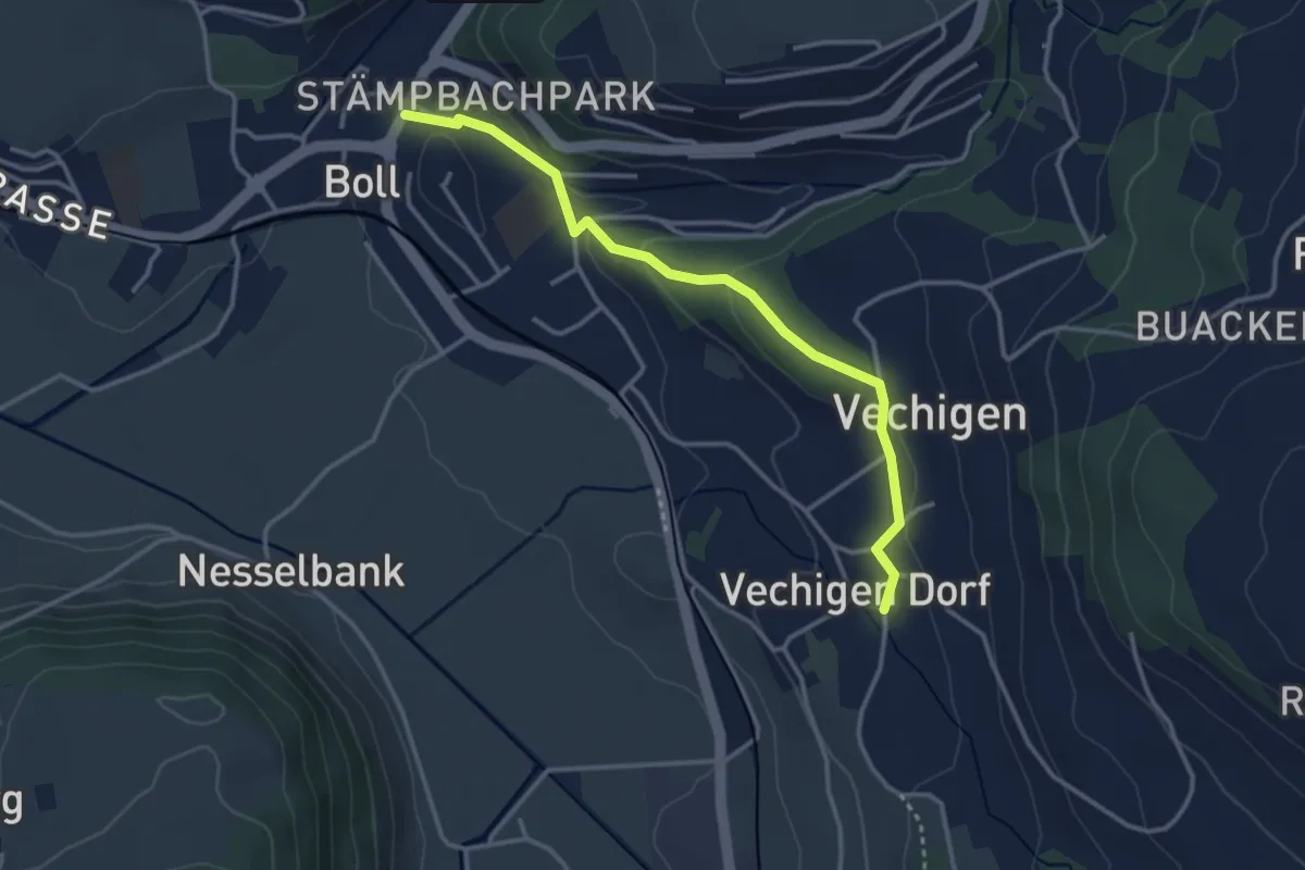
Easy · Trail
Boll – Vechigen
3.4 km · ↑ 74 m · 57 min · 11 km away
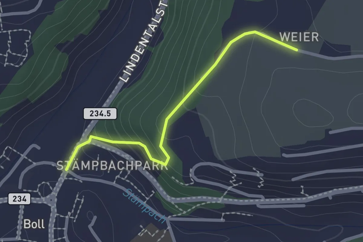
Easy · Trail
Boll - Weier
2.0 km · ↑ 113 m · 43 min · 11 km away
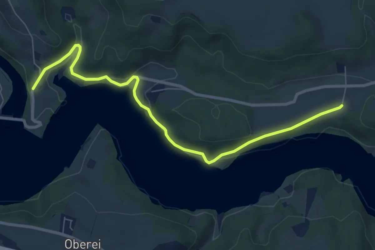
Easy · Trail
Steinisweg - Wickacker
7.0 km · ↑ 177 m · 2 h 2 min · 11 km away
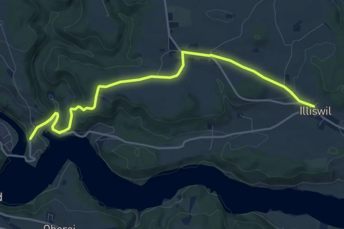
Medium · Trail
Illiswil - Wickacher
10.7 km · ↑ 277 m · 3 h 7 min · 11 km away
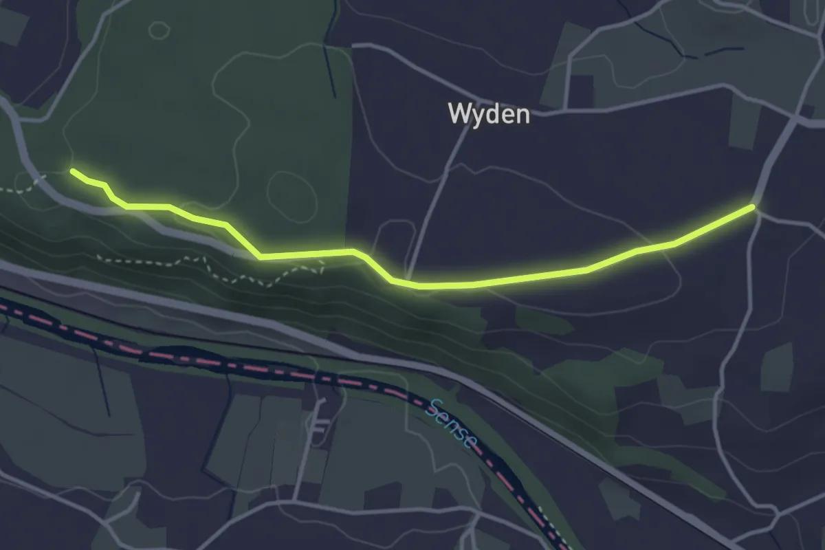
Easy · Trail
Laupen Spannstud - Sandgrube
3.6 km · ↑ 61 m · 59 min · 11 km away
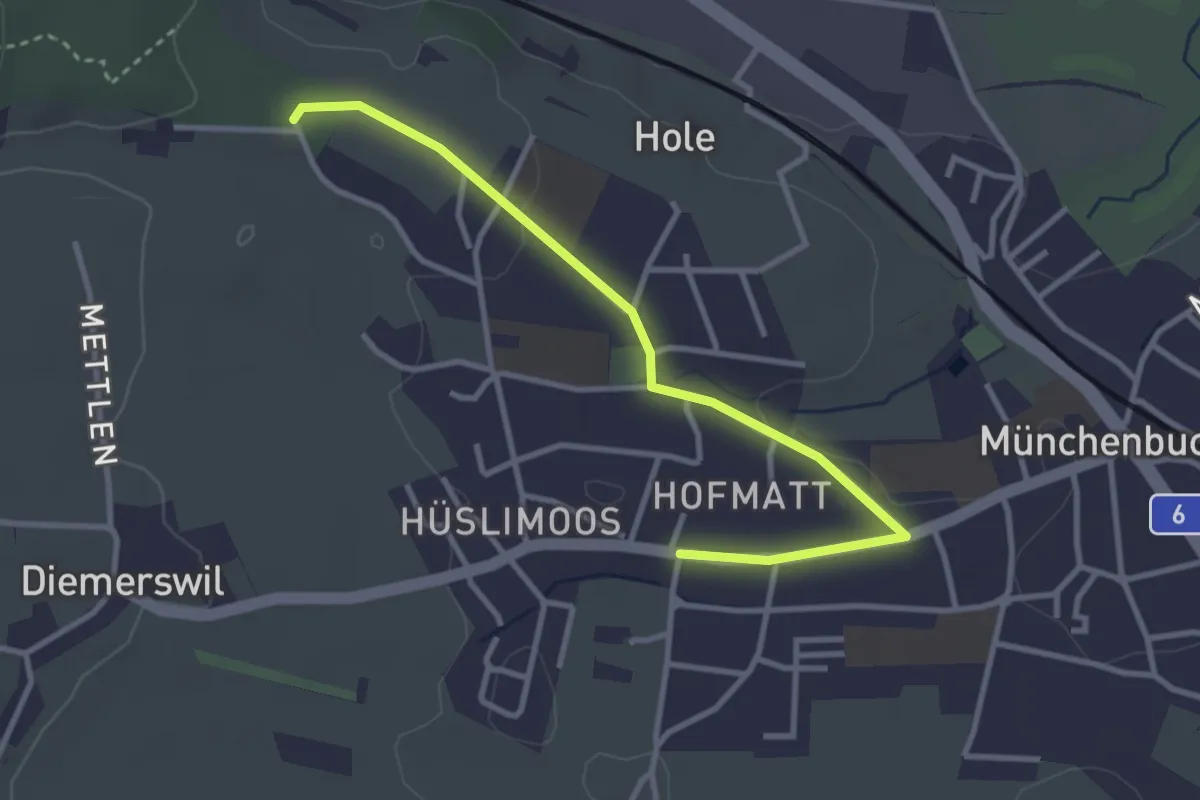
Easy · Trail
Münchenbuchsee – Bäreried
3.4 km · ↑ 45 m · 54 min · 11 km away
Easy · Trail
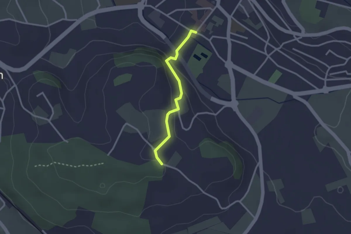
Wislen – Worb
2.1 km · ↑ 78 m · 40 min · 11 km away
Easy · Trail
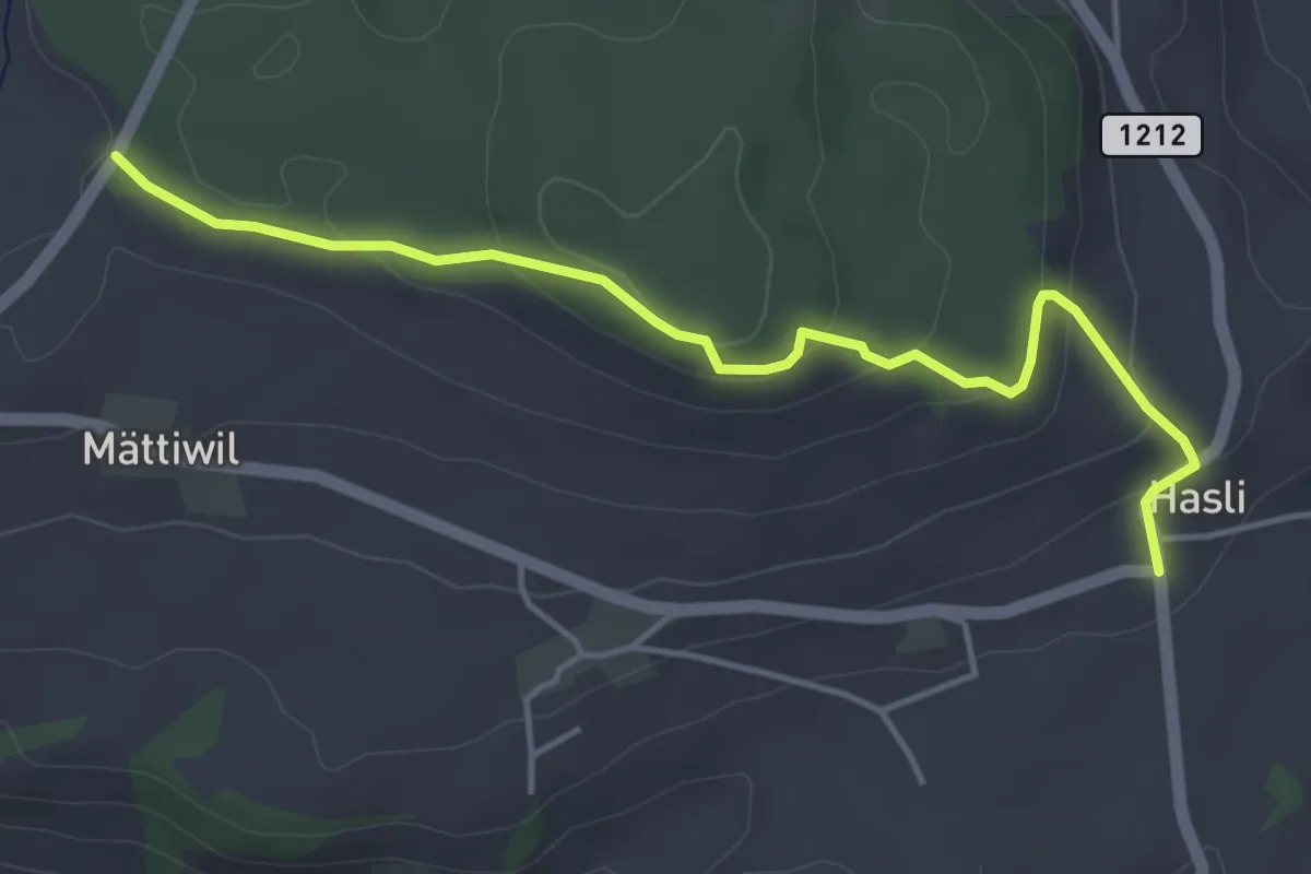
Hasli – Than
4.6 km · ↑ 179 m · 1 h 29 min · 11 km away
Easy · Trail
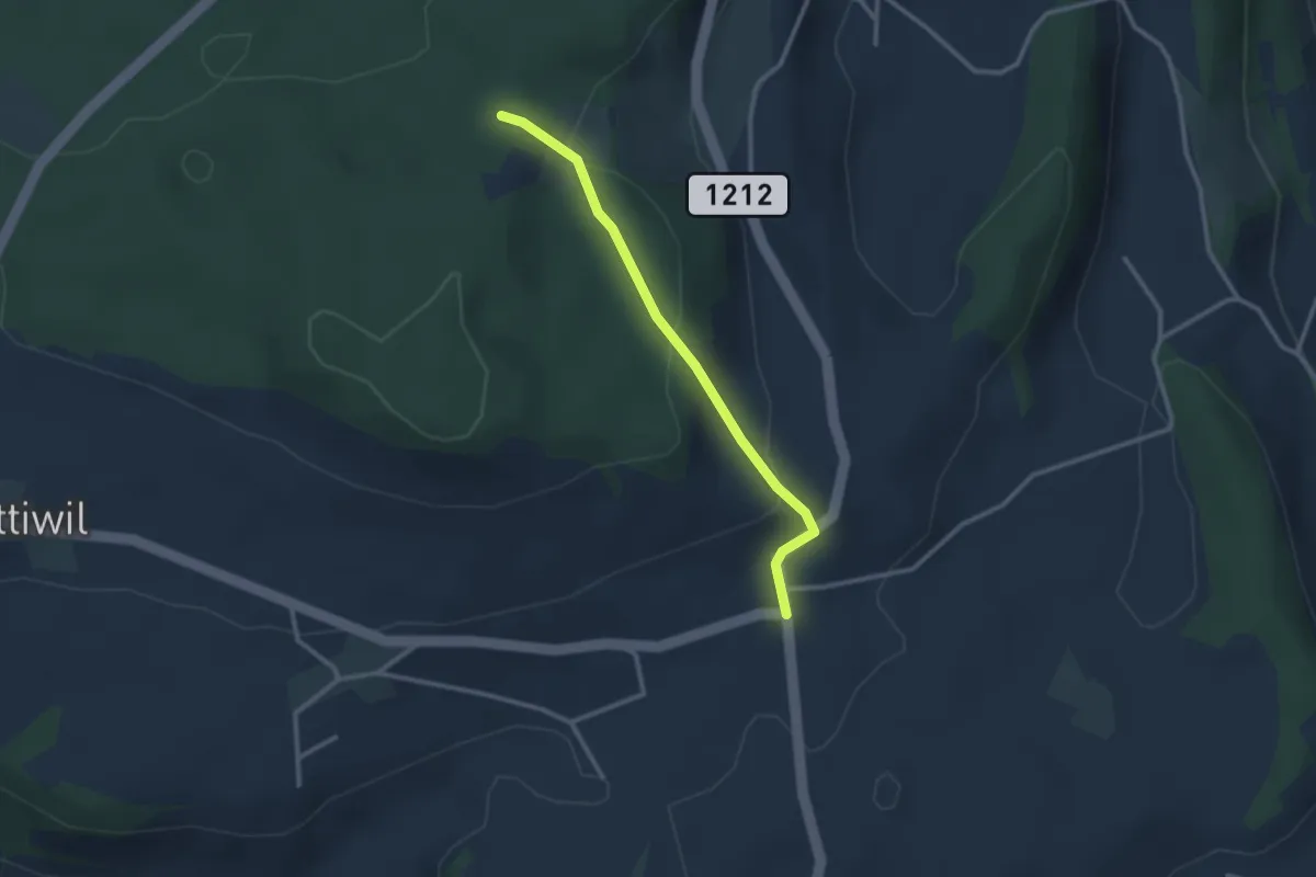
Taanwald – Hasli
2.6 km · ↑ 117 m · 52 min · 11 km away
Easy · Trail
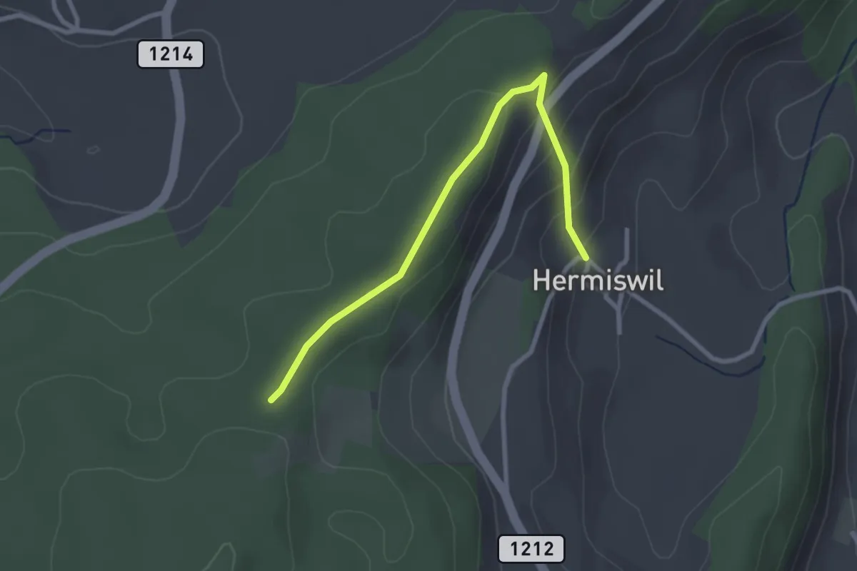
Hermiswil – Taanwald
2.7 km · ↑ 112 m · 53 min · 11 km away
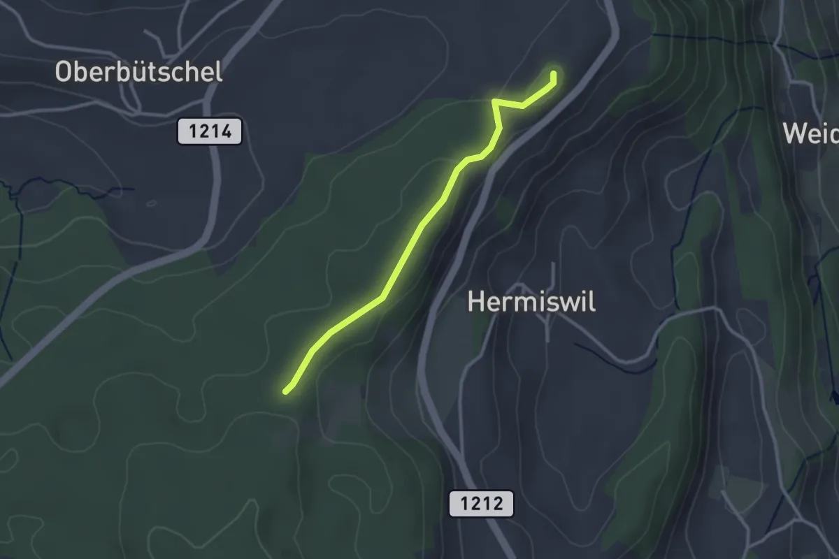
Easy · Summit
Tavelgedenkstätte – Taanwald
2.6 km · ↑ 53 m · 44 min · 11 km away
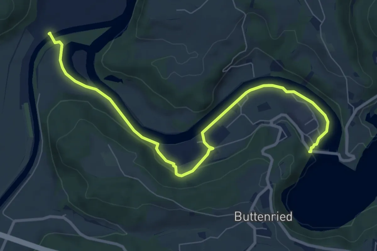
Medium · Trail
Saanesteg – Mühlebergwerk
8.3 km · ↑ 127 m · 2 h 14 min · 11 km away
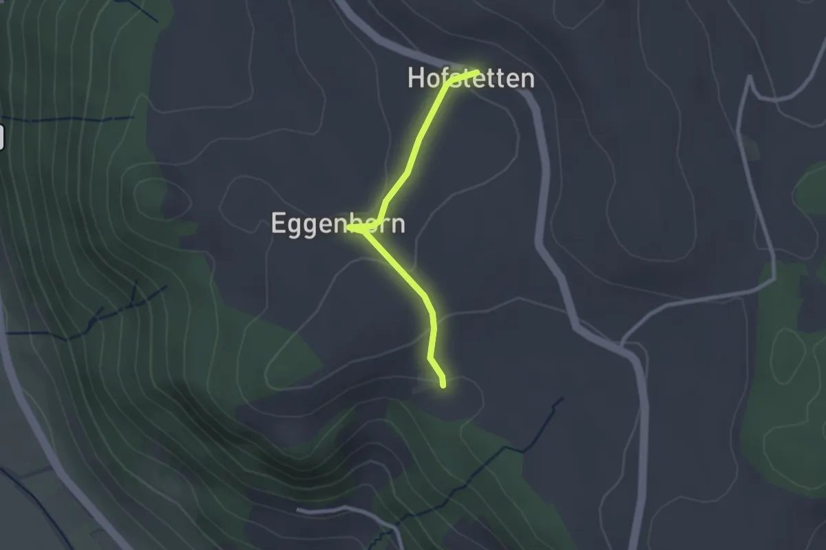
Easy · Trail
Schlatt - Hostete
2.1 km · ↑ 67 m · 38 min · 11 km away
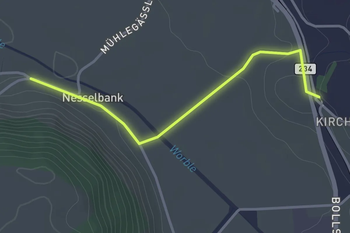
Easy · Trail
Nesselbank - Vechigen Hst.
2.7 km · ↑ 40 m · 43 min · 11 km away
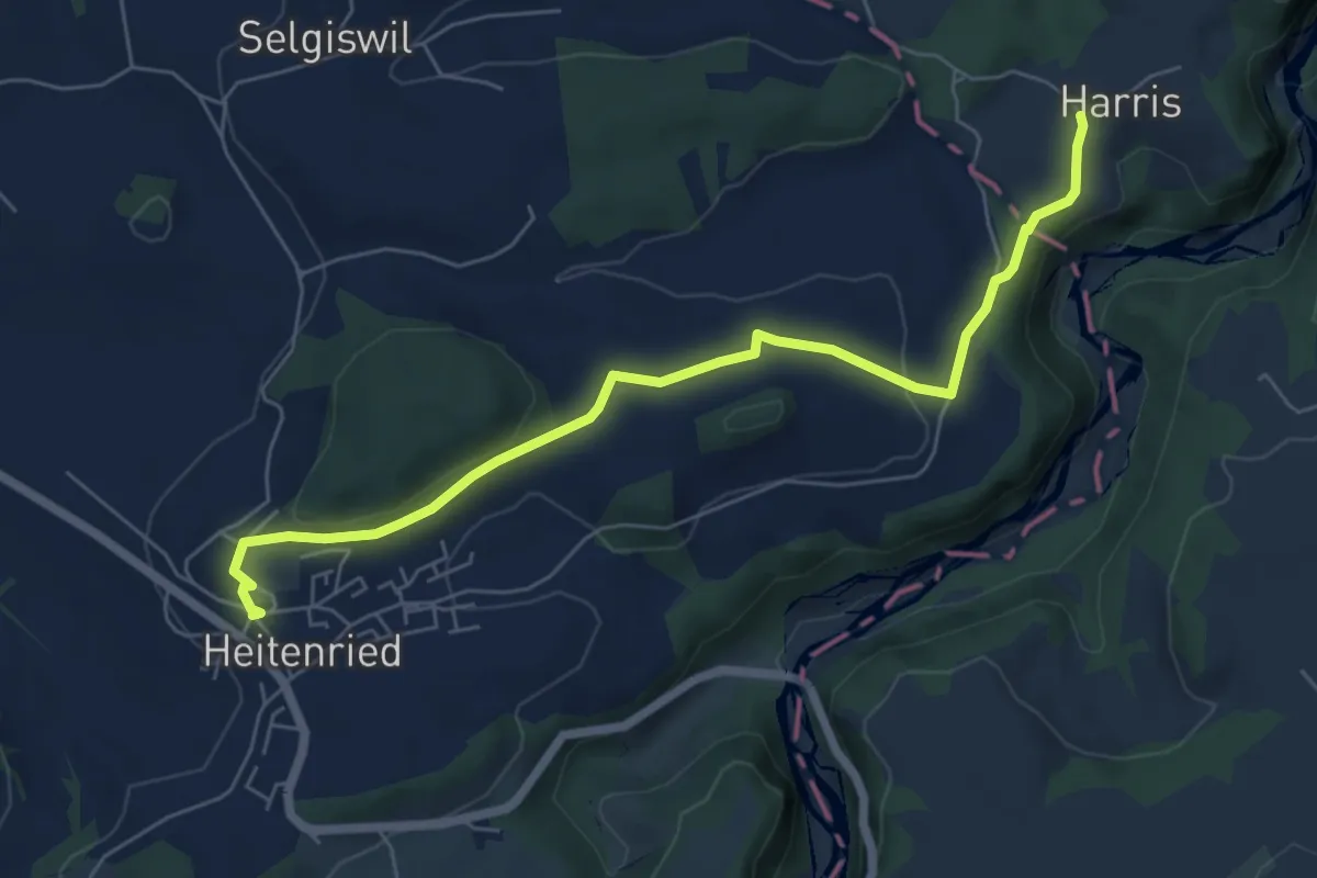
Easy · Trail
Heitenried – Harris
6.5 km · ↑ 116 m · 1 h 48 min · 11 km away
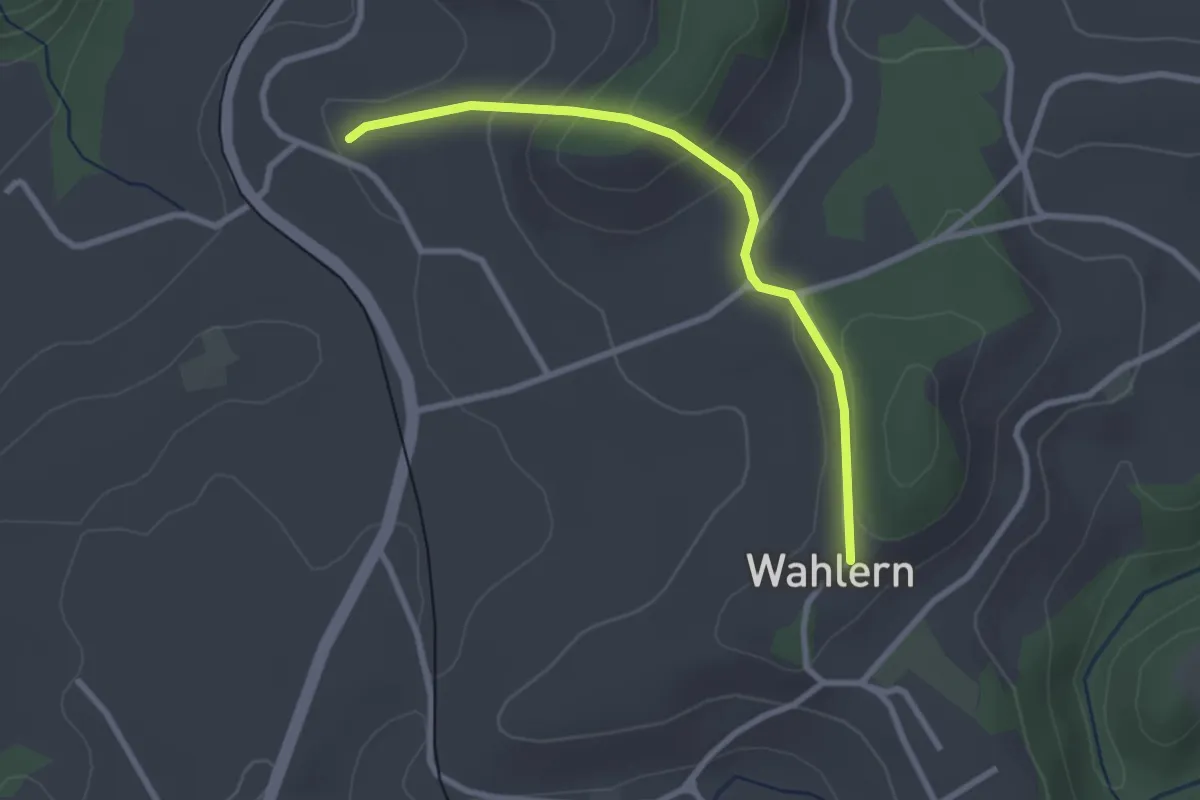
Easy · Trail
Steinhaus – Wahlern
2.6 km · ↑ 138 m · 55 min · 11 km away
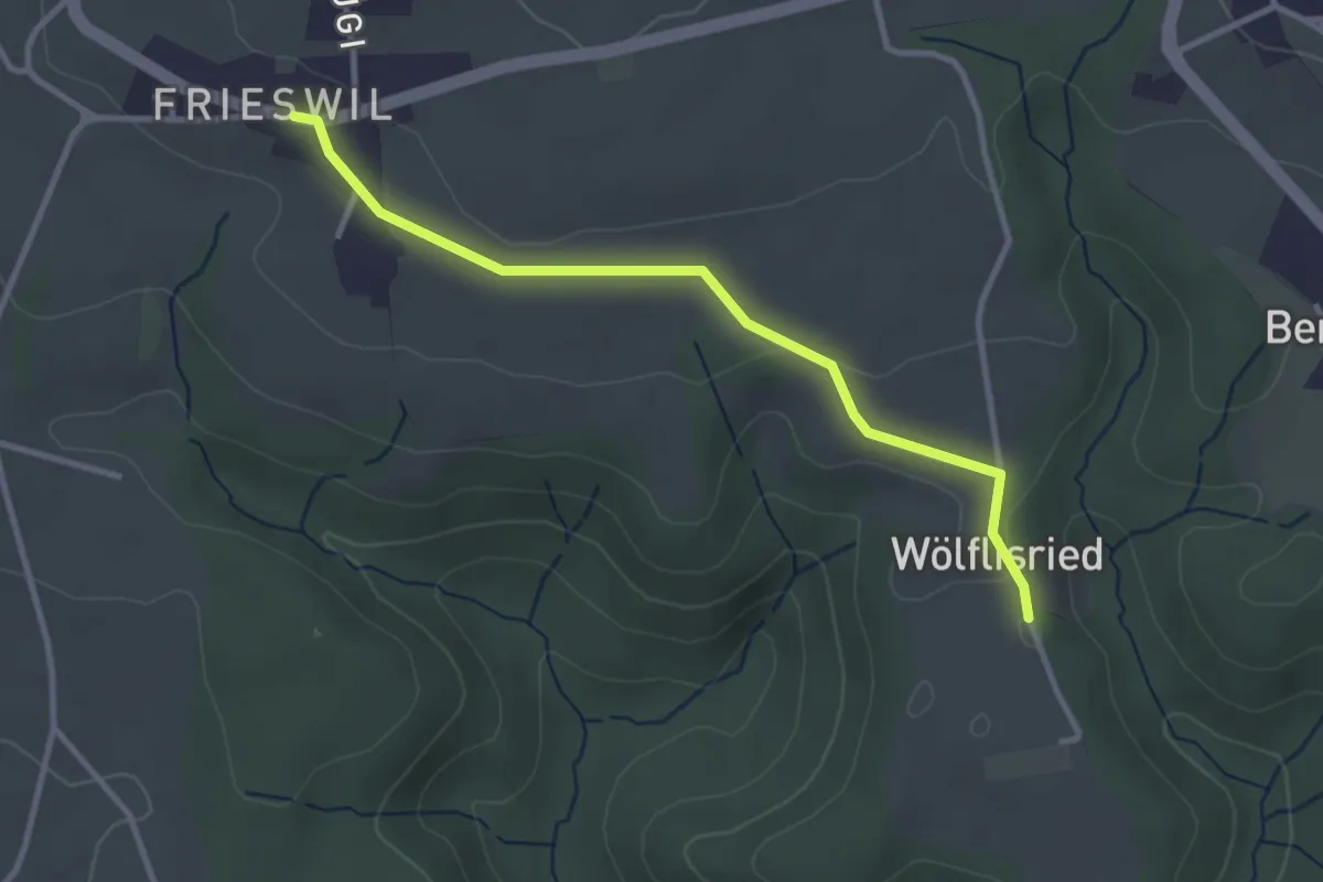
Easy · Trail
Wölflisried – Frieswil
3.1 km · ↑ 53 m · 51 min · 11 km away
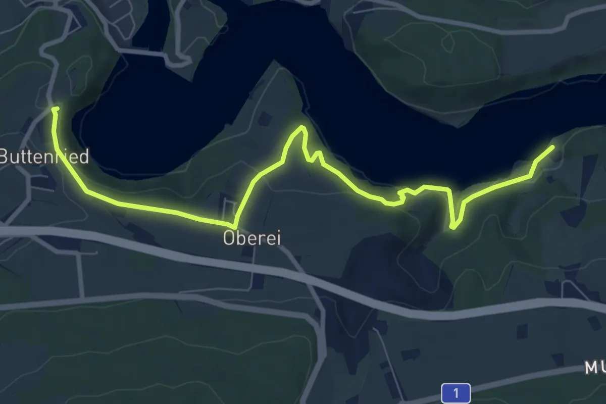
Medium · Trail
Fuchsenried - Jaggisbachau
8.3 km · ↑ 253 m · 2 h 30 min · 11 km away
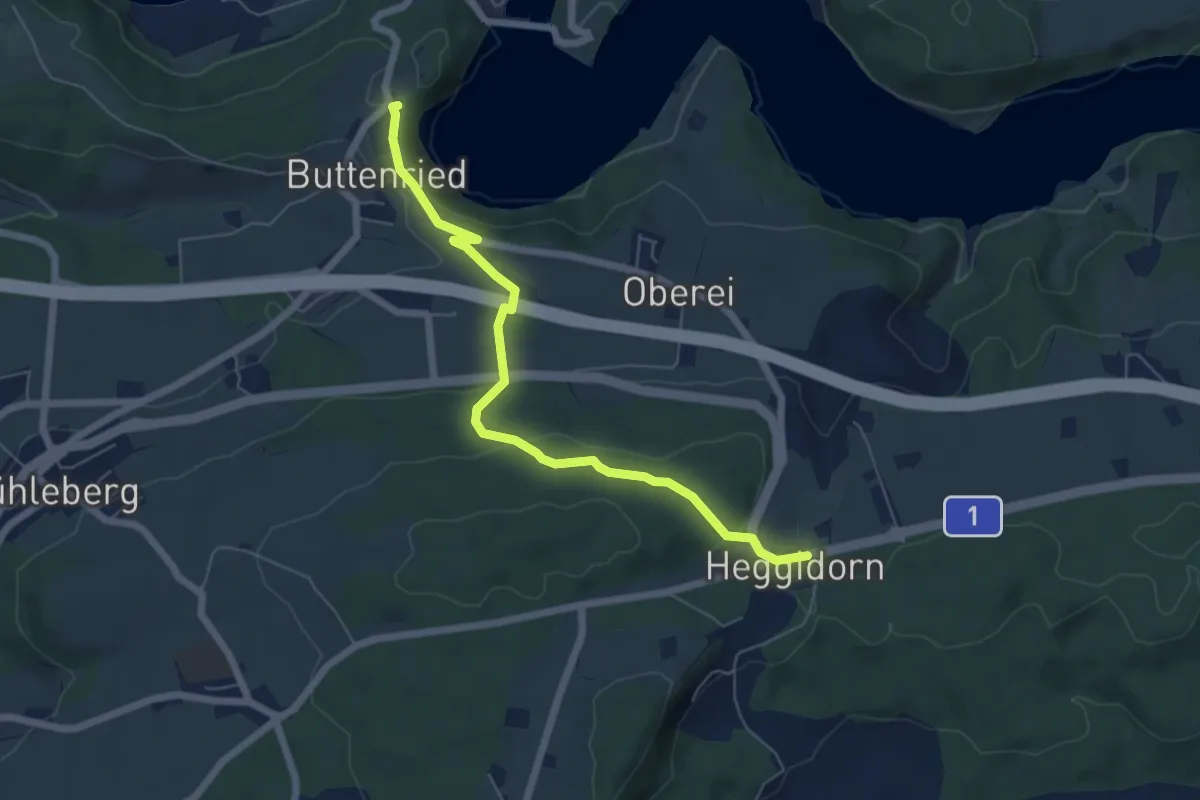
Easy · Trail
Heggidorn - Fuchsenried
6.1 km · ↑ 157 m · 1 h 47 min · 11 km away
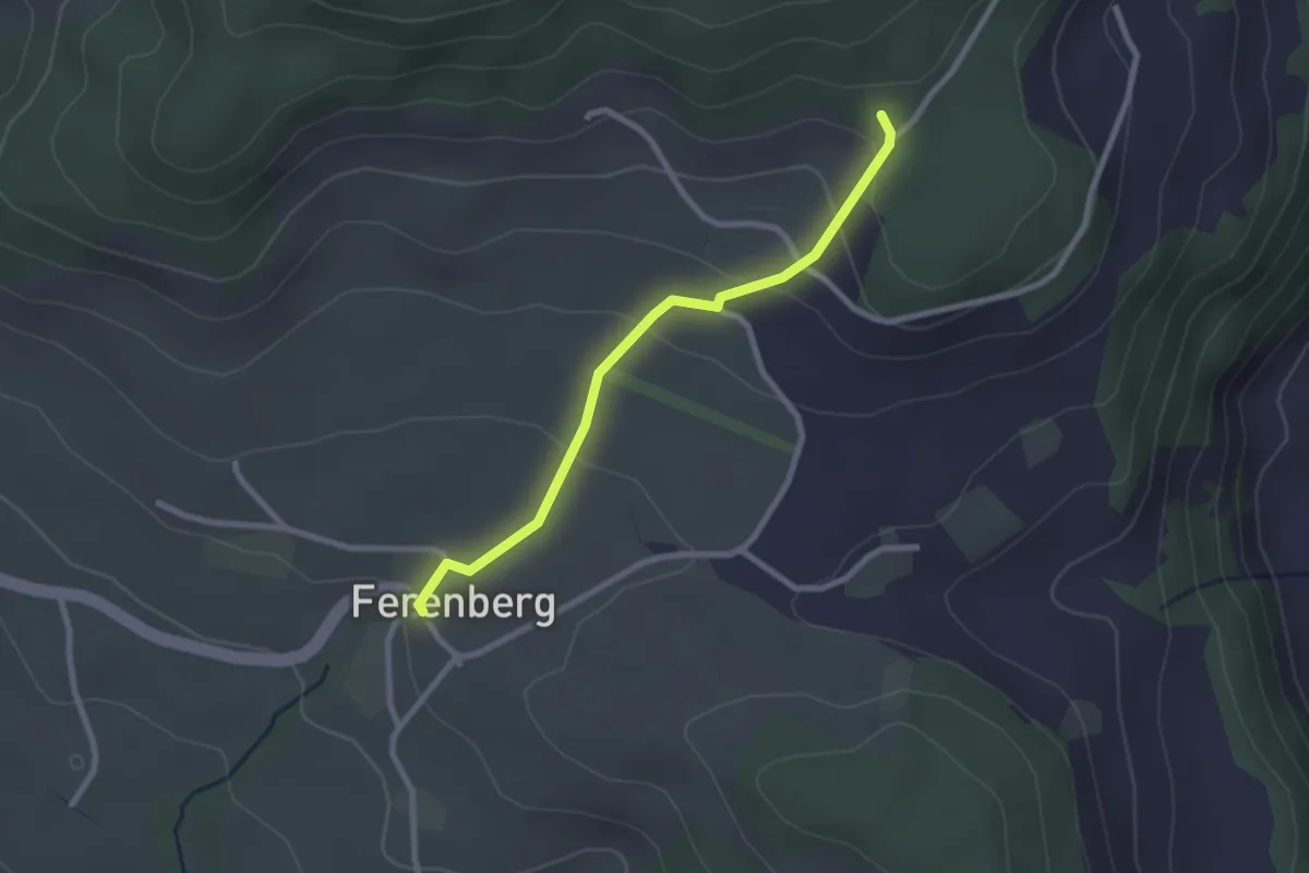
Easy · Trail
Cholegruebe – Ferenberg
2.4 km · ↑ 106 m · 48 min · 11 km away
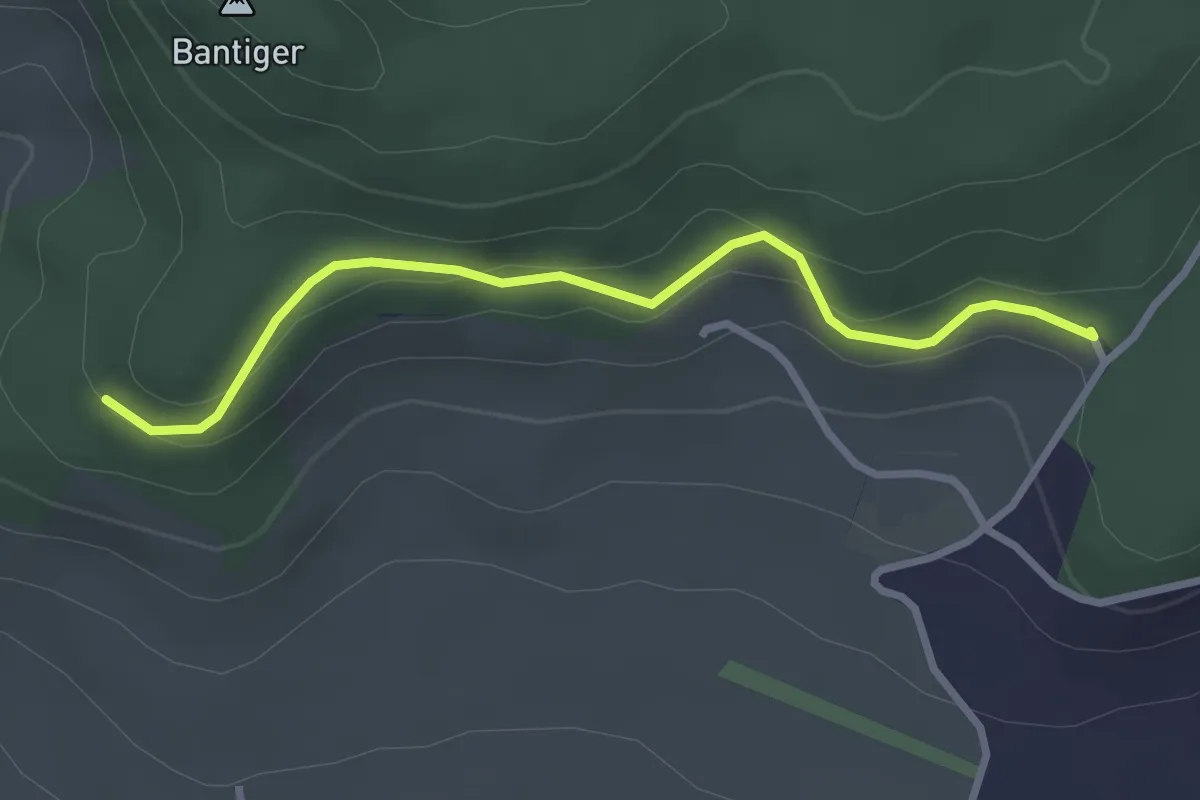
Easy · Trail
Chatzenstyg – Cholegruebe
2.8 km · ↑ 80 m · 51 min · 11 km away
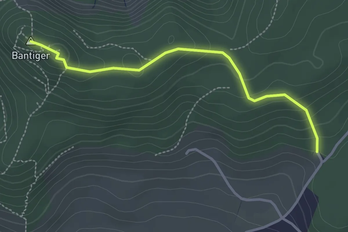
Easy · Summit
Bantiger – Cholgruebe
2.7 km · ↑ 119 m · 54 min · 11 km away