Trails near Köniz
523 hikes starting within 15 km, nearest first.
Nearest first, page 8 of 11
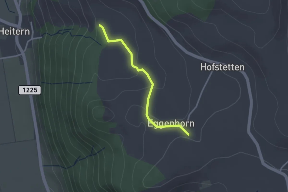
Easy · Trail
Schlatt - Chieffere
2.3 km · ↑ 73 m · 41 min · 11 km away
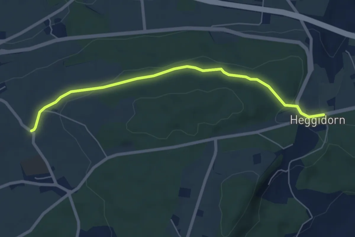
Easy · Trail
Buech - Heggidorn
5.2 km · ↑ 73 m · 1 h 23 min · 11 km away
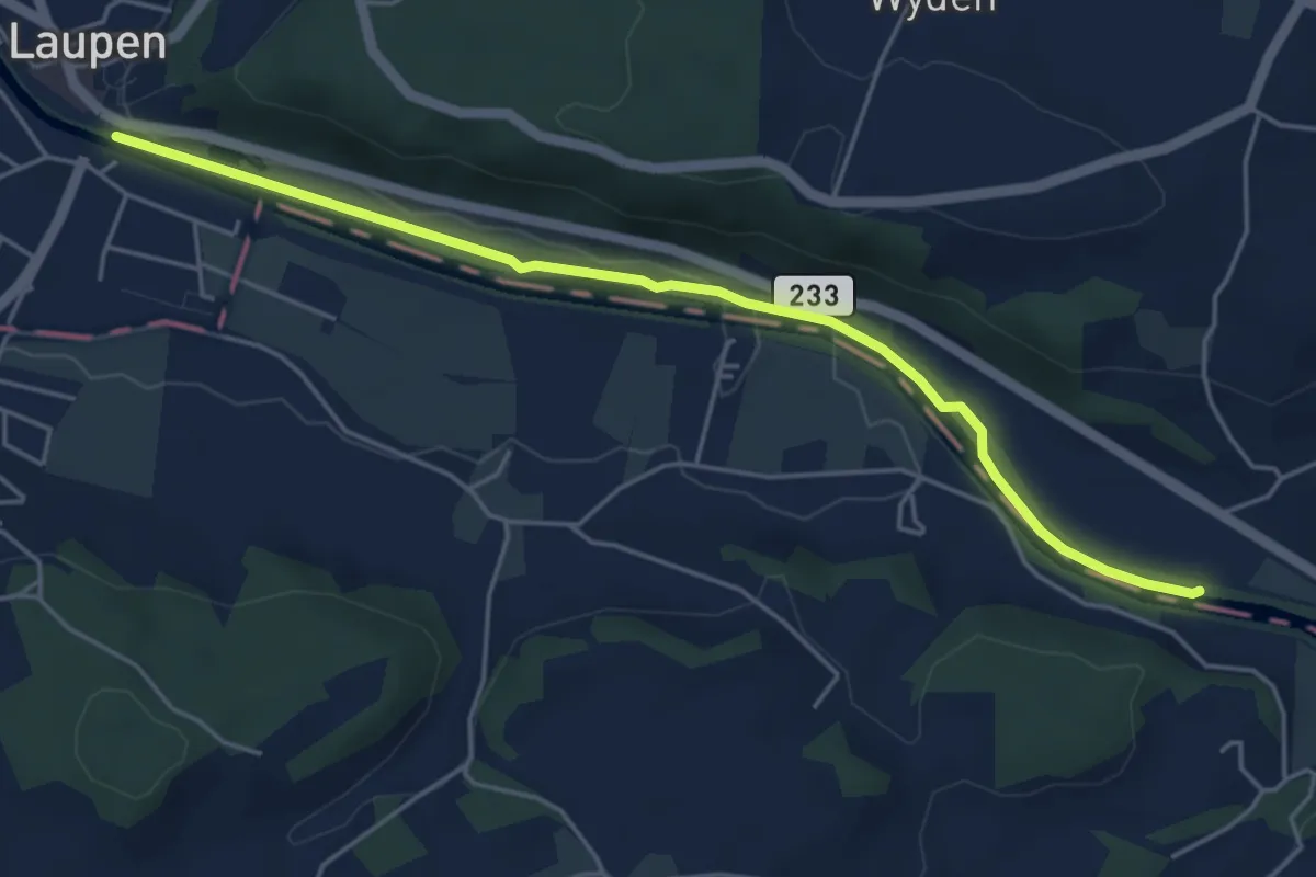
Easy · Trail
Laupen – Riedliau
5.0 km · ↑ 17 m · 1 h 14 min · 11 km away
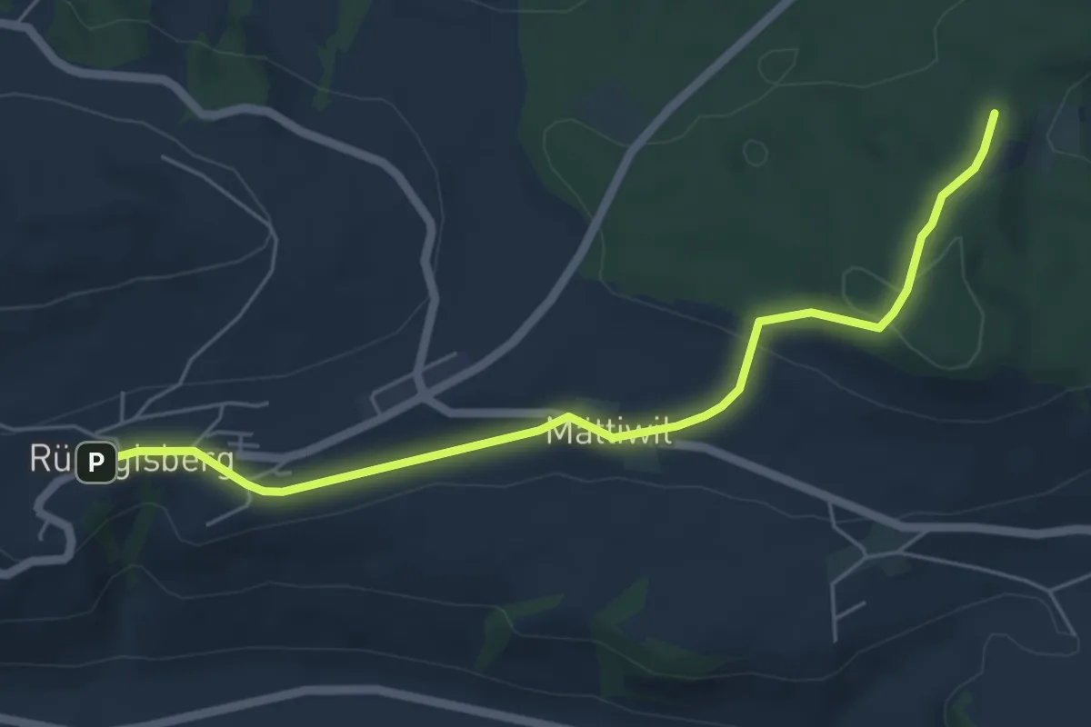
Easy · Trail
Rüeggisberg – Taanwald
5.8 km · ↑ 134 m · 1 h 39 min · 11 km away
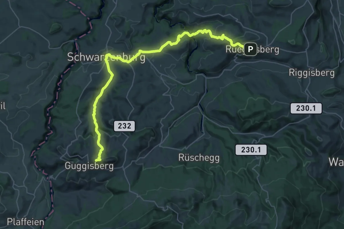
Demanding · Summit
Alpenpanorama-Weg
32.5 km · ↑ 1167 m · 10 h 12 min · 11 km away
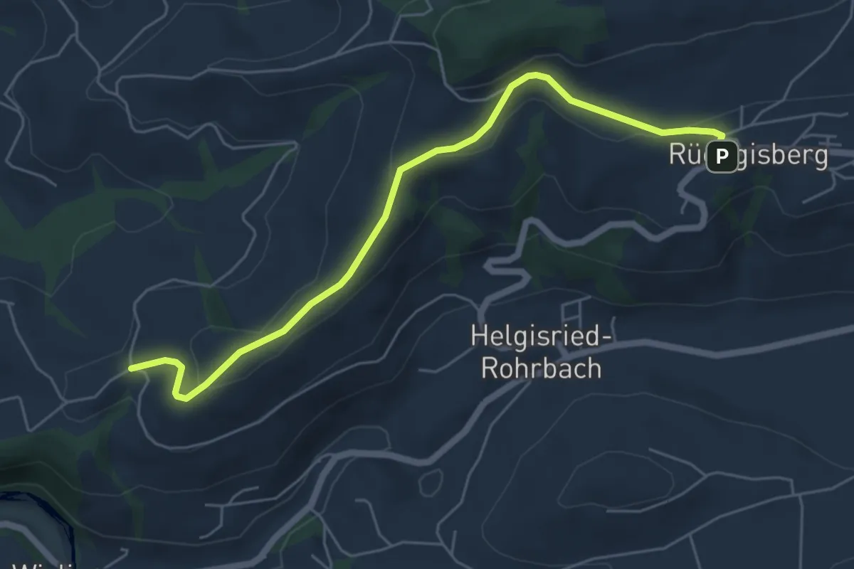
Easy · Trail
Rüeggisberg - Schwanden
5.7 km · ↑ 200 m · 1 h 47 min · 11 km away
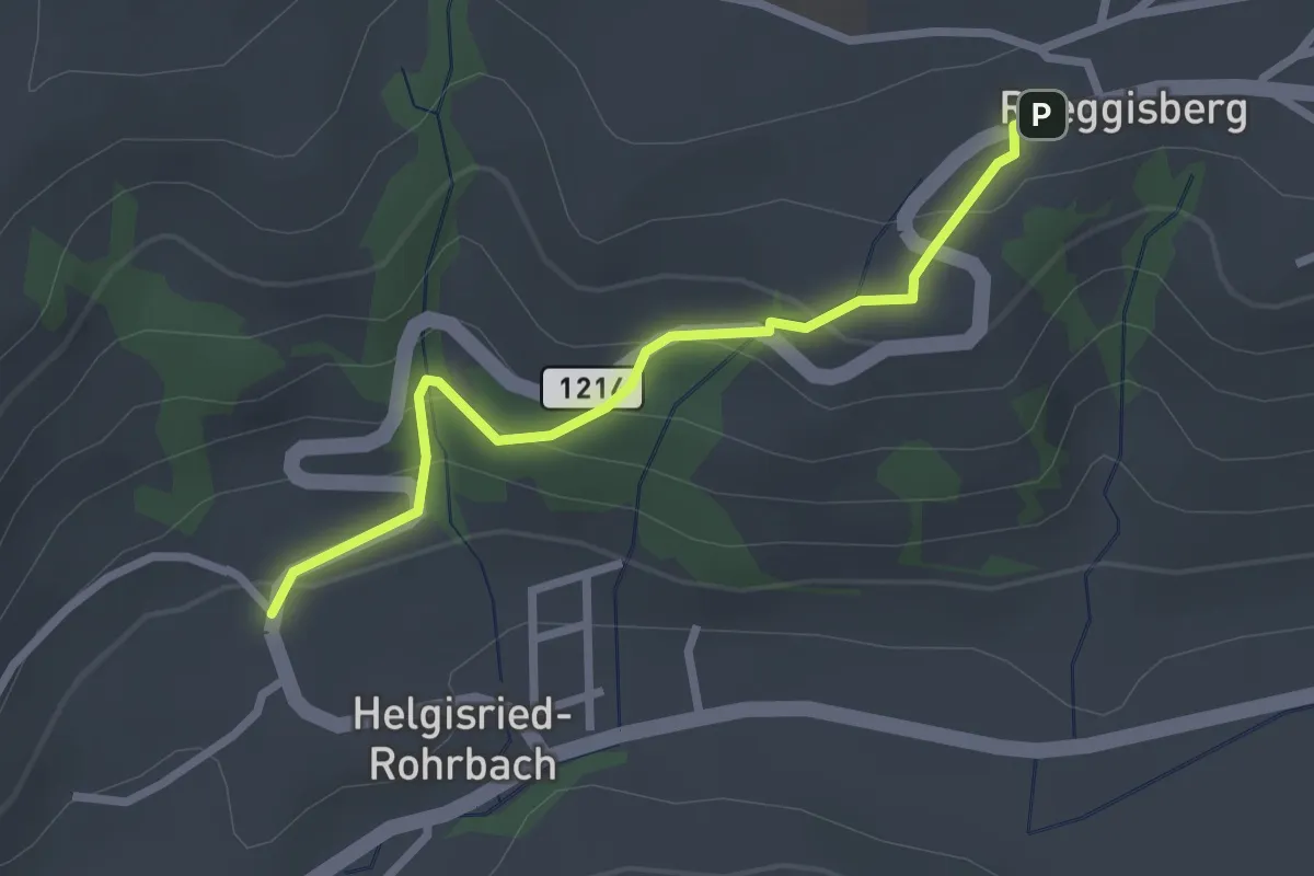
Easy · Trail
Ober Helgisried - Rüeggisberg
2.5 km · ↑ 161 m · 56 min · 11 km away
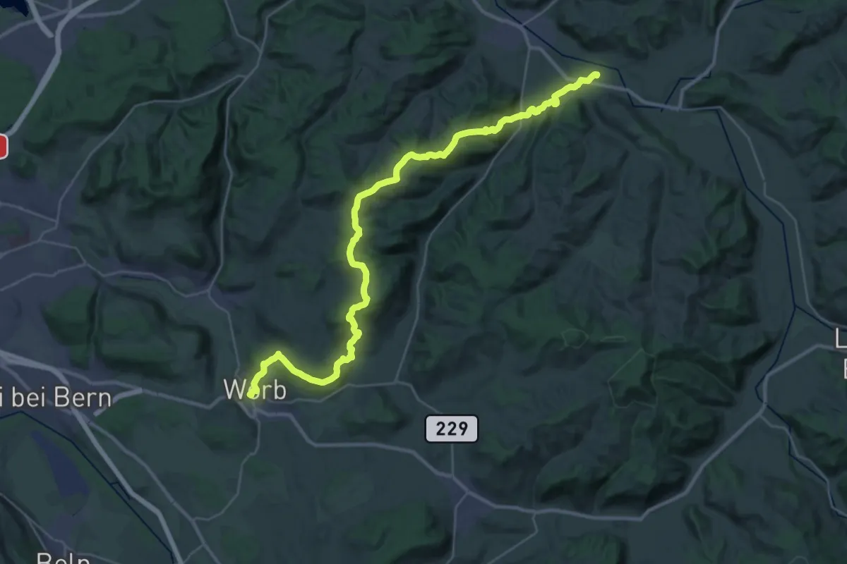
Medium · Trail
Trans Swiss Trail
17.7 km · ↑ 623 m · 5 h 47 min · 11 km away
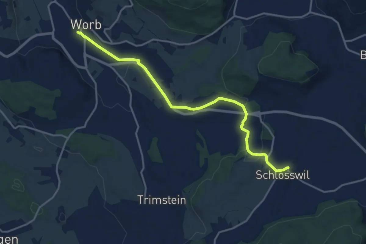
Medium · Trail
Worb – Schlosswil
10.2 km · ↑ 197 m · 2 h 50 min · 11 km away
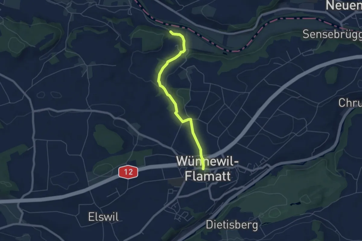
Easy · Trail
Noflenau – Wünnewil
5.1 km · ↑ 108 m · 1 h 27 min · 11 km away
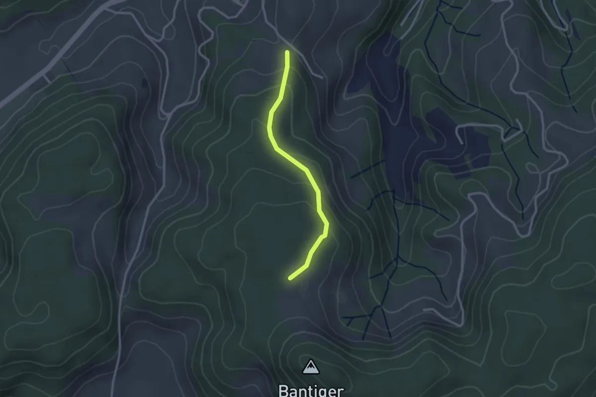
Easy · Trail
Geristein – Bantigenhubel
2.3 km · ↑ 111 m · 46 min · 11 km away
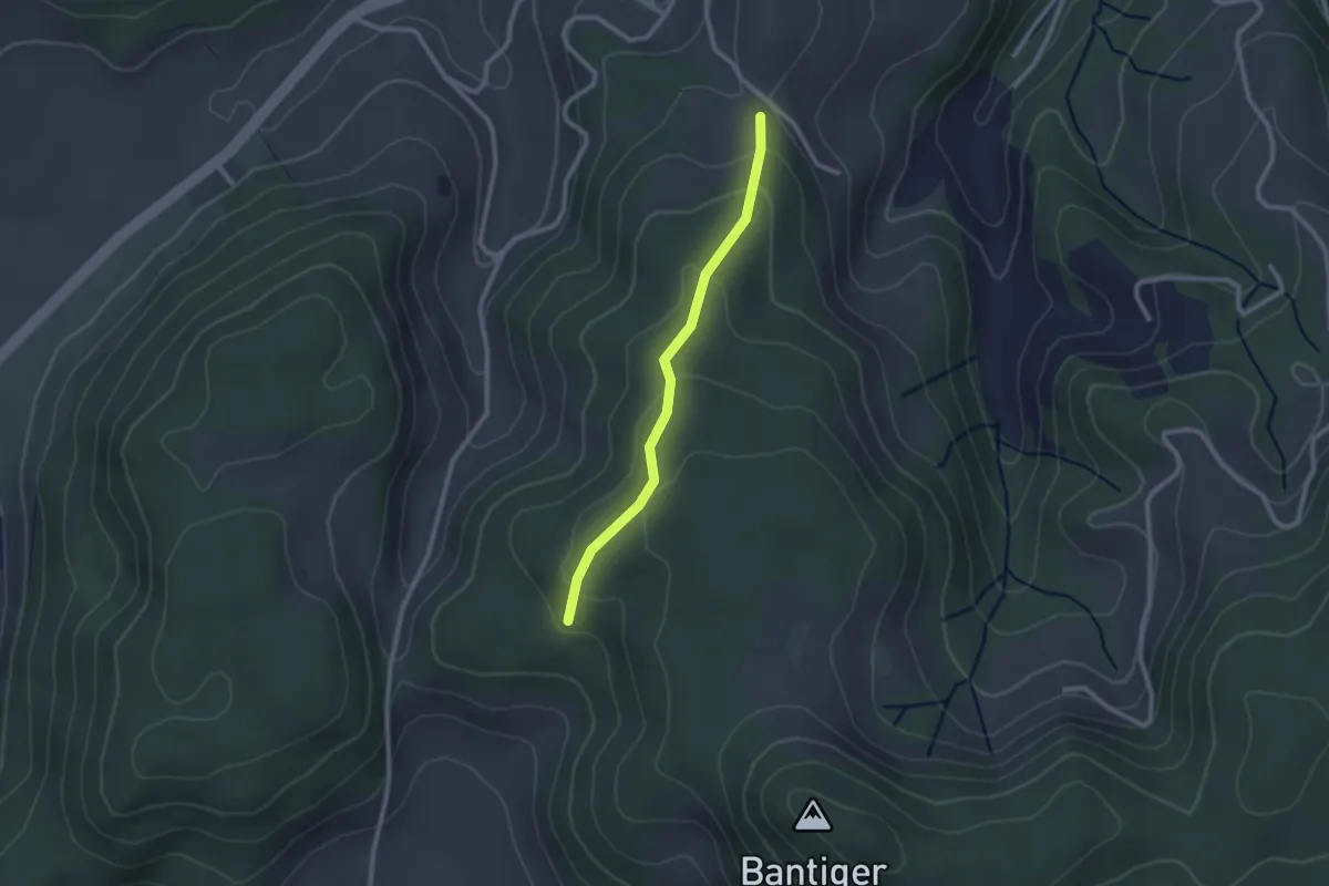
Easy · Trail
Geristein – Geristeinwald
2.2 km · ↑ 89 m · 42 min · 11 km away
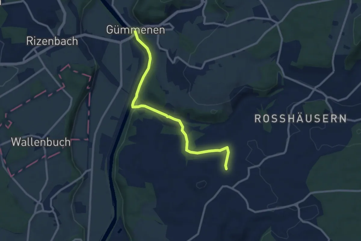
Easy · Trail
Gümmenen – Spengelried
7.1 km · ↑ 164 m · 2 h 2 min · 11 km away
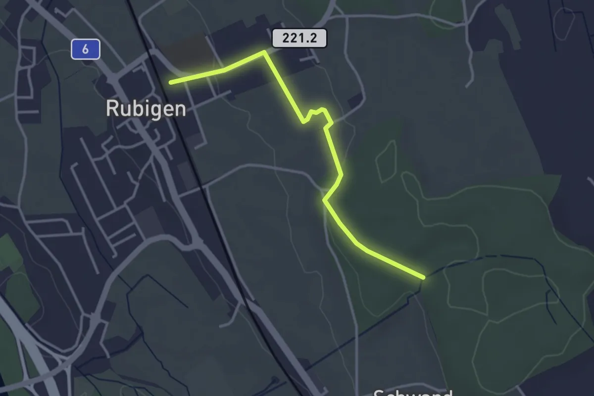
Easy · Trail
Rubigen – Schwandwald
3.2 km · ↑ 57 m · 53 min · 11 km away
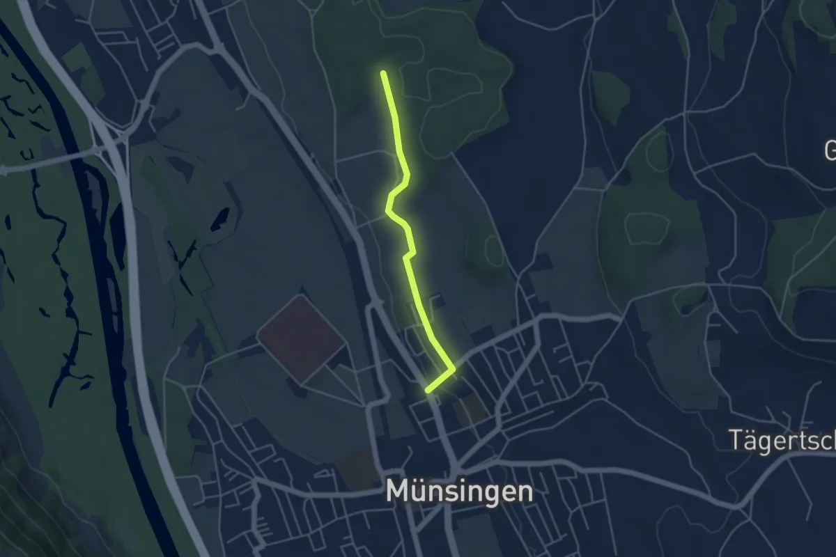
Easy · Trail
Münsingen – Schwandwald
3.7 km · ↑ 76 m · 1 h 2 min · 11 km away
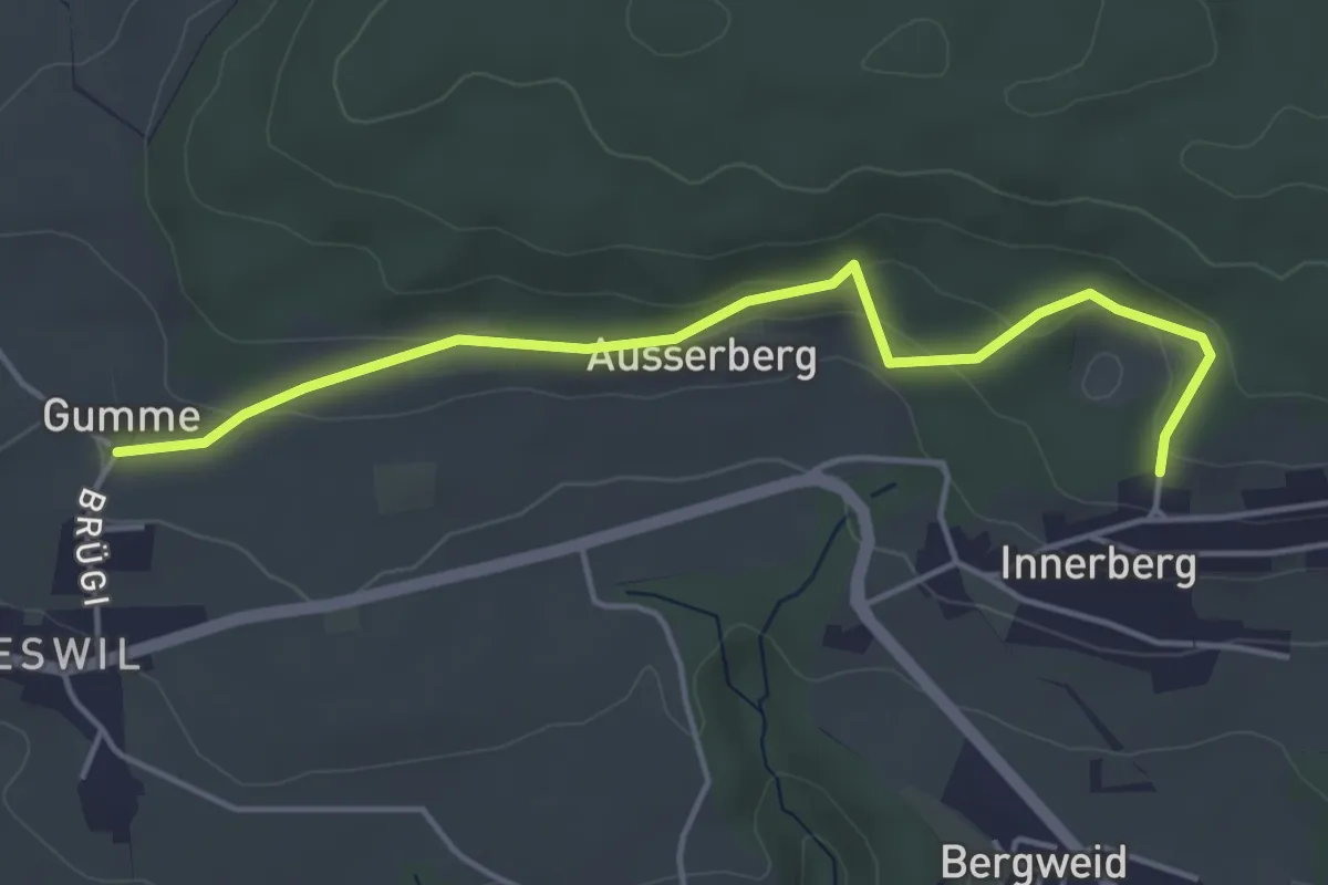
Easy · Trail
Gummen – Innerberg Mösli
4.6 km · ↑ 174 m · 1 h 27 min · 11 km away
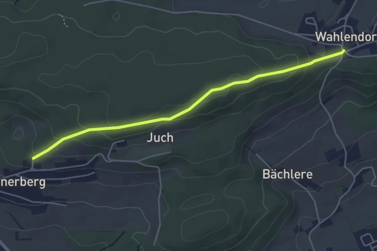
Easy · Trail
Wahlendorf Usserdorf – Innerberg Mösli
4.3 km · ↑ 155 m · 1 h 22 min · 11 km away
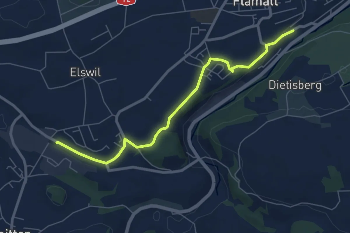
Easy · Trail
Wünnewil SBB - Schmitten Station
5.8 km · ↑ 104 m · 1 h 35 min · 12 km away
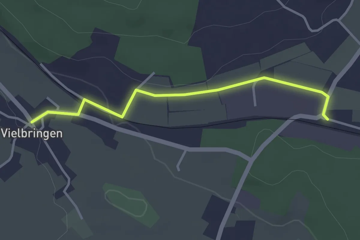
Easy · Trail
Vielbringen – Worb SBB
2.9 km · ↑ 41 m · 46 min · 12 km away
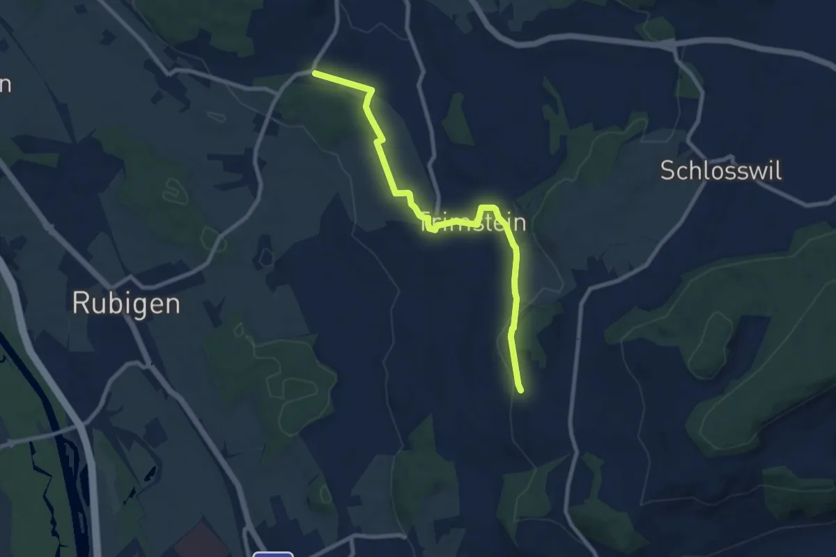
Medium · Trail
Worb SBB – Buechliacher
8.1 km · ↑ 165 m · 2 h 17 min · 12 km away
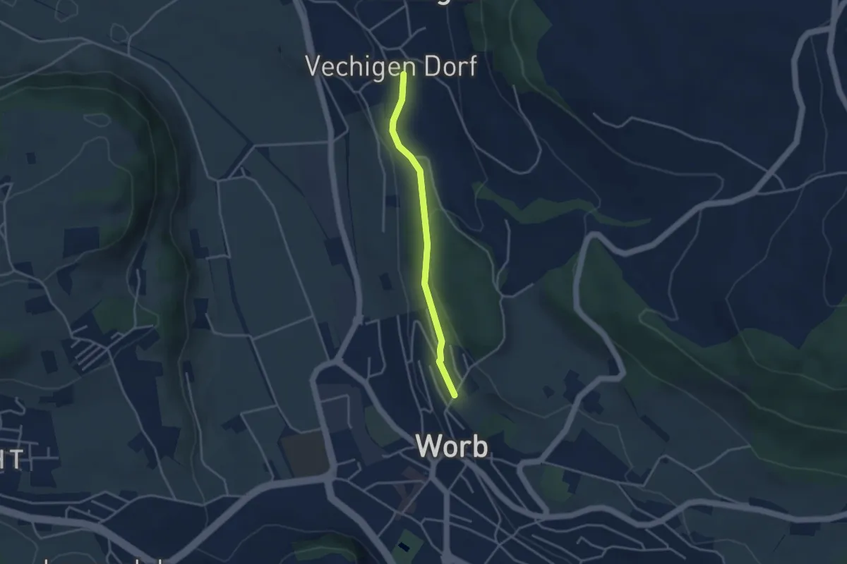
Easy · Trail
Vechingen - Egghalde
3.0 km · ↑ 77 m · 53 min · 12 km away
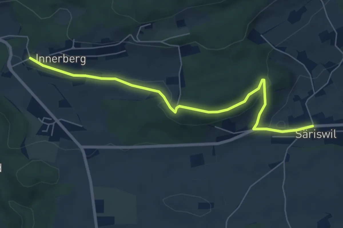
Easy · Trail
Innerberg – Säriswil
5.8 km · ↑ 147 m · 1 h 42 min · 12 km away
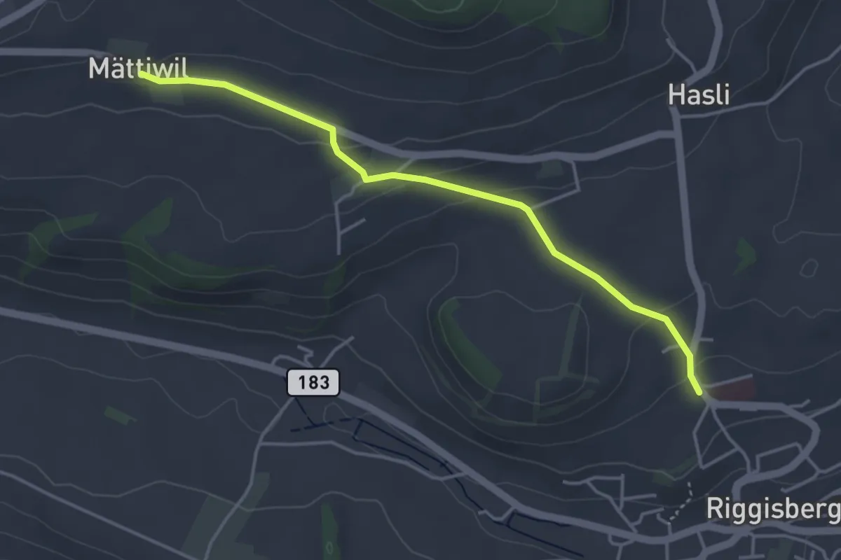
Easy · Trail
Riggisberg / Staudengasse – Mättiwil
4.0 km · ↑ 102 m · 1 h 10 min · 12 km away
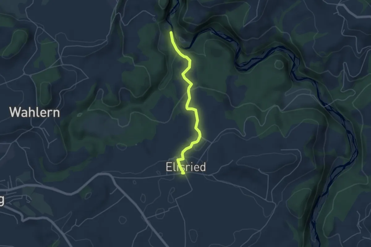
Easy · Trail
Burgbachstäg – Elisried
4.3 km · ↑ 154 m · 1 h 20 min · 12 km away
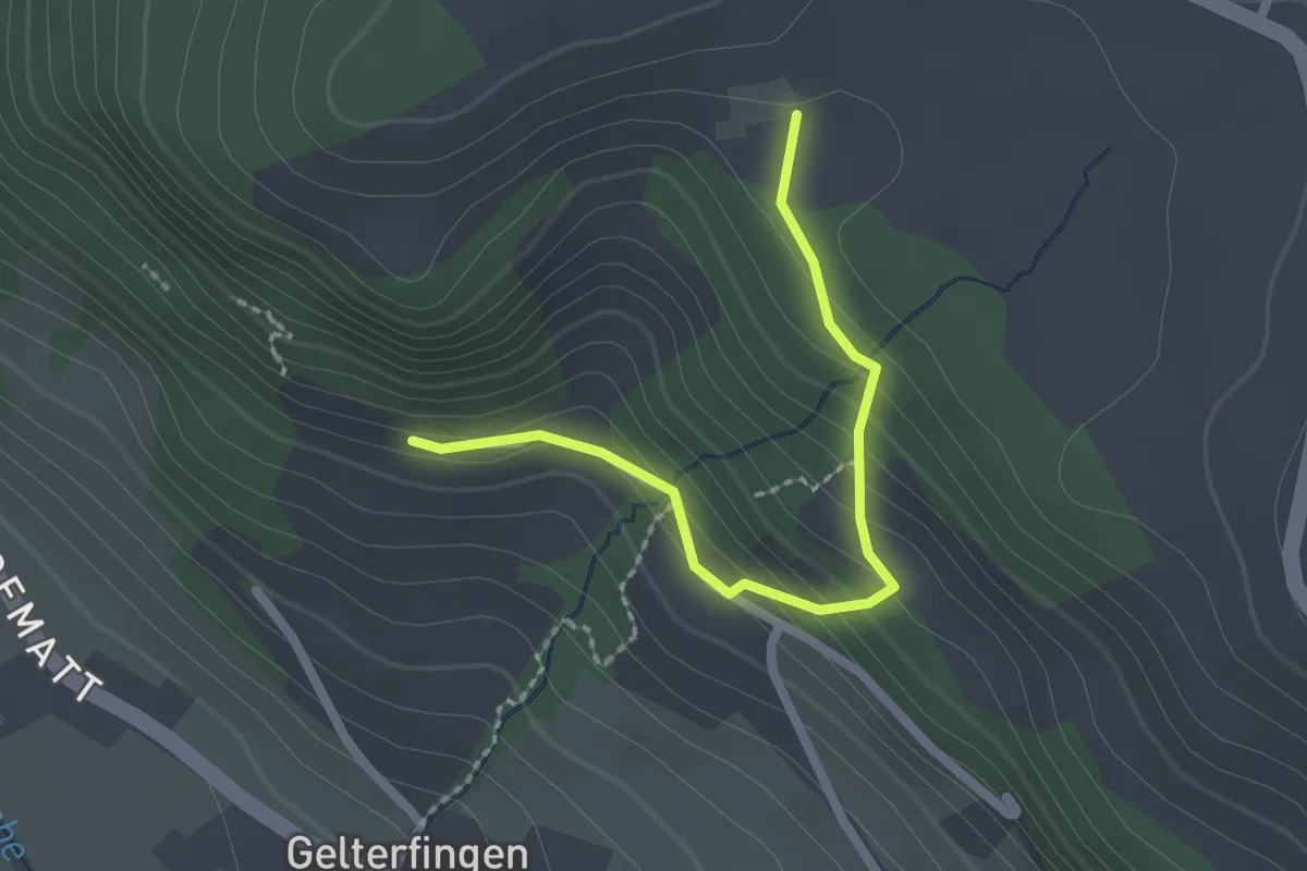
Easy · Trail
Chramburg - Schlatt
2.1 km · ↑ 133 m · 47 min · 12 km away
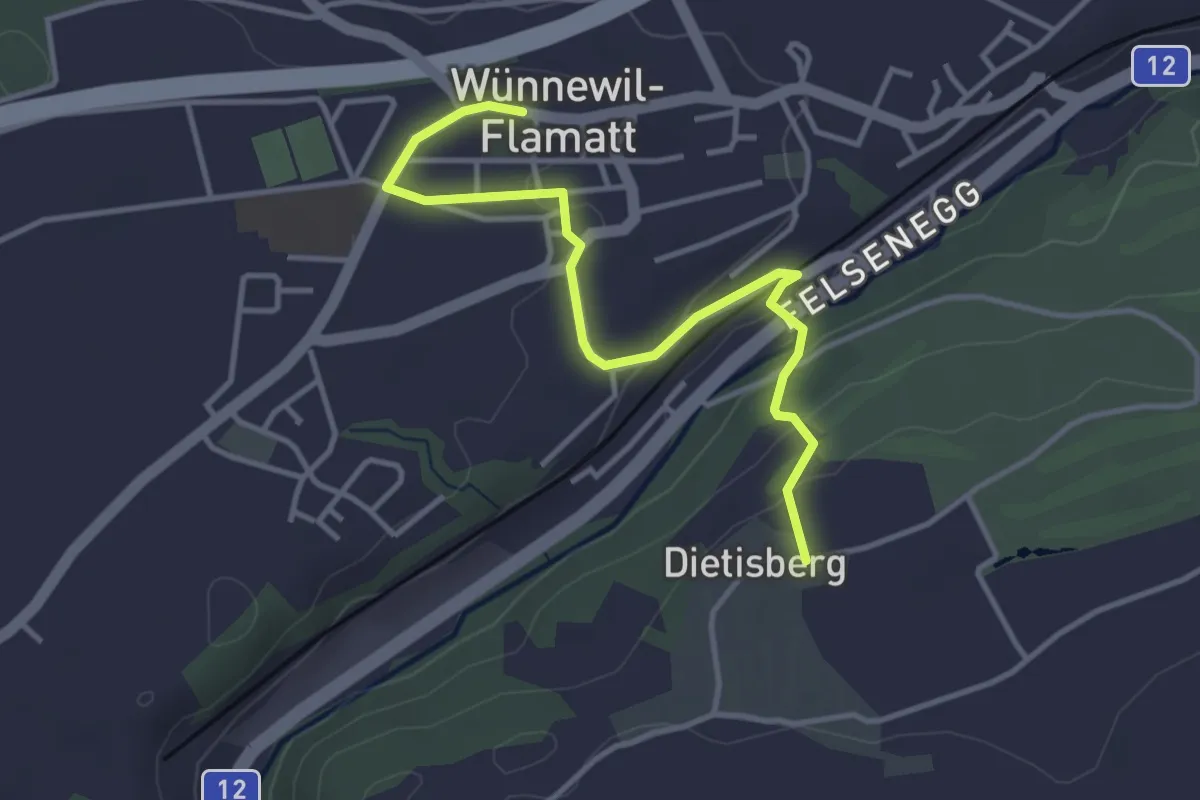
Easy · Trail
Sensler Bauernpfad Wünnewil
3.9 km · ↑ 98 m · 1 h 8 min · 12 km away
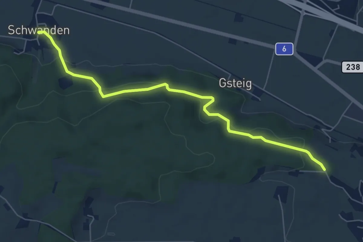
Easy · Trail
Schwanden – Bäreried
6.0 km · ↑ 226 m · 1 h 54 min · 12 km away
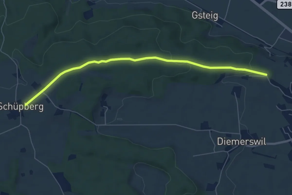
Easy · Trail
Bäreried – Schüpberg
6.0 km · ↑ 129 m · 1 h 41 min · 12 km away
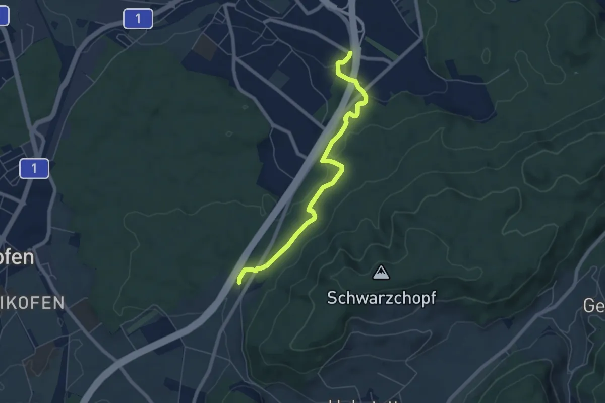
Easy · Trail
Grauholzdenkmal – Forsthus
5.6 km · ↑ 122 m · 1 h 36 min · 12 km away
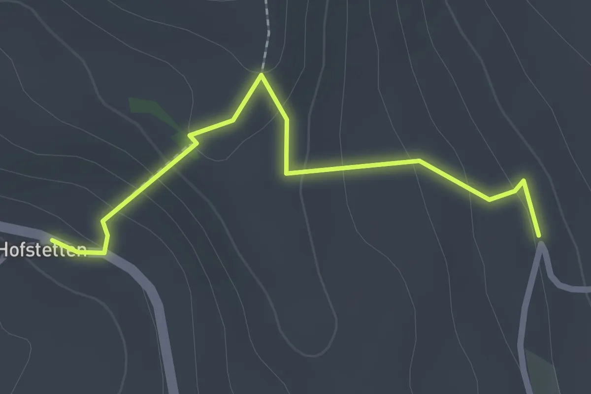
Easy · Trail
Hostete - Simmlere
2.1 km · ↑ 121 m · 45 min · 12 km away
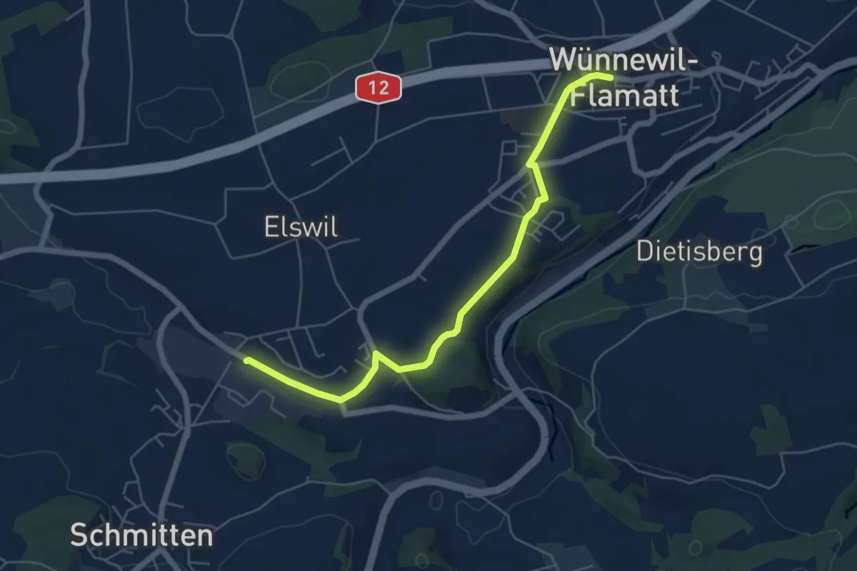
Easy · Trail
Wünnewil - Schmitten Station
5.5 km · ↑ 83 m · 1 h 29 min · 12 km away
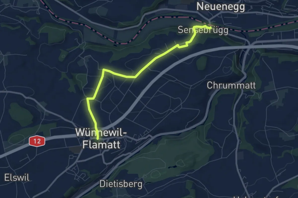
Easy · Trail
Sensebrücke – Wünnewil
7.6 km · ↑ 193 m · 2 h 12 min · 12 km away
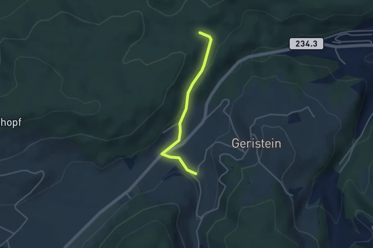
Easy · Trail
Sädelbachhüttli – Lutzere
2.7 km · ↑ 47 m · 44 min · 12 km away
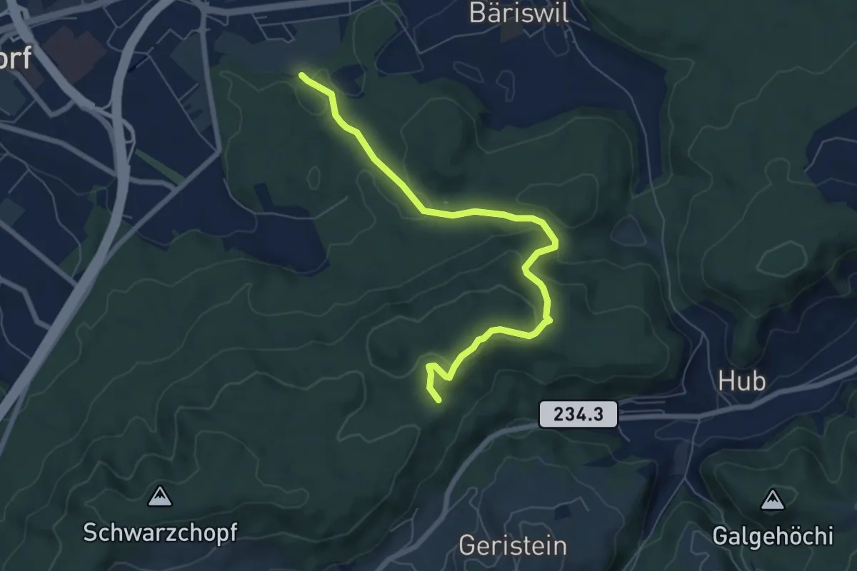
Easy · Trail
Holzmatt – Mattstettenberg
6.9 km · ↑ 277 m · 2 h 14 min · 12 km away
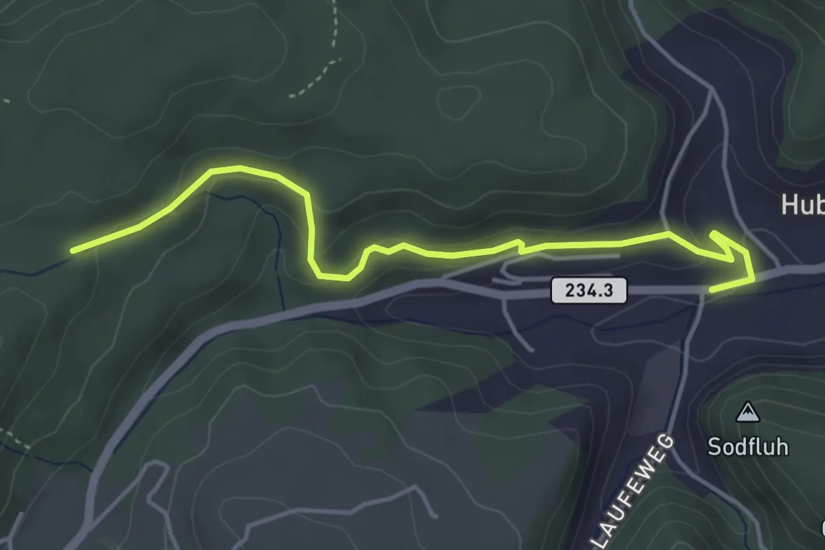
Easy · Trail
Sädelbachhüttli – Hueb
4.2 km · ↑ 167 m · 1 h 22 min · 12 km away
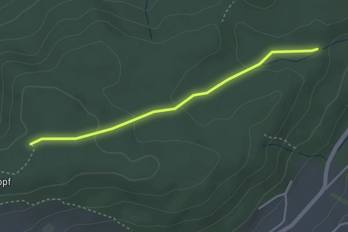
Easy · Trail
Sädelbachhüttli – Bannholz
2.8 km · ↑ 83 m · 50 min · 12 km away
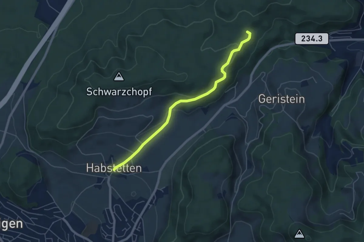
Easy · Trail
Sädelbachhüttli – Habstetten
5.0 km · ↑ 180 m · 1 h 35 min · 12 km away
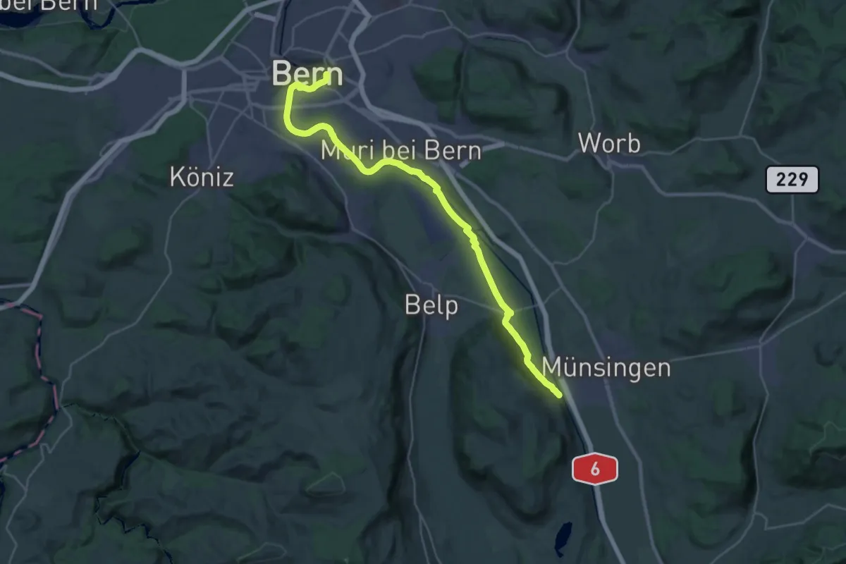
Demanding · Trail
ViaBerna Etappe 9
30.2 km · ↑ 349 m · 7 h 54 min · 12 km away
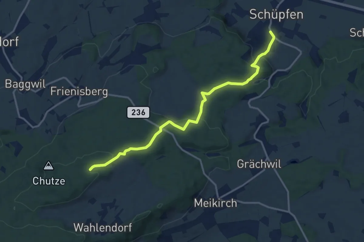
Medium · Trail
Weichel – Schüpfen
10.3 km · ↑ 350 m · 3 h 11 min · 12 km away
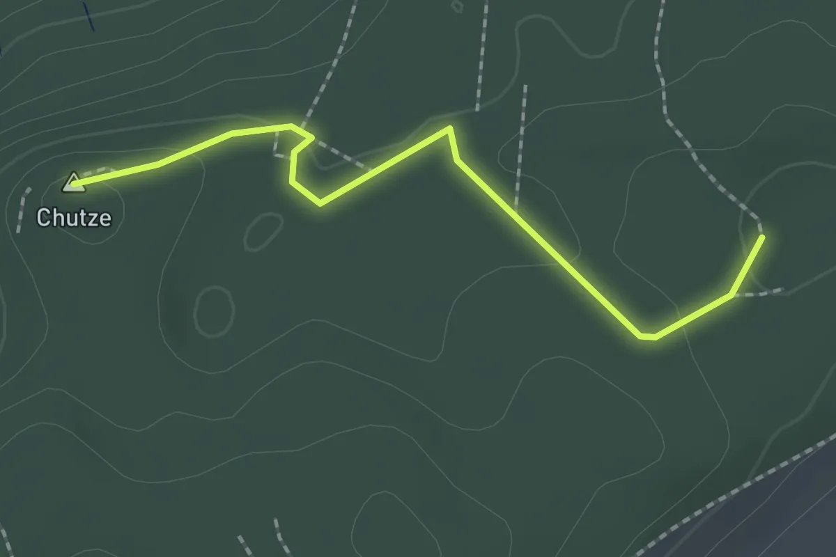
Easy · Summit
Chutzenturm – Weichel
2.0 km · ↑ 36 m · 34 min · 12 km away
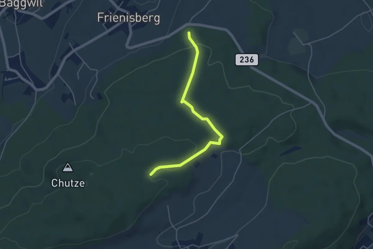
Easy · Trail
Frienisberger – Weichel
3.9 km · ↑ 101 m · 1 h 8 min · 12 km away
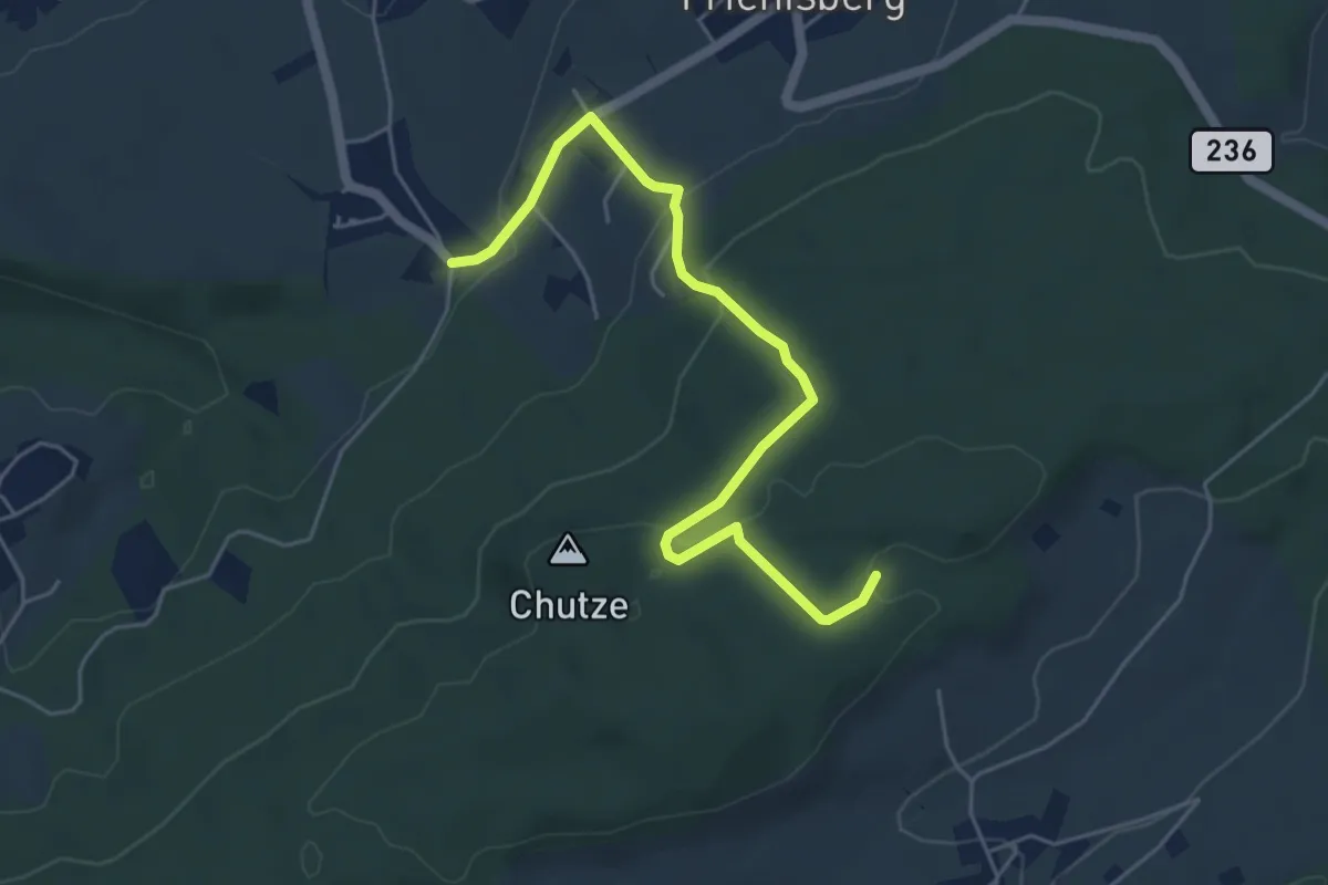
Easy · Trail
Baggwilgraben – Weichel
5.4 km · ↑ 183 m · 1 h 40 min · 12 km away
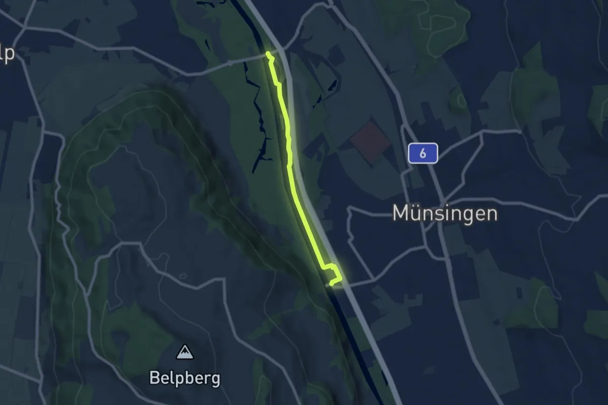
Easy · Trail
Hunzigenbrügg – Jabergbrücke
5.7 km · ↑ 18 m · 1 h 24 min · 12 km away
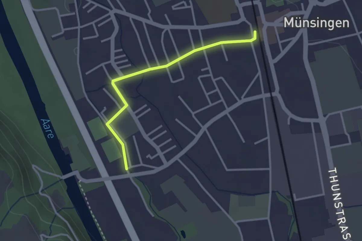
Easy · Trail
Aeussere Giesse - Münsingen/Bahnhof
2.7 km · ↑ 4 m · 39 min · 12 km away
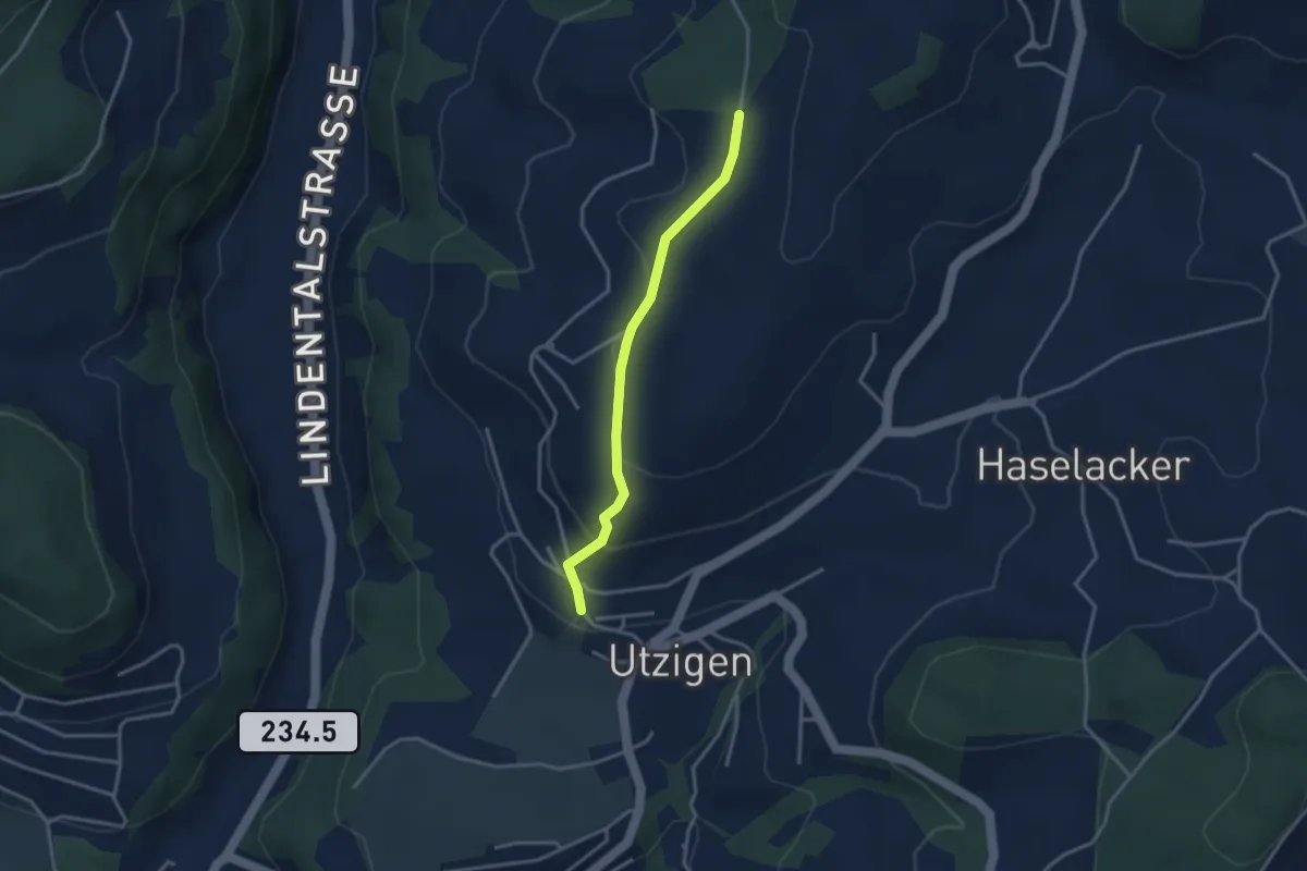
Easy · Trail
Utzigenwull – Utzigen/Schloss
3.0 km · ↑ 121 m · 58 min · 12 km away
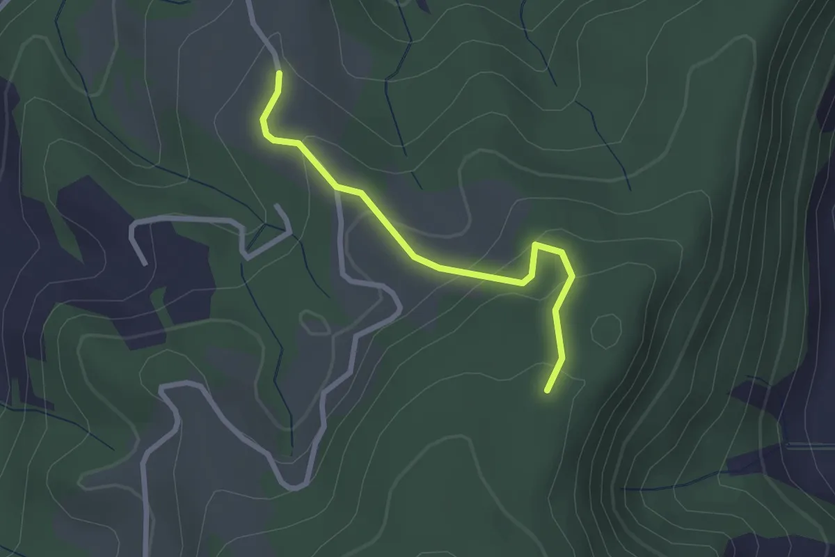
Easy · Trail
Vorder Jucke – Mühlestein
2.1 km · ↑ 142 m · 48 min · 12 km away
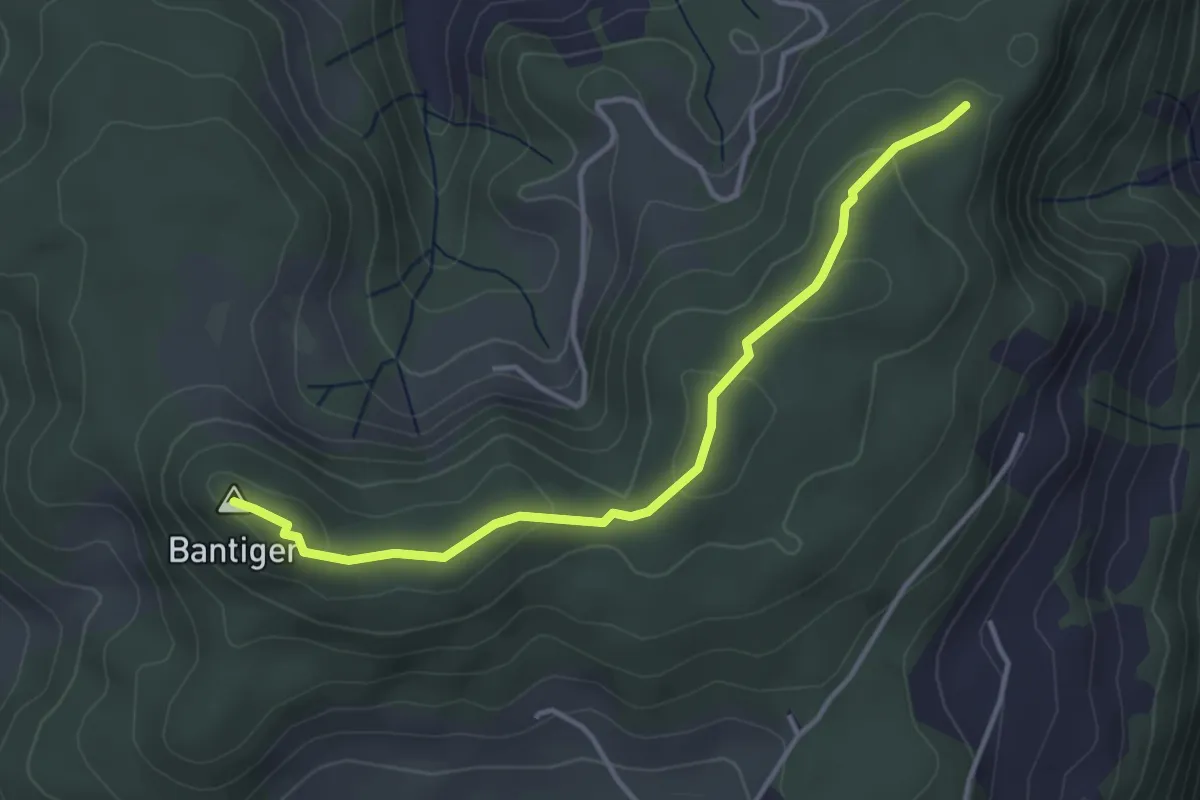
Easy · Summit
Mühlestein – Bantiger
3.7 km · ↑ 89 m · 1 h 4 min · 12 km away
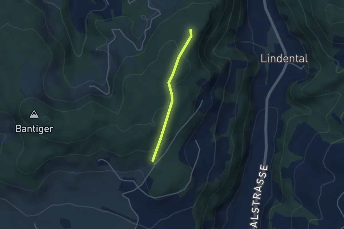
Easy · Trail
Mühlestein – Cholegruebe
2.4 km · ↑ 114 m · 49 min · 12 km away