Trails near Köniz
523 hikes starting within 15 km, nearest first.
Nearest first, page 10 of 11
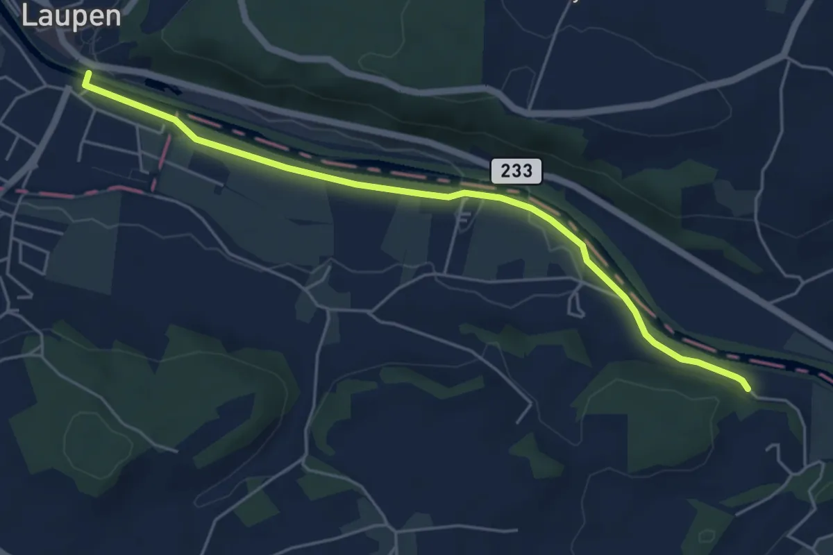
Easy · Trail
Laupen – Noflenau
5.2 km · ↑ 29 m · 1 h 17 min · 13 km away
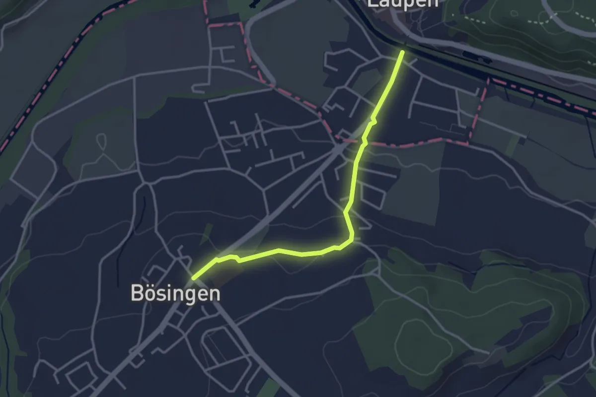
Easy · Trail
Bösingen - Laupen
3.1 km · ↑ 59 m · 51 min · 13 km away
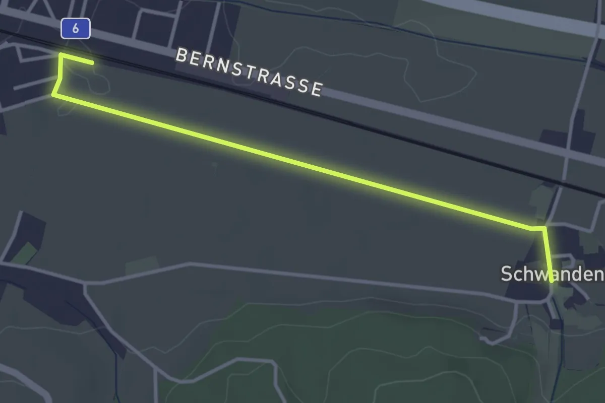
Easy · Trail
Schüpfen / Station – Schwanden
3.5 km · ↑ 13 m · 51 min · 13 km away
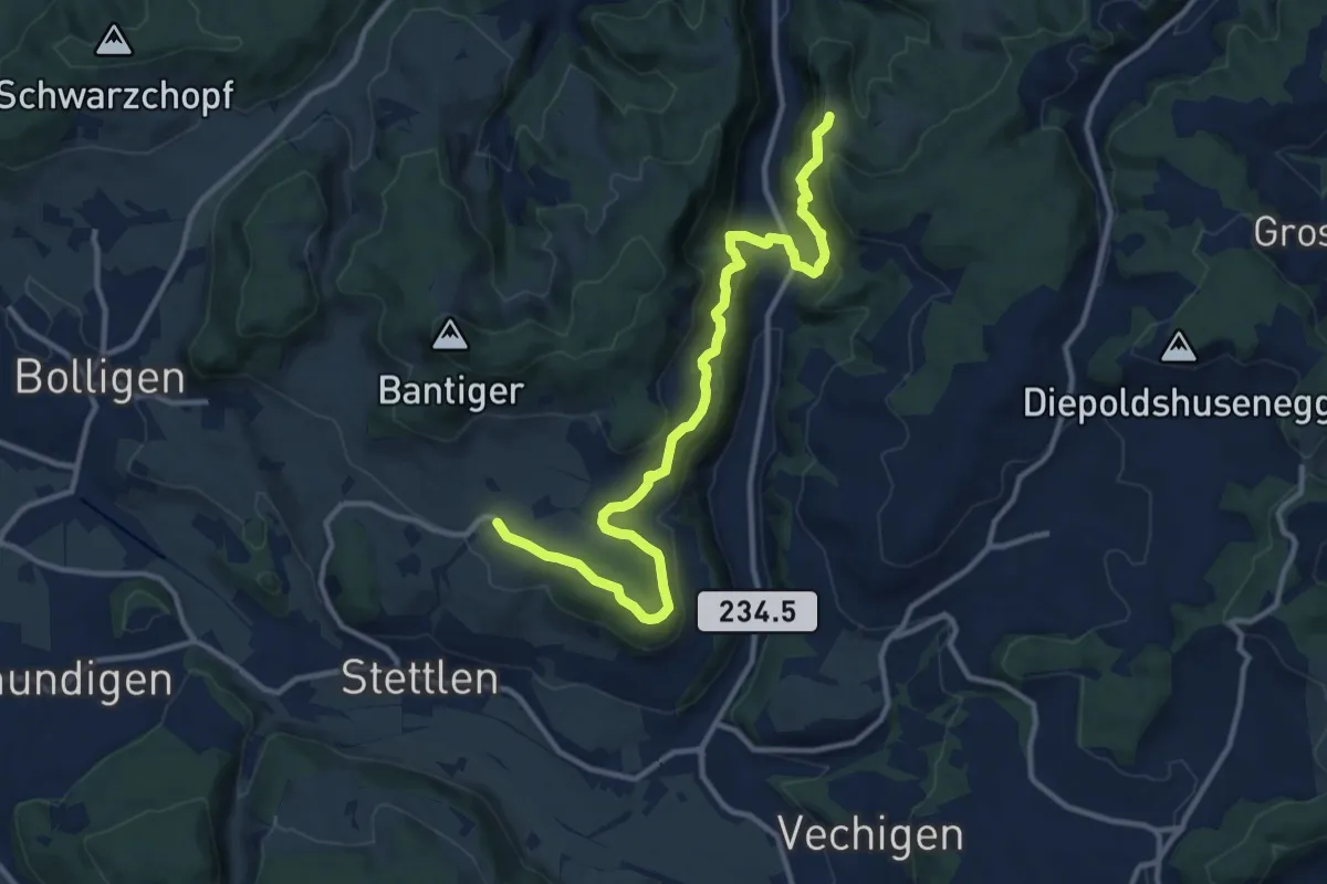
Medium · Trail
Vordere Geisme – Ferenberg
12.7 km · ↑ 592 m · 4 h 17 min · 13 km away
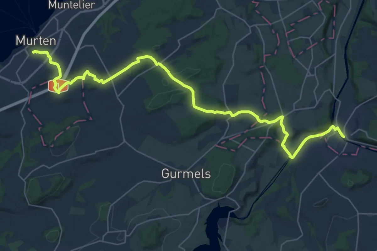
Medium · Trail
Trans Swiss Trail
14.5 km · ↑ 259 m · 4 h 13 min · 13 km away
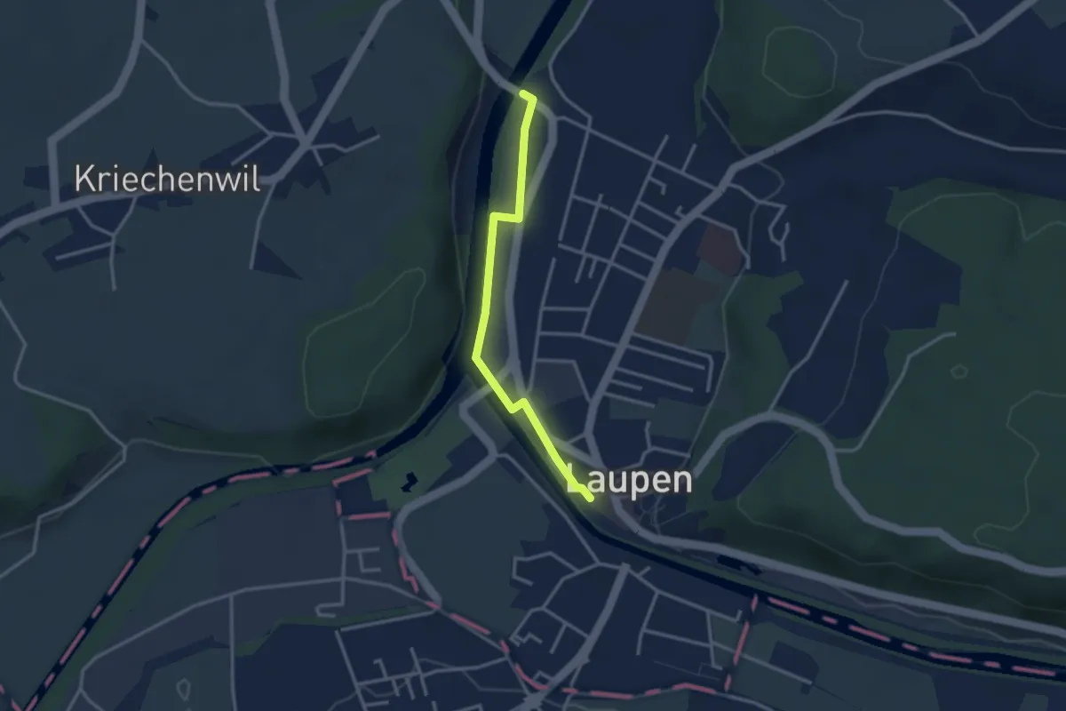
Easy · Trail
Saanebrücke – Laupen
2.8 km · ↑ 15 m · 41 min · 13 km away
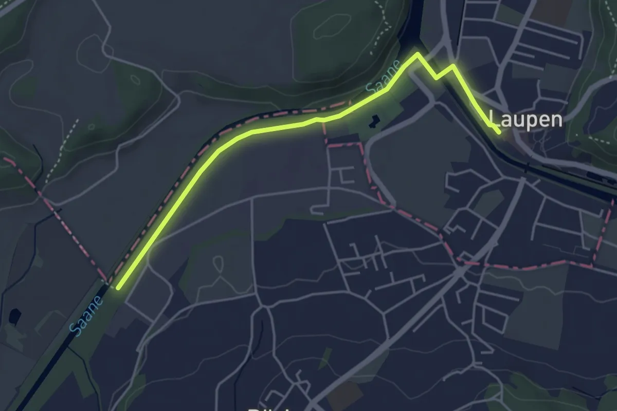
Easy · Trail
Auriedstäg – Laupen
4.3 km · ↑ 26 m · 1 h 4 min · 13 km away
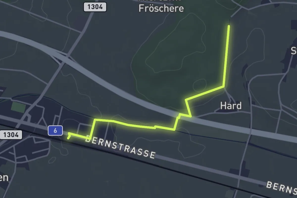
Easy · Trail
Hardwald – Schüpfen / Station
4.0 km · ↑ 45 m · 1 h 3 min · 13 km away
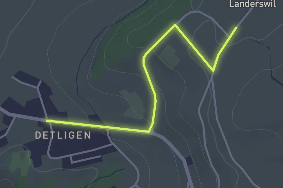
Easy · Trail
Landerswil – Detligen
3.1 km · ↑ 97 m · 56 min · 13 km away
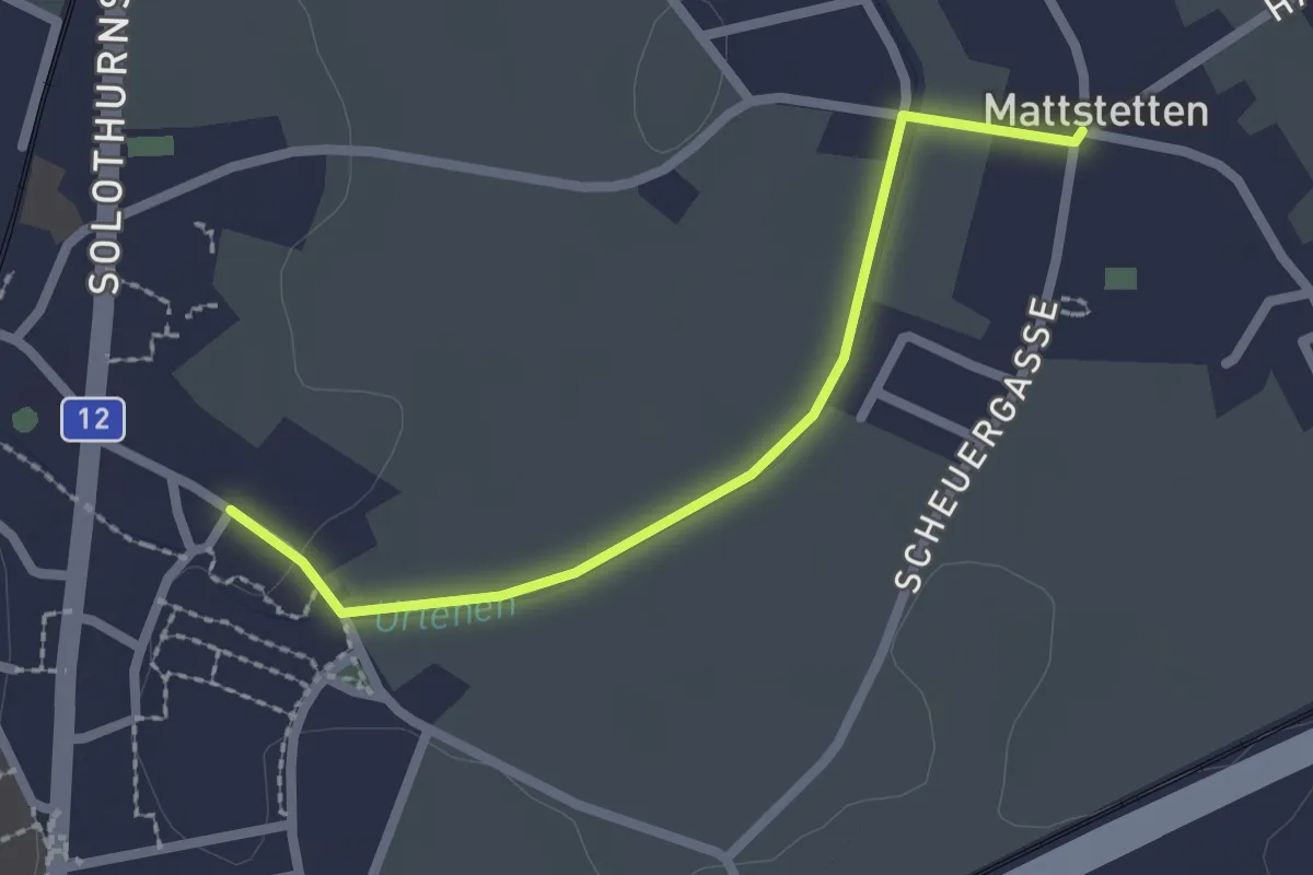
Easy · Trail
Mattstetten – Urtenen
2.2 km · ↑ 13 m · 32 min · 13 km away
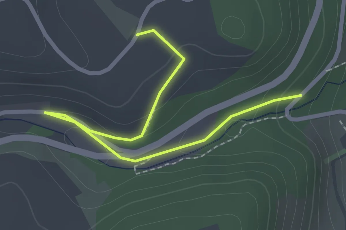
Easy · Trail
Abegg-Stiftung - Mülibach
2.2 km · ↑ 56 m · 38 min · 13 km away
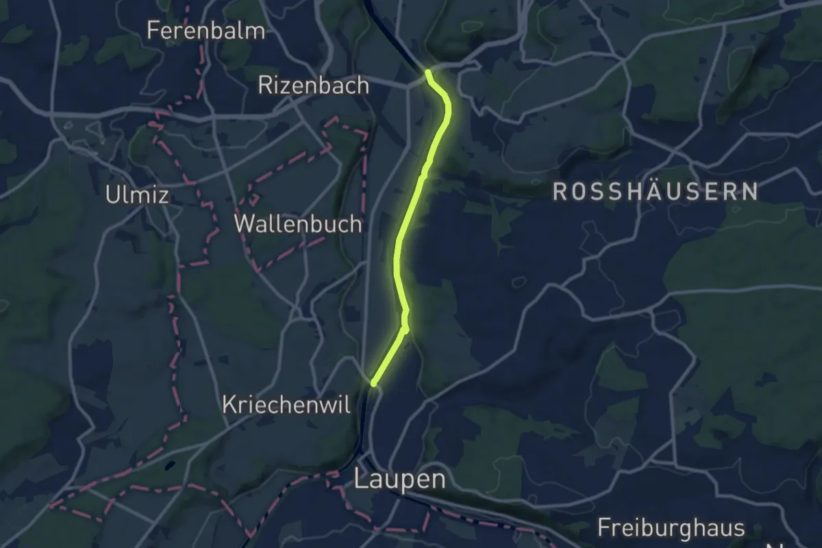
Easy · Trail
Saanebrücke – Gümmenen
7.8 km · ↑ 78 m · 2 h · 14 km away
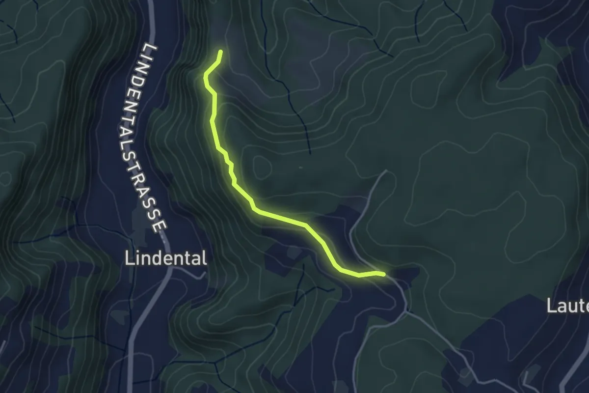
Easy · Trail
Vordere Geisme – Sonnenrain
3.0 km · ↑ 144 m · 1 h 1 min · 14 km away
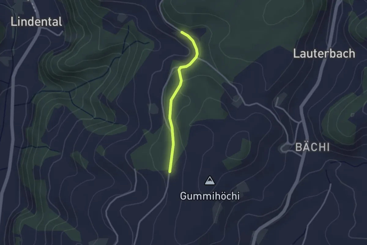
Easy · Trail
Sunnerain – Utzigenwull
2.1 km · ↑ 23 m · 33 min · 14 km away
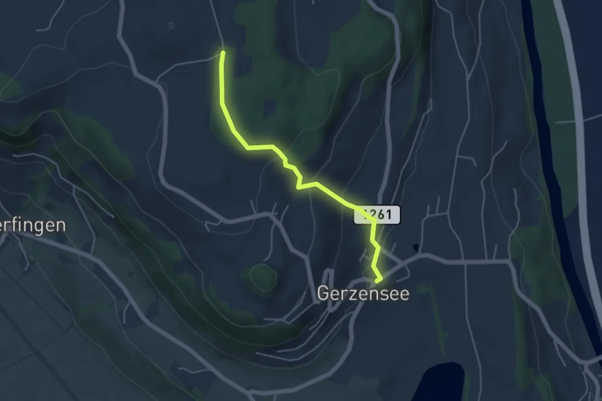
Easy · Trail
Nessleren - Gerzensee
3.8 km · ↑ 223 m · 1 h 23 min · 14 km away
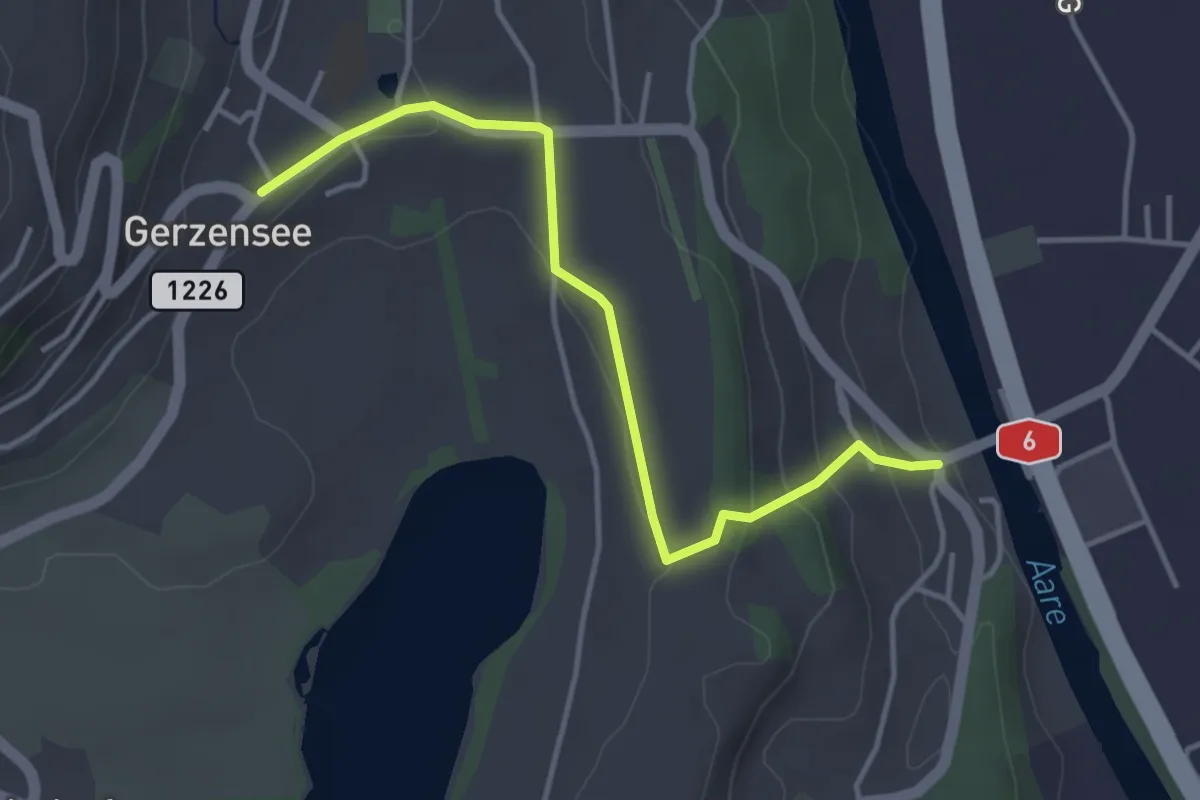
Easy · Trail
Gerzensee - Thalgutbrücke
3.9 km · ↑ 130 m · 1 h 12 min · 14 km away
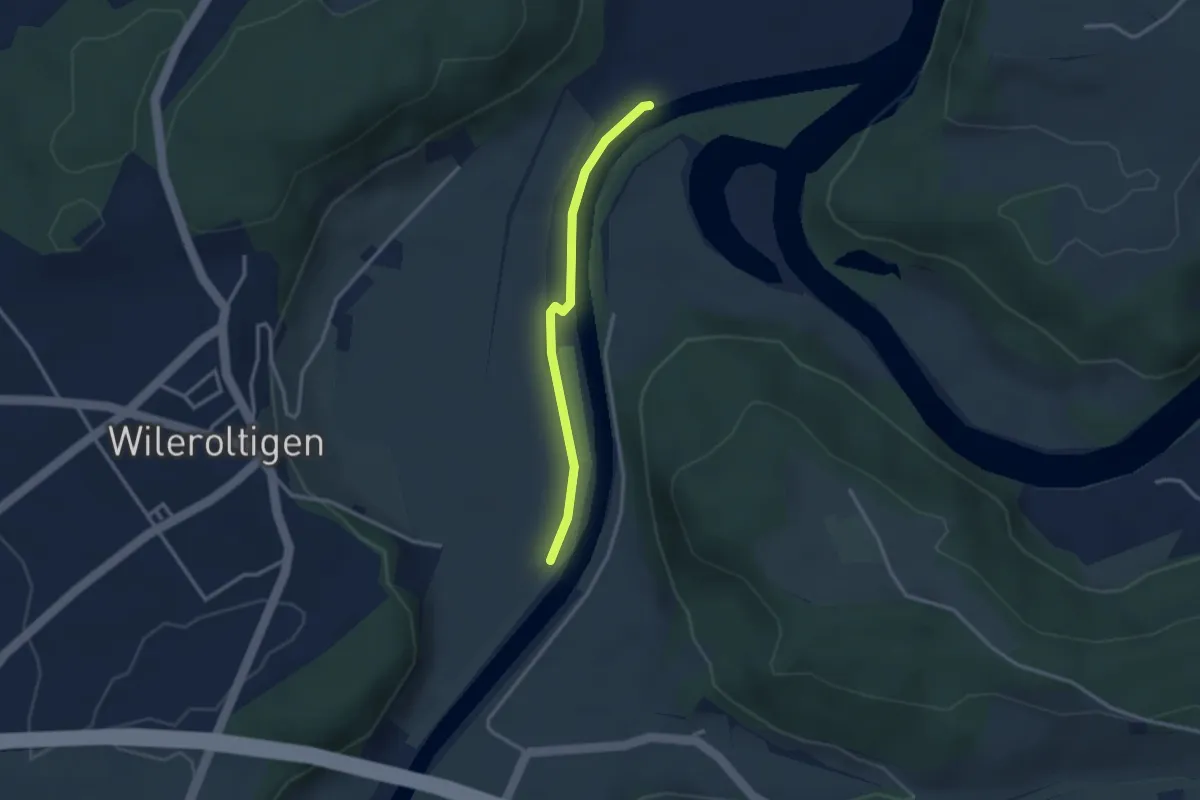
Easy · Trail
Wilerau – Saanesteg
2.6 km · ↑ 0 m · 37 min · 14 km away
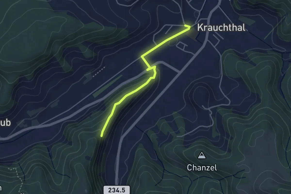
Easy · Trail
Sandhole – Fluehüsli
3.2 km · ↑ 113 m · 1 h · 14 km away
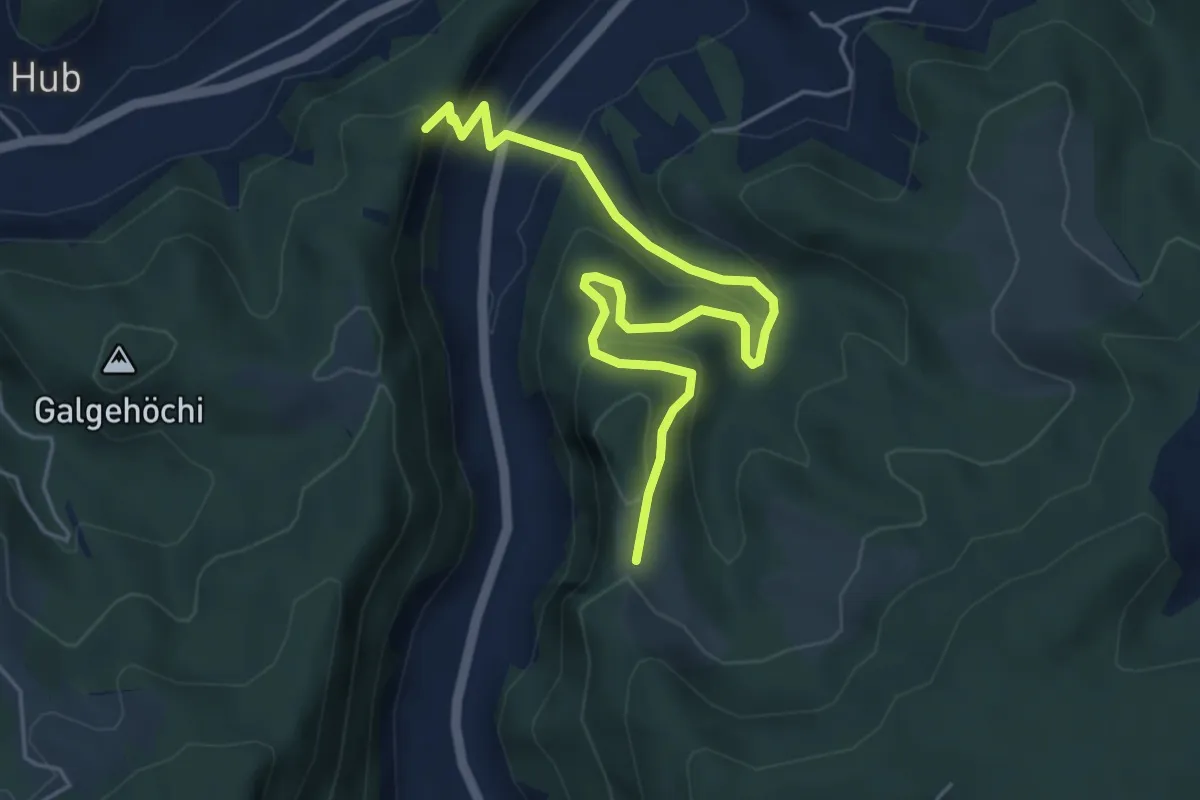
Medium · Trail
Fluehüsli – Vordere Geisme
5.6 km · ↑ 361 m · 2 h 6 min · 14 km away
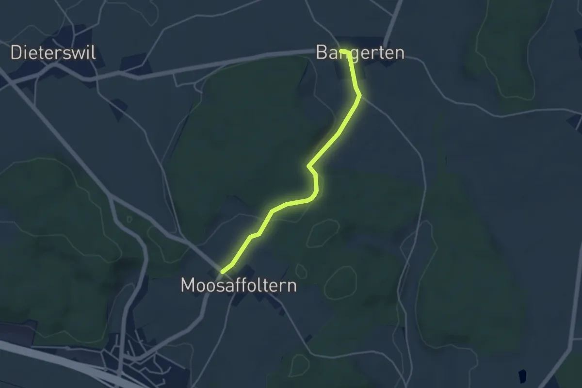
Easy · Trail
Moosaffoltern – Bangerten
3.6 km · ↑ 46 m · 56 min · 14 km away
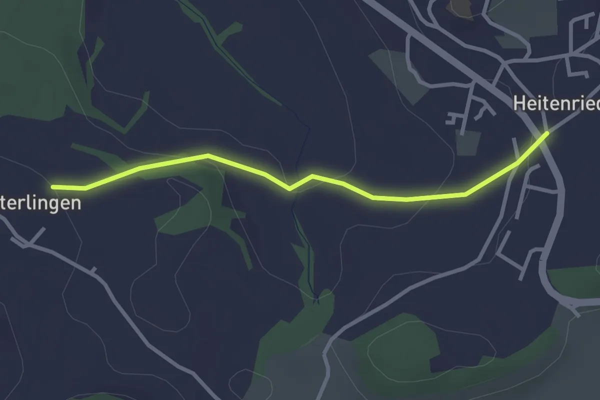
Easy · Trail
Heitenried - Winterlingen
2.5 km · ↑ 71 m · 45 min · 14 km away
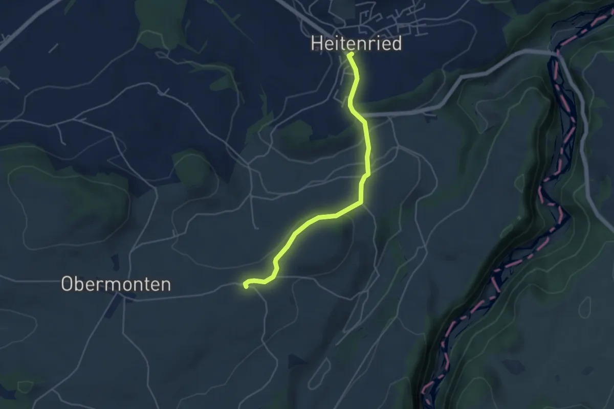
Easy · Trail
Melisried - Heitenried
4.2 km · ↑ 102 m · 1 h 13 min · 14 km away
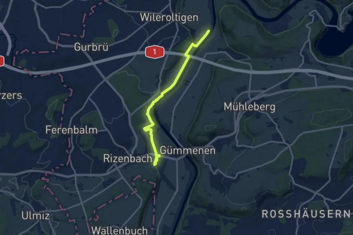
Medium · Trail
Gümmenen Bahnhof – Wilerau
8.7 km · ↑ 267 m · 2 h 38 min · 14 km away
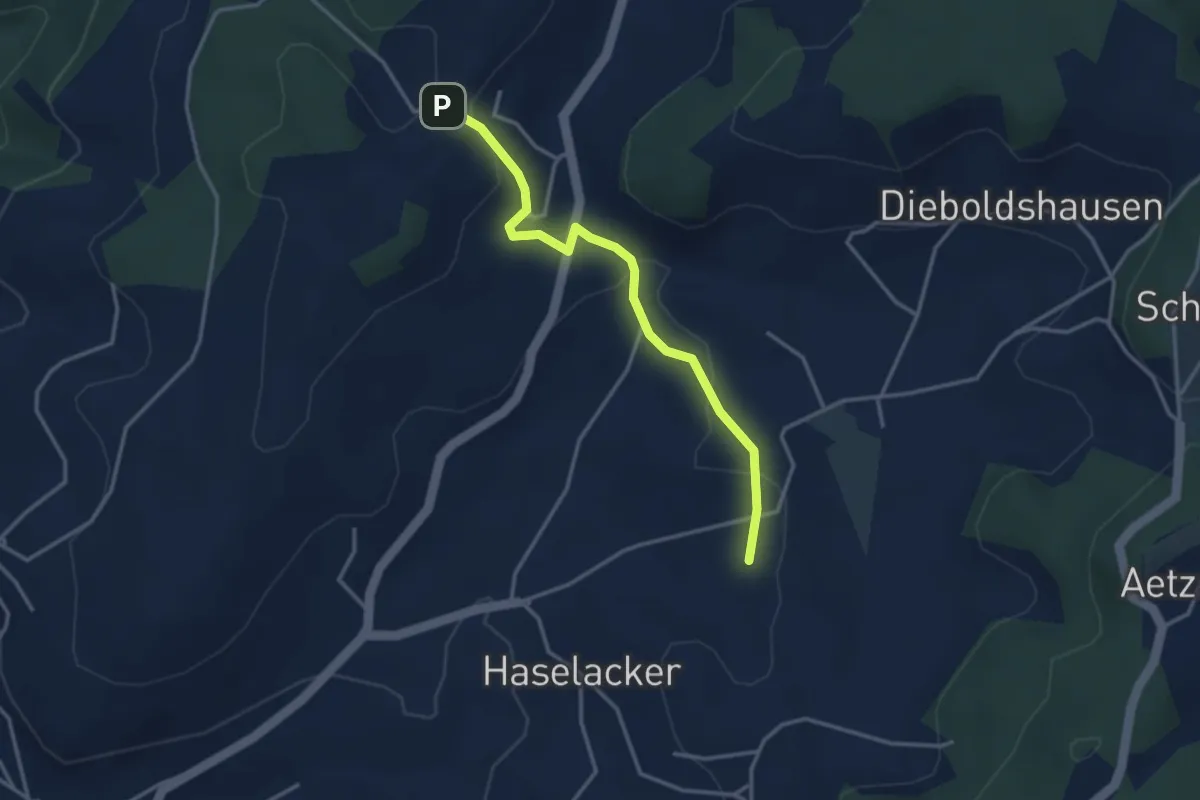
Easy · Trail
Rötelismatt – Sänggi
3.3 km · ↑ 88 m · 58 min · 14 km away
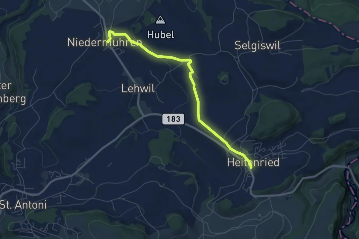
Easy · Trail
Niedermuhren - Heitenried
6.6 km · ↑ 140 m · 1 h 52 min · 14 km away
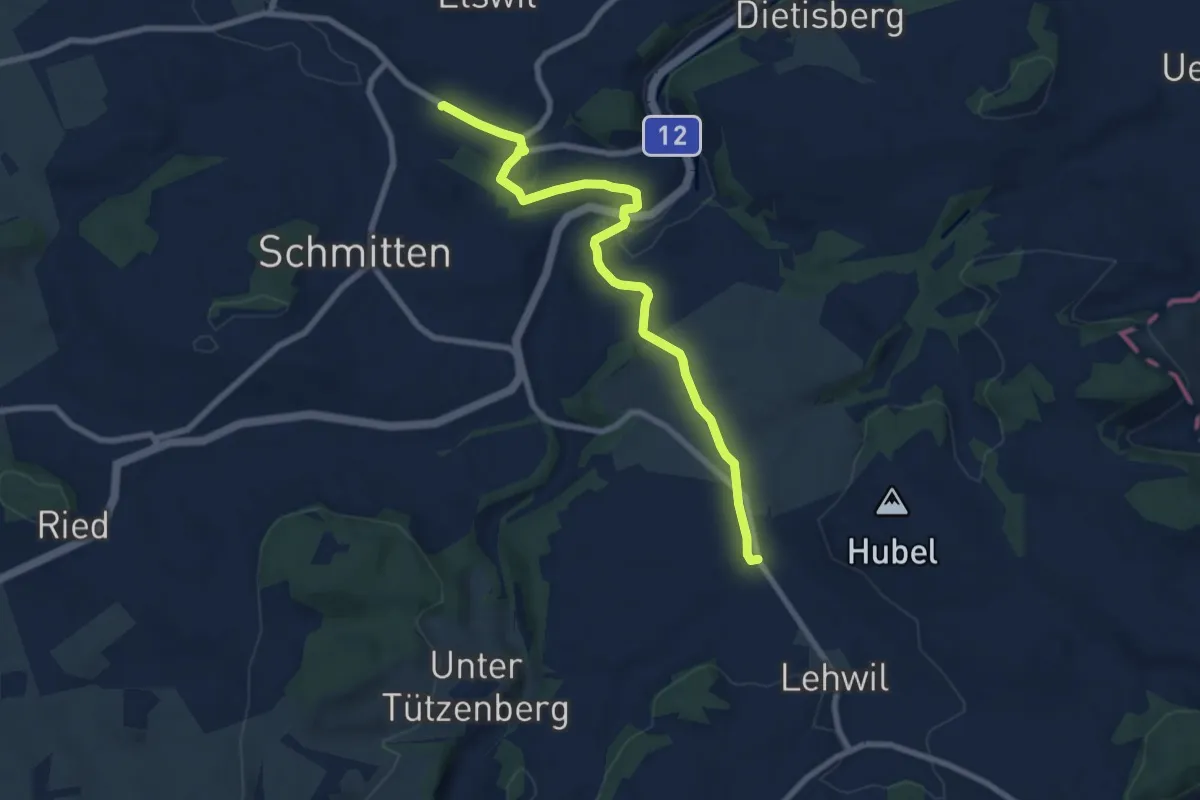
Medium · Trail
Schmitten Station - Niedermuhren
8.3 km · ↑ 157 m · 2 h 18 min · 14 km away
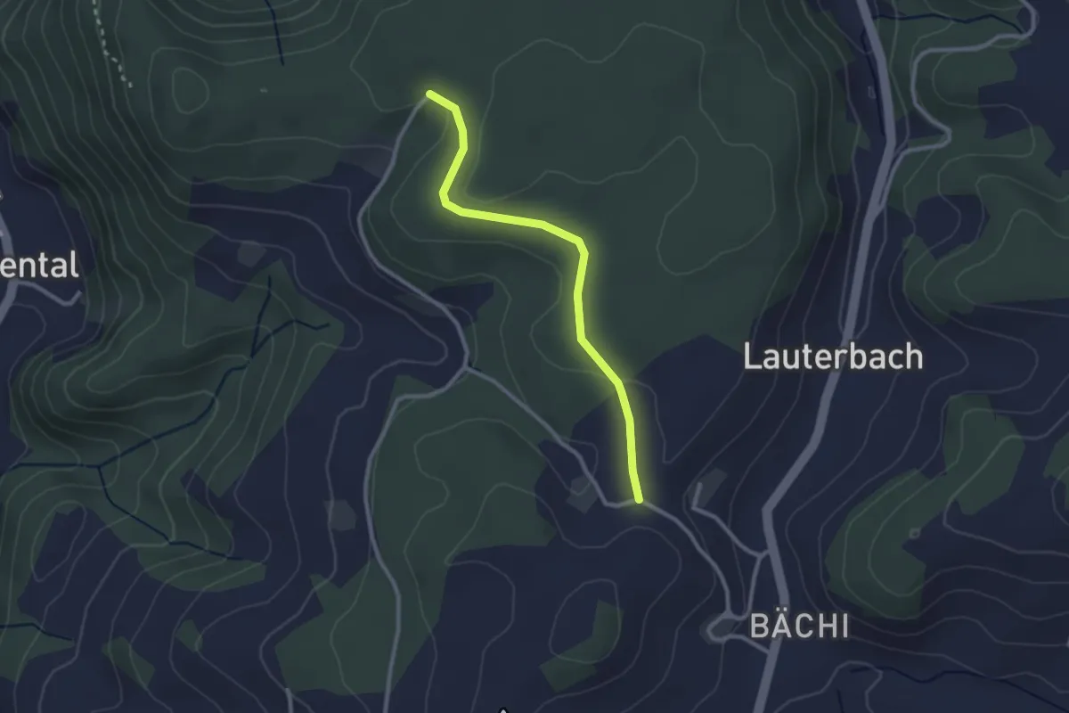
Easy · Trail
Aebnit/Klosterweg – Rötelismatt
2.5 km · ↑ 32 m · 40 min · 14 km away
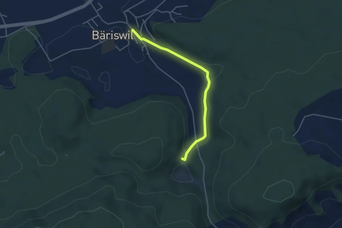
Easy · Trail
Bäriswil – Wannetal
3.2 km · ↑ 64 m · 54 min · 14 km away
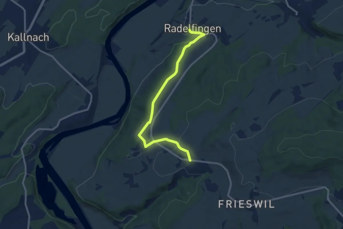
Easy · Trail
Radelfingen – Detligen
7.2 km · ↑ 133 m · 1 h 59 min · 14 km away
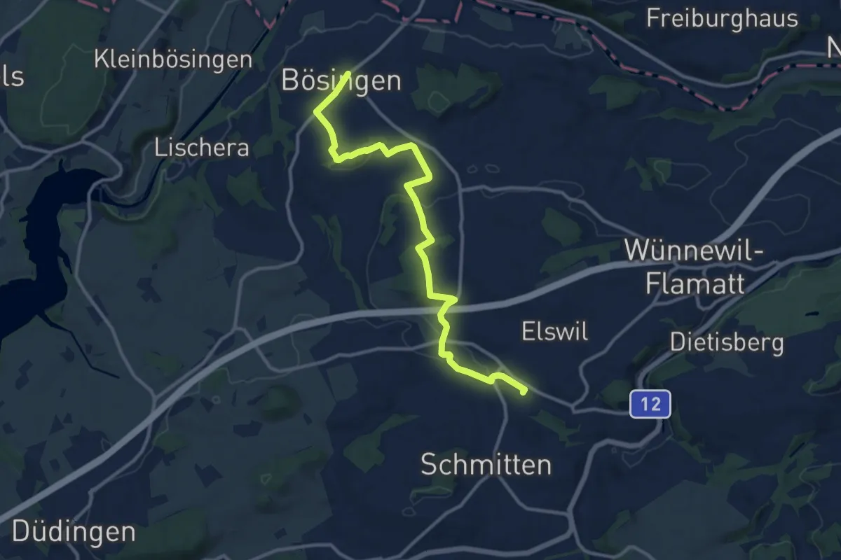
Medium · Trail
Bösingen - Schmitten Station
12.0 km · ↑ 208 m · 3 h 17 min · 14 km away
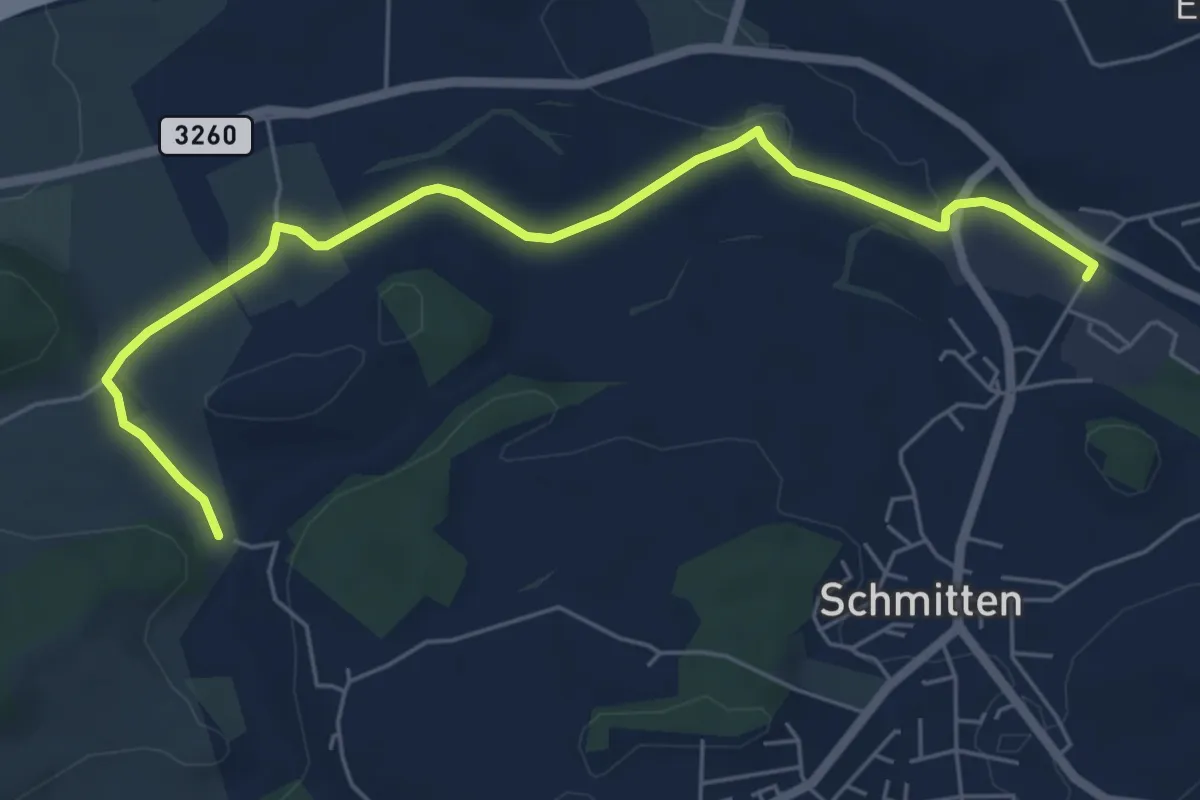
Easy · Trail
Bethlehem - Schmitten Station
6.5 km · ↑ 61 m · 1 h 41 min · 14 km away
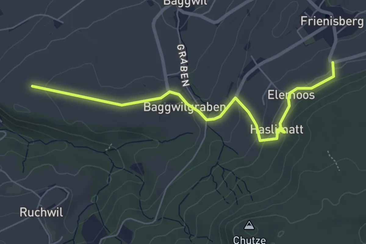
Easy · Trail
Klosterwege Frienisberg
5.5 km · ↑ 145 m · 1 h 37 min · 14 km away
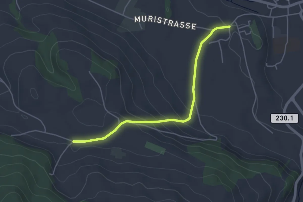
Easy · Trail
Riggisberg Schloss - Hohlenweg
3.8 km · ↑ 132 m · 1 h 11 min · 14 km away
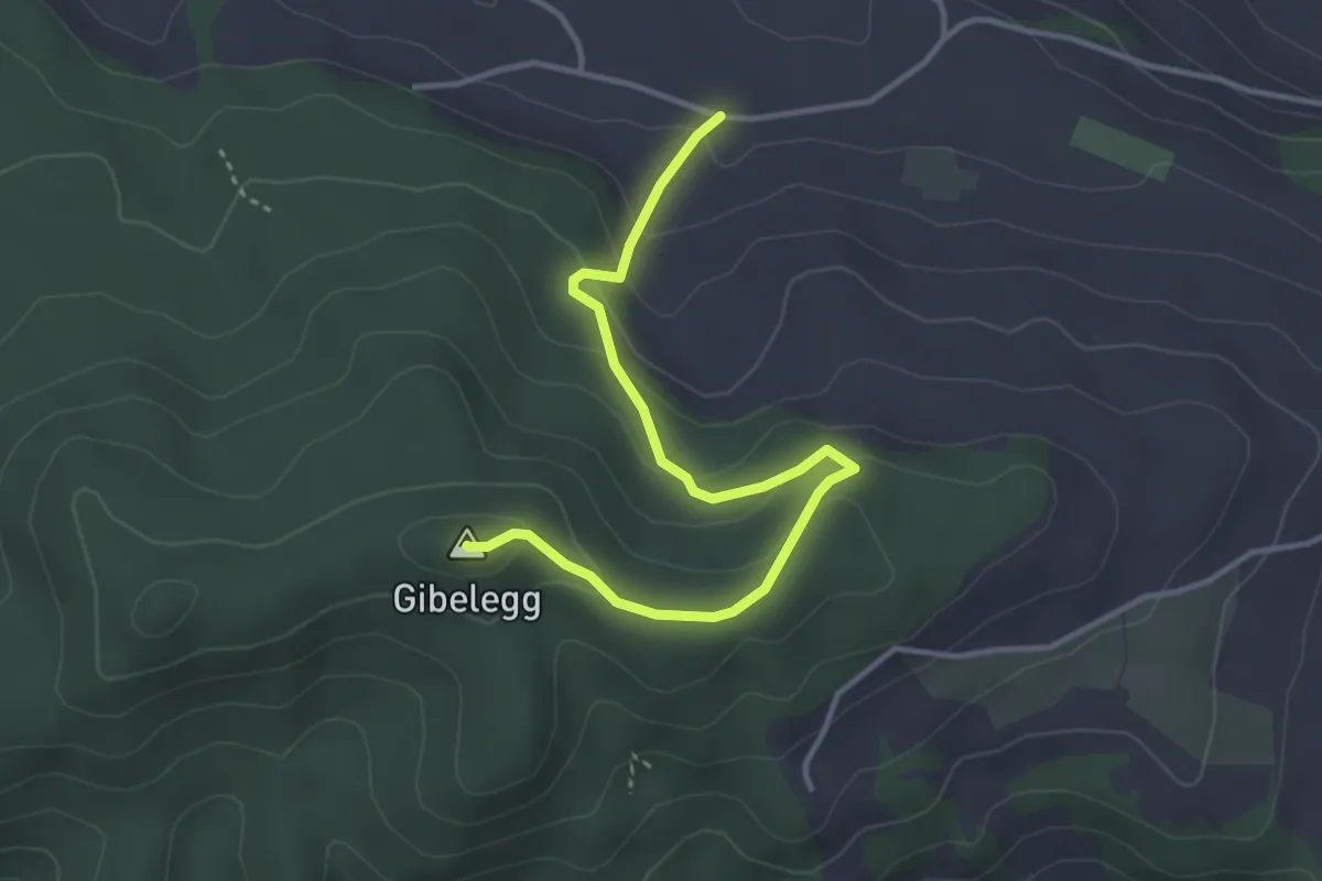
Easy · Summit
Hohlenweg - Gibelegg
3.8 km · ↑ 194 m · 1 h 20 min · 14 km away
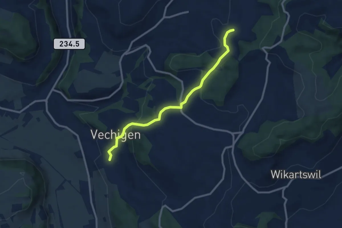
Easy · Trail
Littiwil – Vechigen
6.5 km · ↑ 260 m · 2 h 6 min · 14 km away
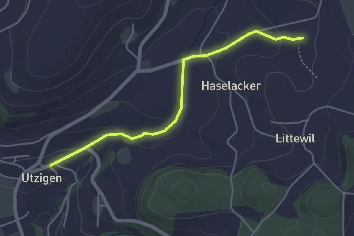
Easy · Trail
Sänggi – Utzigen
3.7 km · ↑ 98 m · 1 h 5 min · 14 km away
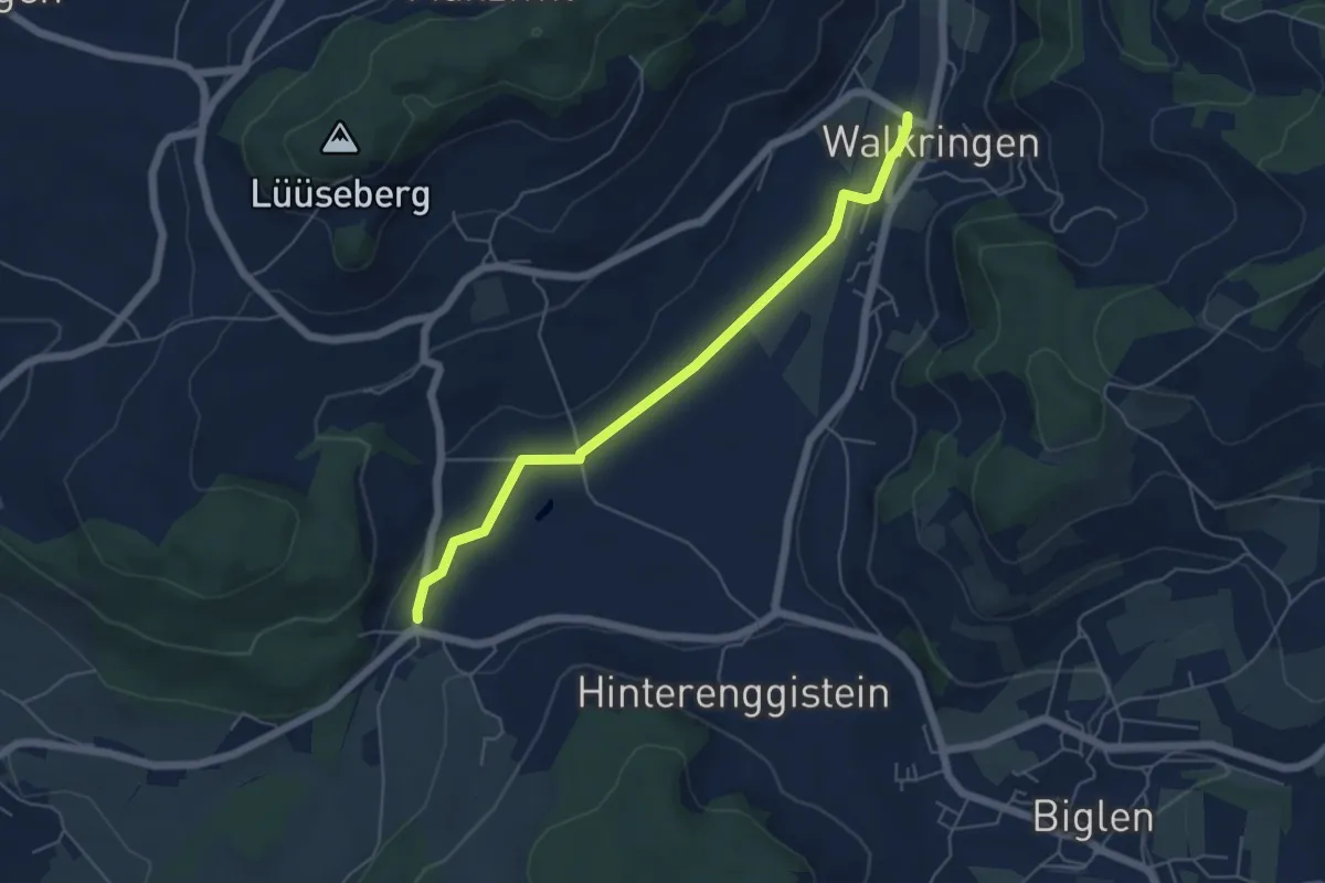
Easy · Trail
Enggistein – Walkringen
5.3 km · ↑ 23 m · 1 h 18 min · 14 km away
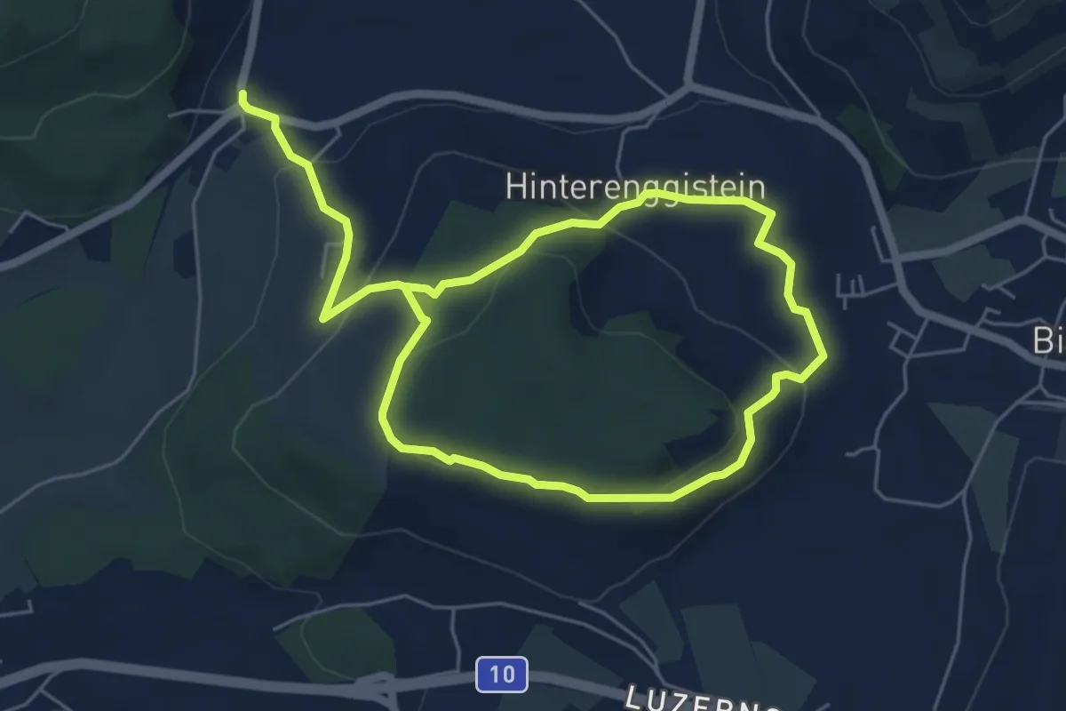
Medium · Trail
Enggistein – Biglen
9.3 km · ↑ 288 m · 2 h 49 min · 14 km away
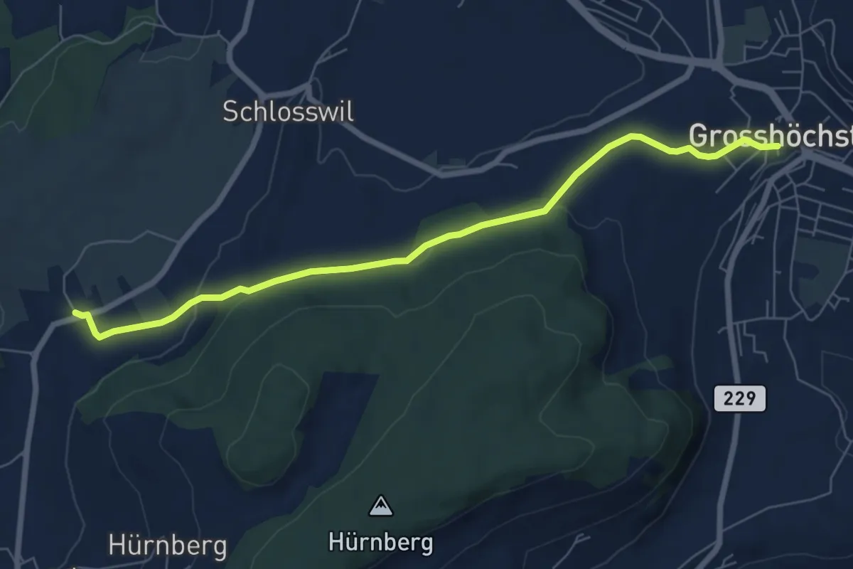
Easy · Trail
Grosshöchstetten – Herolfingen
7.0 km · ↑ 112 m · 1 h 54 min · 14 km away
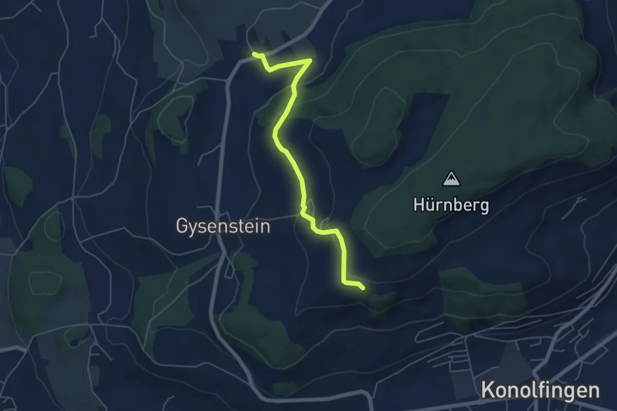
Easy · Trail
Herolfingen – Konolfingen
5.0 km · ↑ 146 m · 1 h 29 min · 14 km away
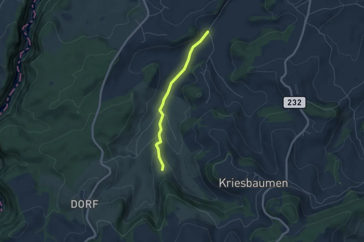
Easy · Trail
Schönenboden – Pfad
4.4 km · ↑ 111 m · 1 h 16 min · 14 km away
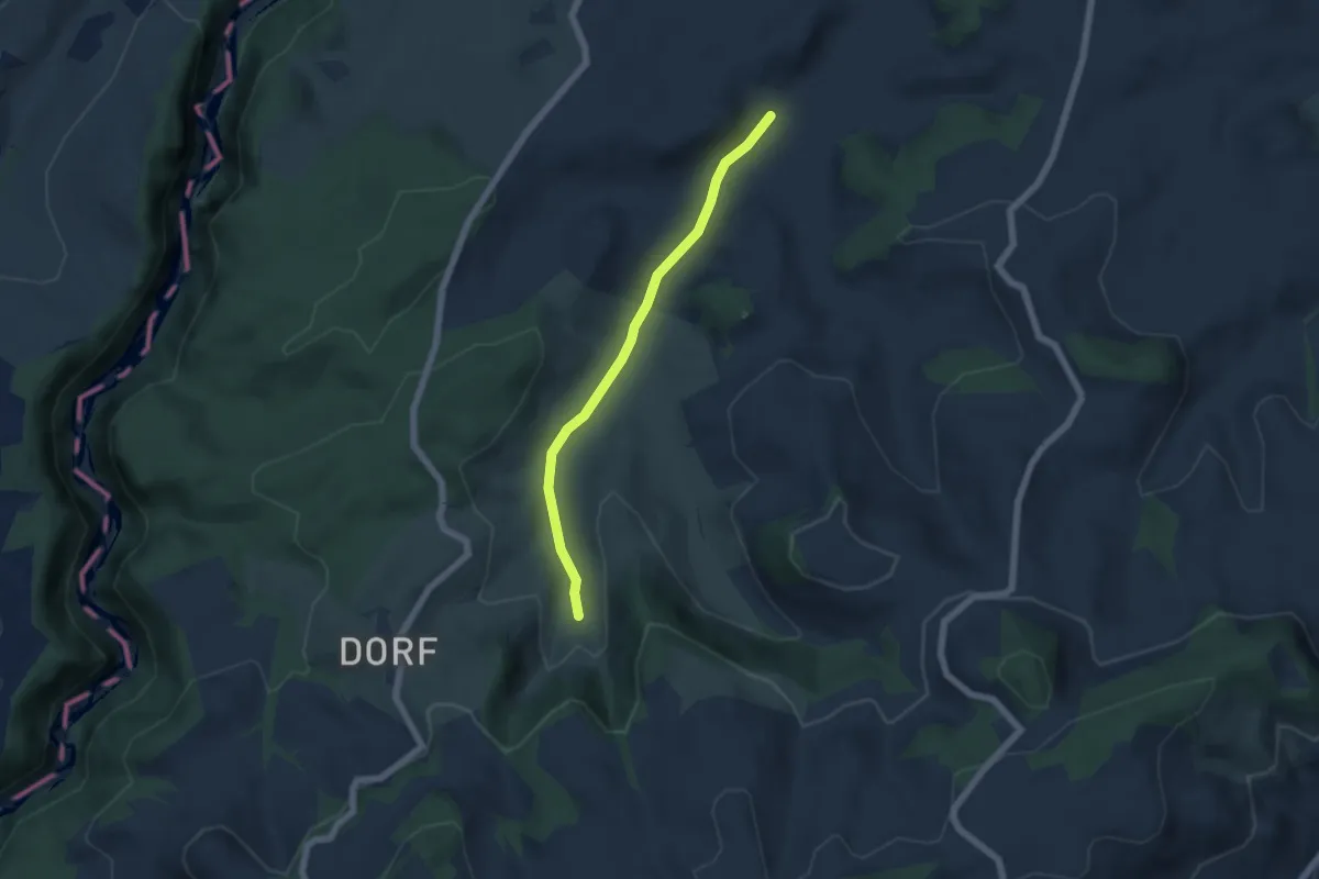
Easy · Trail
Schönenboden – Spüelibach
5.1 km · ↑ 73 m · 1 h 22 min · 14 km away
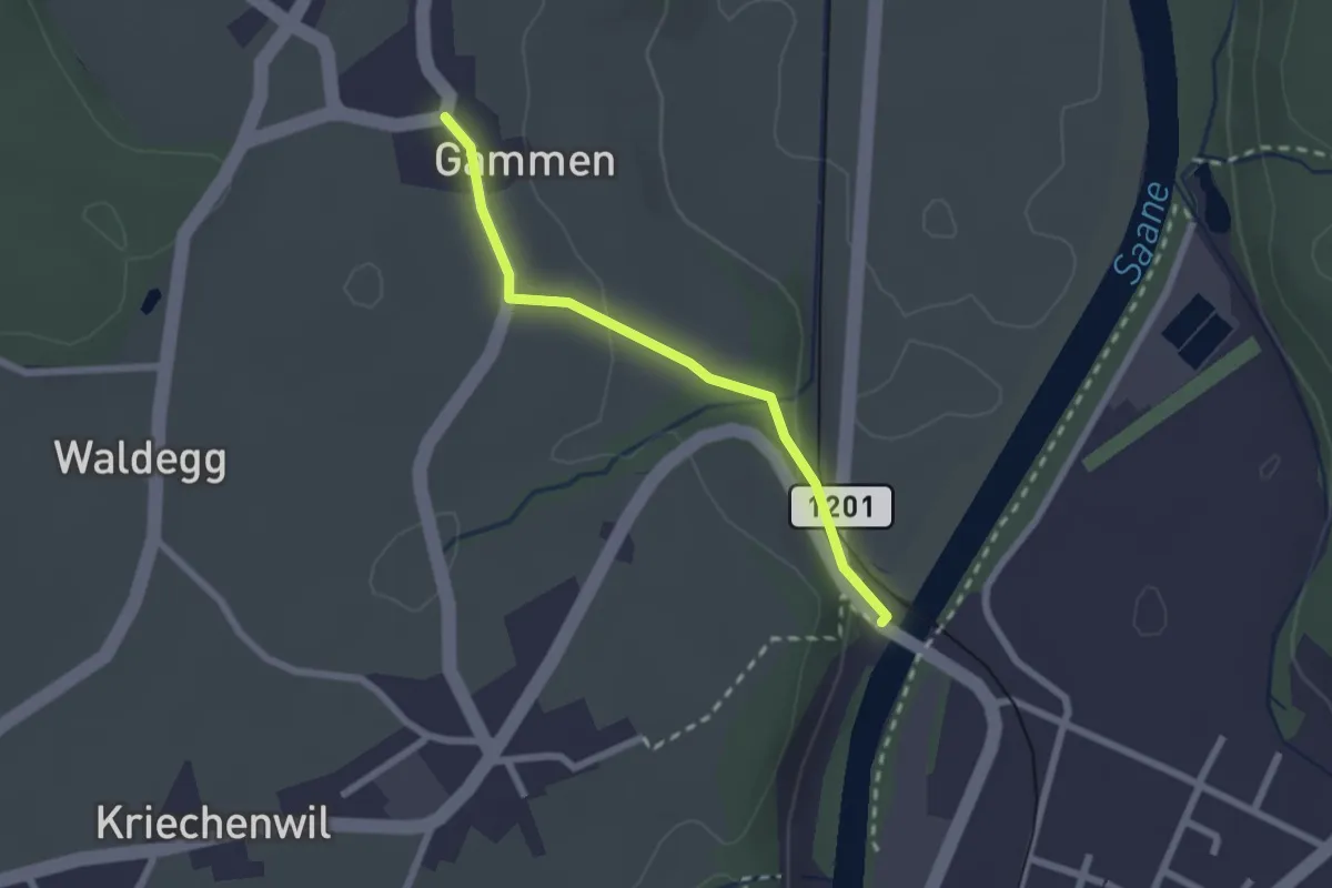
Easy · Trail
Gammen – Saanebrücke
2.0 km · ↑ 42 m · 34 min · 14 km away
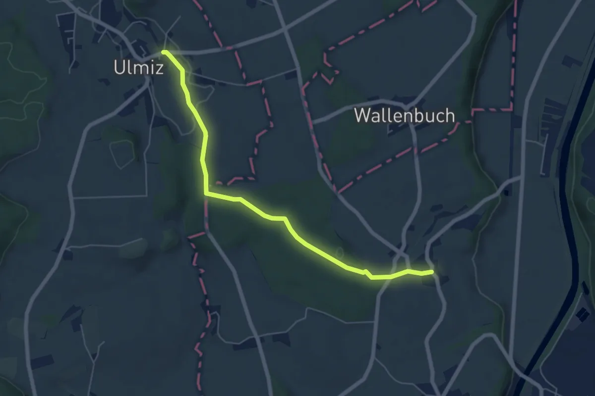
Easy · Trail
Ulmiz – Gammen
5.6 km · ↑ 74 m · 1 h 29 min · 14 km away
Easy · Trail
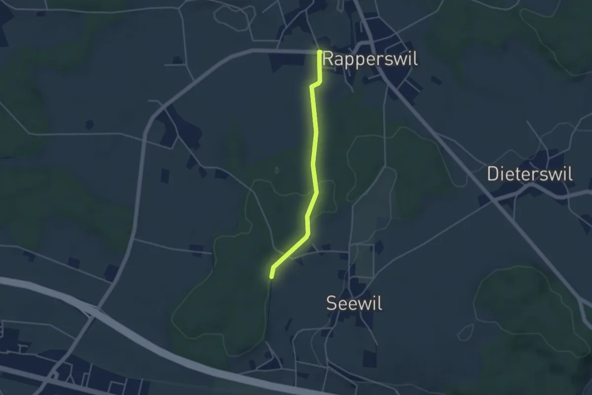
Rapperswil – Hardwald
3.4 km · ↑ 57 m · 55 min · 14 km away
Easy · Trail
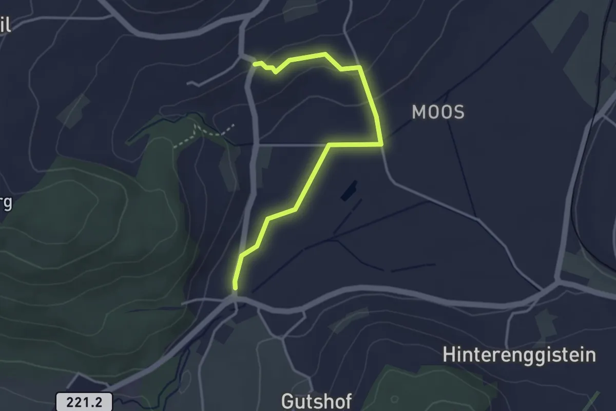
Enggistein – Rüttihubelbad
3.4 km · ↑ 62 m · 56 min · 14 km away
Easy · Trail
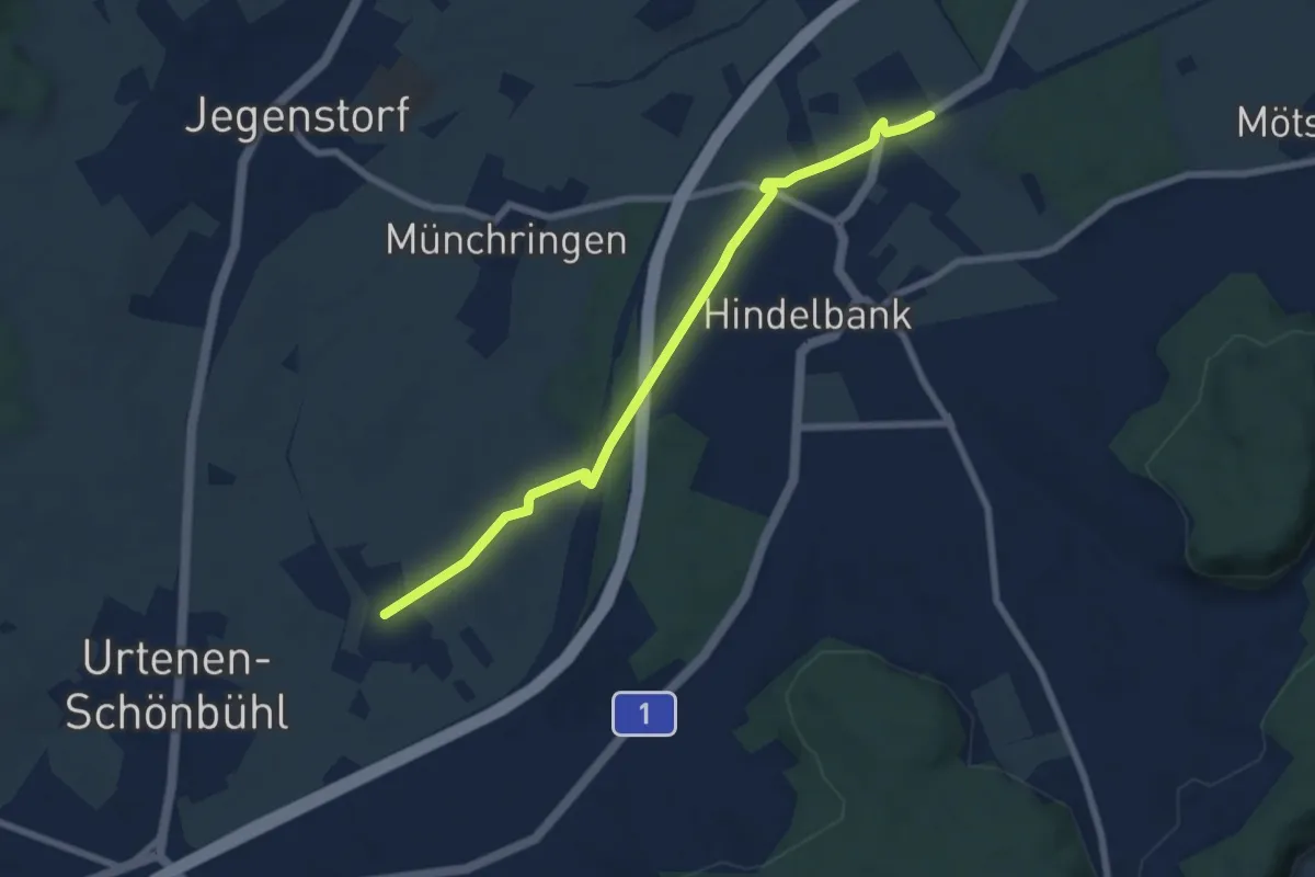
Hindelbank / Station – Mattstetten
7.3 km · ↑ 48 m · 1 h 49 min · 14 km away
Easy · Trail
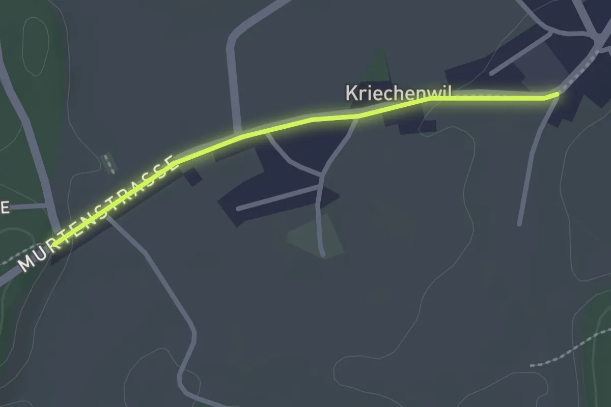
Kriechenwil – Röseli
2.1 km · ↑ 18 m · 32 min · 14 km away