Trails near Köniz
523 hikes starting within 15 km, nearest first.
Nearest first, page 11 of 11
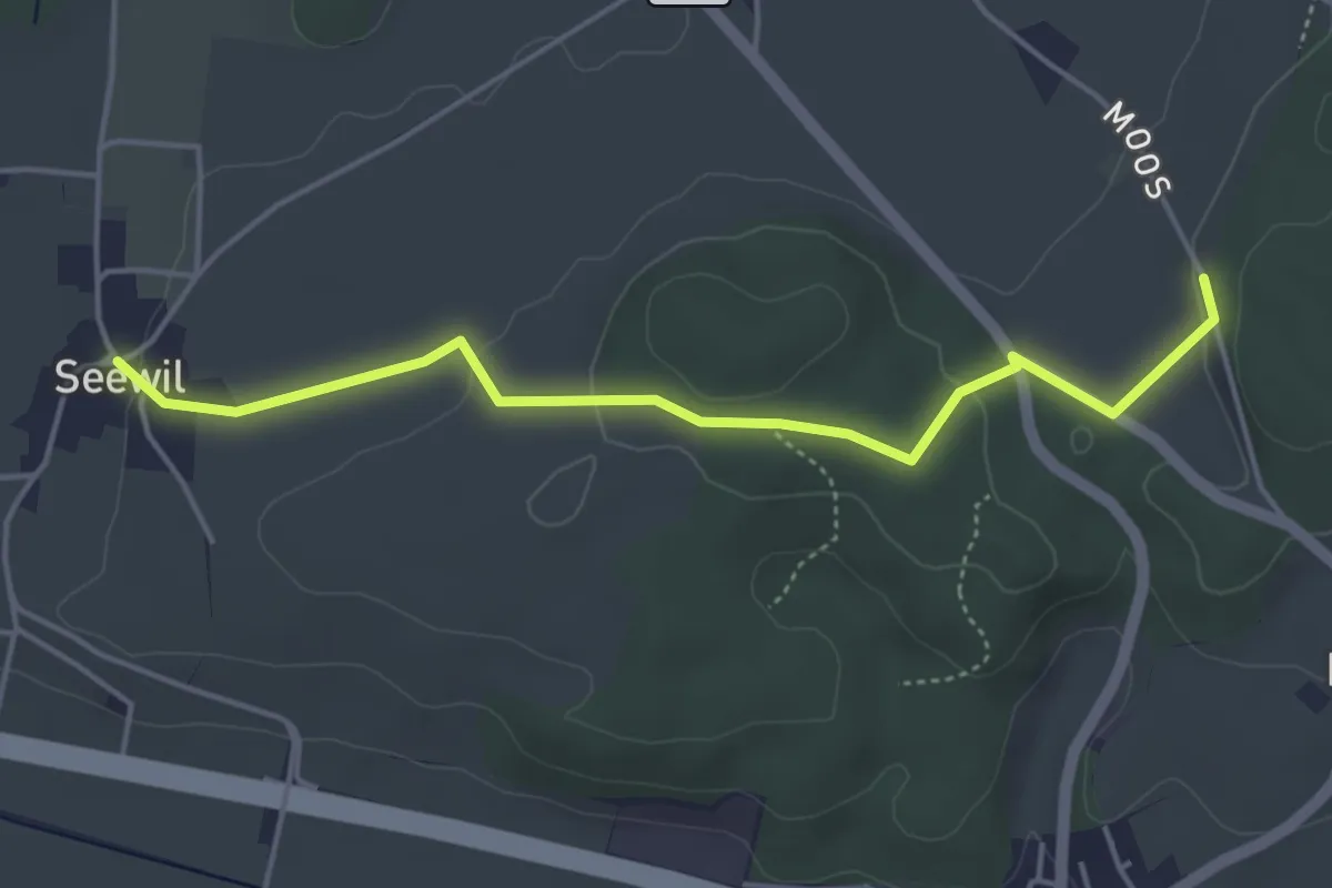
Easy · Trail
Oberholz – Seewil
4.5 km · ↑ 85 m · 1 h 15 min · 14 km away
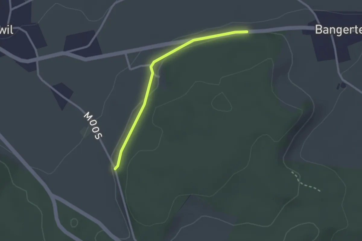
Easy · Trail
Hohrain – Oberholz
2.2 km · ↑ 47 m · 37 min · 14 km away
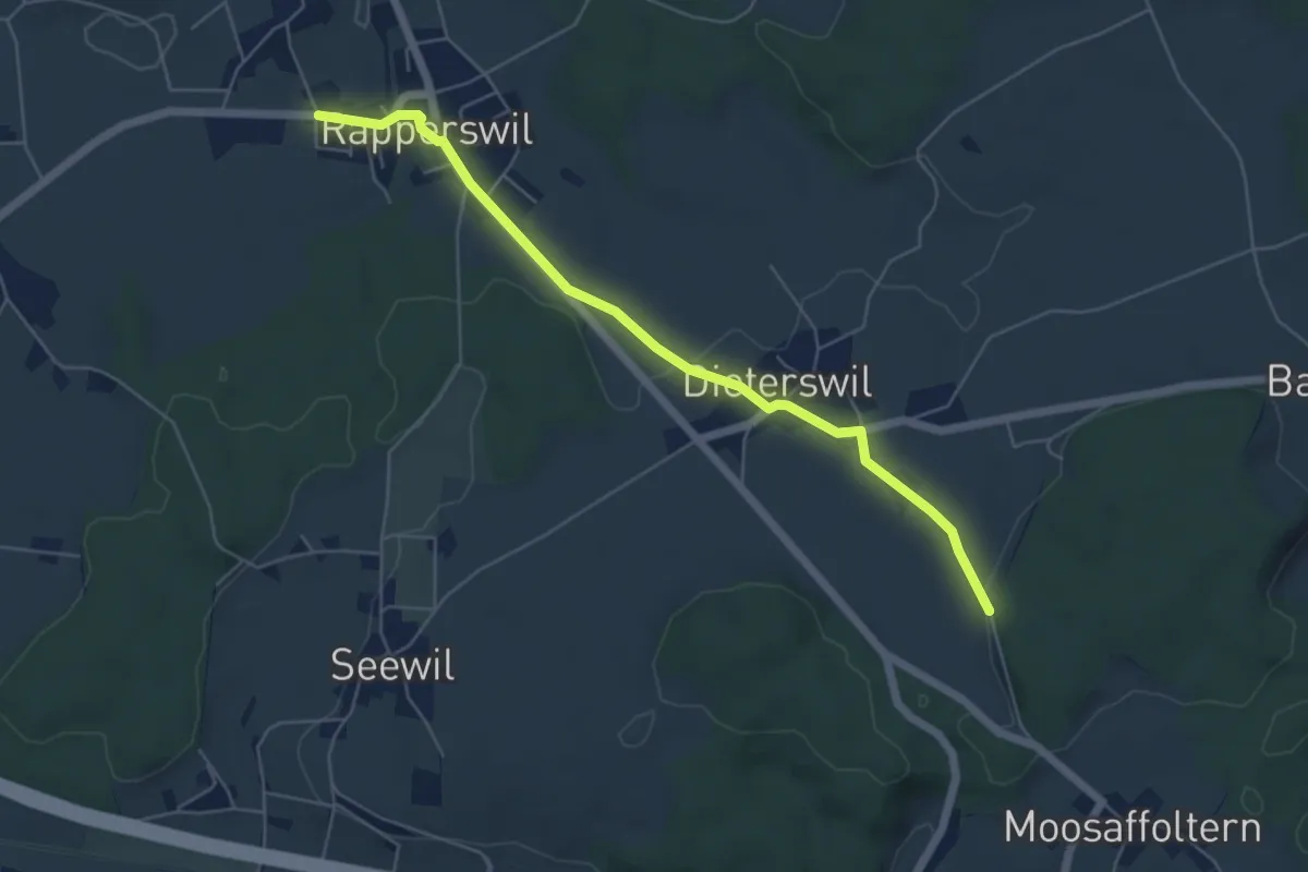
Easy · Trail
Rapperswil – Oberholz
5.6 km · ↑ 89 m · 1 h 32 min · 14 km away
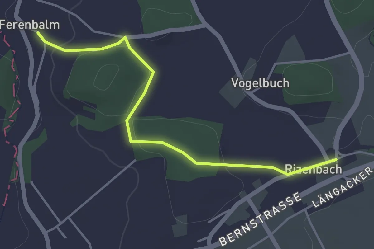
Easy · Trail
Ferenbalm Kirche - Rizenbach
3.7 km · ↑ 88 m · 1 h 4 min · 14 km away
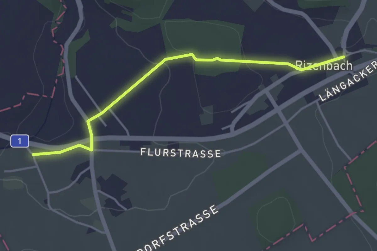
Easy · Trail
Biberen/Mühle - Rizenbach
3.6 km · ↑ 63 m · 1 h · 14 km away
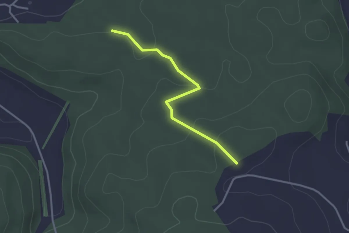
Easy · Trail
Chriegsholz – Längenberg
2.5 km · ↑ 70 m · 45 min · 14 km away
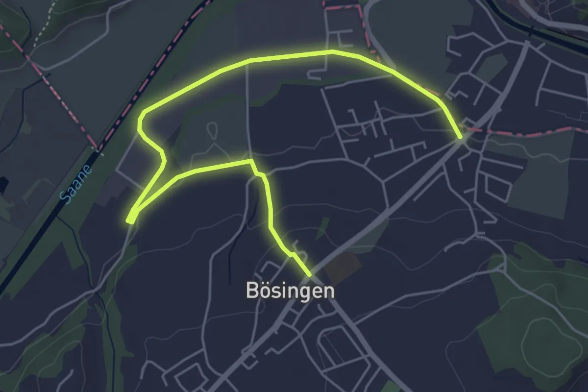
Easy · Trail
Bösingen - Auriedsteg
6.0 km · ↑ 80 m · 1 h 36 min · 14 km away
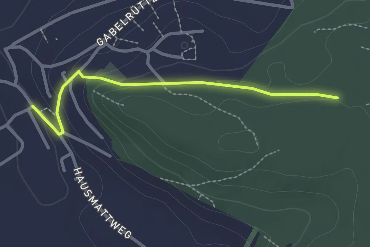
Easy · Trail
Chriegsholz – Bäriswil
2.1 km · ↑ 67 m · 39 min · 14 km away
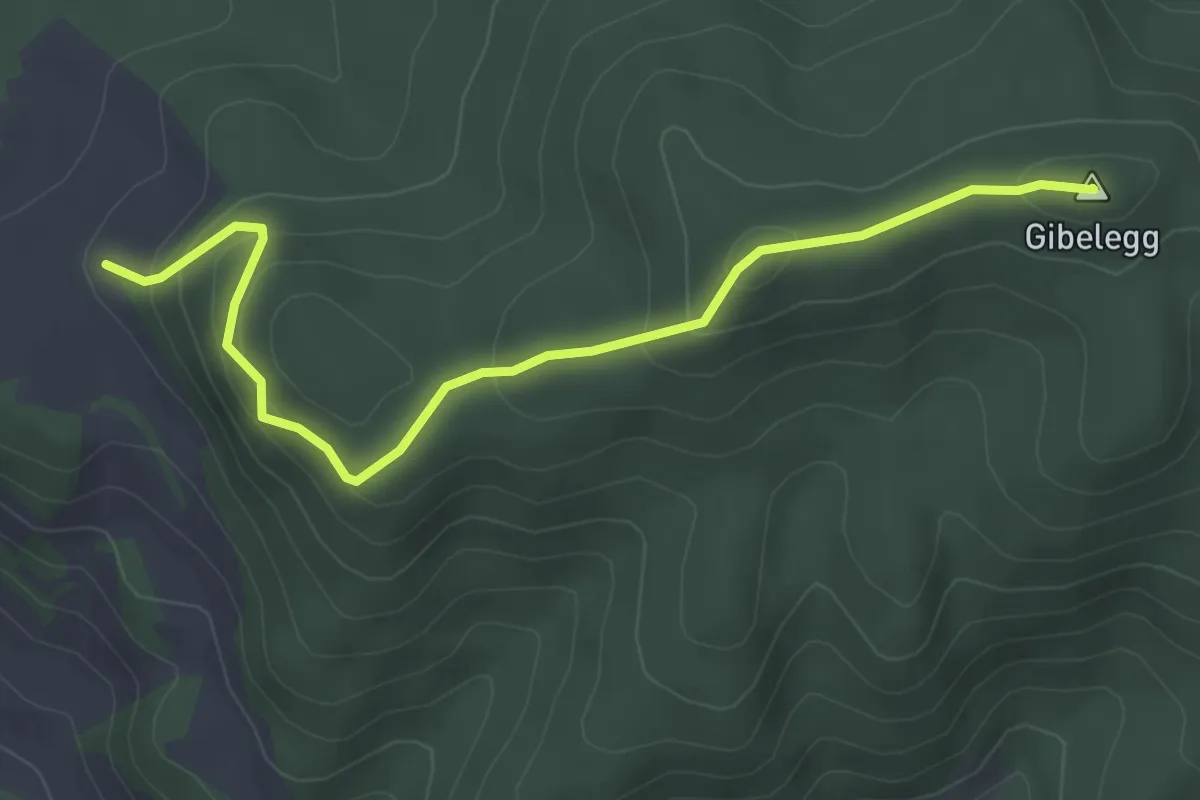
Easy · Summit
Feli - Gibelegg
4.0 km · ↑ 206 m · 1 h 24 min · 14 km away
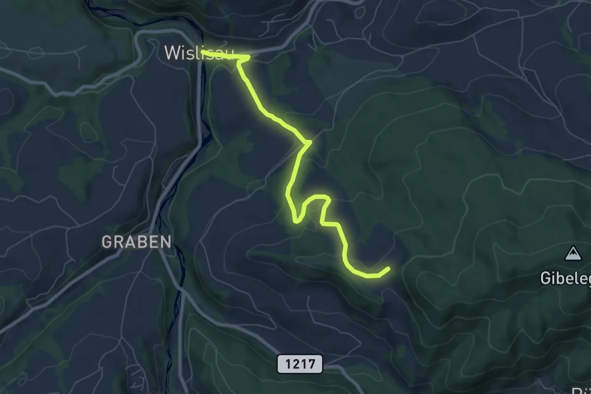
Easy · Trail
Wislisau - Feli
7.0 km · ↑ 263 m · 2 h 13 min · 14 km away
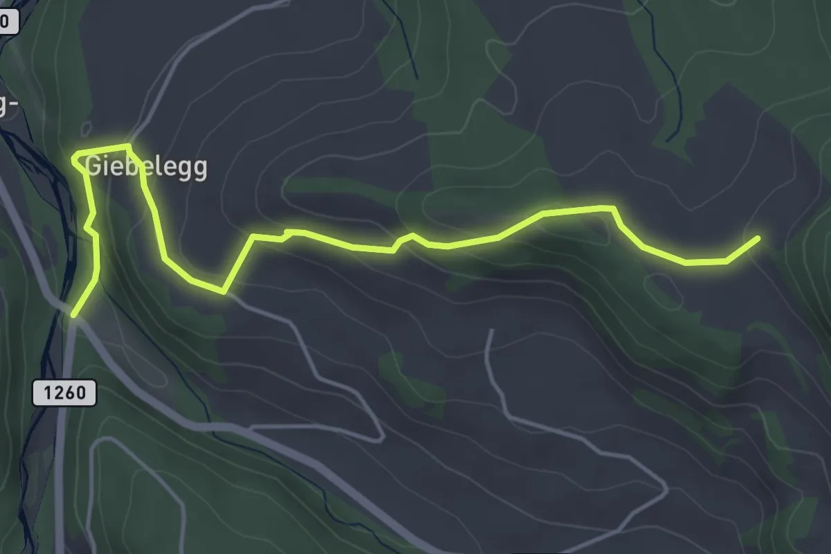
Easy · Trail
Feli - Rüschegg / Rütiplötsch
5.0 km · ↑ 212 m · 1 h 38 min · 14 km away
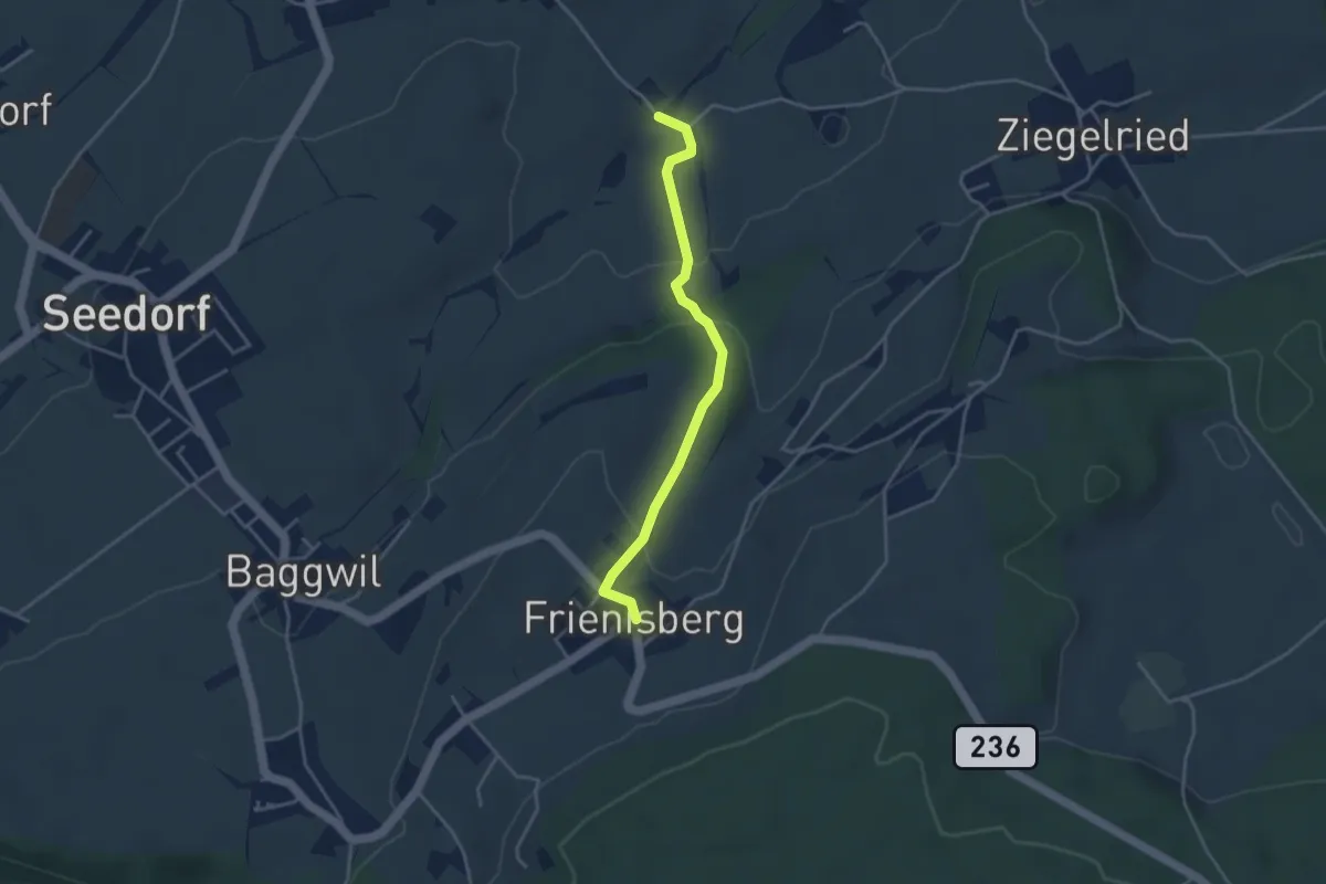
Easy · Trail
Allenwil - Frieniswil
3.6 km · ↑ 149 m · 1 h 10 min · 14 km away
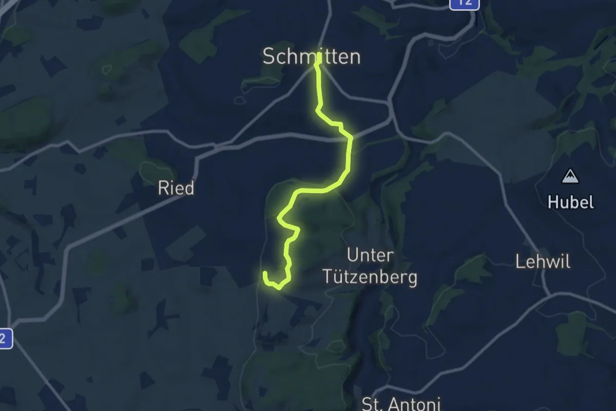
Easy · Trail
Schmitten - Wiler
7.8 km · ↑ 267 m · 2 h 25 min · 15 km away
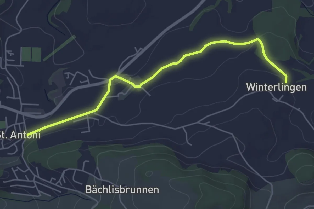
Easy · Trail
St. Antoni - Winterlingen
4.9 km · ↑ 62 m · 1 h 17 min · 15 km away
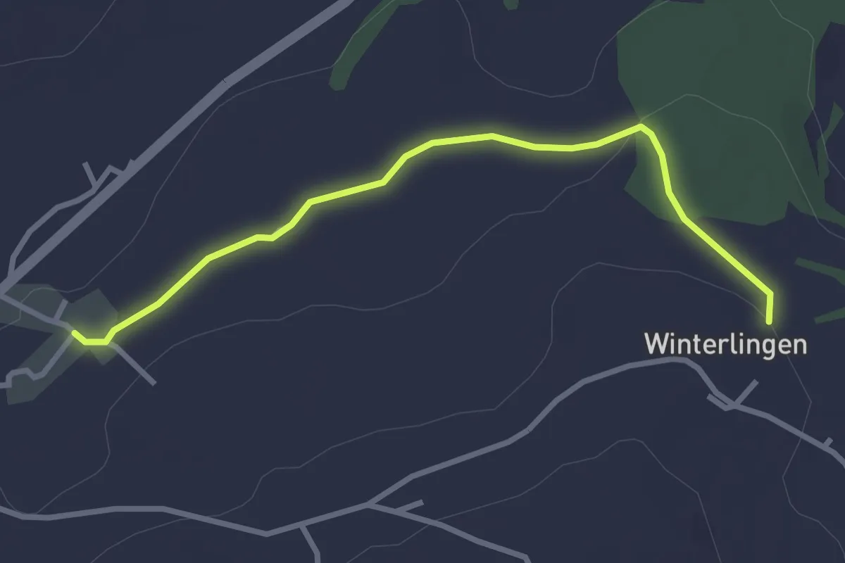
Easy · Trail
Winterlingen - Niedermonten
2.9 km · ↑ 43 m · 47 min · 15 km away
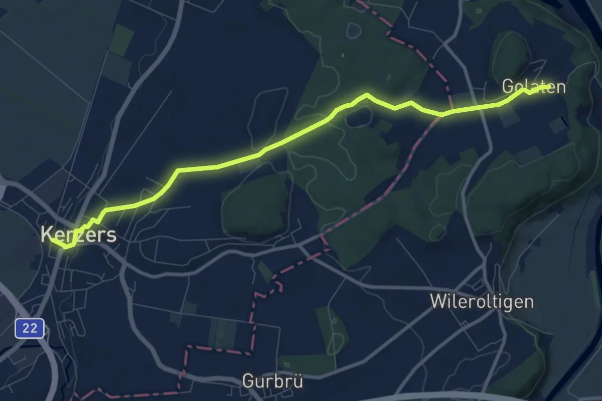
Medium · Trail
Golaten – Kerzers
9.2 km · ↑ 128 m · 2 h 27 min · 15 km away
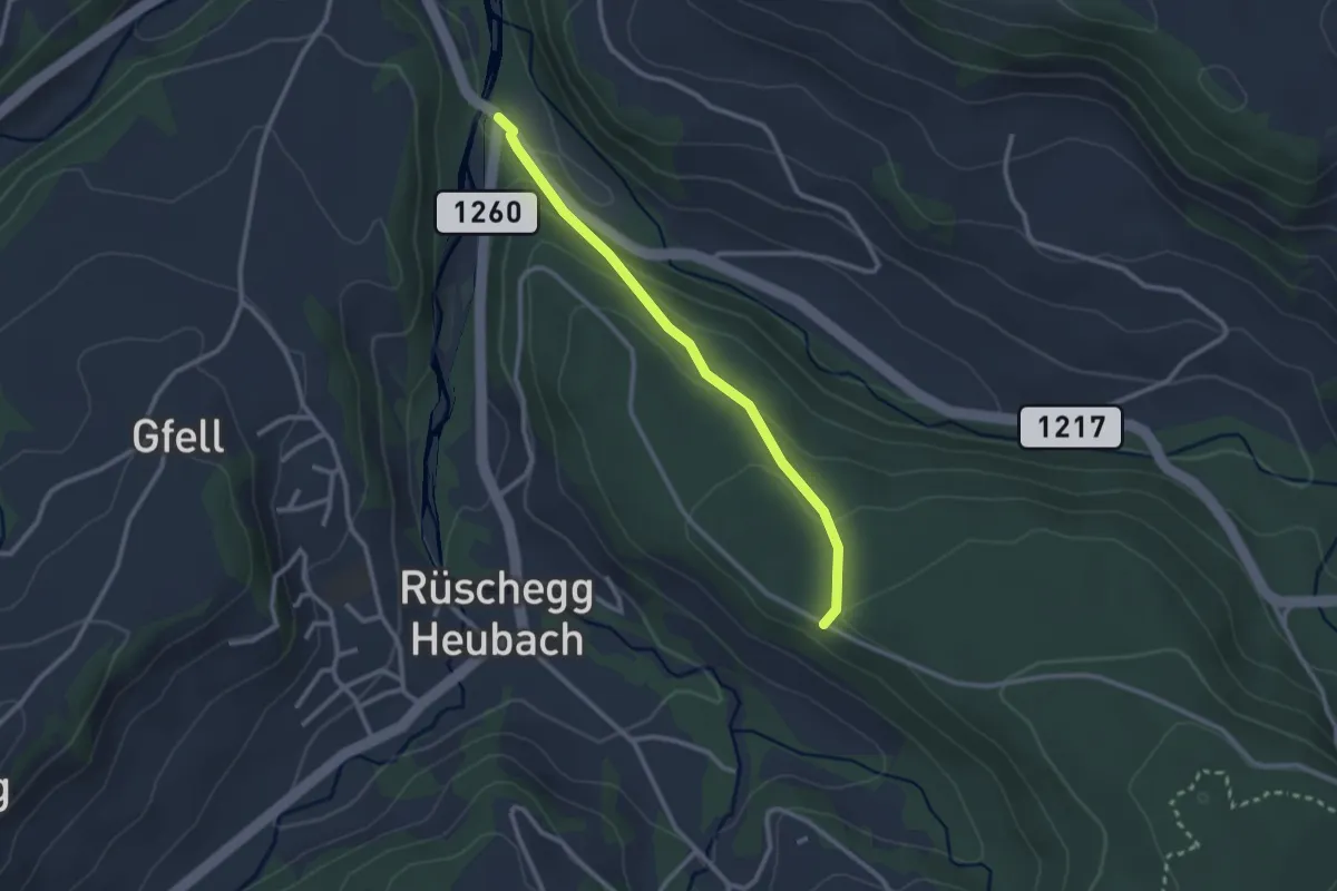
Easy · Trail
Rüschegg / Rütiplötsch - Längeneiwald
2.5 km · ↑ 125 m · 51 min · 15 km away
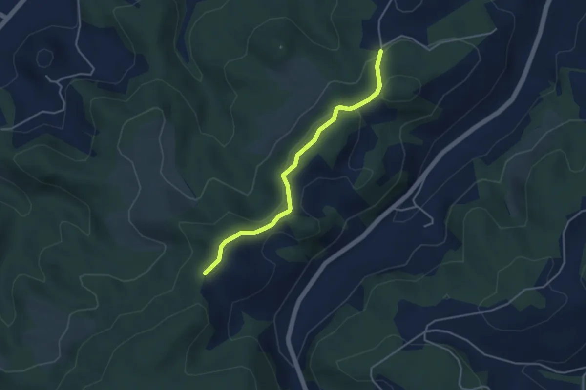
Easy · Trail
Buechwald – Mueleren
3.3 km · ↑ 139 m · 1 h 5 min · 15 km away
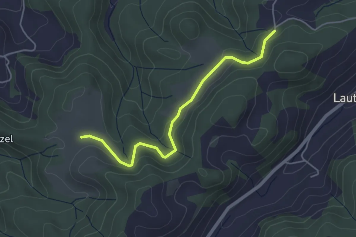
Easy · Trail
Buechwald – Schwändi
3.8 km · ↑ 169 m · 1 h 16 min · 15 km away
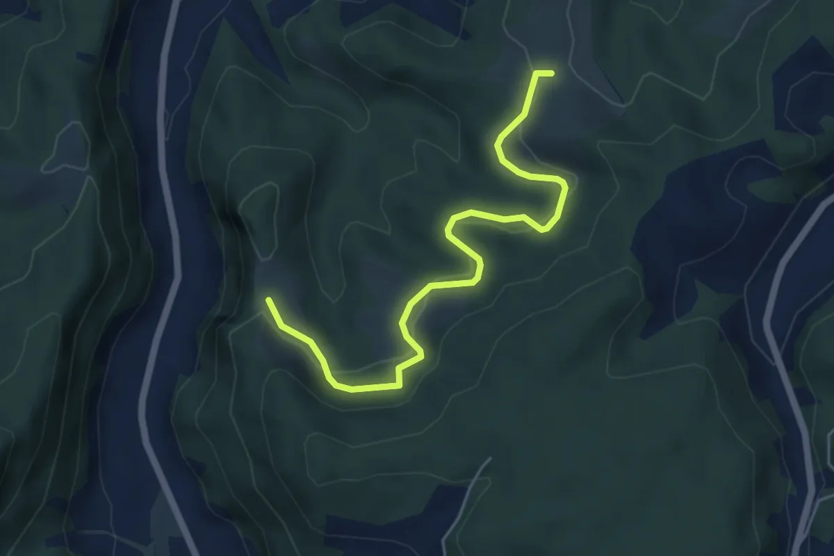
Easy · Trail
Schwändi – Vordere Geisme
5.0 km · ↑ 203 m · 1 h 38 min · 15 km away
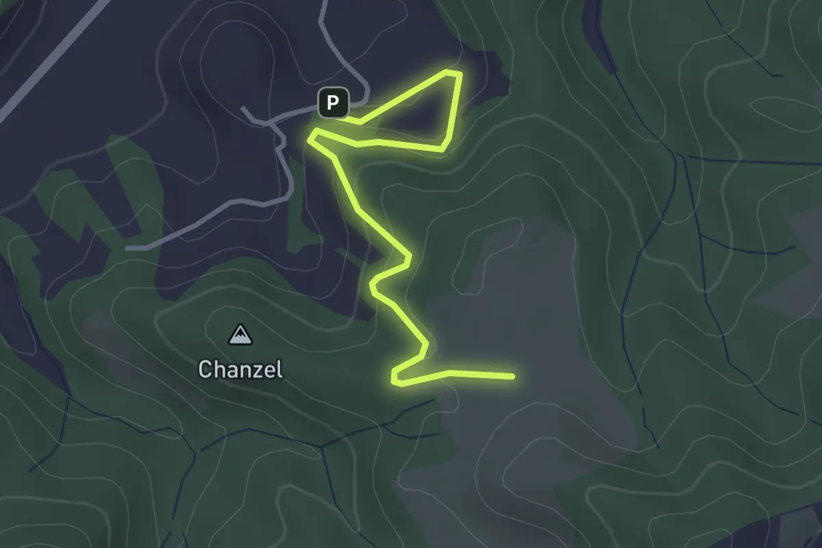
Easy · Trail
Thorberg - Schwändi
3.2 km · ↑ 218 m · 1 h 14 min · 15 km away
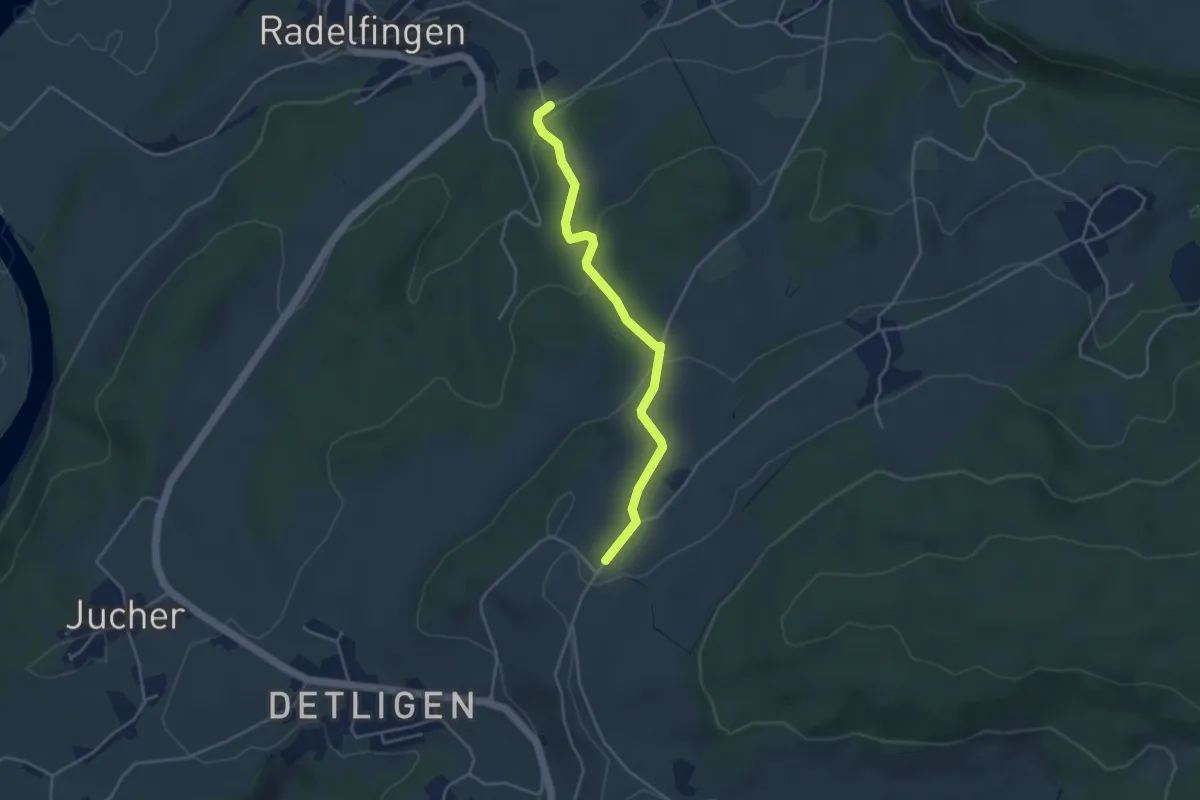
Easy · Trail
Salzmatt – Landerswil
3.8 km · ↑ 162 m · 1 h 16 min · 15 km away
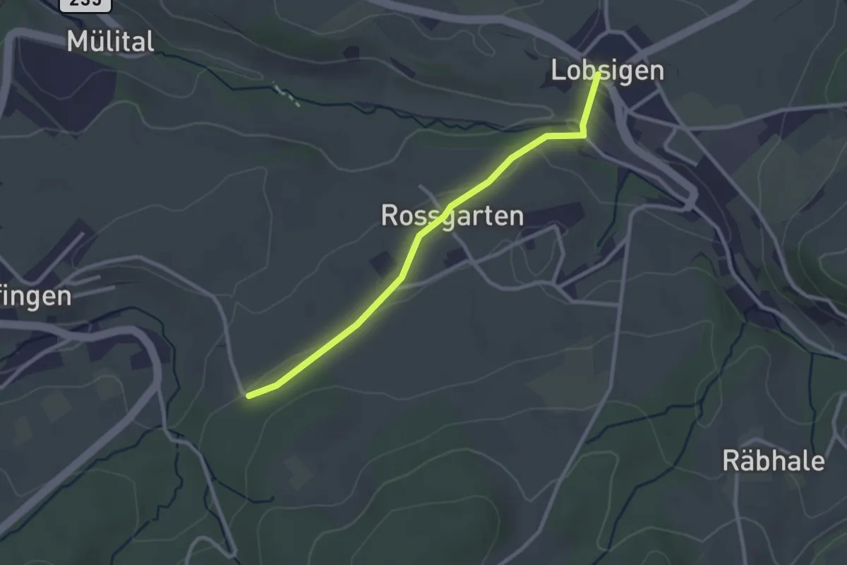
Easy · Trail
Lobsigen – Salzmatt
2.6 km · ↑ 59 m · 44 min · 15 km away
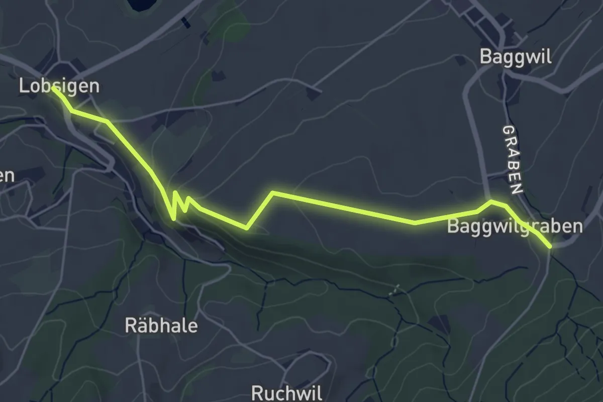
Easy · Trail
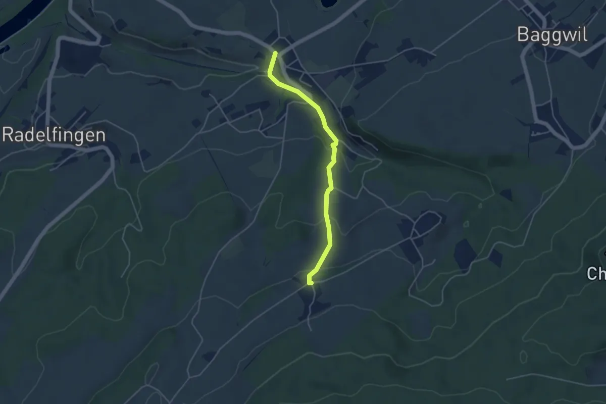
Lobsigen – Baggwilgraben
5.4 km · ↑ 130 m · 1 h 34 min · 15 km away
Easy · Trail
Lobsigen – Dampfwil
3.8 km · ↑ 167 m · 1 h 16 min · 15 km away
Easy · Trail
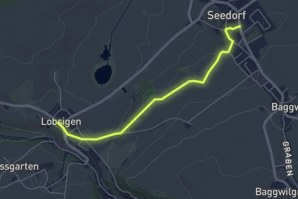
Seedorf – Lobsigen
4.2 km · ↑ 63 m · 1 h 8 min · 15 km away
Easy · Trail
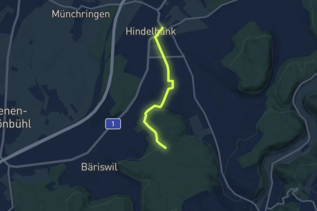
Hindelbank / Dorf – Schachen
5.9 km · ↑ 140 m · 1 h 42 min · 15 km away
Easy · Summit
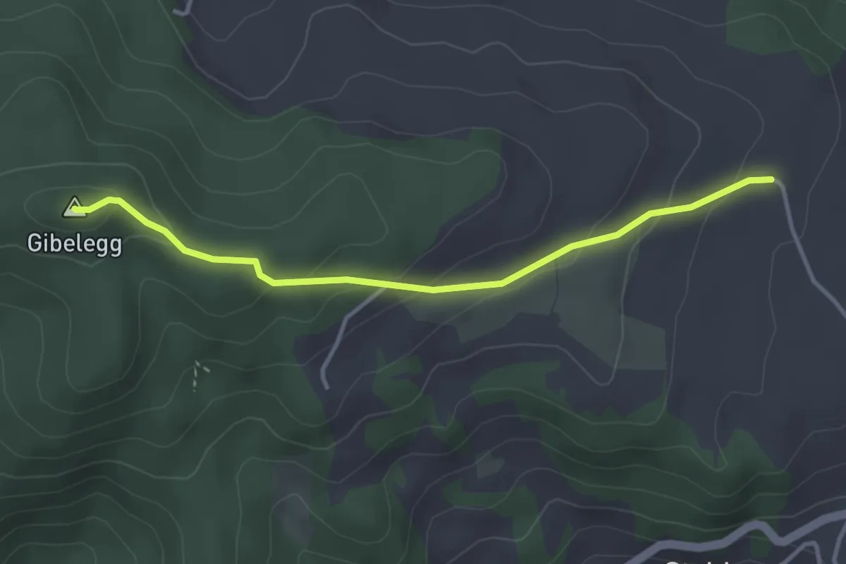
Plötschweid - Gibelegg
3.4 km · ↑ 145 m · 1 h 7 min · 15 km away
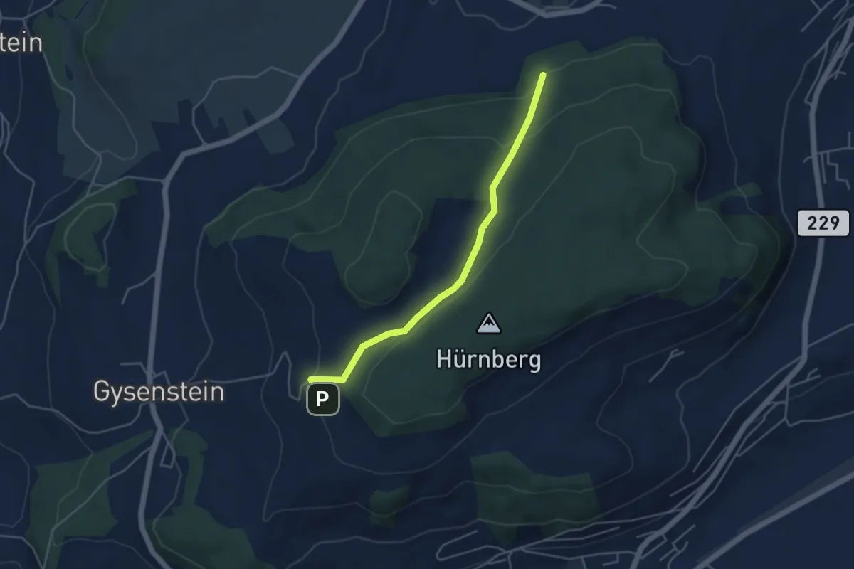
Easy · Trail
Ballenbühl – Schattacherwald
4.2 km · ↑ 130 m · 1 h 17 min · 15 km away
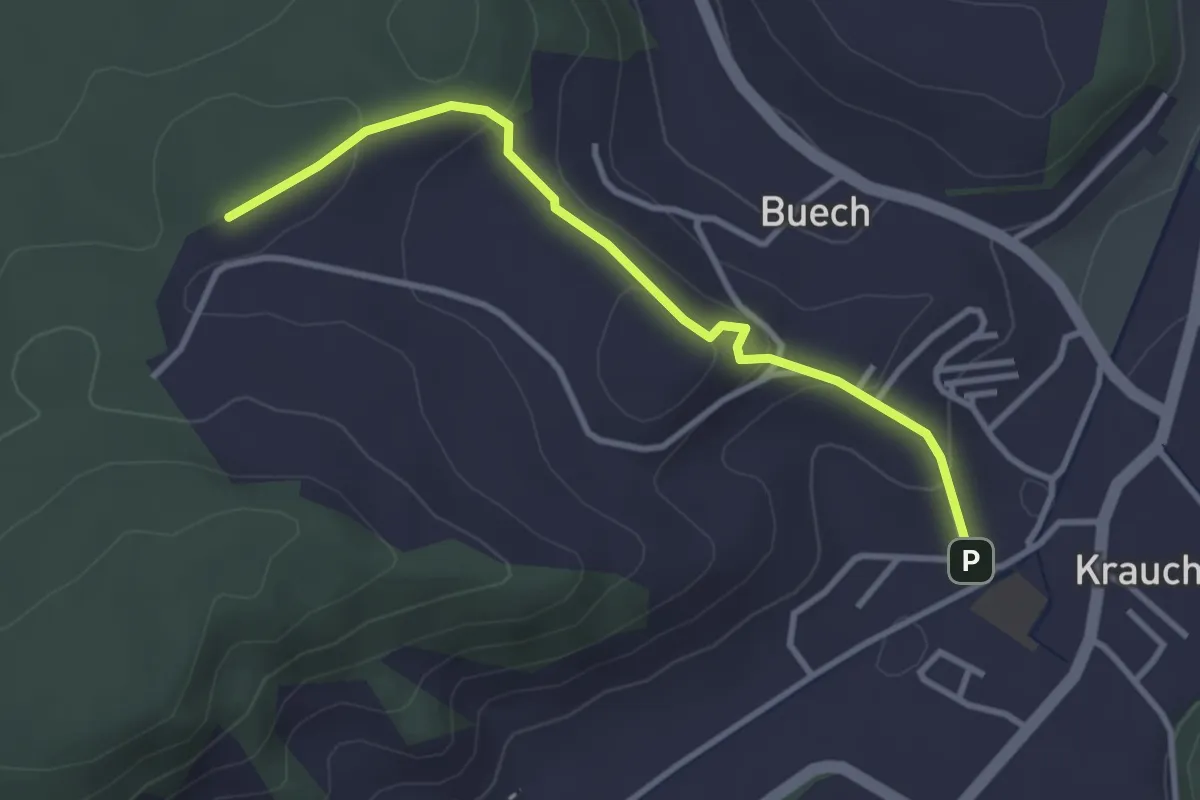
Easy · Trail
Längenberg – Sandhole
3.2 km · ↑ 100 m · 59 min · 15 km away
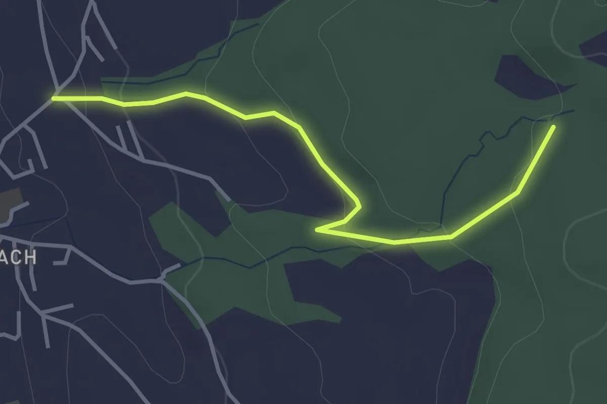
Easy · Trail
Wichtrach/Oberdorf – Rotebüel
3.3 km · ↑ 121 m · 1 h 2 min · 15 km away
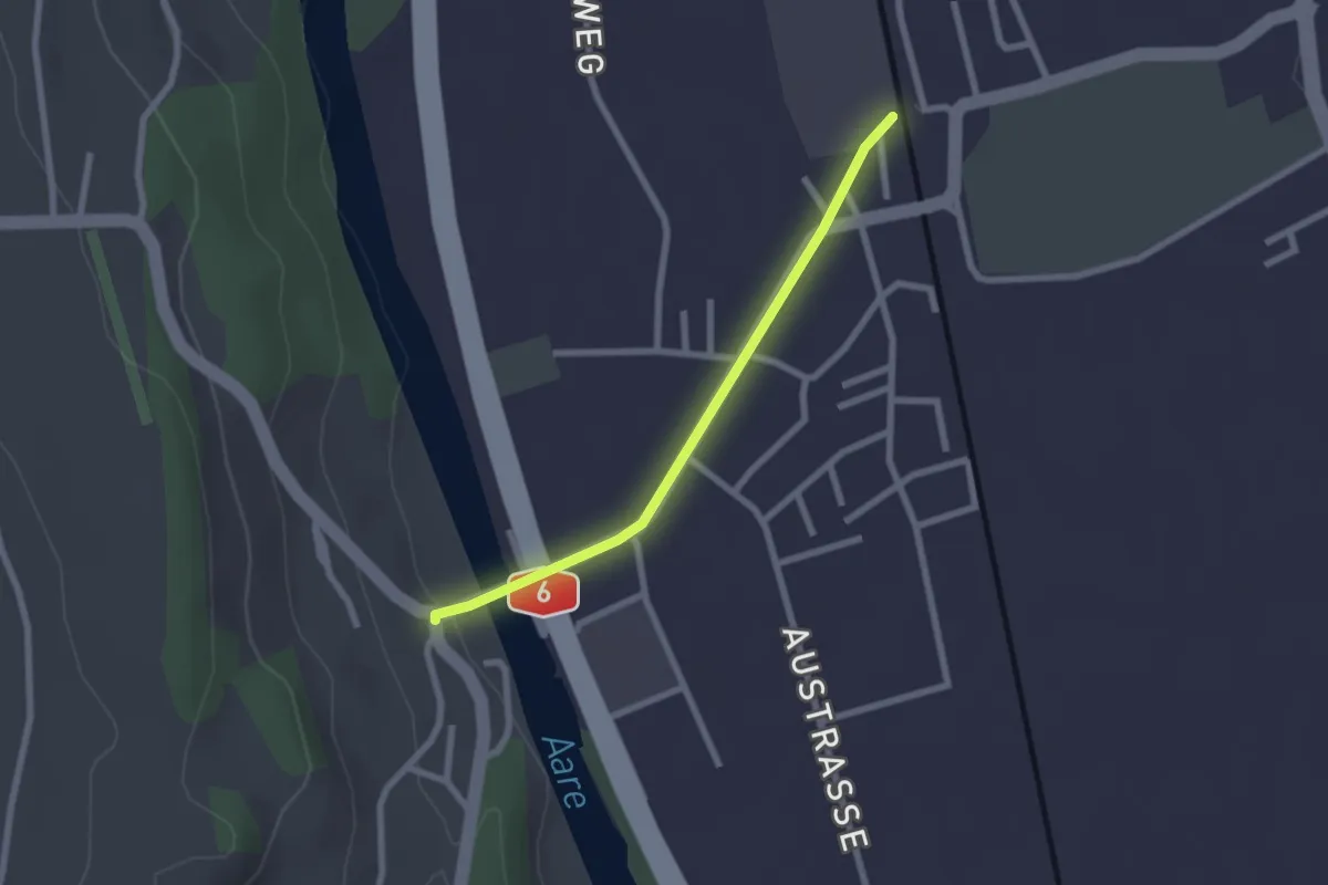
Easy · Trail
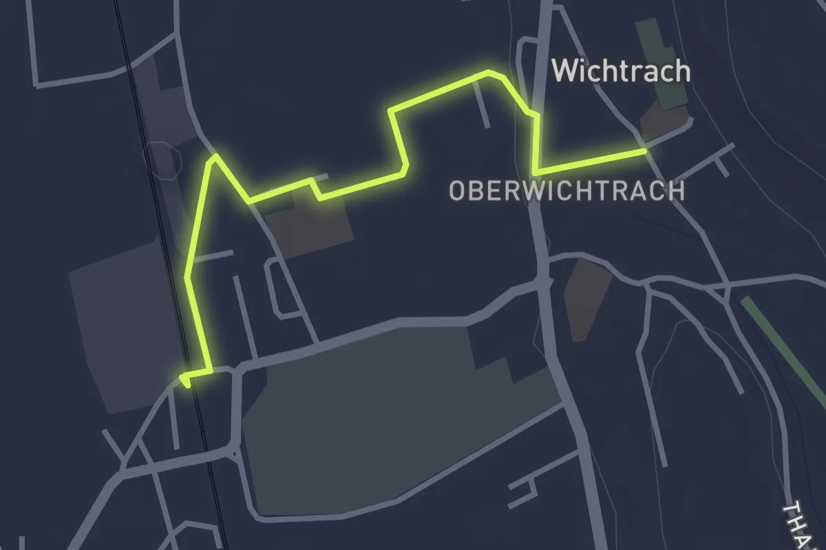
Thalgutbrücke - Wichtrach
2.1 km · ↑ 12 m · 31 min · 15 km away
Easy · Trail
Wichtrach Bahnhof – Wichtrach/Kirche
3.0 km · ↑ 19 m · 45 min · 15 km away
Medium · Trail
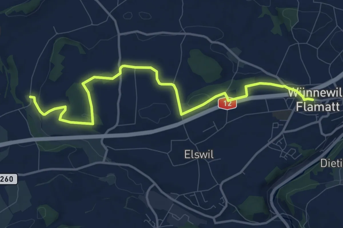
Wünnewil - Richterswil
10.8 km · ↑ 181 m · 2 h 57 min · 15 km away
Easy · Trail
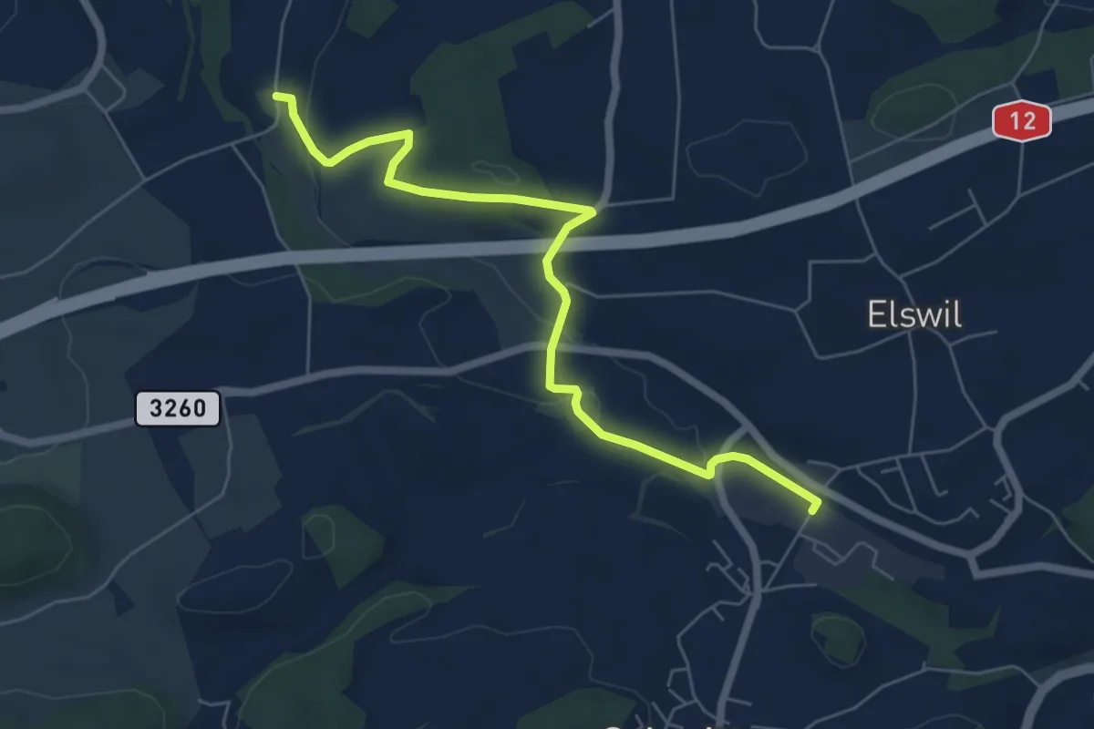
Schmitten Station - Richterswil
6.4 km · ↑ 98 m · 1 h 44 min · 15 km away
Easy · Trail
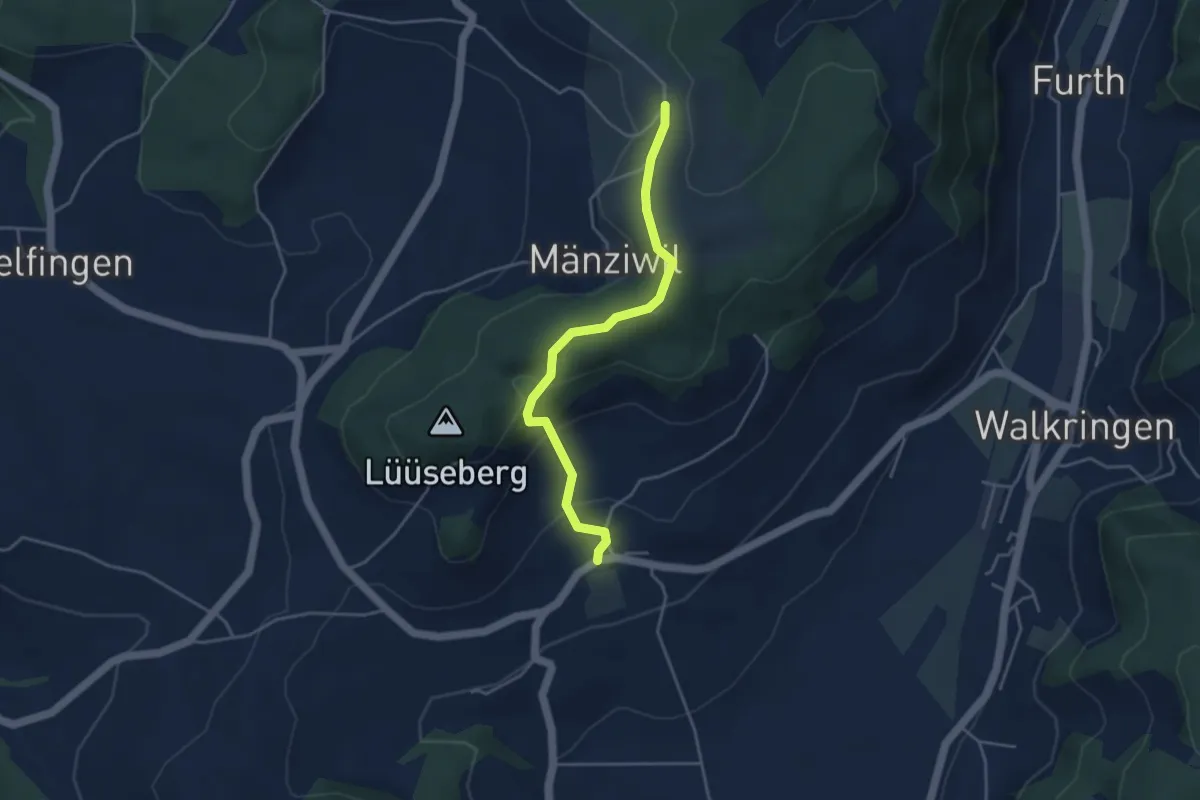
Wikartswil – Mänziwilegg
3.9 km · ↑ 187 m · 1 h 20 min · 15 km away
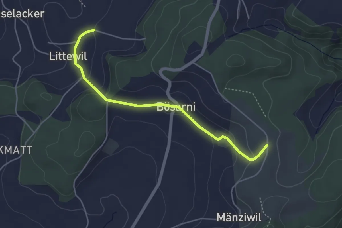
Easy · Trail
Littiwil – Vechigen
3.9 km · ↑ 120 m · 1 h 11 min · 15 km away
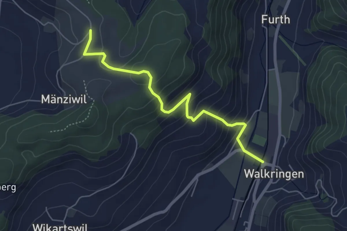
Easy · Trail
Mänziwilegg - Walkringen
4.7 km · ↑ 274 m · 1 h 43 min · 15 km away
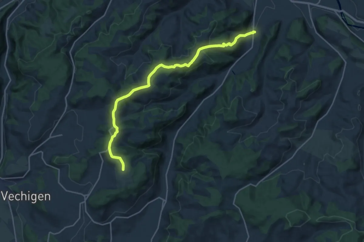
Medium · Trail
Mänziwilegg – Schafhausen
16.2 km · ↑ 533 m · 4 h 58 min · 15 km away
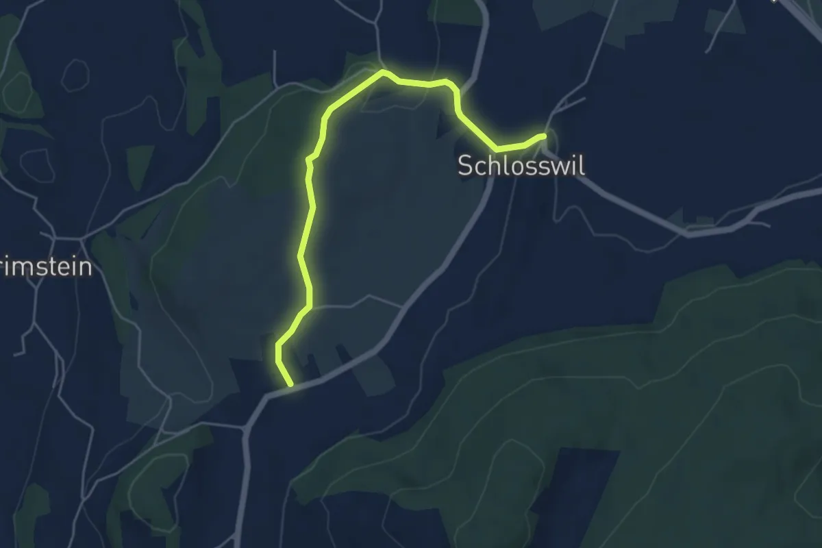
Easy · Trail
Herolfingen – Schlosswil
4.7 km · ↑ 105 m · 1 h 20 min · 15 km away
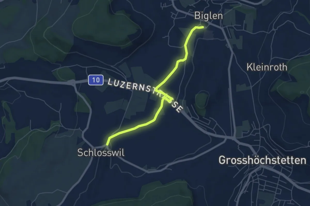
Easy · Trail
Schlosswil – Biglen
5.6 km · ↑ 36 m · 1 h 25 min · 15 km away
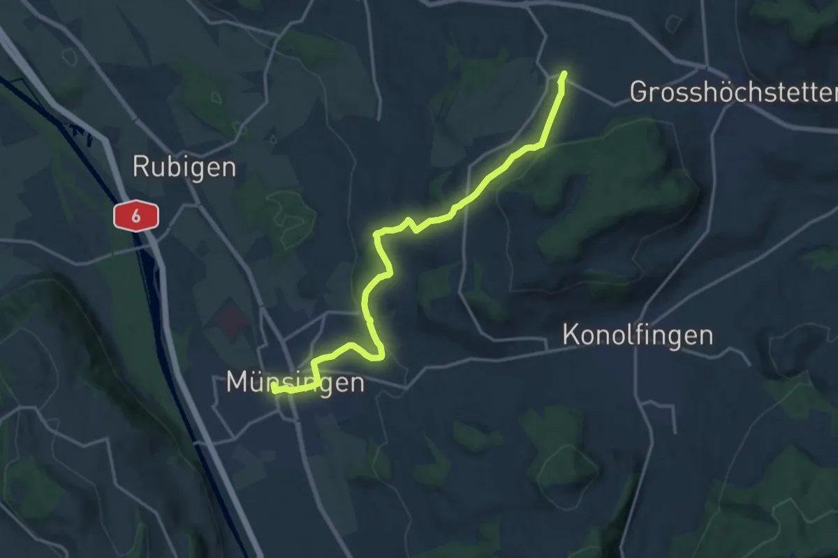
Medium · Trail
Münsingen – Schlosswil
14.9 km · ↑ 320 m · 4 h 12 min · 15 km away
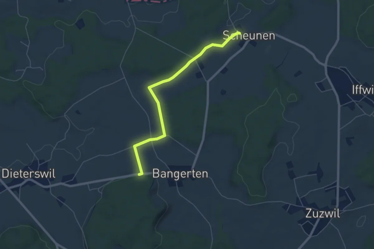
Easy · Trail
Scheunen – Hohrain
5.4 km · ↑ 75 m · 1 h 27 min · 15 km away