Trails near Kriens
584 hikes starting within 15 km, nearest first.
Nearest first, page 11 of 13
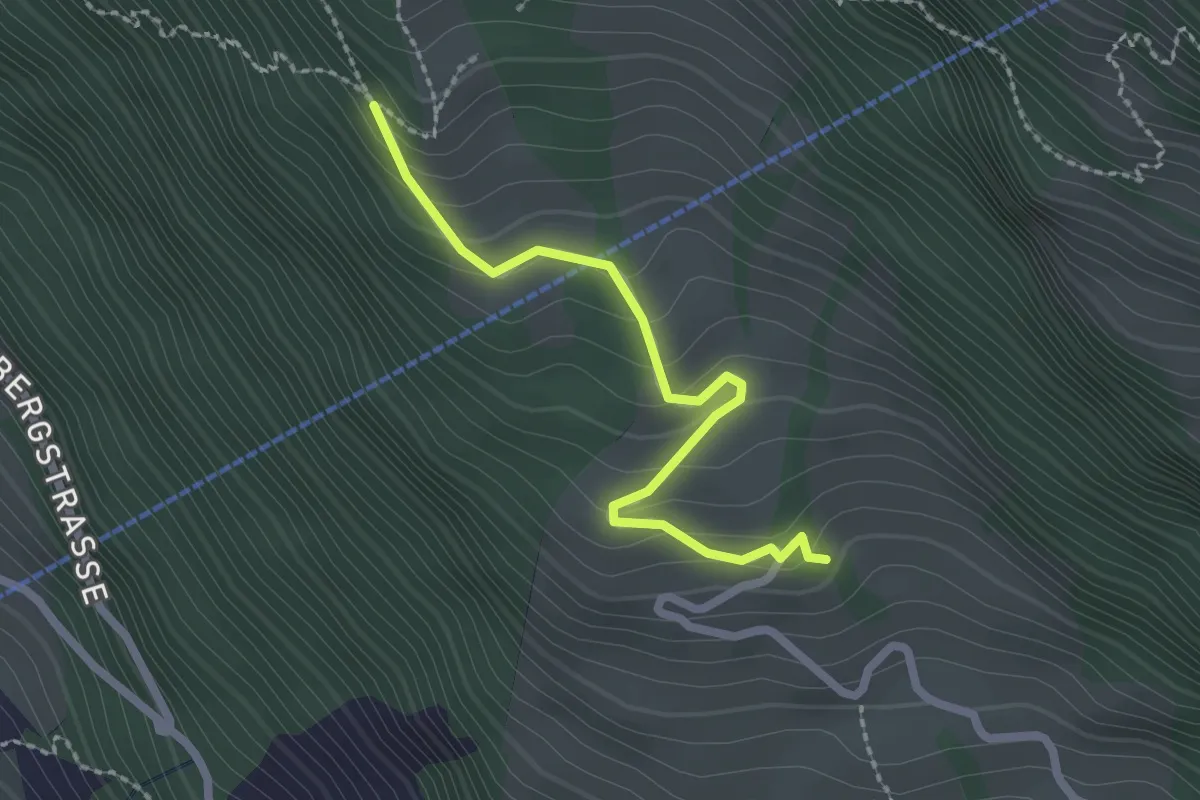
Easy · Trail
Müseralp – Ober Säntiberg
2.2 km · ↑ 131 m · 48 min · 13 km away
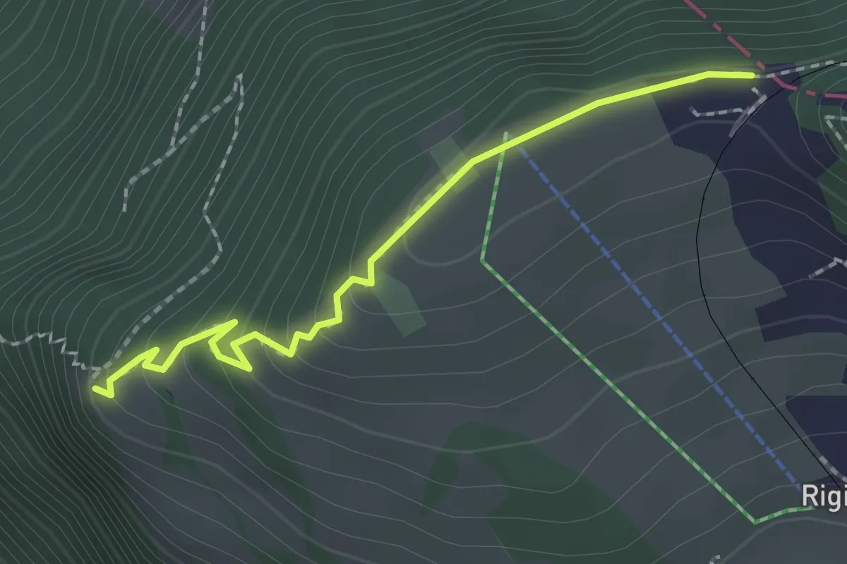
Easy · Trail
Rigi Staffelhöhe – Chänzeli
2.0 km · ↑ 123 m · 44 min · 13 km away
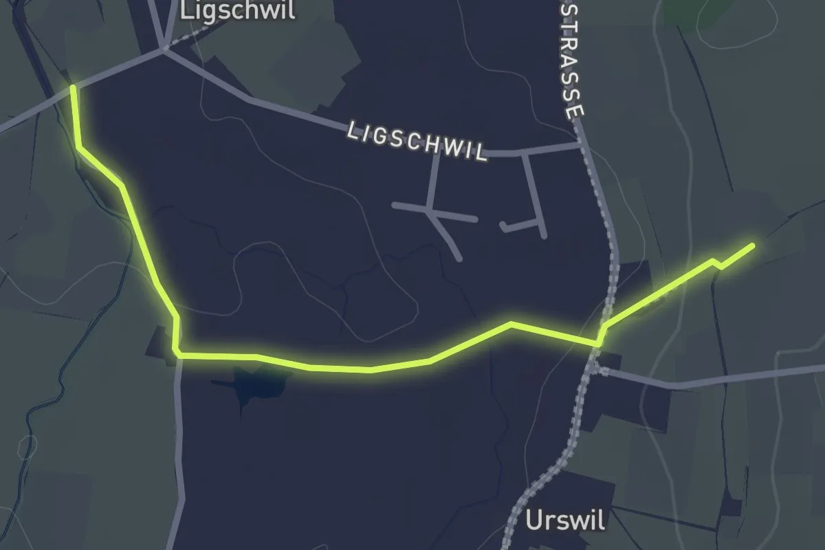
Easy · Trail
Urswil - Ligschwil
2.5 km · ↑ 25 m · 39 min · 13 km away
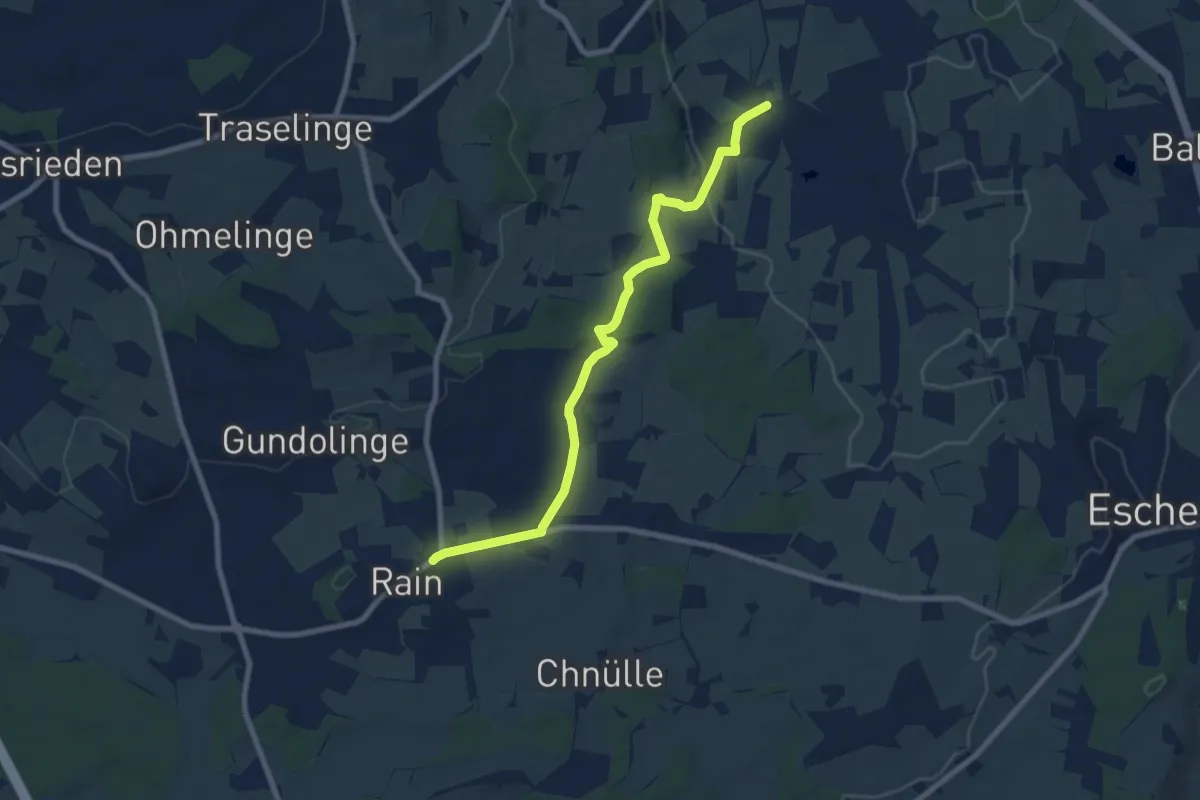
Medium · Trail
Ligschwil - Herbrig - Rain
8.2 km · ↑ 132 m · 2 h 14 min · 13 km away
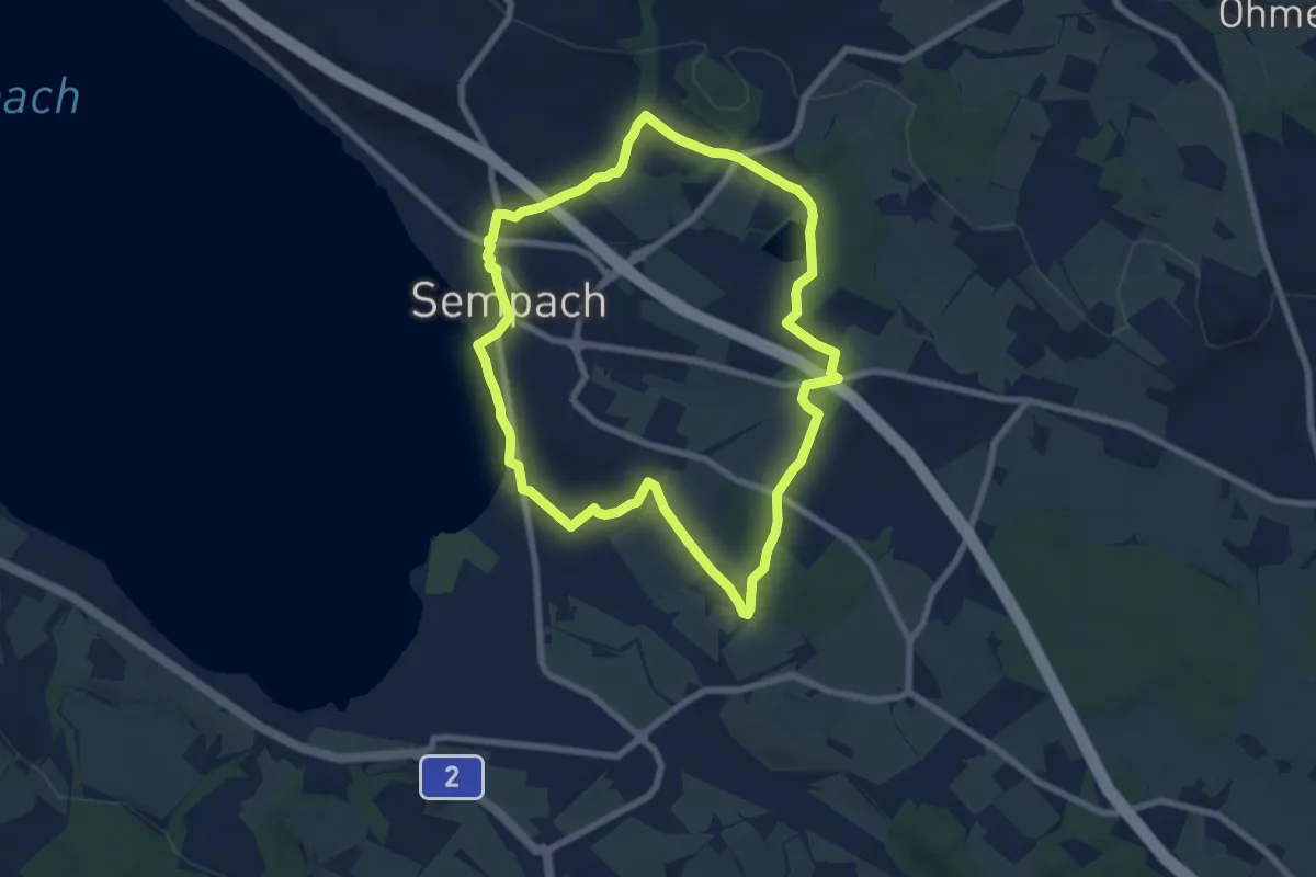
Easy · Trail
Rundweg Sempach
7.3 km · ↑ 85 m · 2 h · 13 km away
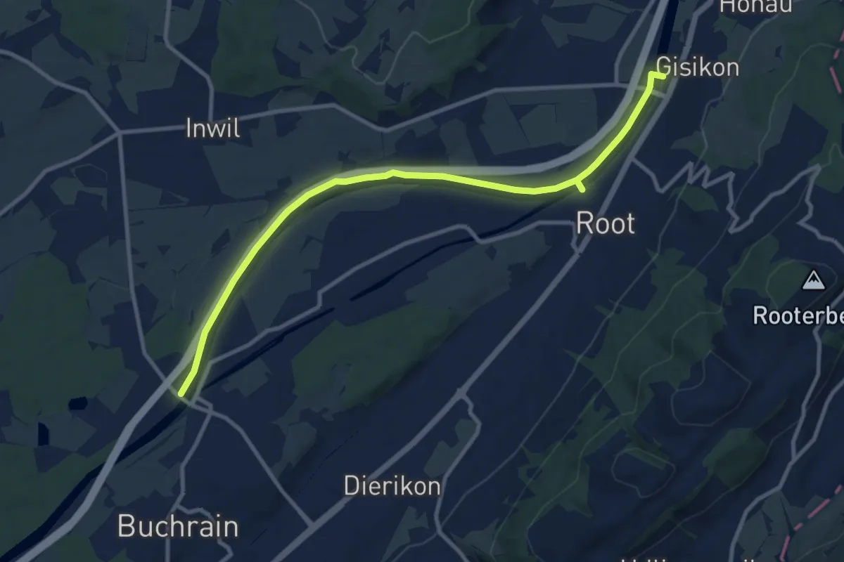
Medium · Trail
Perlenbrücke - Gisikon
10.6 km · ↑ 17 m · 2 h 33 min · 13 km away
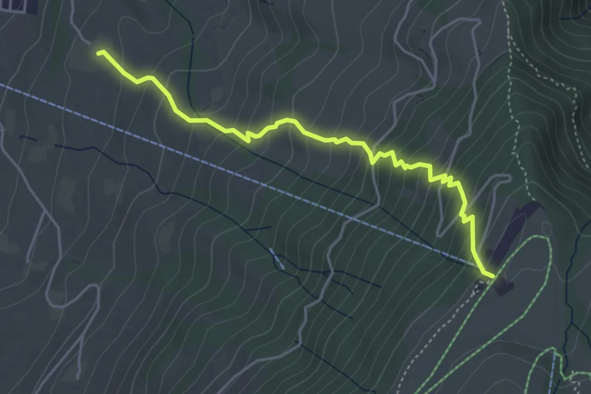
Medium · Trail
Alpenhof – Seebodenalp
4.4 km · ↑ 463 m · 2 h 2 min · 13 km away
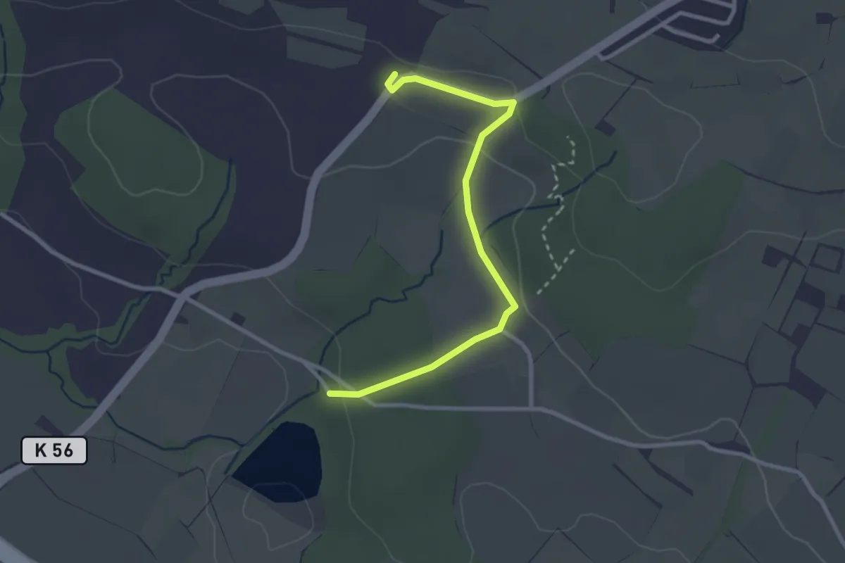
Easy · Trail
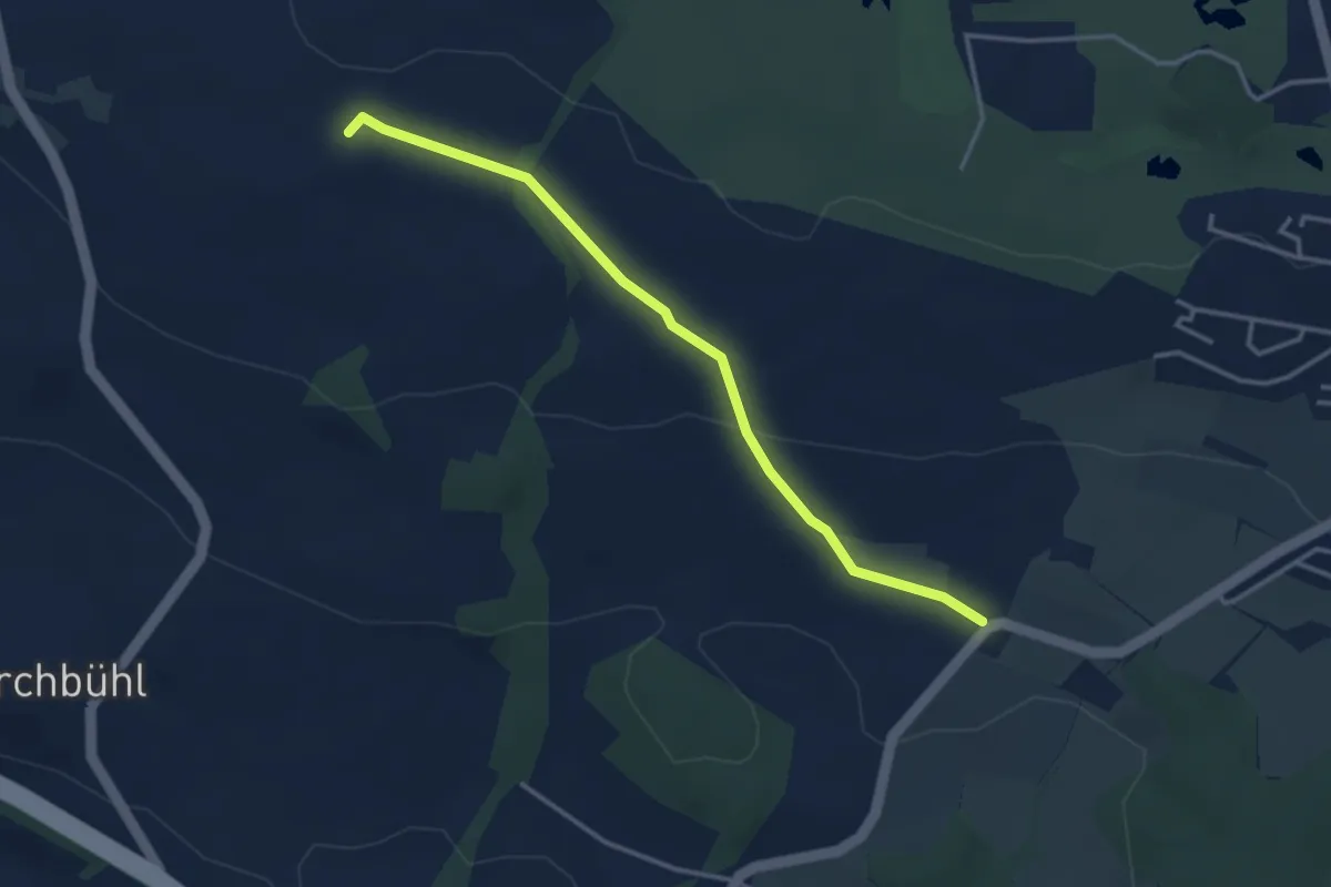
Steinibüel – Schlacht
2.8 km · ↑ 55 m · 47 min · 13 km away
Easy · Trail
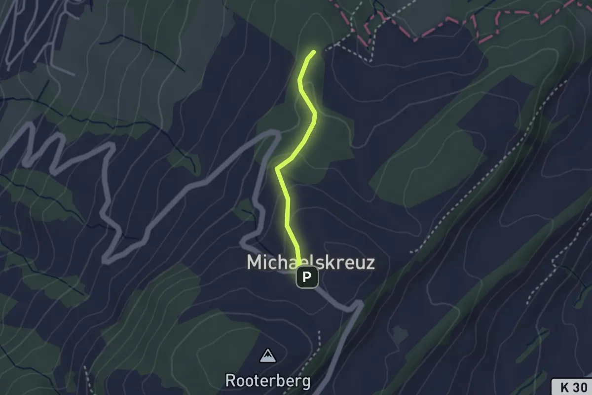
Schlacht – Horlachen
3.5 km · ↑ 76 m · 59 min · 13 km away
Easy · Trail
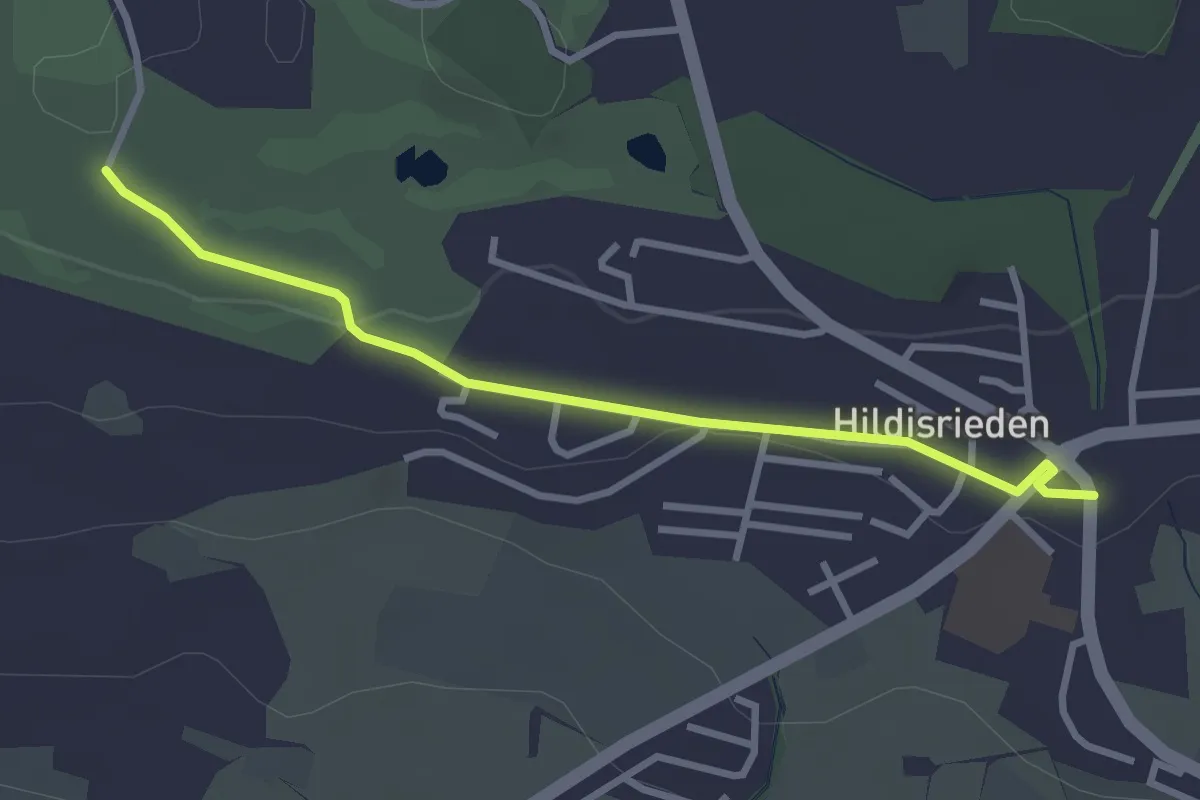
Mittler Sonderi - Michaelskreuz
2.1 km · ↑ 88 m · 41 min · 13 km away
Easy · Trail
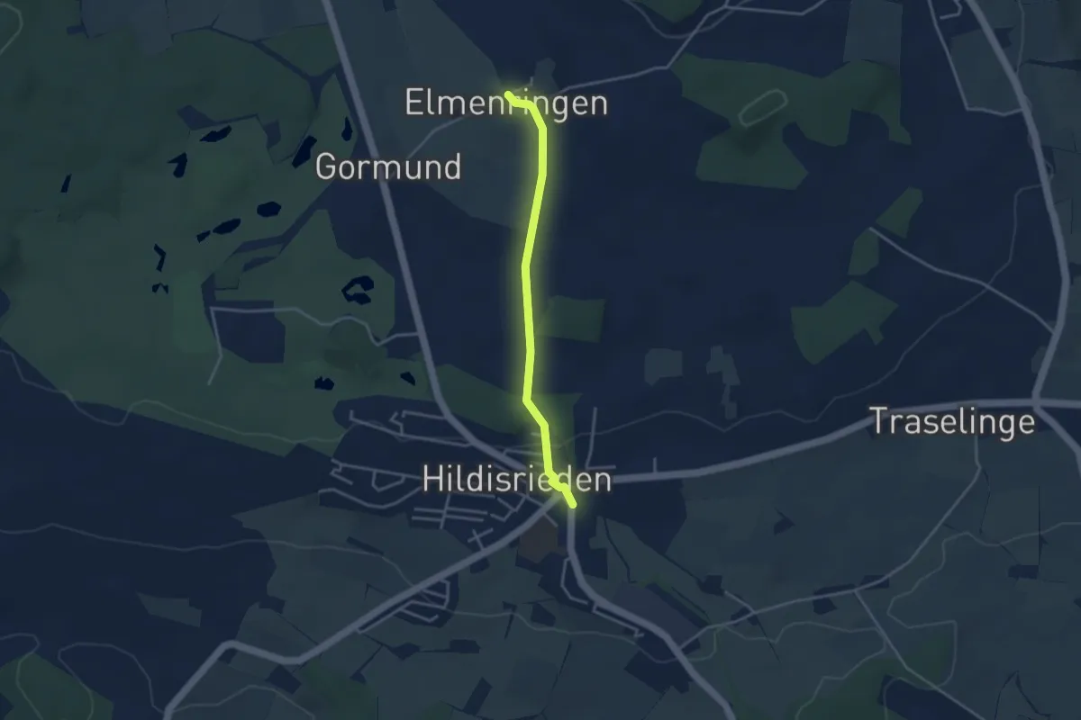
Hildisrieden – Schopfe
3.0 km · ↑ 31 m · 46 min · 14 km away
Easy · Trail
Hildisrieden – Älmeringe
3.2 km · ↑ 53 m · 52 min · 14 km away
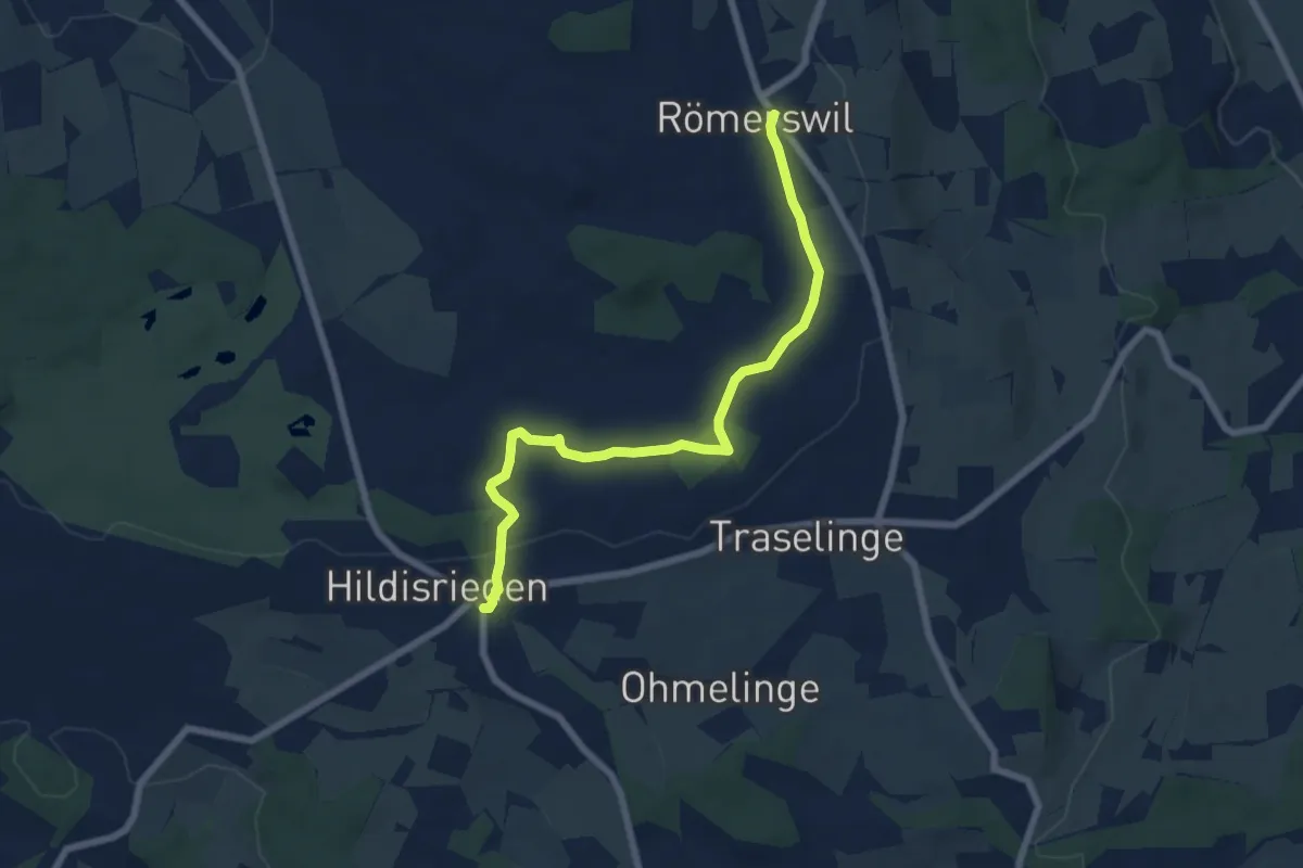
Easy · Trail
Hildisrieden – Römerswil
6.9 km · ↑ 44 m · 1 h 44 min · 14 km away
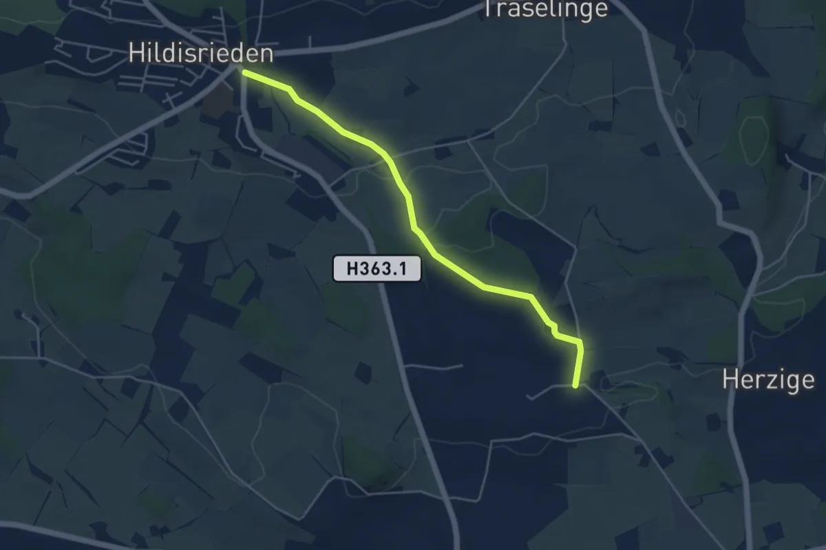
Easy · Trail
Gundelingen - Hildisrieden
4.5 km · ↑ 76 m · 1 h 14 min · 14 km away
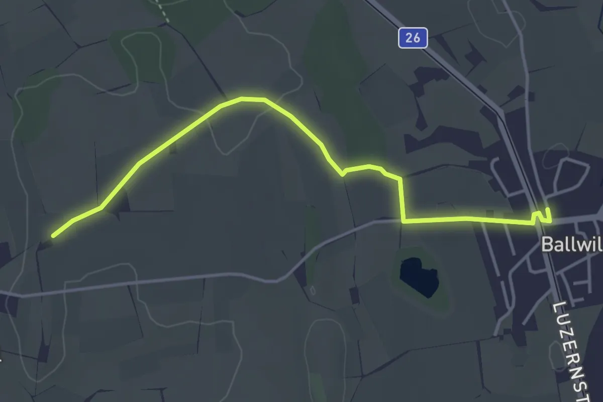
Easy · Trail
Urswil – Ballwil
4.1 km · ↑ 27 m · 1 h 2 min · 14 km away
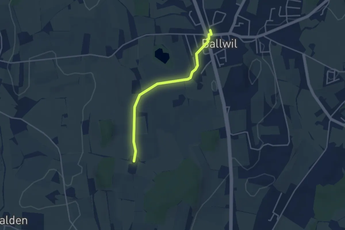
Easy · Trail
Räckebrunne – Ballwil
3.1 km · ↑ 18 m · 46 min · 14 km away
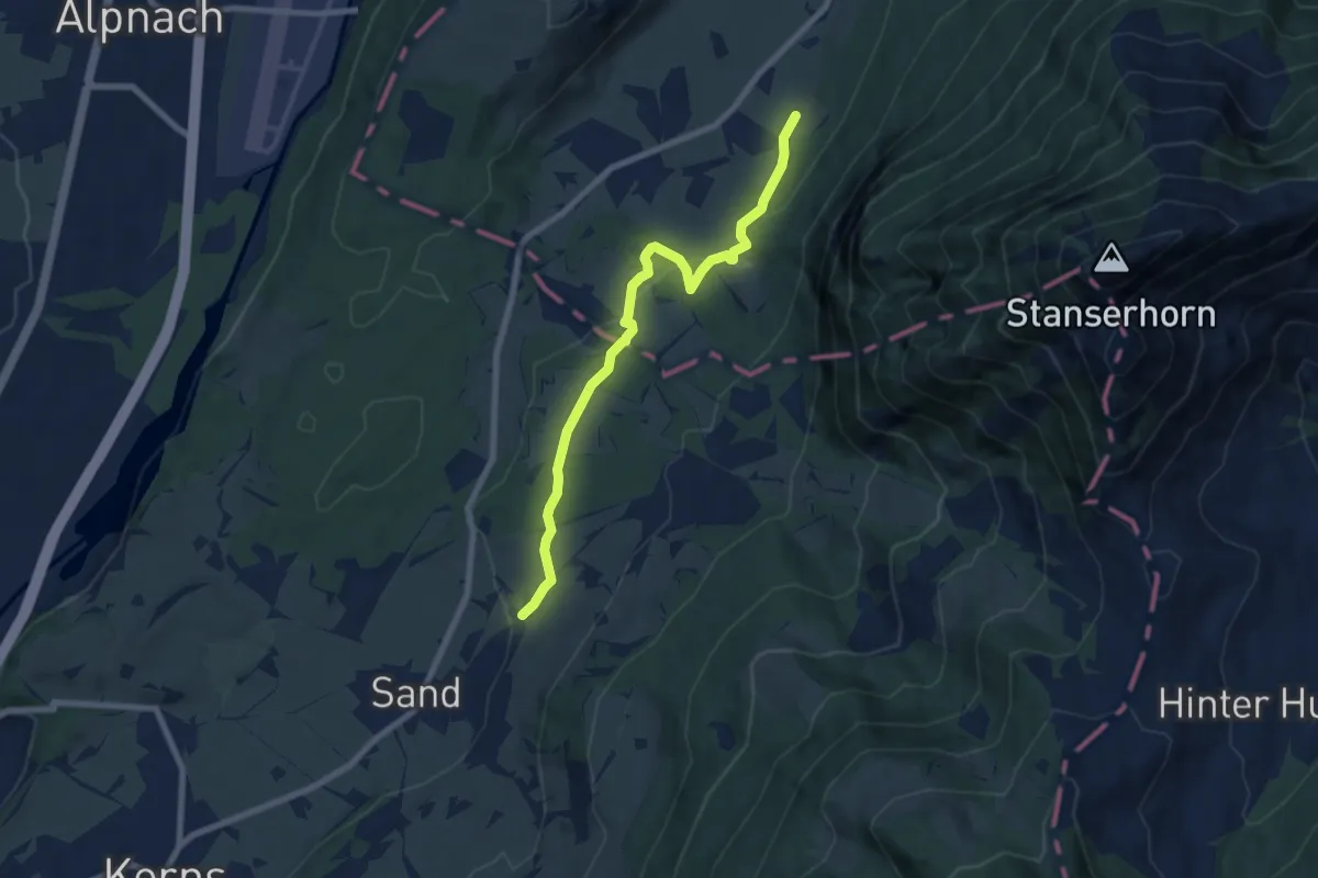
Easy · Trail
Wisserlen Hostatt – Halten (NW)
7.5 km · ↑ 227 m · 2 h 16 min · 14 km away
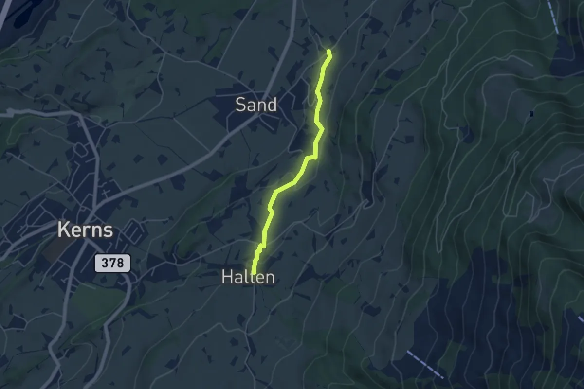
Easy · Trail
St. Anton – Wisserlen Hostatt
4.0 km · ↑ 115 m · 1 h 12 min · 14 km away
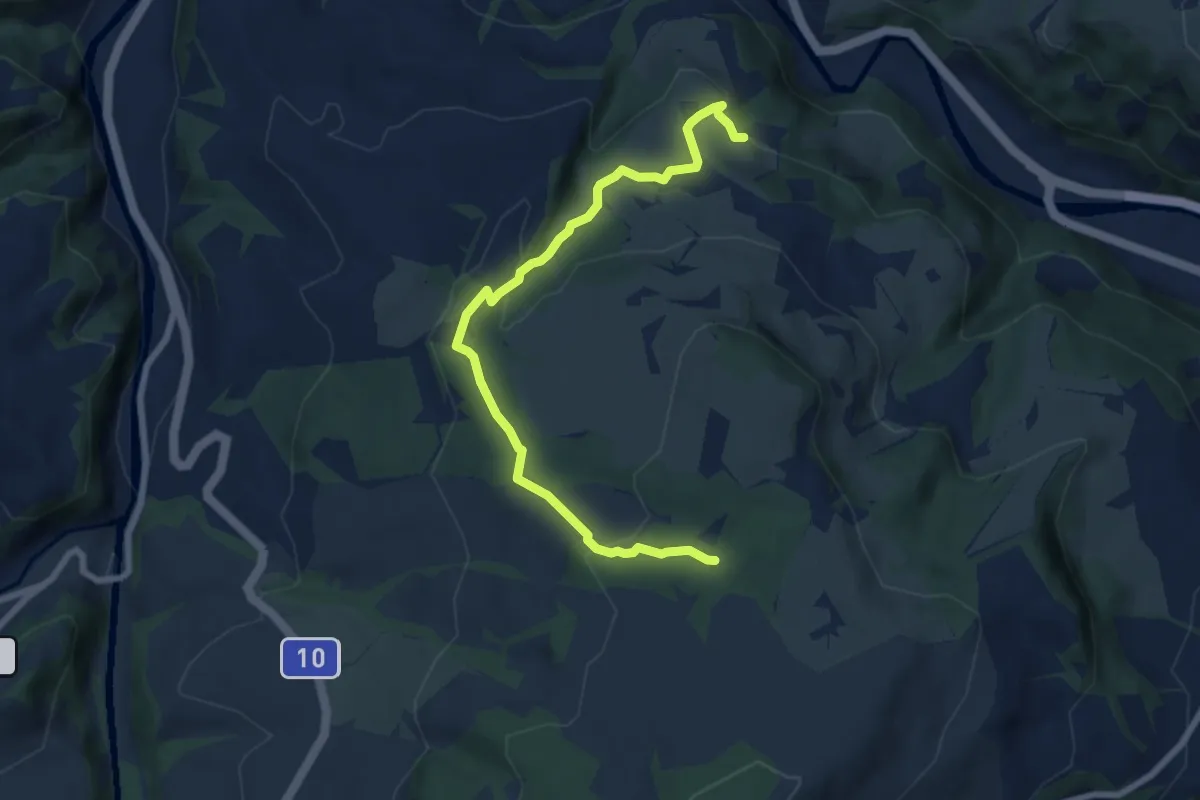
Easy · Trail
Chlosterwald - Chächebüel
7.7 km · ↑ 240 m · 2 h 20 min · 14 km away
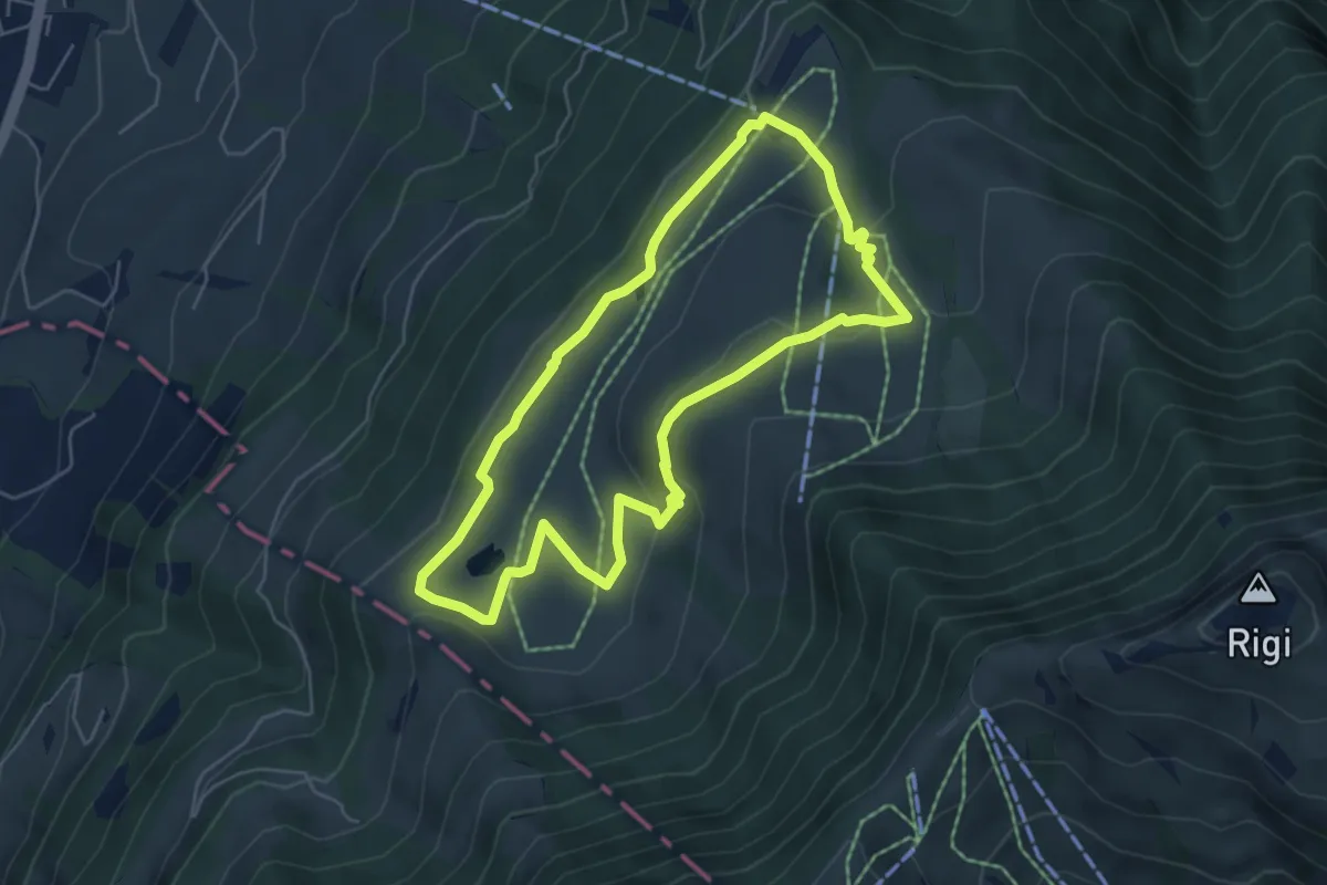
Easy · Trail
Panoramarundweg (Seebodenalp - Altruodisegg - Holderen - Seebodenalp)
5.1 km · ↑ 168 m · 1 h 39 min · 14 km away
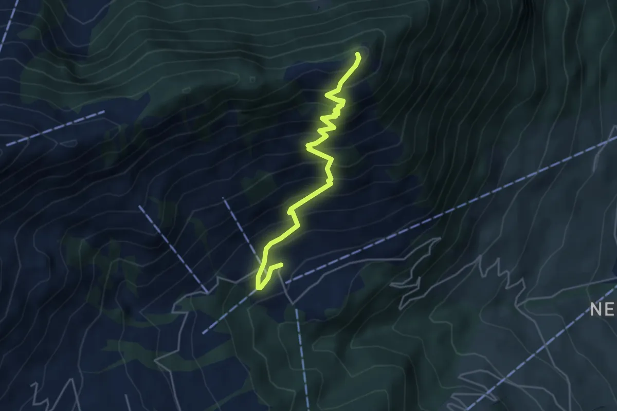
Medium · Trail
Blatti – Wiesenberg
4.3 km · ↑ 537 m · 2 h 10 min · 14 km away
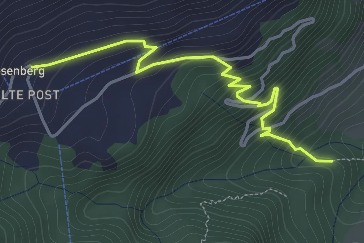
Easy · Trail
Heinziwald – Wiesenberg
3.2 km · ↑ 305 m · 1 h 25 min · 14 km away
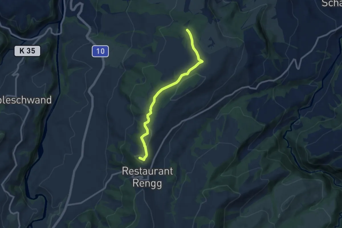
Easy · Summit
Chlosterwald - Rengg
7.1 km · ↑ 191 m · 2 h 6 min · 14 km away
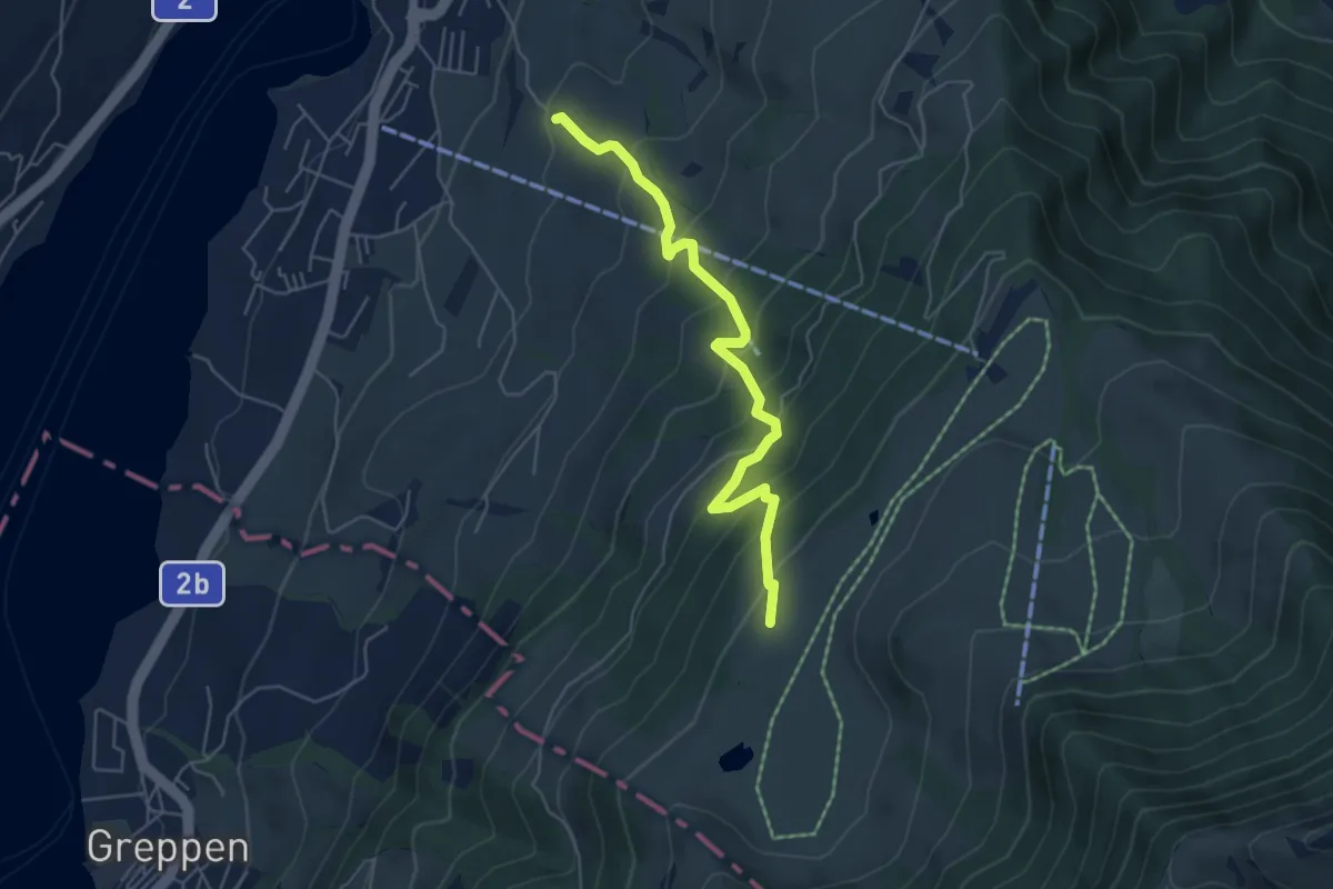
Medium · Trail
Alpenhof-Schluchegg
5.3 km · ↑ 495 m · 2 h 19 min · 14 km away
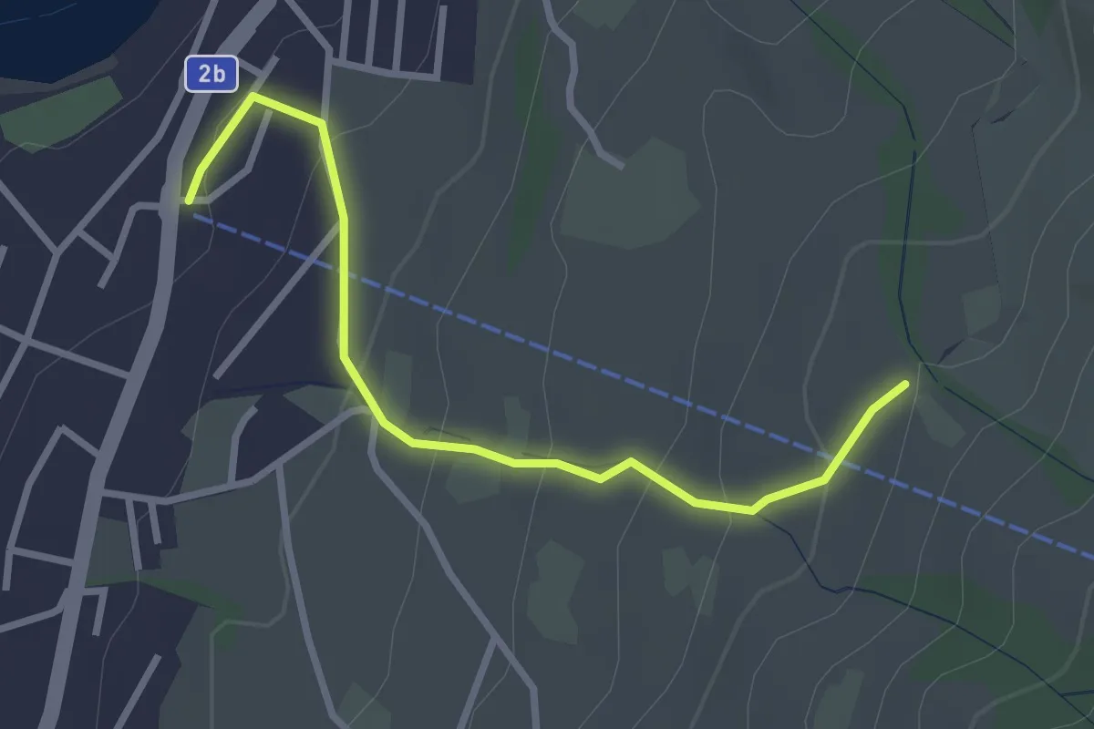
Easy · Trail
Sämpel – Talstation LKüS
2.8 km · ↑ 164 m · 1 h 1 min · 14 km away
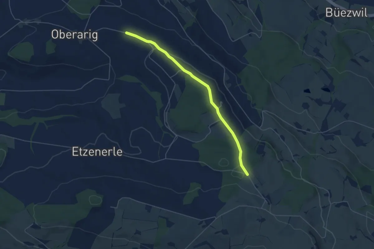
Easy · Trail
Flüss – Ober Saeliwald
5.0 km · ↑ 87 m · 1 h 22 min · 14 km away
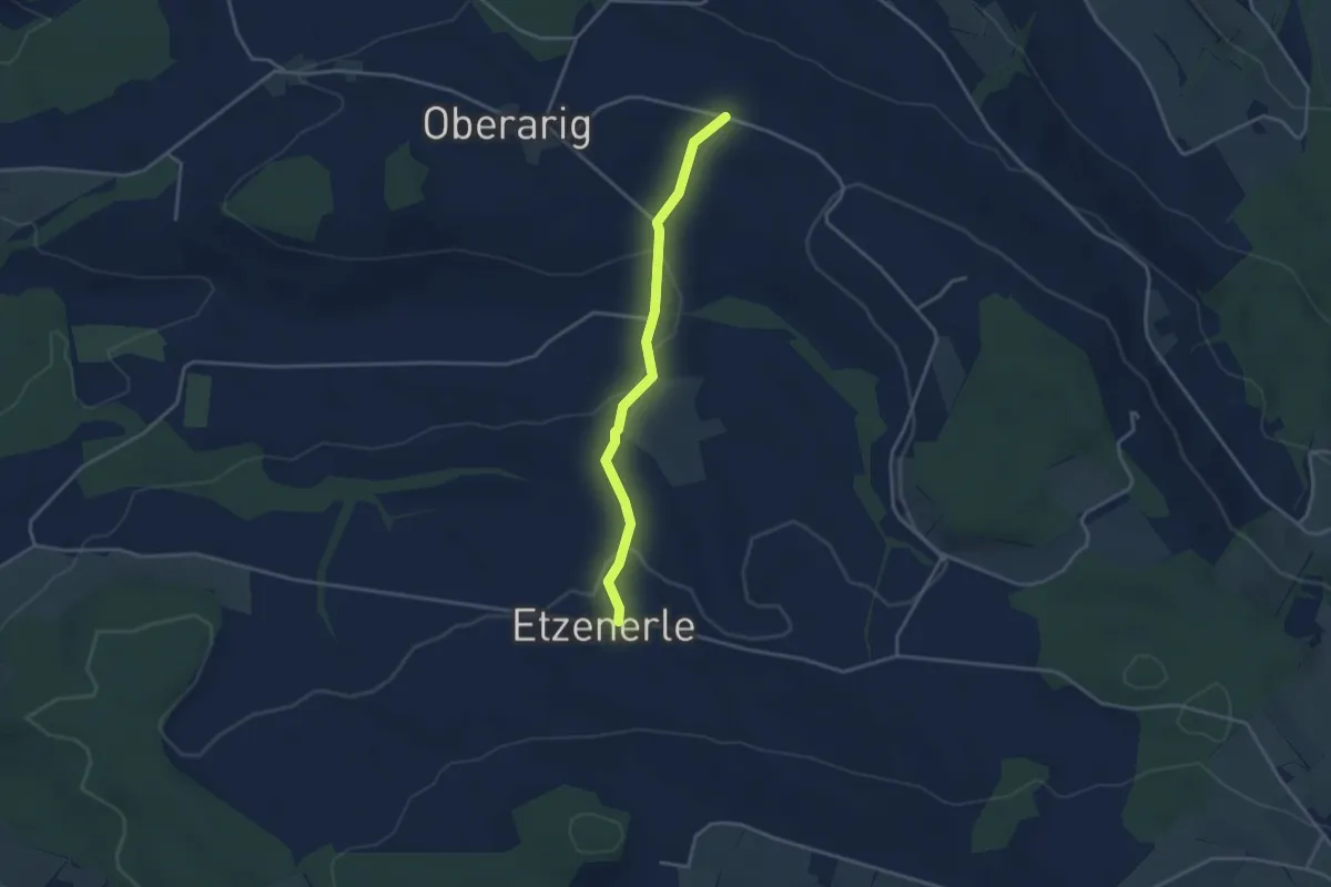
Easy · Trail
Flüss - Etzenerlen
3.3 km · ↑ 98 m · 59 min · 14 km away
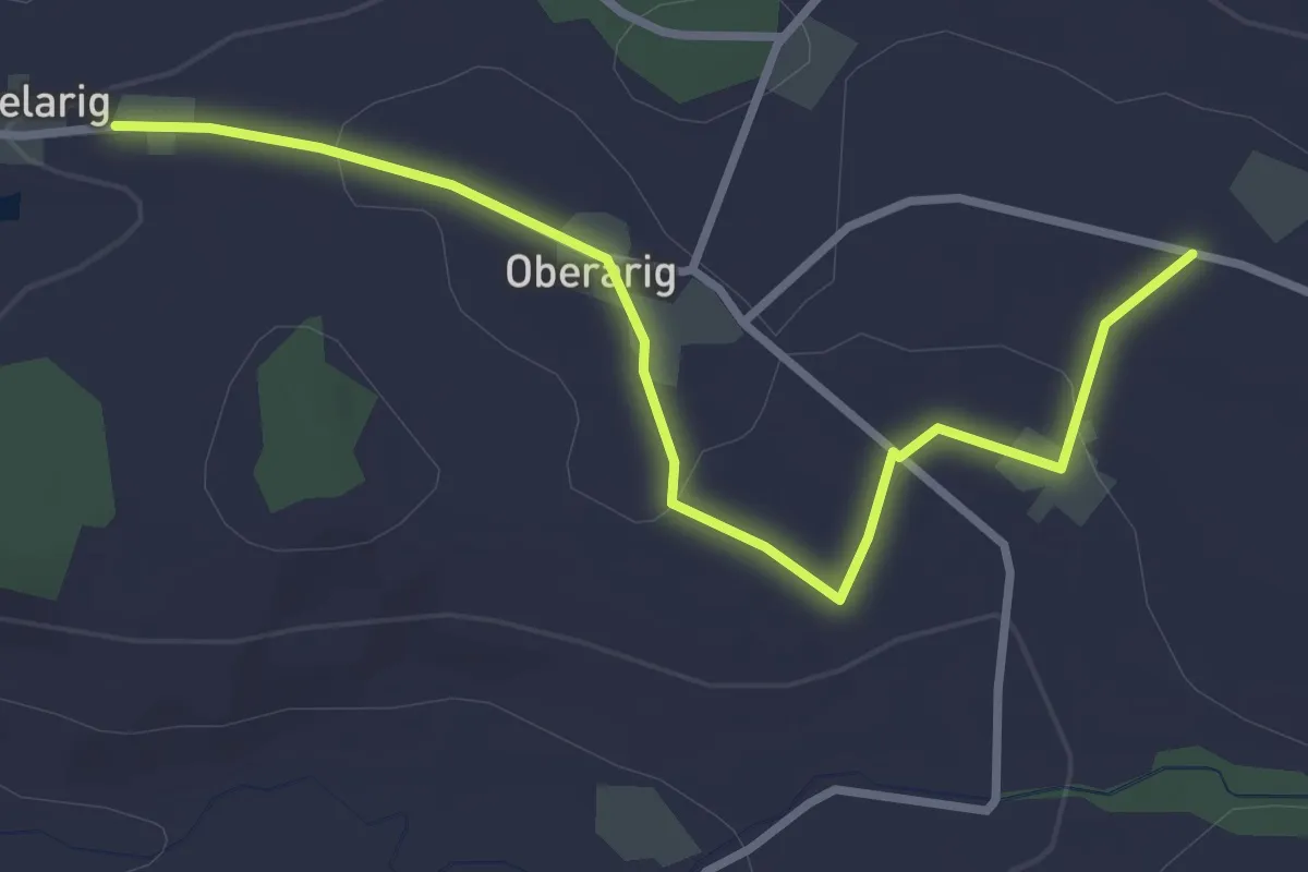
Easy · Trail
Flüss - Mittelarig
3.4 km · ↑ 54 m · 55 min · 14 km away
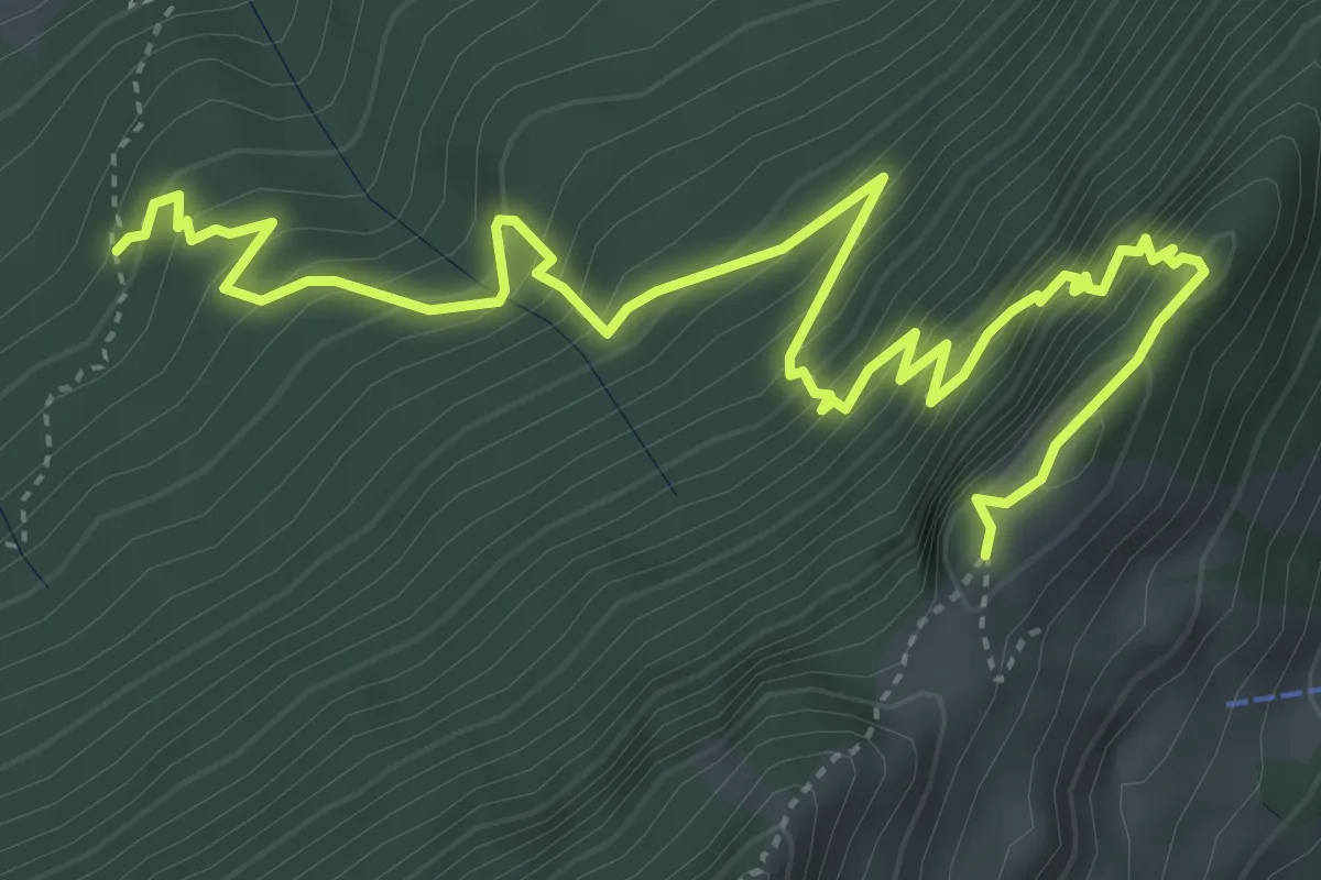
Expert · Trail
Gitzitritt
6.3 km · ↑ 719 m · 3 h 2 min · 14 km away
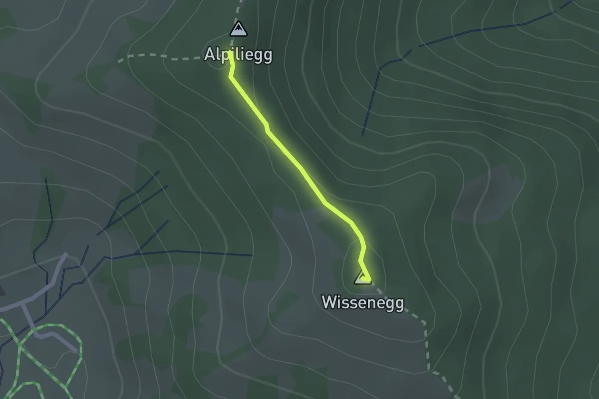
Medium · Summit
Wissenegg - Alpiliegg
1.3 km · ↑ 49 m · 24 min · 14 km away
Medium · Trail
Werthenstein - Schachen
8.6 km · ↑ 148 m · 2 h 21 min · 14 km away
Easy · Trail
Werthenstein - Unter Chriesbaumen
4.8 km · ↑ 131 m · 1 h 25 min · 14 km away
Demanding · Trail
ViaJacobi
27.3 km · ↑ 460 m · 7 h 27 min · 14 km away
Medium · Trail
Werthenstein - Ruswil
8.5 km · ↑ 225 m · 2 h 29 min · 14 km away
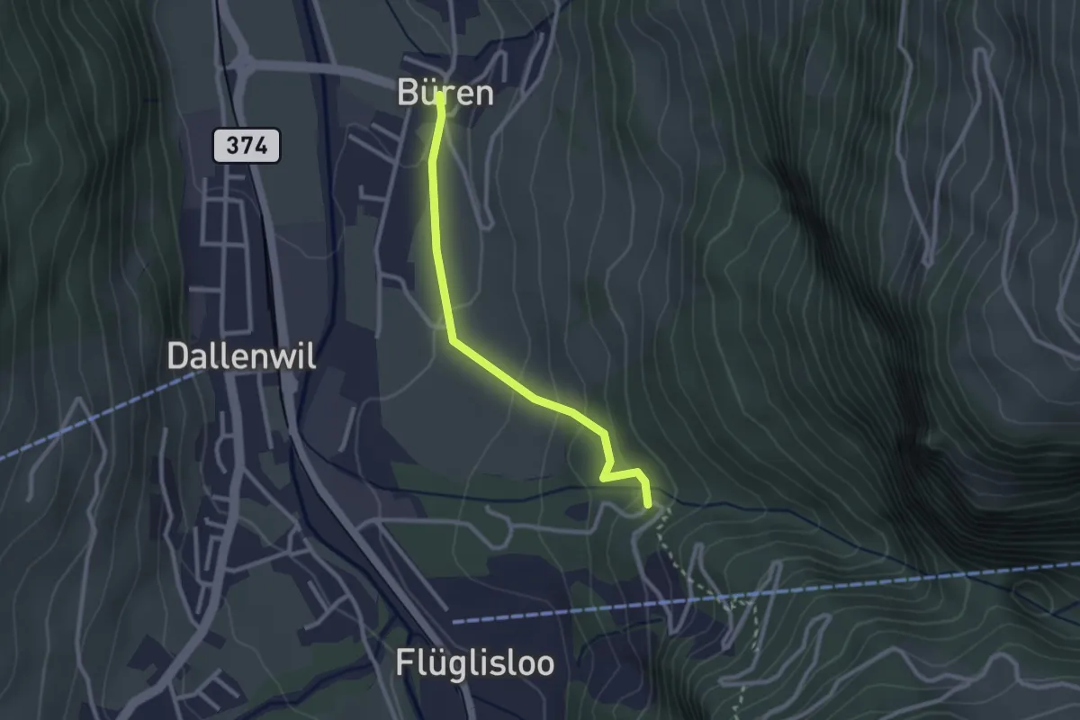
Easy · Trail
Geissteg – Büren
2.4 km · ↑ 117 m · 49 min · 14 km away
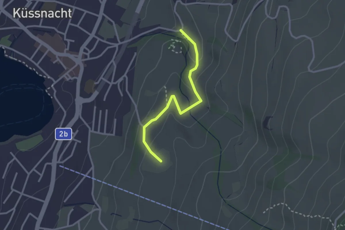
Easy · Trail
Gesslerber-Alpenhof
2.4 km · ↑ 89 m · 45 min · 14 km away
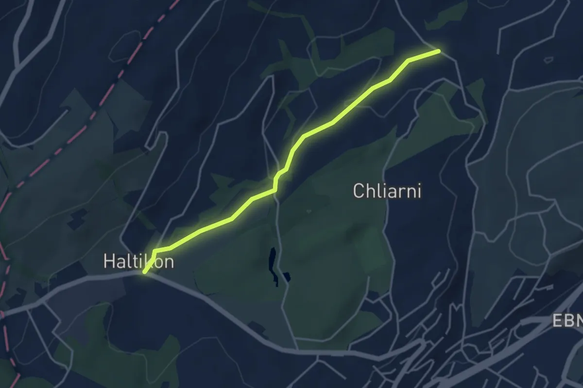
Easy · Trail
Haltikon - Tal
3.6 km · ↑ 53 m · 58 min · 14 km away
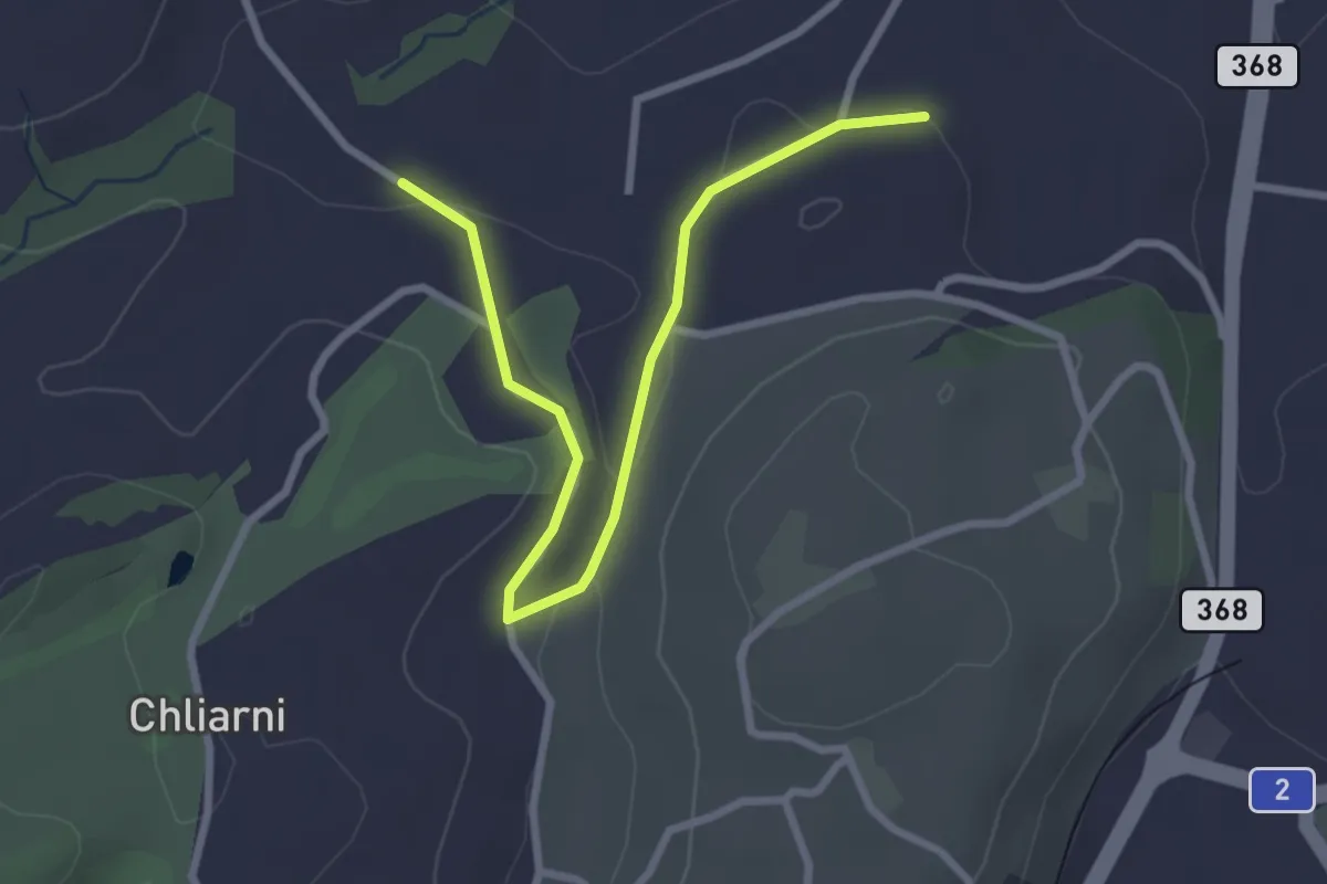
Easy · Trail
Tal - St. Martin
3.1 km · ↑ 51 m · 50 min · 14 km away
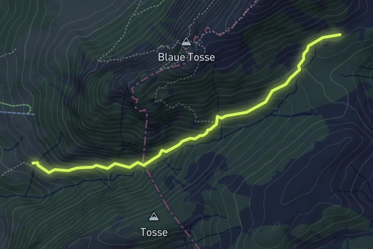
Medium · Trail
Mittlist Hütten - Rickmettlen
5.2 km · ↑ 460 m · 2 h 14 min · 14 km away
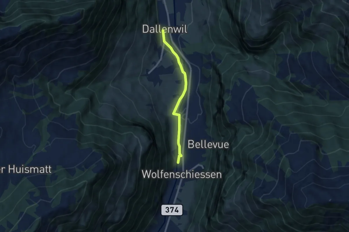
Easy · Trail
Dallenwil – Wolfenschiessen
5.7 km · ↑ 28 m · 1 h 25 min · 14 km away
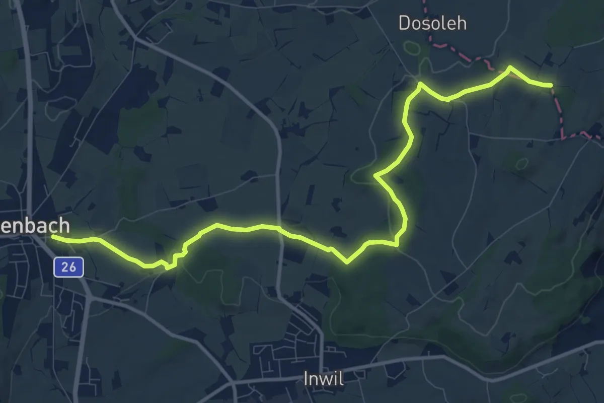
Medium · Trail
Eschenbach - Sulzberg
11.9 km · ↑ 153 m · 3 h 9 min · 14 km away
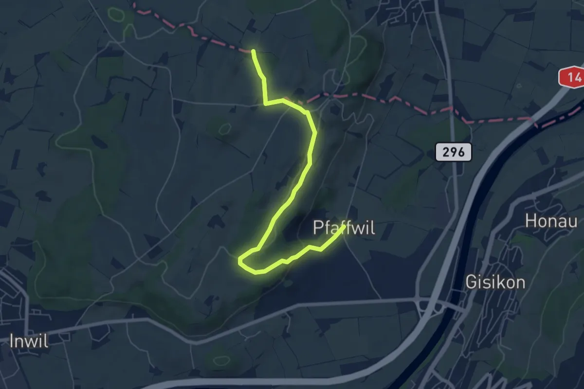
Easy · Trail
Pfaffwil - Sulzberg
6.5 km · ↑ 159 m · 1 h 53 min · 14 km away
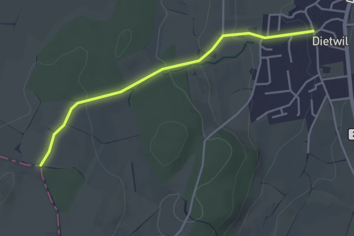
Easy · Trail
Dietwil - Sulzberg
3.1 km · ↑ 96 m · 57 min · 14 km away
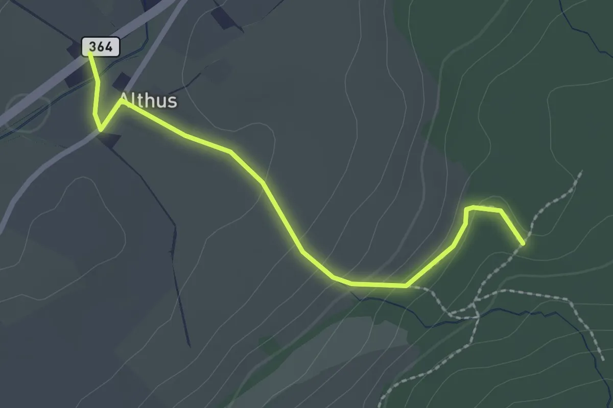
Easy · Trail
Althus - Mittelpunkt des Kantons Luzern
2.2 km · ↑ 83 m · 42 min · 14 km away
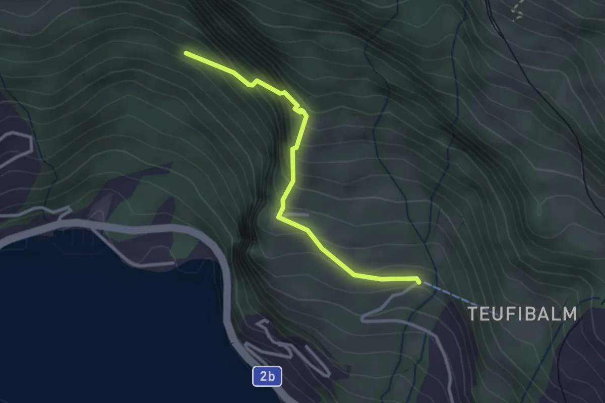
Medium · Trail
Orefad – Langwilen
2.7 km · ↑ 329 m · 1 h 21 min · 14 km away
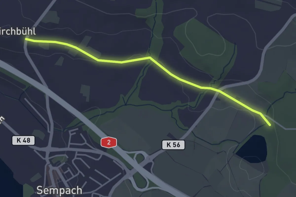
Easy · Trail
Chilchbüel - Steinibüel
3.6 km · ↑ 22 m · 54 min · 14 km away
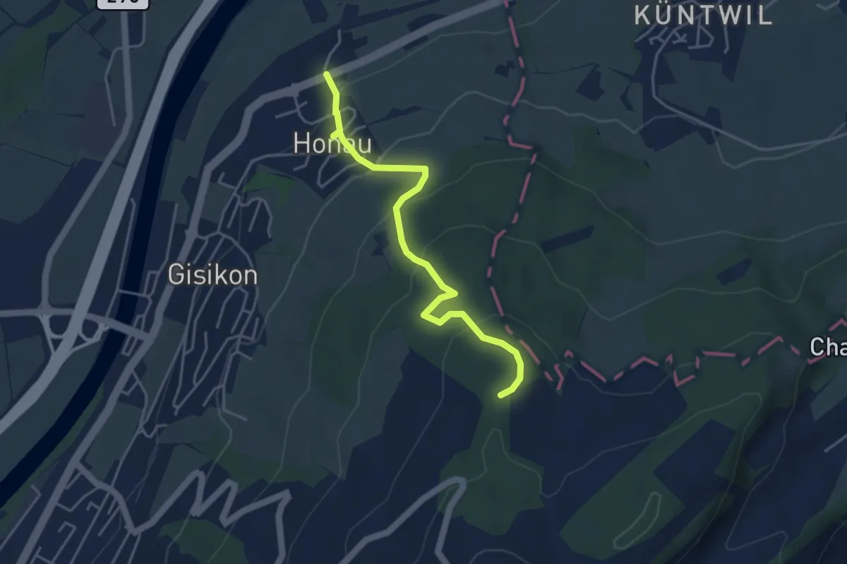
Easy · Trail
Honau - Mittler Sonderi
4.1 km · ↑ 241 m · 1 h 29 min · 14 km away
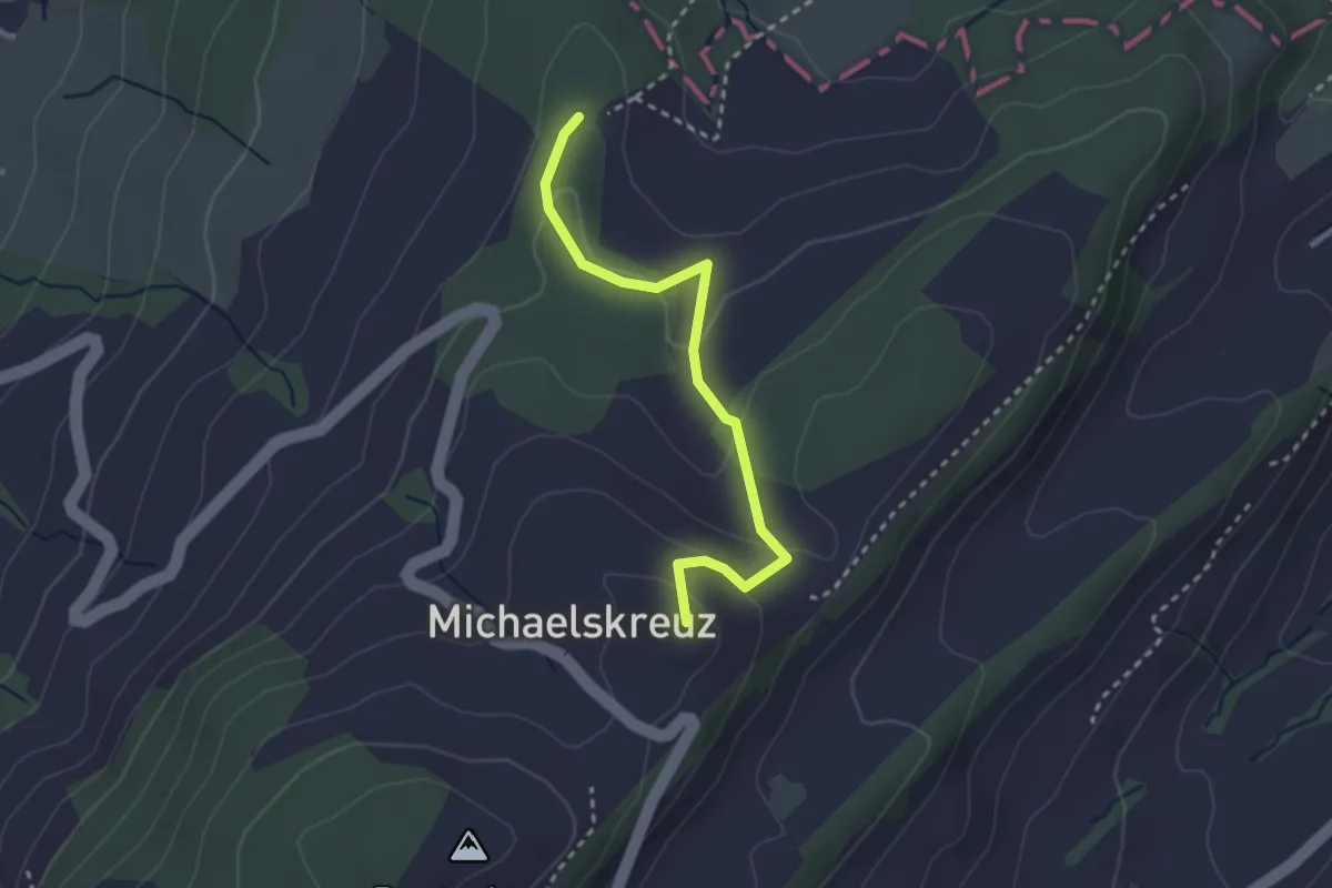
Easy · Summit
Mittler Sonderi - Michaelskreuz
2.7 km · ↑ 120 m · 54 min · 14 km away