Trails near Kriens
584 hikes starting within 15 km, nearest first.
Nearest first, page 12 of 13
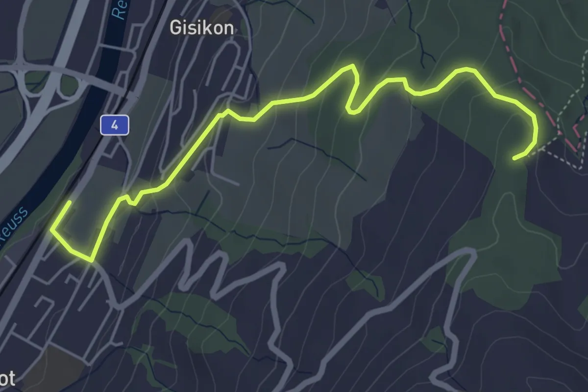
Easy · Trail
Gisikon Root - Mittler Sonderi
5.5 km · ↑ 258 m · 1 h 51 min · 14 km away
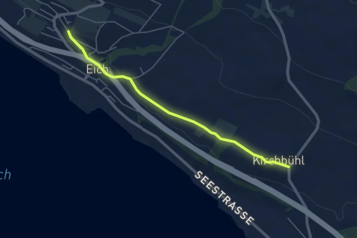
Easy · Trail
Eich (Schulhaus) - Kirchbühl
4.2 km · ↑ 59 m · 1 h 8 min · 14 km away
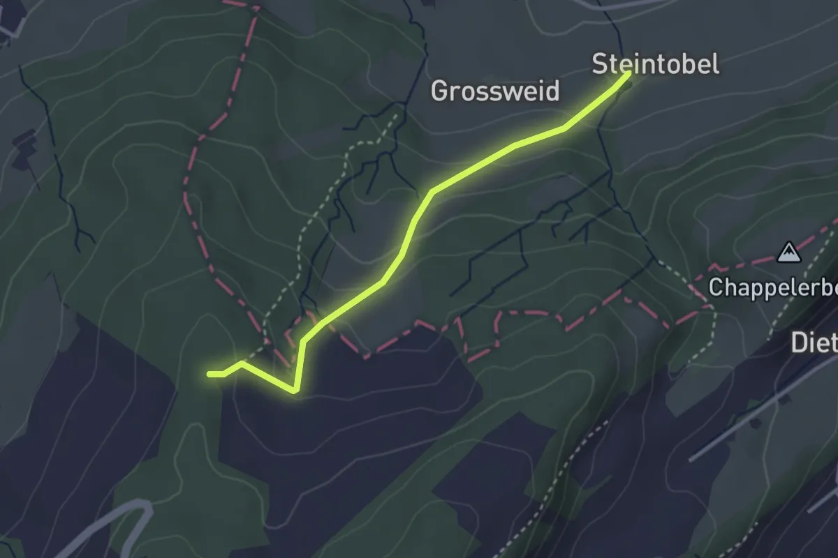
Easy · Trail
Steintobel - Mittler Sonderi
2.9 km · ↑ 164 m · 1 h 3 min · 14 km away
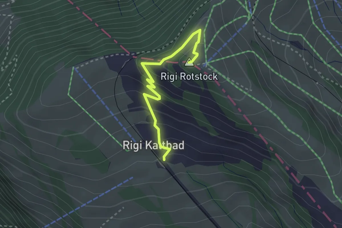
Medium · Summit
Rigi Kaltbad – Rotstock
2.5 km · ↑ 185 m · 1 h · 14 km away
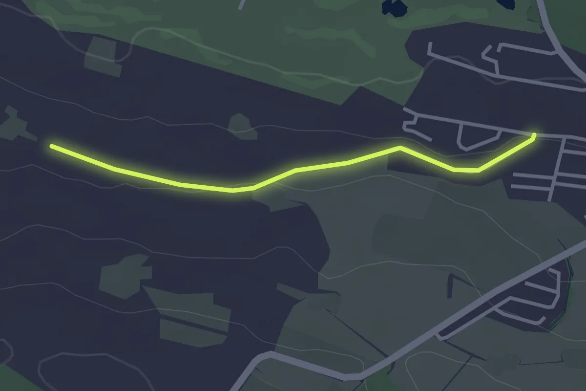
Easy · Trail
Sonnhalde – Stockhof
2.7 km · ↑ 33 m · 43 min · 14 km away
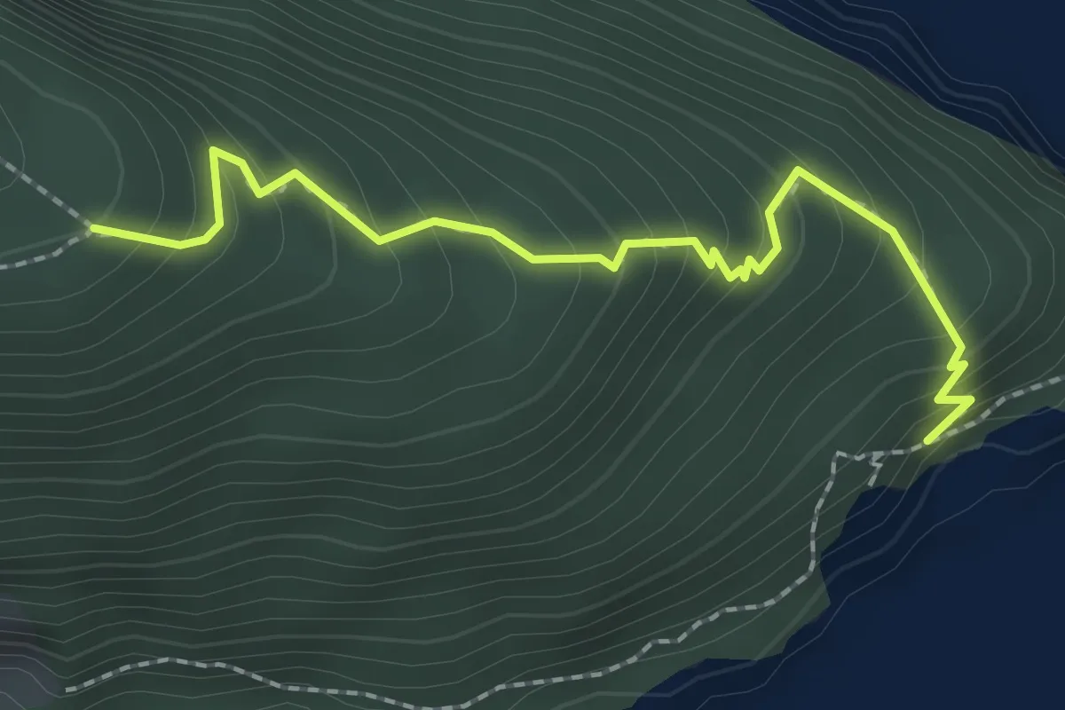
Medium · Trail
Unter Nas - Timmer Boden
2.3 km · ↑ 255 m · 1 h 5 min · 14 km away
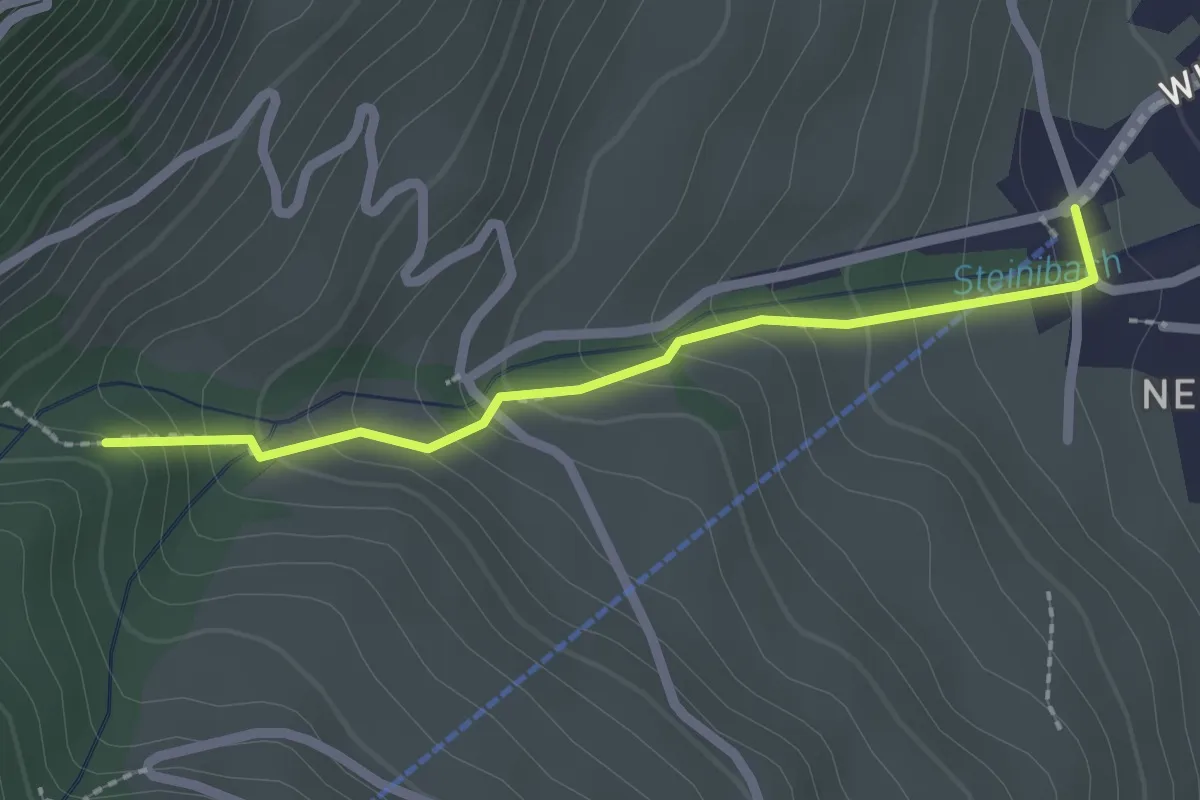
Easy · Trail
Talstation Wirzwelibahn – Heinziwald
2.1 km · ↑ 168 m · 51 min · 14 km away
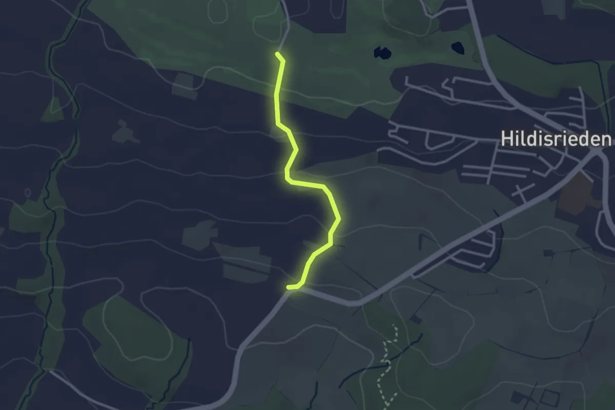
Easy · Trail
Schlacht – Schopfe
2.4 km · ↑ 97 m · 46 min · 14 km away
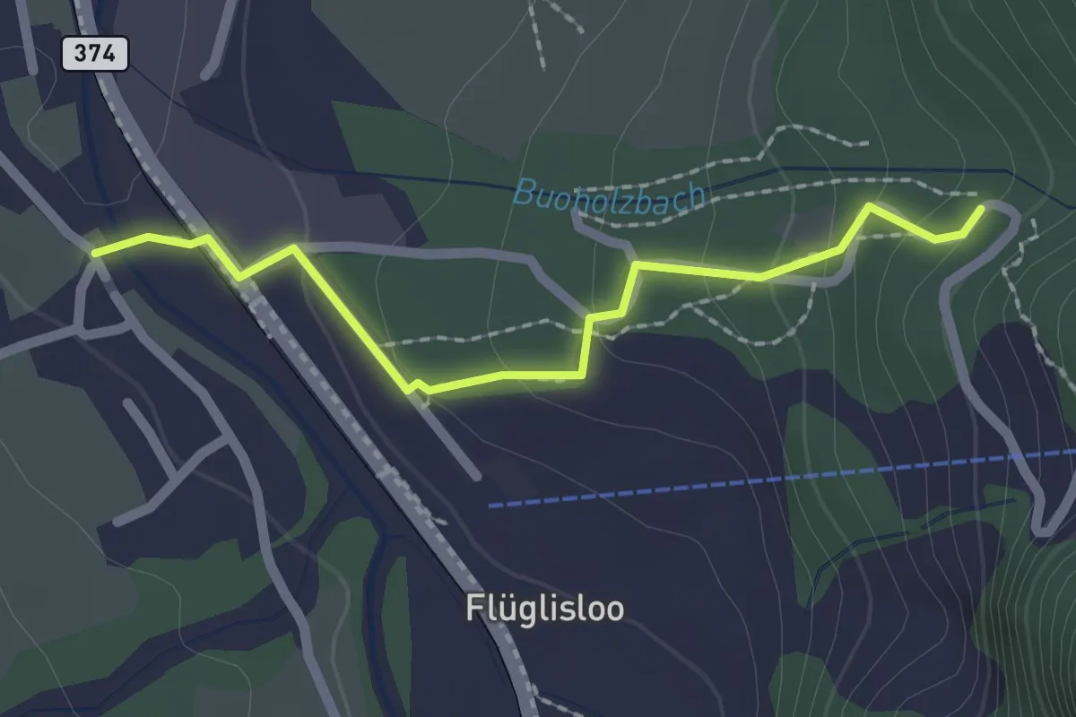
Easy · Trail
- Niederrickenbach
2.0 km · ↑ 103 m · 41 min · 14 km away
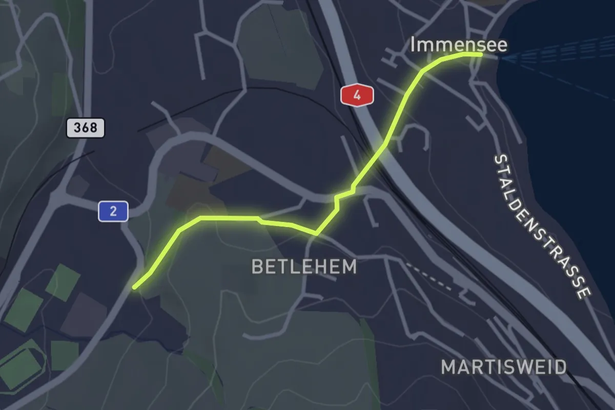
Easy · Trail
Hohle Gasse – Immensee
2.5 km · ↑ 67 m · 45 min · 14 km away
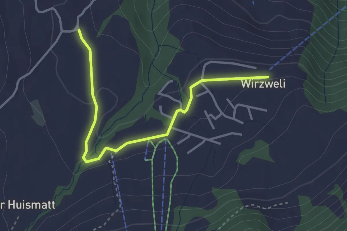
Easy · Trail
Stanglisbüel – Wirzweli
3.1 km · ↑ 47 m · 49 min · 14 km away
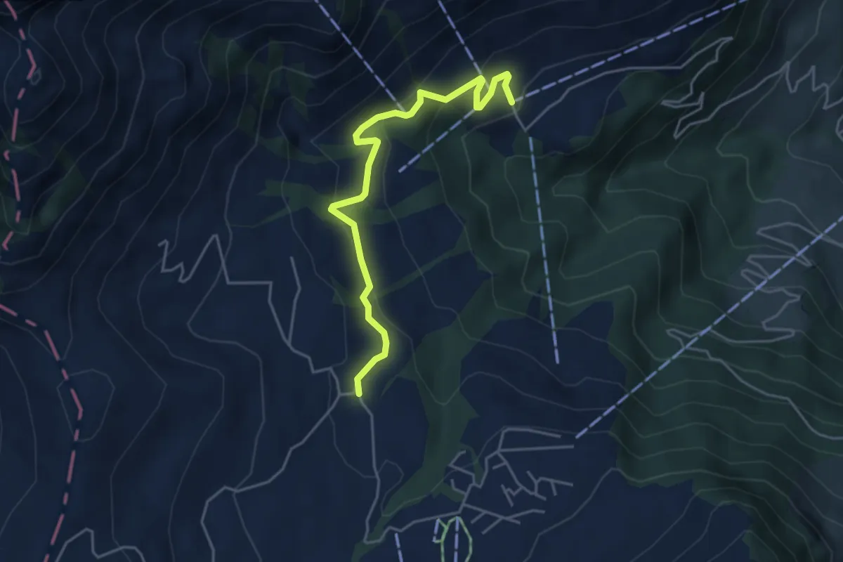
Easy · Trail
Wiesenberg - Stanglisbüel
4.4 km · ↑ 257 m · 1 h 36 min · 14 km away
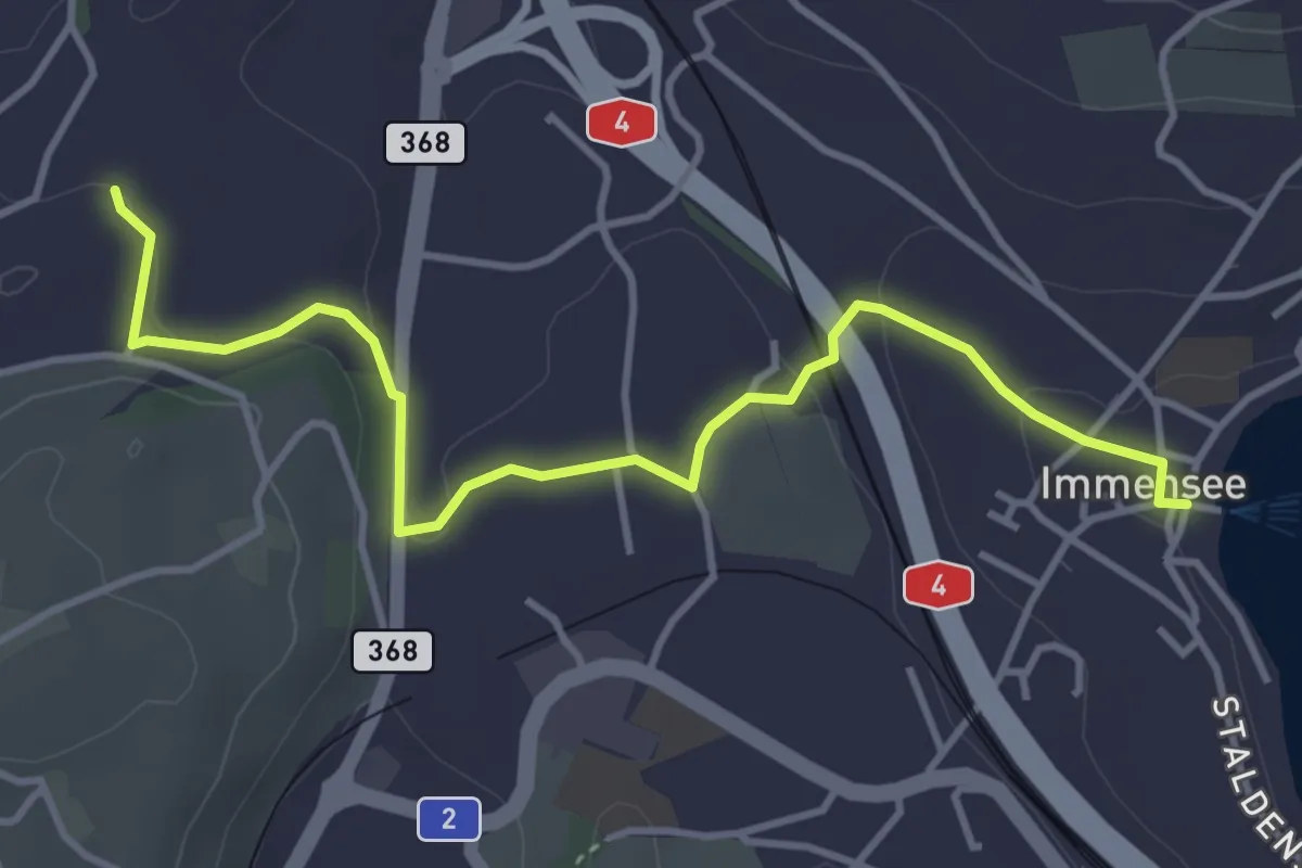
Easy · Trail
Immensee – St. Martin
4.3 km · ↑ 109 m · 1 h 16 min · 14 km away
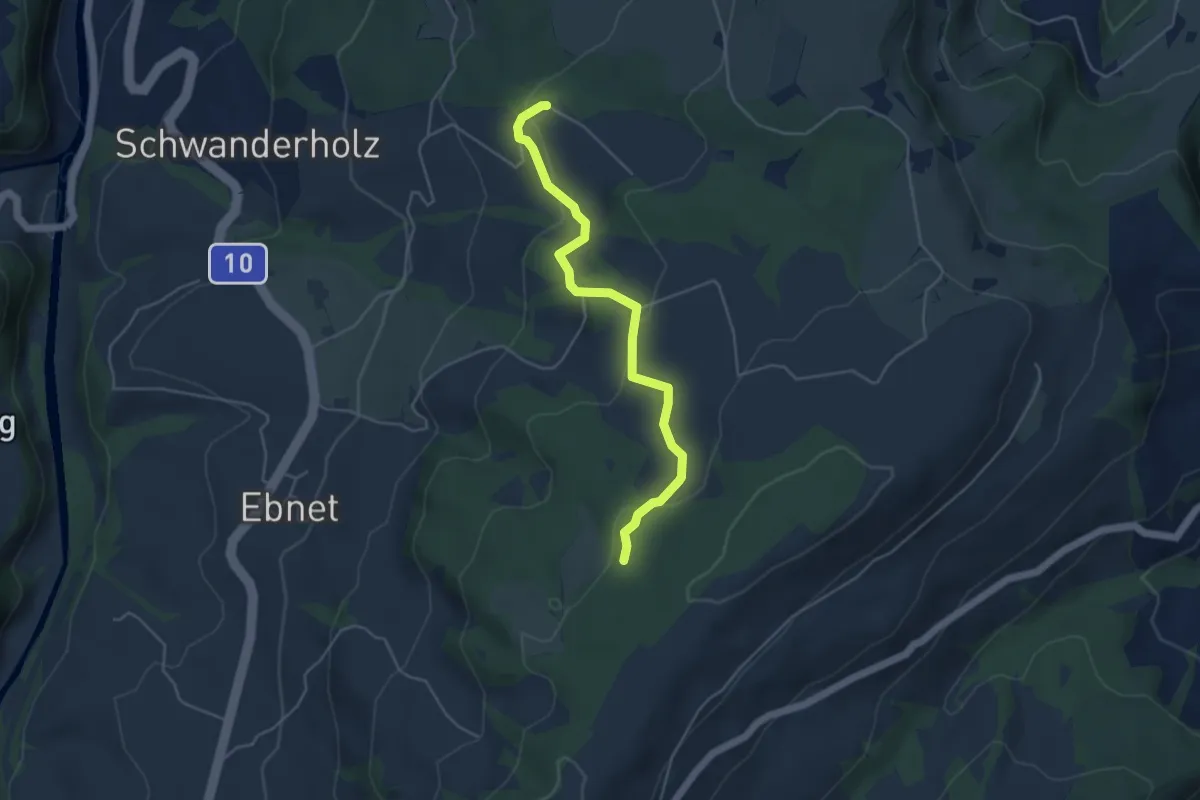
Easy · Trail
Häntschen - Brameggwald
4.5 km · ↑ 144 m · 1 h 22 min · 14 km away
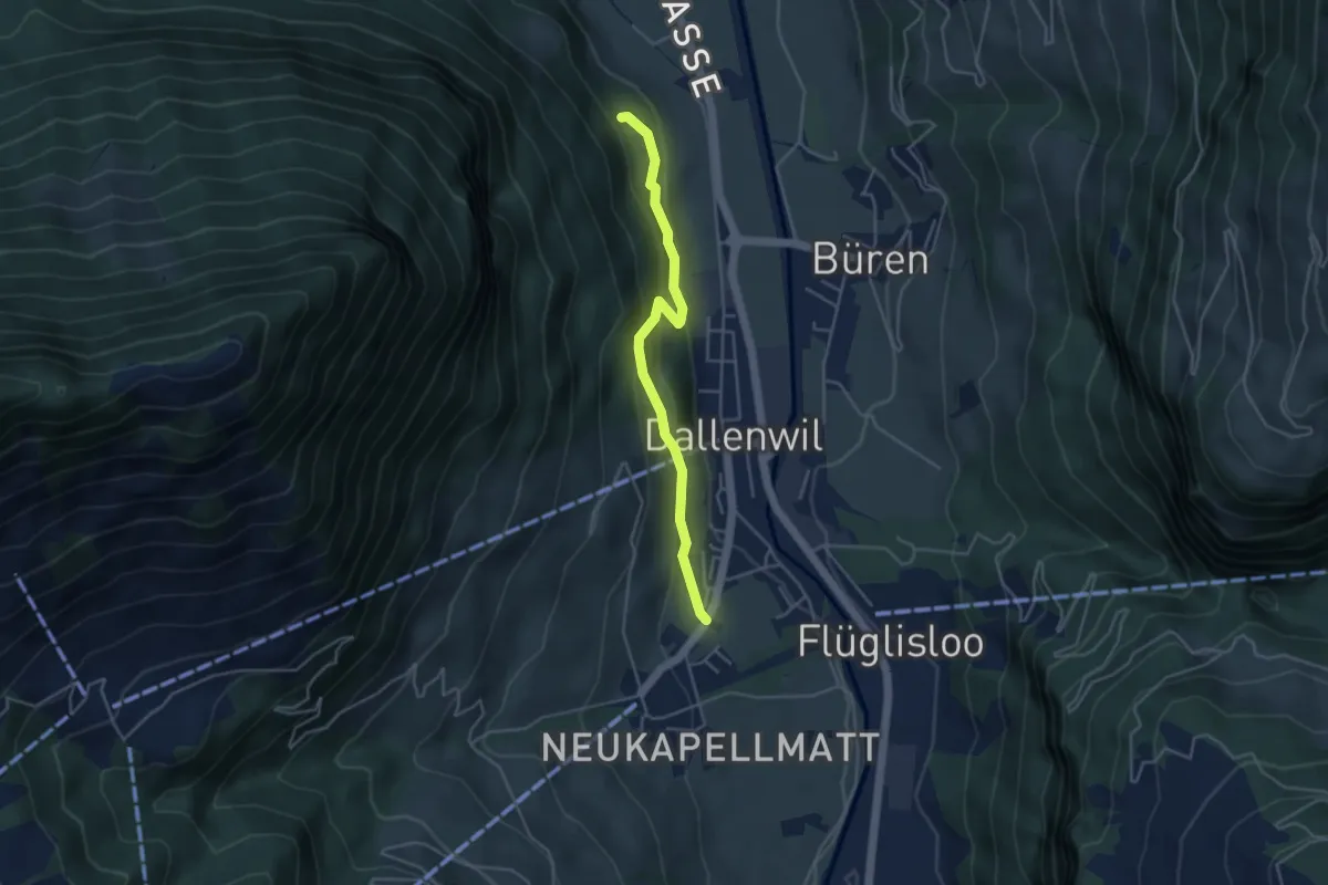
Easy · Trail
Hof – Zelgersrank
4.0 km · ↑ 191 m · 1 h 21 min · 14 km away
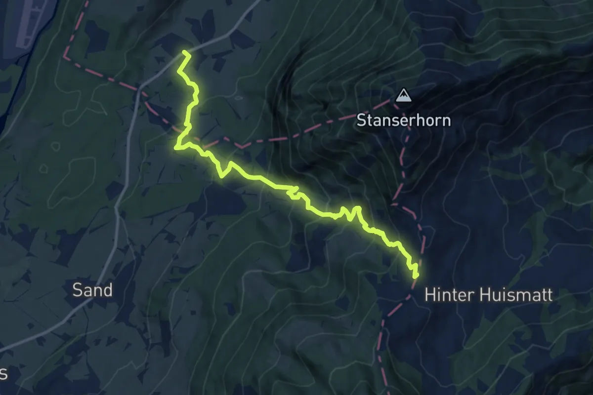
Demanding · Trail
St Jakob – Chliächerli
12.0 km · ↑ 913 m · 4 h 49 min · 14 km away
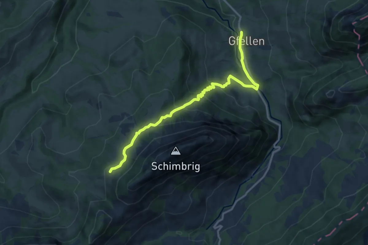
Medium · Trail
Biosphärenzentrum Entlebuch
9.0 km · ↑ 506 m · 3 h 14 min · 15 km away
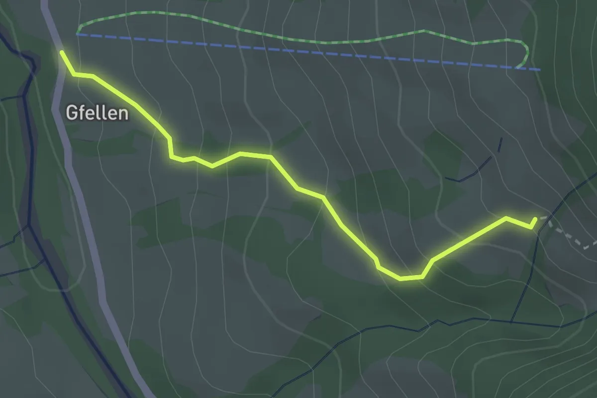
Medium · Trail
Gfellen - Mittlist Hütten
2.7 km · ↑ 219 m · 1 h 7 min · 15 km away
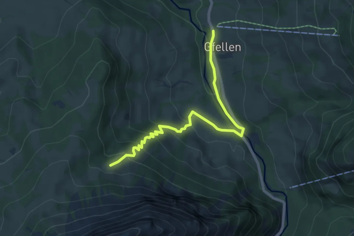
Easy · Trail
Gfellen - Unter Stettili
5.5 km · ↑ 313 m · 1 h 58 min · 15 km away
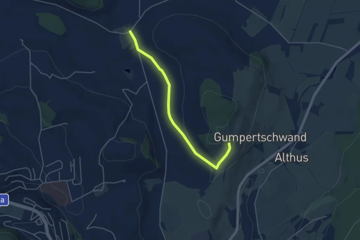
Easy · Trail
Buholz - Ober Chriesbaumen
3.9 km · ↑ 76 m · 1 h 5 min · 15 km away
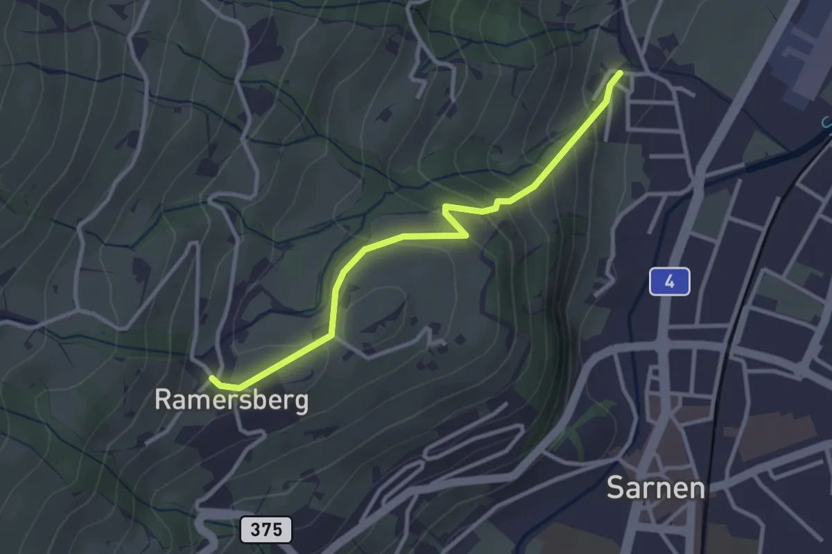
Easy · Trail
Ramserberg – Bitzighofen
2.9 km · ↑ 179 m · 1 h 5 min · 15 km away
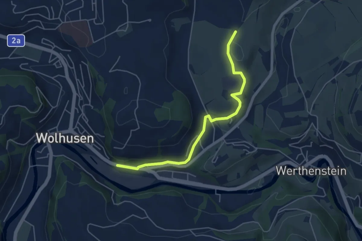
Easy · Trail
Wolhusen – Unter Chriesbaumen
4.7 km · ↑ 73 m · 1 h 16 min · 15 km away
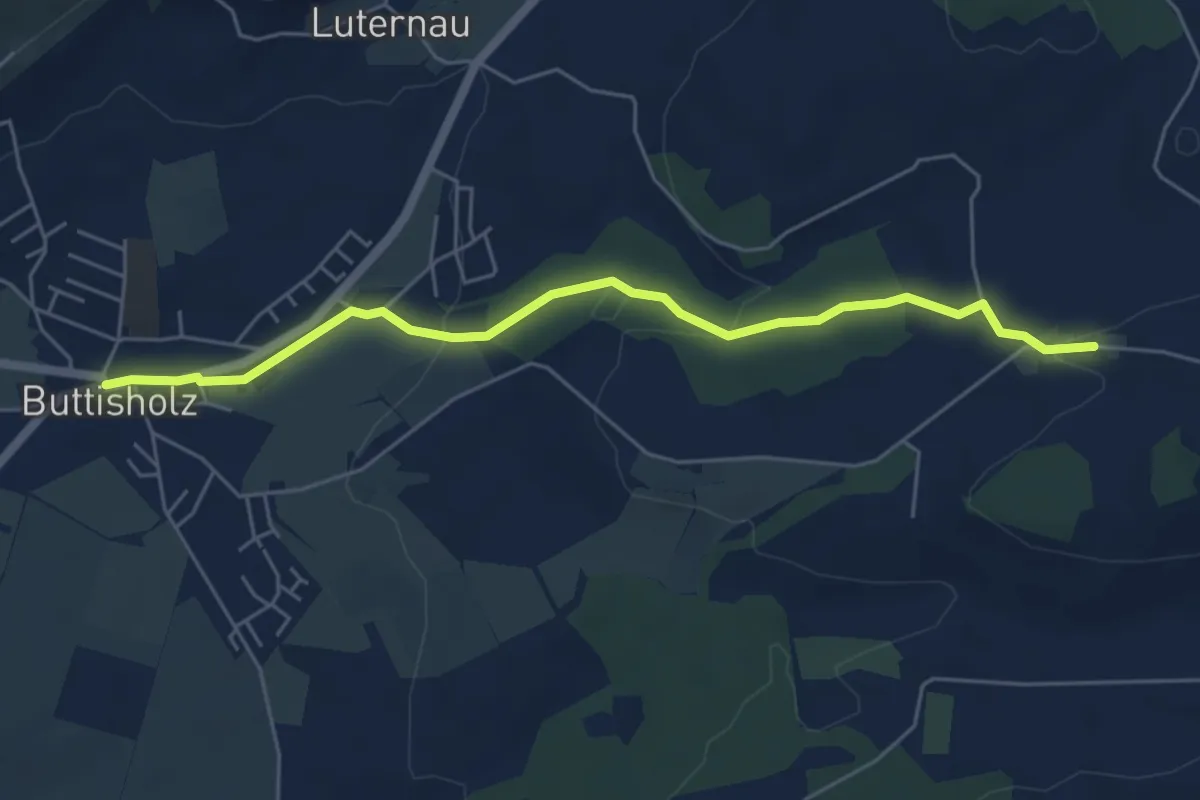
Easy · Trail
Mittelarig-Buttisholz
5.6 km · ↑ 132 m · 1 h 36 min · 15 km away
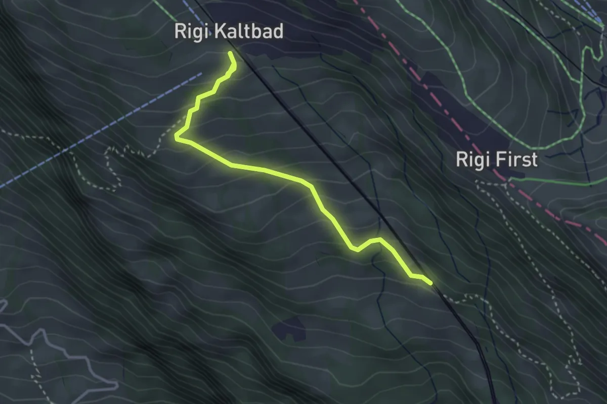
Easy · Trail
Romiti – Rigi Kaltbad
3.3 km · ↑ 259 m · 1 h 21 min · 15 km away
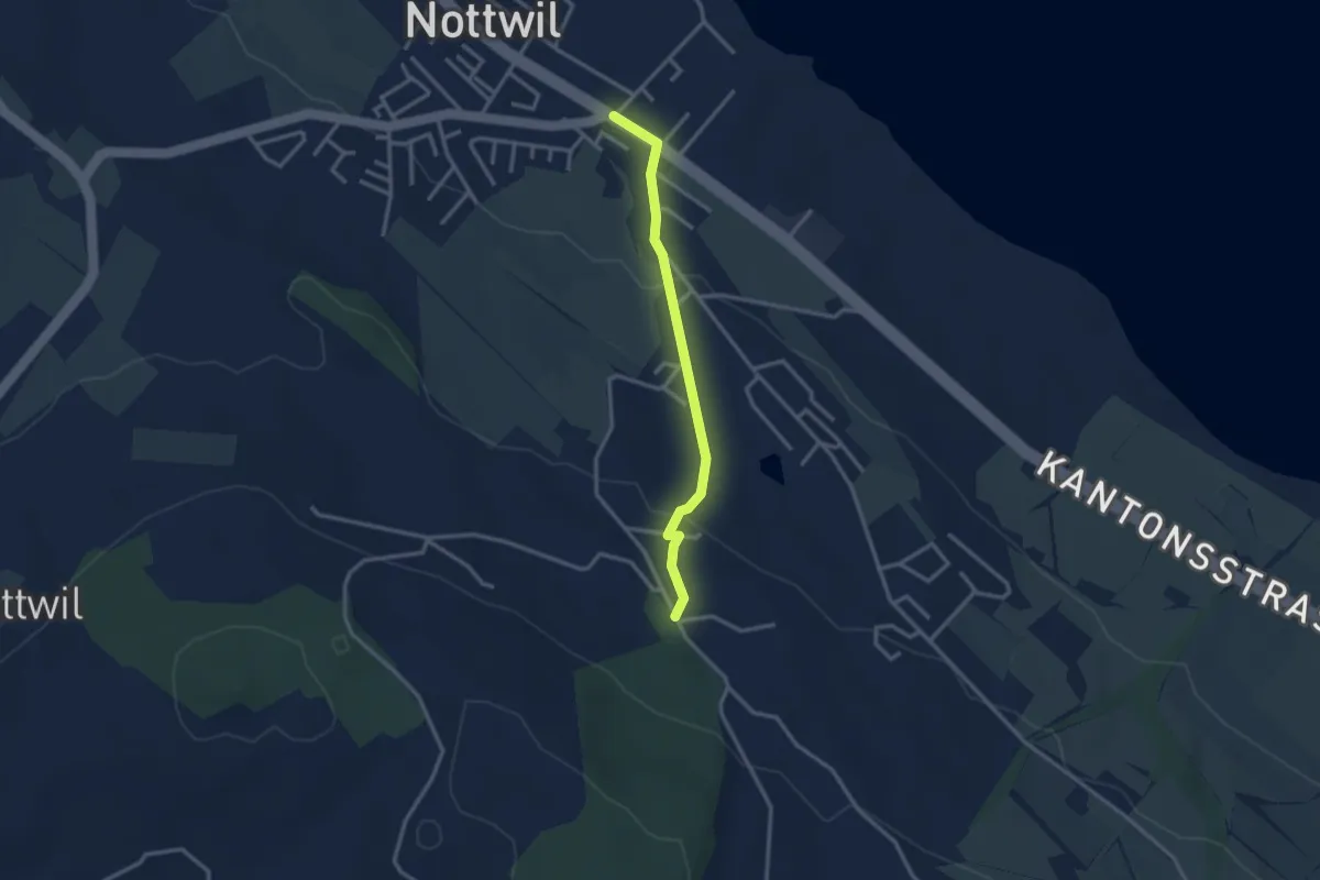
Easy · Trail
Nottwil - Bachtalen
2.7 km · ↑ 95 m · 51 min · 15 km away
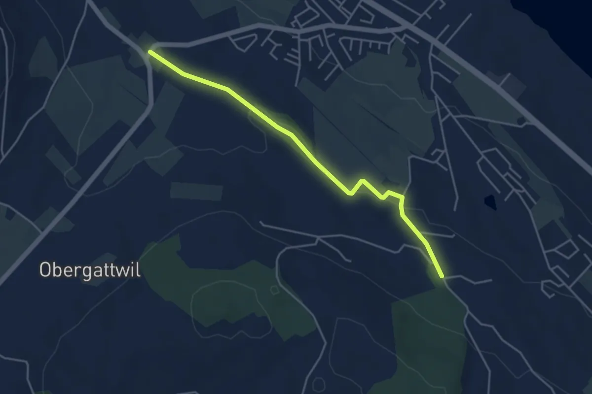
Easy · Trail
Bachtalen - Büel
4.0 km · ↑ 48 m · 1 h 3 min · 15 km away
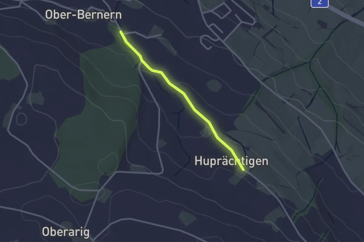
Easy · Trail
Steinweid - Huprächigen
2.3 km · ↑ 48 m · 39 min · 15 km away
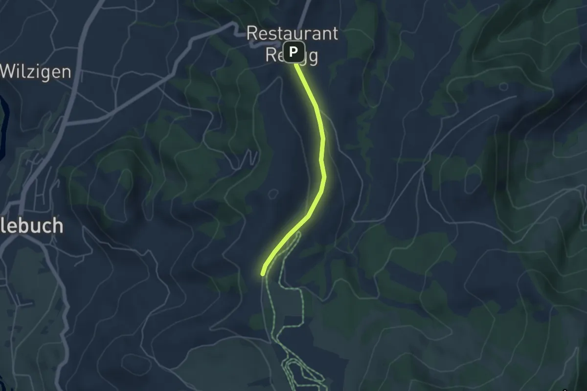
Easy · Trail
Rengg - Feldmoos
3.6 km · ↑ 72 m · 1 h · 15 km away
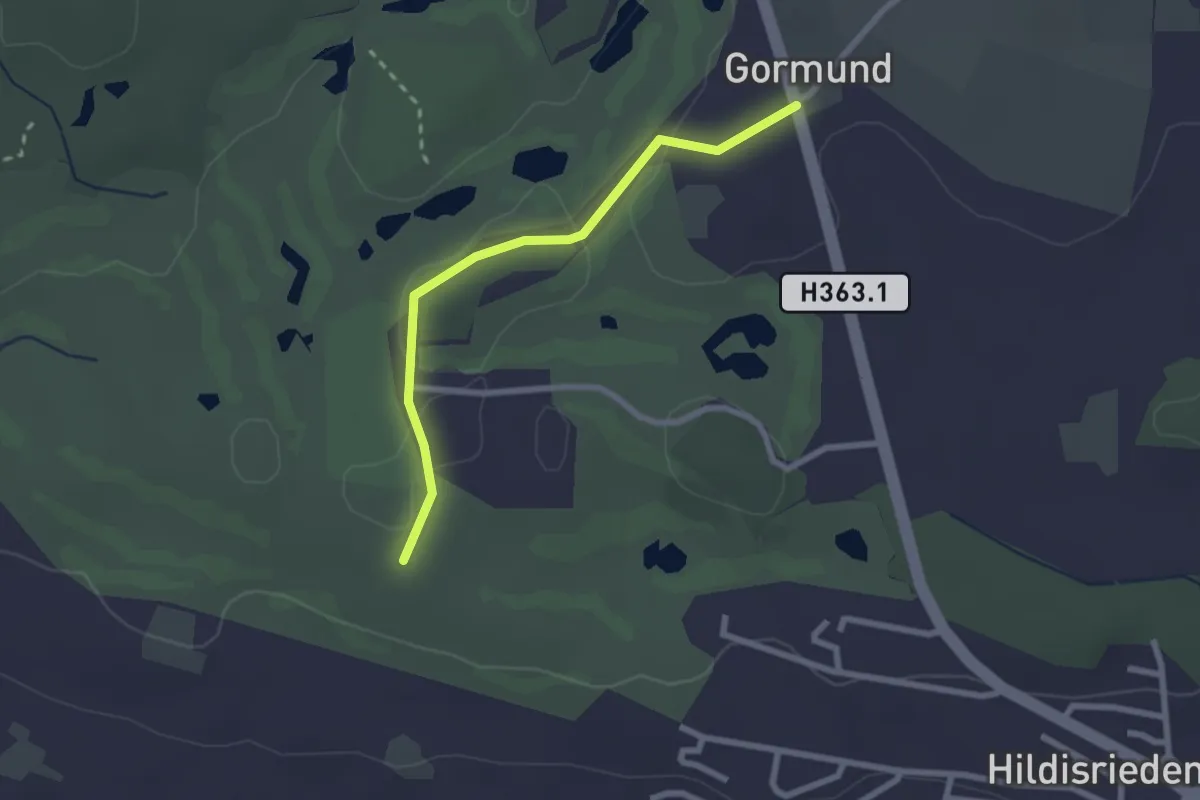
Easy · Trail
Schopfen – Gormund
2.3 km · ↑ 10 m · 34 min · 15 km away
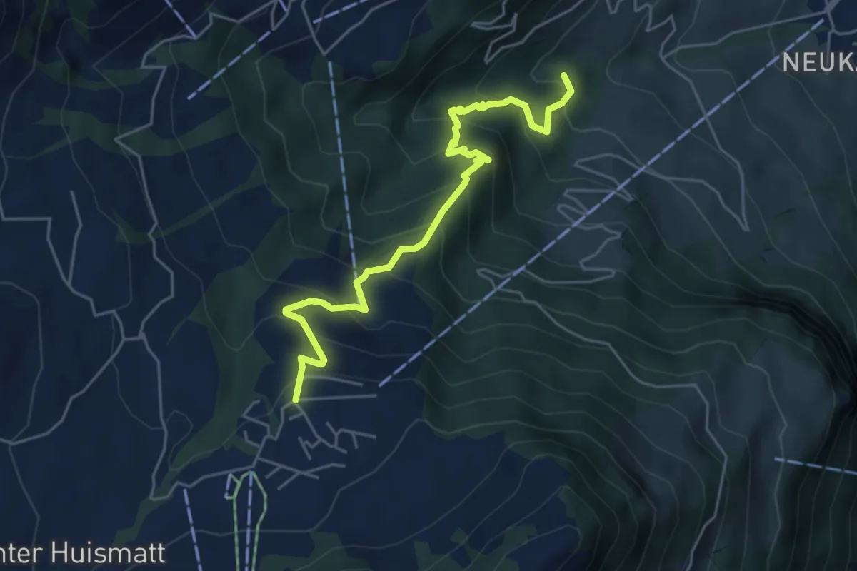
Medium · Trail
Wirzweli – Heinziwald
5.1 km · ↑ 516 m · 2 h 19 min · 15 km away
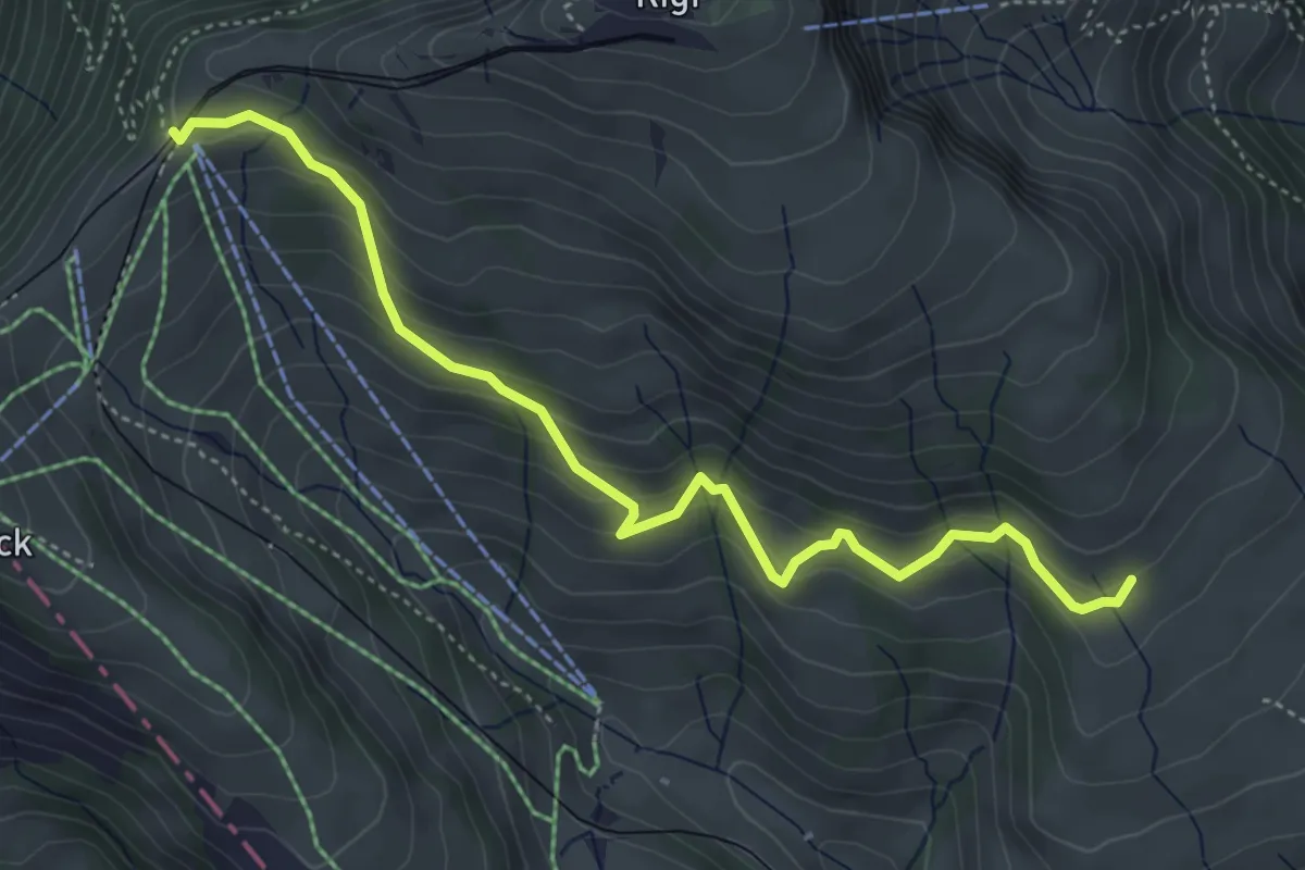
Medium · Trail
Schwändi – Rigi Staffel
4.8 km · ↑ 349 m · 1 h 54 min · 15 km away
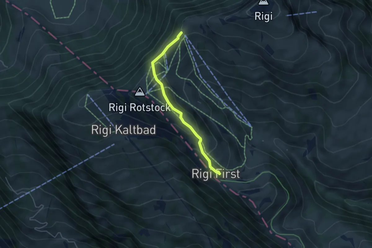
Easy · Trail
Rigi Staffel – Rigi First
3.7 km · ↑ 186 m · 1 h 17 min · 15 km away
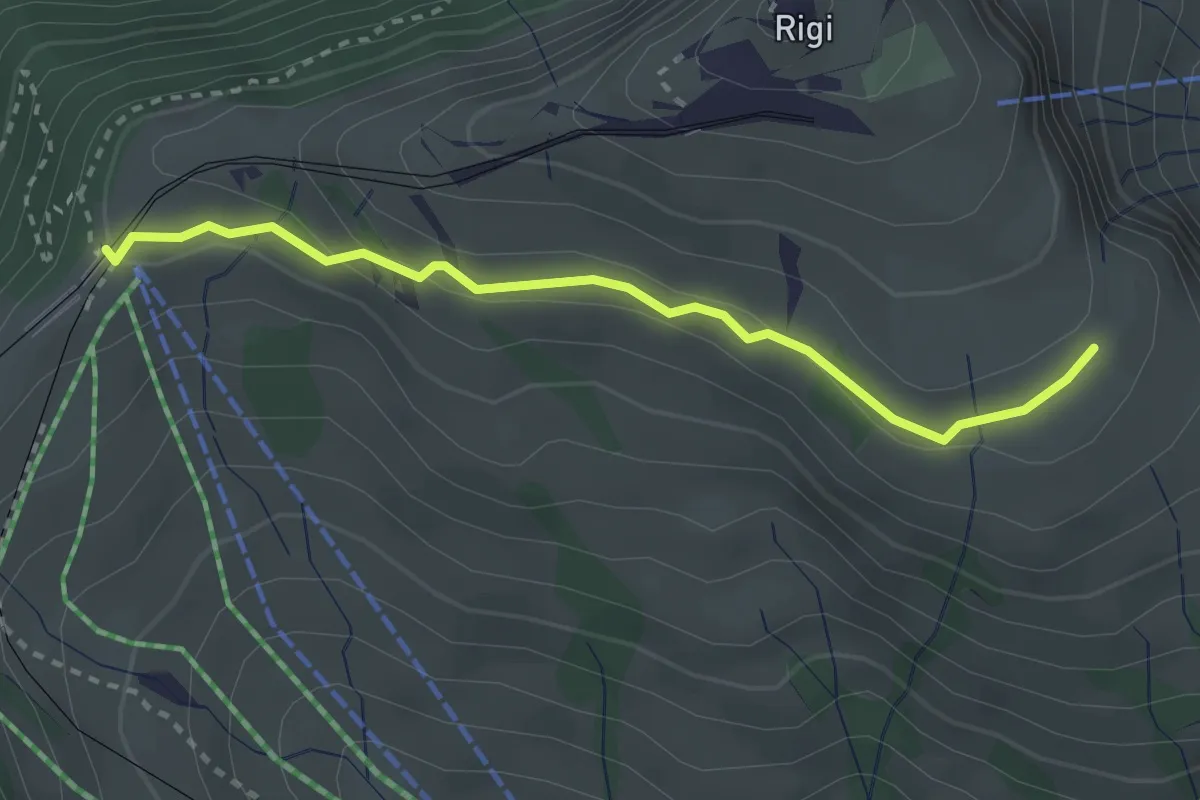
Medium · Trail
Kulmhutte-Rigi Staffel
2.7 km · ↑ 93 m · 51 min · 15 km away
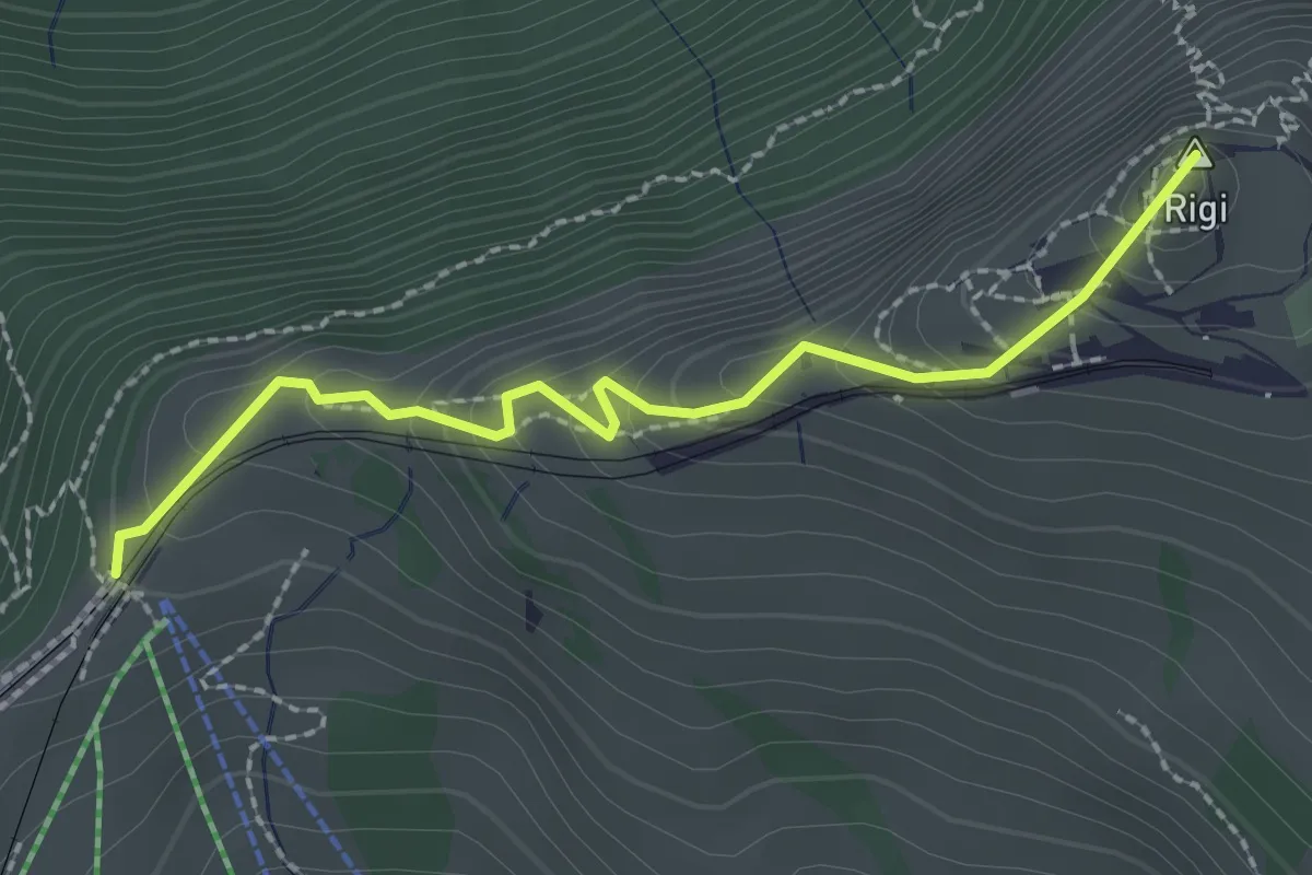
Easy · Summit
Rigi Staffel – Rigi Kulm
2.3 km · ↑ 160 m · 53 min · 15 km away
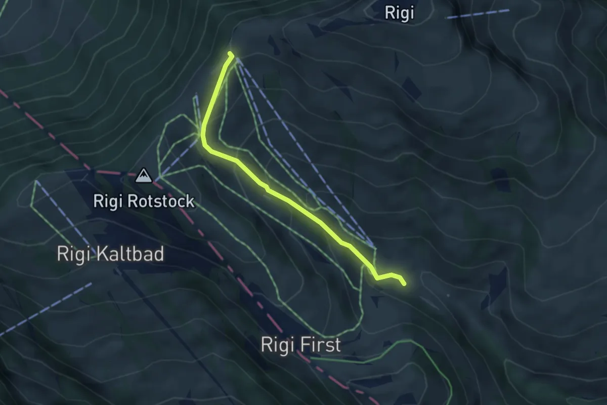
Easy · Trail
Rigi-Staffel – Rigi Klösterli
3.5 km · ↑ 265 m · 1 h 24 min · 15 km away
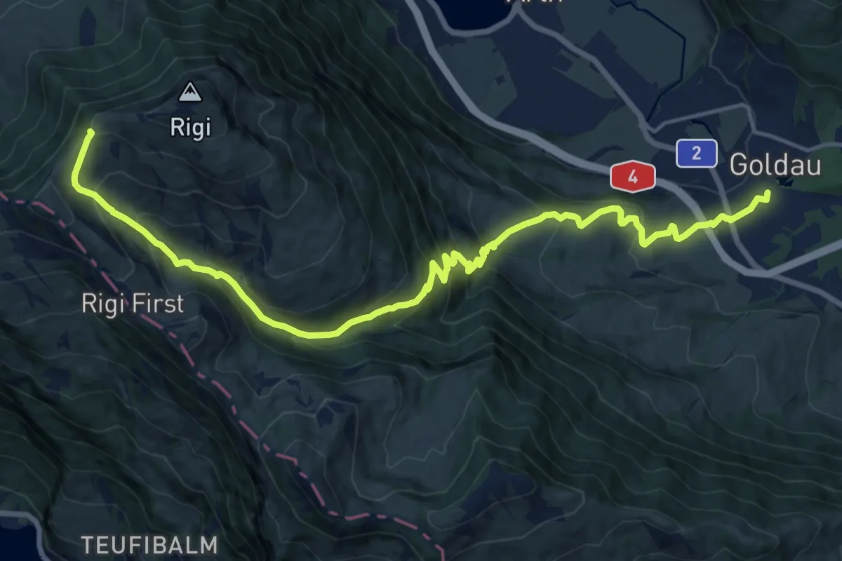
Demanding · Trail
Schwyzer Höhenweg - Etappe 2
17.8 km · ↑ 1122 m · 6 h 38 min · 15 km away
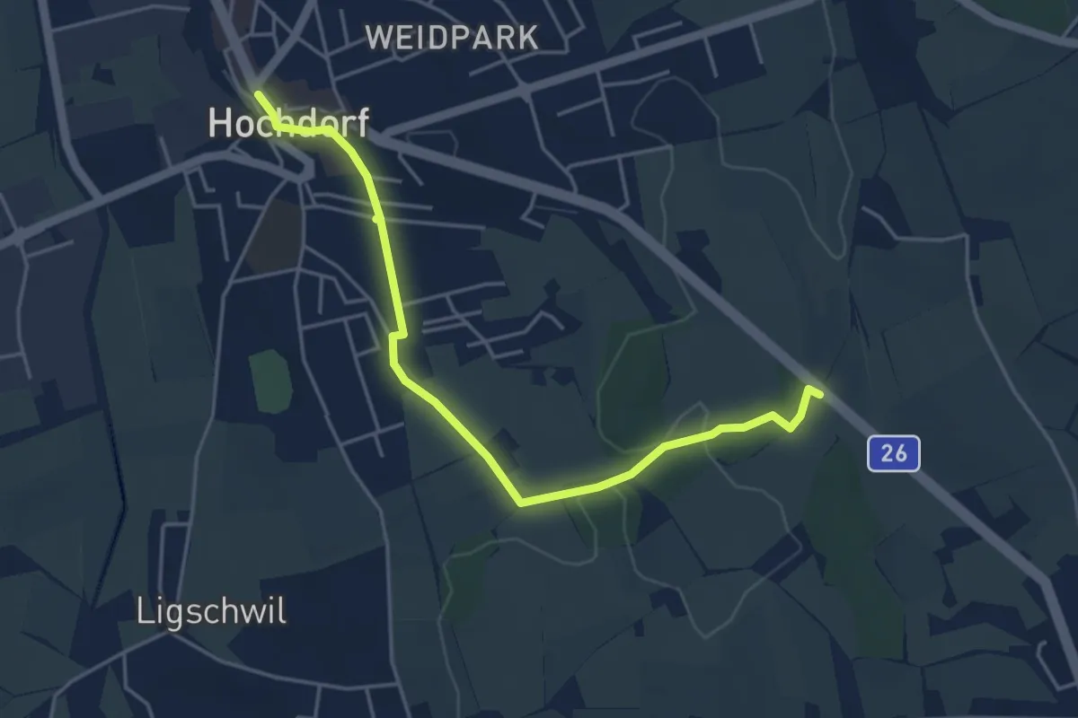
Easy · Trail
Hochdorf – Wirtlewald
4.6 km · ↑ 42 m · 1 h 10 min · 15 km away
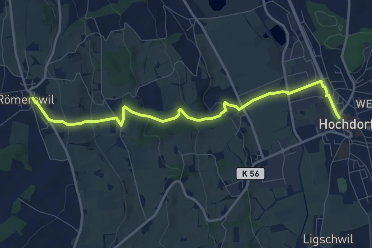
Medium · Trail
Hochdorf – Römerswil
8.7 km · ↑ 275 m · 2 h 38 min · 15 km away
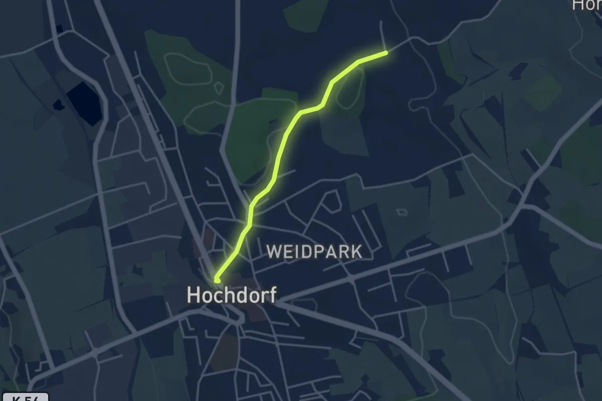
Easy · Trail
Hochdorf – Feldheim
3.1 km · ↑ 16 m · 46 min · 15 km away
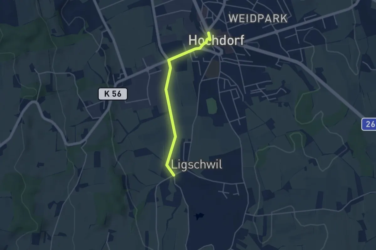
Easy · Trail
Hochdorf – Ligschwil
3.5 km · ↑ 23 m · 53 min · 15 km away
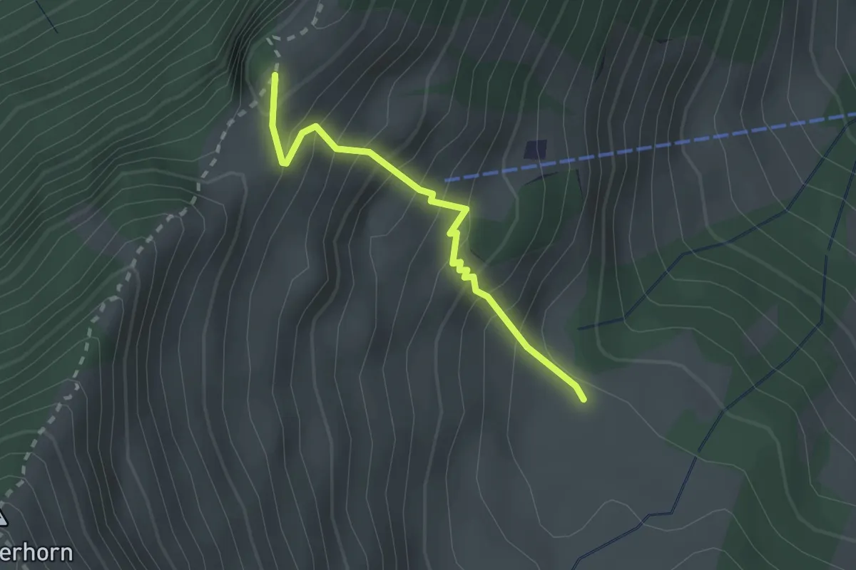
Expert · Trail
Unter Spis – Guberengrätli
2.0 km · ↑ 275 m · 1 h 4 min · 15 km away
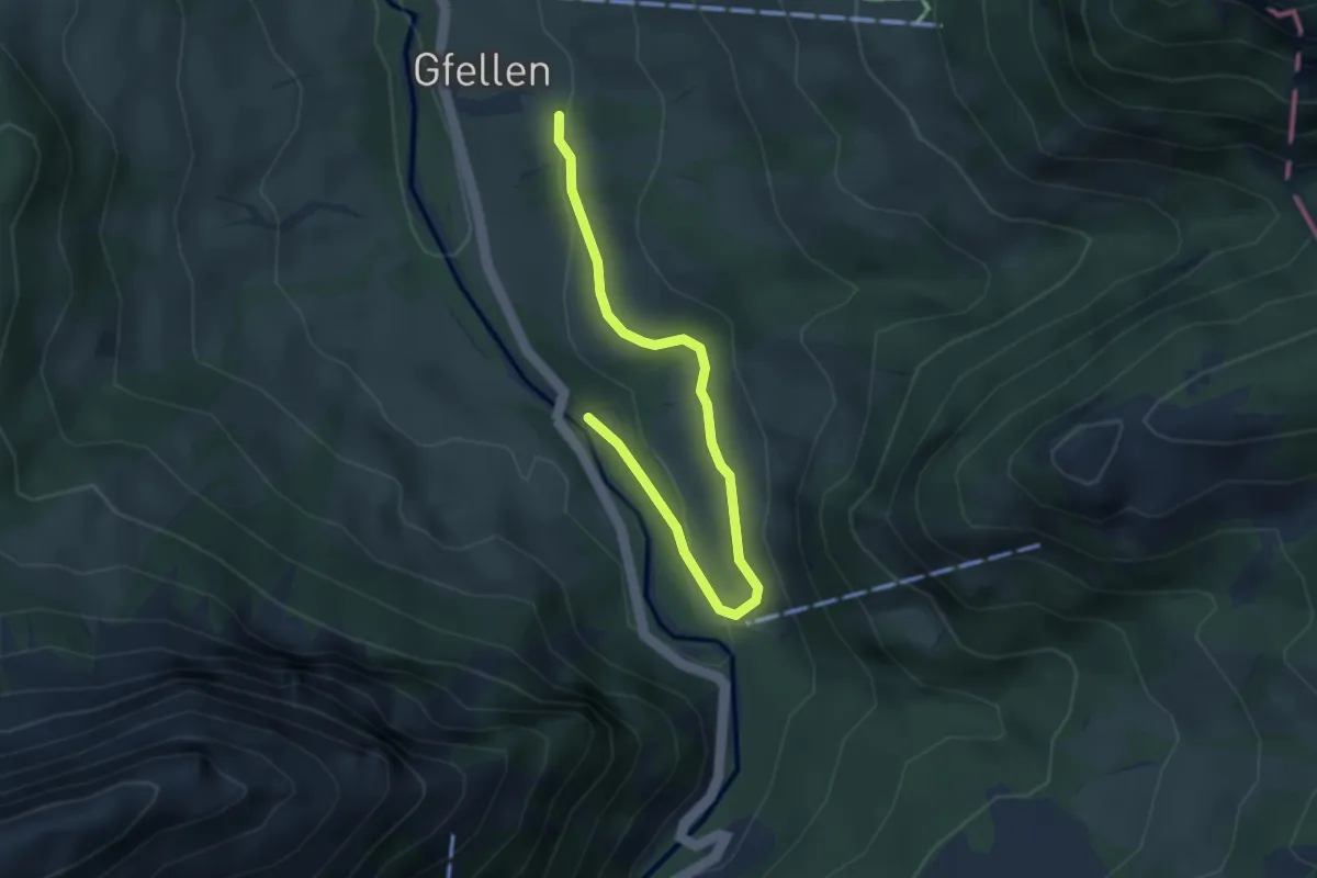
Easy · Trail
Eremitenweg
3.7 km · ↑ 85 m · 1 h 4 min · 15 km away
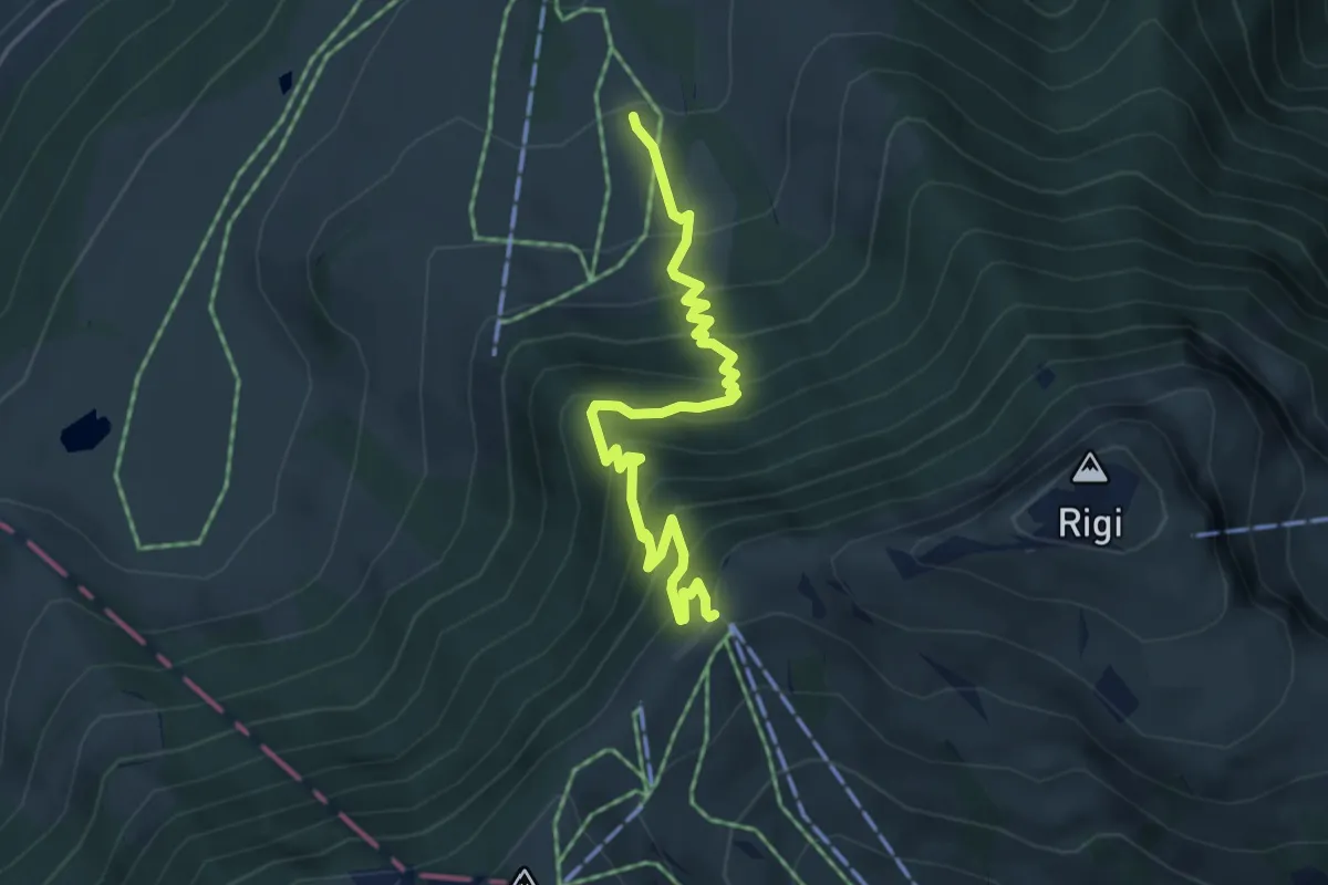
Medium · Trail
Holderen – Rigi Staffel
4.9 km · ↑ 513 m · 2 h 16 min · 15 km away
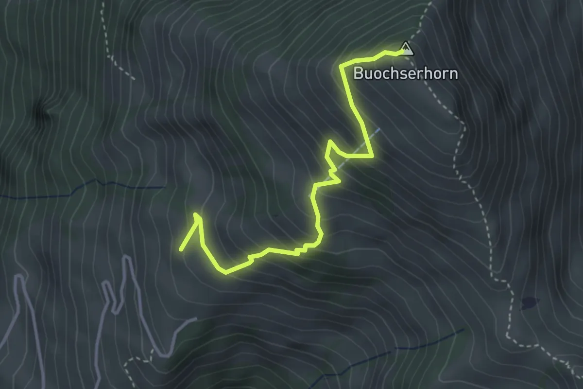
Medium · Summit
Buochserhorn – Arhölzli
3.6 km · ↑ 407 m · 1 h 43 min · 15 km away
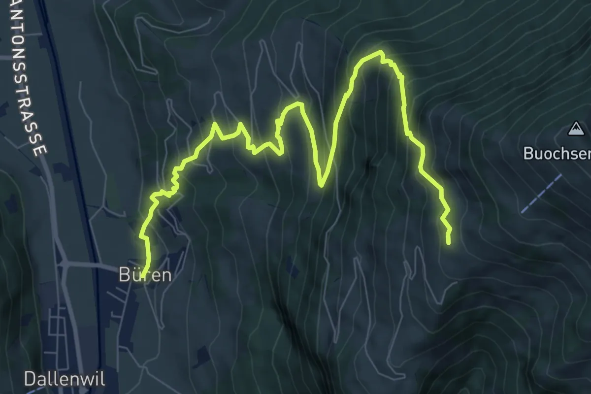
Demanding · Trail
Büren – Arhölzli
9.8 km · ↑ 906 m · 4 h 16 min · 15 km away
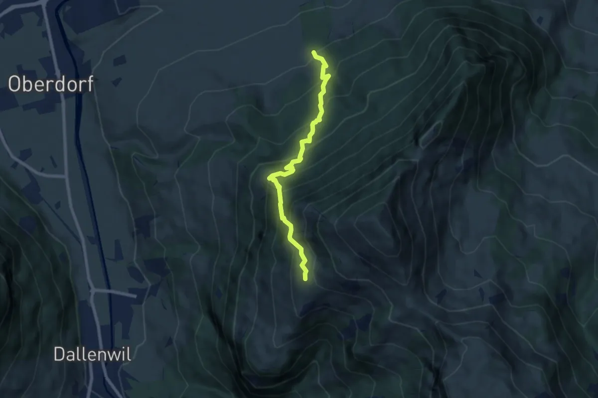
Medium · Trail
Arhölzli – Buggenried
6.4 km · ↑ 746 m · 3 h 8 min · 15 km away
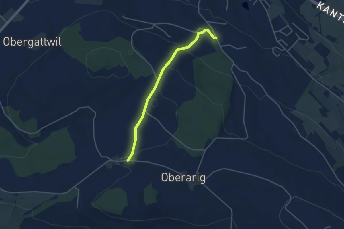
Easy · Trail
Bernern - Mittelarig
3.2 km · ↑ 104 m · 59 min · 15 km away
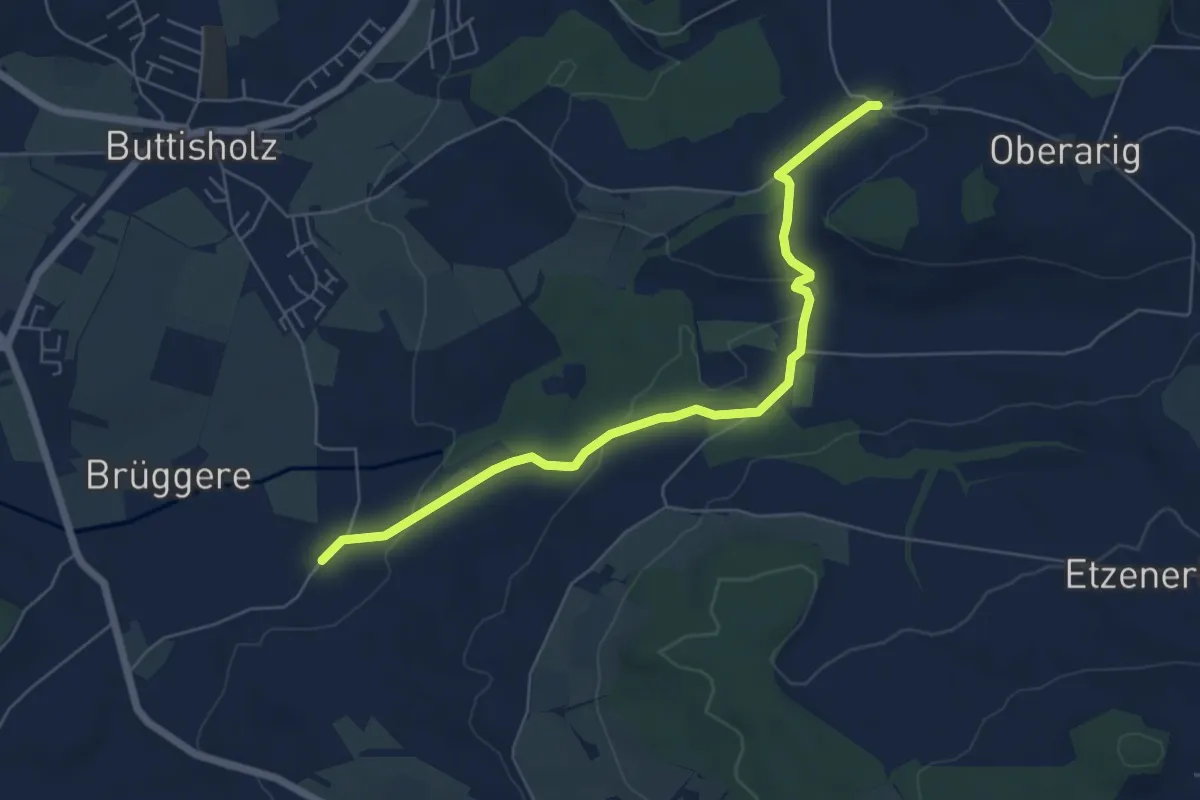
Easy · Trail
Mittelarig - St.Ottilien
6.3 km · ↑ 122 m · 1 h 45 min · 15 km away