Trails near Küsnacht ZH
587 hikes starting within 15 km, nearest first.
Nearest first, page 8 of 13
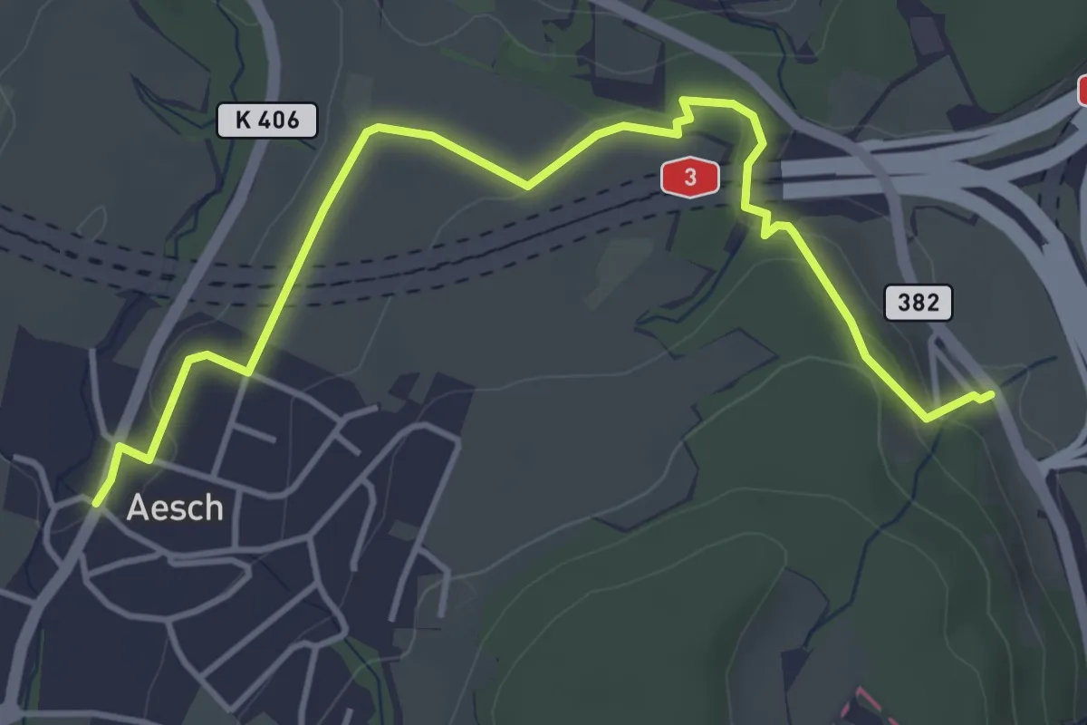
Easy · Trail
Aesch – Filderen
4.6 km · ↑ 116 m · 1 h 21 min · 11 km away
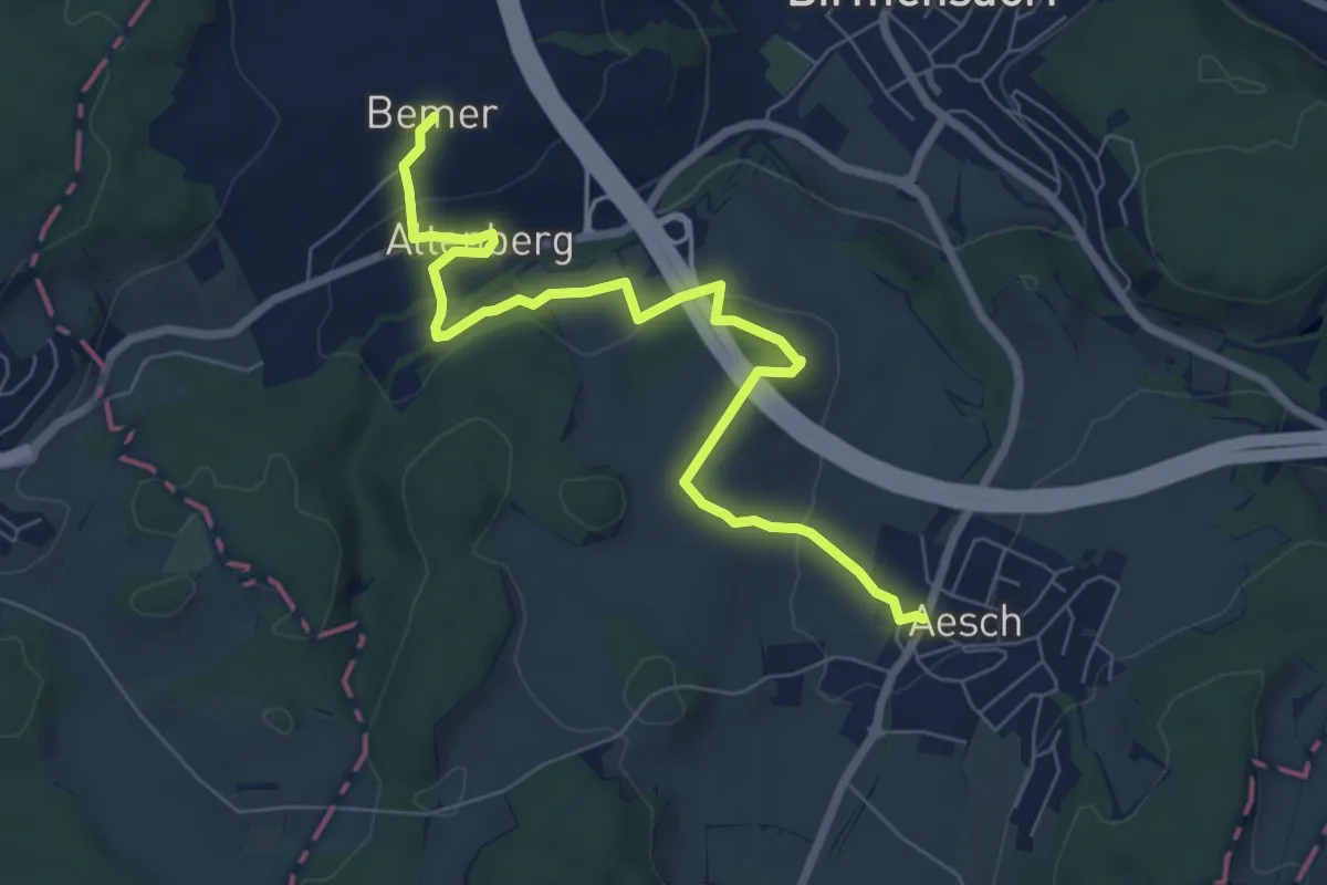
Easy · Trail
Aesch – Bemer
7.6 km · ↑ 204 m · 2 h 15 min · 11 km away
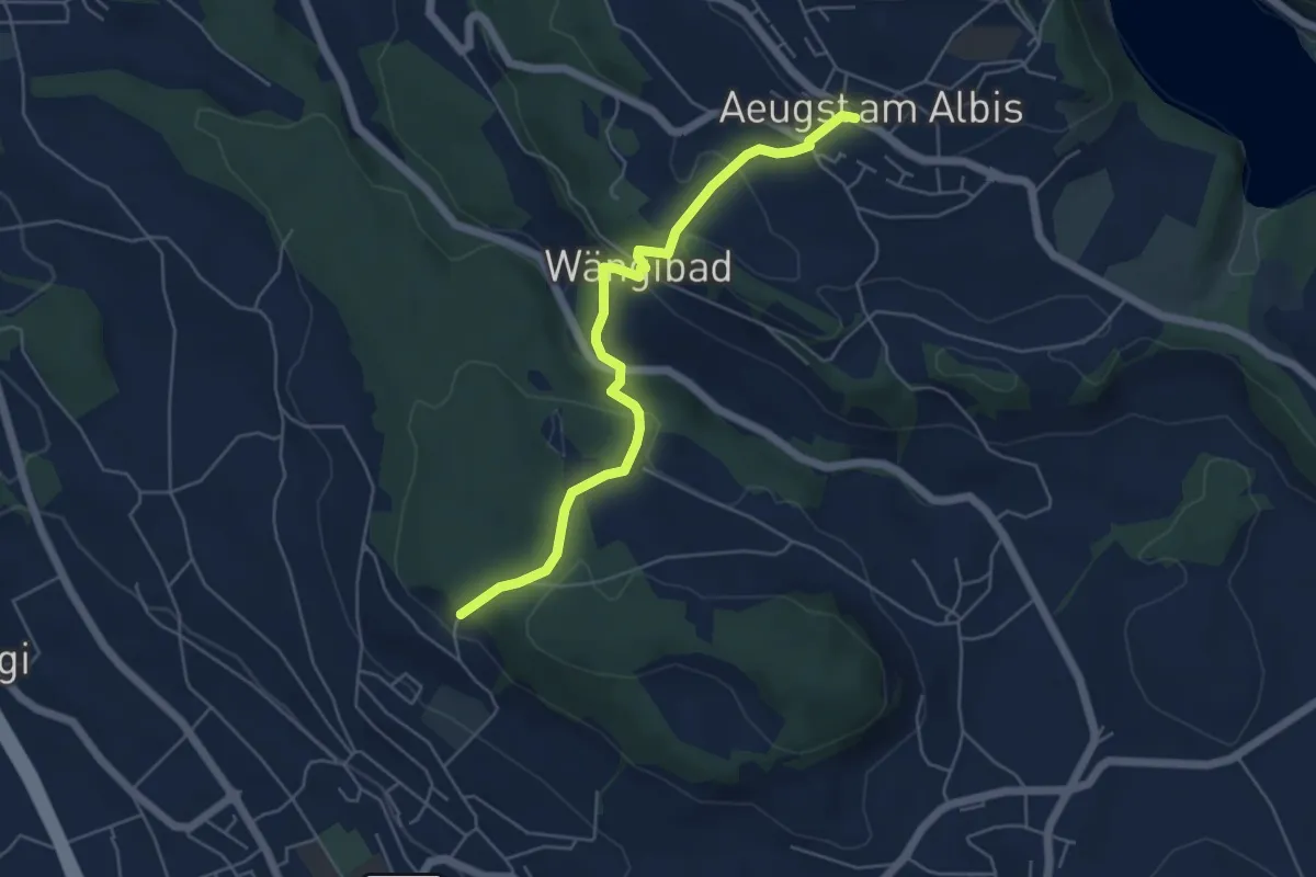
Easy · Trail
Aeugst a. A. – Paradis
5.3 km · ↑ 266 m · 1 h 49 min · 11 km away
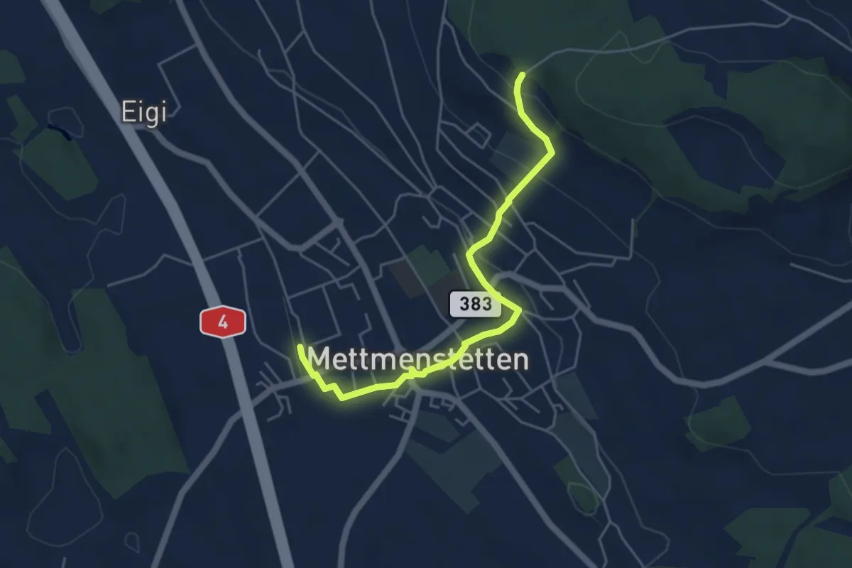
Easy · Trail
Mettmenstetten – Paradis
4.7 km · ↑ 153 m · 1 h 26 min · 11 km away
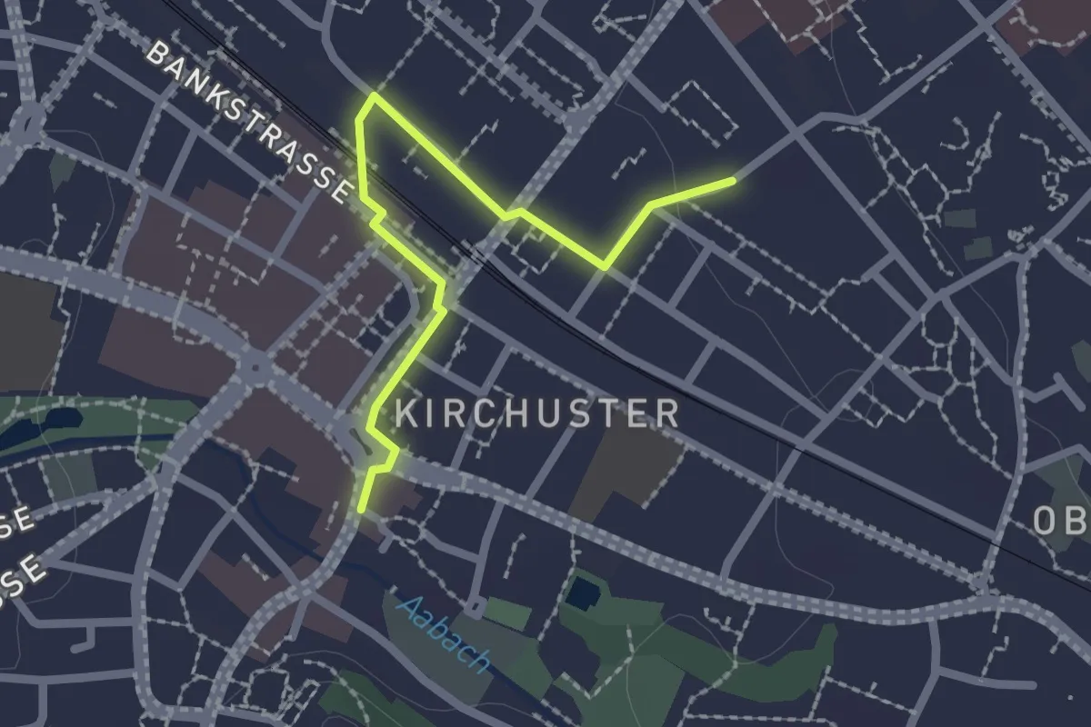
Easy · Trail
Industriepfad Zürcher Oberland - Abstecher Uster
2.0 km · ↑ 4 m · 29 min · 11 km away
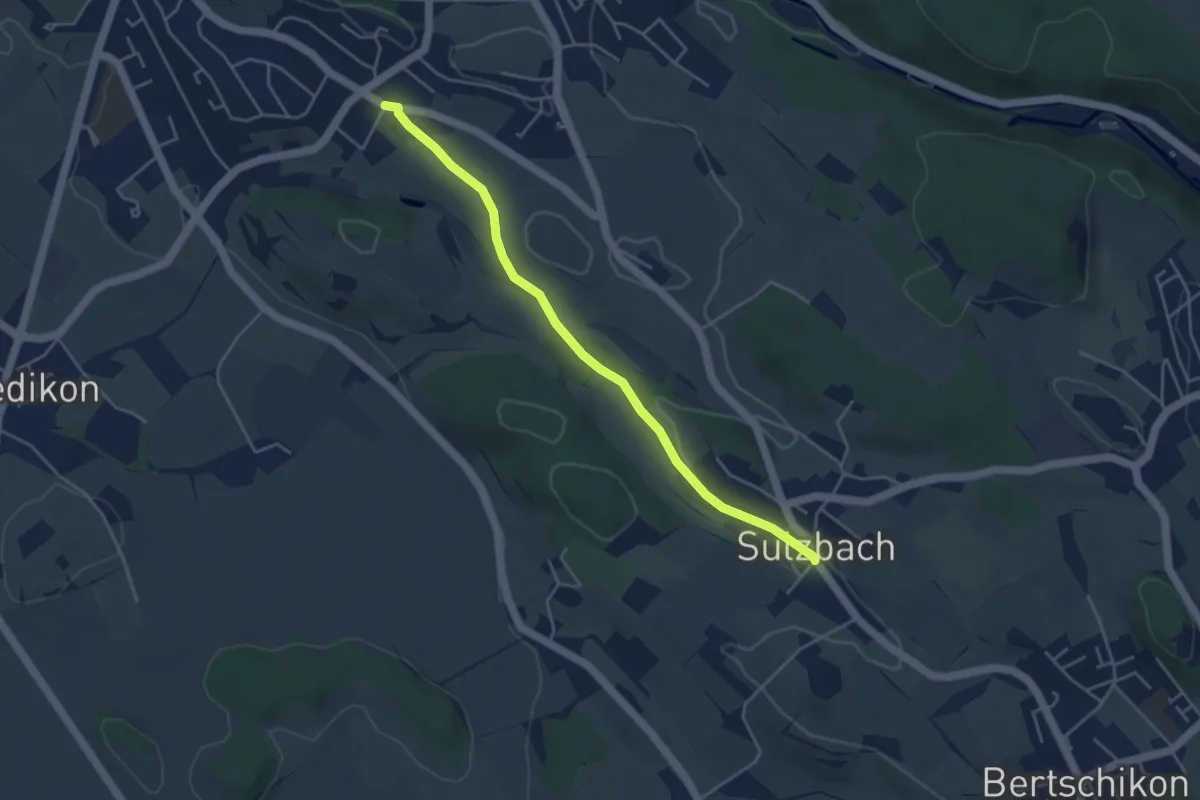
Easy · Trail
Nossikon - Sulzbach
4.2 km · ↑ 31 m · 1 h 4 min · 11 km away
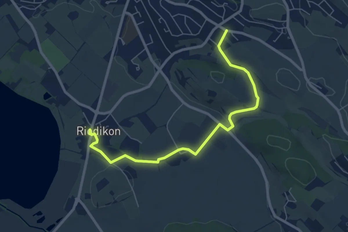
Easy · Trail
Riedikon - Nossikon
6.1 km · ↑ 65 m · 1 h 35 min · 11 km away
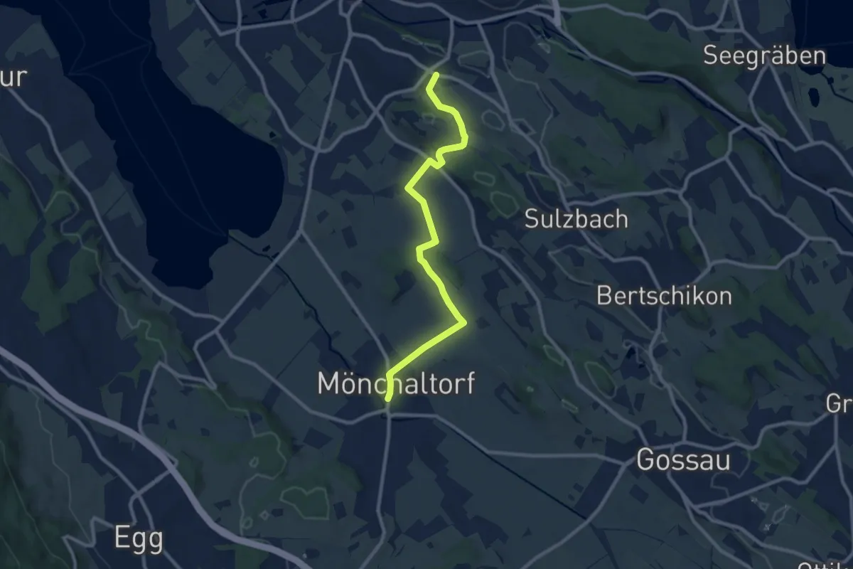
Medium · Trail
Nossikon - Mönchaltorf
9.1 km · ↑ 97 m · 2 h 22 min · 11 km away
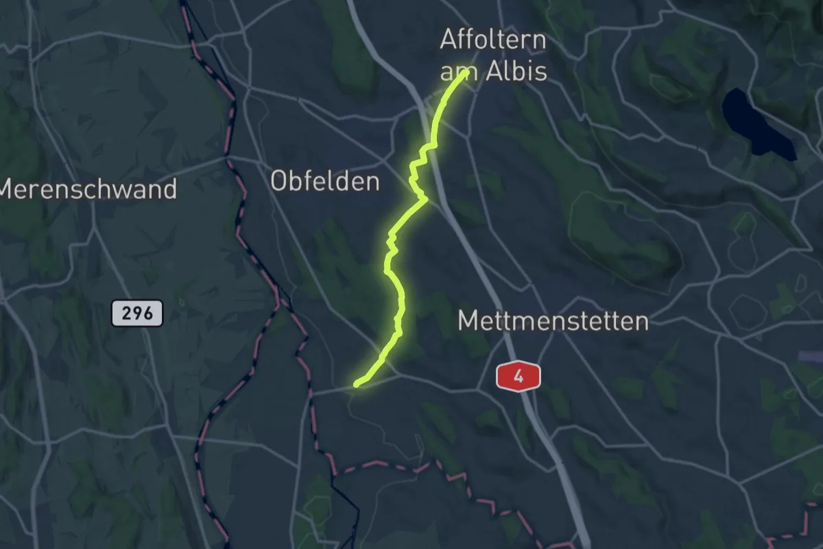
Medium · Trail
Affoltern a. A. - Maschwanden
11.6 km · ↑ 197 m · 3 h 10 min · 11 km away
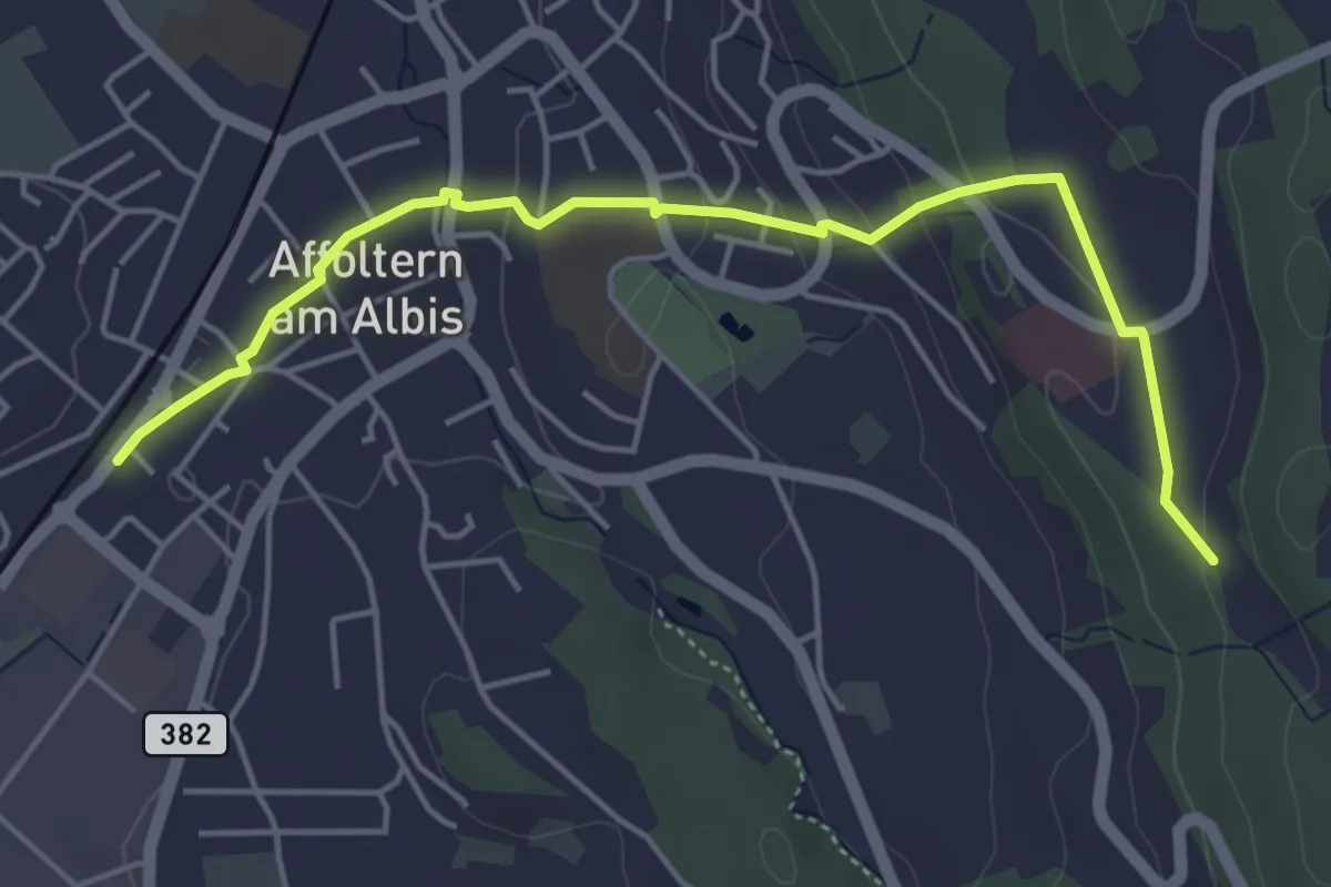
Easy · Trail
Affoltern a. A. - Sunnenbüel
5.1 km · ↑ 140 m · 1 h 30 min · 11 km away
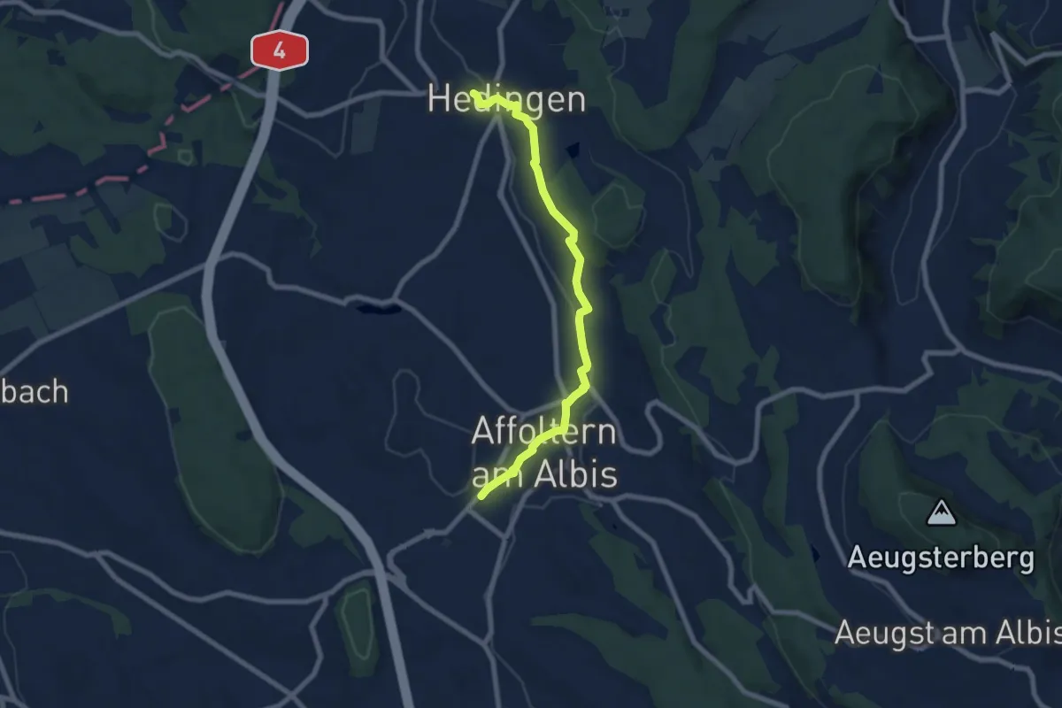
Easy · Trail
Affoltern a. A. - Hedingen
6.9 km · ↑ 147 m · 1 h 57 min · 11 km away
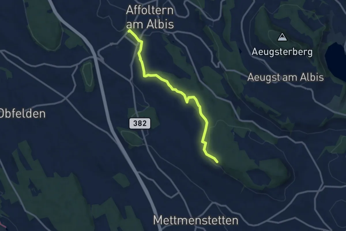
Easy · Trail
Affoltern a. A. – Paradis
7.5 km · ↑ 148 m · 2 h 6 min · 11 km away
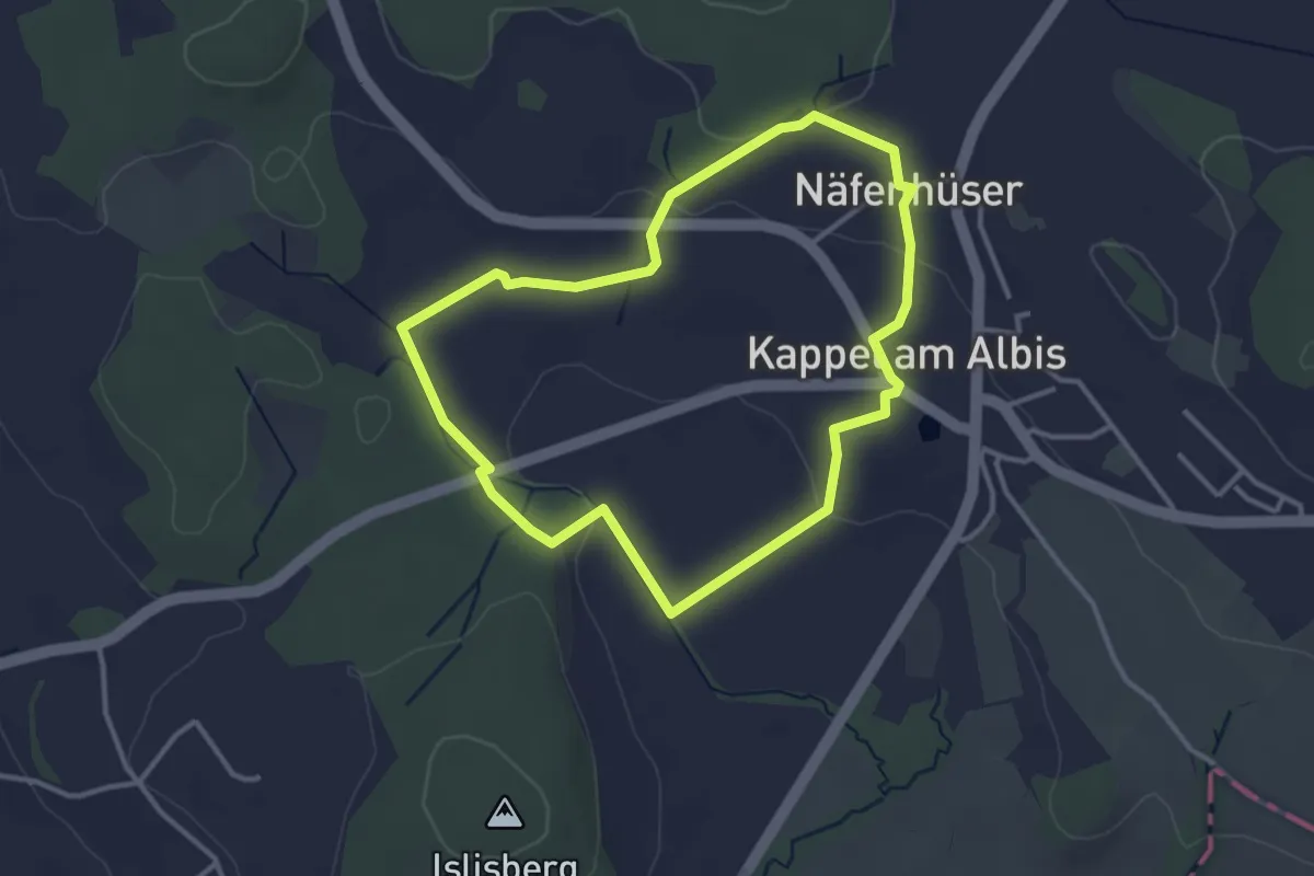
Easy · Trail
Rund-Wanderweg Kloster Kappel
3.1 km · ↑ 59 m · 55 min · 11 km away
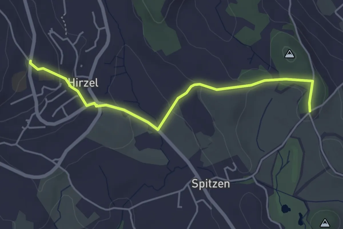
Easy · Trail
Hirzel – Schlieregg
4.2 km · ↑ 95 m · 1 h 12 min · 11 km away
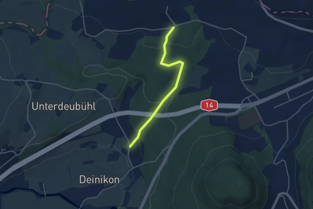
Easy · Trail
Büni - Deiniker-Wald
3.1 km · ↑ 96 m · 56 min · 11 km away
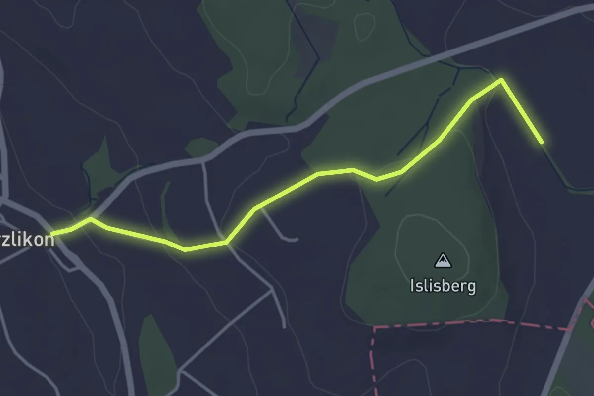
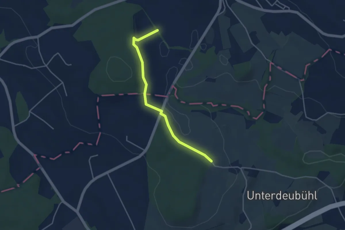
Easy · Trail
Uerzlikon – Chlostermatt
3.7 km · ↑ 89 m · 1 h 4 min · 11 km away
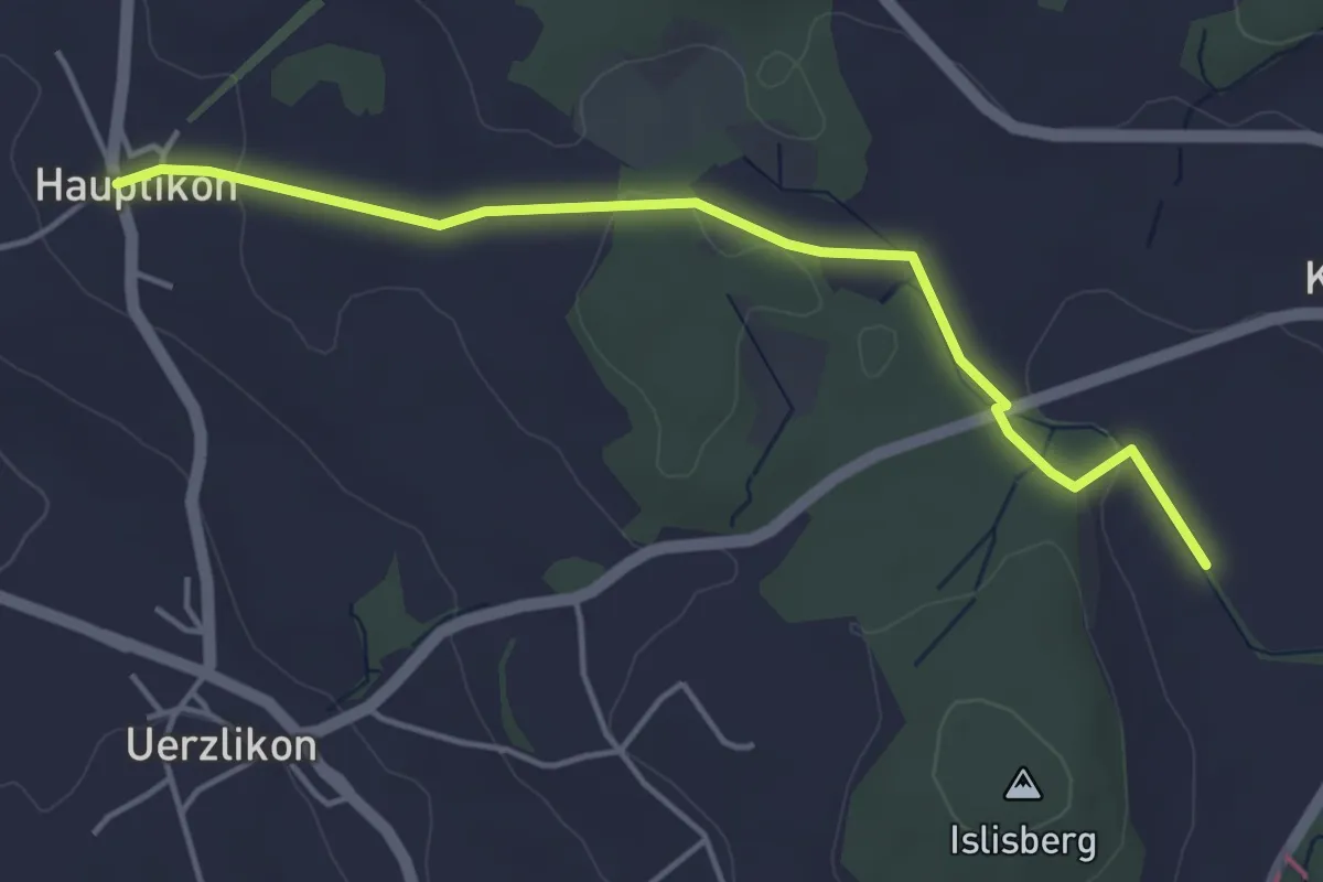
Easy · Trail
Chlostermatt – Baar
3.3 km · ↑ 104 m · 1 h · 11 km away
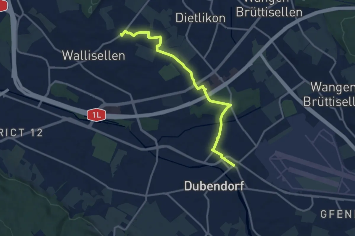
Easy · Trail
Chlostermatt – Hauptikon
4.4 km · ↑ 52 m · 1 h 9 min · 11 km away
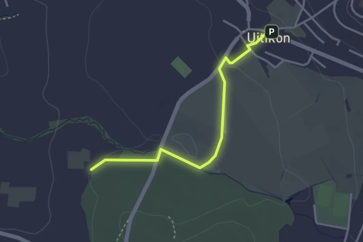
Medium · Trail
Rieden – Dübendorf
8.3 km · ↑ 62 m · 2 h 6 min · 11 km away
Easy · Trail
Uitikon - Leerbreiti
2.9 km · ↑ 41 m · 46 min · 11 km away
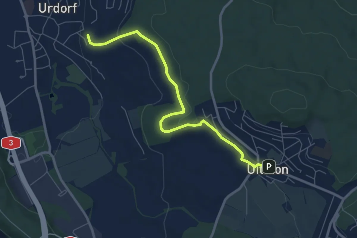
Easy · Trail
Weihermatt – Uitikon
6.3 km · ↑ 140 m · 1 h 47 min · 11 km away
Easy · Trail
Winikon - Uster
3.6 km · ↑ 36 m · 56 min · 11 km away
Easy · Trail
Winikon - Hooggen
3.7 km · ↑ 90 m · 1 h 5 min · 11 km away
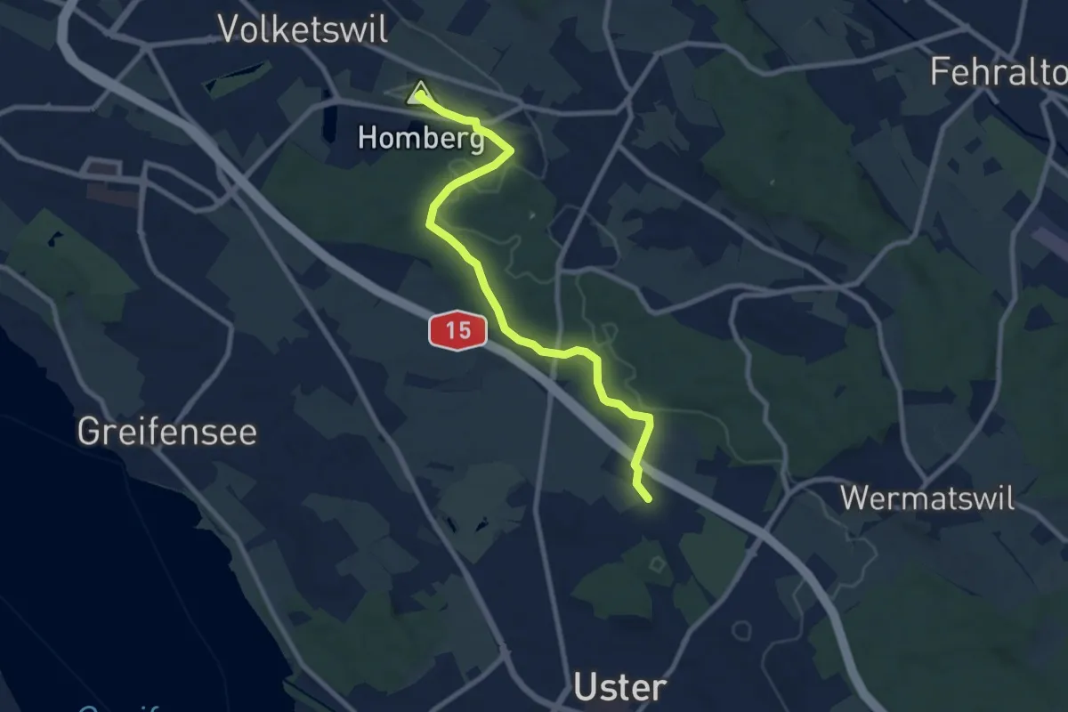
Medium · Summit
Volketswil – Winikon
8.4 km · ↑ 118 m · 2 h 15 min · 11 km away
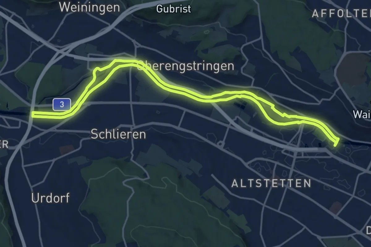
Medium · Trail
Limmat-Uferweg
15.1 km · ↑ 41 m · 3 h 52 min · 12 km away
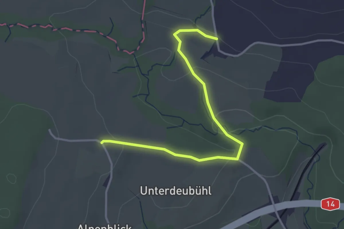
Easy · Trail
Notikon - Deibüel
3.3 km · ↑ 70 m · 56 min · 12 km away
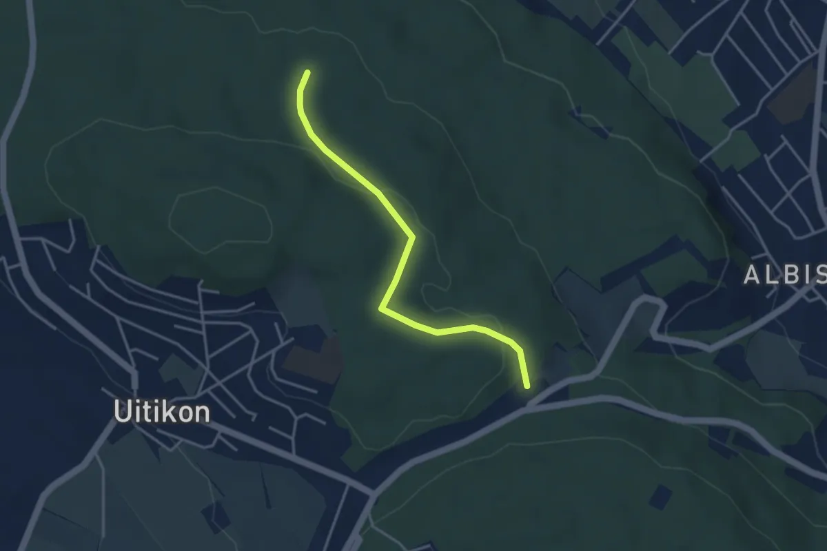
Easy · Trail
Frauenmatt – Feldermoos
3.3 km · ↑ 81 m · 57 min · 12 km away
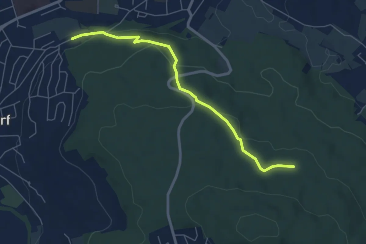
Easy · Trail
Urdorf (Bahnhof) – Frauenmatt
5.2 km · ↑ 125 m · 1 h 30 min · 12 km away
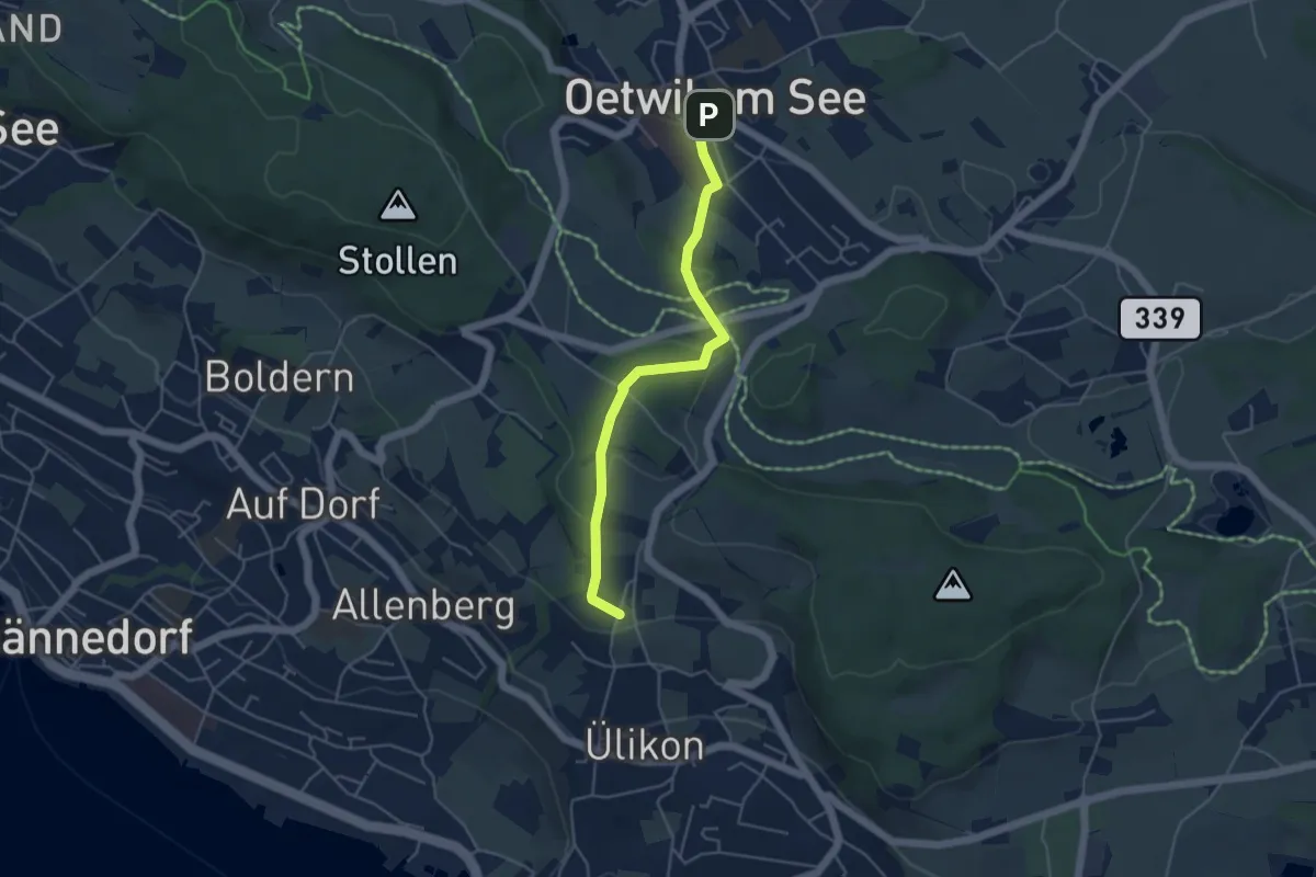
Easy · Trail
Oetwil - Püntacher
4.5 km · ↑ 147 m · 1 h 23 min · 12 km away
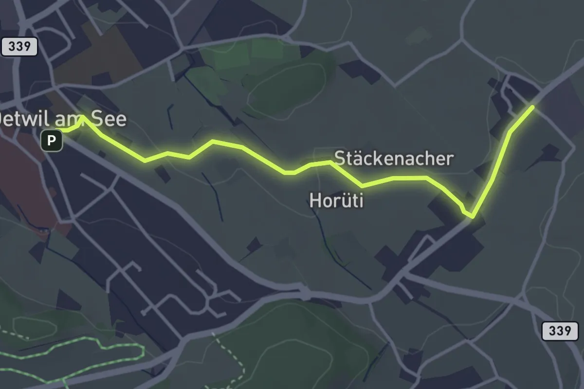
Easy · Trail
Holzhusen – Oetwil
3.7 km · ↑ 20 m · 55 min · 12 km away
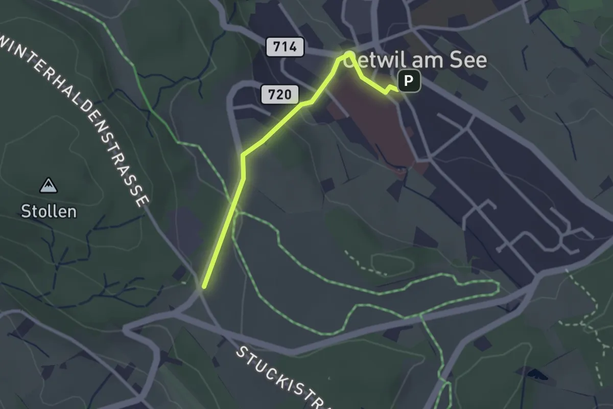
Easy · Trail
Oetwil – Stäfnertürli
2.3 km · ↑ 68 m · 41 min · 12 km away
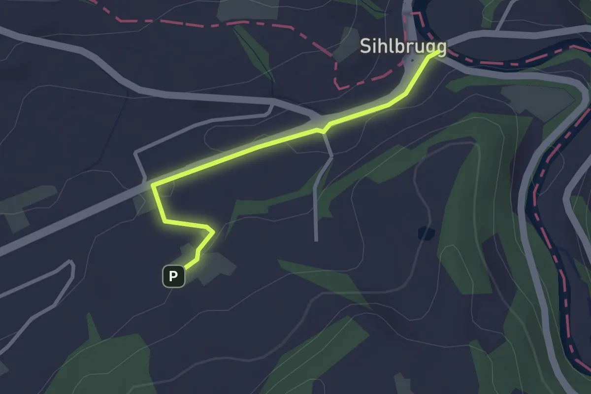
Easy · Trail
Sihlbrugg Dorf – Utigen
2.4 km · ↑ 23 m · 37 min · 12 km away
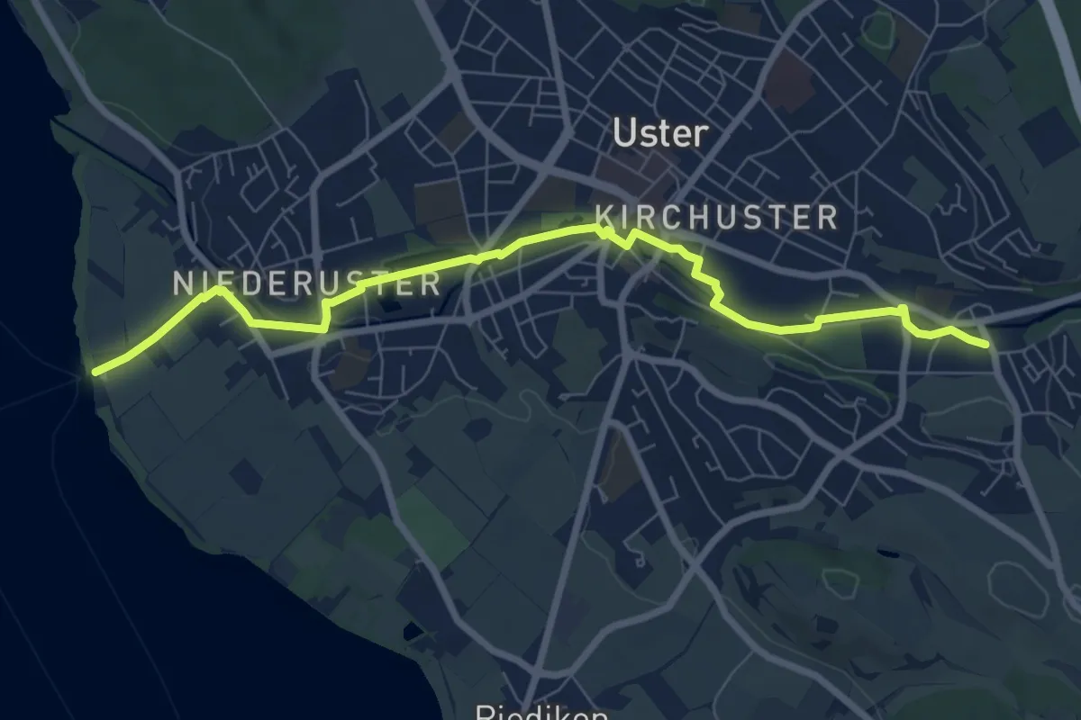
Easy · Trail
Niederuster - Oberuster
7.9 km · ↑ 44 m · 1 h 58 min · 12 km away
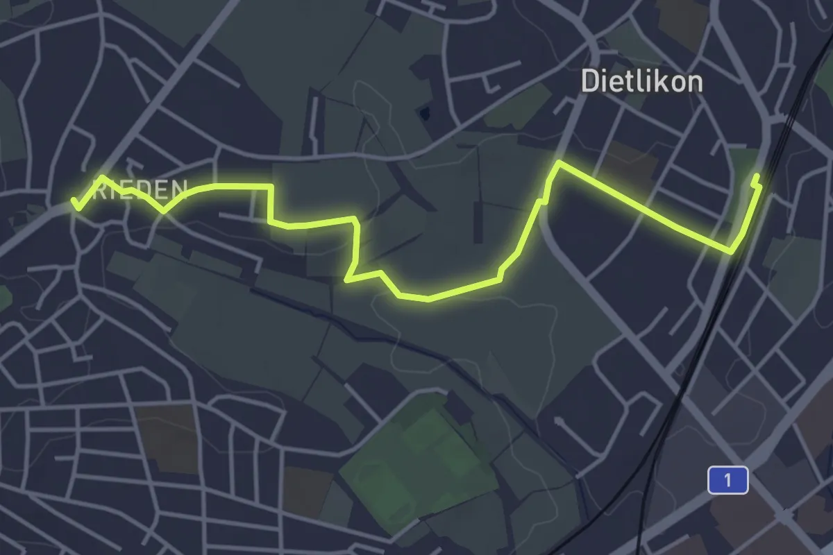
Easy · Trail
Rieden – Dietlikon
4.7 km · ↑ 55 m · 1 h 13 min · 12 km away
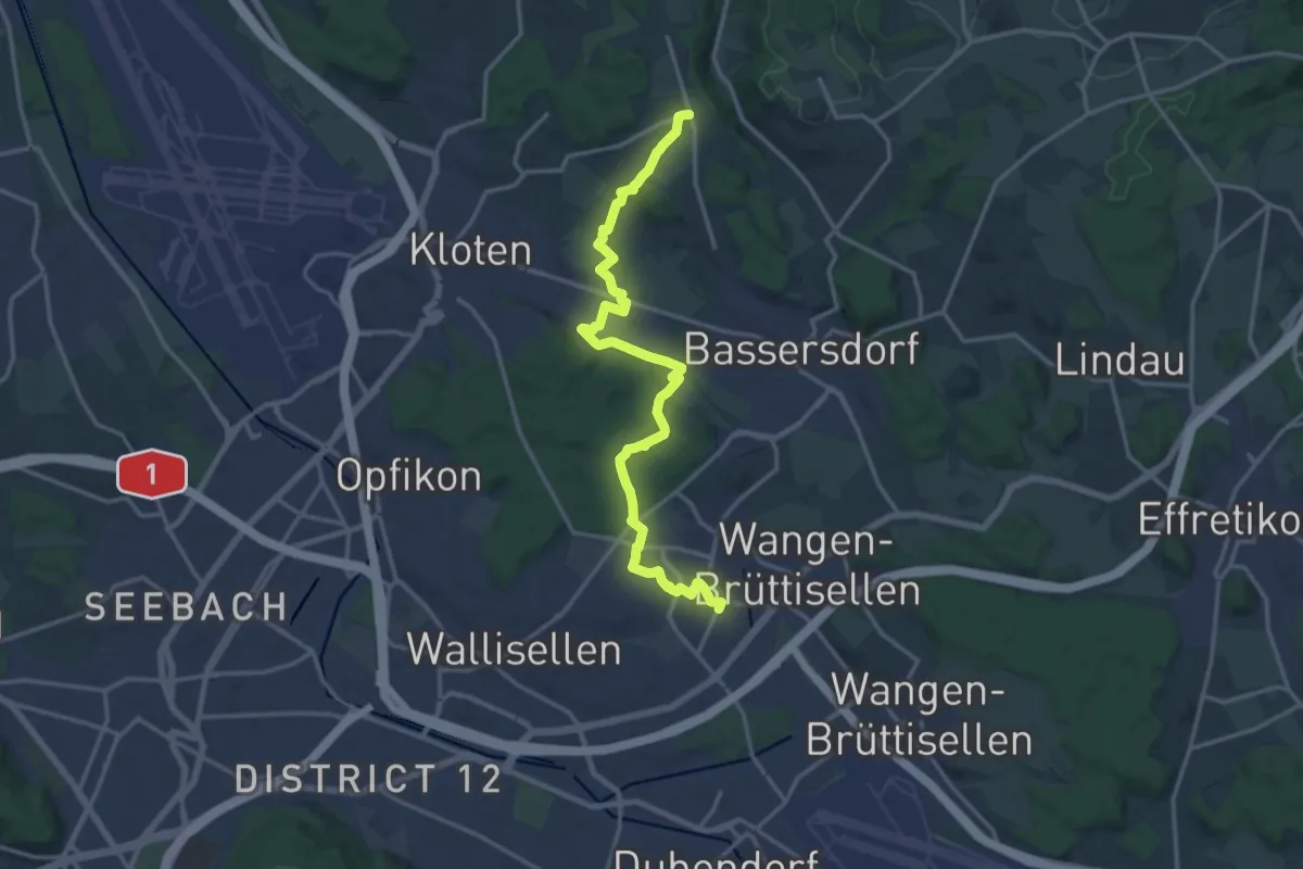
Medium · Trail
Dietlikon – Gerlisberg
16.8 km · ↑ 238 m · 4 h 29 min · 12 km away
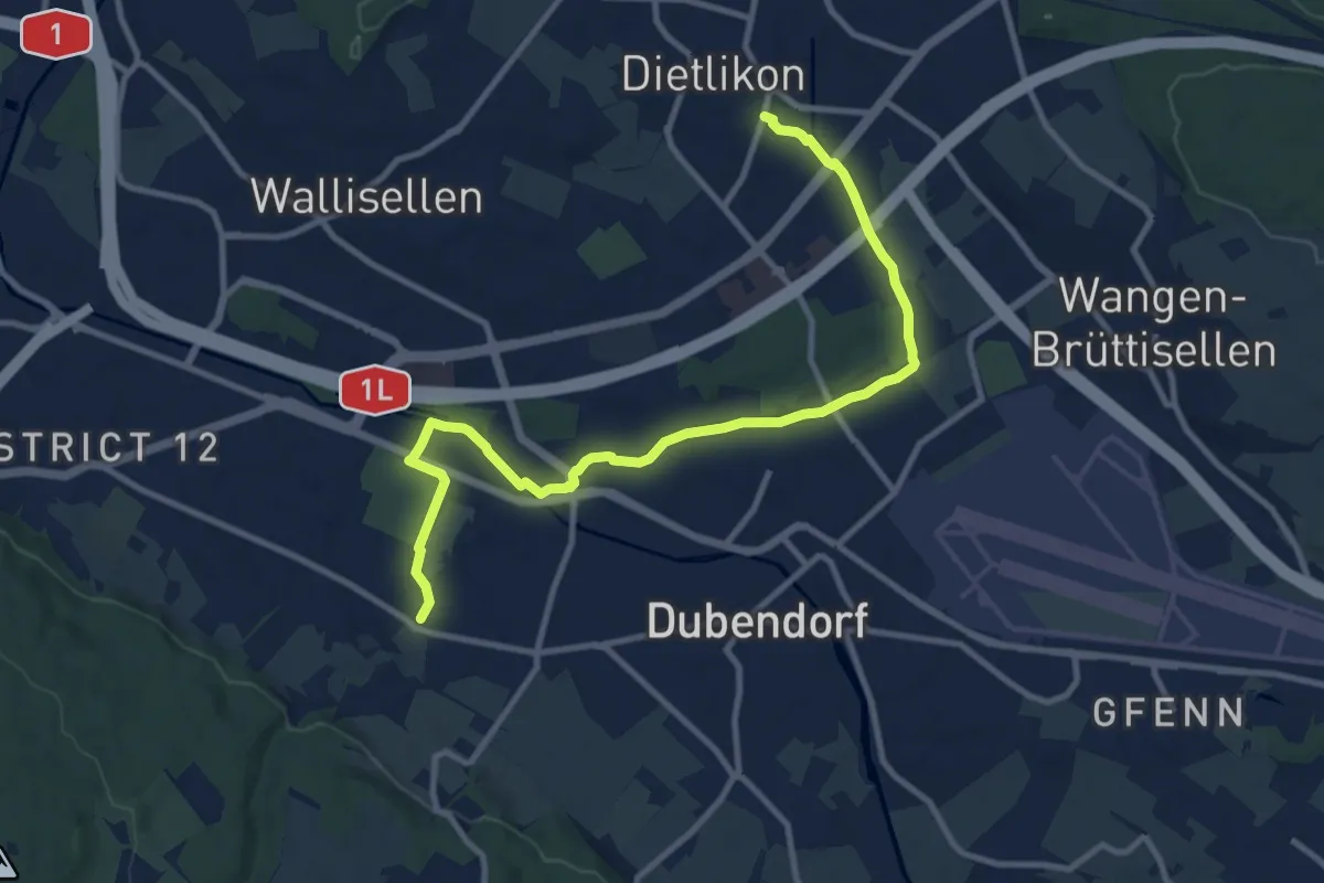
Medium · Trail
Stettbach Bahnhof – Dietlikon
11.5 km · ↑ 49 m · 2 h 49 min · 12 km away
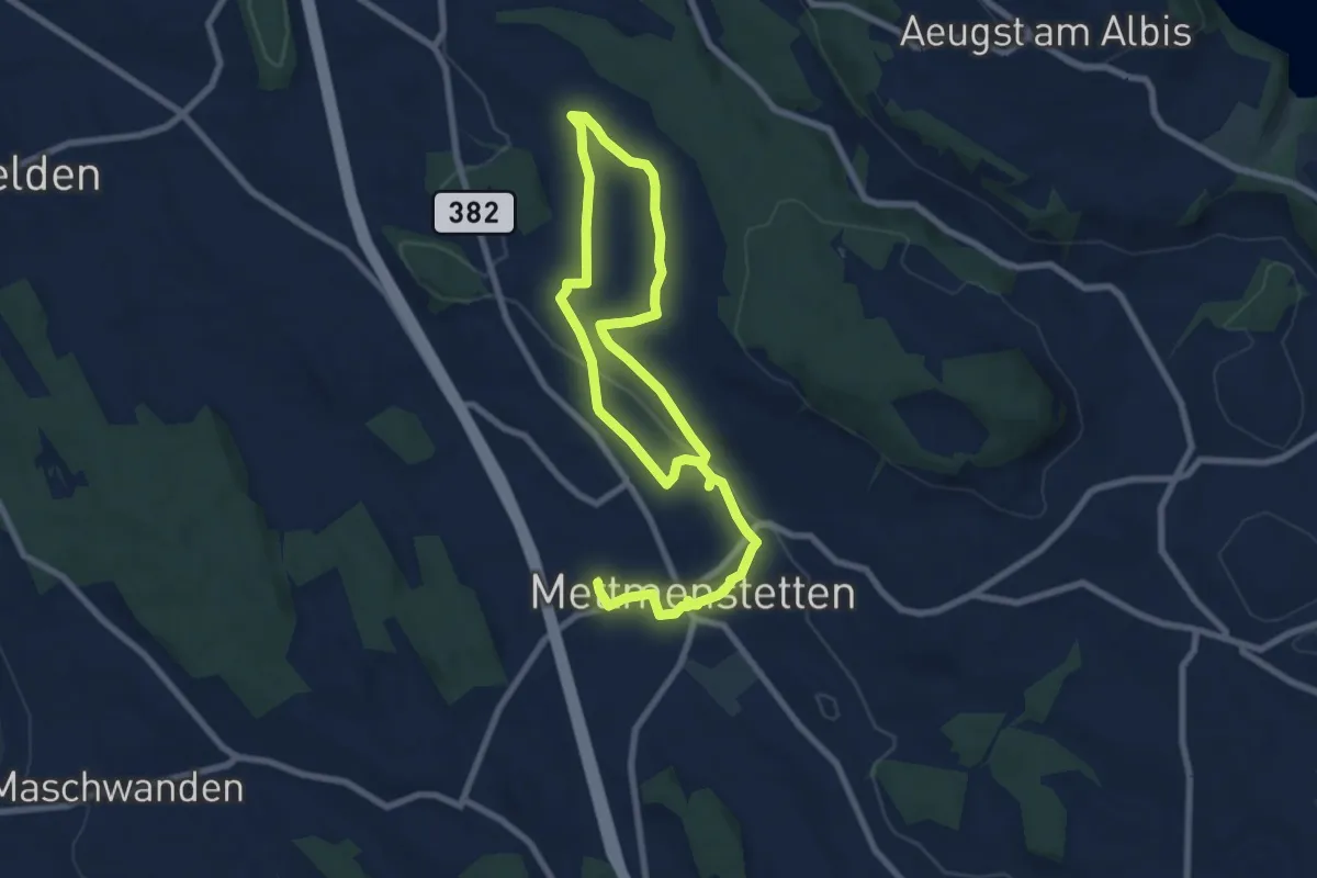
Medium · Trail
Mättmiwäg 4 Grossholz
12.8 km · ↑ 177 m · 3 h 25 min · 12 km away
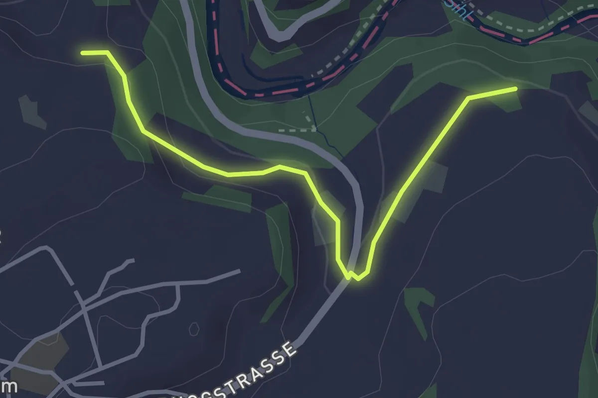
Easy · Trail
Sennweid - Neuhaus
3.0 km · ↑ 84 m · 54 min · 12 km away
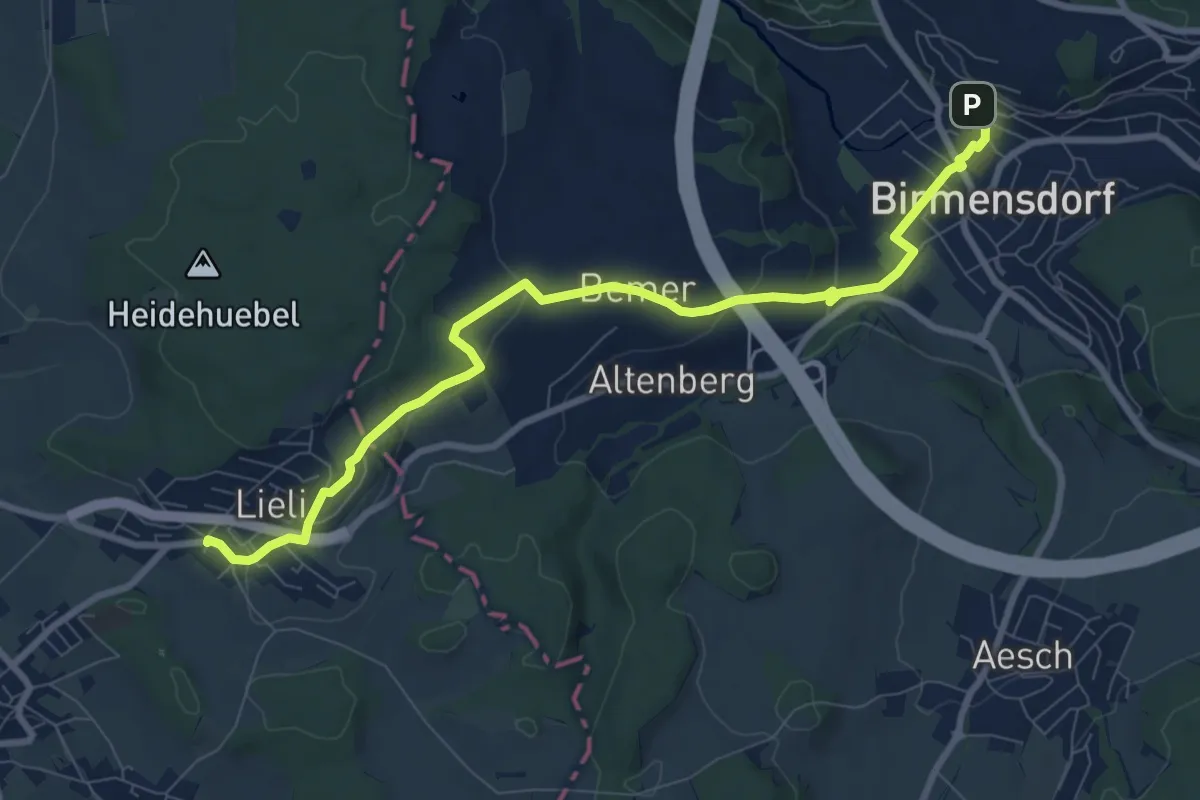
Medium · Trail
Birmensdorf - Lieli
9.4 km · ↑ 238 m · 2 h 44 min · 12 km away
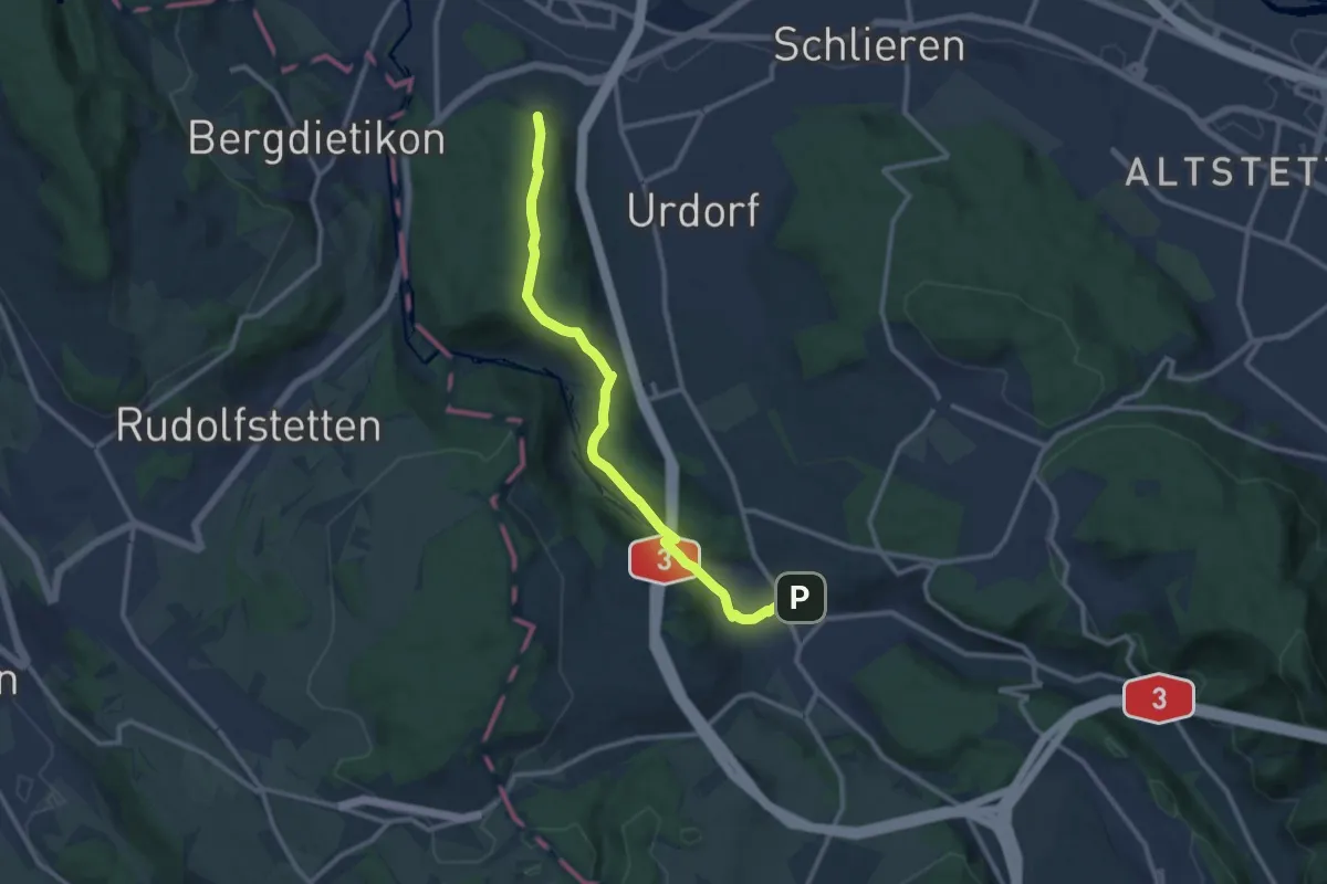
Medium · Trail
Birmensdorf - Lindenbüel
11.1 km · ↑ 299 m · 3 h 16 min · 12 km away
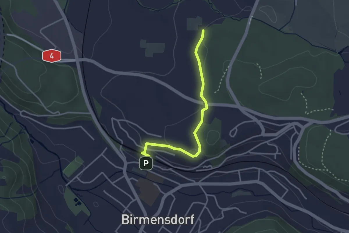
Easy · Trail
Birmensdorf - Leerbreiti
2.9 km · ↑ 92 m · 53 min · 12 km away
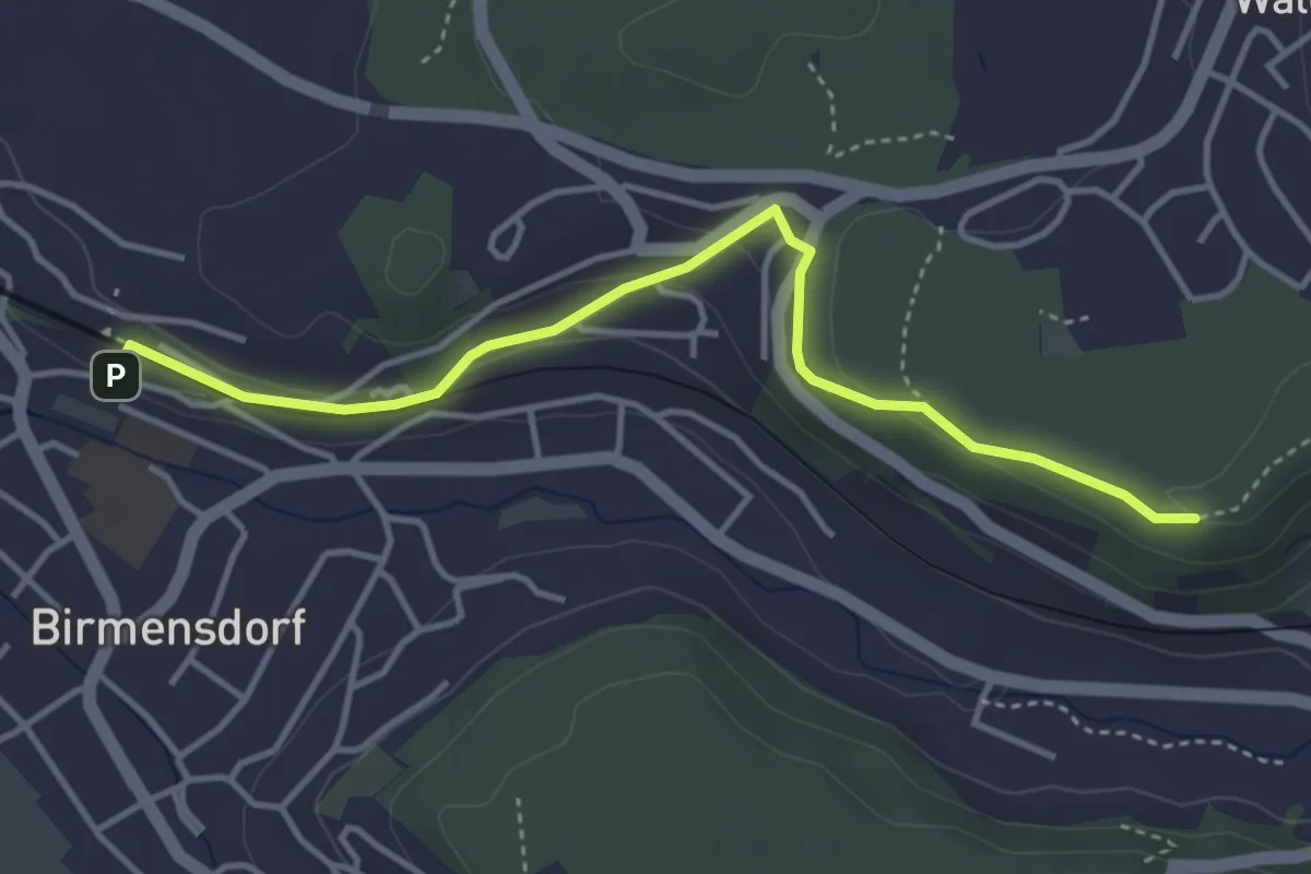
Easy · Trail
Birmensdorf – Maas
4.0 km · ↑ 99 m · 1 h 10 min · 12 km away
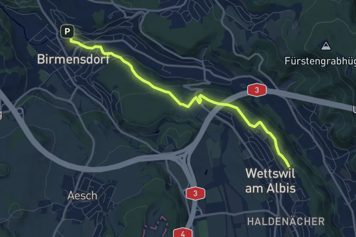
Medium · Trail
Birmensdorf – Näfenhügel
8.4 km · ↑ 162 m · 2 h 20 min · 12 km away
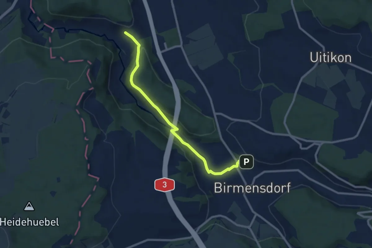
Easy · Trail
Birmensdorf - Unter Reppischtal
6.6 km · ↑ 166 m · 1 h 55 min · 12 km away
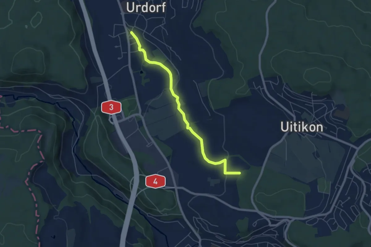
Easy · Trail
Oberurdorf - Leerbreiti
5.5 km · ↑ 97 m · 1 h 31 min · 12 km away
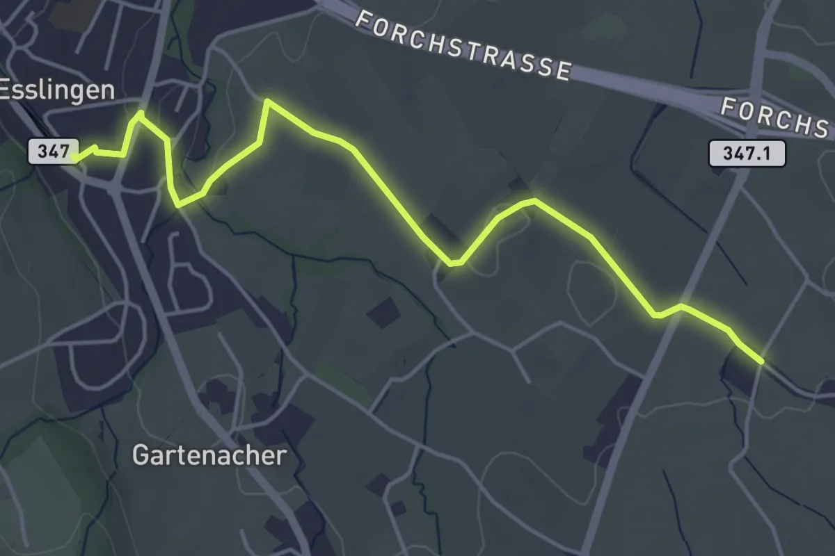
Easy · Trail
Esslingen – Summerau
4.9 km · ↑ 21 m · 1 h 13 min · 12 km away
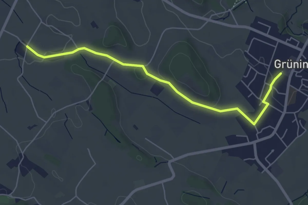
Easy · Trail
Summerau - Grüningen
5.1 km · ↑ 55 m · 1 h 19 min · 12 km away
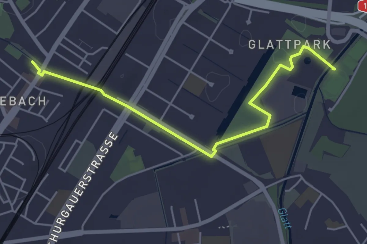
Easy · Trail
Seebach – Auholz
4.6 km · ↑ 9 m · 1 h 6 min · 12 km away