Trails near Küsnacht ZH
587 hikes starting within 15 km, nearest first.
Nearest first, page 9 of 13
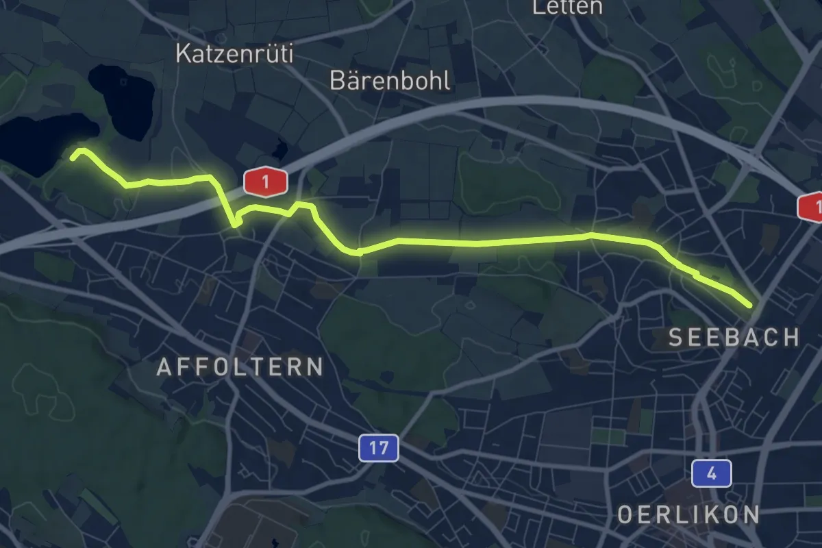
Medium · Trail
Seebach – Chatzensee Strandbad
9.9 km · ↑ 74 m · 2 h 30 min · 12 km away
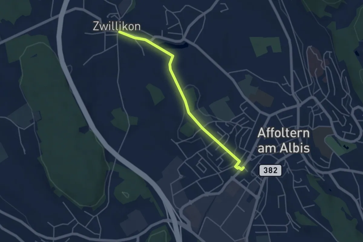
Easy · Trail
Affoltern a. A. - Zwillikon
4.0 km · ↑ 45 m · 1 h 2 min · 12 km away
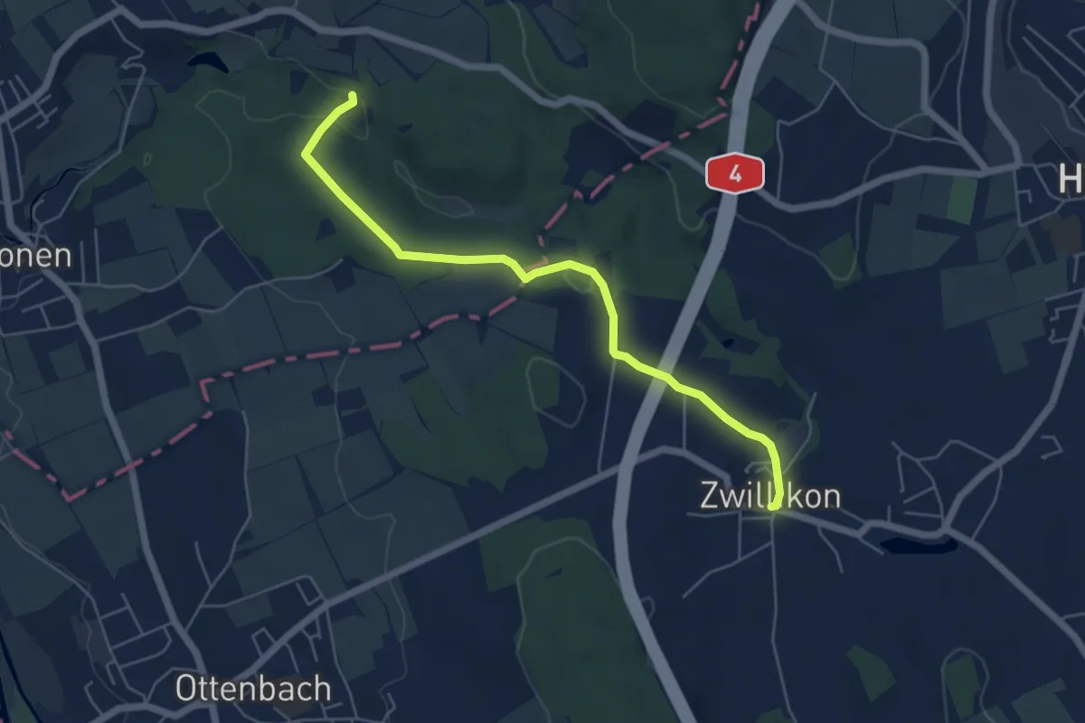
Easy · Trail
Zwillikon - Kapelle Jonental
5.6 km · ↑ 83 m · 1 h 29 min · 12 km away
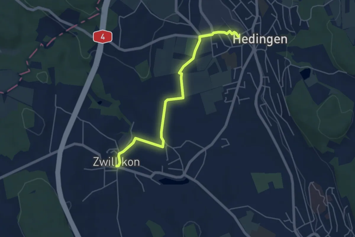
Easy · Trail
Zwillikon – Hedingen
4.6 km · ↑ 30 m · 1 h 9 min · 12 km away
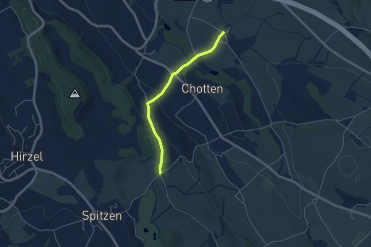
Easy · Trail
Stocken – Schlieregg
3.5 km · ↑ 128 m · 1 h 6 min · 12 km away
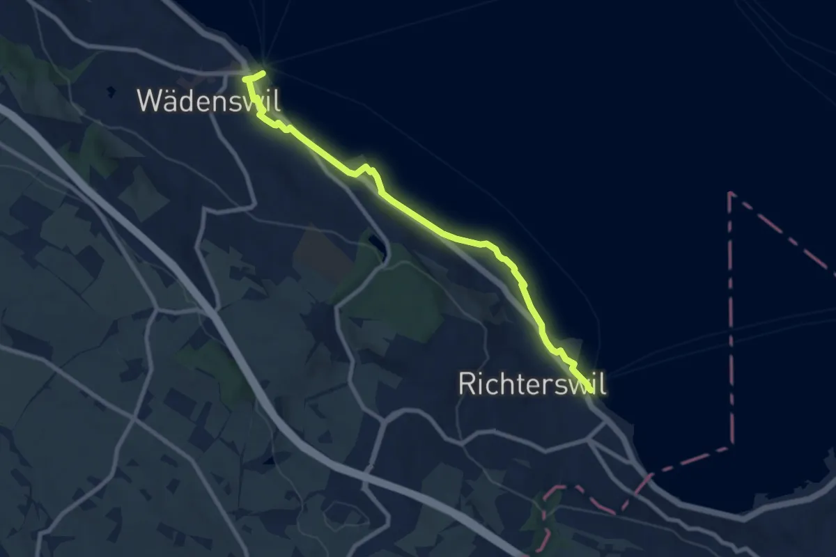
Medium · Trail
Wädenswil - Richterswil (Seeweg)
8.1 km · ↑ 76 m · 2 h 5 min · 12 km away
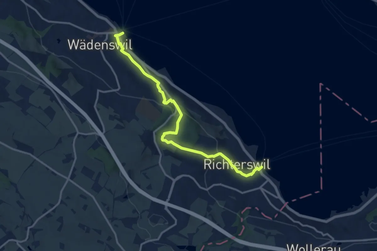
Medium · Trail
Richterswil Bahnhof - Wädenswil Bahnhof
10.0 km · ↑ 371 m · 3 h 10 min · 12 km away
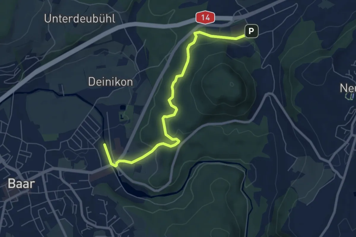
Easy · Trail
Baar - Walterswil
6.6 km · ↑ 239 m · 2 h 5 min · 12 km away
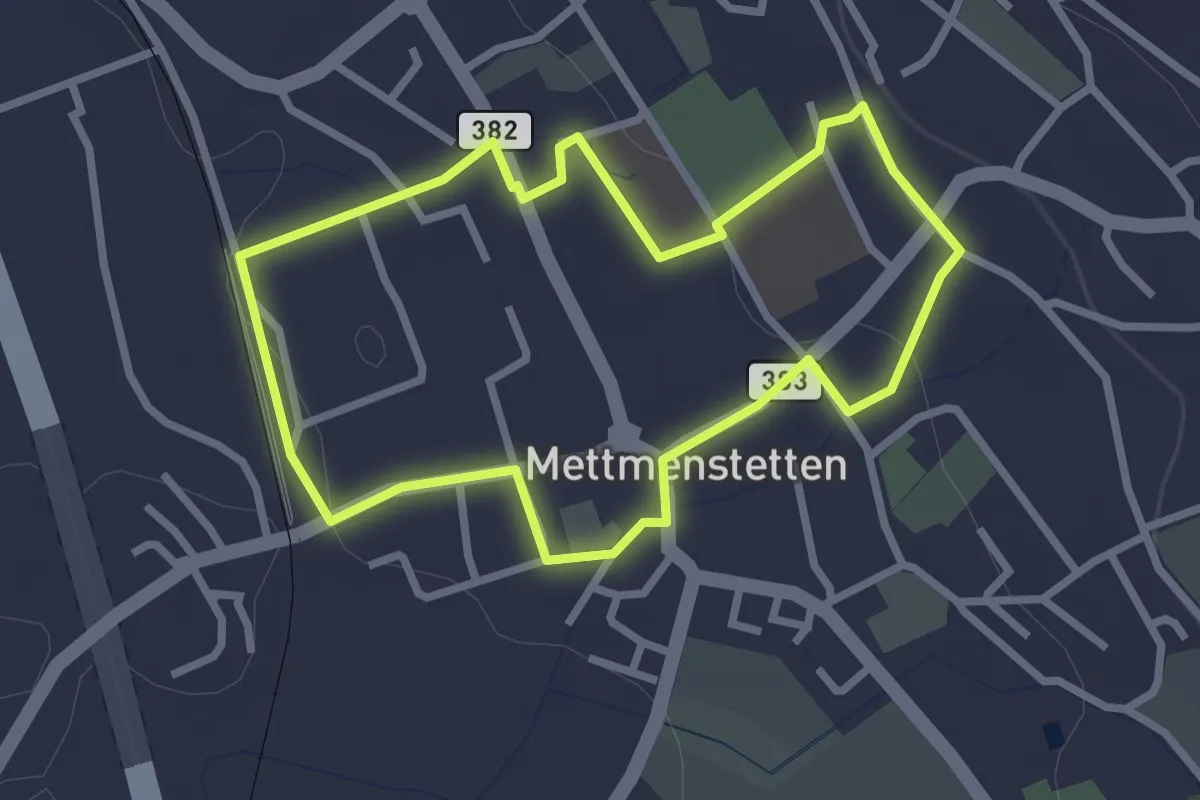
Easy · Trail
Mättmiwäg 1 Dorf
2.6 km · ↑ 30 m · 43 min · 12 km away
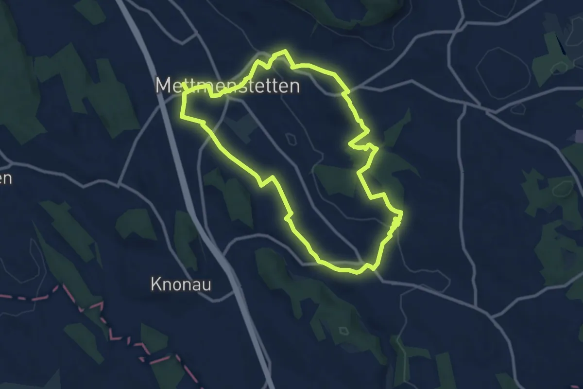
Medium · Trail
Mättmiwäg 2 Rossau via Sternen
8.6 km · ↑ 125 m · 2 h 25 min · 12 km away
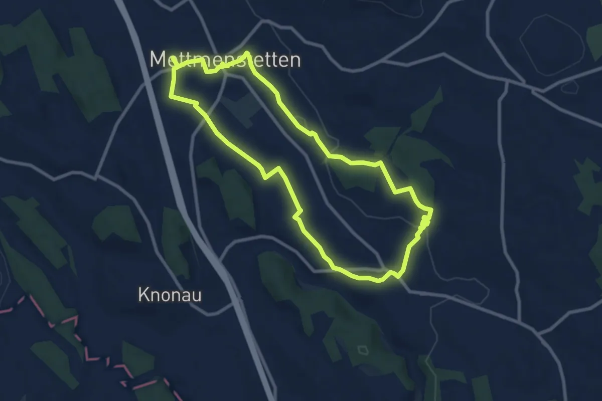
Easy · Trail
Mättmiwäg 2 Rossau Badi
7.4 km · ↑ 72 m · 2 h · 12 km away
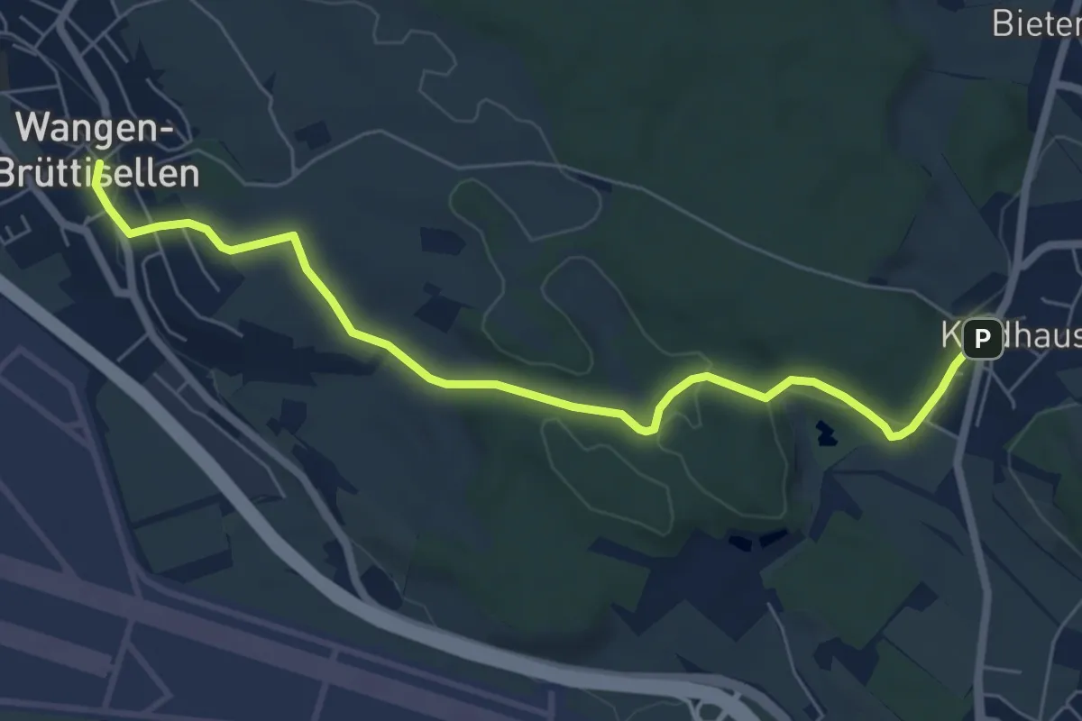
Easy · Trail
Kindhausen – Wangen
6.8 km · ↑ 155 m · 1 h 57 min · 12 km away
Easy · Trail
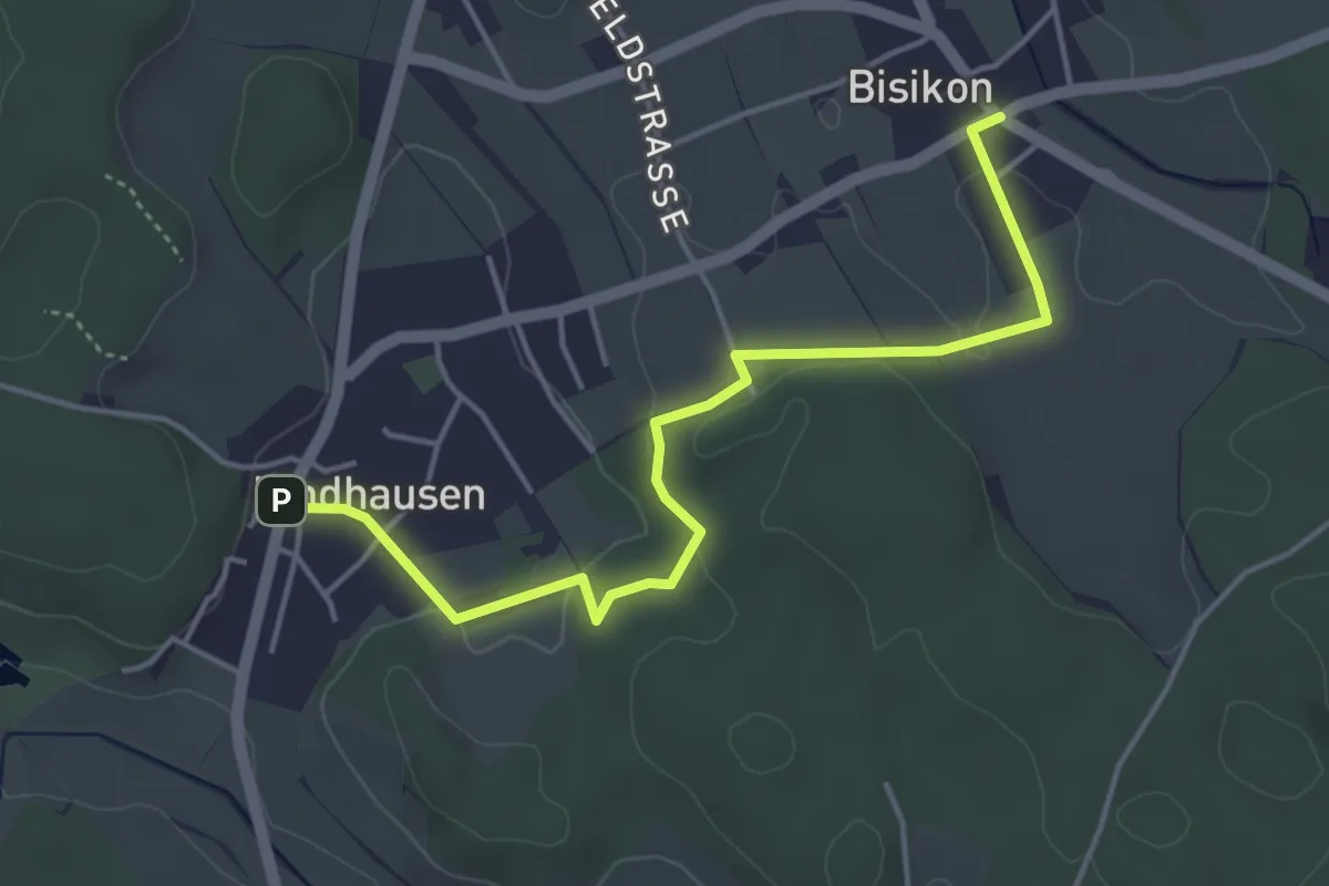
Kindhausen – Bisikon
4.6 km · ↑ 59 m · 1 h 13 min · 12 km away
Medium · Trail
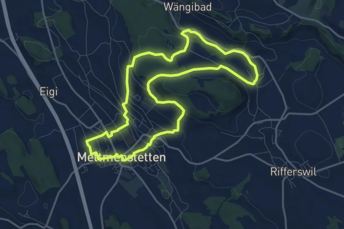
Mättmiwäg 5 Herferswil
9.3 km · ↑ 305 m · 2 h 59 min · 12 km away
Easy · Trail
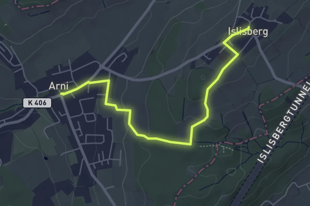
Arni – Islisberg
5.3 km · ↑ 126 m · 1 h 31 min · 12 km away
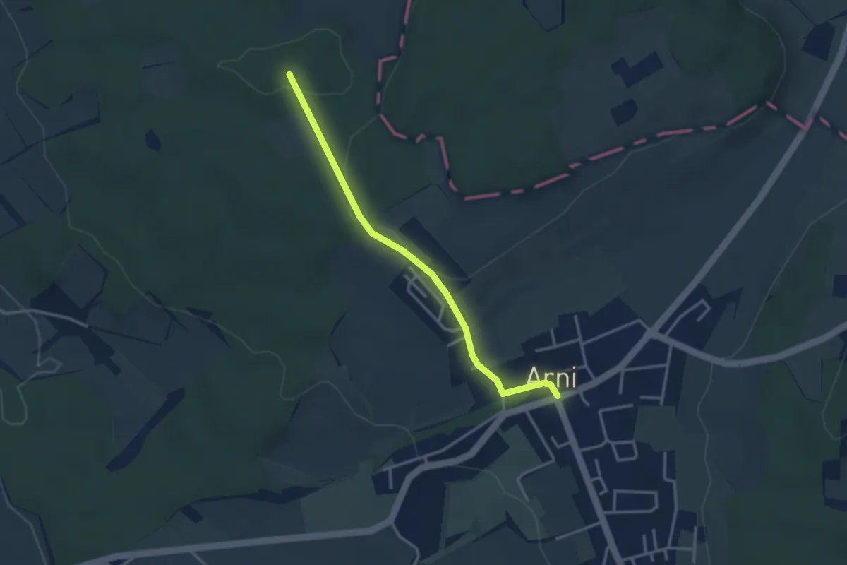
Easy · Trail
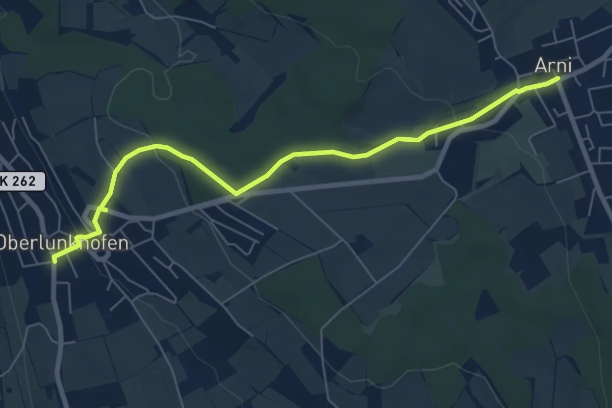
Oberlunkhofen – Arni
5.8 km · ↑ 138 m · 1 h 40 min · 12 km away
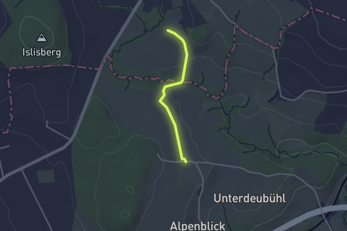
Easy · Trail
Arni – Lieli
3.0 km · ↑ 46 m · 49 min · 12 km away
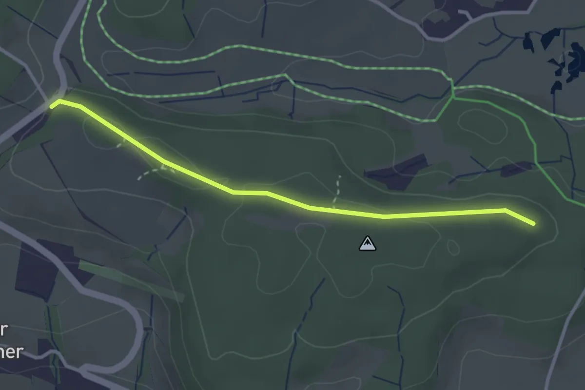
Easy · Trail
Leematt
2.2 km · ↑ 28 m · 35 min · 12 km away
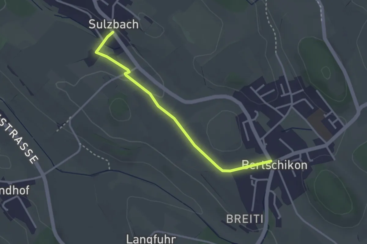
Easy · Trail
Buechstutz - Mülihölzli
2.9 km · ↑ 41 m · 46 min · 12 km away
Easy · Trail
Sulzbach - Bertschikon
2.8 km · ↑ 32 m · 44 min · 12 km away
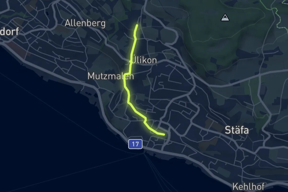
Easy · Trail
Püntacher – Stäfa
3.7 km · ↑ 141 m · 1 h 10 min · 12 km away
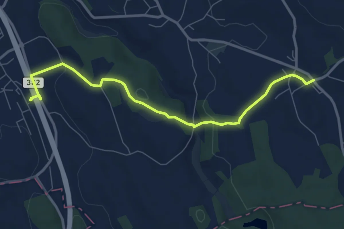
Easy · Trail
Knonau – Uerzlikon
6.7 km · ↑ 135 m · 1 h 53 min · 12 km away
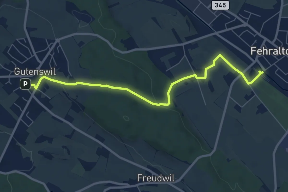
Easy · Trail
Gutenswil - Fehraltorf
6.6 km · ↑ 148 m · 1 h 53 min · 12 km away
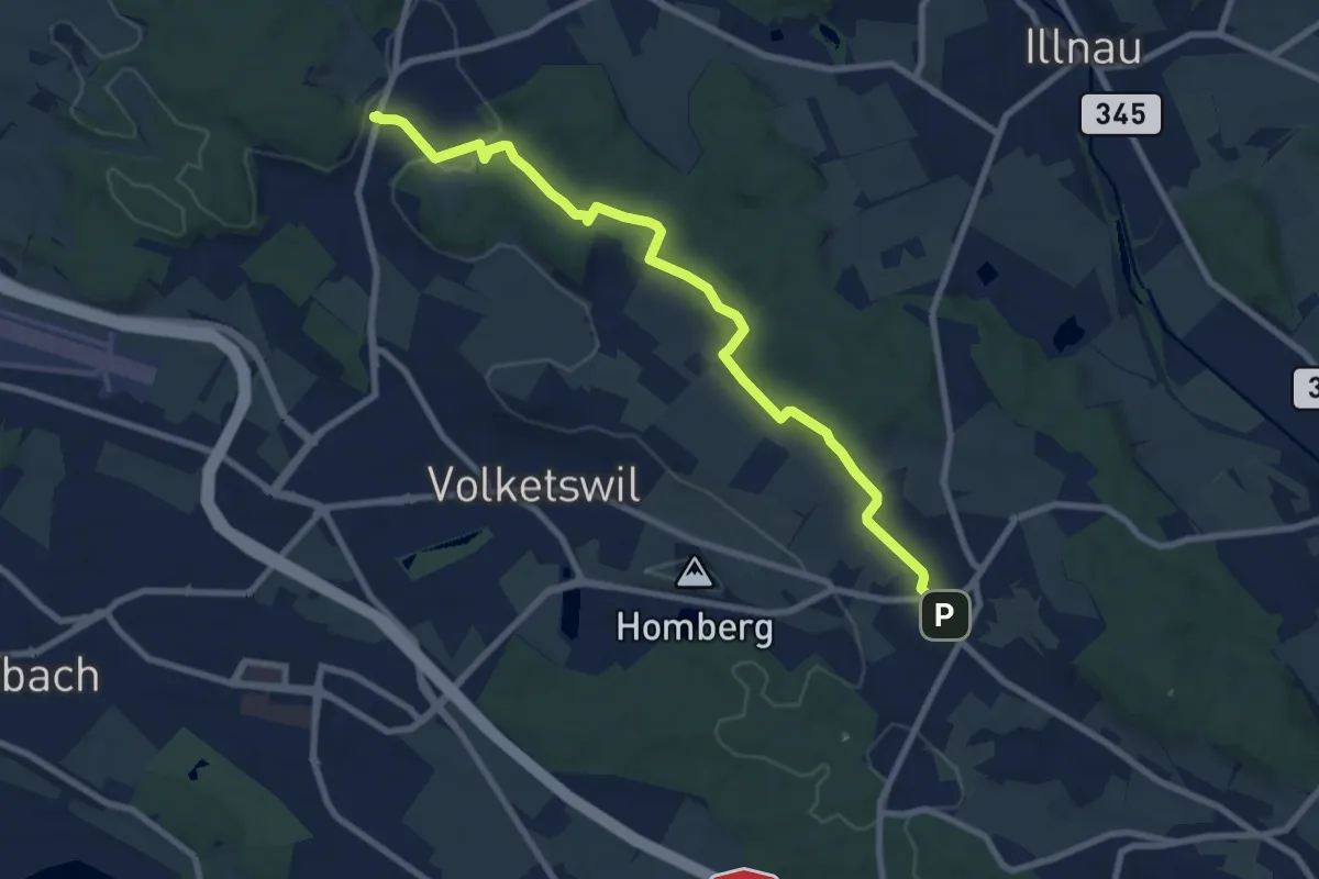
Medium · Trail
Gutenswil – Kindhausen
9.1 km · ↑ 185 m · 2 h 32 min · 12 km away
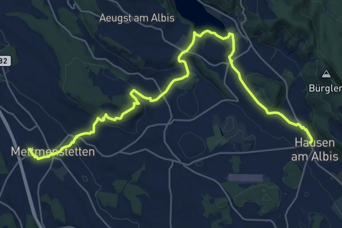
Demanding · Trail
Familien-Wanderweg - Orientierung
20.4 km · ↑ 596 m · 6 h 6 min · 13 km away
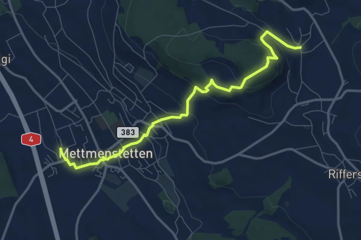
Medium · Trail
Herferswil – Mettmenstetten
7.9 km · ↑ 330 m · 2 h 34 min · 13 km away
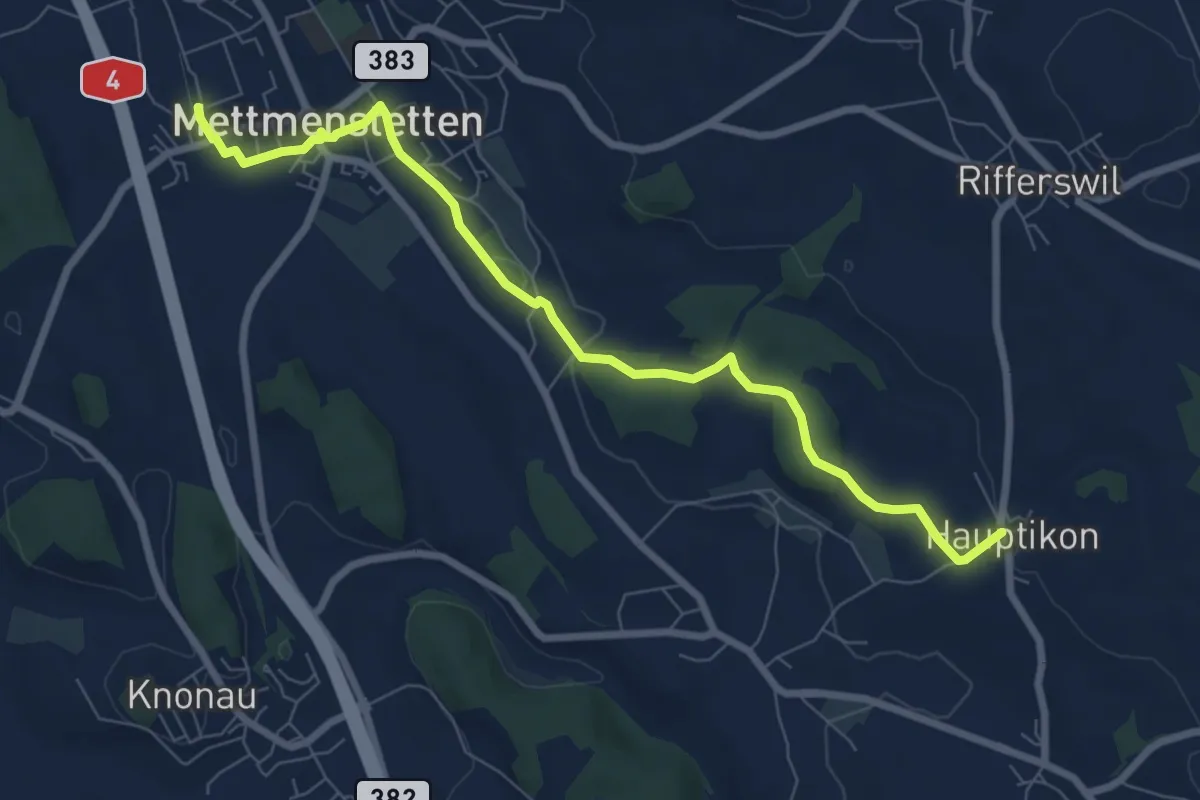
Medium · Trail
Mettmenstetten – Hauptikon
8.0 km · ↑ 117 m · 2 h 9 min · 13 km away
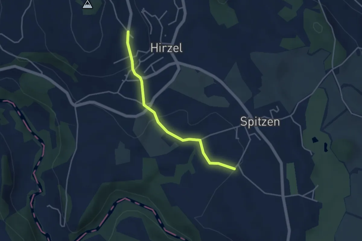
Easy · Trail
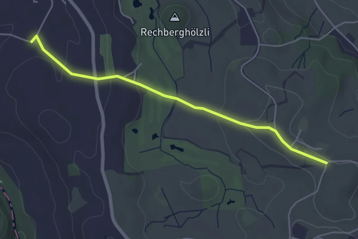
Hirzel - Bächenmoos
3.1 km · ↑ 86 m · 55 min · 13 km away
Easy · Trail
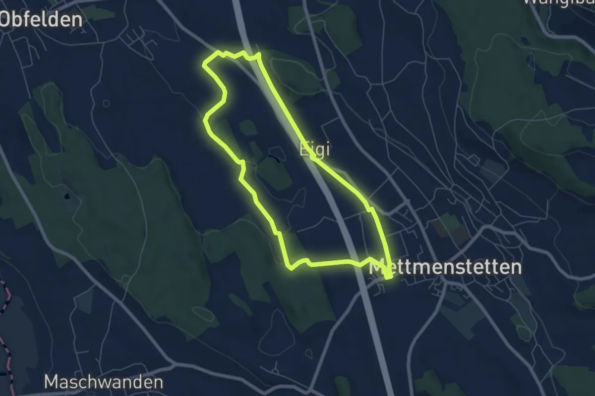
Bächenmoos – Stollen
4.0 km · ↑ 97 m · 1 h 9 min · 13 km away
Easy · Trail
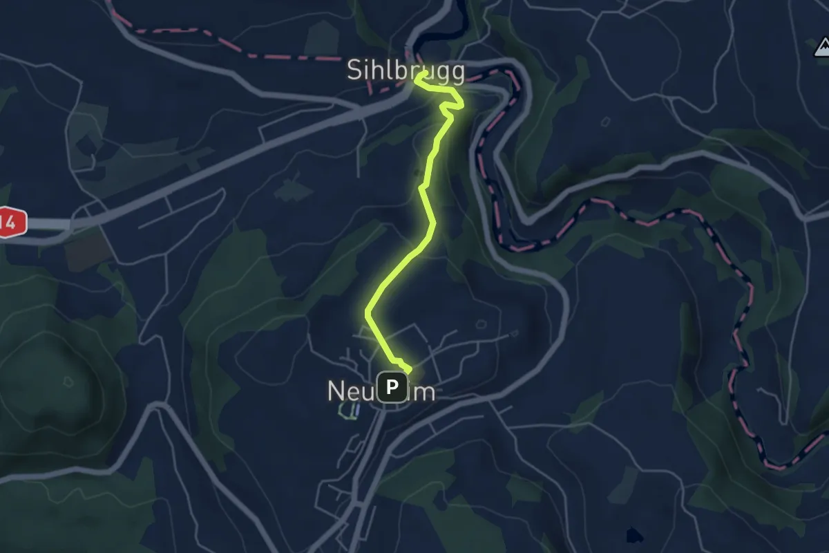
Mättmiwäg Dachlissen
5.8 km · ↑ 52 m · 1 h 34 min · 13 km away
Easy · Trail
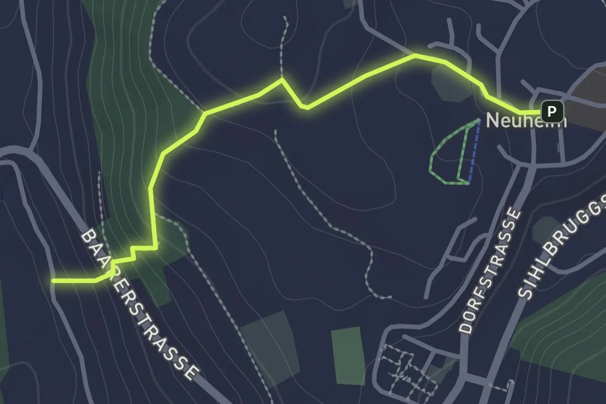
Sihlbrugg Dorf – Neuheim
4.0 km · ↑ 138 m · 1 h 14 min · 13 km away
Easy · Trail
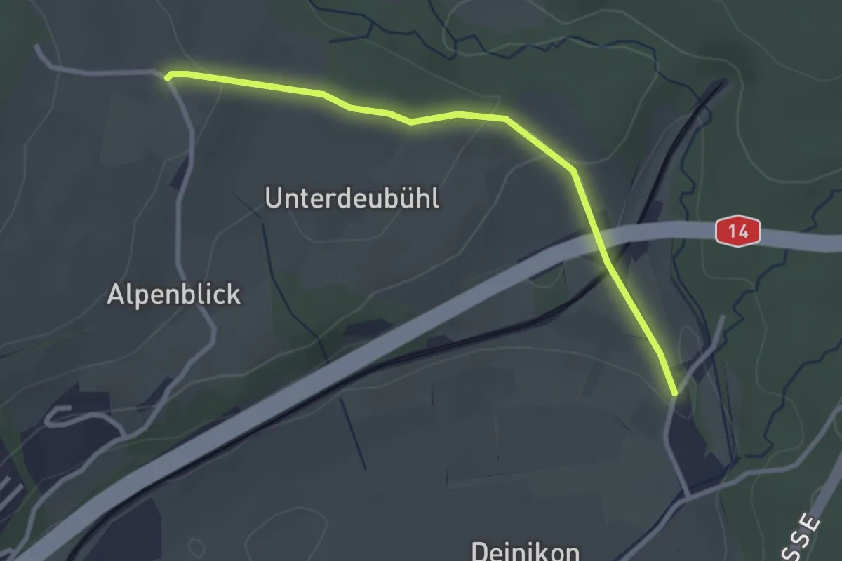
Neuheim - Baarburg
2.7 km · ↑ 177 m · 1 h 2 min · 13 km away
Easy · Trail
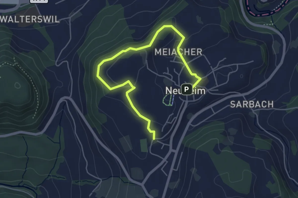
Büni - Deibüel
2.7 km · ↑ 82 m · 48 min · 13 km away
Easy · Trail
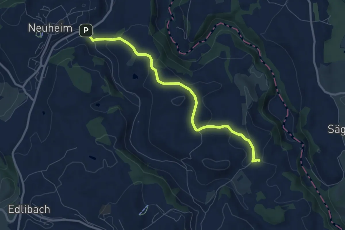
Josefsgütsch Rundwanderweg
5.2 km · ↑ 119 m · 1 h 29 min · 13 km away
Easy · Trail
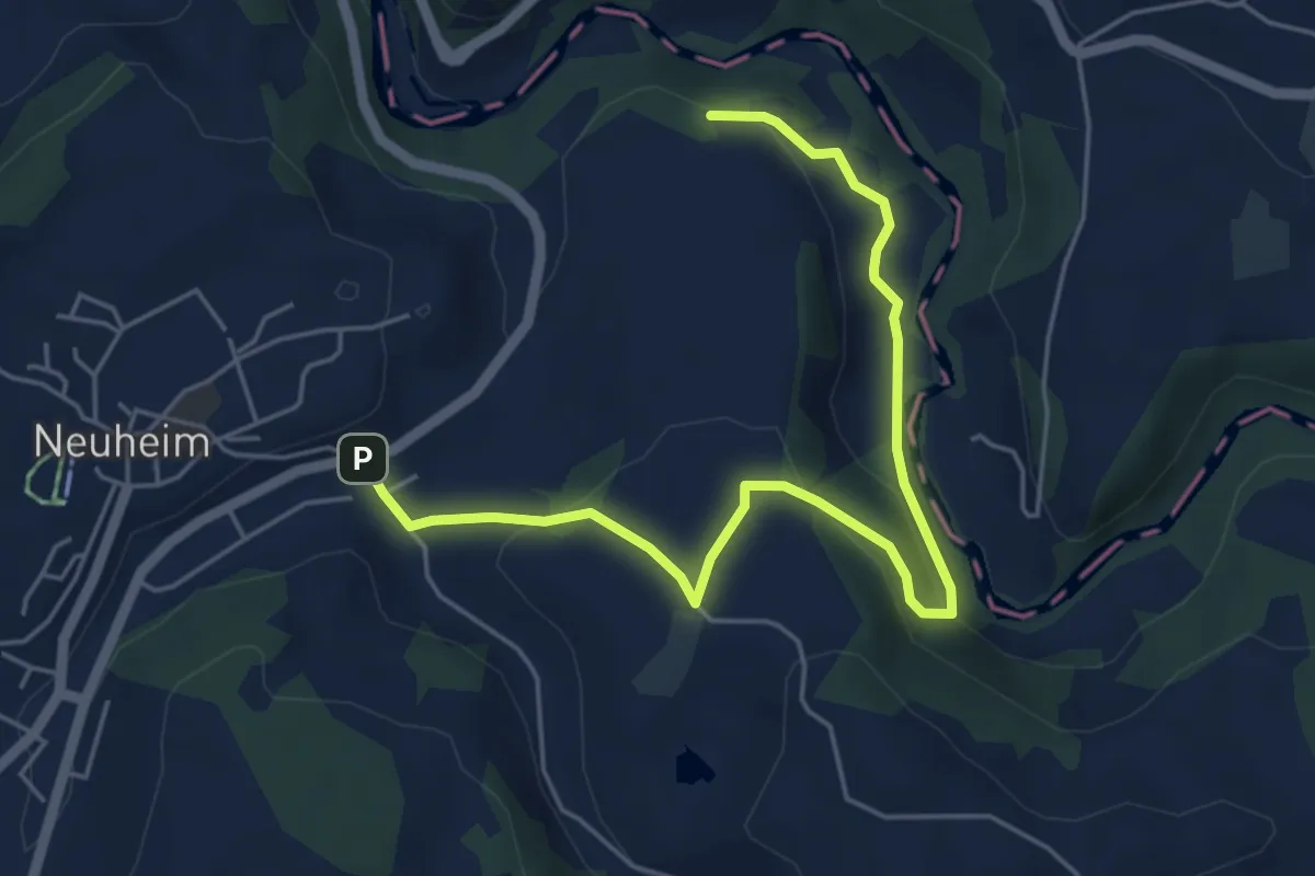
Sarbach - Schwand
7.4 km · ↑ 156 m · 2 h 5 min · 13 km away
Easy · Trail
Sarbach - Sennweid
5.9 km · ↑ 190 m · 1 h 48 min · 13 km away
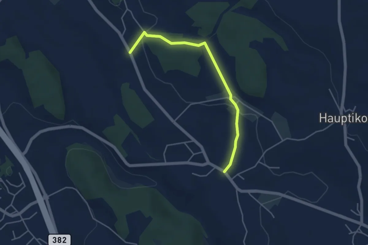
Easy · Trail
Wissenbach - Rossau
3.5 km · ↑ 59 m · 58 min · 13 km away
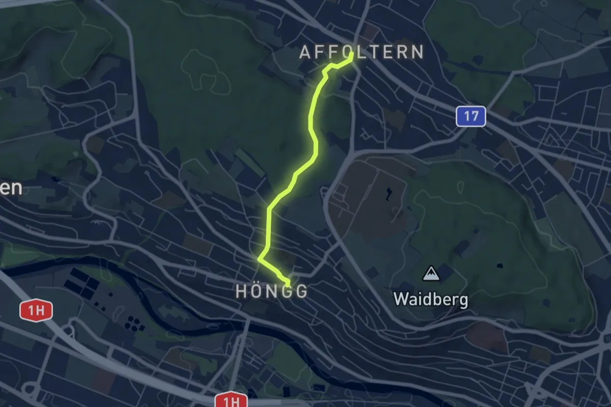
Easy · Trail
Höngg – Zehntenhausplatz
4.6 km · ↑ 114 m · 1 h 20 min · 13 km away
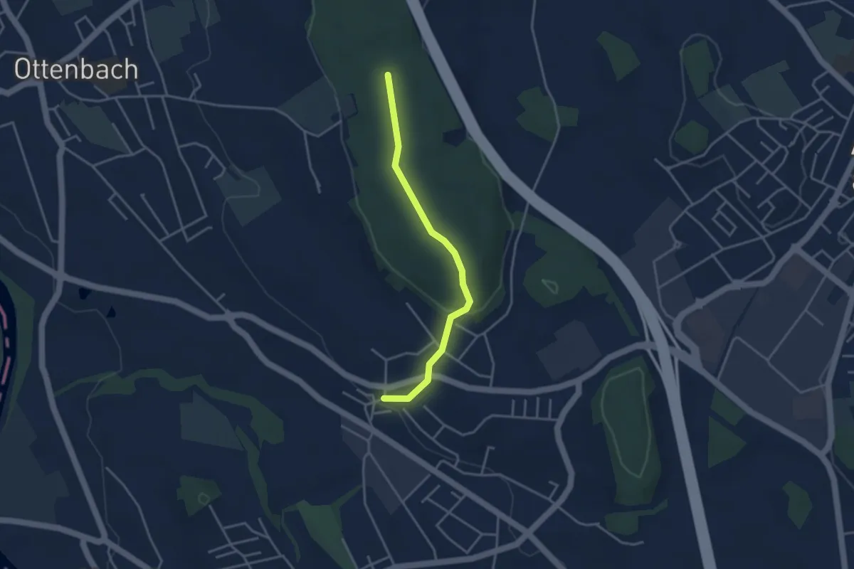
Easy · Trail
Isenberg - Bickwil
3.3 km · ↑ 104 m · 1 h · 13 km away
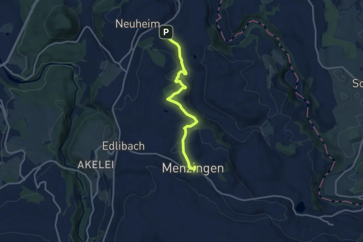
Medium · Trail
Menzingen - Sarbach
8.3 km · ↑ 190 m · 2 h 22 min · 13 km away
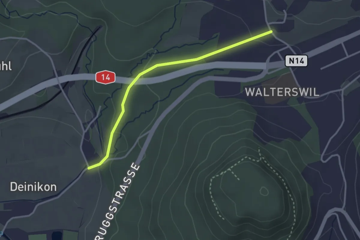
Easy · Trail
Unter Büessikon-Deinikon
2.9 km · ↑ 73 m · 50 min · 13 km away
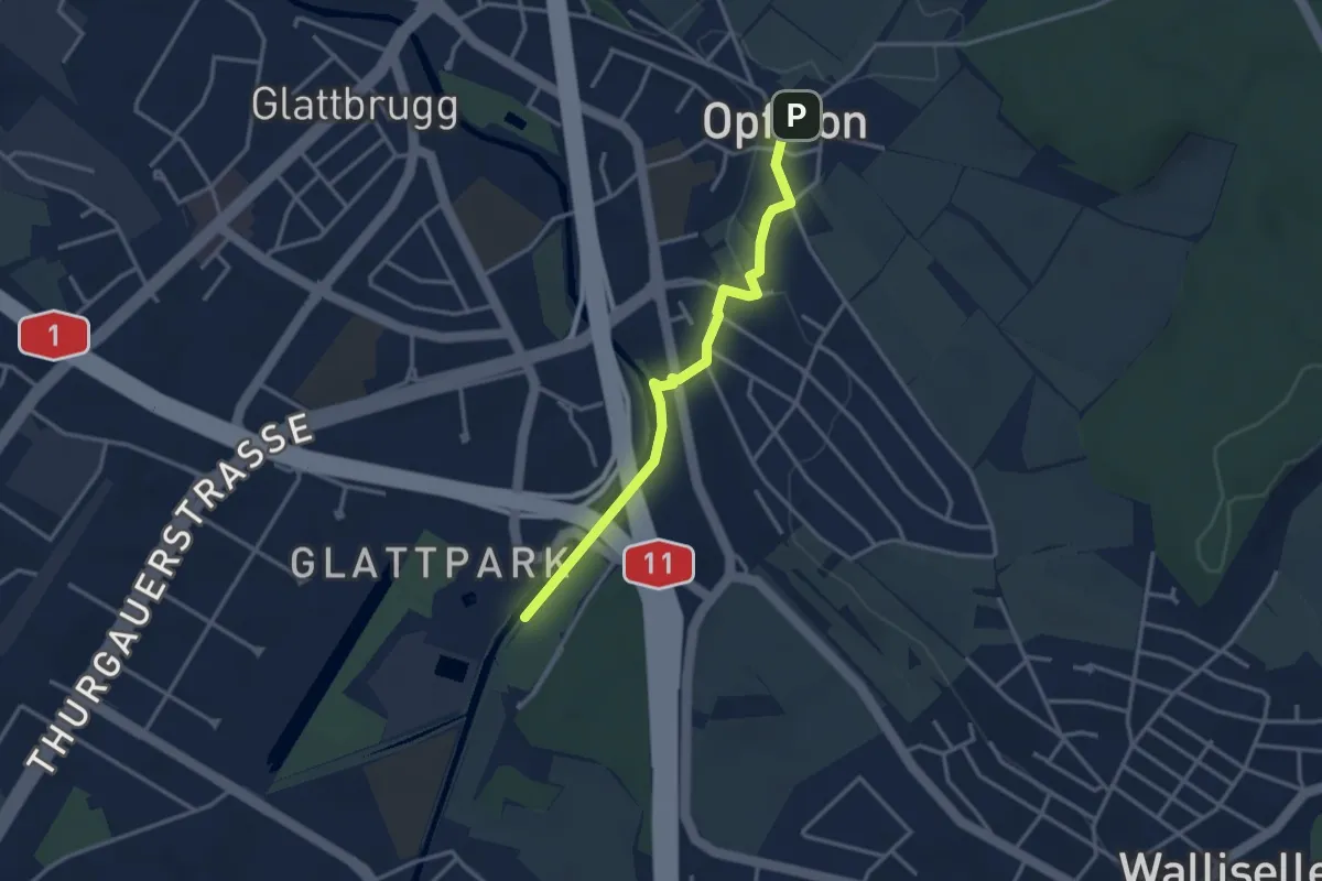
Easy · Trail
Auholz – Opfikon
3.1 km · ↑ 32 m · 48 min · 13 km away
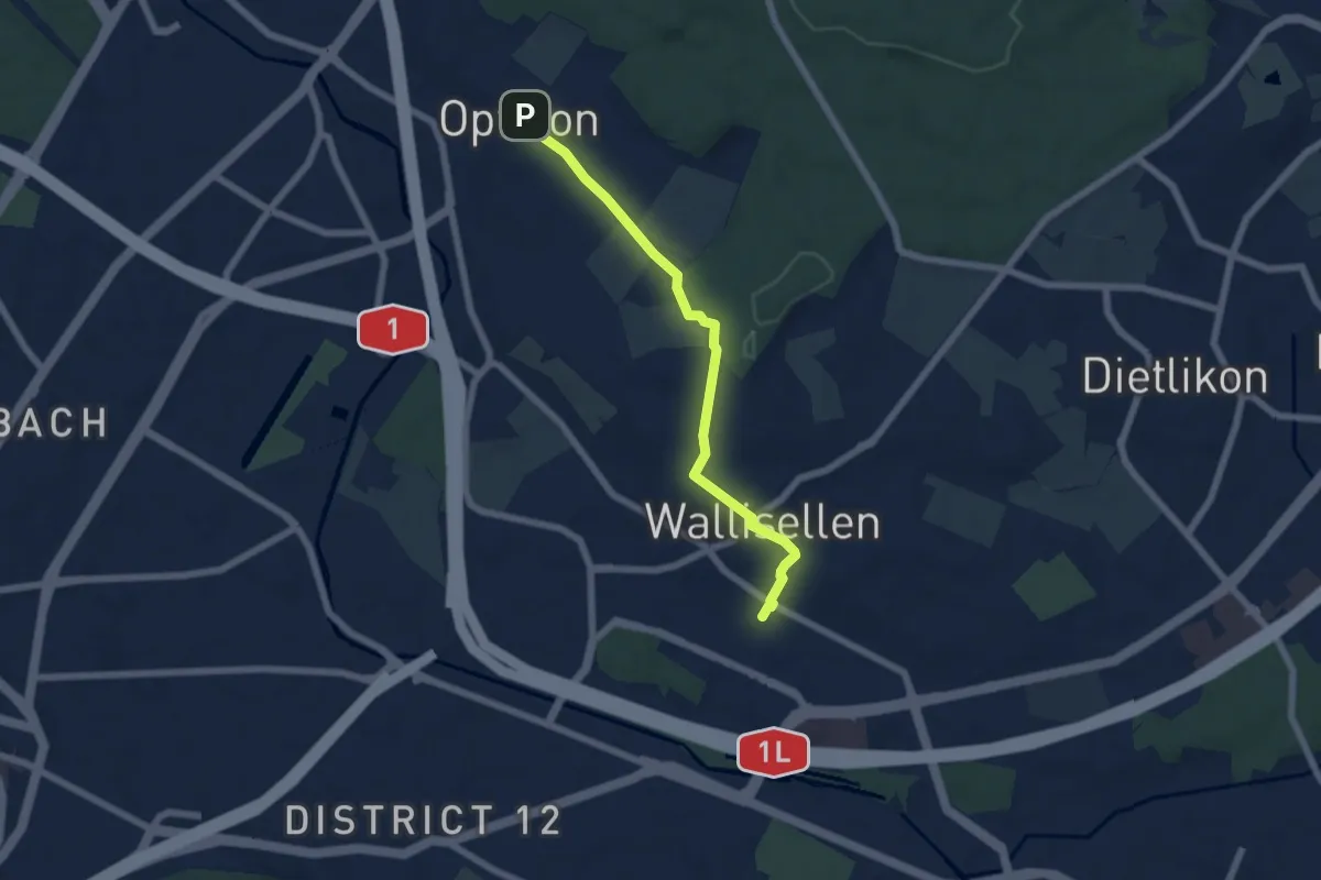
Easy · Trail
Wallisellen – Opfikon
5.8 km · ↑ 87 m · 1 h 33 min · 13 km away
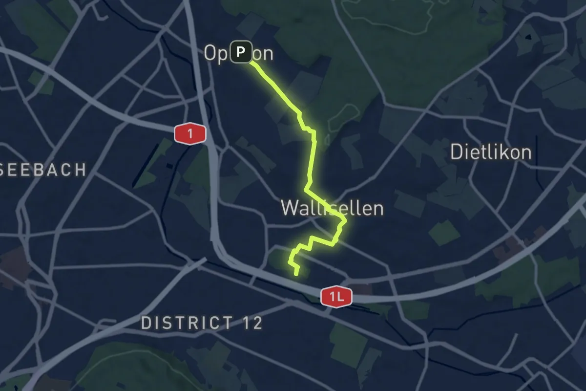
Easy · Pilgrim path
Hugenotten- und Waldenserweg
3.8 km · ↑ 52 m · 1 h 4 min · 13 km away
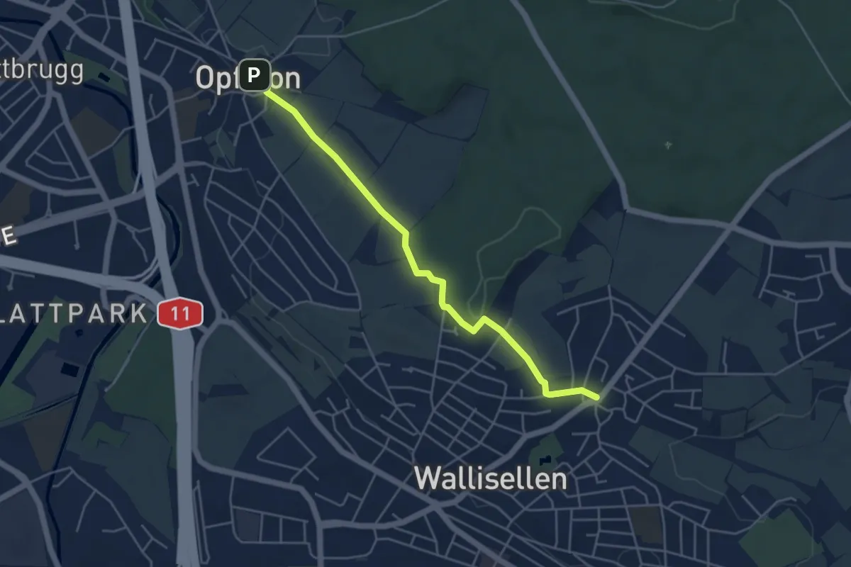
Easy · Trail
Rieden – Opfikon
4.6 km · ↑ 62 m · 1 h 13 min · 13 km away
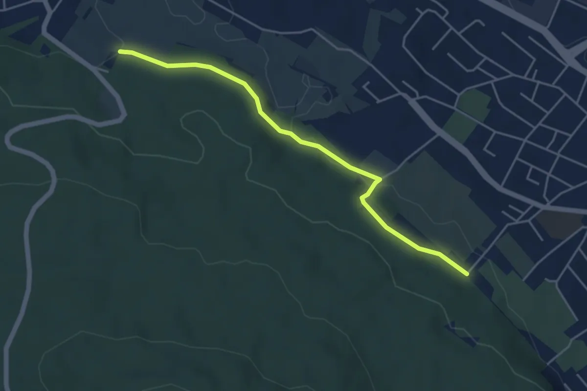
Easy · Trail
Altstetten – Stärpel
4.1 km · ↑ 94 m · 1 h 11 min · 13 km away
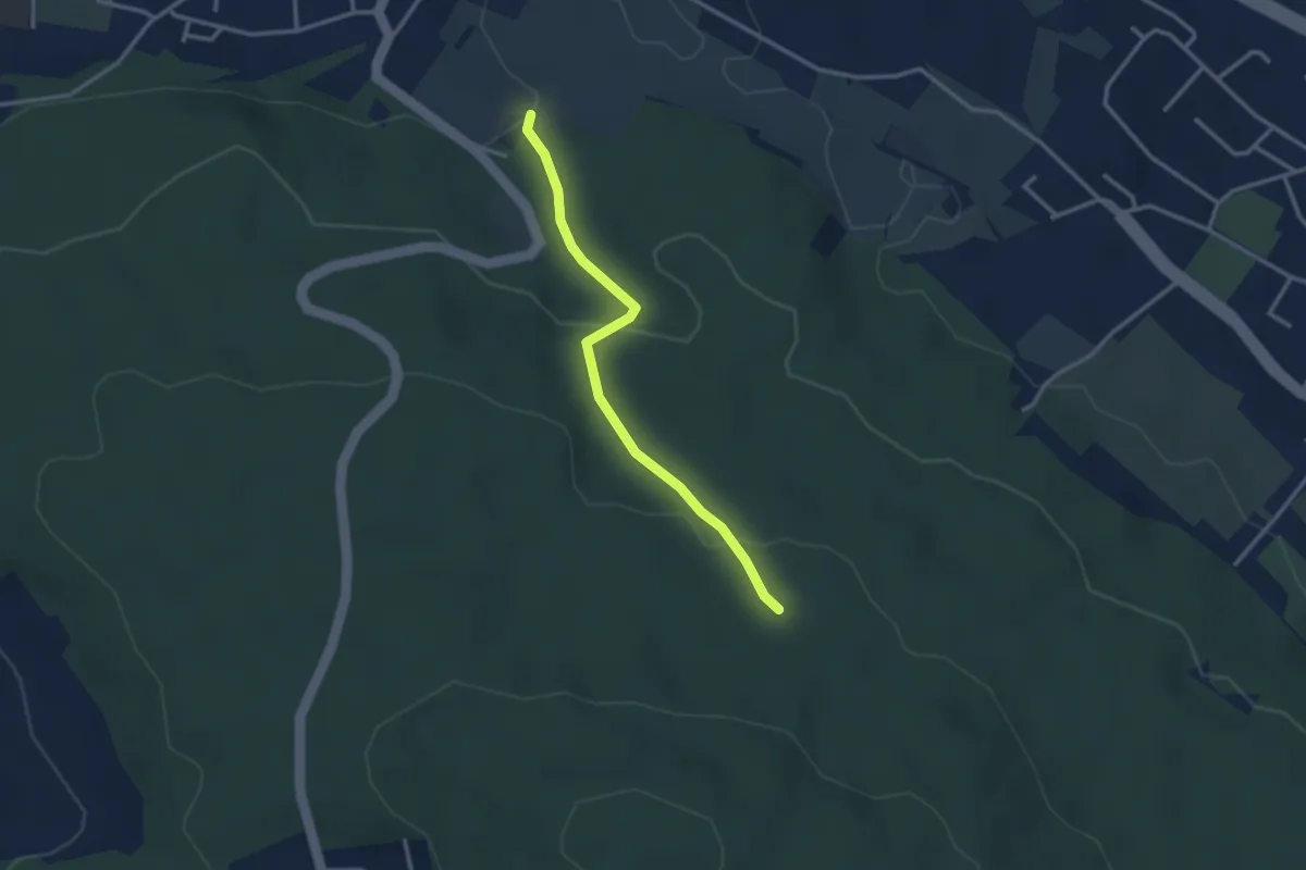
Easy · Trail
Stärpel – Frauenmatt
2.8 km · ↑ 113 m · 54 min · 13 km away
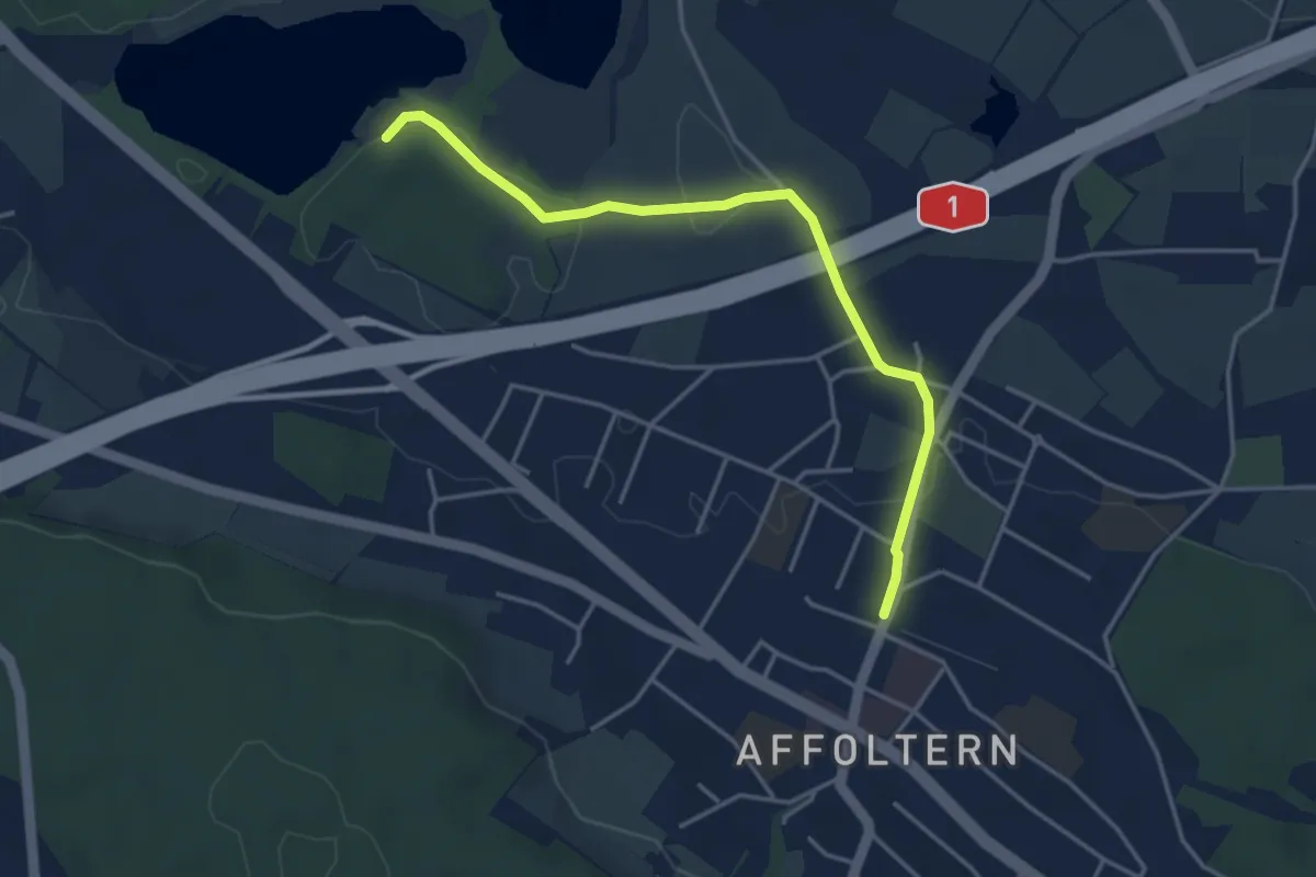
Easy · Trail
Zürich Affoltern - Chatzensee Strandbad
4.0 km · ↑ 39 m · 1 h 2 min · 13 km away