Trails near Küssnacht am Rigi
669 hikes starting within 15 km, nearest first.
Nearest first, page 13 of 14
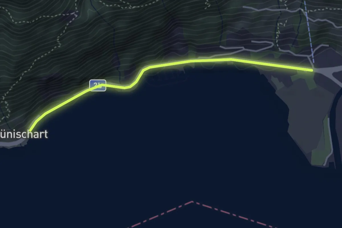
Easy · Trail
LSB Urmiberg Brunnen – Brünischart
3.8 km · ↑ 28 m · 57 min · 14 km away
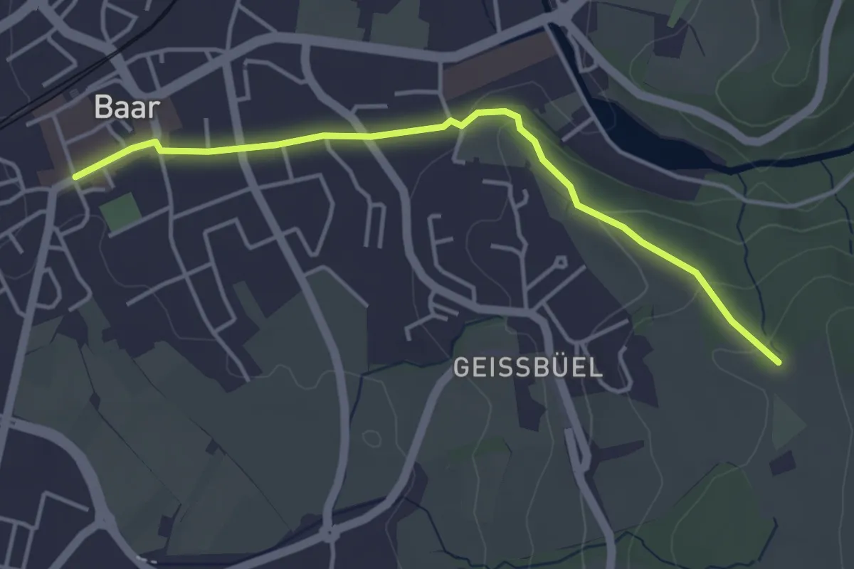
Easy · Trail
Ober Allmend - Dorfstrasse
4.0 km · ↑ 101 m · 1 h 9 min · 14 km away
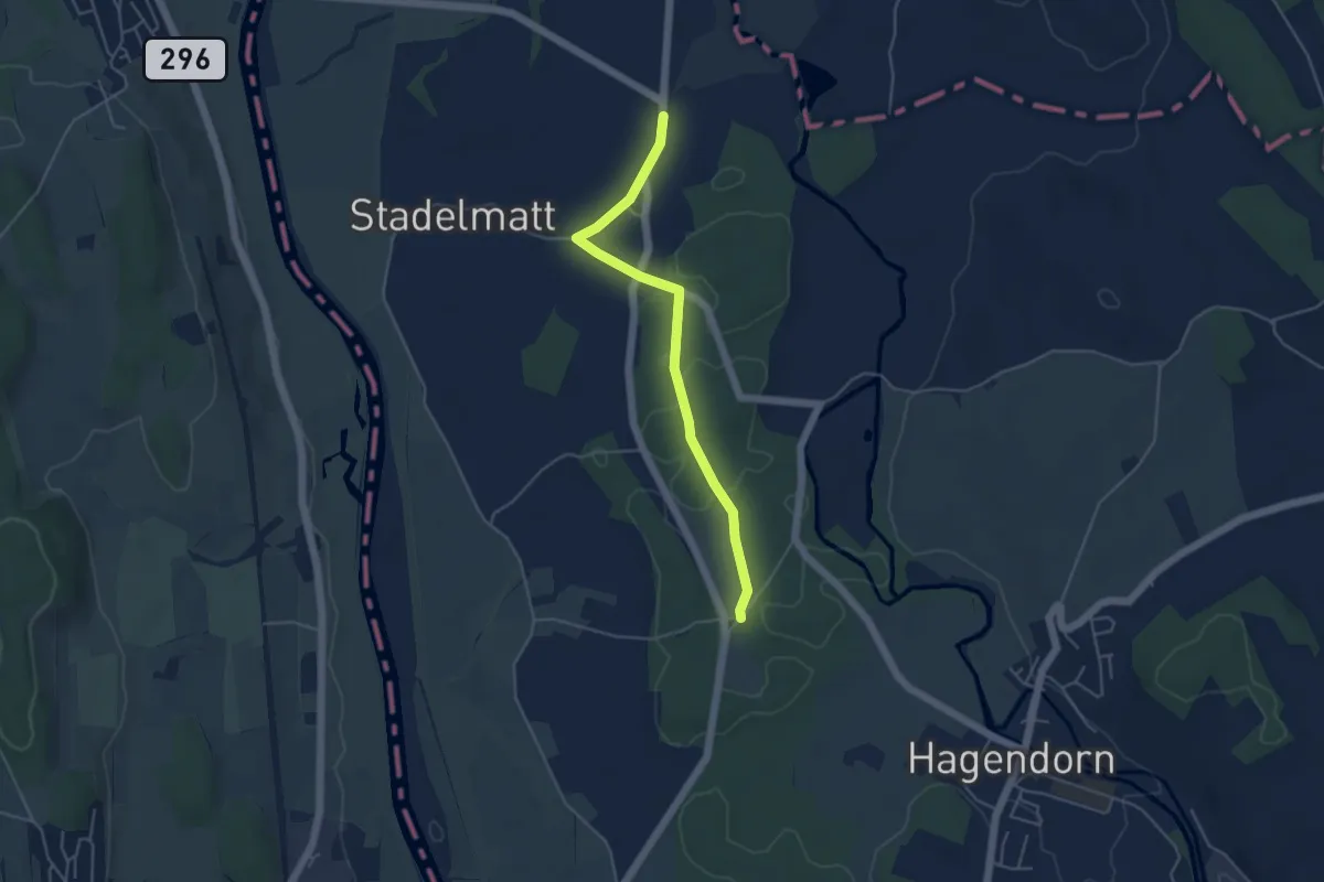
Easy · Trail
Bützen - Schachen Witi
4.5 km · ↑ 13 m · 1 h 5 min · 14 km away
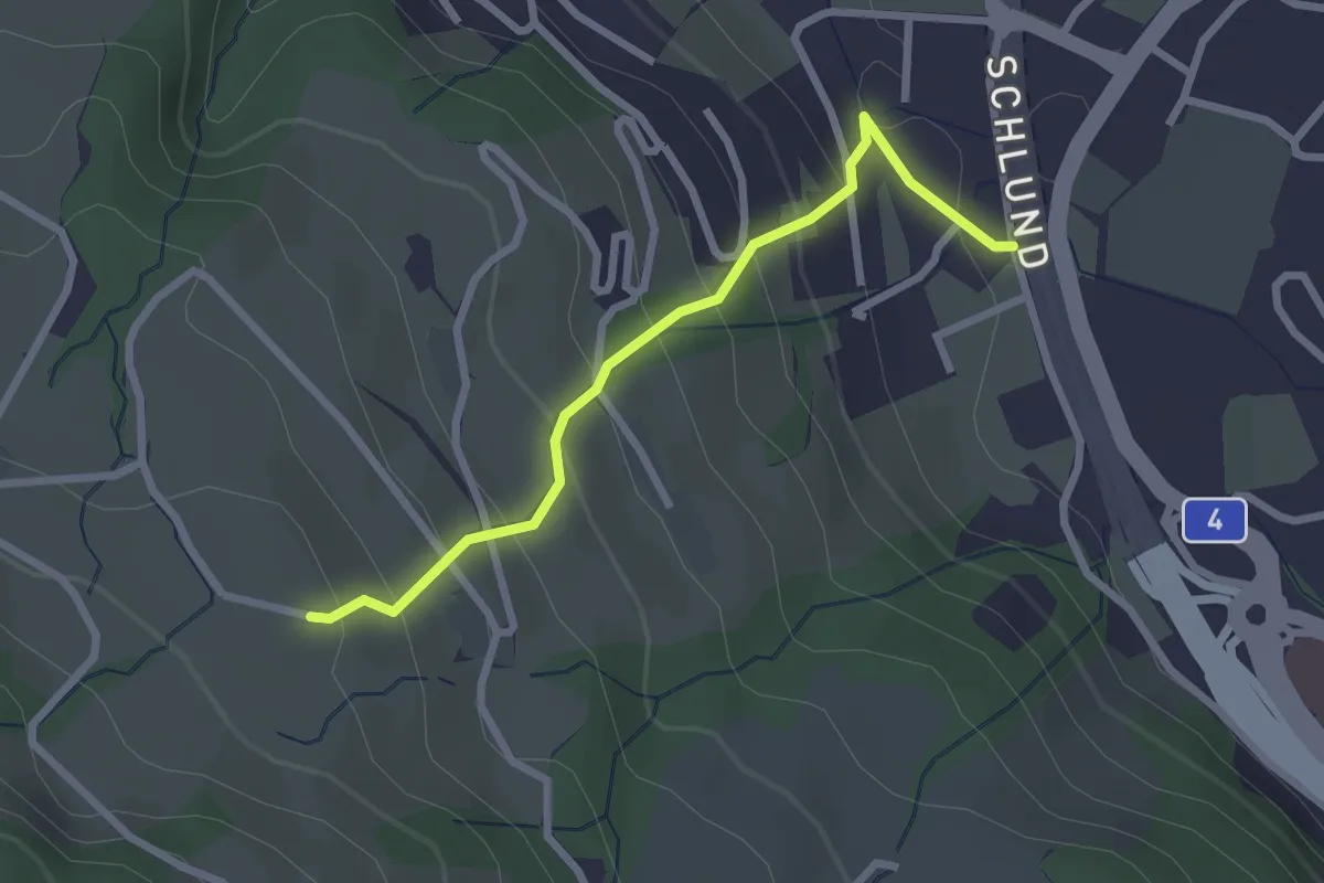
Easy · Trail
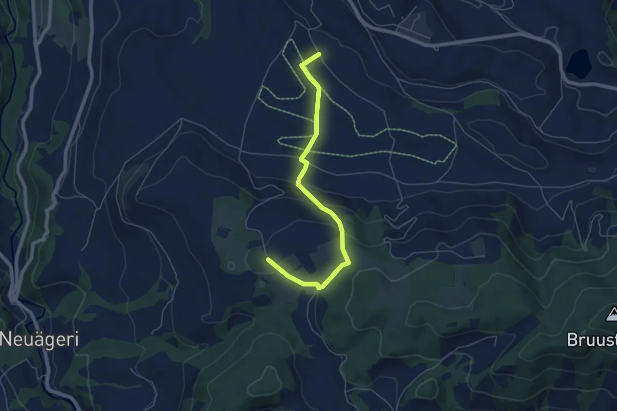
Schlund - Himmelrich
2.5 km · ↑ 222 m · 1 h 4 min · 14 km away
Easy · Trail
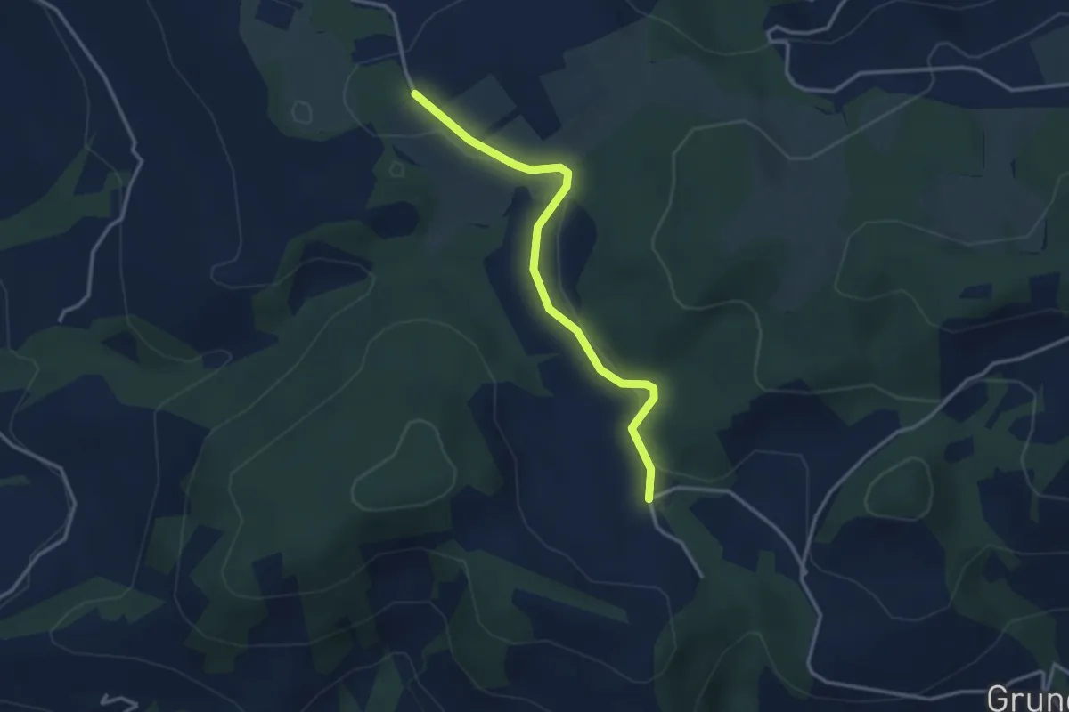
Brämen-Höchi - Grund
5.5 km · ↑ 172 m · 1 h 41 min · 14 km away
Easy · Trail
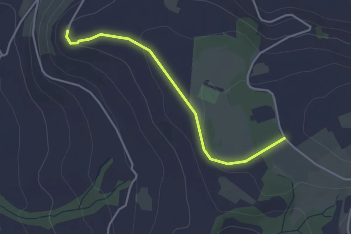
Hinterwiden - Brämen-Höchi
3.0 km · ↑ 21 m · 45 min · 14 km away
Easy · Trail
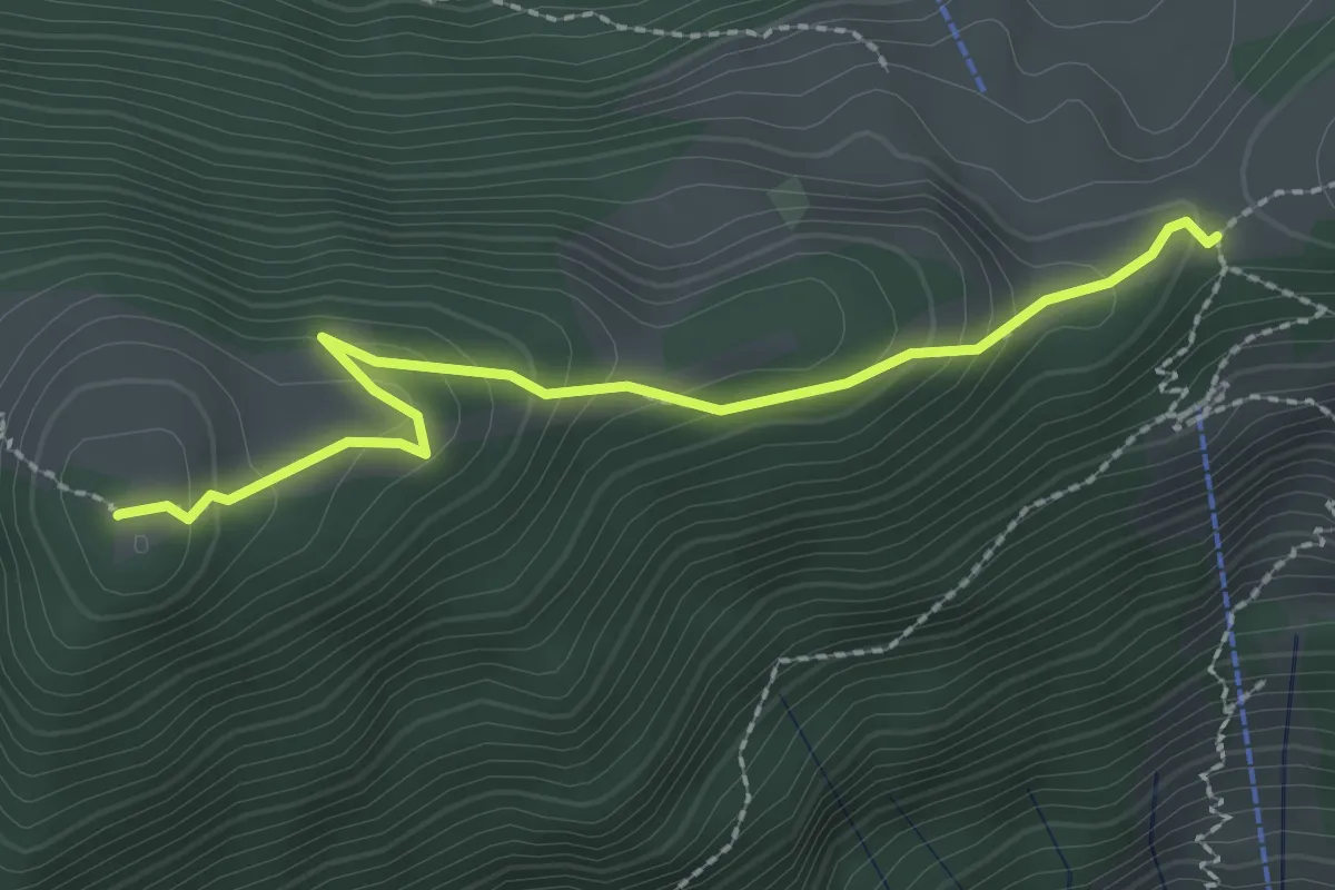
Brämen-Höchi - Gubel
2.9 km · ↑ 65 m · 49 min · 14 km away
Medium · Summit
Gottertli – Schwand
2.4 km · ↑ 173 m · 57 min · 14 km away
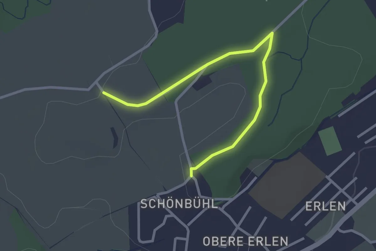
Easy · Trail
Büelmatt - Schluche
2.7 km · ↑ 24 m · 41 min · 14 km away
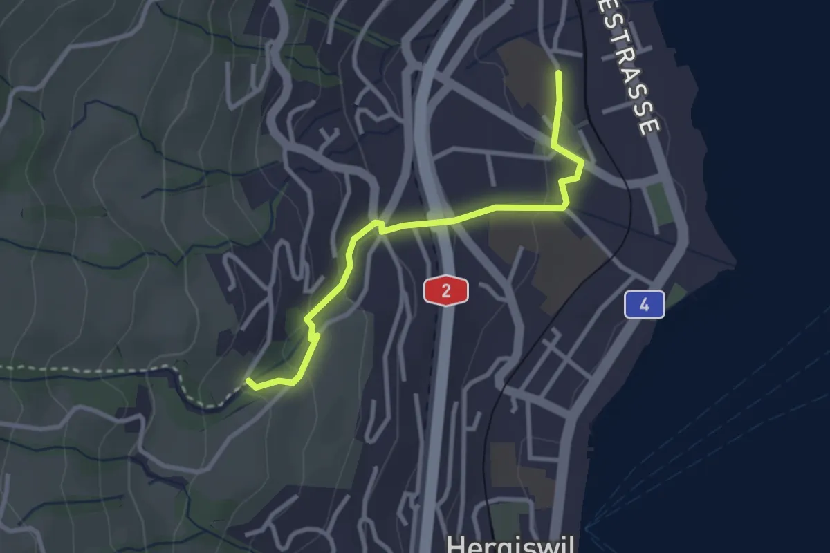
Easy · Trail
Hergiswil Matt – Unter Chellen
2.7 km · ↑ 123 m · 55 min · 14 km away
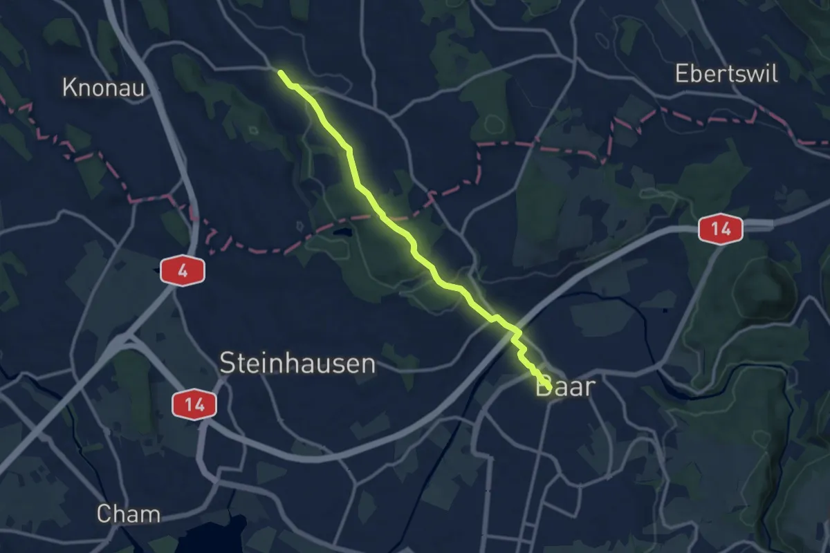
Medium · Trail
Rossau - Baar
10.0 km · ↑ 174 m · 2 h 45 min · 14 km away
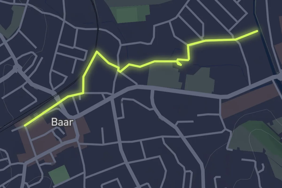
Easy · Trail
Baar-Baar SBB
3.0 km · ↑ 9 m · 43 min · 14 km away
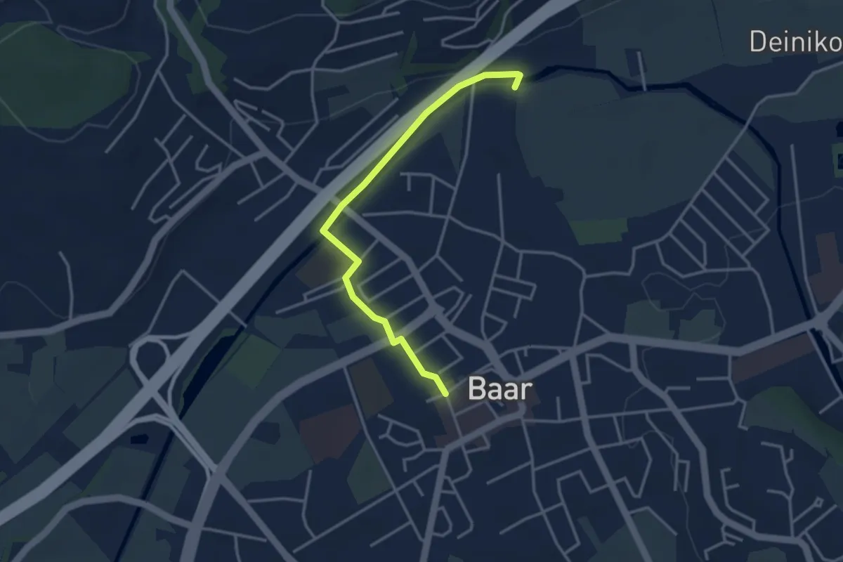
Easy · Trail
Baar SBB - Jöchler
3.3 km · ↑ 17 m · 49 min · 14 km away
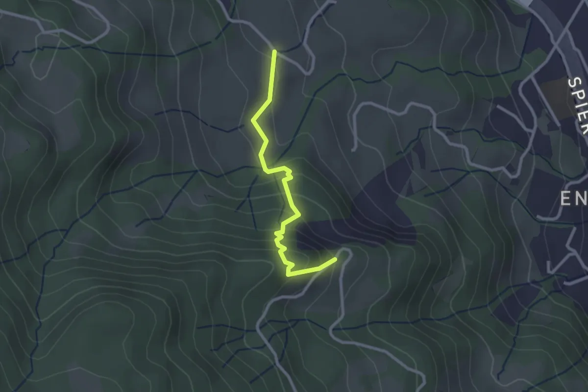
Easy · Trail
Kreuel – Schwendelberg
2.3 km · ↑ 185 m · 57 min · 14 km away
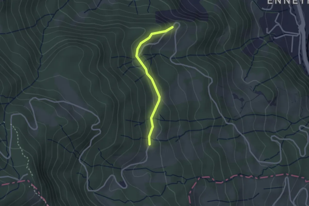
Easy · Trail
Cholhüttli – Schwendelberg
2.2 km · ↑ 97 m · 44 min · 14 km away
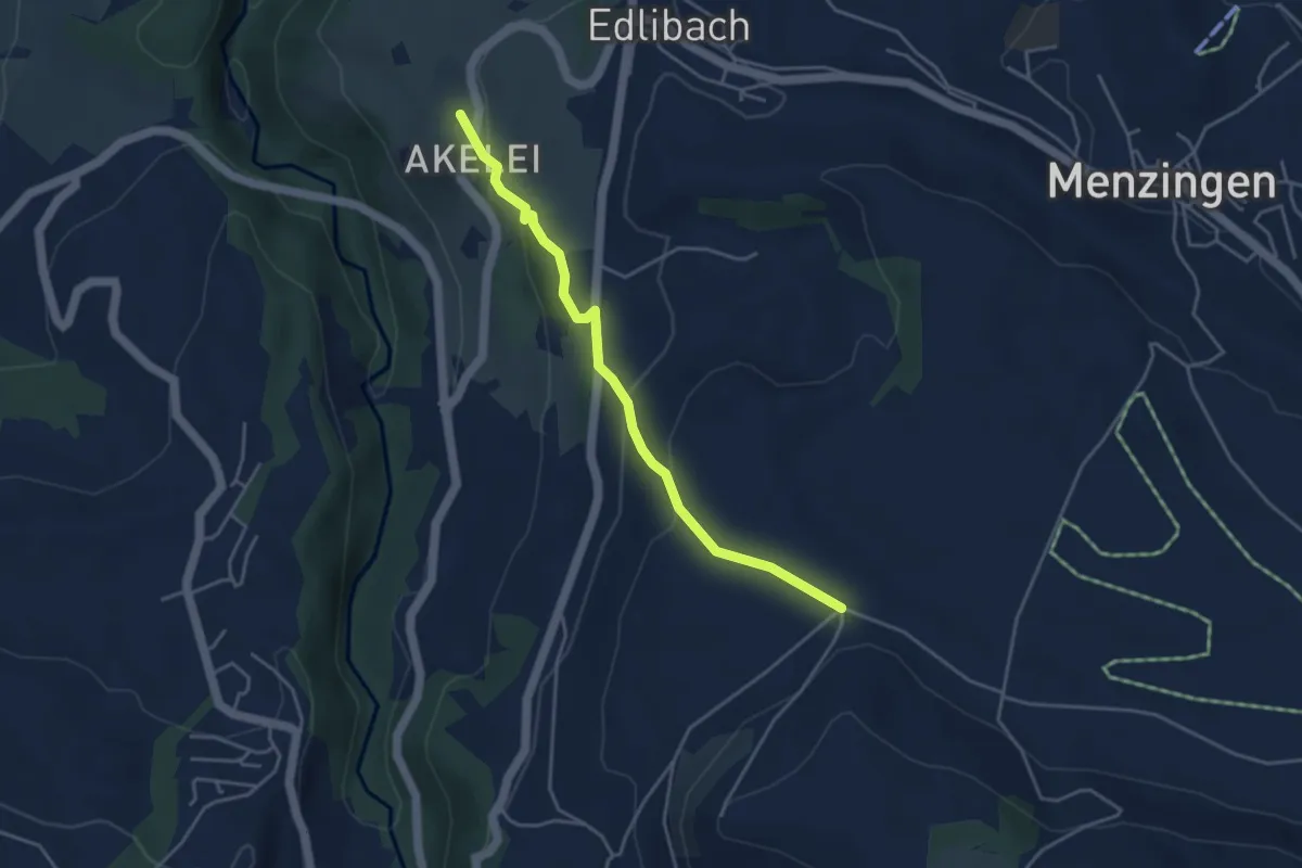
Easy · Trail
Bolzli - Wulfligen
4.0 km · ↑ 150 m · 1 h 16 min · 14 km away
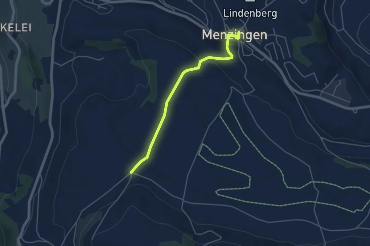
Easy · Trail
Menzingen - Bolzli
3.7 km · ↑ 70 m · 1 h 2 min · 14 km away
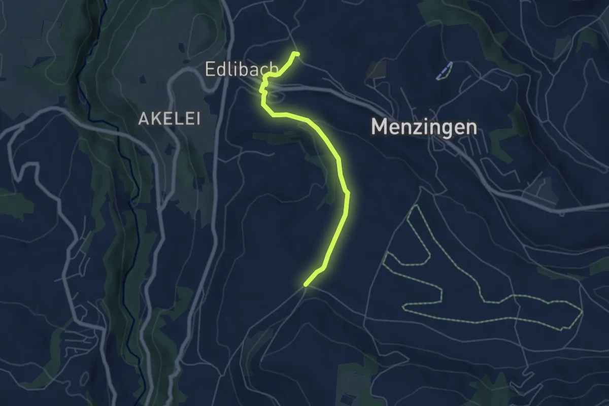
Easy · Trail
Edlibach – Bolzli
4.9 km · ↑ 91 m · 1 h 22 min · 14 km away
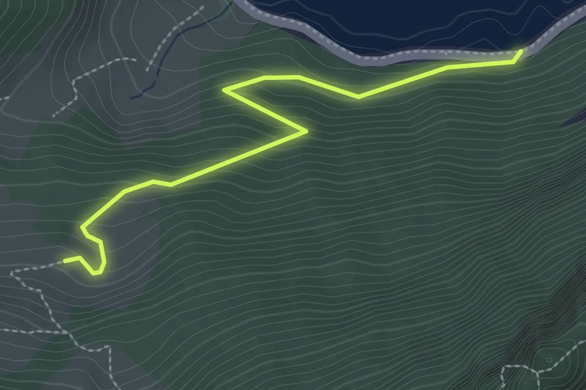
Easy · Trail
Schwändi – Bierkeller
2.7 km · ↑ 185 m · 1 h 3 min · 14 km away
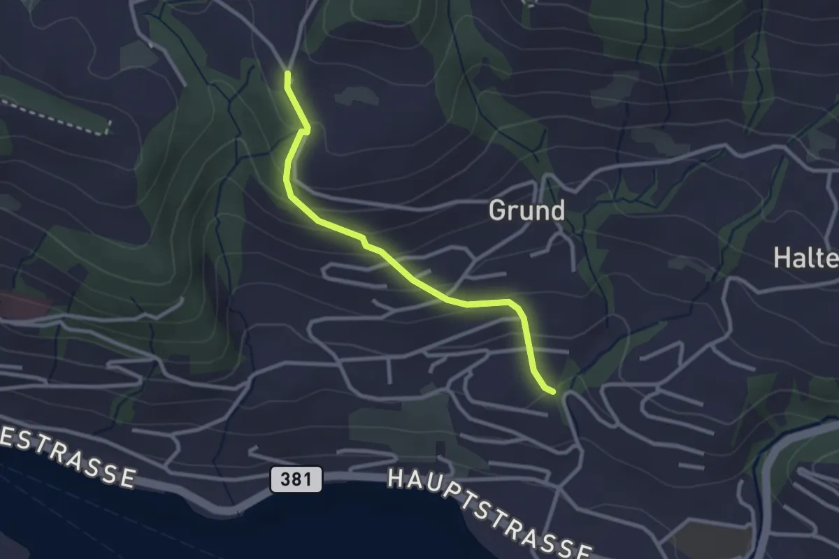
Easy · Trail
Hinterschneit - Gruben
2.5 km · ↑ 154 m · 55 min · 14 km away
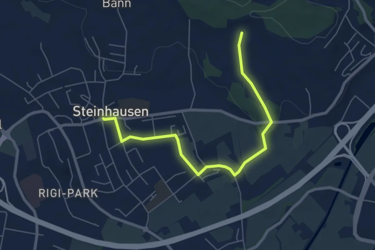
Easy · Trail
Hinter Zimbel - Steinhausen
5.6 km · ↑ 55 m · 1 h 26 min · 14 km away
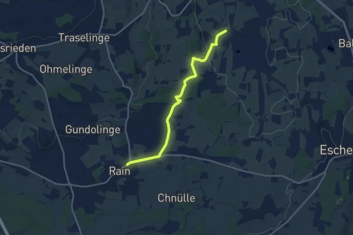
Medium · Trail
Ligschwil - Herbrig - Rain
8.2 km · ↑ 132 m · 2 h 14 min · 14 km away
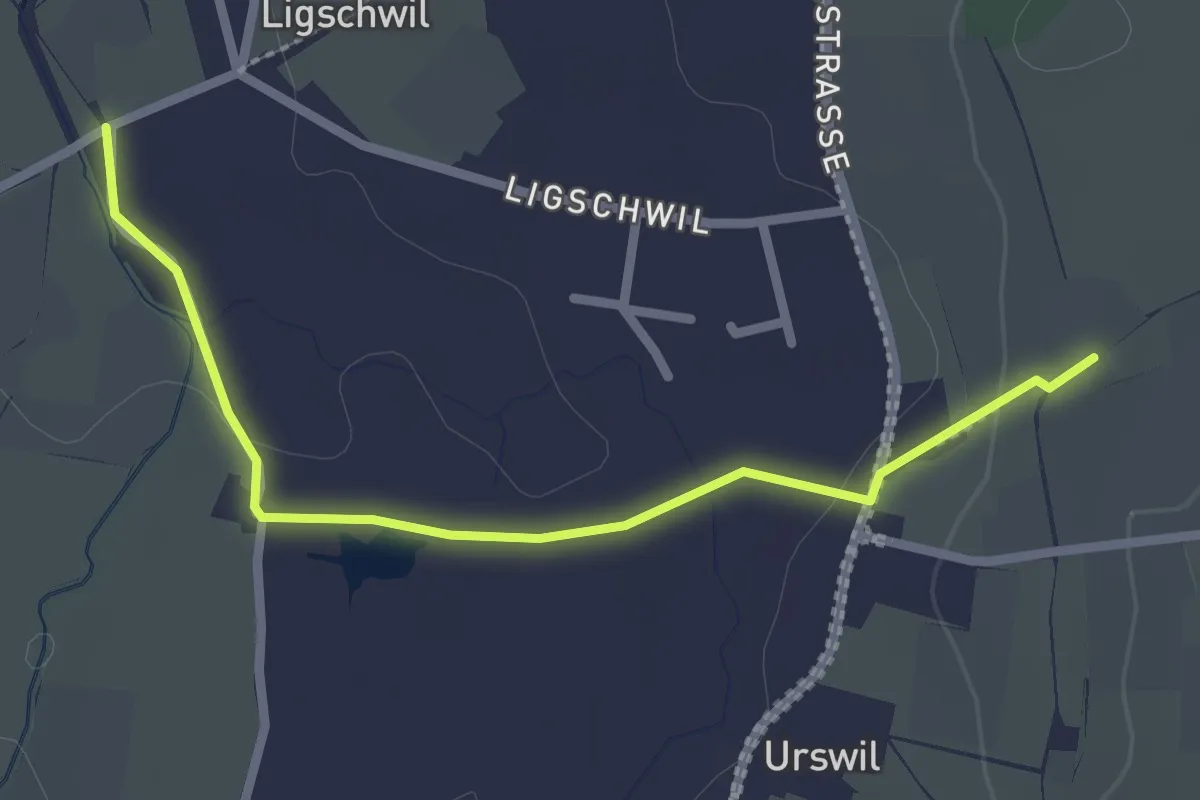
Easy · Trail
Urswil - Ligschwil
2.5 km · ↑ 25 m · 39 min · 14 km away
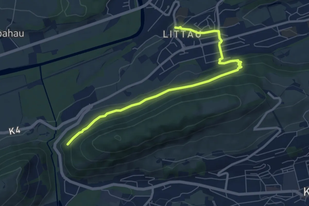
Easy · Trail
Littau Dorf – Ränggloch
7.2 km · ↑ 280 m · 2 h 19 min · 14 km away
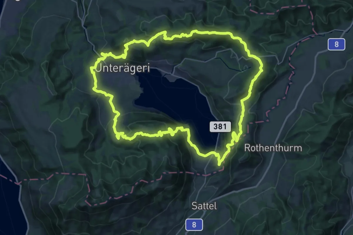
Demanding · Summit
Panoramaweg Aegerital
30.2 km · ↑ 1210 m · 10 h 11 min · 14 km away
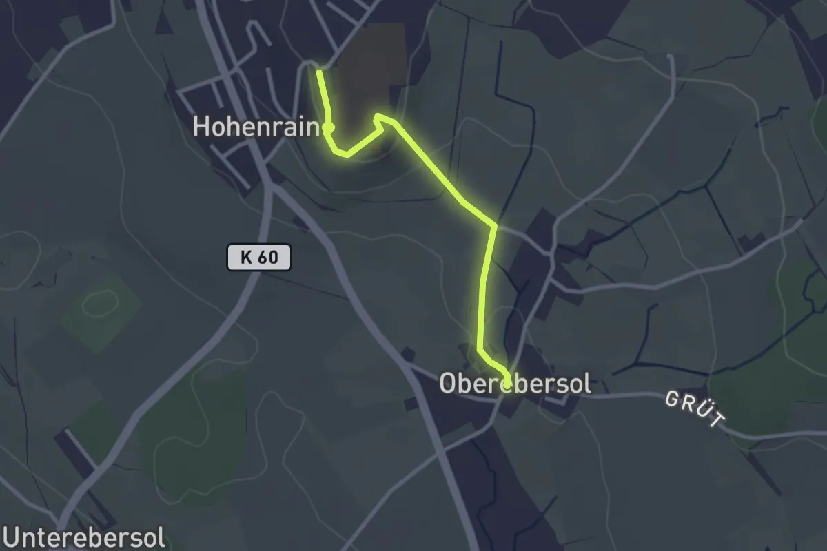
Easy · Trail
Hohenrain - Oberebersol
2.5 km · ↑ 49 m · 41 min · 14 km away
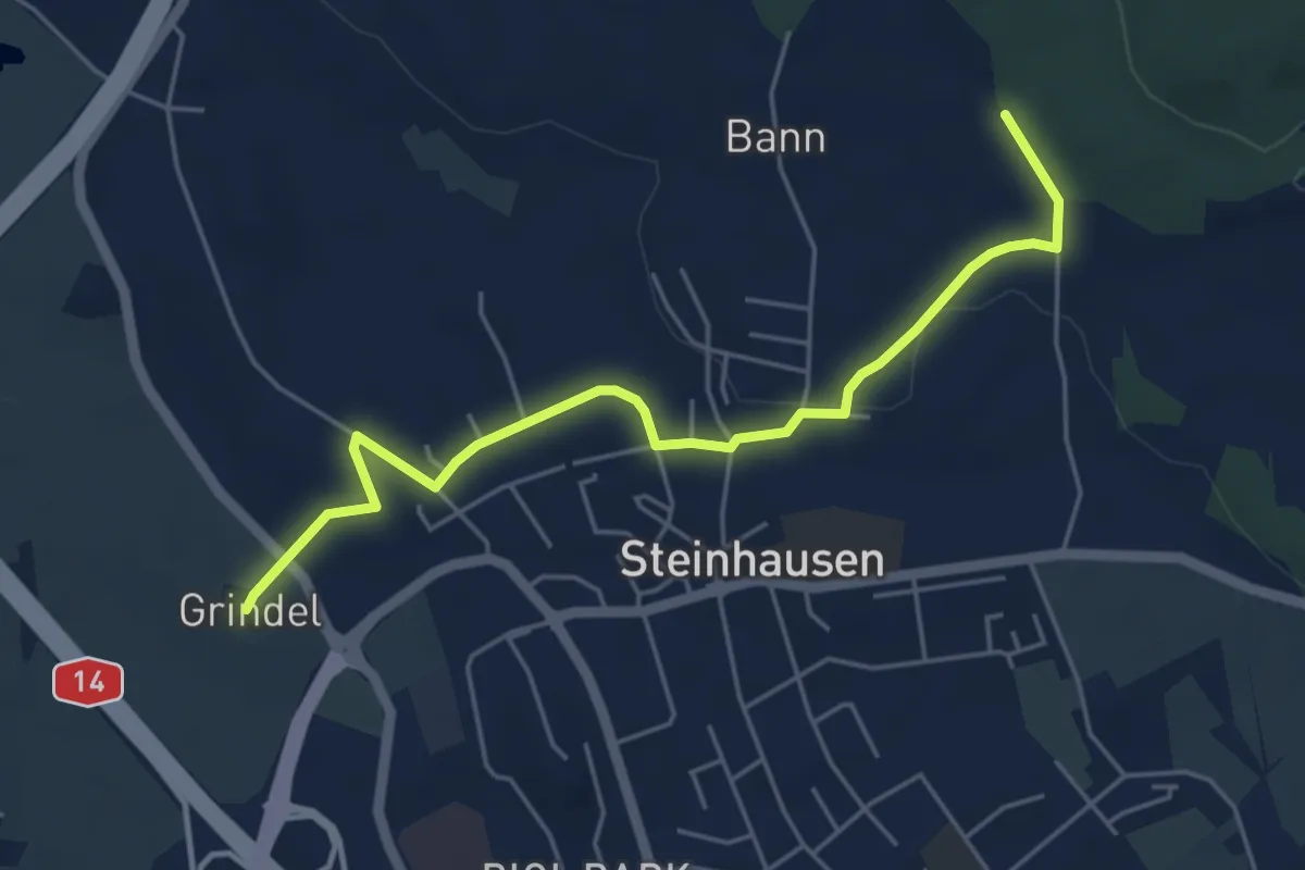
Easy · Trail
Steinhauserwald - Grindel
5.2 km · ↑ 60 m · 1 h 22 min · 14 km away
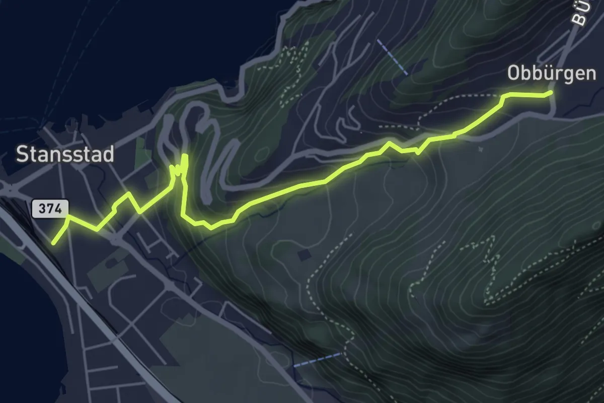
Medium · Trail
Obbürgen – Stansstad
5.7 km · ↑ 344 m · 2 h 5 min · 14 km away
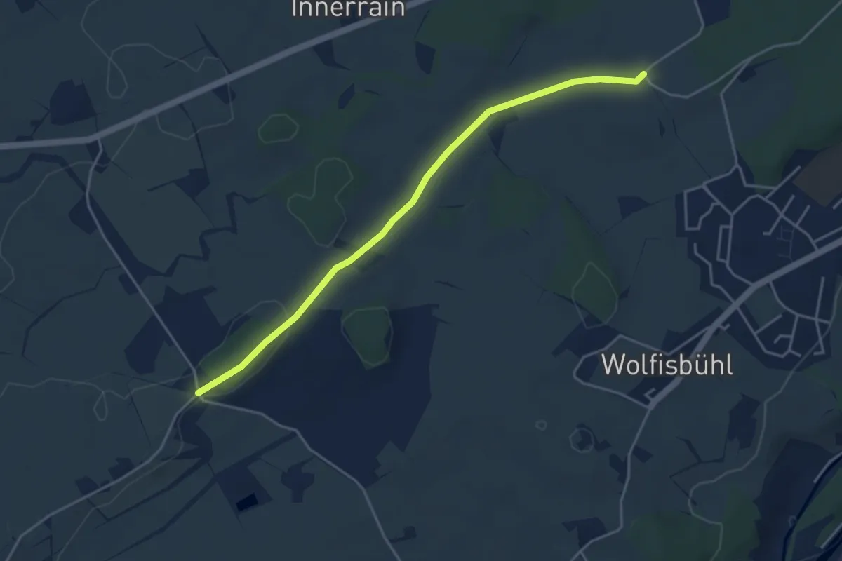
Easy · Trail
Im Spitz - Büelmatt
4.2 km · ↑ 51 m · 1 h 7 min · 14 km away
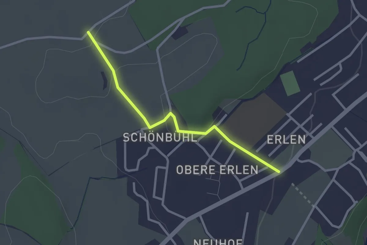
Easy · Trail
Büelmatt - Erlen
2.3 km · ↑ 33 m · 37 min · 14 km away
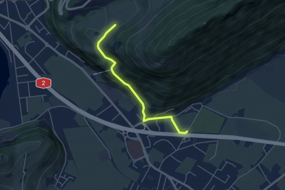
Easy · Trail
fixme - fixme
3.8 km · ↑ 220 m · 1 h 23 min · 14 km away
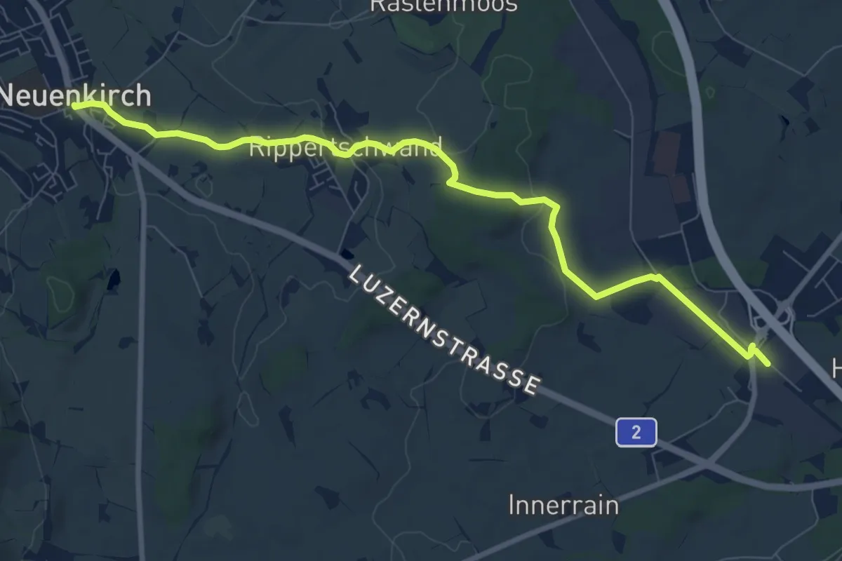
Medium · Trail
Rothenburg Station - Neuenkirch
9.1 km · ↑ 108 m · 2 h 23 min · 14 km away
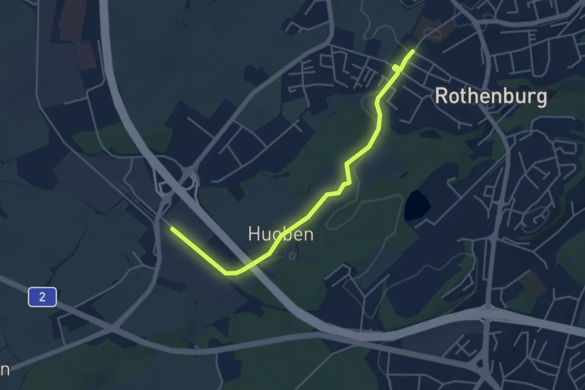
Easy · Trail
Rothenburg Station - Rothenburg (Schulhaus Gerbematt)
4.1 km · ↑ 20 m · 1 h 1 min · 14 km away
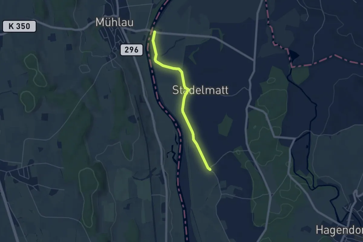
Easy · Trail
Brücke Mühlau - Unter Chamau
4.7 km · ↑ 4 m · 1 h 7 min · 14 km away
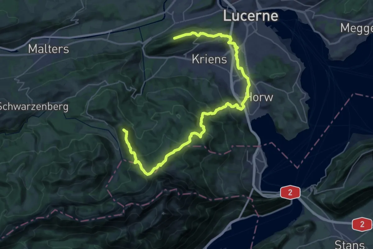
Demanding · Summit
Weg um Kriens
34.3 km · ↑ 1679 m · 11 h 44 min · 14 km away
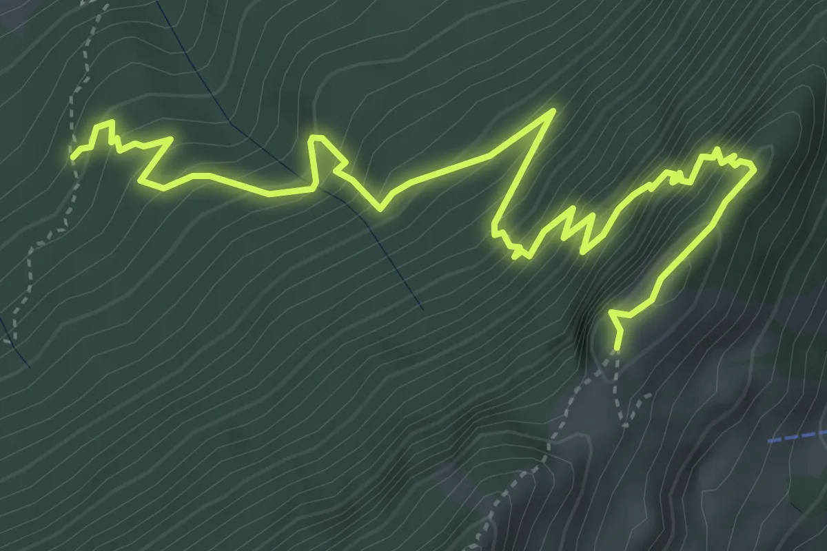
Expert · Trail
Gitzitritt
6.3 km · ↑ 719 m · 3 h 2 min · 14 km away
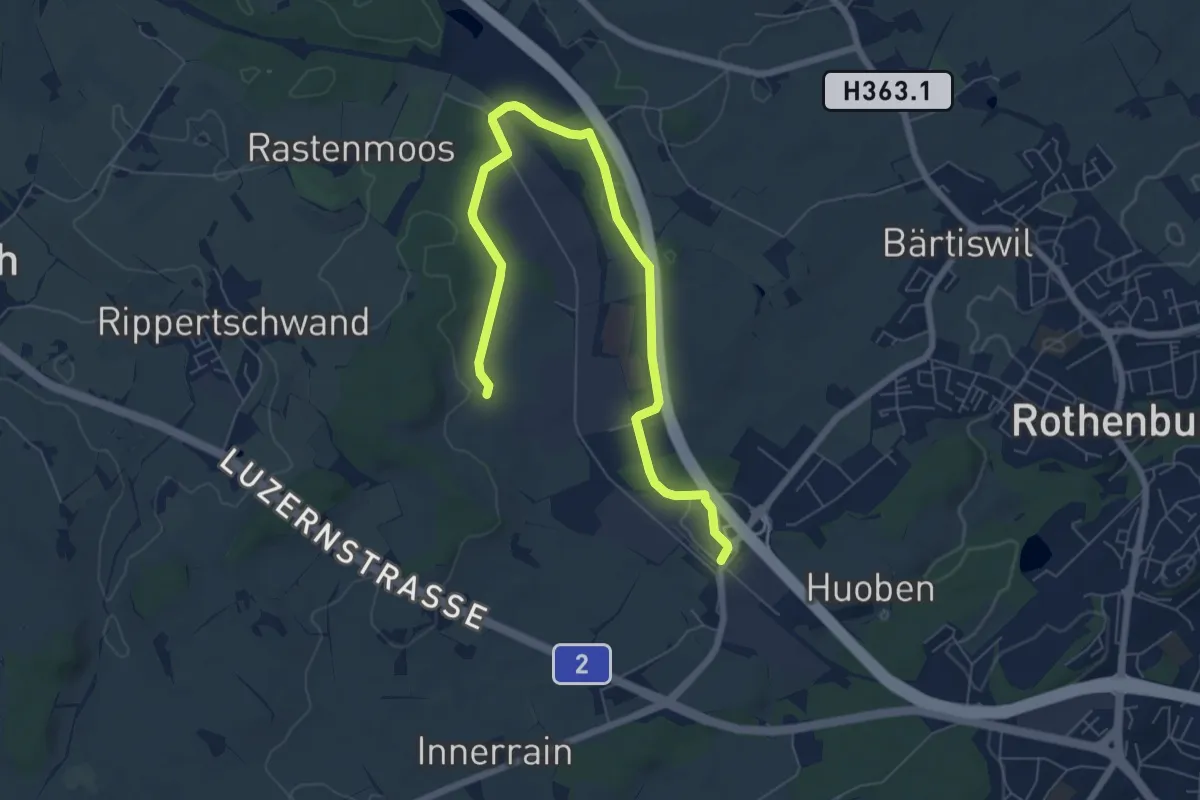
Medium · Trail
Rothenburg Station - Ober Wahligen
8.0 km · ↑ 59 m · 2 h 1 min · 14 km away
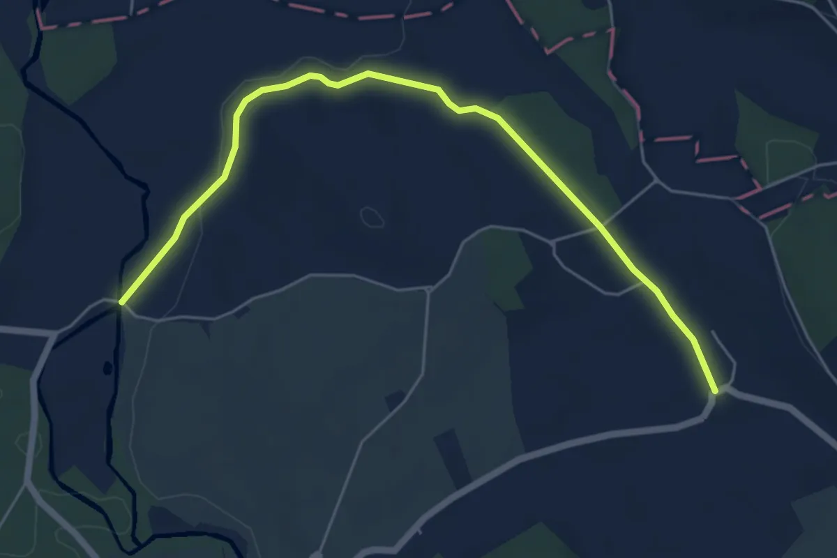
Easy · Trail
Waldweier - Steinhauserwald
5.7 km · ↑ 73 m · 1 h 31 min · 14 km away
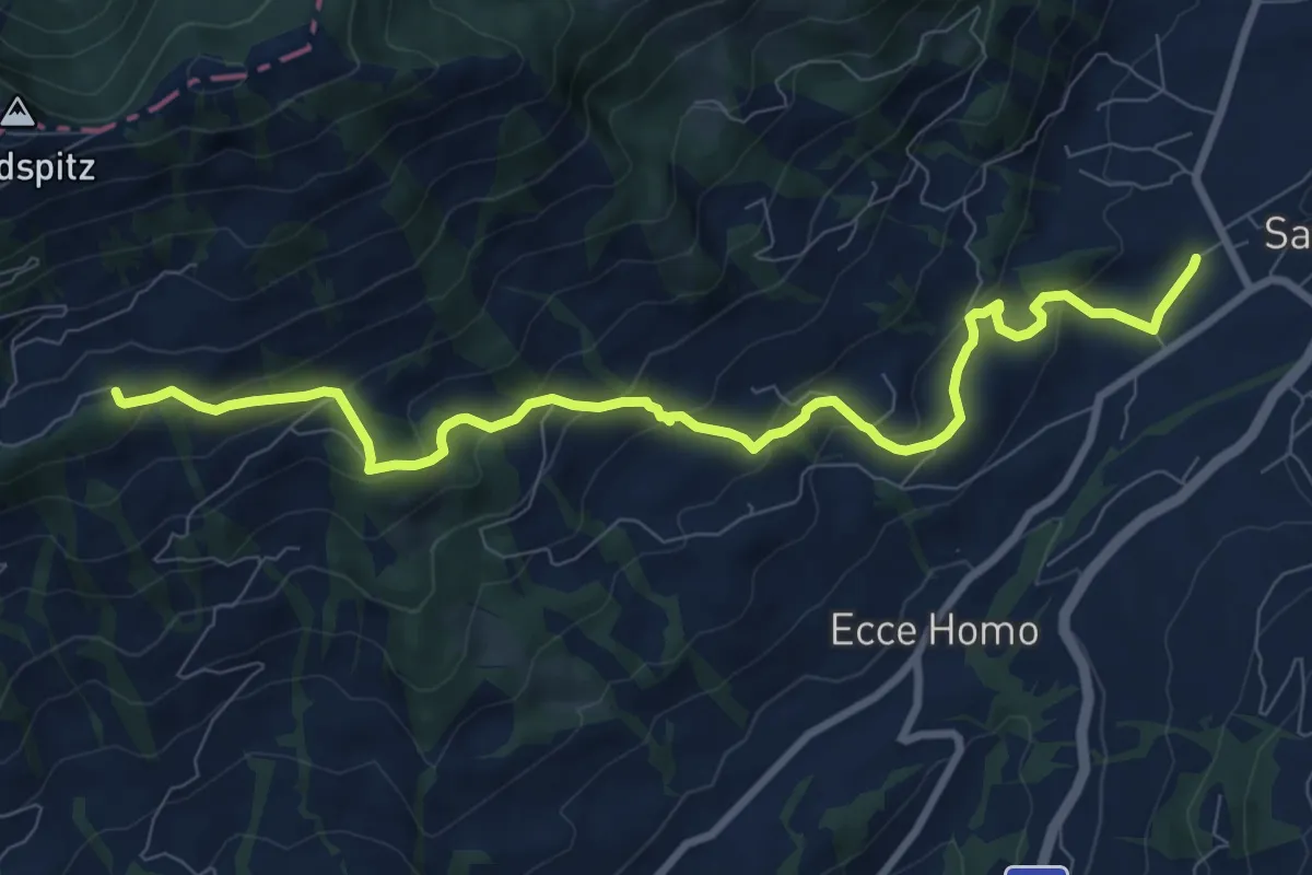
Medium · Trail
Bahnhof Sattel Ägeri - Obhegkapelle
9.6 km · ↑ 486 m · 3 h 20 min · 14 km away
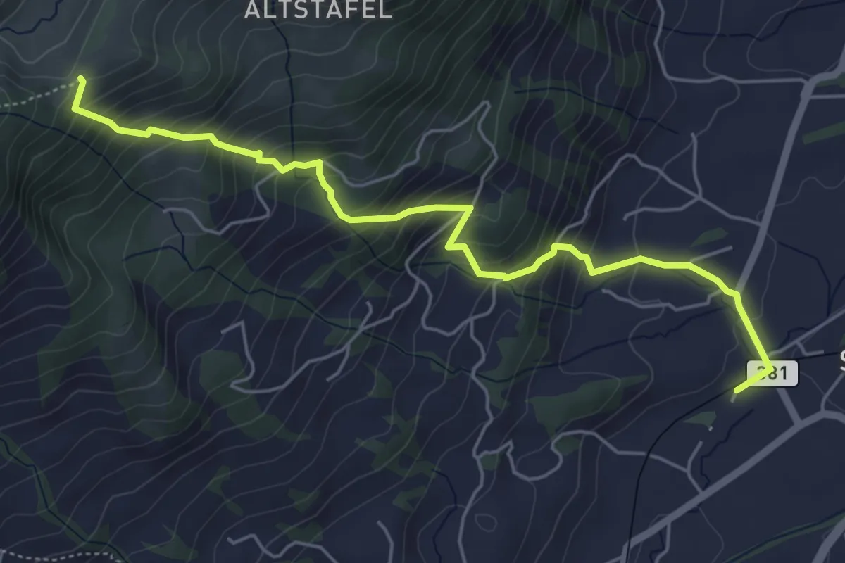
Medium · Trail
Halsegg - Sattel
5.8 km · ↑ 549 m · 2 h 33 min · 14 km away
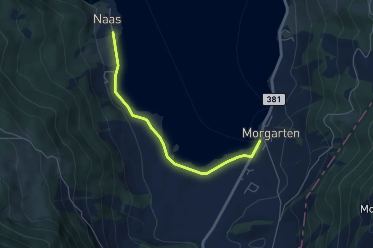
Easy · Trail
Nas – Morgarten Hauptsee
4.4 km · ↑ 19 m · 1 h 4 min · 14 km away
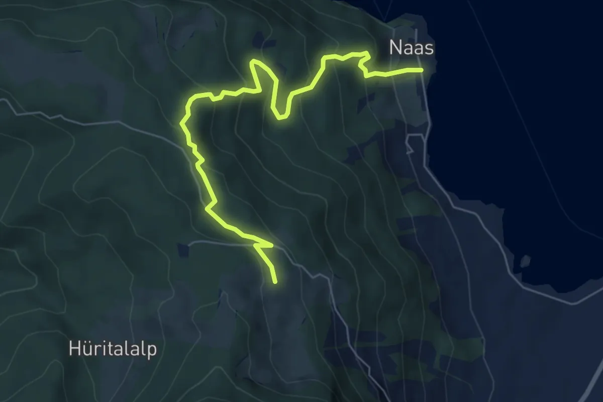
Medium · Trail
Ramenegg - Nas
6.7 km · ↑ 456 m · 2 h 34 min · 14 km away
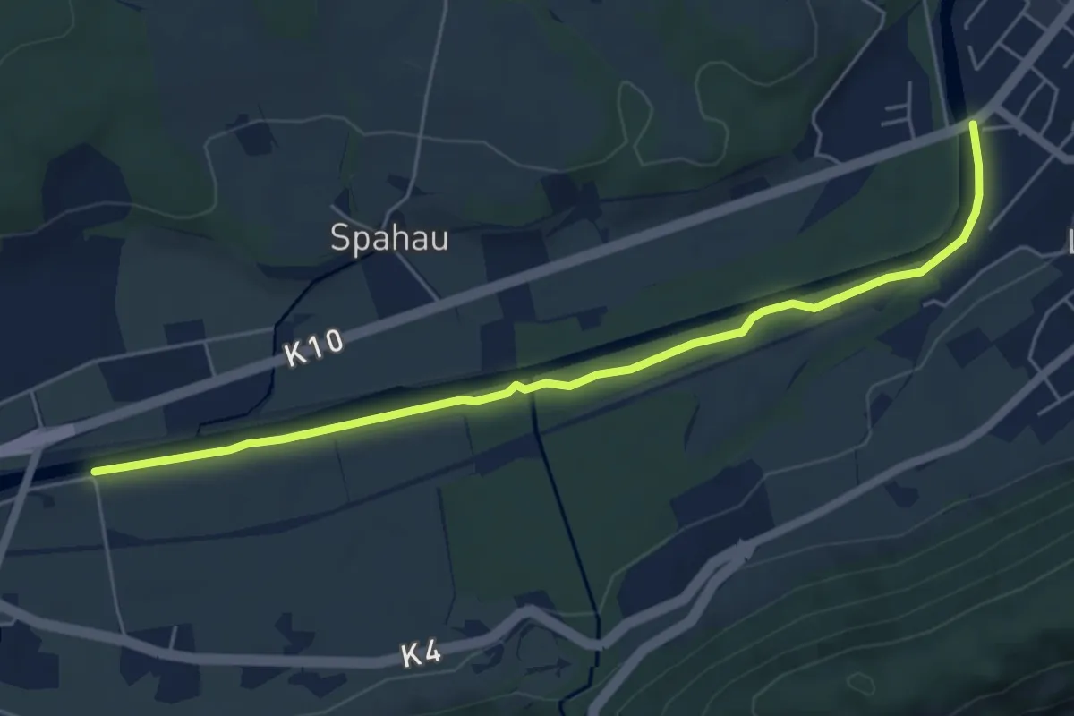
Easy · Trail
Blatten – Thorenbergbrücke
5.6 km · ↑ 13 m · 1 h 21 min · 14 km away
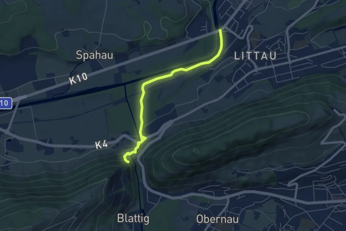
Easy · Trail
Ränggloch – Thorenbergbrücke
5.3 km · ↑ 133 m · 1 h 32 min · 14 km away
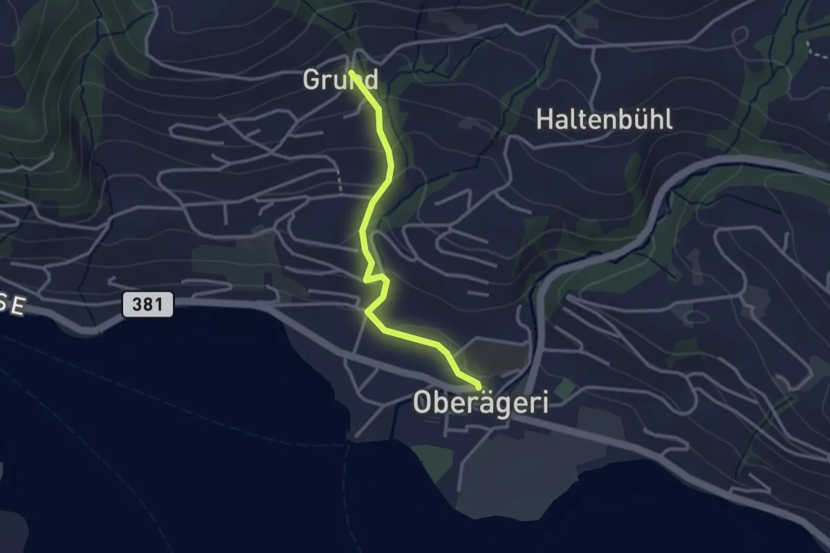
Easy · Trail
Grund - Oberägeri
2.6 km · ↑ 117 m · 52 min · 14 km away
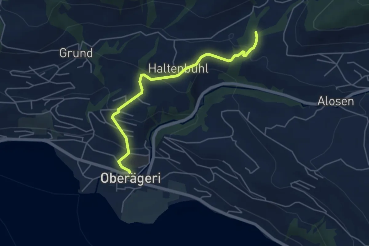
Easy · Trail
Chefibach – Oberägeri
4.3 km · ↑ 181 m · 1 h 24 min · 14 km away
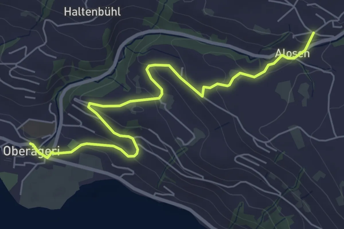
Easy · Trail
Alosen - Oberägeri
6.3 km · ↑ 175 m · 1 h 53 min · 14 km away
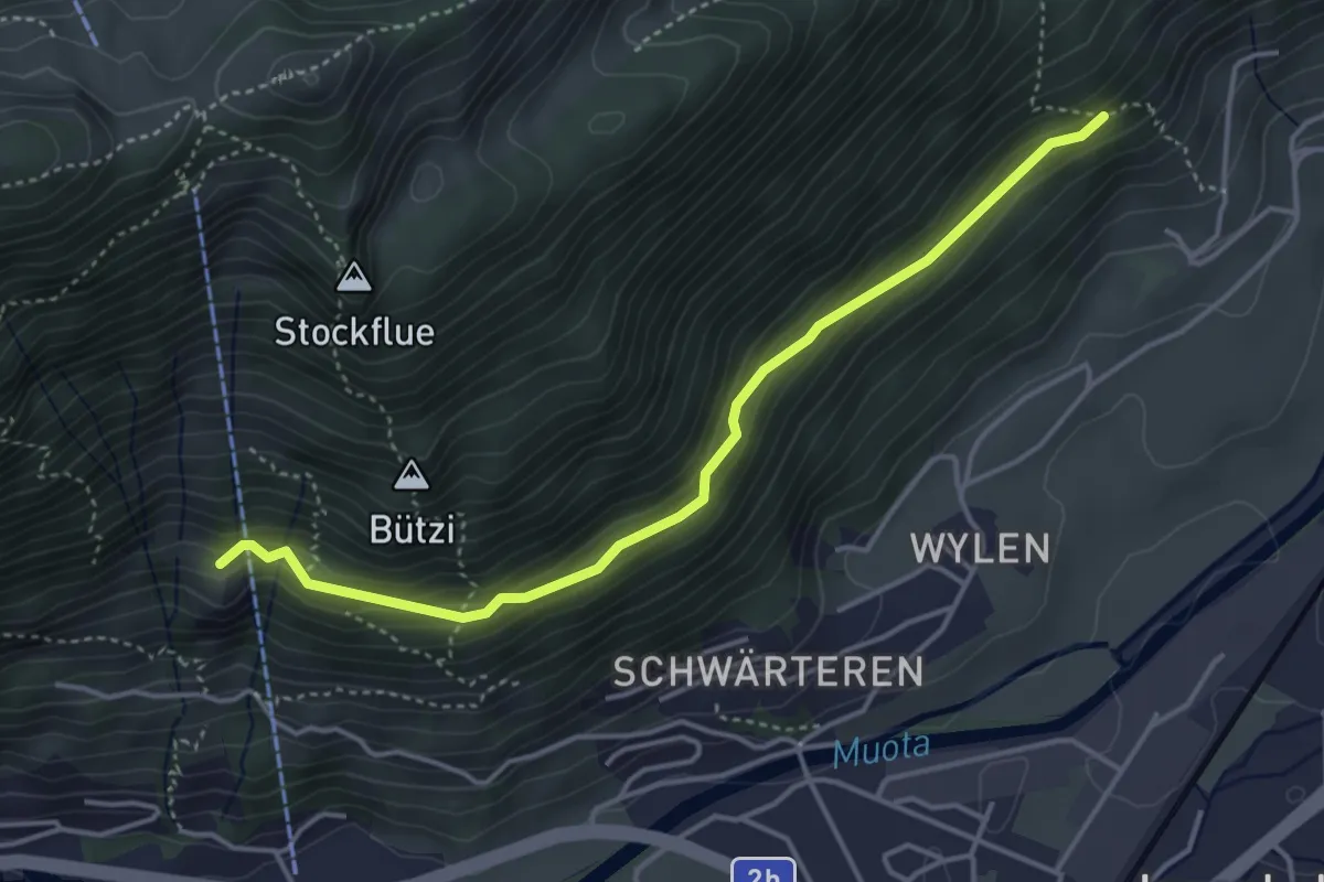
Medium · Trail
Spitz - Stöck
4.1 km · ↑ 229 m · 1 h 28 min · 14 km away