Trails near Küssnacht am Rigi
669 hikes starting within 15 km, nearest first.
Nearest first, page 12 of 14
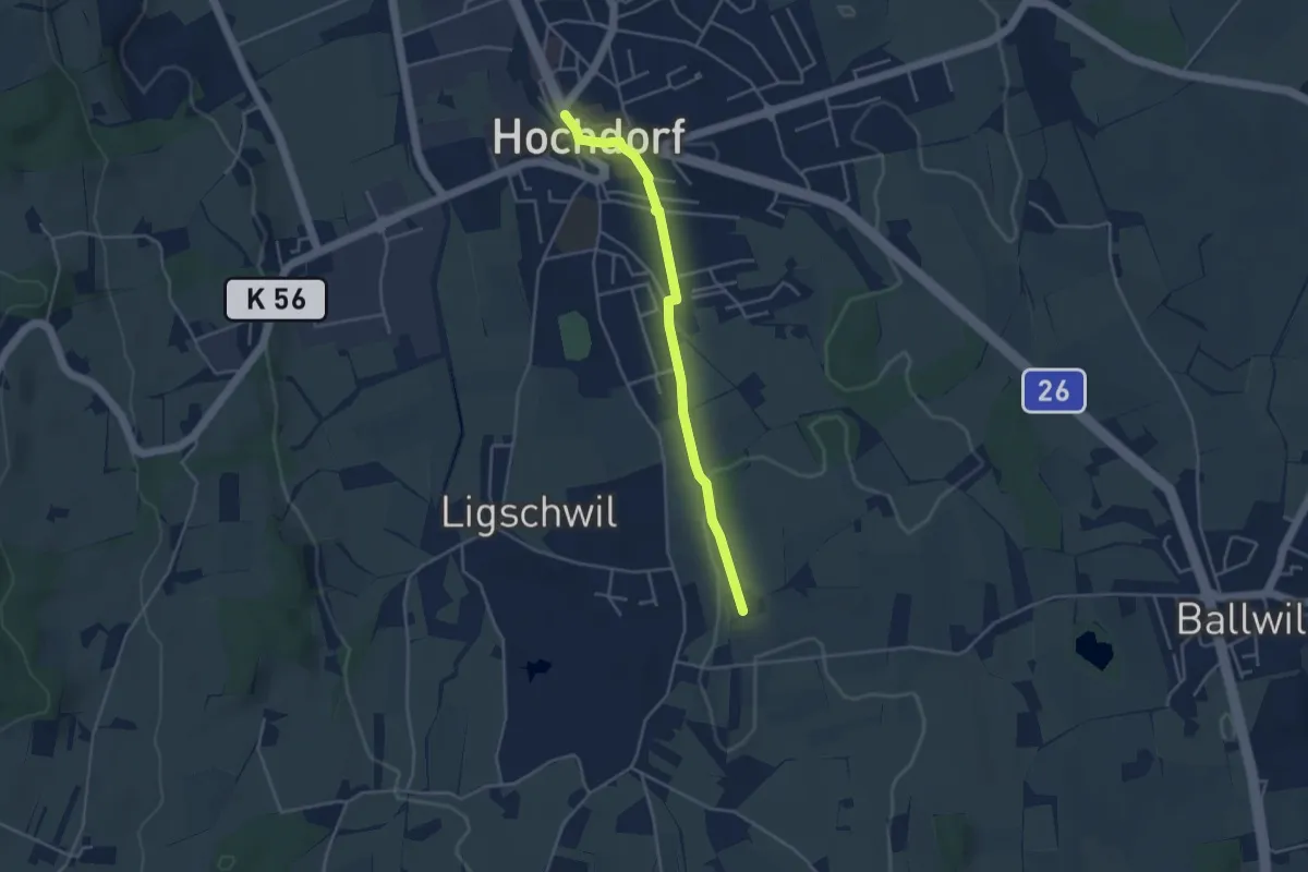
Easy · Trail
Hochdorf – Urswil
3.8 km · ↑ 27 m · 58 min · 13 km away
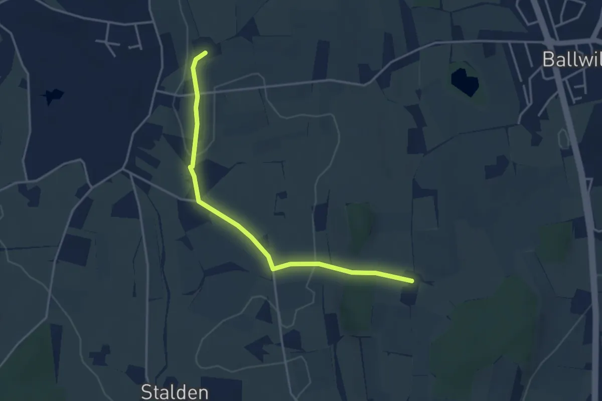
Easy · Trail
Räckebrunne – Urswil
3.6 km · ↑ 48 m · 57 min · 13 km away
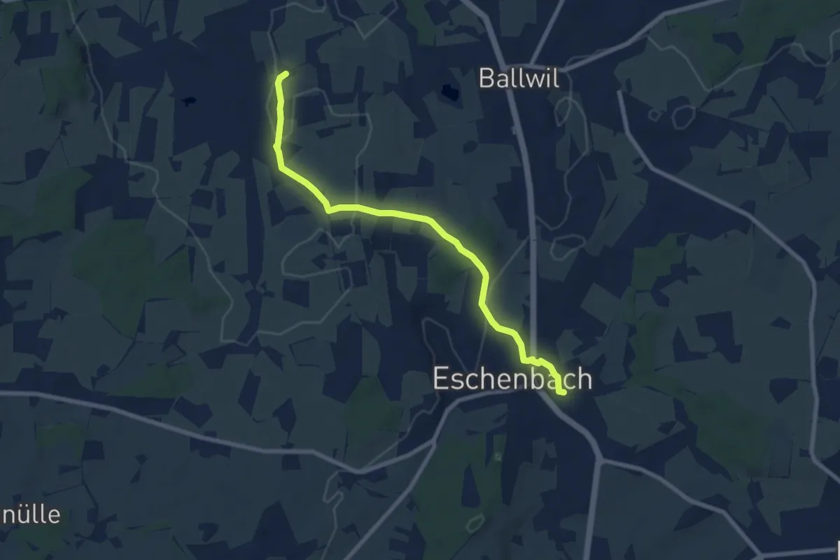
Easy · Trail
Urswil – Eschenbach
7.3 km · ↑ 120 m · 1 h 59 min · 13 km away
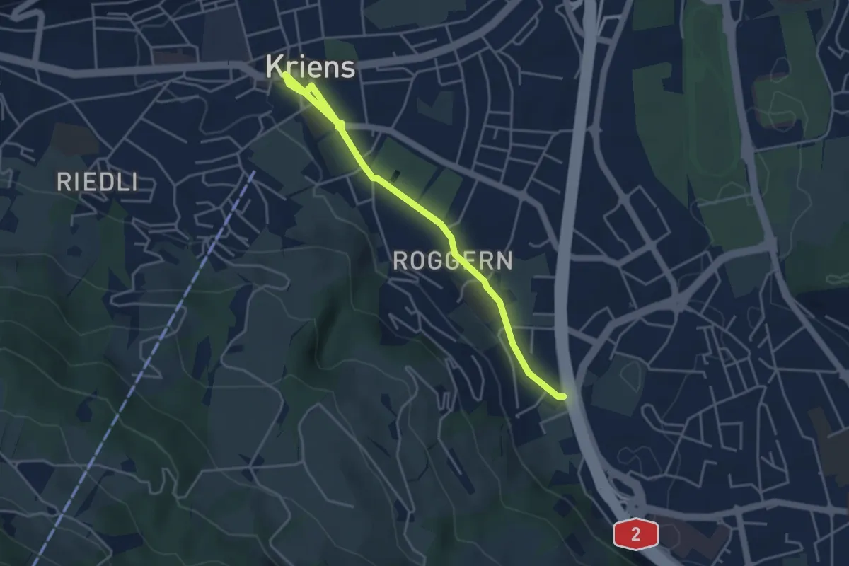
Easy · Trail
Kriens Dorfplatz - Schlund
4.3 km · ↑ 36 m · 1 h 5 min · 13 km away
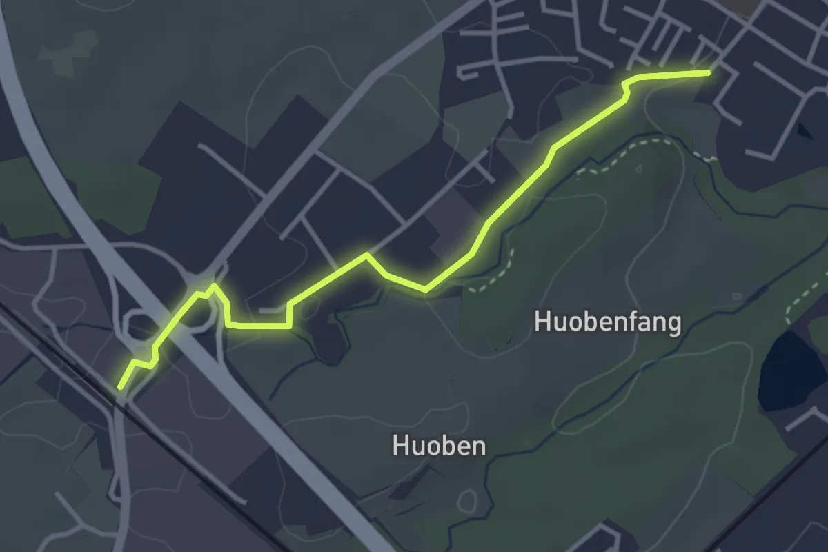
Easy · Trail
Rothenburg Station - Huobenfangstrasse
3.3 km · ↑ 22 m · 50 min · 13 km away
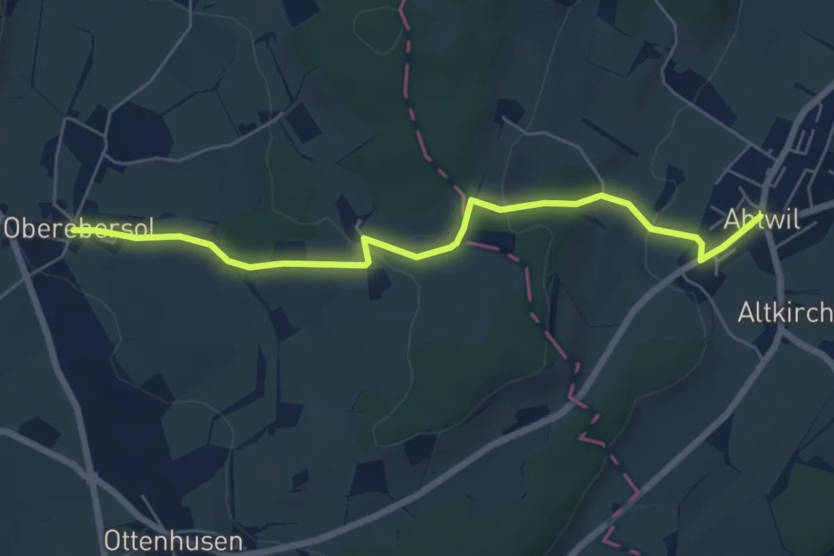
Easy · Trail
Abtwil - Oberebersol
5.6 km · ↑ 126 m · 1 h 35 min · 13 km away
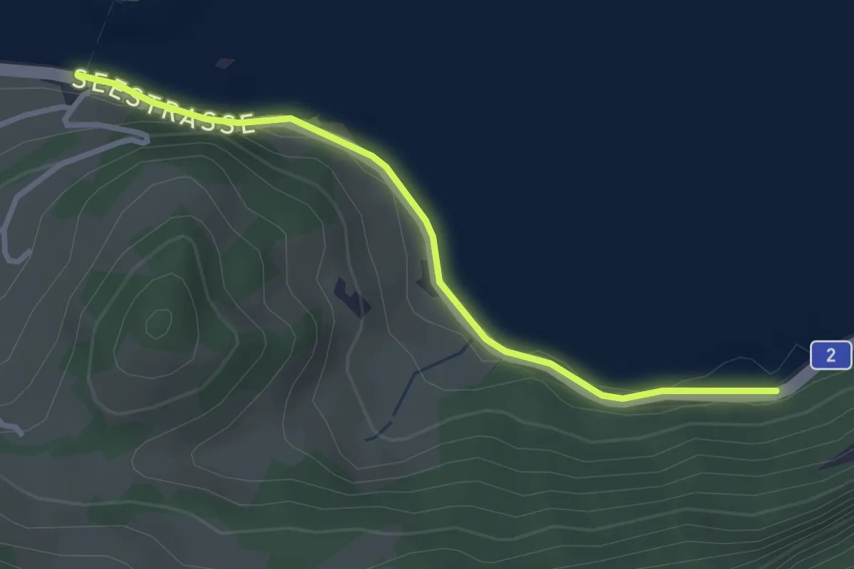
Easy · Trail
Bierkeller – Schwanau
2.9 km · ↑ 54 m · 48 min · 13 km away
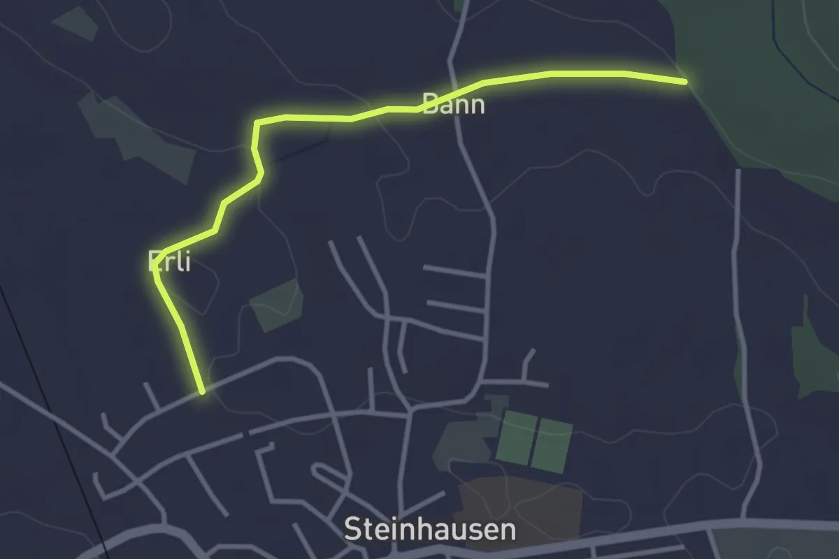
Easy · Trail
Steinhauserwald - Erligütsch
3.1 km · ↑ 35 m · 49 min · 13 km away
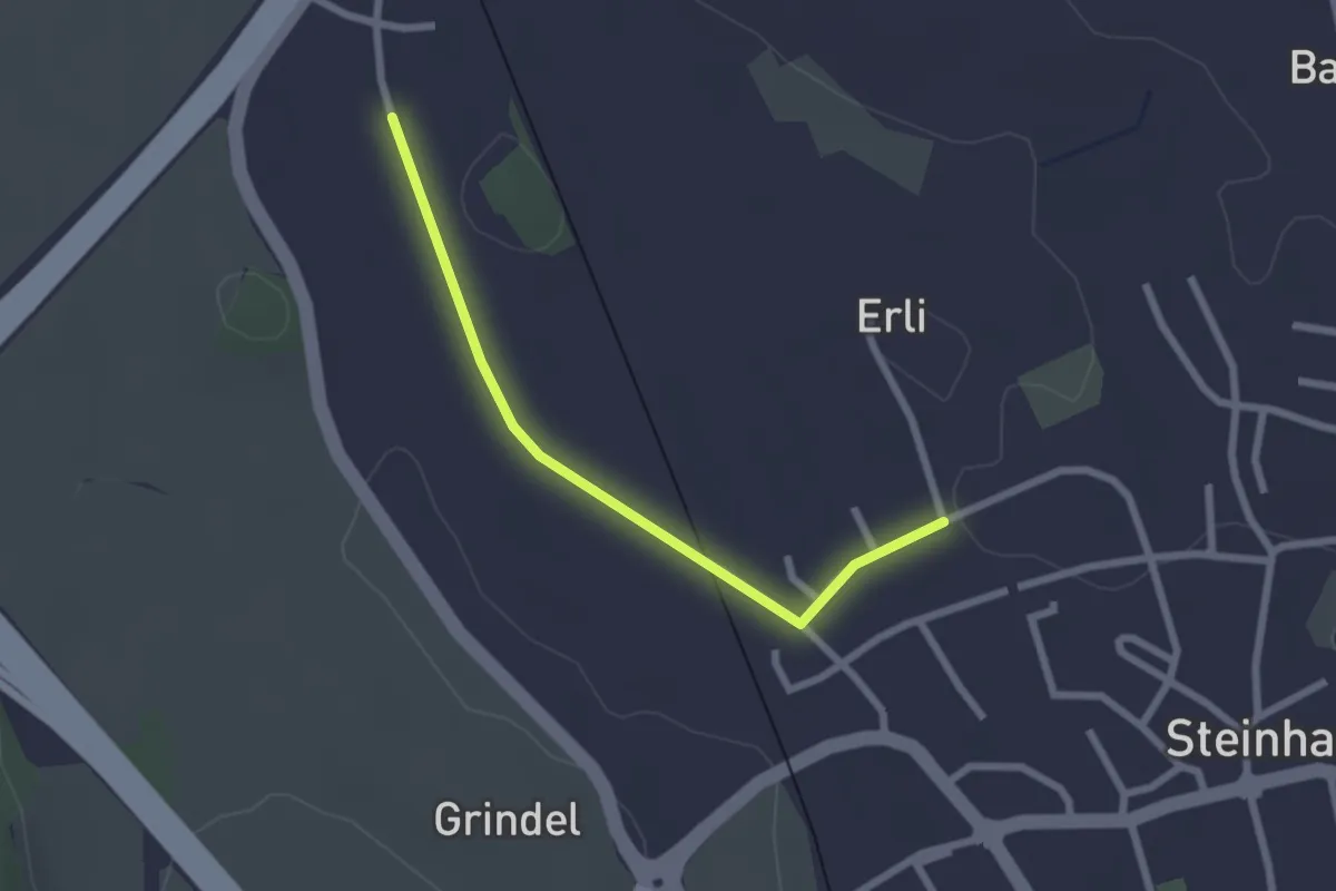
Easy · Trail
Erligütsch - Bibersee
2.2 km · ↑ 13 m · 33 min · 13 km away
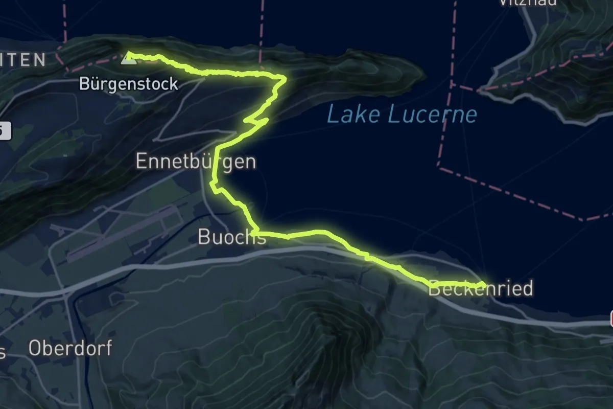
Demanding · Summit
Waldstätterweg - Etappe 6
23.1 km · ↑ 1185 m · 8 h 2 min · 13 km away
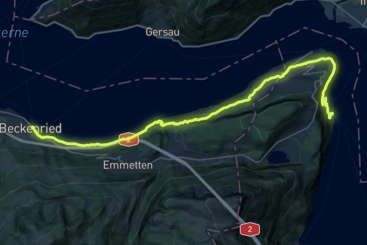
Medium · Trail
Waldstätterweg - Etappe 7
13.2 km · ↑ 769 m · 4 h 58 min · 13 km away
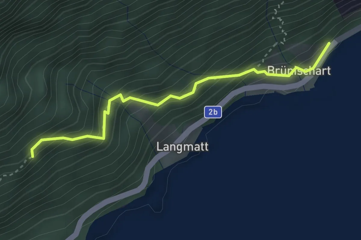
Medium · Trail
Brünichart - Oberholz
2.9 km · ↑ 330 m · 1 h 24 min · 13 km away
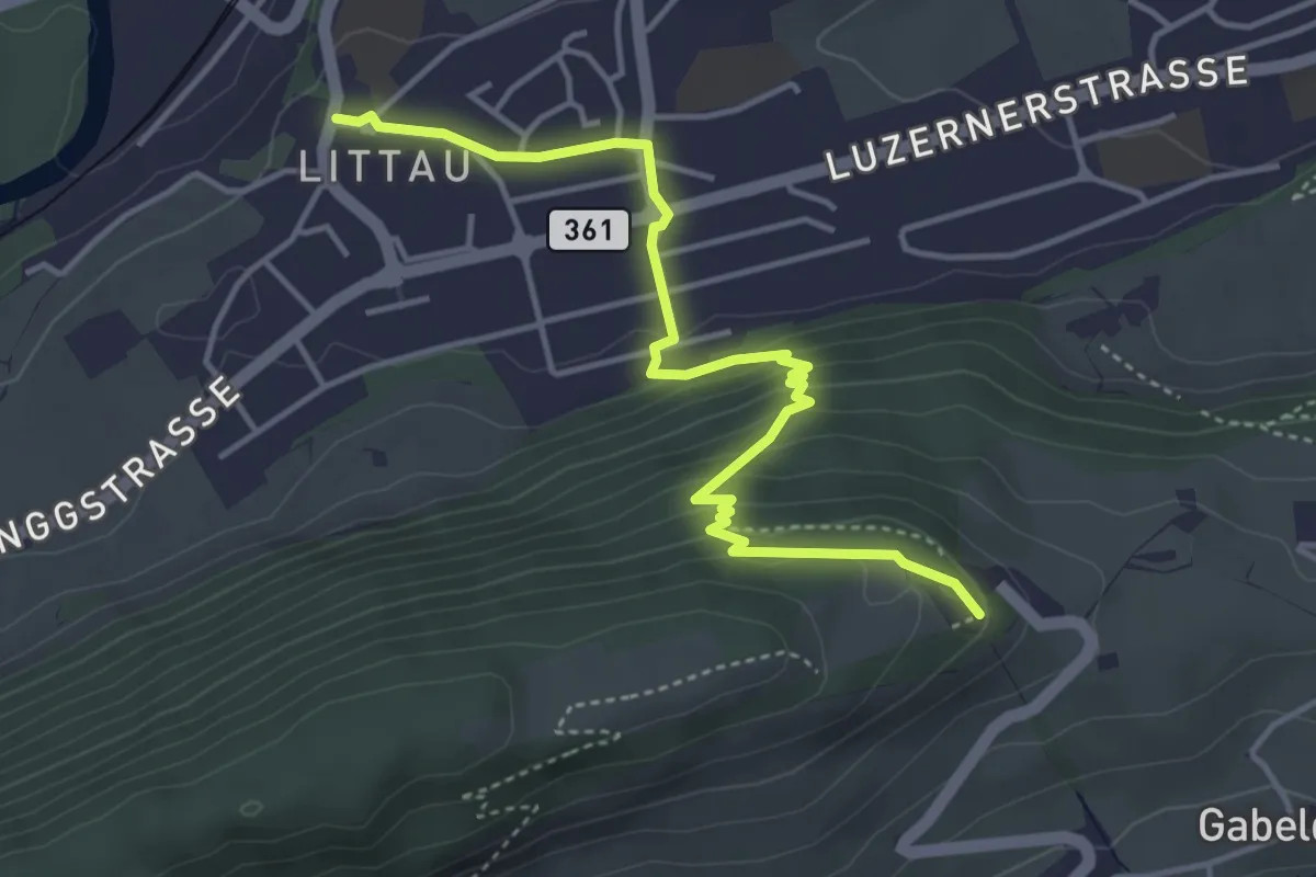
Easy · Trail
Littau Dorf – Sonnenberg
4.6 km · ↑ 229 m · 1 h 34 min · 13 km away
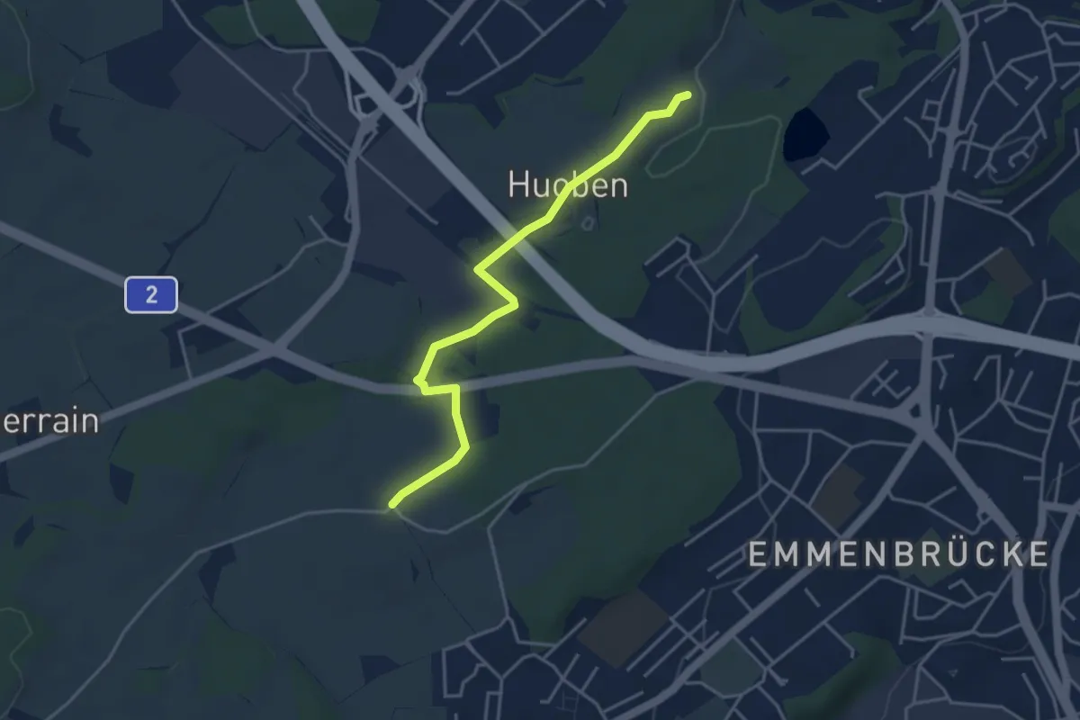
Easy · Trail
Huobenfang - Büelmatt
4.0 km · ↑ 18 m · 58 min · 13 km away
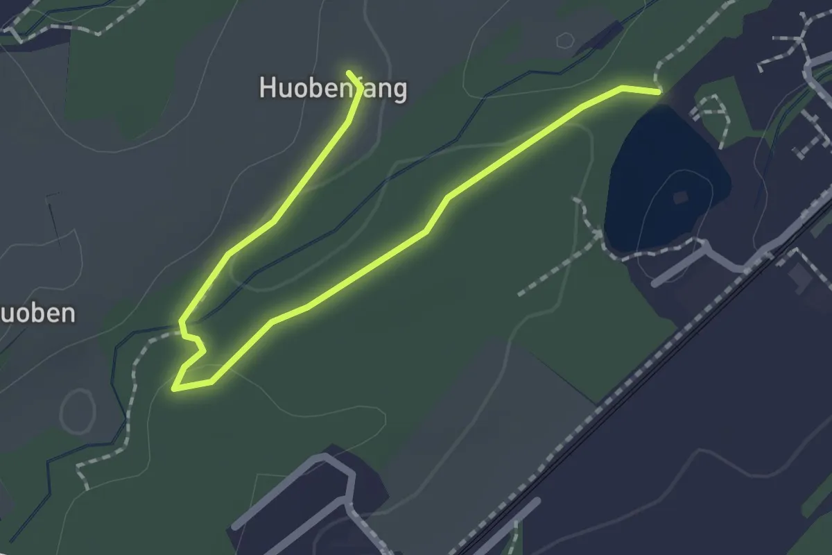
Easy · Trail
Huobenfang - Riffigweier
2.2 km · ↑ 27 m · 35 min · 13 km away
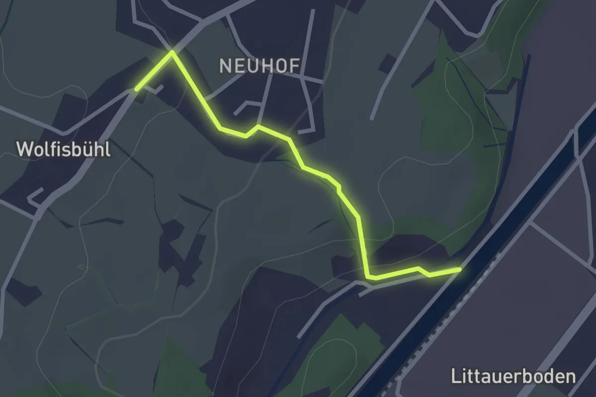
Easy · Trail
Unter Wolfisbüel - Emmenweid
2.2 km · ↑ 72 m · 41 min · 13 km away
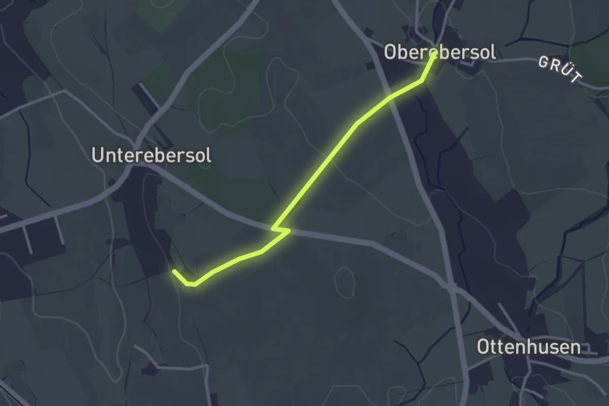
Easy · Trail
Oberebersol - Wilhof
2.8 km · ↑ 31 m · 44 min · 13 km away
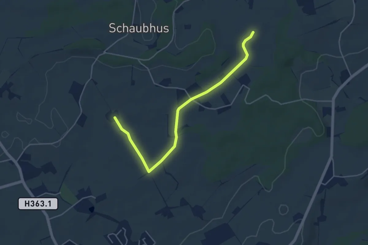
Easy · Trail
Obmoos - Hirselen
4.3 km · ↑ 27 m · 1 h 4 min · 13 km away
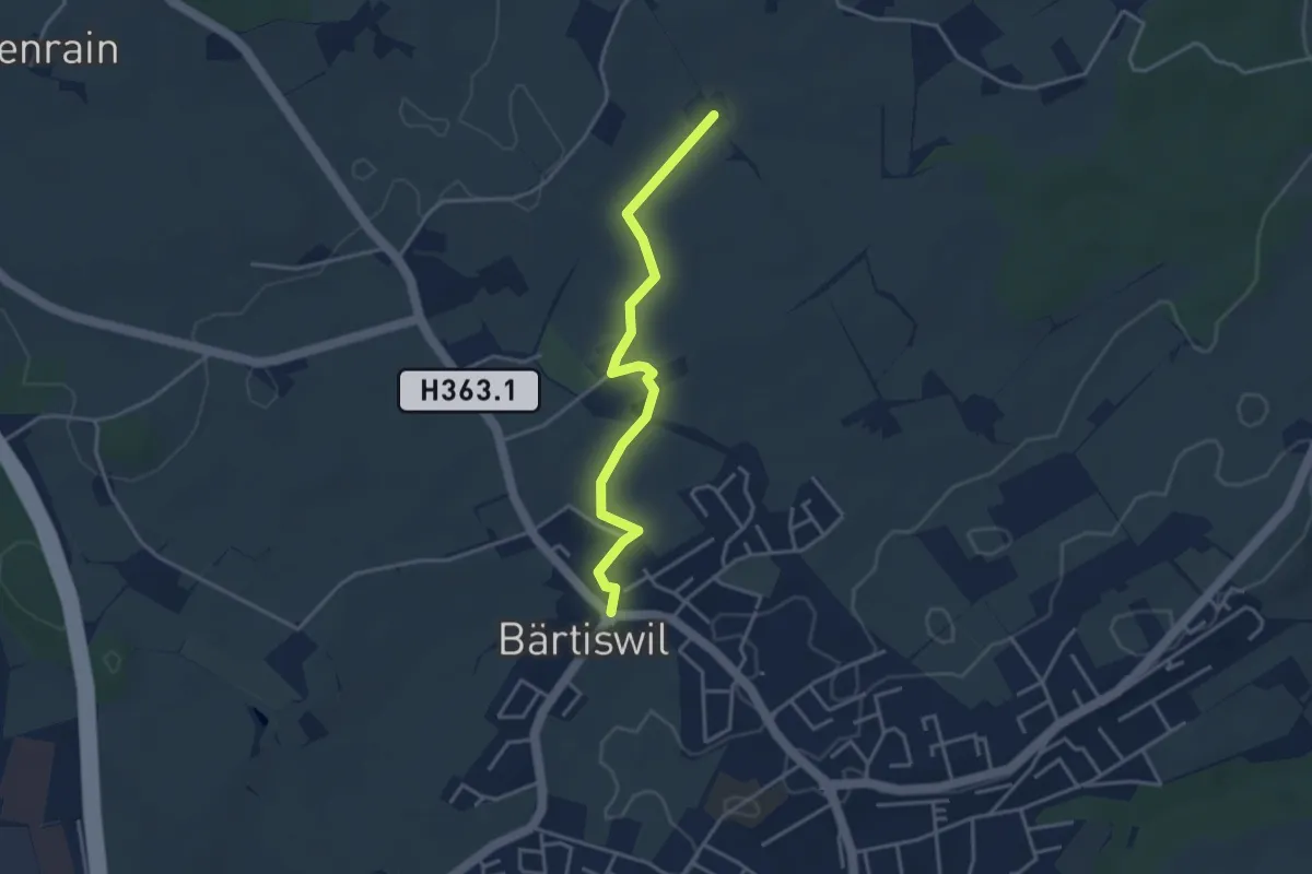
Easy · Trail
Bärtiswil - Obmoos
3.5 km · ↑ 23 m · 53 min · 13 km away
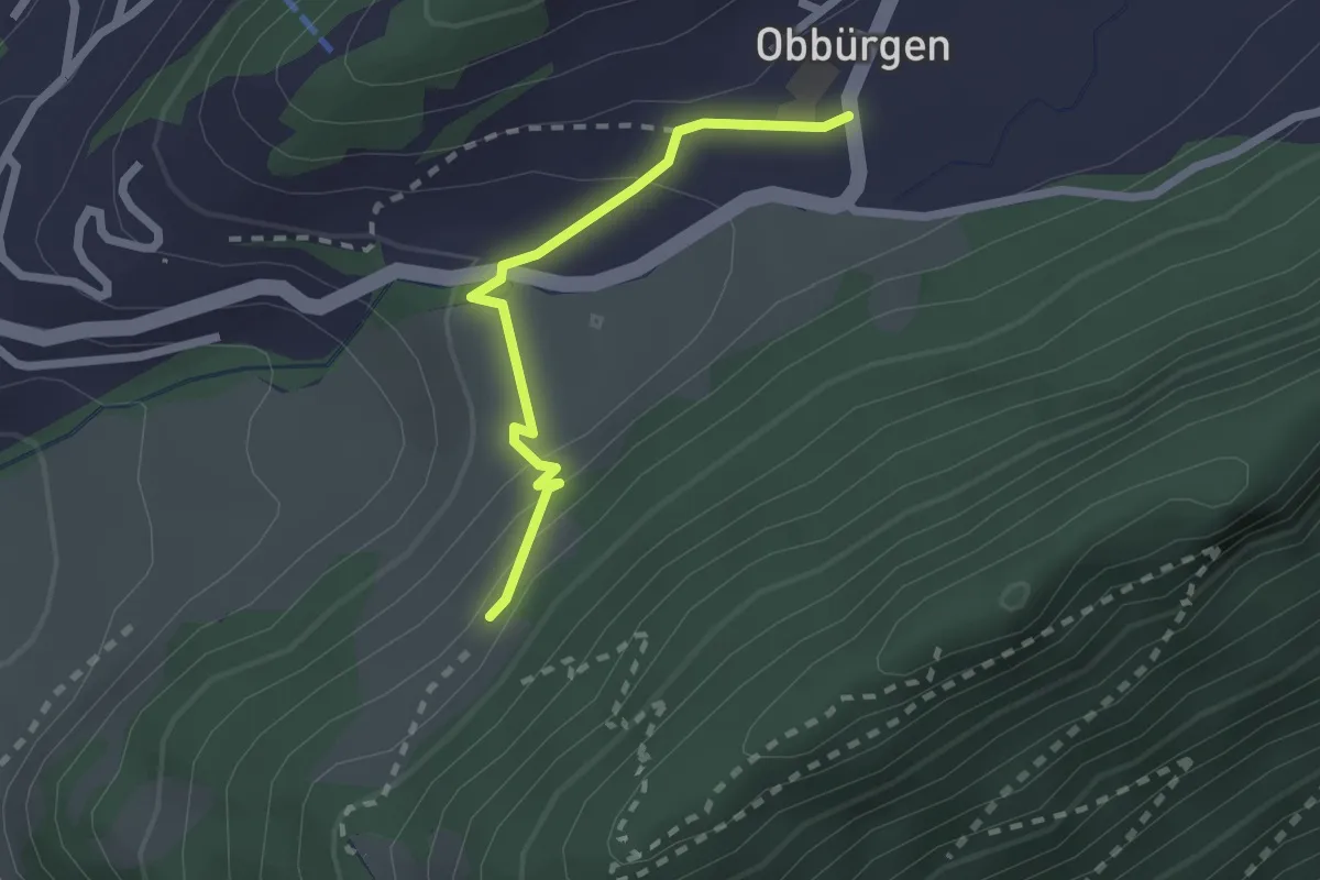
Easy · Trail
Seewliweid – Obbürgen
2.0 km · ↑ 89 m · 39 min · 13 km away
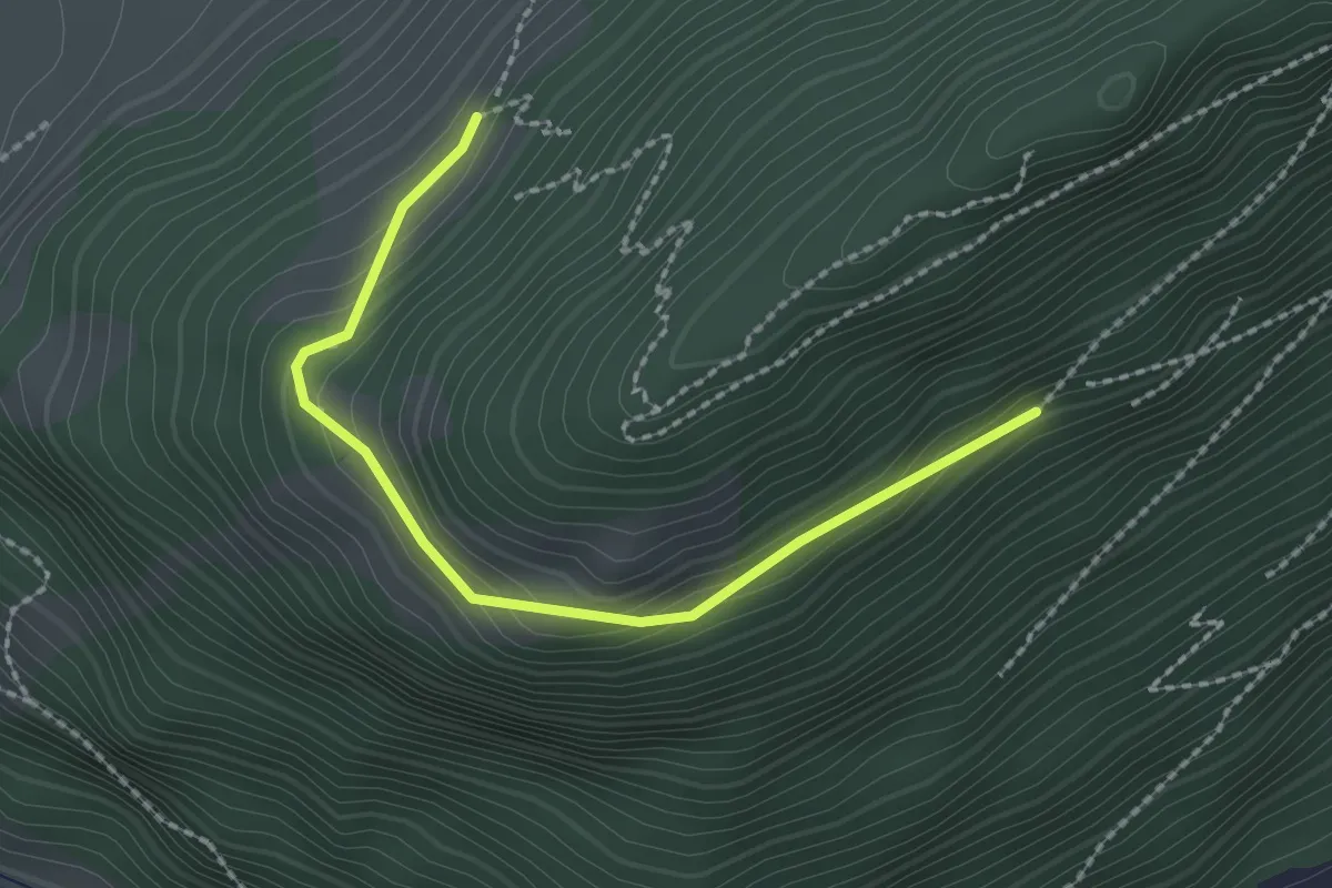
Easy · Trail
Bürgenberg – Seewliweid
2.2 km · ↑ 120 m · 47 min · 13 km away
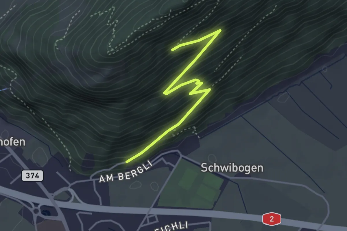
Medium · Trail
Bürgenberg - fixme
3.7 km · ↑ 351 m · 1 h 39 min · 13 km away
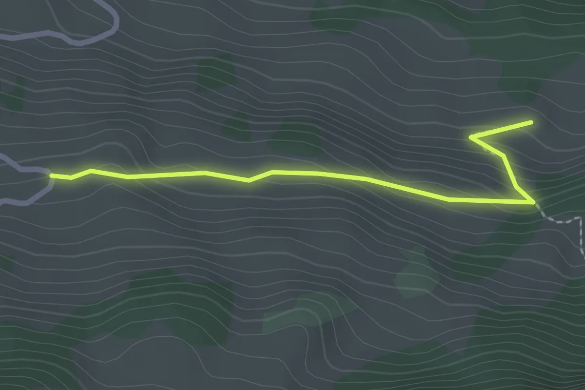
Easy · Trail
Schwändi – Bergkapelle Langberg
2.1 km · ↑ 124 m · 46 min · 13 km away
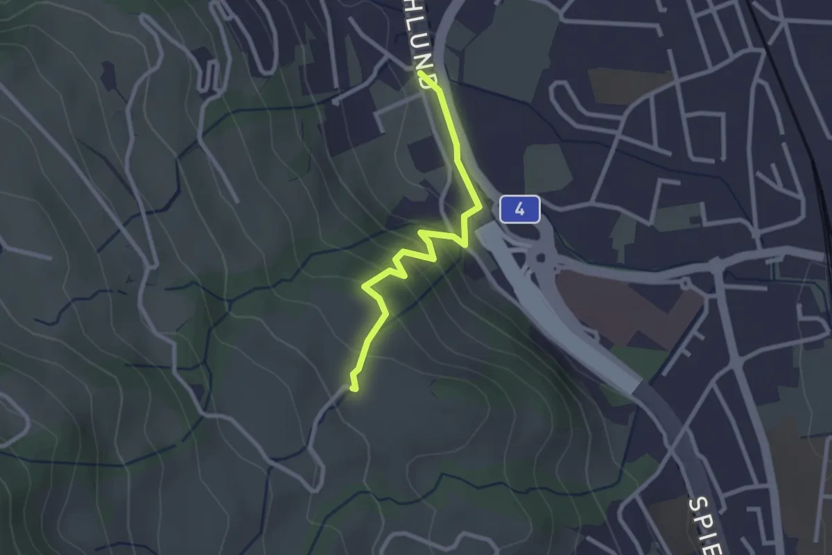
Easy · Trail
Schlund – Ober Strick
2.3 km · ↑ 138 m · 51 min · 13 km away
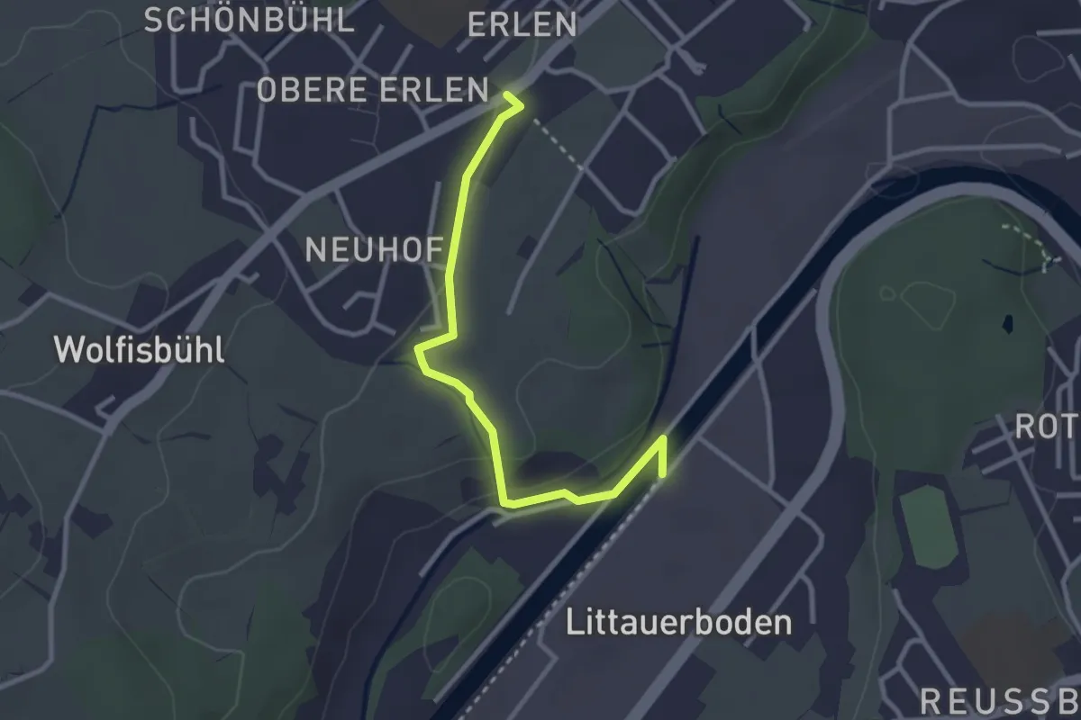
Easy · Trail
Erlen - Emmenweid
2.8 km · ↑ 56 m · 47 min · 13 km away
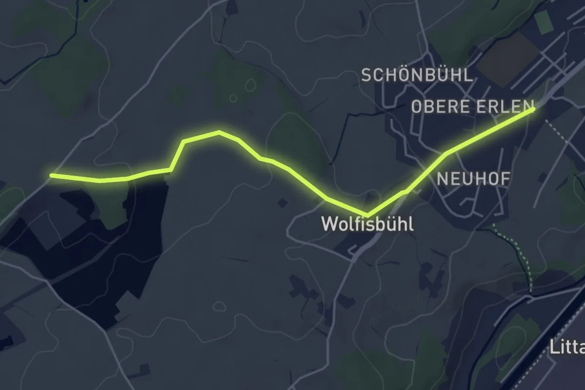
Easy · Trail
Erlen - Bühl
4.8 km · ↑ 85 m · 1 h 19 min · 13 km away
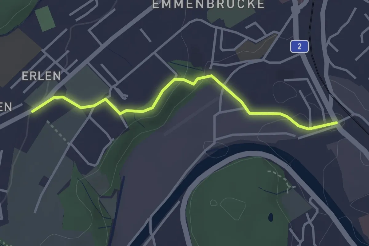
Easy · Trail
Erlen - Emmenbrücke
2.9 km · ↑ 58 m · 49 min · 13 km away
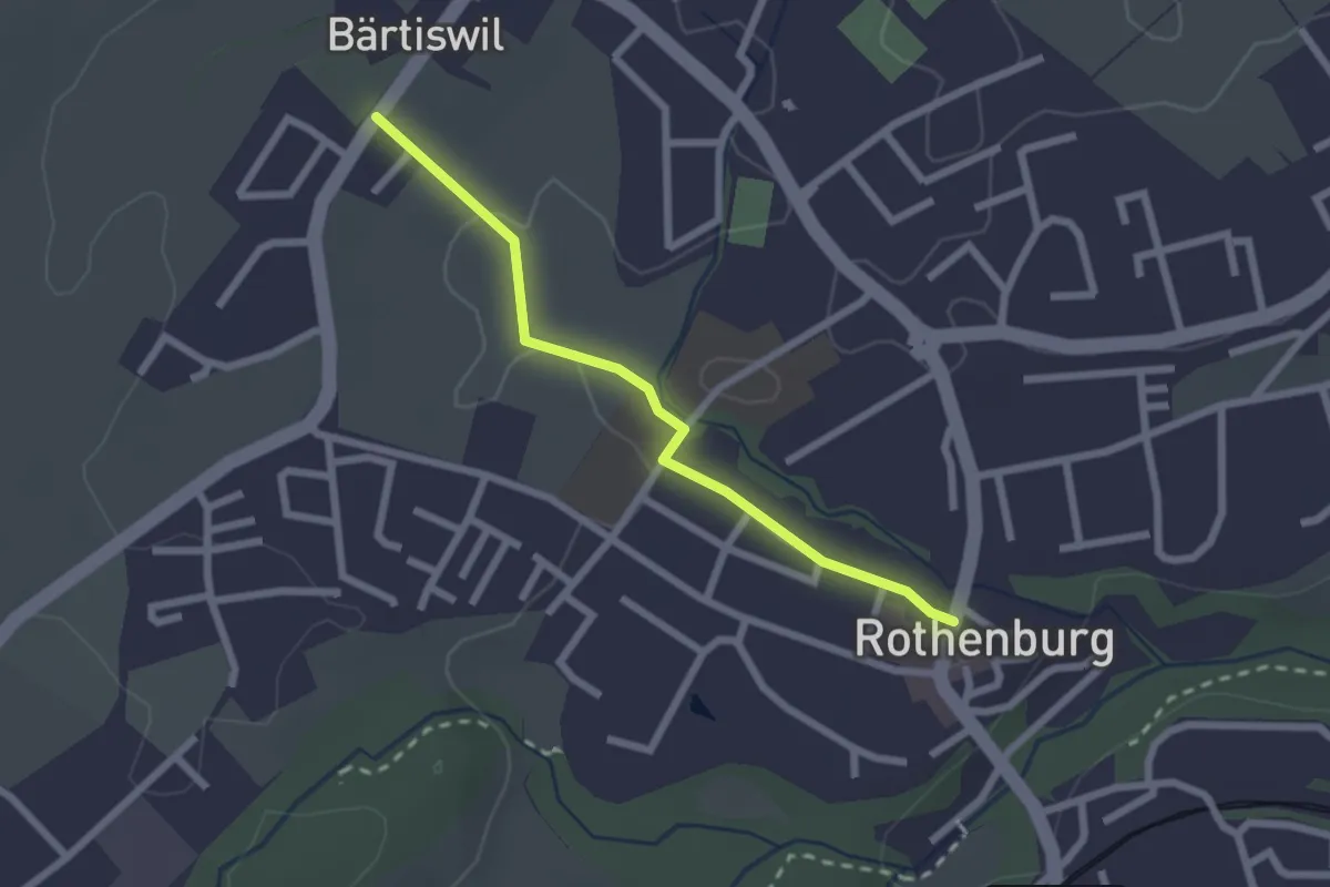
Easy · Trail
Bärtiswil - Rothenburg
2.2 km · ↑ 24 m · 34 min · 13 km away
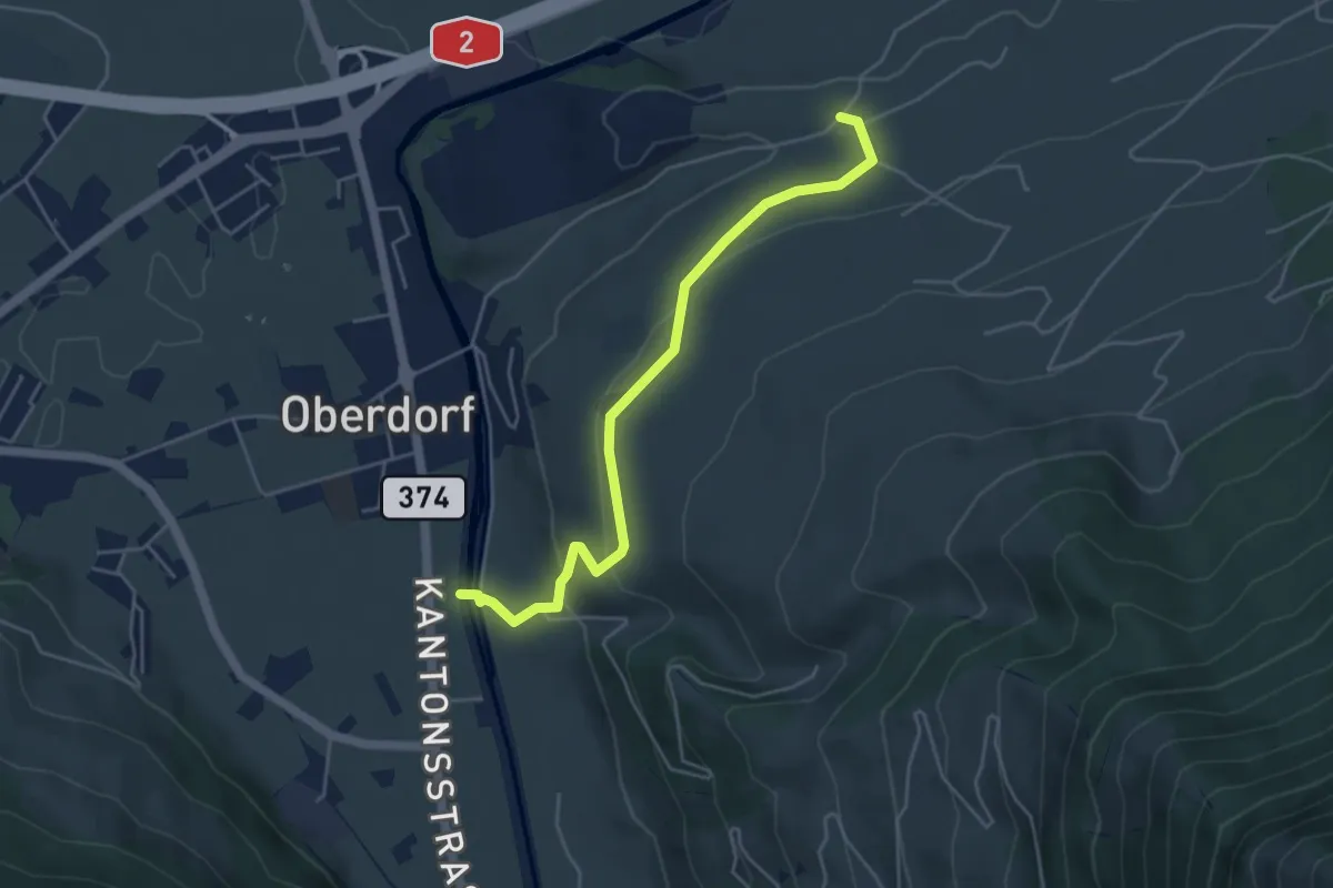
Easy · Trail
Ännerberg – Hostettenstäg
4.7 km · ↑ 158 m · 1 h 27 min · 13 km away
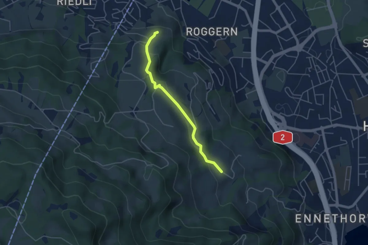
Easy · Trail
Kreuel – Schloss Schauensee
3.7 km · ↑ 154 m · 1 h 13 min · 14 km away
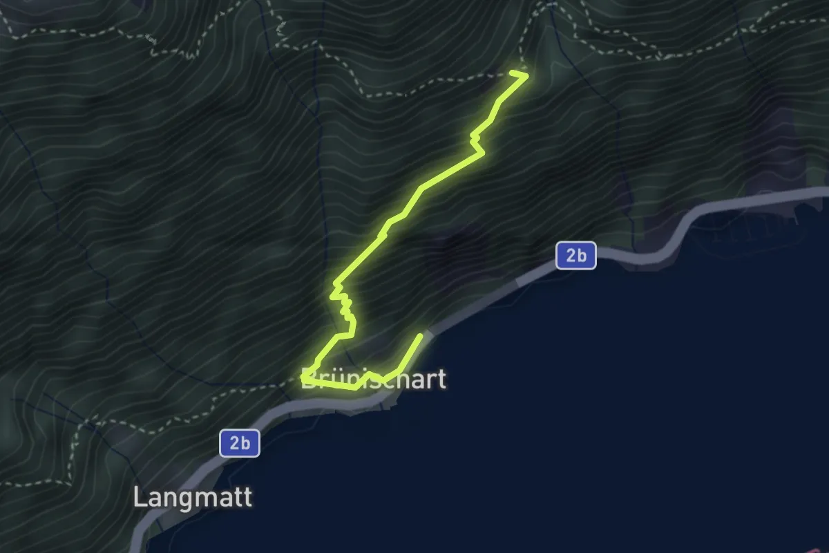
Medium · Trail
Brünischart – Bärfallen
3.1 km · ↑ 454 m · 1 h 43 min · 14 km away
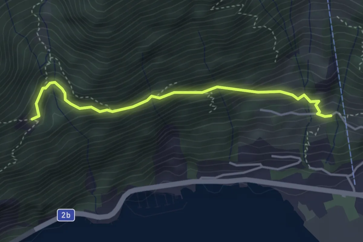
Medium · Trail
Bärfallen – Dörfli
3.4 km · ↑ 380 m · 1 h 38 min · 14 km away
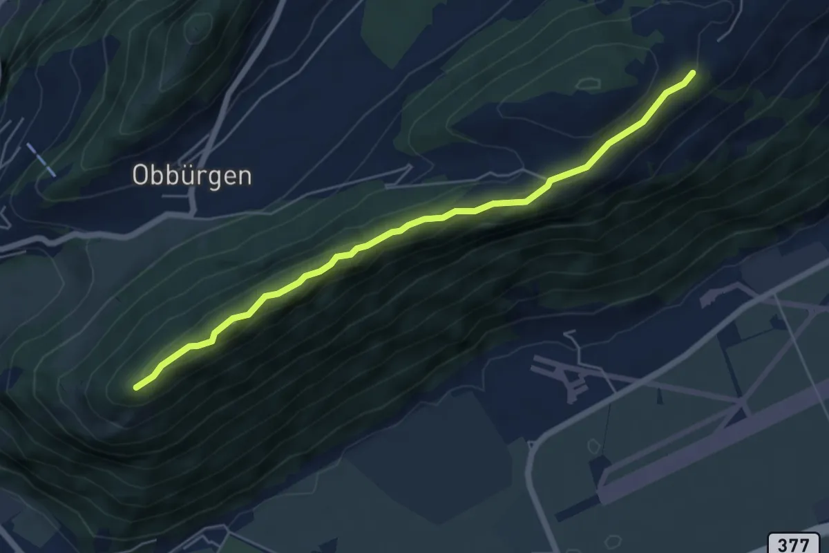
Easy · Trail
Ätschenried – Seewligrat
5.6 km · ↑ 217 m · 1 h 47 min · 14 km away
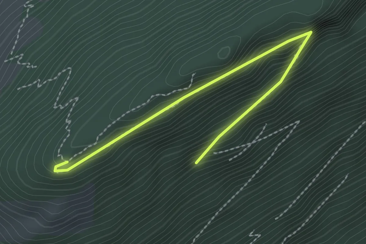
Easy · Trail
Bürgenberg – Seewligrat
2.5 km · ↑ 128 m · 52 min · 14 km away
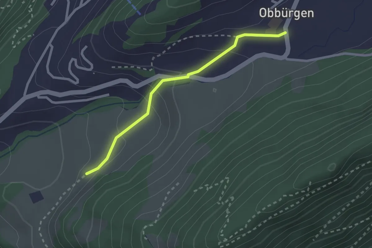
Easy · Trail
Ober Huis – Obbürgen
2.1 km · ↑ 118 m · 45 min · 14 km away
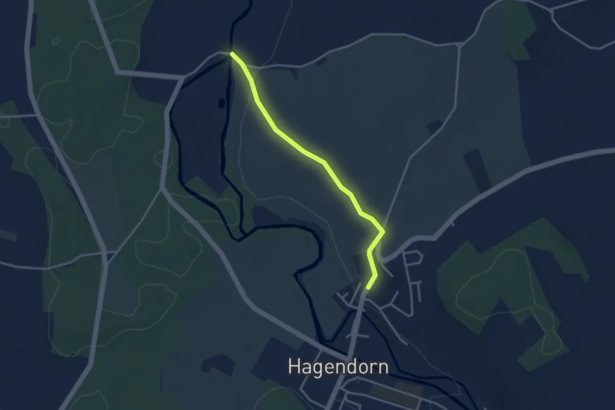
Easy · Trail
Rumentikon-Frauental
2.7 km · ↑ 38 m · 43 min · 14 km away
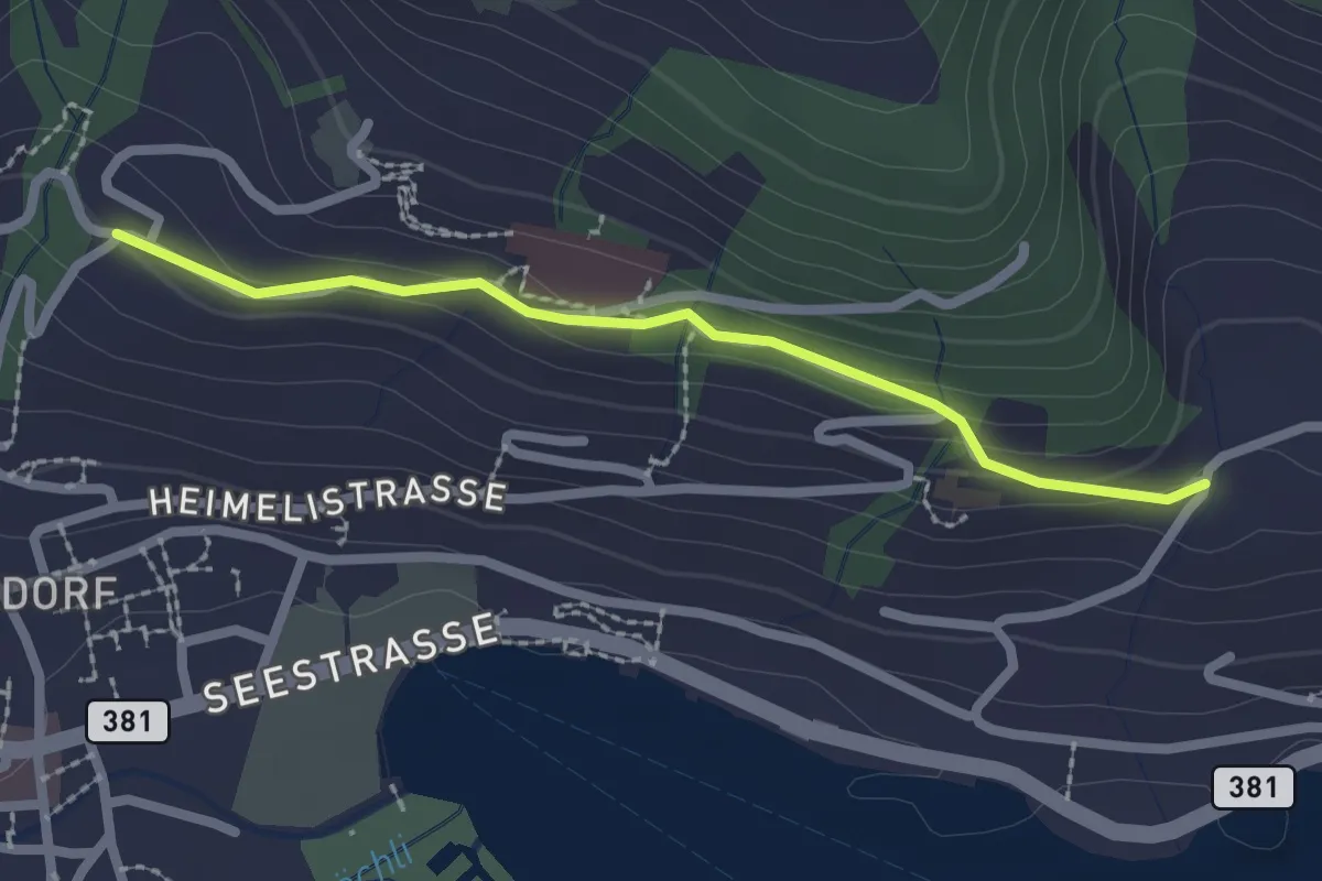
Easy · Trail
Erliberg - Heimhusen
2.1 km · ↑ 82 m · 41 min · 14 km away
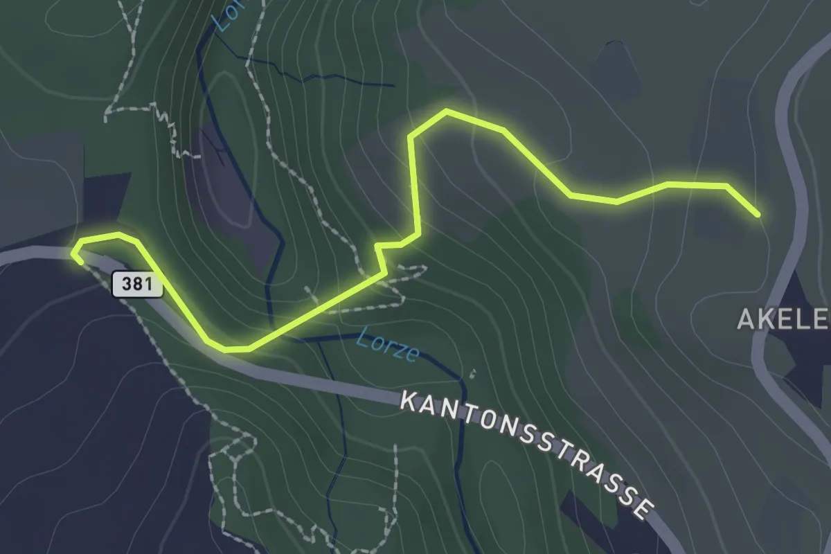
Easy · Trail
Talbrücke - Wulfligen
2.4 km · ↑ 152 m · 53 min · 14 km away
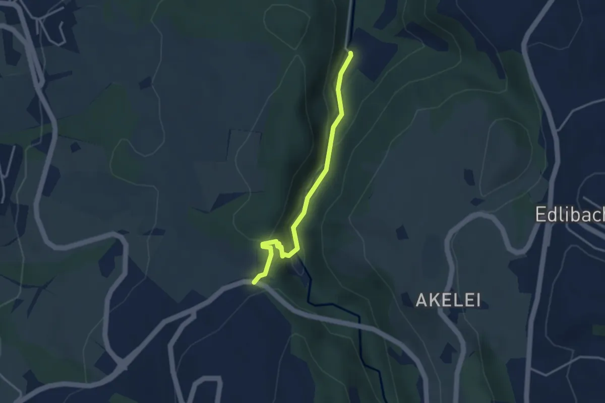
Easy · Trail
Höllbrücke - Talbrücke
2.9 km · ↑ 116 m · 56 min · 14 km away
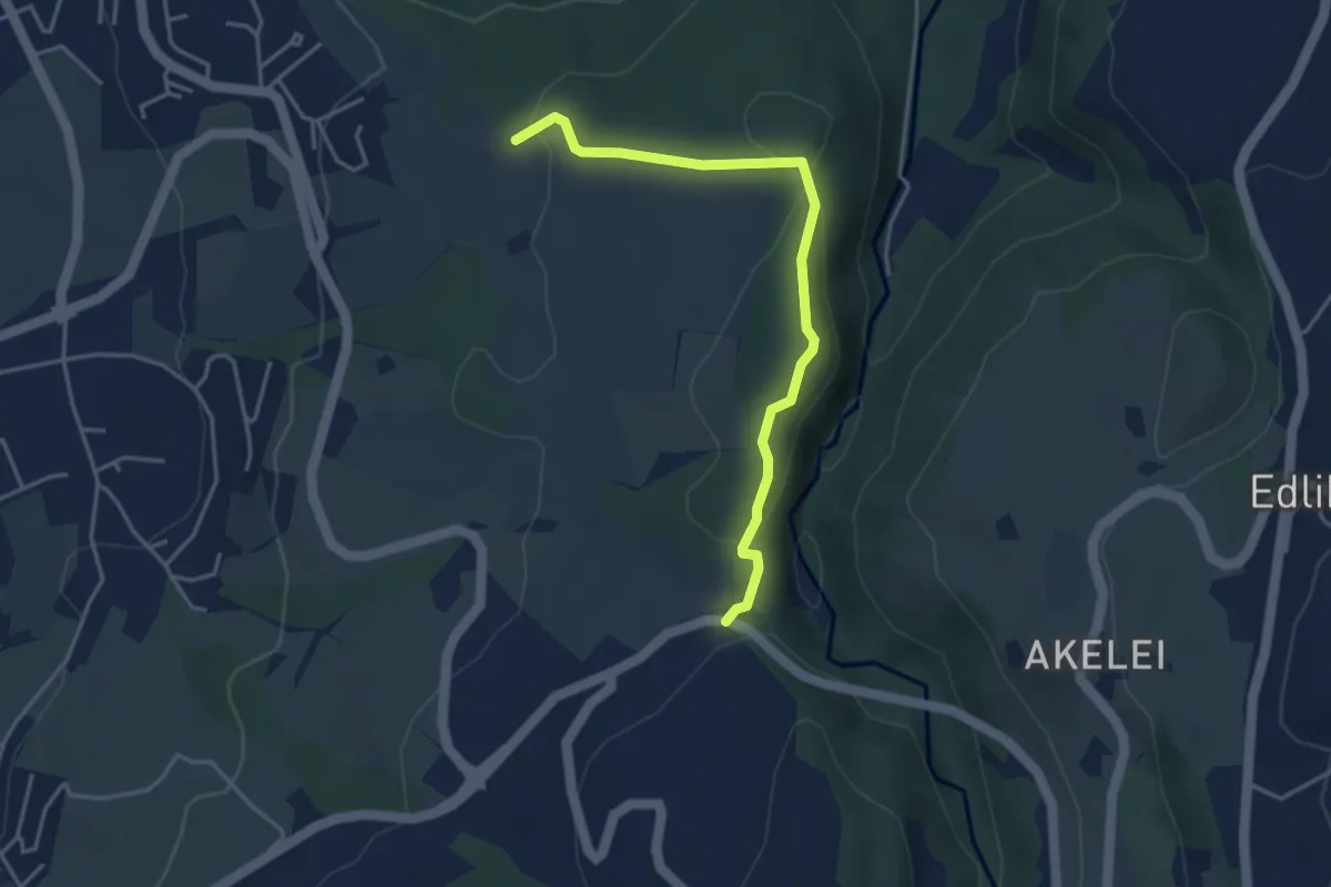
Easy · Trail
Talbrücke - Ober Allmend
3.9 km · ↑ 130 m · 1 h 12 min · 14 km away
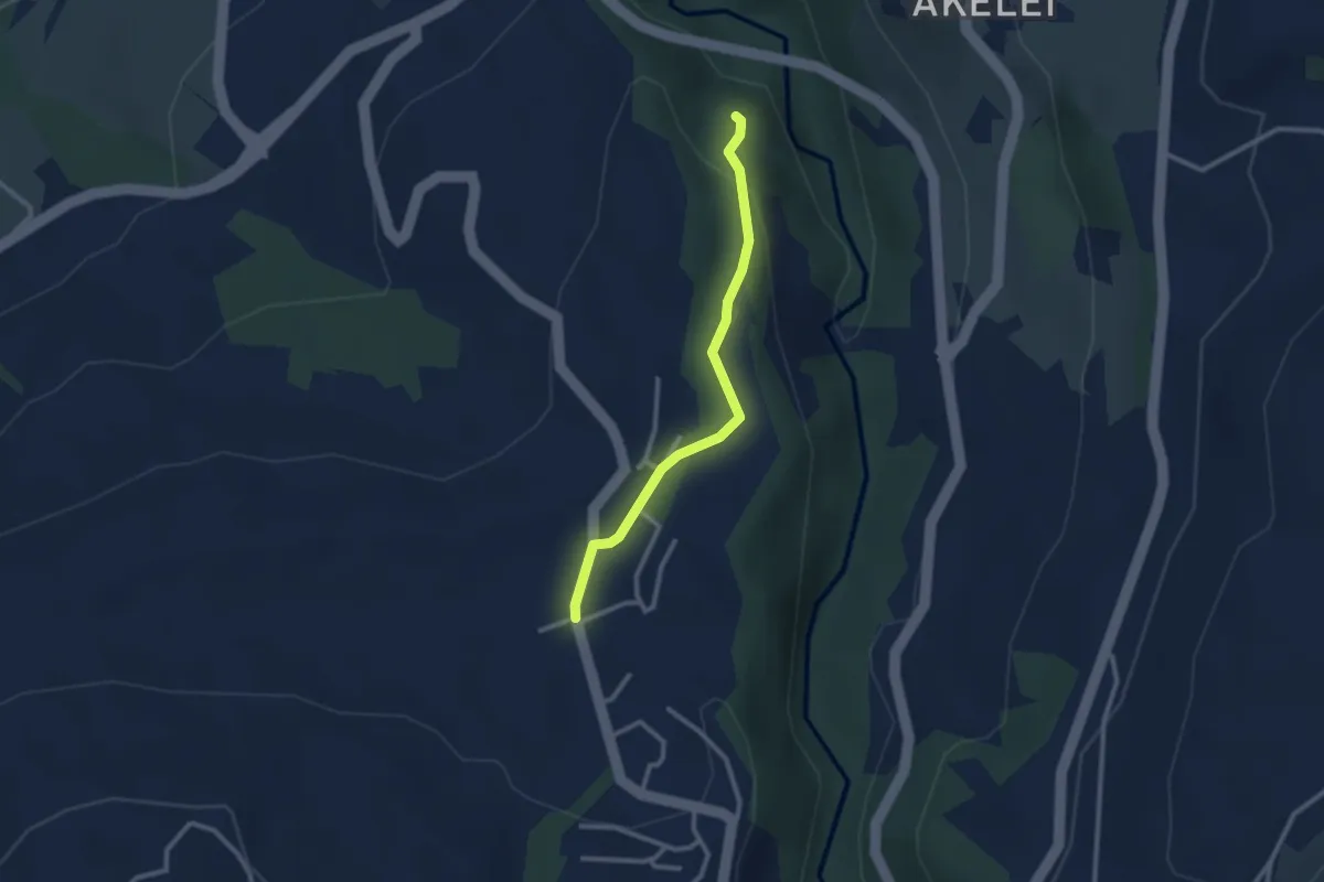
Easy · Trail
Allenwinden - Wildenburg
2.4 km · ↑ 50 m · 41 min · 14 km away
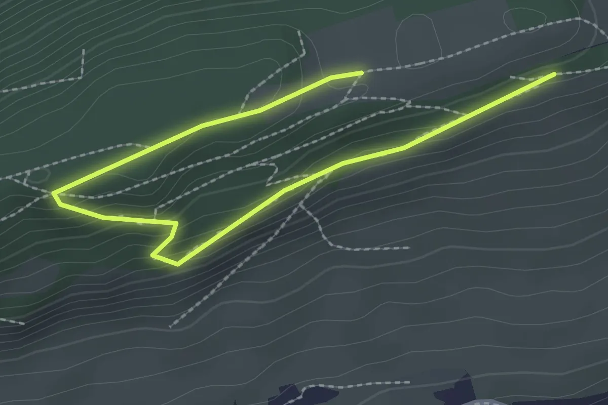
Easy · Trail
Chrüzhöchi – Otto-Eder-Platz
3.0 km · ↑ 120 m · 59 min · 14 km away
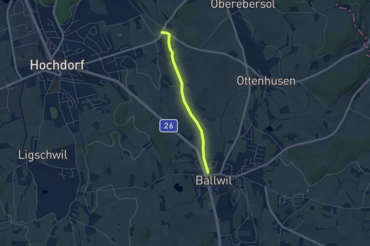
Easy · Trail
Ballwil – Unterebersol
4.3 km · ↑ 33 m · 1 h 5 min · 14 km away
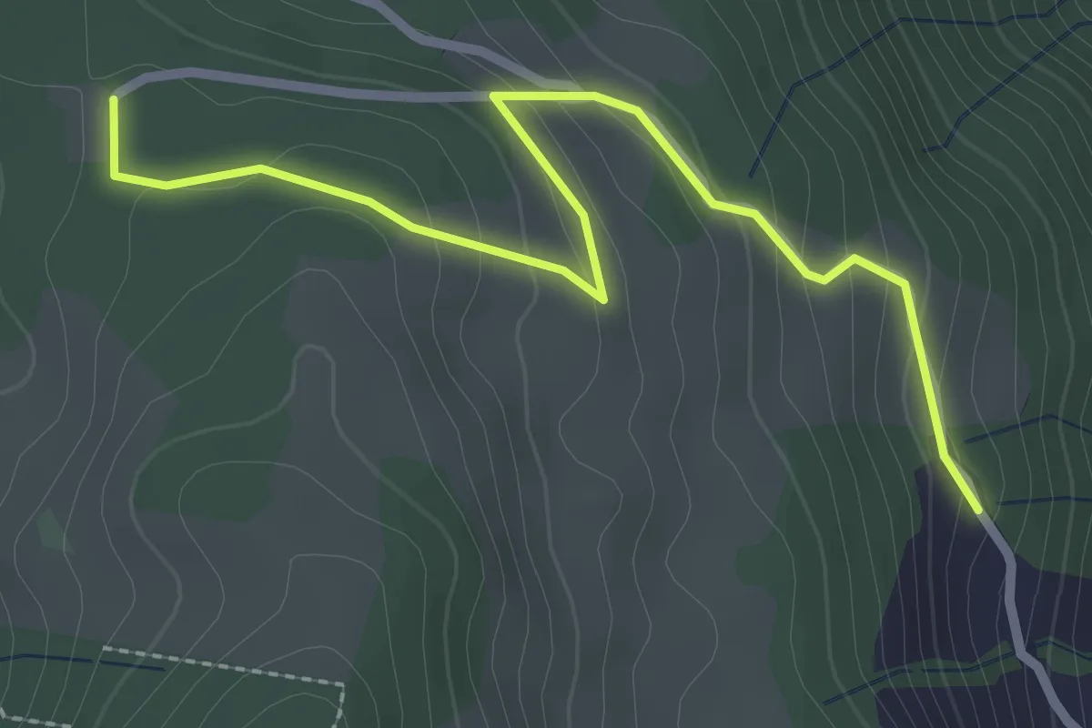
Easy · Trail
Schornerain - Cholerhütte
2.9 km · ↑ 140 m · 59 min · 14 km away
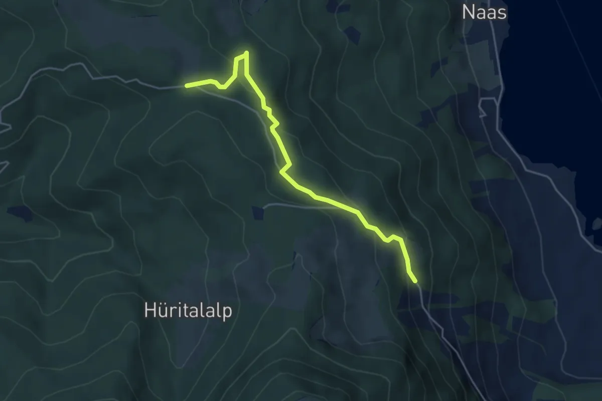
Easy · Trail
Schornerain - Rossalmig
4.3 km · ↑ 202 m · 1 h 27 min · 14 km away
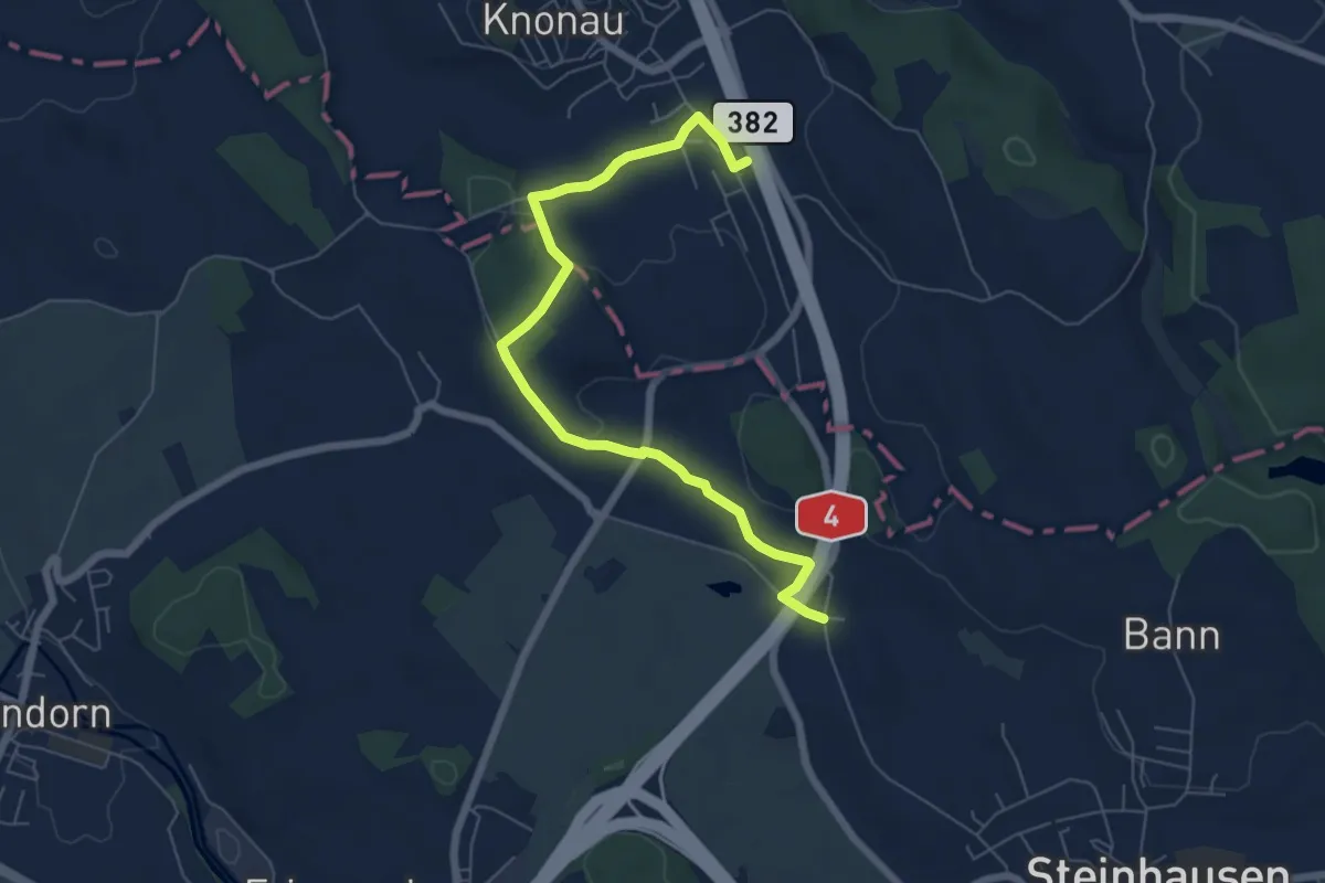
Easy · Trail
Knonau-Bibersee
6.8 km · ↑ 91 m · 1 h 49 min · 14 km away
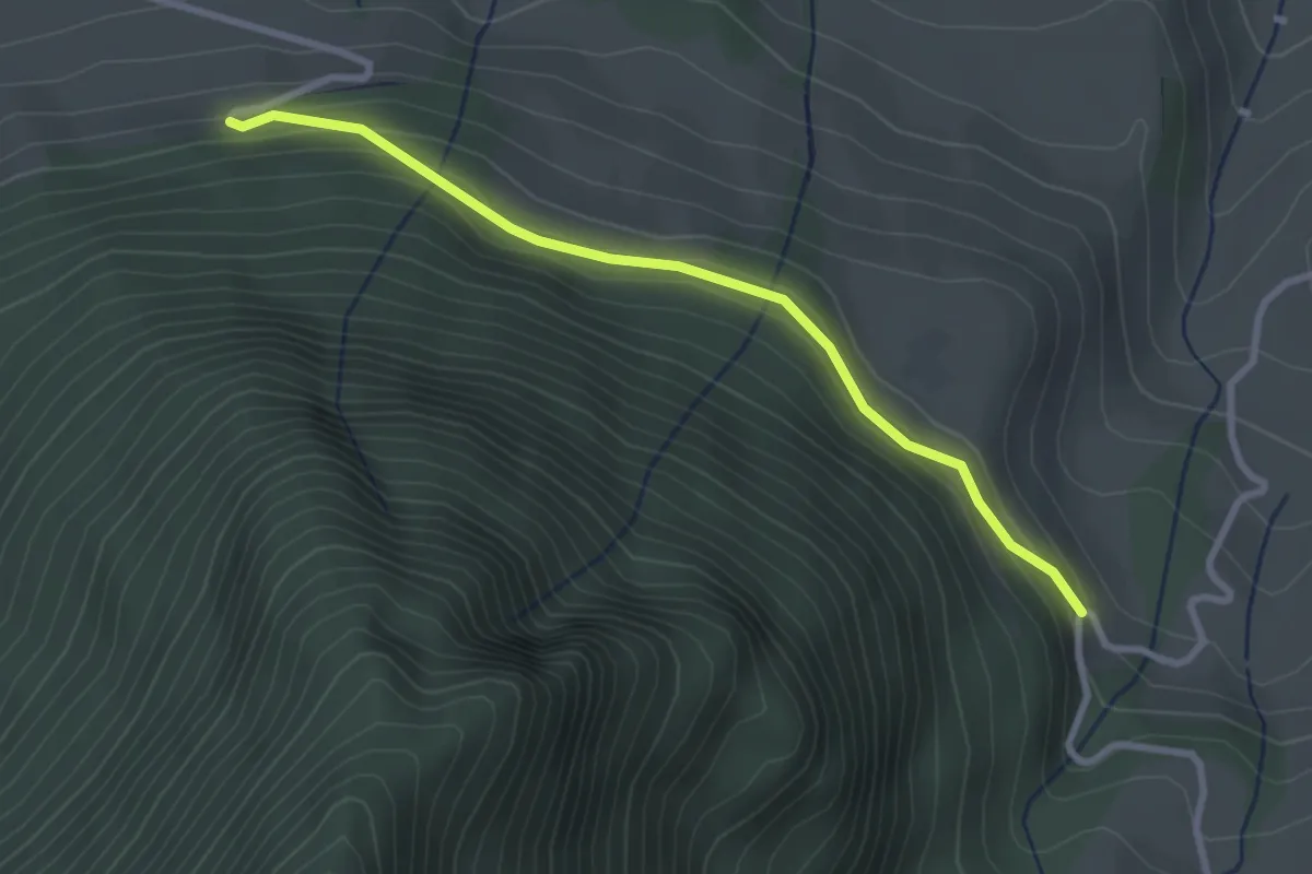
Easy · Trail
Halten – Schüpferi
2.8 km · ↑ 112 m · 55 min · 14 km away
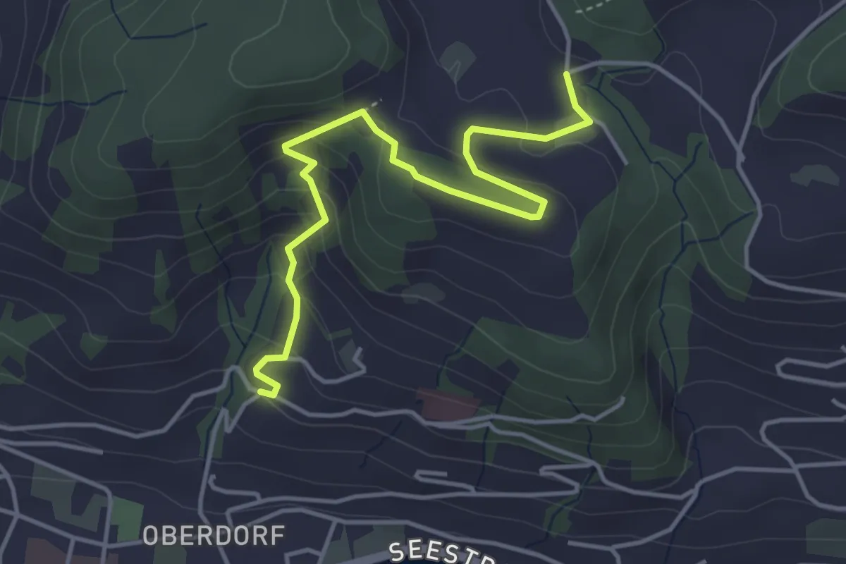
Medium · Trail
Heimhusen - Hinterwiden
4.4 km · ↑ 193 m · 1 h 28 min · 14 km away