Trails near Küssnacht am Rigi
669 hikes starting within 15 km, nearest first.
Nearest first, page 11 of 14
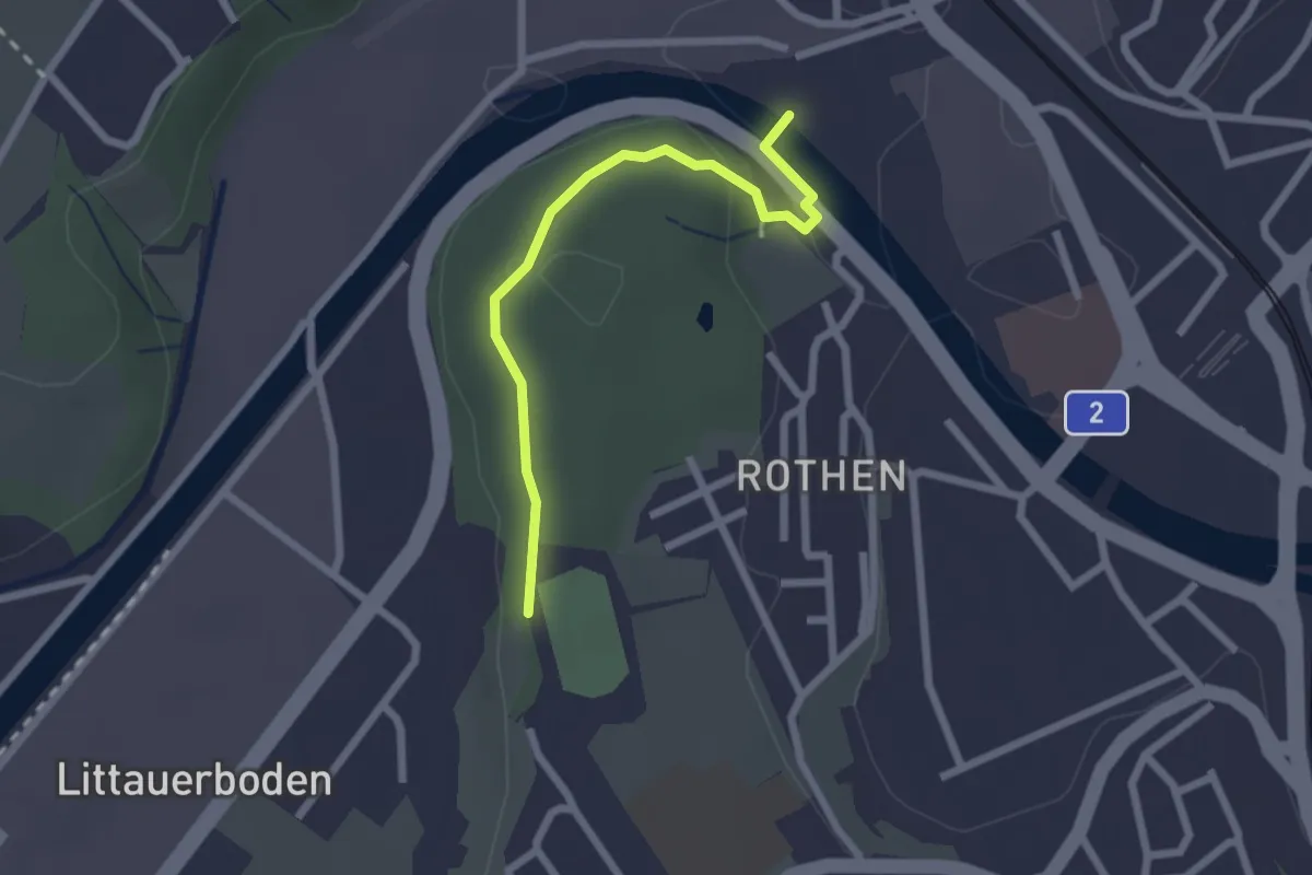
Easy · Trail
Rothen – Viscose
2.2 km · ↑ 50 m · 38 min · 12 km away
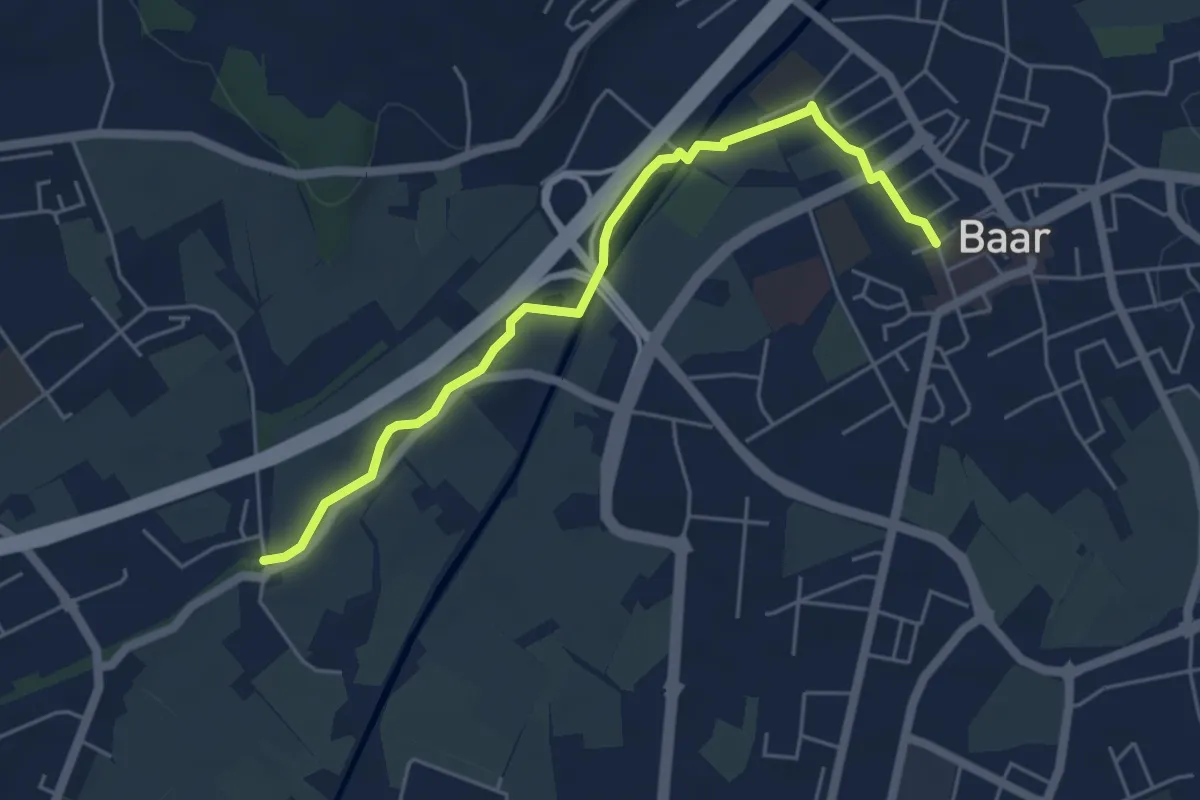
Easy · Trail
Schochenmühle - Baar
5.2 km · ↑ 17 m · 1 h 15 min · 12 km away
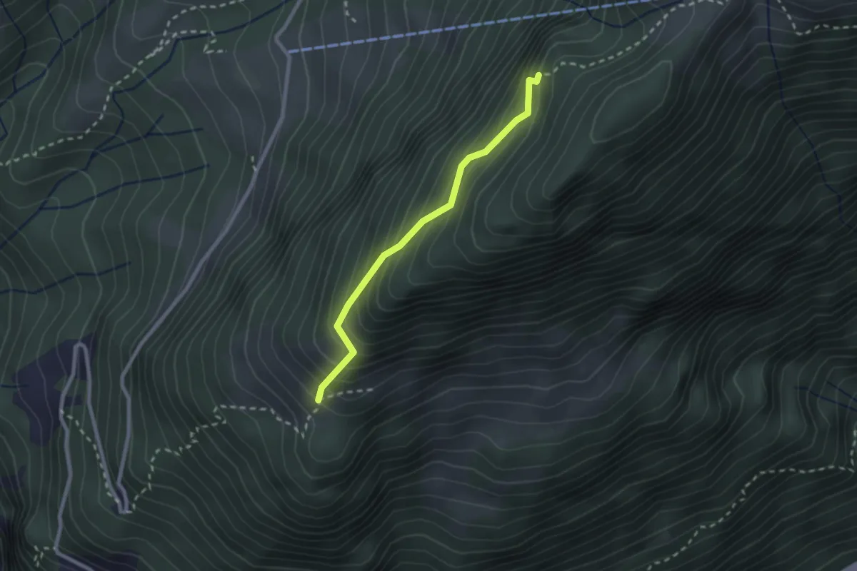
Demanding · Trail
Ochsenalp – Grathüttli
2.1 km · ↑ 292 m · 1 h 8 min · 12 km away
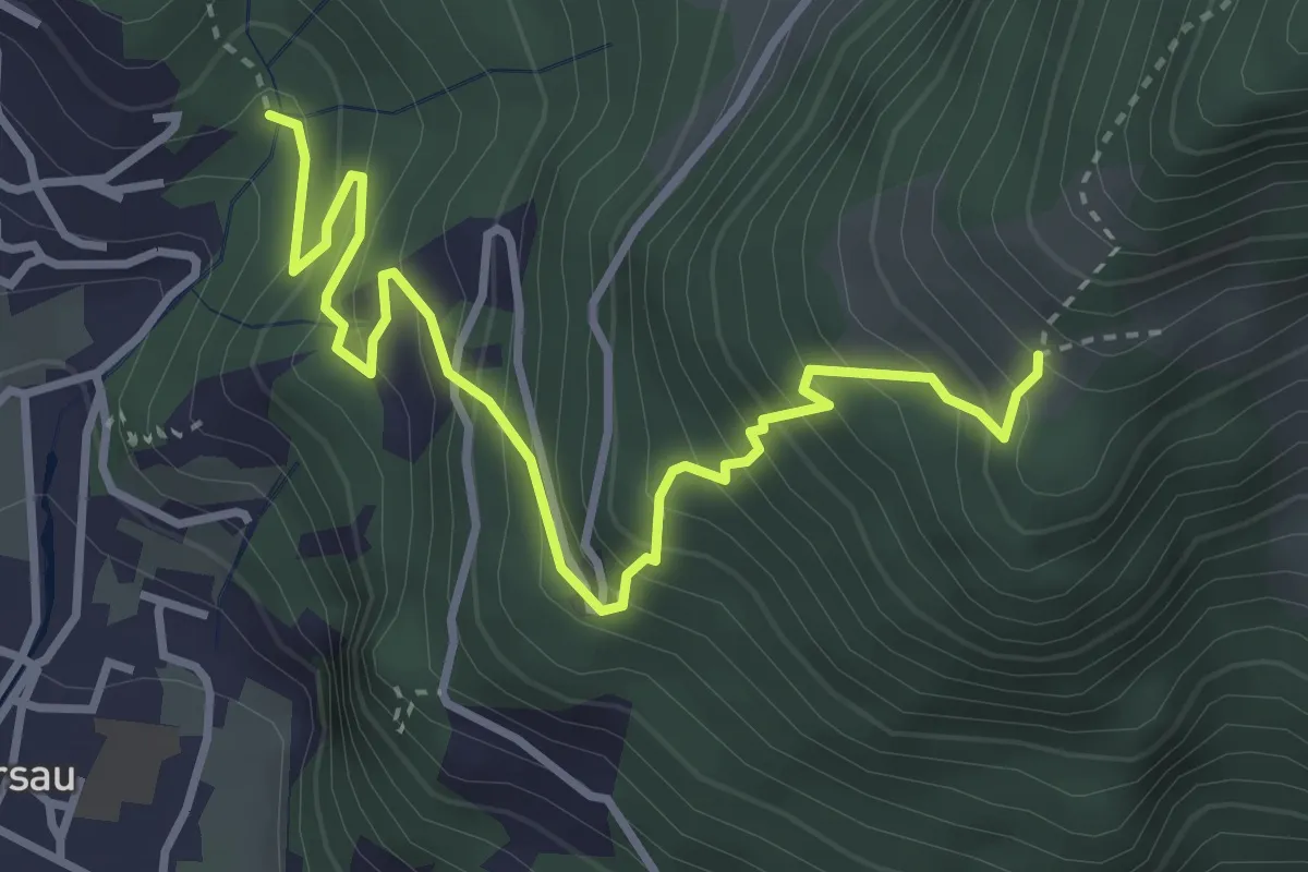
Demanding · Trail
Nielenbrugg – Ochsenalp
4.0 km · ↑ 464 m · 1 h 57 min · 12 km away
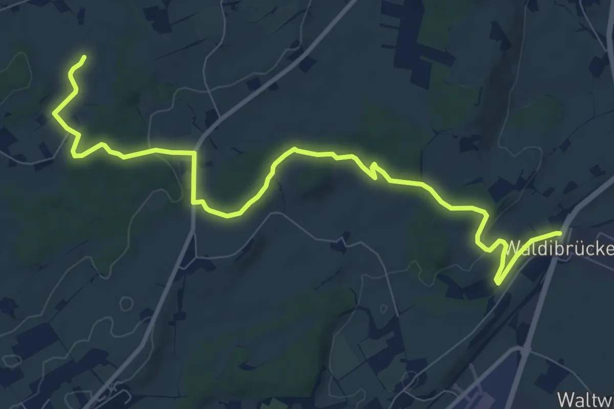
Medium · Trail
Waldibrugg - Hirselen
10.5 km · ↑ 134 m · 2 h 47 min · 12 km away
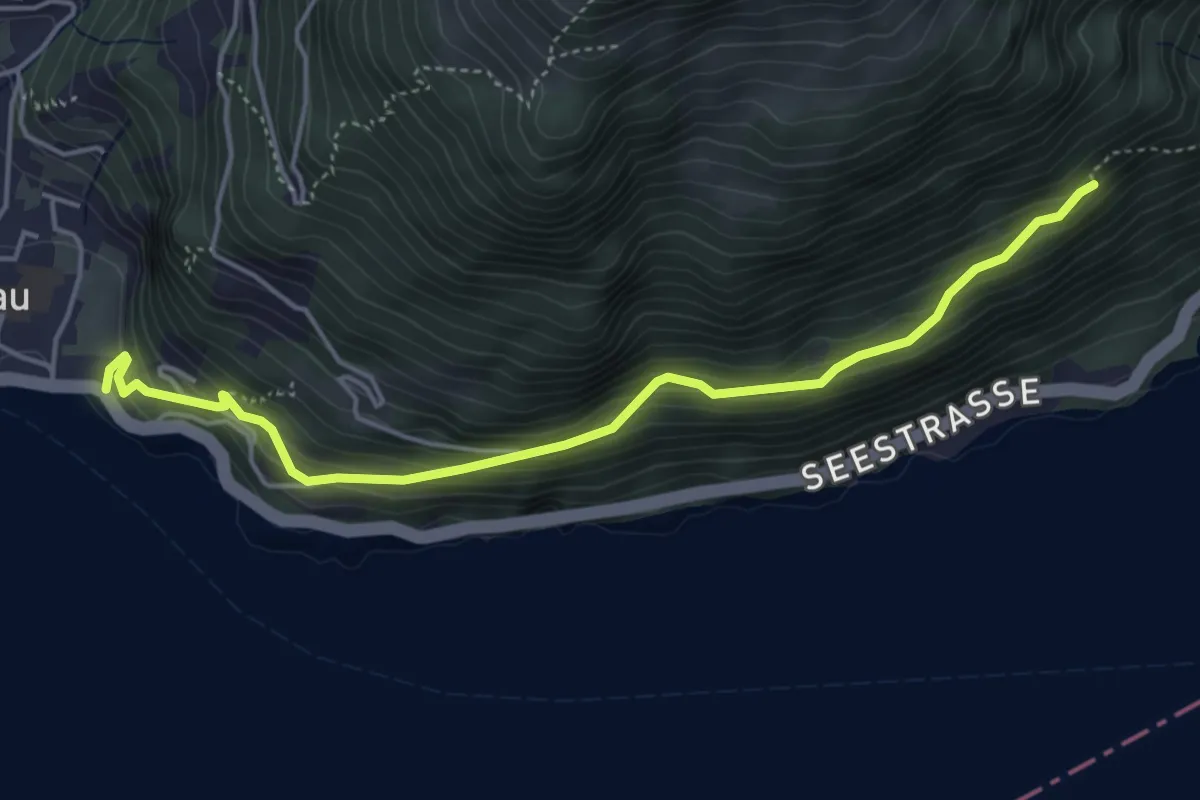
Medium · Trail
Oberholz - Fluhegg
4.7 km · ↑ 363 m · 1 h 54 min · 12 km away
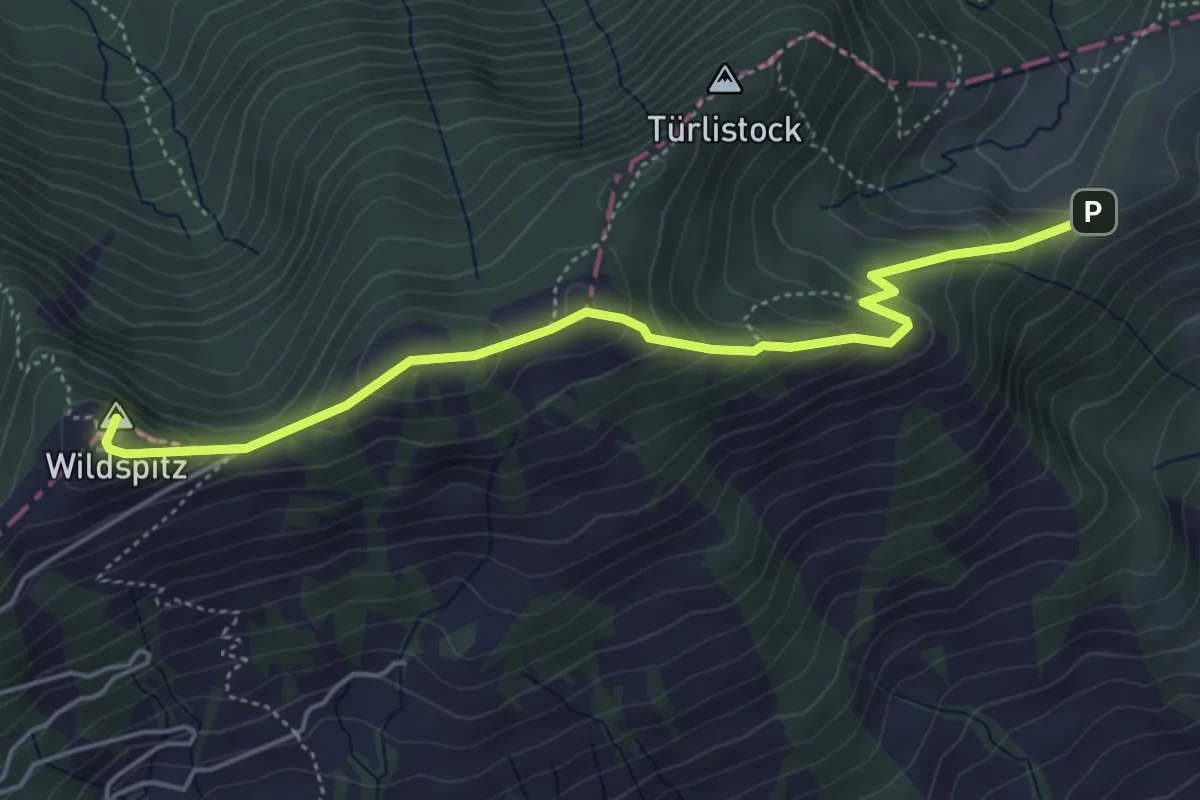
Medium · Summit
Halsegg – Wildspitz
5.0 km · ↑ 334 m · 1 h 54 min · 13 km away
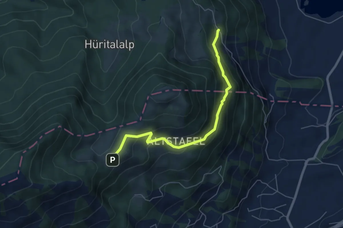
Medium · Trail
Halsegg - Schornerain
5.3 km · ↑ 336 m · 1 h 59 min · 13 km away
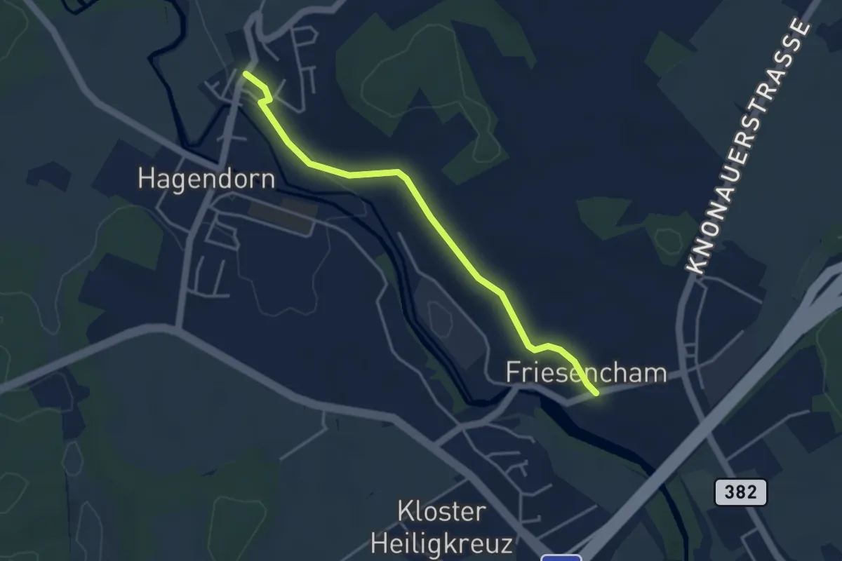
Easy · Trail
Friesencham-Rumentikon
3.6 km · ↑ 38 m · 55 min · 13 km away
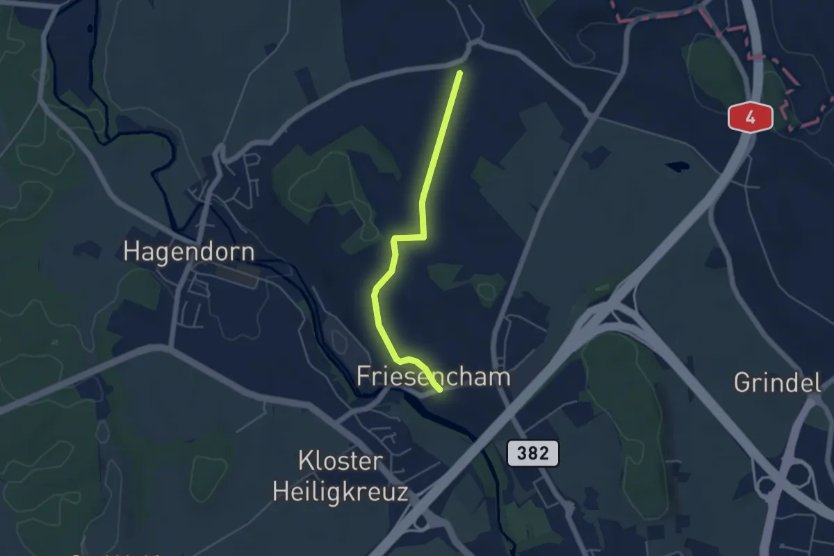
Easy · Trail
Friesencham -Niederwil
4.1 km · ↑ 47 m · 1 h 4 min · 13 km away
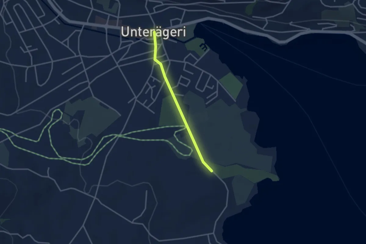
Easy · Trail
Campingplatz – Dorfplatz
2.4 km · ↑ 0 m · 34 min · 13 km away
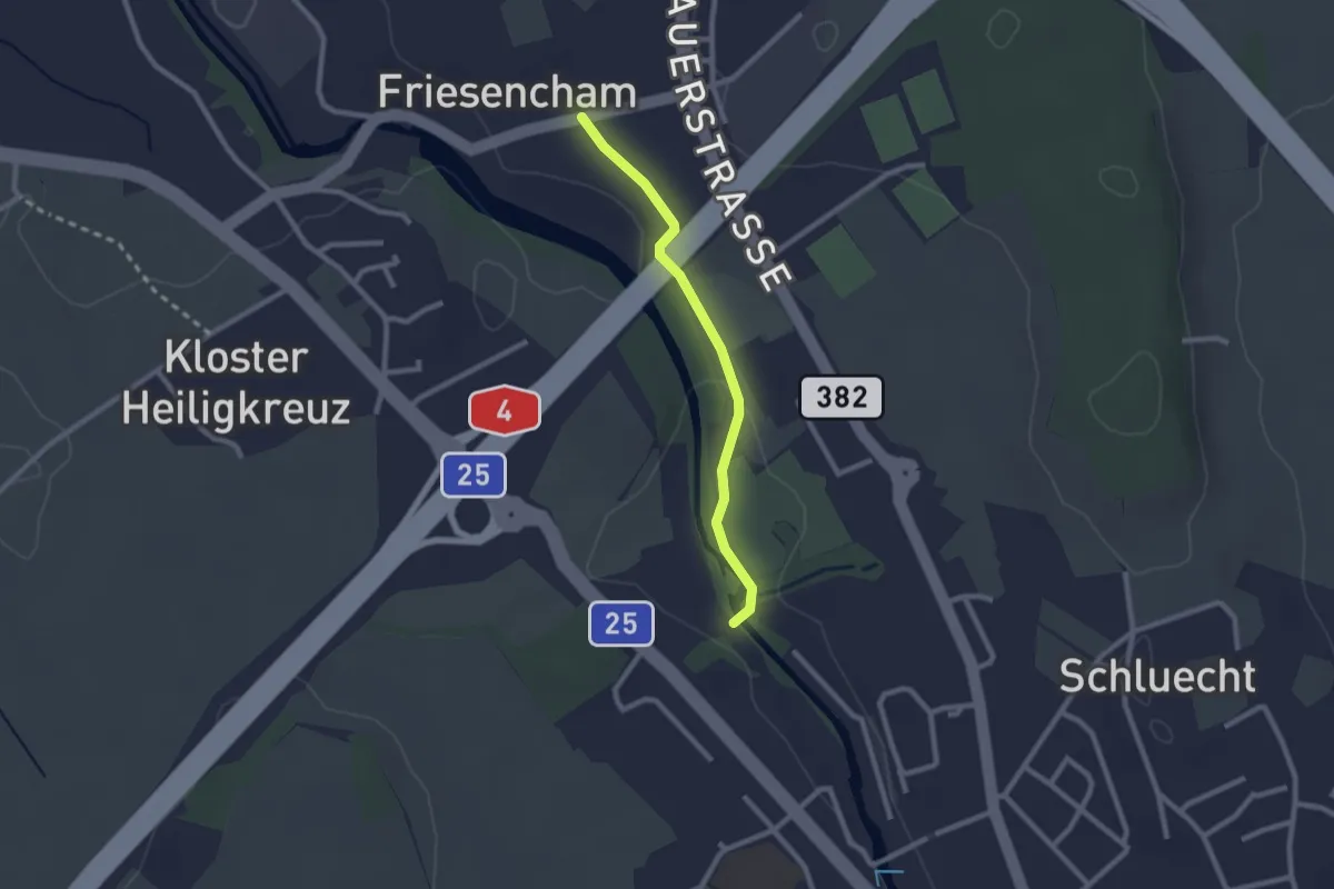
Easy · Trail
Friesencham-Hammer
2.1 km · ↑ 19 m · 33 min · 13 km away
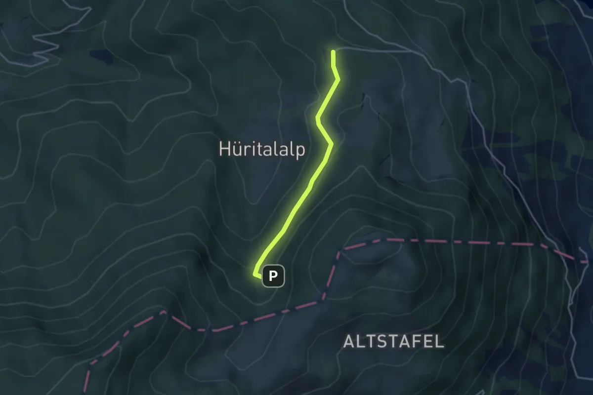
Easy · Trail
Cholerhütte - Geissfaren
2.9 km · ↑ 105 m · 55 min · 13 km away
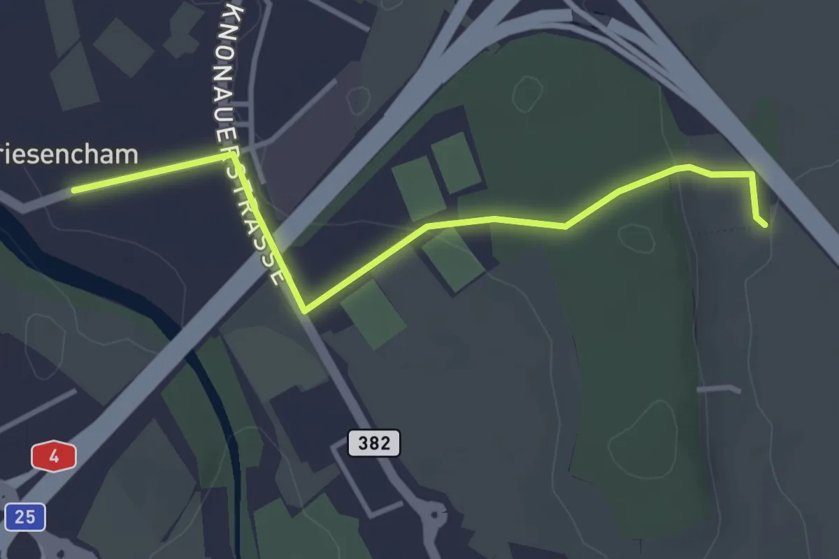
Easy · Trail
Friesencham-Baregg
3.4 km · ↑ 68 m · 56 min · 13 km away
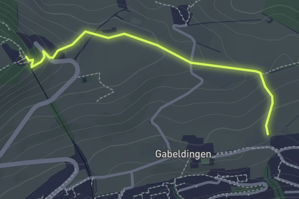
Easy · Trail
Amlehn – Sonnenberg
2.4 km · ↑ 103 m · 47 min · 13 km away
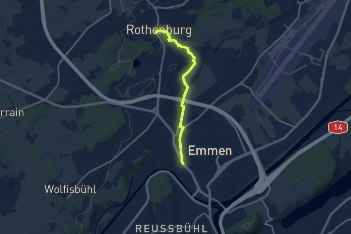
Easy · Trail
Emmenbrücke-Rotenburg
6.2 km · ↑ 91 m · 1 h 39 min · 13 km away
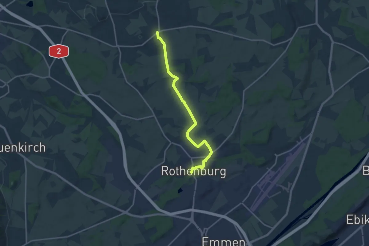
Medium · Trail
Rotenburg - Rain
11.5 km · ↑ 106 m · 2 h 57 min · 13 km away
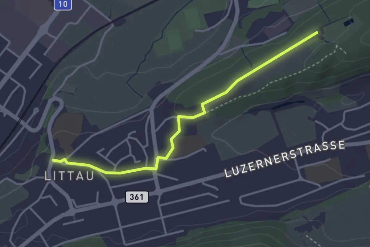
Easy · Trail
Zimmeregg – Littau Dorf
3.4 km · ↑ 41 m · 53 min · 13 km away
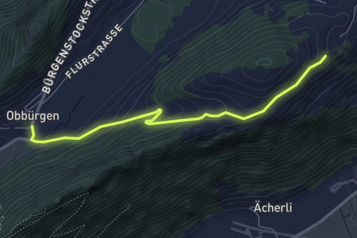
Easy · Trail
Obbürgen – Ätschenried
5.4 km · ↑ 211 m · 1 h 44 min · 13 km away
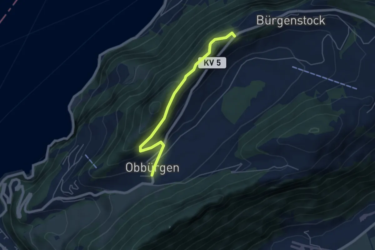
Easy · Trail
Obbürgen - Bürgenstock
4.5 km · ↑ 268 m · 1 h 39 min · 13 km away
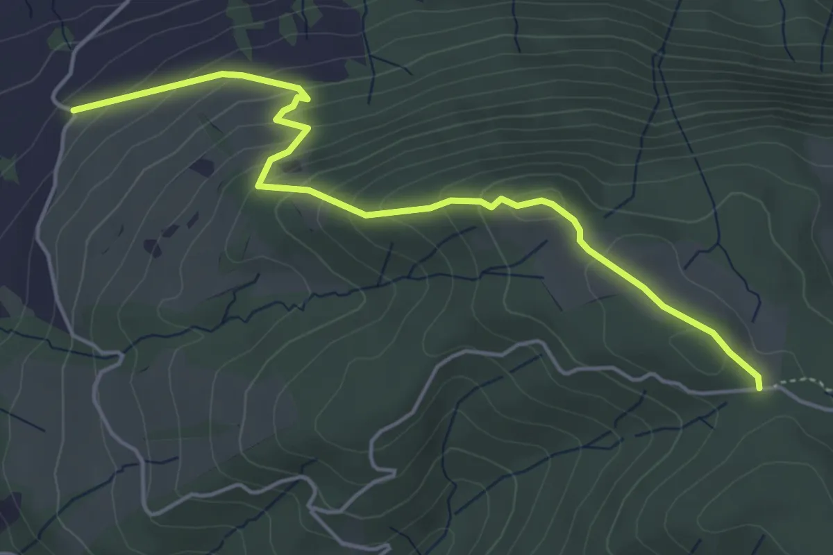
Easy · Trail
Rossallmig - Resti
4.9 km · ↑ 305 m · 1 h 49 min · 13 km away
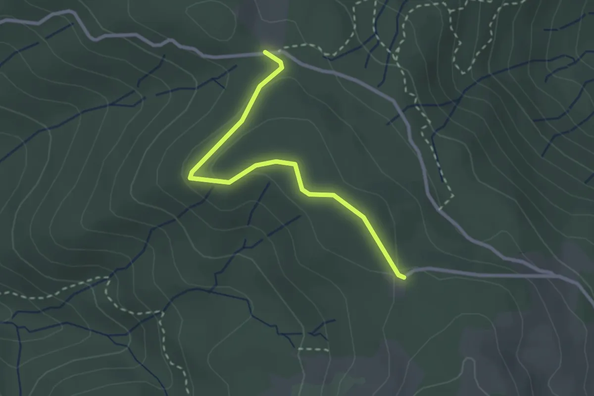
Easy · Trail
Cholerhütte - Rossallmig
2.5 km · ↑ 52 m · 43 min · 13 km away
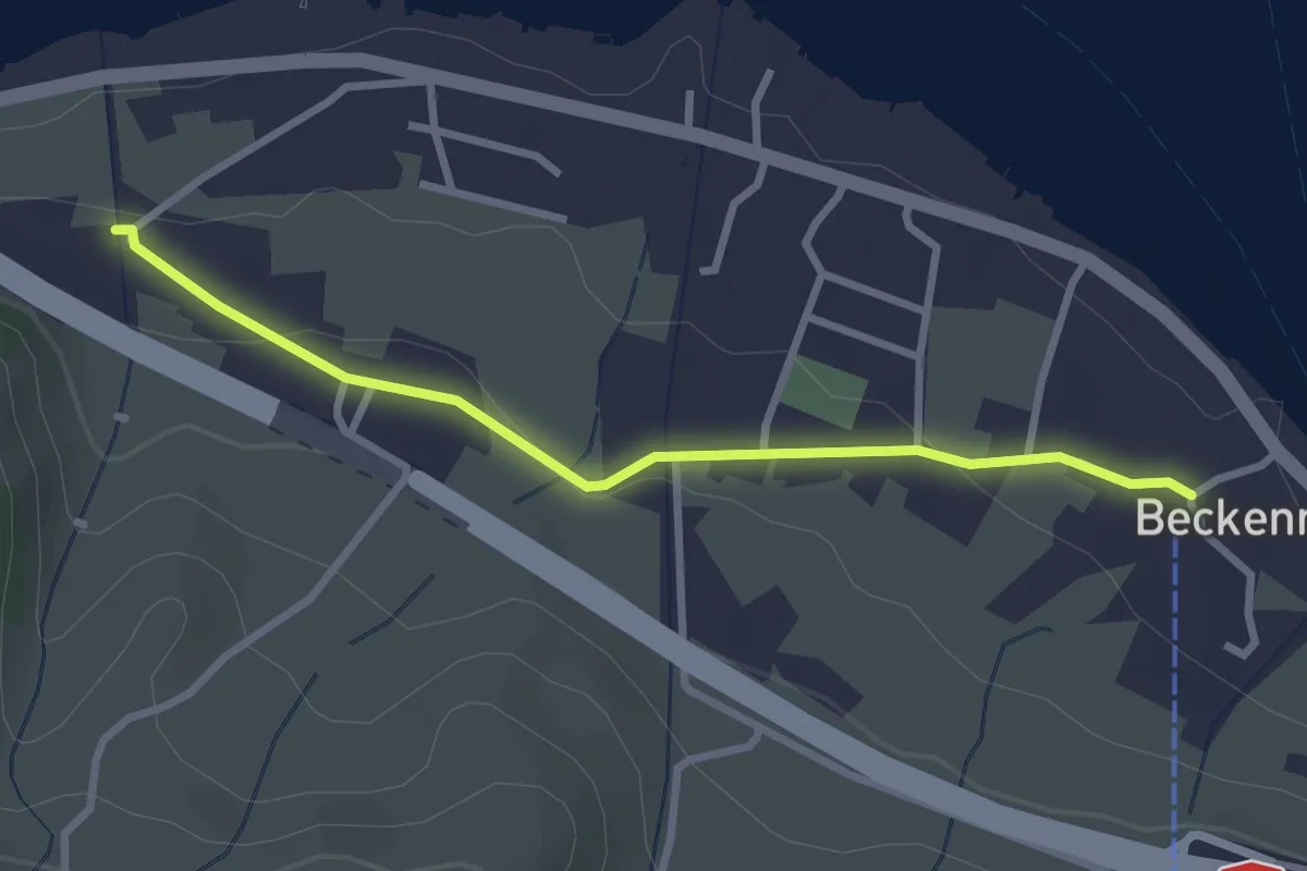
Easy · Trail
Talstation Klewenbahn – Ridli
2.8 km · ↑ 73 m · 49 min · 13 km away
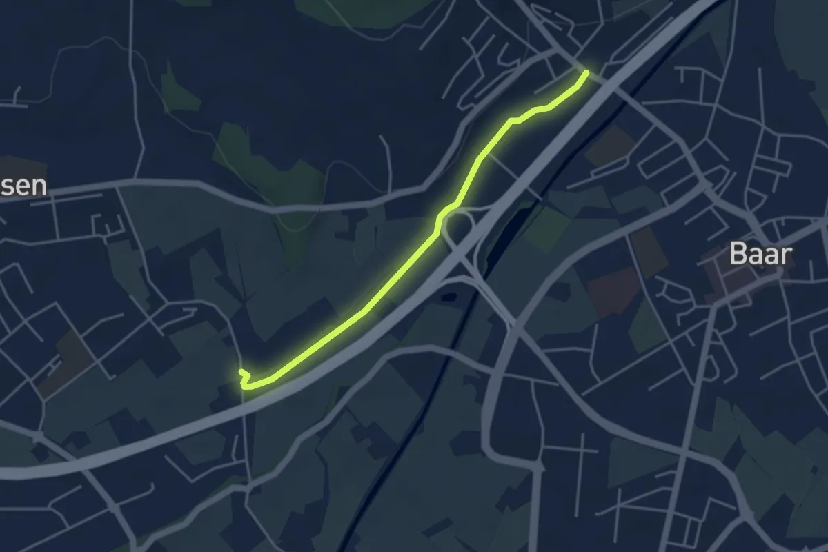
Easy · Trail
Blickensdorf-Hint. Höfen
3.7 km · ↑ 8 m · 54 min · 13 km away
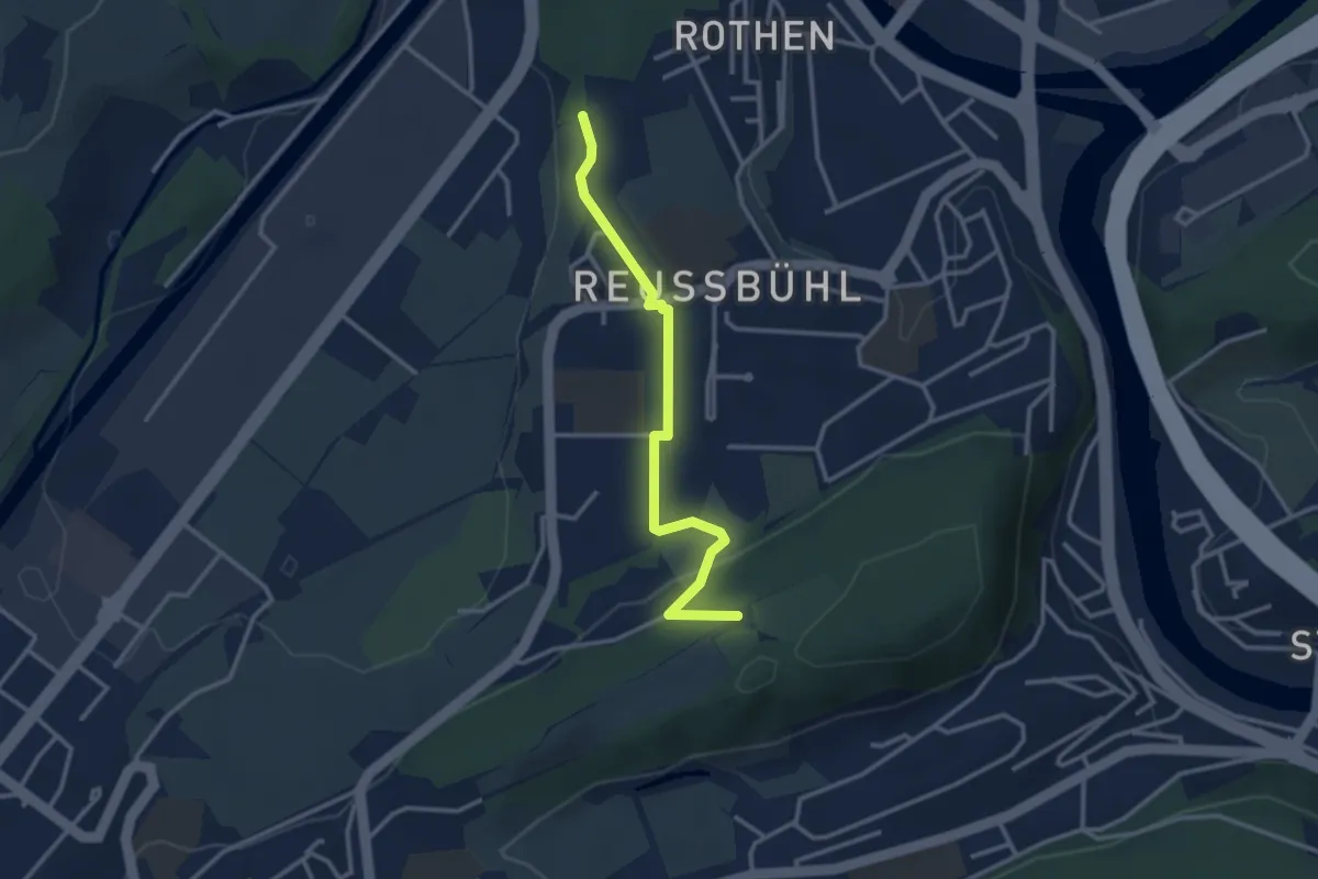
Easy · Trail
Zimeregg – Rothen
3.0 km · ↑ 68 m · 52 min · 13 km away
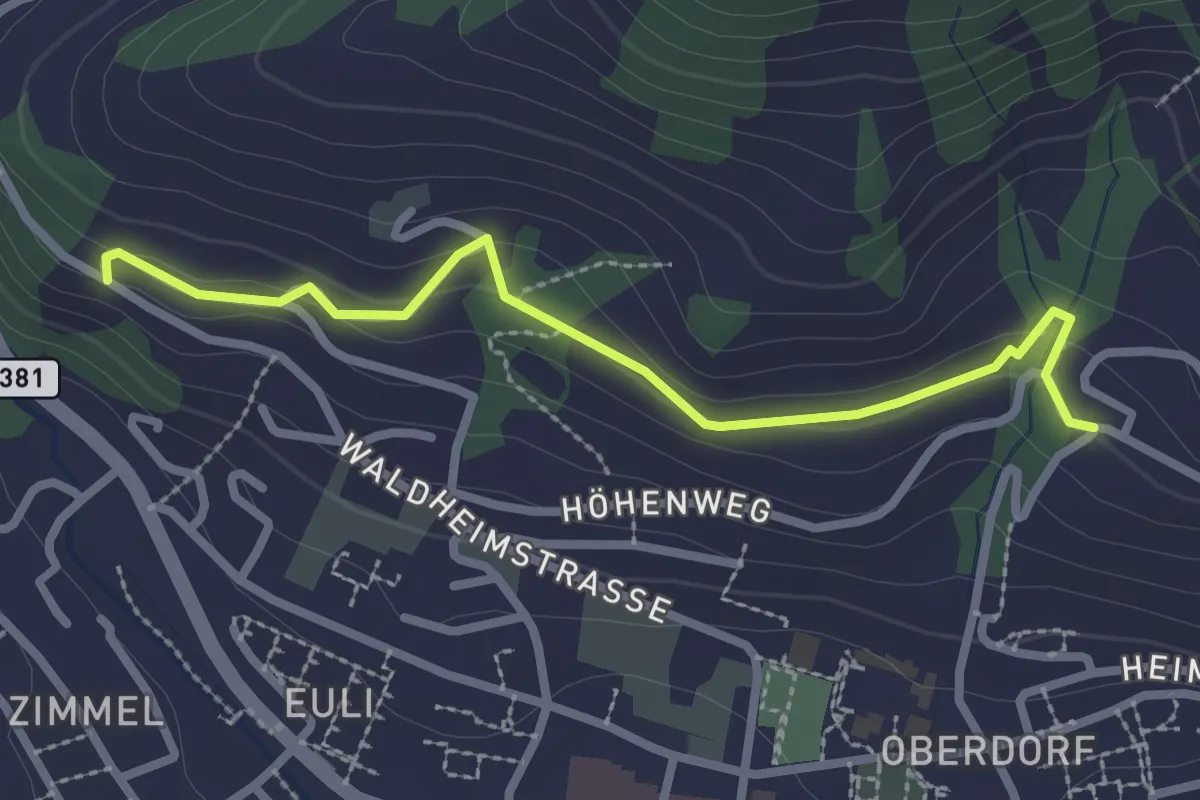
Easy · Trail
Heimhusen - Waldheim
2.6 km · ↑ 78 m · 48 min · 13 km away
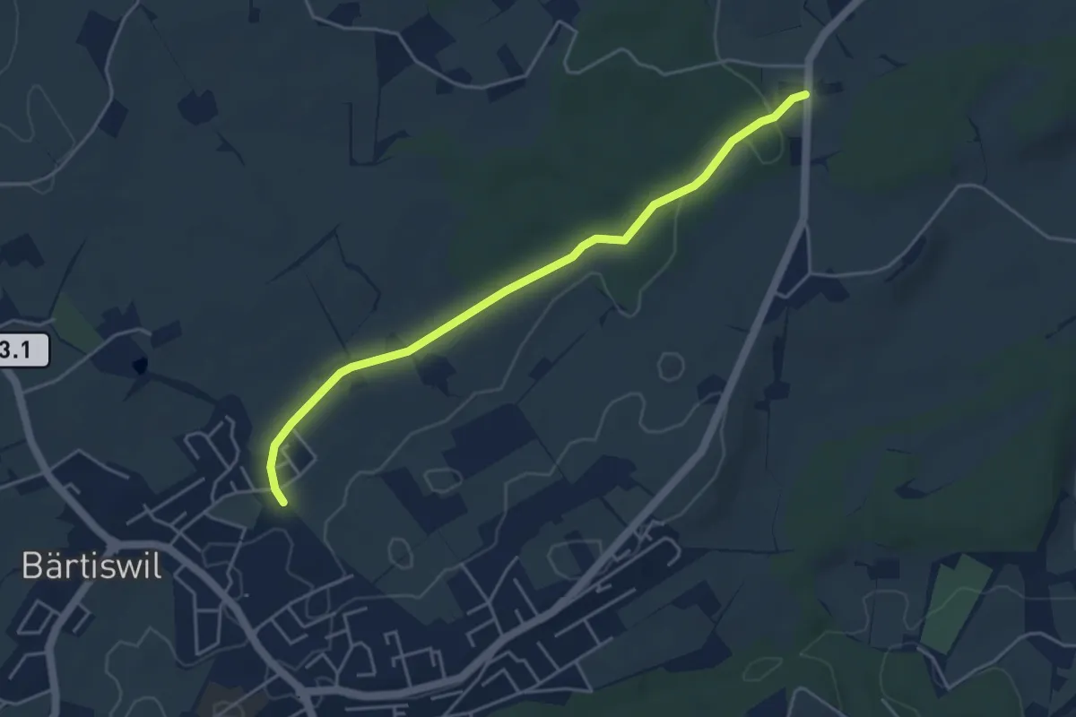
Easy · Trail
Chlöpfen - Chärns
4.3 km · ↑ 43 m · 1 h 7 min · 13 km away
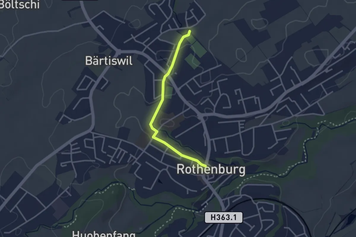
Easy · Trail
Rothenburg - Chärns
2.6 km · ↑ 12 m · 38 min · 13 km away
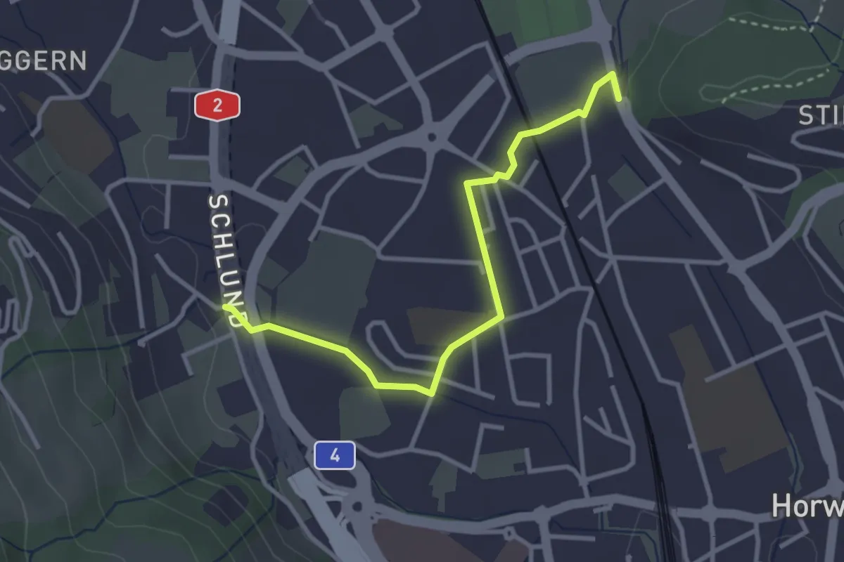
Easy · Trail
Waldegg - Schlund
3.1 km · ↑ 14 m · 46 min · 13 km away
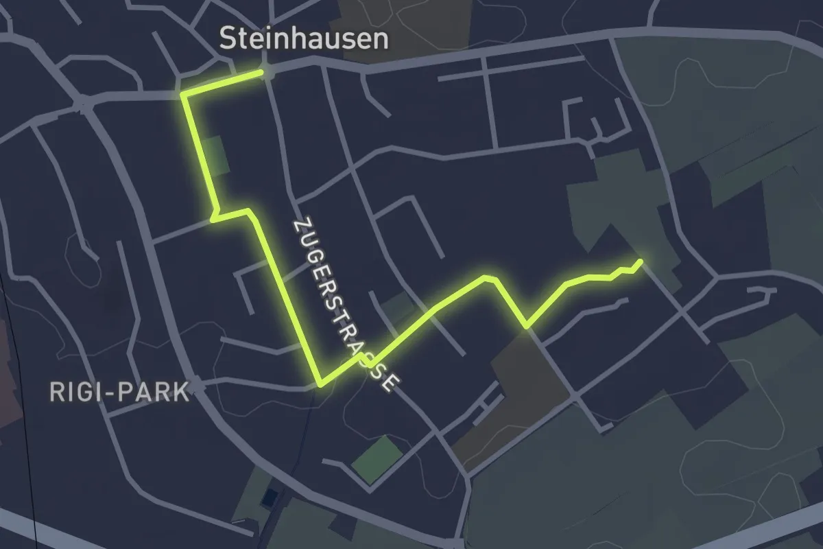
Easy · Trail
Höfen - Post Rathaus
3.1 km · ↑ 8 m · 46 min · 13 km away
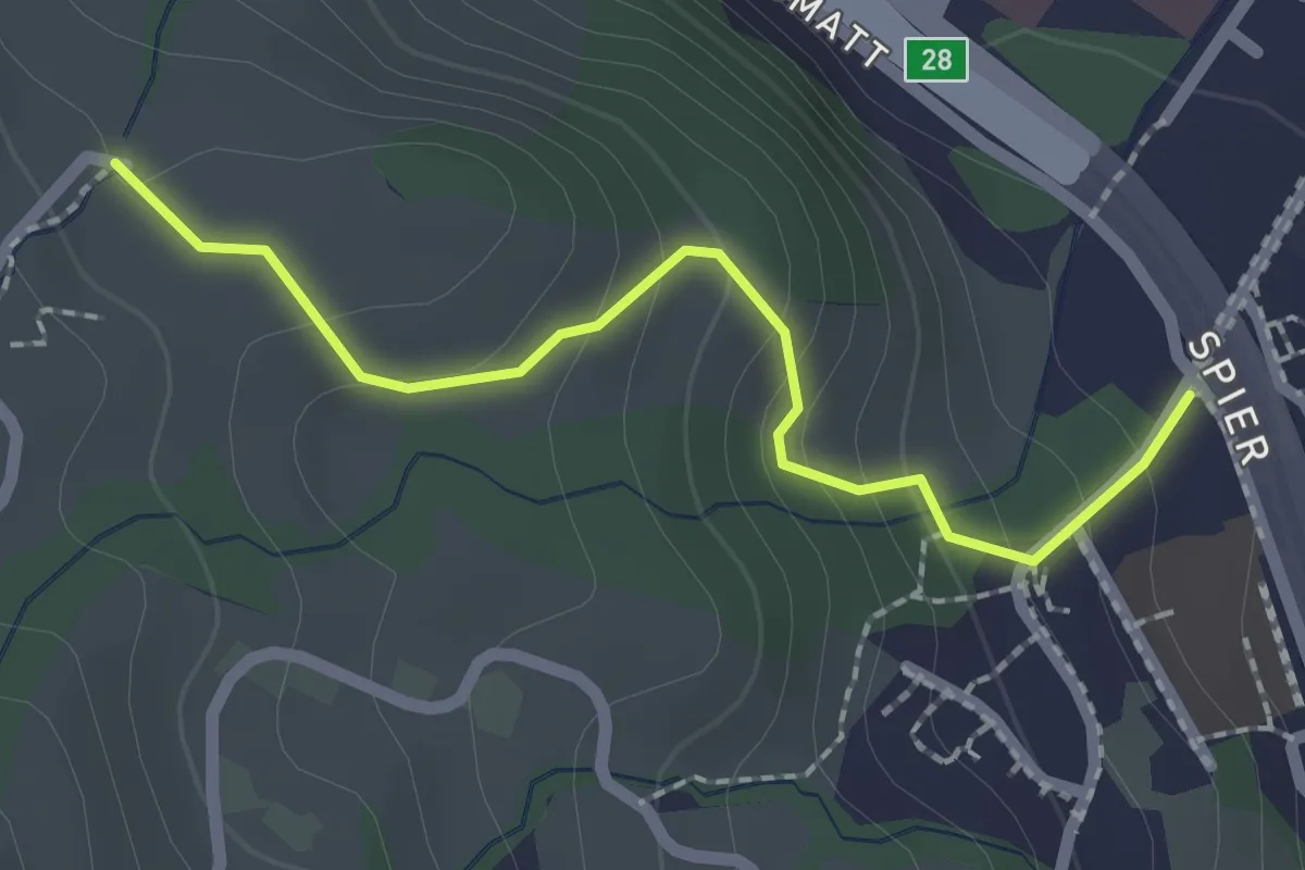
Easy · Trail
Spitz – Ober Strick
2.1 km · ↑ 134 m · 46 min · 13 km away
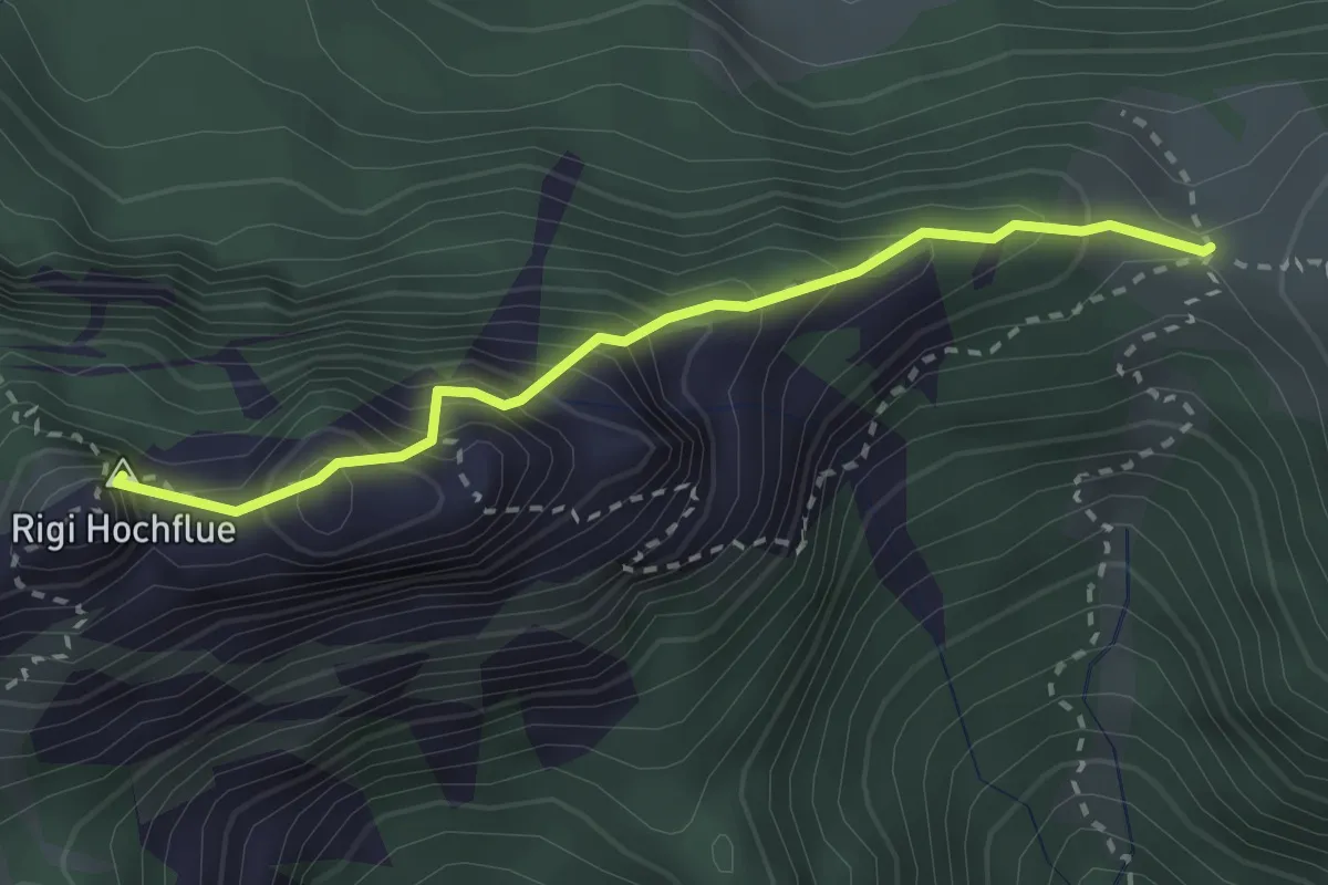
Expert · Summit
Egg – Rigi Hochflue
2.6 km · ↑ 436 m · 1 h 33 min · 13 km away
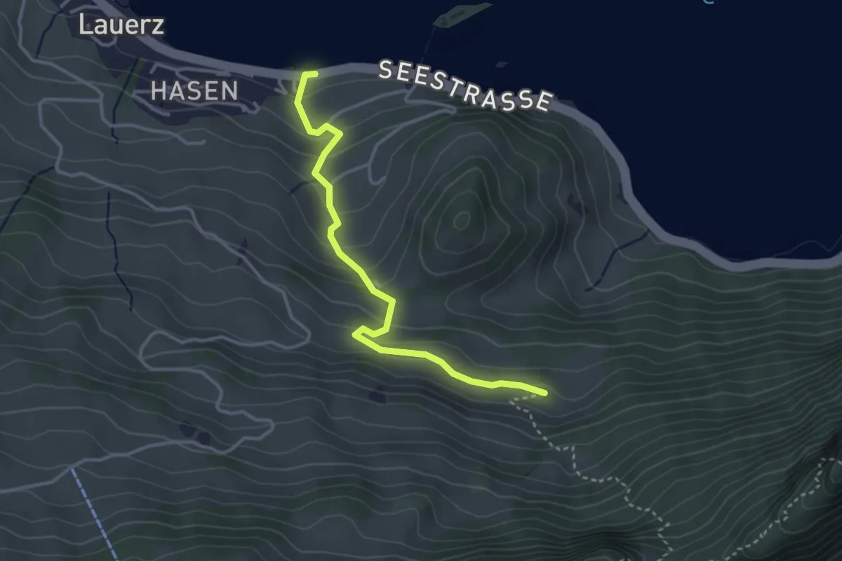
Easy · Trail
Seegüetli – Schwändi
3.4 km · ↑ 212 m · 1 h 15 min · 13 km away
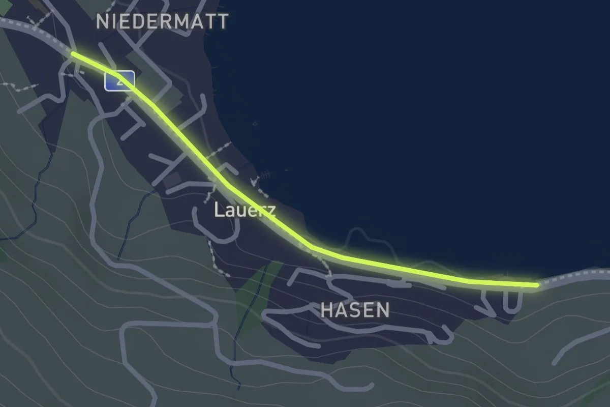
Easy · Trail
Seegüetli – Lauerz
2.1 km · ↑ 9 m · 30 min · 13 km away
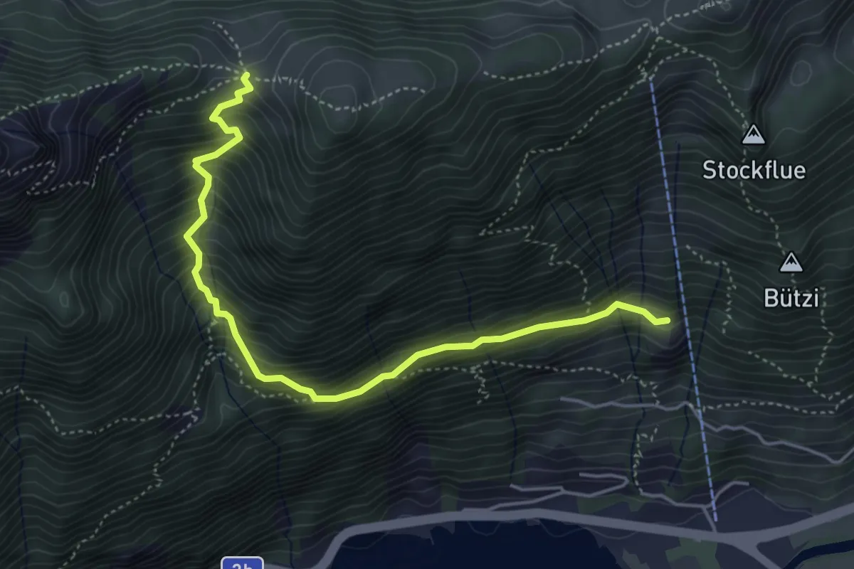
Medium · Trail
Egg - Stöck
4.9 km · ↑ 627 m · 2 h 30 min · 13 km away
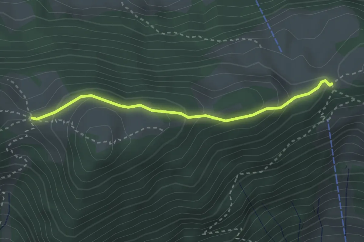
Easy · Trail
Egg – Schwand
2.5 km · ↑ 165 m · 57 min · 13 km away
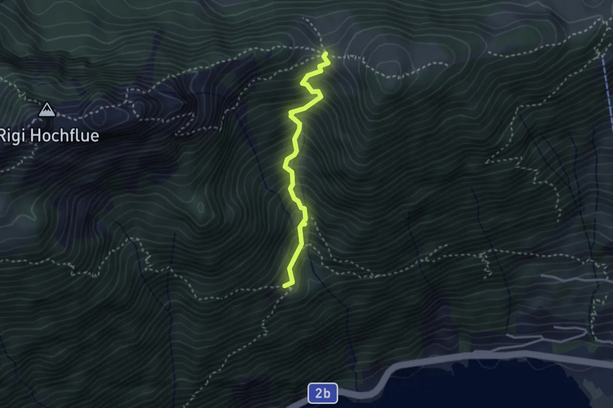
Demanding · Trail
Egg – Bärfallen
2.6 km · ↑ 454 m · 1 h 36 min · 13 km away
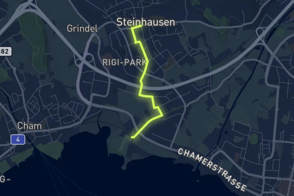
Easy · Trail
Steinhausen - Chollermülli
5.2 km · ↑ 21 m · 1 h 16 min · 13 km away
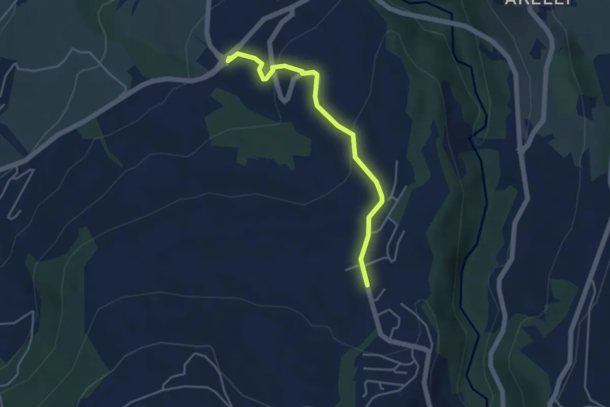
Easy · Trail
Talacher - Grüt Allenwinden
3.4 km · ↑ 114 m · 1 h 3 min · 13 km away
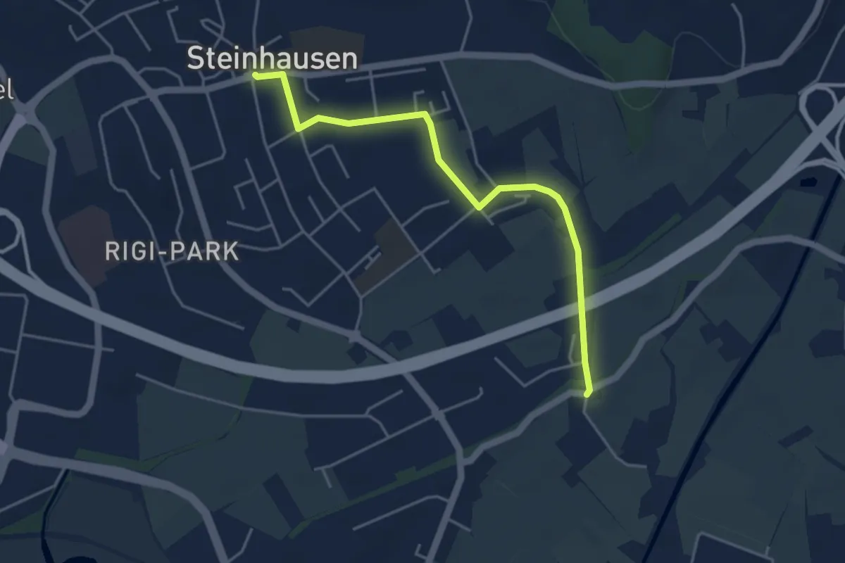
Easy · Trail
Schochenmühle - Steinhausen
4.2 km · ↑ 4 m · 1 h · 13 km away
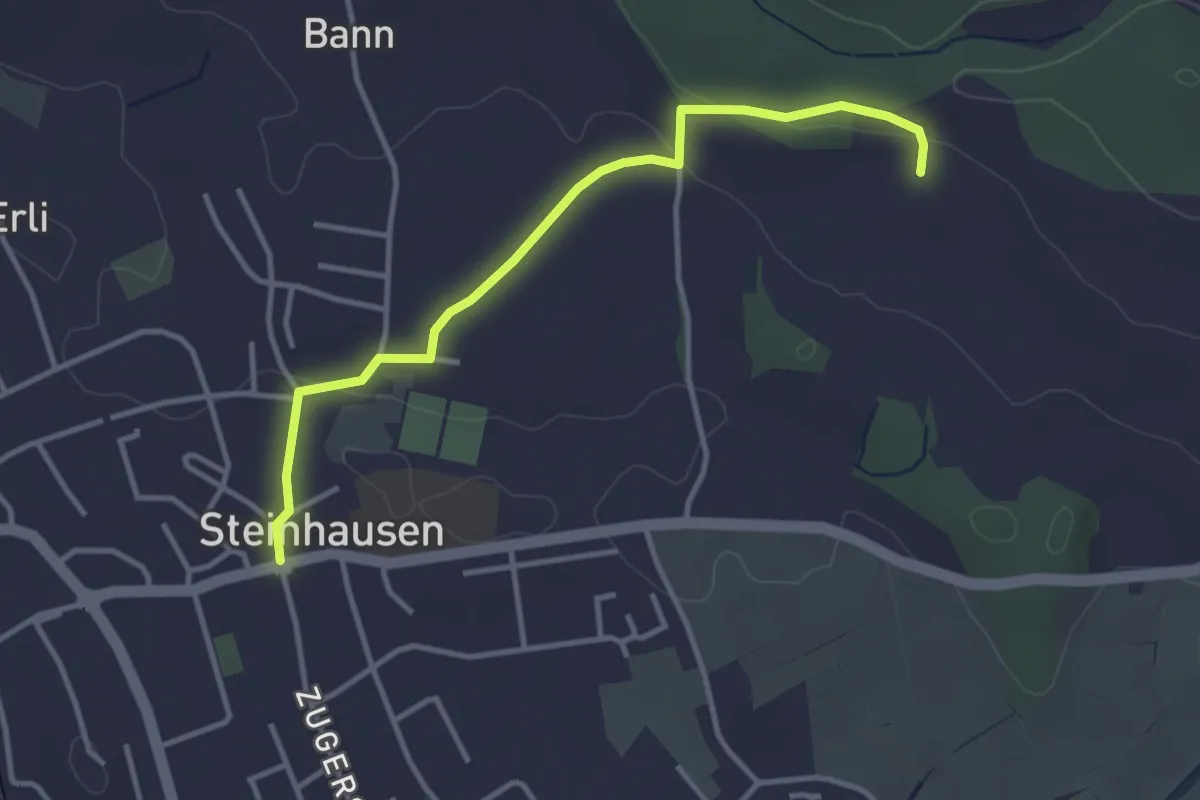
Easy · Trail
Hinter Zimbel - Steinhausen
3.5 km · ↑ 56 m · 57 min · 13 km away
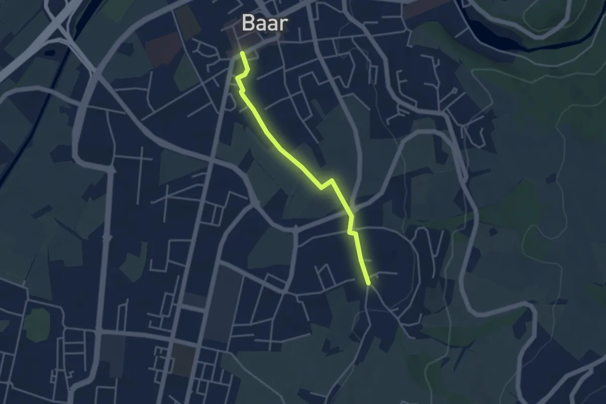
Easy · Trail
Baar Dorfstrasse - Inwil
3.3 km · ↑ 17 m · 48 min · 13 km away
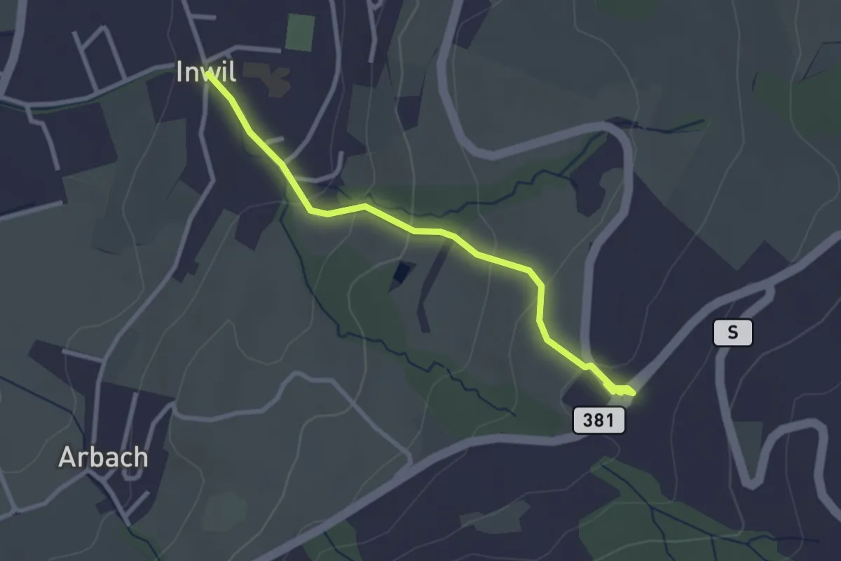
Easy · Trail
Inwil - Talacher
2.7 km · ↑ 119 m · 54 min · 13 km away
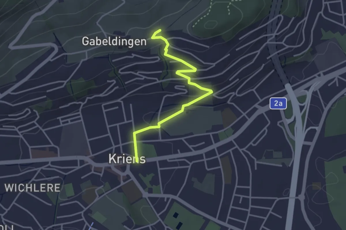
Easy · Trail
Amlehn - Kriens Hofmatt
3.4 km · ↑ 116 m · 1 h 3 min · 13 km away
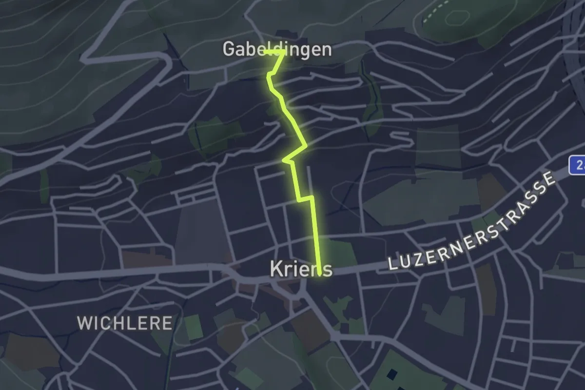
Easy · Trail
Kriens Hofmatt - Gabeldingen
2.0 km · ↑ 105 m · 42 min · 13 km away
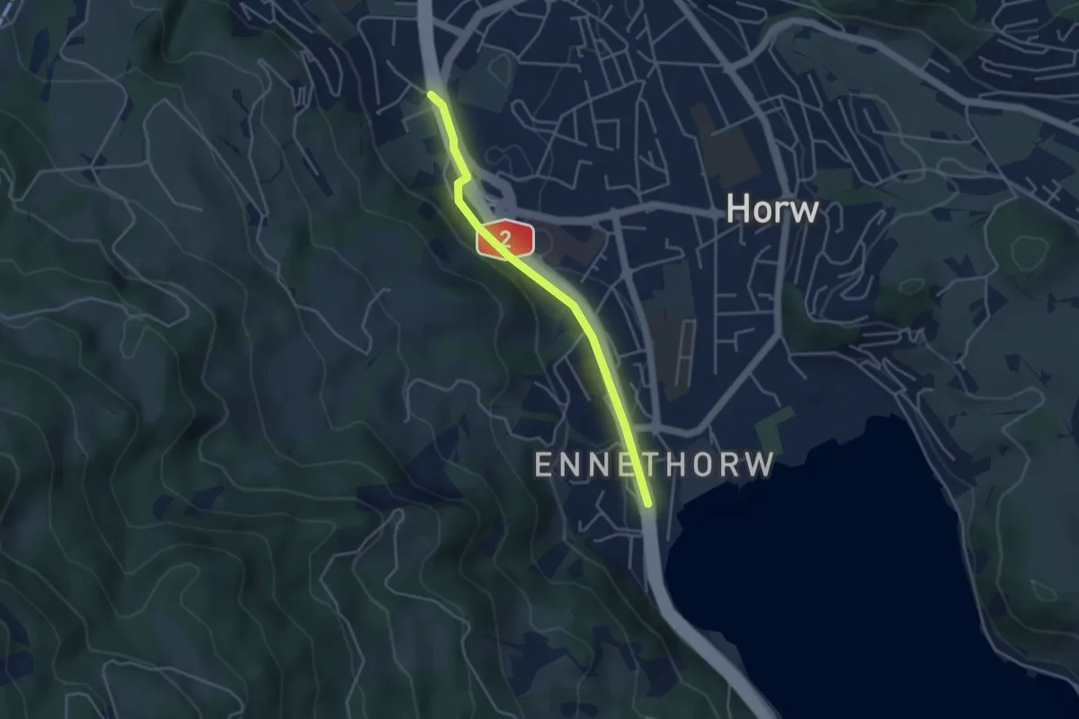
Easy · Trail
Schlund – Ennethorw
3.6 km · ↑ 31 m · 55 min · 13 km away
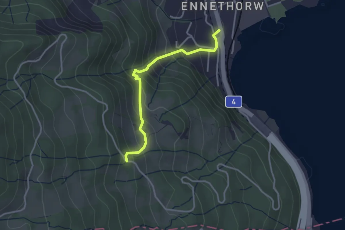
Easy · Trail
Ennethorw – Bruust
2.7 km · ↑ 233 m · 1 h 8 min · 13 km away
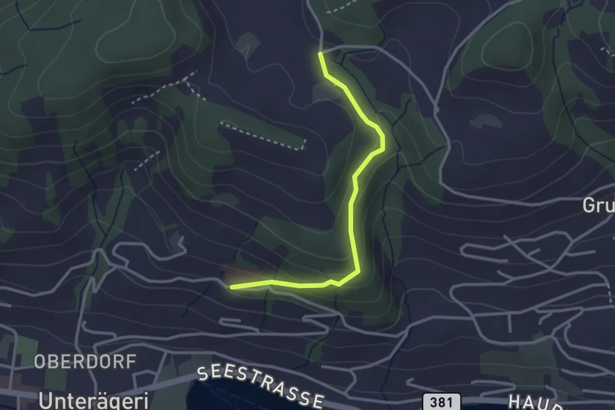
Easy · Trail
Klinik Adelheid - Hinterwiden
2.6 km · ↑ 120 m · 53 min · 13 km away