Trails near Küssnacht am Rigi
669 hikes starting within 15 km, nearest first.
Nearest first, page 10 of 14
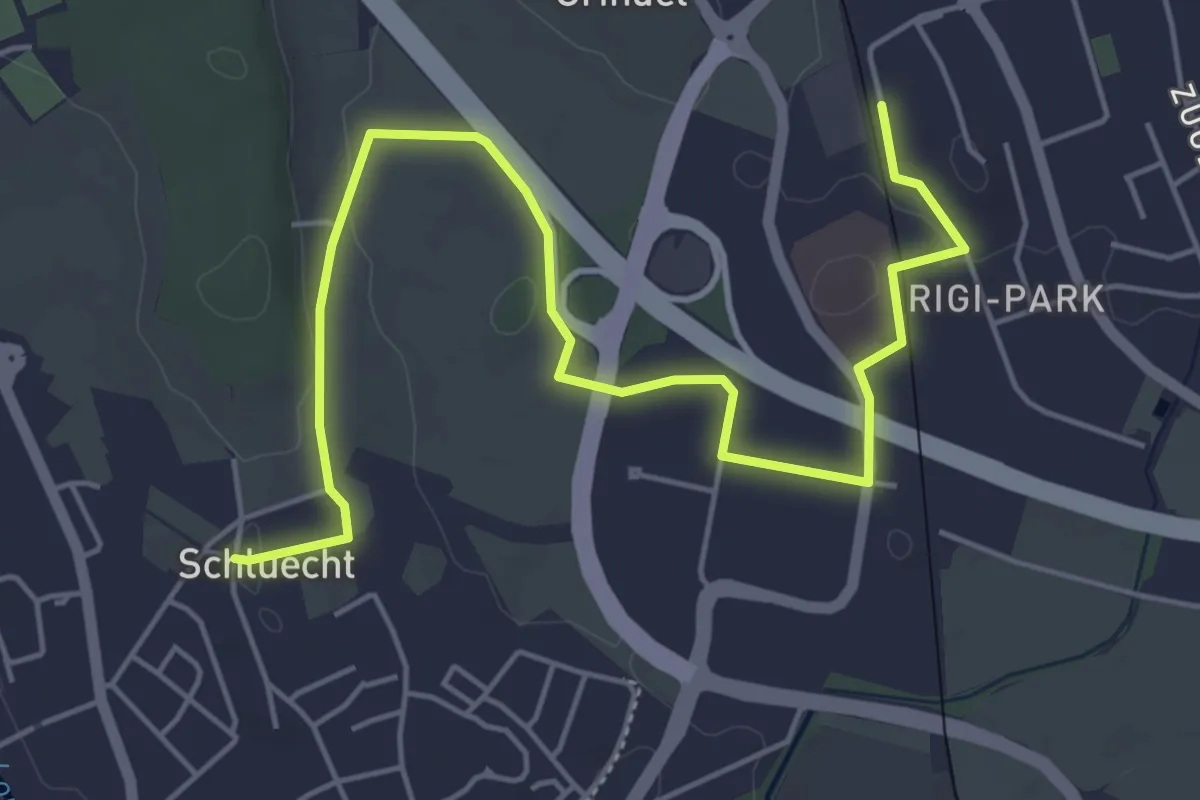
Easy · Trail
Steinhausen - Schluecht
6.5 km · ↑ 49 m · 1 h 38 min · 12 km away
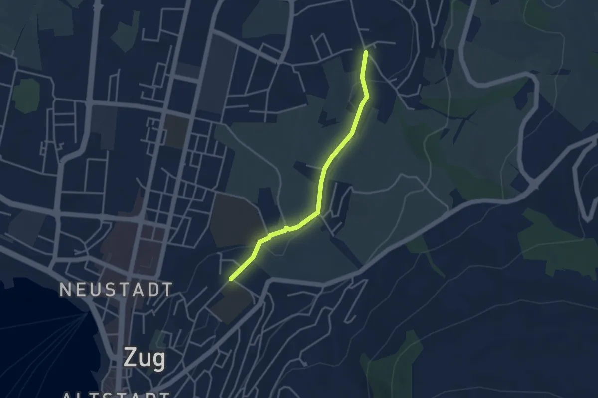
Easy · Trail
Inwil – Loreto
3.1 km · ↑ 32 m · 48 min · 12 km away
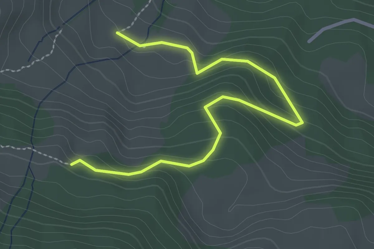
Medium · Trail
Ried - Rohrboden
2.9 km · ↑ 147 m · 1 h 1 min · 12 km away
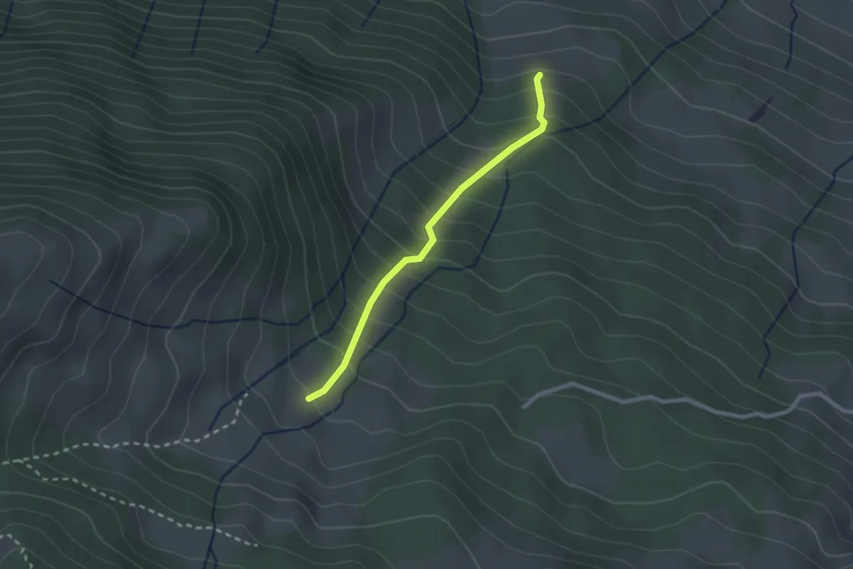
Easy · Trail
Punkt 775 m - Ried
2.1 km · ↑ 290 m · 1 h 7 min · 12 km away
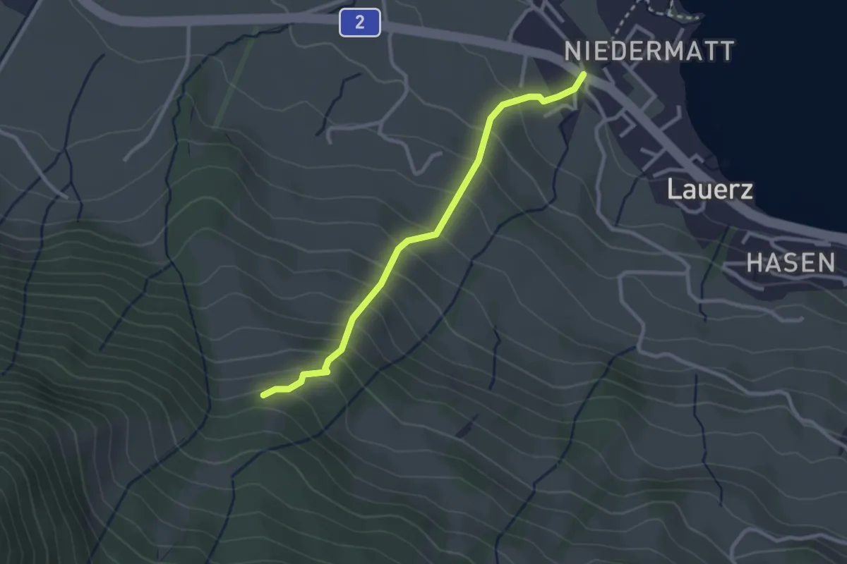
Easy · Trail
Punkt 775 m – Lauerz
2.6 km · ↑ 270 m · 1 h 12 min · 12 km away
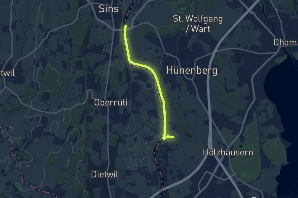
Medium · Trail
Sins – Meisterswil
8.1 km · ↑ 99 m · 2 h 8 min · 12 km away
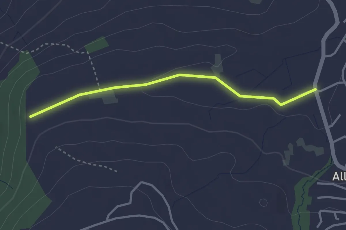
Easy · Trail
Steren - Allenwinden
2.7 km · ↑ 25 m · 41 min · 12 km away
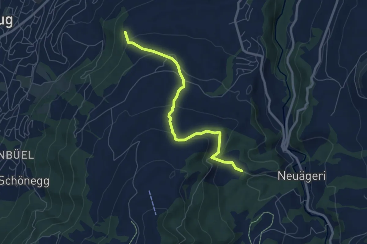
Easy · Trail
Steren-Unter Brunegg
6.0 km · ↑ 296 m · 2 h 3 min · 12 km away
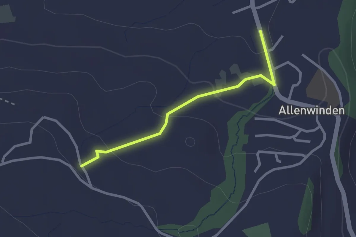
Easy · Trail
Bilgerighof - Allenwinden
2.1 km · ↑ 75 m · 40 min · 12 km away
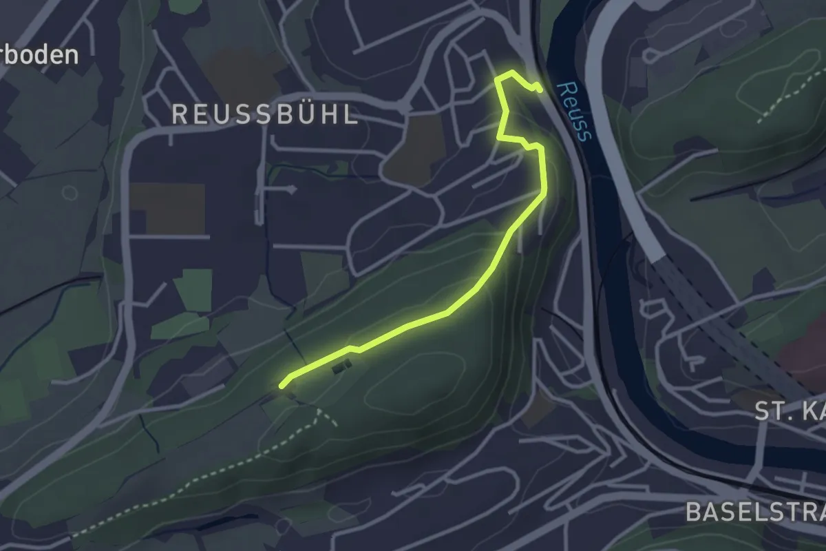
Easy · Trail
Zimmeregg – Reusbühl Alte Fähre
2.8 km · ↑ 119 m · 55 min · 12 km away
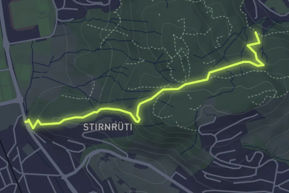
Easy · Trail
Matthof - Waldegg
4.5 km · ↑ 213 m · 1 h 32 min · 12 km away
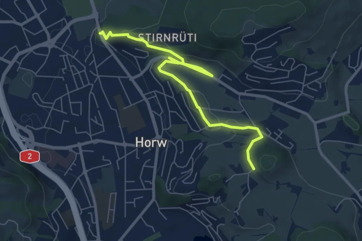
Easy · Trail
Längacher - Waldegg
6.4 km · ↑ 139 m · 1 h 49 min · 12 km away
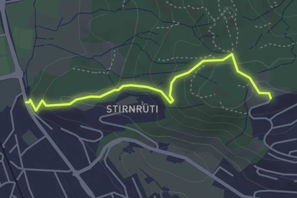
Easy · Trail
Oberrüti - Waldegg
3.4 km · ↑ 155 m · 1 h 8 min · 12 km away
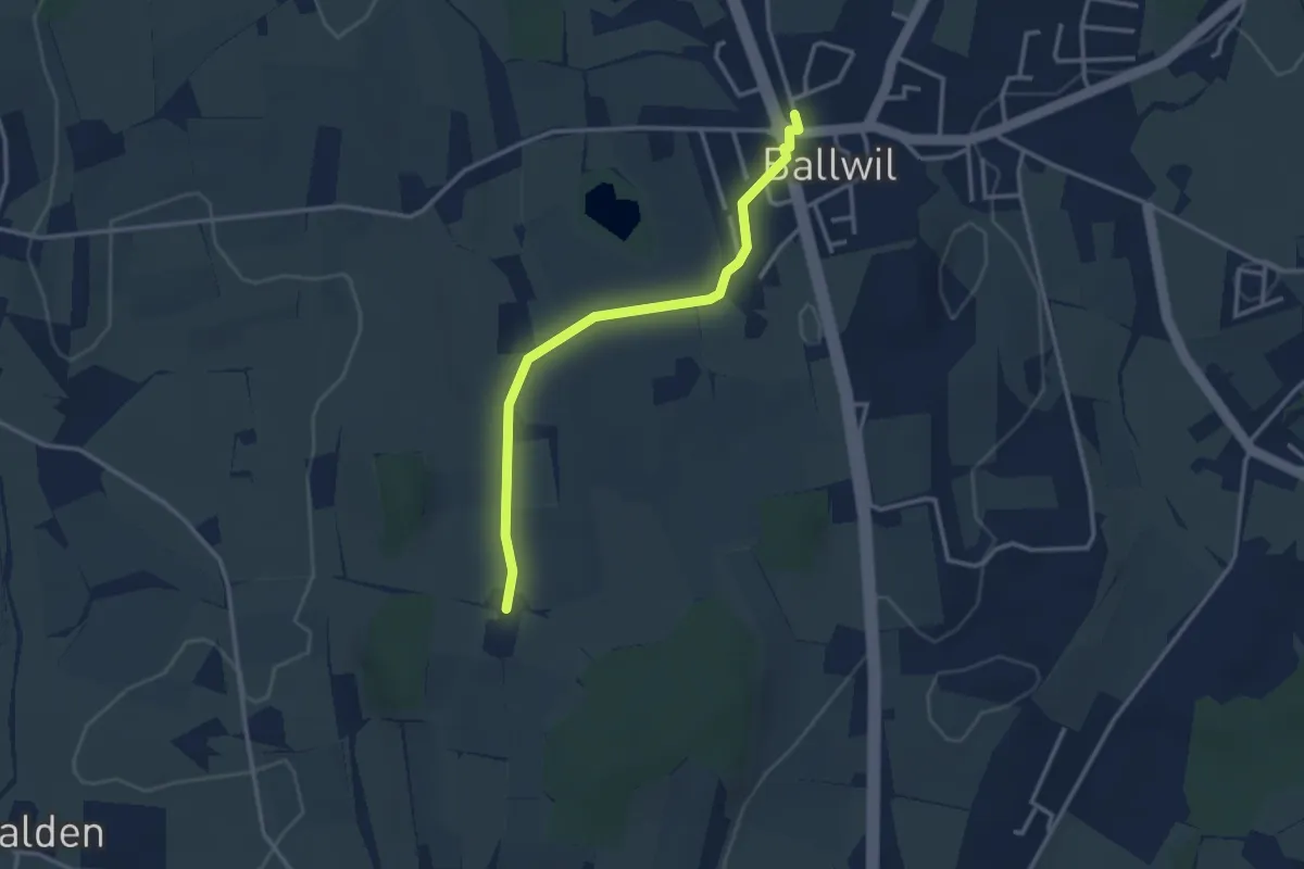
Easy · Trail
Räckebrunne – Ballwil
3.1 km · ↑ 18 m · 46 min · 12 km away
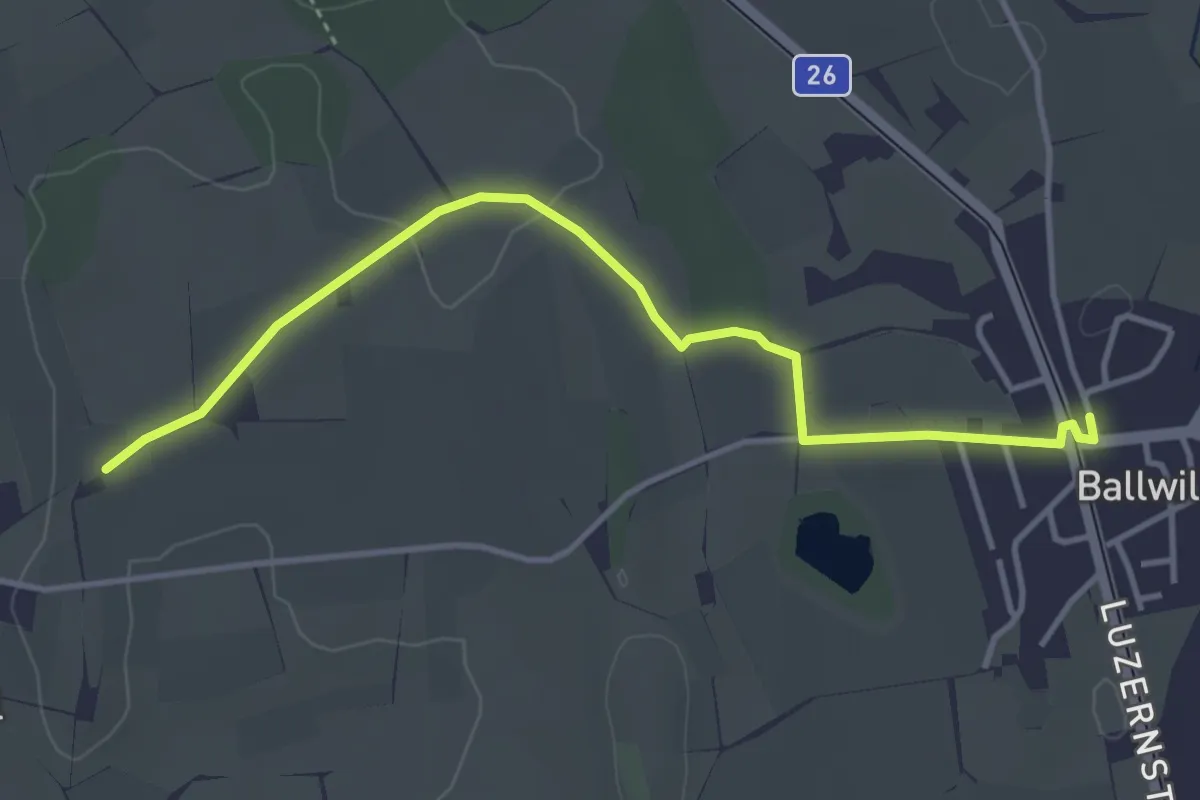
Easy · Trail
Urswil – Ballwil
4.1 km · ↑ 27 m · 1 h 2 min · 12 km away
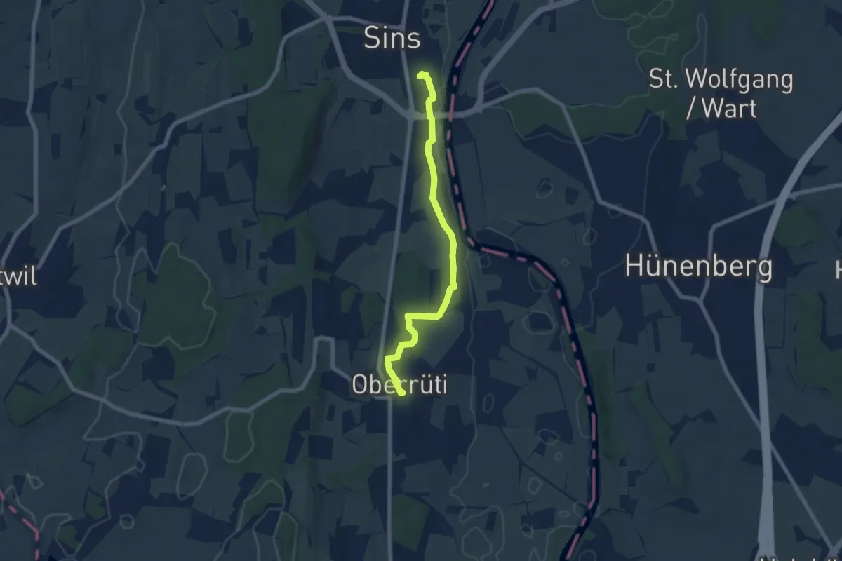
Easy · Trail
Oberrüti - Sins
6.3 km · ↑ 56 m · 1 h 36 min · 12 km away
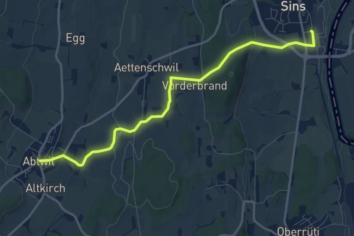
Medium · Trail
Sins - Abtwil
8.8 km · ↑ 159 m · 2 h 25 min · 12 km away
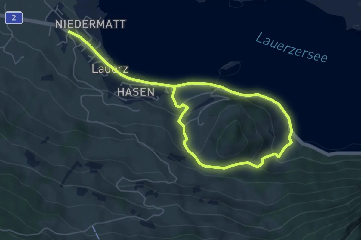
Easy · Trail
Rundweg Weidstein
7.8 km · ↑ 318 m · 2 h 32 min · 12 km away
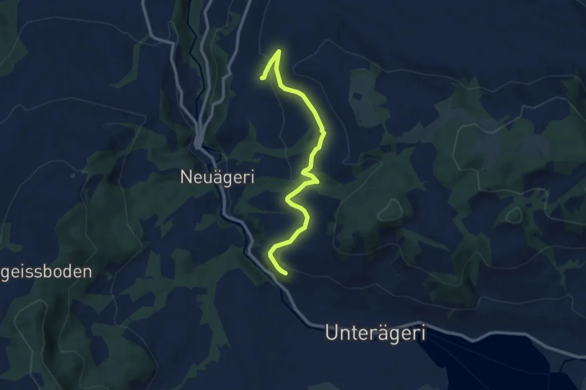
Easy · Trail
Waldheim -Heiterstaldena
7.1 km · ↑ 189 m · 2 h 5 min · 12 km away
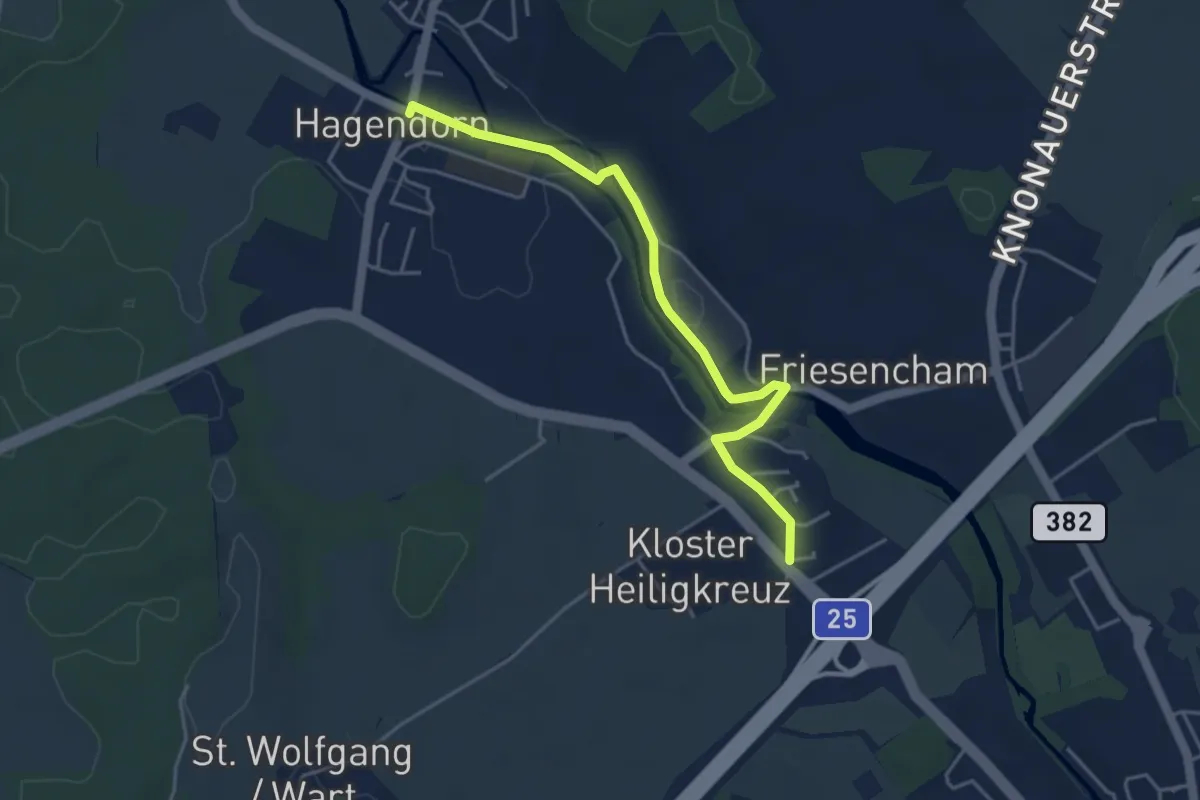
Easy · Trail
Hagendorn - Röhrliberg
4.3 km · ↑ 47 m · 1 h 7 min · 12 km away
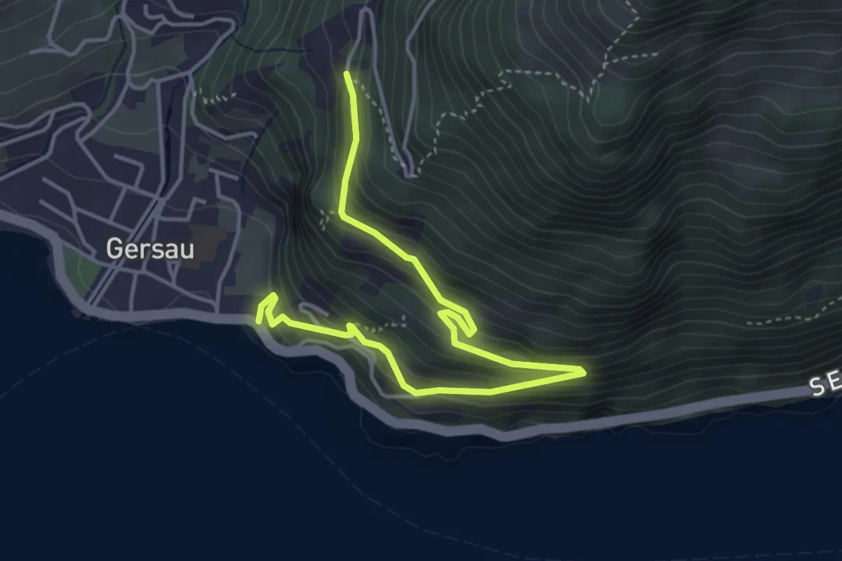
Medium · Trail
Fluhegg - Mettlen
4.8 km · ↑ 393 m · 1 h 59 min · 12 km away
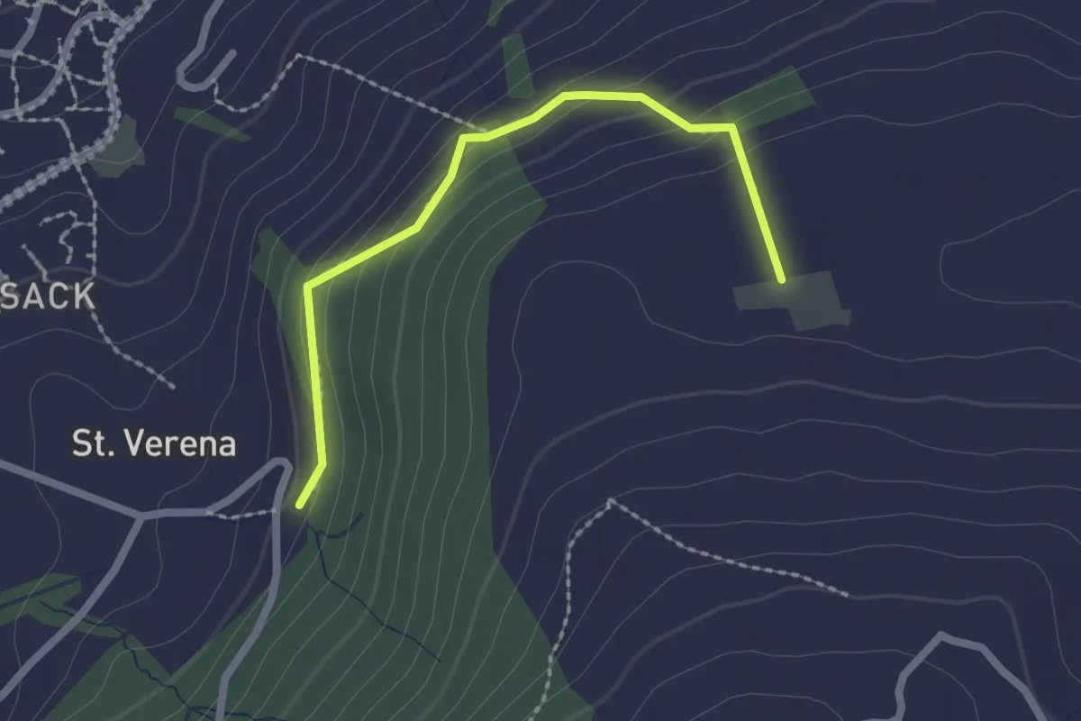
Easy · Trail
Wildenburg - Schönegg - fixme
2.1 km · ↑ 121 m · 45 min · 12 km away
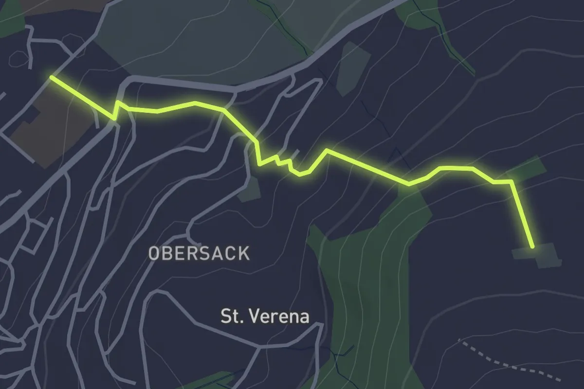
Easy · Trail
Loreto - Wildenburg
3.4 km · ↑ 225 m · 1 h 17 min · 12 km away
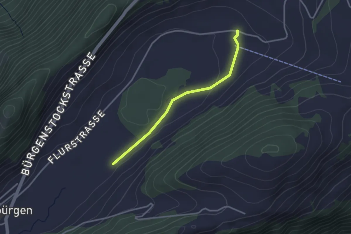
Easy · Trail
Boden - fixme
2.5 km · ↑ 14 m · 37 min · 12 km away
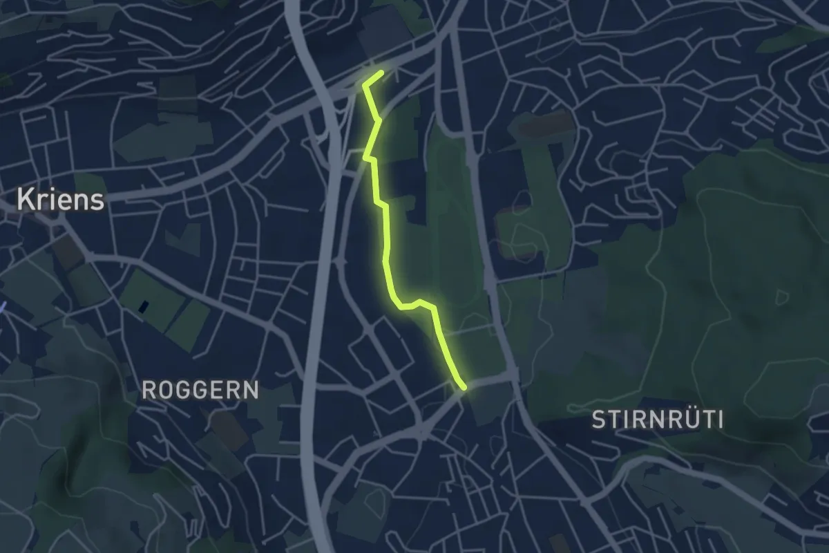
Easy · Trail
Mattenhof - Grosshofstrasse
3.1 km · ↑ 13 m · 45 min · 12 km away
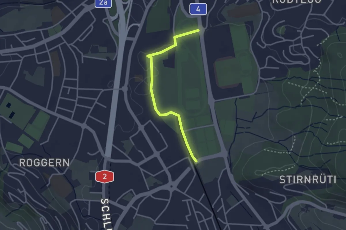
Easy · Trail
Allmend - Mattenhof
2.7 km · ↑ 17 m · 41 min · 12 km away
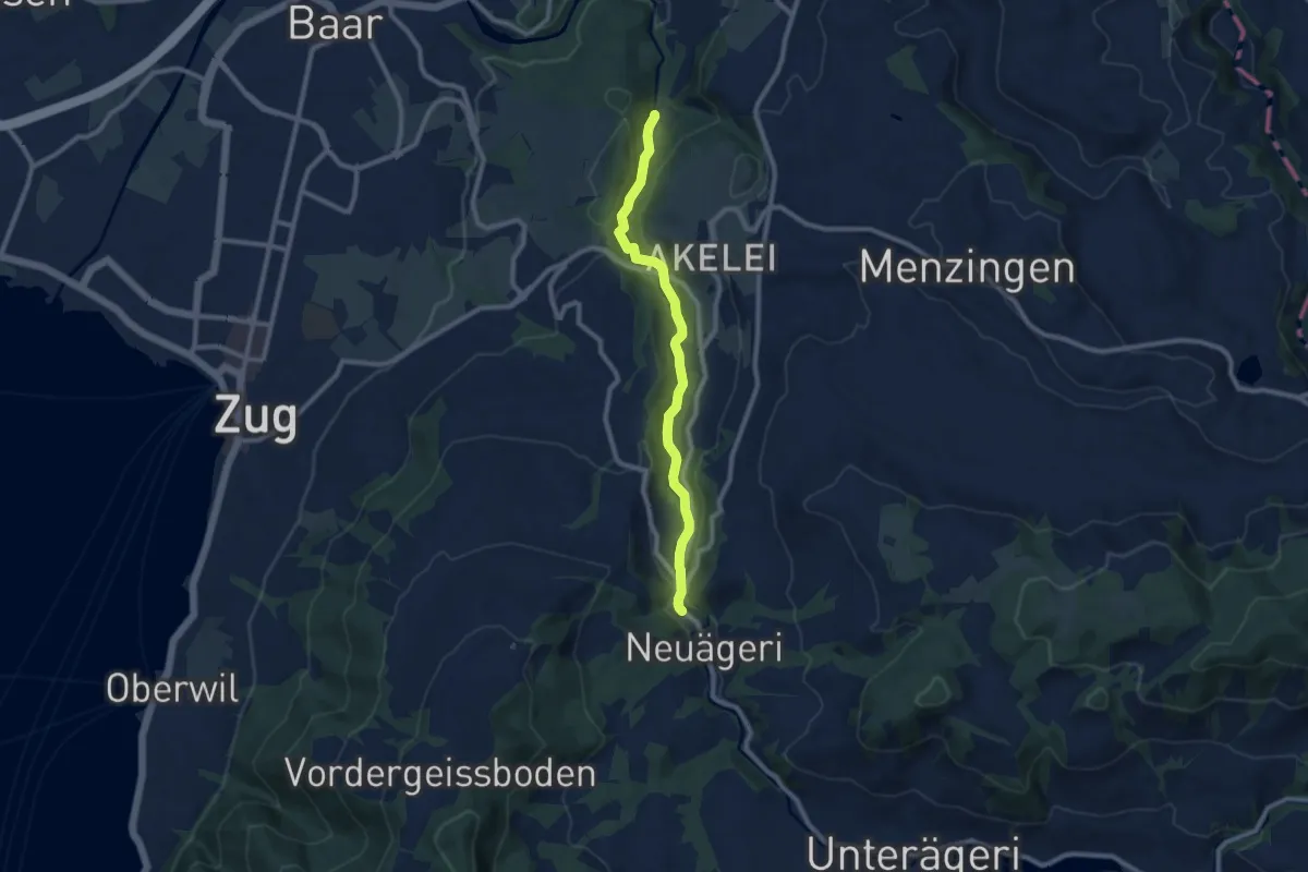
Medium · Trail
Höllbrücke - Schmittli
8.7 km · ↑ 242 m · 2 h 34 min · 12 km away
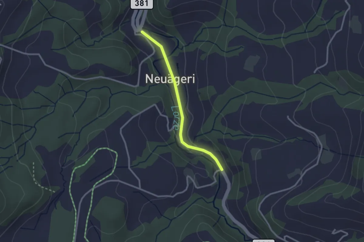
Easy · Trail
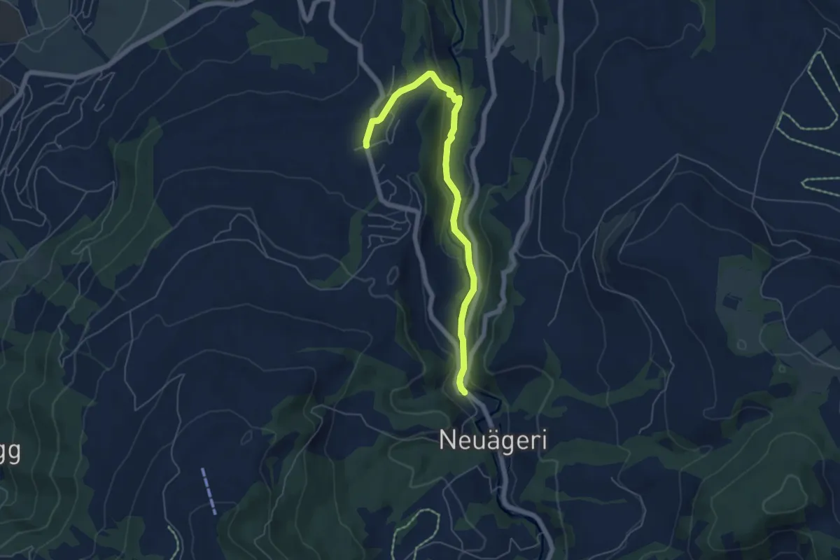
Schmittli - Mülischwändi Brücke
2.1 km · ↑ 36 m · 35 min · 12 km away
Easy · Trail
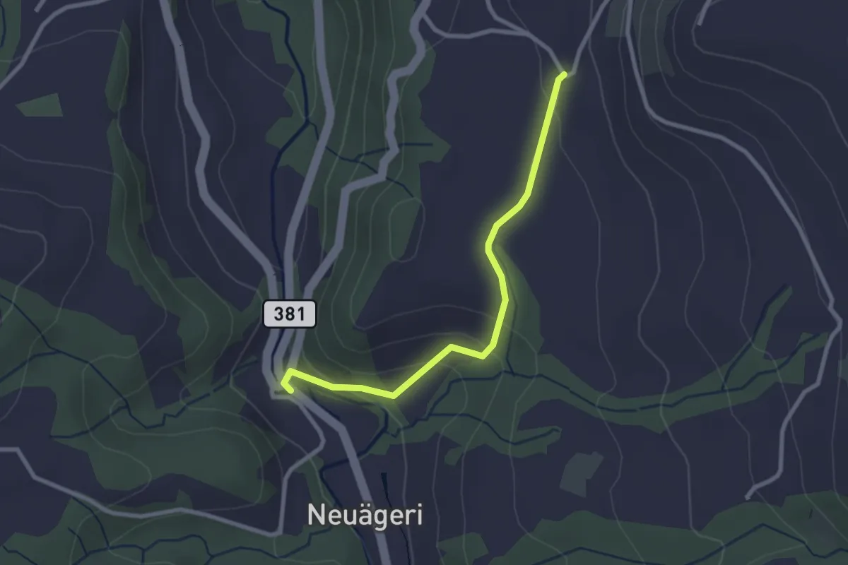
Schmittli - Allenwinden
5.6 km · ↑ 136 m · 1 h 37 min · 12 km away
Easy · Trail
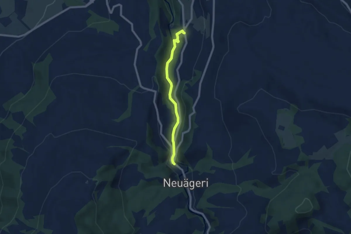
Schmittli - Heiterstalden
2.5 km · ↑ 99 m · 49 min · 12 km away
Easy · Trail
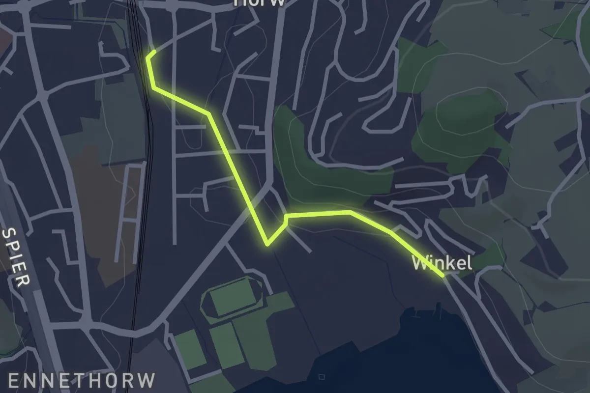
Schmittli - fixme
4.6 km · ↑ 118 m · 1 h 21 min · 12 km away
Easy · Trail
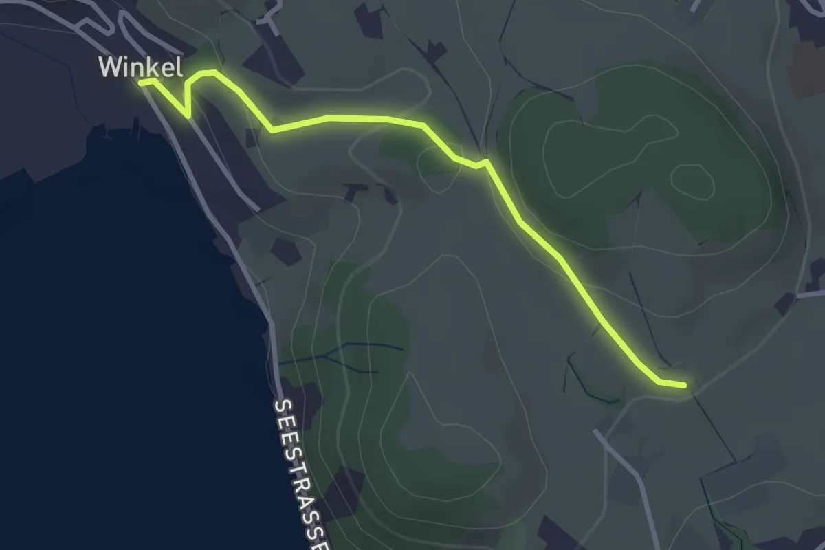
Winkel - Horw Bahnhof
2.2 km · ↑ 24 m · 35 min · 12 km away
Easy · Trail
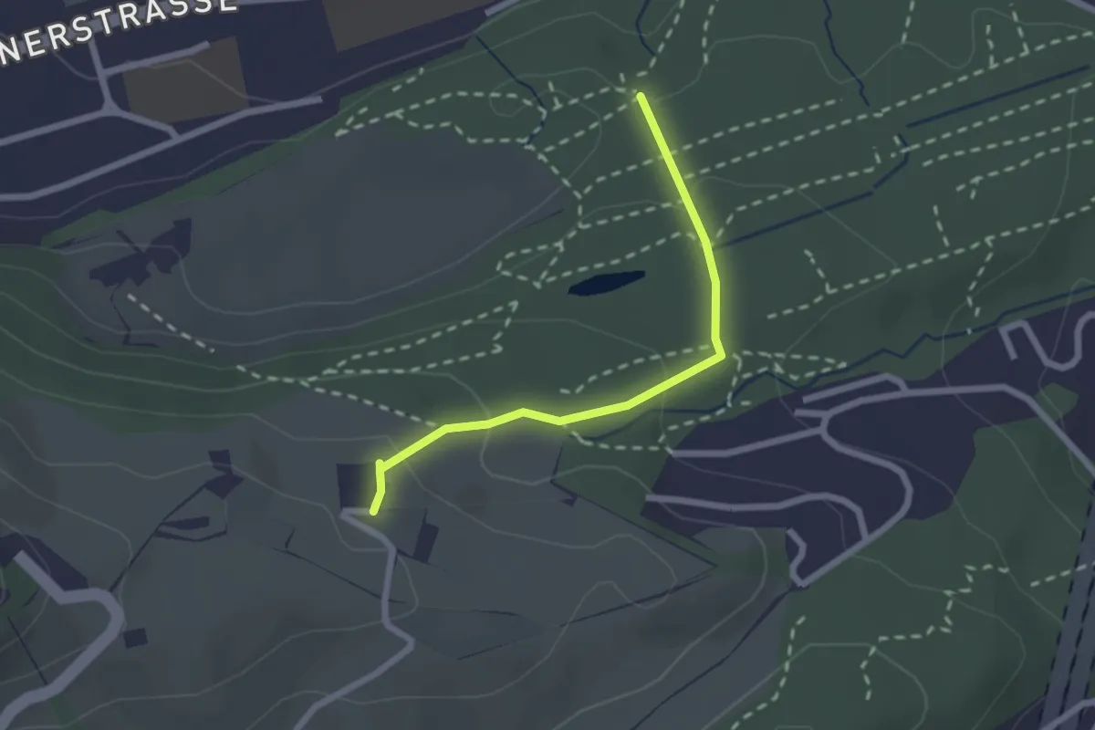
Birrholz - Winkel
2.8 km · ↑ 107 m · 54 min · 12 km away
Easy · Trail
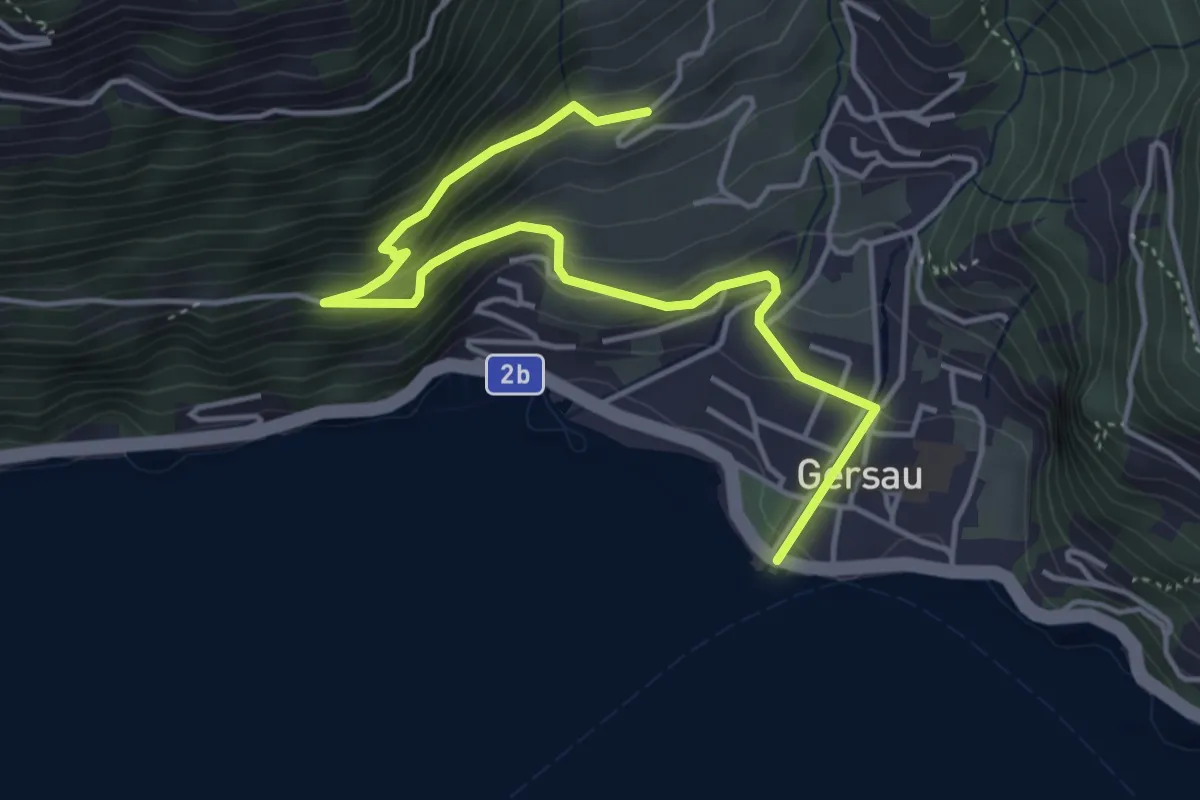
Schwizerhüsli – Gütschwald
2.1 km · ↑ 101 m · 42 min · 12 km away
Medium · Trail
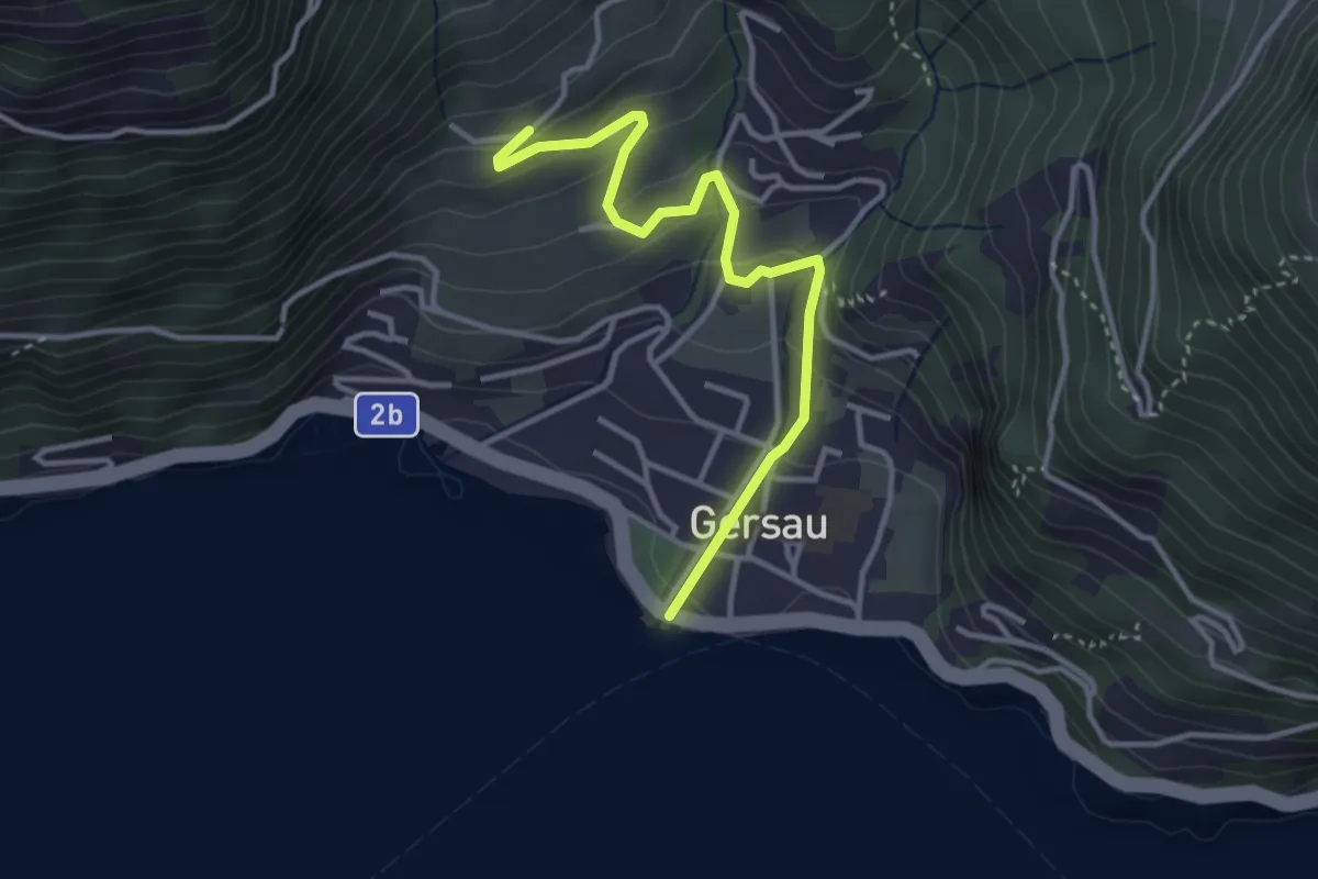
Platten – Gersau
4.9 km · ↑ 364 m · 1 h 57 min · 12 km away
Easy · Trail
Gersau – Platten
3.5 km · ↑ 193 m · 1 h 15 min · 12 km away
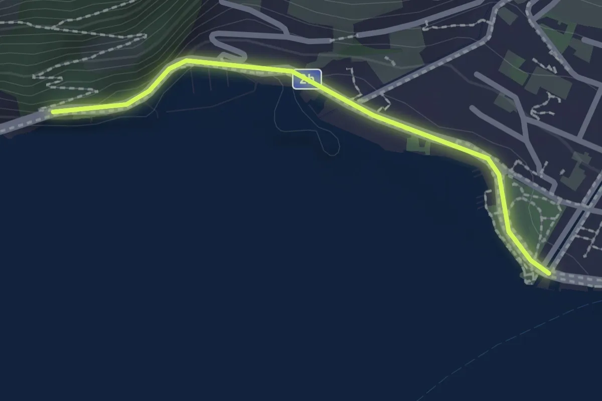
Easy · Trail
Gersau – Strandbad
2.0 km · ↑ 36 m · 33 min · 12 km away
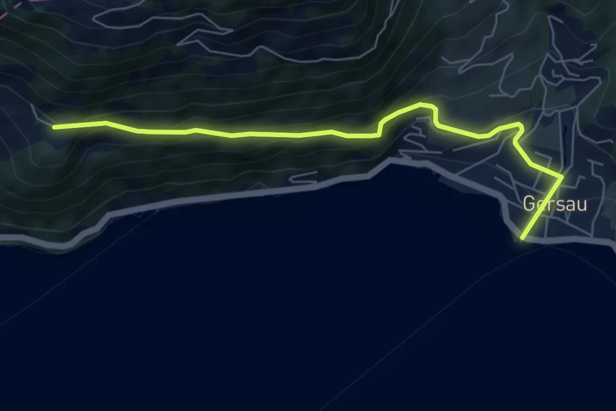
Medium · Trail
Gersau – Ober Rängg
5.9 km · ↑ 362 m · 2 h 11 min · 12 km away
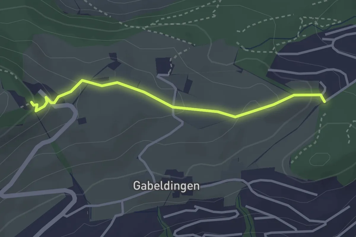
Easy · Trail
Ober Gütsch – Sonnenberg
2.8 km · ↑ 111 m · 53 min · 12 km away
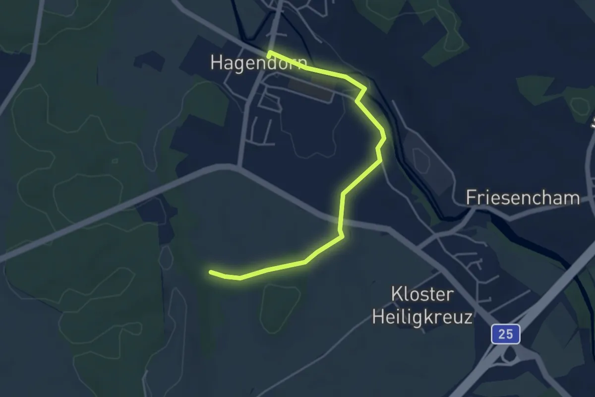
Easy · Trail
Hagendorn - Lindenchamerwald
4.2 km · ↑ 45 m · 1 h 5 min · 12 km away
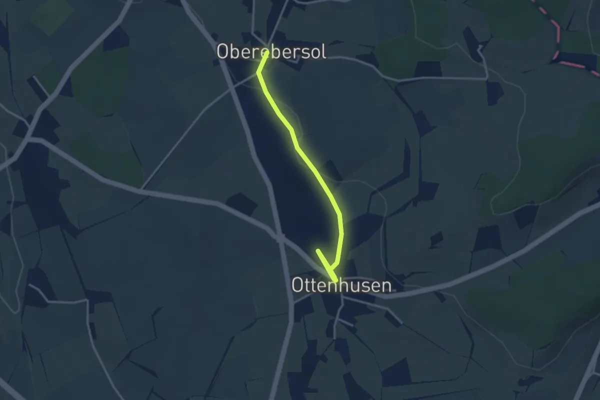
Easy · Trail
Oberebersol - Ottenhusen
2.9 km · ↑ 26 m · 45 min · 12 km away
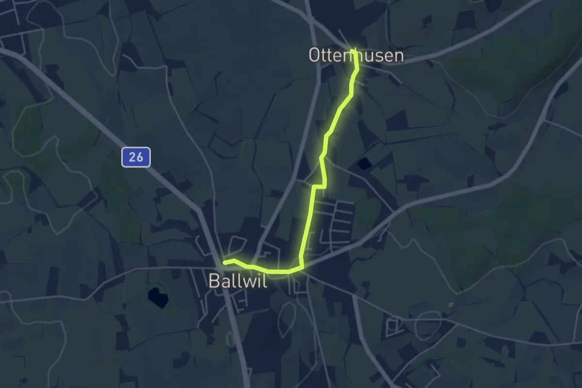
Easy · Trail
Ottenhusen - Ballwil
3.9 km · ↑ 41 m · 1 h 1 min · 12 km away
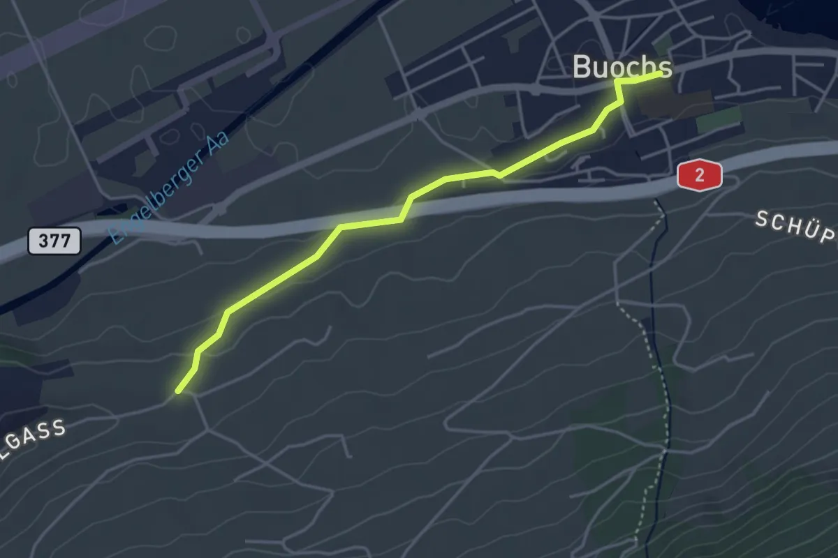
Easy · Trail
Buochs – Ännerberg
3.8 km · ↑ 68 m · 1 h 3 min · 12 km away
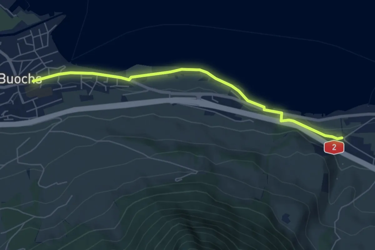
Easy · Trail
Ridli – Buochs
5.7 km · ↑ 53 m · 1 h 28 min · 12 km away
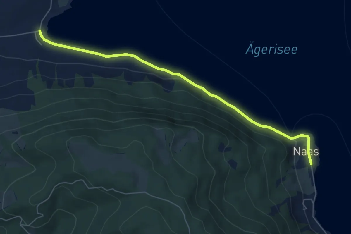
Easy · Trail
Wilbrunnen – Nas
6.1 km · ↑ 45 m · 1 h 32 min · 12 km away
Easy · Trail
Grenzhof - Reussbühl
2.2 km · ↑ 87 m · 43 min · 12 km away
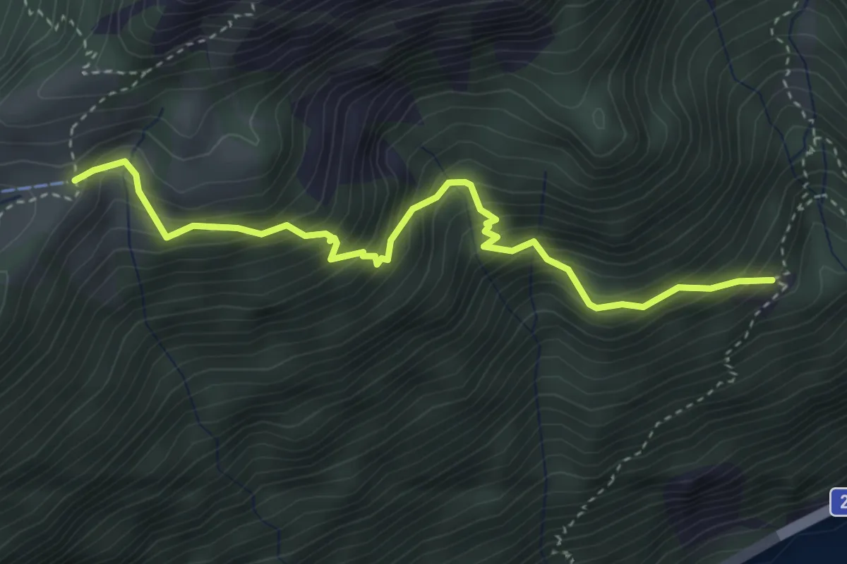
Medium · Trail
Zilistock – Bärfallen
3.9 km · ↑ 588 m · 2 h 11 min · 12 km away
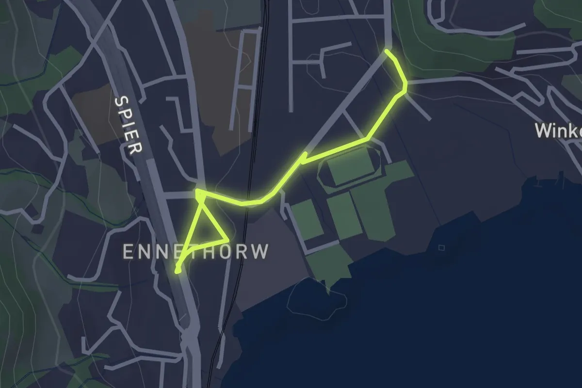
Easy · Trail
Ennethorw - Rank
2.6 km · ↑ 19 m · 39 min · 12 km away