Trails near Küssnacht am Rigi
669 hikes starting within 15 km, nearest first.
Nearest first, page 9 of 14
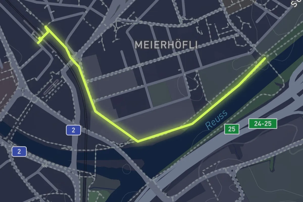
Easy · Trail
Sädelbrücke – Emmenbrücke (Bahnhof)
2.4 km · ↑ 4 m · 34 min · 11 km away
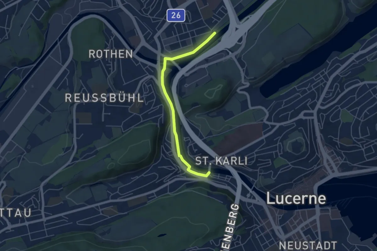
Easy · Trail
Sädelbrücke - St. Karli
4.9 km · ↑ 39 m · 1 h 14 min · 11 km away
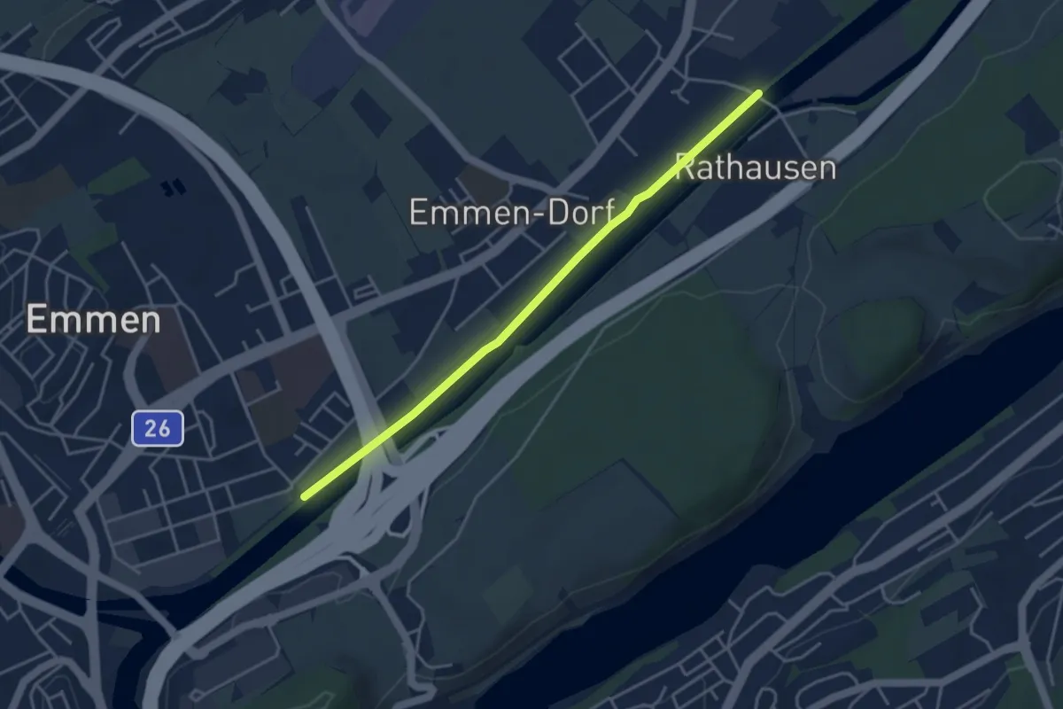
Easy · Trail
Sädelbrücke - Rathausen
3.9 km · ↑ 0 m · 55 min · 11 km away
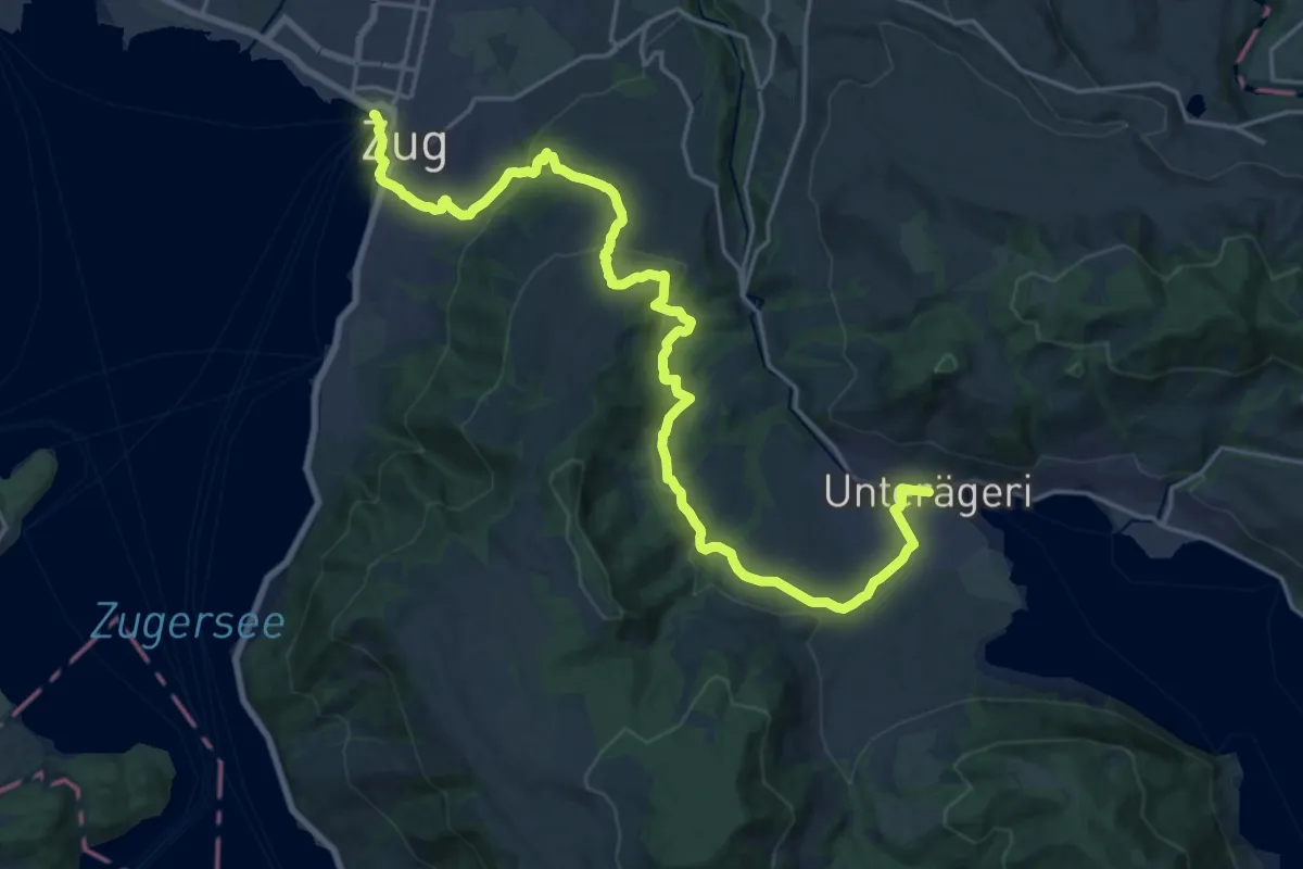
Demanding · Trail
Alpenpanorama-Weg
24.5 km · ↑ 796 m · 7 h 30 min · 11 km away
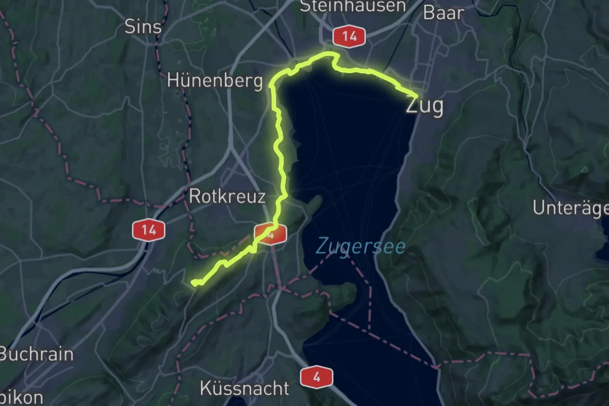
Demanding · Summit
Alpenpanorama-Weg
31.0 km · ↑ 452 m · 8 h 17 min · 11 km away
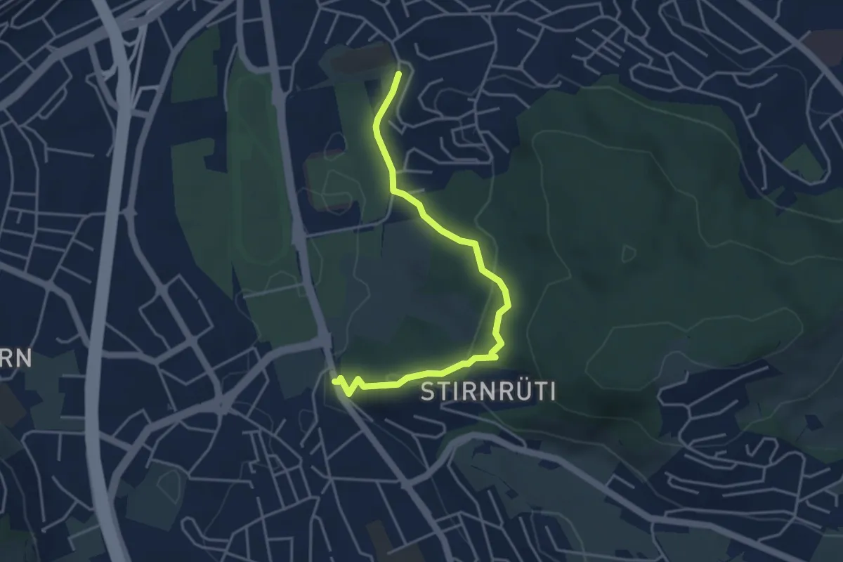
Easy · Trail
Hubelmatt - Waldegg
4.0 km · ↑ 152 m · 1 h 16 min · 11 km away
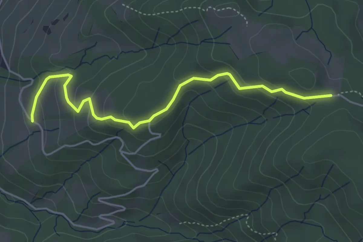
Easy · Trail
Rossallmig - Illenberg
4.5 km · ↑ 201 m · 1 h 30 min · 11 km away
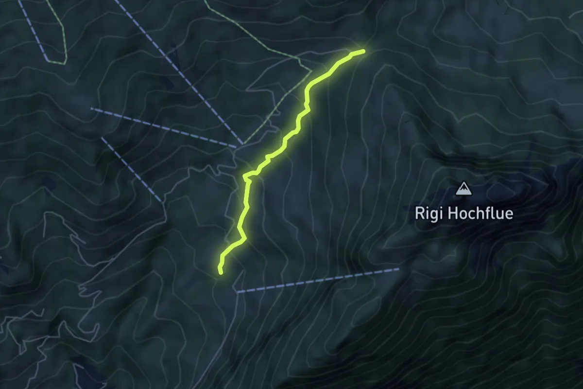
Medium · Trail
Rotzingel - Gätterli
4.1 km · ↑ 324 m · 1 h 40 min · 11 km away
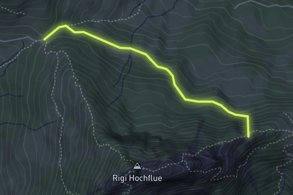
Medium · Summit
Gätterlipass – Egg
3.7 km · ↑ 295 m · 1 h 31 min · 11 km away
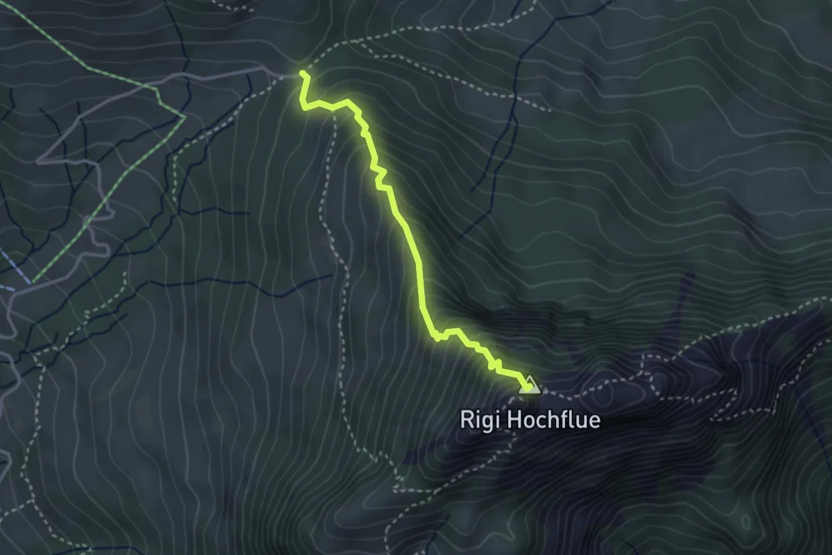
Expert · Summit
Gätterlipass-Rigi Hochflue
2.9 km · ↑ 439 m · 1 h 38 min · 11 km away
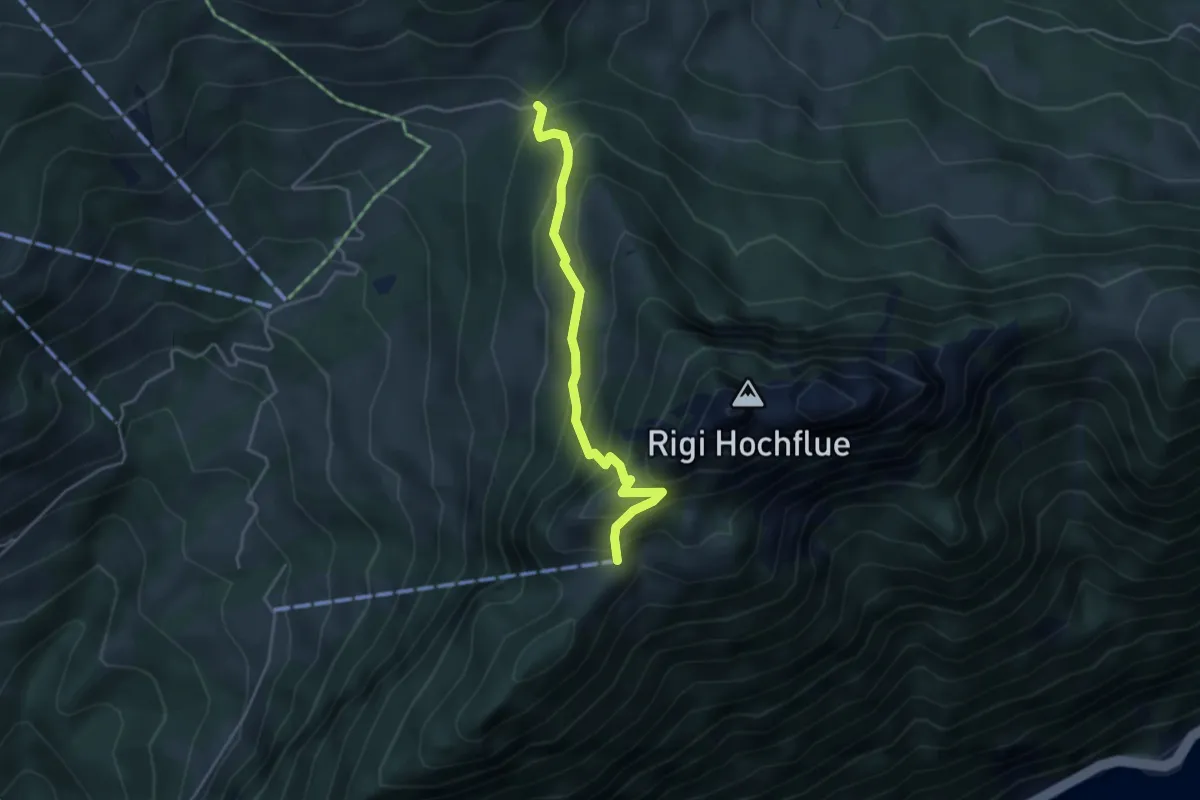
Demanding · Trail
Gätterlipass - Zilistock
3.8 km · ↑ 381 m · 1 h 44 min · 11 km away
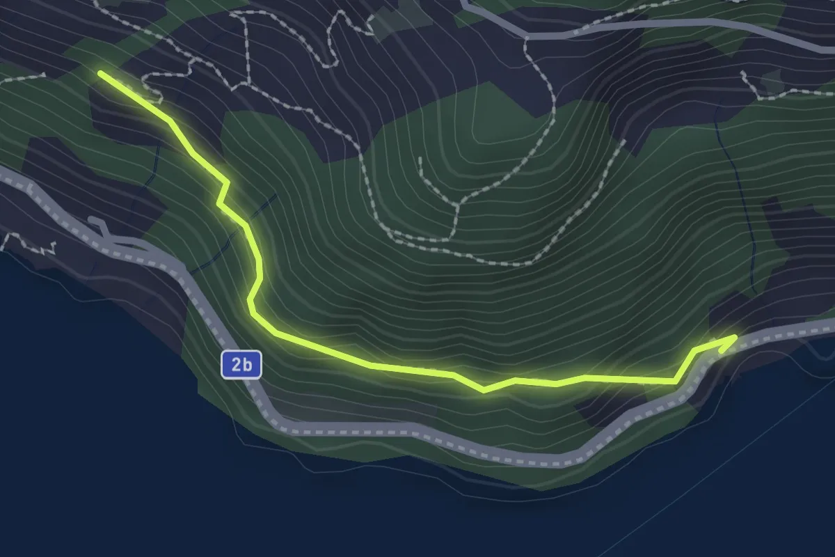
Easy · Trail
Forst – Furt
2.2 km · ↑ 219 m · 59 min · 11 km away
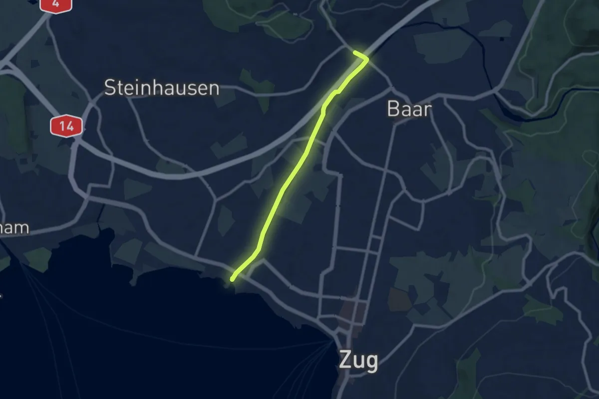
Easy · Trail
Brüggli - Blickensdorf
6.7 km · ↑ 21 m · 1 h 38 min · 11 km away
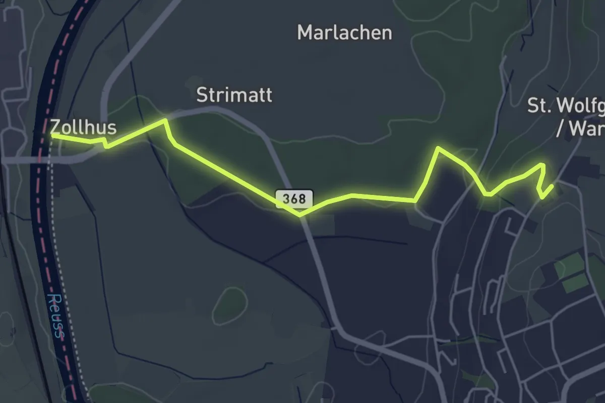
Easy · Trail
Wart - Zollhaus
5.0 km · ↑ 80 m · 1 h 22 min · 11 km away
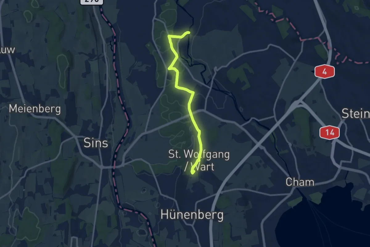
Medium · Trail
Wart - Frauental
9.4 km · ↑ 95 m · 2 h 25 min · 11 km away
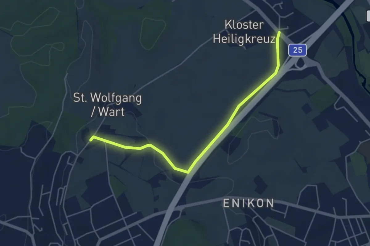
Easy · Trail
Wart - Lindencham
4.3 km · ↑ 27 m · 1 h 5 min · 11 km away
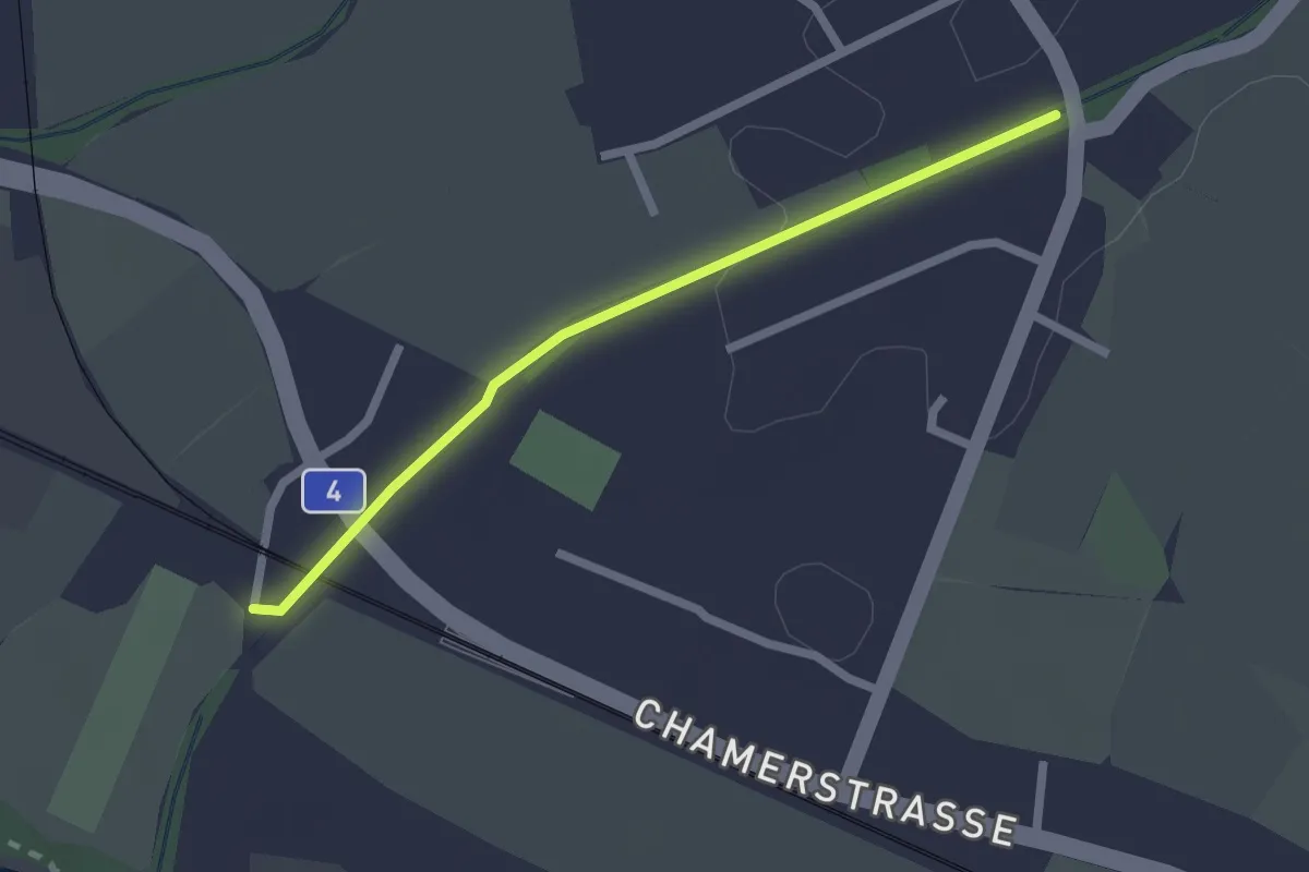
Easy · Trail
Chollermülli - Steinhauserbrücke
2.0 km · ↑ 5 m · 29 min · 11 km away
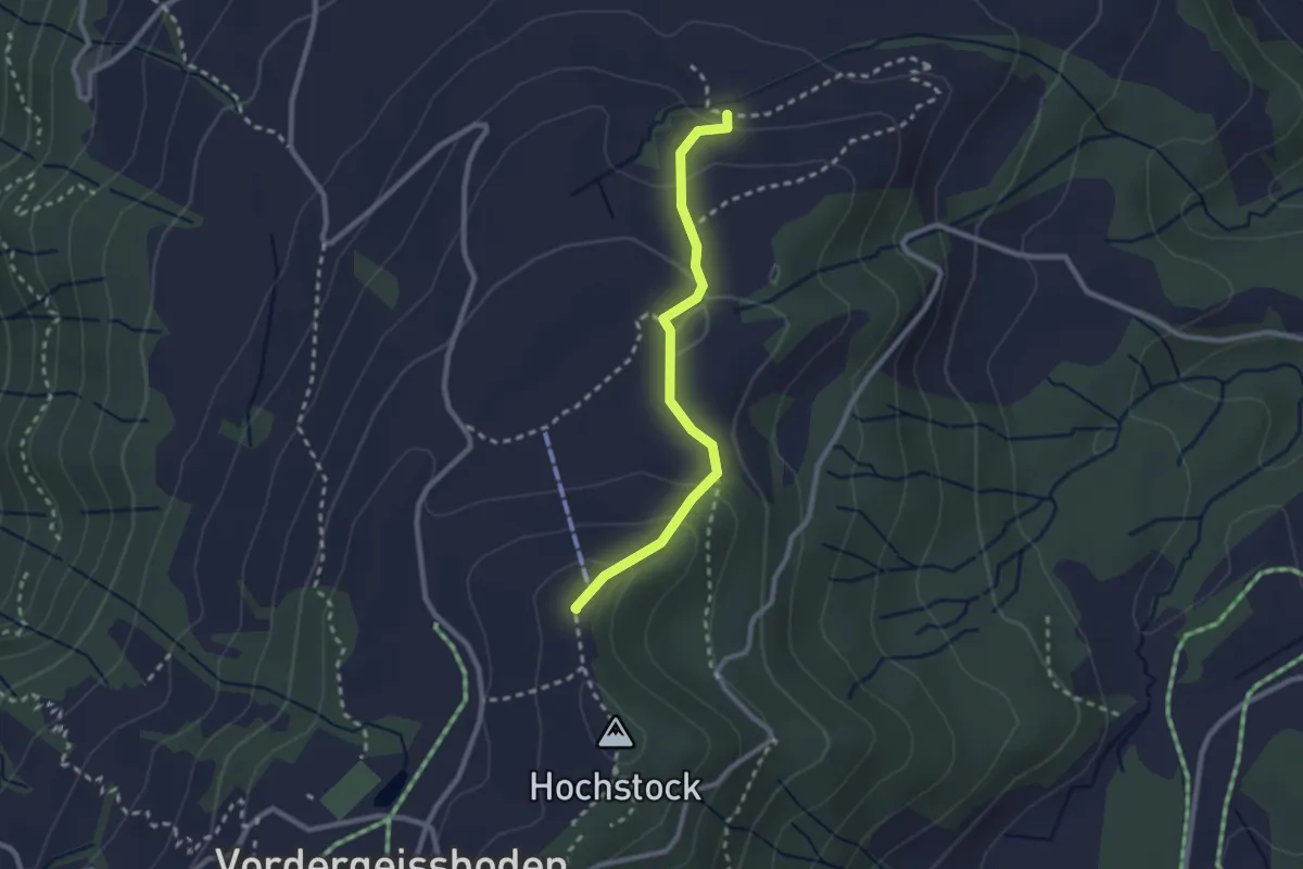
Easy · Summit
Ober Brunegg – Hochwacht
2.3 km · ↑ 110 m · 47 min · 11 km away
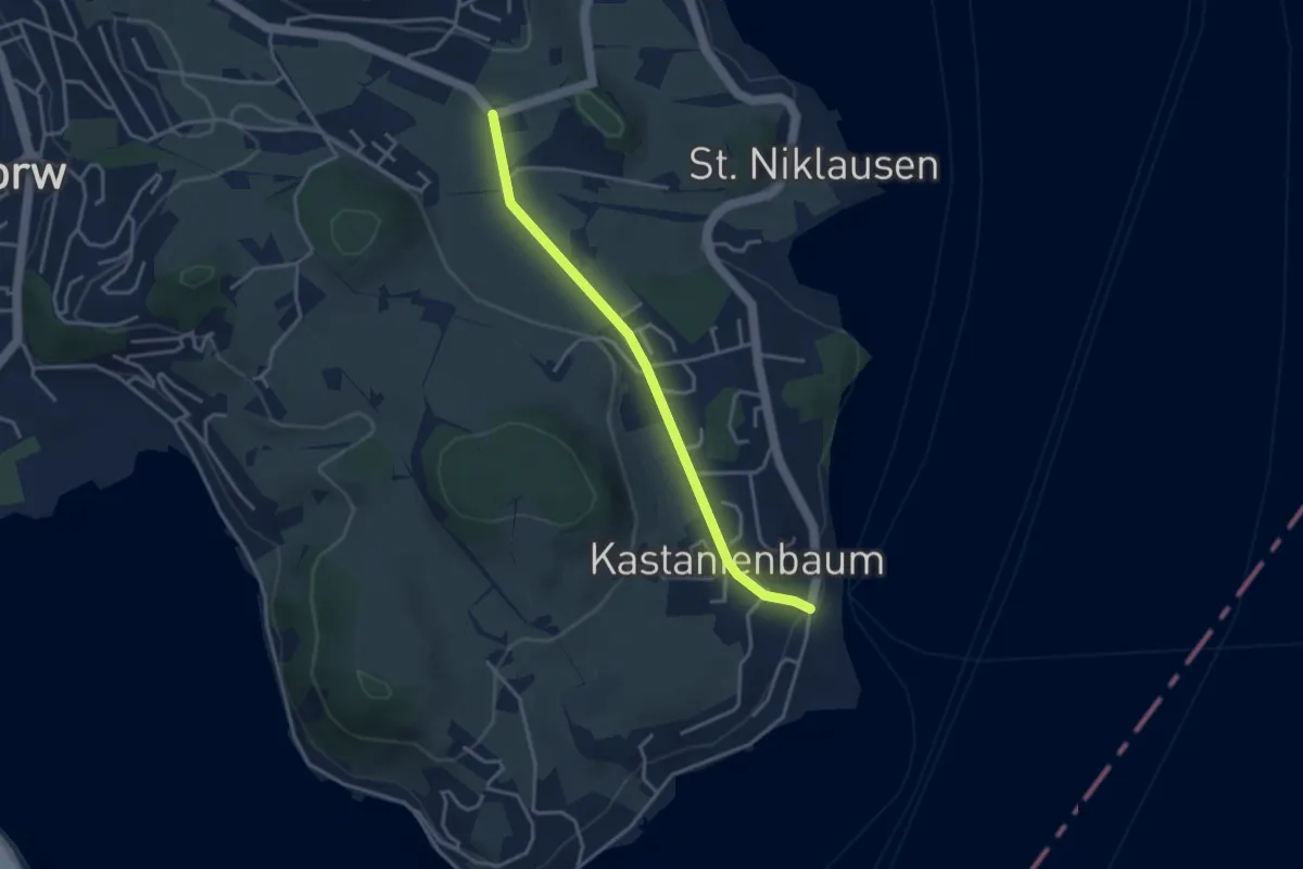
Easy · Trail
Krämerstein - Unterbächen
3.4 km · ↑ 43 m · 53 min · 11 km away
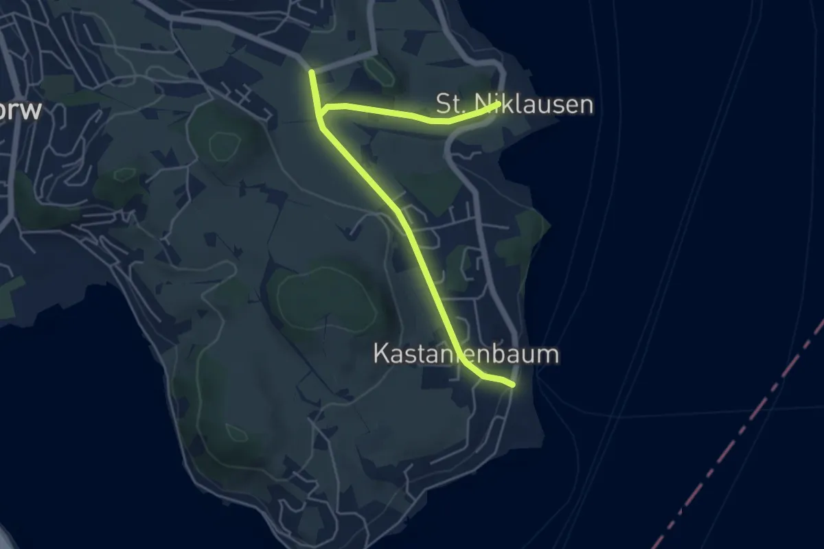
Easy · Trail
St.Niklausen - Grämlis
5.4 km · ↑ 74 m · 1 h 26 min · 11 km away
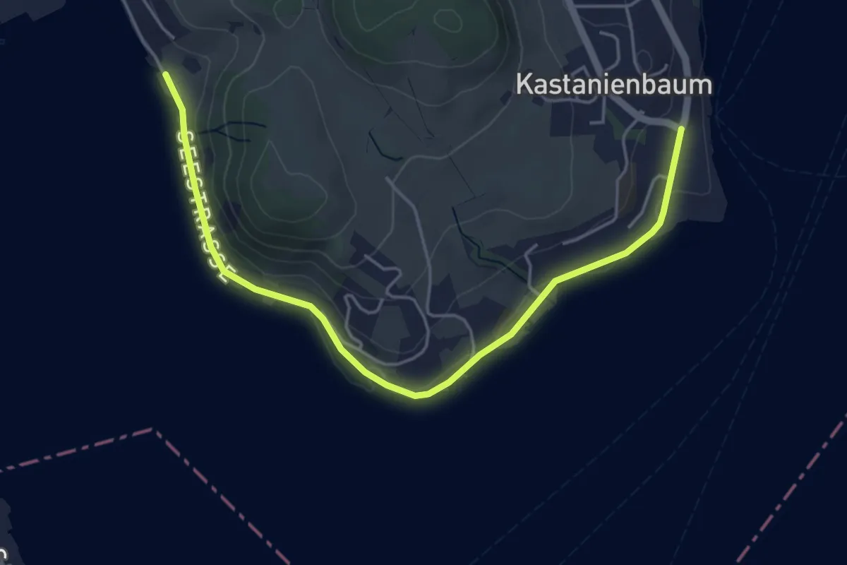
Easy · Trail
Spissenegg - Seeben
5.1 km · ↑ 36 m · 1 h 17 min · 11 km away
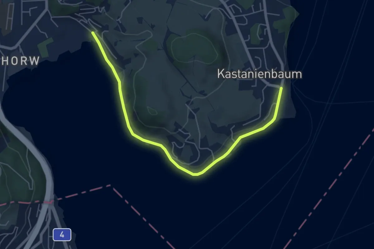
Easy · Trail
Winkel - Spissenegg
5.9 km · ↑ 48 m · 1 h 30 min · 11 km away
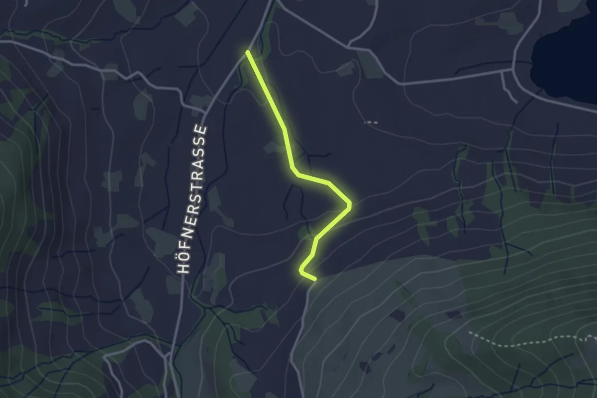
Easy · Trail
Resti - Rogenau Brücke
2.3 km · ↑ 65 m · 41 min · 11 km away
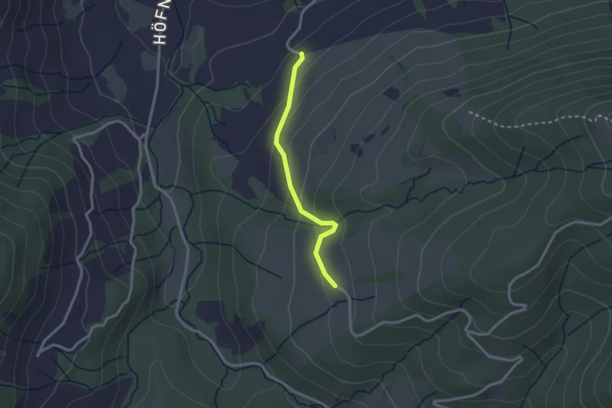
Easy · Trail
Illenberg - Resti
2.0 km · ↑ 118 m · 44 min · 11 km away
Easy · Trail
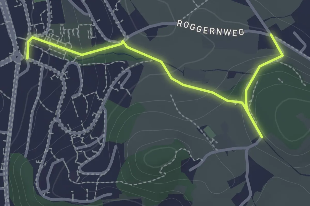
Längacher - Horw Post
2.7 km · ↑ 111 m · 53 min · 11 km away
Easy · Trail
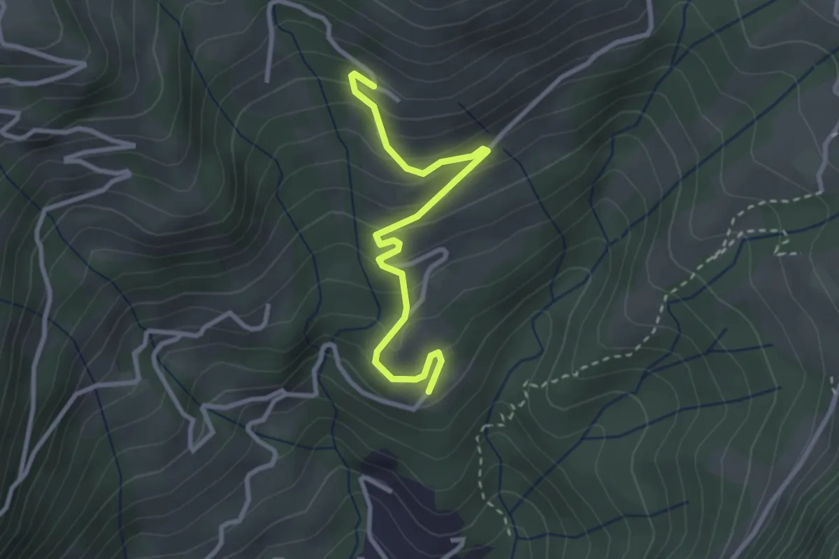
Brand – Biregg
2.9 km · ↑ 209 m · 1 h 8 min · 11 km away
Medium · Trail
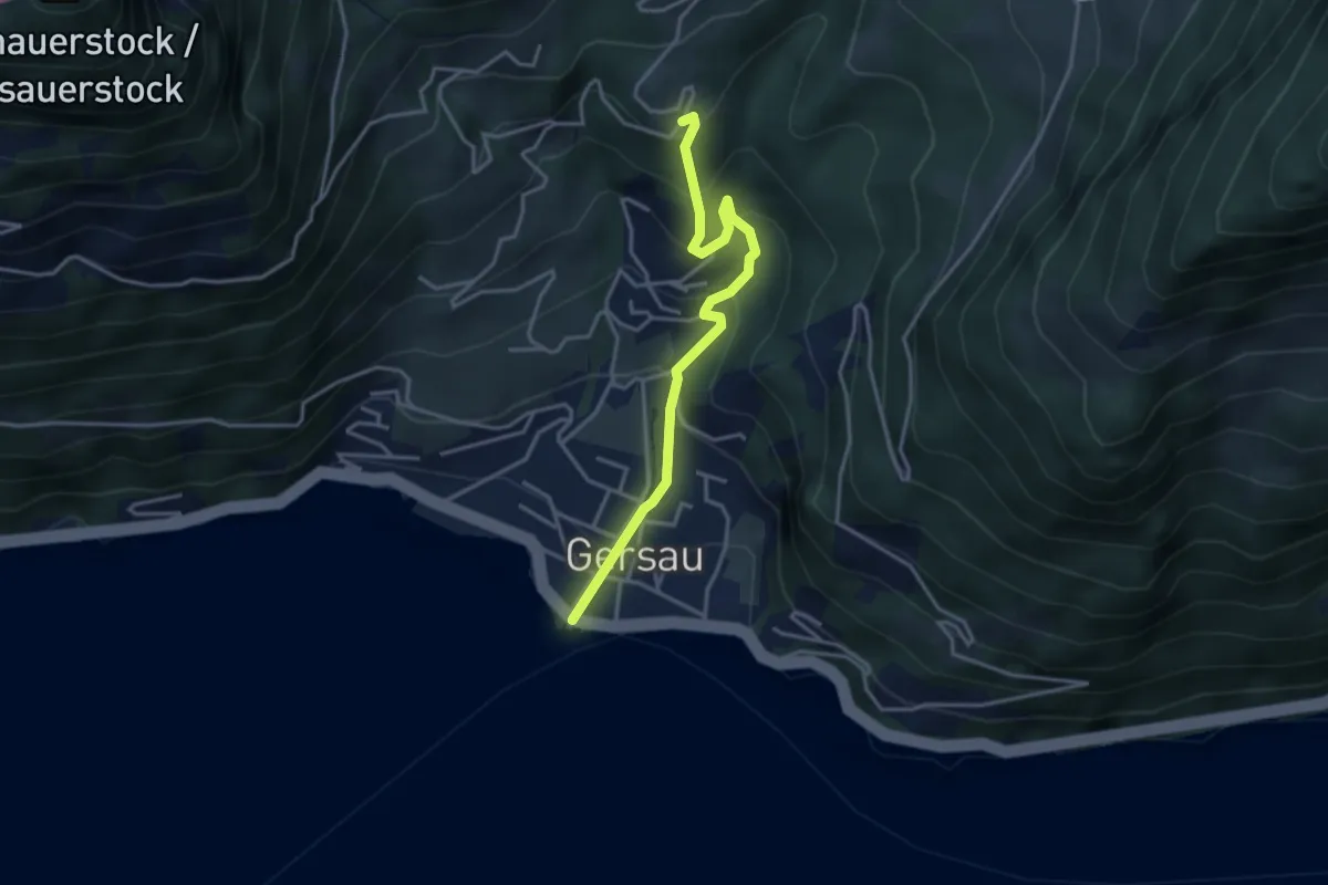
Gersau – Brand
3.5 km · ↑ 363 m · 1 h 37 min · 11 km away
Easy · Trail
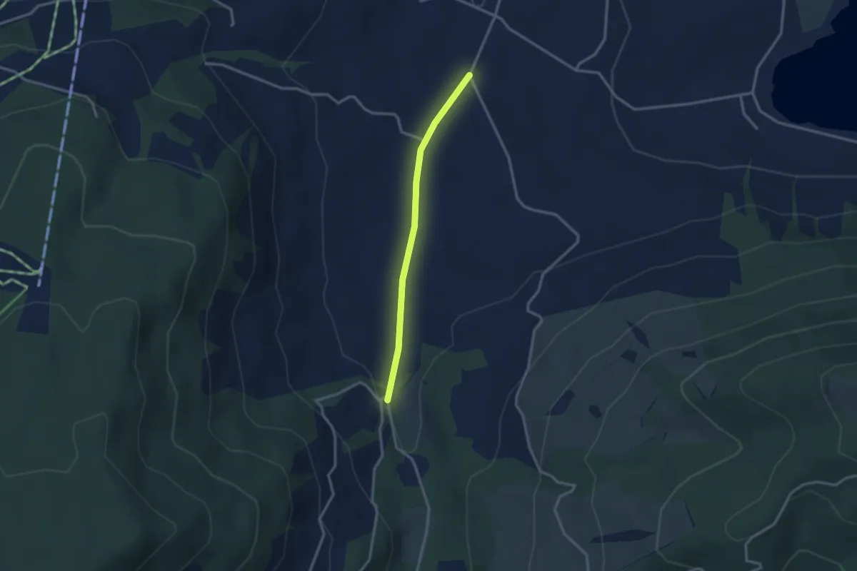
Rogeneubrücke – Egg Gatter
2.5 km · ↑ 36 m · 40 min · 11 km away
Easy · Trail
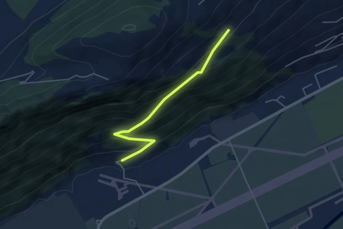
Ätschenried – Pilatuswerke
3.7 km · ↑ 296 m · 1 h 31 min · 11 km away
Easy · Trail
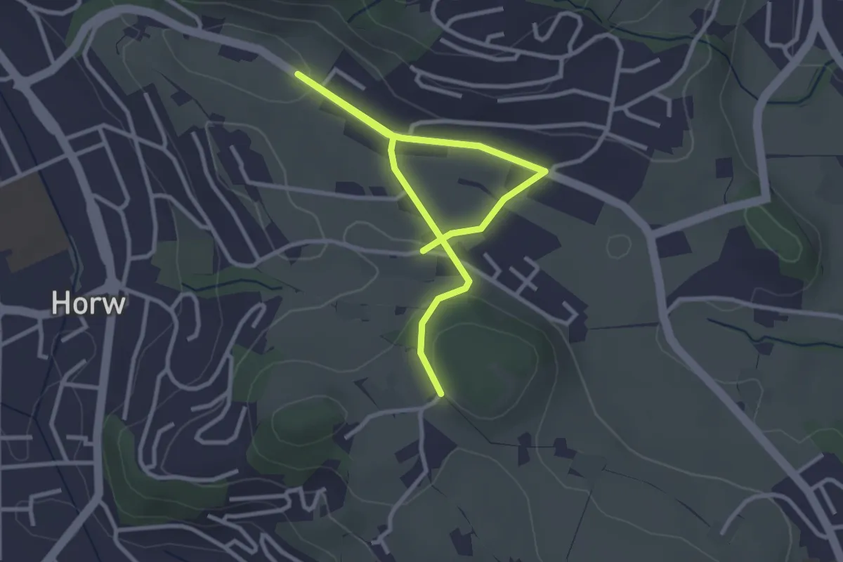
Felmis - Längacher
4.0 km · ↑ 80 m · 1 h 7 min · 11 km away
Easy · Trail
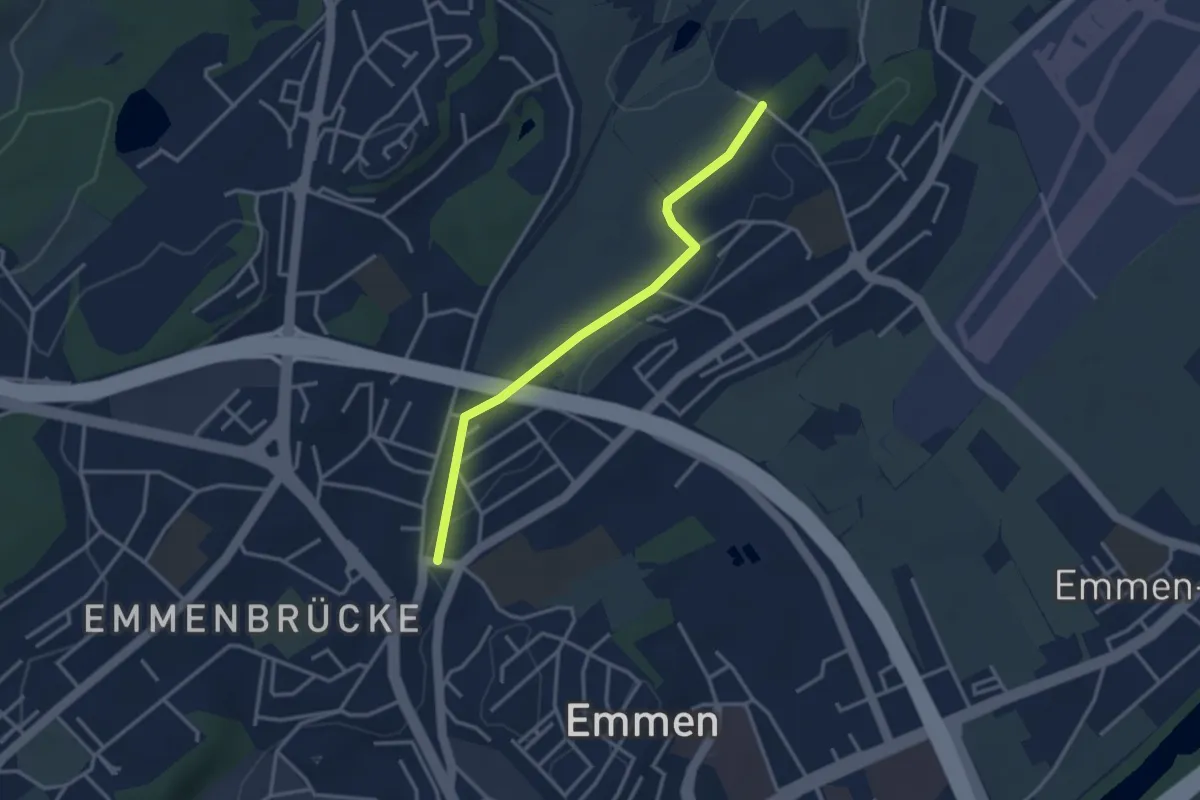
Emmenbrücke Gersag - Neu Adlige
3.2 km · ↑ 18 m · 47 min · 11 km away
Easy · Trail
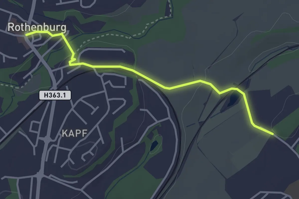
Rothenburg - Neu Adligen
3.2 km · ↑ 73 m · 54 min · 11 km away
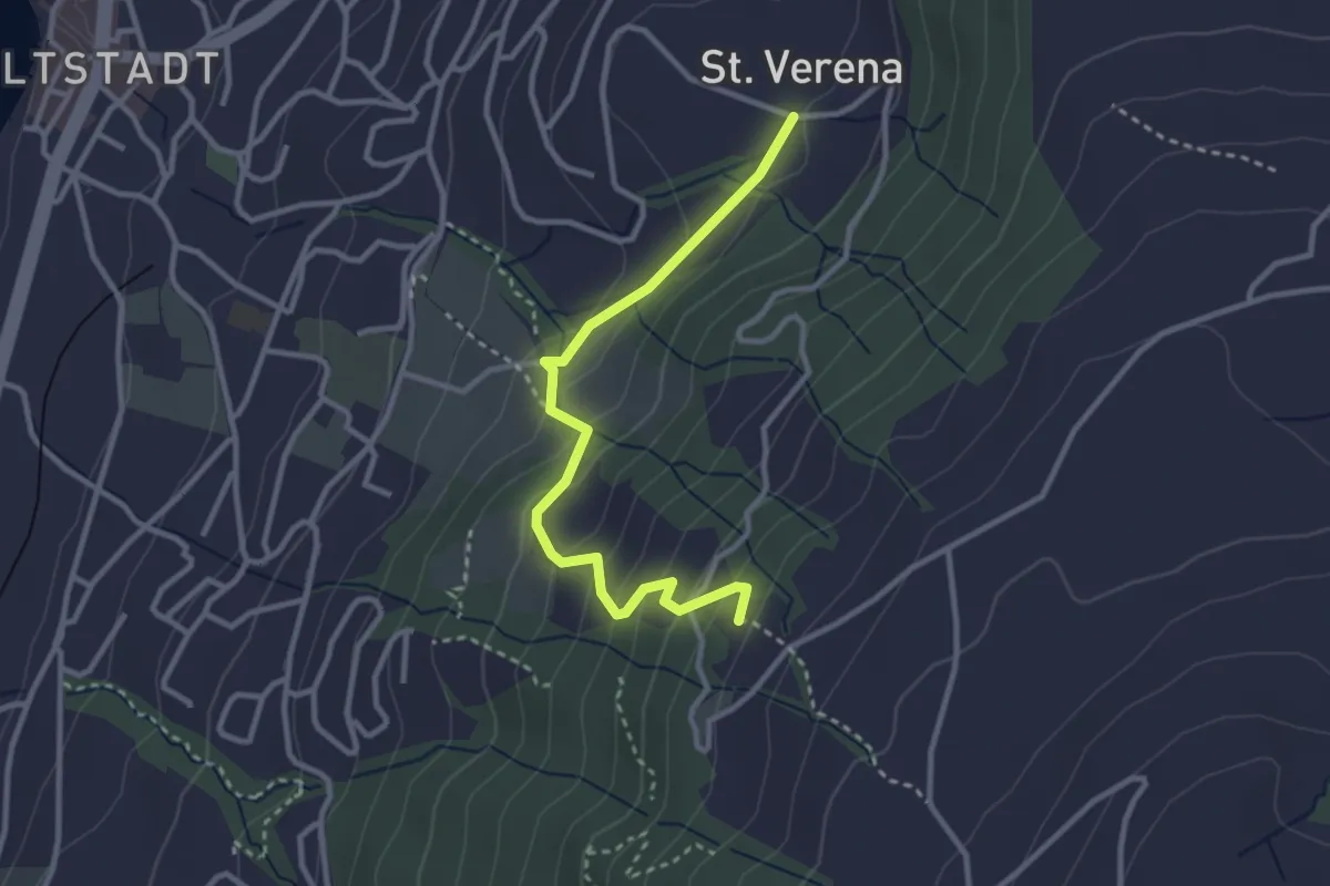
Easy · Trail
St. Verena – Blasenberg
3.1 km · ↑ 219 m · 1 h 12 min · 11 km away
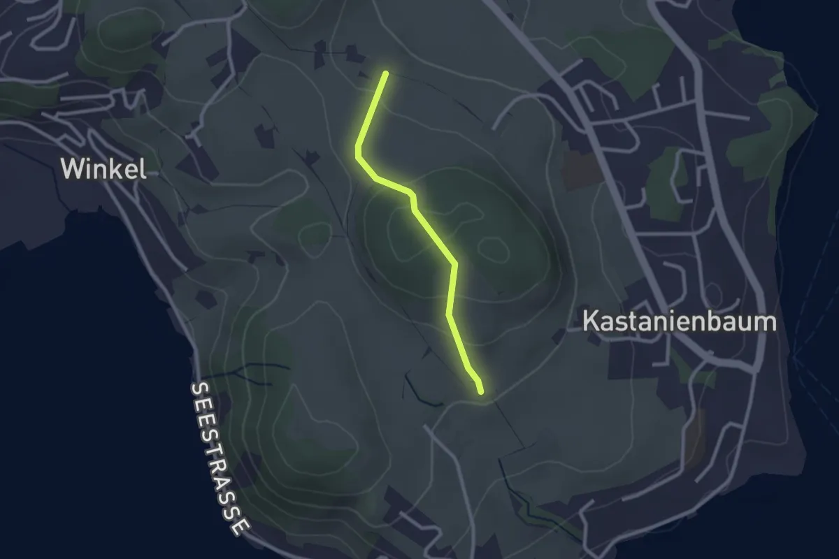
Easy · Trail
Birholz - Unt. Chnolligen
2.0 km · ↑ 104 m · 42 min · 11 km away
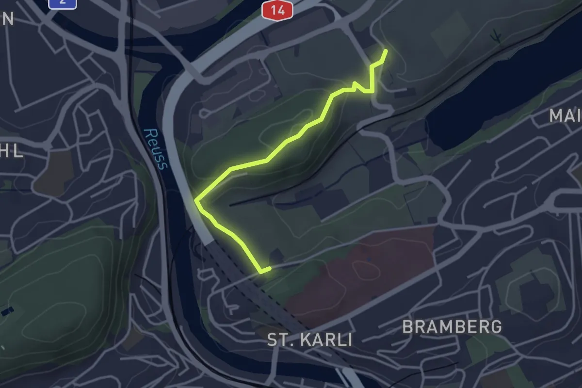
Easy · Trail
Friedental - Sädel
3.1 km · ↑ 109 m · 58 min · 11 km away
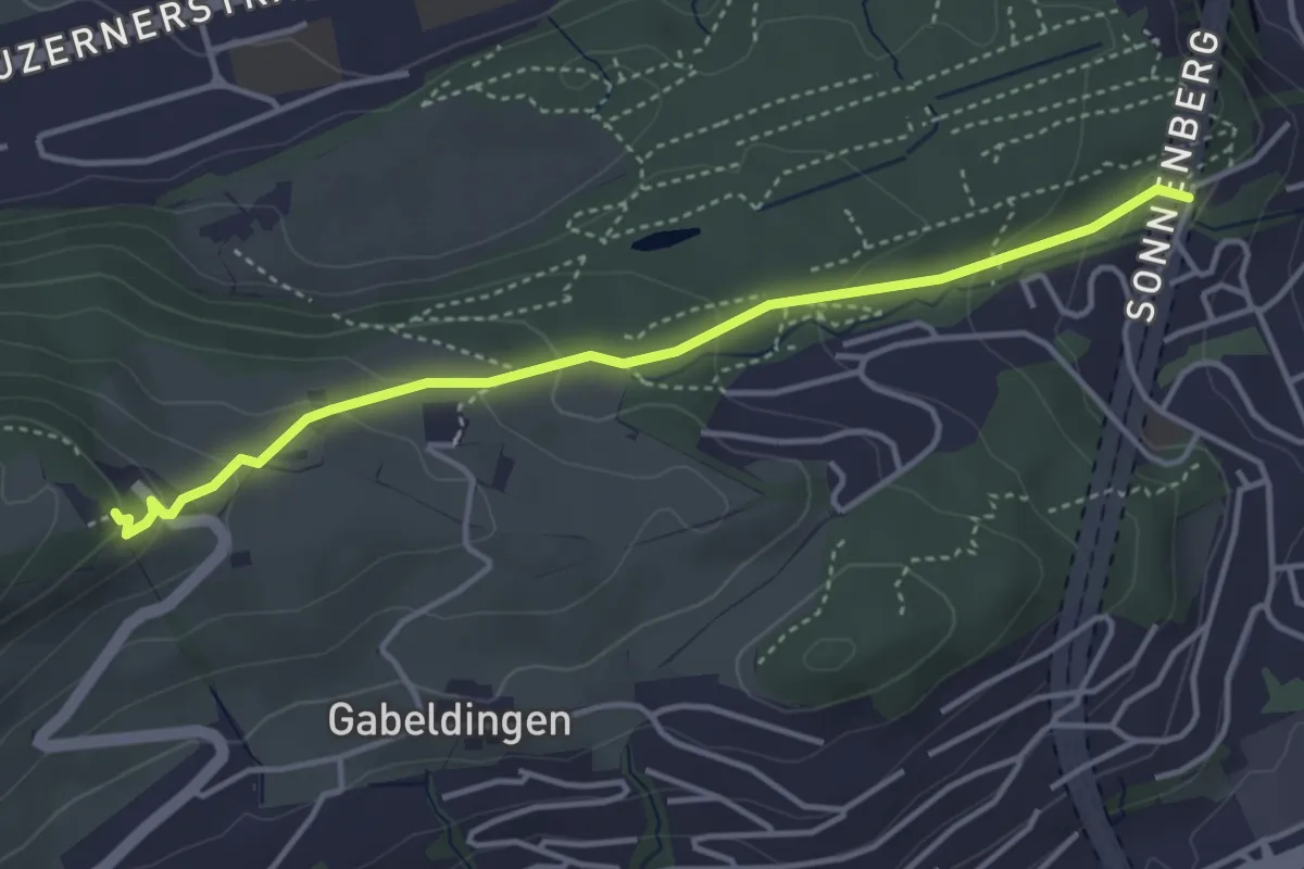
Easy · Trail
Bruchmatt – Sonnenberg
4.0 km · ↑ 197 m · 1 h 22 min · 12 km away
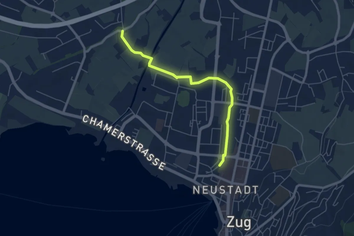
Easy · Trail
Zug Bahnhof - Chollermühli
5.2 km · ↑ 0 m · 1 h 13 min · 12 km away
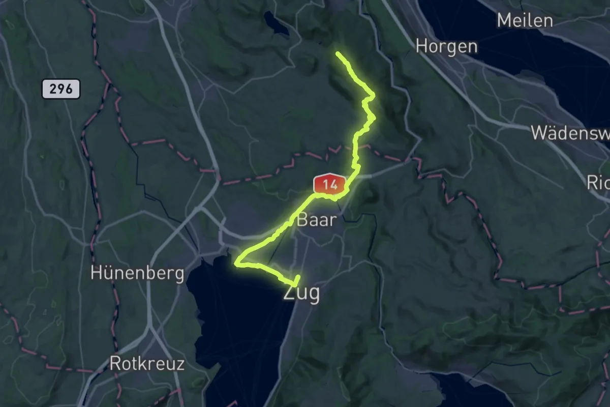
Demanding · Summit
Zürich-Zugerland-Panoramaweg - Etappe 2
35.3 km · ↑ 671 m · 9 h 47 min · 12 km away
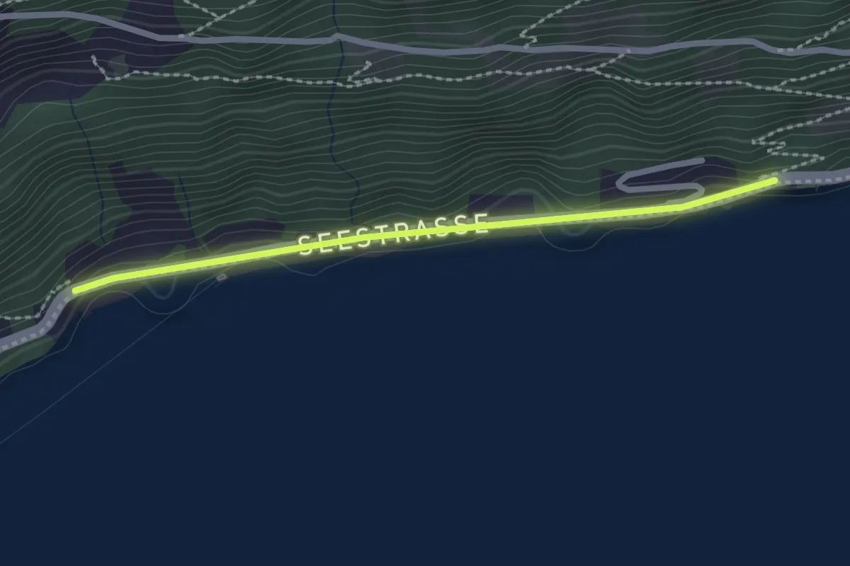
Easy · Trail
Strandbad – Forst
2.1 km · ↑ 26 m · 34 min · 12 km away
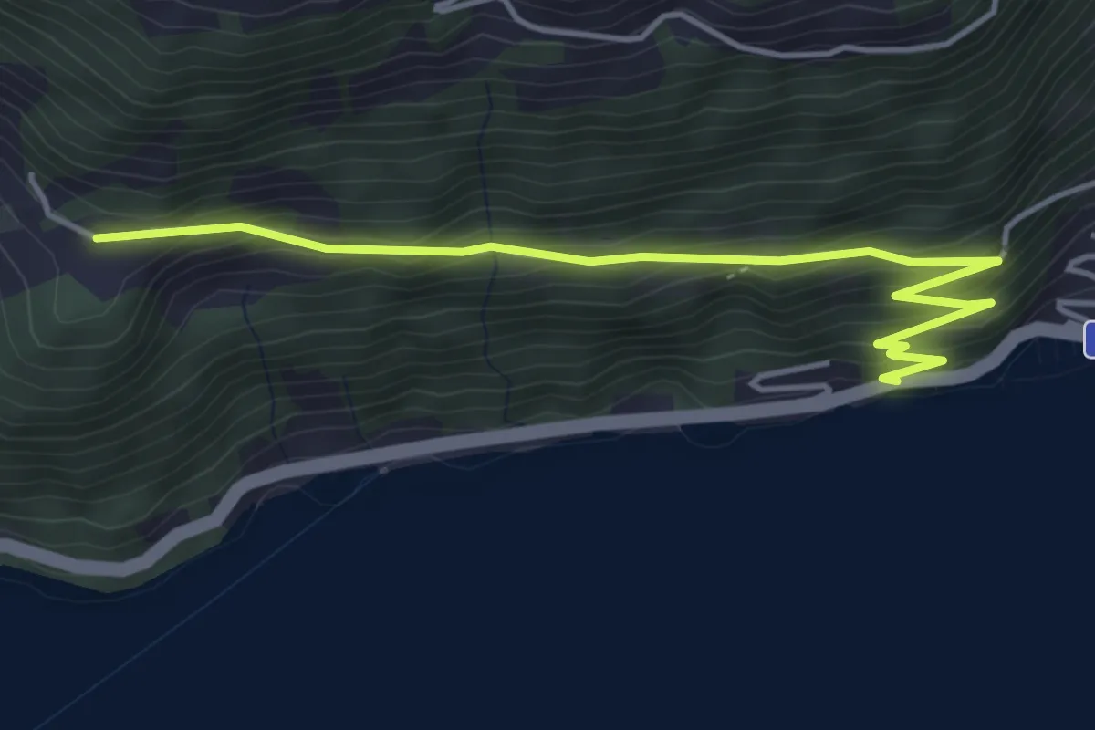
Easy · Trail
Strandbad – Ober Rängg
4.6 km · ↑ 305 m · 1 h 44 min · 12 km away
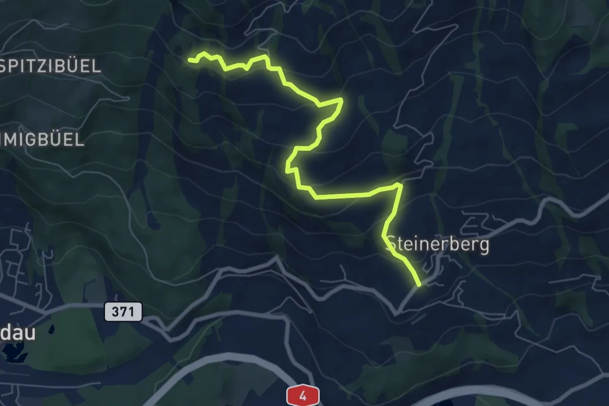
Medium · Trail
Gribsch – Steinerberg
6.8 km · ↑ 386 m · 2 h 27 min · 12 km away
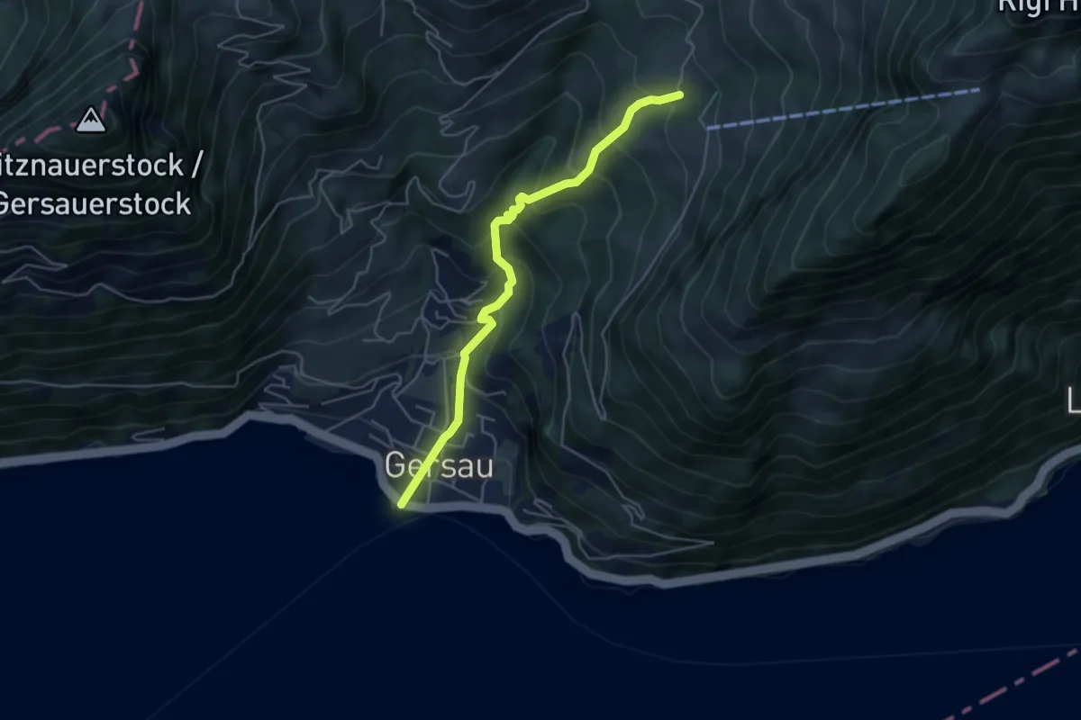
Medium · Trail
Gersau – Rotzingel
4.7 km · ↑ 449 m · 2 h 4 min · 12 km away
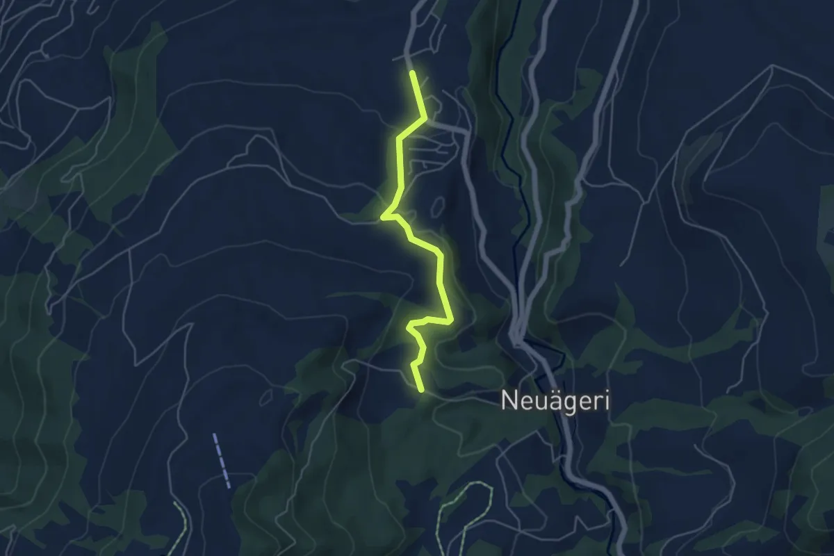
Easy · Trail
Allenwinden - Unter Brunegg
4.3 km · ↑ 147 m · 1 h 21 min · 12 km away
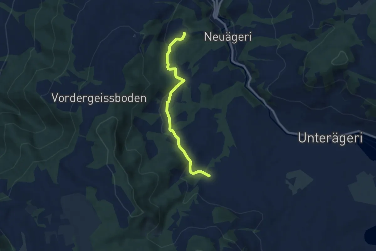
Easy · Trail
Unter Brunegg – Boden
6.2 km · ↑ 159 m · 1 h 49 min · 12 km away
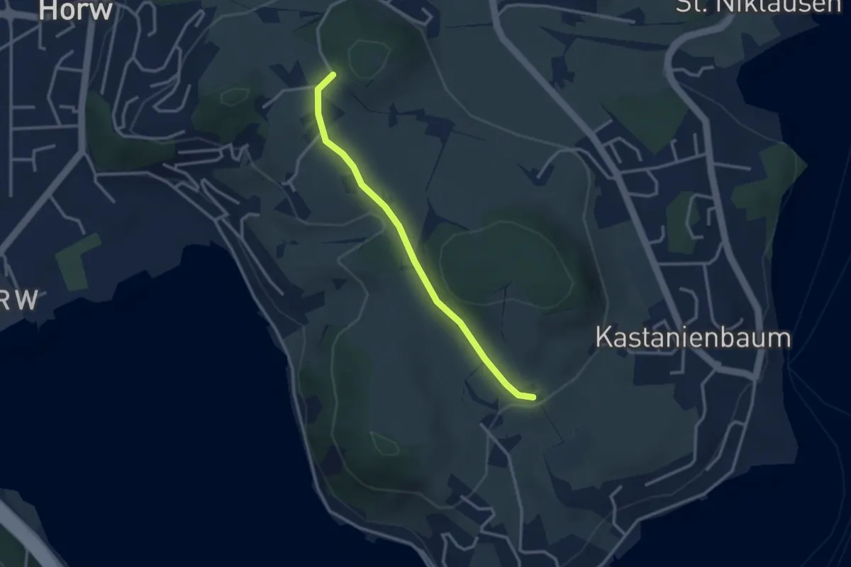
Easy · Trail
Birholz - Längacher
2.7 km · ↑ 58 m · 45 min · 12 km away
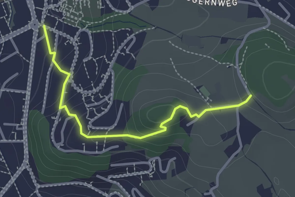
Easy · Trail
Längacher - Horw Post
2.5 km · ↑ 113 m · 50 min · 12 km away
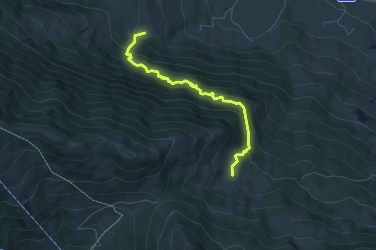
Medium · Trail
Ried/Twäriberg - Truben
5.3 km · ↑ 608 m · 2 h 35 min · 12 km away
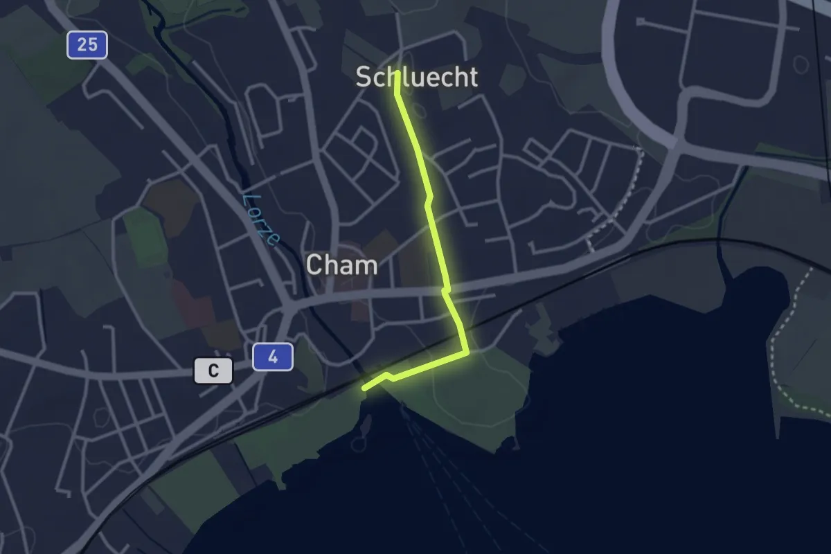
Easy · Trail
Cham - Schluecht
2.4 km · ↑ 28 m · 38 min · 12 km away