Trails near Küssnacht am Rigi
669 hikes starting within 15 km, nearest first.
Nearest first, page 8 of 14
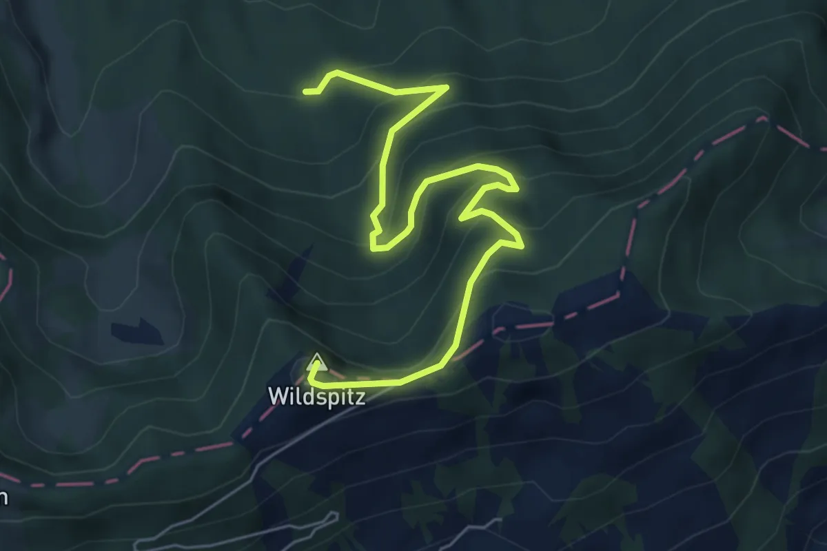
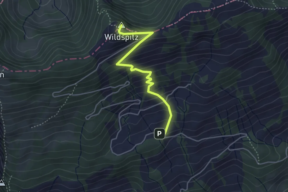
Medium · Summit
Wildspitz – Urzlenboden
6.4 km · ↑ 475 m · 2 h 32 min · 11 km away
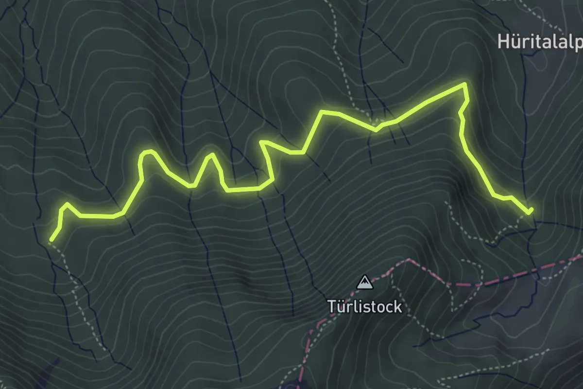
Medium · Trail
Urzlenboden - Geissfaren
6.5 km · ↑ 390 m · 2 h 23 min · 11 km away
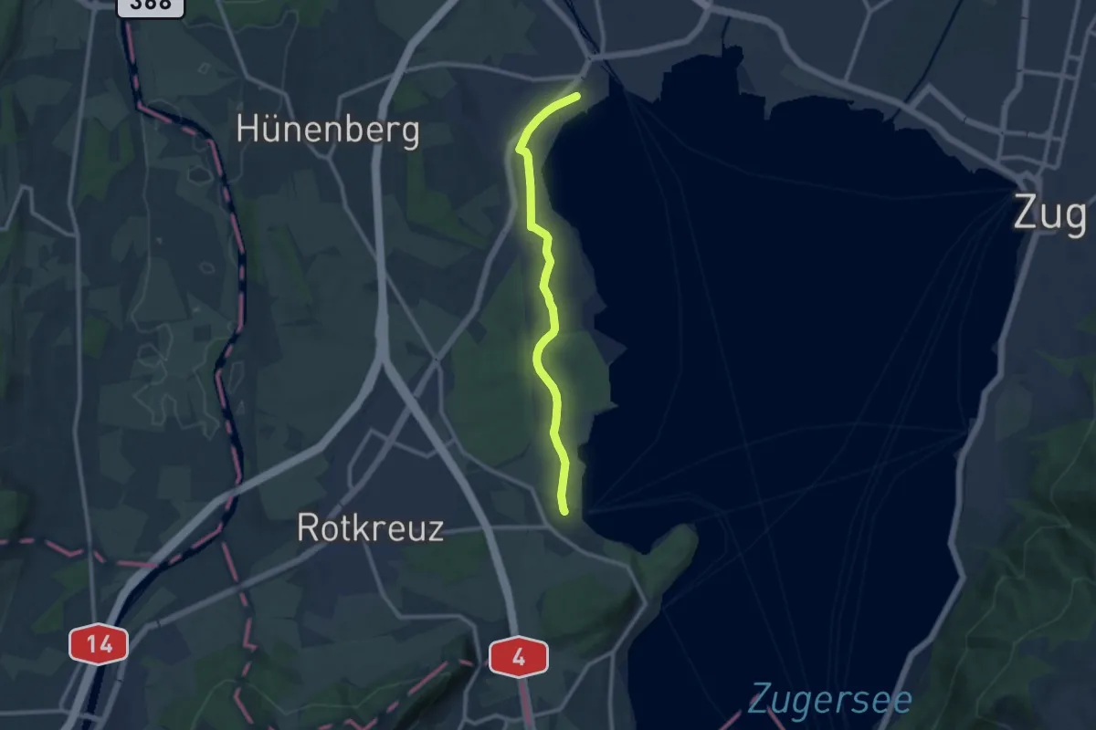
Medium · Trail
Cham-Buonas
9.1 km · ↑ 63 m · 2 h 17 min · 11 km away
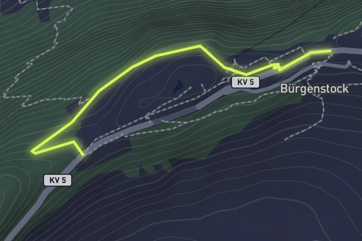
Easy · Trail
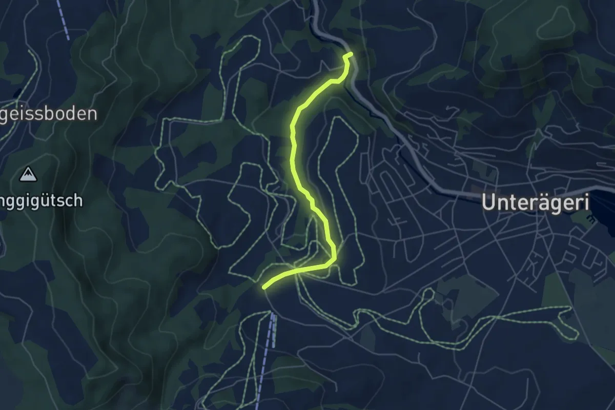
Taverna - Bürgenstock
2.1 km · ↑ 149 m · 49 min · 11 km away
Easy · Trail
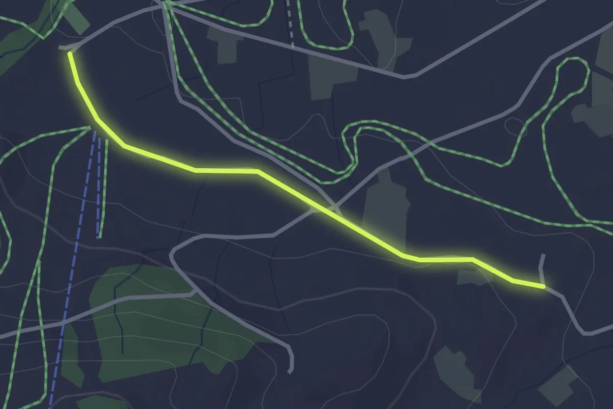
Mülischwändi Brücke - Boden
4.6 km · ↑ 48 m · 1 h 12 min · 11 km away
Easy · Trail
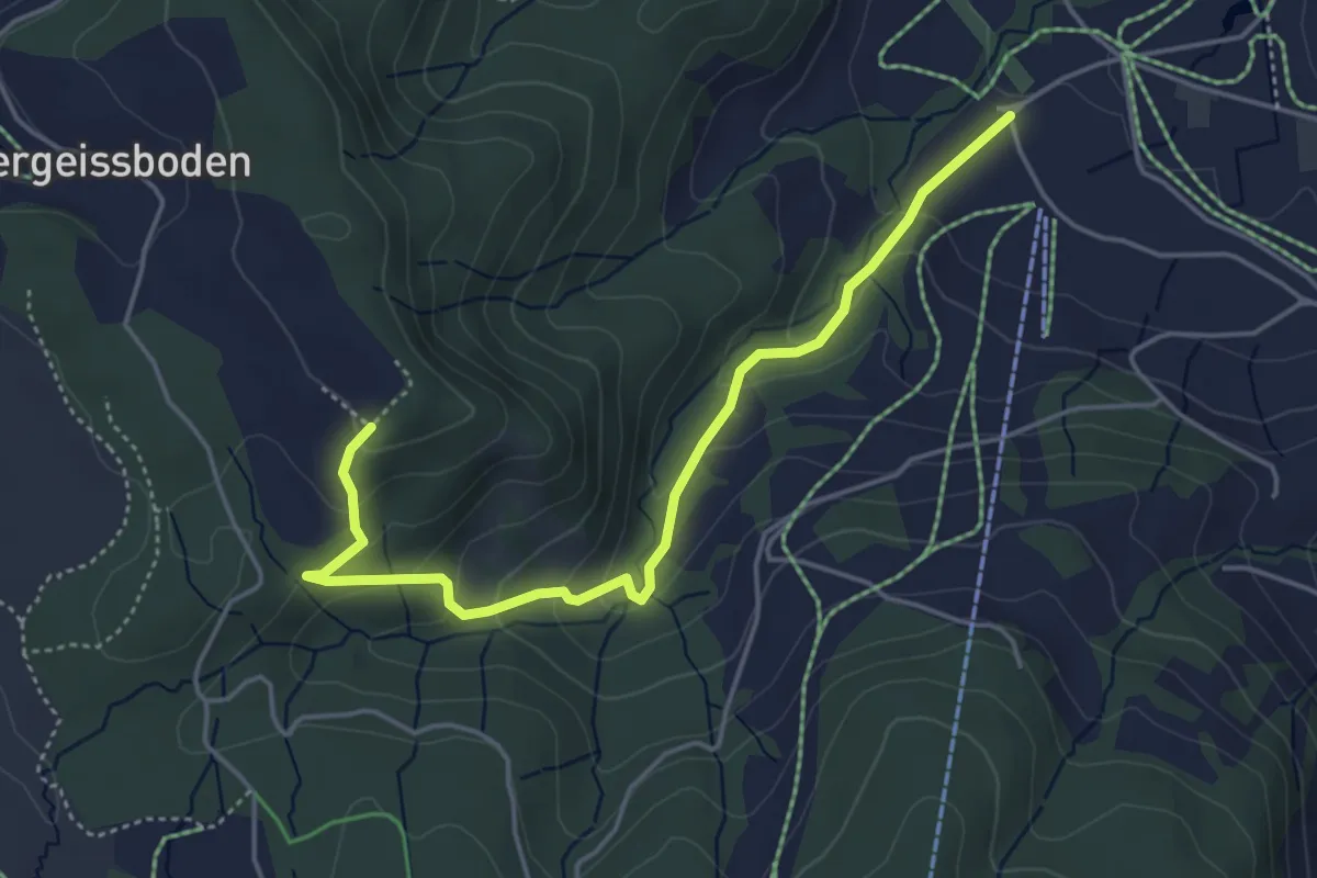
Boden – Wissenschwändi
2.6 km · ↑ 27 m · 40 min · 11 km away
Easy · Trail
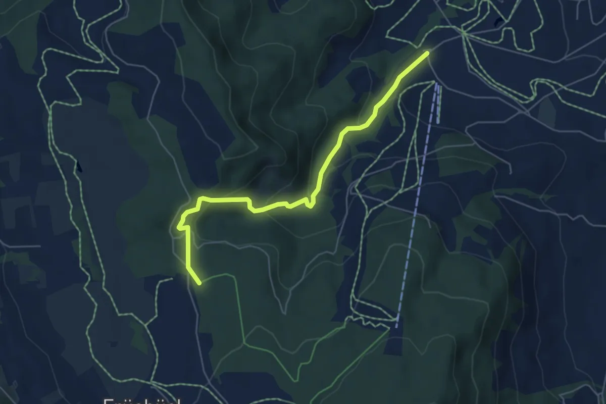
Räbrüti – Boden
4.7 km · ↑ 241 m · 1 h 38 min · 11 km away
Easy · Trail
Fiselstuden – Boden
5.4 km · ↑ 220 m · 1 h 44 min · 11 km away
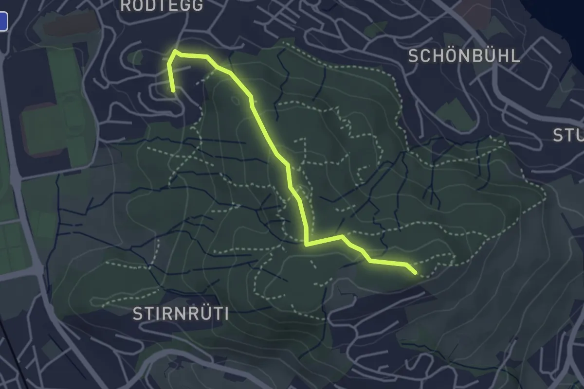
Easy · Trail
Biregghof - Seeblick
3.4 km · ↑ 119 m · 1 h 4 min · 11 km away
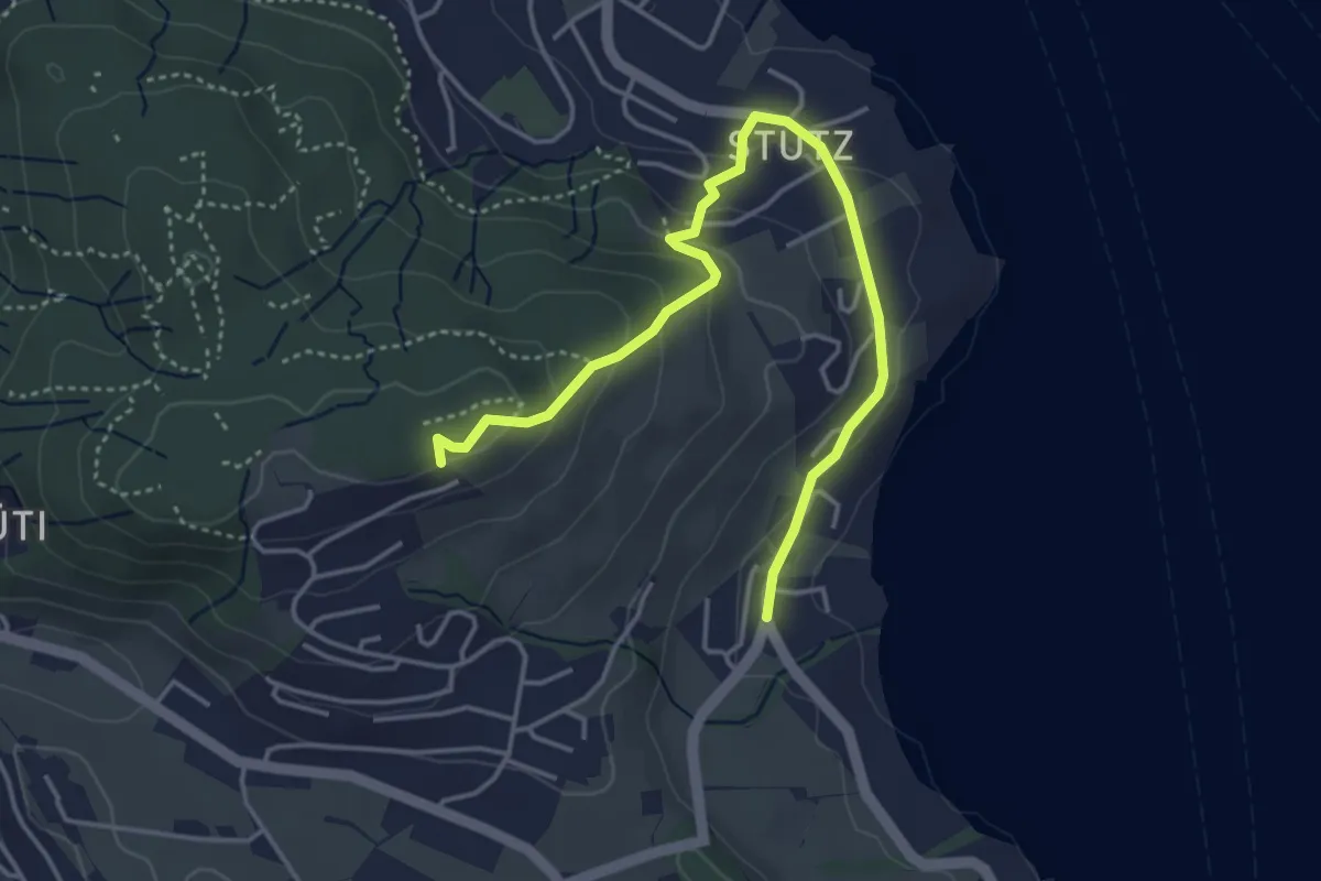
Easy · Trail
Stutz - Seeblick
4.6 km · ↑ 199 m · 1 h 31 min · 11 km away
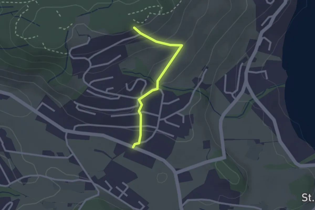
Easy · Trail
Seeblick - Felmis
2.0 km · ↑ 110 m · 43 min · 11 km away
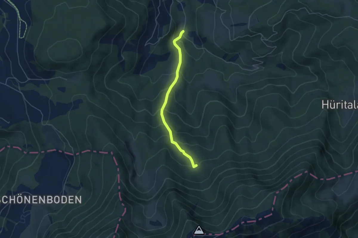
Easy · Trail
Urzlenboden - Stutzhütte
4.2 km · ↑ 317 m · 1 h 41 min · 11 km away
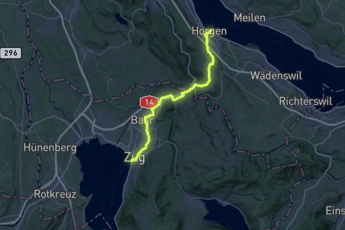
Medium · Trail
Saumweg
17.4 km · ↑ 376 m · 5 h 10 min · 11 km away
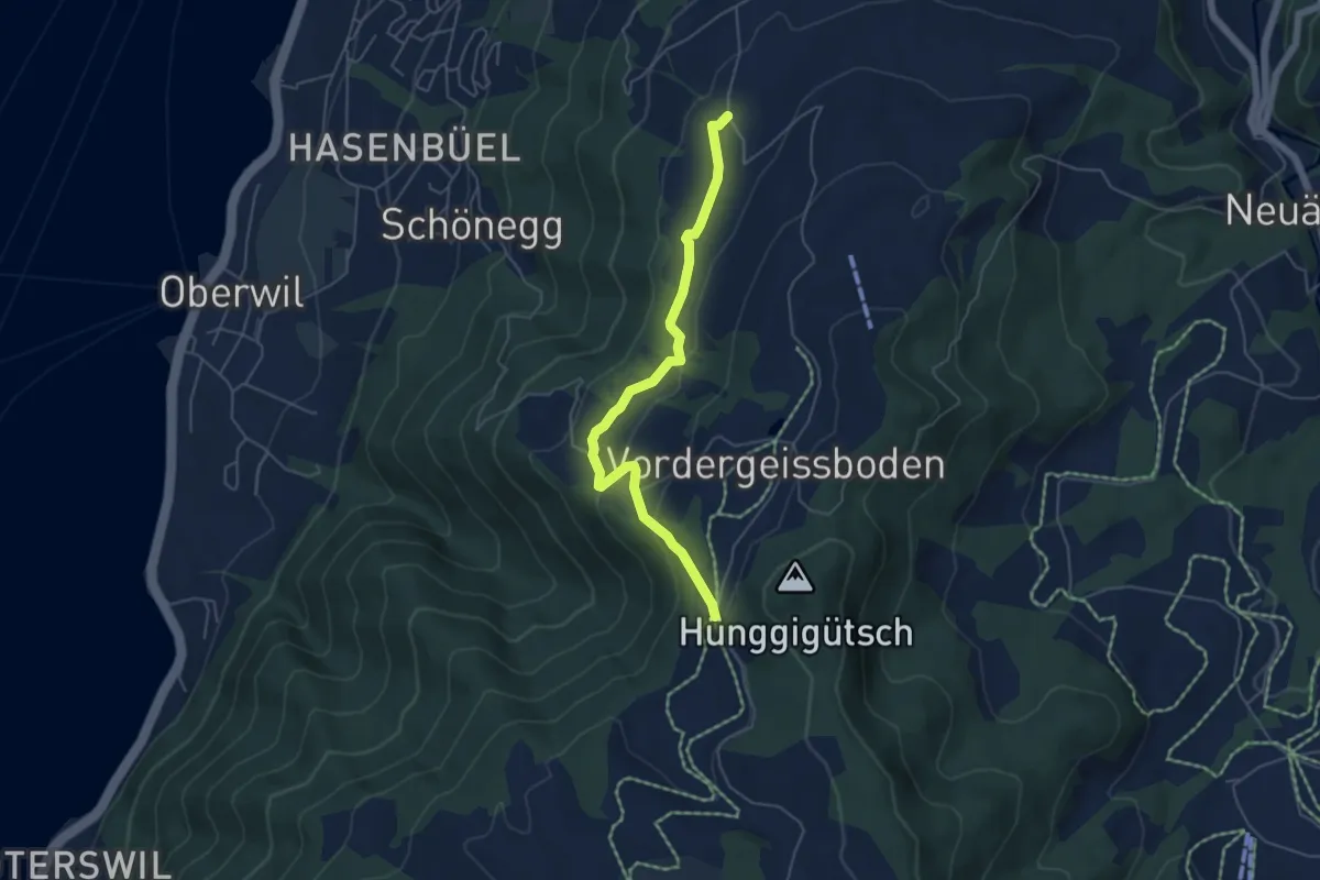
Easy · Trail
Sennhütte – Tankfalle
5.1 km · ↑ 171 m · 1 h 34 min · 11 km away
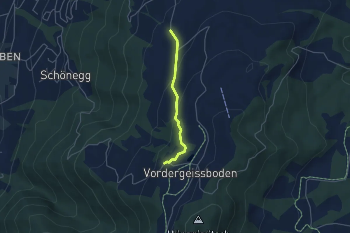
Easy · Trail
Sennhütte – Zugerberg
2.9 km · ↑ 121 m · 57 min · 11 km away
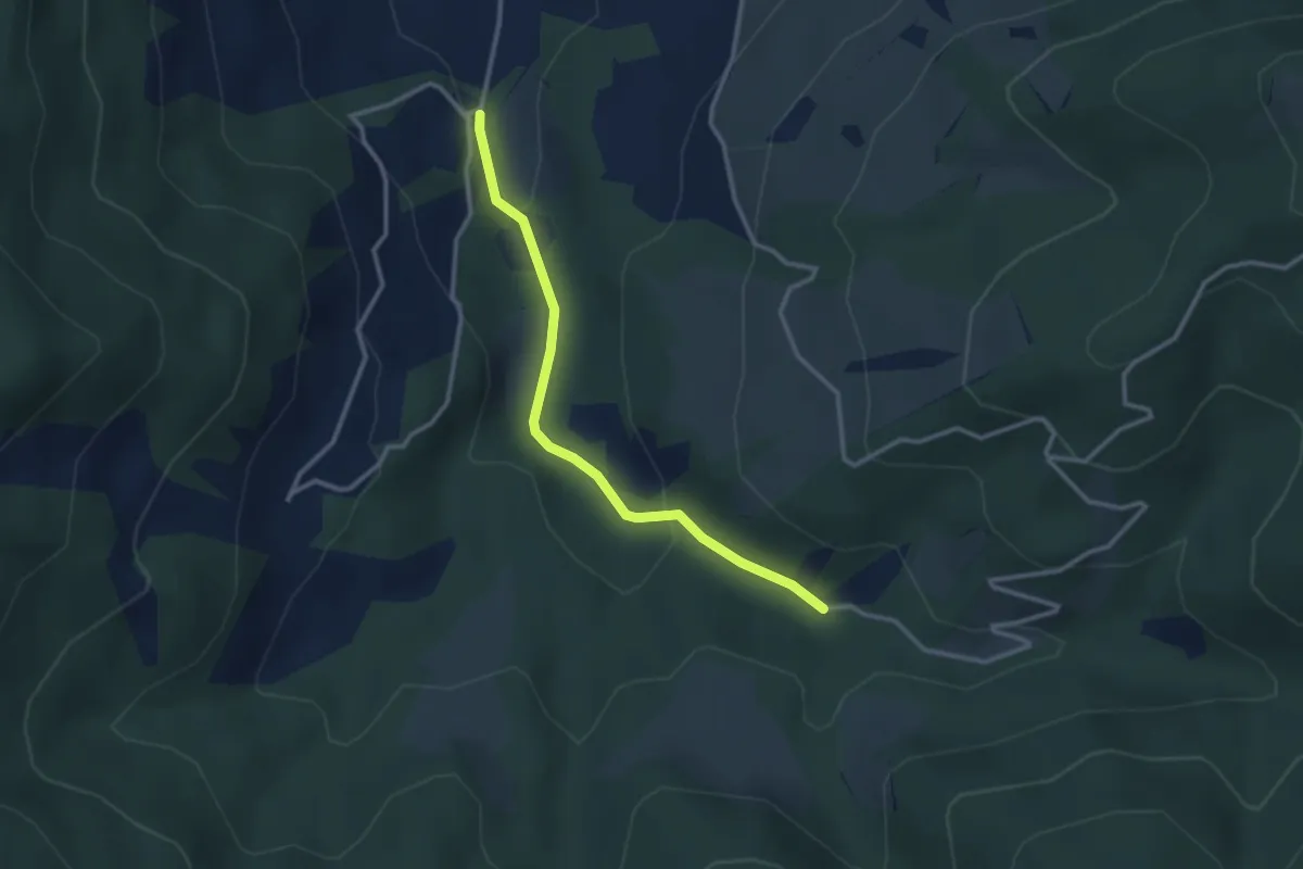
Easy · Trail
Egg Gatter – Schönalp Hütte
2.8 km · ↑ 81 m · 50 min · 11 km away
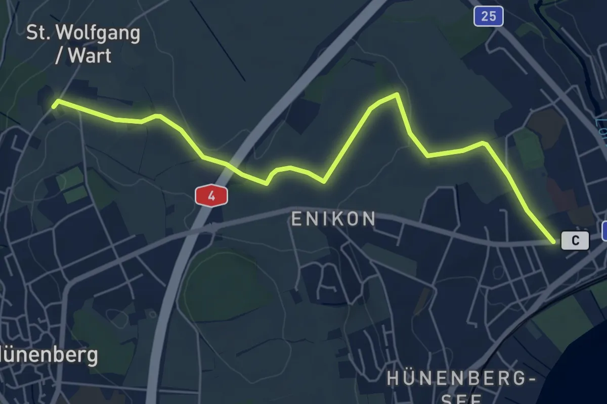
Easy · Trail
Cham - Wart
5.8 km · ↑ 50 m · 1 h 28 min · 11 km away
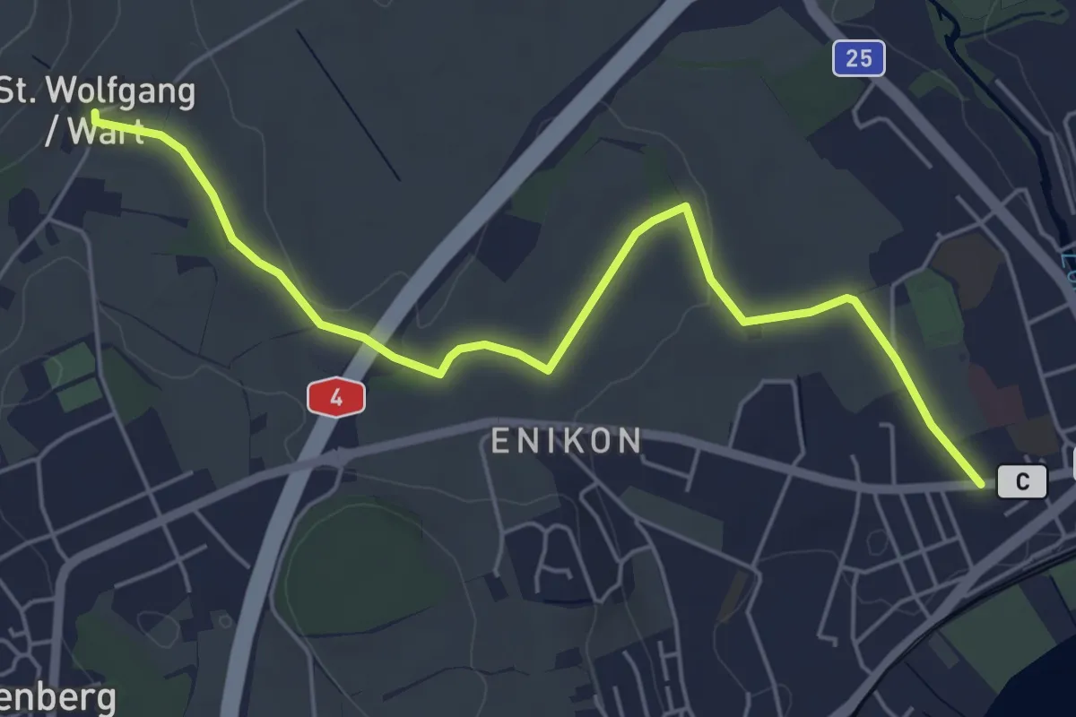
Easy · Trail
Cham - Sankt Wolfgang
5.8 km · ↑ 41 m · 1 h 27 min · 11 km away
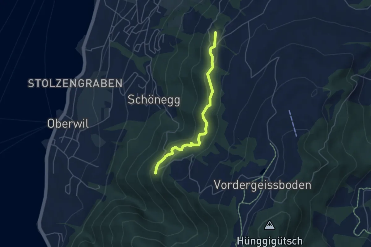
Easy · Trail
Blasenberg – Lärch
4.1 km · ↑ 213 m · 1 h 26 min · 11 km away
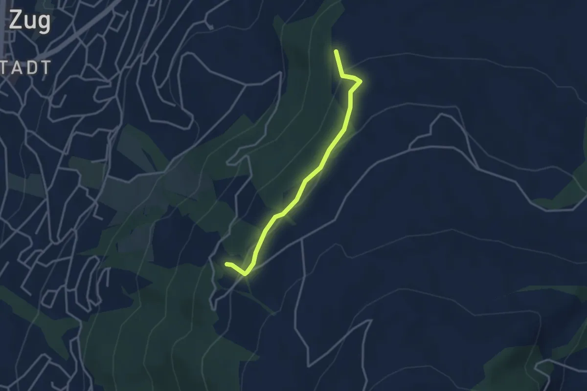
Easy · Trail
Steren – Blasenberg
2.8 km · ↑ 117 m · 55 min · 11 km away
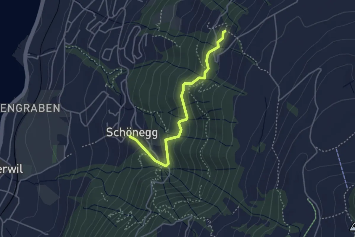
Easy · Trail
Blasenberg – Schönegg
3.2 km · ↑ 249 m · 1 h 18 min · 11 km away
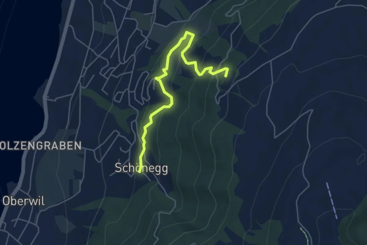
Easy · Trail
Schönegg – Blasenberg
4.5 km · ↑ 296 m · 1 h 42 min · 11 km away
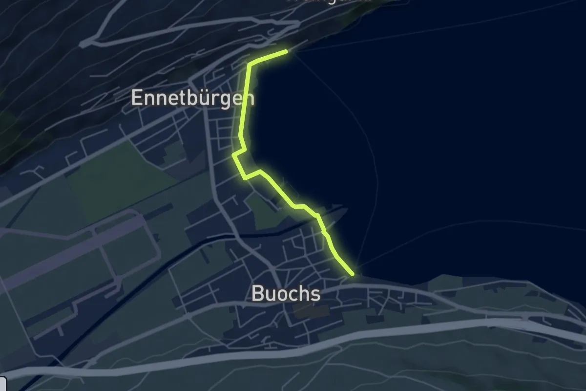
Easy · Trail
Buochs Schiffländi - Ennetbürgen Schiffländi
4.1 km · ↑ 25 m · 1 h 1 min · 11 km away
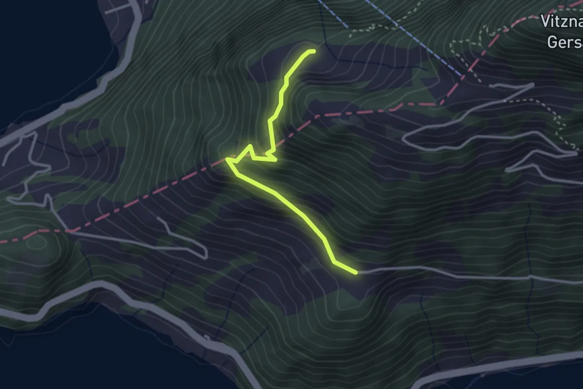
Easy · Trail
Ober Rängg – Wissifluh
2.7 km · ↑ 230 m · 1 h 9 min · 11 km away
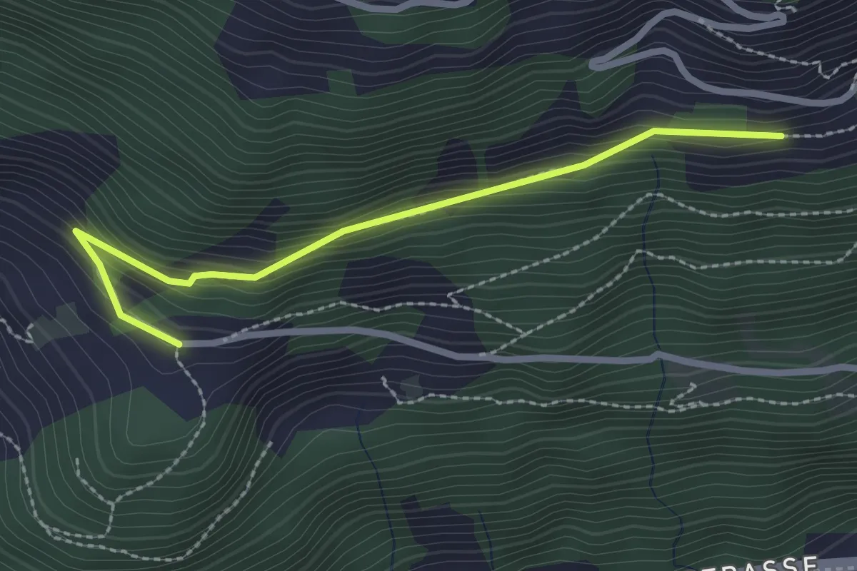
Easy · Trail
Nider Urmi – Ober Rängg
2.4 km · ↑ 153 m · 54 min · 11 km away
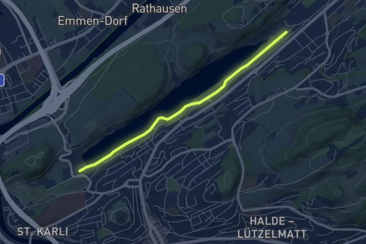
Easy · Trail
Rotsee West (Süd) - Rotsee Ost (Süd)
5.9 km · ↑ 38 m · 1 h 29 min · 11 km away
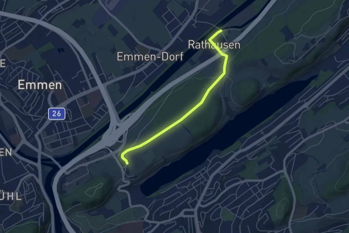
Easy · Trail
Rathausen Brücke – Sädel
4.8 km · ↑ 89 m · 1 h 20 min · 11 km away
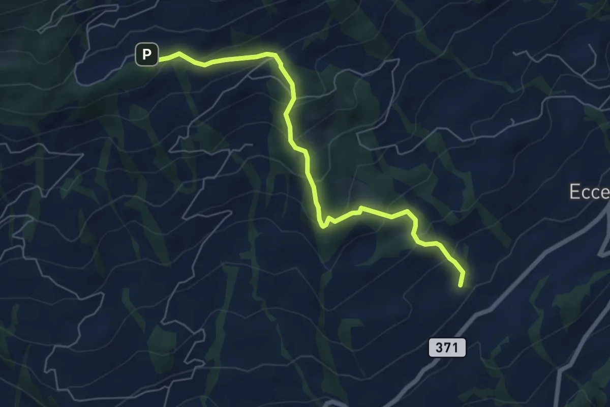
Medium · Trail
Obhegkapelle - Talacher? / Steinen? - fixme
6.0 km · ↑ 491 m · 2 h 29 min · 11 km away
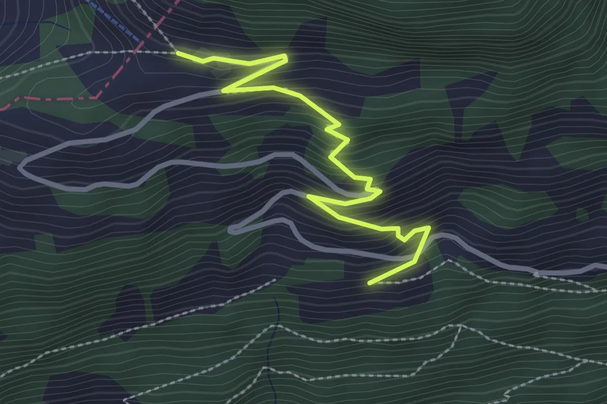
Medium · Summit
Obhegkapelle - Wildspitz
3.7 km · ↑ 323 m · 1 h 35 min · 11 km away
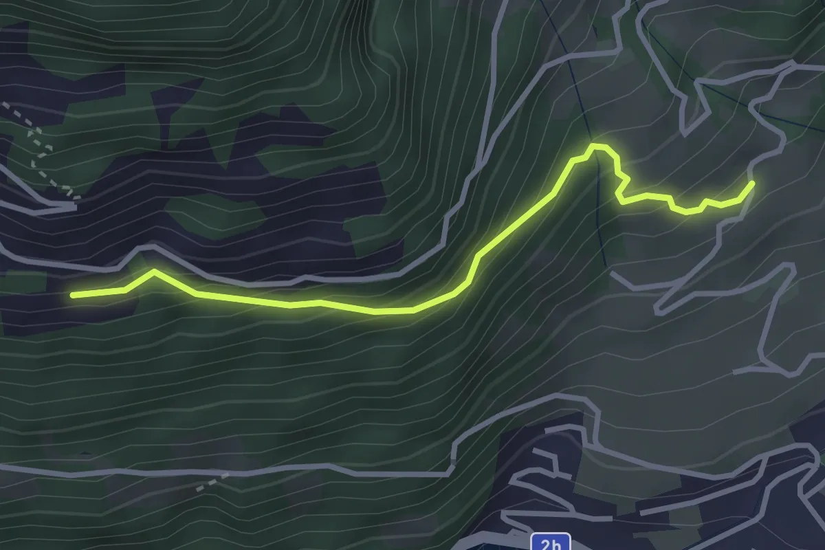
Medium · Trail
Nieder Urmi – Ober Urmi
2.7 km · ↑ 318 m · 1 h 19 min · 11 km away
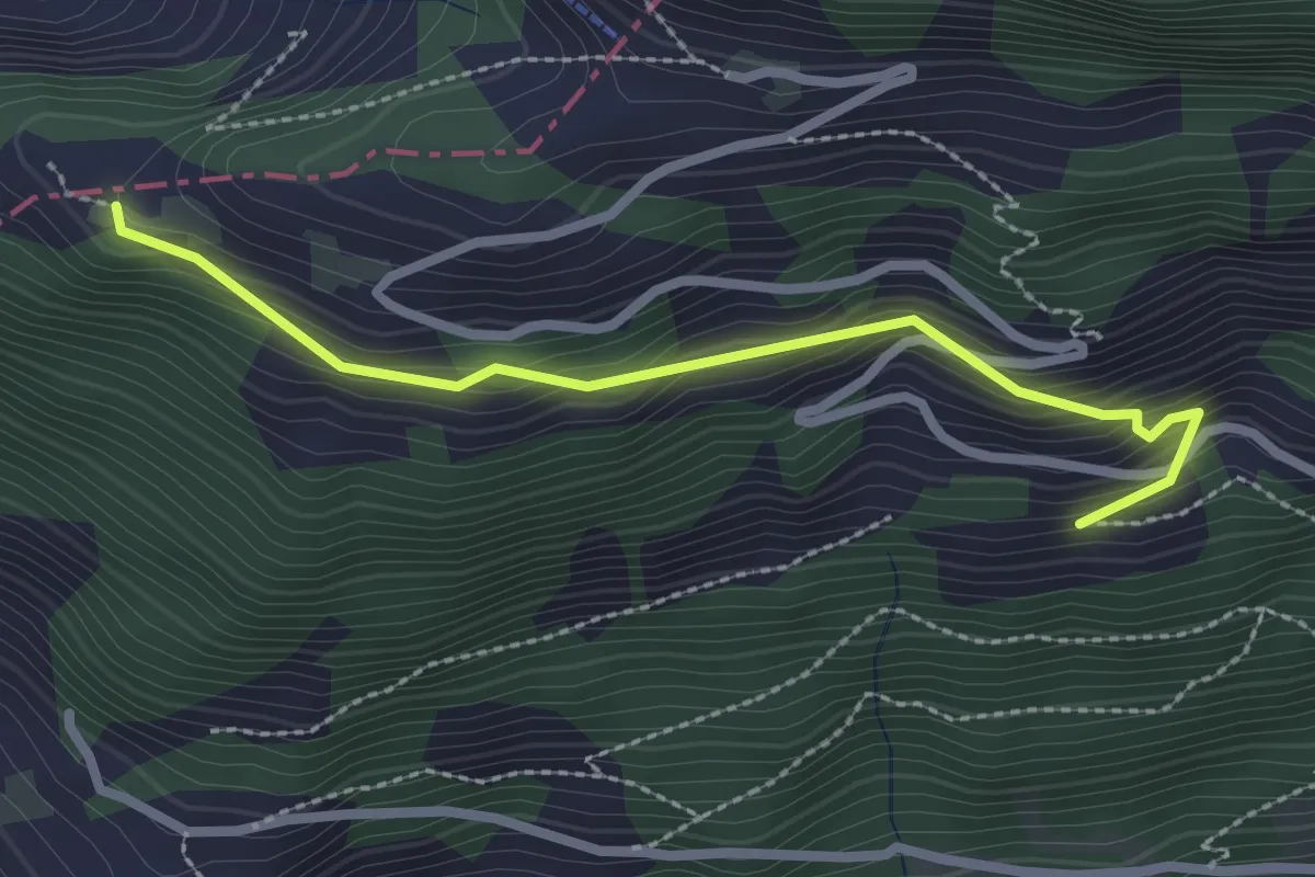
Easy · Trail
Oberried – Nider Urmi
2.9 km · ↑ 260 m · 1 h 16 min · 11 km away
Easy · Trail
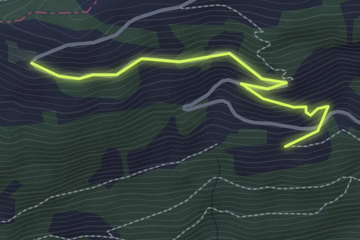
Nider Urmi – Usser Urmi
2.5 km · ↑ 203 m · 1 h 2 min · 11 km away
Easy · Trail
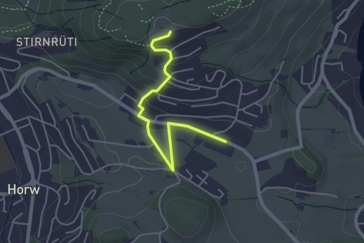
Nieder Urmi – Mittler Urmi
2.4 km · ↑ 231 m · 1 h 4 min · 11 km away
Easy · Trail
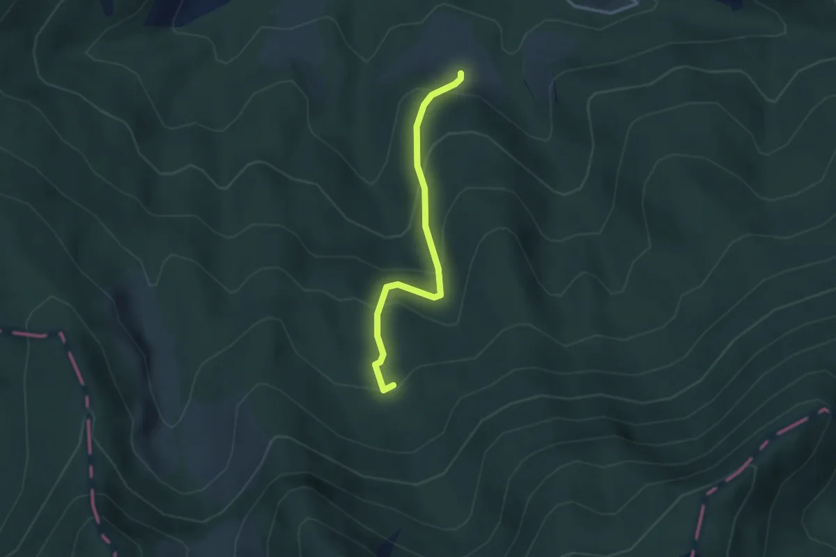
Längacher - Stegen
3.6 km · ↑ 132 m · 1 h 8 min · 11 km away
Easy · Trail
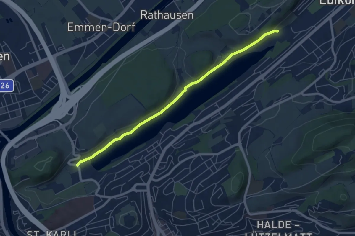
Urzlenboden - Fang
2.8 km · ↑ 262 m · 1 h 14 min · 11 km away
Easy · Trail
Rootsee West - Rotsee Ost
5.8 km · ↑ 95 m · 1 h 34 min · 11 km away
Easy · Trail
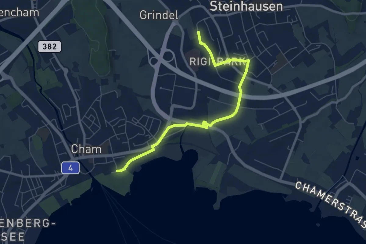
Steinhausen SBB - Cham
6.9 km · ↑ 35 m · 1 h 42 min · 11 km away
Easy · Trail
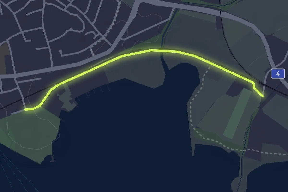
Chollermühli - Cham
2.9 km · ↑ 12 m · 43 min · 11 km away
Medium · Trail
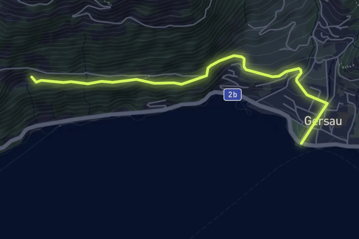
Gersau – Unter Rängg
5.4 km · ↑ 331 m · 2 h · 11 km away
Easy · Trail
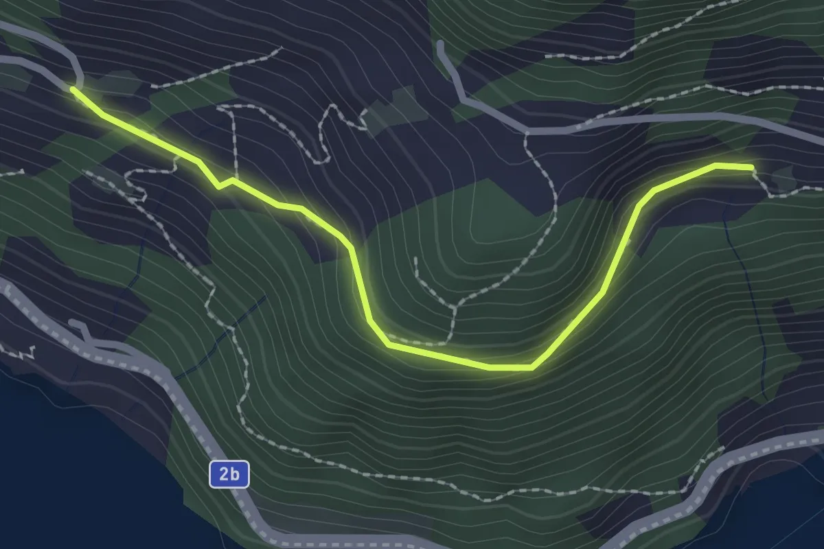
Unter Rängg – Äbnet
2.2 km · ↑ 123 m · 47 min · 11 km away
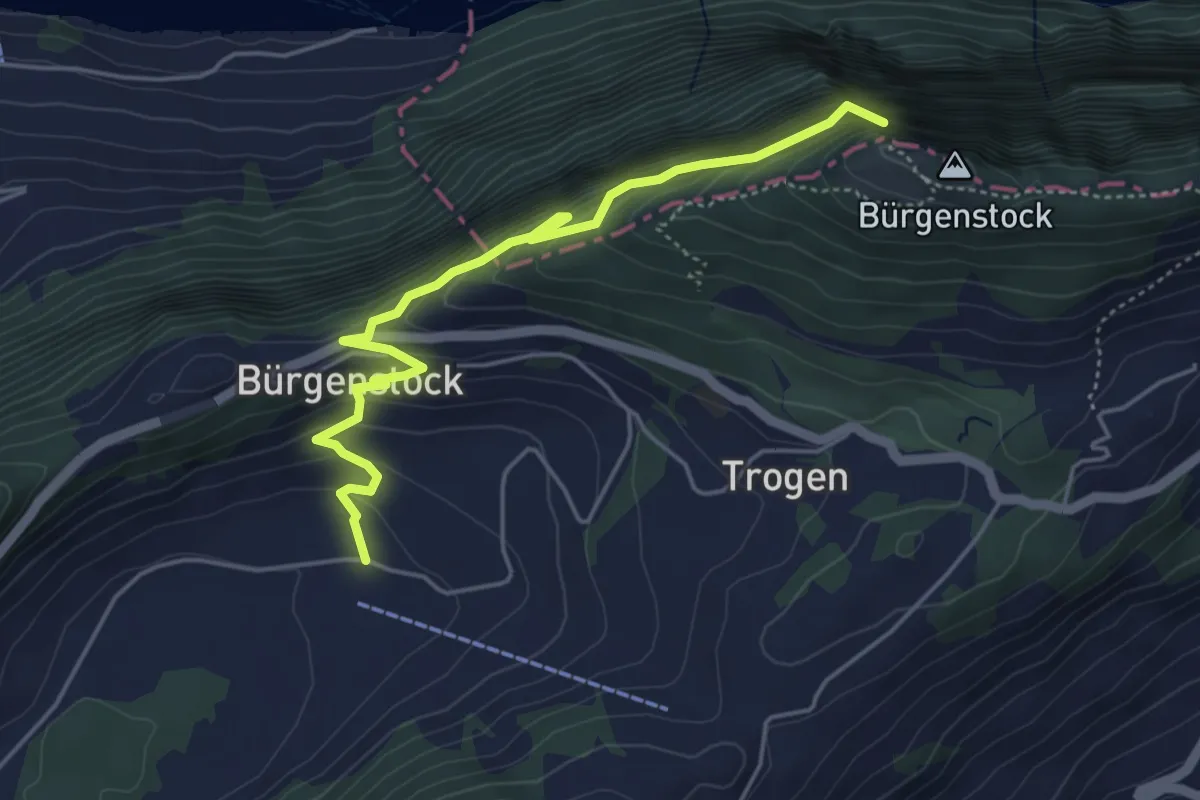
Medium · Trail
Hametschwand Lift - Boden
5.0 km · ↑ 587 m · 2 h 27 min · 11 km away
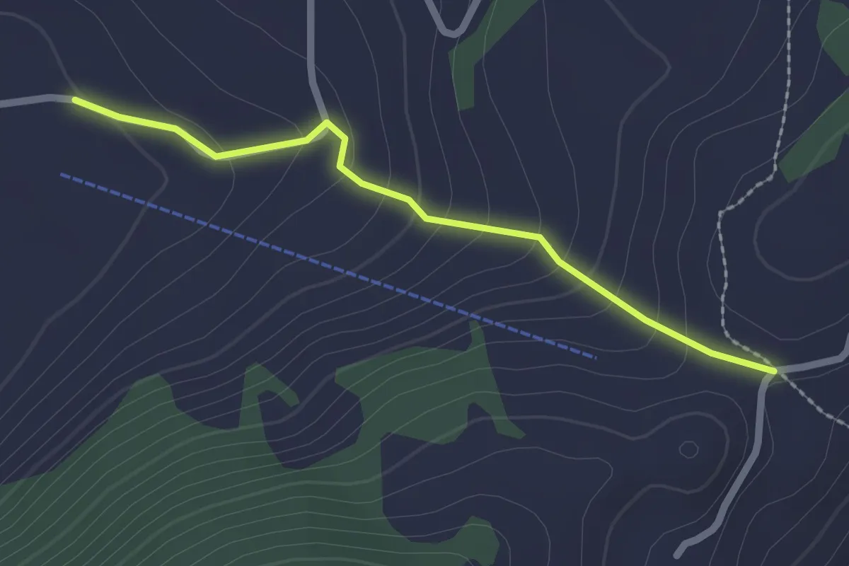
Easy · Trail
Vorderegg – Boden
2.0 km · ↑ 132 m · 46 min · 11 km away
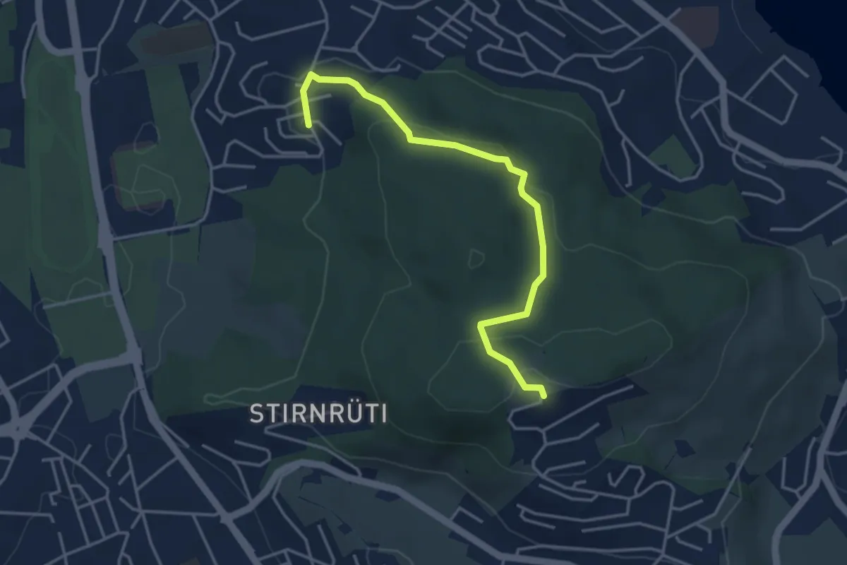
Easy · Trail
Biregghof - Oberrüti
3.9 km · ↑ 114 m · 1 h 9 min · 11 km away
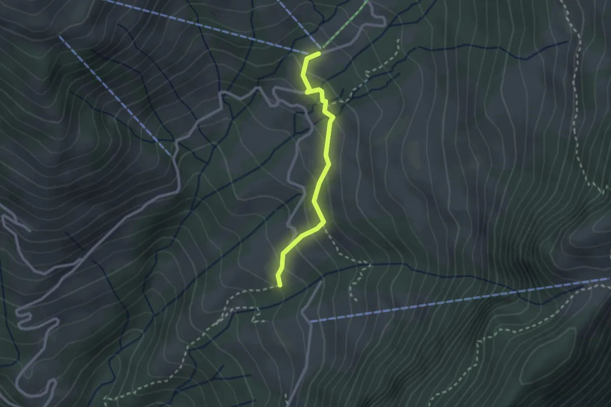
Easy · Trail
Rotzingel - Gschwänd Talstation LSB
2.1 km · ↑ 154 m · 50 min · 11 km away
Easy · Trail
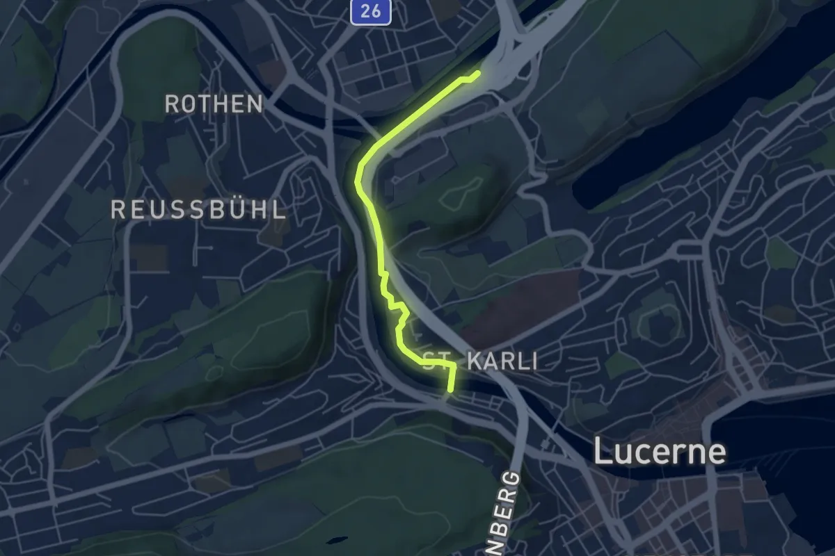
Sädelbrücke - St.Karli
4.5 km · ↑ 69 m · 1 h 12 min · 11 km away
Easy · Trail
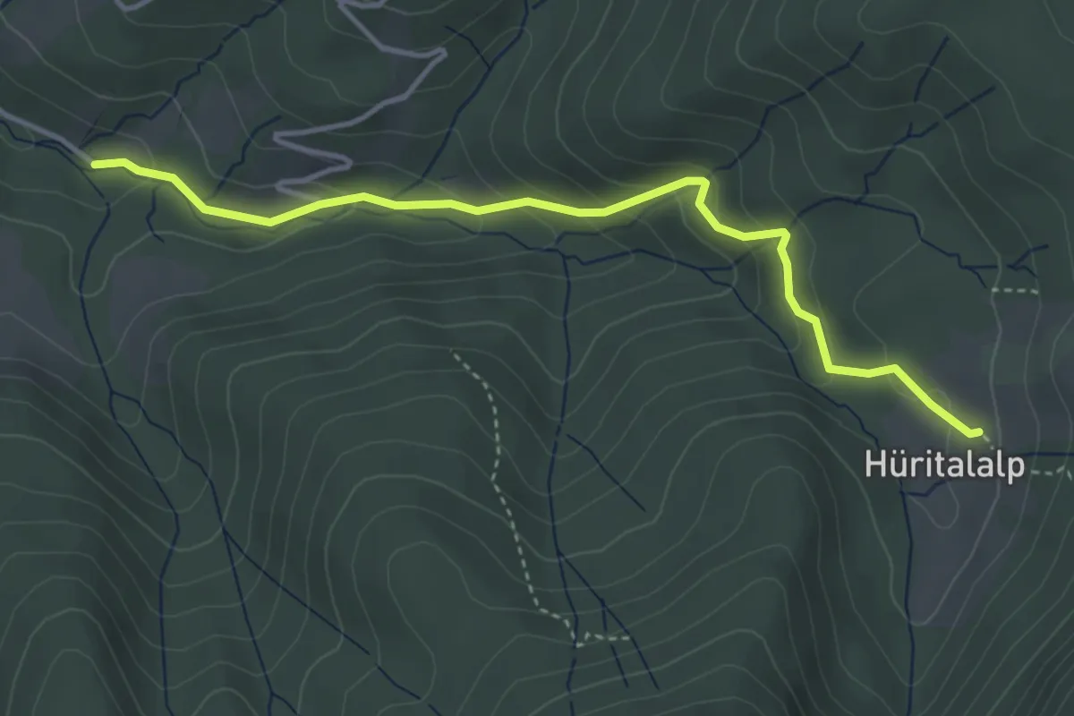
Schönalp Hütte - Hürtal Hütte
4.0 km · ↑ 249 m · 1 h 30 min · 11 km away
Easy · Trail
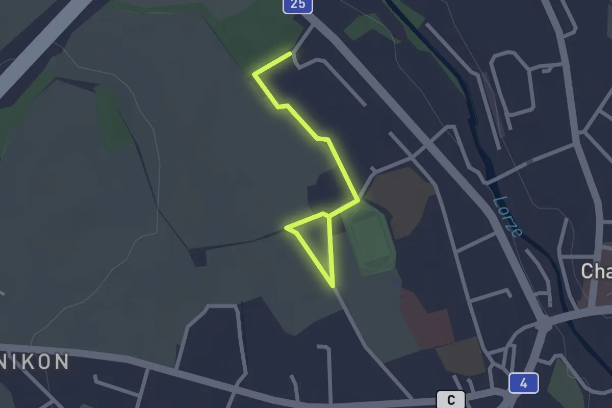
Cham Allmendhof - Röhrliberg
2.1 km · ↑ 0 m · 30 min · 11 km away
Medium · Trail
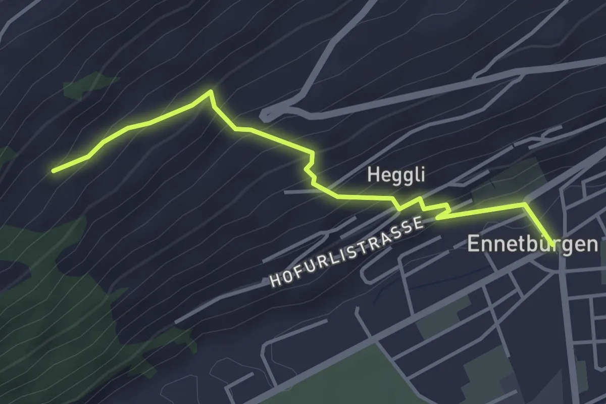
Ennetbürgen Post – Holzen
3.4 km · ↑ 321 m · 1 h 30 min · 11 km away