Trails near Locarno
275 hikes starting within 15 km, nearest first.
Nearest first, page 3 of 6
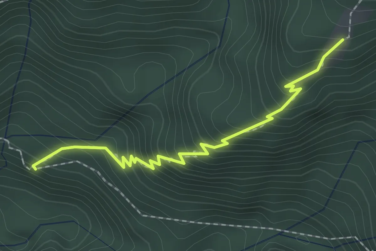
Medium · Trail
Colletta - Stavello
2.0 km · ↑ 286 m · 1 h 6 min · 9 km away
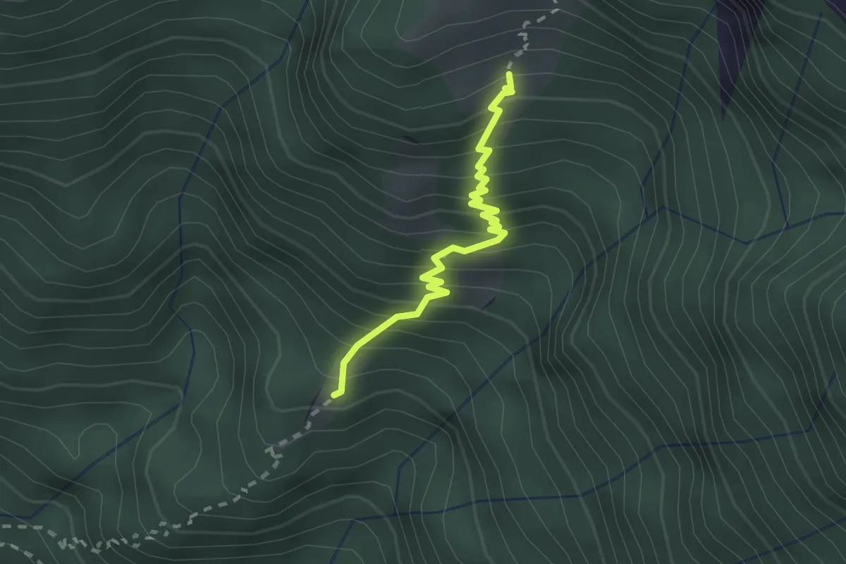
Medium · Cabin
Stavello - Odro
2.0 km · ↑ 316 m · 1 h 10 min · 9 km away
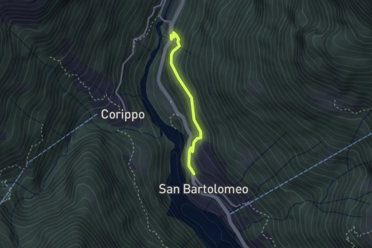
Easy · Trail
Bivio di Corippio-S. Bartolomeo
2.1 km · ↑ 187 m · 55 min · 9 km away
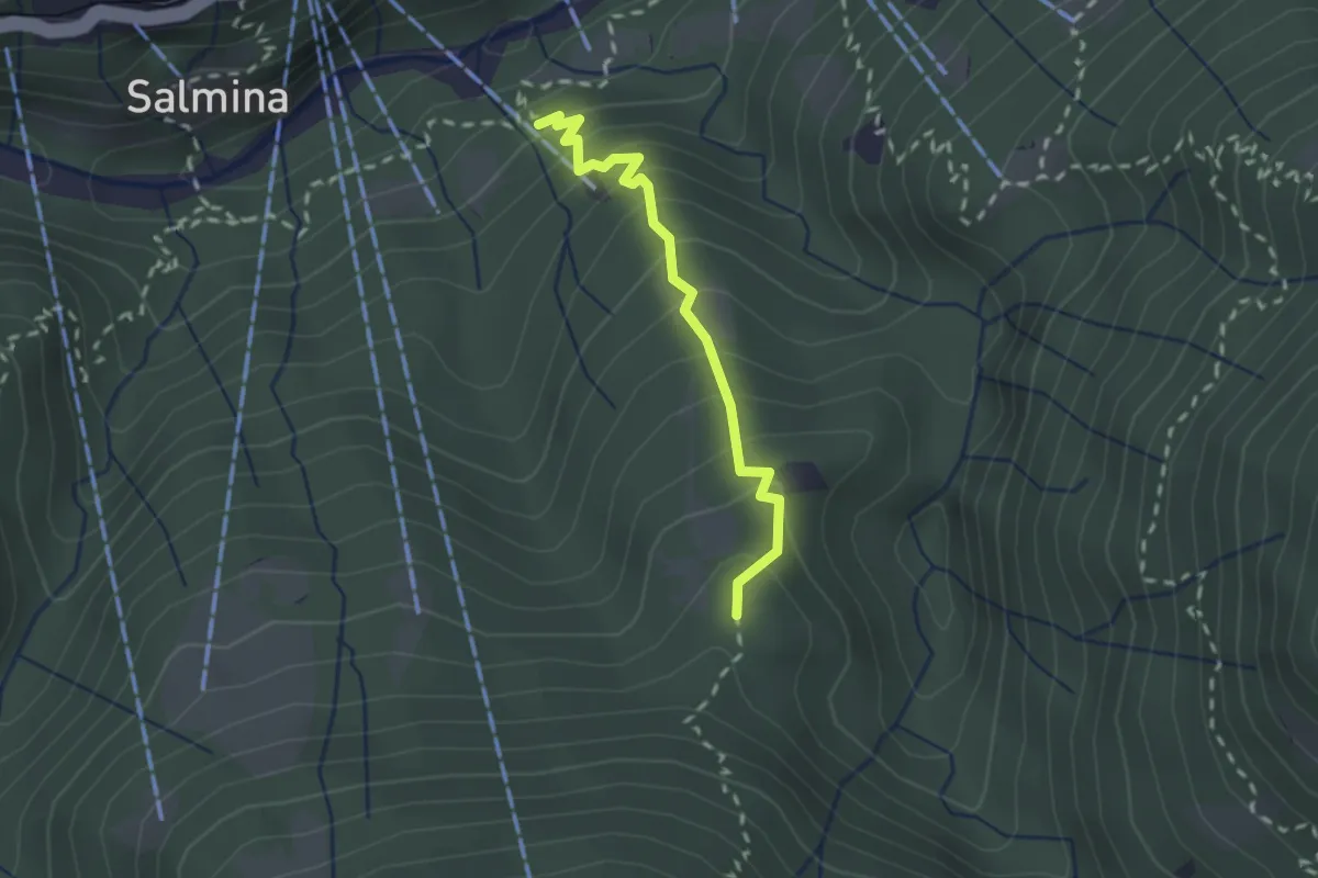
Easy · Trail
Dorca - Remagliaseo
2.0 km · ↑ 241 m · 59 min · 9 km away
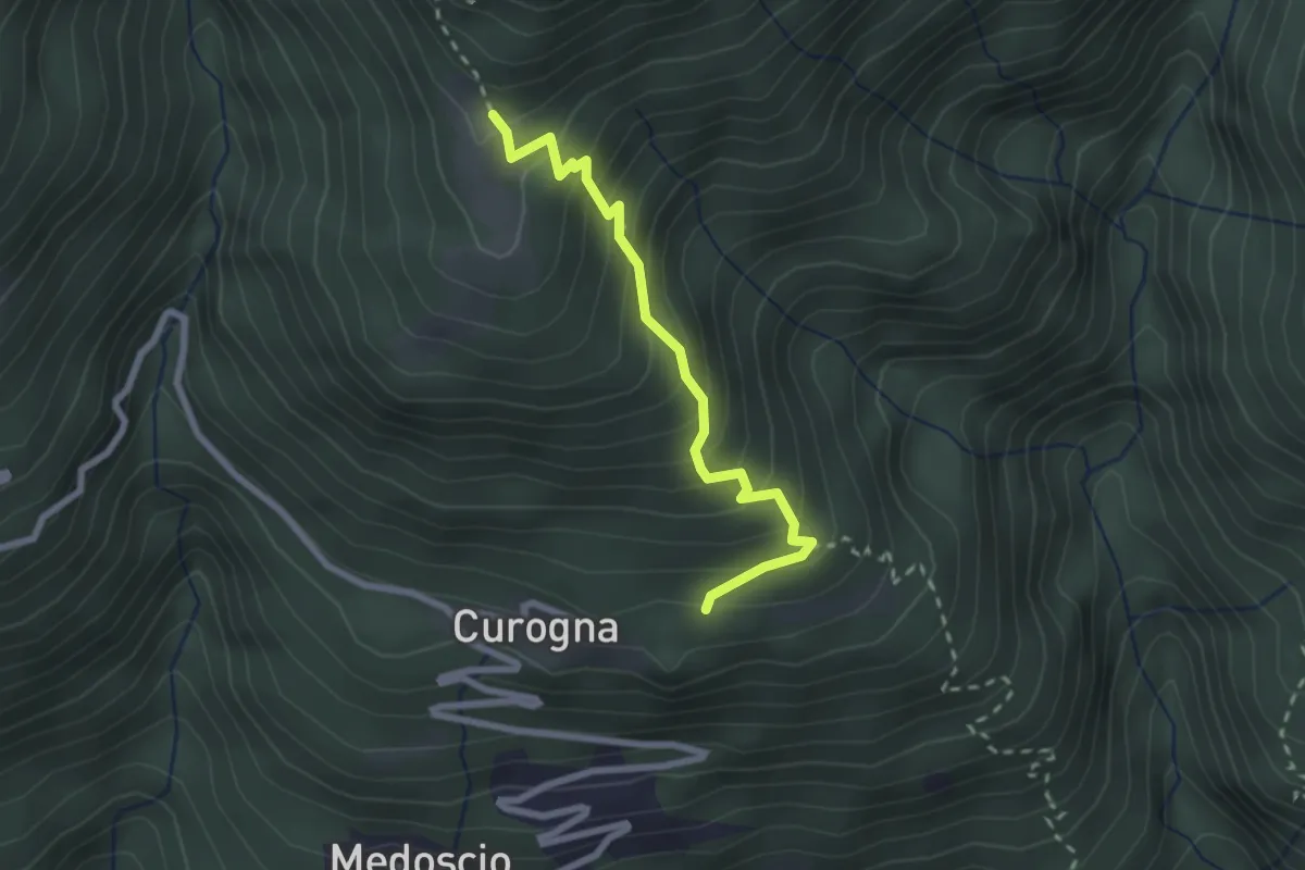
Medium · Trail
Curogna – Monti Velloni
2.4 km · ↑ 278 m · 1 h 10 min · 9 km away
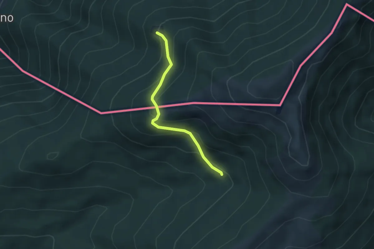
Medium · Cabin
Passo Forcora – Rifugio Alpetto (CH)
2.9 km · ↑ 221 m · 1 h 9 min · 9 km away
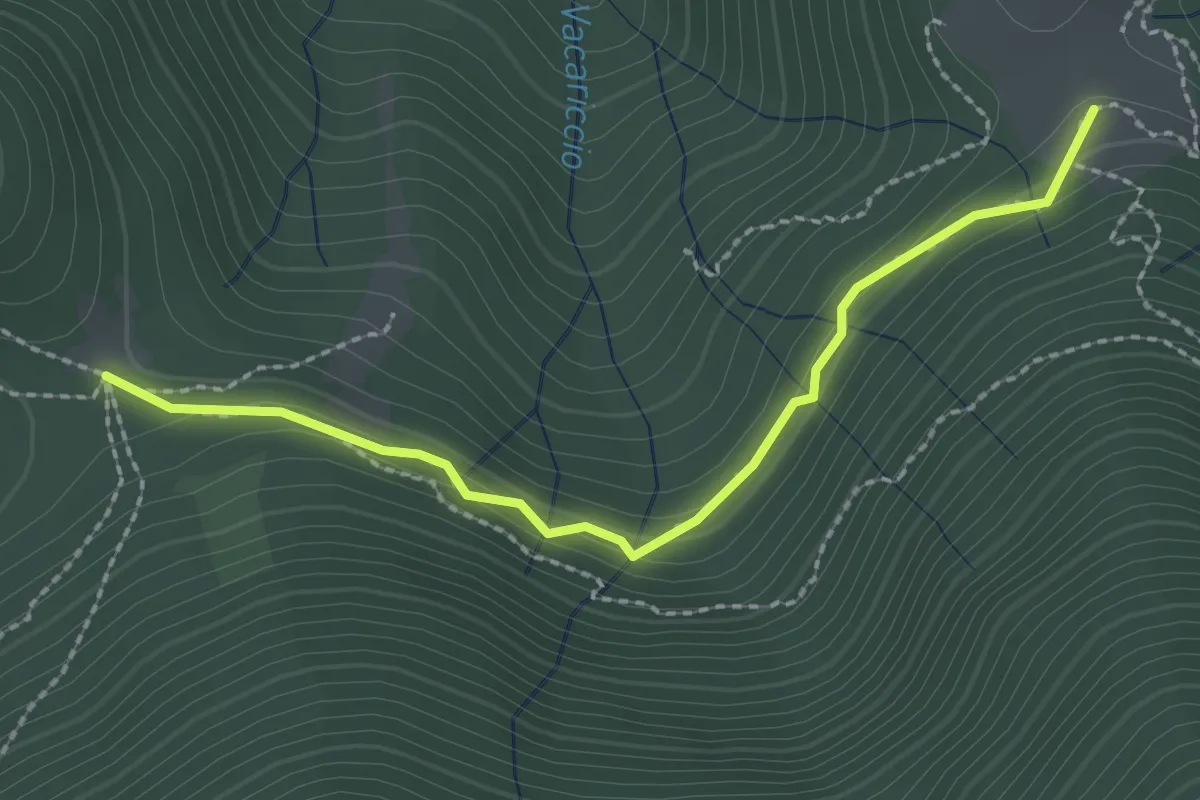
Medium · Trail
Dorca - Termine
2.3 km · ↑ 71 m · 42 min · 9 km away
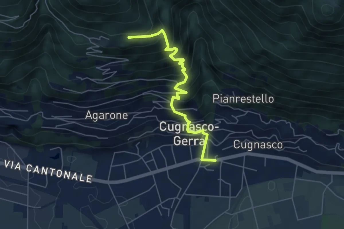
Medium · Trail
Cugnasco – Curogna
4.9 km · ↑ 534 m · 2 h 19 min · 9 km away
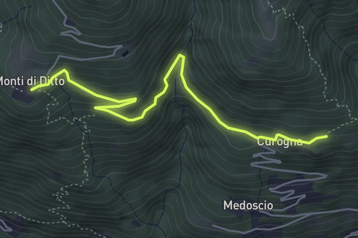
Easy · Trail
Curogna – Monti di Ditto
5.0 km · ↑ 255 m · 1 h 44 min · 9 km away
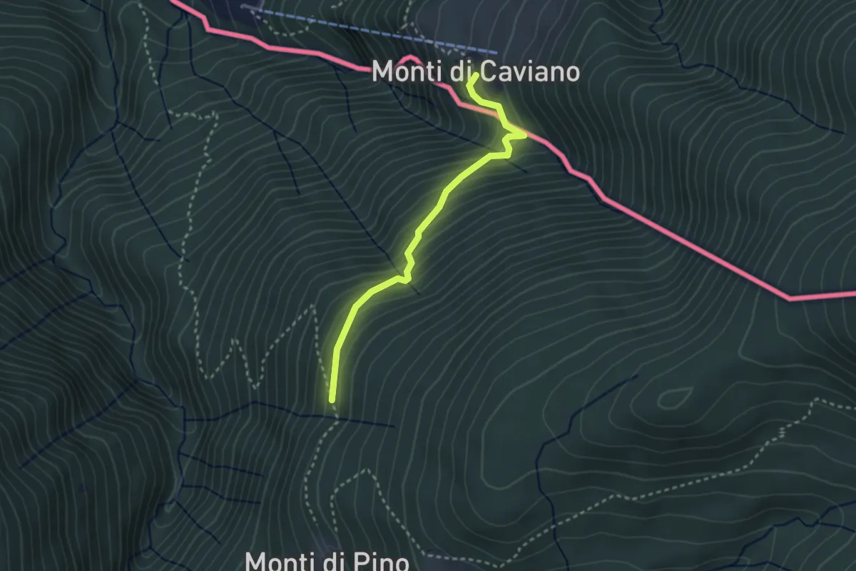
Medium · Trail
Lago Delio – Cento Campi (CH)
2.8 km · ↑ 237 m · 1 h 11 min · 9 km away
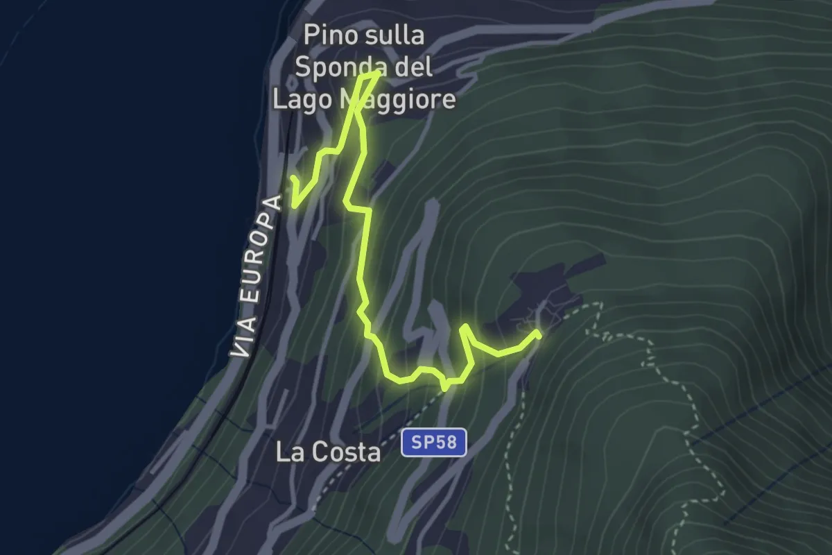
Medium · Trail
Pino sulla Sponda del Lago Maggiore – Bassano
3.7 km · ↑ 334 m · 1 h 36 min · 9 km away
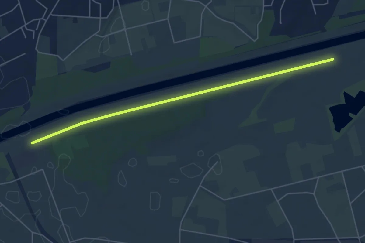
Easy · Trail
Golene - Alta Monda
5.1 km · ↑ 4 m · 1 h 12 min · 9 km away
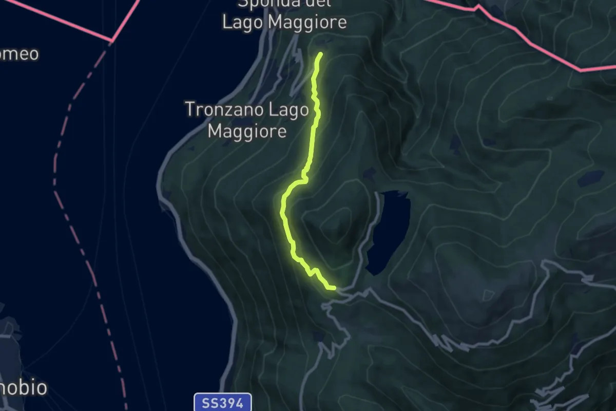
Medium · Trail
Bassano – Ristoro Lago Delio
6.6 km · ↑ 526 m · 2 h 42 min · 9 km away
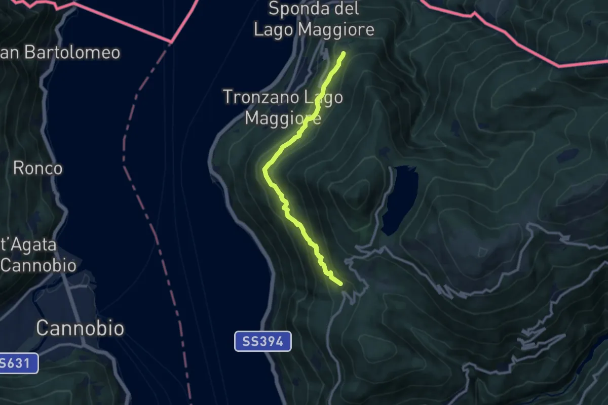
Medium · Trail
Bassano – Musignano
8.4 km · ↑ 476 m · 3 h 1 min · 9 km away
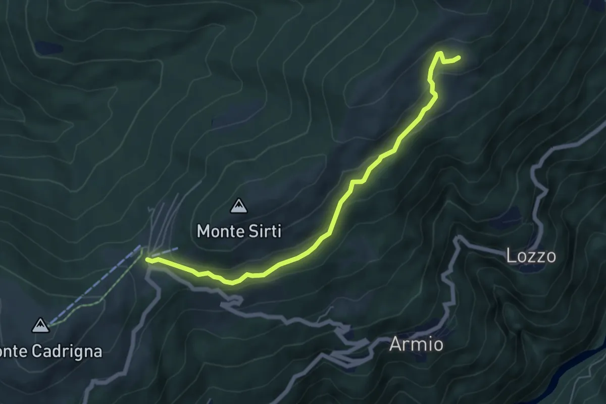
Easy · Cabin
Monterecchio – Forcora
5.6 km · ↑ 233 m · 1 h 50 min · 9 km away
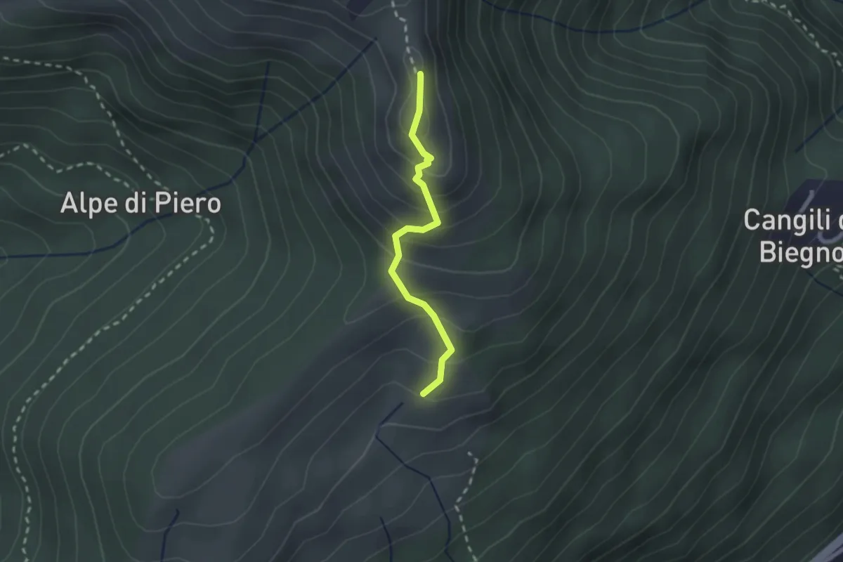
Medium · Summit
Monterecchio – Monte Corbaro
1.9 km · ↑ 186 m · 52 min · 9 km away
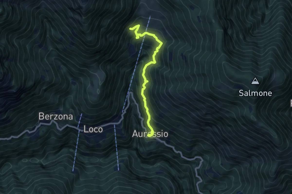
Medium · Trail
Auressio - Mulegn
6.1 km · ↑ 550 m · 2 h 38 min · 9 km away
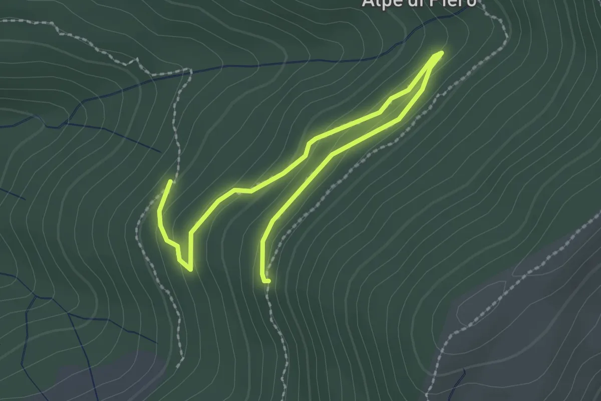
Easy · Trail
115B Variante Alpe Quadra
3.0 km · ↑ 116 m · 58 min · 9 km away
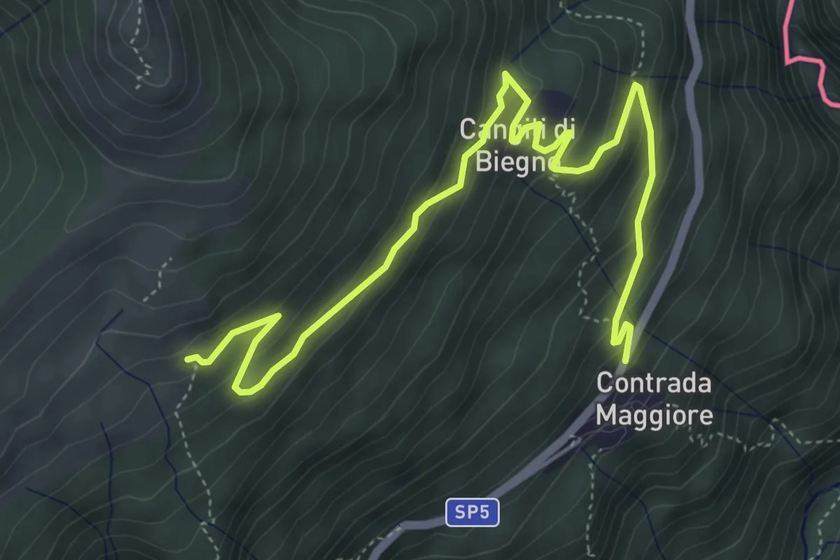
Medium · Trail
110 3V (Tappa 10 Via Verde Varesina)
6.3 km · ↑ 363 m · 2 h 16 min · 9 km away
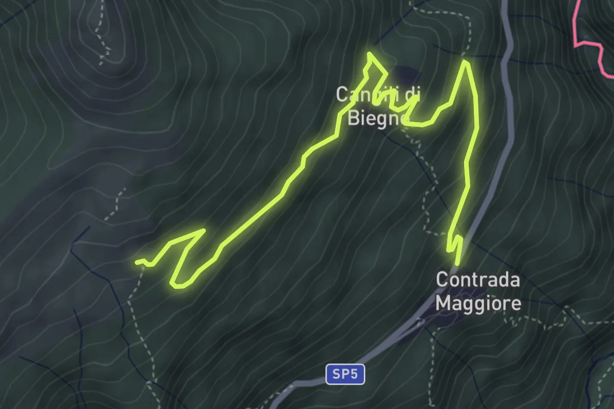
Medium · Trail
Lago Delio – Monteviasco
6.3 km · ↑ 363 m · 2 h 16 min · 9 km away
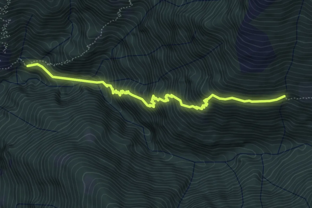
Medium · Trail
Colleta - ?
6.0 km · ↑ 755 m · 3 h 4 min · 9 km away
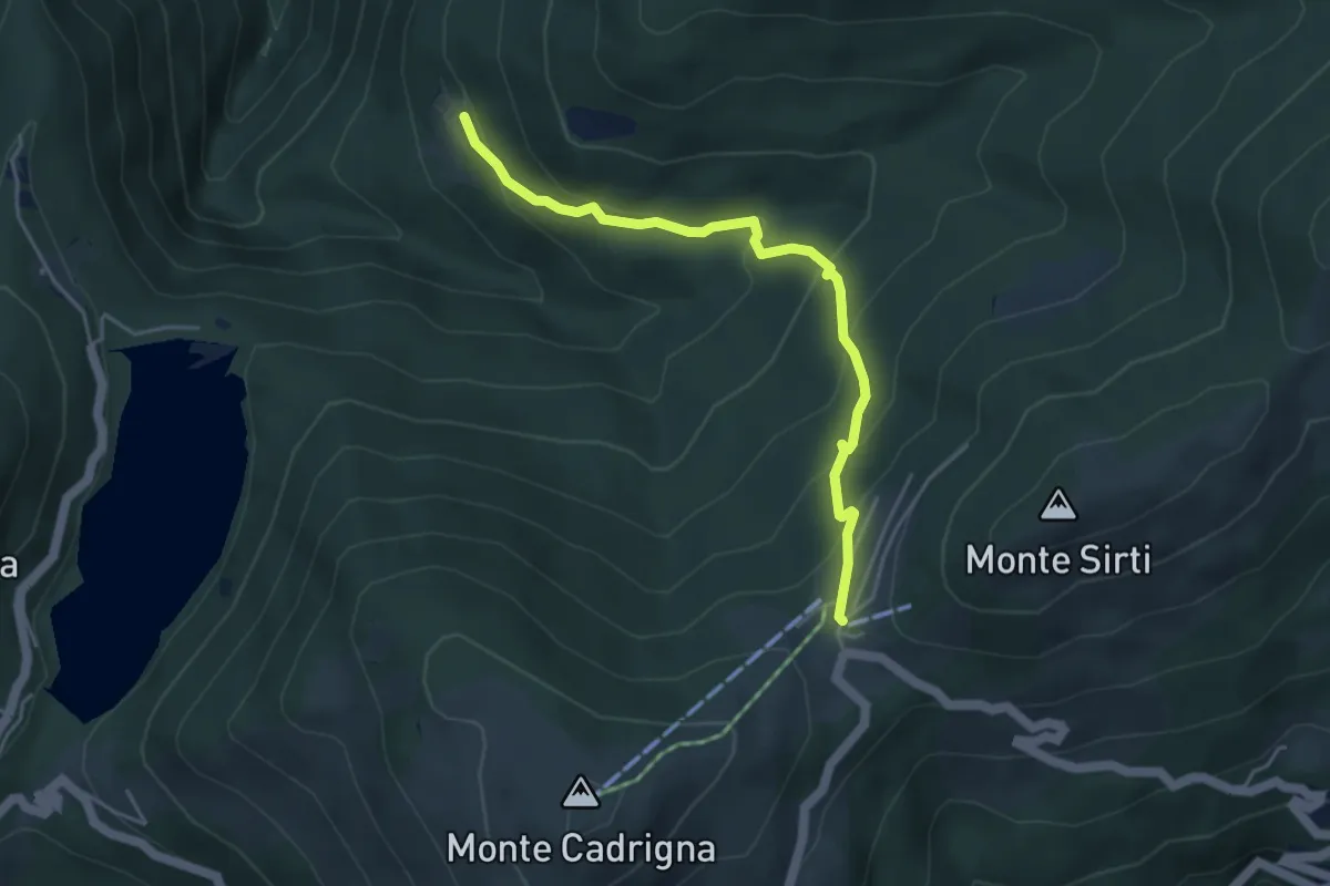
Medium · Cabin
Forcora – Monti di Pino
4.4 km · ↑ 285 m · 1 h 40 min · 9 km away
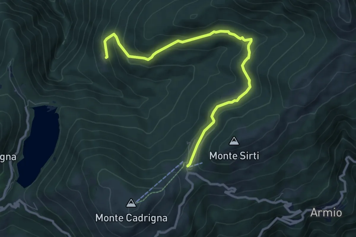
Medium · Cabin
Passo Forcora – Monti di Pino
8.3 km · ↑ 319 m · 2 h 39 min · 9 km away
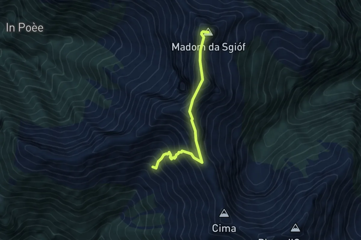
Expert · Summit
02 - Capanna Nimi- Rifugio Alpe Masnee
5.5 km · ↑ 612 m · 2 h 38 min · 9 km away
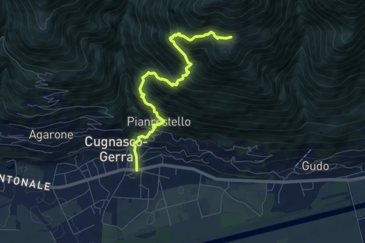
Demanding · Trail
Cugnasco – Monti del Laghetto
7.2 km · ↑ 953 m · 3 h 45 min · 9 km away
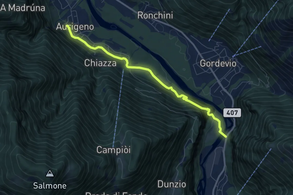
Medium · Trail
Aurigeno - Avegno
7.6 km · ↑ 402 m · 2 h 40 min · 10 km away
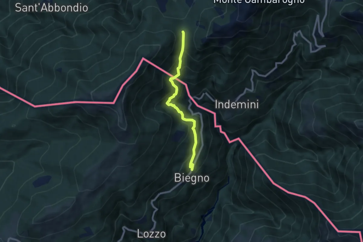
Medium · Cabin
Biegno – Sant'Anna (CH)
5.9 km · ↑ 547 m · 2 h 34 min · 10 km away
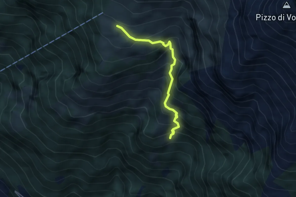
Medium · Cabin
Odro - Alpe Bardughè
3.5 km · ↑ 448 m · 1 h 48 min · 10 km away
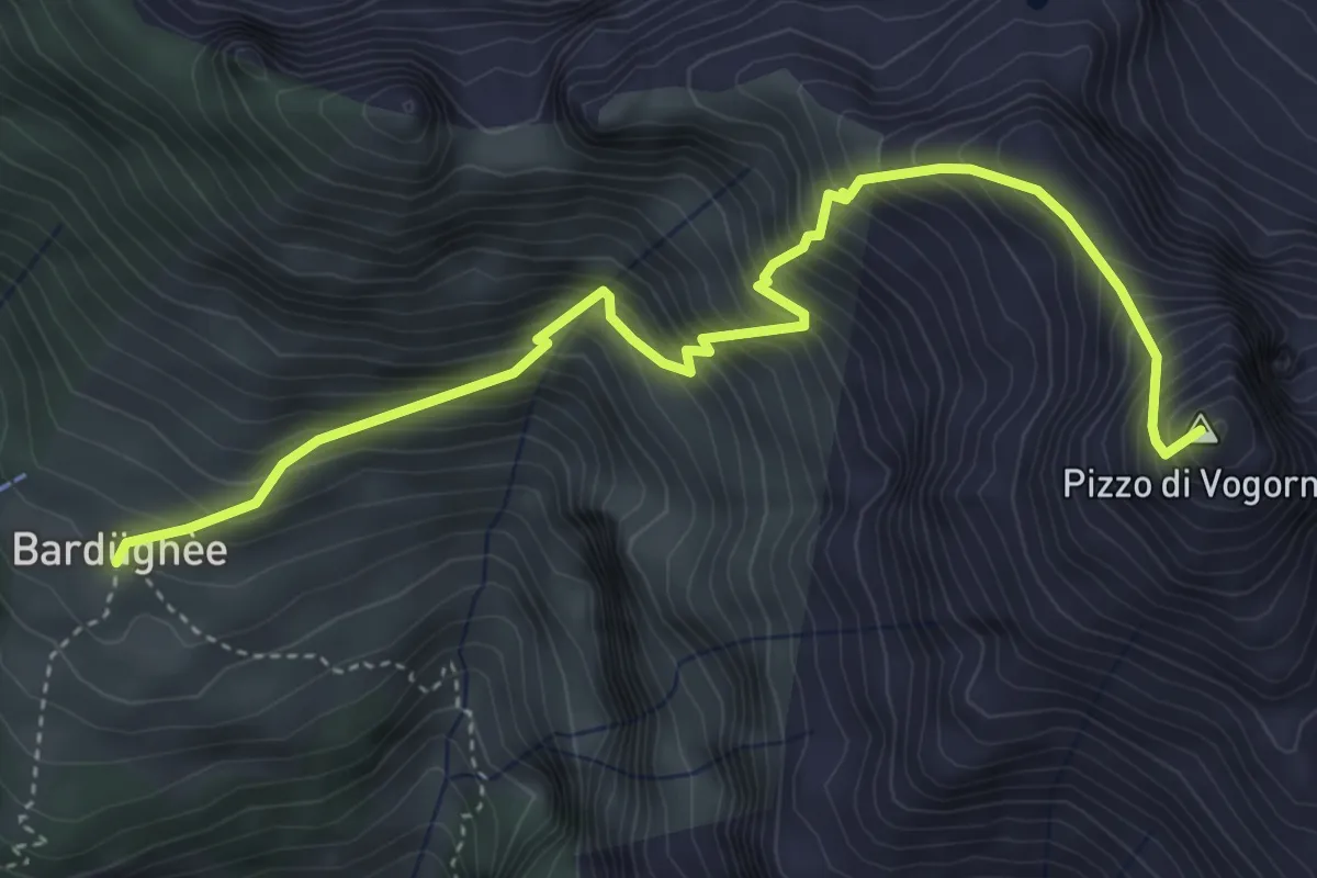
Demanding · Summit
Alpe Bardughè - Pizzo di Vogorno
4.9 km · ↑ 824 m · 2 h 56 min · 10 km away
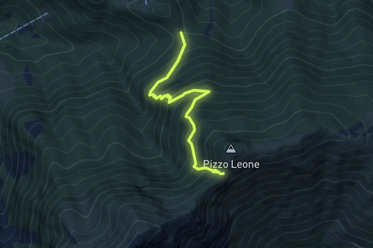
Medium · Trail
Alpe Naccio - Termine
5.2 km · ↑ 585 m · 2 h 29 min · 10 km away
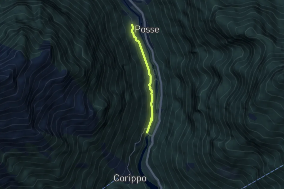
Easy · Trail
Oviga di Fuori - Ponte di Corippo
3.1 km · ↑ 133 m · 1 h 1 min · 10 km away
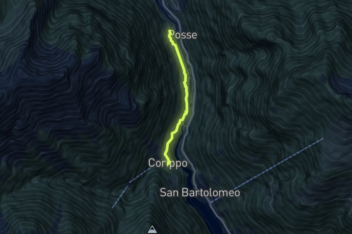
Easy · Trail
Oviga di Fuori - Corippo
4.6 km · ↑ 259 m · 1 h 38 min · 10 km away
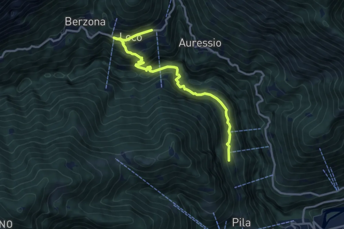
Medium · Trail
Loco – Vosa
8.1 km · ↑ 599 m · 3 h 13 min · 10 km away
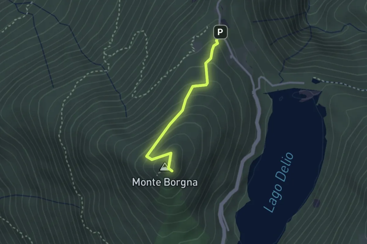
Easy · Summit
Monti di Bassano – Monte Borgna
2.2 km · ↑ 192 m · 56 min · 10 km away
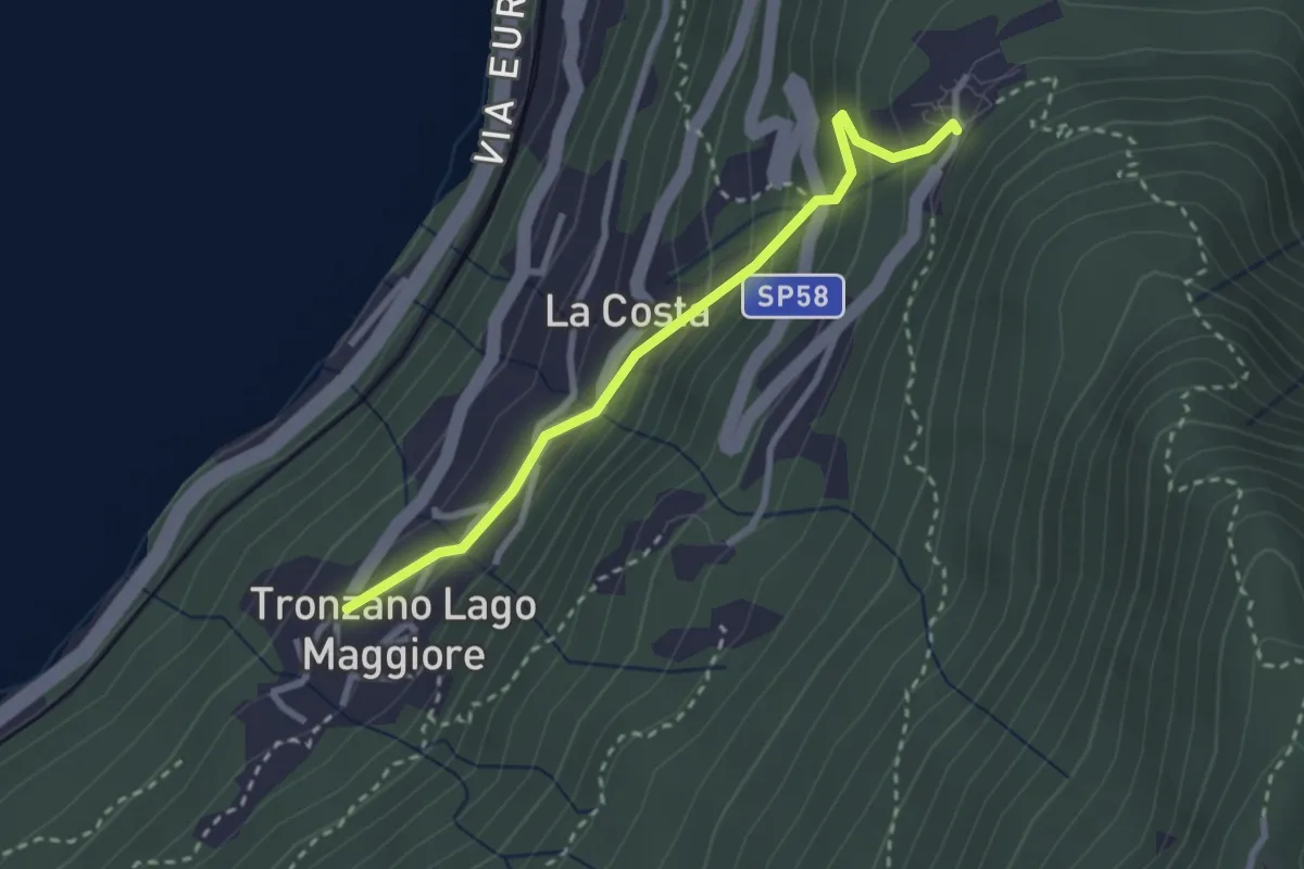
Easy · Trail
Bassano – Tronzano
2.7 km · ↑ 233 m · 1 h 8 min · 10 km away
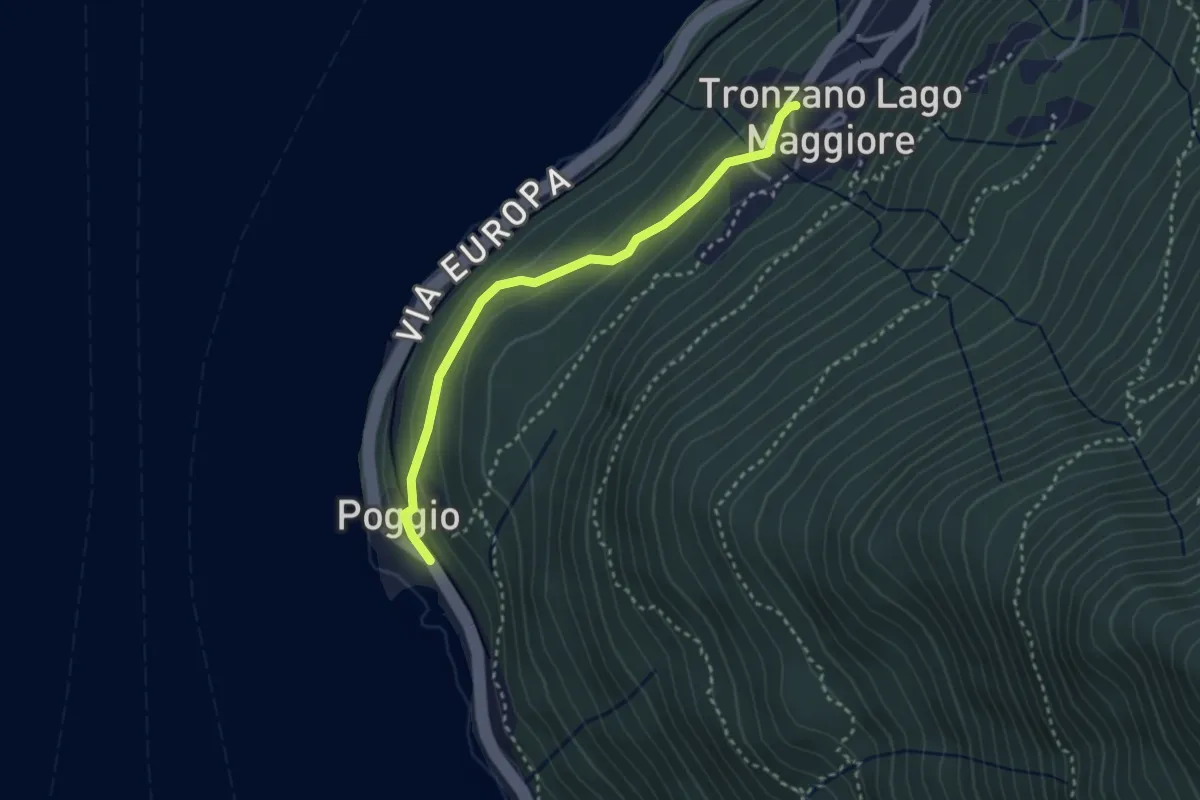
Easy · Trail
Tronzano – Poggio
3.0 km · ↑ 114 m · 57 min · 10 km away
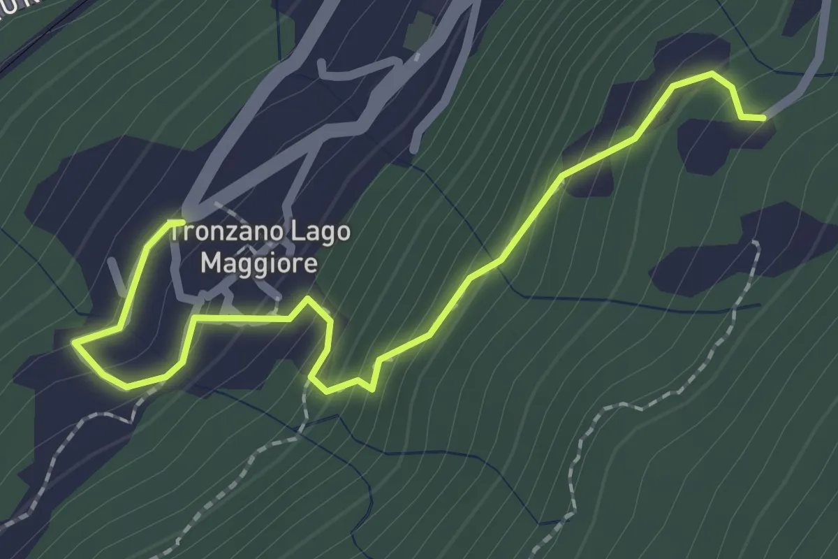
Medium · Trail
Trozzano – Chiesa di Santa Maria Assunta
2.4 km · ↑ 230 m · 1 h 3 min · 10 km away
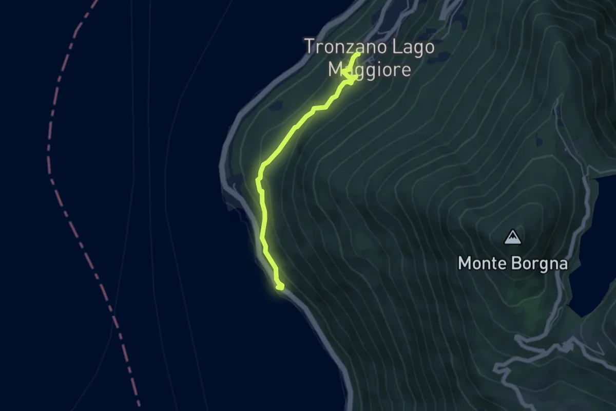
Medium · Trail
Tronzano – Ronco Scigolino
4.3 km · ↑ 242 m · 1 h 32 min · 10 km away
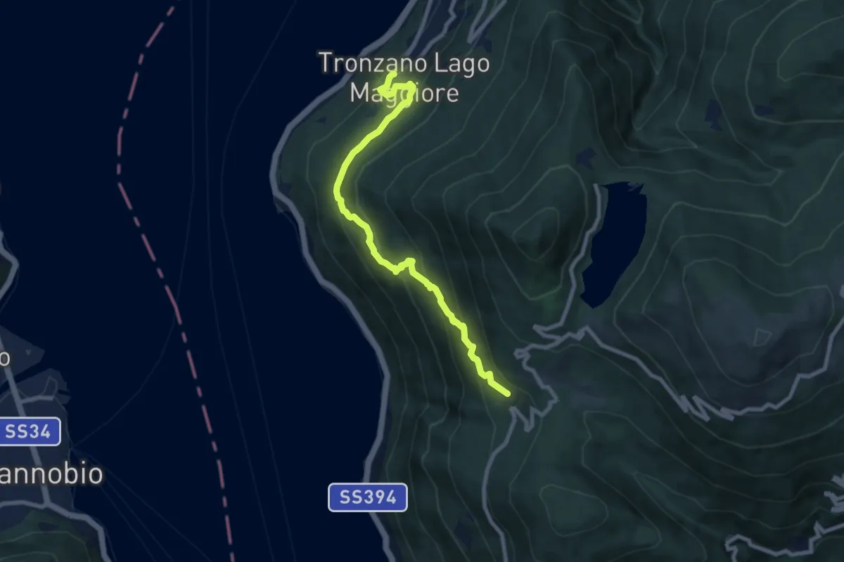
Medium · Trail
Tronzano – Musignano
8.0 km · ↑ 603 m · 3 h 12 min · 10 km away
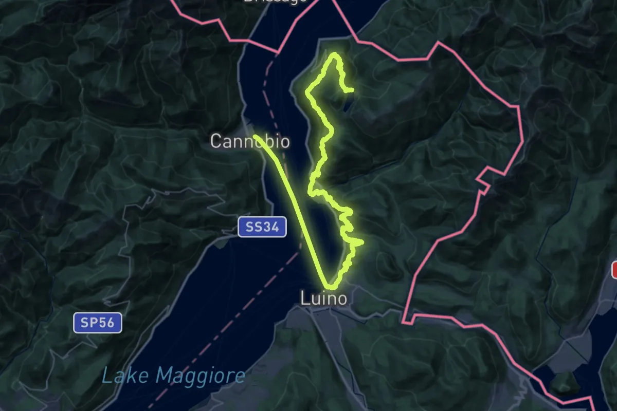
Demanding · Trail
Canobbio – Lago Delio
28.8 km · ↑ 1057 m · 9 h 52 min · 10 km away
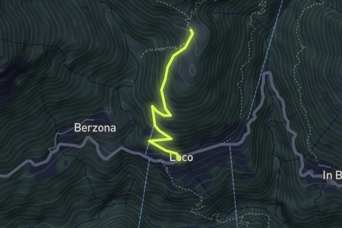
Easy · Trail
Loco - Sella
3.2 km · ↑ 315 m · 1 h 27 min · 10 km away
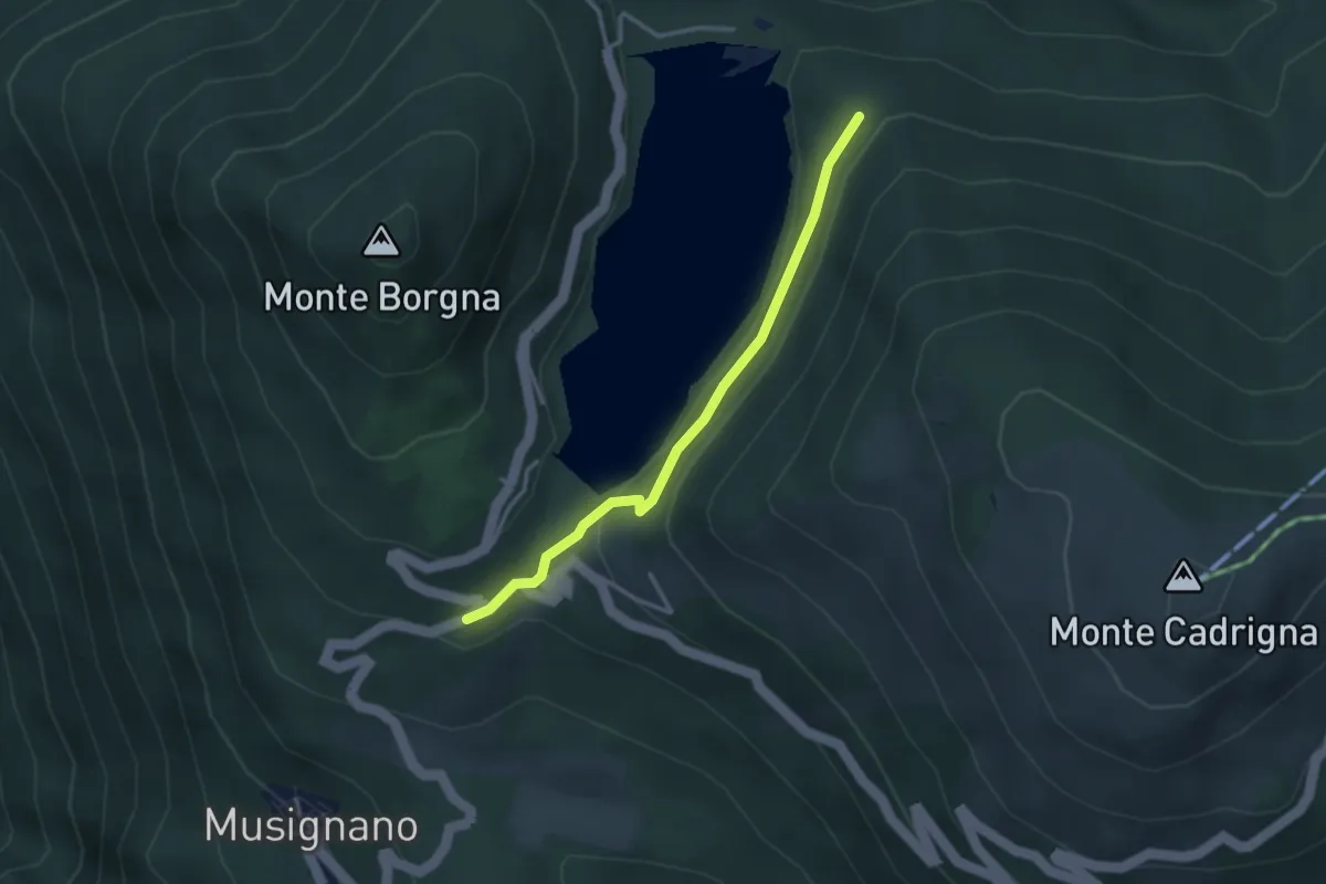
Medium · Trail
110B Variante EST Lago Delio
3.0 km · ↑ 115 m · 57 min · 10 km away
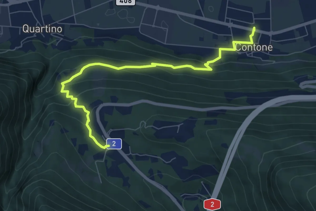
Medium · Trail
Monte Ceneri – Contone
7.8 km · ↑ 385 m · 2 h 40 min · 10 km away
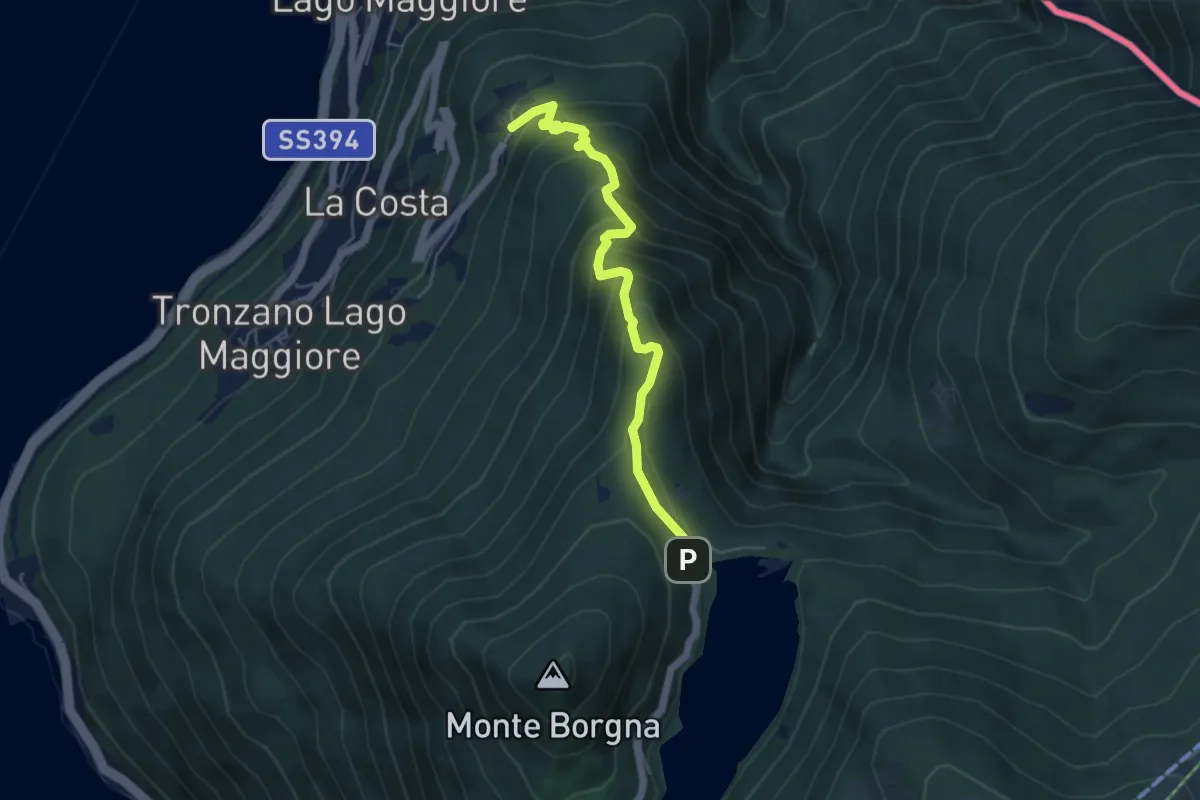
Medium · Trail
Bassano – Monti di Bassano
5.0 km · ↑ 437 m · 2 h 8 min · 10 km away
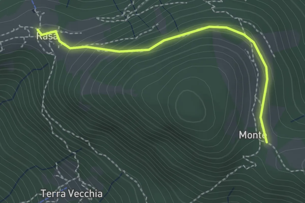
Medium · Trail
Monti - Rasa
2.1 km · ↑ 95 m · 41 min · 10 km away
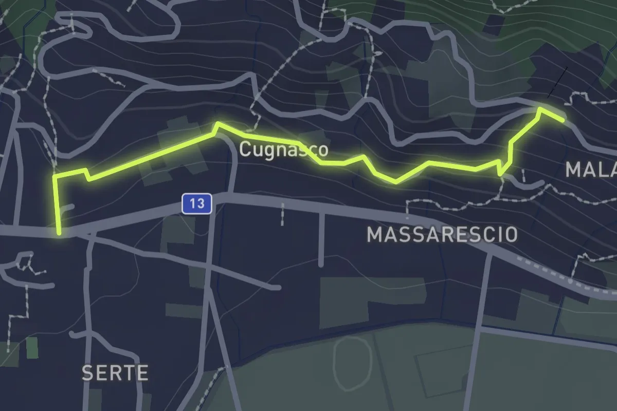
Easy · Trail
Via della Vigne
2.2 km · ↑ 106 m · 46 min · 10 km away
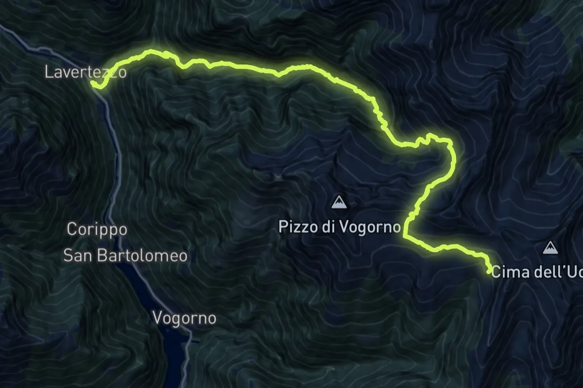
Demanding · Cabin
Lavertezzo Borgna
11.7 km · ↑ 1827 m · 6 h 13 min · 10 km away
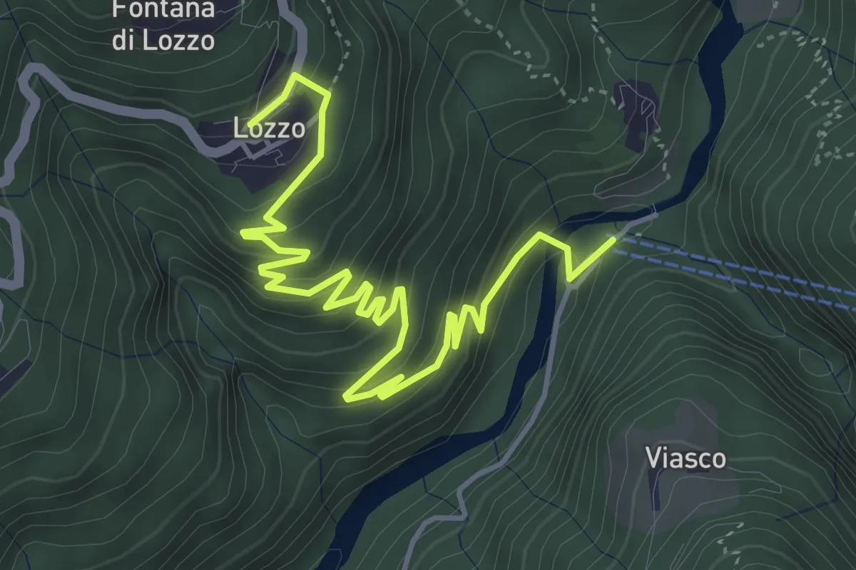
Medium · Trail
Ponte di Piero – Lozzo
5.6 km · ↑ 382 m · 2 h 8 min · 11 km away