Trails near Locarno
275 hikes starting within 15 km, nearest first.
Nearest first, page 4 of 6
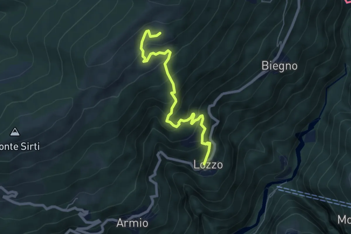
Medium · Trail
Lozzo – Monterecchio
5.3 km · ↑ 489 m · 2 h 19 min · 11 km away
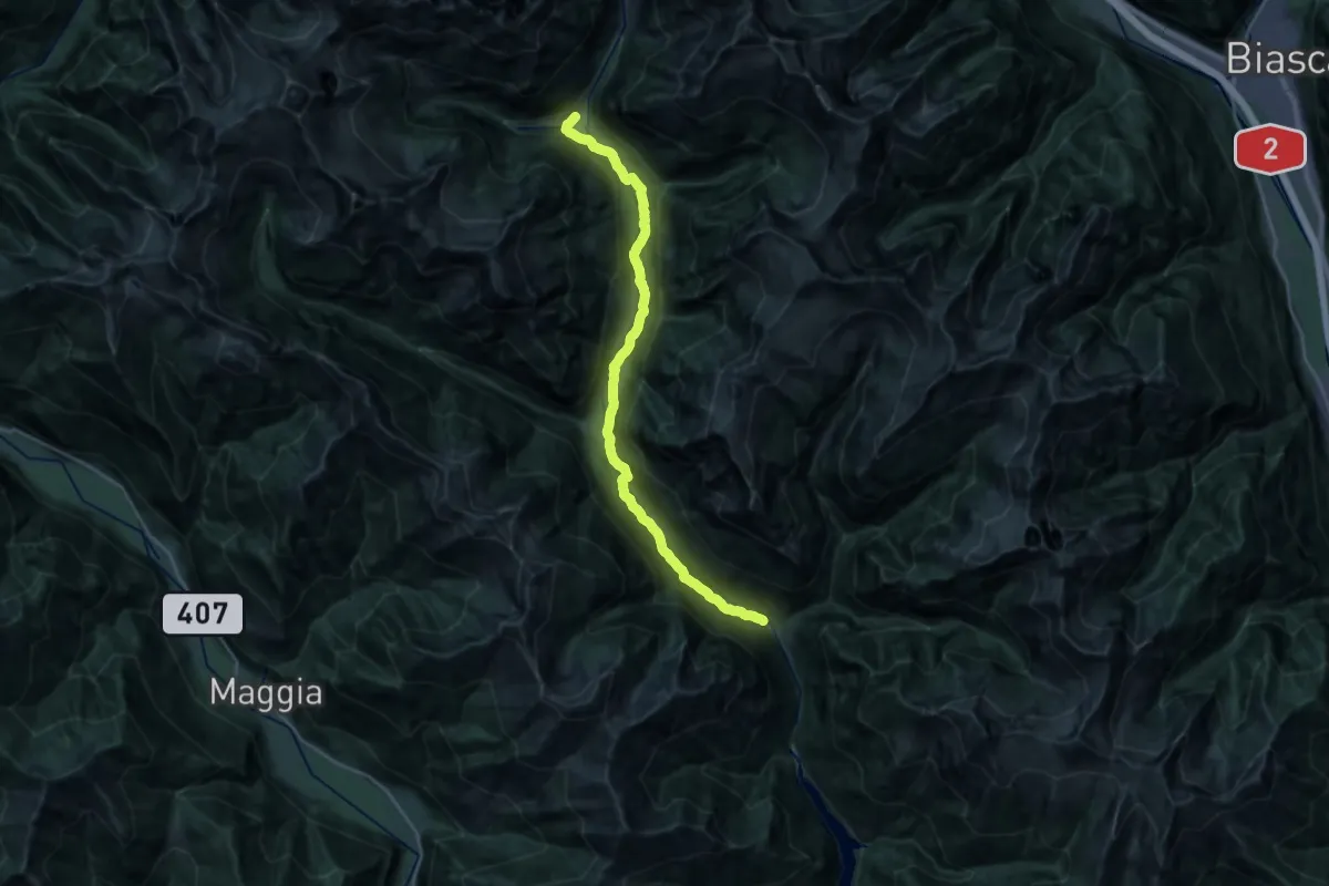
Demanding · Trail
01-Sentiero Verzasca
26.4 km · ↑ 690 m · 7 h 44 min · 11 km away
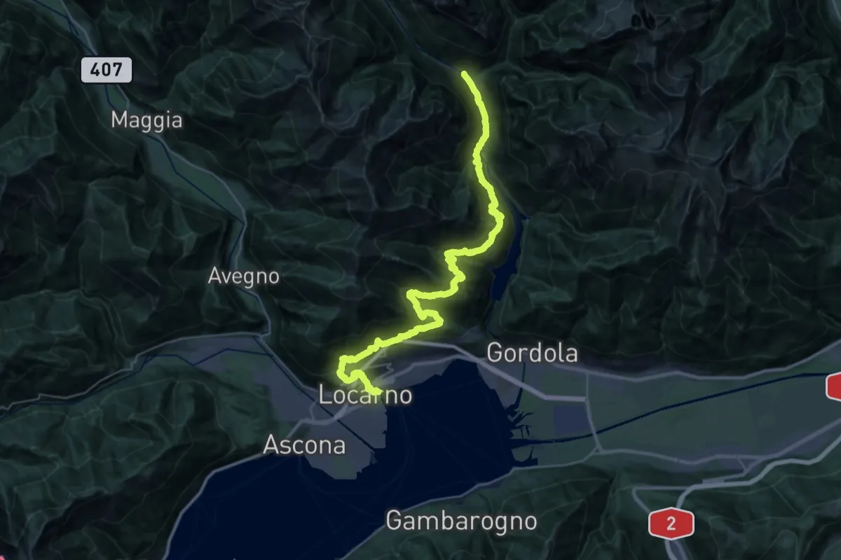
Demanding · Trail
02-Sentiero Verzasca
20.7 km · ↑ 1448 m · 8 h 29 min · 11 km away
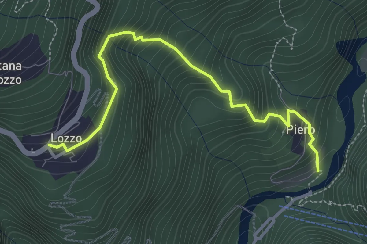
Medium · Trail
Lozzo – Ponte di Piero
3.0 km · ↑ 352 m · 1 h 28 min · 11 km away
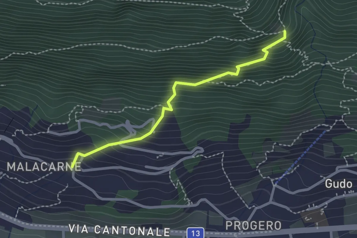
Easy · Trail
Malacarne – Orlo Valle
2.1 km · ↑ 264 m · 1 h 4 min · 11 km away
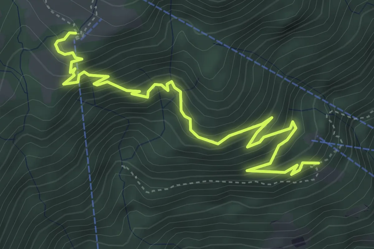
Medium · Trail
Slögna – Monte Comino
5.4 km · ↑ 568 m · 2 h 30 min · 11 km away
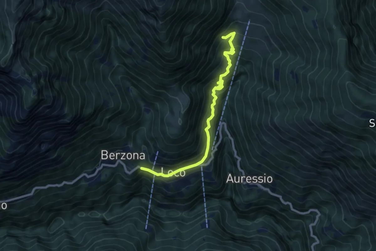
Medium · Trail
Loco - Mulegn
6.7 km · ↑ 523 m · 2 h 43 min · 11 km away
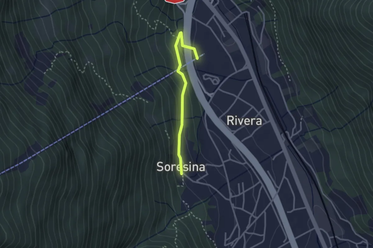
Easy · Trail
Soresina – Rivera funivia
2.4 km · ↑ 105 m · 48 min · 11 km away
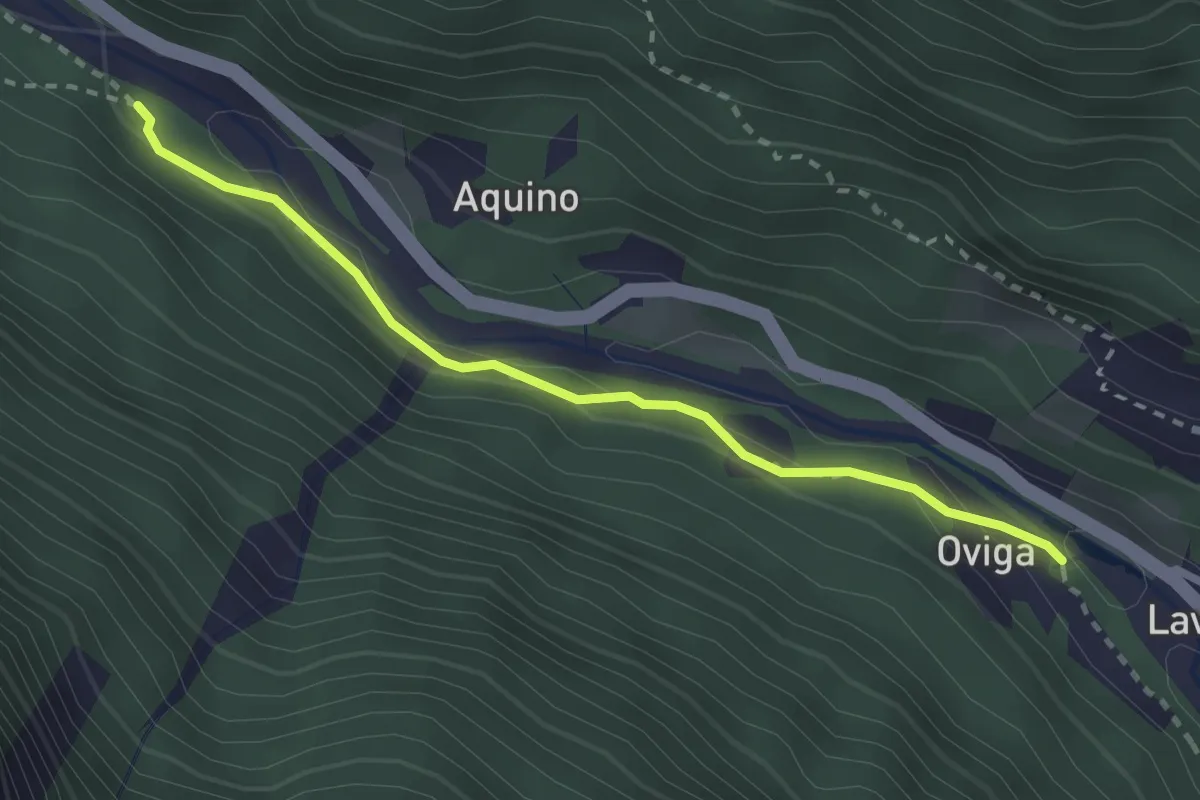
Easy · Trail
Piano - Oviga
2.6 km · ↑ 89 m · 48 min · 11 km away
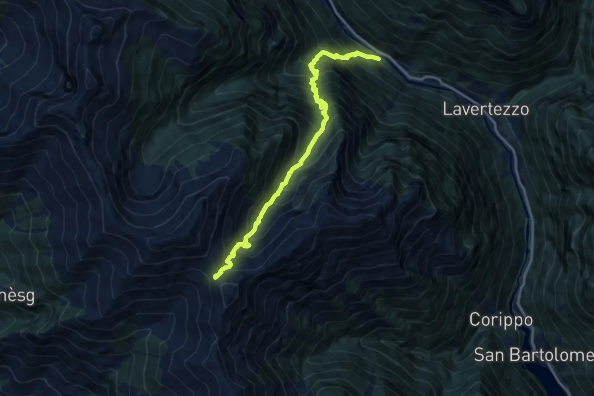
Demanding · Trail
Piano – Bocchetta d'Orgnana
10.2 km · ↑ 1378 m · 5 h 23 min · 11 km away
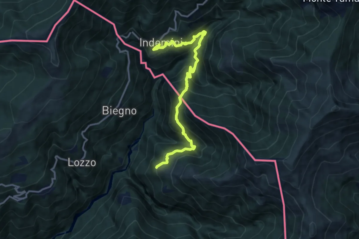
Demanding · Trail
Monteviasco – Indemini (CH)
10.4 km · ↑ 938 m · 4 h 29 min · 11 km away
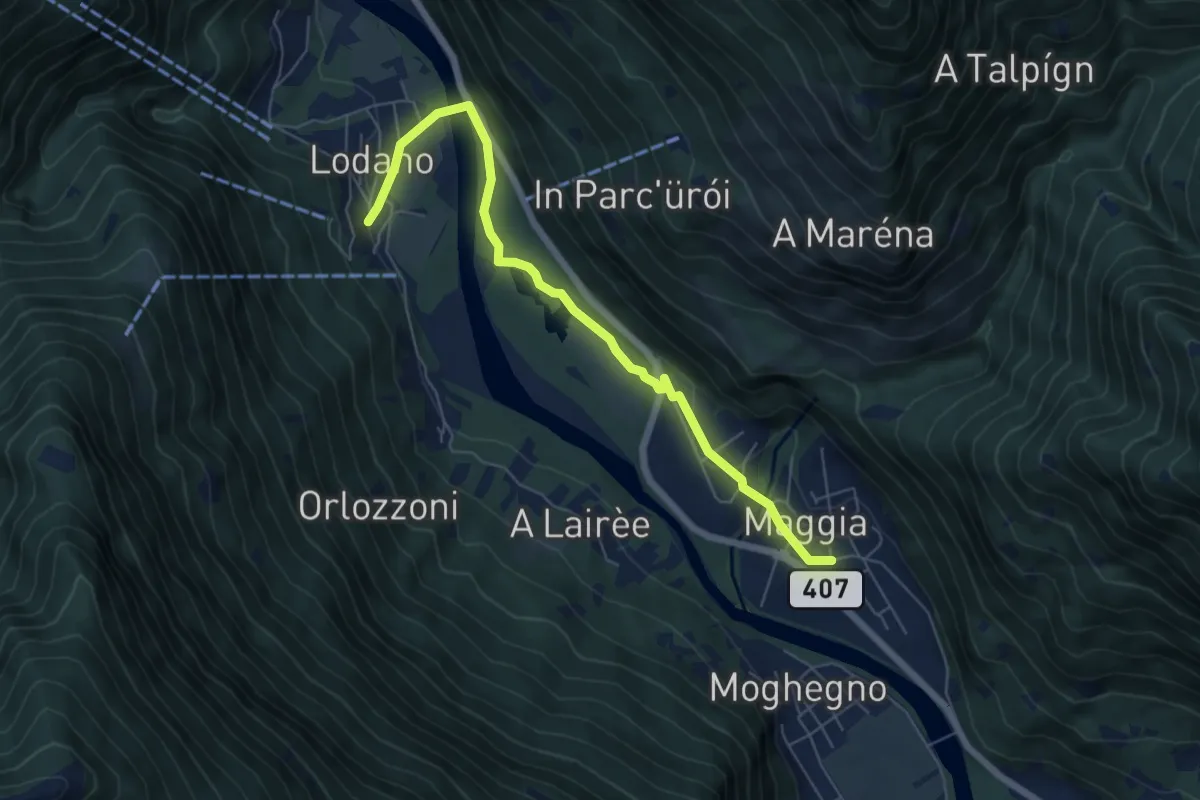
Medium · Trail
Lodano - Maggia
6.4 km · ↑ 79 m · 1 h 41 min · 11 km away
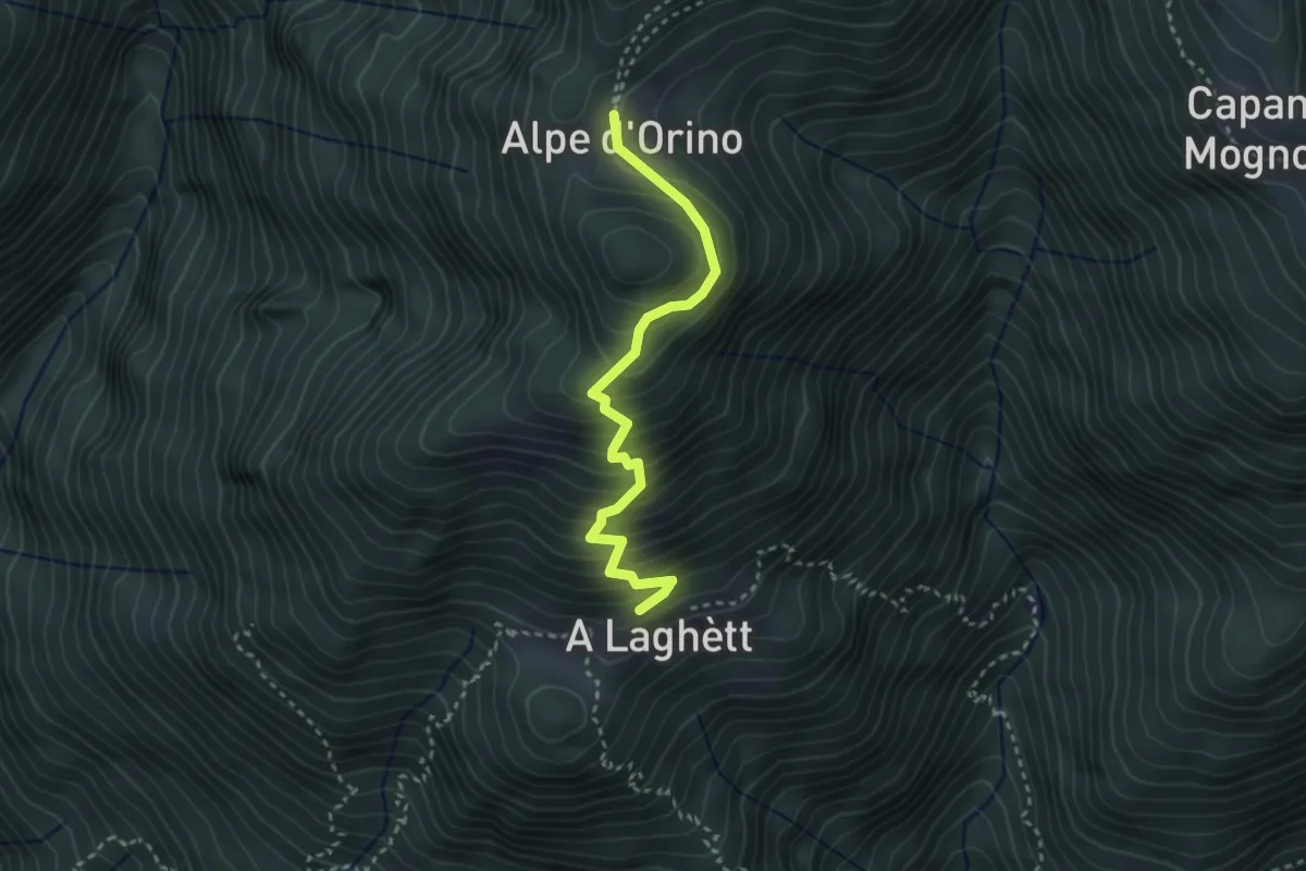
Medium · Cabin
A Laghètt – Cap. Alpe Orino
3.0 km · ↑ 359 m · 1 h 29 min · 11 km away
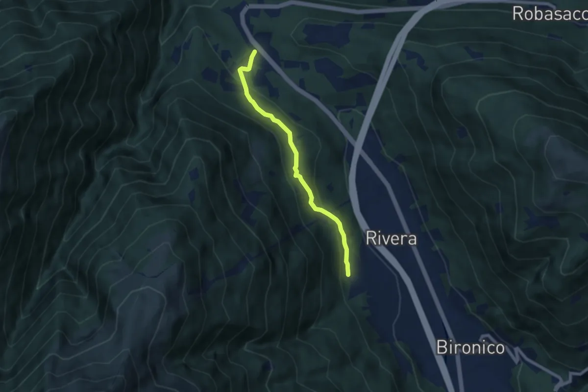
Easy · Trail
Monte Ceneri – Soresina
5.4 km · ↑ 236 m · 1 h 48 min · 11 km away
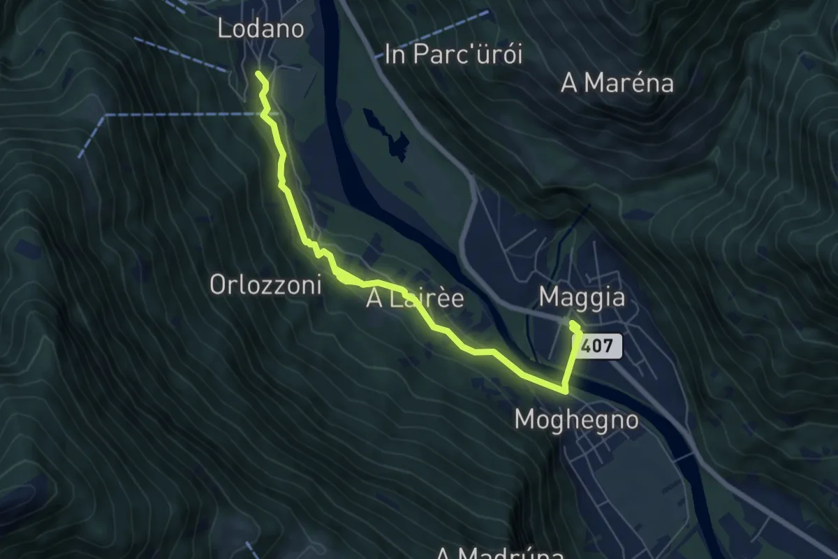
Easy · Trail
Maggia - Lodano
7.0 km · ↑ 195 m · 2 h 5 min · 11 km away
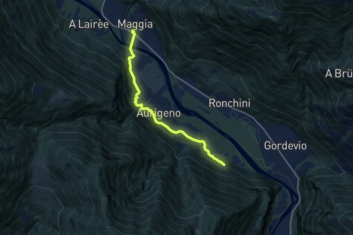
Easy · Trail
Maggia - Terra di Fuori
7.9 km · ↑ 276 m · 2 h 27 min · 11 km away
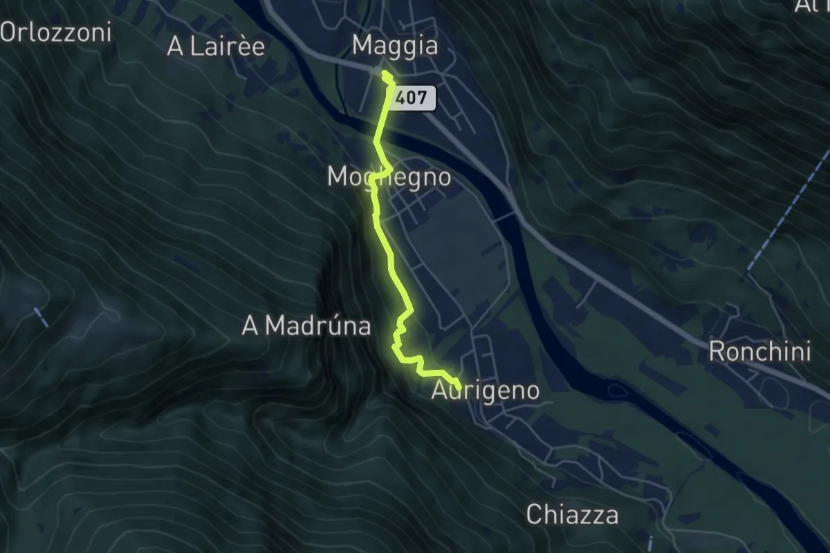
Easy · Trail
Maggia - Aurigeno
4.1 km · ↑ 176 m · 1 h 21 min · 11 km away
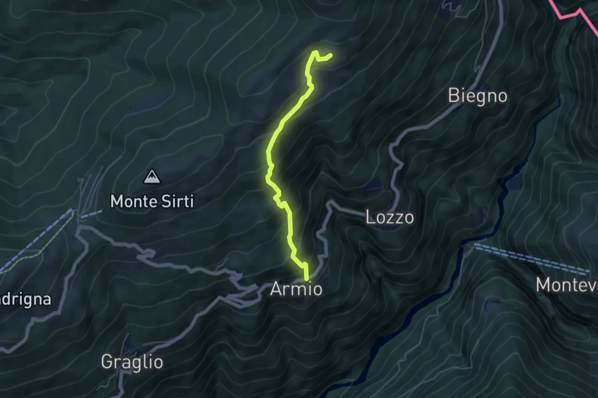
Medium · Trail
Armio – Monterecchio
4.5 km · ↑ 436 m · 2 h · 11 km away
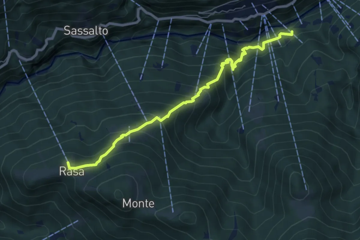
Medium · Trail
Rasa - Remagliaseo
6.4 km · ↑ 641 m · 2 h 54 min · 11 km away
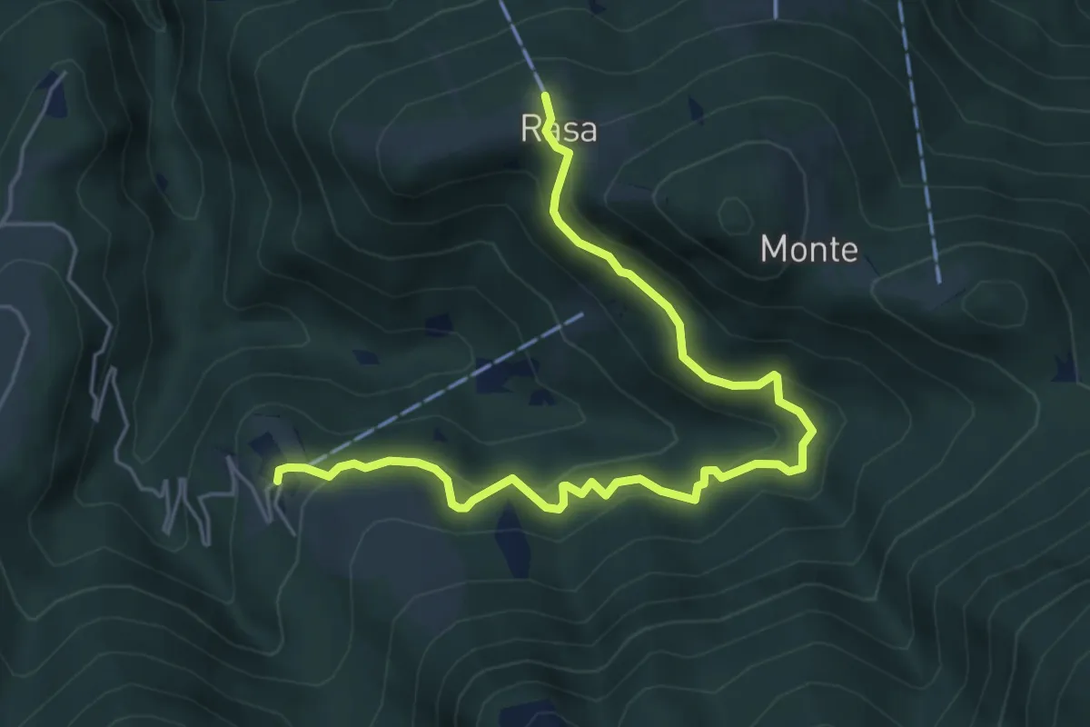
Medium · Trail
Bordei - Rasa
6.0 km · ↑ 440 m · 2 h 23 min · 11 km away
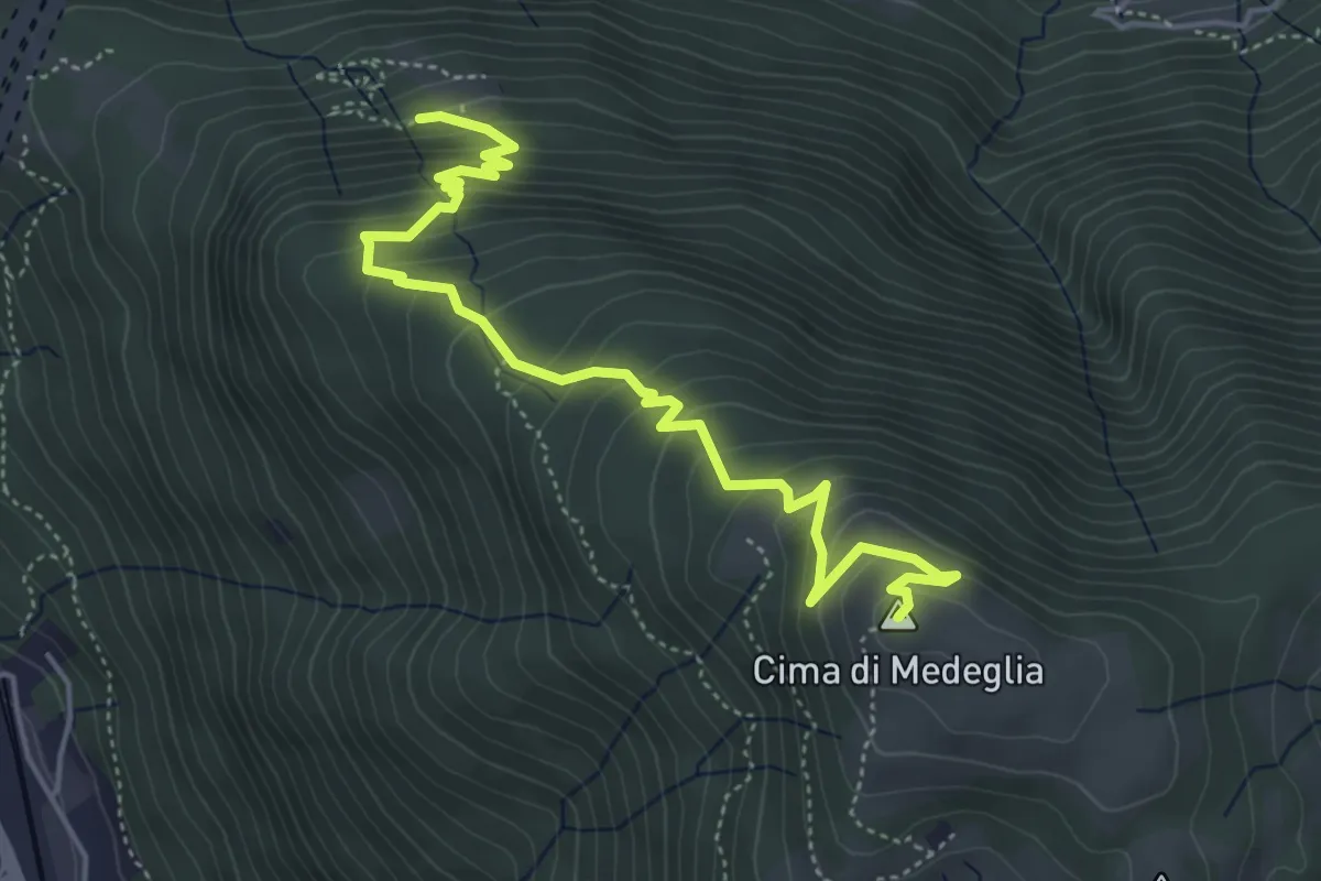
Medium · Summit
Cima di Medeglia – Prato Grasso
5.5 km · ↑ 454 m · 2 h 17 min · 11 km away
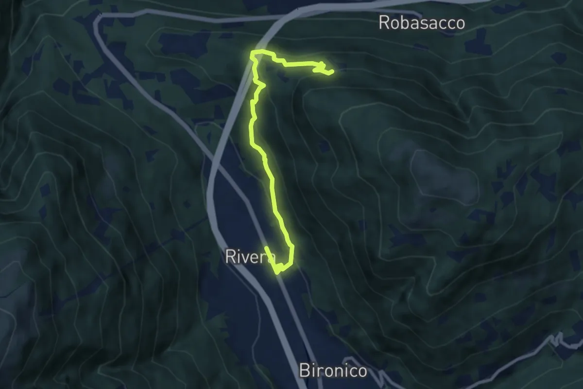
Medium · Trail
Prato Grasso – Rivera St.ne
7.5 km · ↑ 405 m · 2 h 38 min · 11 km away
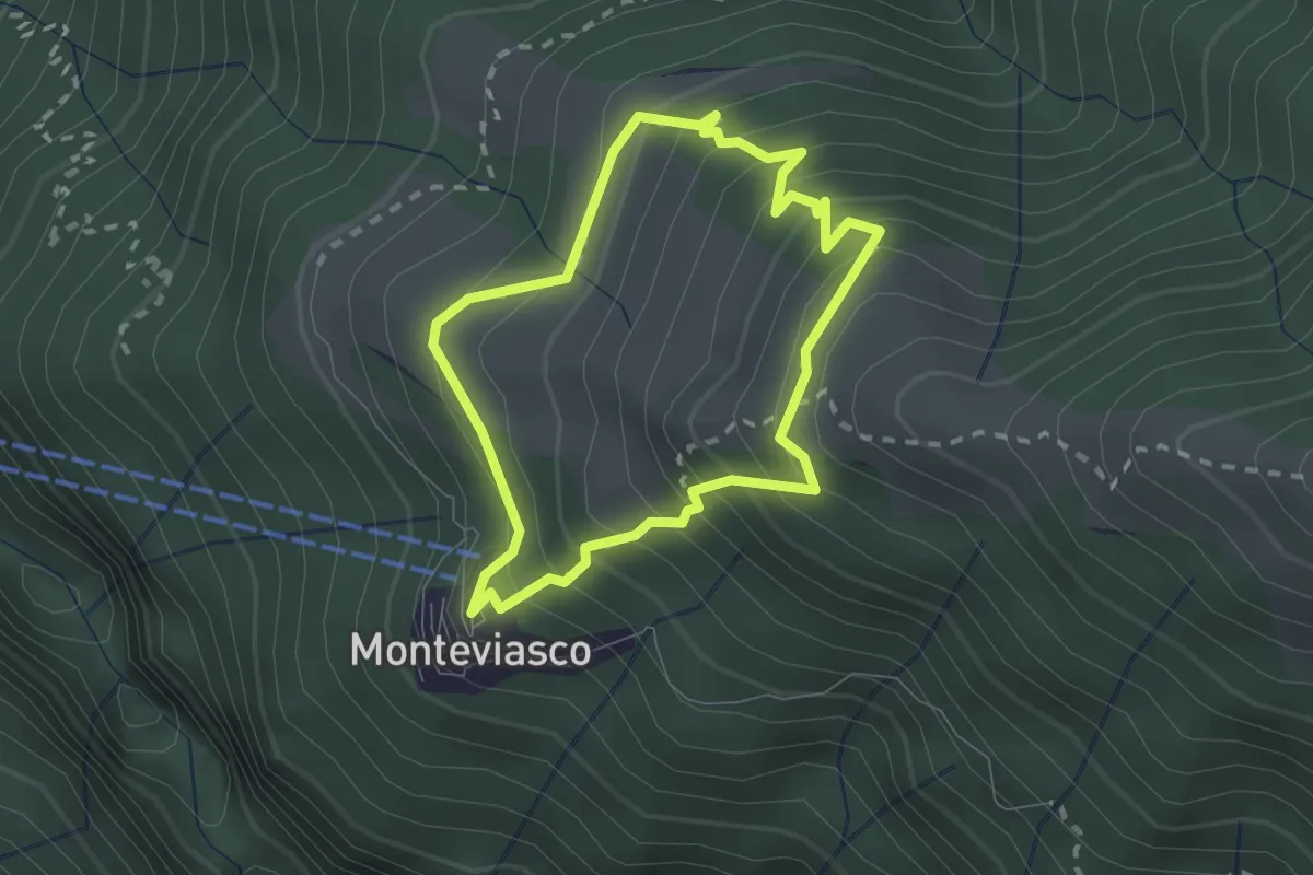
Medium · Trail
Monteviasco – Monteviasco
2.0 km · ↑ 233 m · 1 h · 11 km away
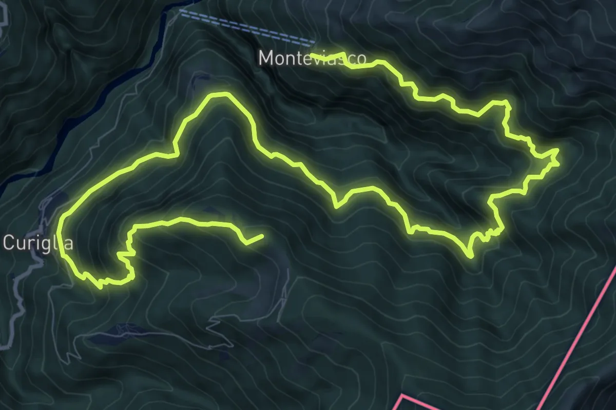
Demanding · Summit
Monteviasco – Rifugio Campiglio al Pradecolo
19.1 km · ↑ 1904 m · 8 h 38 min · 11 km away
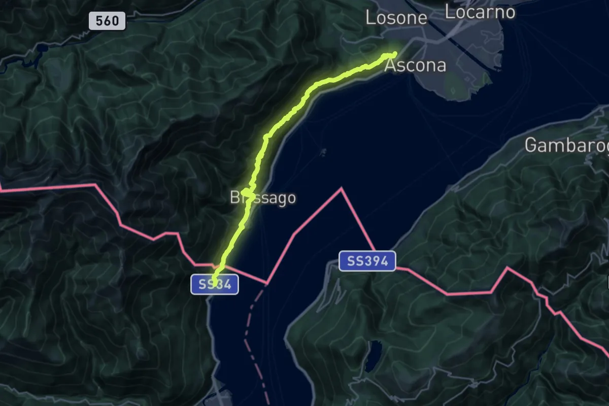
Demanding · Summit
Grand Tour del Lago Maggiore ® - Tappa 10 - Ascona (CH) - Cannobio
22.2 km · ↑ 1317 m · 8 h 6 min · 11 km away
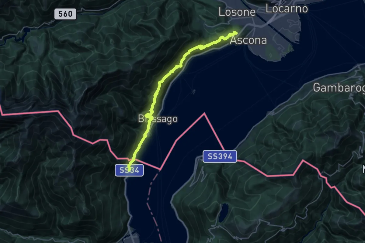
Demanding · Summit
Cammino del Lago Maggiore
23.7 km · ↑ 1505 m · 8 h 52 min · 11 km away
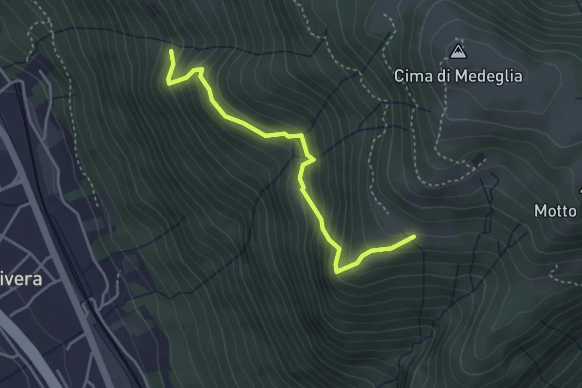
Medium · Trail
Troggiano – Revera St.ne (via Predlè)?
3.3 km · ↑ 368 m · 1 h 35 min · 11 km away
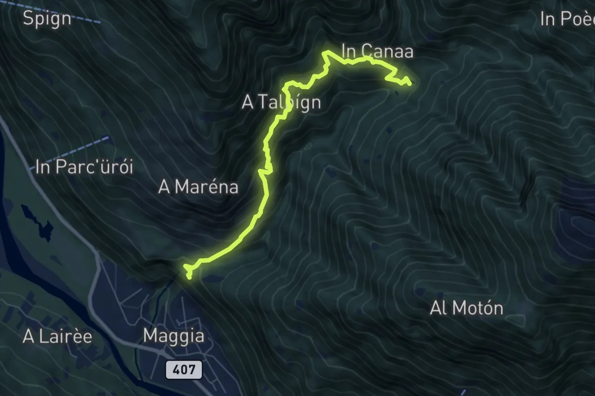
Demanding · Trail
Lago Presa – Santa Marai della Pioda
7.2 km · ↑ 886 m · 3 h 37 min · 11 km away
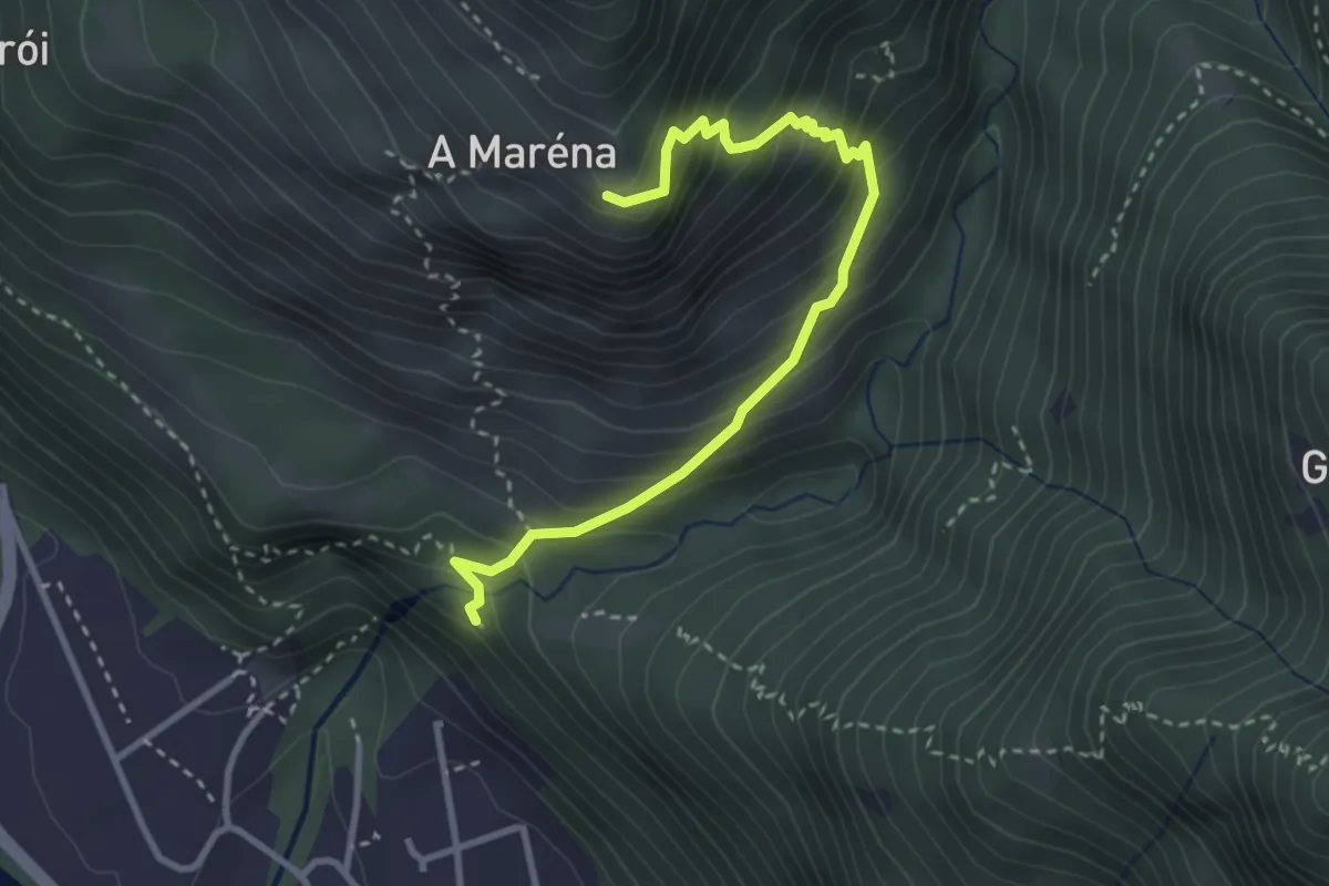
Medium · Trail
Sta Maria della Pioda – A Maréna
3.4 km · ↑ 417 m · 1 h 42 min · 11 km away
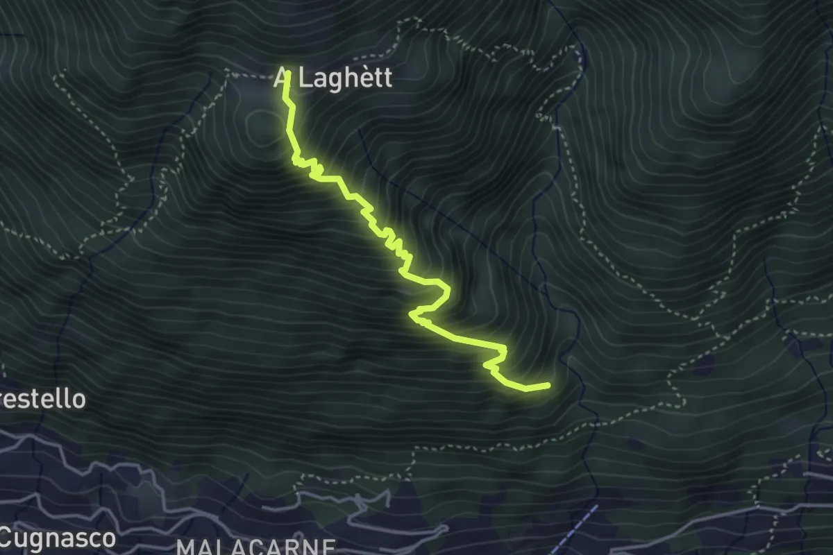
Medium · Trail
Monti del Laghetto – Orlo Valle
3.9 km · ↑ 573 m · 2 h 9 min · 11 km away
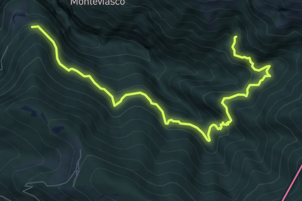
Demanding · Trail
109 3V (Tappa 9 Via Verde Varesina)
8.5 km · ↑ 830 m · 3 h 48 min · 11 km away
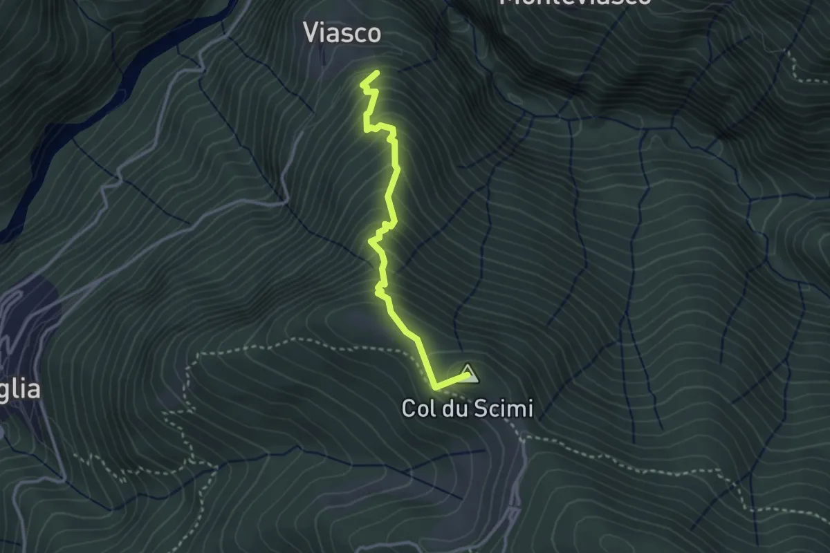
Medium · Summit
Viasco – Alpone
2.8 km · ↑ 377 m · 1 h 28 min · 11 km away
Medium · Summit
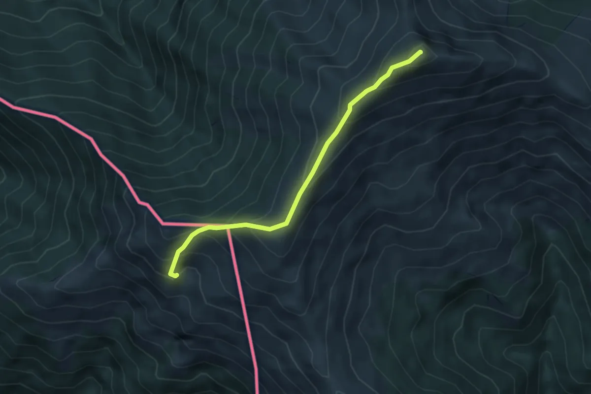
Monteviasco – Monte Gradiccioli (CH)
4.1 km · ↑ 403 m · 1 h 51 min · 11 km away
Easy · Trail
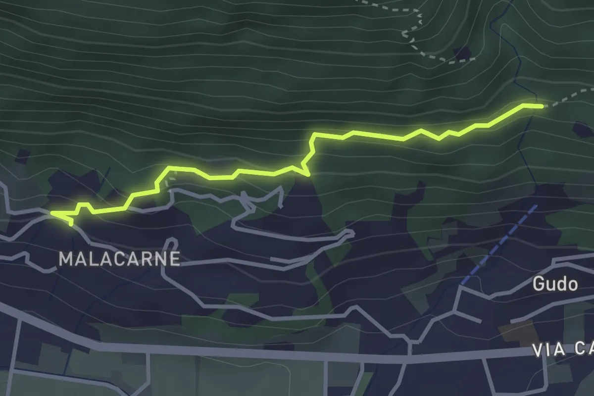
Rastrello – Al Bosco
2.9 km · ↑ 203 m · 1 h 7 min · 11 km away
Medium · Trail
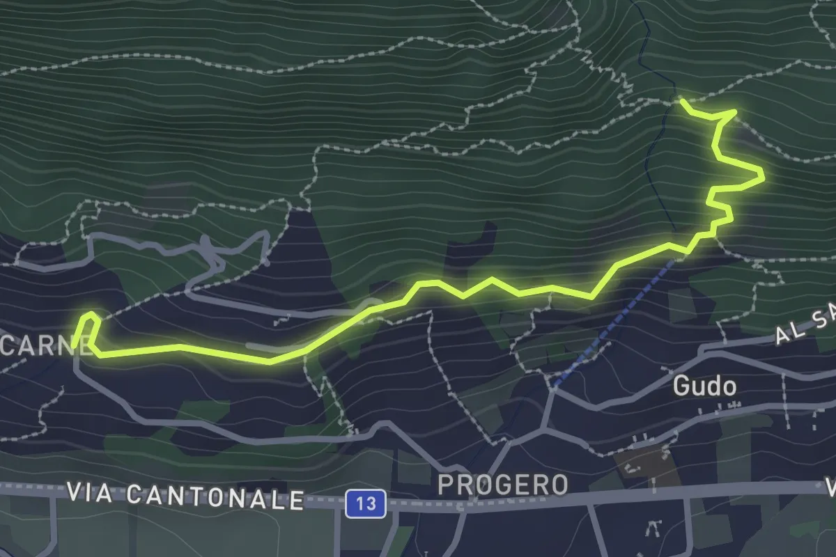
Malacarne – Rastrello
3.1 km · ↑ 264 m · 1 h 19 min · 11 km away
Demanding · Trail
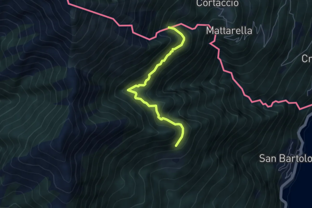
S04a Bivio S04 Prati d'Agro - Alpe Rescerasca CH (fino al Confine Italo-Svizzero)
4.8 km · ↑ 463 m · 2 h 9 min · 12 km away
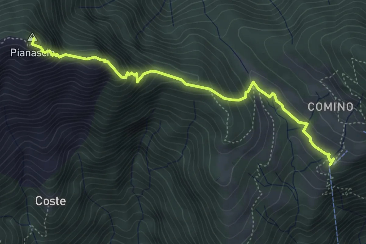
Demanding · Summit
Ruscada Comino
4.8 km · ↑ 433 m · 2 h 5 min · 12 km away
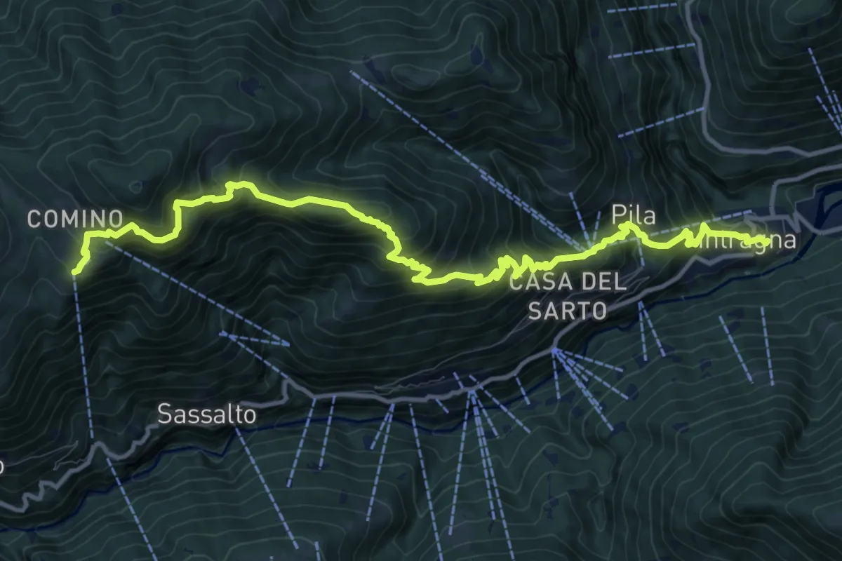
Demanding · Trail
Sentiero Monte di Comino
13.5 km · ↑ 1169 m · 5 h 44 min · 12 km away
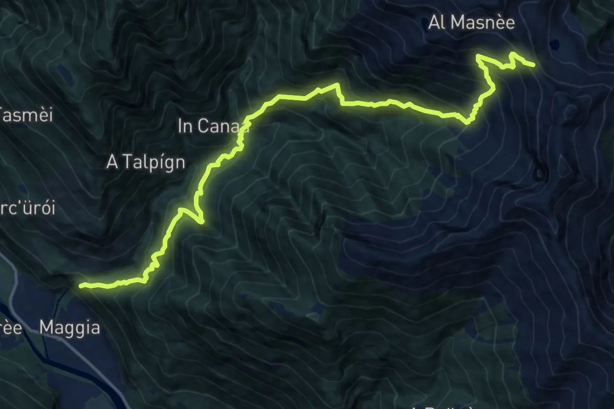
Demanding · Trail
Passso Deva – Maggia
8.1 km · ↑ 301 m · 3 h 27 min · 12 km away
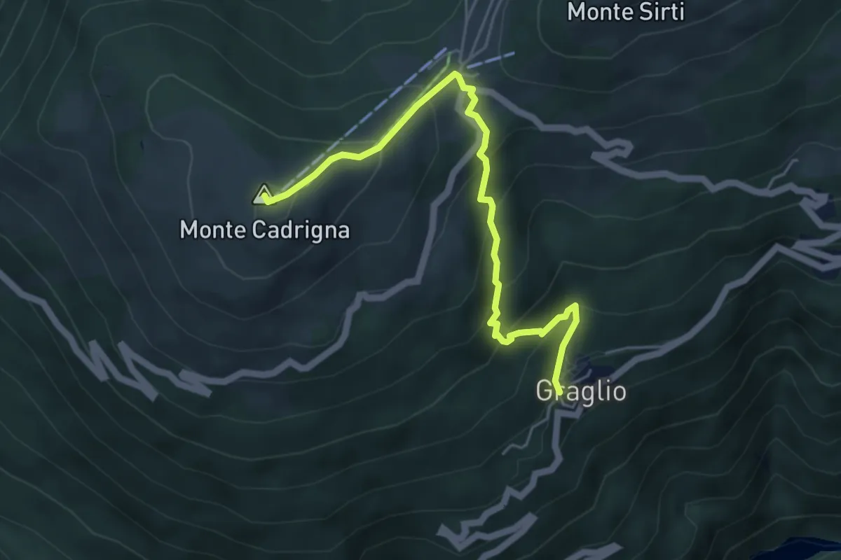
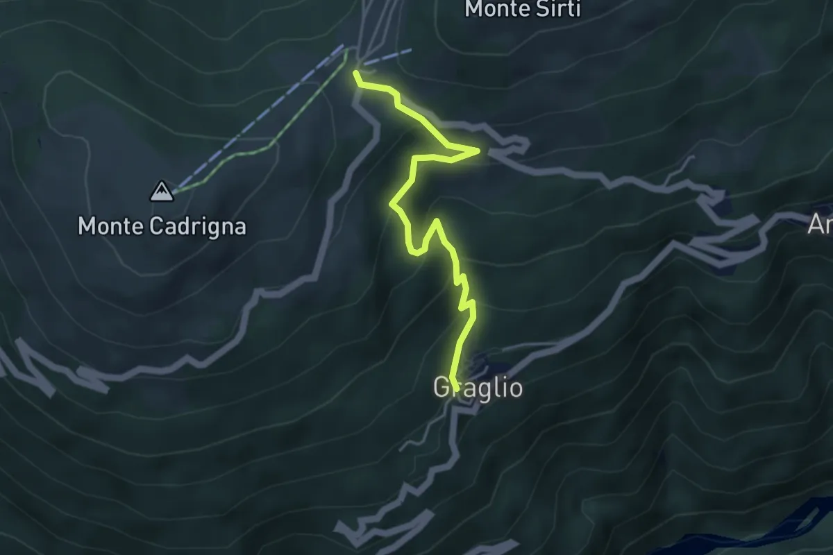
Medium · Summit
Graglio – Monte Cadrigna
5.0 km · ↑ 408 m · 2 h 4 min · 12 km away
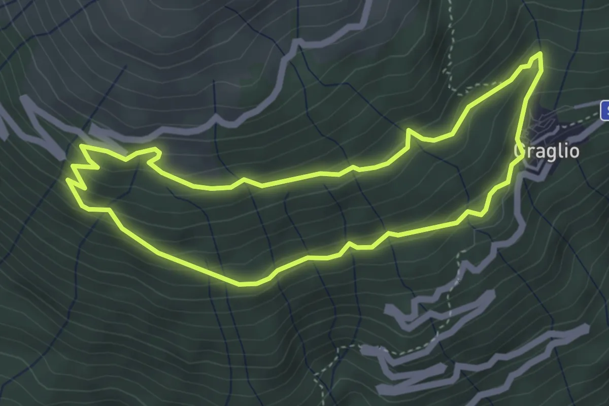
Medium · Trail
Graglio – Passo Forcora
3.9 km · ↑ 316 m · 1 h 37 min · 12 km away
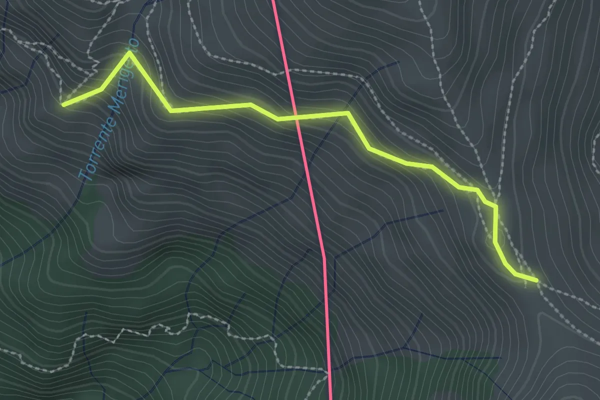
Medium · Trail
121F Giro Panoramico
3.9 km · ↑ 253 m · 1 h 31 min · 12 km away
Medium · Cabin
Monteviasco – Passo Agario (CH)
2.5 km · ↑ 213 m · 1 h 3 min · 12 km away
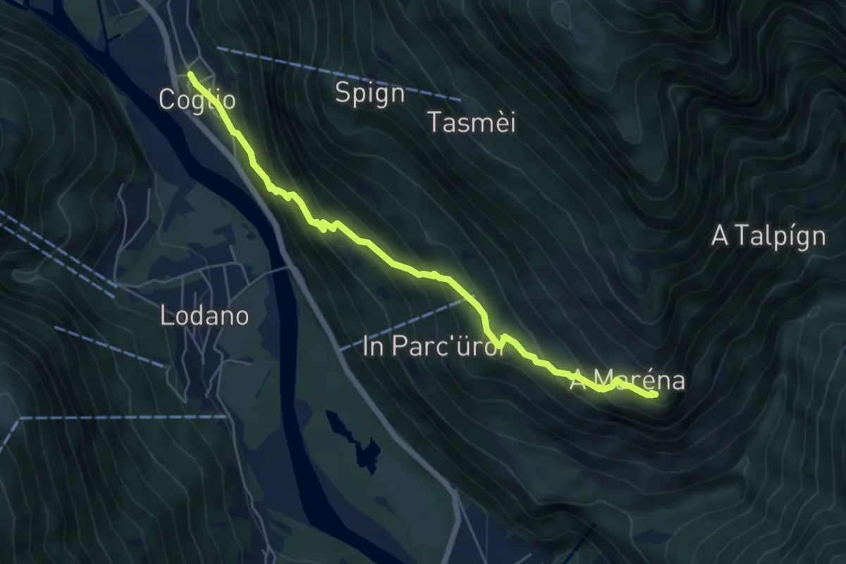
Medium · Trail
A Maréna – Coglio
5.9 km · ↑ 522 m · 2 h 31 min · 12 km away
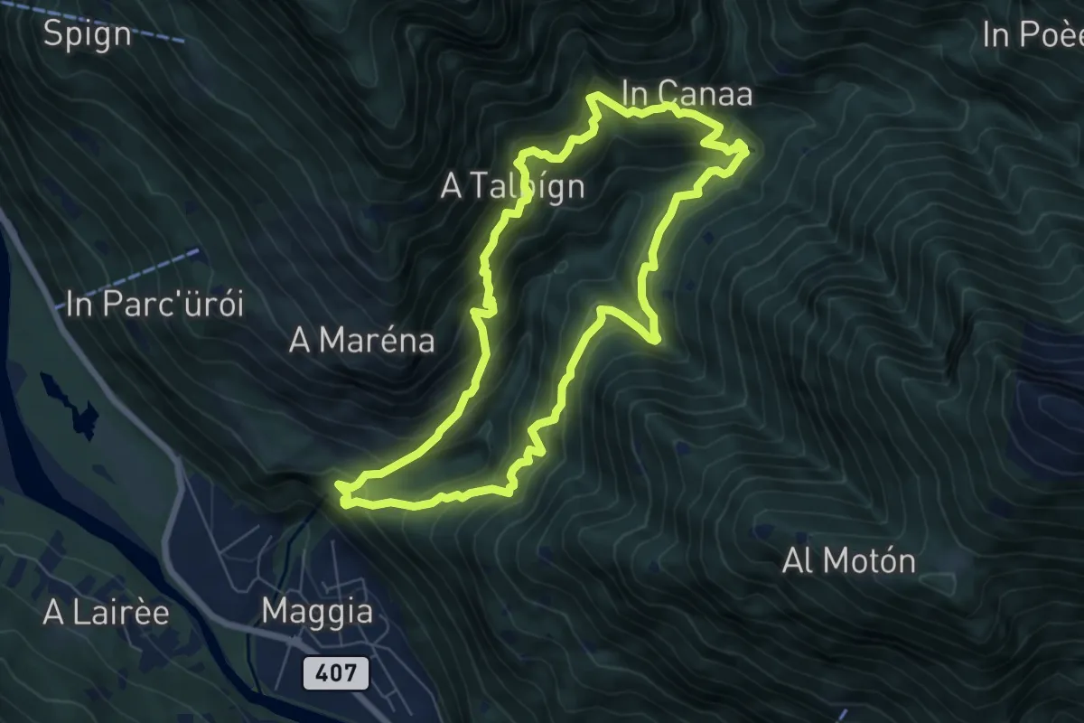
Demanding · Trail
Giro della Valle del Salto
6.7 km · ↑ 818 m · 3 h 27 min · 12 km away
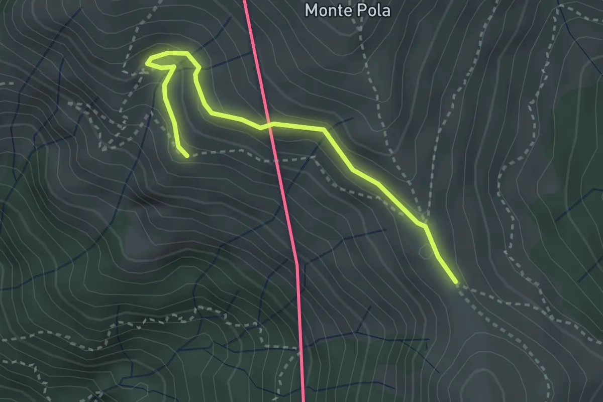
Medium · Cabin
Torre del Merigetto – Passo Agario (CH)
3.0 km · ↑ 191 m · 1 h 7 min · 12 km away
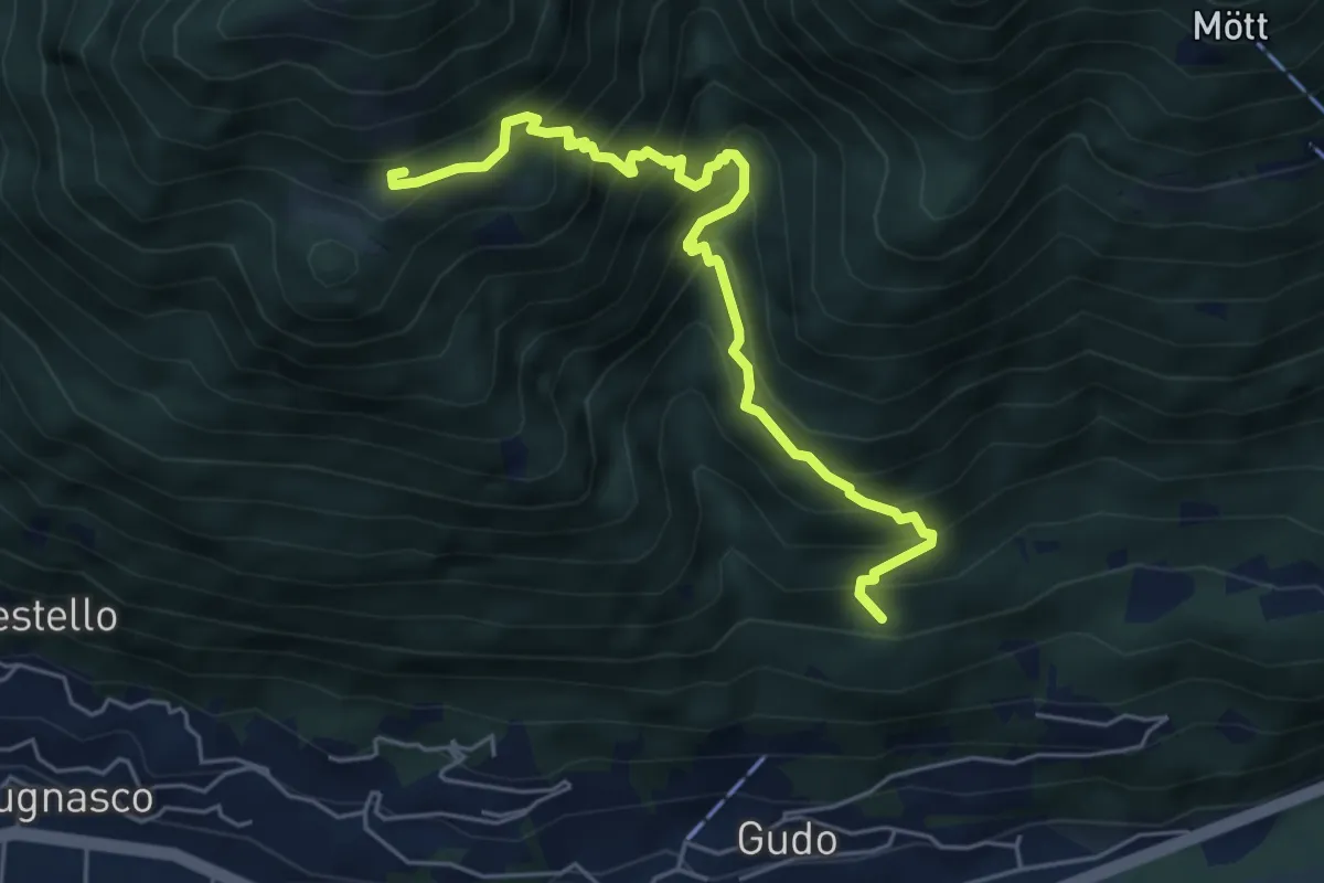
Medium · Trail
A Laghètt – Pian Palerm
5.5 km · ↑ 745 m · 2 h 55 min · 12 km away
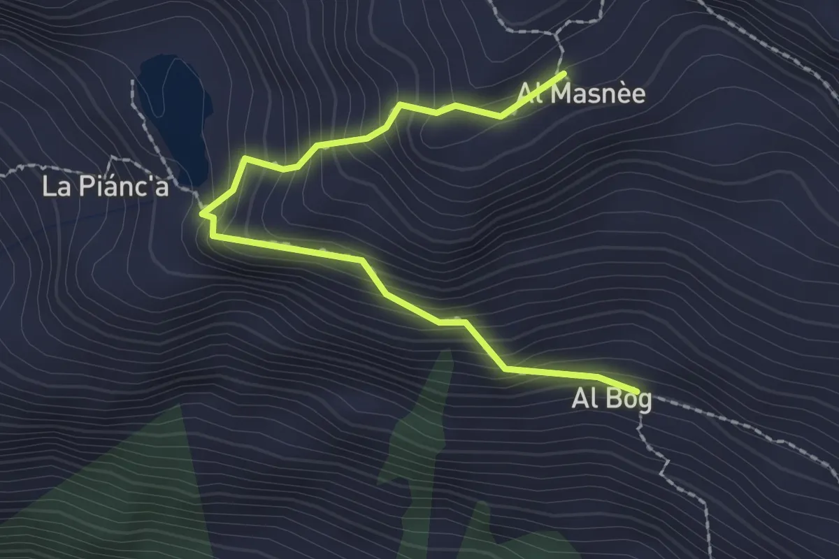
Easy · Cabin
al Bög – Alpe Masnèe
2.3 km · ↑ 275 m · 1 h 8 min · 12 km away