Trails near Locarno
275 hikes starting within 15 km, nearest first.
Nearest first, page 5 of 6
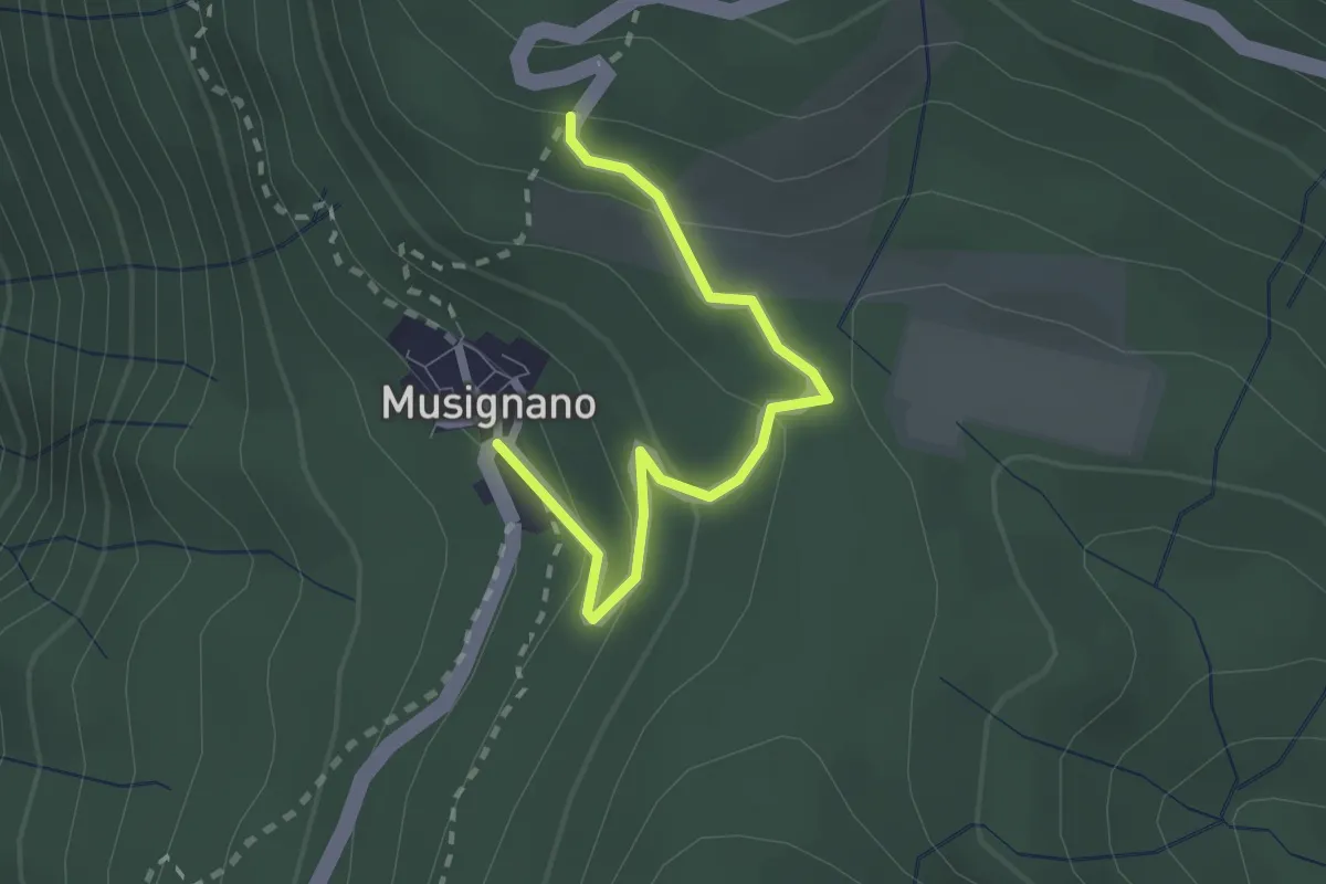
Medium · Trail
Lago Delio – Musignano
2.3 km · ↑ 115 m · 47 min · 12 km away
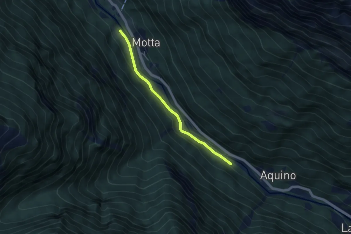
Easy · Trail
Motta - Piano
3.5 km · ↑ 75 m · 59 min · 12 km away
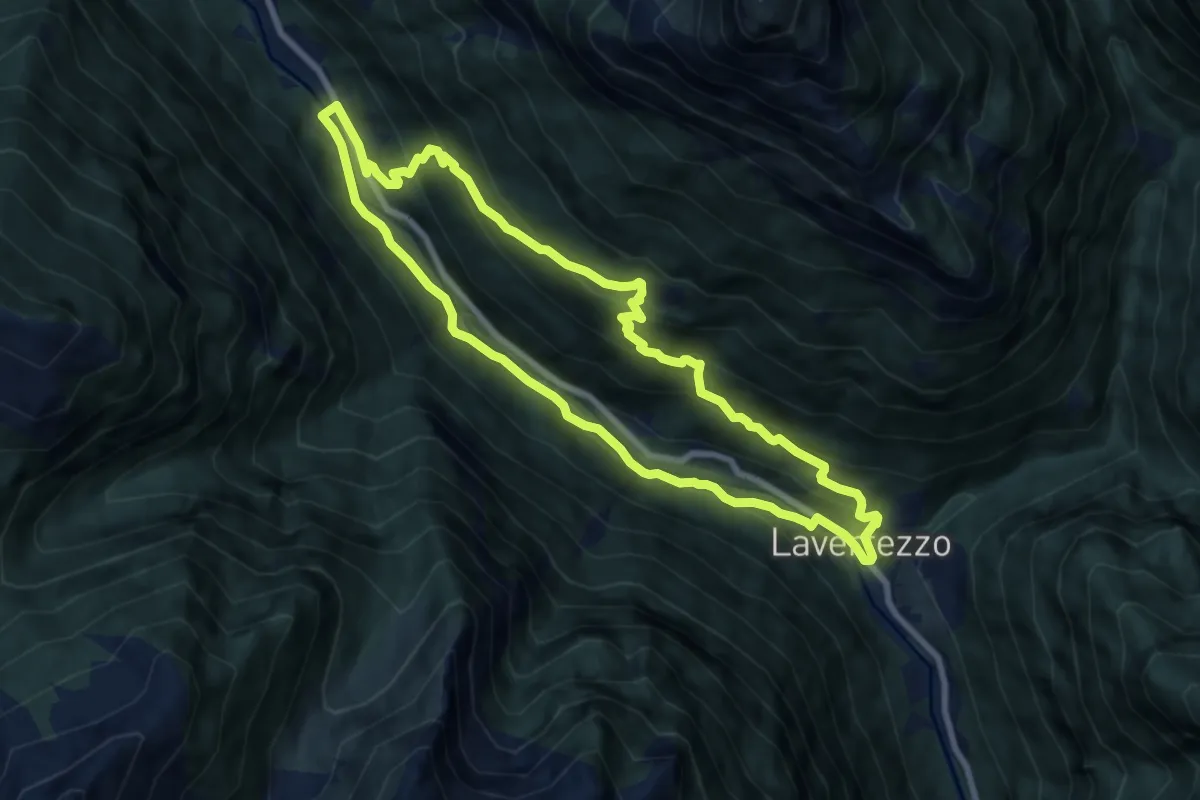
Medium · Trail
Sentiero etnografico Revöira
7.8 km · ↑ 492 m · 3 h 1 min · 12 km away
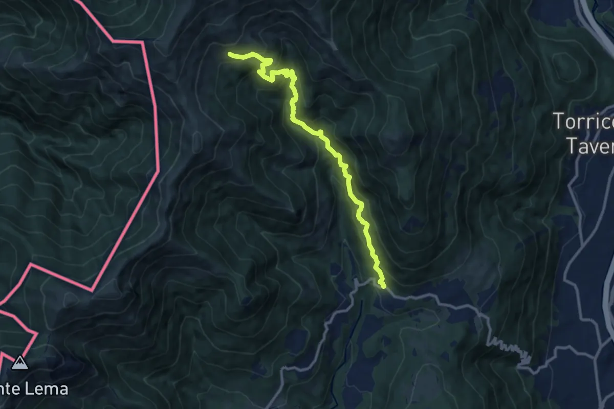
Demanding · Trail
Alpe Nisciora – Mugena
9.9 km · ↑ 916 m · 4 h 19 min · 12 km away
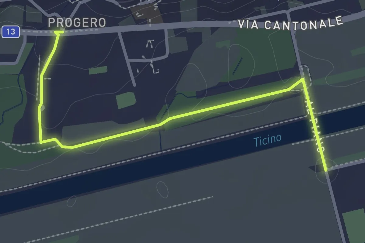
Easy · Trail
Gudo Progero – Ponte per Gudo
3.0 km · ↑ 31 m · 47 min · 12 km away
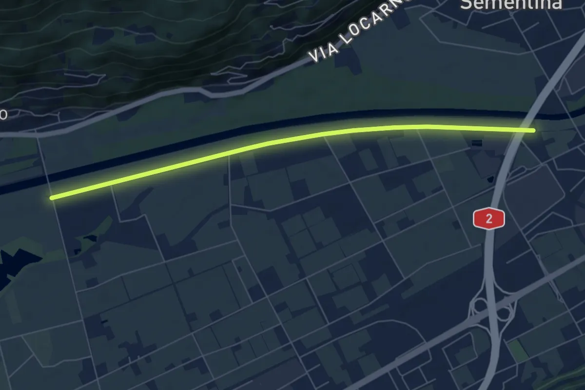
Easy · Trail
F. Morobbia - Ponte per Gudo
6.9 km · ↑ 9 m · 1 h 39 min · 12 km away
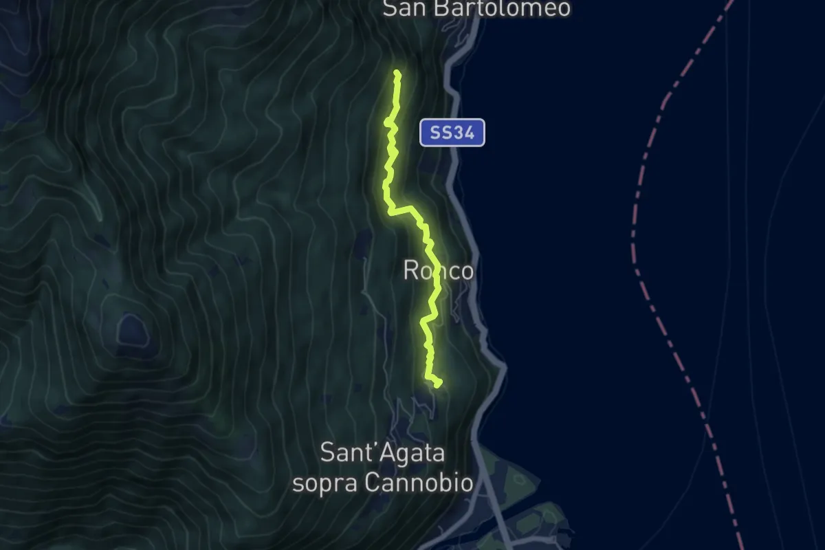
Medium · Trail
S02c Campeglio - Ronco - Formine
5.0 km · ↑ 434 m · 2 h 7 min · 12 km away
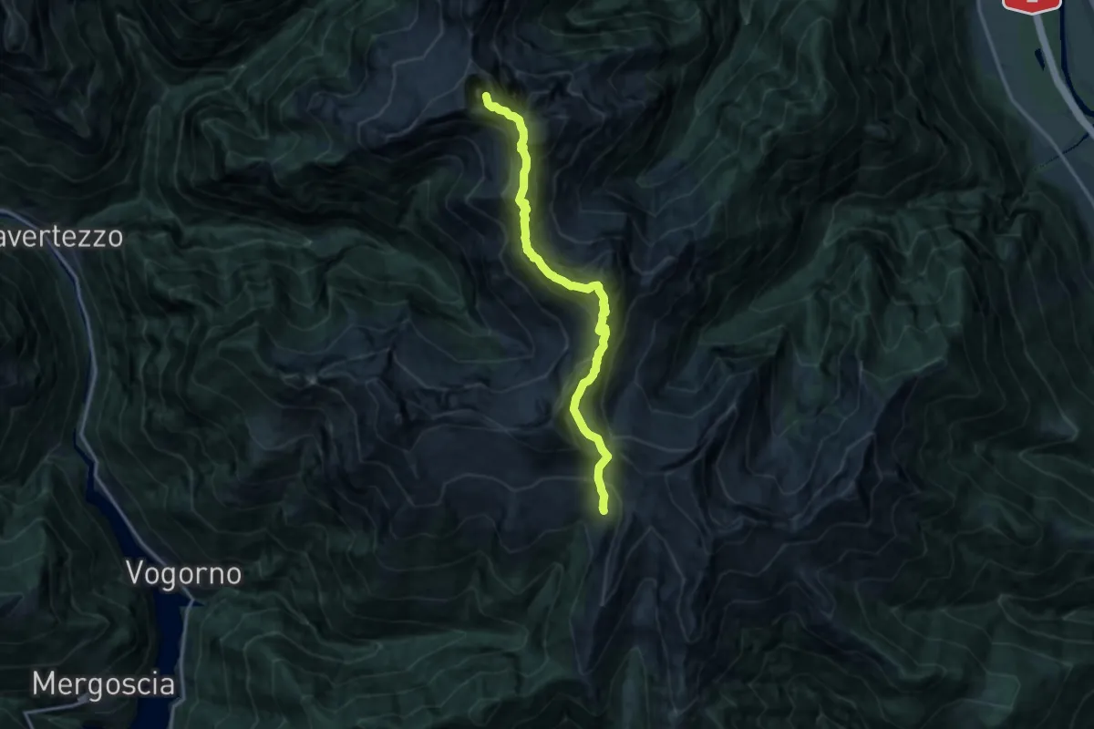
Expert · Summit
Via Alta della Verzasca Tappa 1
13.4 km · ↑ 1551 m · 6 h 31 min · 12 km away
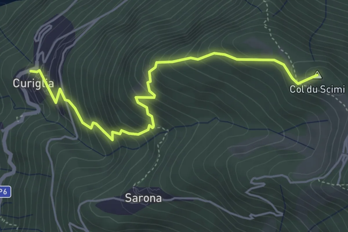
Medium · Summit
Alpone – Curiglia
4.8 km · ↑ 565 m · 2 h 21 min · 12 km away
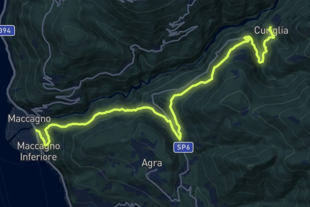
Demanding · Trail
Maccagno – Curiglia
18.6 km · ↑ 1112 m · 6 h 49 min · 12 km away
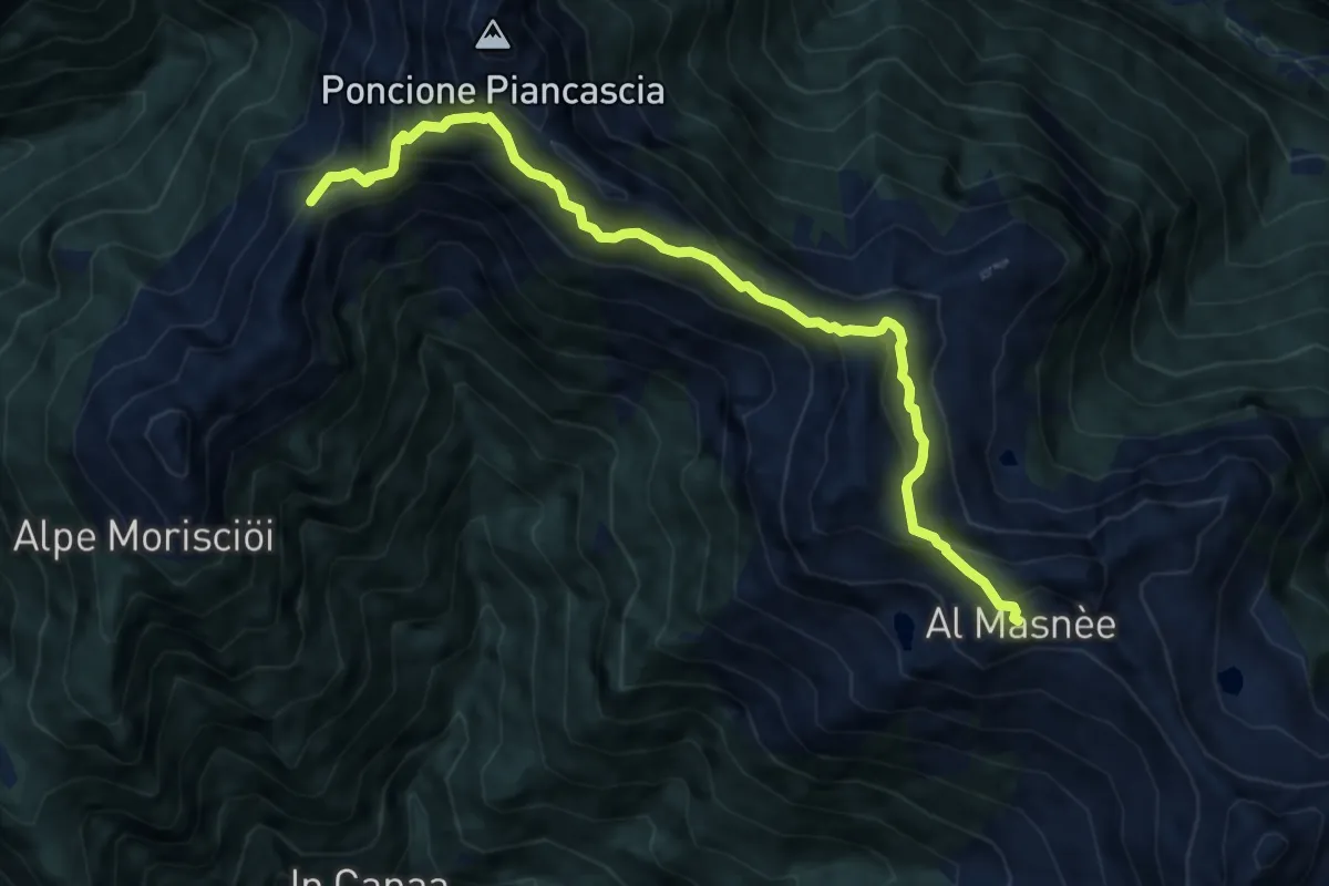
Expert · Summit
03 - Rifugio Alpe Masnee - Capanna Alpe Spluga
9.5 km · ↑ 840 m · 4 h 3 min · 12 km away
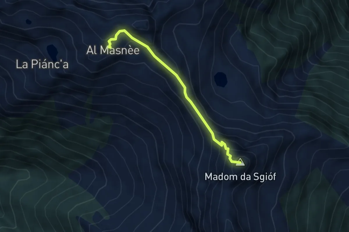
Expert · Summit
Madom – Alpe Masnee
3.6 km · ↑ 406 m · 1 h 44 min · 12 km away
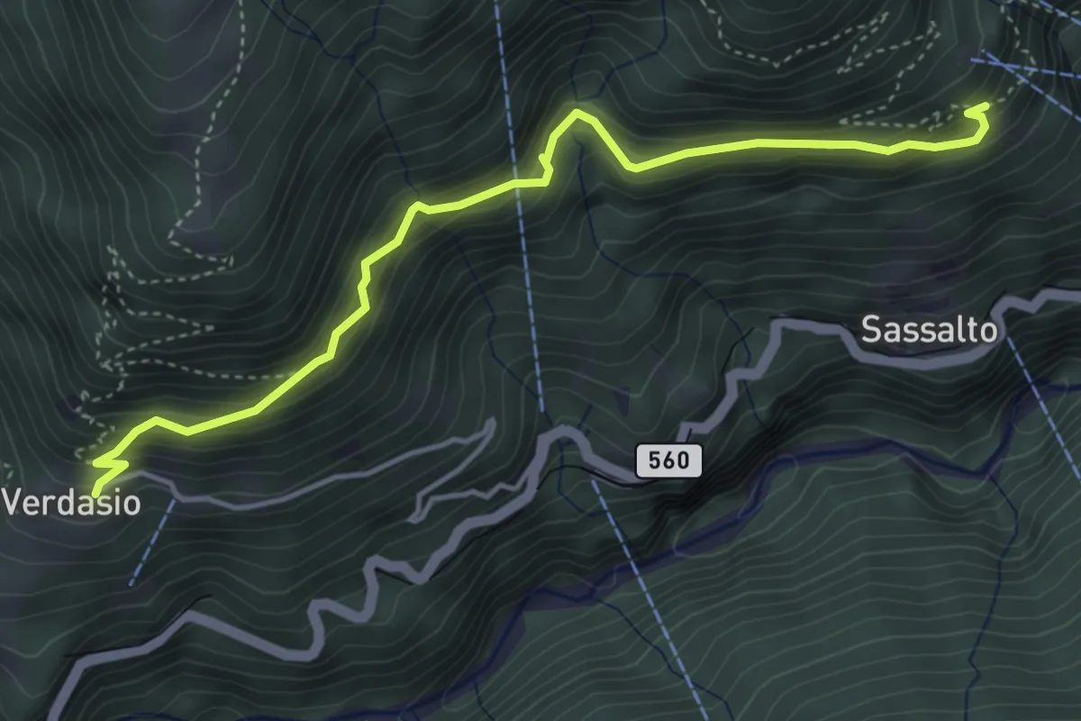
Medium · Trail
Verdasio – Slögna
4.6 km · ↑ 505 m · 2 h 11 min · 12 km away
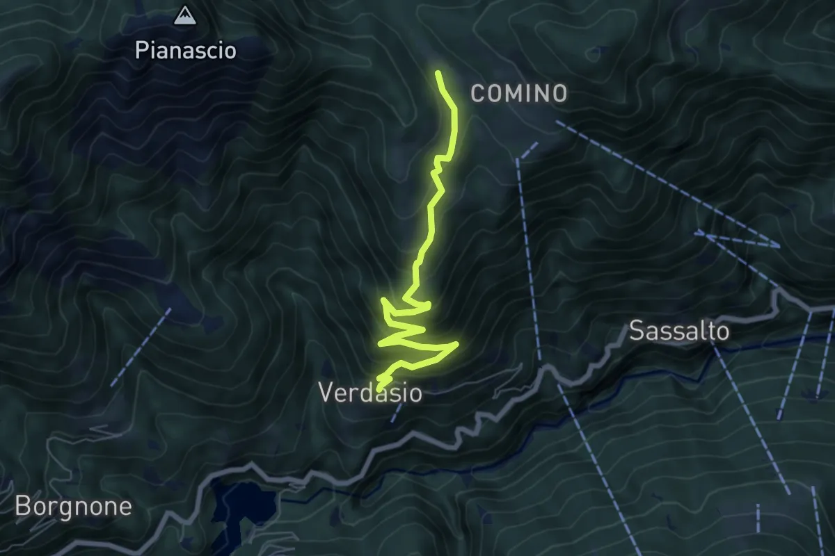
Medium · Trail
Verdasio – Madonna della Segna
6.5 km · ↑ 614 m · 2 h 51 min · 12 km away
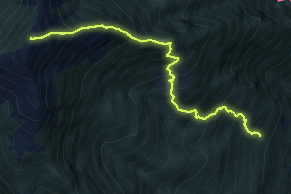
Demanding · Summit
S04 Bivio S02 S.Bartolomeo in Montibus - Monte Faierone
6.7 km · ↑ 1142 m · 4 h 3 min · 12 km away
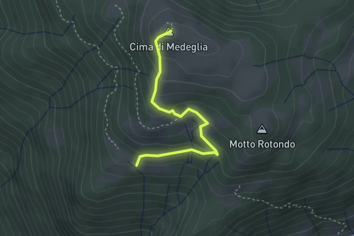
Medium · Summit
Troggiano – Cima di Medeglia
2.9 km · ↑ 169 m · 1 h 3 min · 12 km away
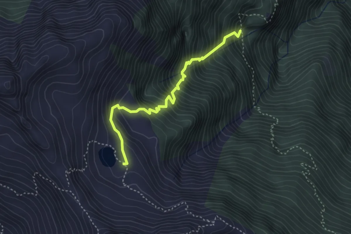
Demanding · Cabin
Cabanna Starlaresc – P1270
3.6 km · ↑ 610 m · 2 h 10 min · 12 km away
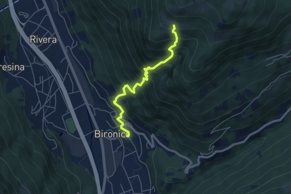
Medium · Trail
Bironico – Troggiano
4.5 km · ↑ 612 m · 2 h 23 min · 12 km away
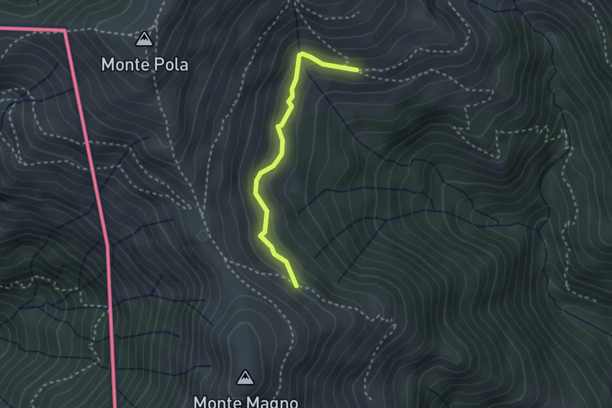
Medium · Trail
Alpe Nisciora – Alpe Agario
2.4 km · ↑ 154 m · 54 min · 13 km away
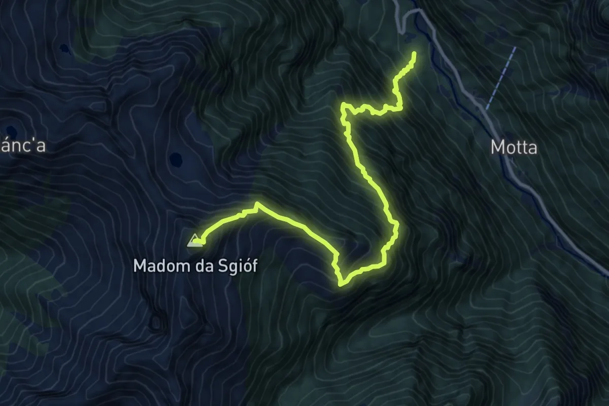
Expert · Summit
Ganne – Madom di Sgiof
10.3 km · ↑ 1729 m · 6 h 10 min · 13 km away
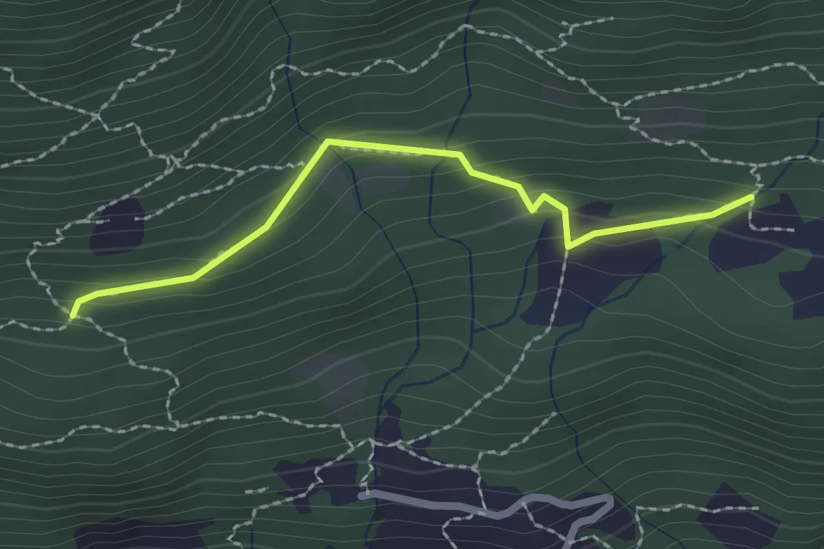
Medium · Trail
Pian Palerm – Redonda
2.0 km · ↑ 135 m · 45 min · 13 km away
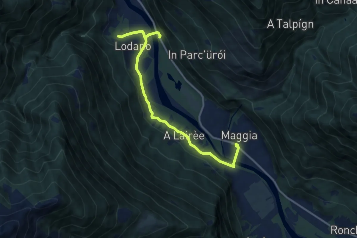
Easy · Trail
Circuito di Lodano
4.7 km · ↑ 93 m · 1 h 23 min · 13 km away
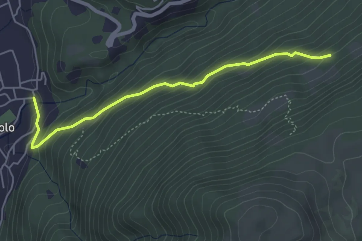
Medium · Trail
Camignolo – Monti di Camignolo
4.2 km · ↑ 335 m · 1 h 44 min · 13 km away
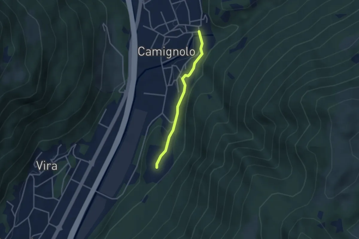
Easy · Trail
Piazzeno – Camignolo
2.5 km · ↑ 66 m · 44 min · 13 km away
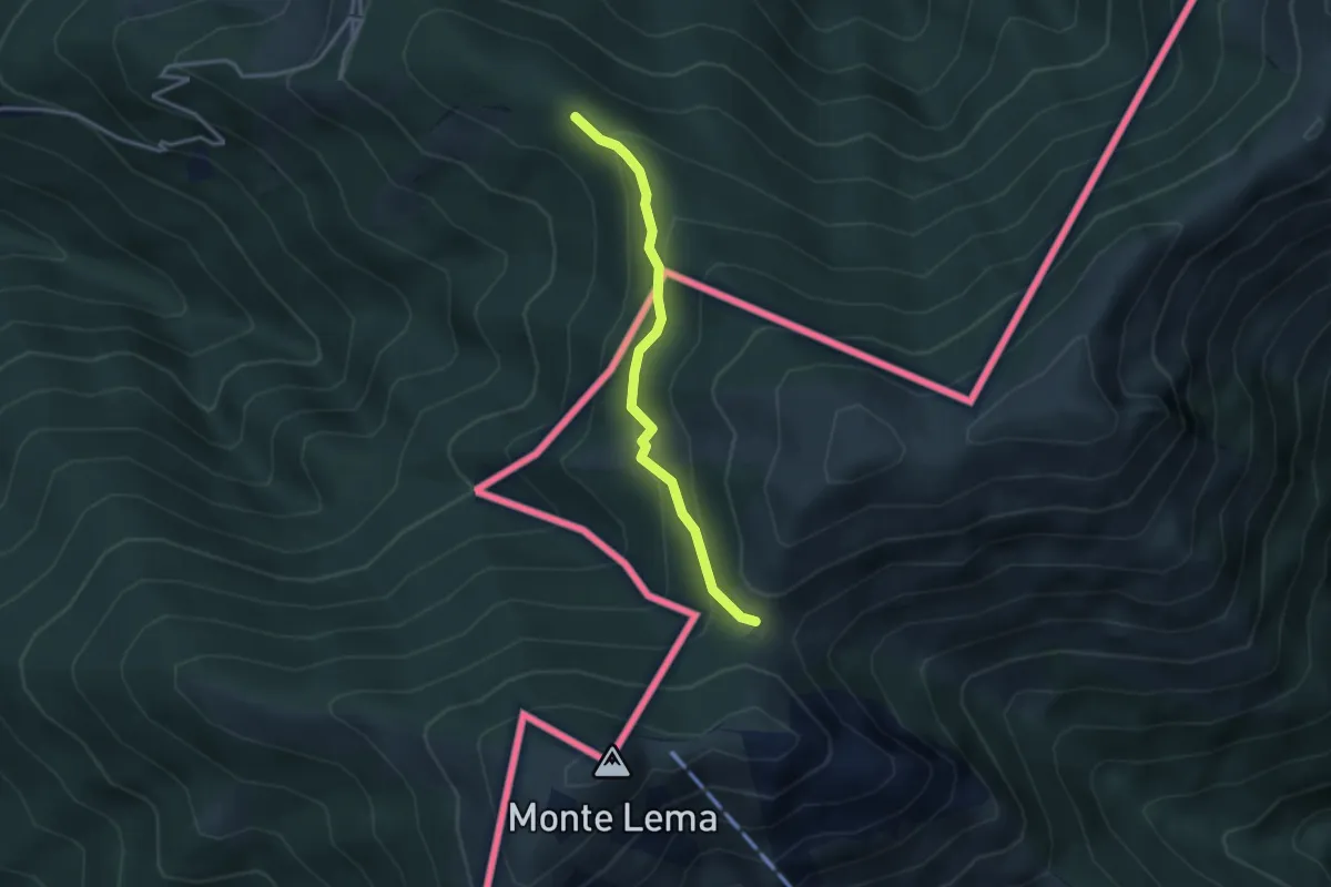
Easy · Trail
Forc. d'Arasio – Alpe Arasio
3.0 km · ↑ 186 m · 1 h 7 min · 13 km away
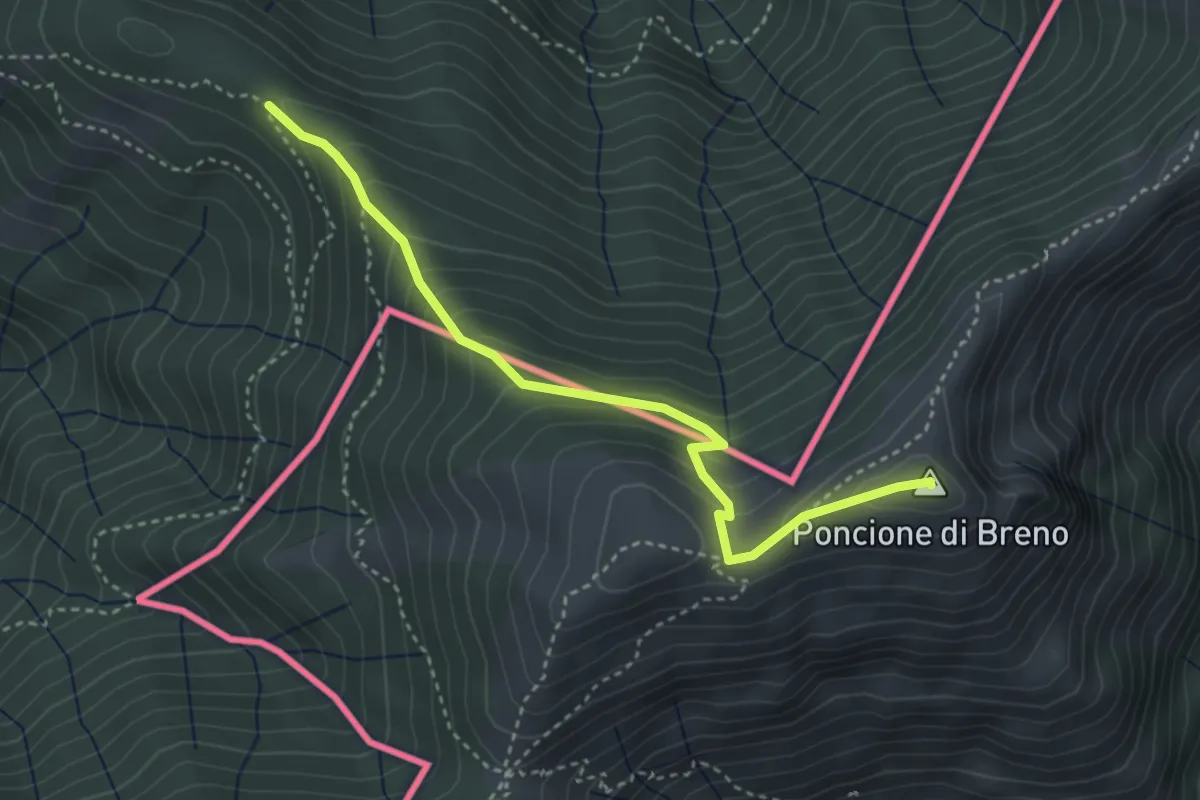
Medium · Summit
Alpone – Poncione di Breno (CH)
3.7 km · ↑ 319 m · 1 h 34 min · 13 km away
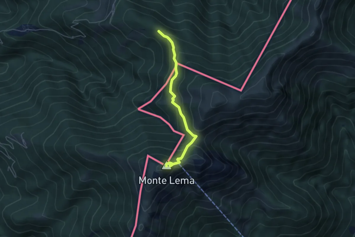
Medium · Summit
Alpone – Monte Lema (CH)
4.3 km · ↑ 318 m · 1 h 42 min · 13 km away
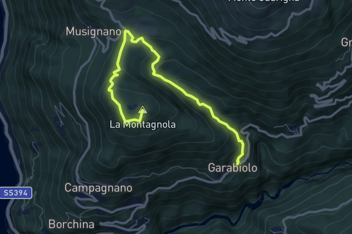
Medium · Summit
Garabiolo – Campagnano
7.8 km · ↑ 366 m · 2 h 38 min · 13 km away
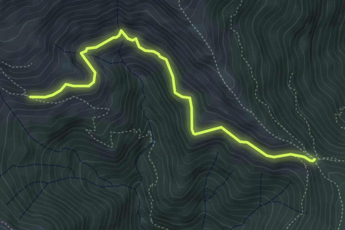
Medium · Trail
La Bassa – Alpe Nisciora
5.5 km · ↑ 384 m · 2 h 7 min · 13 km away
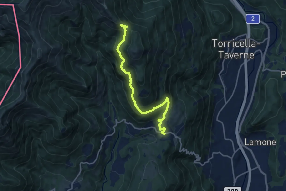
Demanding · Trail
Arosio – La Bassa
10.0 km · ↑ 736 m · 3 h 58 min · 13 km away
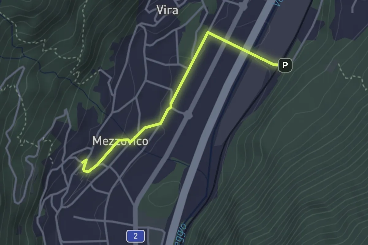
Easy · Trail
Mezzovico – Mezzovico Stazione
3.0 km · ↑ 61 m · 50 min · 13 km away
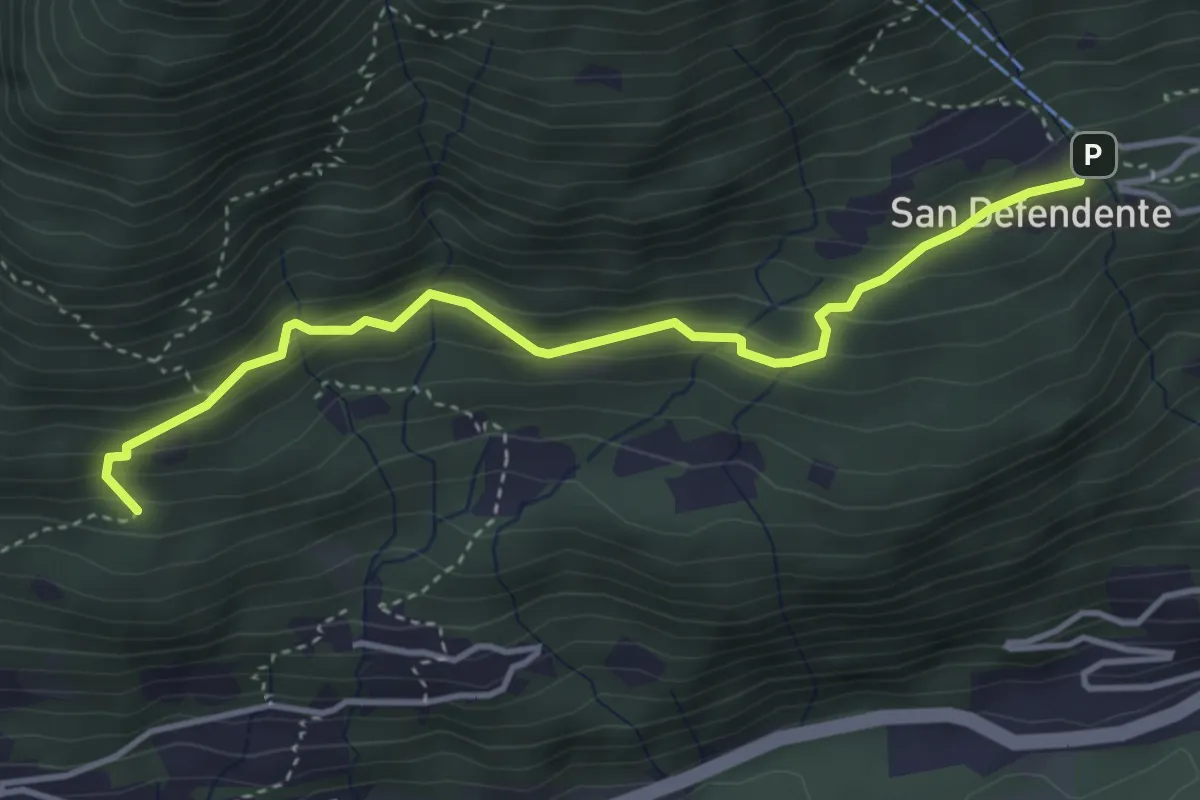
Easy · Trail
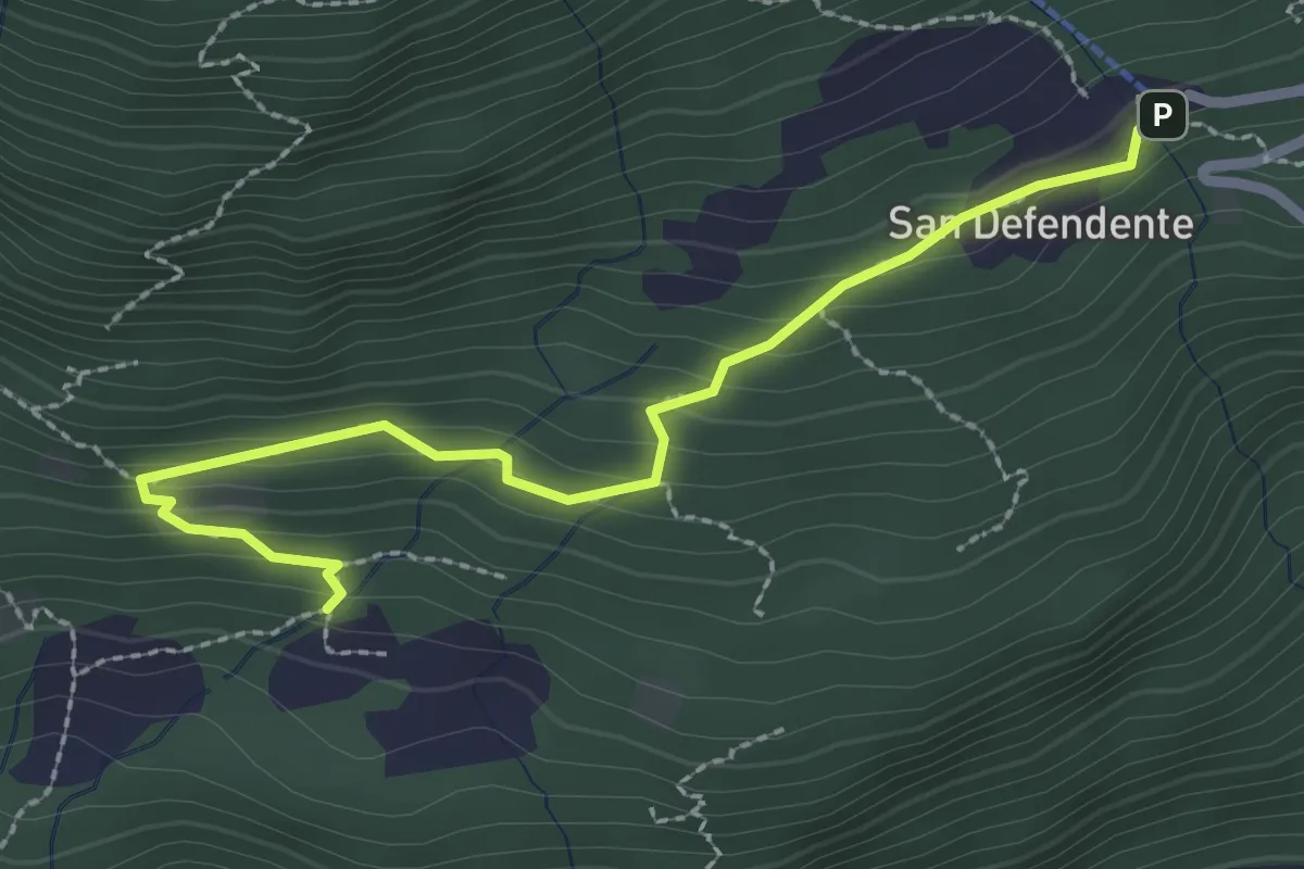
San Defendente – Pian Palerm
4.0 km · ↑ 317 m · 1 h 38 min · 13 km away
Easy · Trail
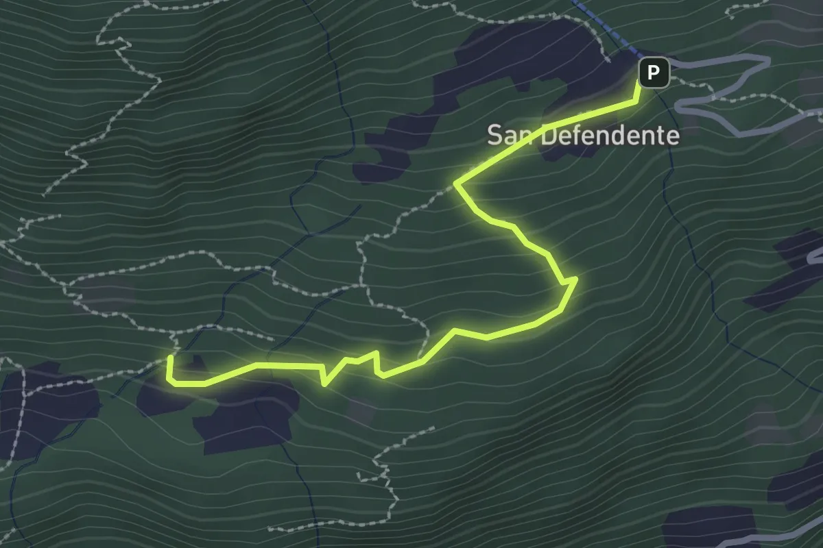
Redonda – S. Defendente
2.7 km · ↑ 157 m · 58 min · 13 km away
Easy · Trail
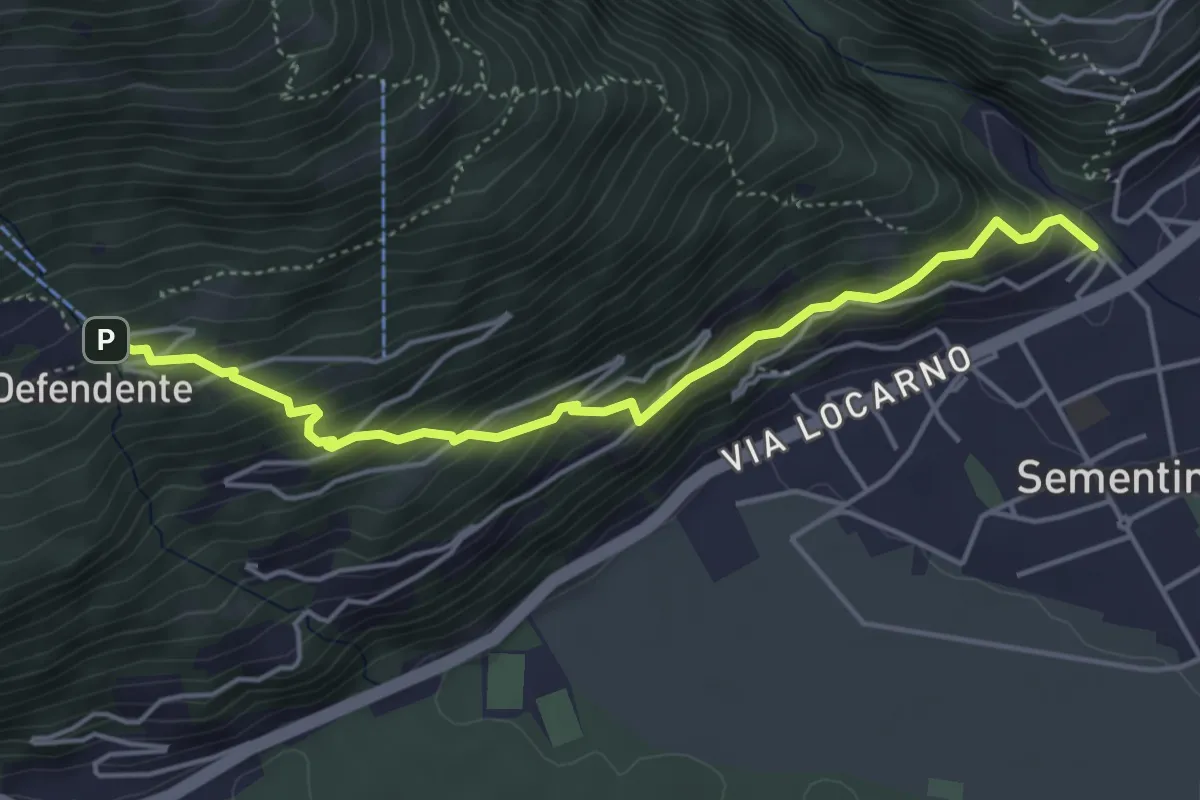
S. Defendete – Redonda
2.7 km · ↑ 205 m · 1 h 5 min · 13 km away
Medium · Trail
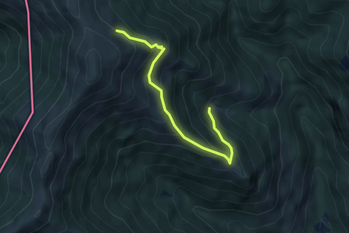
Sementina – S. Defendente
4.7 km · ↑ 414 m · 2 h 1 min · 13 km away
Medium · Trail
Alpe Agario – Alpe di Coransù
4.3 km · ↑ 356 m · 1 h 48 min · 13 km away
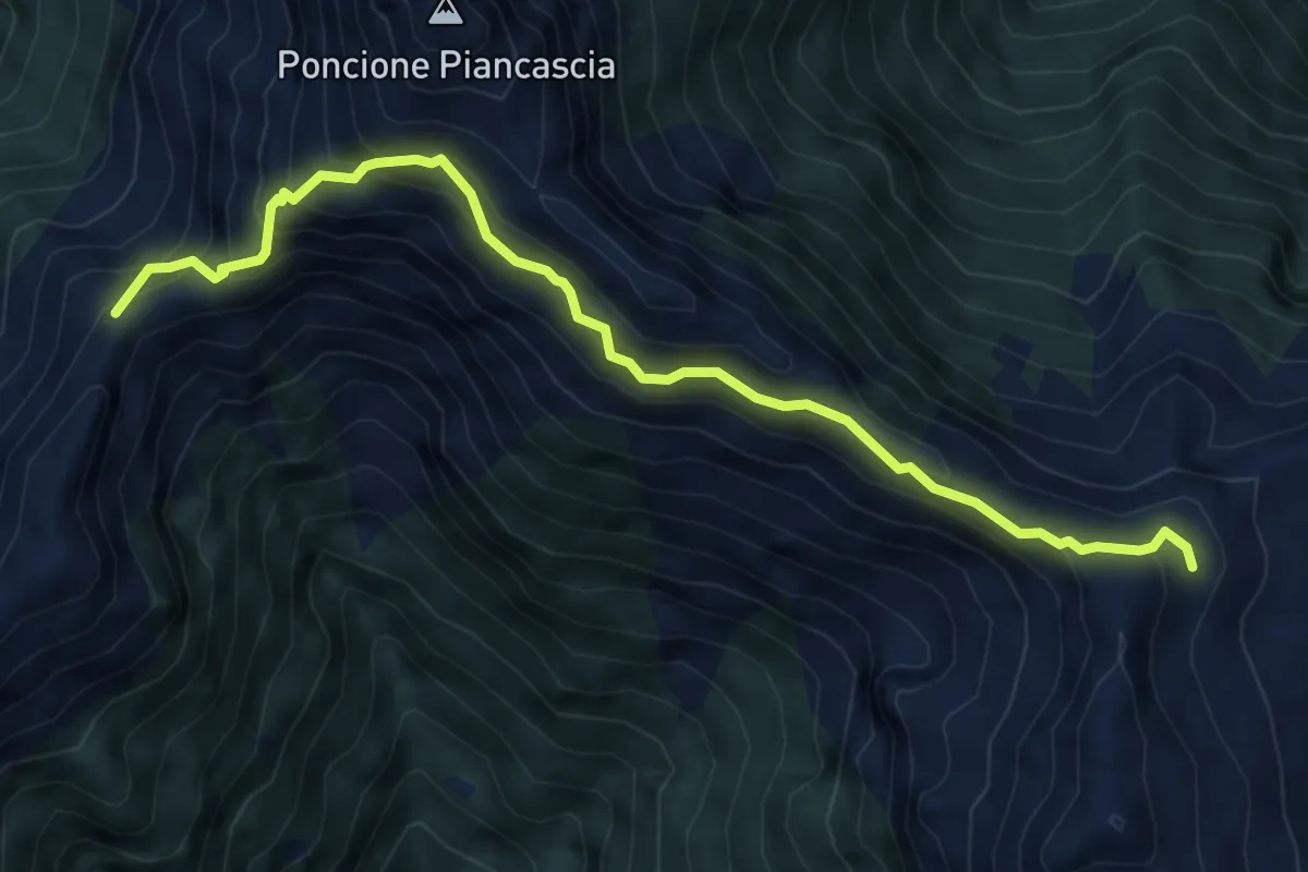
Expert · Summit
P2040 – Capanna Alpe Spluga
6.5 km · ↑ 622 m · 2 h 53 min · 13 km away
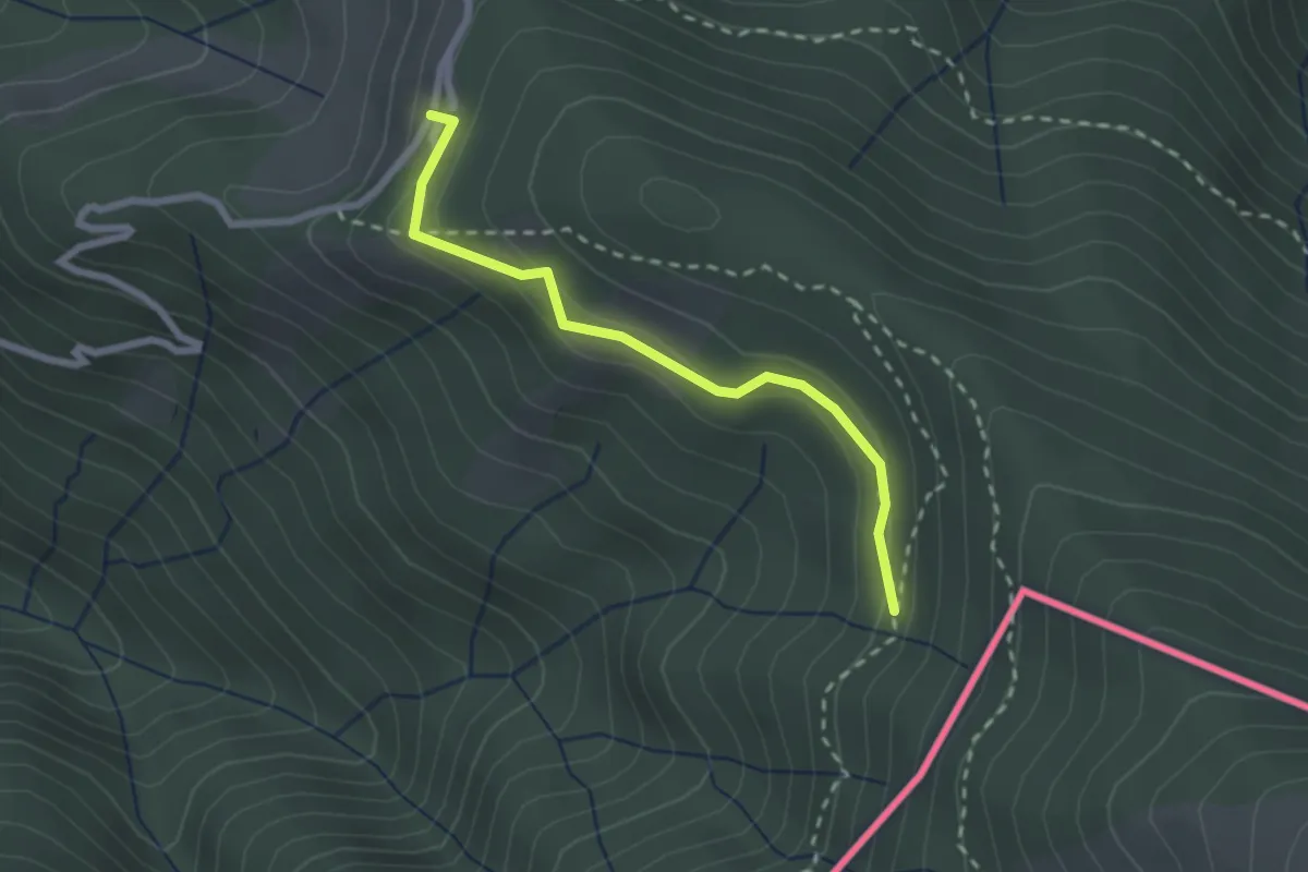
Easy · Cabin
108C Variante Alpone
2.3 km · ↑ 125 m · 48 min · 13 km away
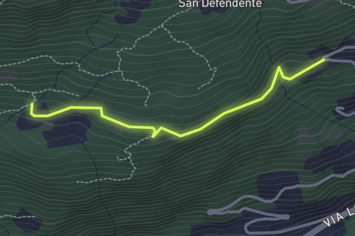
Easy · Trail
Redonda – Piancalardo
2.4 km · ↑ 143 m · 53 min · 14 km away
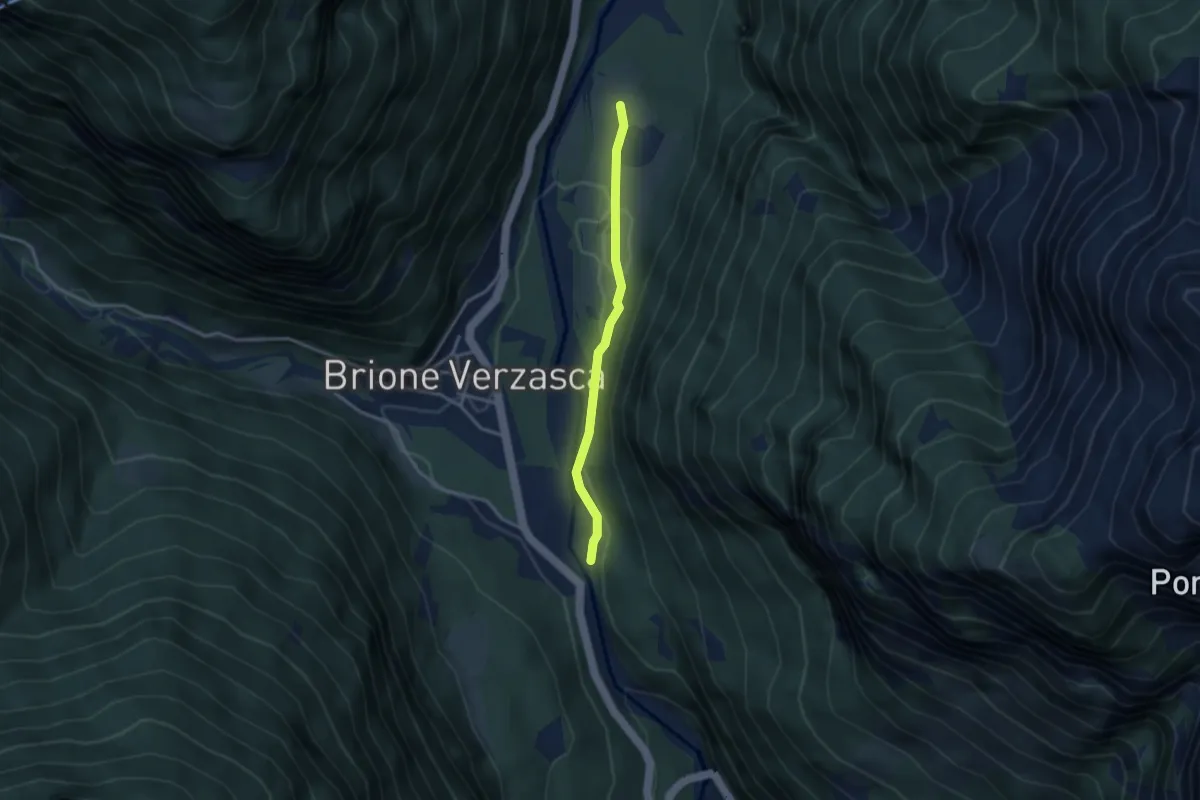
Easy · Trail
Alnasca - Bivio Piee
2.9 km · ↑ 80 m · 51 min · 14 km away
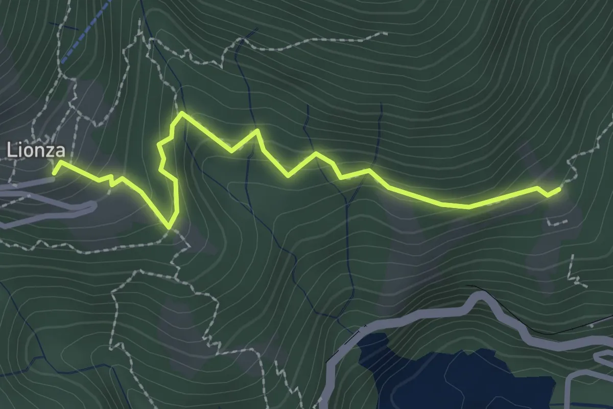
Easy · Trail
Lionza – Piazz
2.6 km · ↑ 194 m · 1 h 1 min · 14 km away
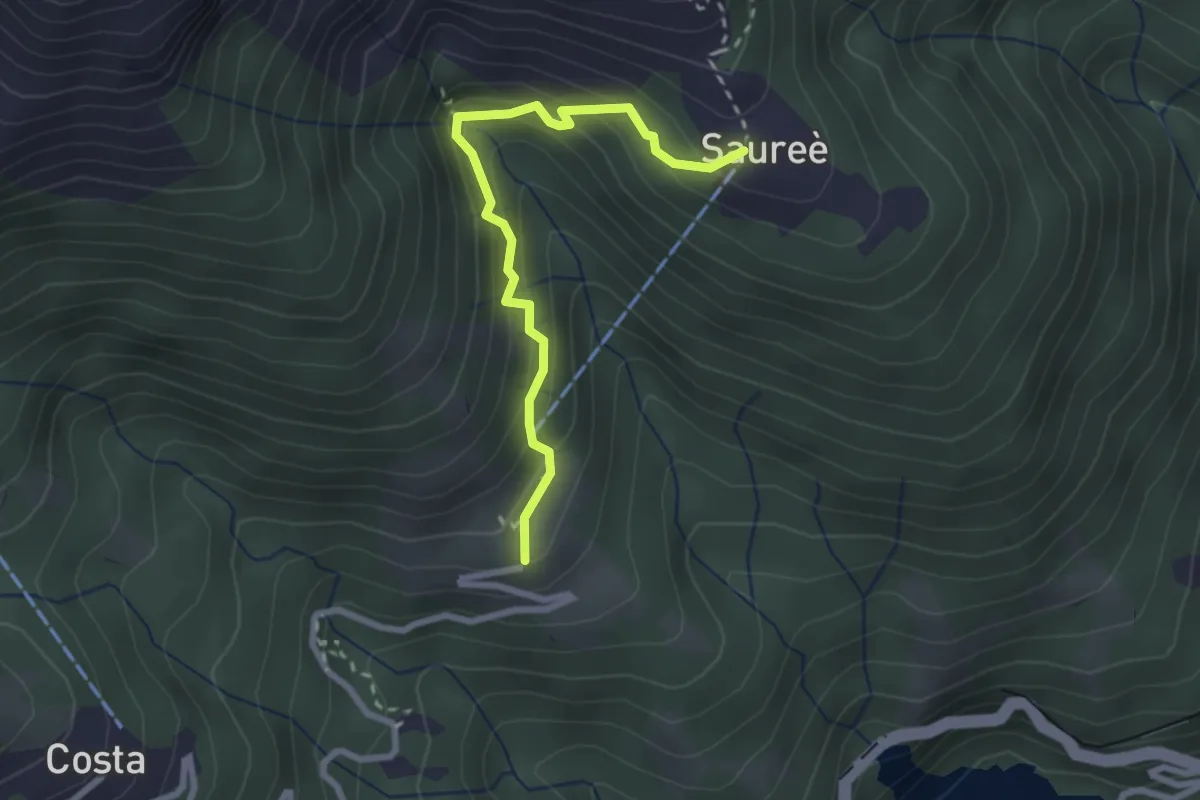
Medium · Trail
Lionza – Saorèe
2.6 km · ↑ 233 m · 1 h 7 min · 14 km away
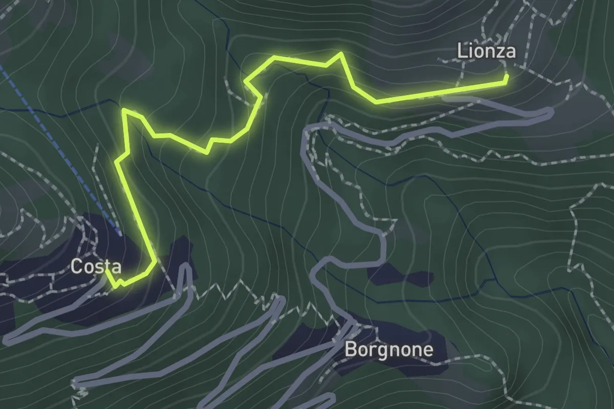
Medium · Trail
Lionza – Costa
2.3 km · ↑ 147 m · 52 min · 14 km away
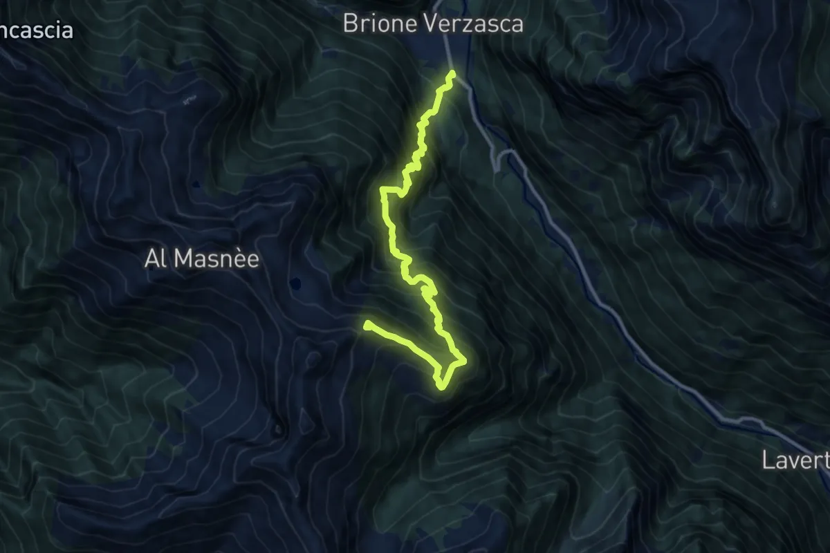
Demanding · Summit
Starlaresc Brione
12.2 km · ↑ 1633 m · 6 h 25 min · 14 km away
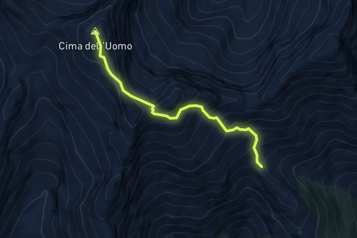
Expert · Summit
Capanna Borgna – Capanna Albagno
4.6 km · ↑ 591 m · 2 h 22 min · 14 km away
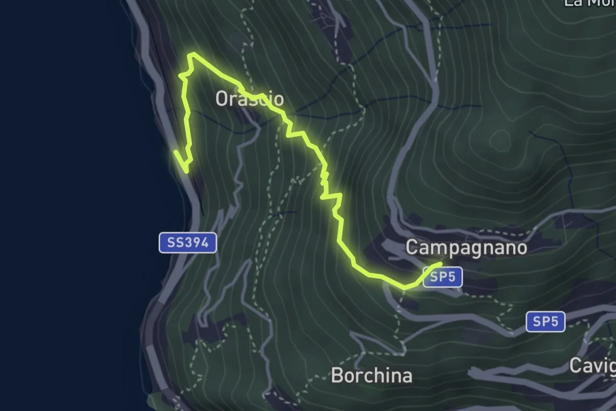
Medium · Trail
Ronco delle Monache – Orascio-Campagnano
3.8 km · ↑ 409 m · 1 h 47 min · 14 km away
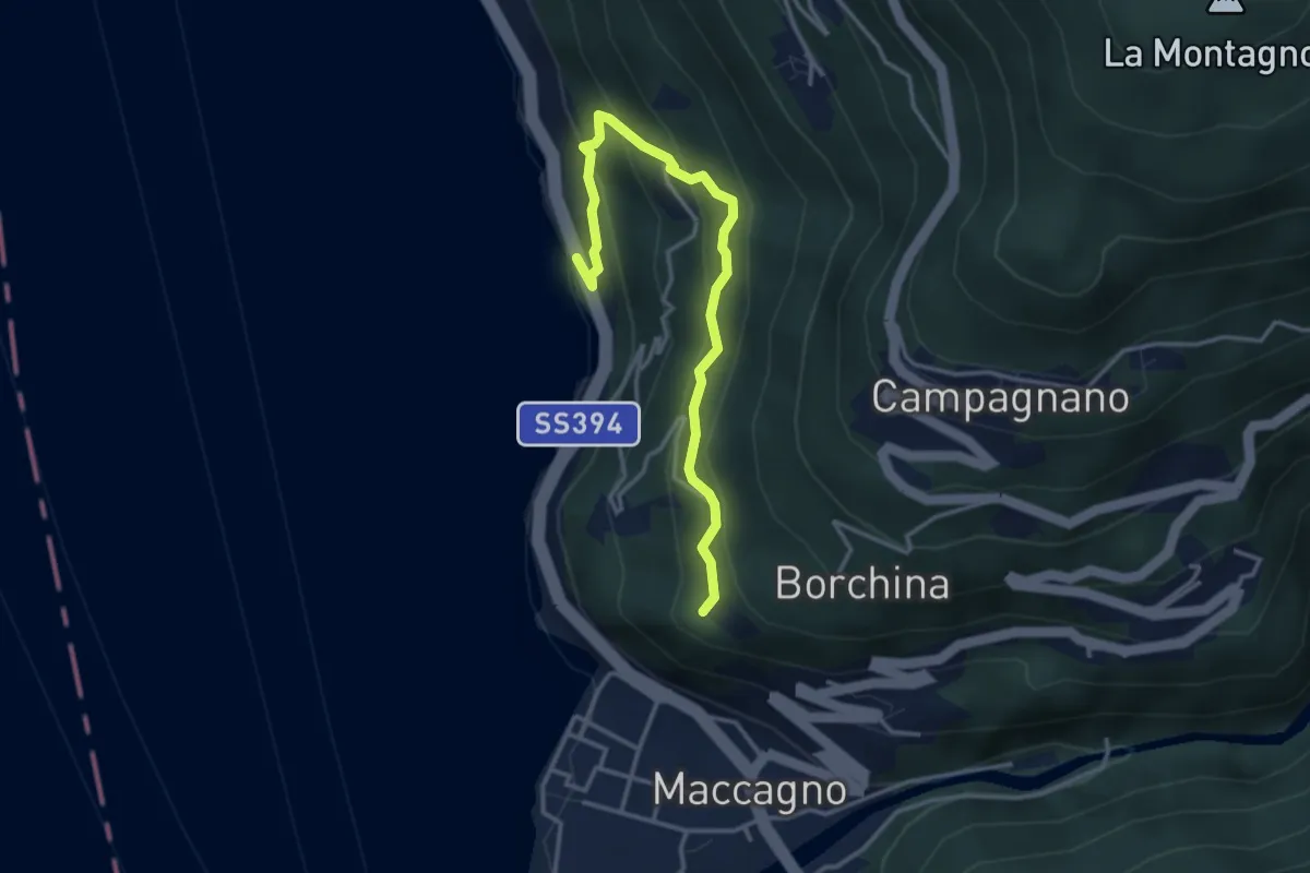
Medium · Trail
Ronco delle Monache – Pianca
3.7 km · ↑ 297 m · 1 h 31 min · 14 km away
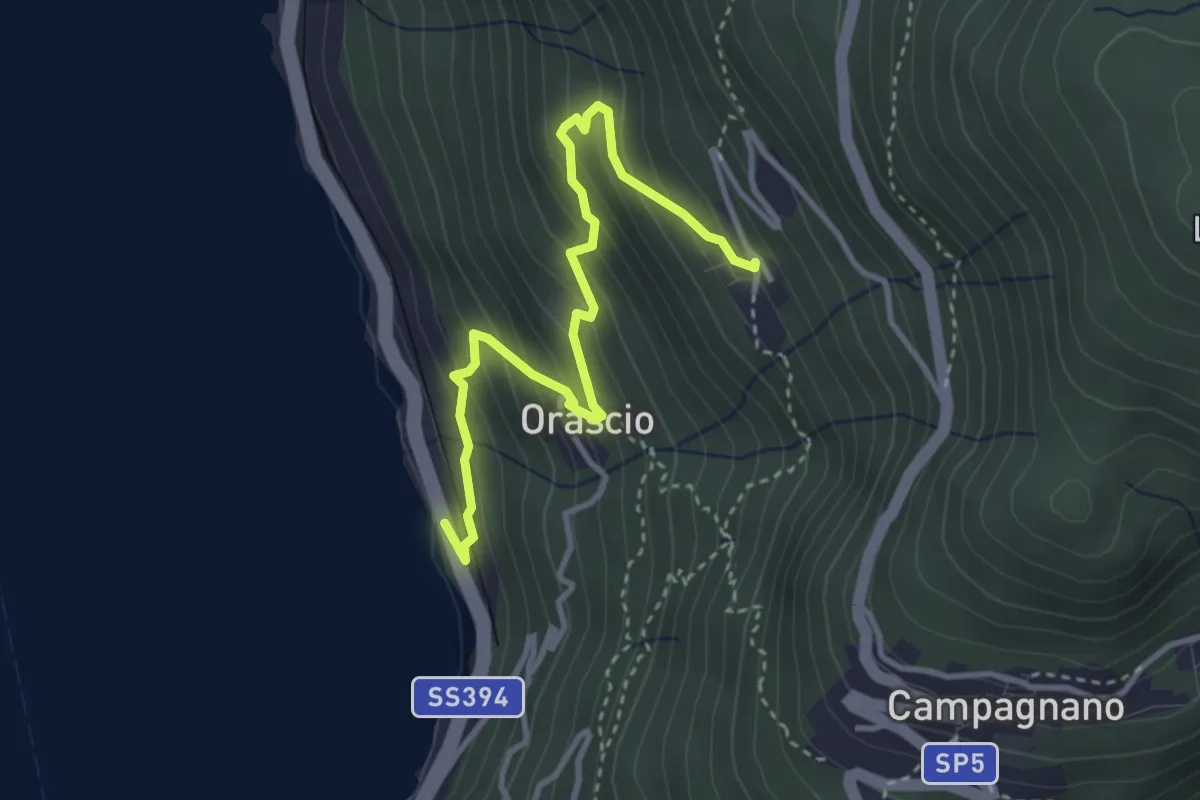
Medium · Trail
Ronco delle Monache – Sarangio
3.7 km · ↑ 343 m · 1 h 37 min · 14 km away